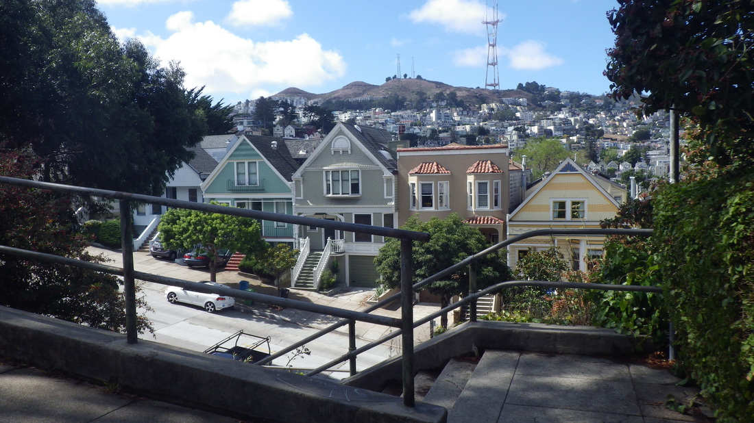
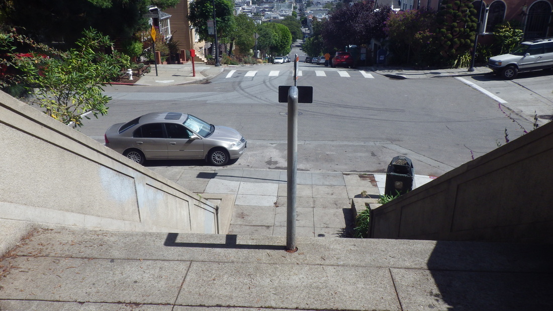
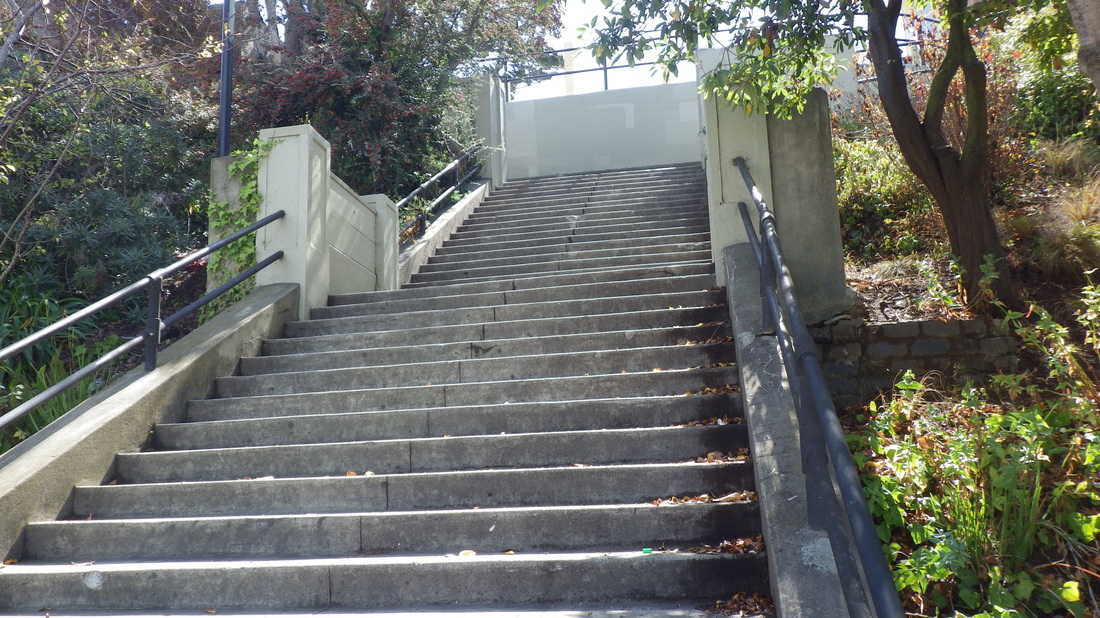
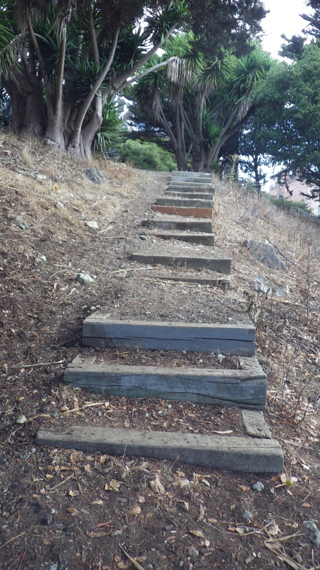
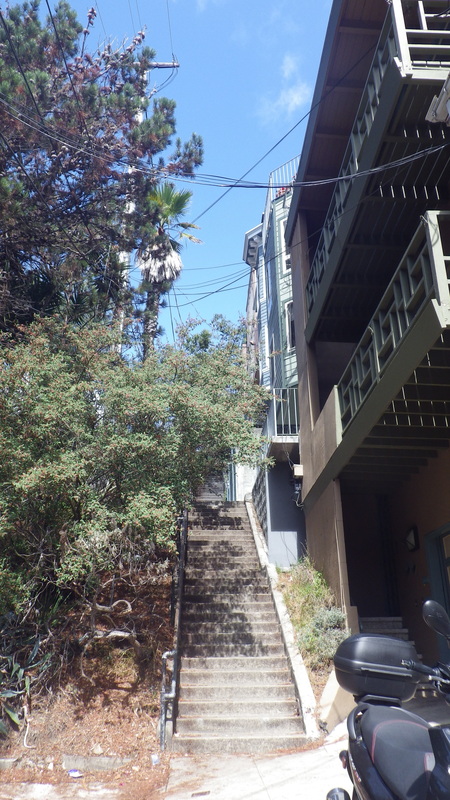
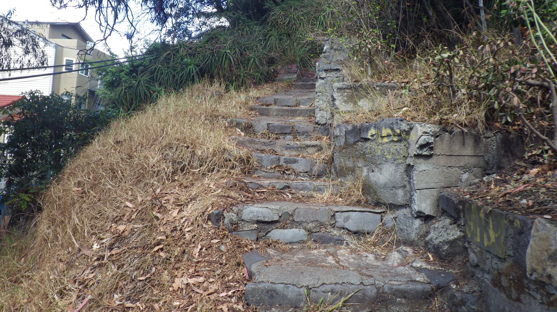
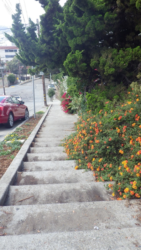
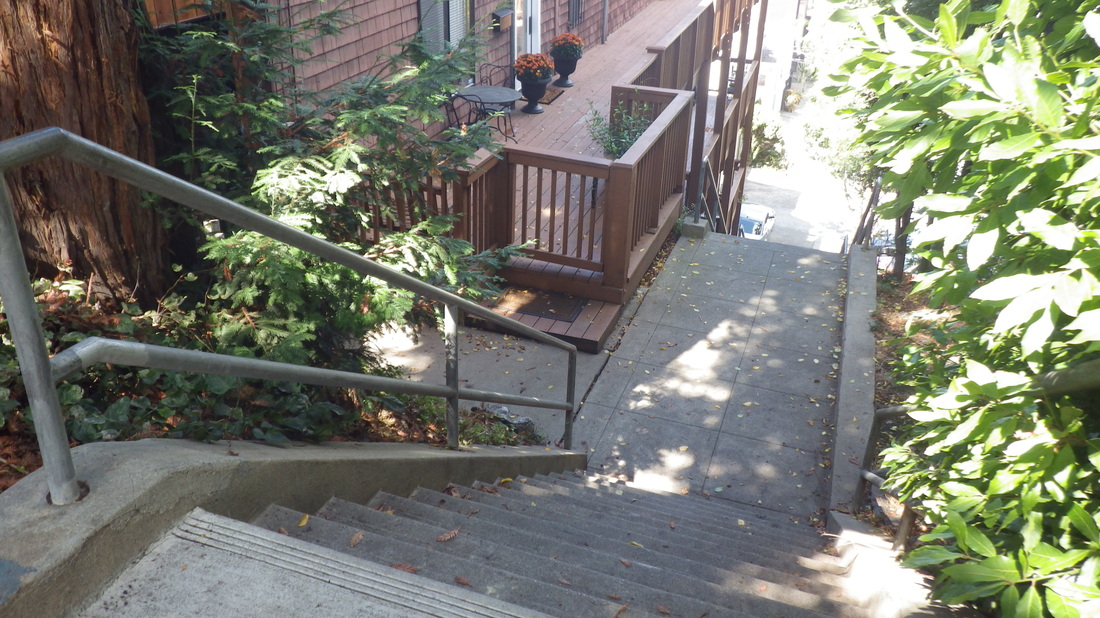
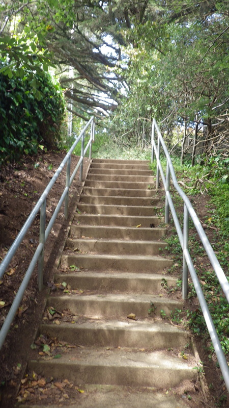
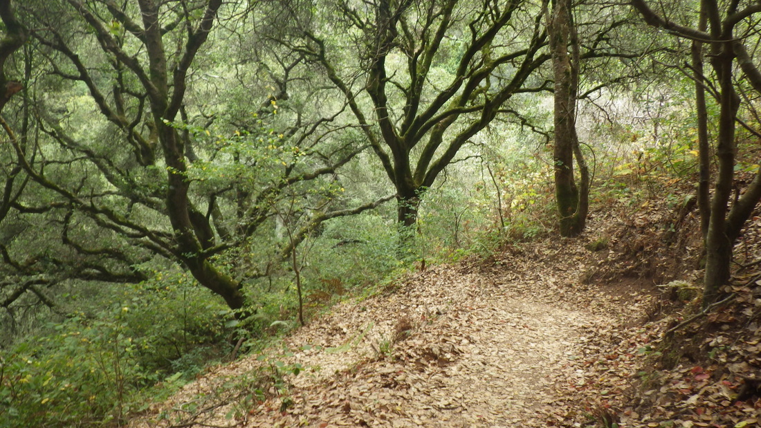
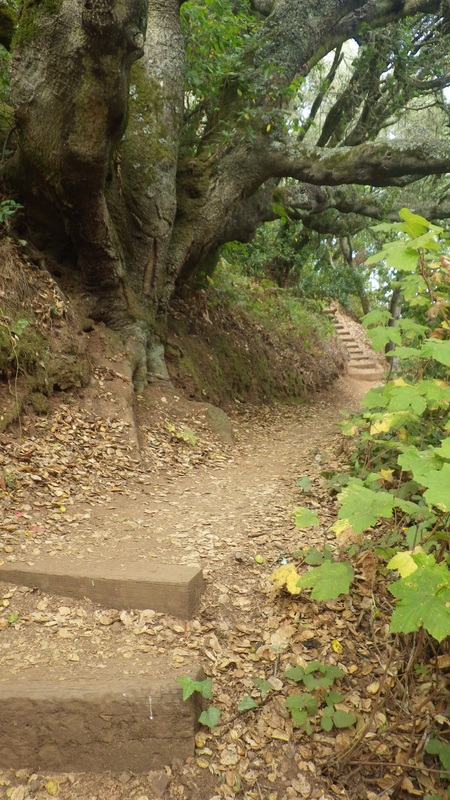
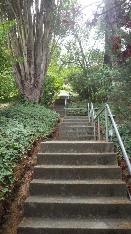
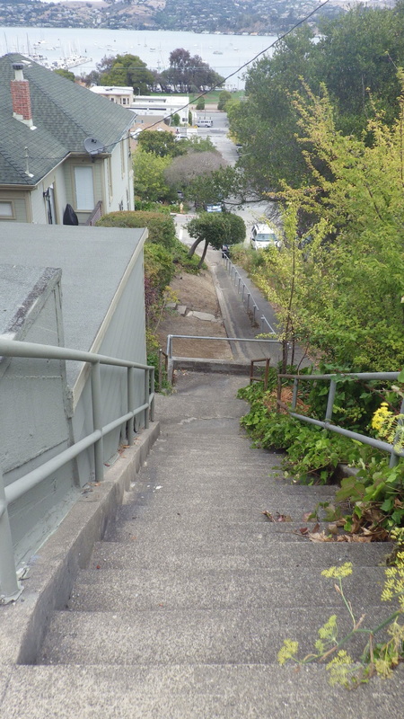
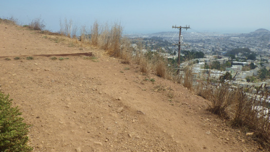
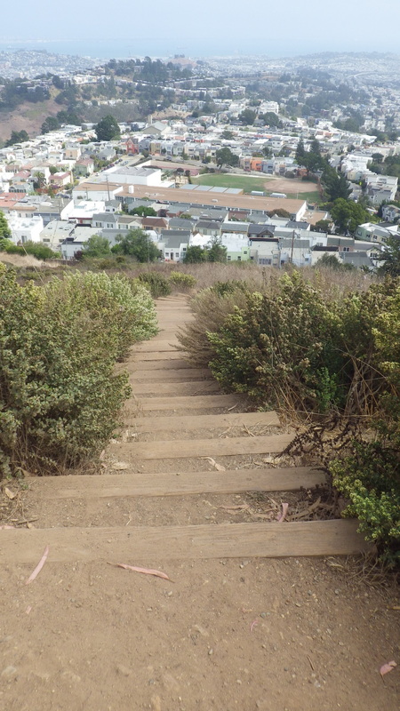
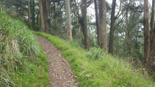
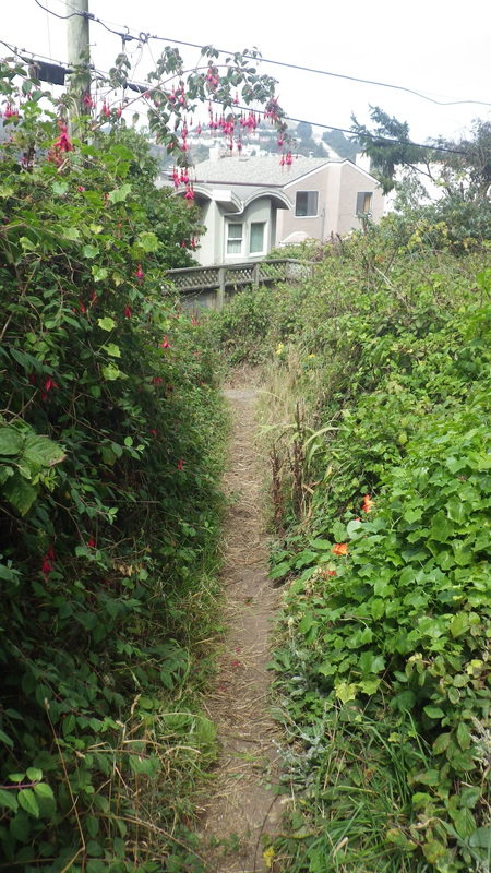
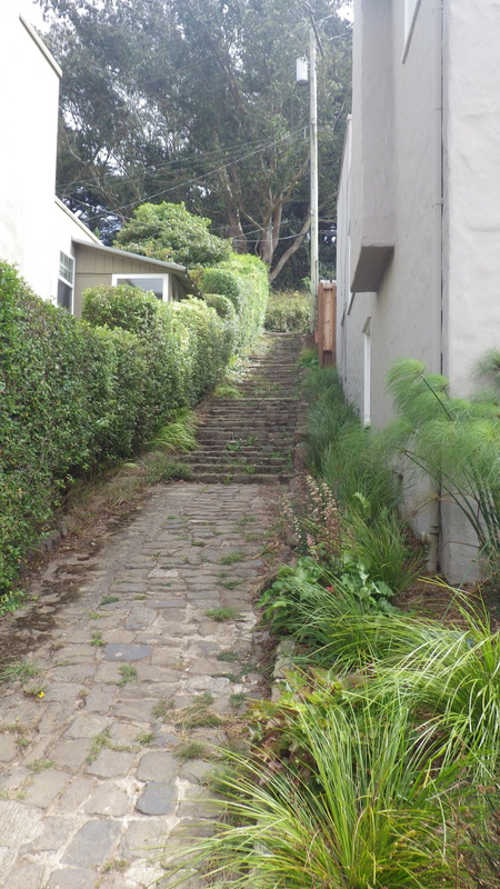
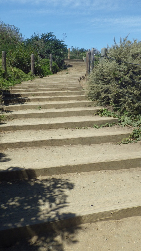
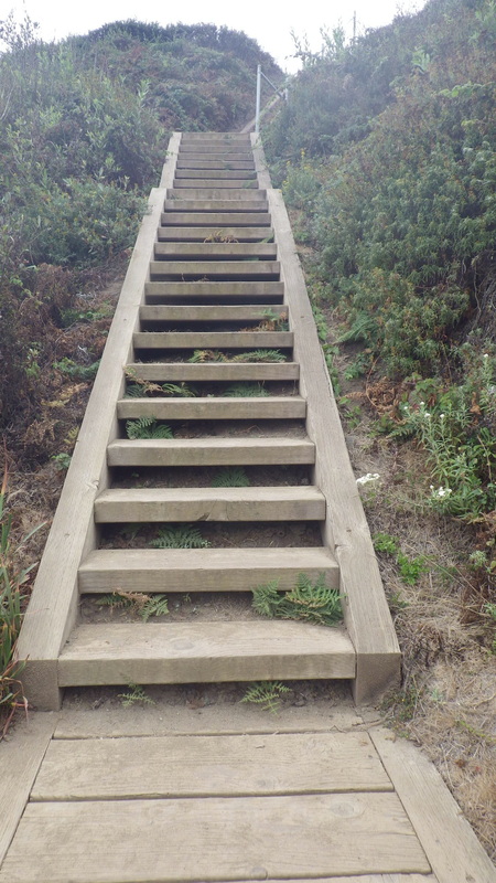
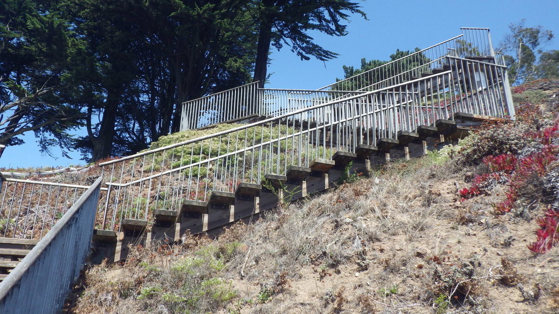
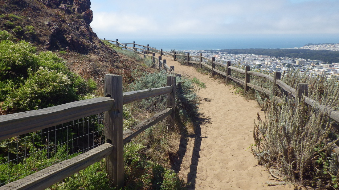
First stairway climbed for this Dolores Heights hike was the Liberty: 86 steps, first three pix.
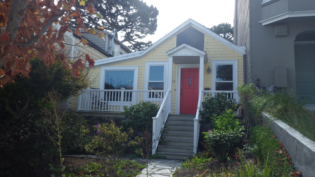
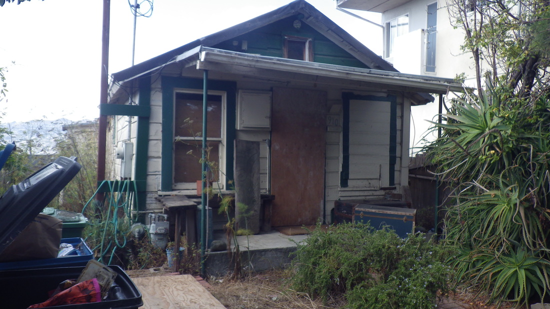
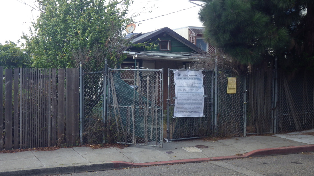
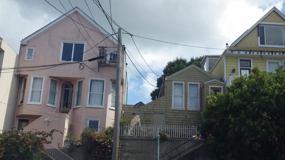
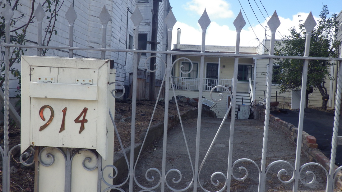
Continuing on Liberty, this cutie's said to be a former 1906 earthquake cottage (4, 5).
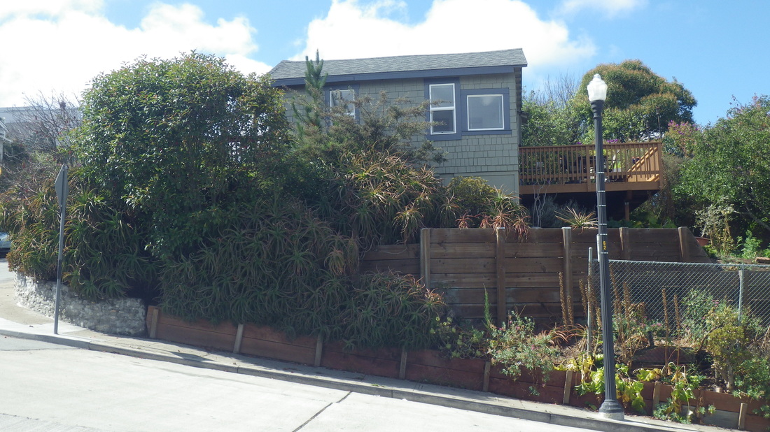
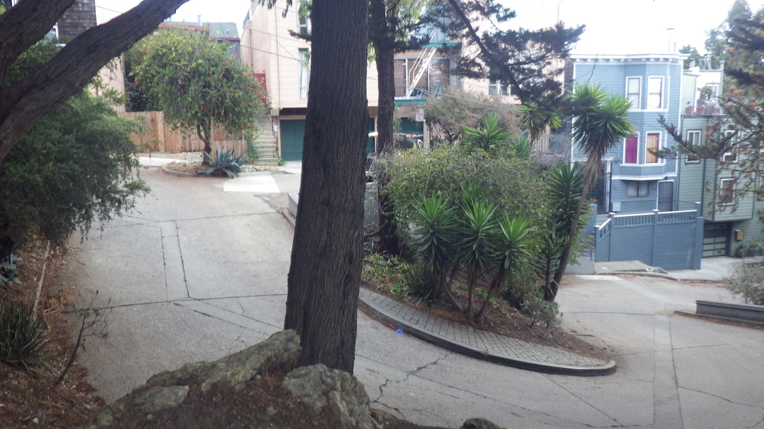
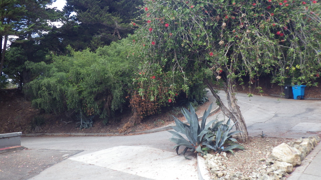
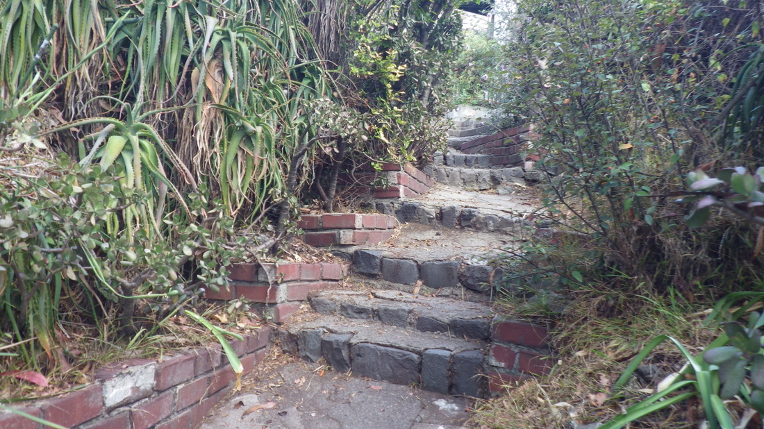
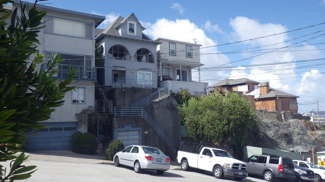
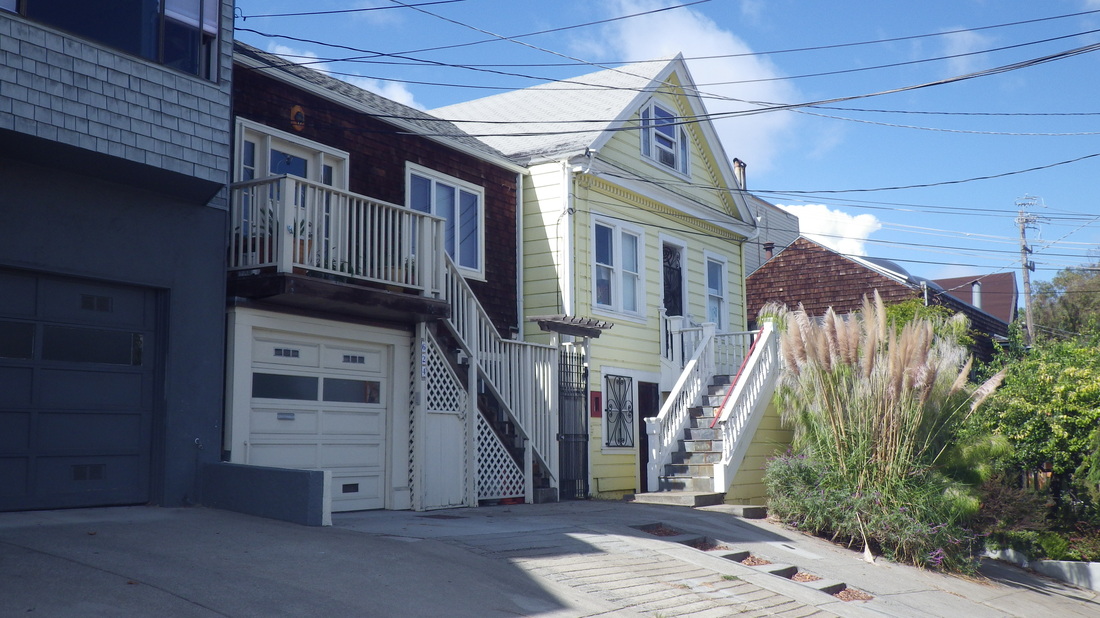
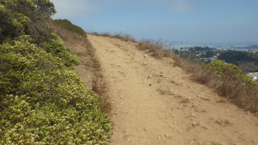
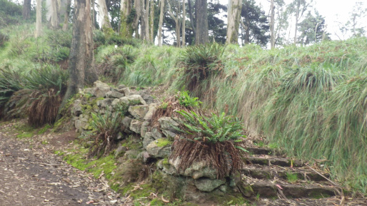
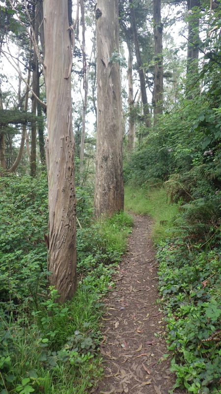
Passing the 300 Cumberland (confirmed quake shax) twins-into-one-house (corner of Sanchez), pix 6, 7; more of Cumberland east of Sanchez, pic 8.
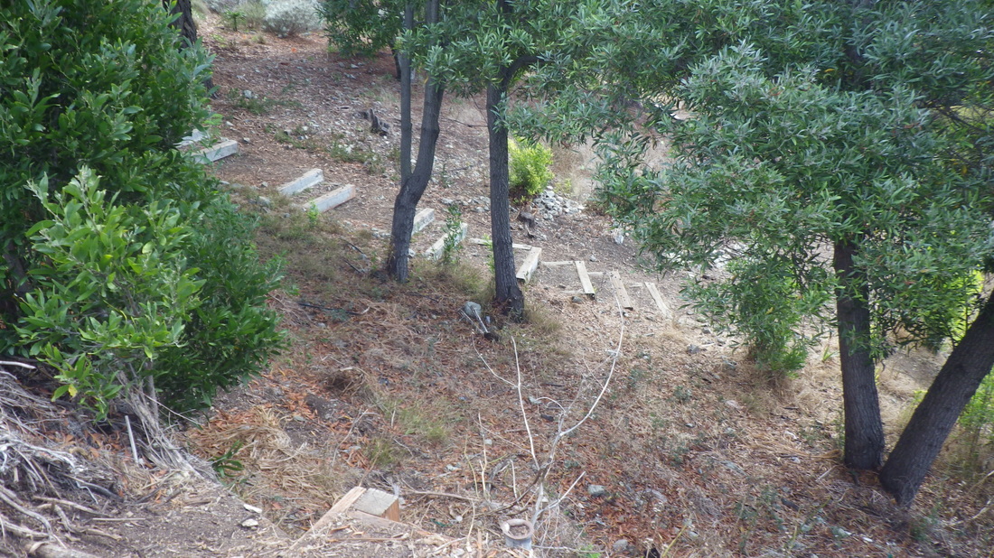
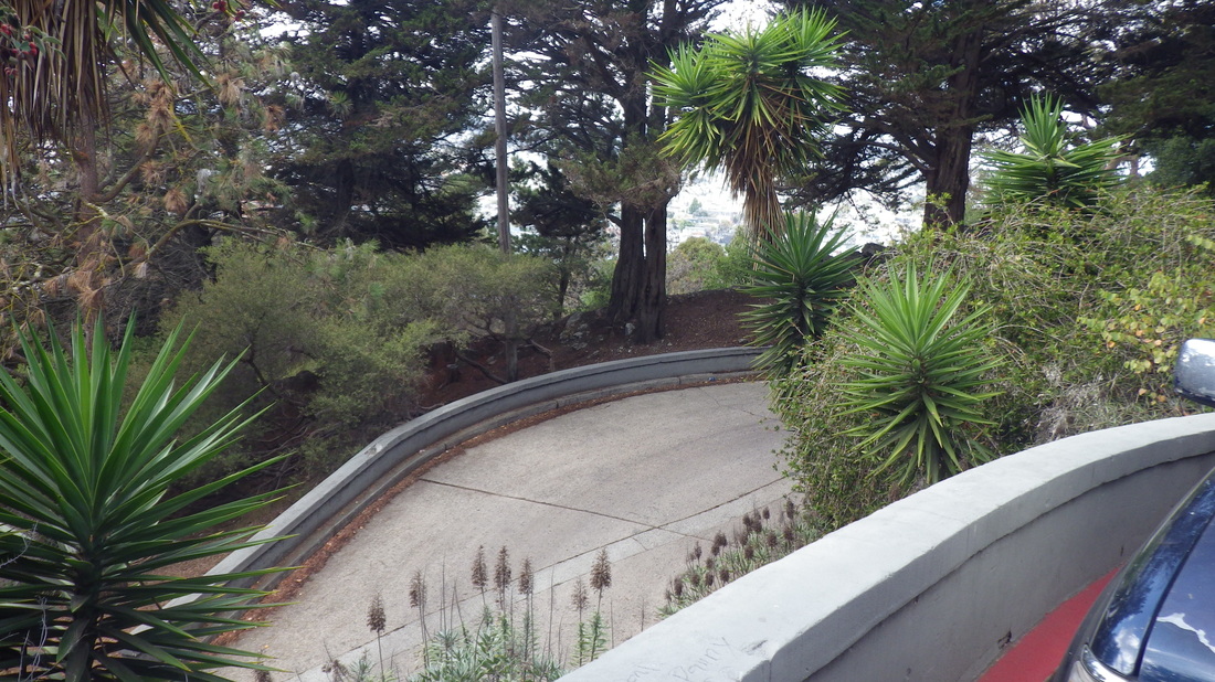
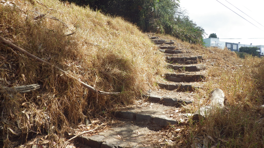
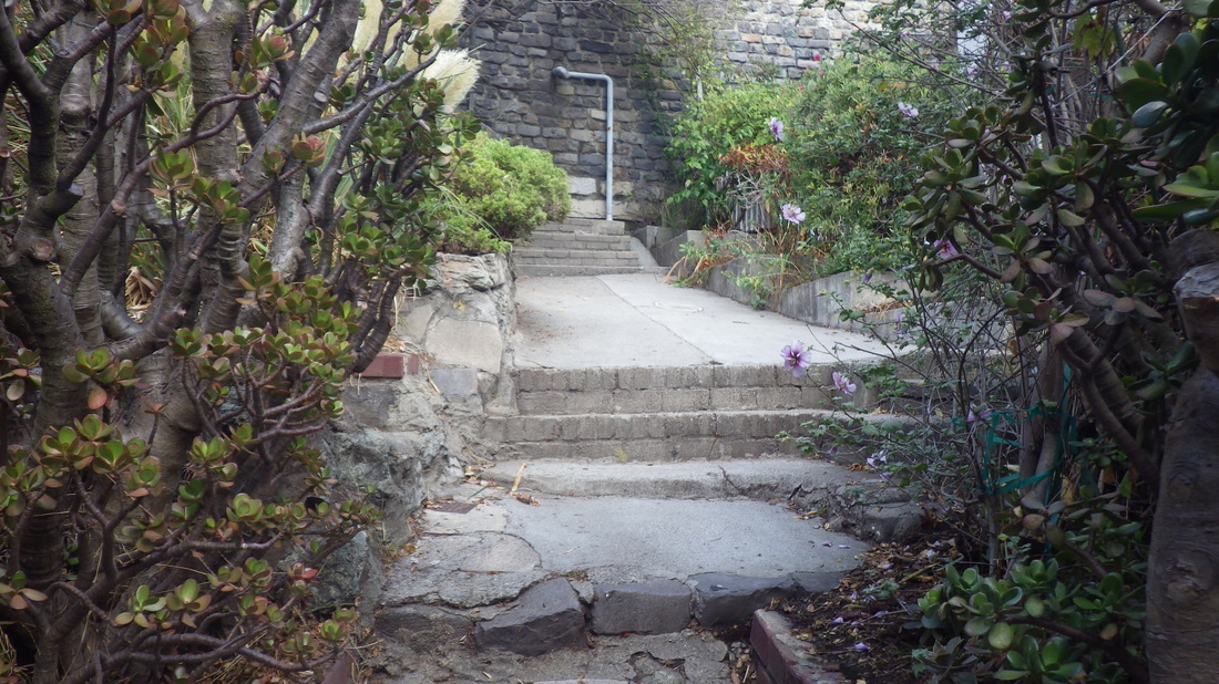
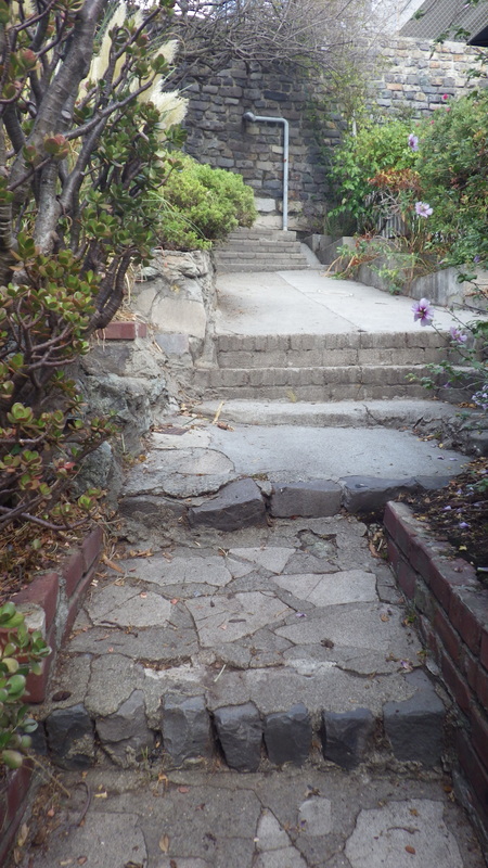
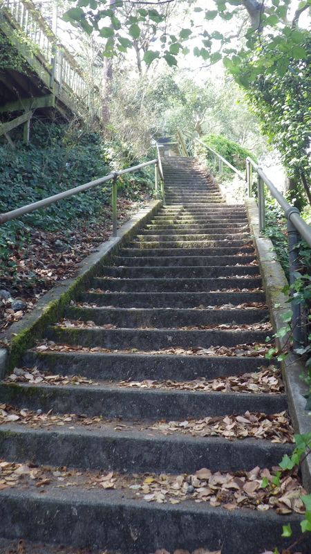
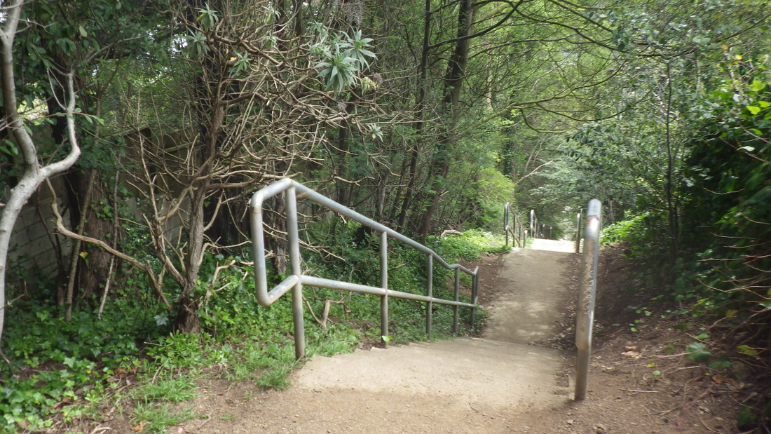
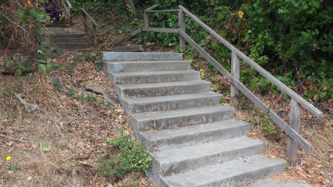
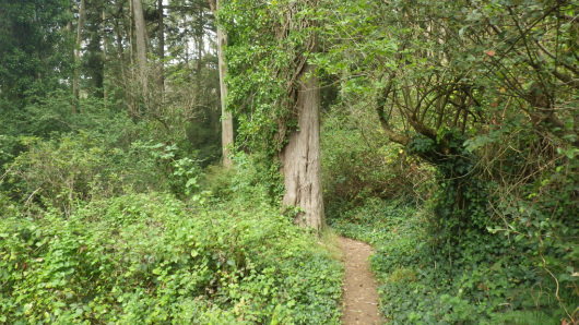
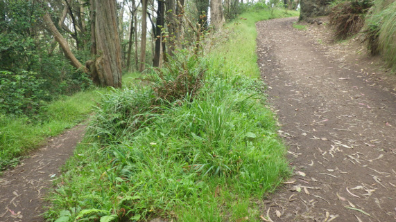
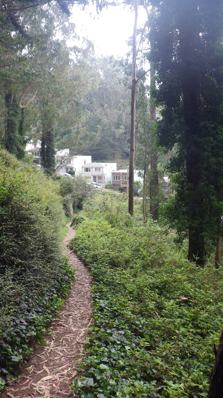
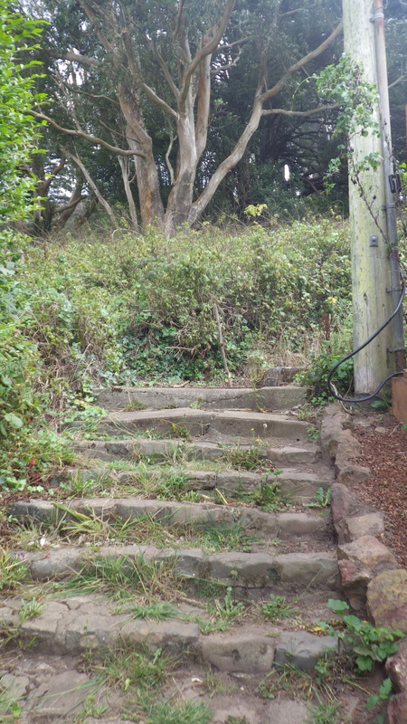
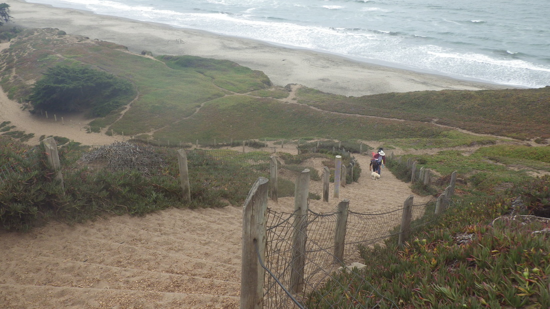
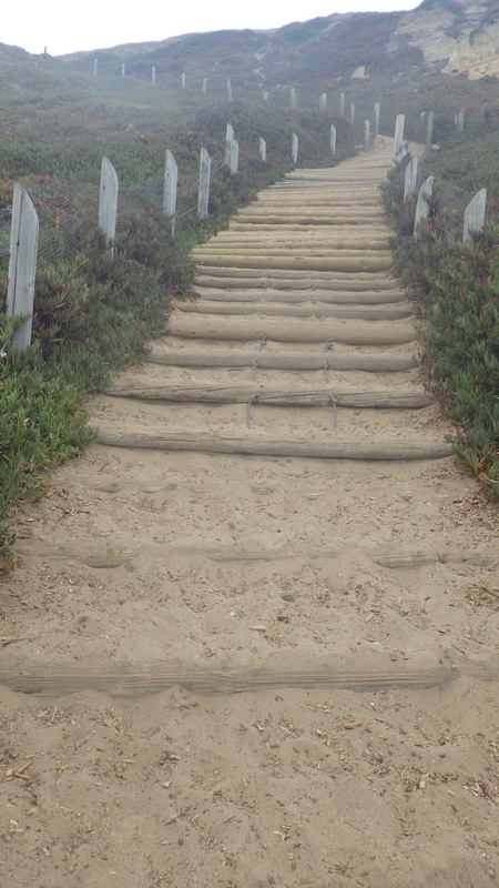
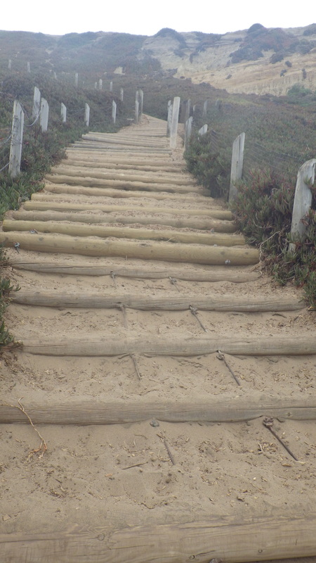
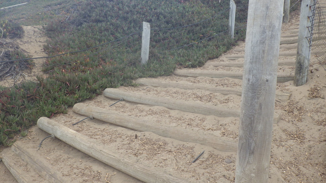
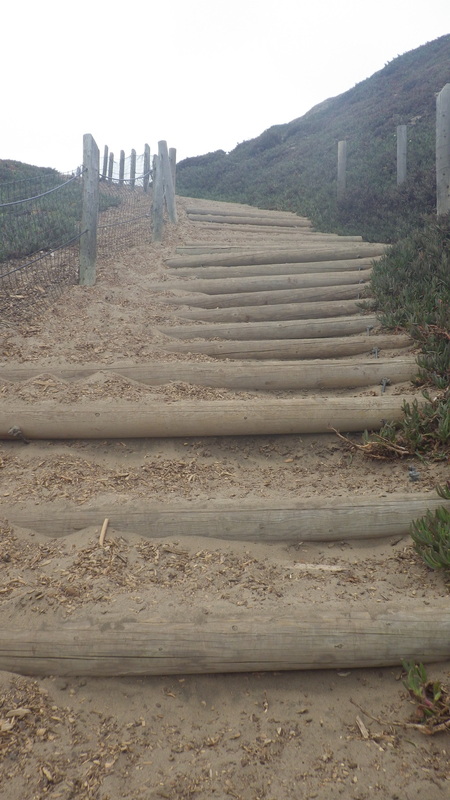
Cumberland’s westside dead-end steps (41) descending to Noe: 9, 10.
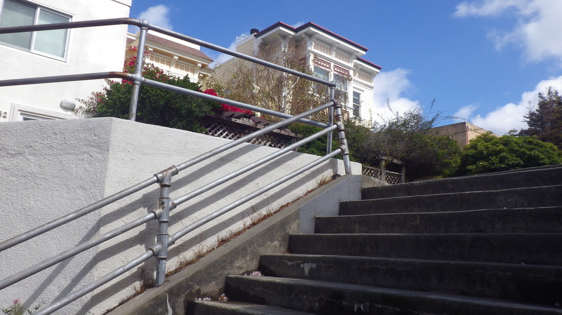
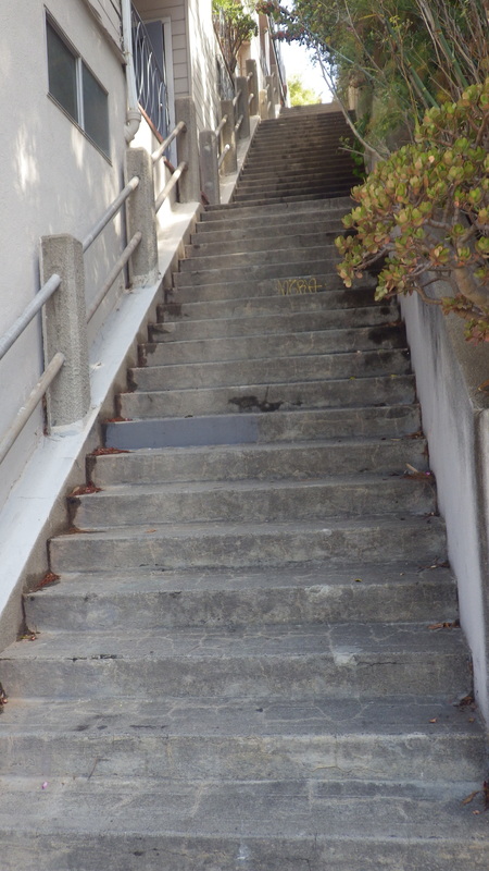
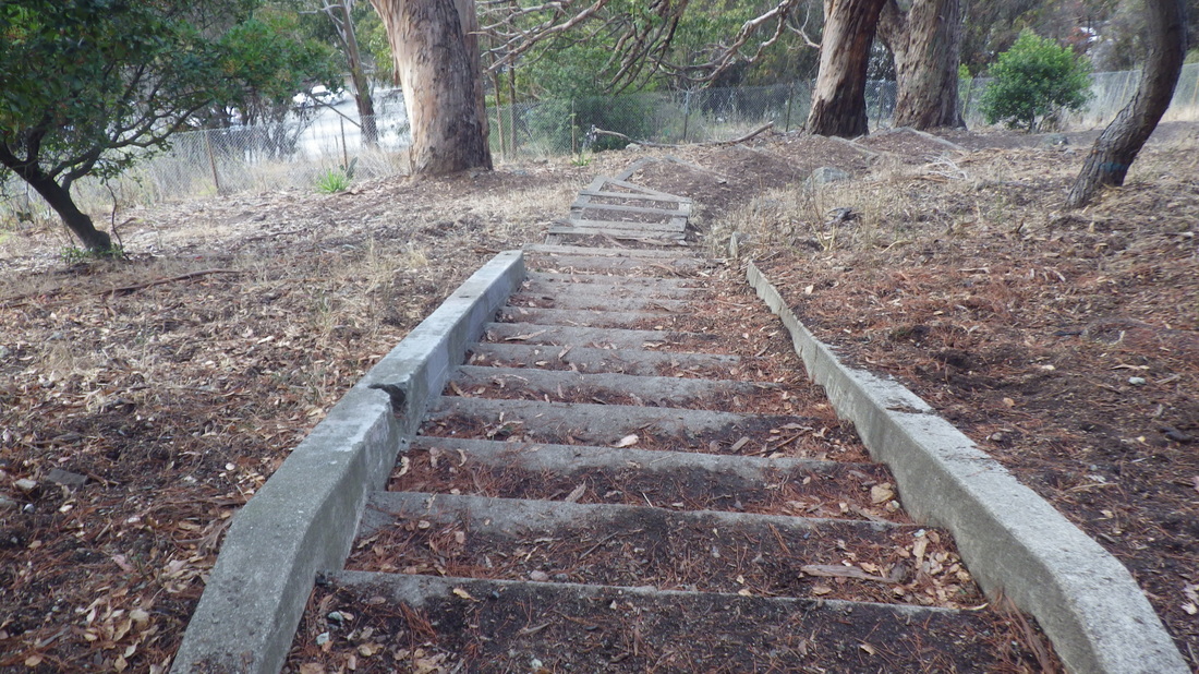
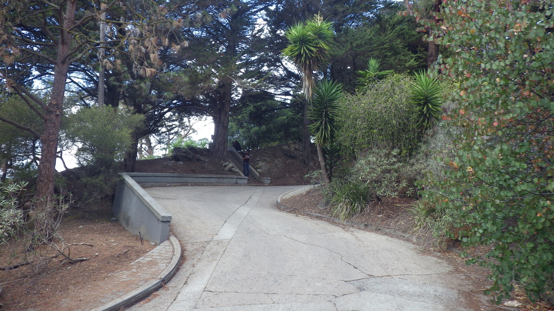
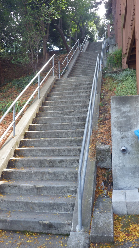
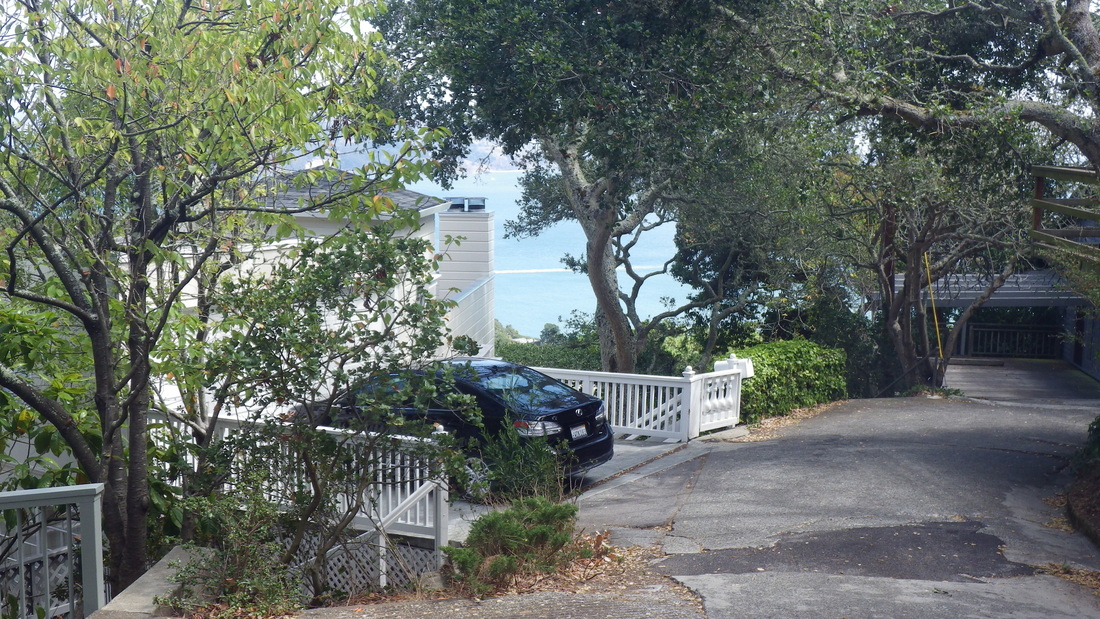
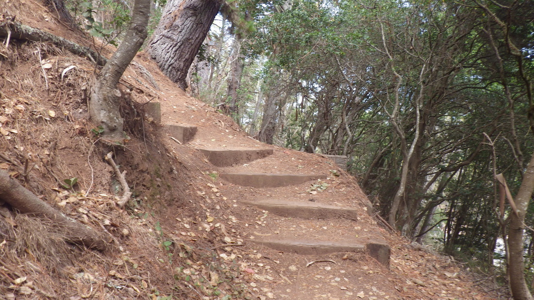
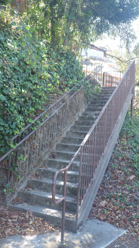
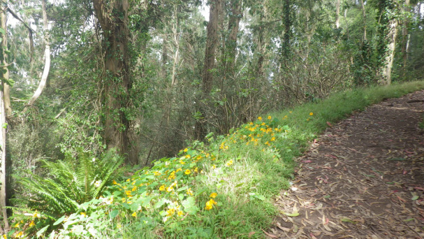
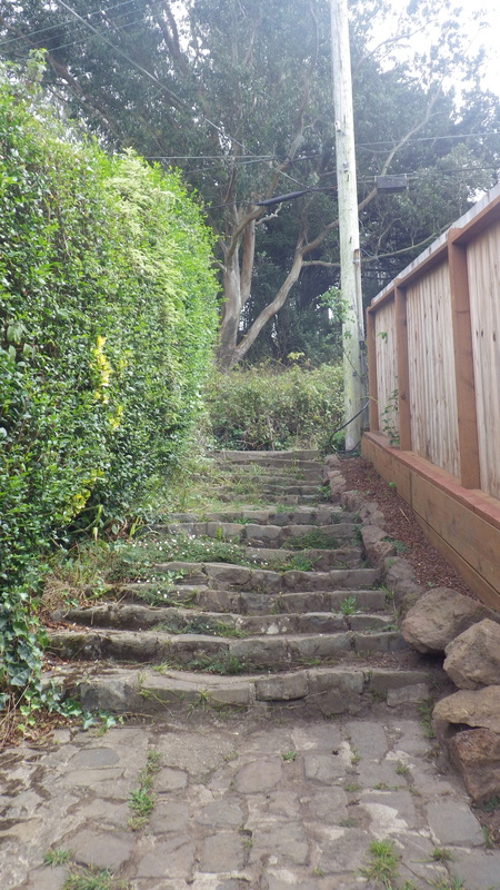
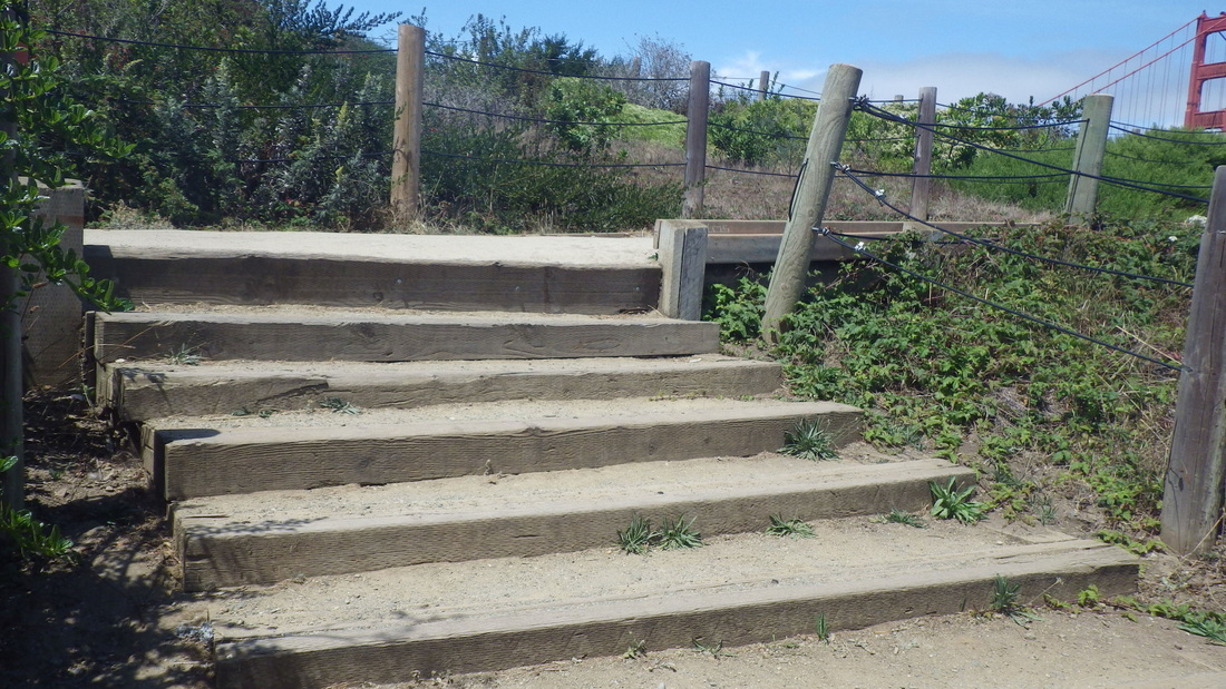
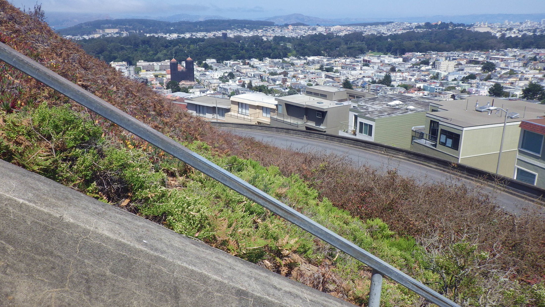
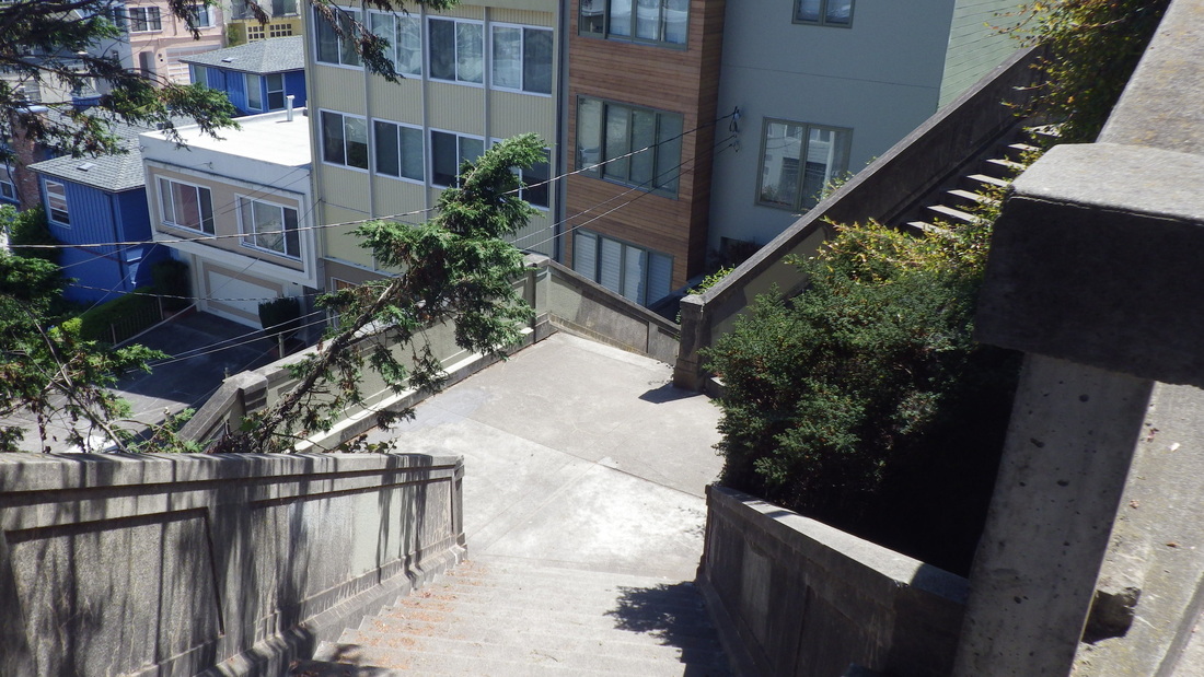
62 steps for the main 20th Street stairway down to Sanchez, pix 11, 12, 13. Sanchez here is a divided street with short stairways down and another up the southside.
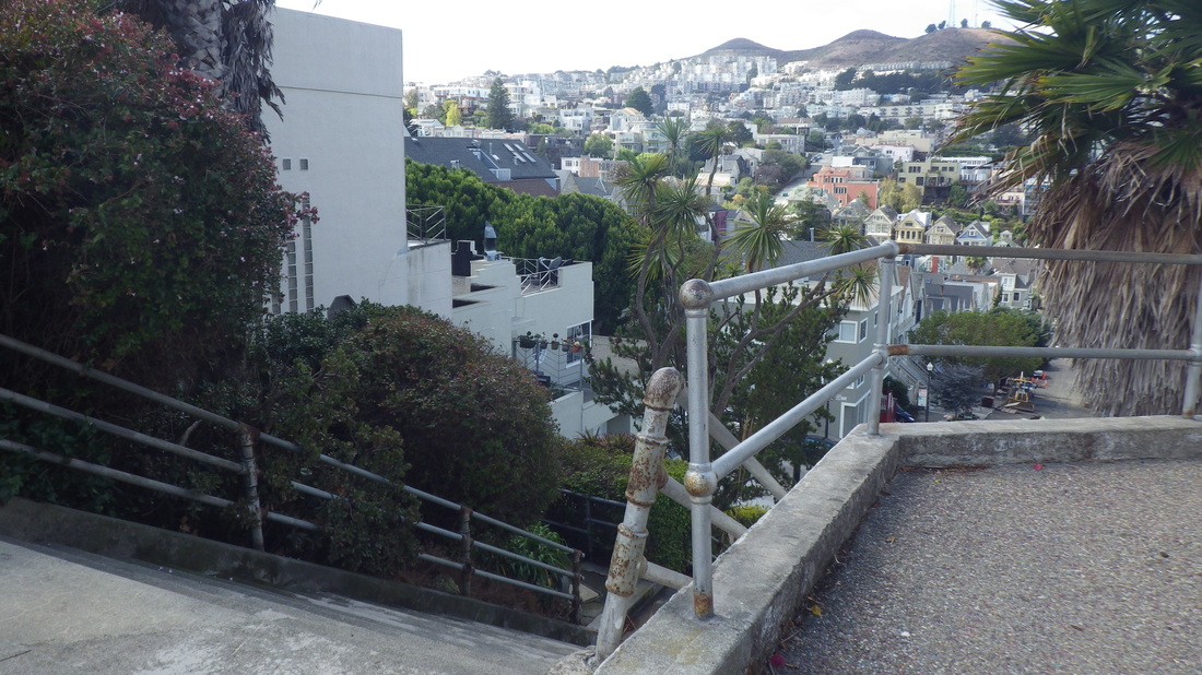
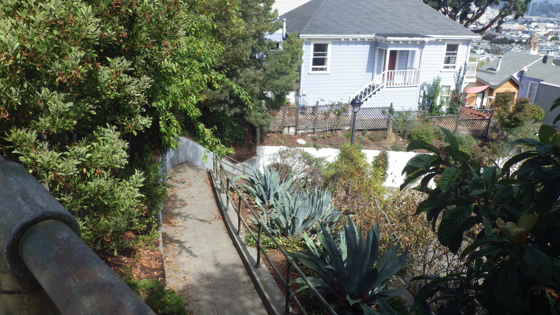
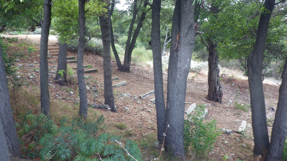
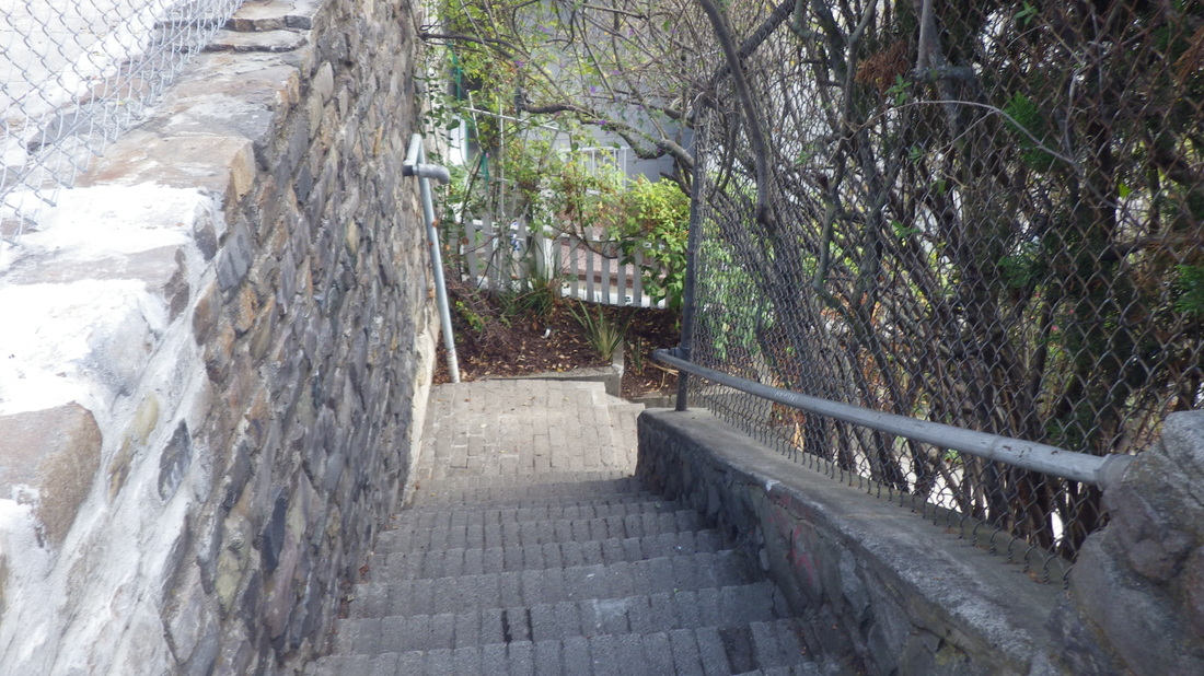
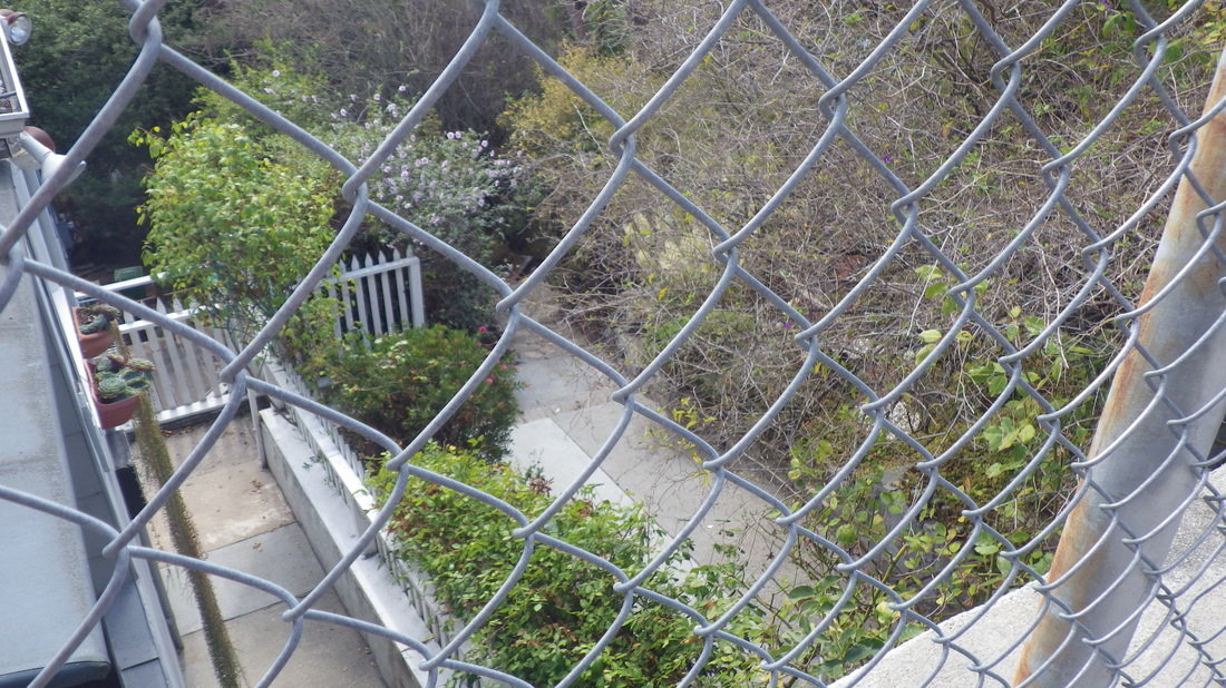
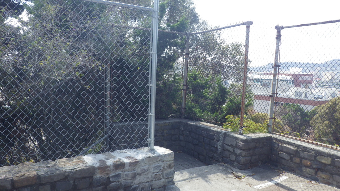
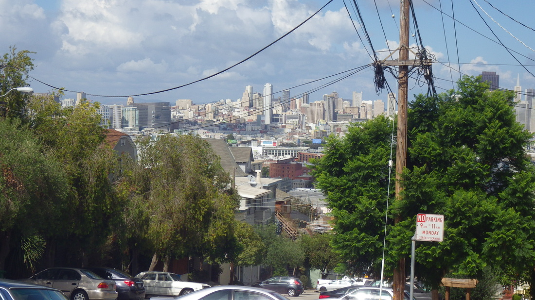
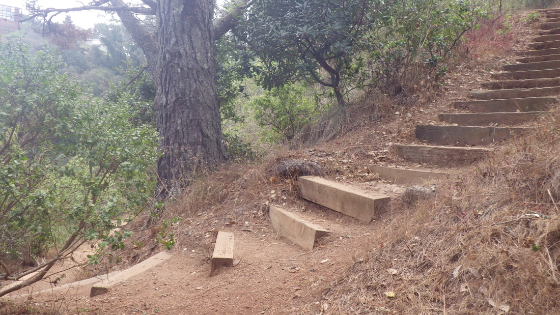
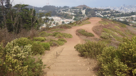
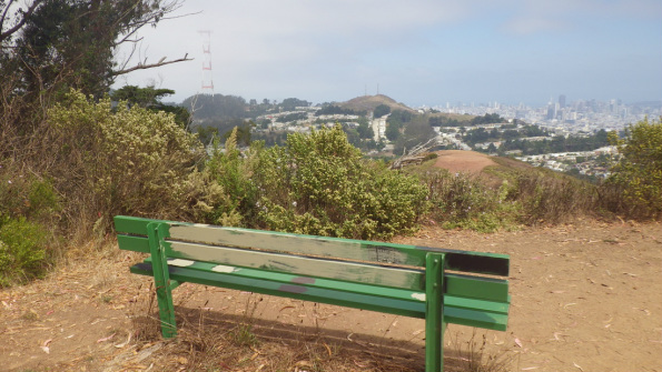
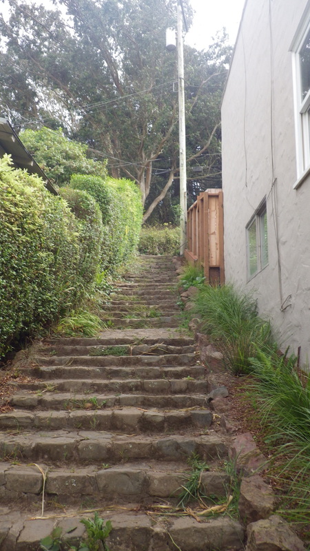
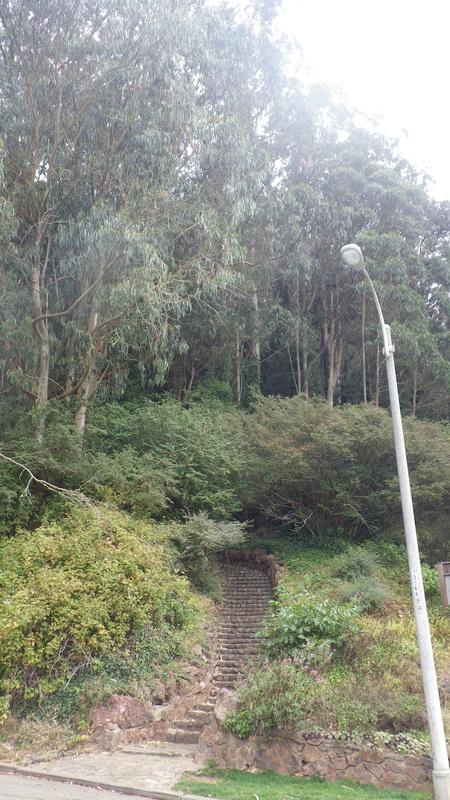
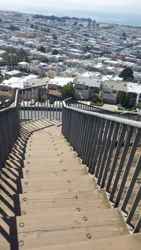
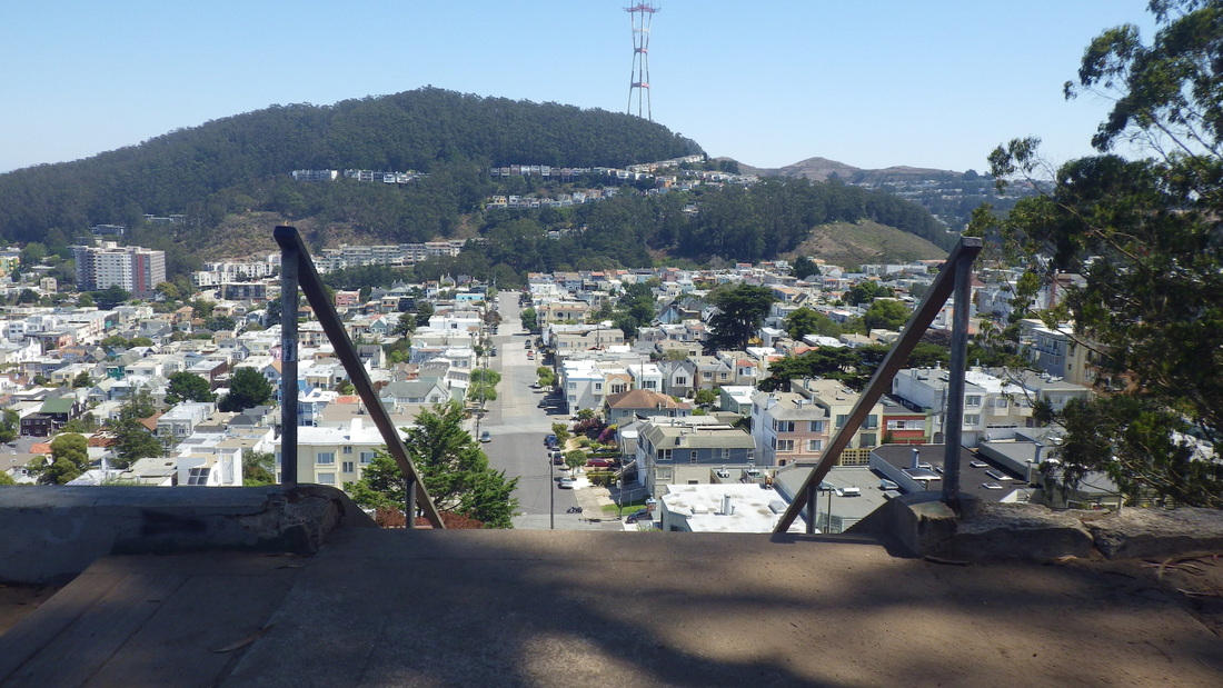
Another 20th St. stairway descends to Noe alongside an apartment building: 80 steps, pics 14, 15. View from the top with parks Corona Heights and Buena Vista in distance: 16.
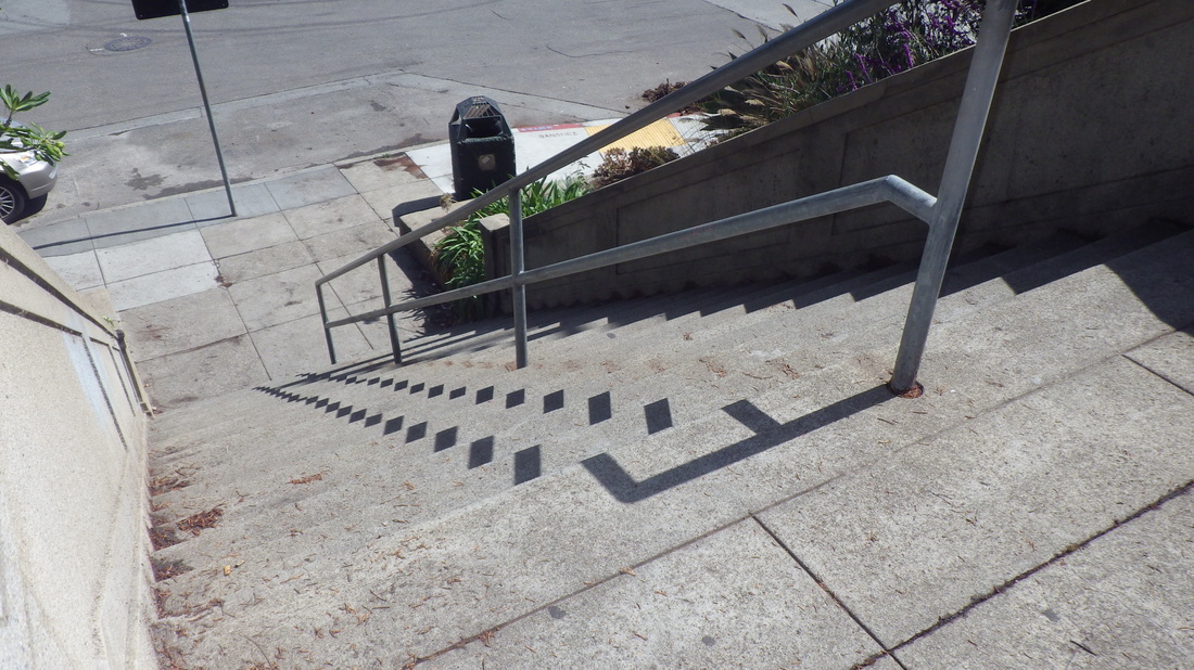
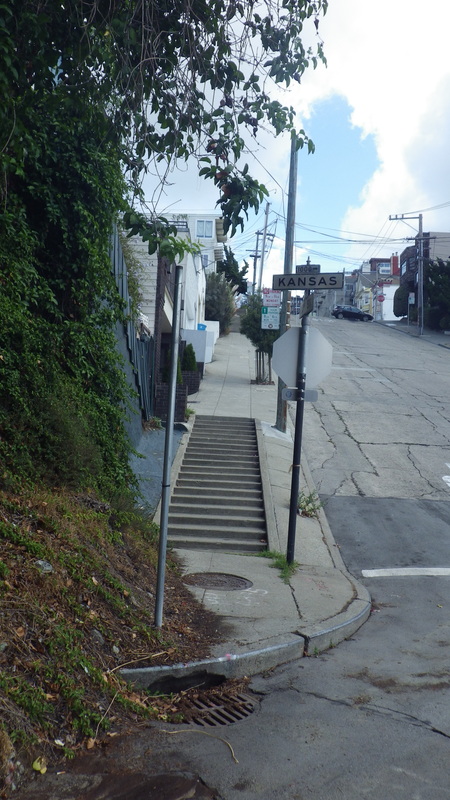
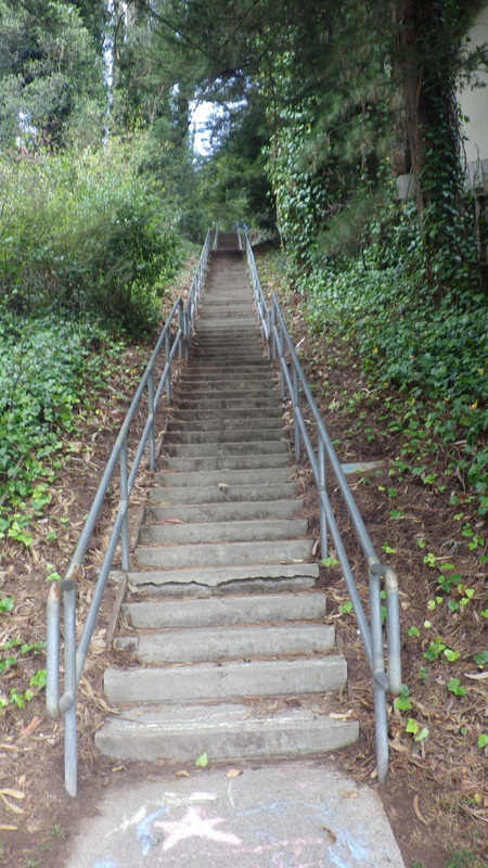
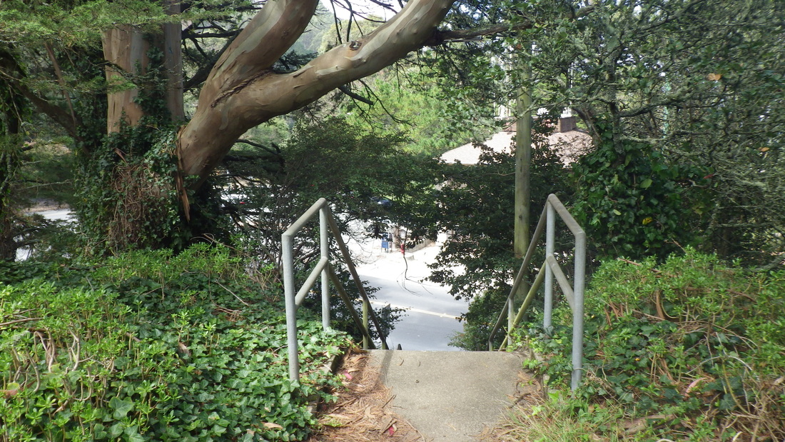
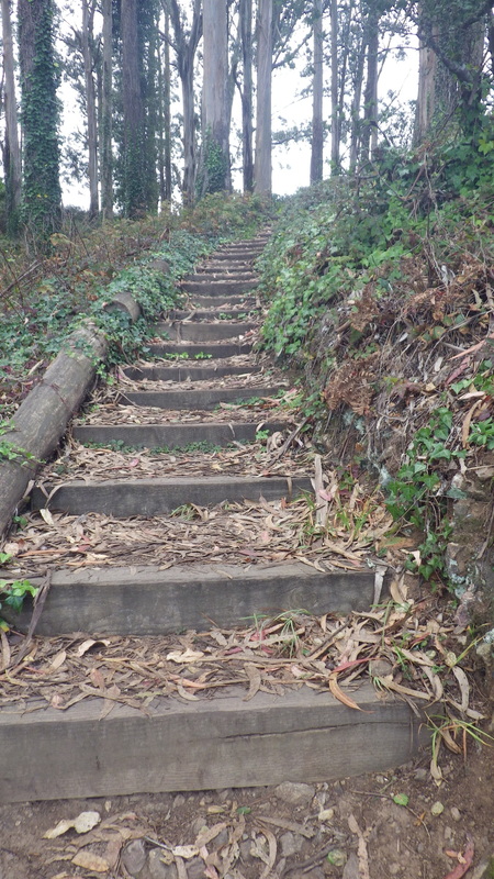
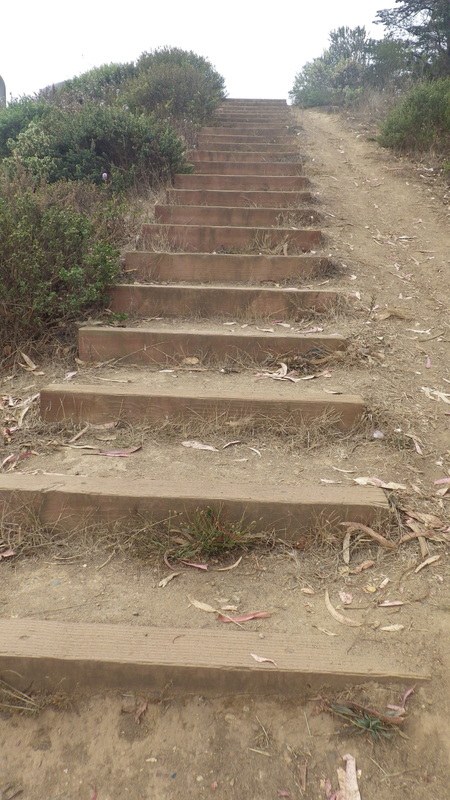
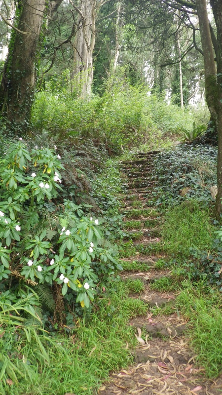
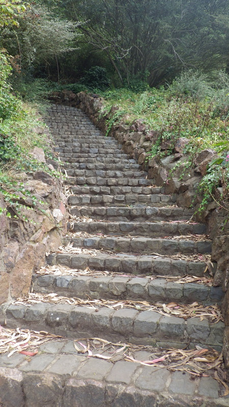
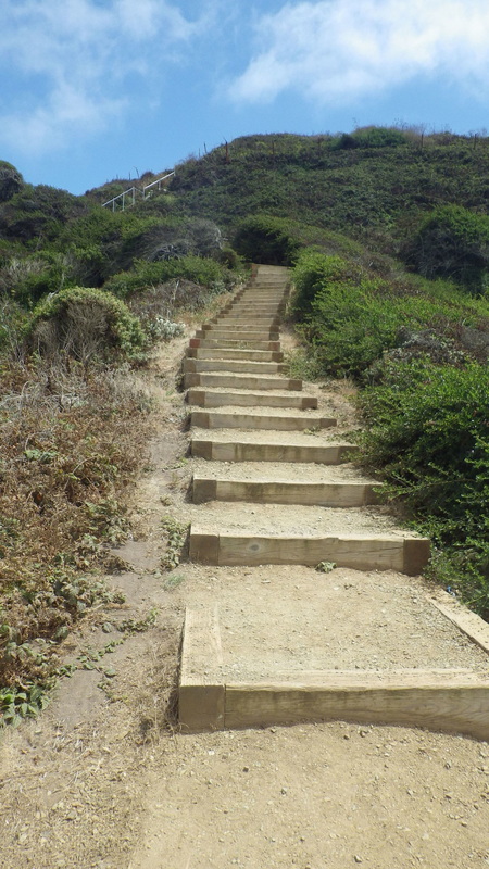
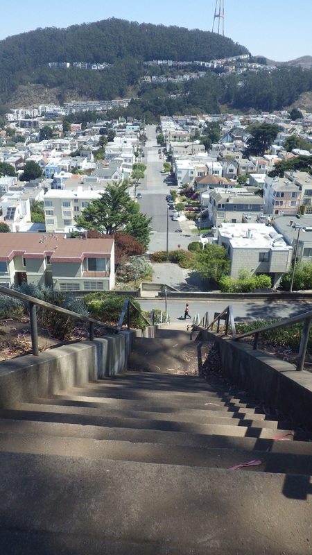
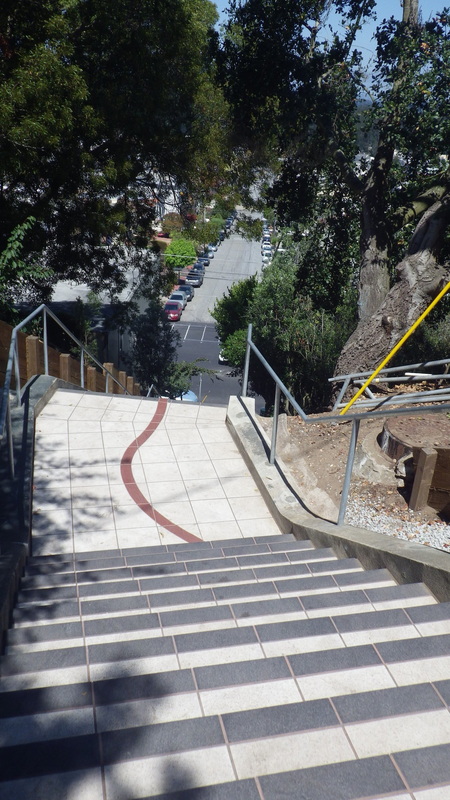
Down to 19th: first on the 29 sidewalk steps that merge into Sanchez’s dead-end for cars double stairway, this with 74 more steps. So including the beginning east sidewalk steps, 103 down to 19th, last two pix.
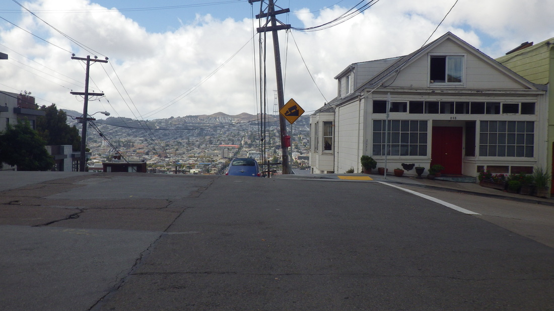
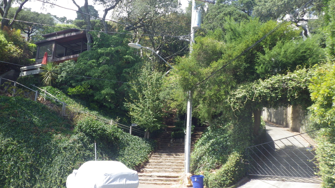
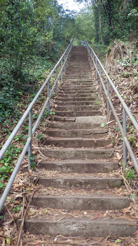
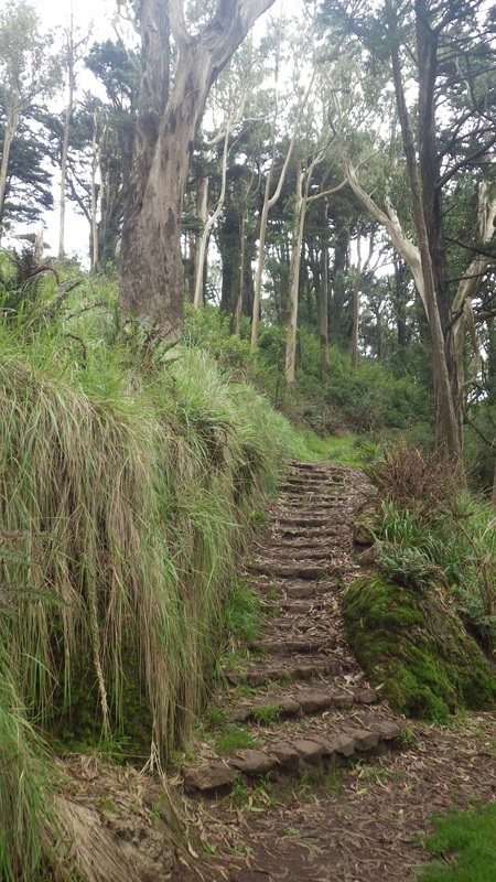
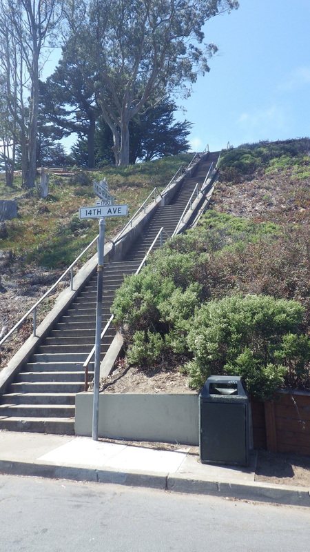
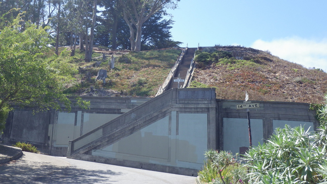
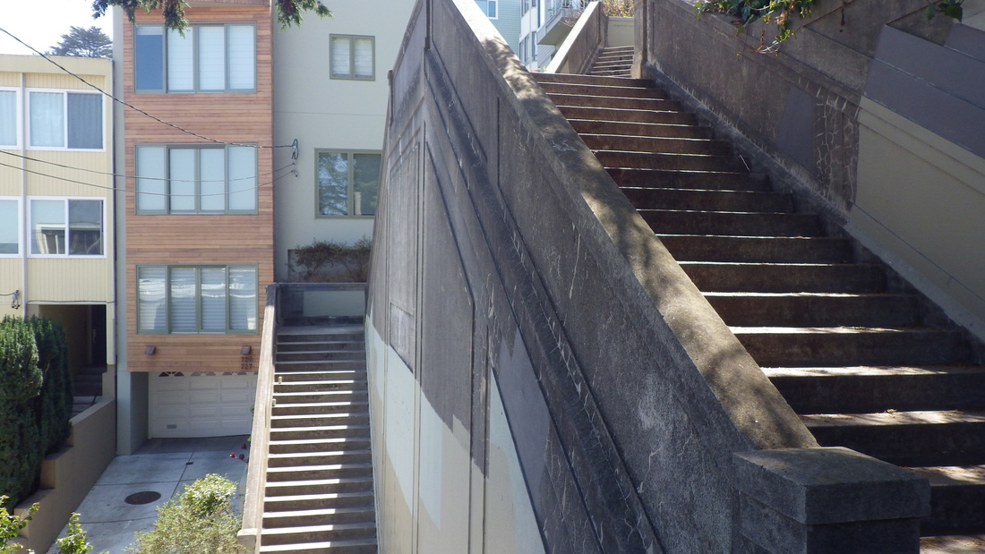
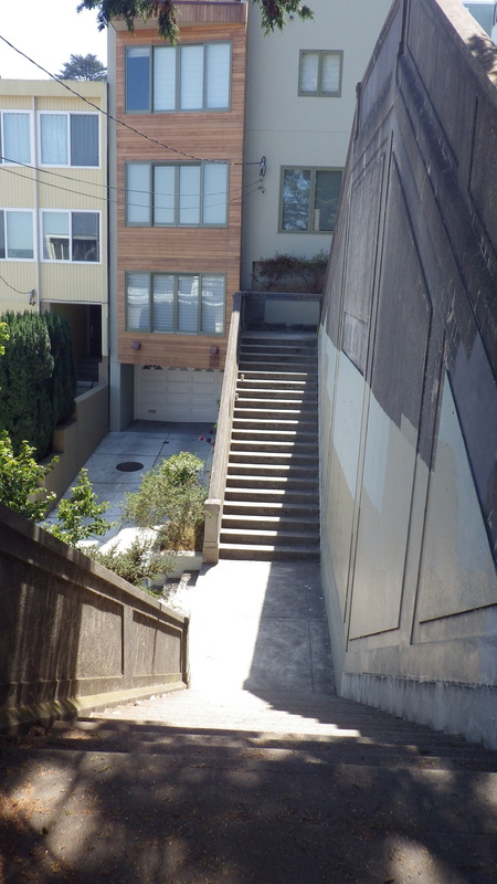
Another time for the long sidewalk Stairmasters between Church and Vicksburg on 22nd, the vehicle street part documented as 31.5 grade. For the south steps, 146; 143 for the north.
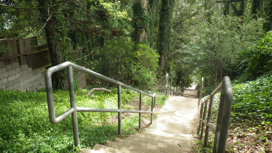
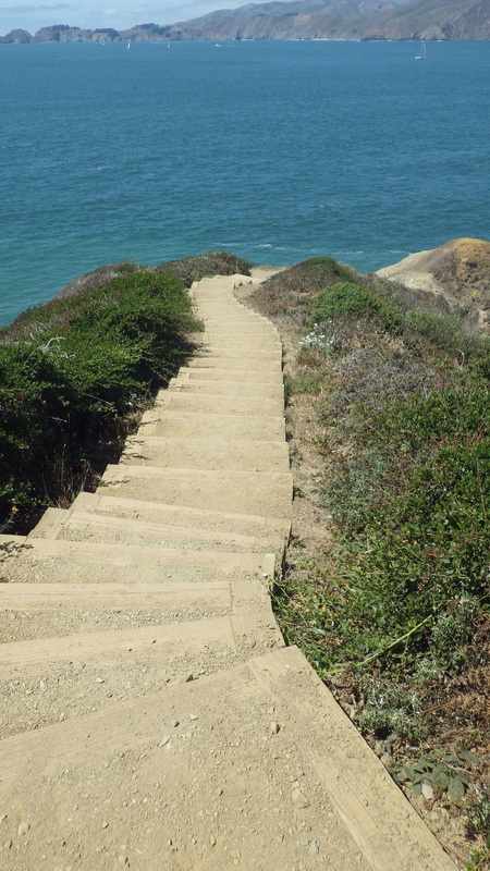
Down to Dolores Park for the J-Church Metro; part of the park’s getting a huge makeover these days.
Continuing on Liberty, this cutie's said to be a former 1906 earthquake cottage (4, 5).
Passing the 300 Cumberland (confirmed quake shax) twins-into-one-house (corner of Sanchez), pix 6, 7; more of Cumberland east of Sanchez, pic 8.
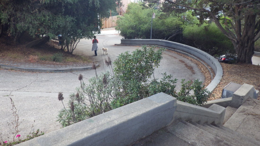
Cumberland’s westside dead-end steps (41) descending to Noe: 9, 10.
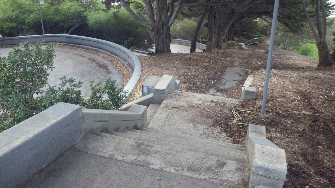
62 steps for the main 20th Street stairway down to Sanchez, pix 11, 12, 13. Sanchez here is a divided street with short stairways down and another up the southside.
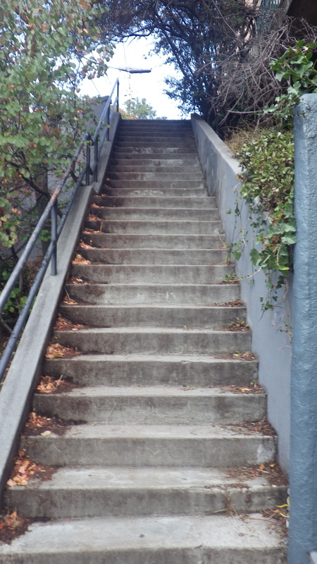
Another 20th St. stairway descends to Noe alongside an apartment building: 80 steps, pics 14, 15. View from the top with parks Corona Heights and Buena Vista in distance: 16.
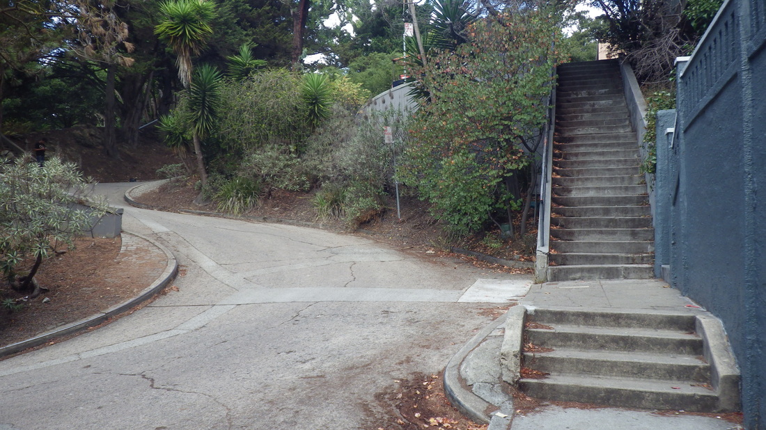
Down to 19th: first on the 29 sidewalk steps that merge into Sanchez’s dead-end for cars double stairway, this with 74 more steps. So including the beginning east sidewalk steps, 103 down to 19th, last two pix.
Another time for the long sidewalk Stairmasters between Church and Vicksburg on 22nd, the vehicle street part documented as 31.5 grade. For the south steps, 146; 143 for the north.
Down to Dolores Park for the J-Church Metro; part of the park’s getting a huge makeover these days.
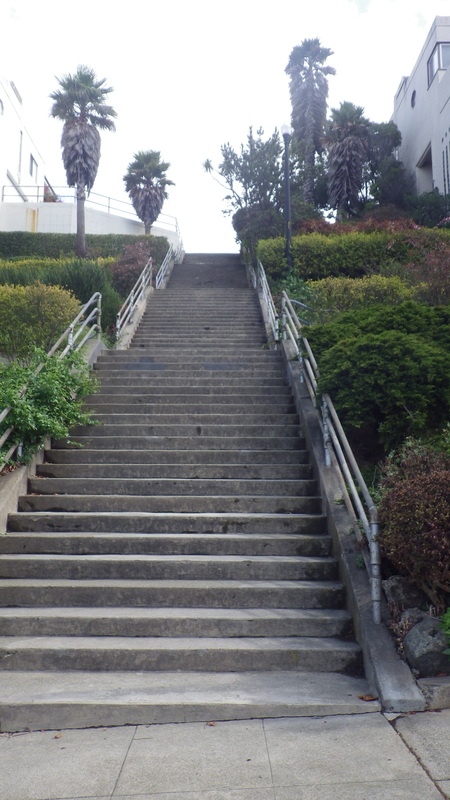
1. Liberty stairway
2. Top of the Liberty steps
3. Twin Peaks in distance
4. Former quake shack on Liberty
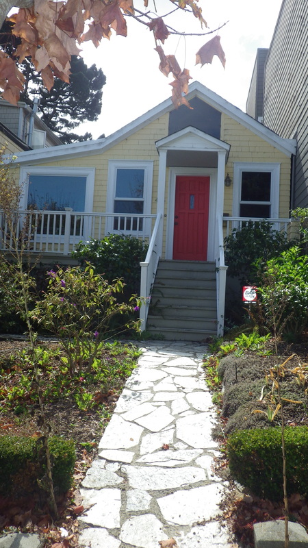
5. Tiny house on Liberty
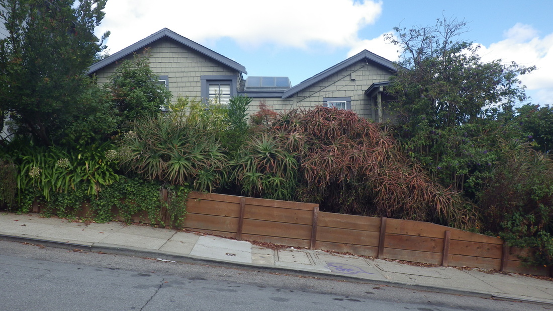
6. The 300 Cumberland "twins"
7. 300 Cumberland, corner Sanchez
8. Quirky Cumberland just below Sanchez
9. West dead-end of Cumberland down to Noe
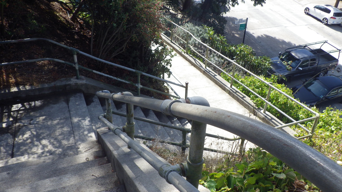
10. Cumberland down to Noe
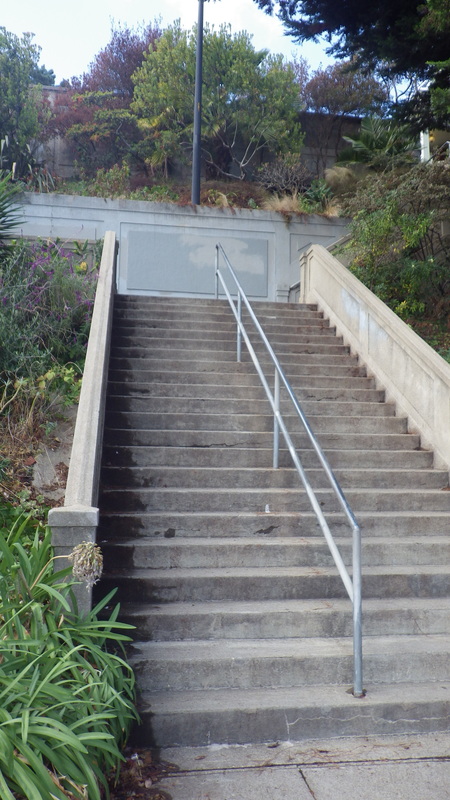
11. 20th St. up from Sanchez
12. 20th down to Sanchez
13. 20th St. stairs down to Sanchez
14. East 20th St. stairs up from Noe
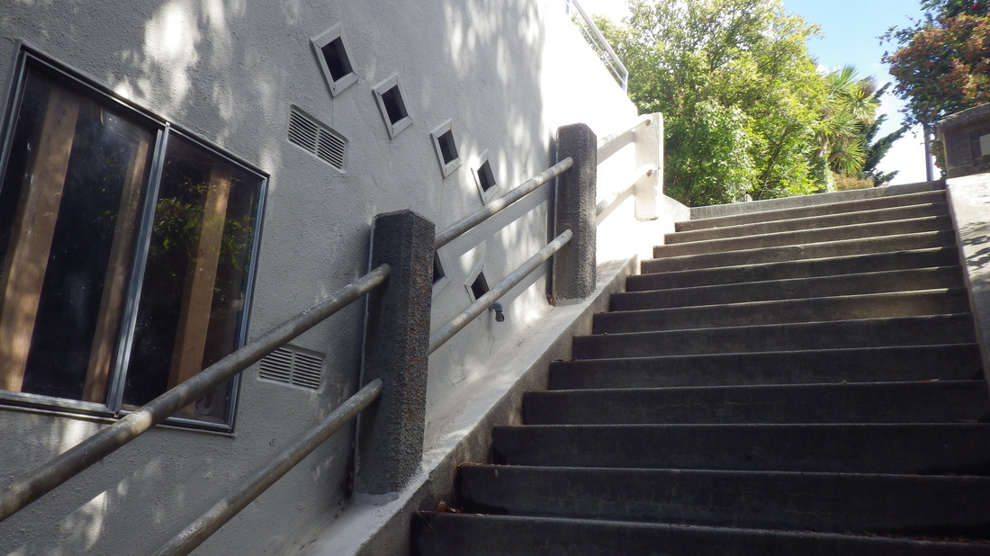
15. Top of the 20th St. steps up from Noe
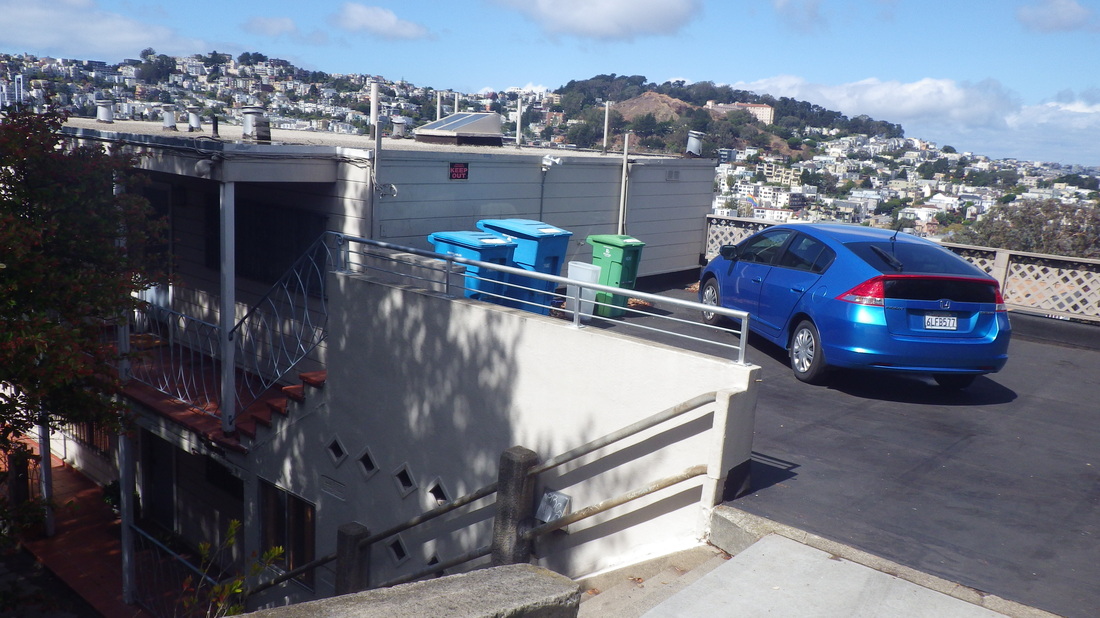
16. View, center, Corona Heights Park with Buena Vista Park just beyond
17. Sanchez descends to 19th St.
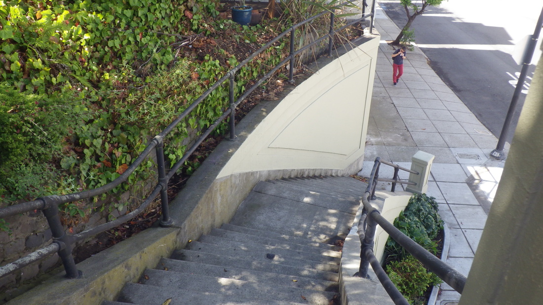
18. Down to 19th from Sanchez


 RSS Feed
