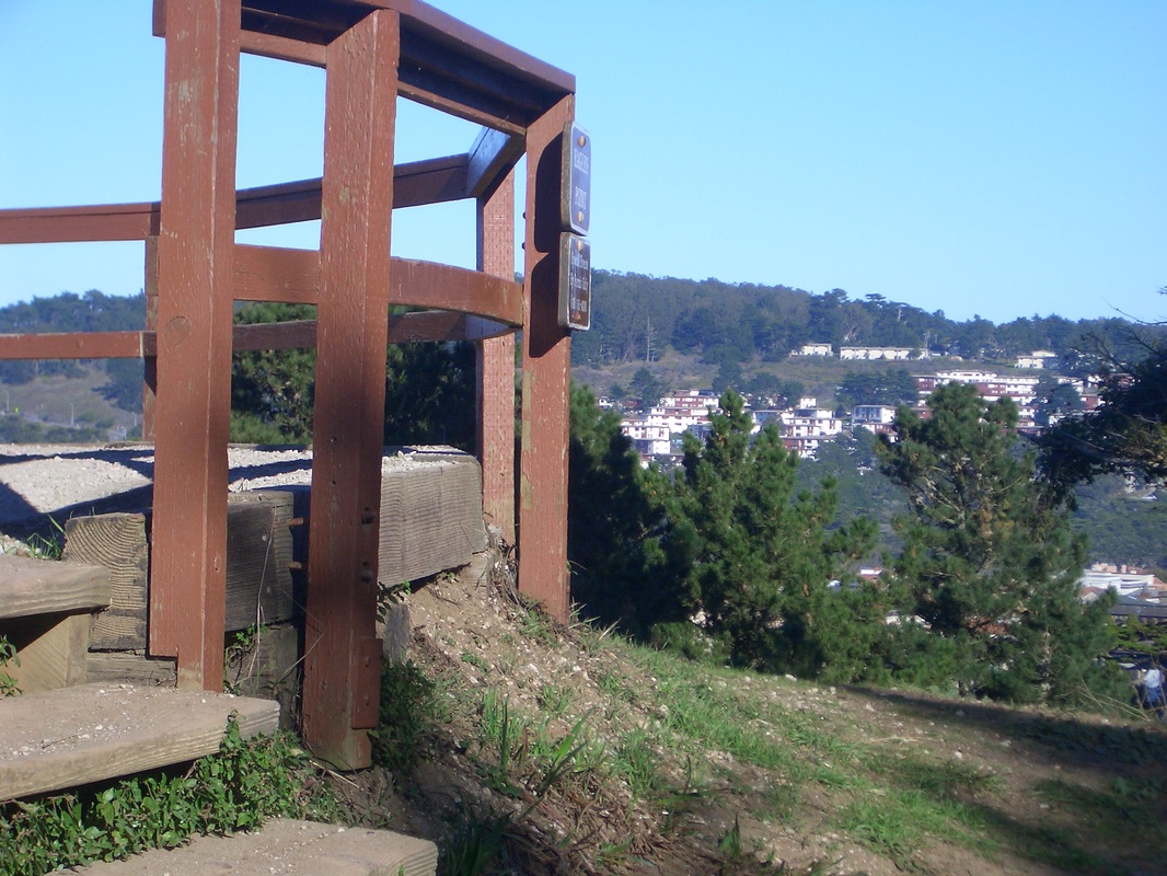
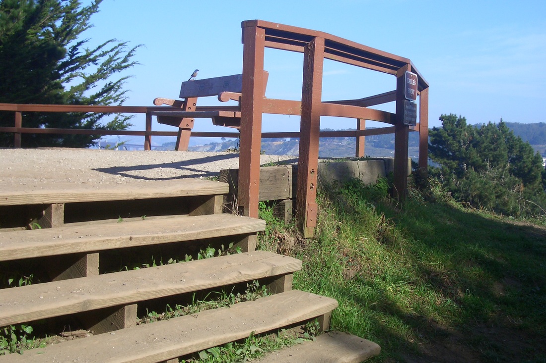
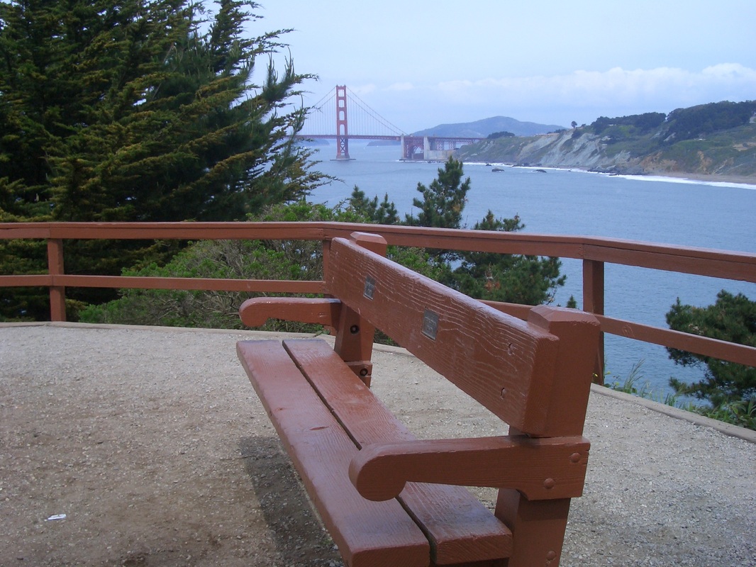
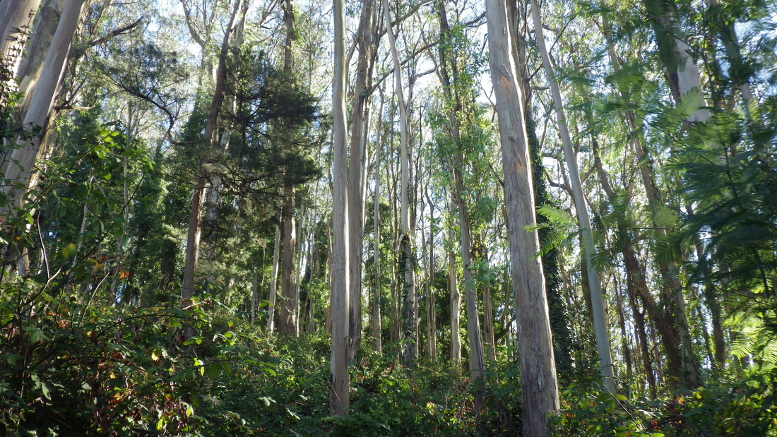
Some pix from a vigorous Sausalito hike, accompanied at times by light rain.
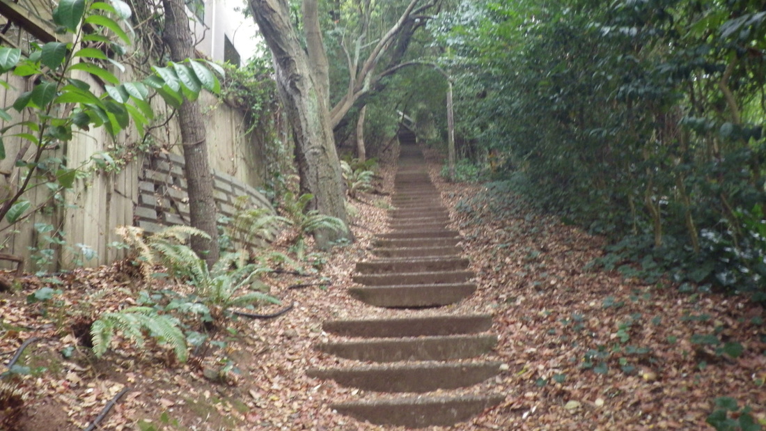
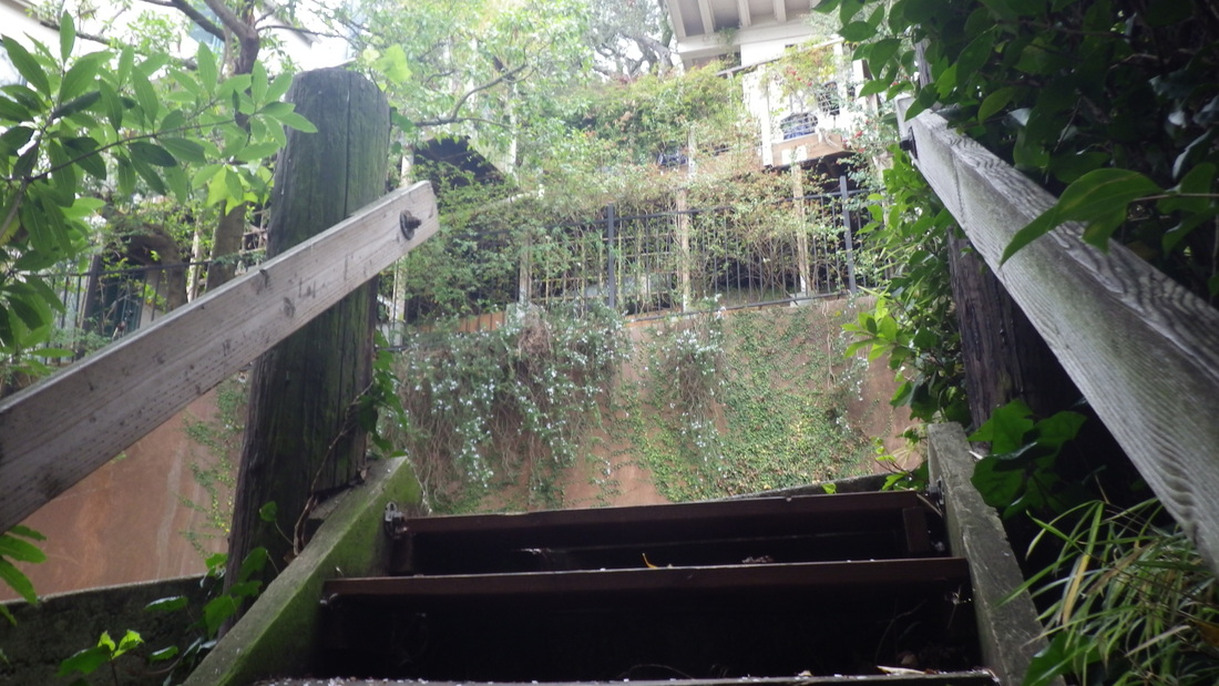
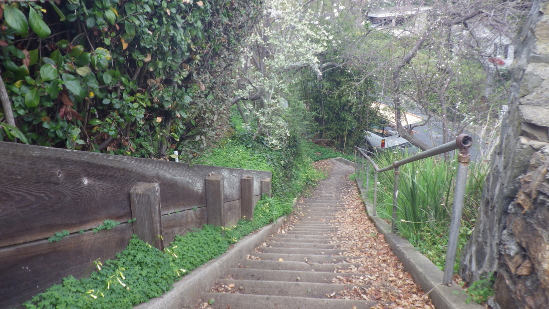
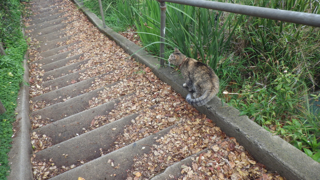
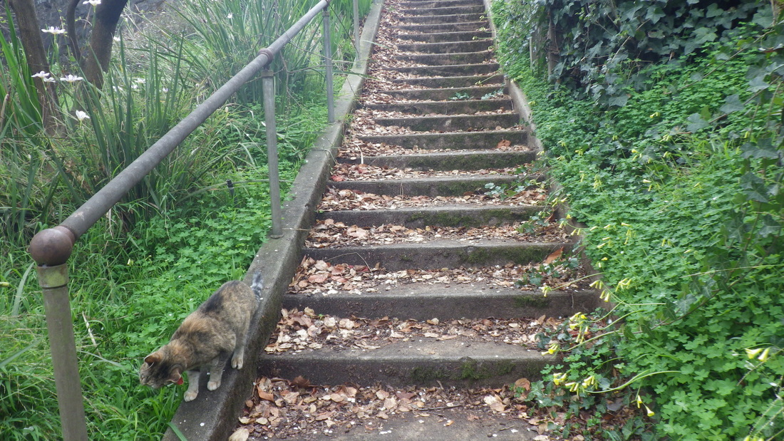
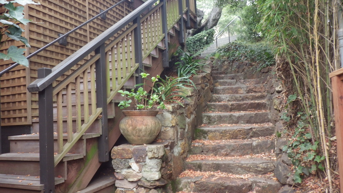
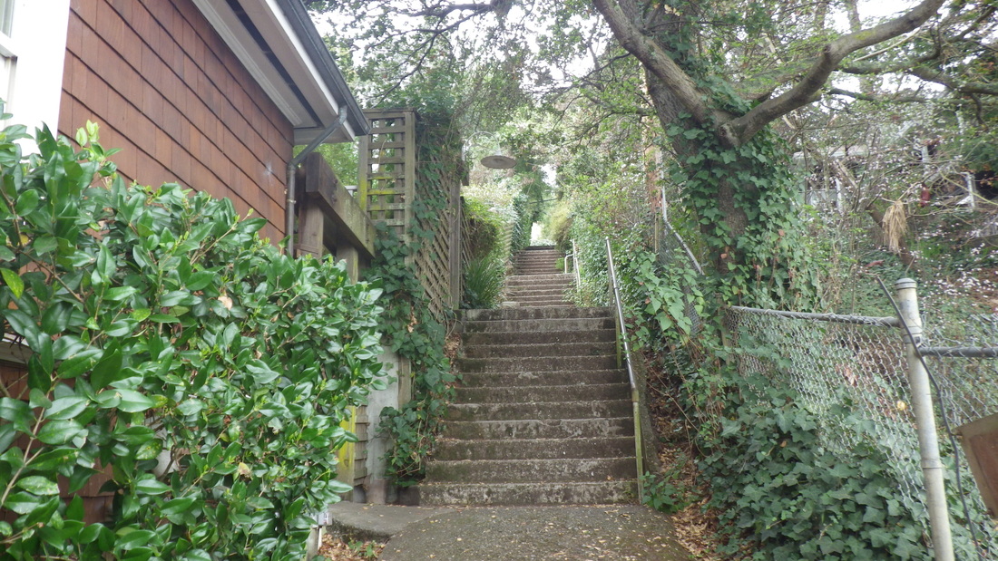
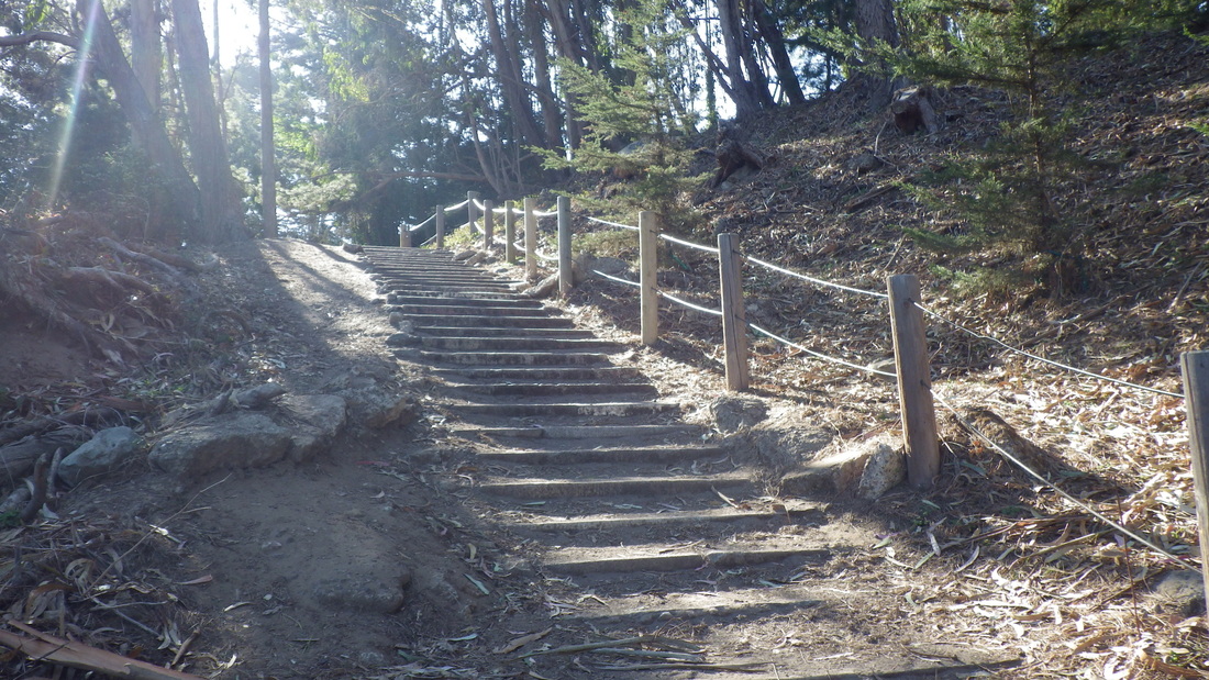
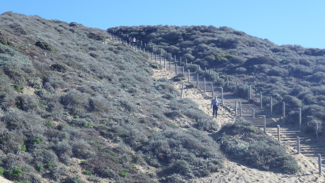
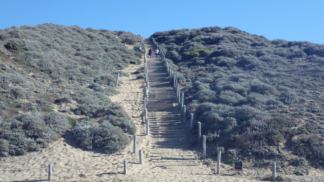
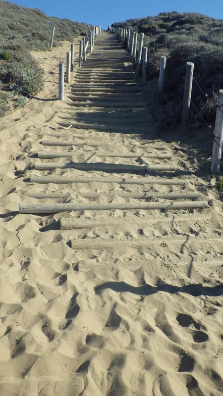
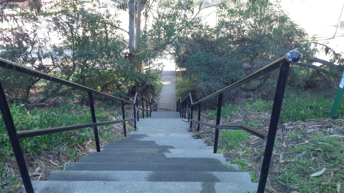
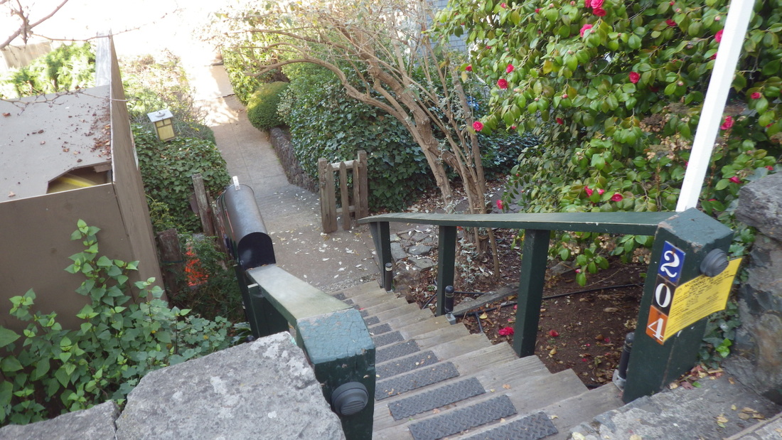
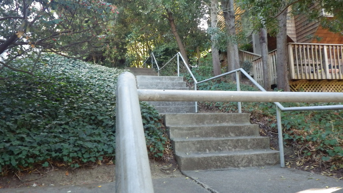
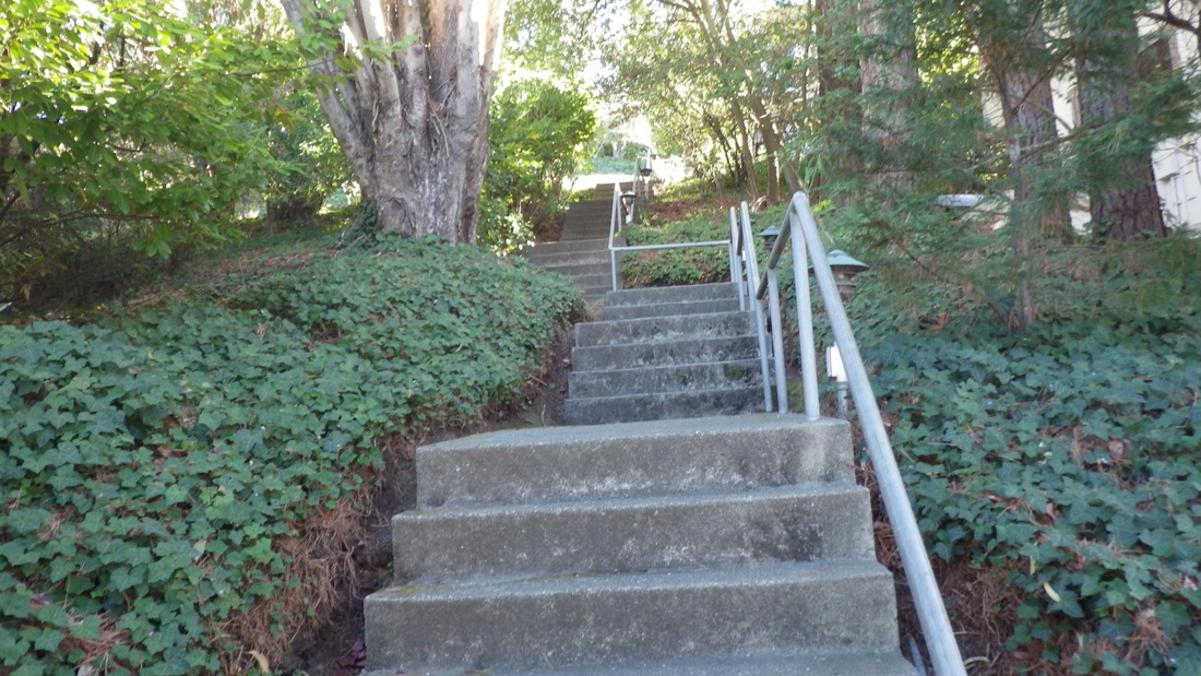
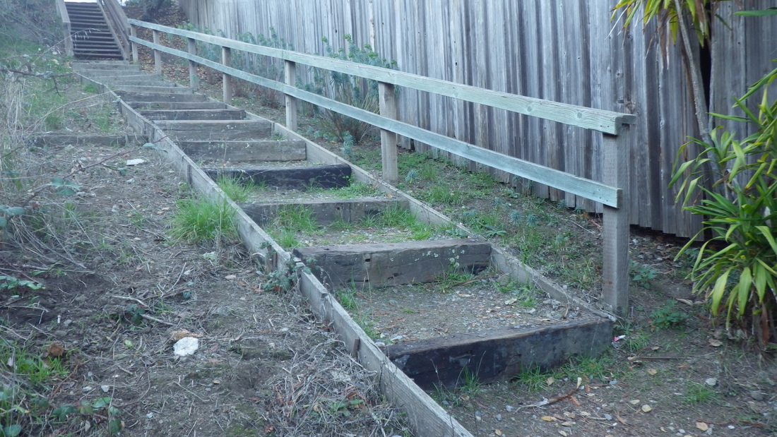
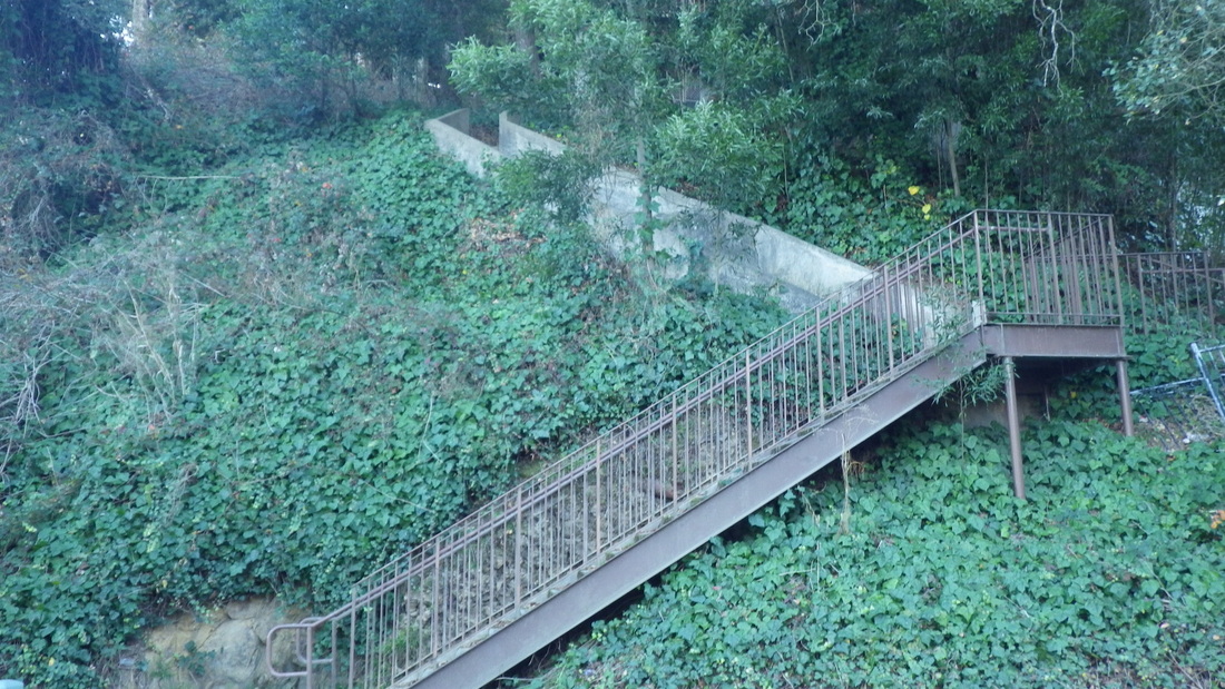
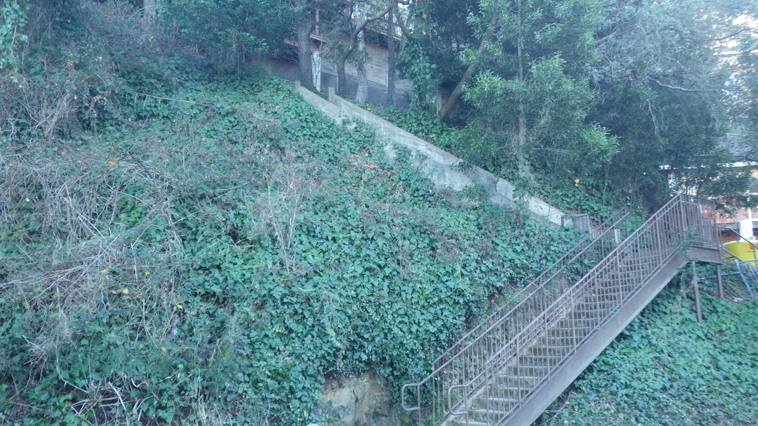
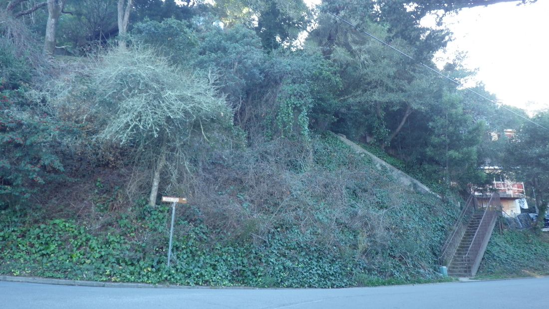
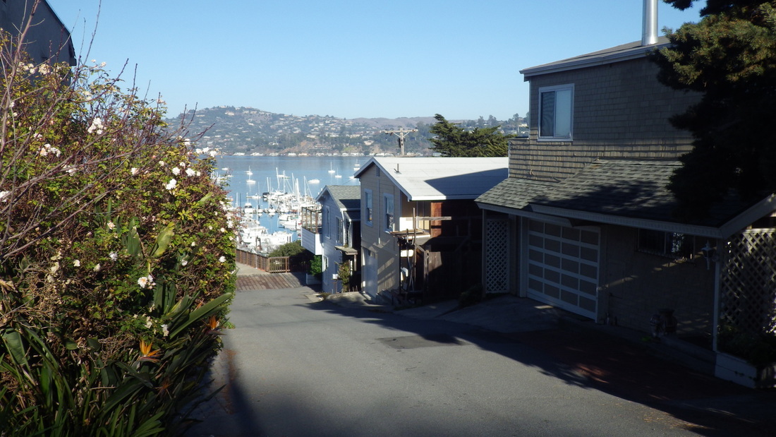
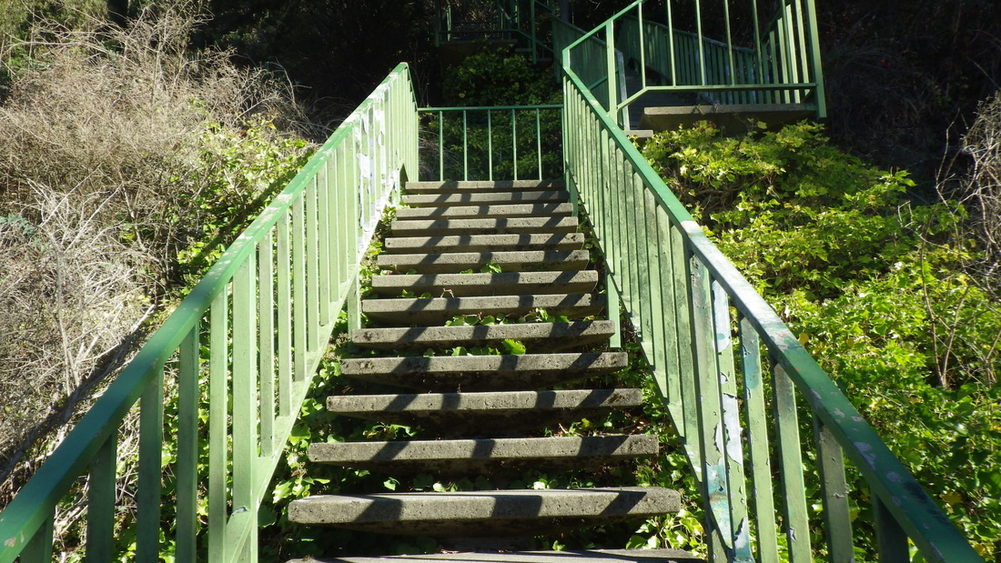
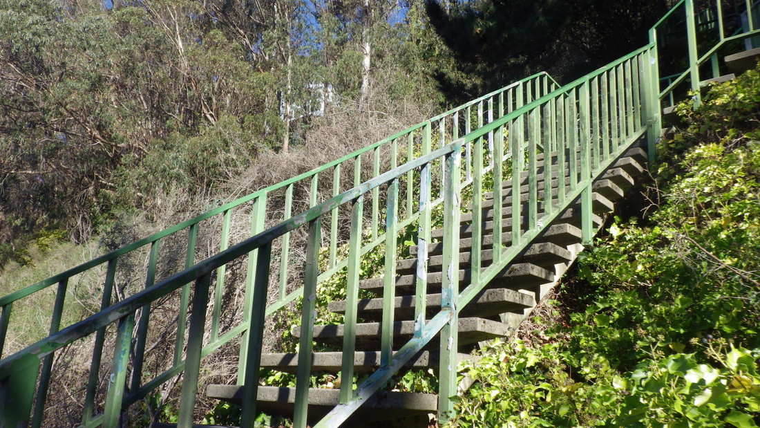
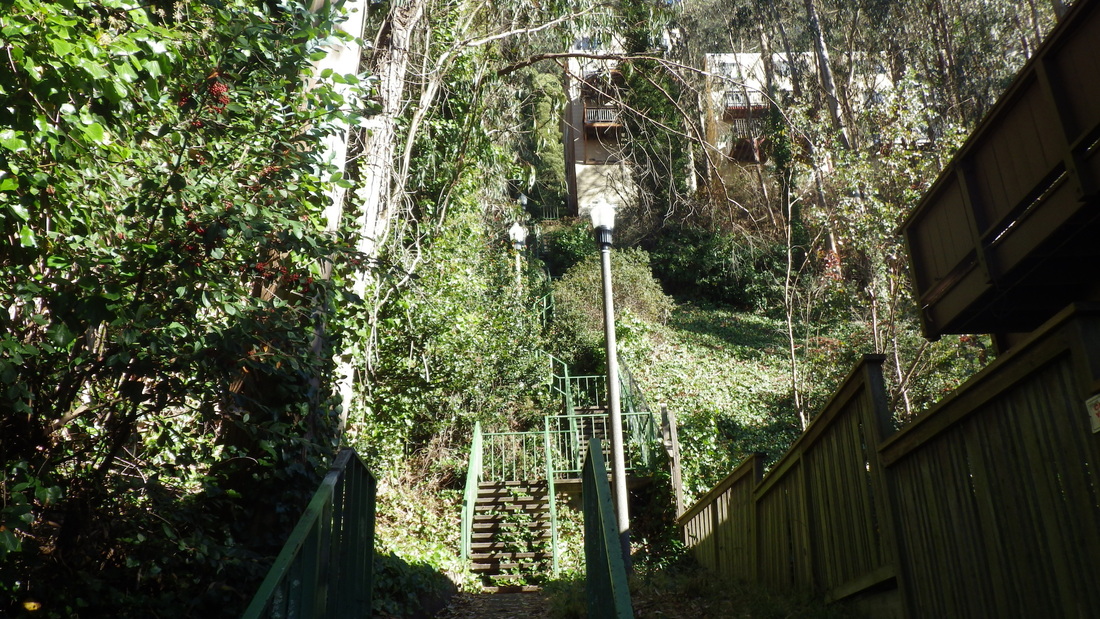
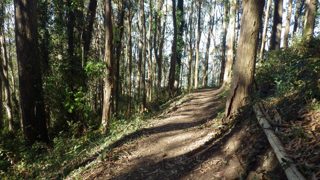
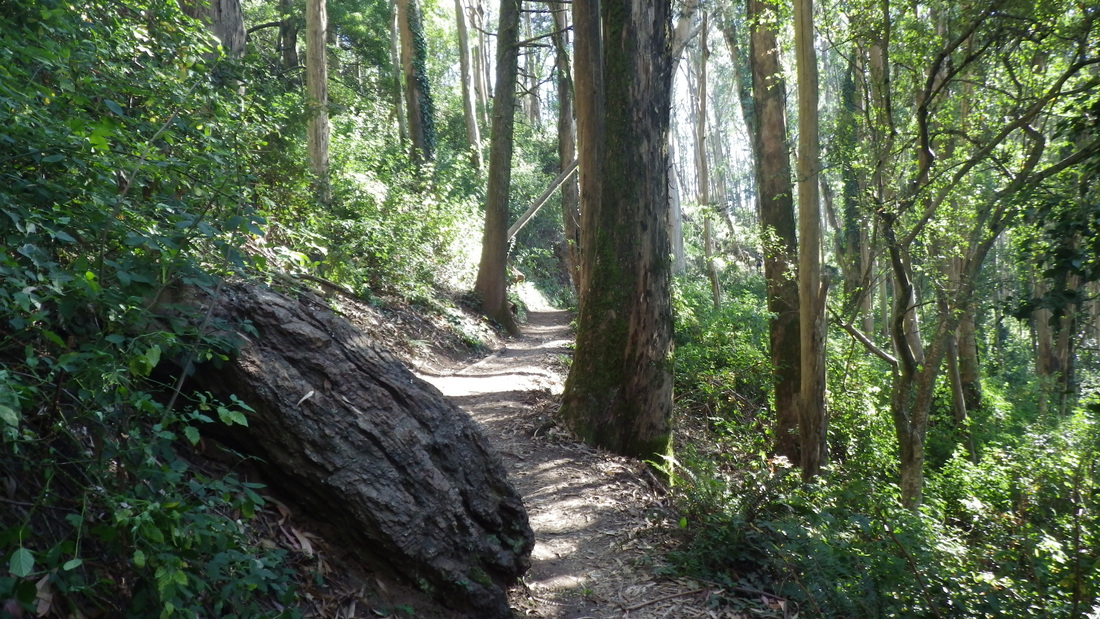
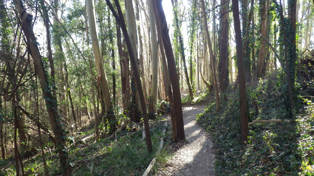
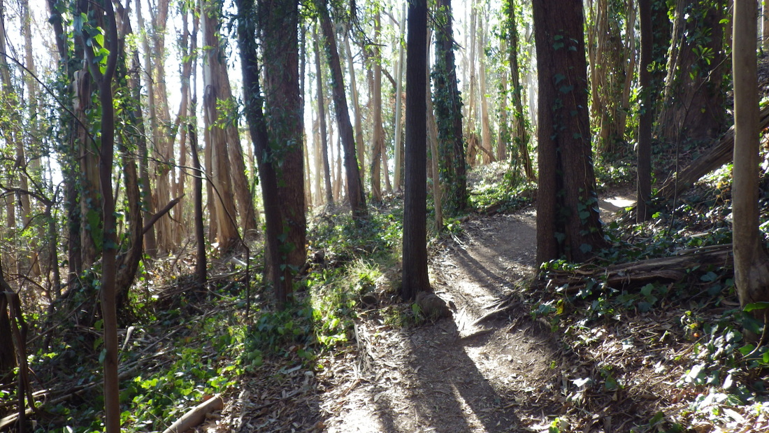
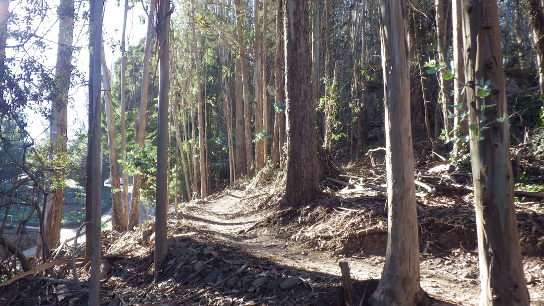
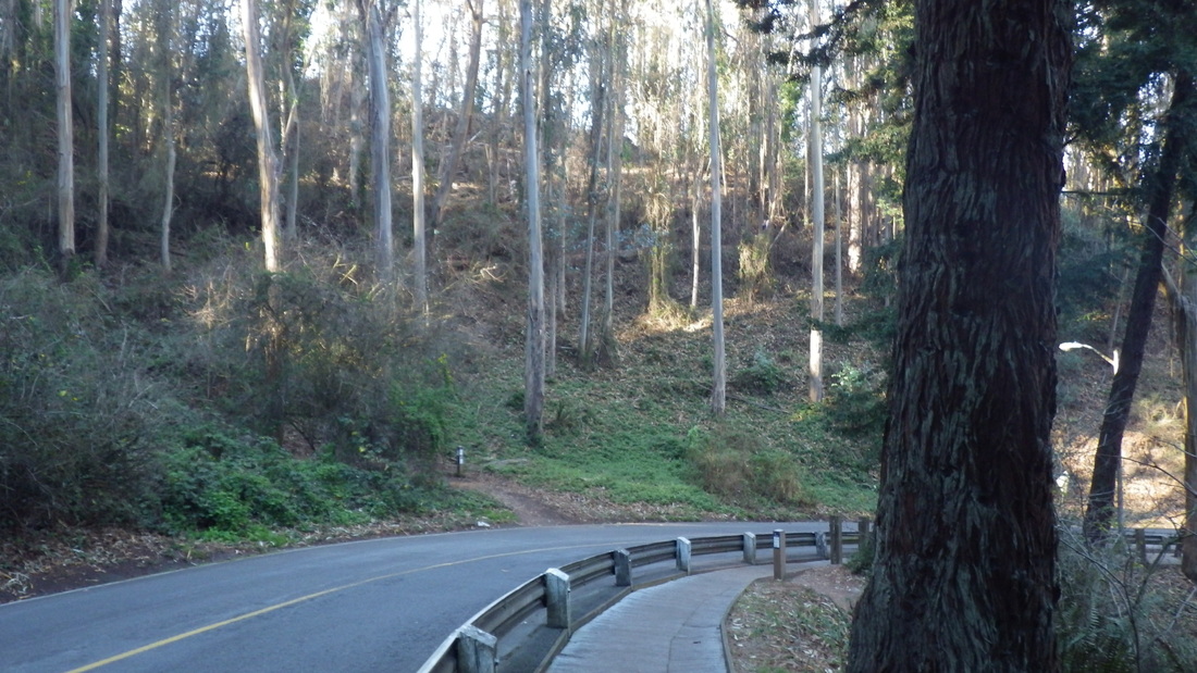
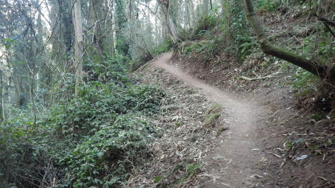
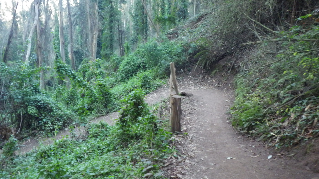
… Cable Roadway's lower part, around 196 steps, Central to Crescent near Sausalito Blvd. Pix 1 through 6.
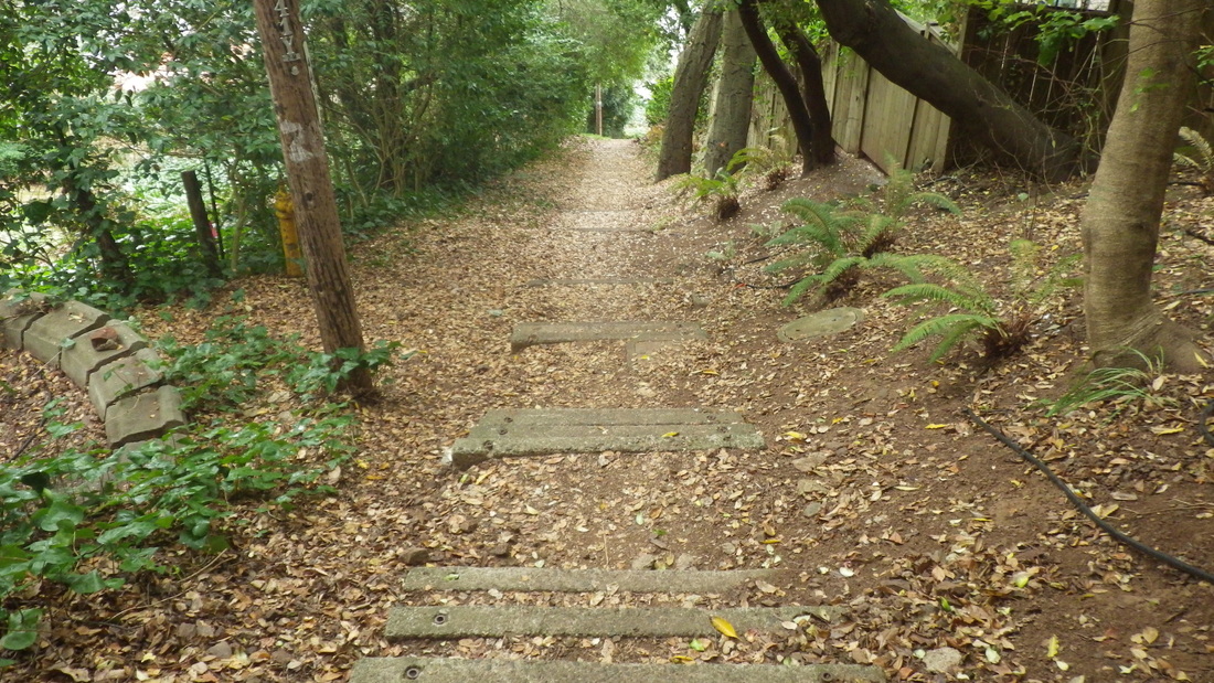
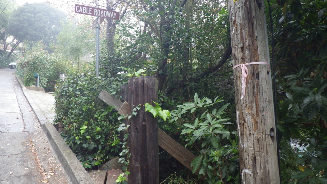
… A gate on Lower Crescent: Pic 7.
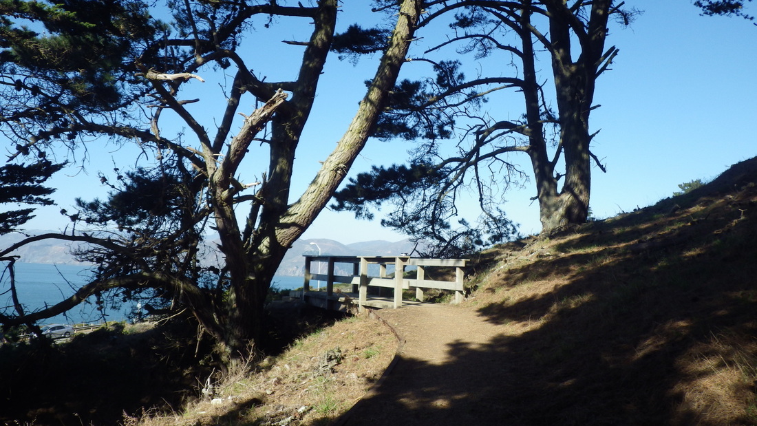
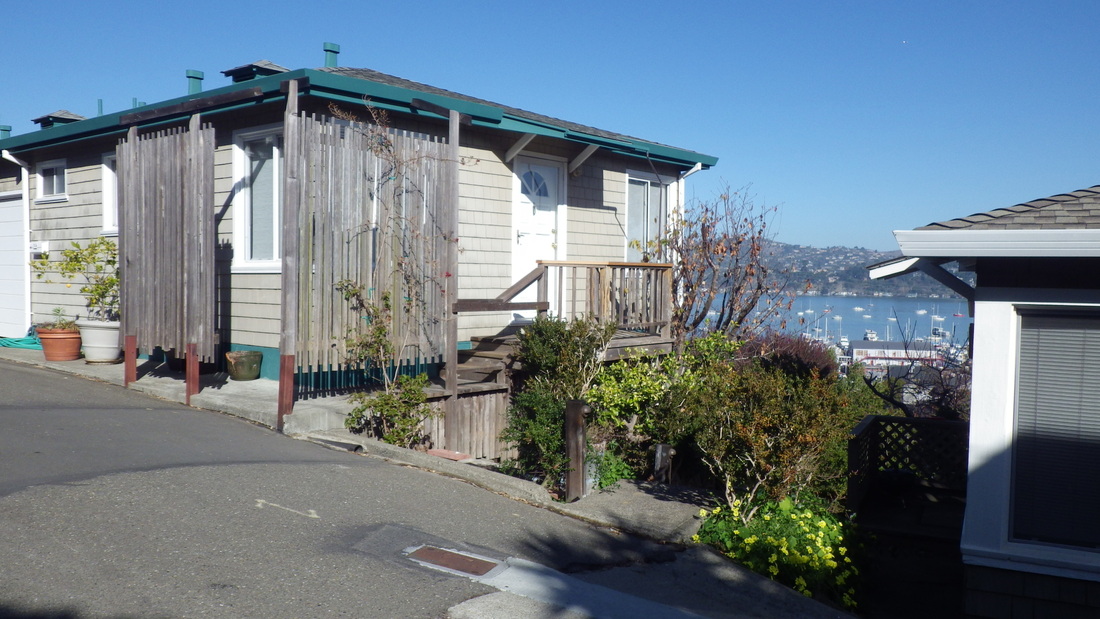
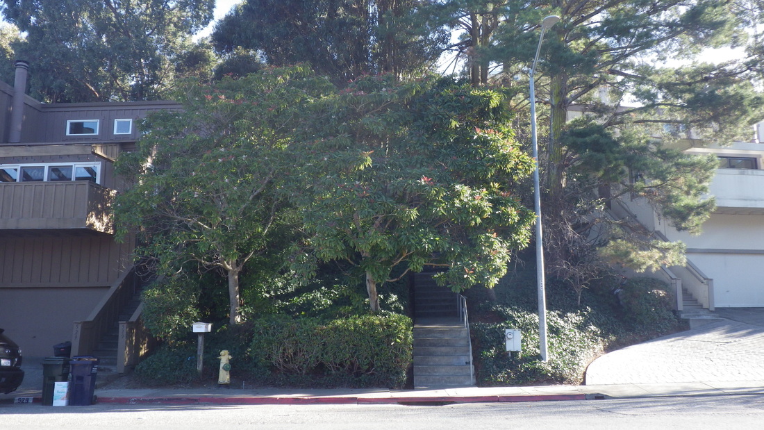
… Two homes on Crescent: Pix 8, 9.
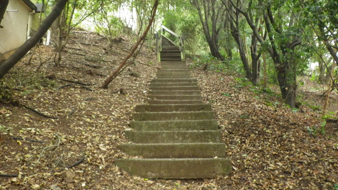
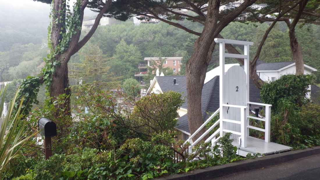
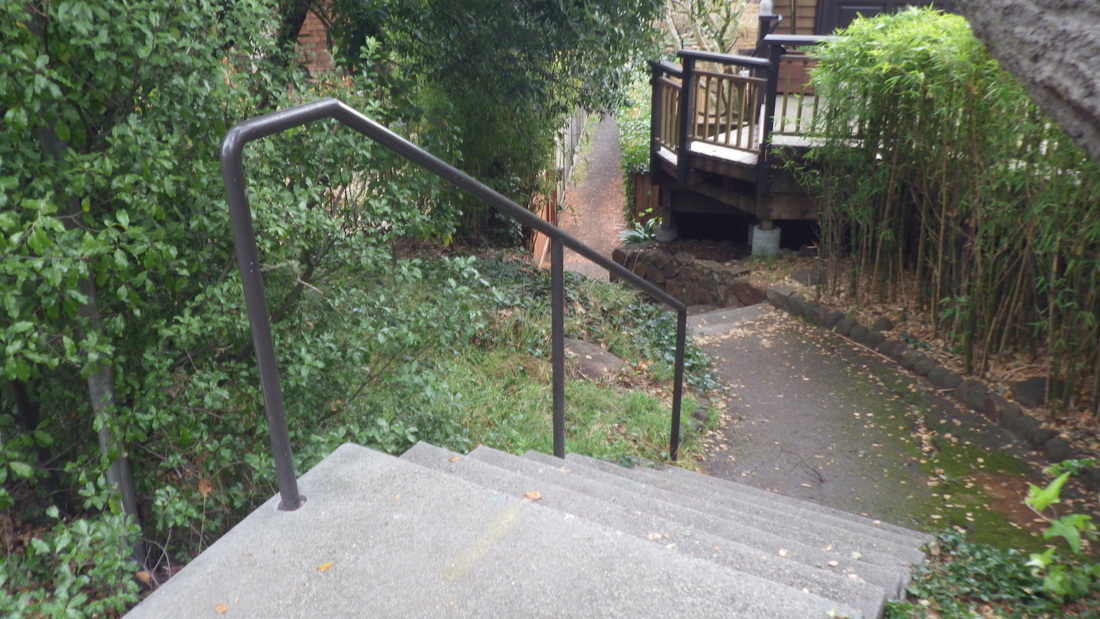
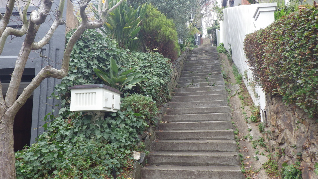
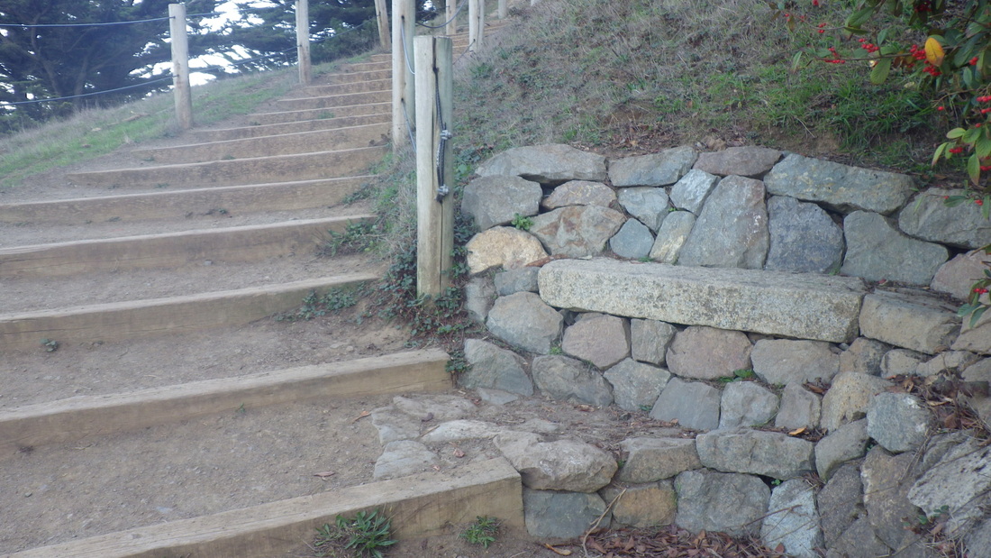
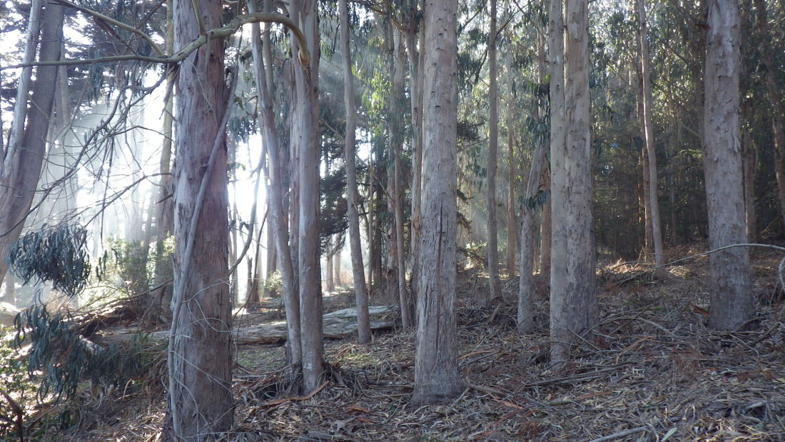
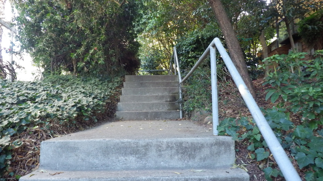
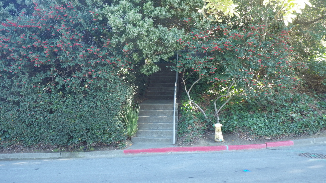
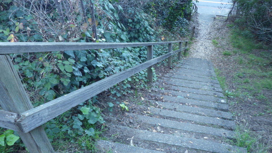
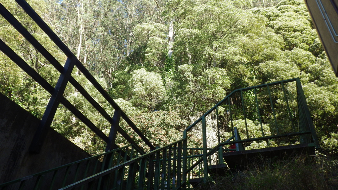
… Top of Oak stairway, pic 10. A house is being built at the top of the steps on the right side. About 94 steps.
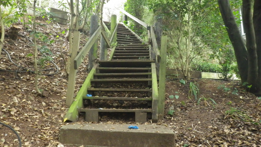
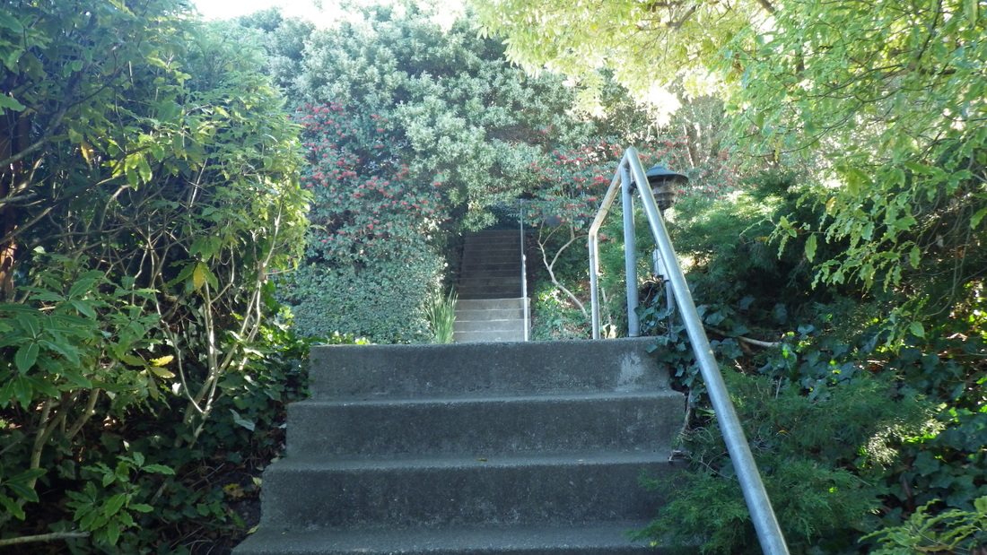
… Sunshine to San Carlos: The foot of these 48 steps down from Sunshine is a few yards from Cooper Lane's foot. Pix 11 through 15.
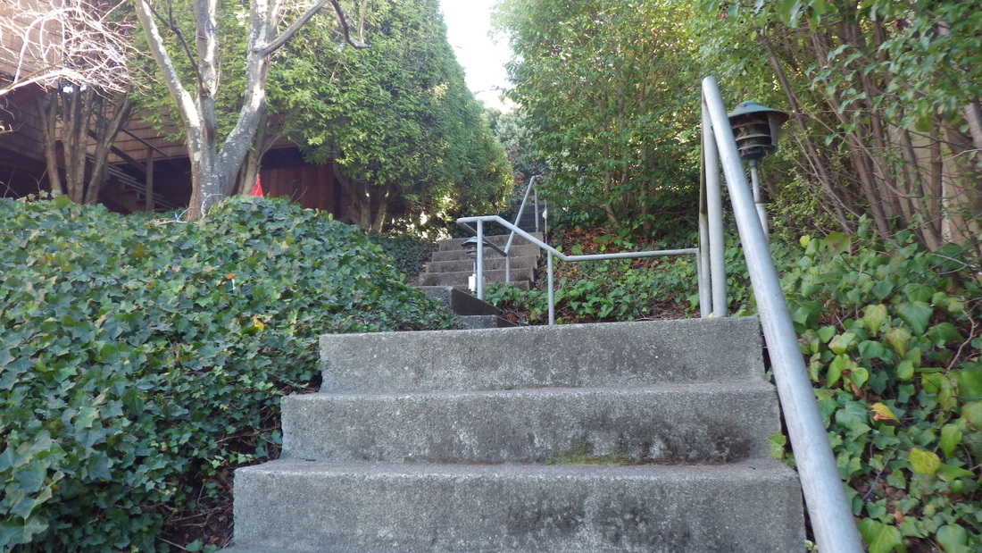
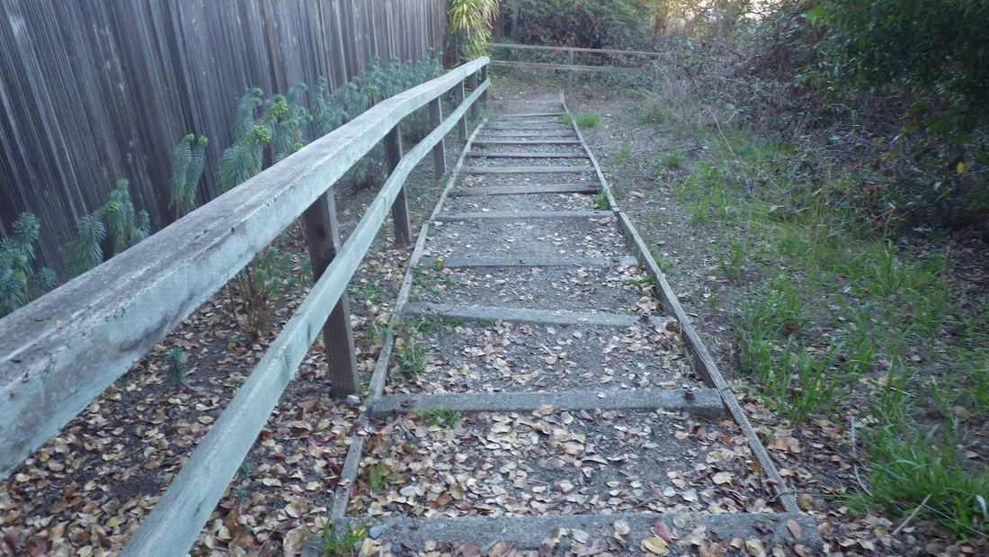
… Cooper Lane: 119 steps. San Carlos to Spencer, pix 16, 17, 18, 19.
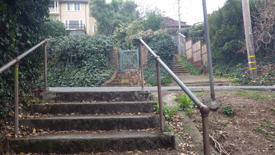
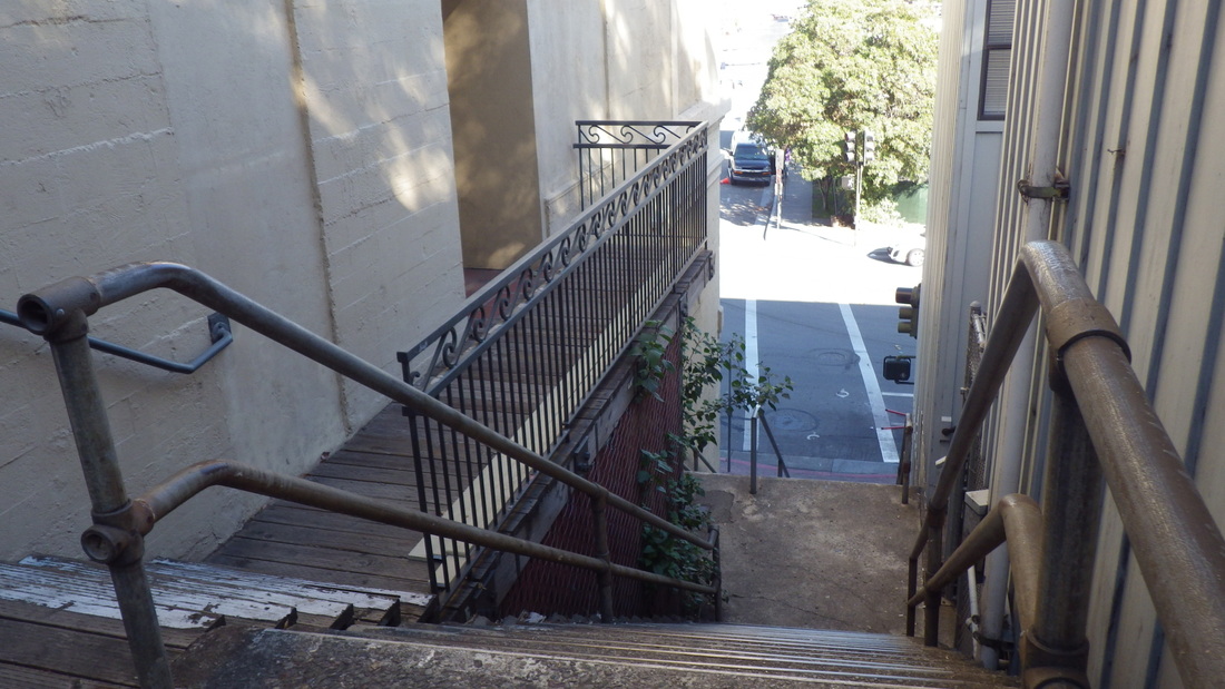
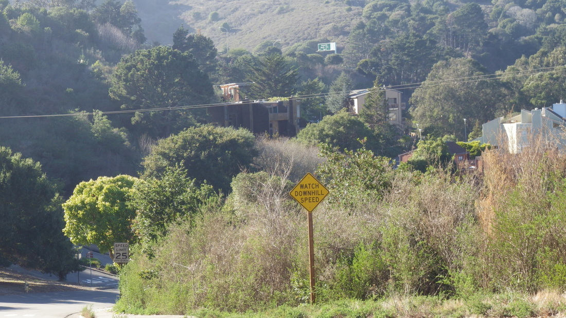
… Street-wiggle sign and a few steps: Spencer to San Carlos, pic 20.
… Santa Rosa to Harrison: 20 or so steps, pic 21.
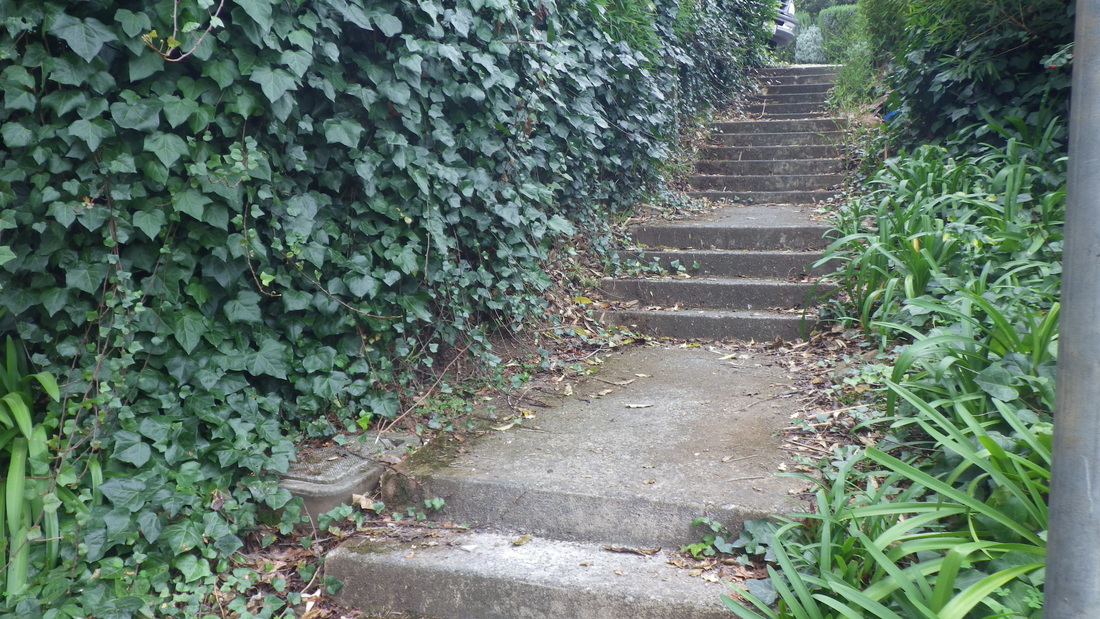
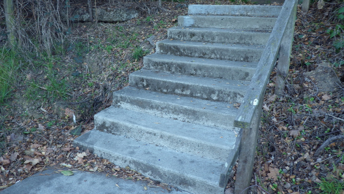
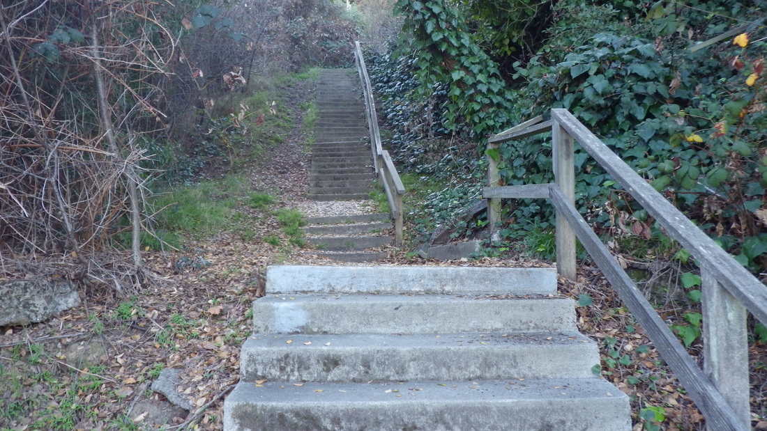
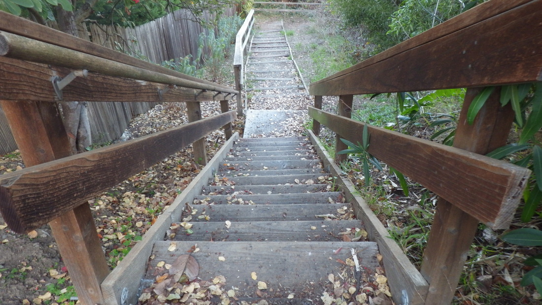
… Part of Excelsior Lane (179 steps total): 22, 23, 24, 25. Excelsior ends at Miller.
… A house on Miller, pic 26.
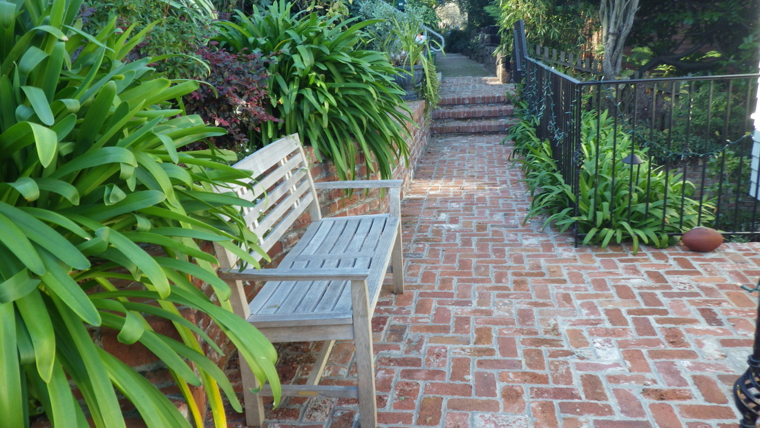
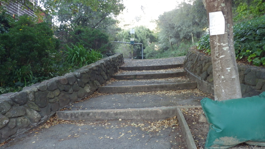
… Last foto, a garden on Harrison at San Carlos.
… Cable Roadway's lower part, around 196 steps, Central to Crescent near Sausalito Blvd. Pix 1 through 6.
… A gate on Lower Crescent: Pic 7.
… Two homes on Crescent: Pix 8, 9.
… Top of Oak stairway, pic 10. A house is being built at the top of the steps on the right side. About 94 steps.
… Sunshine to San Carlos: The foot of these 48 steps down from Sunshine is a few yards from Cooper Lane's foot. Pix 11 through 15.
… Cooper Lane: 119 steps. San Carlos to Spencer, pix 16, 17, 18, 19.
… Street-wiggle sign and a few steps: Spencer to San Carlos, pic 20.
… Santa Rosa to Harrison: 20 or so steps, pic 21.
… Part of Excelsior Lane (179 steps total): 22, 23, 24, 25. Excelsior ends at Miller.
… A house on Miller, pic 26.
… Last foto, a garden on Harrison at San Carlos.
1. Cable Roadway starts up from Central
2. Cable Roadway's lower part, Central up to Crescent
3. Cable Roadway climbs to Crescent
4. Wood with wood railings near the top
5. Top at Crescent
6. Top at Crescent
7. A front gate on Lower Crescent
8. Houses on Crescent
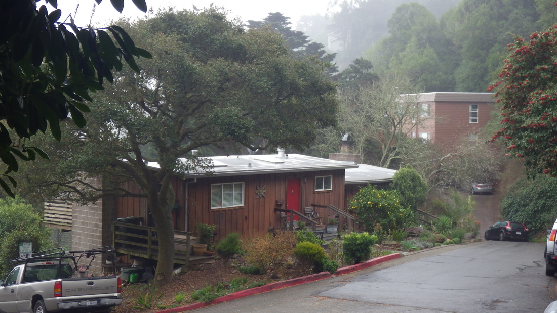
9. Crescent Ave.
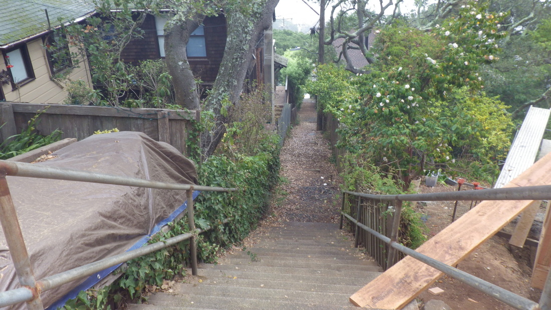
10. Top of Oak stairway
11. Top of steps at Sunshine Ave.
12. Down the stairs from Sunshine Ave.
13. Sunshine to San Carlos Ave.
14. Sunshine to San Carlos
15. Sunshine to San Carlos
16. Top of Cooper Lane steps
17. Cooper Lane

18. Cooper Lane
19. Cooper Lane at San Carlos Ave.
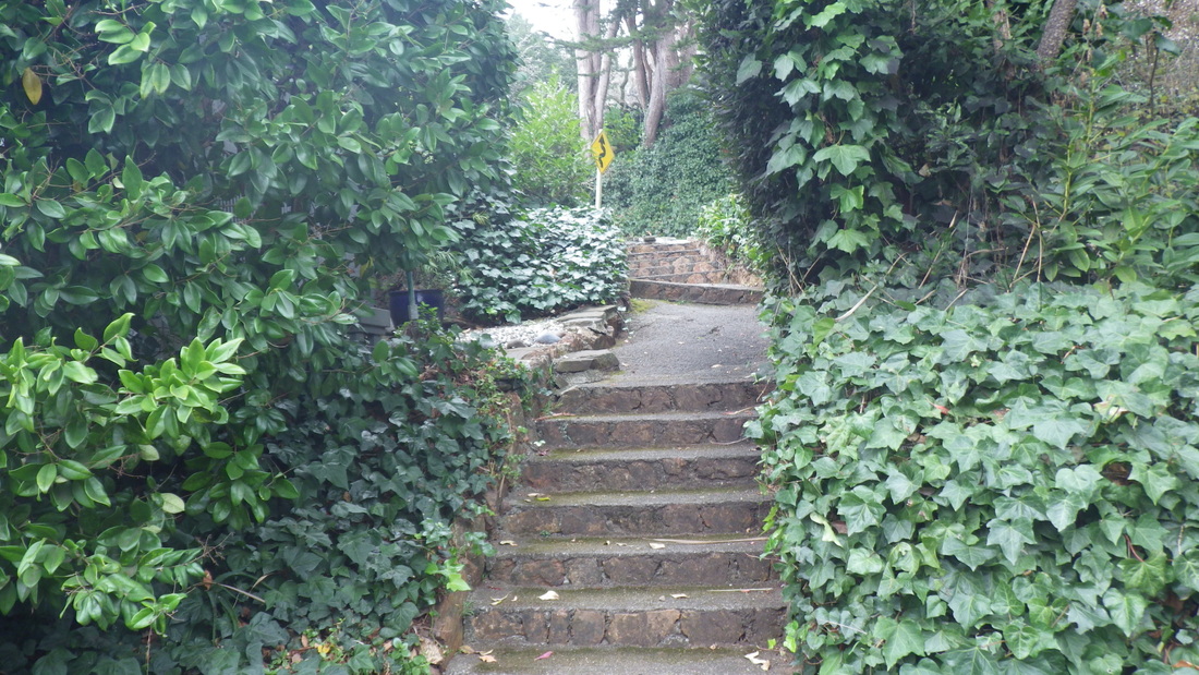
20. Spencer to San Carlos
21. Santa Rosa to Harrison
22. Excelsior Lane
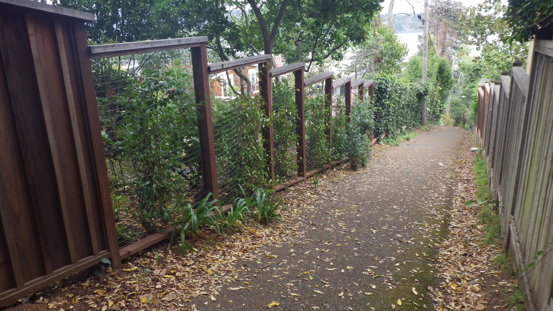
23. Excelsior Lane
24. Excelsior continues up across Harrison

25. Excelsior Lane at Harrison
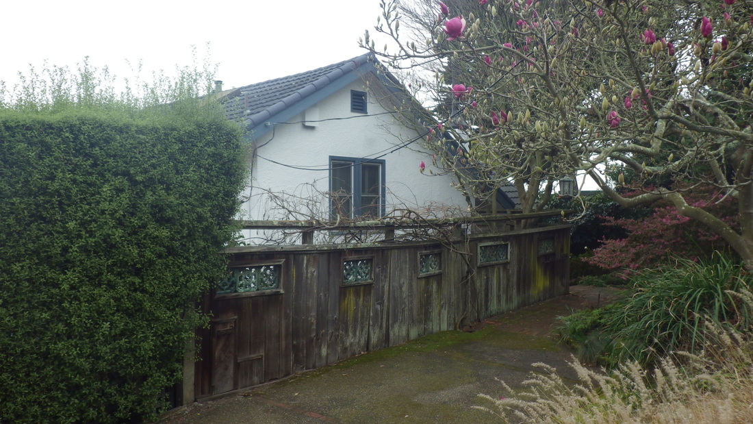
26. A house on Miller
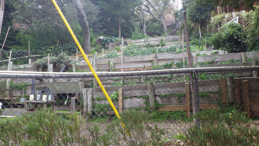
27. A garden on Harrison at San Carlos


 RSS Feed
