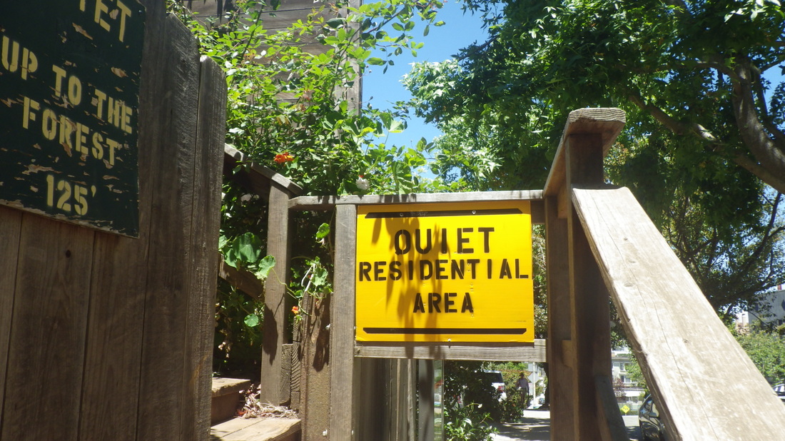
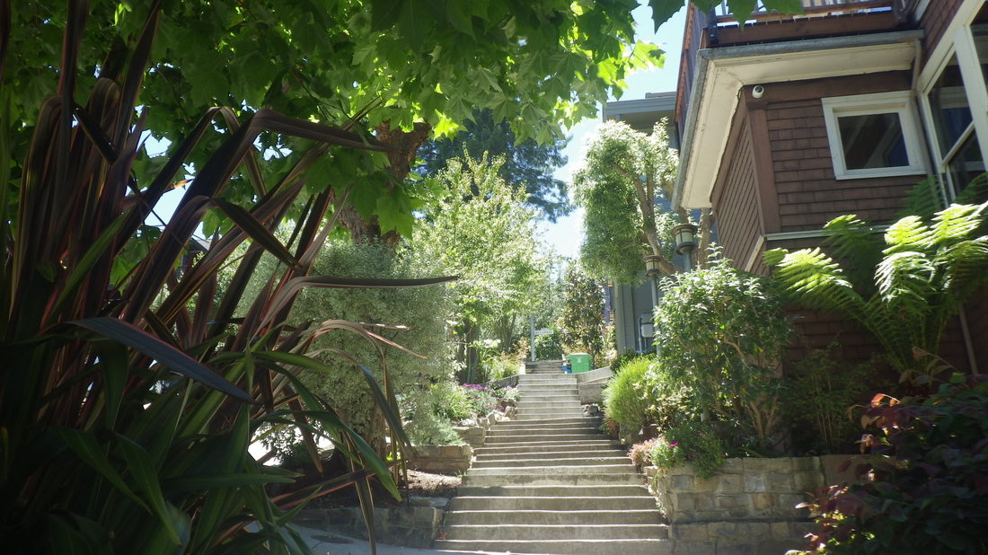
Starting at the Stamyan trailhead for Mount Sutro Forest's lower Historic tail. Scored some ripe plums that had fallen onto the trail in two different places. Small but tasty.
Six mountain bikers on the various trails this time.
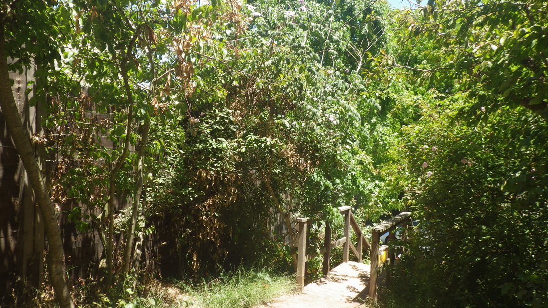
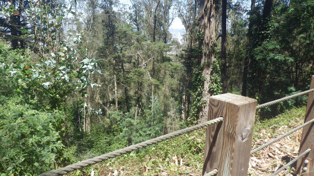
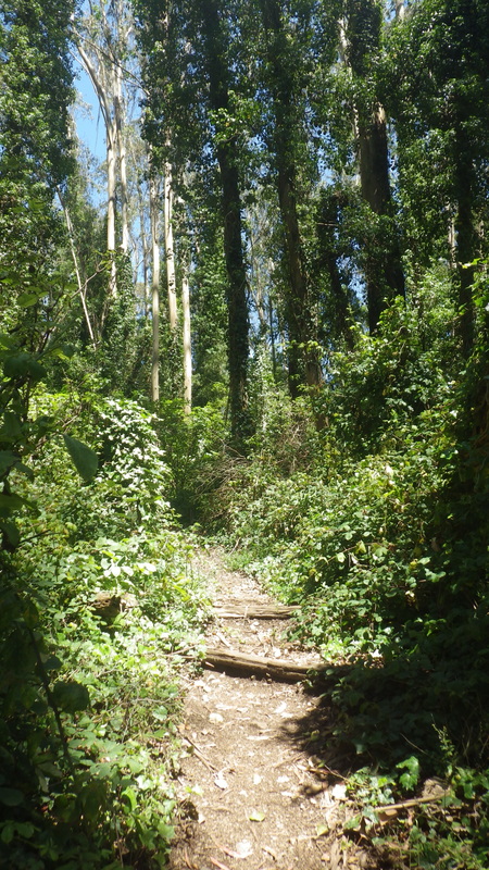
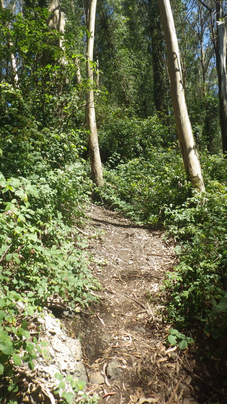
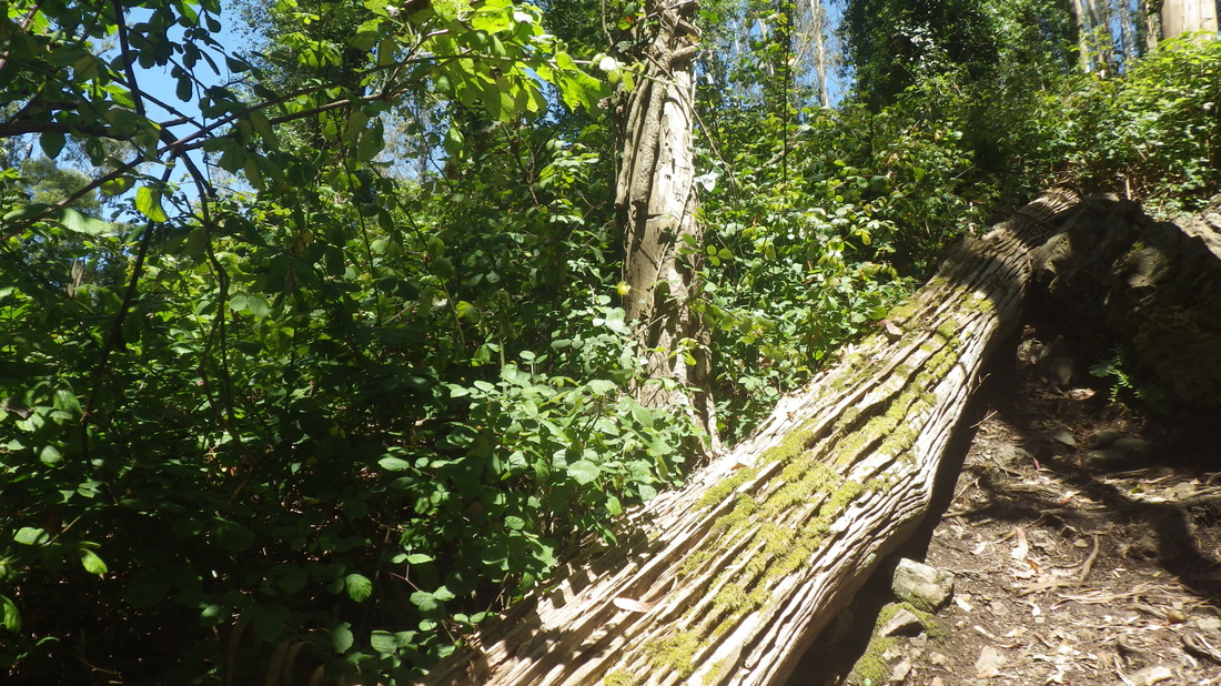
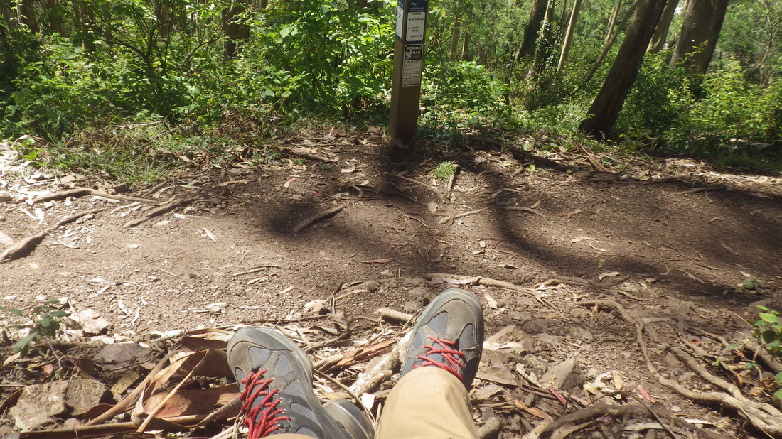
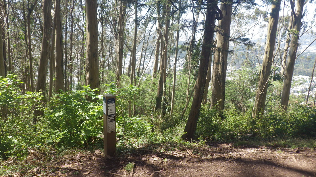
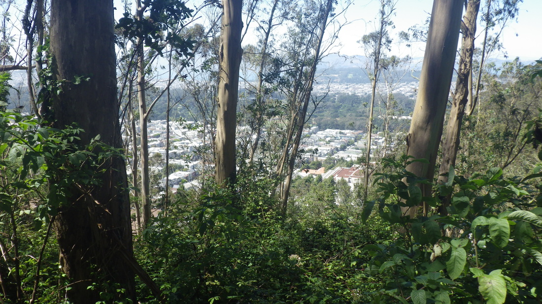
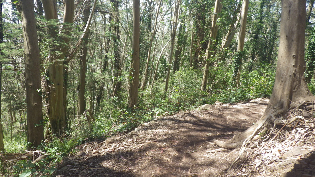
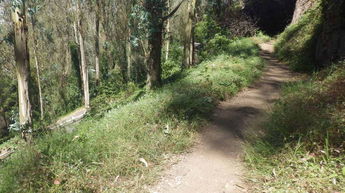
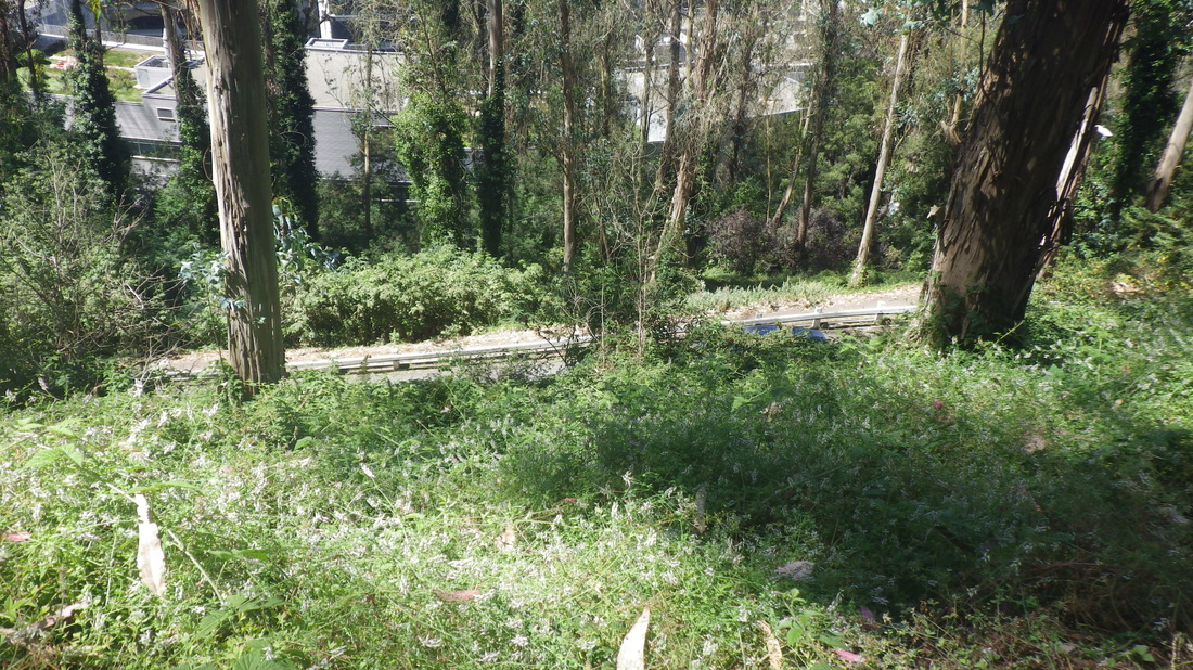
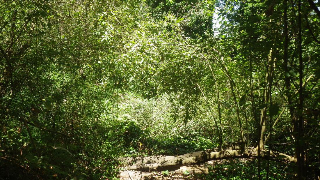
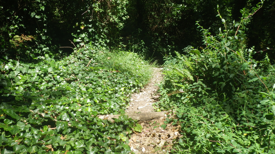
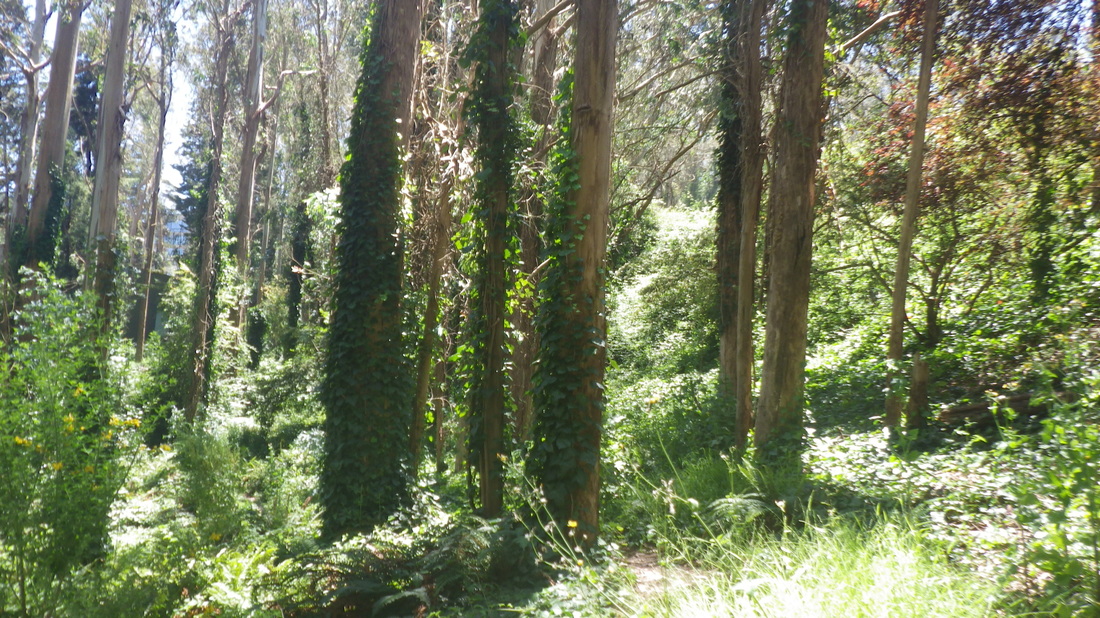
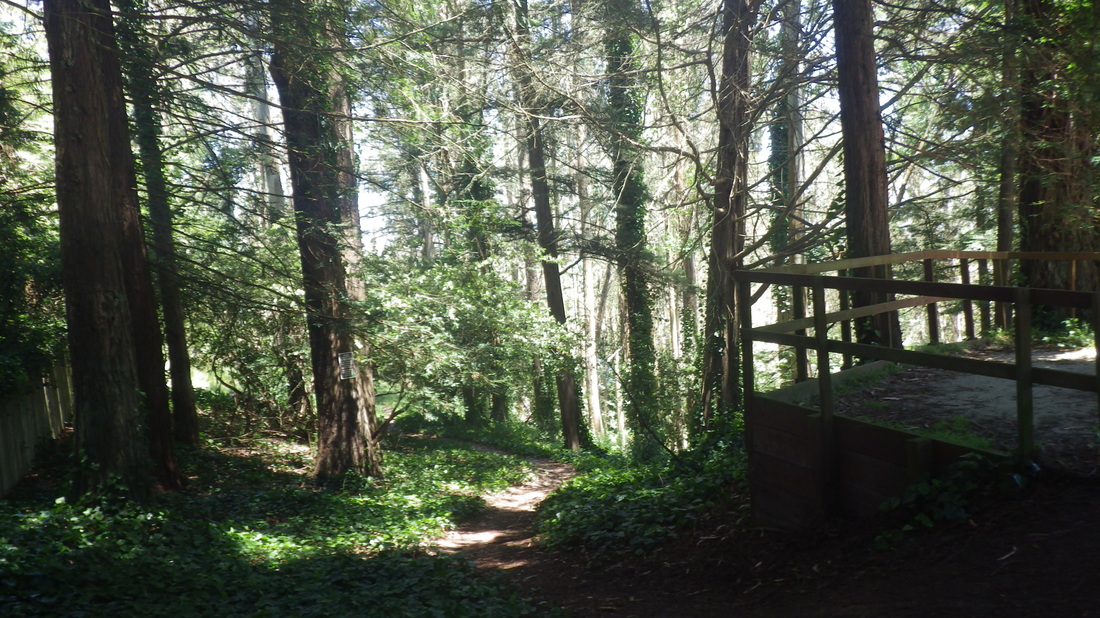
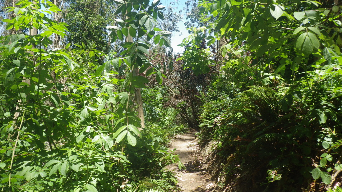
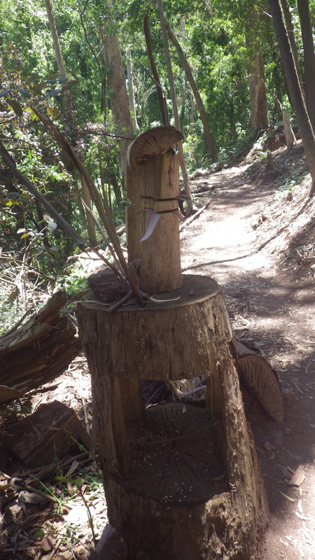
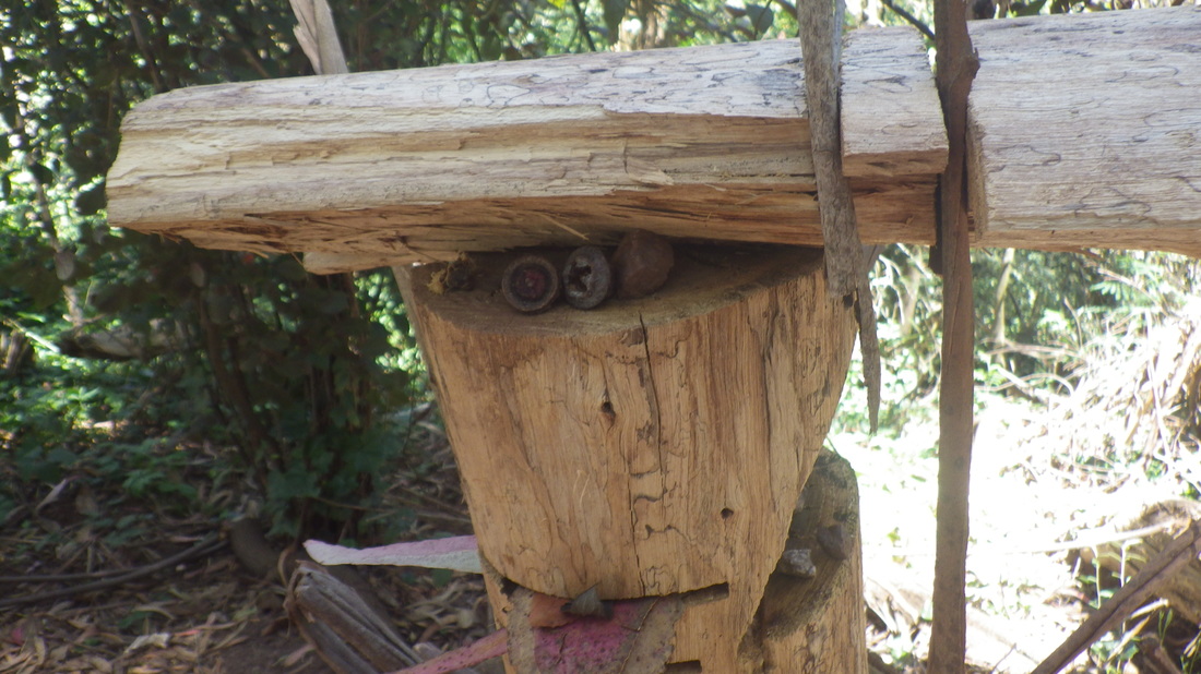
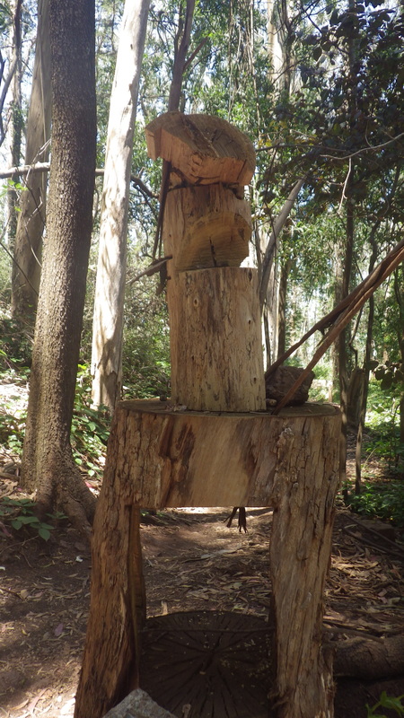
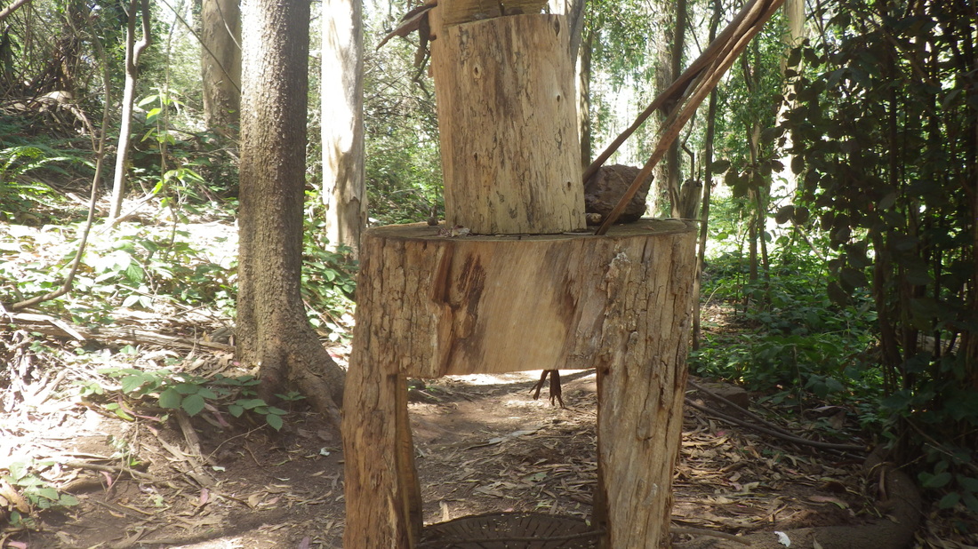
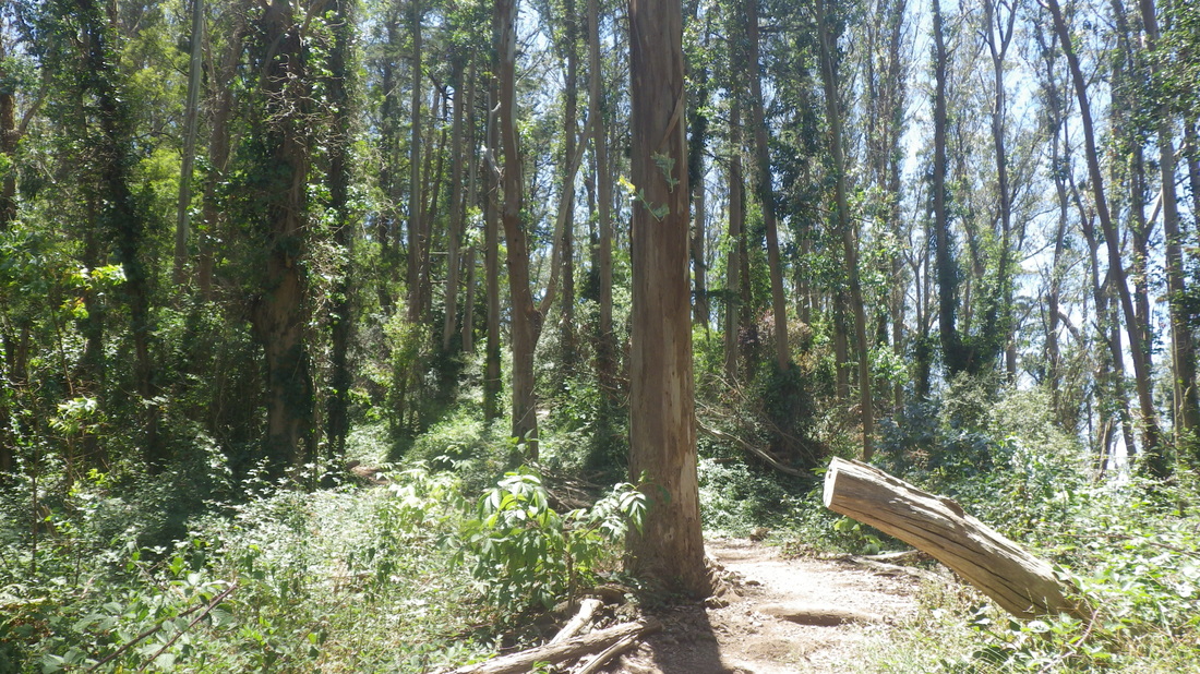
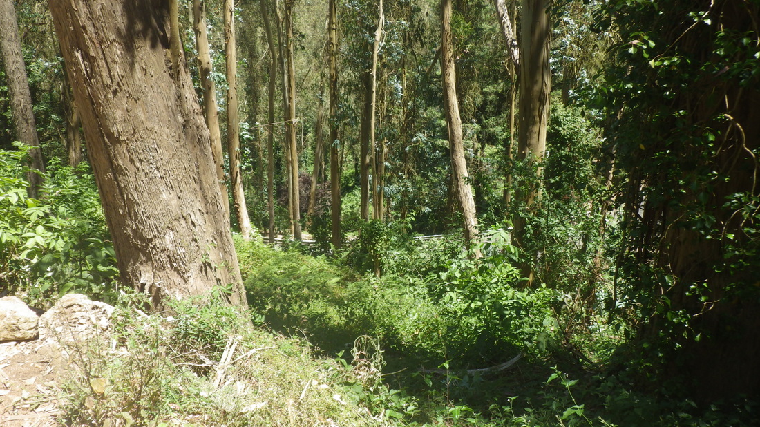
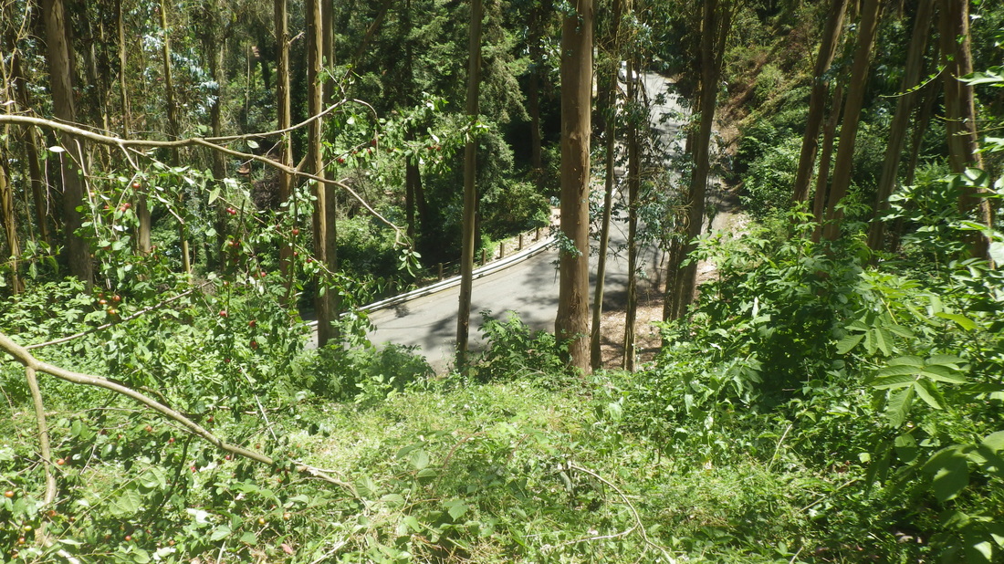
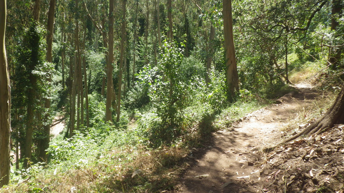
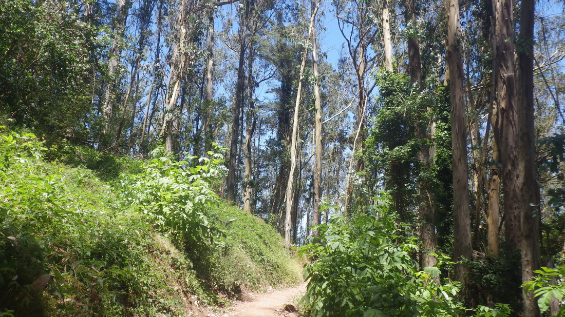
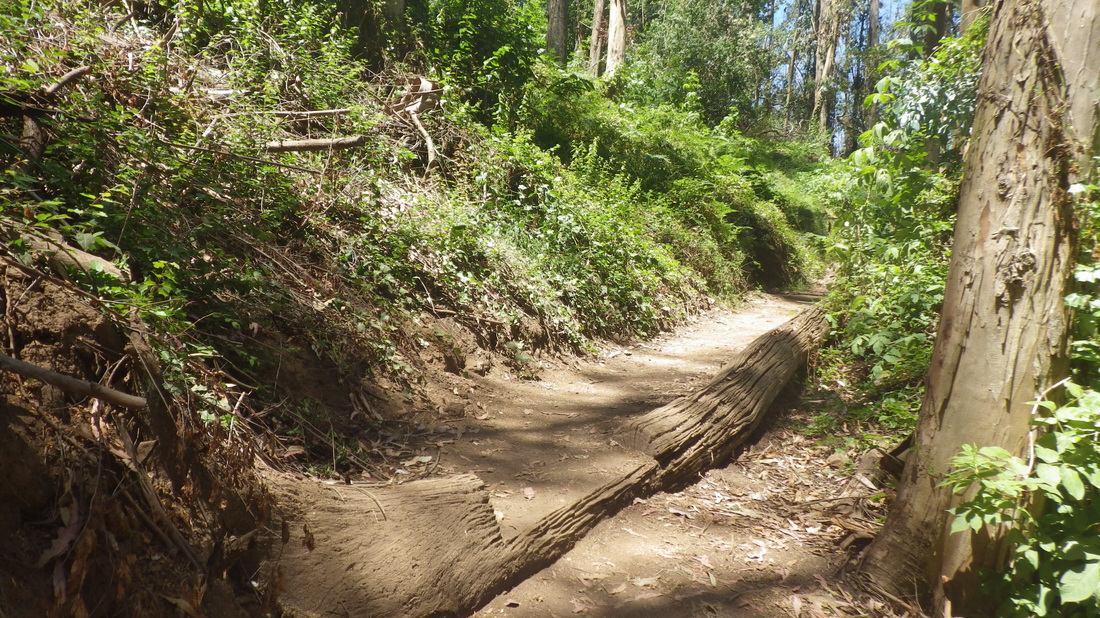
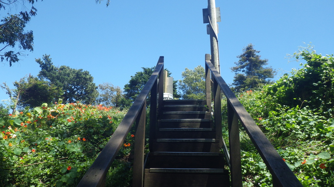
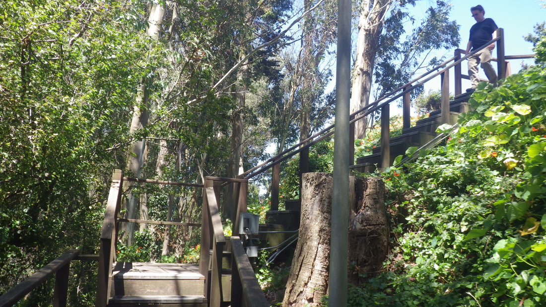
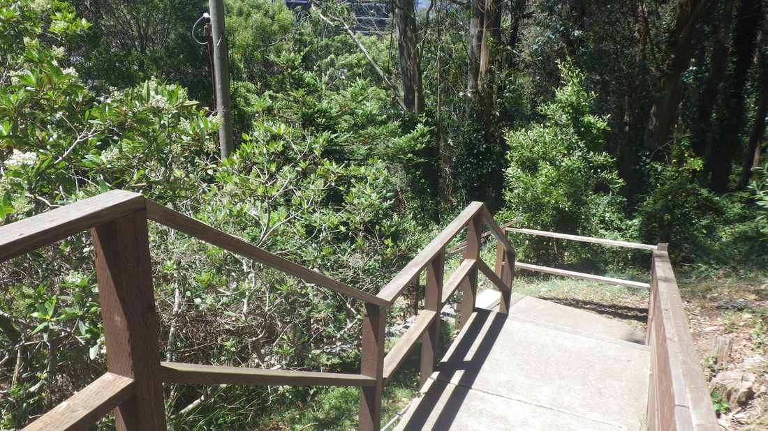
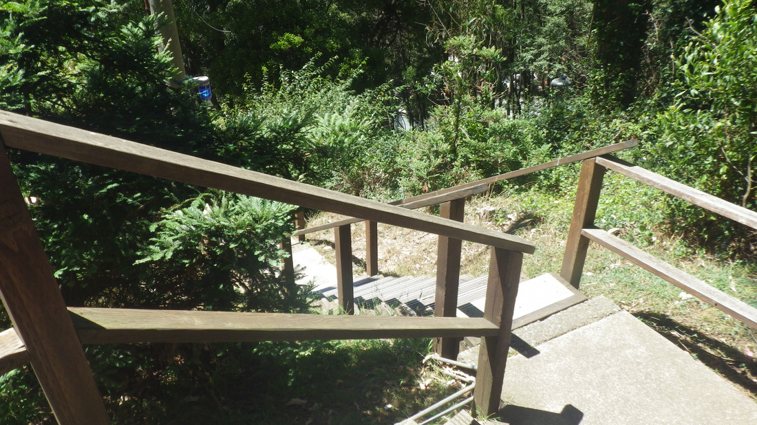
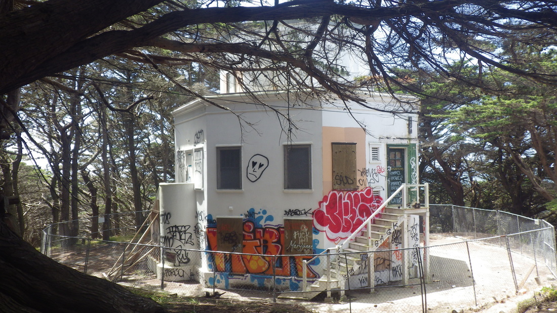
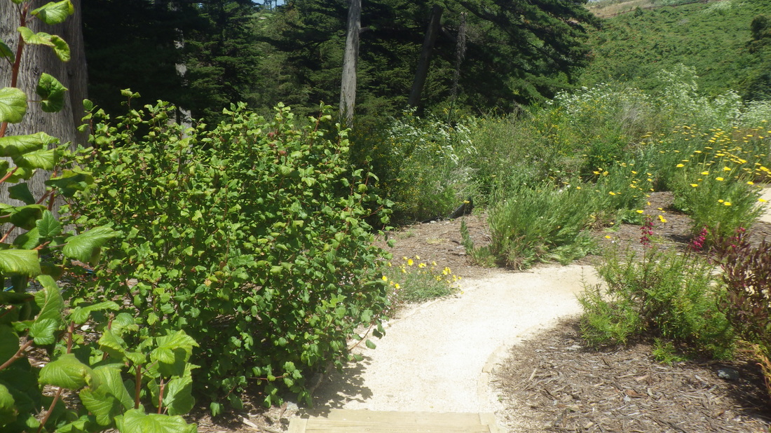
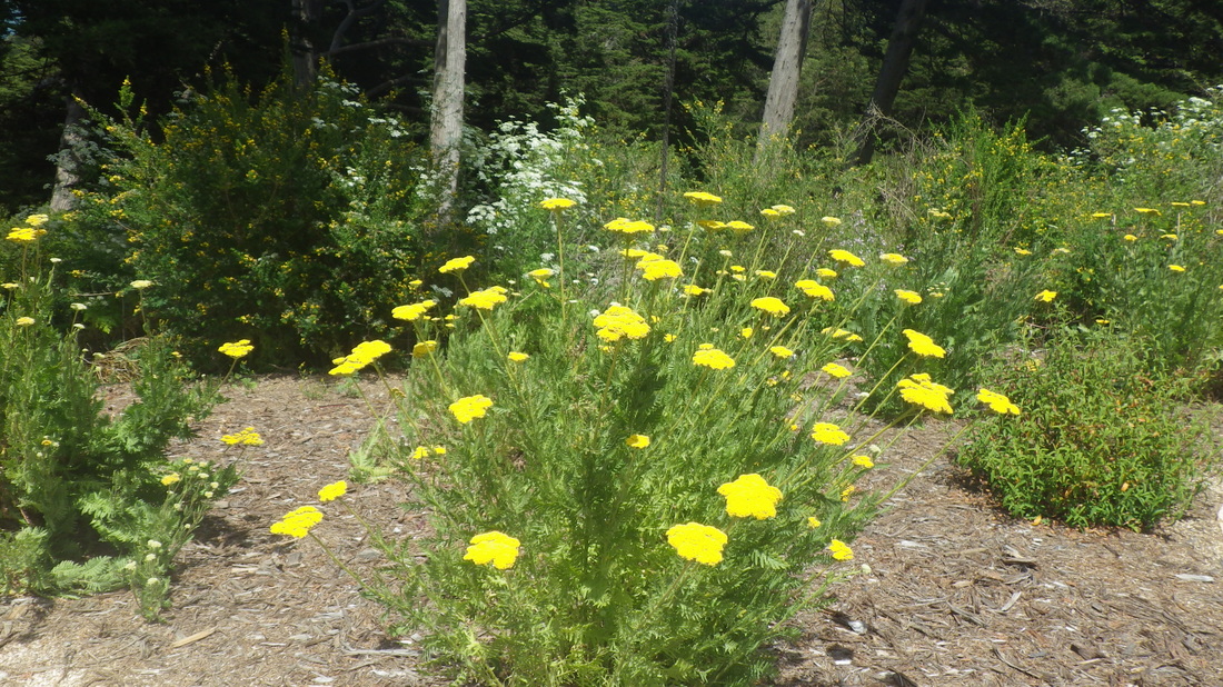
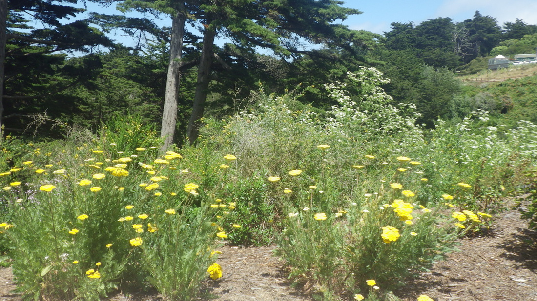
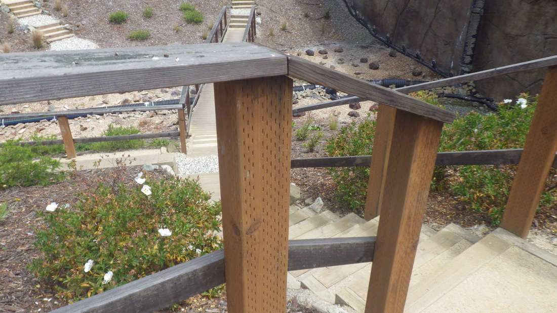
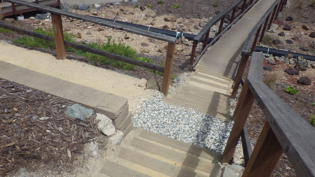
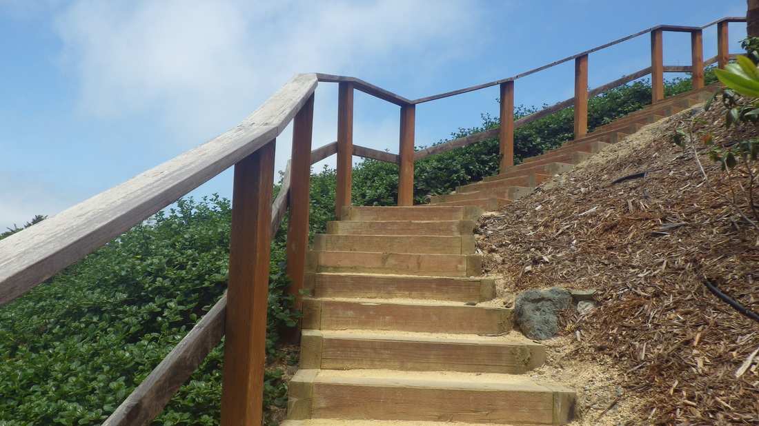
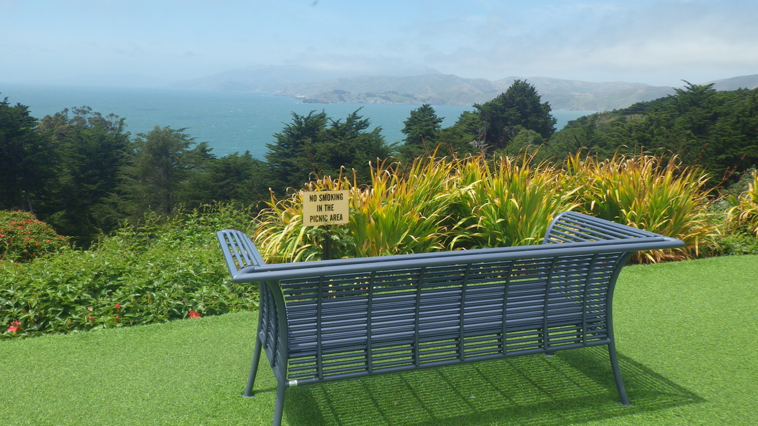
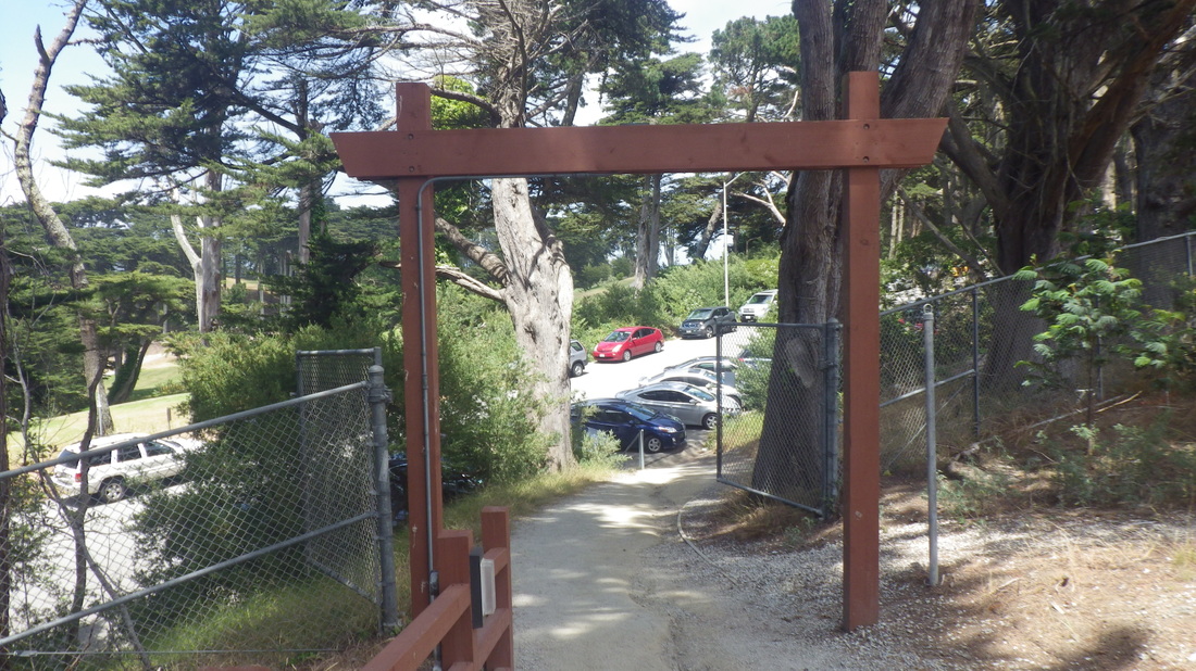
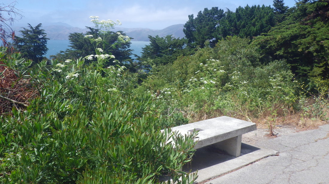
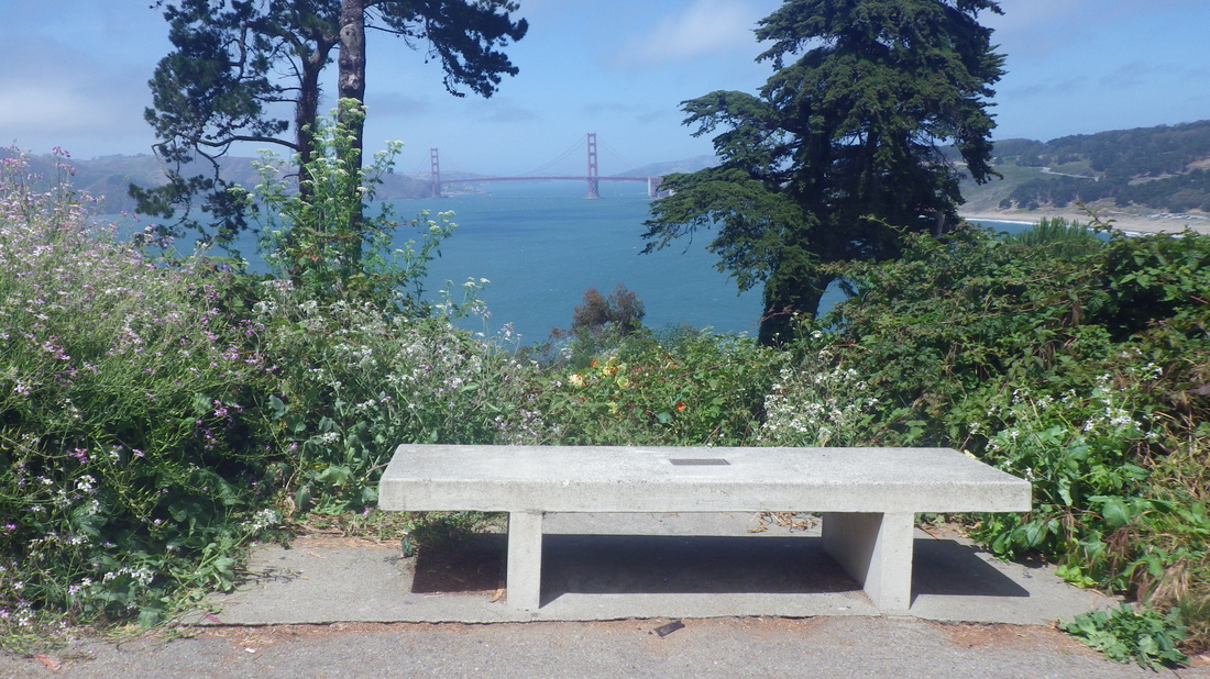
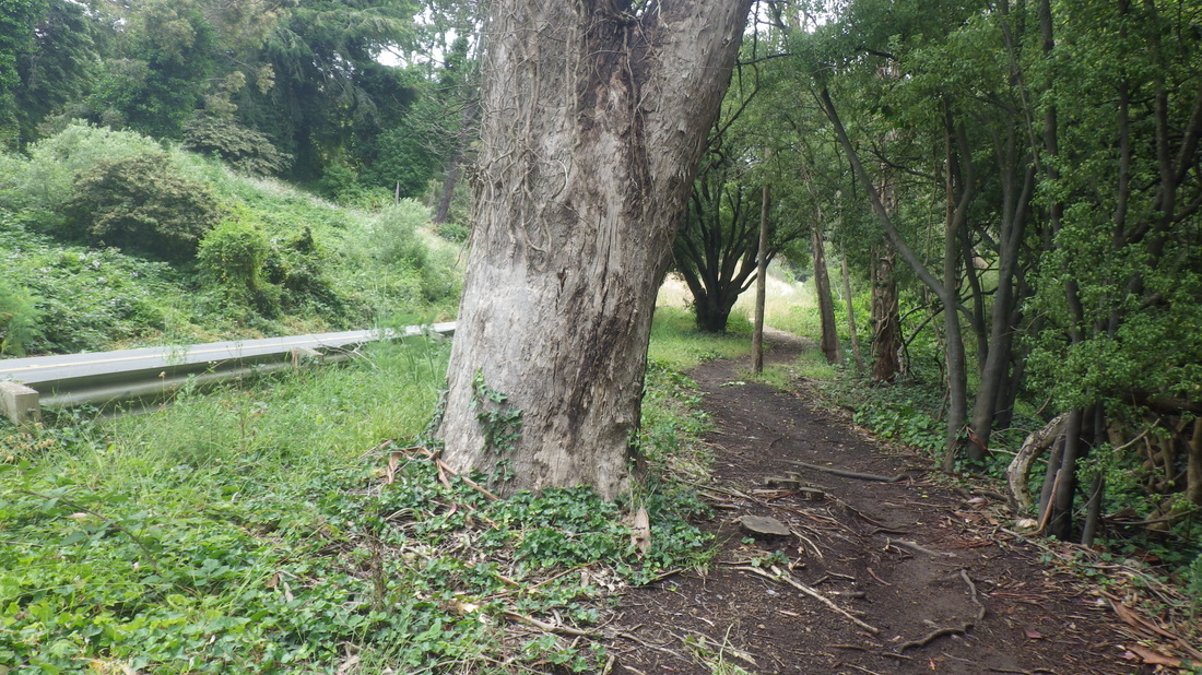
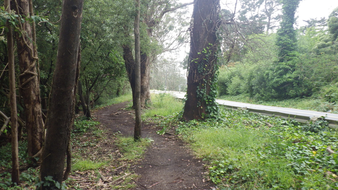
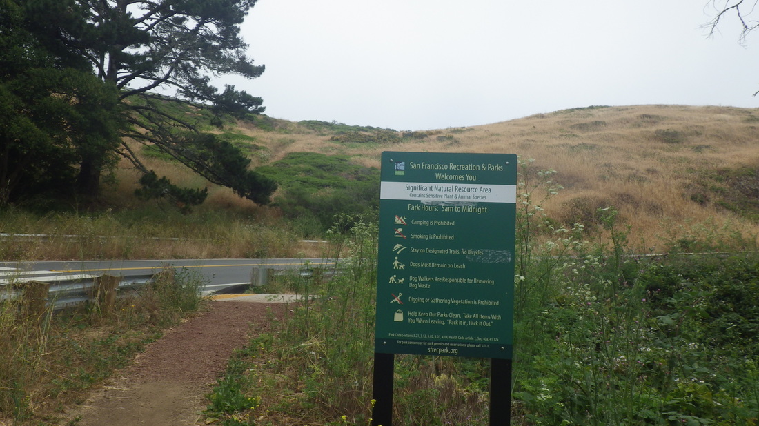
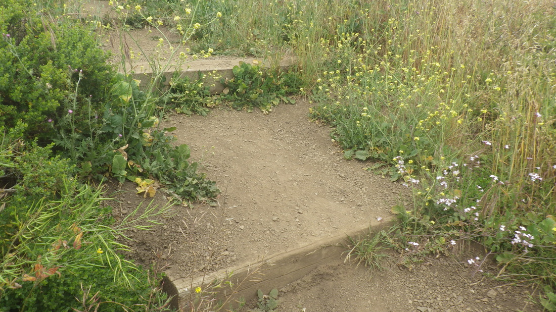
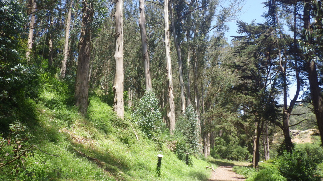
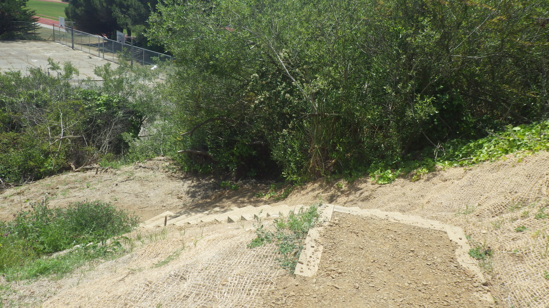
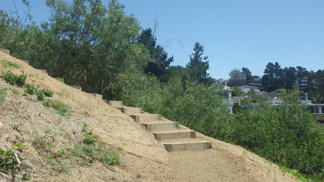
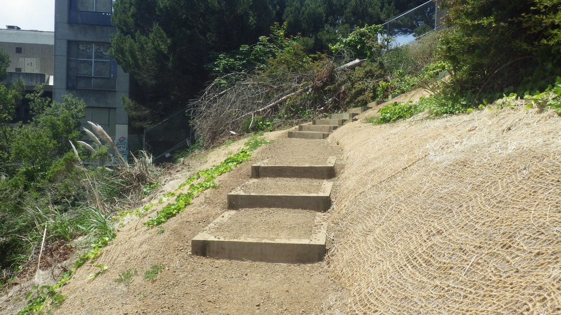
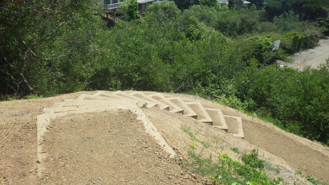
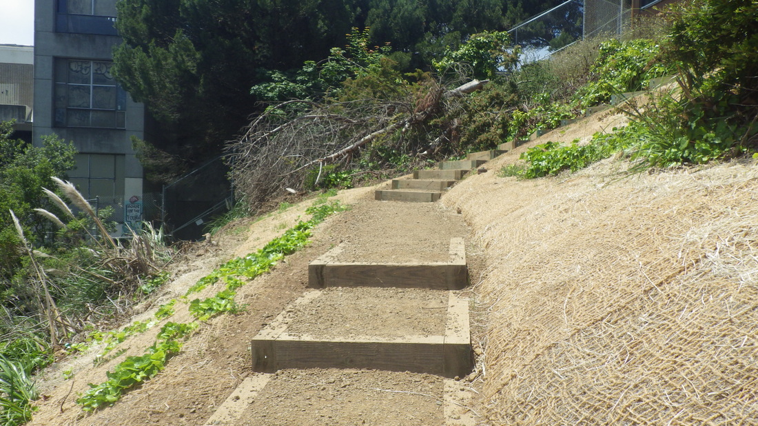
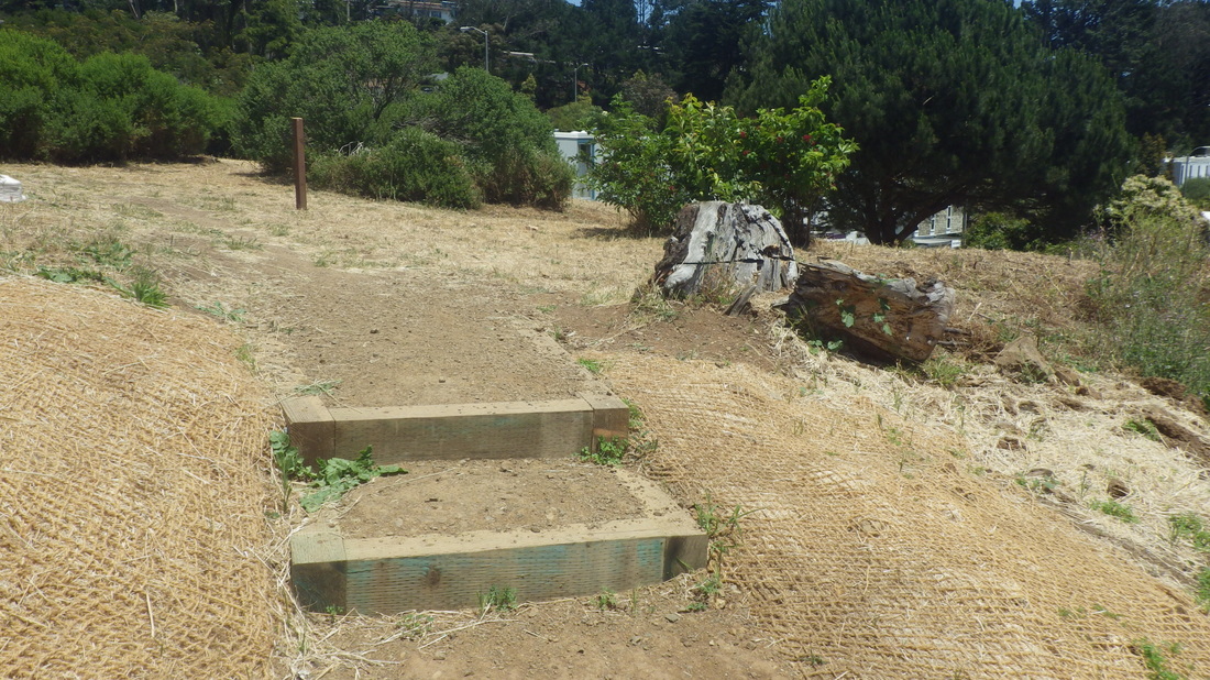
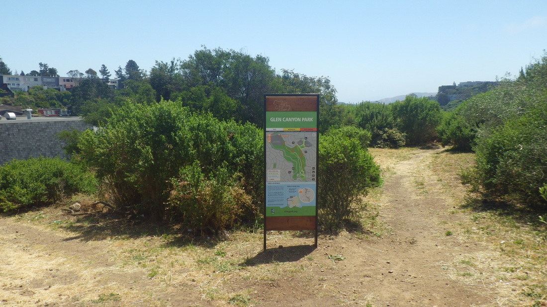
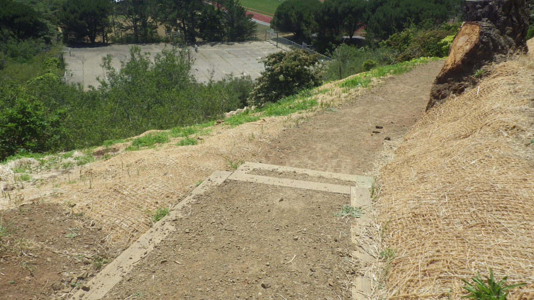
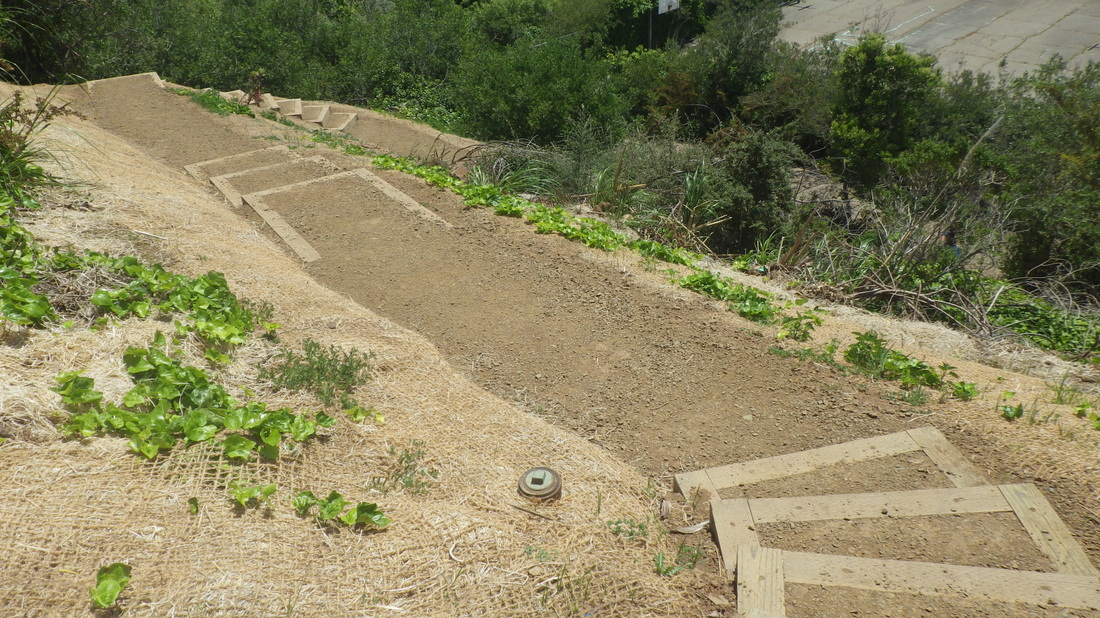
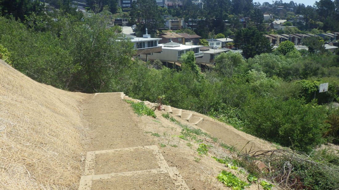
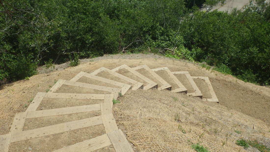
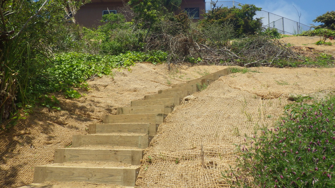
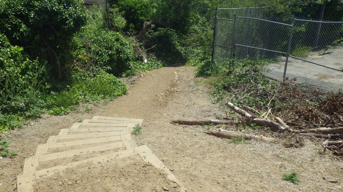
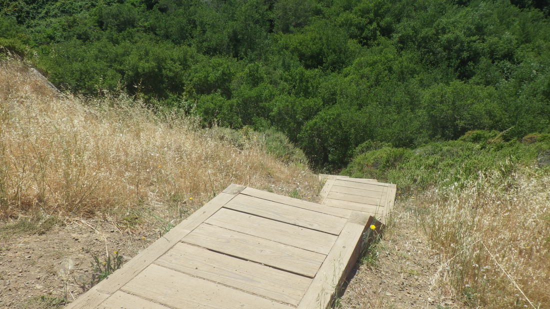
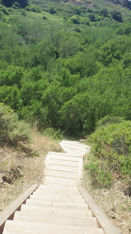
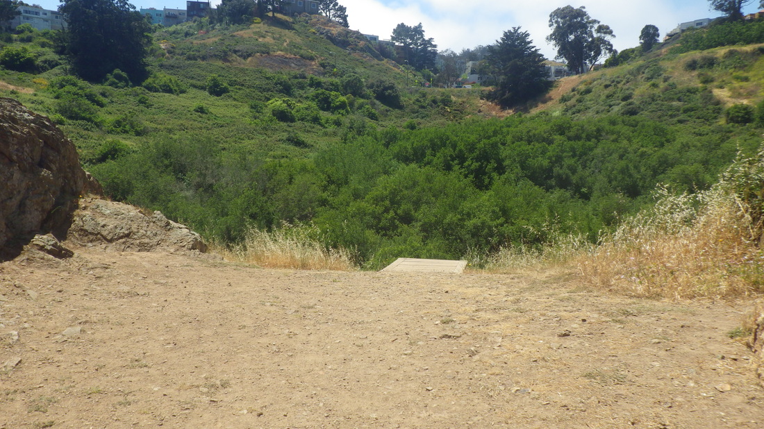
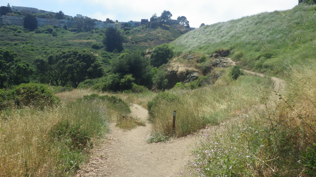
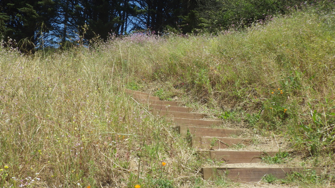
Lower Historic: 1 thru 8
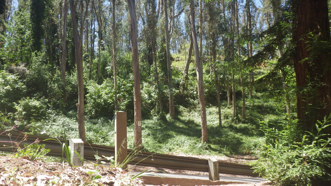
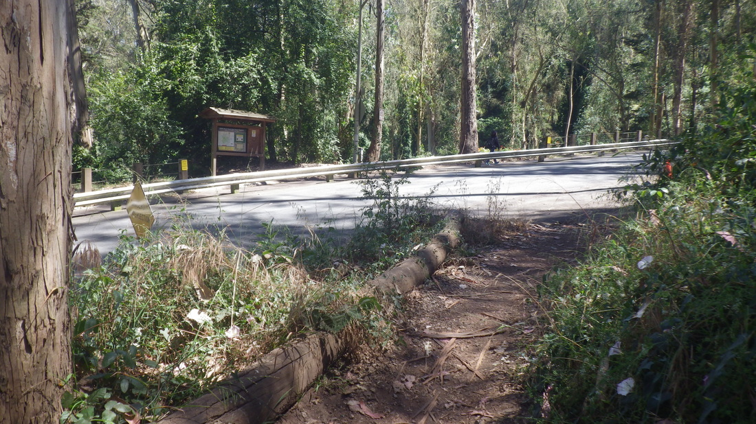
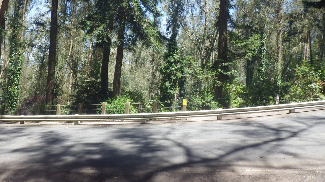
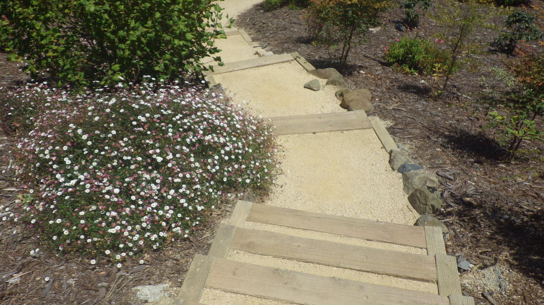
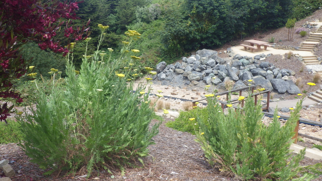
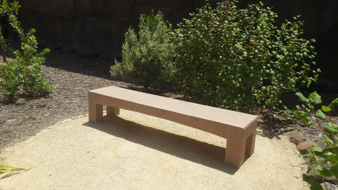
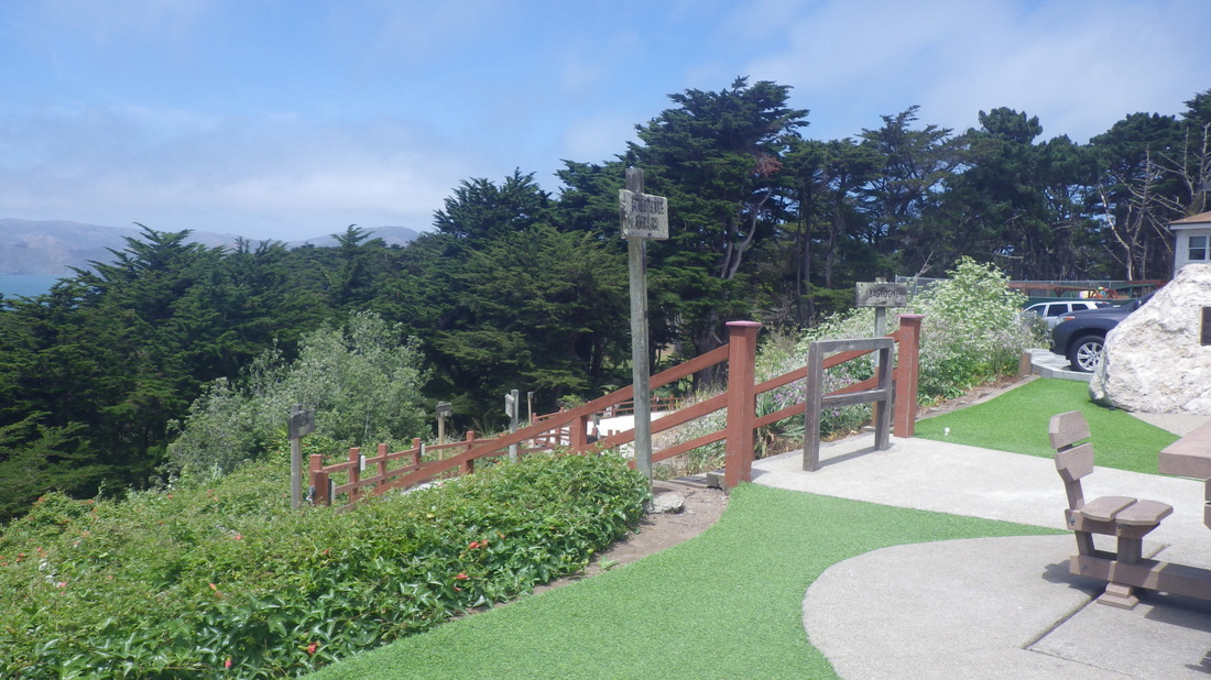
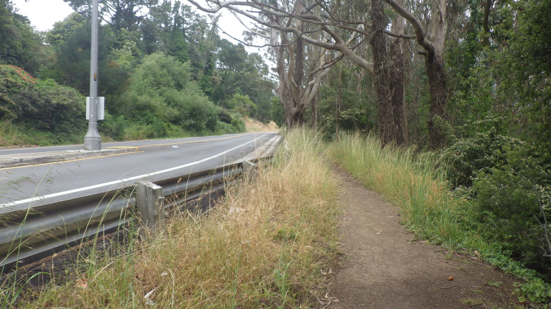
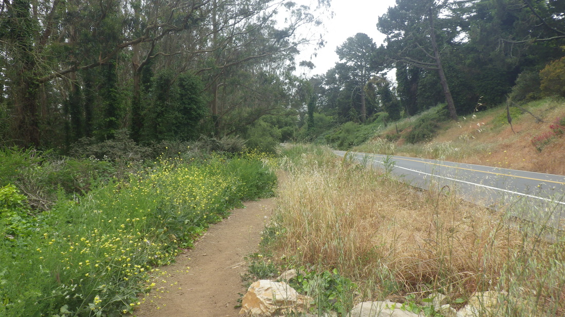
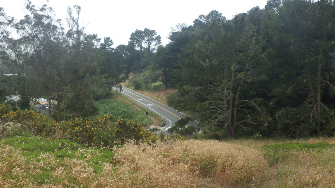
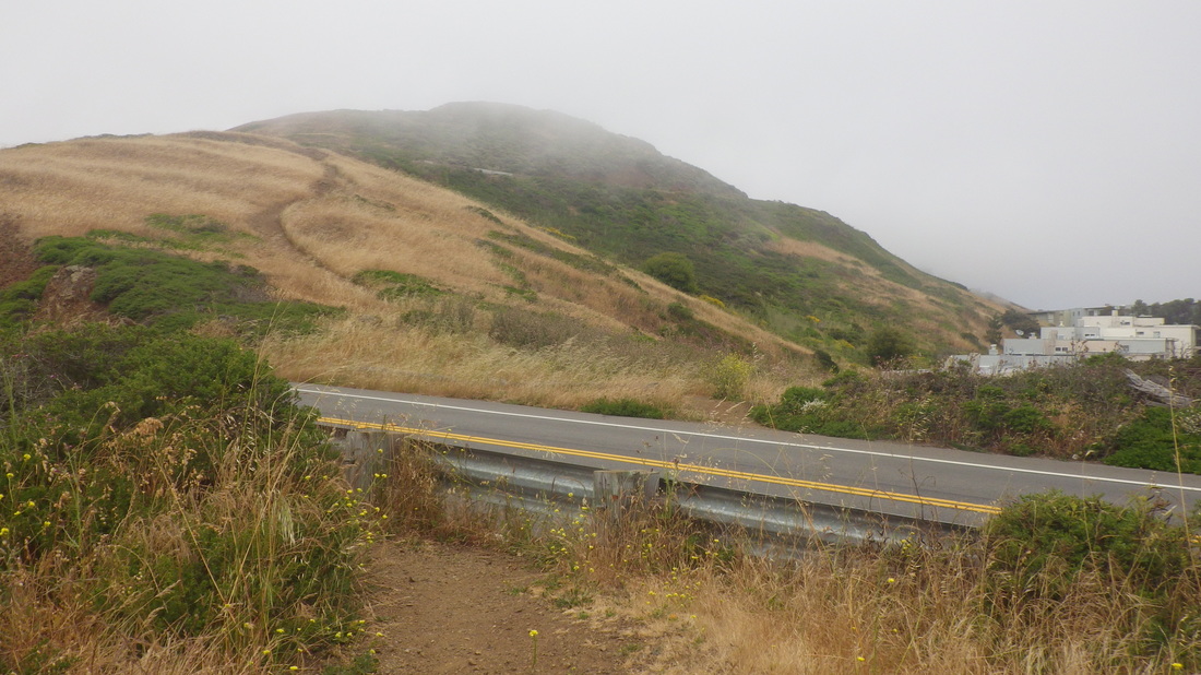
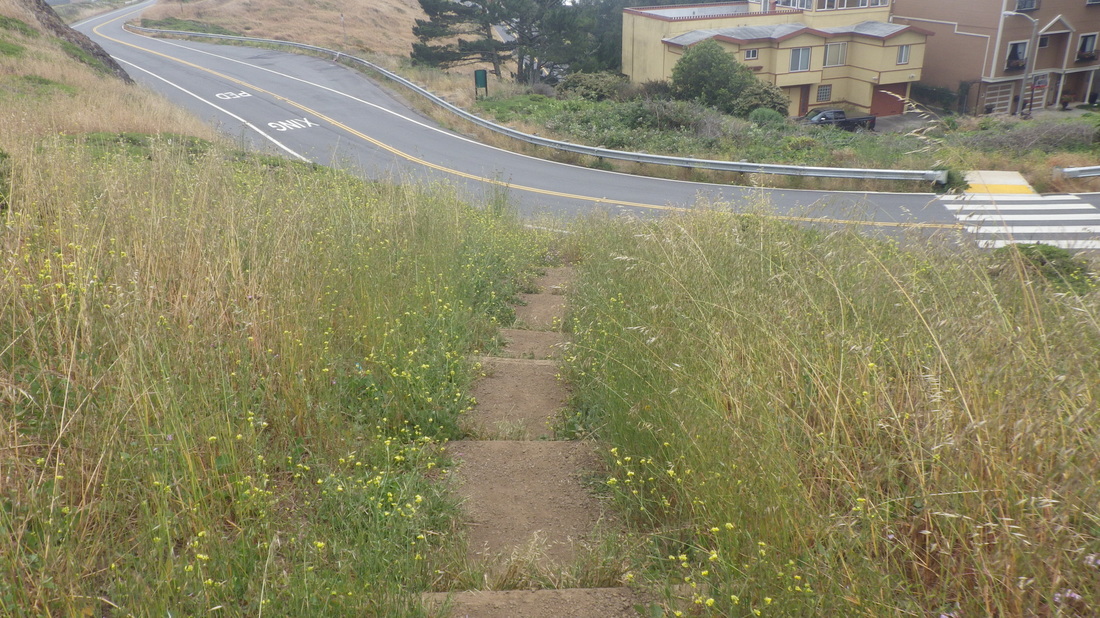
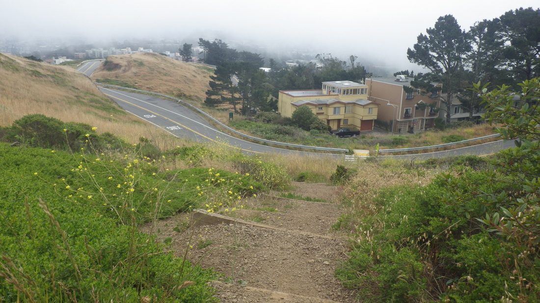
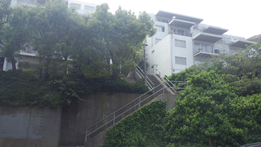
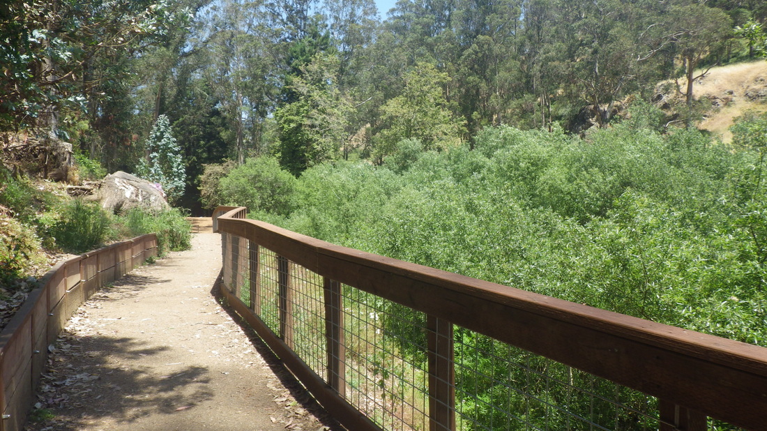
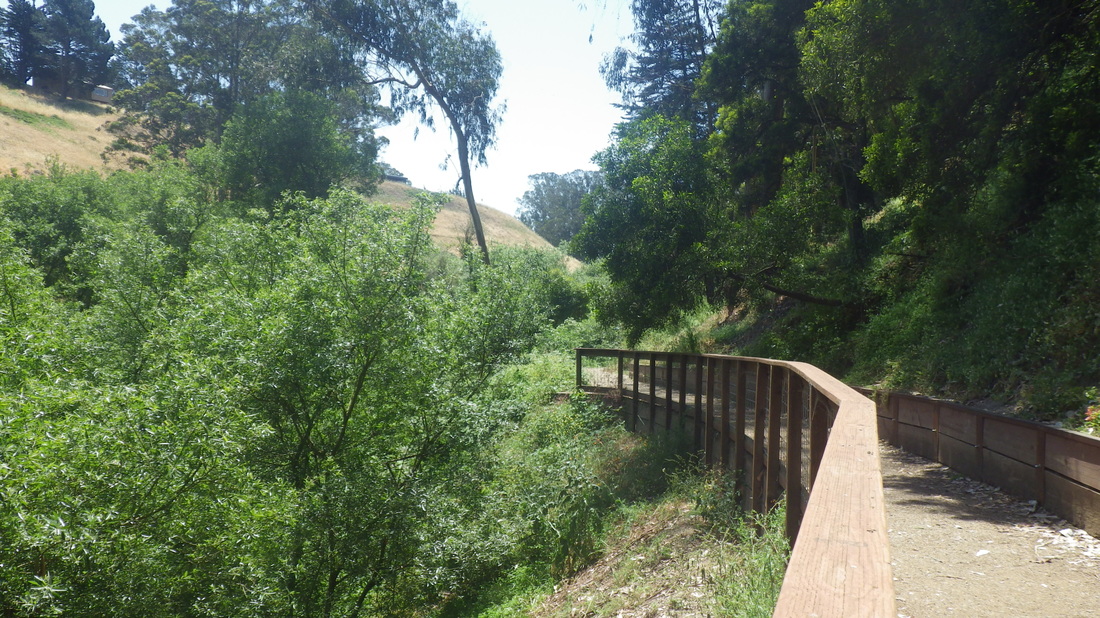
Along the road on the walkway: 9
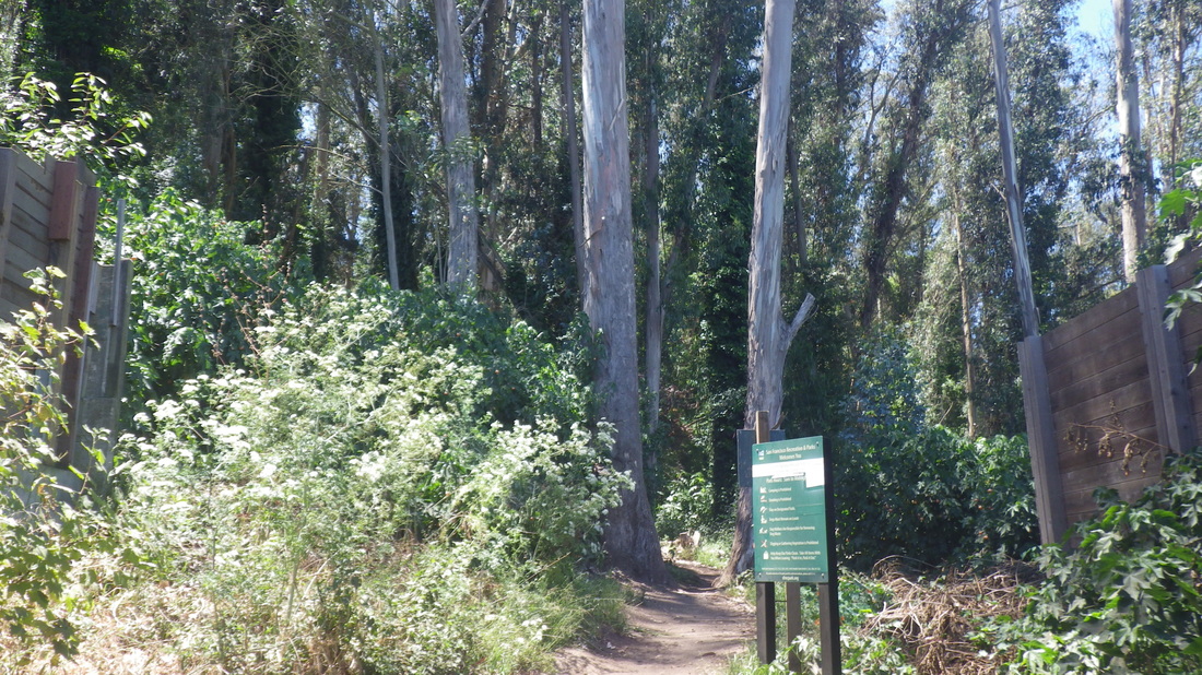
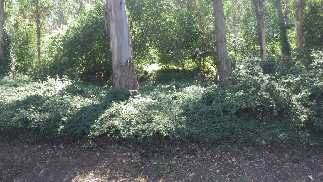
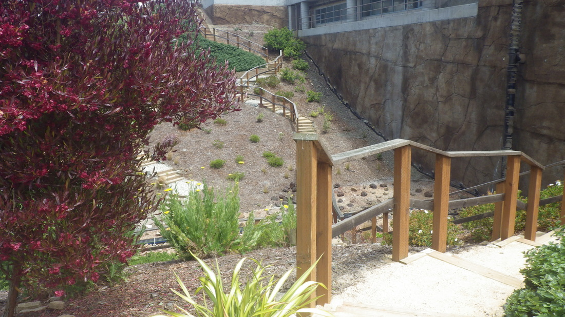
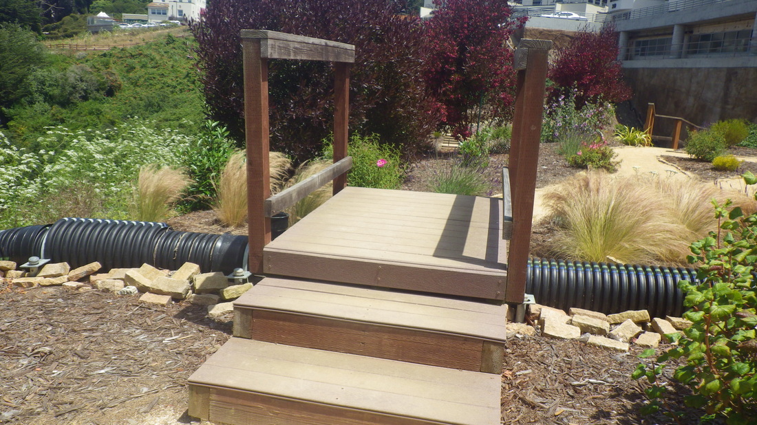
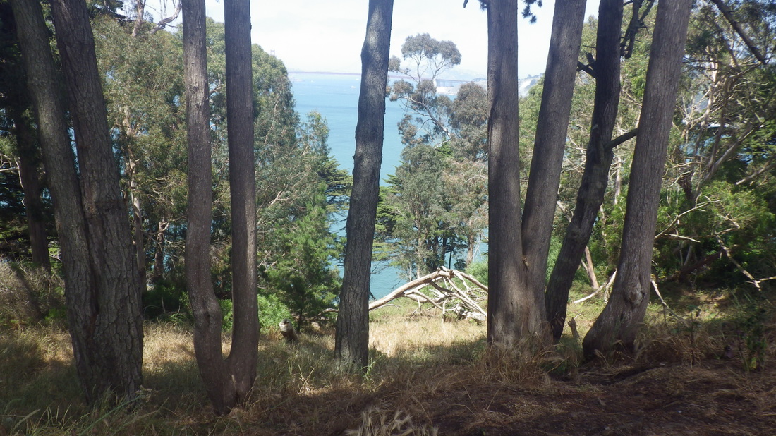
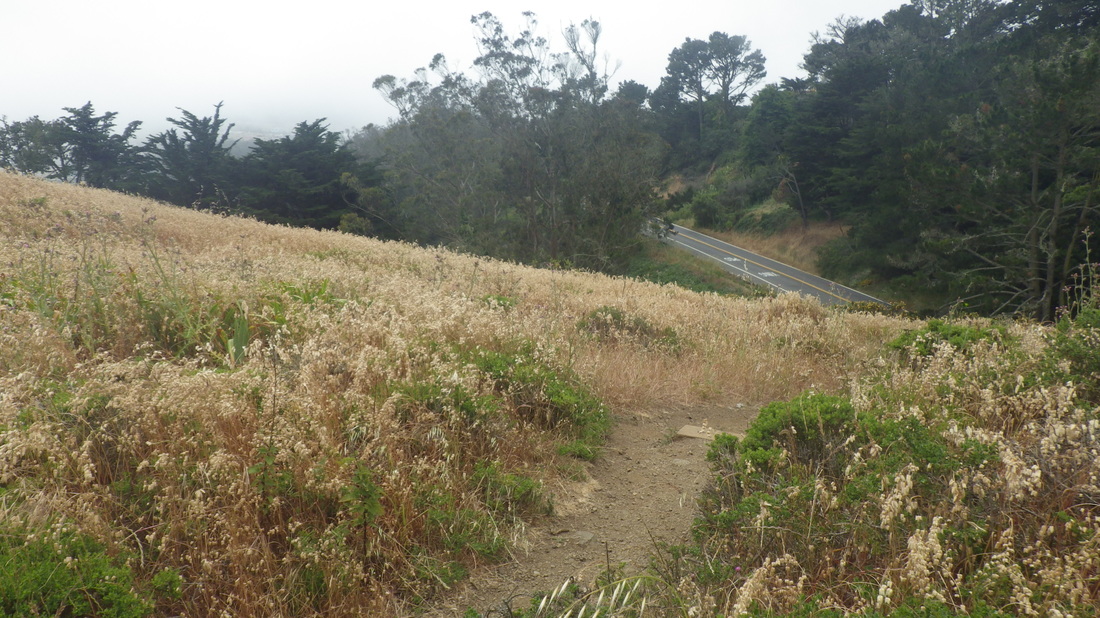
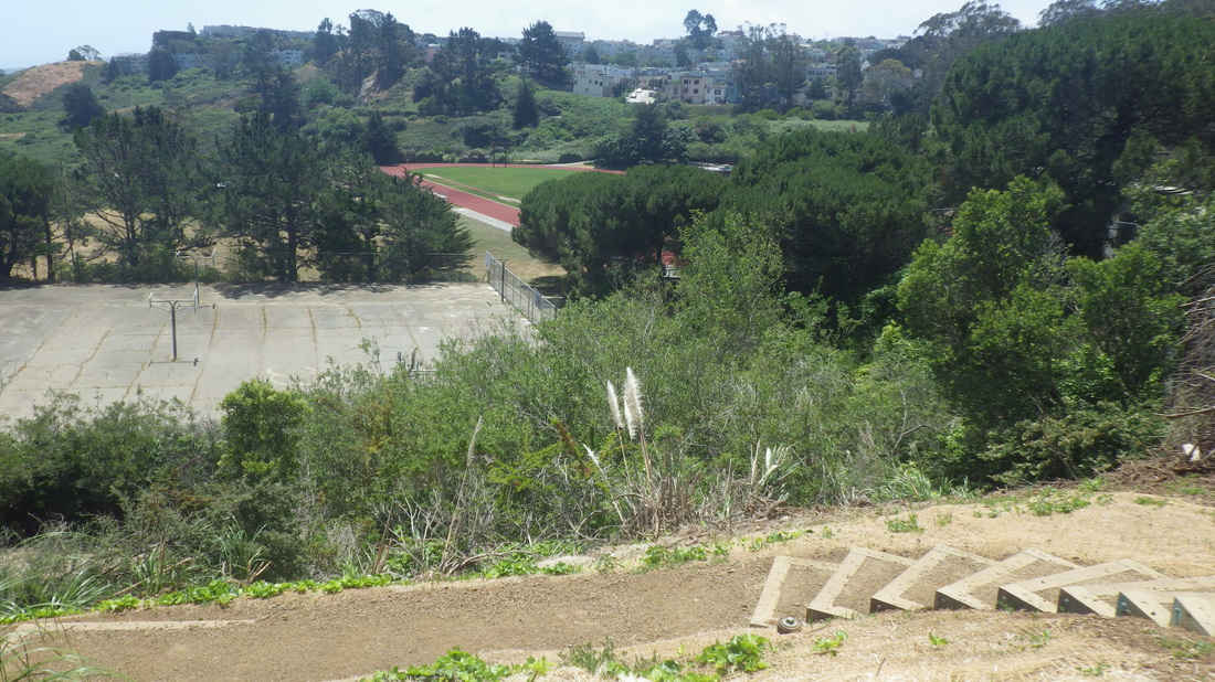
North Ridge Trail ahead: 10
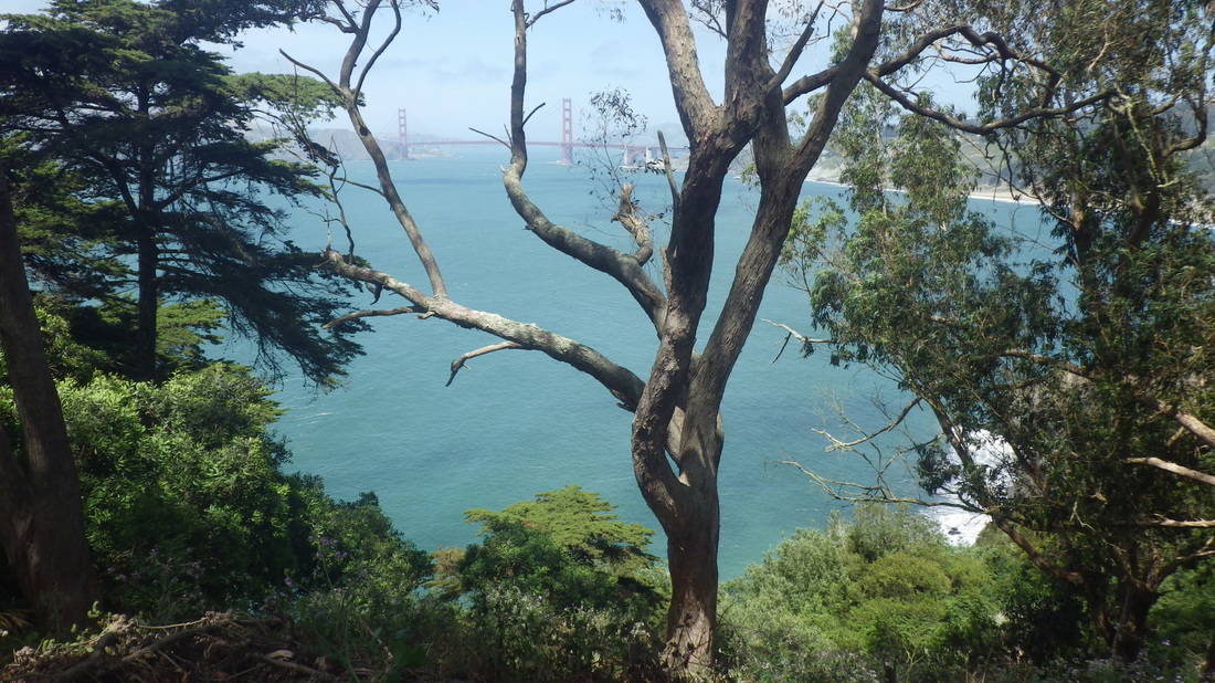
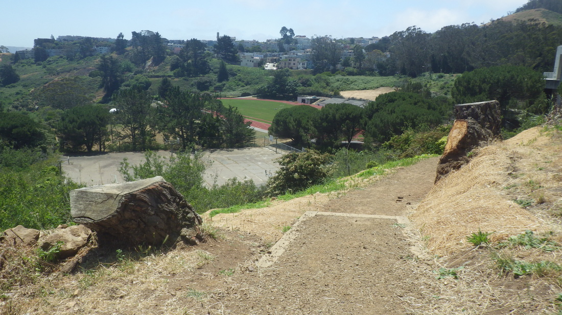
Down from the summit (pic 11), a shortcut to the upper Historic on the upper West Ridge. Easier to climb than to descend.
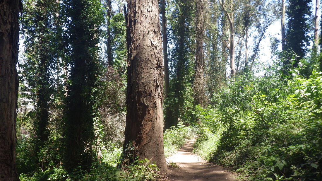
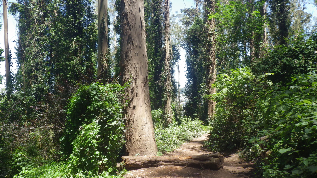
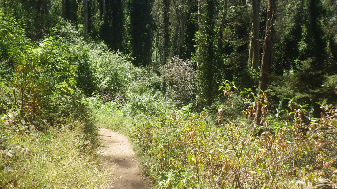
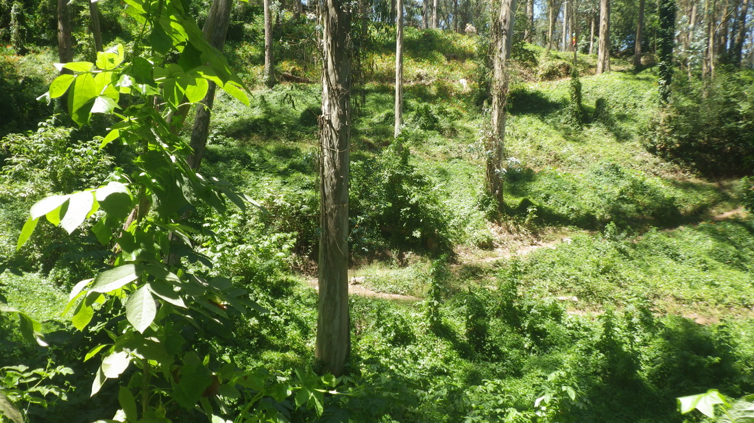
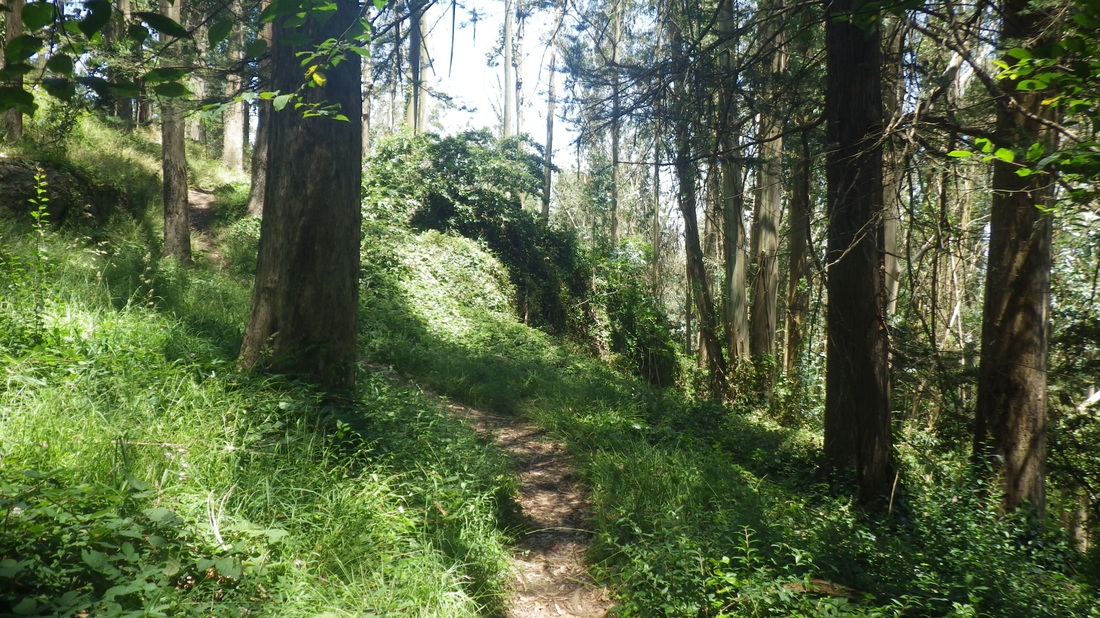
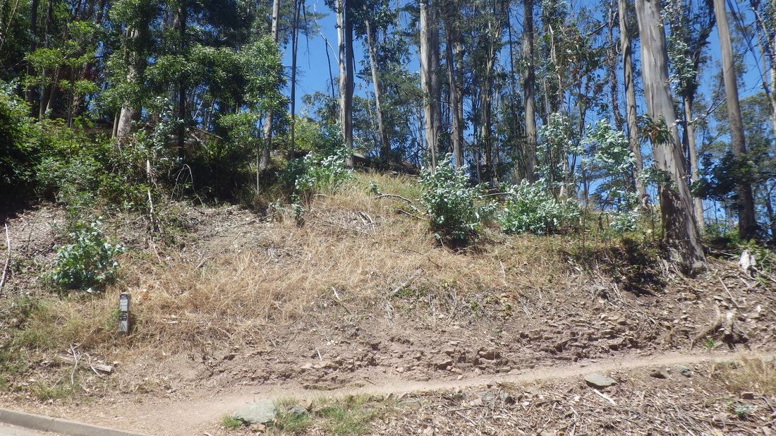
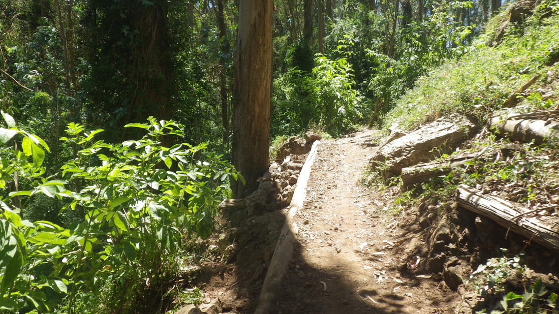
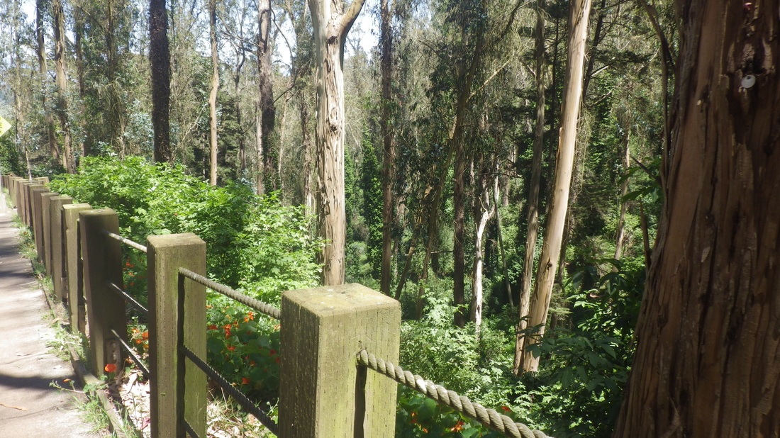
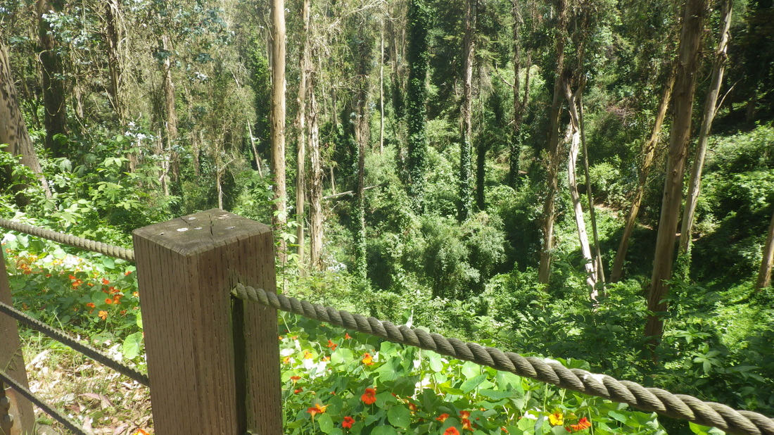
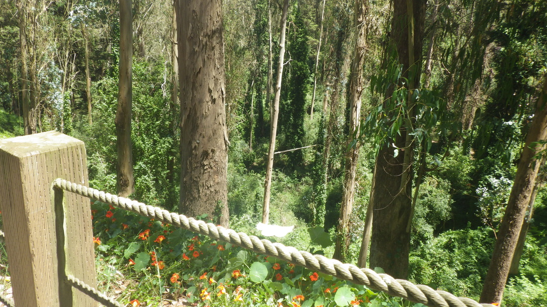
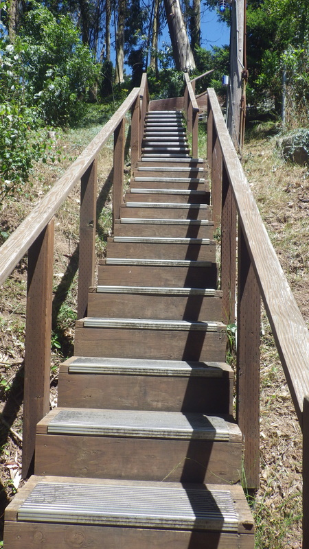
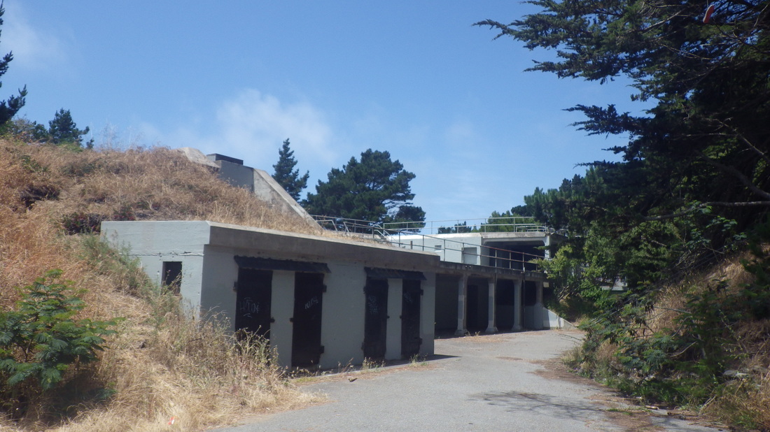
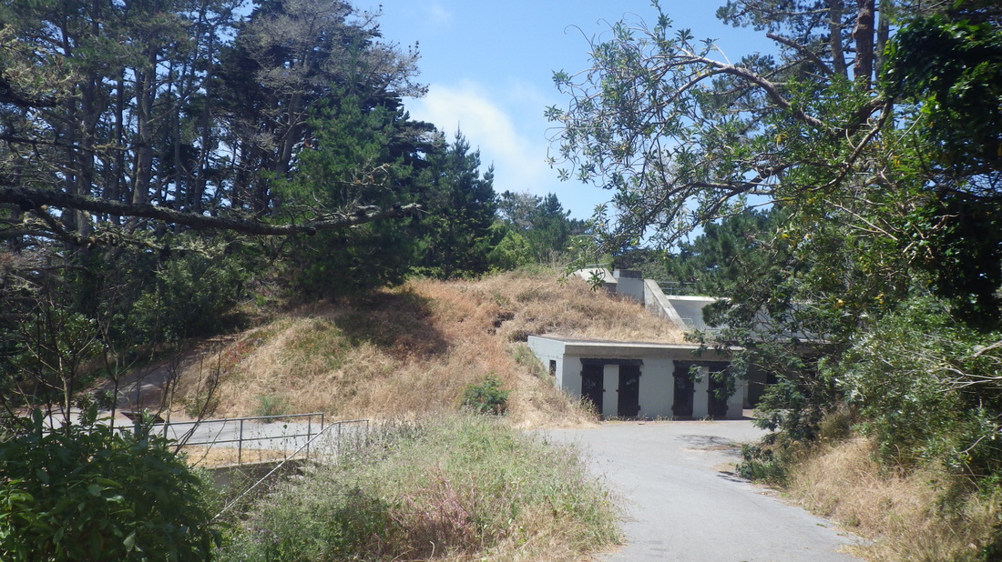
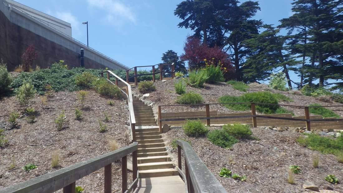
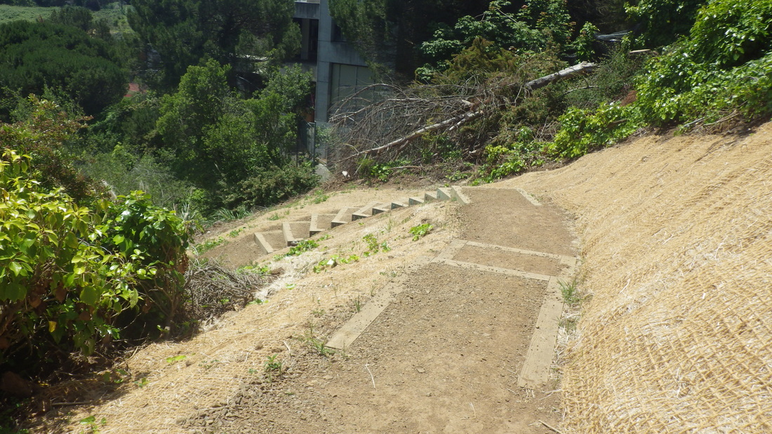
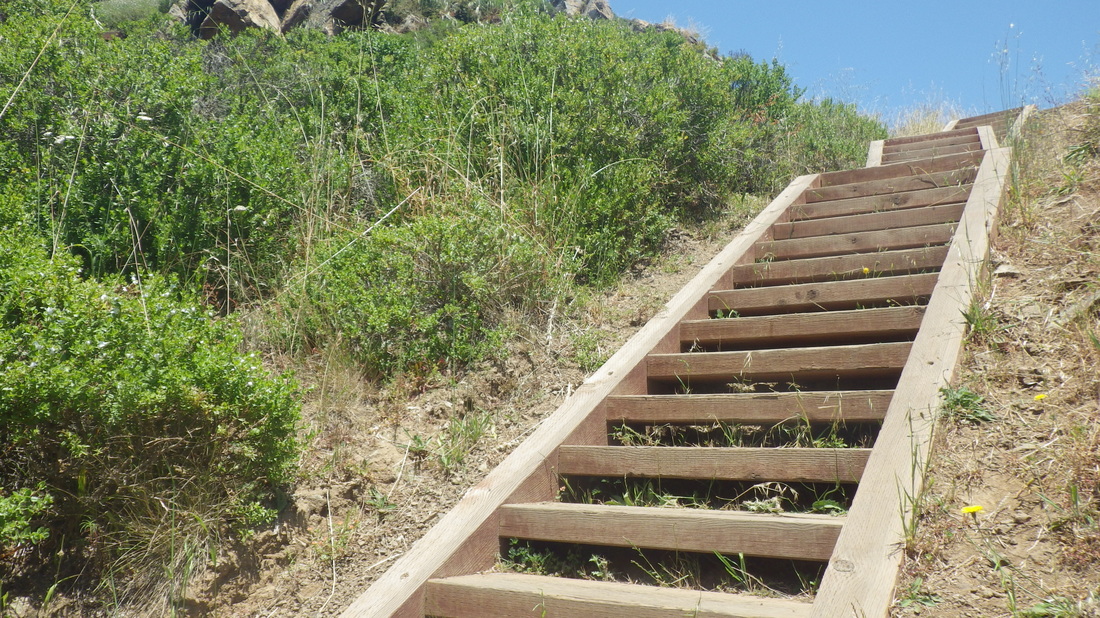
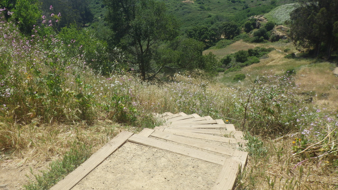
West Ridge to Historic: 12 thru 18
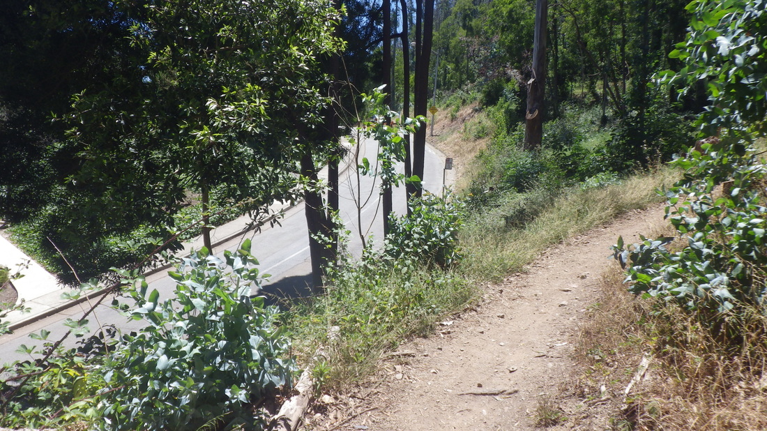
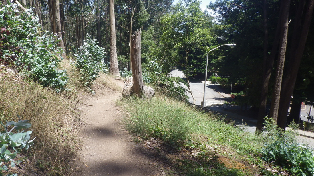
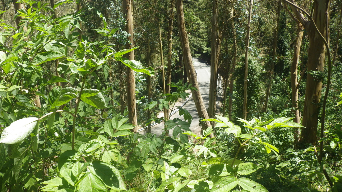
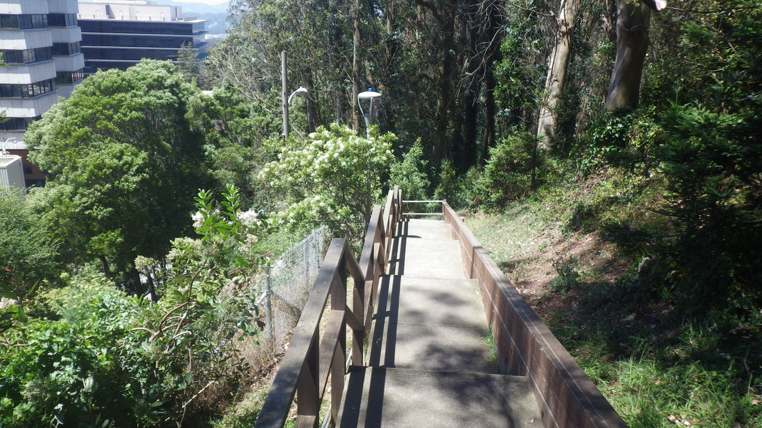
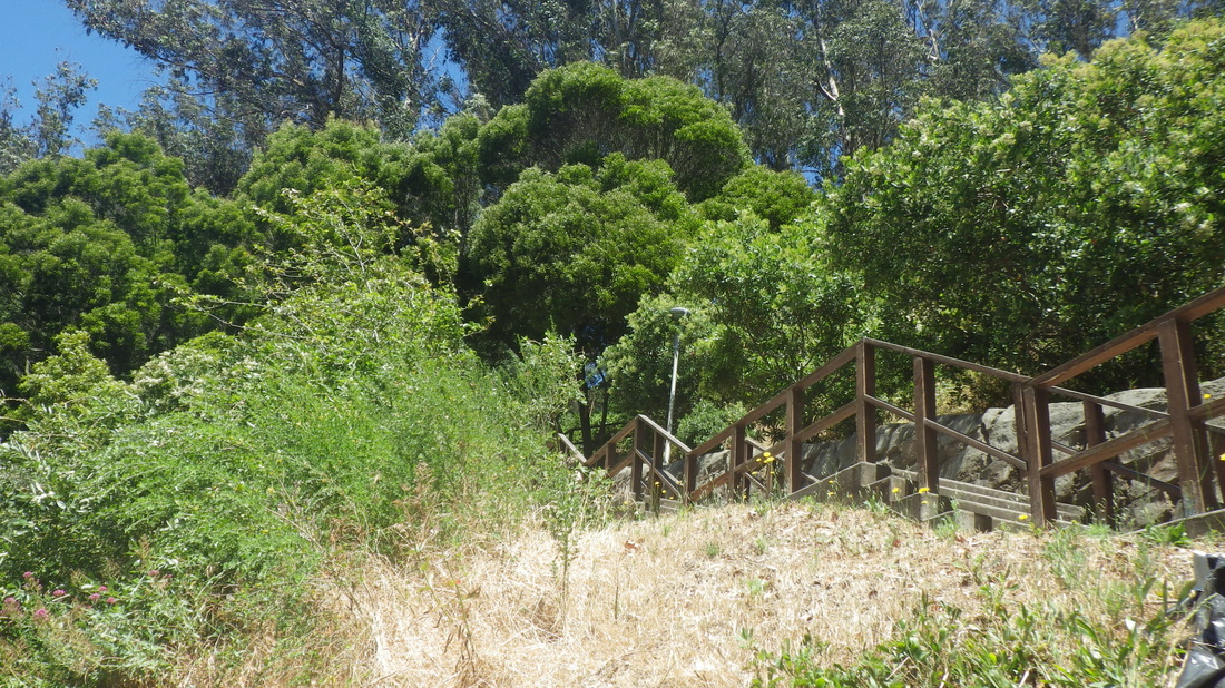
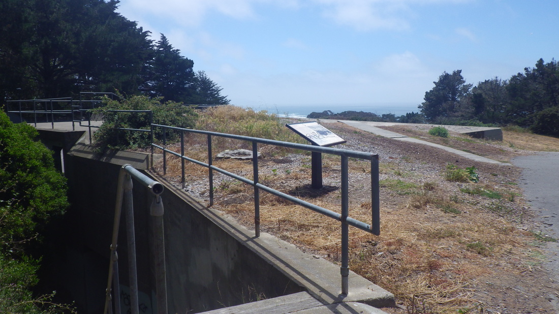
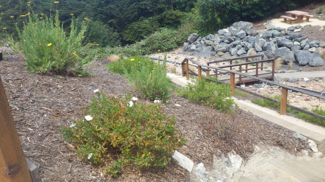
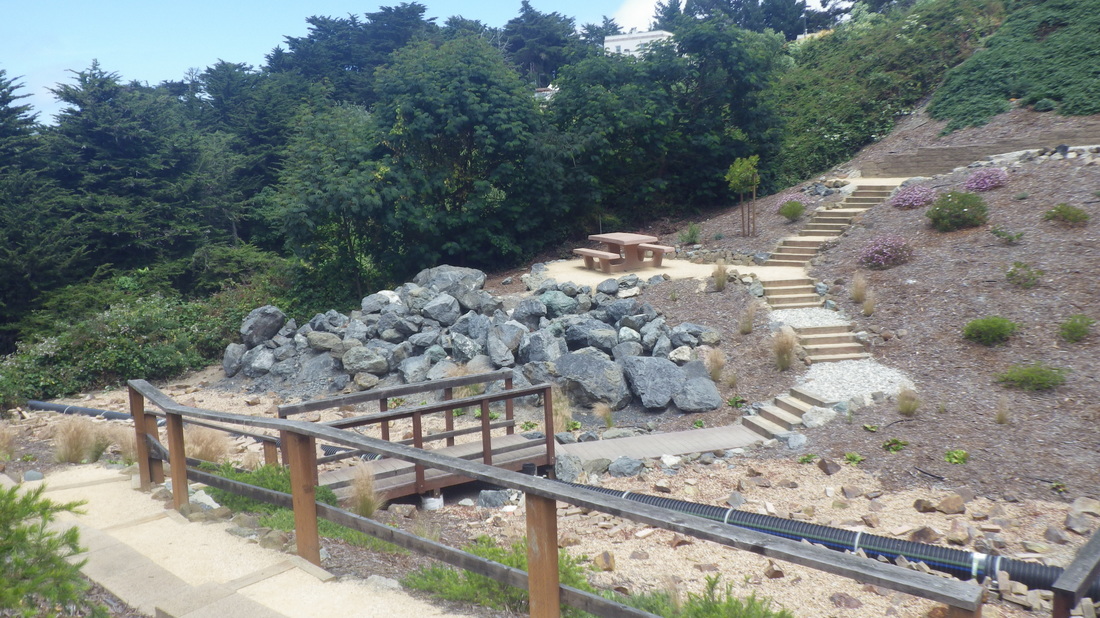
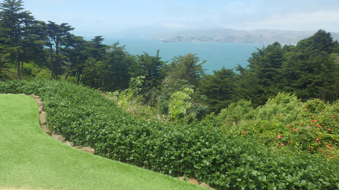
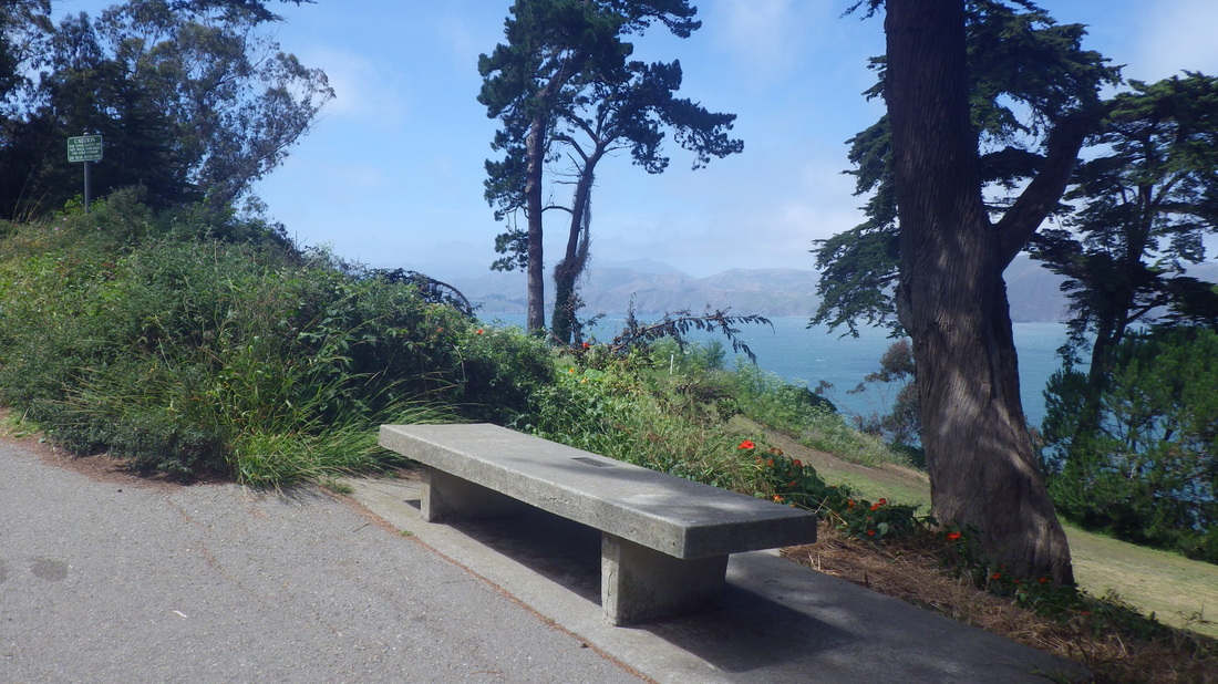
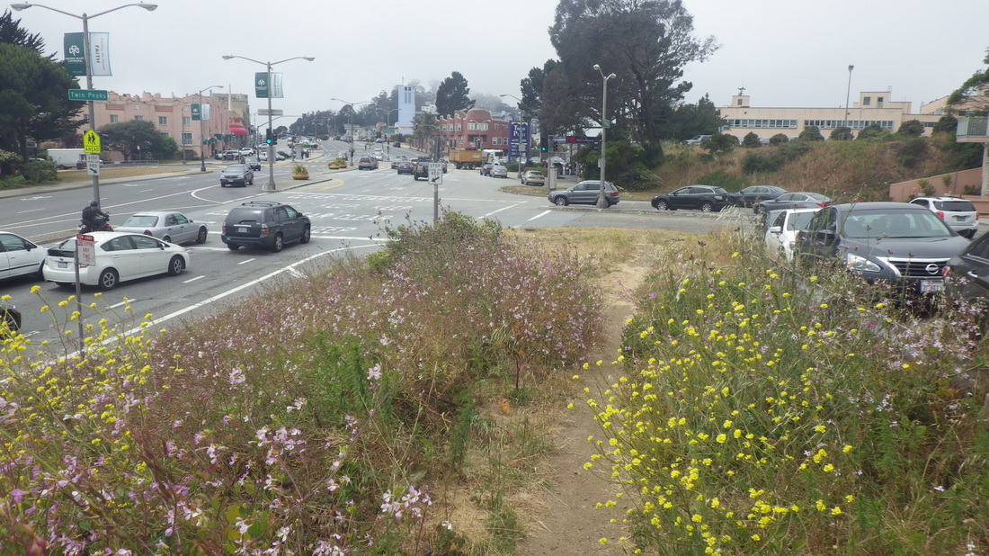
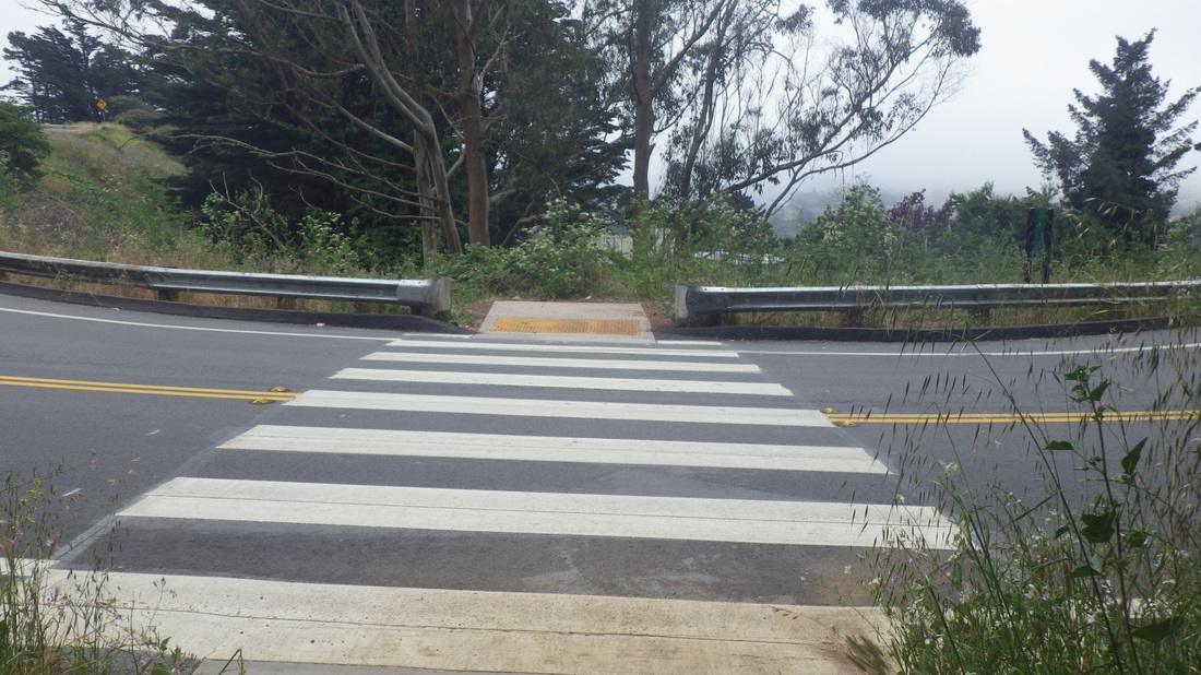
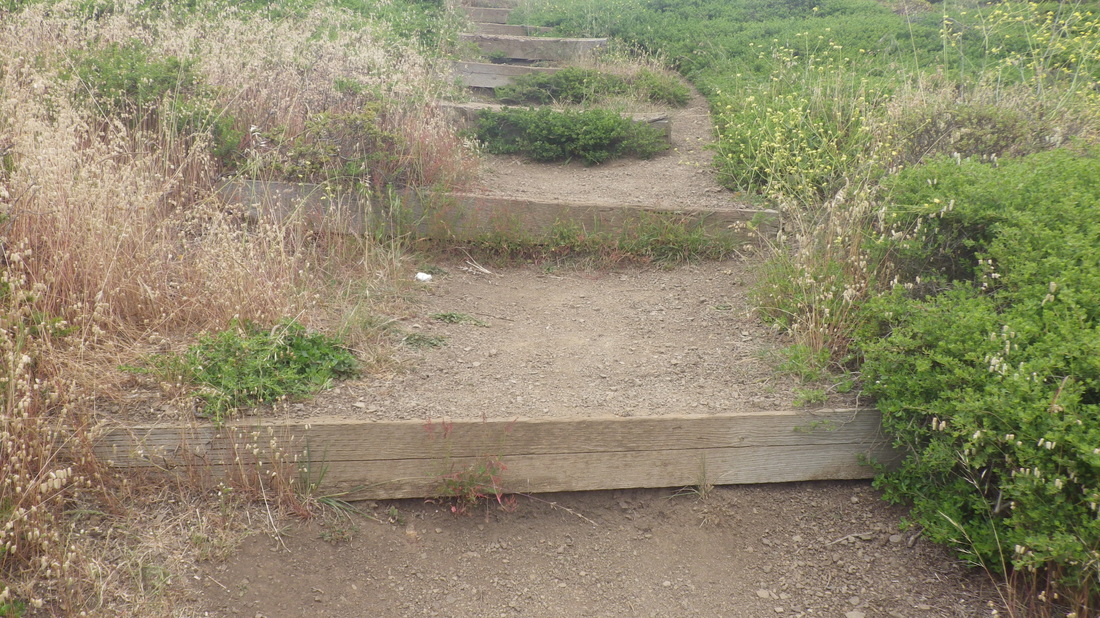
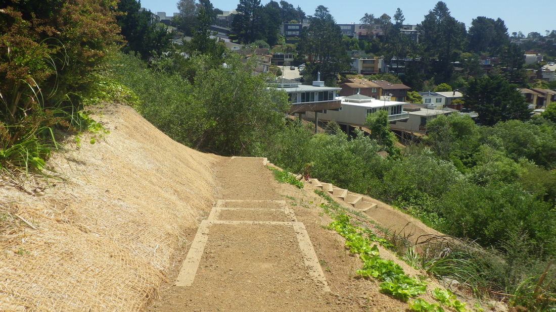
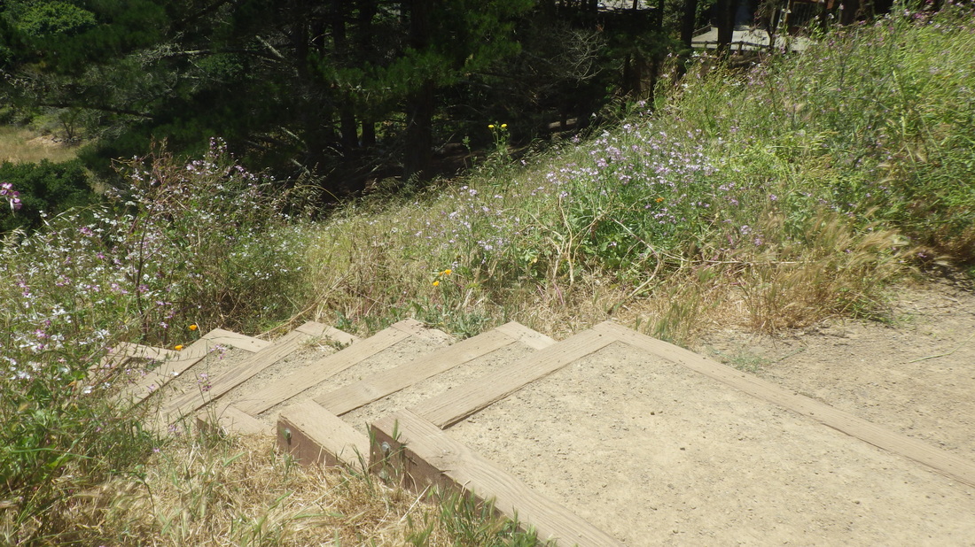
From the upper Historic, a right turn, round to the north on the Historic and out to the road: 19 thru 24
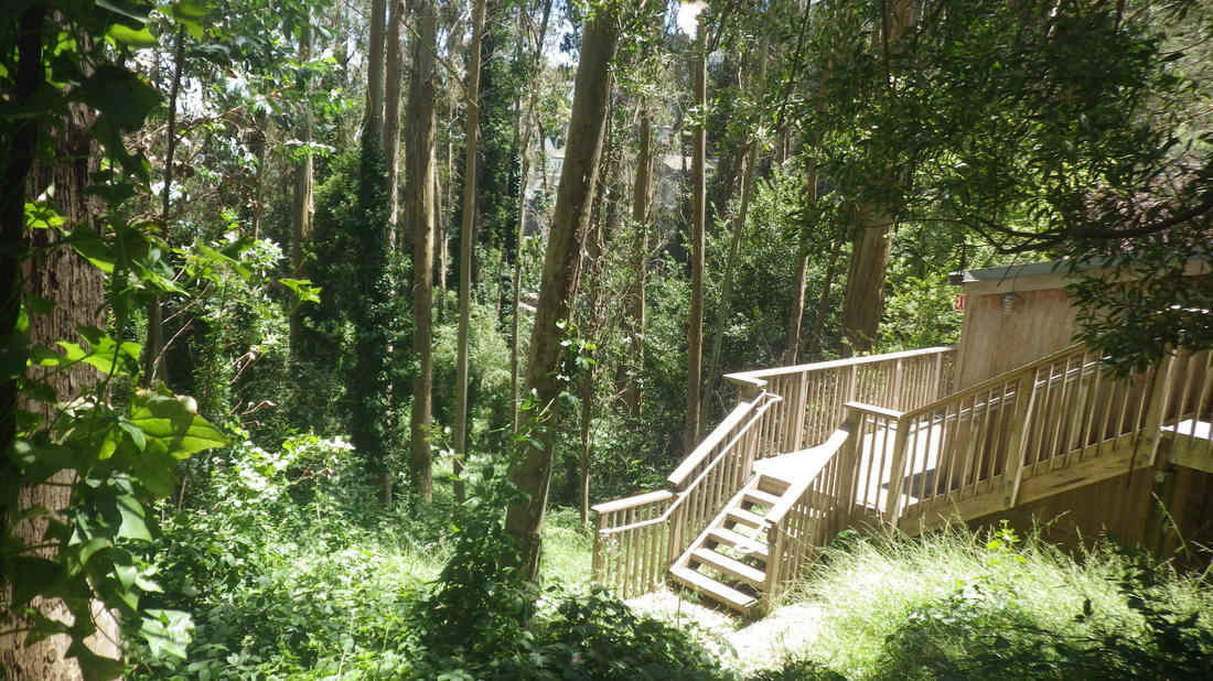
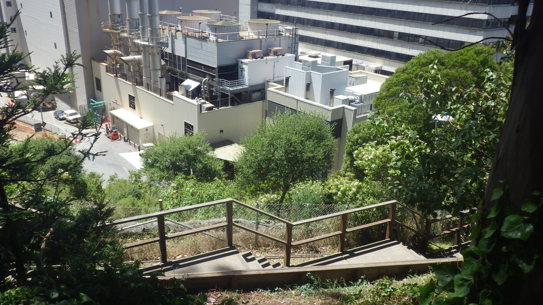
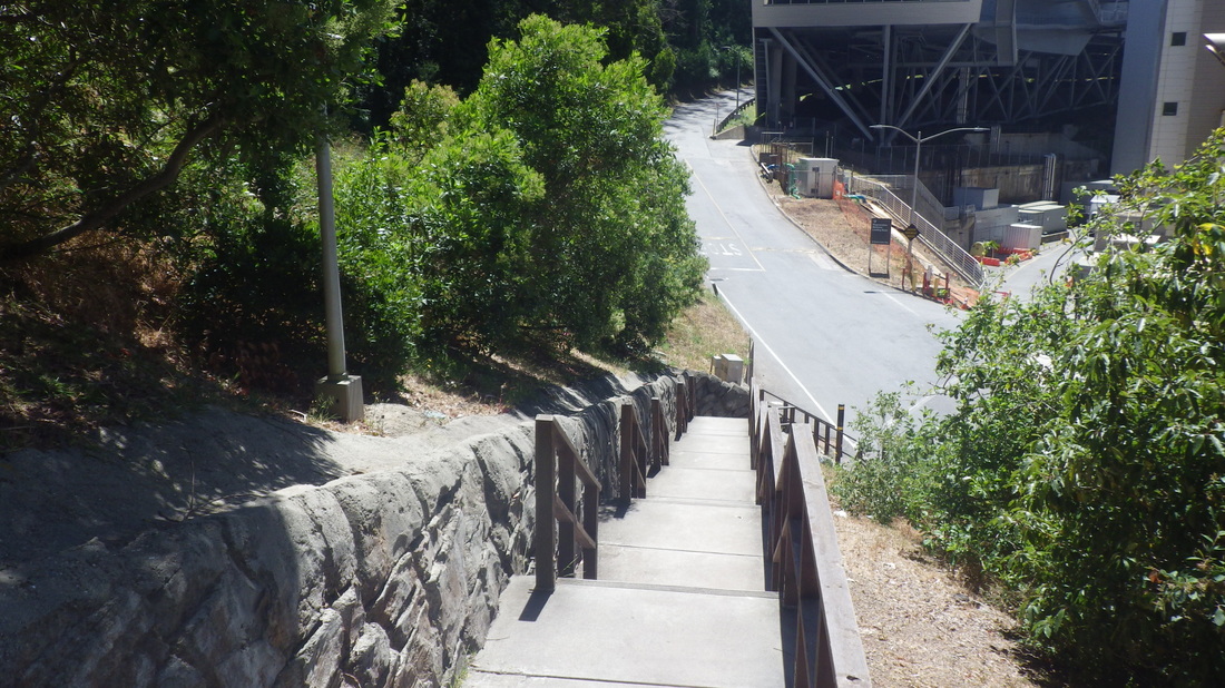
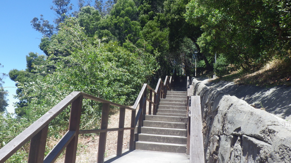
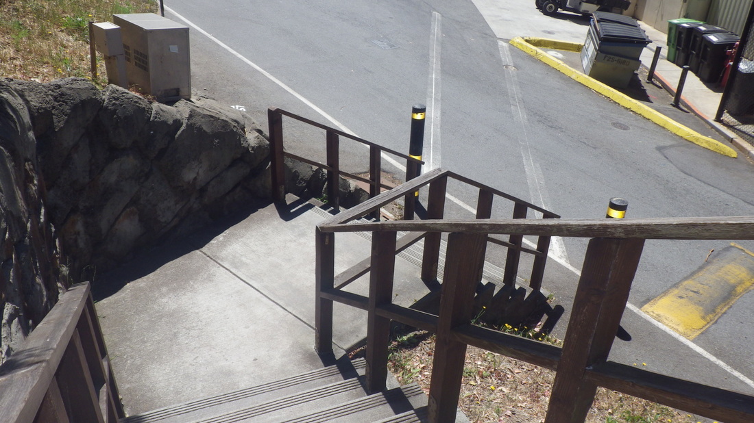
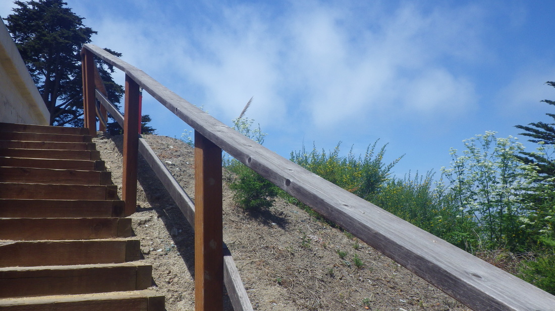
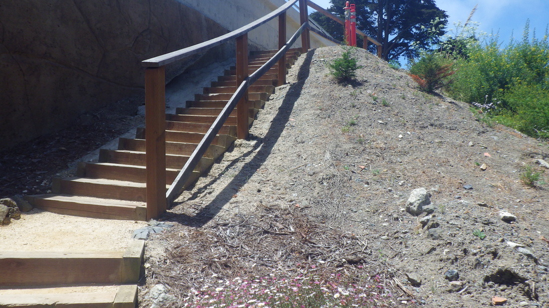
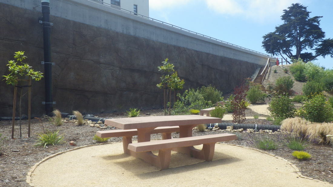
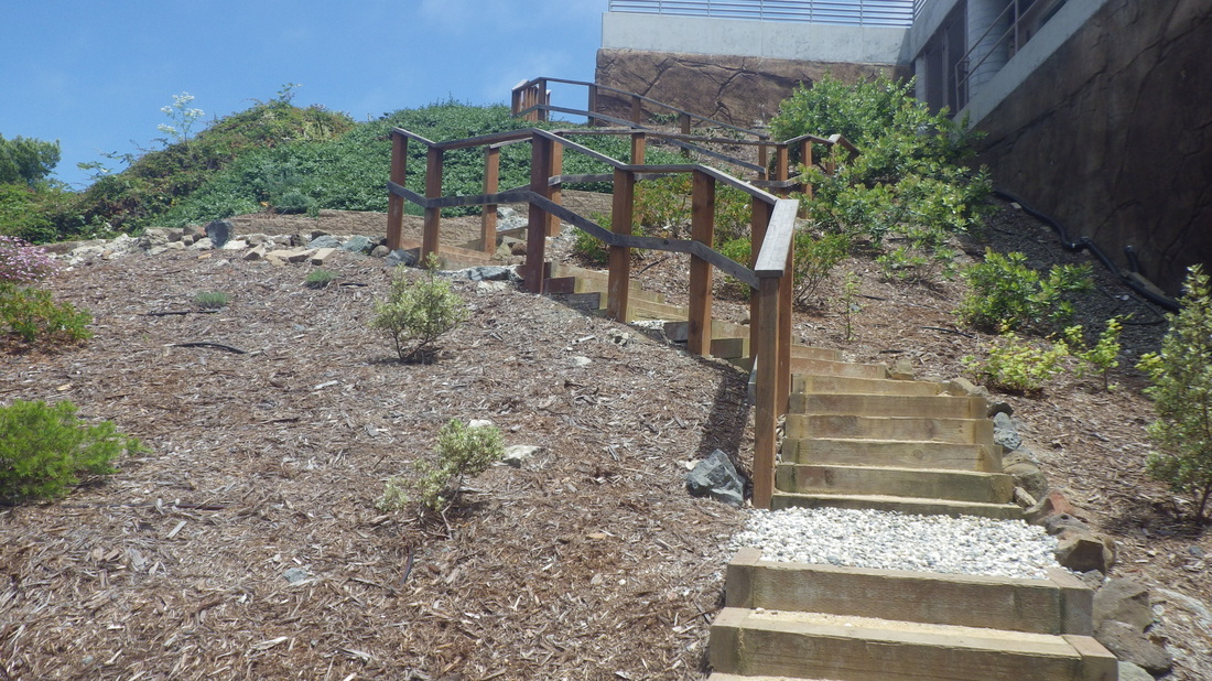
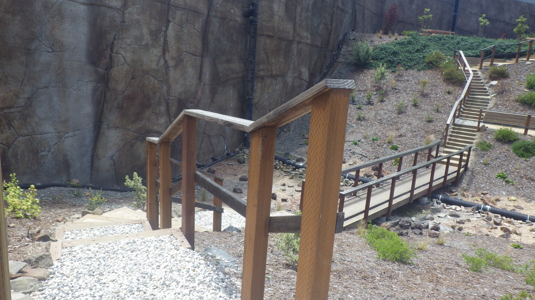
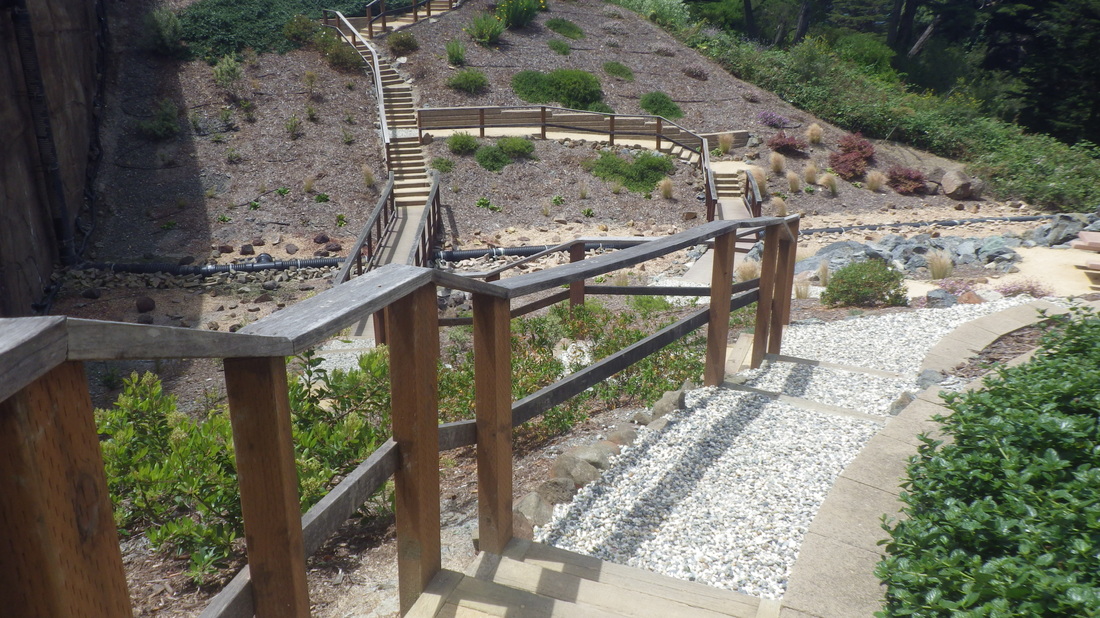
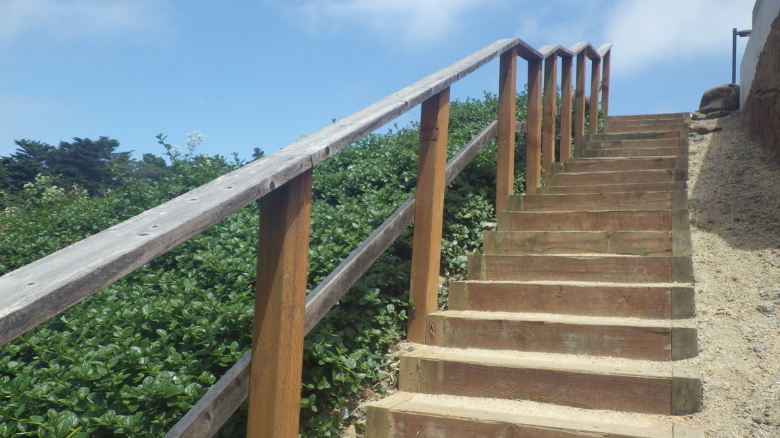
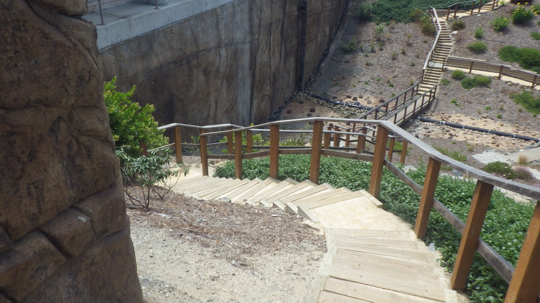
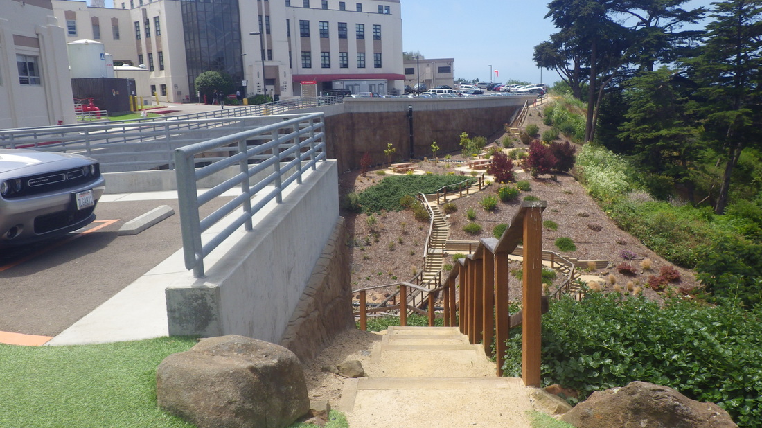
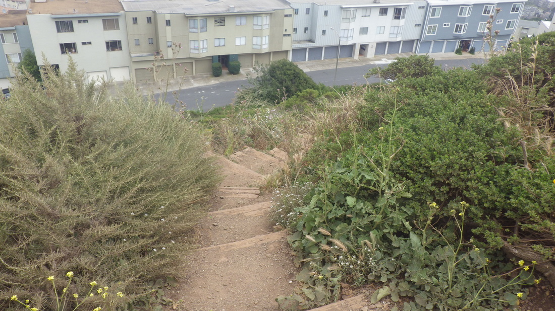
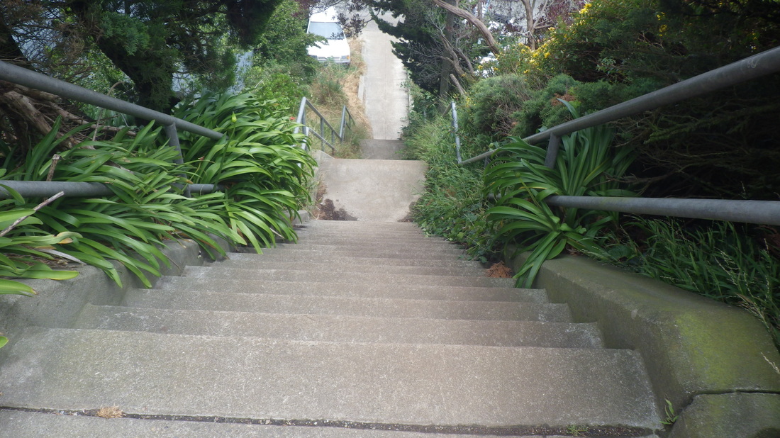
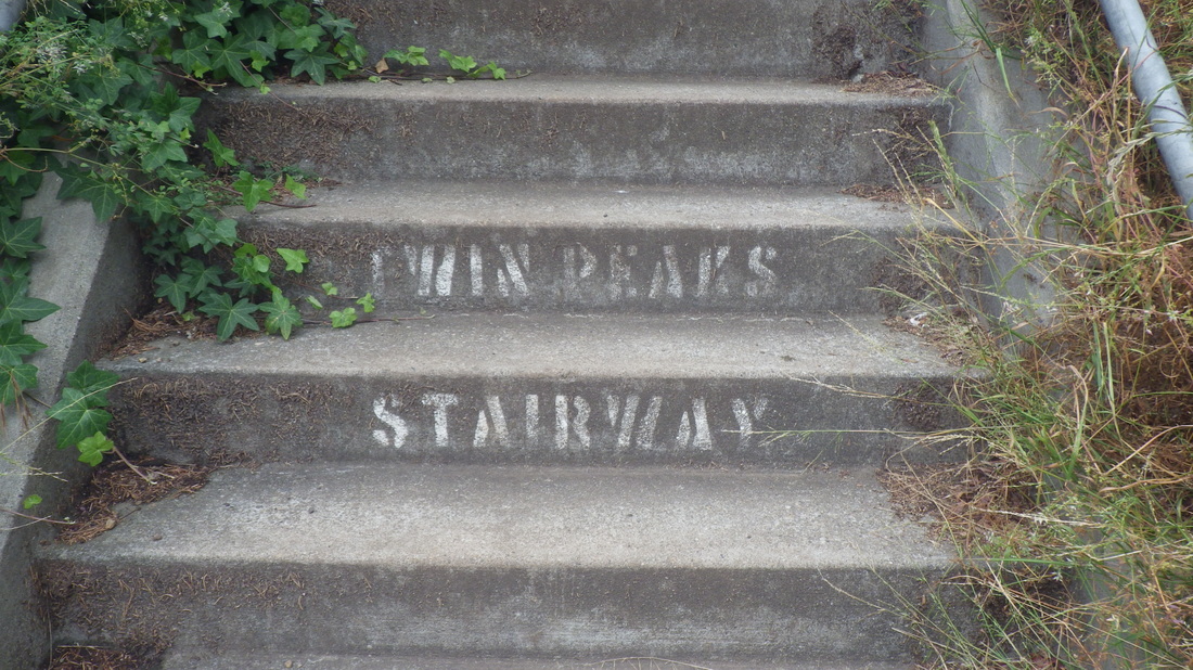
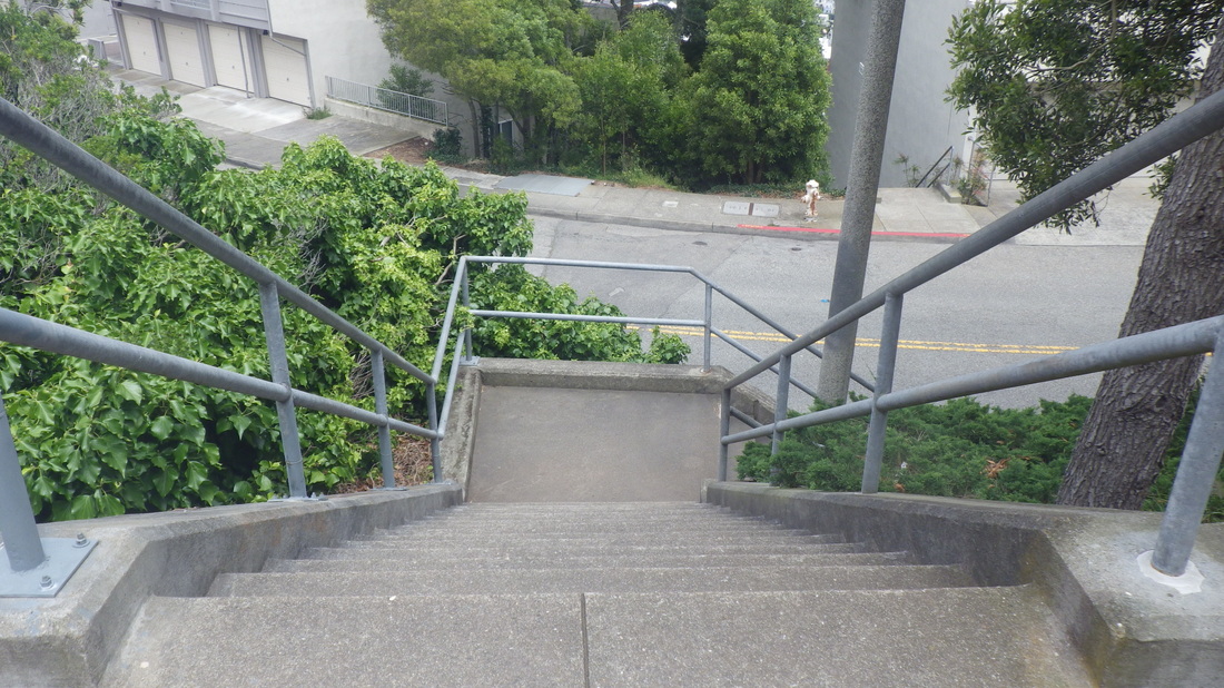
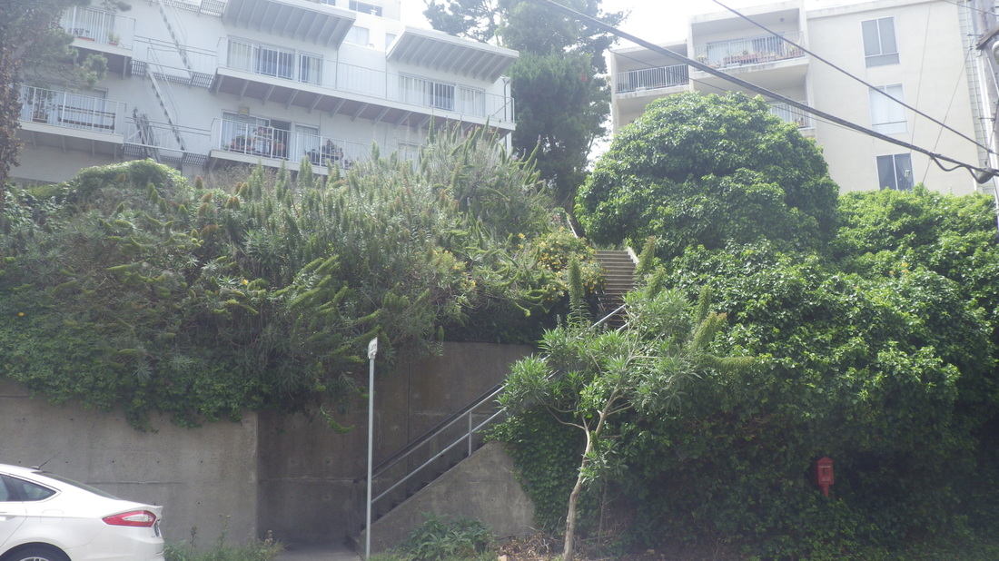
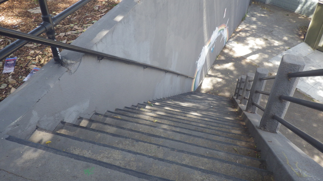
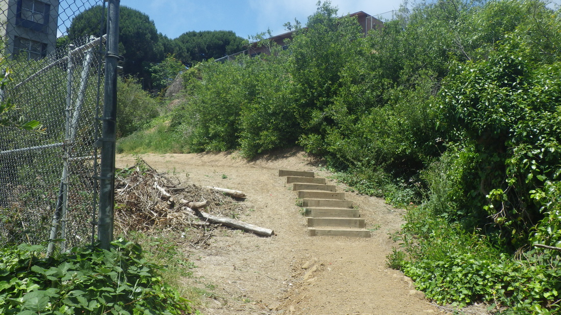
Down the 136 or so steps to the foot of Medical Center Way behind the medical buildings, and out again to Parnassus: last one.
Six mountain bikers on the various trails this time.
Lower Historic: 1 thru 8
Along the road on the walkway: 9
North Ridge Trail ahead: 10
Down from the summit (pic 11), a shortcut to the upper Historic on the upper West Ridge. Easier to climb than to descend.
West Ridge to Historic: 12 thru 18
From the upper Historic, a right turn, round to the north on the Historic and out to the road: 19 thru 24
Down the 136 or so steps to the foot of Medical Center Way behind the medical buildings, and out again to Parnassus: last one.
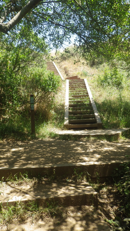
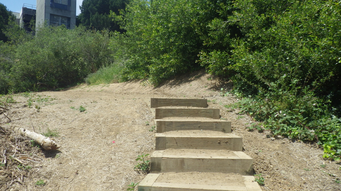
1 16 steps for the Stanyan trailhead
2 Lower Historic trail
3
4
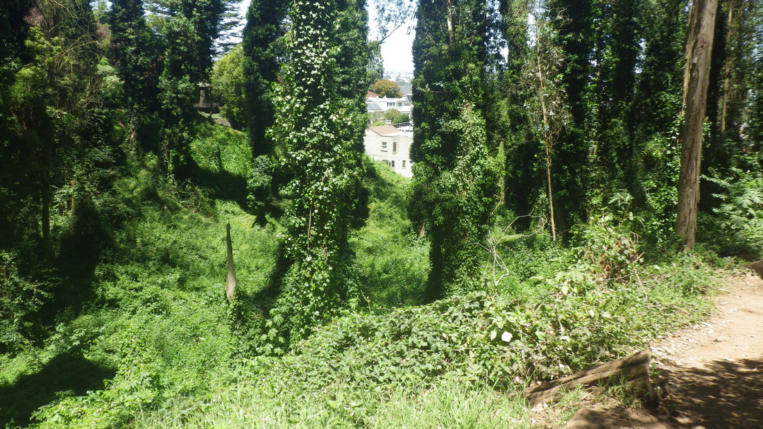
5
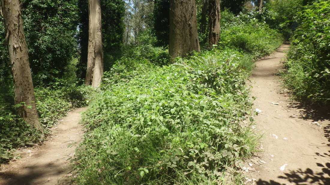
6
7
8
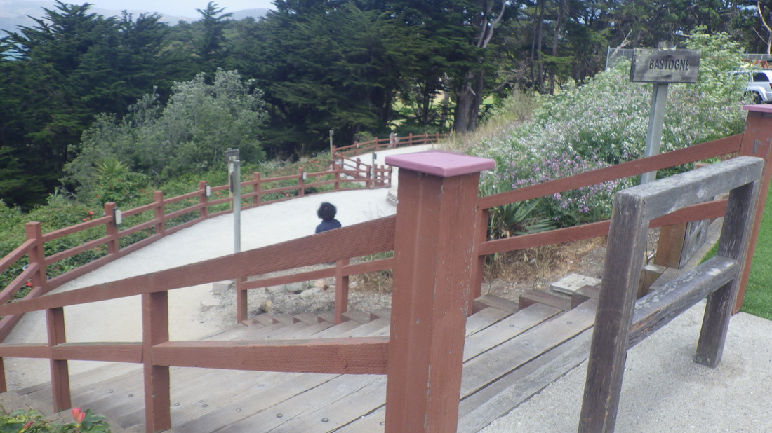
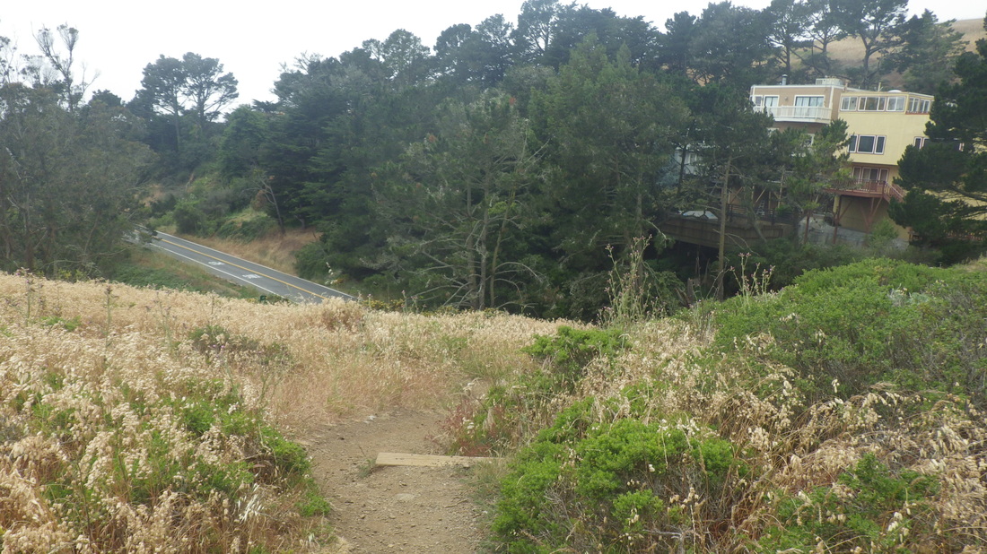
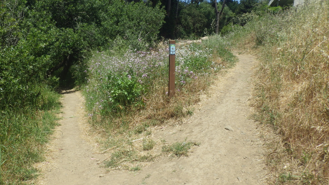
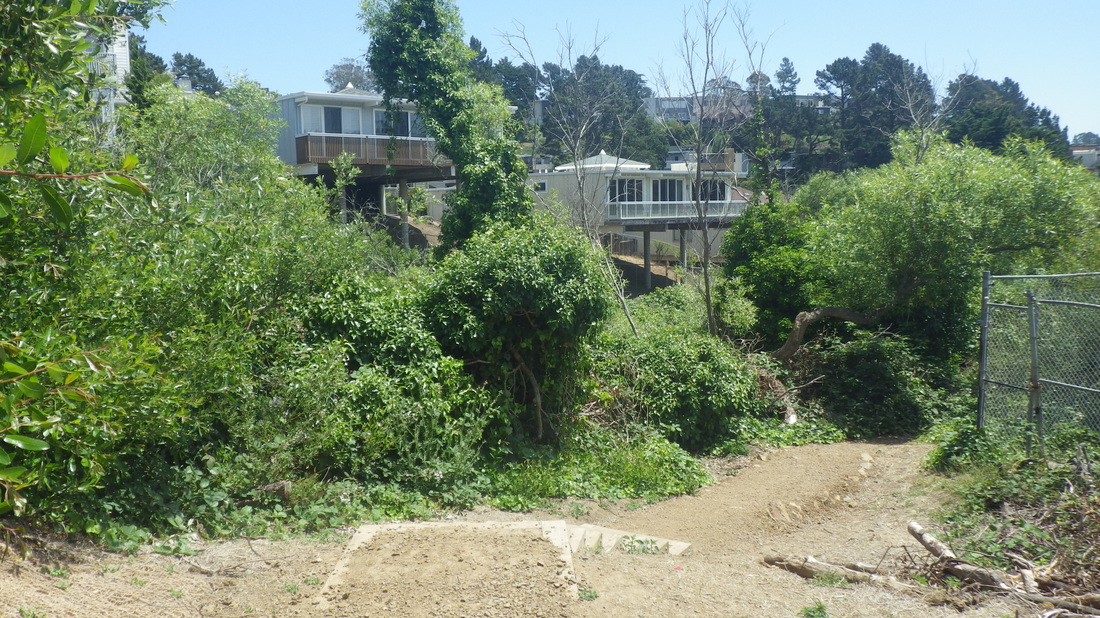
9 Fairy Gates Trail below
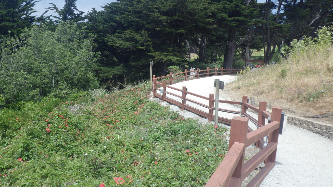
10 And up the North Ridge Trail
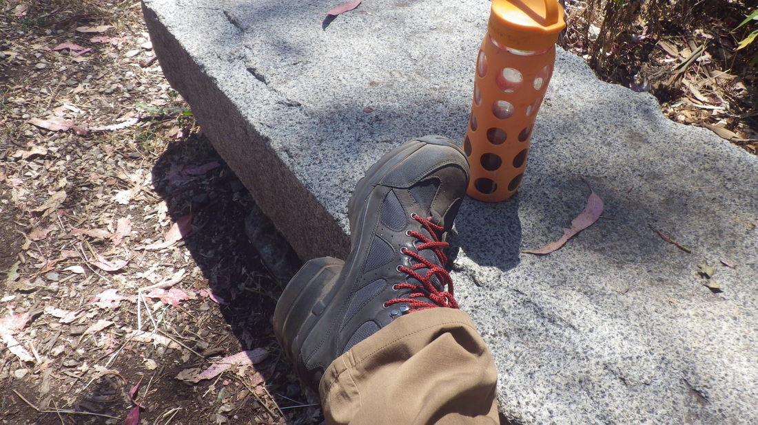
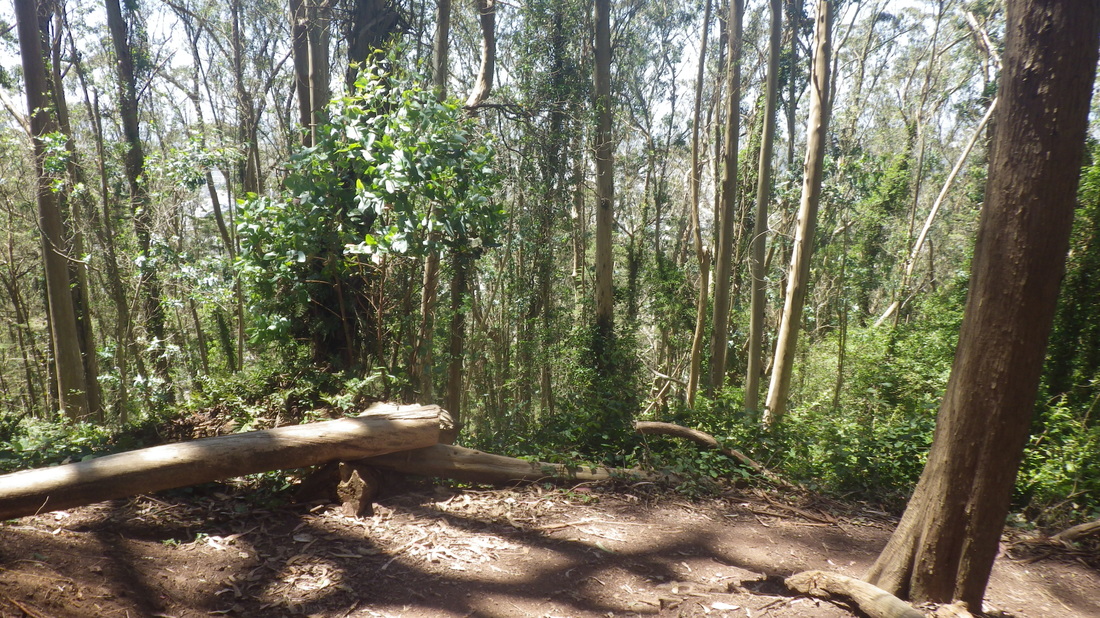
11 Summit time and the hiking is easy
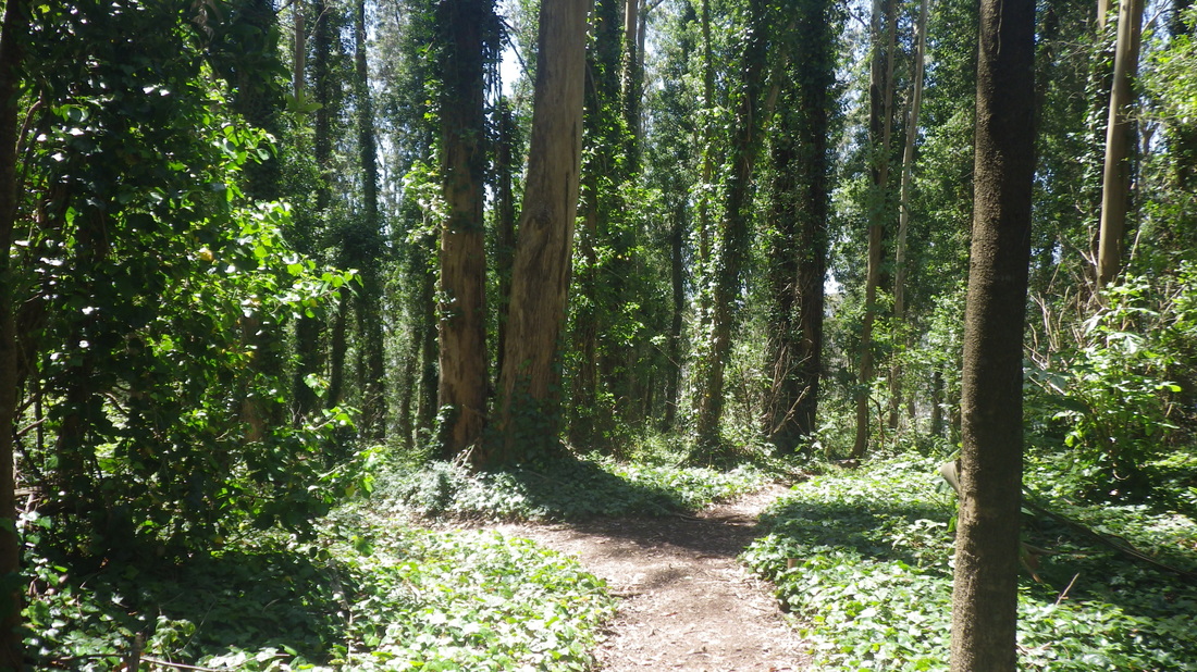
12 Starting down the West Ridge Trail from the summit
13
14
15

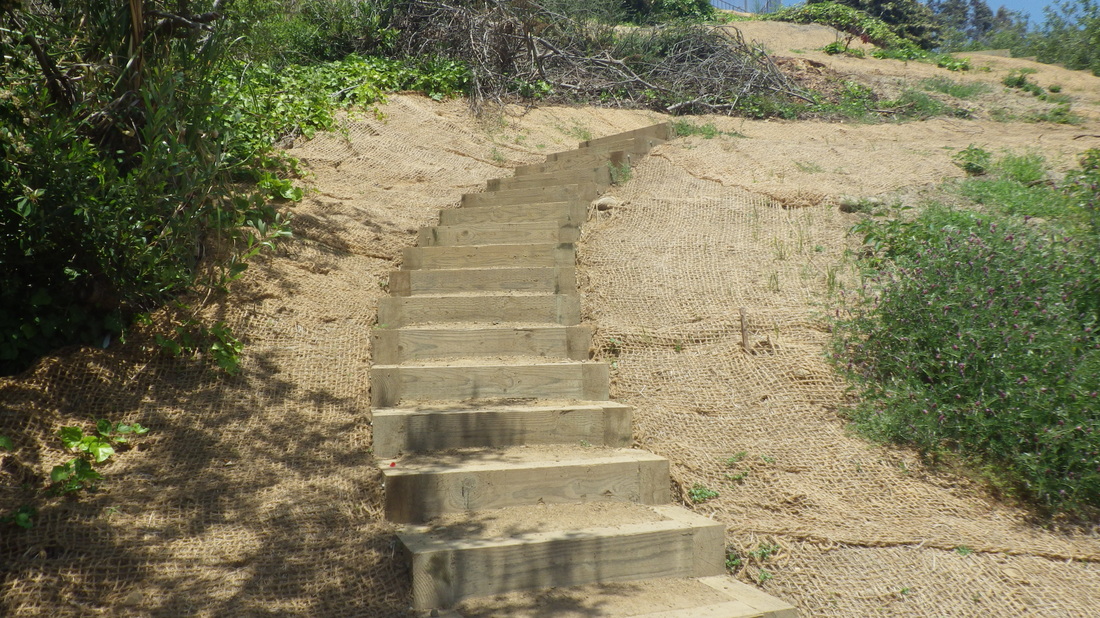
16 Down to Historic Trail
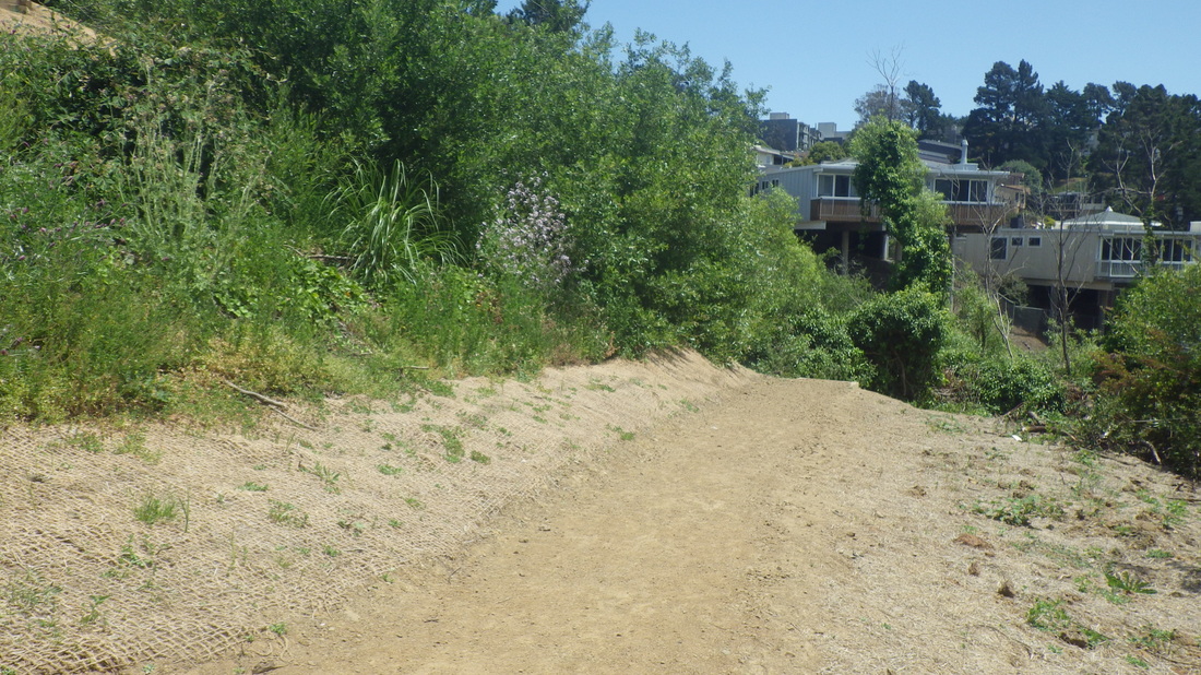
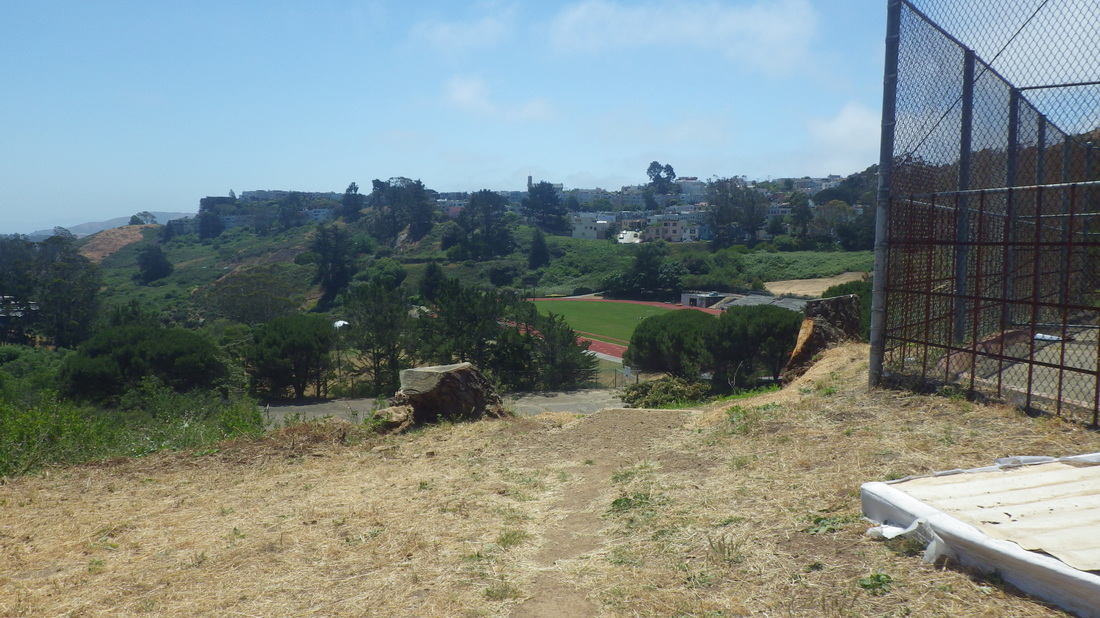
17 West Ridge continues from Historic down to Crestmont
18 A right turn on the Historic now
19 A view north from the Historic
20
21
22
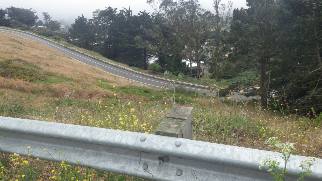
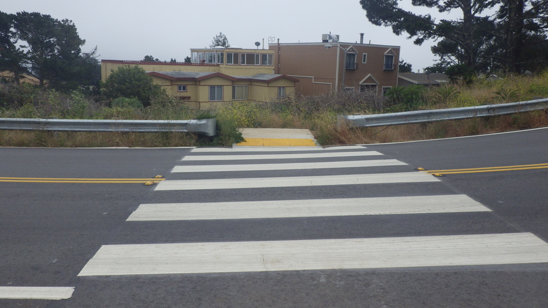
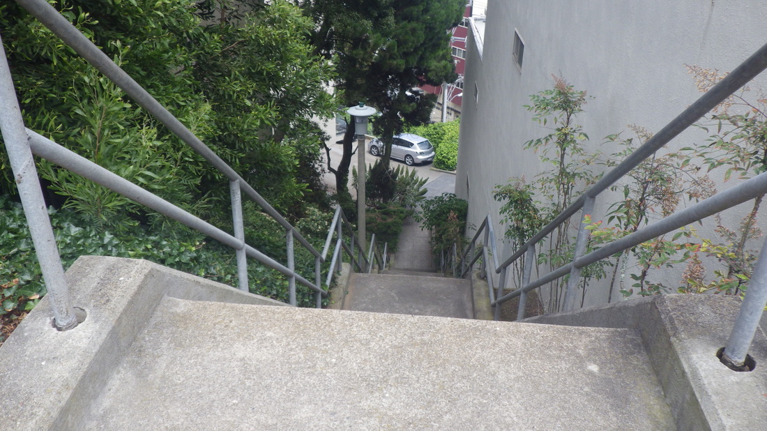
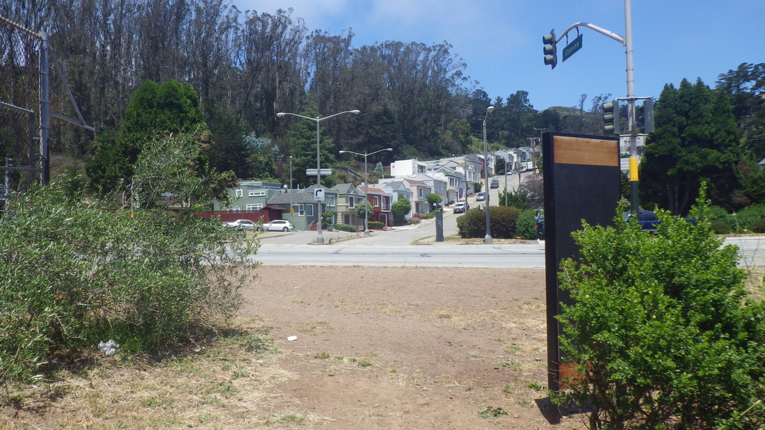
23 Out to the road
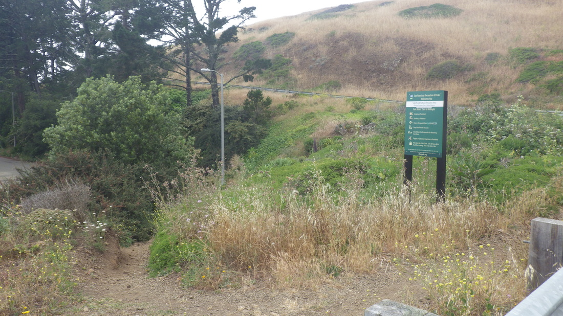
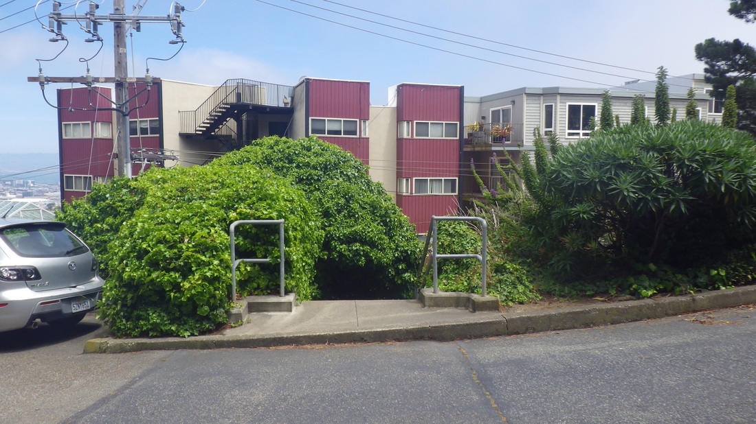
24 From the road looking up at the trail
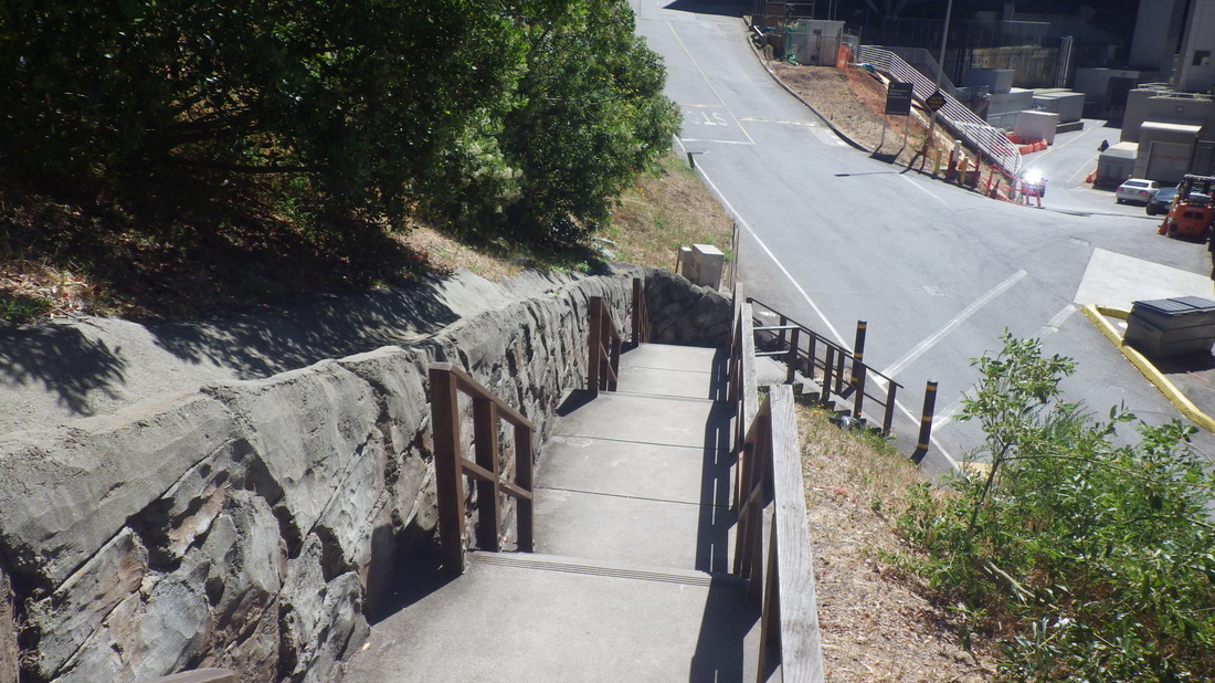
25 Down the stairs behind the medical buildings


 RSS Feed
