Golden Gate Heights is a stairway walkers' delight with a bunch of really long ones.
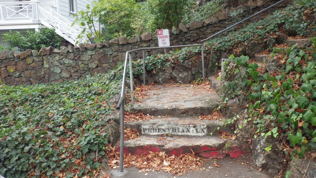
My hike started at the Forest Hill metro station with the short stairway up into the neighborhood of the same name: 7th to 10th Ave. for the Forest Hill 'hood, curving steadily uphill.
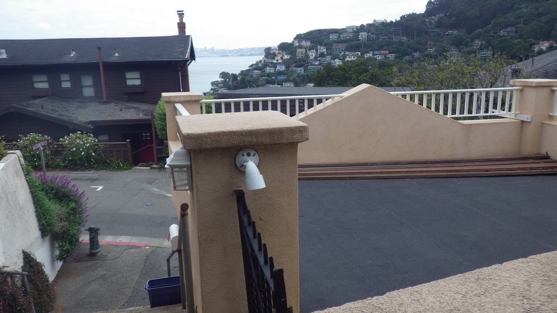
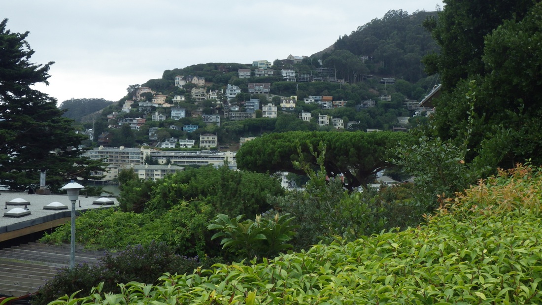
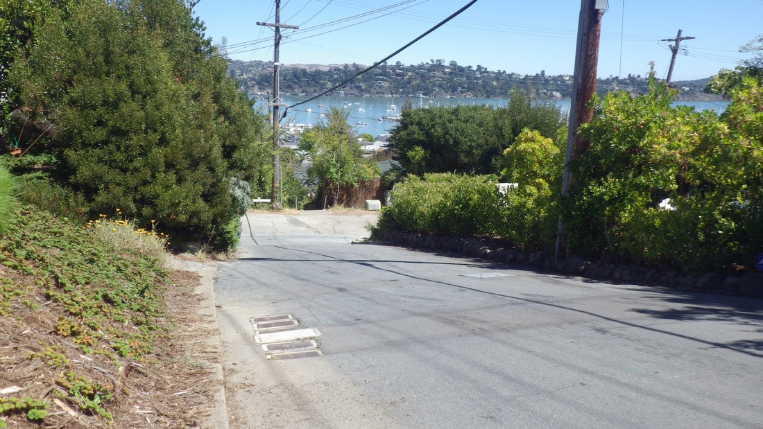
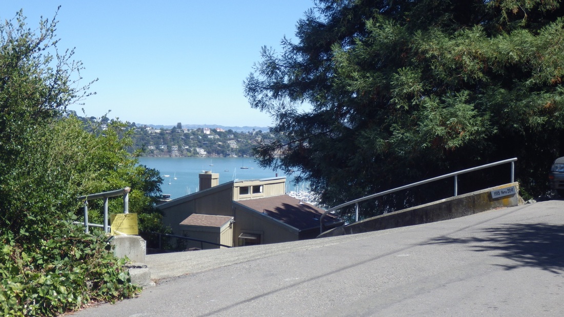
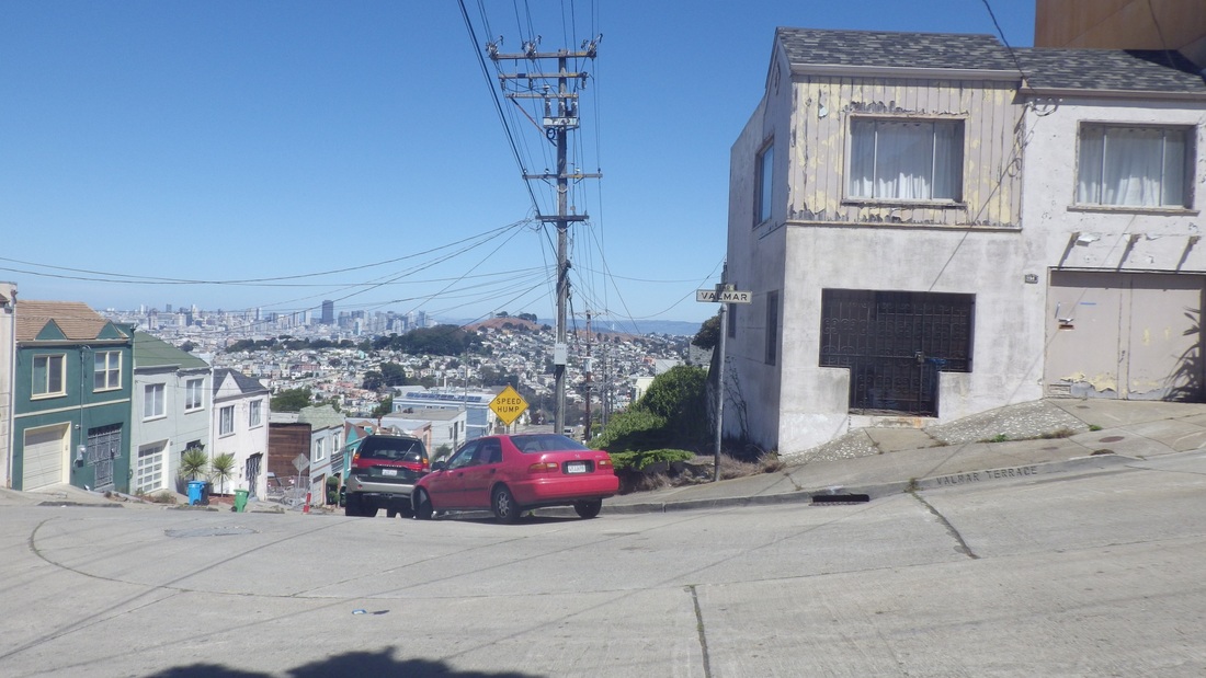
First pic: A view of Mount Sutro from Sola & Marcela.
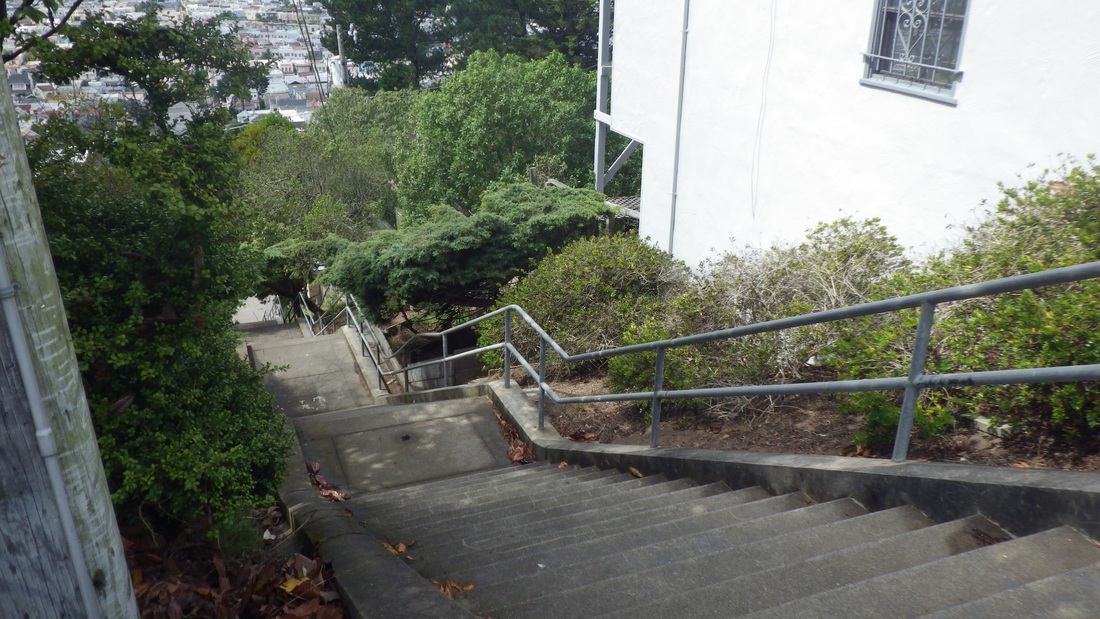
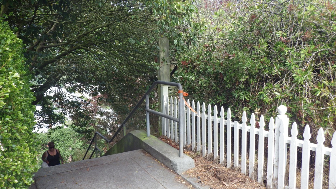
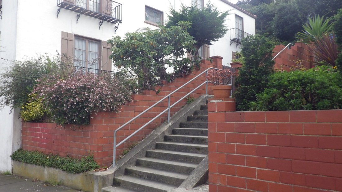
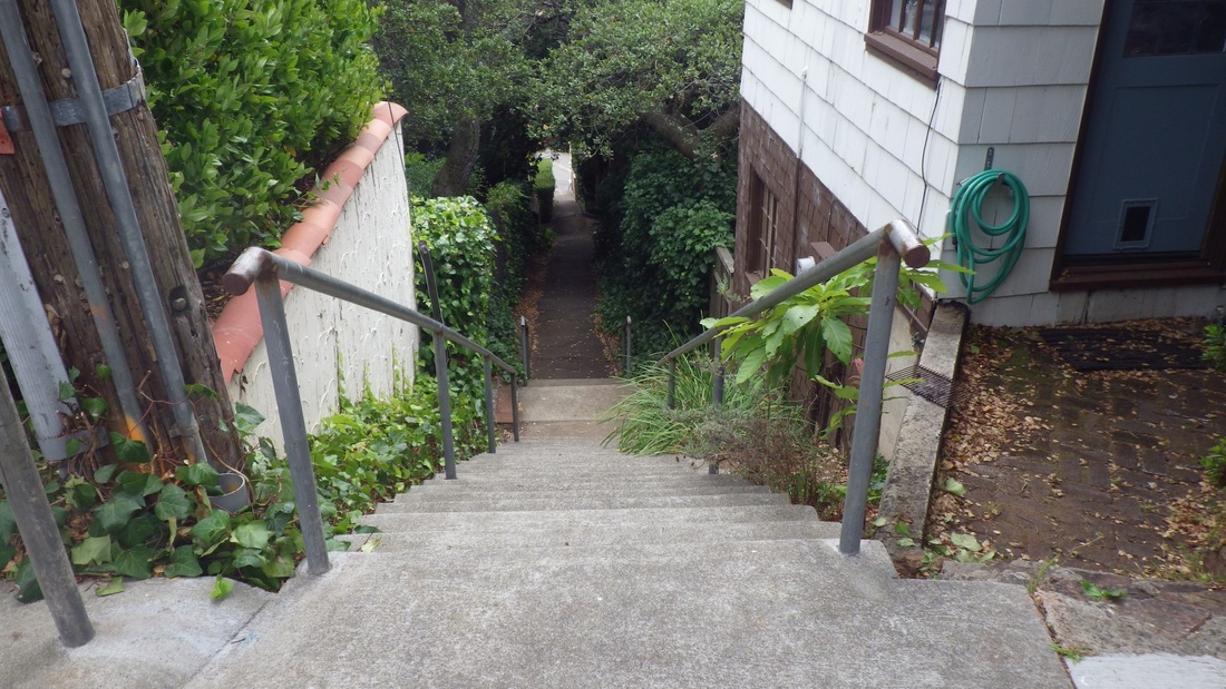
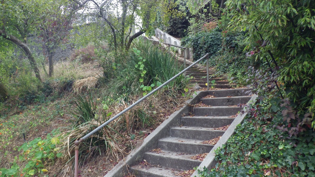
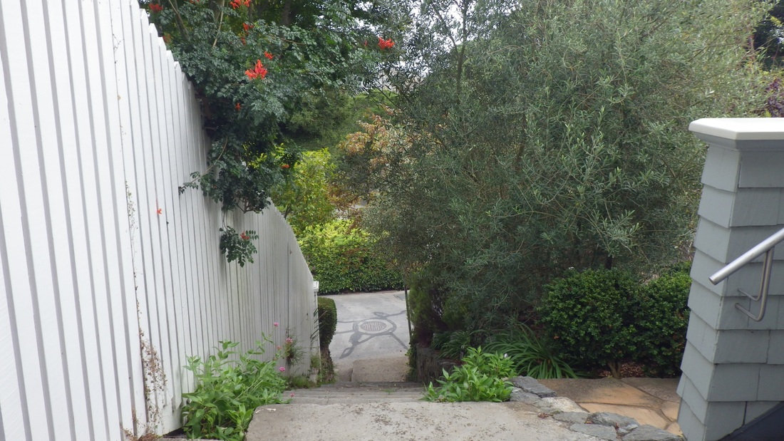
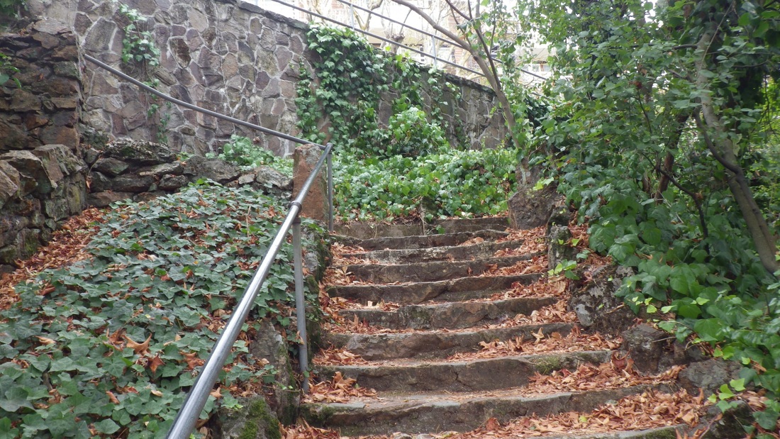
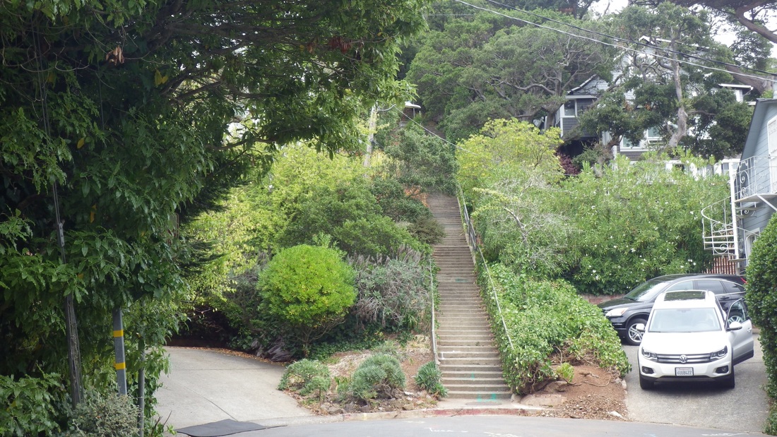
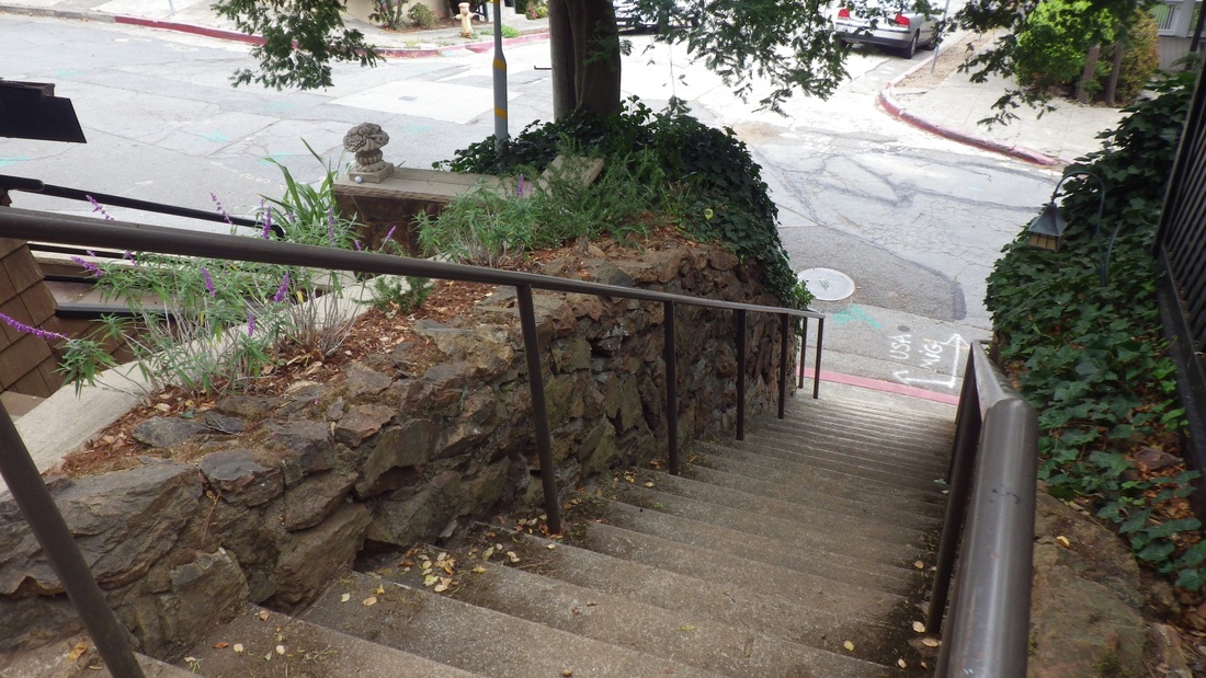
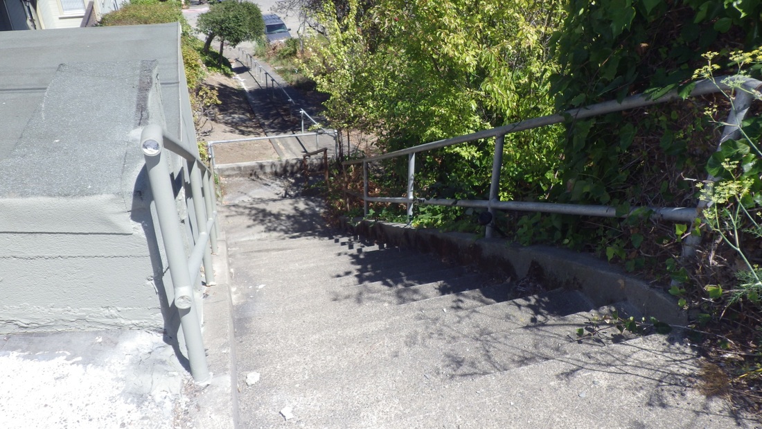
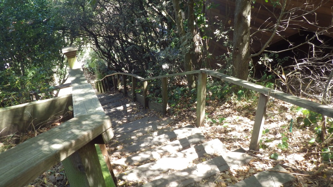
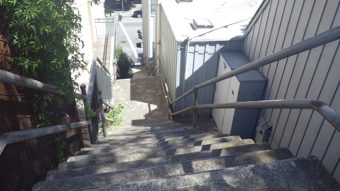
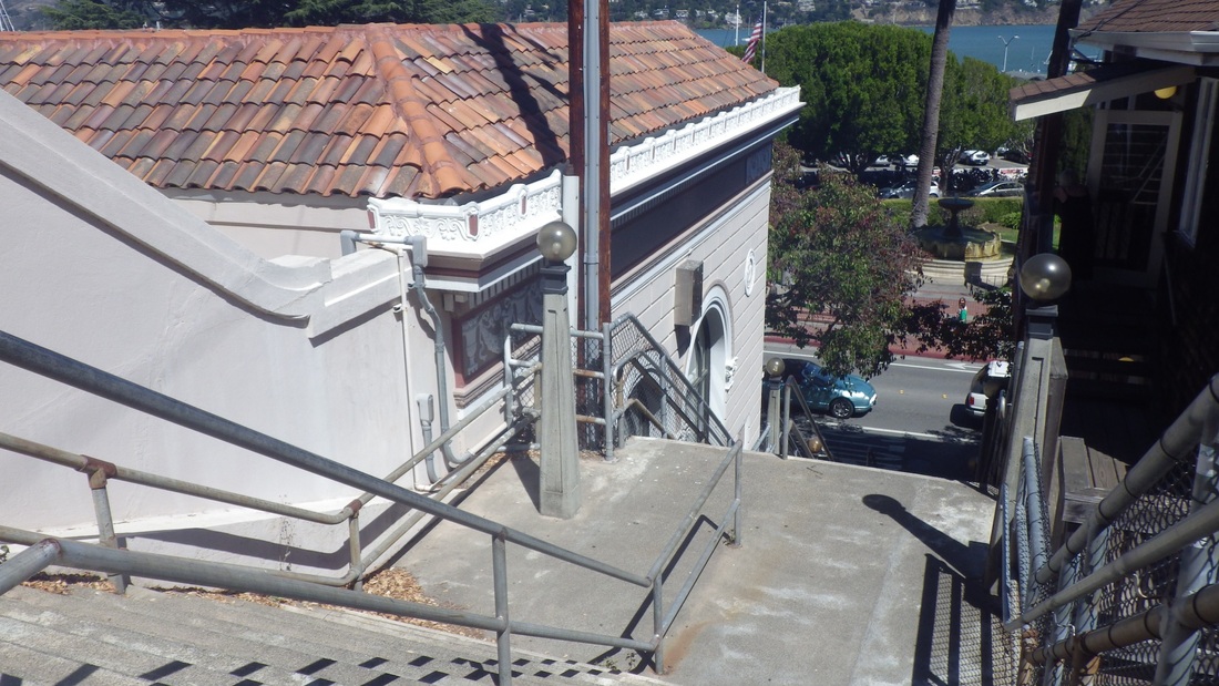
Soon ascending the two highest blocks of the long "Montalvo" stairway. This stairway has no official/signed name; the first of the three blocks actually starts up from Castenada, near Montalvo. It crosses San Marcos/Santa Rita with a short stairway dividing the upper and lower vehicle streets, then continues up. The first of the two uppermost blocks has 122 steps.
Second pic is of the San Marcos/Santa Rita connector: 23 steps.
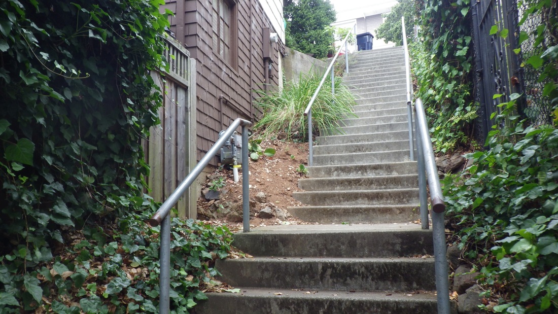
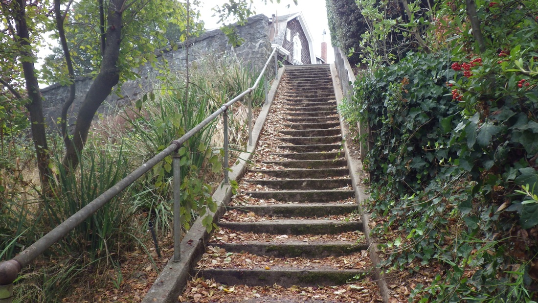
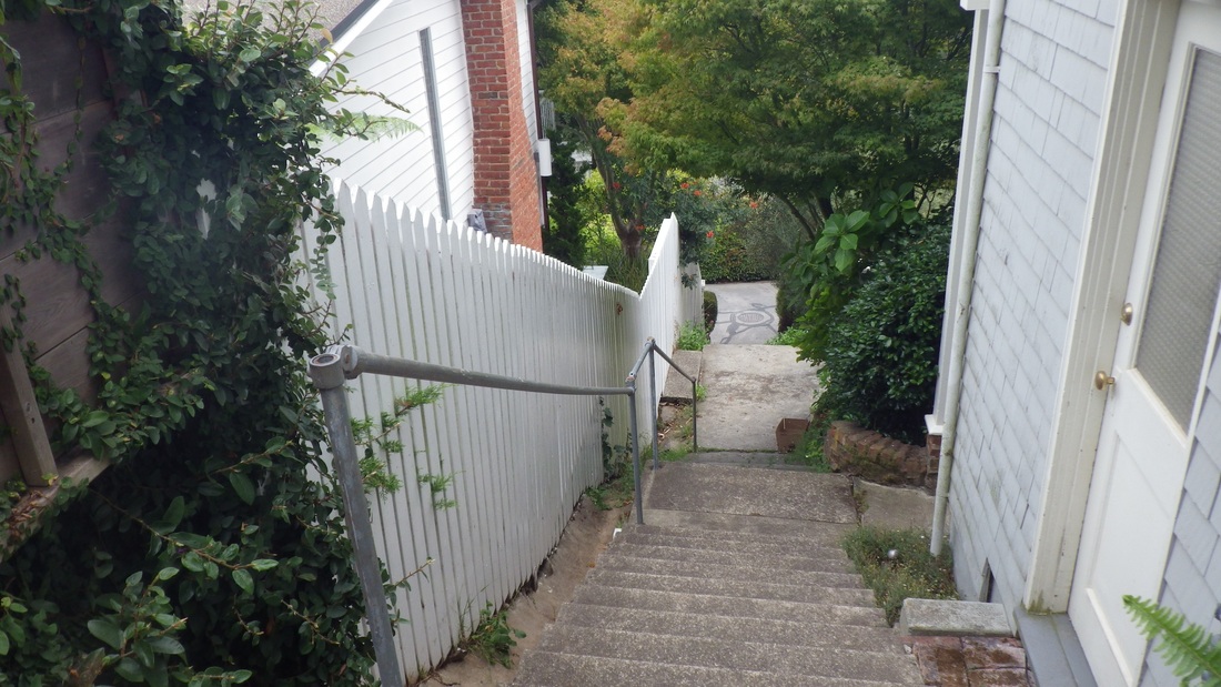
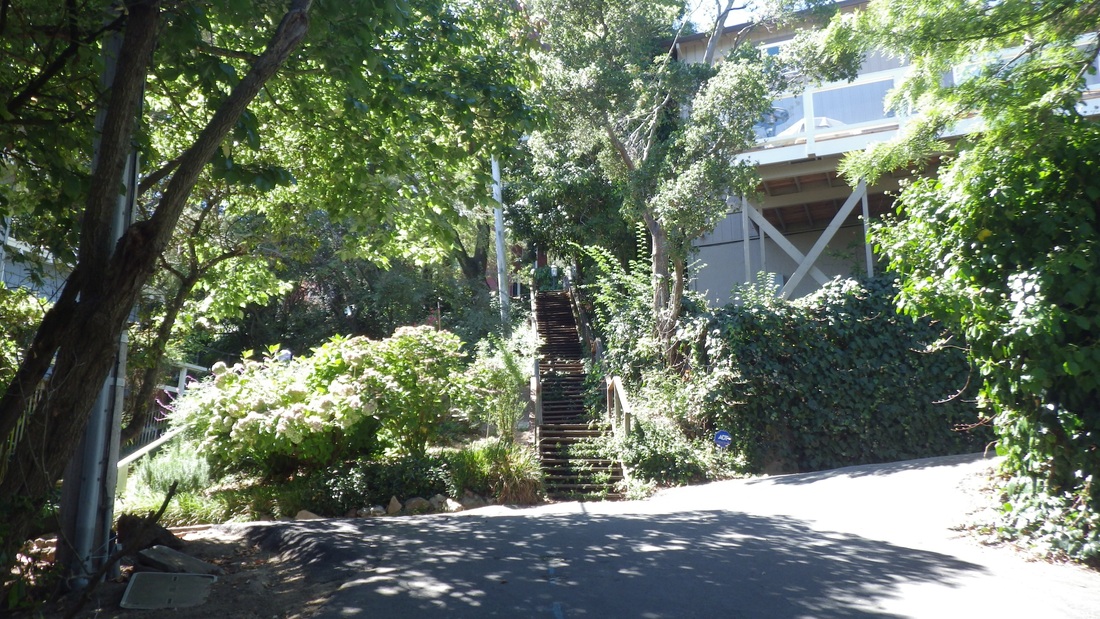
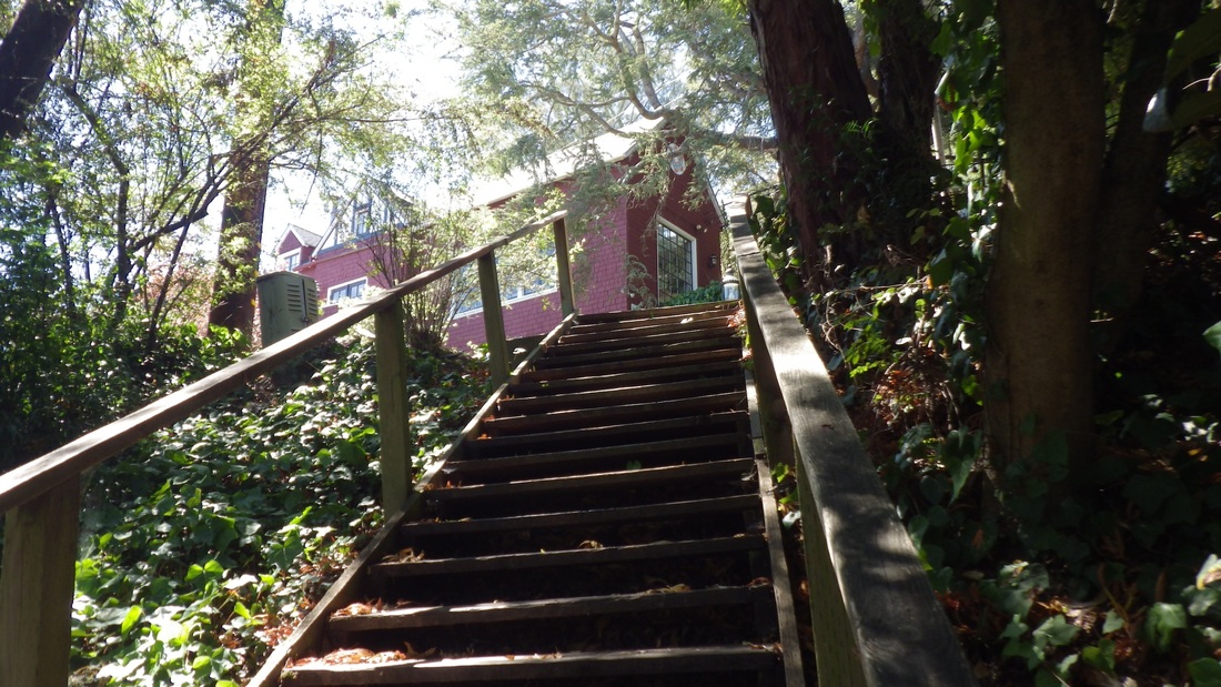
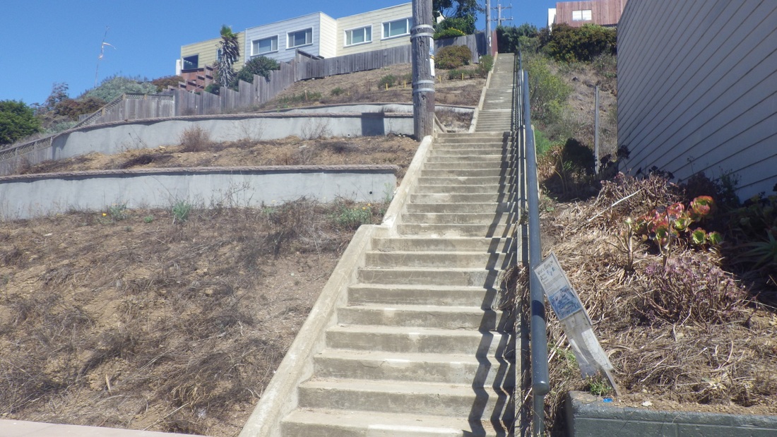
The last Montalvo block has 101 steps up to Mendosa and 10th Ave. (pic 3, looking towards the foot of this flight down to divided Ninth Ave.)
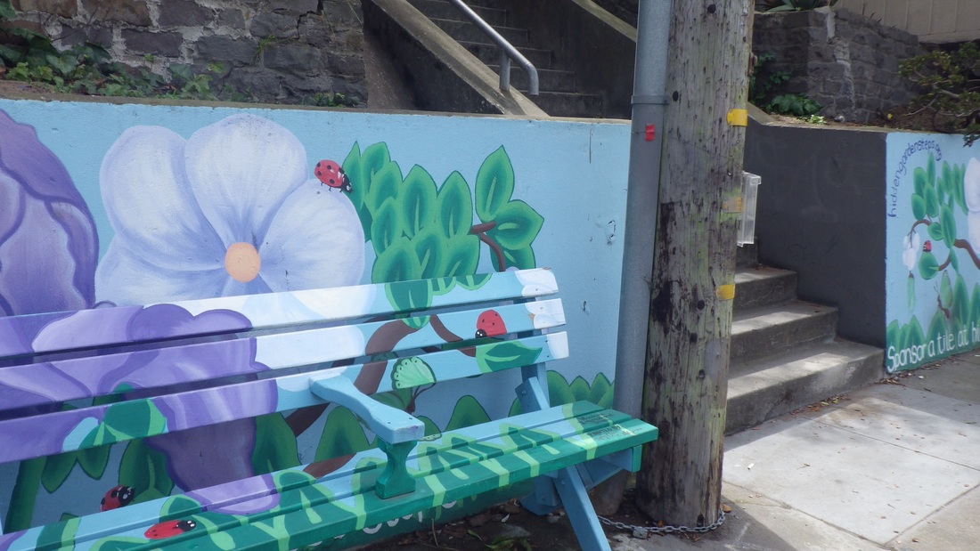
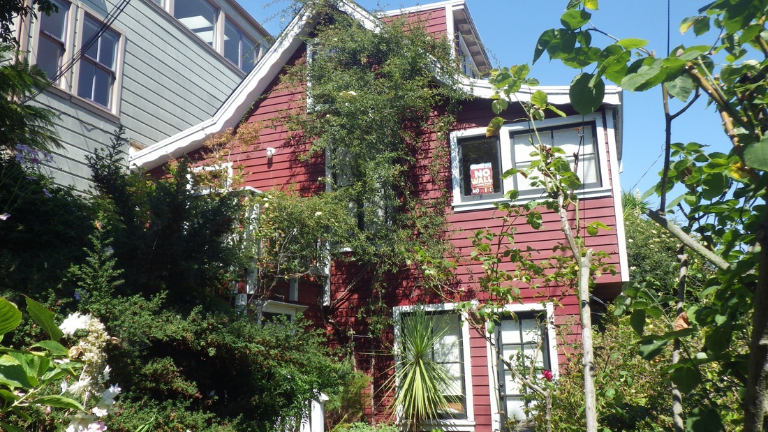
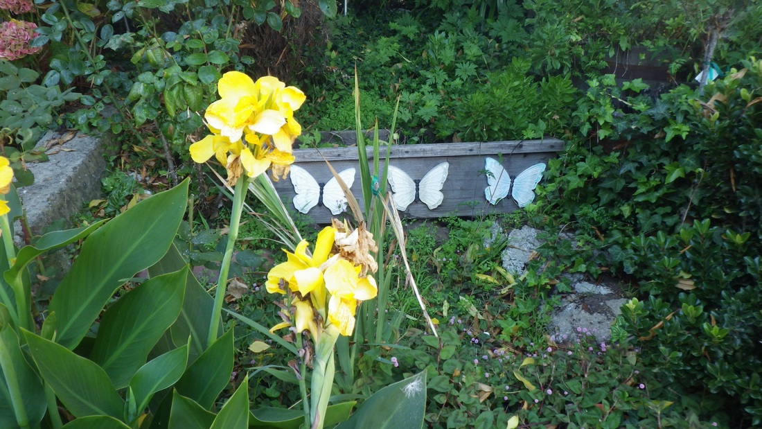
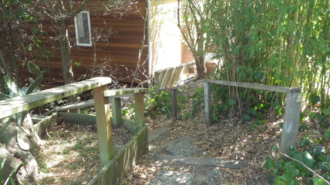
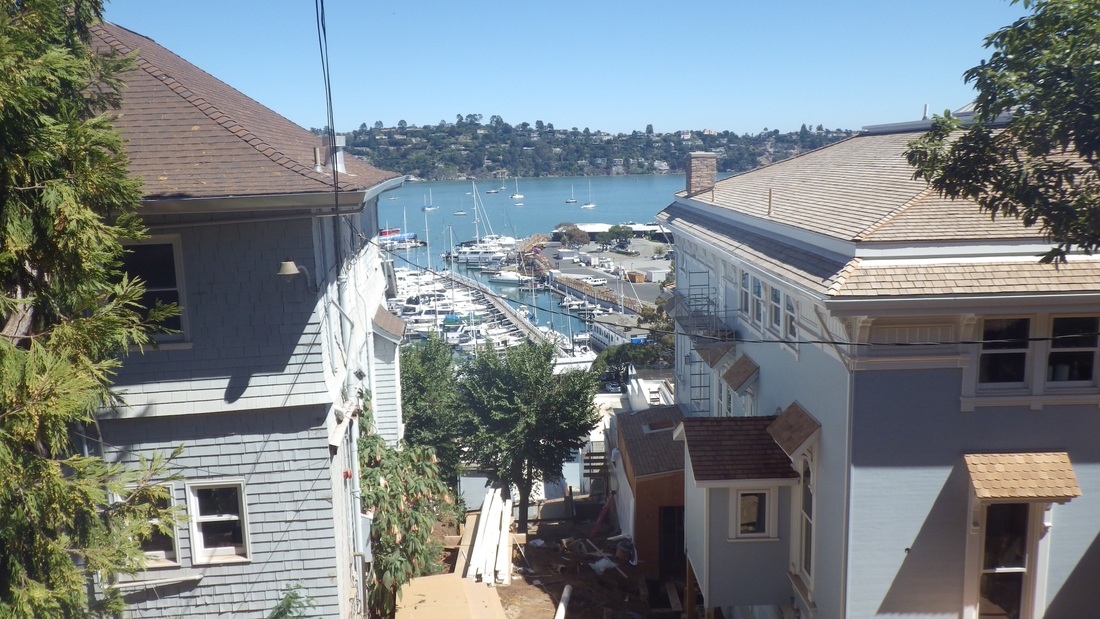
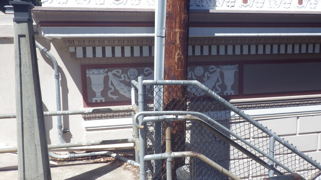
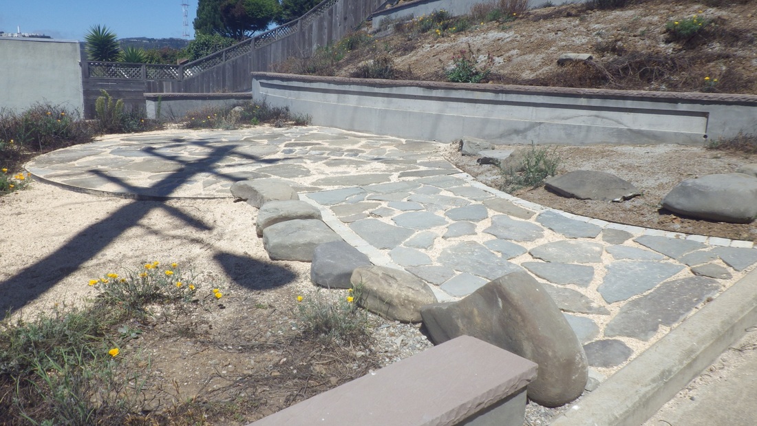
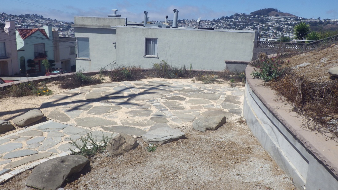
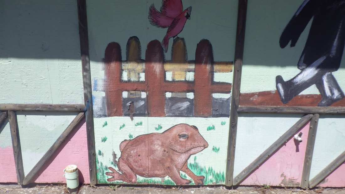
An old mural up here I've always liked: pic 4.
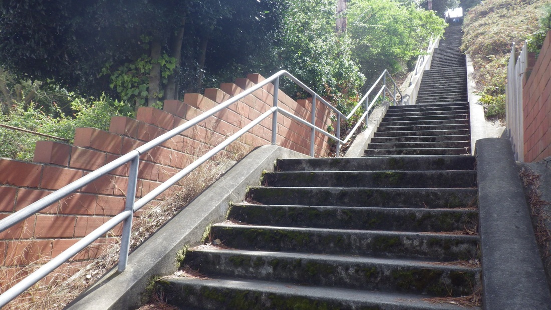
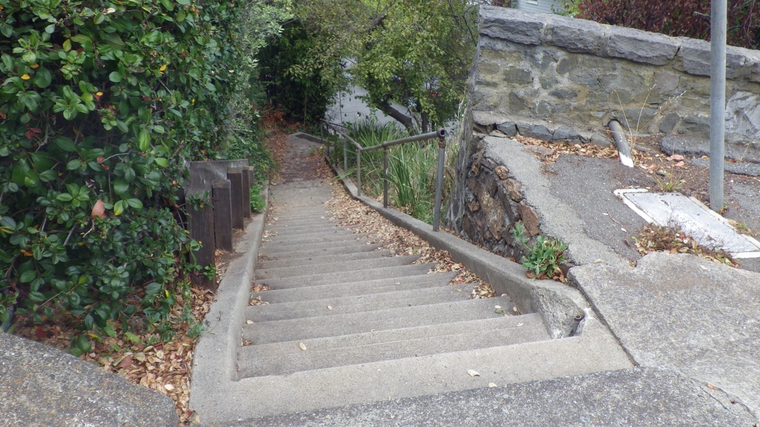
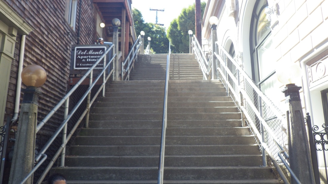
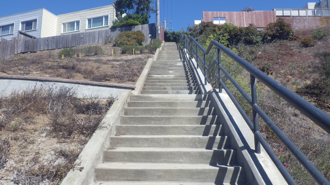
West from here starts the higher-up Golden Gate Heights neighborhood, but there's a dead-end ahead. So steeply downhilled a block to Quintara from Mendosa, then a left (west) on Quintara. Up ahead a few blocks is the top of Quintara's 136 steps.
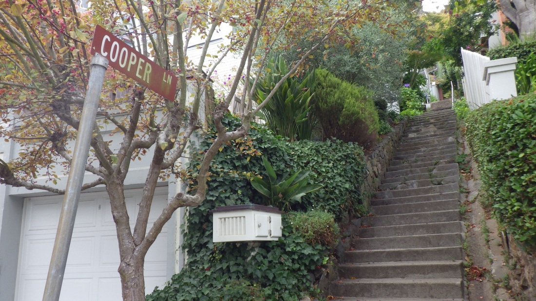
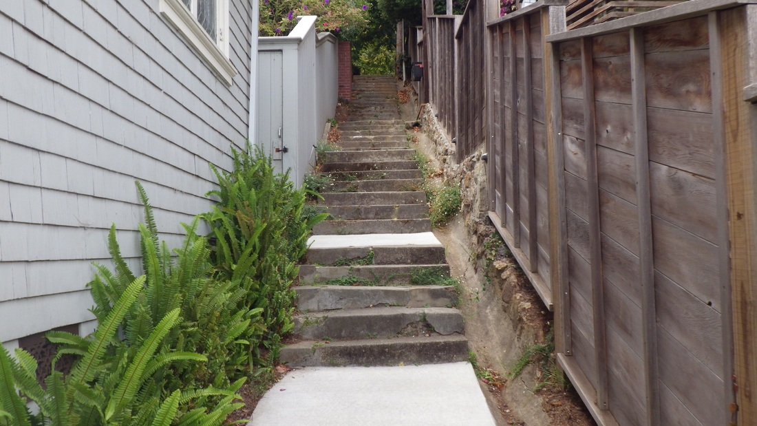
Now on 14th Ave. the next stairway top walked by was Mandalay. Only counted the two Montalvo Forest Hill stairways and GG Heights' 15th Ave. steps this time, but already had a staircount list of the others passed. Mandalay (pic 5) has 165 steps, near Radio & 14th (pic 6).
Next block over: Aerial's west stairway, above Pacheco, and a view from the foot for this one. I have this flight listed as 205 steps. Pix 7, 8.
Next one, Ortega: 148 steps, ninth pic.
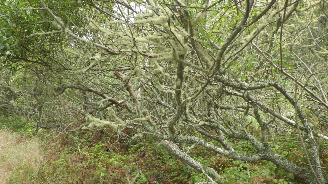
Next over was Mount, 161 steps, 10th pic. The Rocky Outcrop Park natural area (pics 11, 12) greets you at the top of Mount stairway.
Pic 13: Ortega and 14th Ave.
Circled around Grandview Park (14th pic, 144 steps, its west stairway).
Pic 15: From 15th Ave. just below Grandview Park.
Pic 16 was taken from Lawton & 15th.
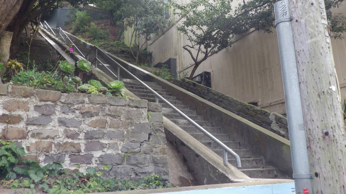
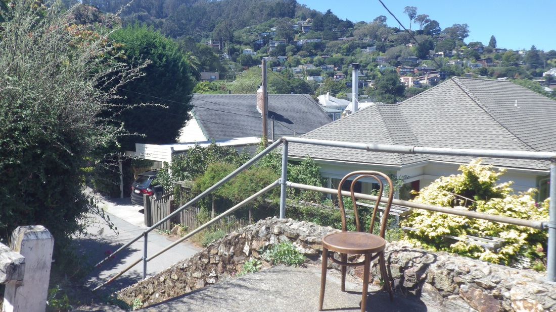
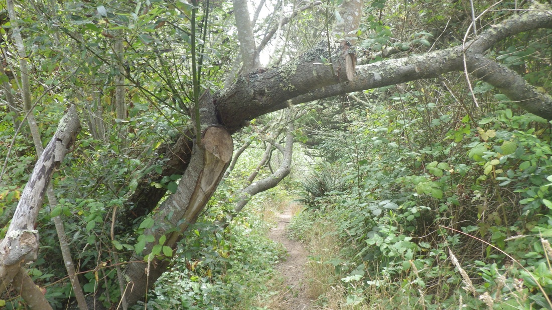
Where once was a trail up the north side of Grandview is now a fence and trail-closed sign due to soil erosion. You're instructed instead to take the east or west stairways up into the park. Below, as viewed from the west edge of the park, could see the top of the 16th Ave. & Moraga tiled stairway (163 steps).
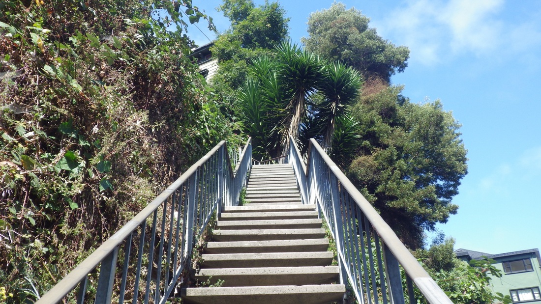
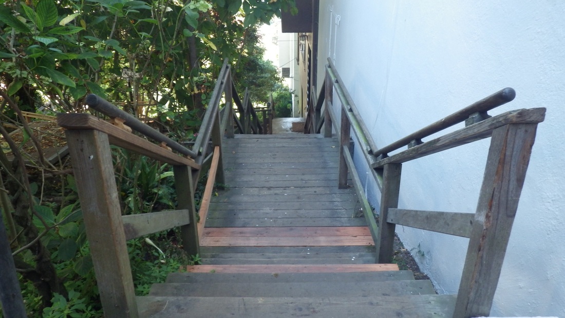
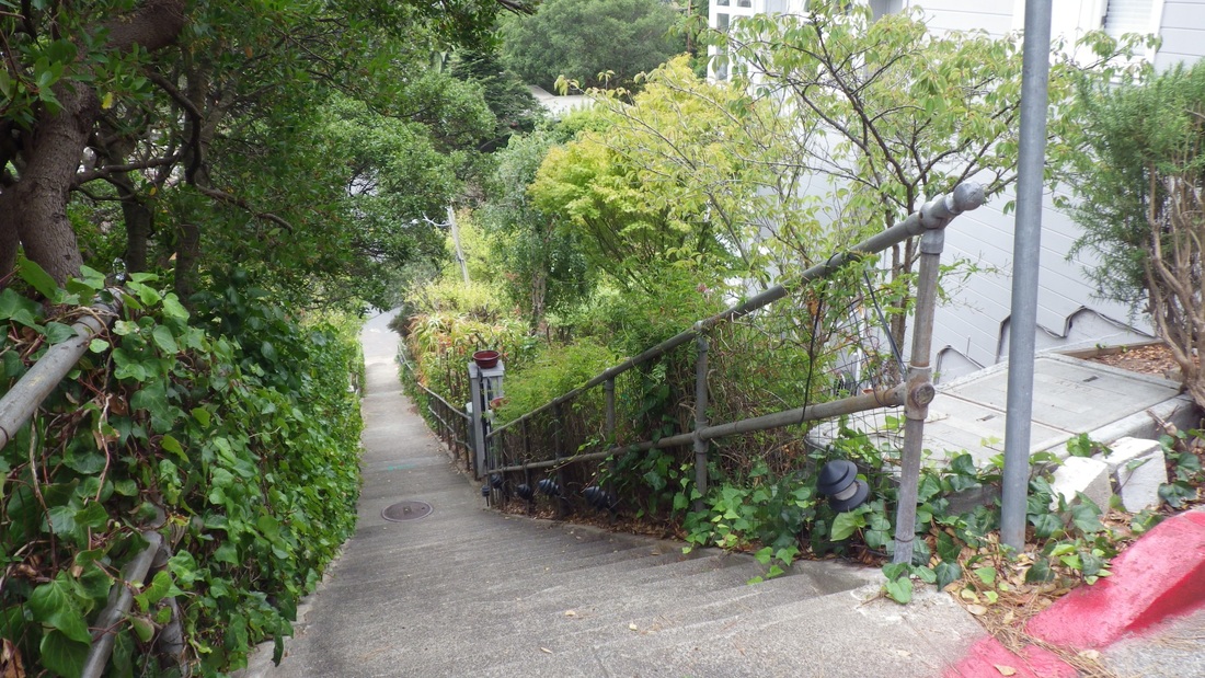
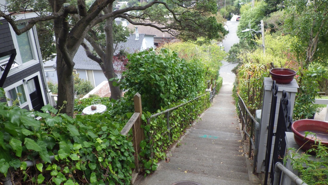
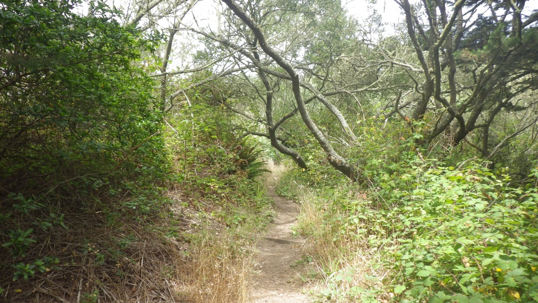
Around the park's north slope to descend the 15th Ave. stairway for a count of 193: pix 17, 18, 19. Lawton down to Kirkham.
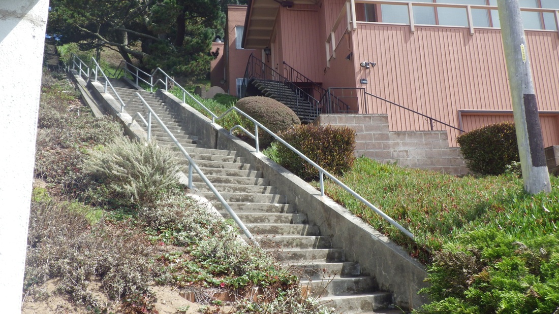
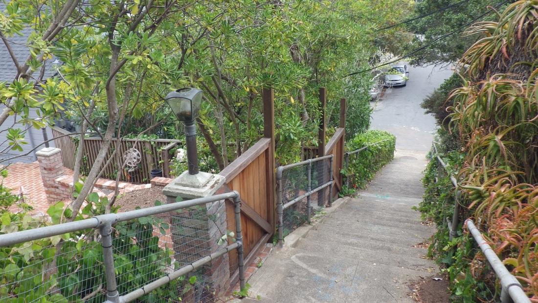
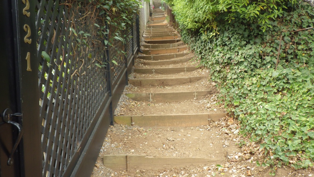
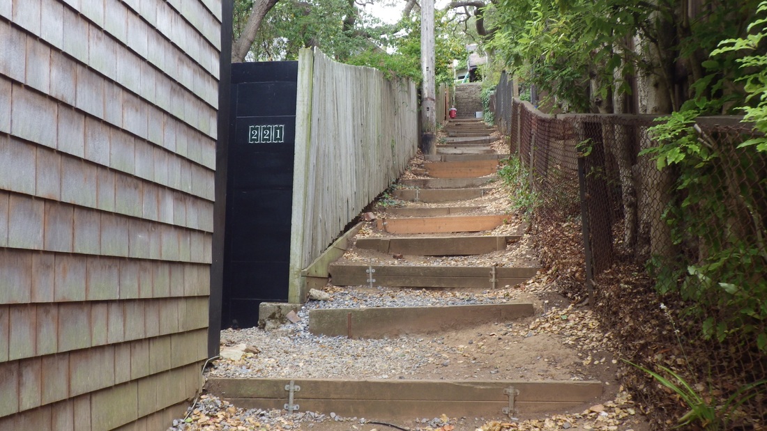
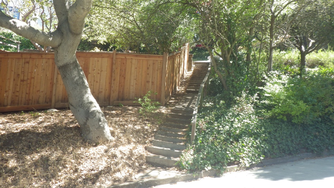
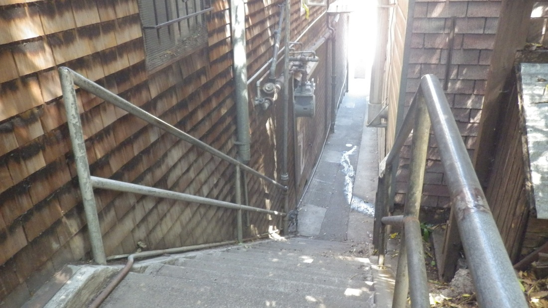
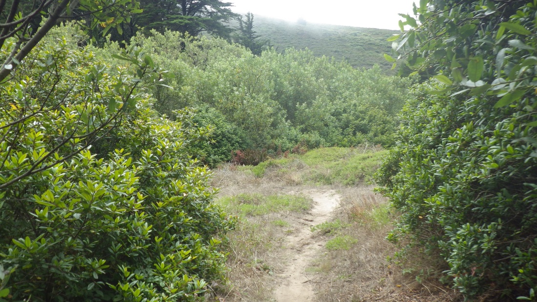
A block over to the west is the waiting-to-be-tiled 16th Ave. Hidden Garden Steps (148 steps, Lawton down to Kirkham), last four pix.
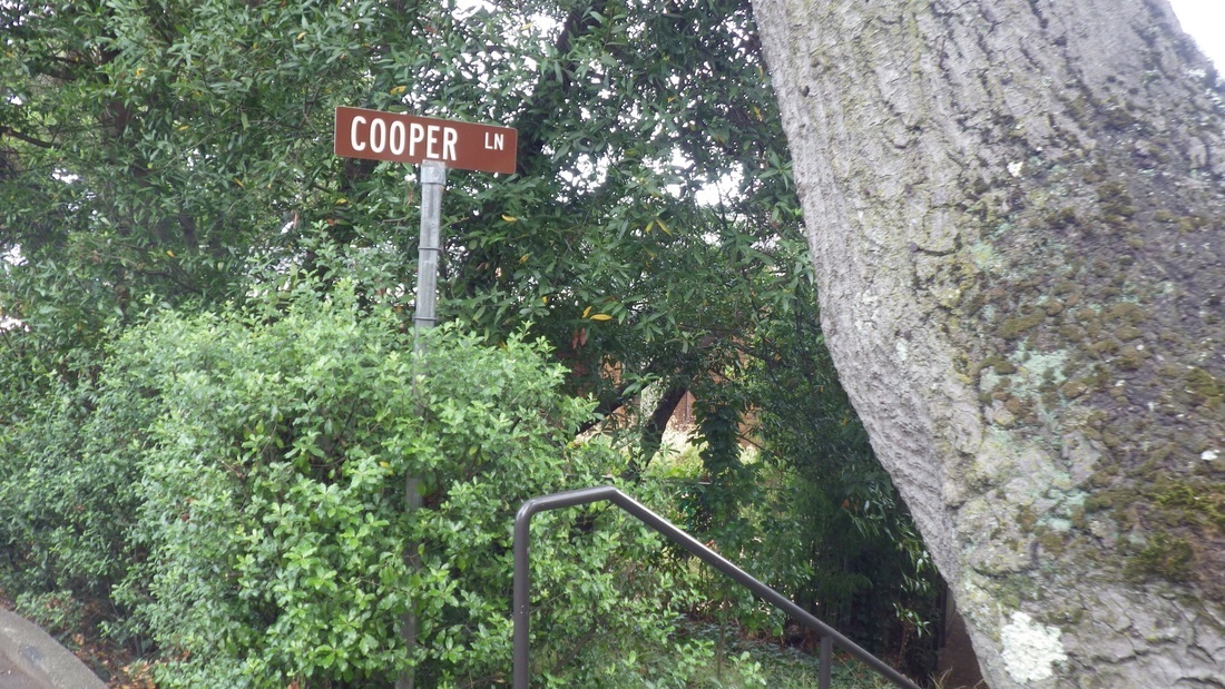
These aren't all the stairways in these two 'hoods: just those I happened to walk or pass this time.
My hike started at the Forest Hill metro station with the short stairway up into the neighborhood of the same name: 7th to 10th Ave. for the Forest Hill 'hood, curving steadily uphill.
First pic: A view of Mount Sutro from Sola & Marcela.
Soon ascending the two highest blocks of the long "Montalvo" stairway. This stairway has no official/signed name; the first of the three blocks actually starts up from Castenada, near Montalvo. It crosses San Marcos/Santa Rita with a short stairway dividing the upper and lower vehicle streets, then continues up. The first of the two uppermost blocks has 122 steps.
Second pic is of the San Marcos/Santa Rita connector: 23 steps.
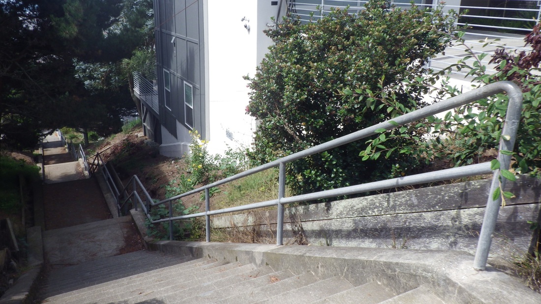
The last Montalvo block has 101 steps up to Mendosa and 10th Ave. (pic 3, looking towards the foot of this flight down to divided Ninth Ave.)
An old mural up here I've always liked: pic 4.
West from here starts the higher-up Golden Gate Heights neighborhood, but there's a dead-end ahead. So steeply downhilled a block to Quintara from Mendosa, then a left (west) on Quintara. Up ahead a few blocks is the top of Quintara's 136 steps.
Now on 14th Ave. the next stairway top walked by was Mandalay. Only counted the two Montalvo Forest Hill stairways and GG Heights' 15th Ave. steps this time, but already had a staircount list of the others passed. Mandalay (pic 5) has 165 steps, near Radio & 14th (pic 6).
Next block over: Aerial's west stairway, above Pacheco, and a view from the foot for this one. I have this flight listed as 205 steps. Pix 7, 8.
Next one, Ortega: 148 steps, ninth pic.
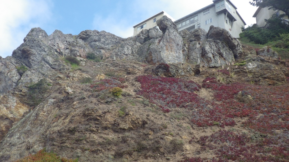
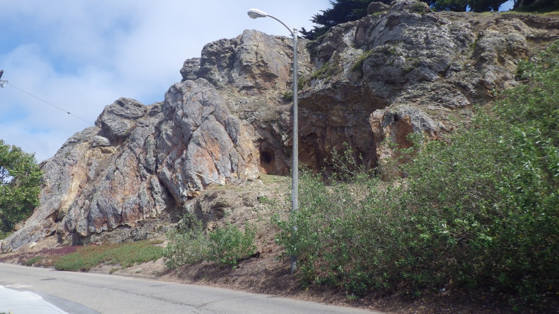
Next over was Mount, 161 steps, 10th pic. The Rocky Outcrop Park natural area (pics 11, 12) greets you at the top of Mount stairway.
Pic 13: Ortega and 14th Ave.
Circled around Grandview Park (14th pic, 144 steps, its west stairway).
Pic 15: From 15th Ave. just below Grandview Park.
Pic 16 was taken from Lawton & 15th.
Where once was a trail up the north side of Grandview is now a fence and trail-closed sign due to soil erosion. You're instructed instead to take the east or west stairways up into the park. Below, as viewed from the west edge of the park, could see the top of the 16th Ave. & Moraga tiled stairway (163 steps).
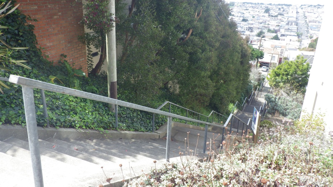
Around the park's north slope to descend the 15th Ave. stairway for a count of 193: pix 17, 18, 19. Lawton down to Kirkham.
A block over to the west is the waiting-to-be-tiled 16th Ave. Hidden Garden Steps (148 steps, Lawton down to Kirkham), last four pix.
These aren't all the stairways in these two 'hoods: just those I happened to walk or pass this time.
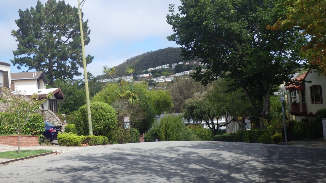
1. View east to Mount Sutro from Sola & Marcela, Forest Hill 'hood
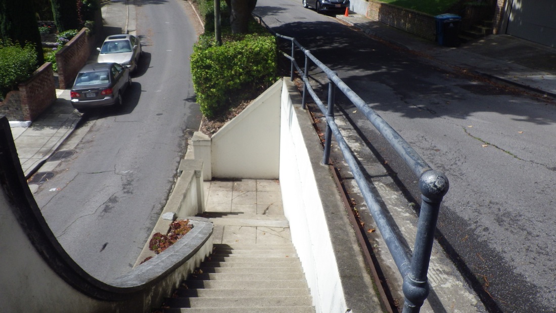
2. San Marcos/Santa Rita connector steps, Forest Hill
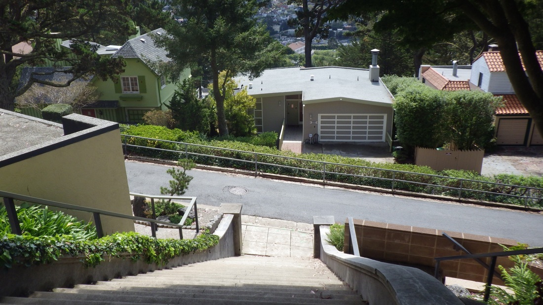
3. Last block of the long stairway, looking down to 9th Ave.
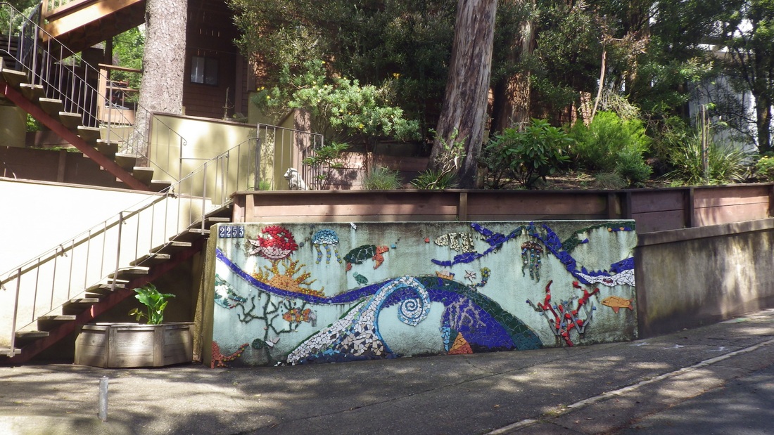
4. Marine scenes
5. Mandalay stairway down from 14th Ave. Now in Golden Gate Heights
6. Radio & 14th Ave.
7. Approaching Aerial's west stairway
8. Aerial's west stairway
9. Top of Ortega stairway
10. Top of Mount stairway
11. Rocky Outcrop natural area, top of Mount stairway, above 14th Ave.
12. Rocky Outcrop Park above 14th Ave.
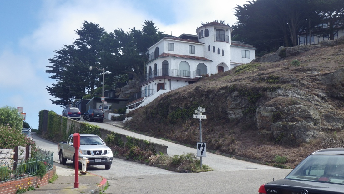
13. Ortega & 14th Ave.
14. Grandview Park's west stairway
15. Walking around the north side of Grandview Park, 15th Ave.
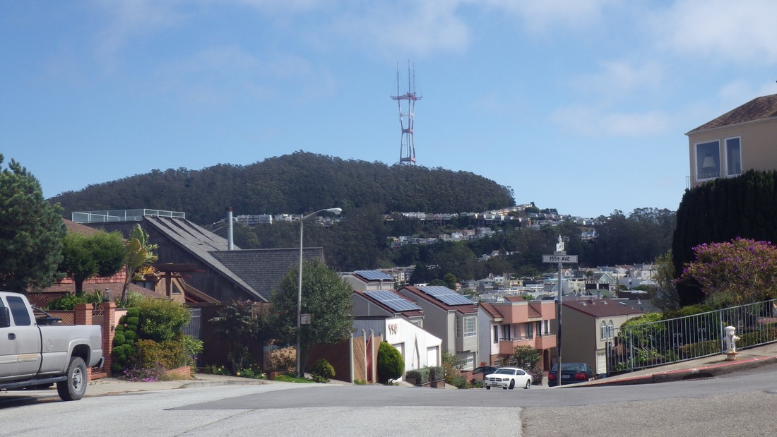
16. View of Mount Sutro from Lawton & 15th Ave.
17. Top of the 15th Ave. stairway at Lawton
18. 15th Avenue steps, Golden Gate Heights
19. Foot of the 15th Ave. stairway
20. Foot of the 16th Ave. Hidden Garden Steps
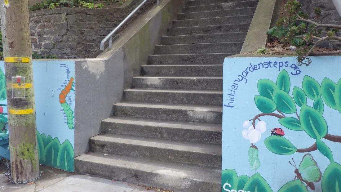
21. Foot of the to-be-tiled Hidden Garden Steps at Kirkham/16th Ave.
22. Watch this space. Hidden Garden steps as of Sept. 2013


 RSS Feed
