A short distance into San Bruno Mountain Park from the Crocker Ave. trailhead on the Old Guadalupe Trail is the trailhead for the 1.9 mile Saddle Loop Trail. Pix moving west to east: 1 through 10.
The lone bench that looks across to McLaren Park and down into Visitacion Valley (etc.) was occupied so continued on to the trail's end at the Meadow (picnic area), then onto the part of the Bog Trail with the several benches, pix 11 through 16.
From the Bog, heading out of the park on the Old Guadalupe Trail, noticed a cat cross several yards ahead, and a few seconds later a skunk. He or she wasn't the same kind of skunk seen a couple of years ago on the same trail. This latest one was smaller, younger.
When I got up to where it was, it was occupied with a bug so didn't immediately disappear from view in the offtrail bushes: pic 17. Last pic: Looking south from the Old Guadalupe Trail.
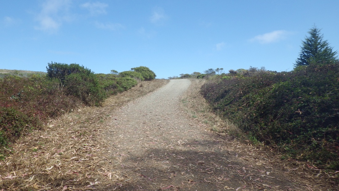
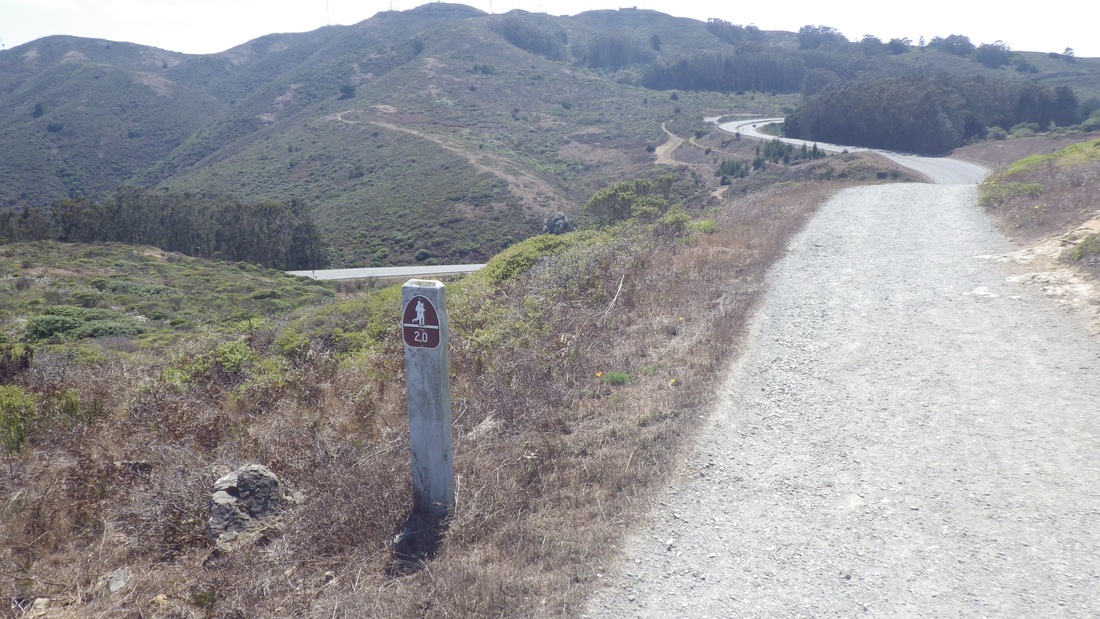
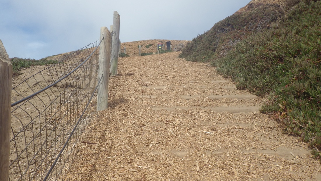
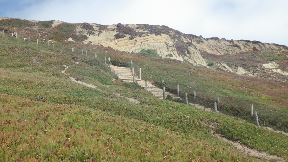
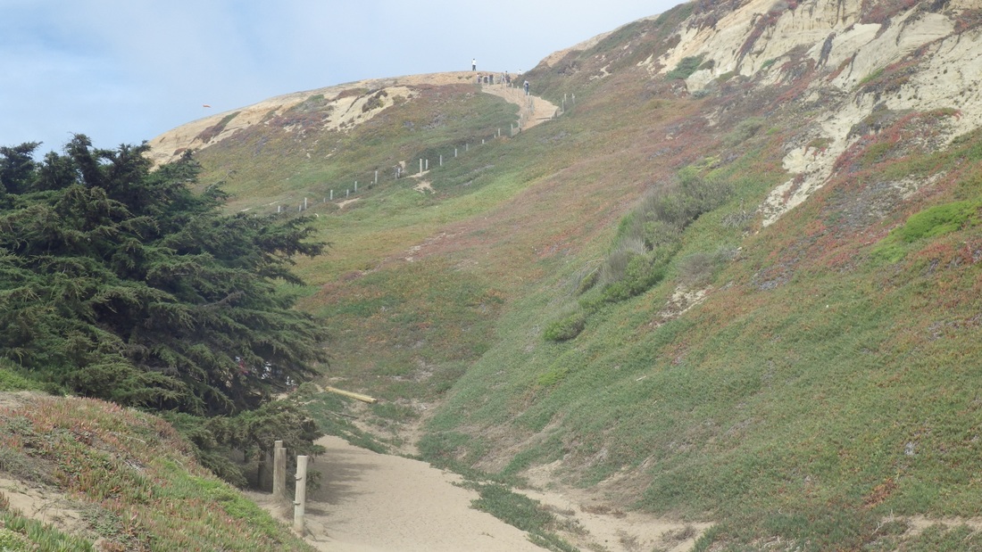
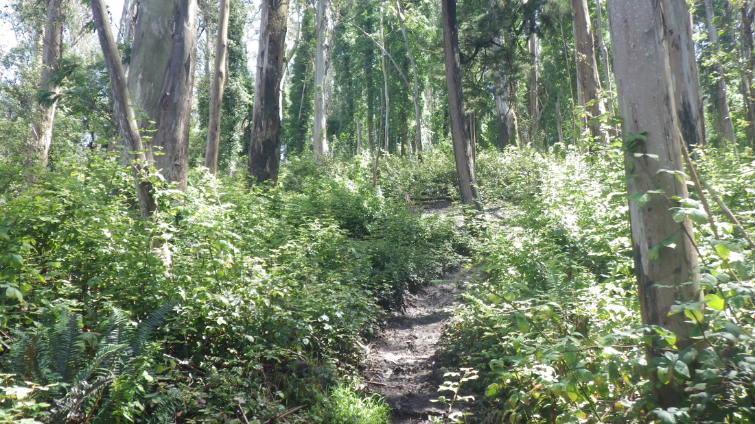
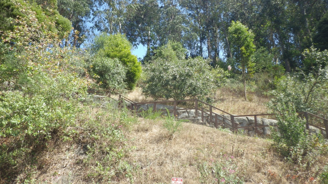
1. Saddle Trail starting up from Old Guadalupe Trail
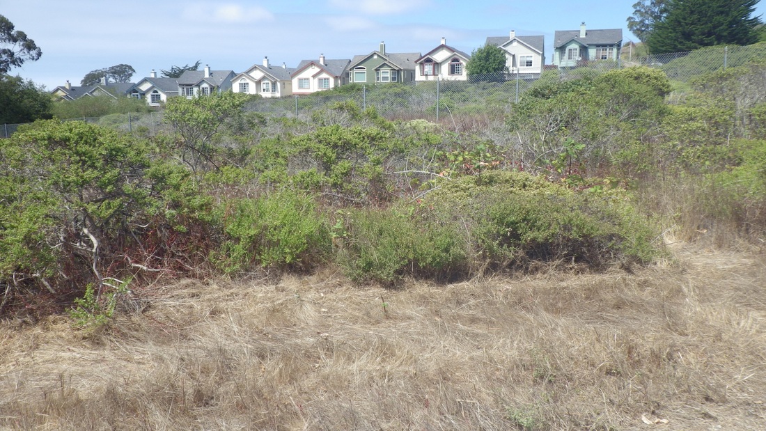
2. Homes on South Hill Court, Daly City, from Saddle Trail
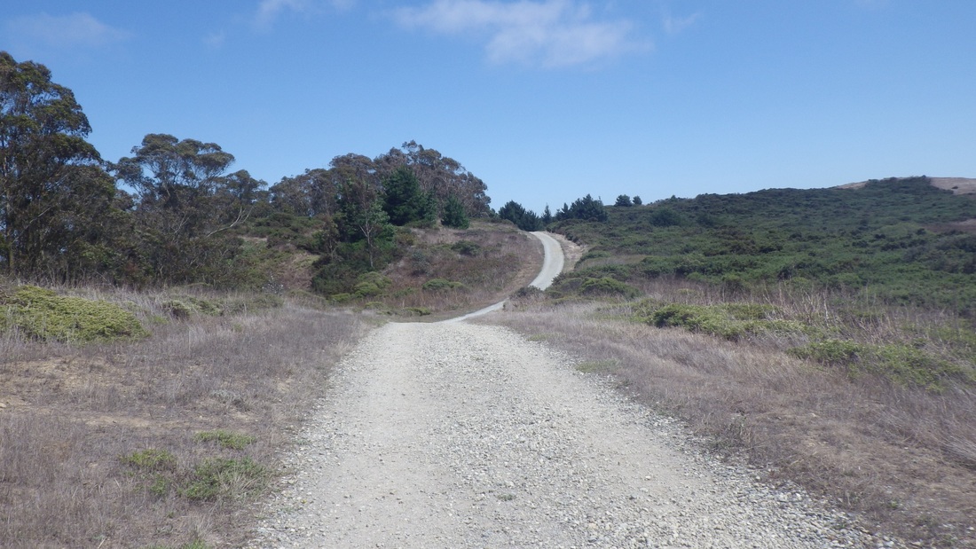
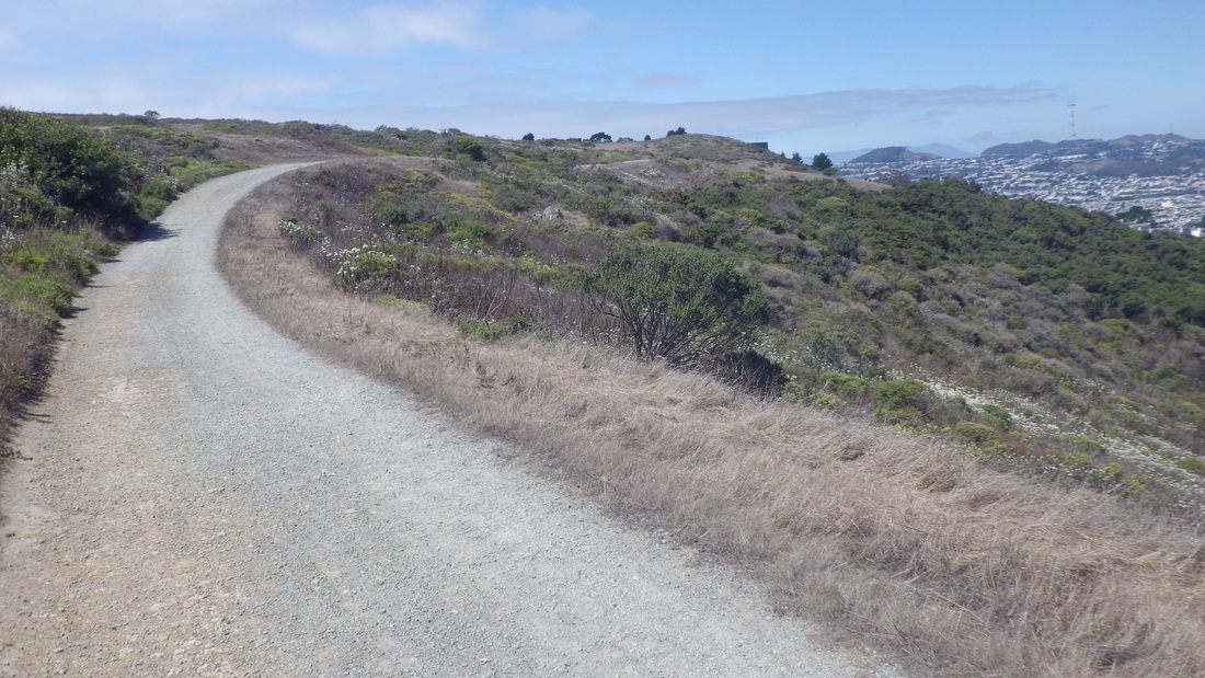
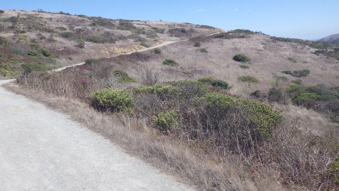
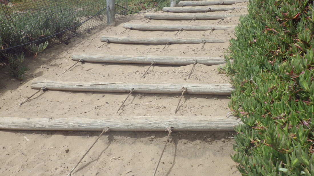
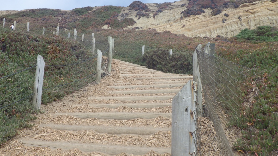
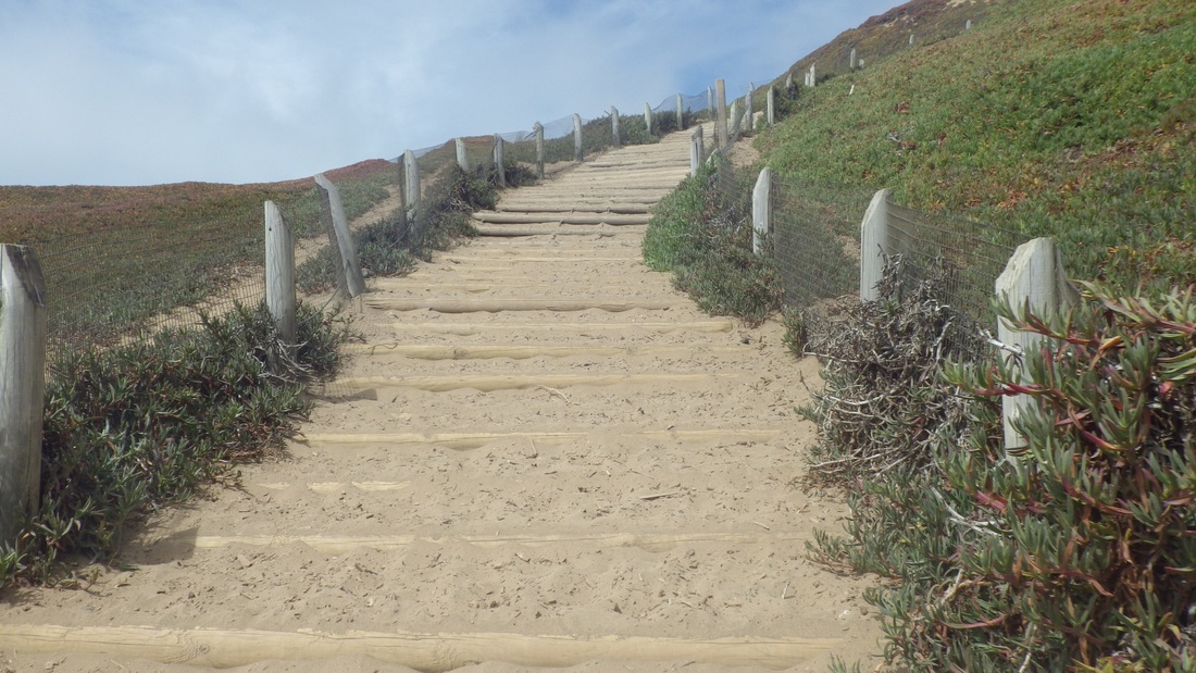
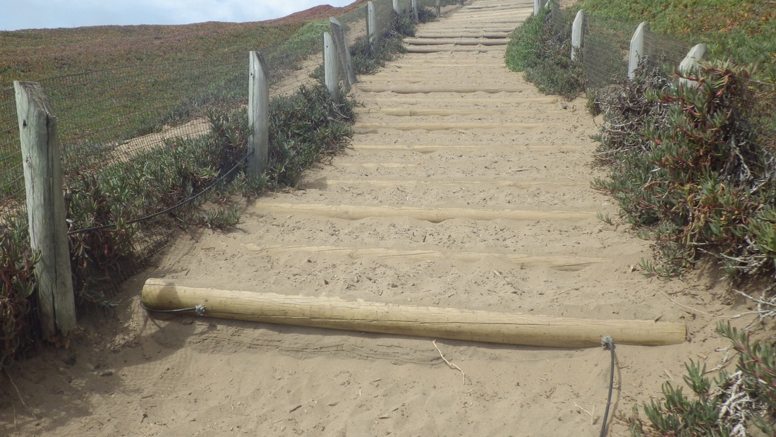
3. Climbing to the east on Saddle Loop Trail
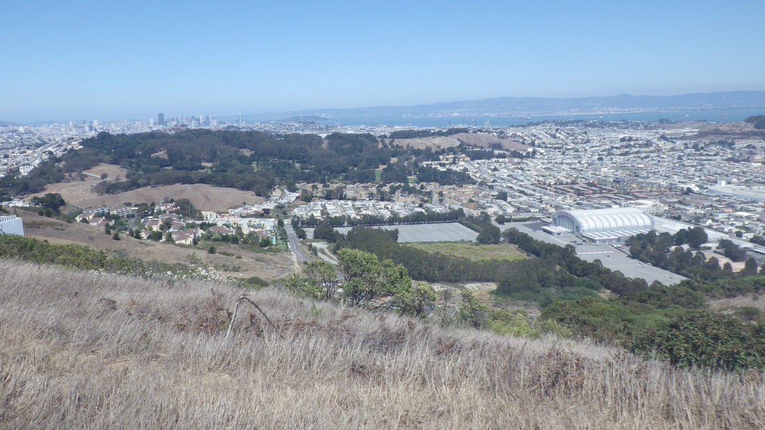
4. View north: Mount Davidson, Mount Sutro, Twin Peaks
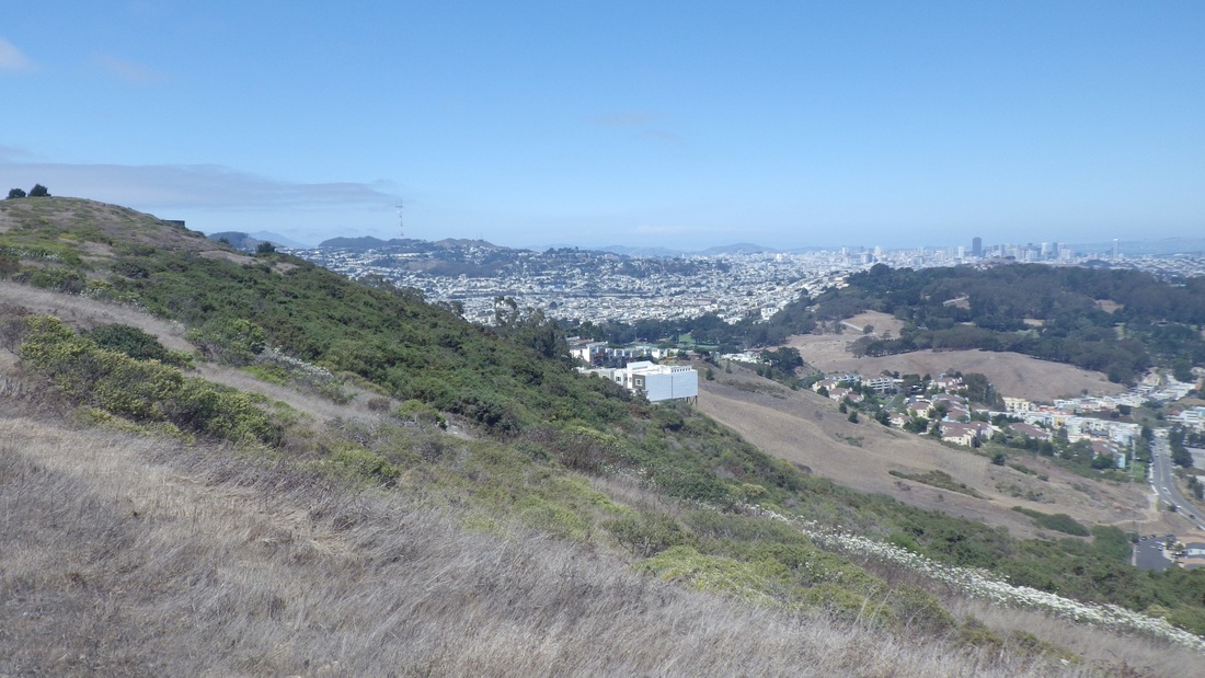
5. Oakridge Dr. stilthouses, Daly City, center.
6. View north: Mount Davidson, Mount Sutro, Twin Peaks
7. Heading up to the lone bench
8. McLaren Park across Visitacion Valley. Cow Palace below right
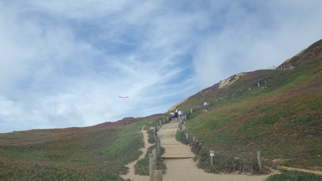
9. Curving around and heading west towards the Meadow/picnic area
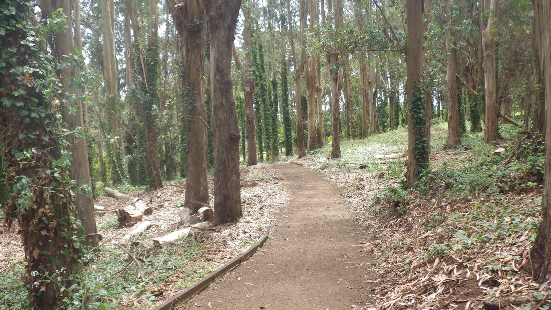
10. Saddle Loop Trail, looking back to the east
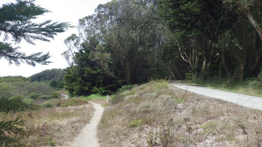
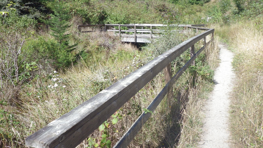
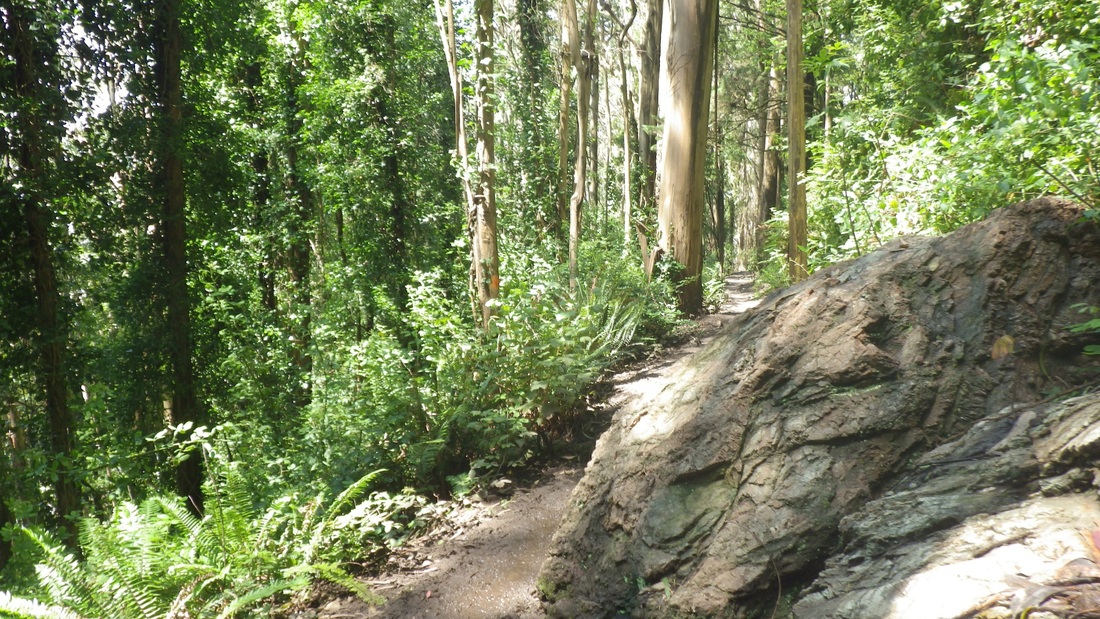
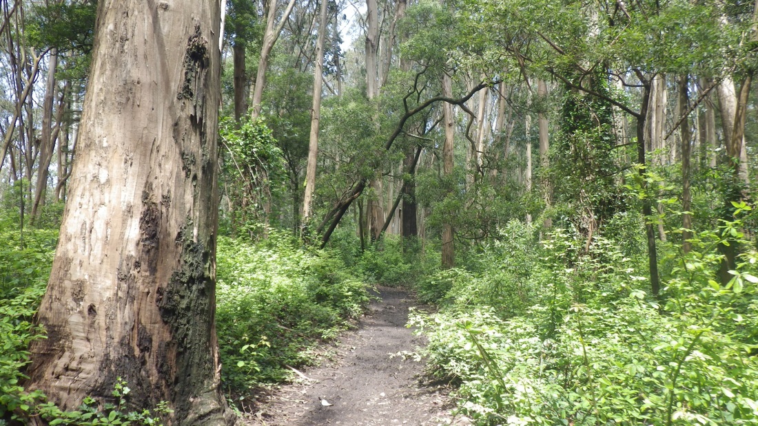
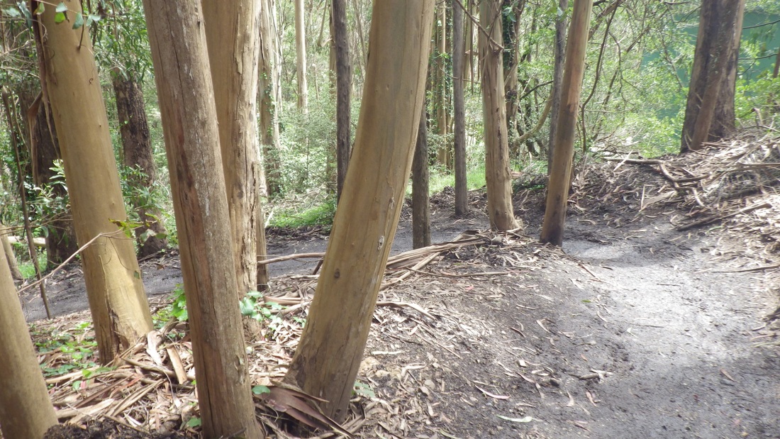
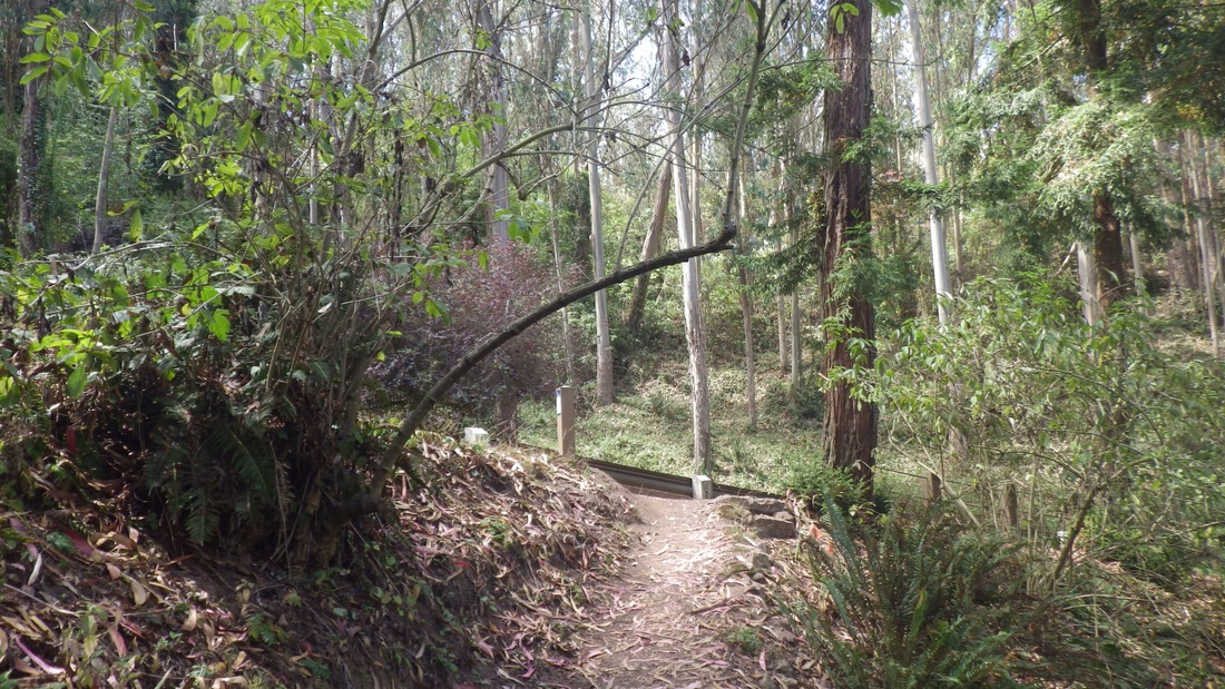
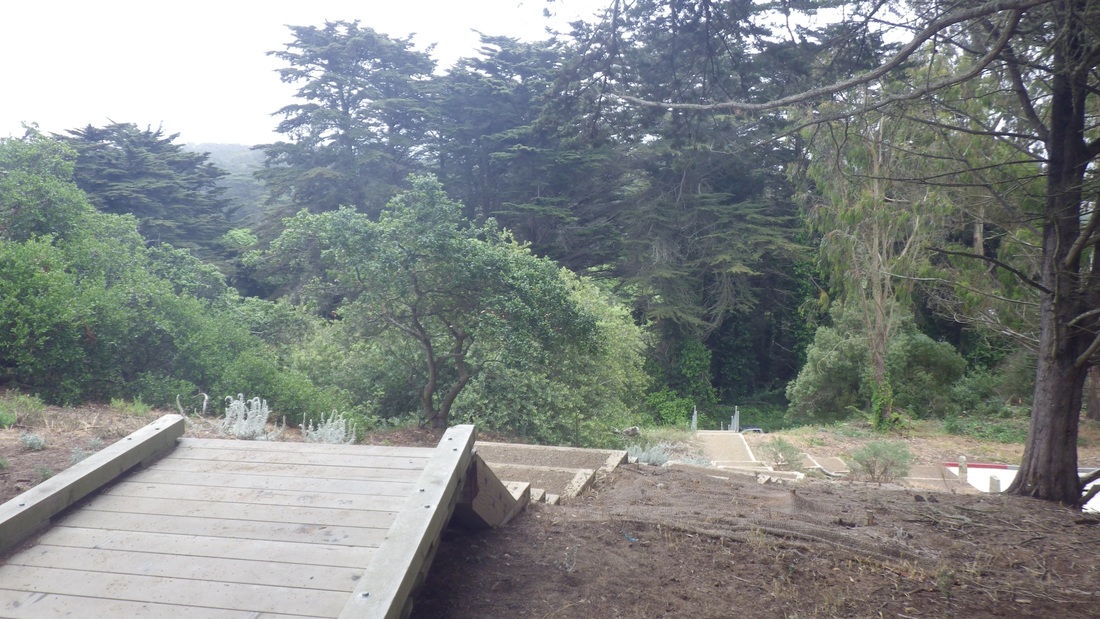
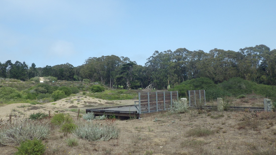
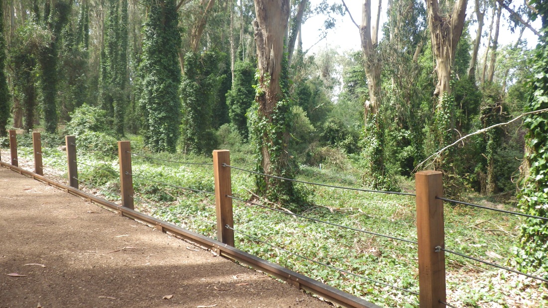
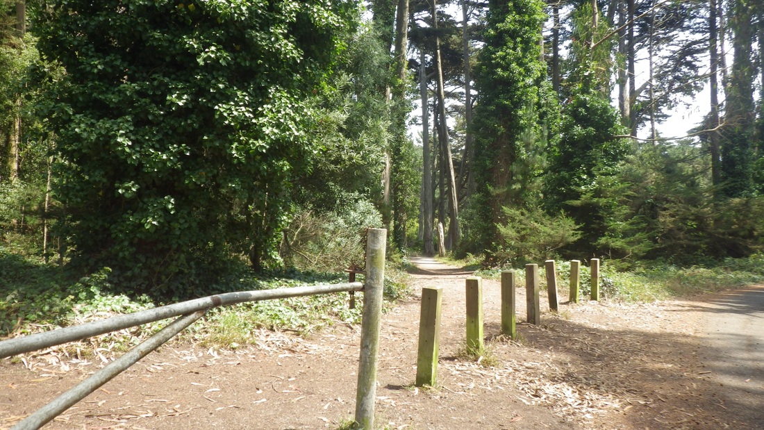
11. Bog Trail left, Old Guadalupe Trail right, out from the Meadow
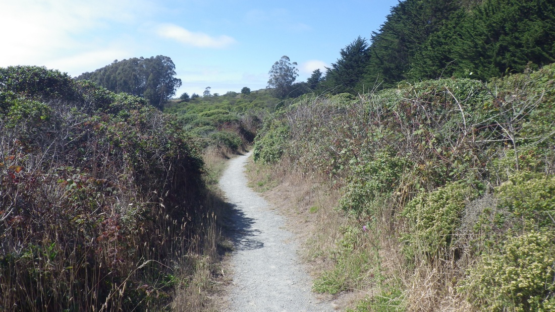
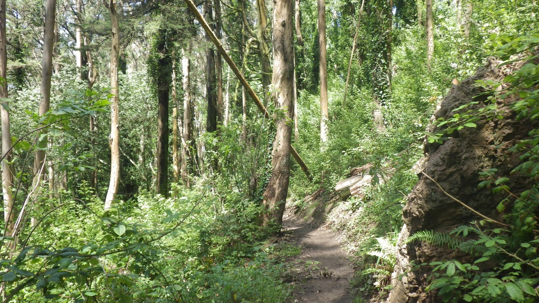
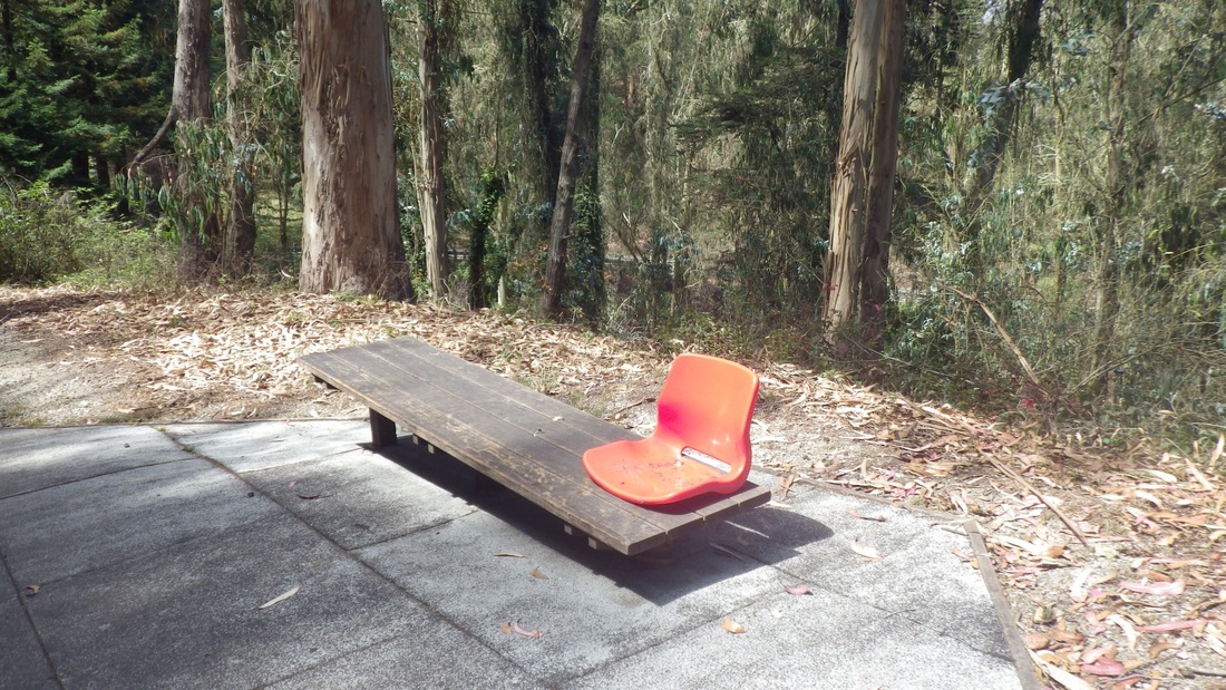
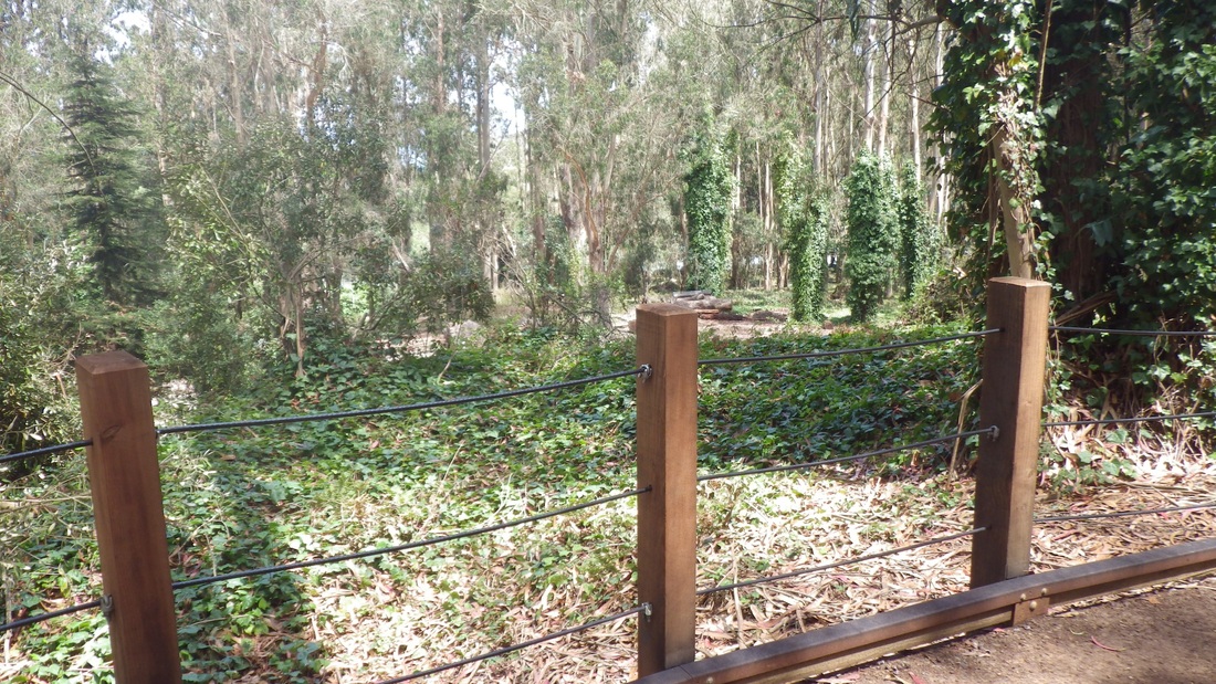
12. Bog Trail
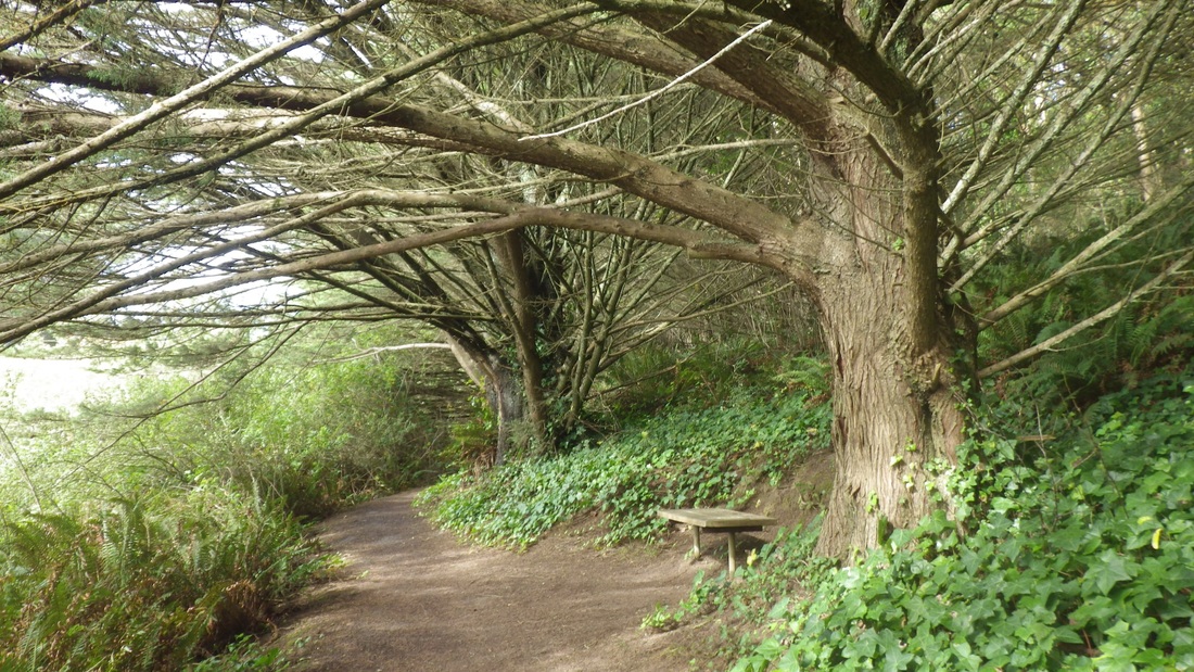
13. Bog Trail
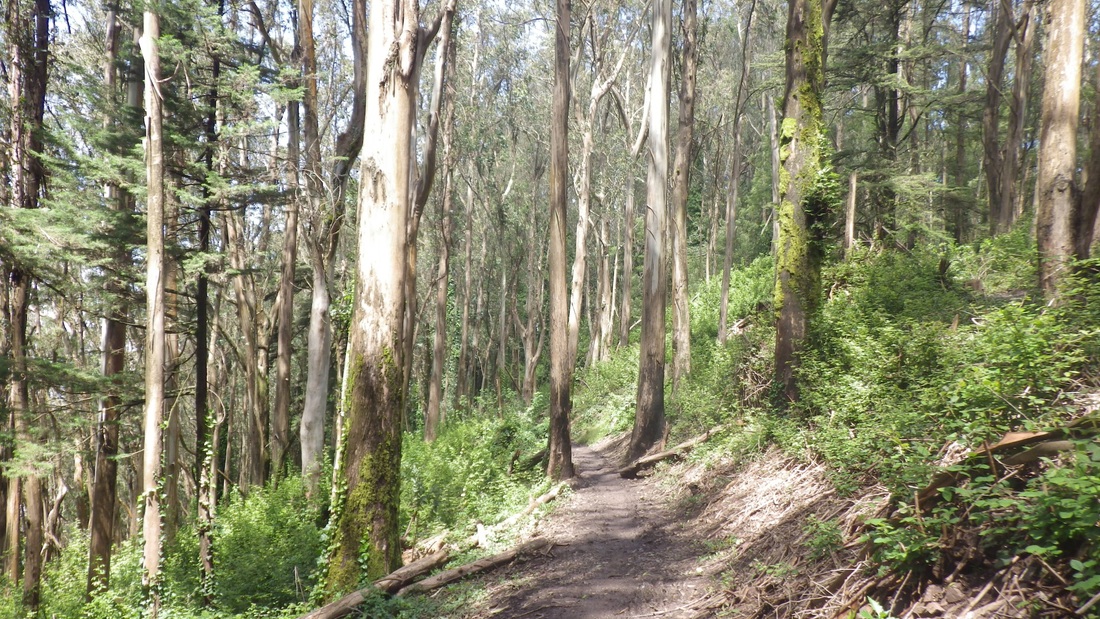
14. Bog Trail
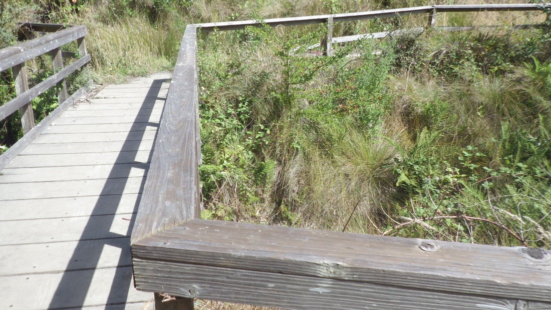
15. Bog Trail
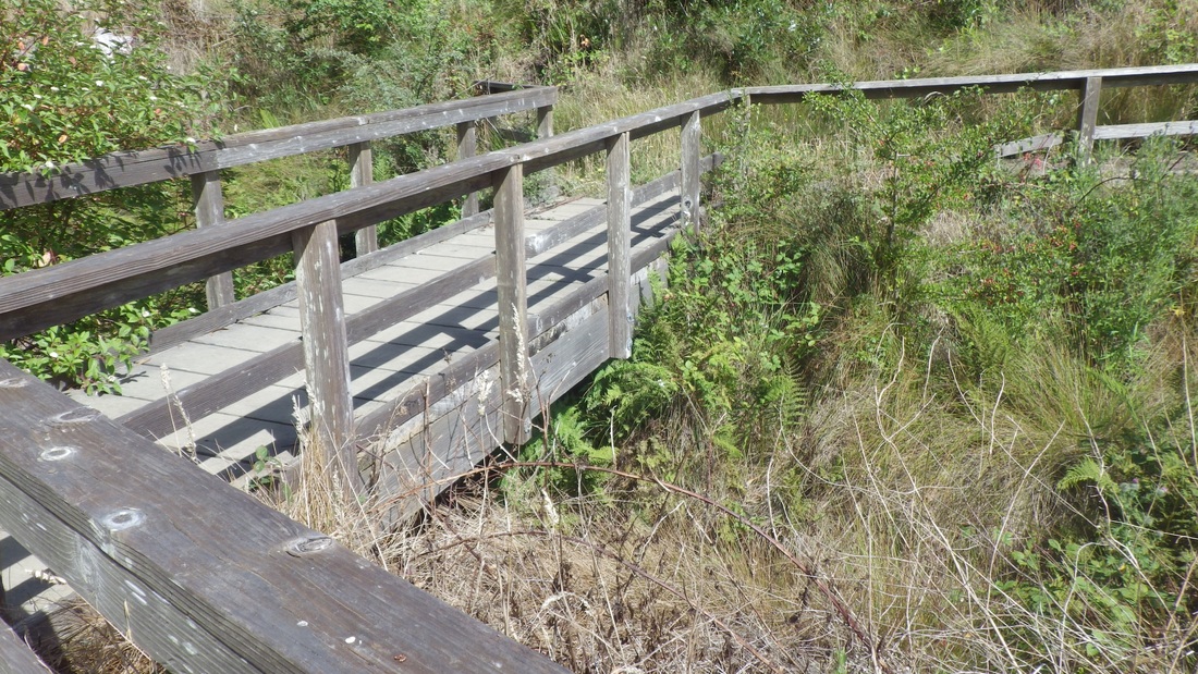
16. Bog Trail
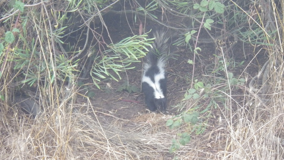
17. Cute critter on the Old Guadalupe Trail
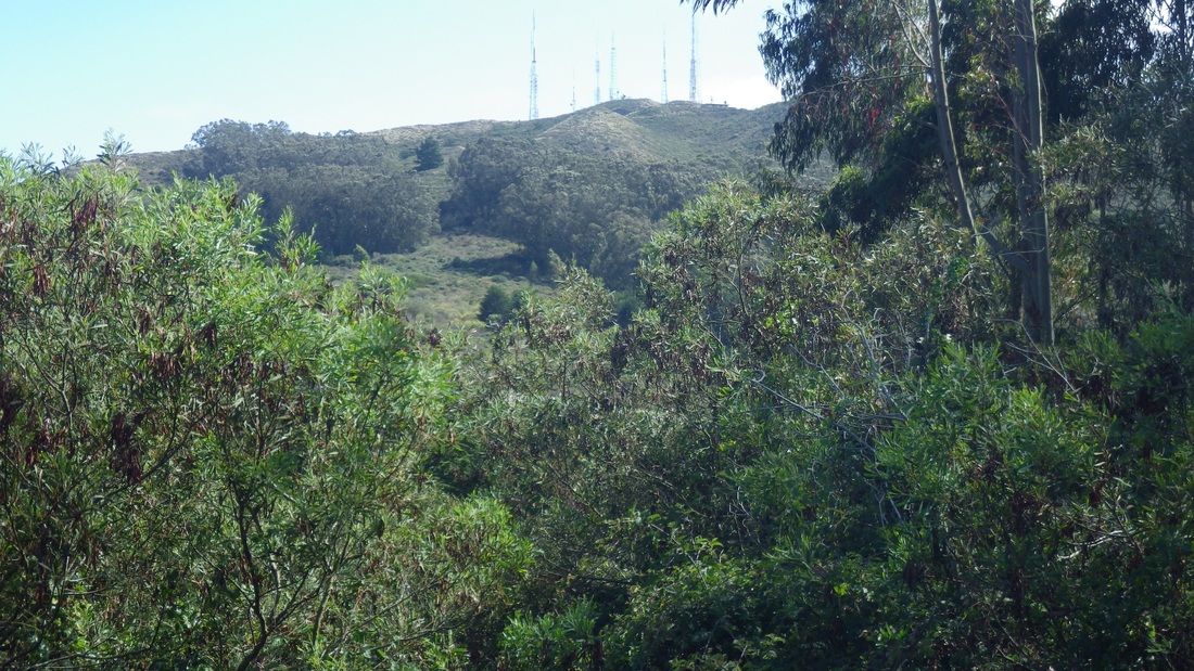
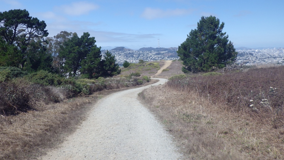
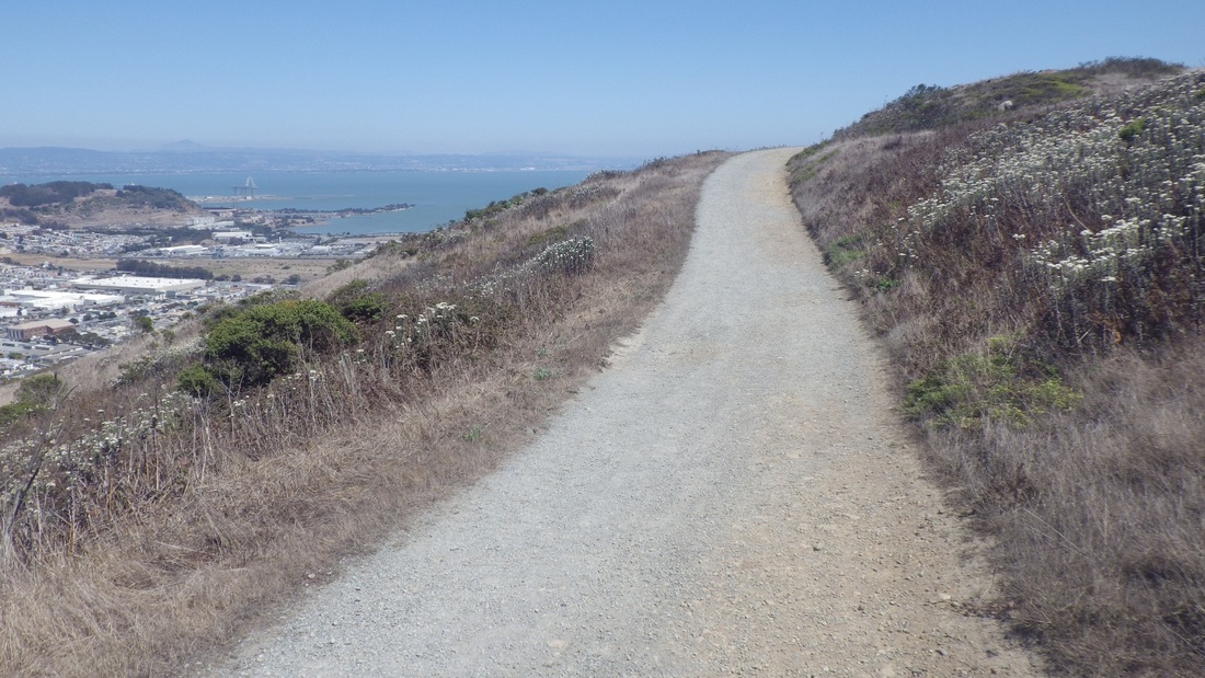
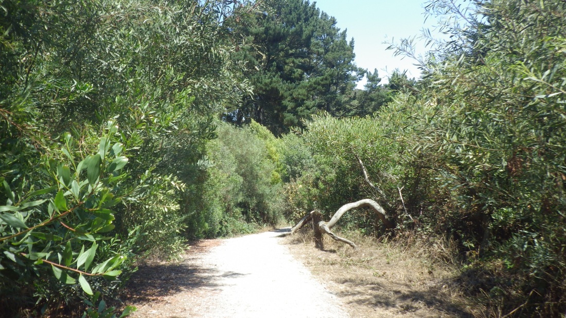
18. View from Old Guadalupe Trail


 RSS Feed
