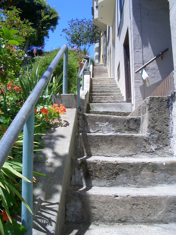
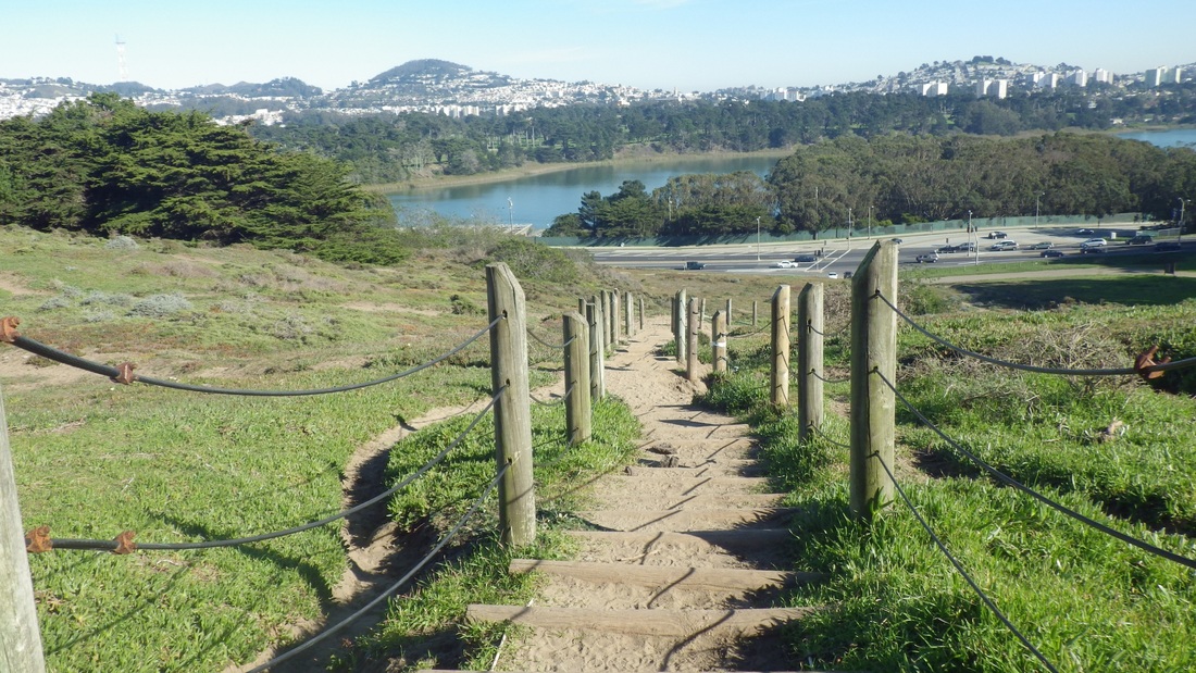
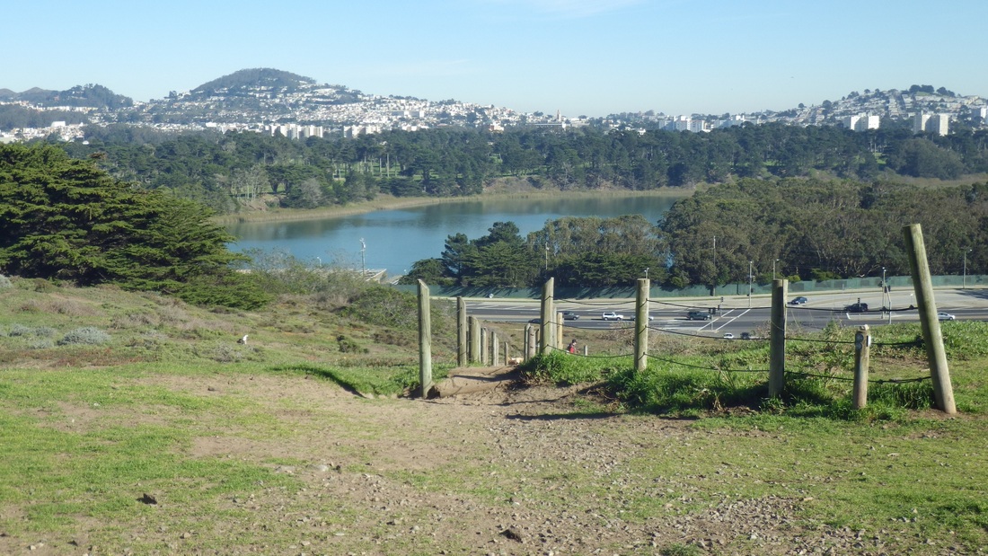
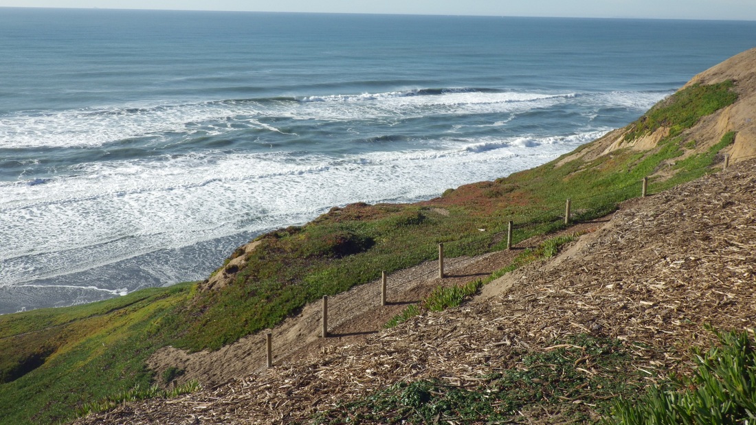
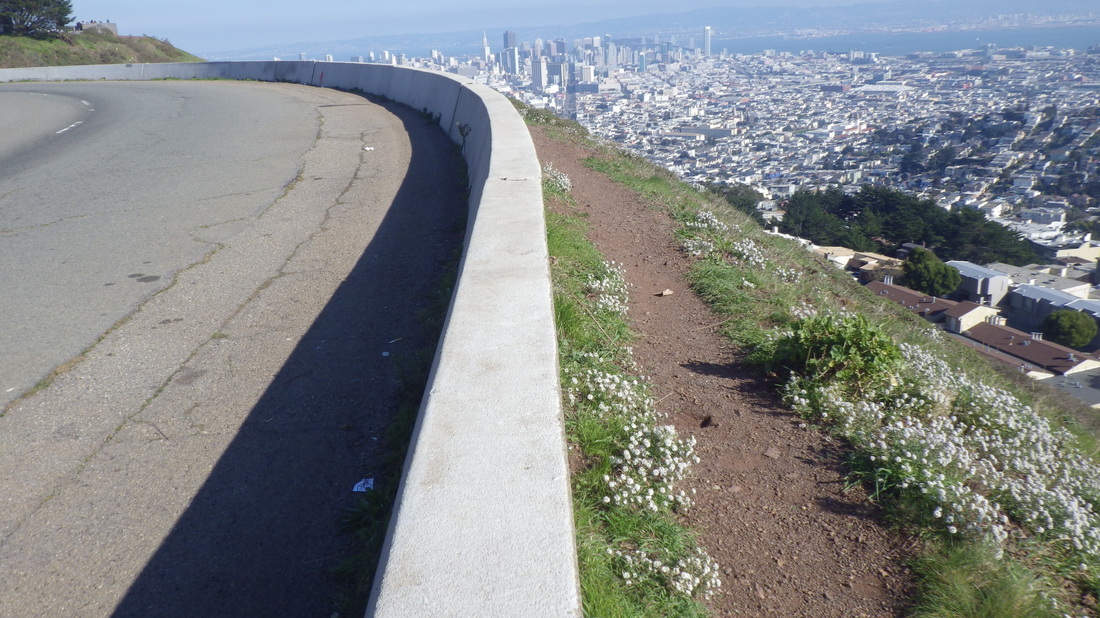
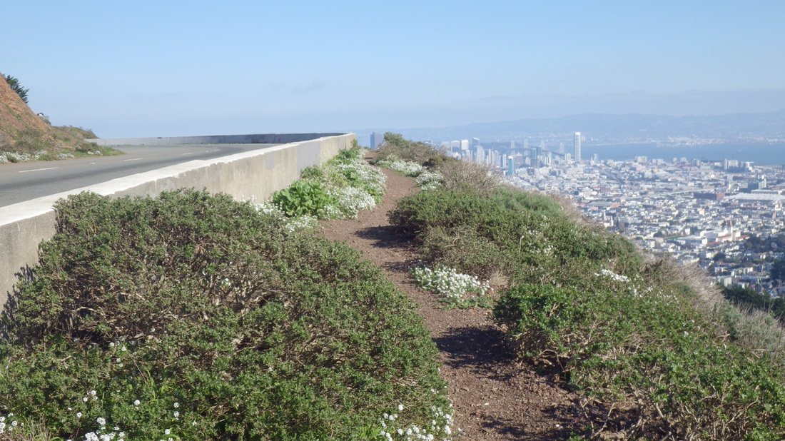
On the way to the Batteries to Bluffs Trail via the Coastal Trail, there's the Golden Gate Overlook (first pic).
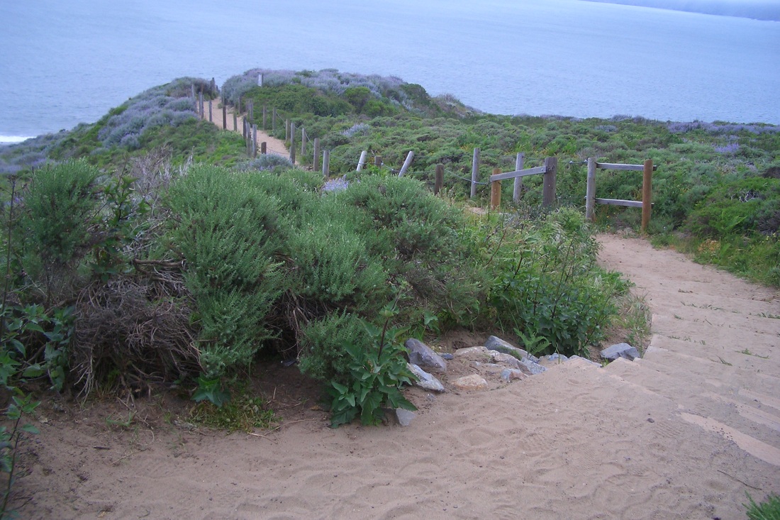
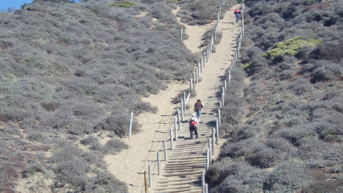
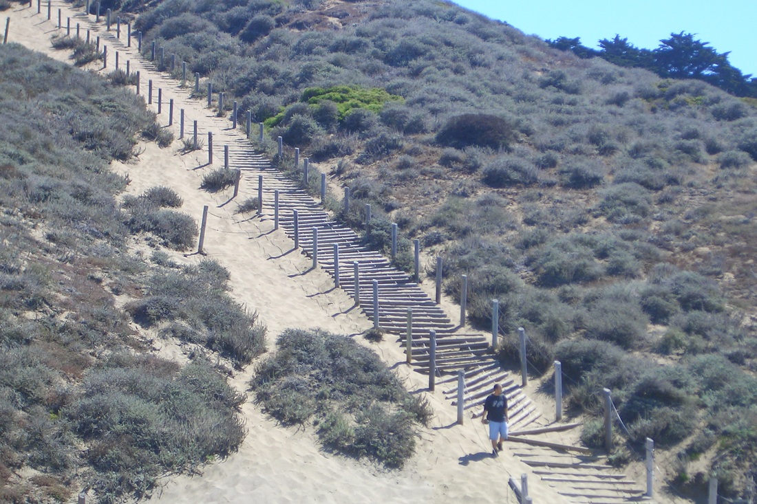
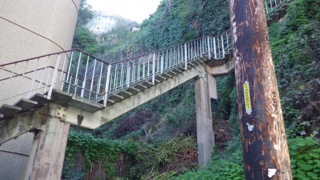
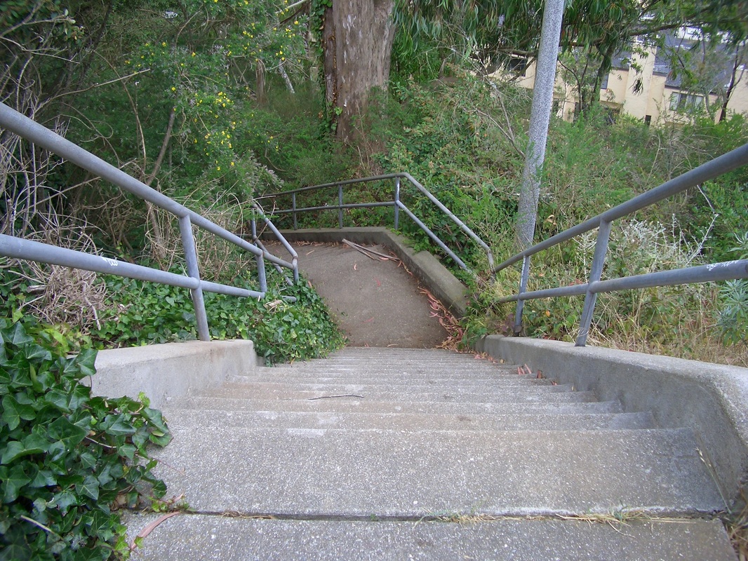
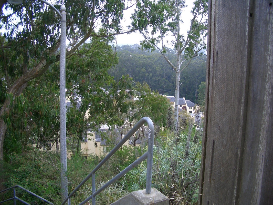
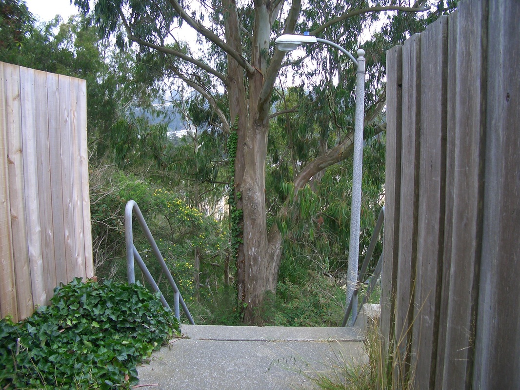
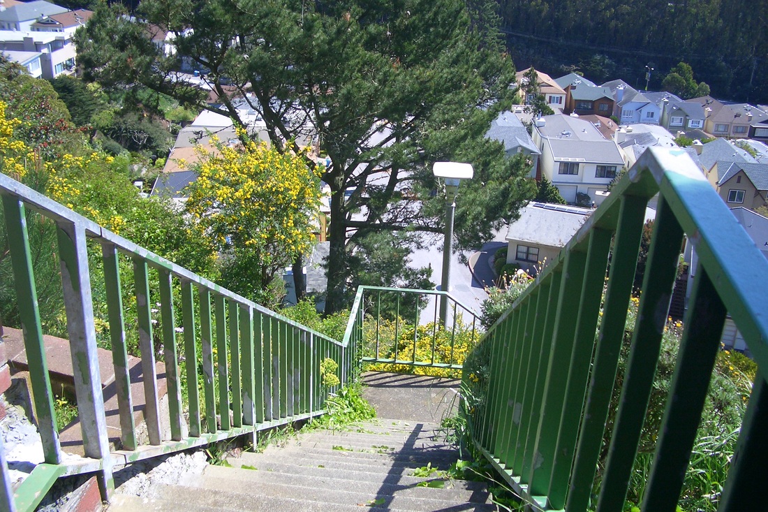
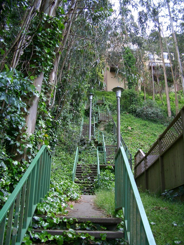
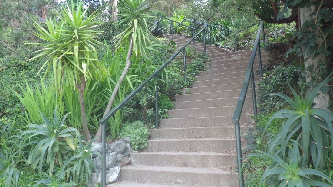
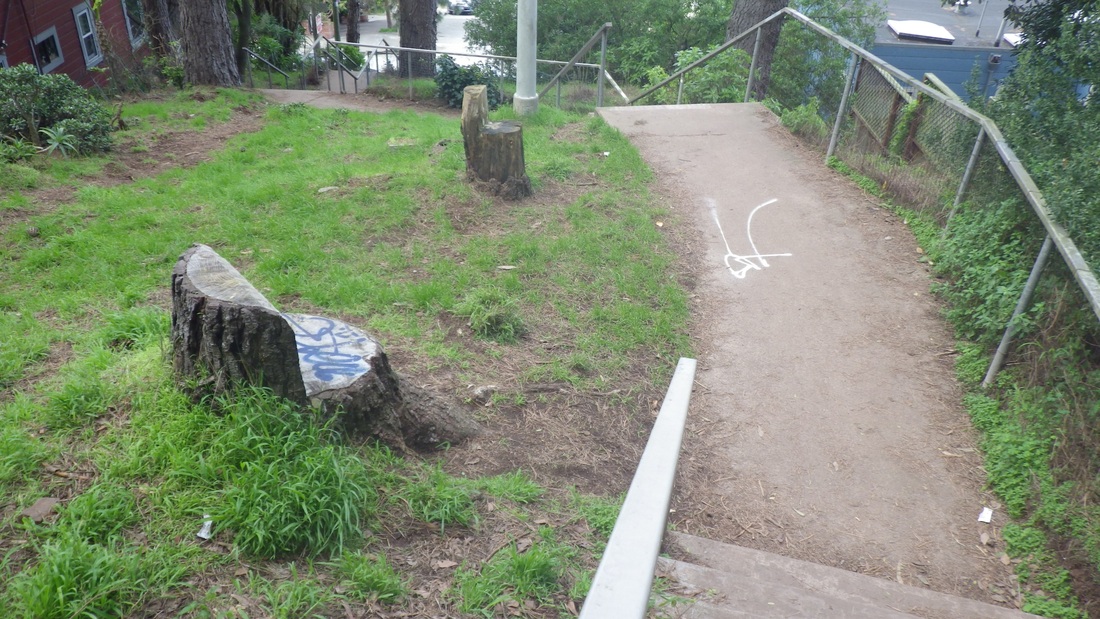
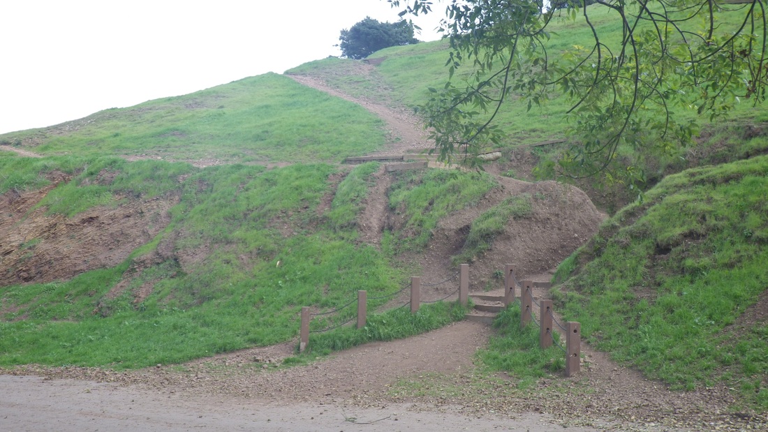
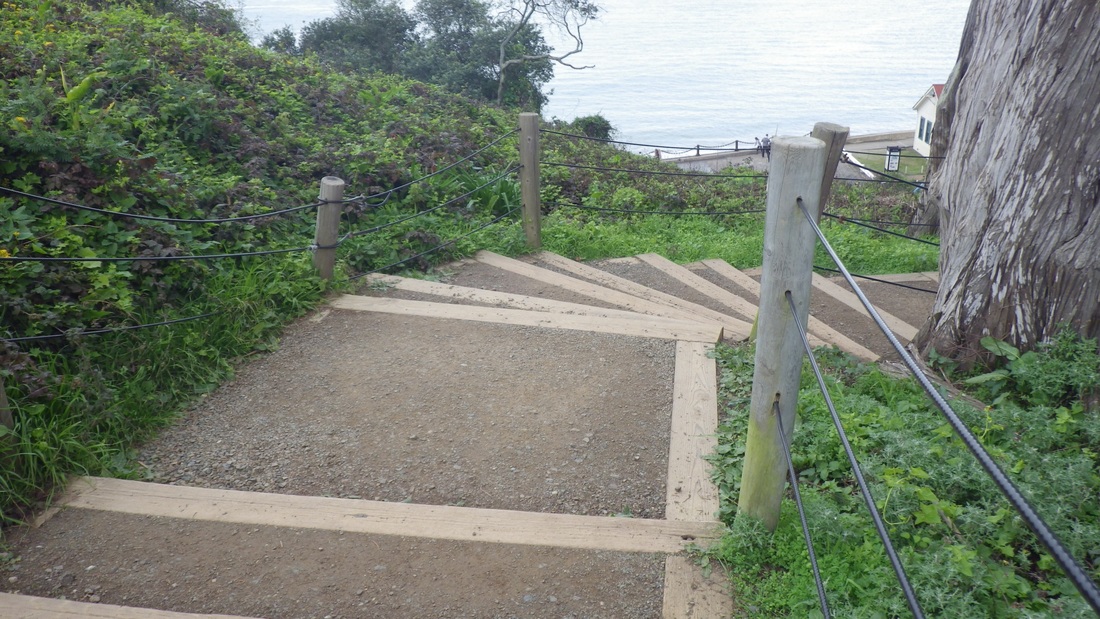
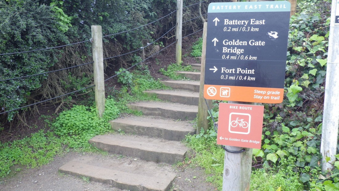
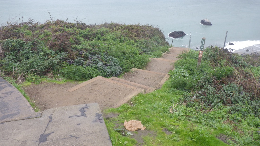
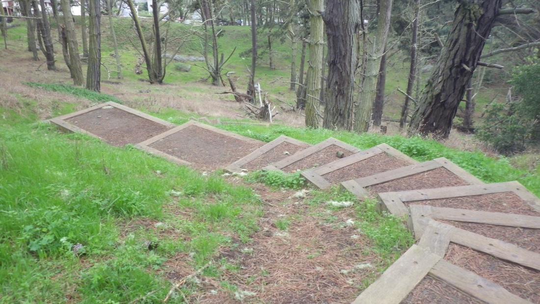
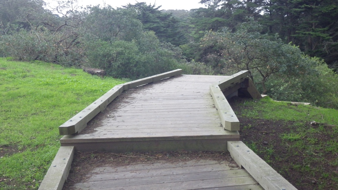
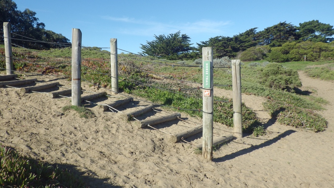
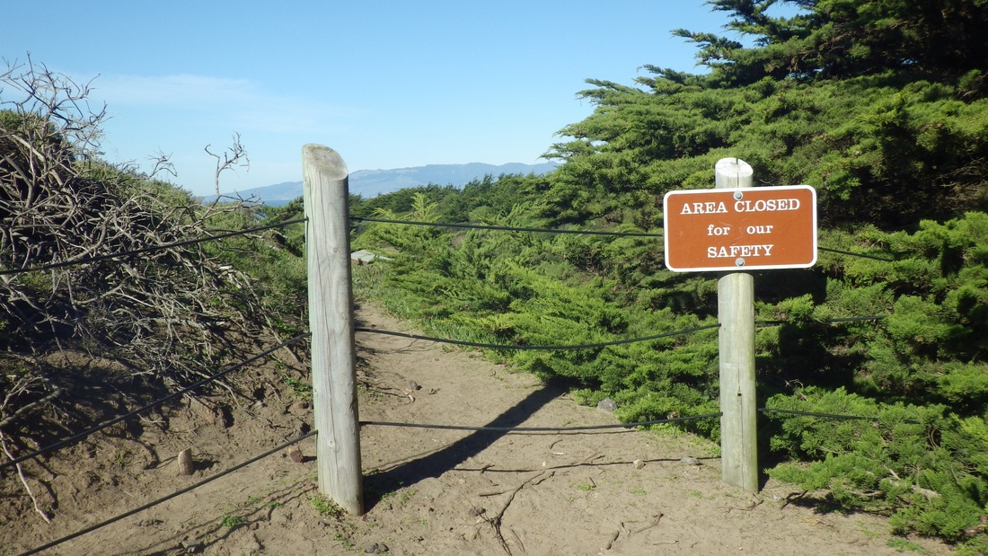
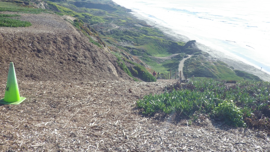
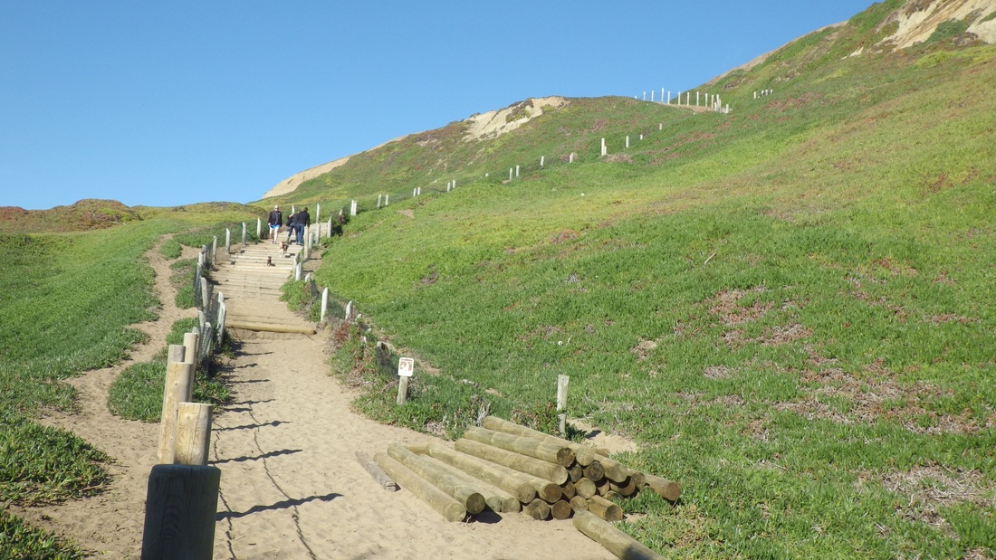
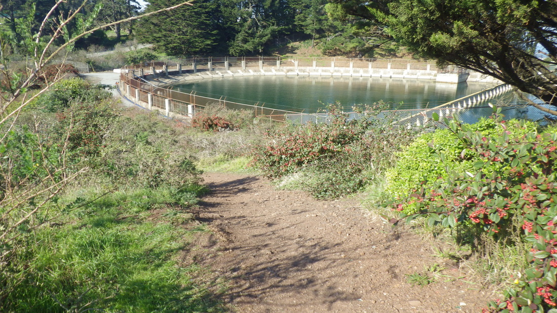
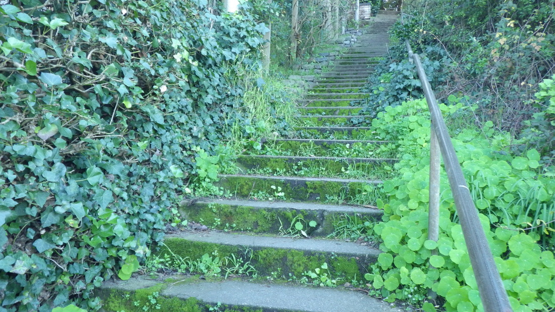
Upon reaching the BTB's east trailhead could see the usual skateboarders atop Battery Crosby way off in the distance. The nearby Pacific Overlook area along Lincoln is still being worked on and there's a trail detour but, as last time, the BTB (473 or so steps) was accessible (pics 2, 3).
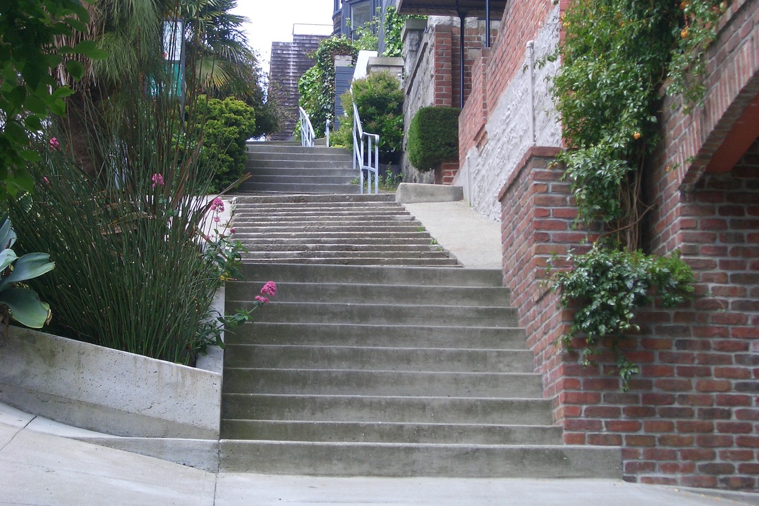
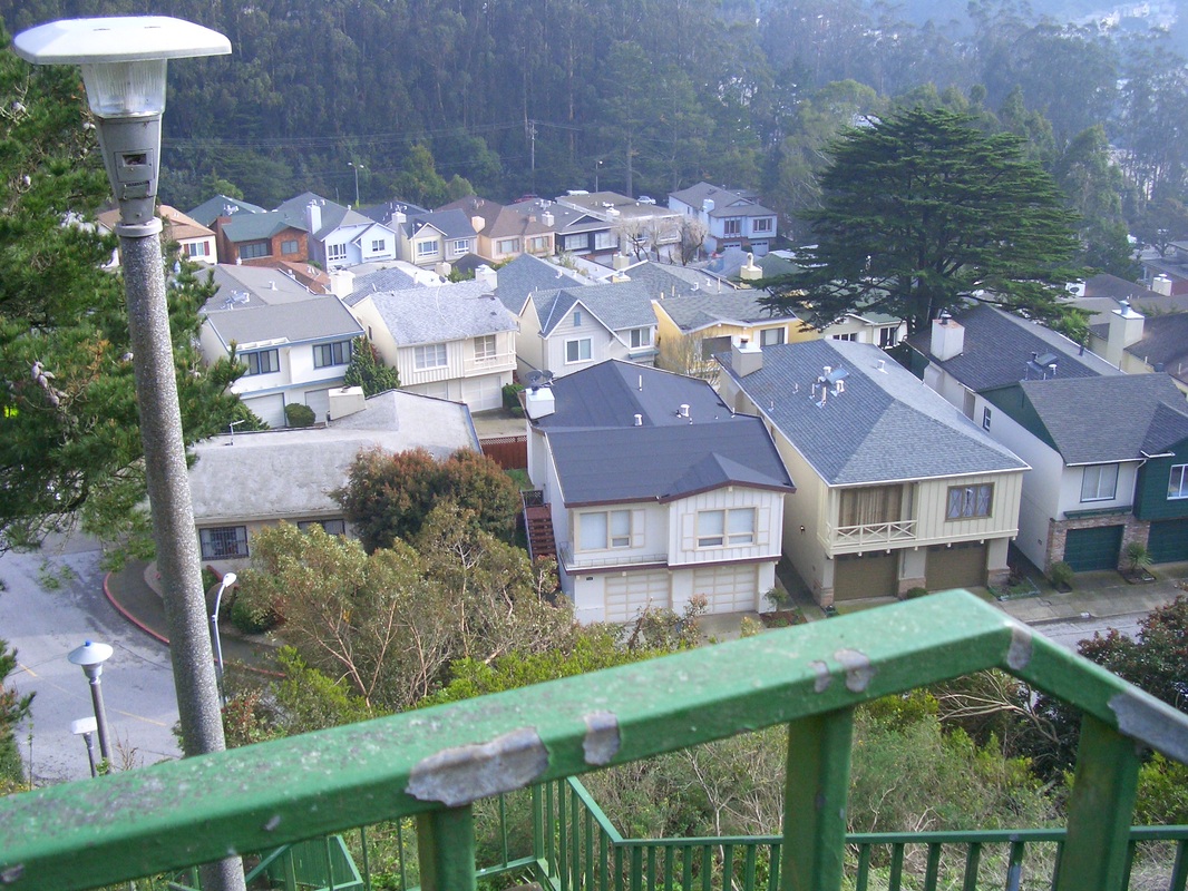
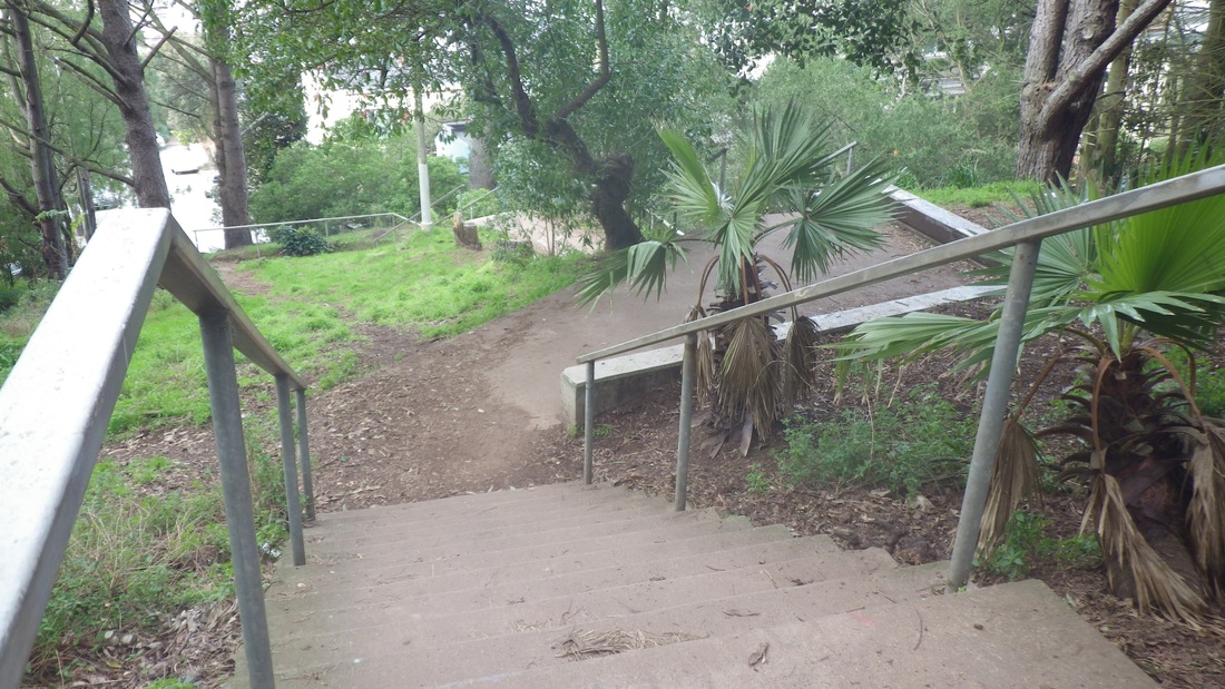
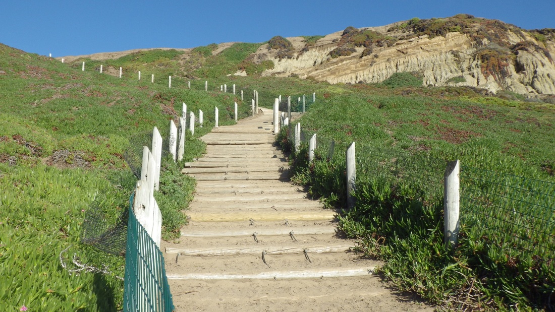
There are around 130 steps to the BTB's View Point with the lone bench.
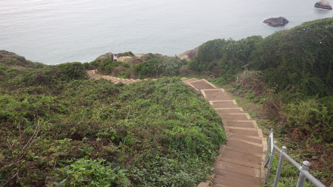
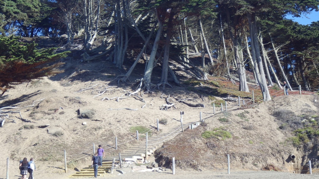
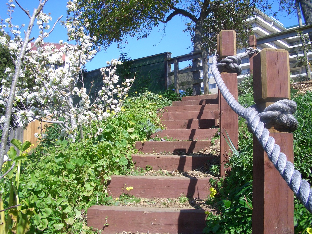
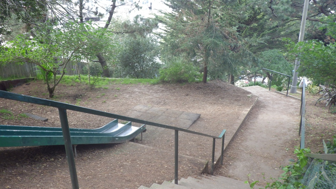
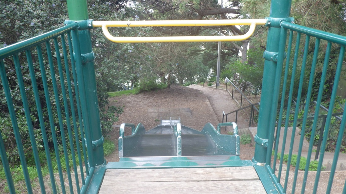
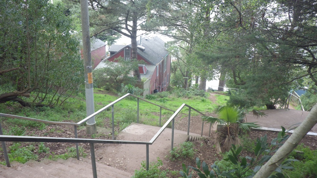
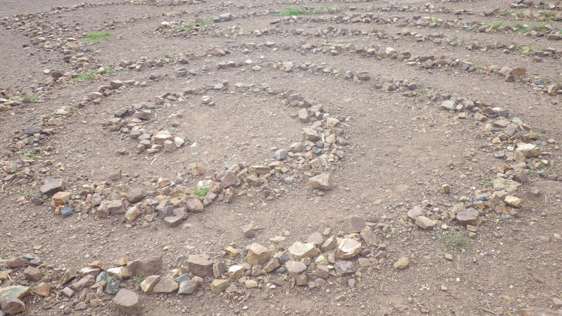
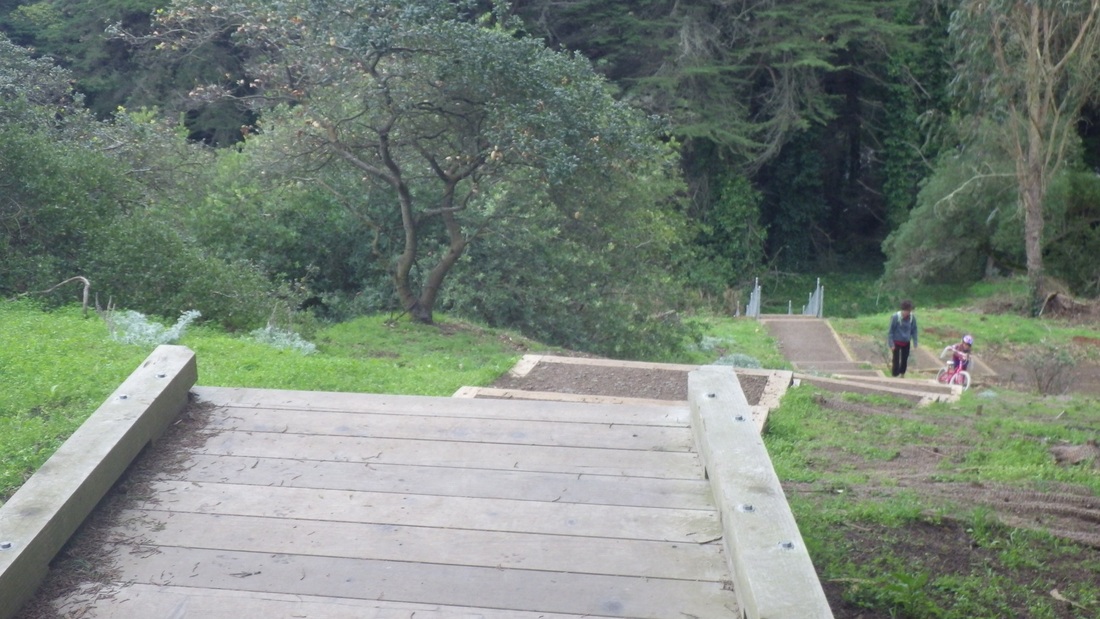
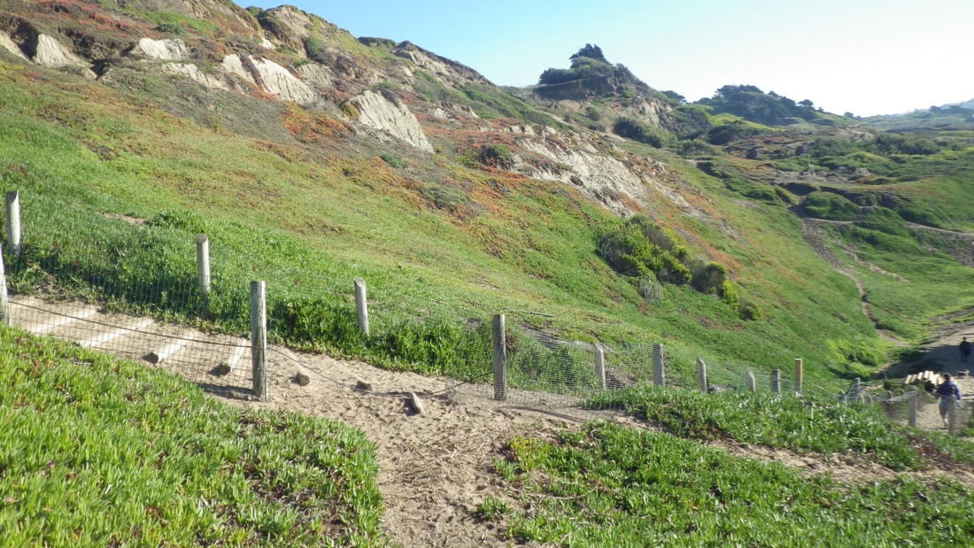
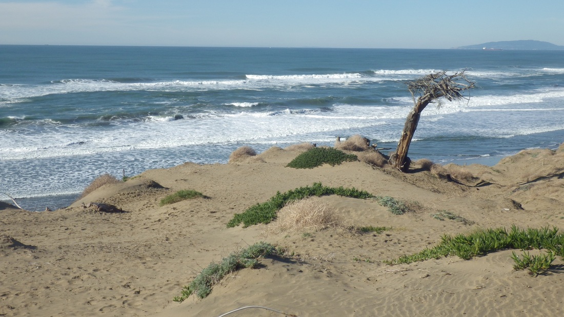
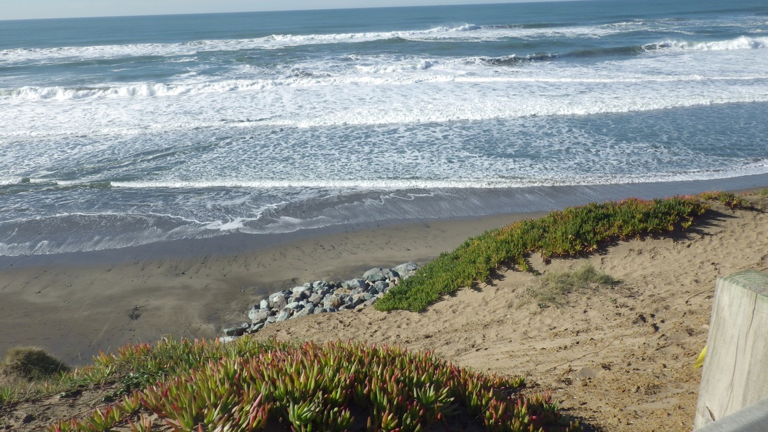
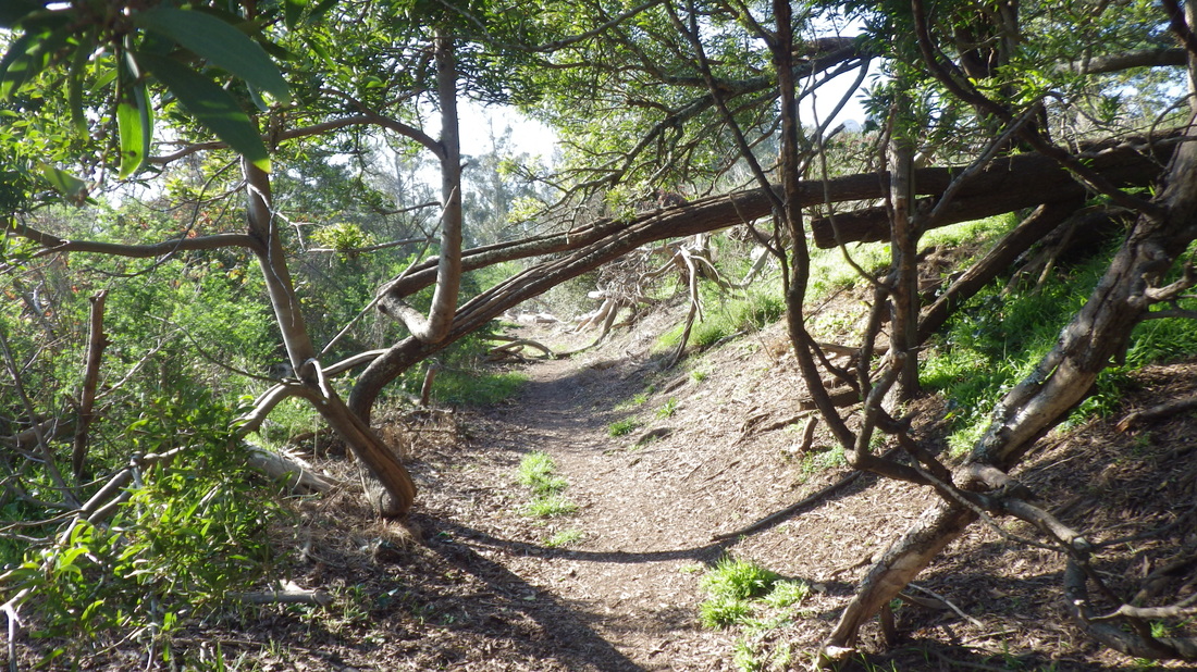
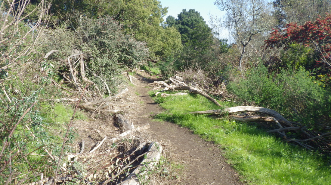
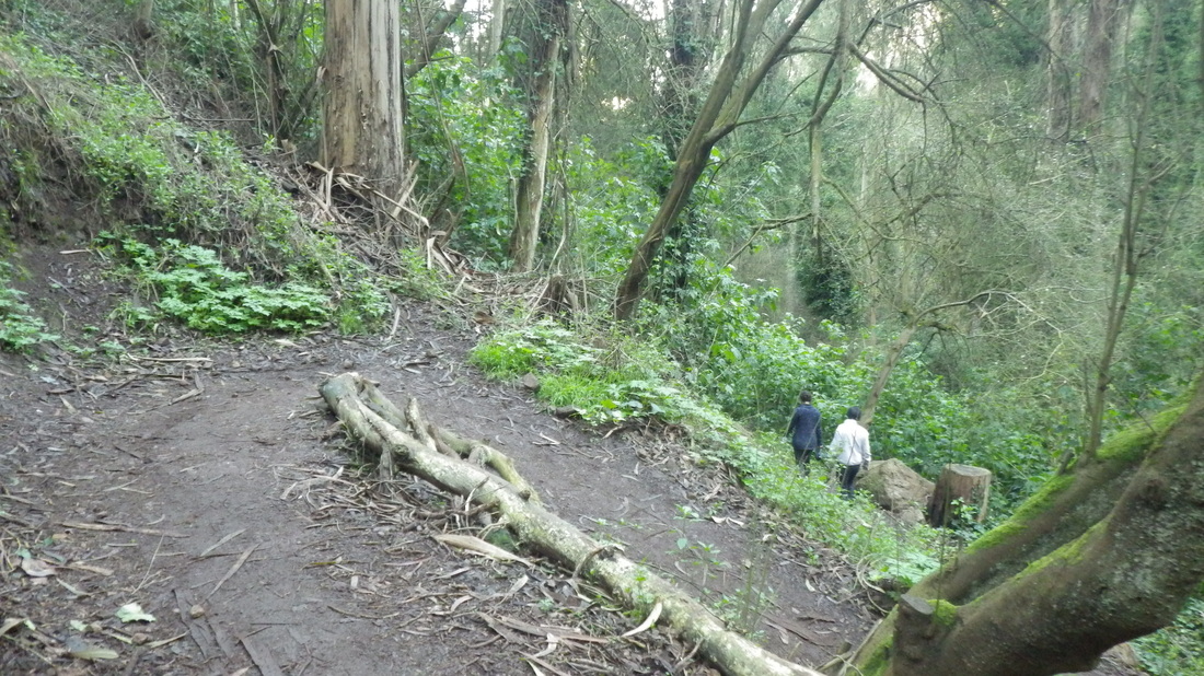
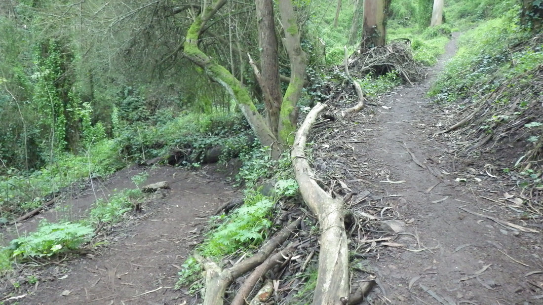
At around the 268th step, detoured down to Marshall's Beach, a secluded spot that can only be reached from the Batteries to Bluffs. The Marshall's trail is short and rocky with 45 or so steps (pics 4, 5).
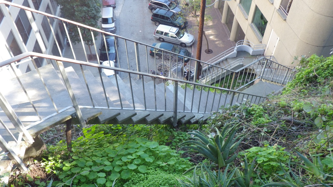
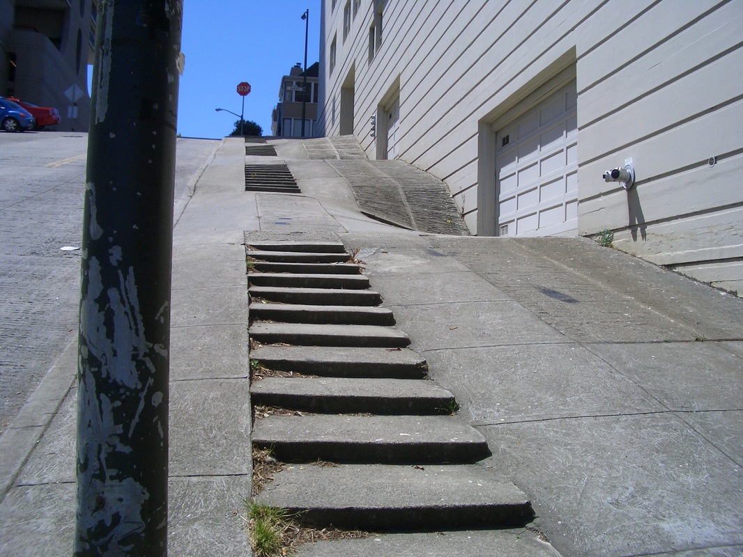
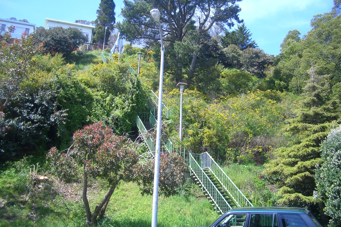
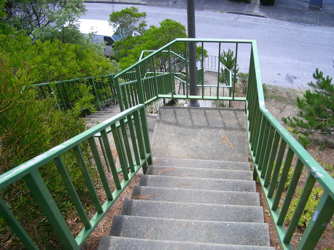
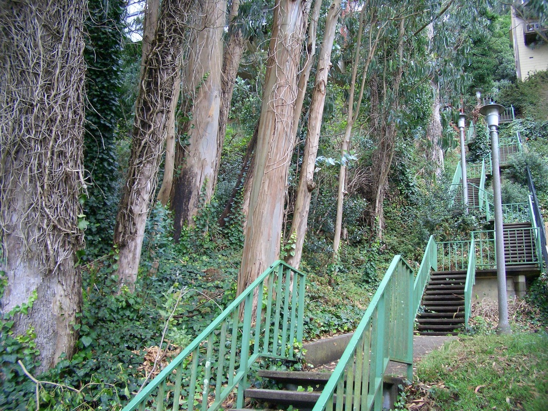
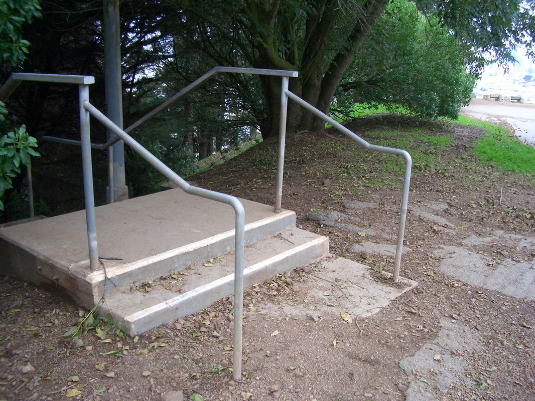
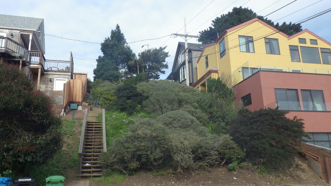
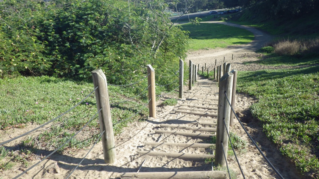
Back up to continue to the west BTB trailhead and uphill to Lincoln. However, instead of crossing over to climb the Connector Trail (208) to Immigrant Point Overlook, stayed on the same side of Lincoln for the top of the Sand Ladder. There are at least 250 steps, always more or less covered with sand, down to Baker Beach. So walk this one and see what YOU get… Next 5 pix.
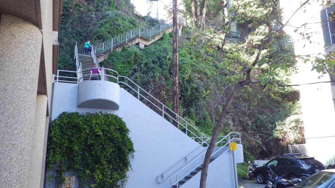
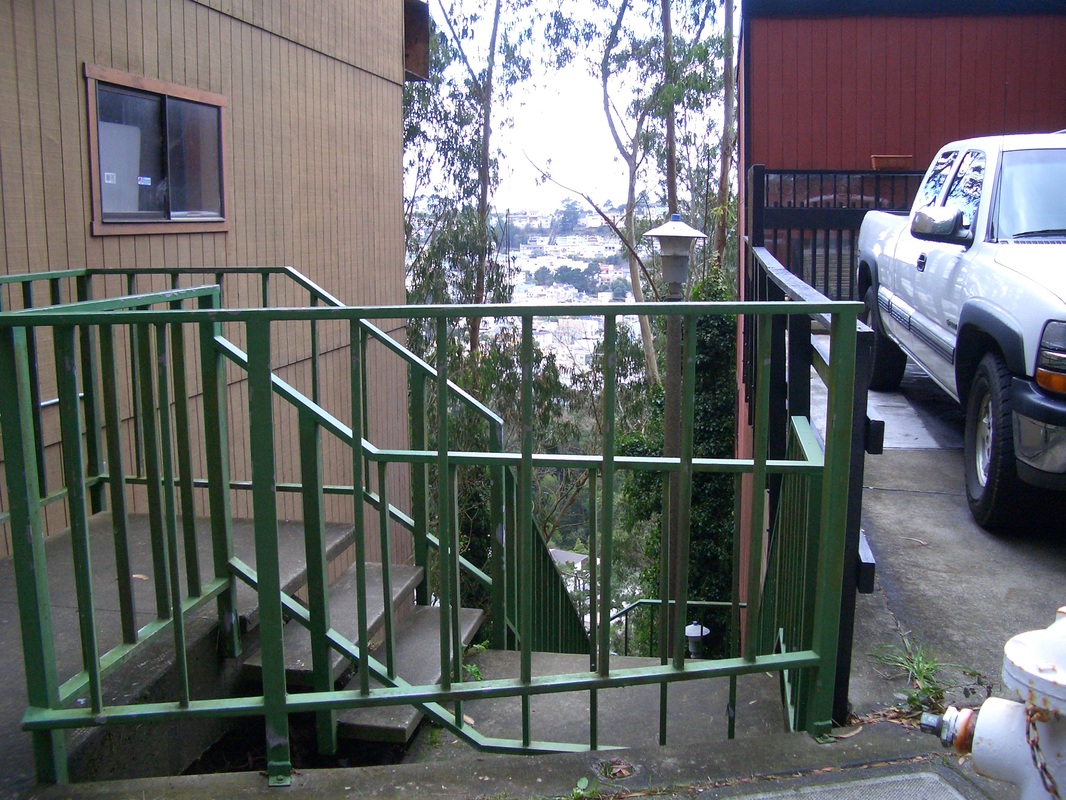
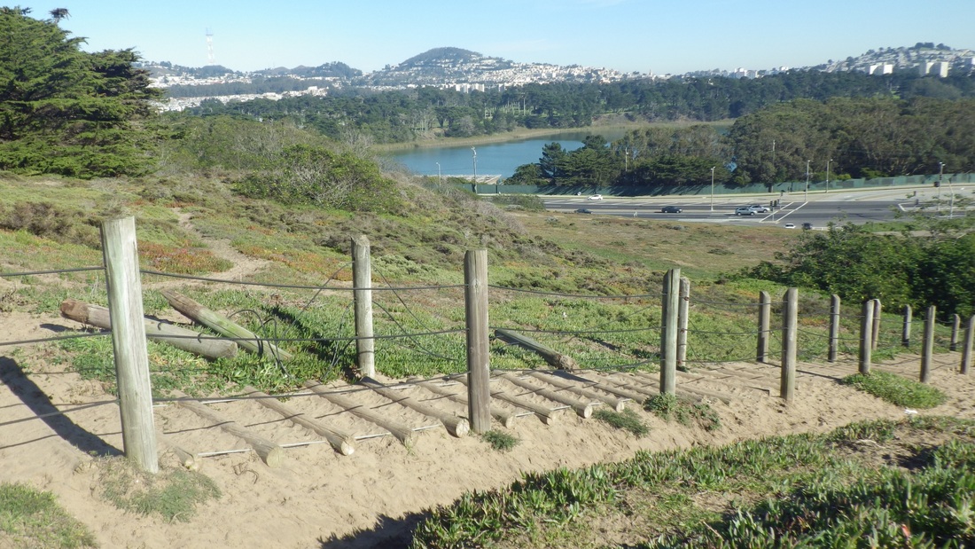
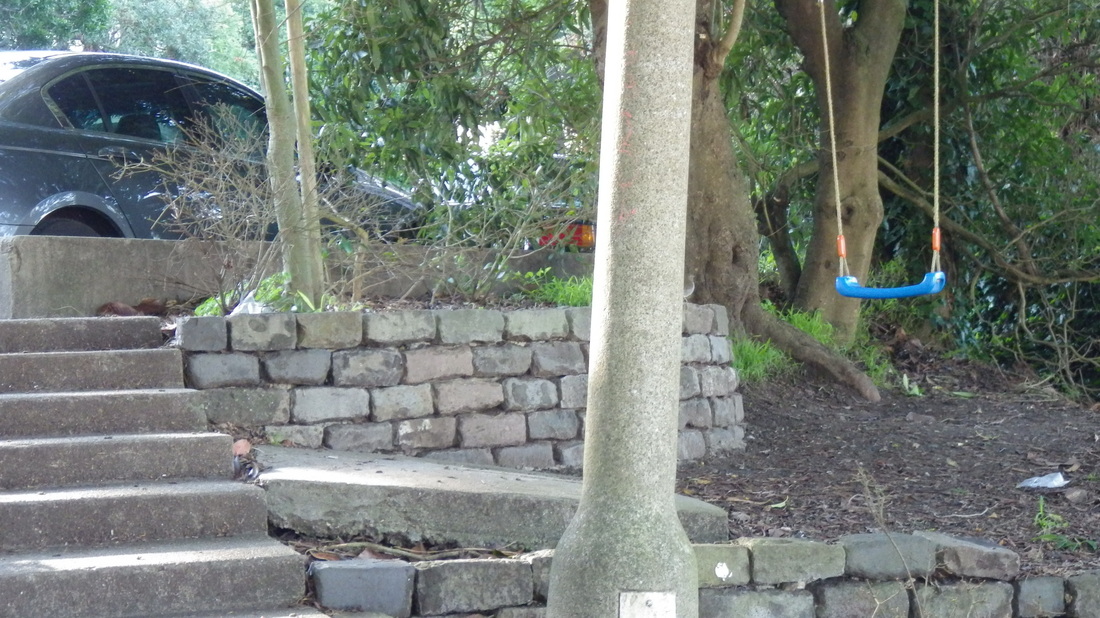
Sand-slogged a short distance over to the micro-Sand Ladder: 45 steps up (11th pic), for trails just above the beach. A green area with sandy trails and a bunch of picnic tables are scattered about (last pic) near the parking lot for beachgoers and Battery Chamberlin.
Uphill a short distance are two bus stops for the #29 Sunset.
Upon reaching the BTB's east trailhead could see the usual skateboarders atop Battery Crosby way off in the distance. The nearby Pacific Overlook area along Lincoln is still being worked on and there's a trail detour but, as last time, the BTB (473 or so steps) was accessible (pics 2, 3).
There are around 130 steps to the BTB's View Point with the lone bench.
At around the 268th step, detoured down to Marshall's Beach, a secluded spot that can only be reached from the Batteries to Bluffs. The Marshall's trail is short and rocky with 45 or so steps (pics 4, 5).
Back up to continue to the west BTB trailhead and uphill to Lincoln. However, instead of crossing over to climb the Connector Trail (208) to Immigrant Point Overlook, stayed on the same side of Lincoln for the top of the Sand Ladder. There are at least 250 steps, always more or less covered with sand, down to Baker Beach. So walk this one and see what YOU get… Next 5 pix.
Sand-slogged a short distance over to the micro-Sand Ladder: 45 steps up (11th pic), for trails just above the beach. A green area with sandy trails and a bunch of picnic tables are scattered about (last pic) near the parking lot for beachgoers and Battery Chamberlin.
Uphill a short distance are two bus stops for the #29 Sunset.
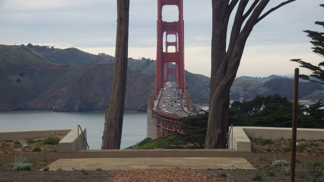
A view from the Golden Gate Overlook
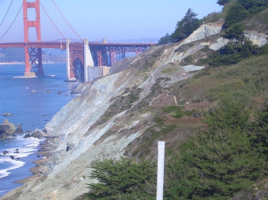
Batteries to Bluffs Trail
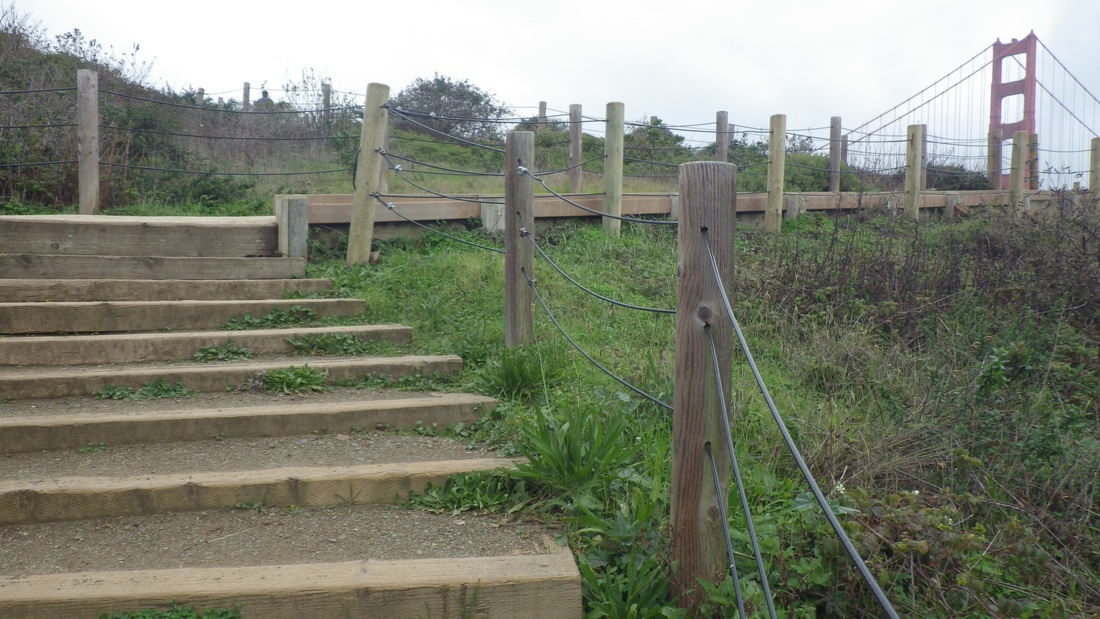
Batteries to Bluffs down the west side
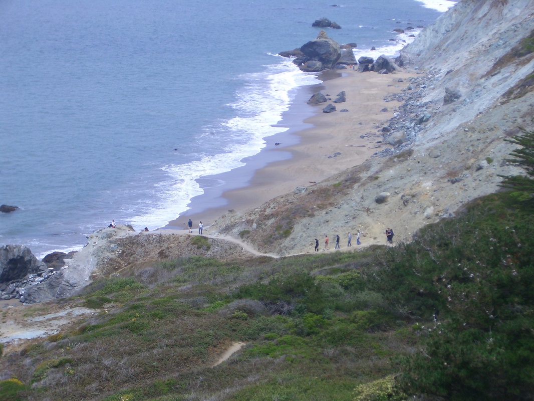
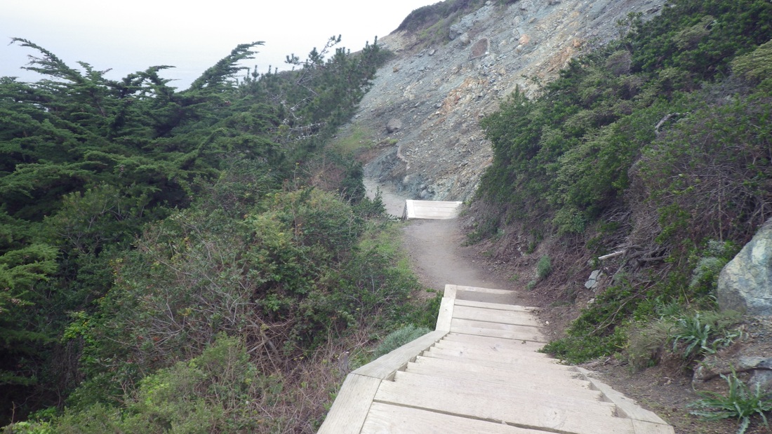
Marshall's Beach Trail
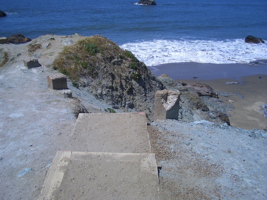
Marshall's Beach Trail
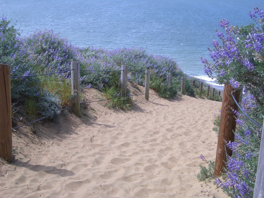
Top of the Sand Ladder down from Lincoln
Sand Ladder
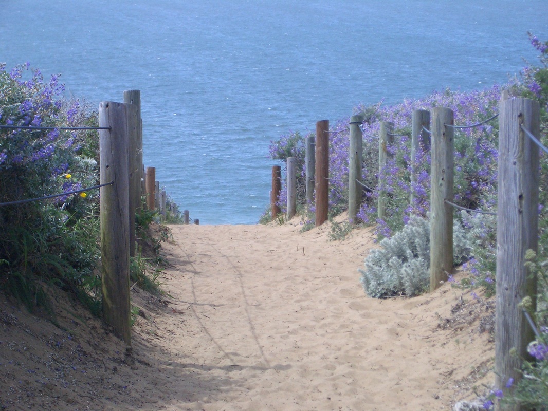
Sand Ladder
Sand Ladder up from Baker Beach
Sand Ladder down to Baker Beach
Micro-Sand Ladder up from Baker Beach, 45 steps
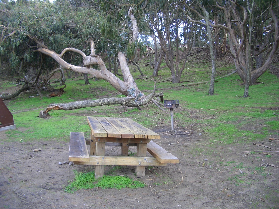
Baker Beach picnic area


 RSS Feed
