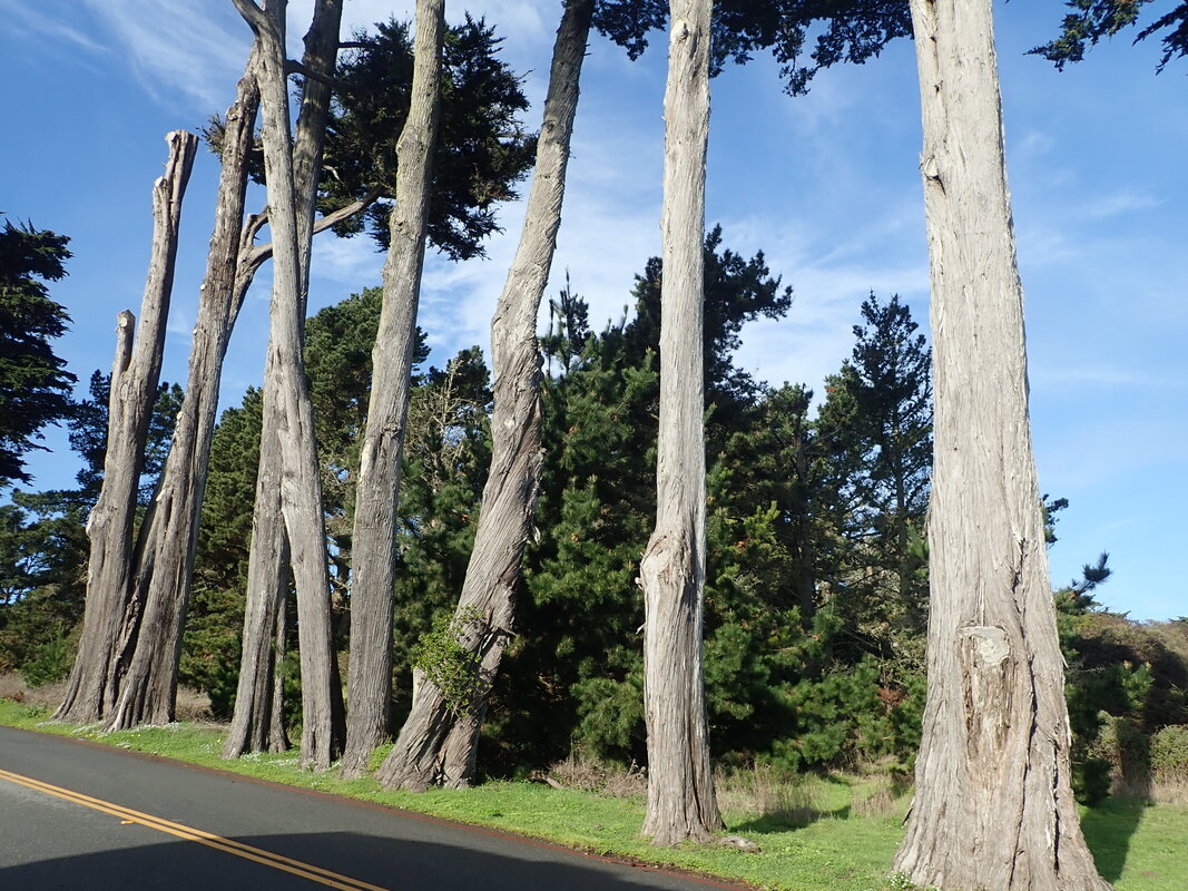
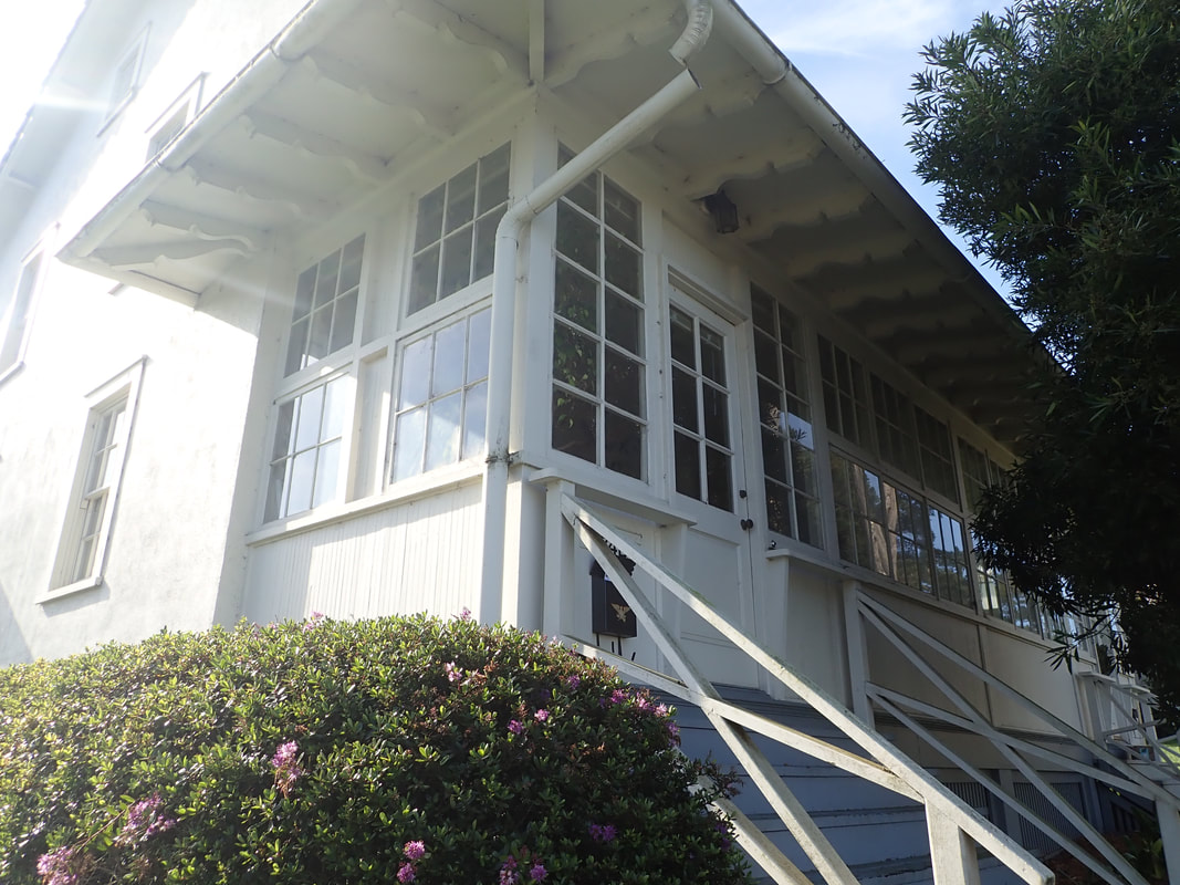
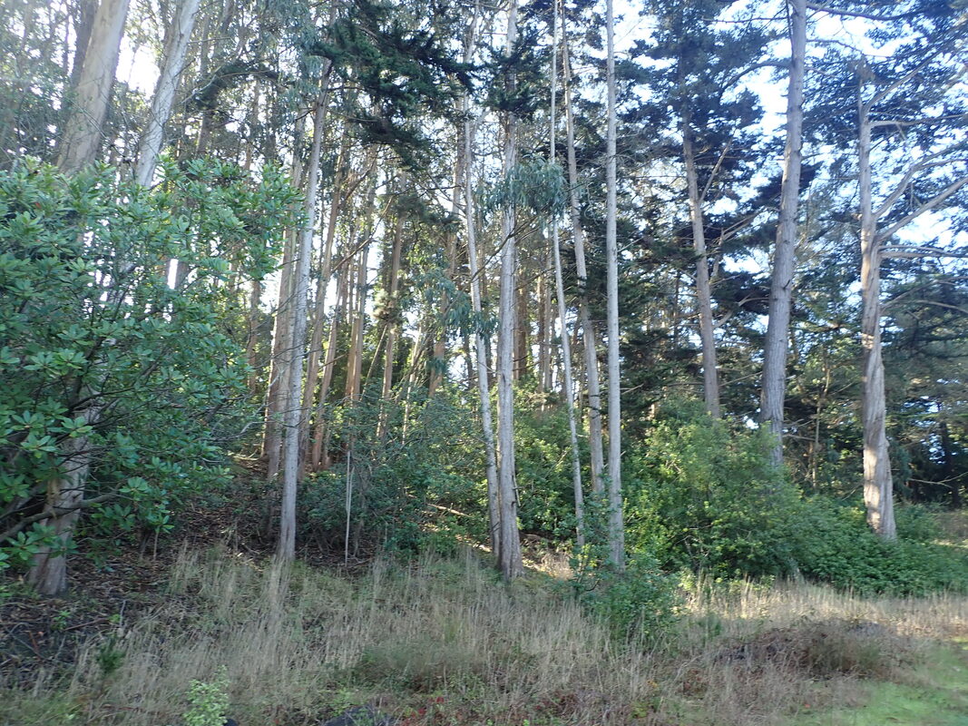
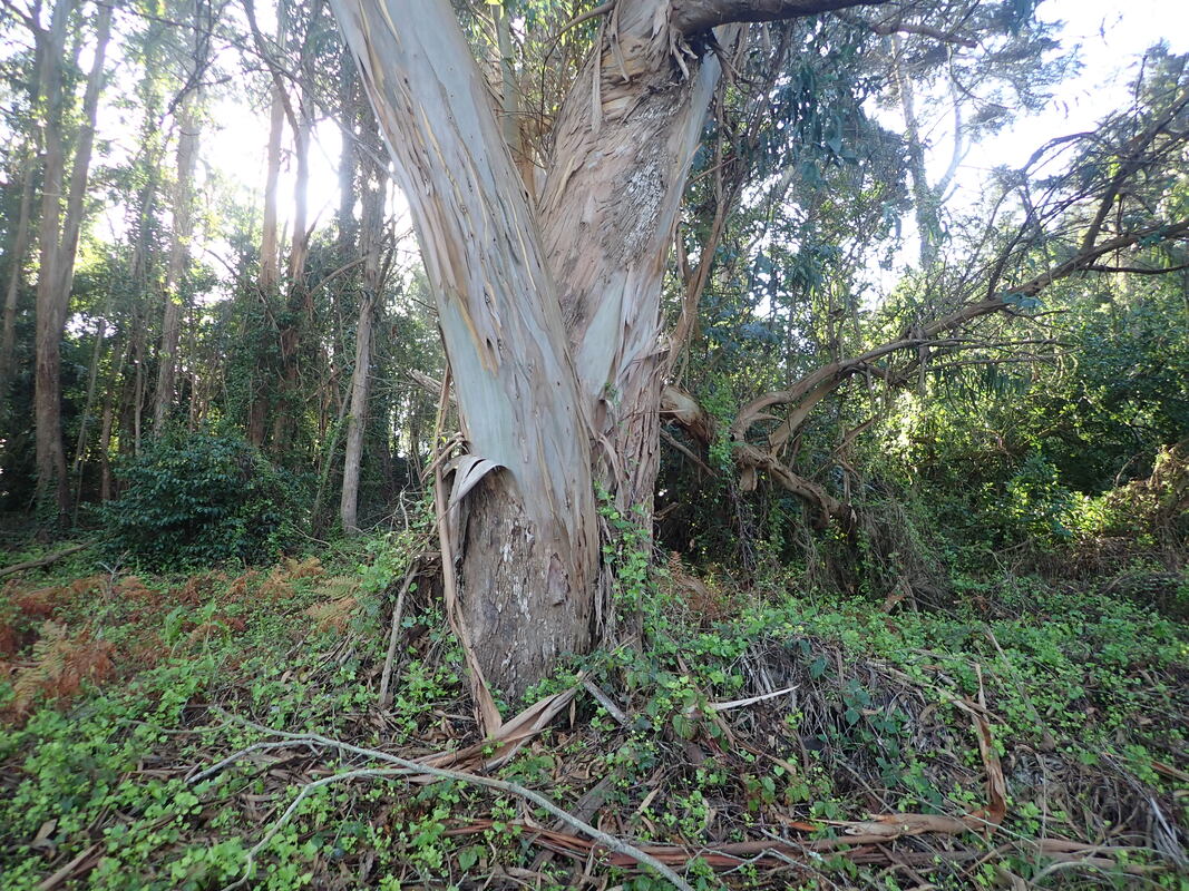
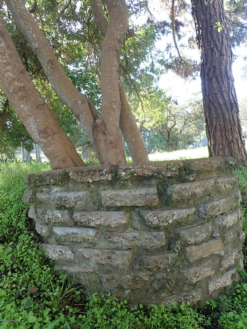
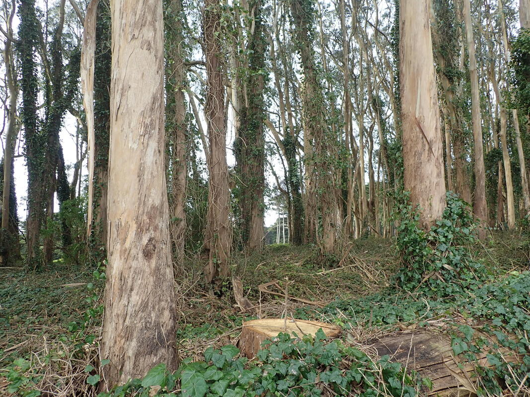
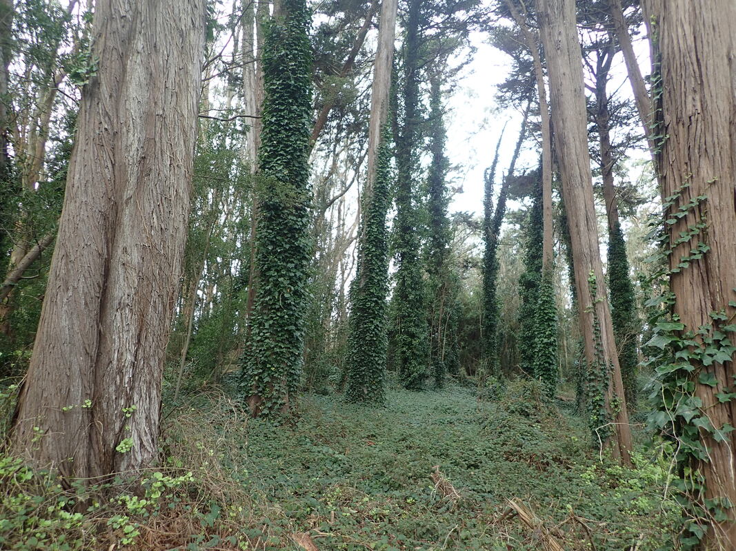
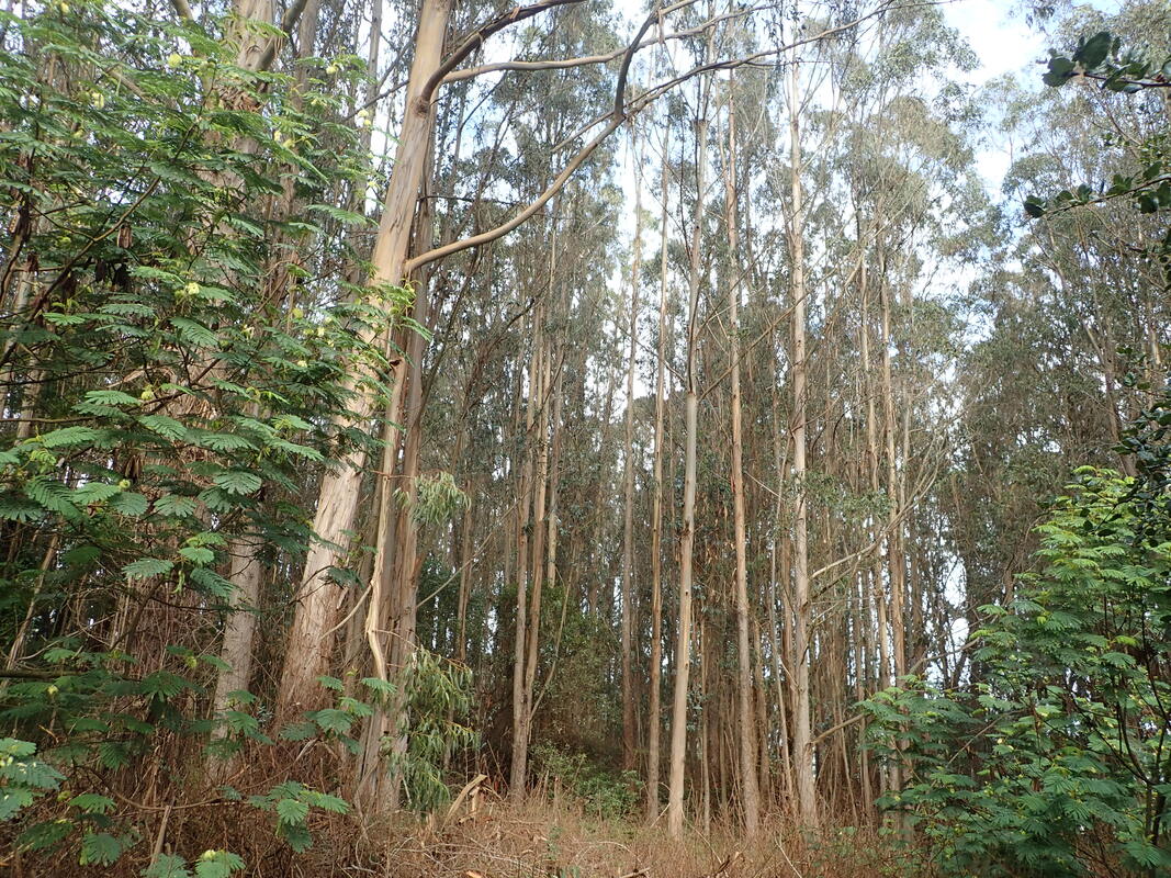
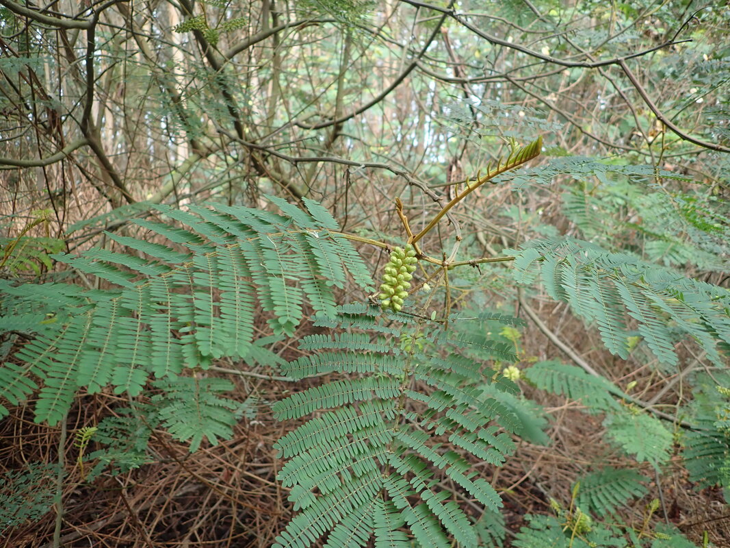
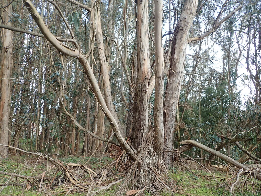
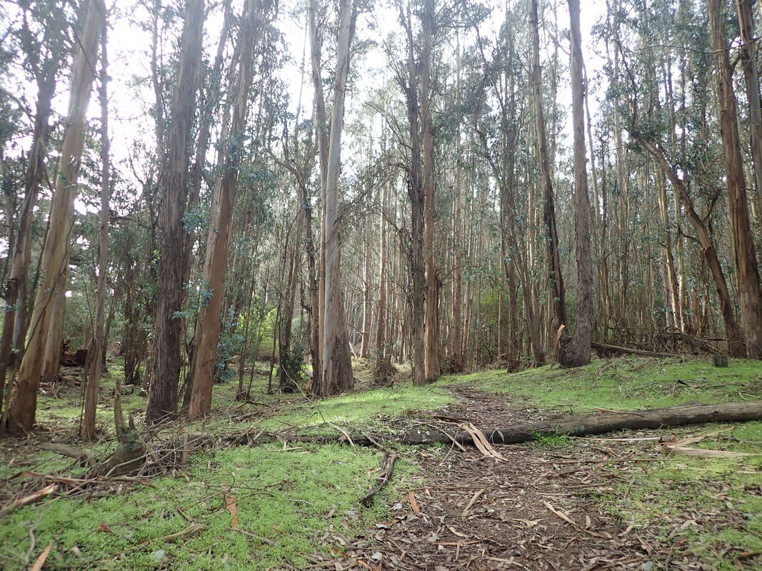
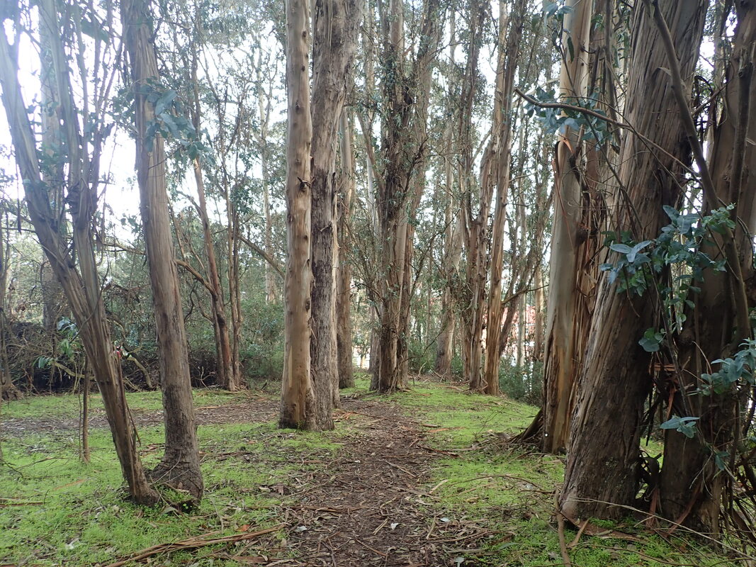
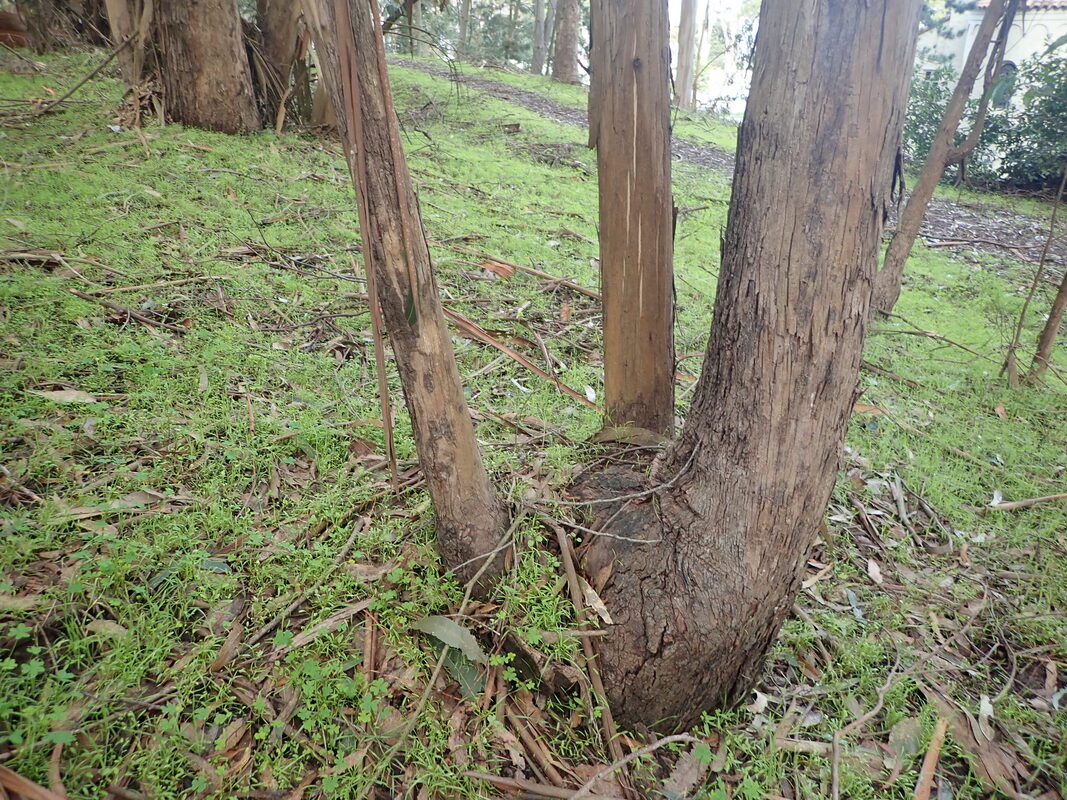
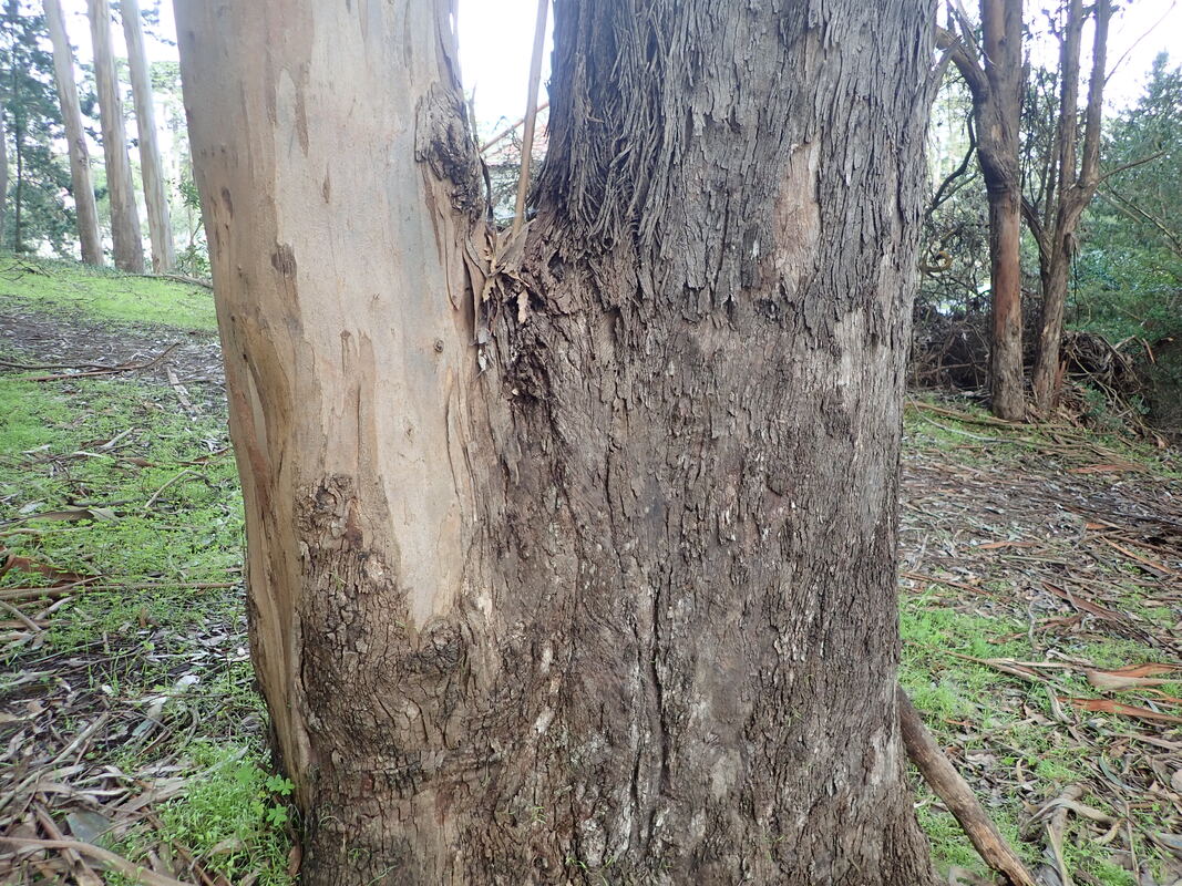
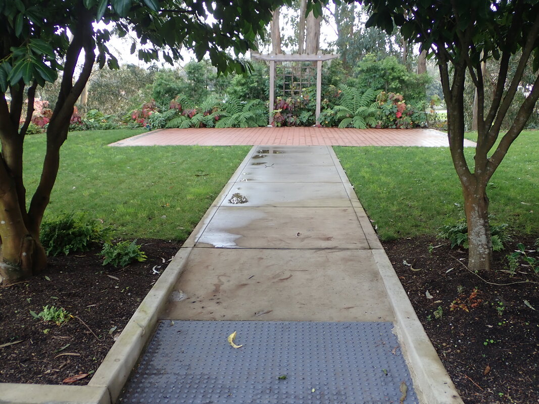
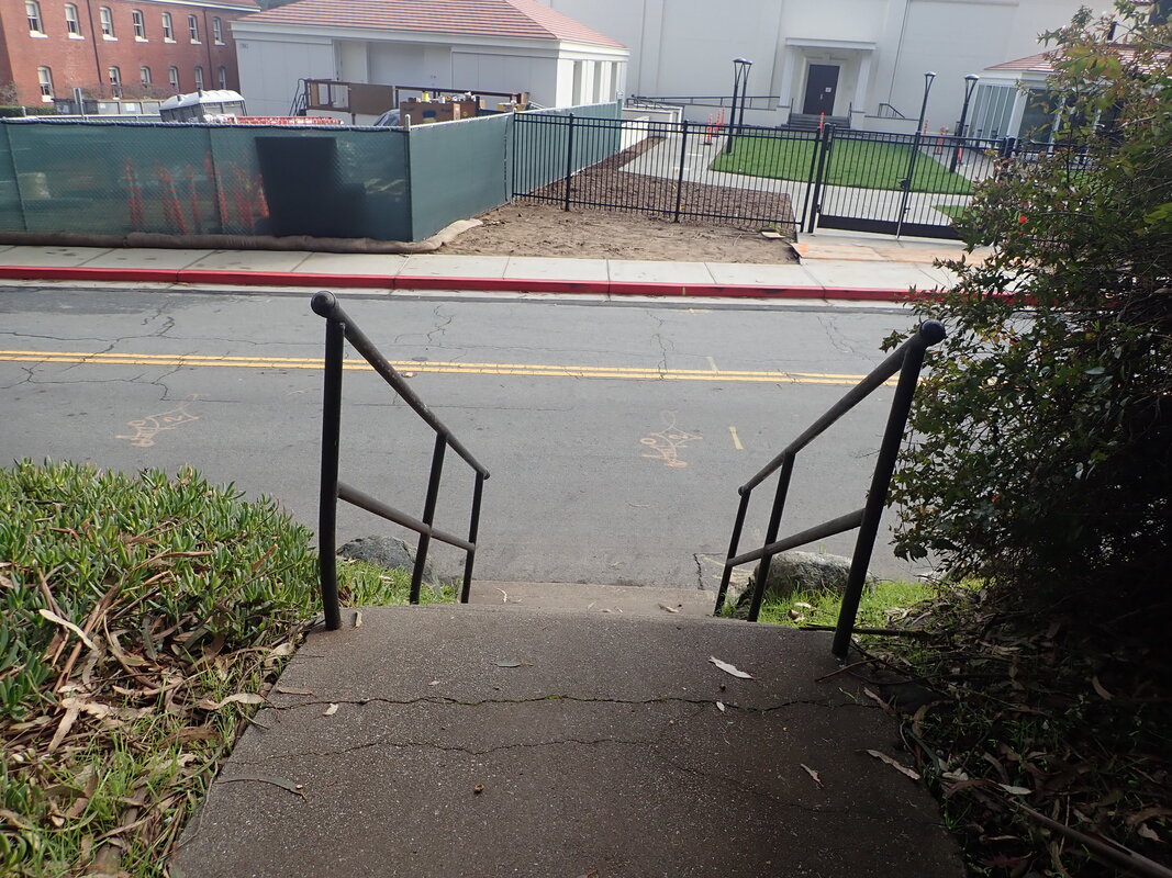
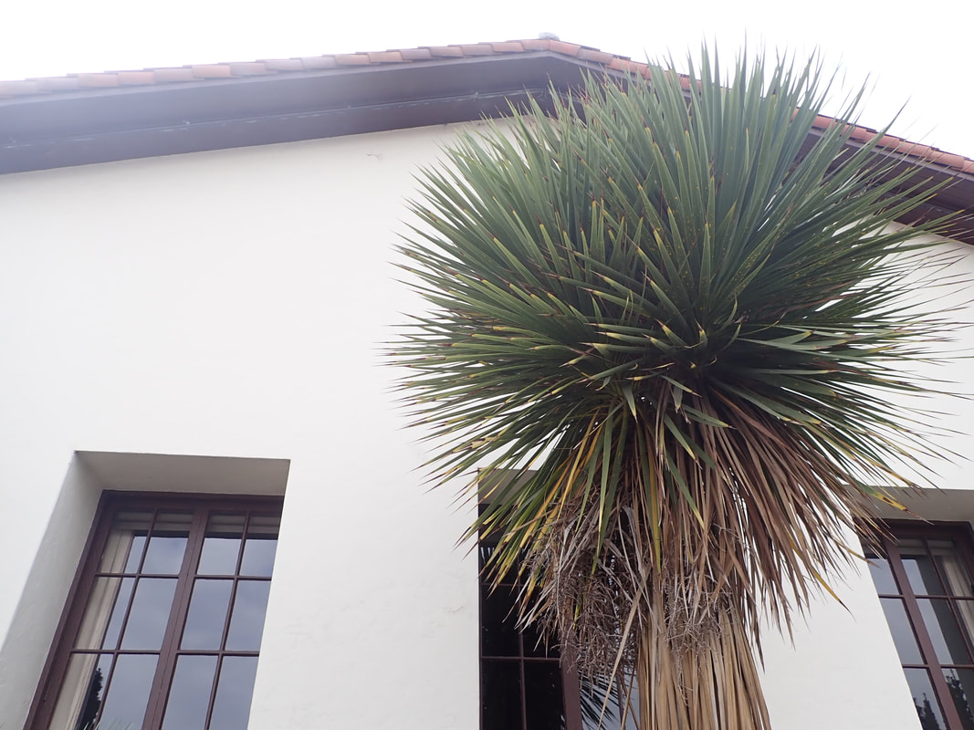
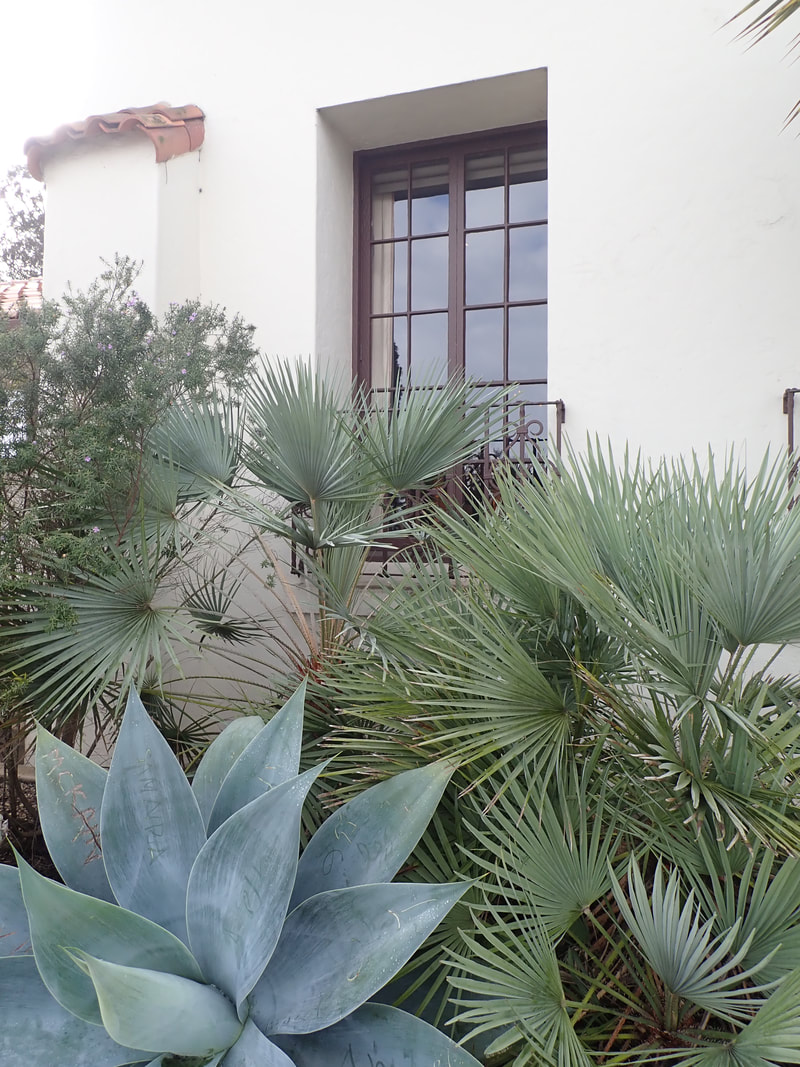
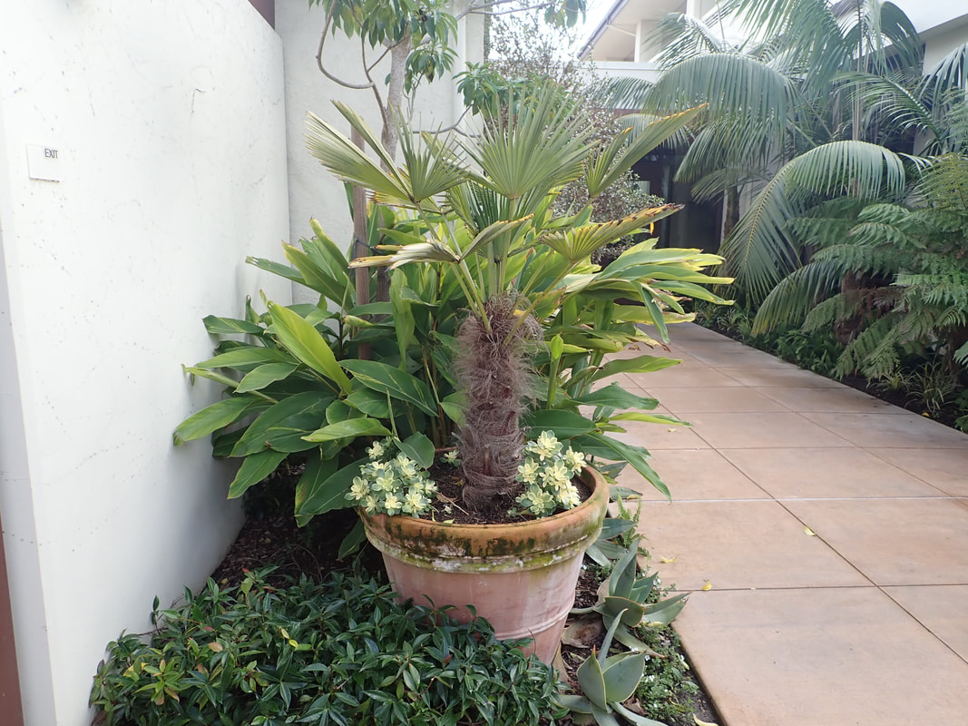
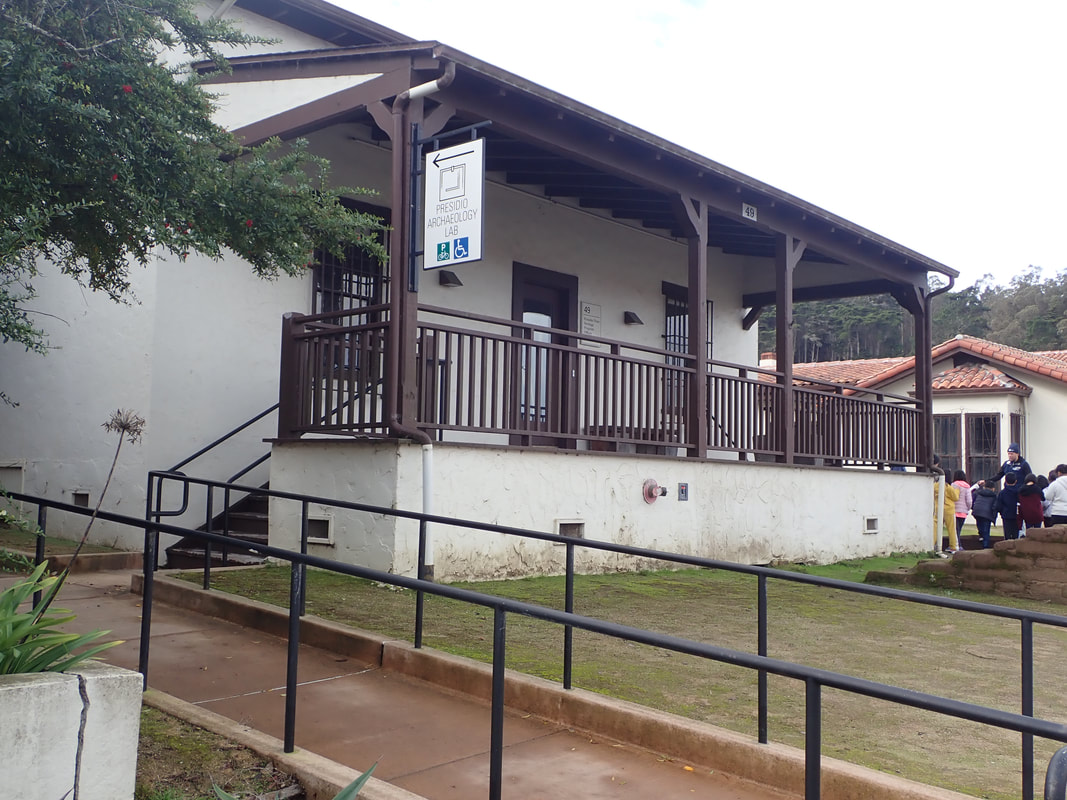
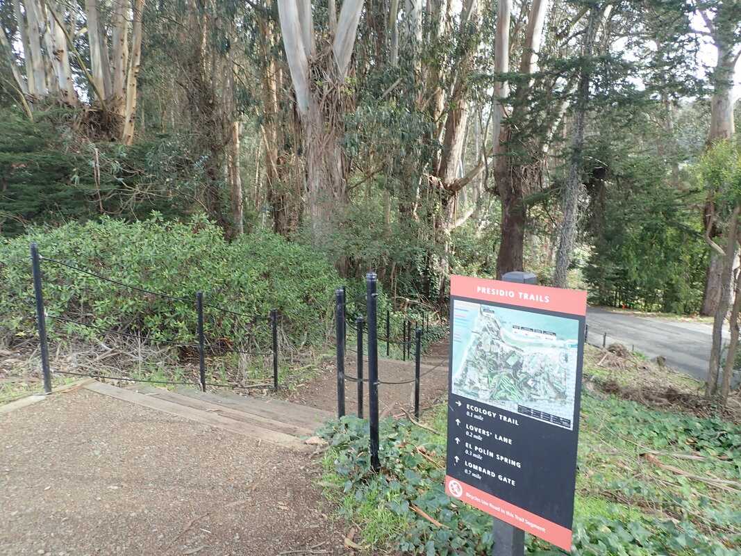
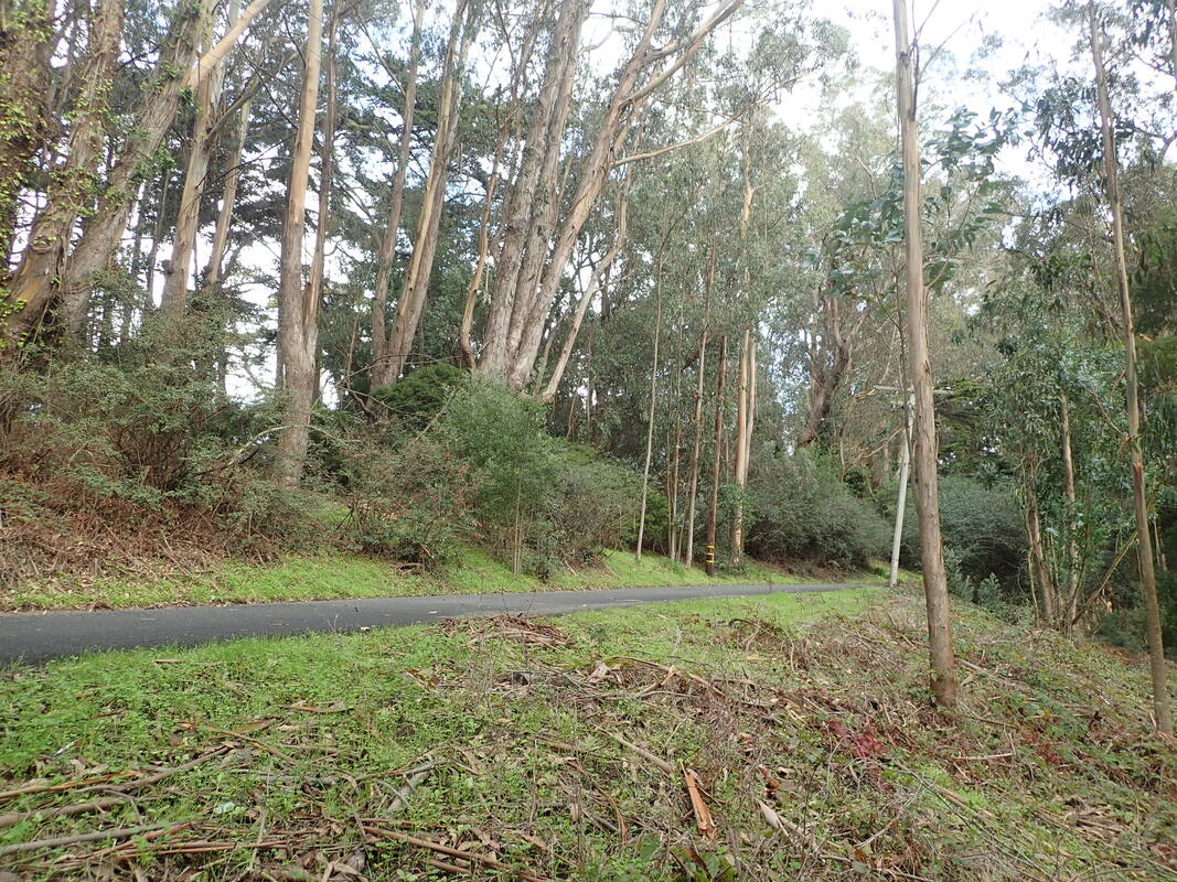
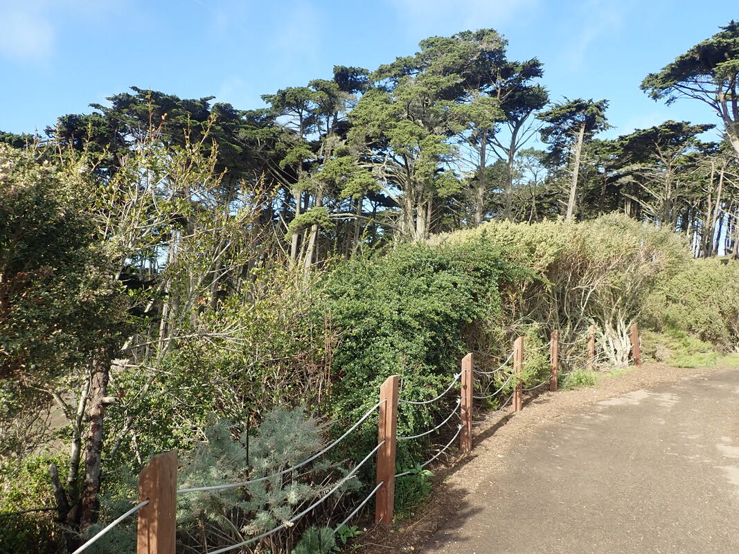
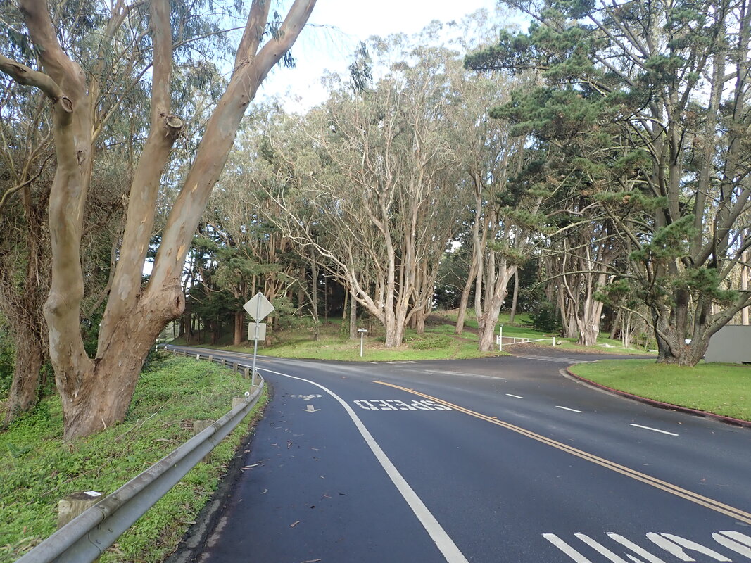
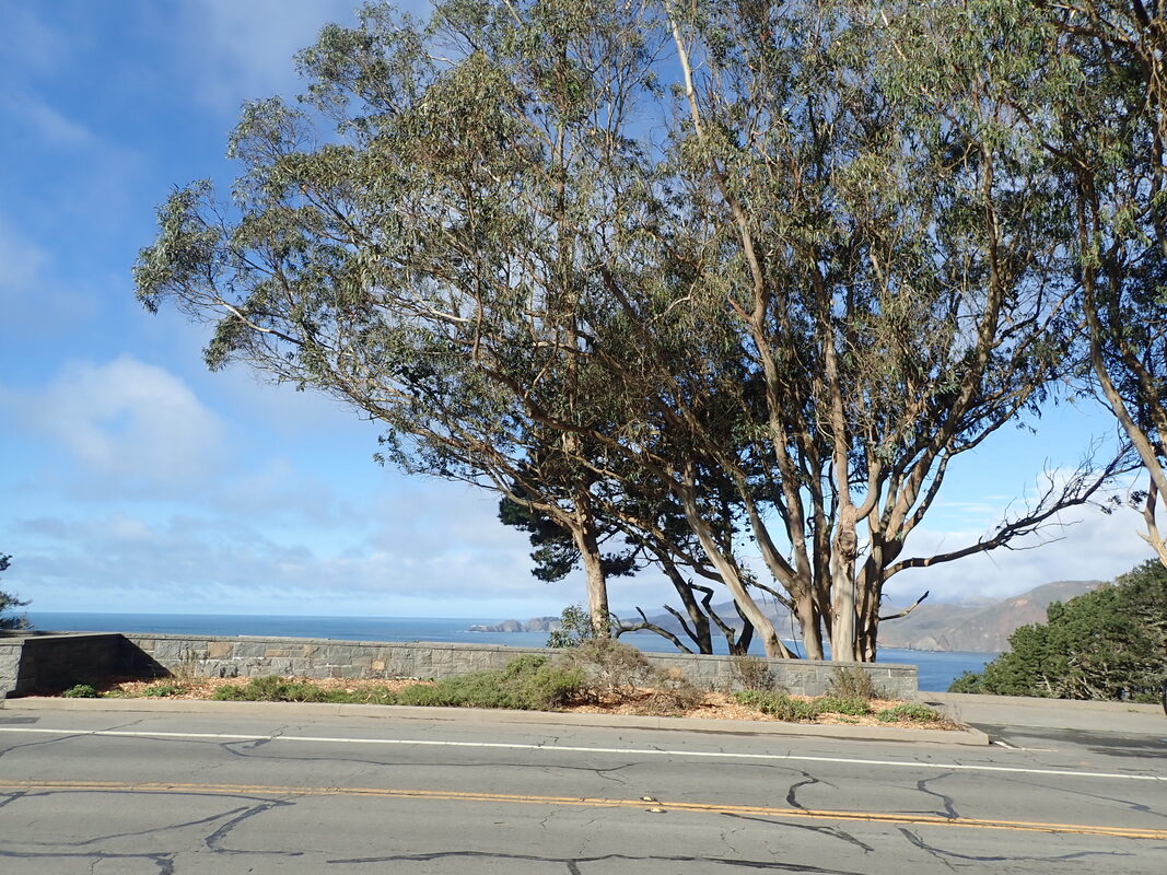
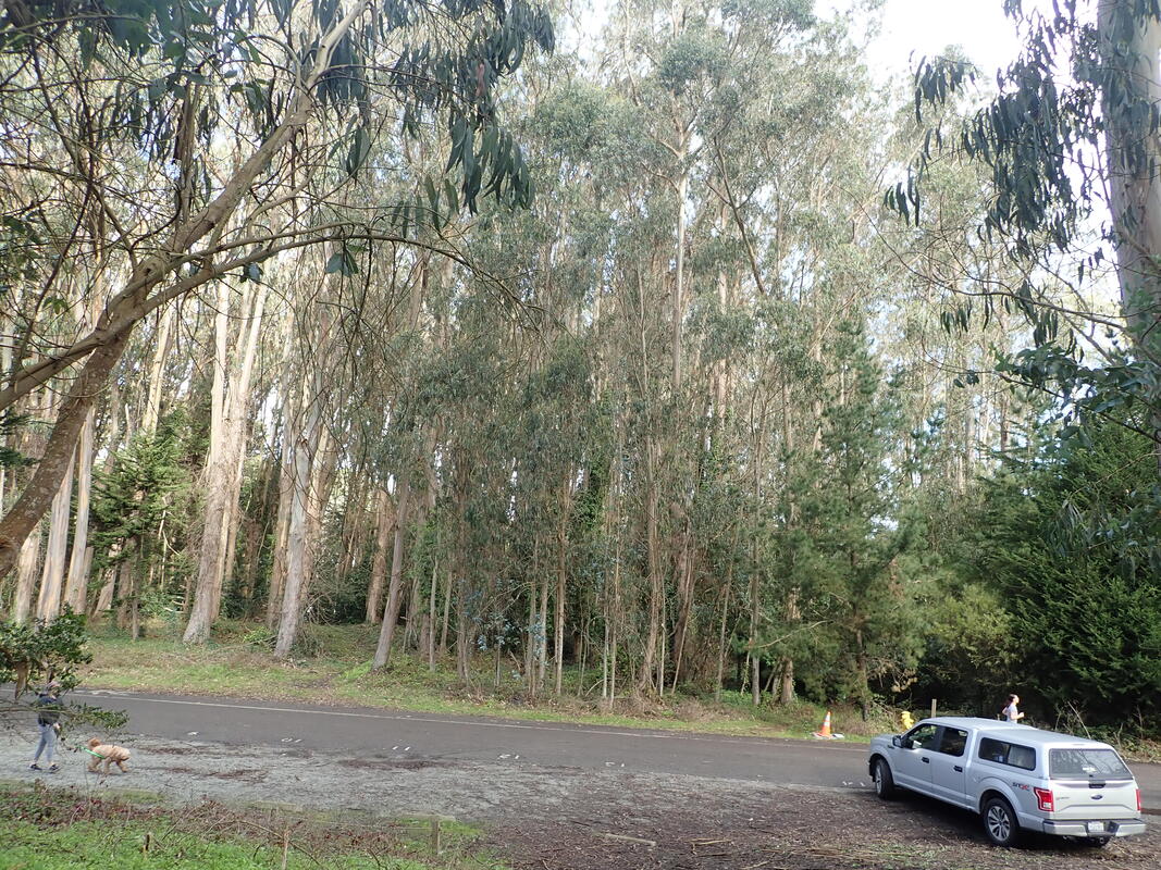
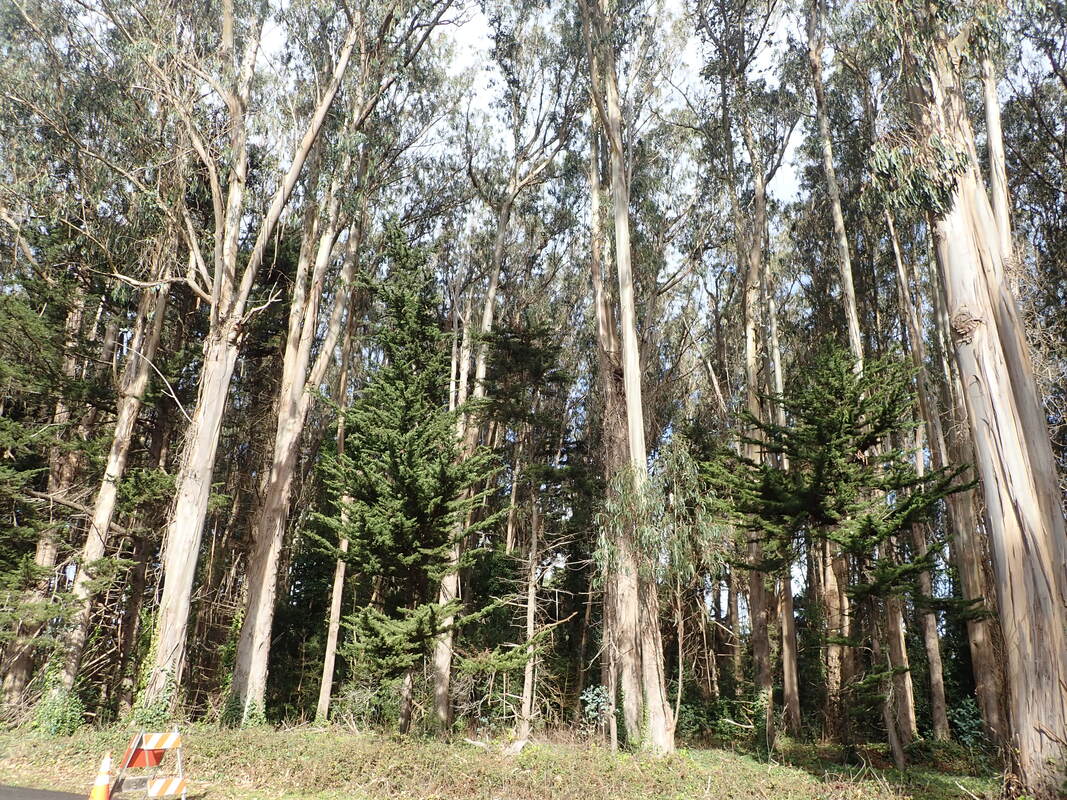
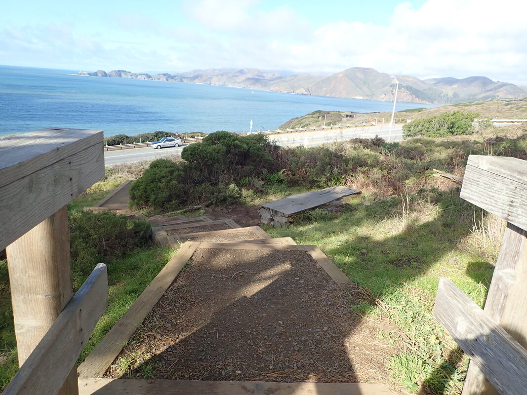
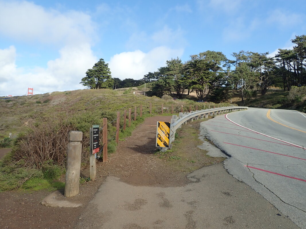
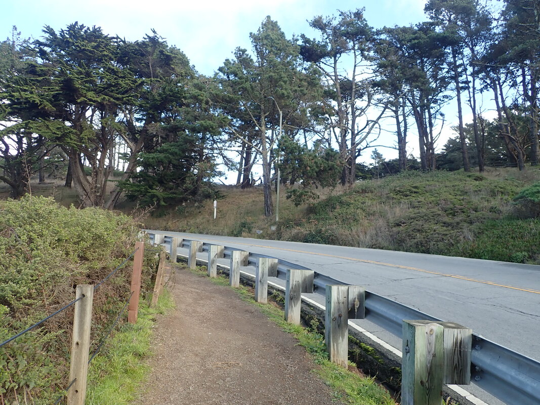
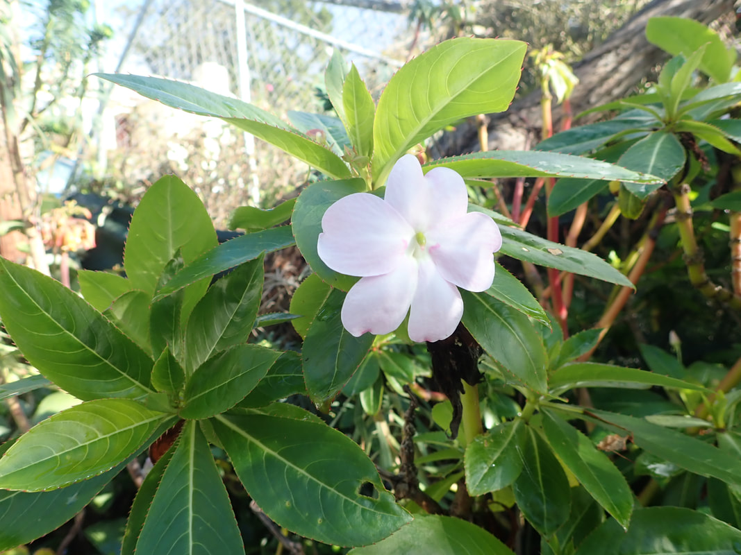
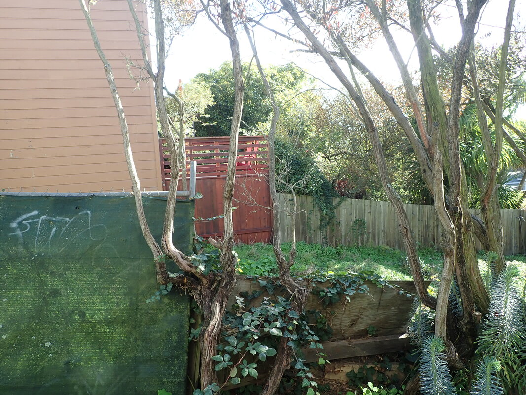
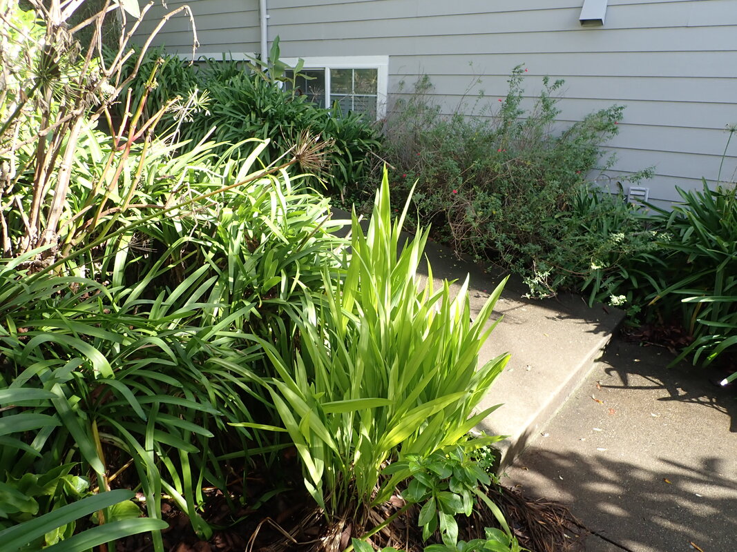
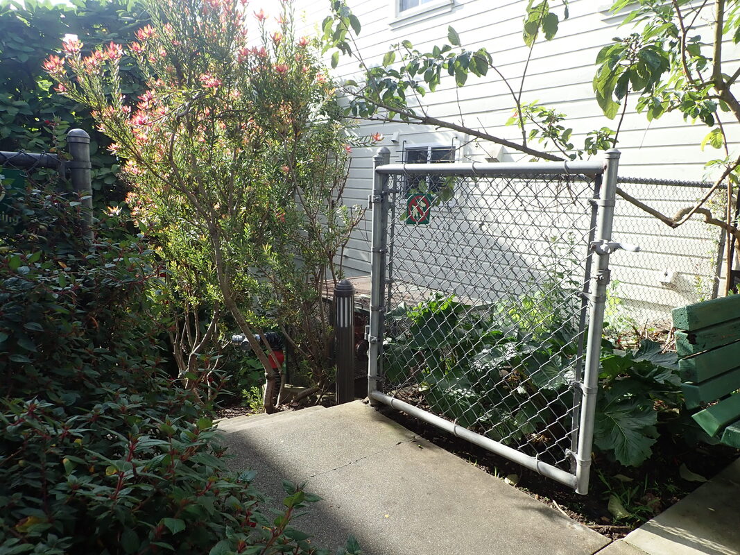
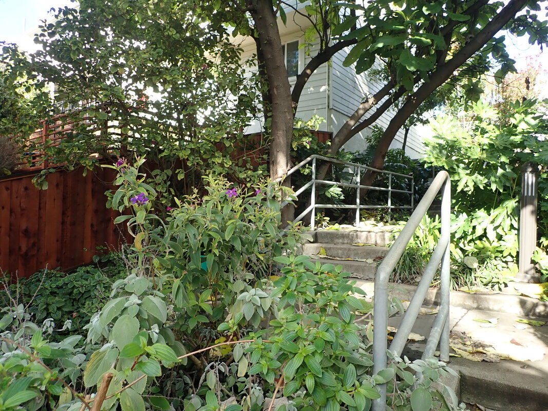
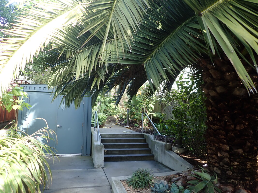
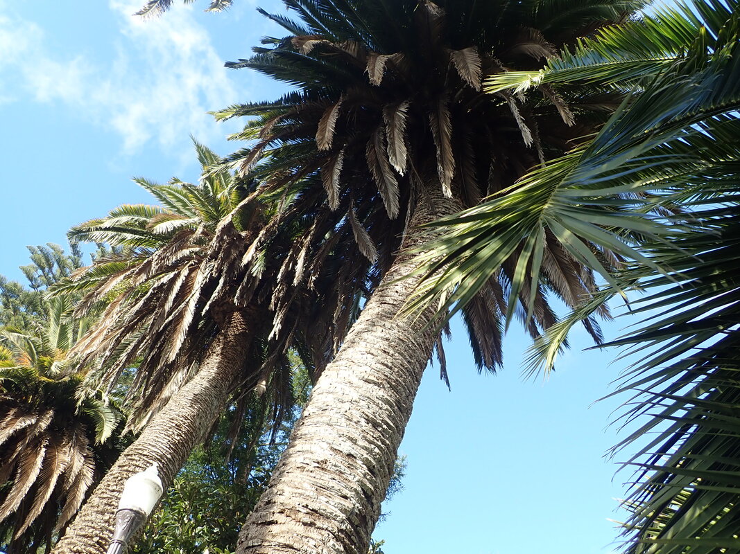
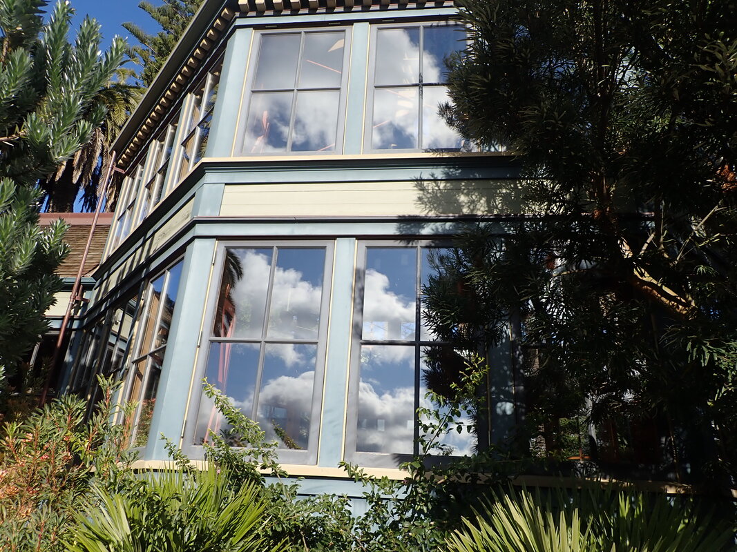
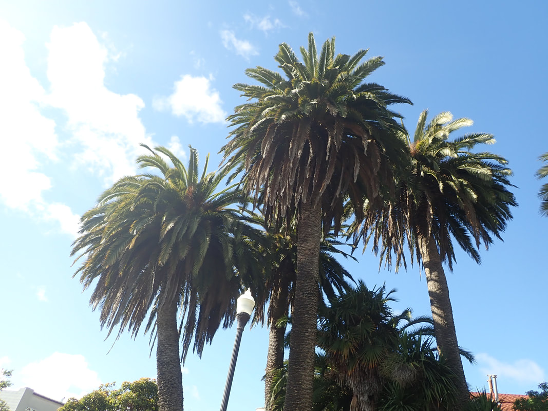
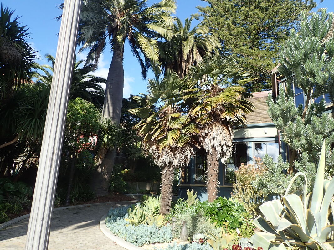
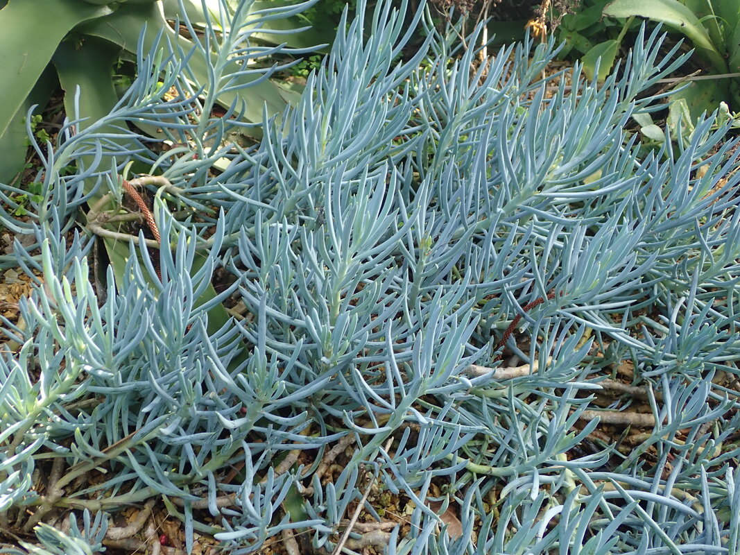
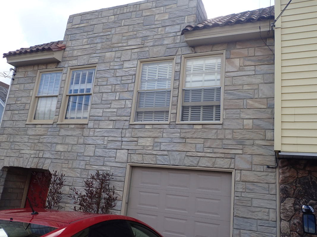
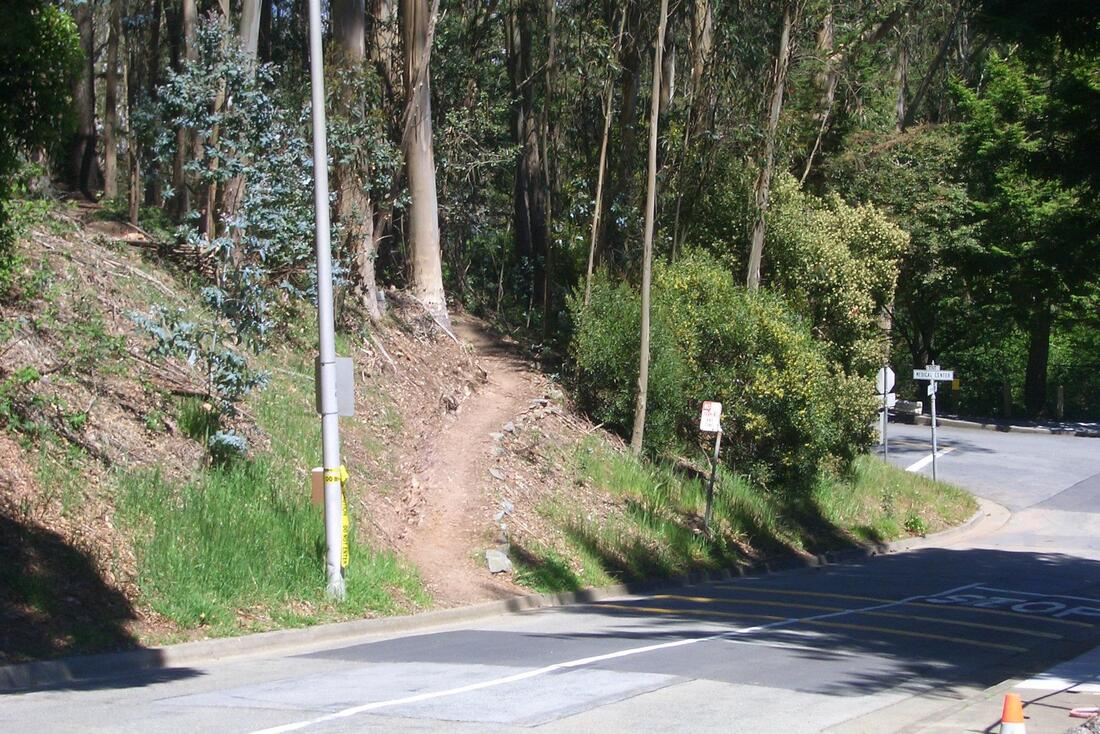
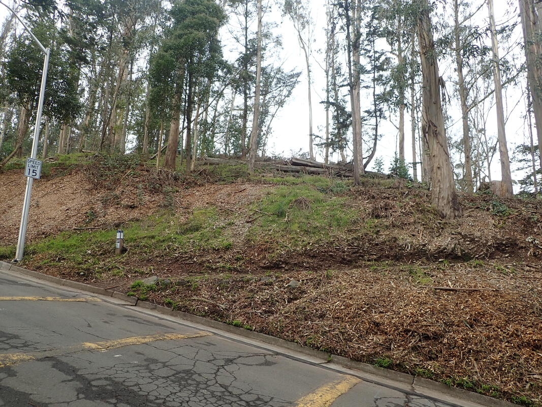
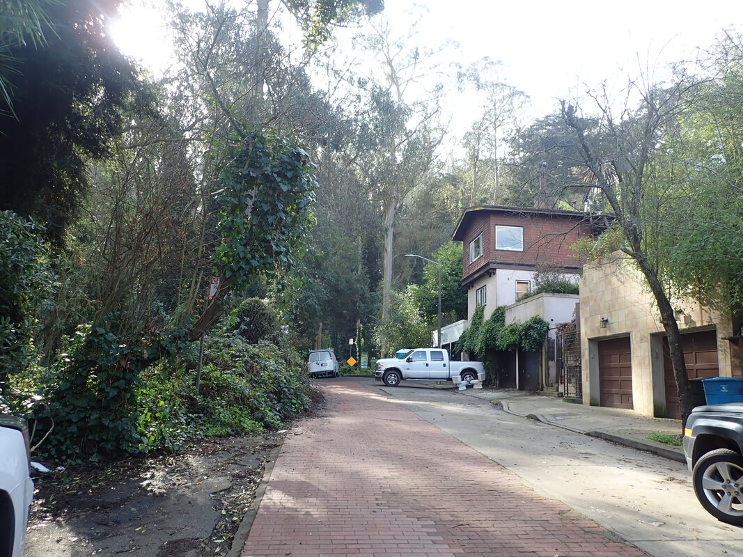
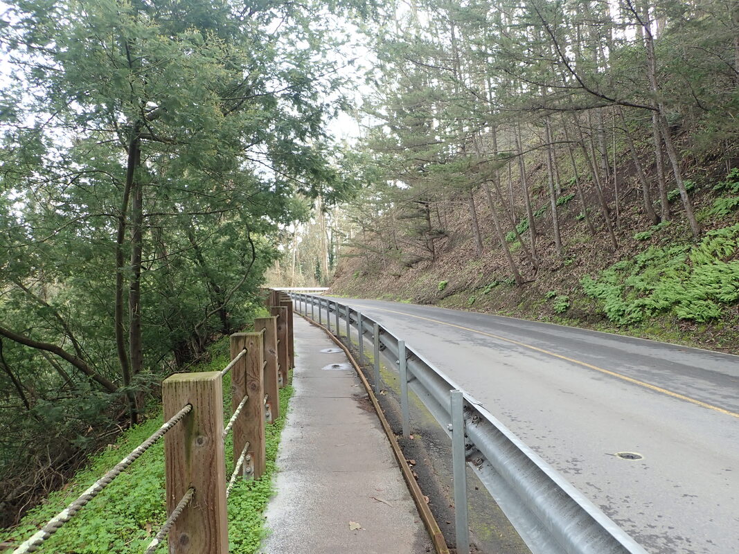
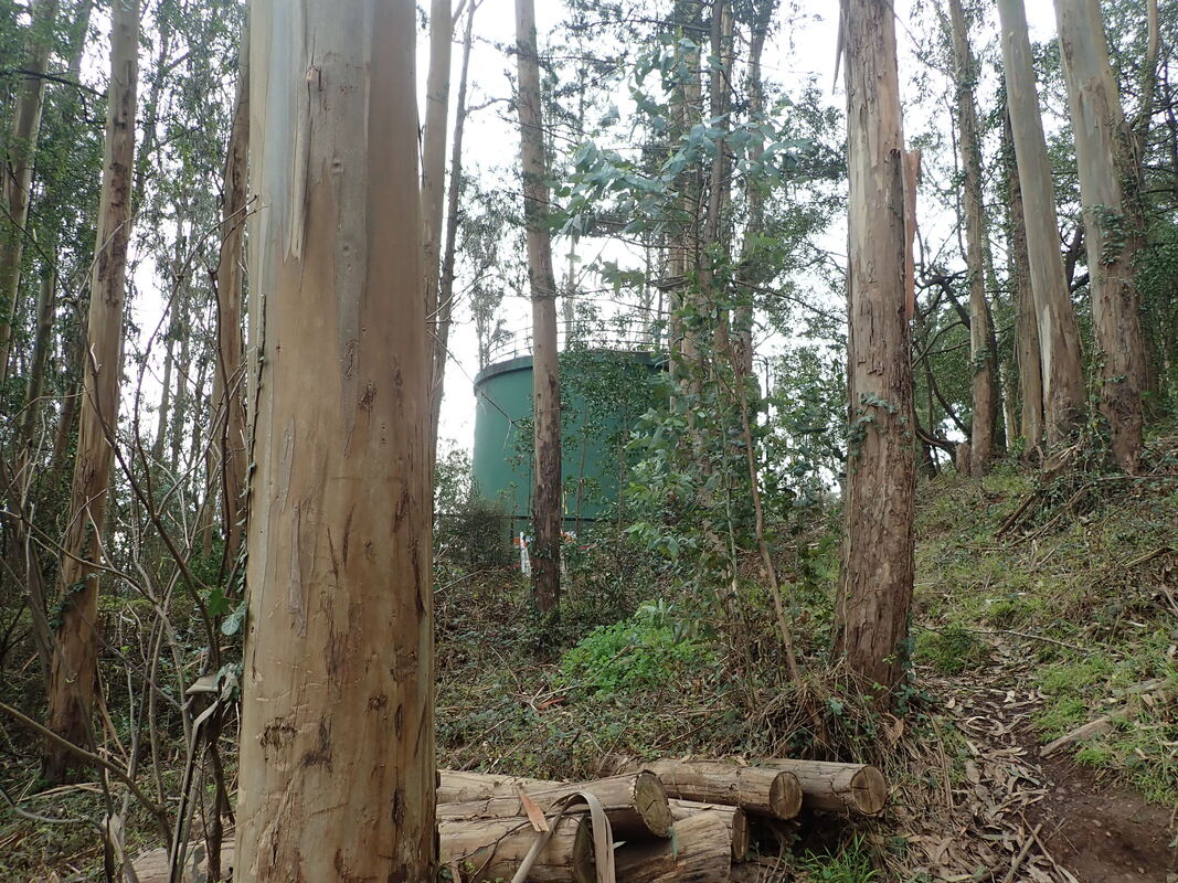
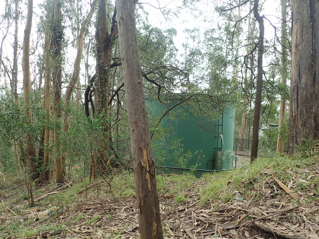
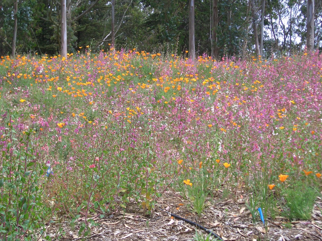
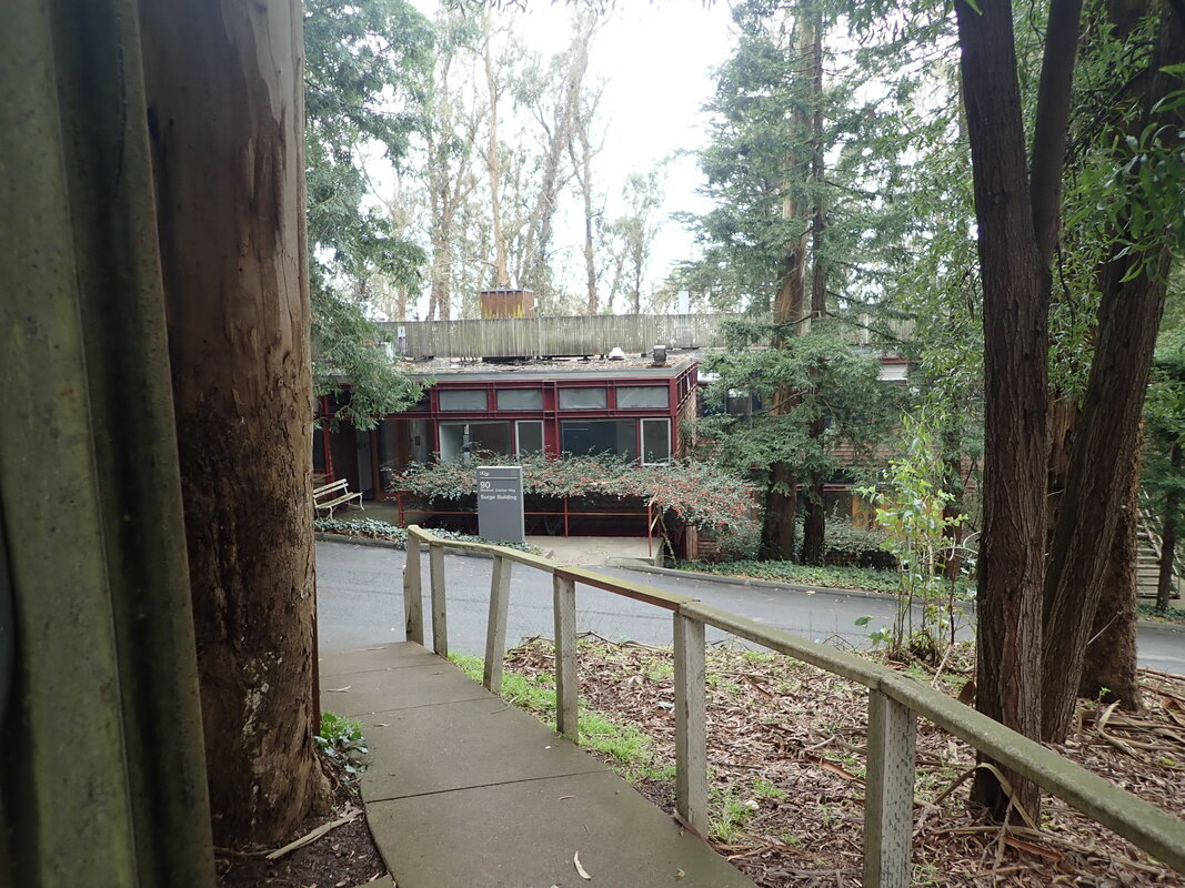
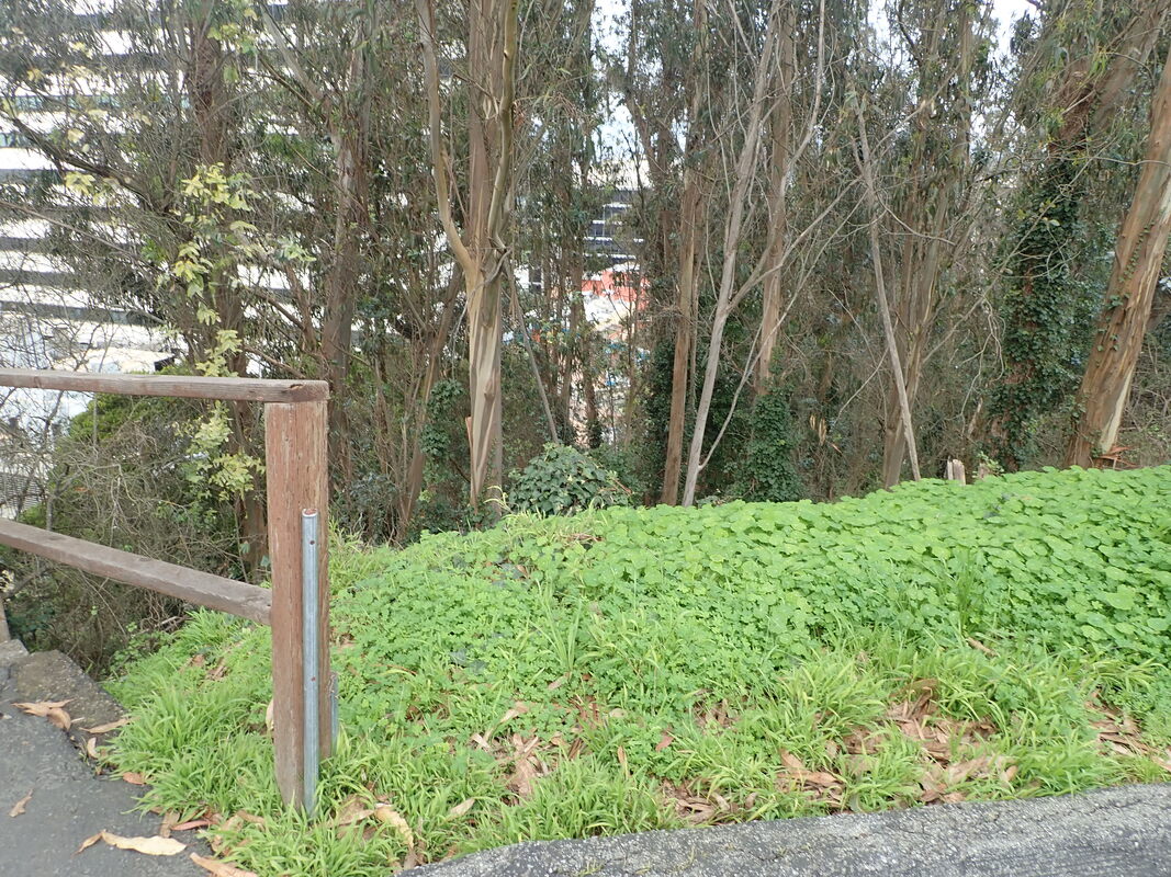
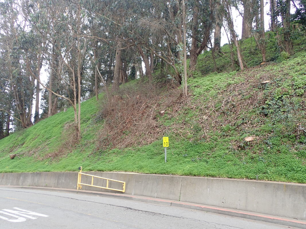
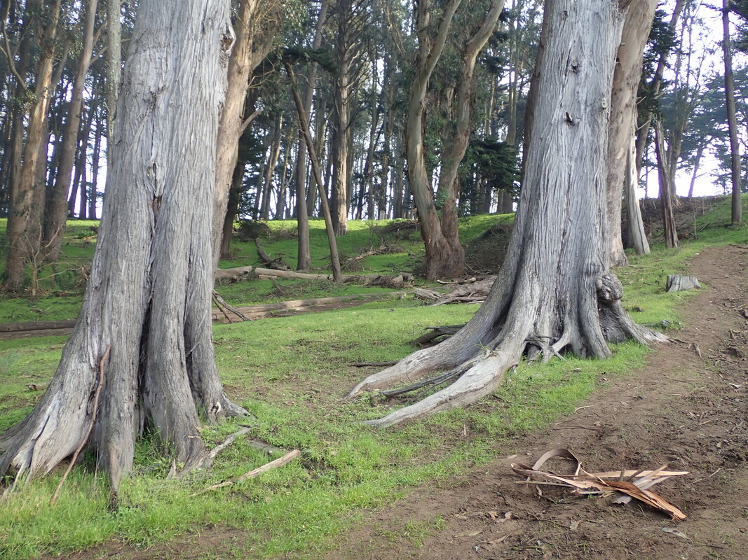
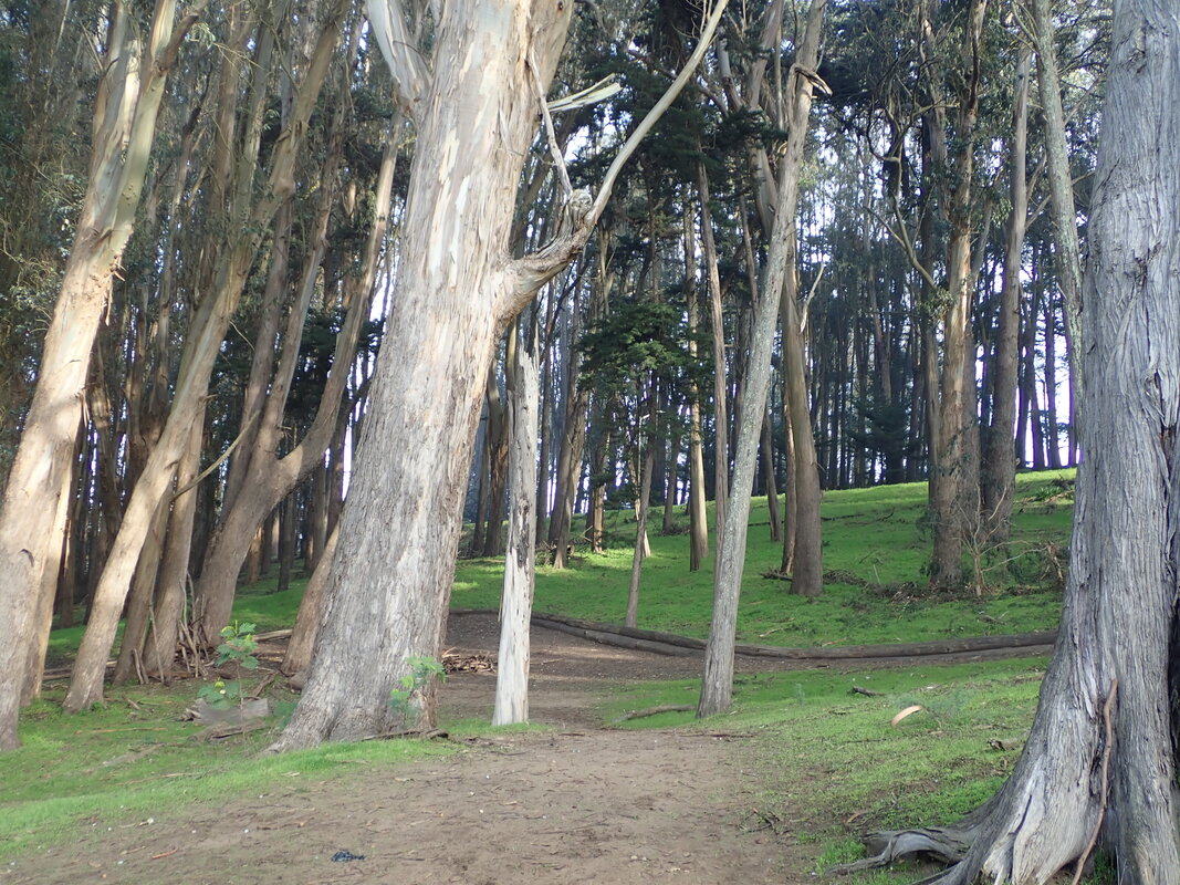
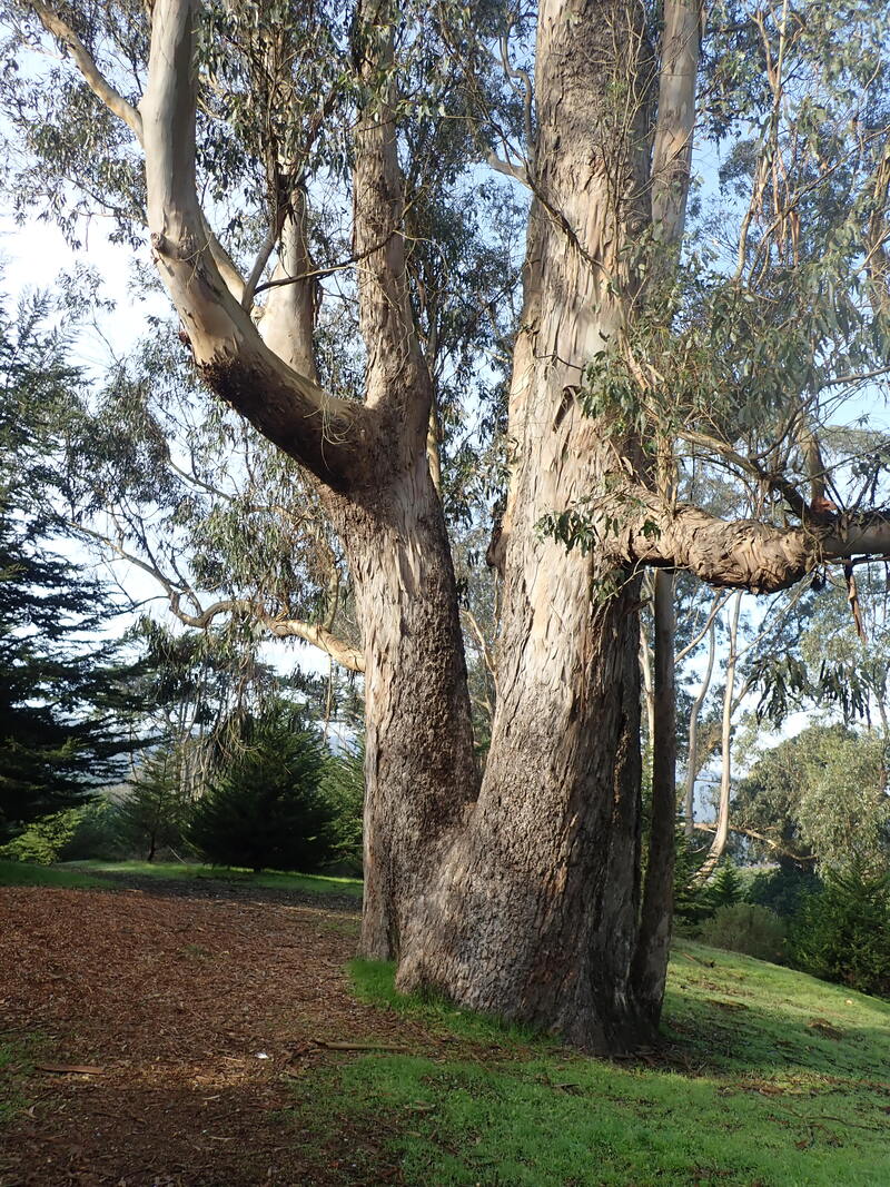
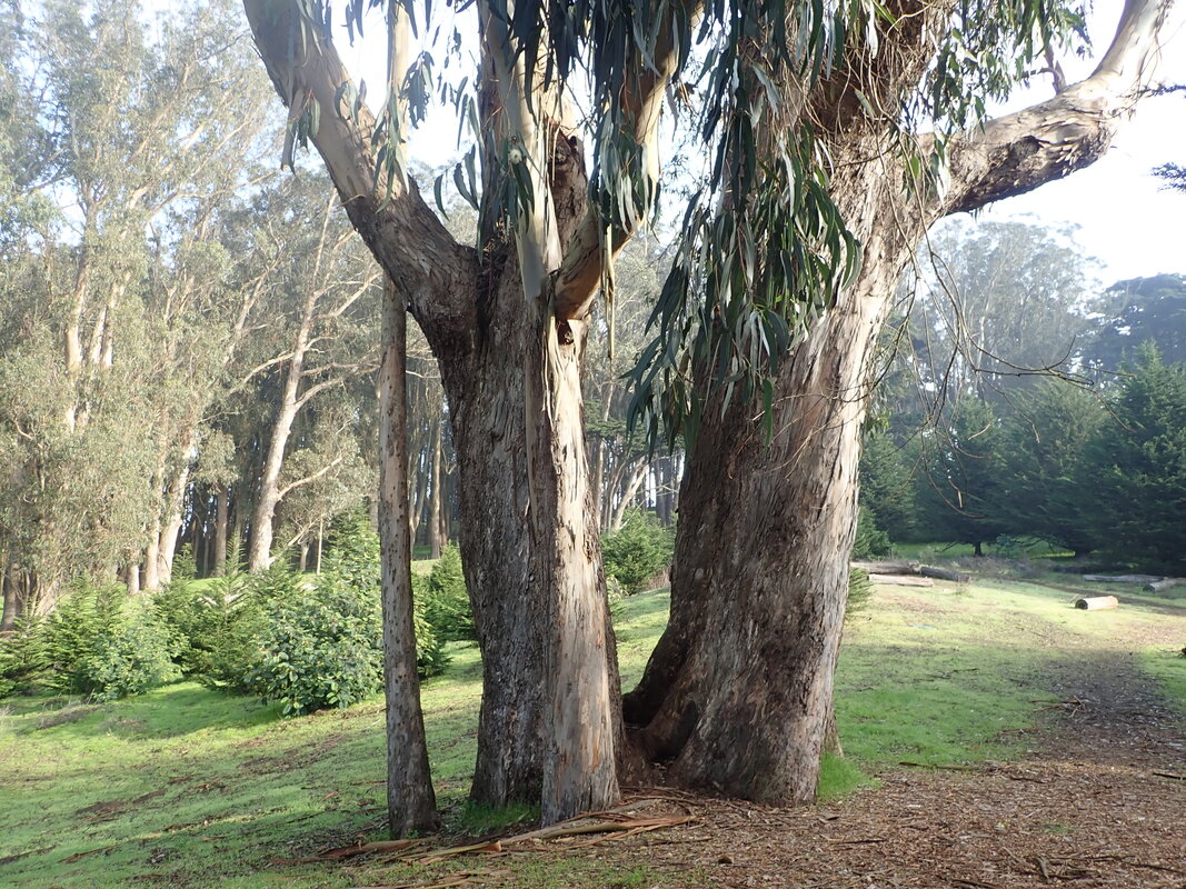
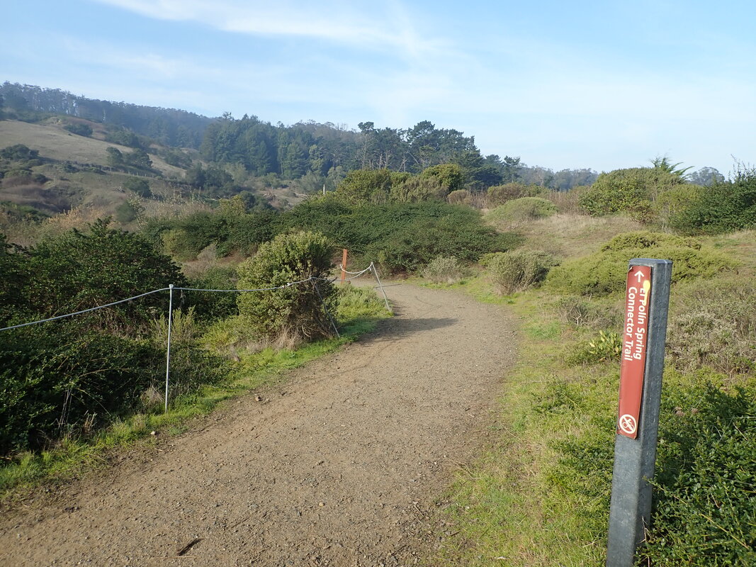
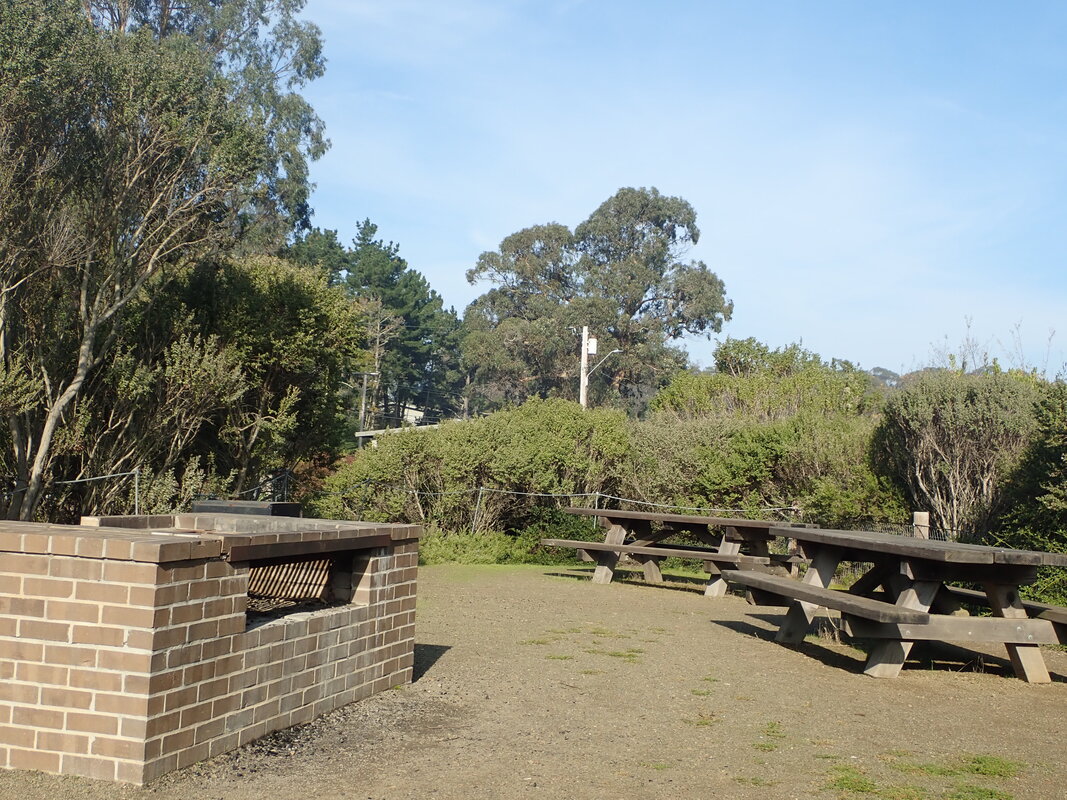
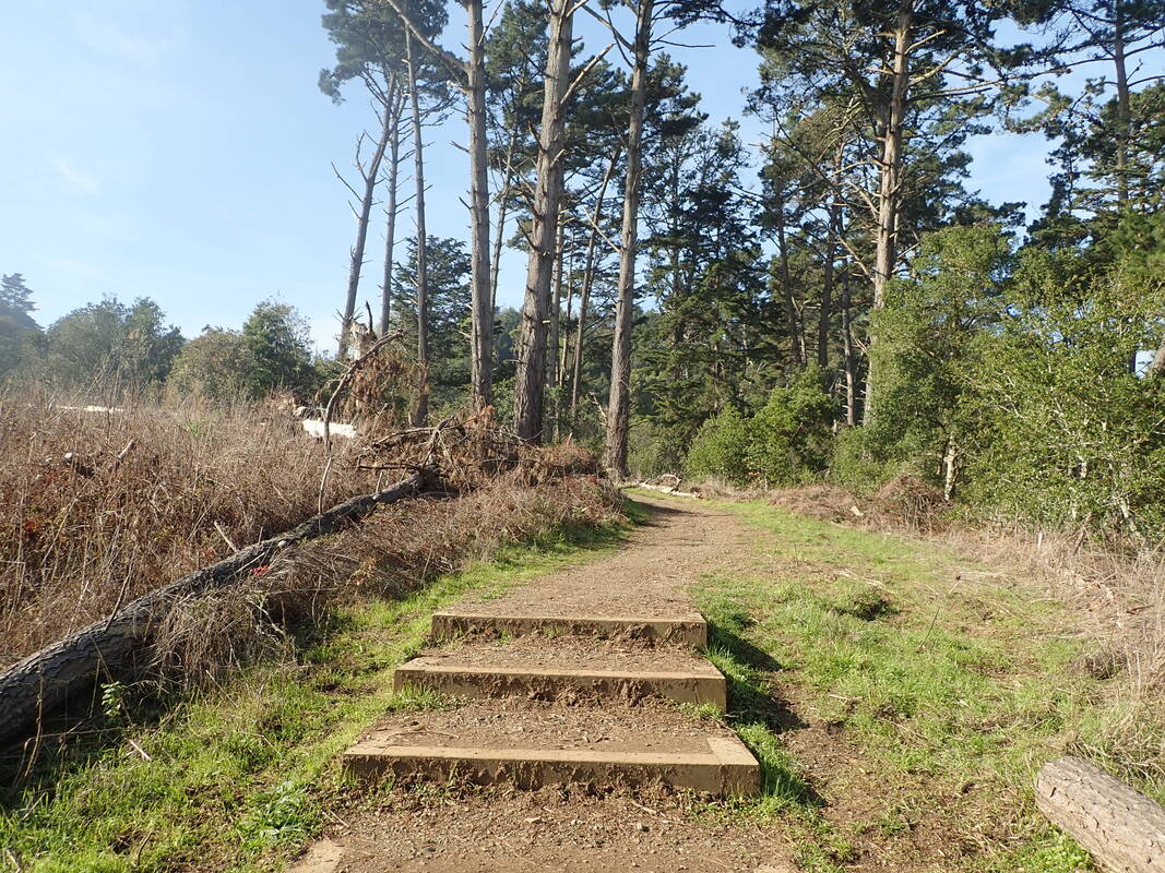
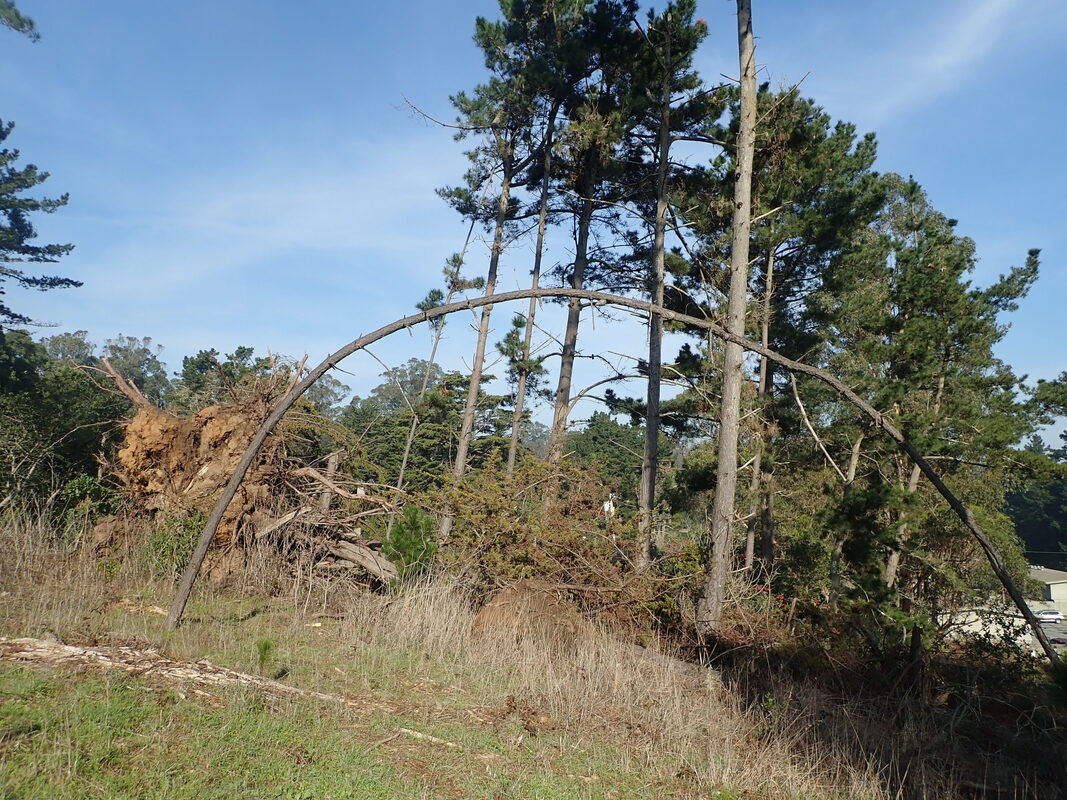
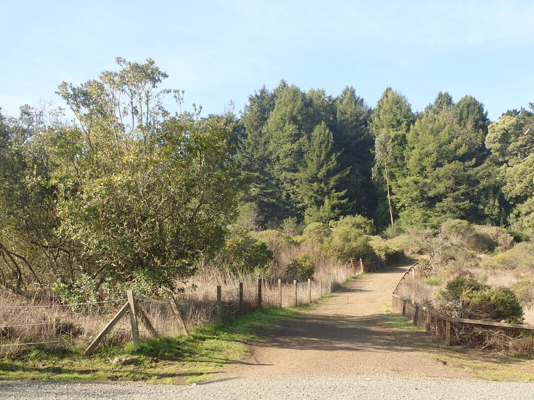
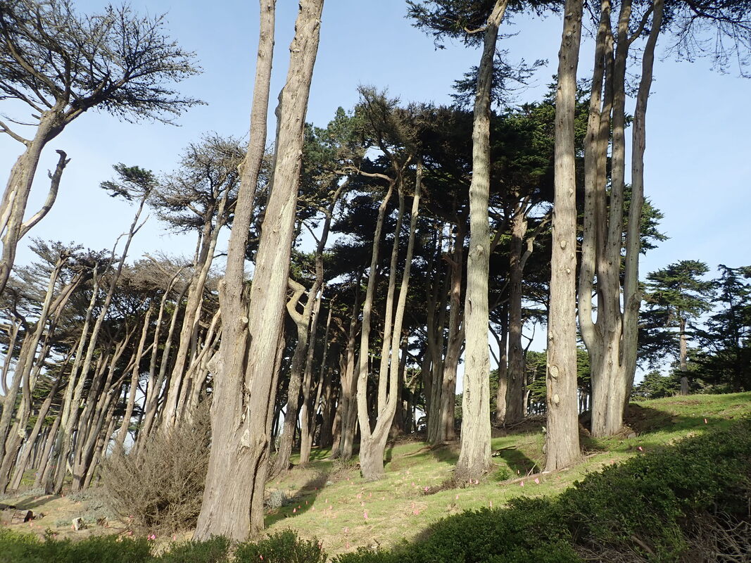
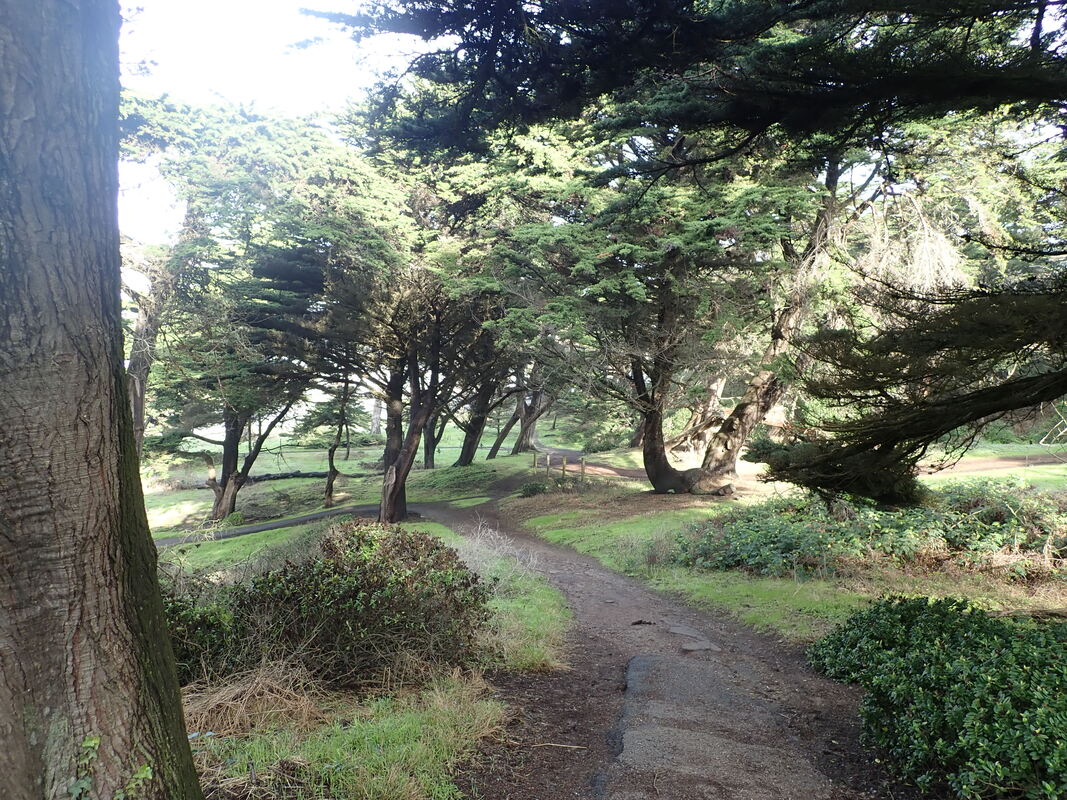
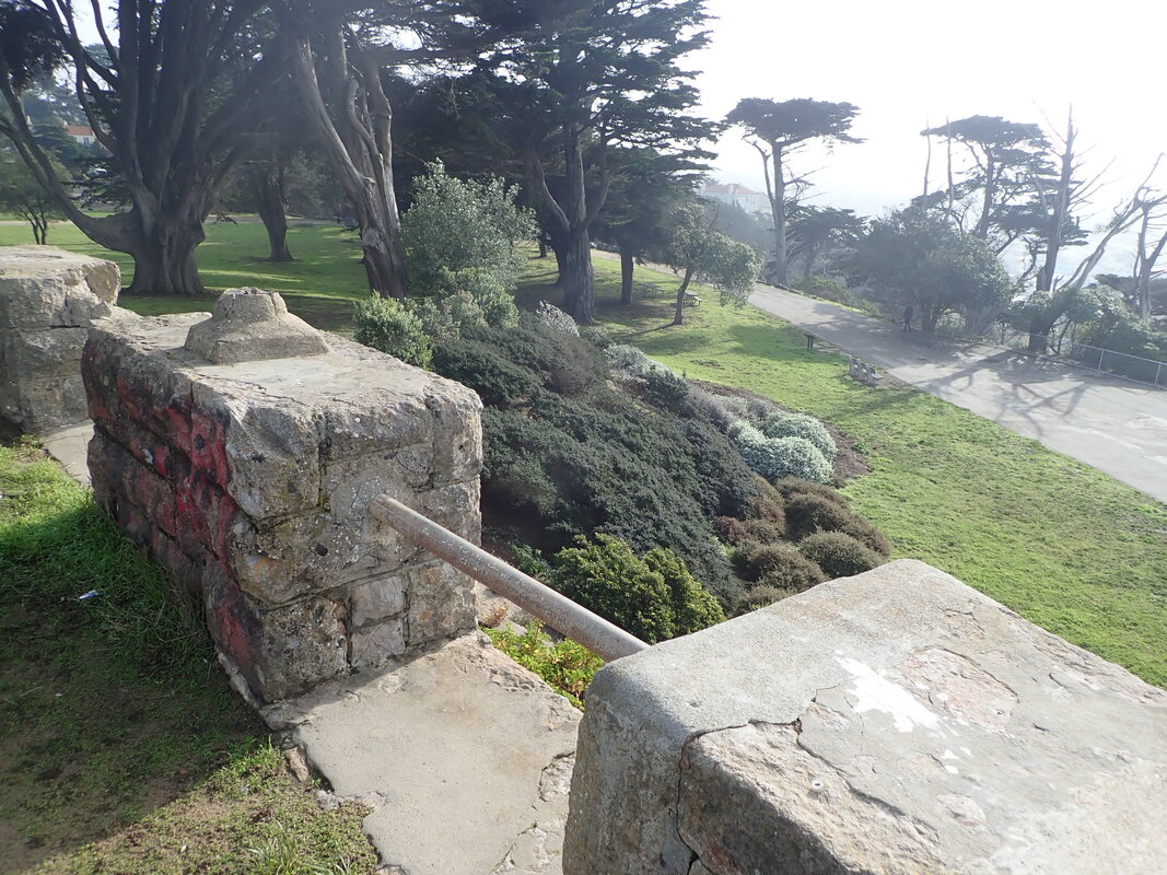
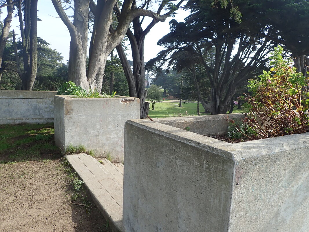
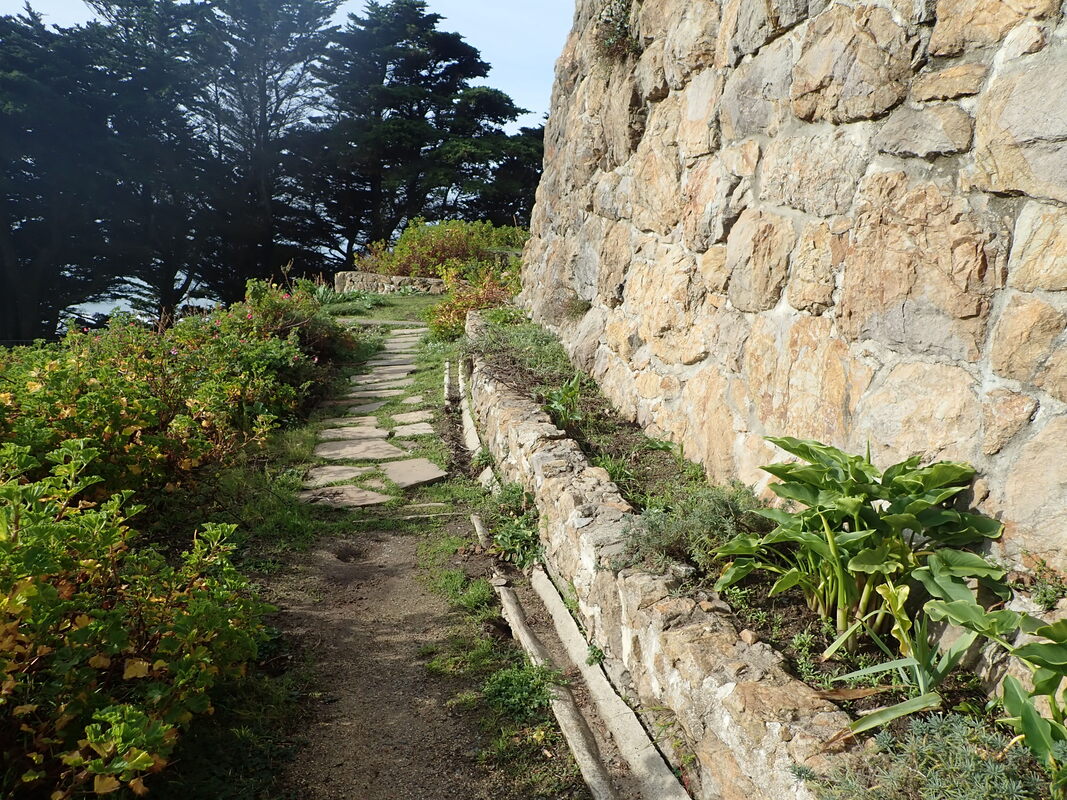
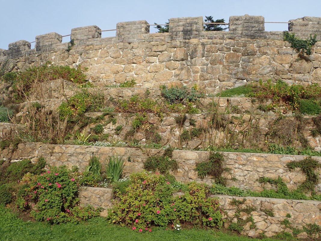
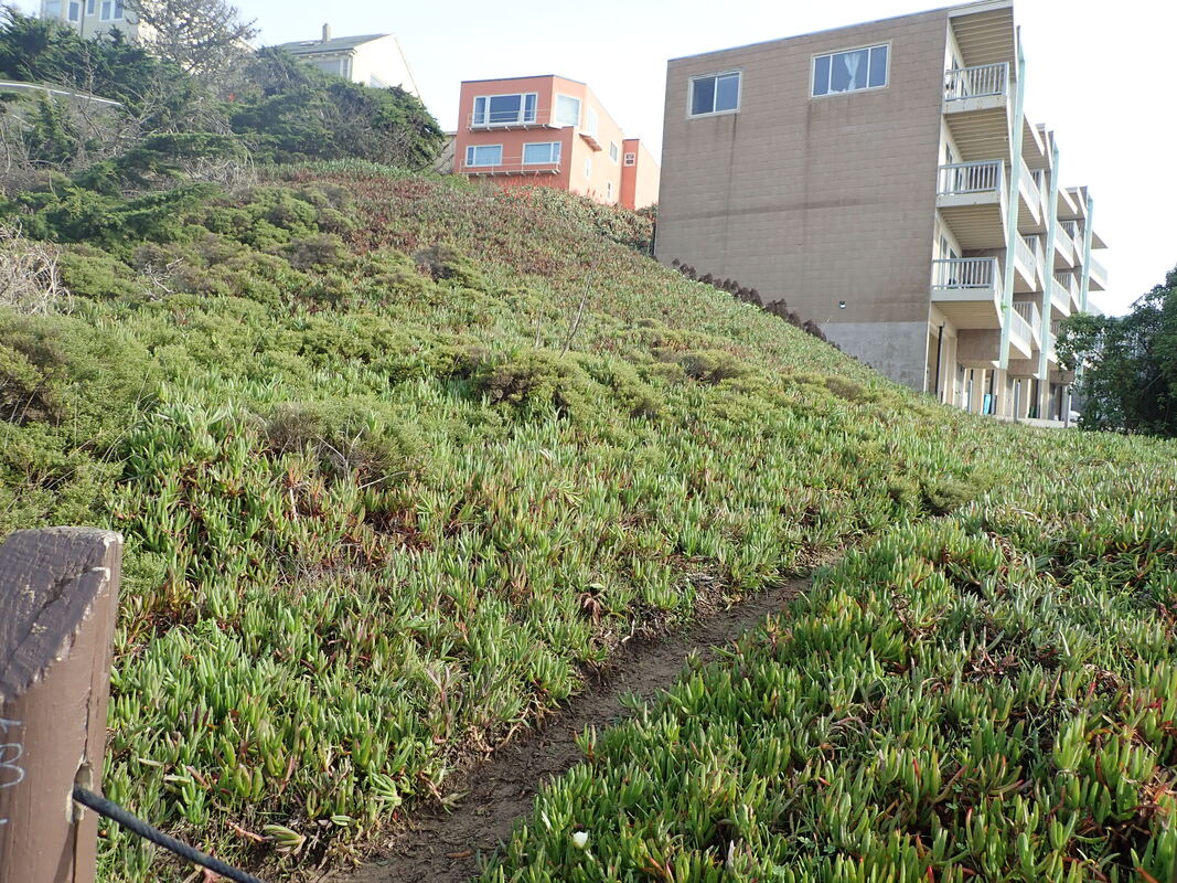
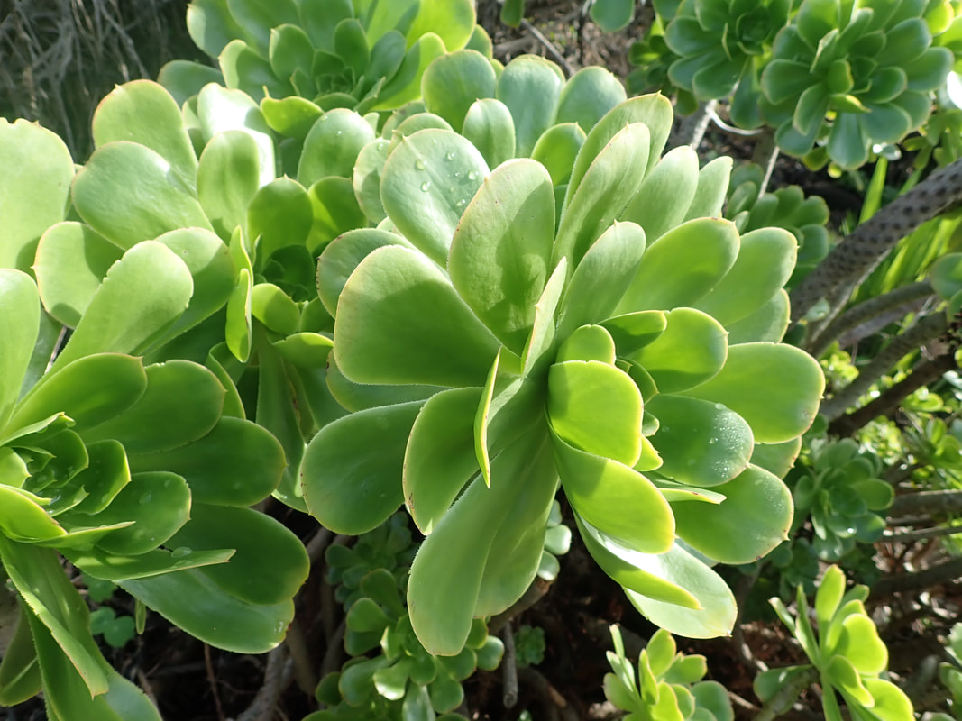
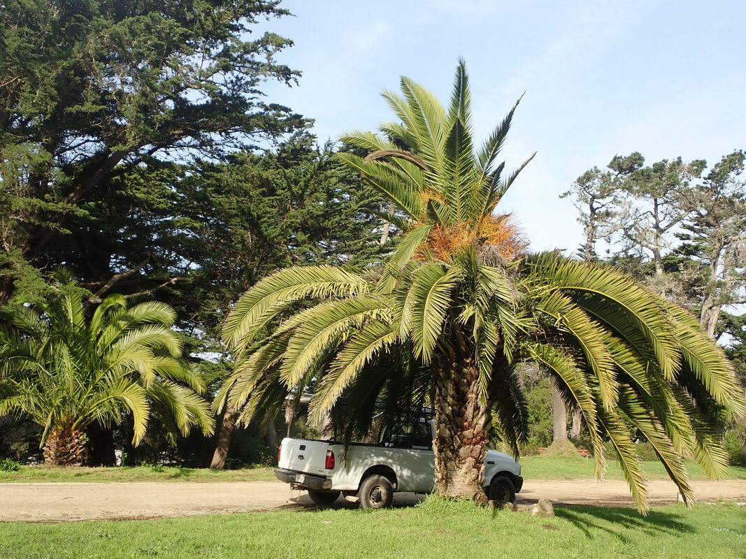
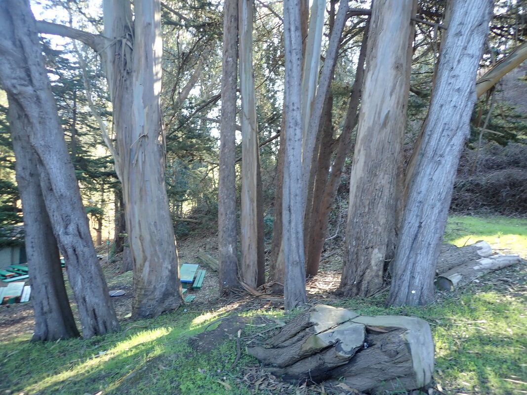
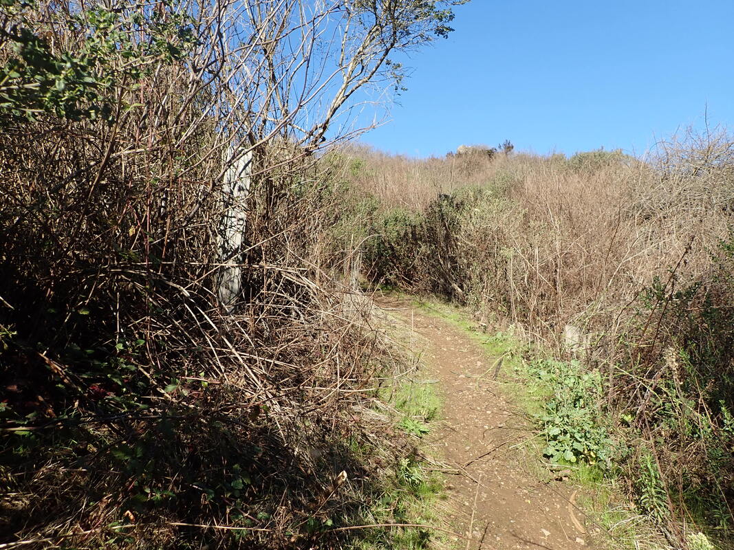
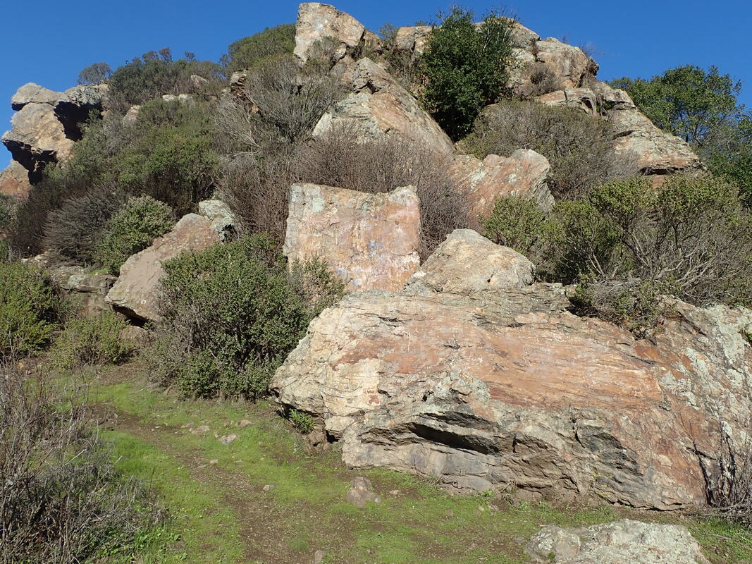
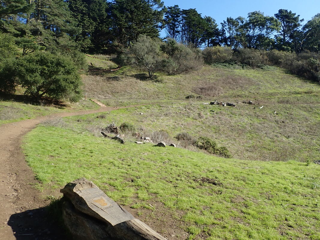
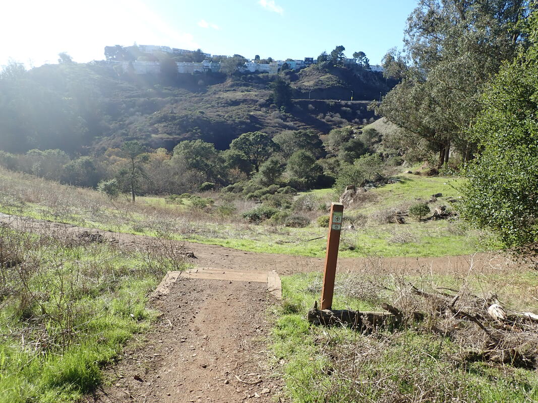
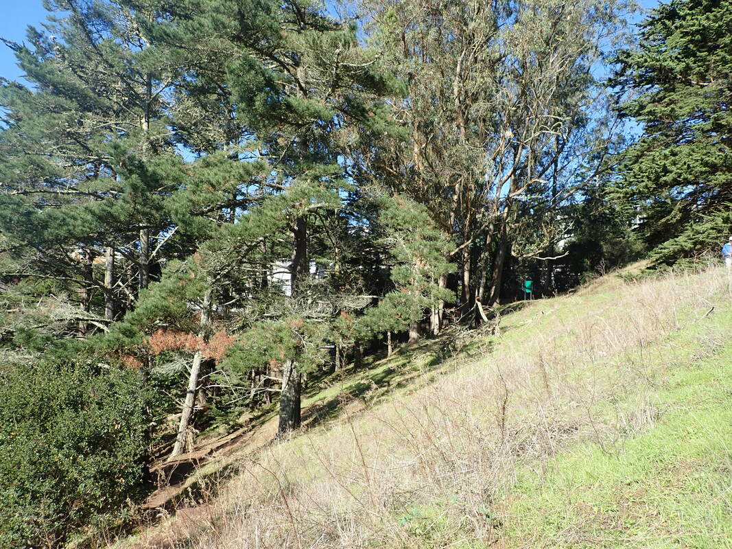
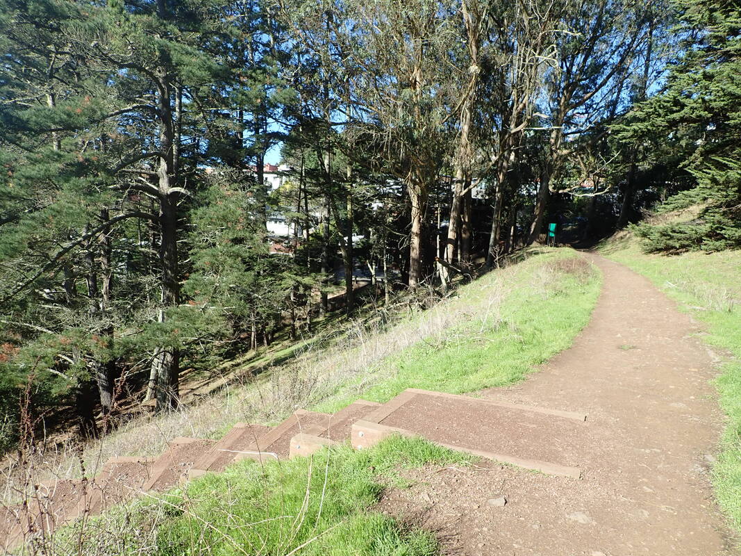
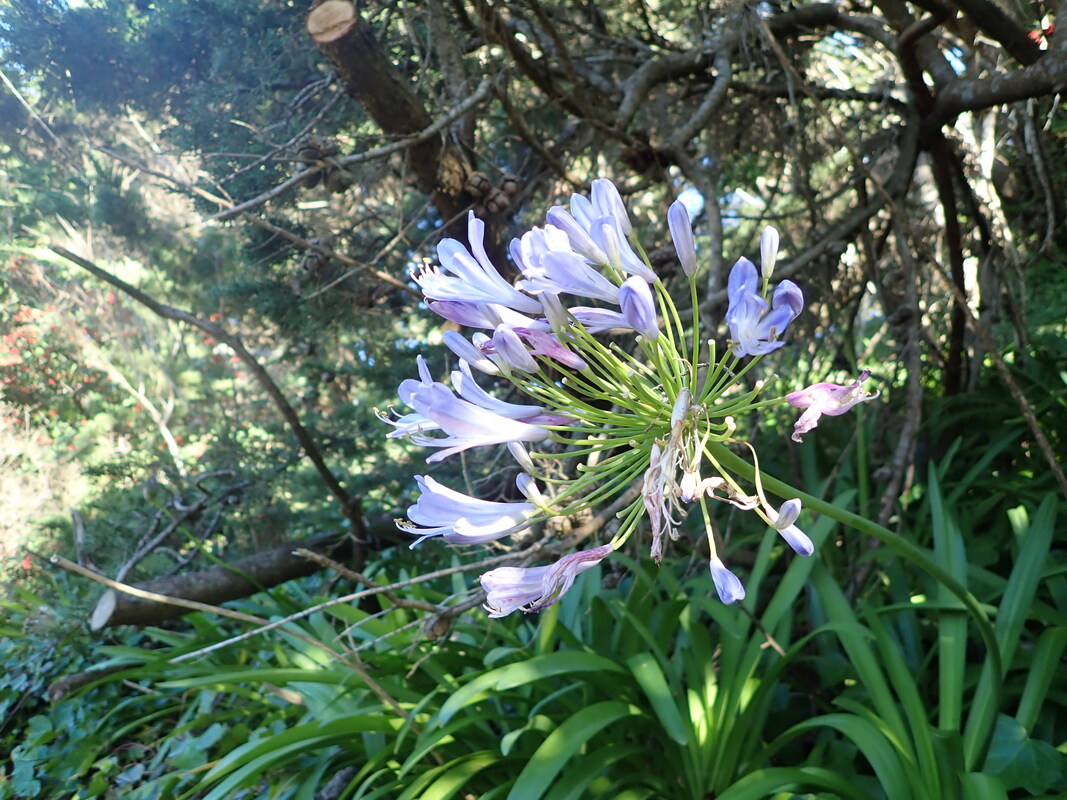
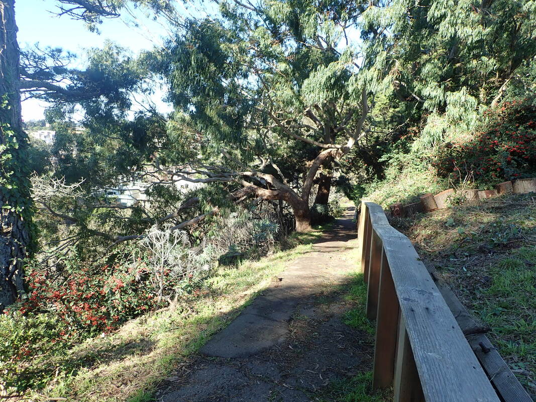
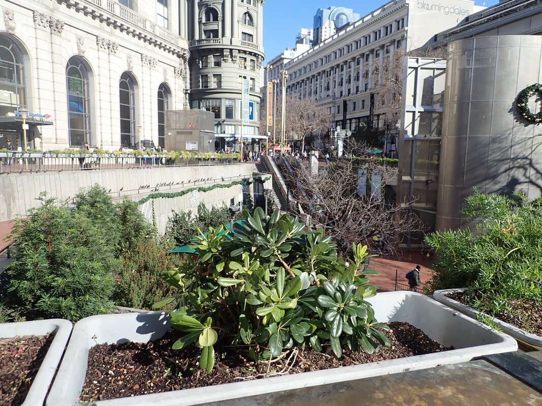
Presidio’s Fort Scott neighborhood, heading east to the nursery: 1 thru 5
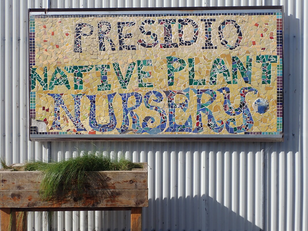
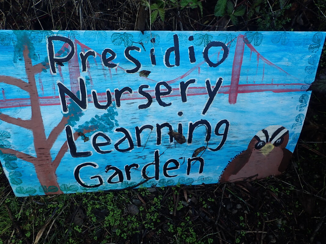
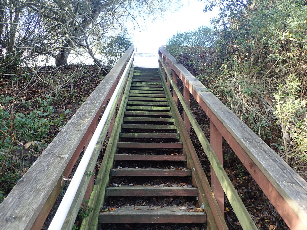
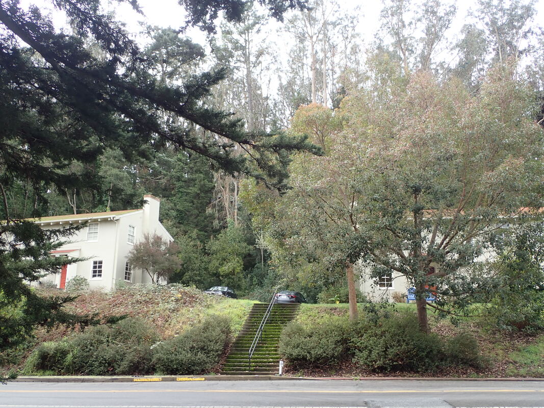
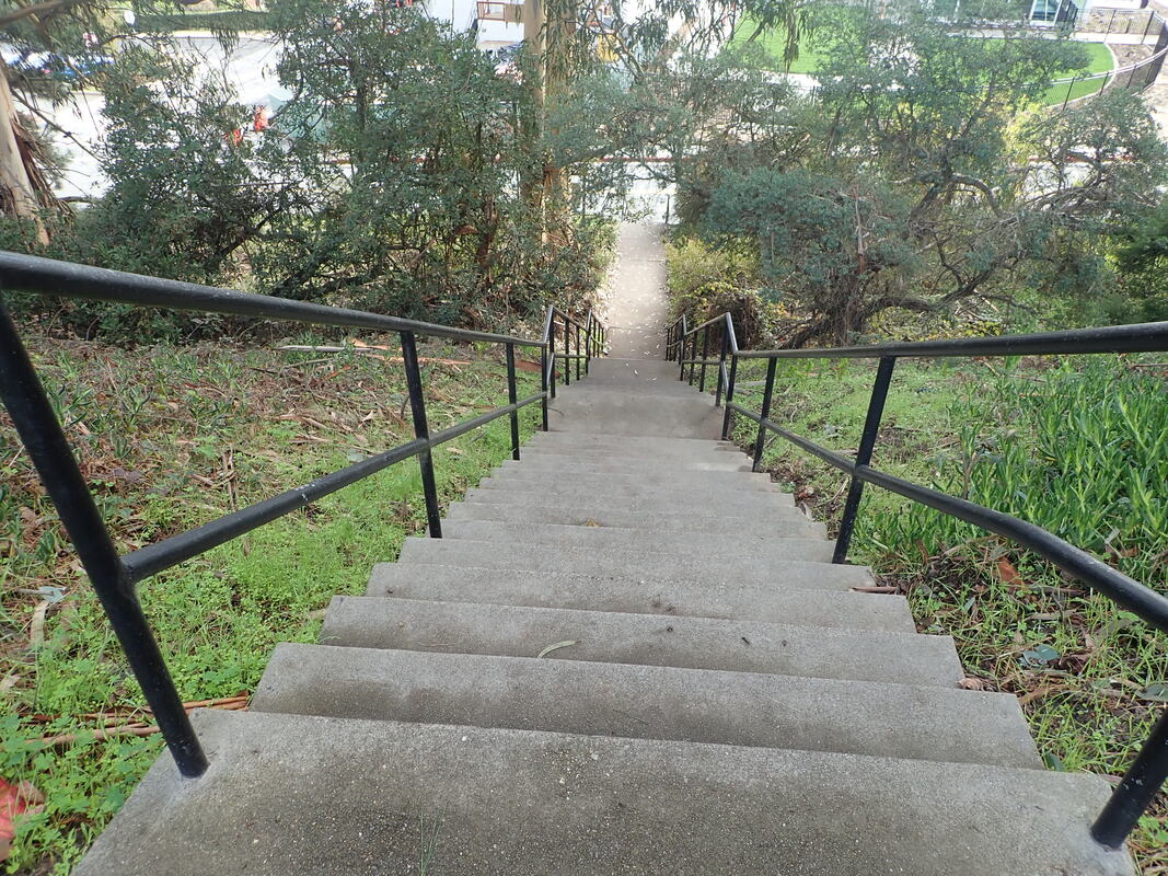
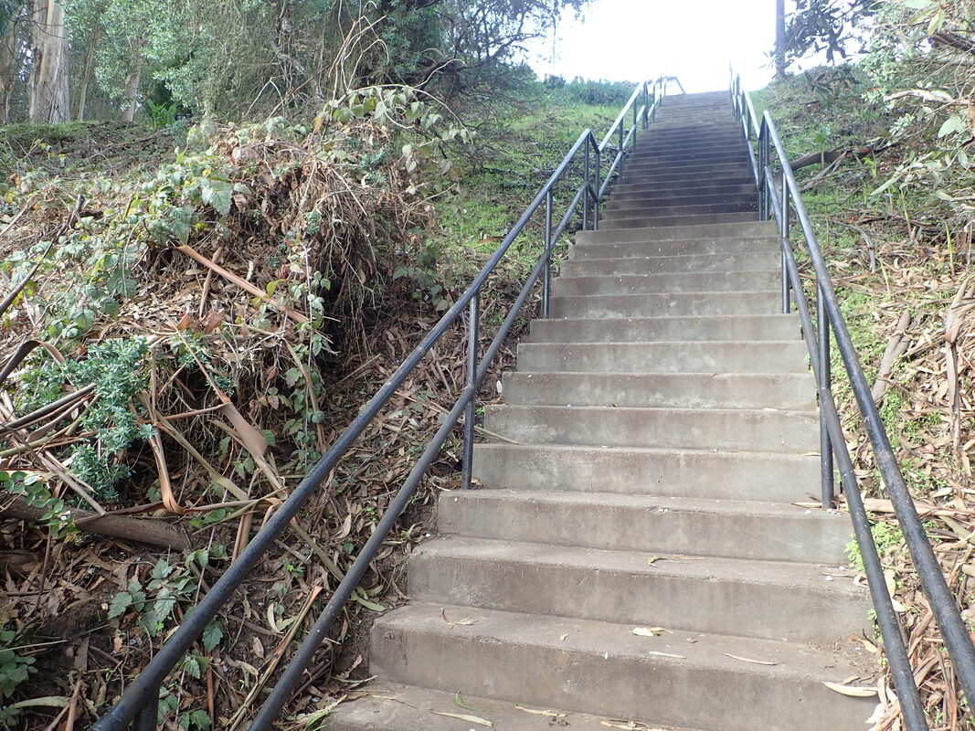
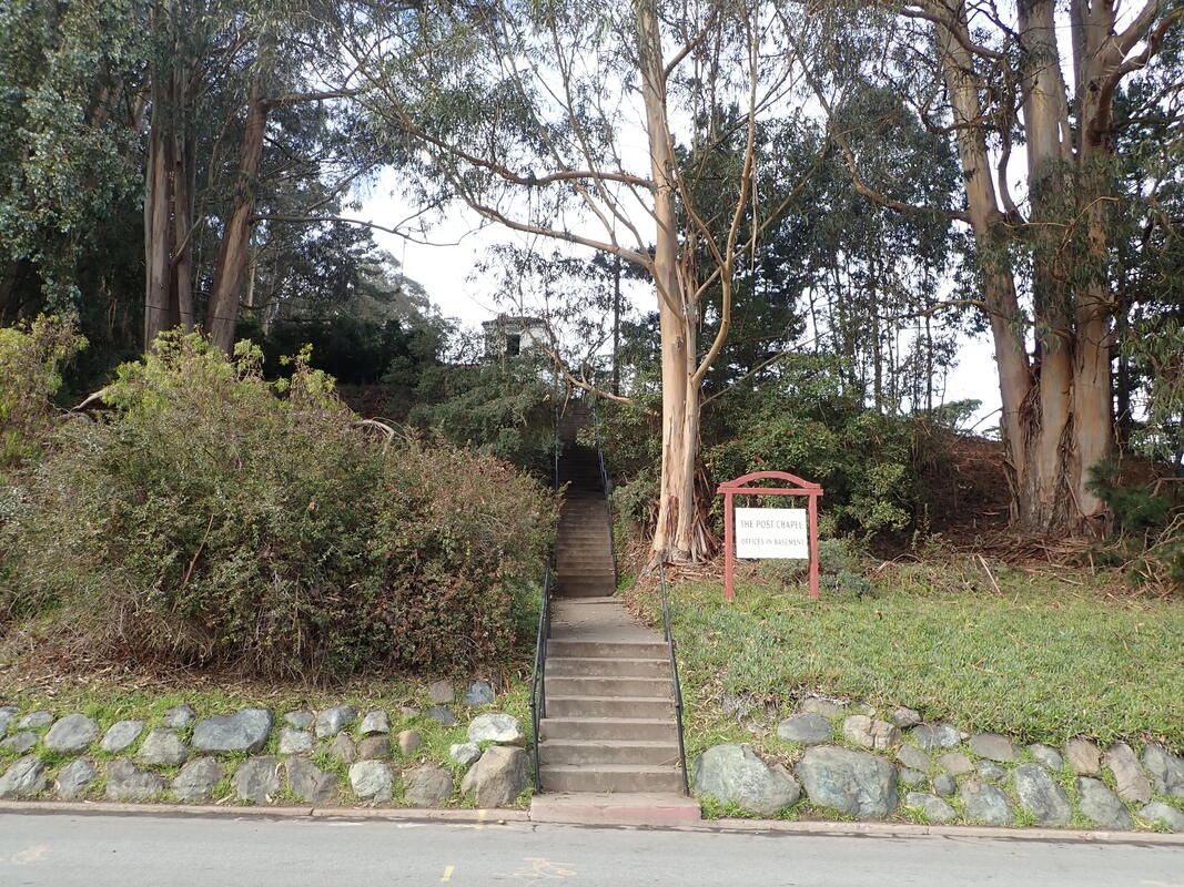
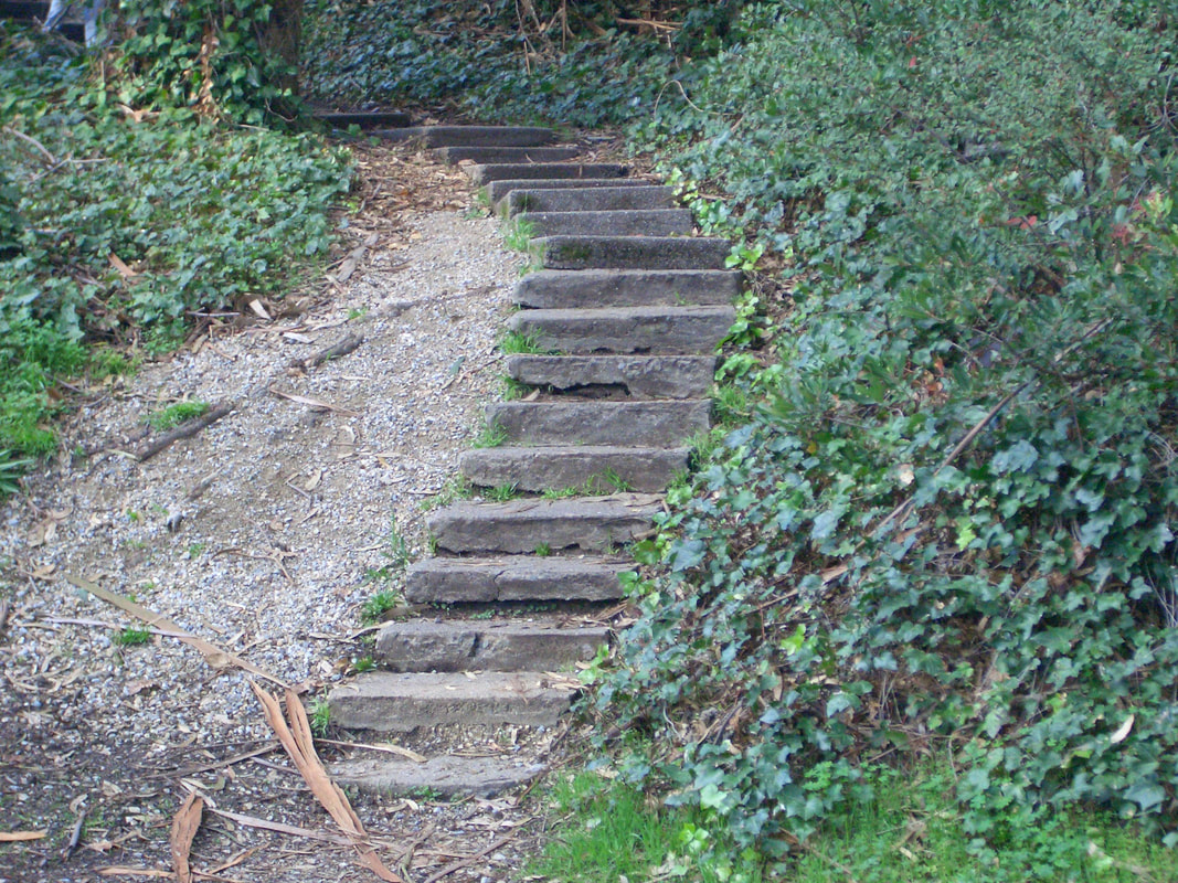
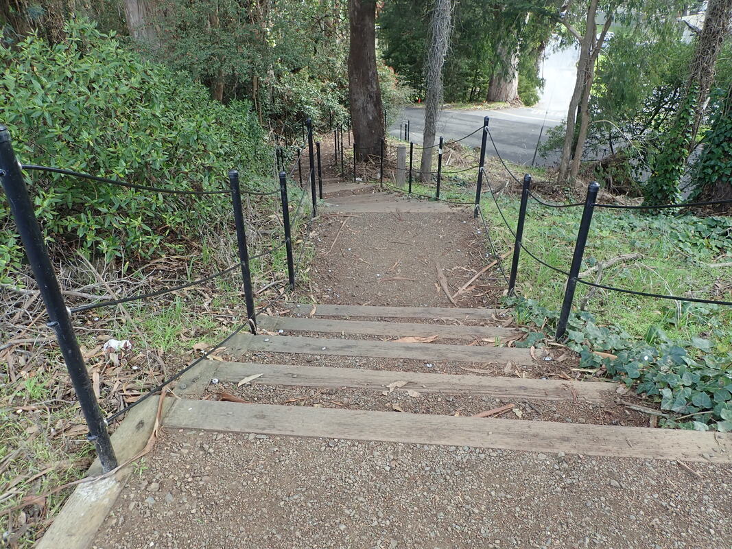
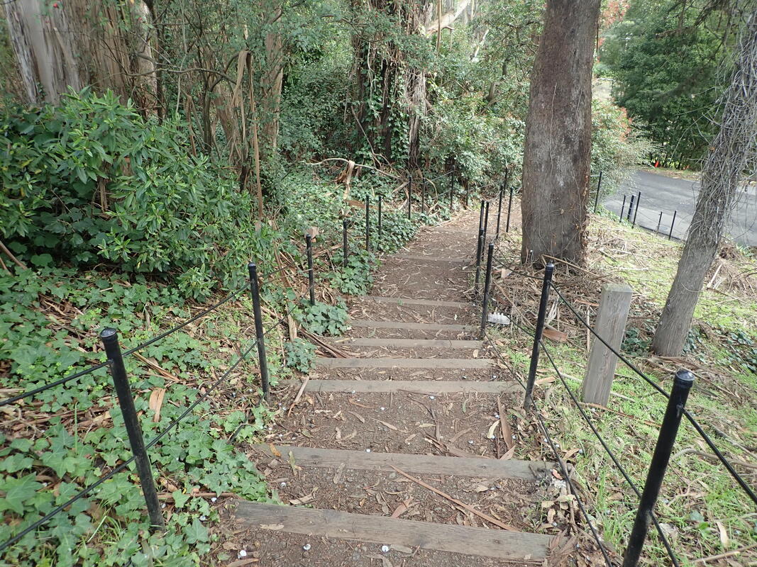
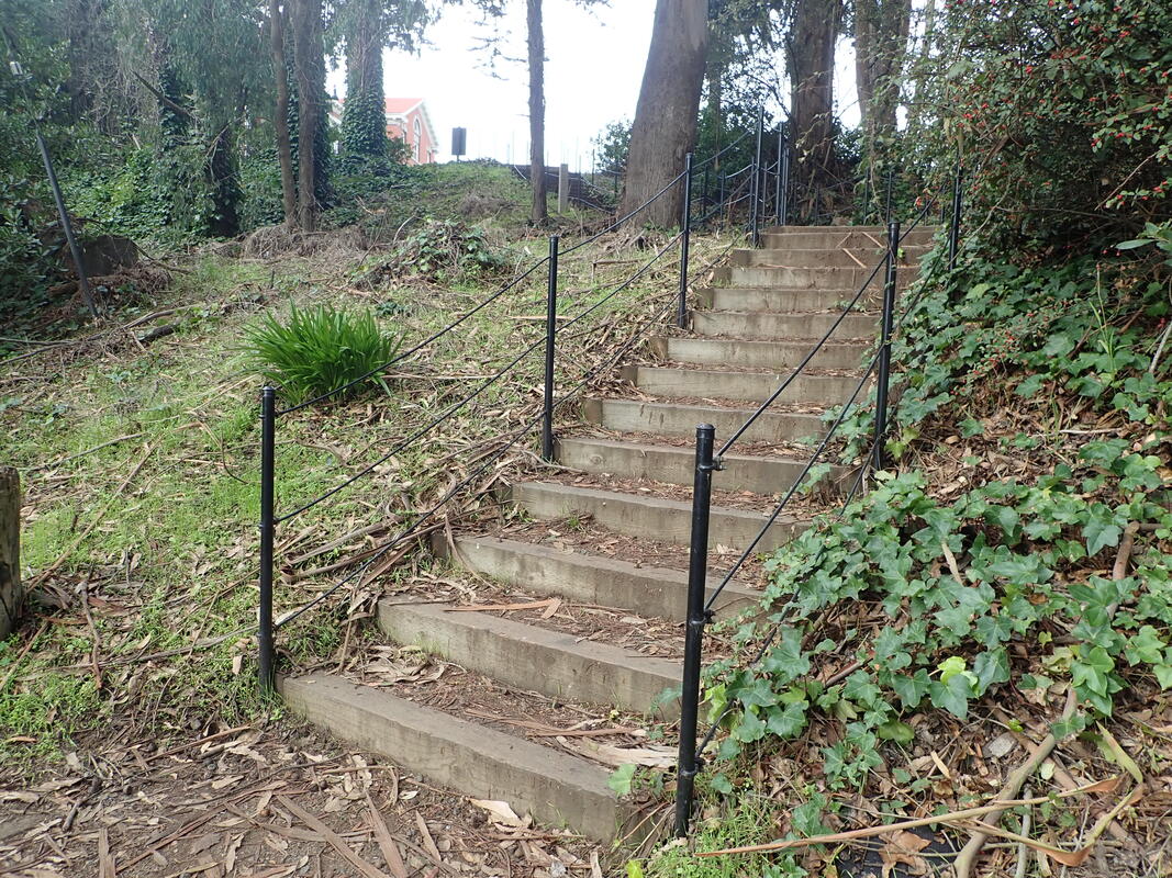
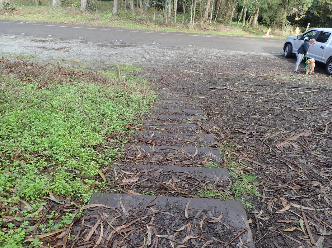
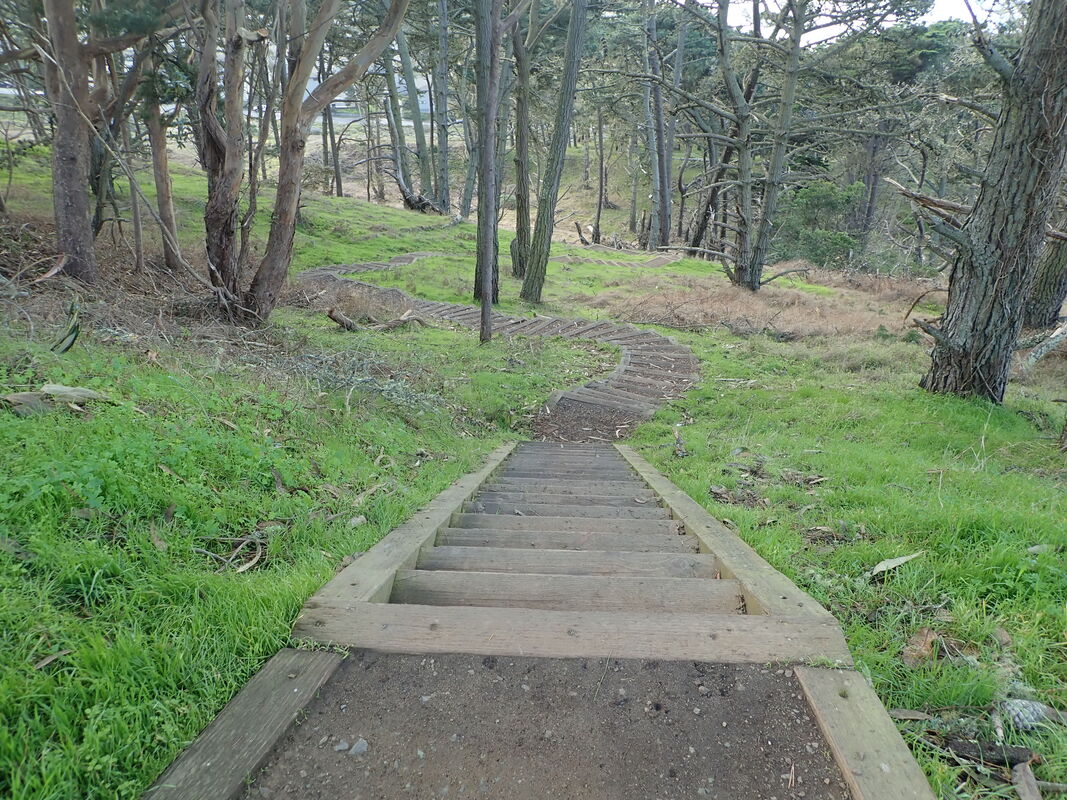
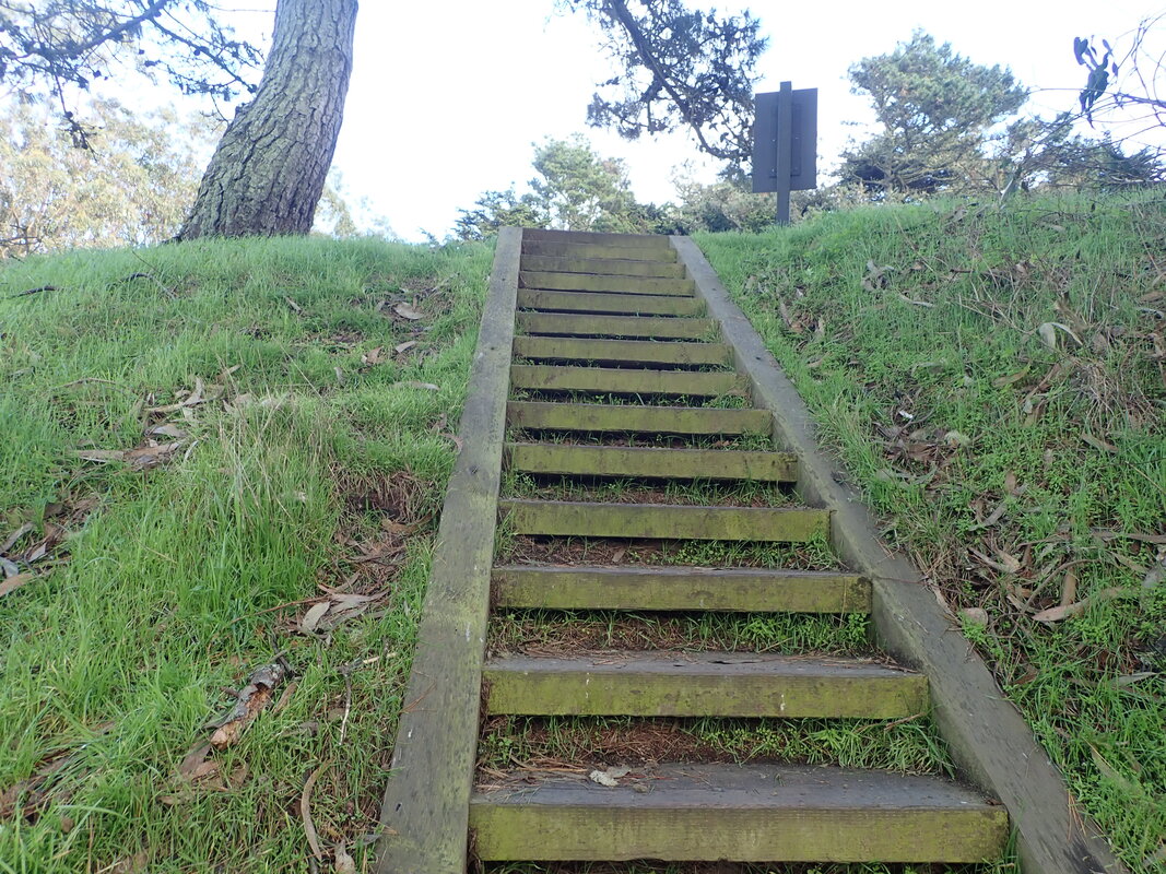
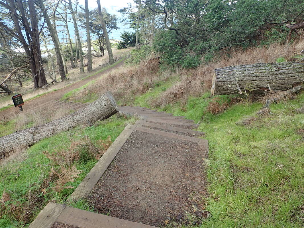
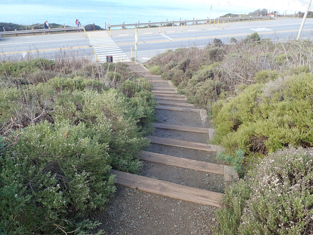
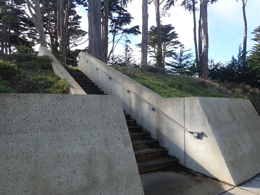
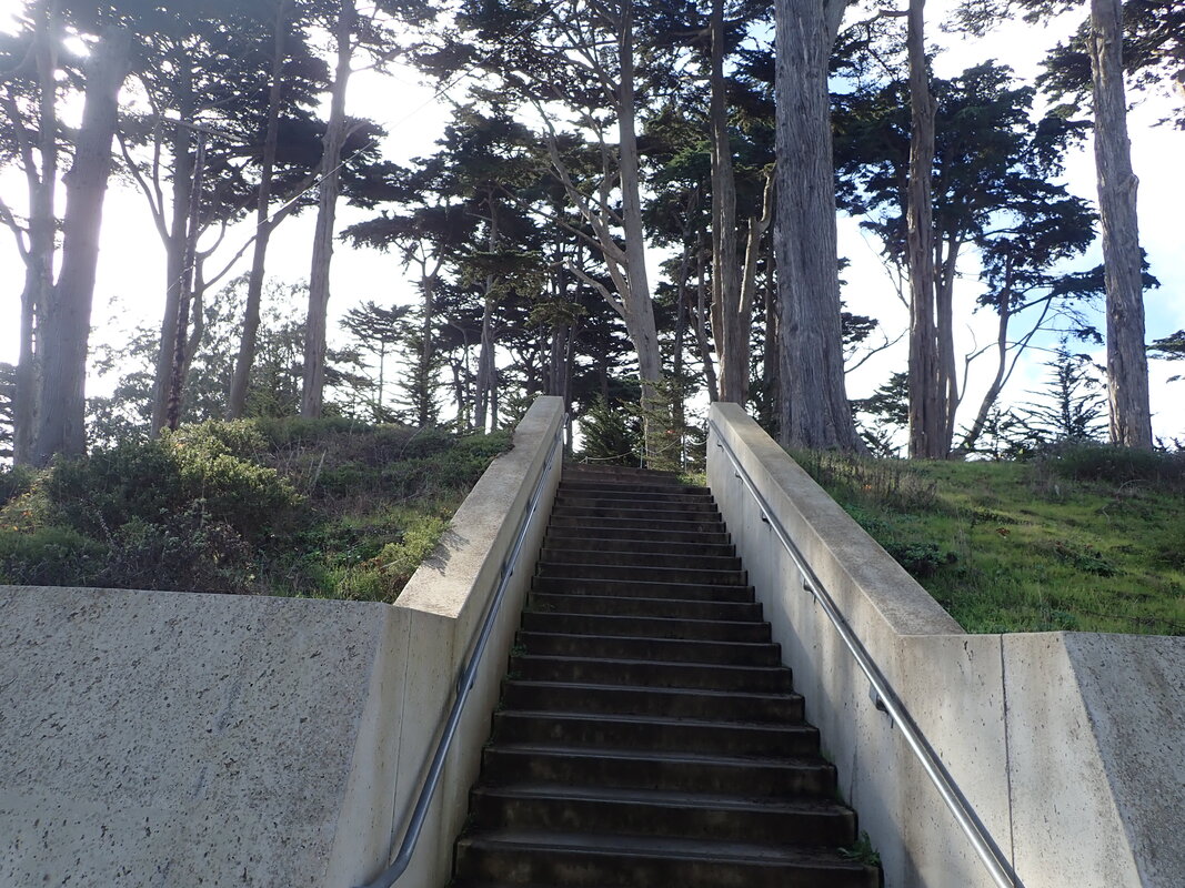
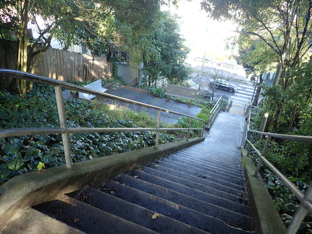
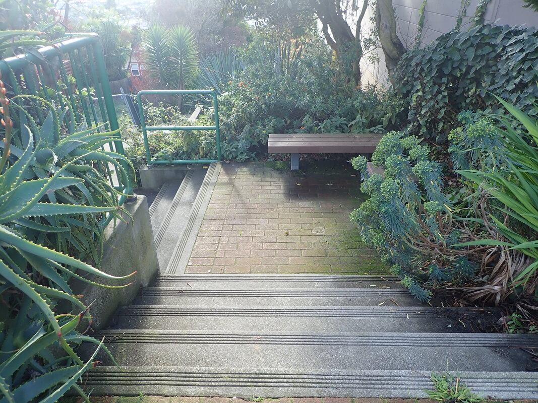
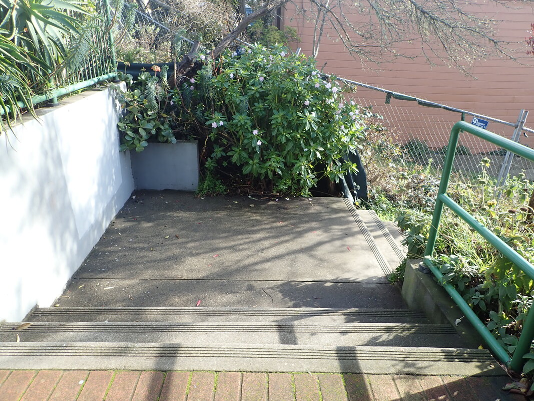
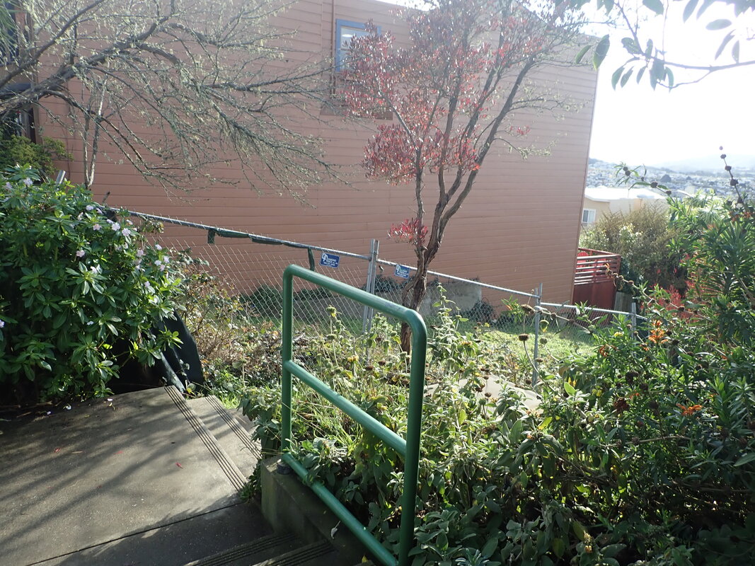
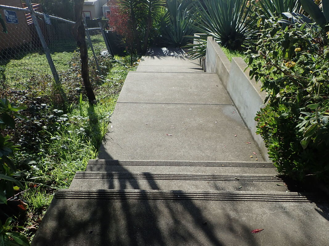
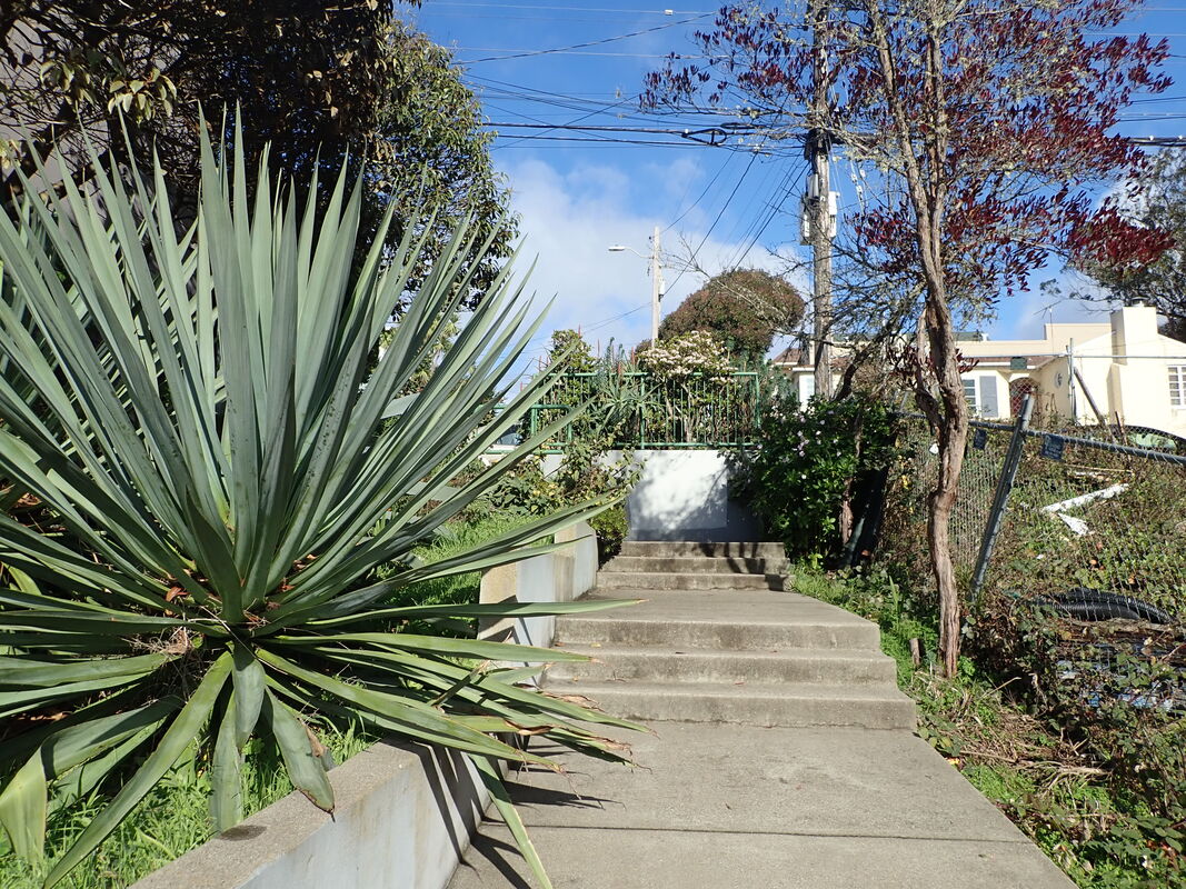
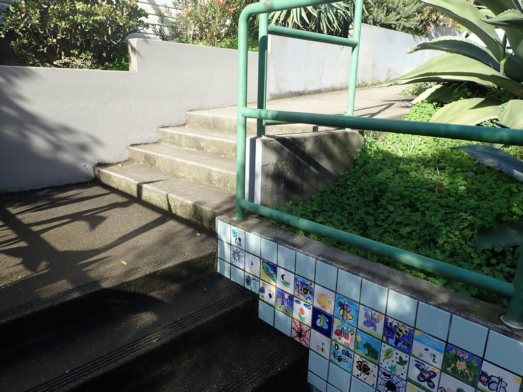
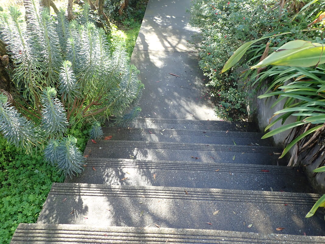
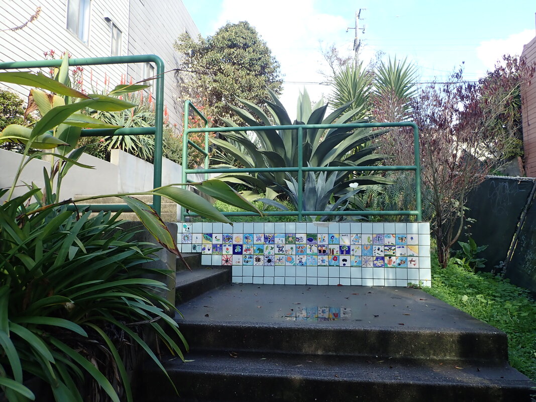
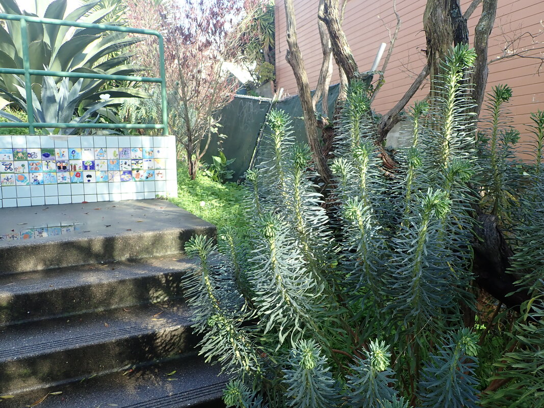
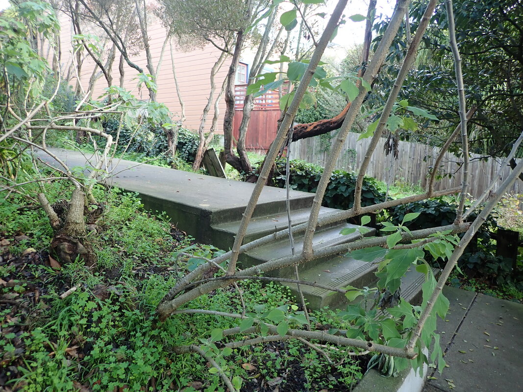
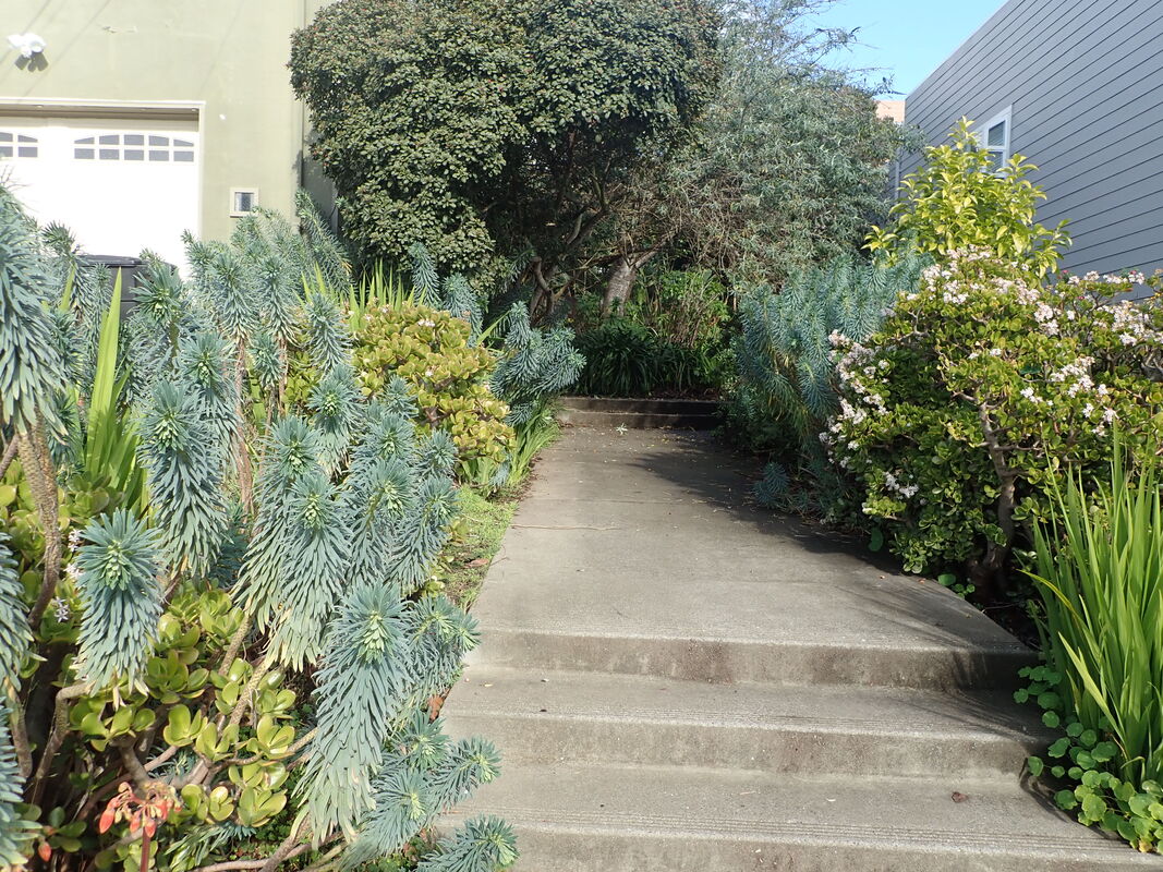
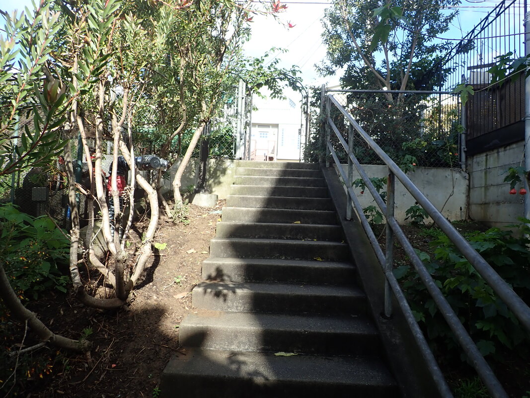
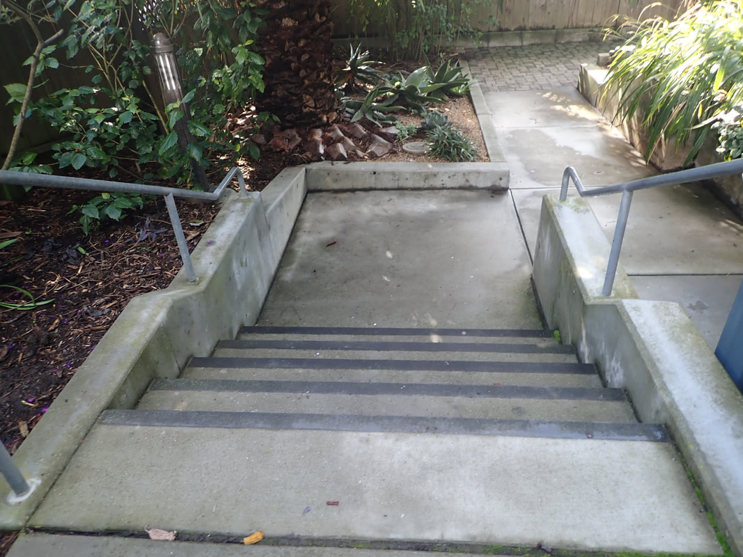
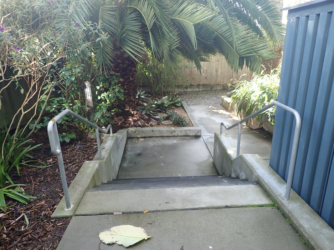
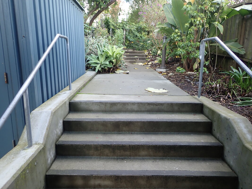
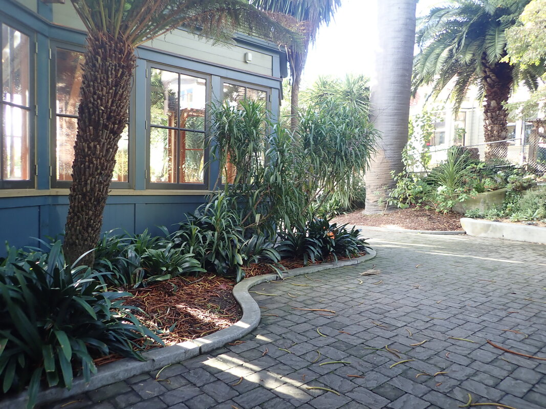
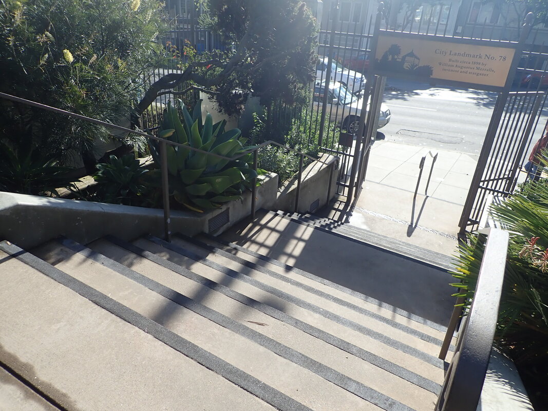
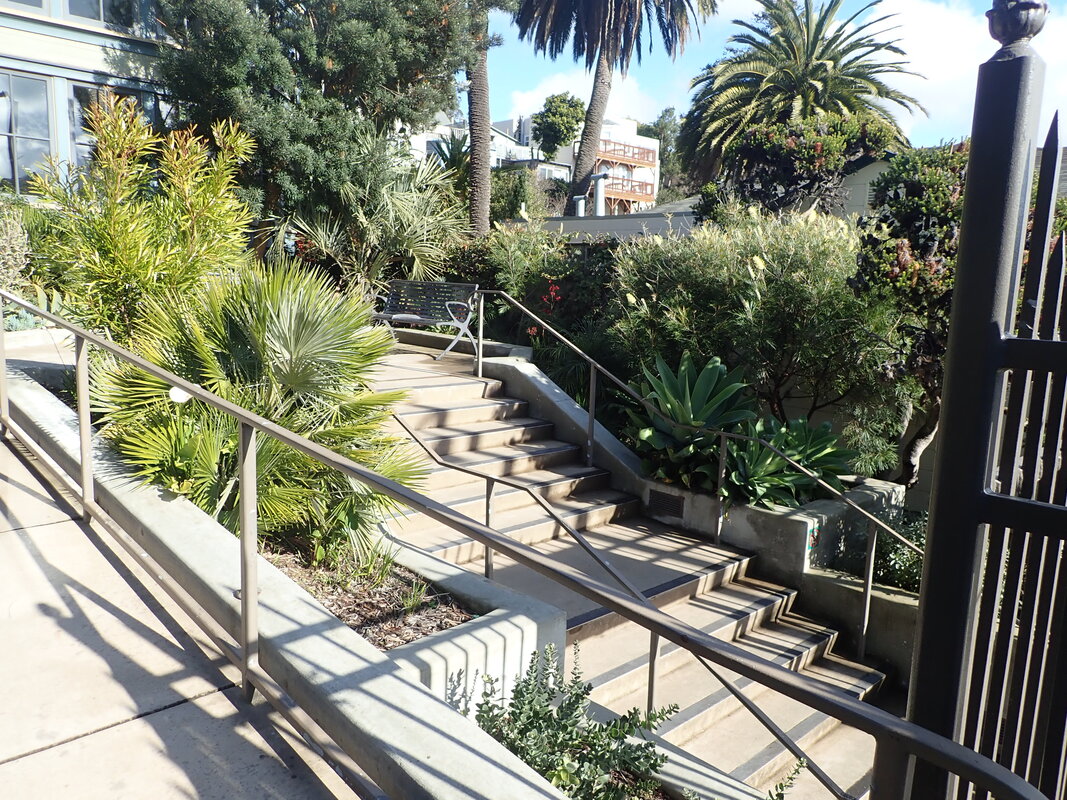
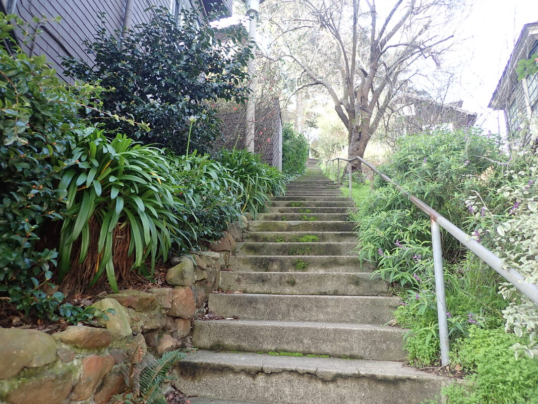
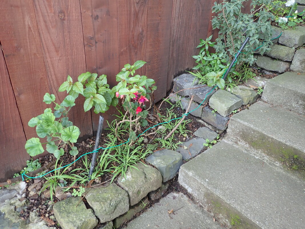
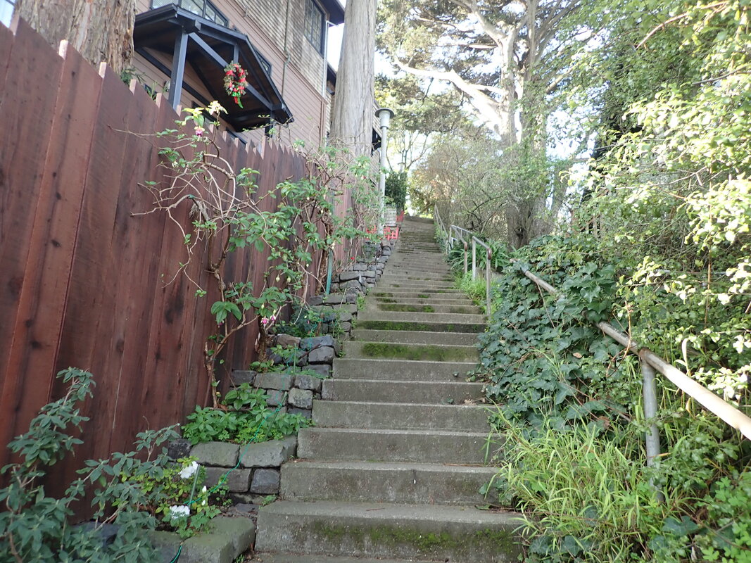
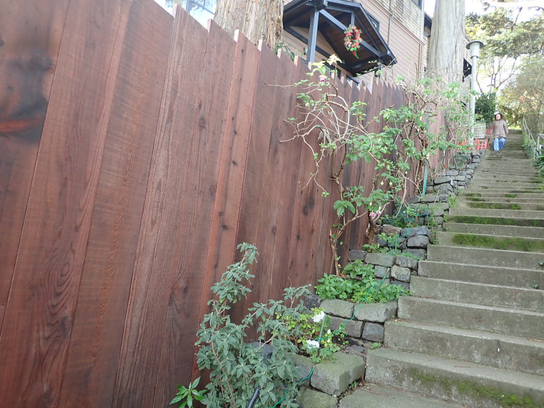
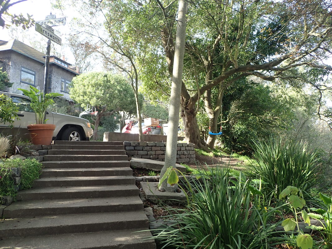
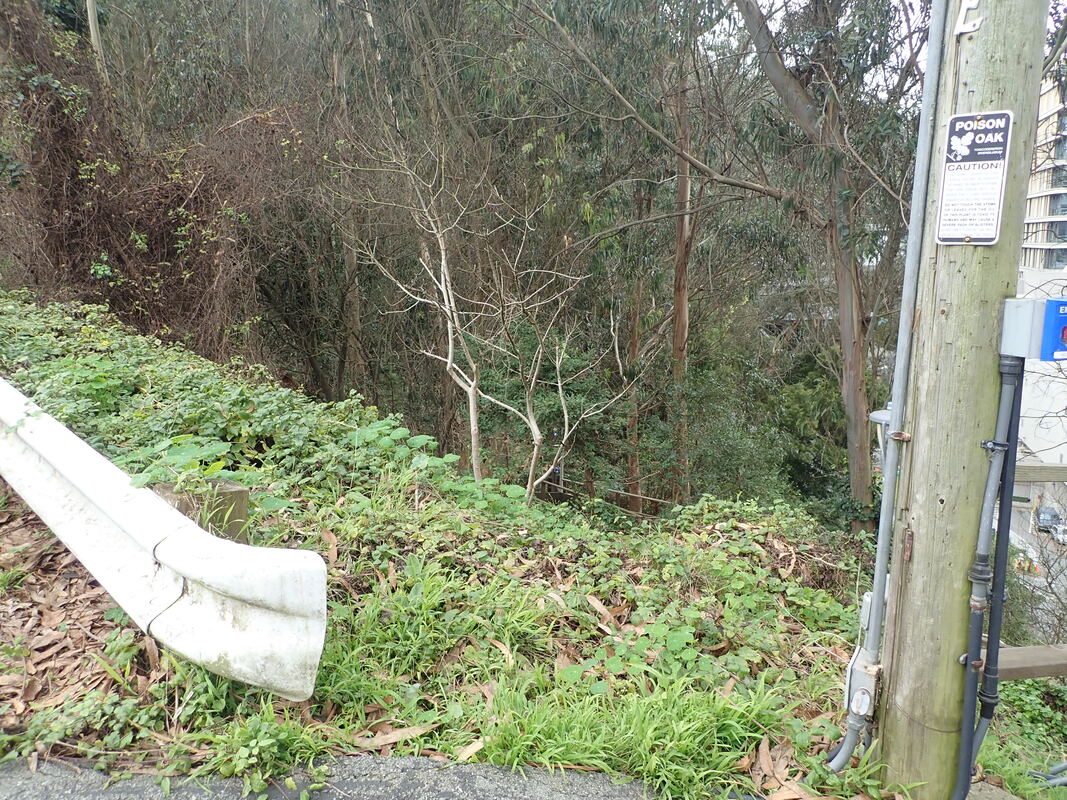
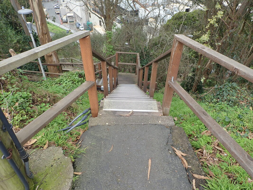
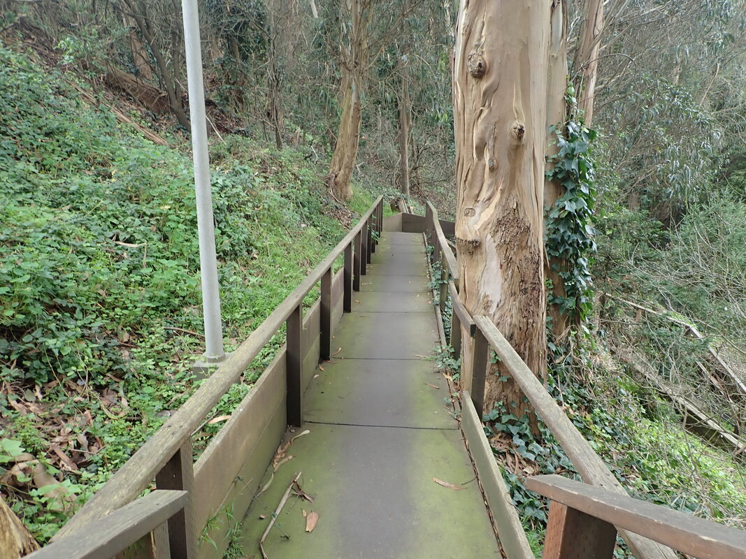
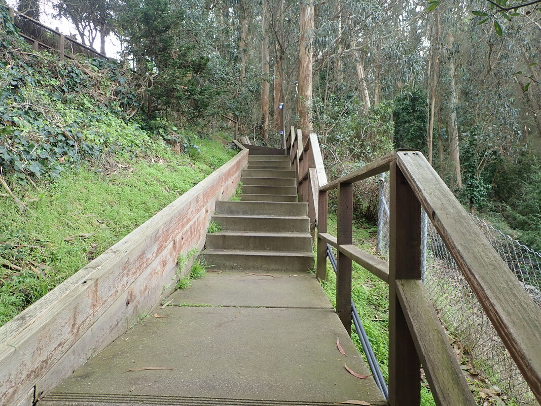
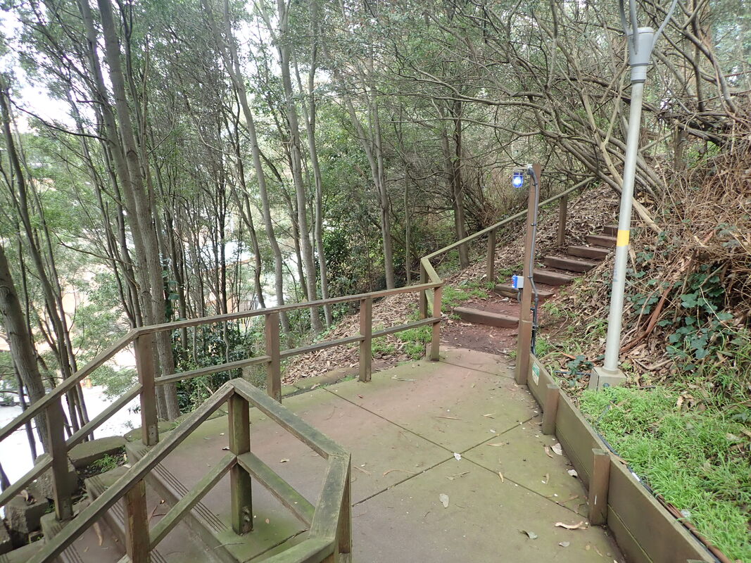
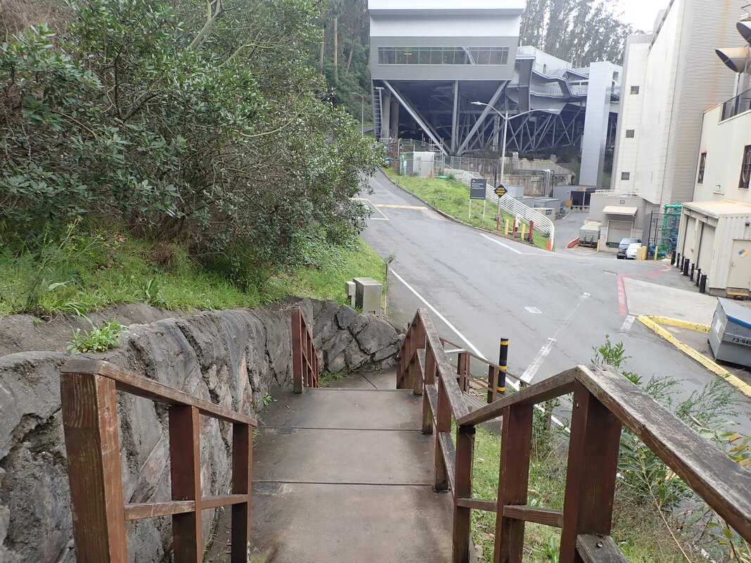
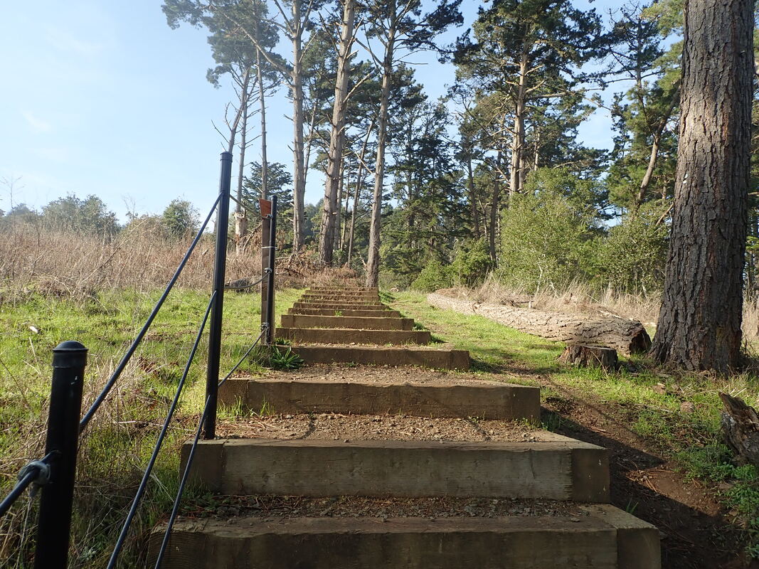
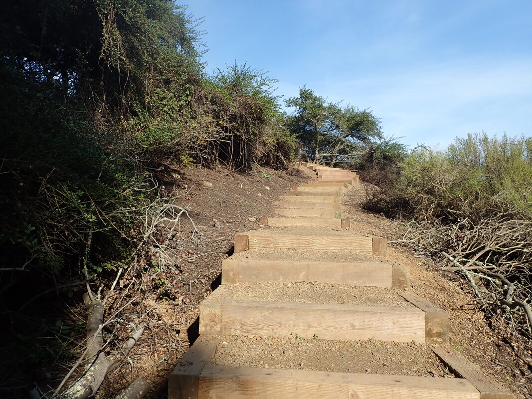
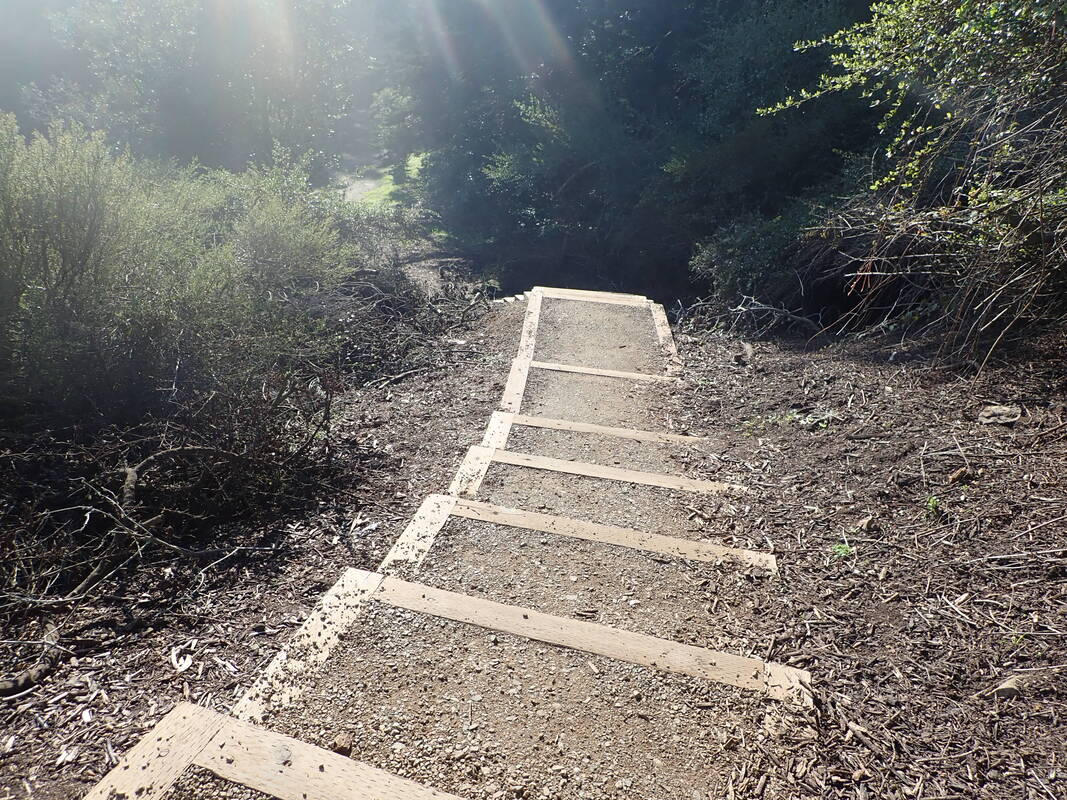
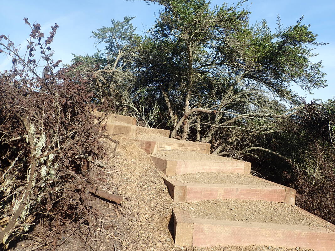
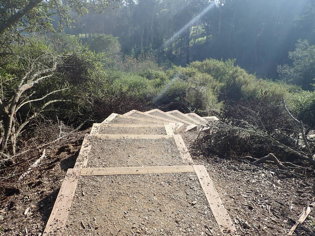
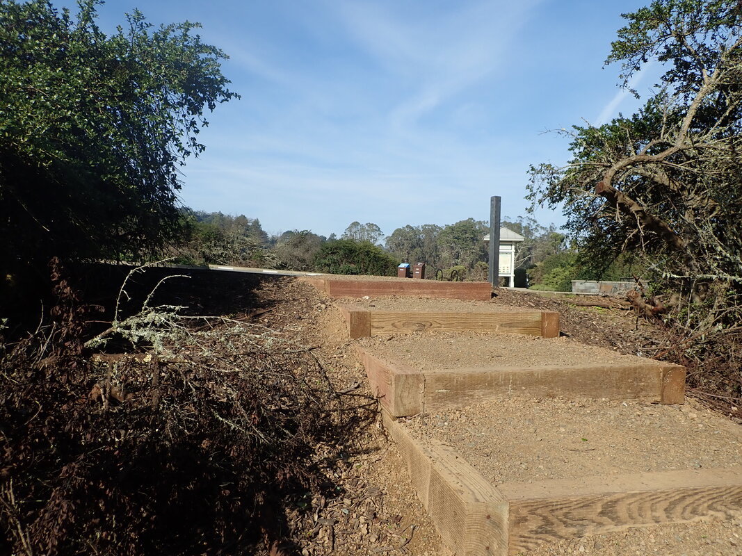
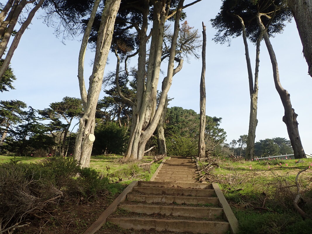
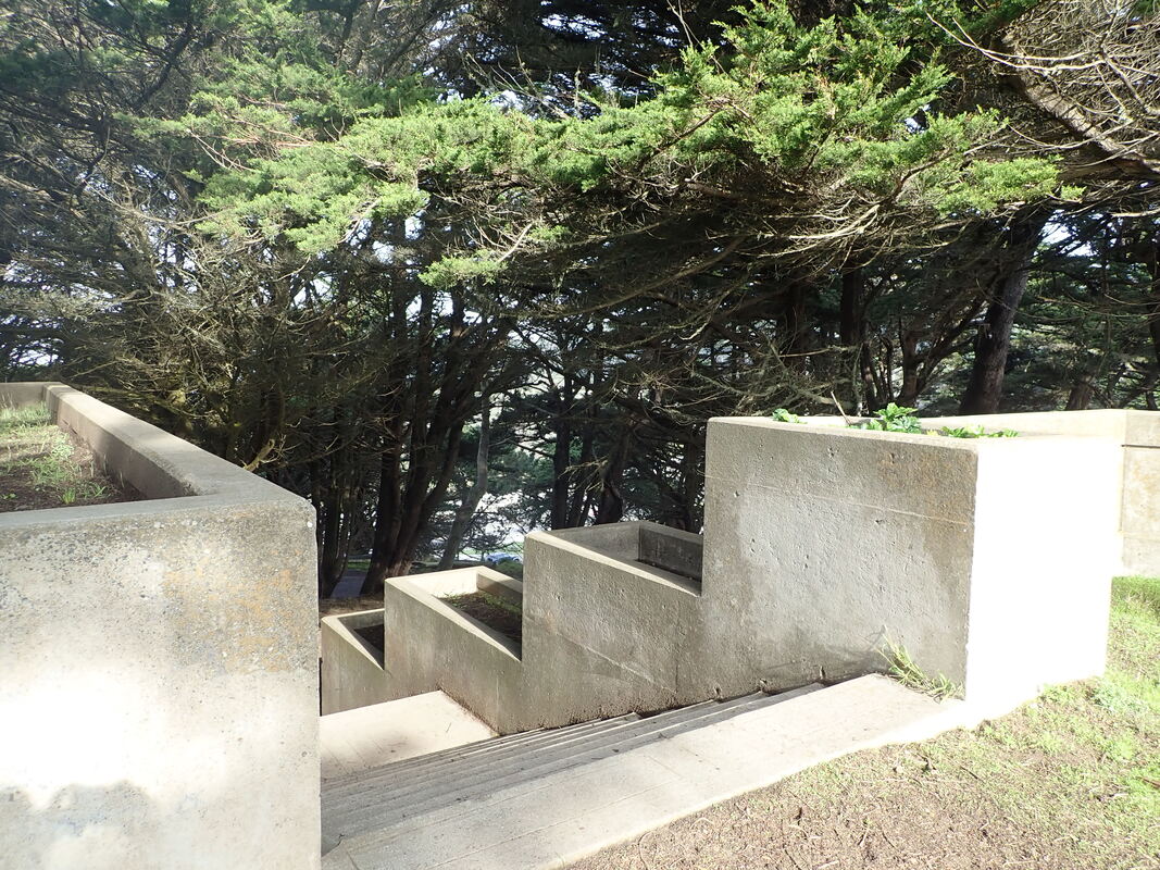
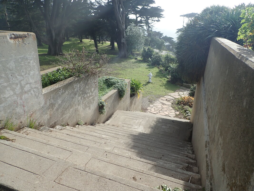
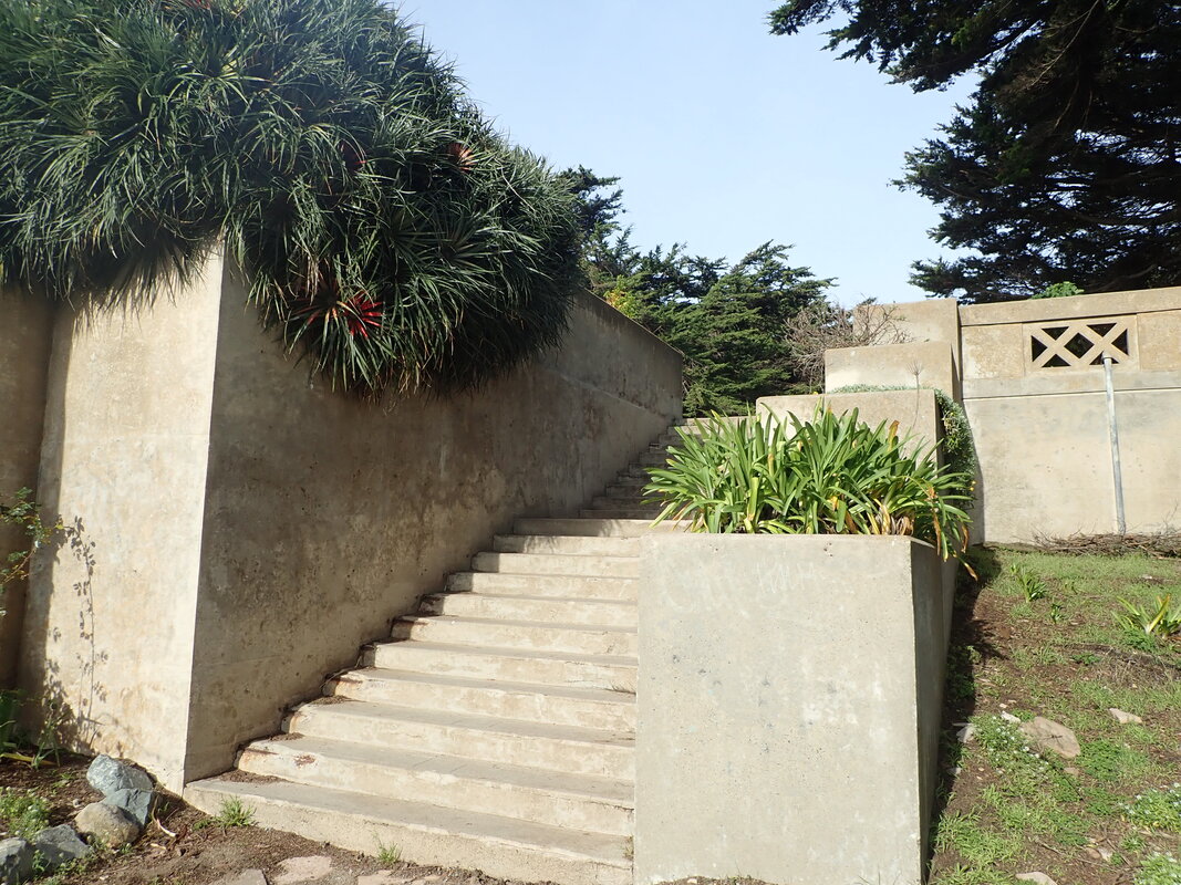
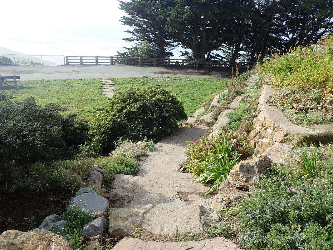
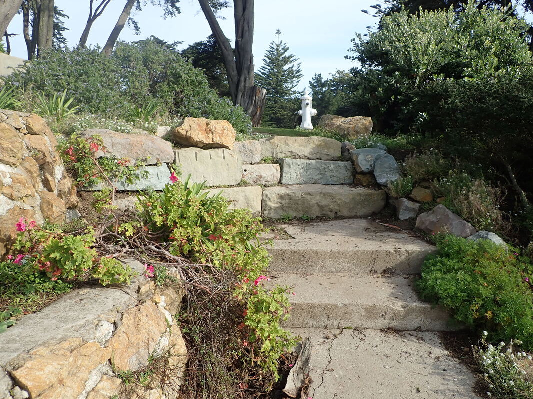
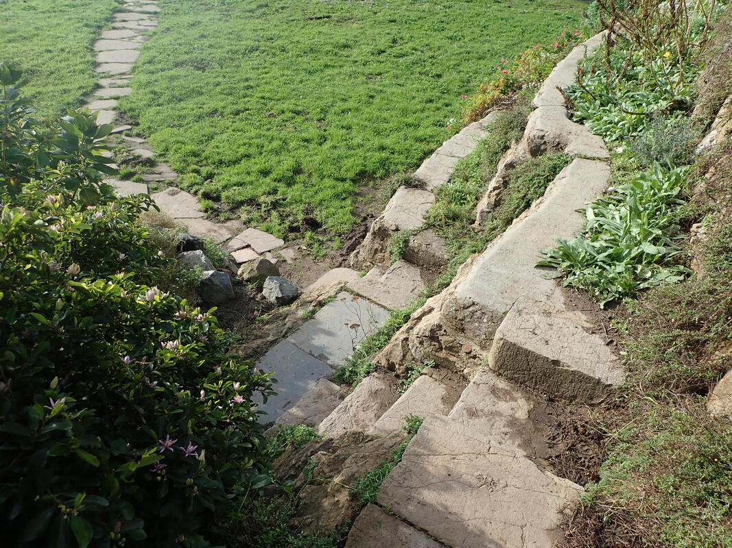
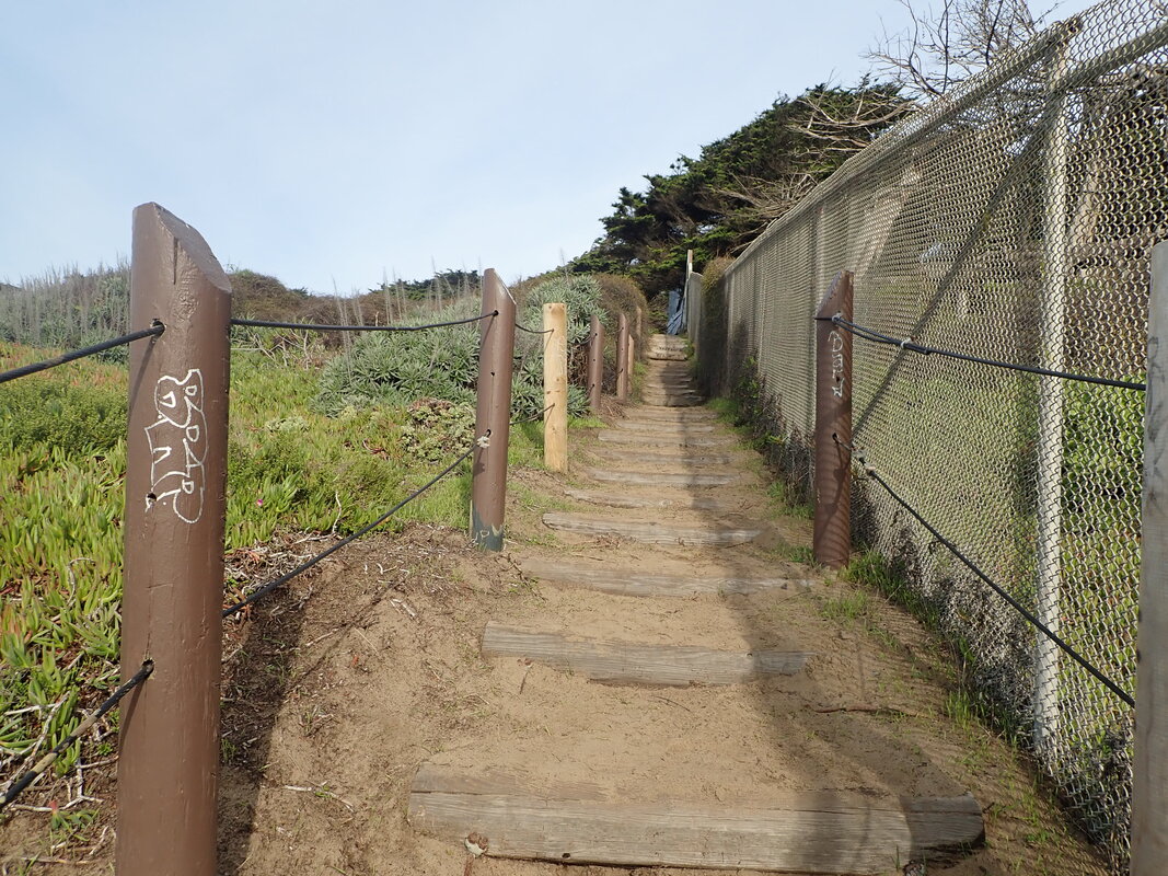
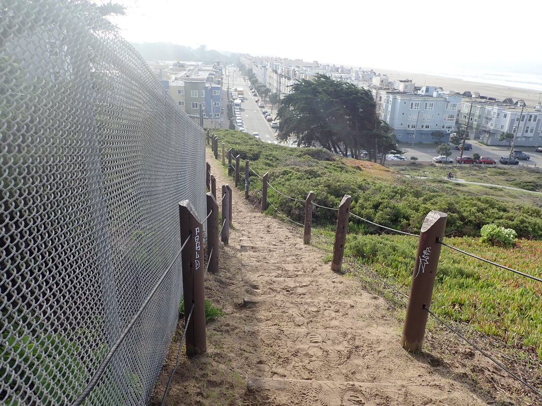
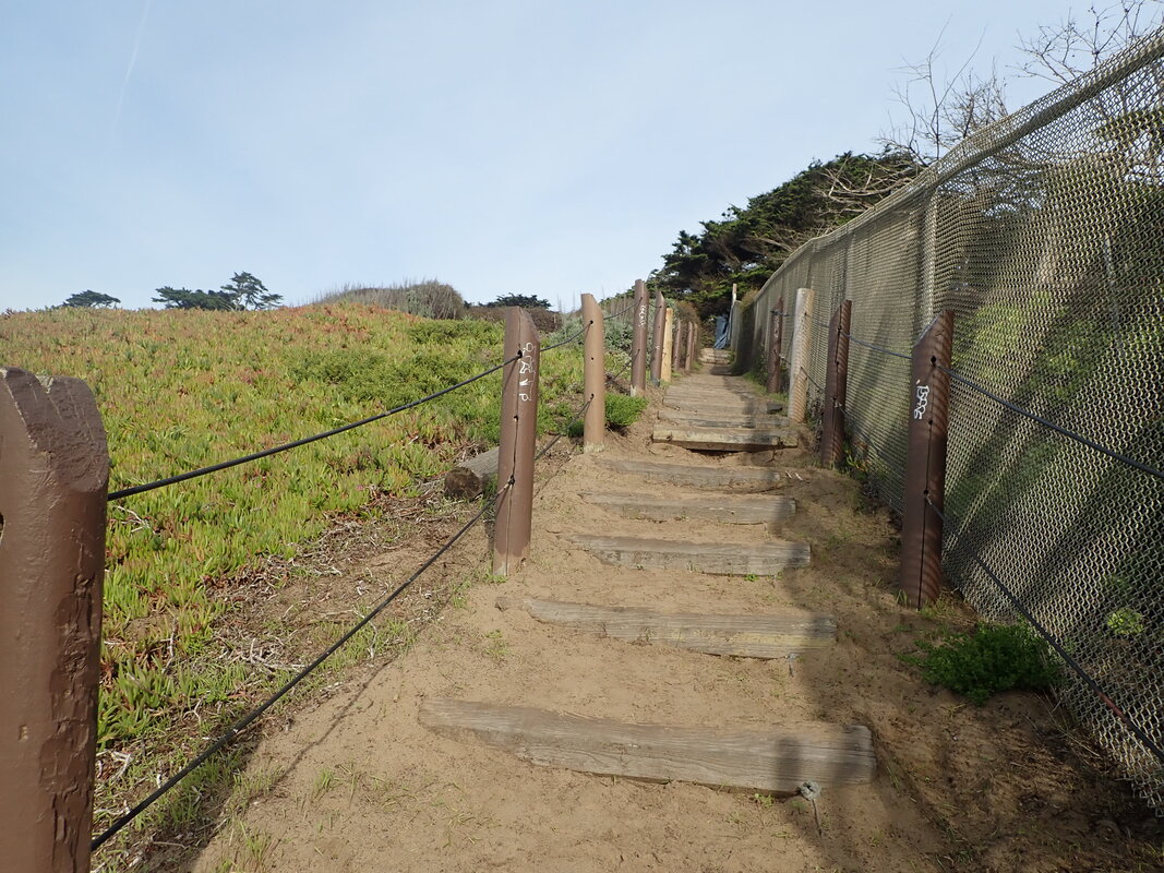
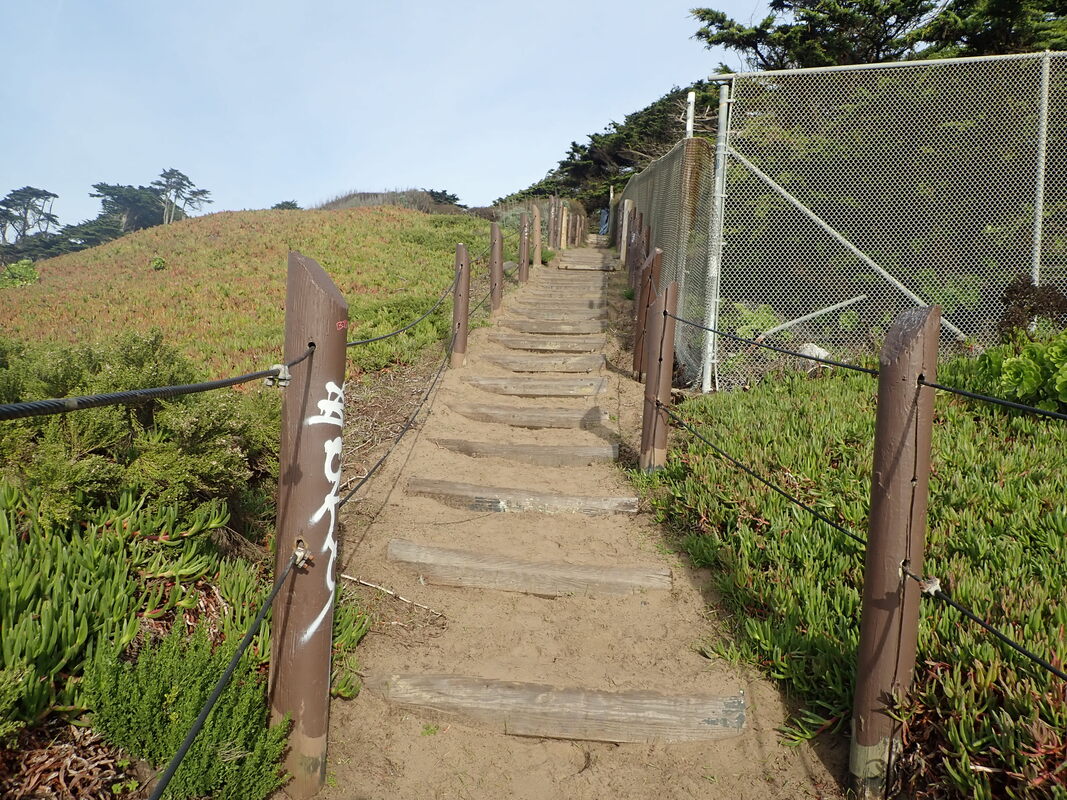
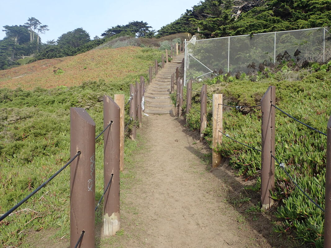
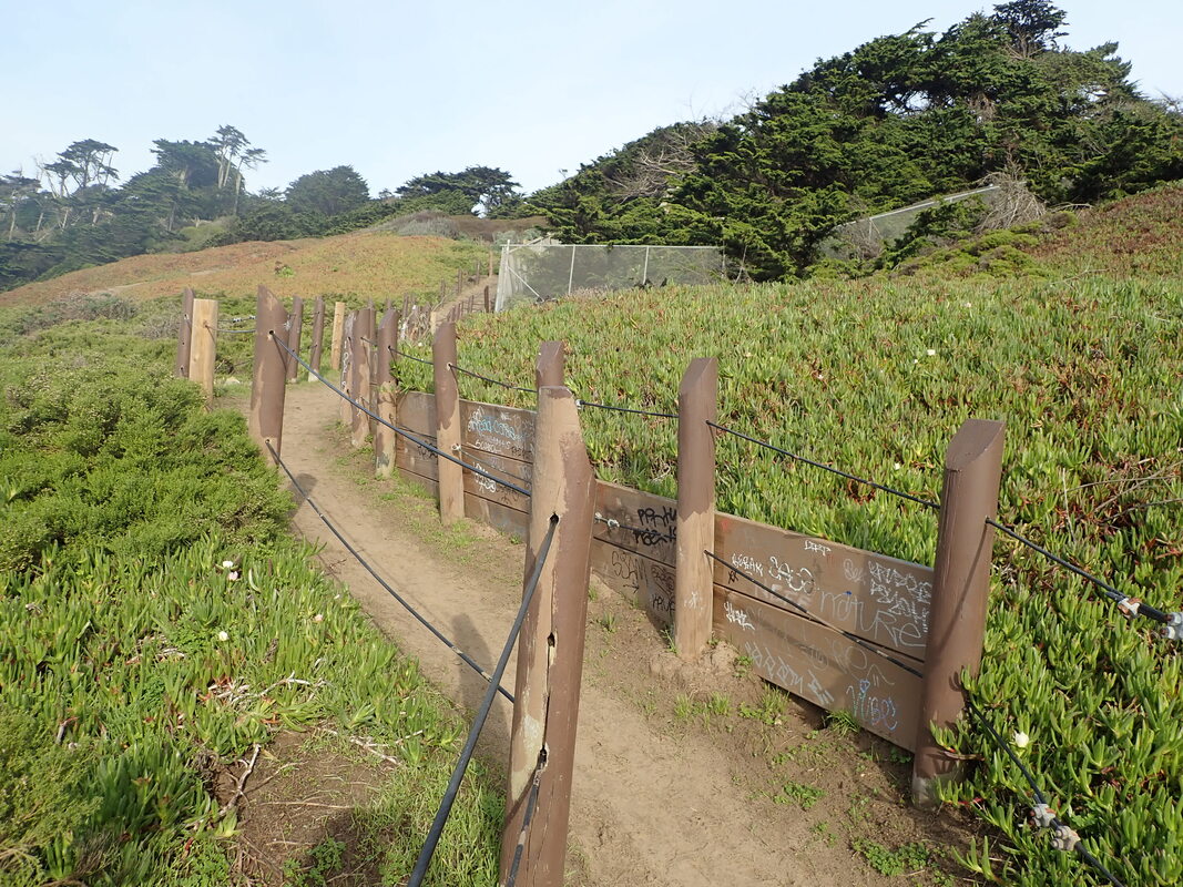
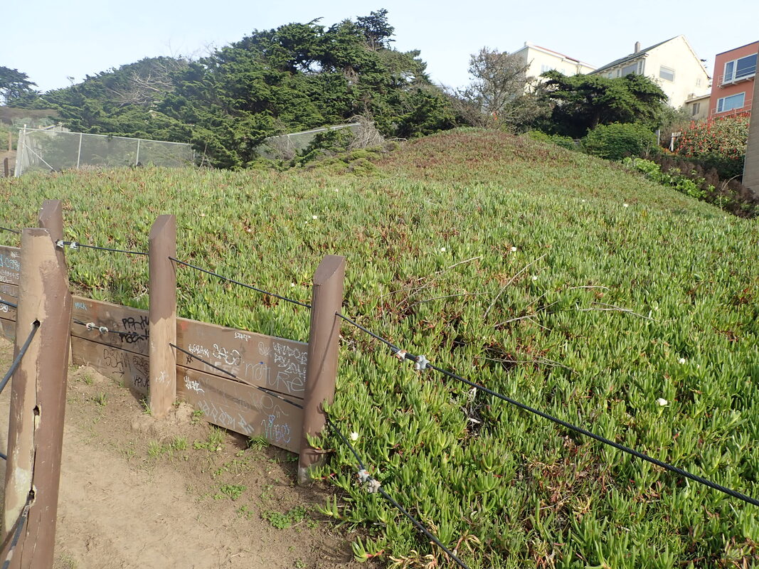
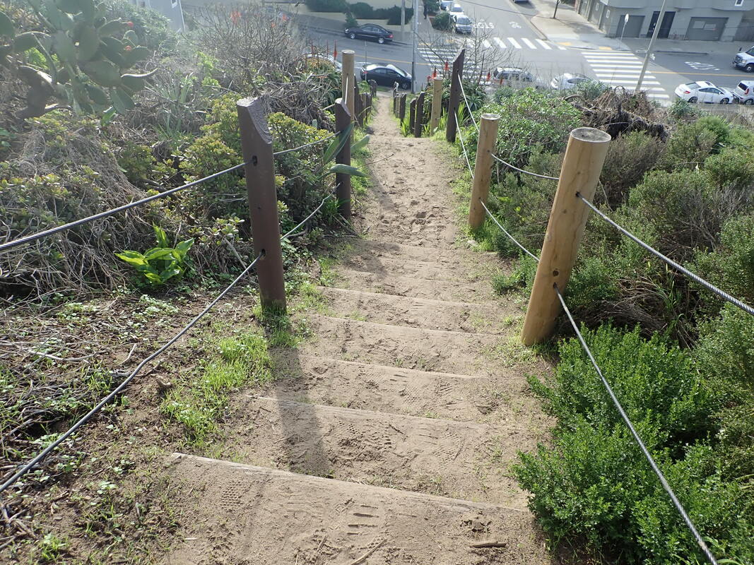
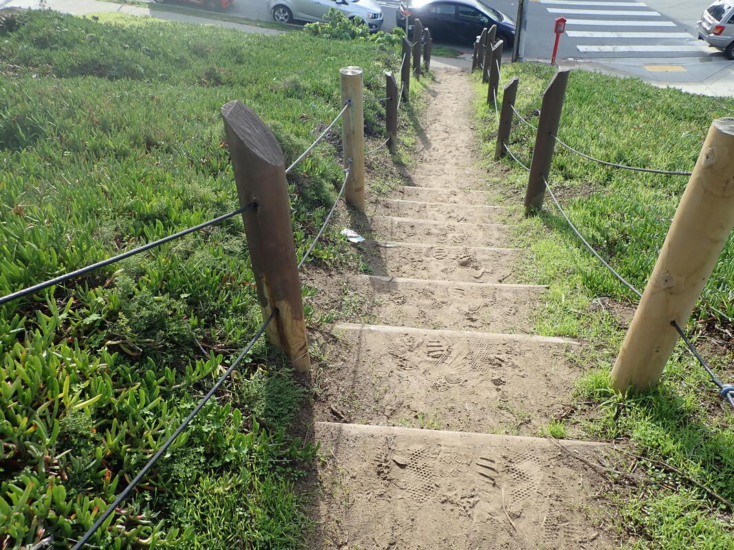
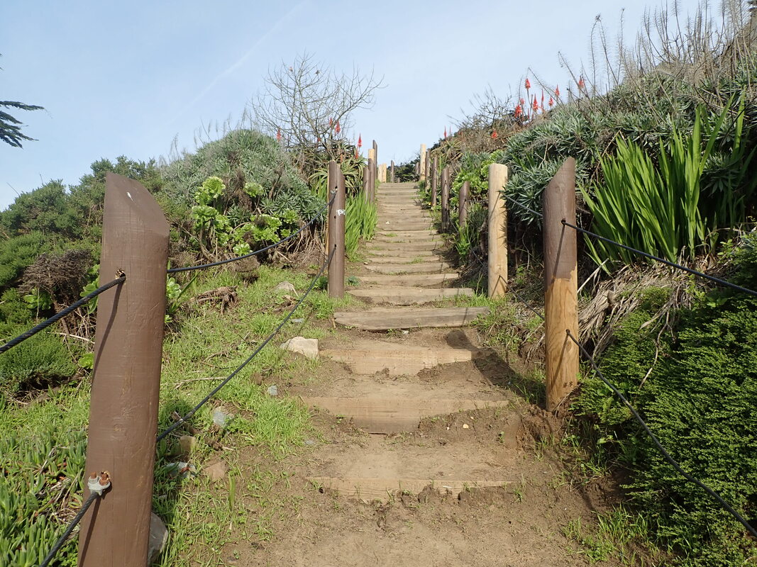
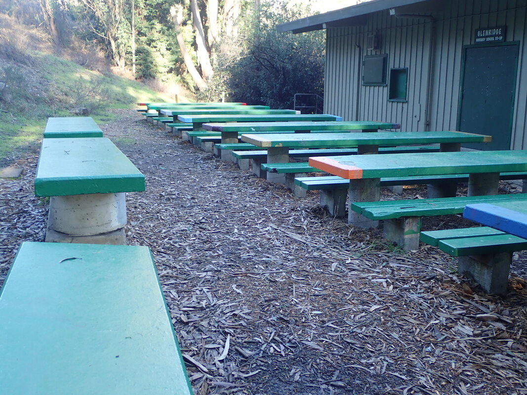
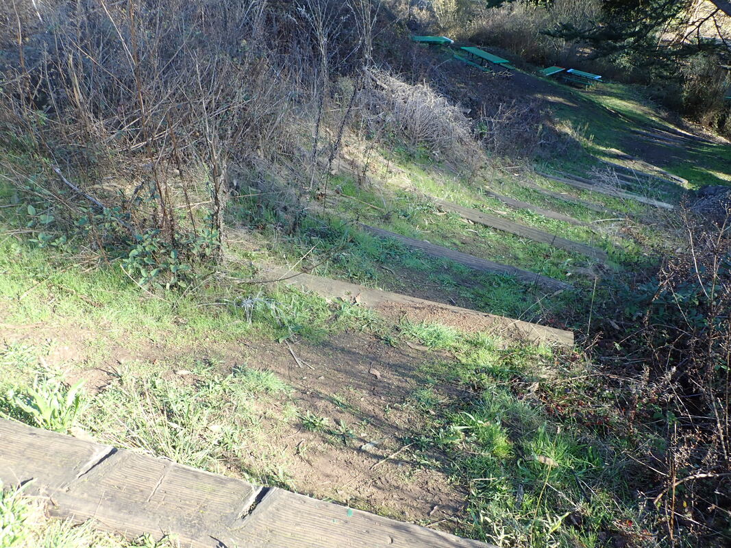
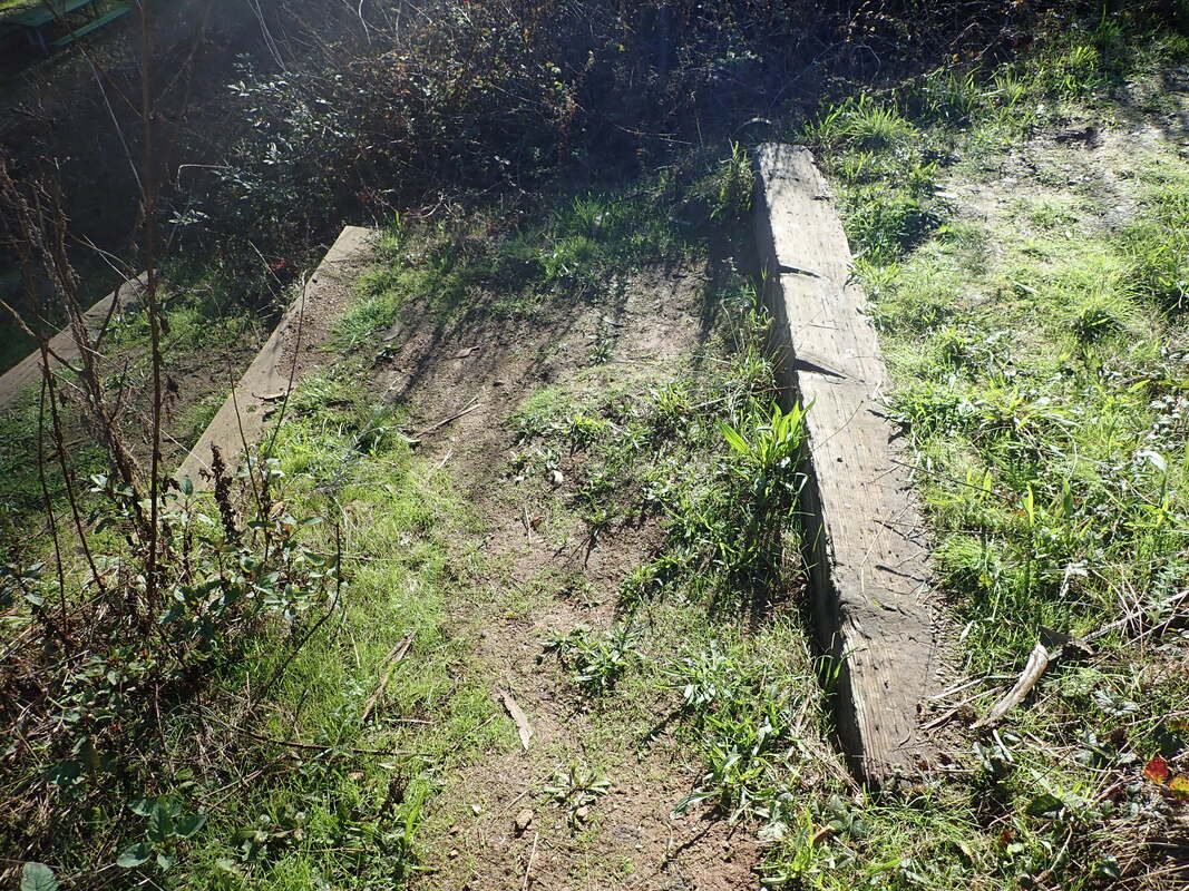
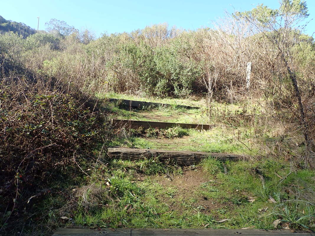
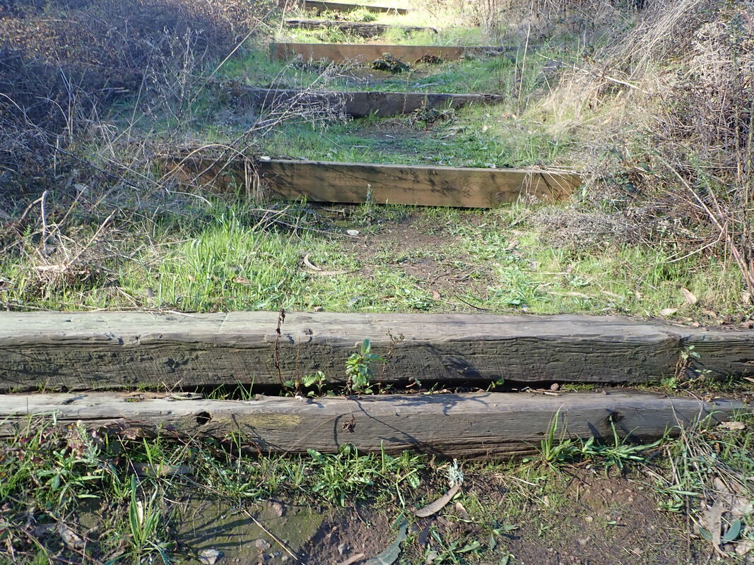
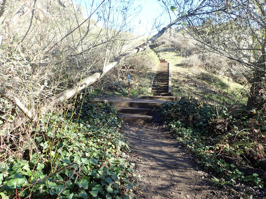
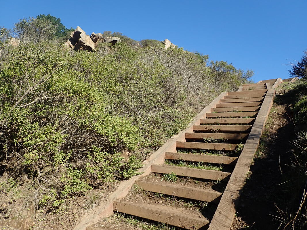
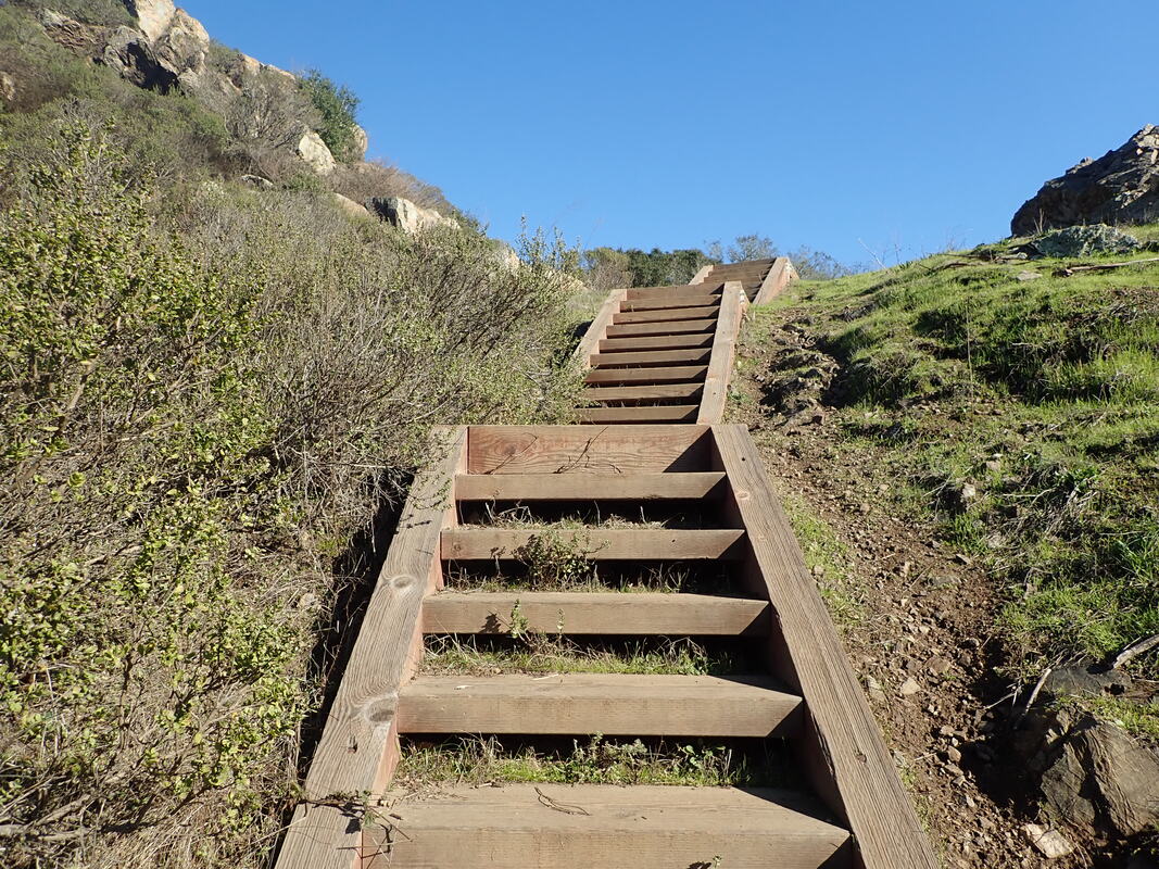
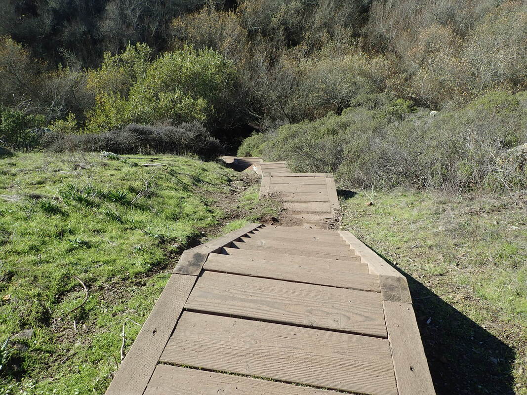
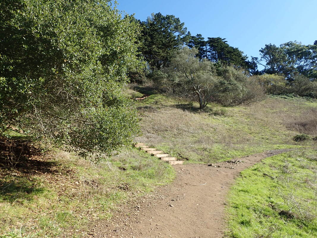
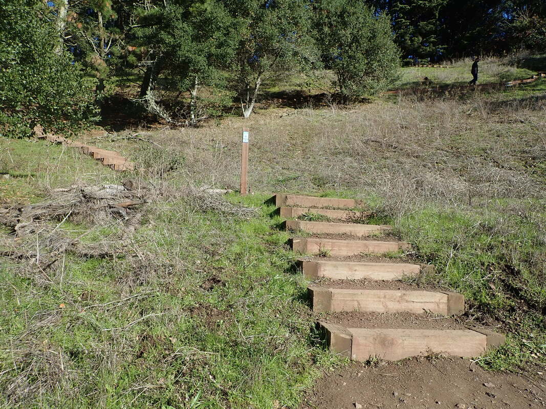
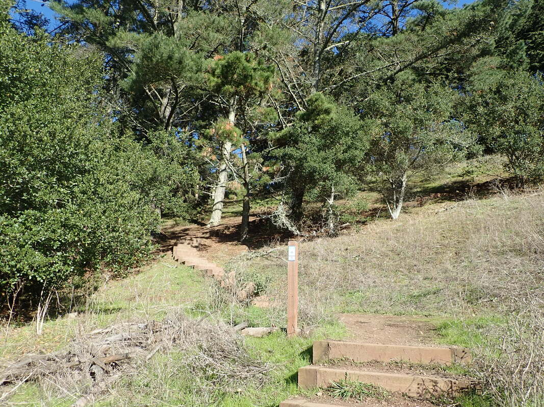
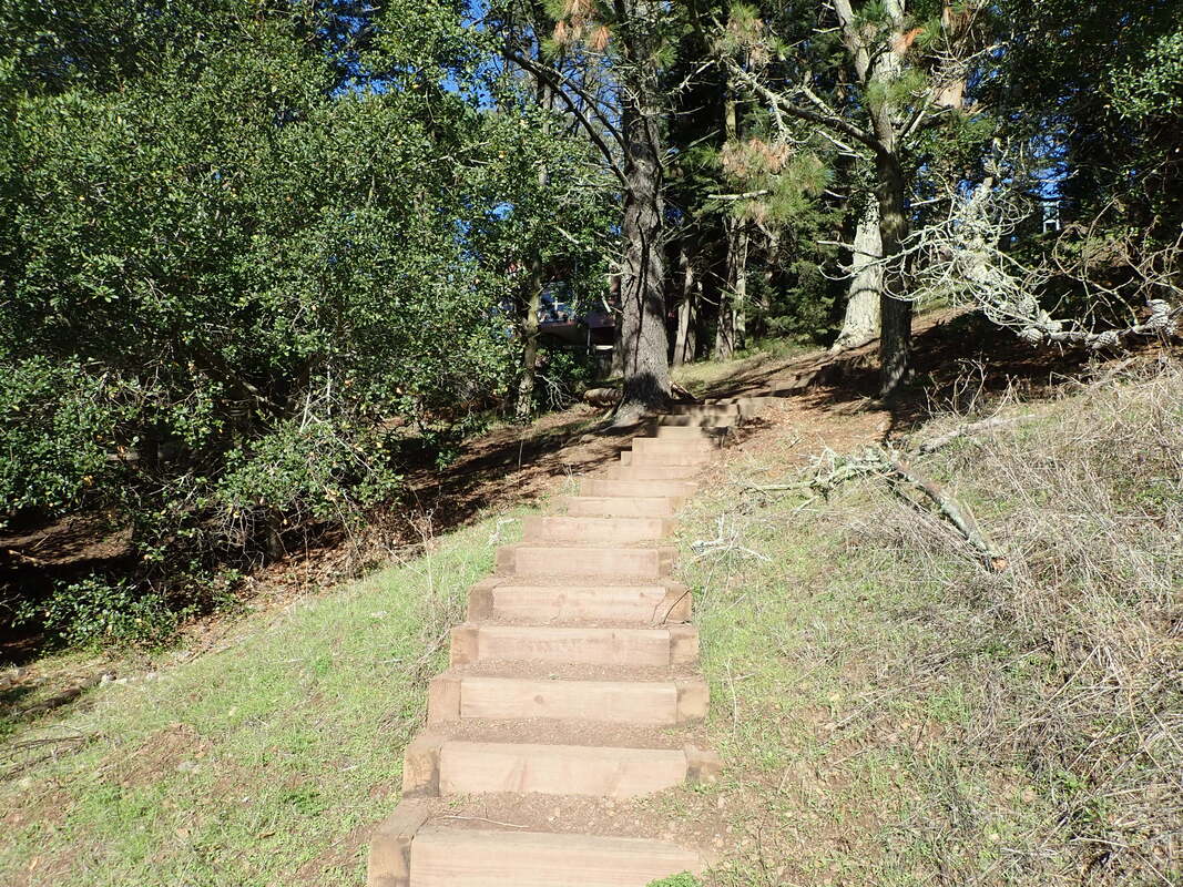
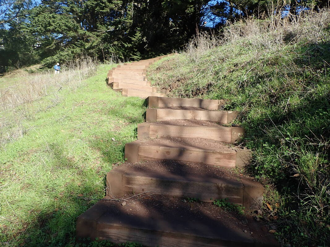
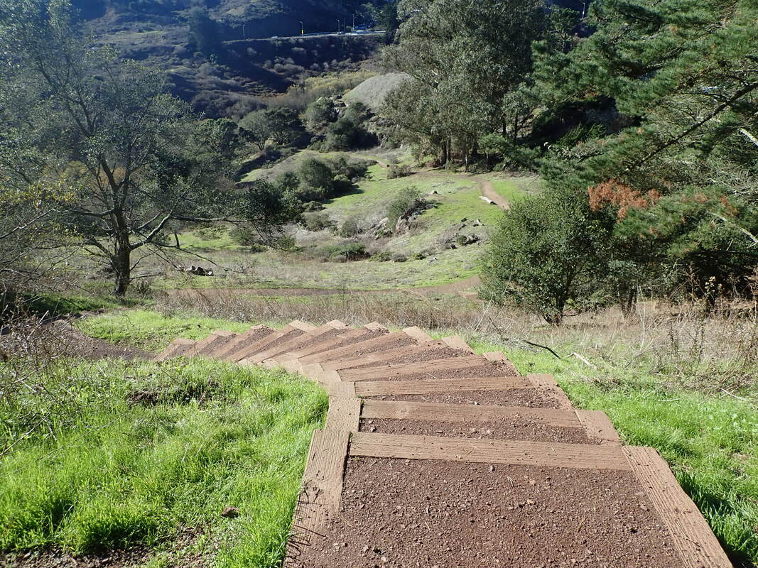
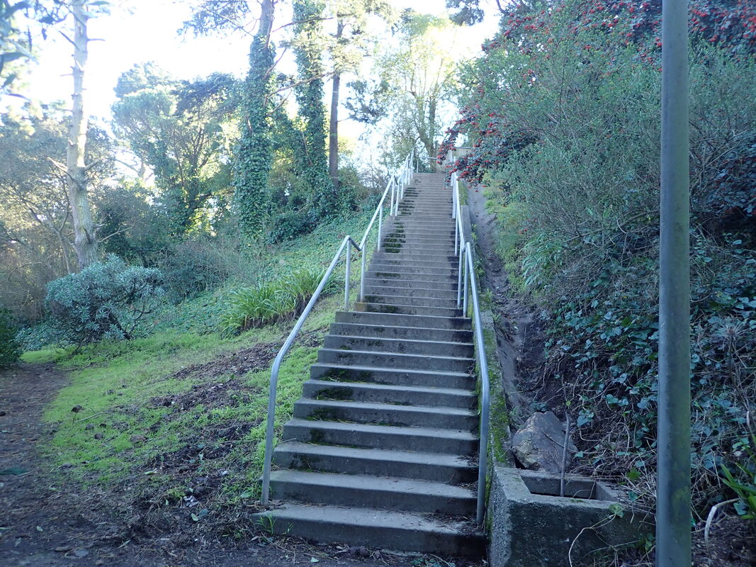
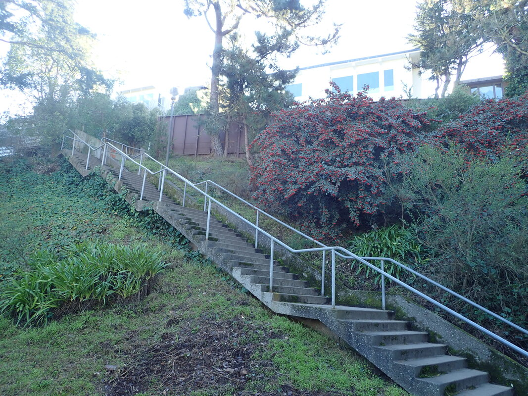
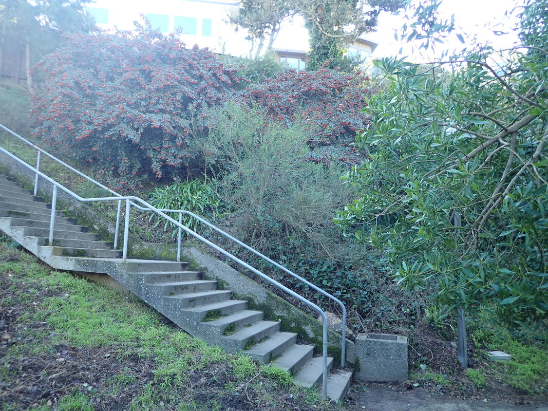
30 nursery steps: 6, 7
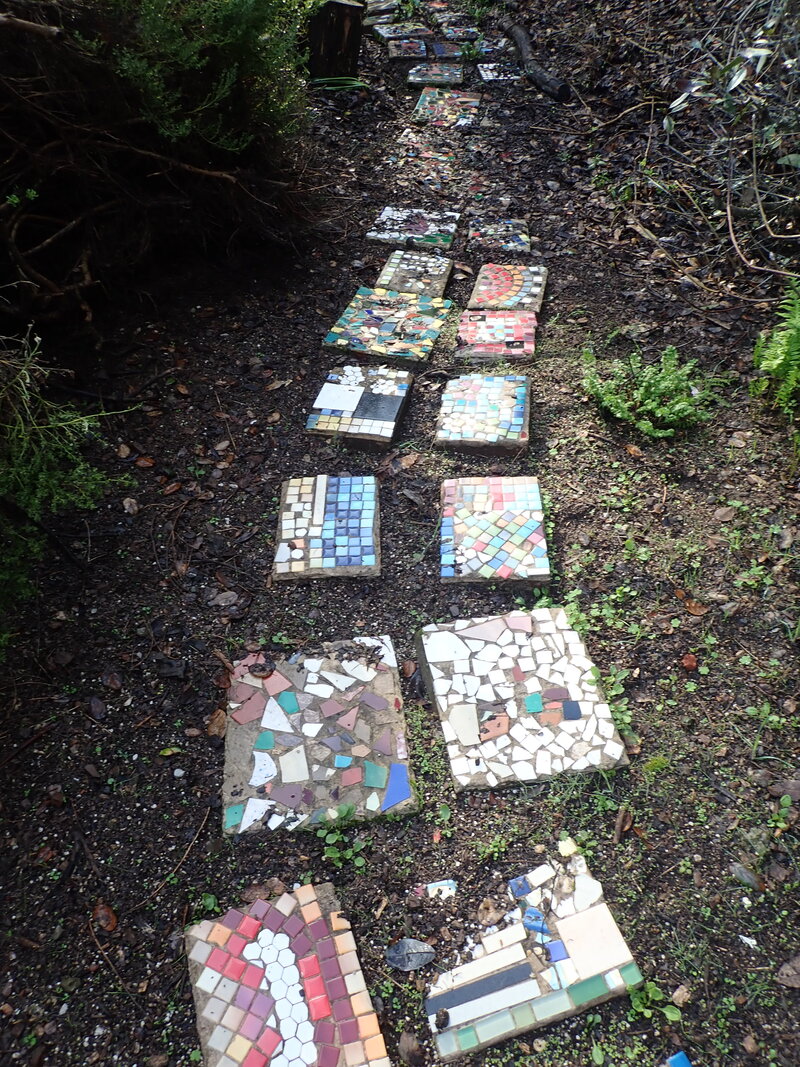
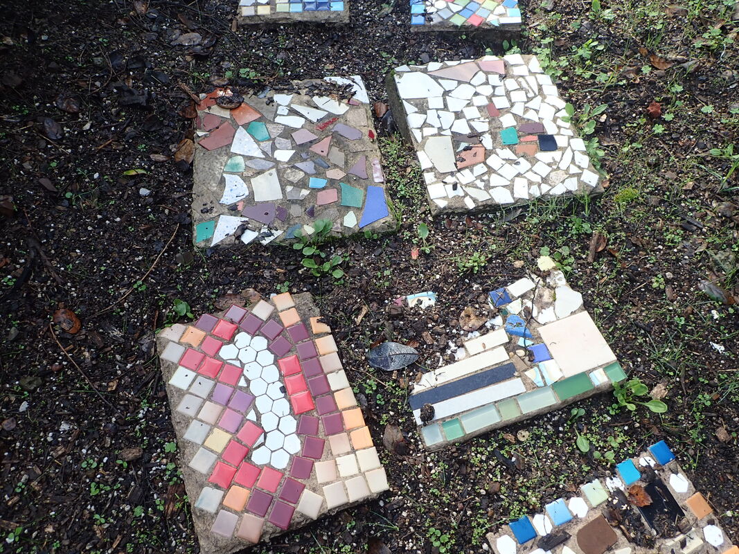
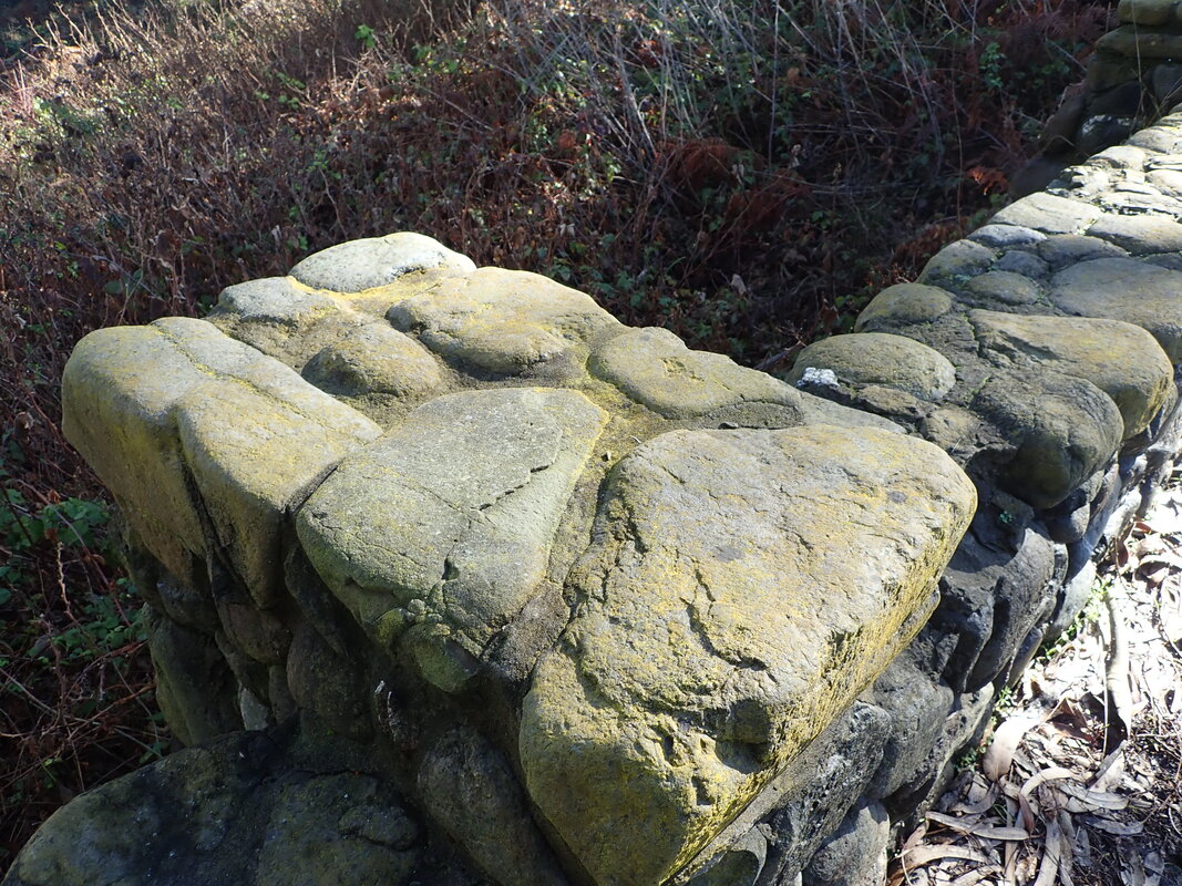
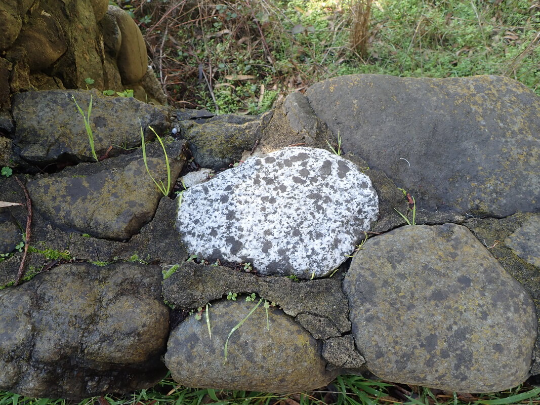
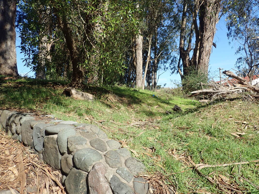
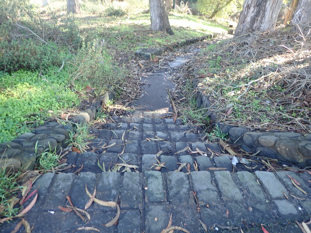
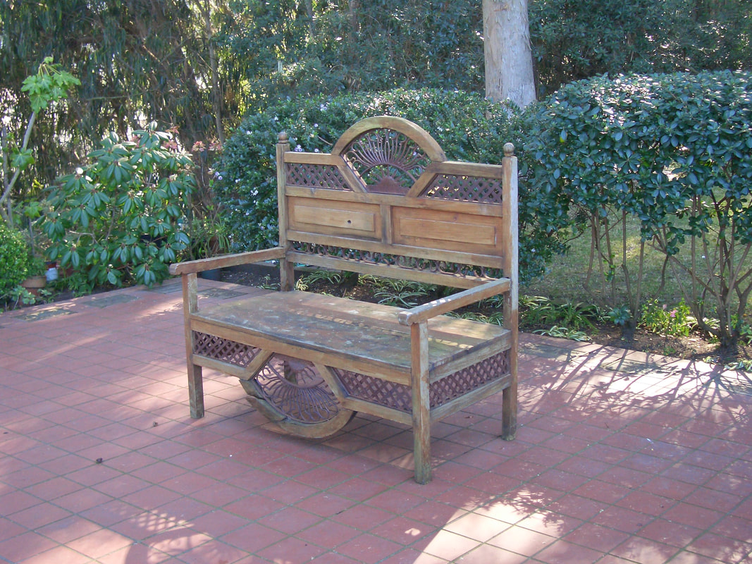
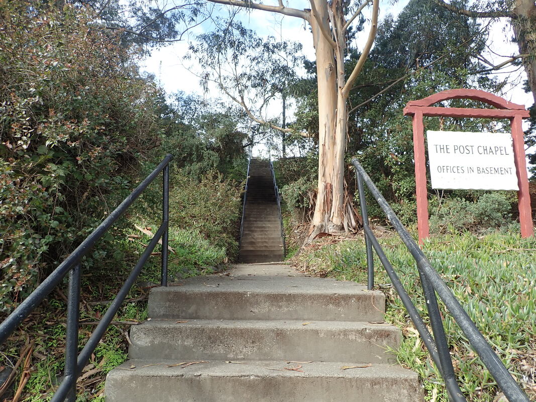
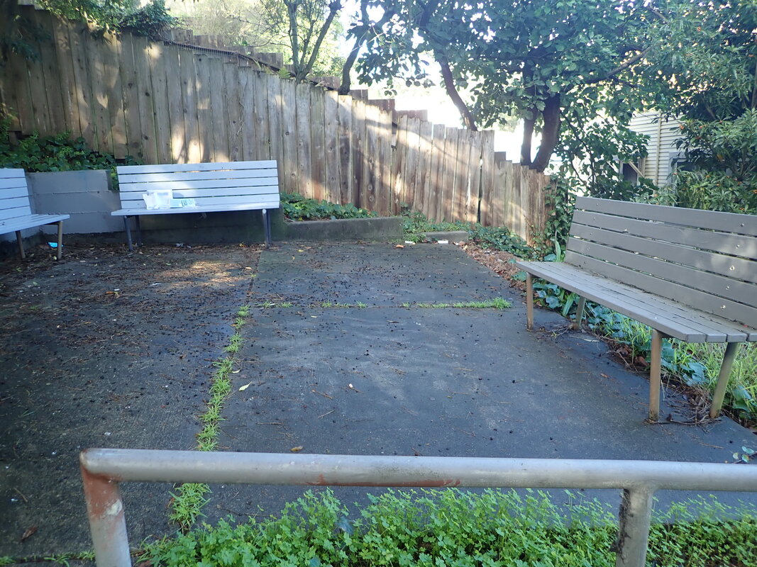
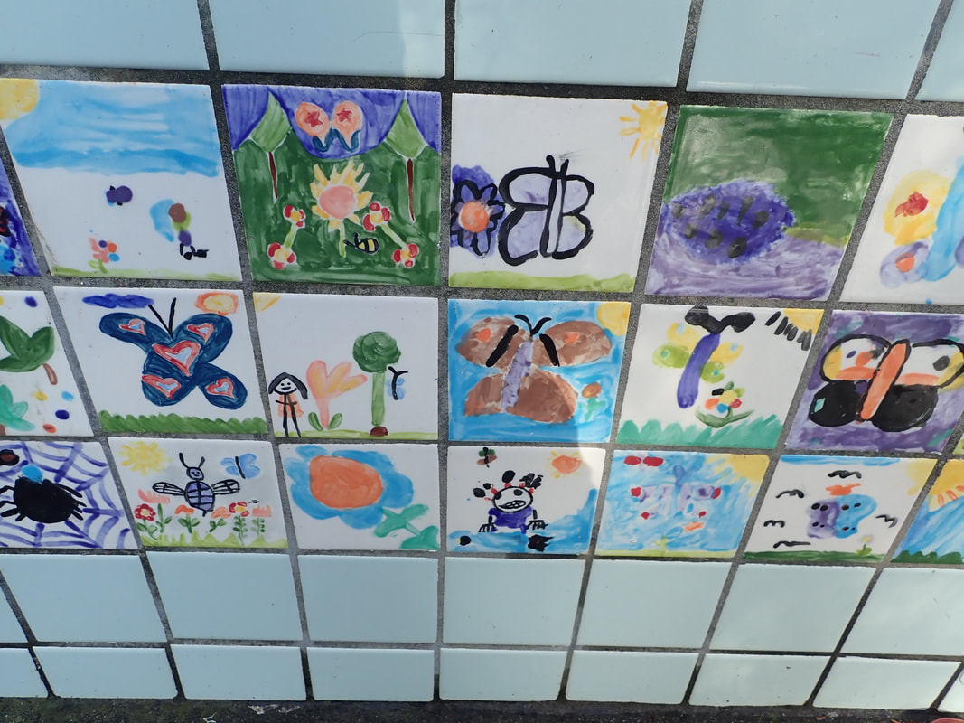
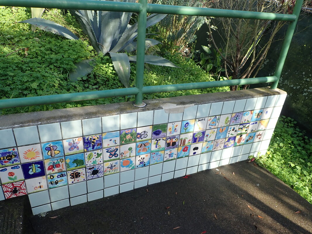
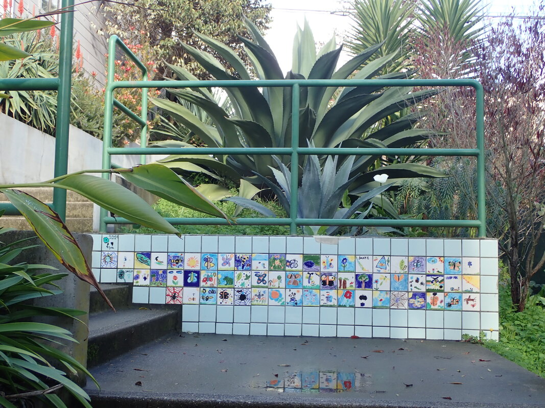
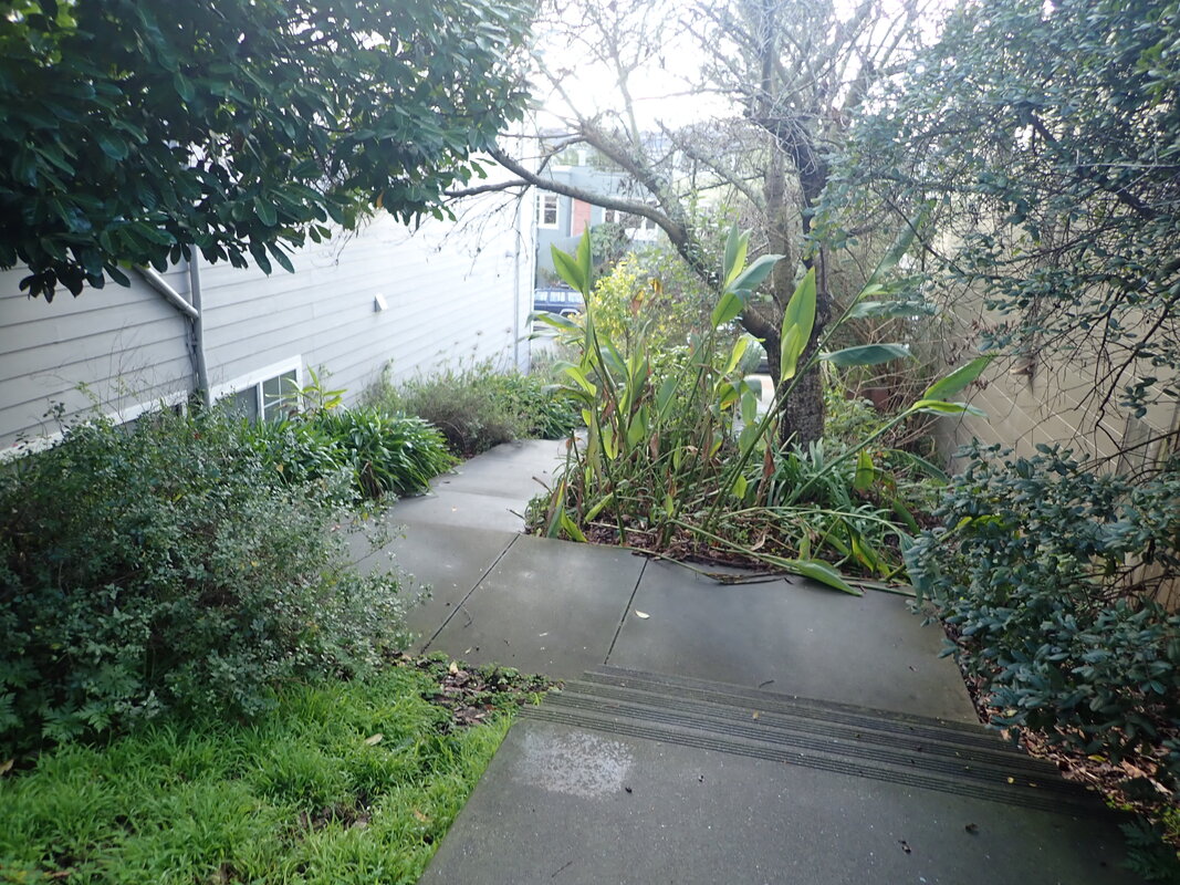
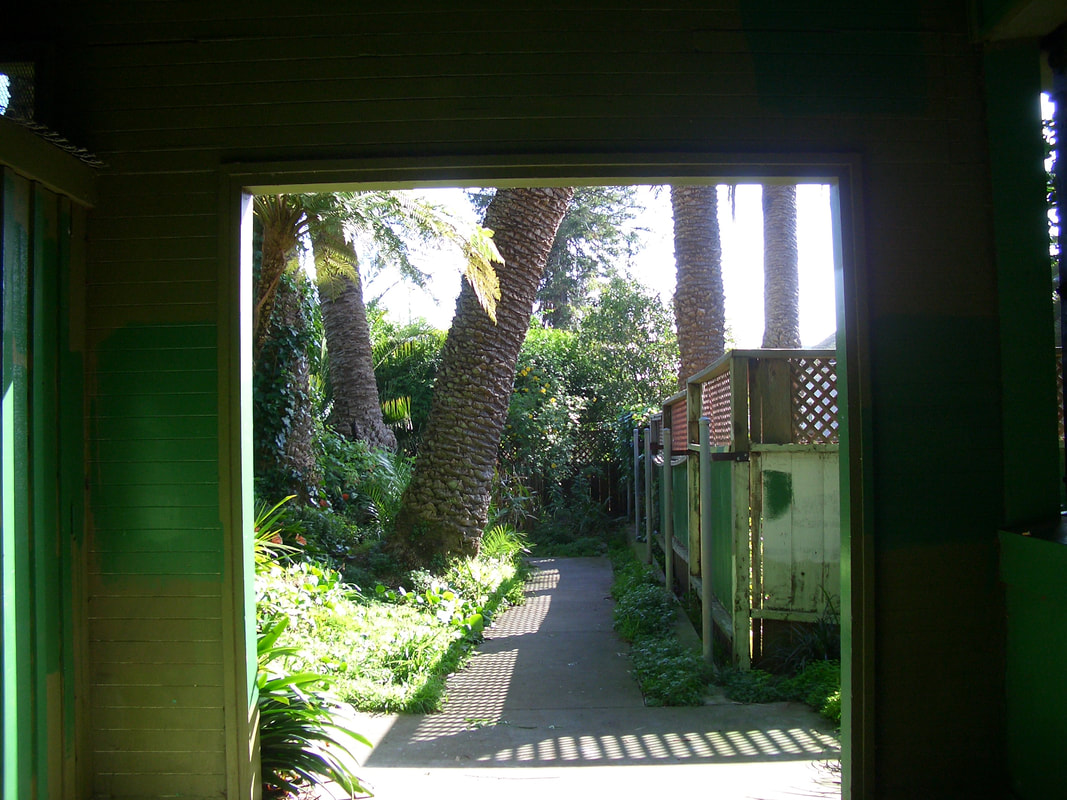
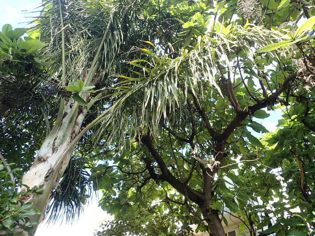
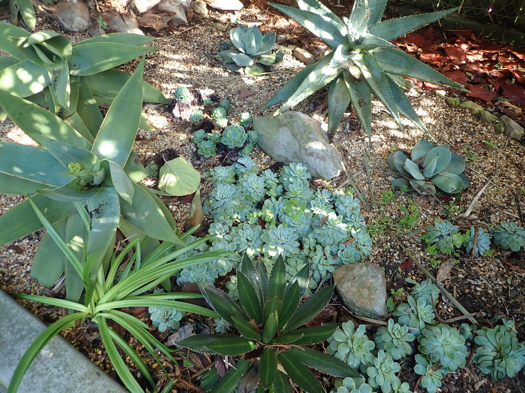
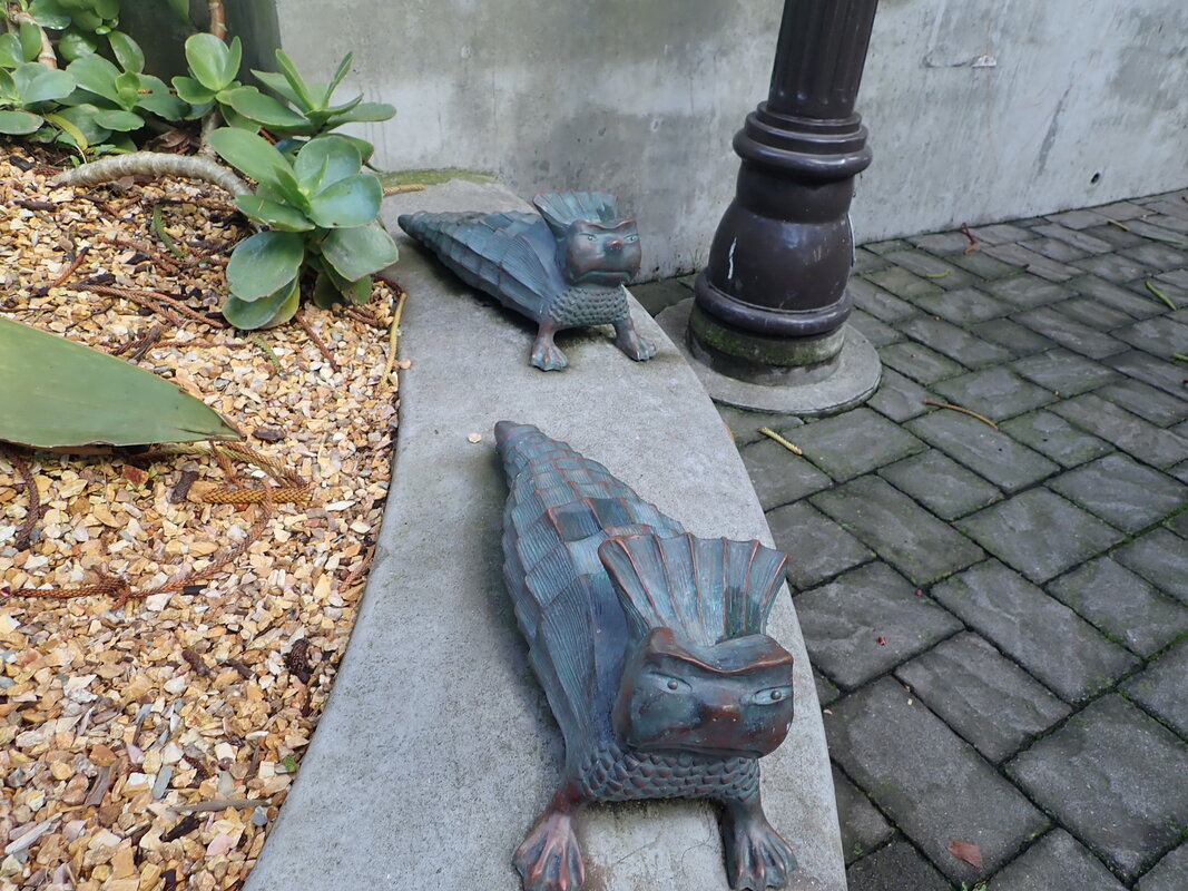
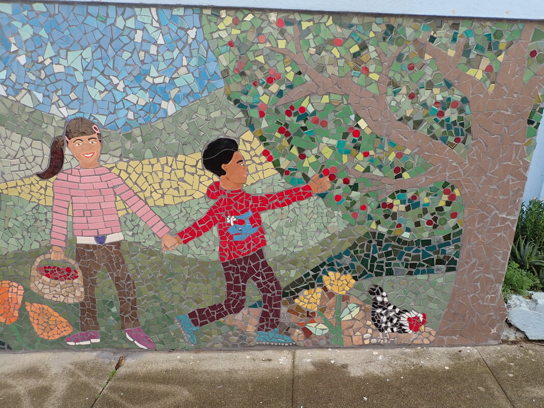
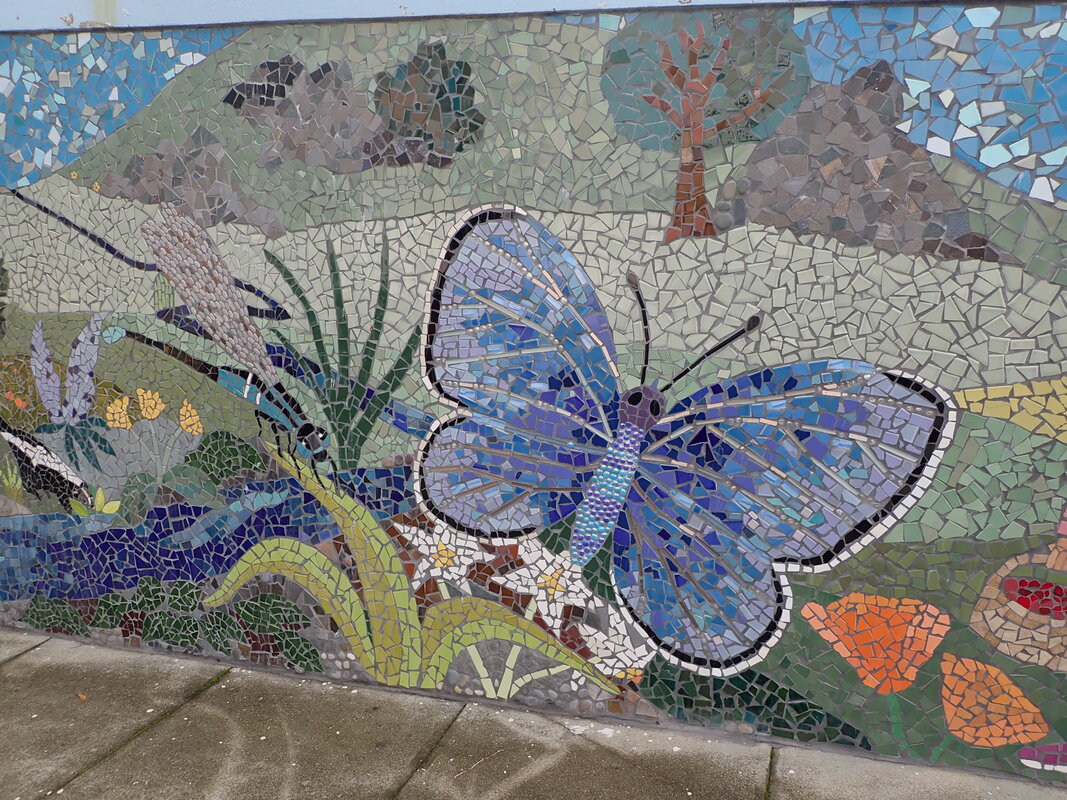
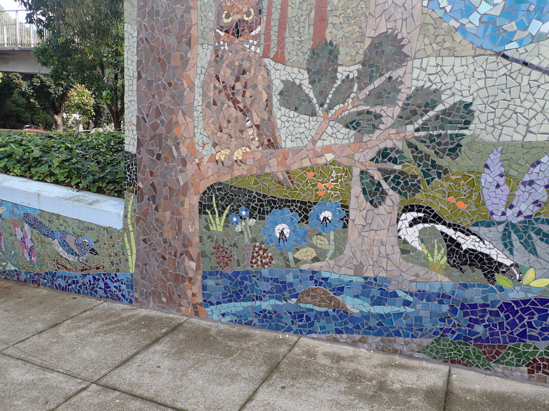
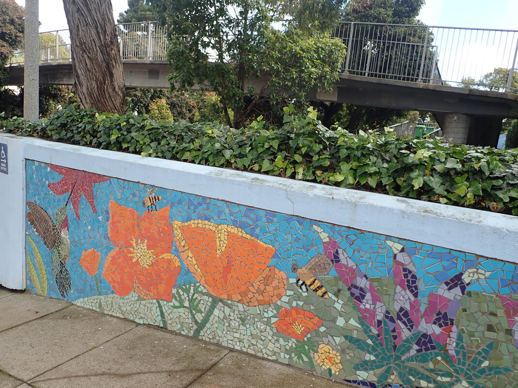
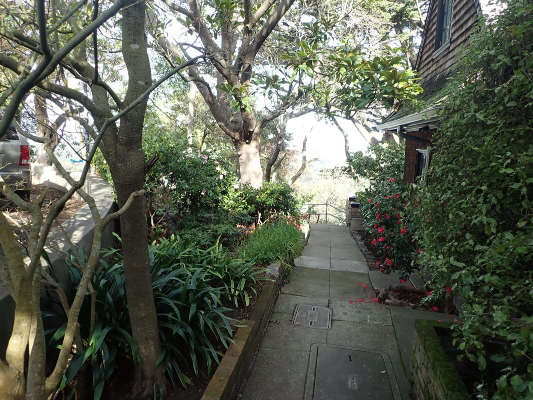
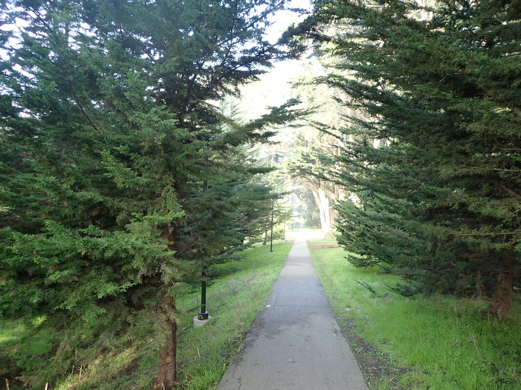
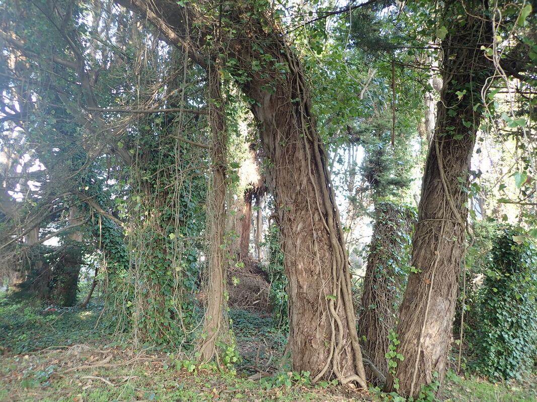
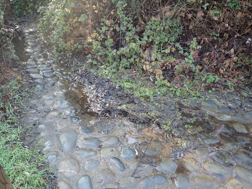
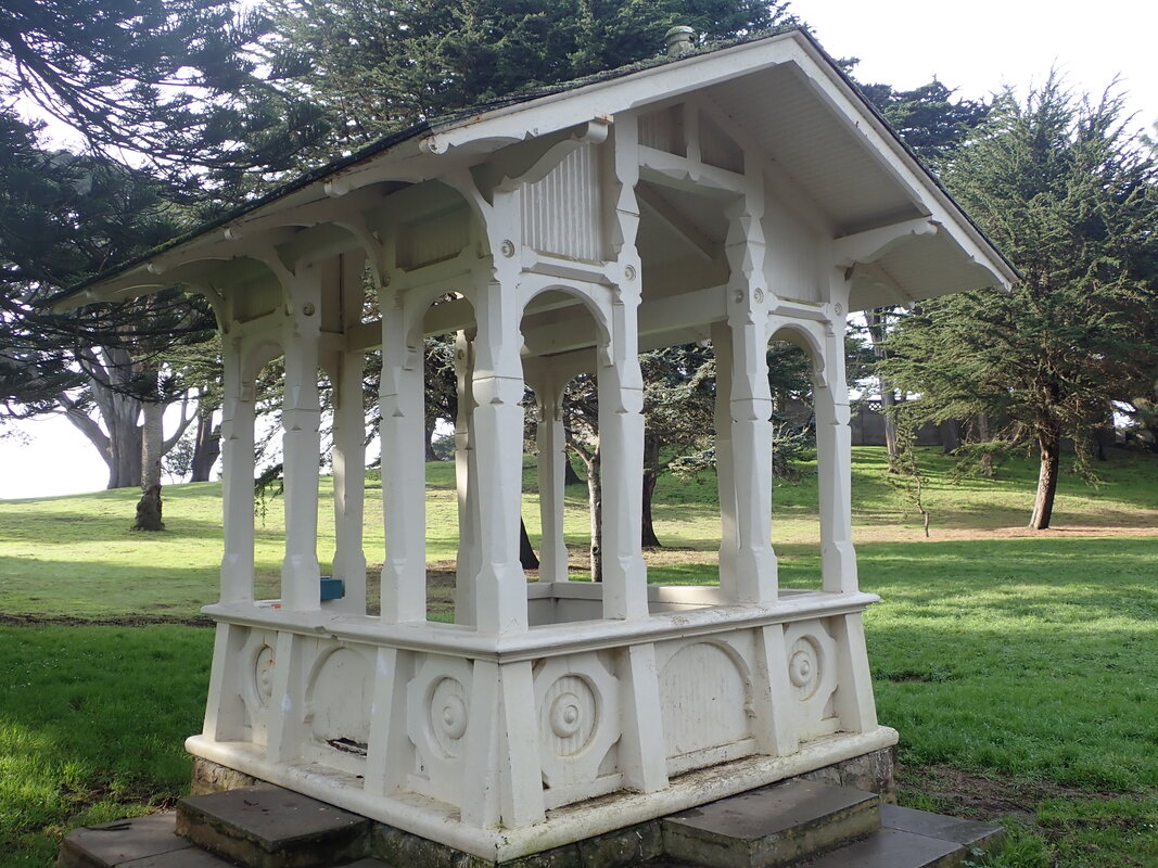
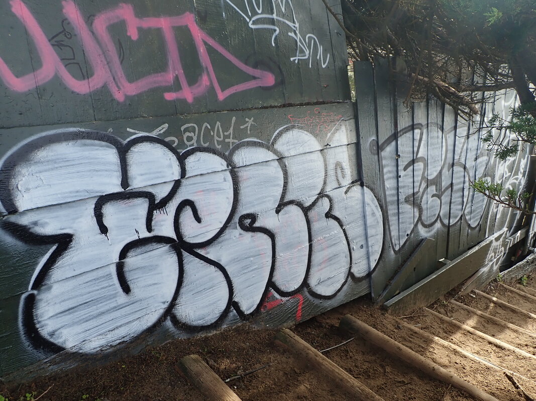
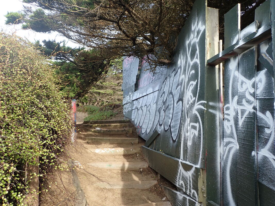
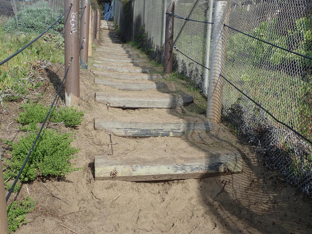
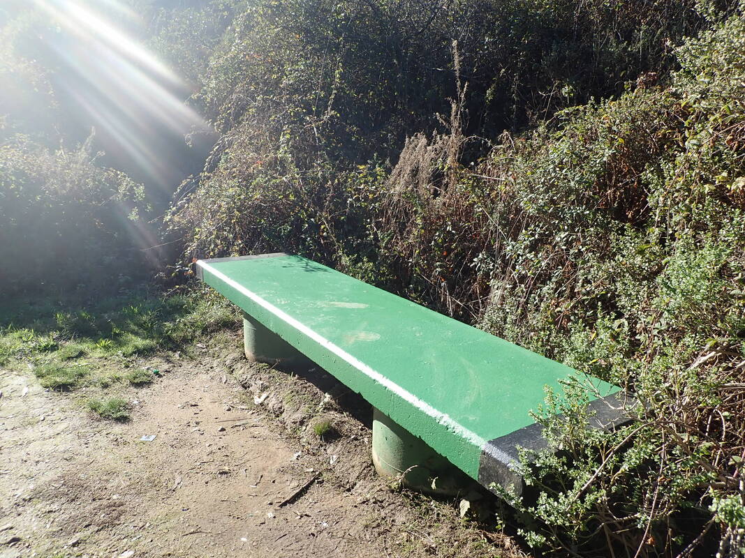
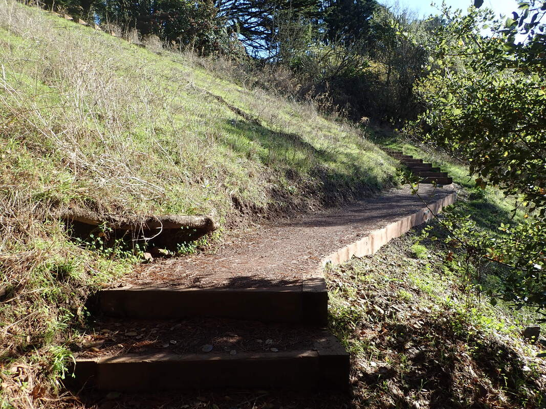
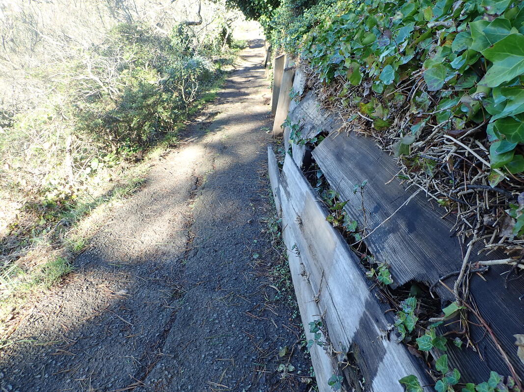
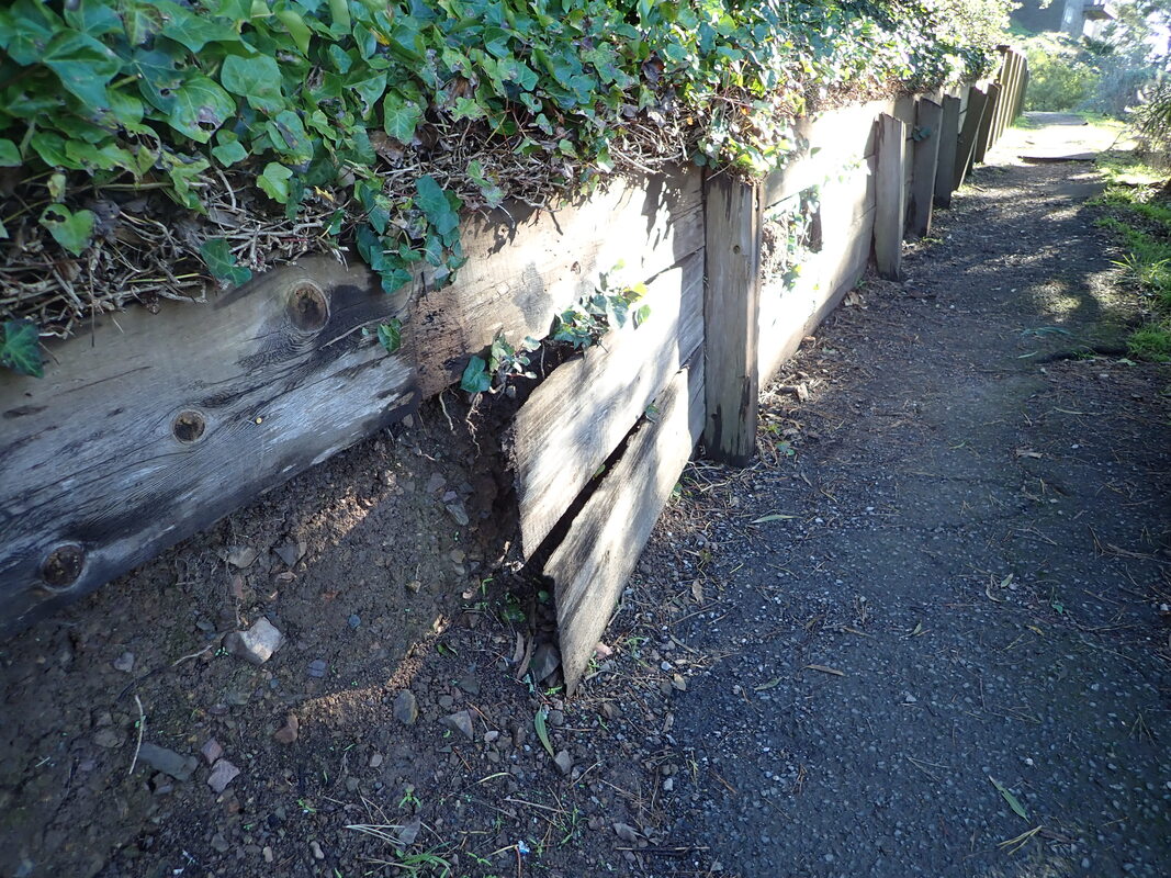
Old tile pathway: 8, 9
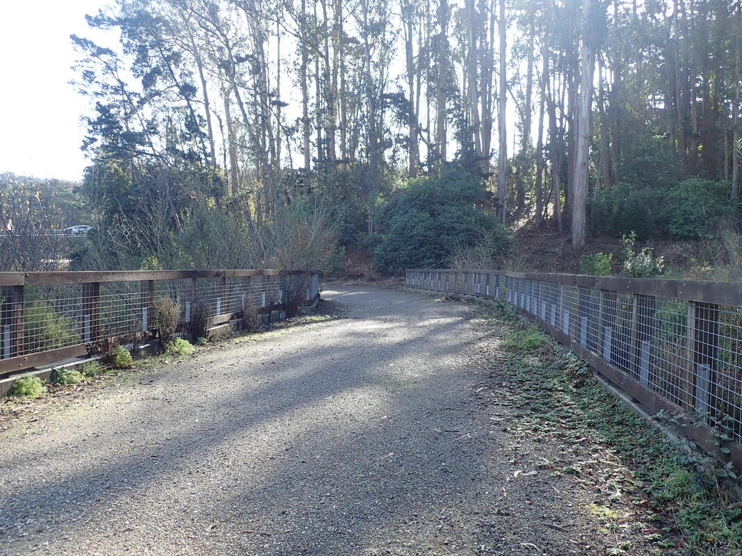
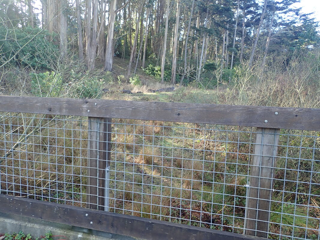
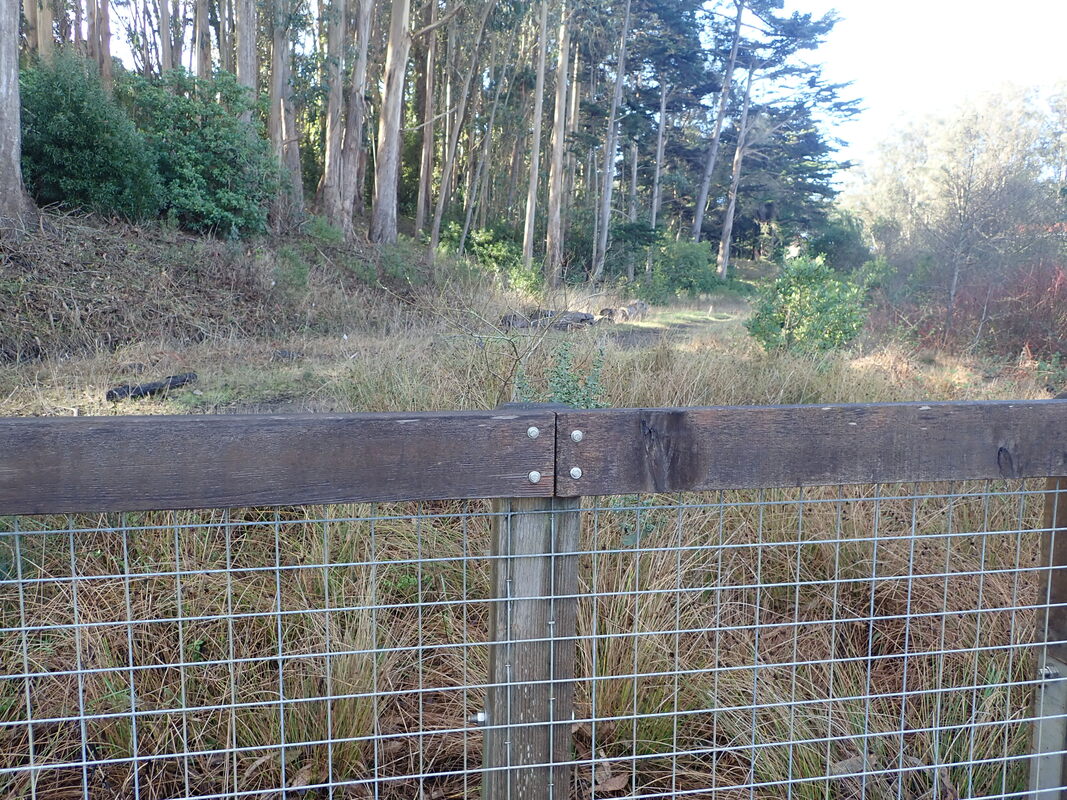
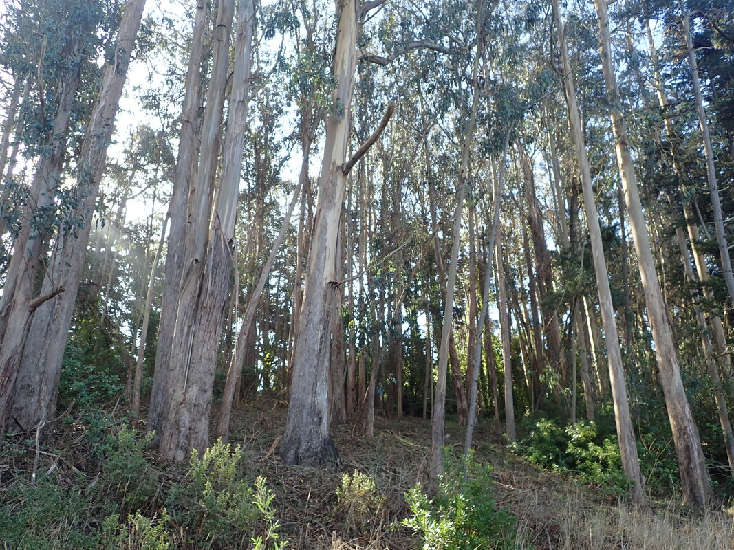
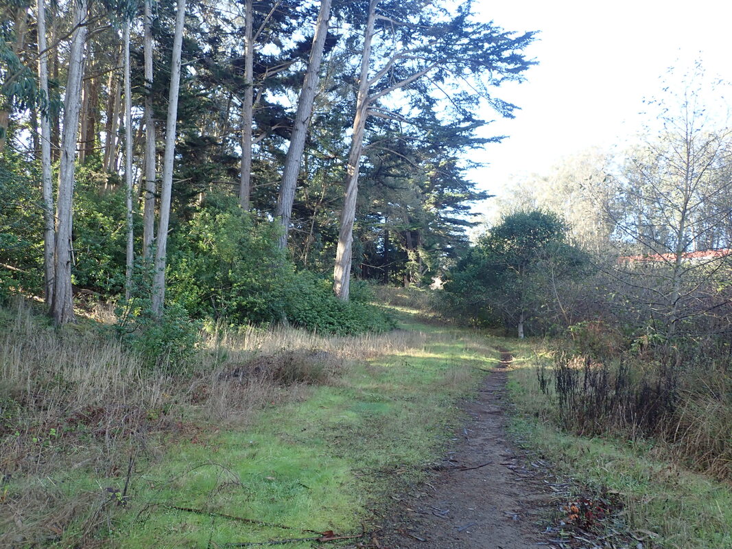
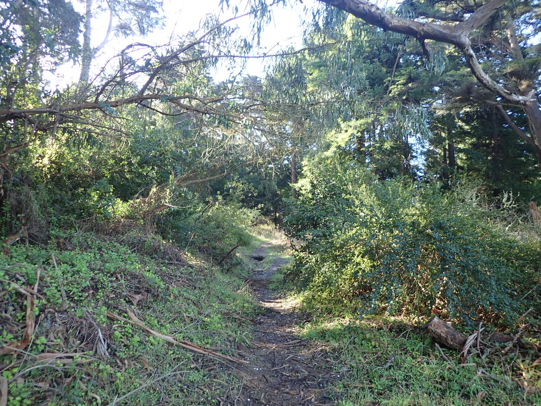
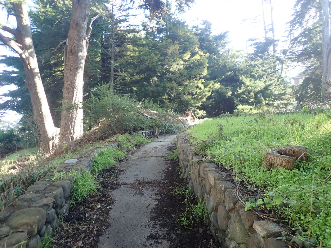
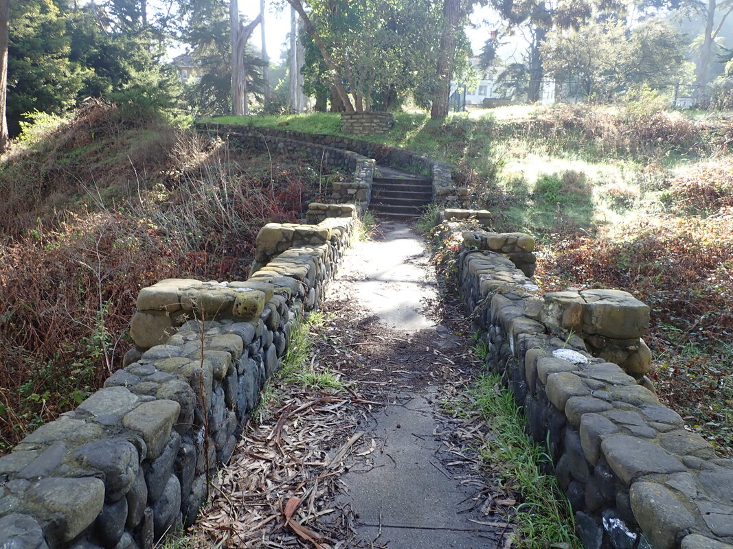
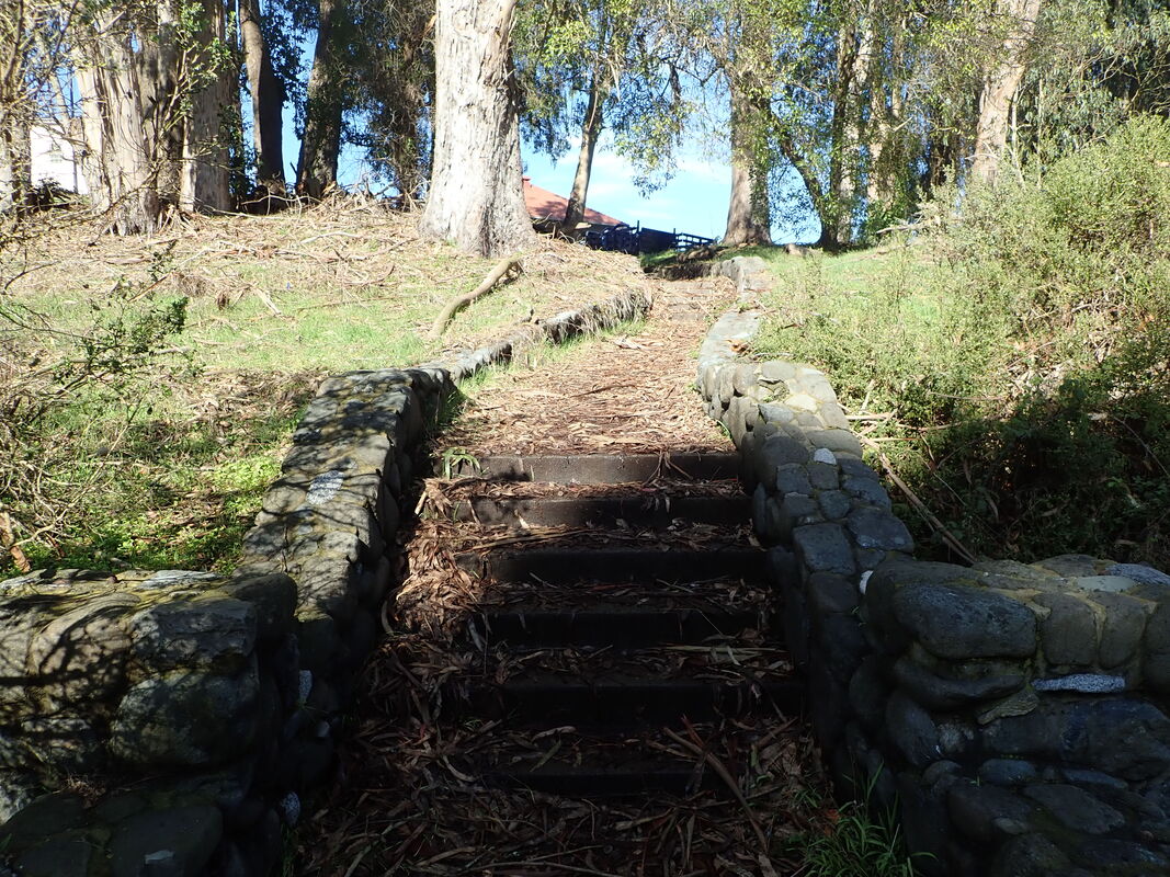
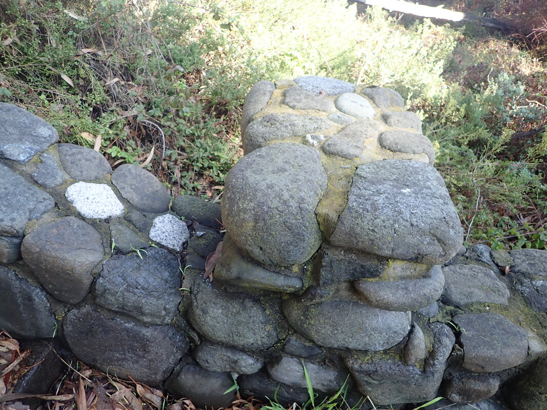
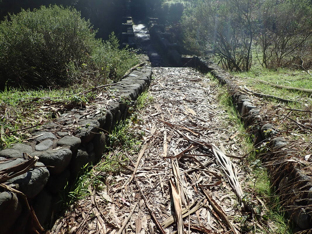
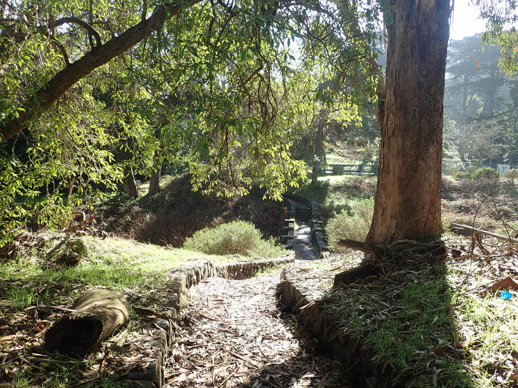
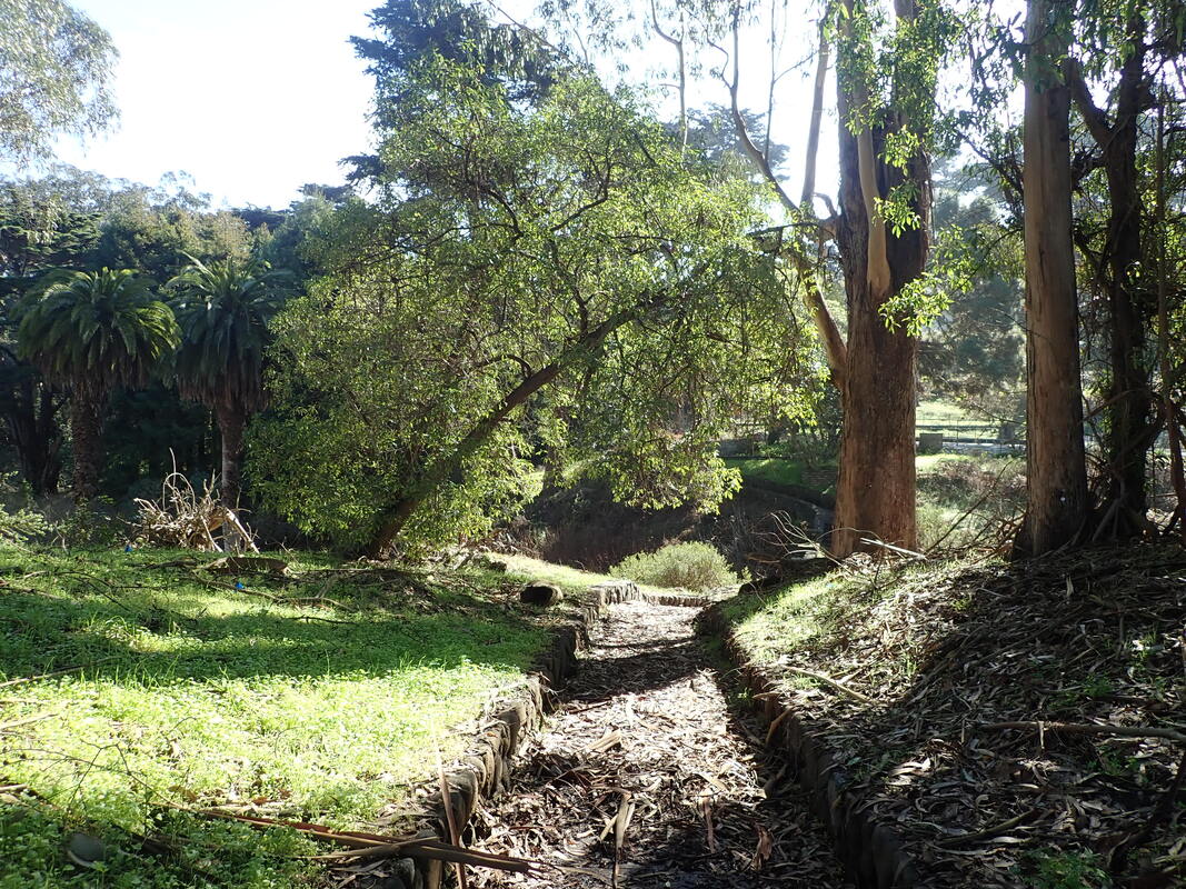
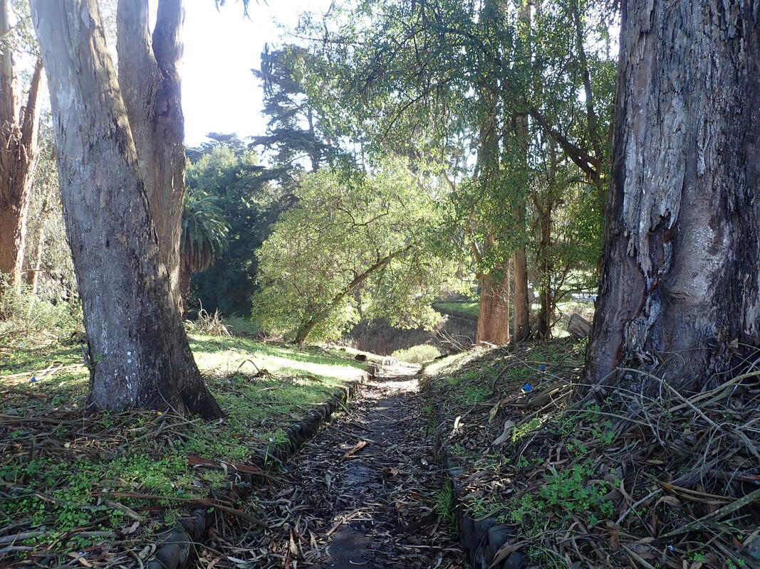
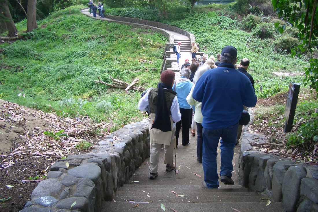
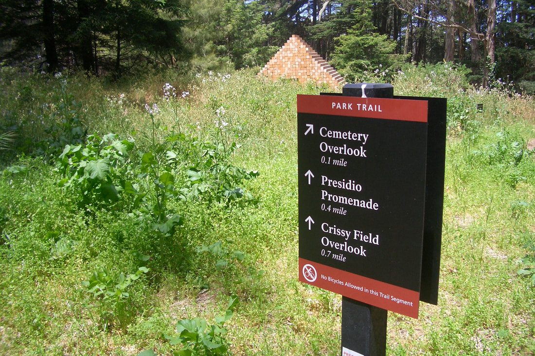
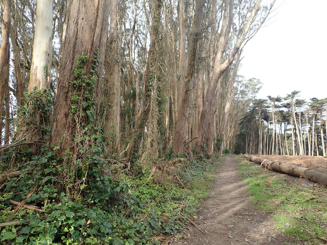
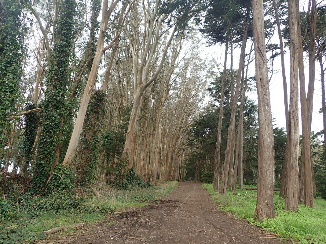
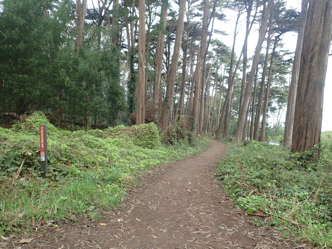
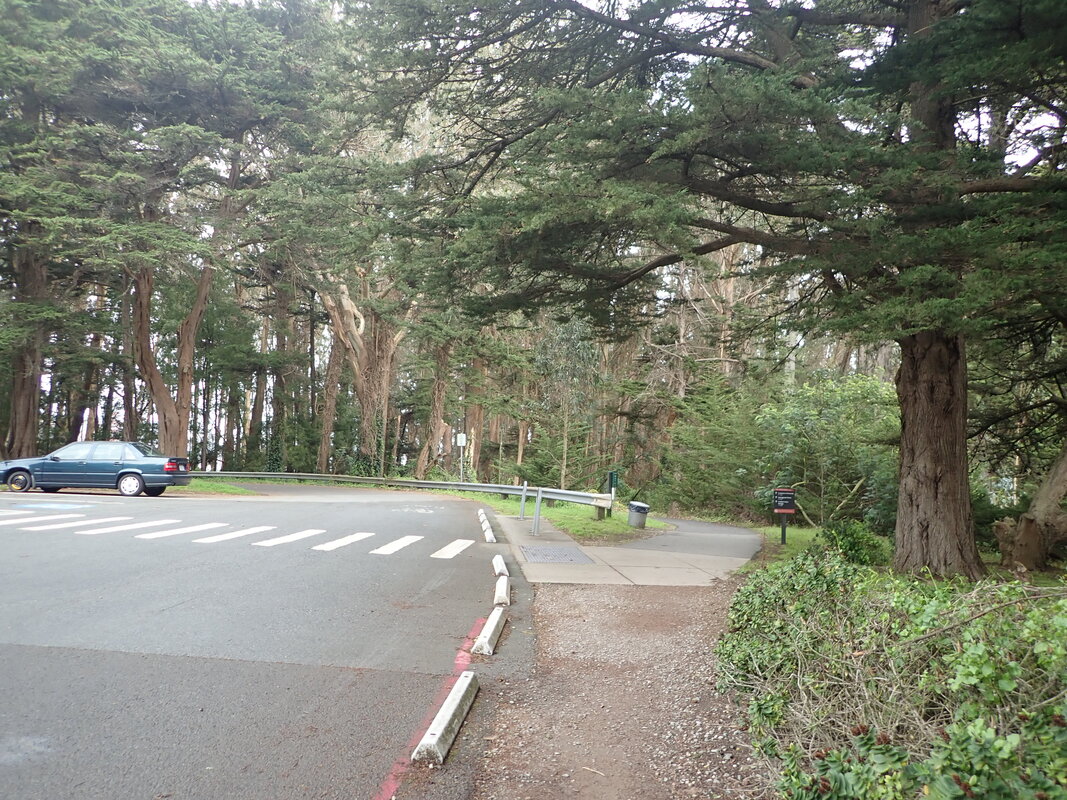
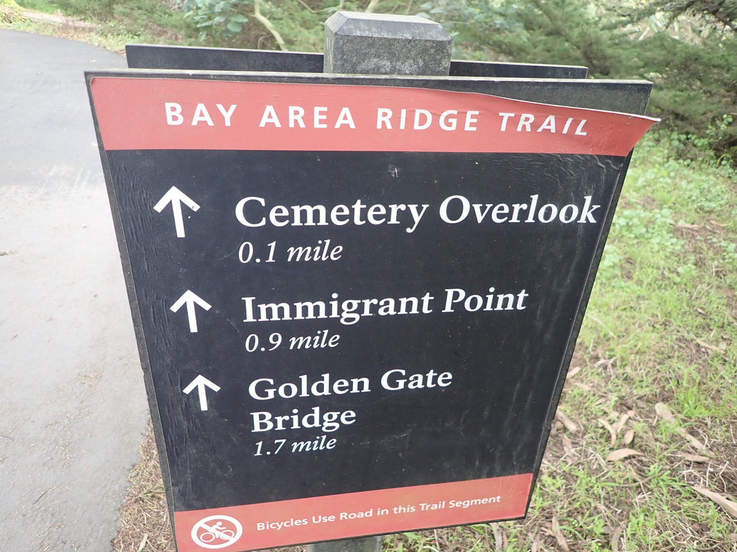
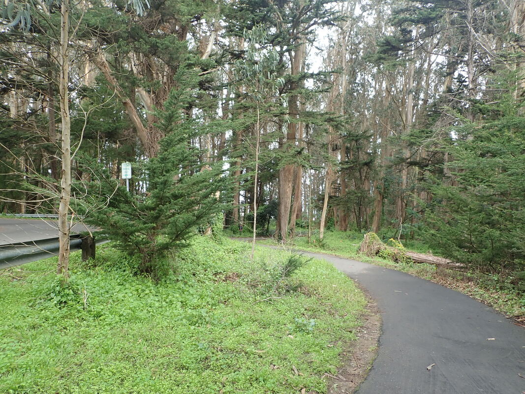
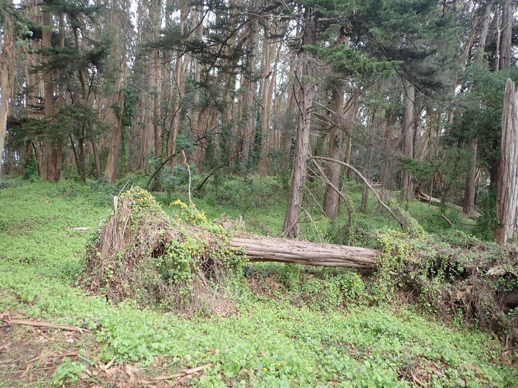
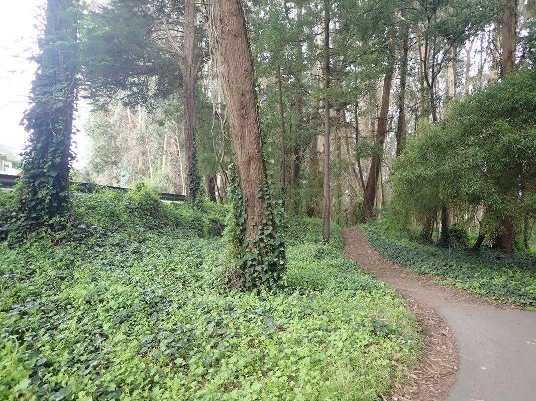
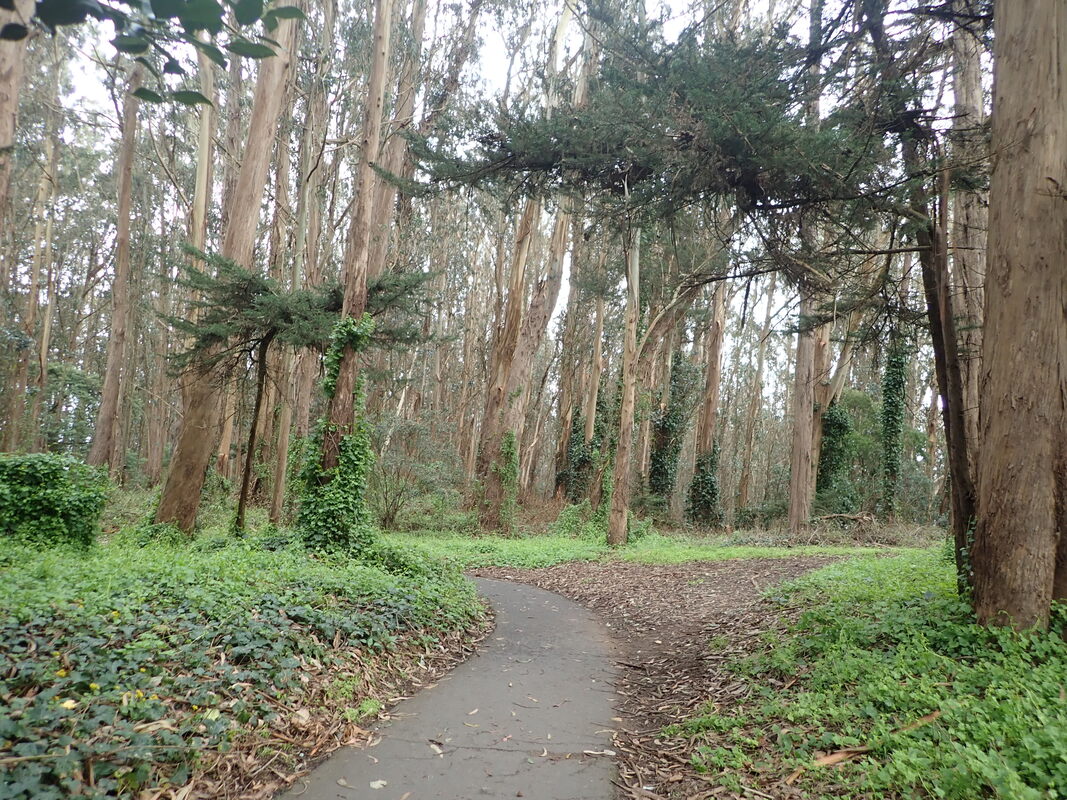
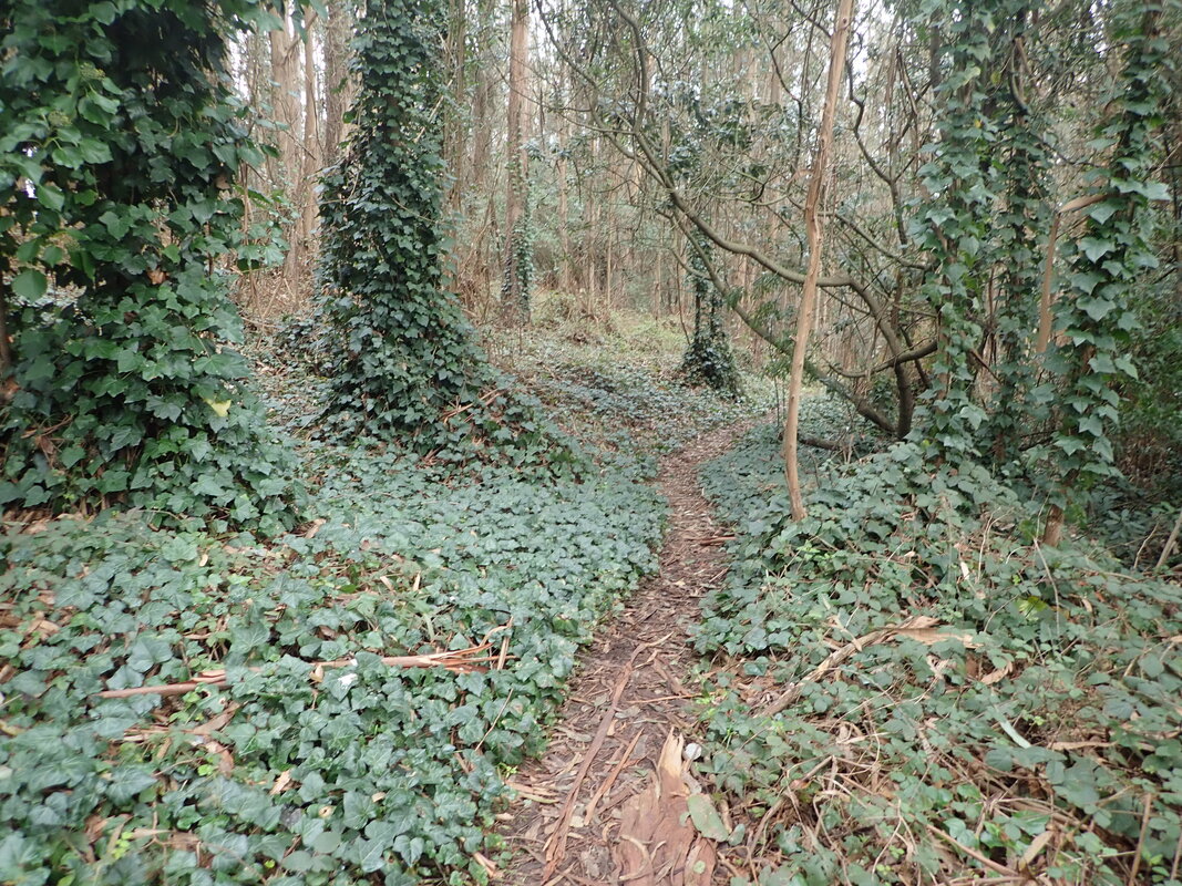
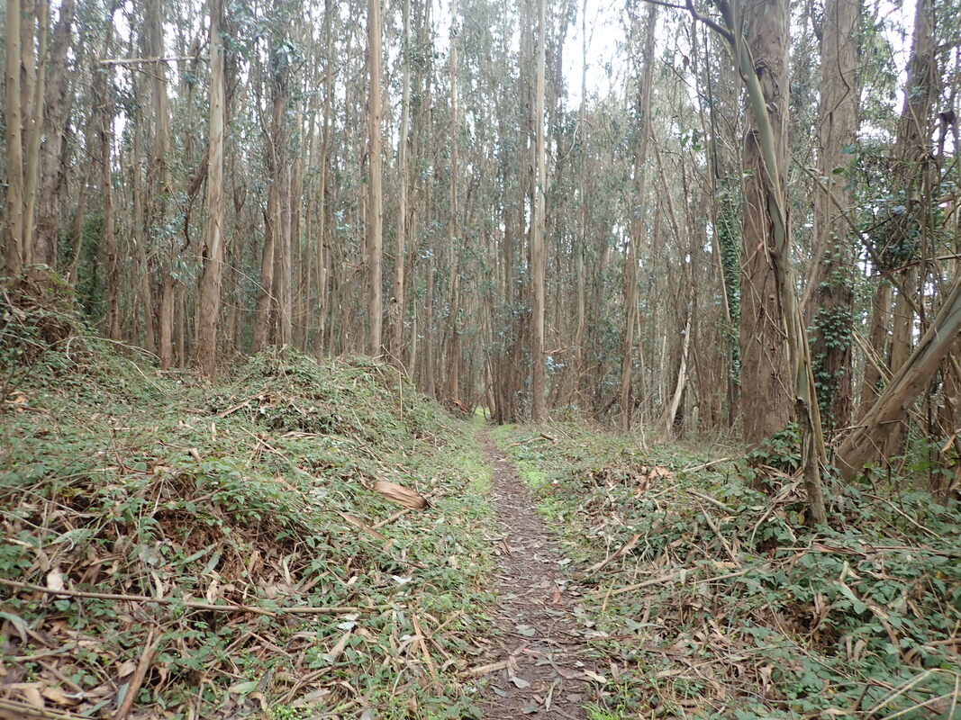
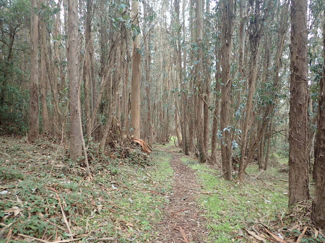
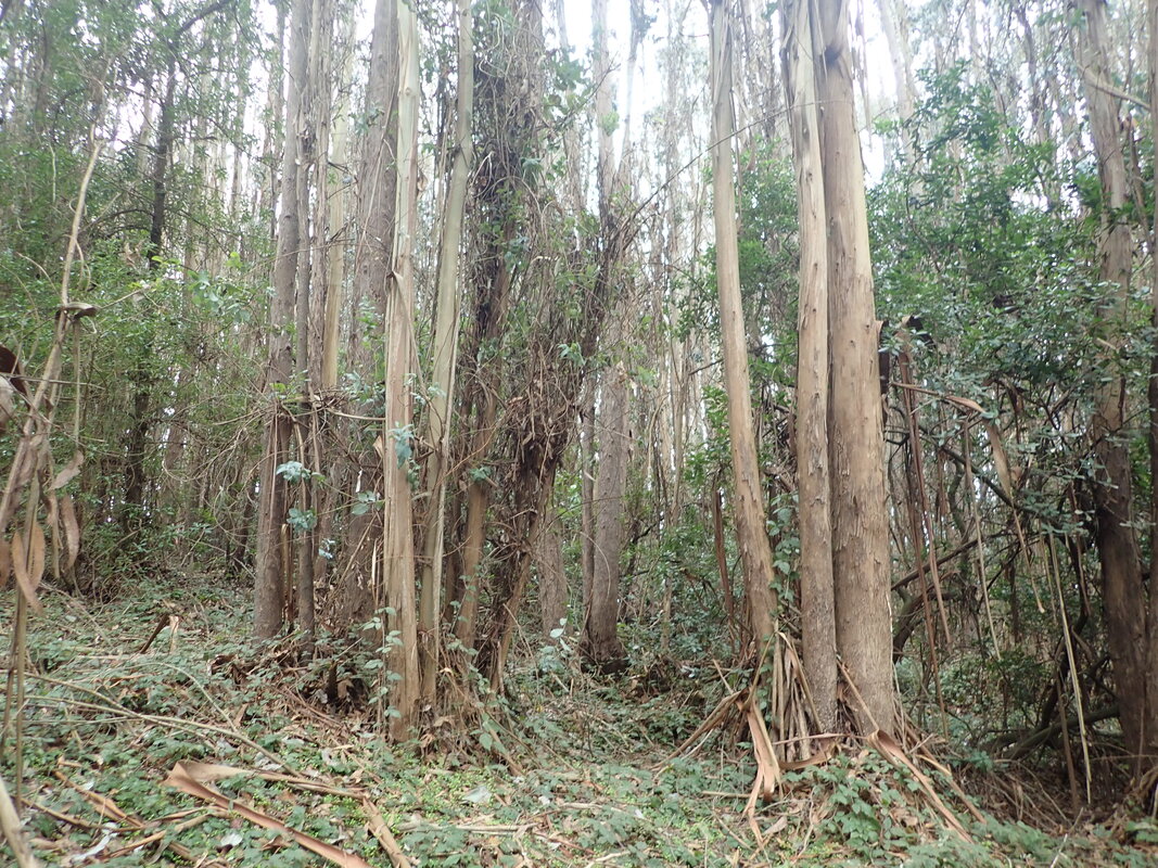
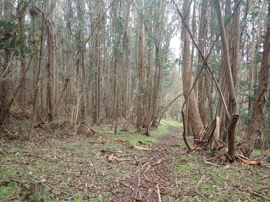
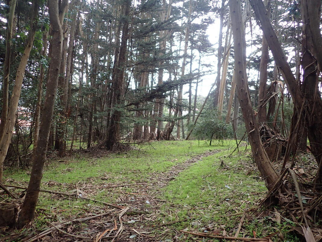
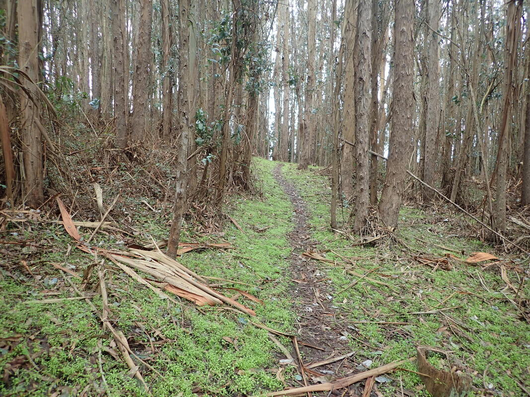
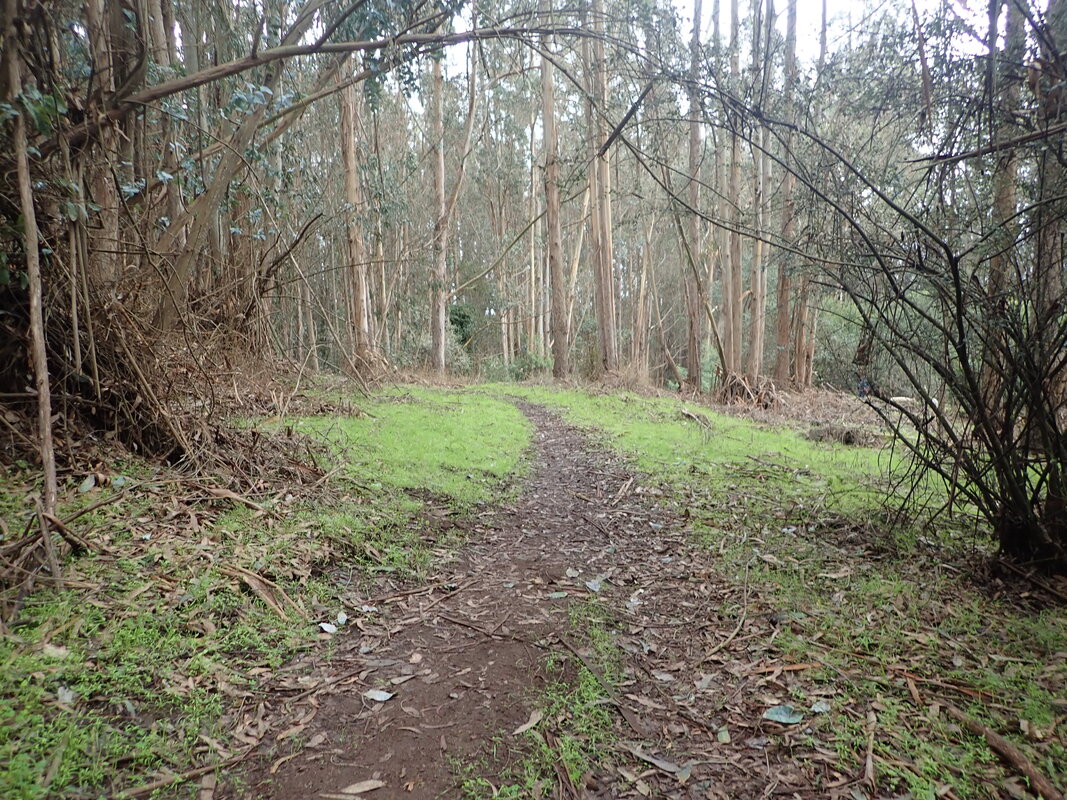
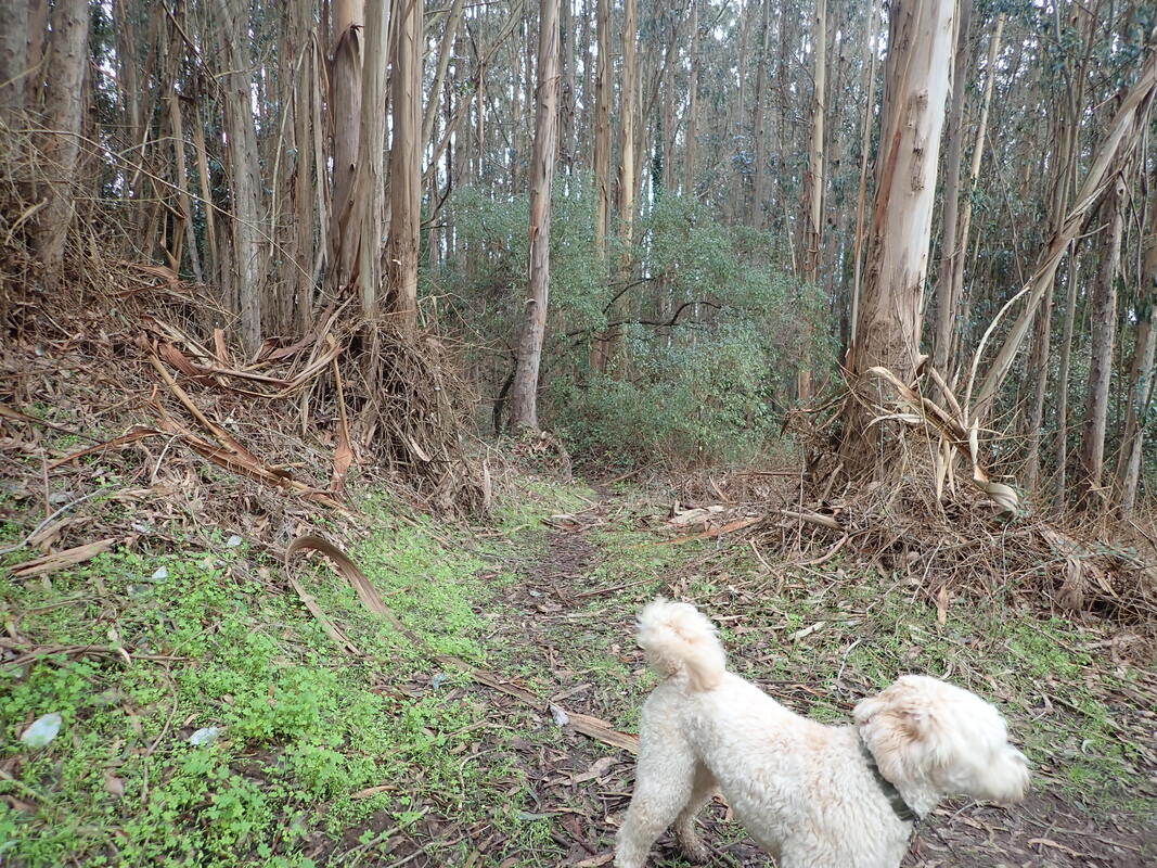
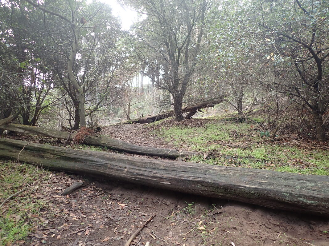
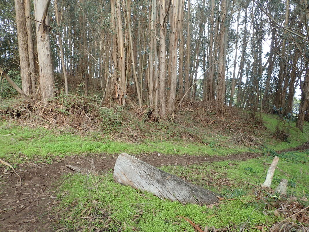
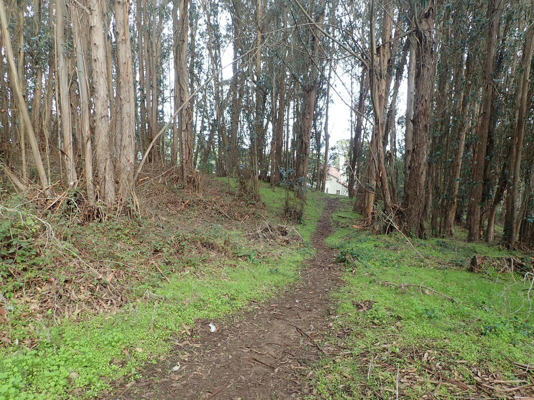
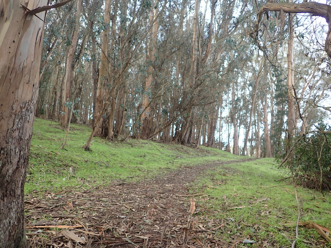
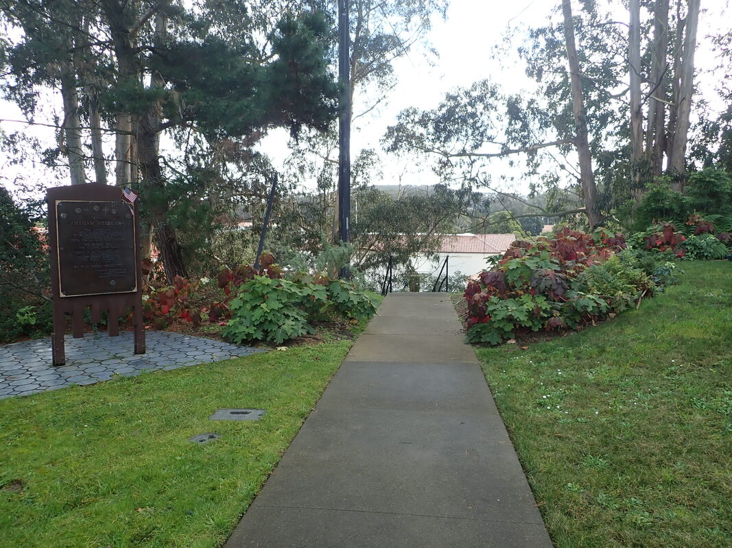
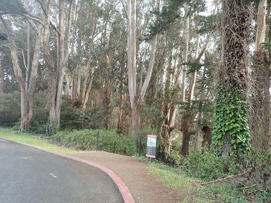
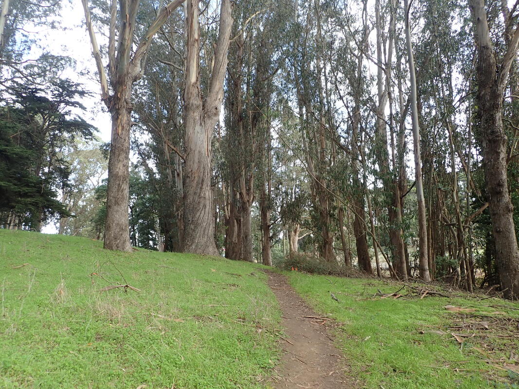
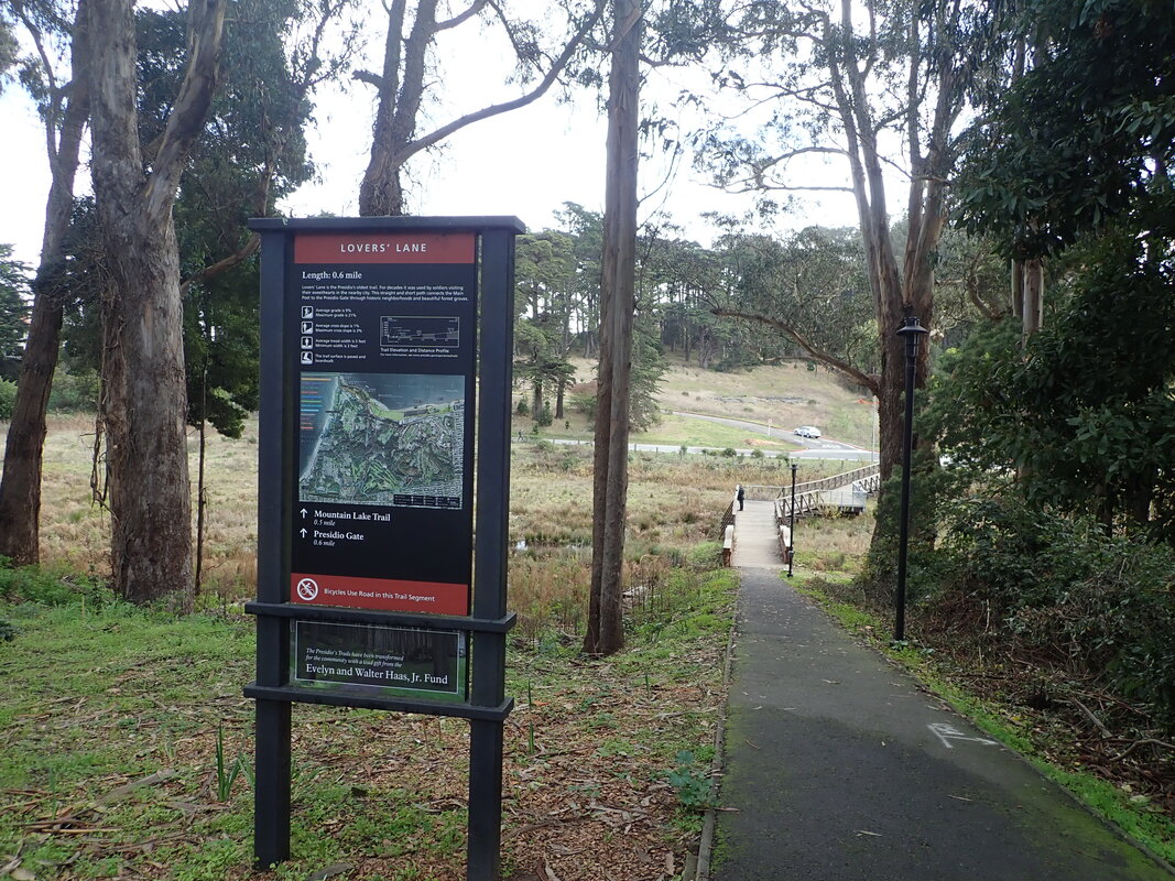
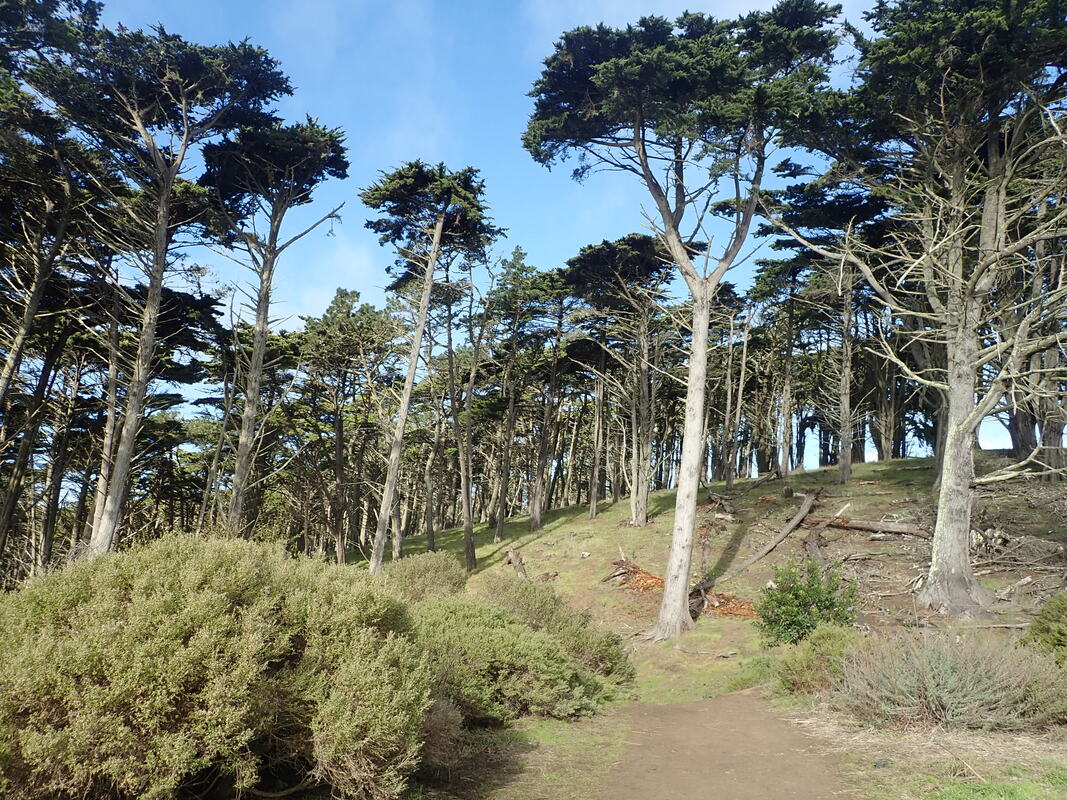
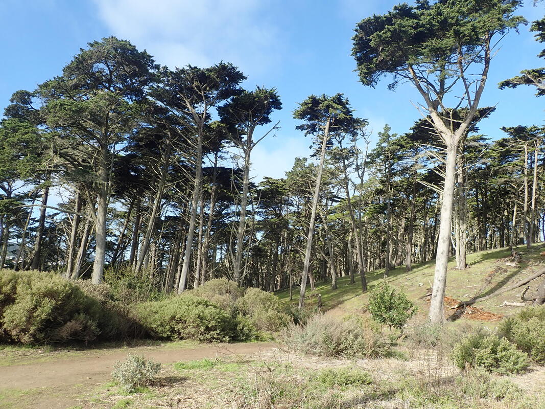
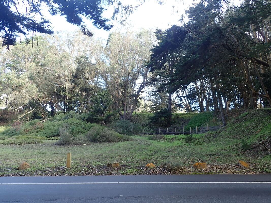
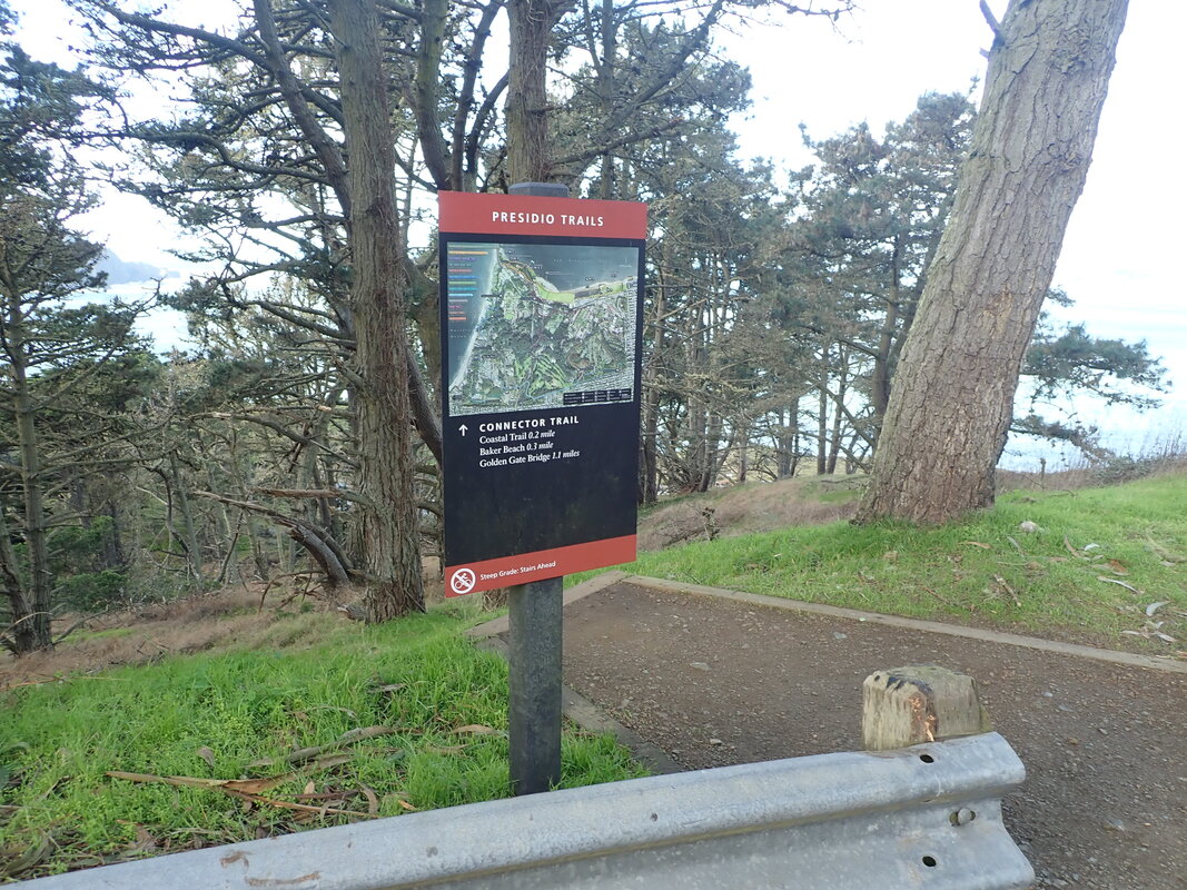
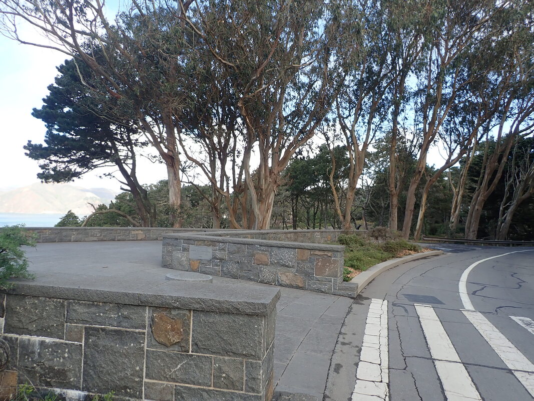
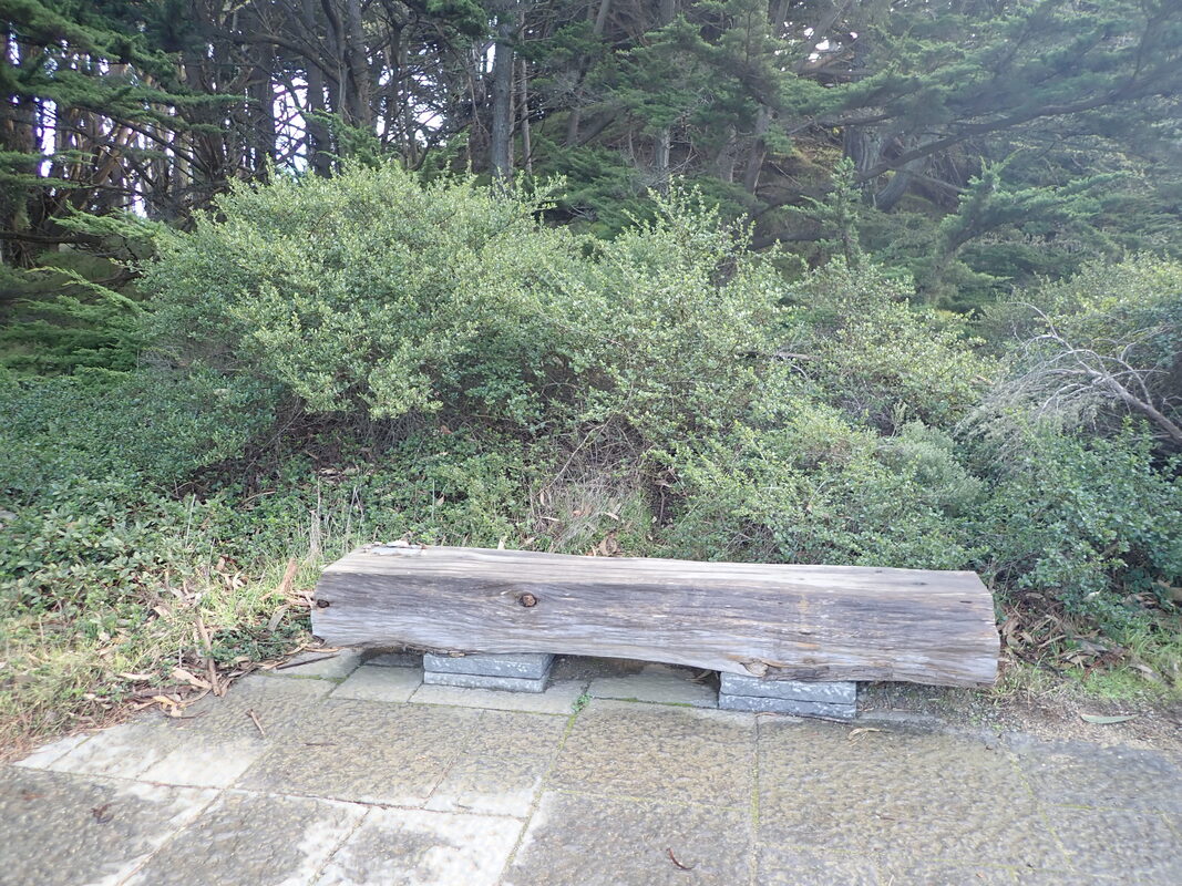
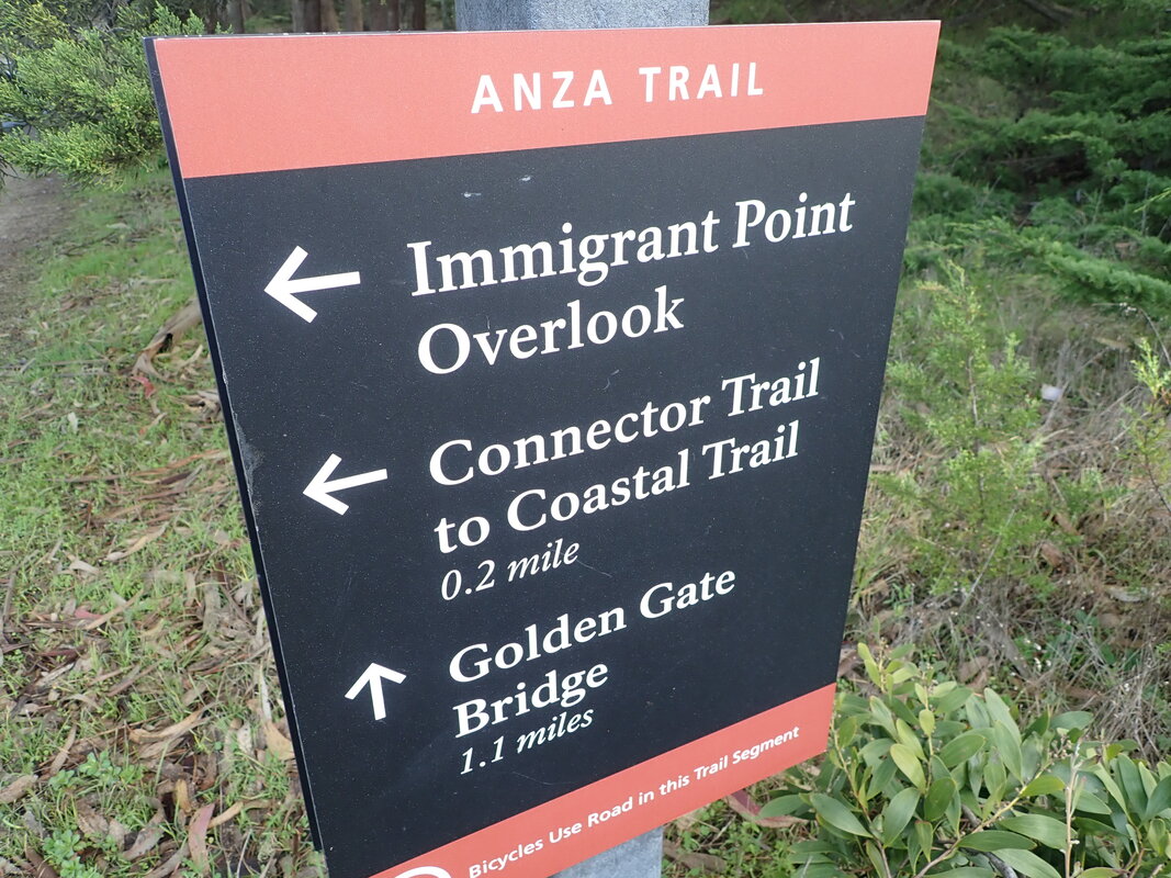
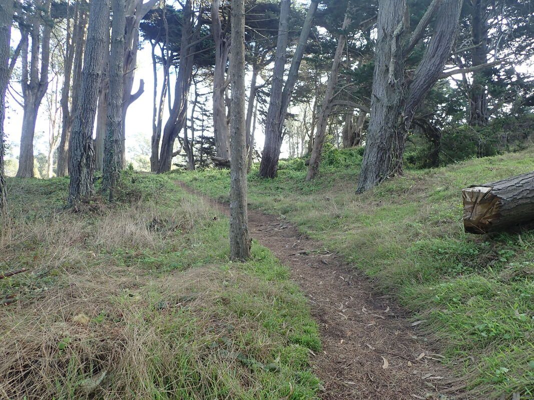
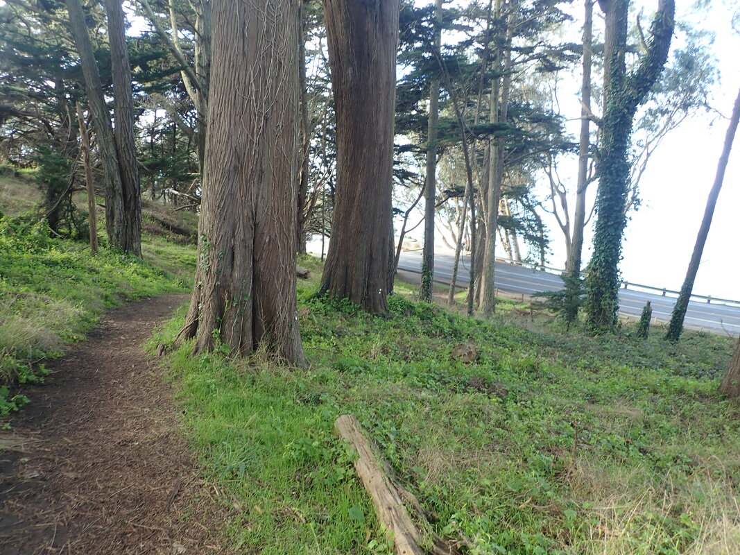
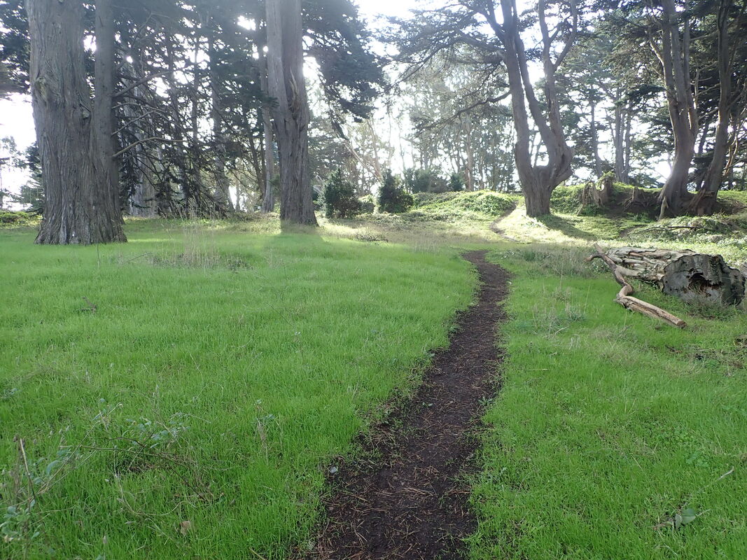
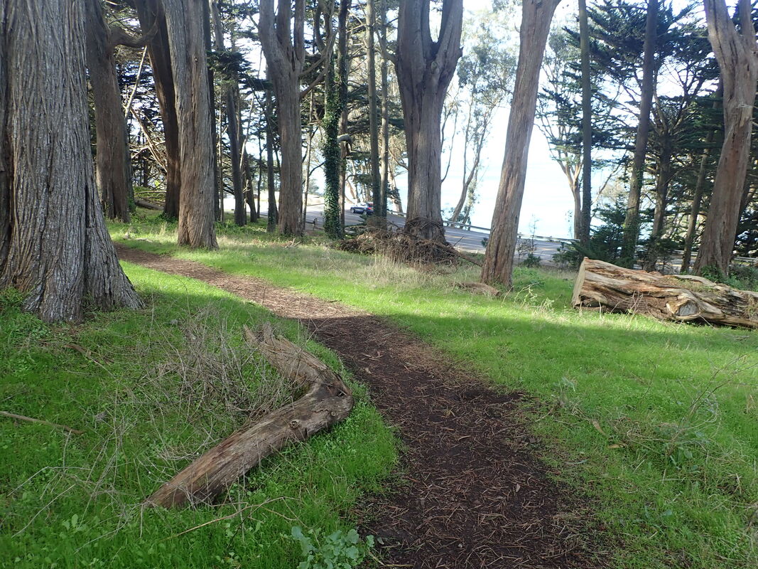
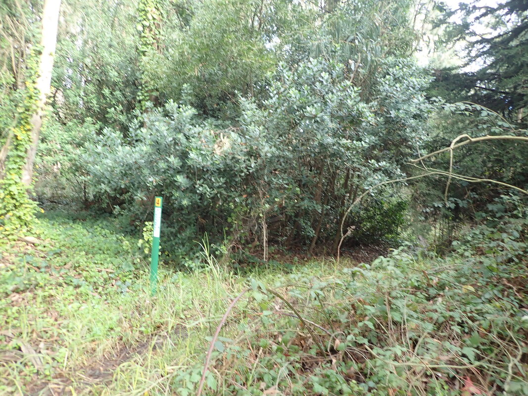
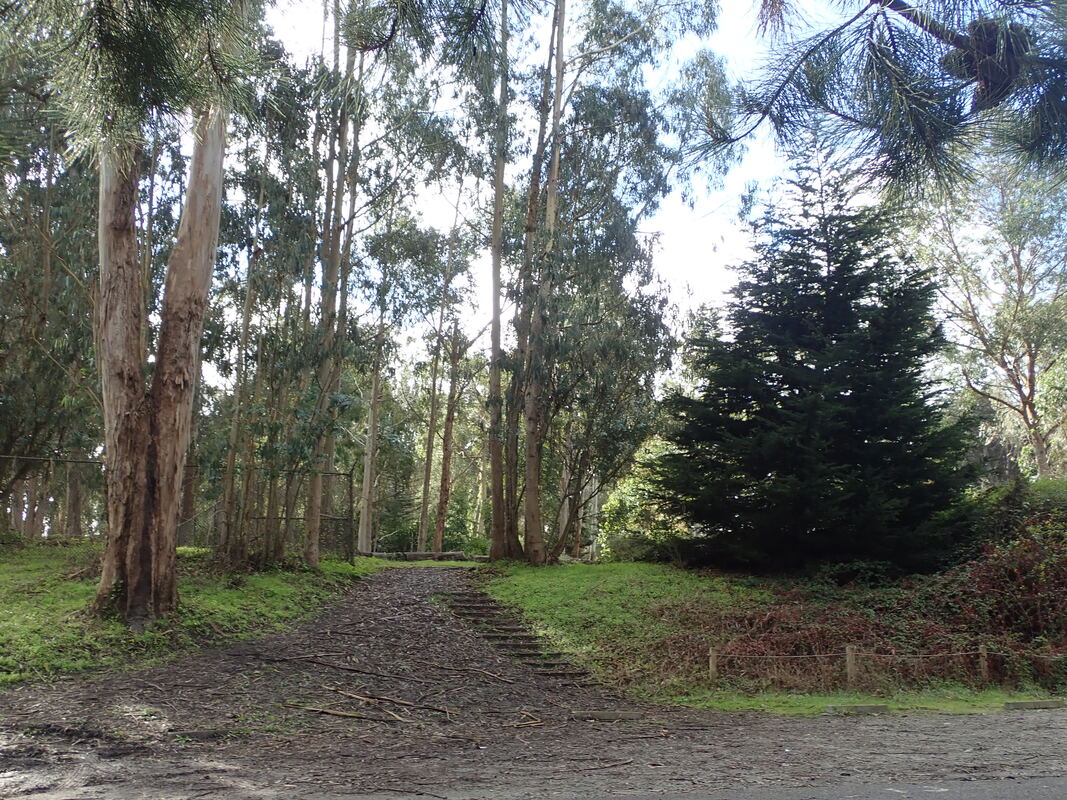
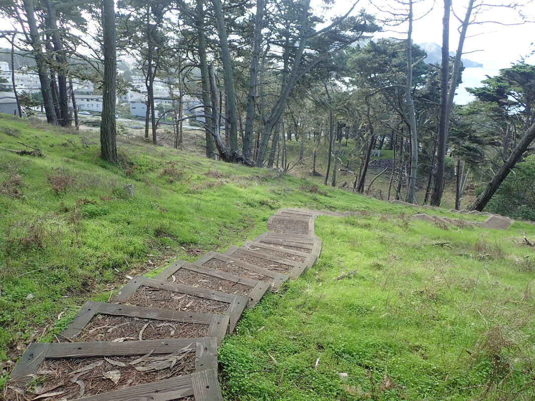
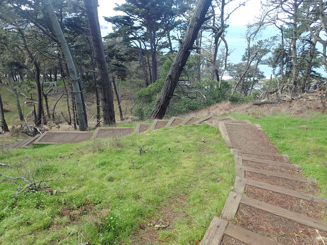
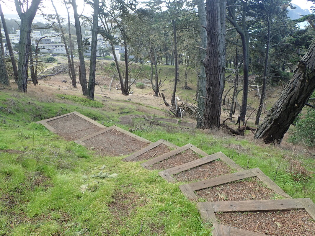
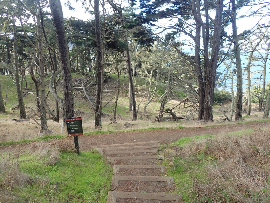
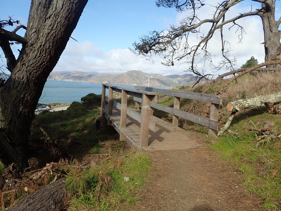
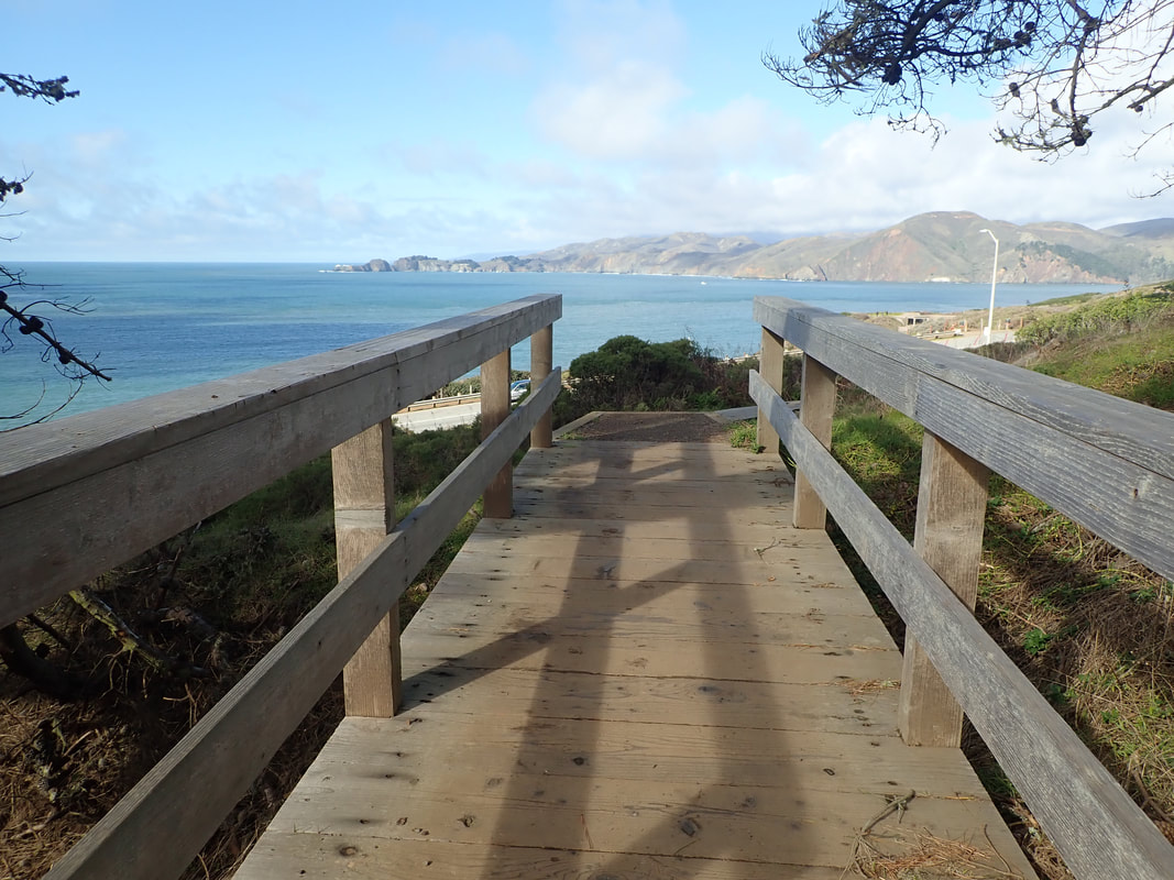
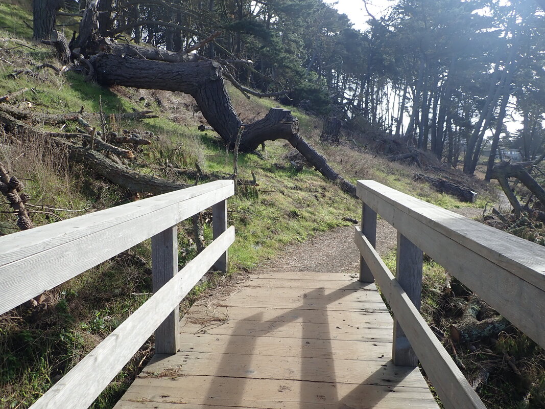
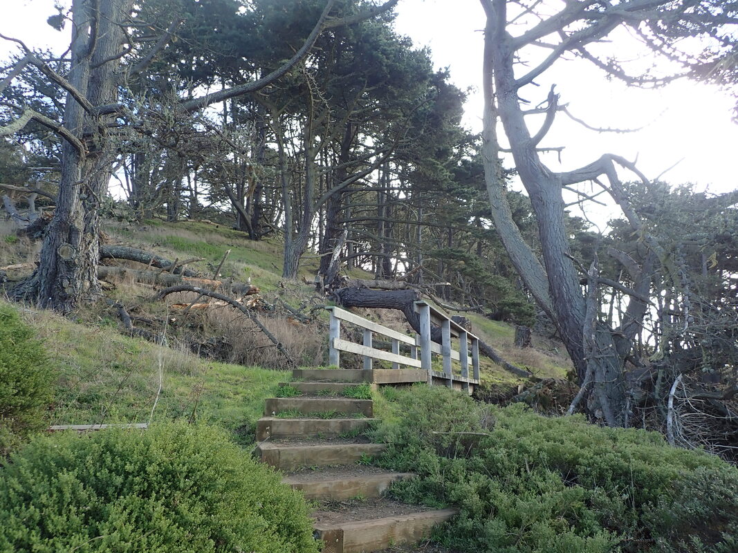
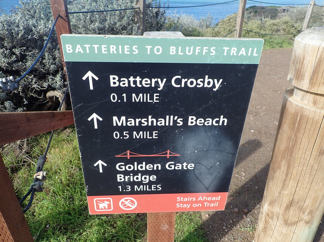
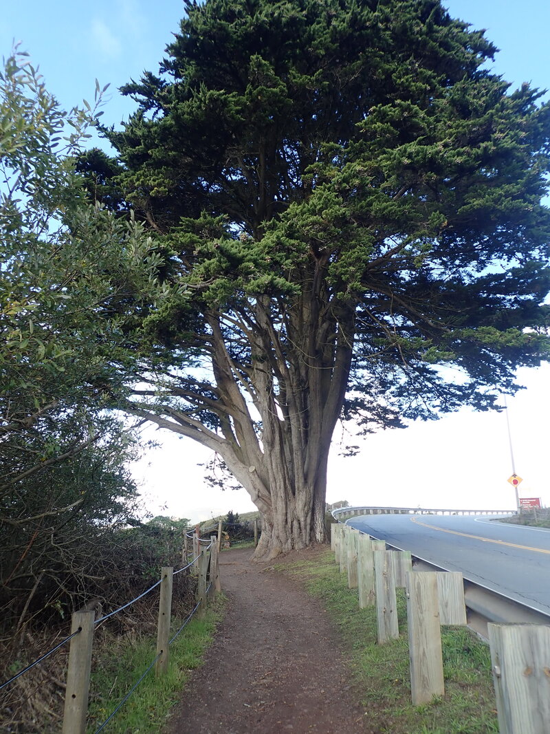
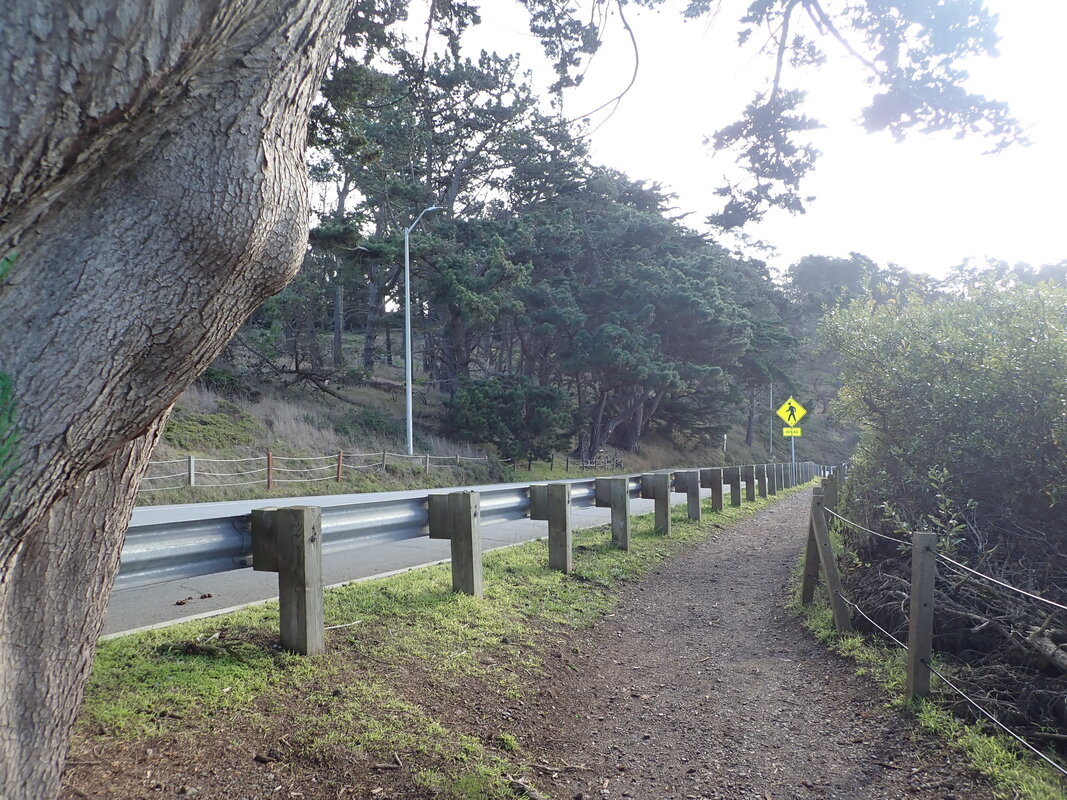
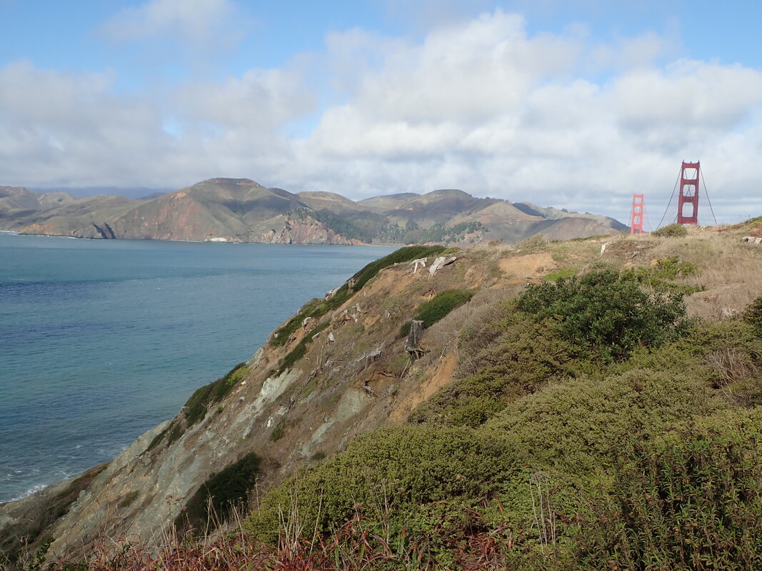
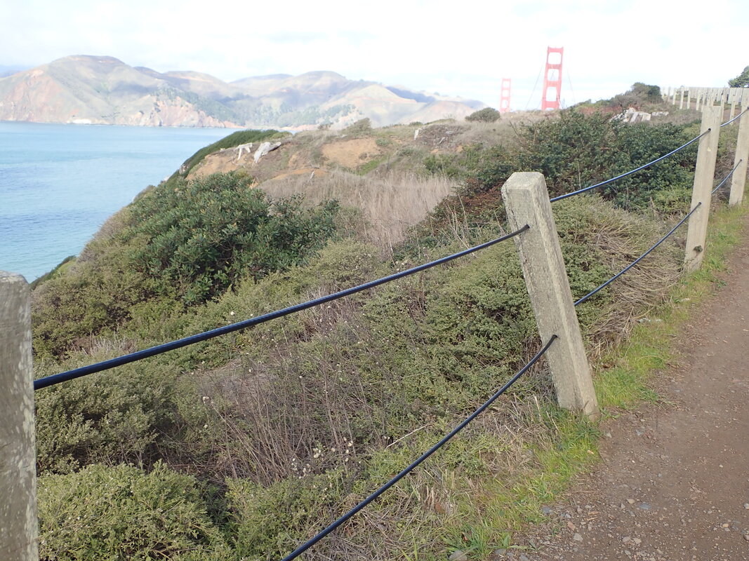
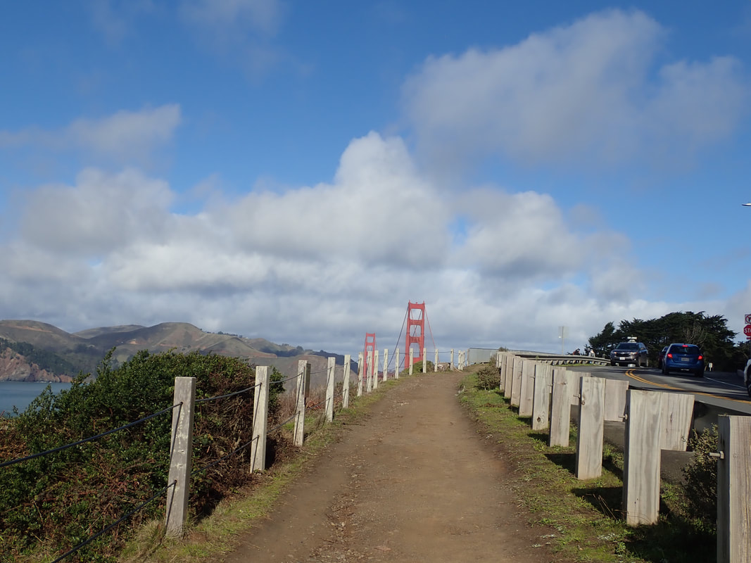
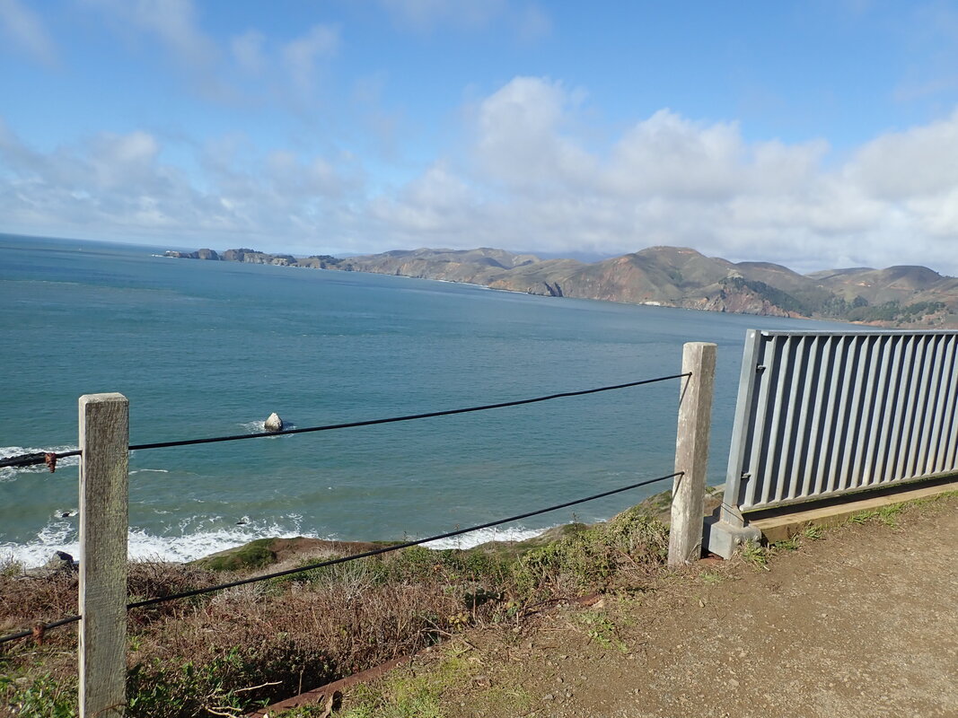
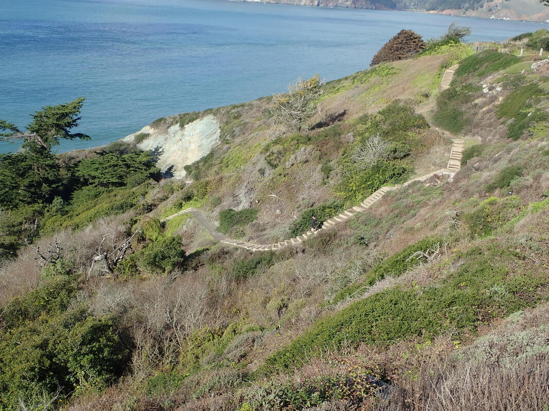
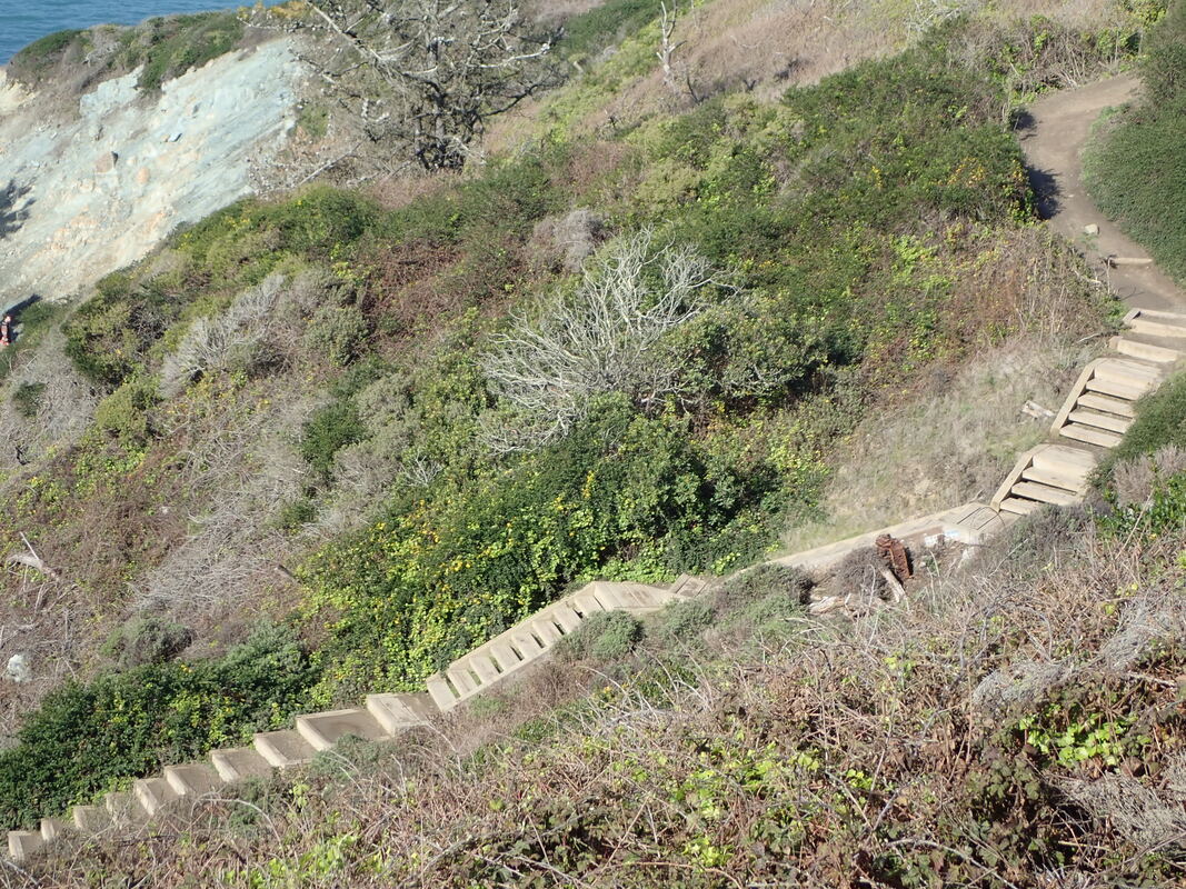
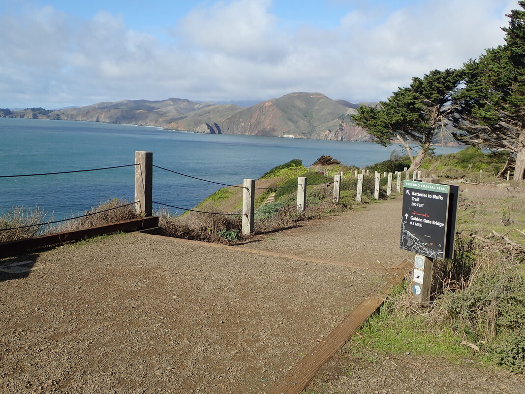
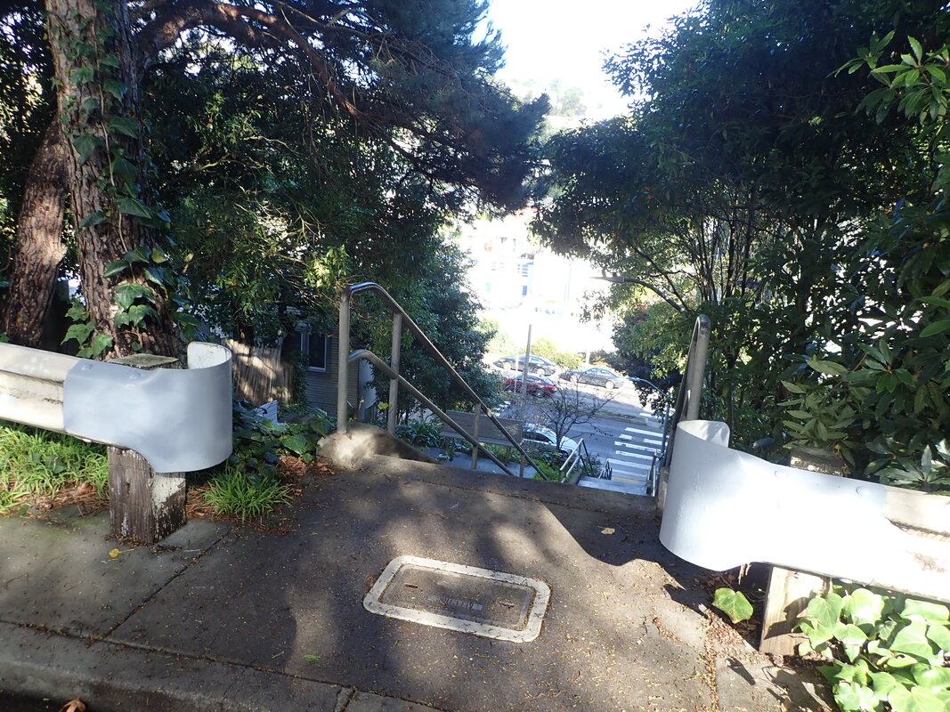
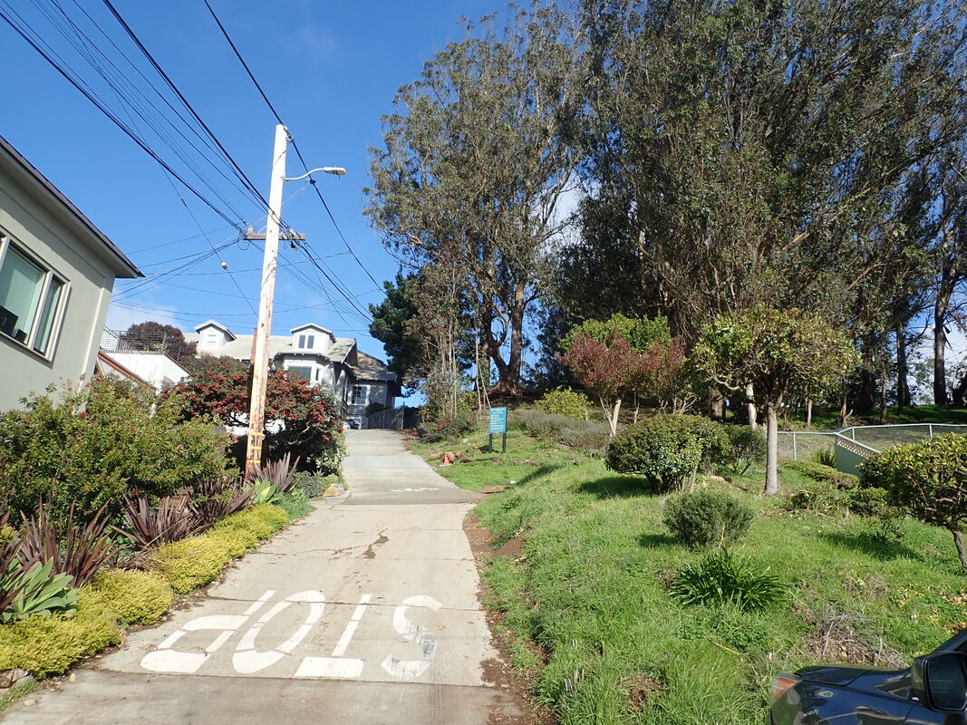
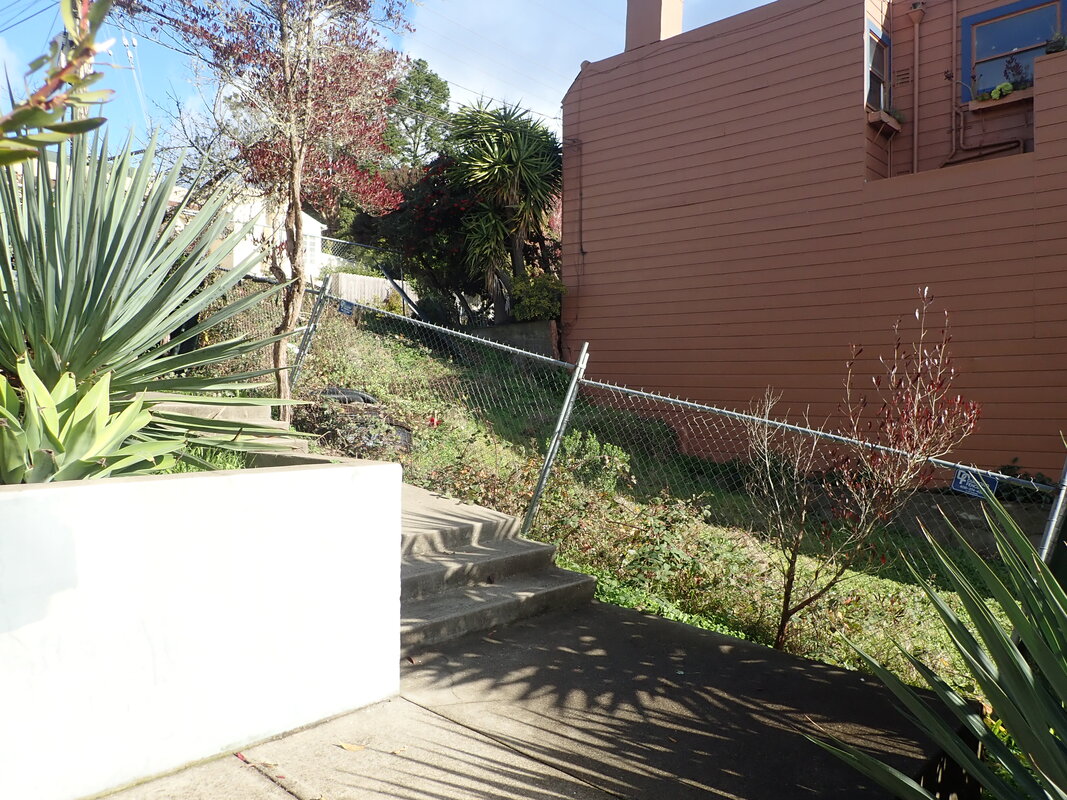
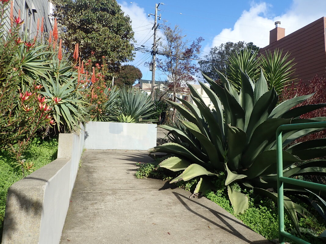
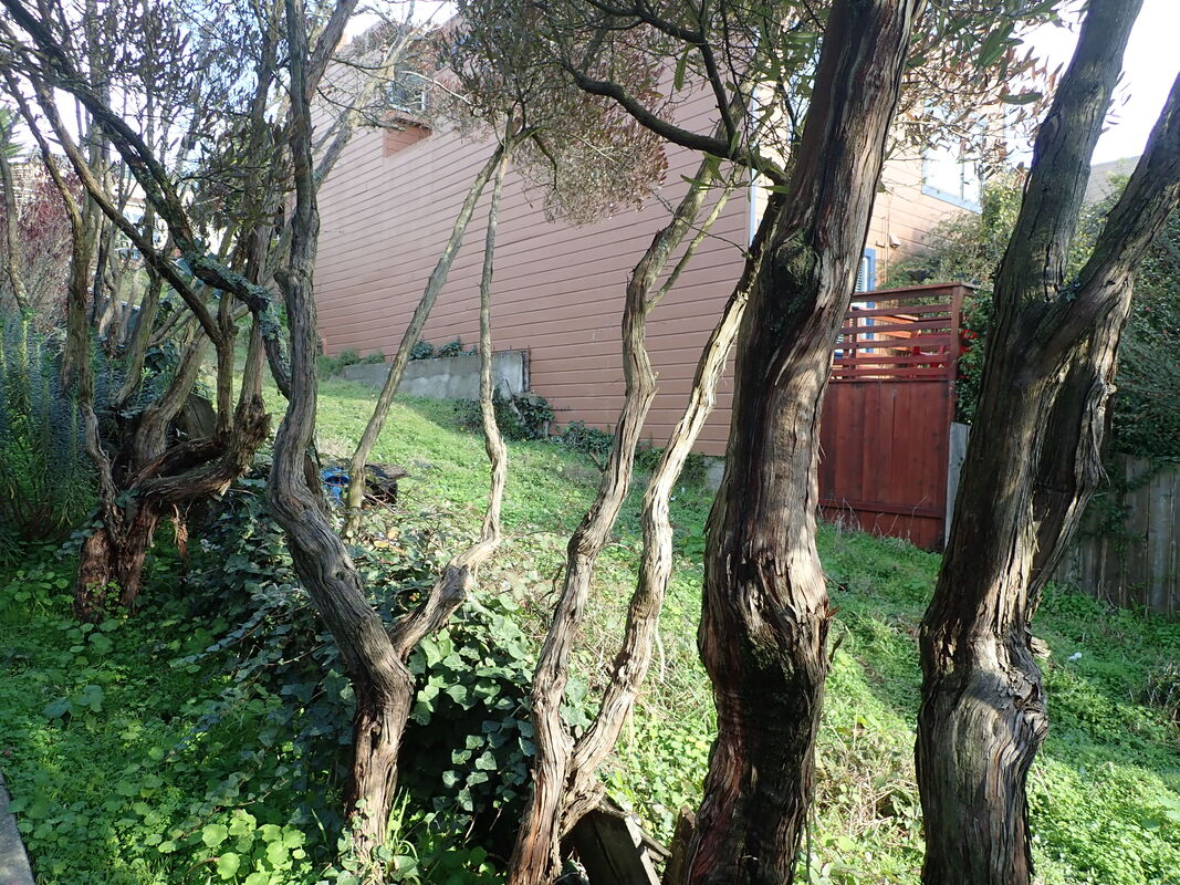
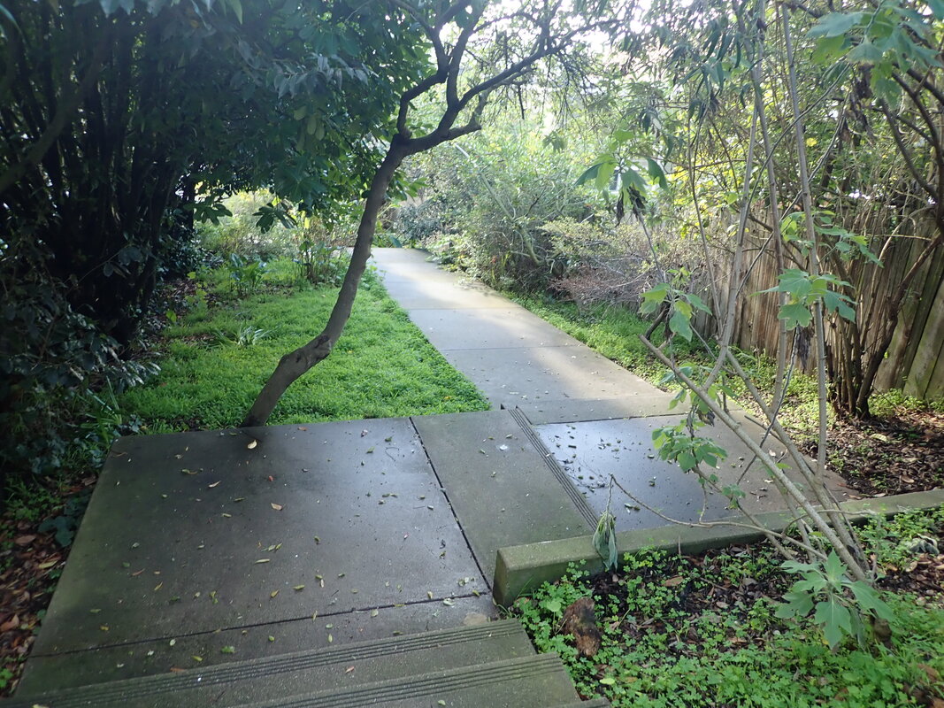
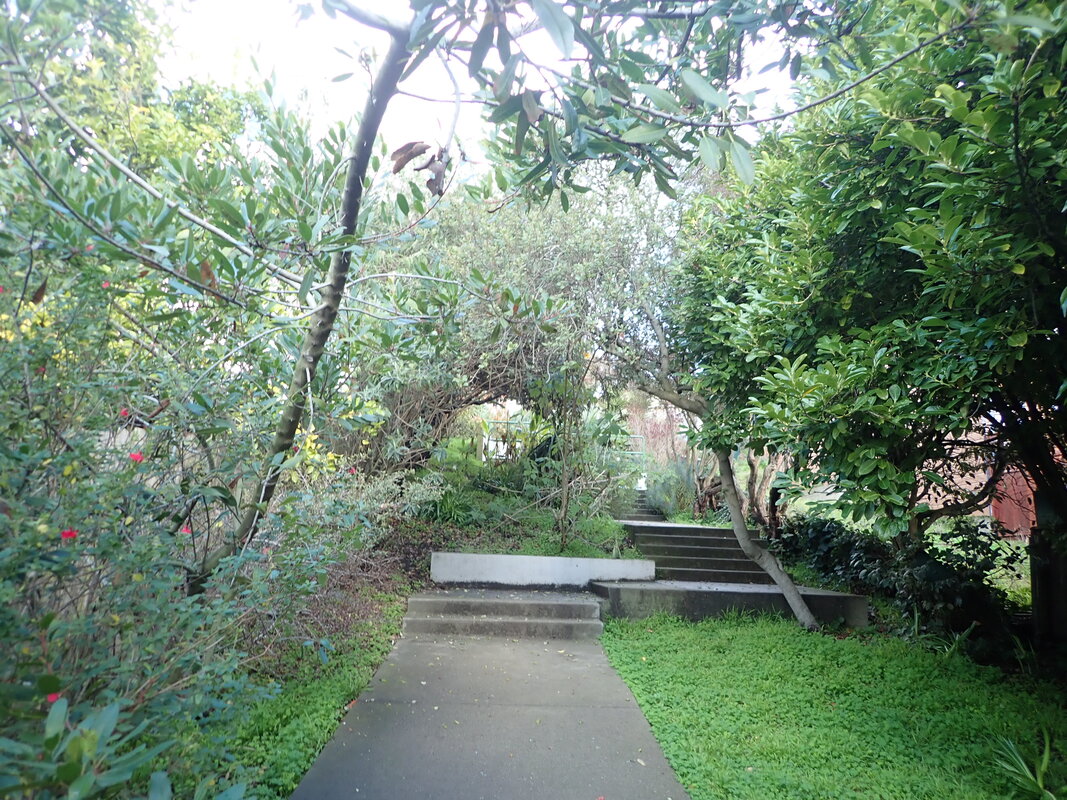
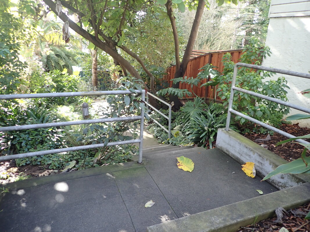
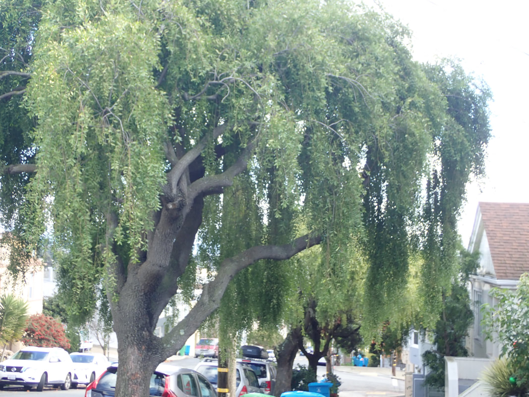
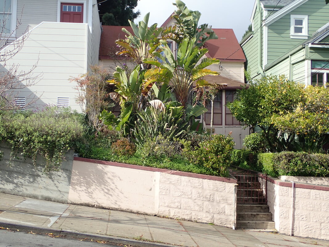
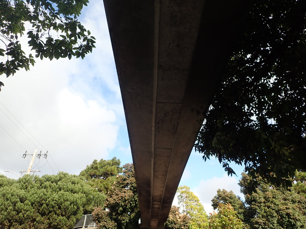
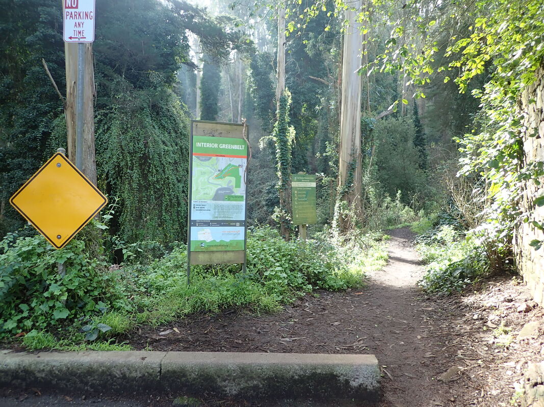
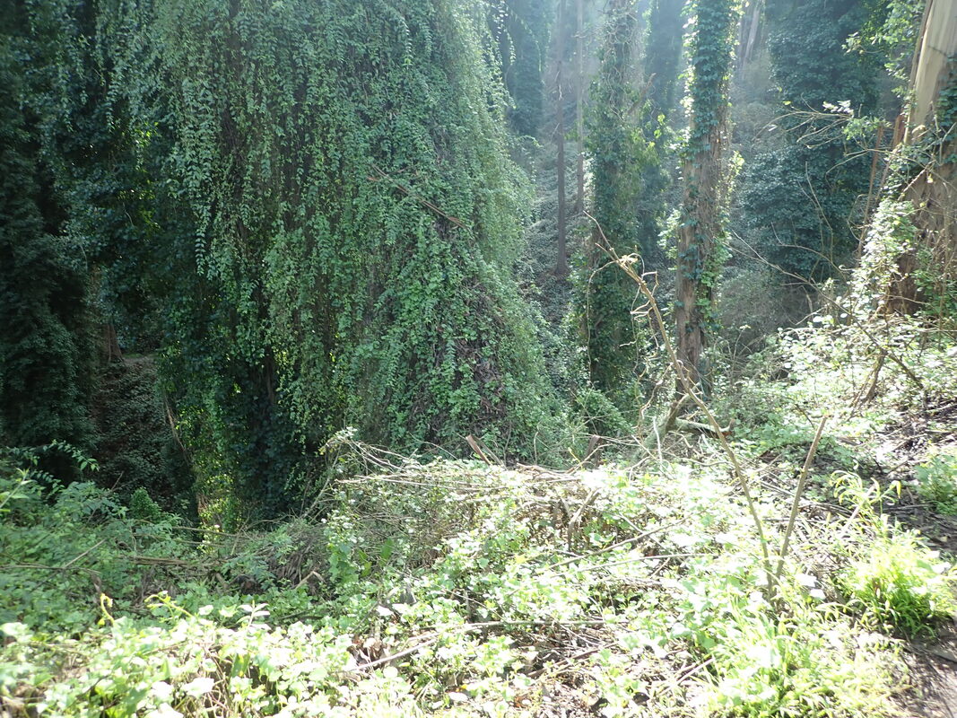
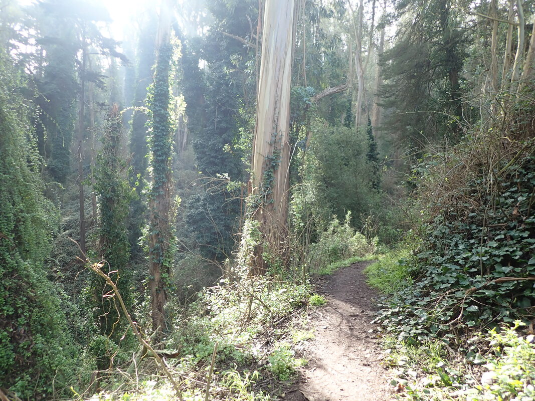
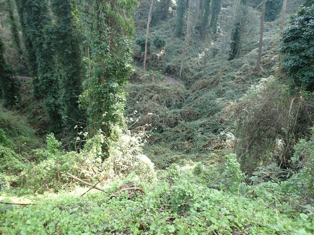
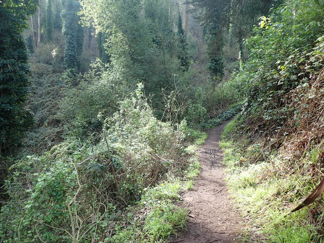
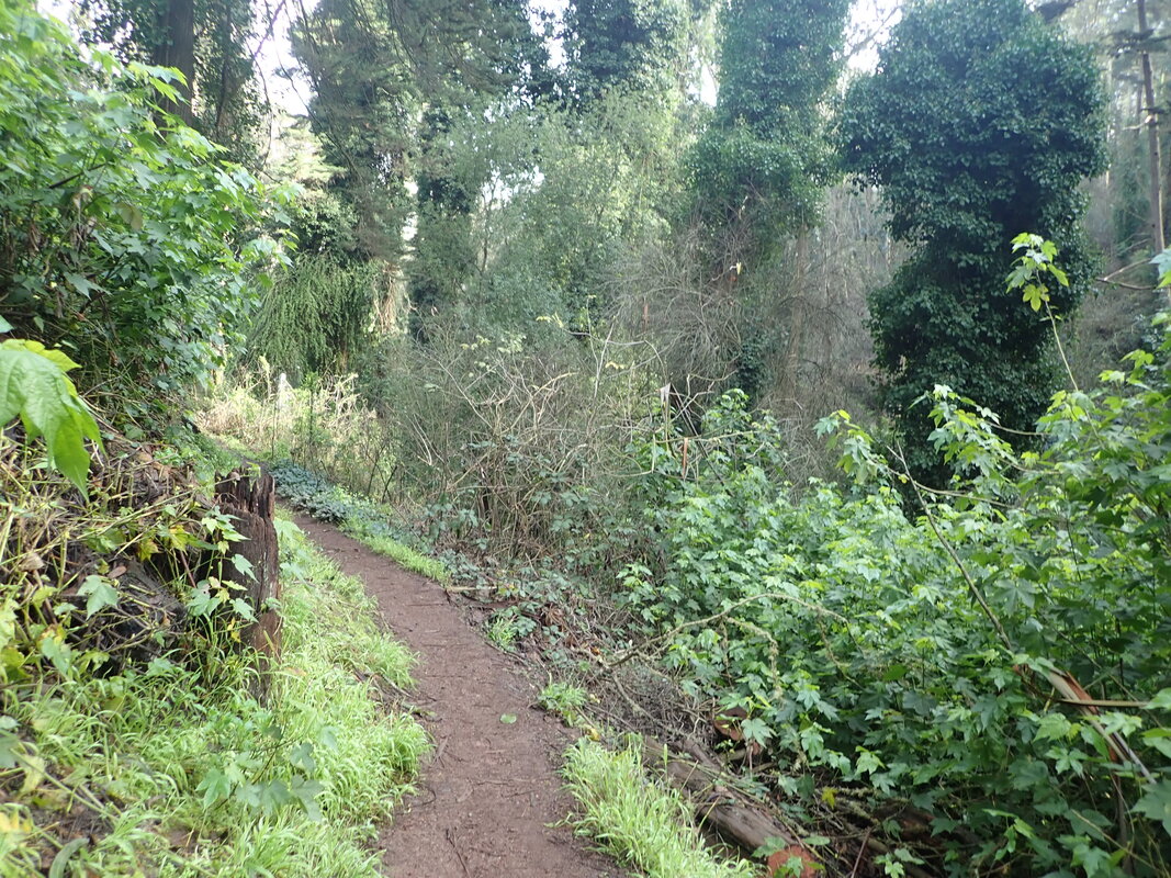
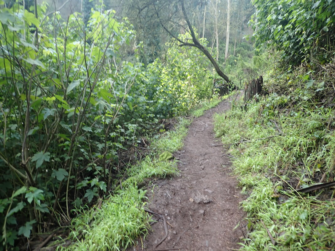
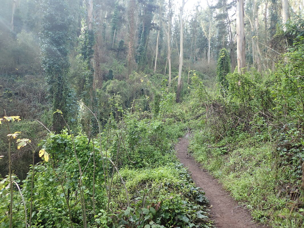
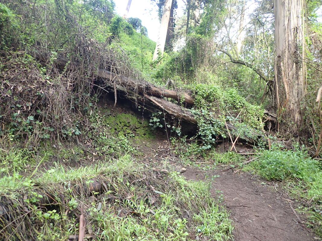
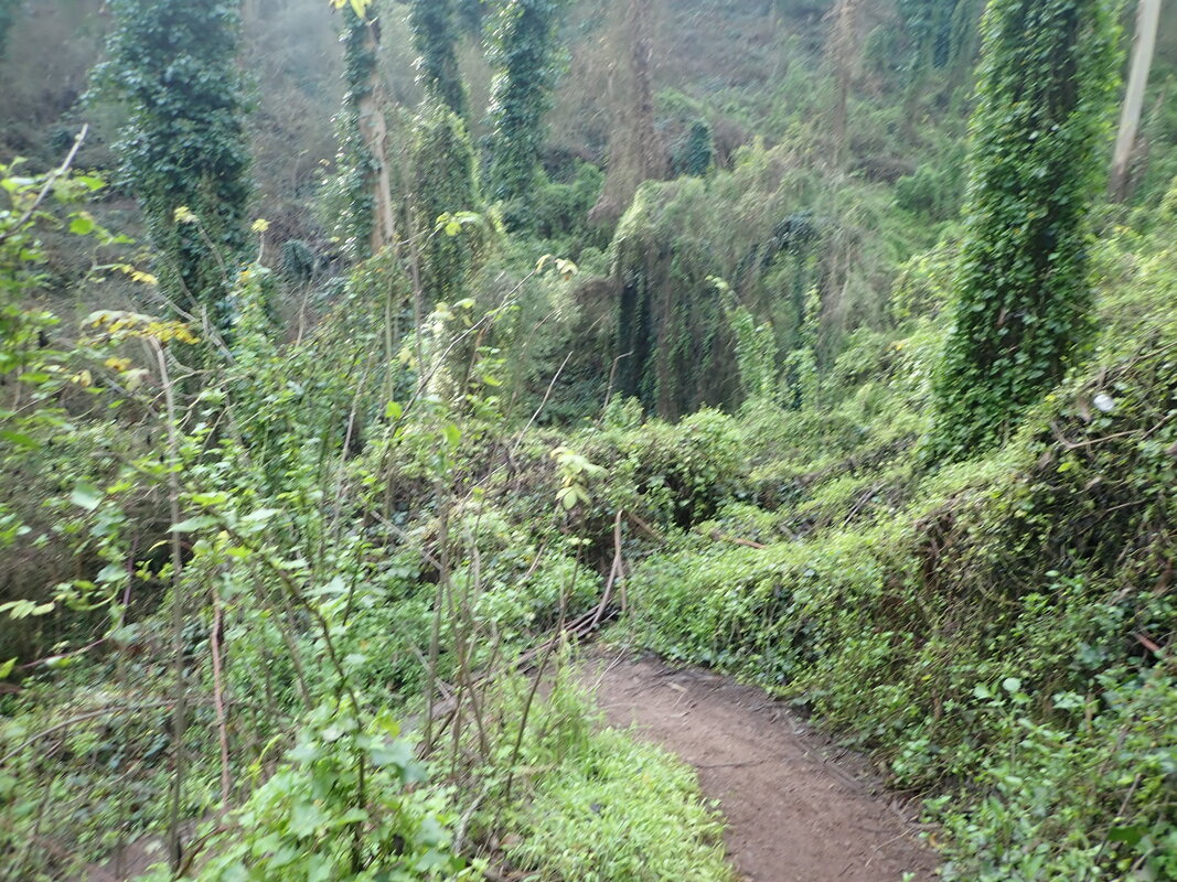
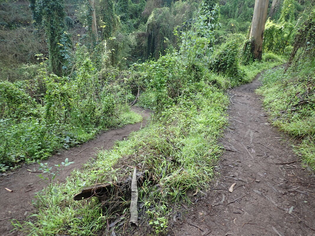
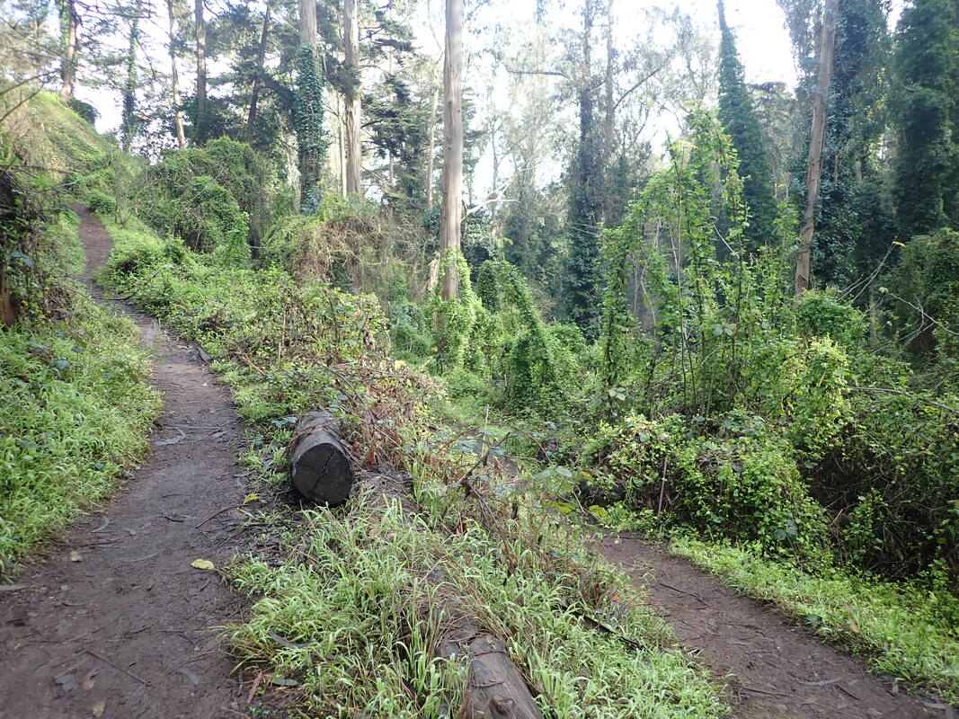
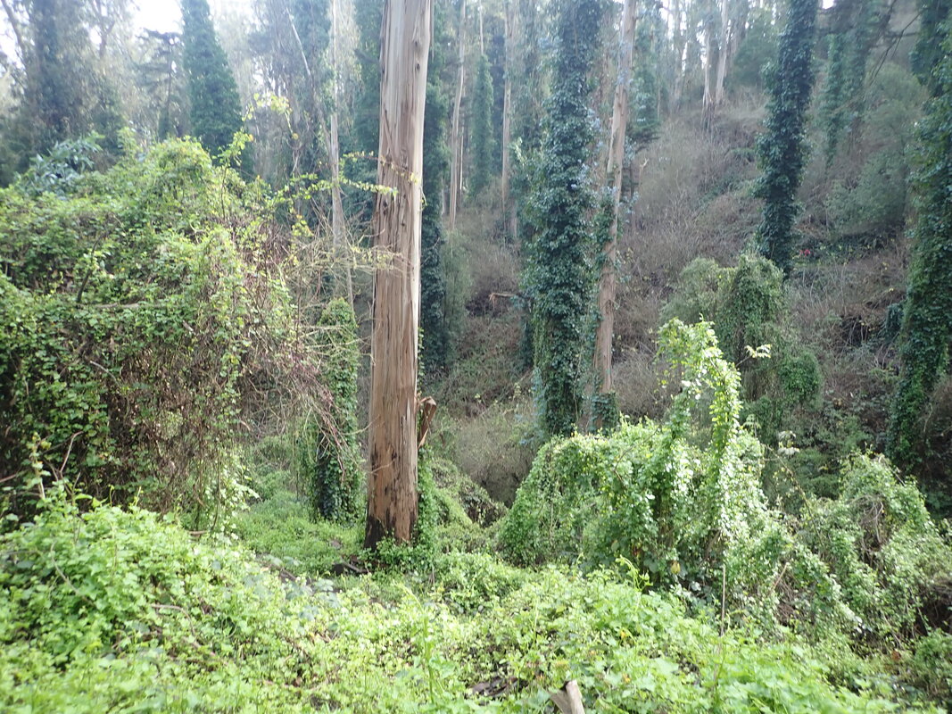
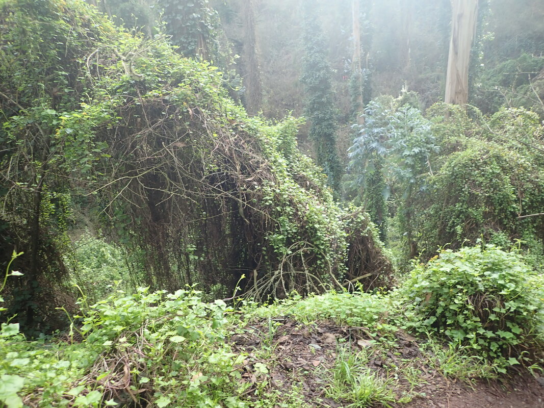
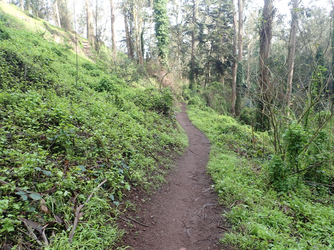
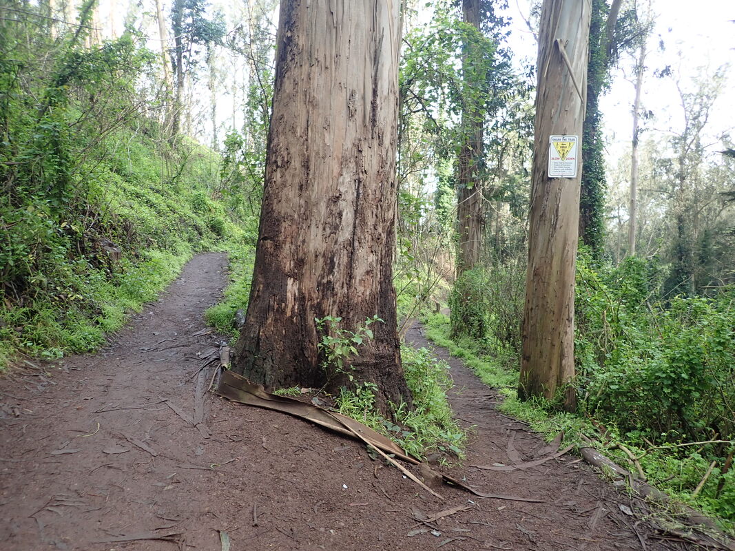
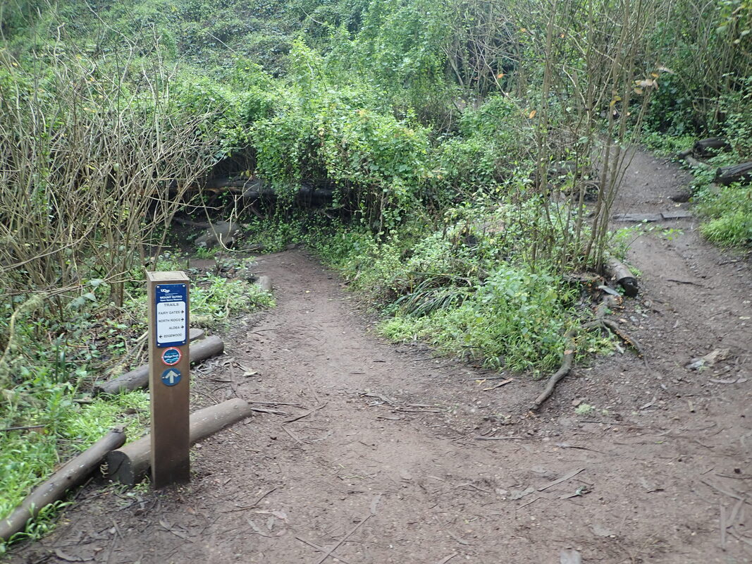
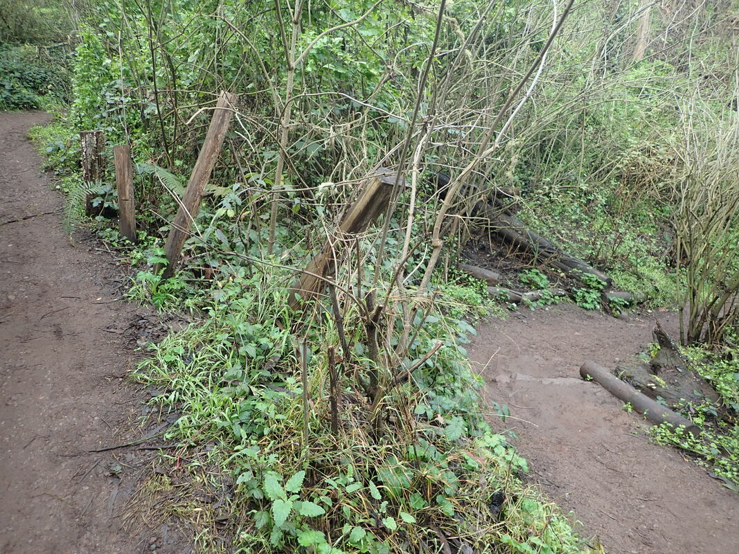
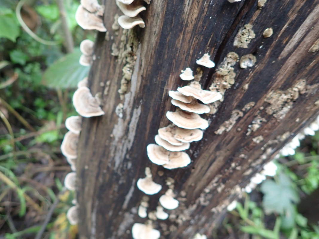
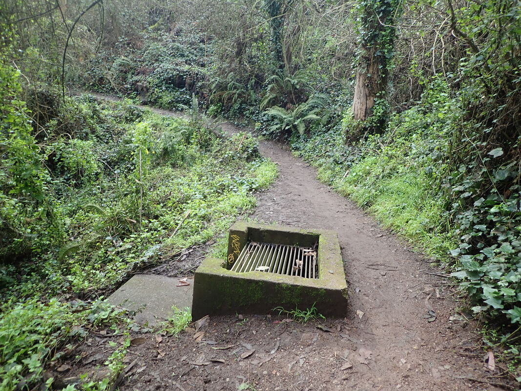
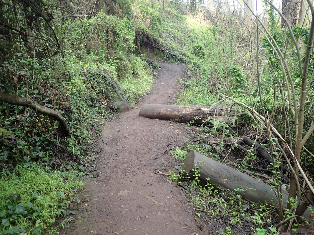
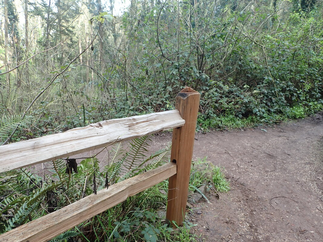
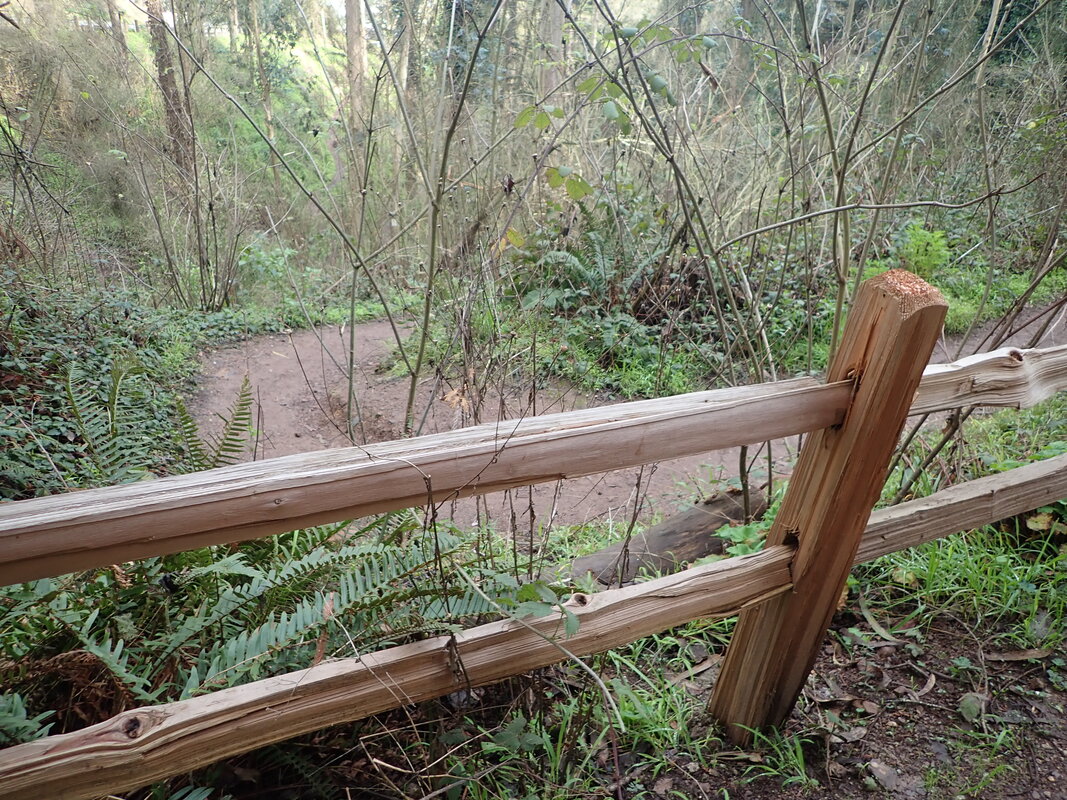
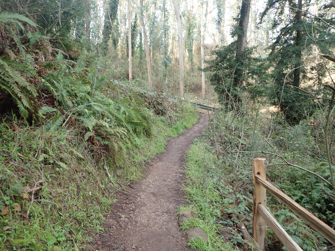
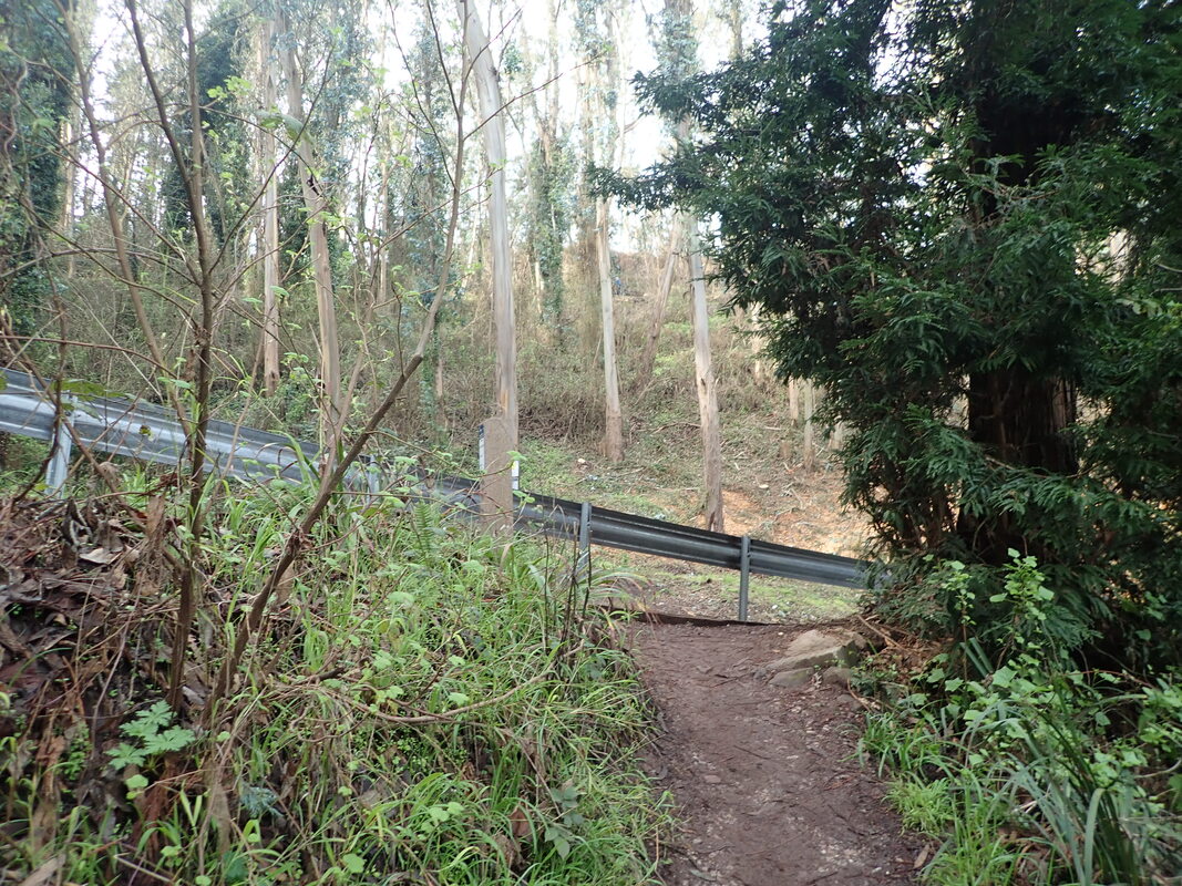
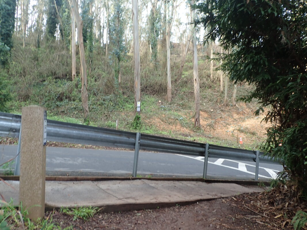
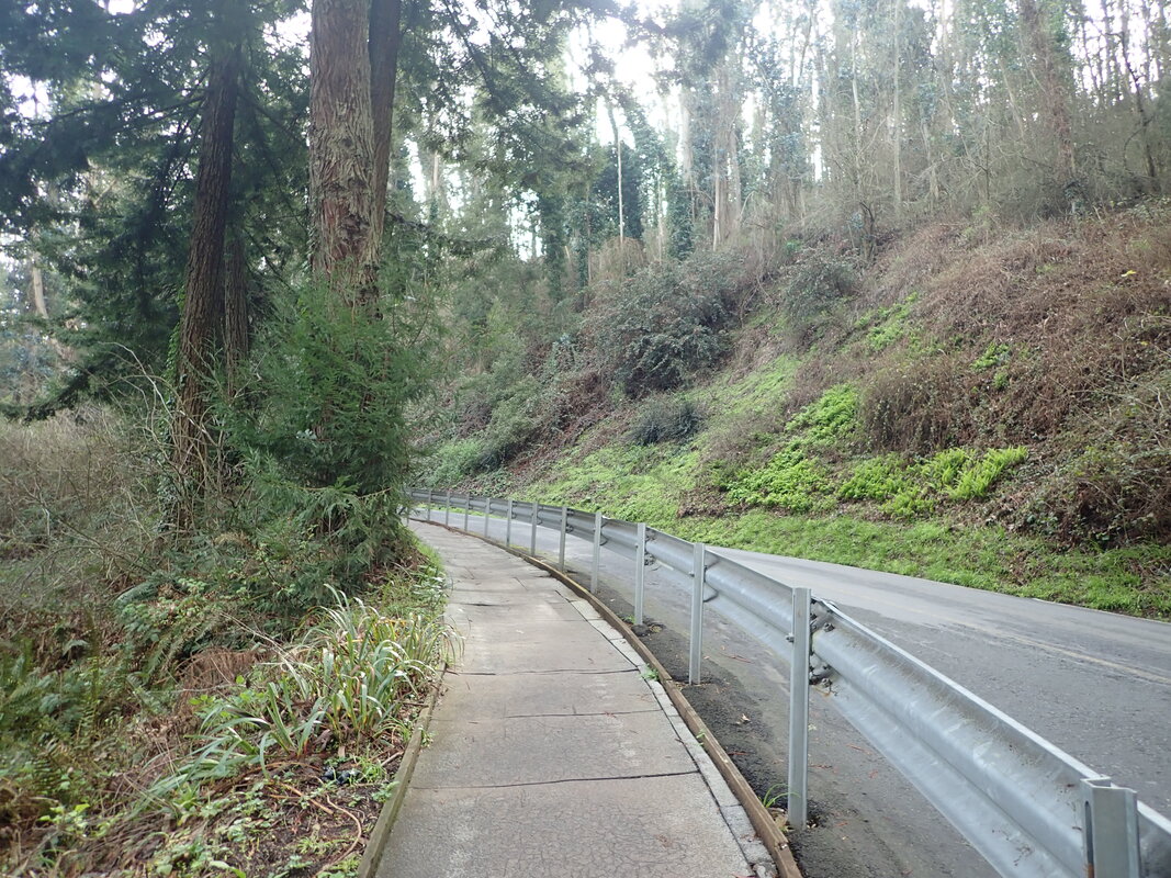
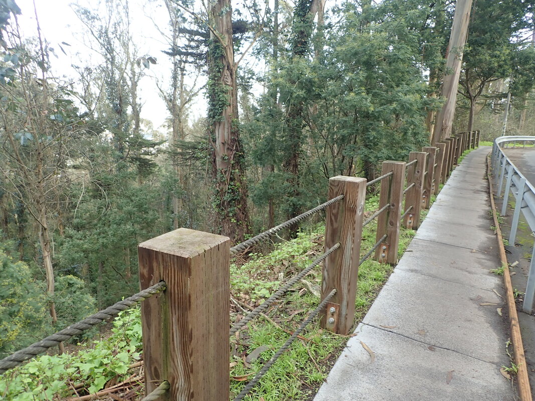
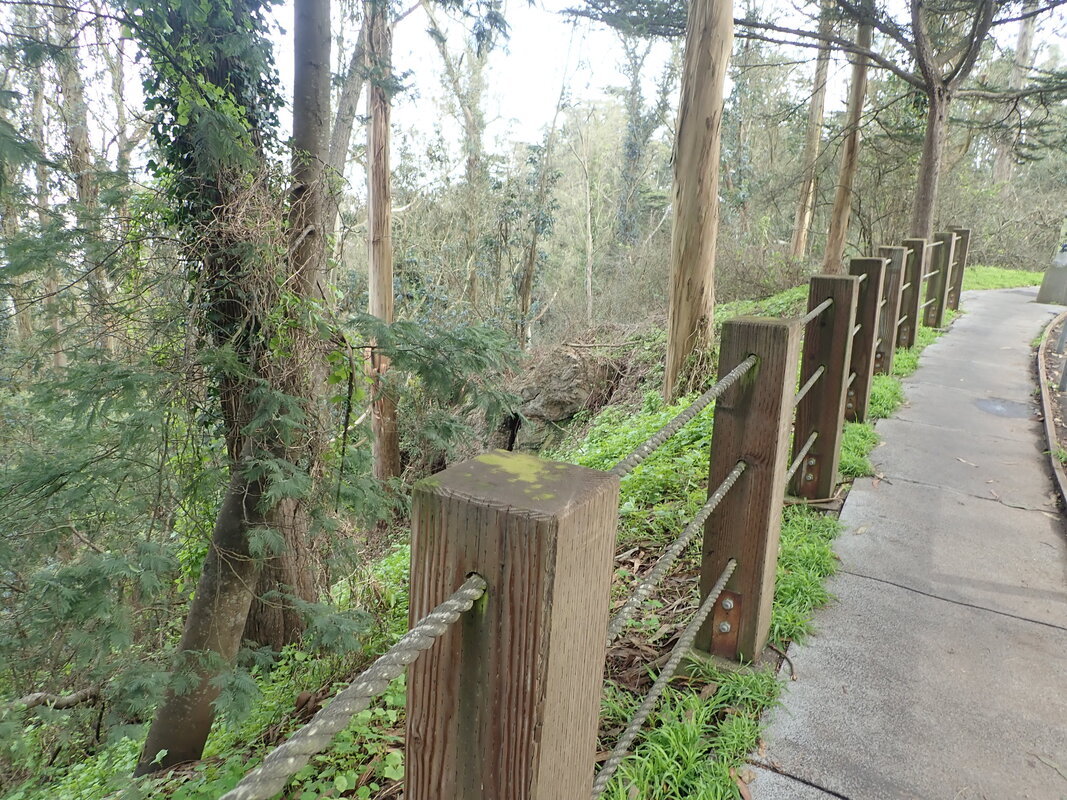
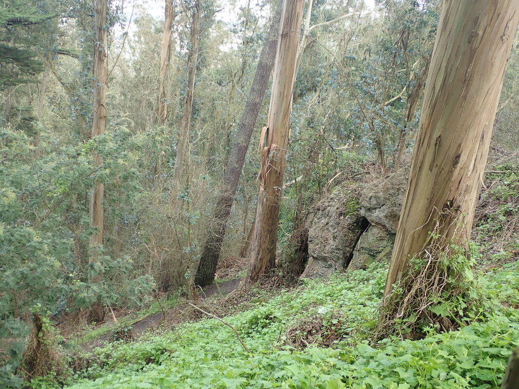
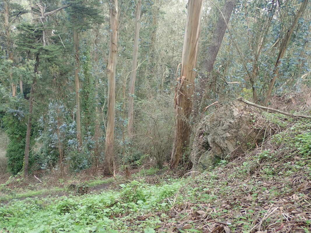
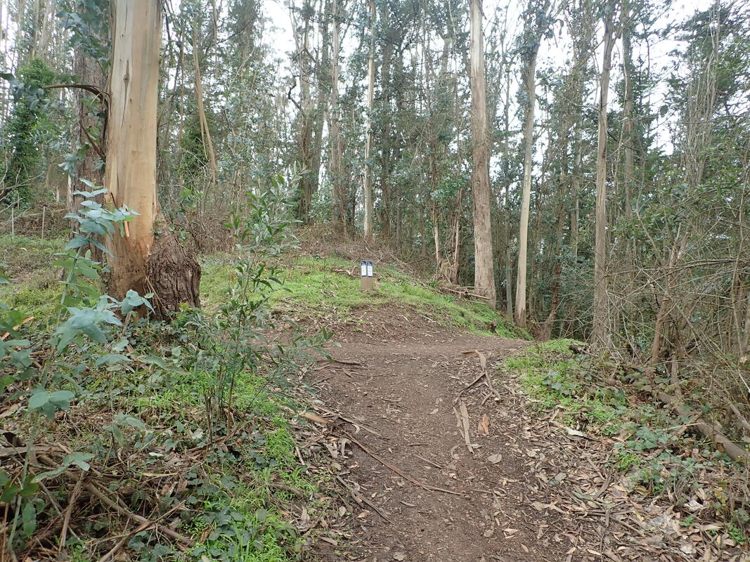
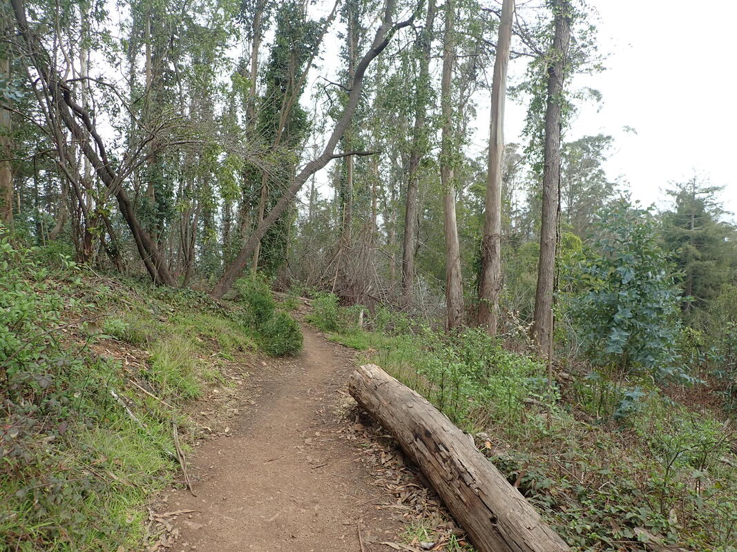
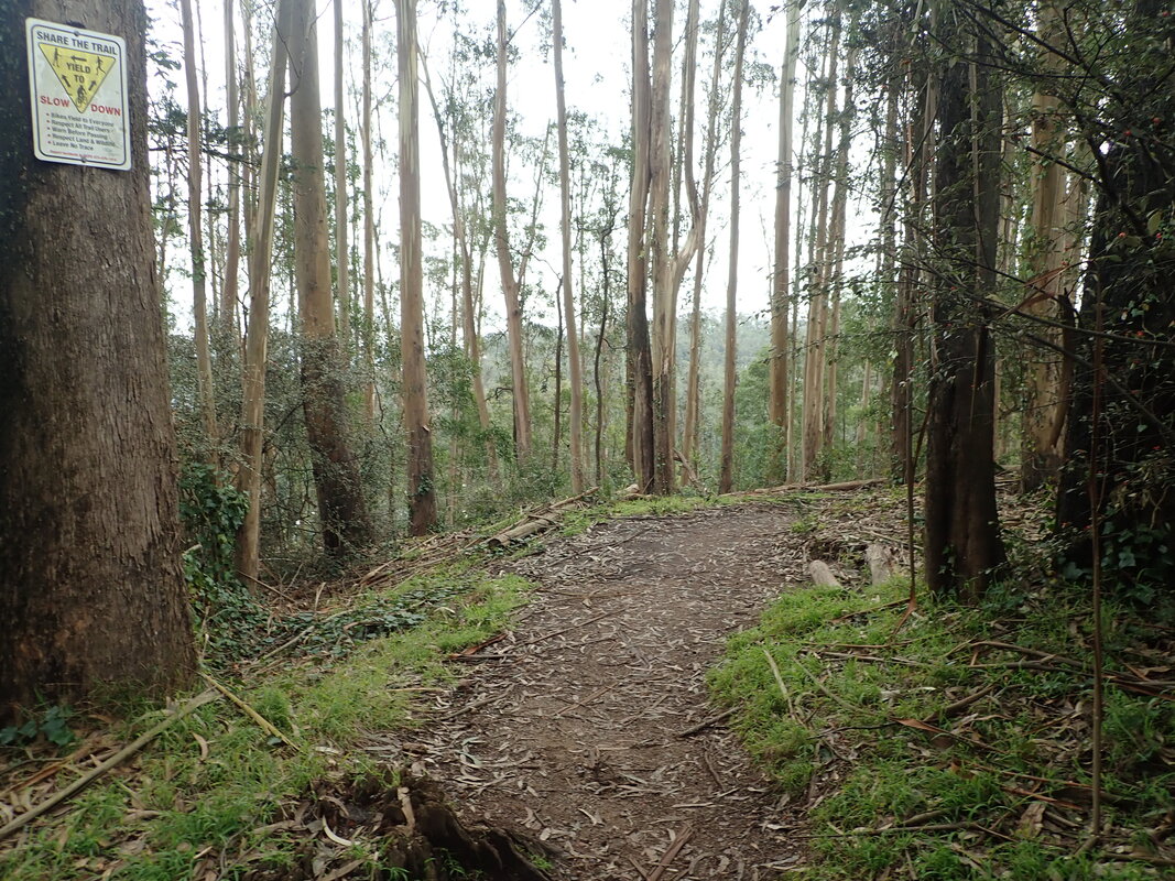
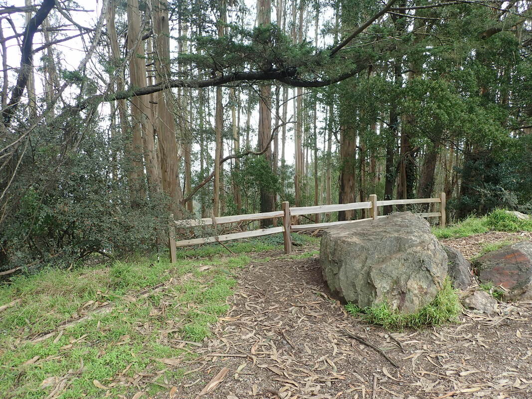
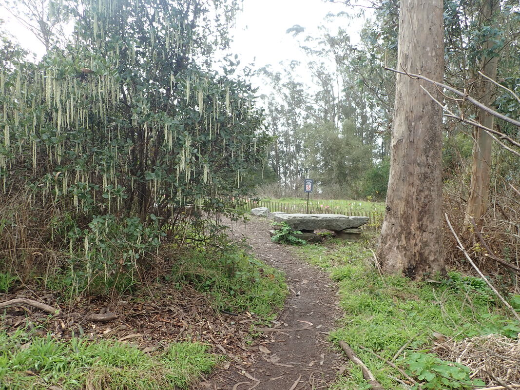
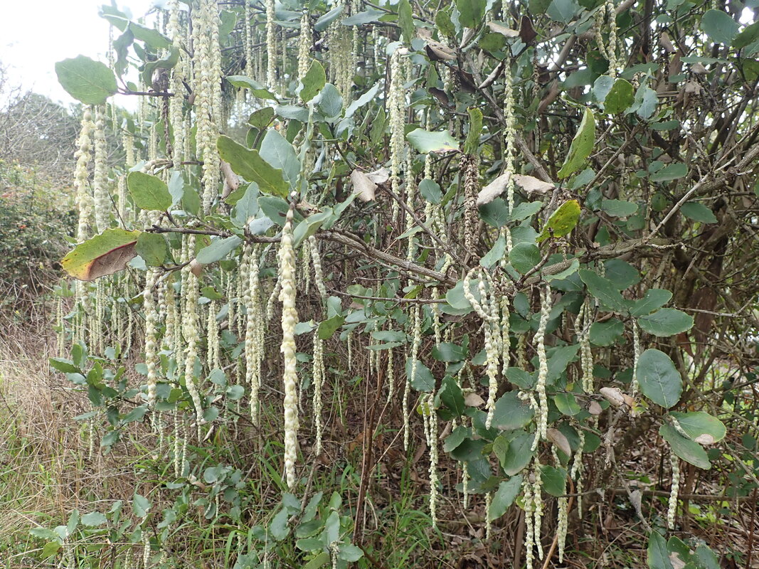
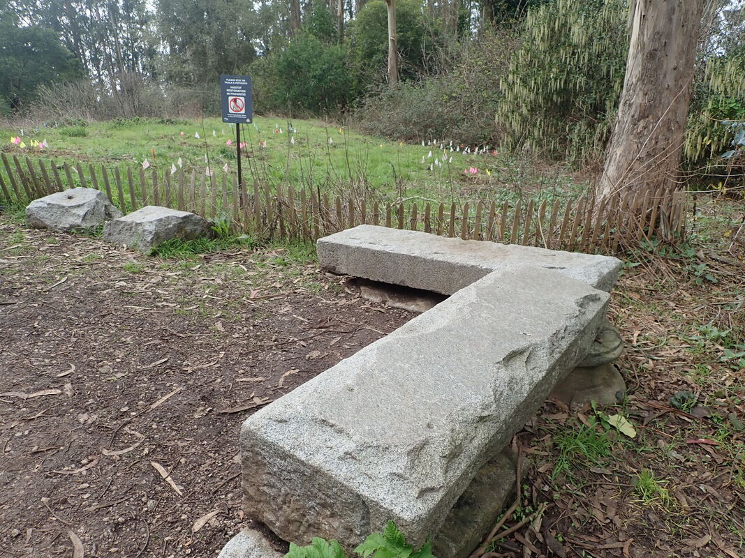
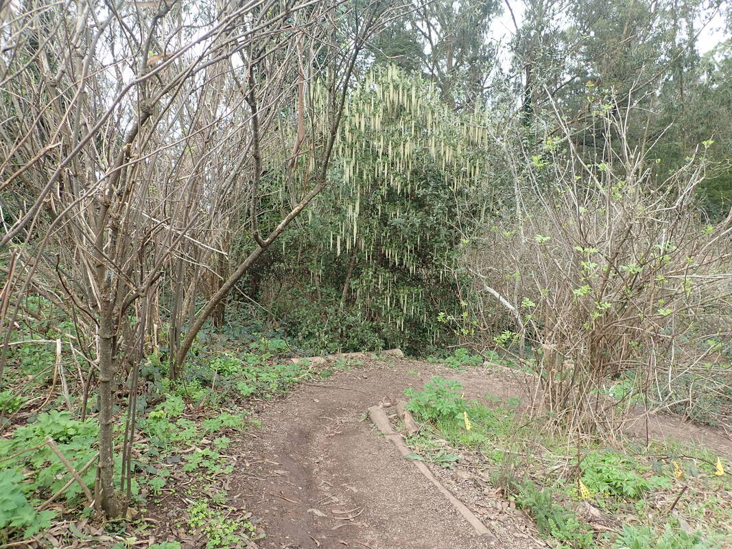
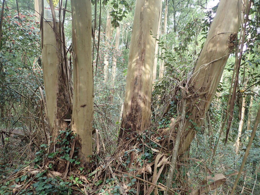
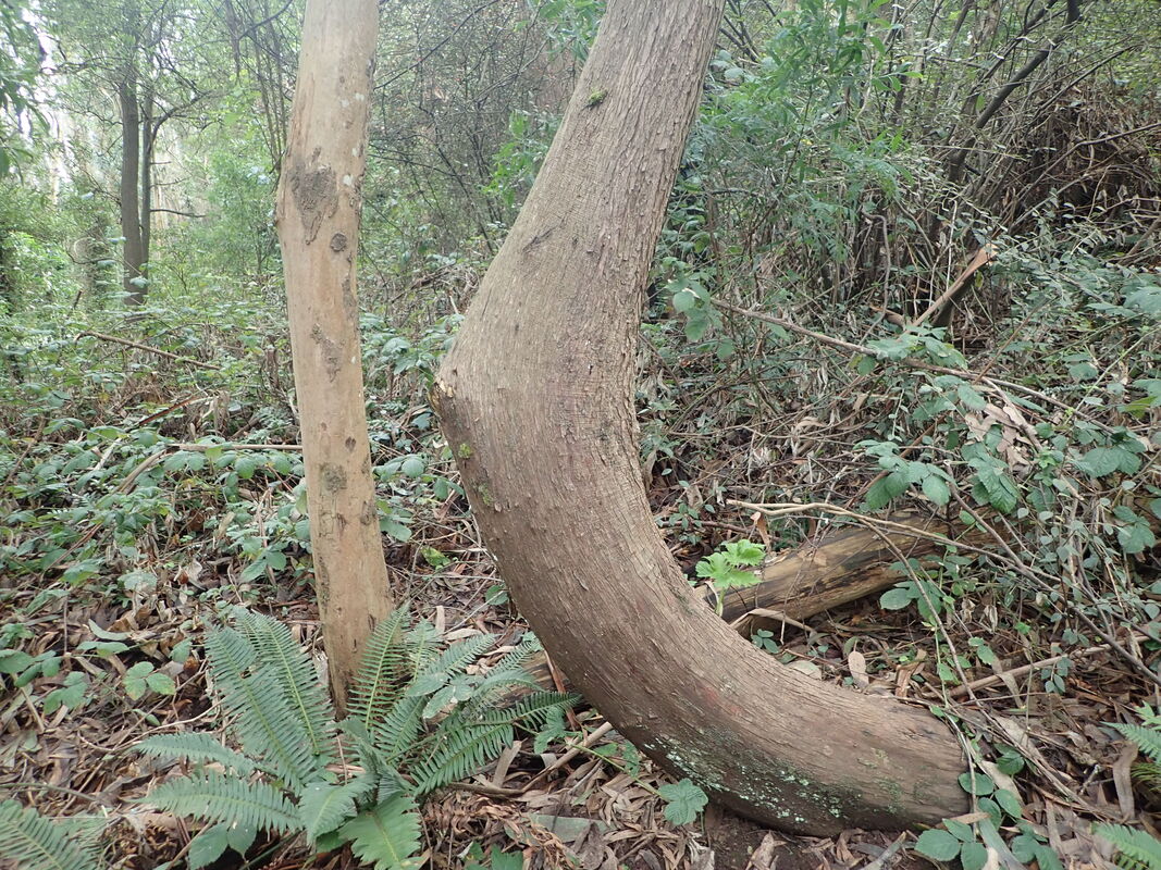
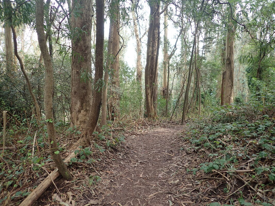
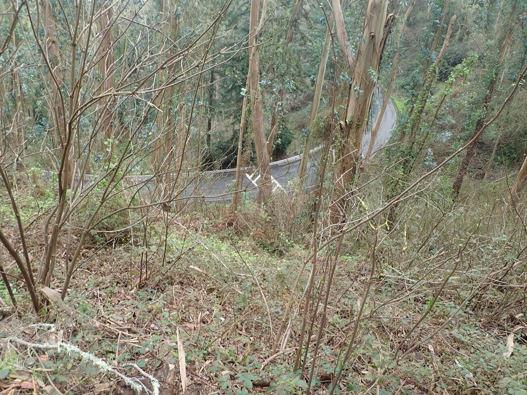
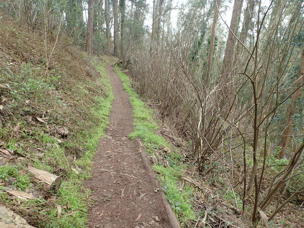
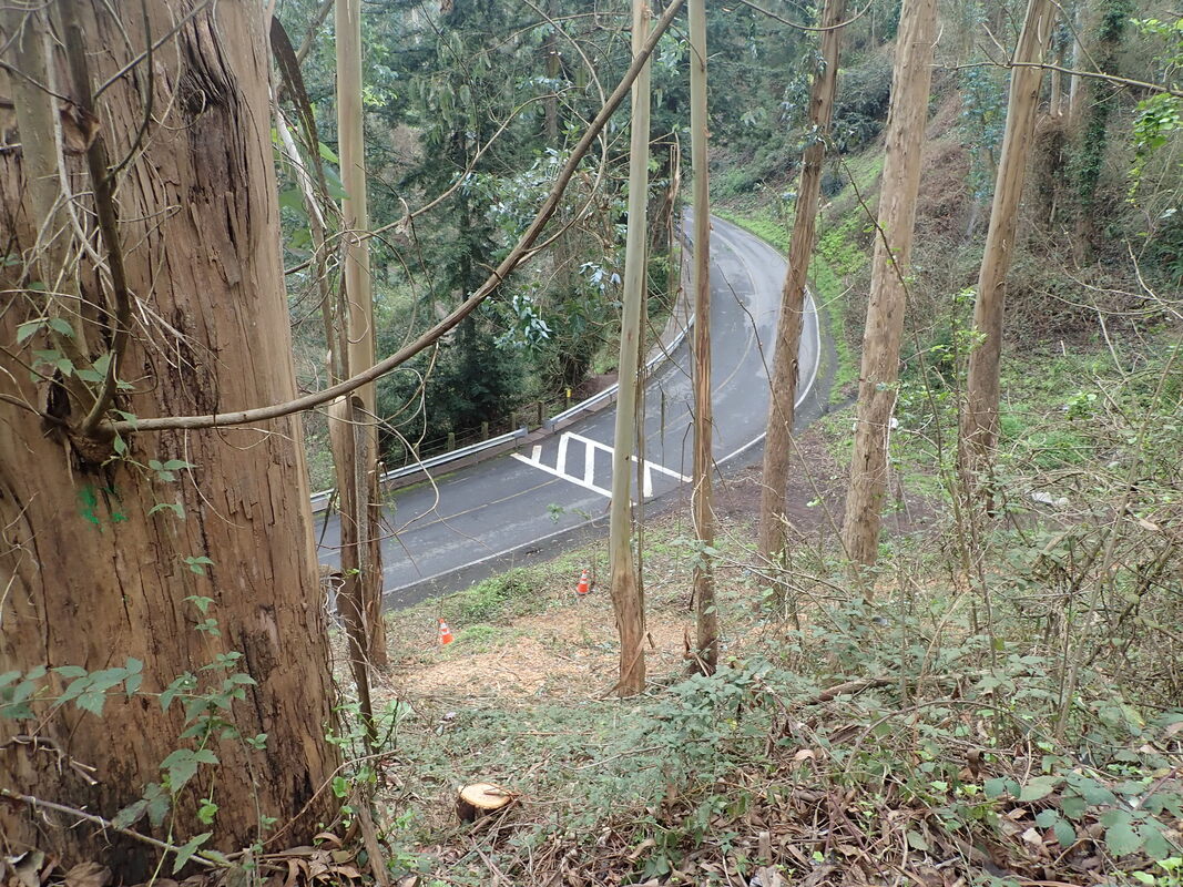
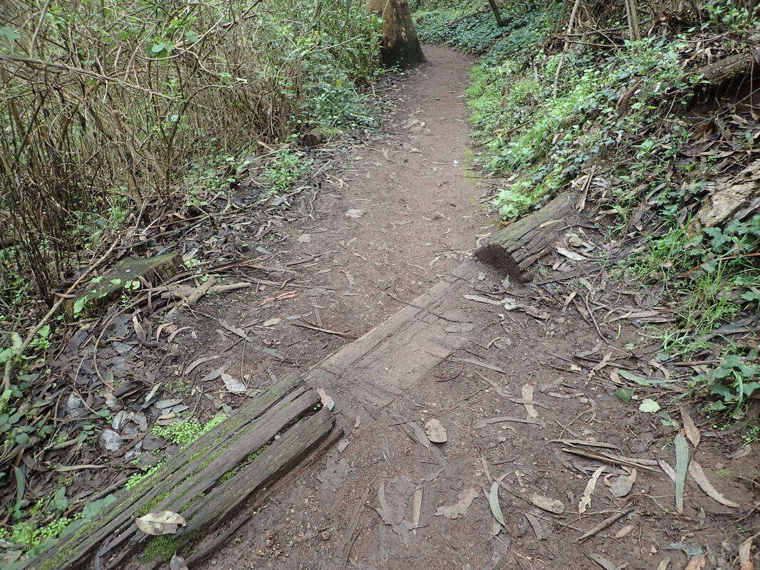
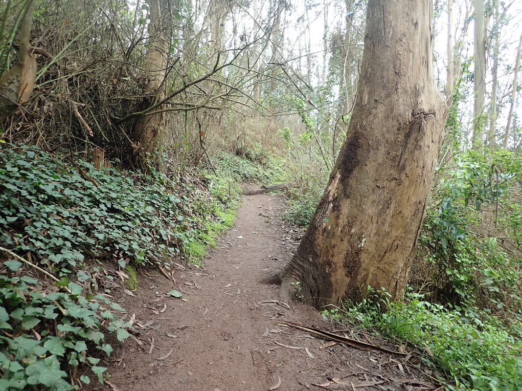
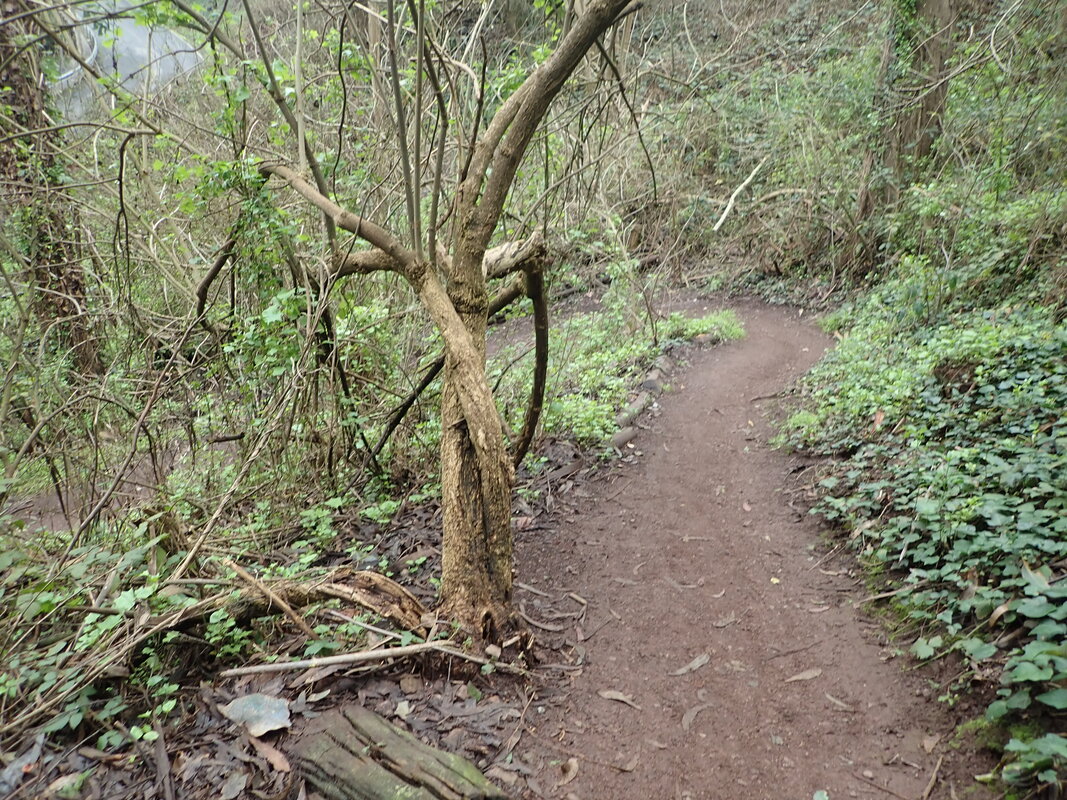
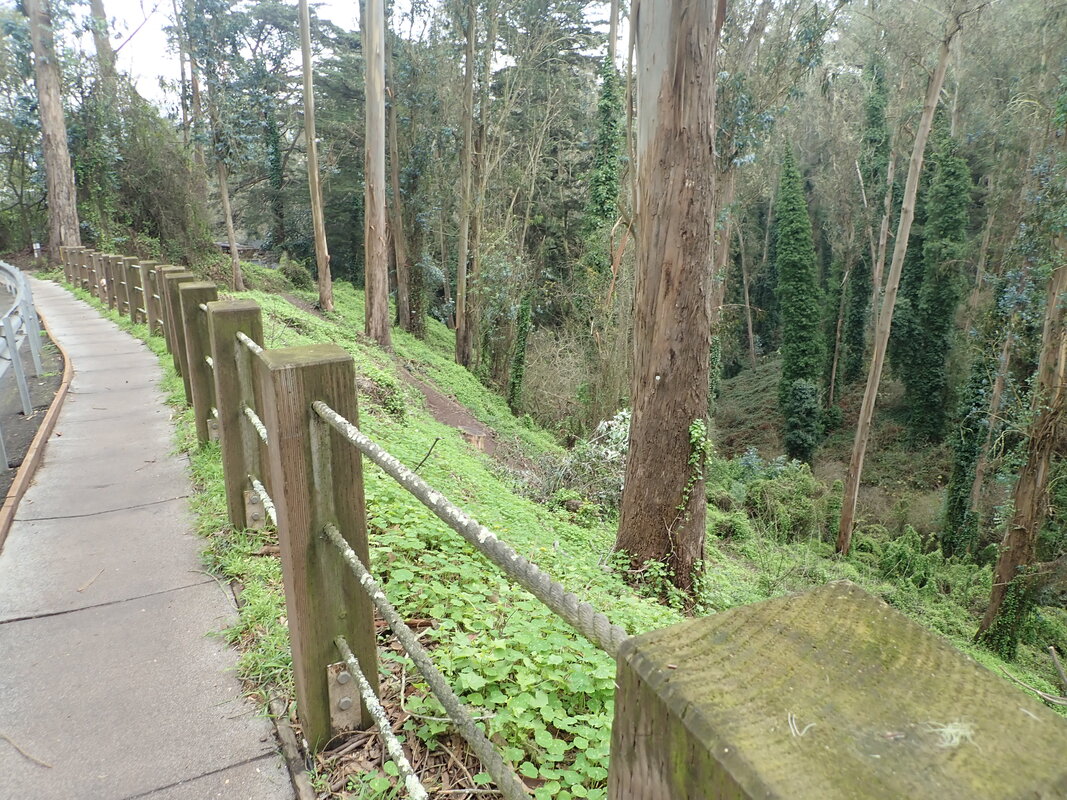
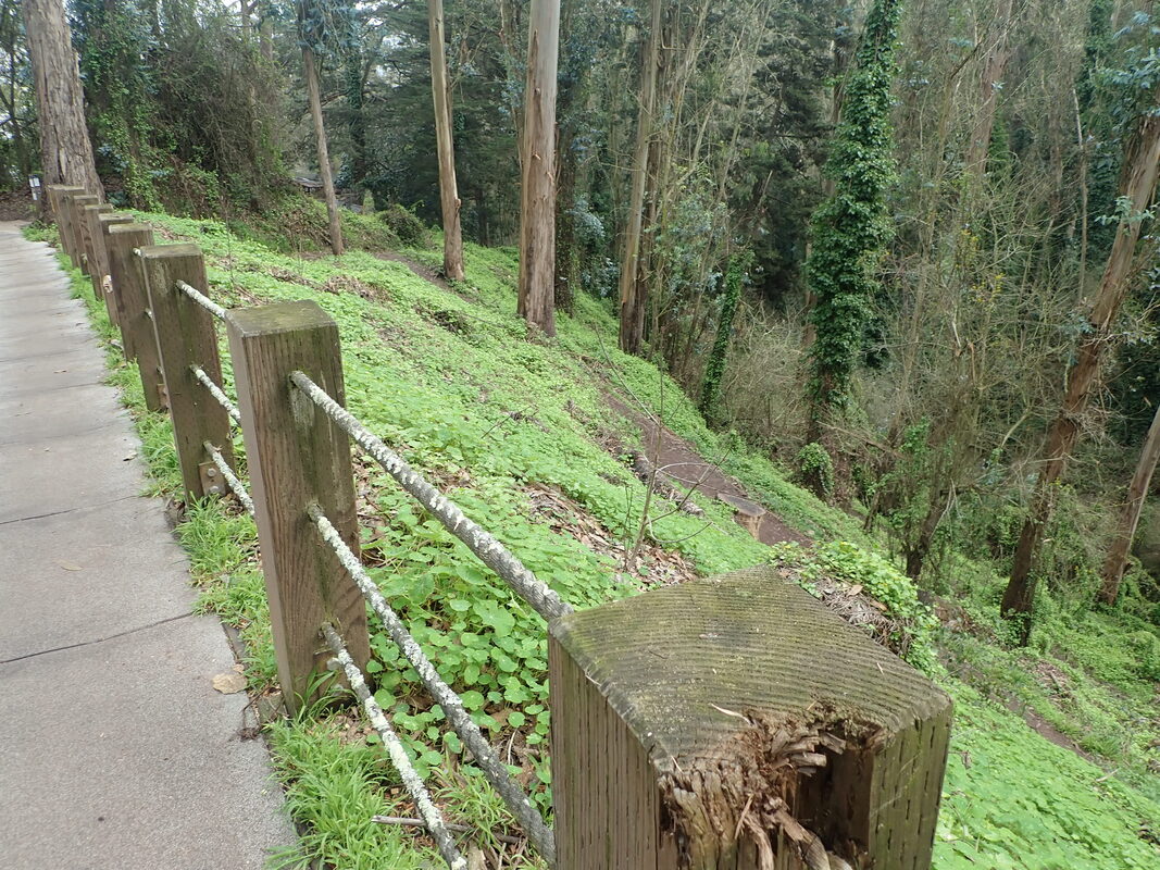
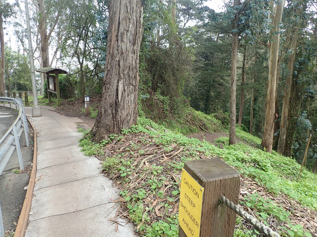
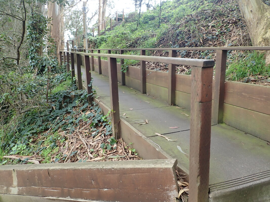
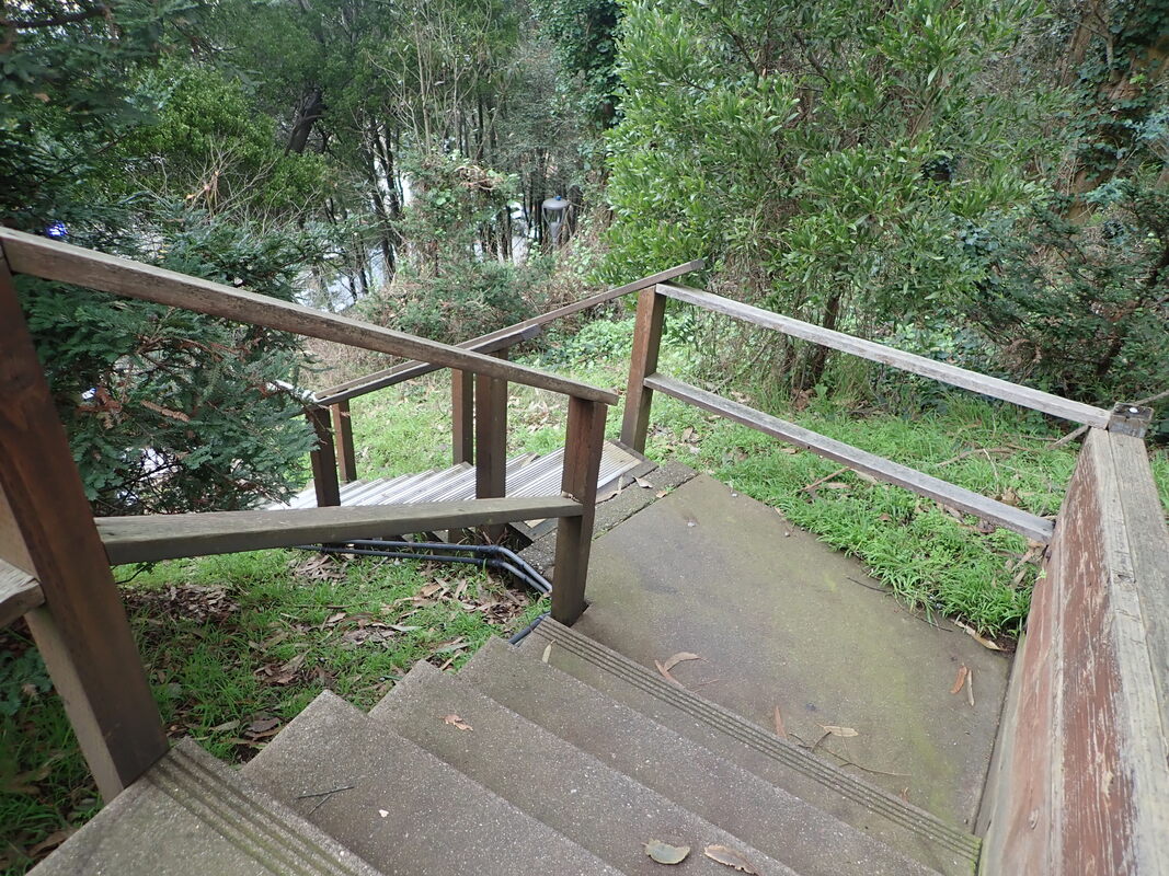
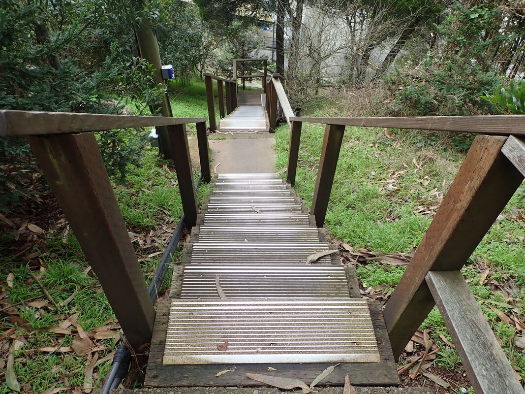
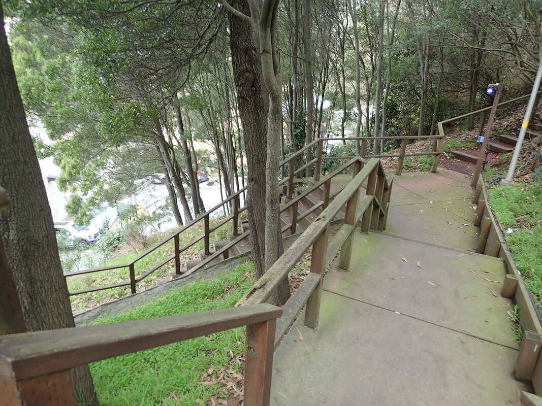
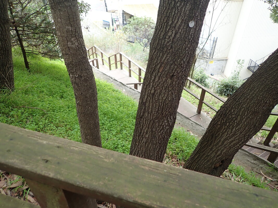
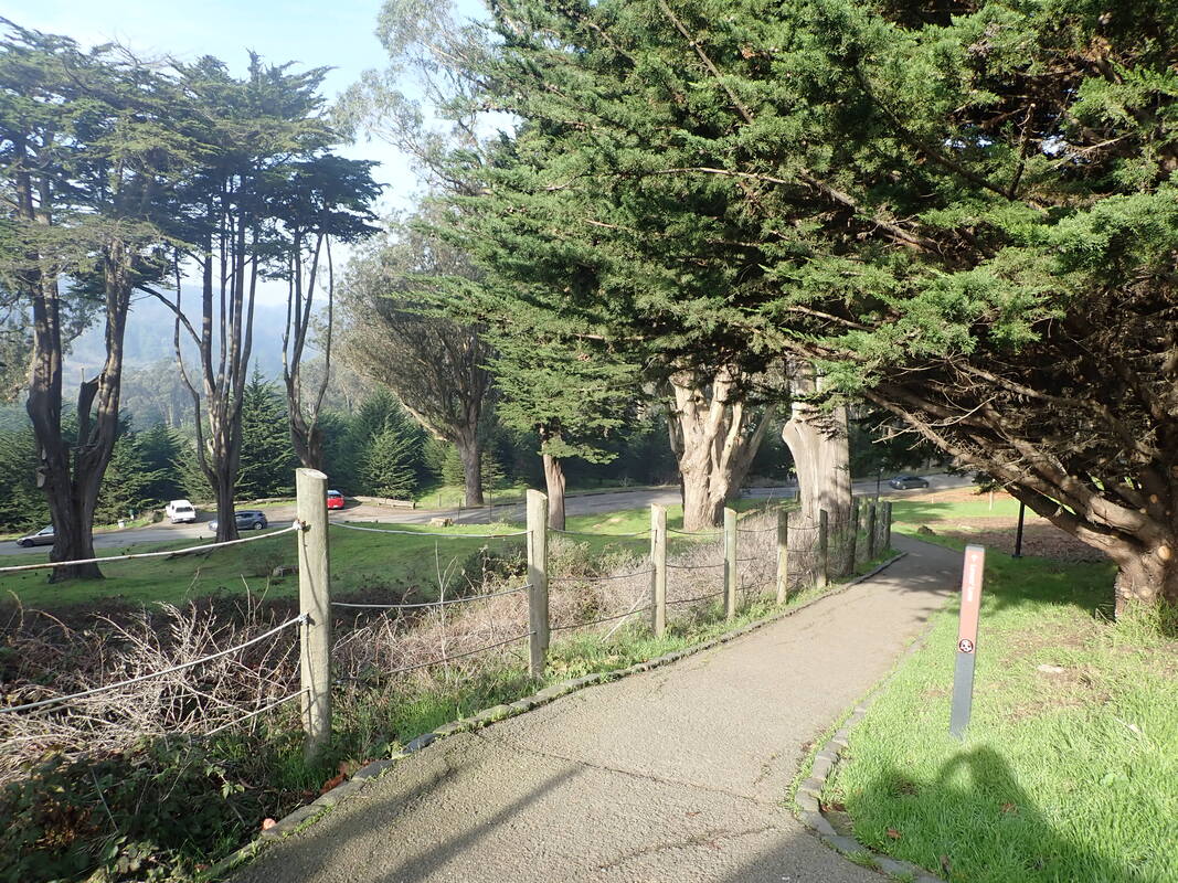
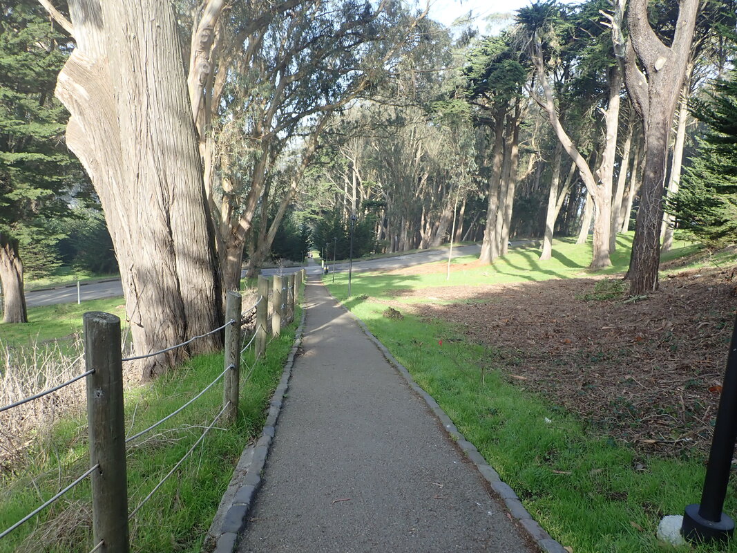
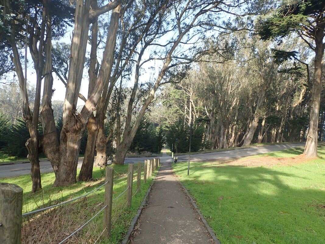
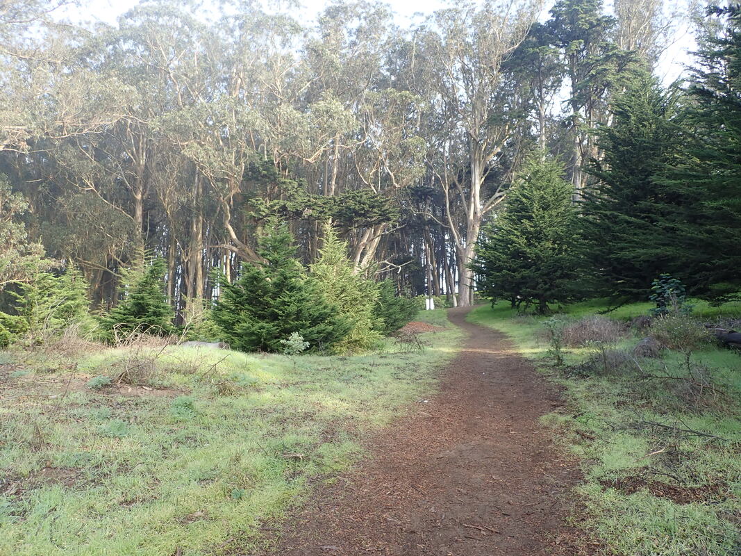
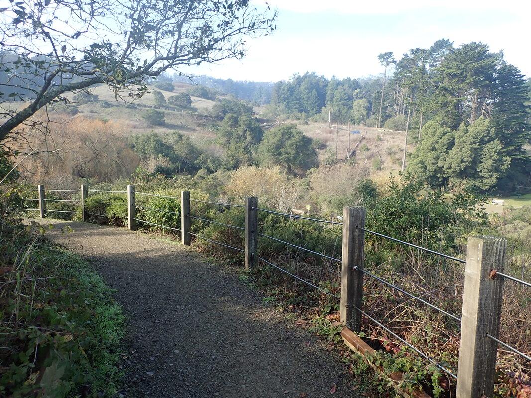
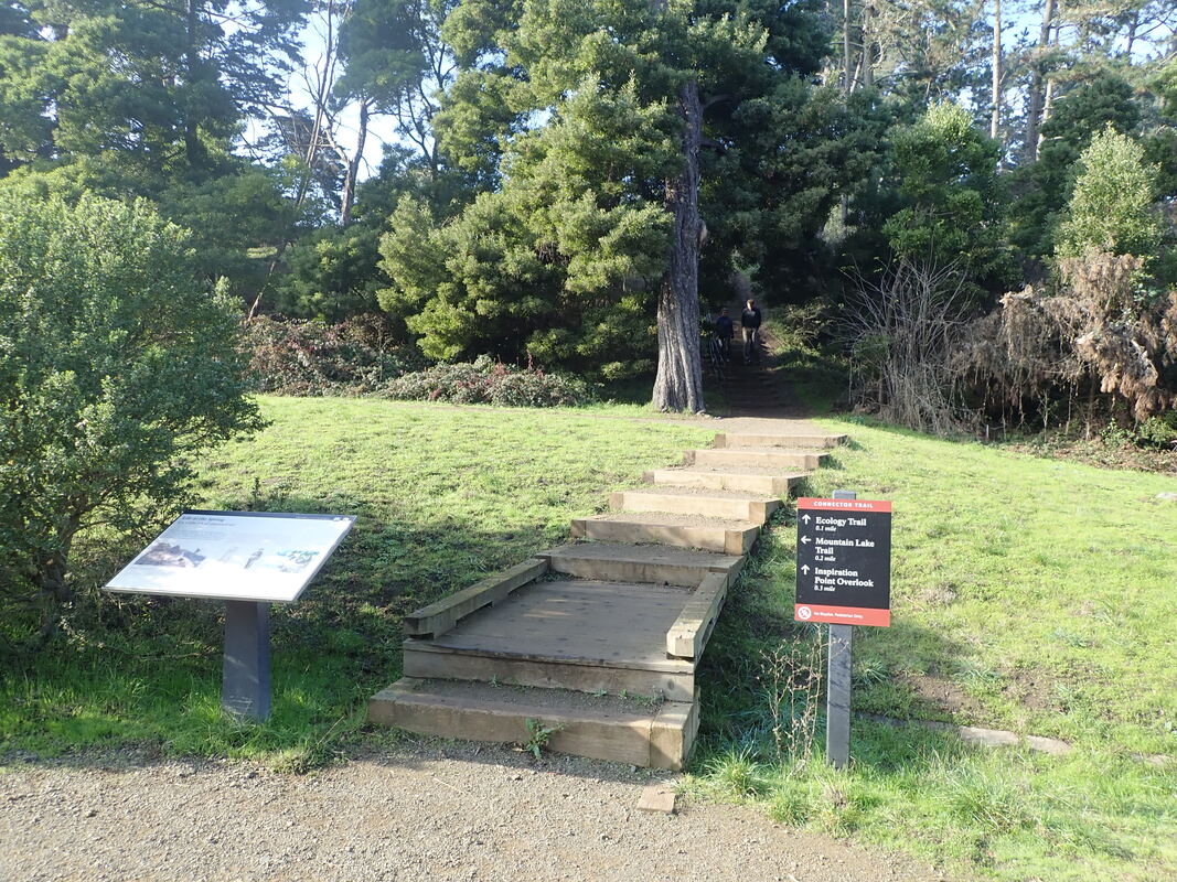
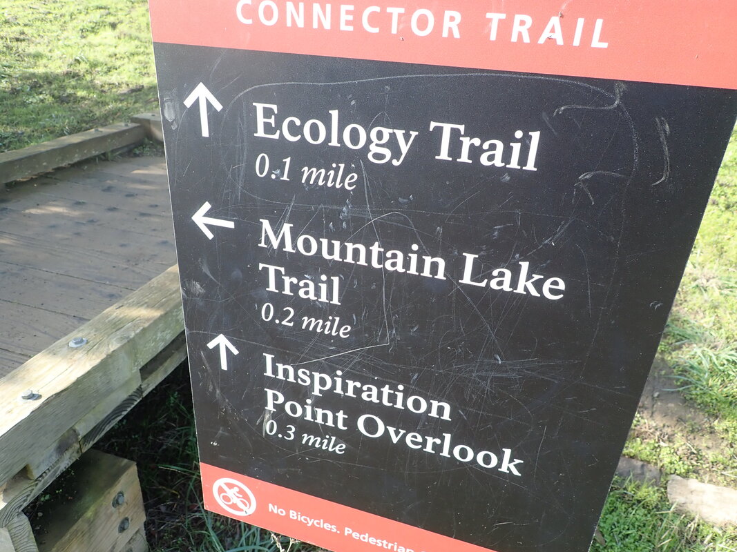
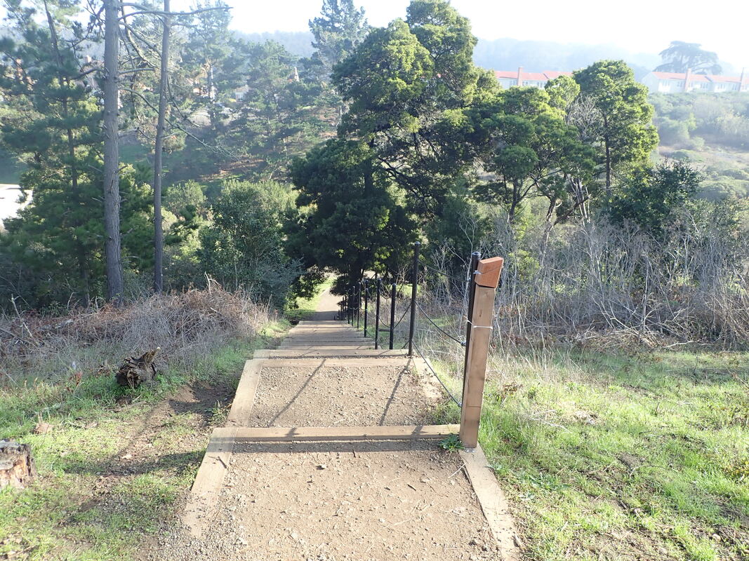
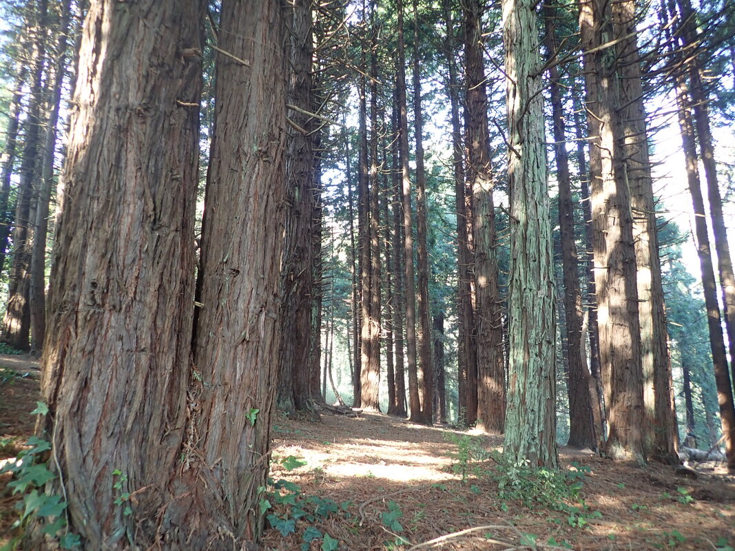
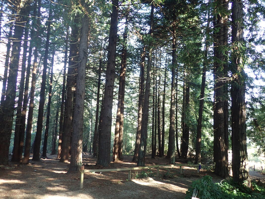
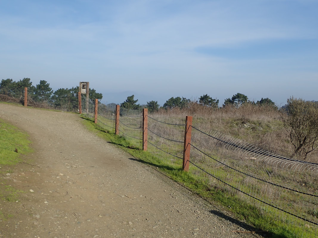
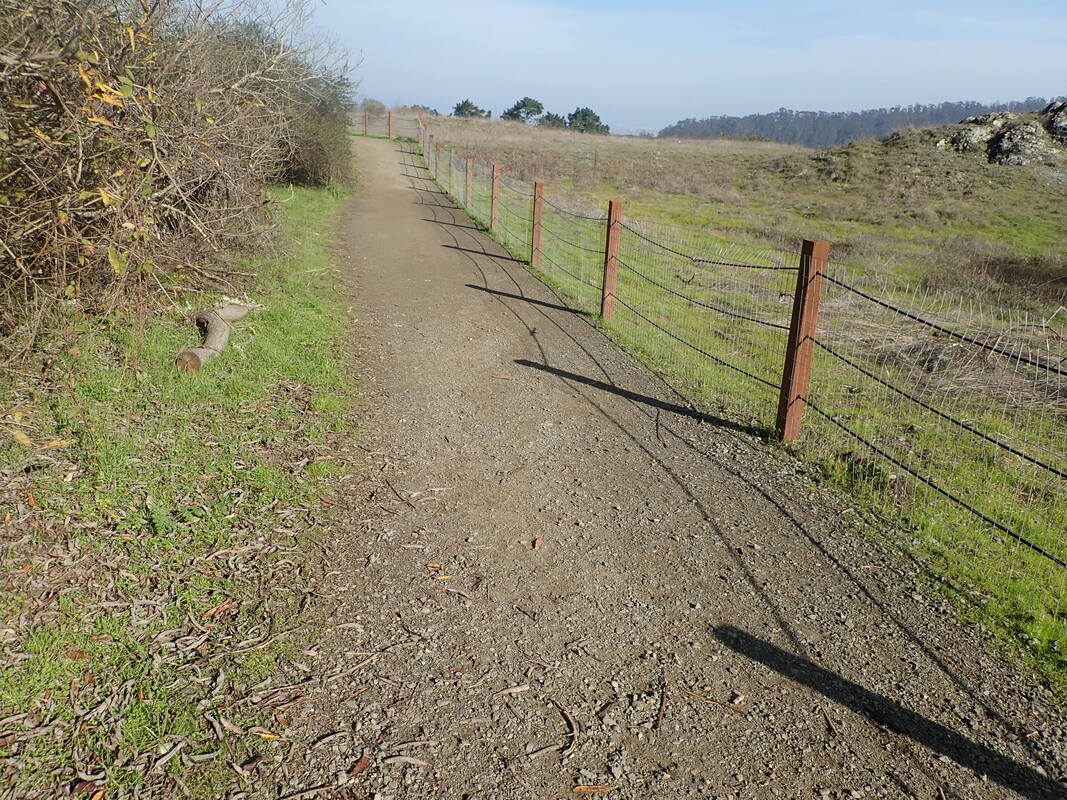
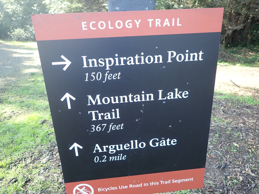
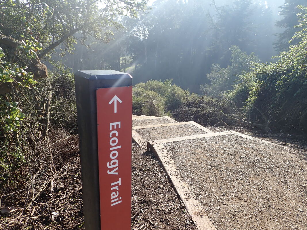
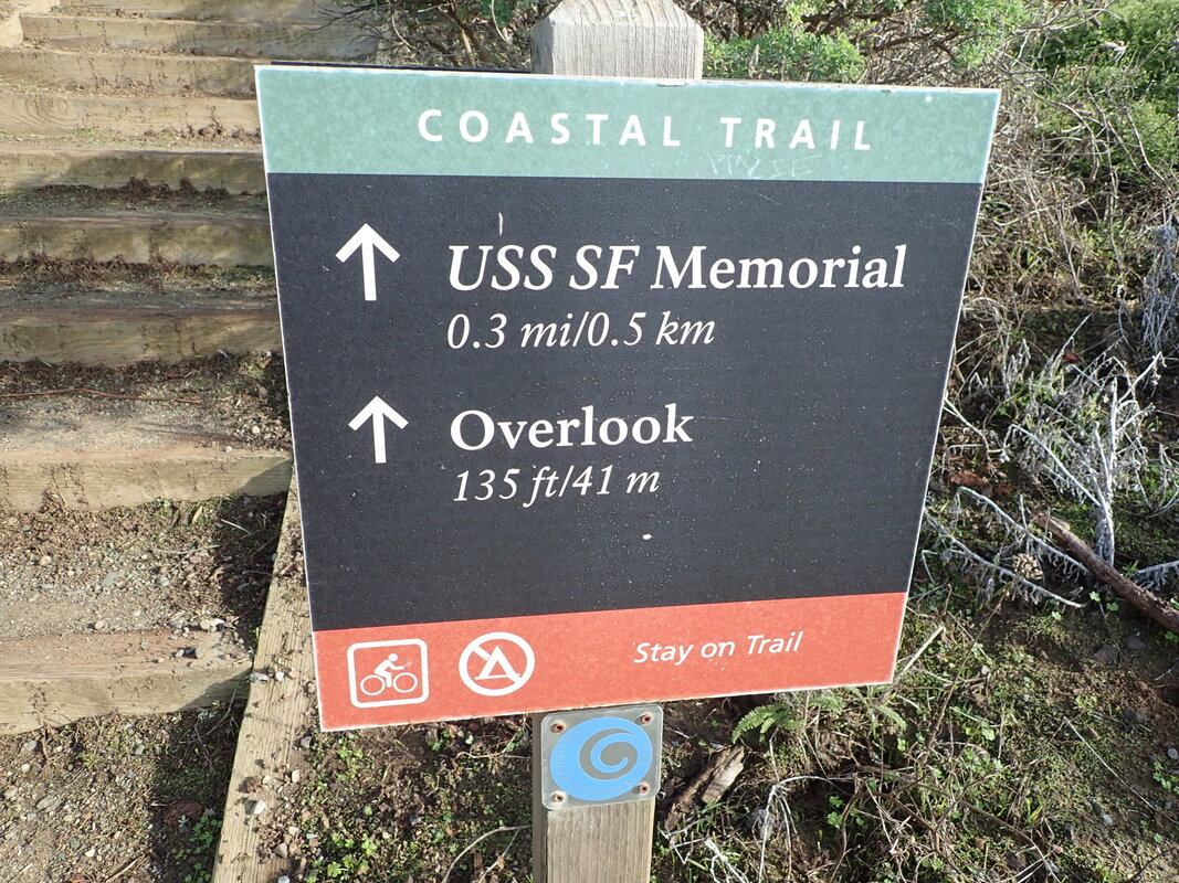
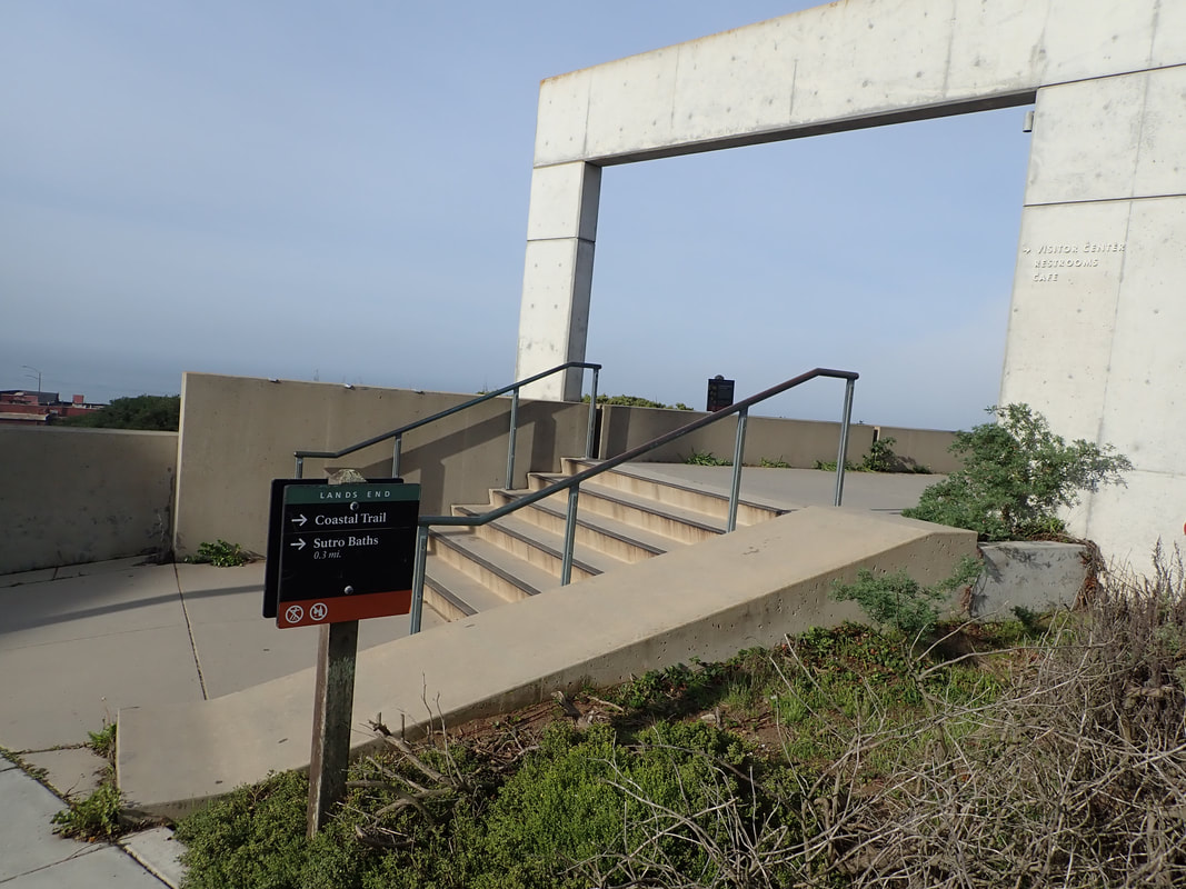
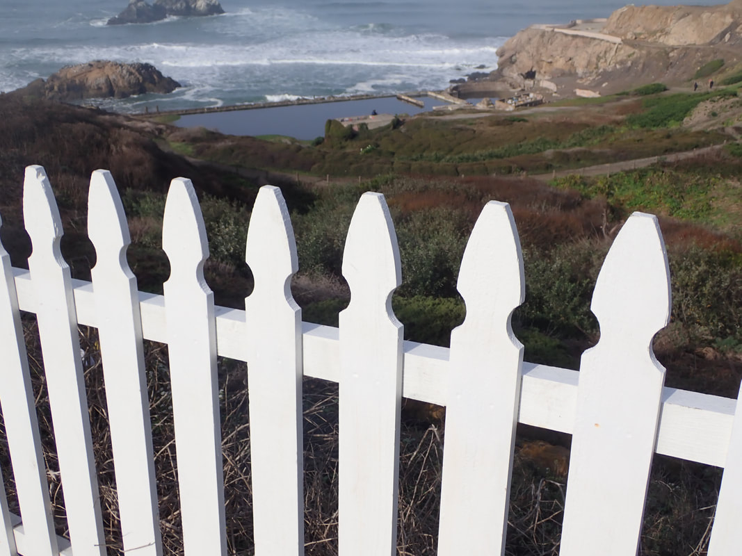
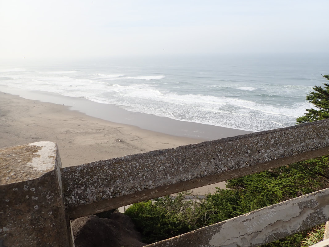
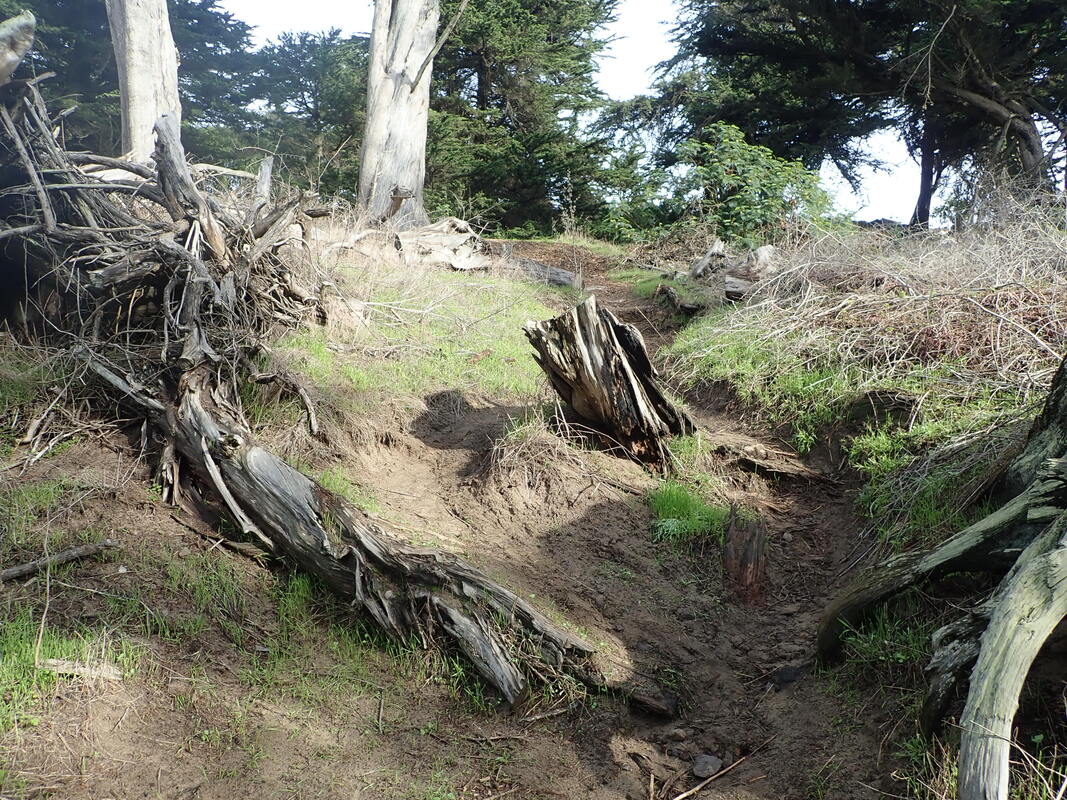
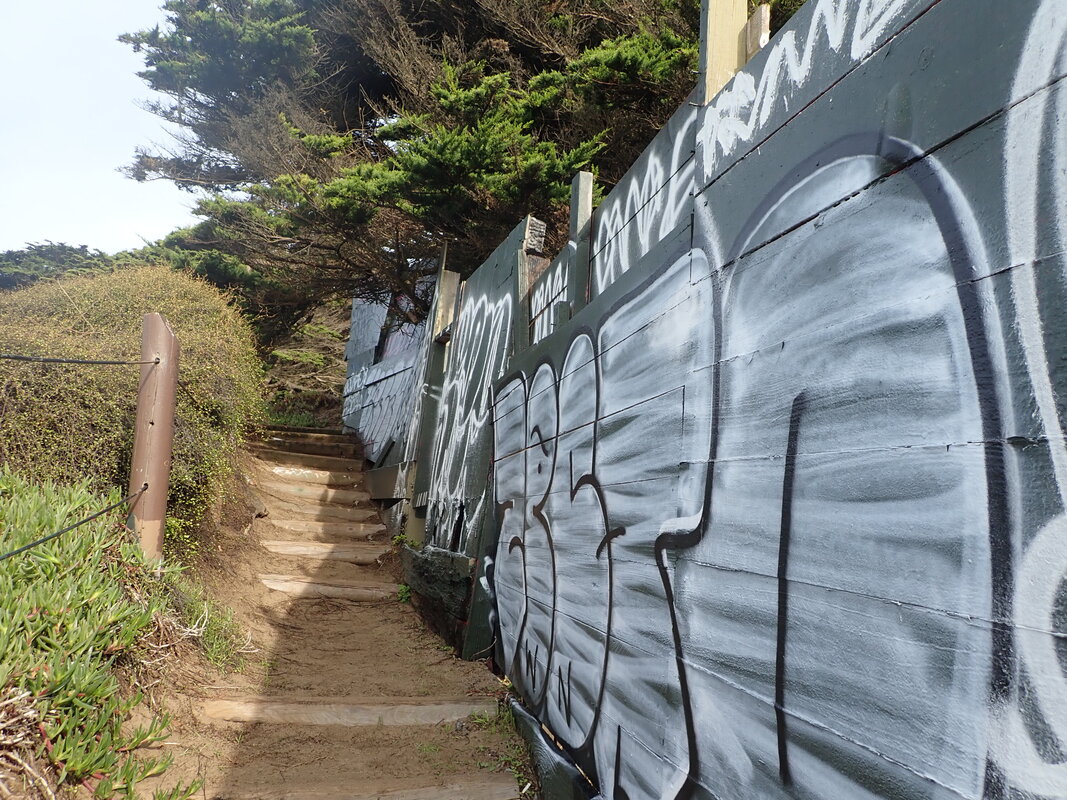
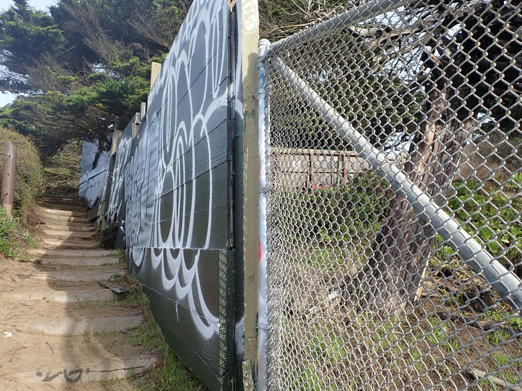
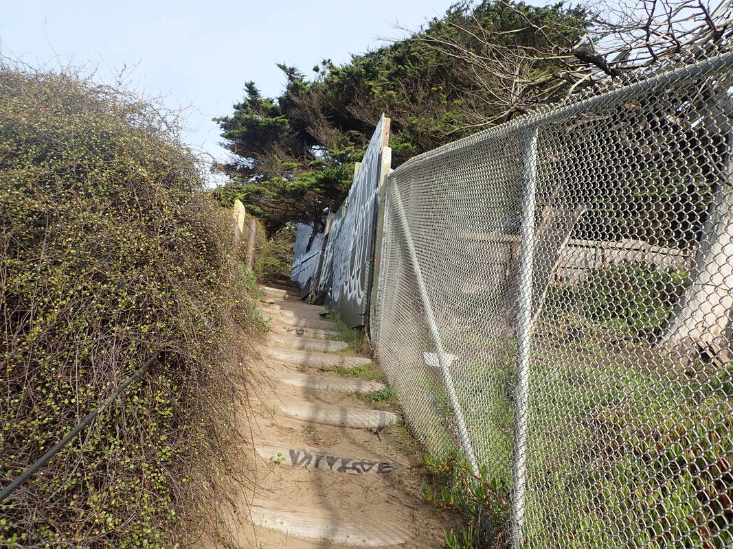
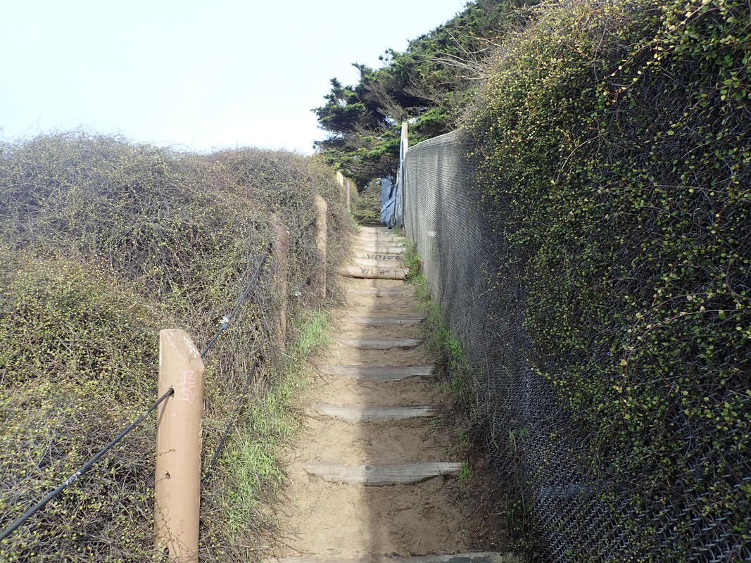
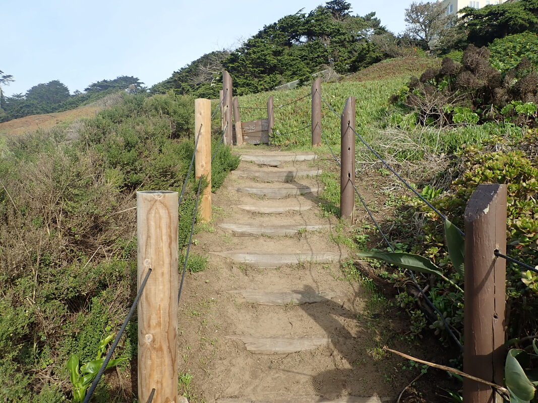
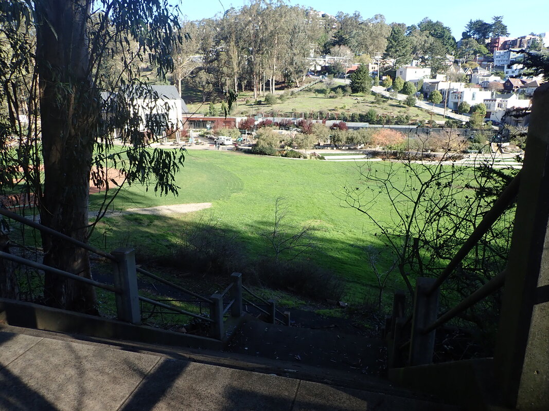
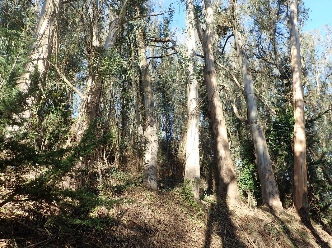
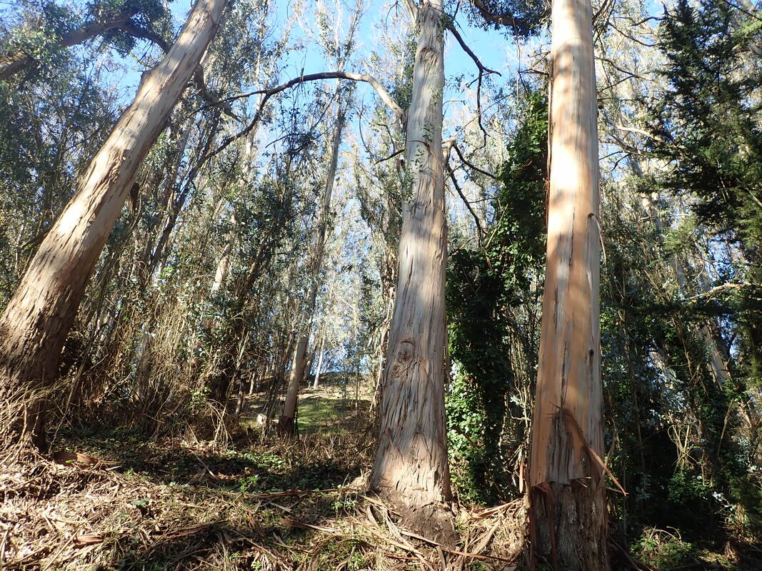
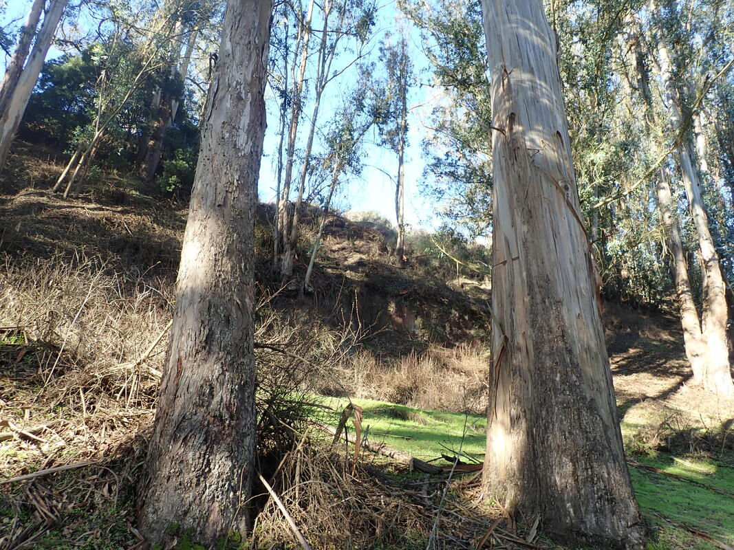
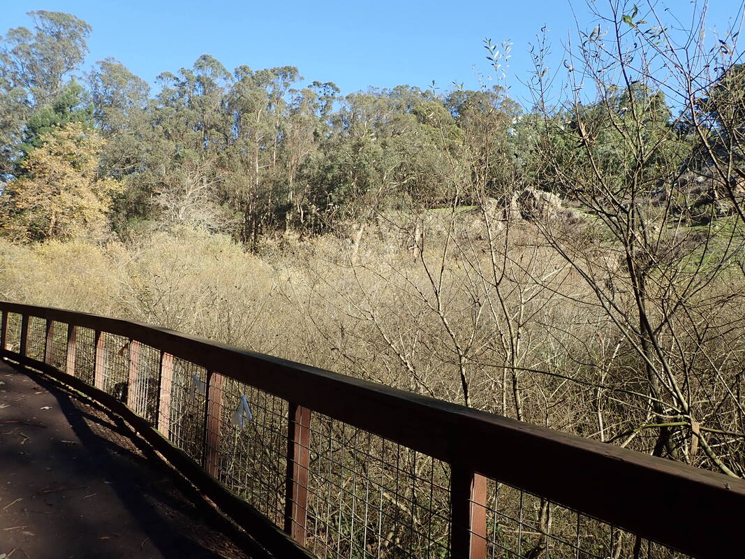
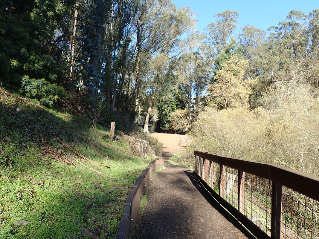
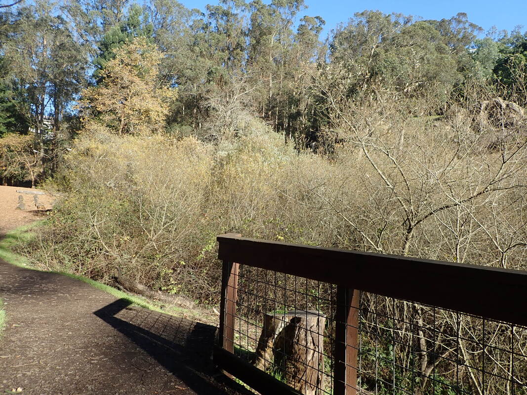
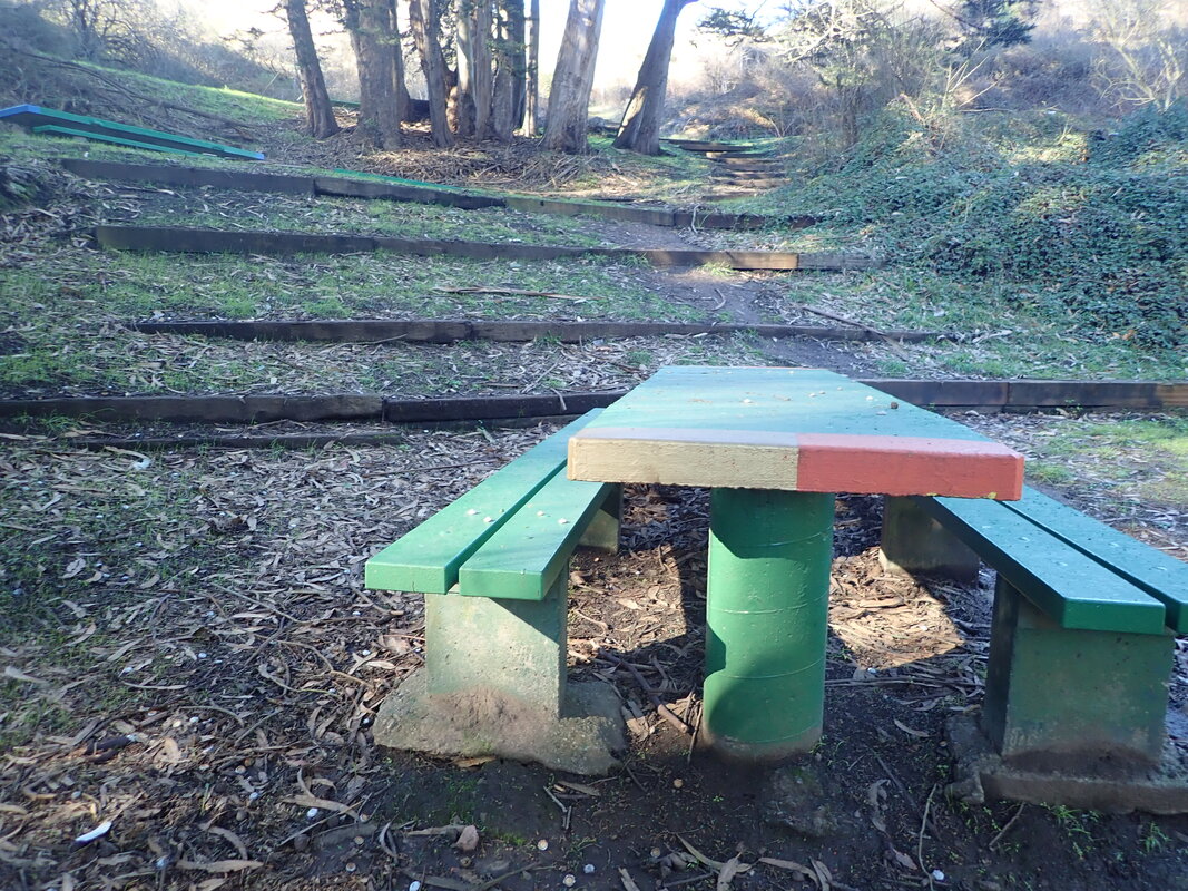
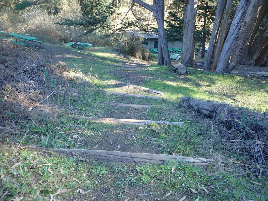
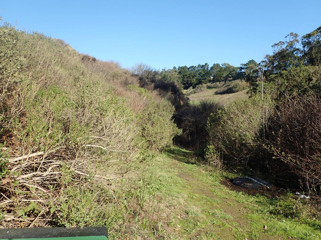
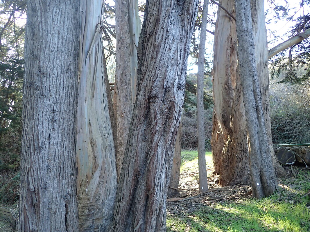
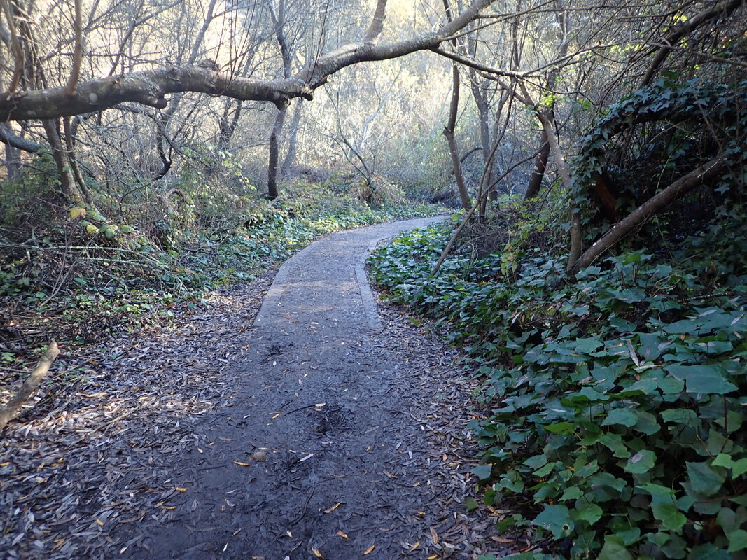
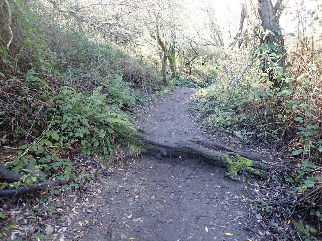
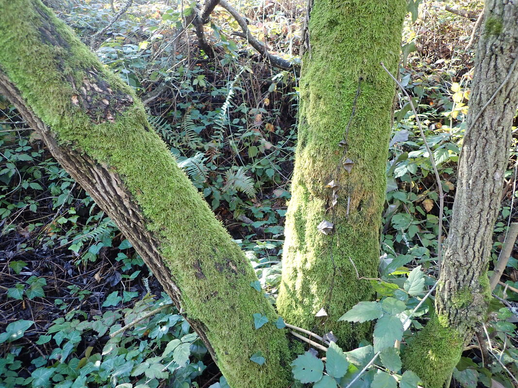
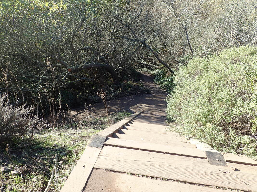
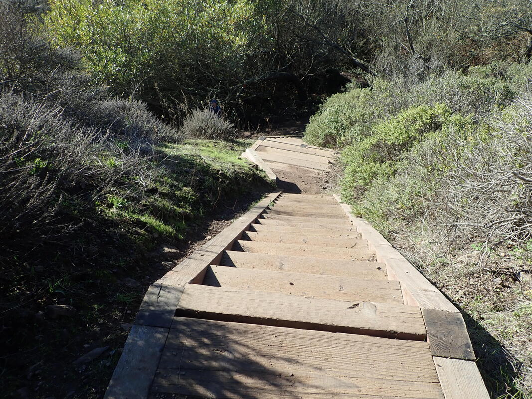
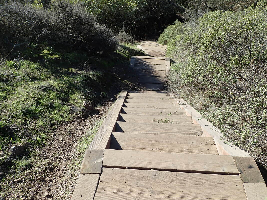
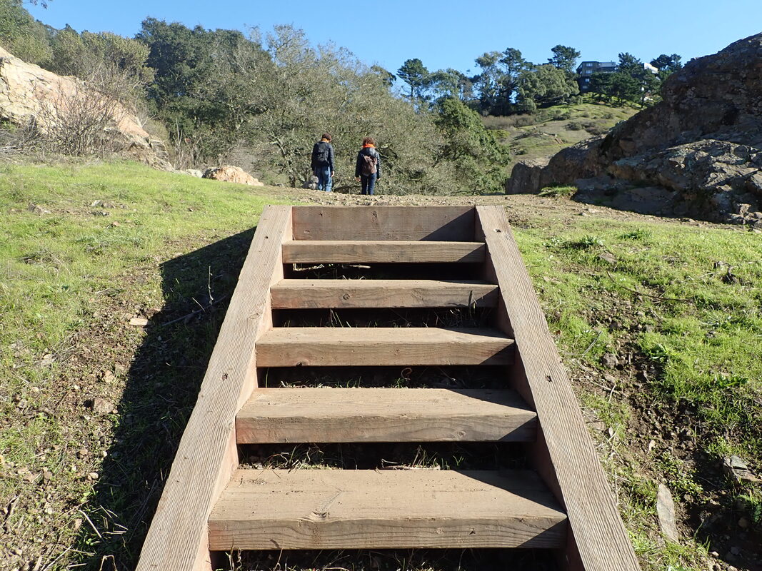
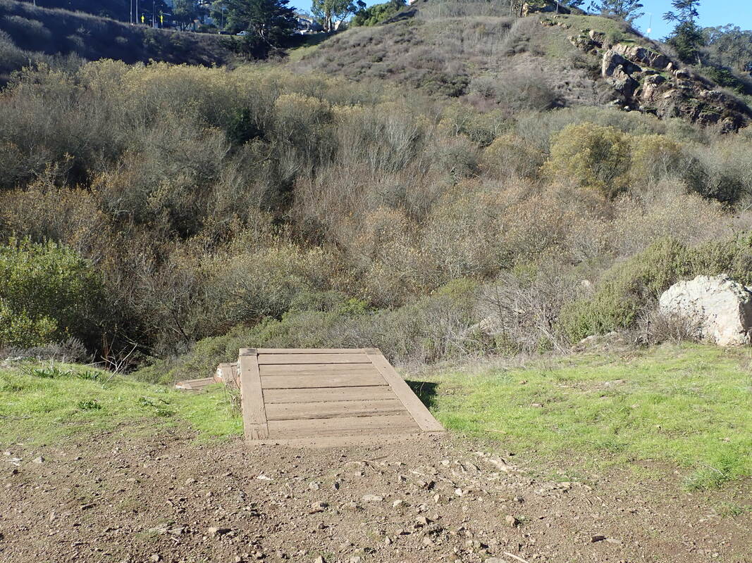
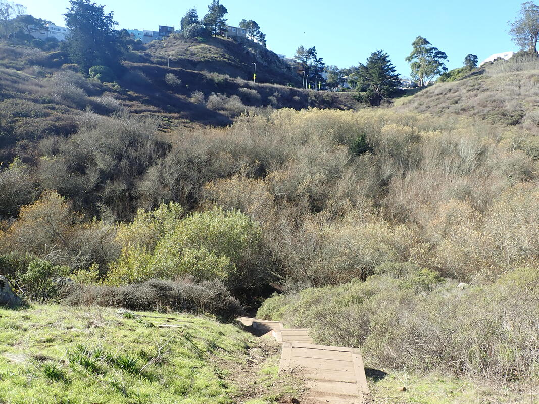
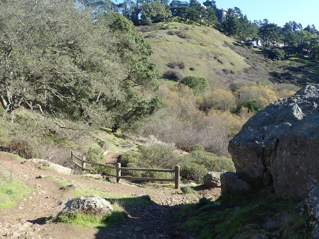
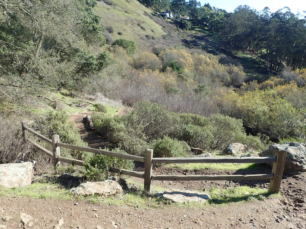
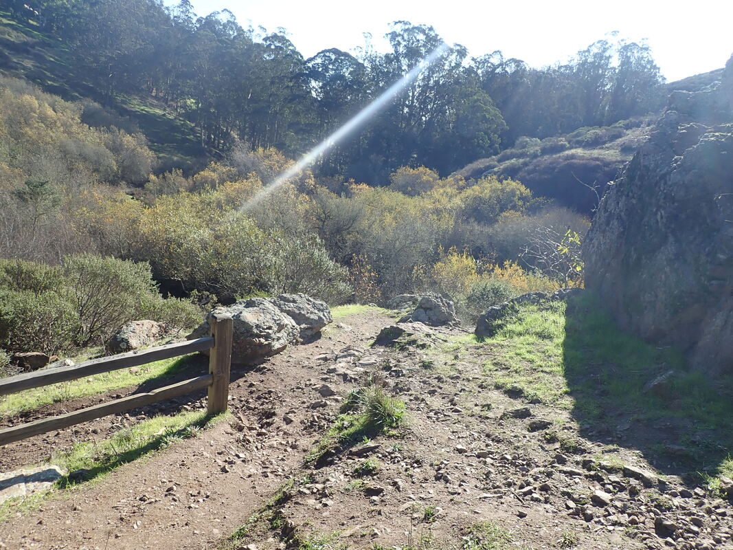
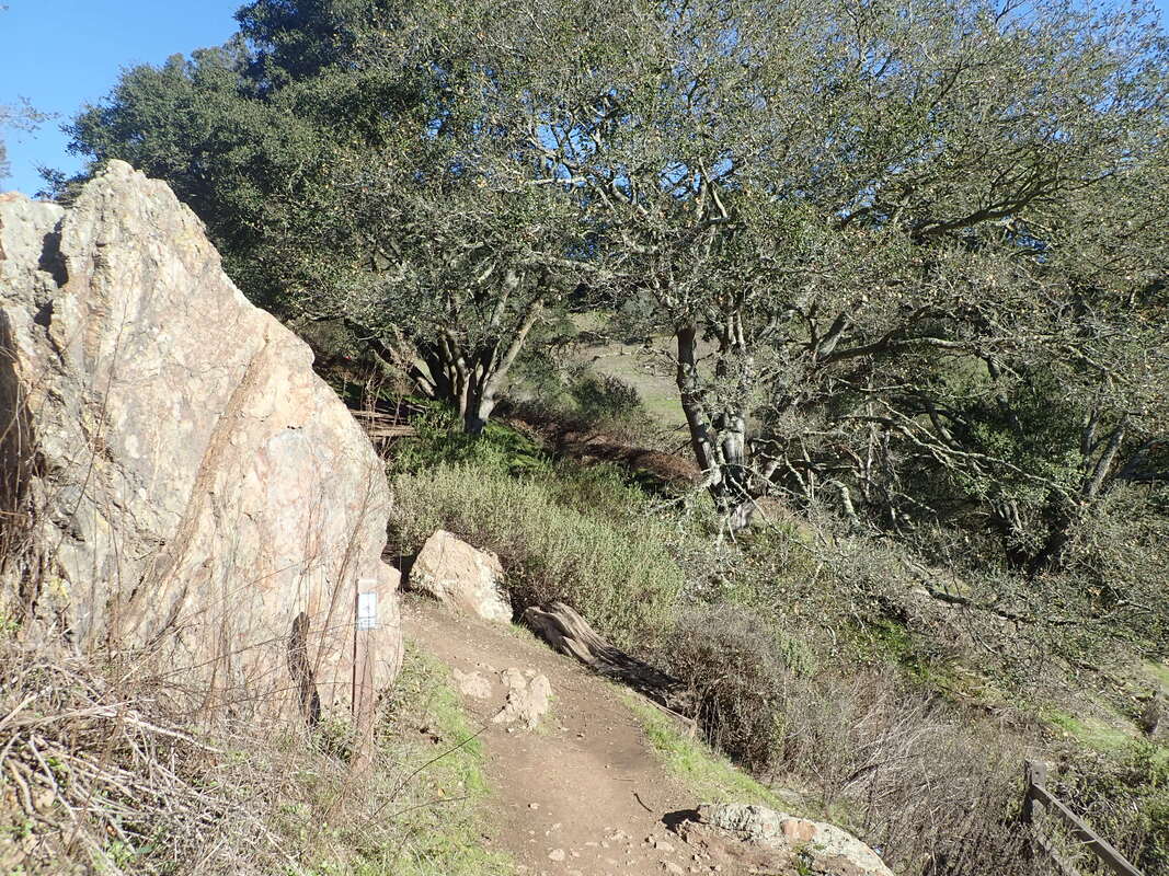
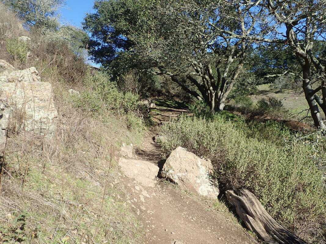
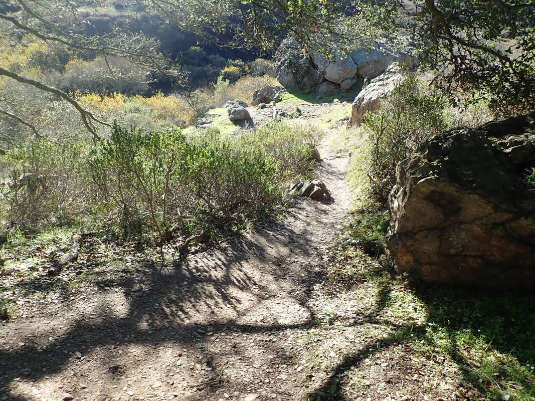
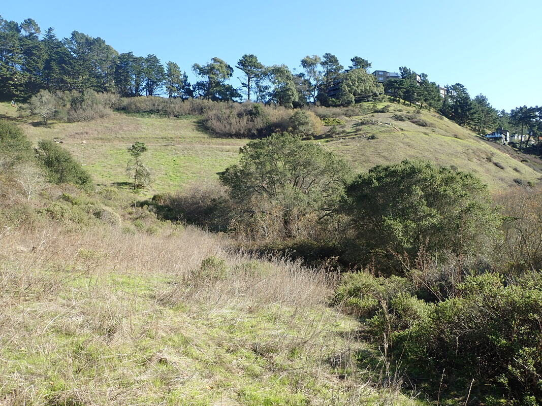
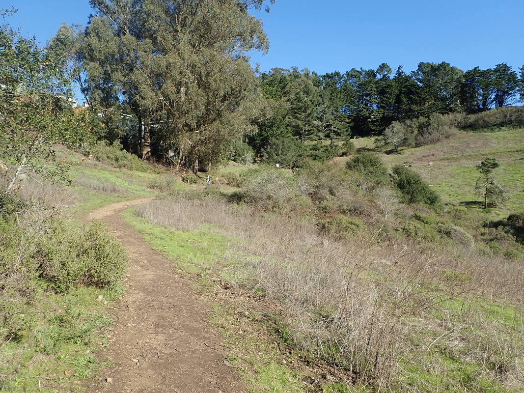
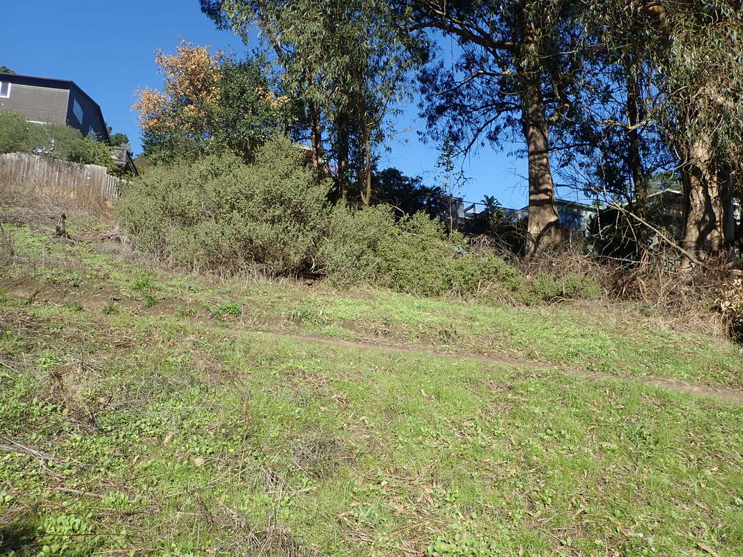
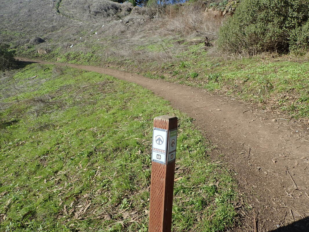
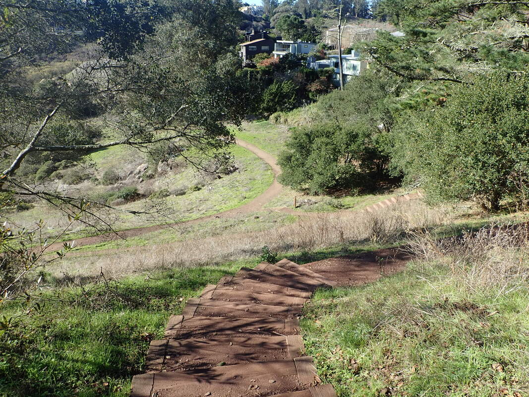
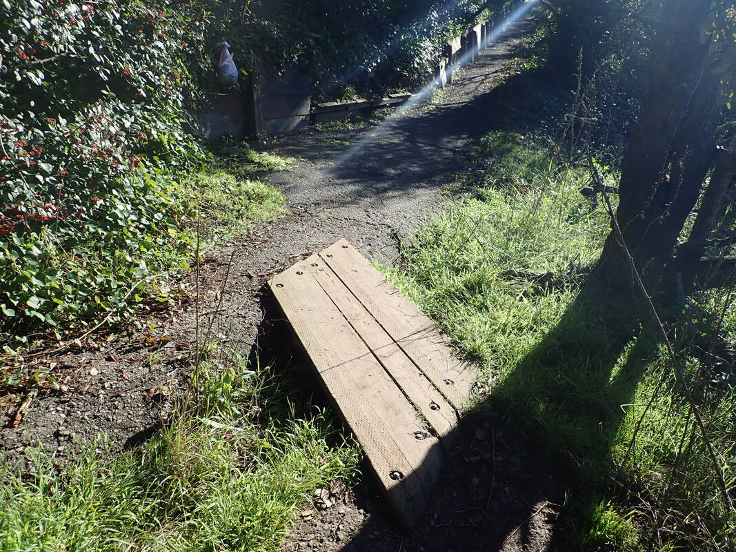
Trail from the nursery west to Fort Scott’s Dragonfly Creek footbridge: 10 thru 21
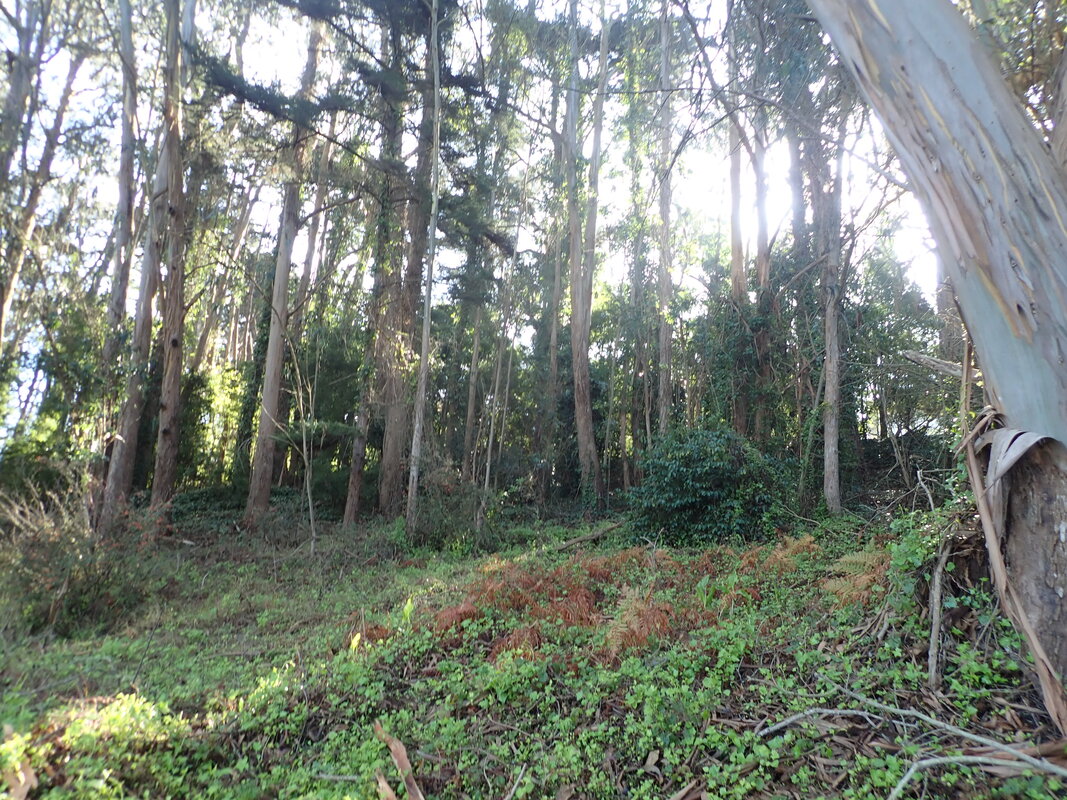
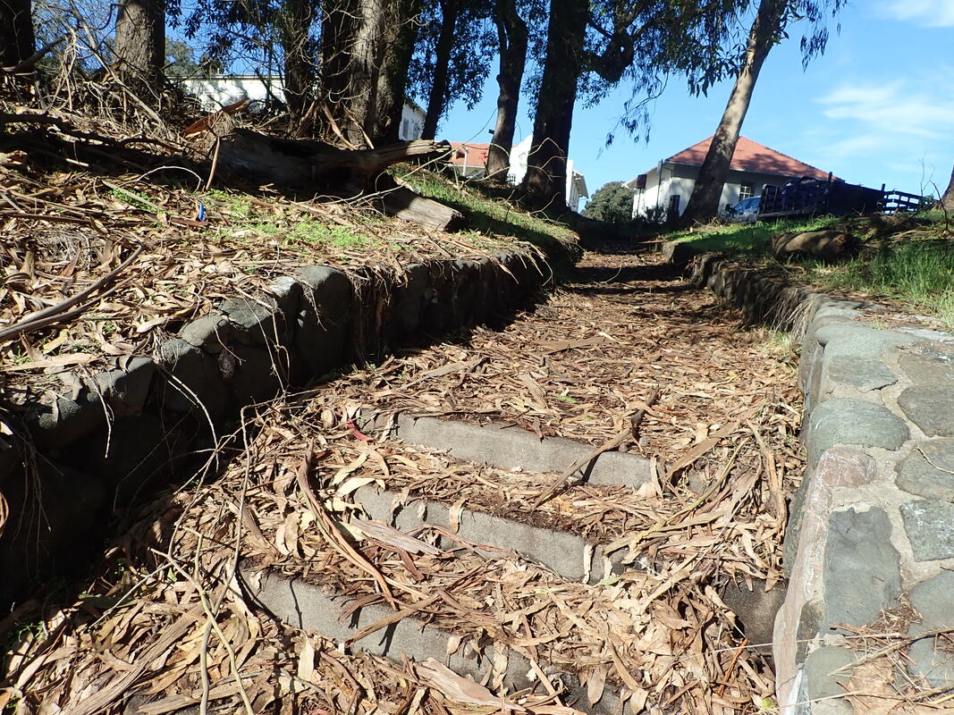
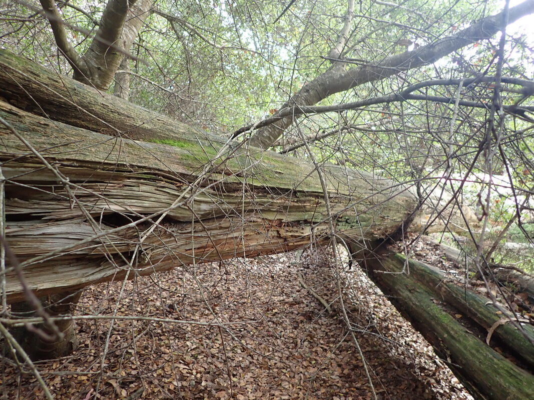
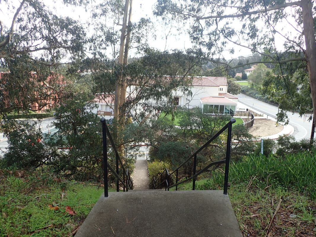
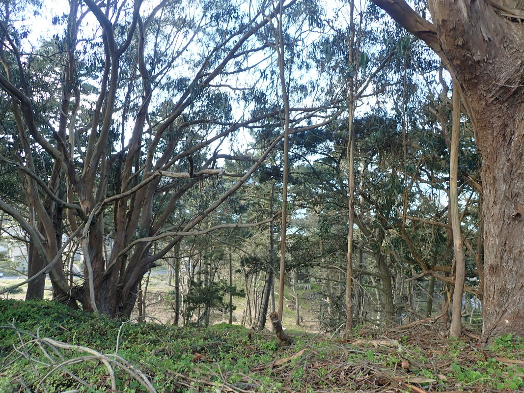
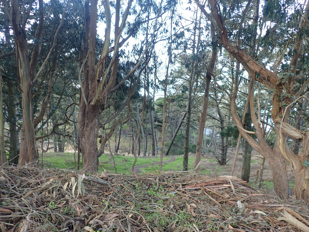
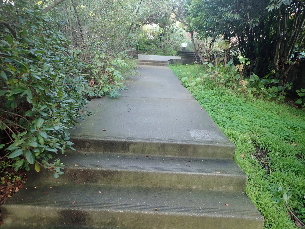
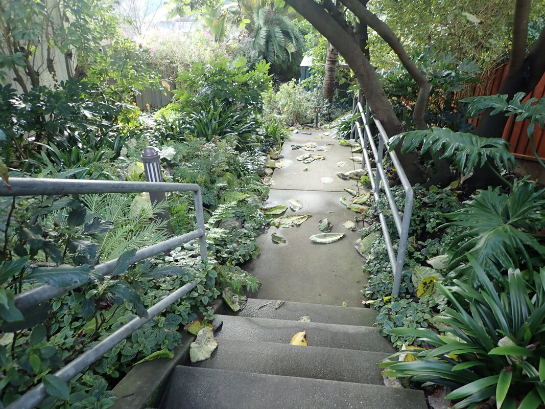
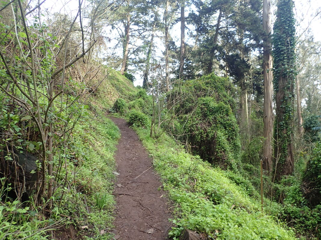
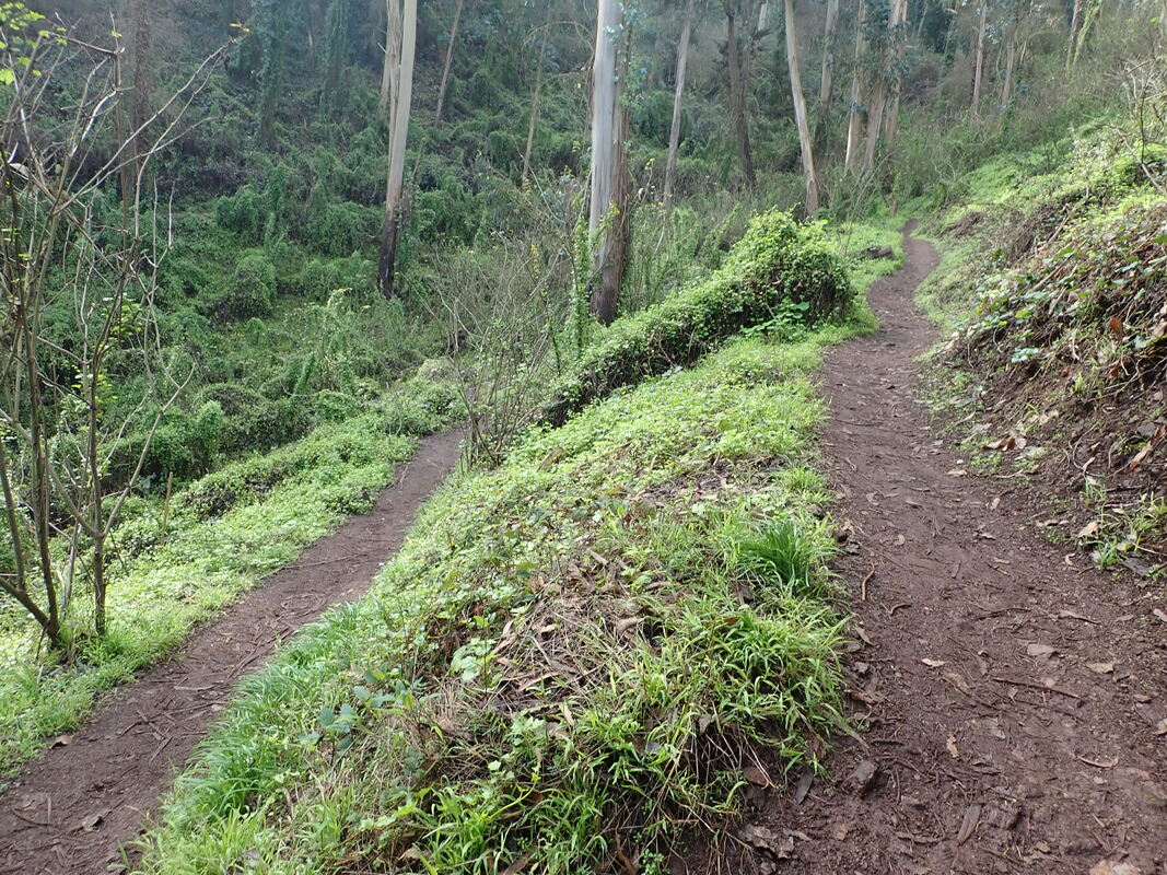
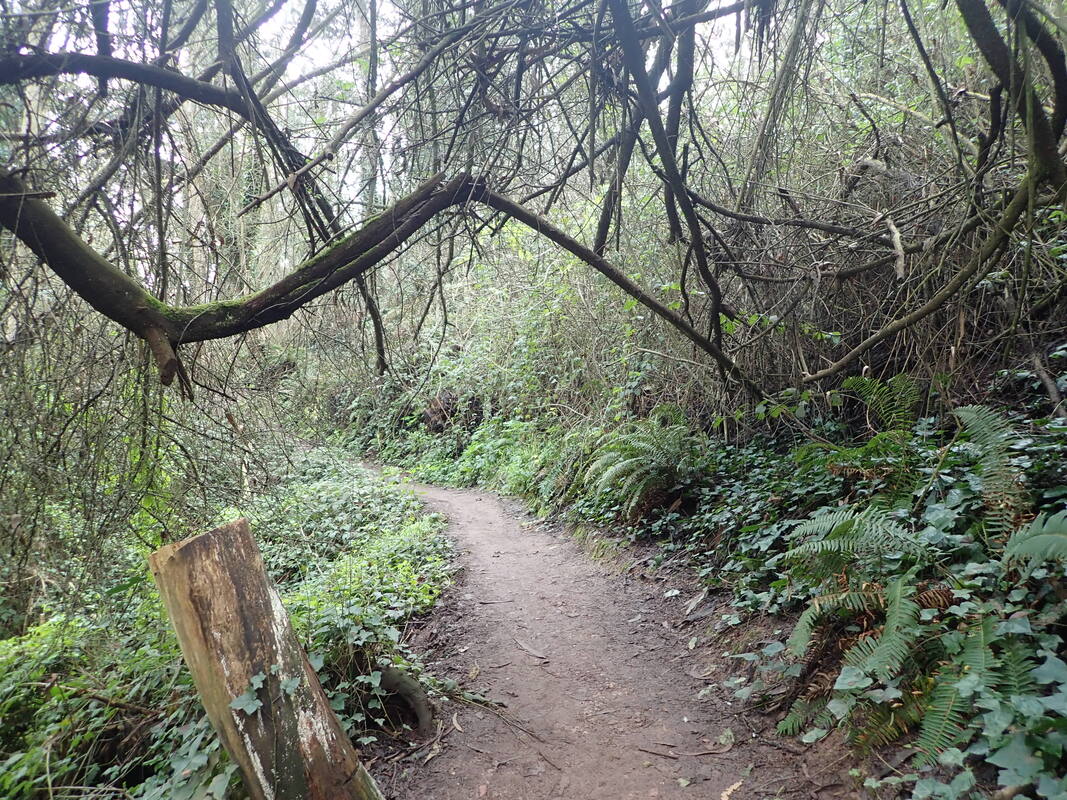
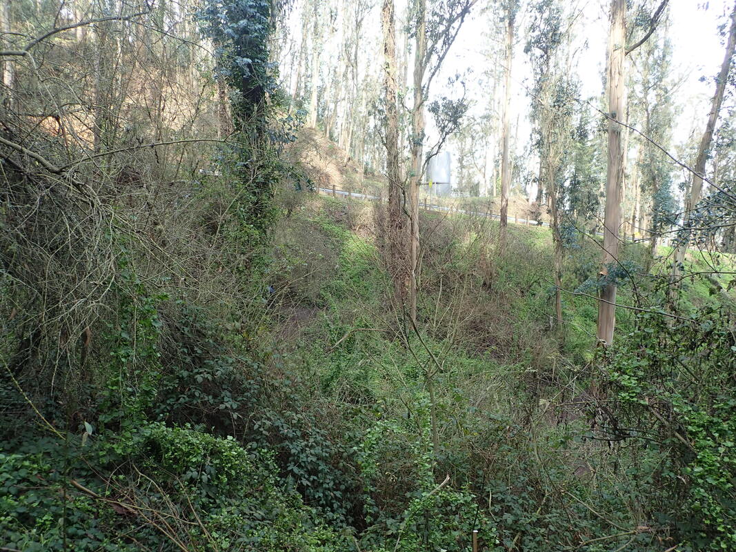
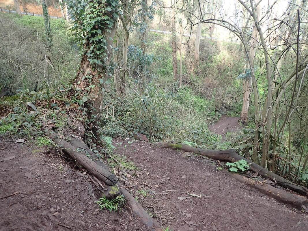
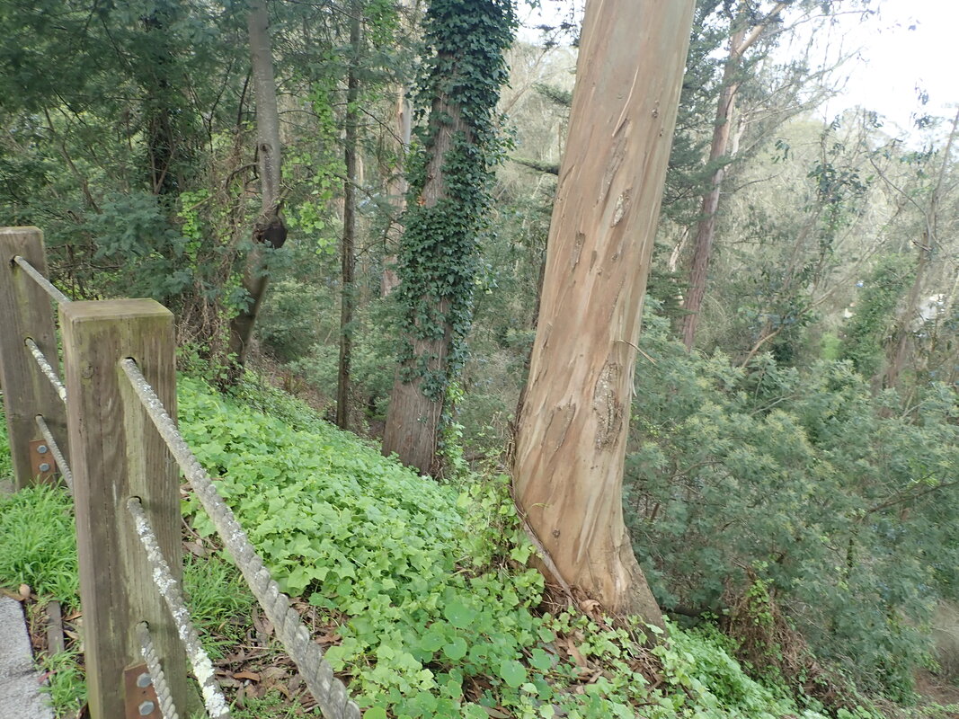
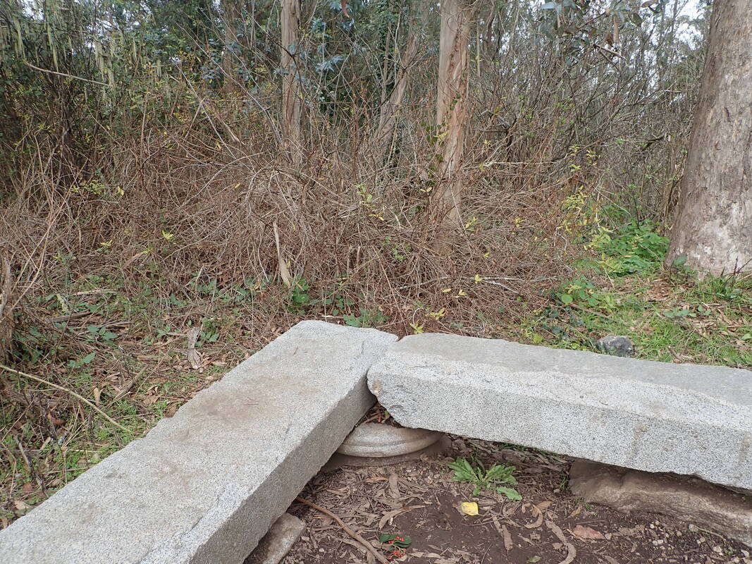
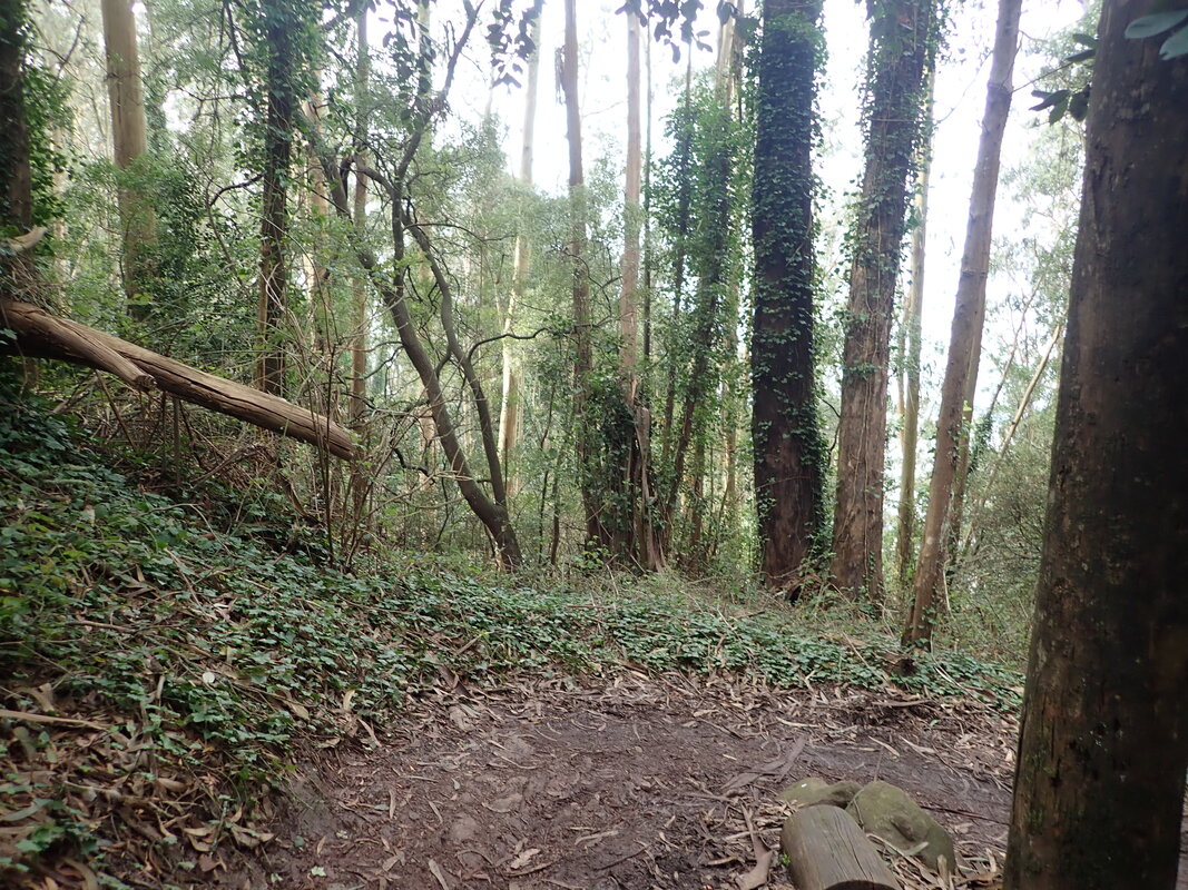
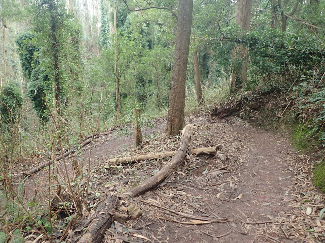
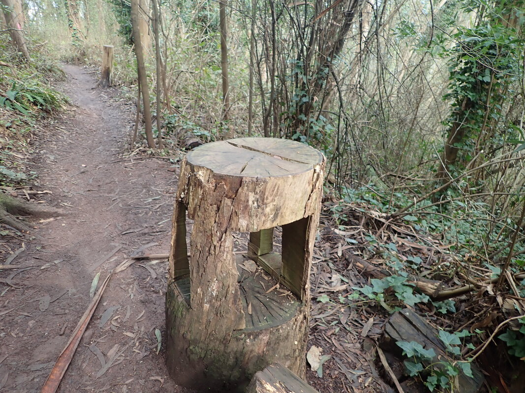
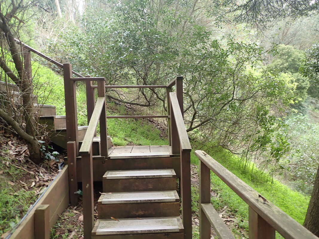
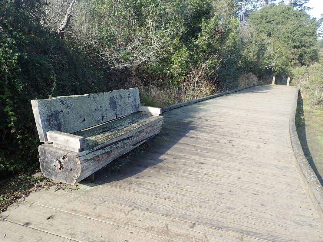
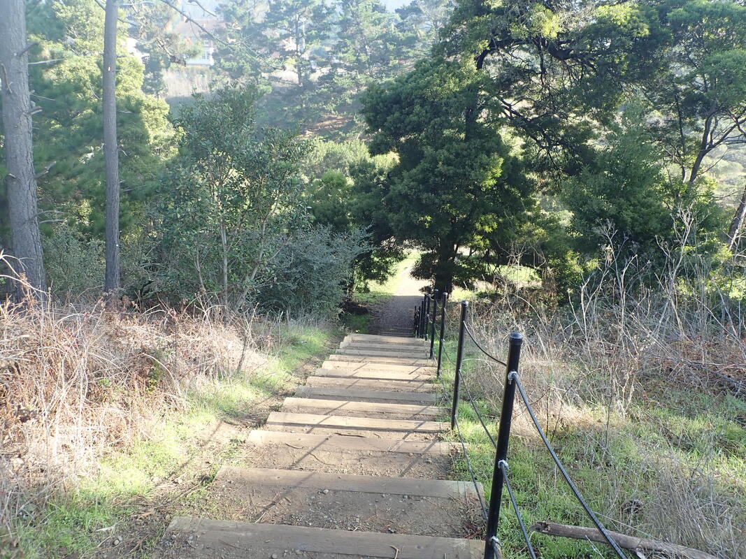
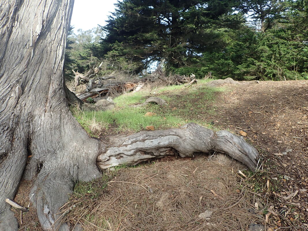
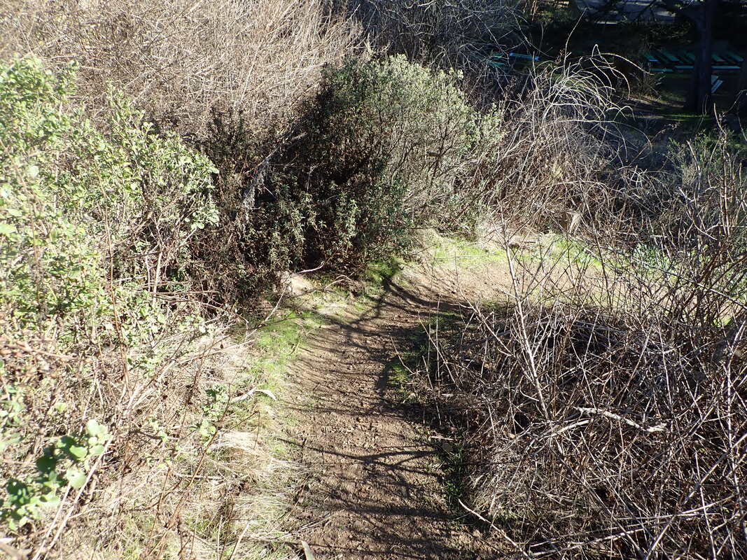
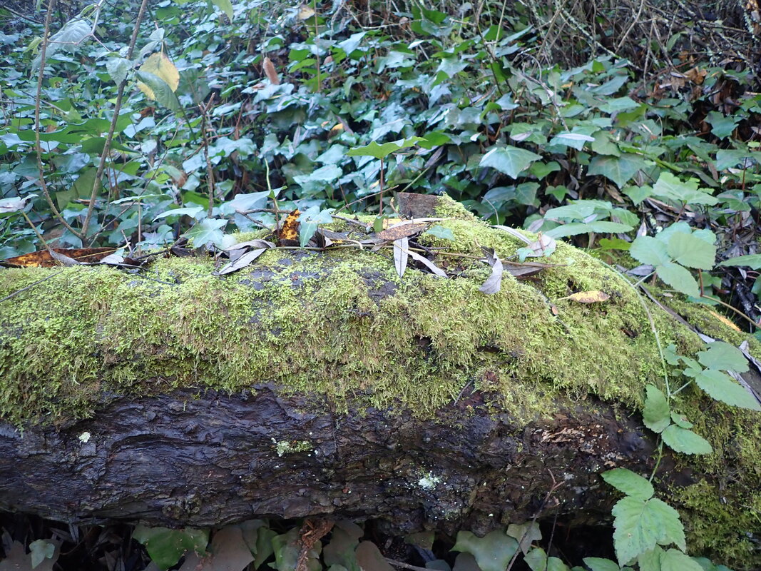
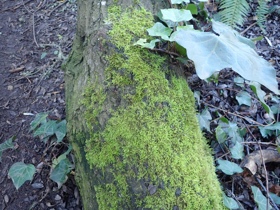
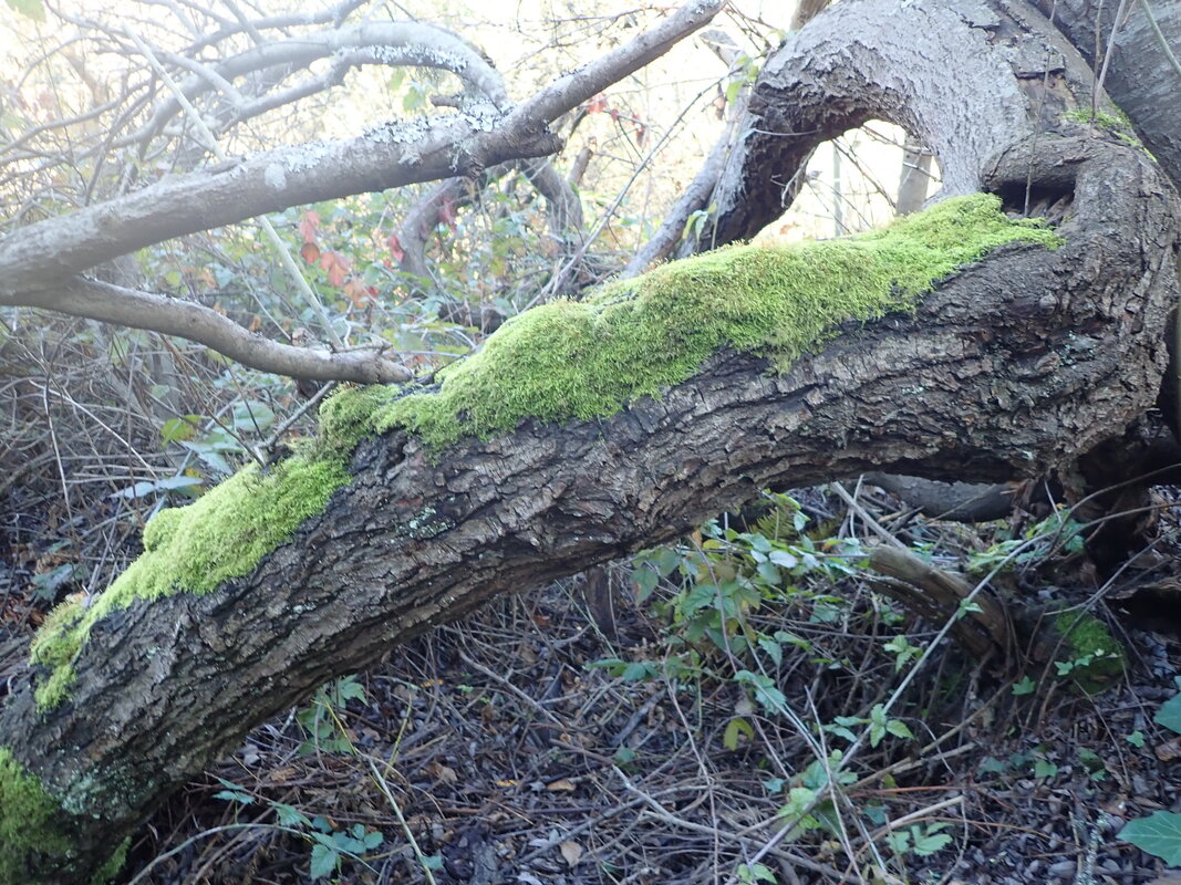
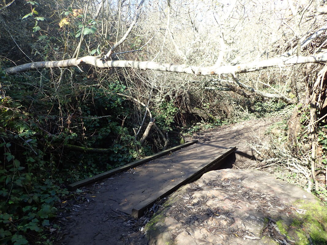
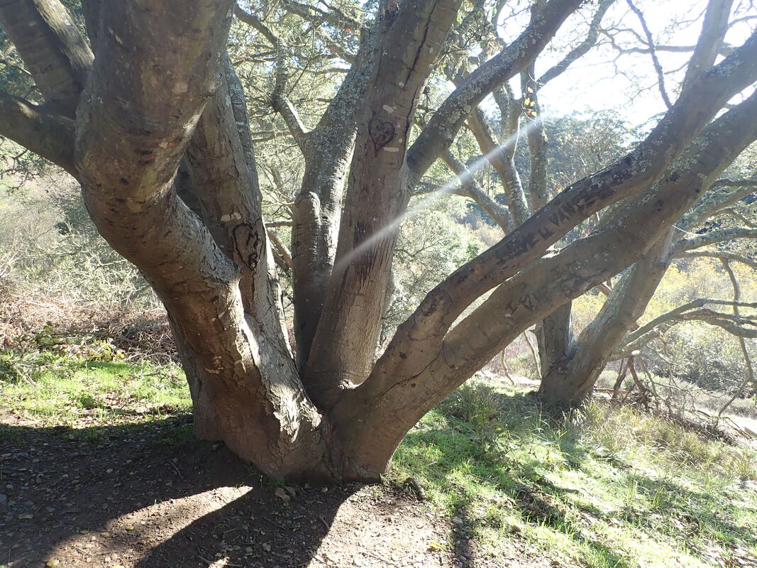
Not the best day to capture the charm of the old stone footbridge. A cloudy day would’ve been better. The steps and walkway were thick with leaves and eucalyptus fronds: 22 thru 40
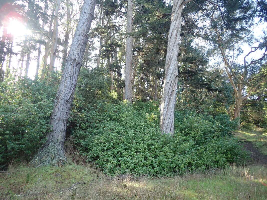
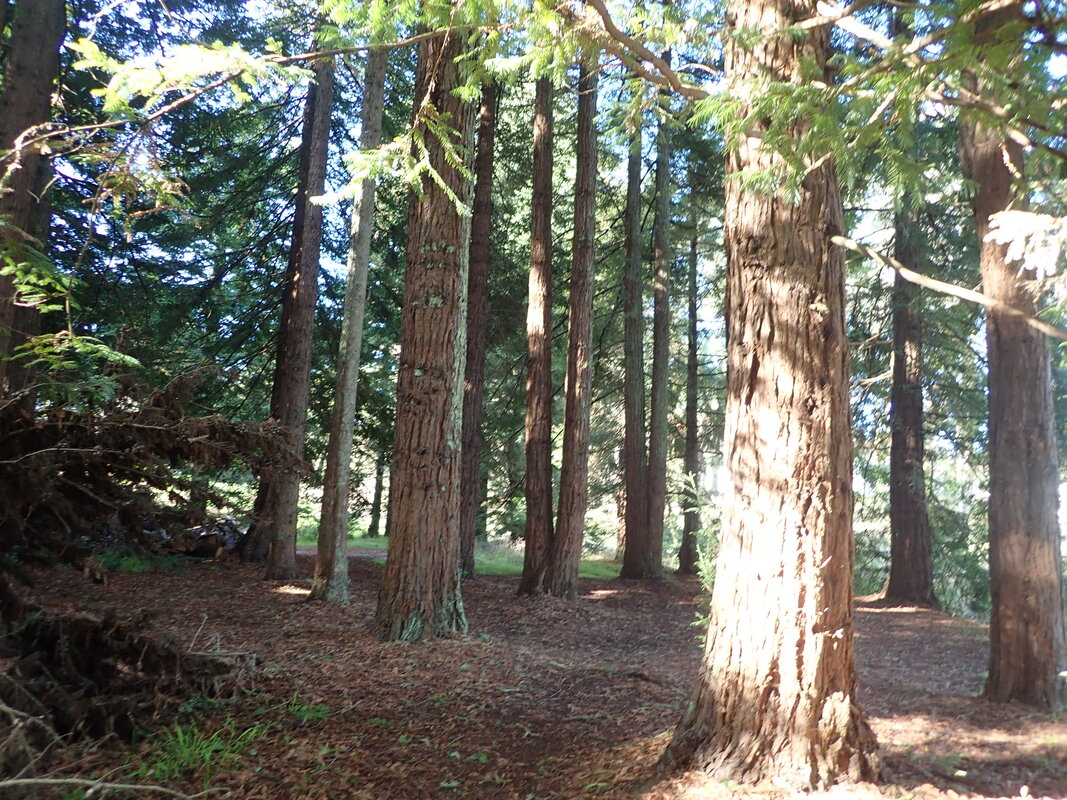
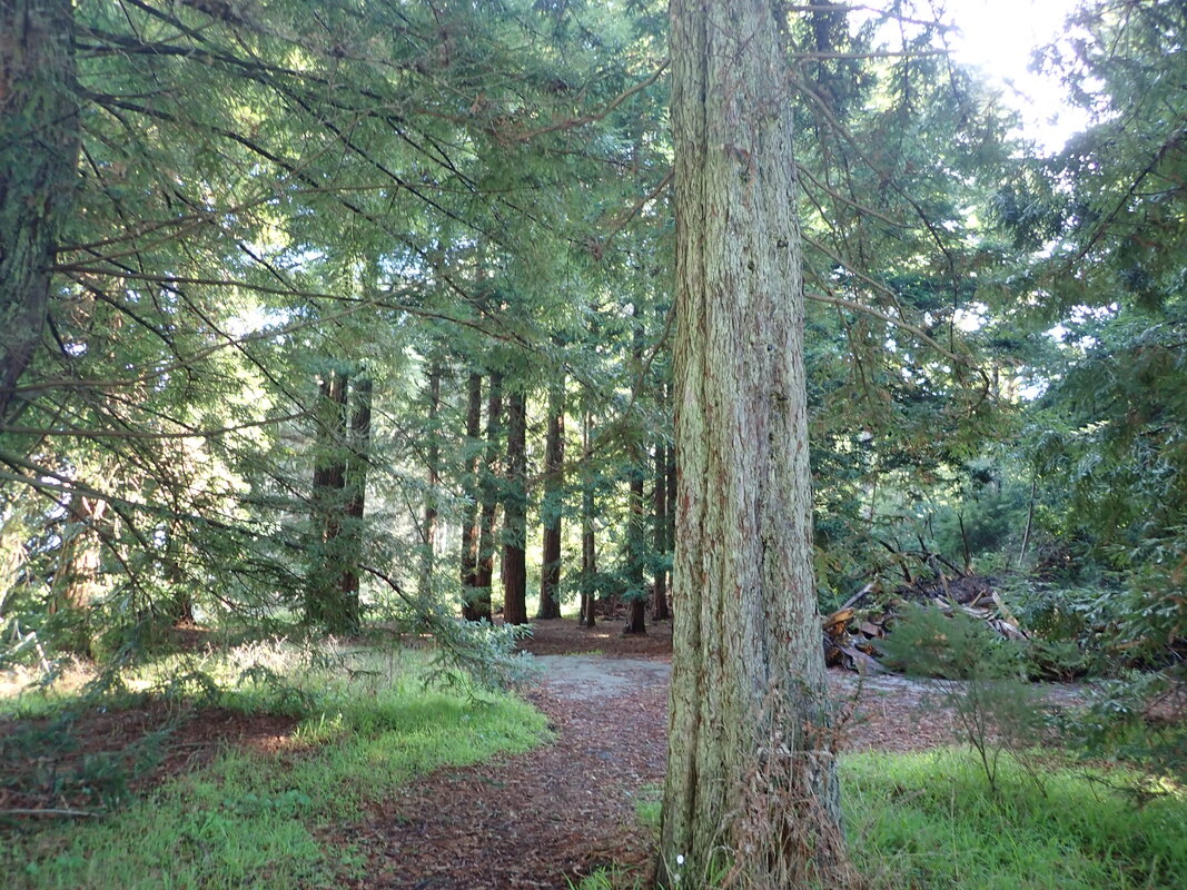
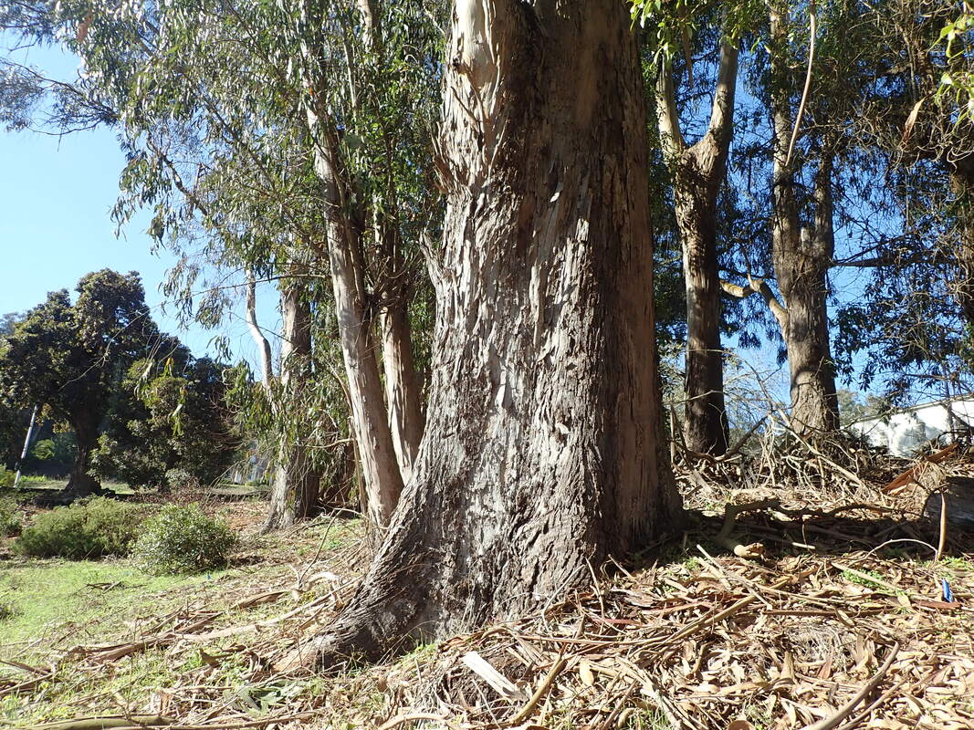
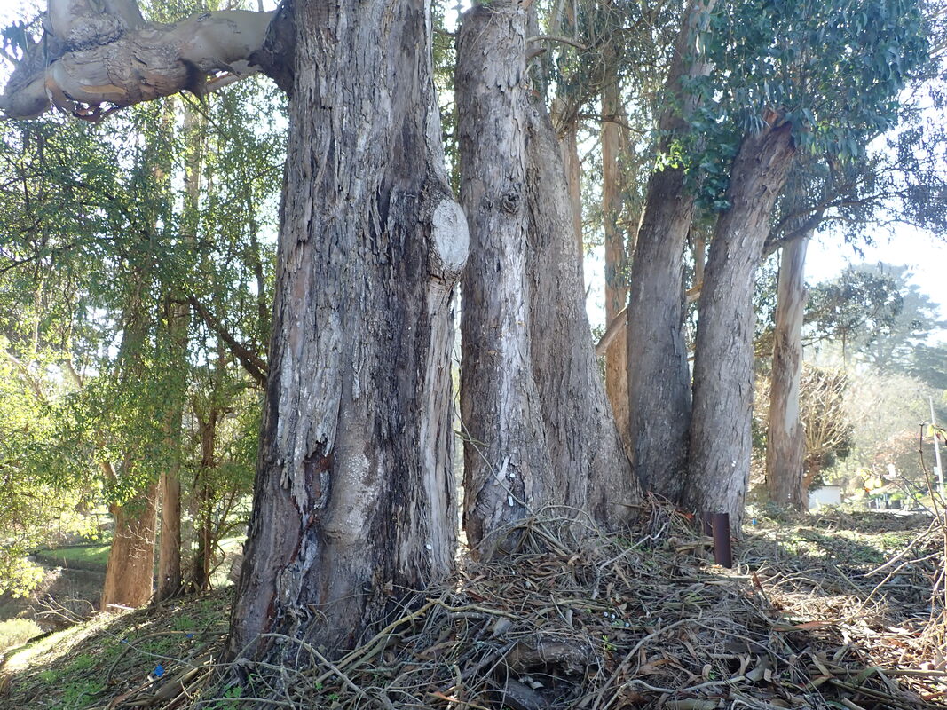
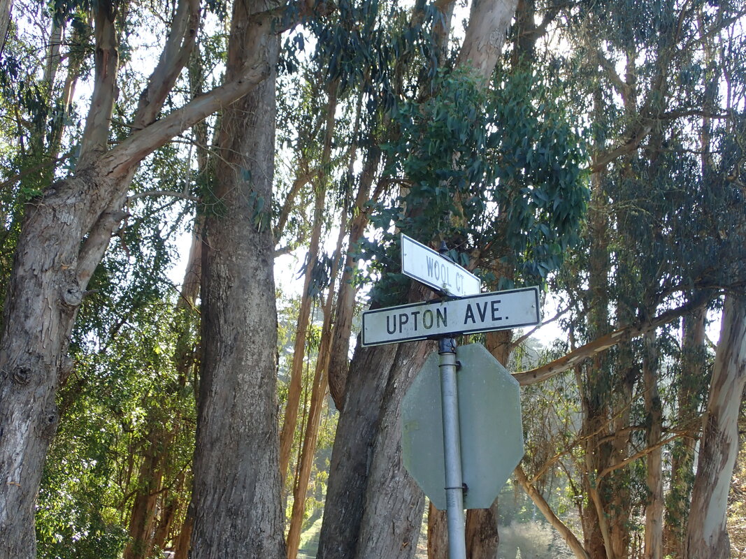
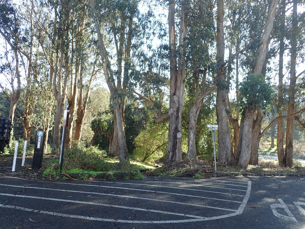
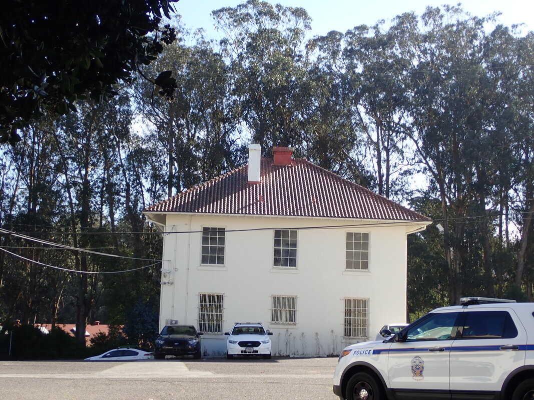
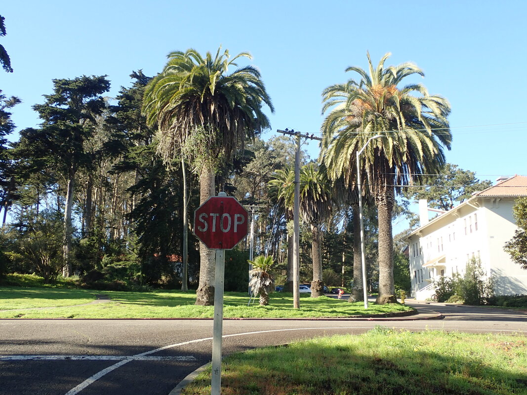
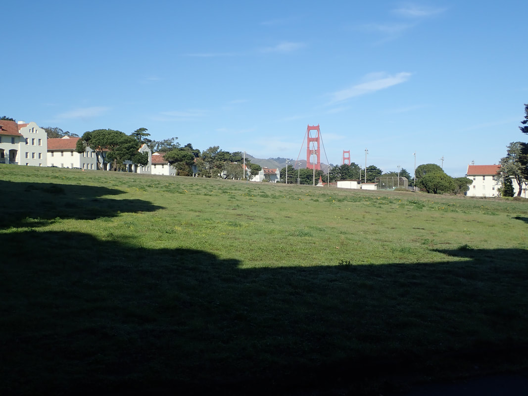
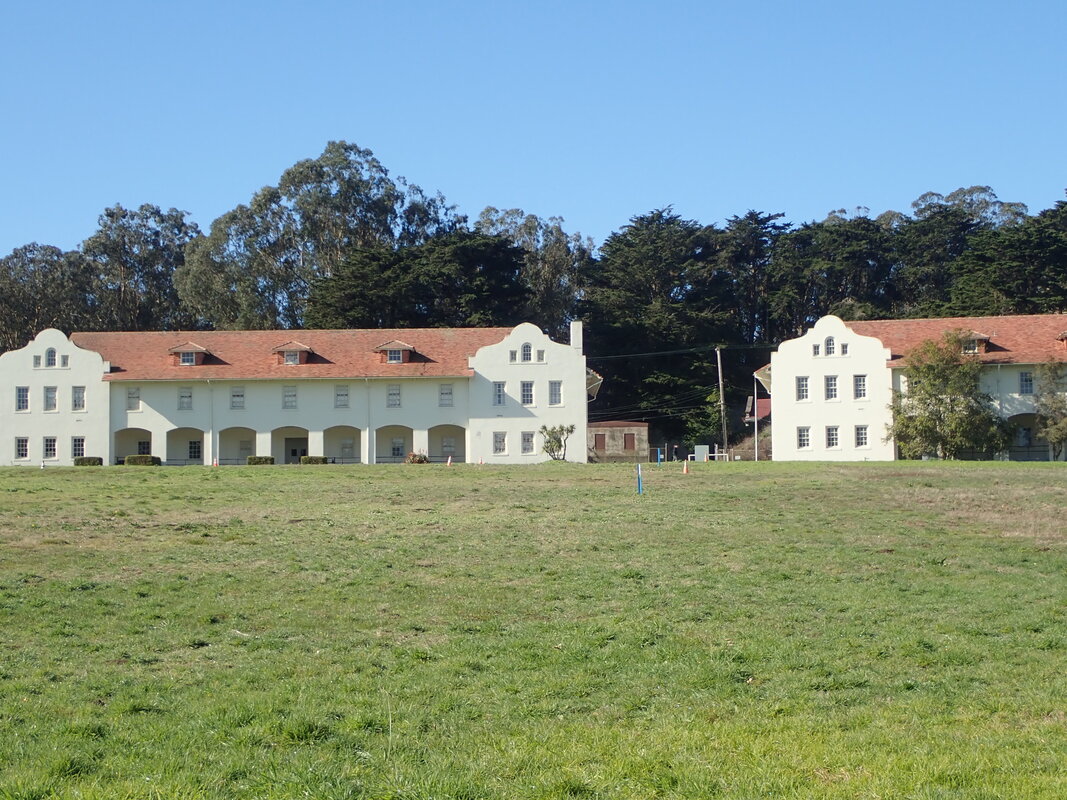
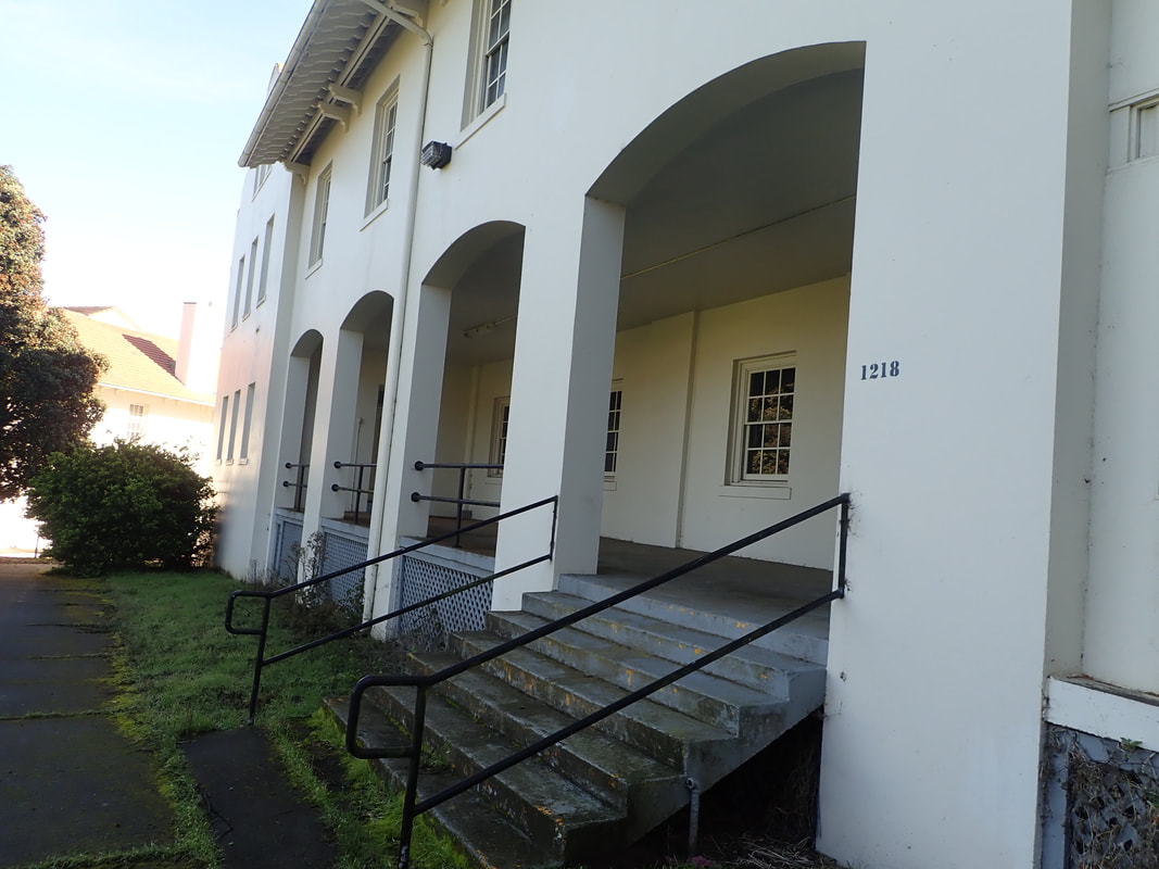
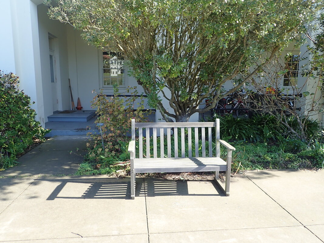
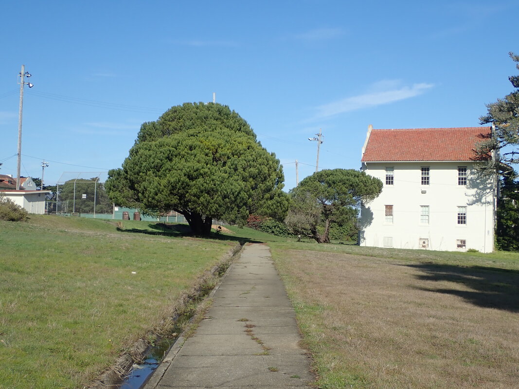
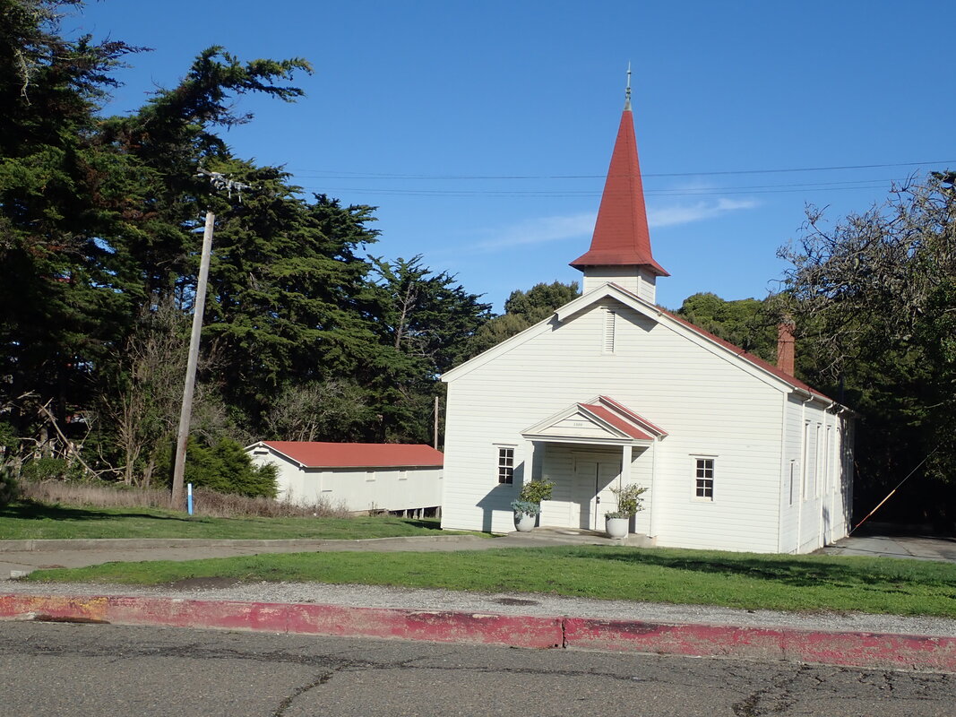
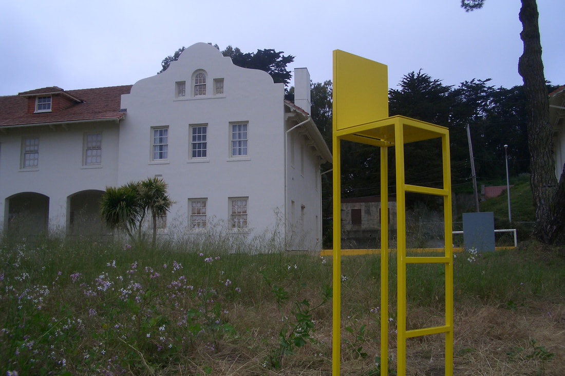
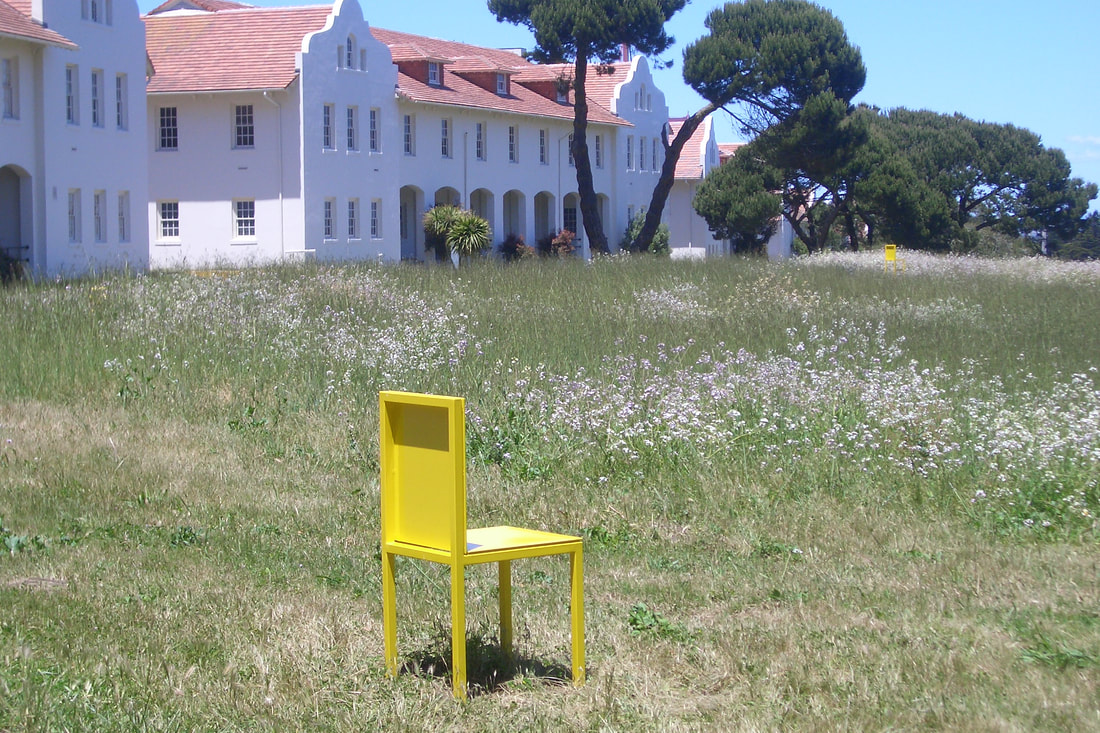
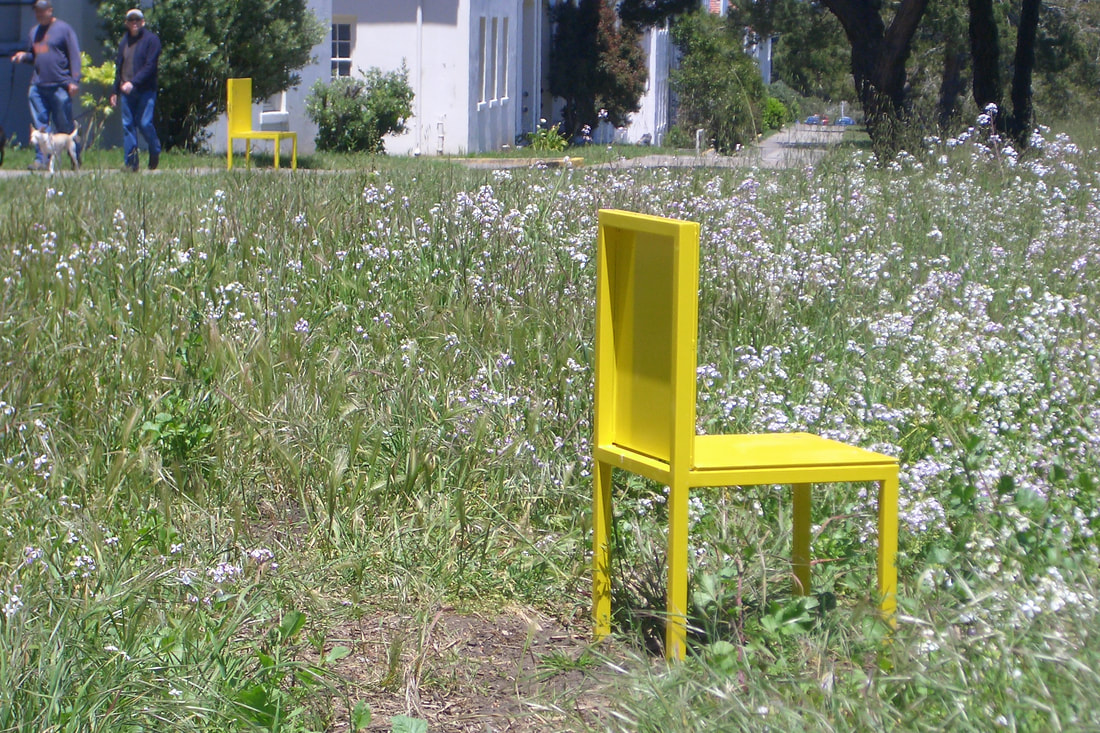
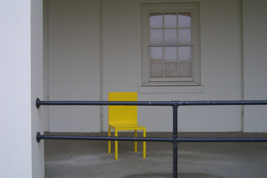
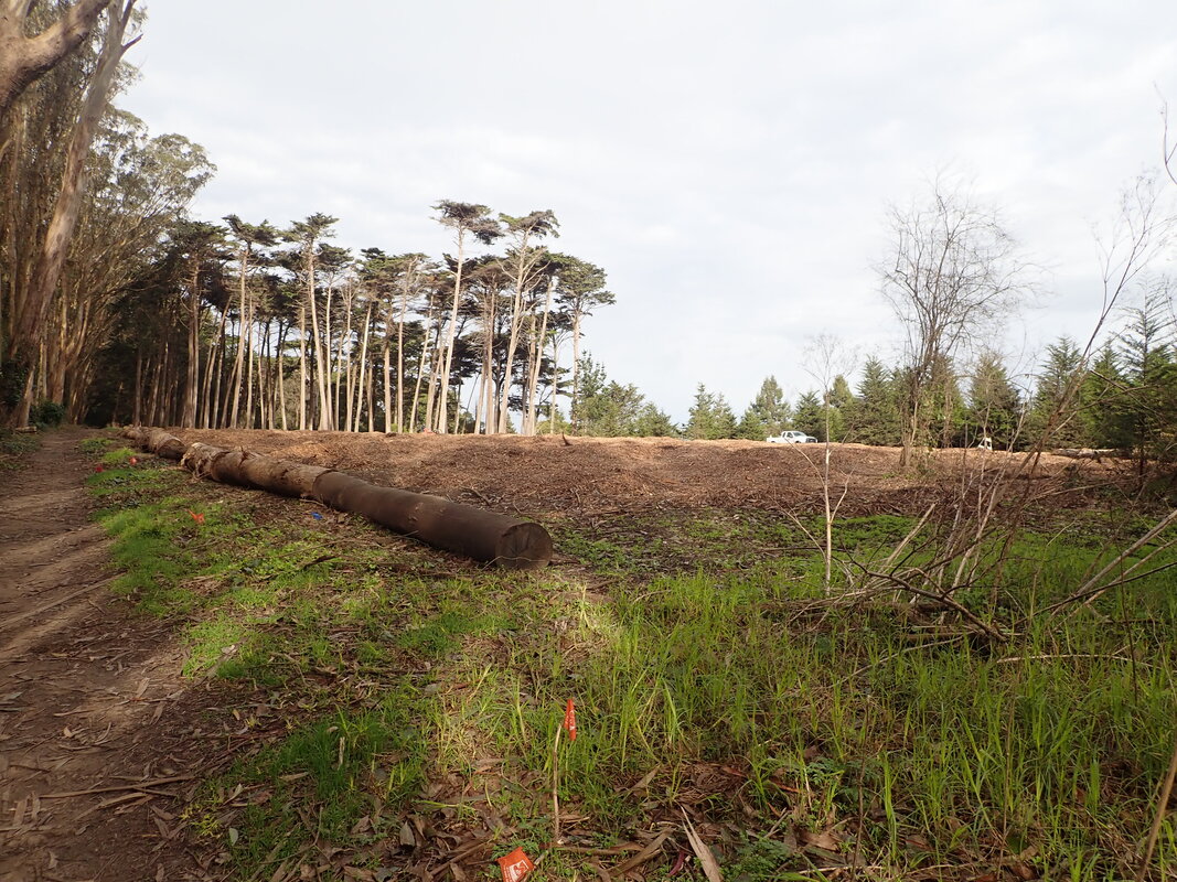
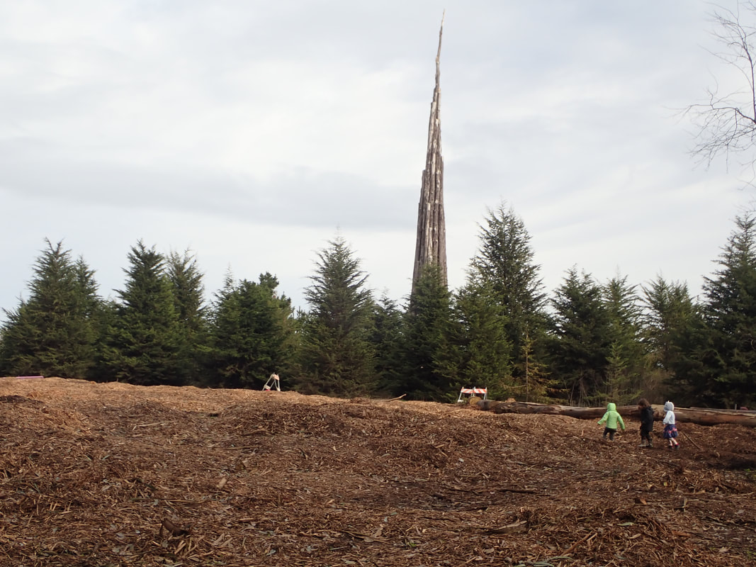
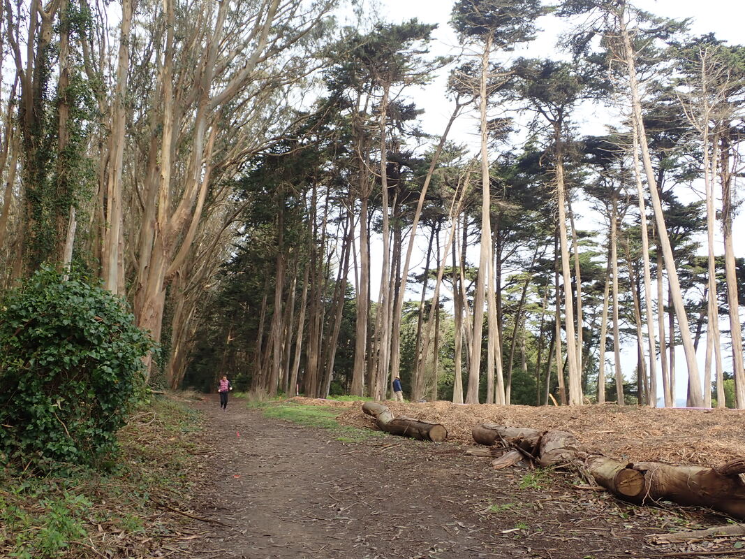
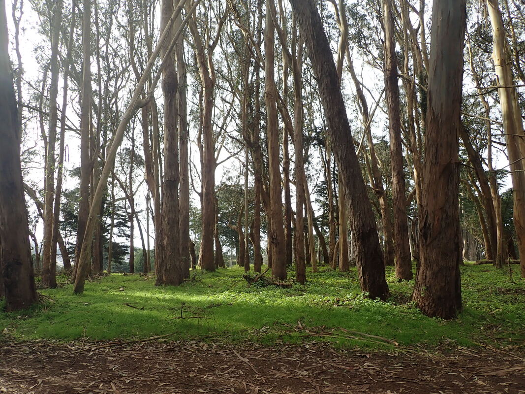
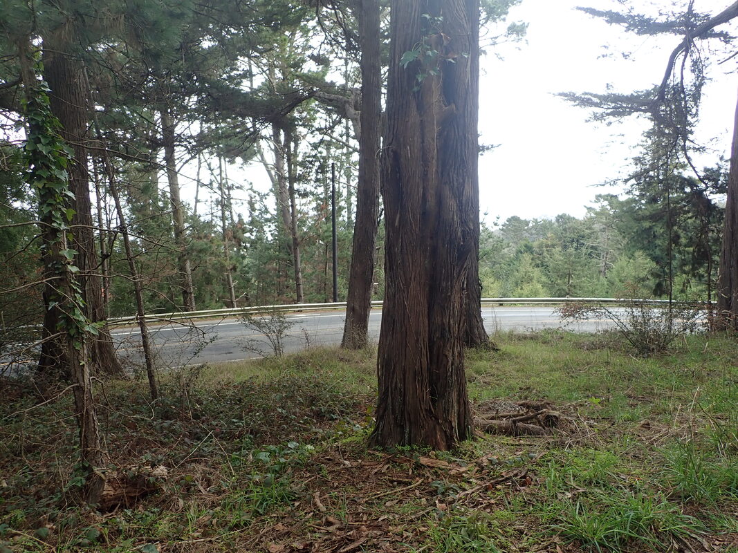
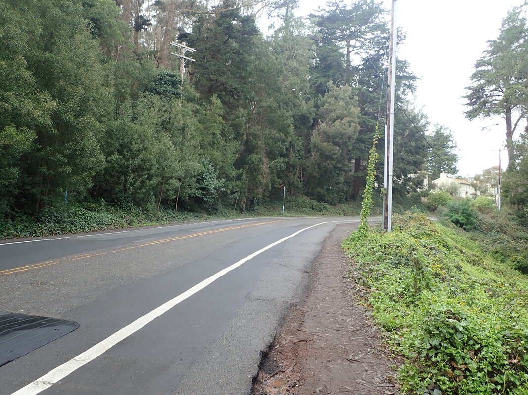
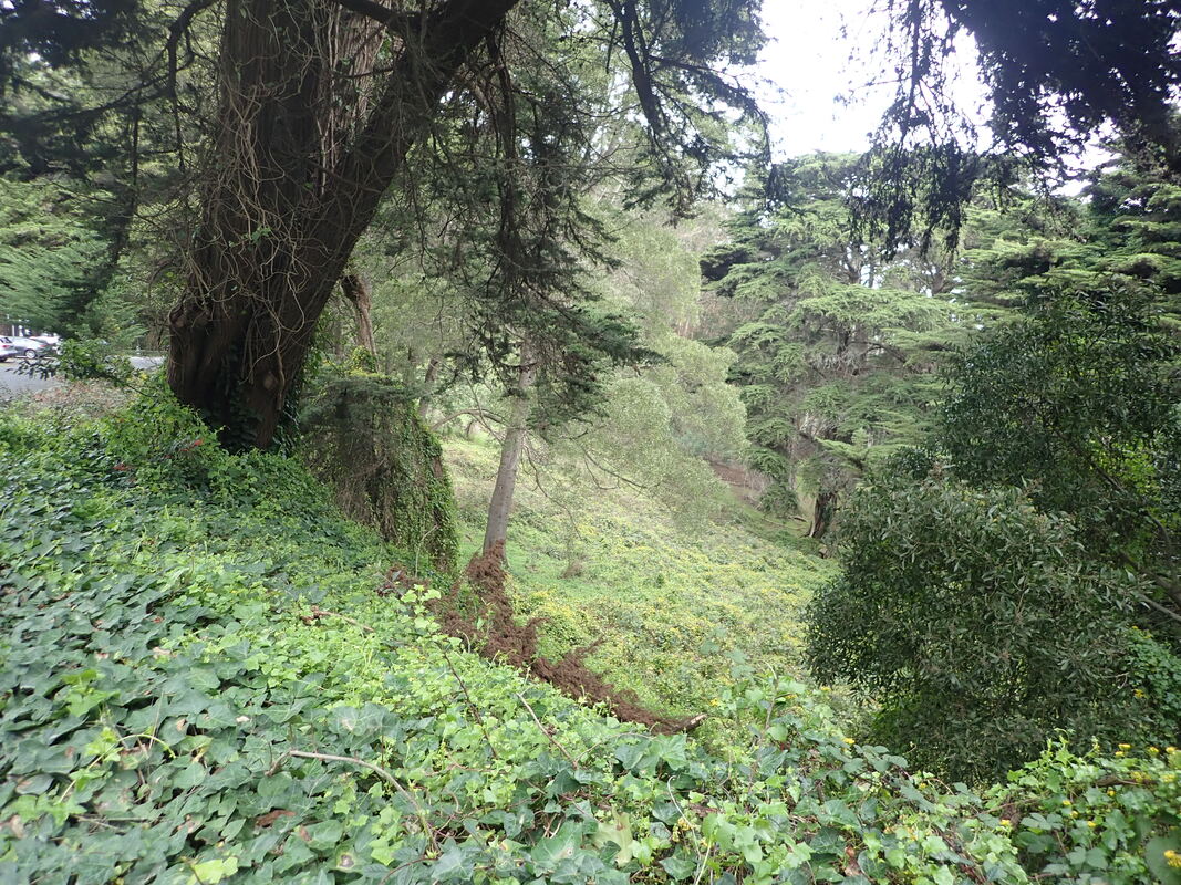
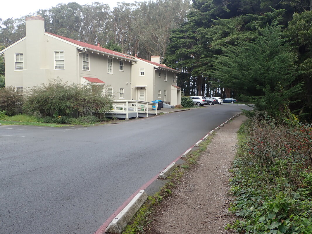
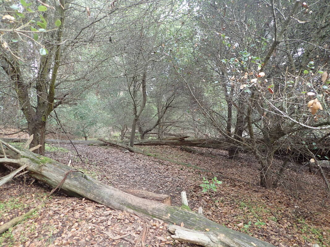
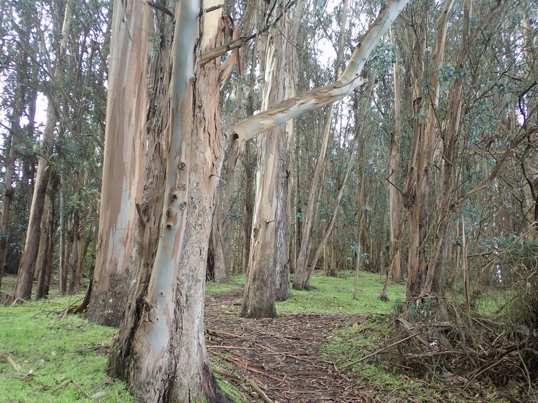
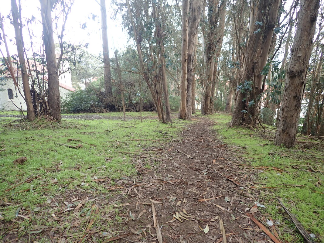
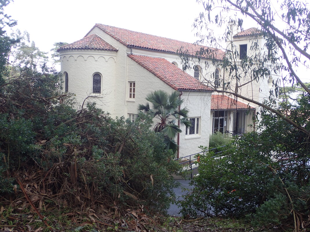
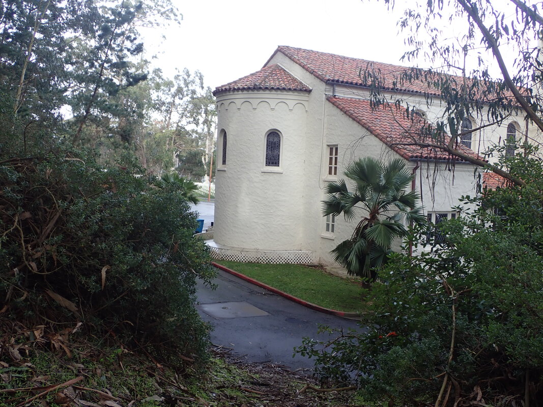
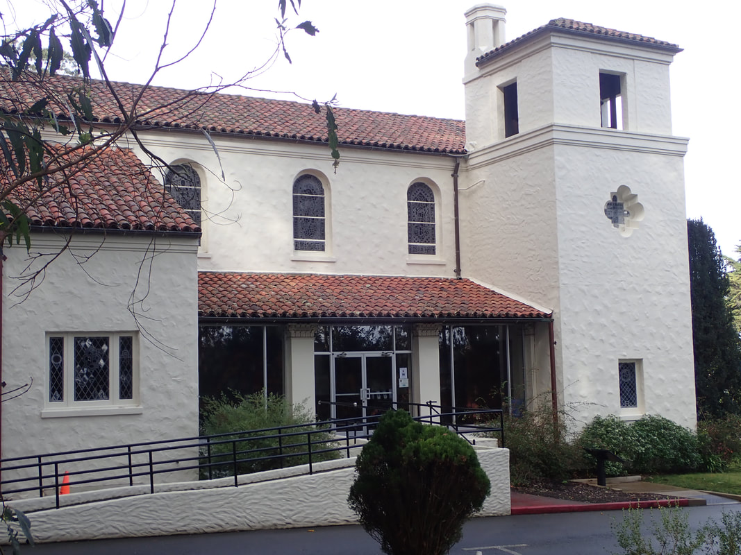
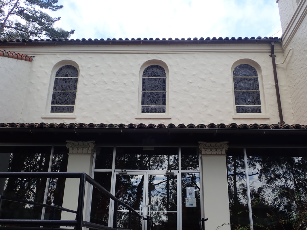
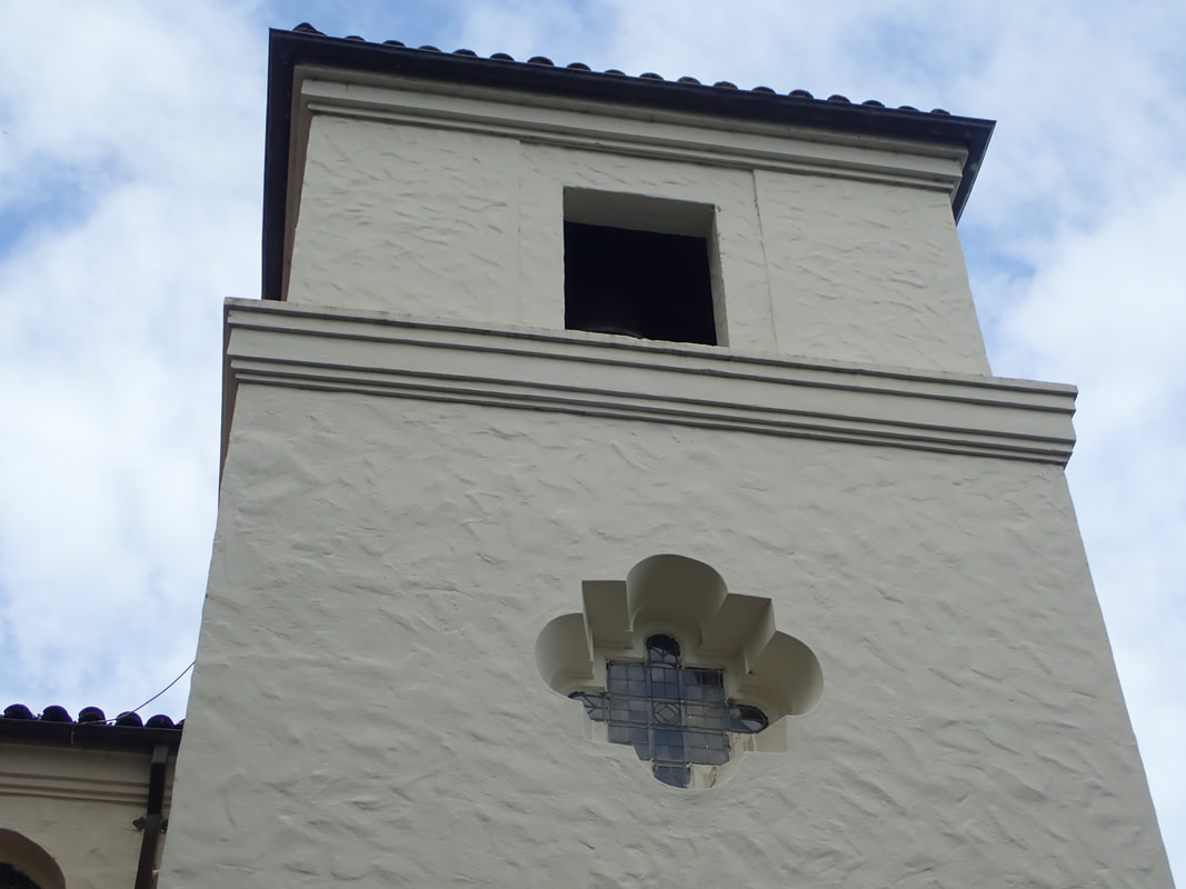
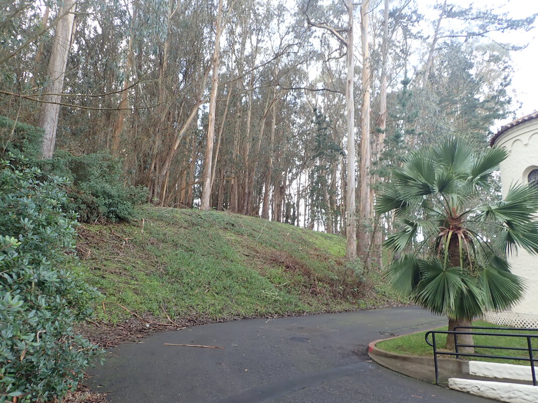
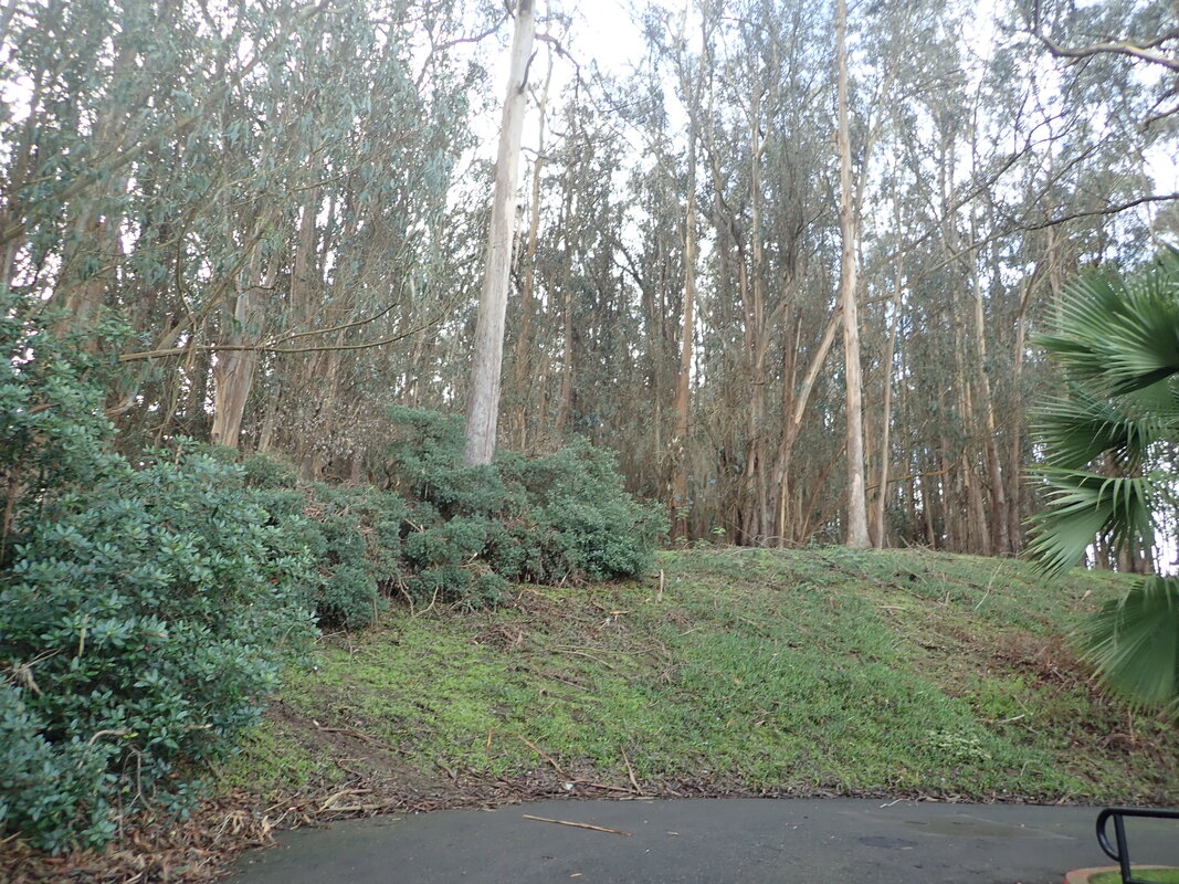
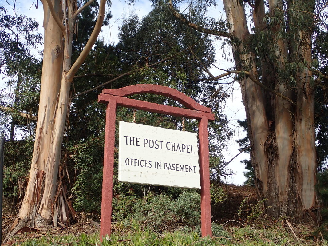
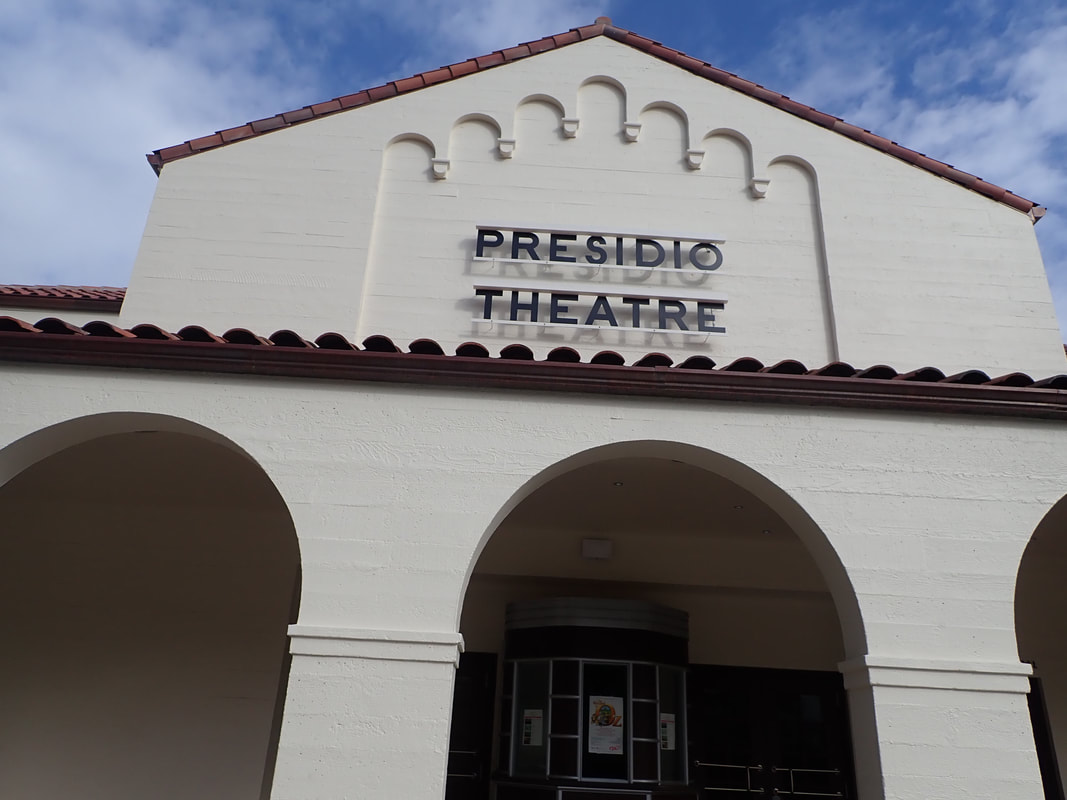
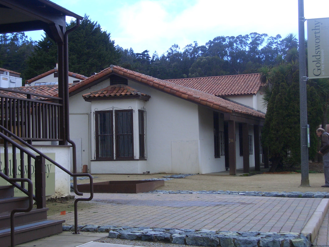
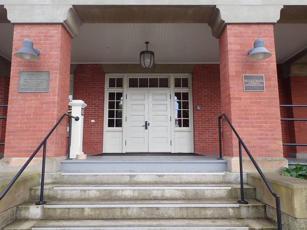
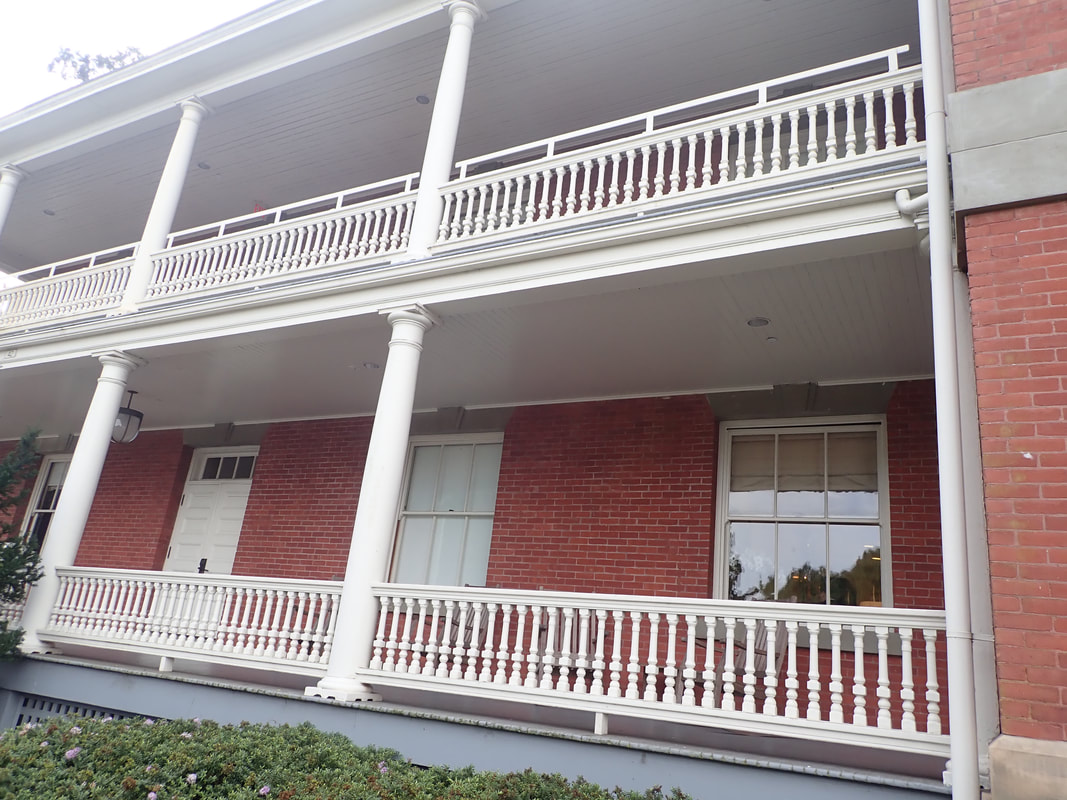
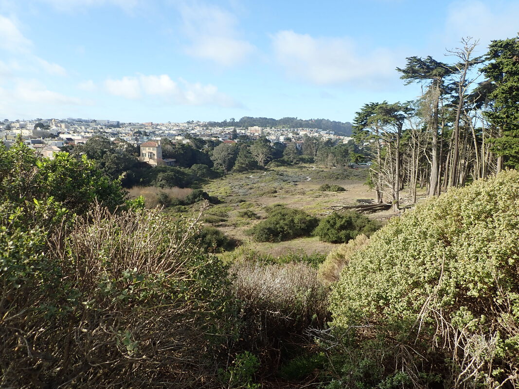
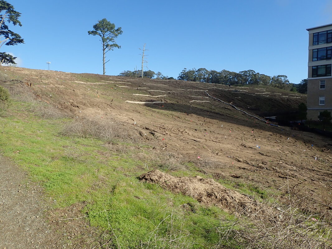
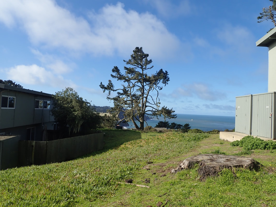
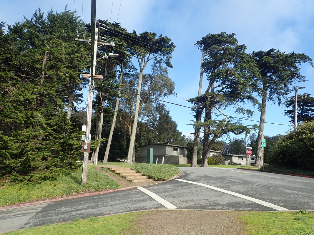
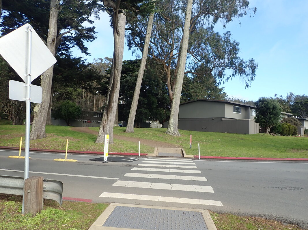
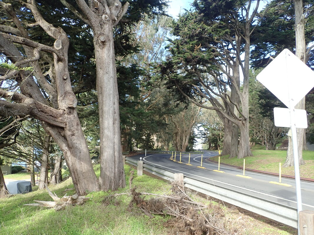
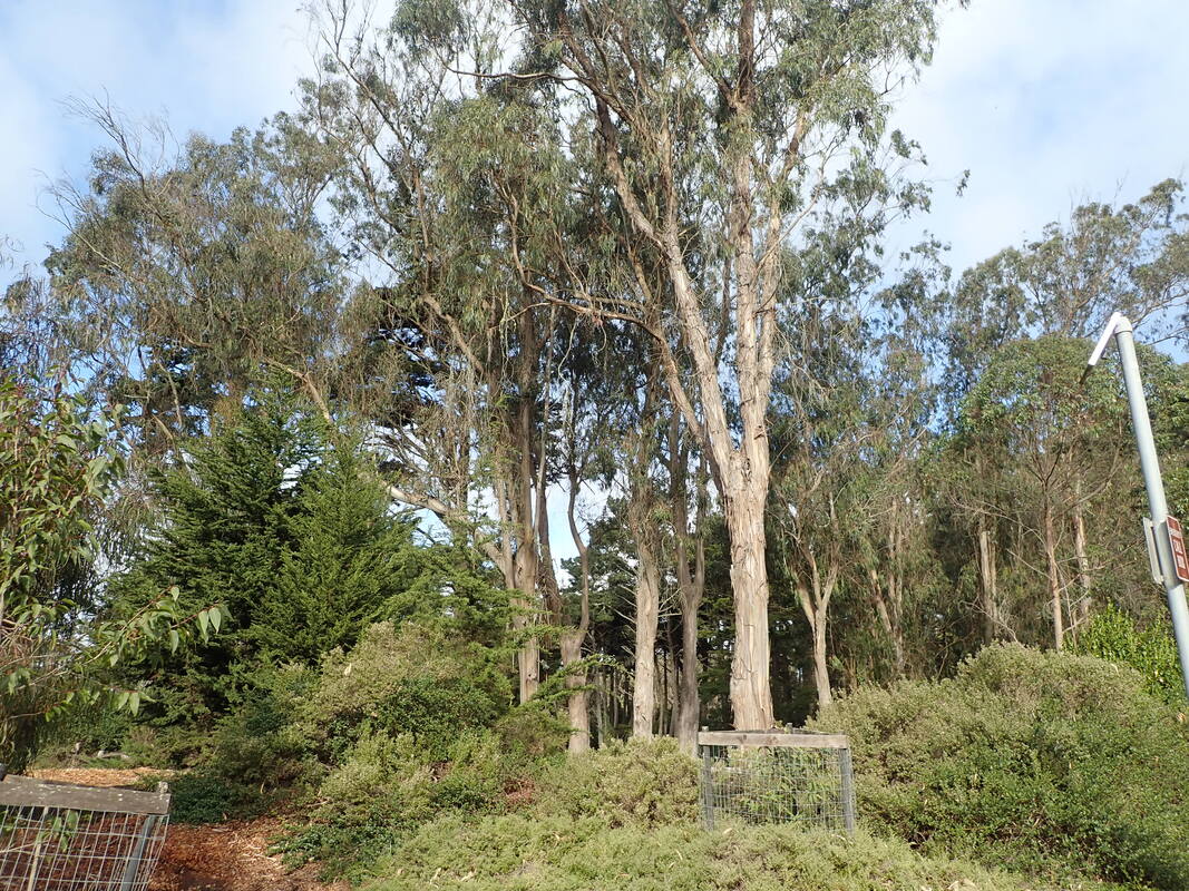
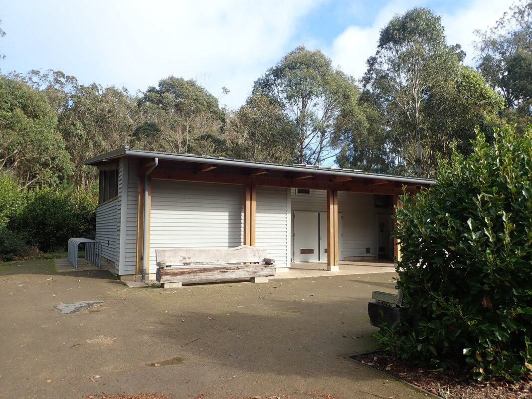
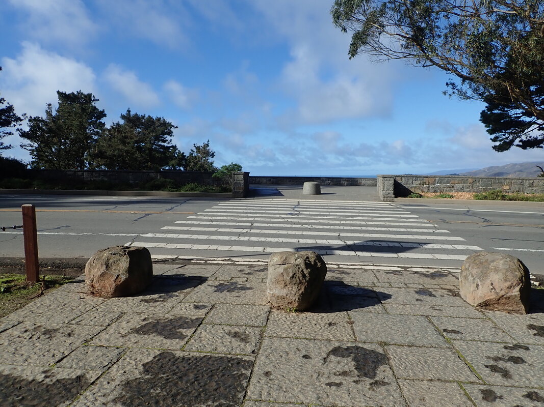
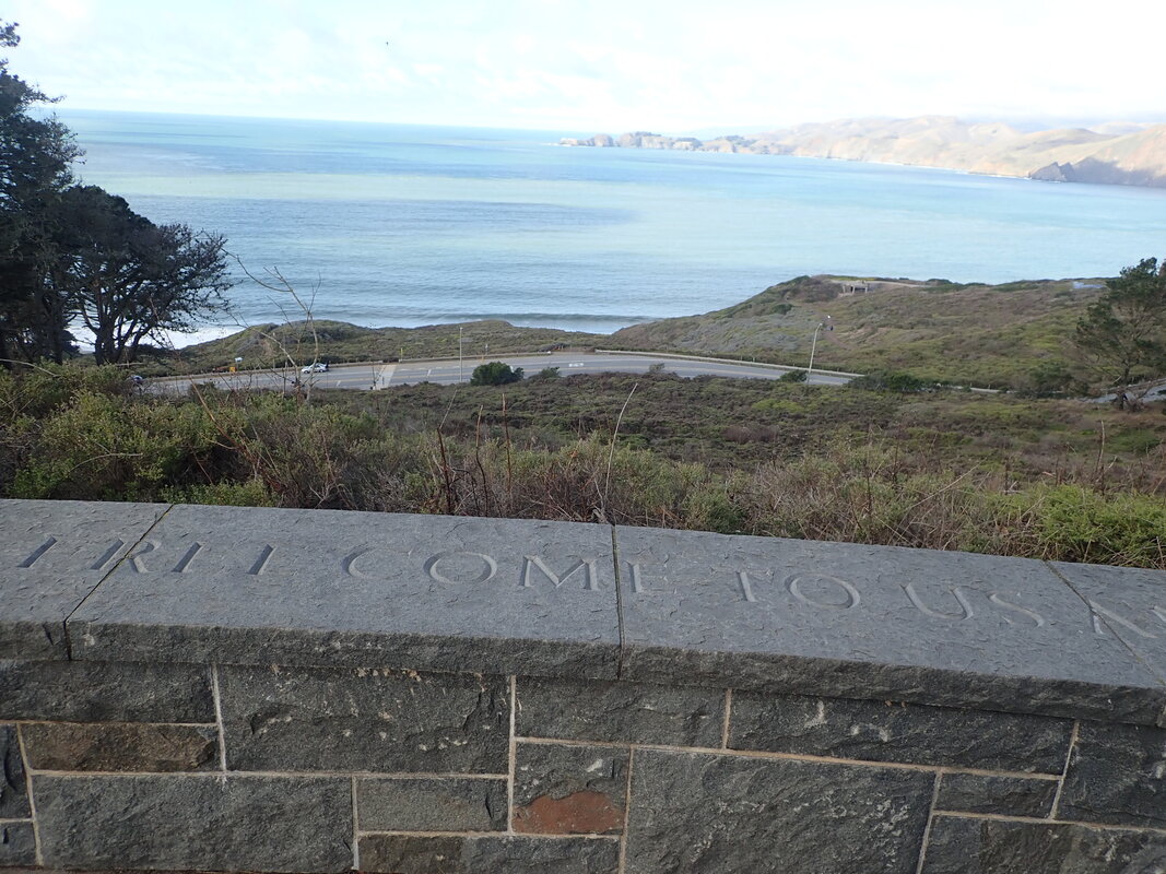
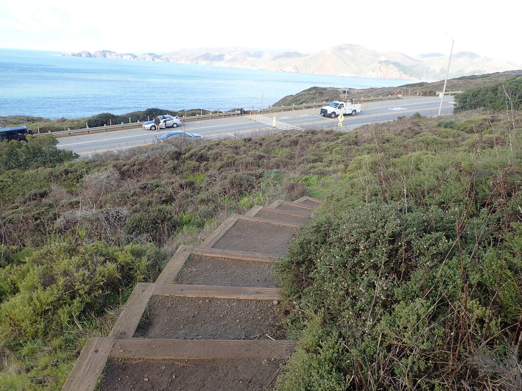
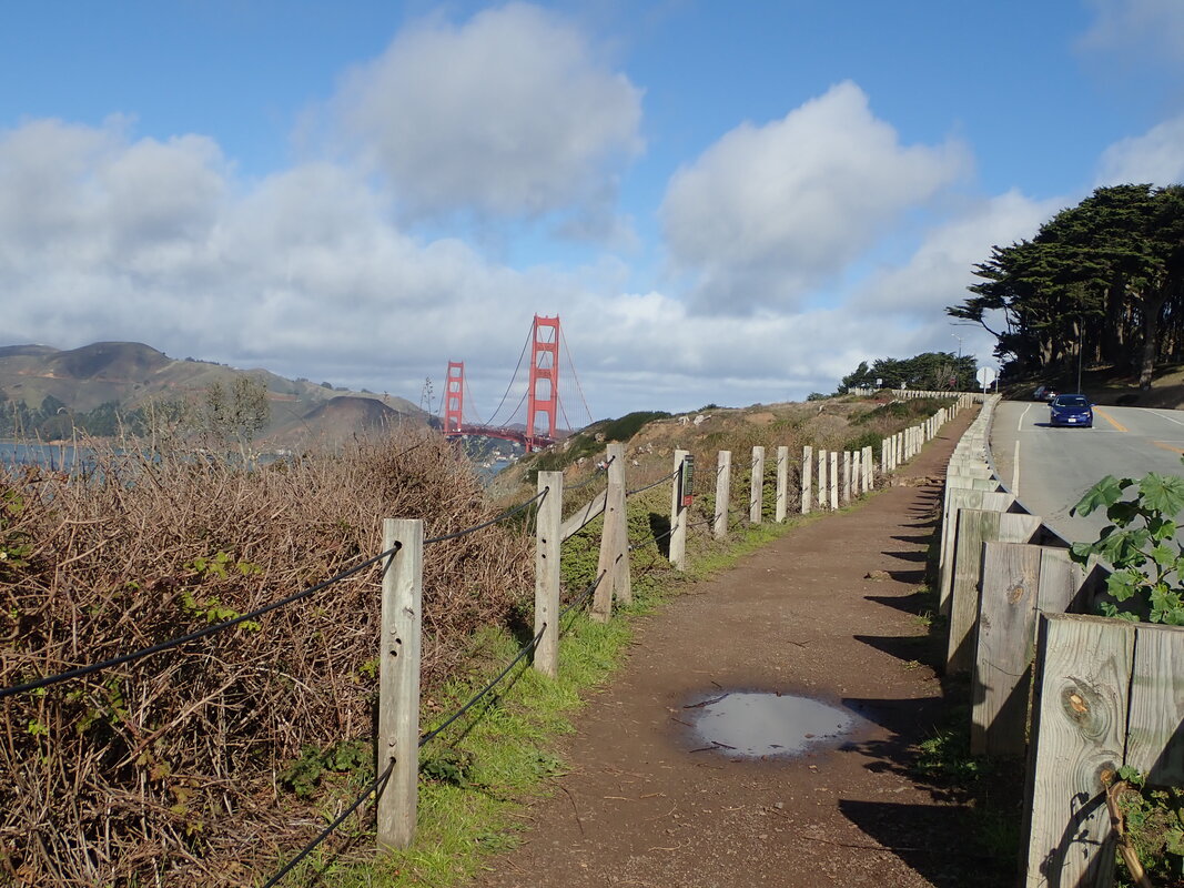
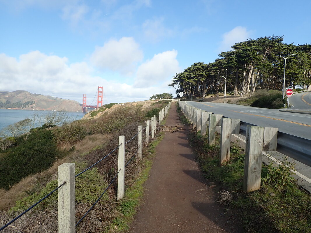
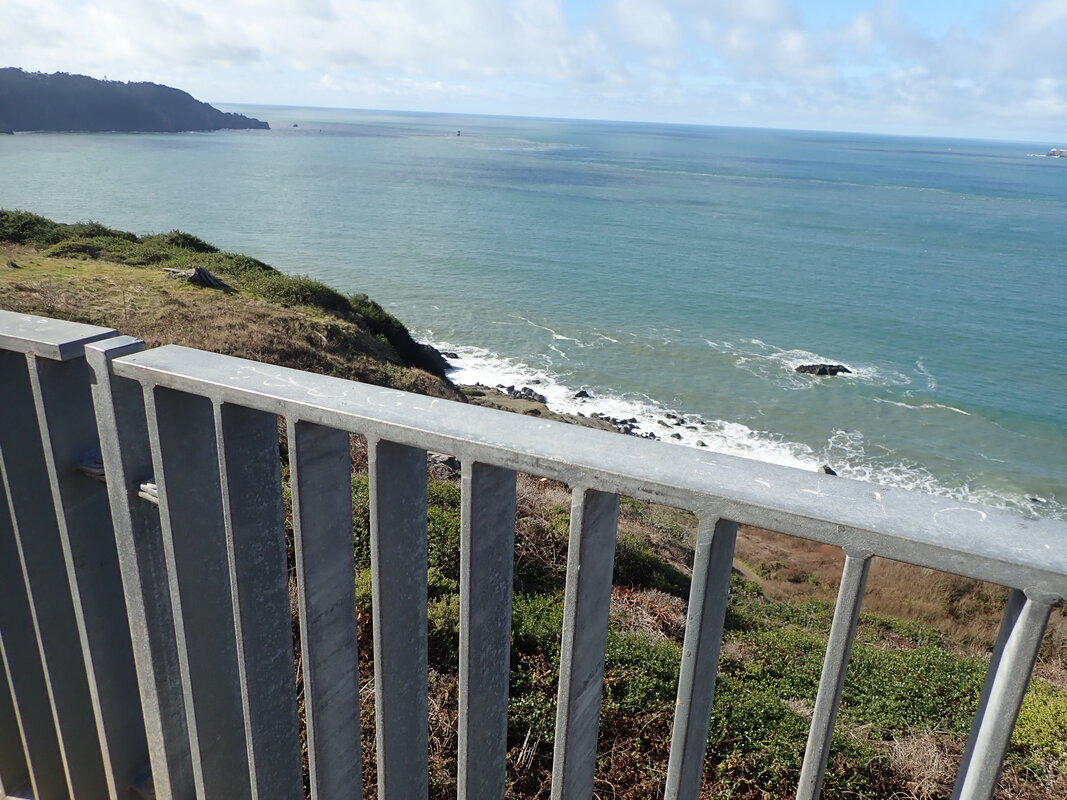
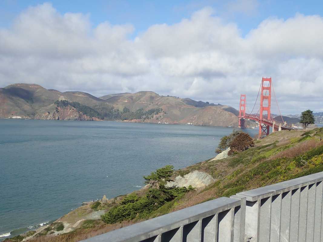
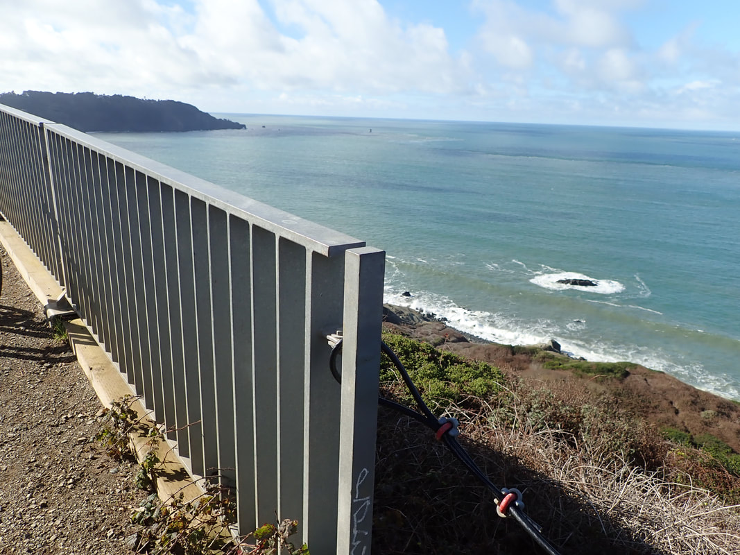
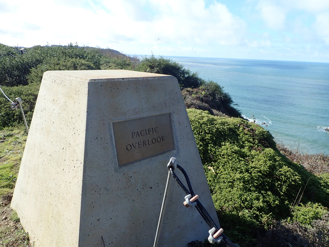
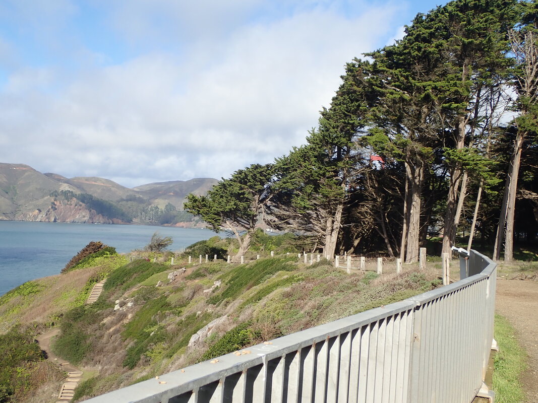
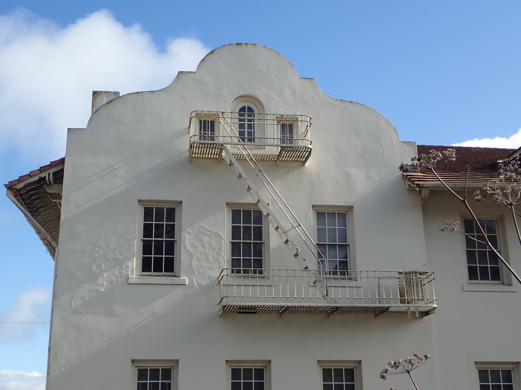
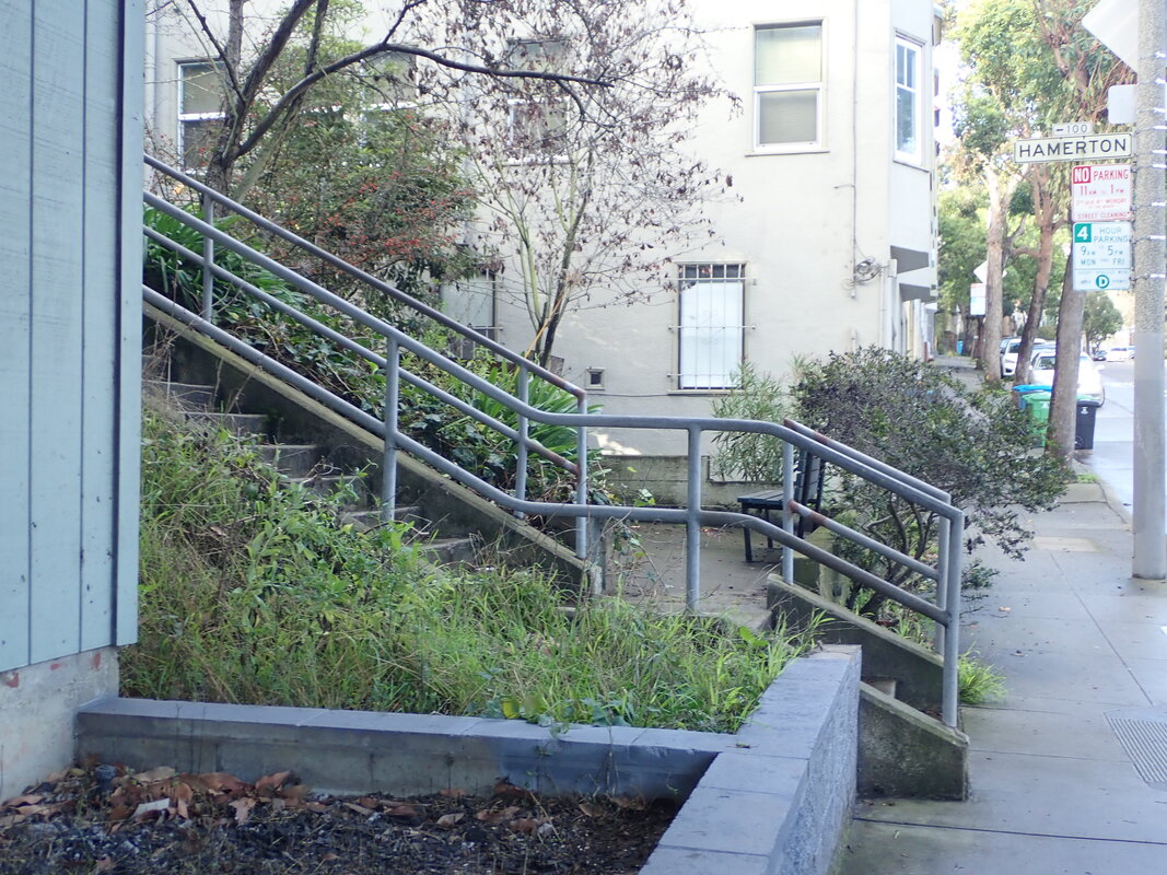
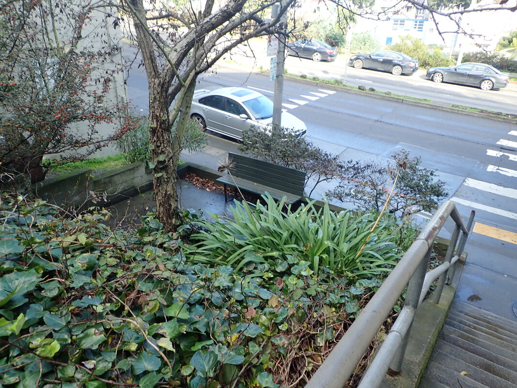
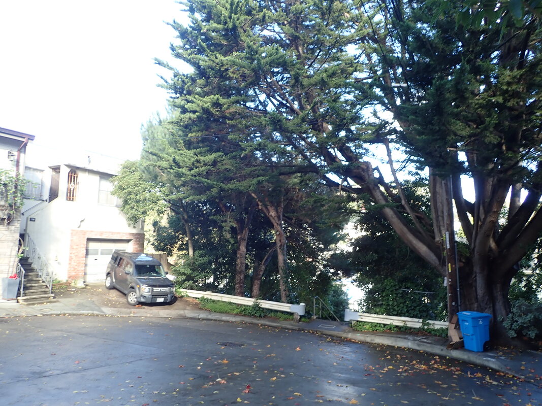
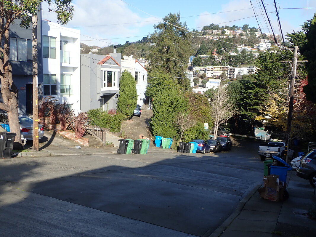
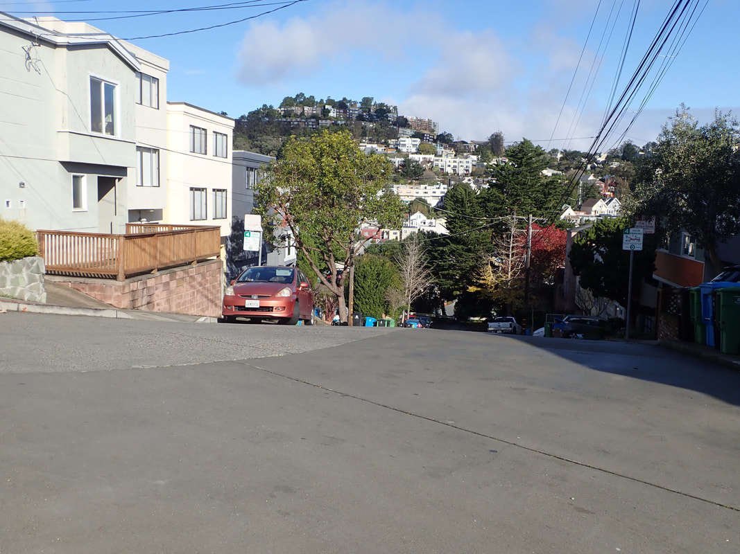
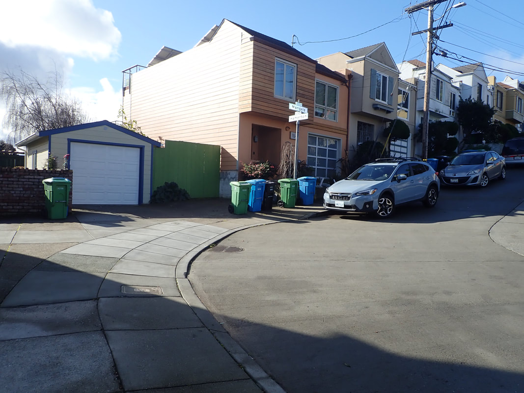
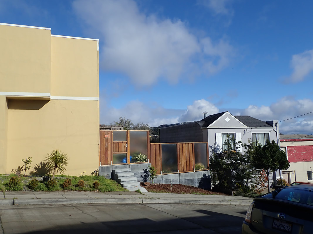
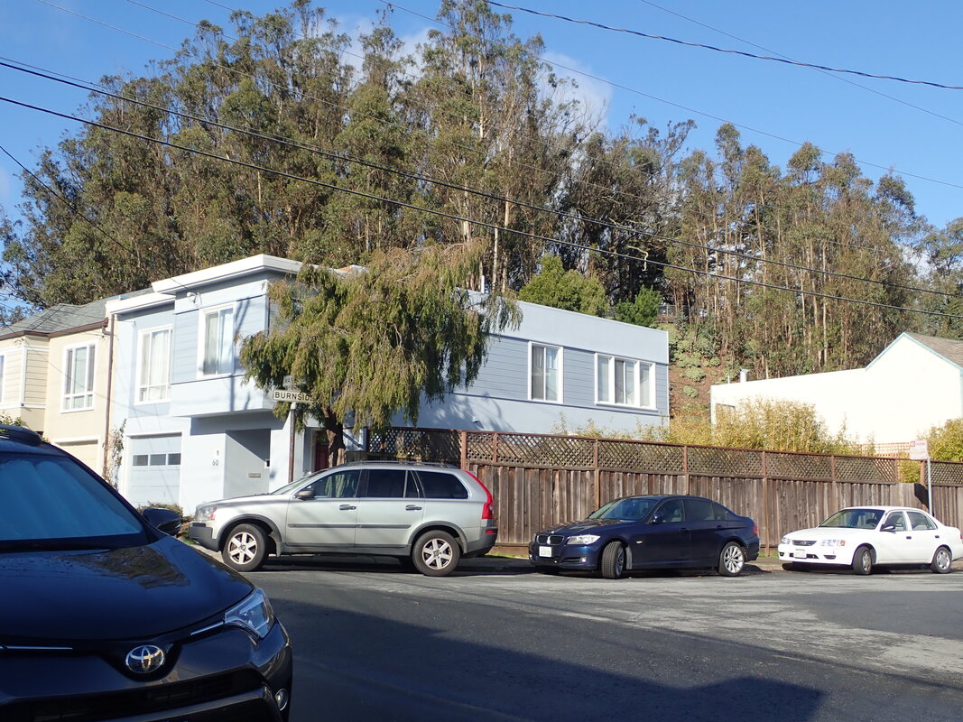
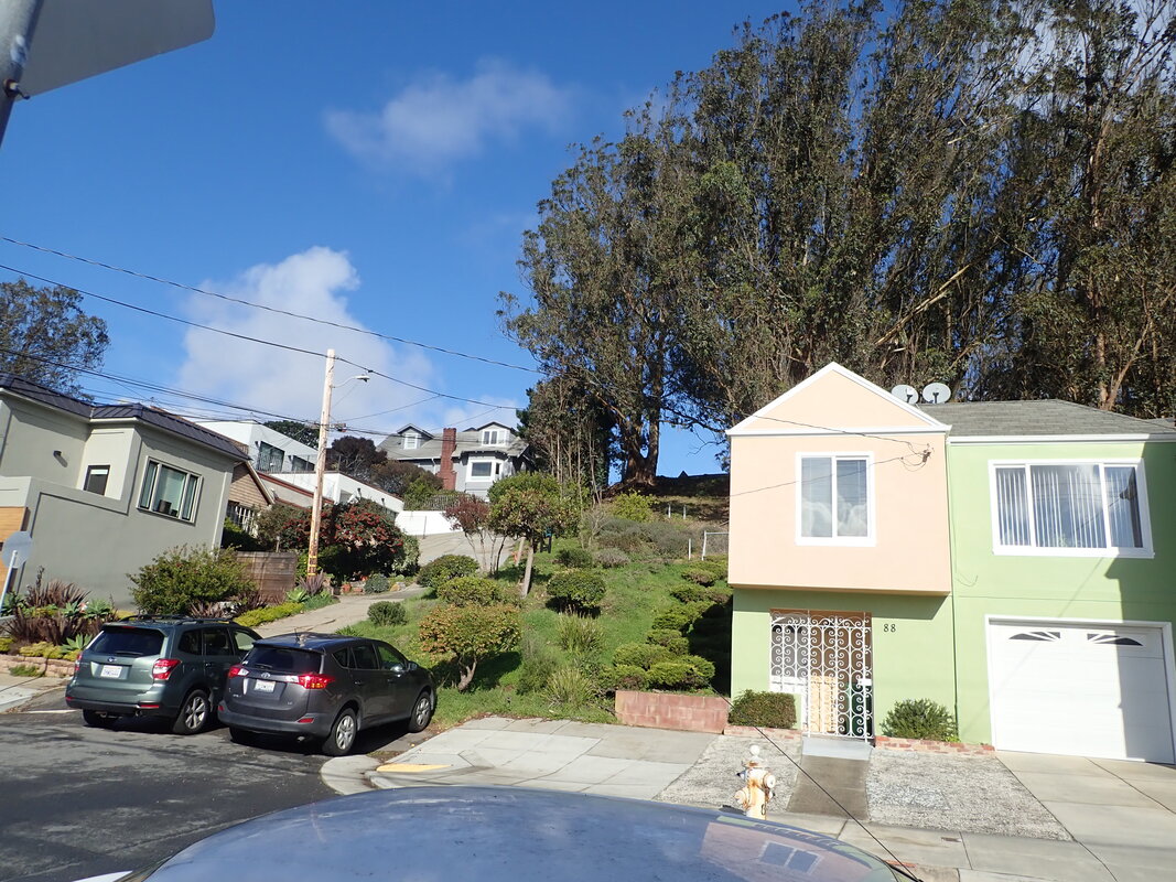
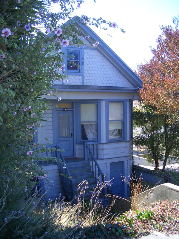
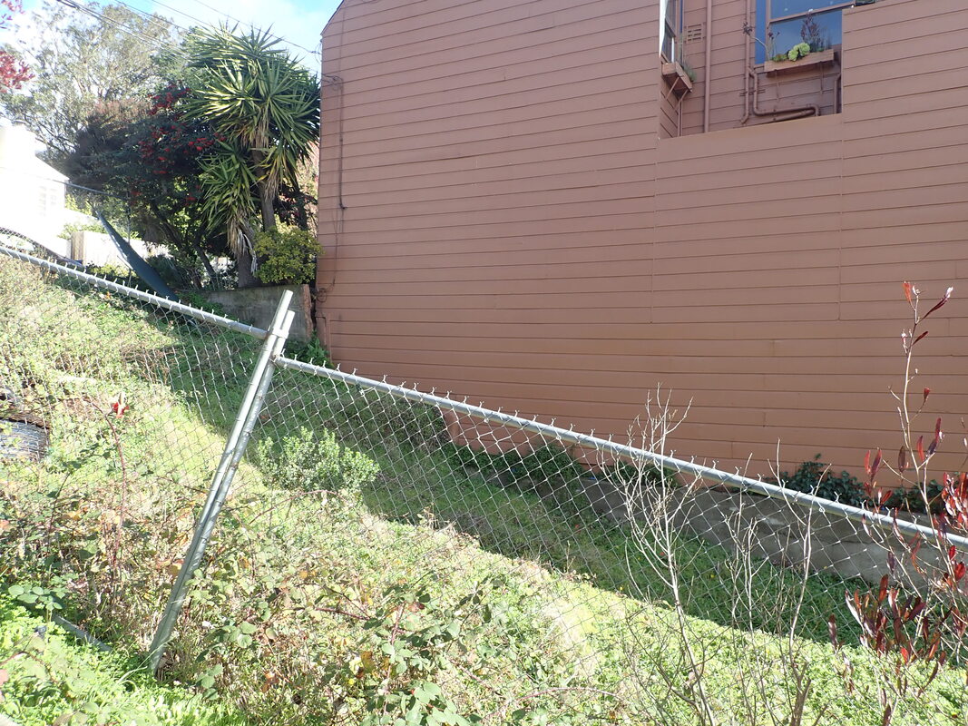
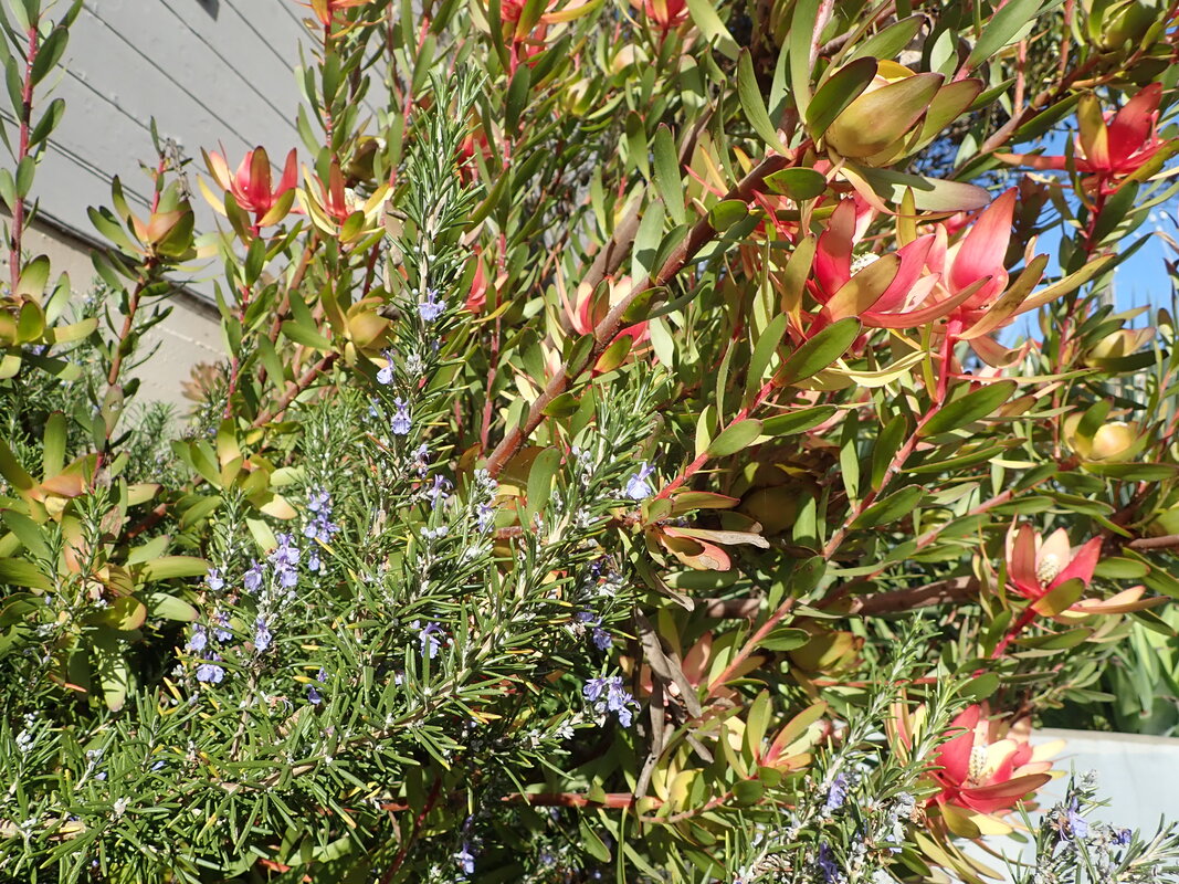
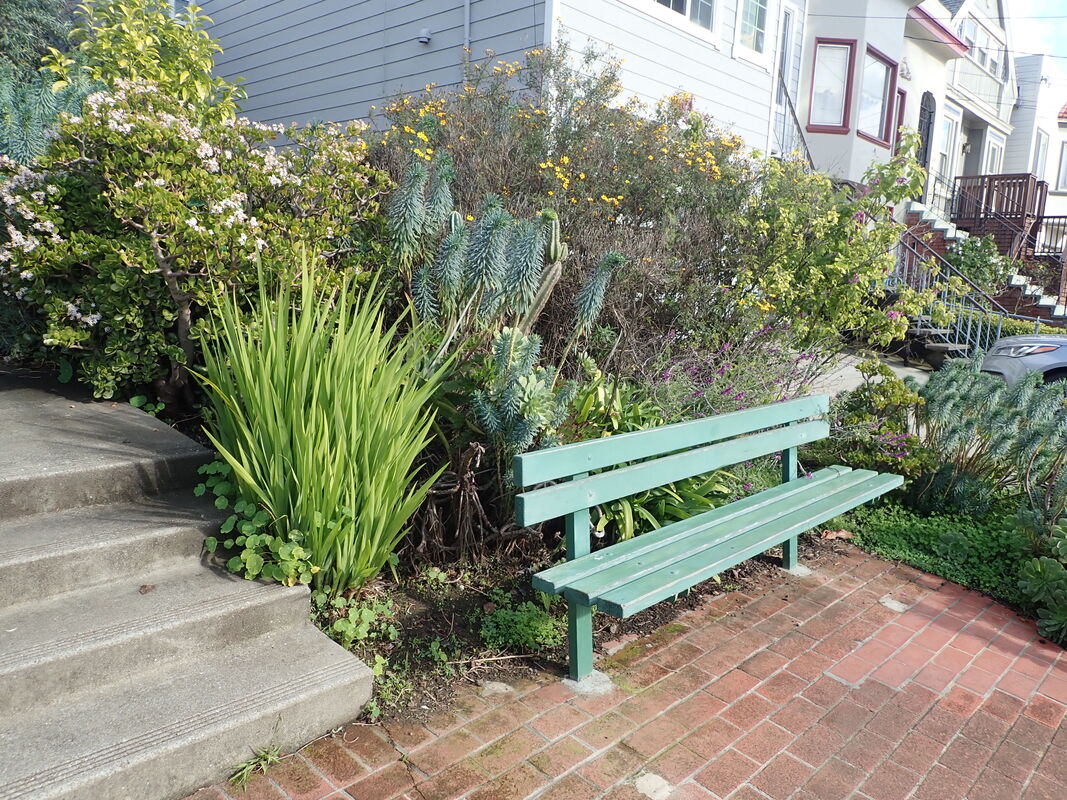
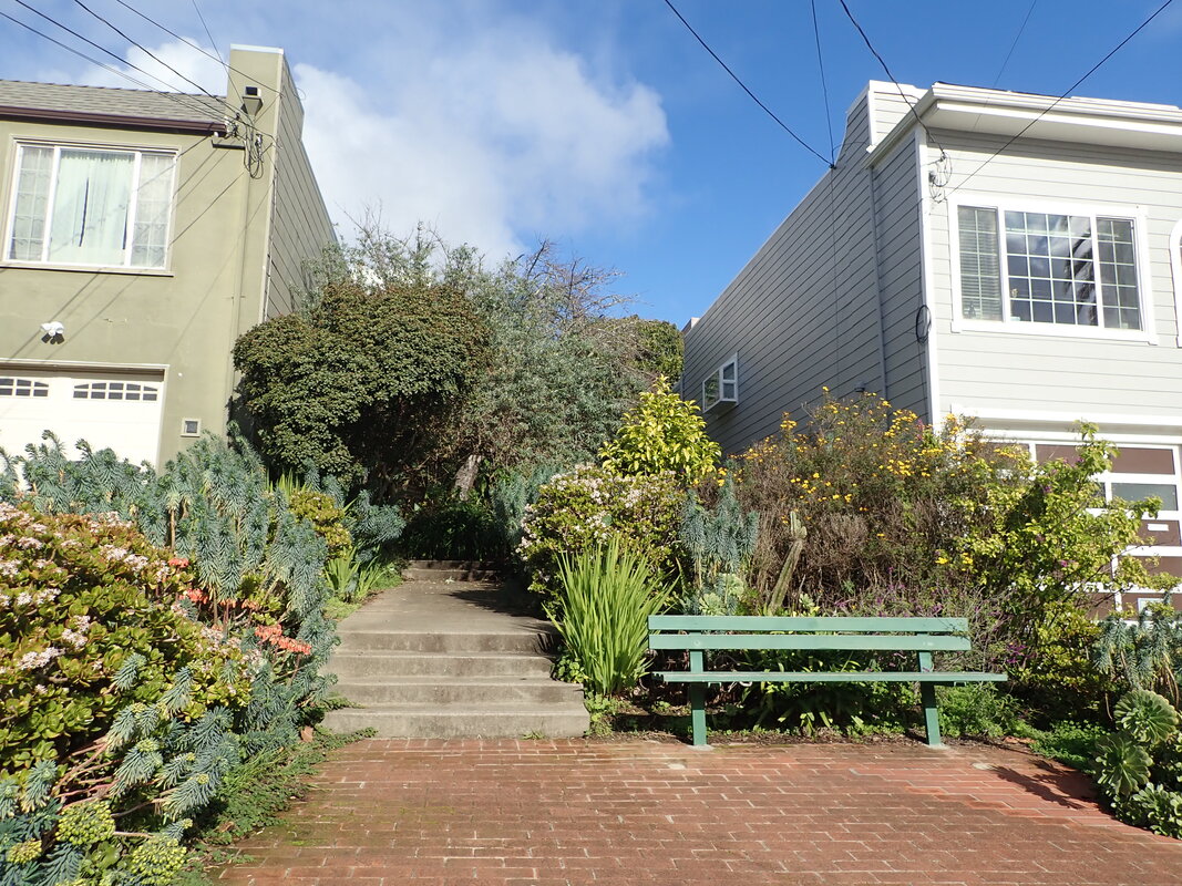
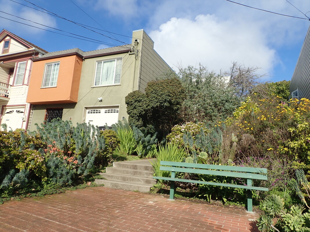
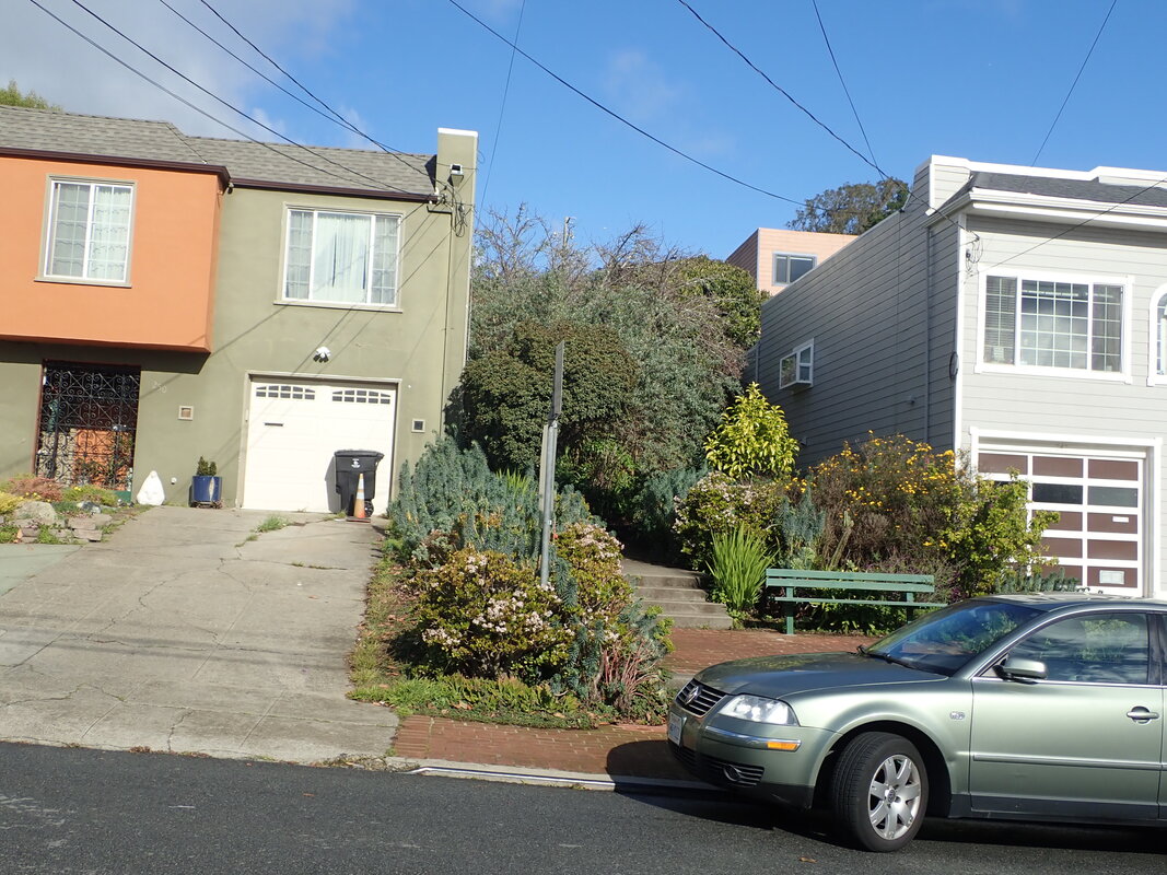
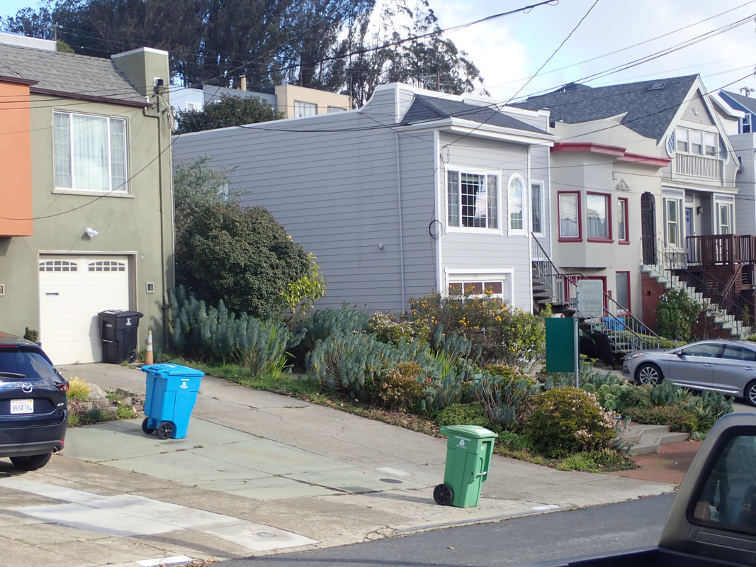
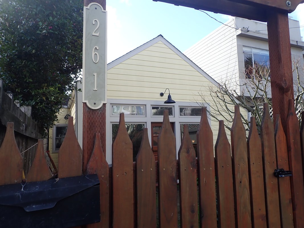
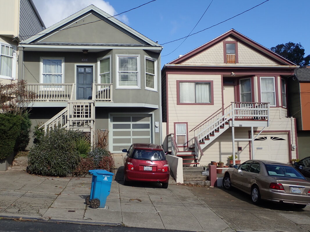
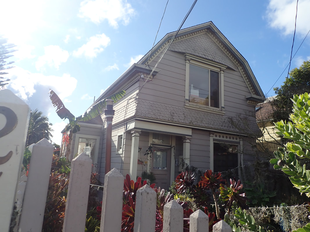
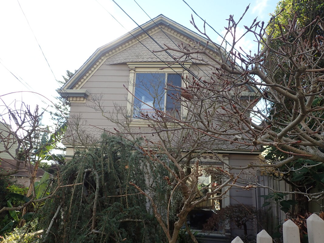
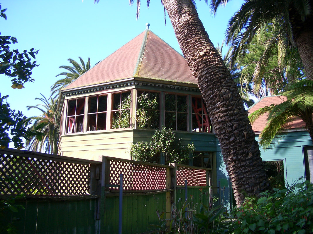
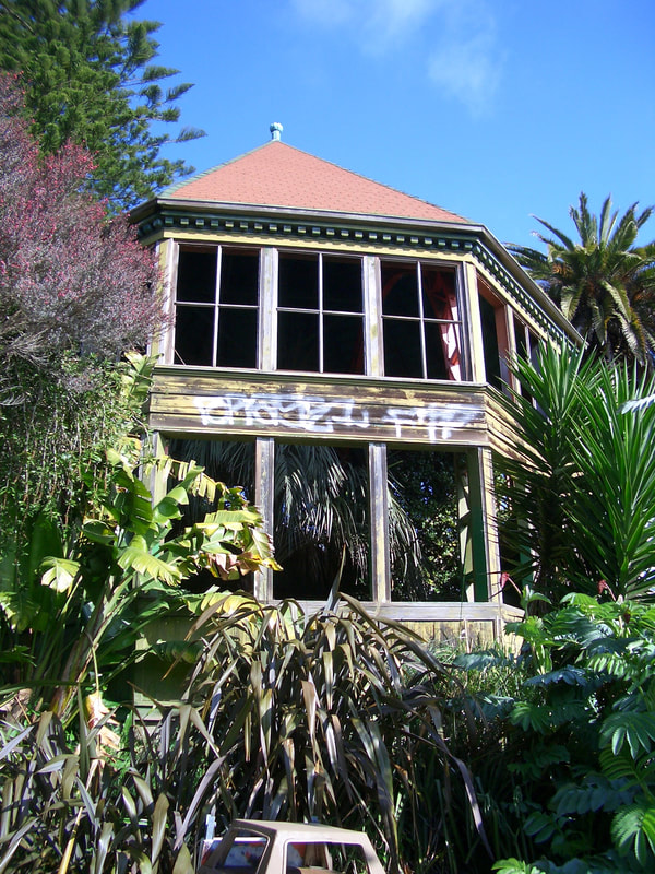
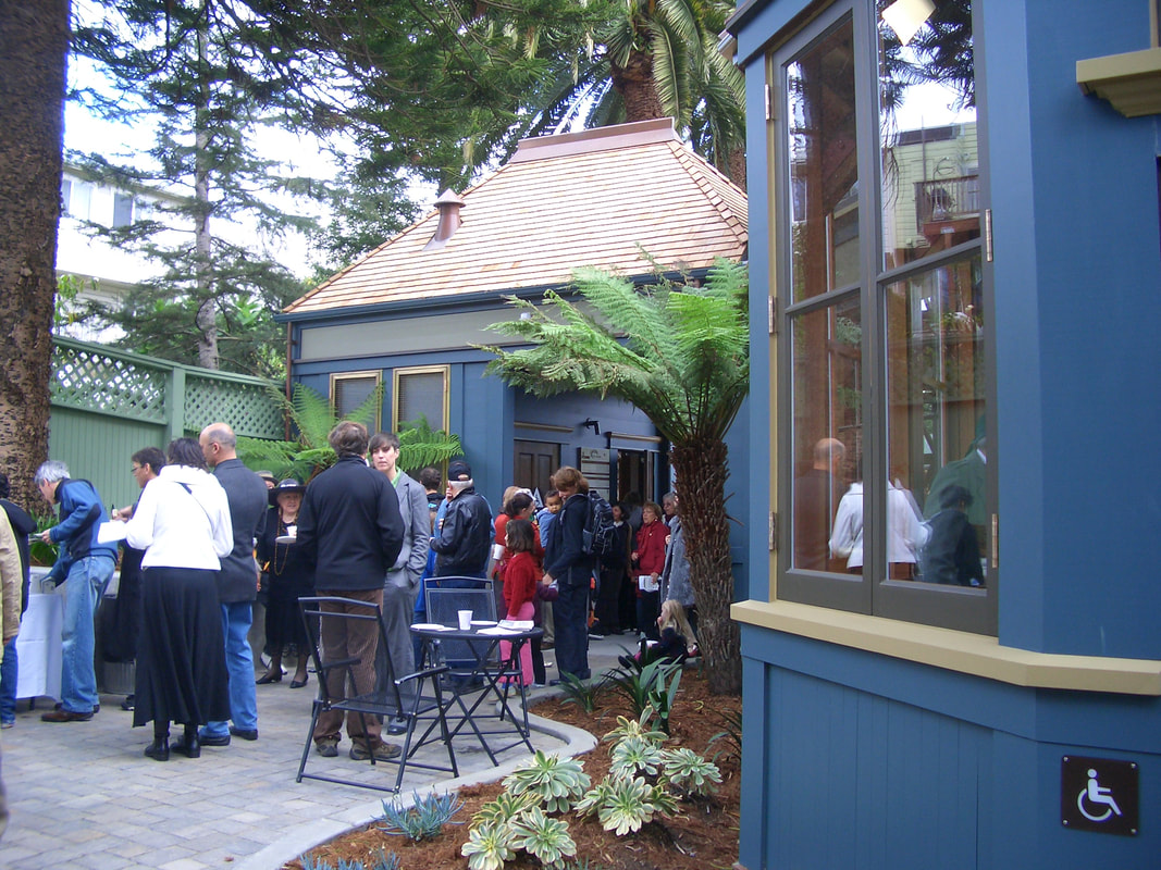
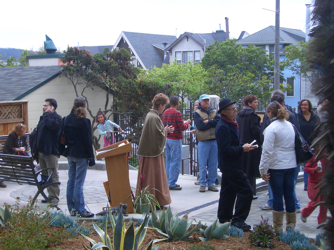
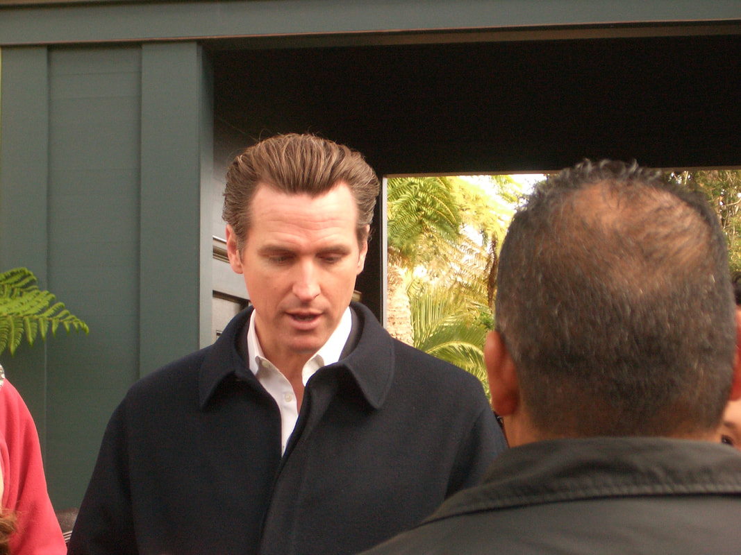
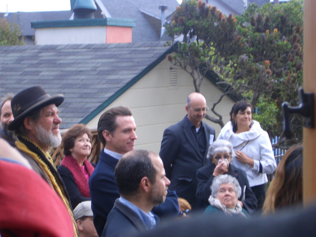
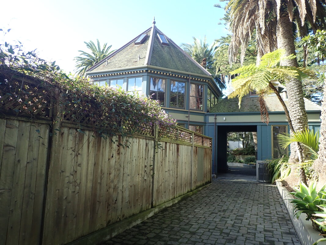
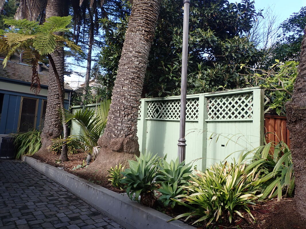
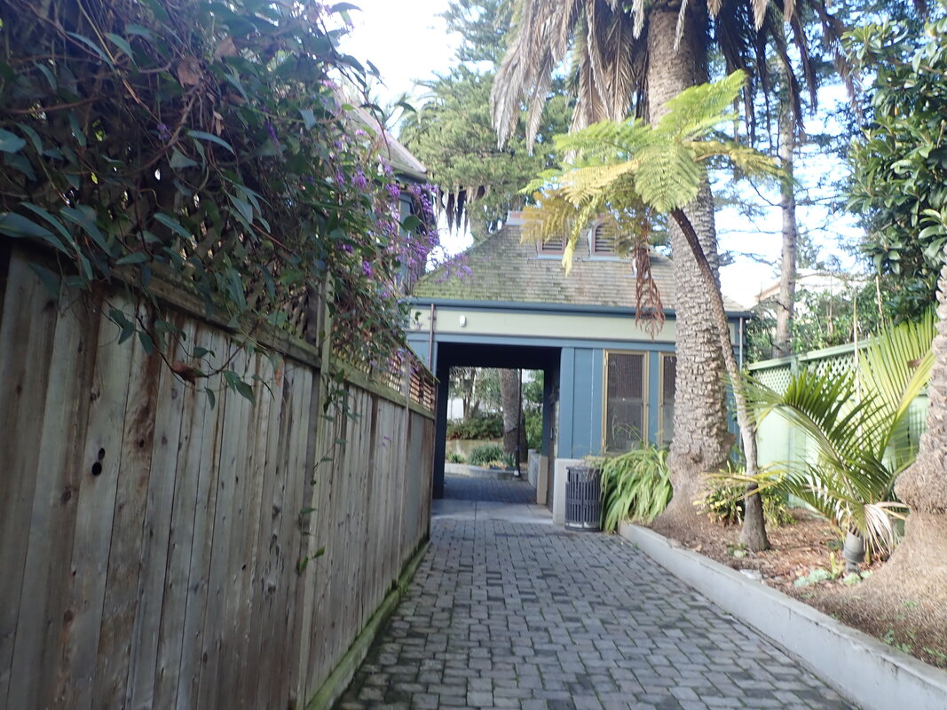
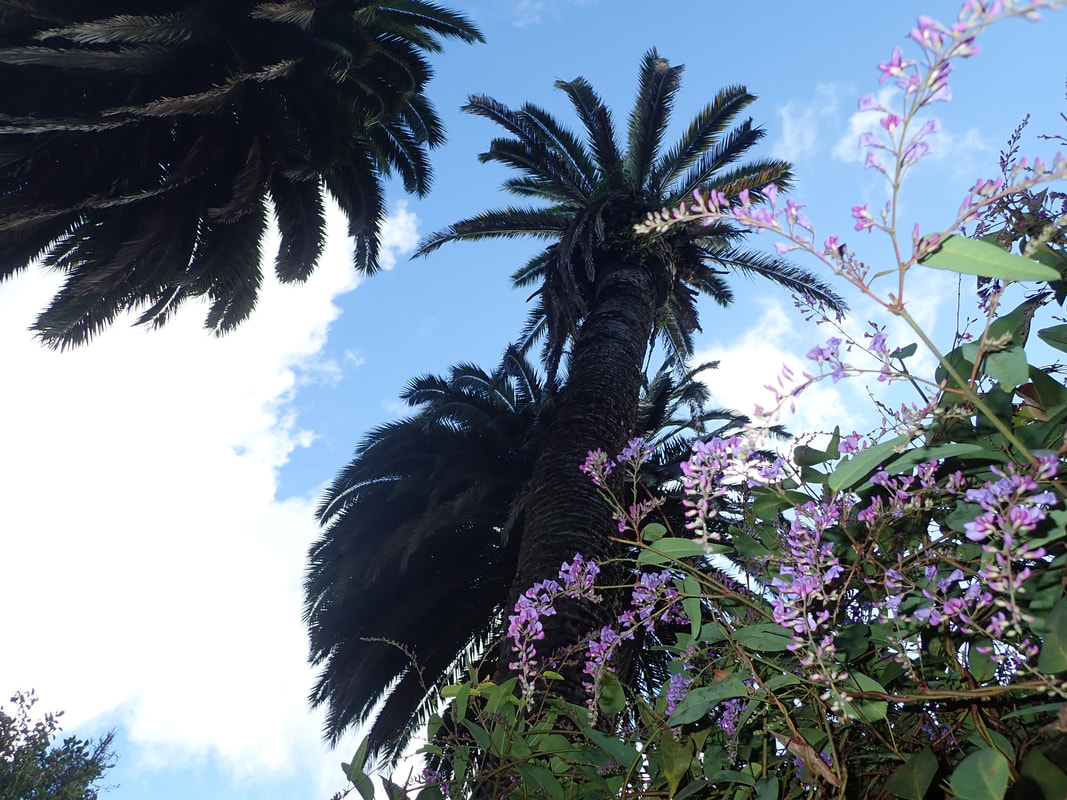
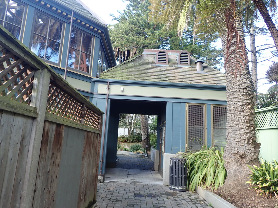
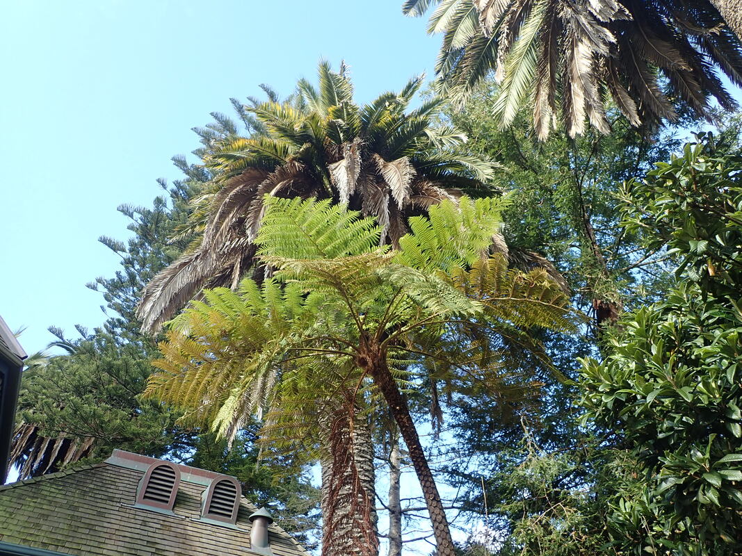
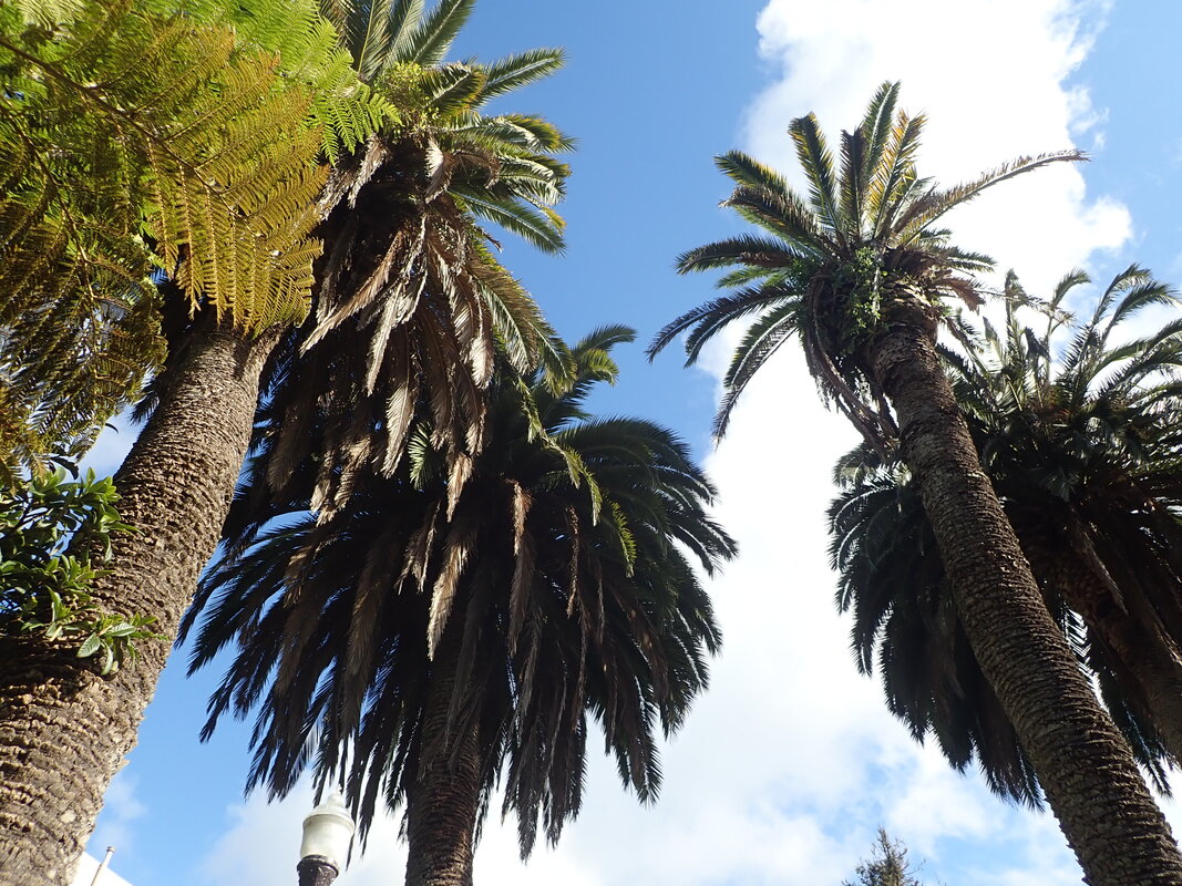
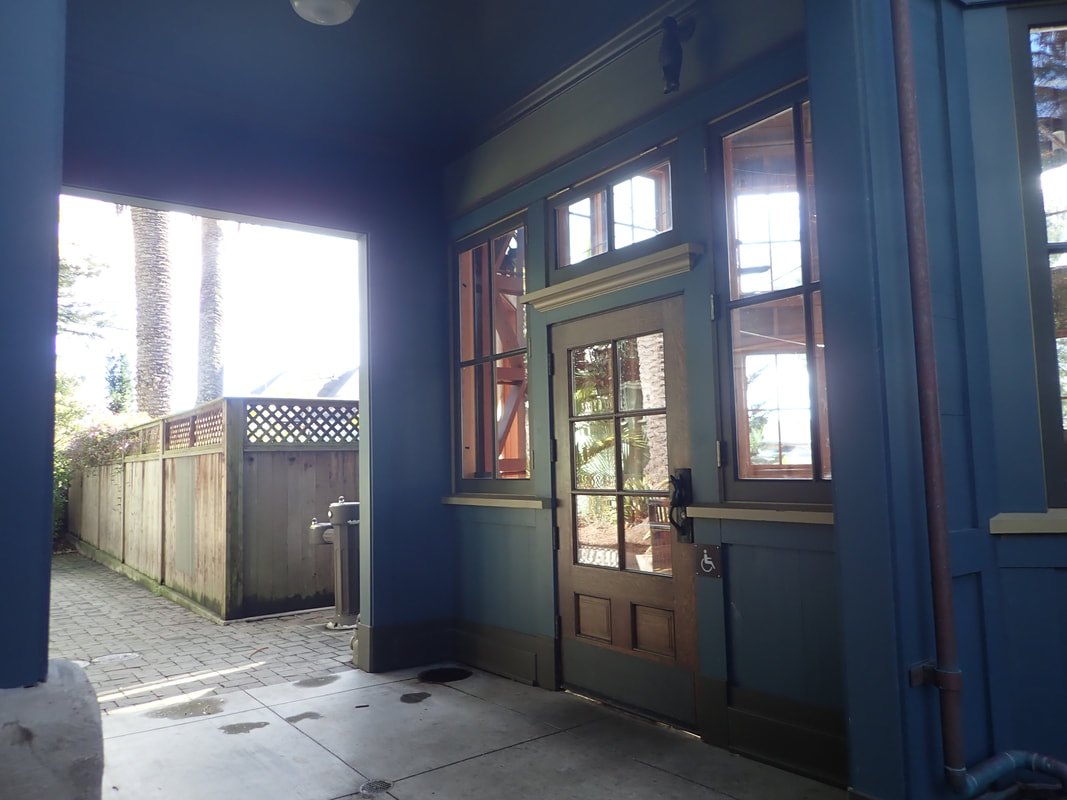
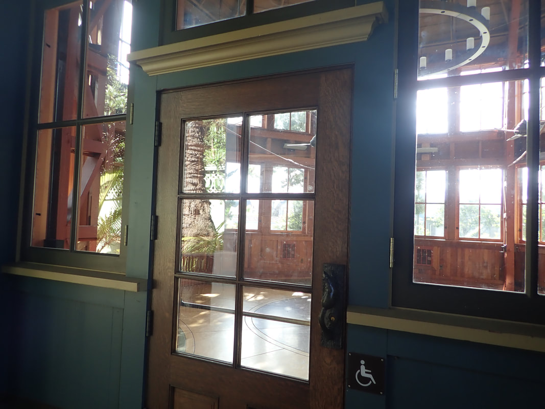
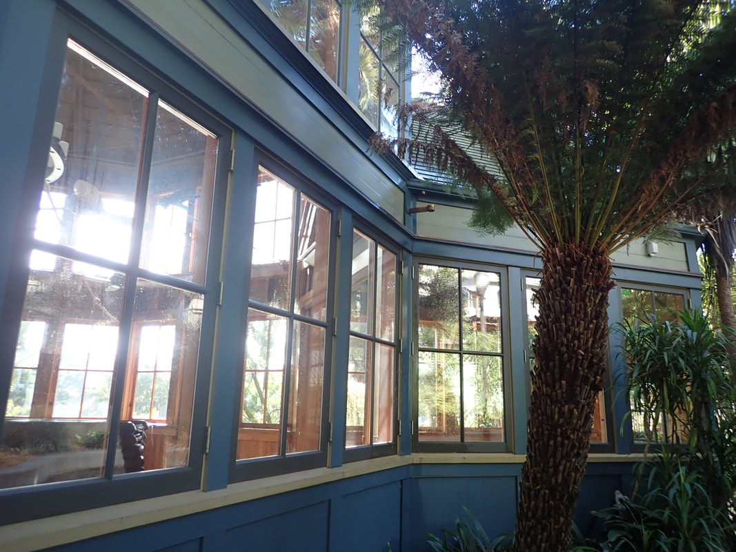
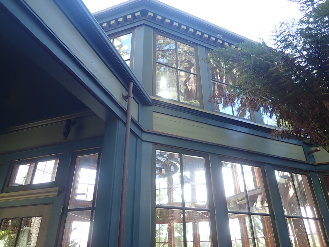
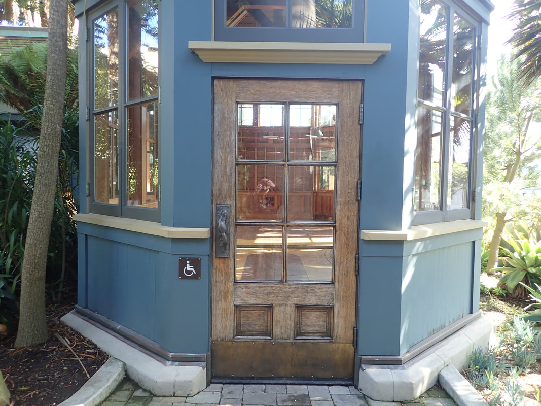
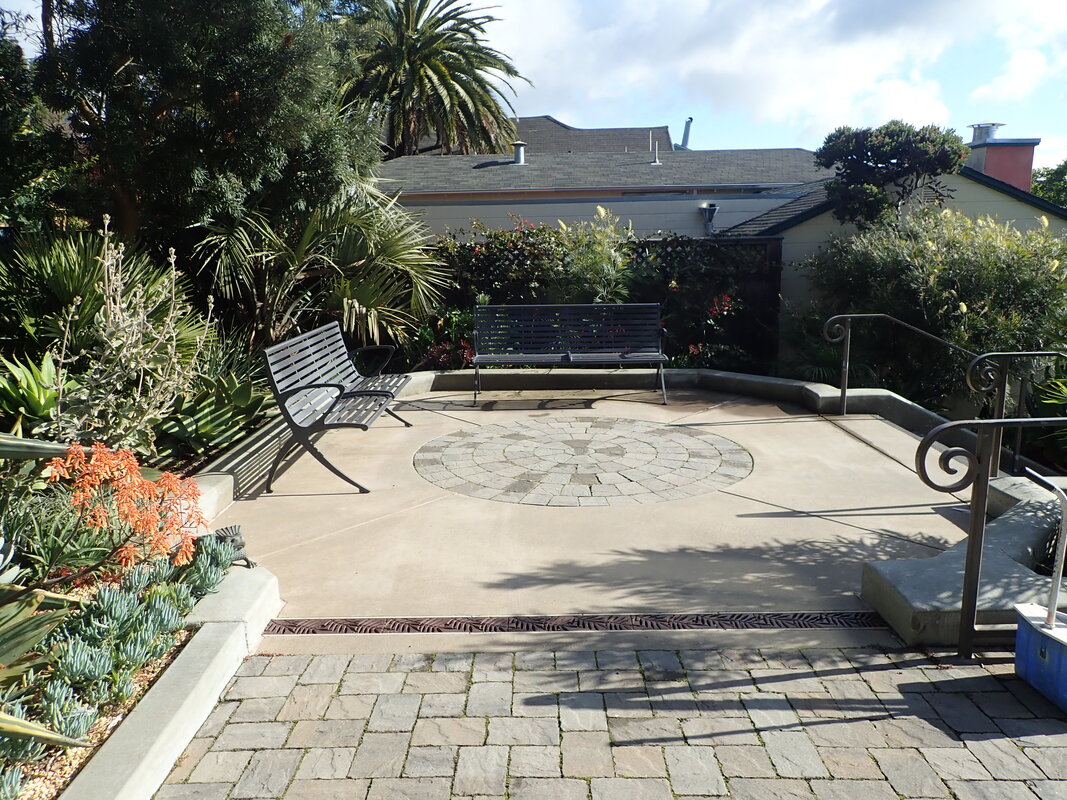
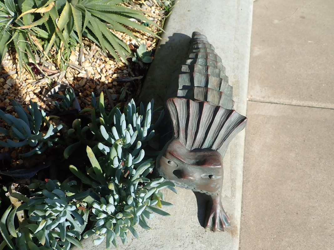
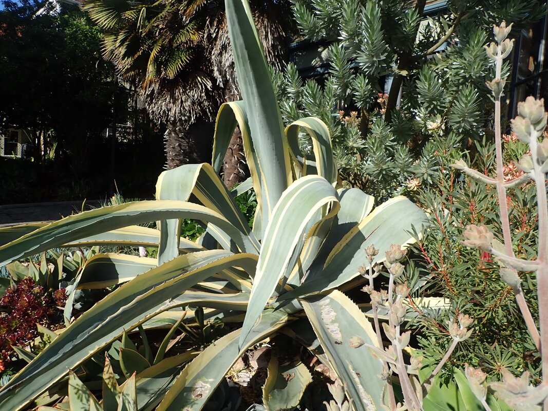
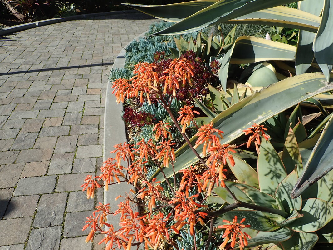
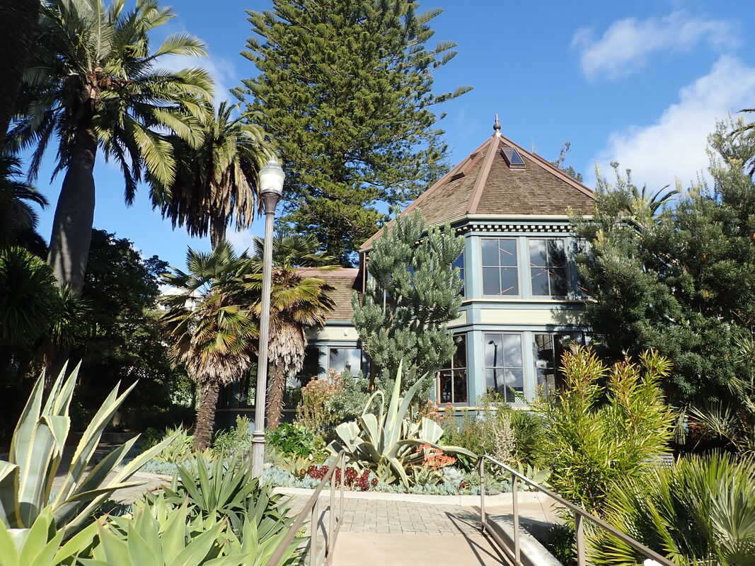
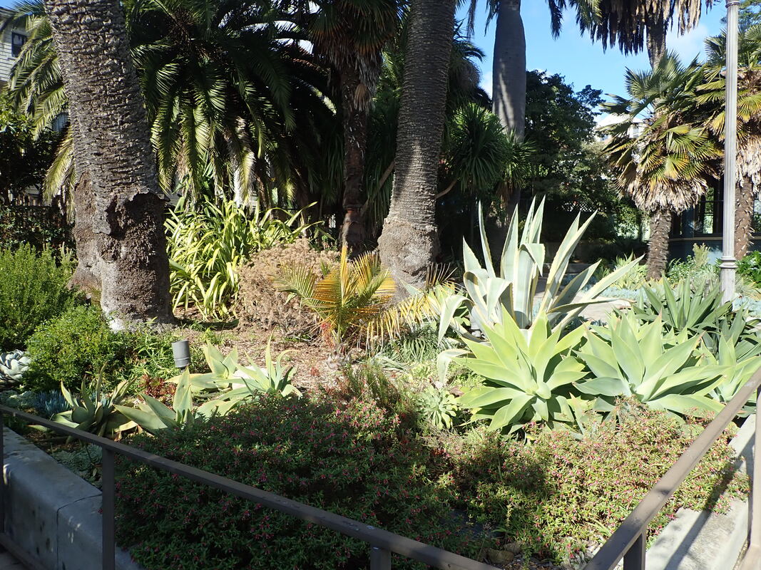
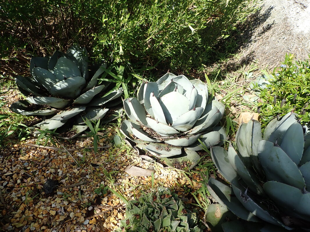
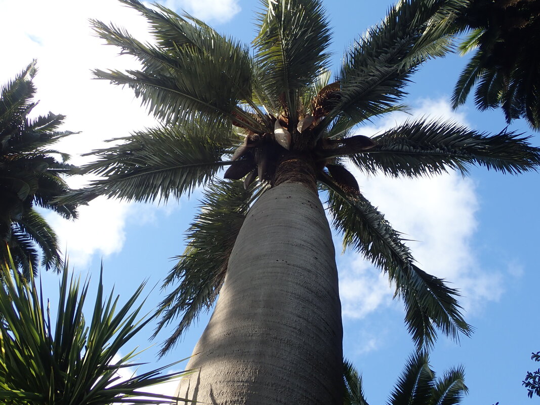
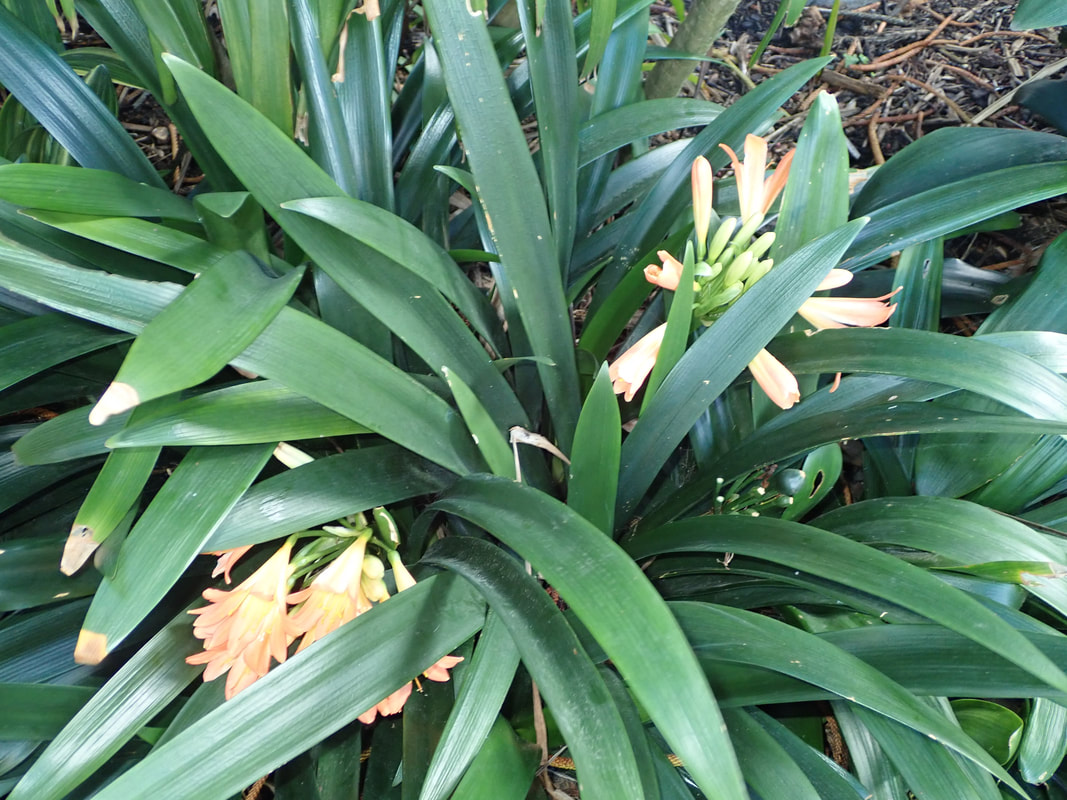
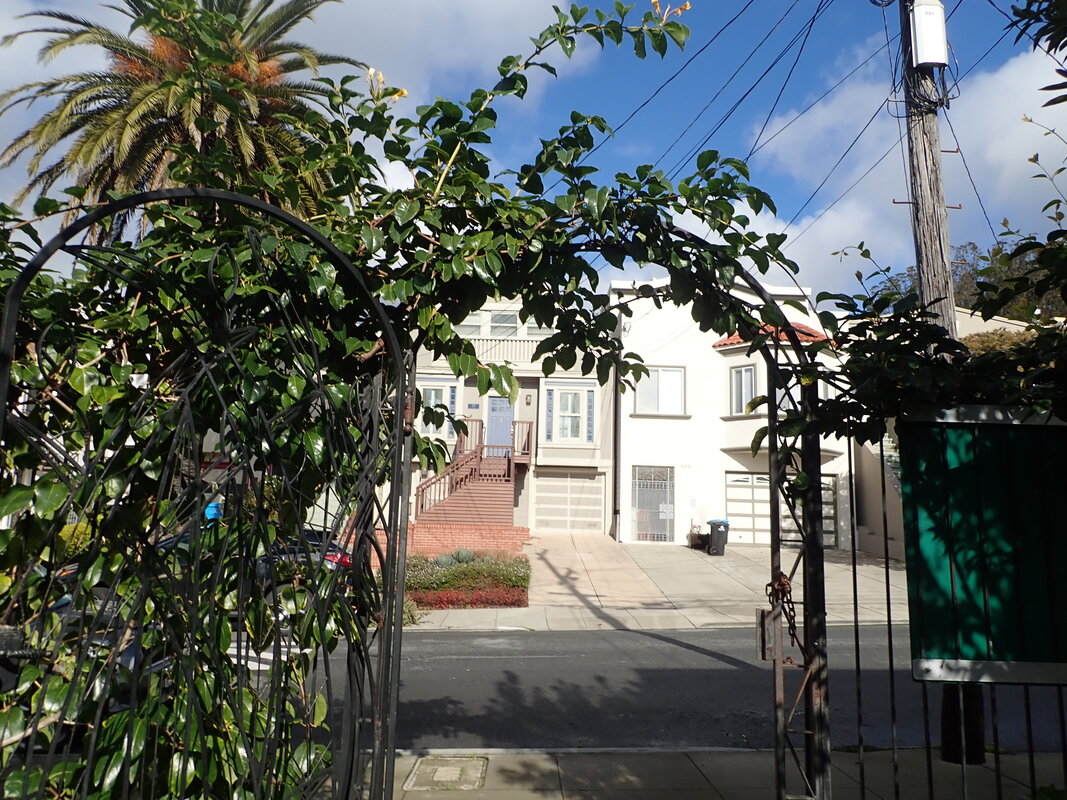
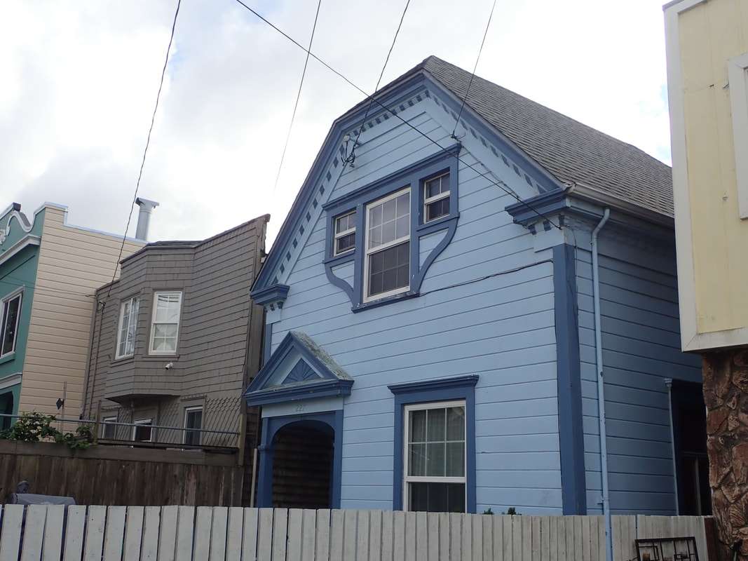
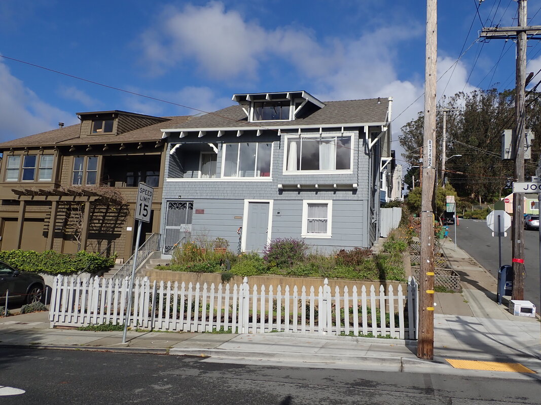
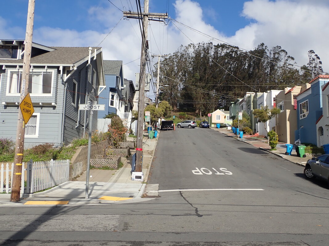
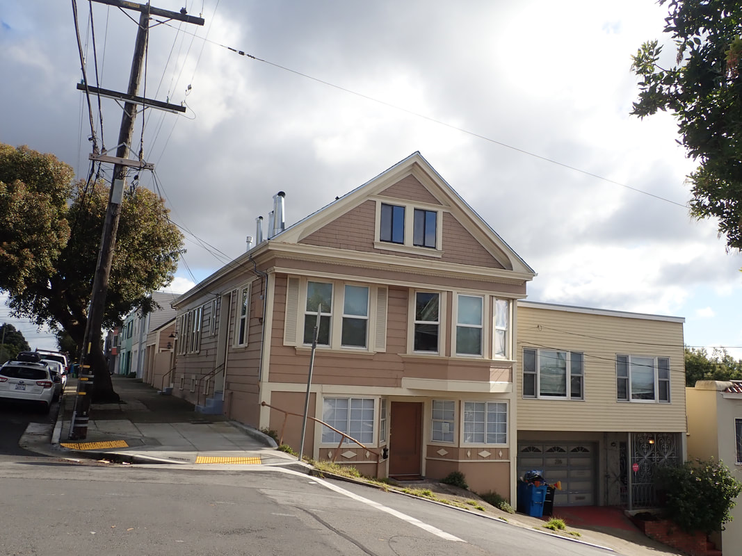
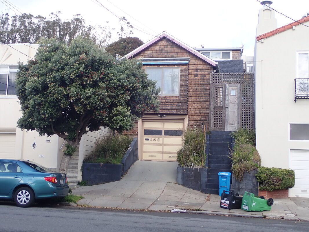
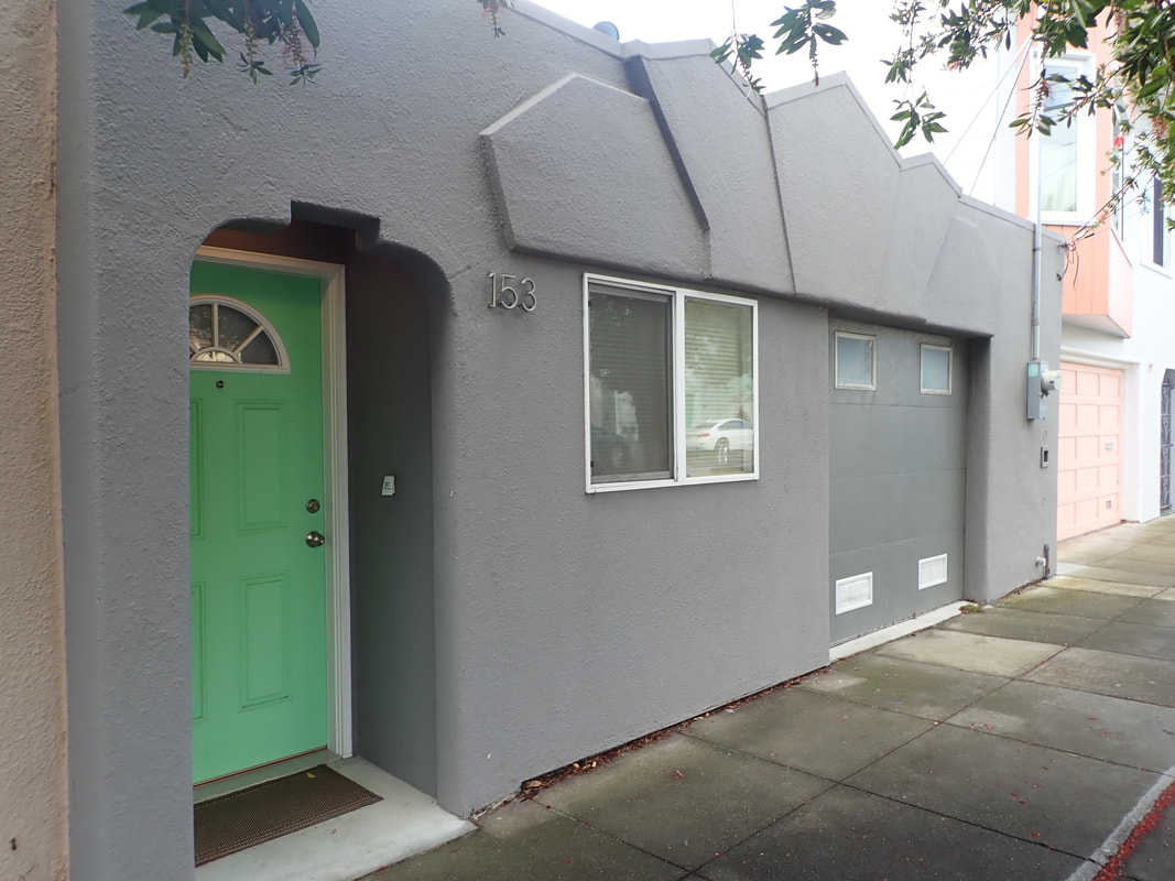
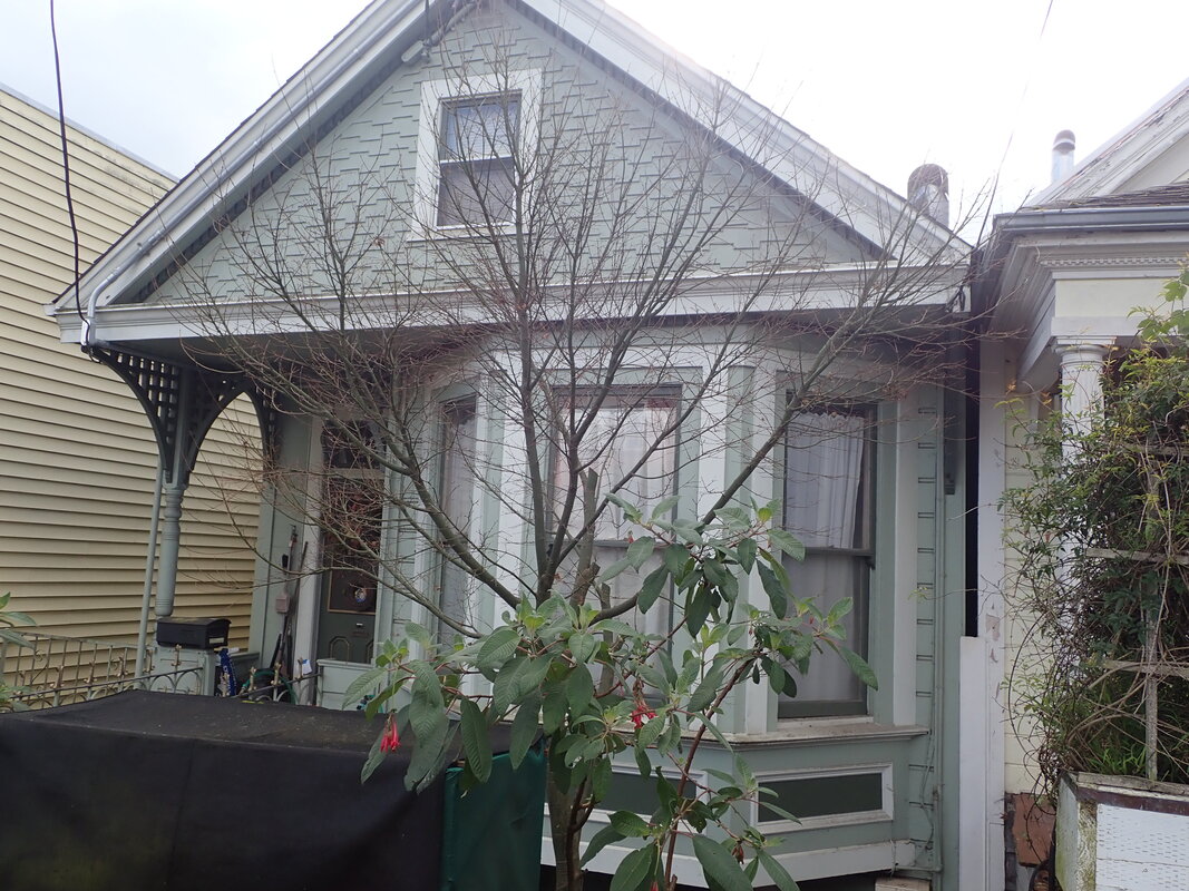
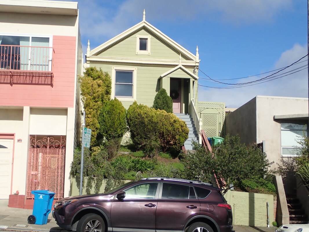
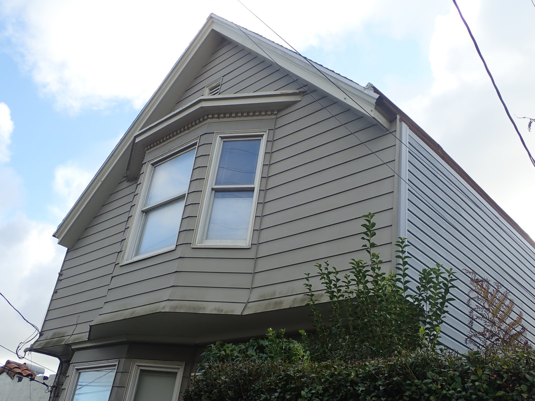
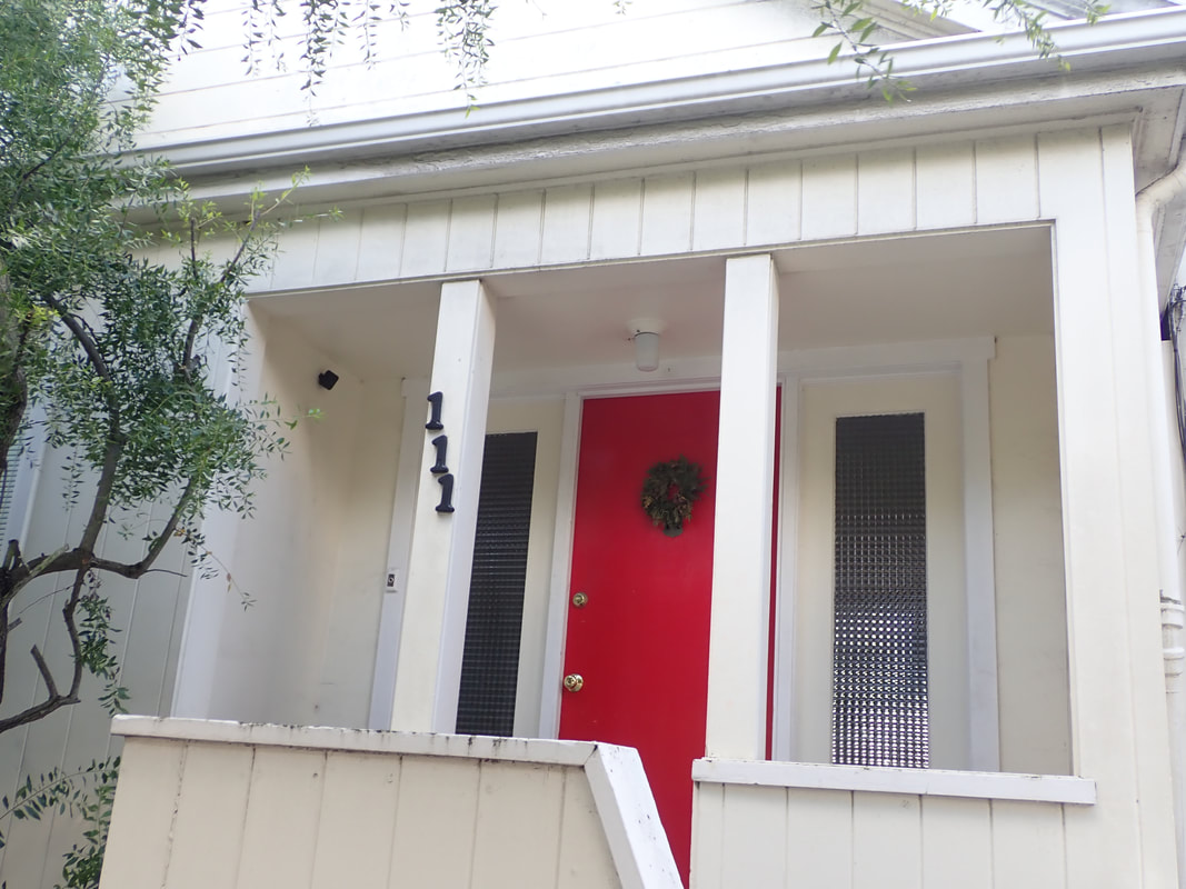
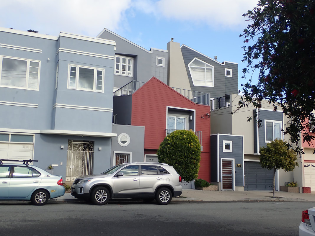
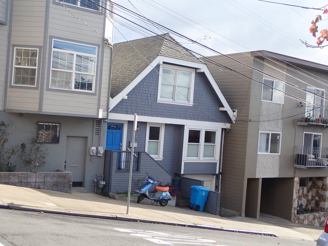
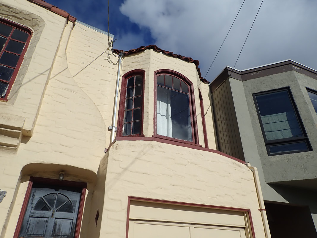
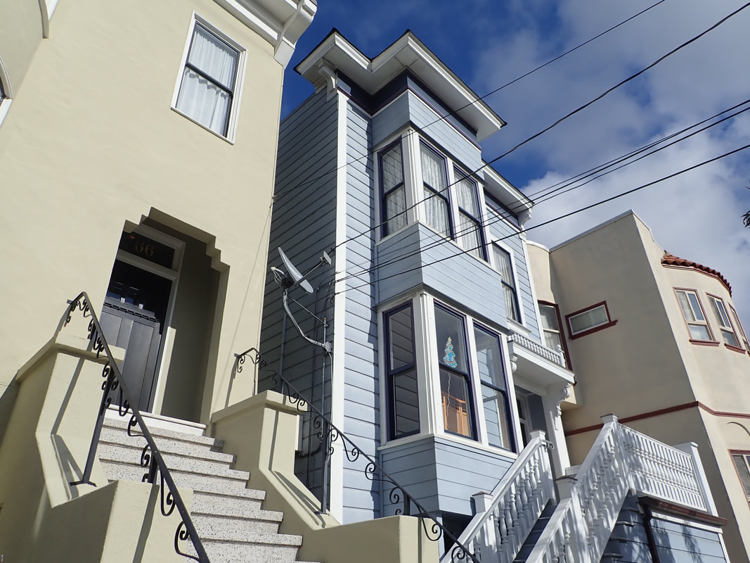
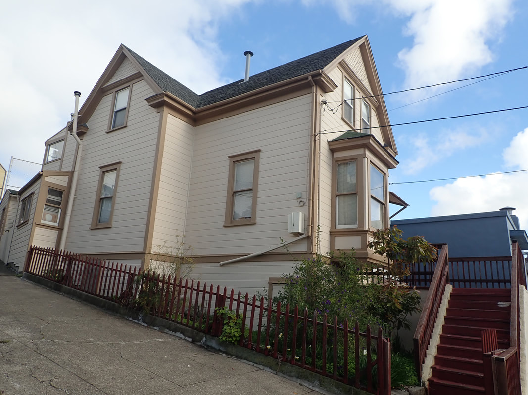
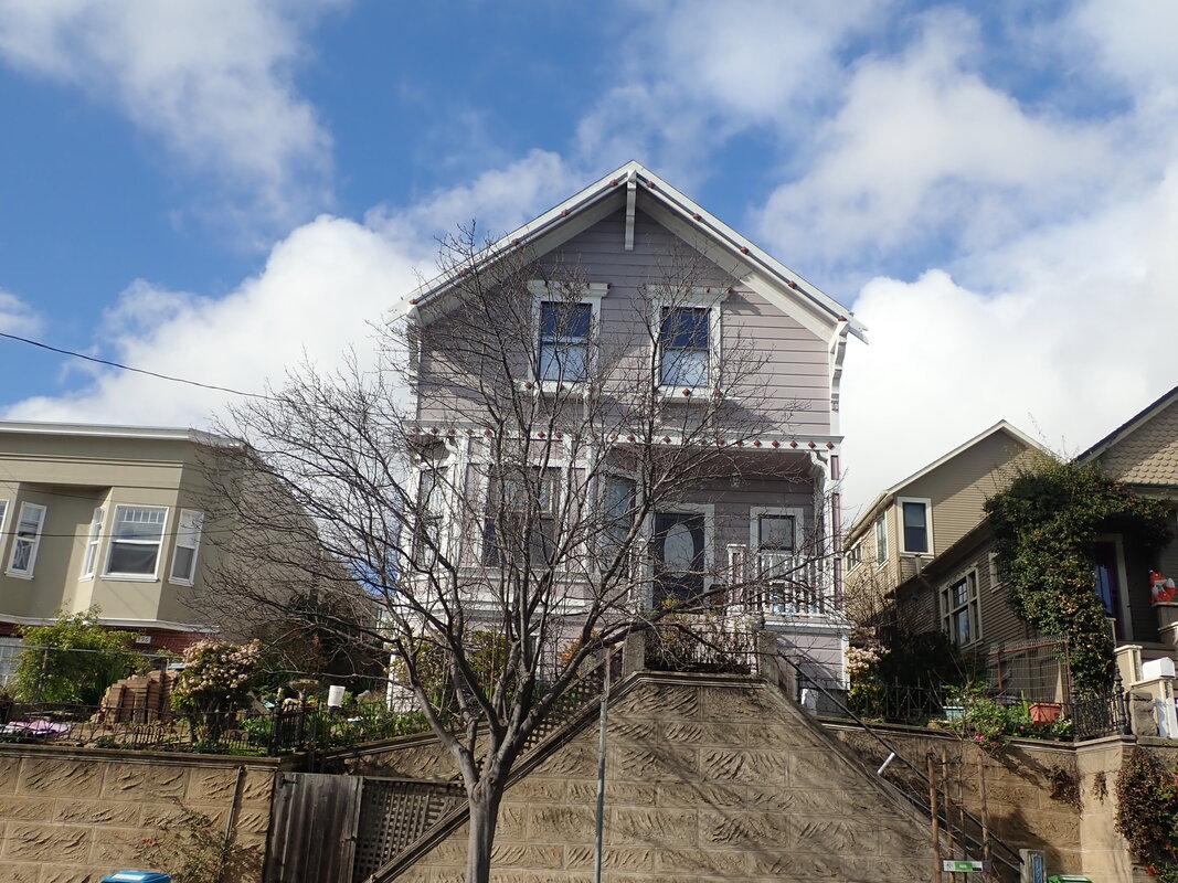
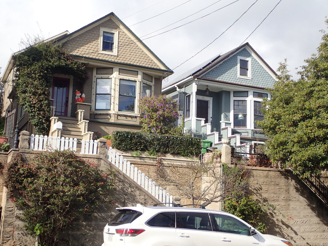
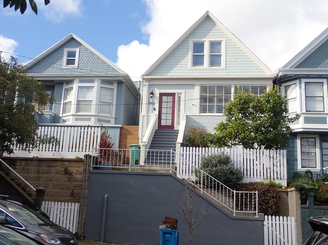
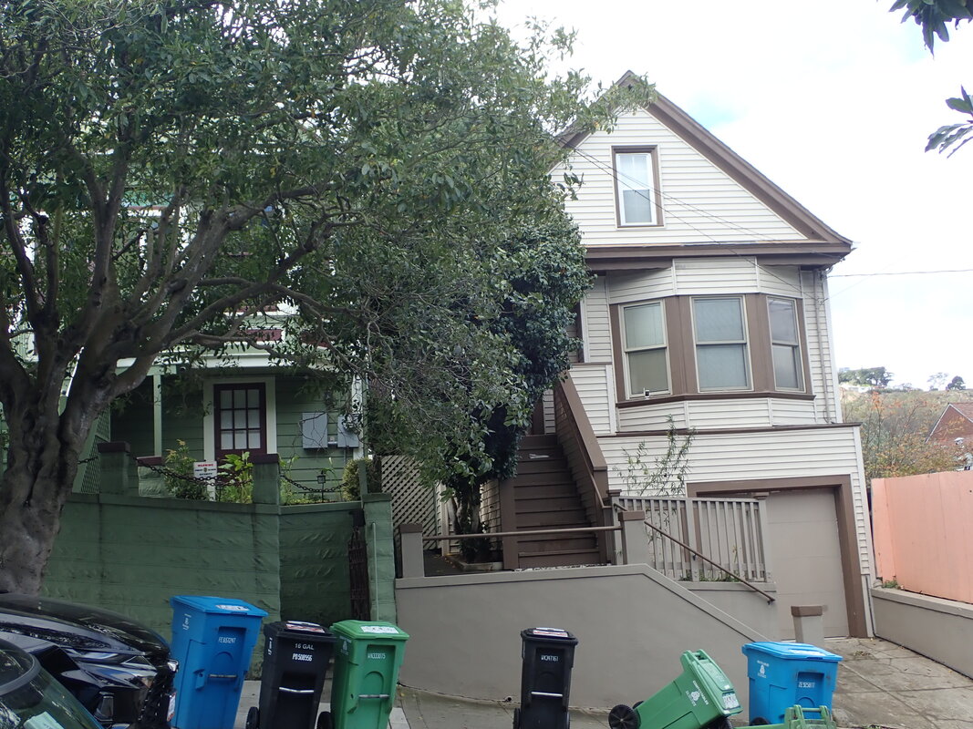
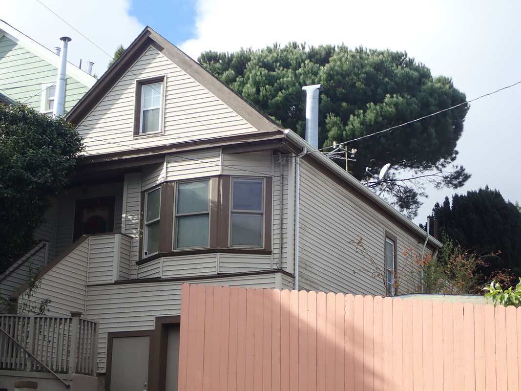
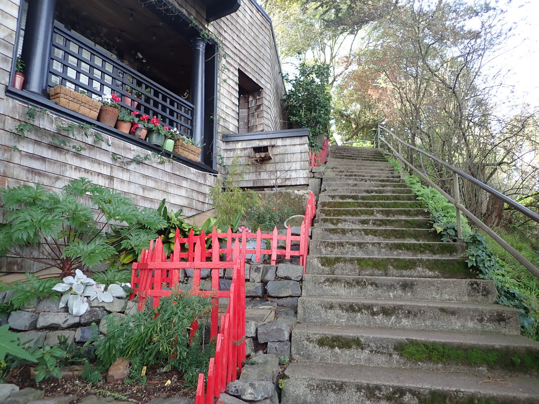
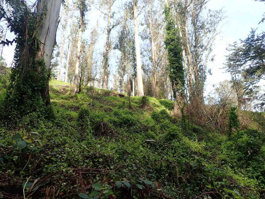
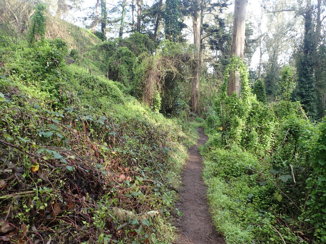
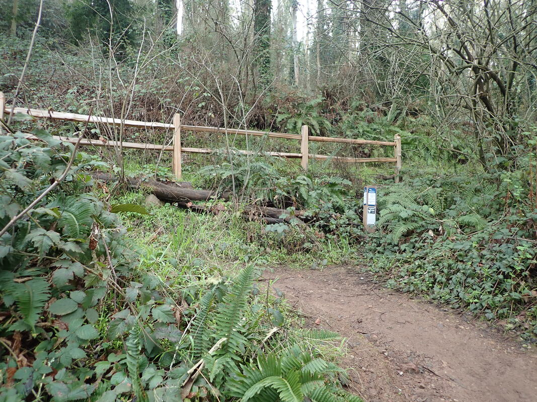
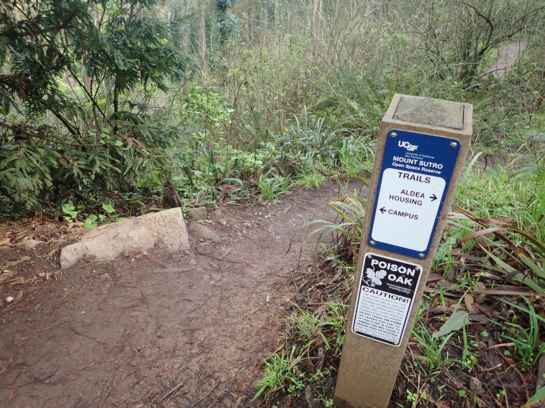
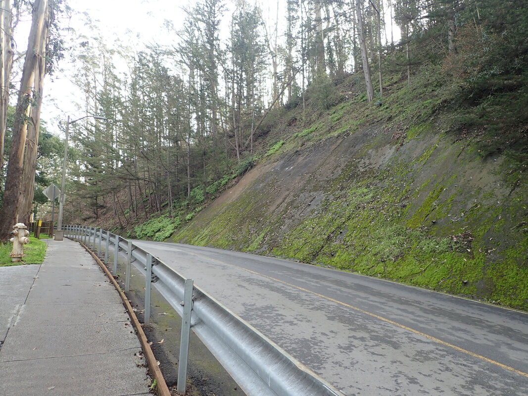
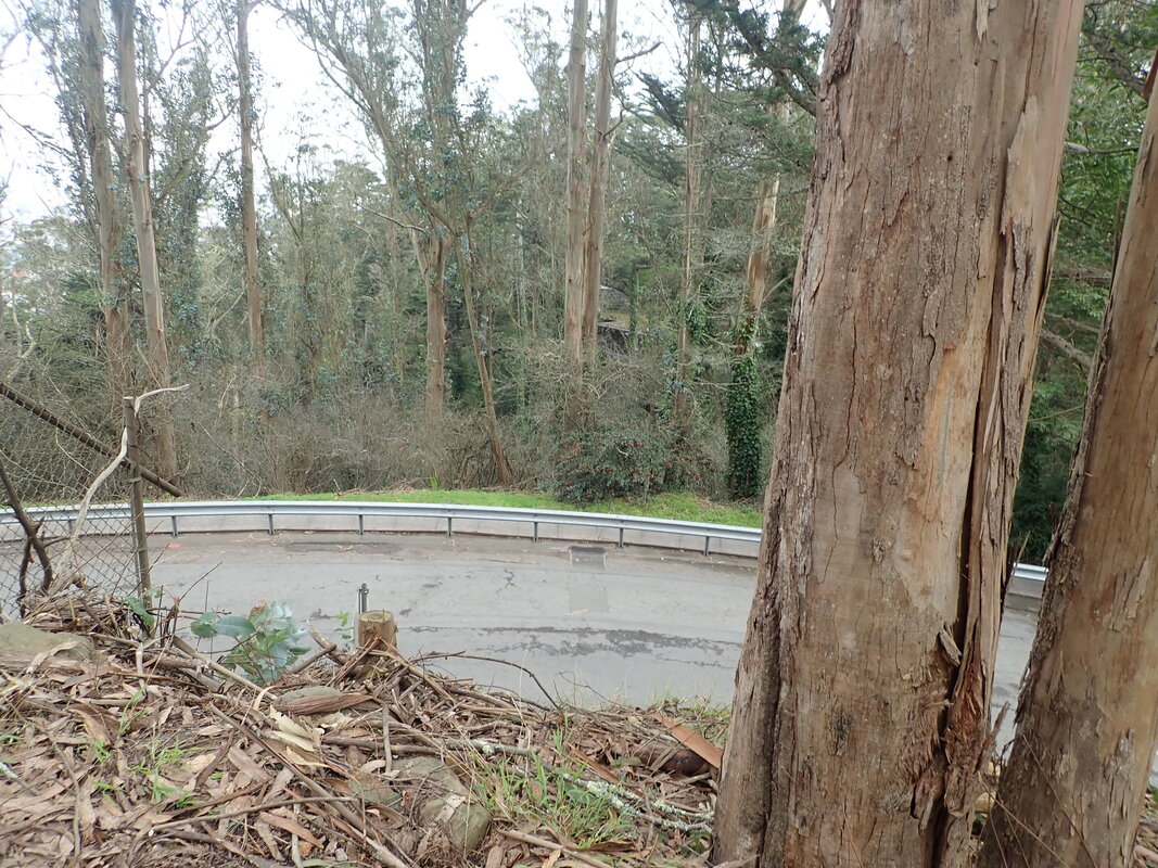
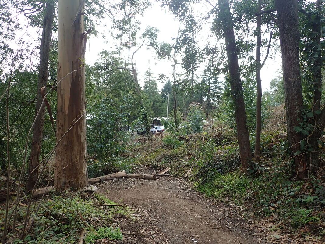
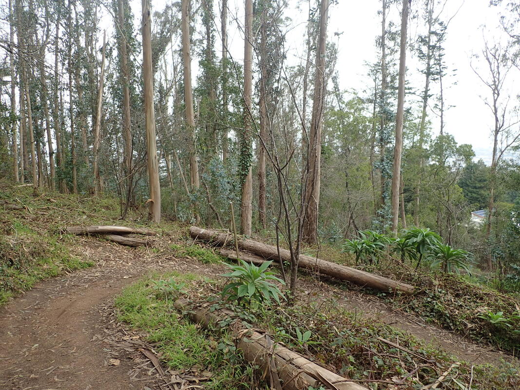
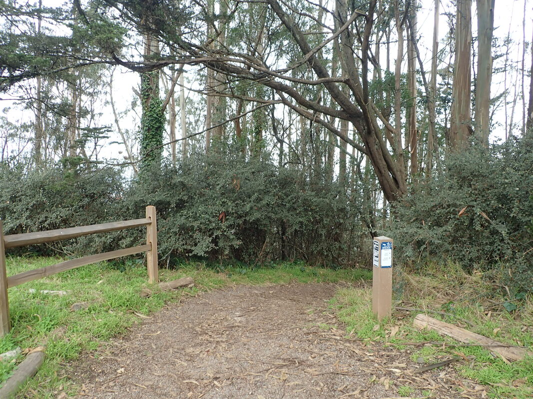
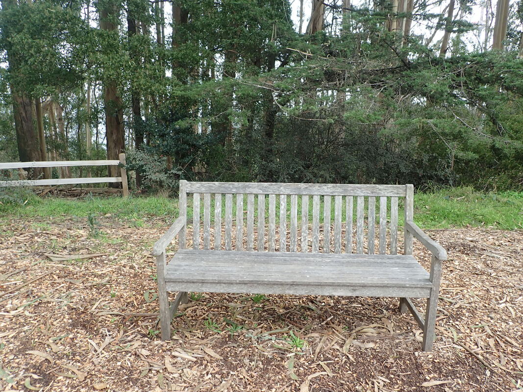
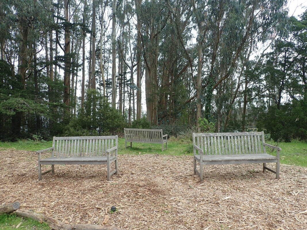
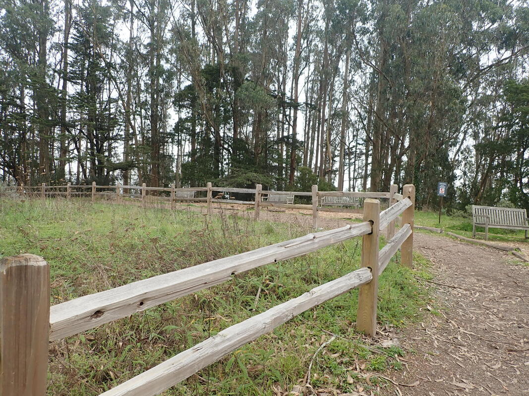
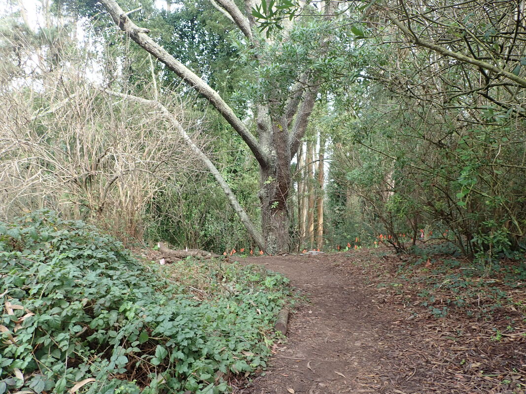
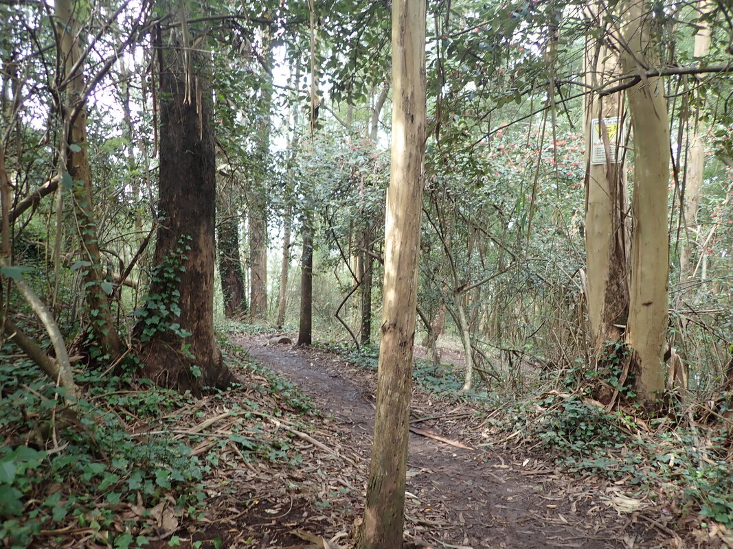
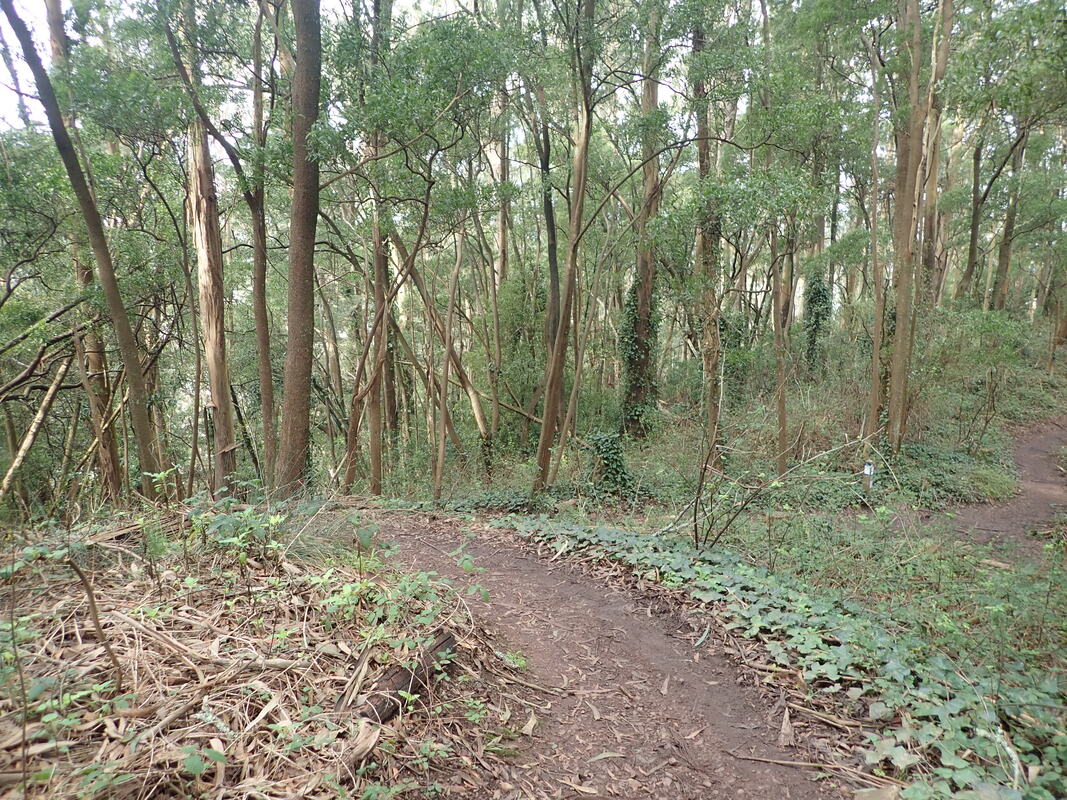
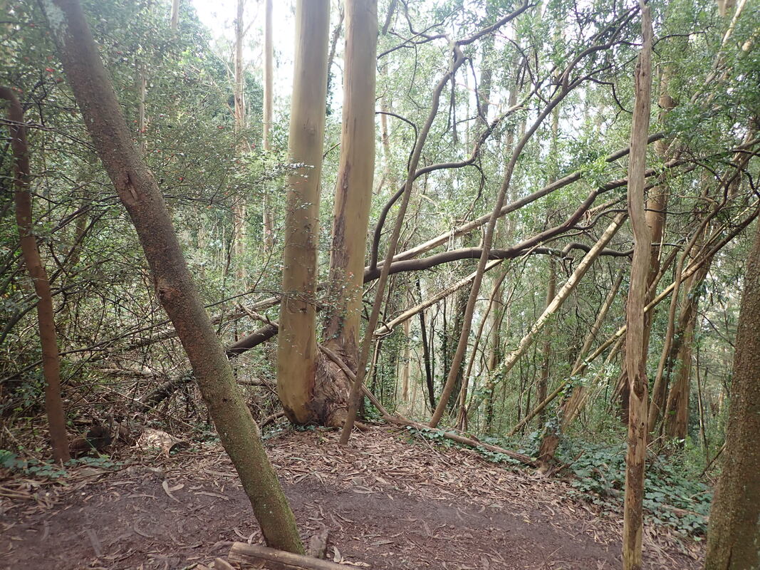
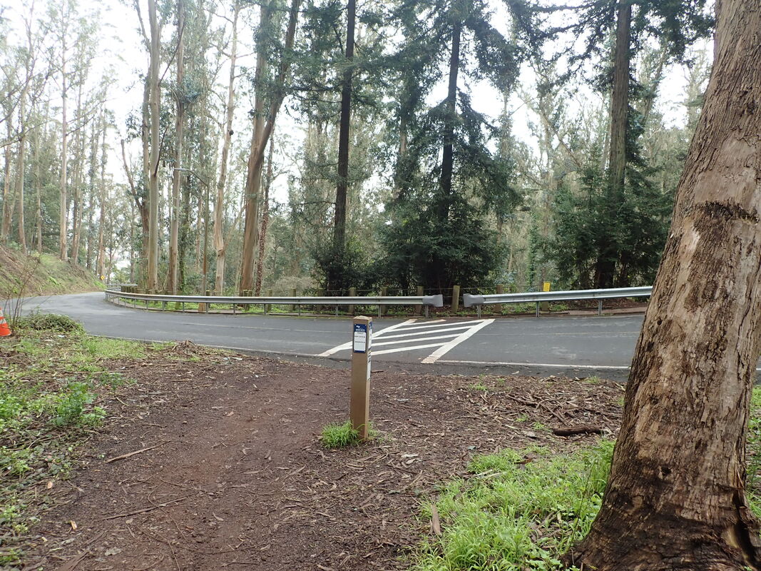
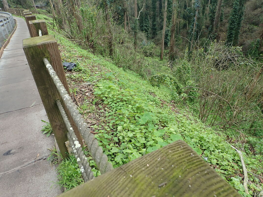
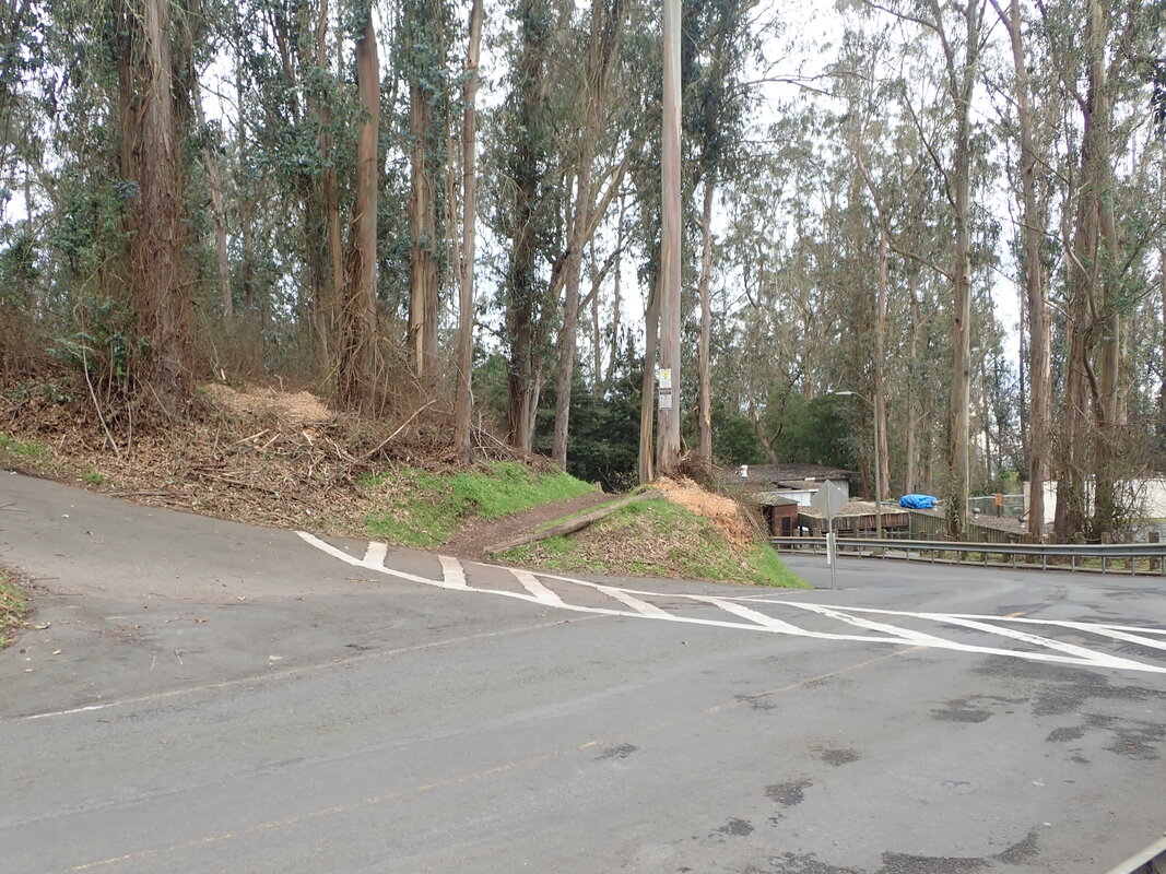
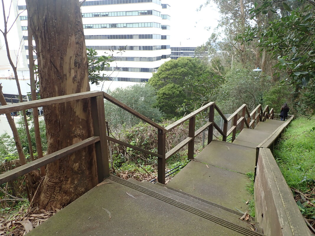
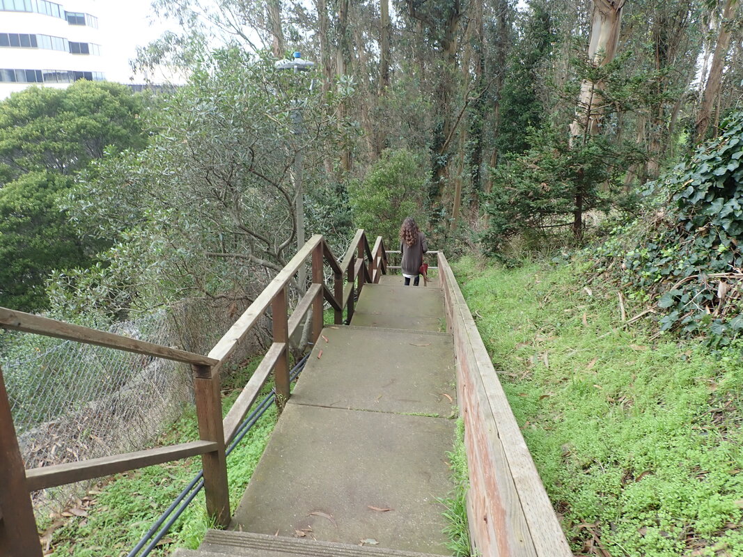
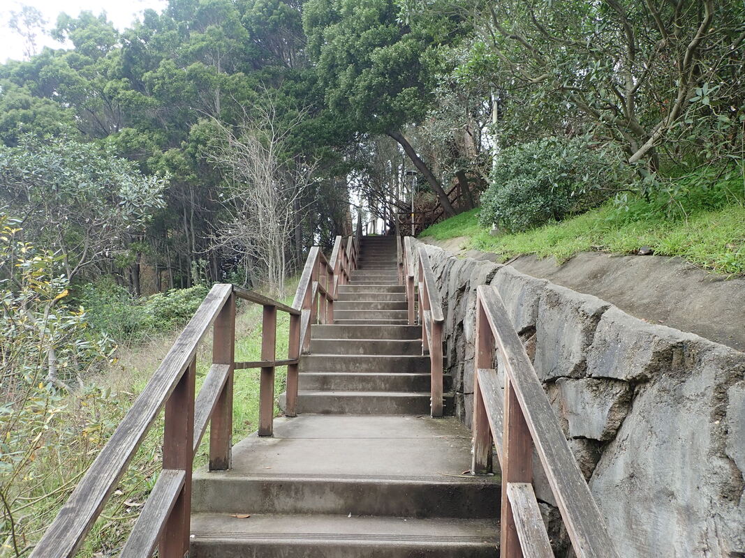
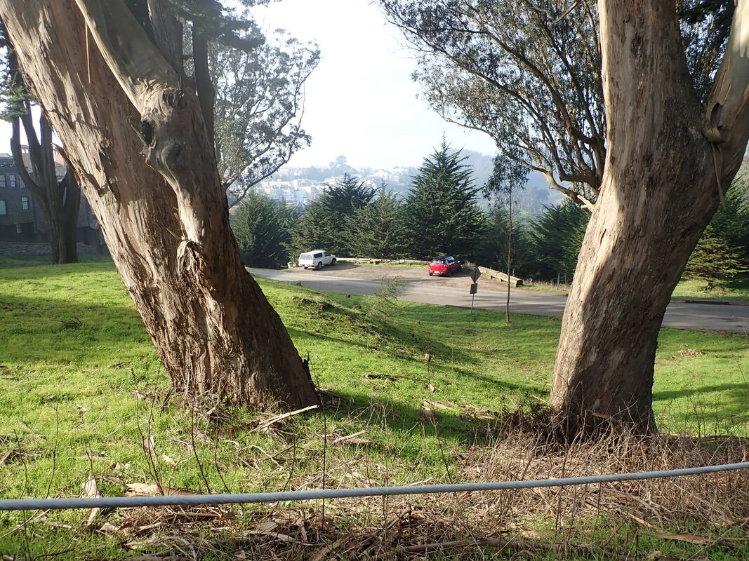
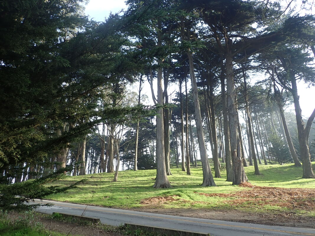
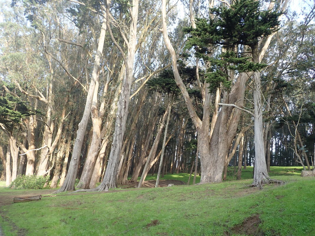
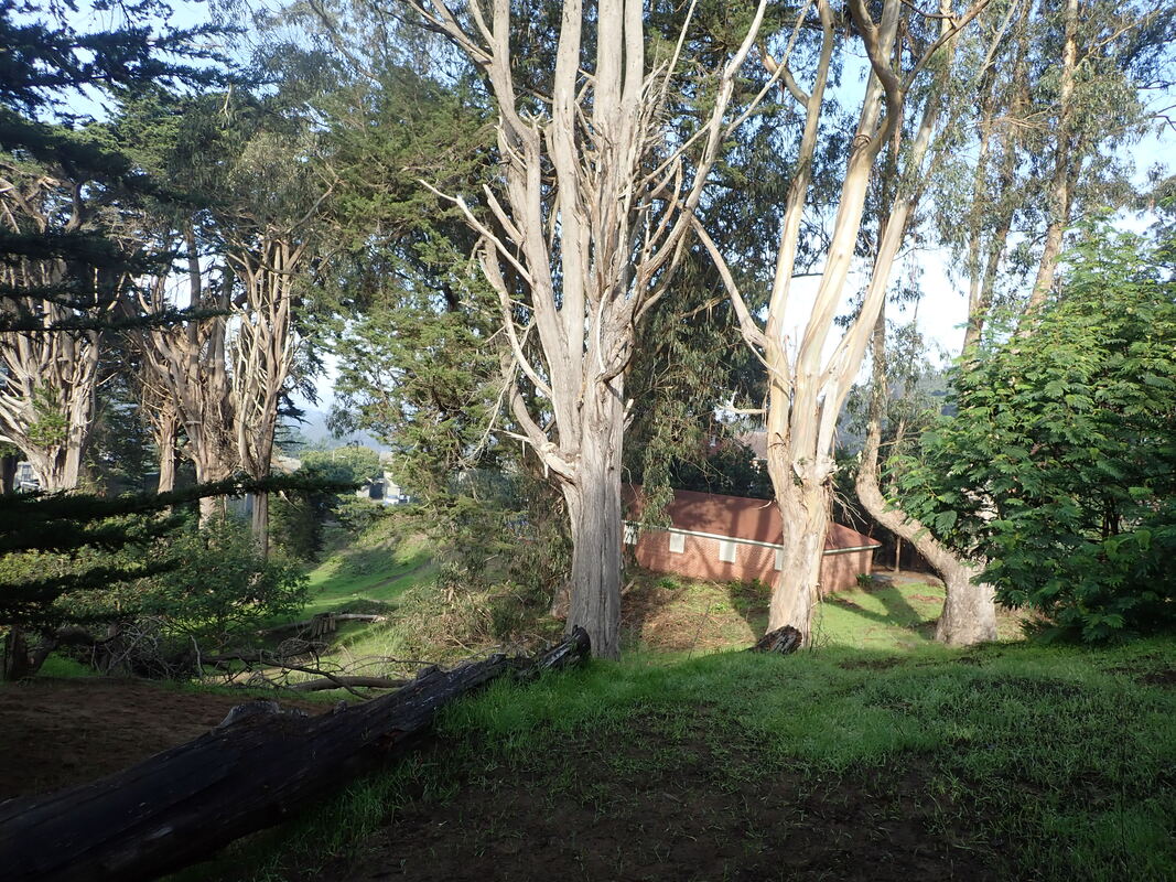
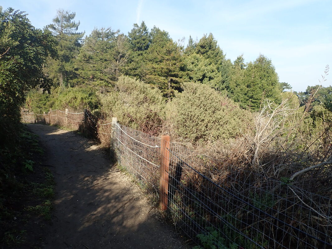
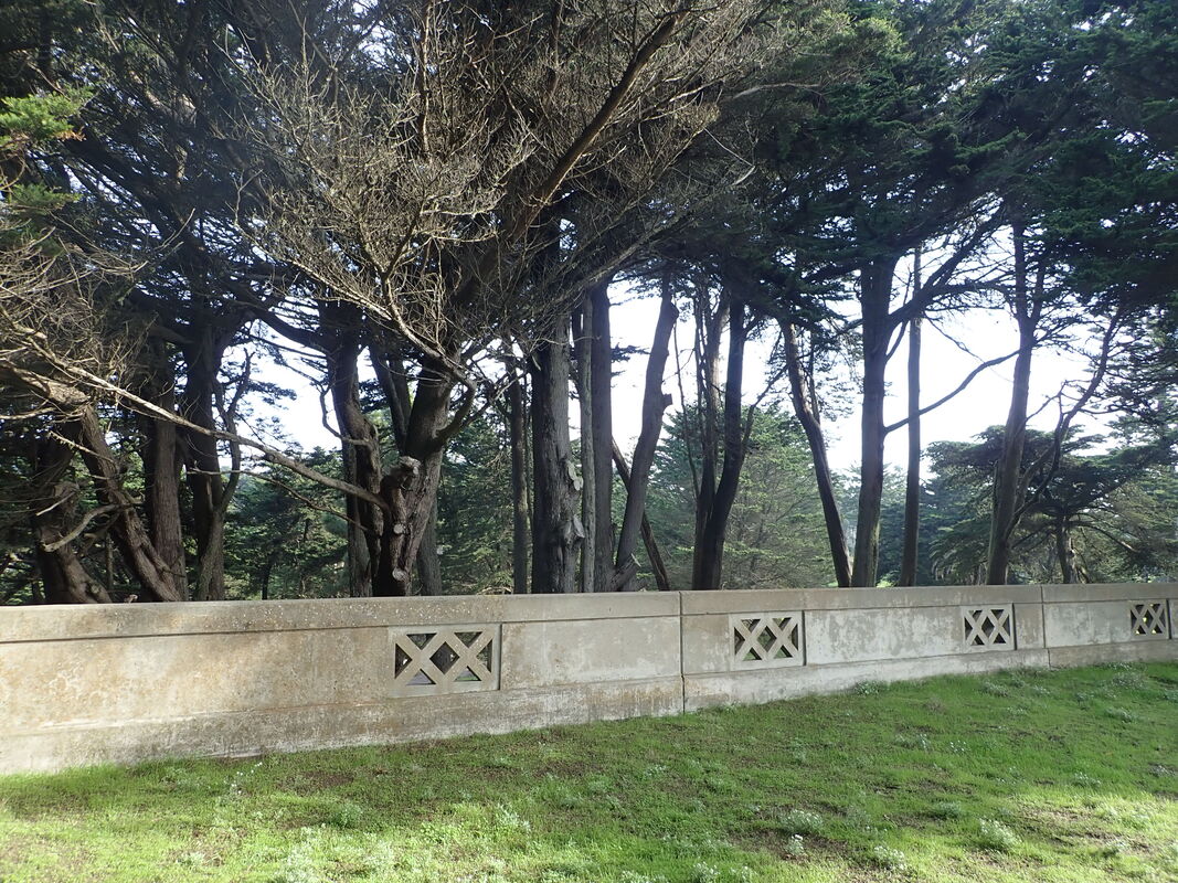
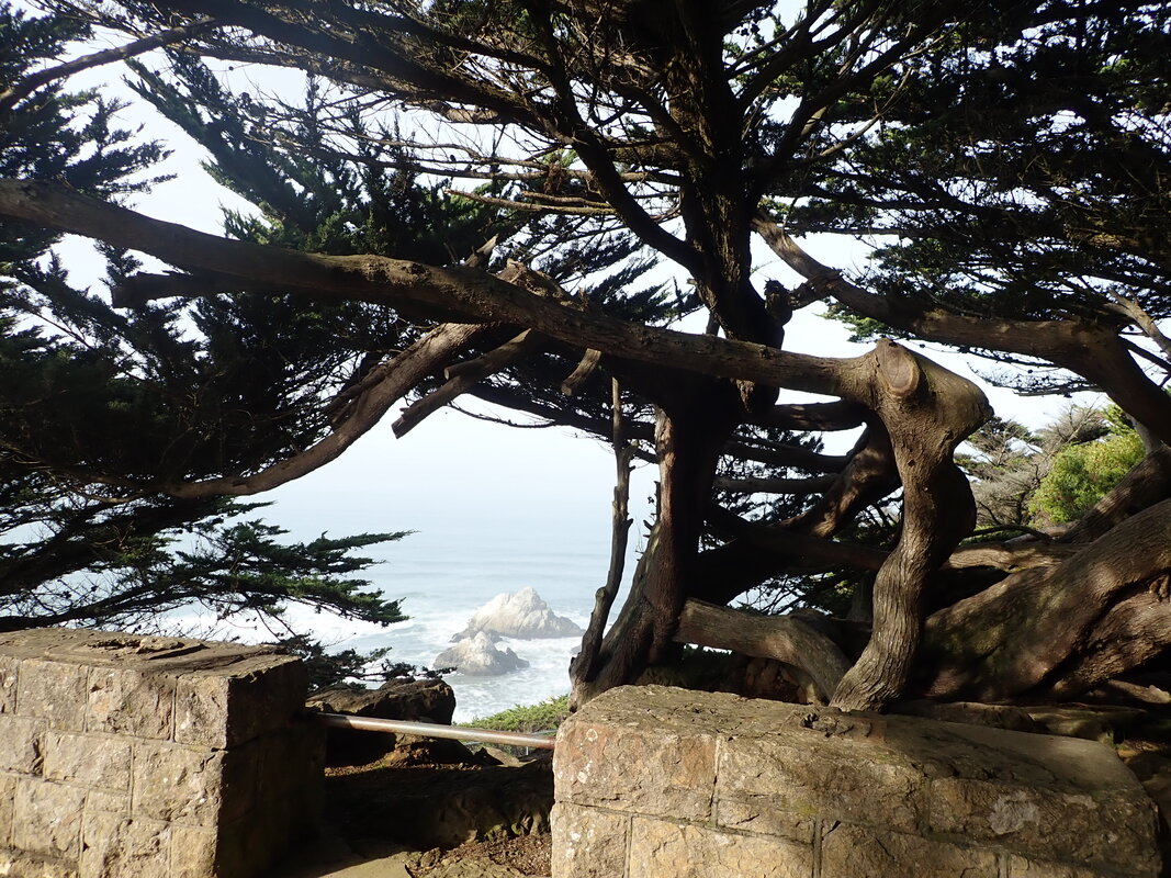
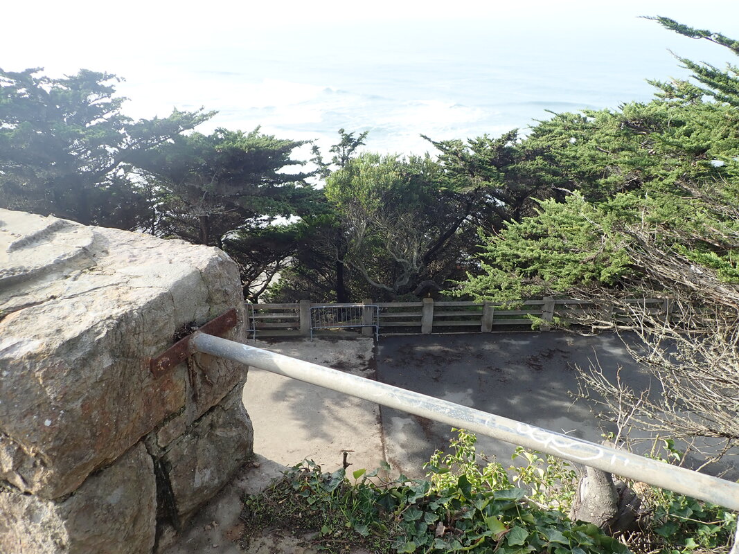
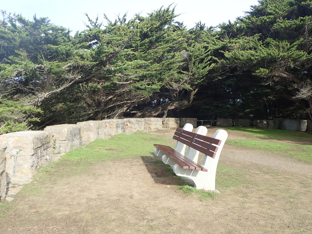
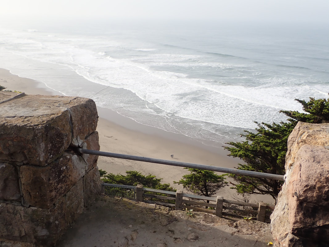
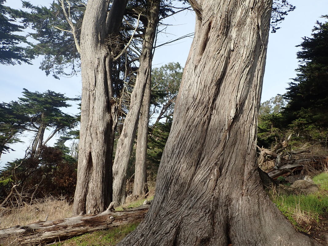
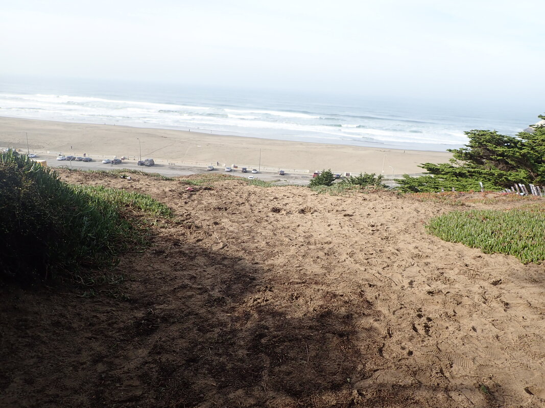
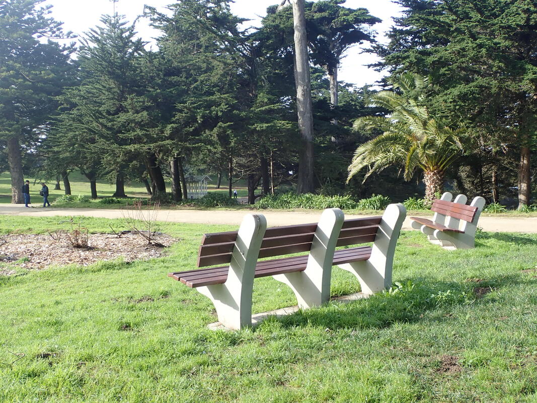
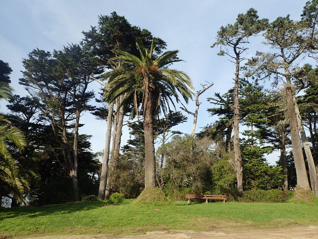
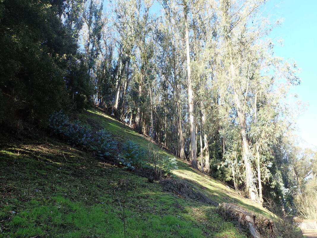
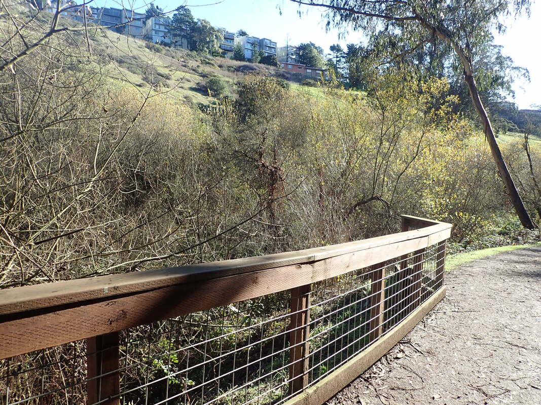
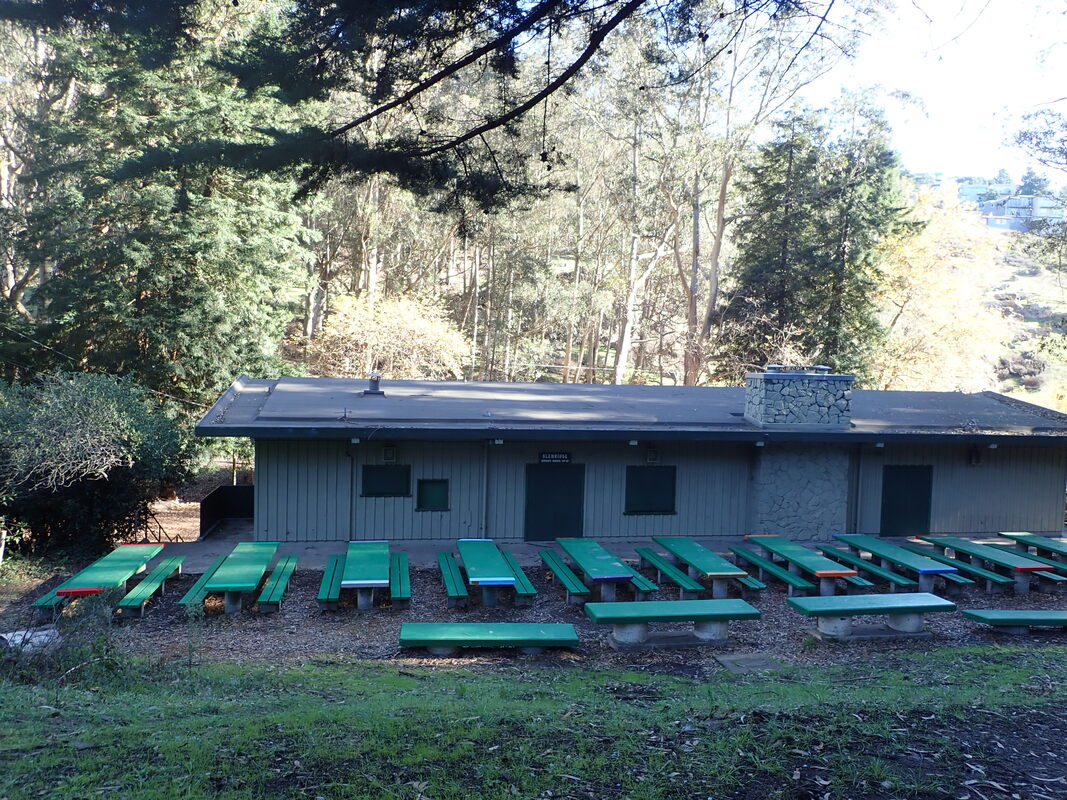
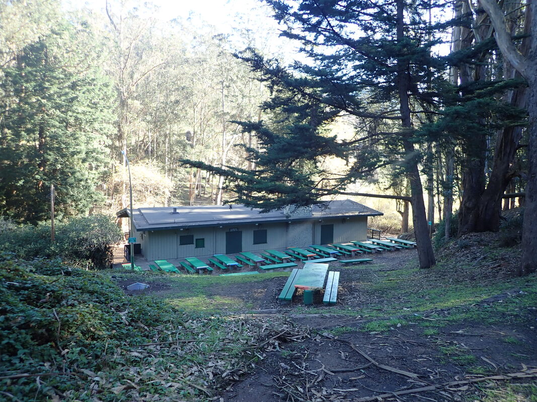
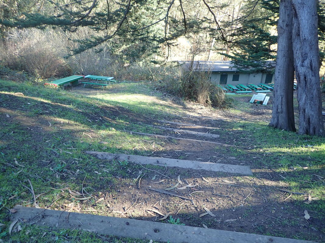
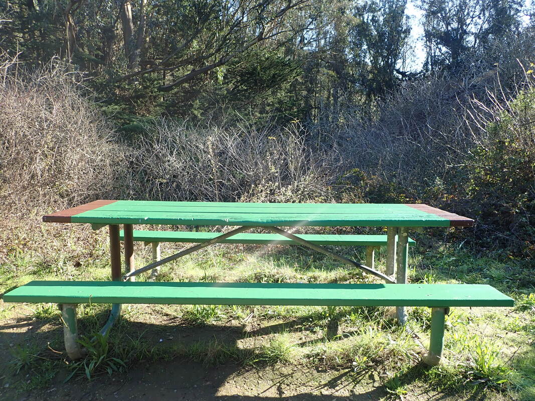
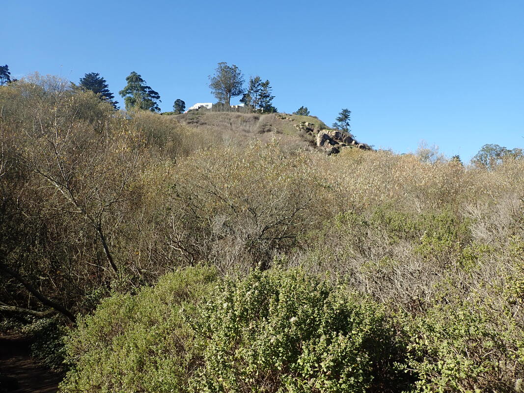
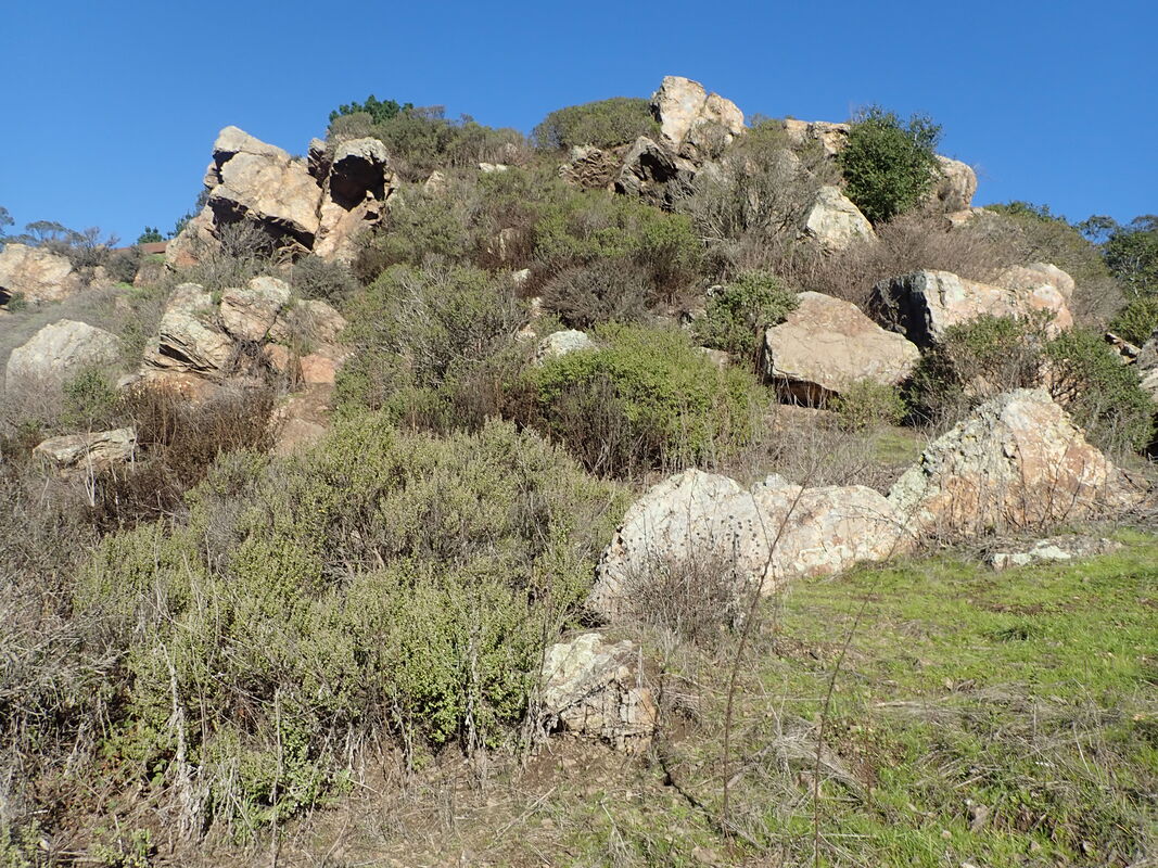
Fort Scott neighborhood: 41 thru 48
==================================
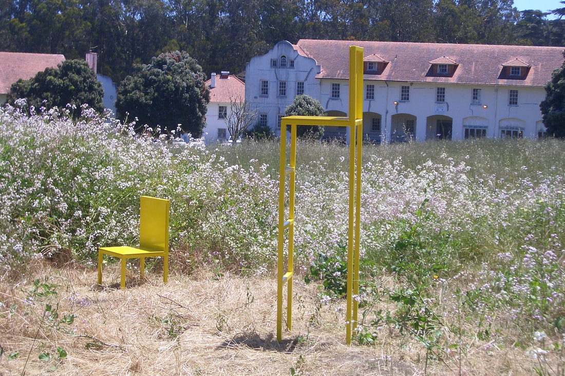
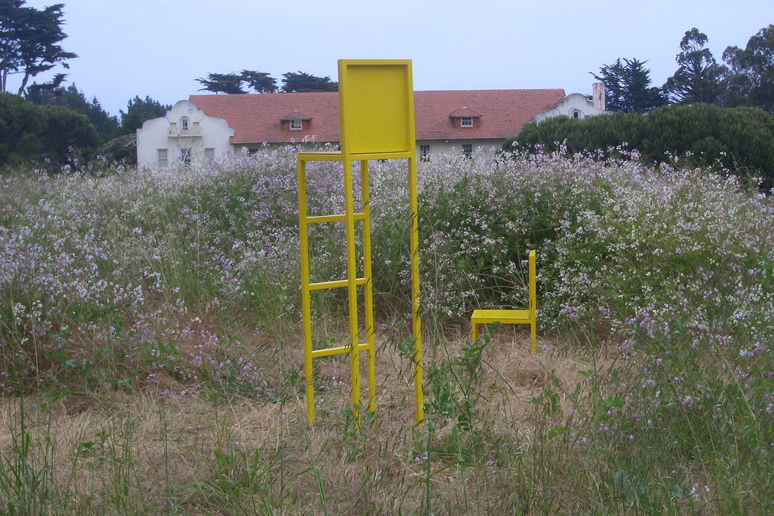
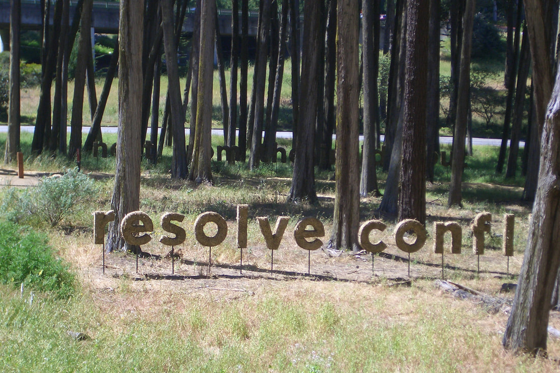
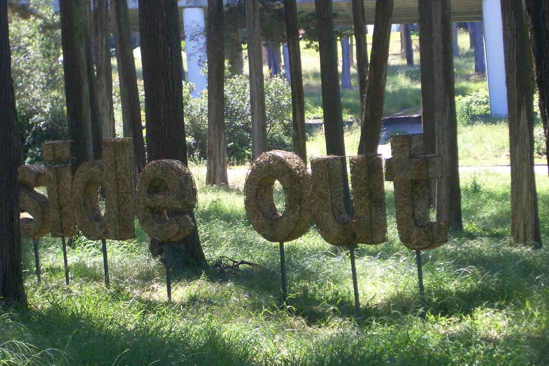
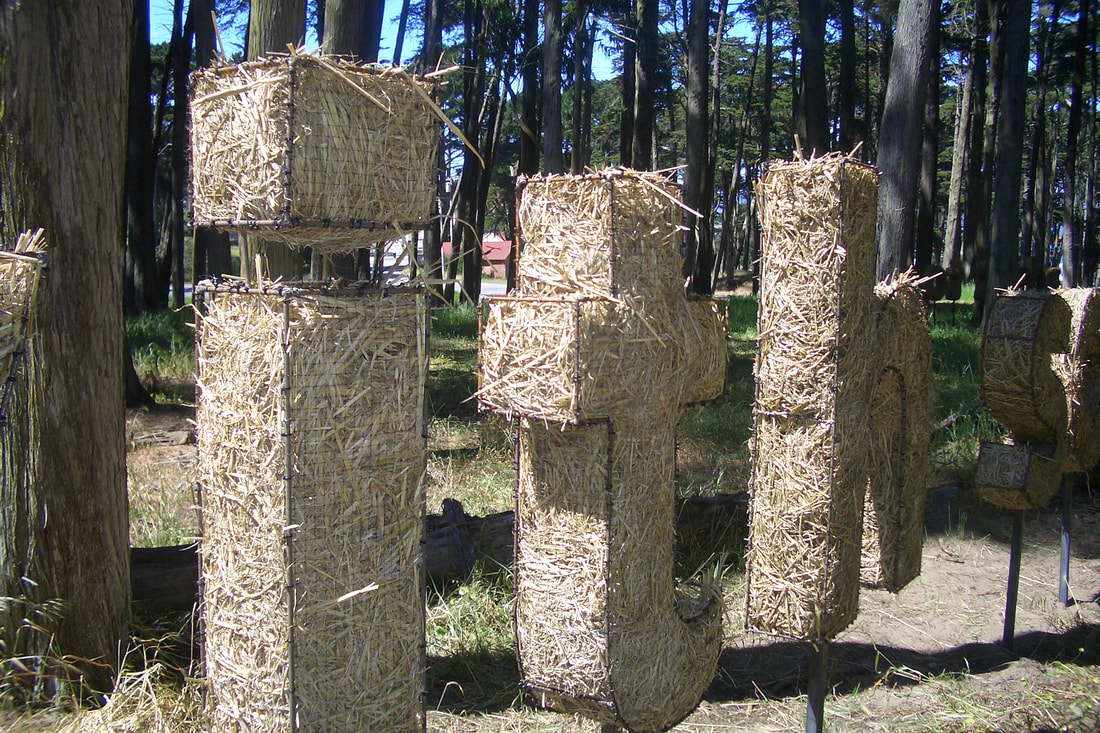
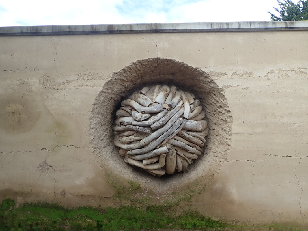
Some THEN photos from 2010 of the outdoor installations called Presidio Habitats. Hoped these would be permanent but this was not to be. Thought actual critters might choose to make one or more of these their homes.
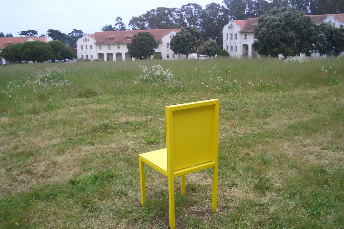
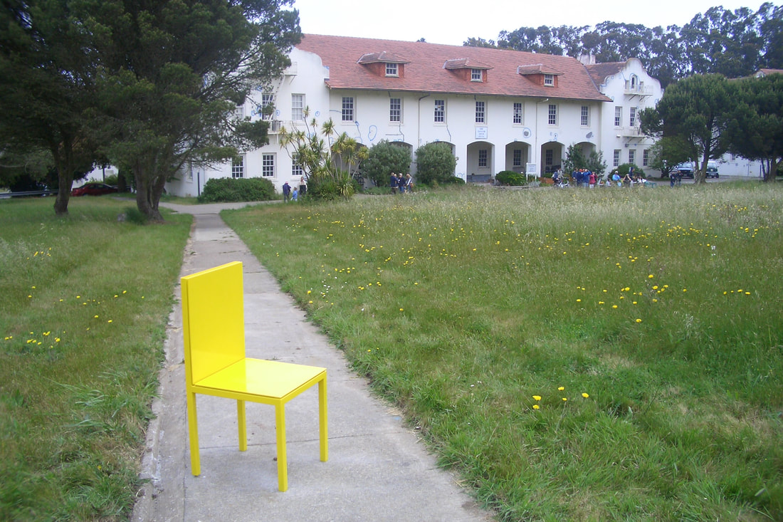
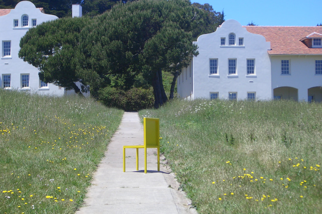
My favorites were from the Fort Scott area. Possible Great Blue Heron sightings: 49 thru 57
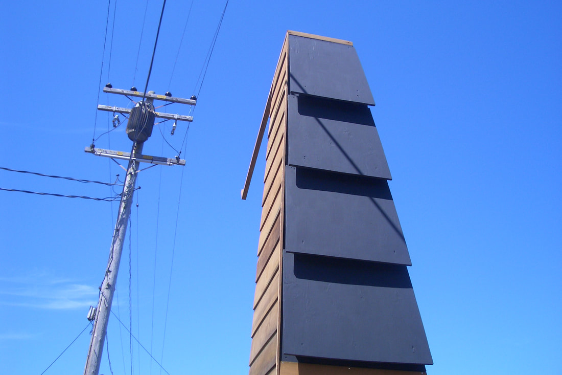
Above Fort Scott’s Dragonfly Creek footbridge, a potential bat house: 58, 59, 60
Animal Estates Snag Tower designed for various wild things: 61, 62, 63
Western Screech Owl dwelling: 64
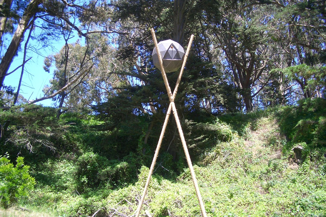
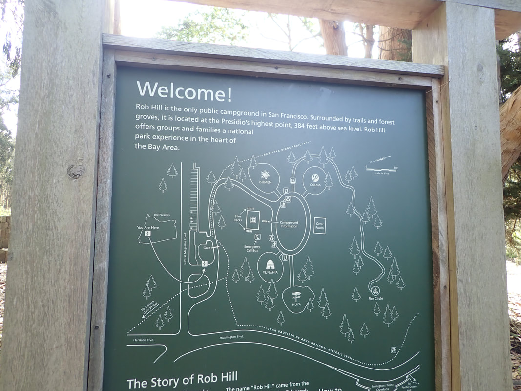
Rib Hill Campground area —this for red-tailed hawks: 65
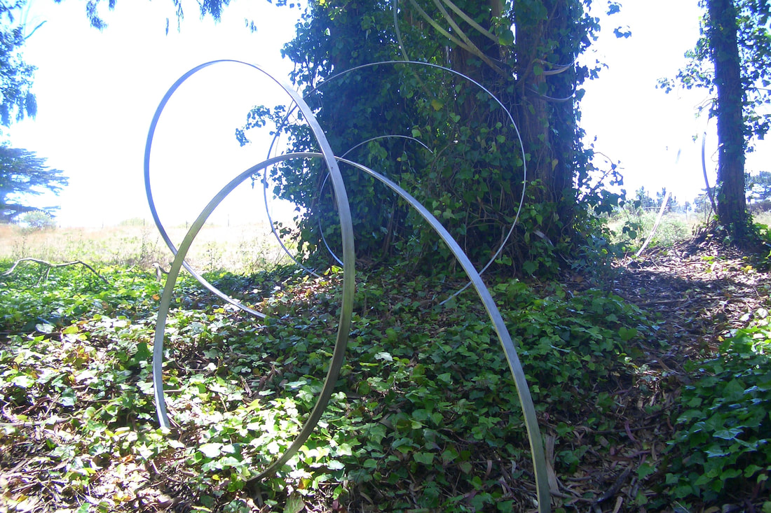
Owl dome: 66
Gray Fox house on Park Trail: 67 thru 71
Park Trail American Robin housing: 72thru 77
1
2

3 Nursery below
4
5
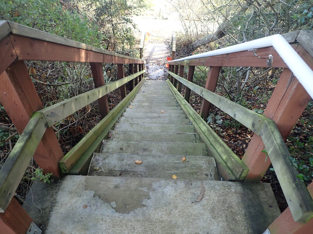
6 30 steps
7
8
9
10
11
12
13
14
15
16
17
18
19
20
21

22
23
24
25
26
27
28
29
30
31
32
33
34
35
36
37
38
39
40
41
42
43
44
45
46
47
48
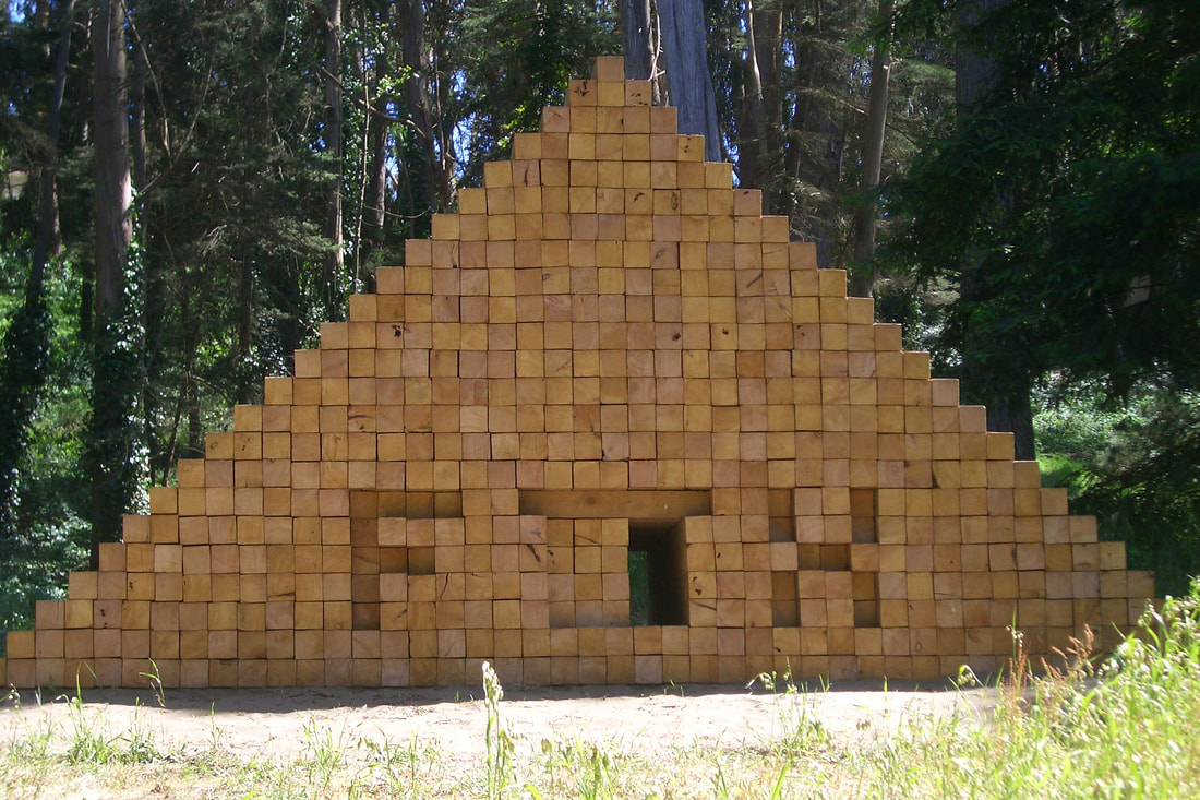
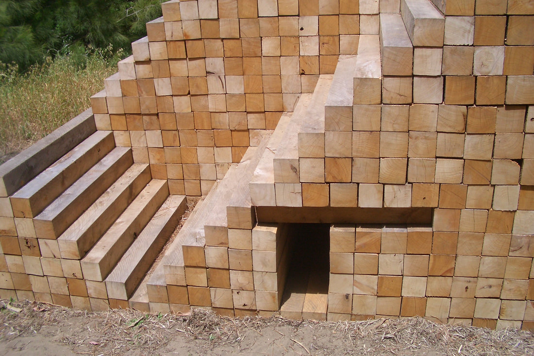
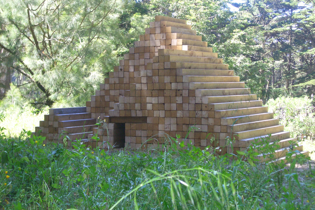
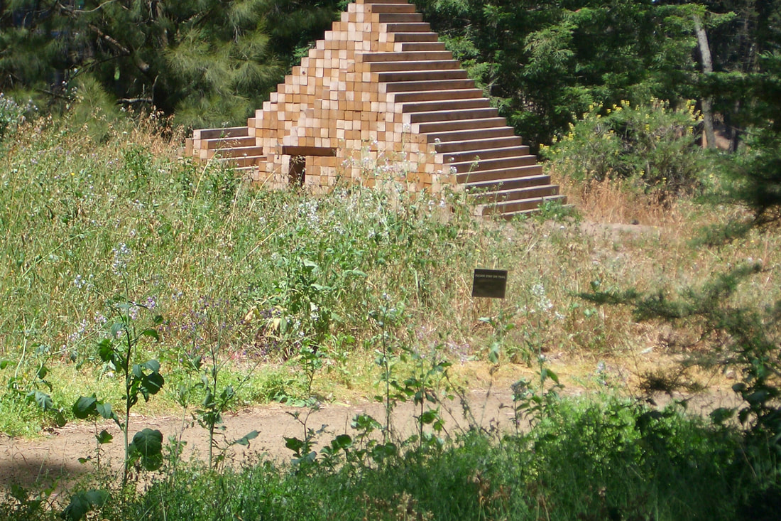
49 THEN -- Presidio Habitats, Fort Scott , 2010
50
51
52
53
54
55
56
57
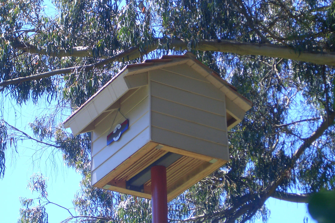
58 THEN -- Dragonfly Creek footbridge bat house, Fort Scott
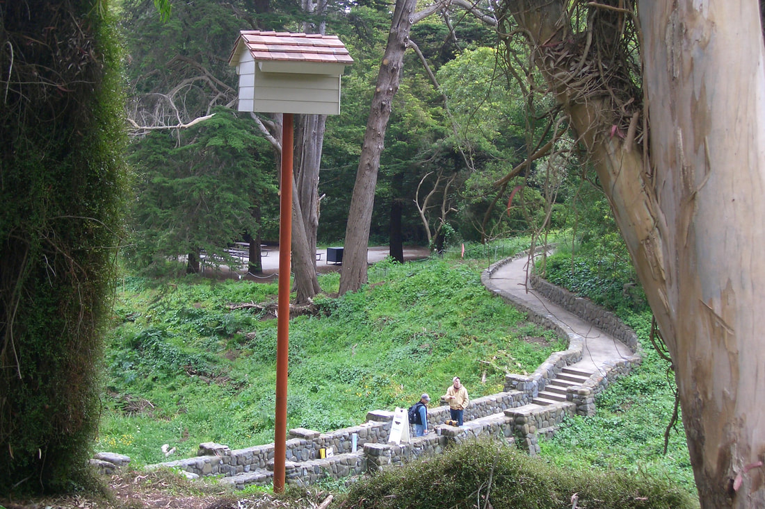
59
60
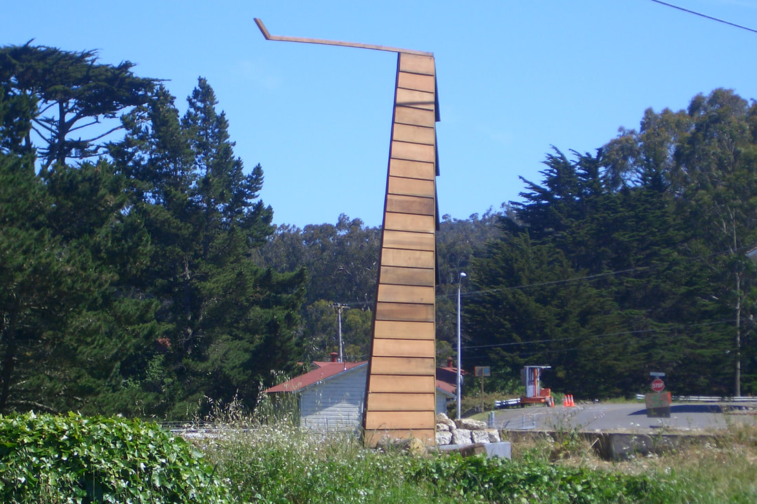
61 THEN -- Animal Estates Snag Tower for various critters
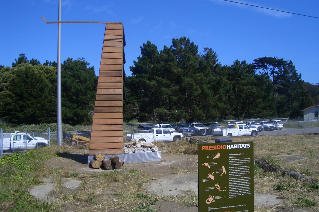
62
63
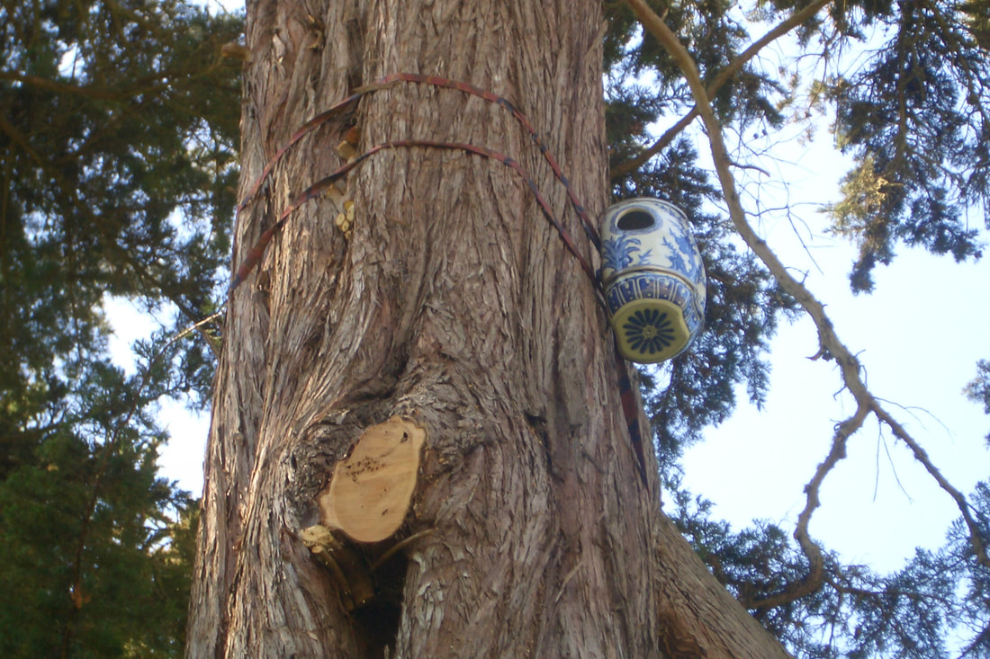
64 THEN --Western Screech Owl habitat
65 THEN -- For red-tailed hawks
66 THEN -- Owl Dome
67 THEN -- Home for a gray fox
68
69
70
71
72 THEN -- Park Trail American Robin dwealings
73
74
75
76
77


 RSS Feed
