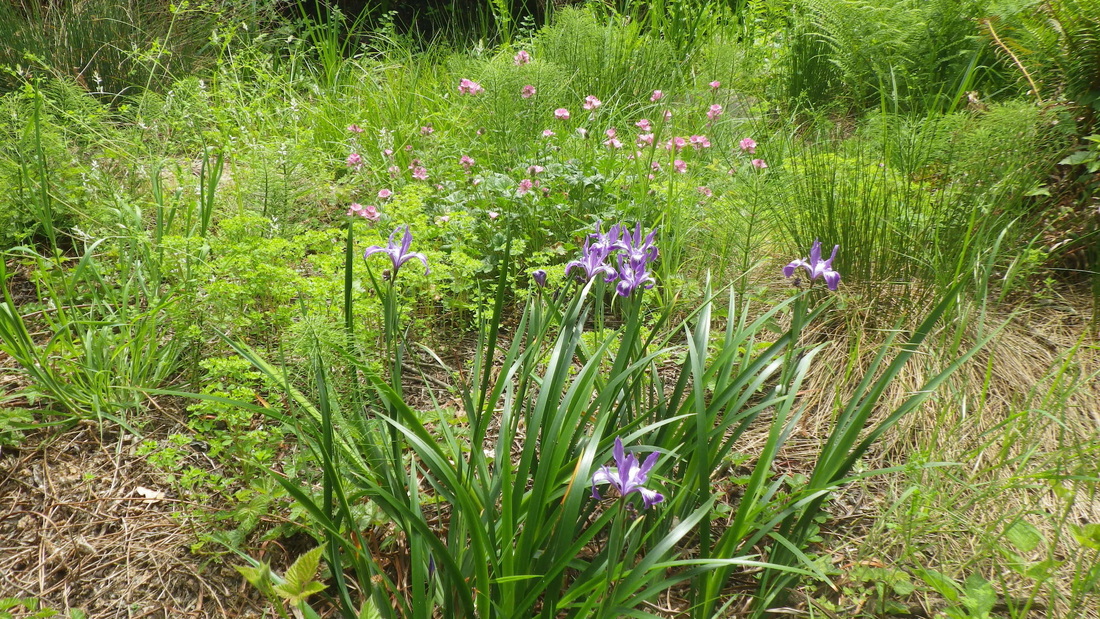
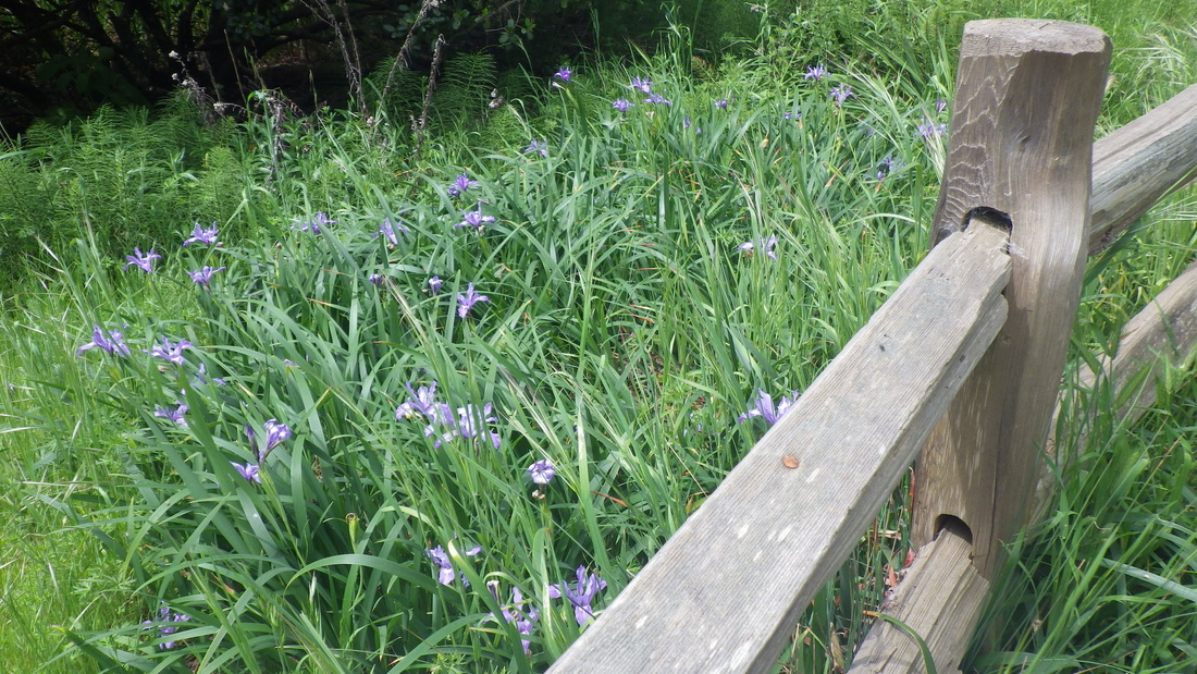
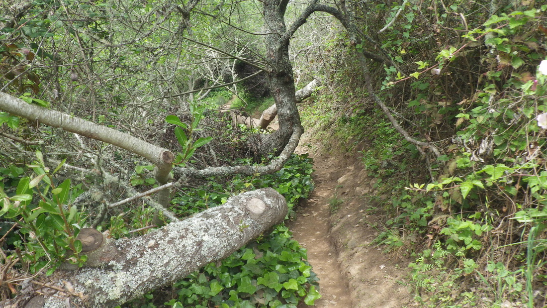
I sometimes have no specific route in mind; just enjoy climbing up and around for a couple of hours enjoying the hi-trek with the views, delightful aromas, bountiful trees and other plants, and this very green city’s various stairways.
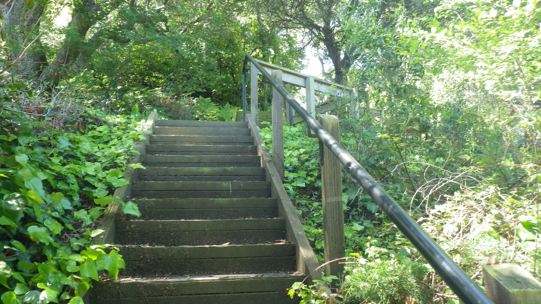
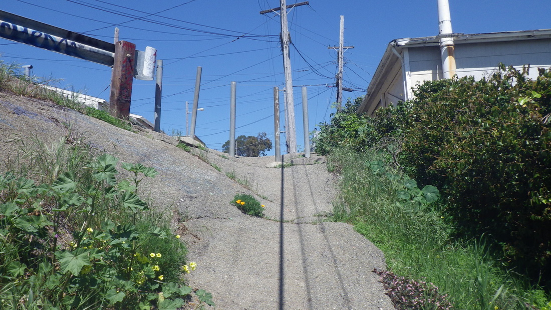
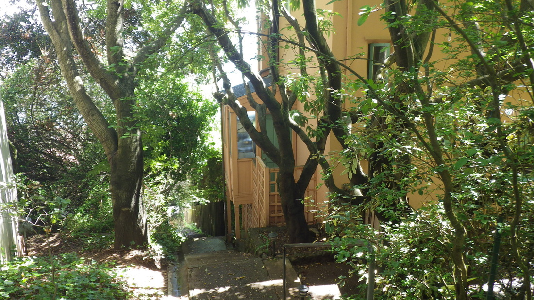
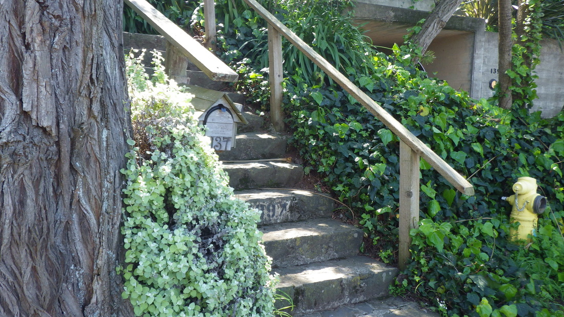
120 steps to start up the El Monte steps at Bridgeway, first two pix. Bulkley’s at the top, pic 3.
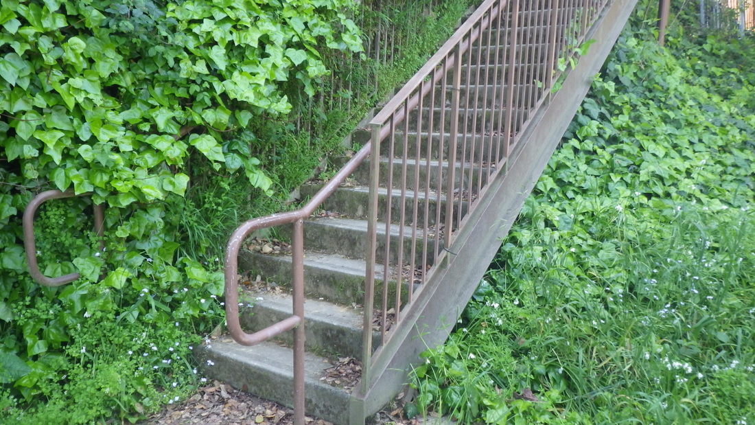
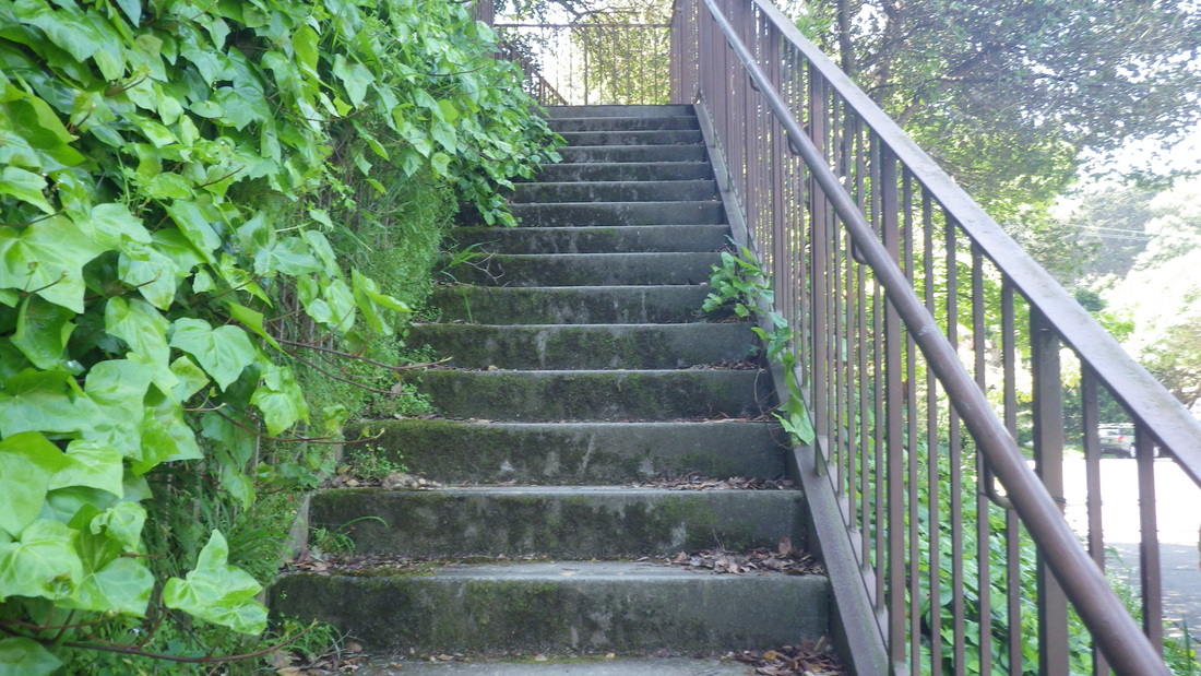
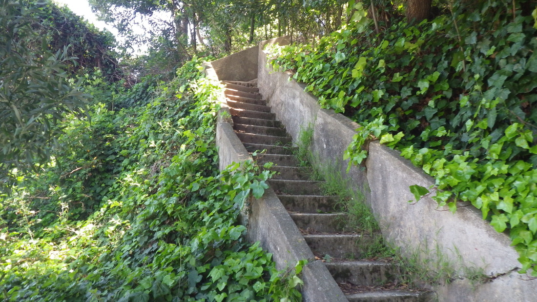
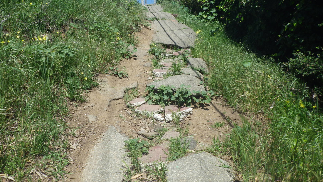
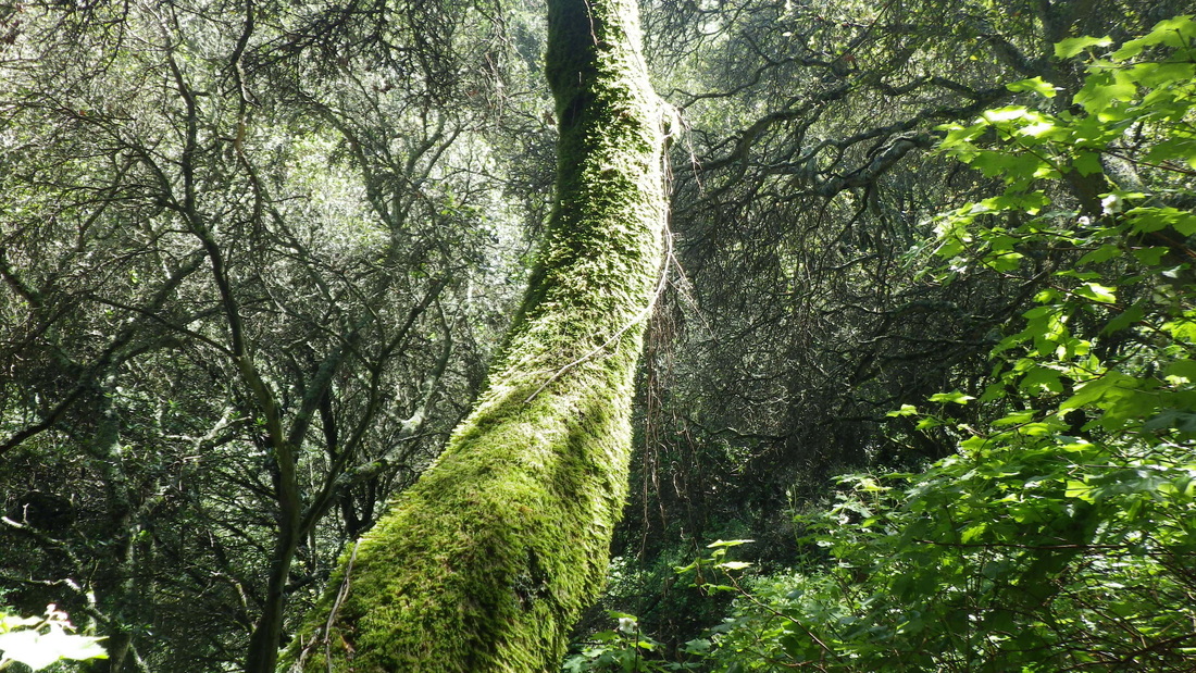
86 steps from Girard to Filbert. Love this area: 4, 5, 6.
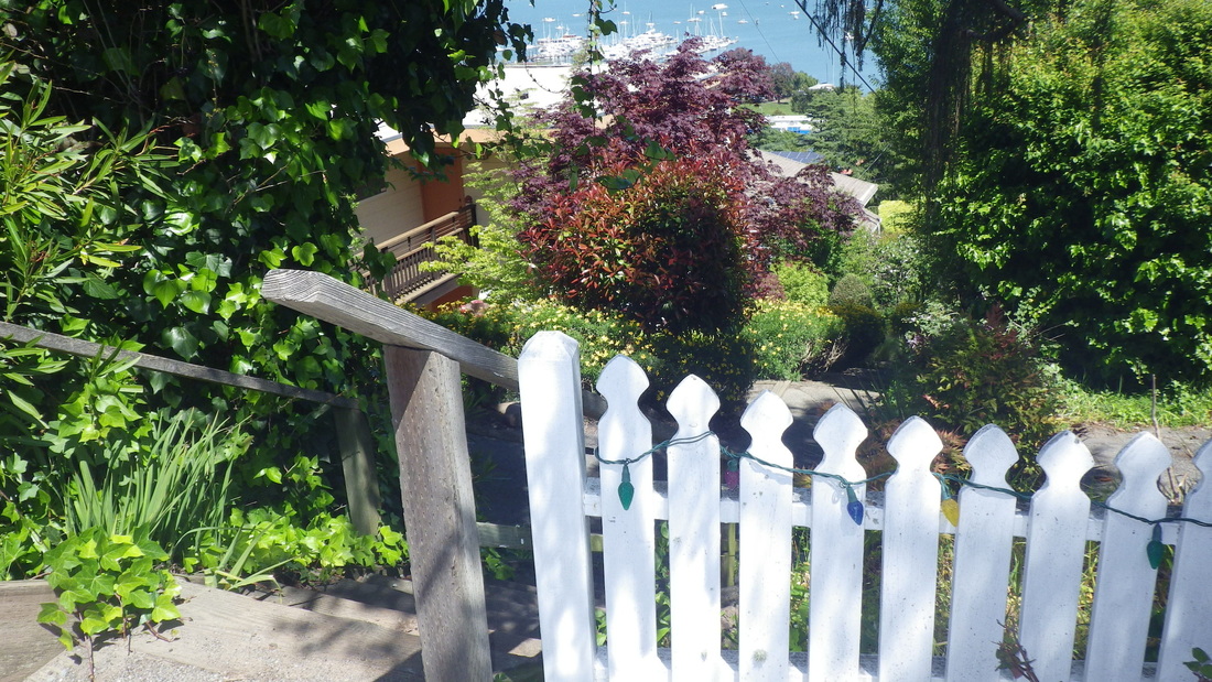
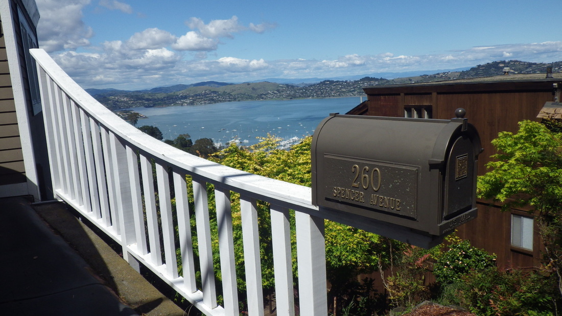
Filbert Court, a private street, pic 7.
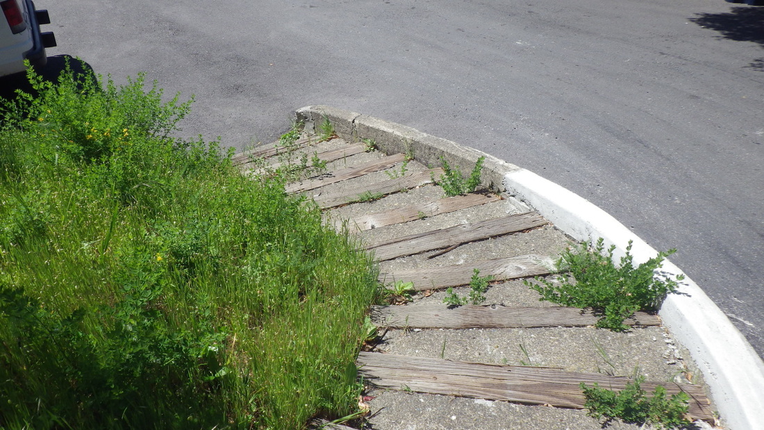
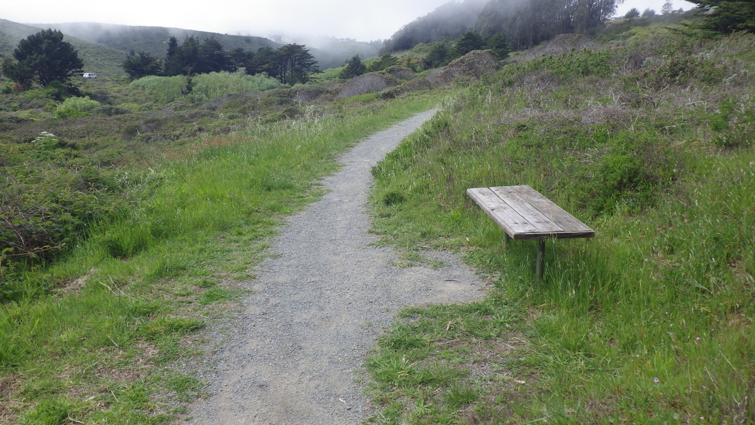
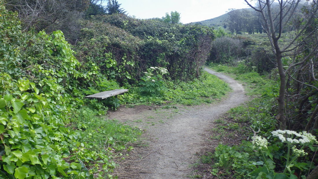
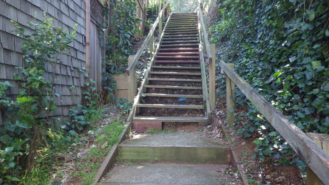
At the end of Marie is a bench and 25 shady wood railroad-tie steps up to Woodward.
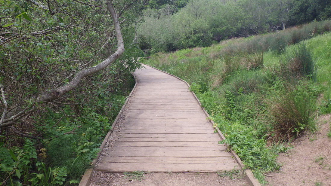
Langendorf Park: 52 wood steps: 8, 9.
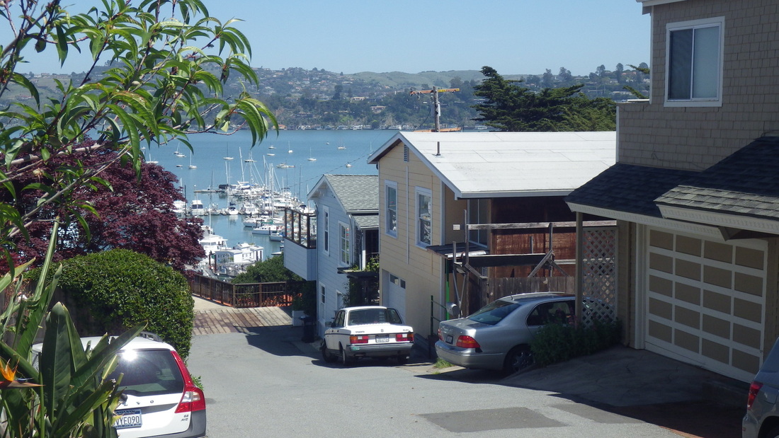
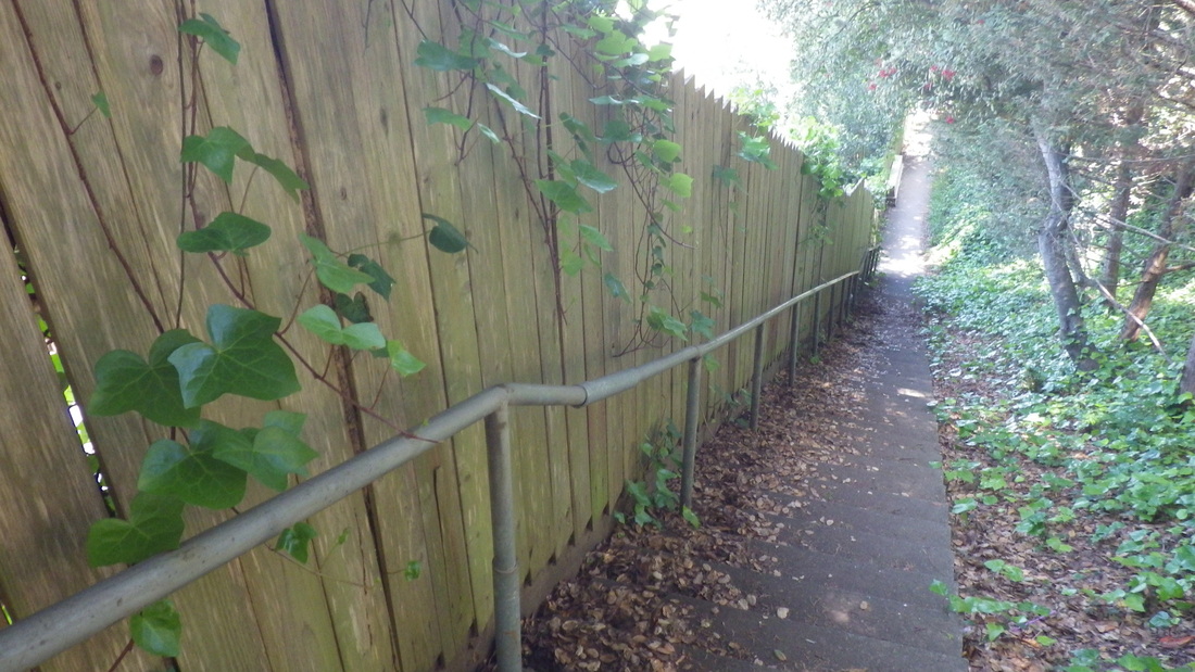
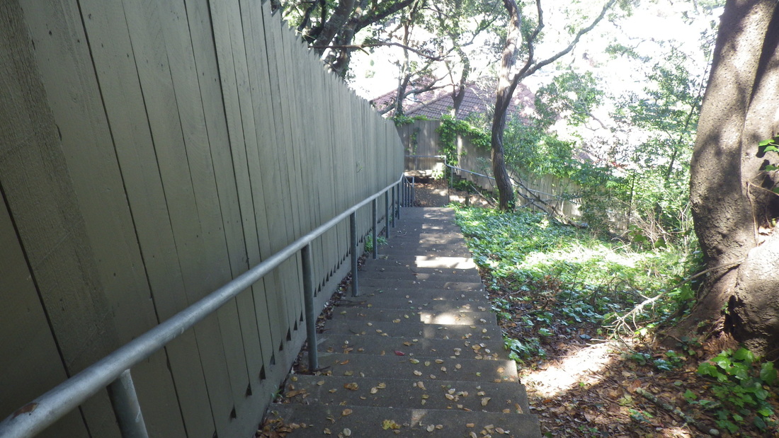
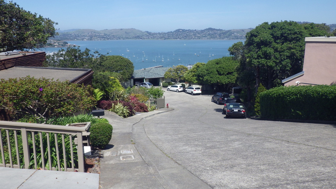
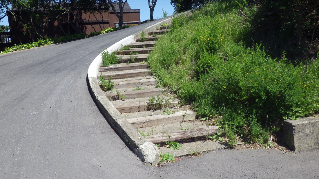
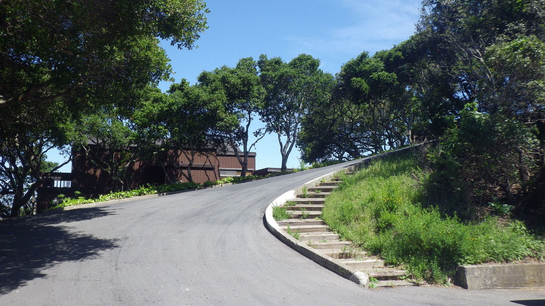
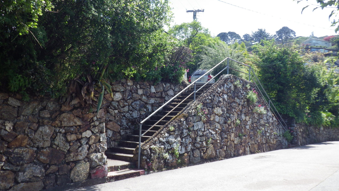
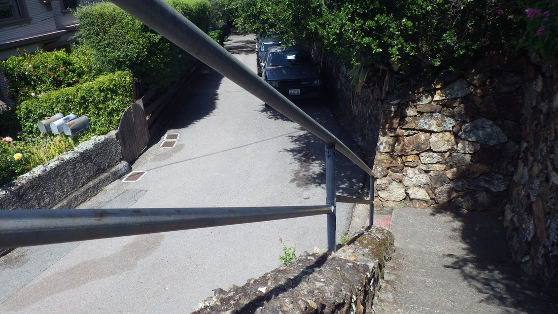
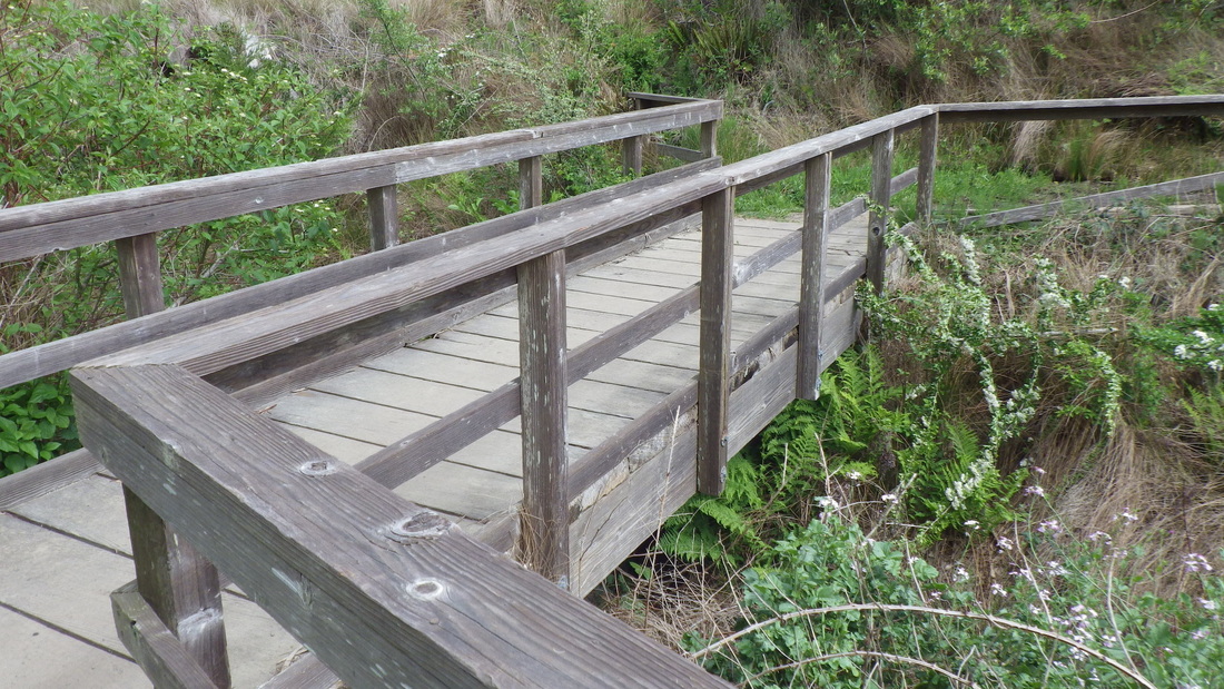
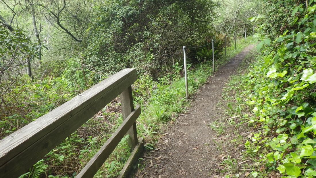
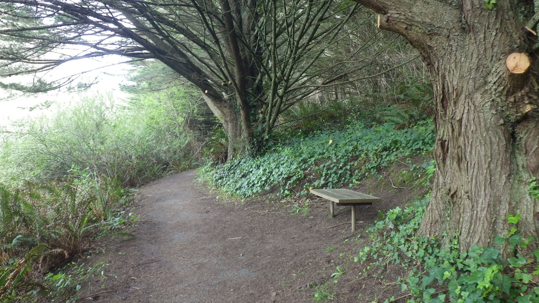
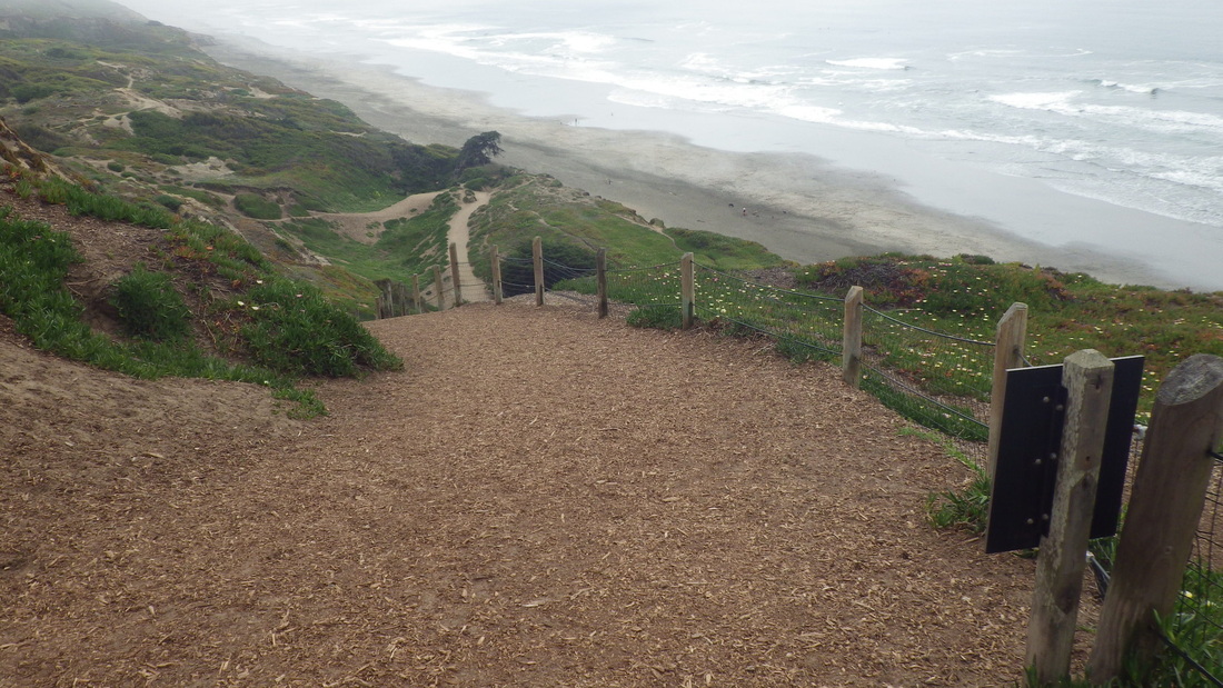
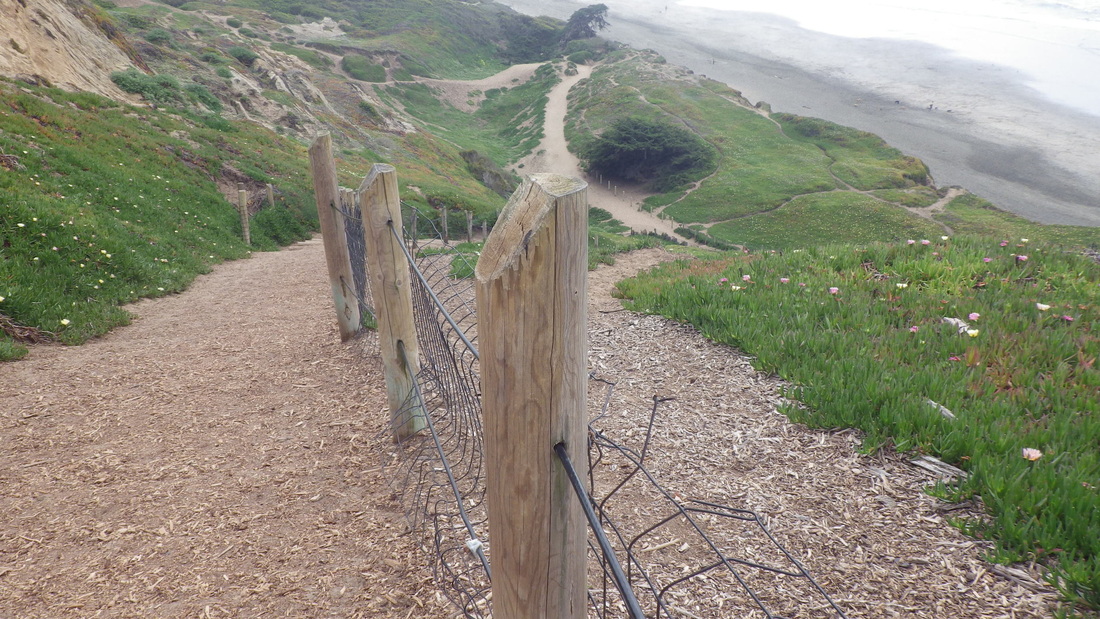
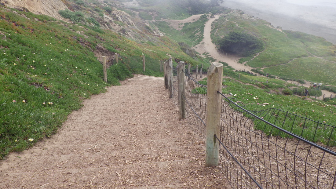
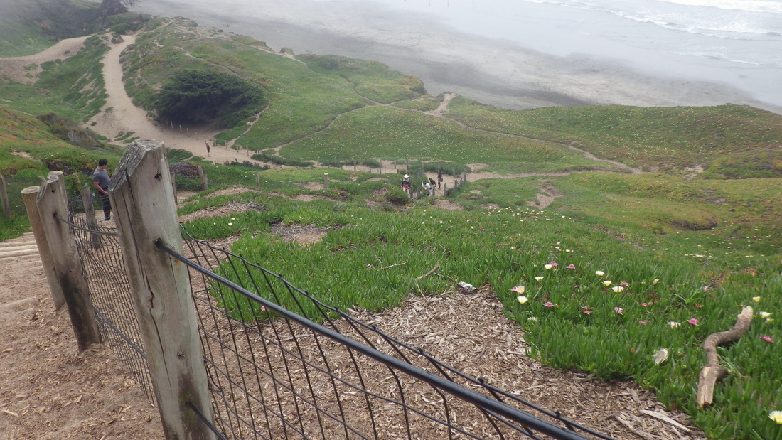
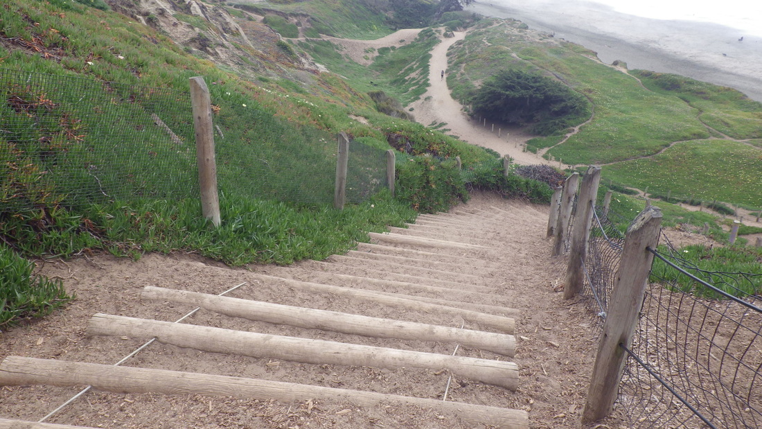
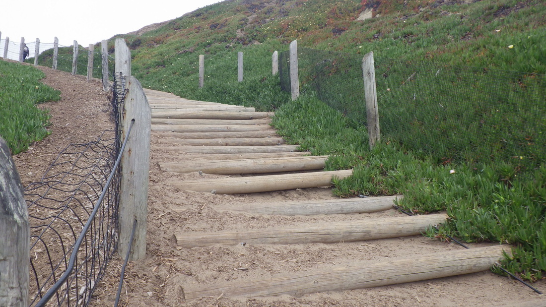
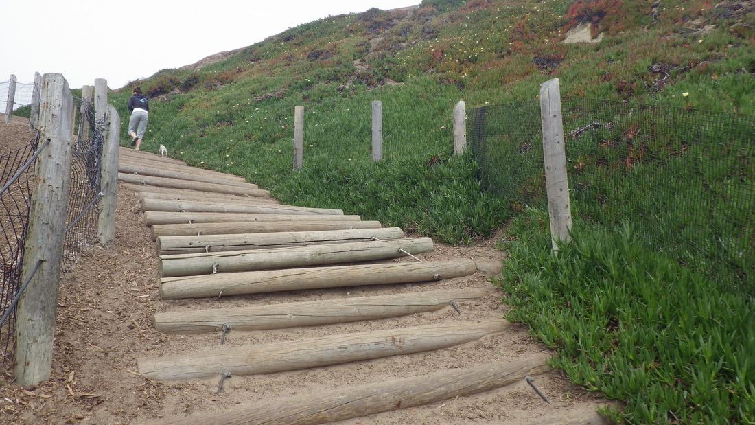
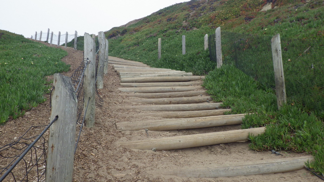
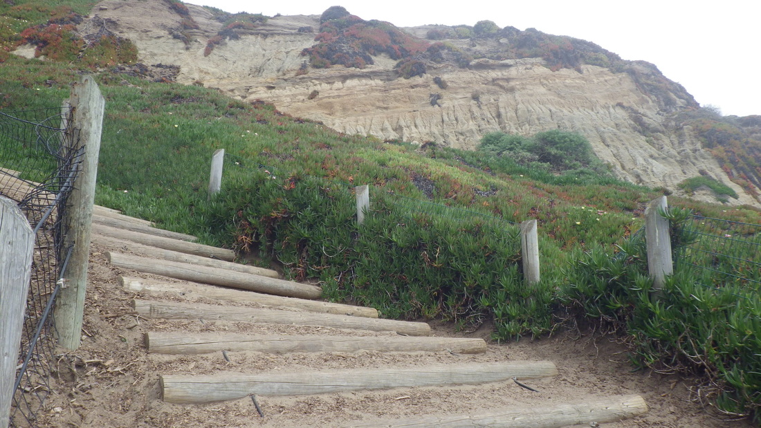
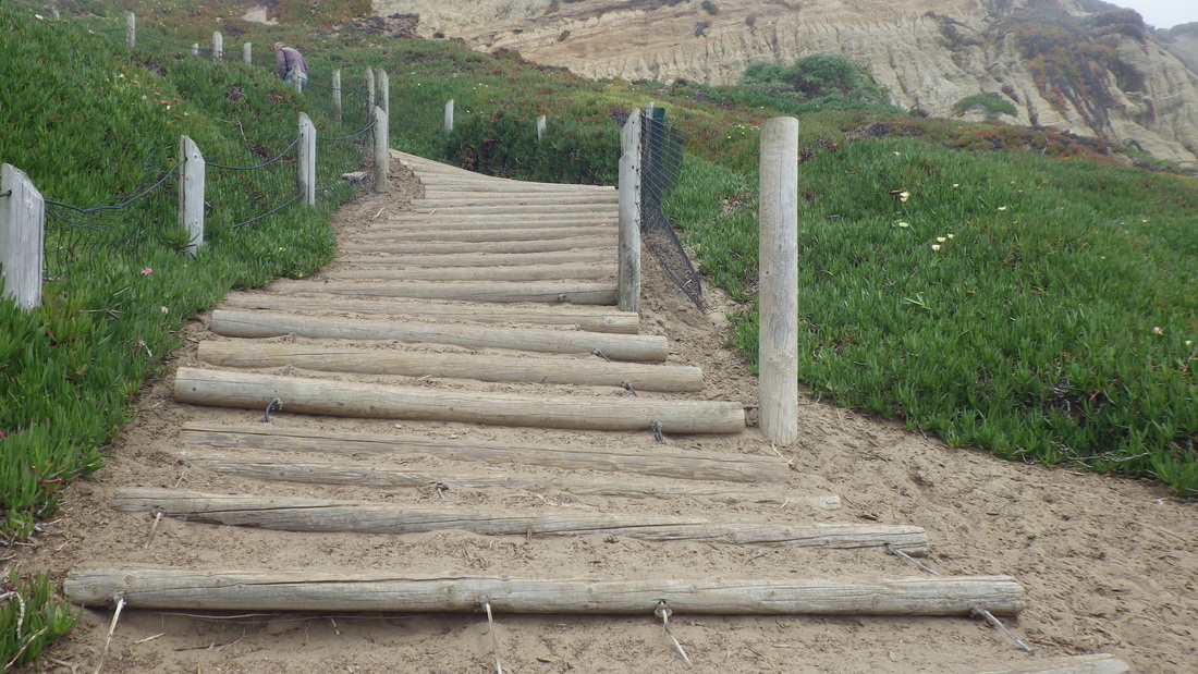
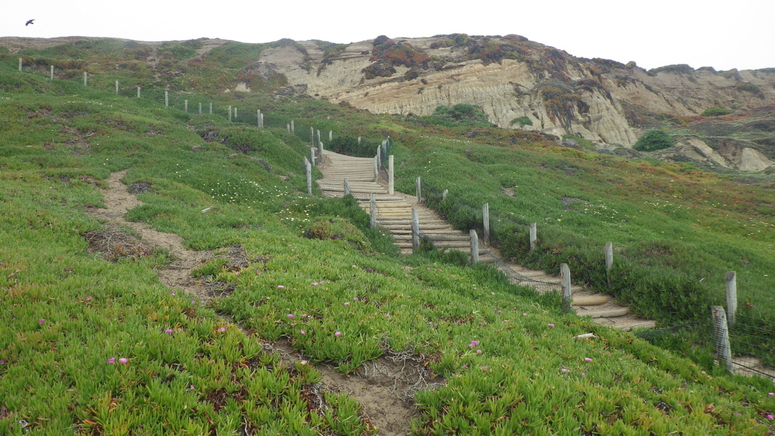
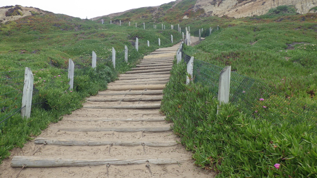
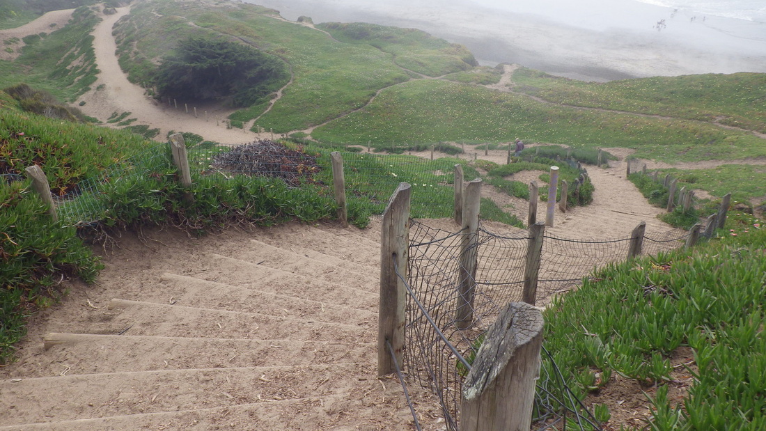
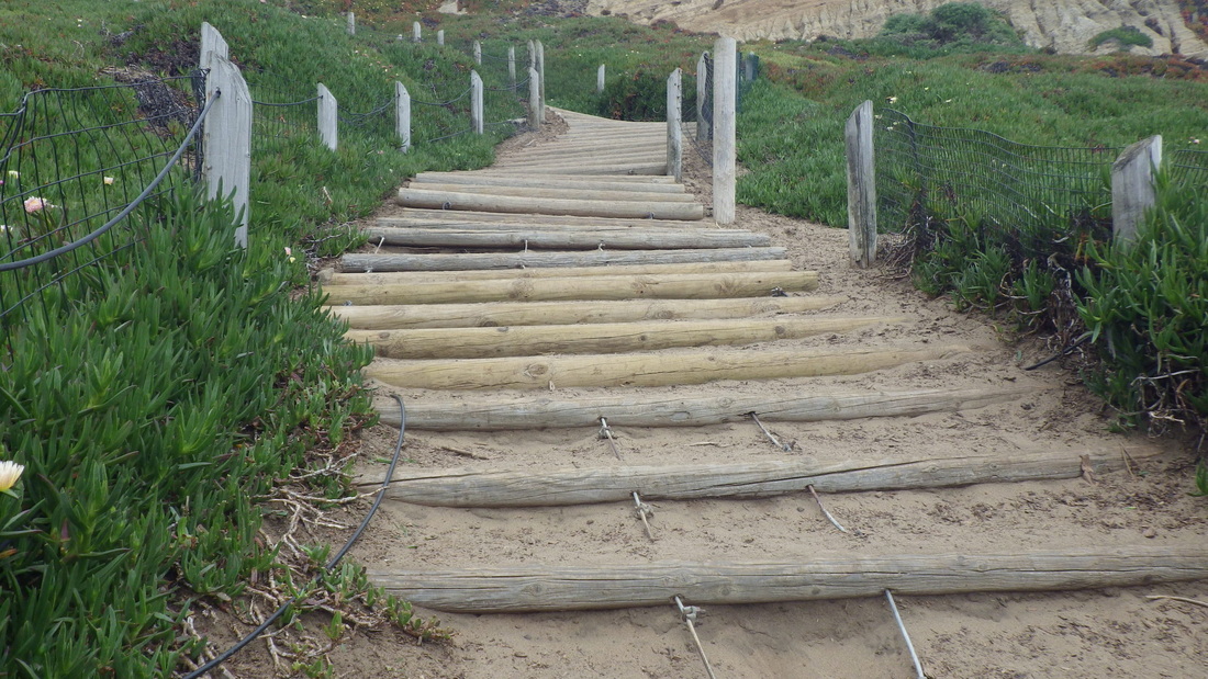
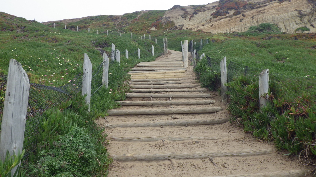
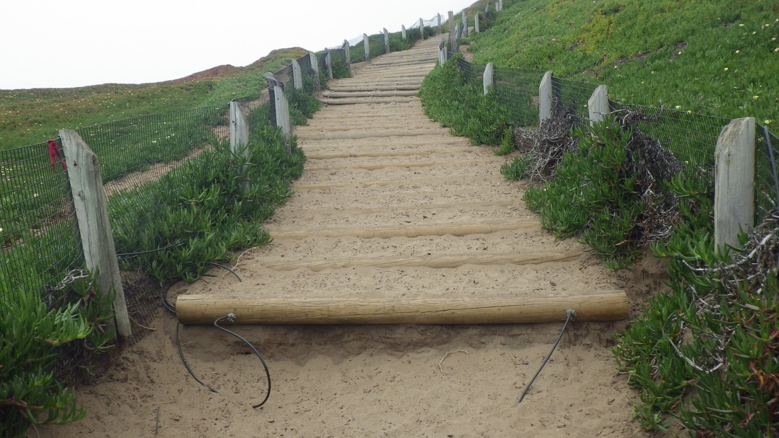
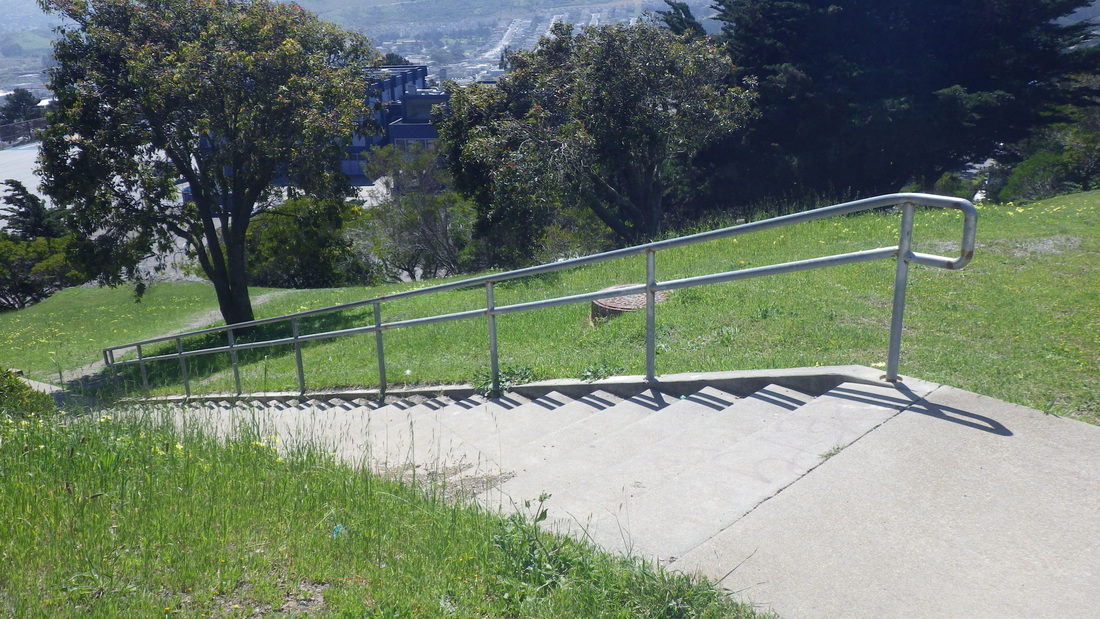
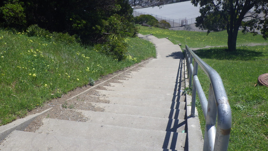
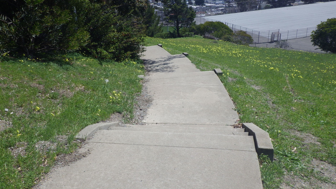
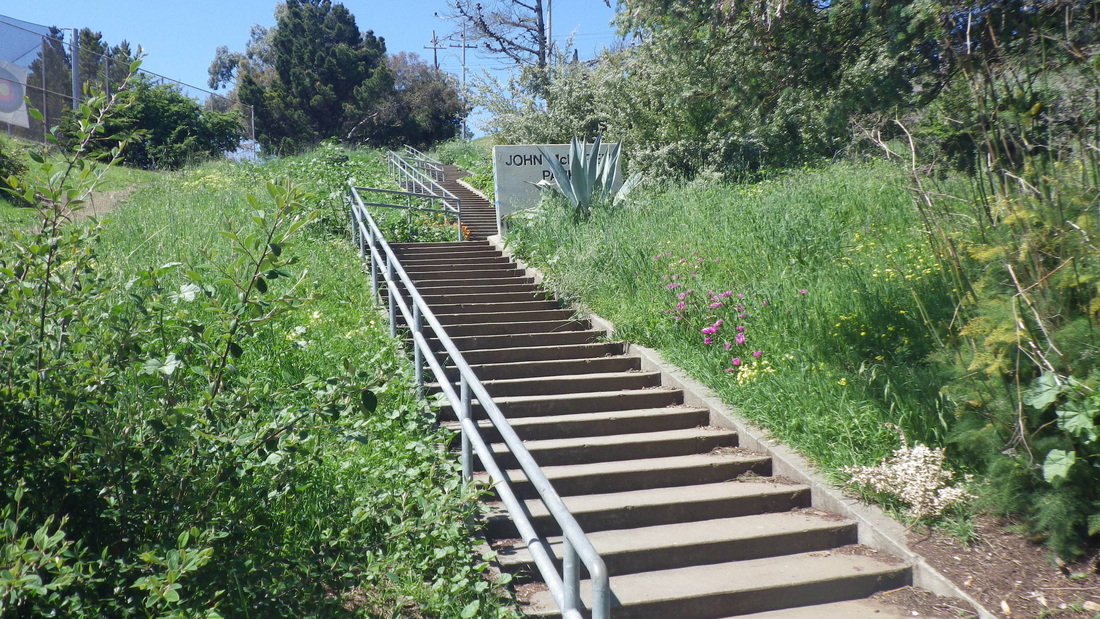
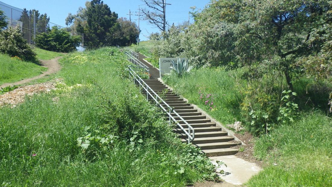
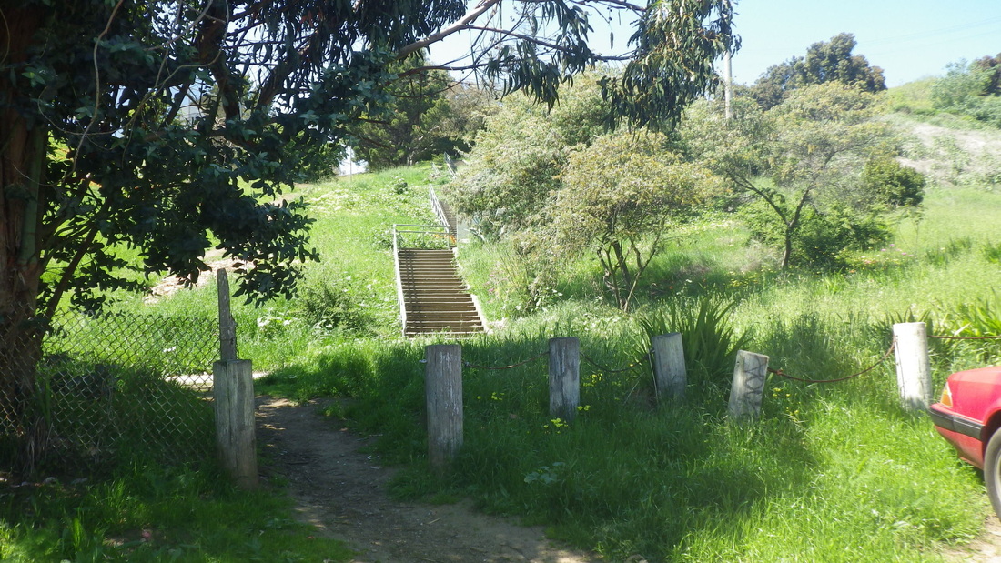
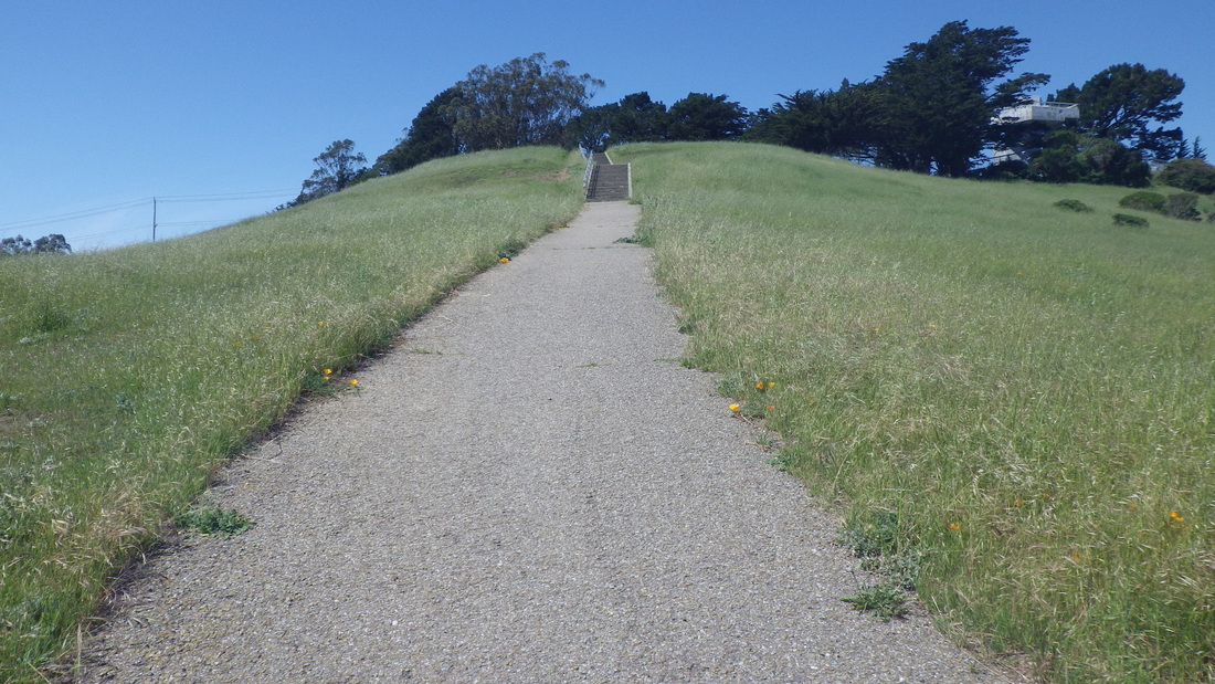
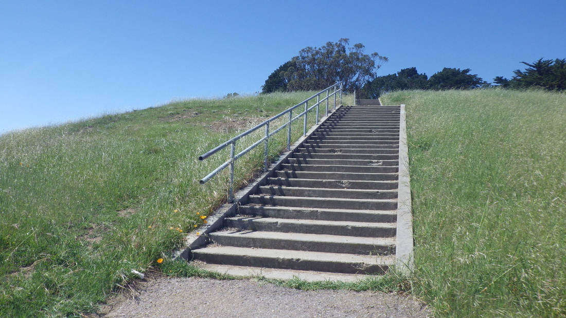
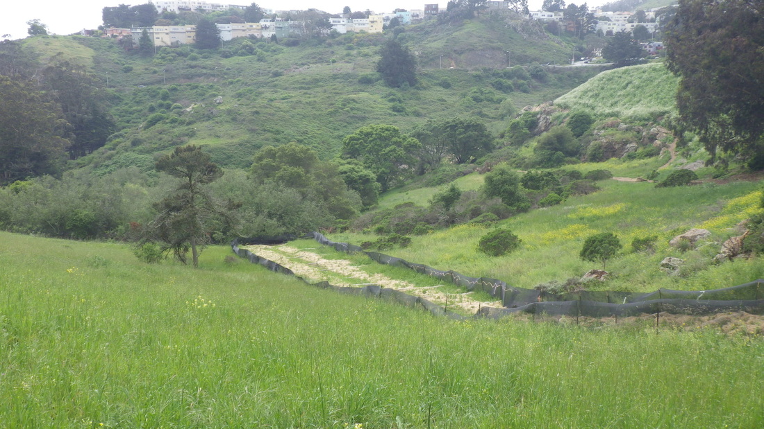
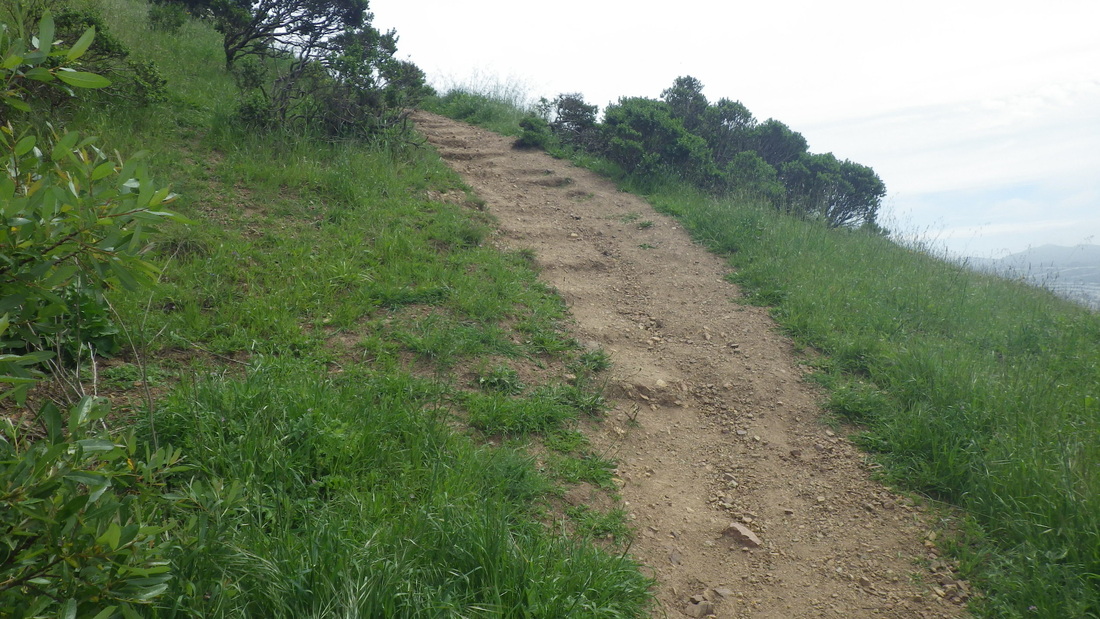
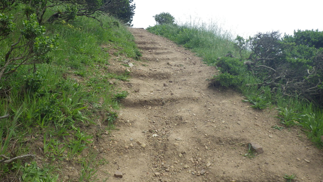
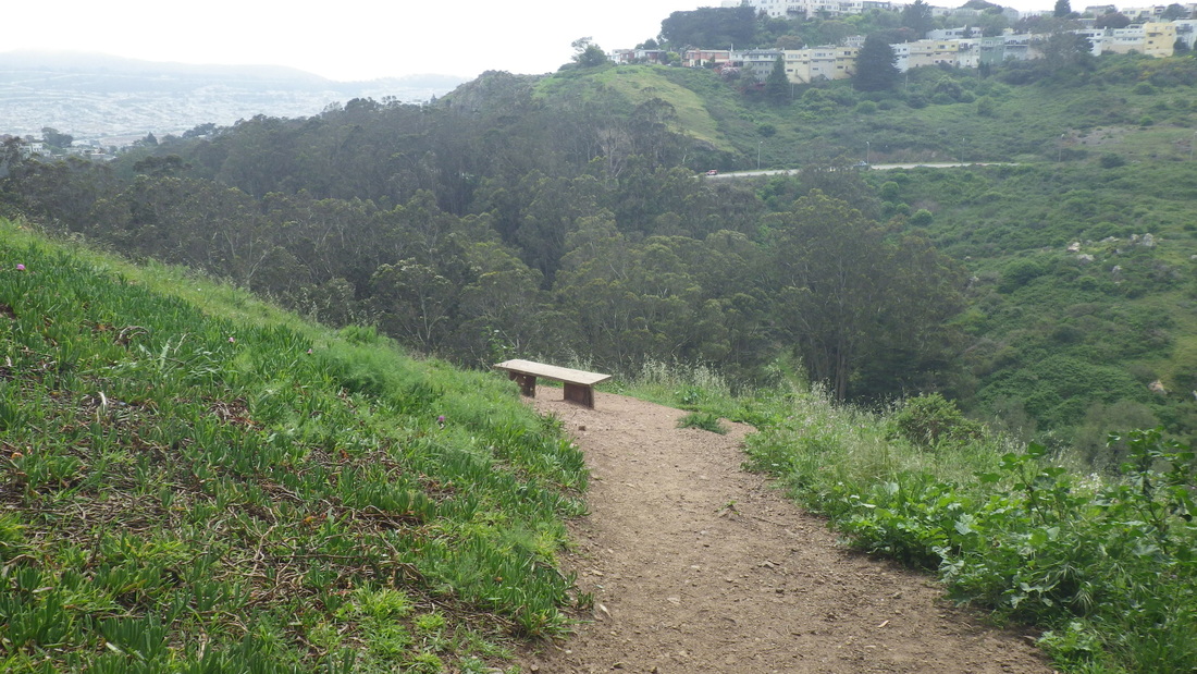
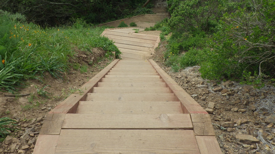
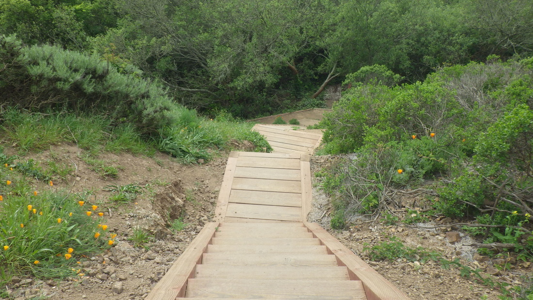
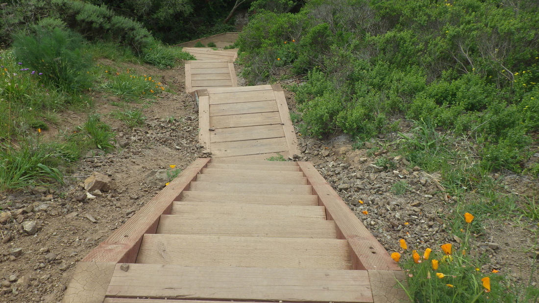
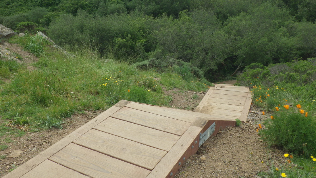
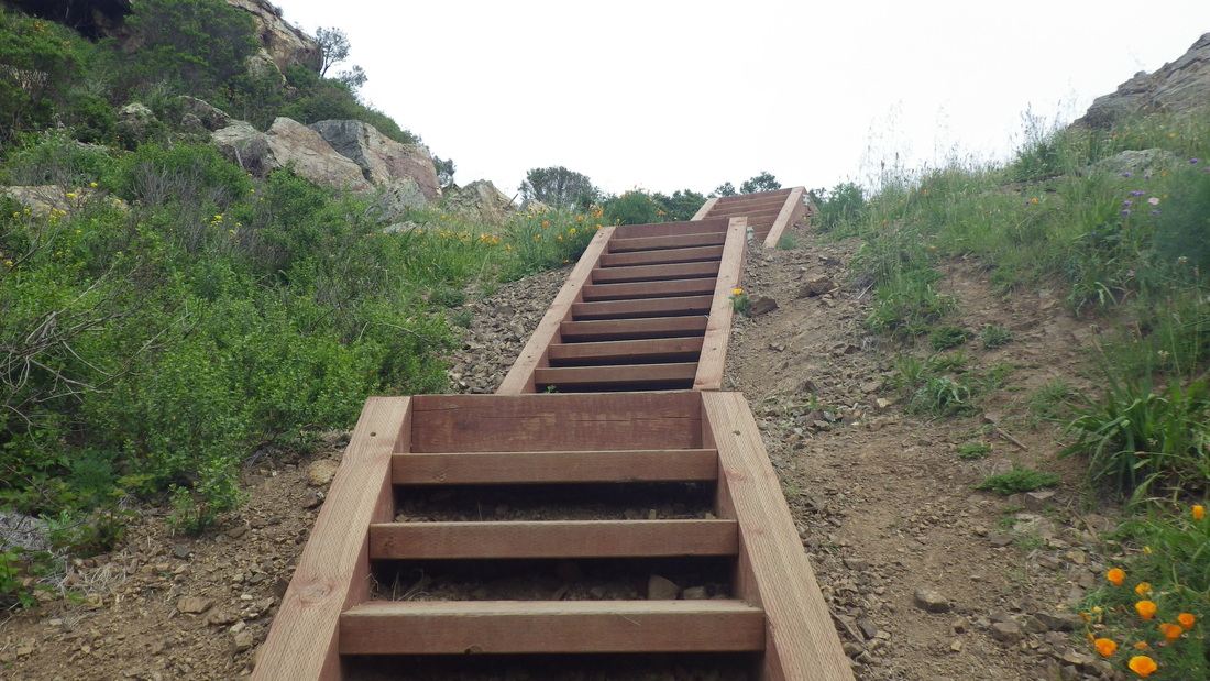
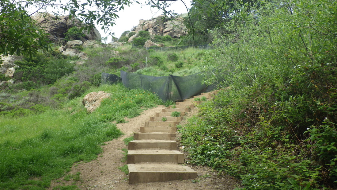
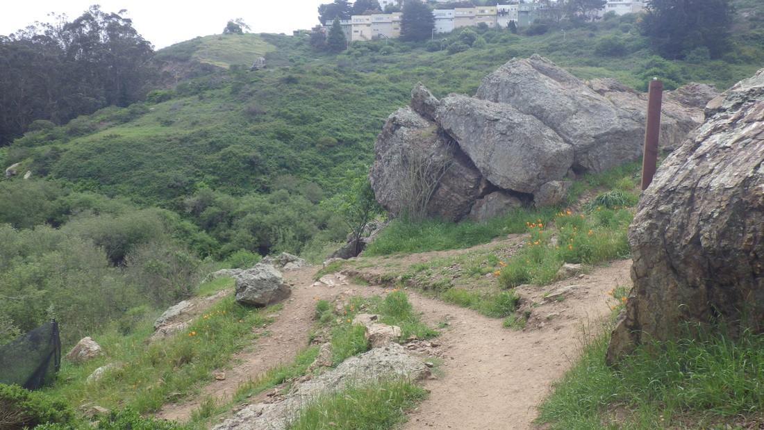
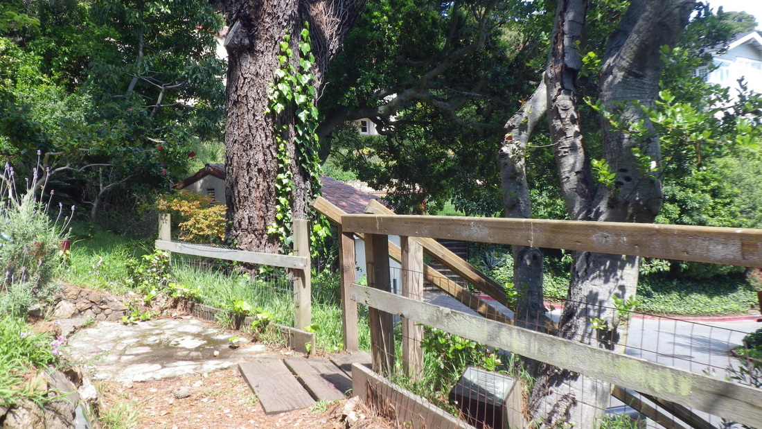
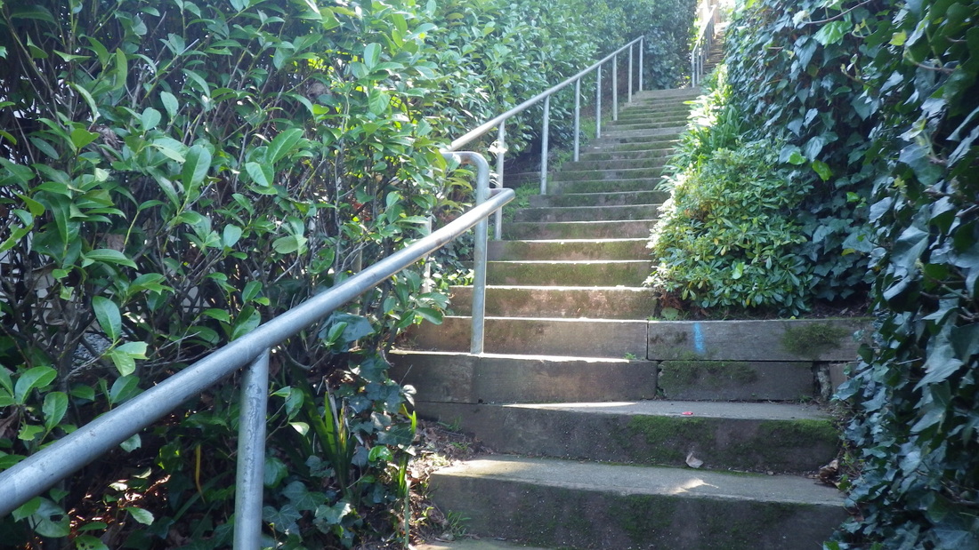
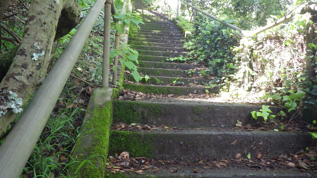
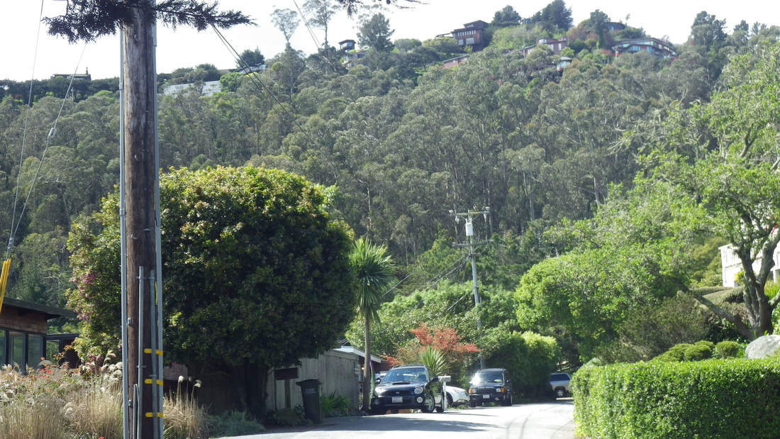
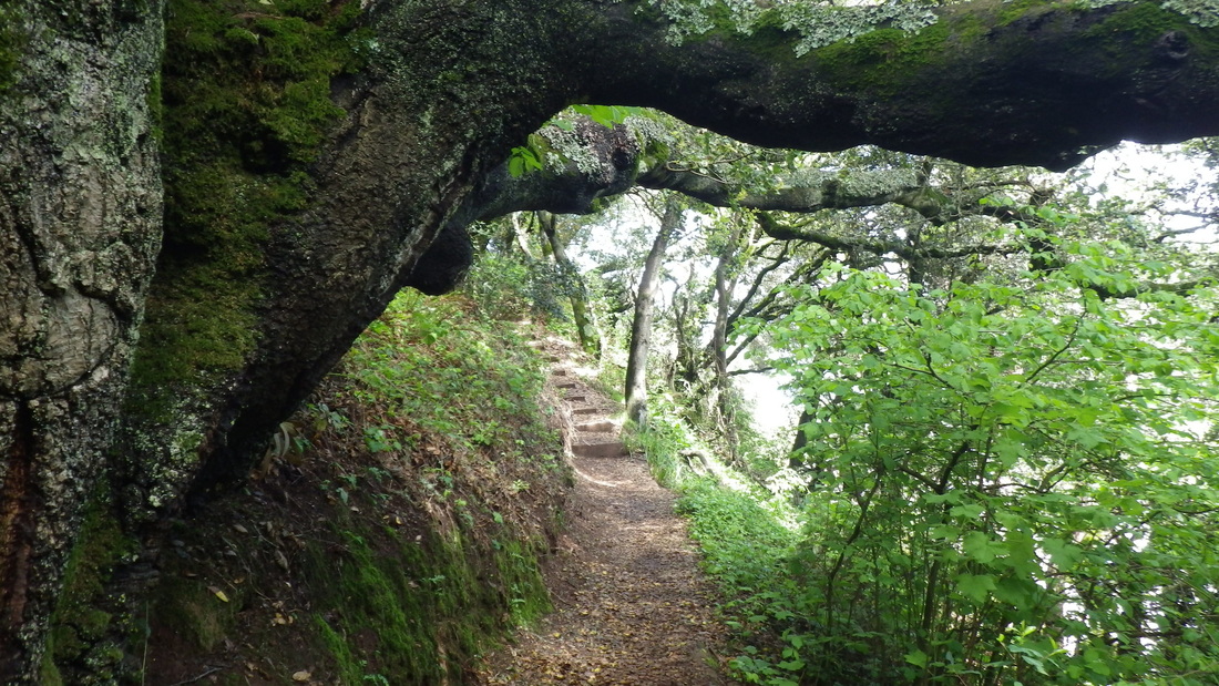
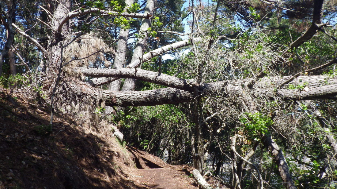
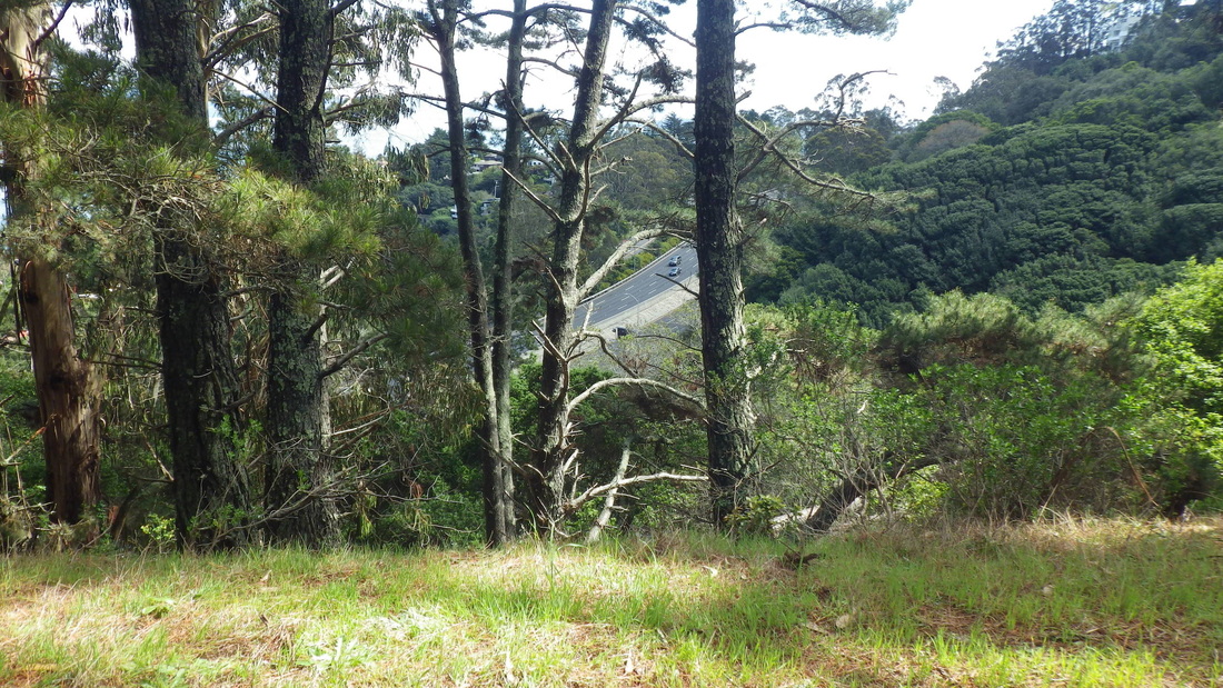
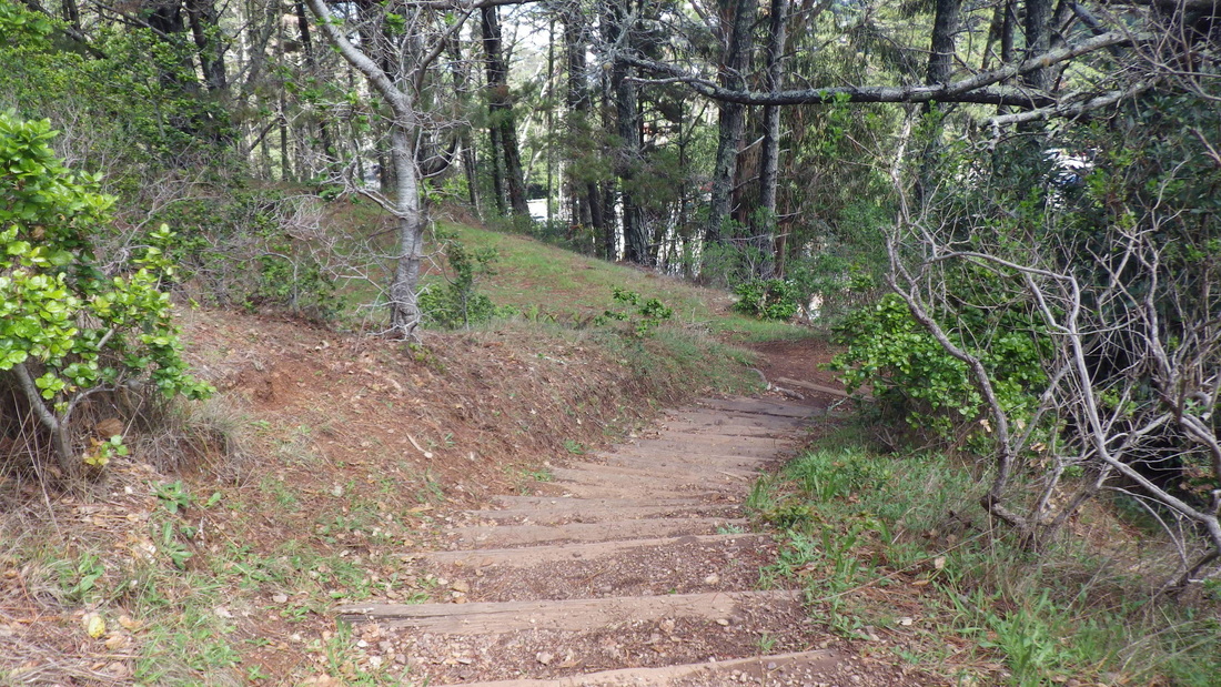
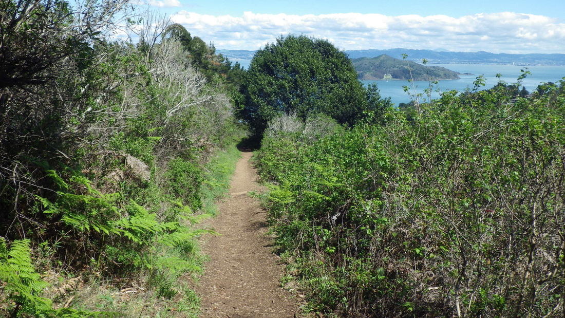
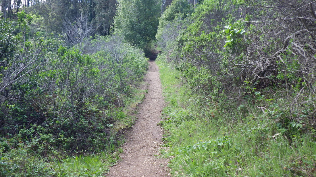
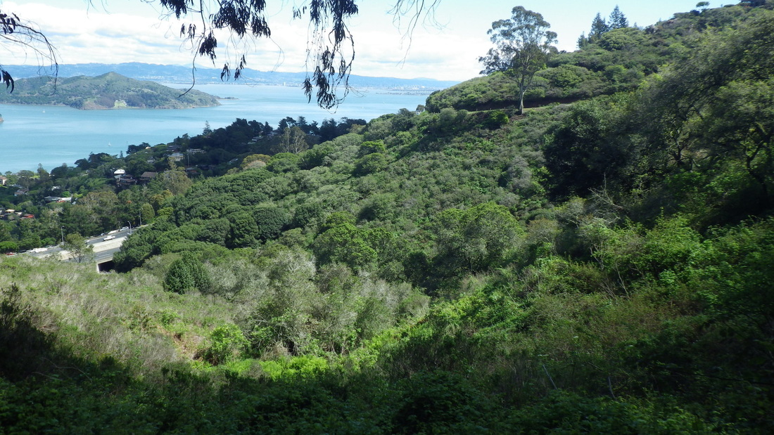
Right after the park is the foot of Laurel Lane: 299 steps from Woodward up to Toyon. Laurel Lane’s like Cable Roadway a bit to the south in that after the long stairways there's about a block’s worth of steep vehicle street at the top of each: 10 thru 16.
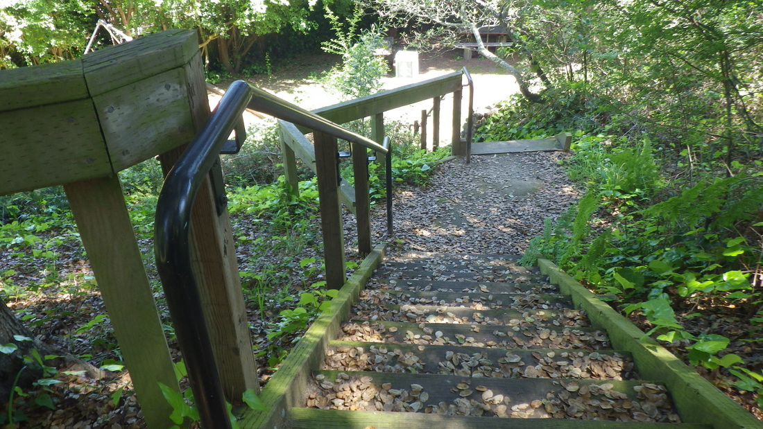
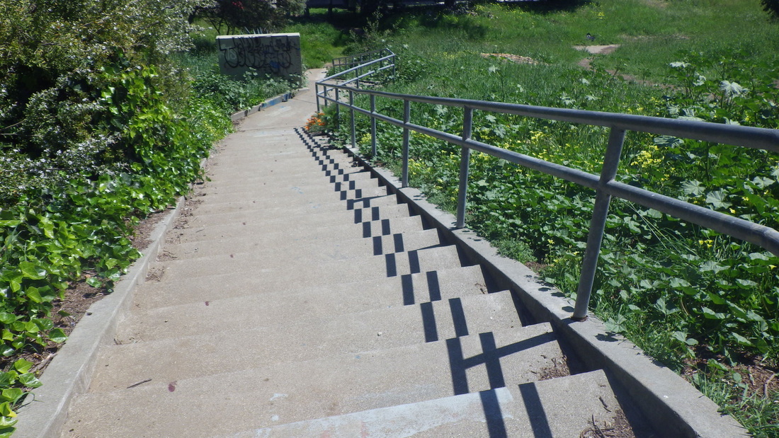
Toyon Ct. at the top of Laurel: 46 sidewalk steps, pics 17, 18, 19.
Curly street: Monte Mar & Currey, pic 20.
Wray & Currey, pic 21.
Currey near Wray, pic 22.
George Lane, pic 23. Love the street sign.
Currey near Glen, pic 24.
Girard & Turney, pic 25.
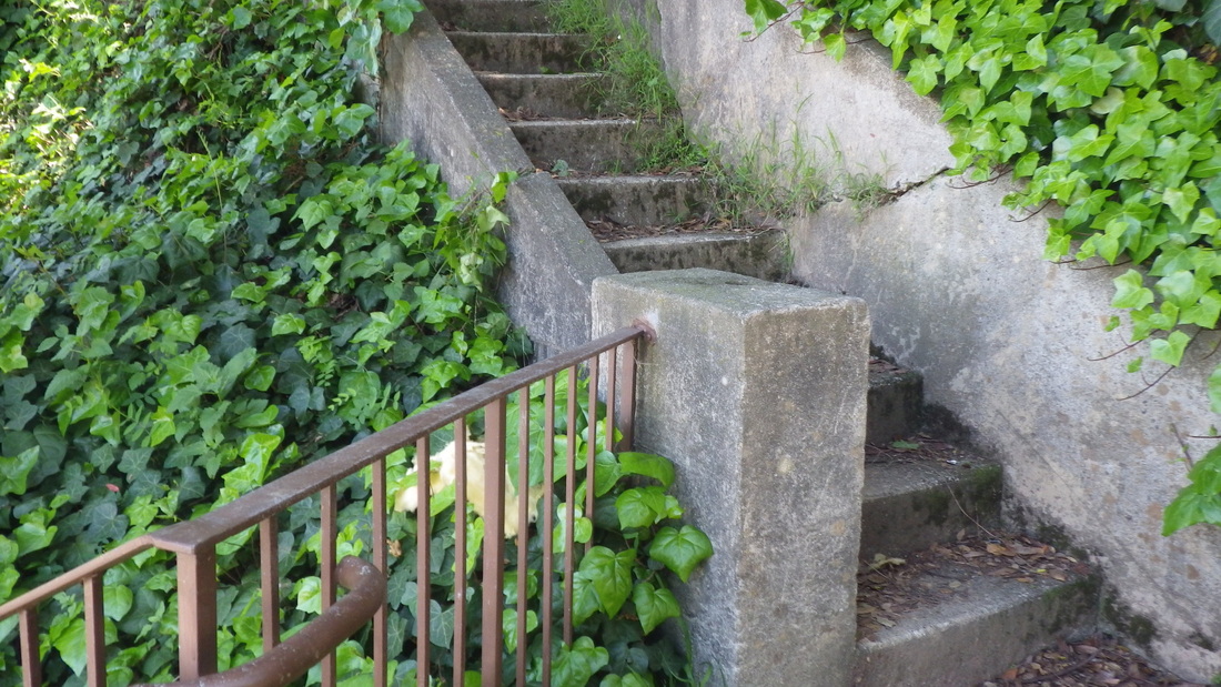
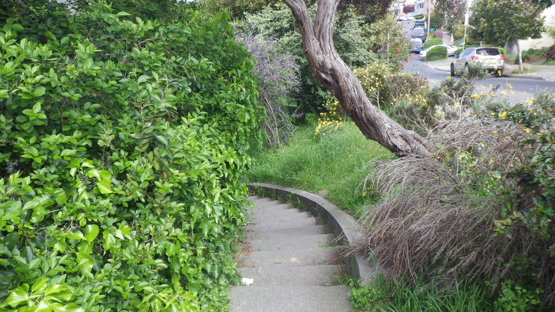
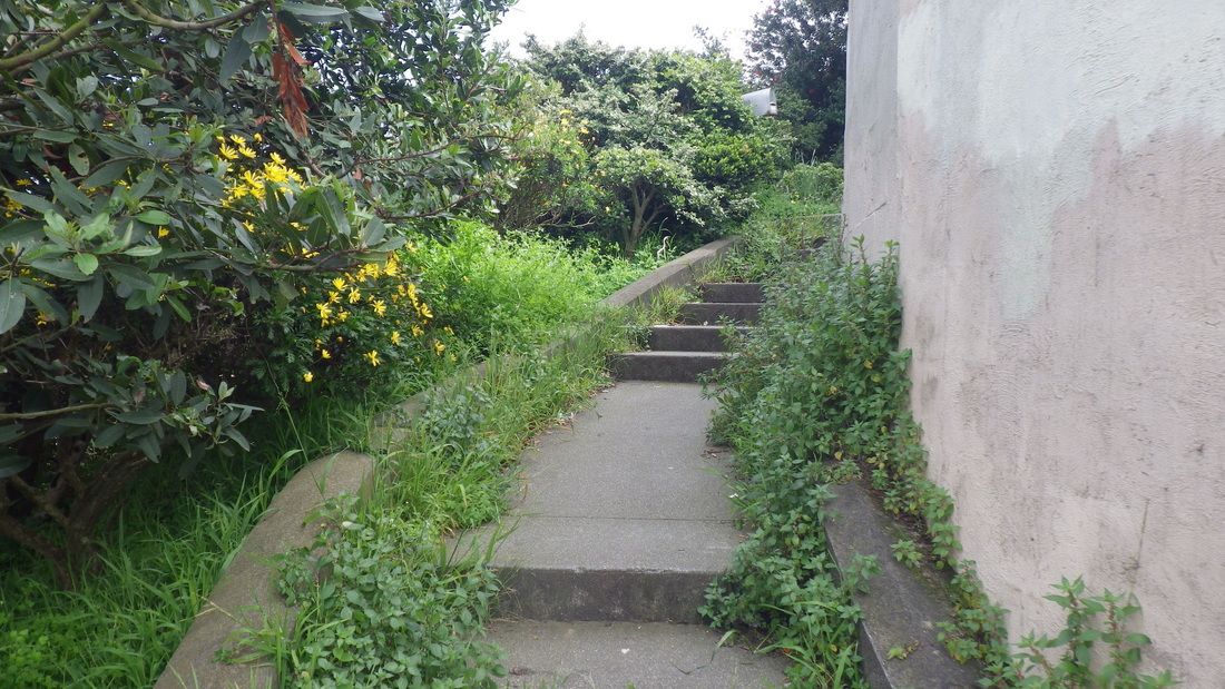
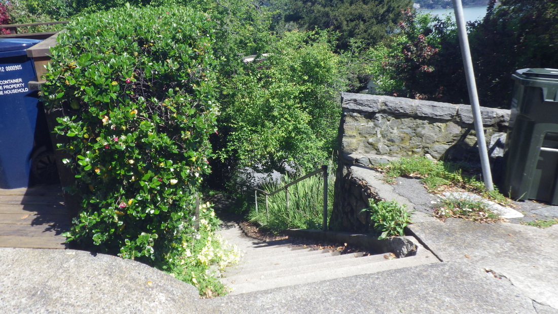
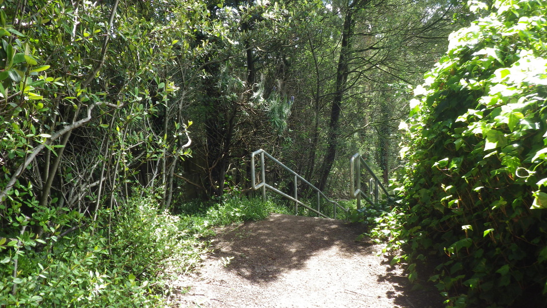
Lower Glen, 19 steps: last two pix.
120 steps to start up the El Monte steps at Bridgeway, first two pix. Bulkley’s at the top, pic 3.
86 steps from Girard to Filbert. Love this area: 4, 5, 6.
Filbert Court, a private street, pic 7.
At the end of Marie is a bench and 25 shady wood railroad-tie steps up to Woodward.
Langendorf Park: 52 wood steps: 8, 9.
Right after the park is the foot of Laurel Lane: 299 steps from Woodward up to Toyon. Laurel Lane’s like Cable Roadway a bit to the south in that after the long stairways there's about a block’s worth of steep vehicle street at the top of each: 10 thru 16.
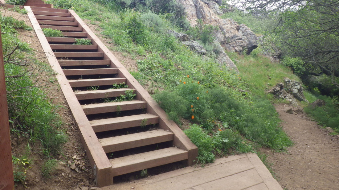
Toyon Ct. at the top of Laurel: 46 sidewalk steps, pics 17, 18, 19.
Curly street: Monte Mar & Currey, pic 20.
Wray & Currey, pic 21.
Currey near Wray, pic 22.
George Lane, pic 23. Love the street sign.
Currey near Glen, pic 24.
Girard & Turney, pic 25.
Lower Glen, 19 steps: last two pix.
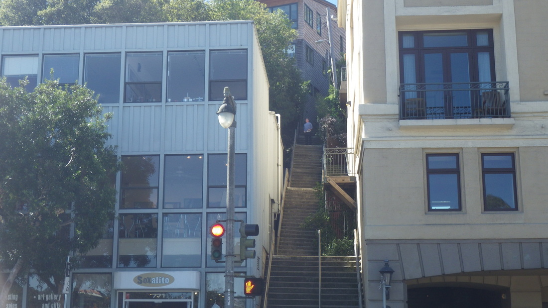
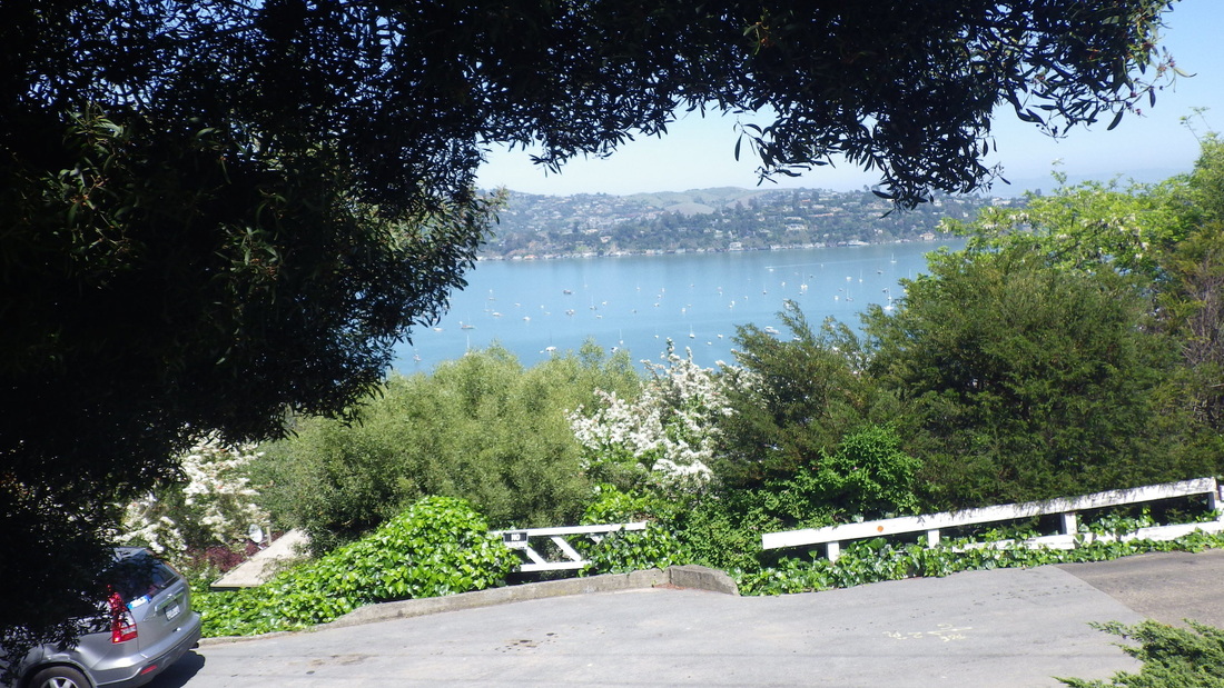
1. El Monte up from Bridgeway
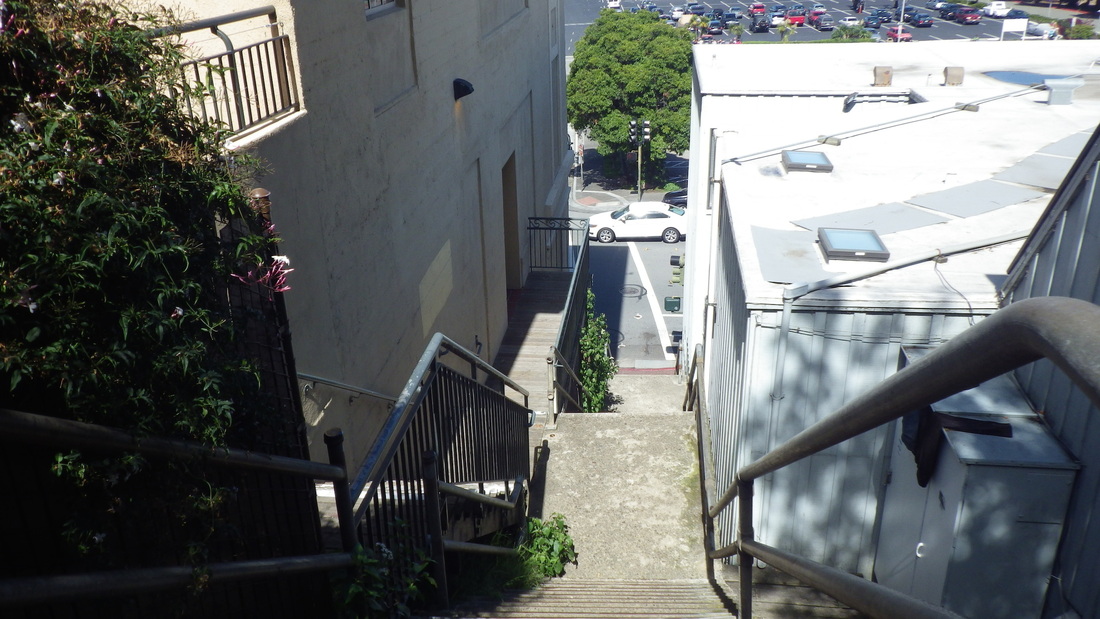
2. Bridgeway below from El Monte steps
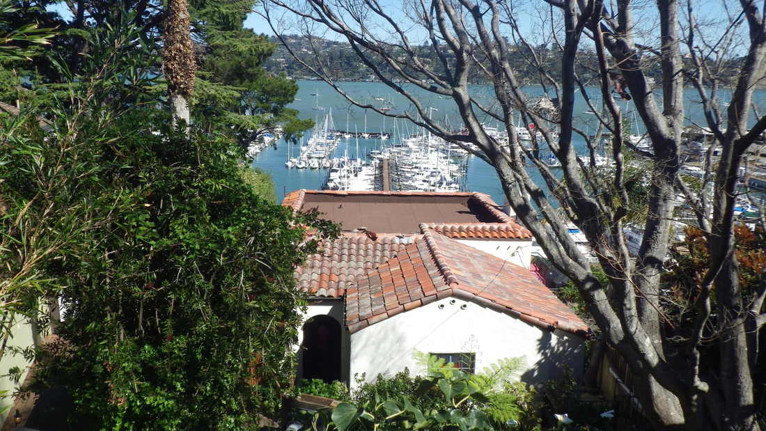
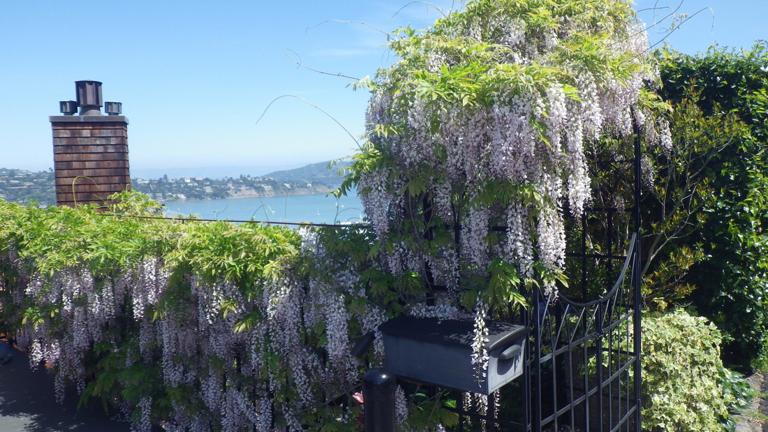
3. A view from Bulkley
4. Steps up from Girard
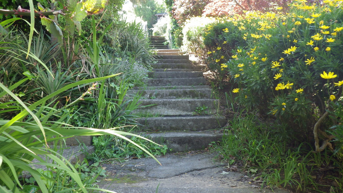
5. Girard to Filbert
6. Top of Girard at Filbert
7. Filbert Ct.
8. Langendorf Park
9. Langendorf Park stairs
10. Foot of Laurel Lane at Woodward
11. Laurel Lane, longest found so far
12. Here it turns and changes style
13. Laurel Lane continues up
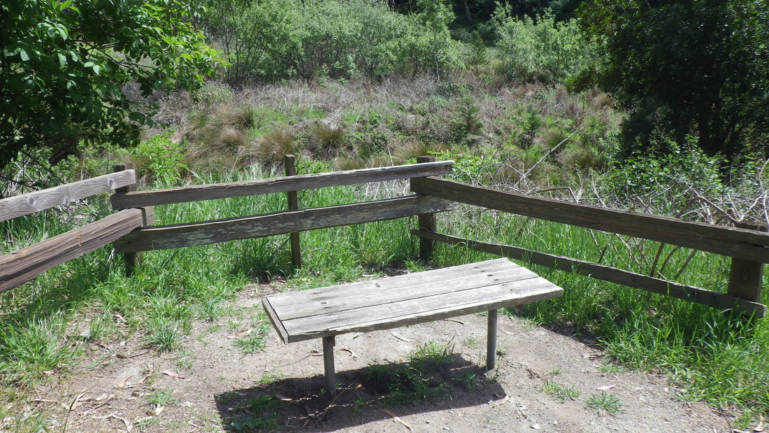
14. There's a bench partway up
15. Nearing the top
16. Laurel Lane's vehicle street part, about a block
17. Toyon Ct. sidewalk steps
18. Toyon Ct. sidewalk stairway
19. Toyon Ct.
20. Monte Mar at Currey
21. Wray at Currey
22. Currey near Wray
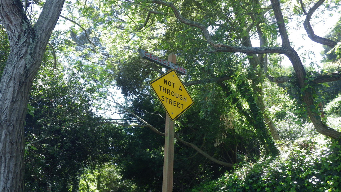
23. George Lane
24. Currey near Glen
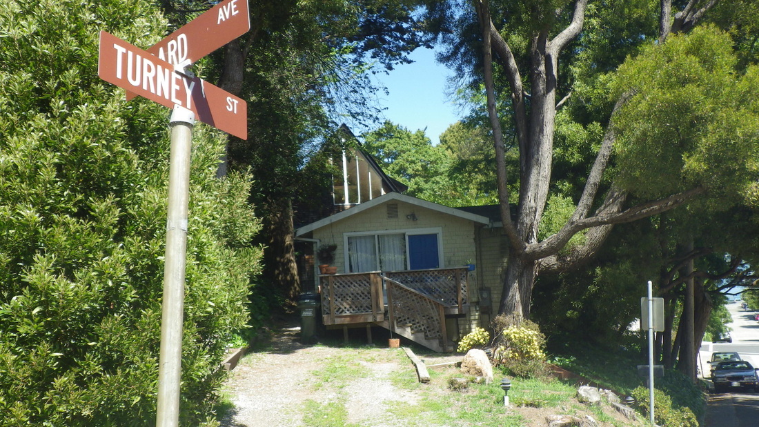
25. Girard & Turney
26. Divided Glen
27. Upper to lower Glen


 RSS Feed
