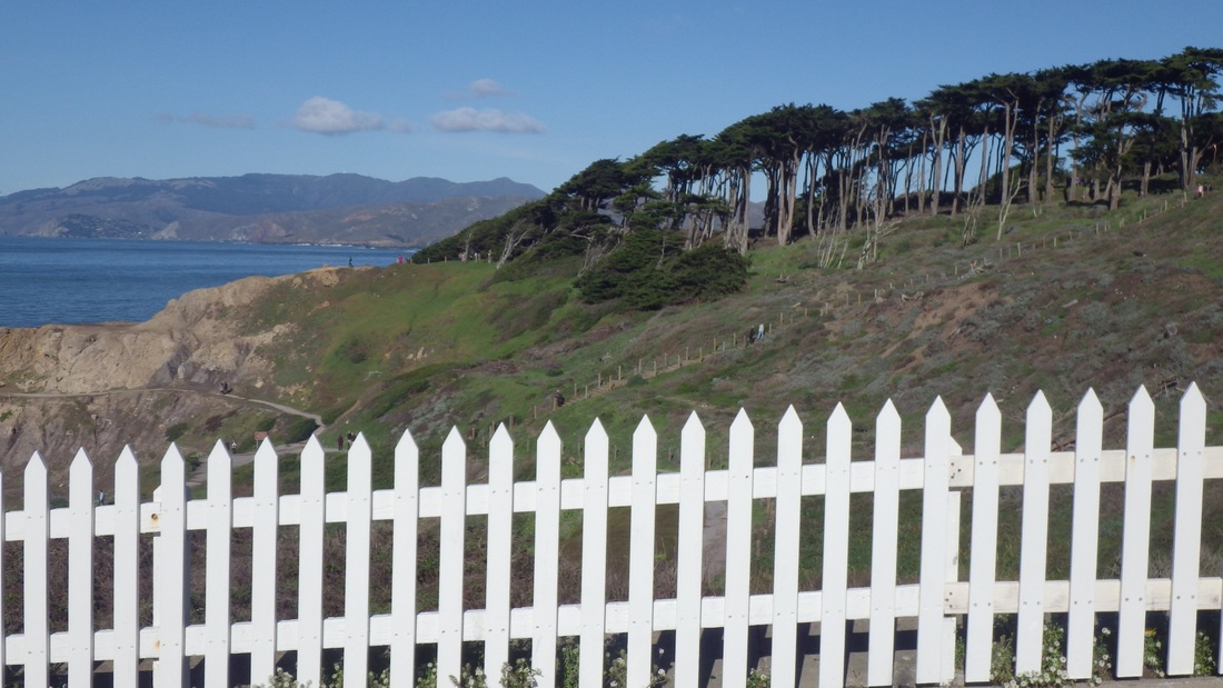
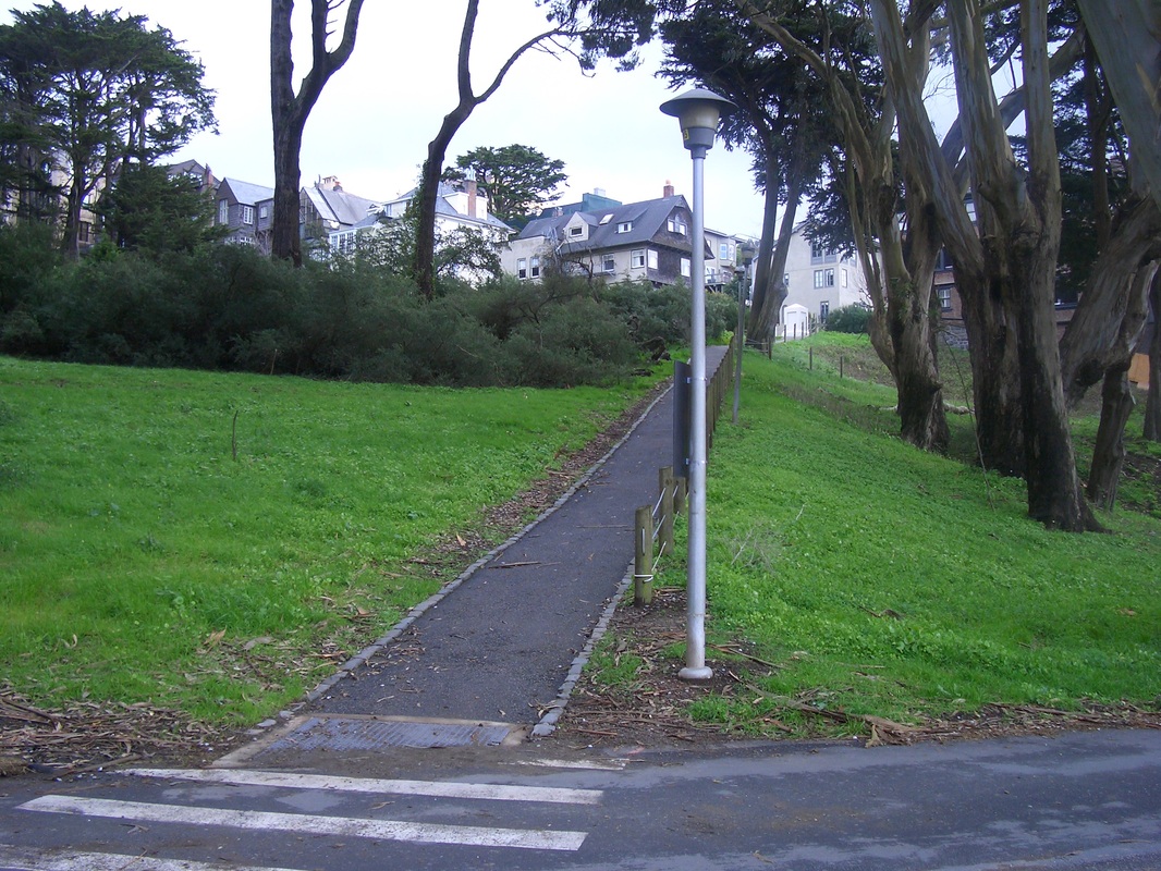
… Of Sutro Heights Park, the south side, AKA Balboa Natural Area.
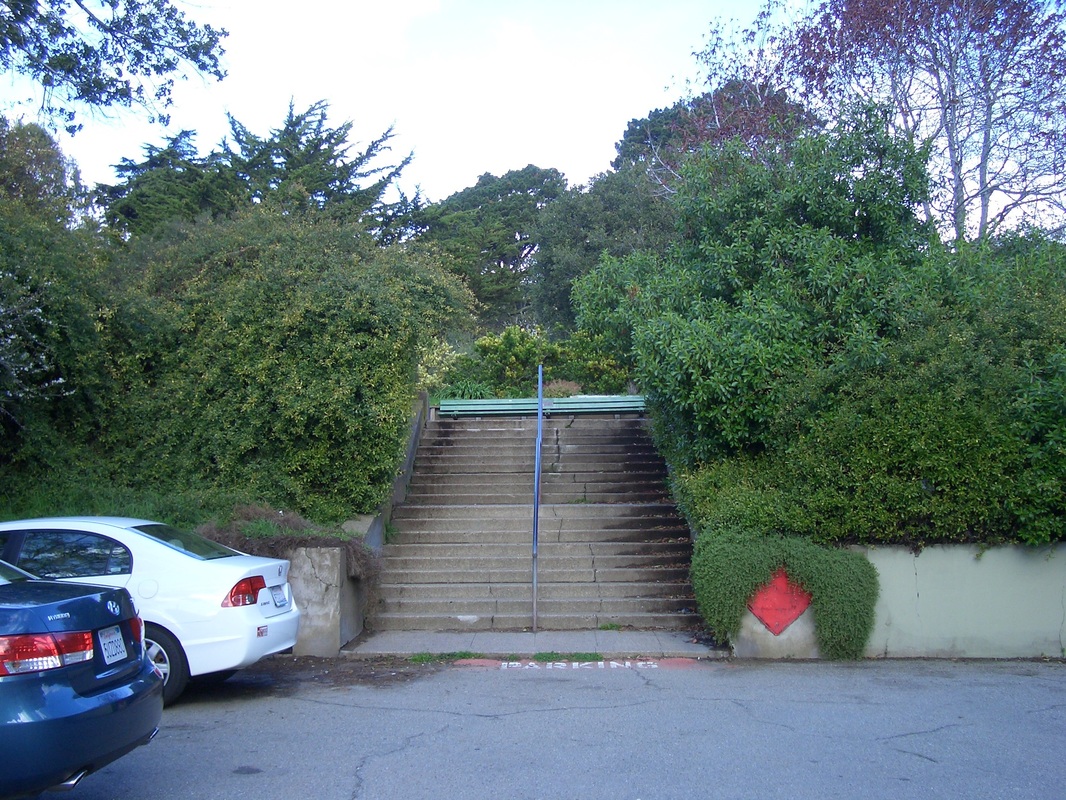
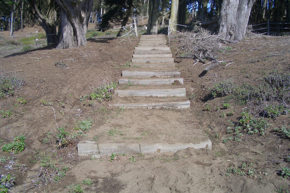
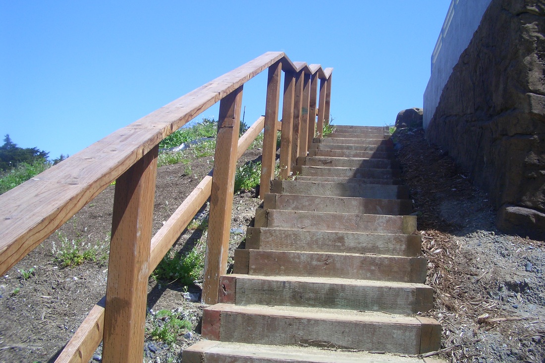
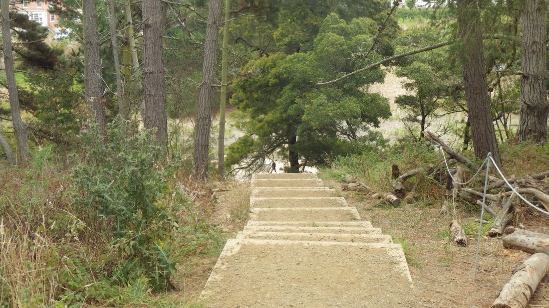
Crossed curvy Point Lobos at the crosswalk near the Lands End Lookout building. Drivers in this area are not much inclined to stop or slow for pedestrians, even at the crosswalk. This would be a good spot for a pedestrian skyway. At the very least, a new paintjob for the crosswalk might help. First pic: The "Merrie Way" stairway (about 127 steps) as seen from Point Lobos.
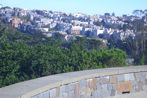
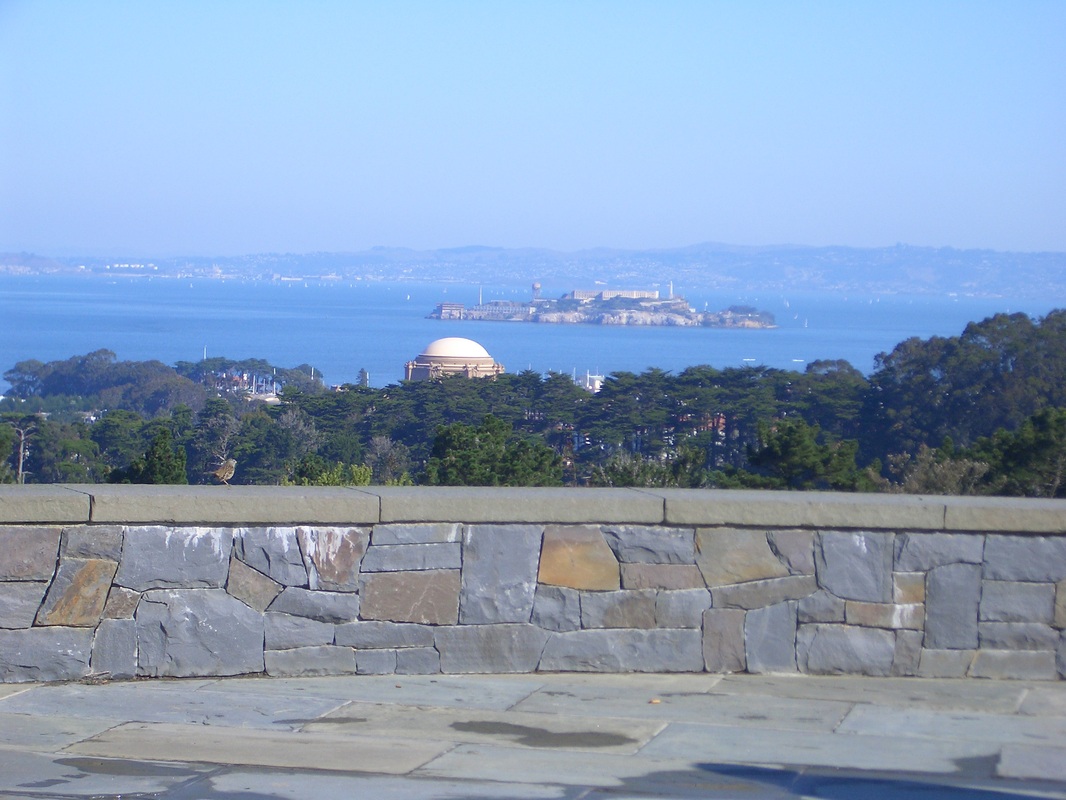
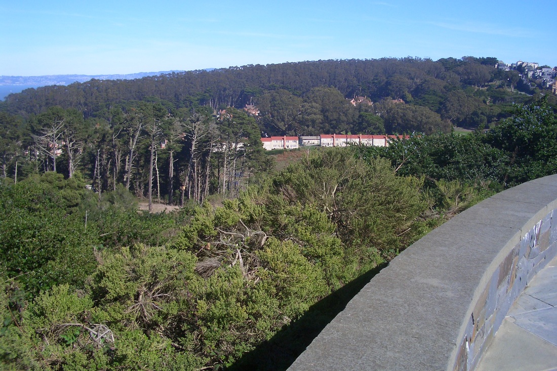
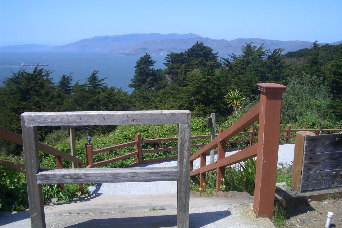
The main part of Sutro Heights Park has green lawns, benches, wide trails, and the Parapet (a viewtiful stone lookout spot with benches, built by Adolph Sutro in 1881) with Ocean Beach below (next two pics).
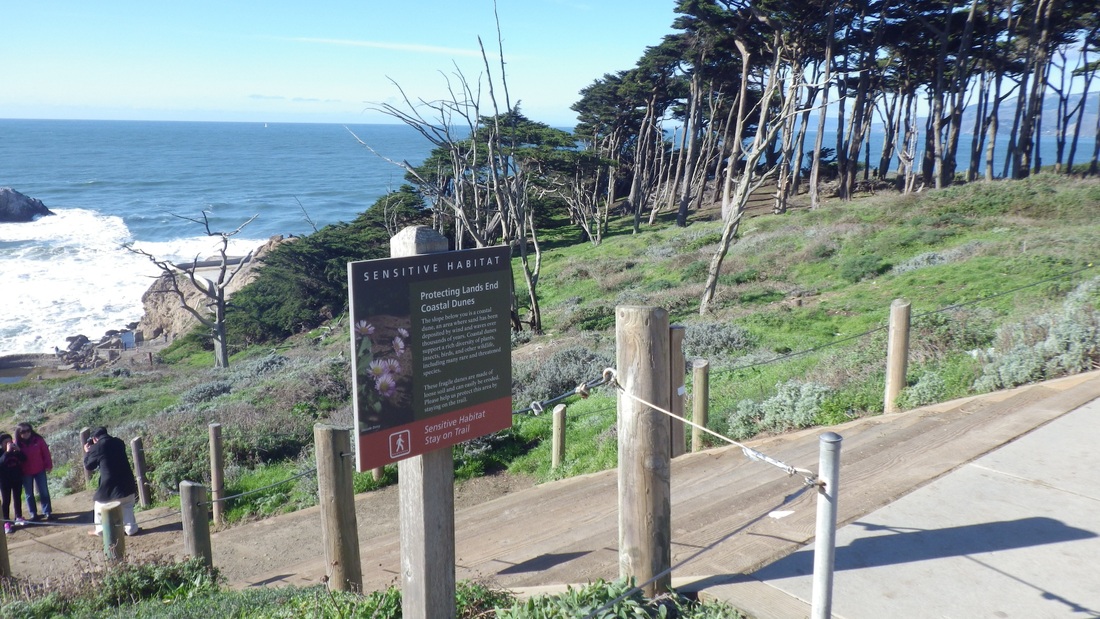
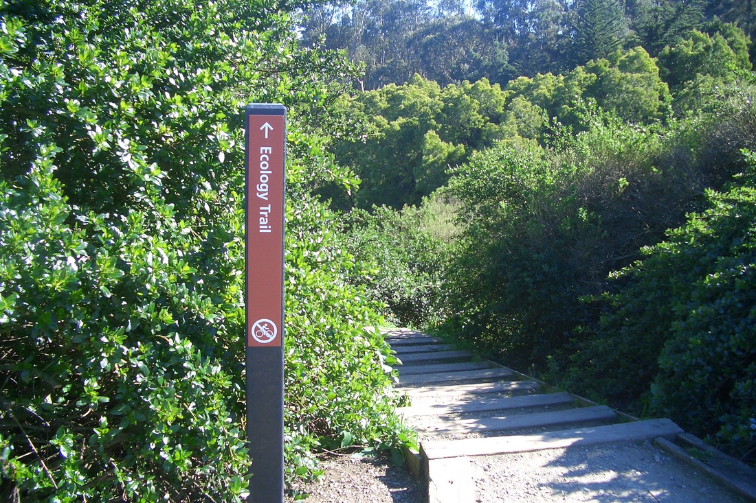
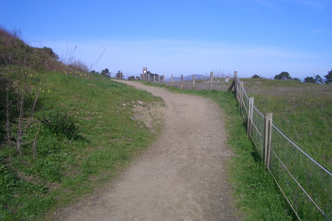
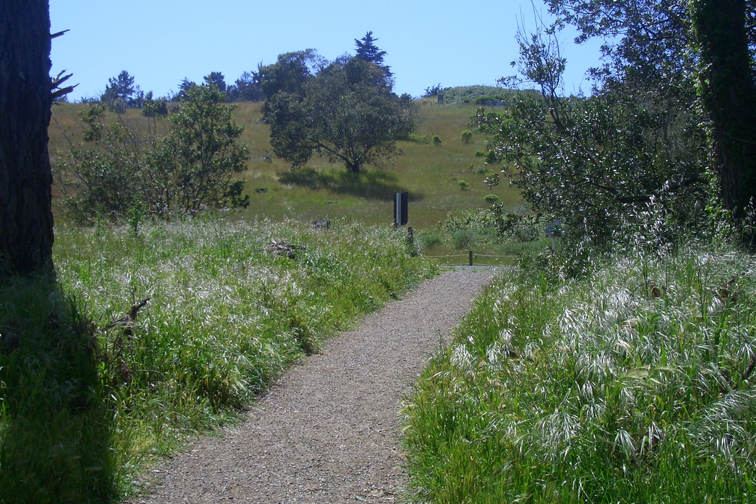
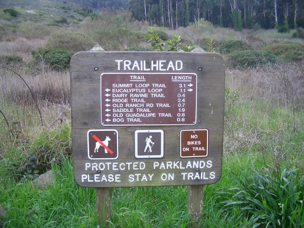
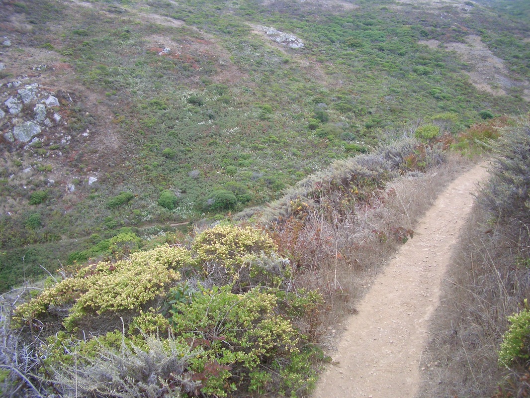
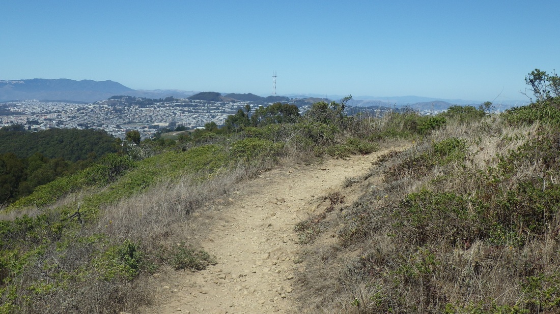
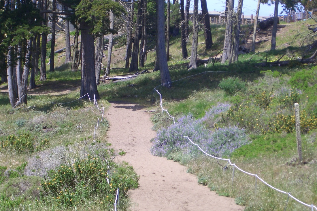
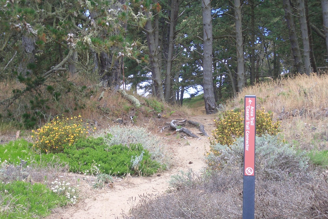
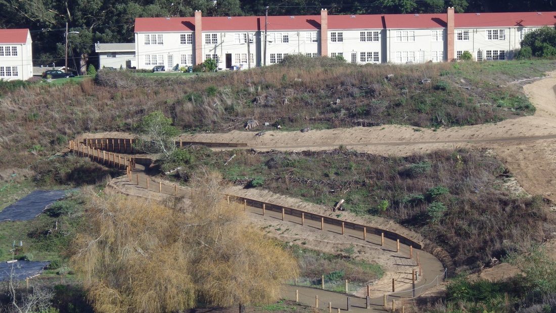
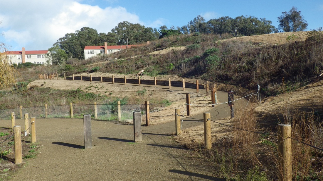
The trails in the natural area have been improved since my last visit and there are lots of planting-flags in evidence.
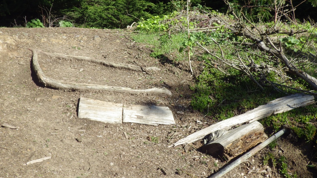
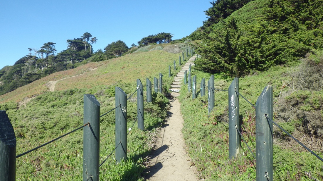
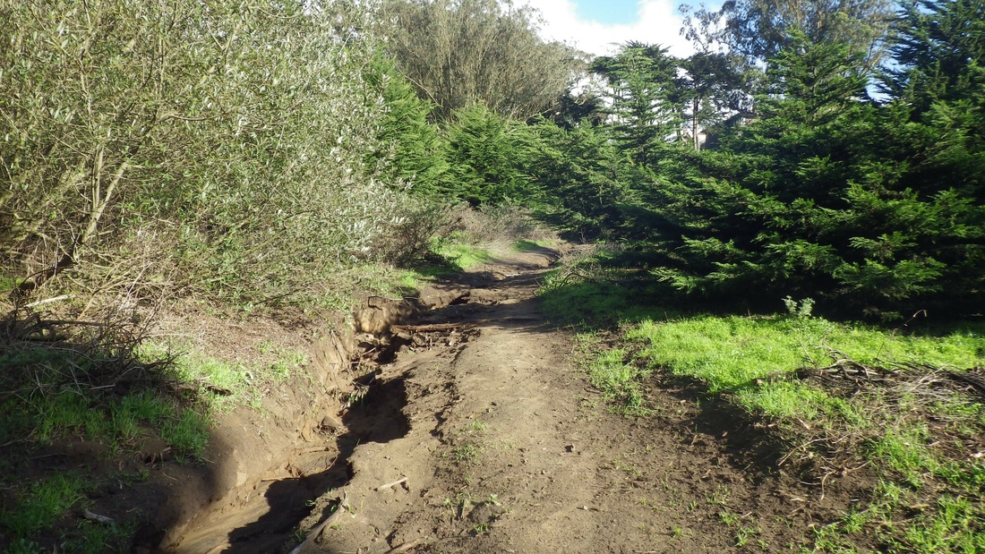
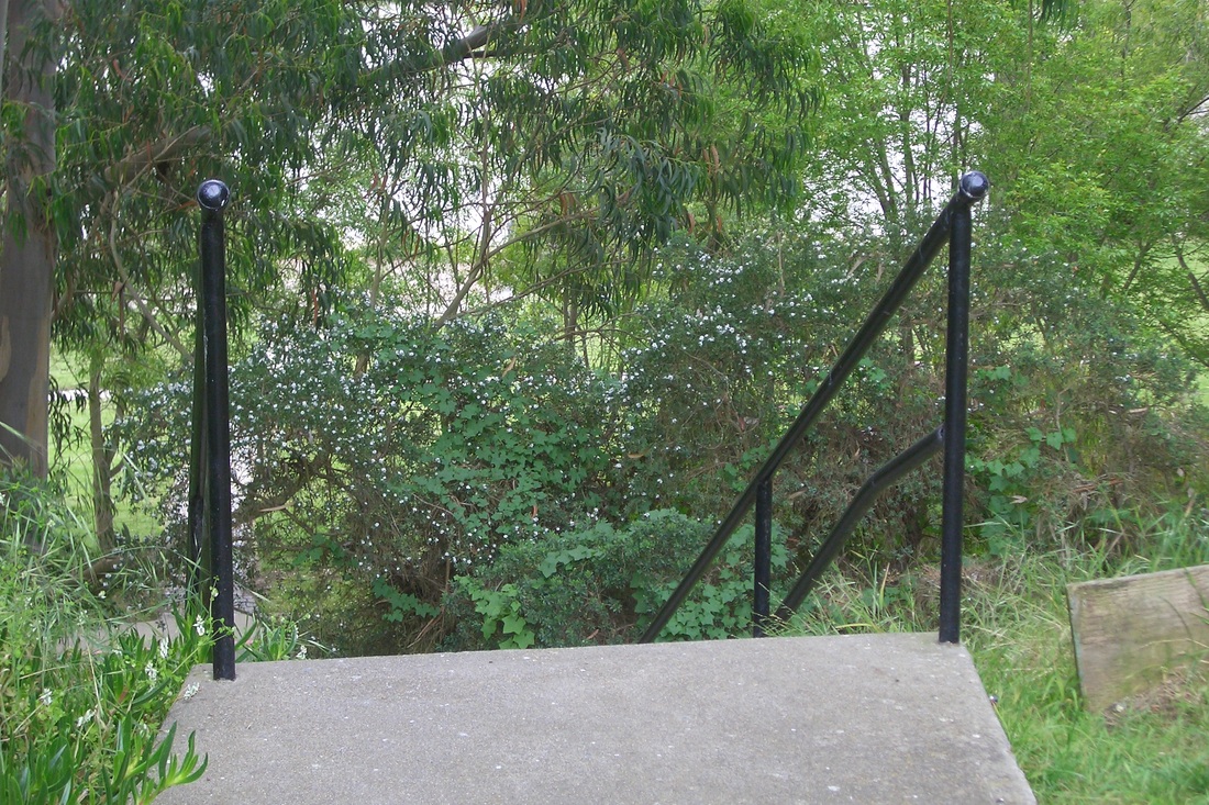
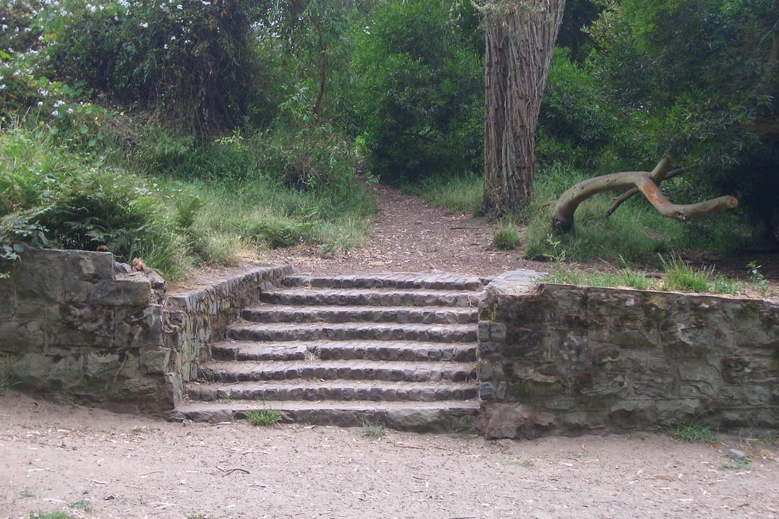
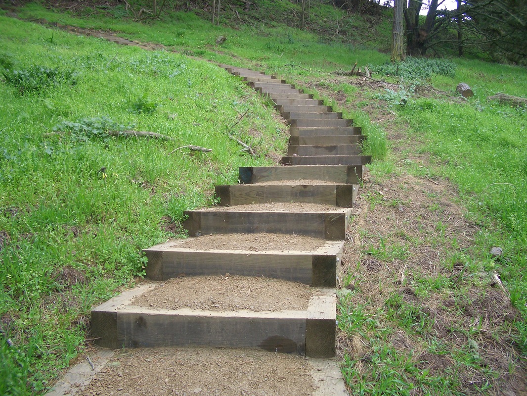
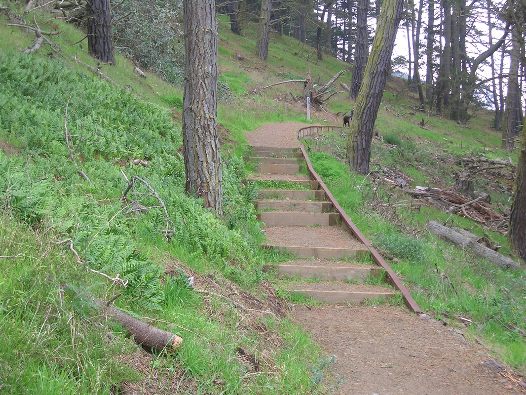
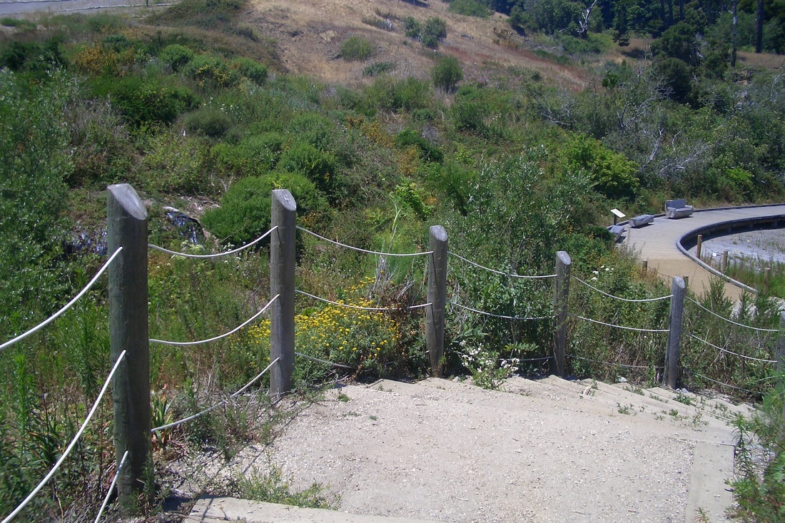
A few pieces of wood and a pipe made a short stairway on a steep part of the trail as I made my way down to the southside stairway (fourth pic). Noticed a couple of guys sitting in the sun reading in this duney area with its thick sand and blooming iceplant (fifth pic). If I lived around here I'd be doing the same.
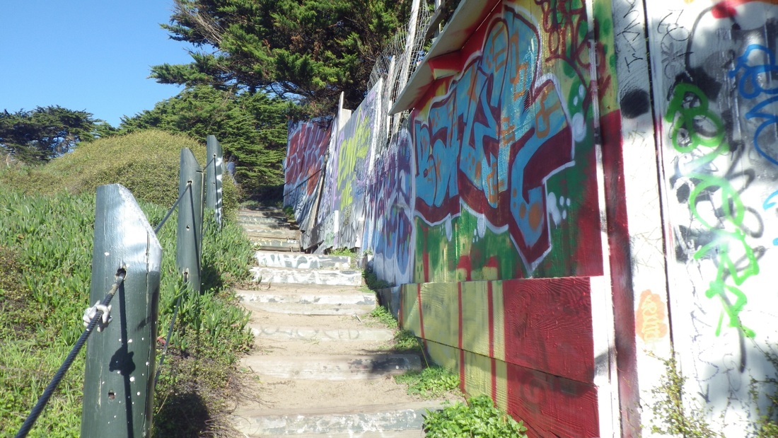
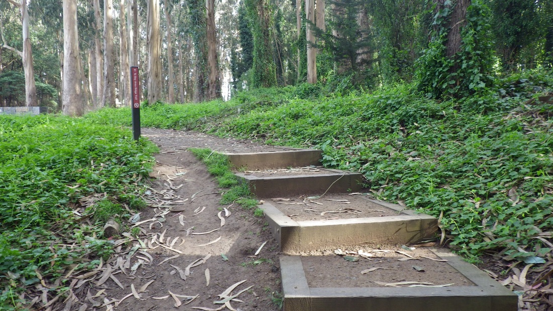
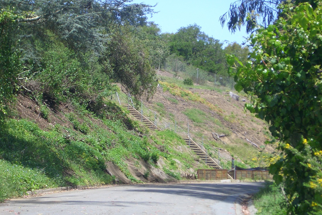
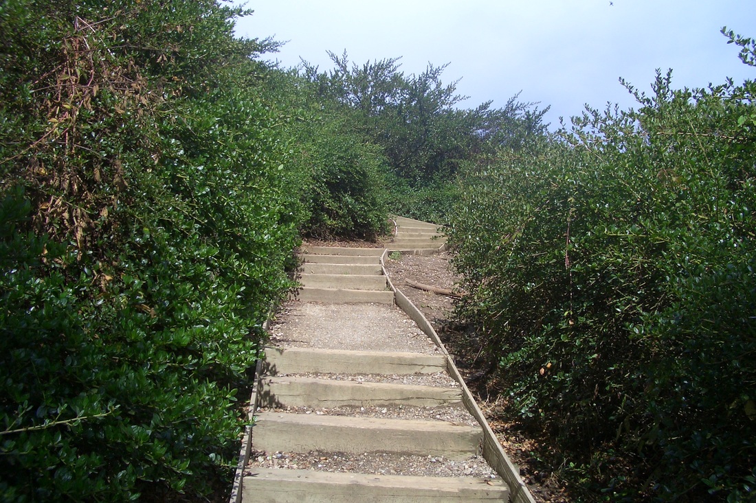
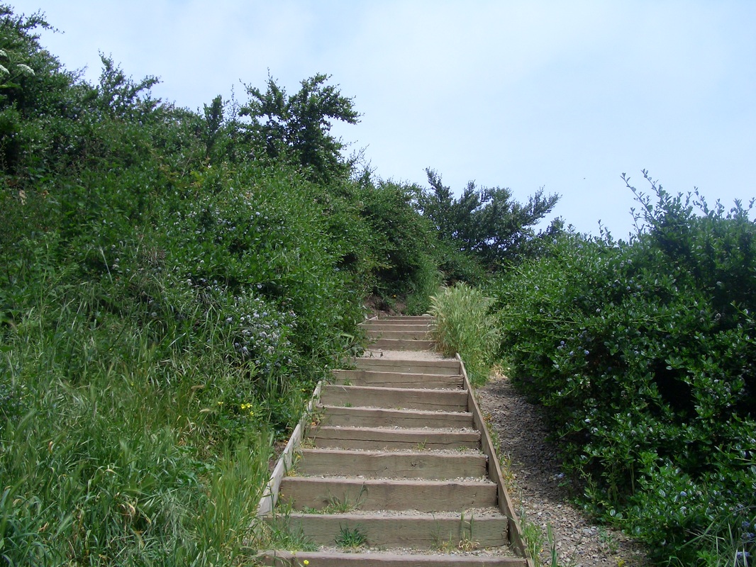
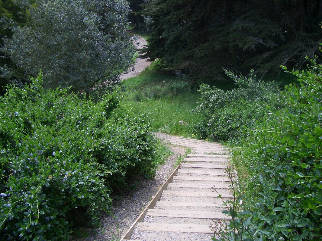
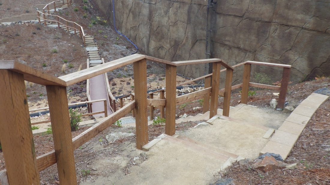
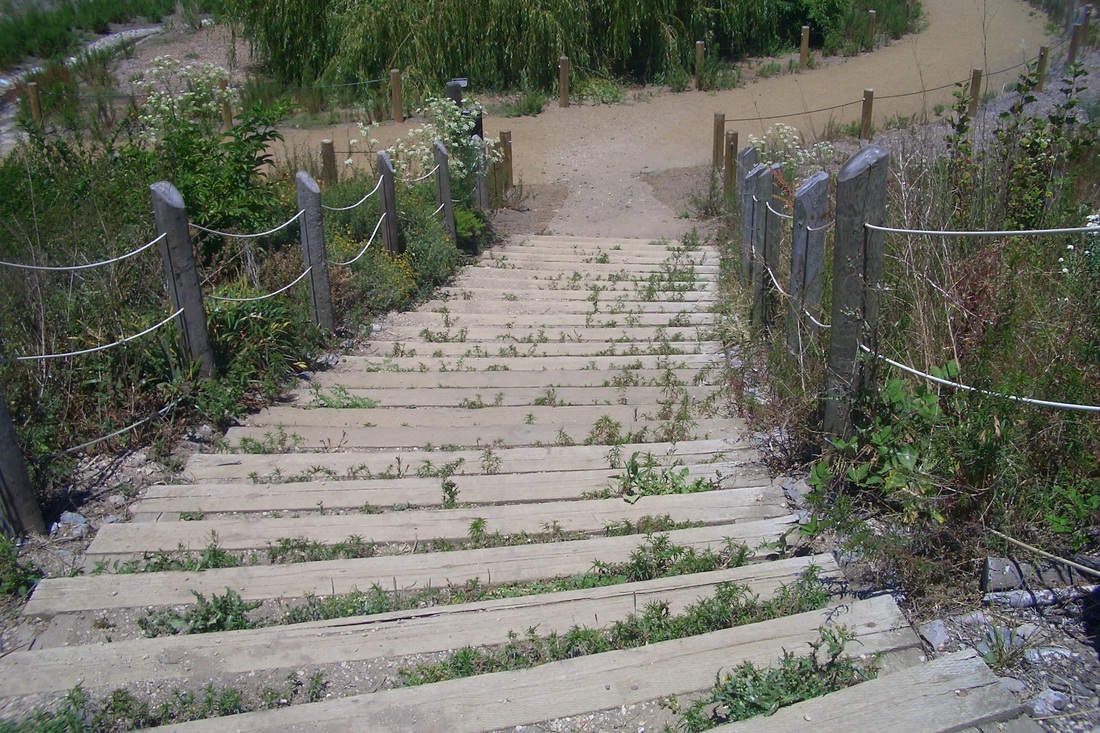
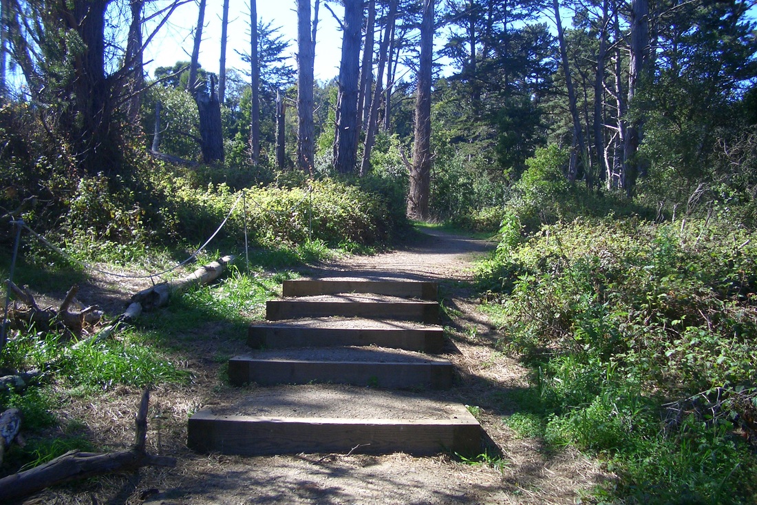
Down, then back up again, via the old log stairway (sixth pic). Steep and uneven at times, there are about 114 steps to the foot at 600 La Playa (seventh pic). Partway up, the stairway turns into a trail for a short distance between steps (next two pics). At the top you'll see lots of colorful graffiti (10th pic). Behind the wood and wire fencing here was the usual litter and what looked like homeless encampments. But that's been there forever. I've never actually seen anyone back there.
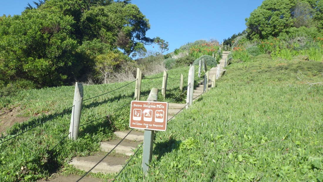
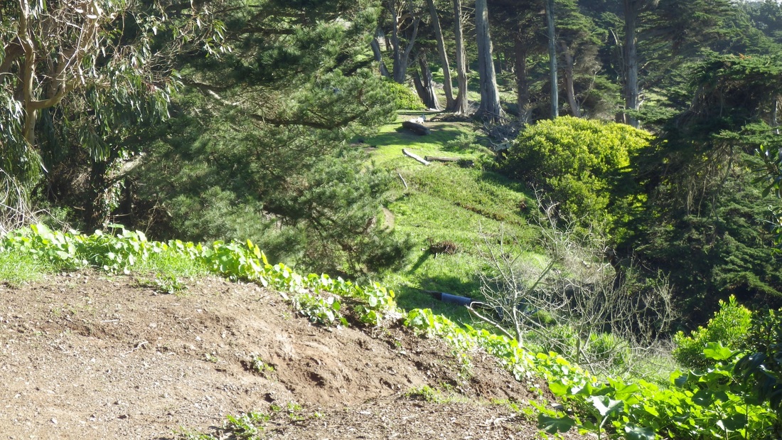
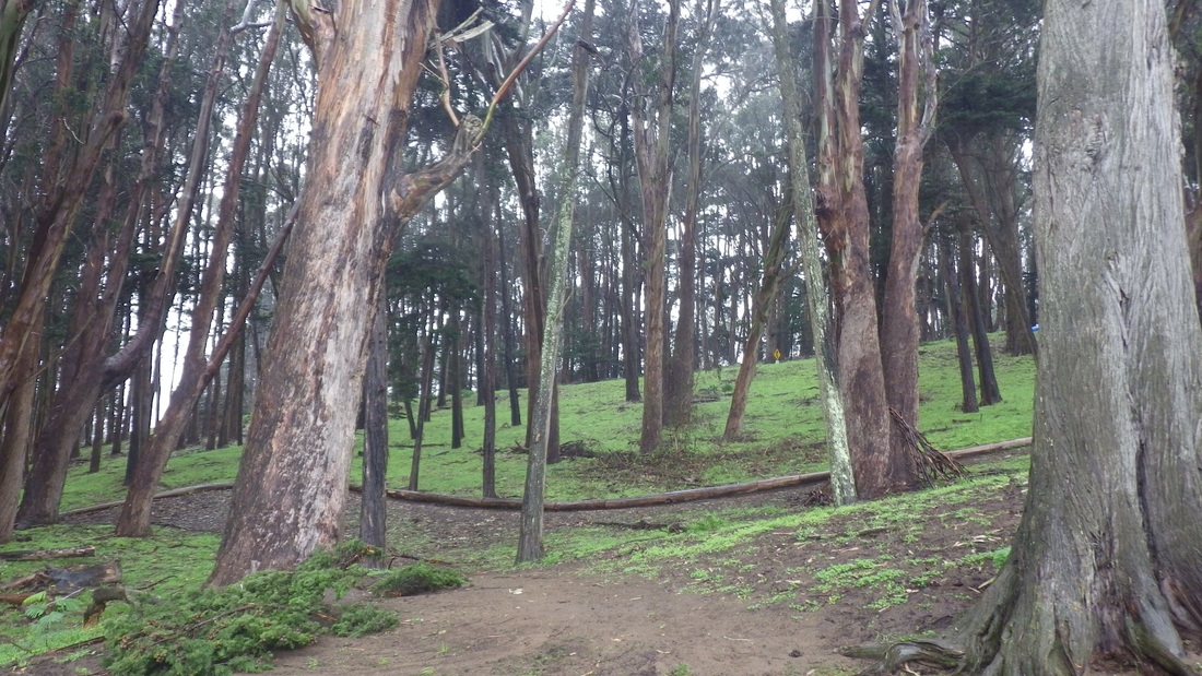
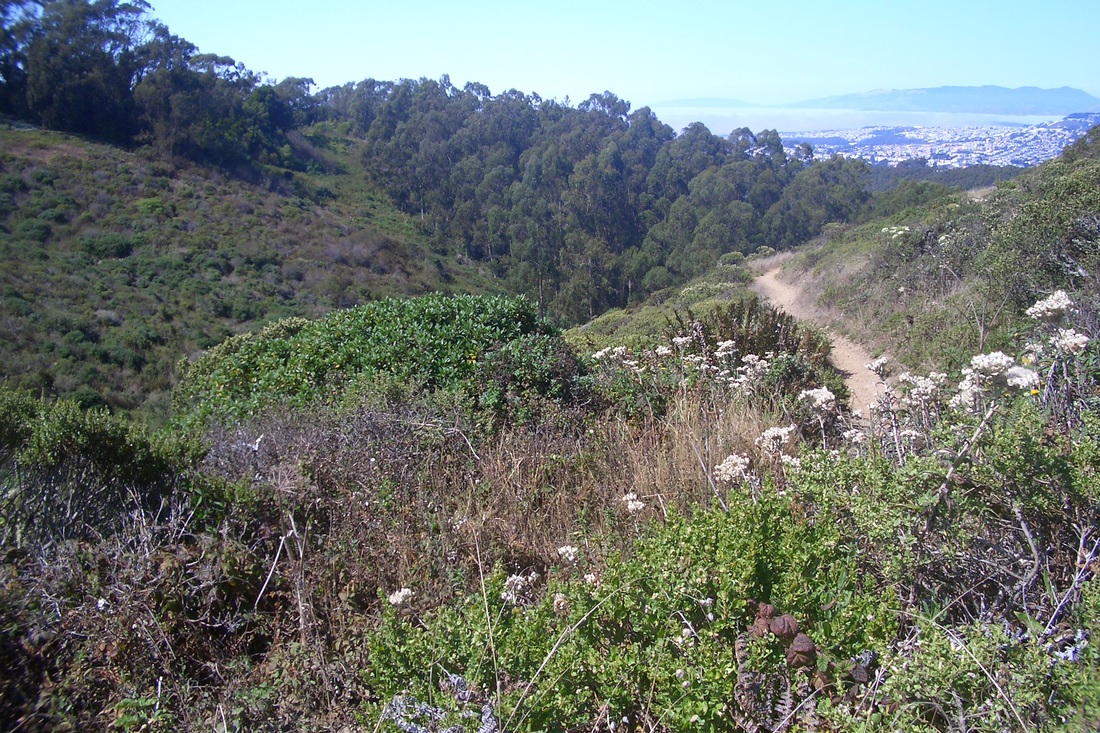
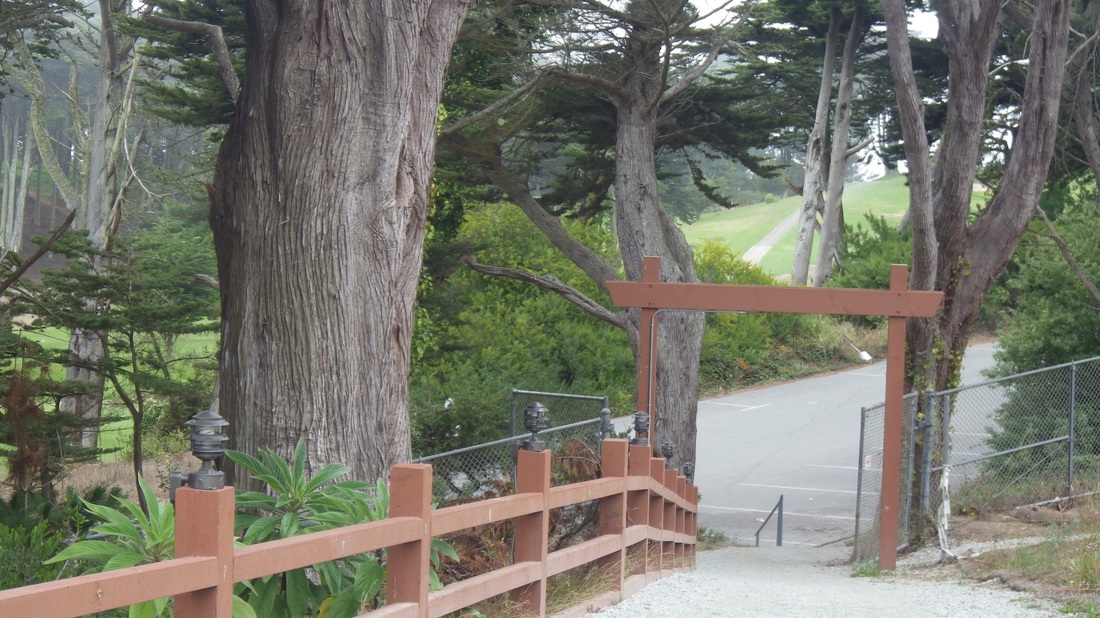
Took a different, steepish trail from the top of the stairs back up to the main part of the park (next two pix).
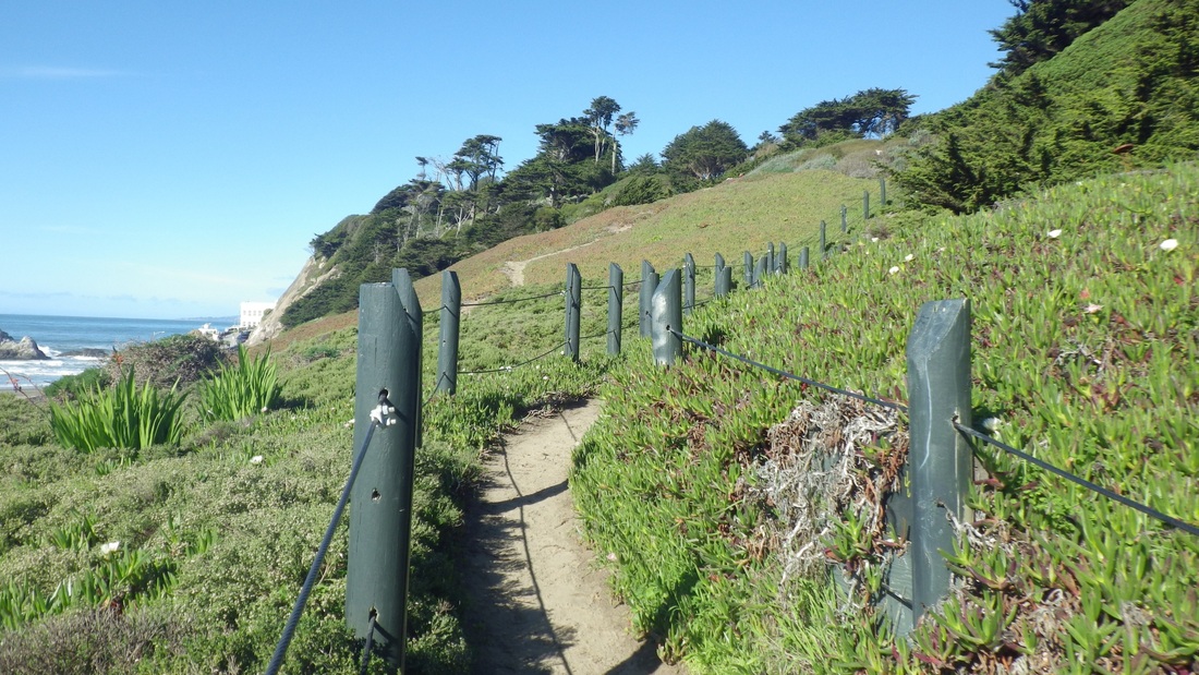
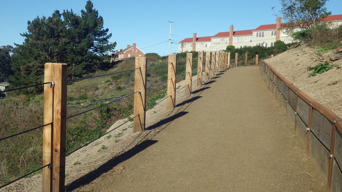
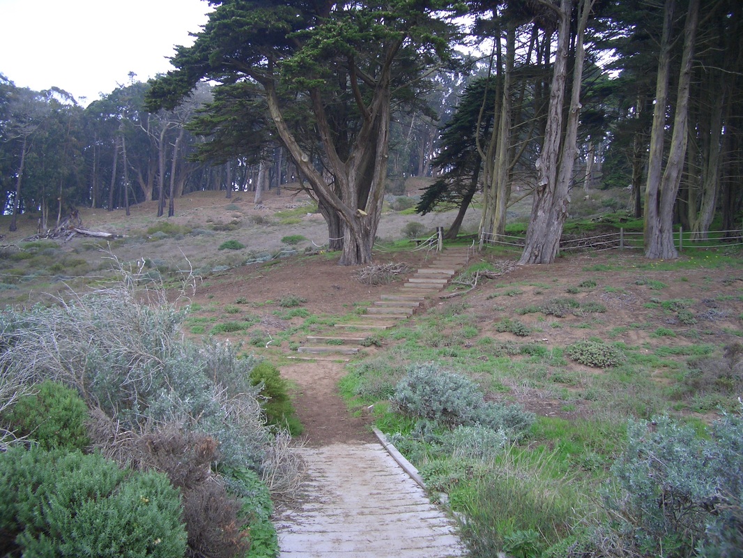
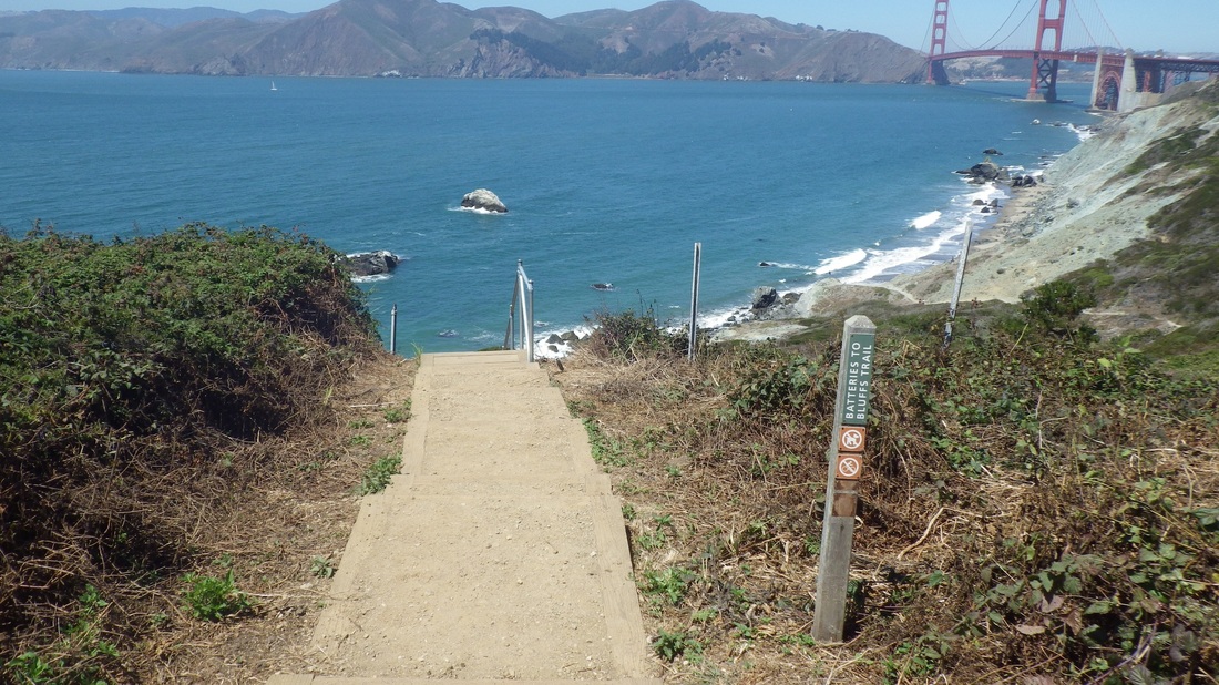
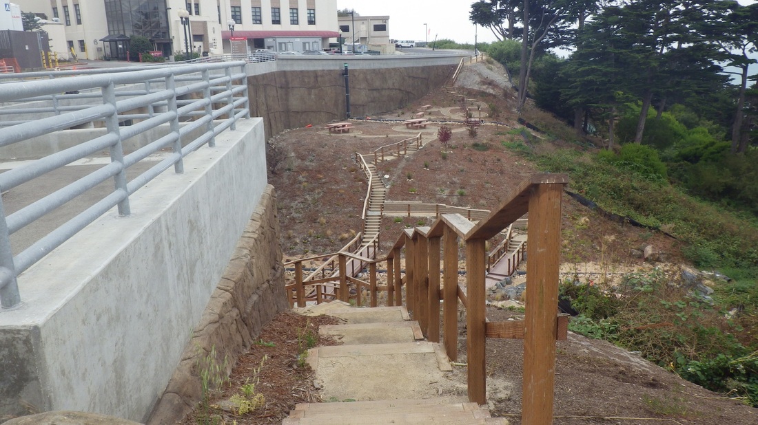
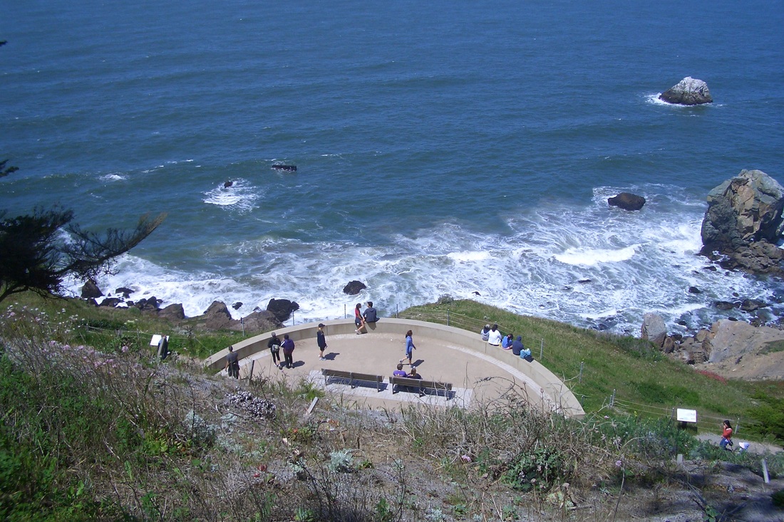
34 stone steps led to the top of the Parapet, then 33 curvy steep ones down the west side. Crossed over to the Lands End side and past the top of the "Merrie Way" stairway (last pic) that descends to the Sutro Baths ruins from the lower parking lot overlook.
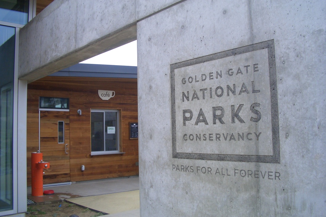
These two oceanview parks are perfect places to take out-of-towners, especially today: warm and sunny. And now even better with the Lands End Lookout (opened earlier this year) that has a visitor center store with a glorious view, educational exhibits, and a coffee shop. Quite unlike the other day at San Bruno Mountain when I had to cut my hike short due to heavy rain.
Crossed curvy Point Lobos at the crosswalk near the Lands End Lookout building. Drivers in this area are not much inclined to stop or slow for pedestrians, even at the crosswalk. This would be a good spot for a pedestrian skyway. At the very least, a new paintjob for the crosswalk might help. First pic: The "Merrie Way" stairway (about 127 steps) as seen from Point Lobos.
The main part of Sutro Heights Park has green lawns, benches, wide trails, and the Parapet (a viewtiful stone lookout spot with benches, built by Adolph Sutro in 1881) with Ocean Beach below (next two pics).
The trails in the natural area have been improved since my last visit and there are lots of planting-flags in evidence.
A few pieces of wood and a pipe made a short stairway on a steep part of the trail as I made my way down to the southside stairway (fourth pic). Noticed a couple of guys sitting in the sun reading in this duney area with its thick sand and blooming iceplant (fifth pic). If I lived around here I'd be doing the same.
Down, then back up again, via the old log stairway (sixth pic). Steep and uneven at times, there are about 114 steps to the foot at 600 La Playa (seventh pic). Partway up, the stairway turns into a trail for a short distance between steps (next two pics). At the top you'll see lots of colorful graffiti (10th pic). Behind the wood and wire fencing here was the usual litter and what looked like homeless encampments. But that's been there forever. I've never actually seen anyone back there.
Took a different, steepish trail from the top of the stairs back up to the main part of the park (next two pix).
34 stone steps led to the top of the Parapet, then 33 curvy steep ones down the west side. Crossed over to the Lands End side and past the top of the "Merrie Way" stairway (last pic) that descends to the Sutro Baths ruins from the lower parking lot overlook.
These two oceanview parks are perfect places to take out-of-towners, especially today: warm and sunny. And now even better with the Lands End Lookout (opened earlier this year) that has a visitor center store with a glorious view, educational exhibits, and a coffee shop. Quite unlike the other day at San Bruno Mountain when I had to cut my hike short due to heavy rain.
"Merrie Way" stairway from Point Lobos
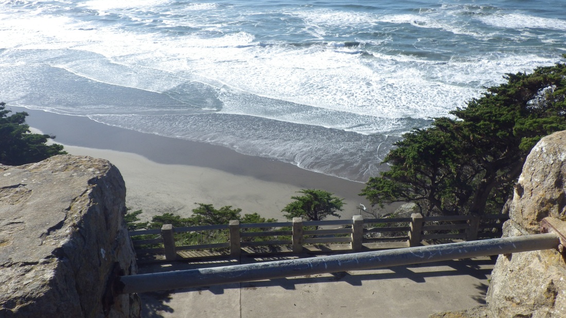
Ocean Beach from the Parapet atop Sutro Heights Park
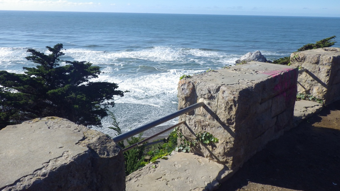
View from atop the Parapet
A Trail in the Balboa Natural Area
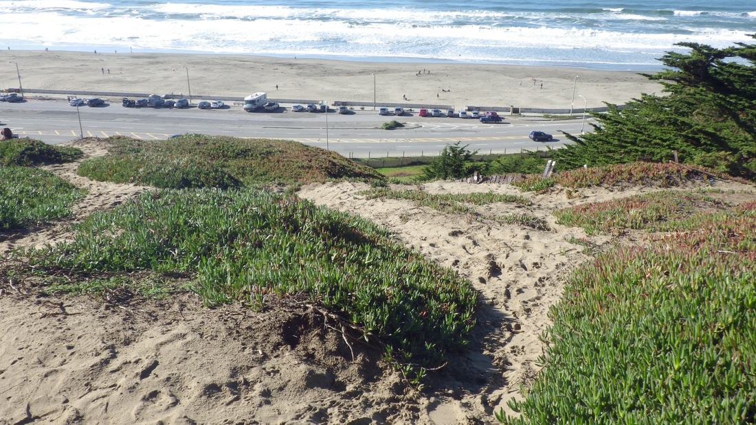
Dune-y Delight
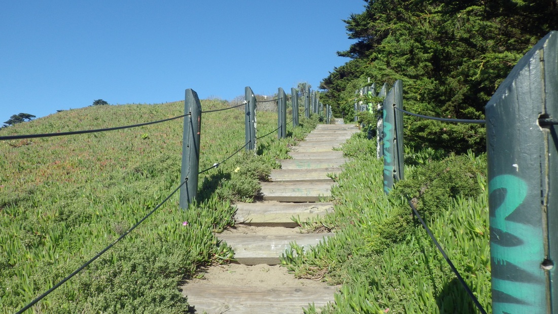
Up from La Playa
Foot of the stairway at La Playa
Trail between steps
Trail and stairs
Top of the stairway

Up into the main part of the park
Up to the north side of the park
Connecting the overlook with Sutro Bath ruins

 RSS Feed
