II's getting more and more difficult to find unspoiled, "wild" forested sections in our parks.
The Presidio doesn’t paint colored dots on trees they want to cut down, nor are there felled tree-parts up and down from the trails as we’ve been seeing on Mount Sutro.
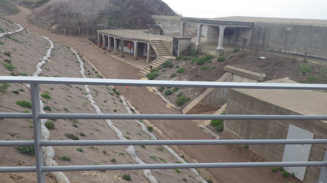
But there are two long-term projects with trail detour signs and tall chainlink fences.
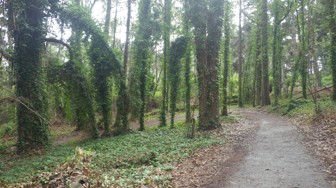
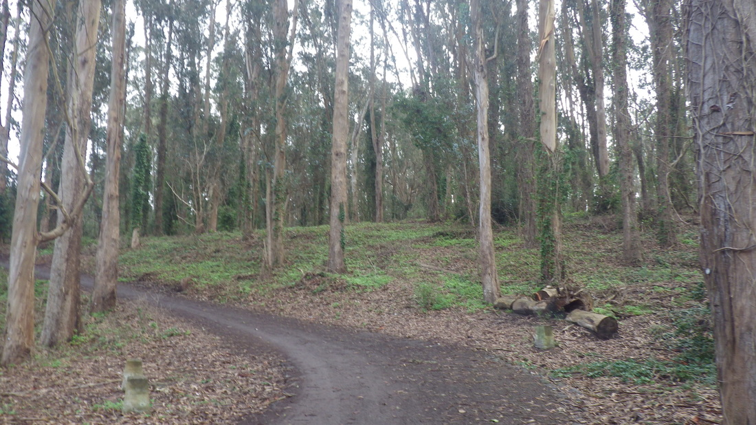
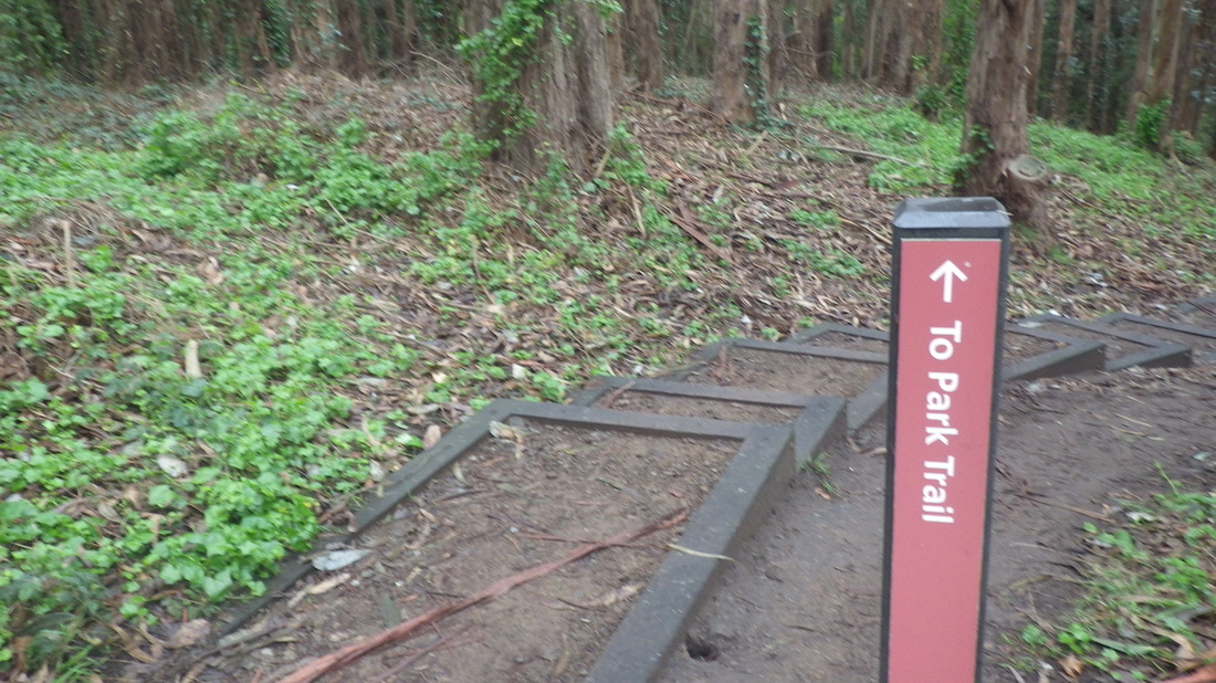
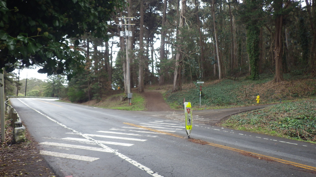
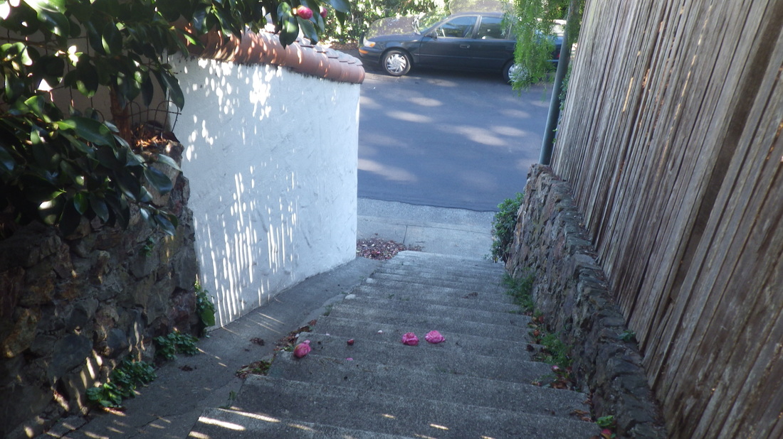
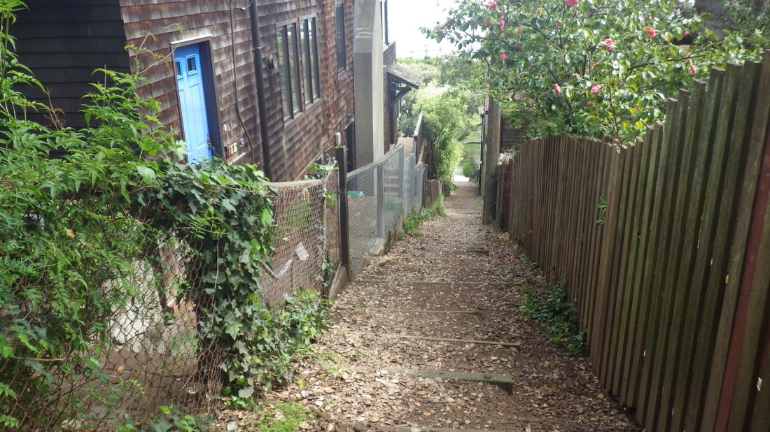
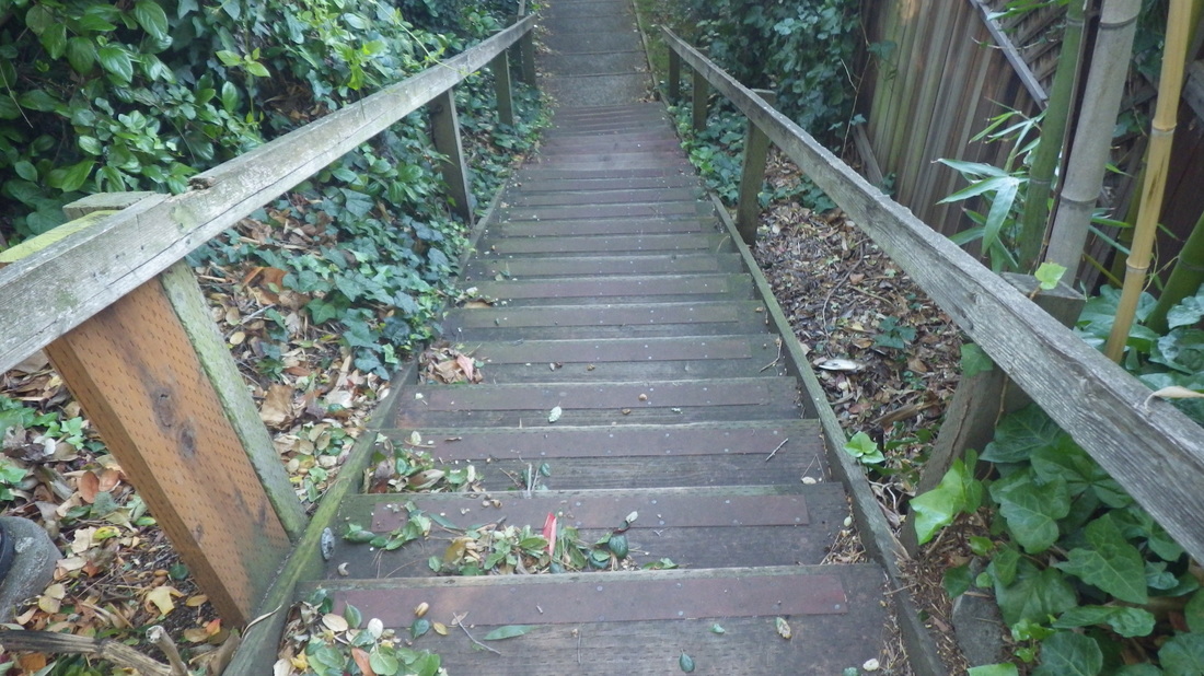
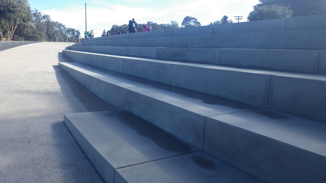
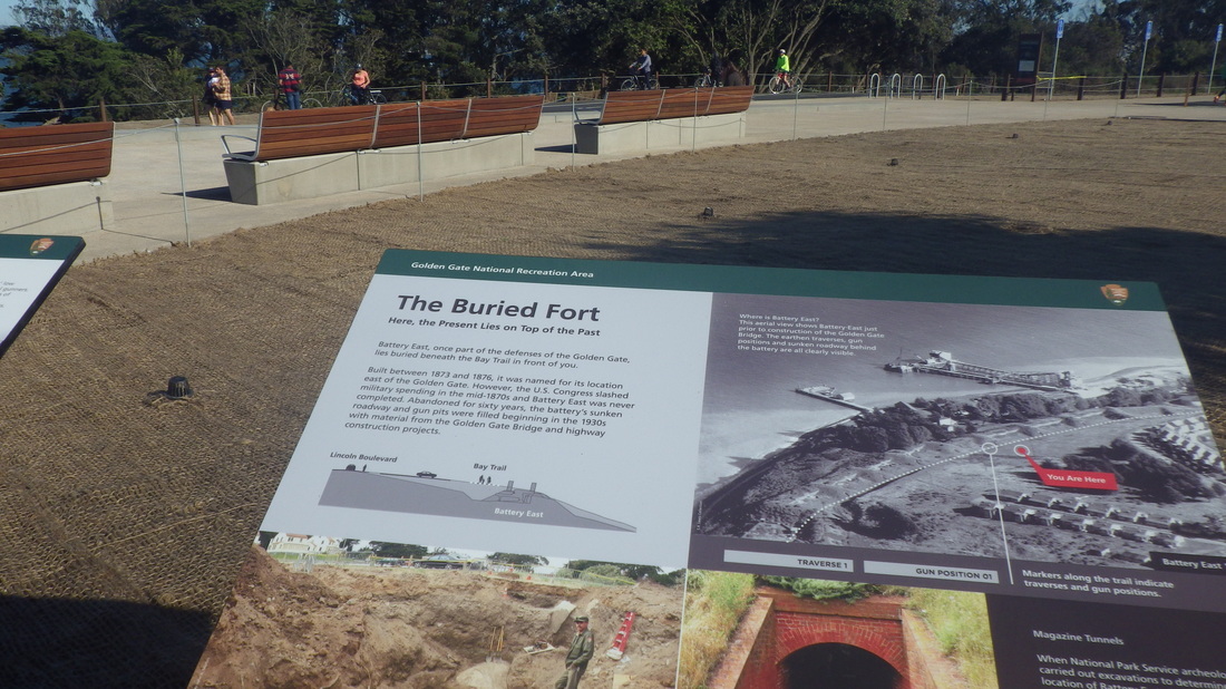
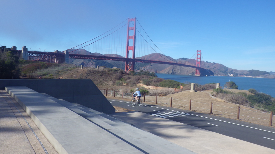
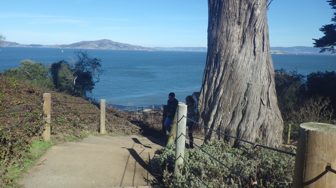
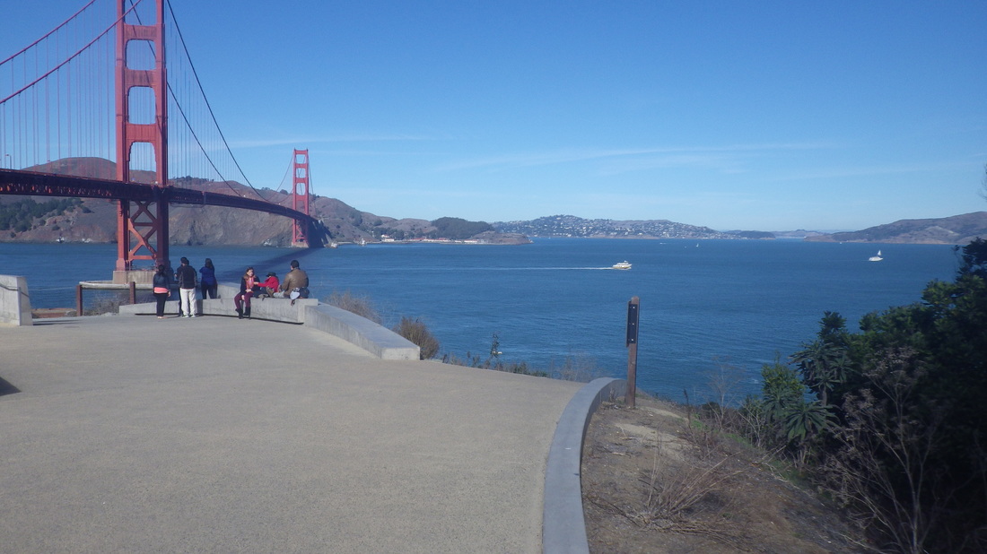
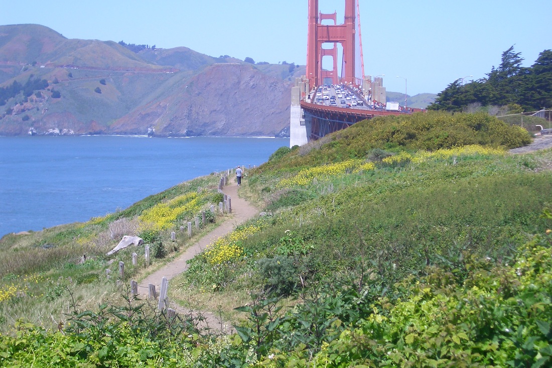
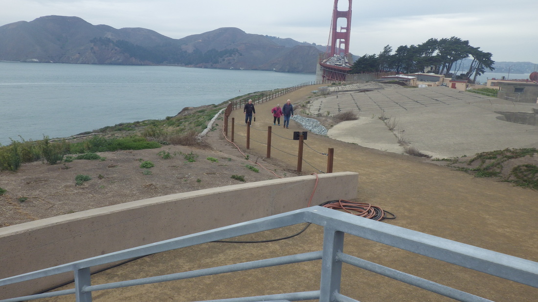
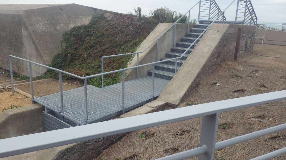
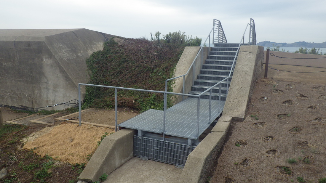
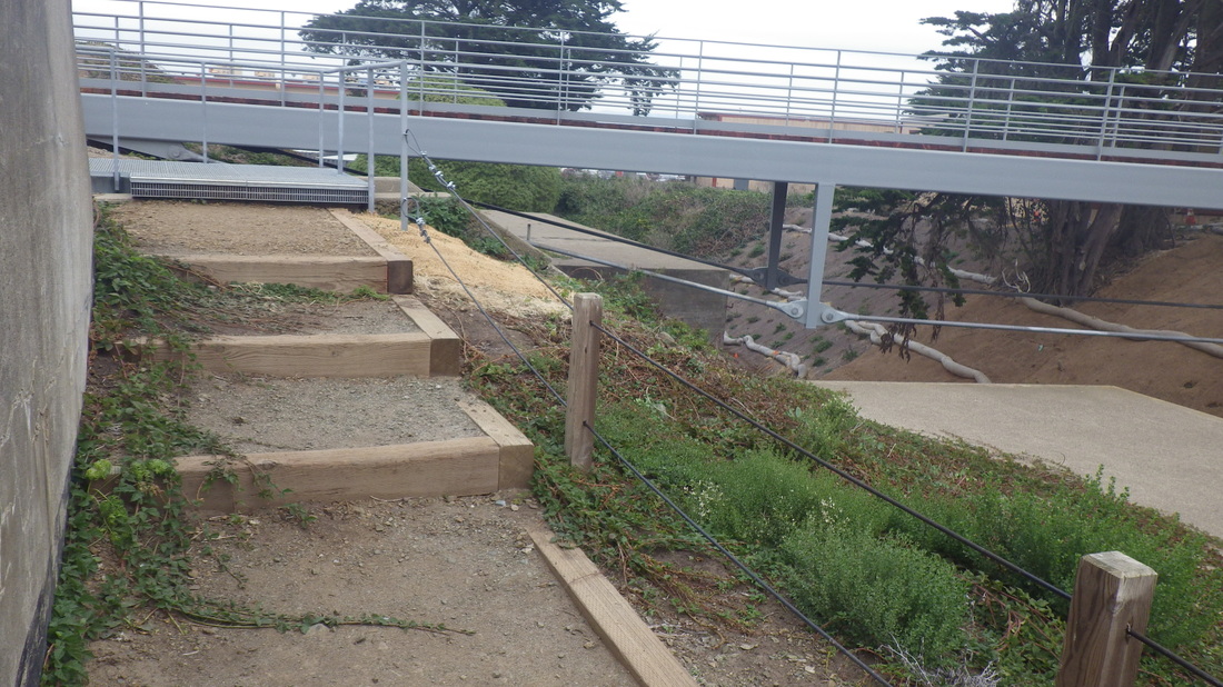
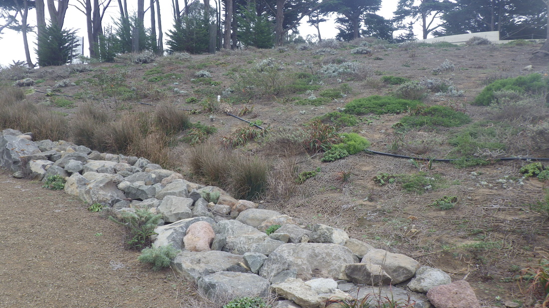
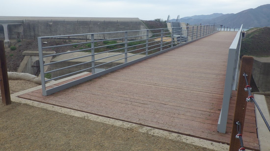
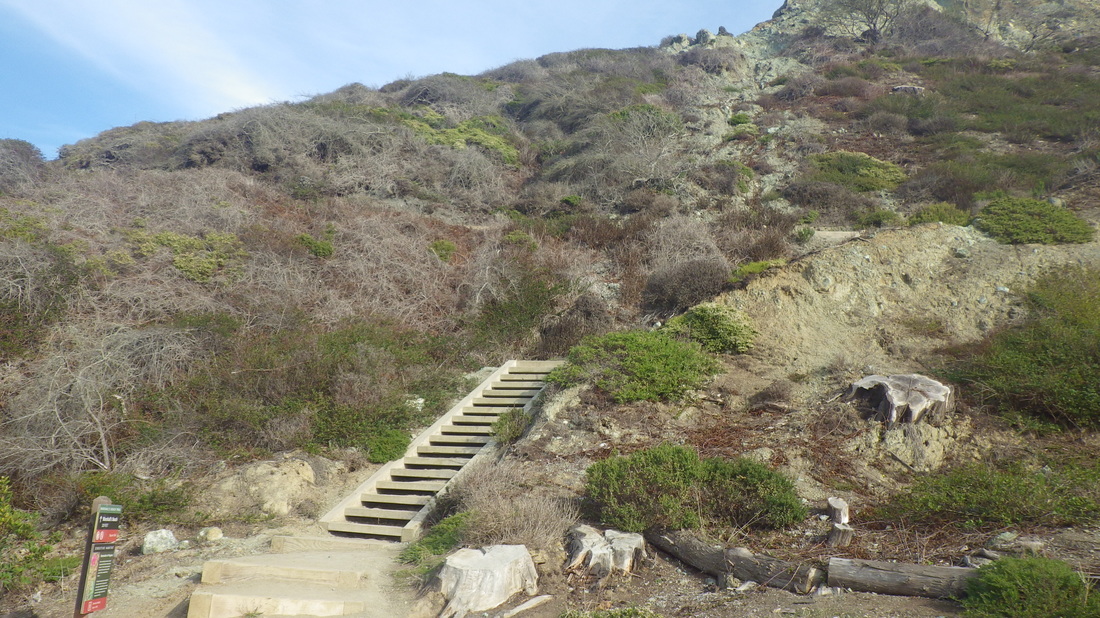
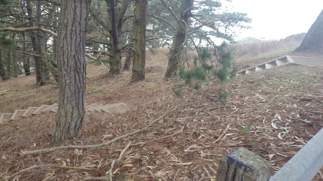
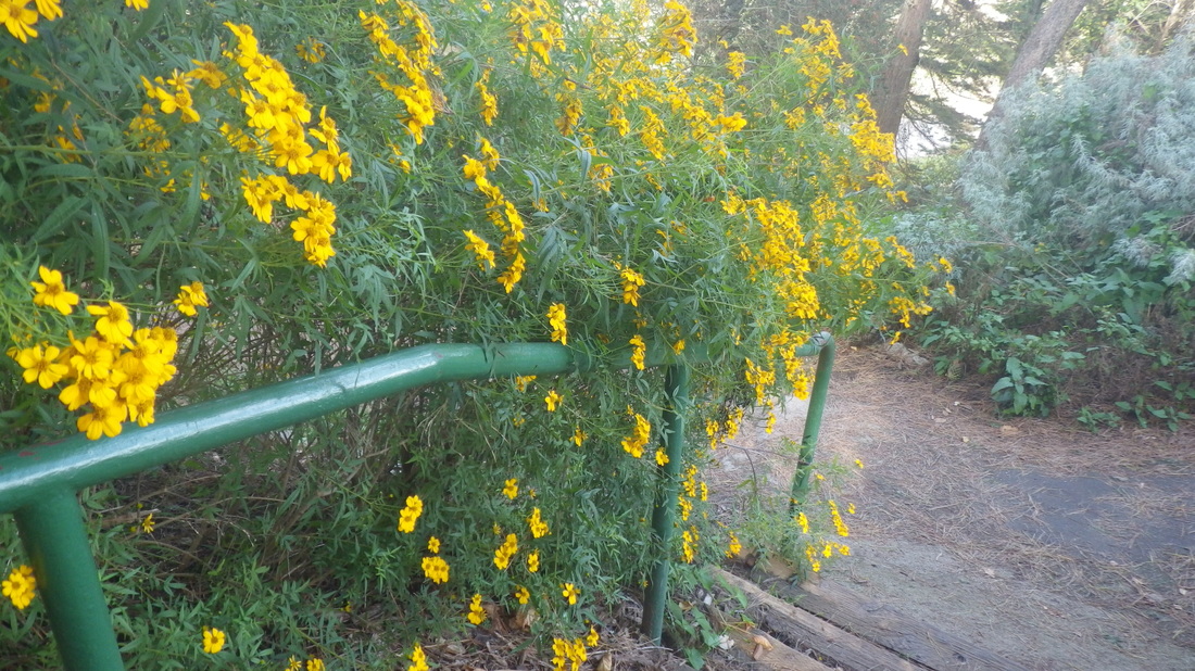
The first of these, and the most depressing, is the huge watershed project at the south end of the park, starting a little way past Lover’s Lane (first pic) out to the top of the east zigzag trail down to El Polin Spring.
Depressing because a sign on one of the fences advises they will be cutting down eucalyptus trees in the neighborhood. Why can they not leave these old beauties be? The playing field is to be replaced with artificial turf.
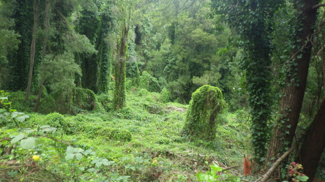
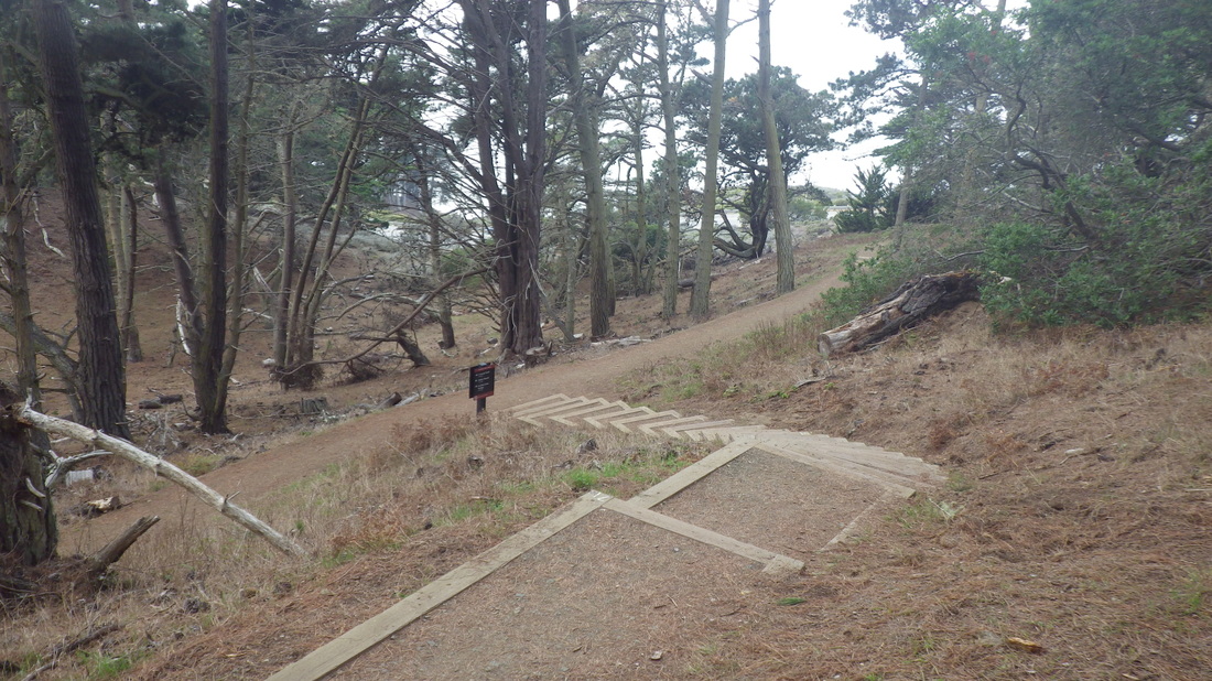
It already looks shockingly stark and bare where they've been planting in the cleared areas.
And one of my favorite areas to forage for blackberries near the field is directly in their line of fire.
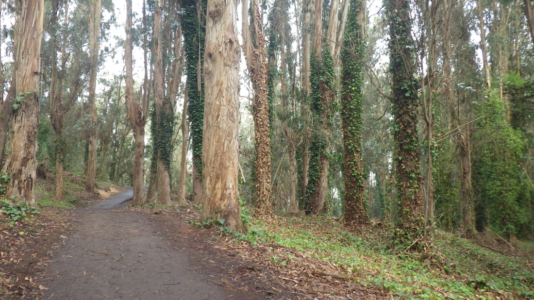
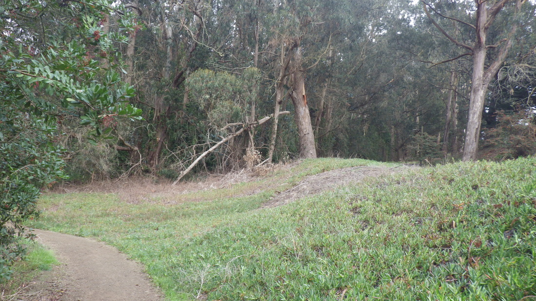
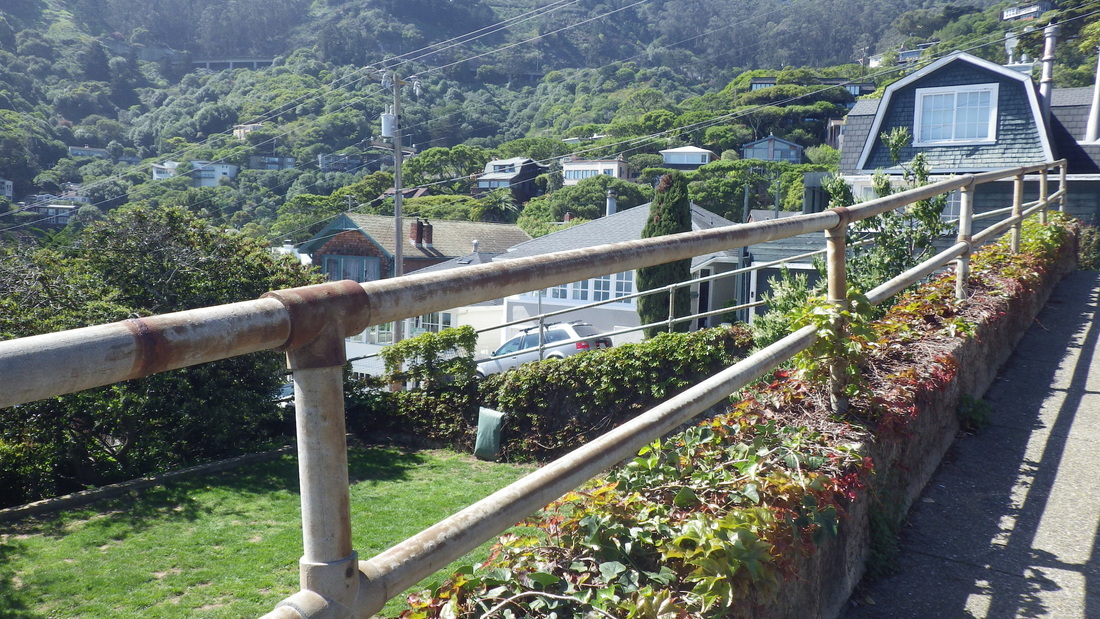
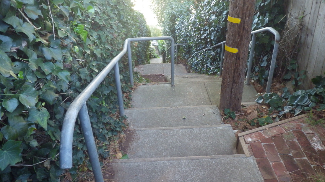
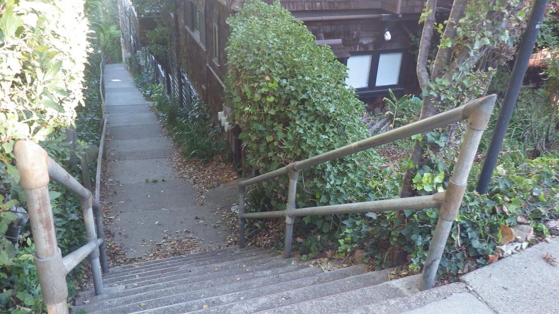
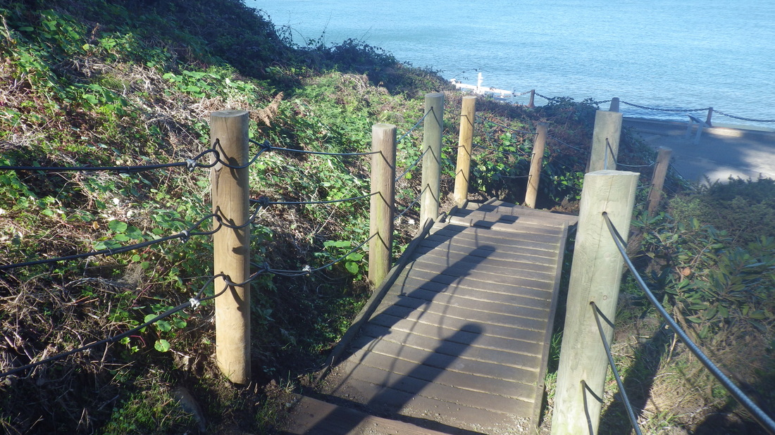
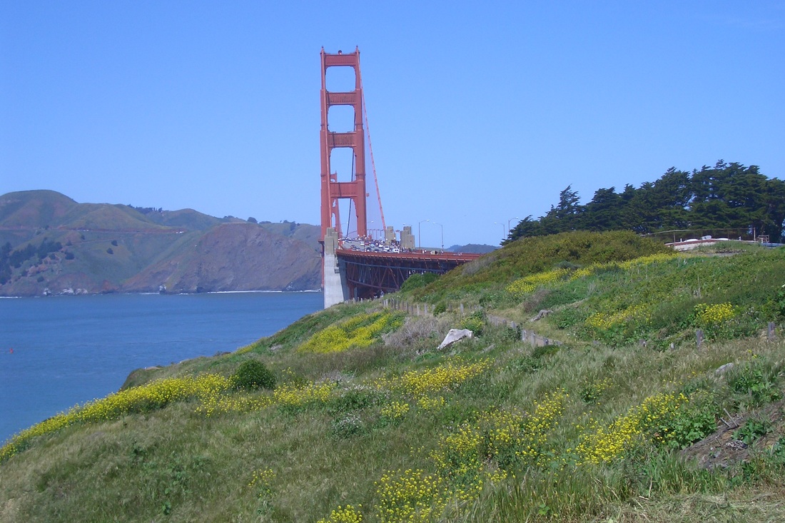
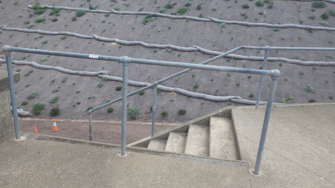
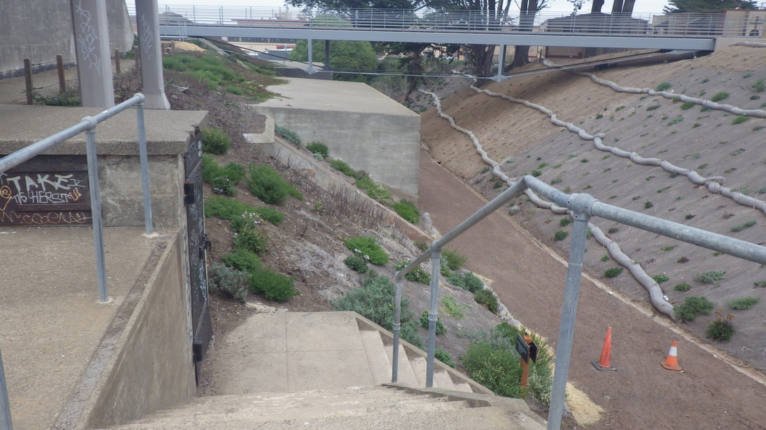
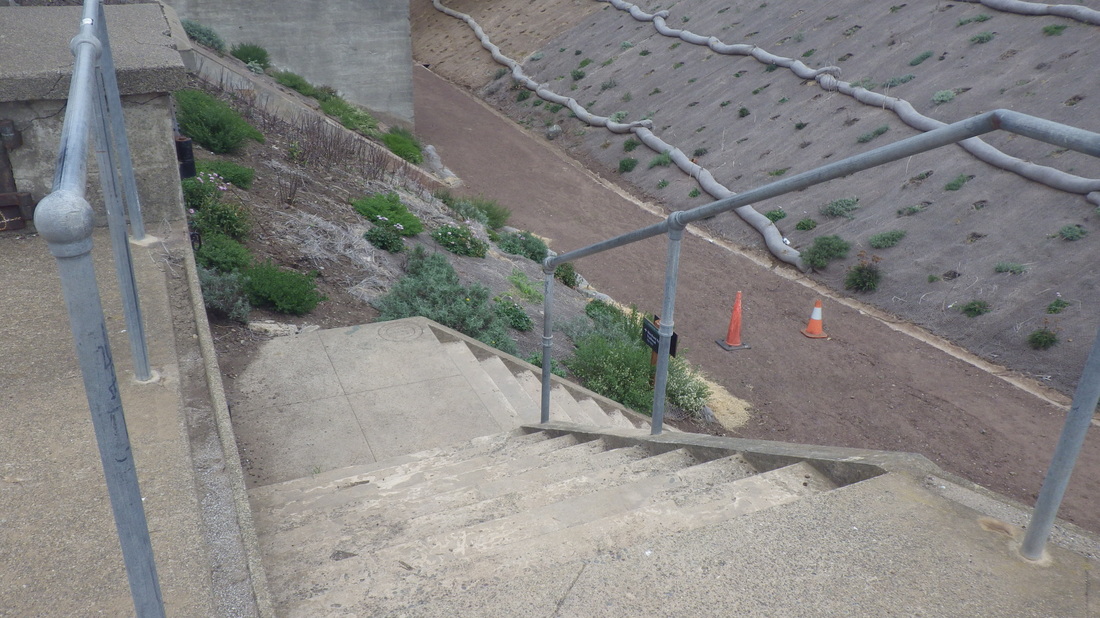
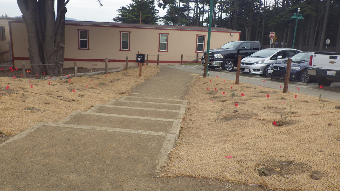
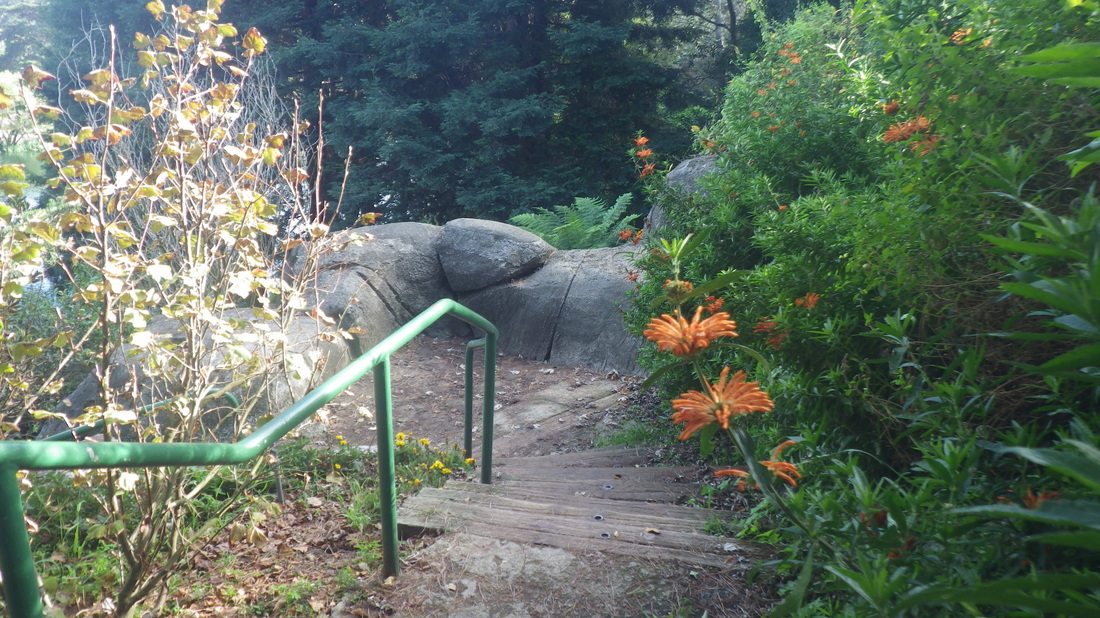
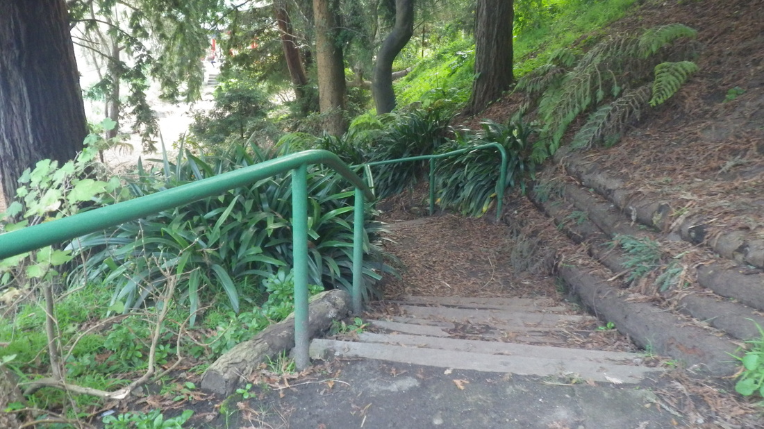
The first time I ran into this, detoured into a nearby residential area for a pleasant stroll (pic 2).
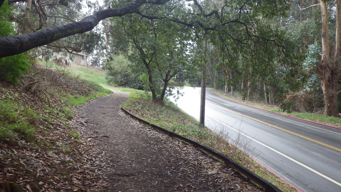
The second time walked along the south edge of the park and descended to El Polin Spring from Julius Kahn Park.
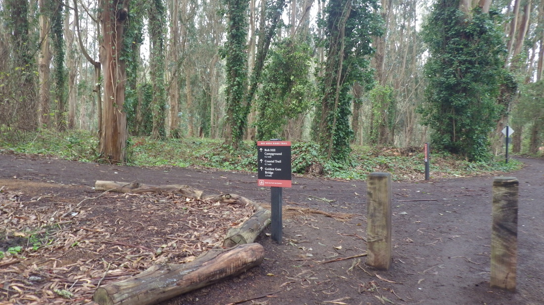
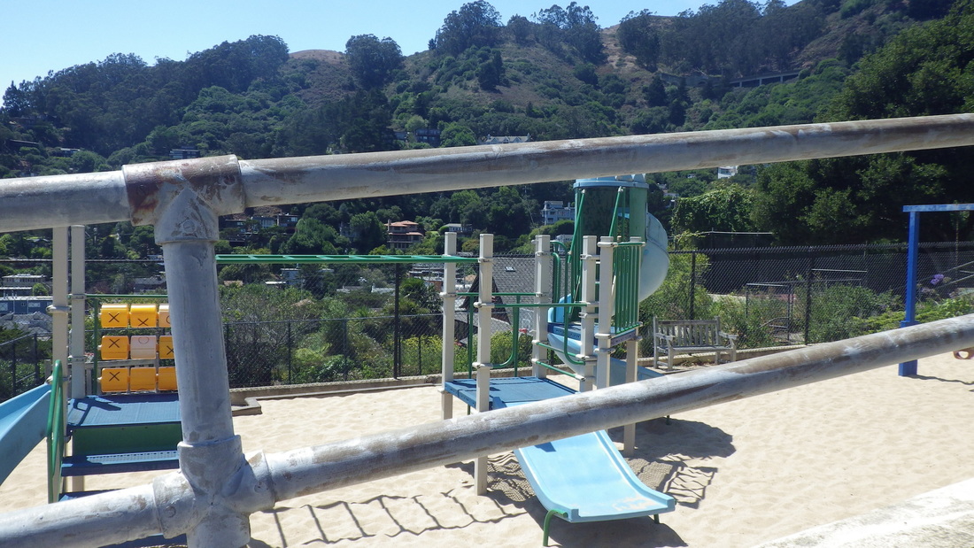
The second project is a makeover of Mountain LaKe Park's playground. Had to use the higher trail out to Park Presidio Blvd. as the lower trail was blocked off. The lake area is accessible though.
Which brings me to a couple of bones to pick re the east side of Mountain Lake.
On the southeast side used to be able to squeeze thru a gap in a chainlink fence to walk around just below the south edge of the golf course. Now I can't get through. It's been closed off a long time; thought this was to be opened as public trails.
The second is at the northeast corner where the trail turns. Used to happily forage for berries amongst the old foundations here. Then it was cleared, replanted, and blocked off, looking drab and desert-like for a long time with a locked gate.
At the east end is a swath of green just below the golf course's west edge. So how about reopening this section, with trails below the golf course, maybe connecting with other trails?
To get to the first forested section I had in mind, uphilled on the paved trail that’s surrounded most of the way by the golf course. After that, the forest trails were well connected.
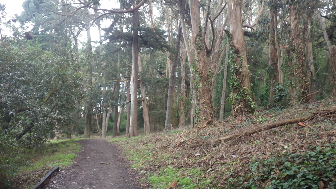
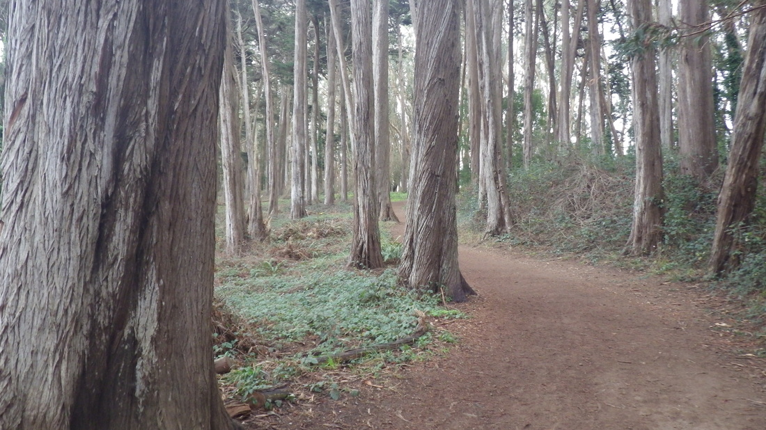
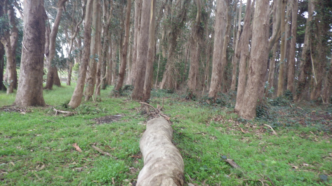
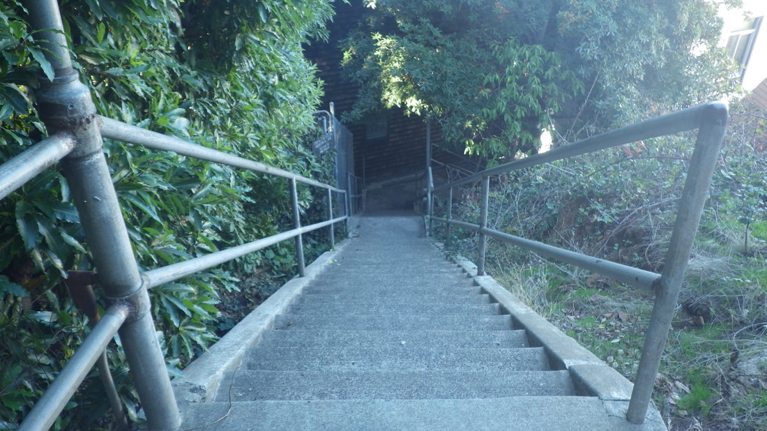
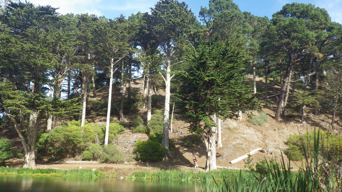
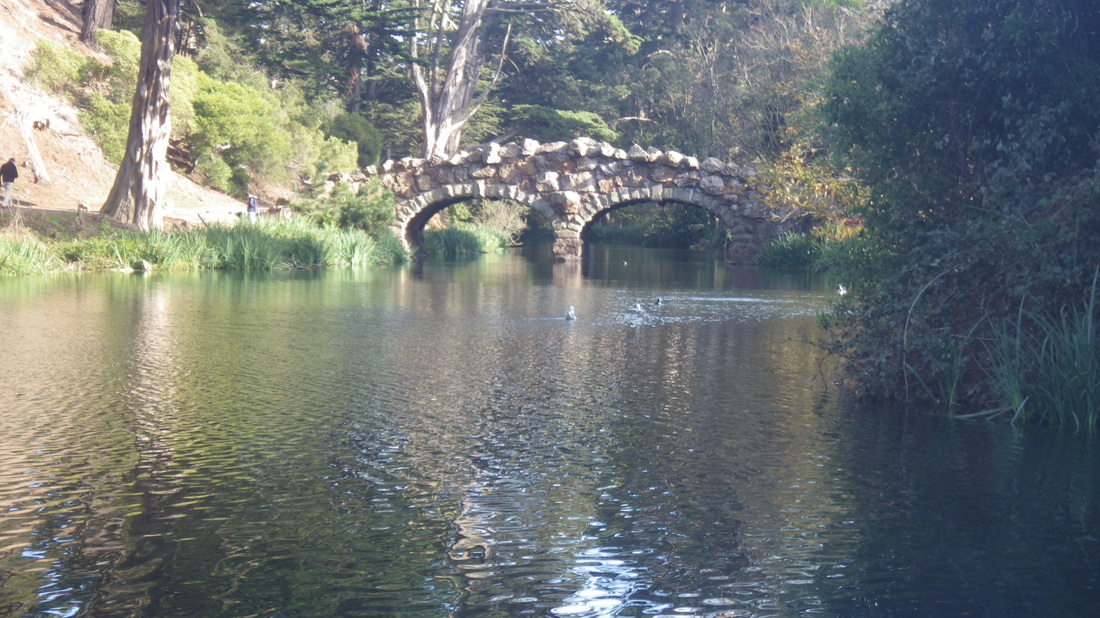
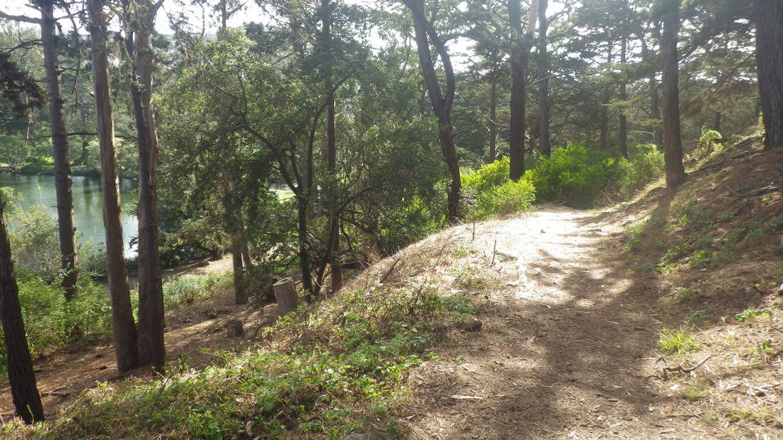
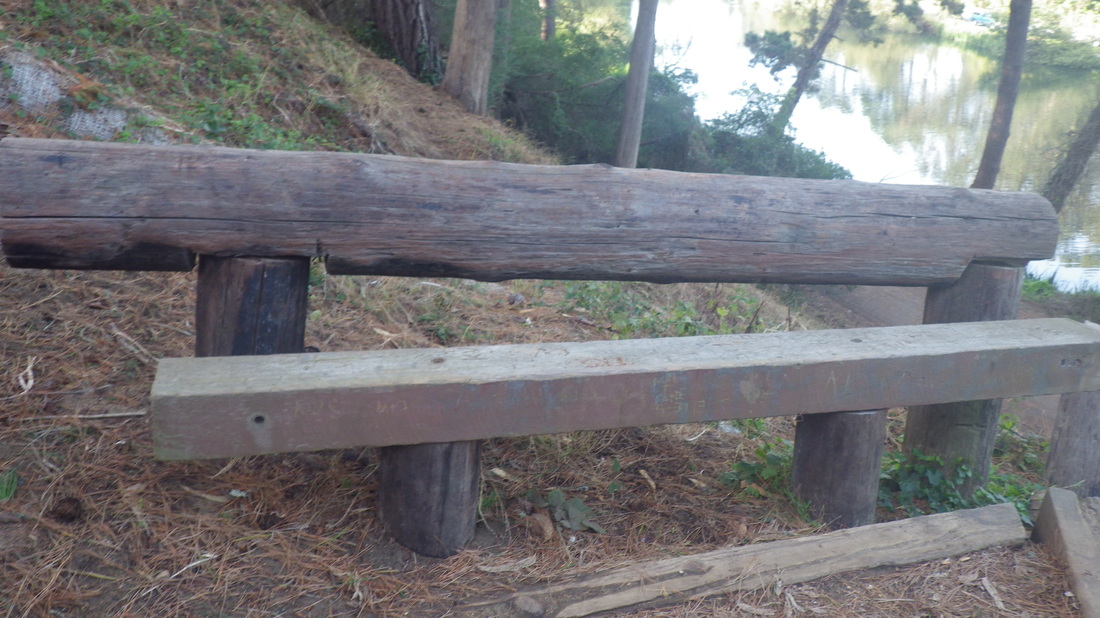
Heading west towards Rob Hill Campground. This is especially delightful after a rain, birdsongy-peaceful with only a few joggers and not even any dogwalkers until I got to the Bay Area Ridge Trail later. The occasional logs have been here a while and there was no heavy machinery around: 3 thru 9.
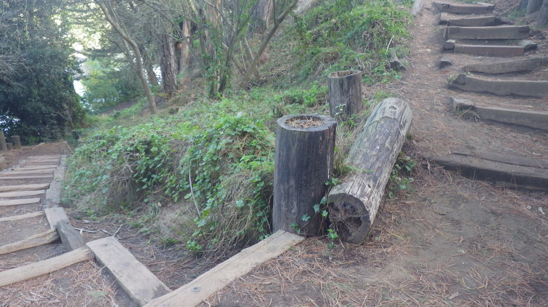
Exiting this part just below the campground’s east side, at the yellow fire hydrant, is a short trail that will take you nearly to the Fort Scott Community Garden: pic 10
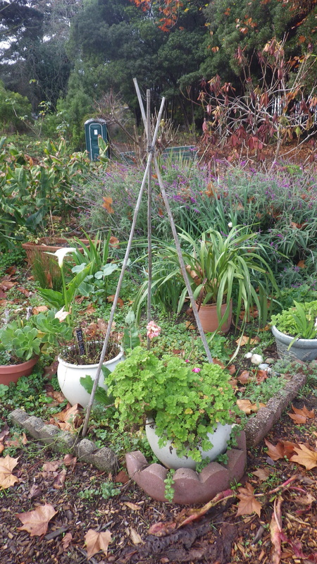
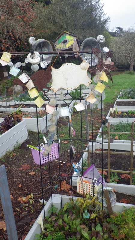
In the garden: 11, 12, 13
The garden gate was open this time: 14
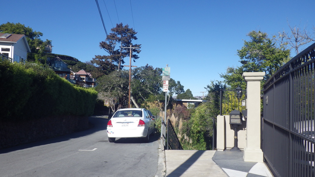
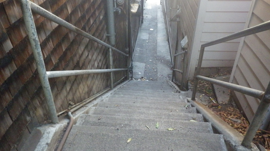
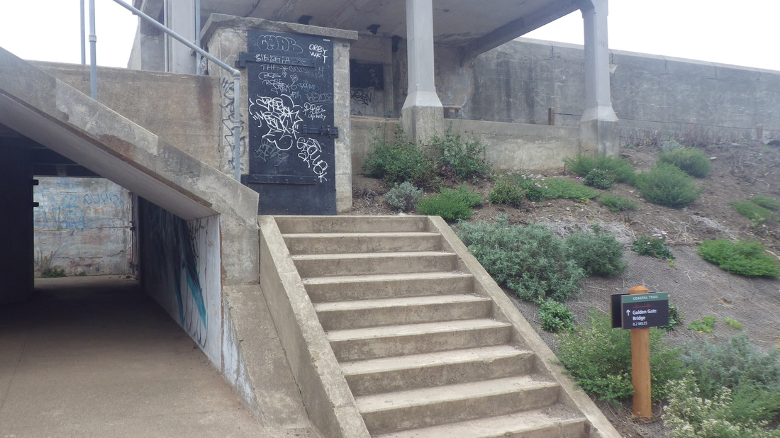
17 steps descend to a driveway just behind Fort Scott residences: 15, 16
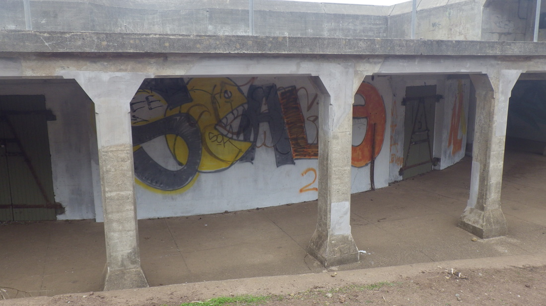
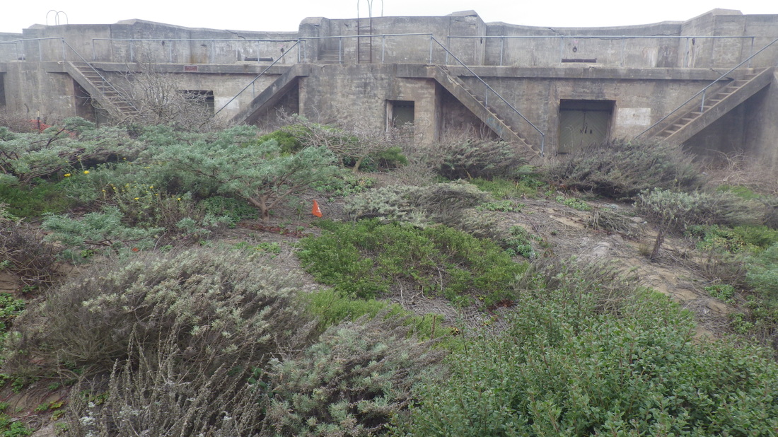
It curves around and under the highway, out of the Fort Scott neighborhood: 17
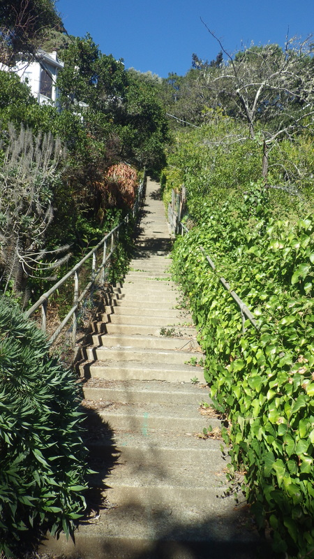
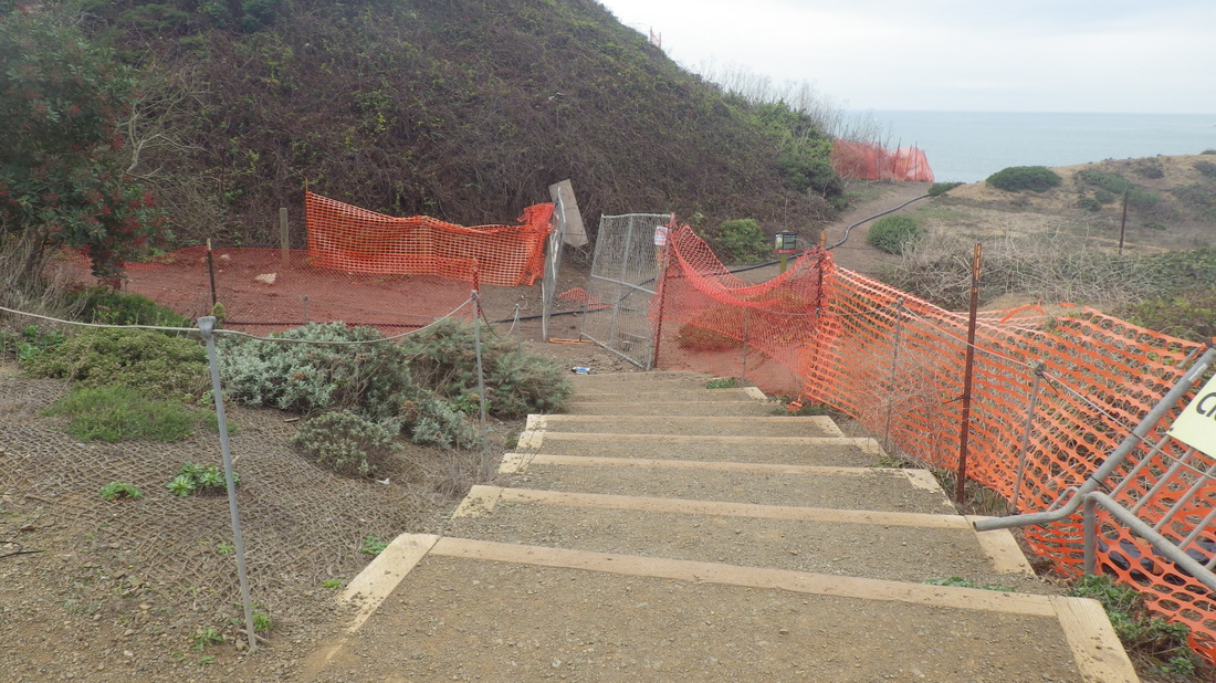
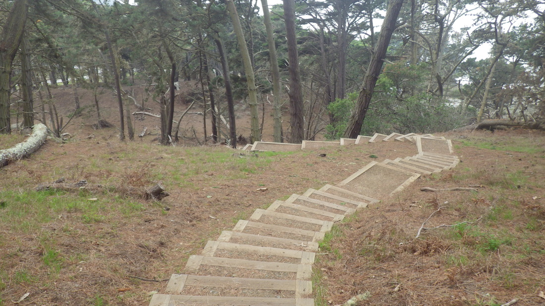
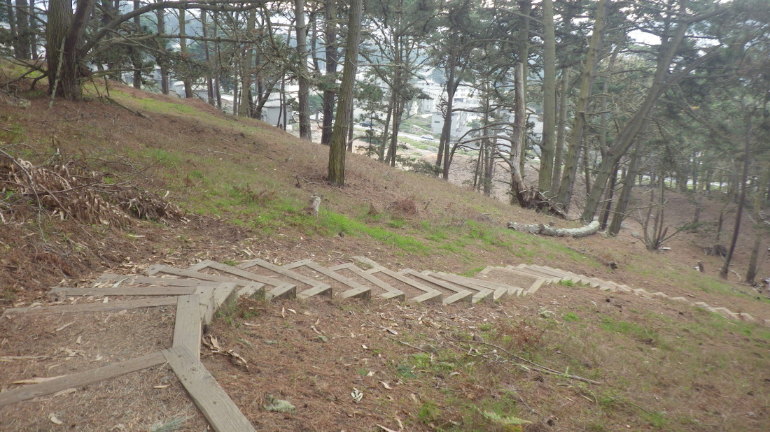
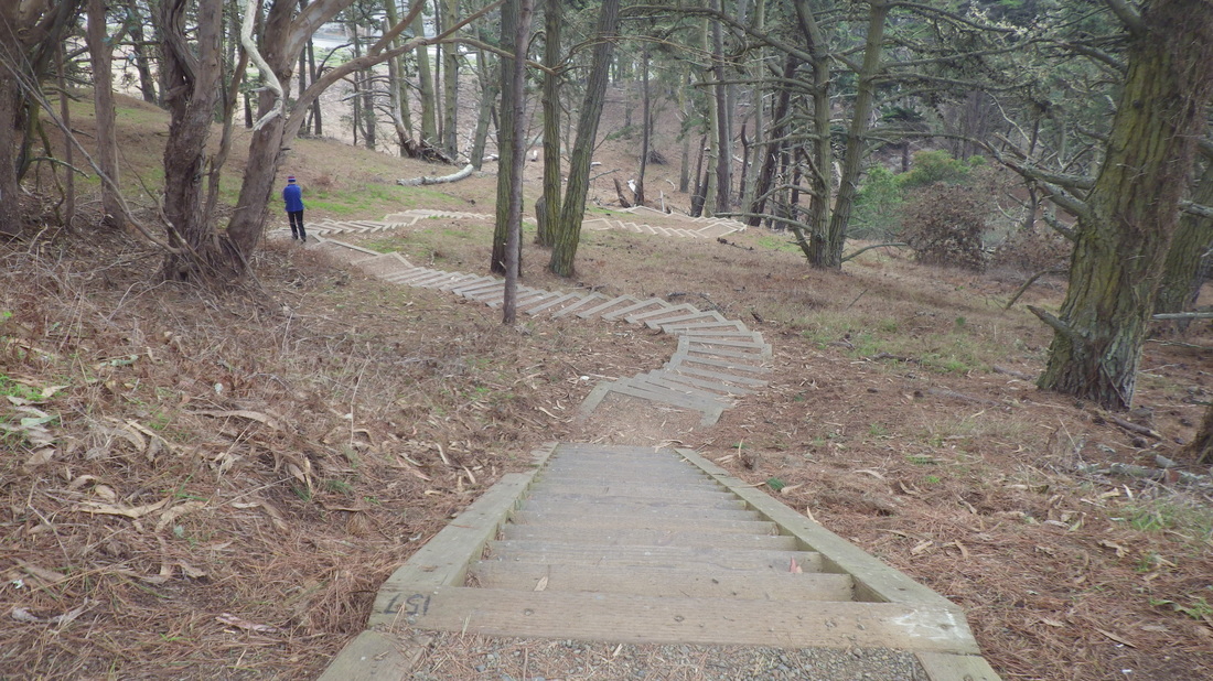
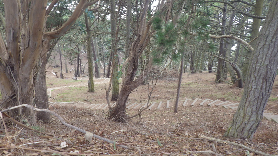
Now uphilling into an offtrail area (18) to the Park Trail (19, 20, 21), a short distance to the foot of the 98 steps up thru the forest to the cemetery overlook: 22 thru 30
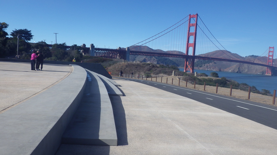
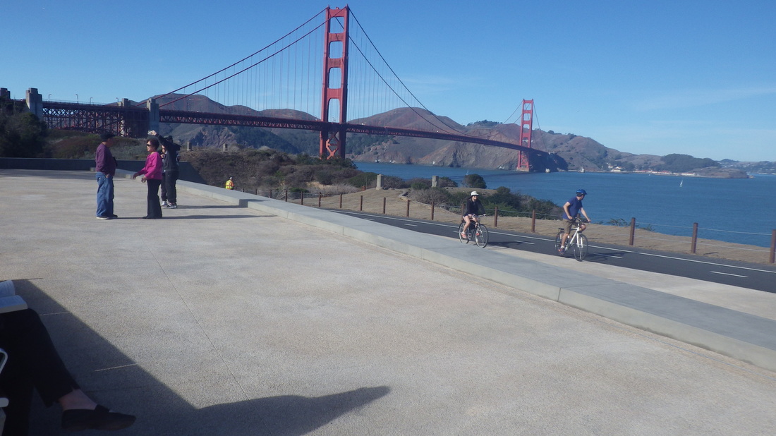
Thru the overlook and out to Arguello (31, 32, 33), ctossung the street (34) to the trail just above, south to the Spire, The golf course is to the west and partially shielded from view by the trees: 35, 36.
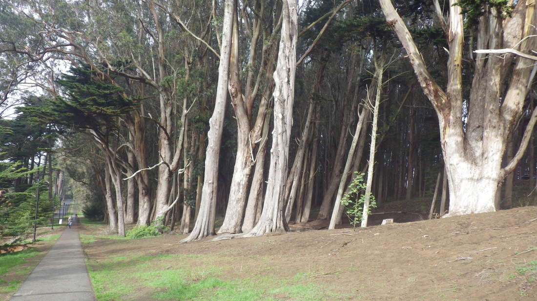
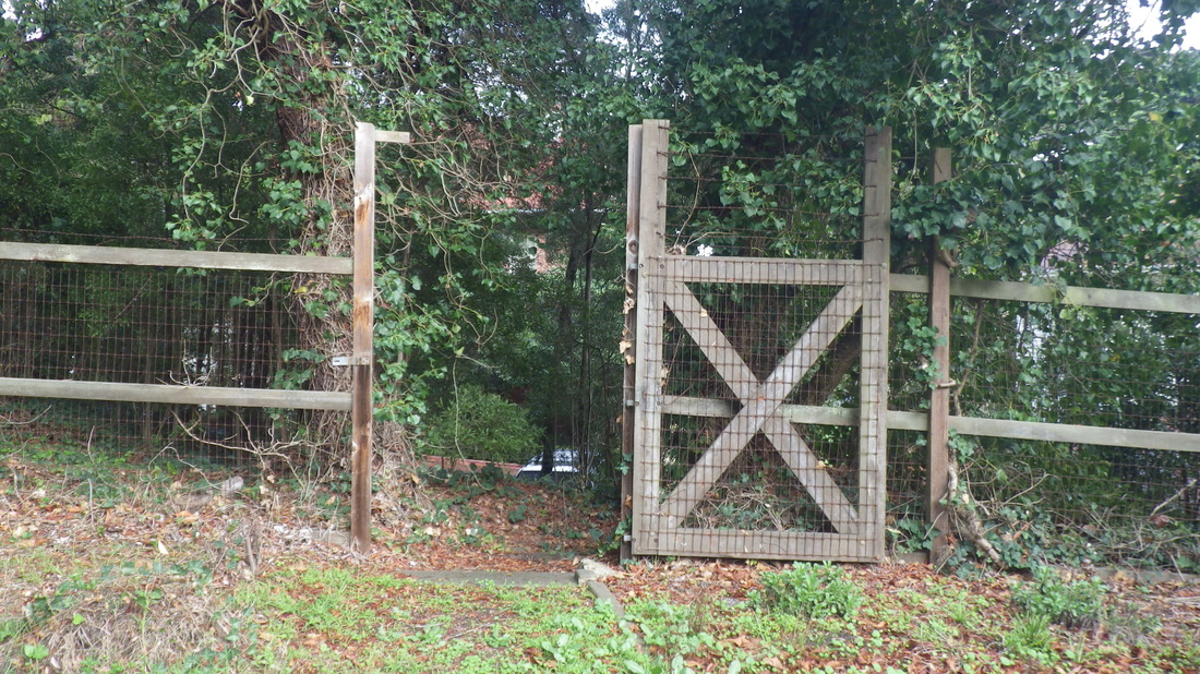
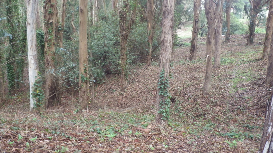
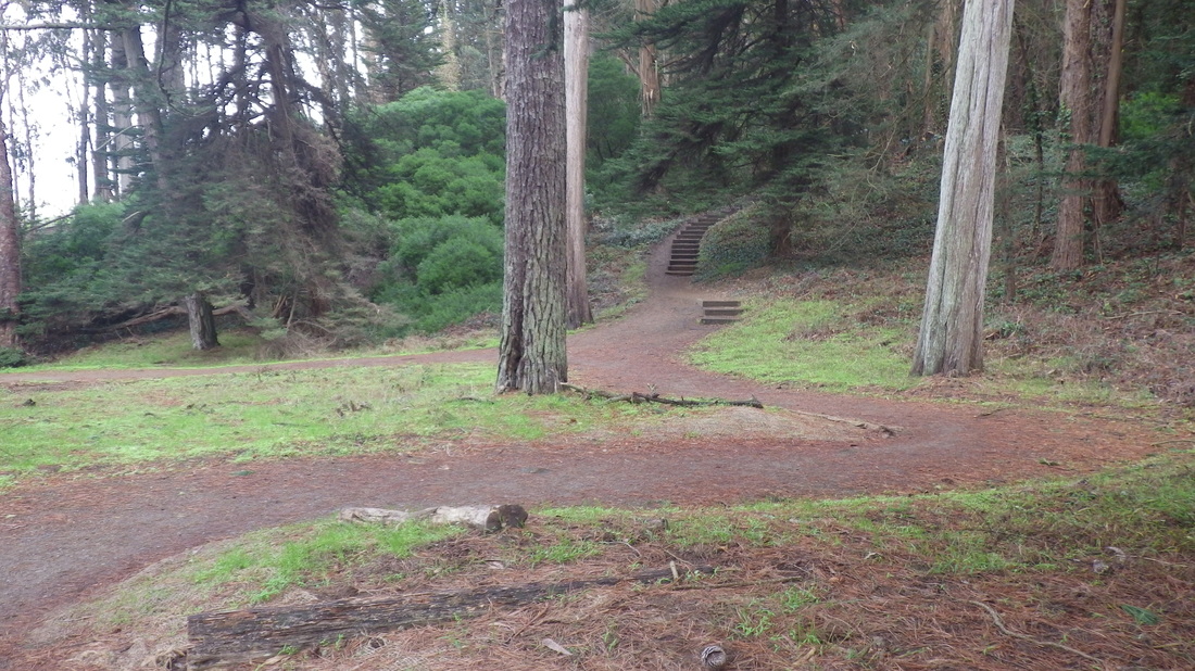
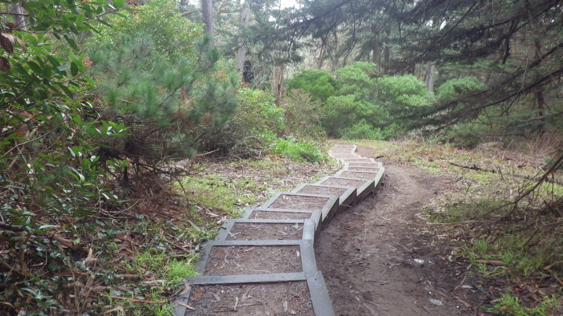
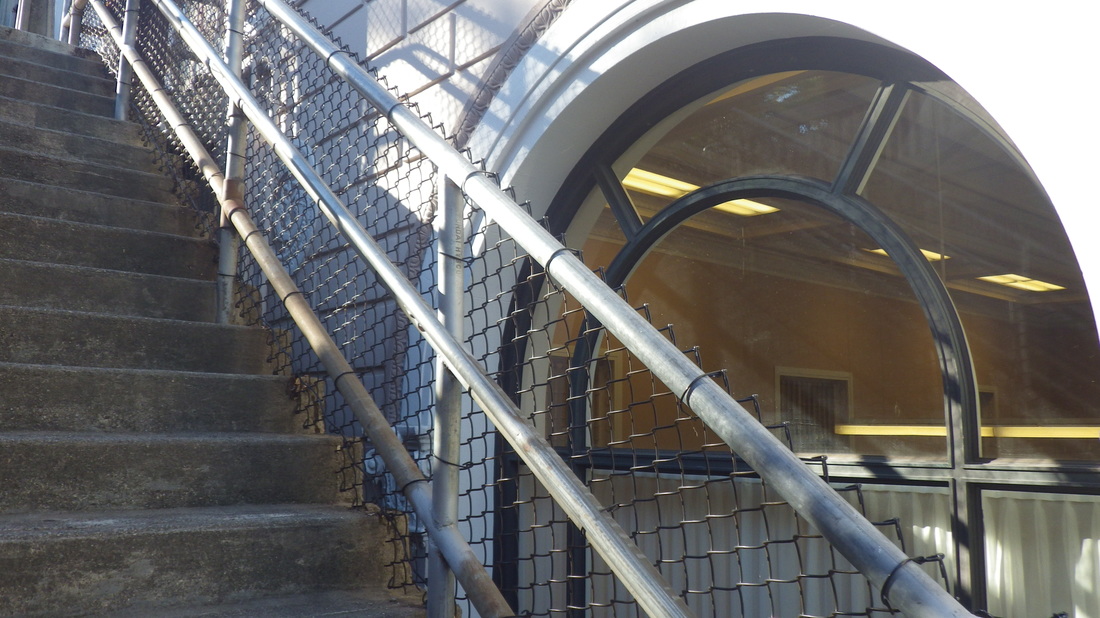
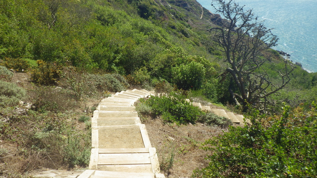
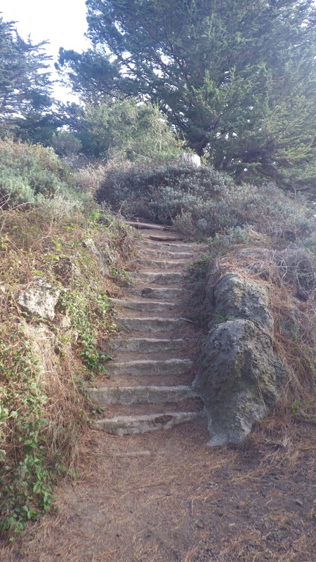
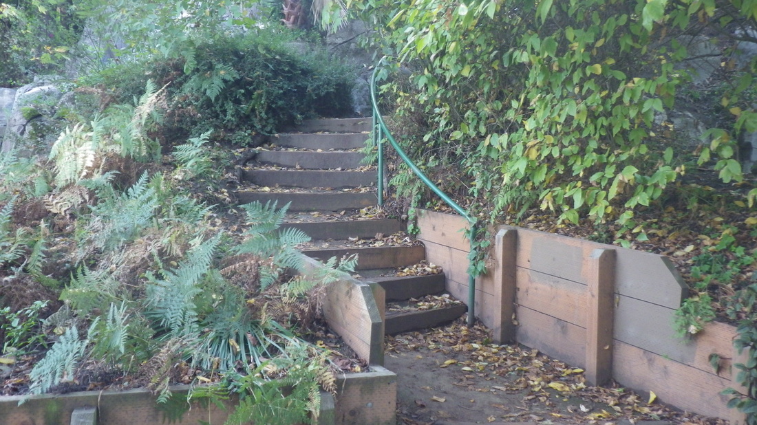
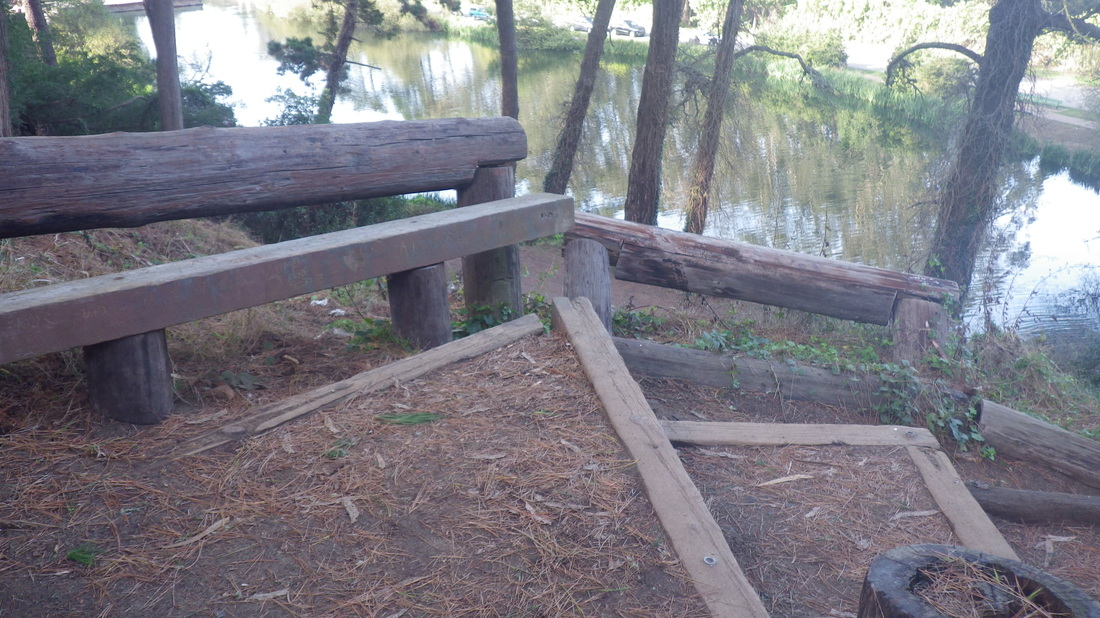
1. Lover's Lane, left
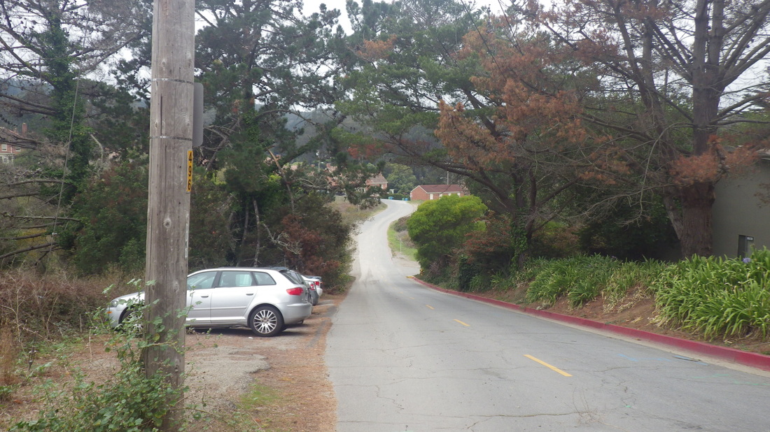
2. Residential 'hood near El Polin Spring
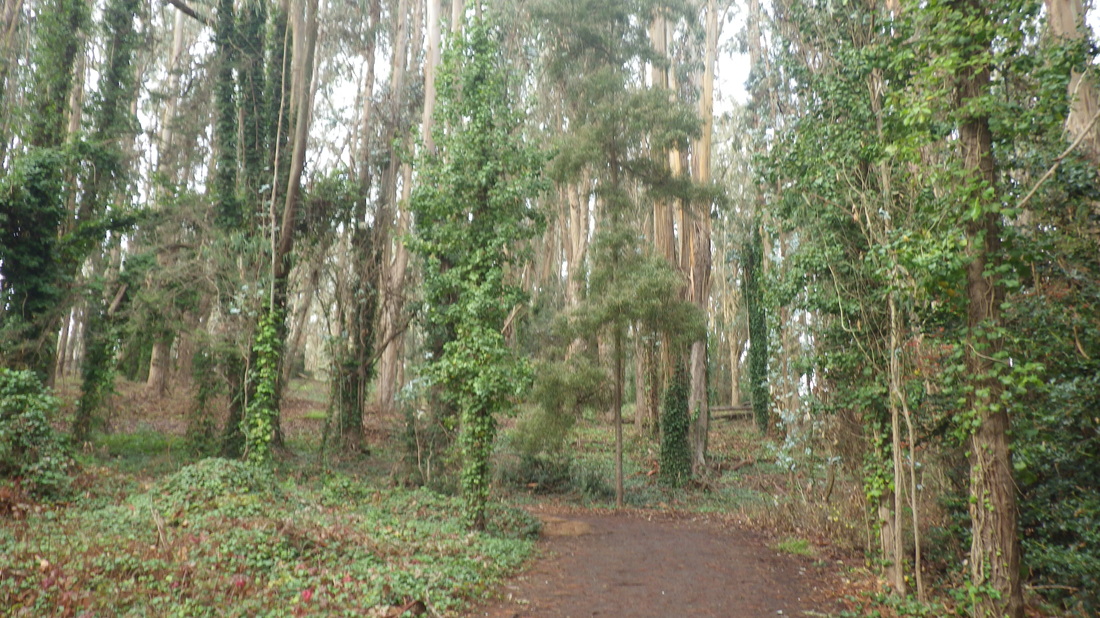
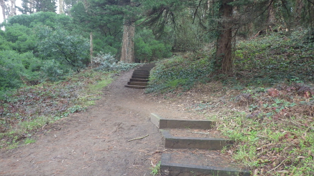
3. Thru the forest
4. After a rain
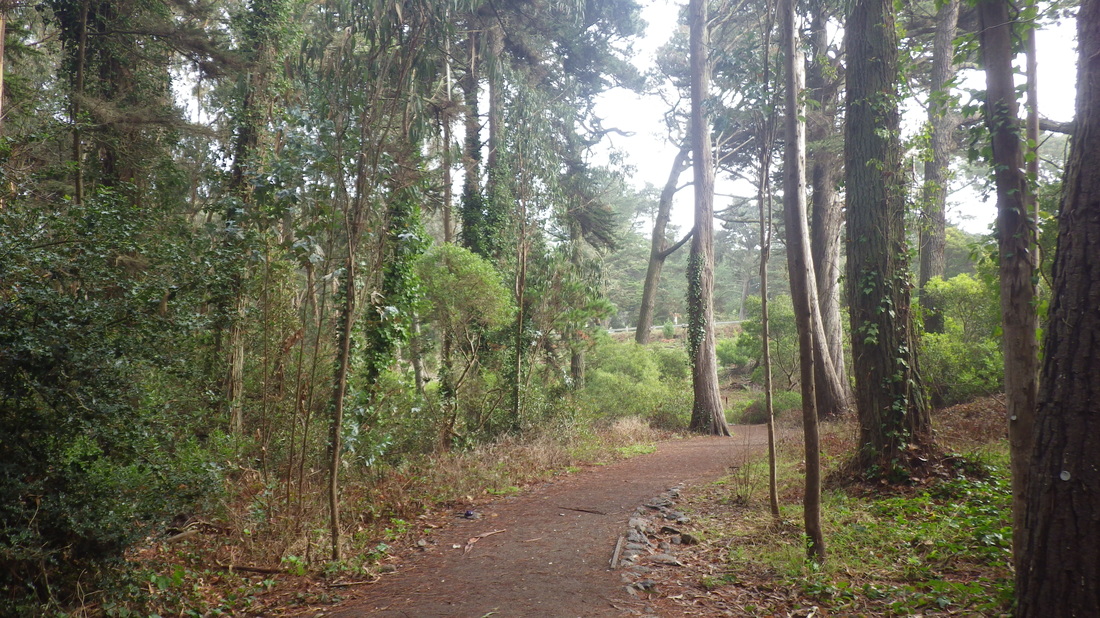
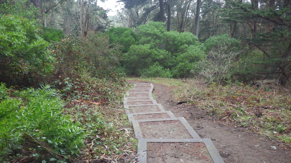
5. Green solitude
6. Winding around
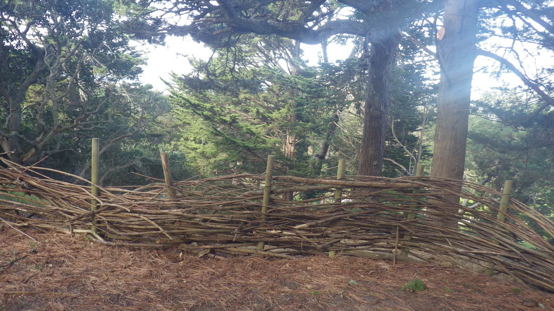
7. Eucalyptus aromatherapy
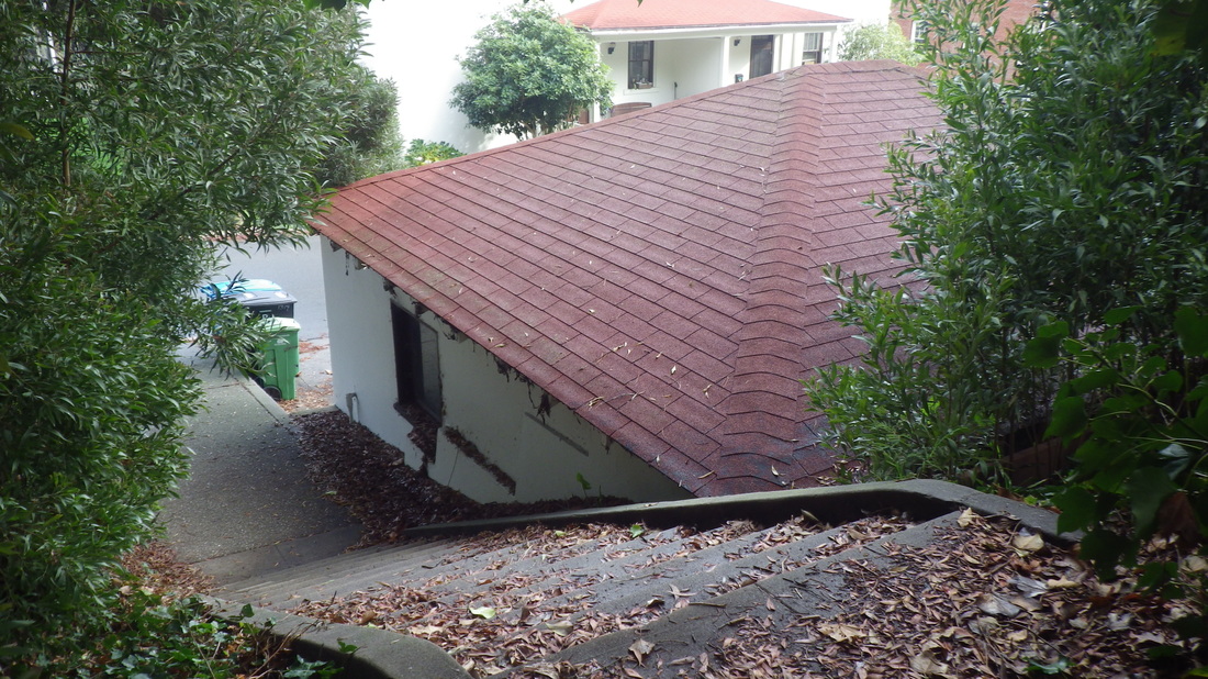
8. Above the Fort Scott Community Garden
9. Trail comes out just below southeast side of the campground

10. Down from the yellow fire hydrant
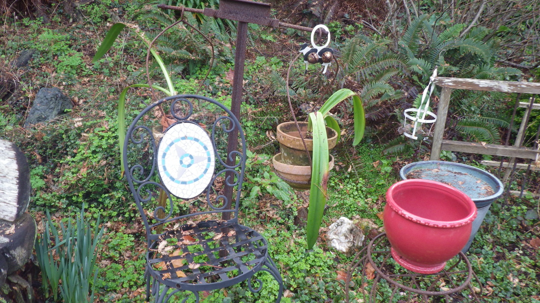
11. Garden delights
12. In the "hidden" garden
13. Fort Scott Community Garden
14. The garden gate was open
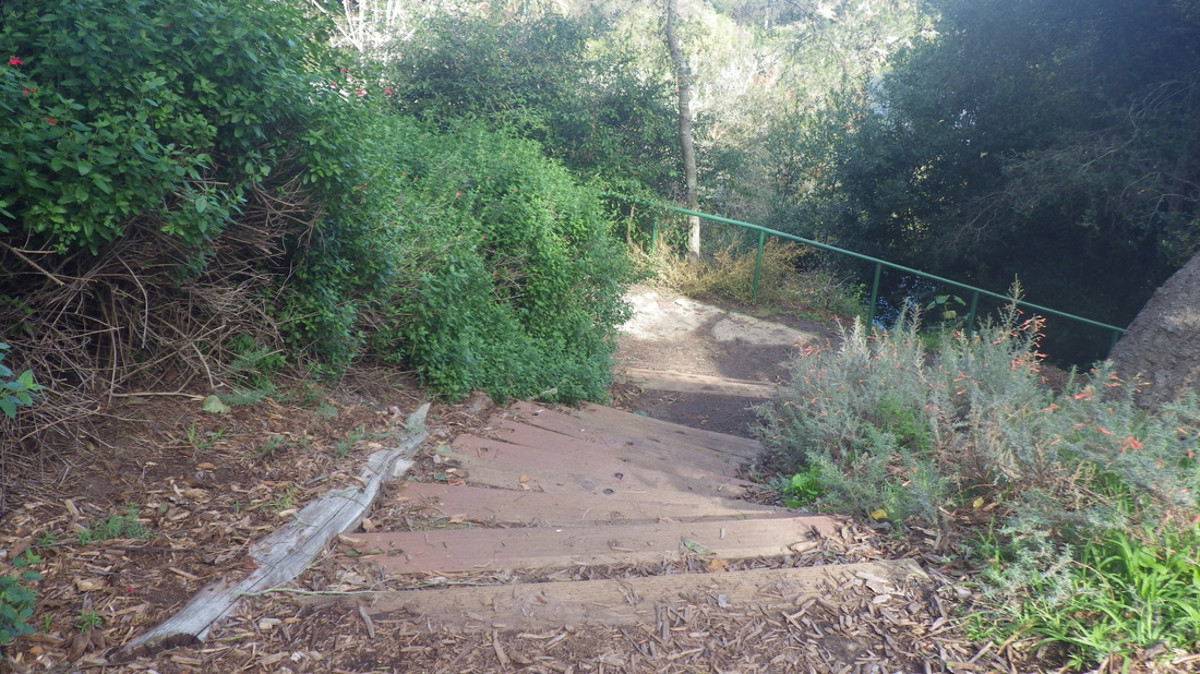
15. Behind Fort Scott residences
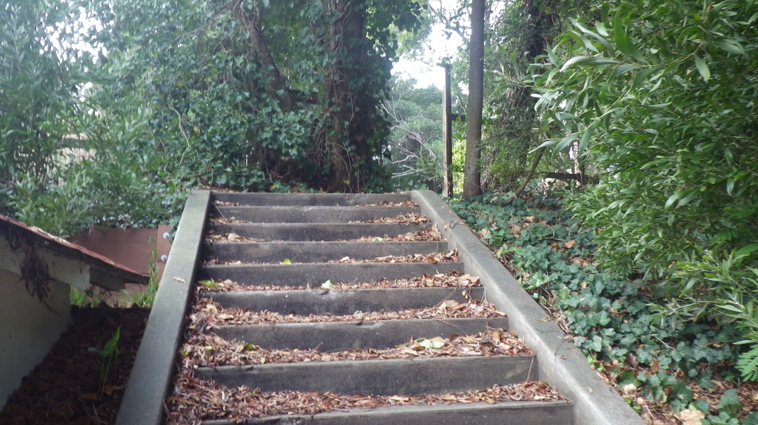
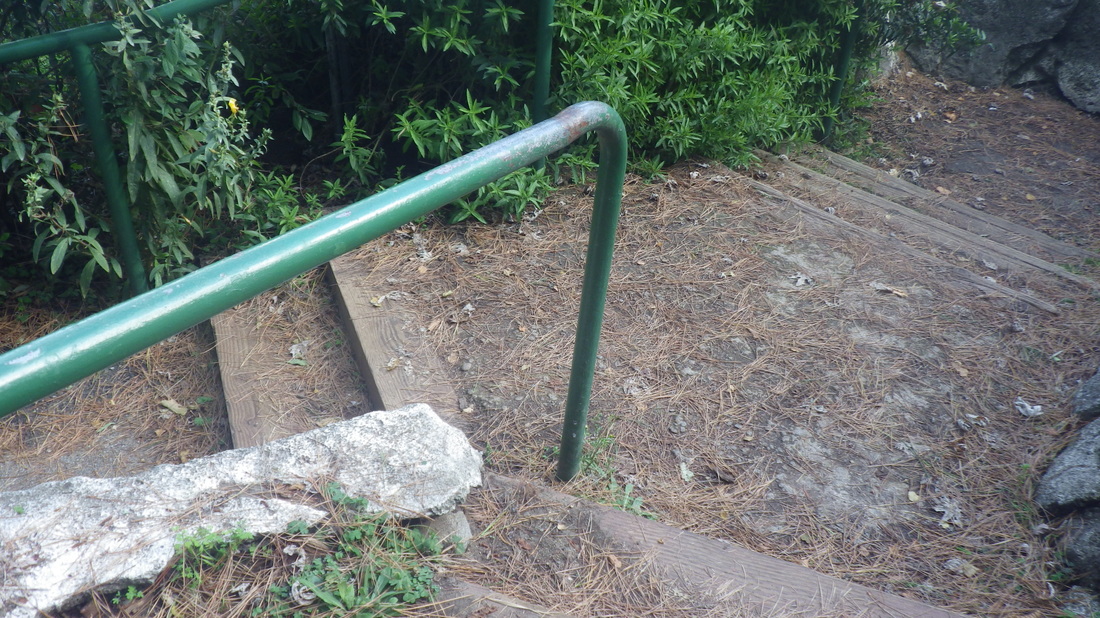
16. Steps up to the garden
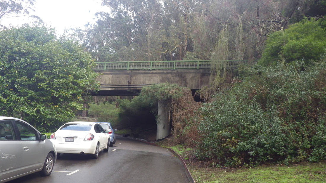
17. Out of the Fort Scott 'hood
18. Offtrail, up to the Park Trail
19. Park Trail
20. Where I just came from, right
21, Park Trail, heading for the overlook steps
22. Steps to cemetery overlook start up from Patk Trail
23. Starting up
24. Steps to cemetery overlook
25. Up thru the forest
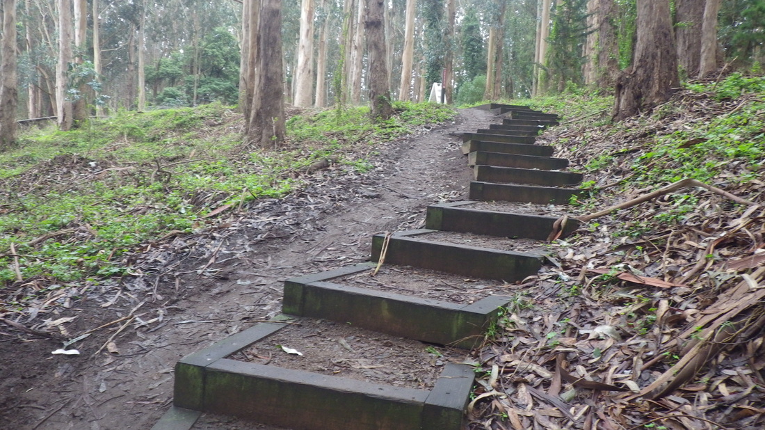
26. Park Trail to cemetery overlook
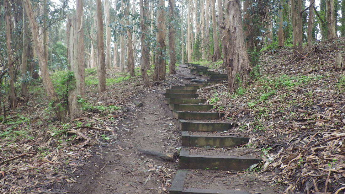
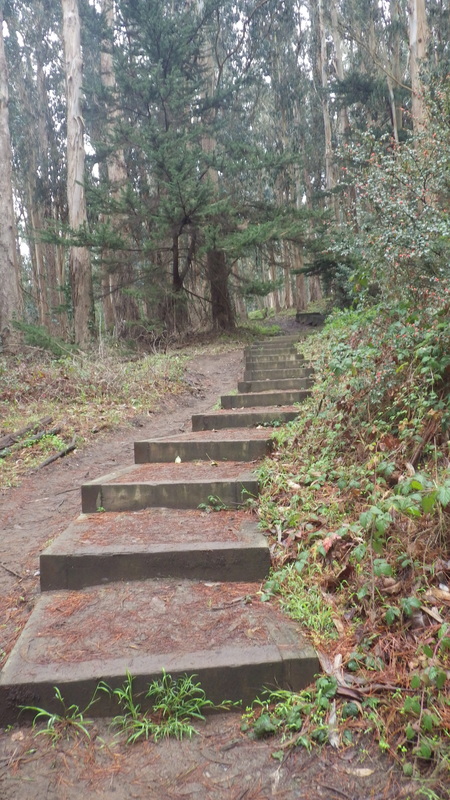
27. 98 steps
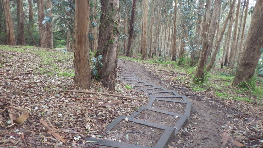
28. Winding thru the woods
29. Overlook up ahead
30. Top of the stairs
31. National Cemetery Overlook
32. South end of the overlook
33. Near the overlook and residences
34. Crossiing for the trail
35. Trail to the Spire
36. Bay Area Ridge Trail


 RSS Feed
