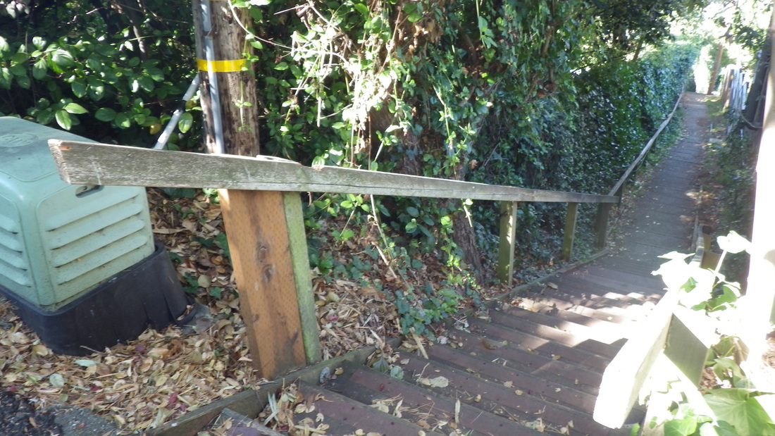
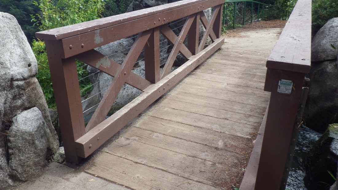
Eagles' Point overlook at the east trailhead of the main Lands End Trail will be getting a remake from November 4 through late December; there are already some Trail Closed signs up. The few steps have been demolished and a wood barrier's across the entrance to the old wood structure.
Just outside the Lands End Lookout store/coffee shop was something new since my last visit: a Lands End scale model (first pic).
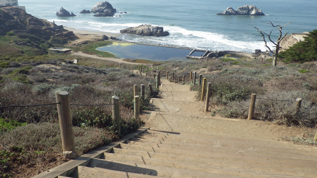
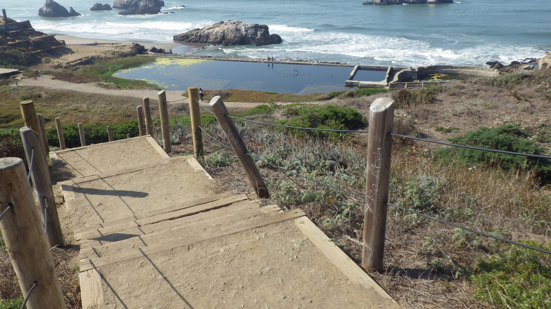
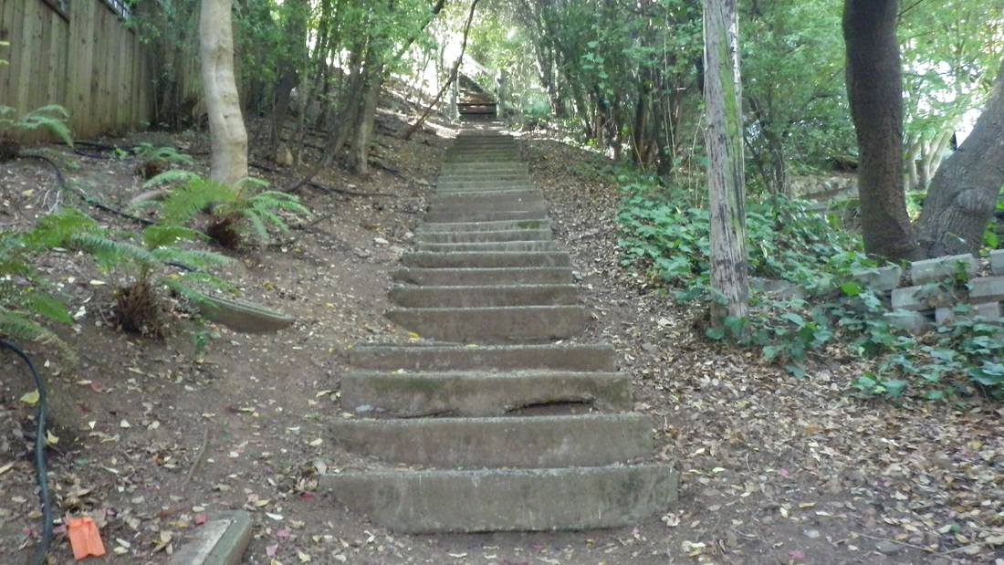
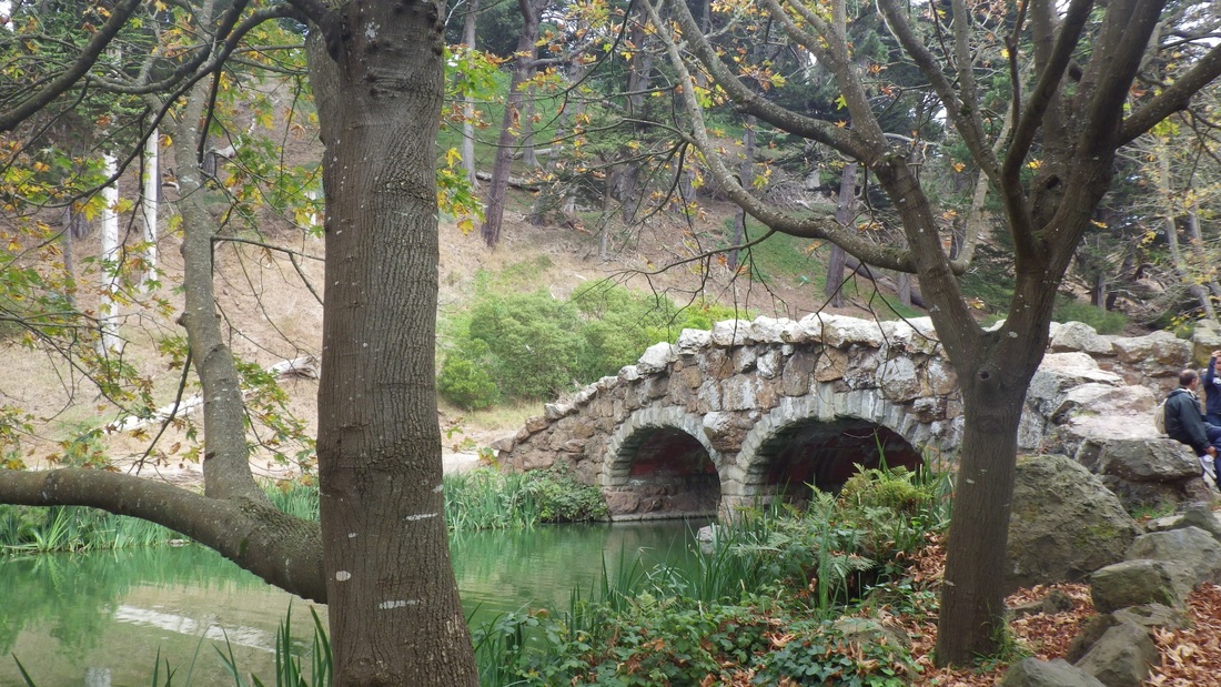
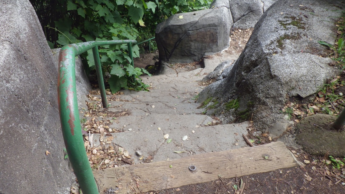
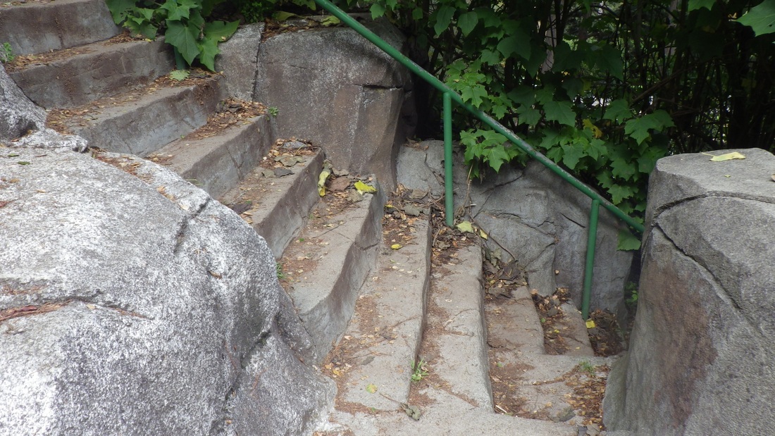
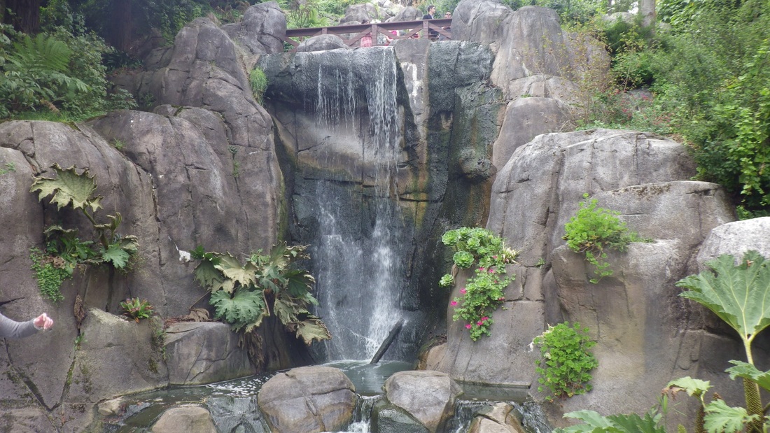
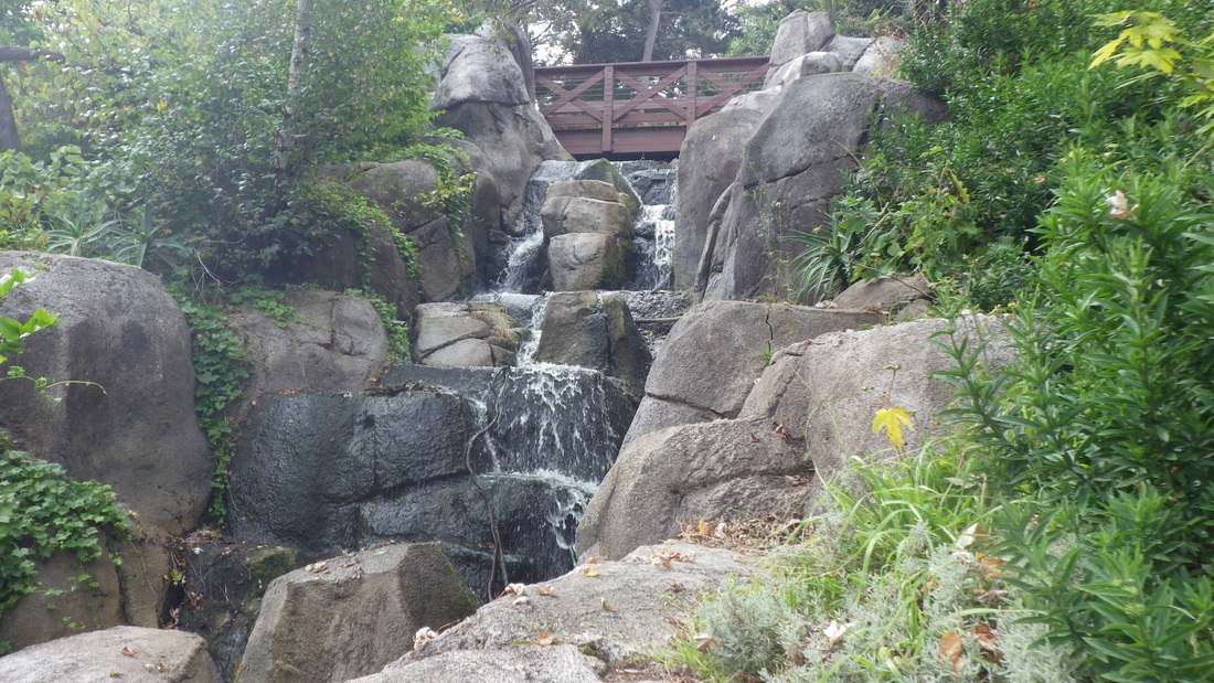
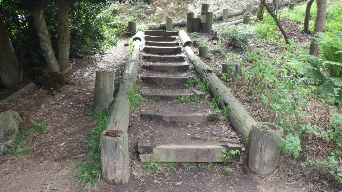
This hike's first stairway was down the "Merrie Way" steps (126, pix 2, 3, 4, 5) from the lower parking lot overlook, then up the short trail above the Sutro Baths ruins to the cavetop viewspot (pics 6, 7).
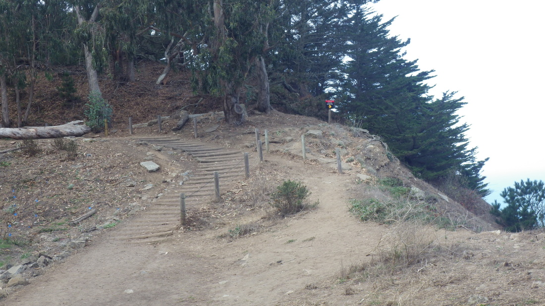
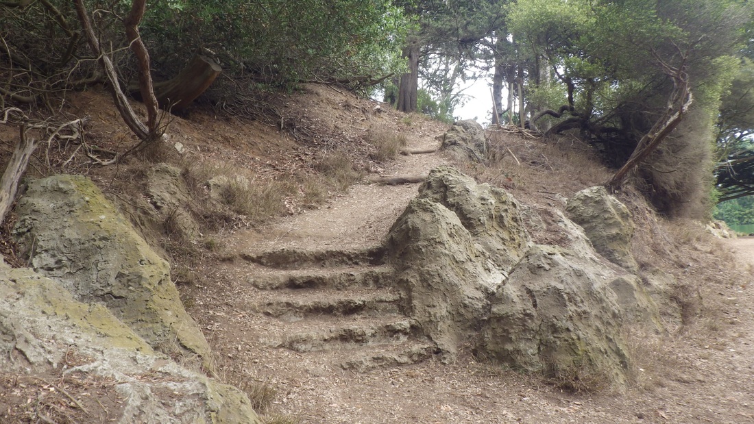
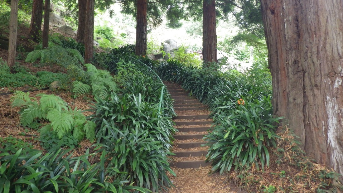
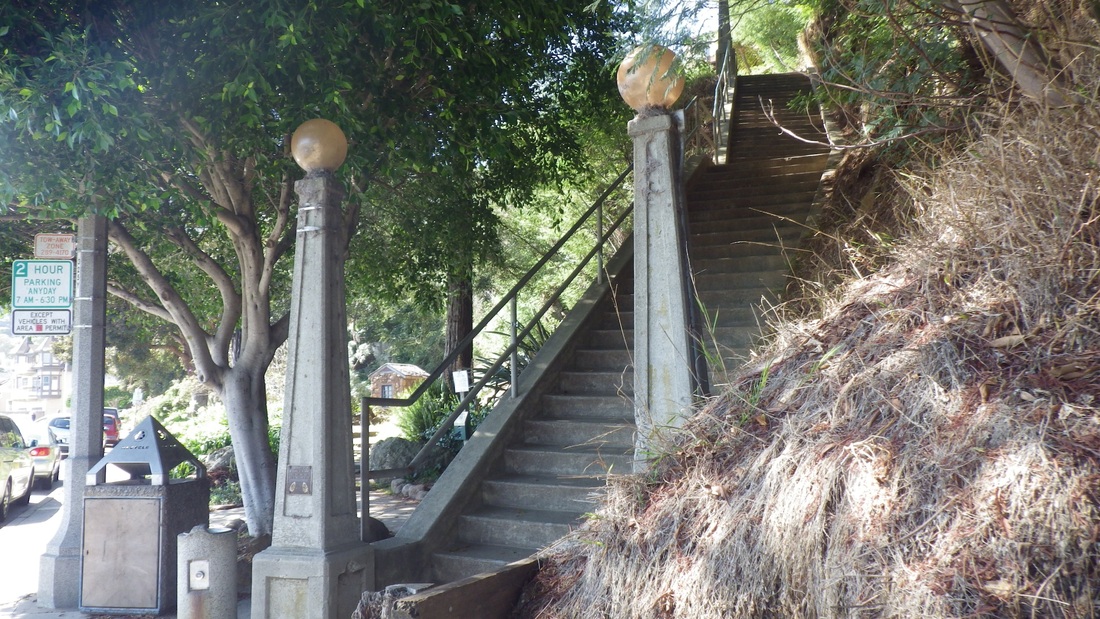
Starting up from here is the west trailhead for the Coastal Trail (pics 8, 9). Several years ago there were just 20-something steps; now the "Sutro Baths Upper Trail" has around 141 (pic 10).
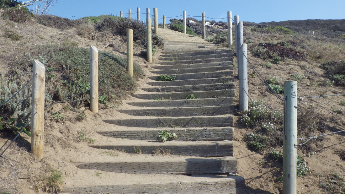
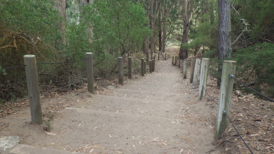
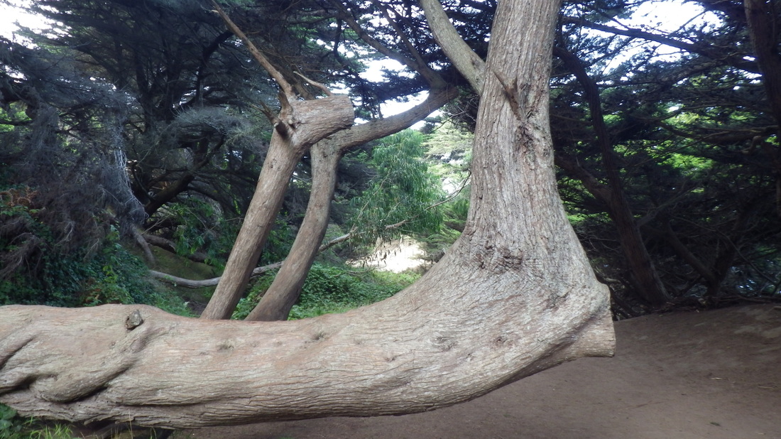
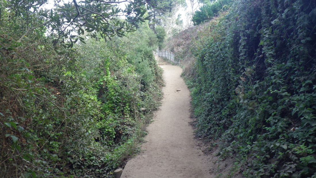
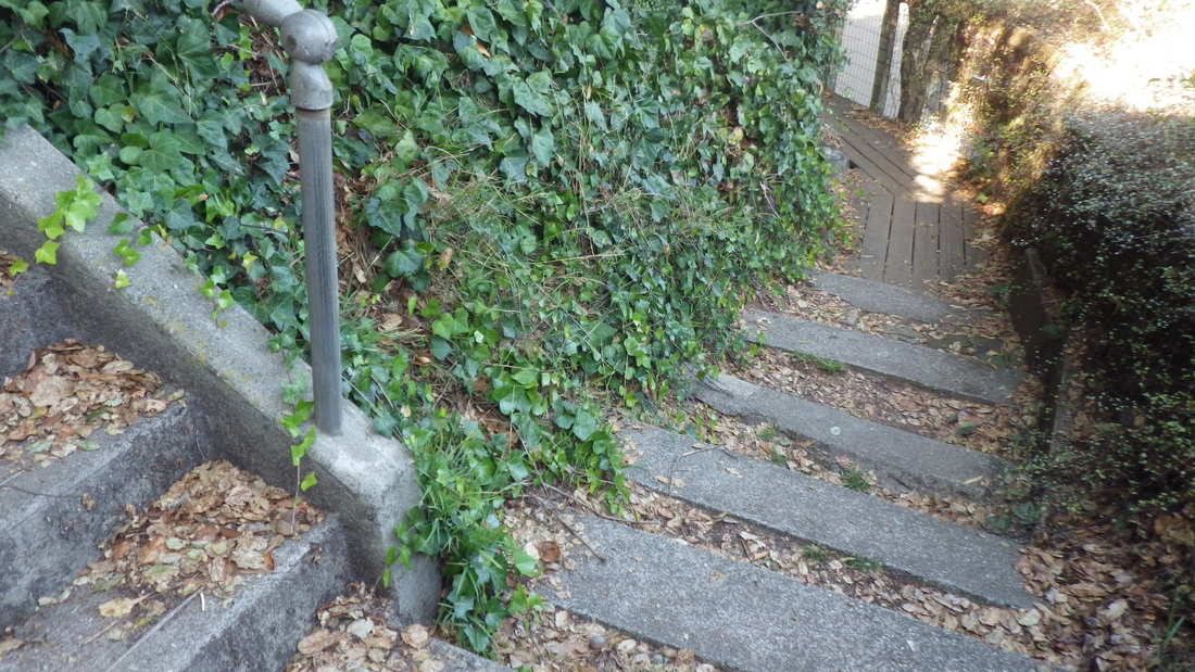
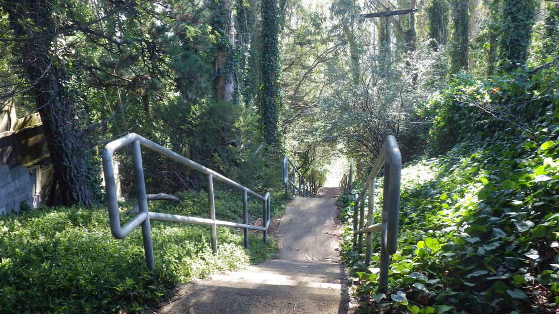
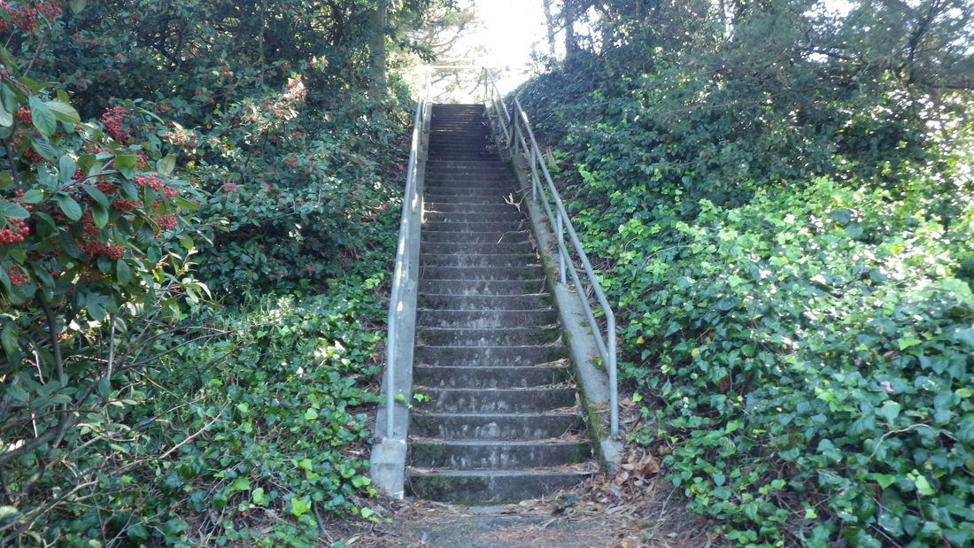
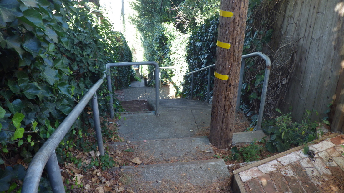
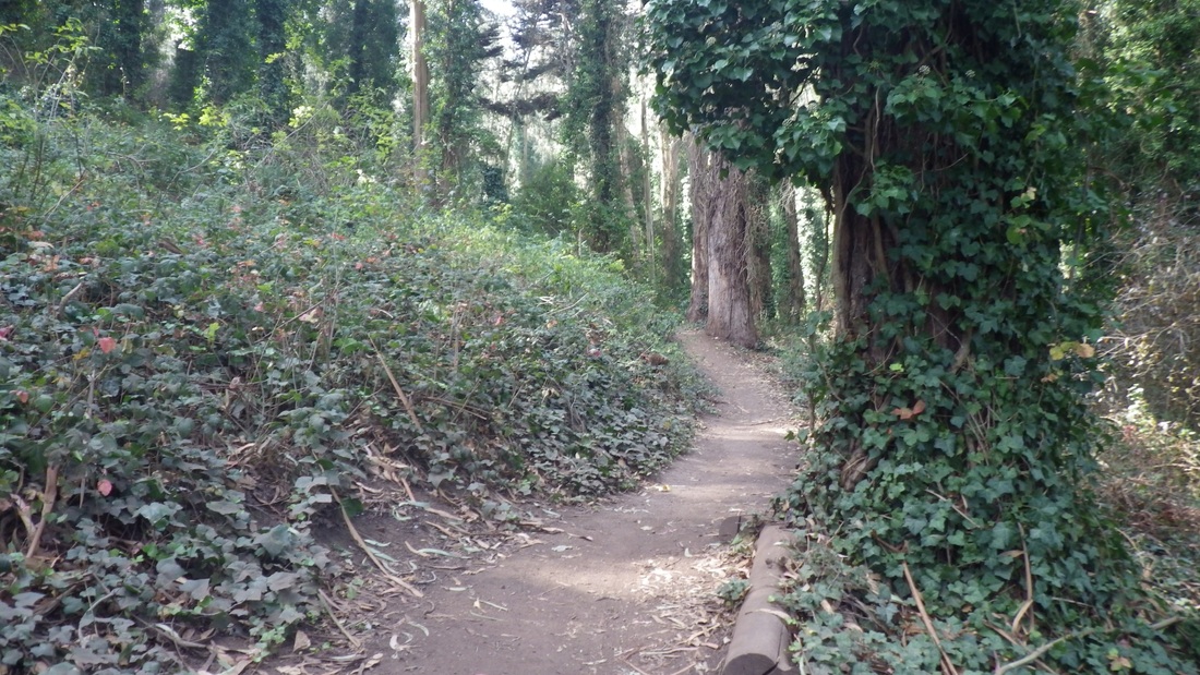
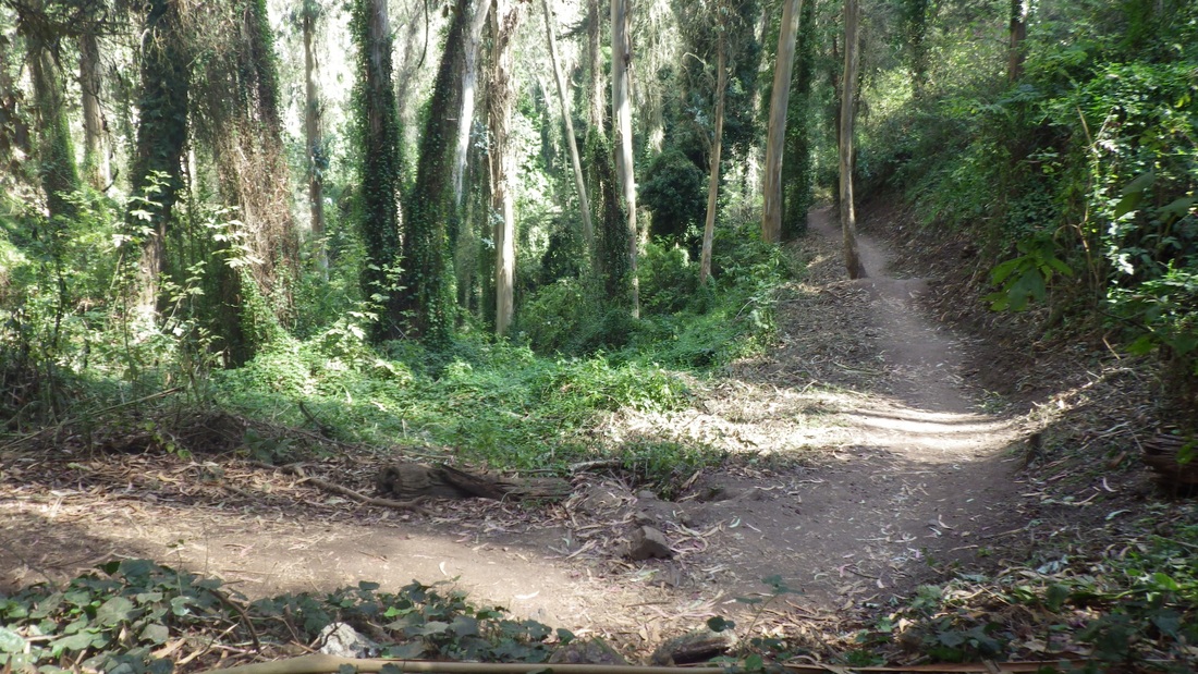
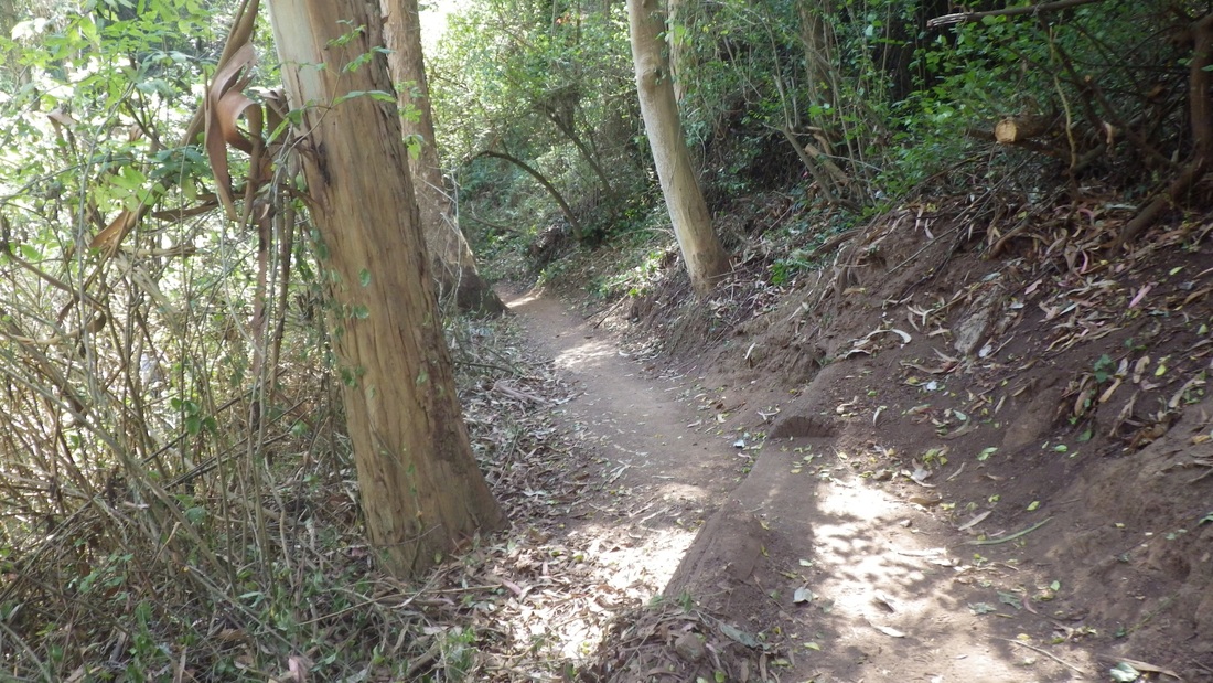
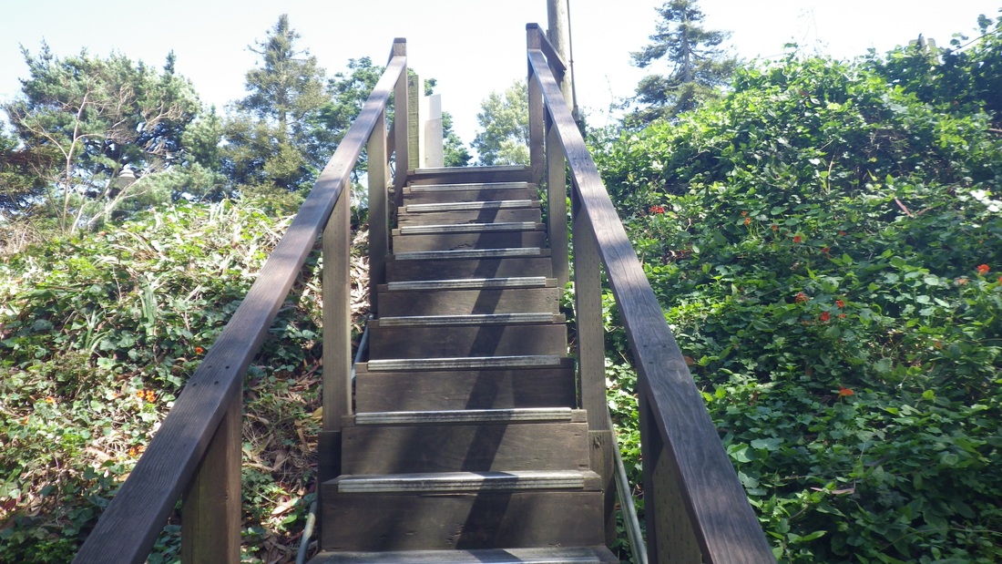
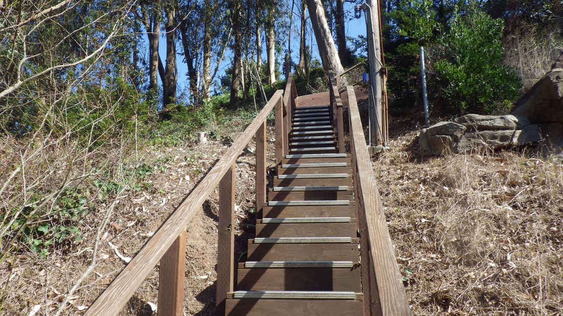
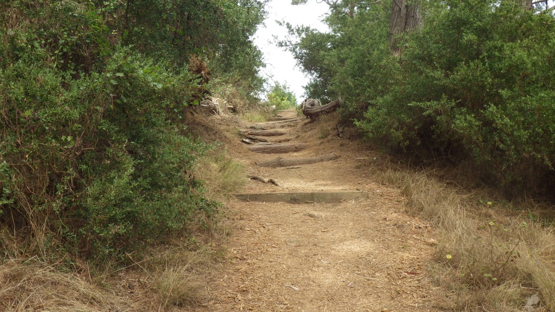
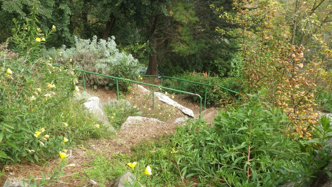
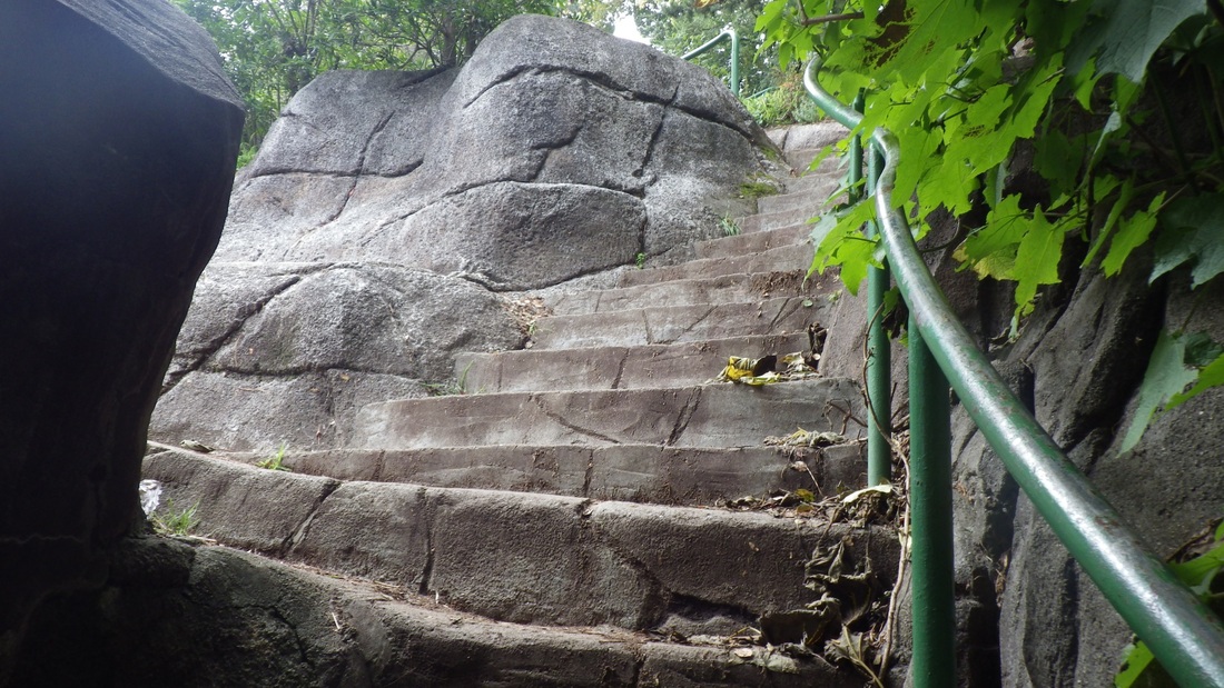
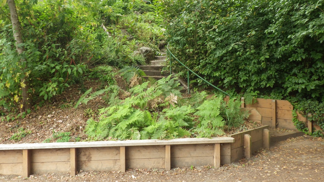
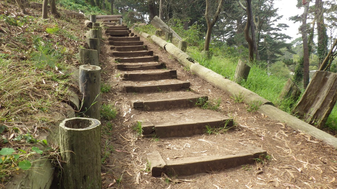
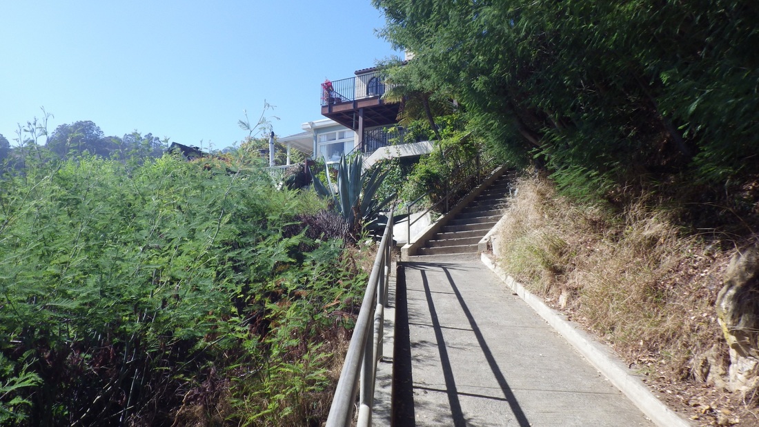
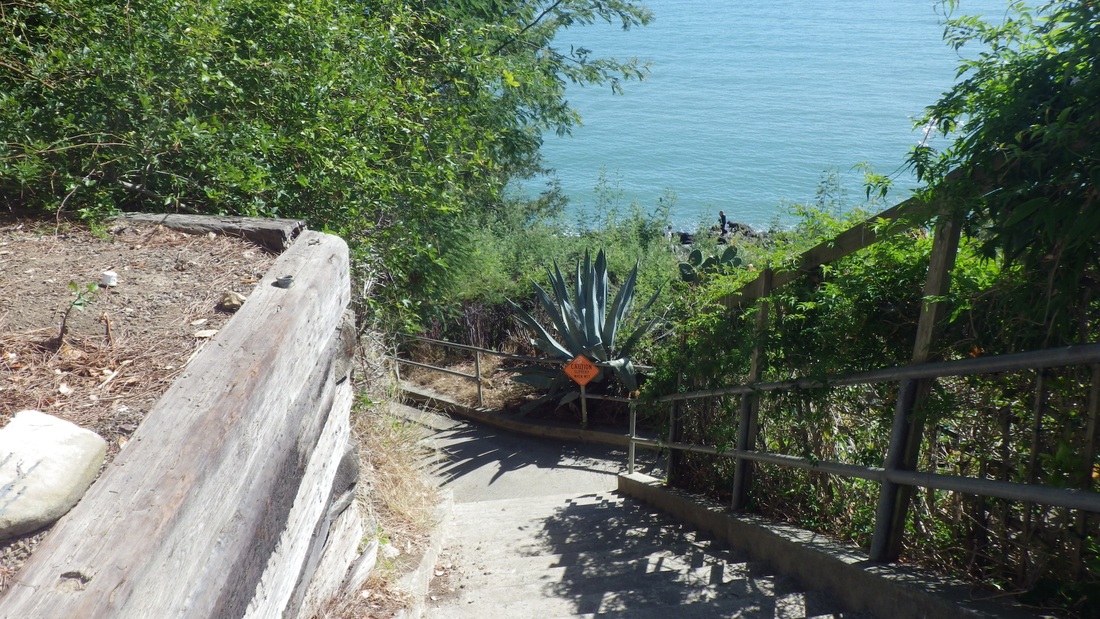
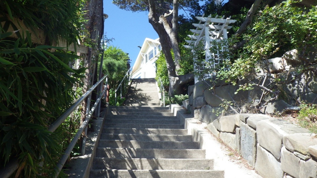
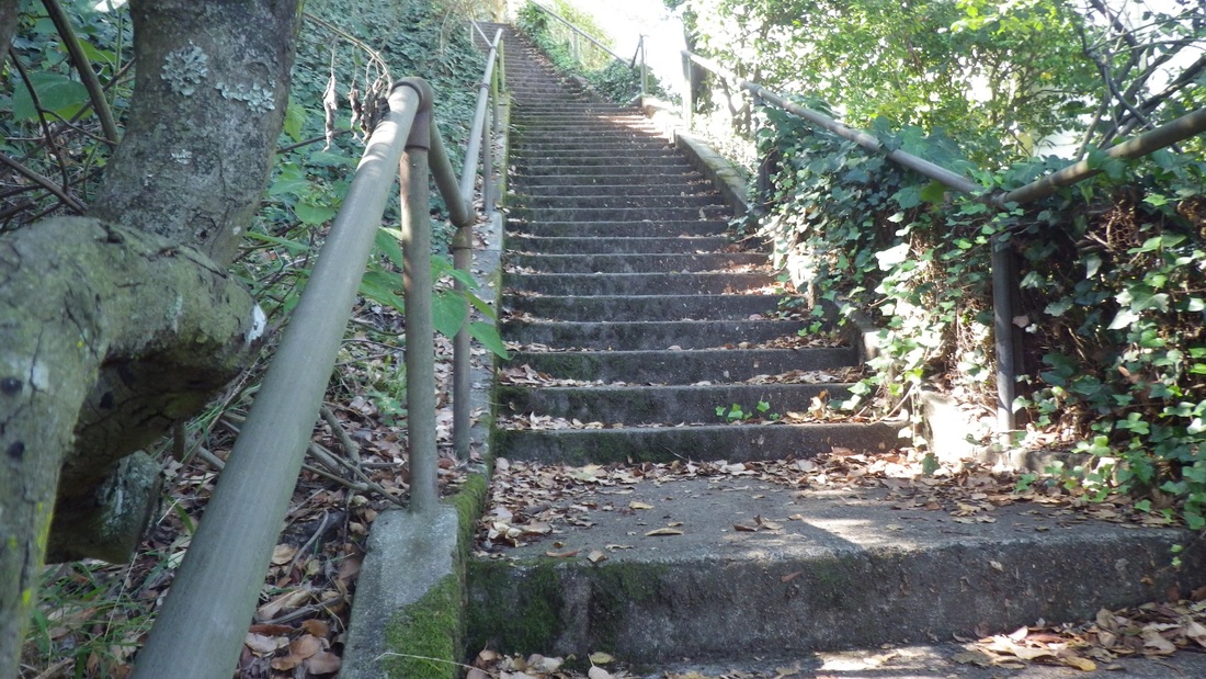
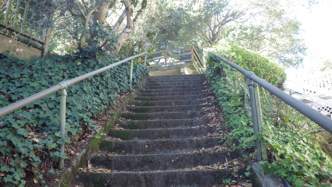
Stayed on the main Lands End Trail (Coastal Trail) this time (pic 11: foot of connector steps up to the El Camino del Mar Trail), past the top of the long up'n back Mile Rock Beach stairway (272 or so), and up the "Painted Rock" steps (139, pix 12 through 17). This is an up one side and down the other stairway but I've always counted them as two separate stairways since each has its own special "personality."
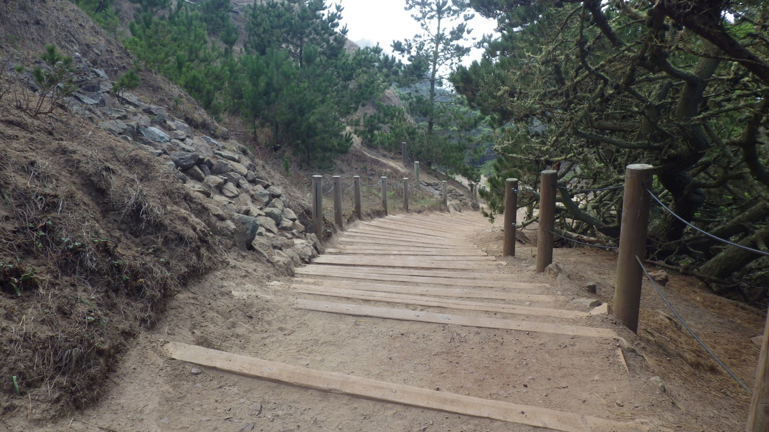
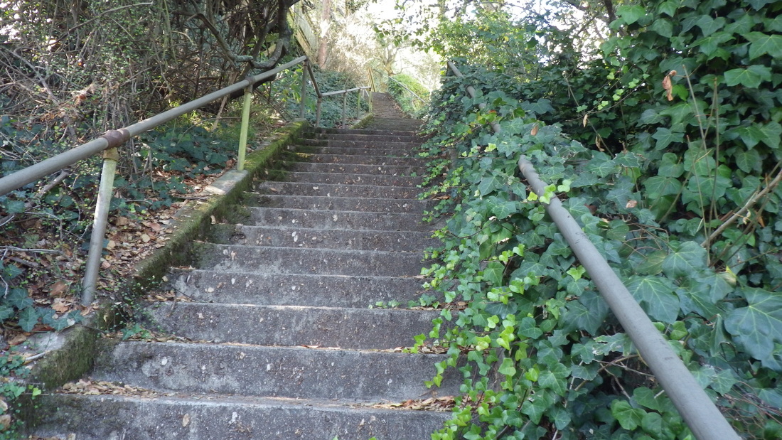
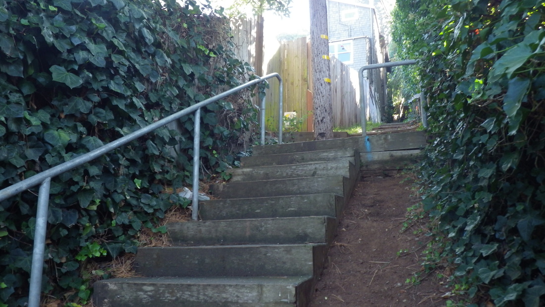
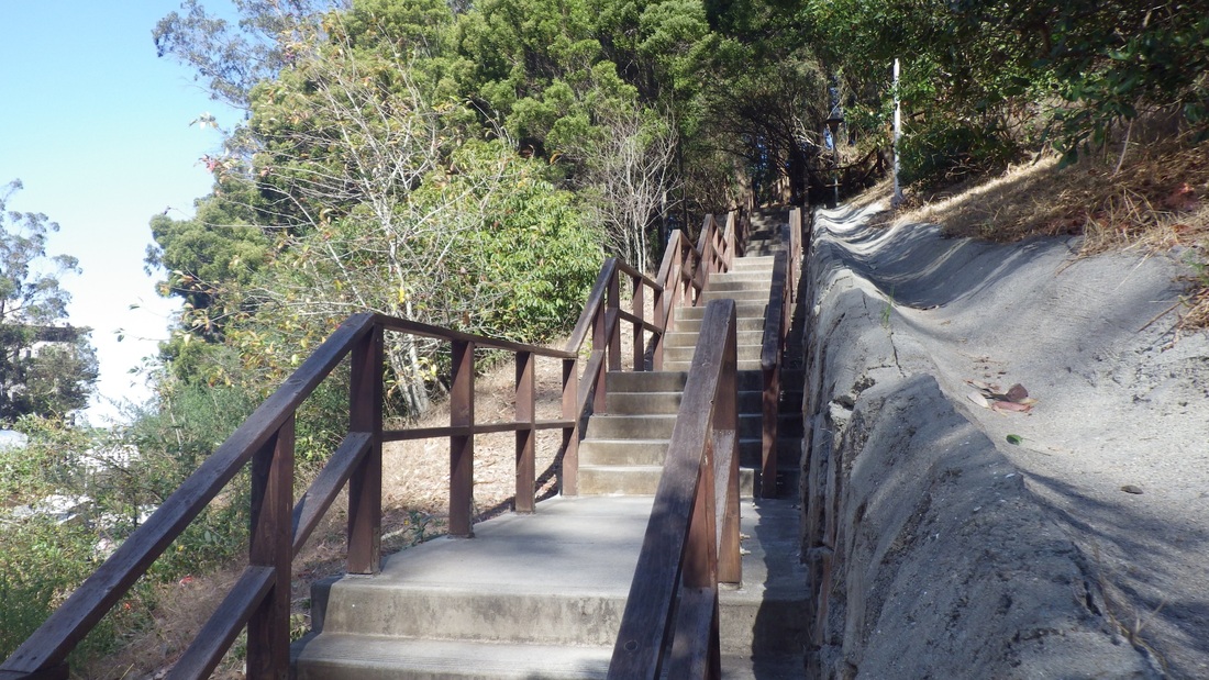
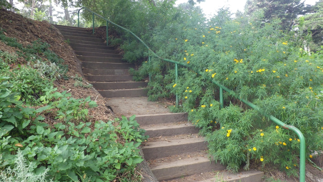
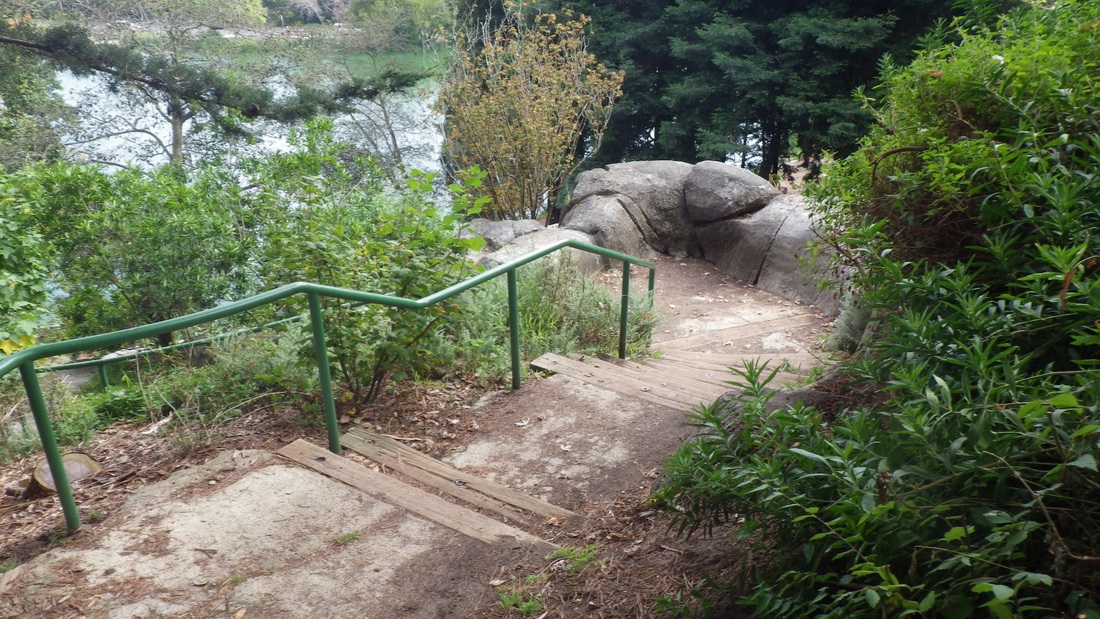
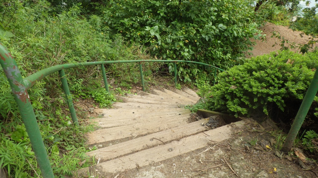
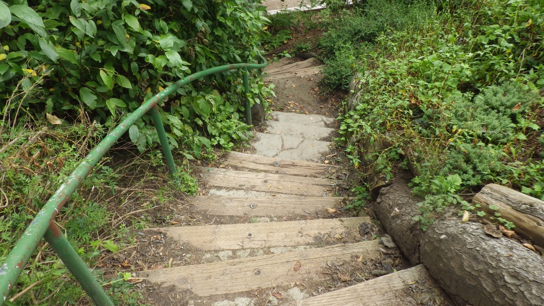
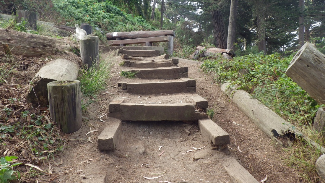
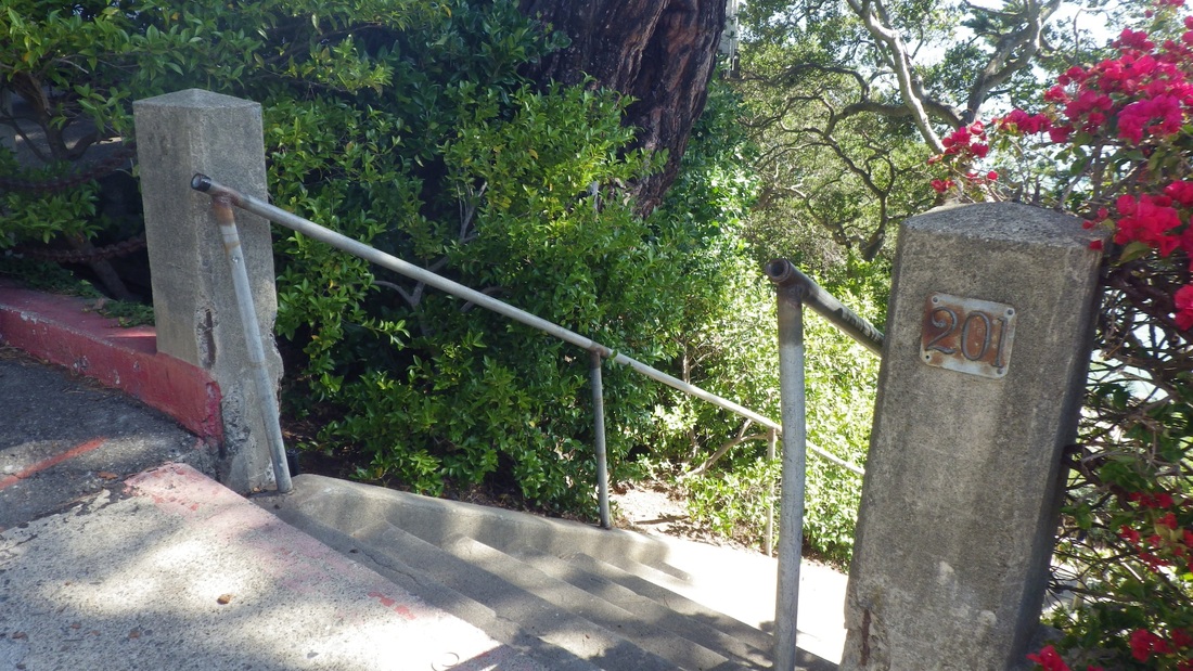
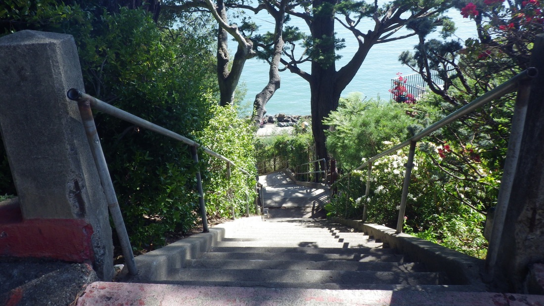
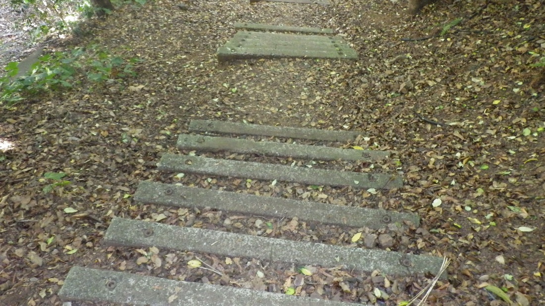
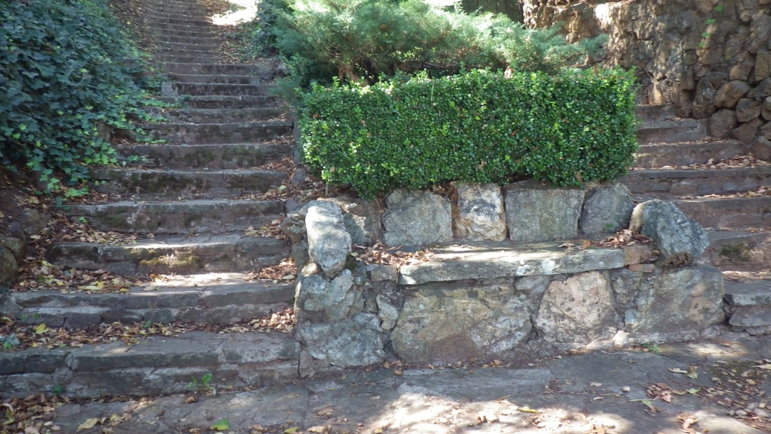
At the top of the curvy wood "Painted Rock" with its two stairside stone benches, the eastside steps (120-ish) start down (pics 18, 19, 20, 21): wood, logs, and concrete. This one also got extended several years ago.
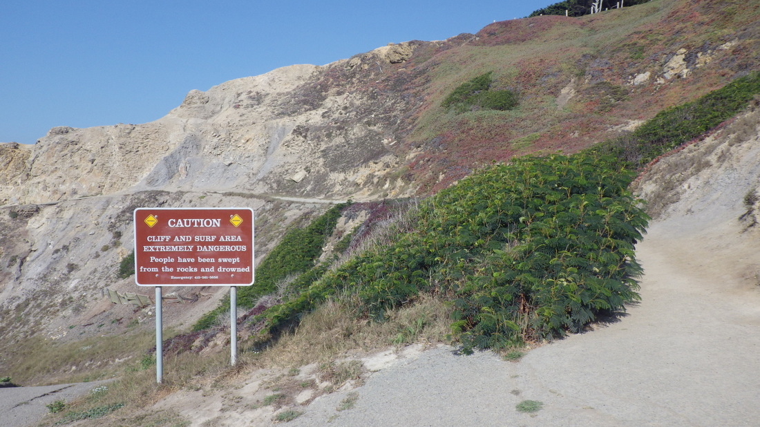
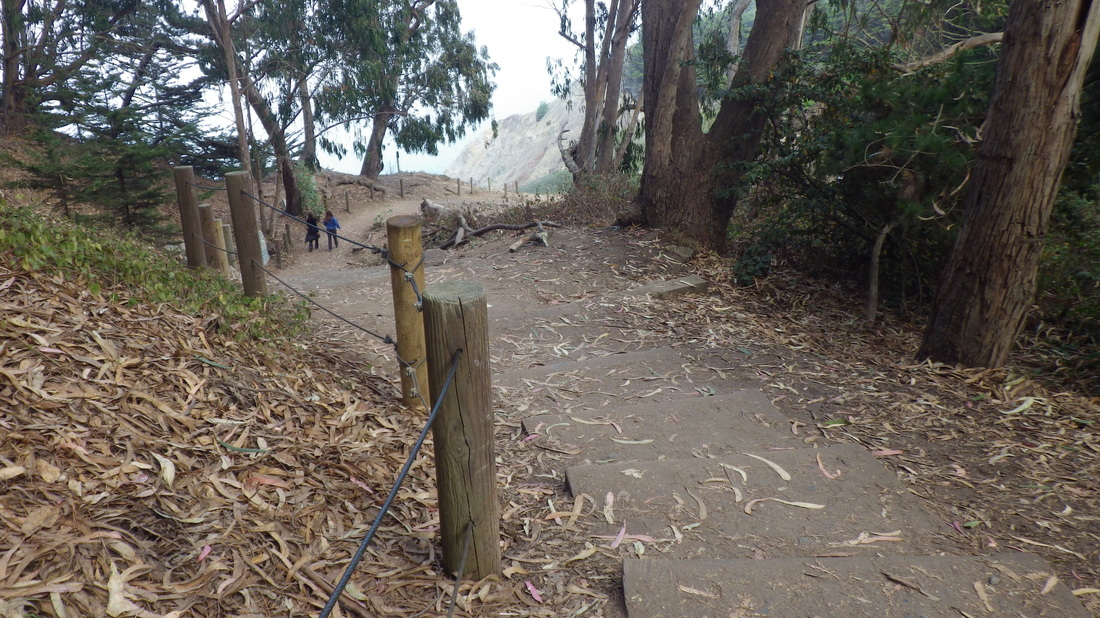
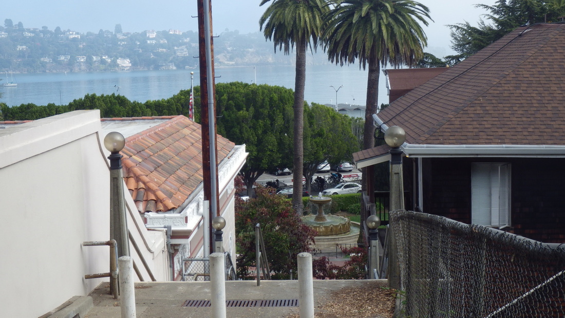
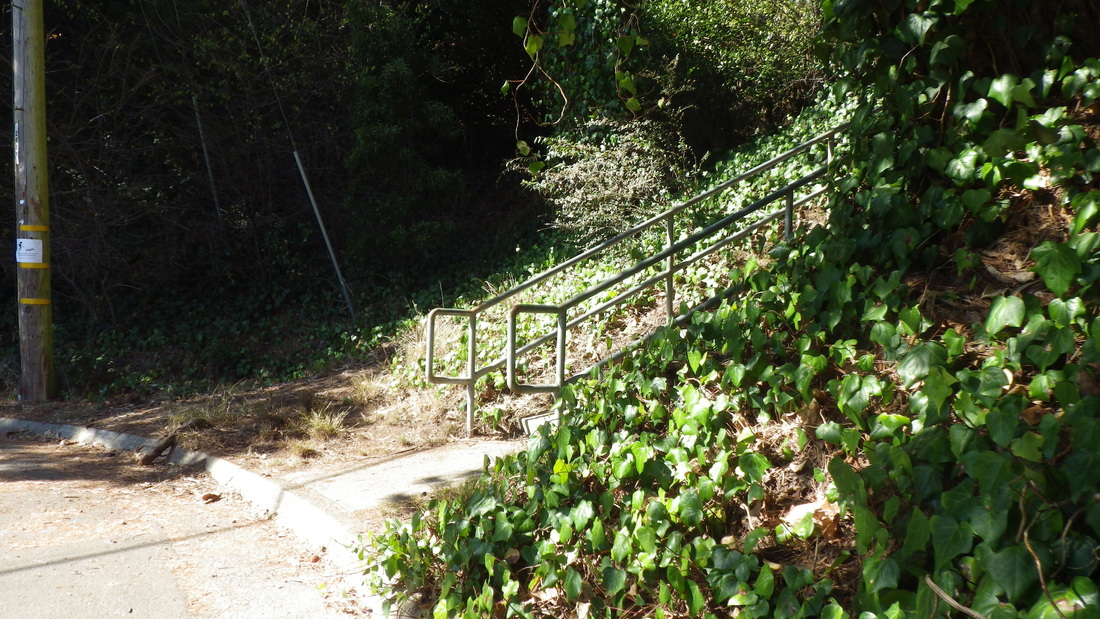
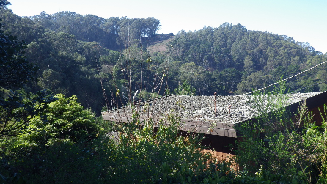
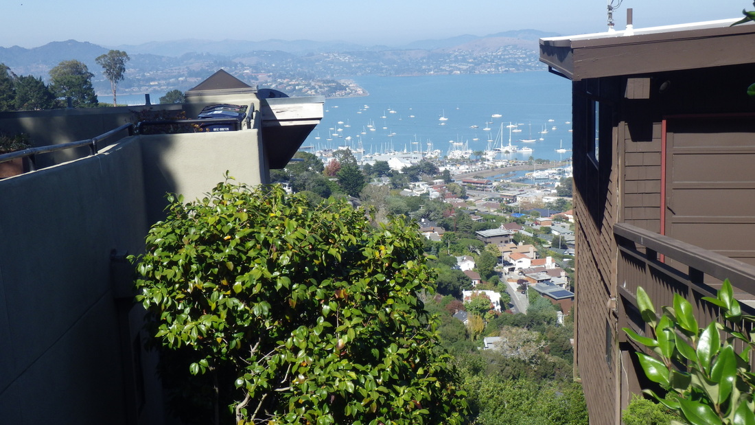
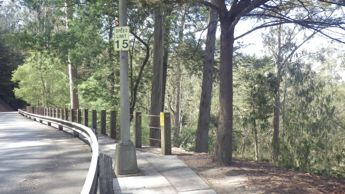
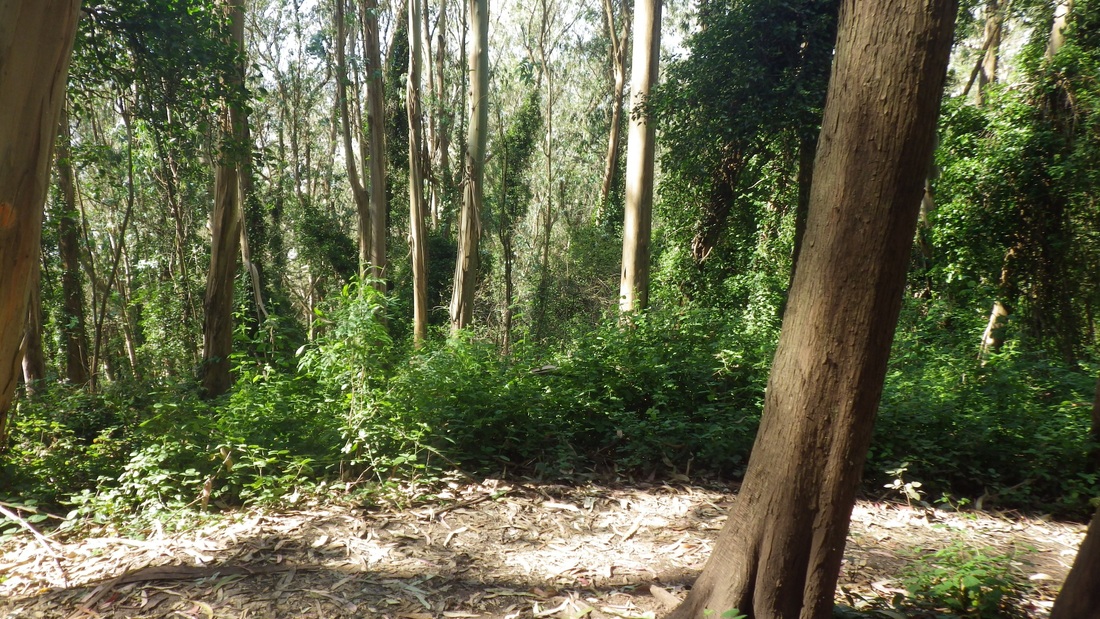
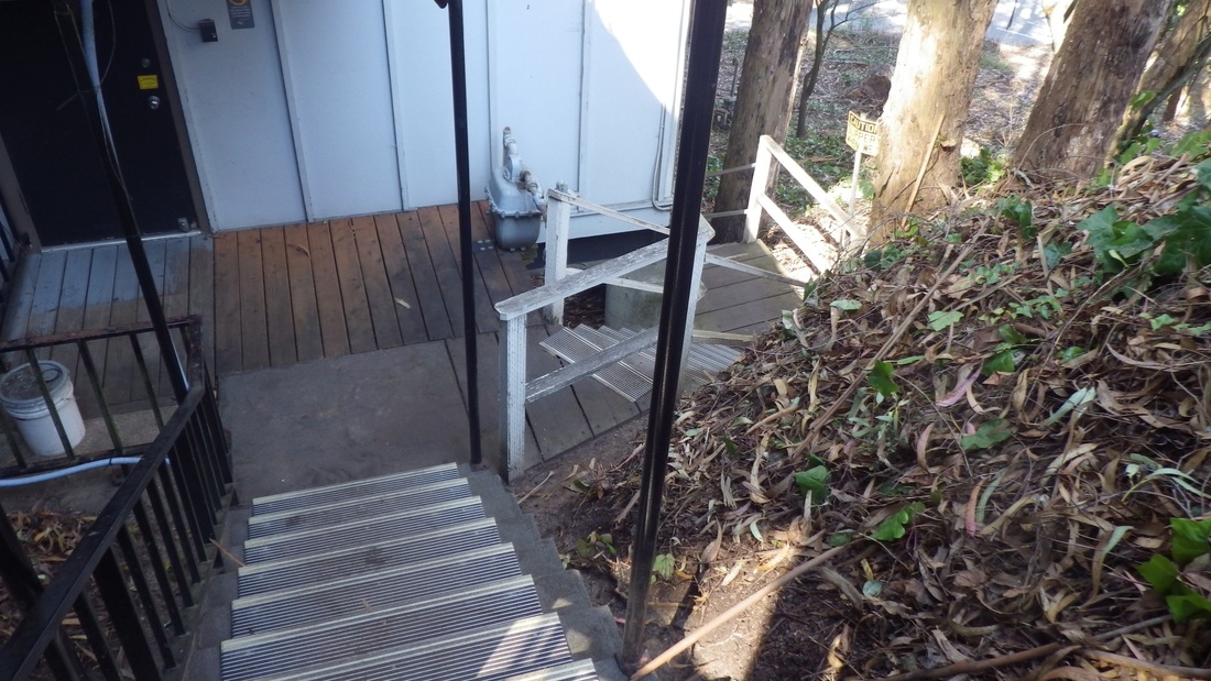
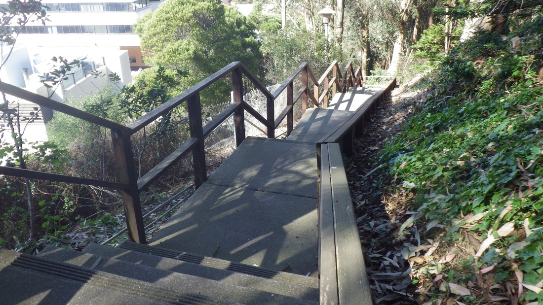
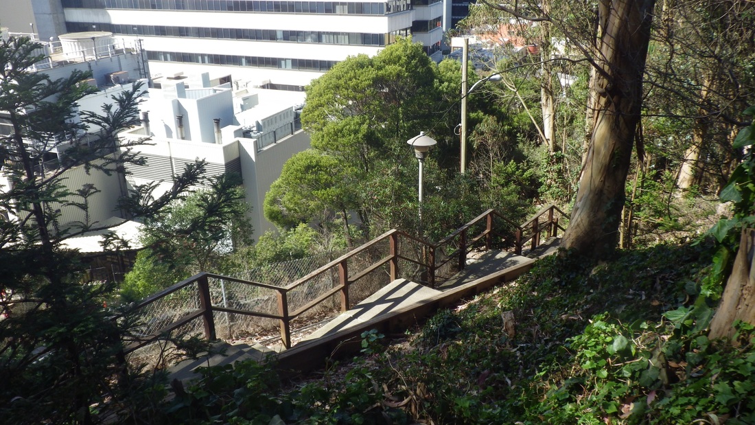
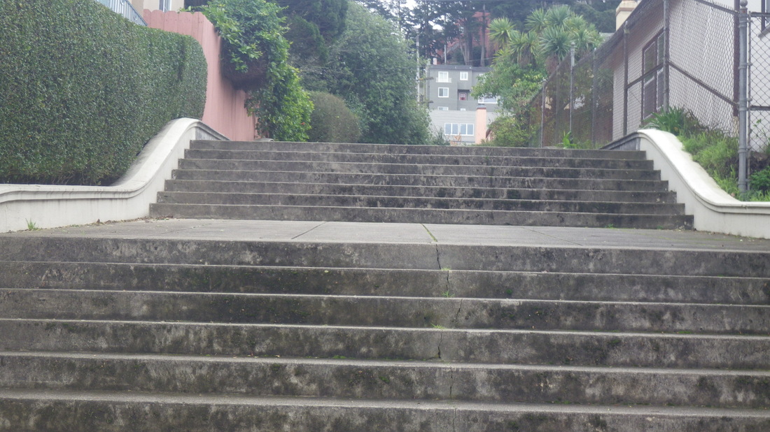
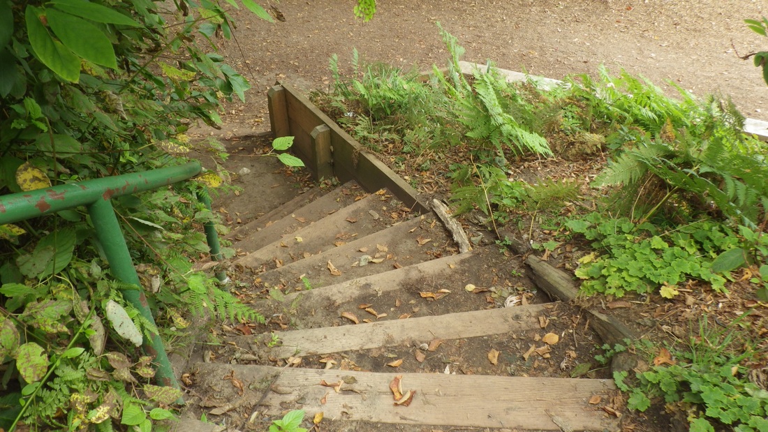
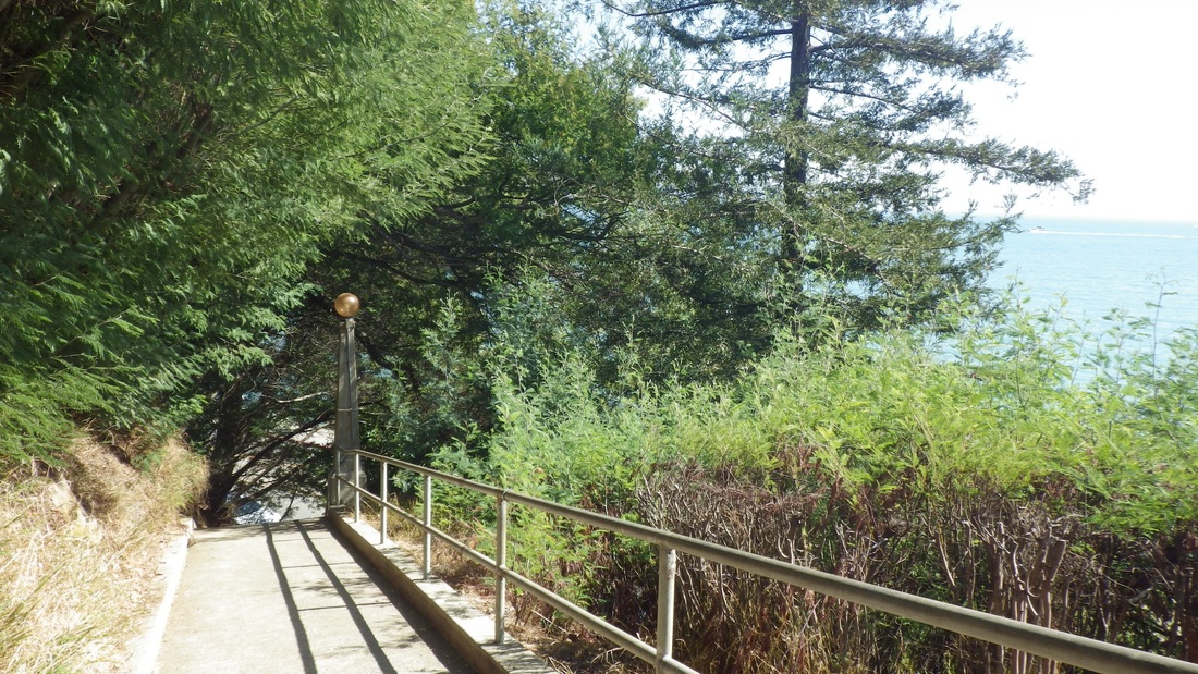
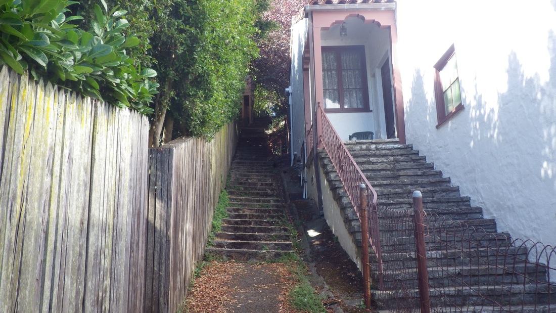
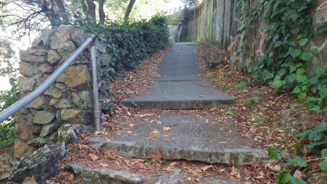
Main Coastal/Lands End Trail moving to the east trailhead: last two pix.
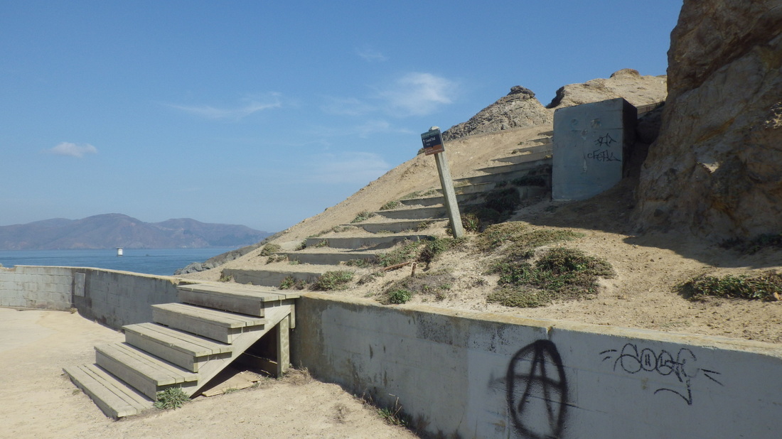
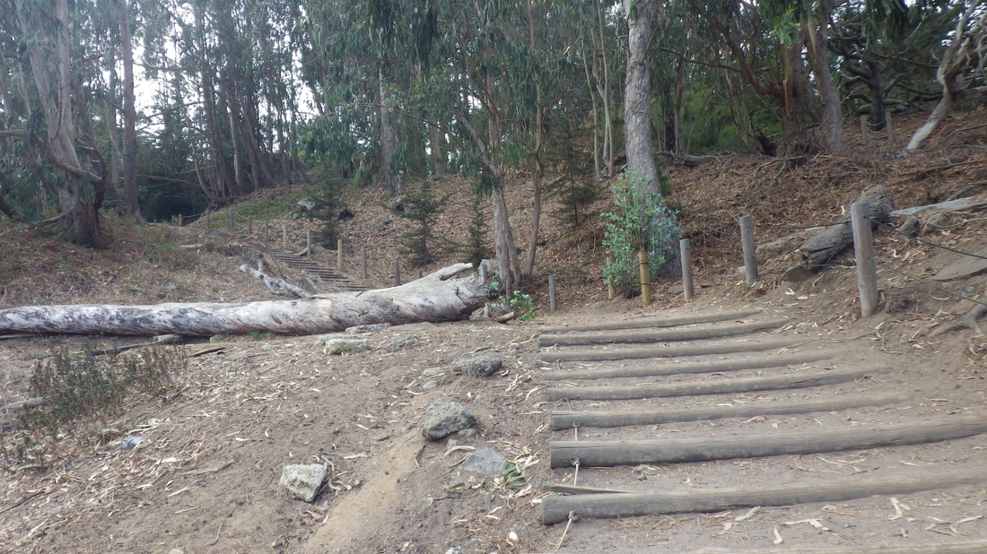
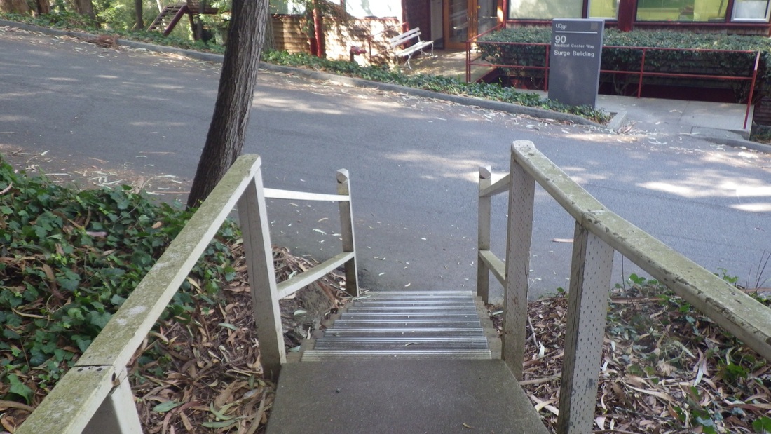
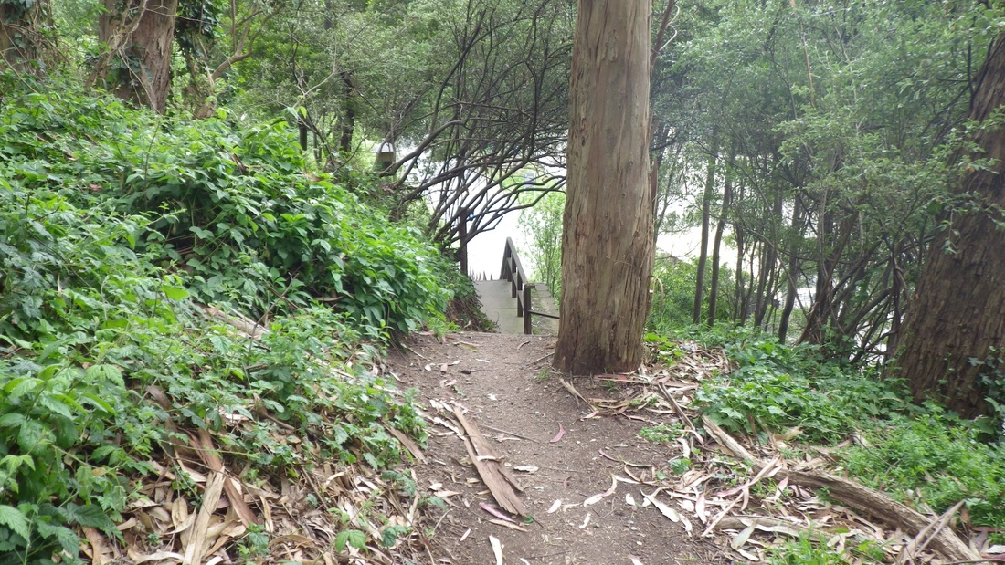
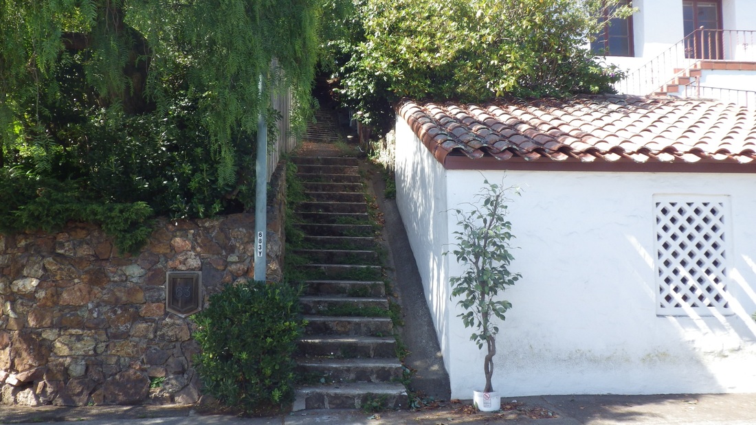
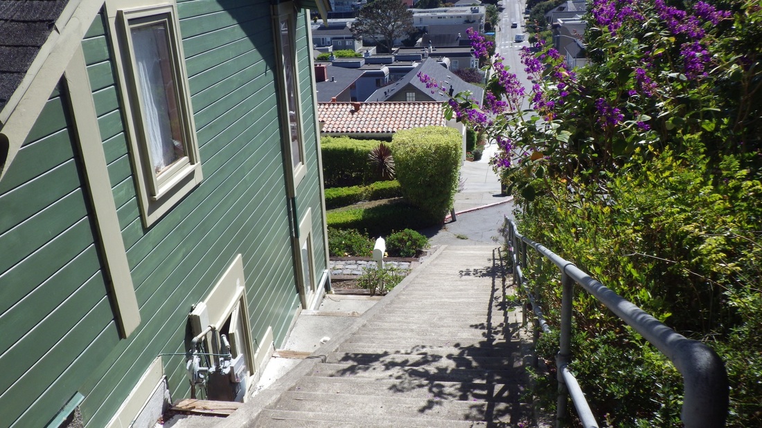
My last was the 52 steps down from the Lincoln Park golf course's east edge.
Just outside the Lands End Lookout store/coffee shop was something new since my last visit: a Lands End scale model (first pic).
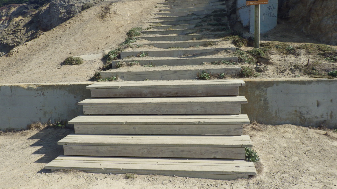
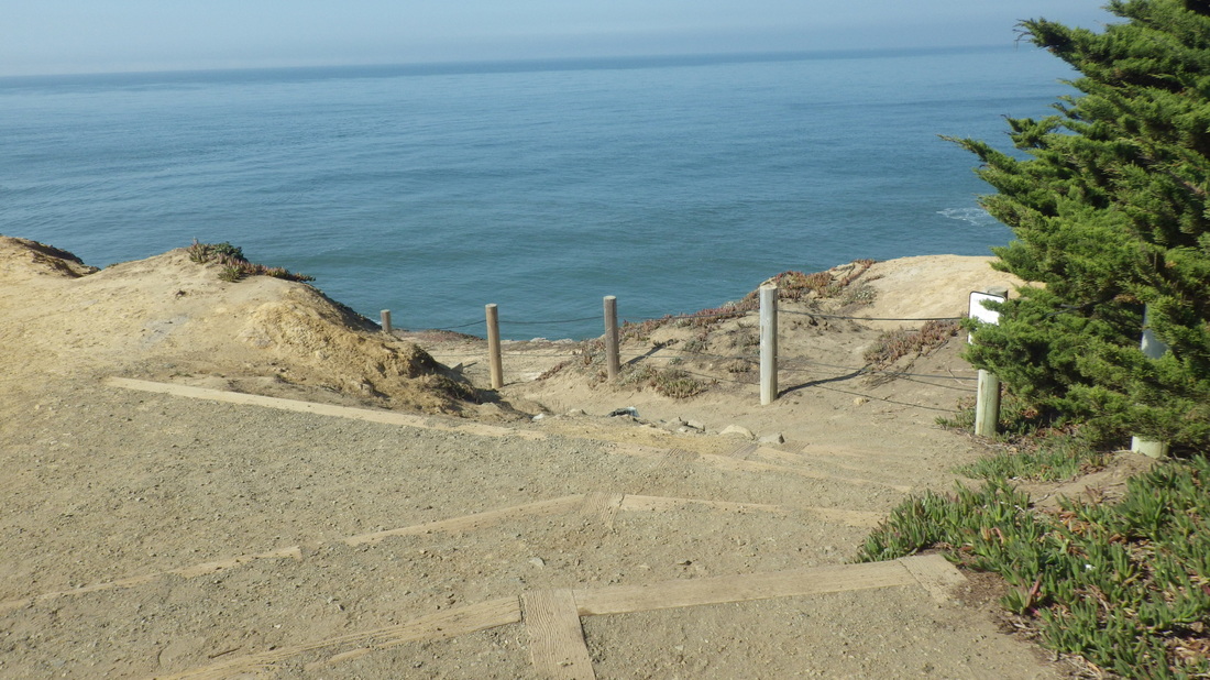
This hike's first stairway was down the "Merrie Way" steps (126, pix 2, 3, 4, 5) from the lower parking lot overlook, then up the short trail above the Sutro Baths ruins to the cavetop viewspot (pics 6, 7).
Starting up from here is the west trailhead for the Coastal Trail (pics 8, 9). Several years ago there were just 20-something steps; now the "Sutro Baths Upper Trail" has around 141 (pic 10).
Stayed on the main Lands End Trail (Coastal Trail) this time (pic 11: foot of connector steps up to the El Camino del Mar Trail), past the top of the long up'n back Mile Rock Beach stairway (272 or so), and up the "Painted Rock" steps (139, pix 12 through 17). This is an up one side and down the other stairway but I've always counted them as two separate stairways since each has its own special "personality."
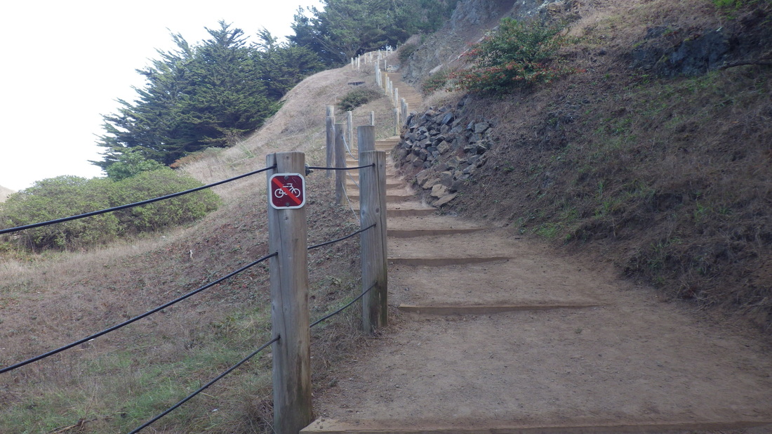
At the top of the curvy wood "Painted Rock" with its two stairside stone benches, the eastside steps (120-ish) start down (pics 18, 19, 20, 21): wood, logs, and concrete. This one also got extended several years ago.
Main Coastal/Lands End Trail moving to the east trailhead: last two pix.
My last was the 52 steps down from the Lincoln Park golf course's east edge.
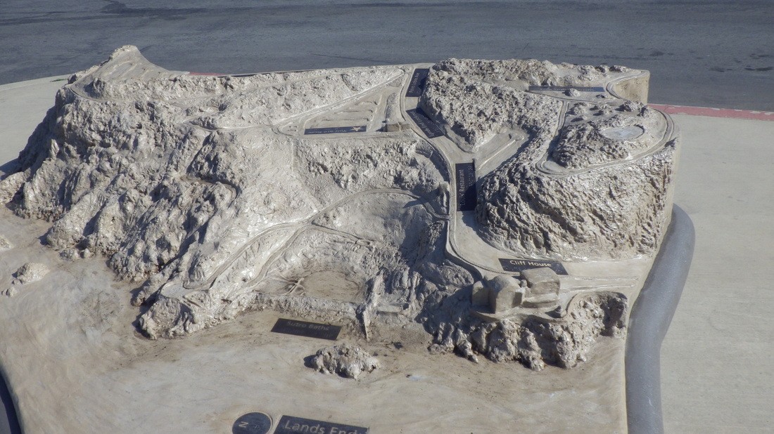
1. Scale Model of Lands End outside Lands End Lookout
2. Steps down from Lower Parking Lot Overlook
3. Sutro Baths ruins below
4. Continuing down
5. Near foot of the stairs
6. Trail to the Cavetop viewspot
7. Trail to cavetop overlook
8. West Trailhead for the Coastal Trail
9. Coastal Trail's west trailhead
10. Continuing on the Sutro Baths Upper Trail
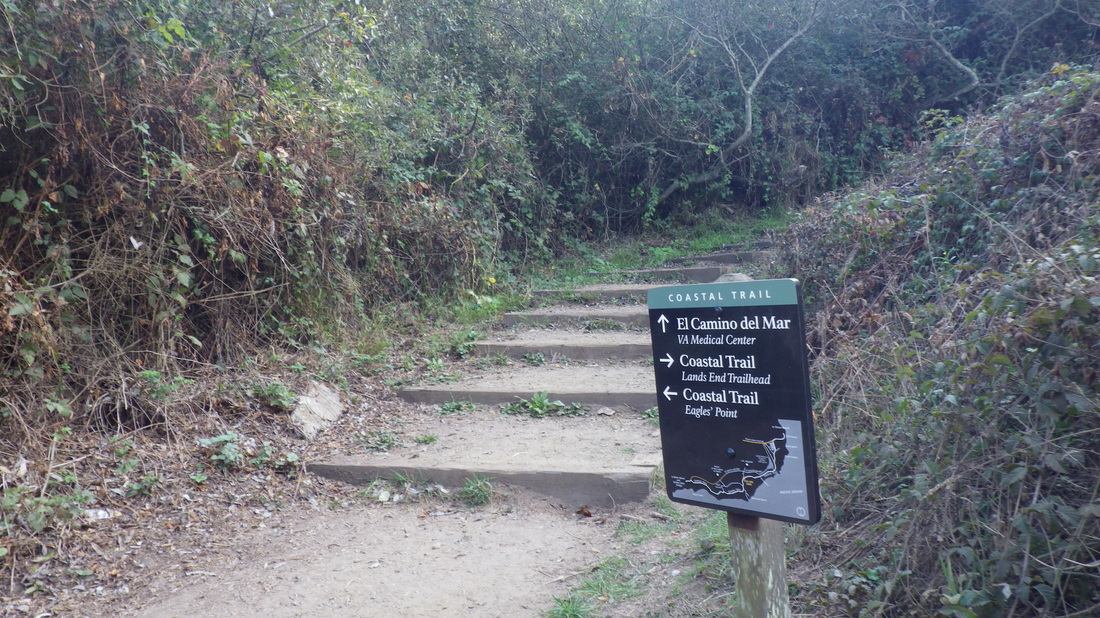
11. To El Camino del Mar Trail from main Lands End Trail
12. Foot of the "Painted Rock" stairway
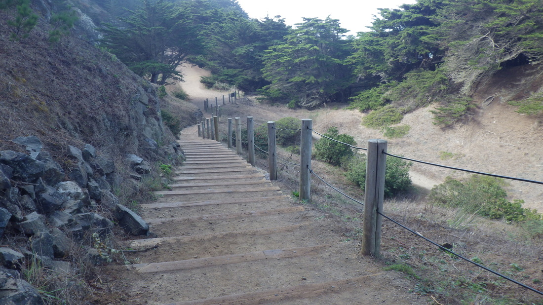
13. Painted Rock steps
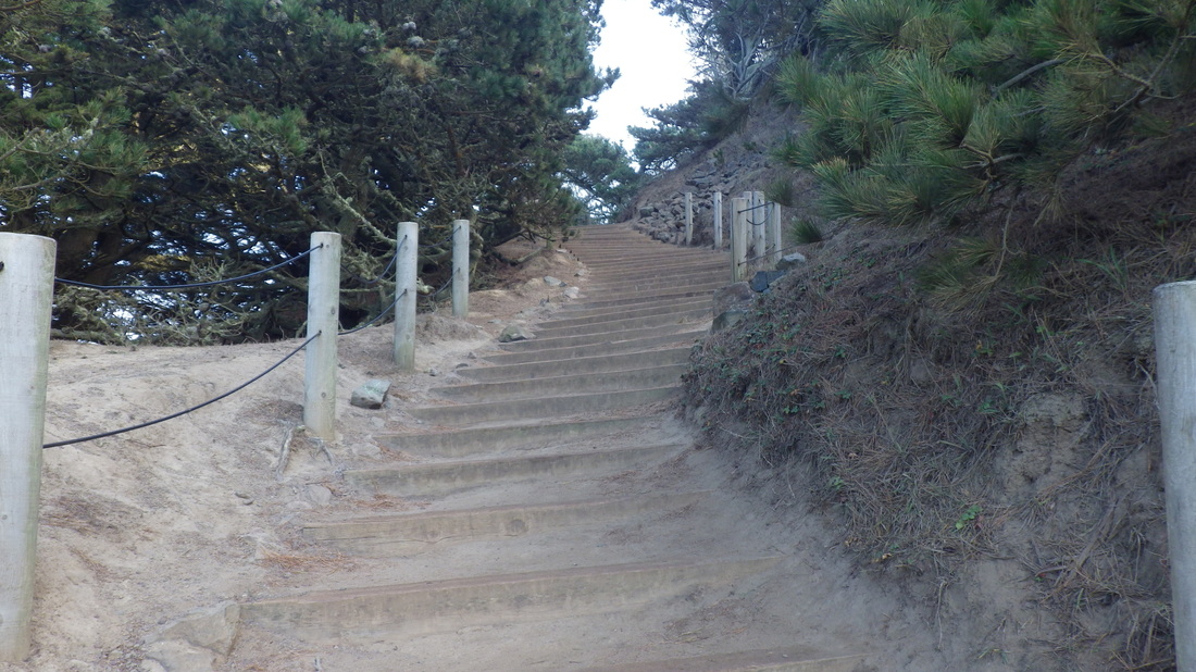
14. This stairway is part of the main Lands End Trail/Coastal Trail
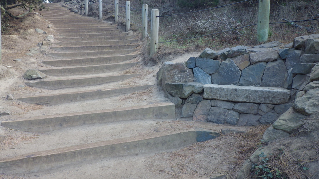
15. One of two stairside benches
16. Top of the stairs
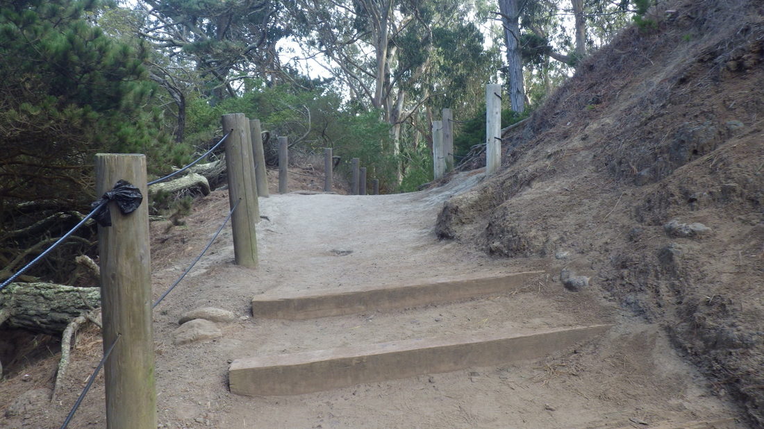
17. Top of the Painted Rock stairs. About to descend the eastside steps.
18. Starting down the eastside stairway
19. Eastside steps curve around
20. Down the stairs on the east side
21. Continuing down the eastside steps
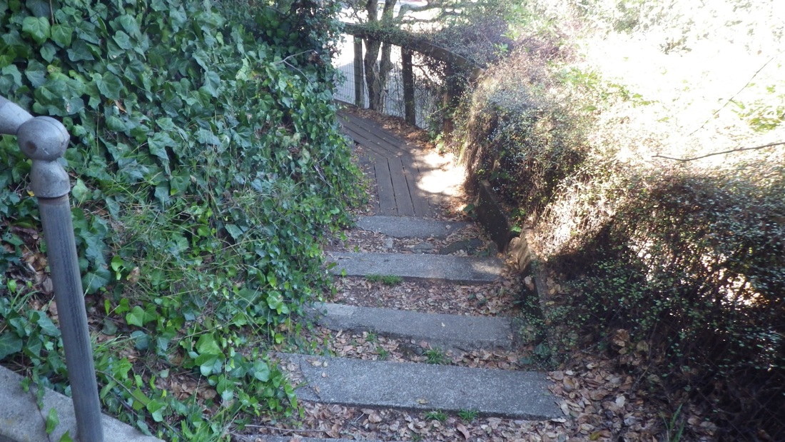
22. Lands End Trail continuing east
23. Out to the east trailhead for the Lands End Trail


 RSS Feed
