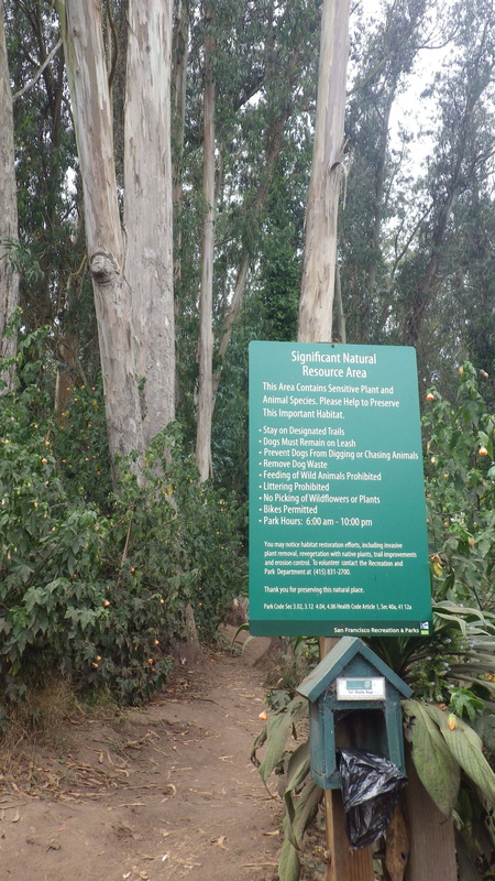
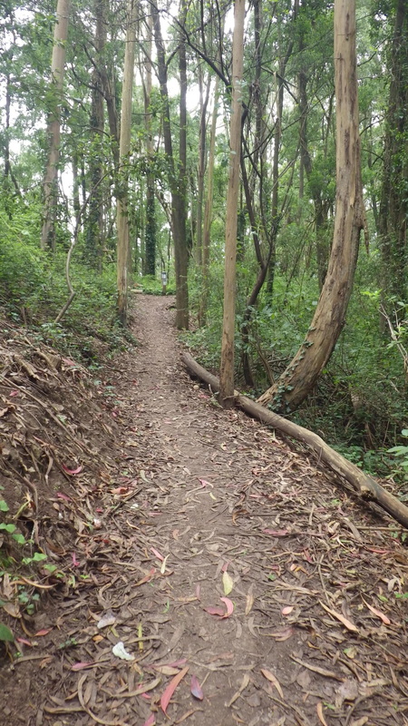
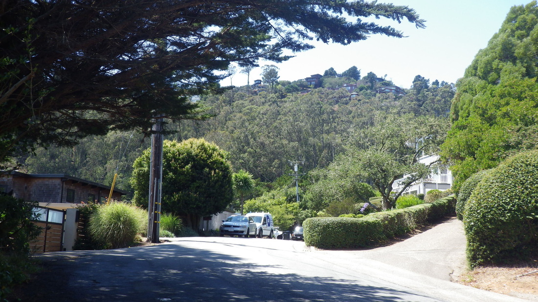
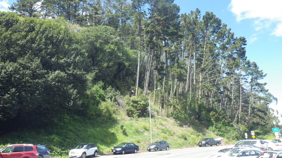
Disembarked the crosstown #43 at Stanyan and Parnassus to hoof it several blocks uphill to the Stanyan Trailhead and into the Interior Greenbelt part of Mount Sutro. Last time started up from the trailhead just above this one, the unmarked steepish beauty that climbs to the Aldea residences and Fairy Gates Trailhead.
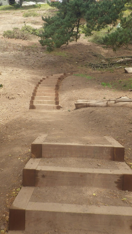
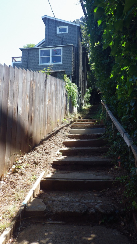
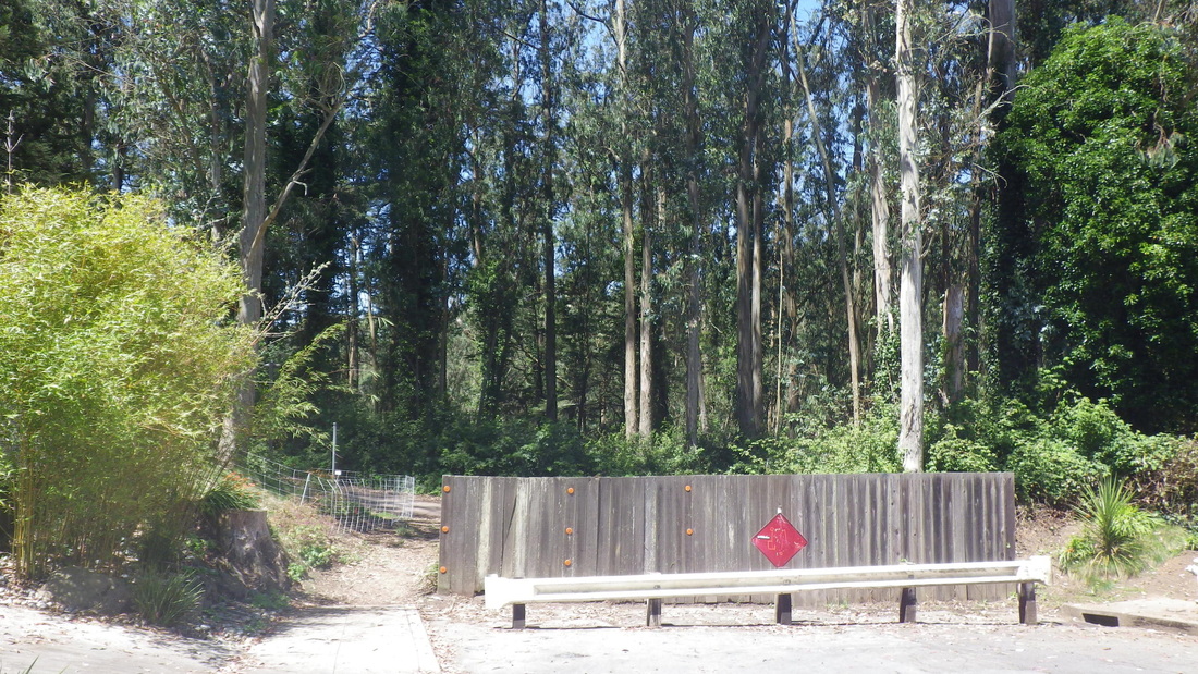
Stanyan trailhead, pix 1 thru 5.
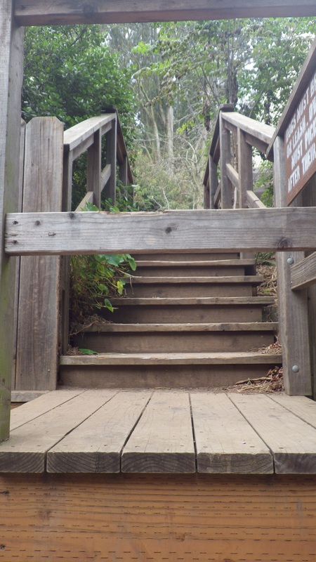
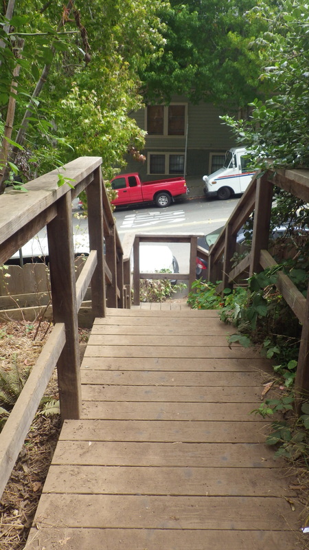
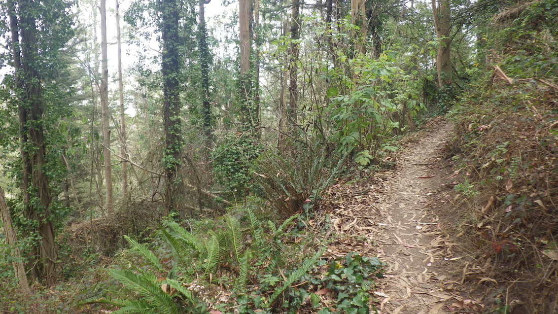
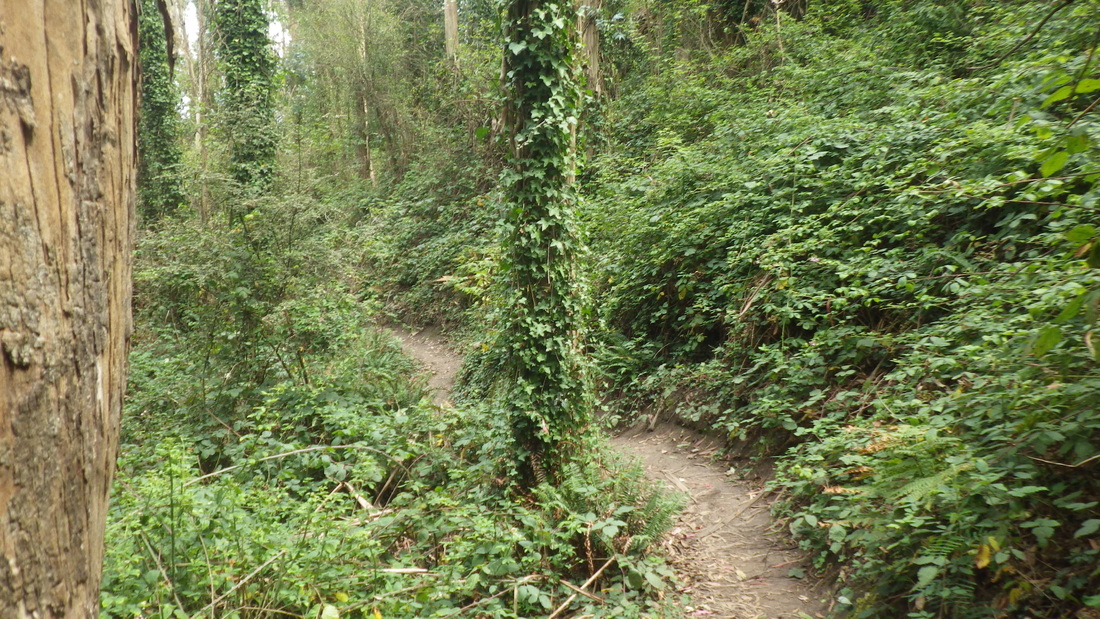
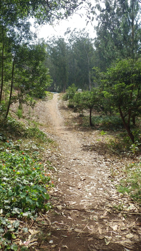
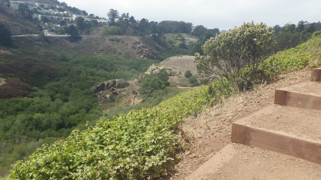
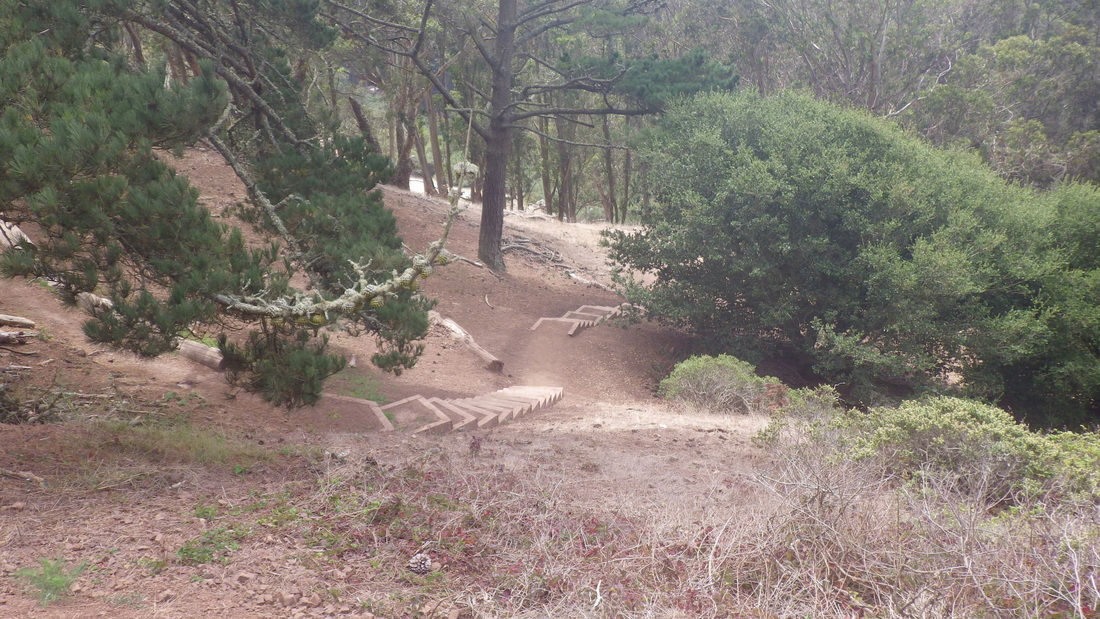
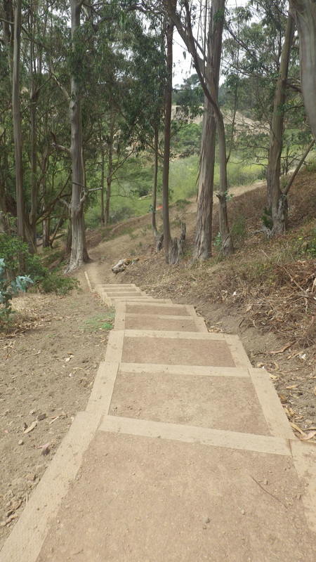
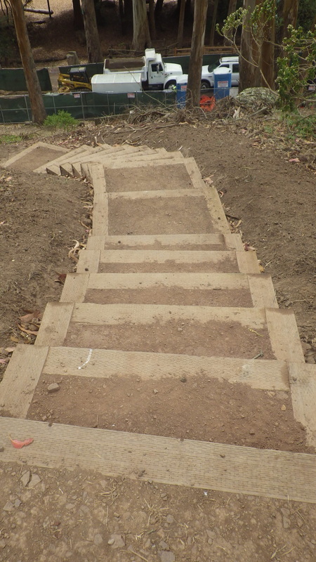
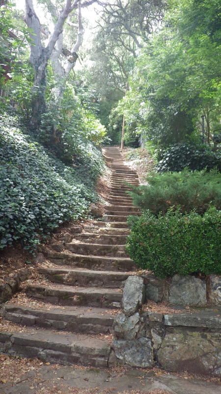
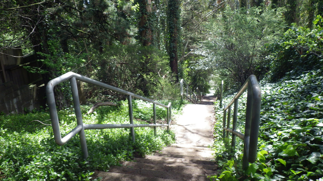
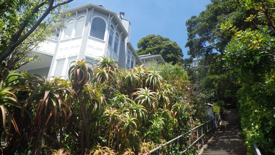
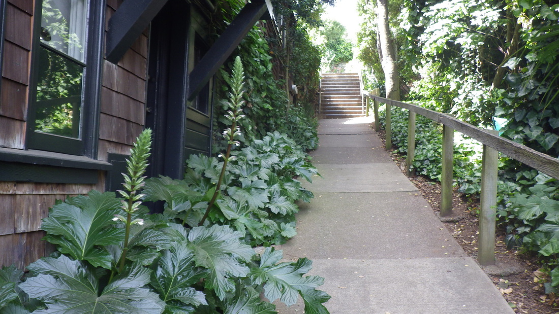
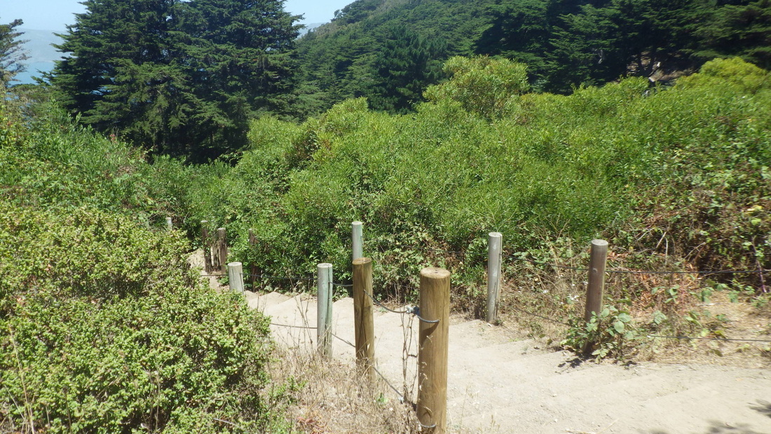
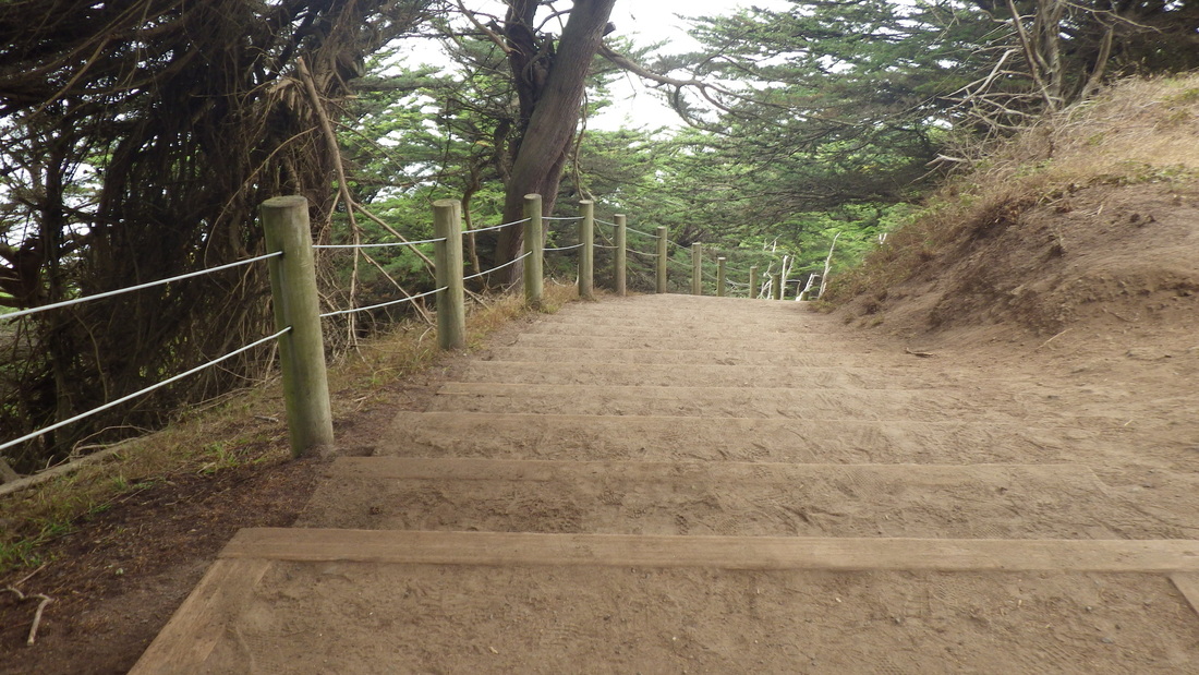
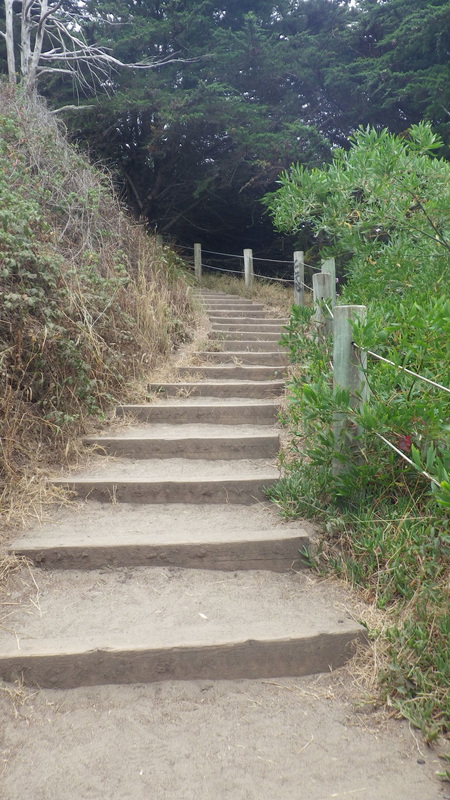
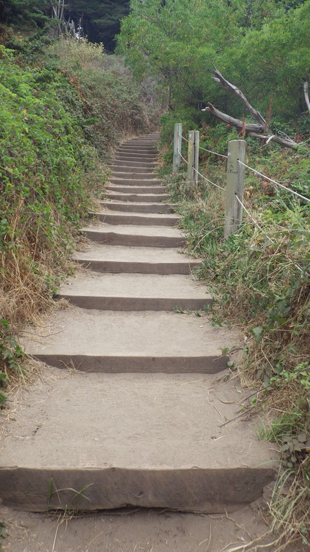
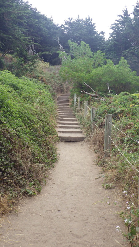
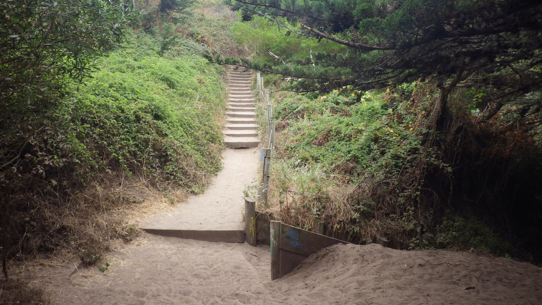
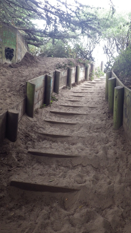
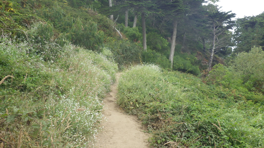
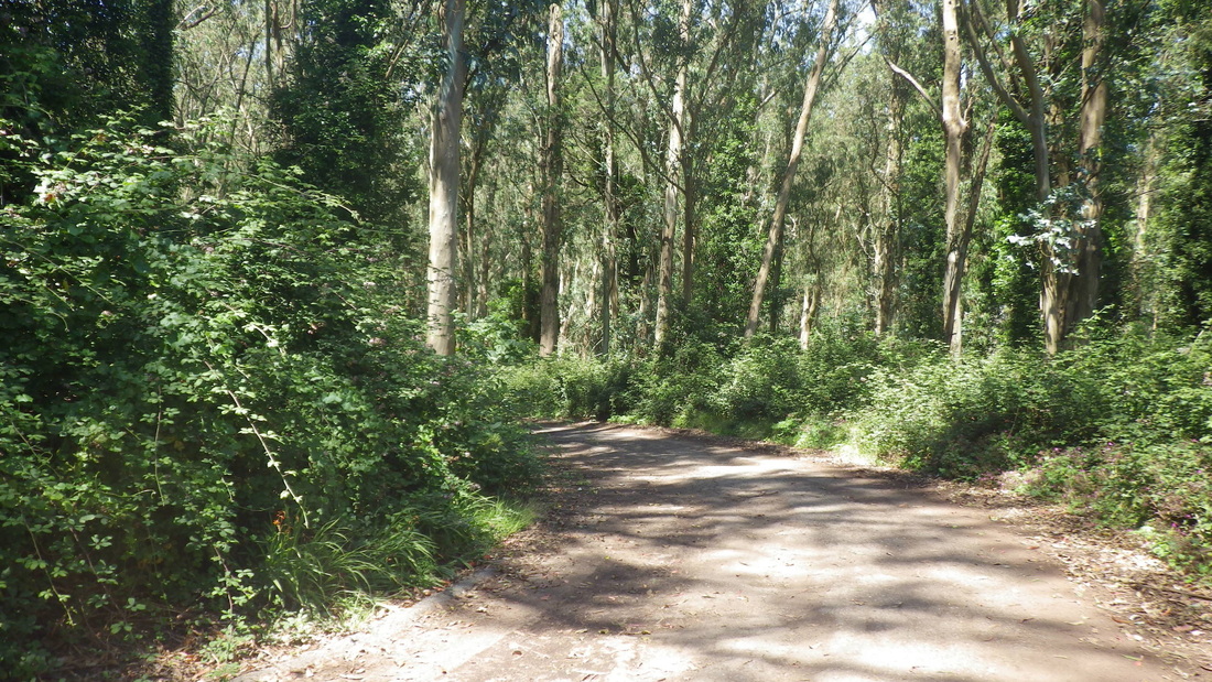
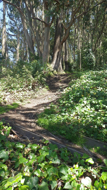
Lower Historic Trail: 6 thru 11.
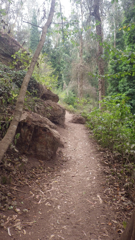
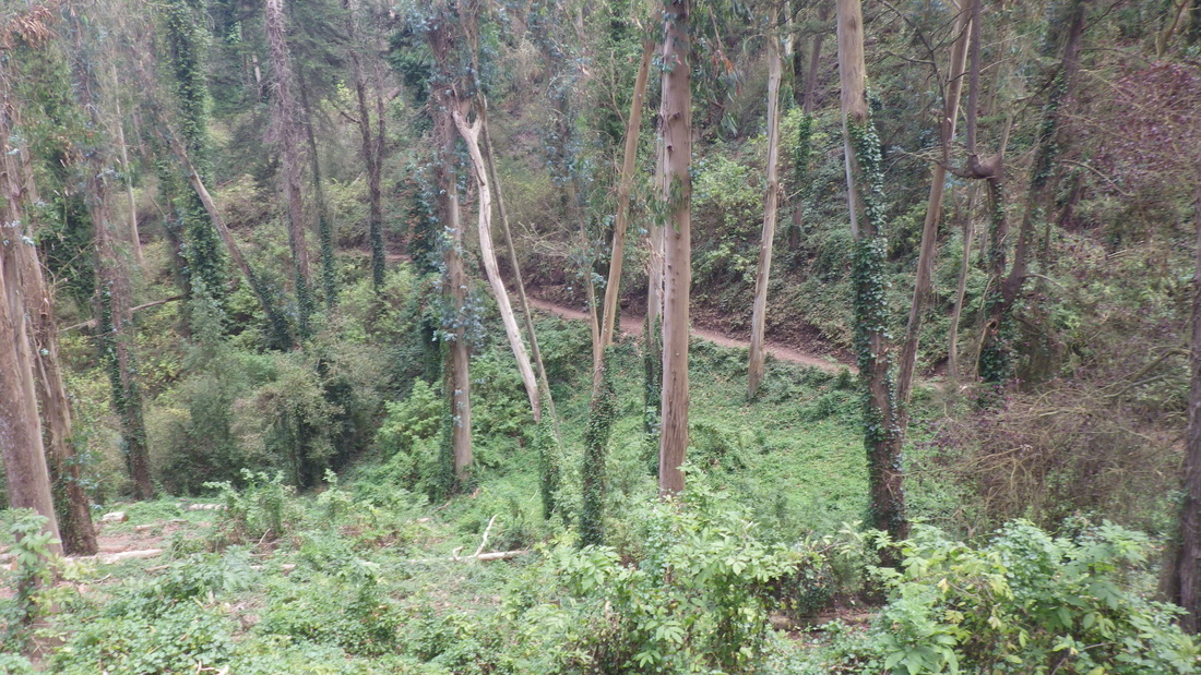
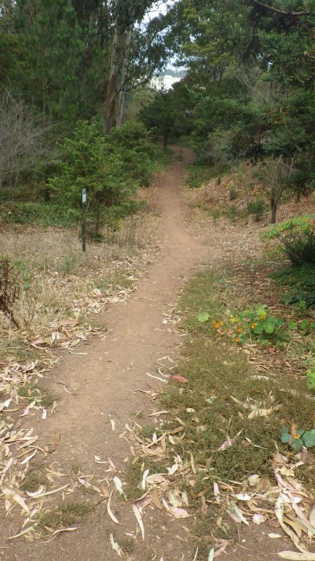
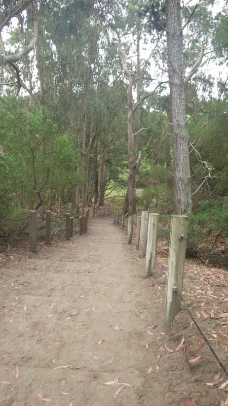
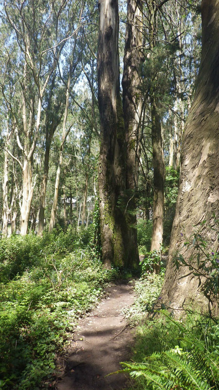
This rough, unmarked trail leads from the lower Historic to the uppermost Interior Greenbelt trail mentioned above that winds from the west dead-end of Belgrave, pic 12.
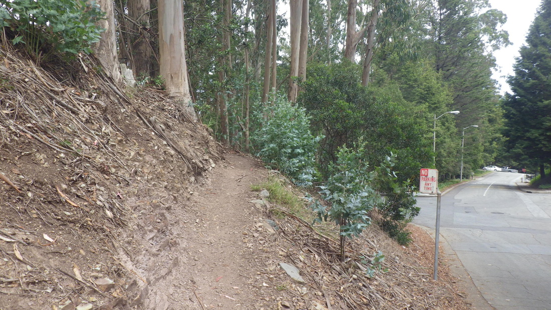
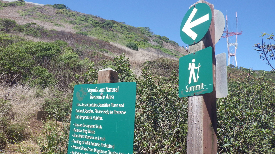
From the lower Historic, now up to the road (west trailhead for the Fairy Gates Trail here), pix 13, 14.
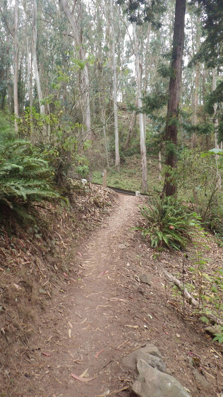
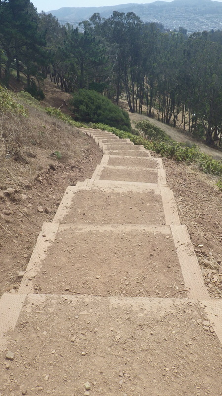
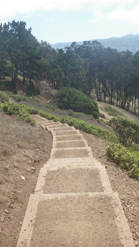
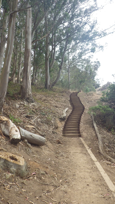
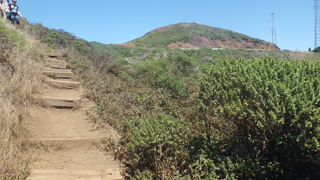
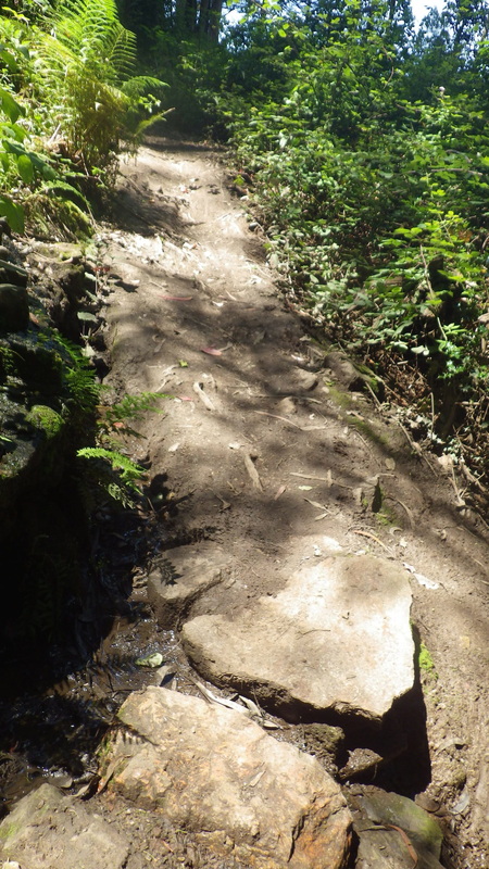
Onto the East Ridge Trail (pic 15), then the Mystery Trail (16, 17, 18), to the summit (pic 19).
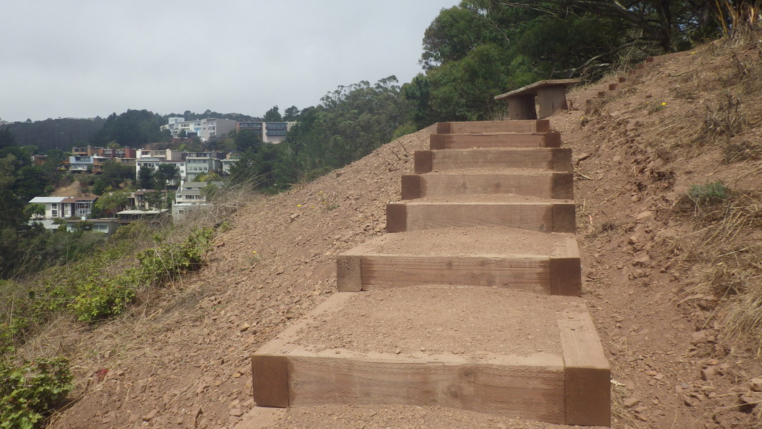
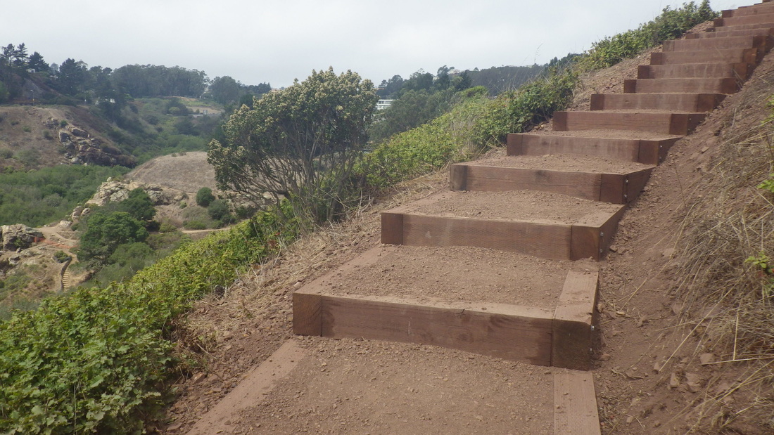
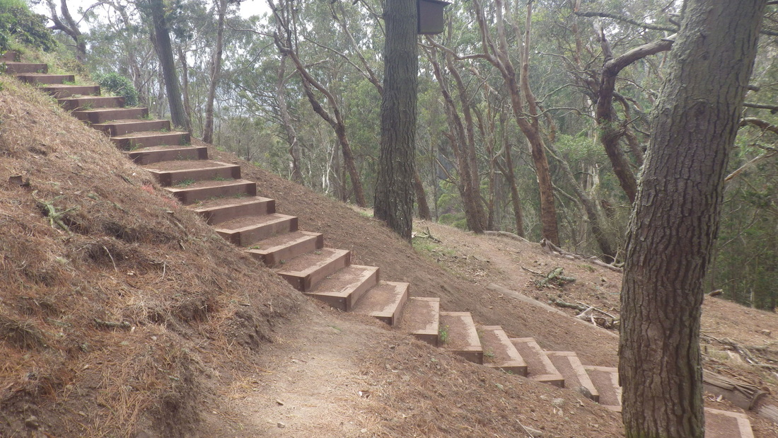
North Ridge Trail back down: 20, 21, 22.
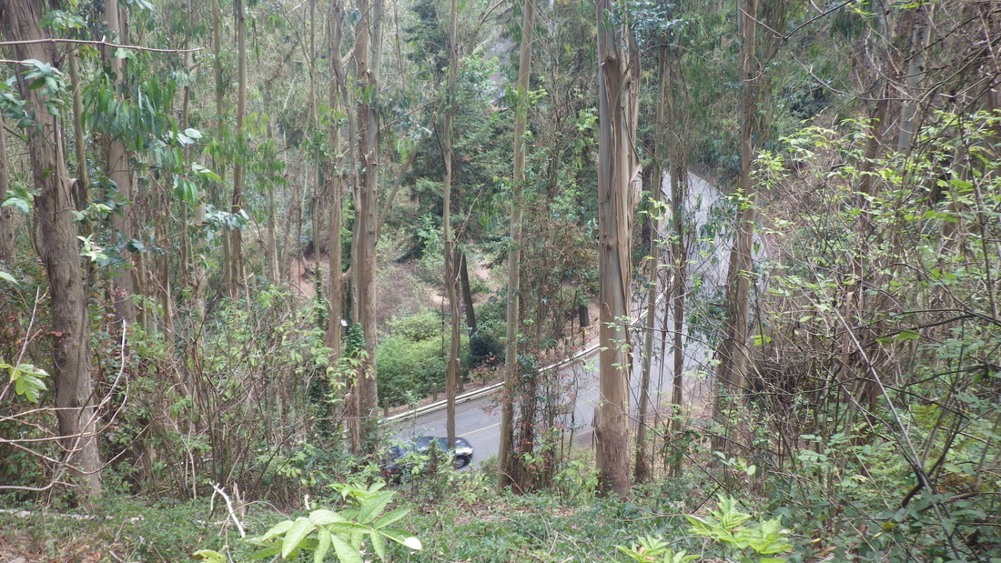
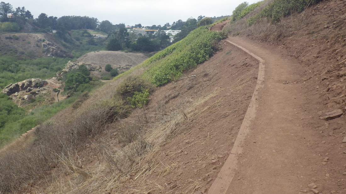
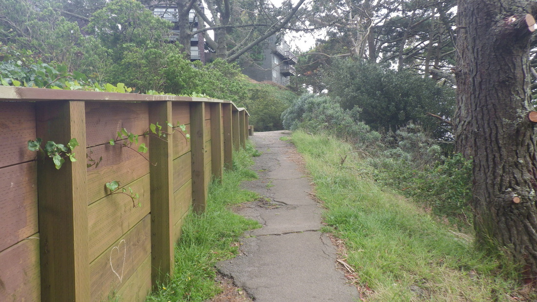
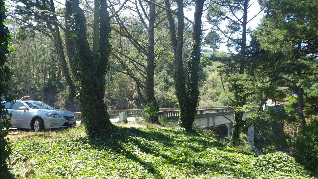
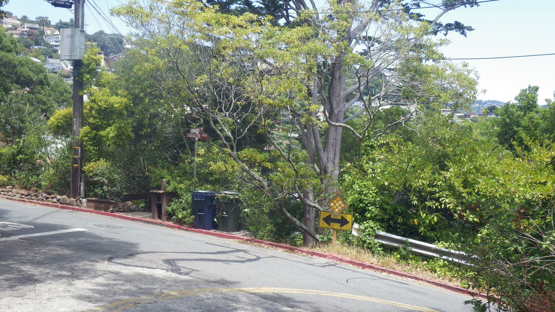
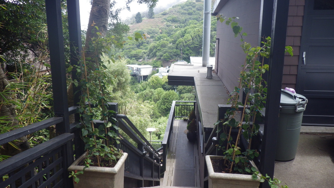
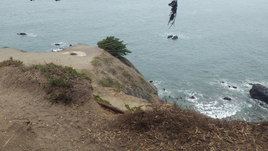
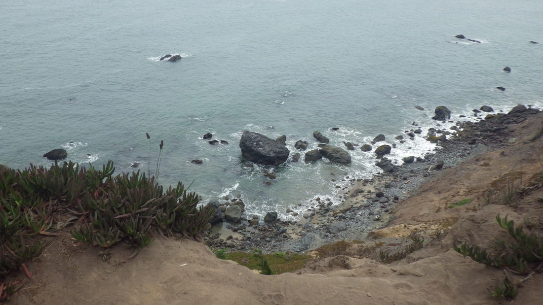
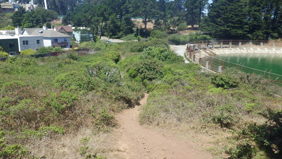
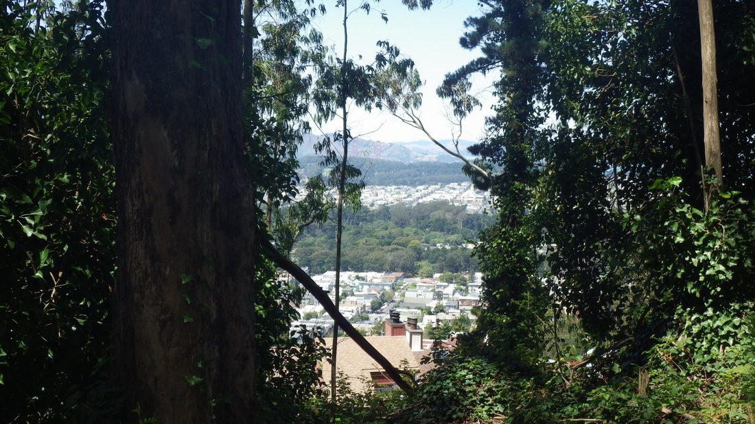
From the foot of the North Ridge, along Medical Center Way’s pedestrian walkway next to the guardrail, enjoying the view down to the lower Historic and Edgewood Trails, pic 23.
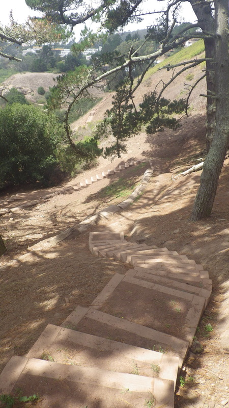
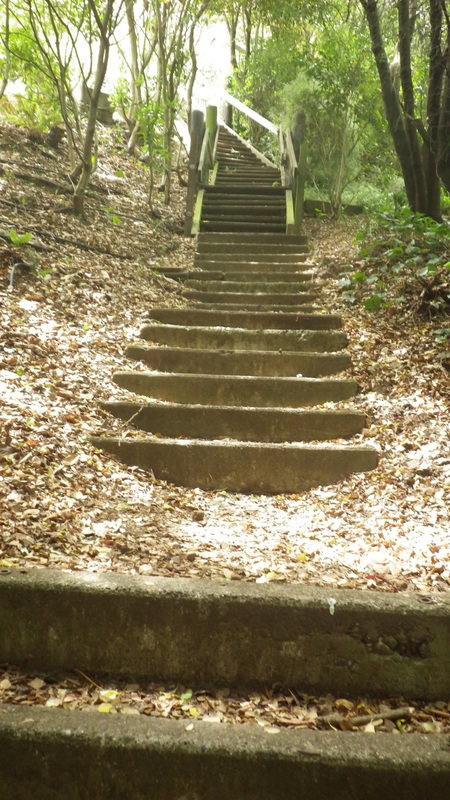
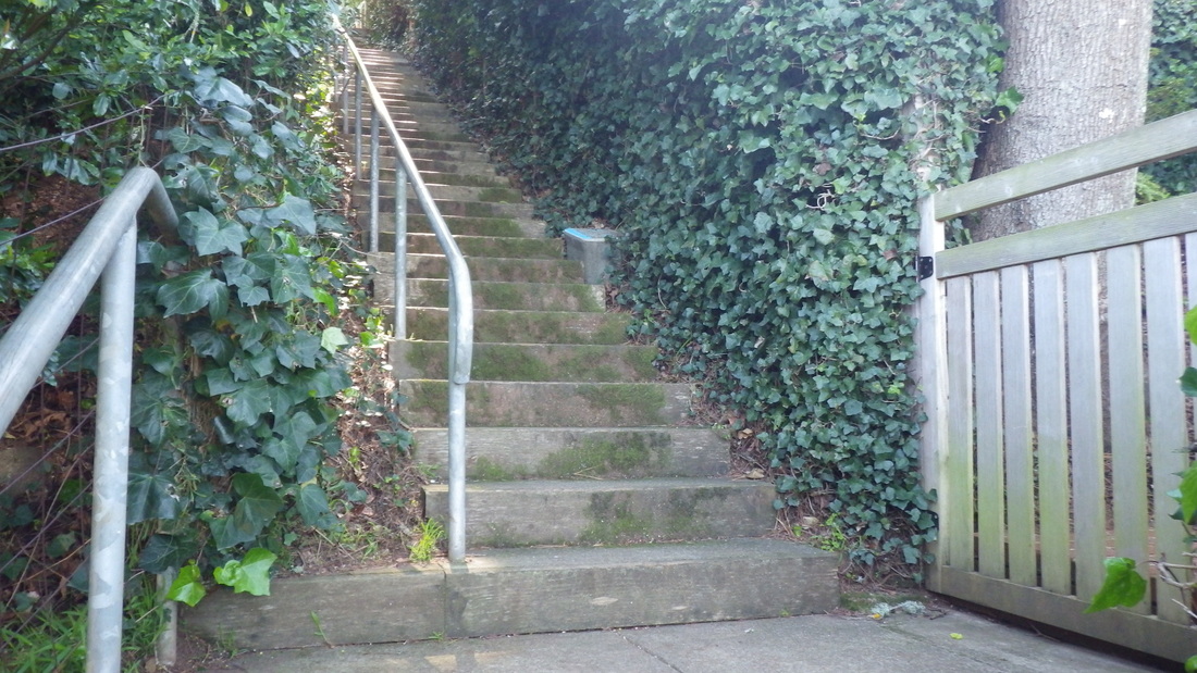
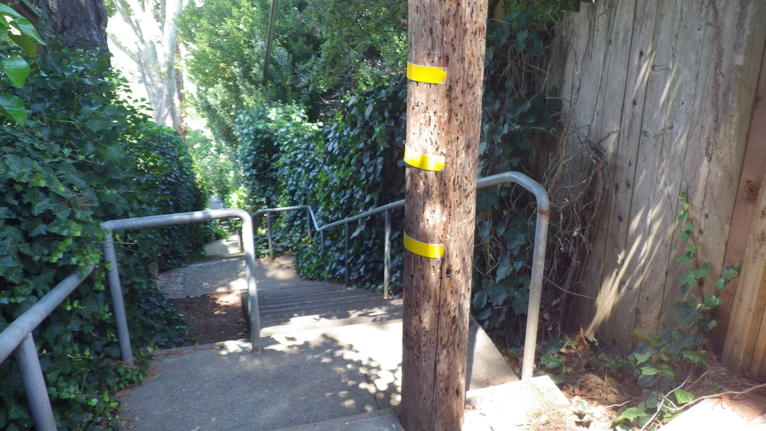
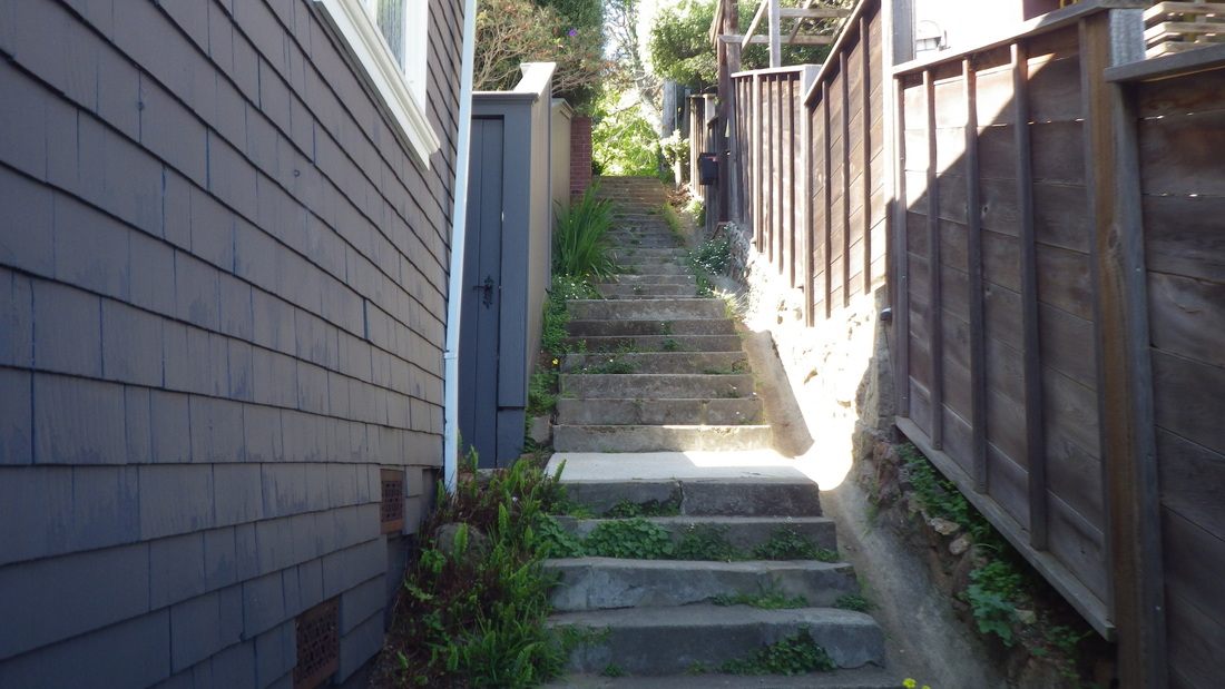
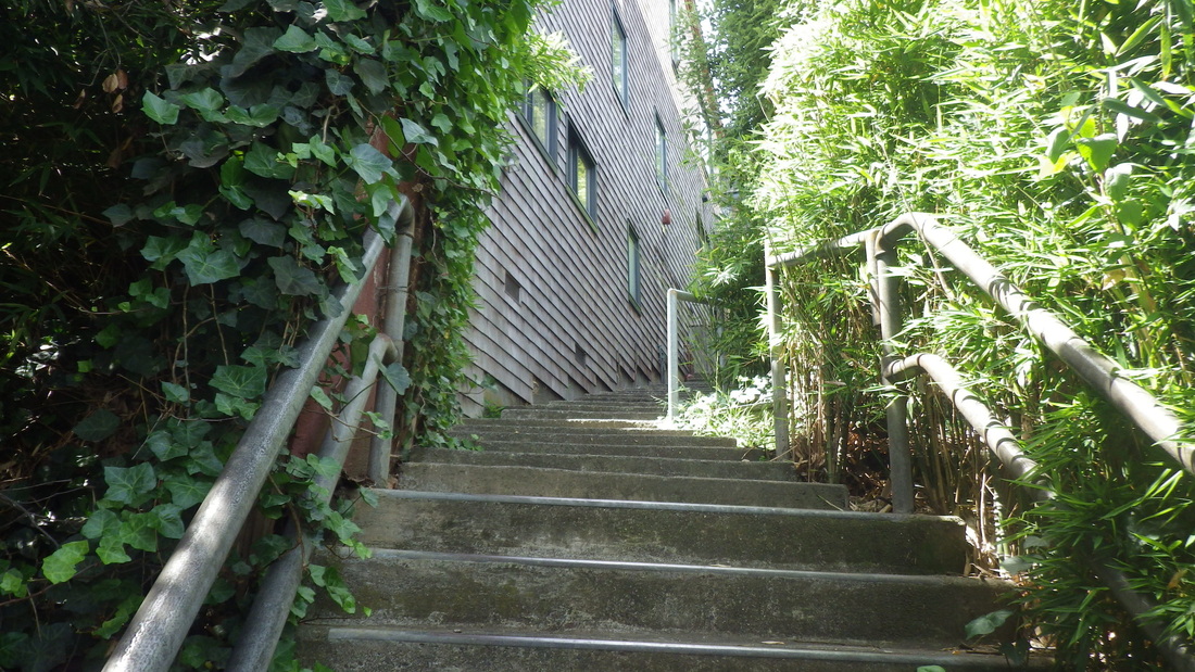
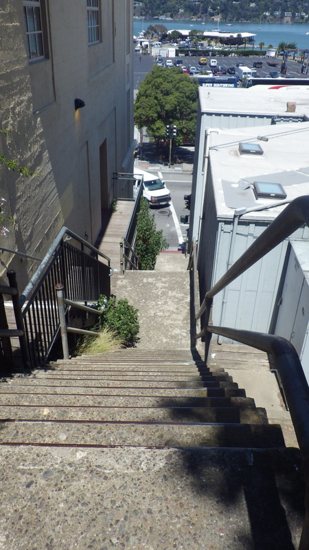
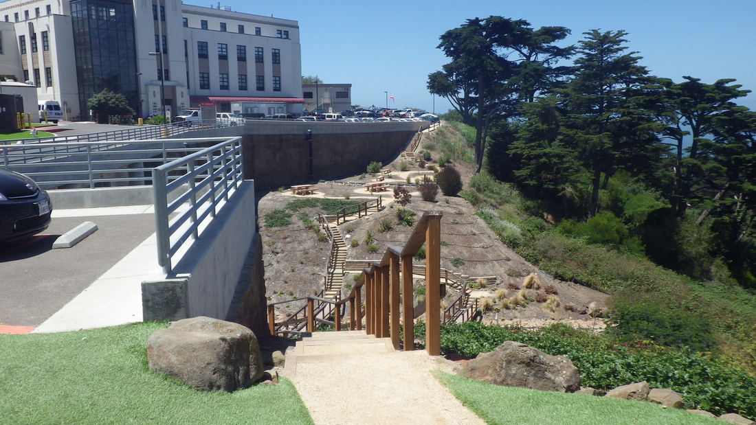
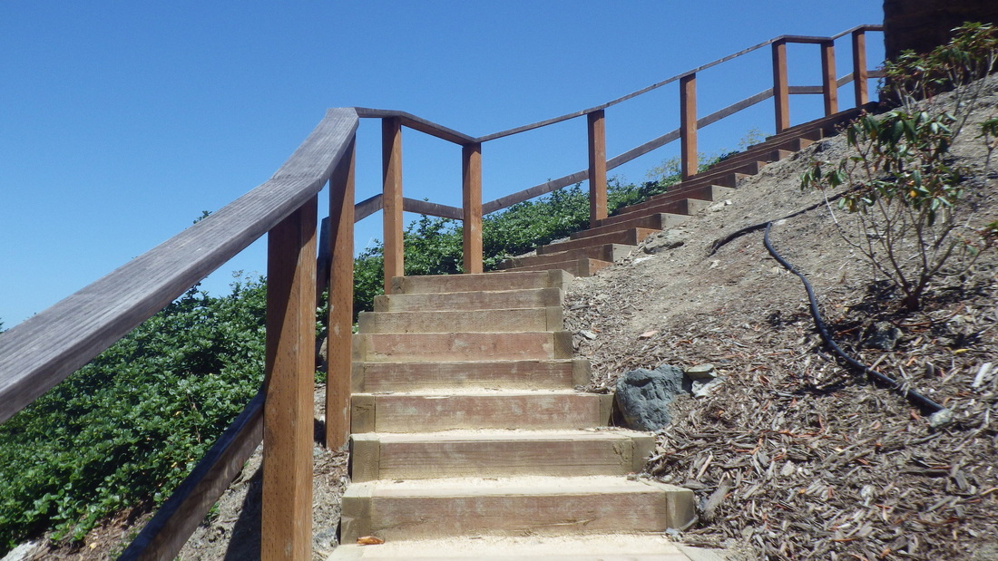
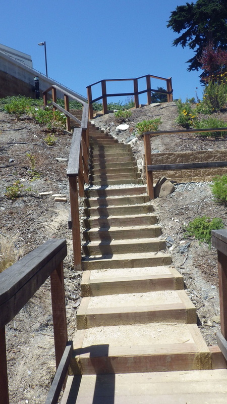
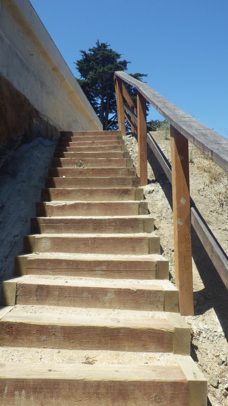
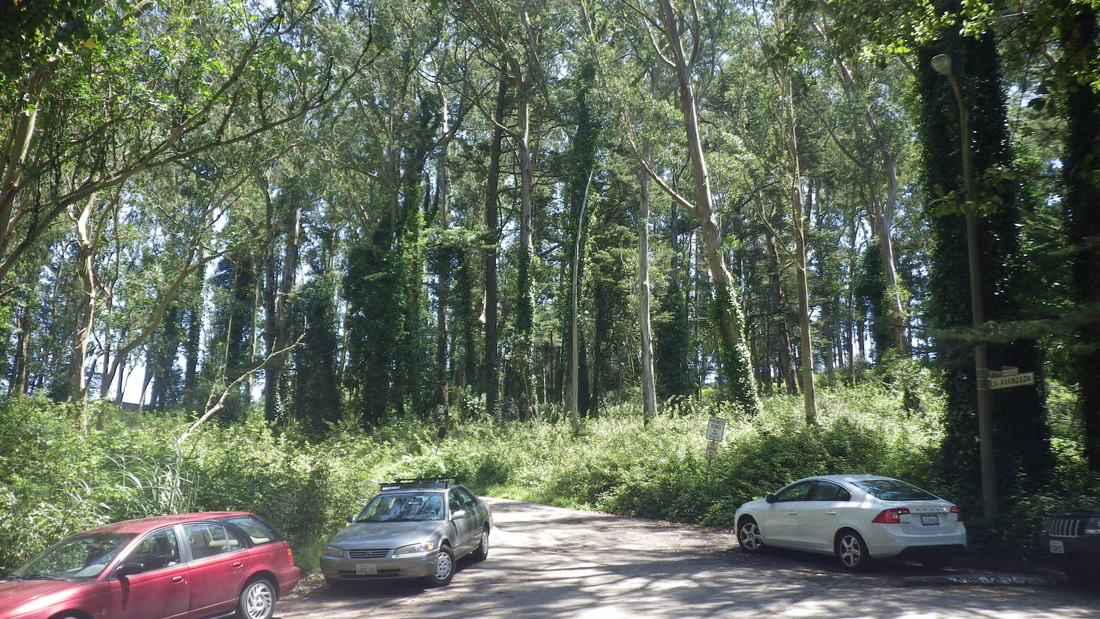
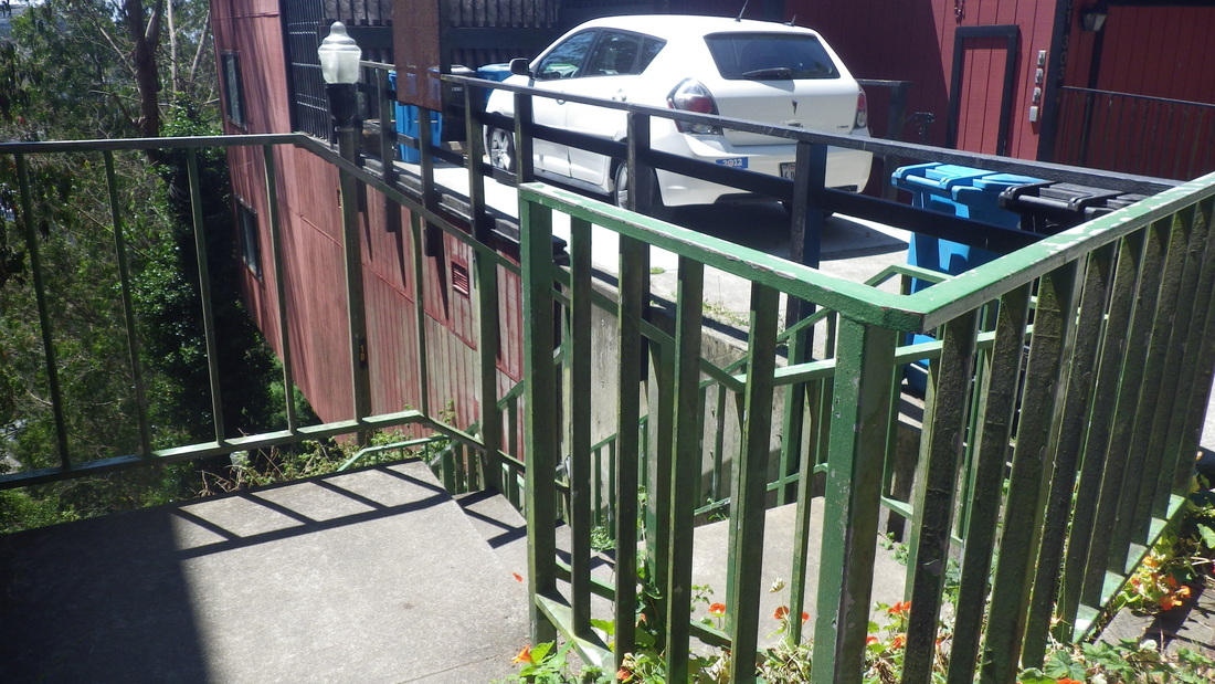
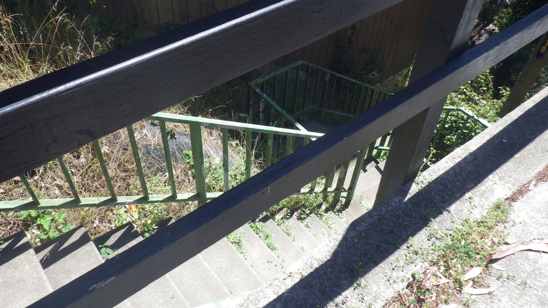
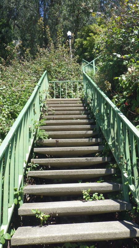
Onto a shortcut stairway long used by yours truly that curves around a building (pic 24). Down to the parking lot where a long stairway descends to behind UCSF buildings and out to Parnassus (25 and 26: top and near the foot).
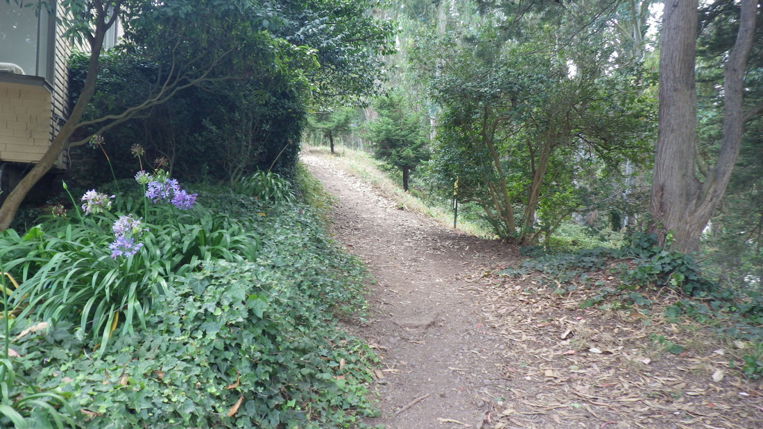
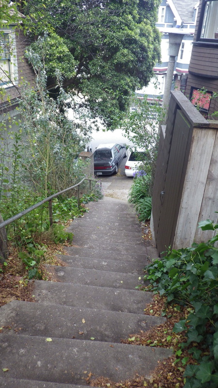
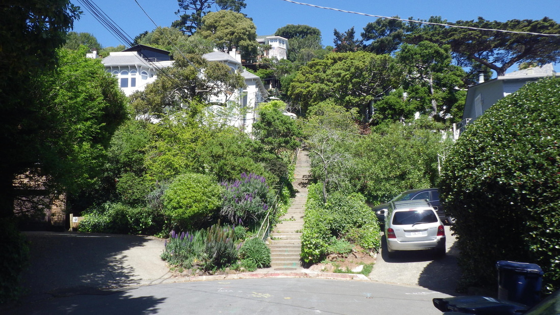
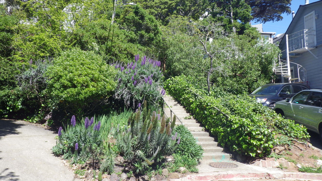
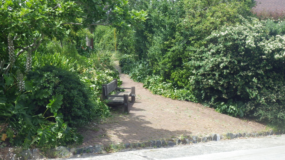
There’s also a short trail behind homes on Edgewood (27, 28, 29) that'll take you out to Edgewood Ave. and onto Farnsworth Lane.
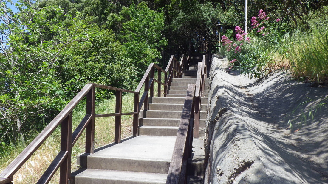
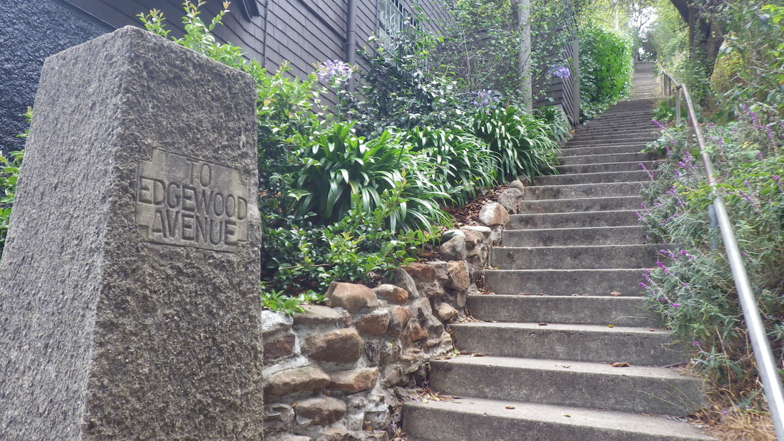
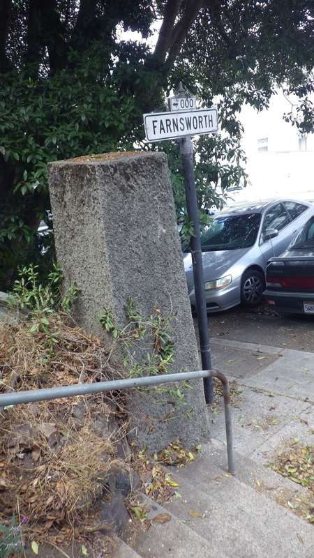
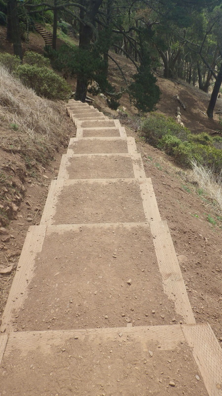
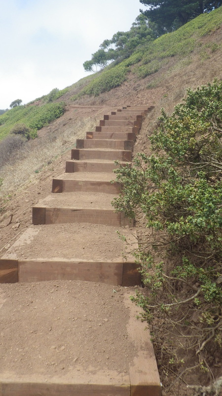
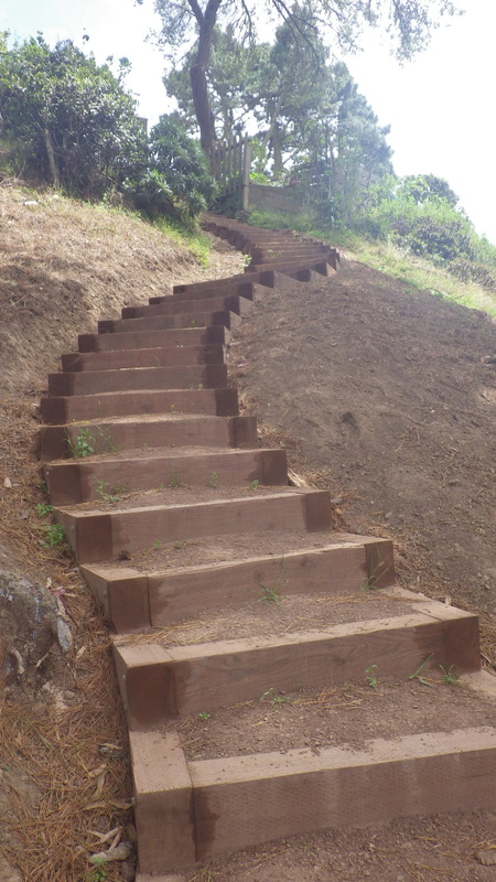
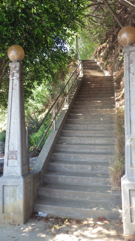
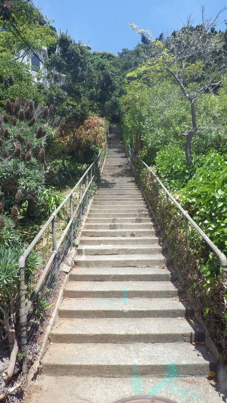
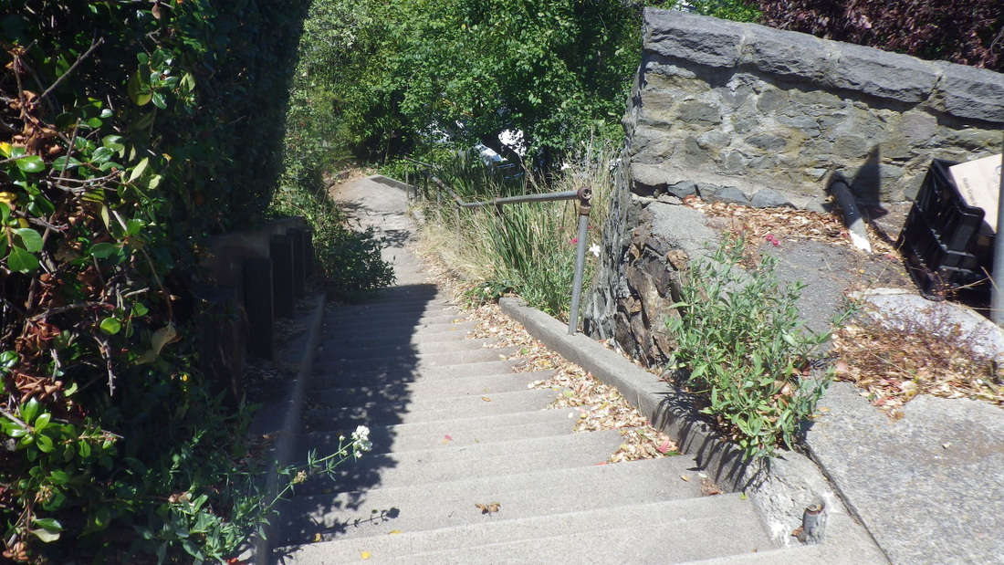
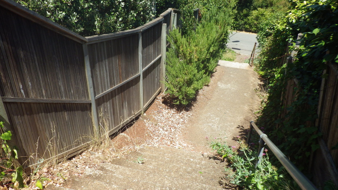
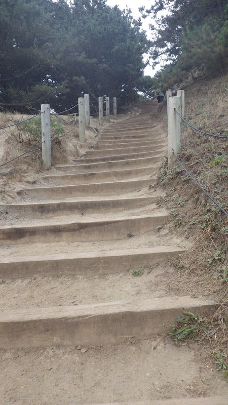
Farnsworth Lane, 149 steps, down to Willard and just up from Parnassus: 30 thru 35.
Stanyan trailhead, pix 1 thru 5.
Lower Historic Trail: 6 thru 11.
This rough, unmarked trail leads from the lower Historic to the uppermost Interior Greenbelt trail mentioned above that winds from the west dead-end of Belgrave, pic 12.
From the lower Historic, now up to the road (west trailhead for the Fairy Gates Trail here), pix 13, 14.
Onto the East Ridge Trail (pic 15), then the Mystery Trail (16, 17, 18), to the summit (pic 19).
North Ridge Trail back down: 20, 21, 22.
From the foot of the North Ridge, along Medical Center Way’s pedestrian walkway next to the guardrail, enjoying the view down to the lower Historic and Edgewood Trails, pic 23.
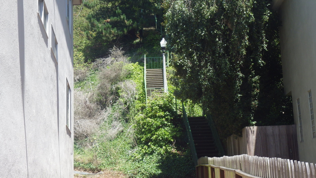
Onto a shortcut stairway long used by yours truly that curves around a building (pic 24). Down to the parking lot where a long stairway descends to behind UCSF buildings and out to Parnassus (25 and 26: top and near the foot).
There’s also a short trail behind homes on Edgewood (27, 28, 29) that'll take you out to Edgewood Ave. and onto Farnsworth Lane.
Farnsworth Lane, 149 steps, down to Willard and just up from Parnassus: 30 thru 35.
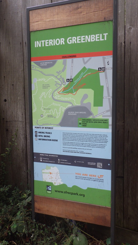
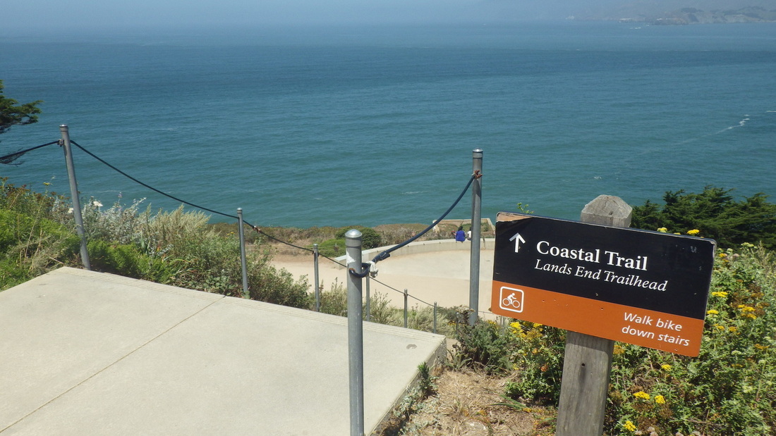
1. Infosign at the Stanyan trailhead
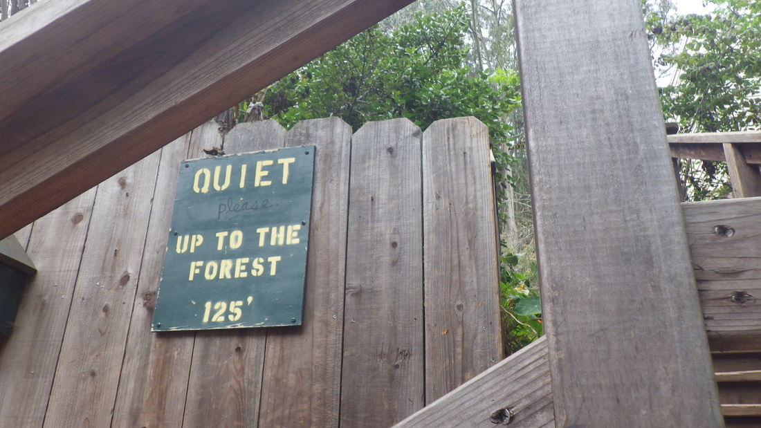
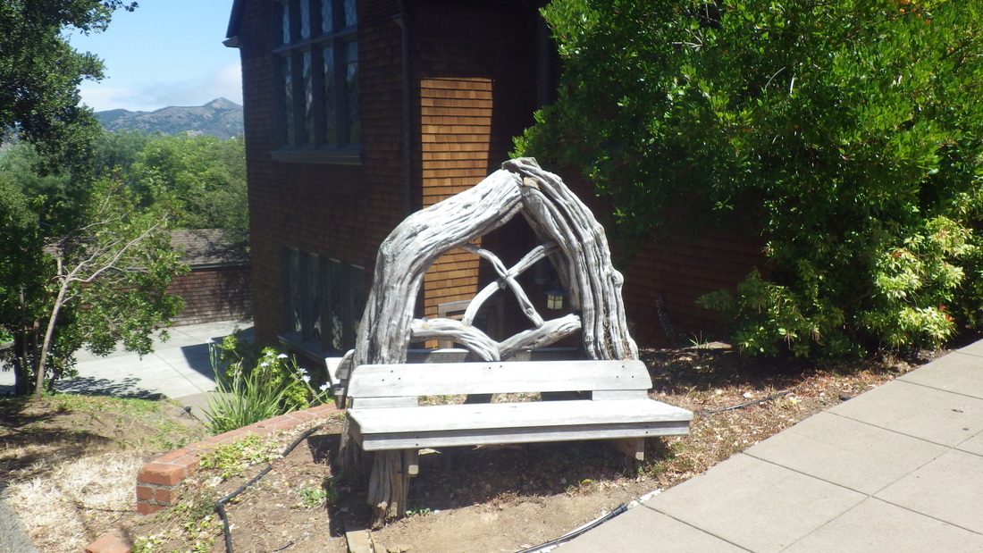
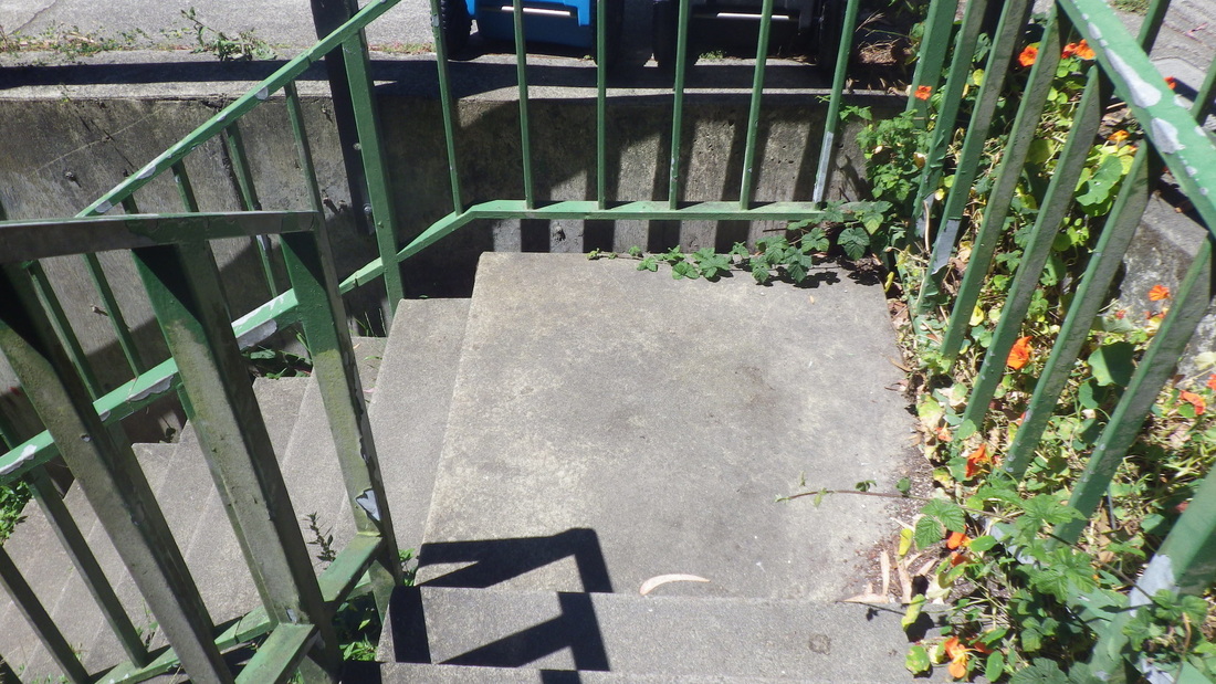
2. Short stairway between homes to forest trails
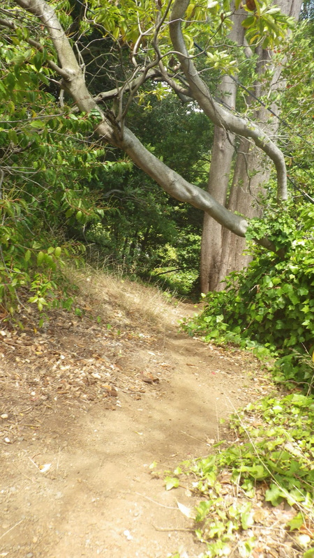
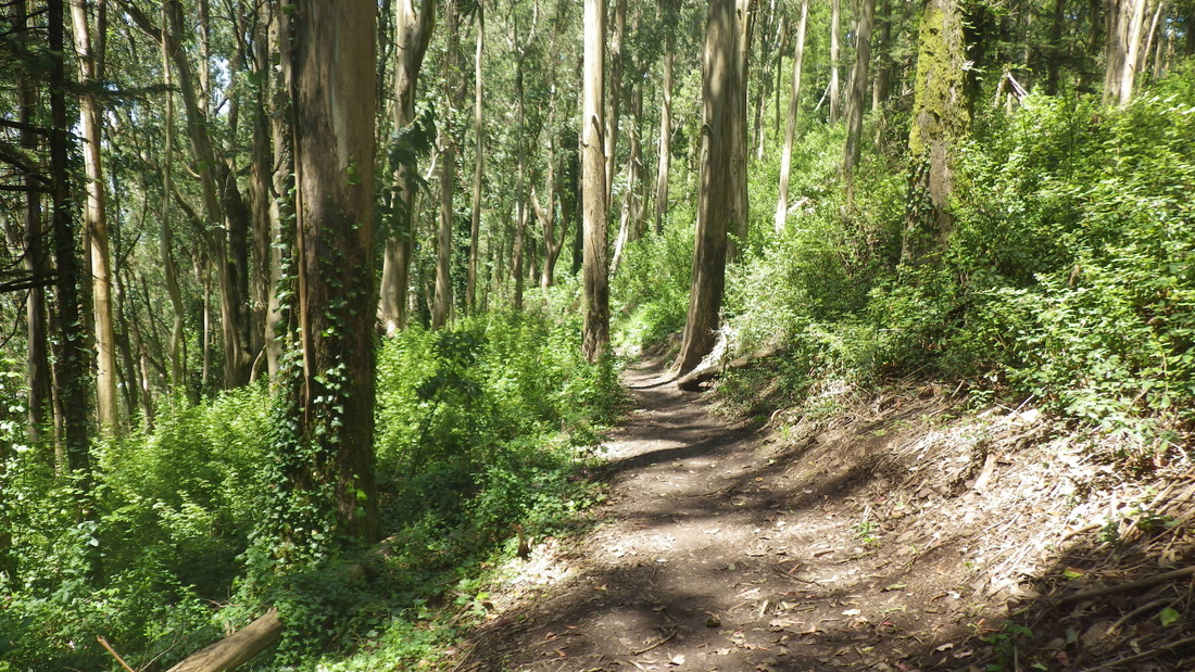
3. The forest awaits
4. Up from Stanyan
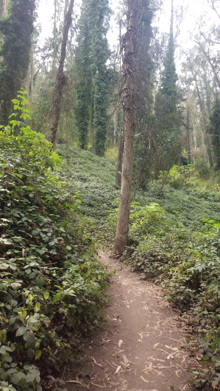
5. Lower Historic Trail
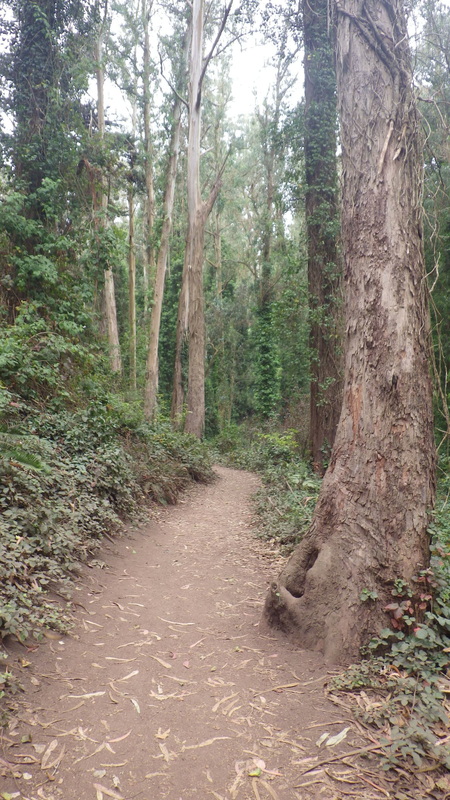
6. Lower Historic Trail
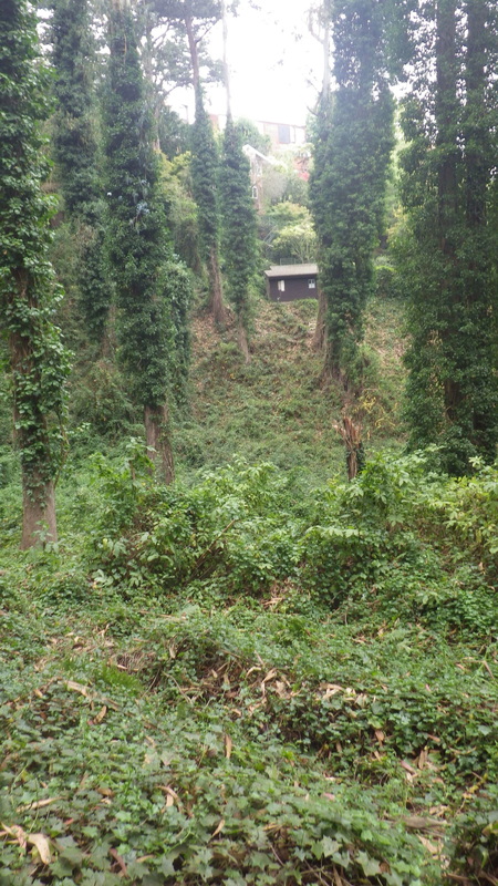
7. House in distance is on Edgewood Ave.
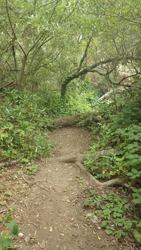
8. Lower Historic Trail
9. Curving around
10. Lower Historic Trail
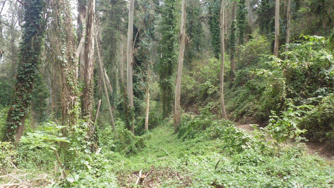
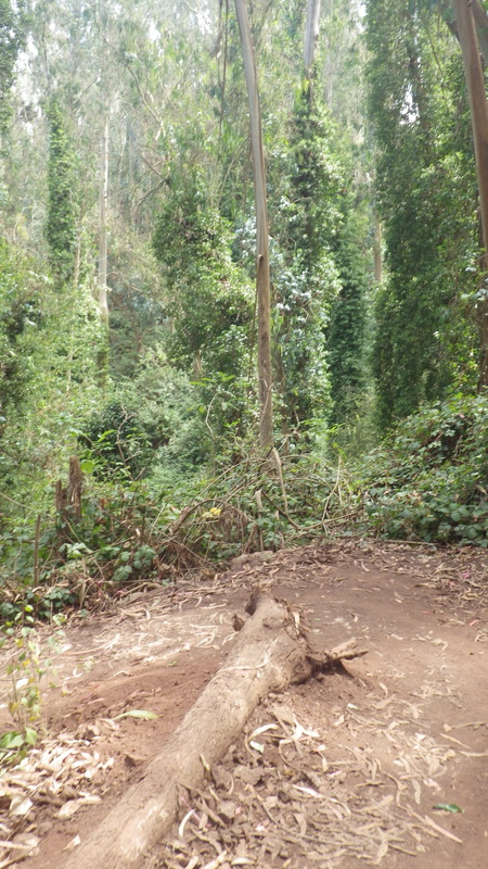
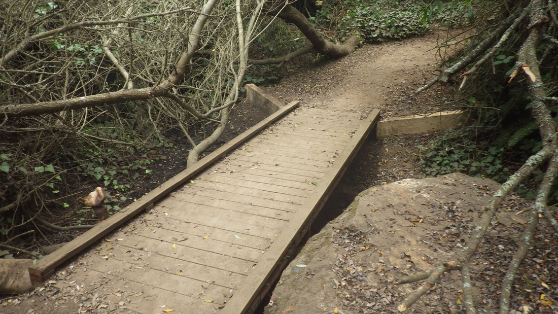
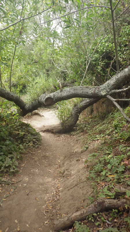
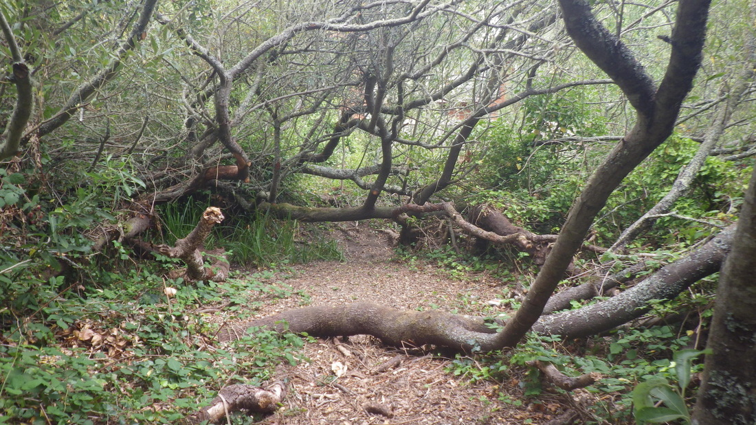
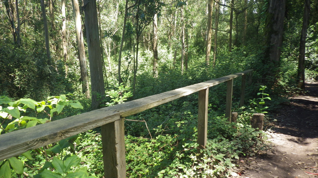
11. Too many felled trees around here
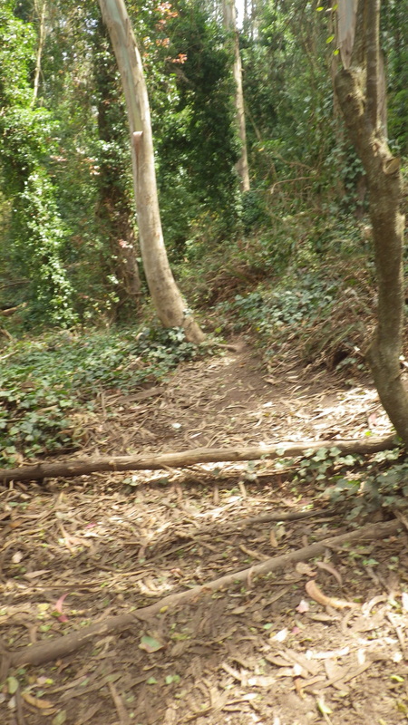
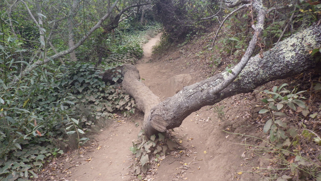
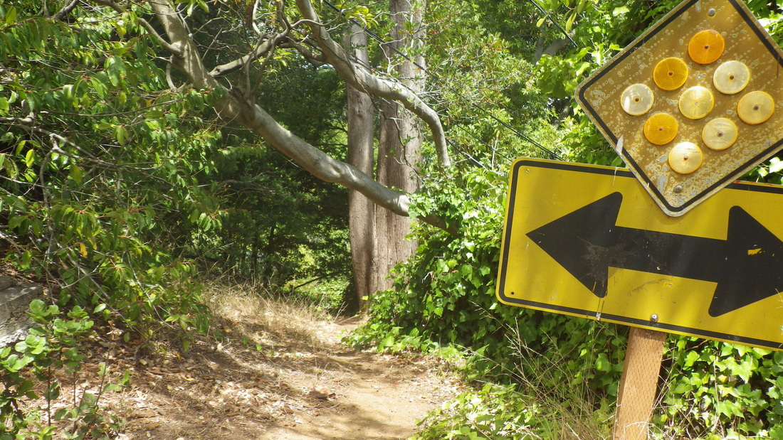
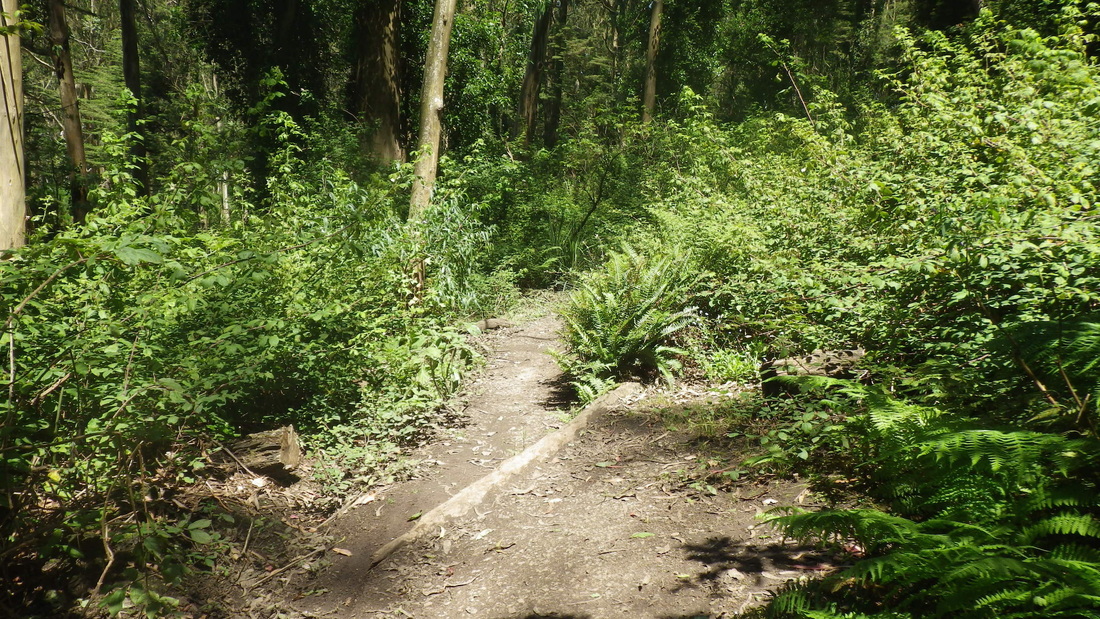
12. Rough trail to uppermost Interior Greenbelt Trail that starts at Belgrave's dead-end
13. Fairy Gates Trailhead at Medical Center Way
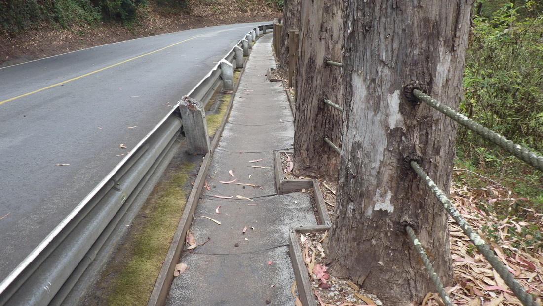
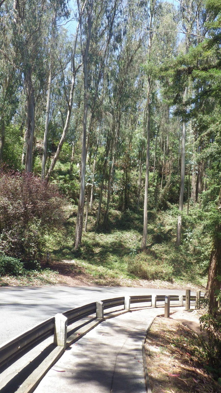
14. Pedestrian walkway on Medical Center Way
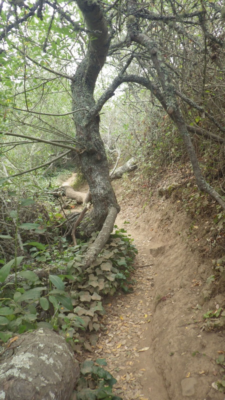
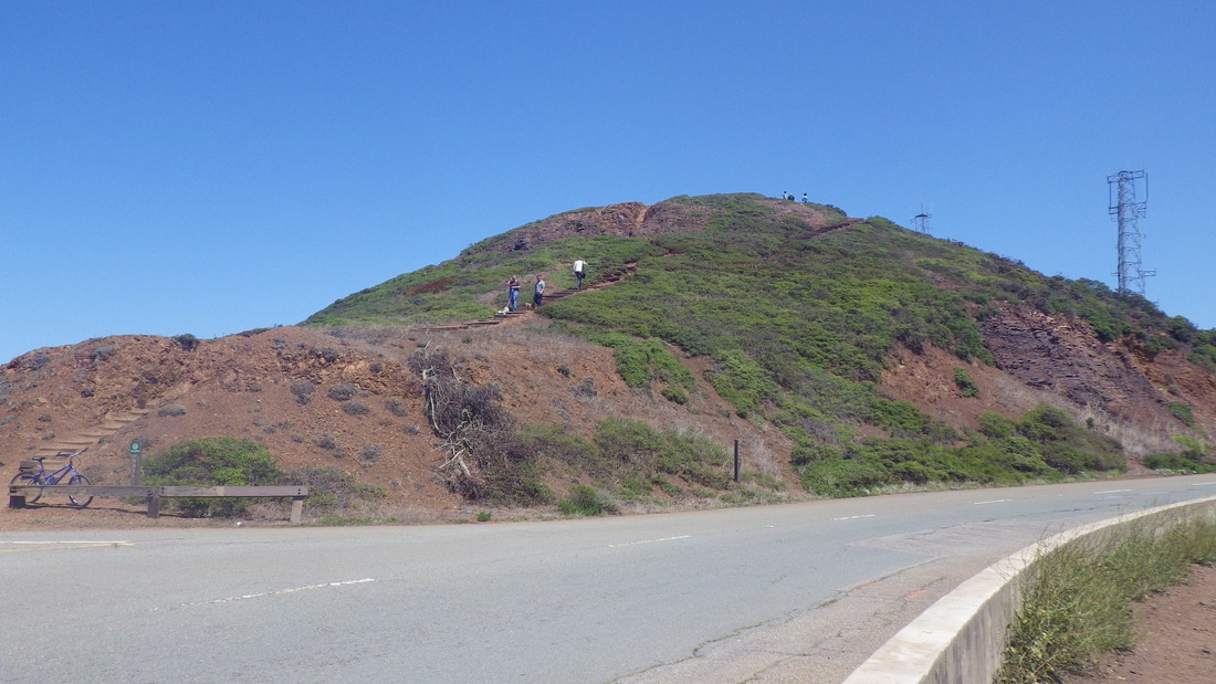
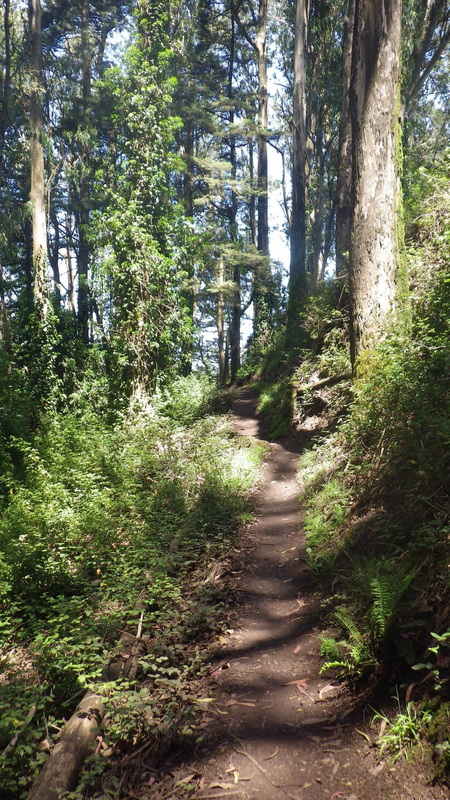
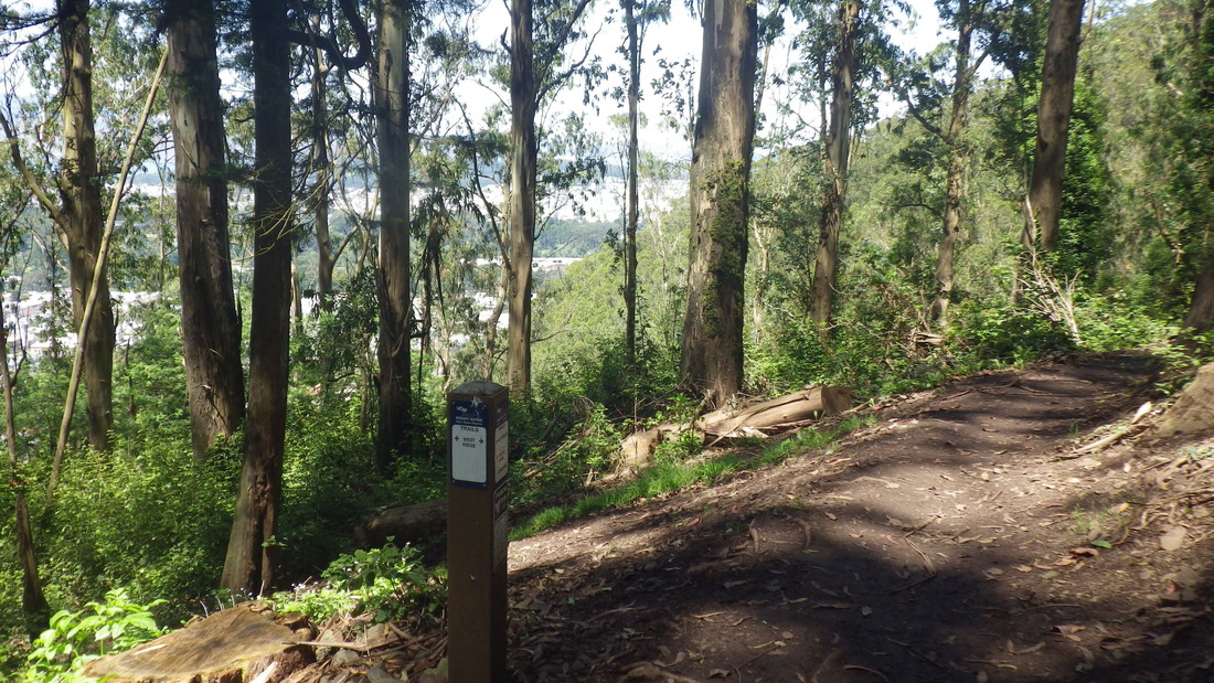
15. Trailhead for East Ridge Trail
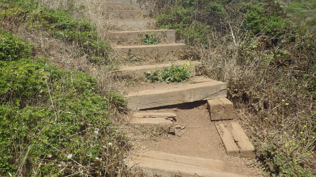
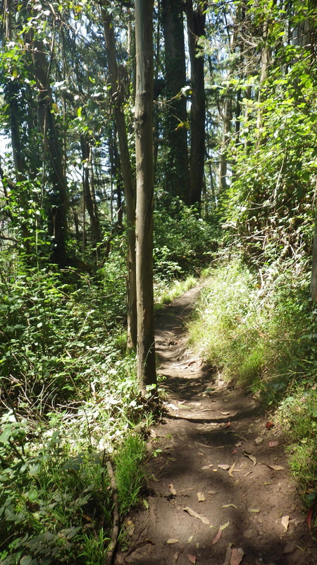
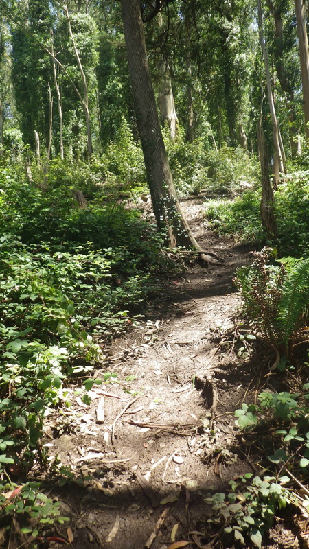
16. Mystery Trail
17. Mystery Trail
18. Mystery Trail
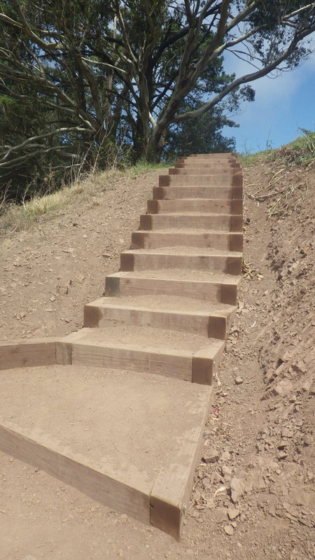
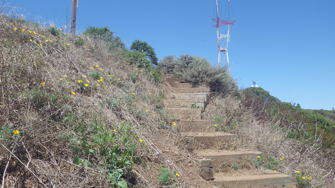
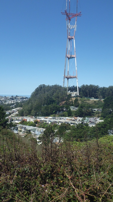
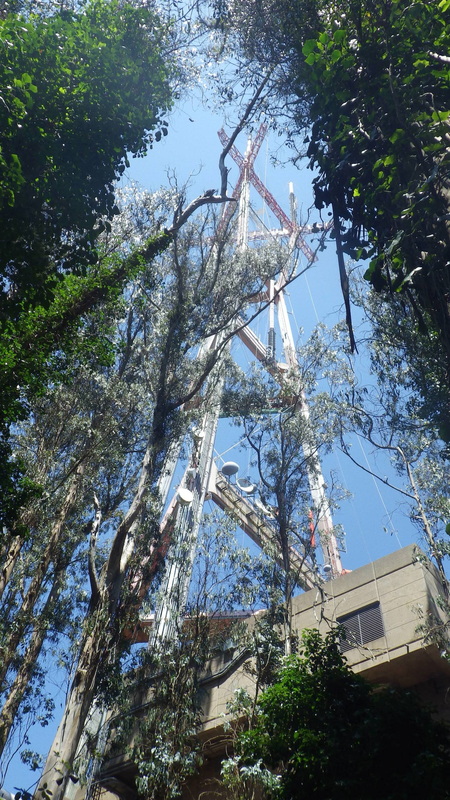
19. Summit-time
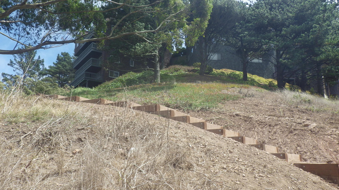
20. North Ridge Trail switchback
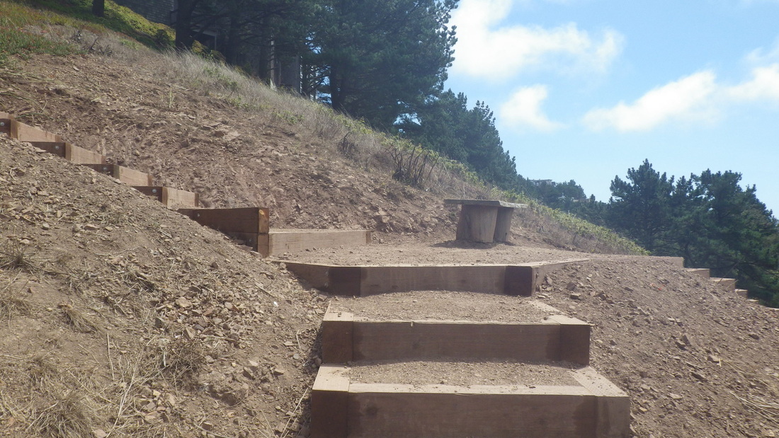
21. North Ridge Trail, Medical Center Way below
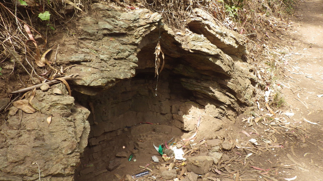
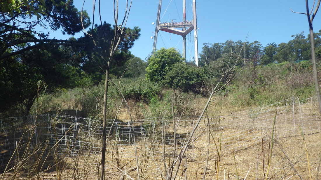
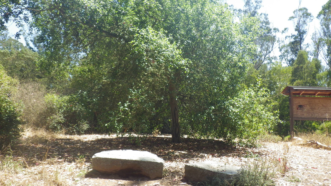
22. Ishi's shrine near the foot of the North Ridge Trail
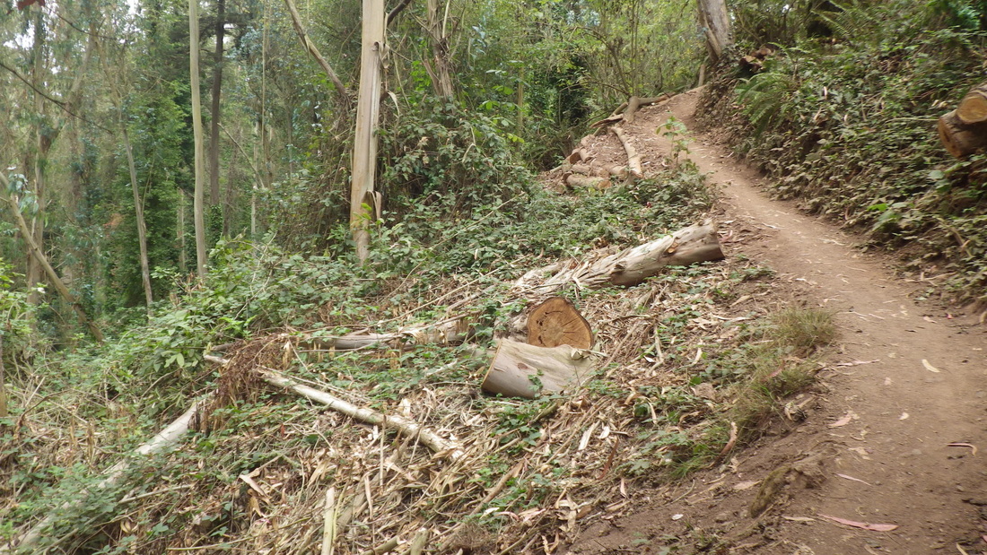
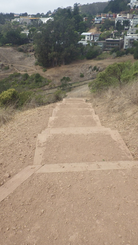
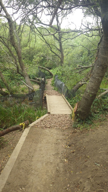
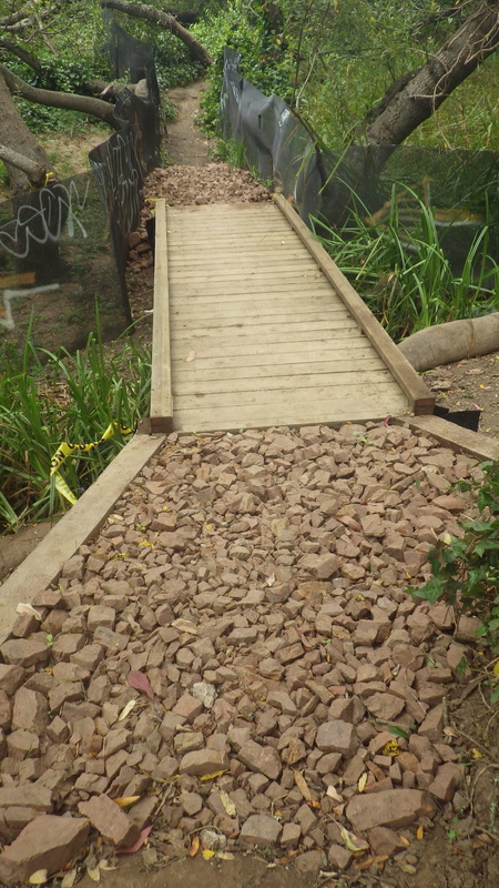
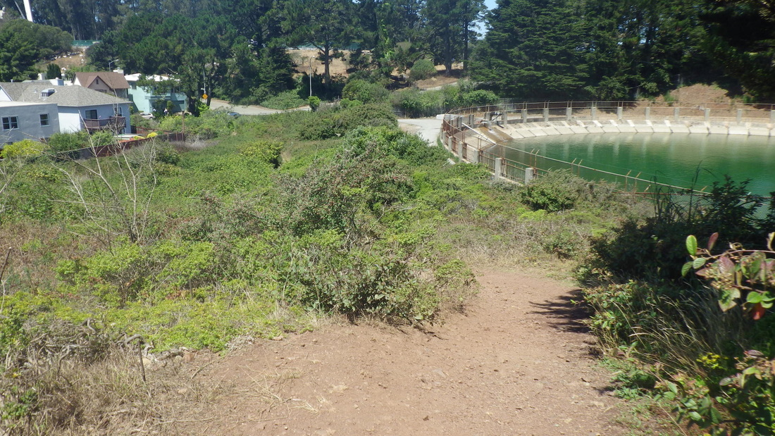
23. Lower Historic Trail from Medical Center Way
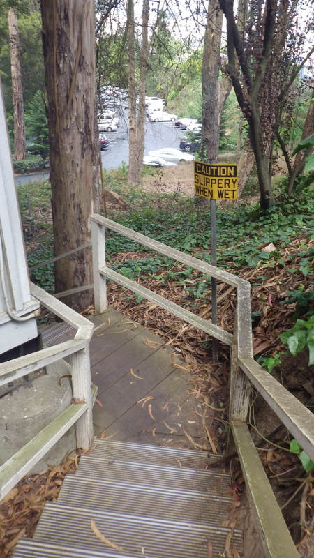
24. Shortcut to parking lot alongside a building
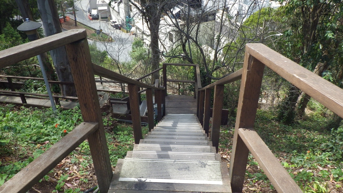
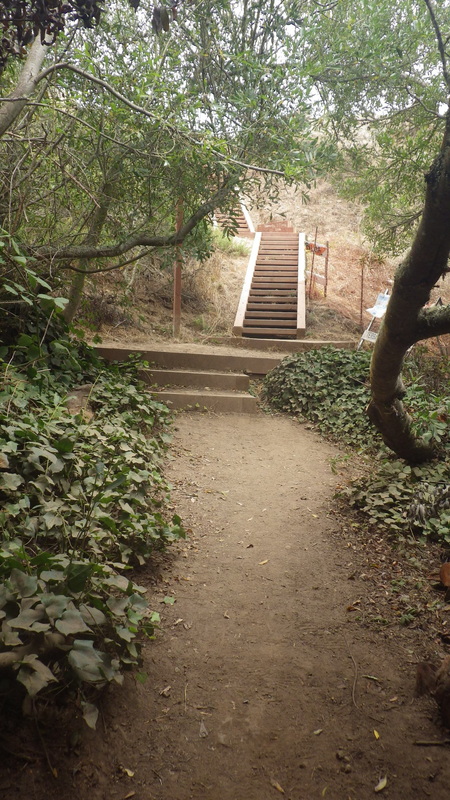
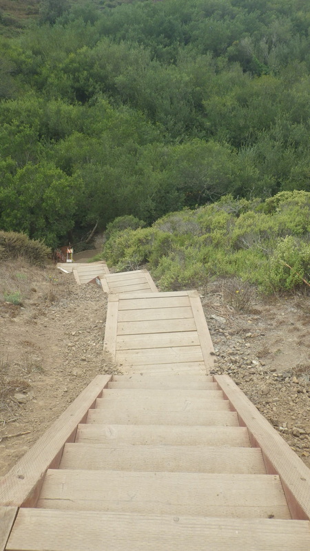
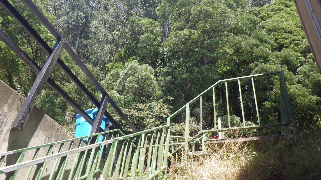
25. Top of stairway that descends to behind UCSF medical buildings
26. Near foot of steps from parking lot to lower Medical Center Way near Parnassus
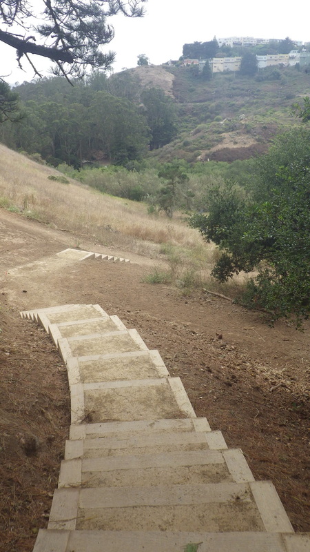
27. Trail from parking lot behind homes on Edgewood Ave.
28. Looking back at parking lot trailhead for short trail behind Edgewood homes
29. Trailhead at Edgewood Ave. near Farnsworth Lane steps
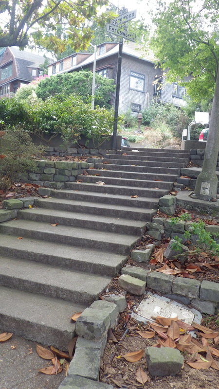
30. Top of Farnsworth stairs at Edgewood Ave.
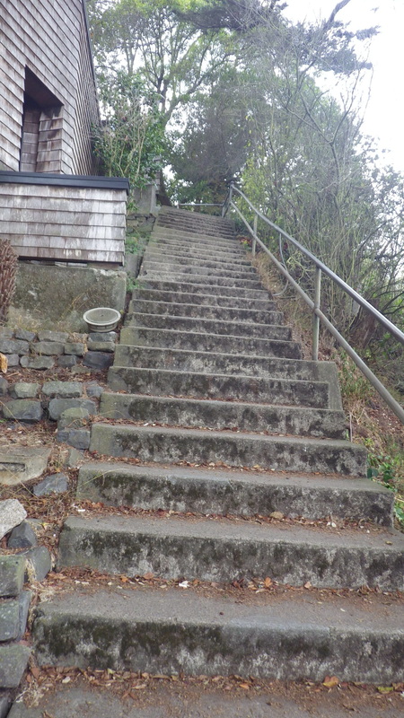
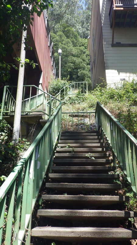
31. 149 steps down from redbricked Edgewood Ave.
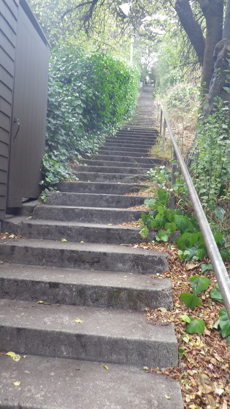
32. Farnsworth Lane, Edgewood to Willard
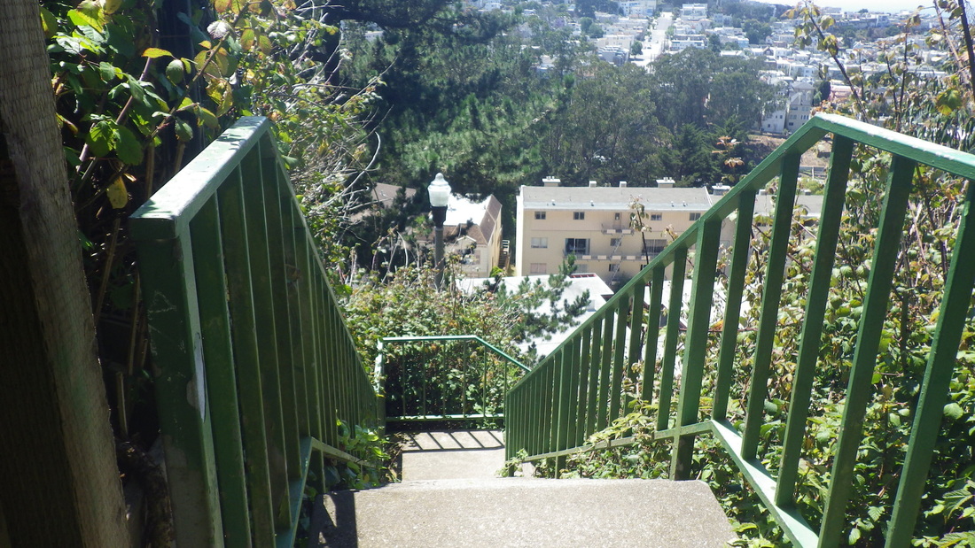
33. Down to Willard
34. Foot of the Farnsworth Lane stairway
35. Foot of Farnsworth at Willard

 RSS Feed
