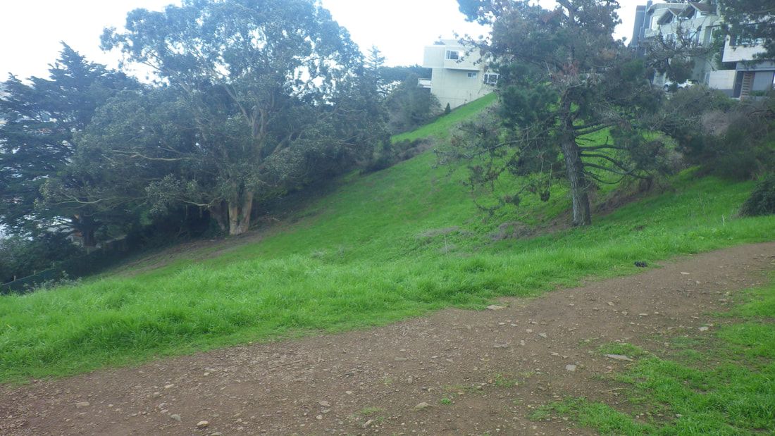
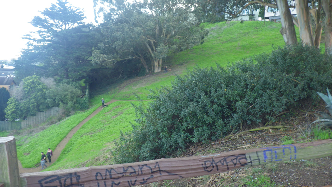
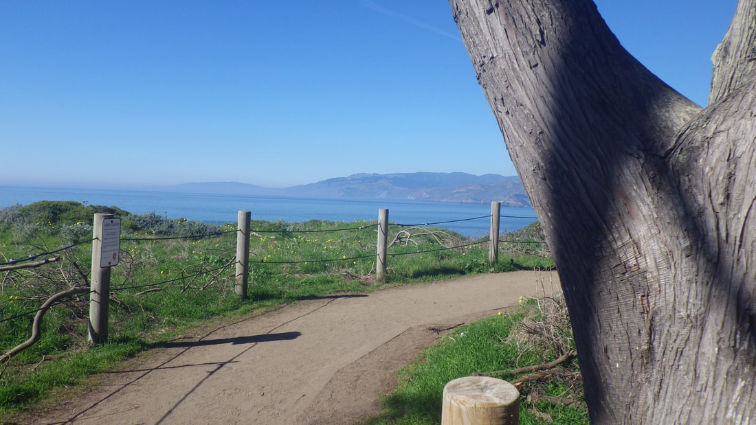
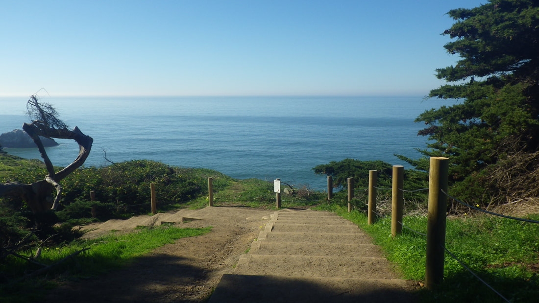
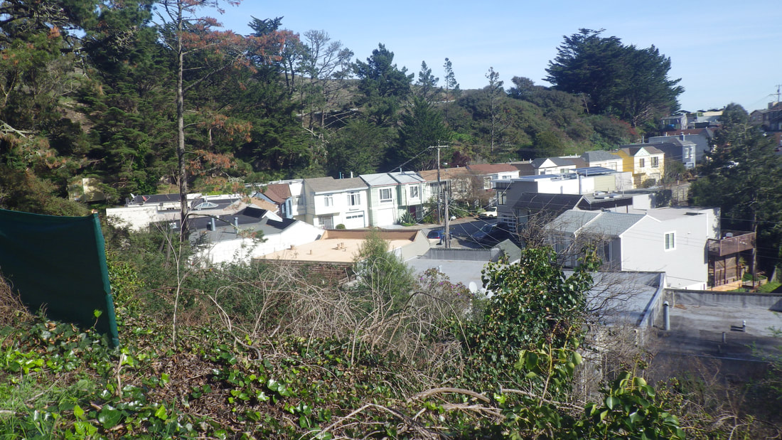
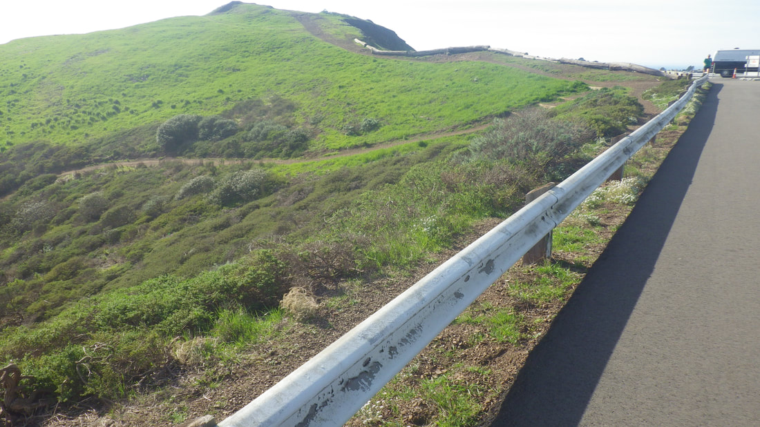
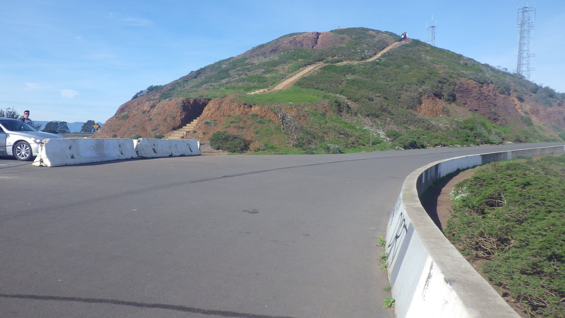
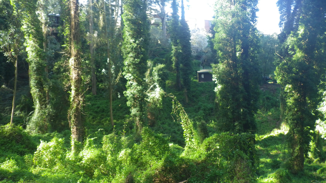
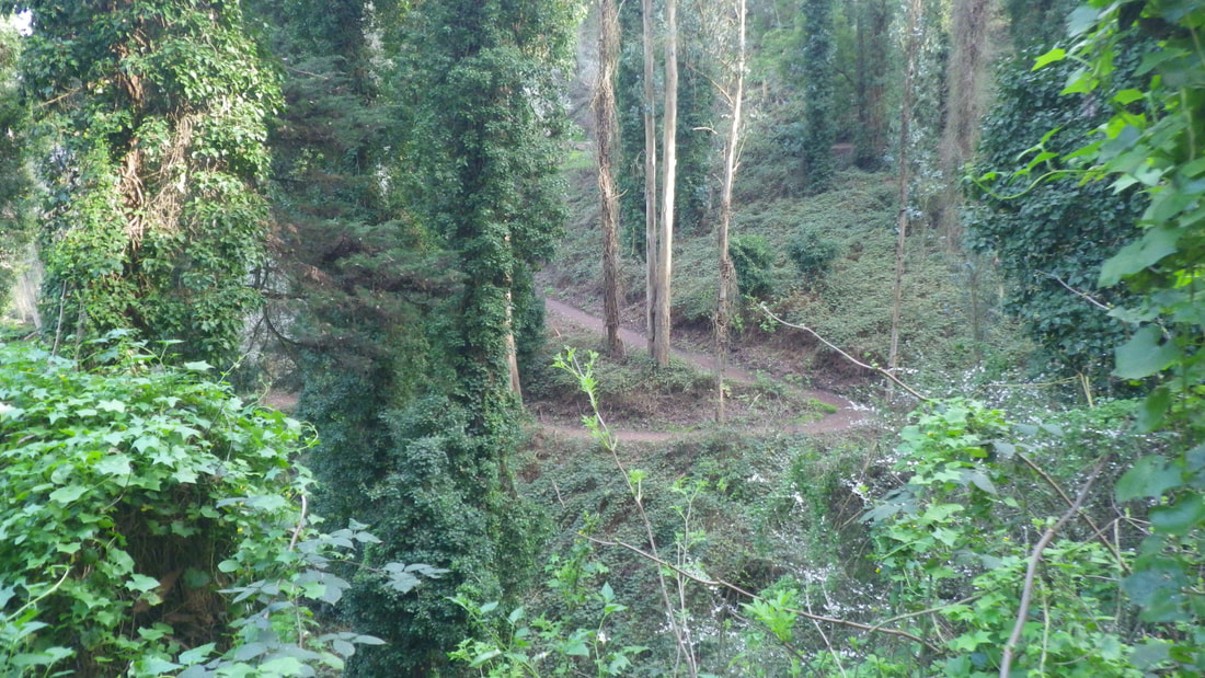
Billy Goat Hill is a small park at the west dead-end of 30th St. in upper Noe Valley. It’s just below Walter Haas Park.
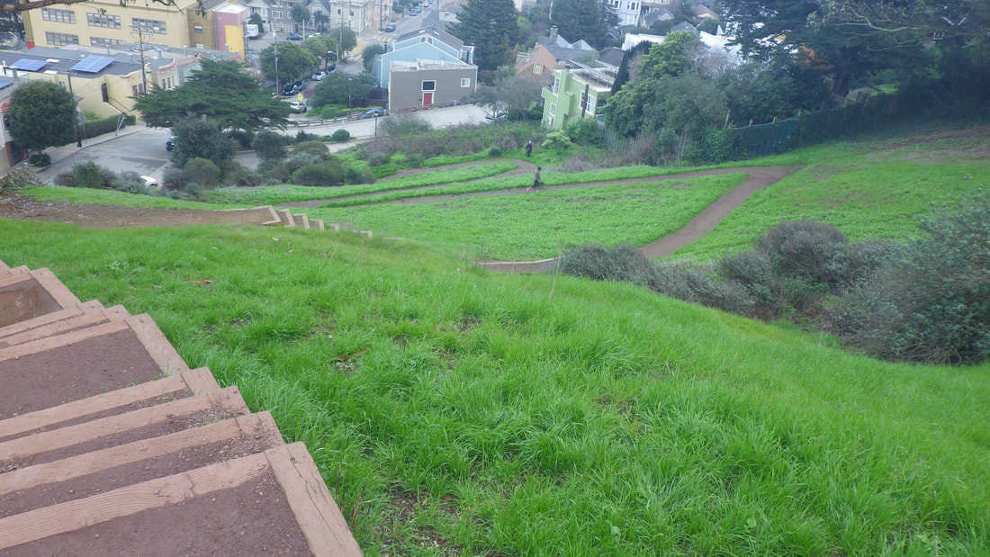
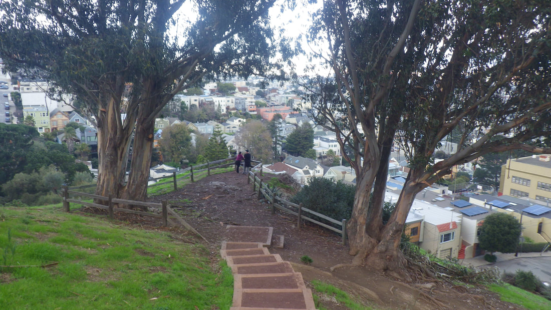
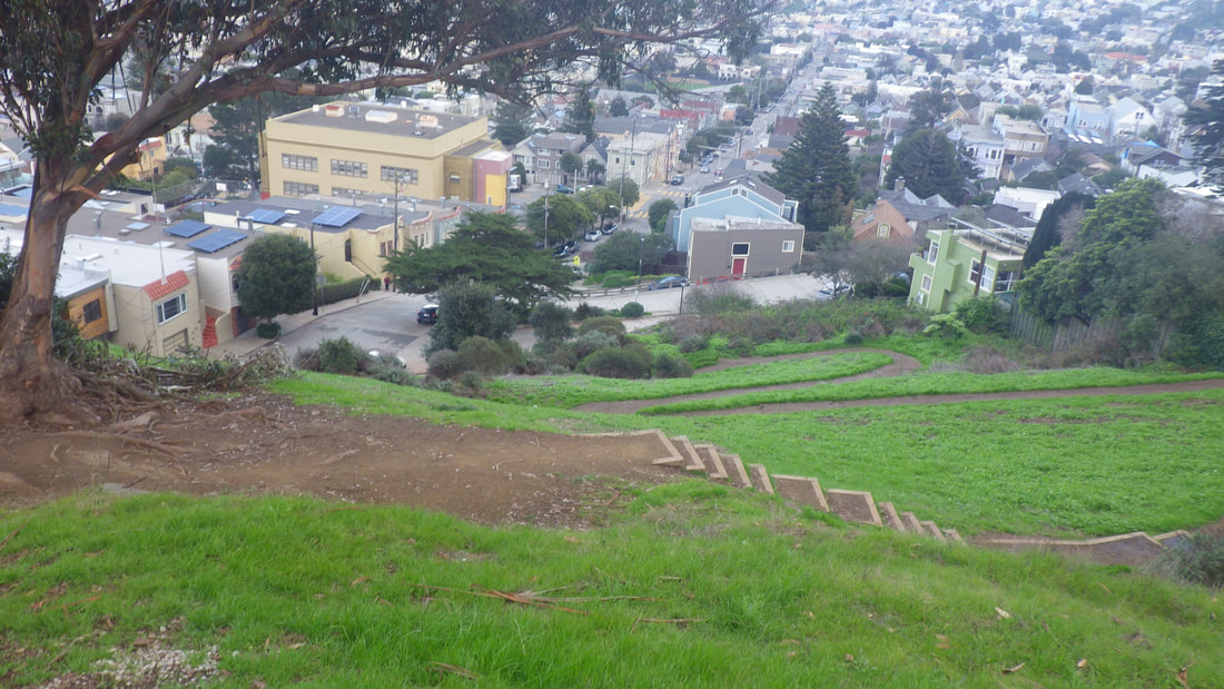
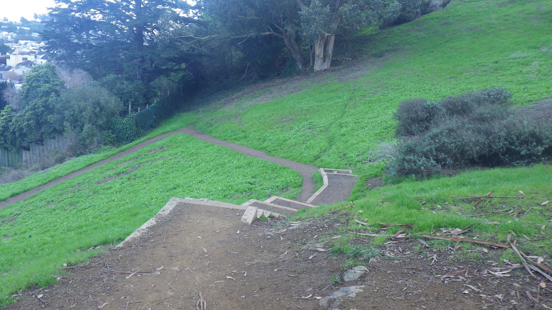
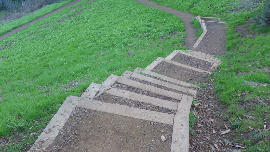
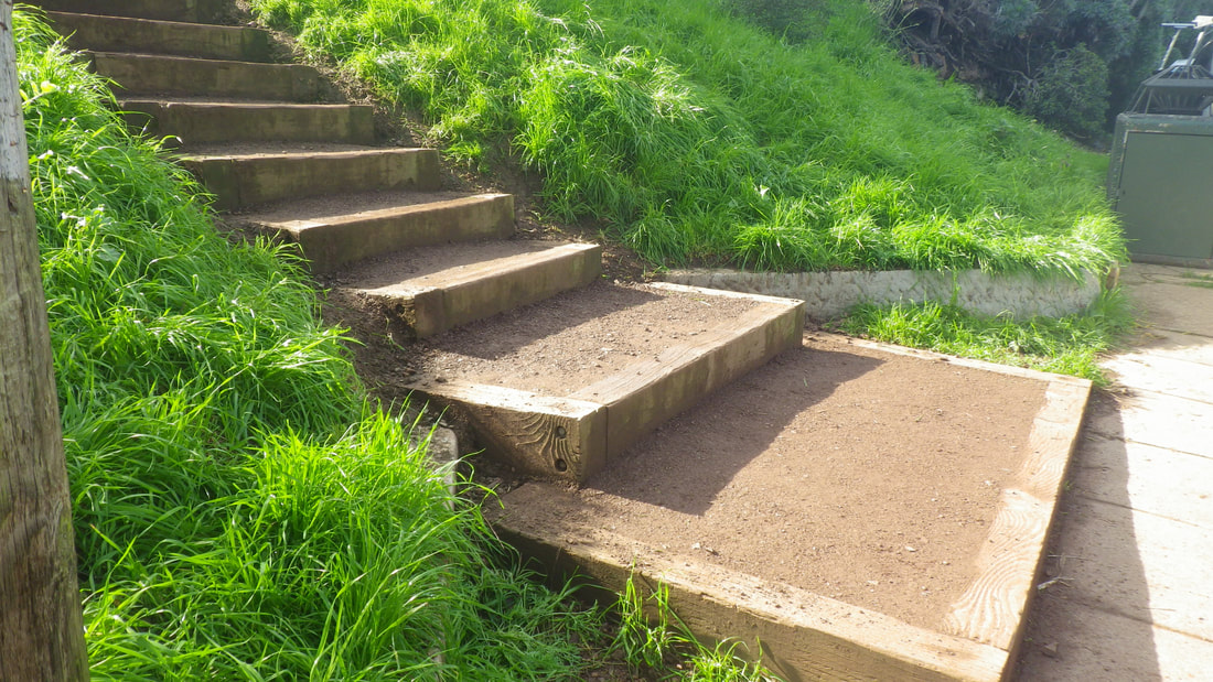
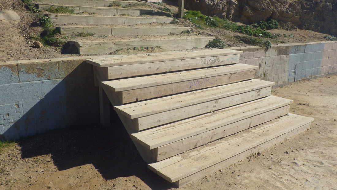
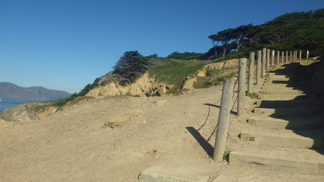
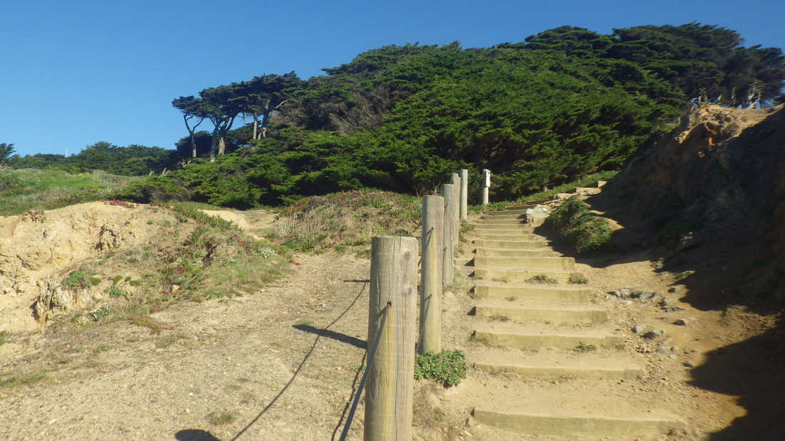
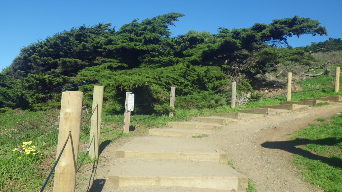
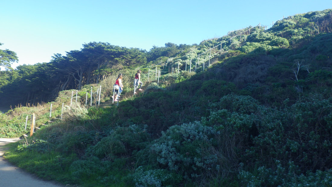
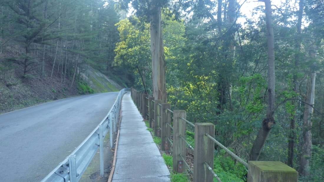
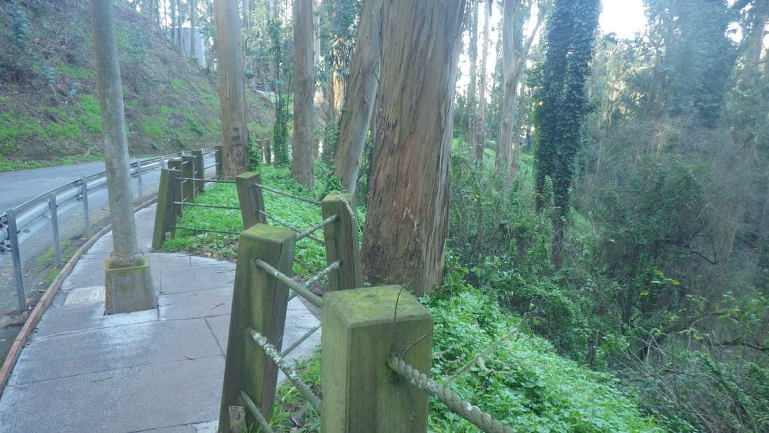
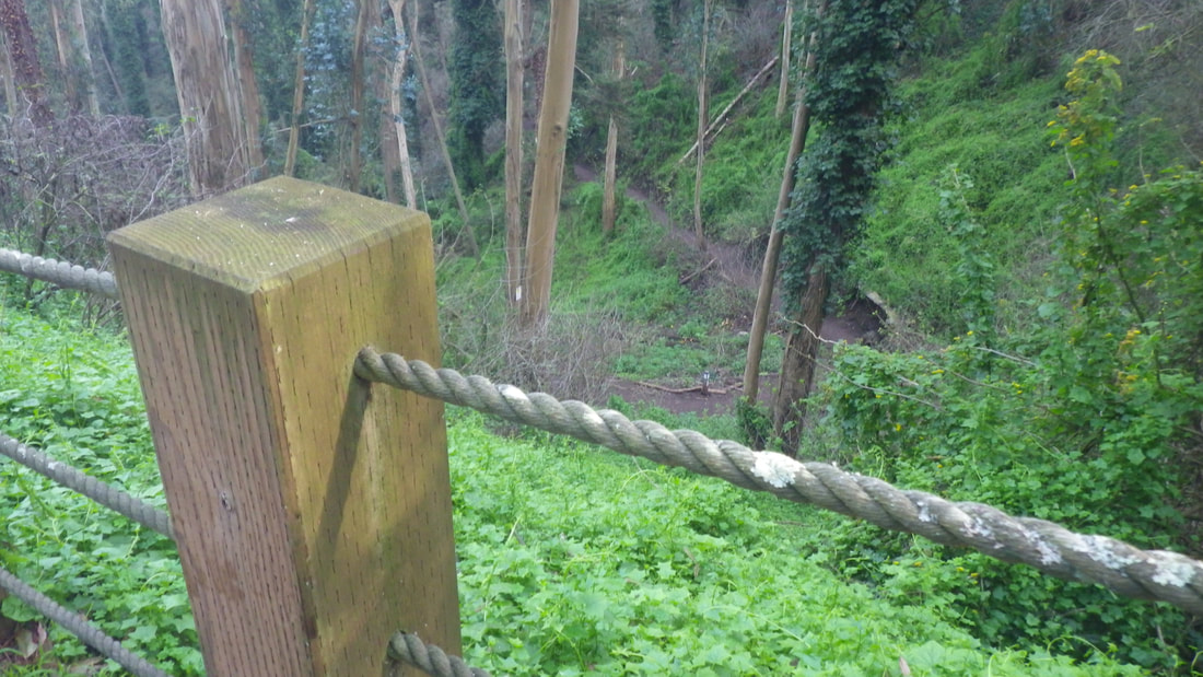
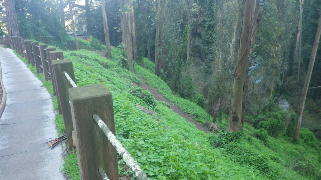
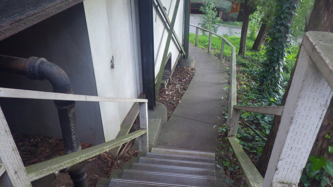
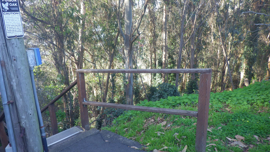
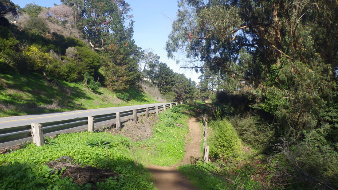
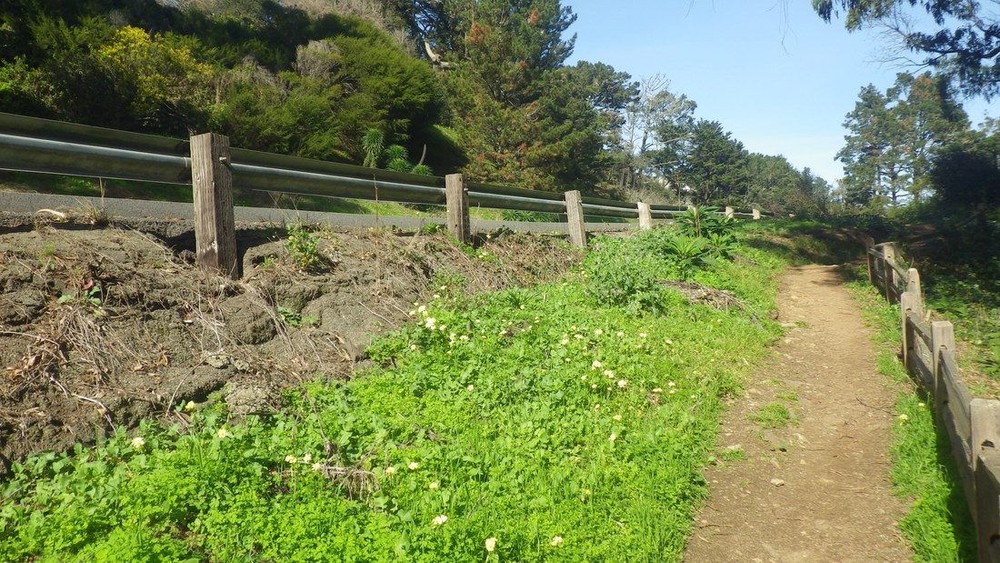
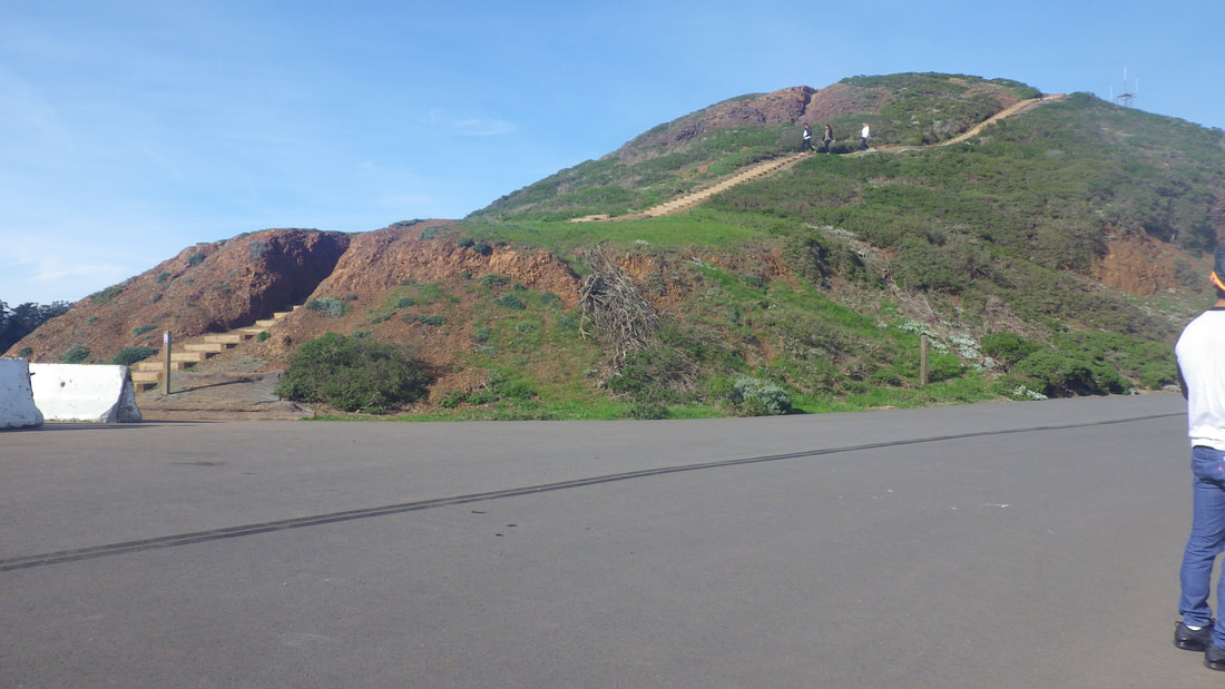
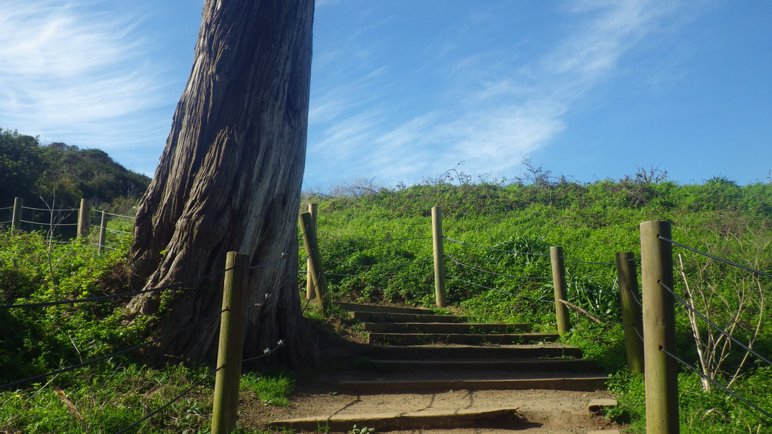
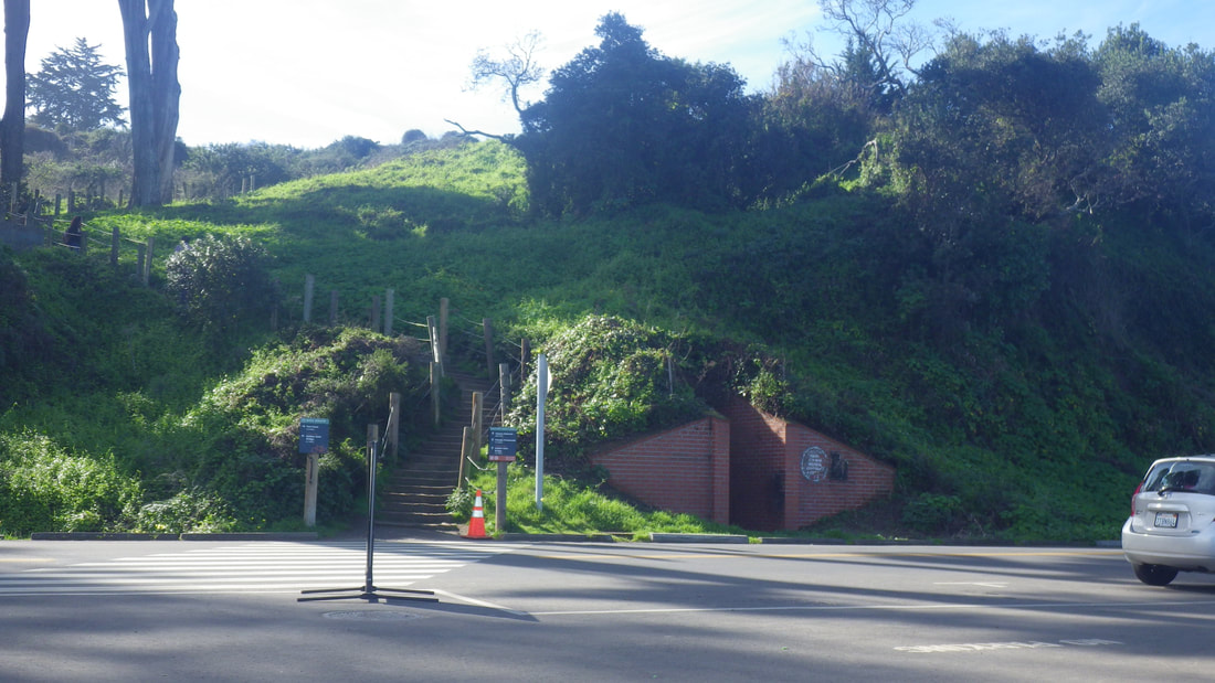
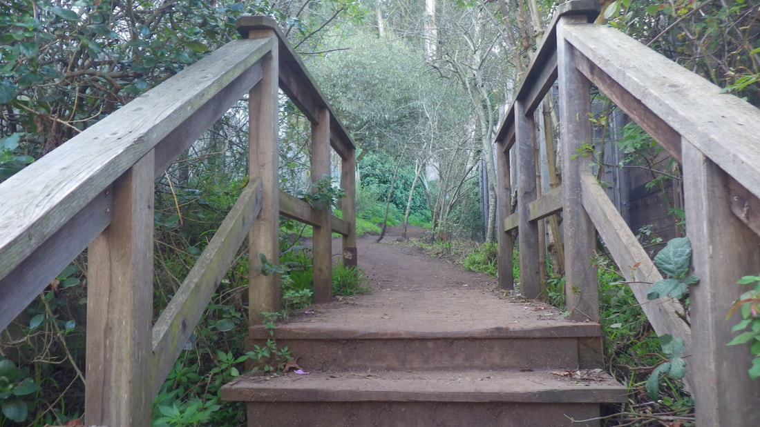
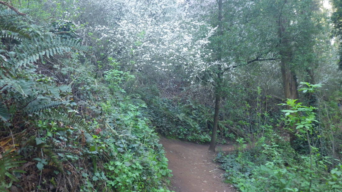
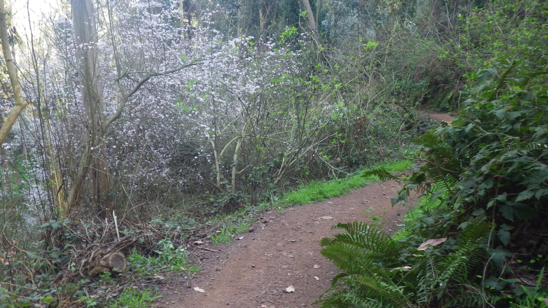
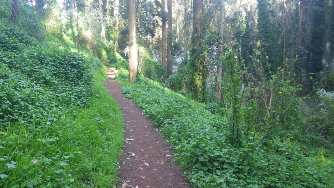
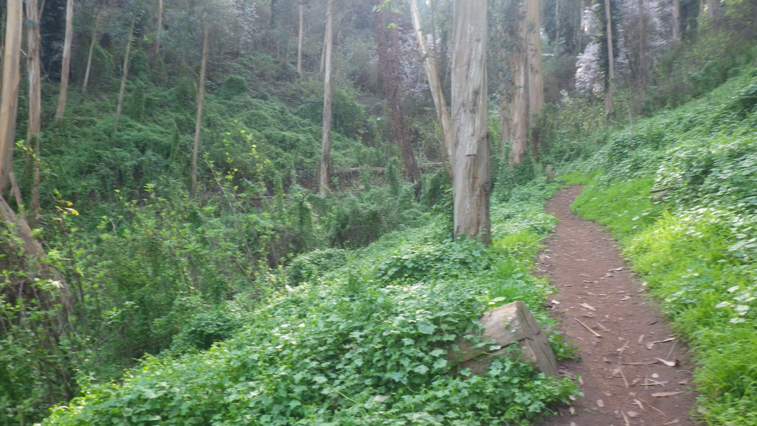
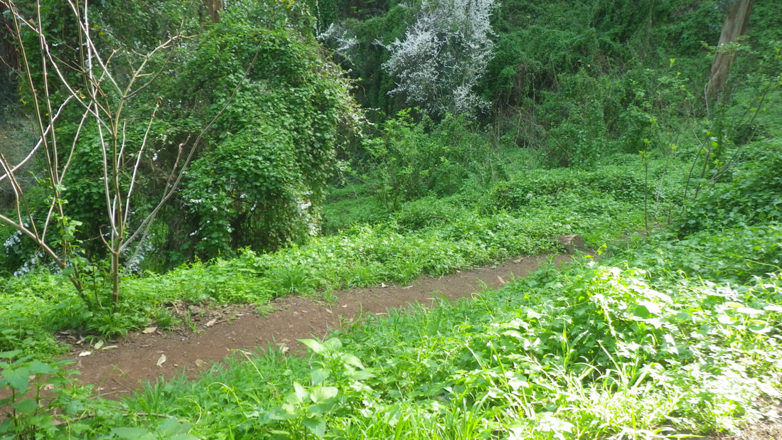
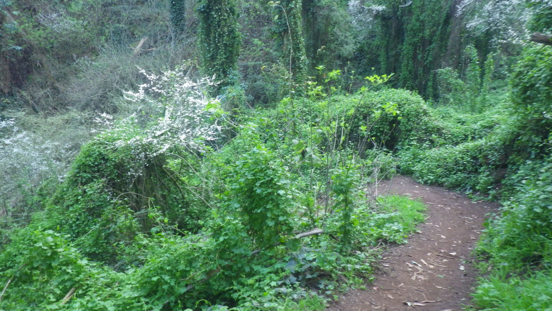
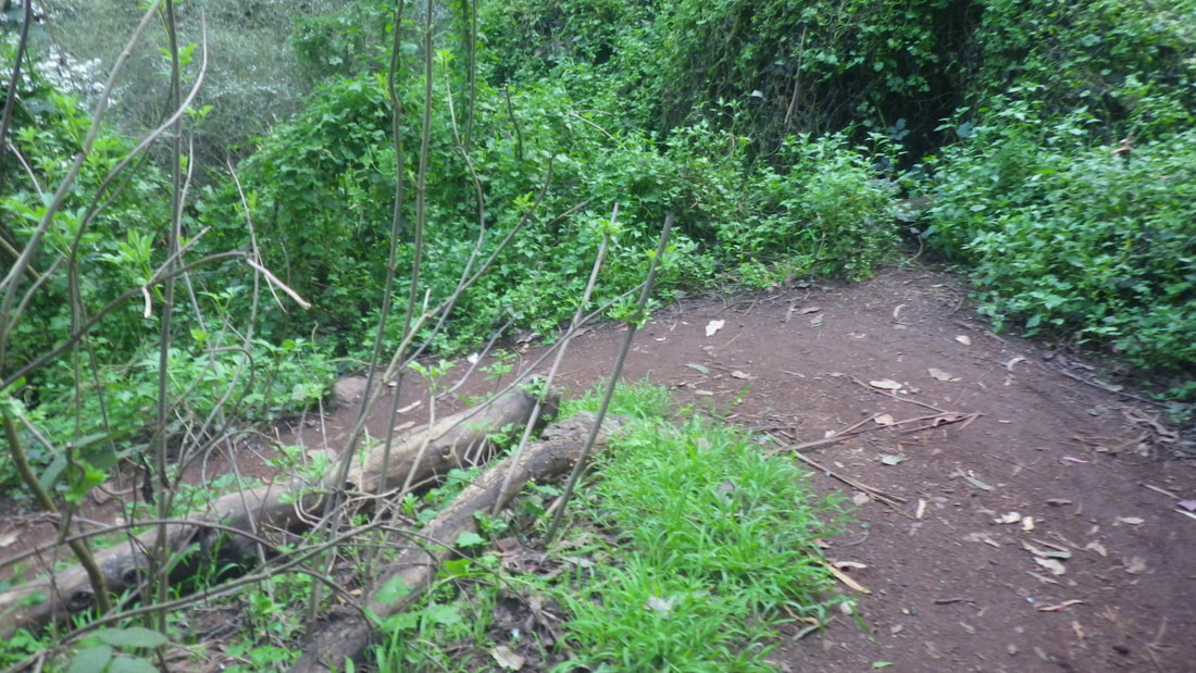
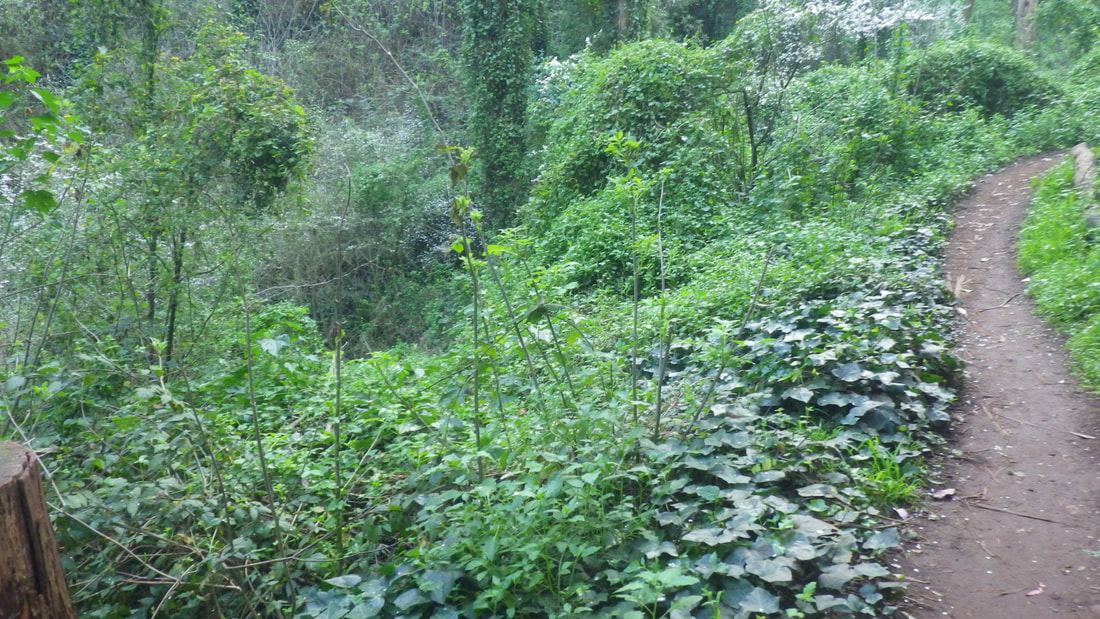
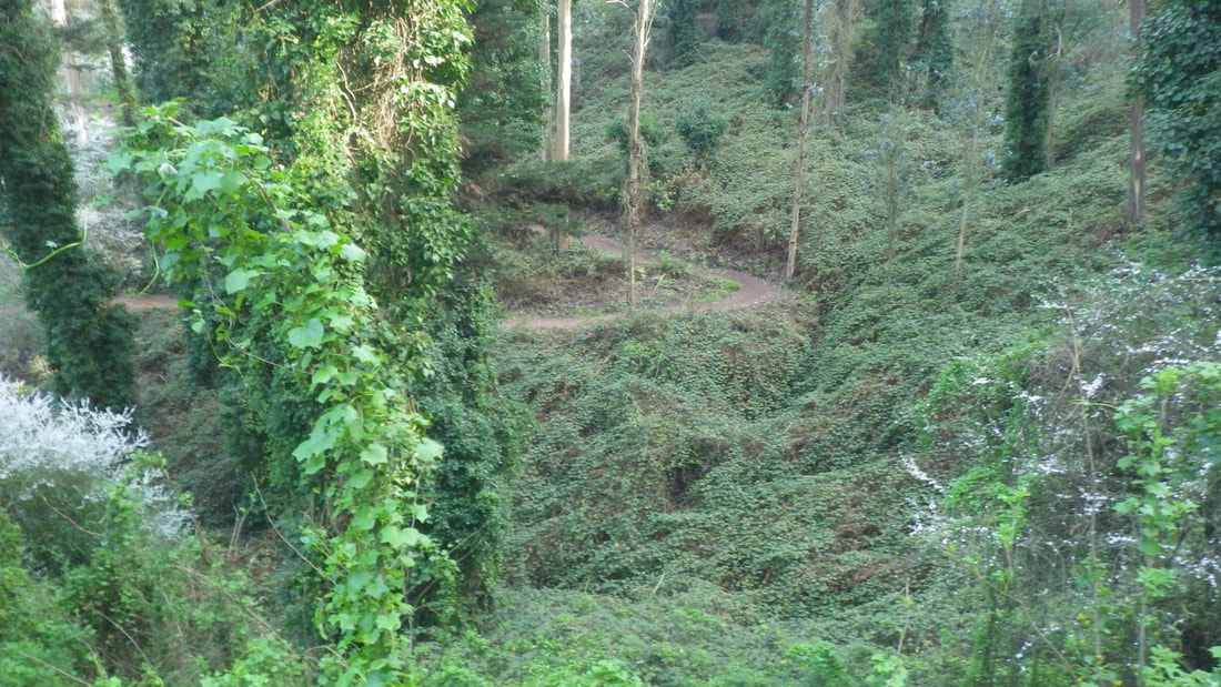
Top entrance is off Beacon, a block or so from the top of the Harry stairway (239 streps). It has 81 steps and a zigzag dirt trail.
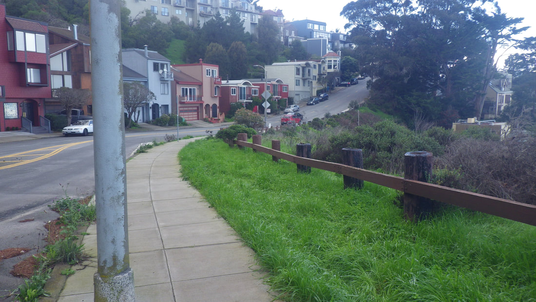
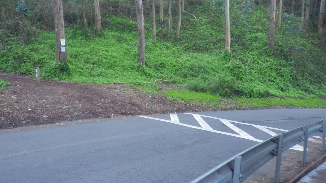
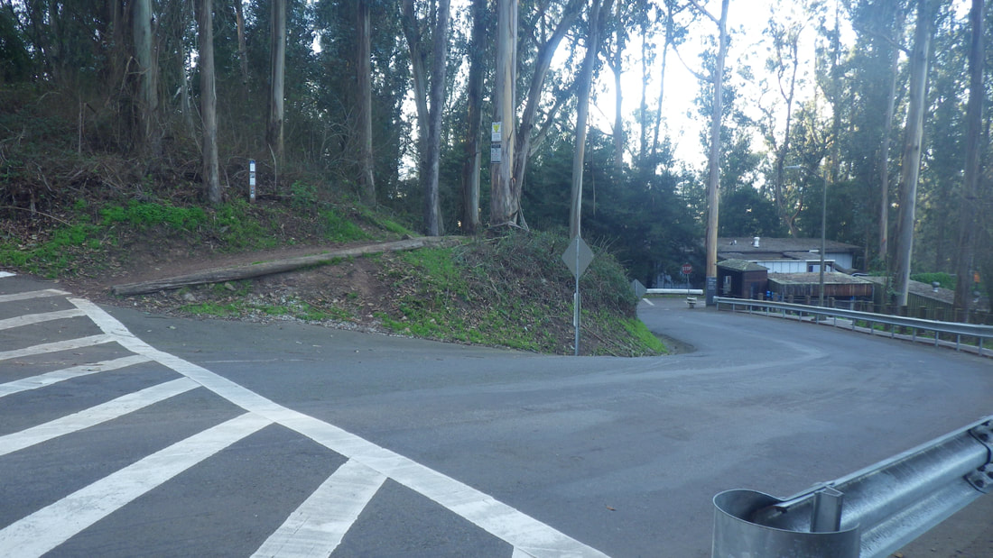
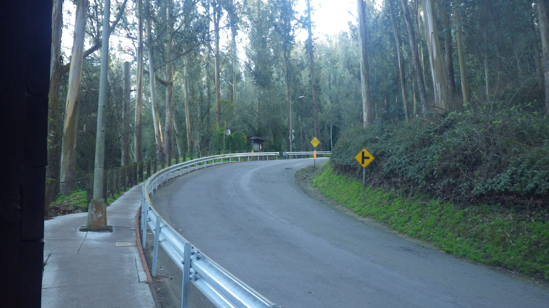
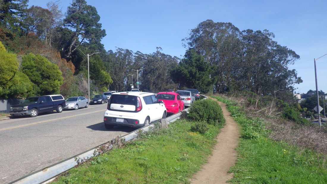
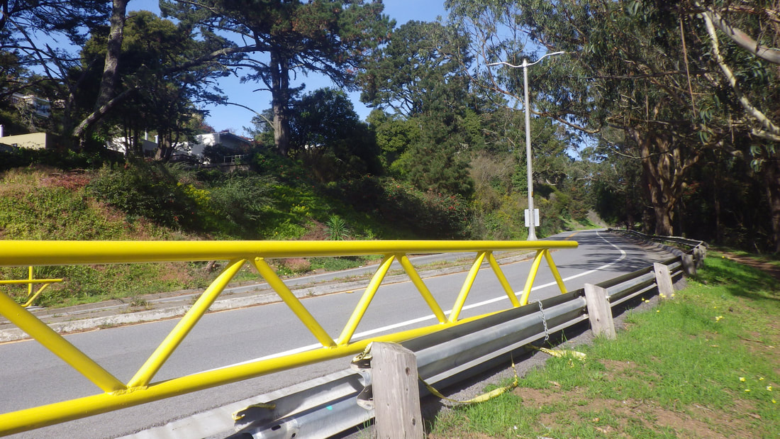
Starting from the top end of Diamond down from Diamond Heights Blvd. with a right on Beacon: 1 thru 5
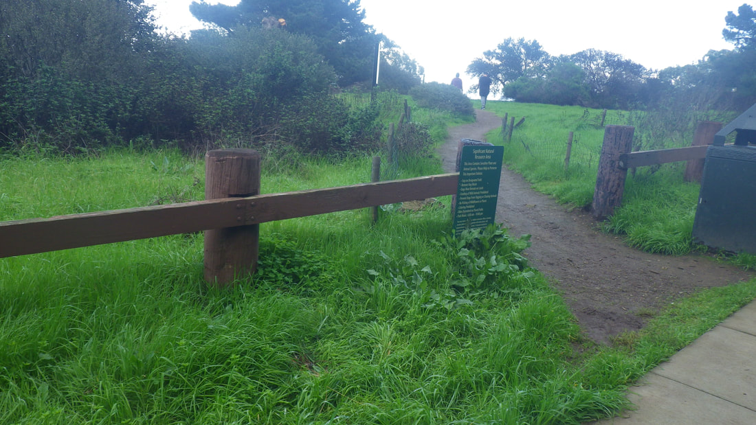
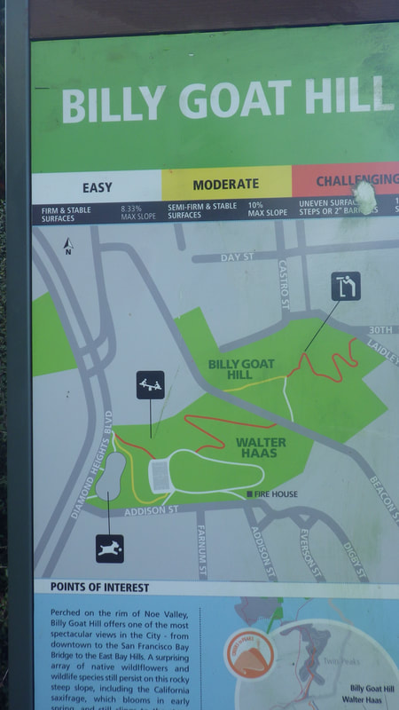
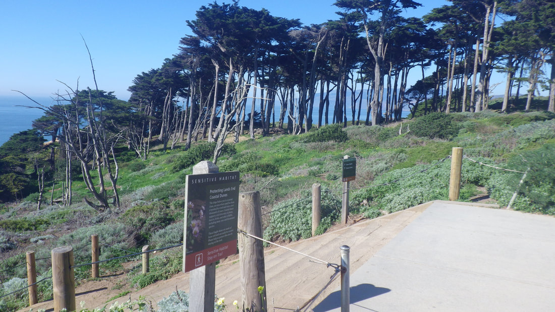
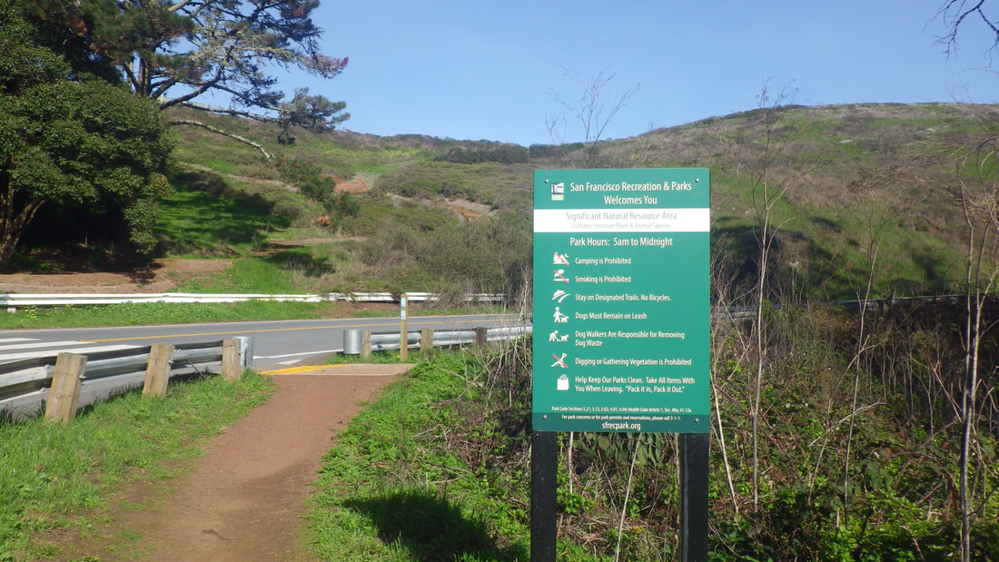
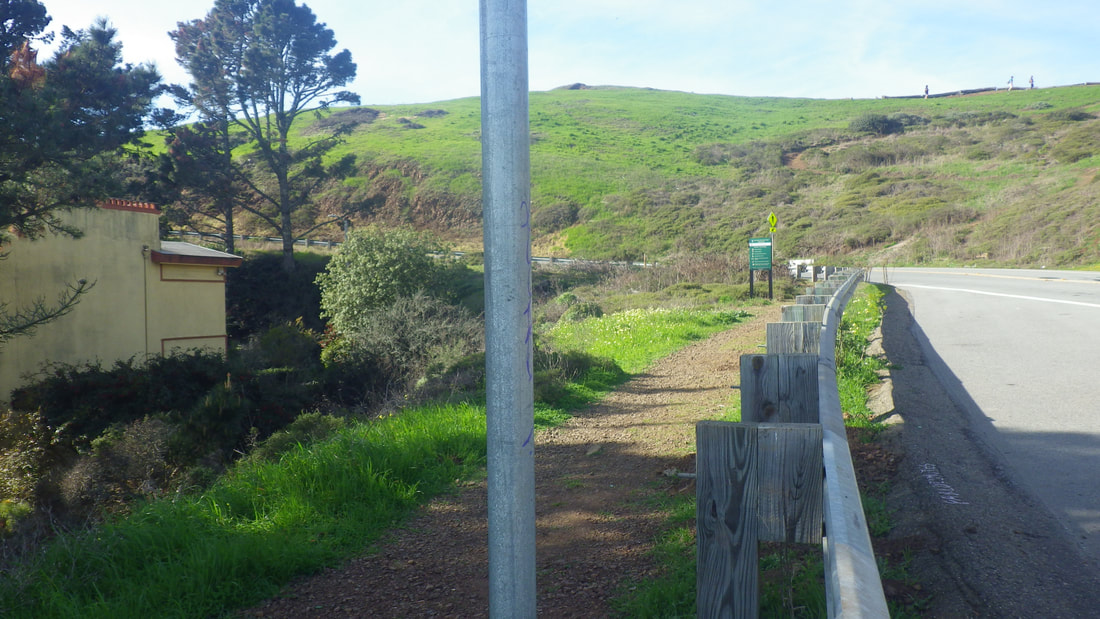
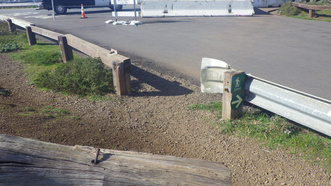
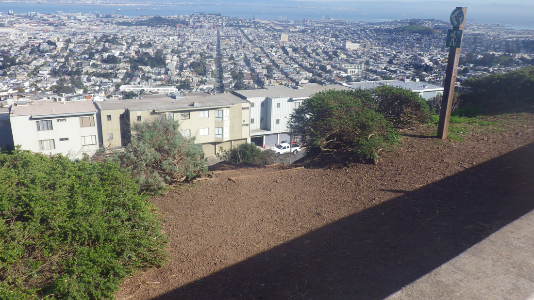
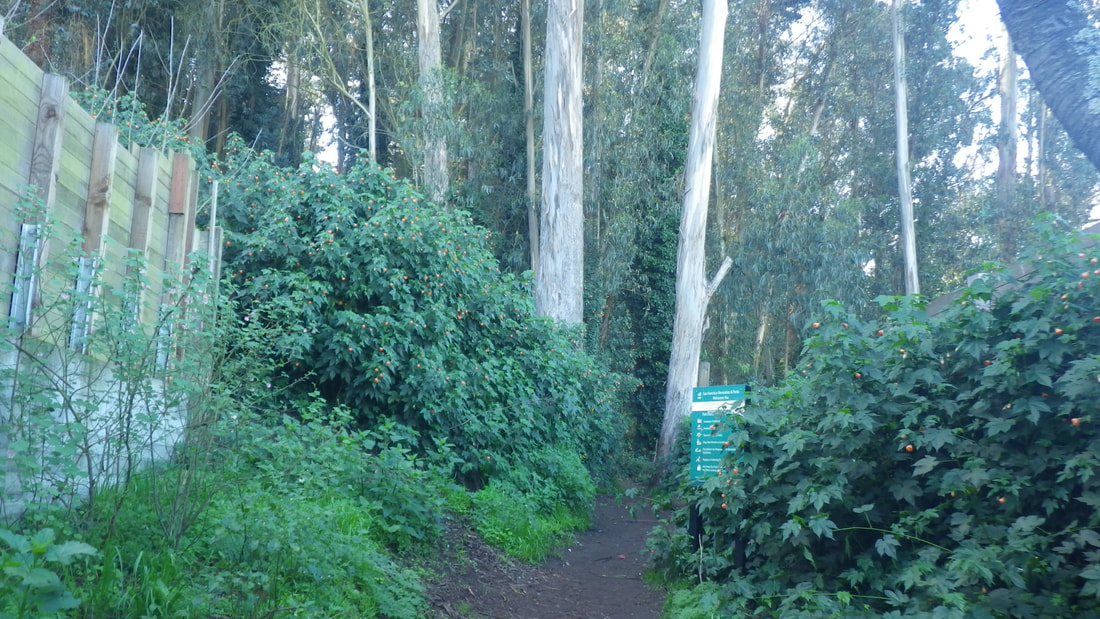
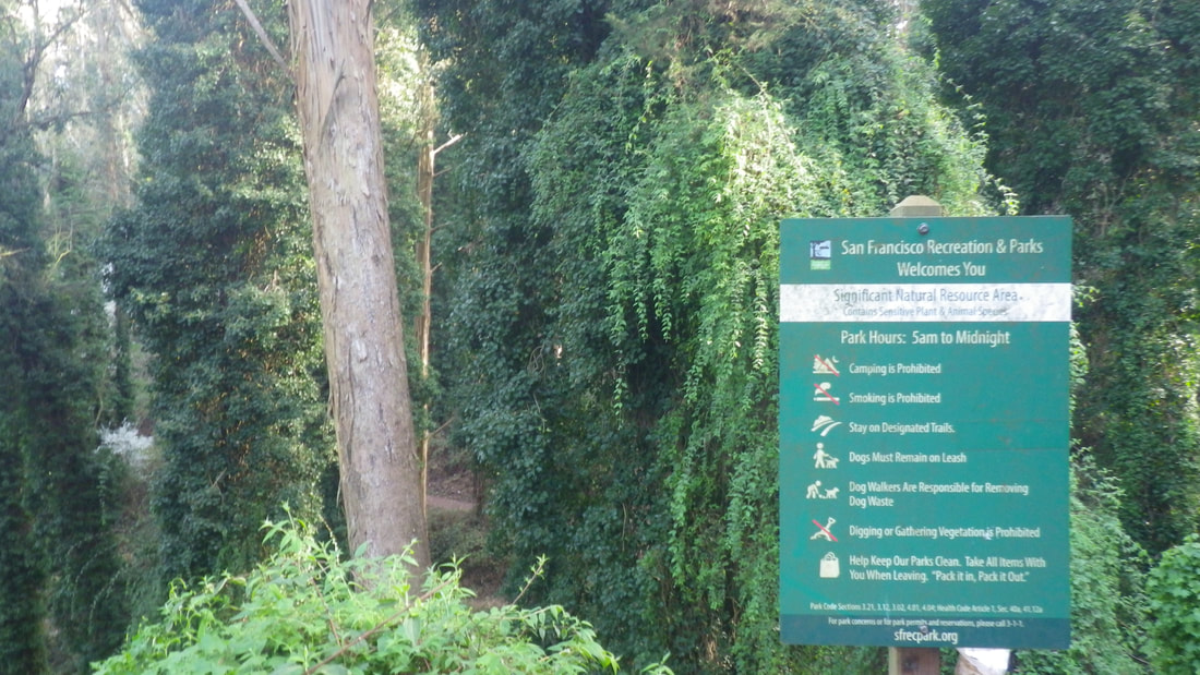
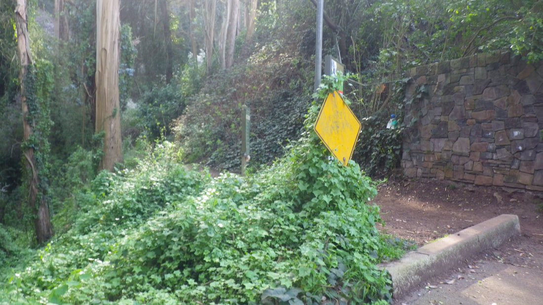
There’s a new park sign since my last visit. Top to bottom: 6 thru 35
Billy Goat Hill is a small park at the west dead-end of 30th St. in upper Noe Valley. It’s just below Walter Haas Park.
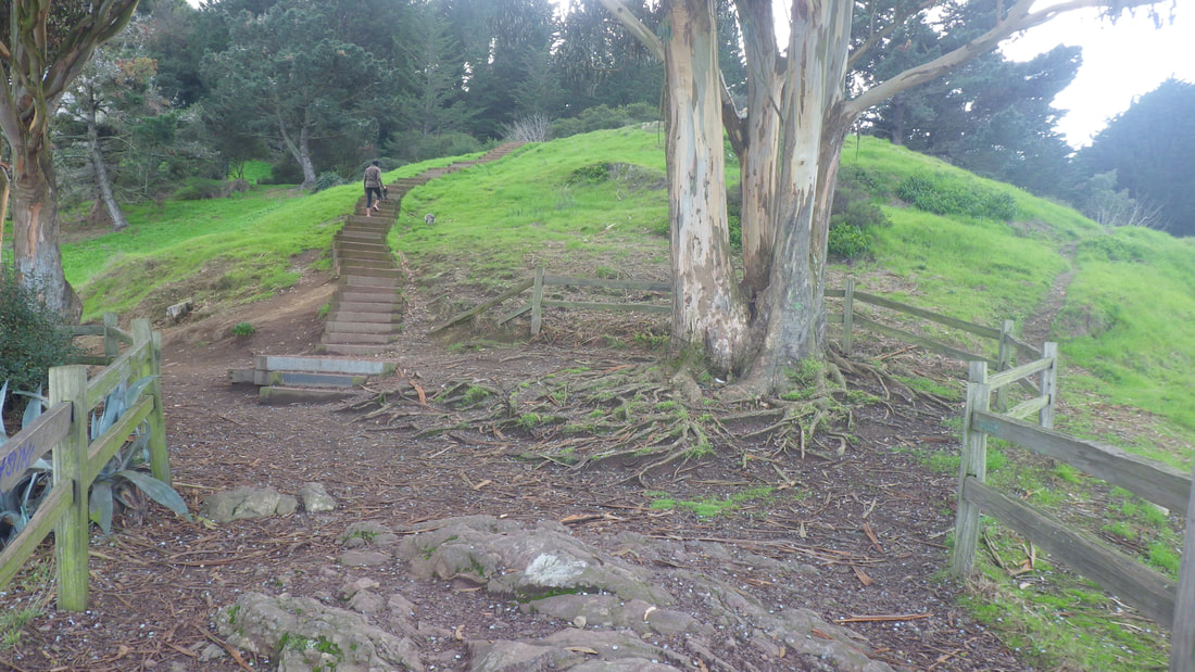
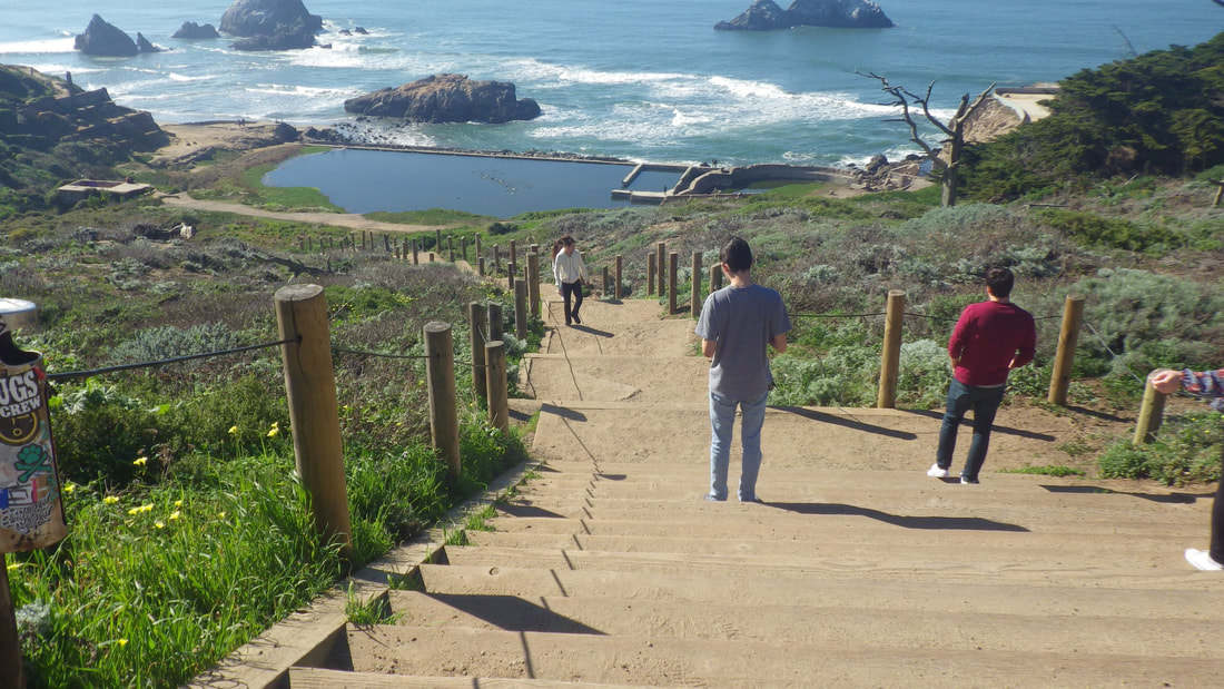
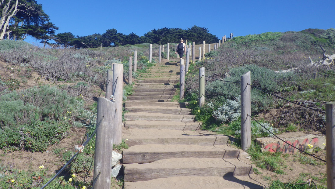
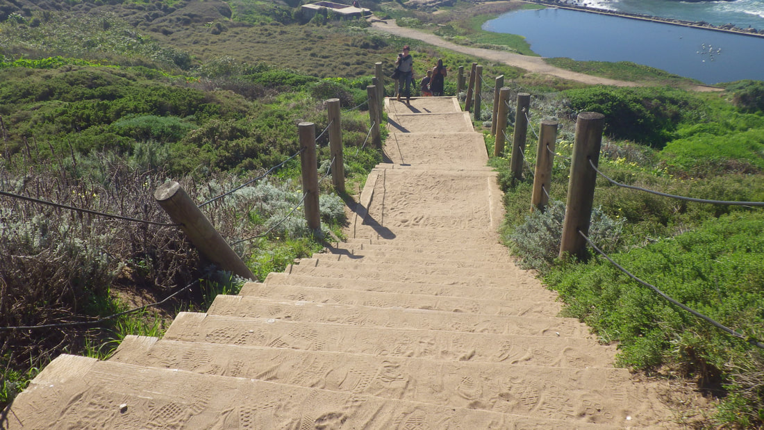
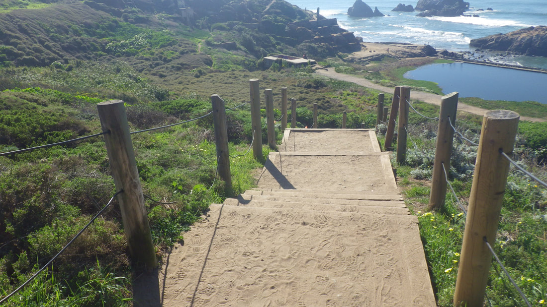
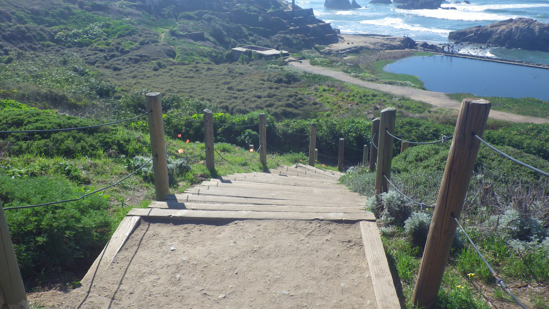
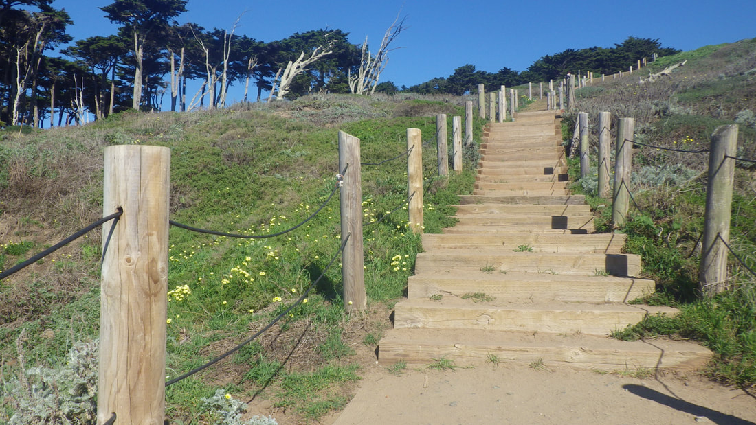
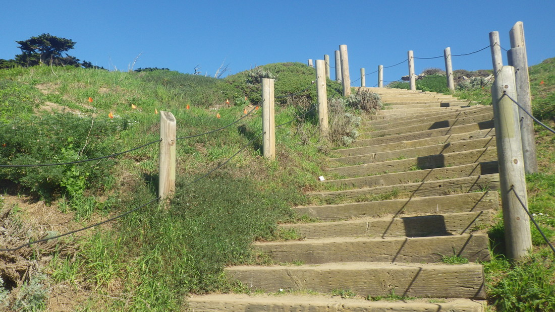
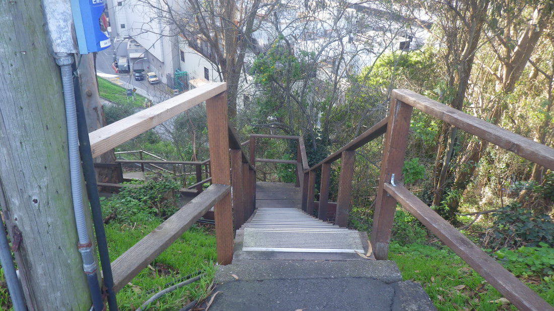
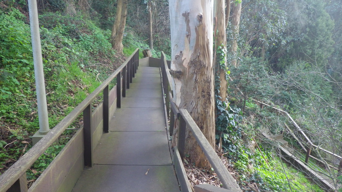
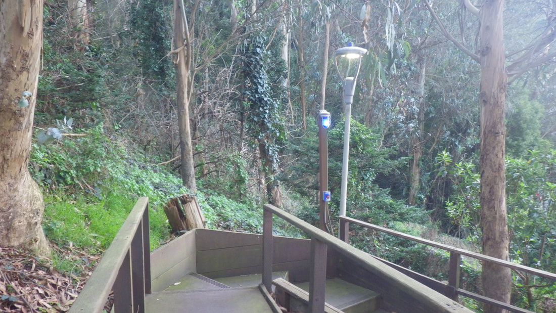
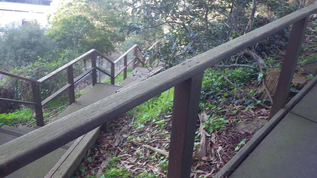
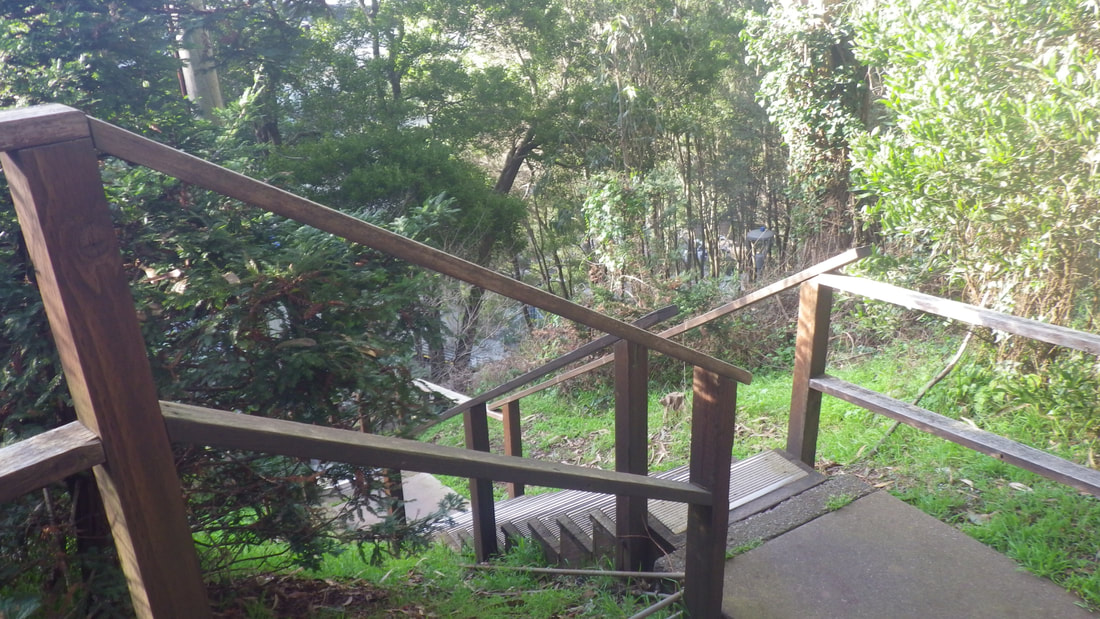
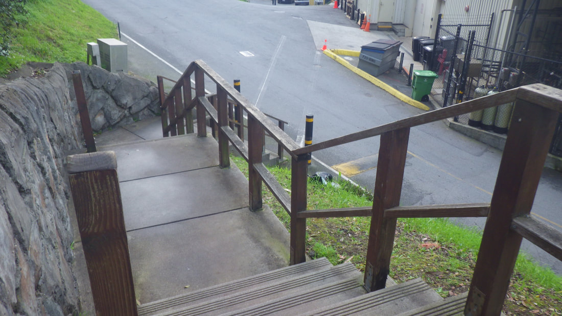
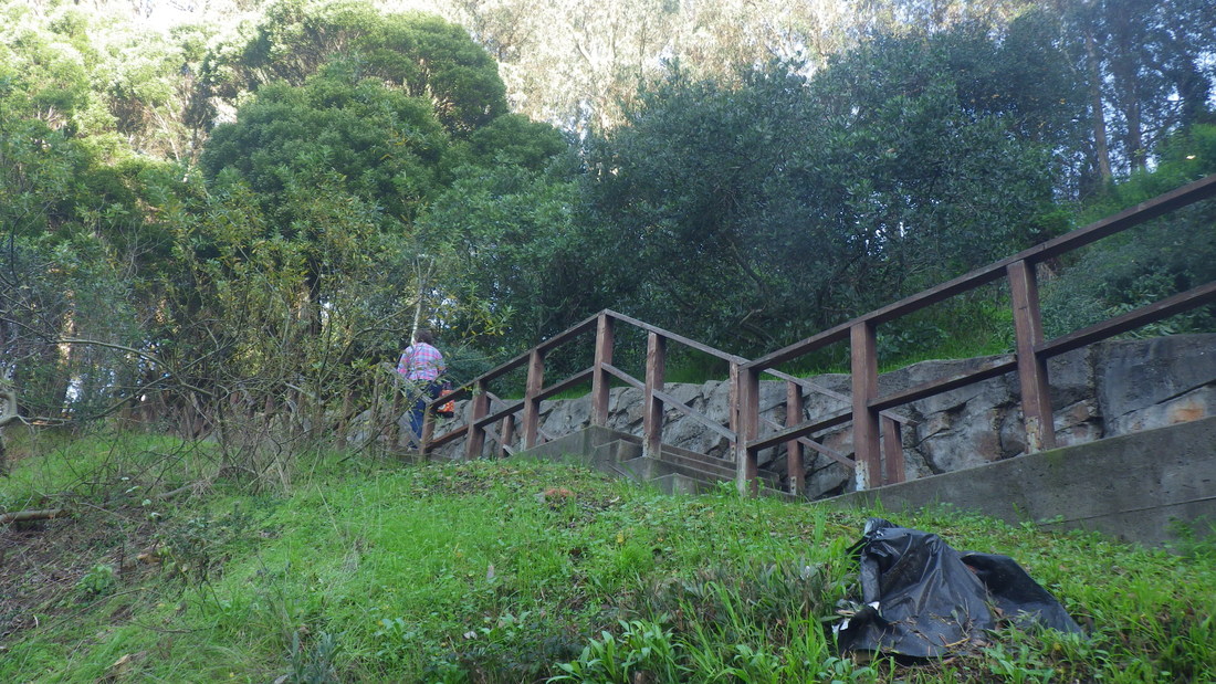
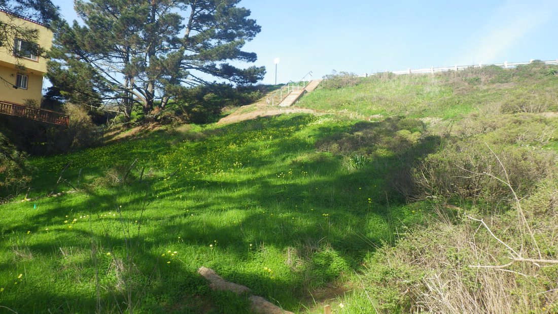
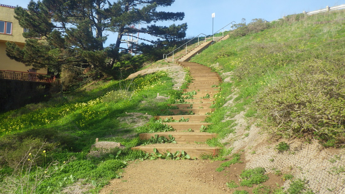
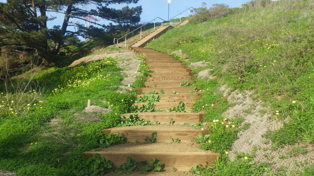
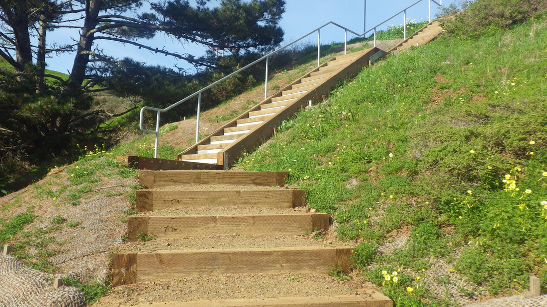
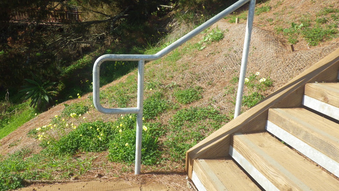
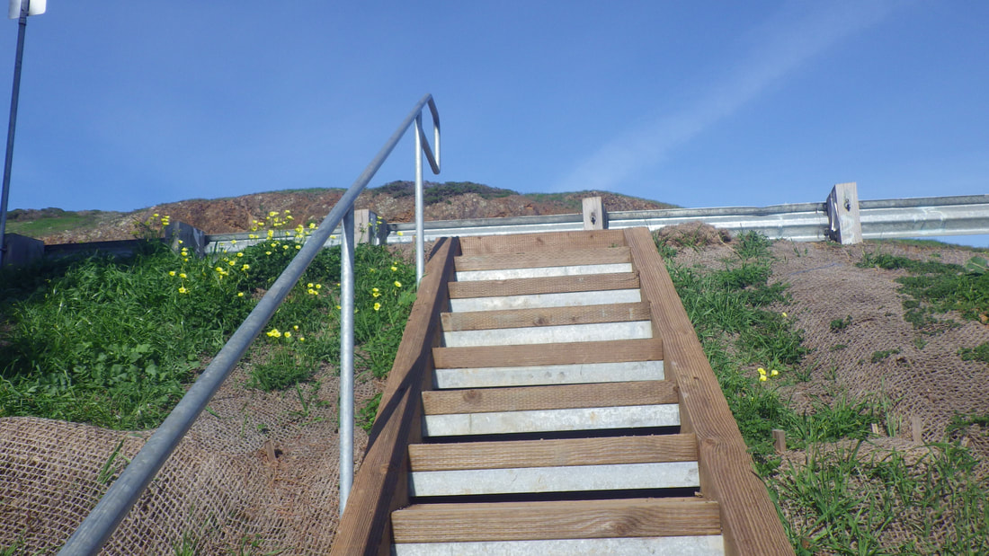
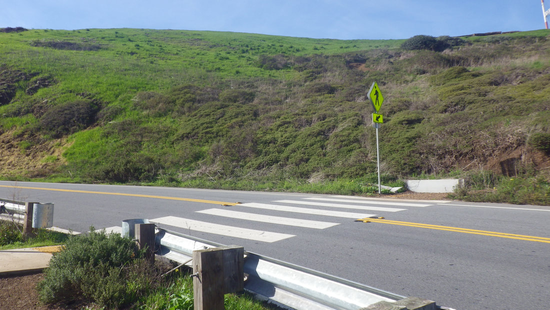
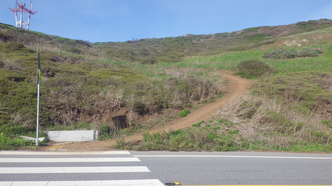
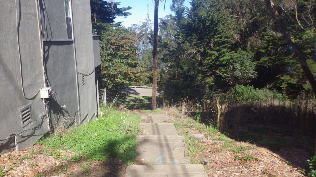
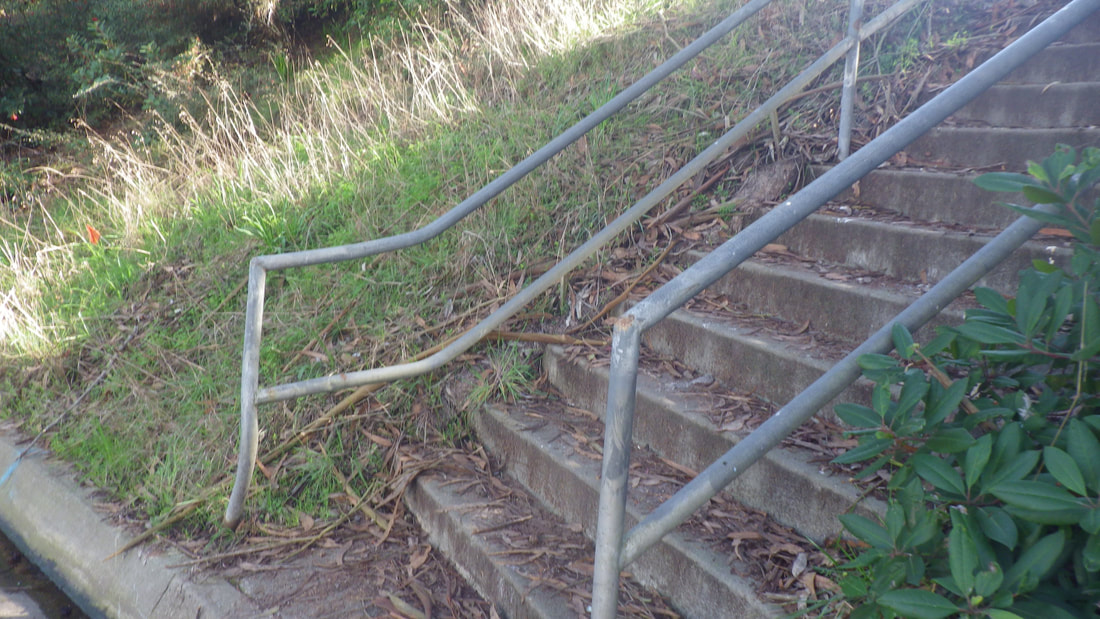
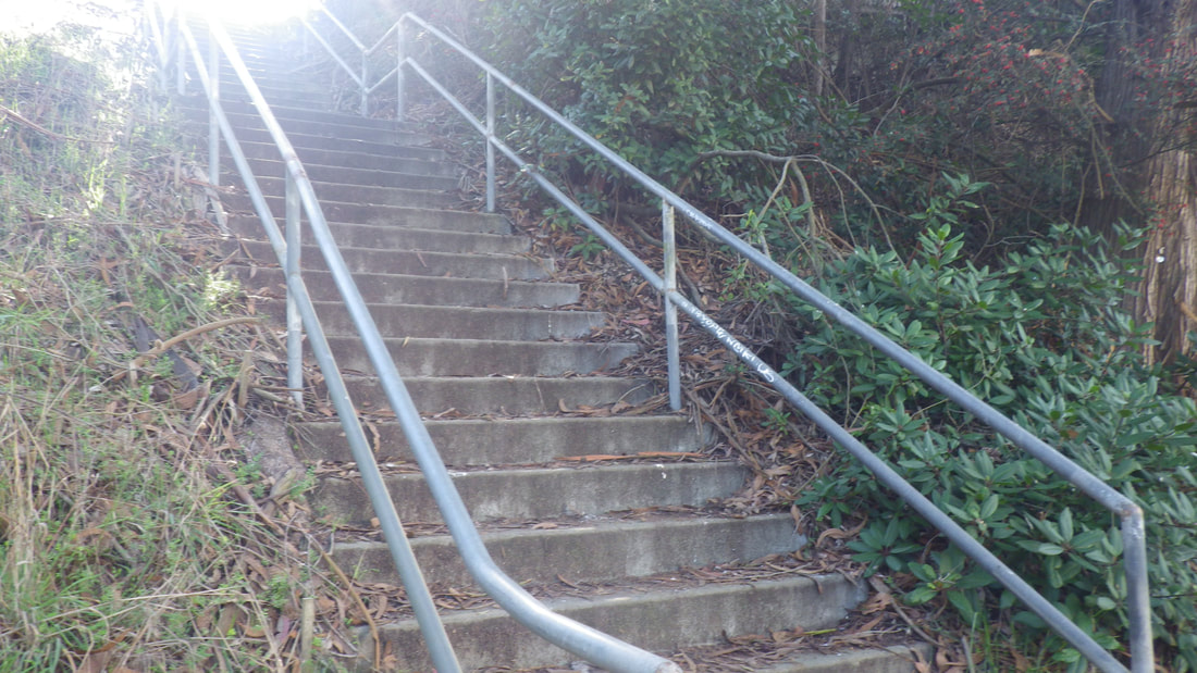
Top entrance is off Beacon, a block or so from the top of the Harry stairway (239 streps). It has 81 steps and a zigzag dirt trail.
Starting from the top end of Diamond down from Diamond Heights Blvd. with a right on Beacon: 1 thru 5
There’s a new park sign since my last visit. Top to bottom: 6 thru 35
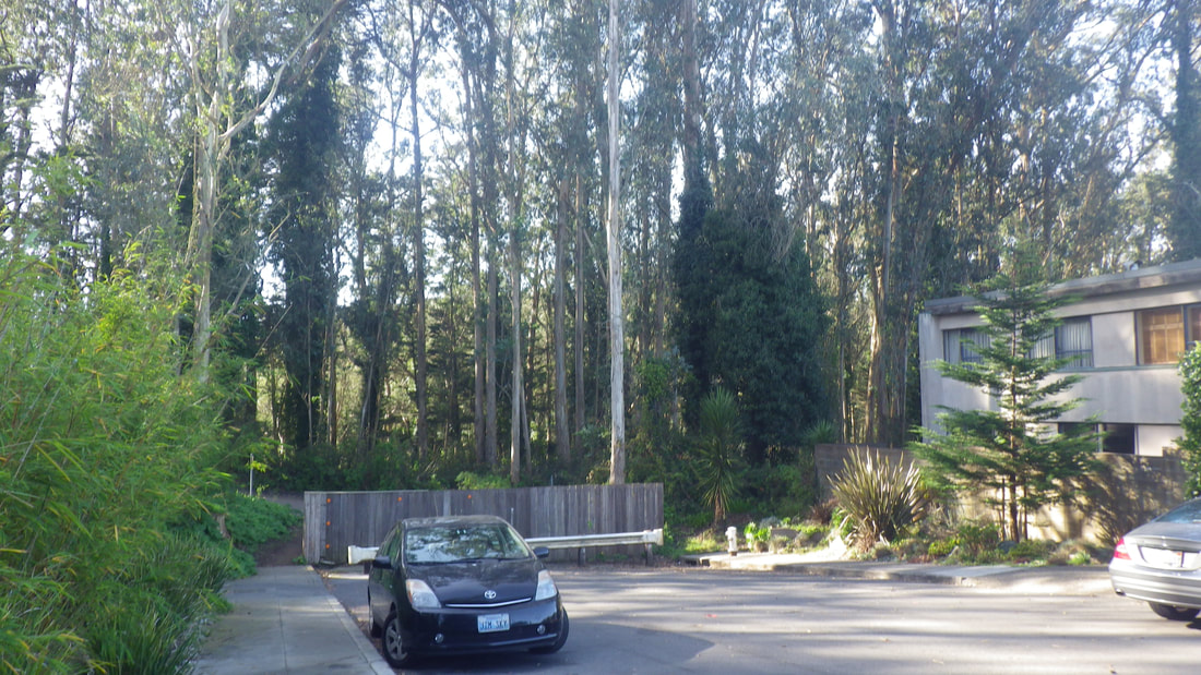
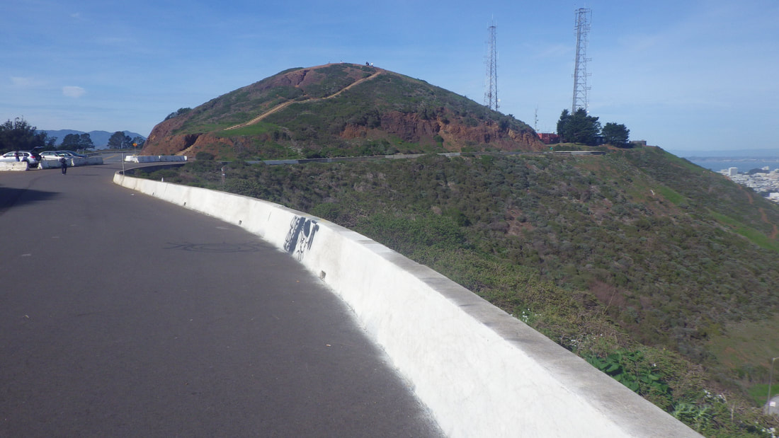
1 Diamond Heights Blvd.
2 Top of Diamond St. below
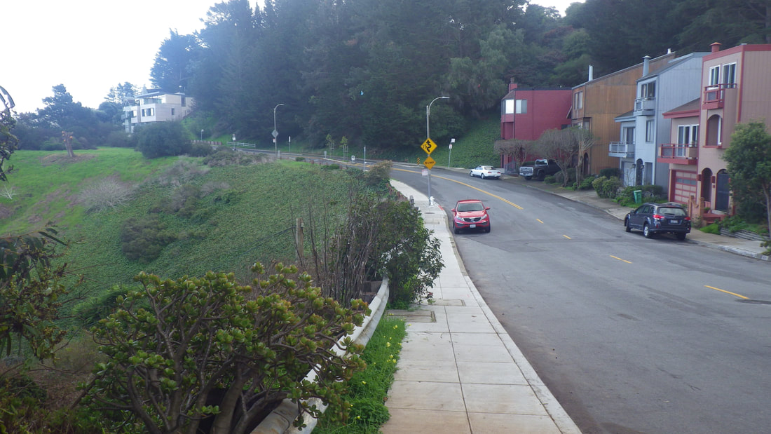
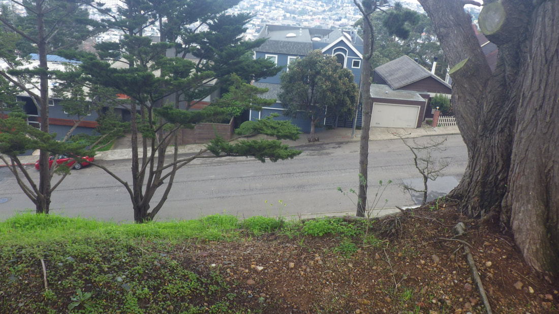
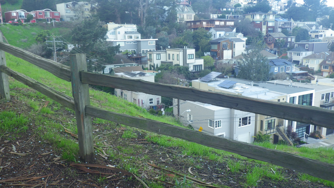
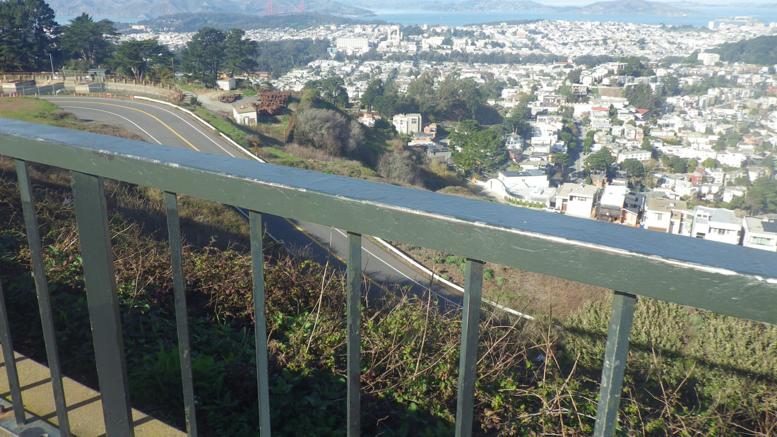
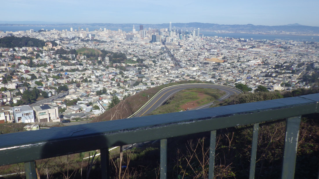
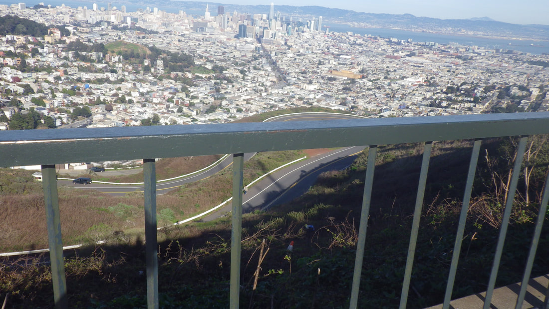
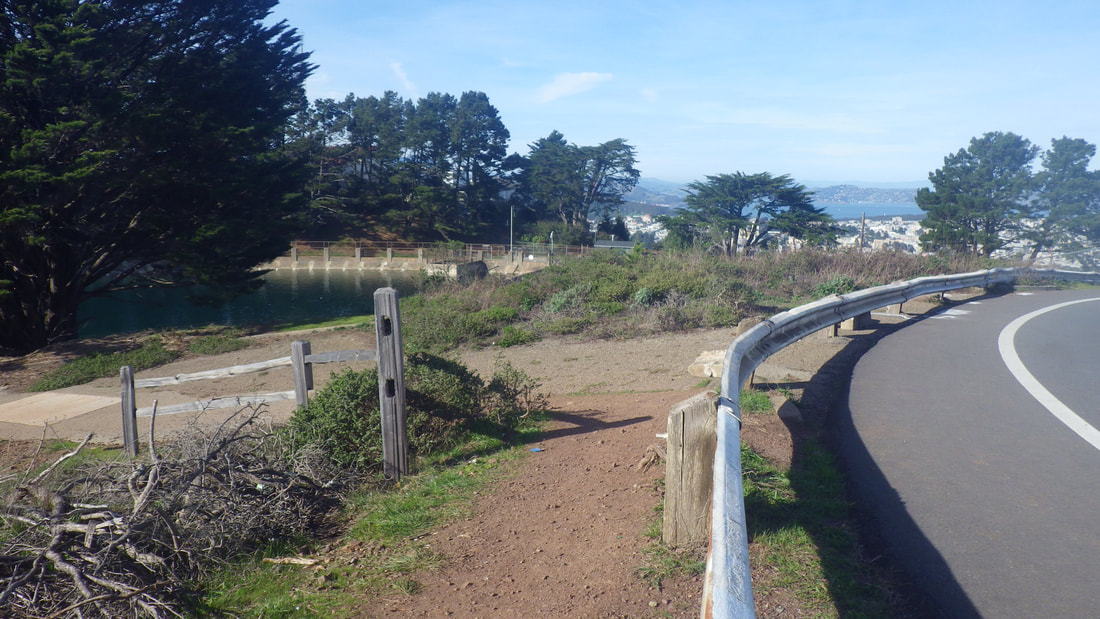
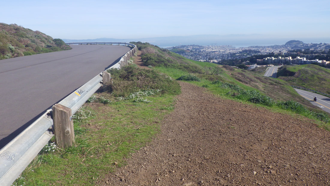
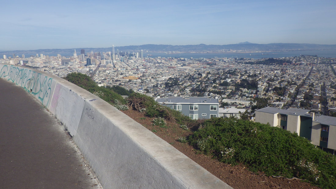
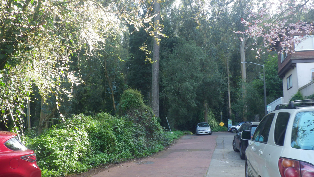
3 Beacon St.
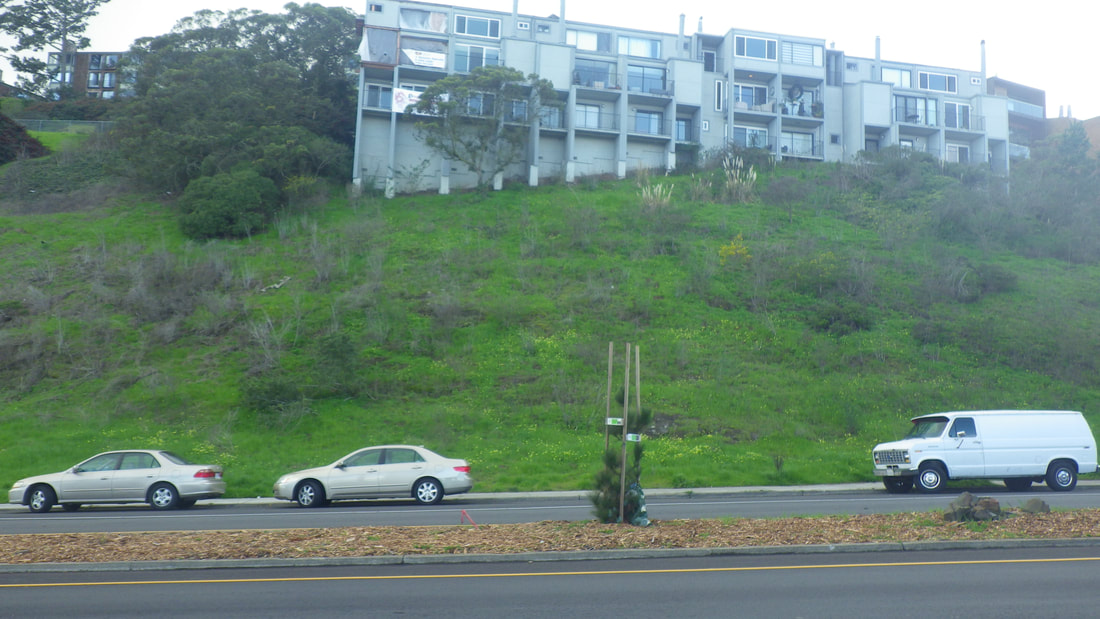
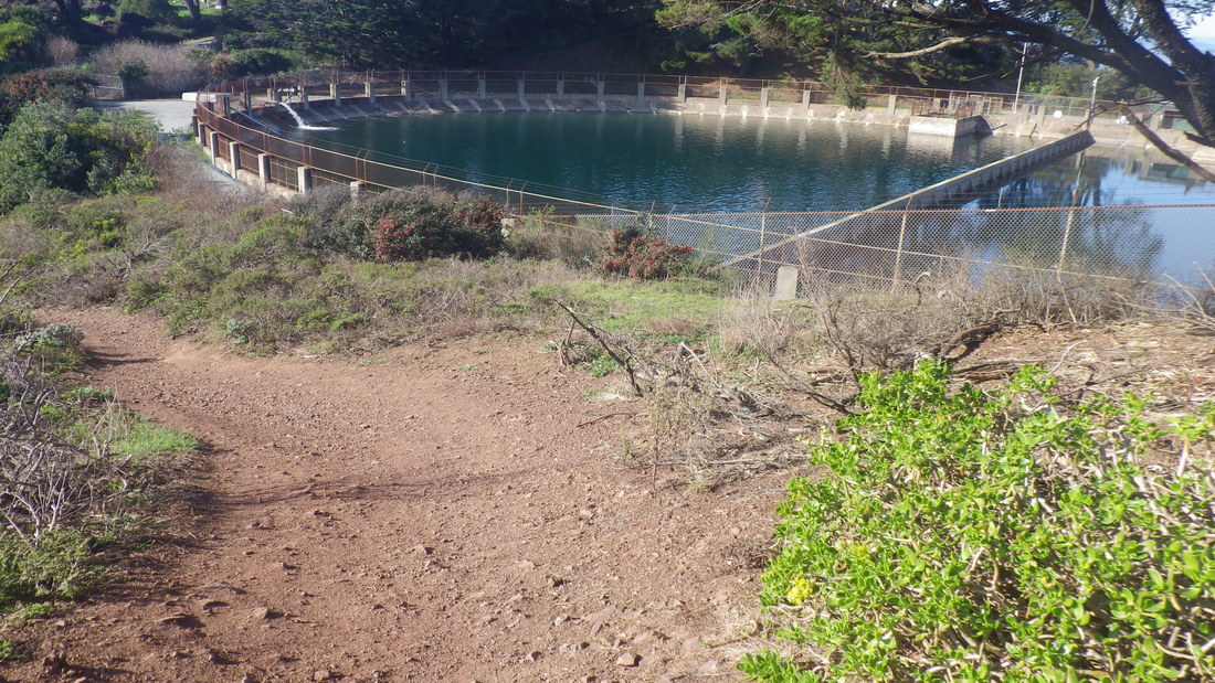
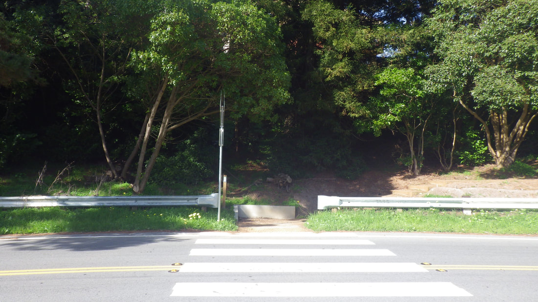
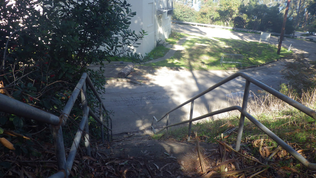
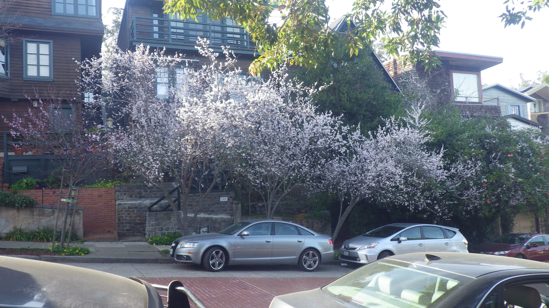
4 30th St. below
5
6
7
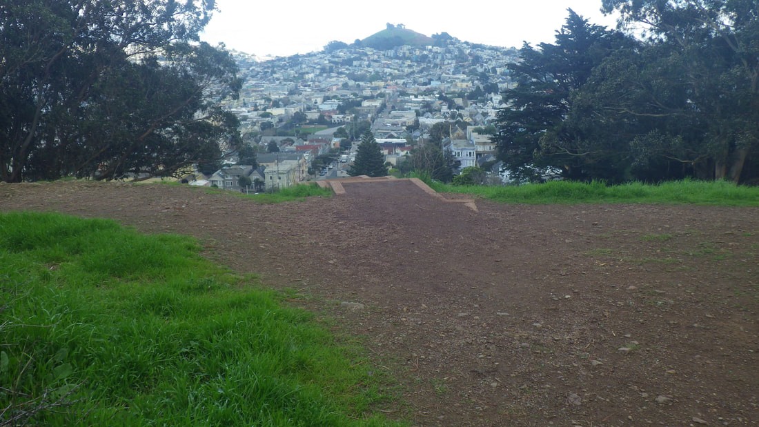
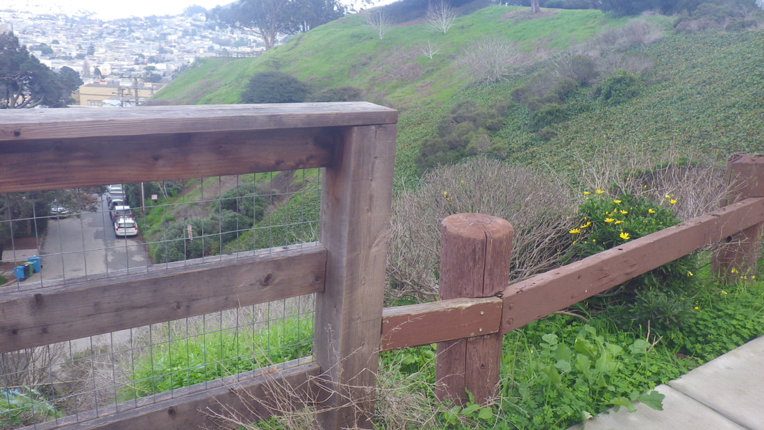
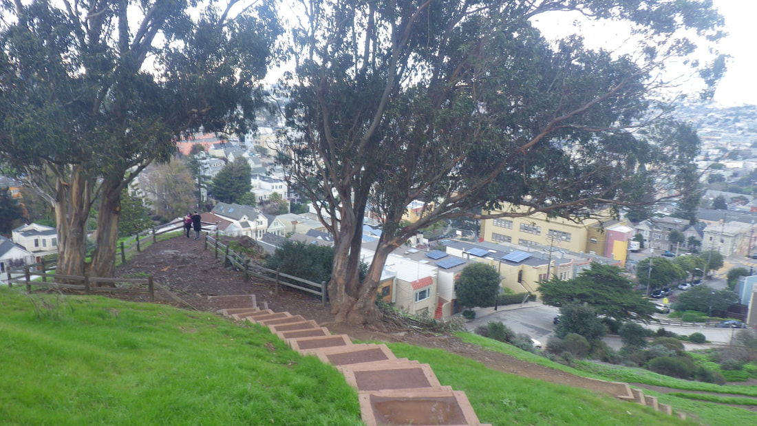
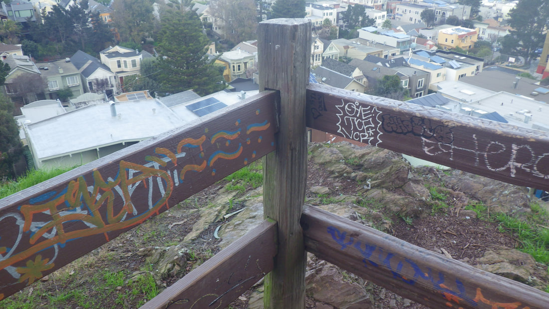
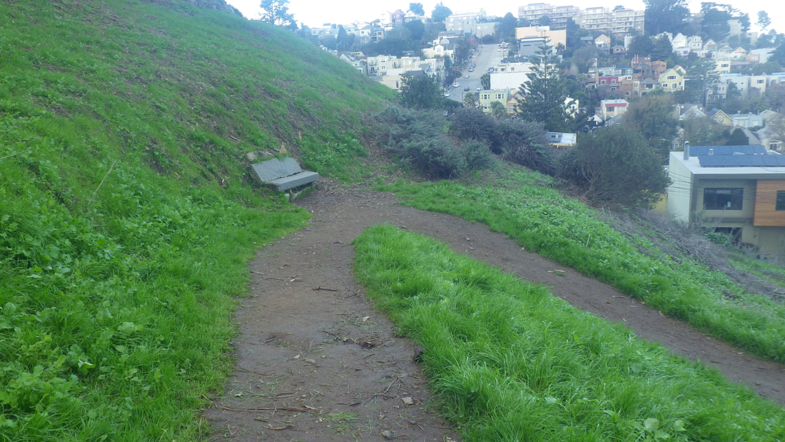
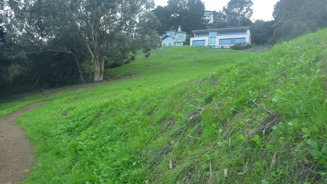
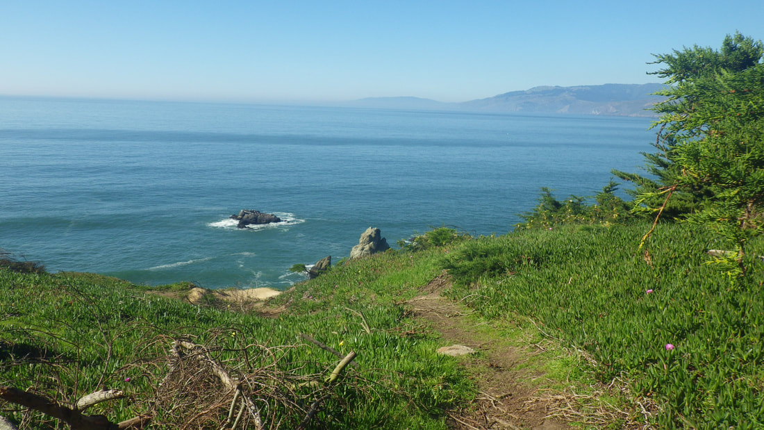
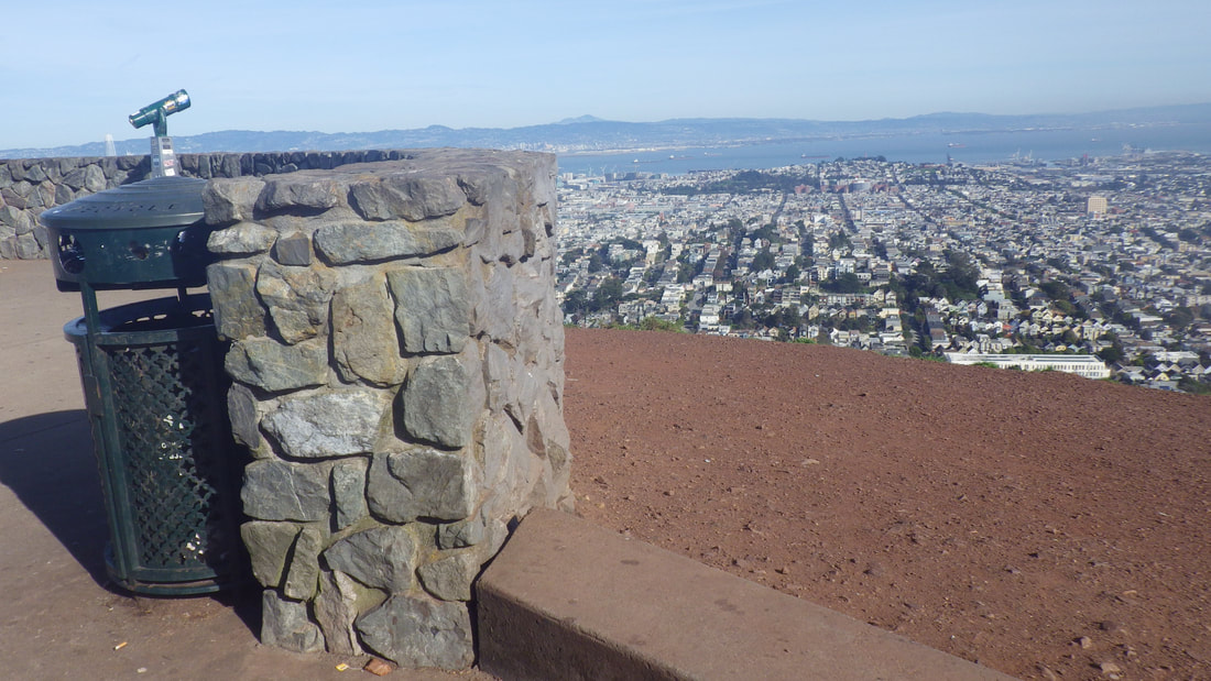
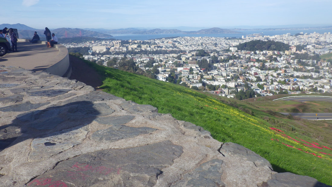
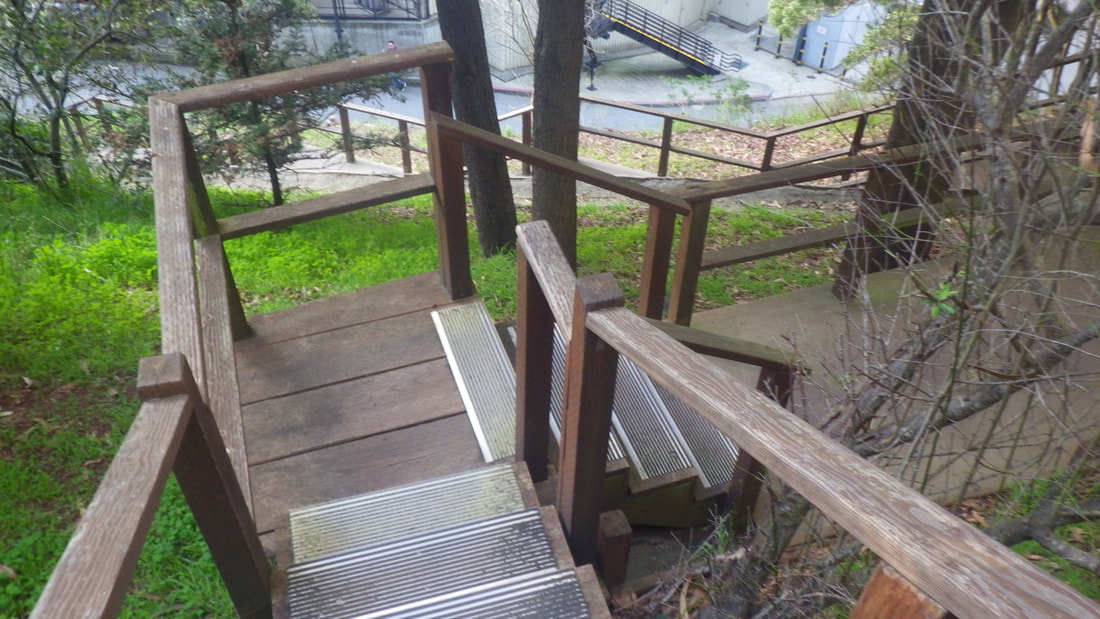
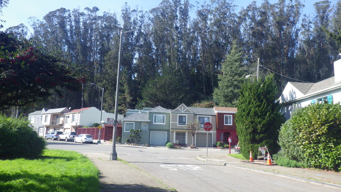
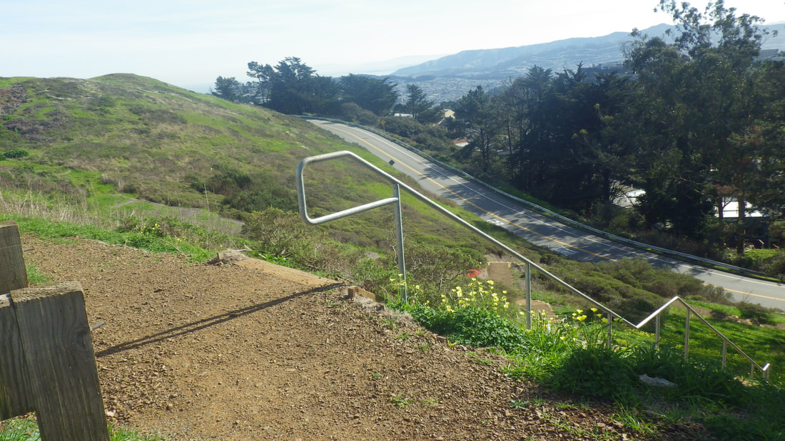
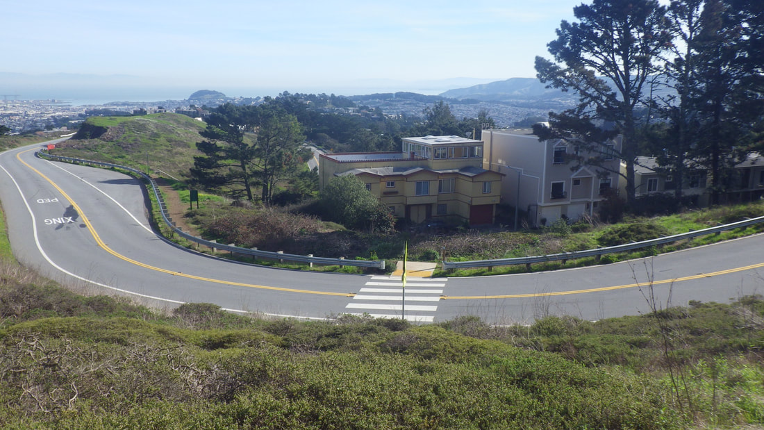
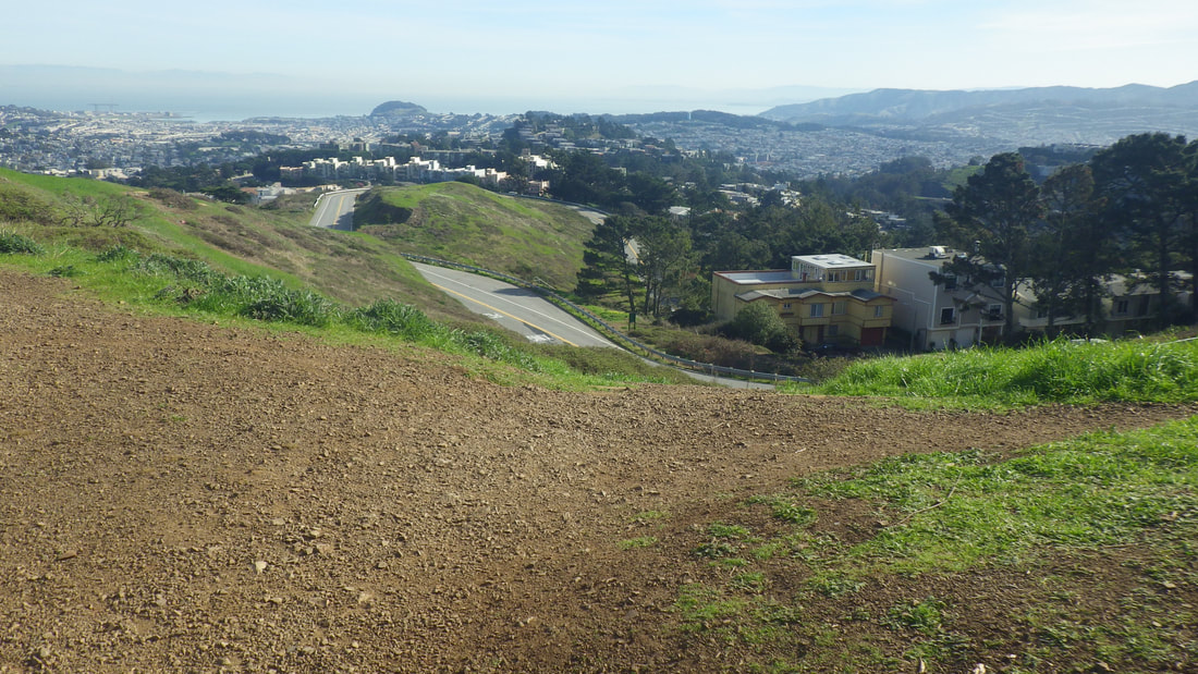
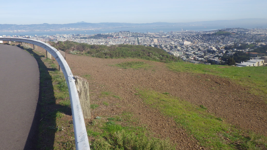
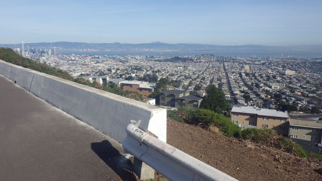
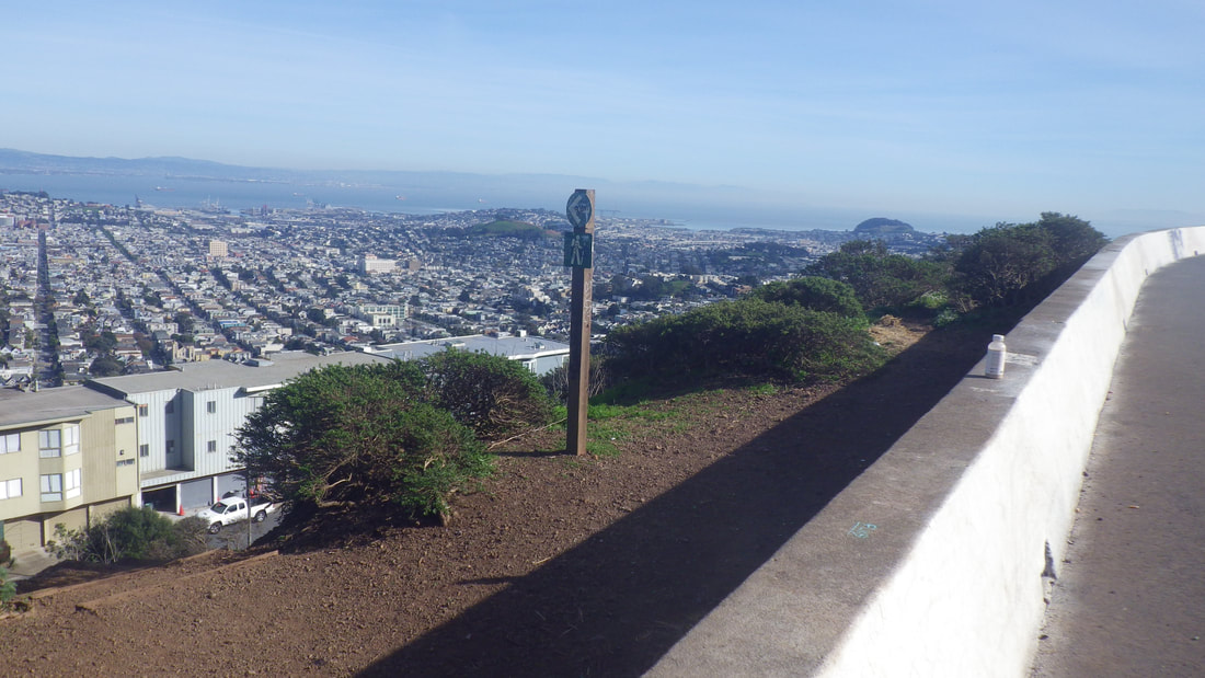
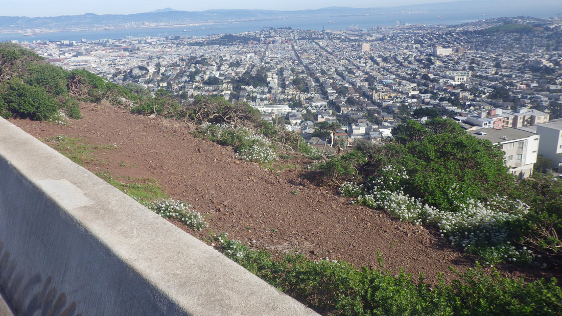
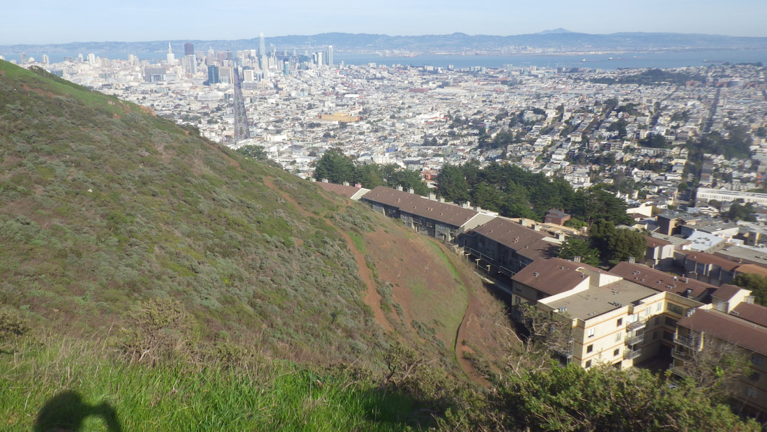
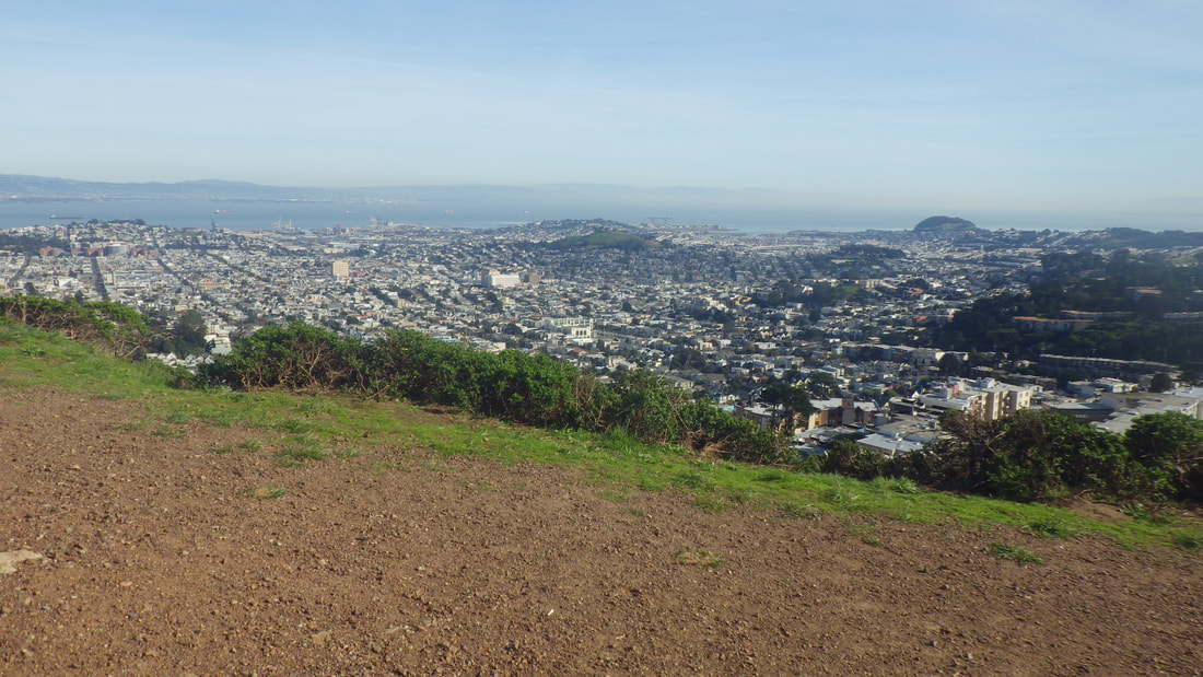
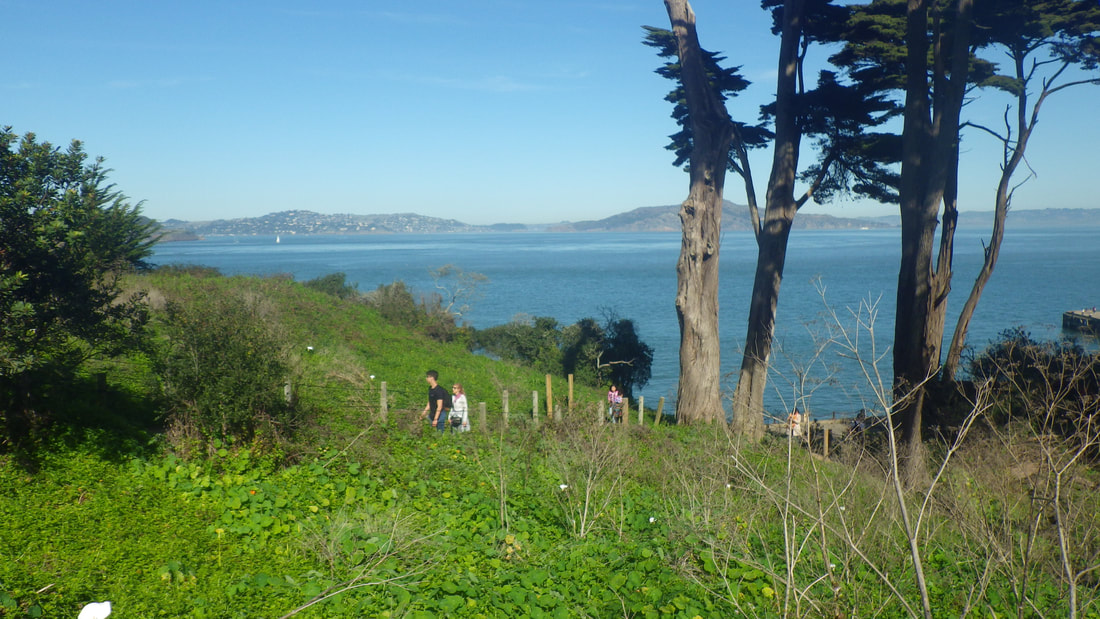
8 Bernal Hill in distance
9
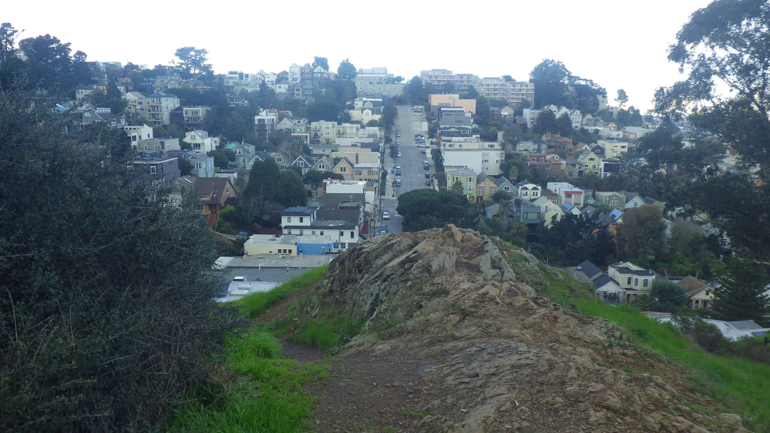
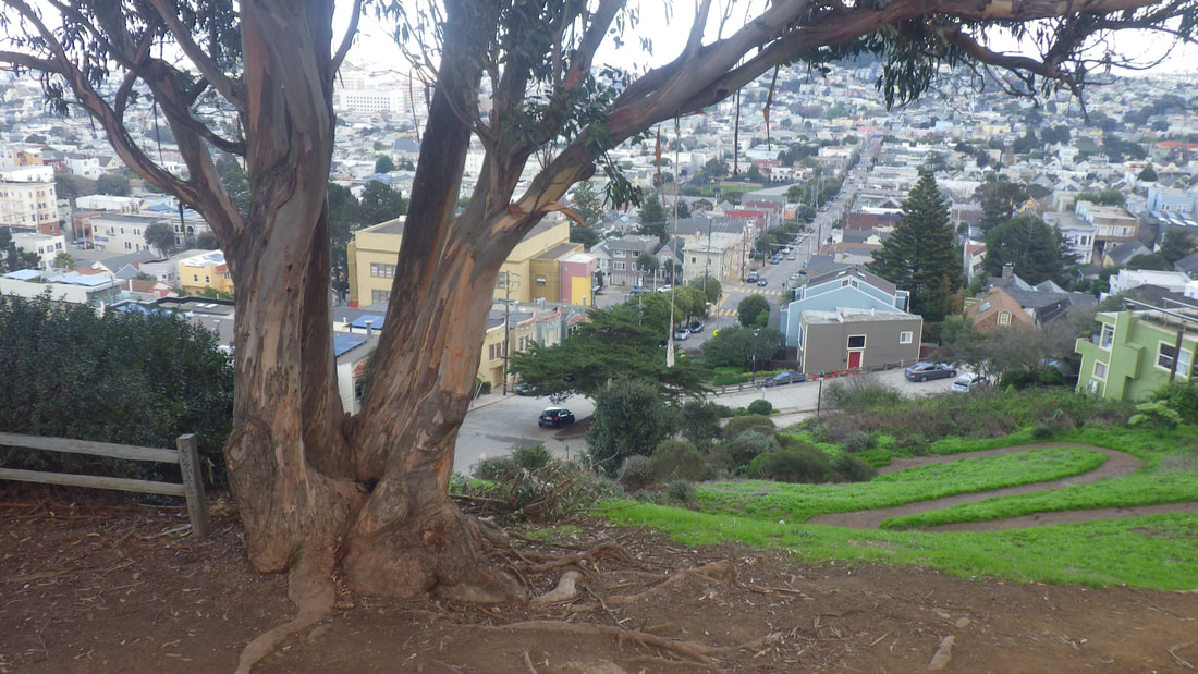
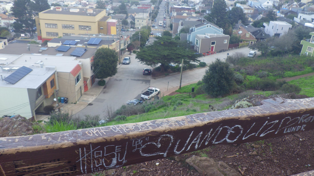
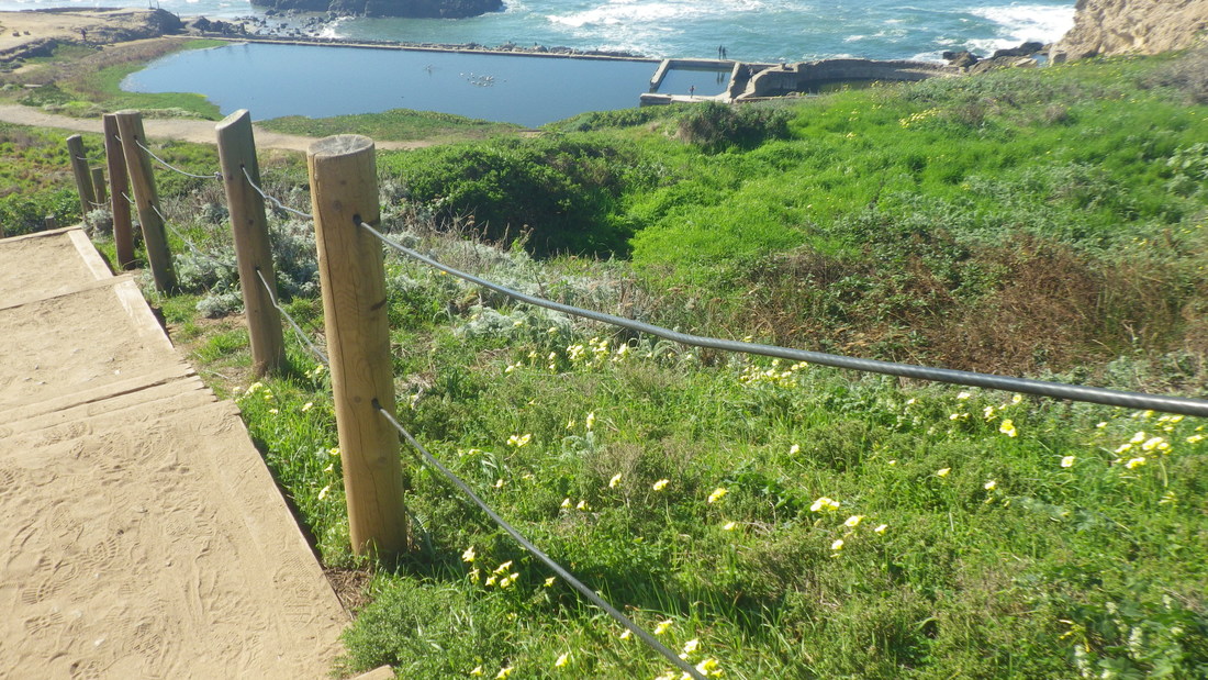
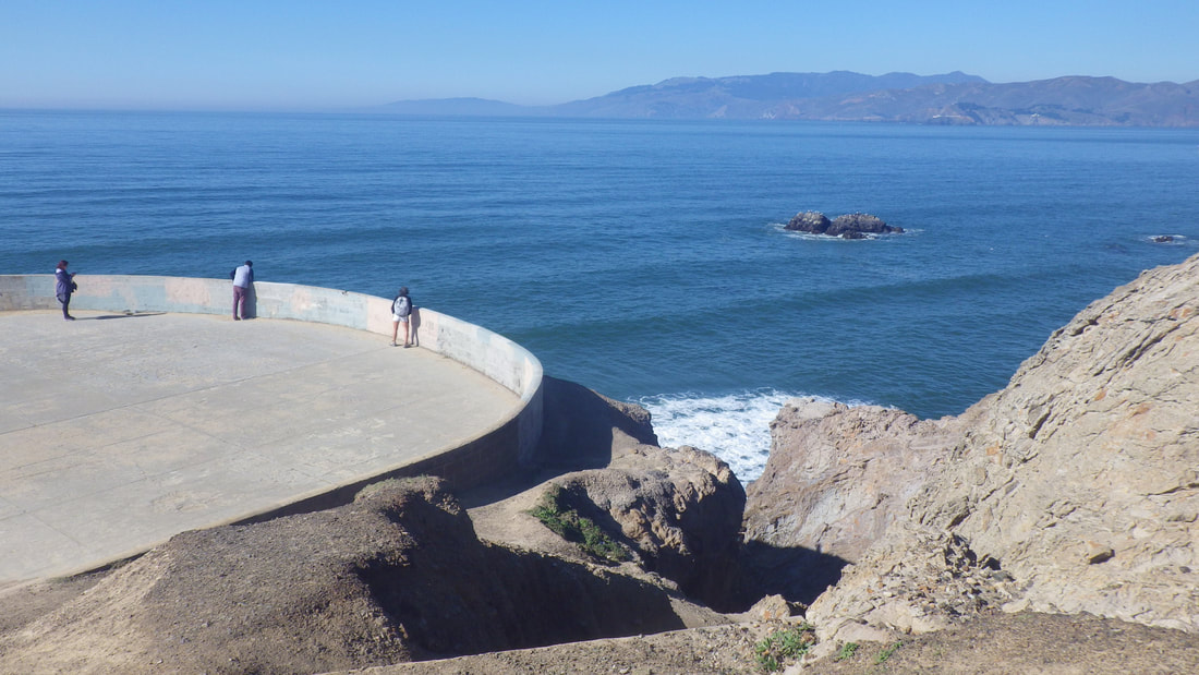
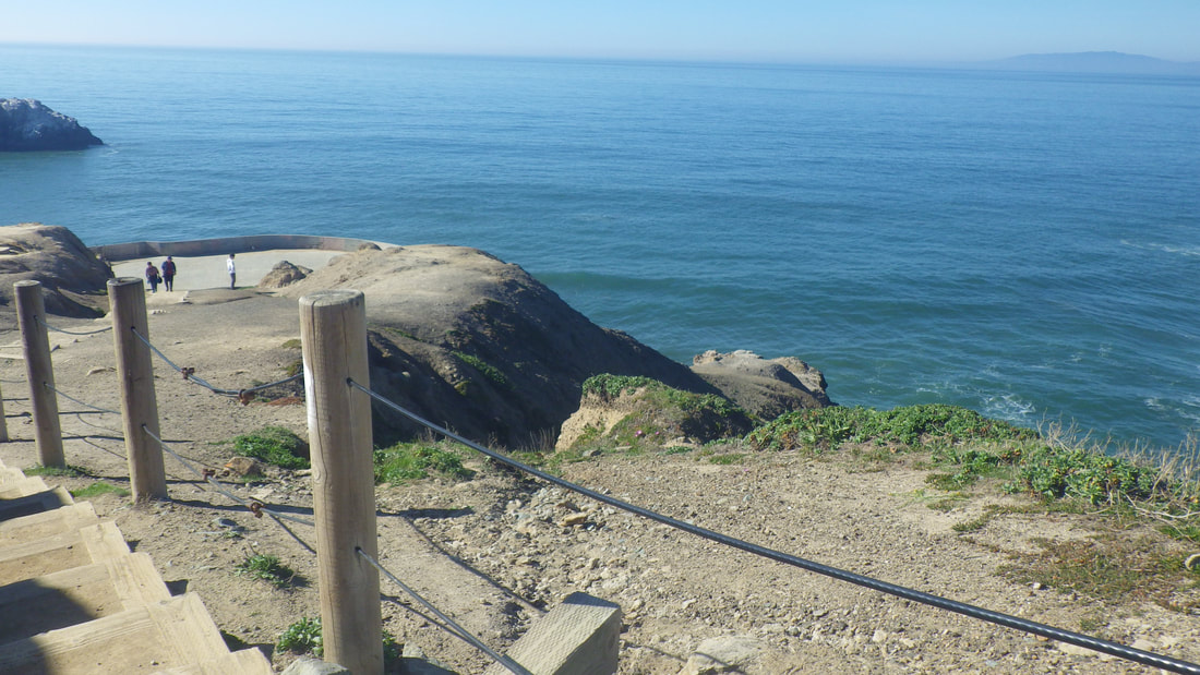
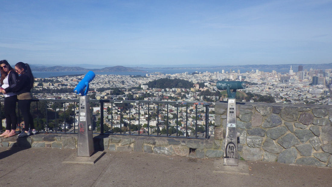
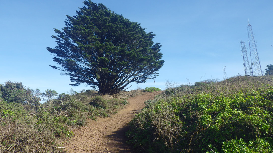
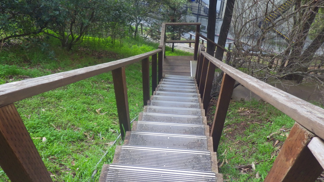
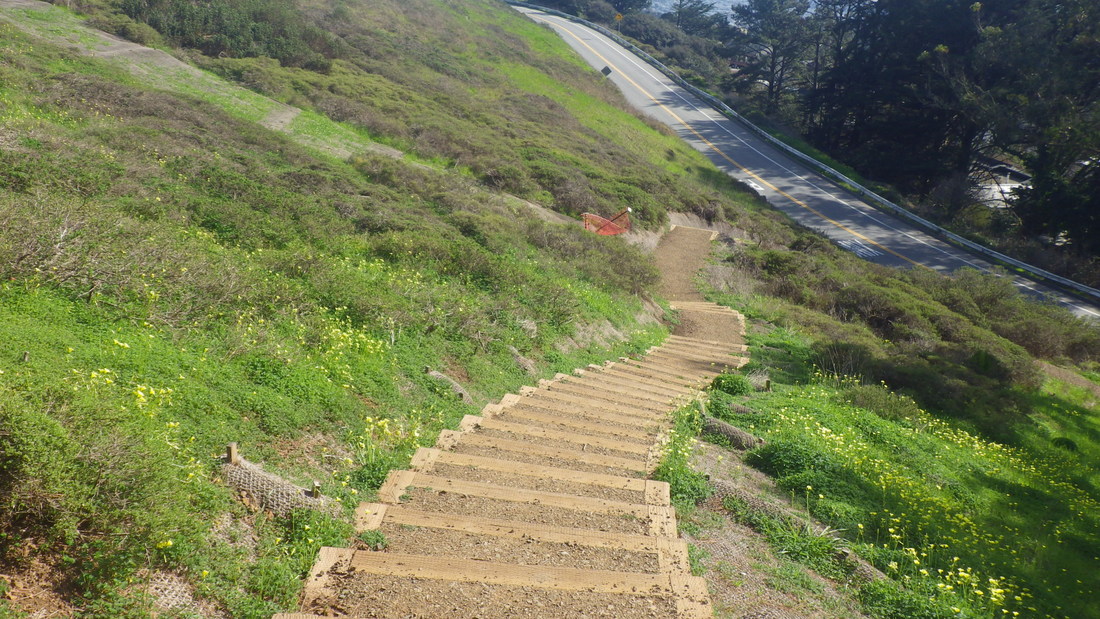
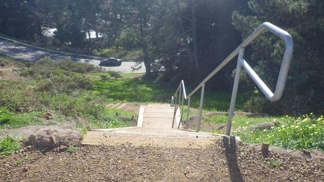
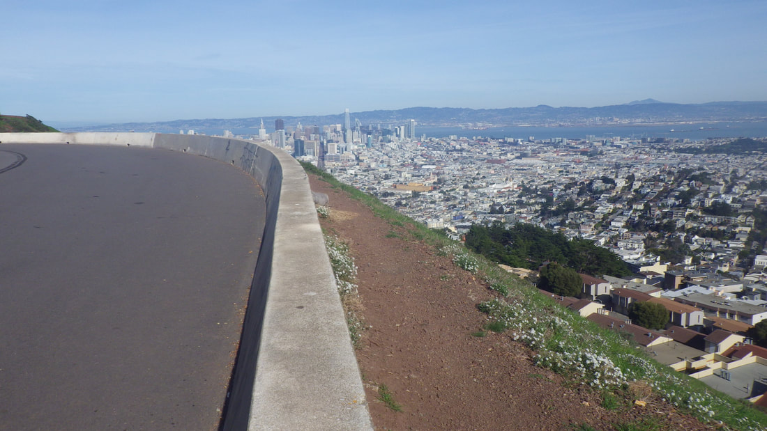
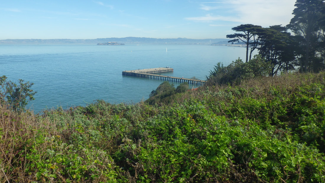
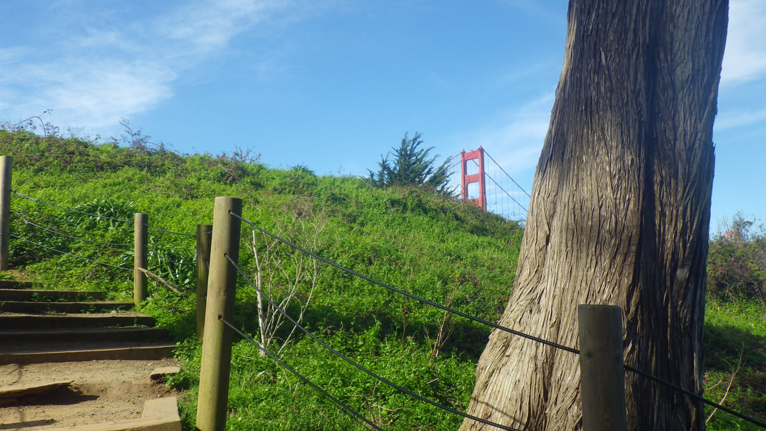
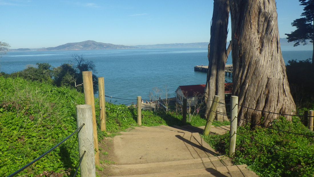
10 Looking north
11
12
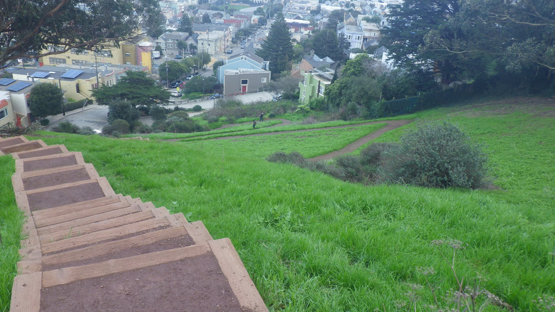
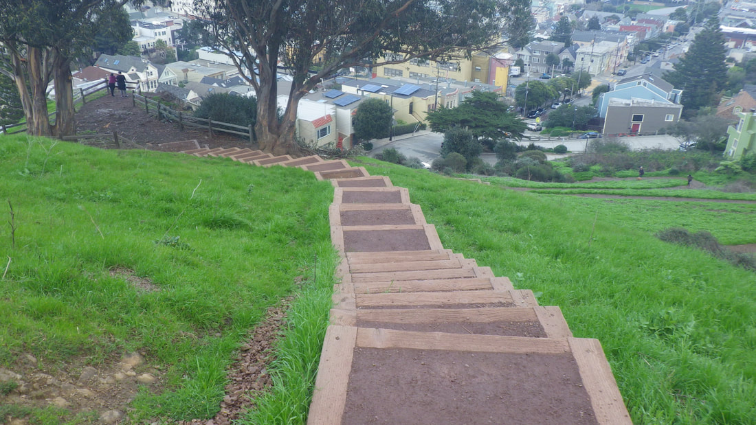
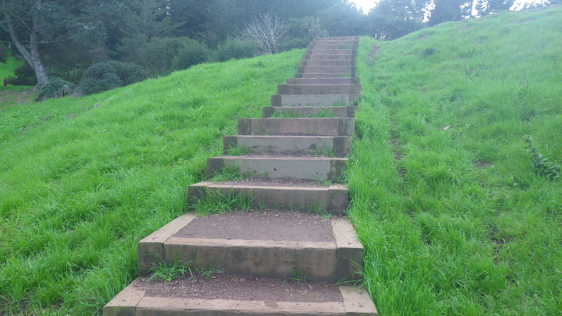
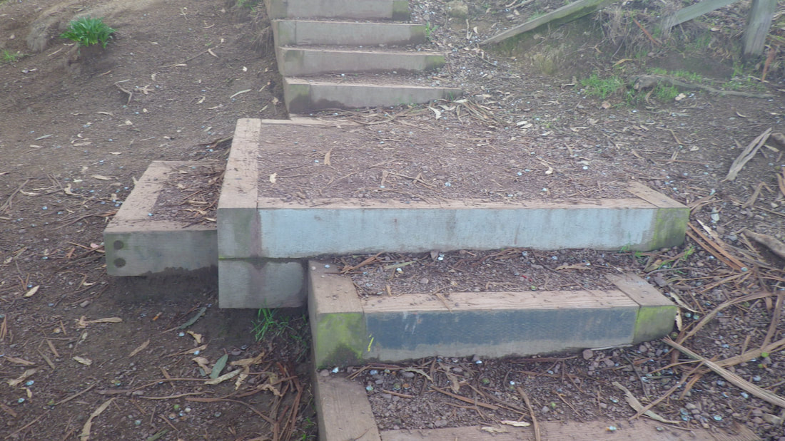
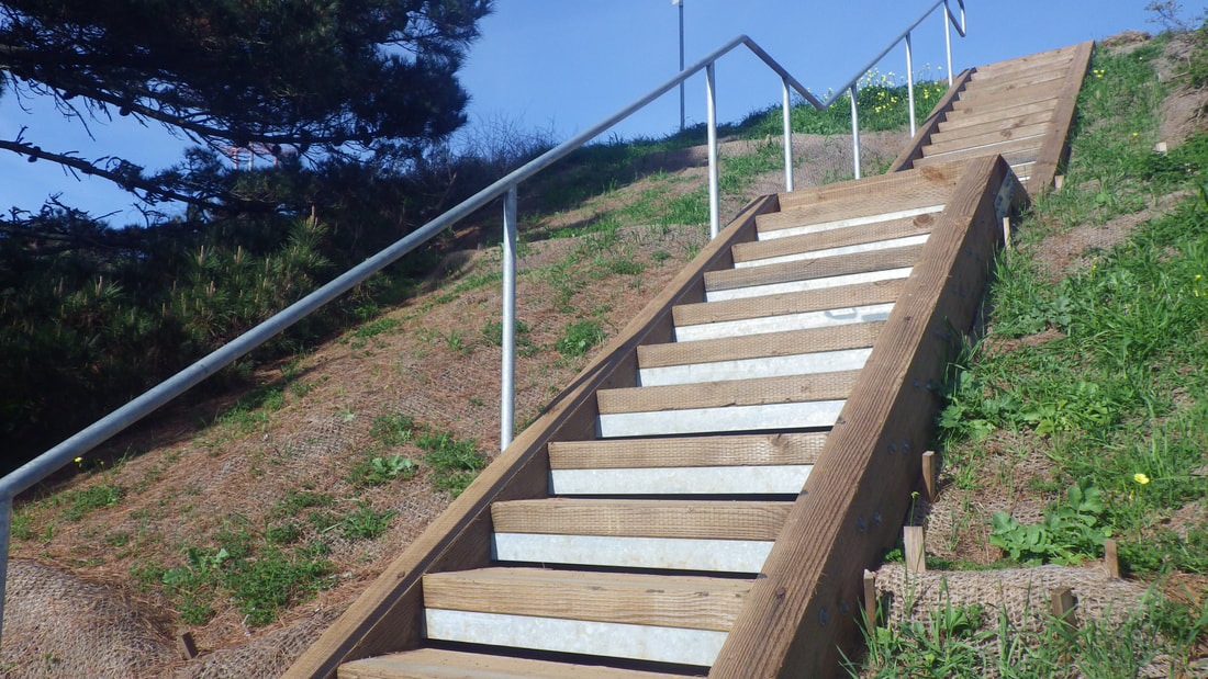
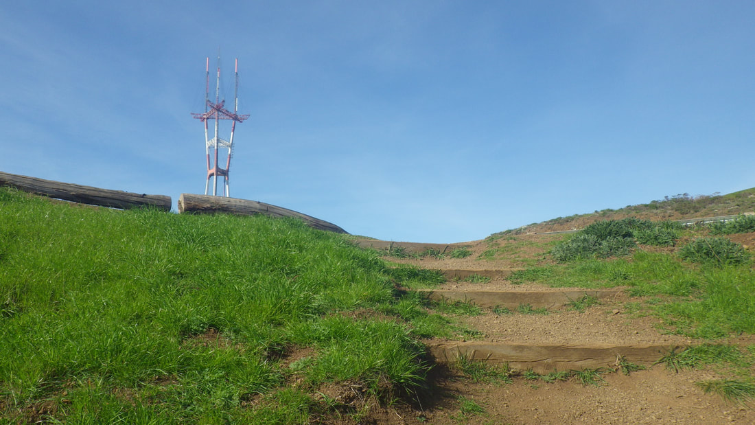
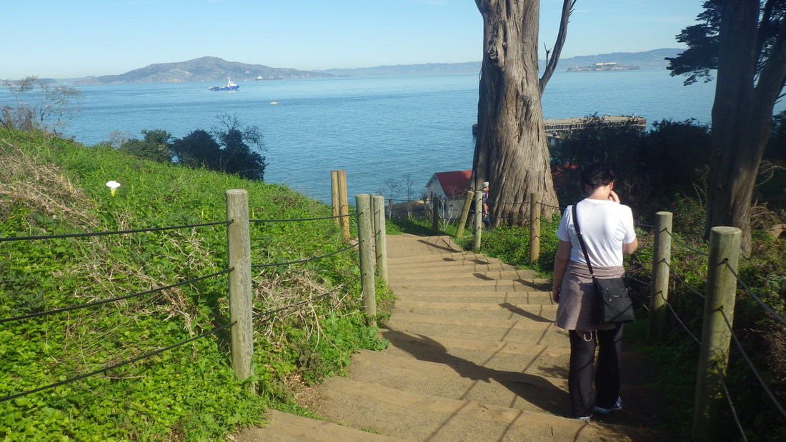
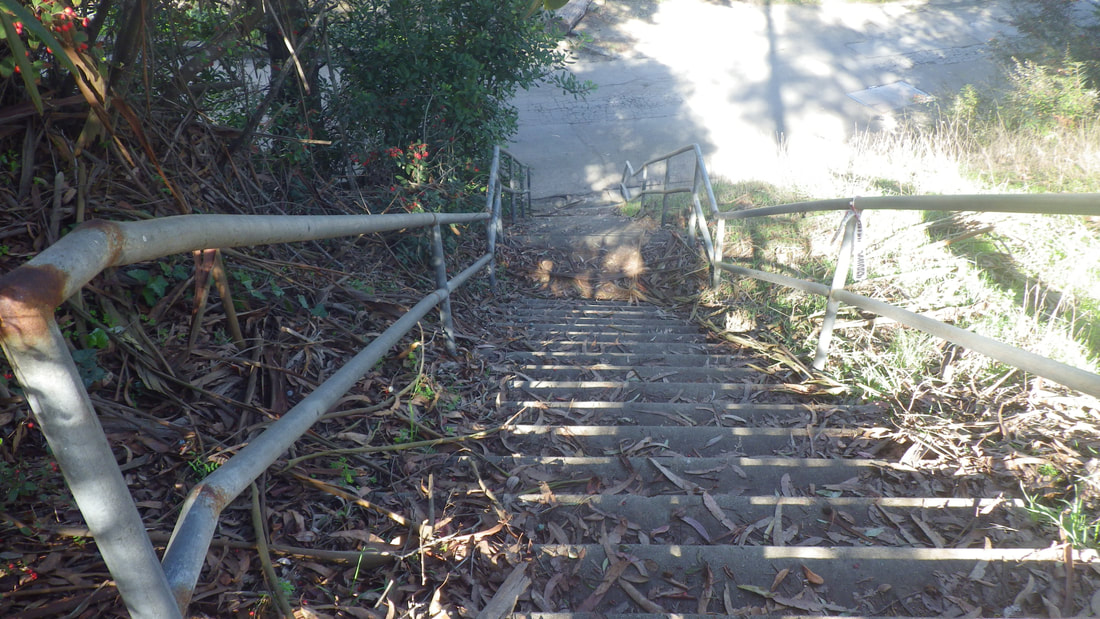
13 81 steps
14
15
16
17
18
19
20
21
22
23
24
25
26
27
28
29
30
31
32
33
34
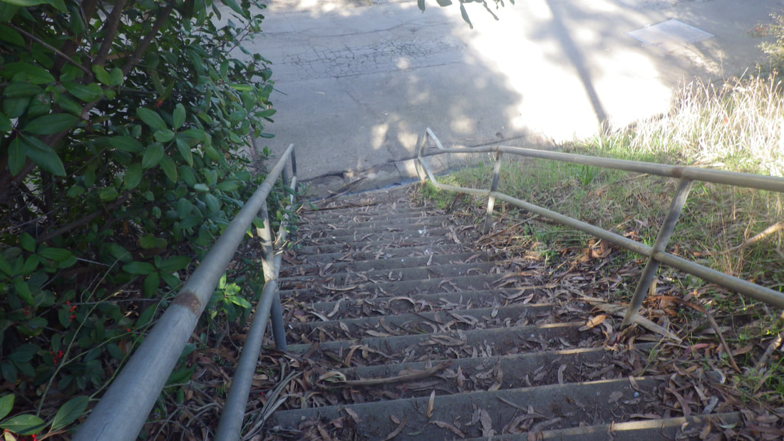
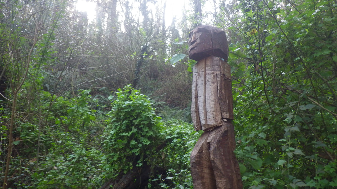
35 Billy;s foot at 30rh near Laidley


 RSS Feed
