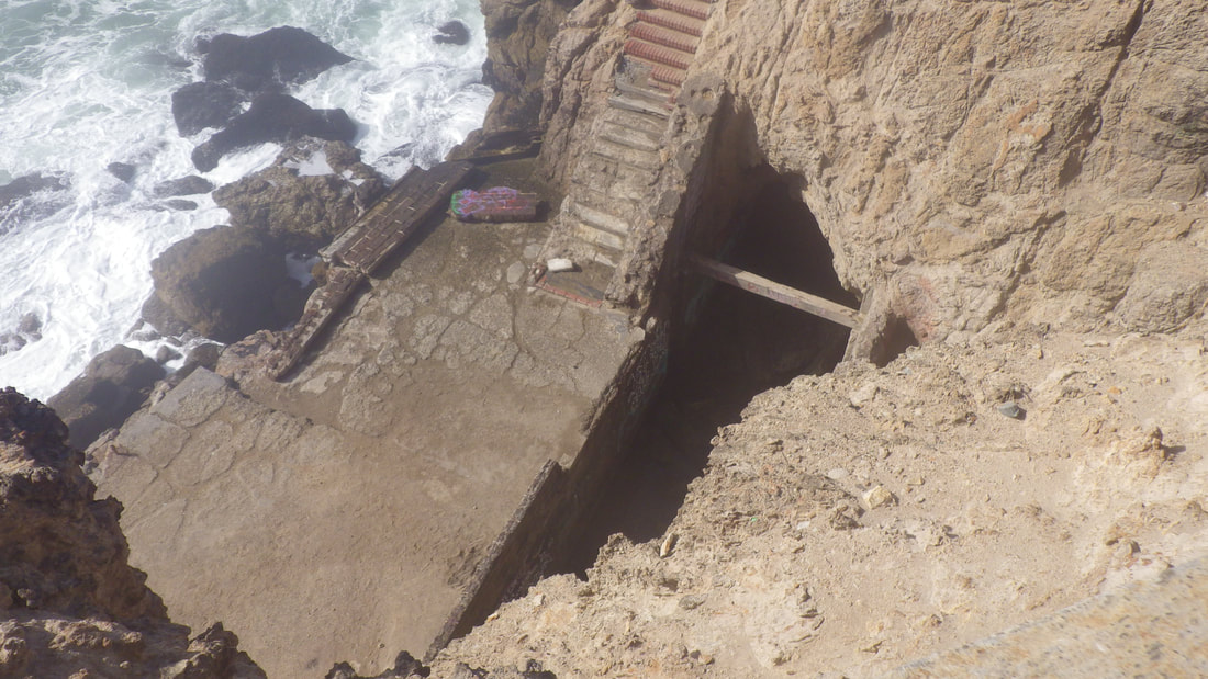
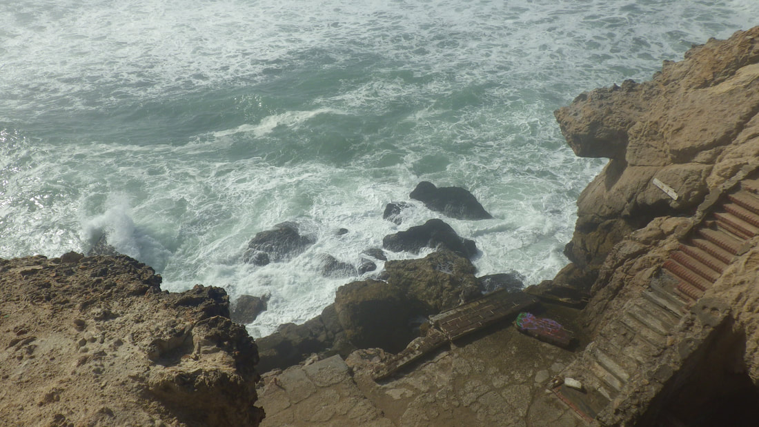
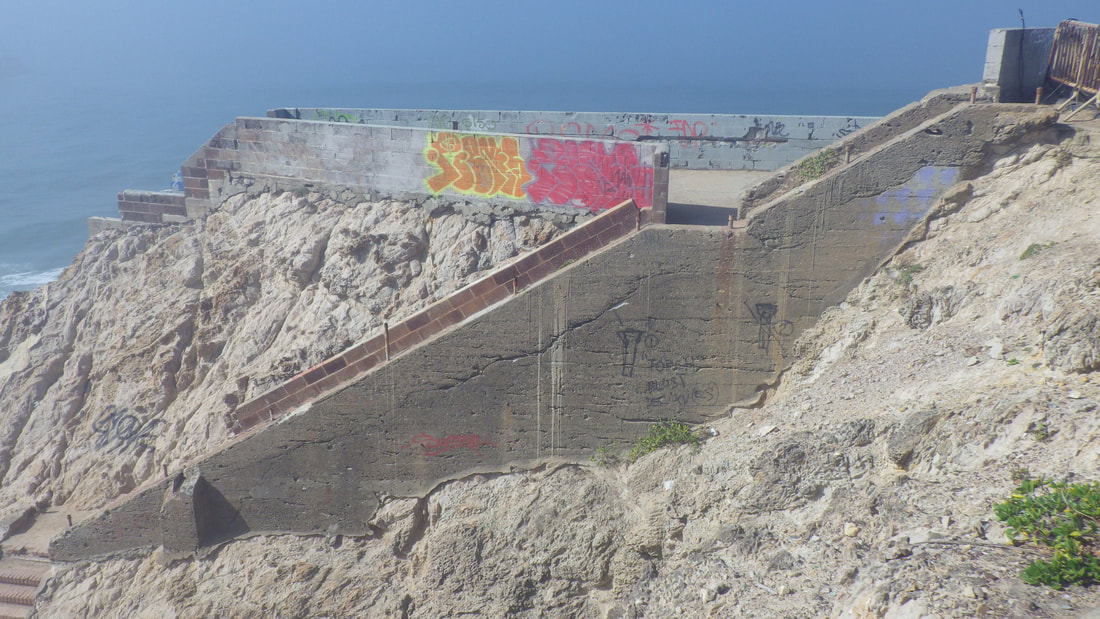
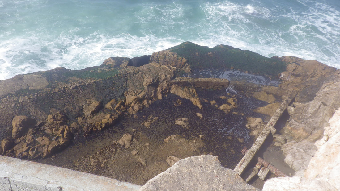
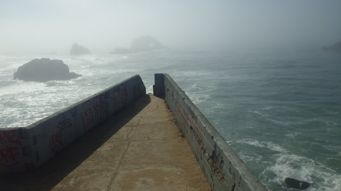
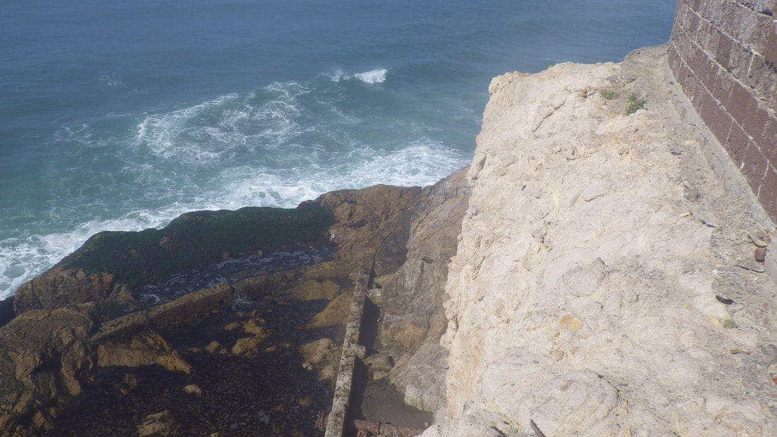
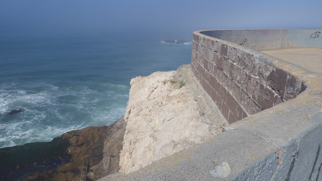
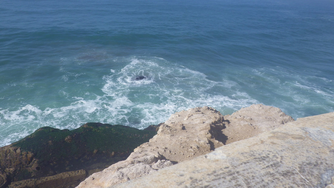
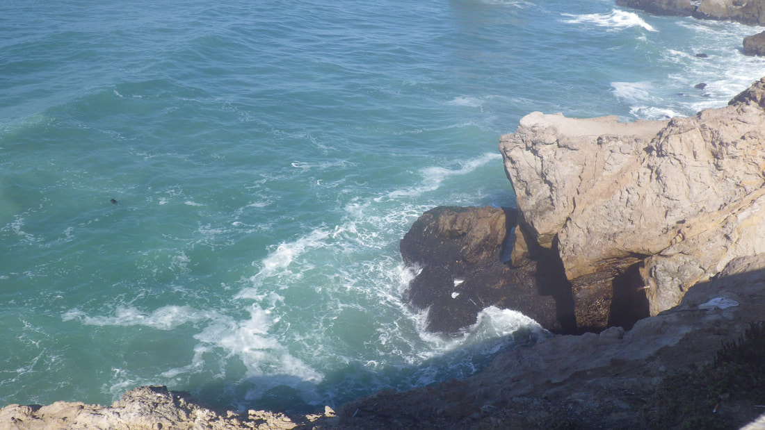
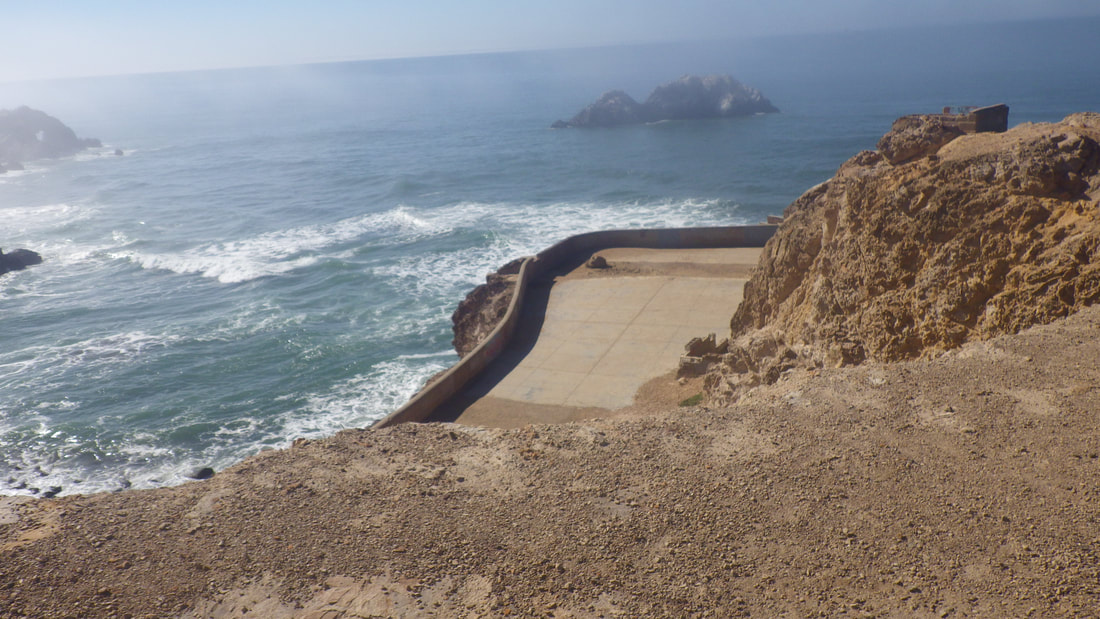
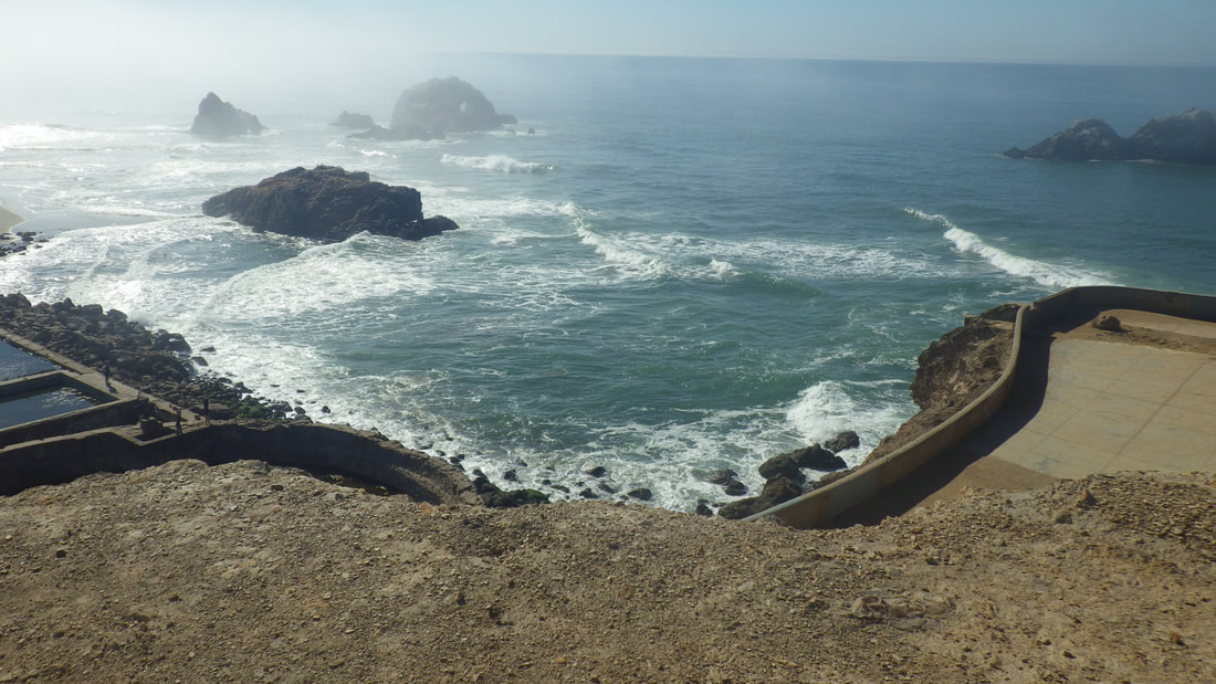
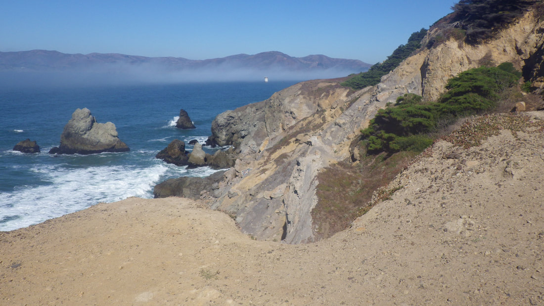
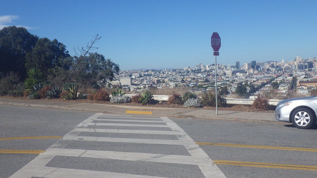
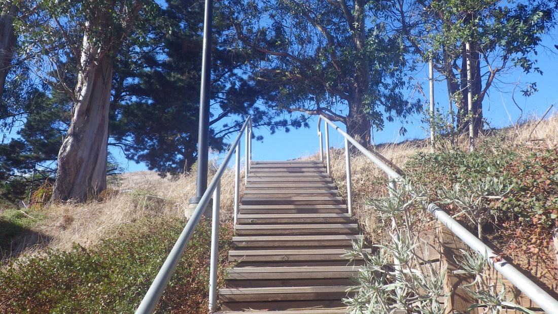
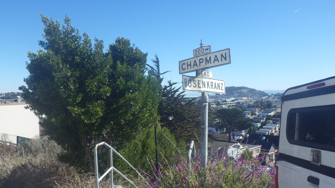
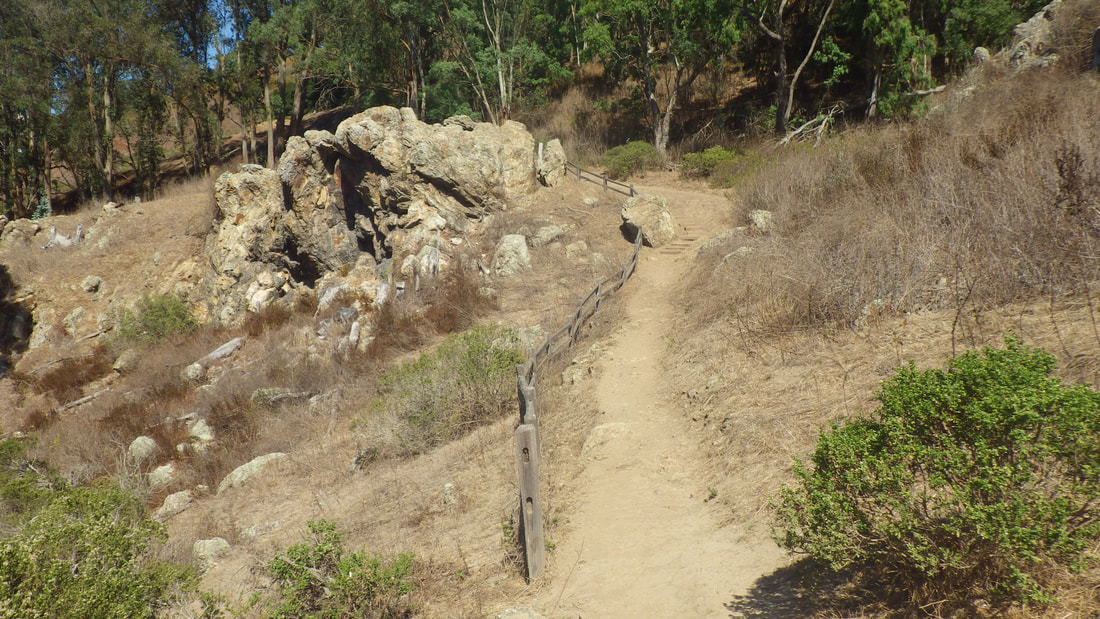
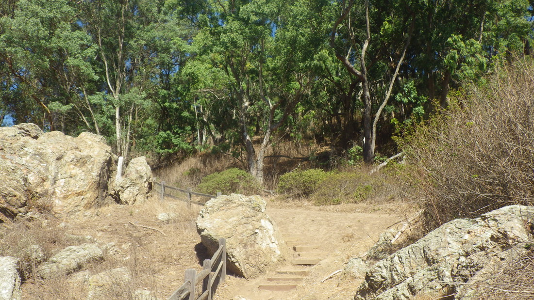
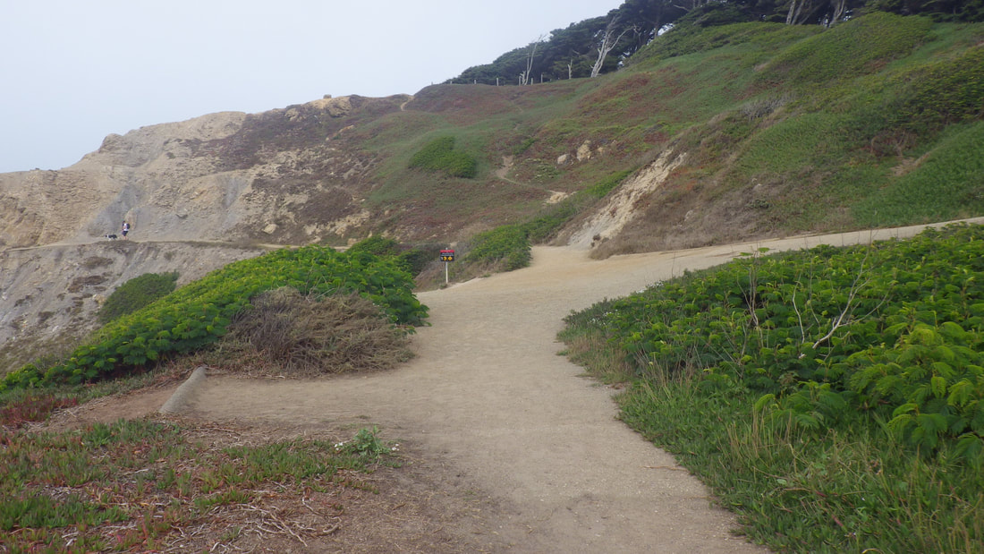
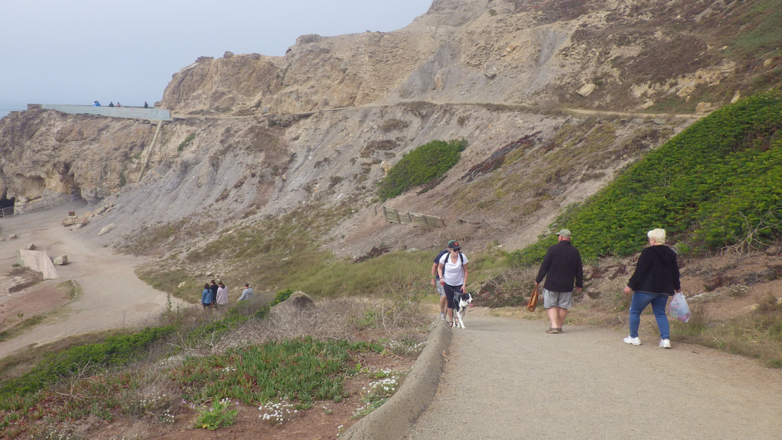
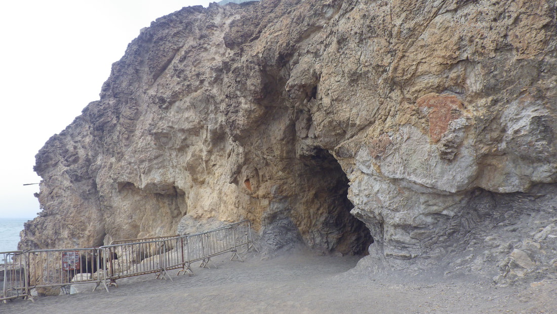
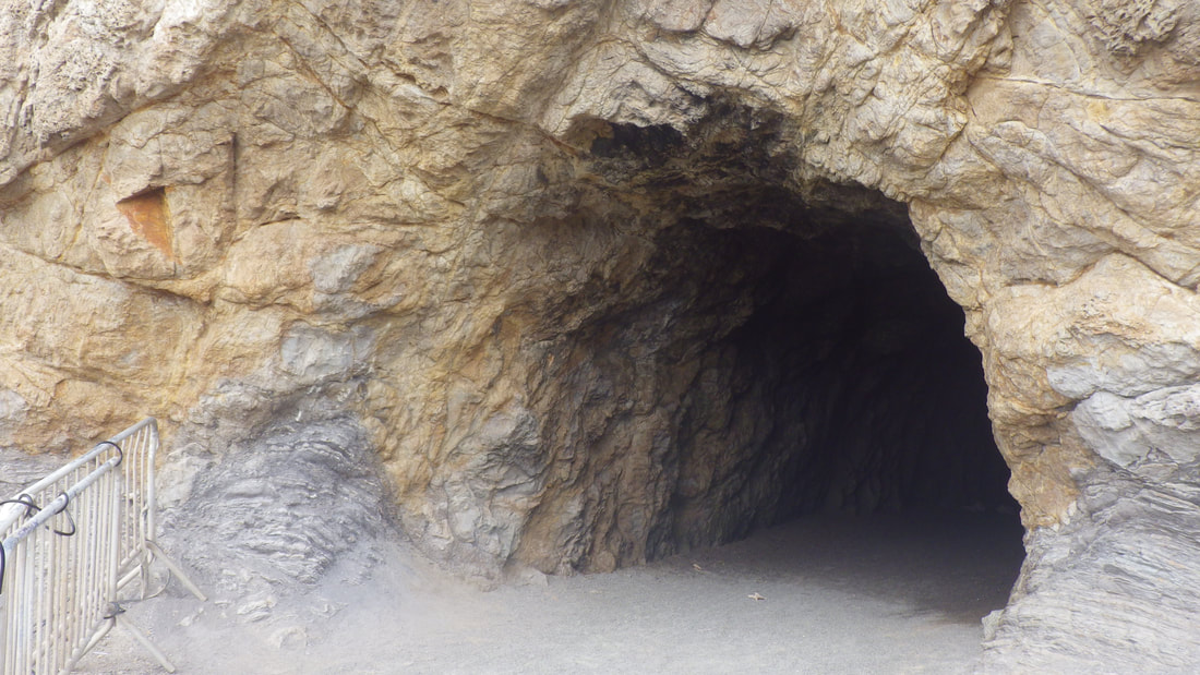
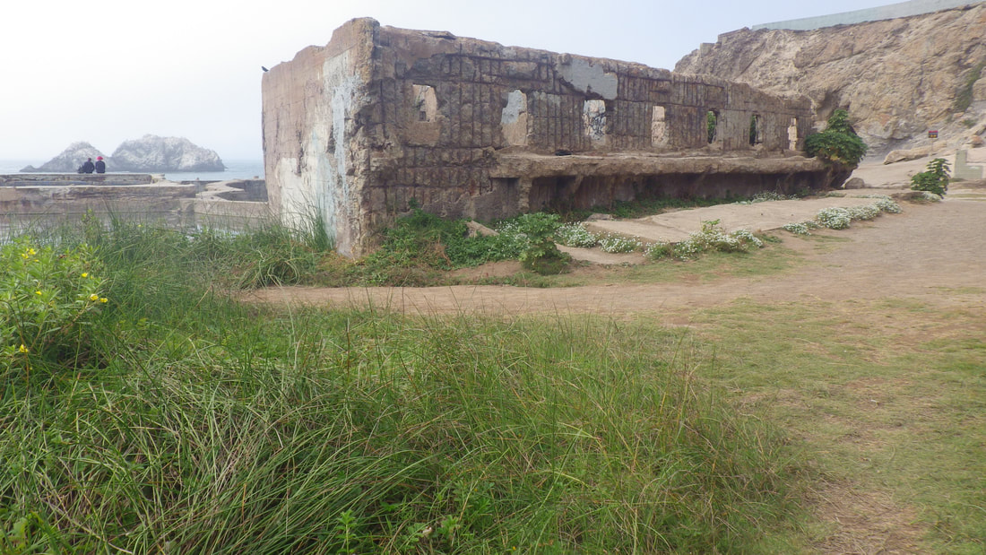
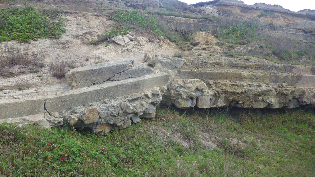
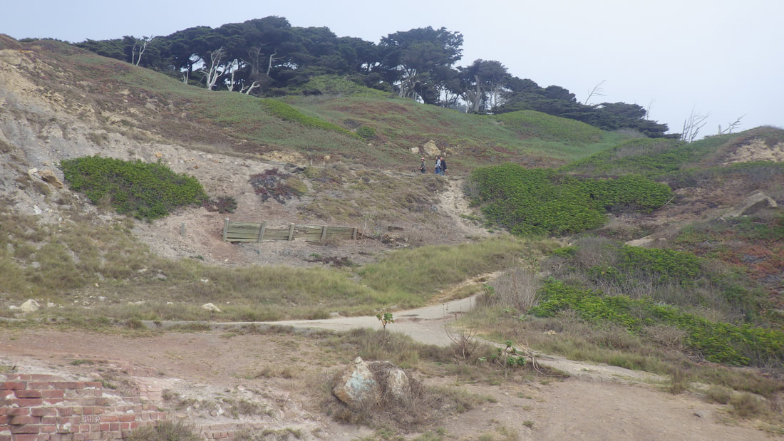
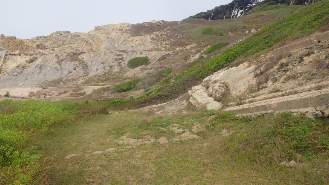
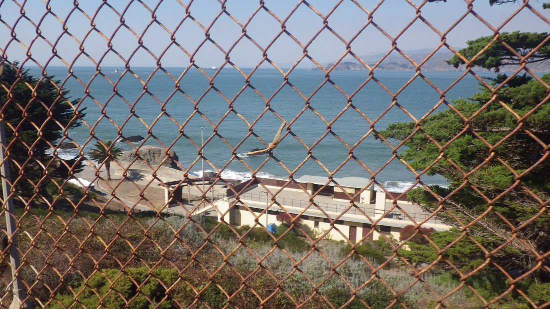
Another west Lands End hike, this time atop the cave instead of down below: 1 thru 13
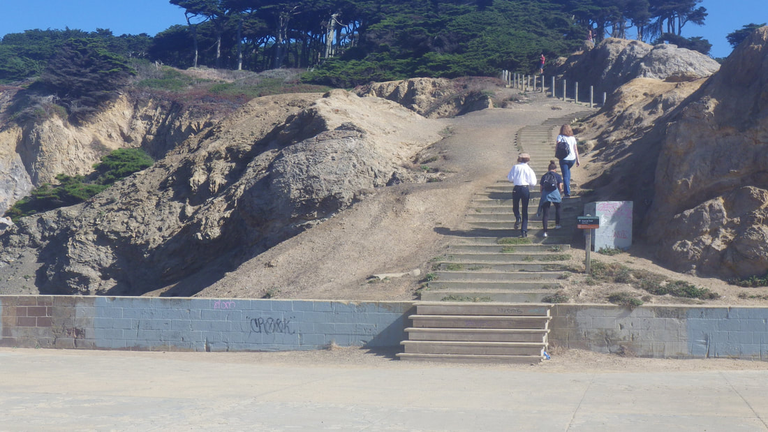
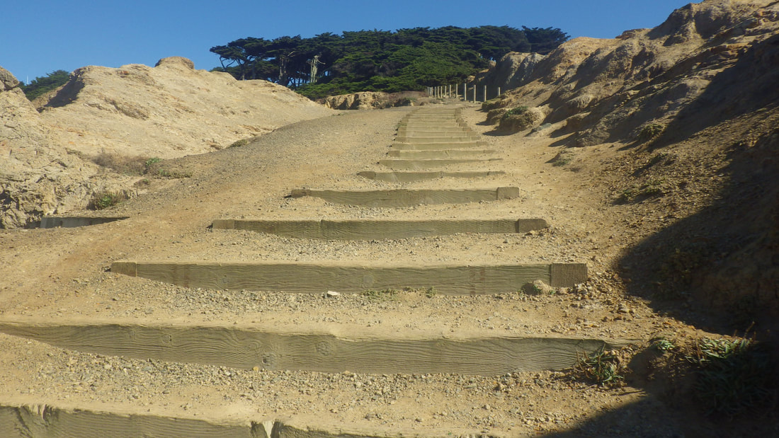
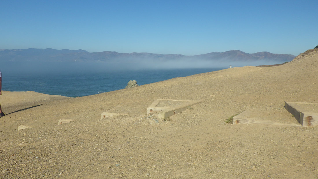
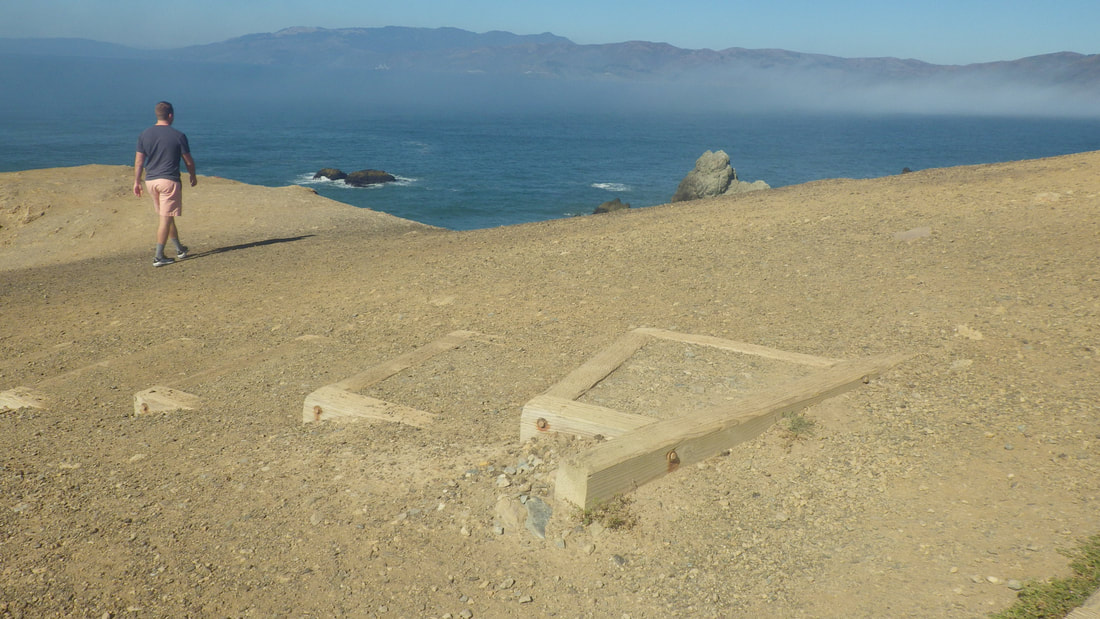
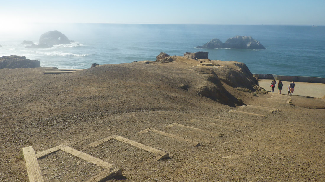
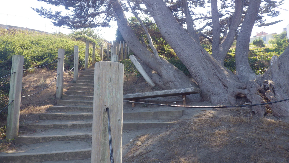
Up the Coastal Trail from its westernmost trailhead (142 steps): 14 thru 27
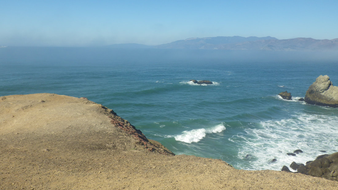
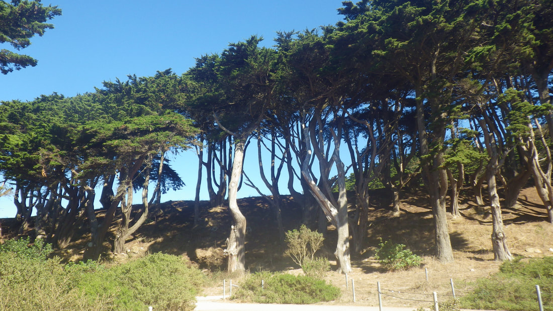
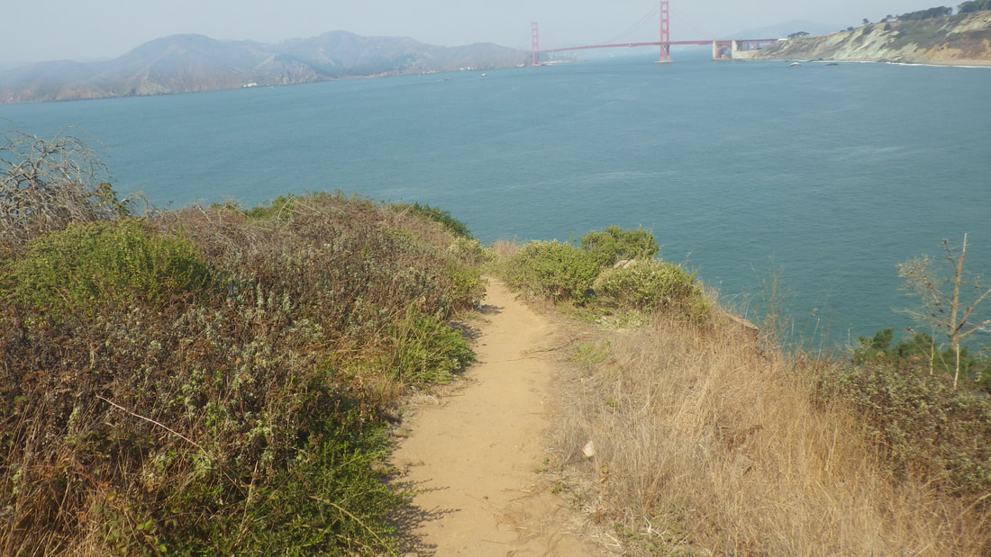
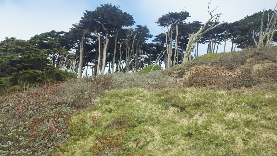
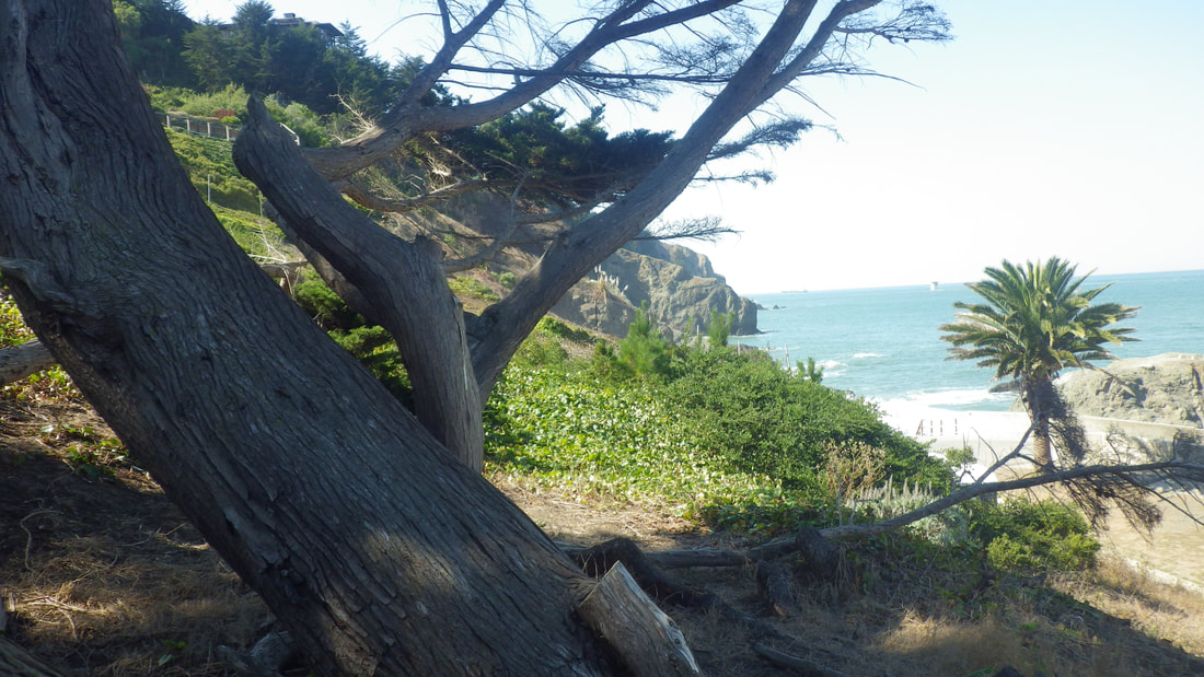
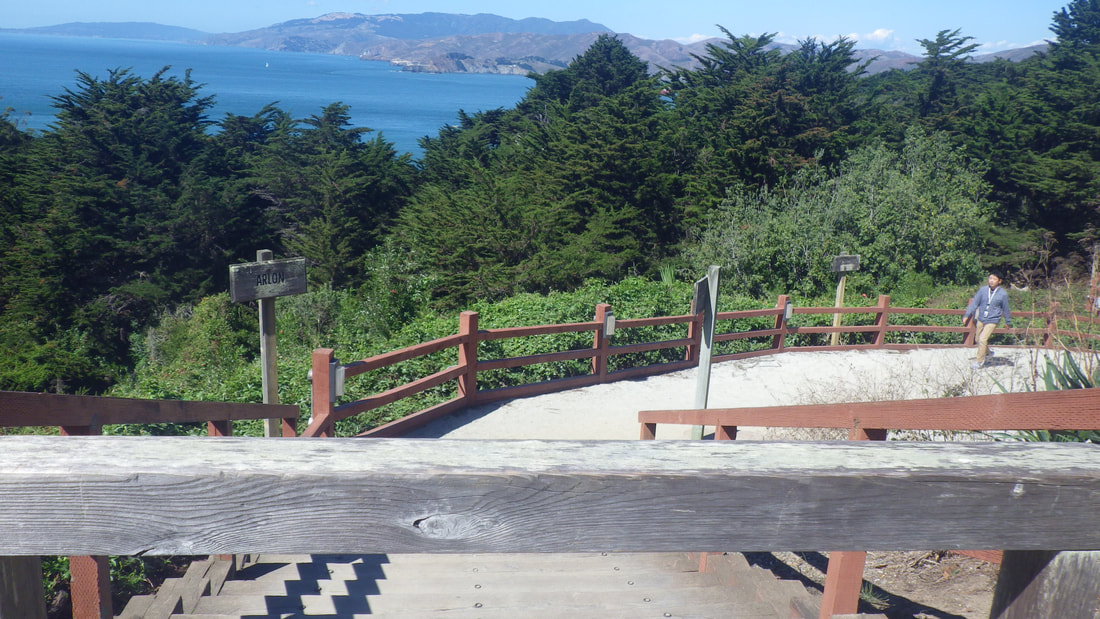
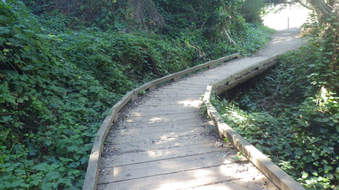
Heading east, Coastal Trail: 28
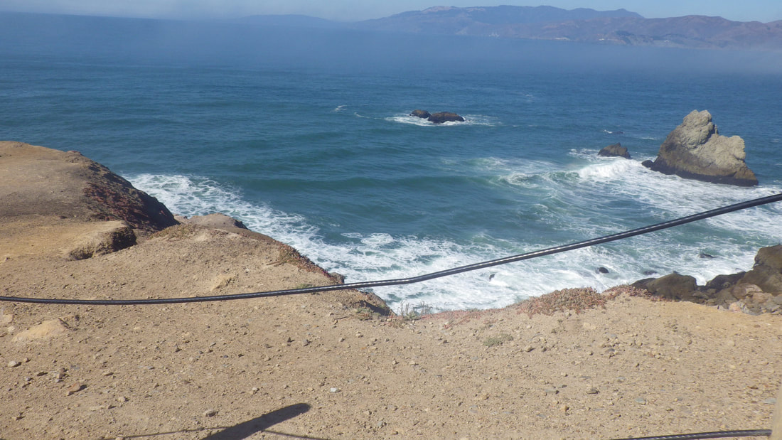
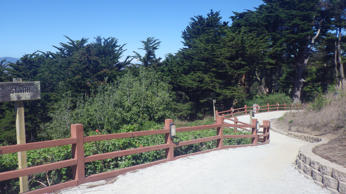
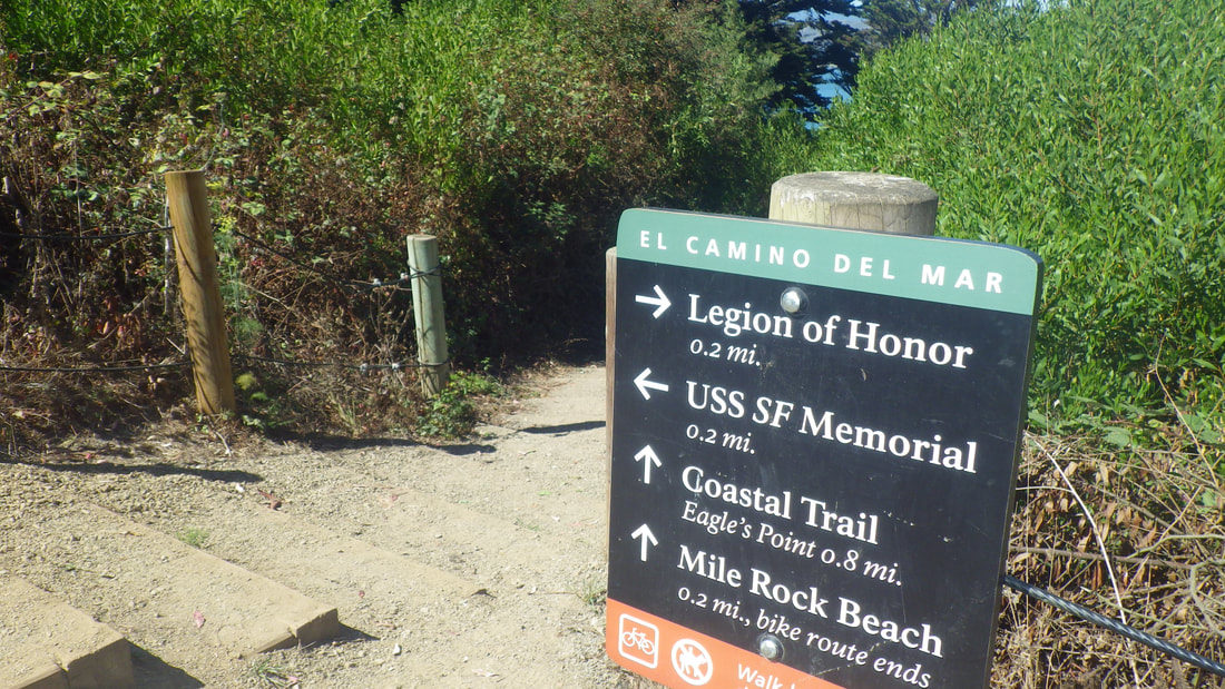
Just past the second Coastal Trail overlook, a trail up to the El Camino del Mar Trail: 29
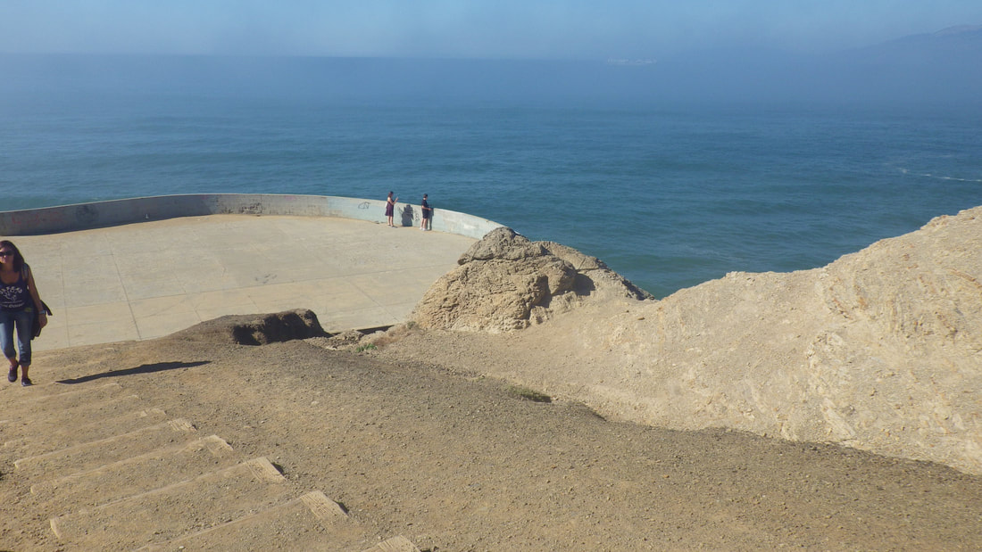
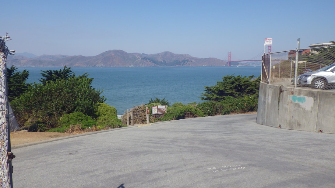
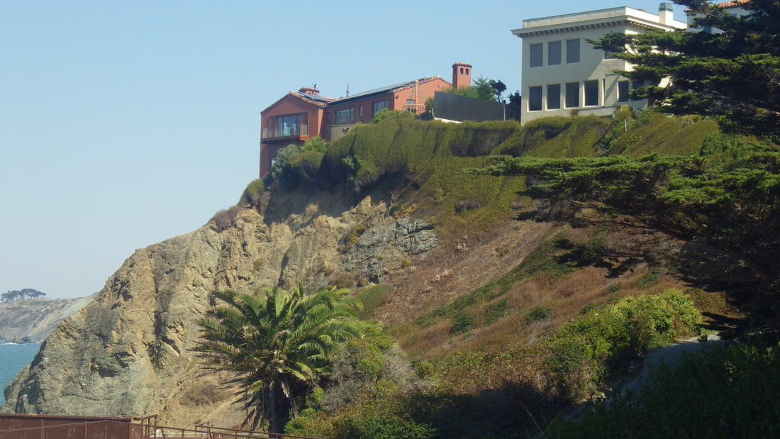
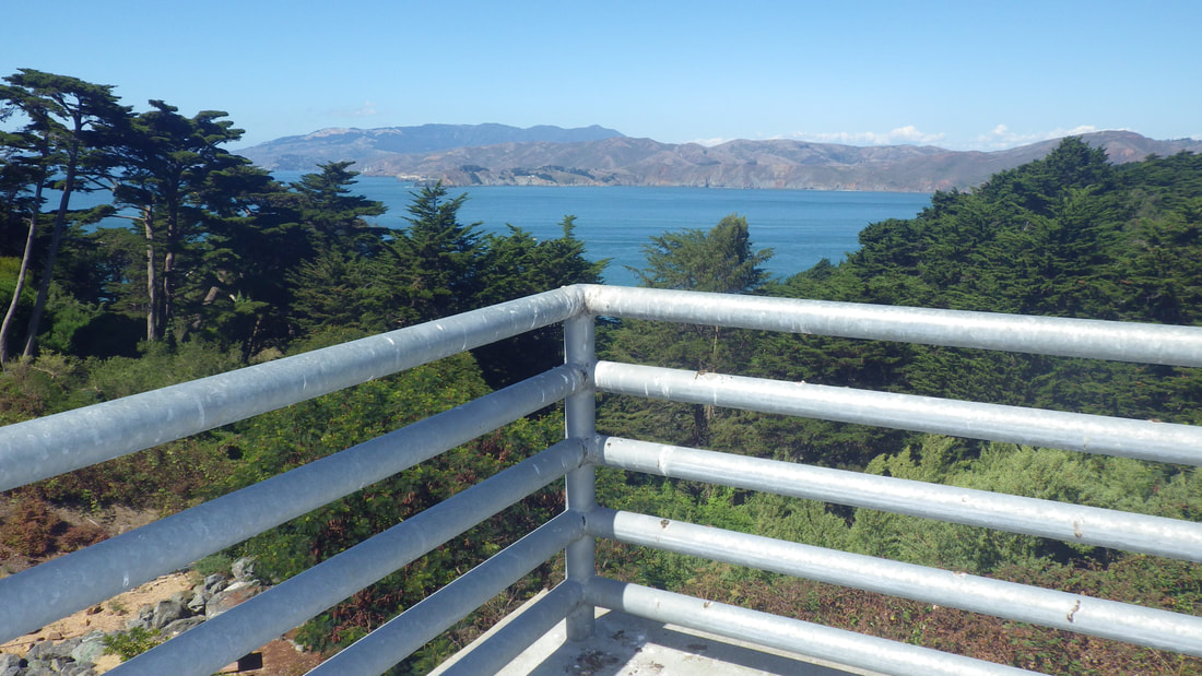
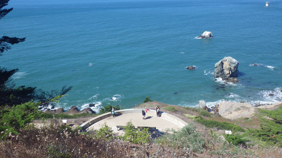
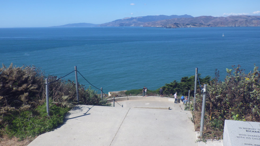
Out to the upper parking lot overlook: 30, 31, 32
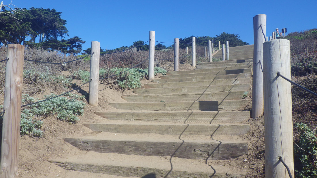
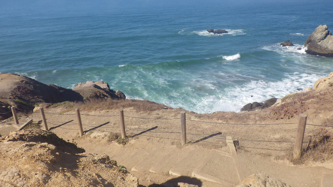
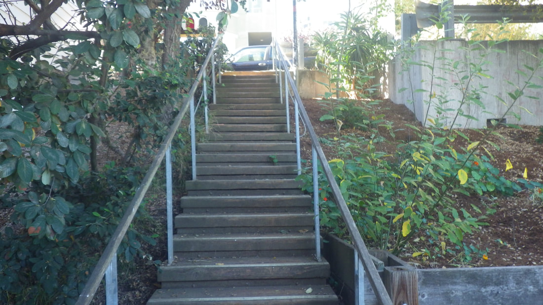
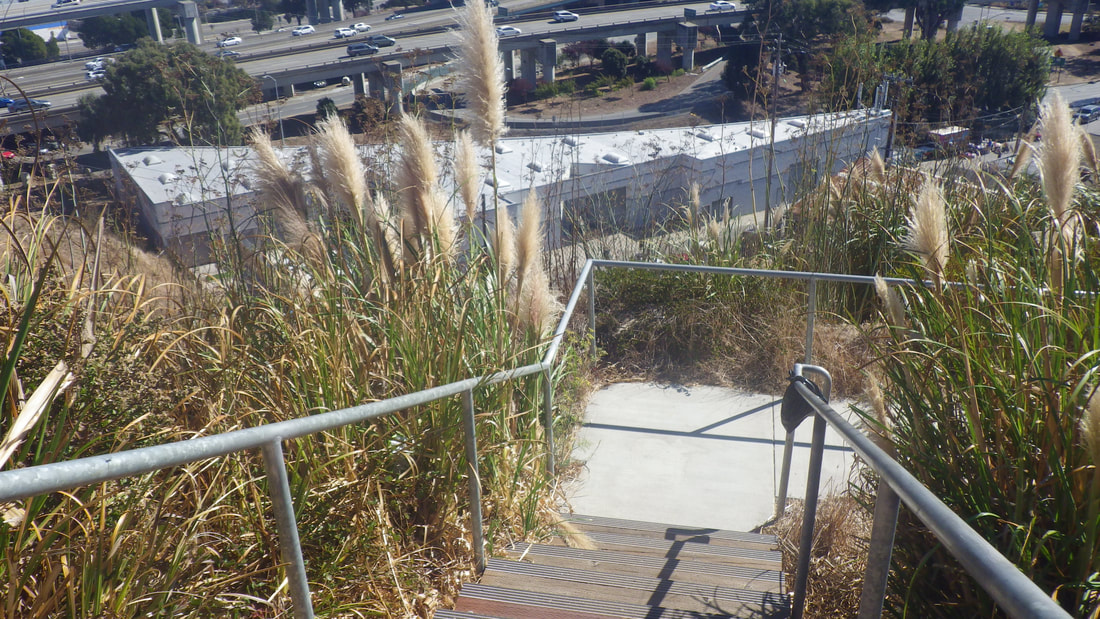
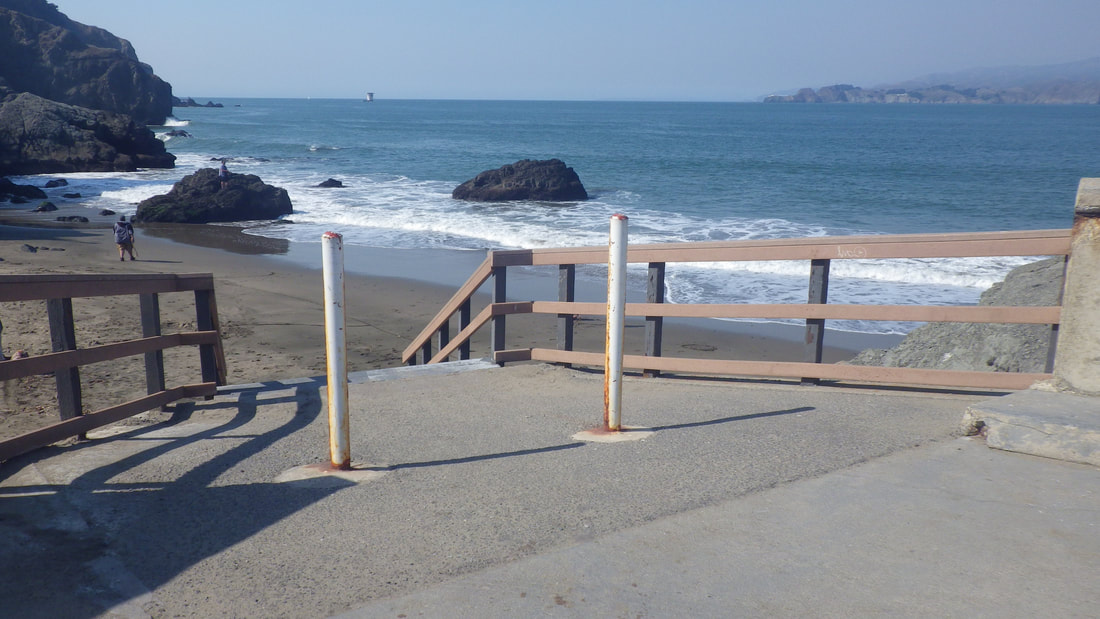
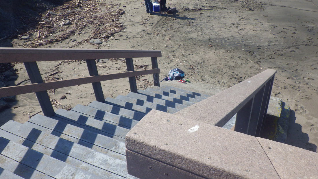
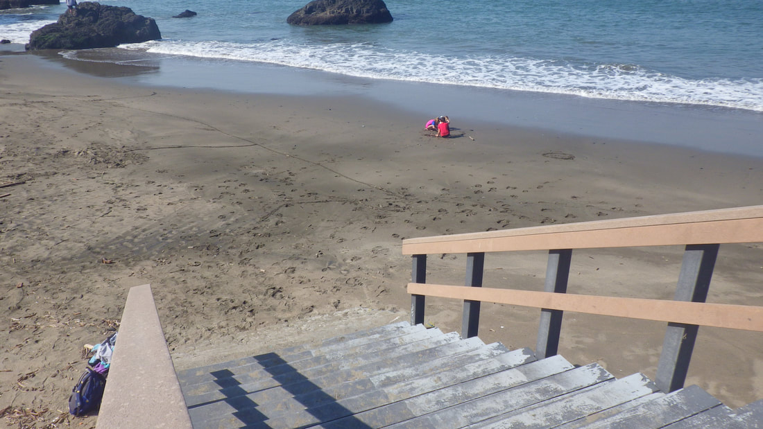
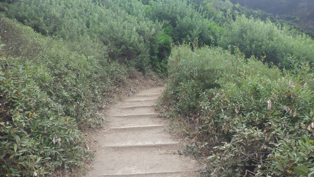
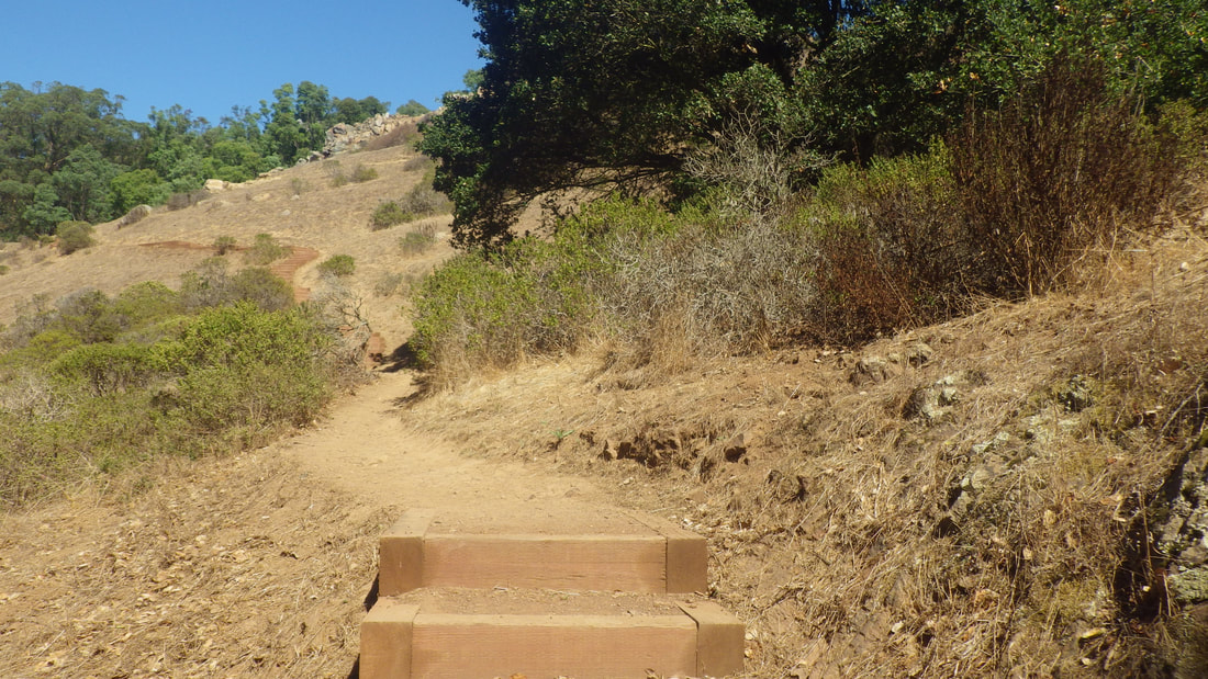
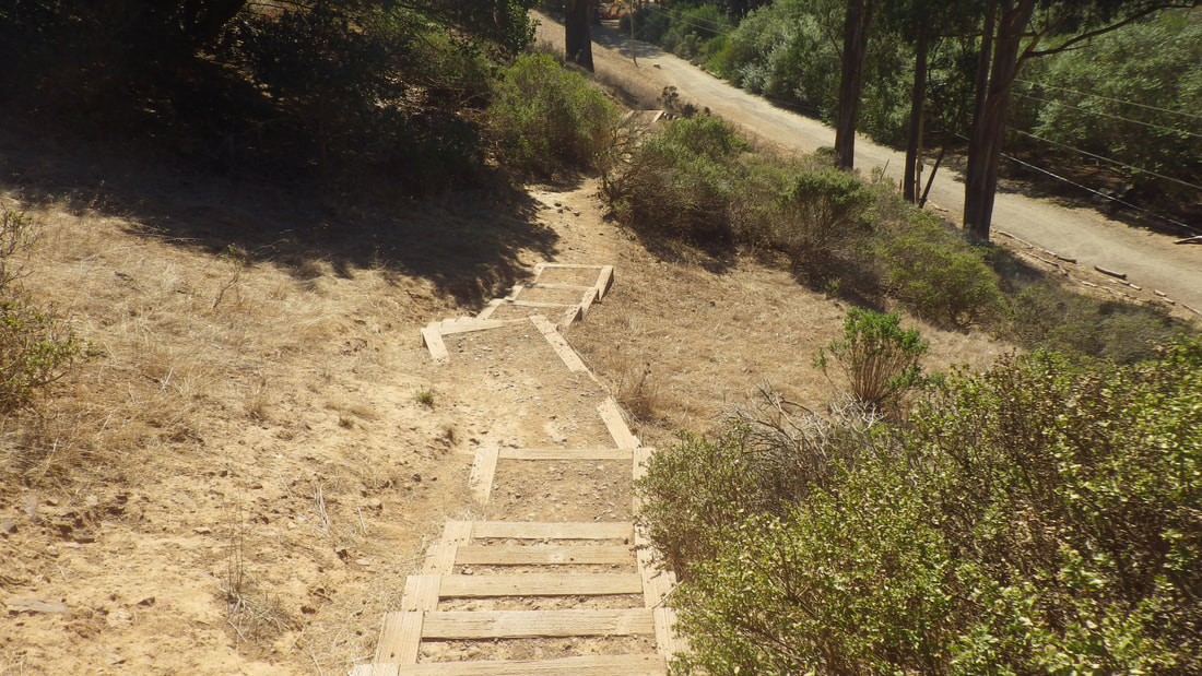
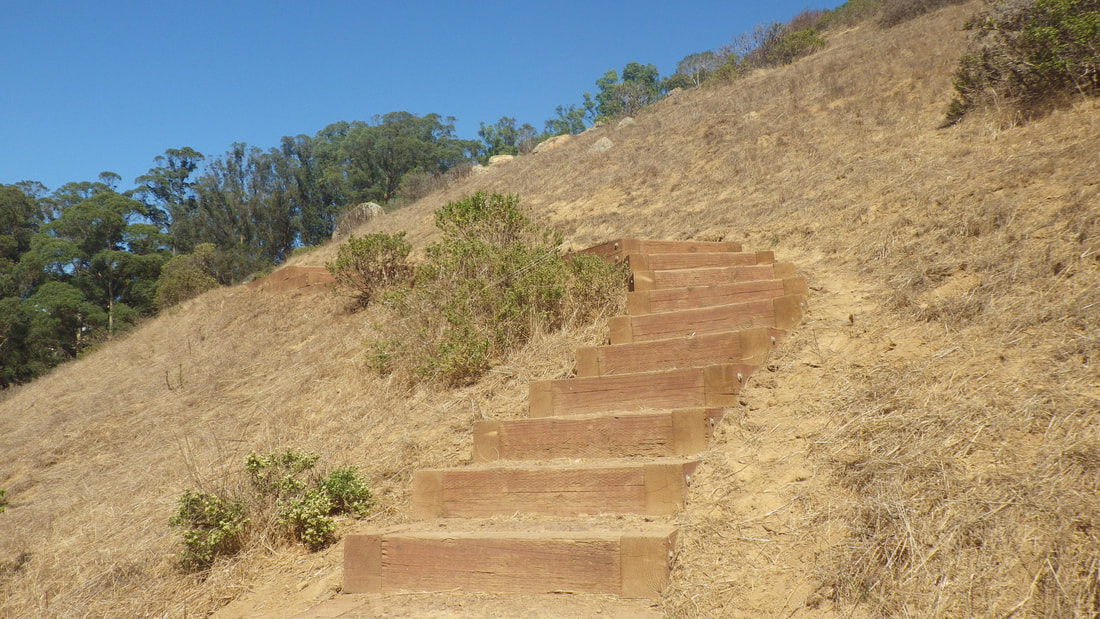
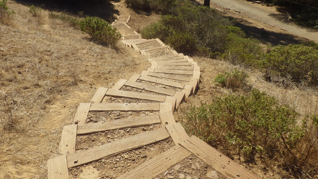
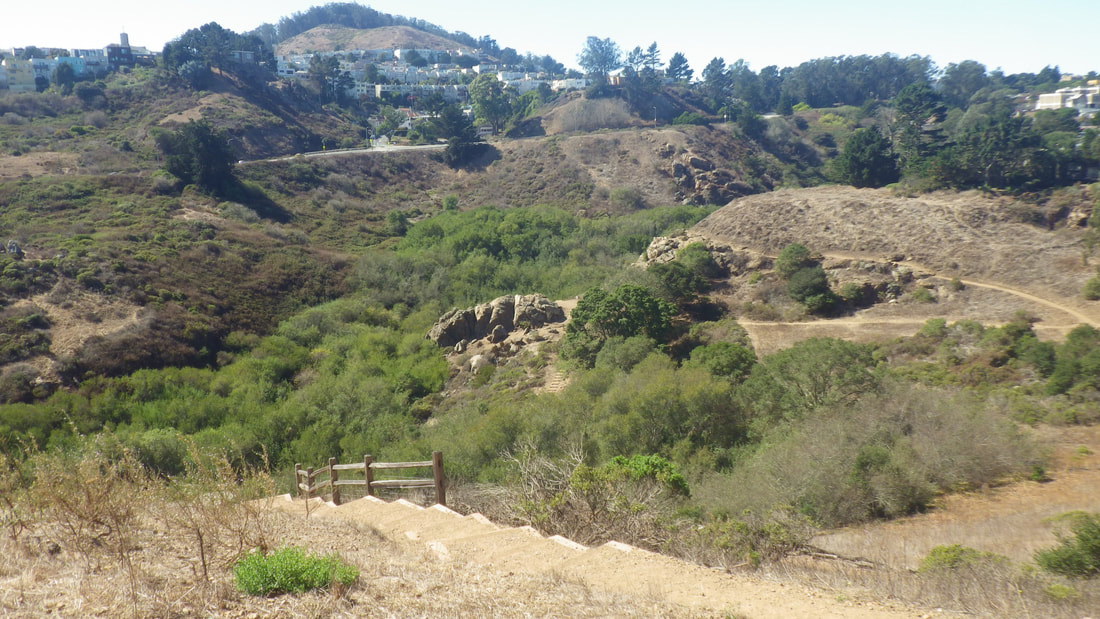
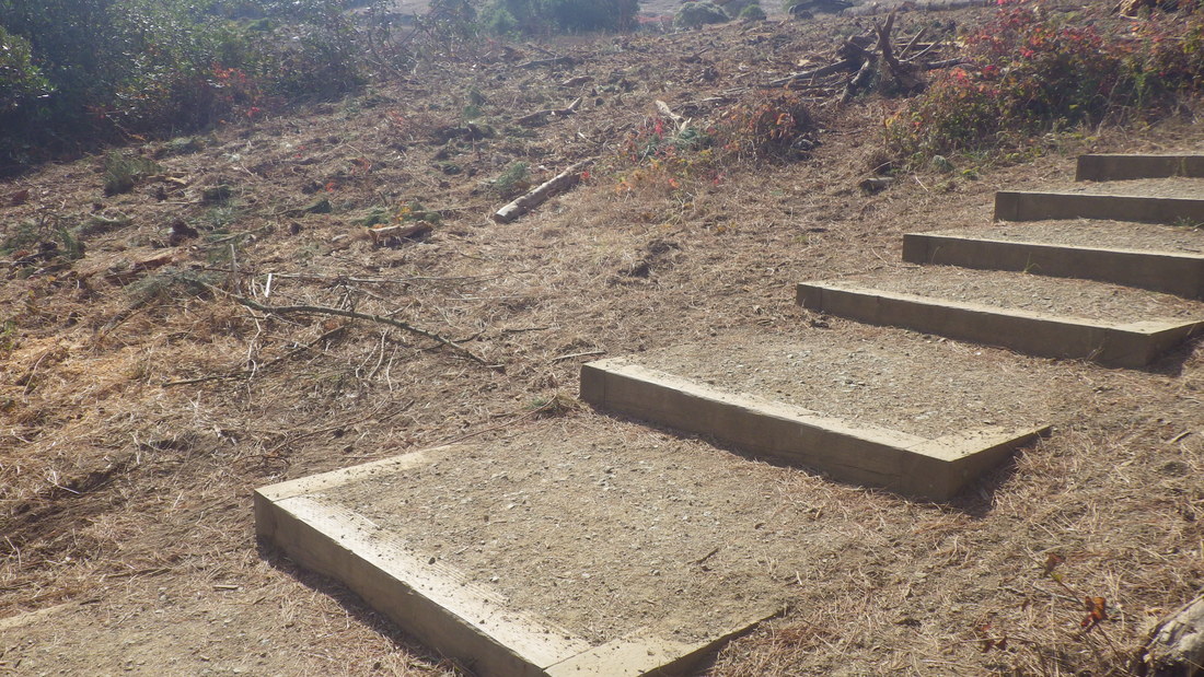
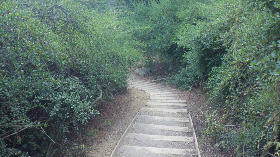
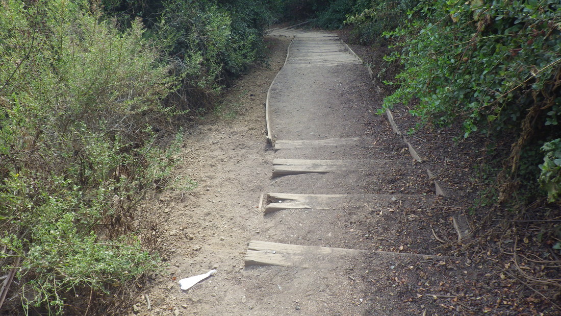
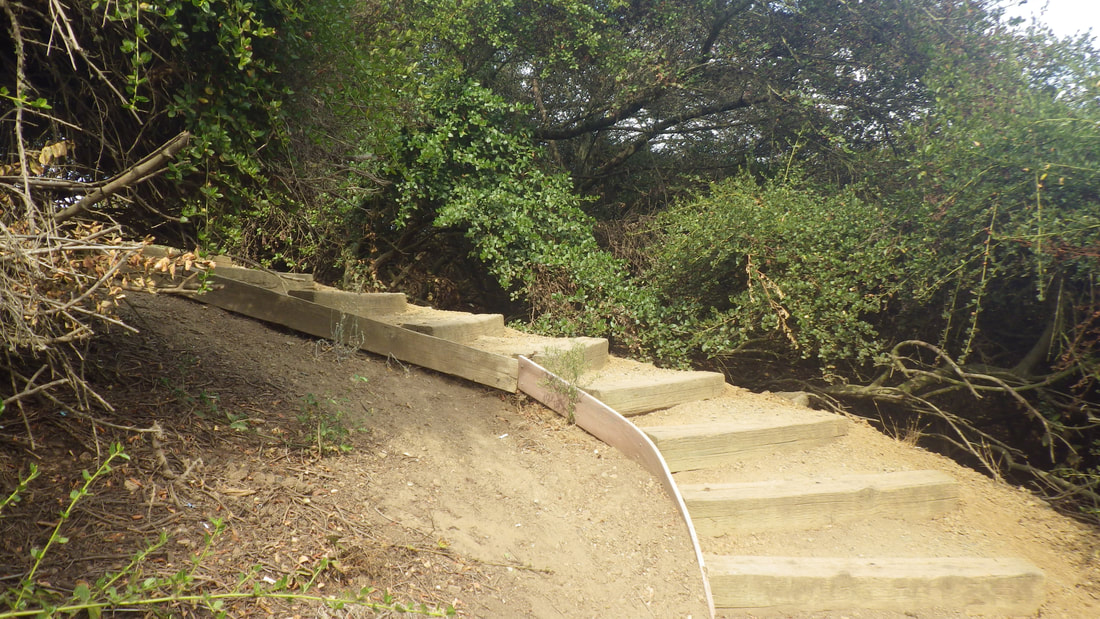
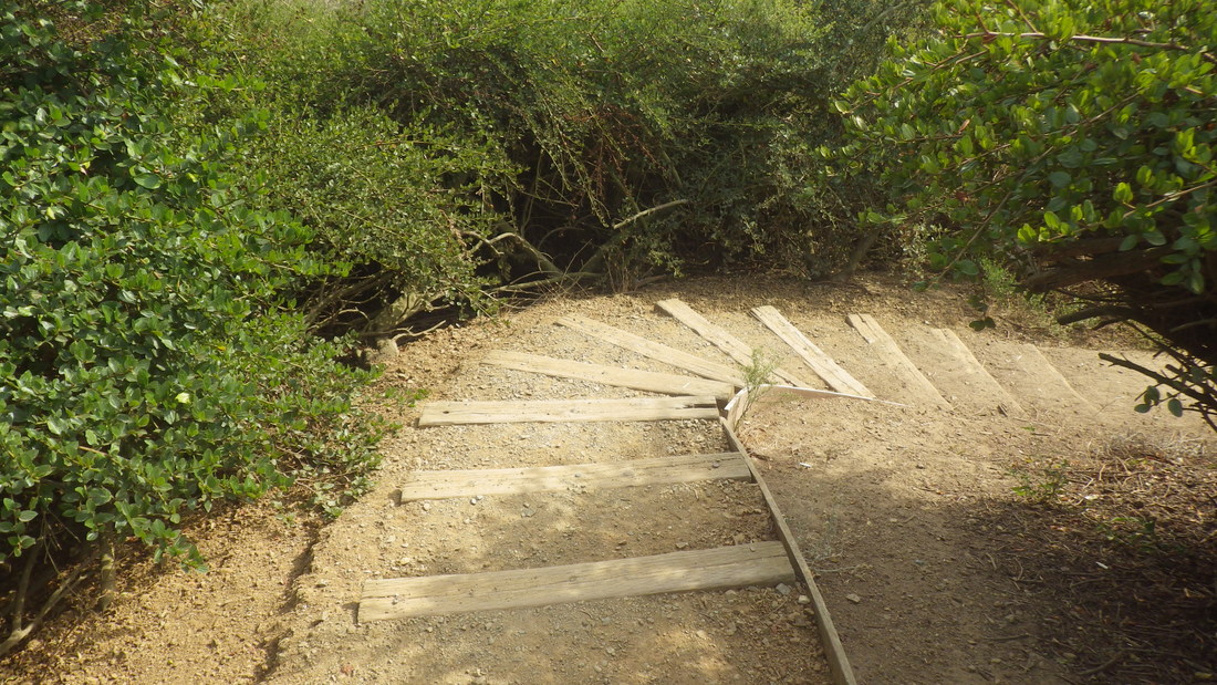
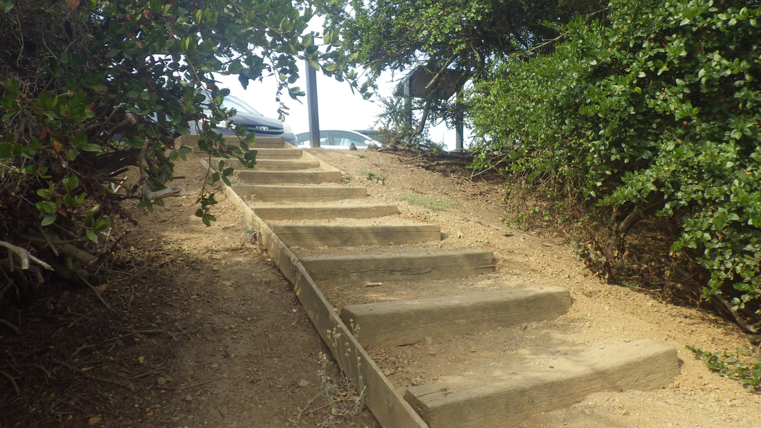
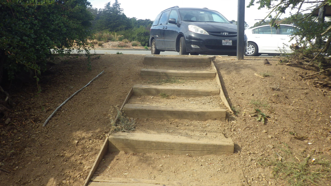
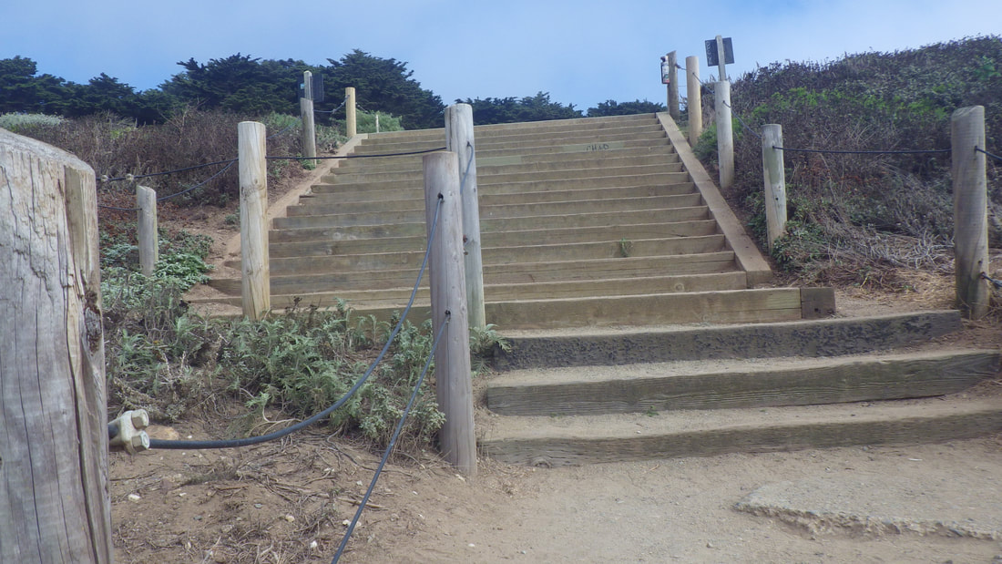
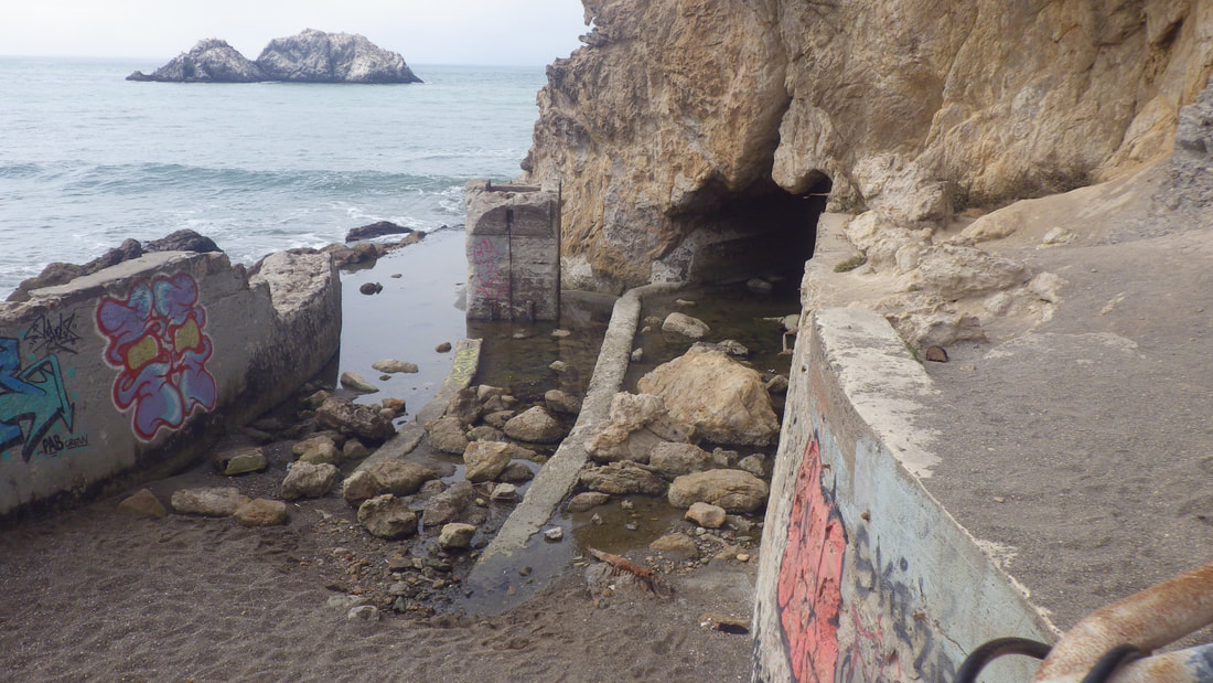
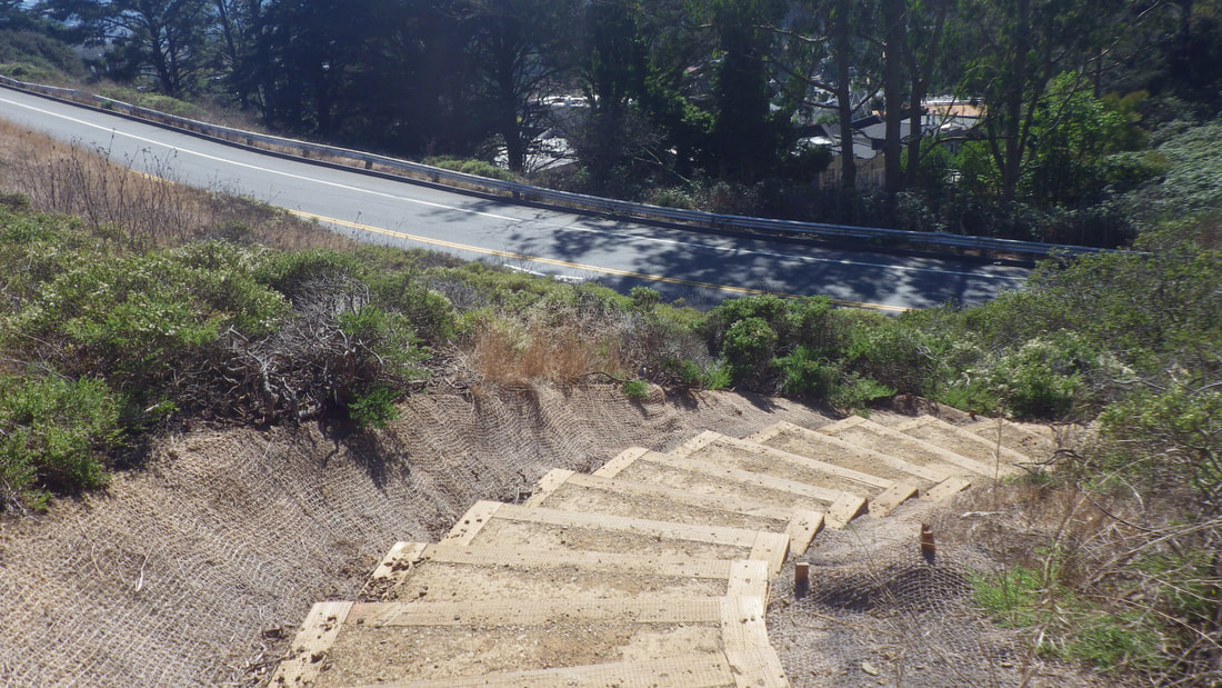
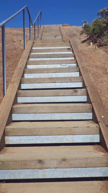
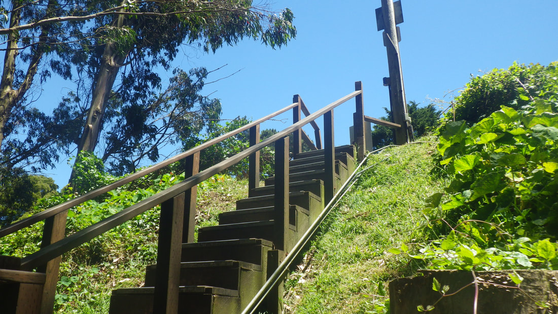
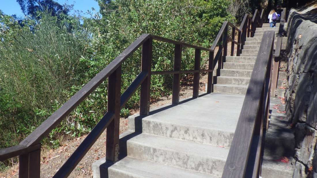
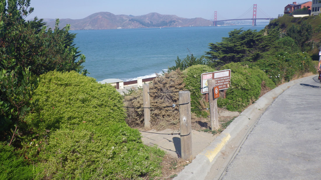
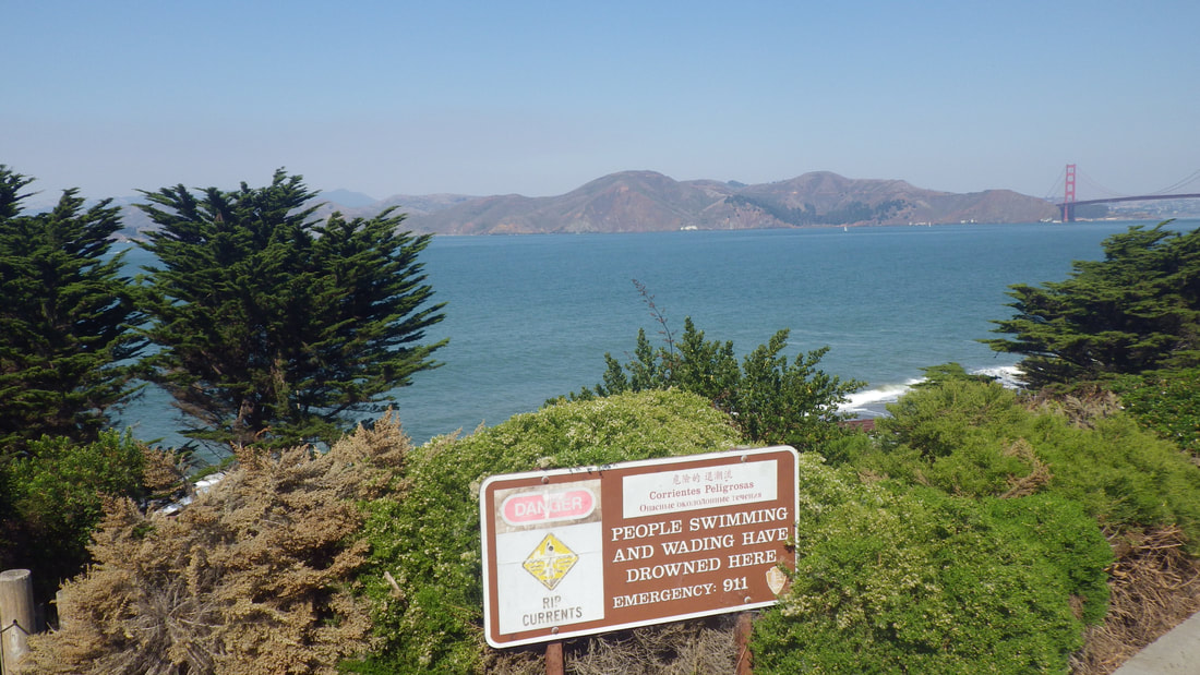
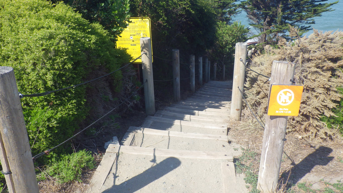
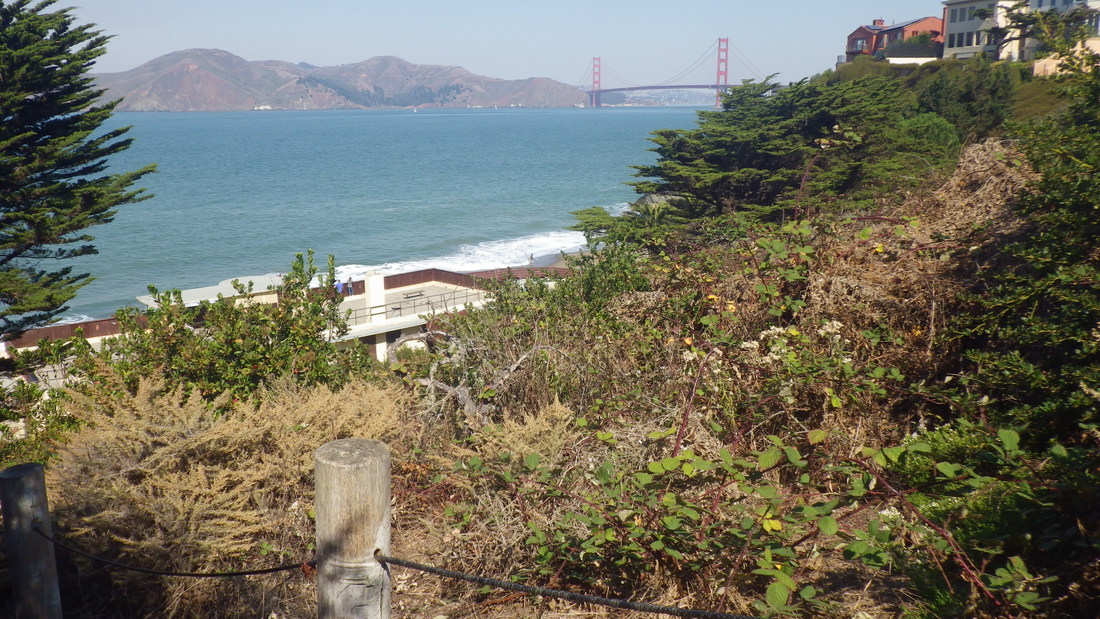
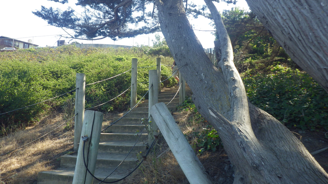
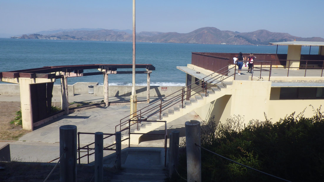
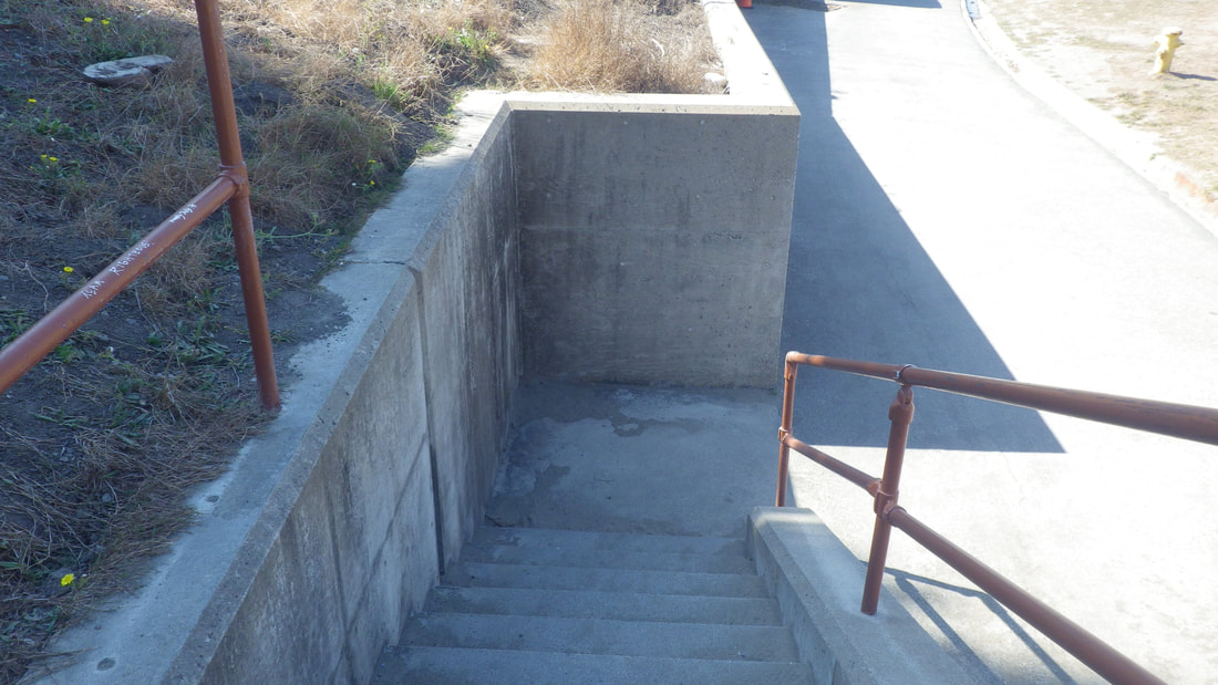
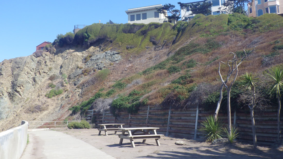
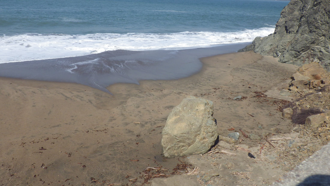
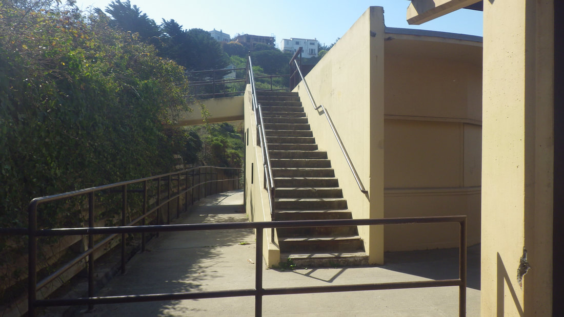
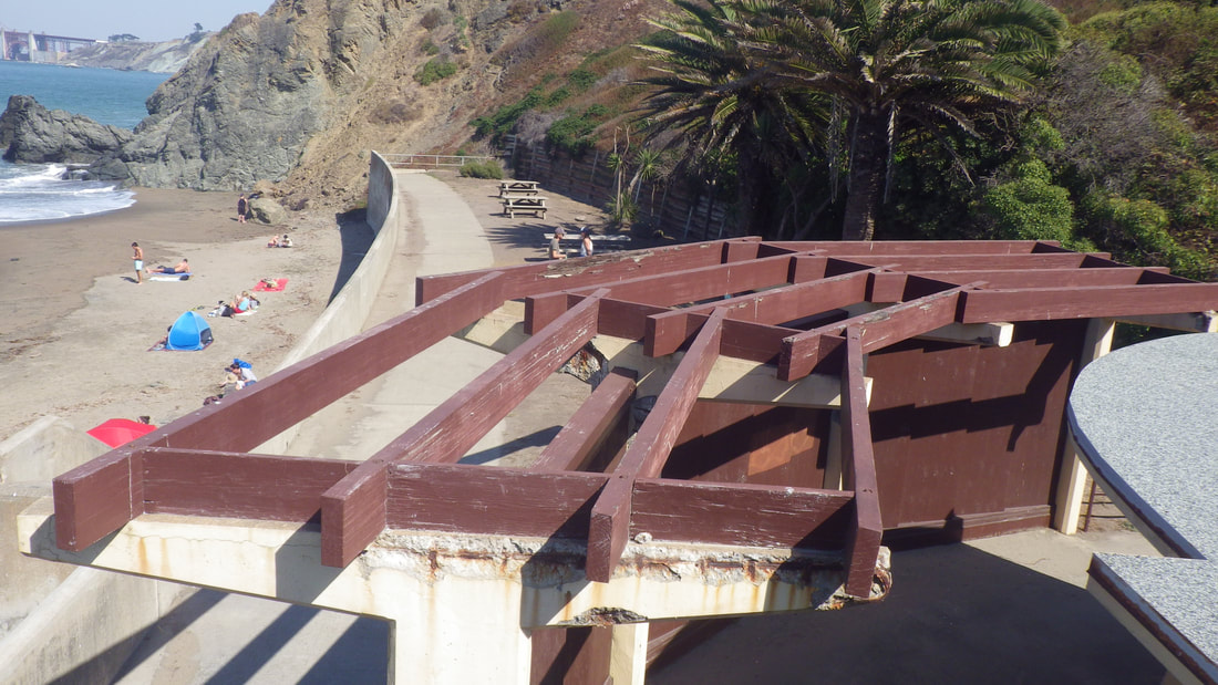
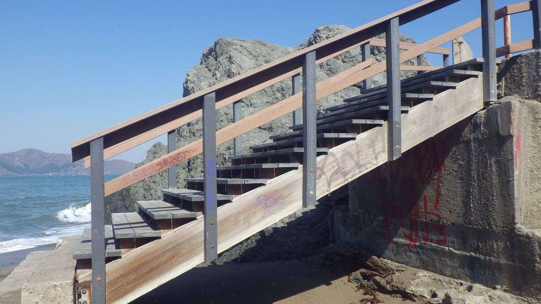
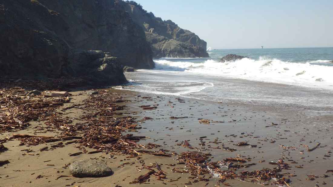
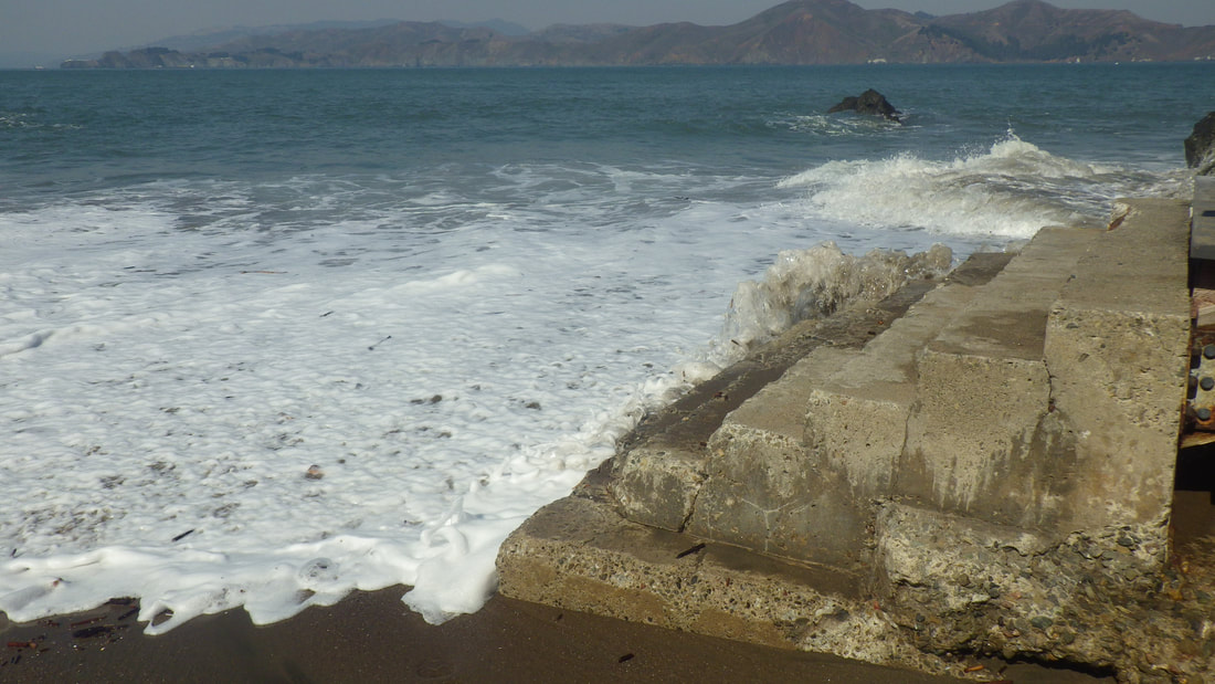
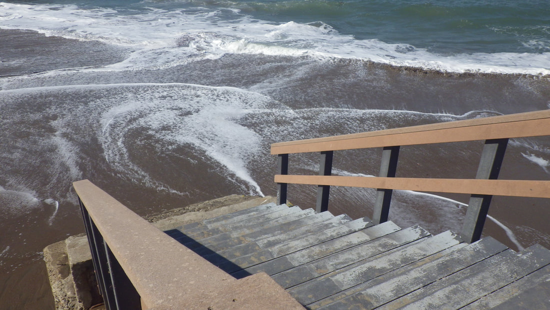
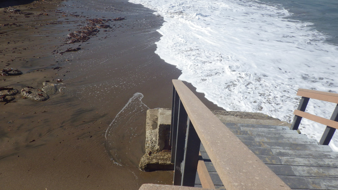
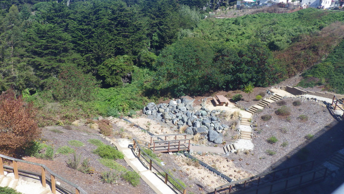
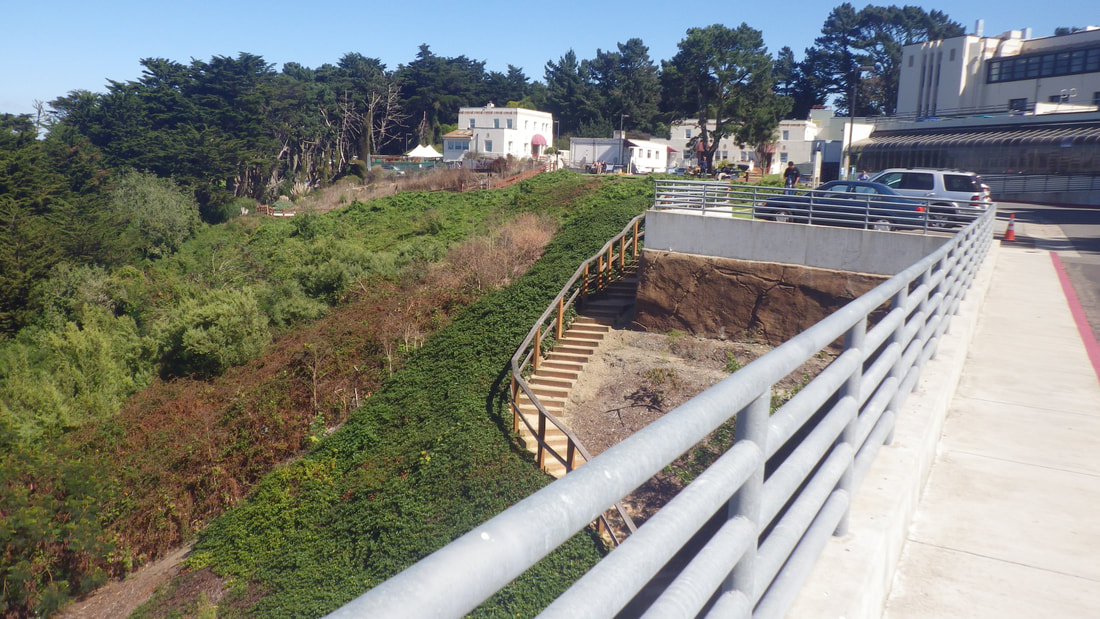
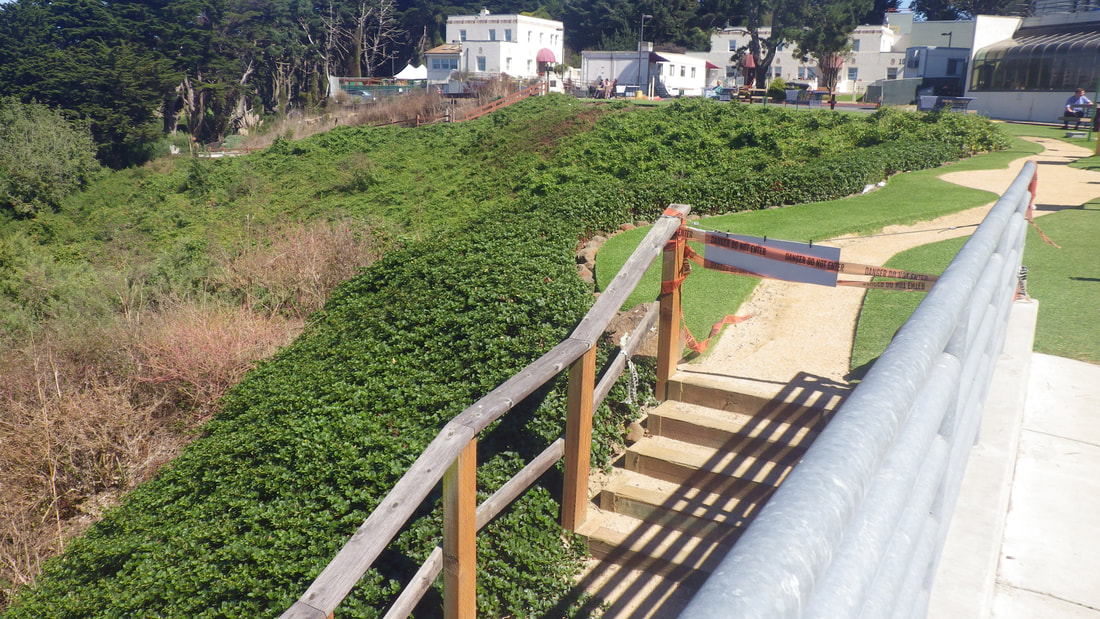
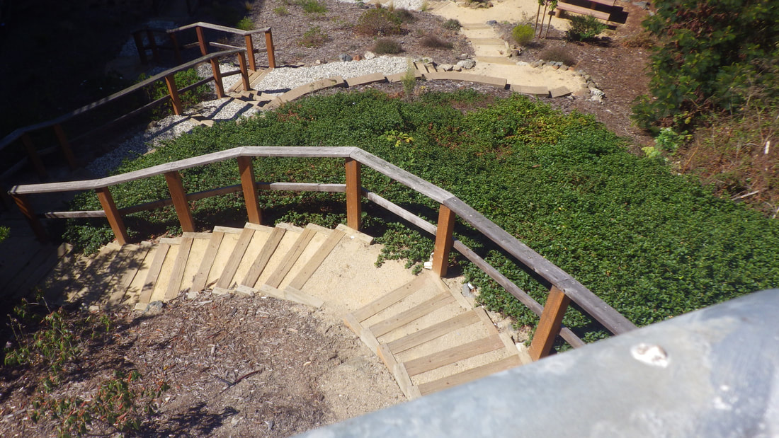
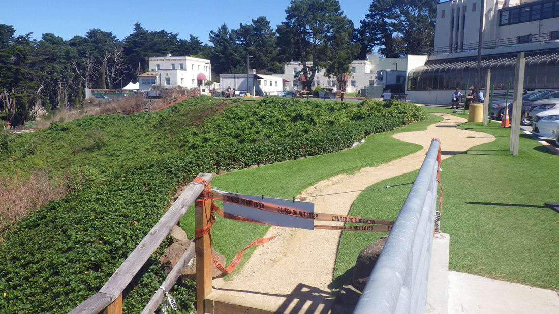
1 125 steps down from the lower parking lot
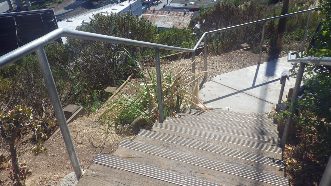
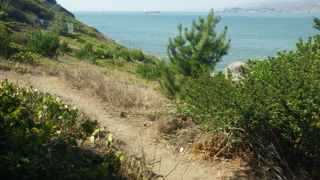
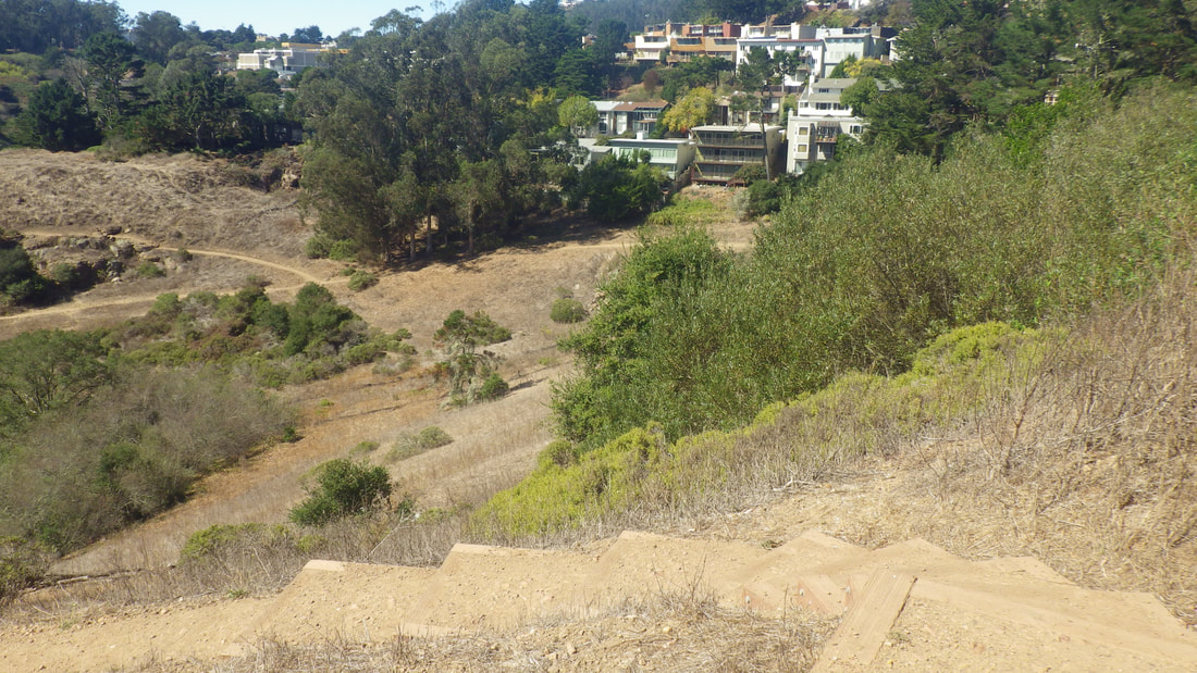
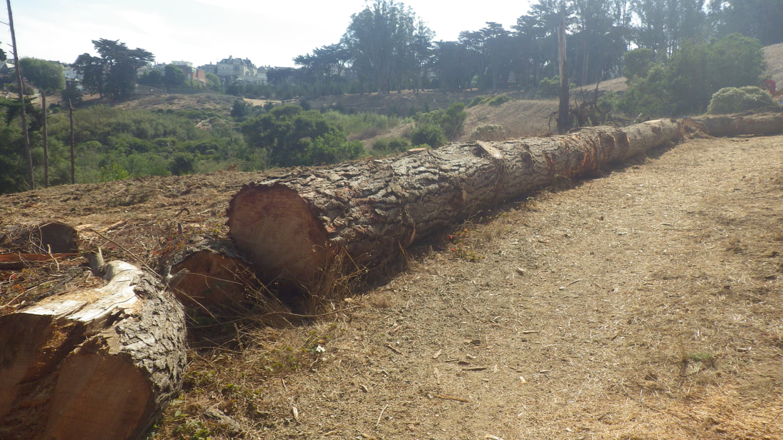
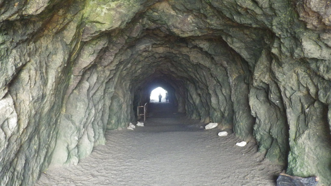
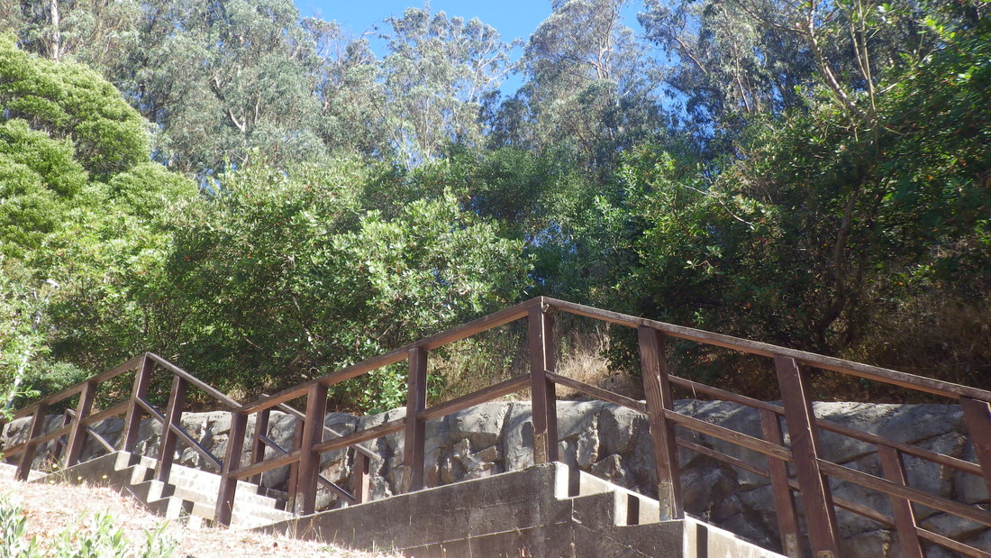
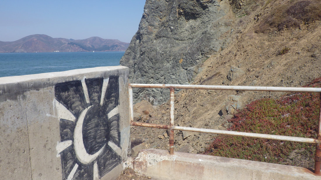
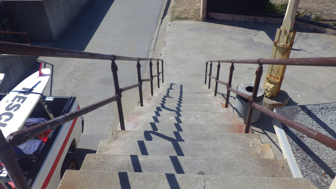
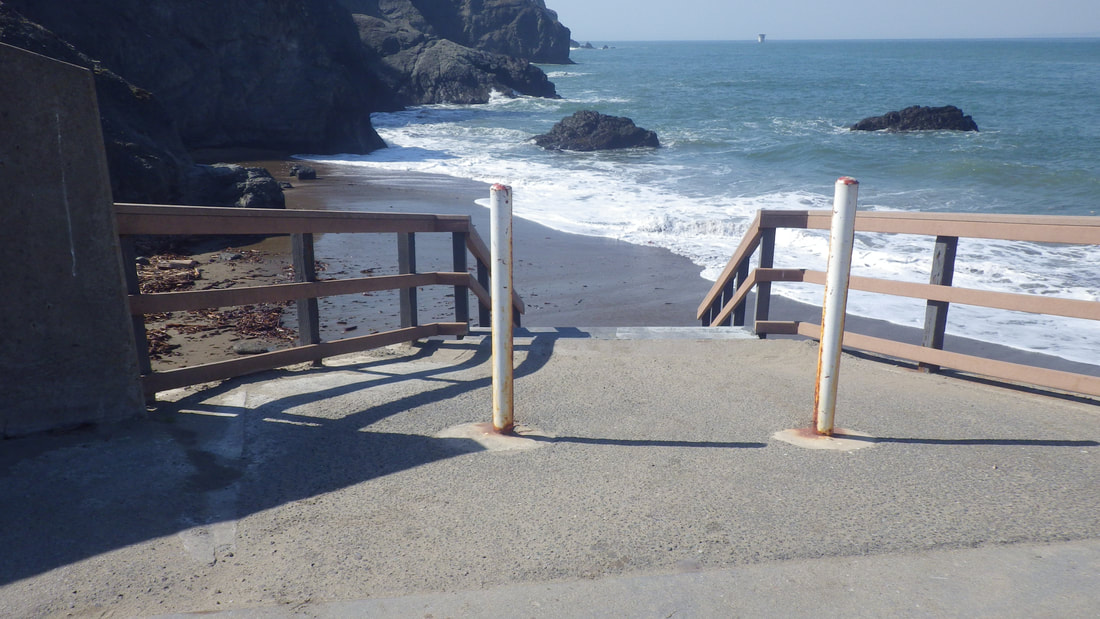
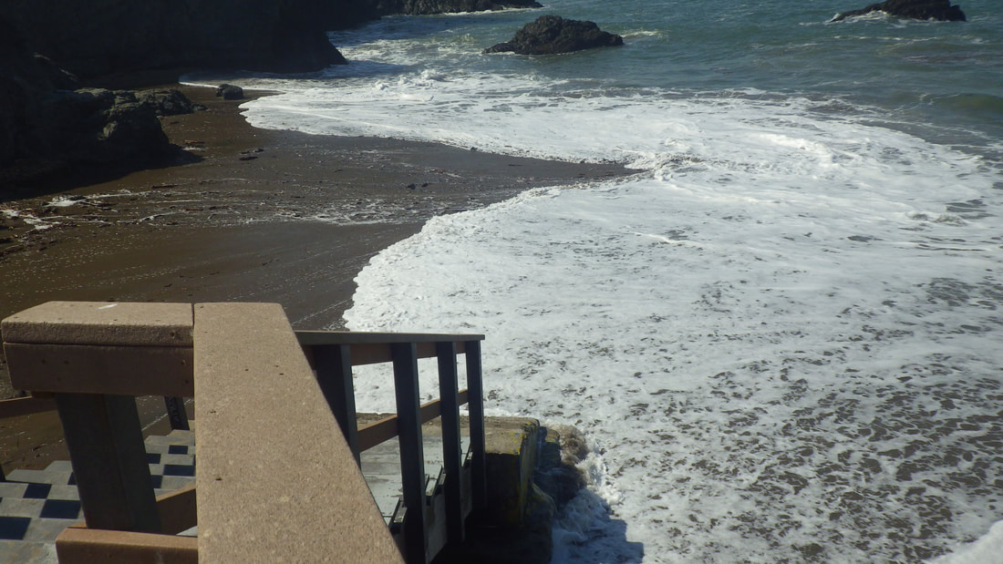
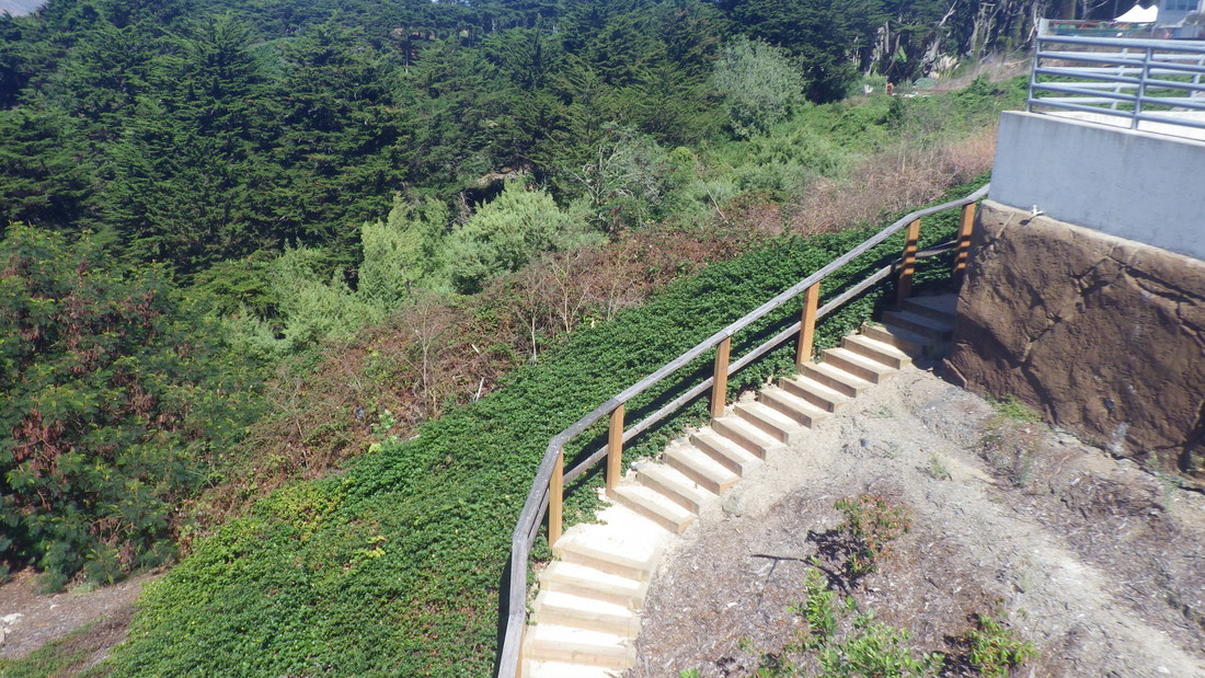
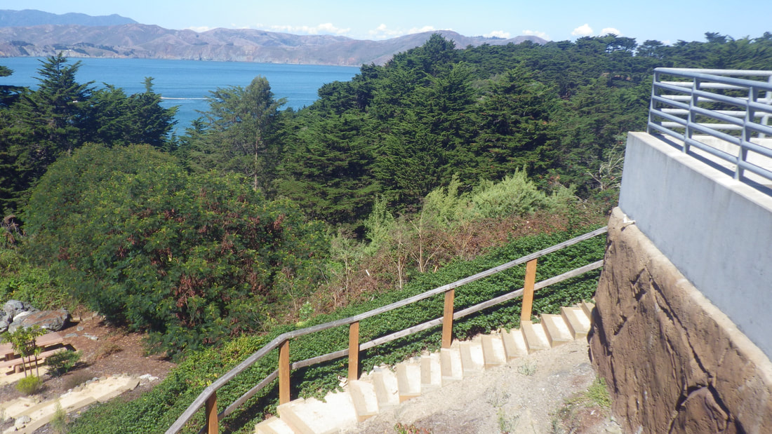
2
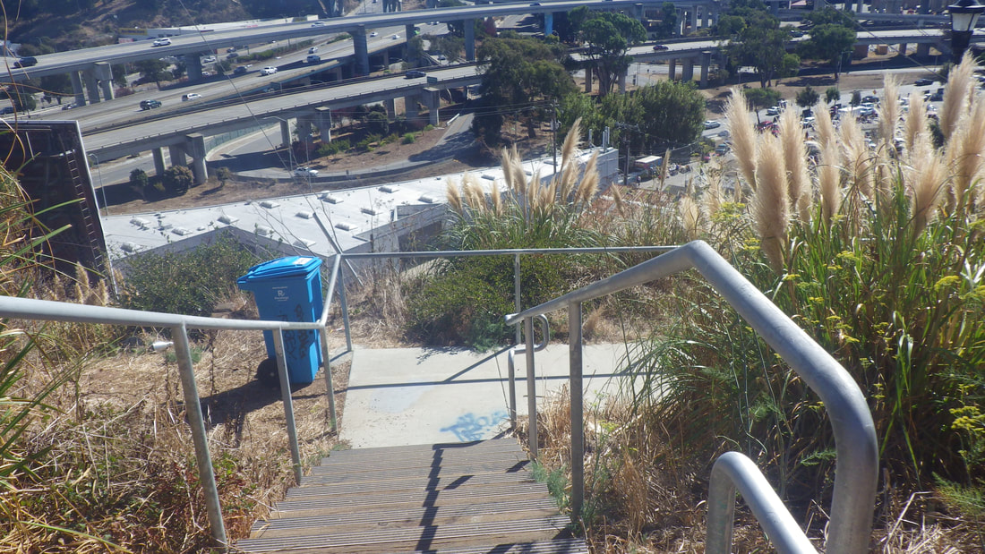
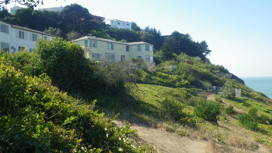
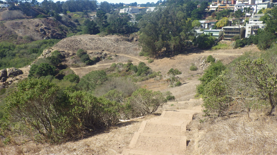
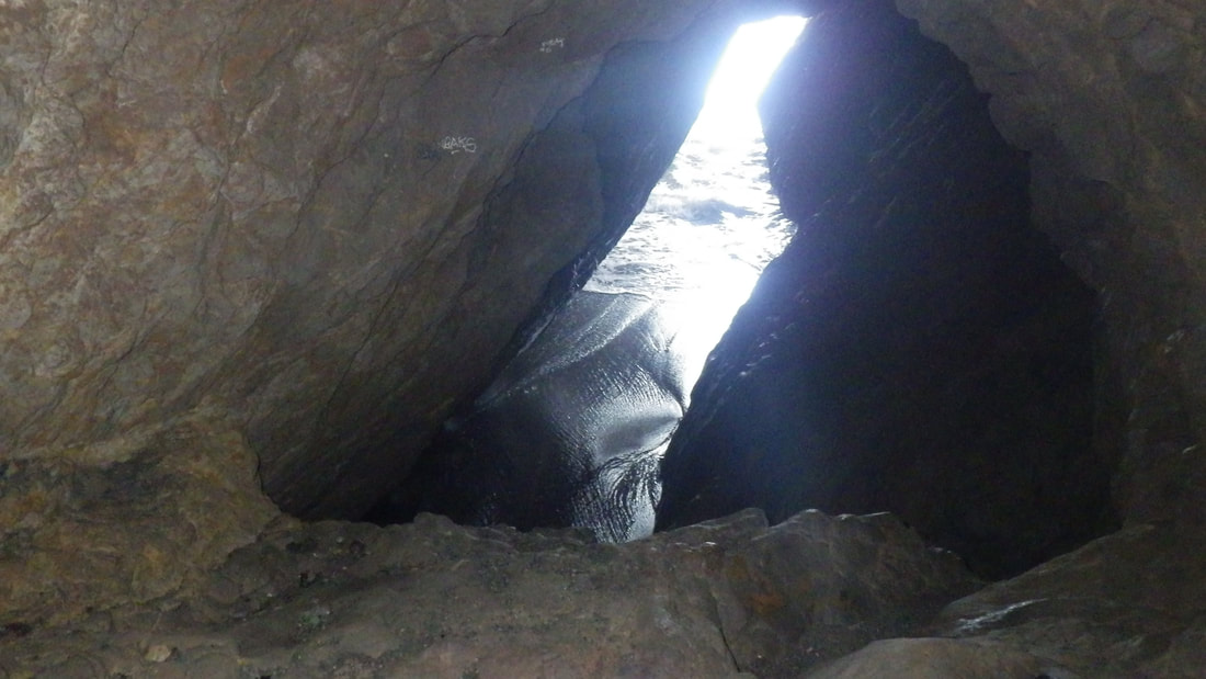
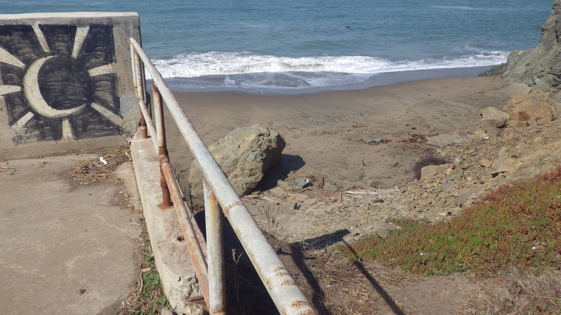
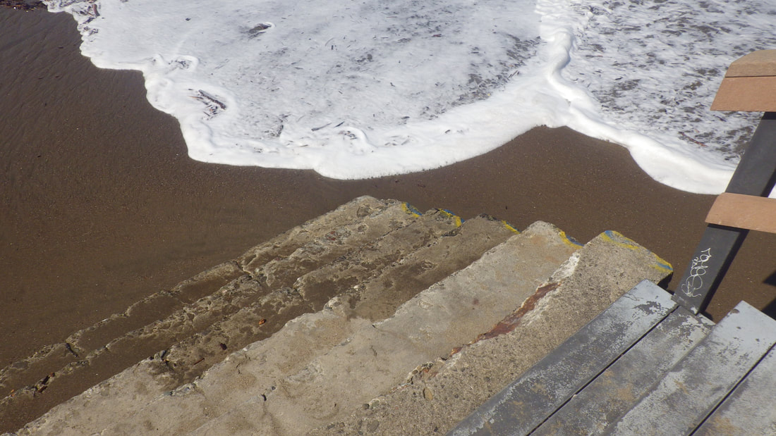
3
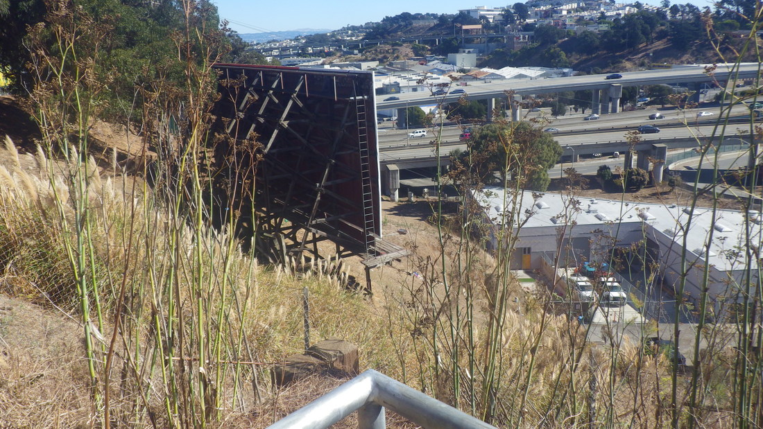
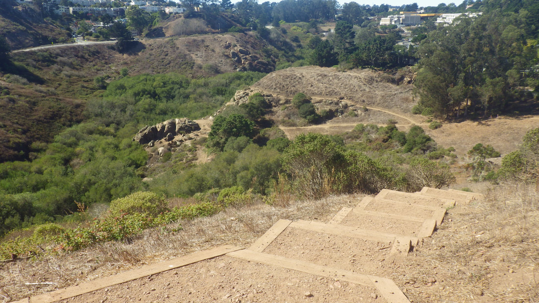
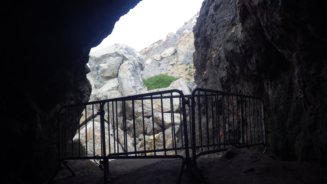
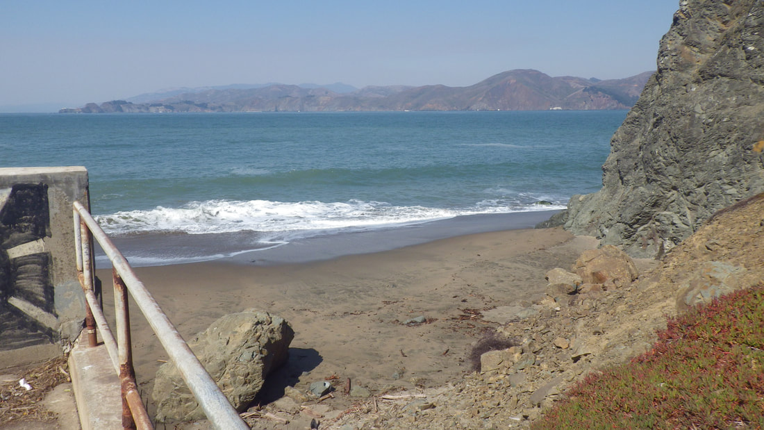
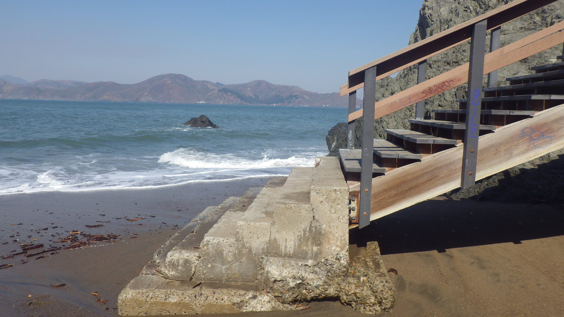
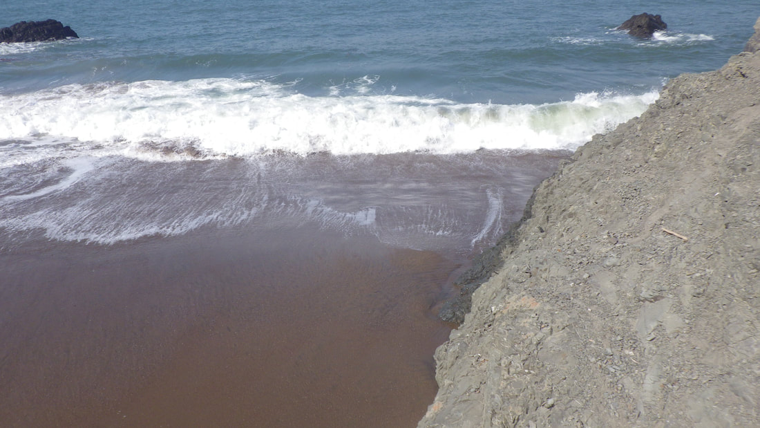
4
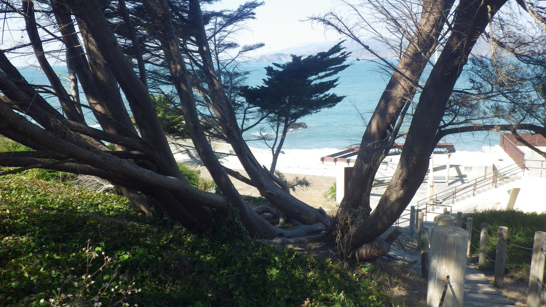
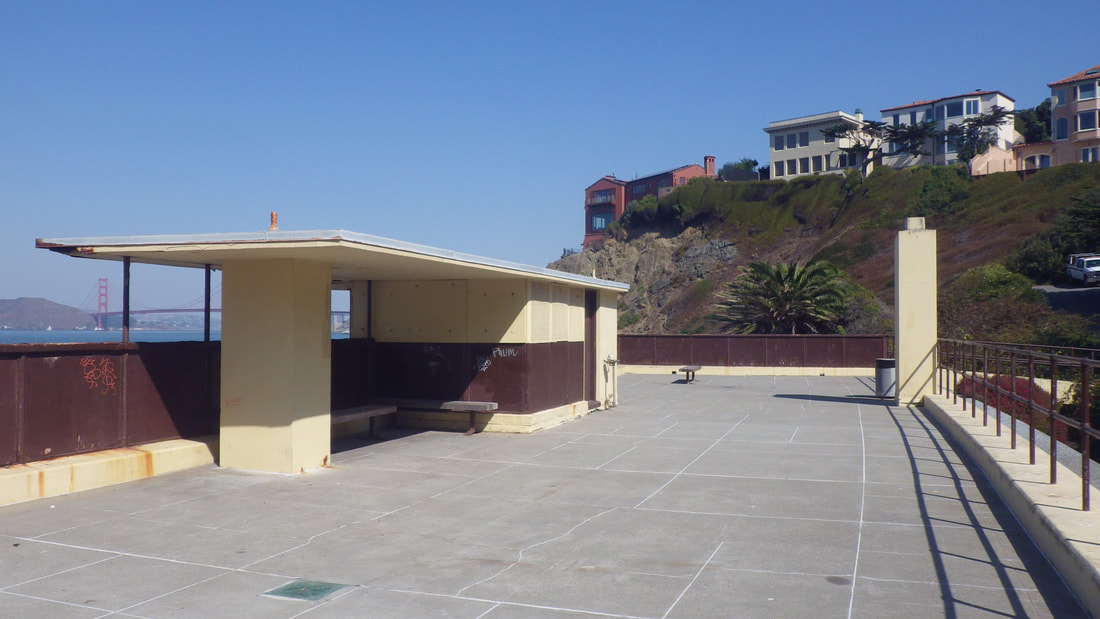
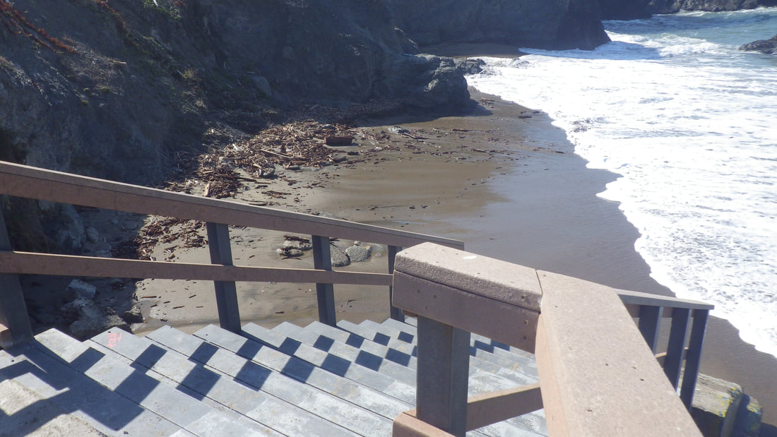
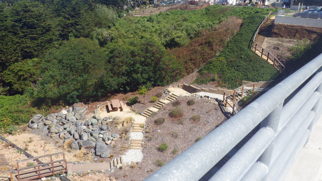
5
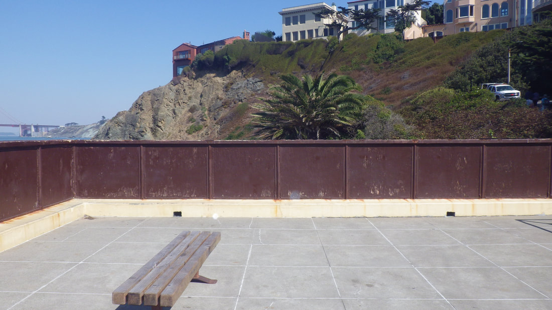
6
7
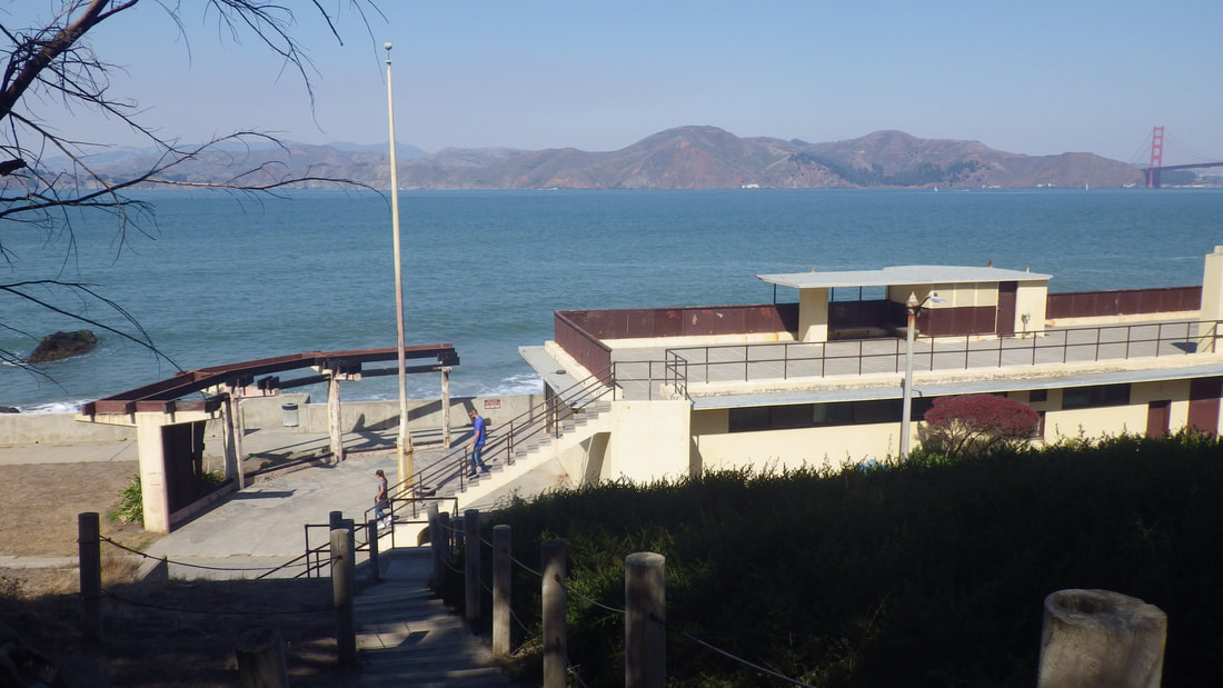
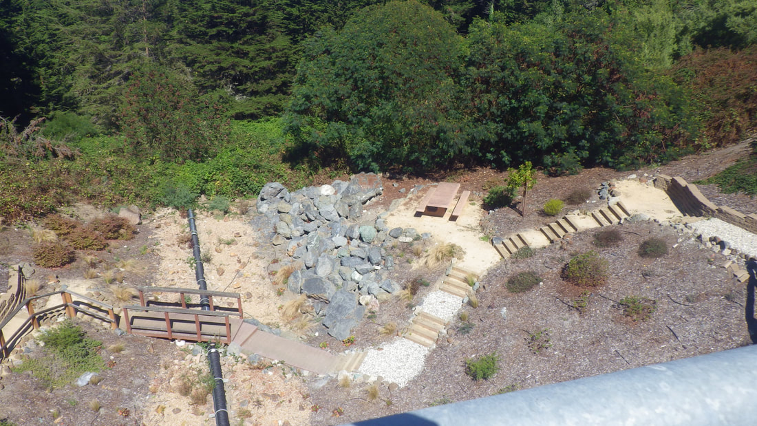
8
9
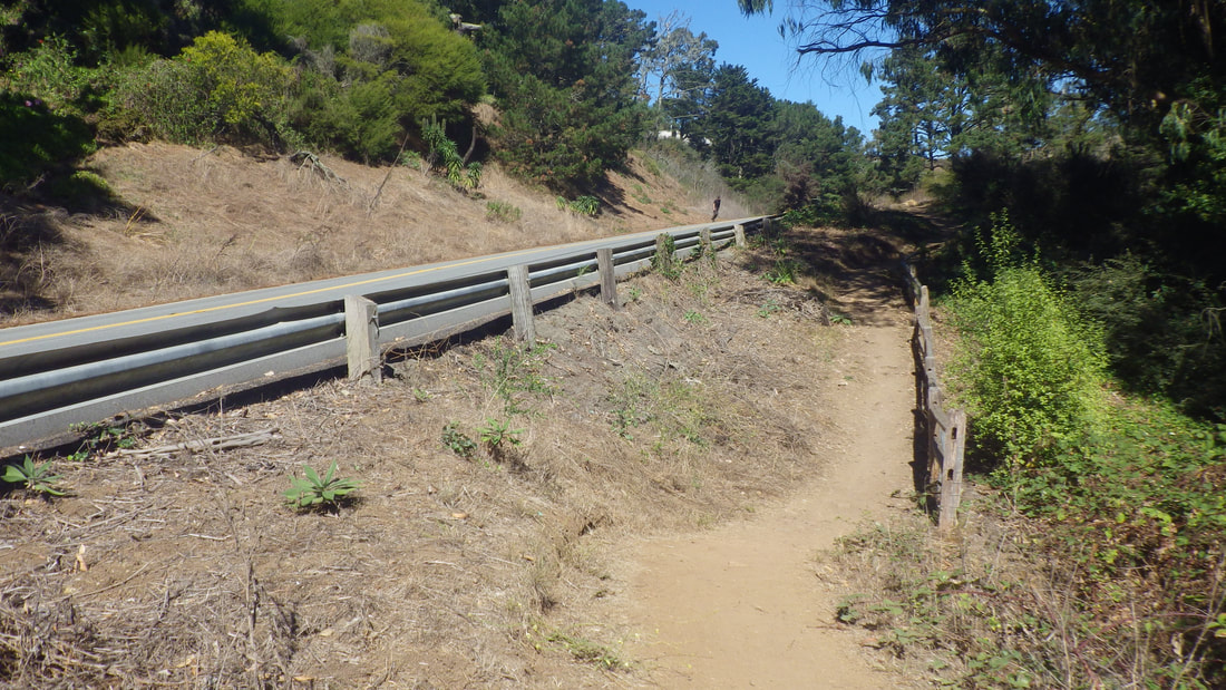
10
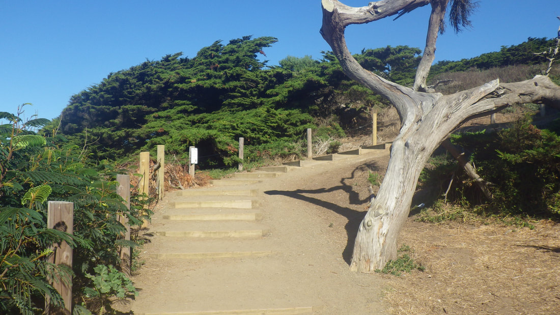
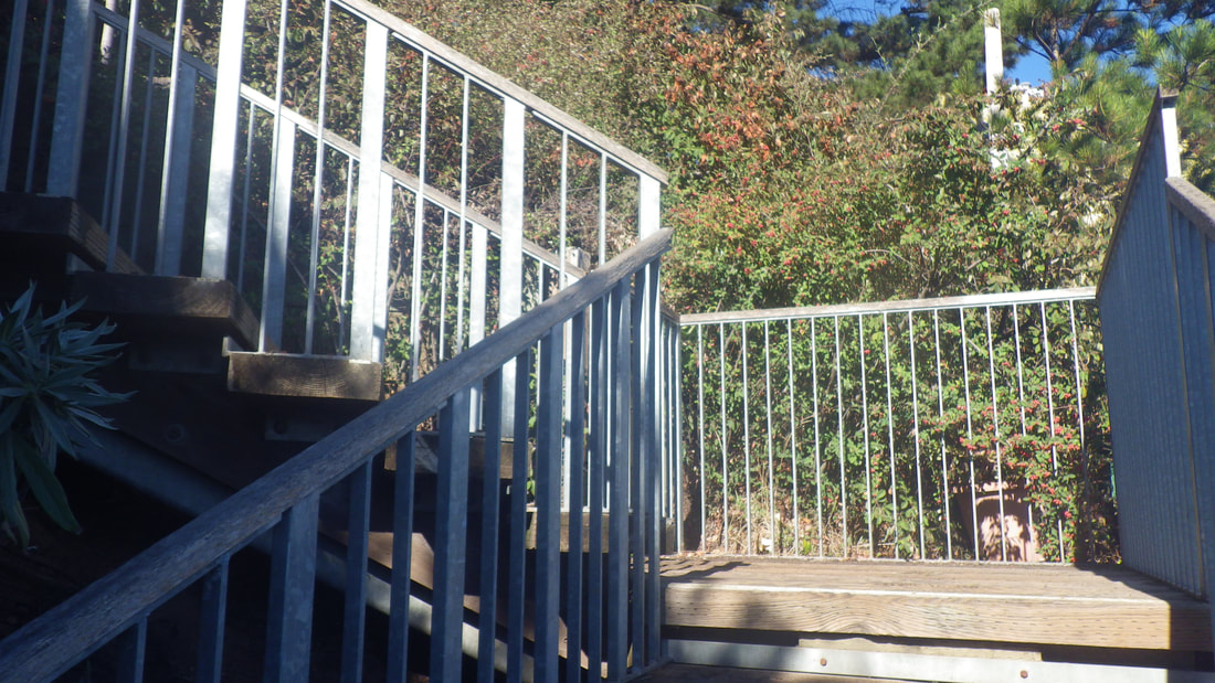
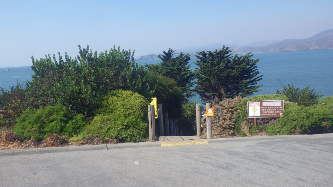
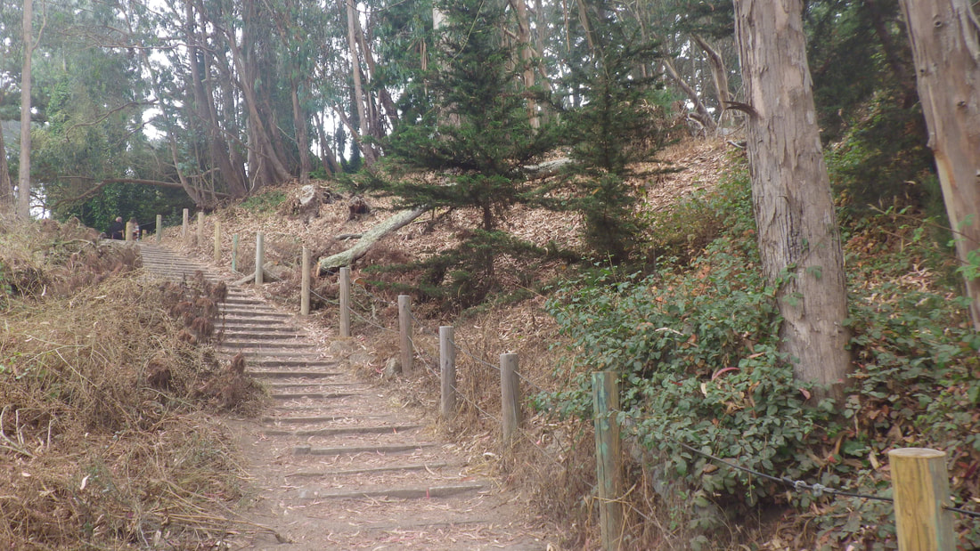
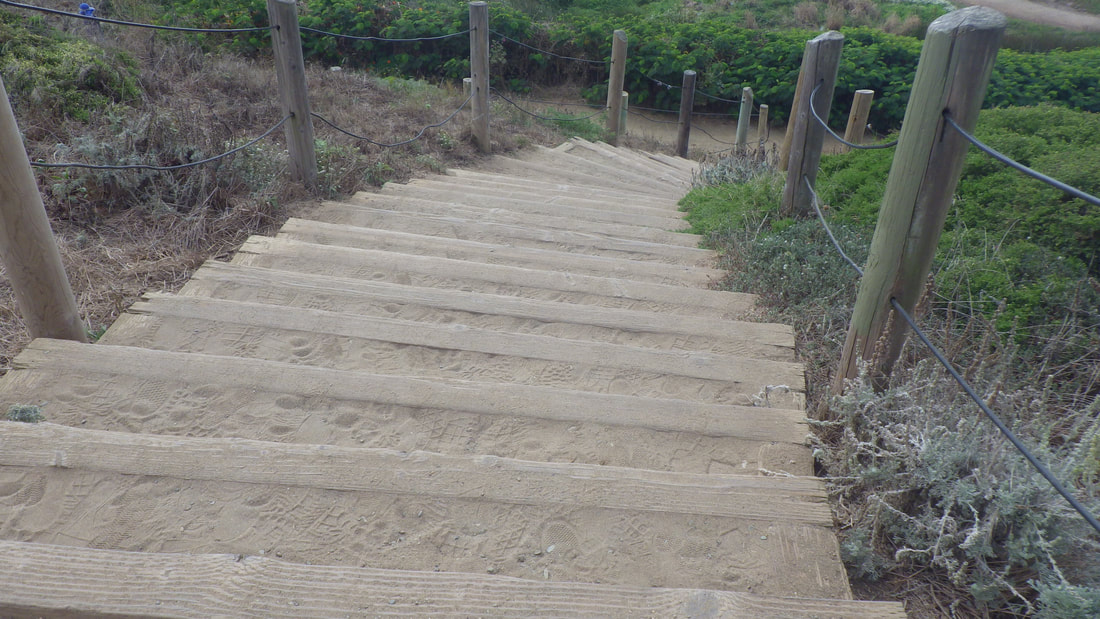
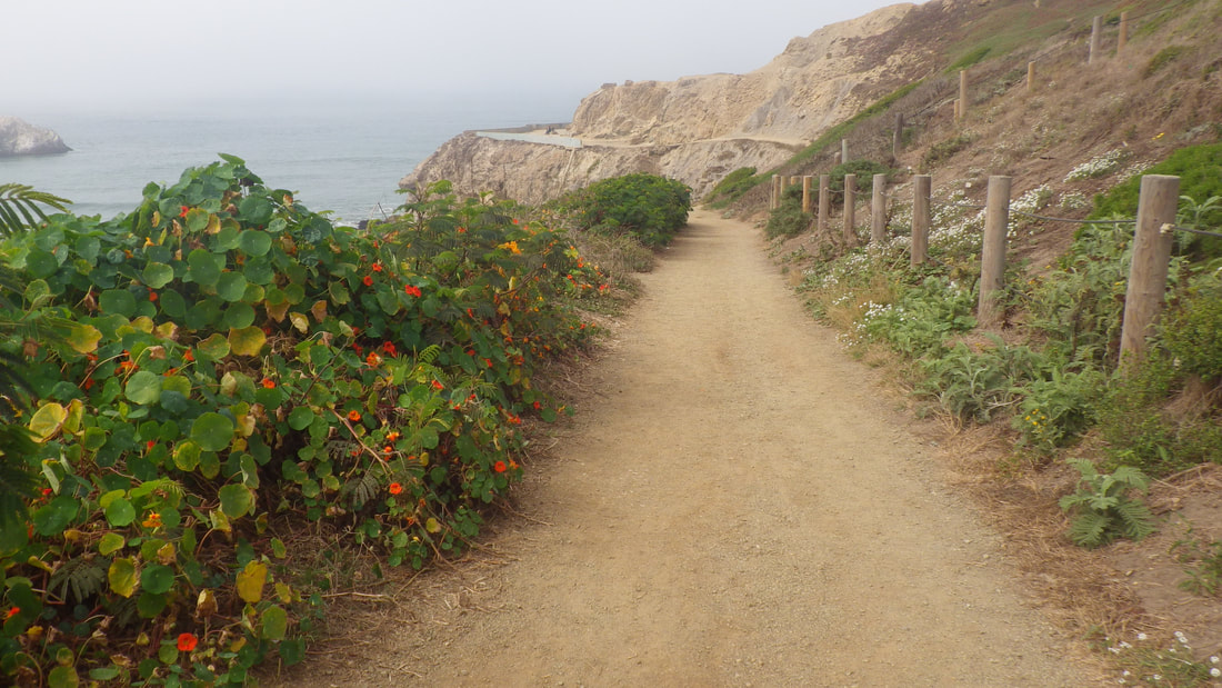
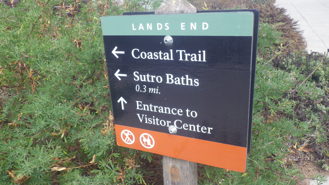
11 West trailhead for Coastal Trail
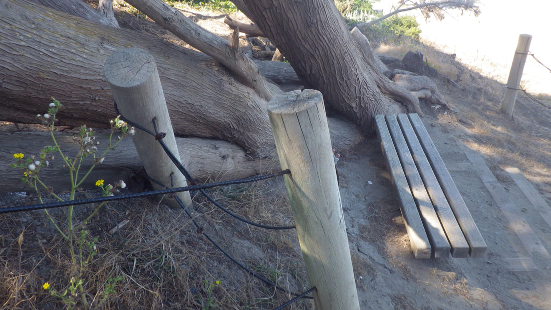
12
13
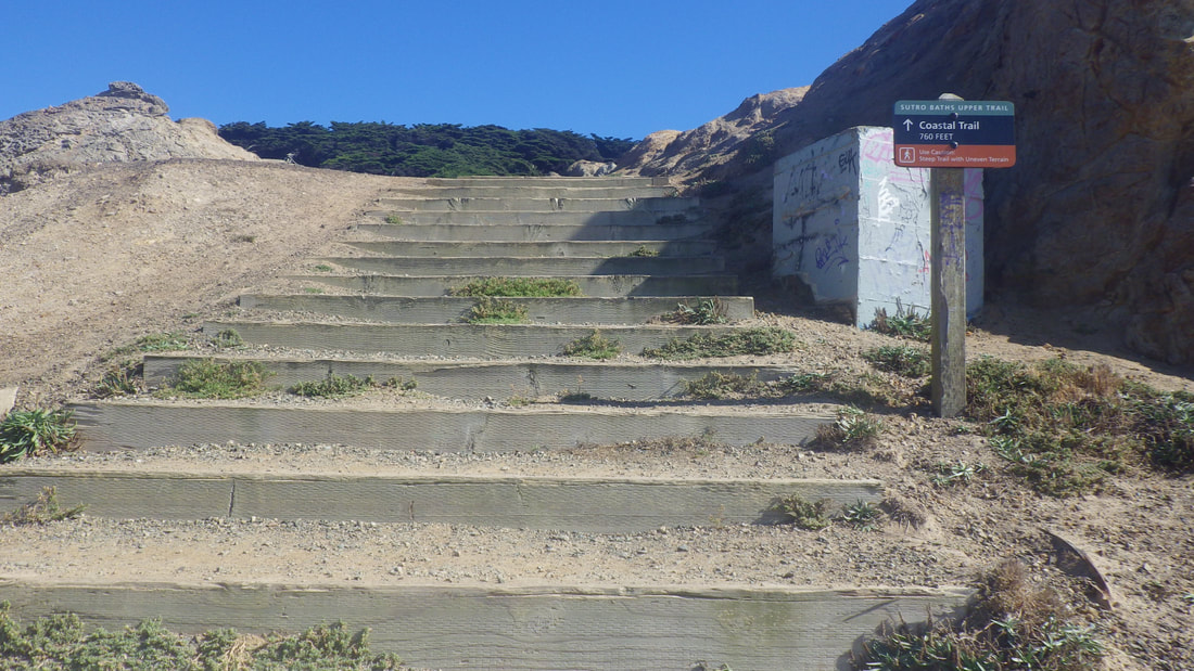
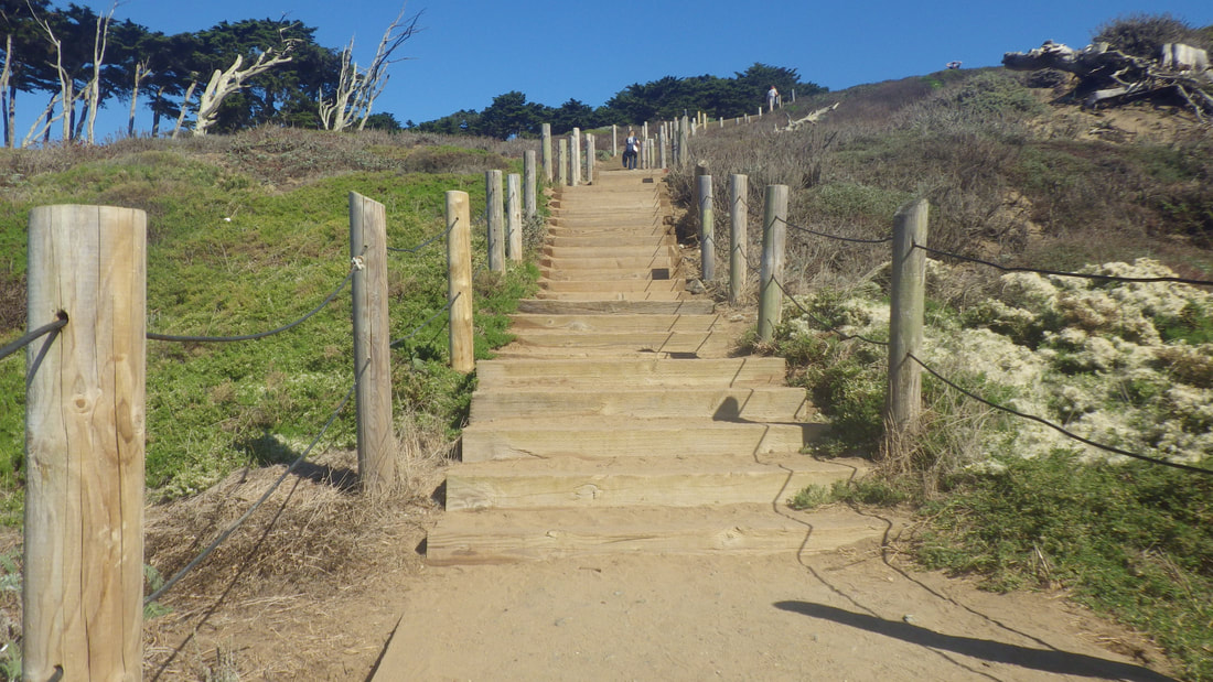
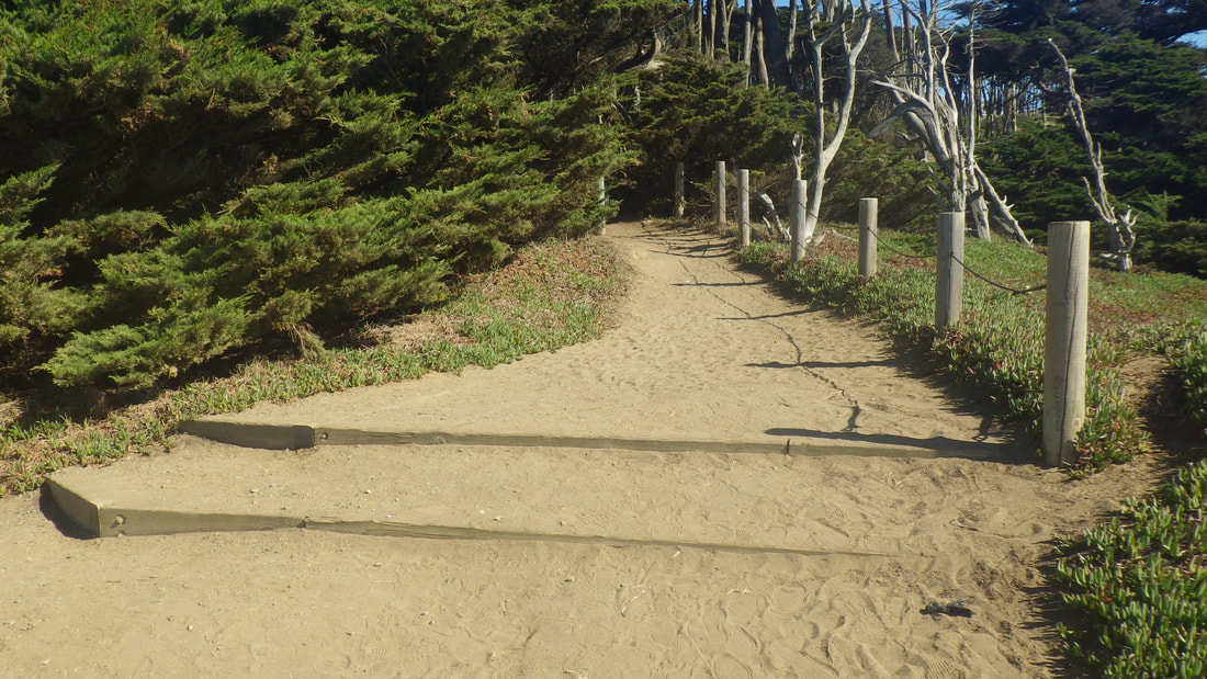
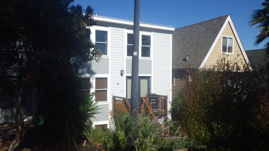
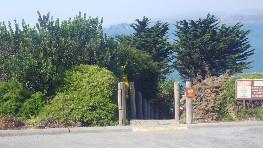
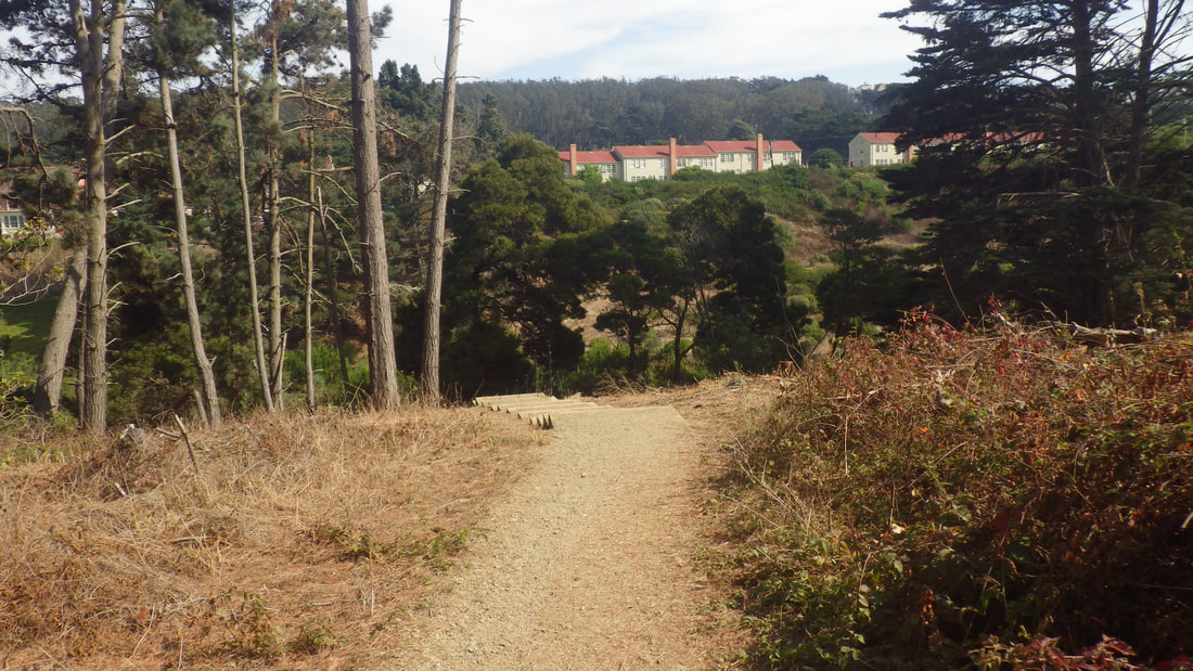
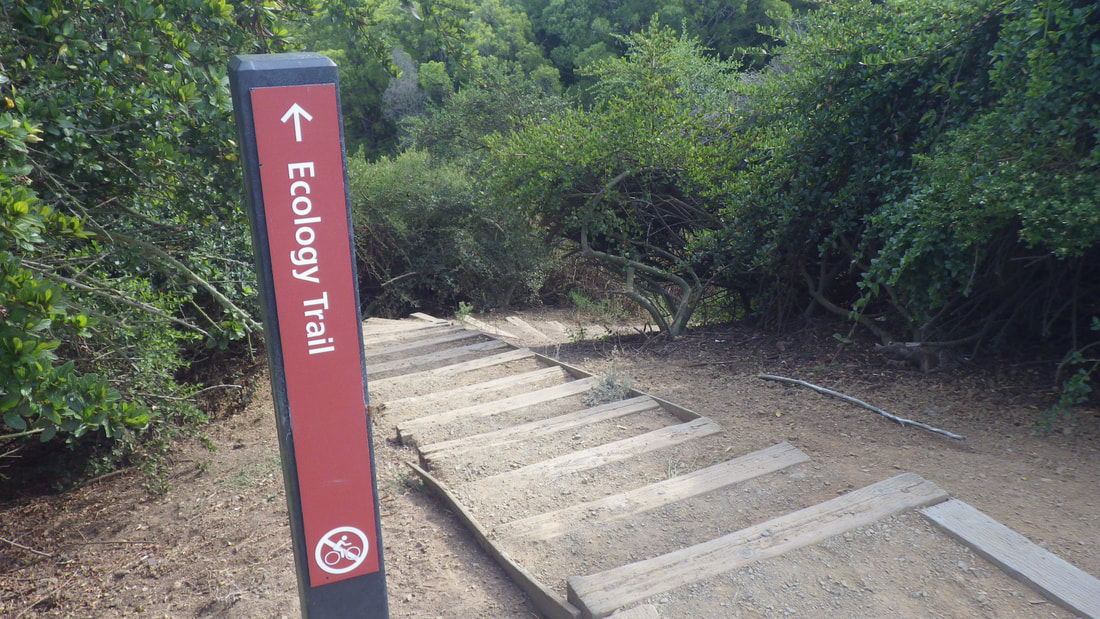
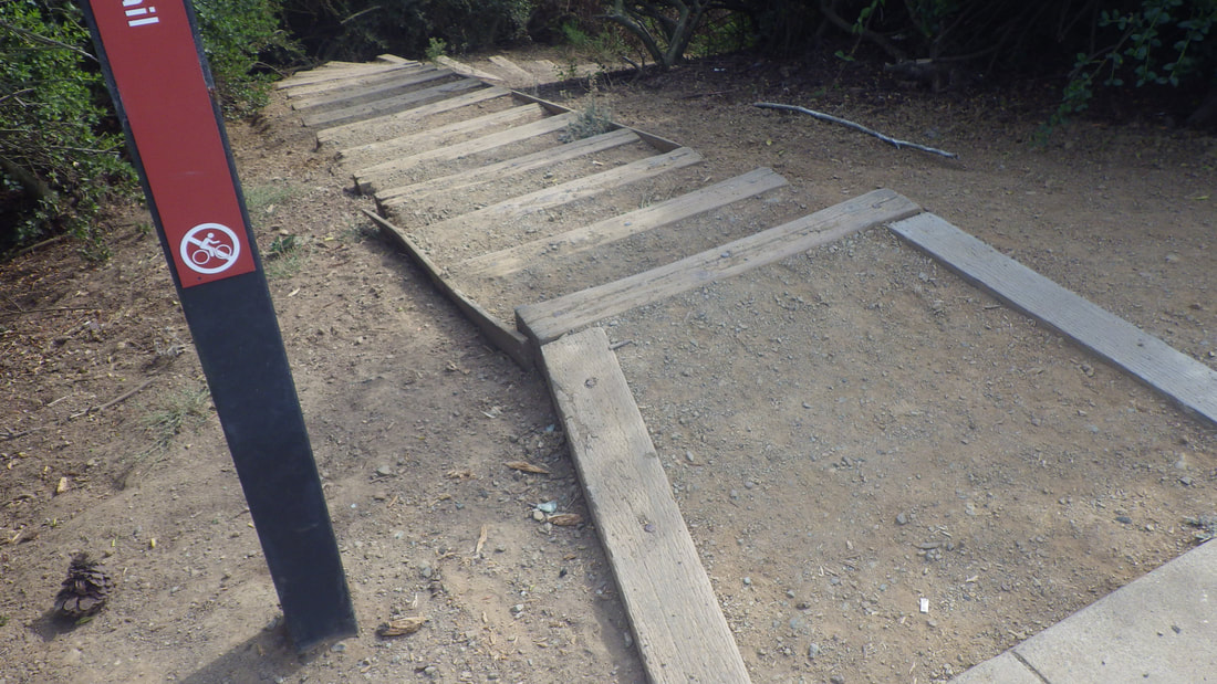
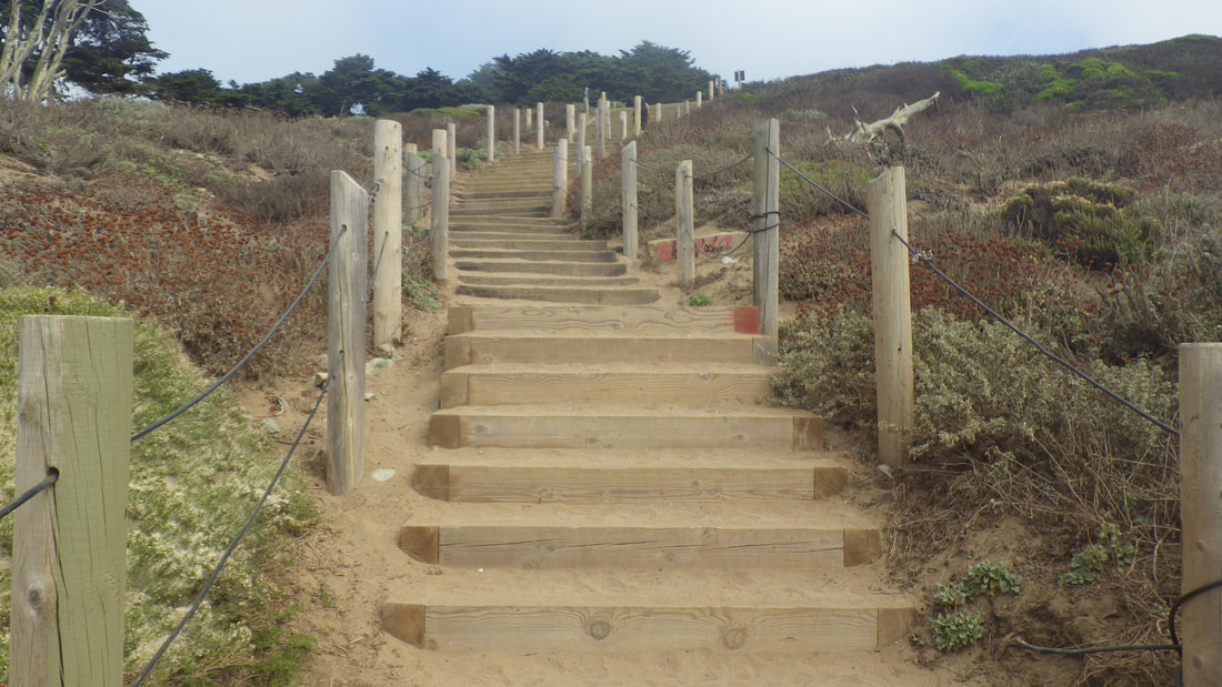
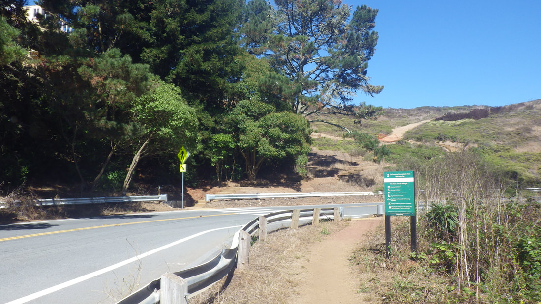
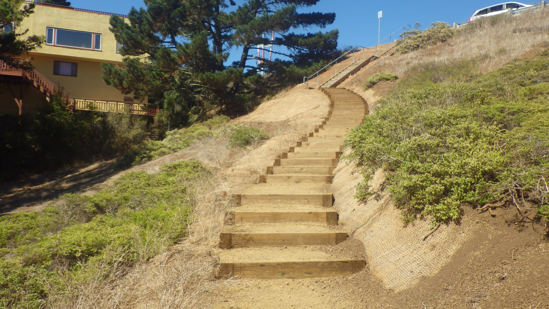
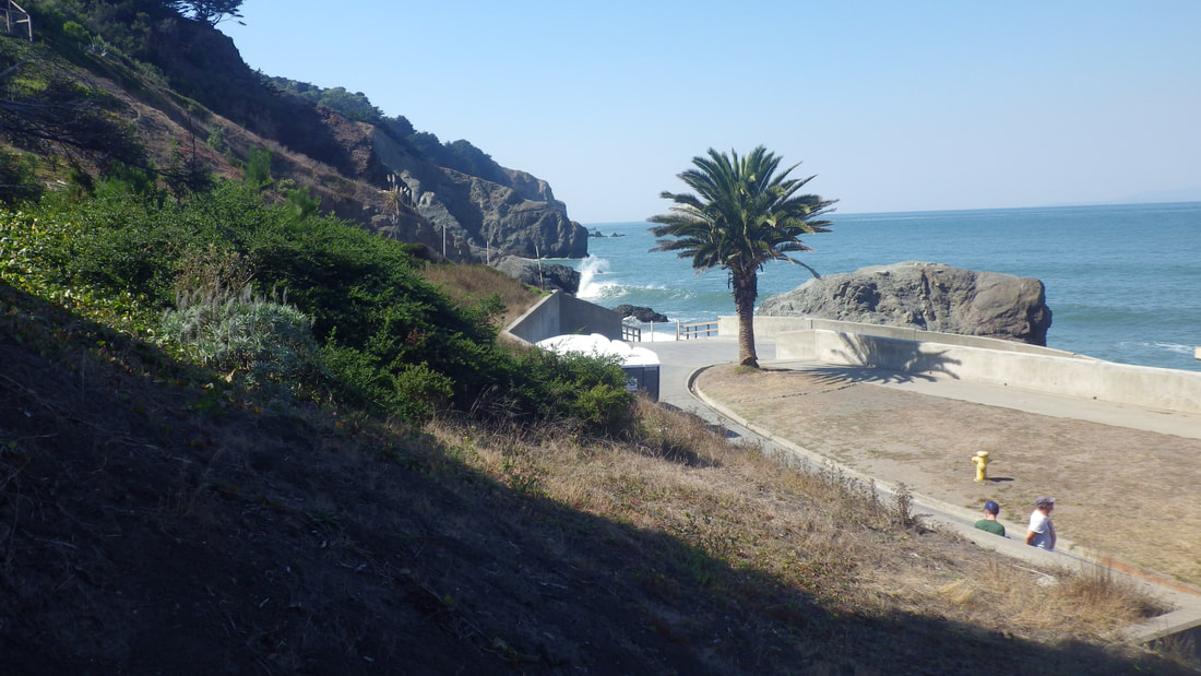
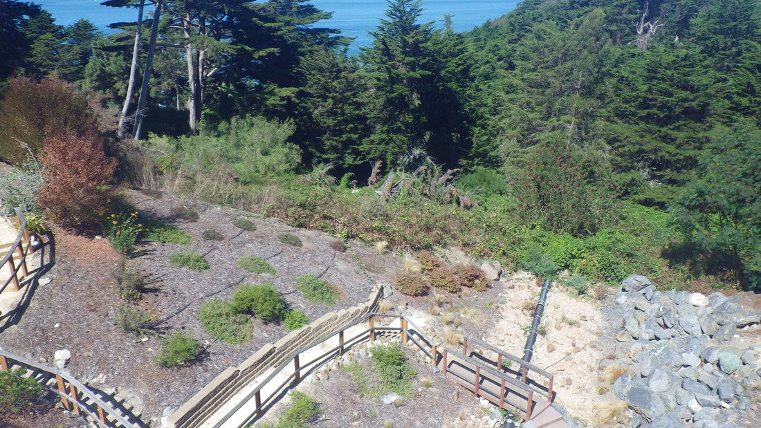
14 Westernmost trailhead for Coastal Trail
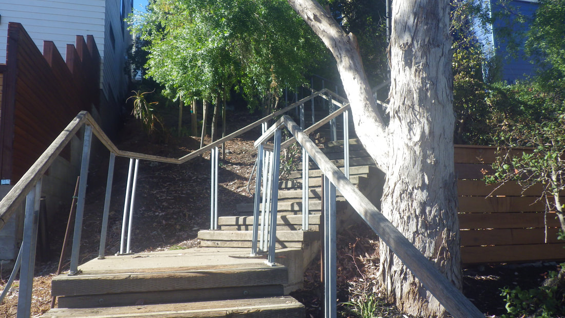
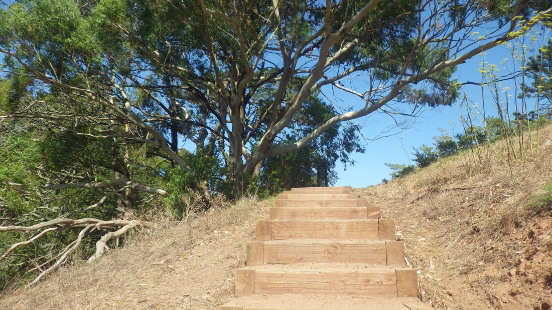
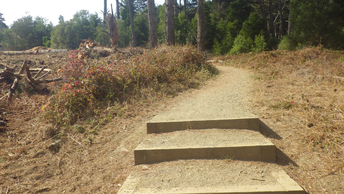
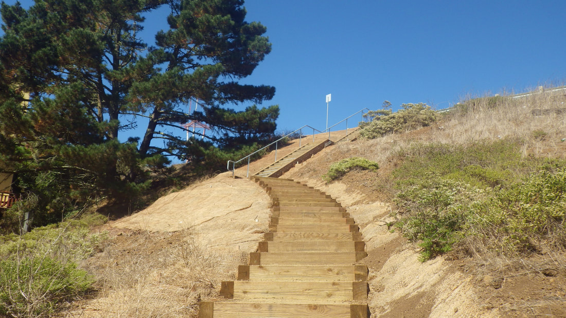
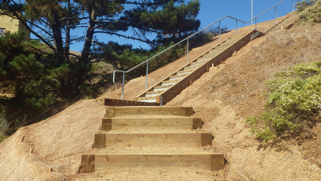
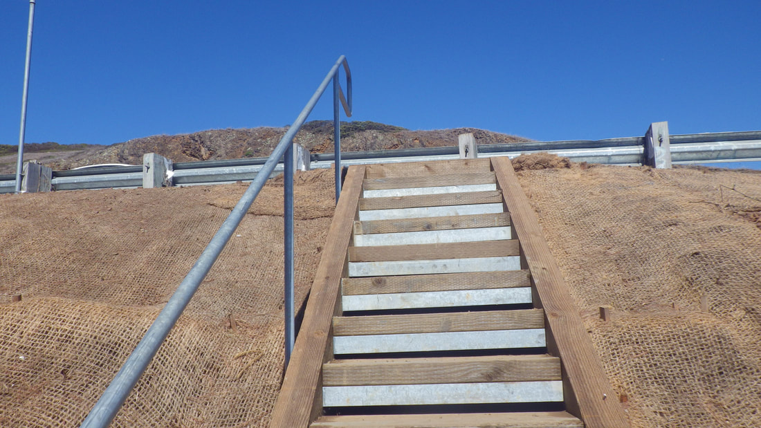
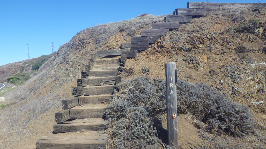
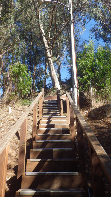
15 142 steps
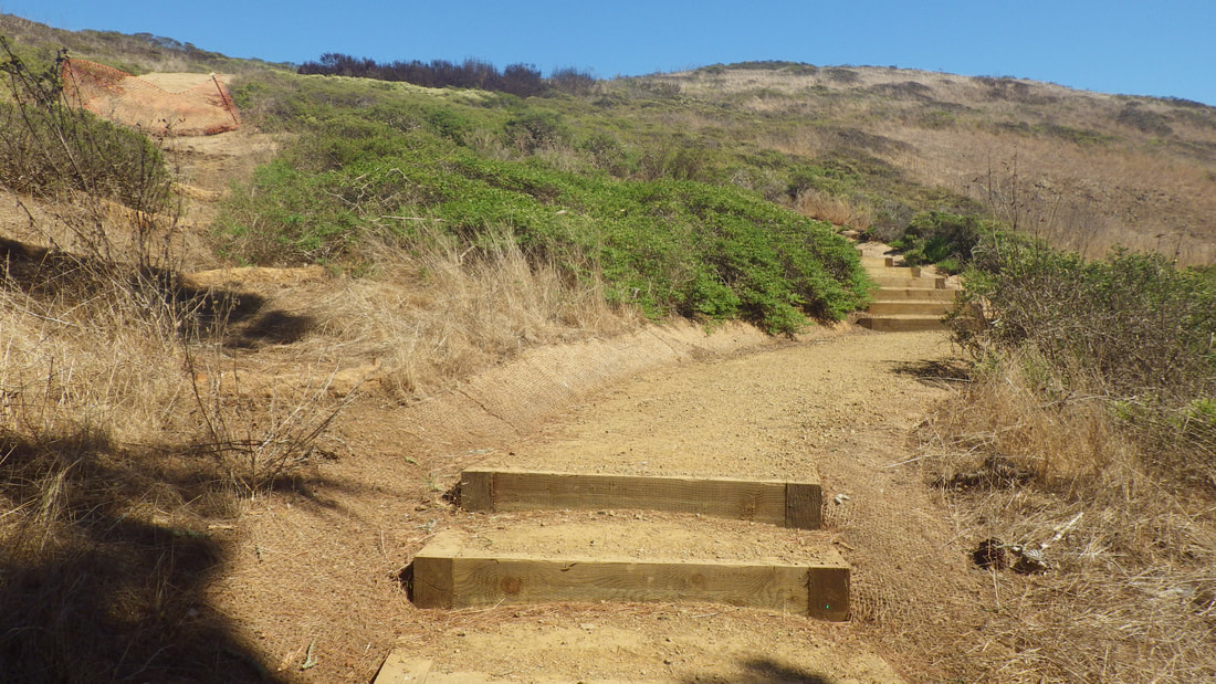
16
17
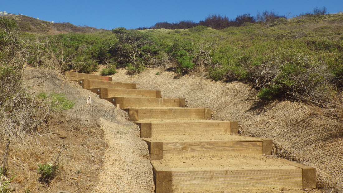
18
19
20
21
22
23
24
25
26
27
28
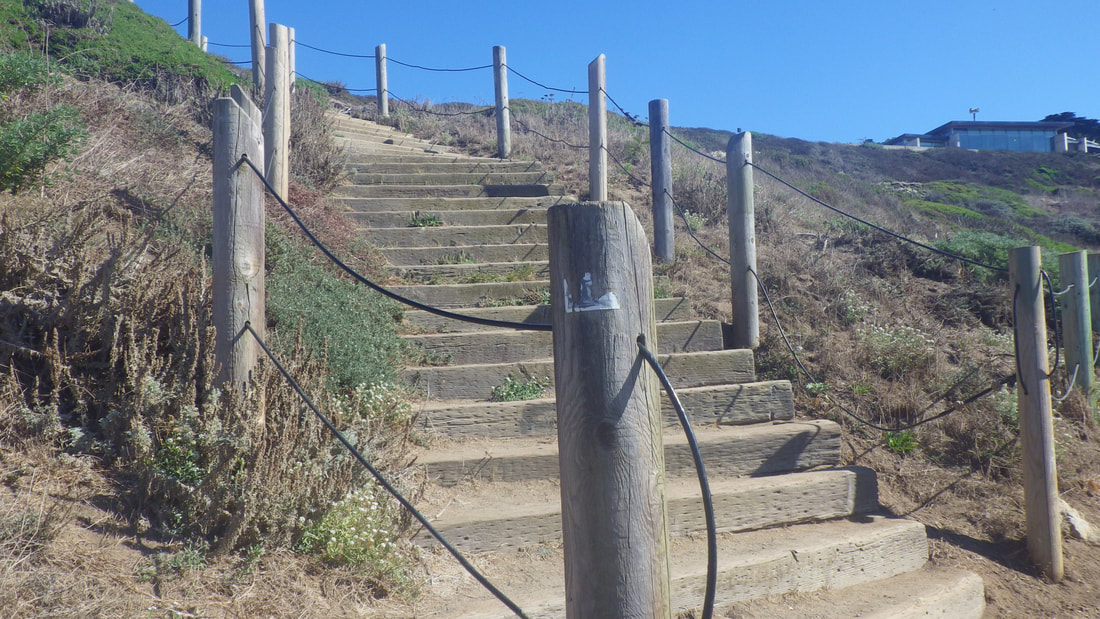
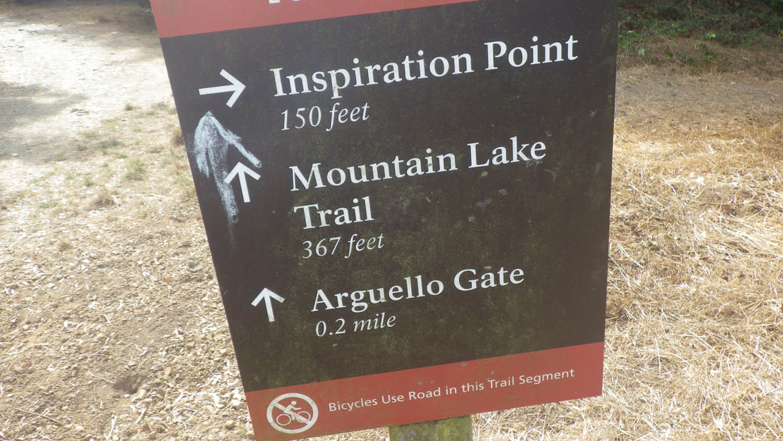
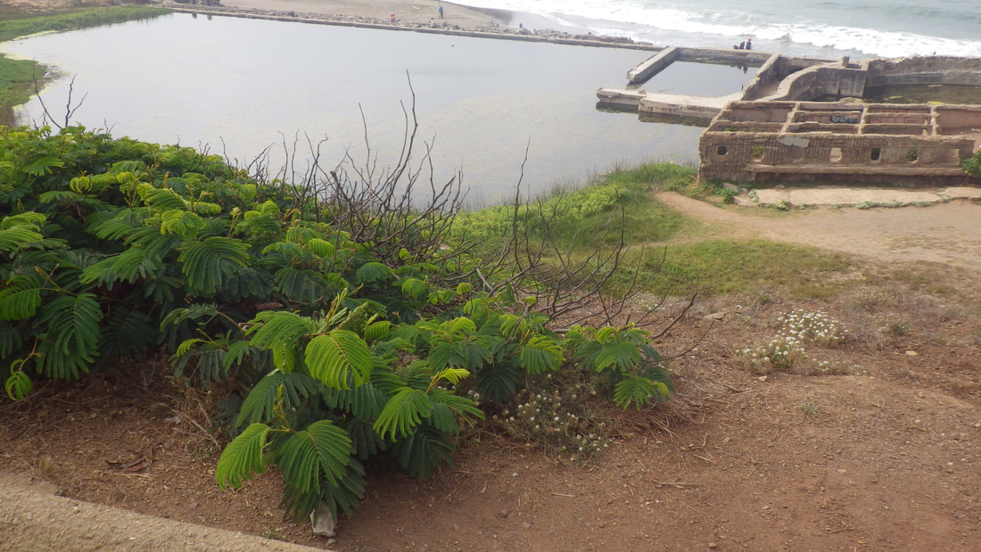
29 Coastal Trail to El Camino del Mar Trail
30 El Camino del Mar Trail
31
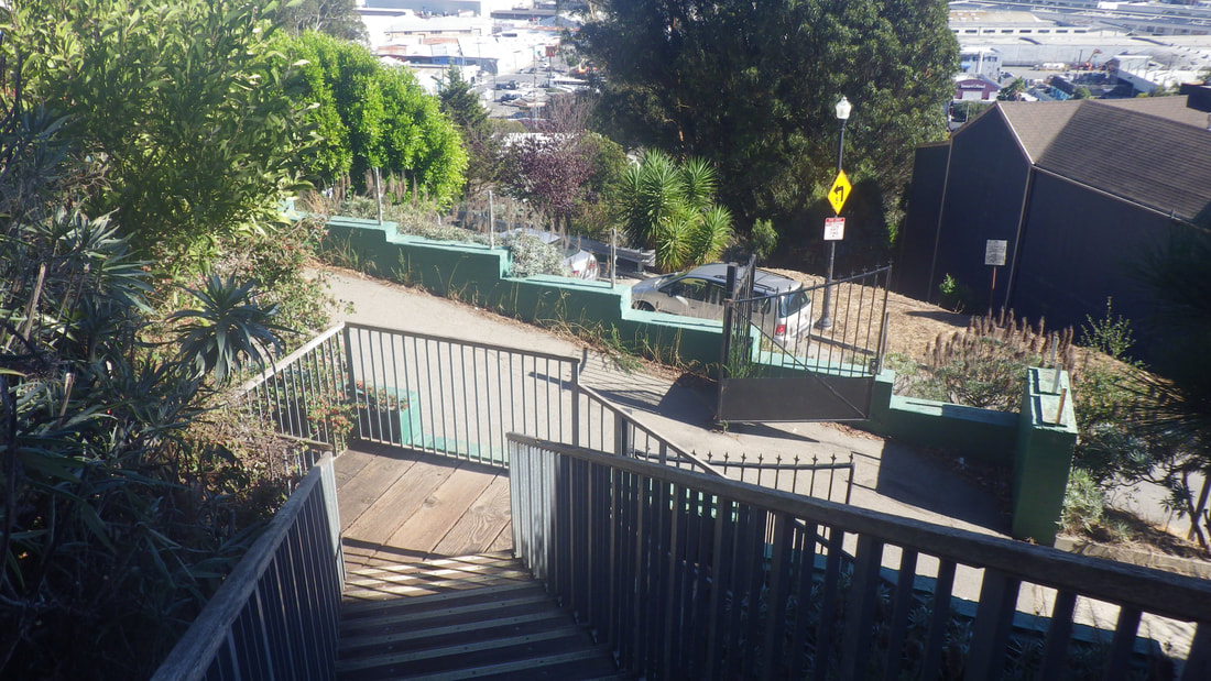
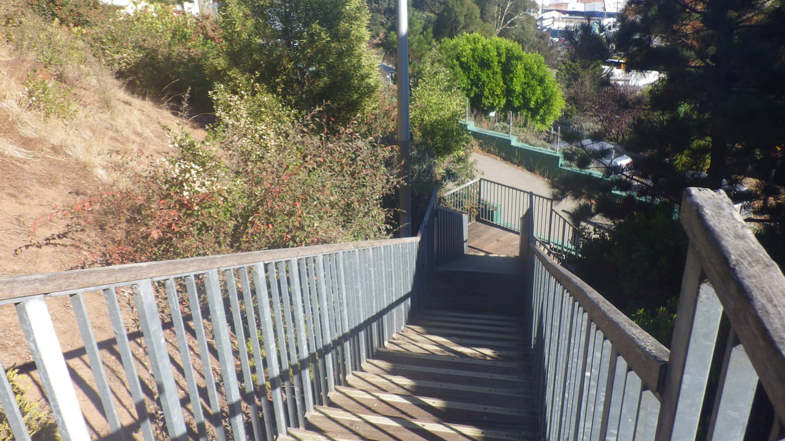
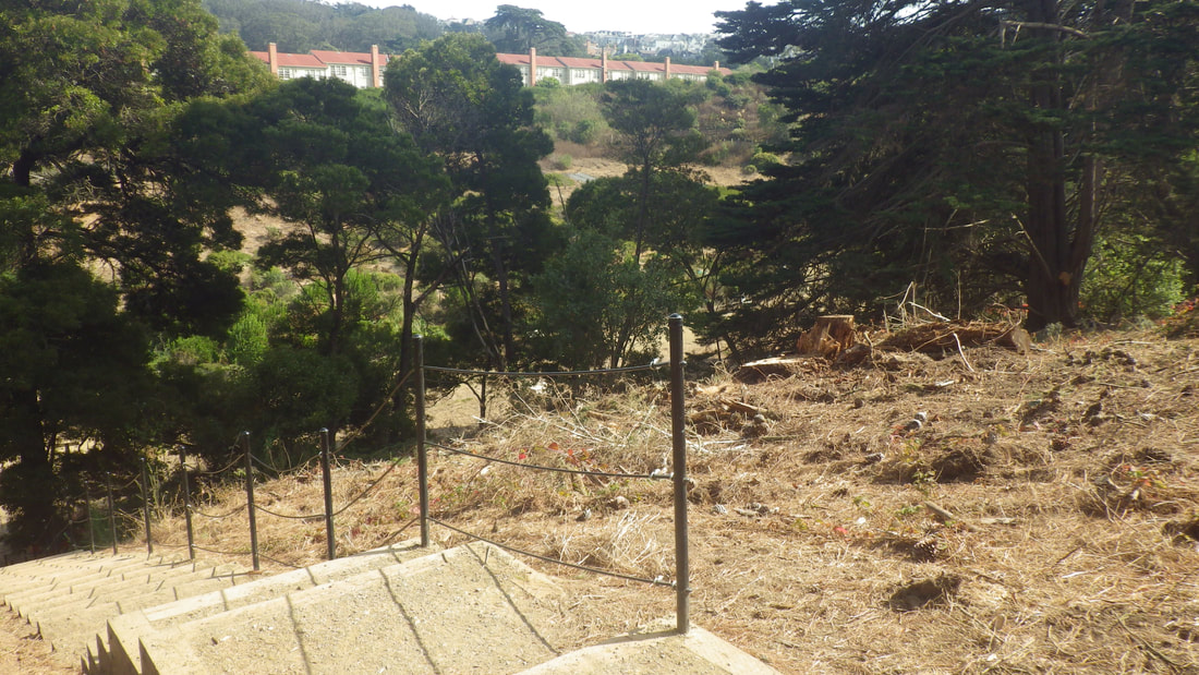
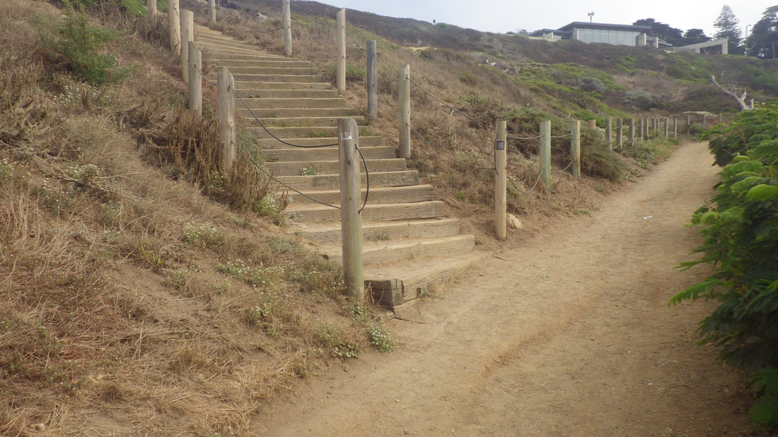
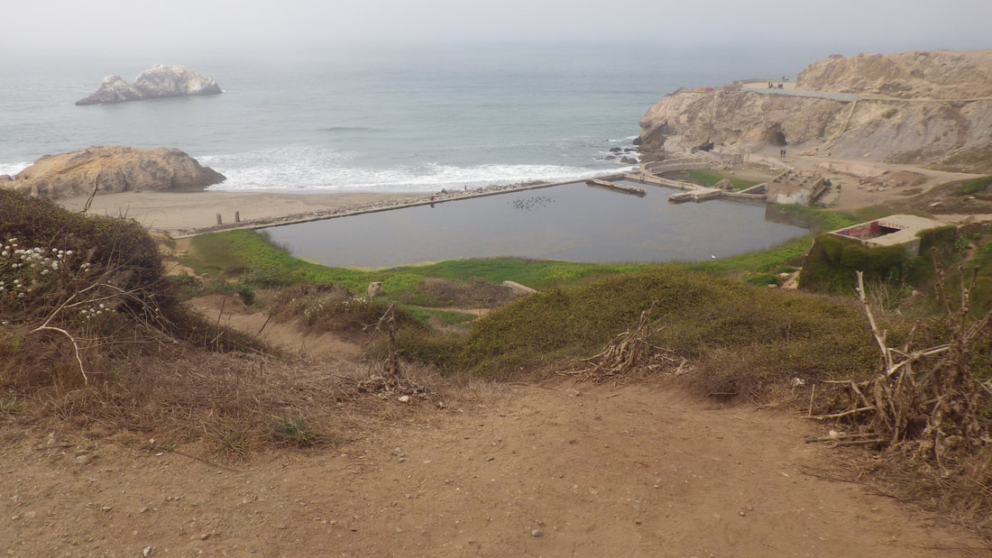
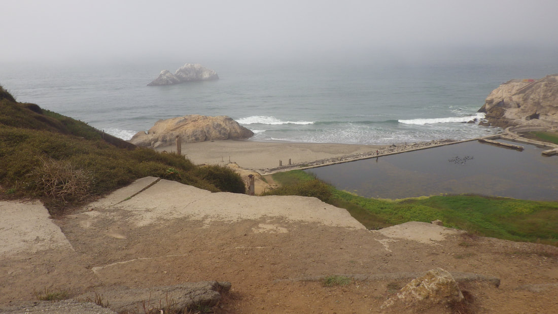
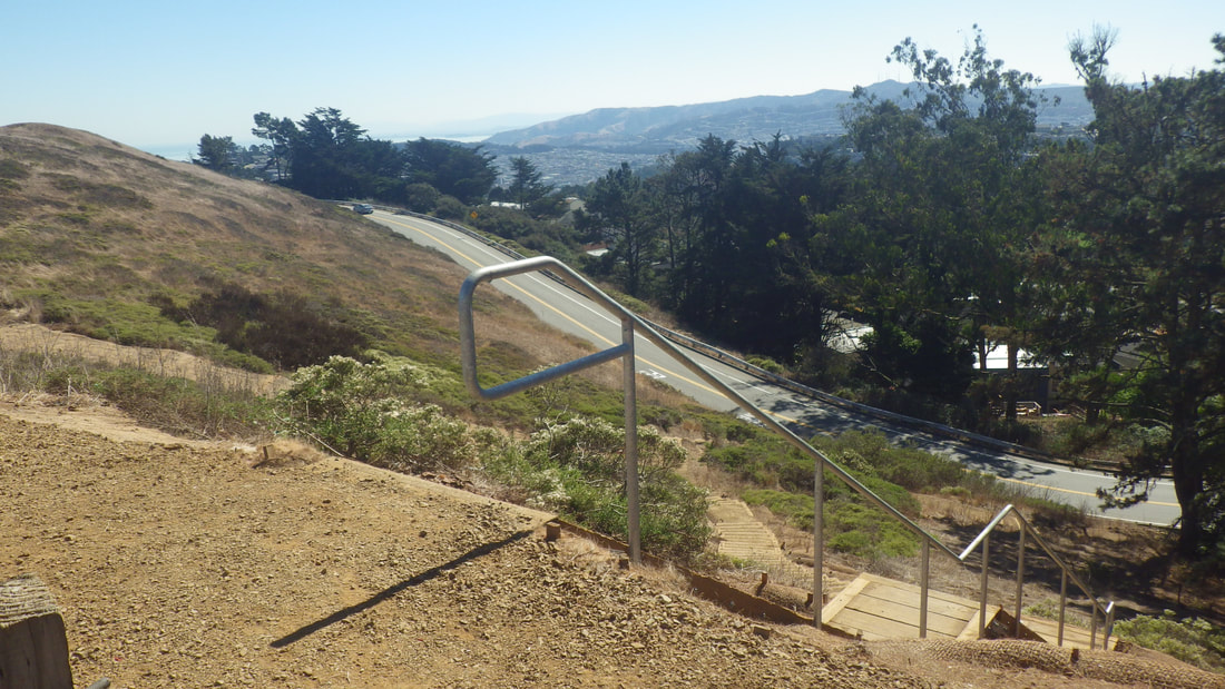
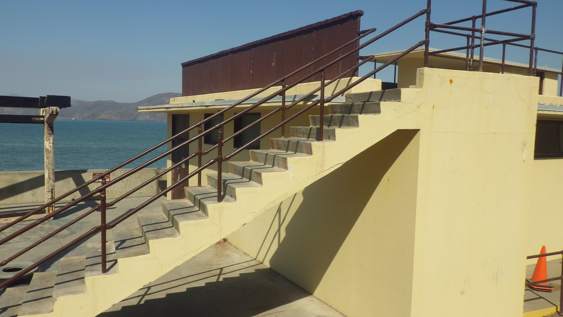
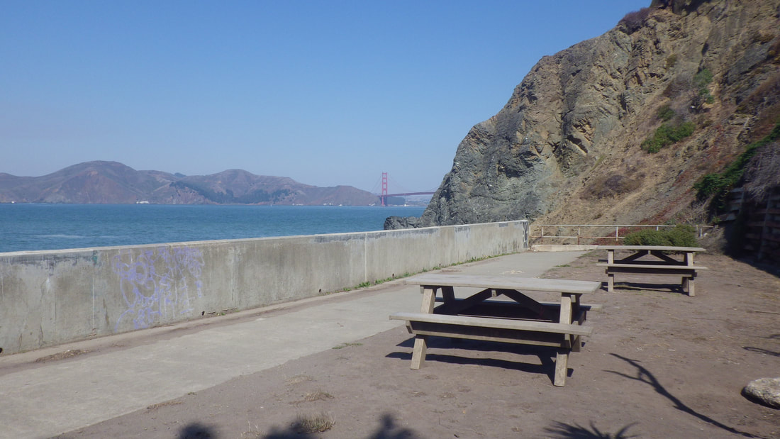
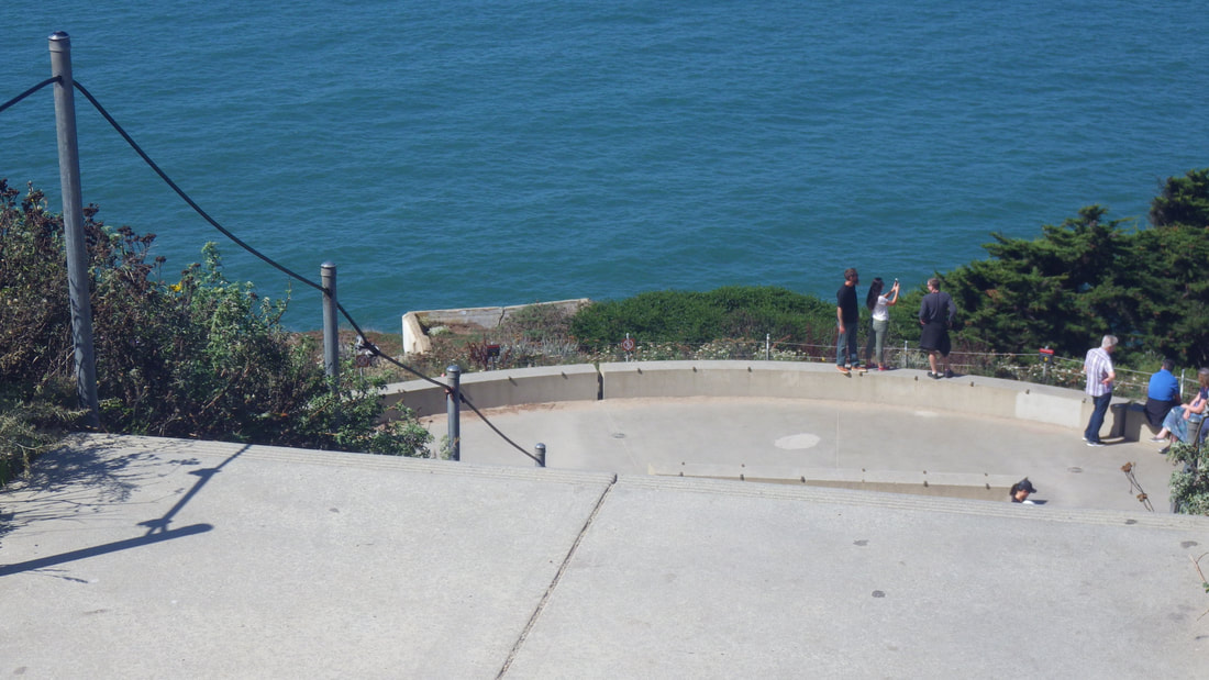
32 Upper parking lot overlook down to Coastal Trail and overlook - 59 steps


 RSS Feed
