Stairways are Heaven
  • Home
  • About Me
  • Stairways are Heaven

Berries to Bluffs

5/31/2014

0 Comments

 
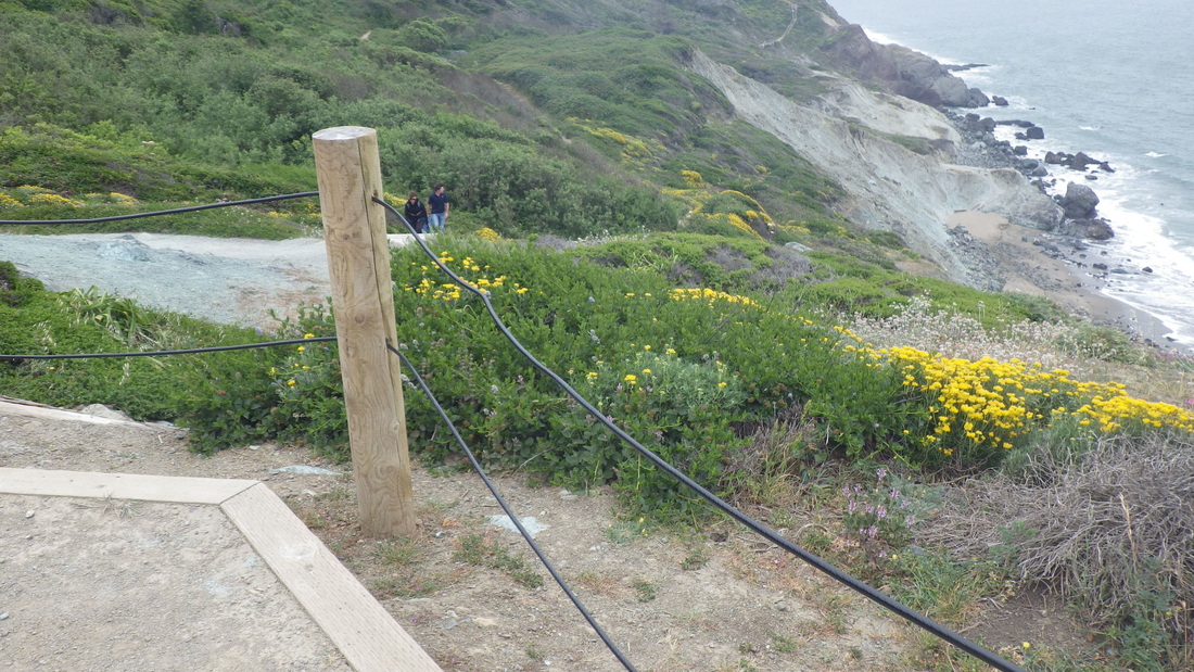
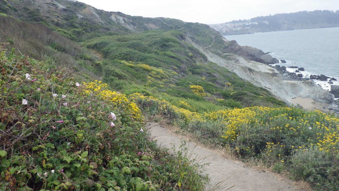
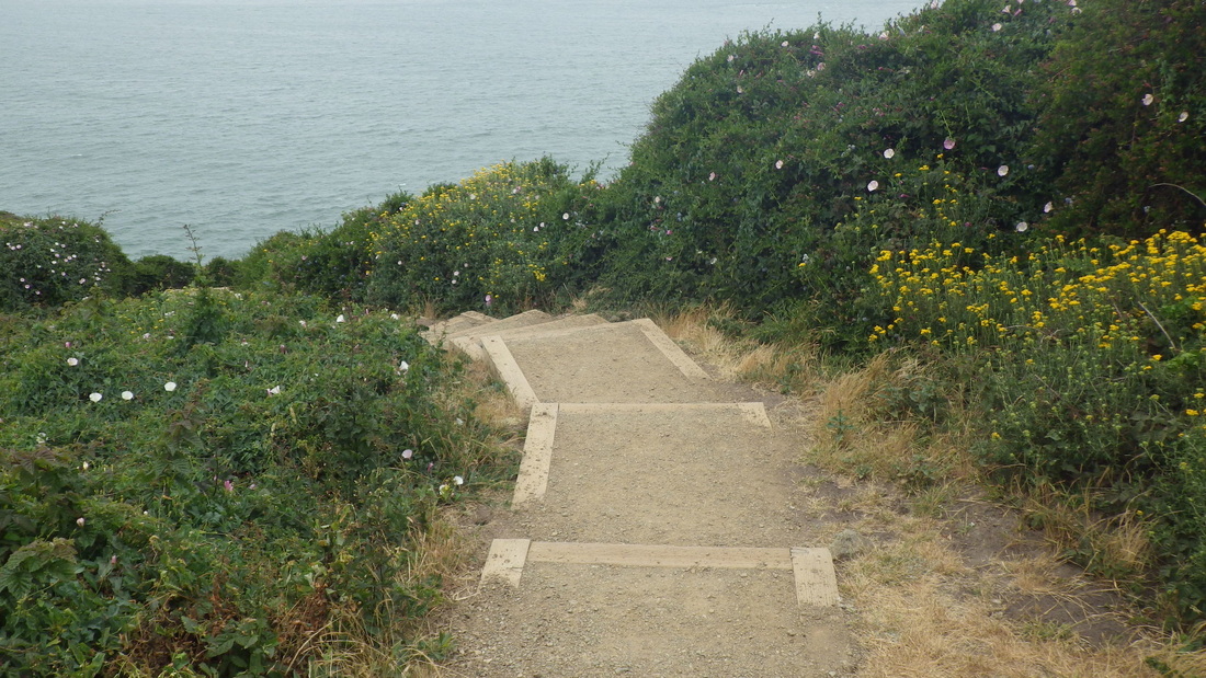
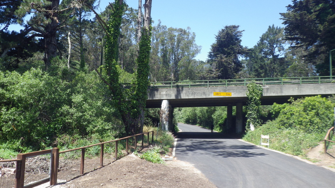
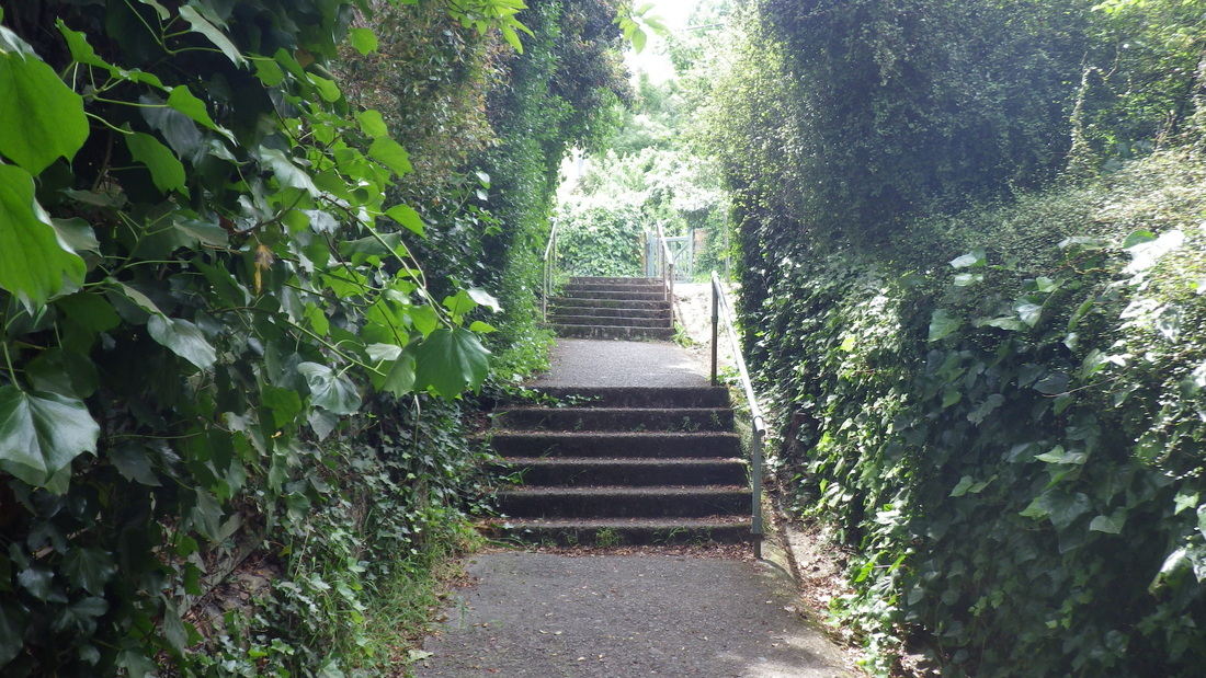
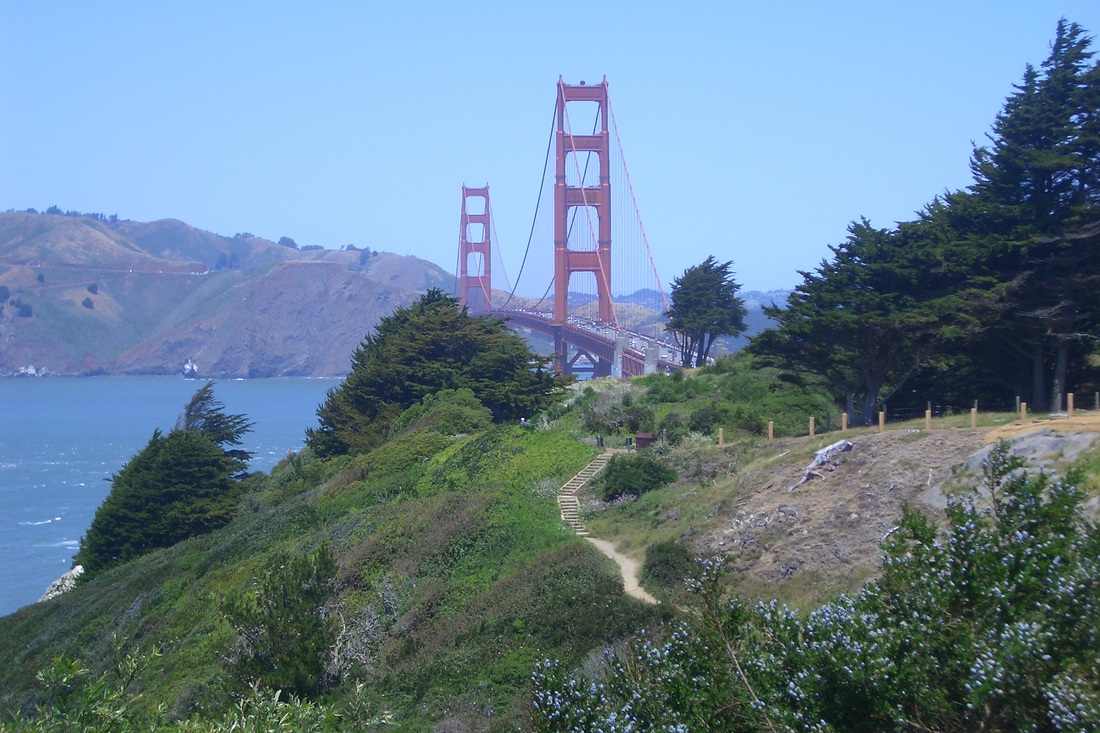
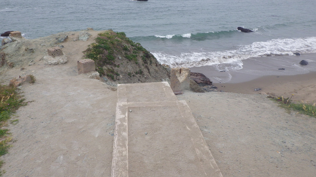
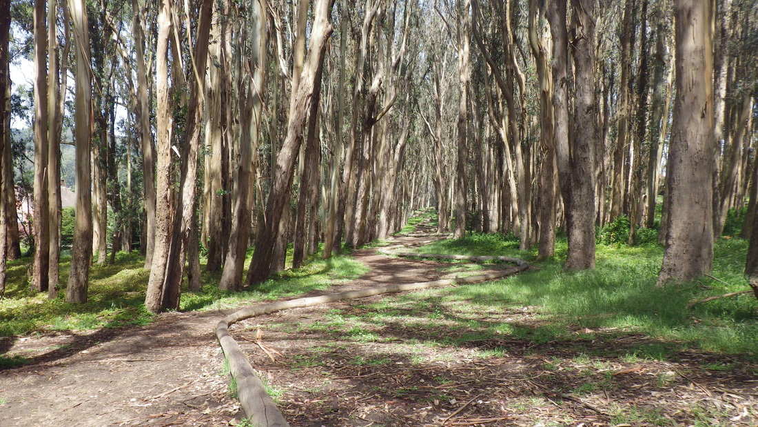
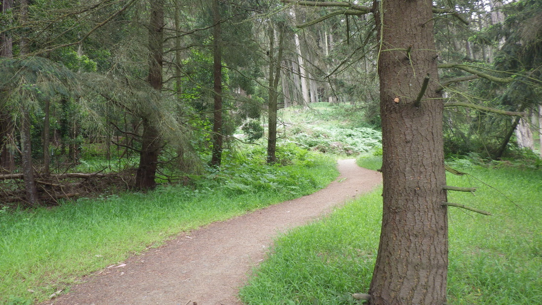
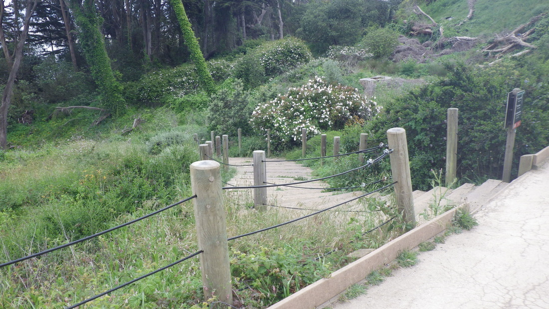
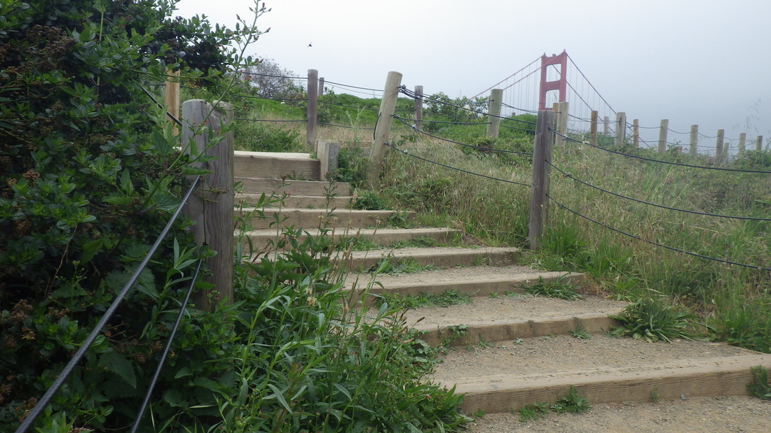
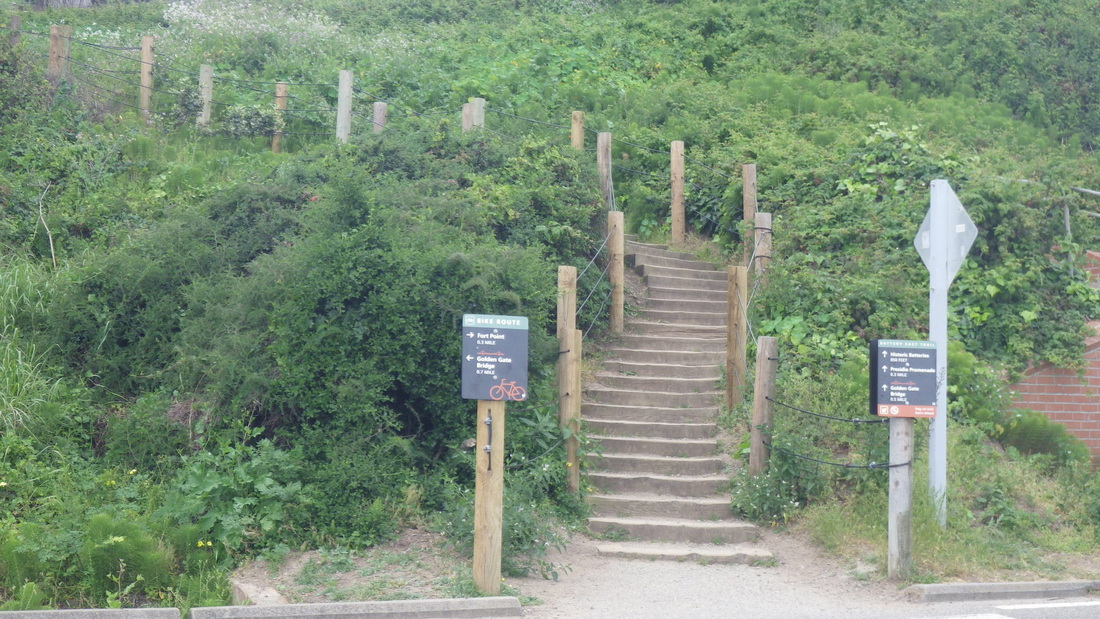
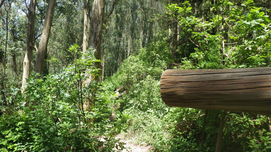
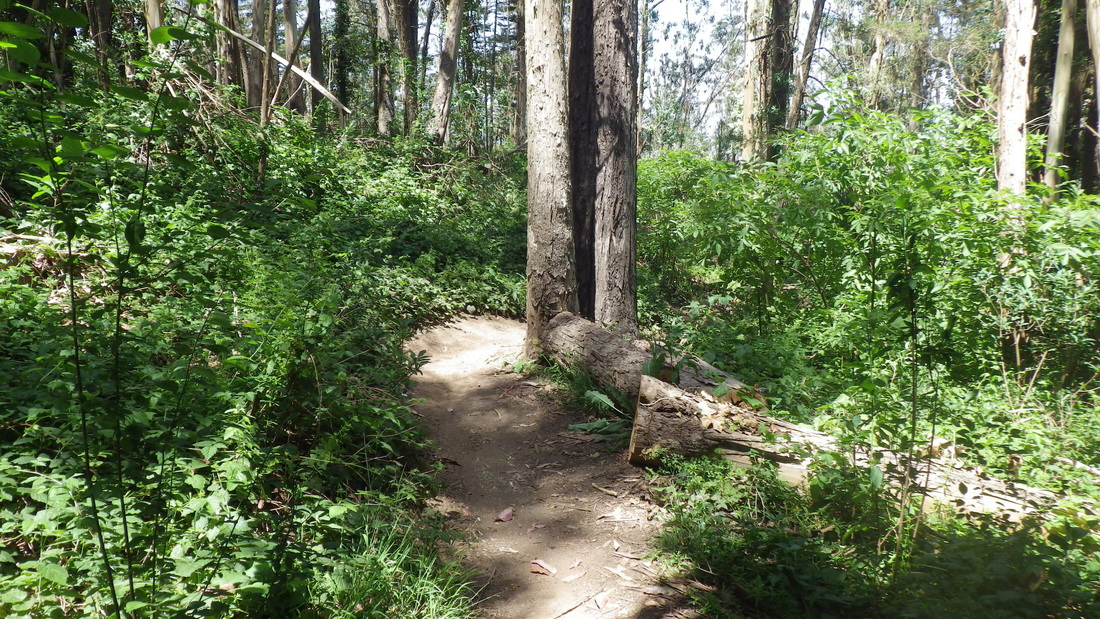
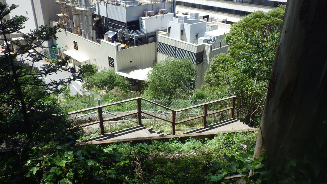
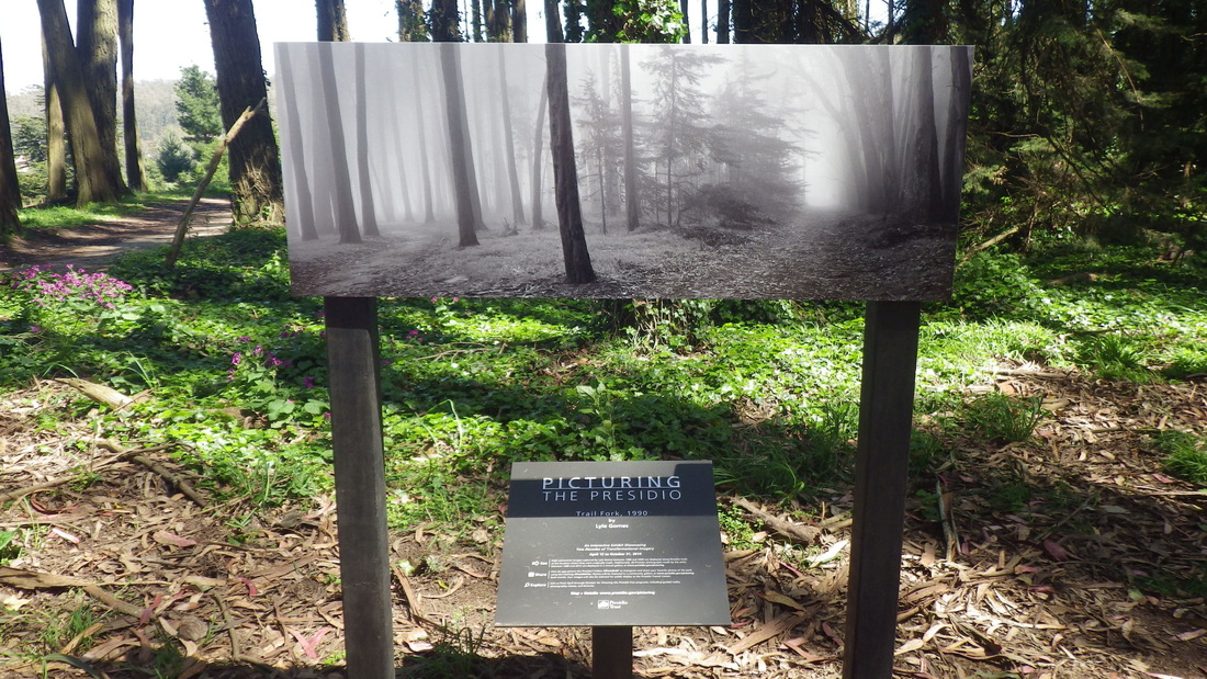
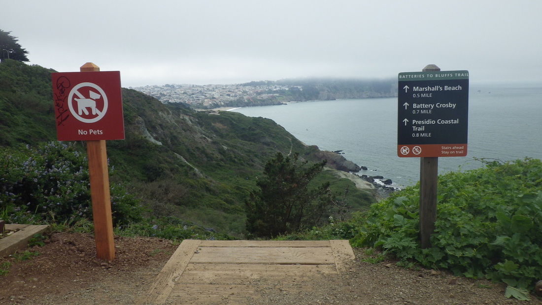
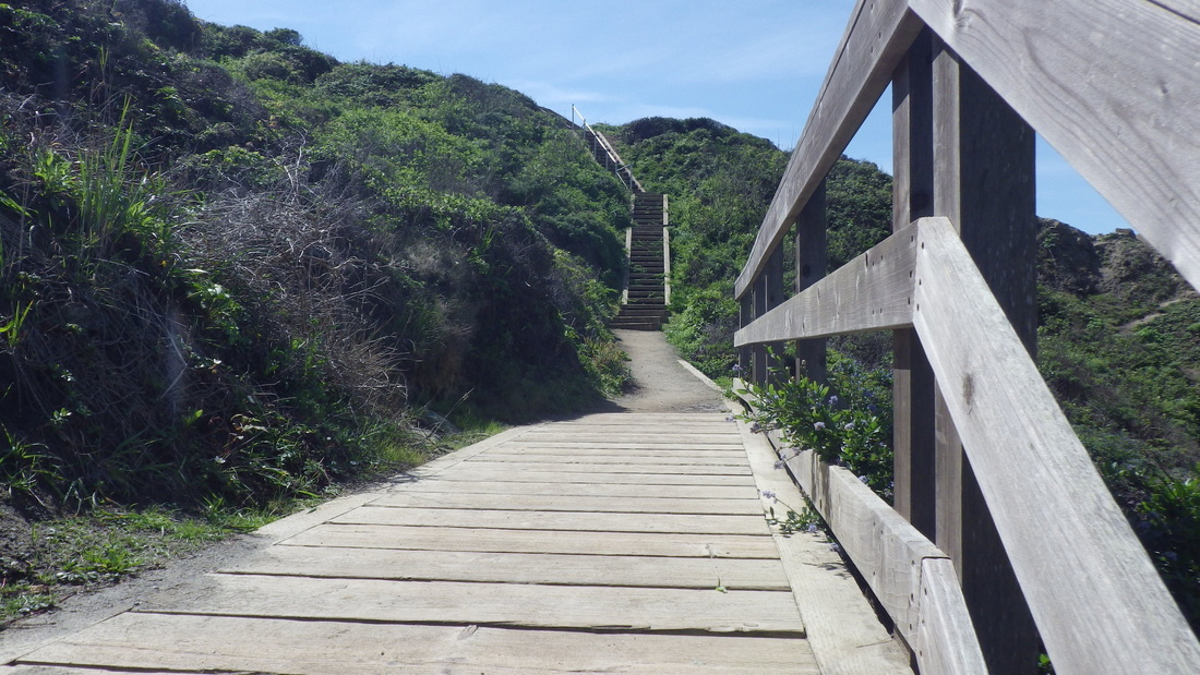
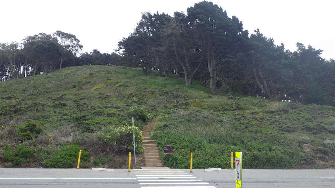
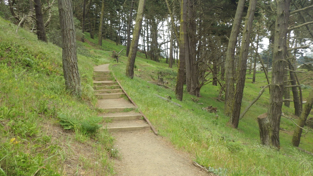
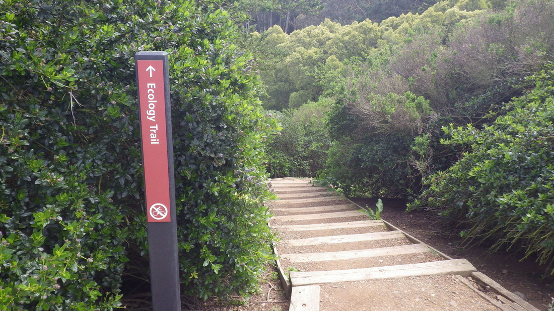
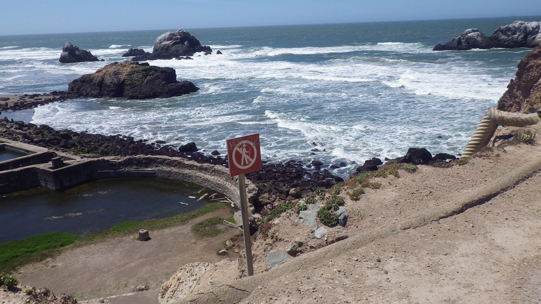
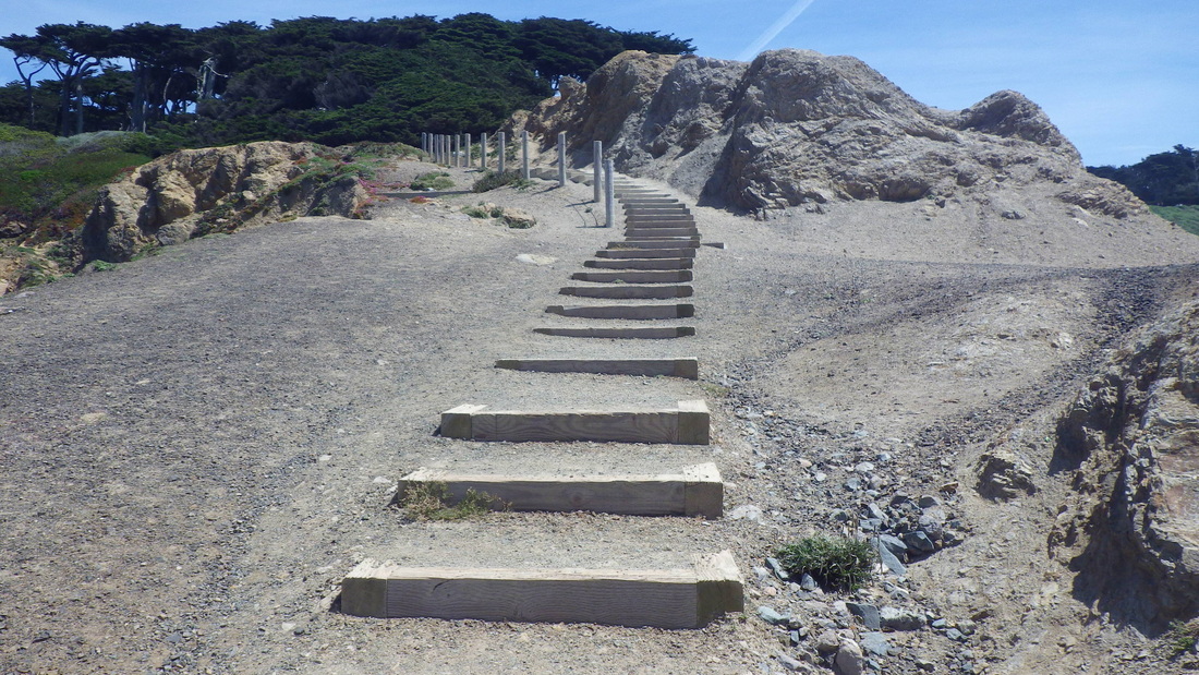
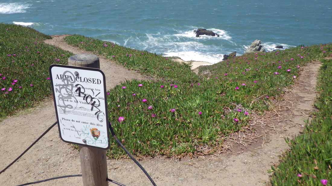
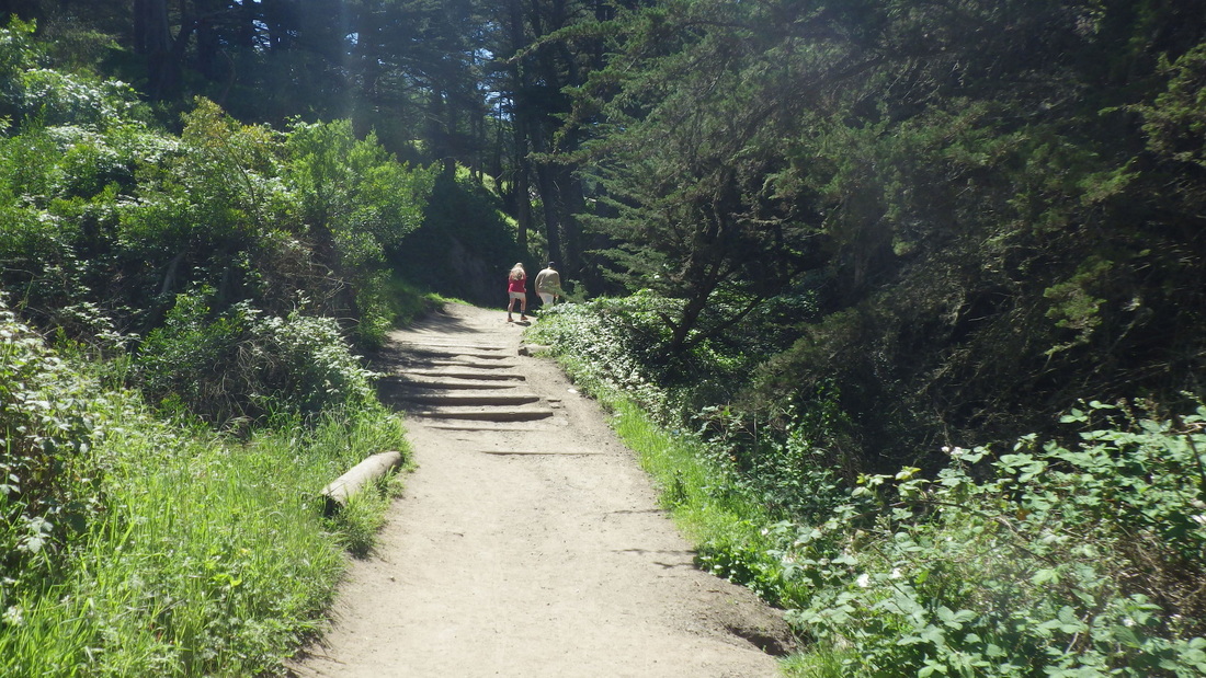
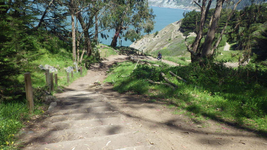
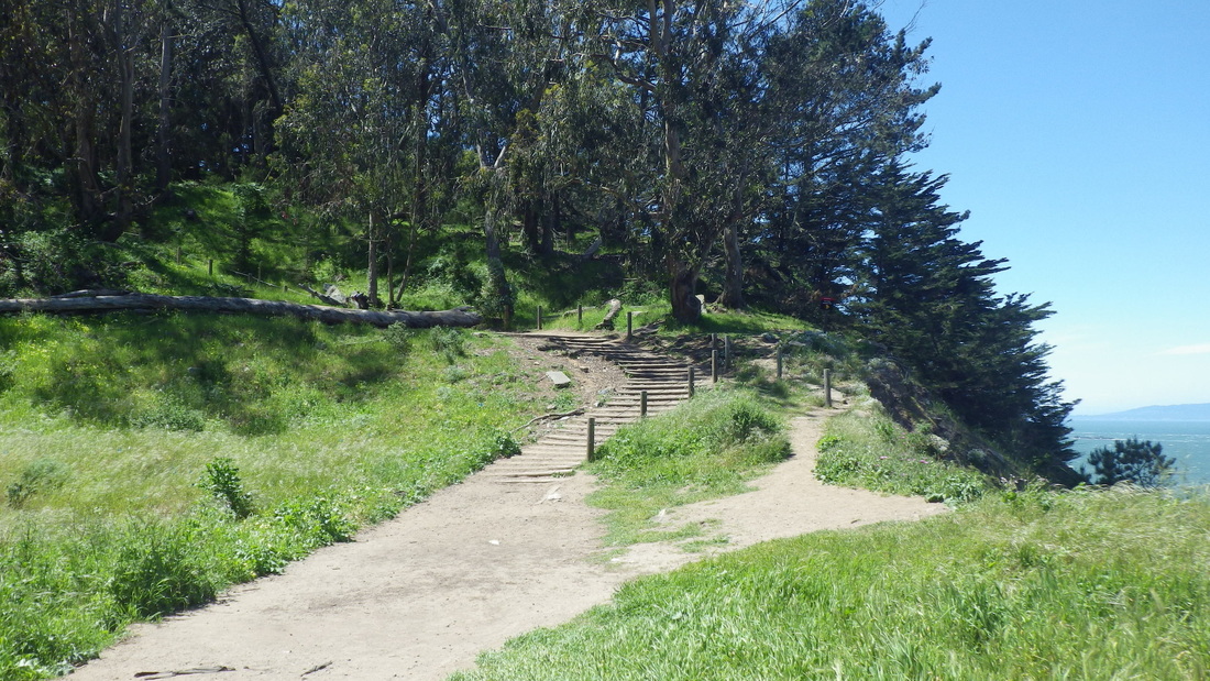
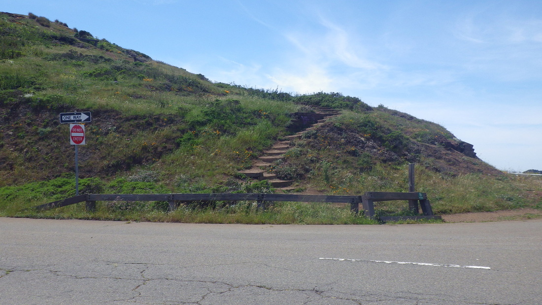
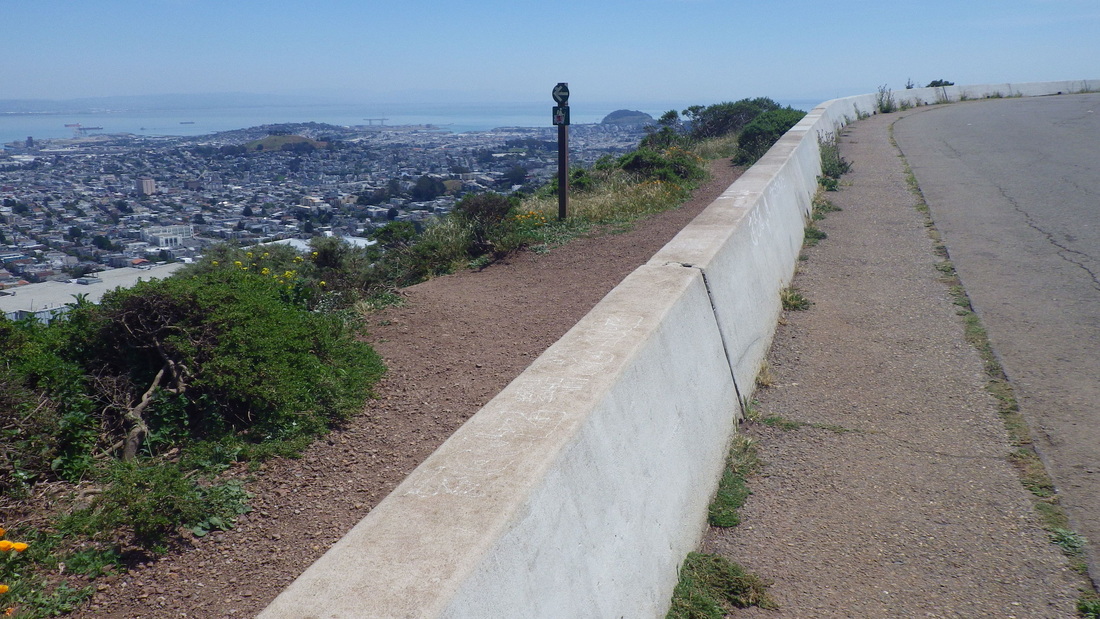
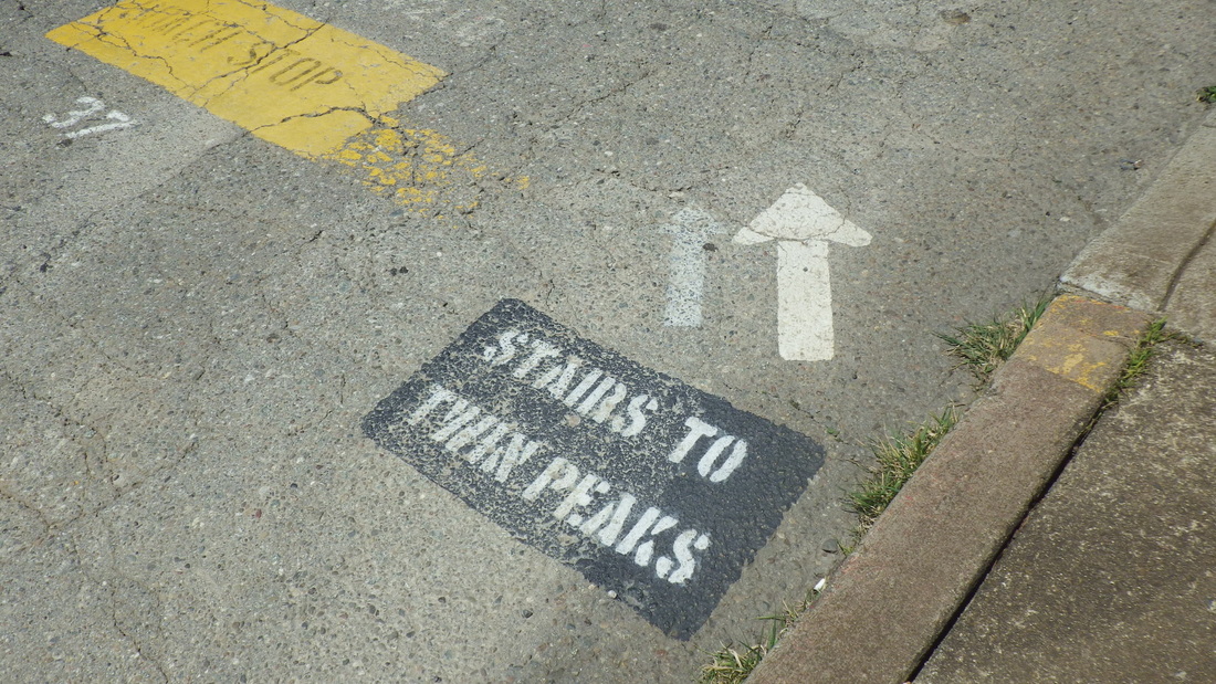
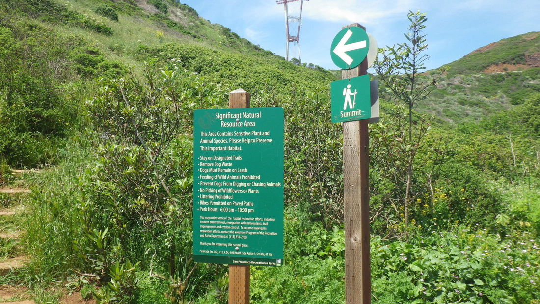
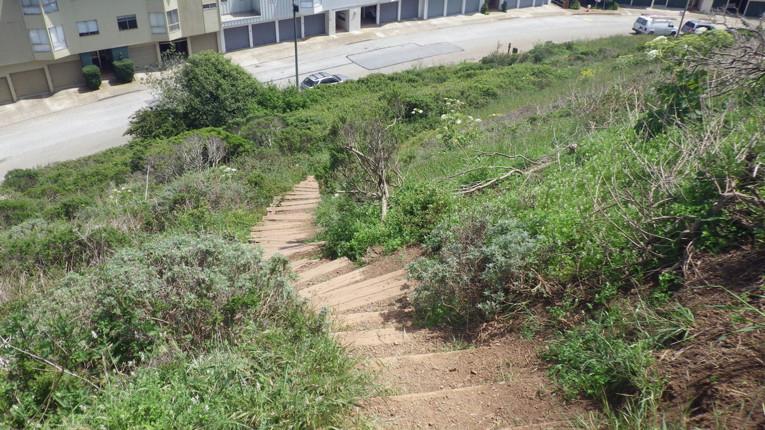
Scored a decent amount of ripe-enough earlyberries on this trek that started just west of the bridge (second bridge area stop for the #28), passing the Golden Gate Overlook and over to the Batteries to Bluffs east trailhead (pic 1).

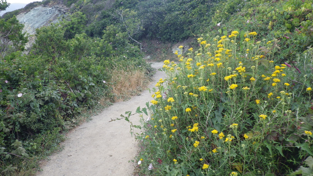
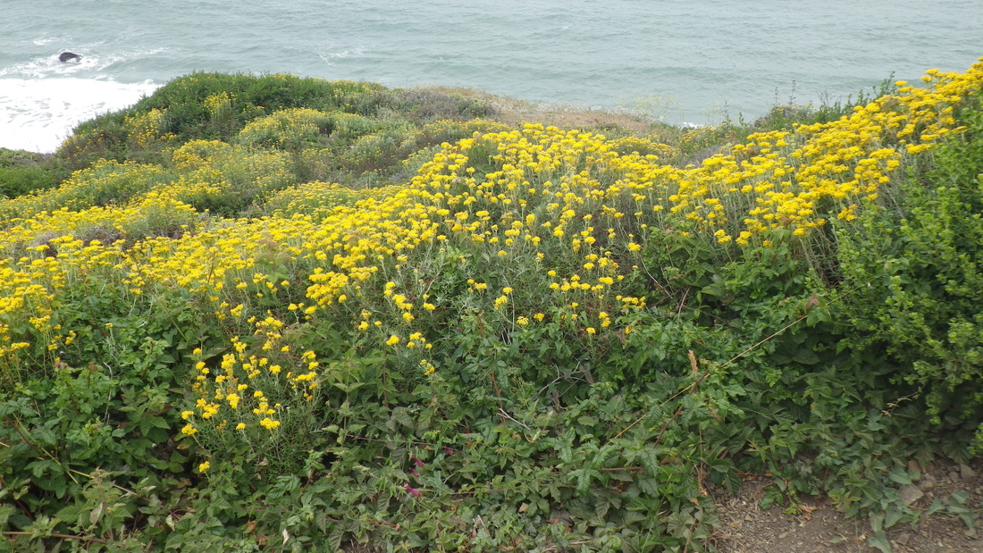
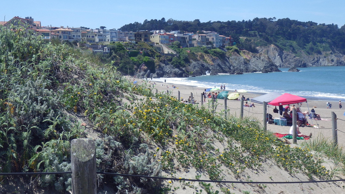
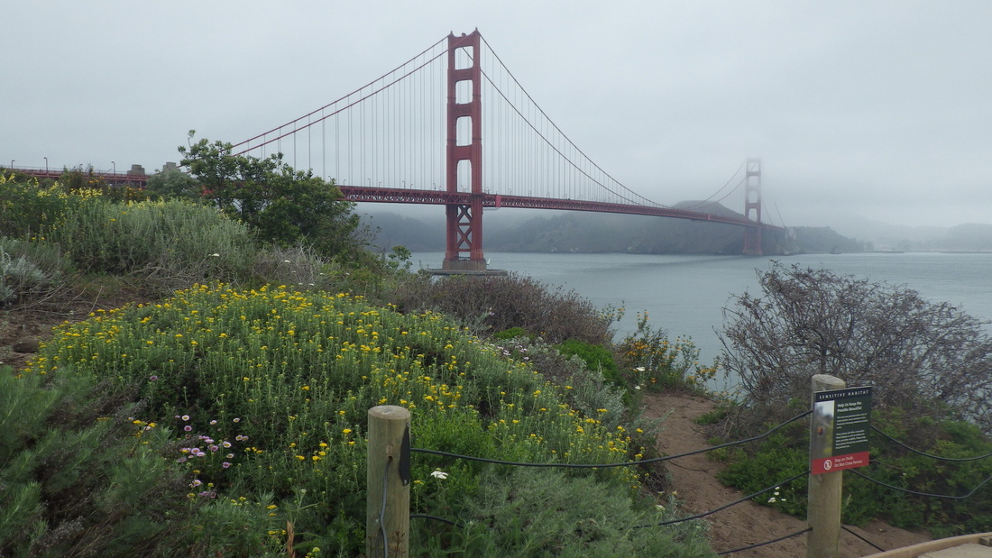
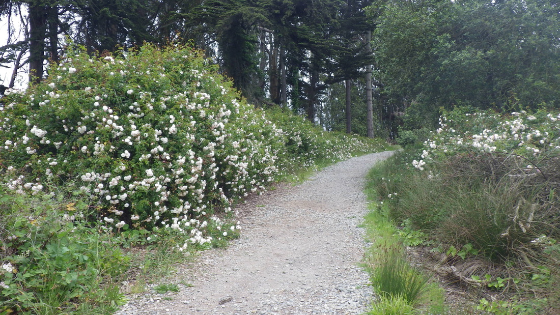
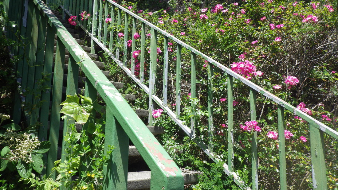
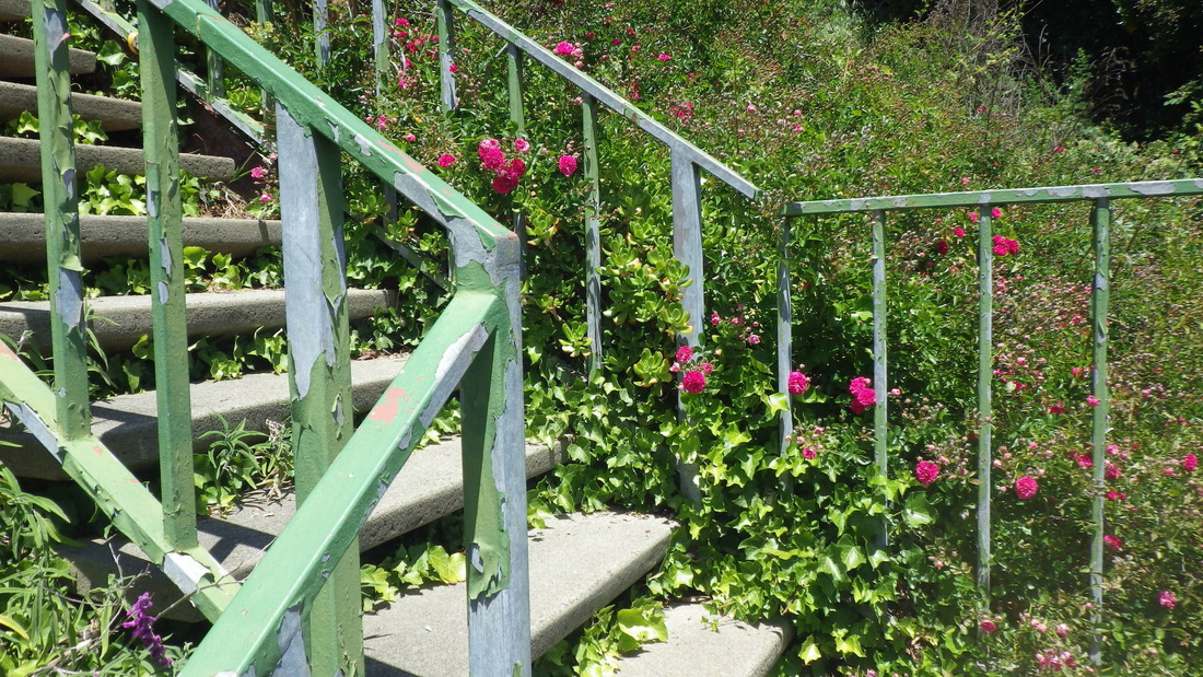
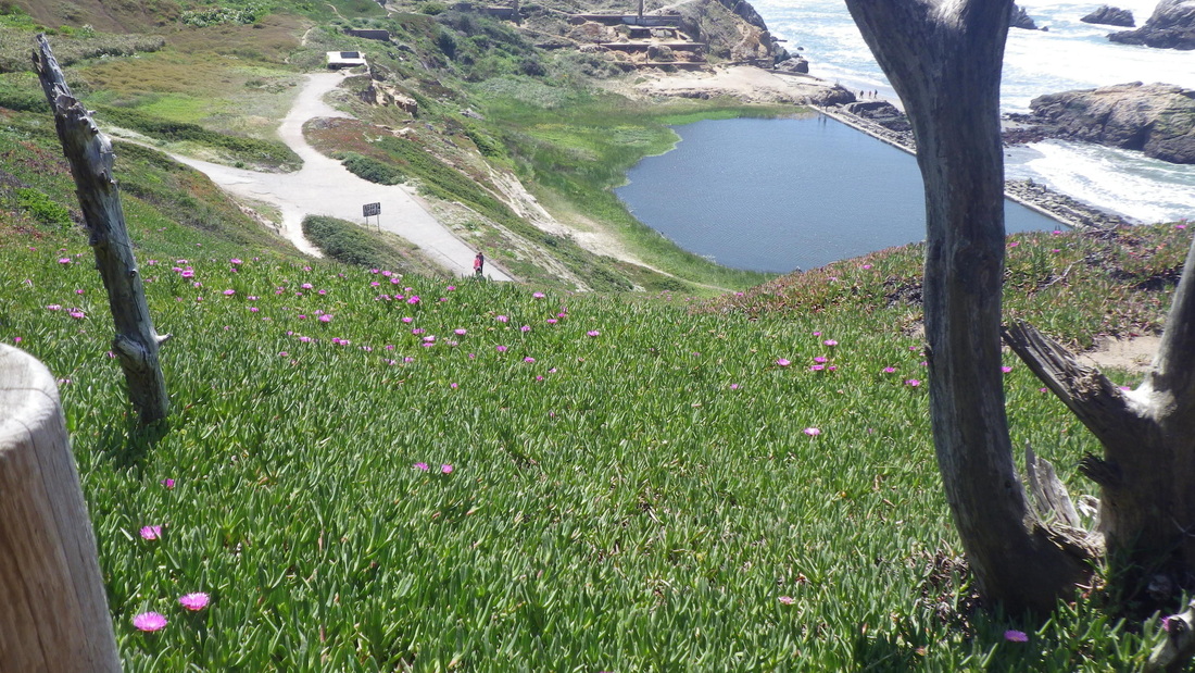
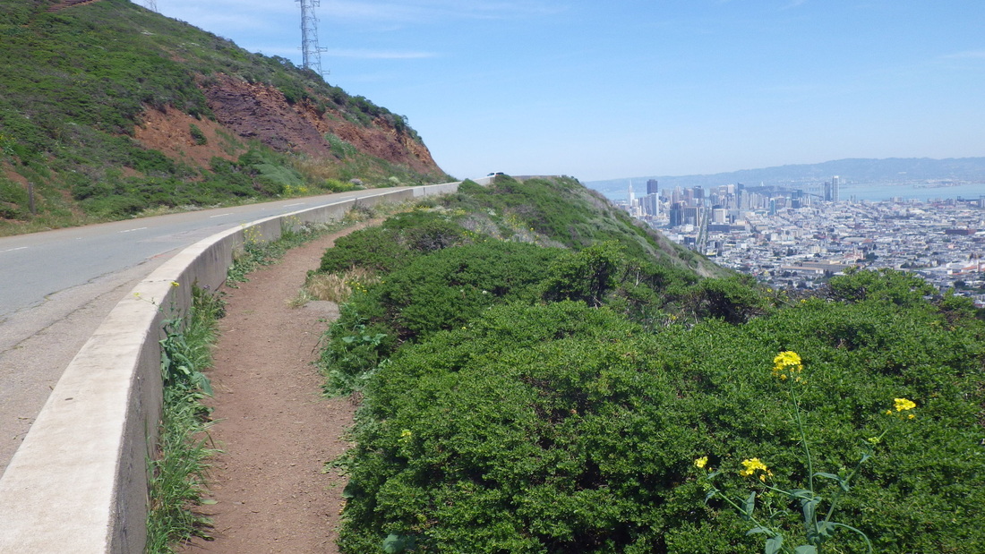
All wildflowers are a delight to behold, but this time especially blown away by a bunch of yellow ones blanketing the slopes around here. Can anyone tell me the name of this beauty? The clusters on the bushes are made up of several tiny daisy-like flowers.

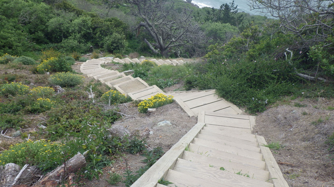
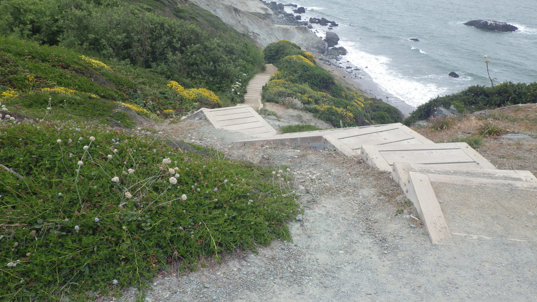
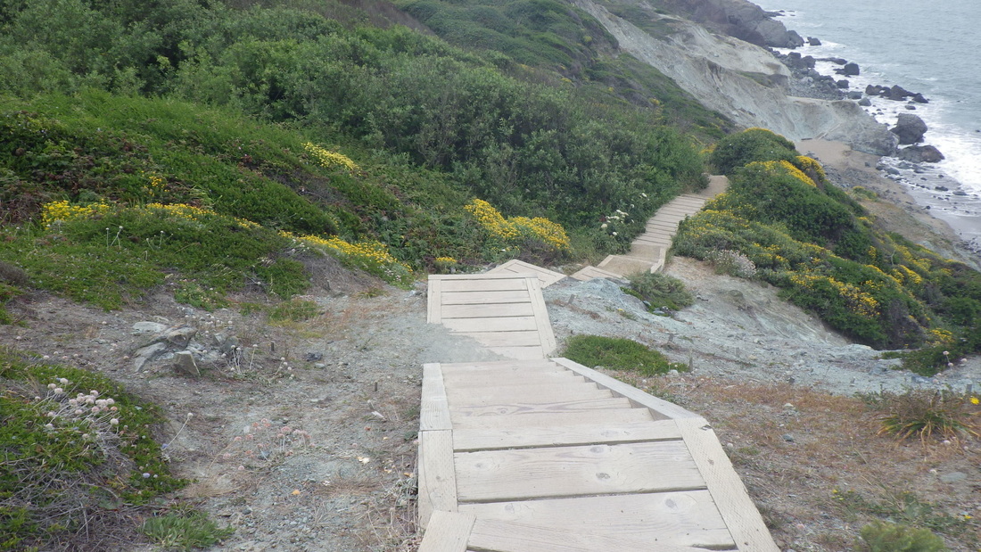
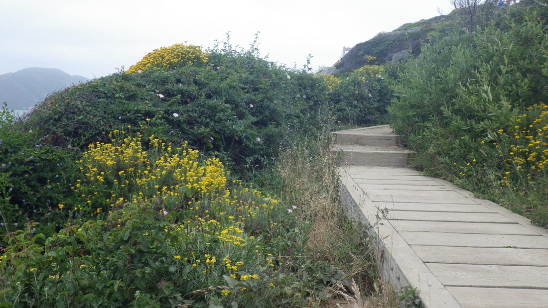
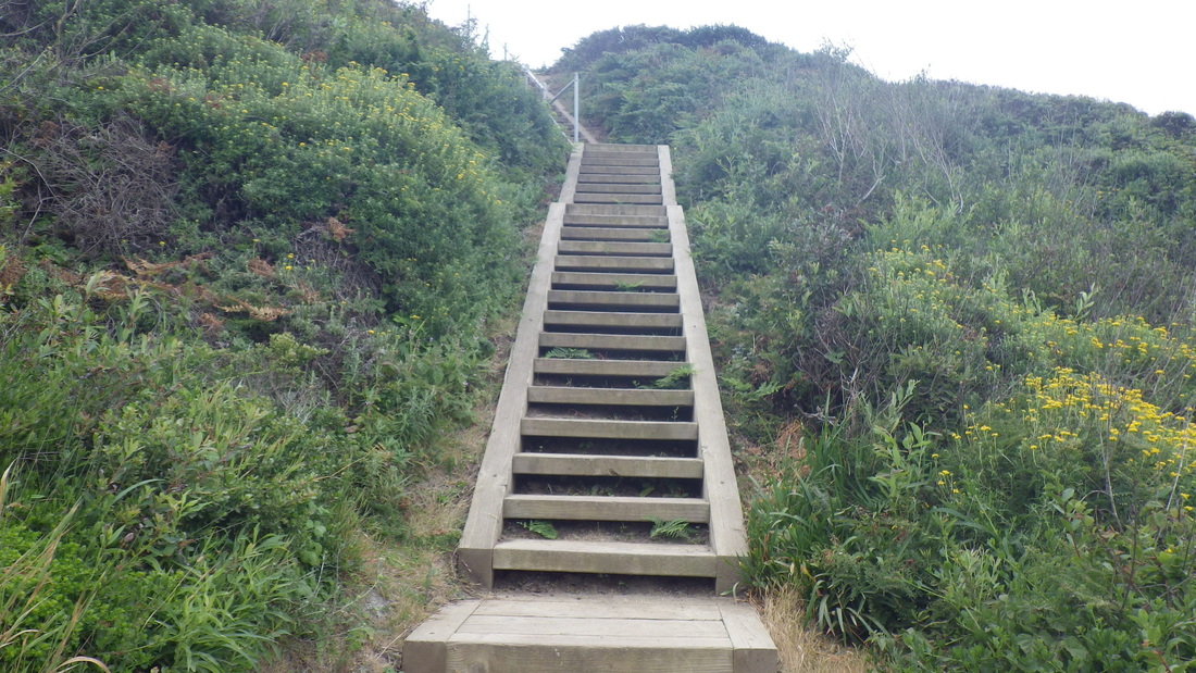
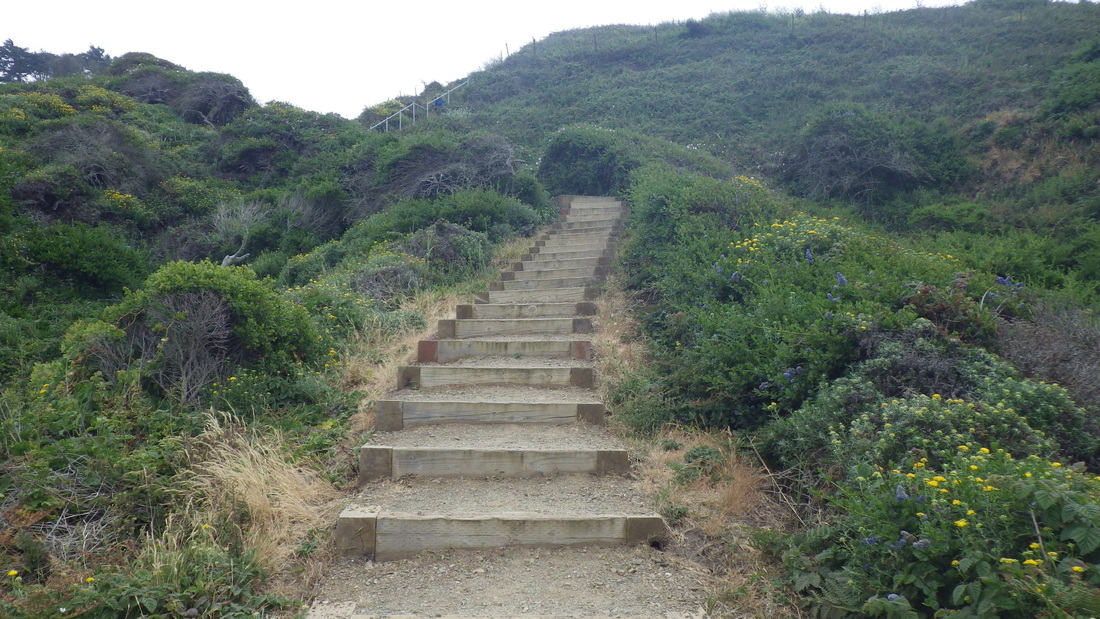
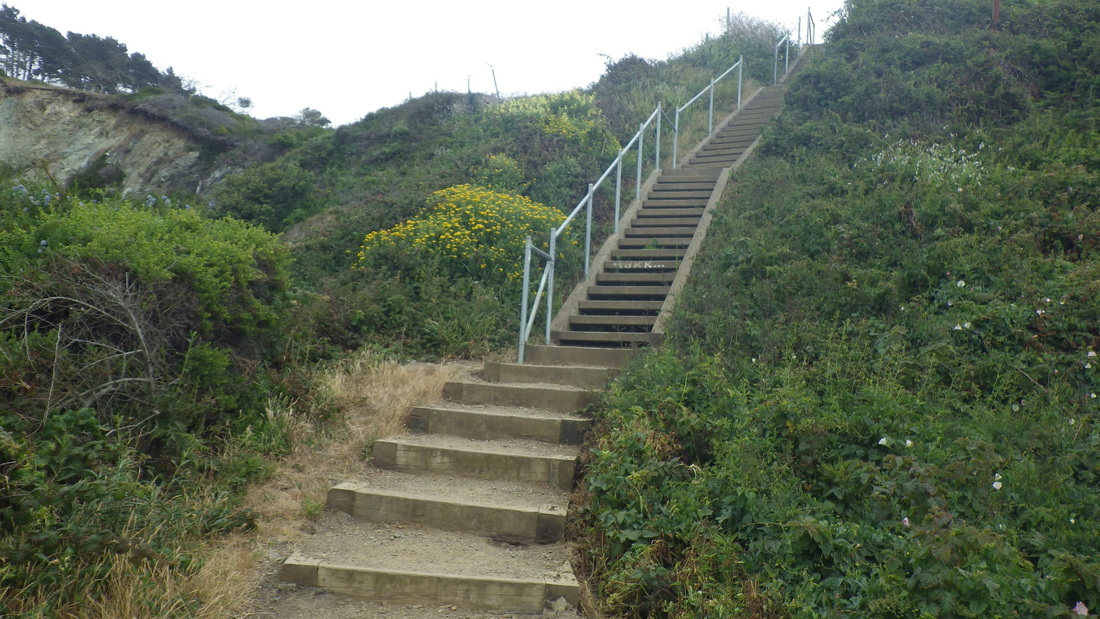
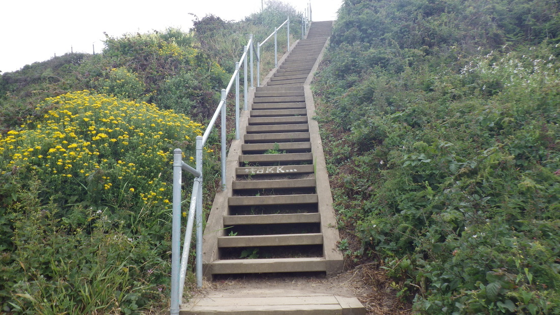
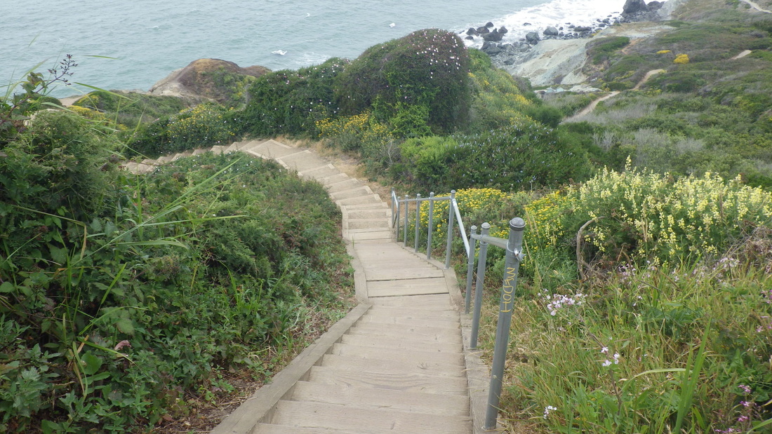
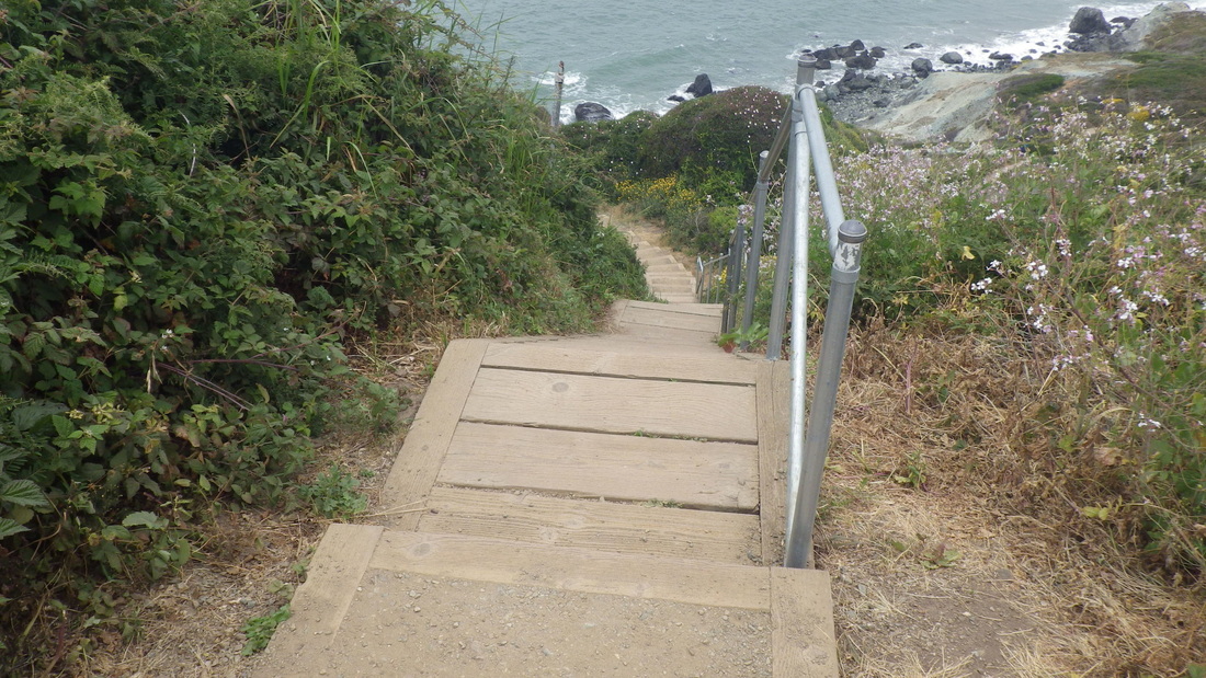
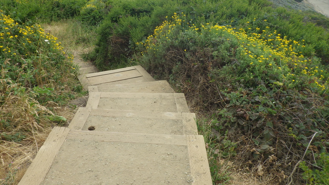
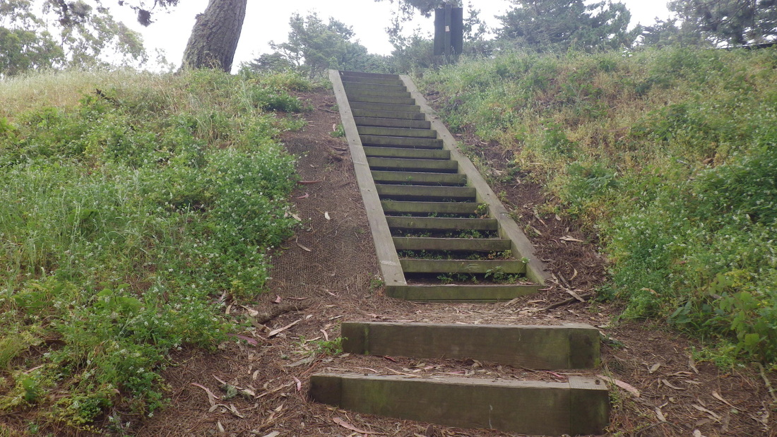
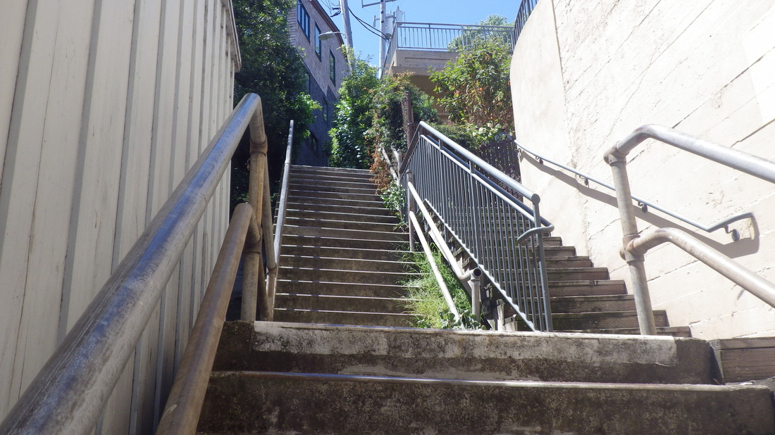
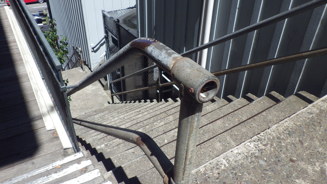
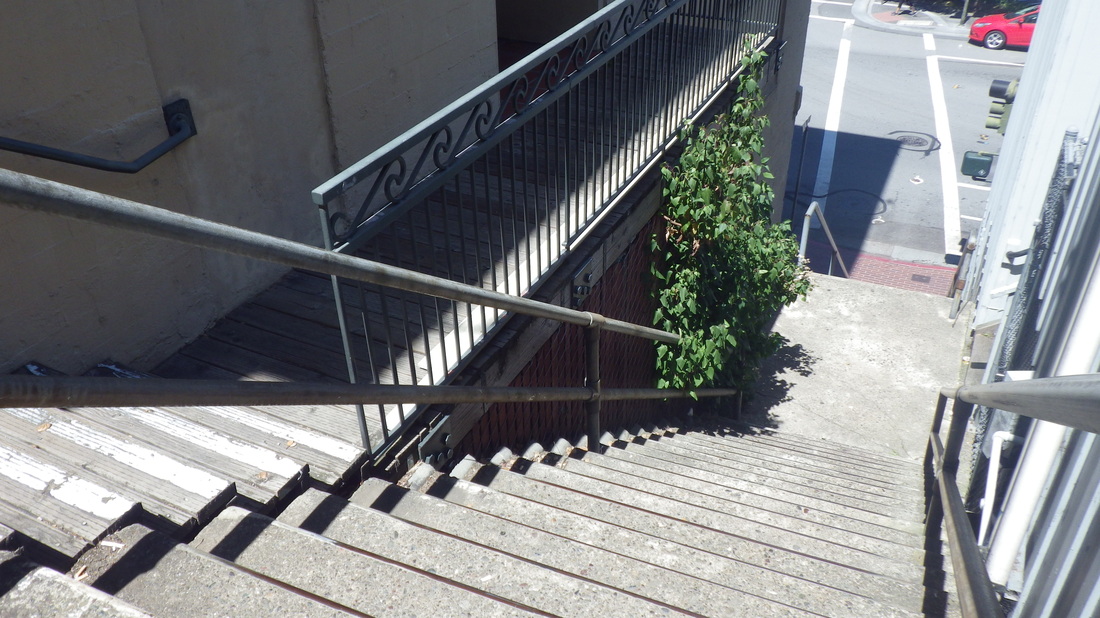
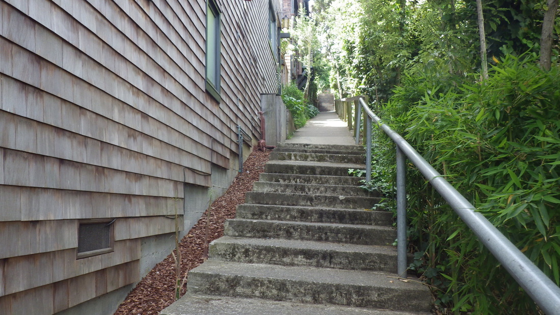
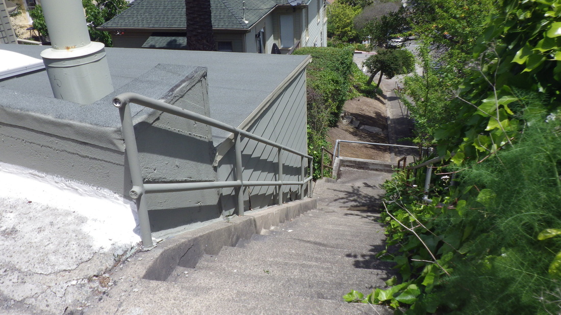
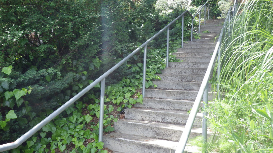
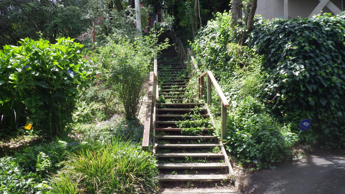
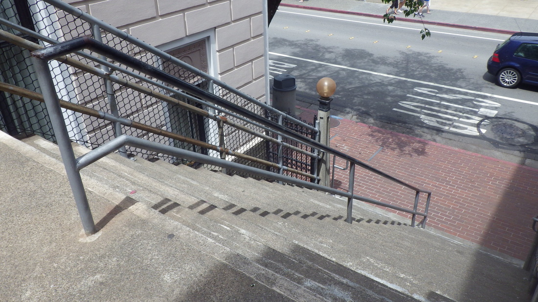
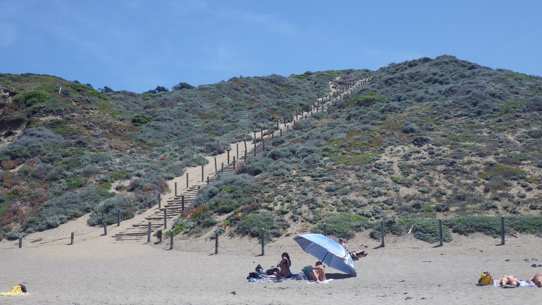
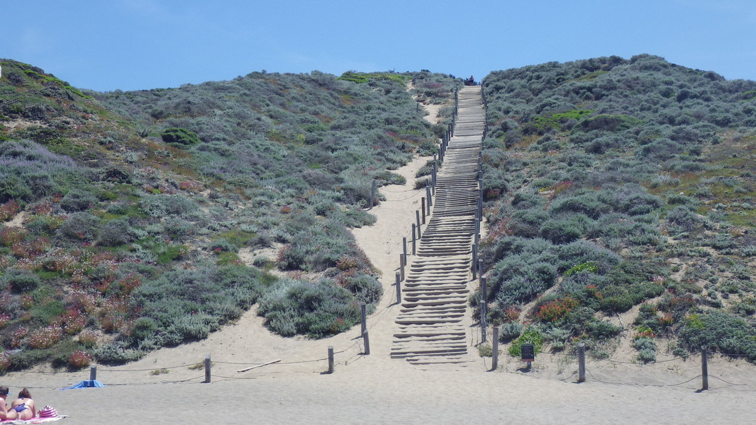
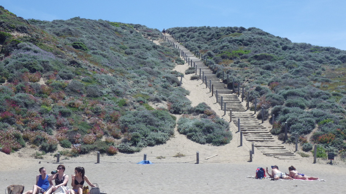
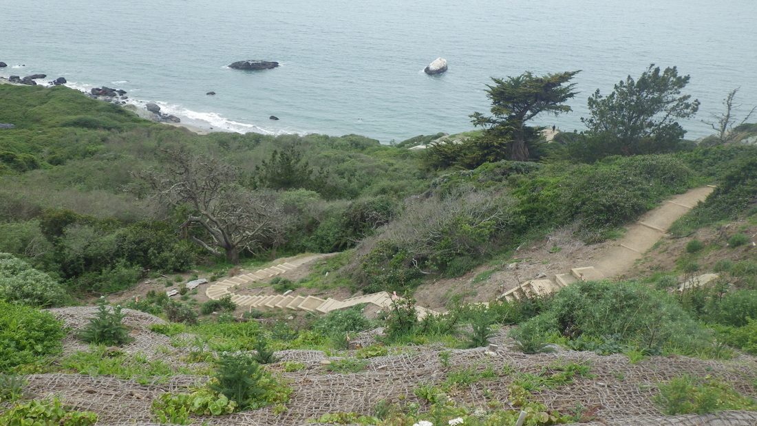
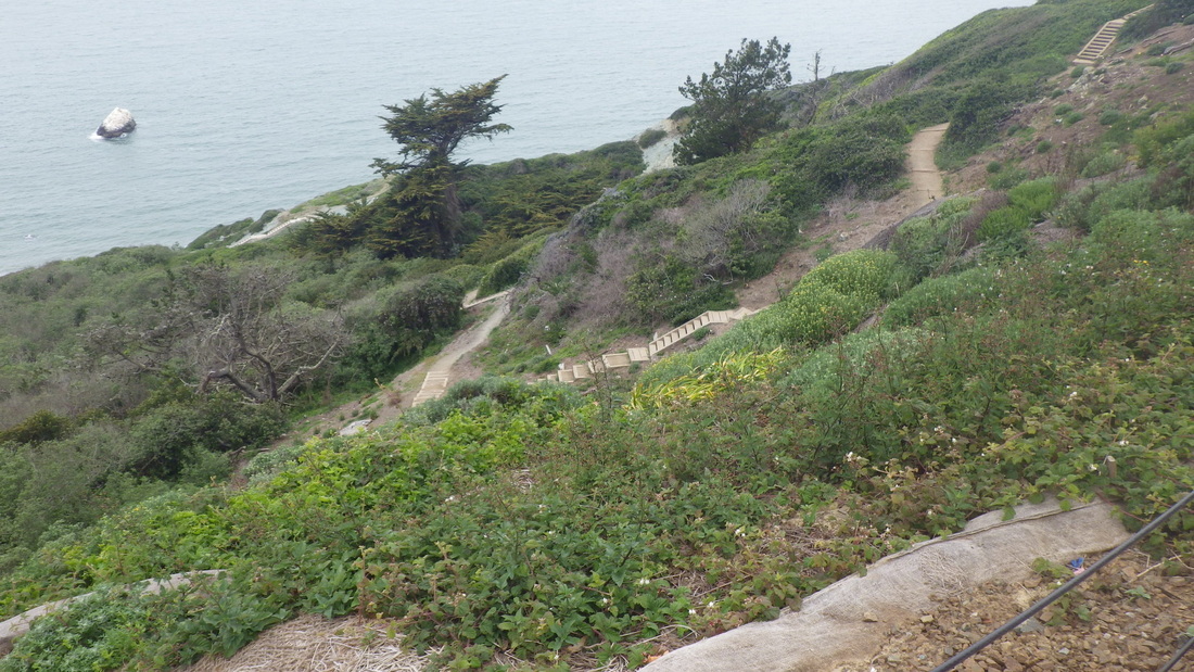
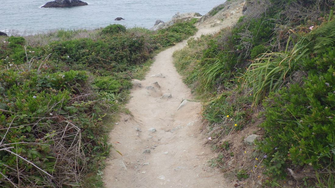
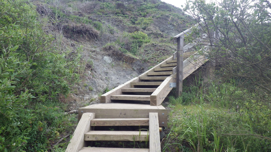
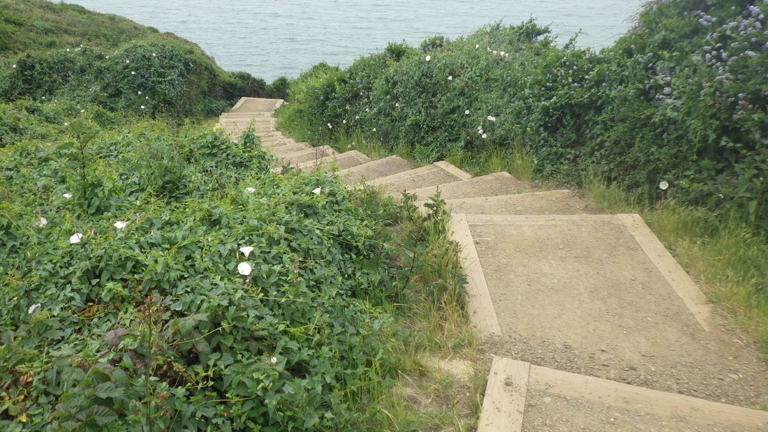
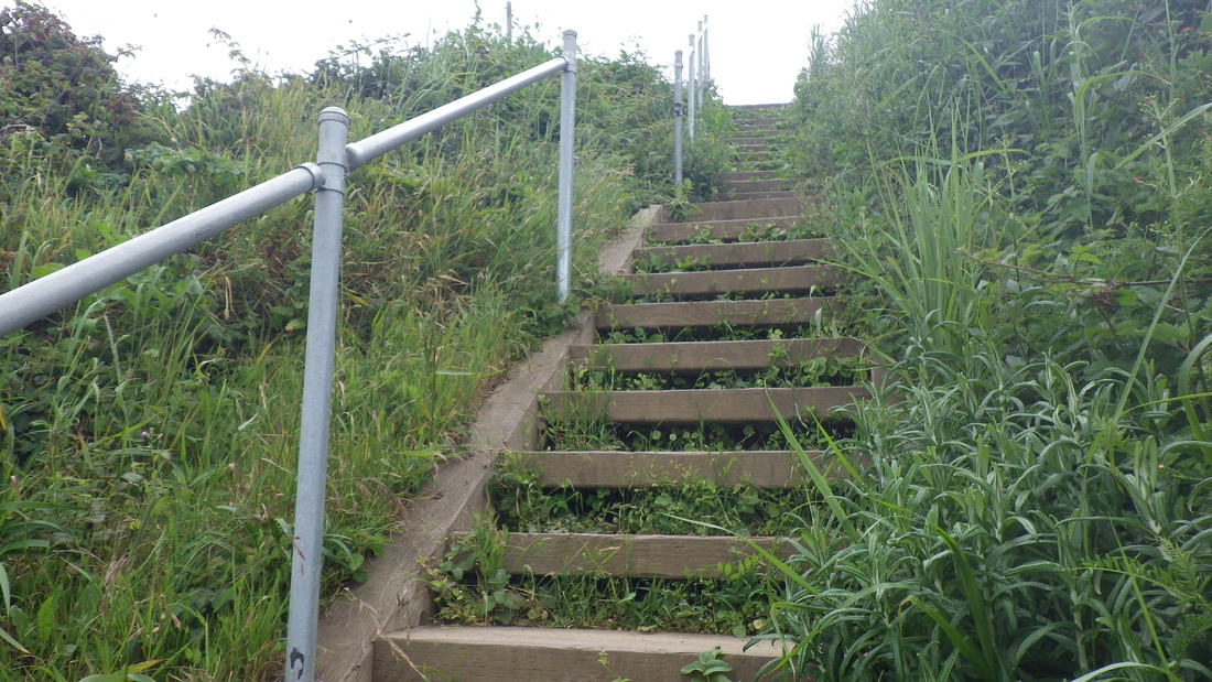
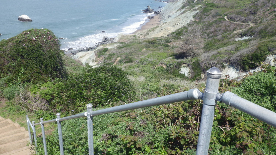
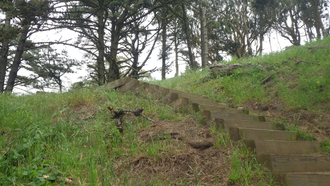
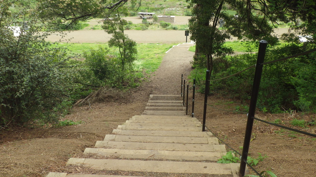
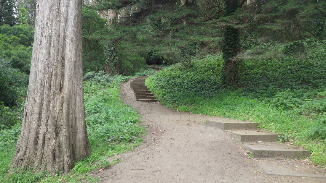
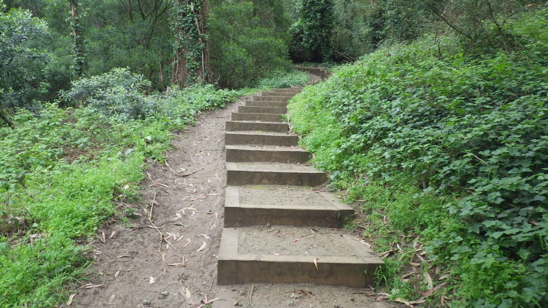
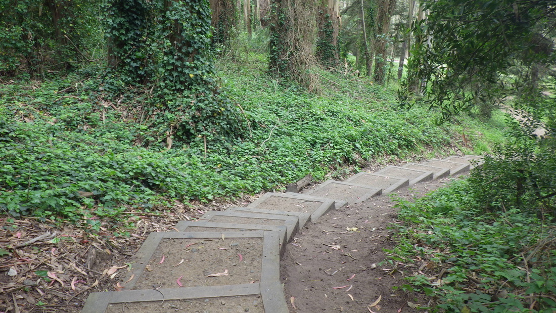
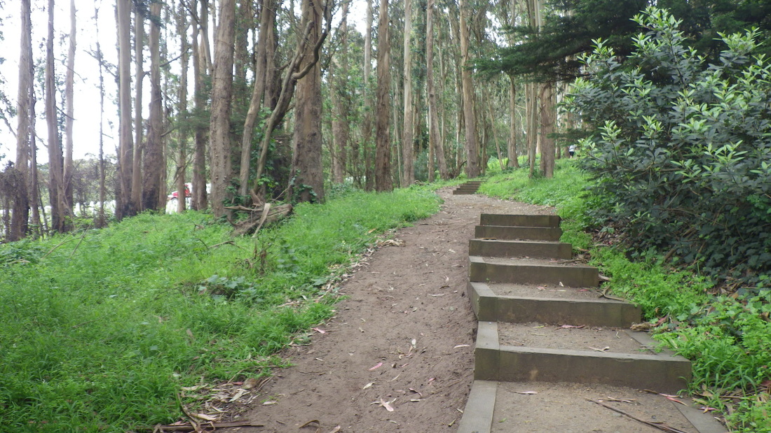
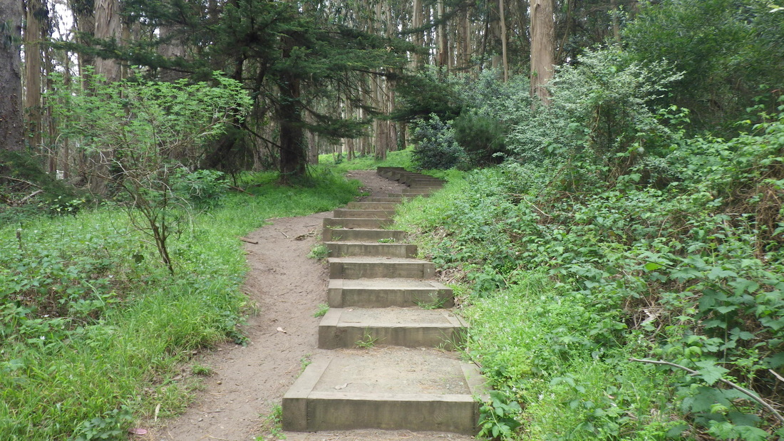
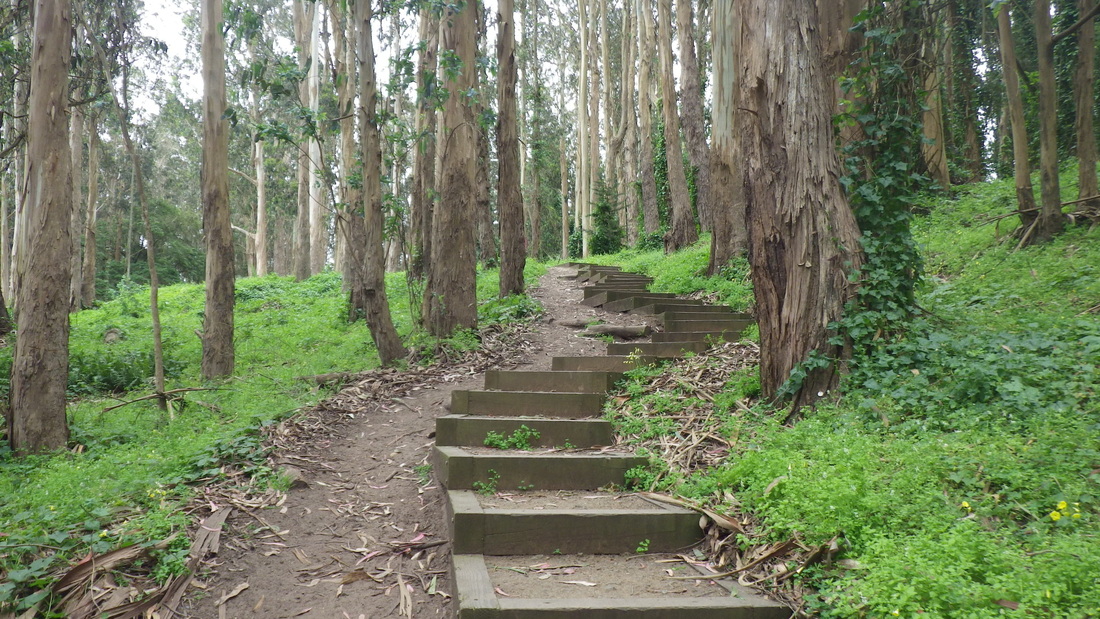
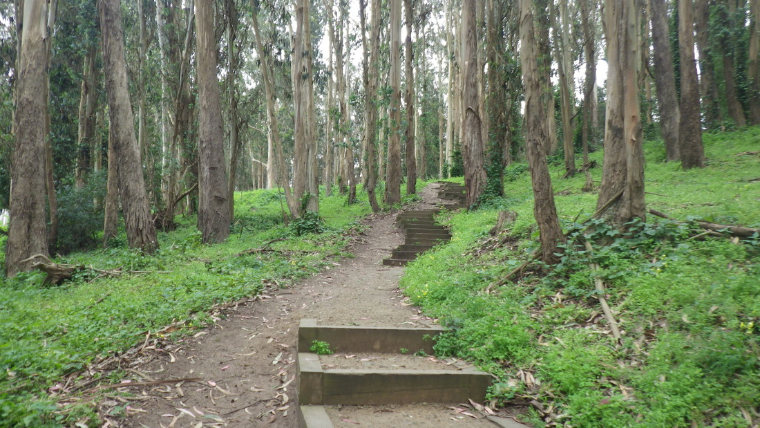
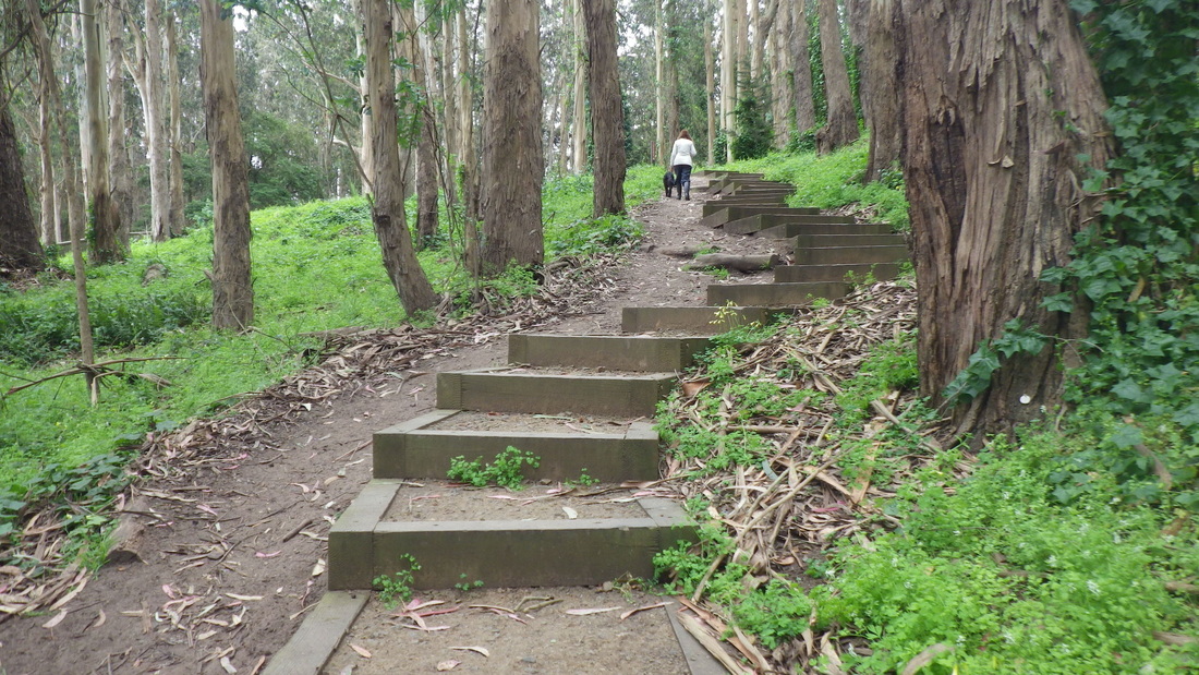
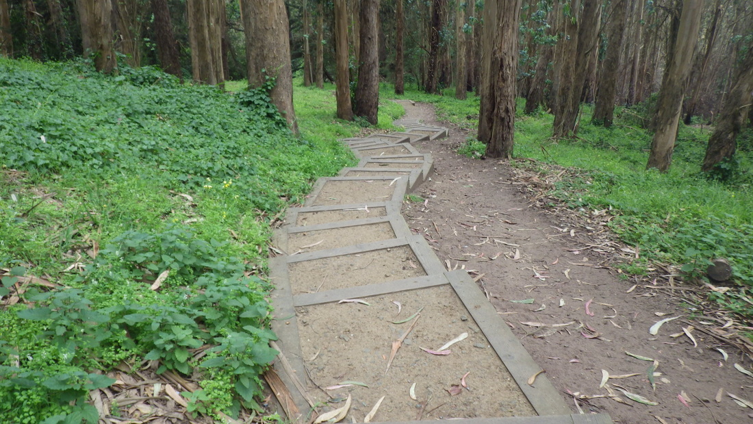
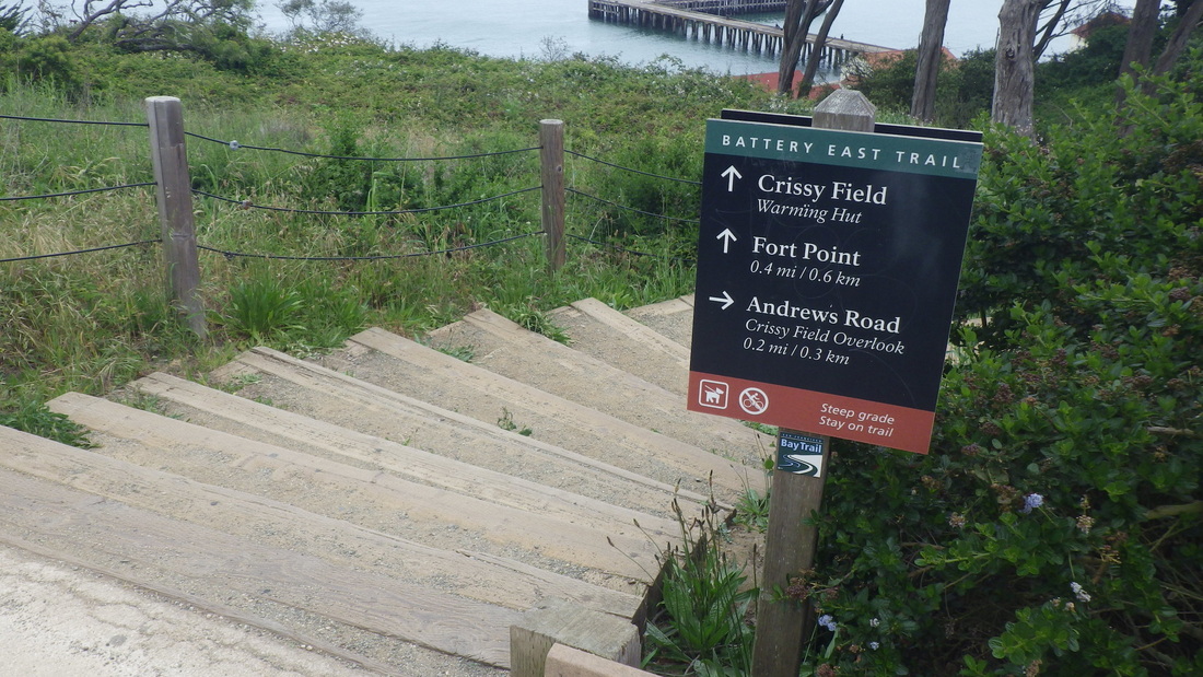
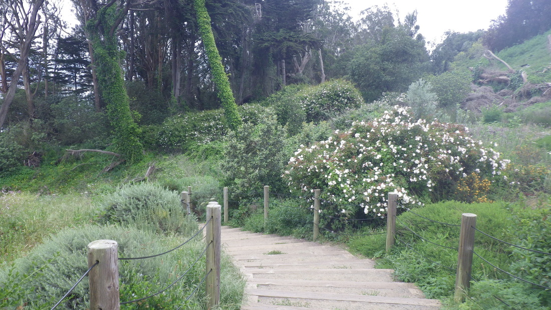
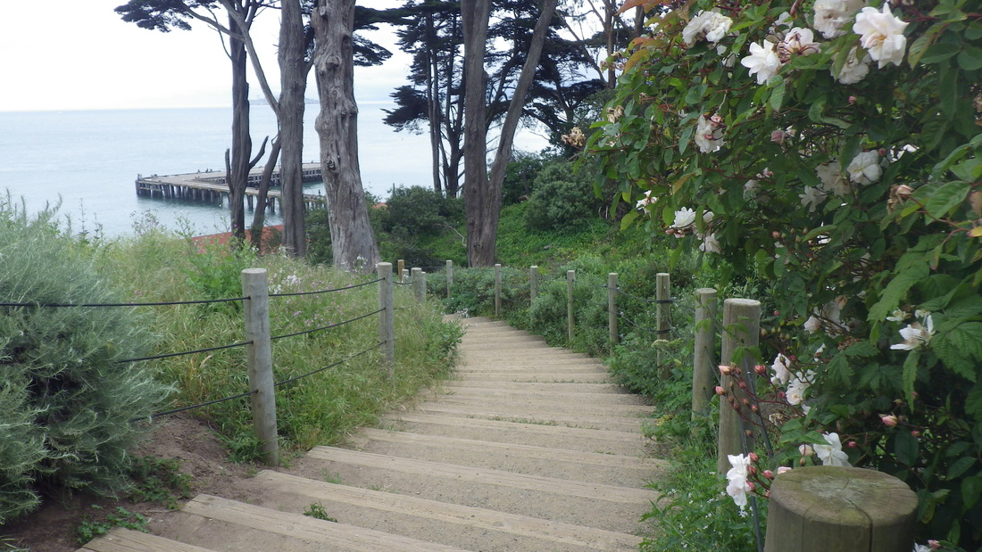
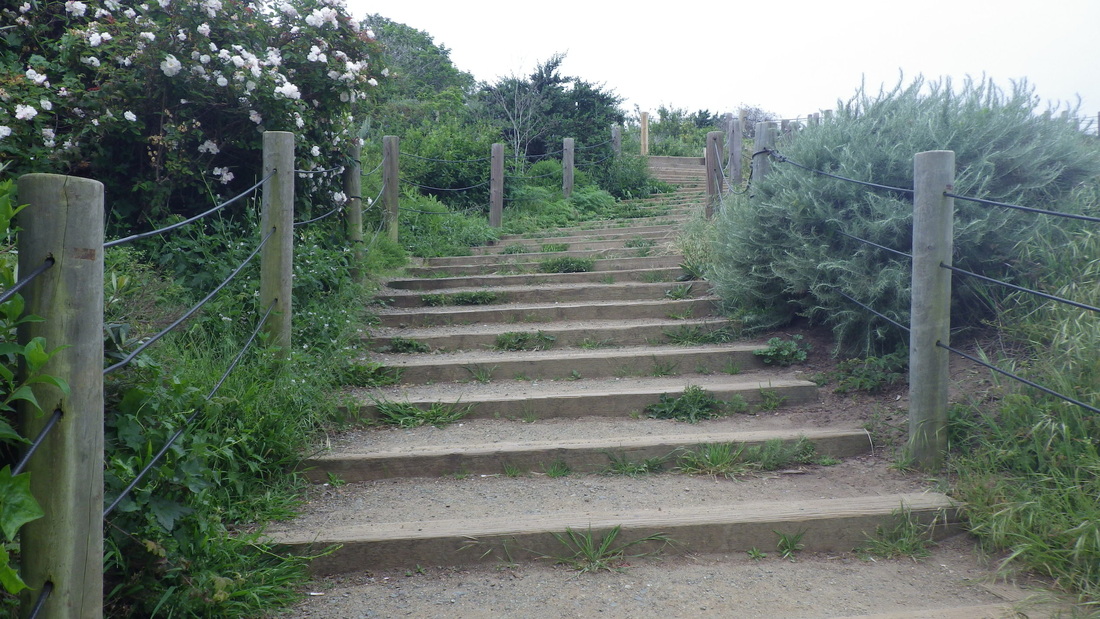
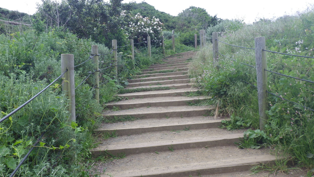
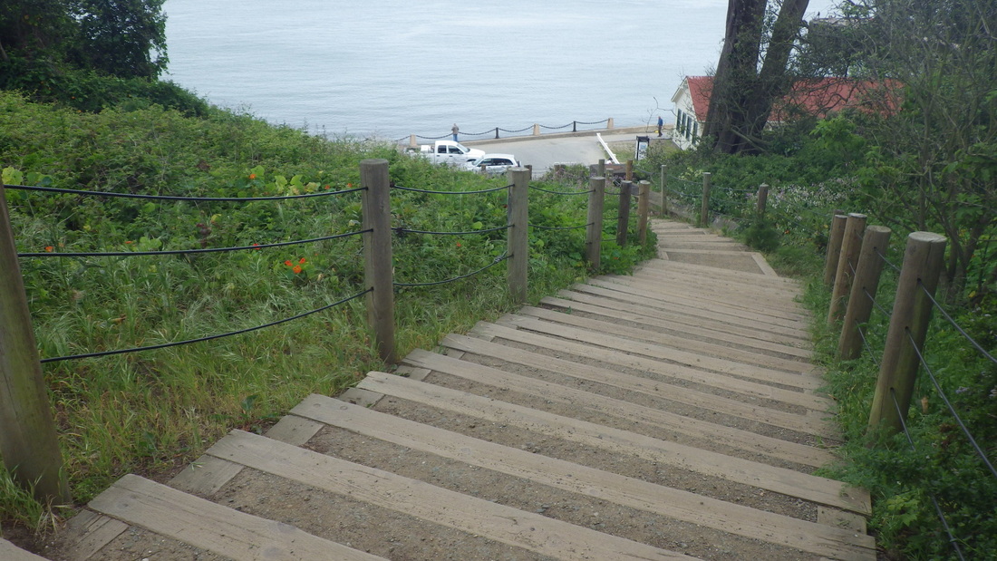
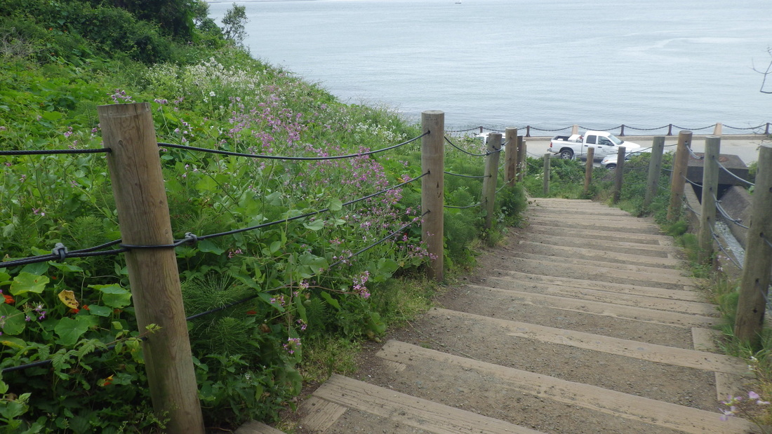
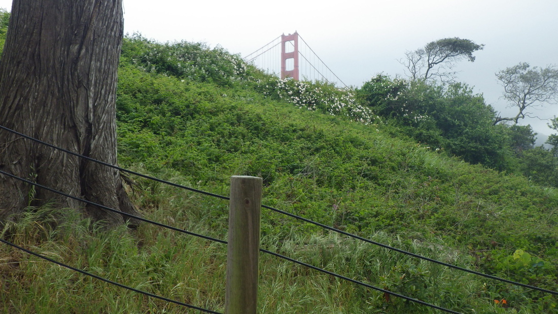
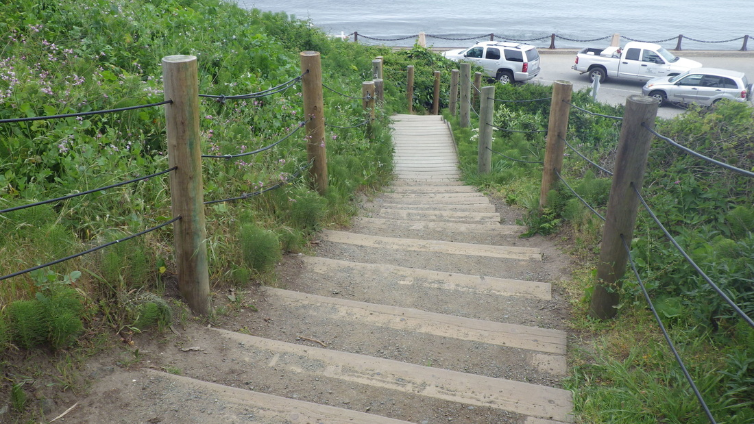
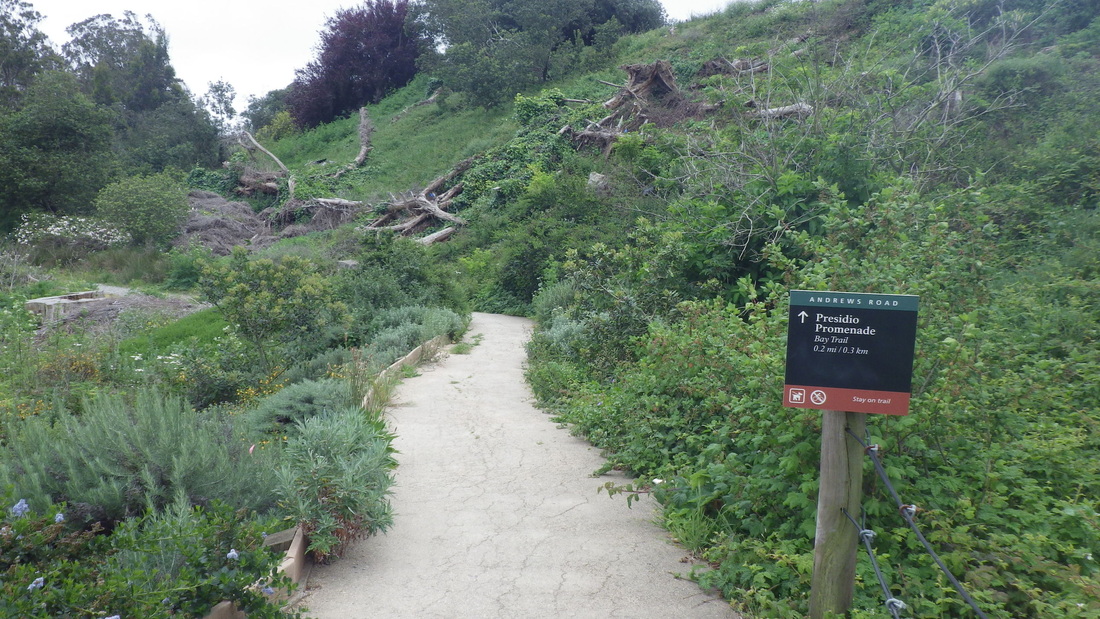
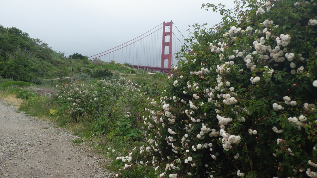
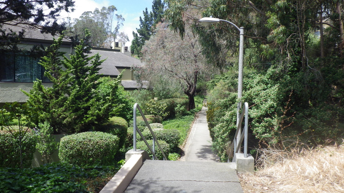
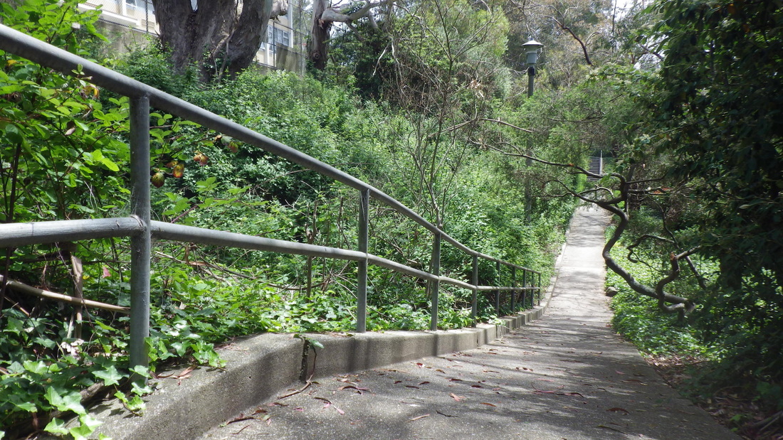
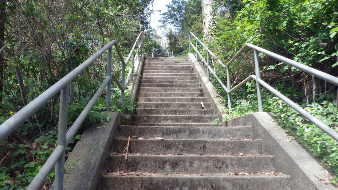
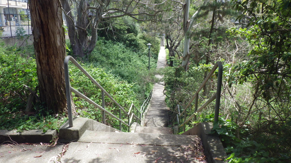
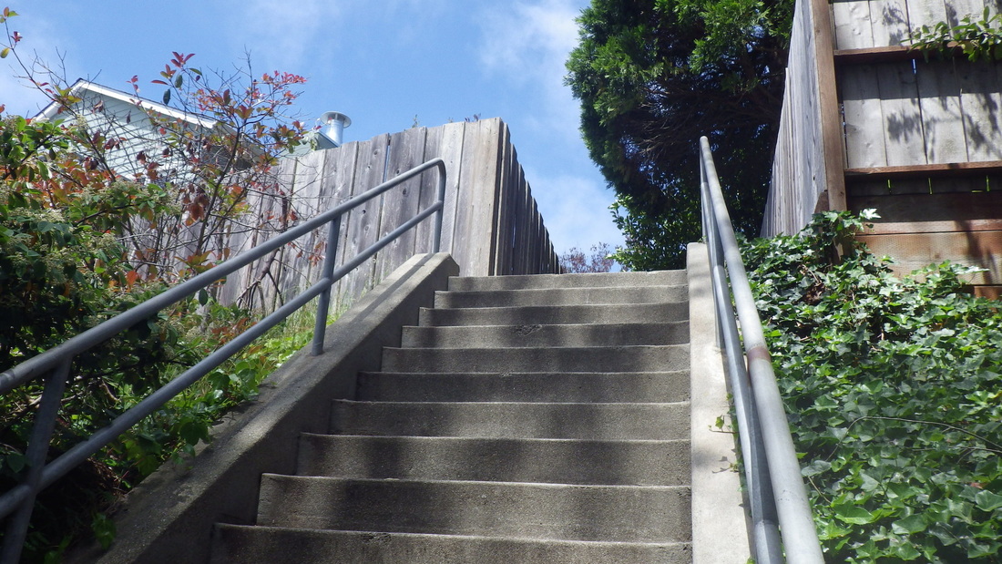
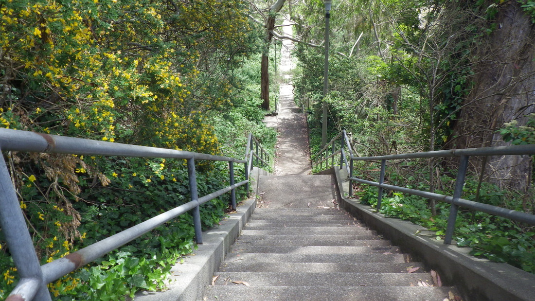
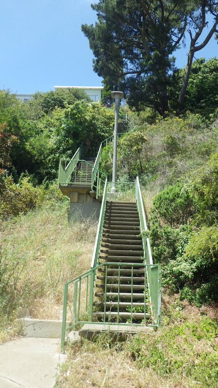
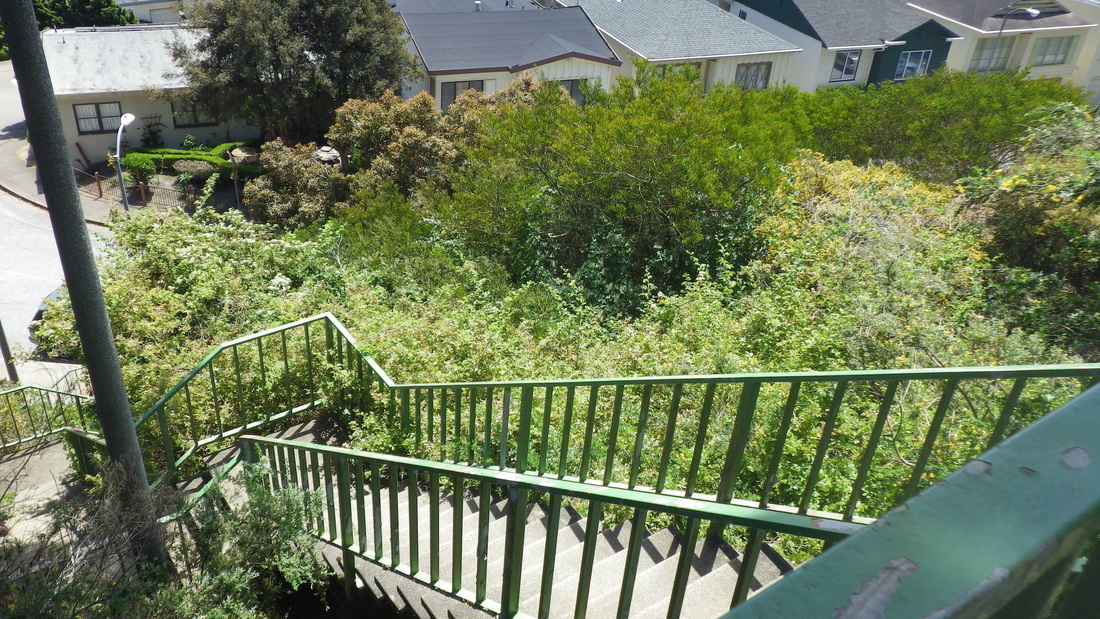
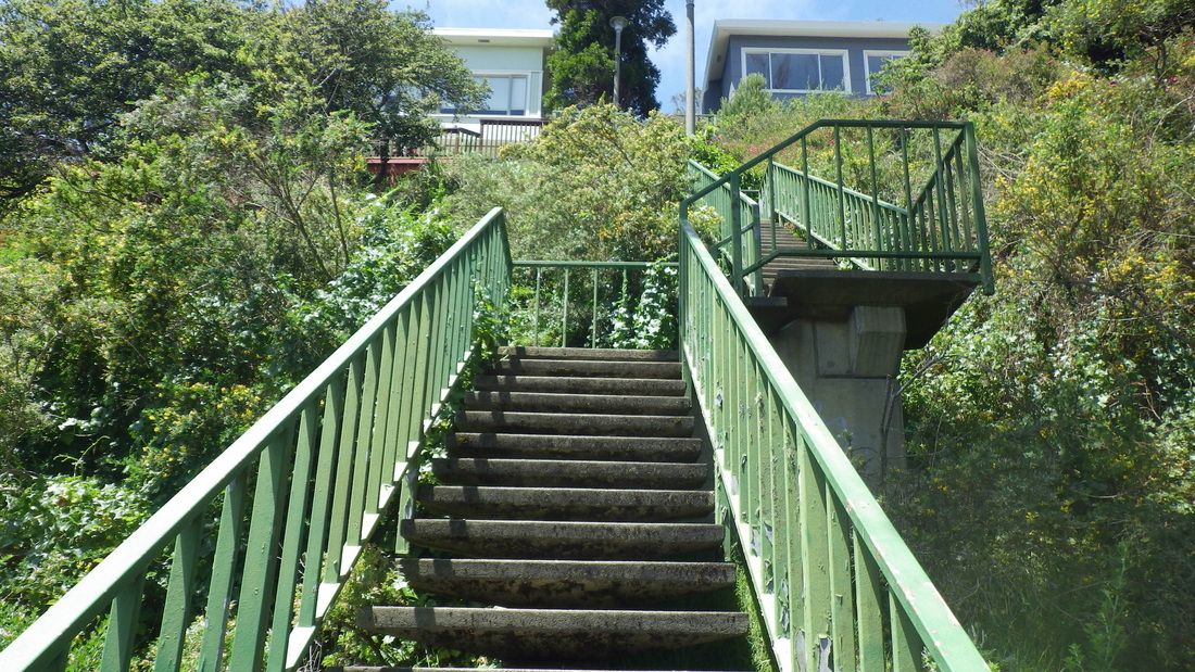
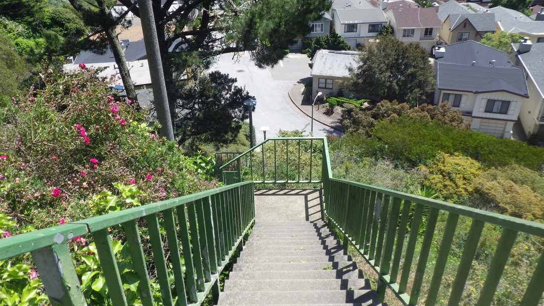
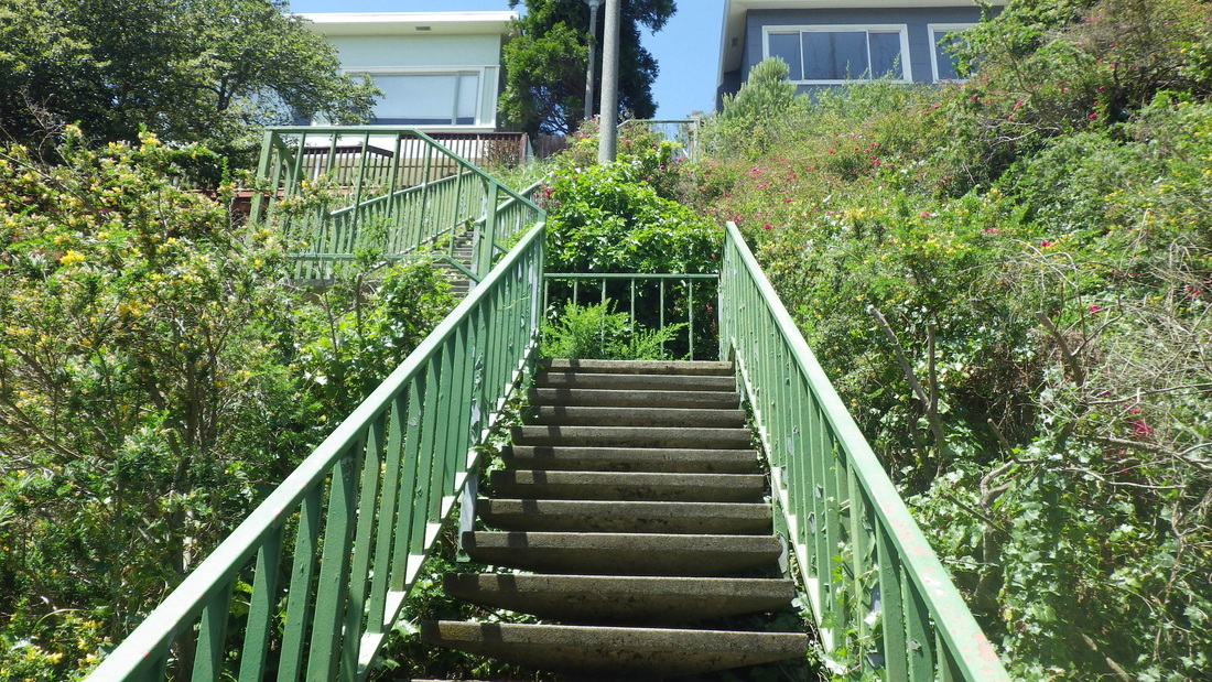
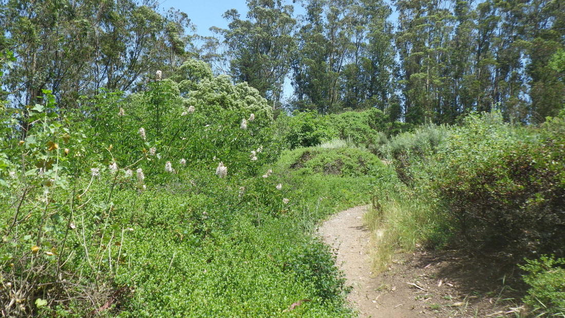
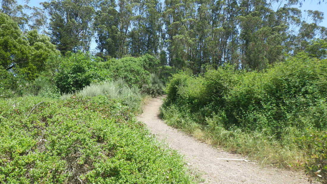
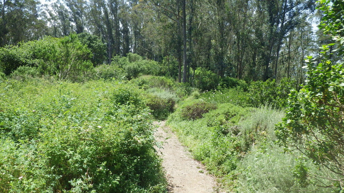
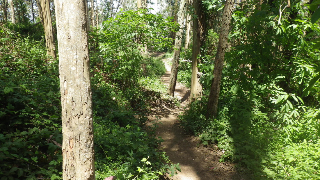
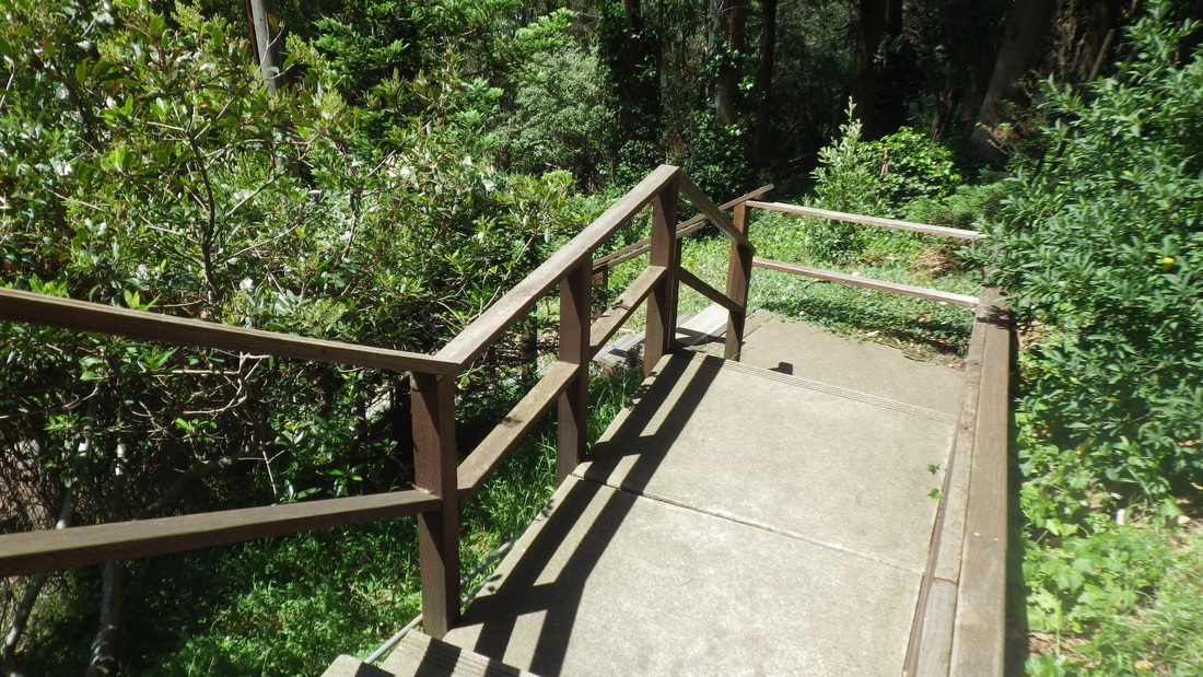
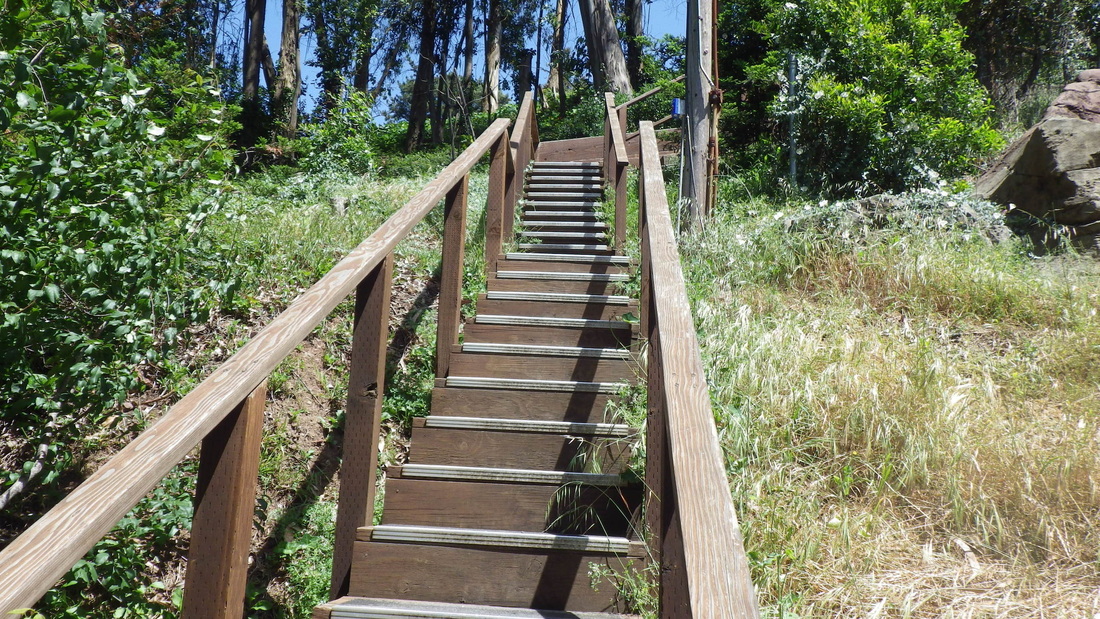
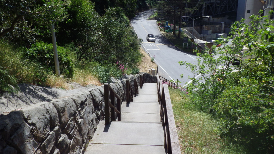
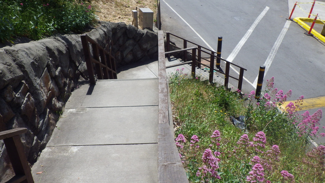
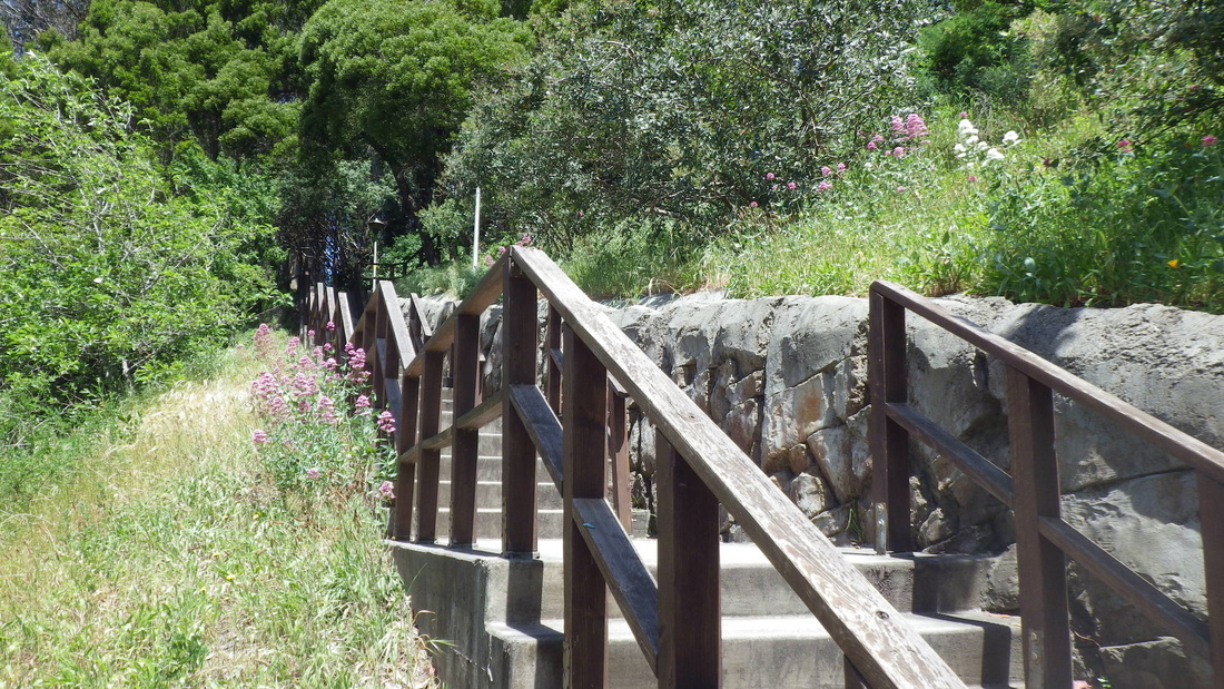
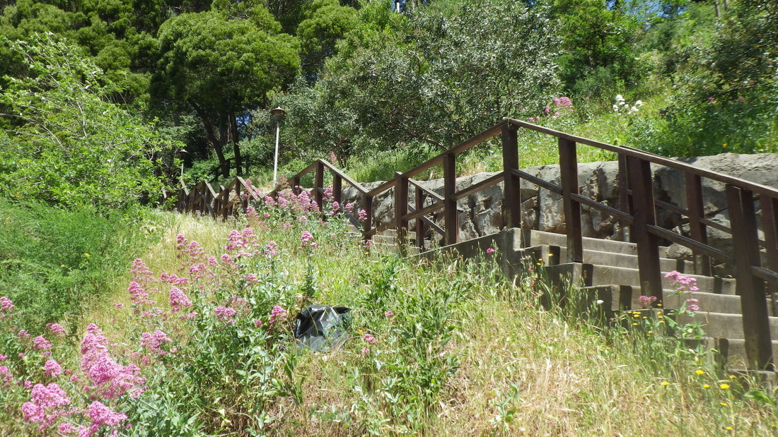
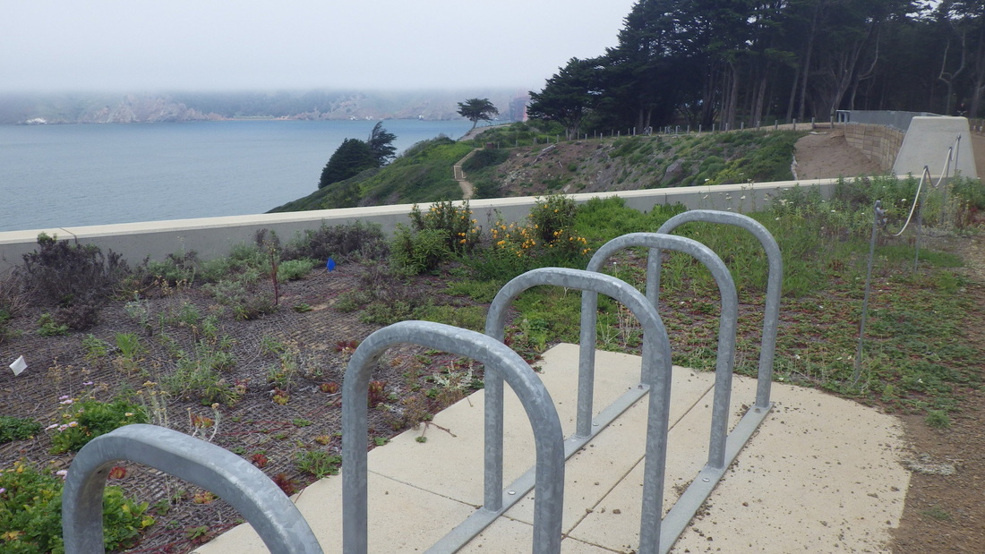
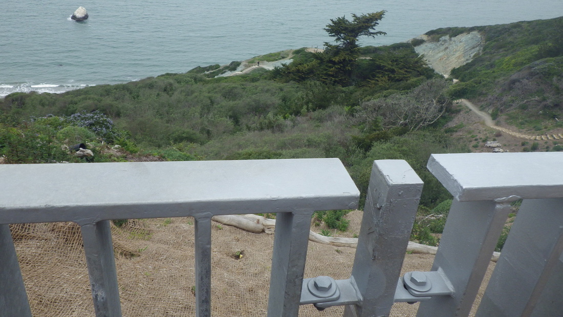
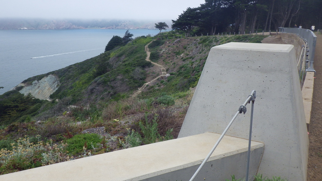
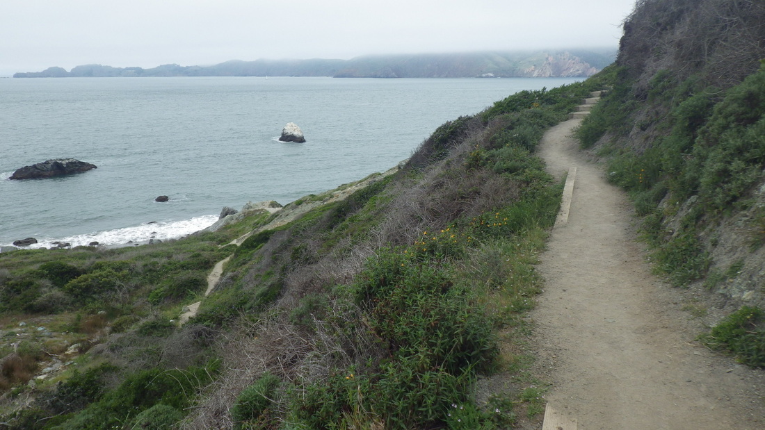
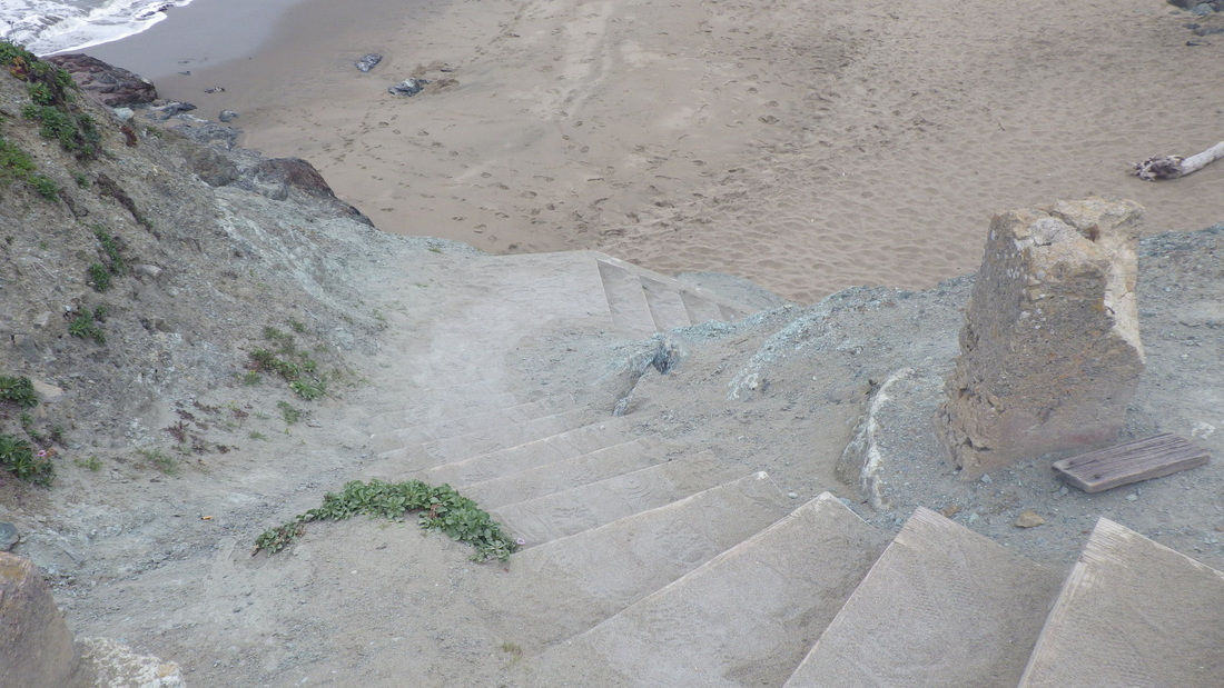
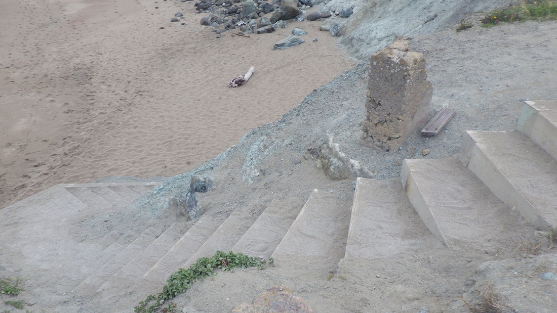
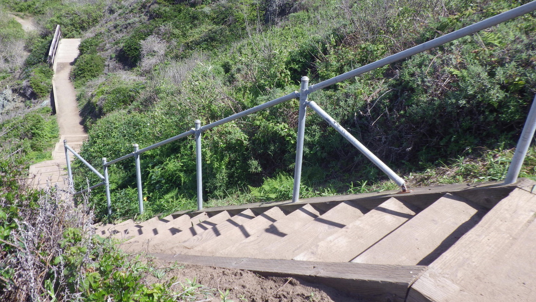
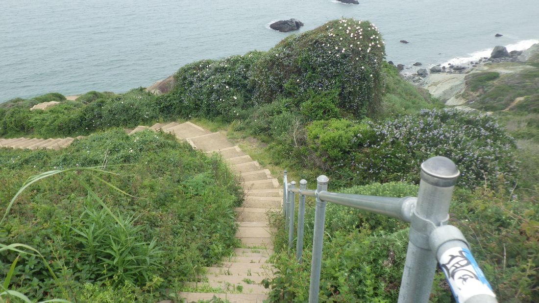
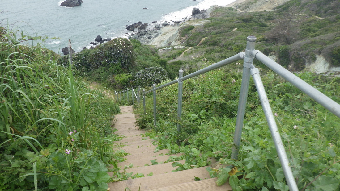
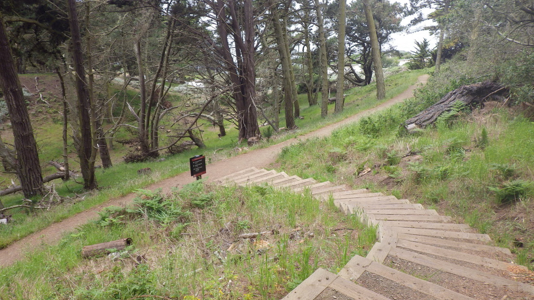
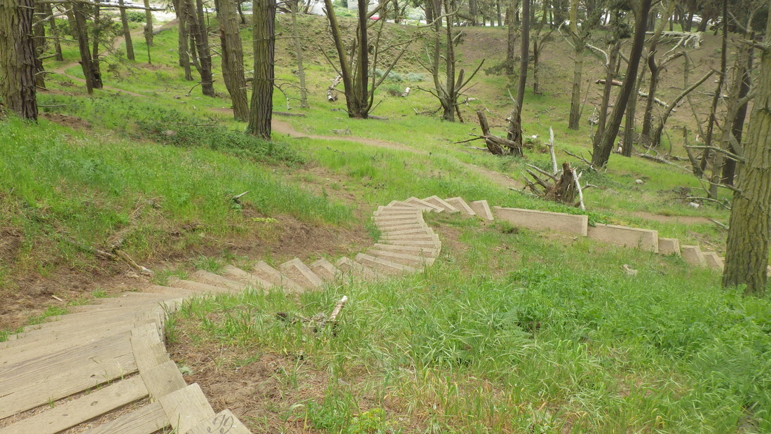
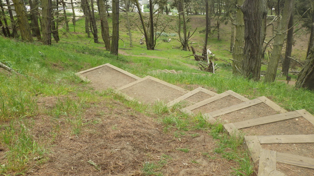
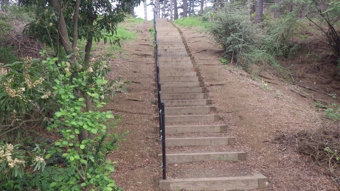
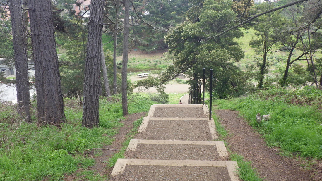
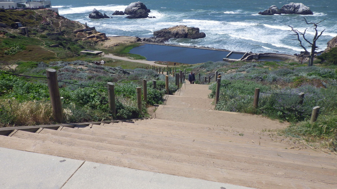
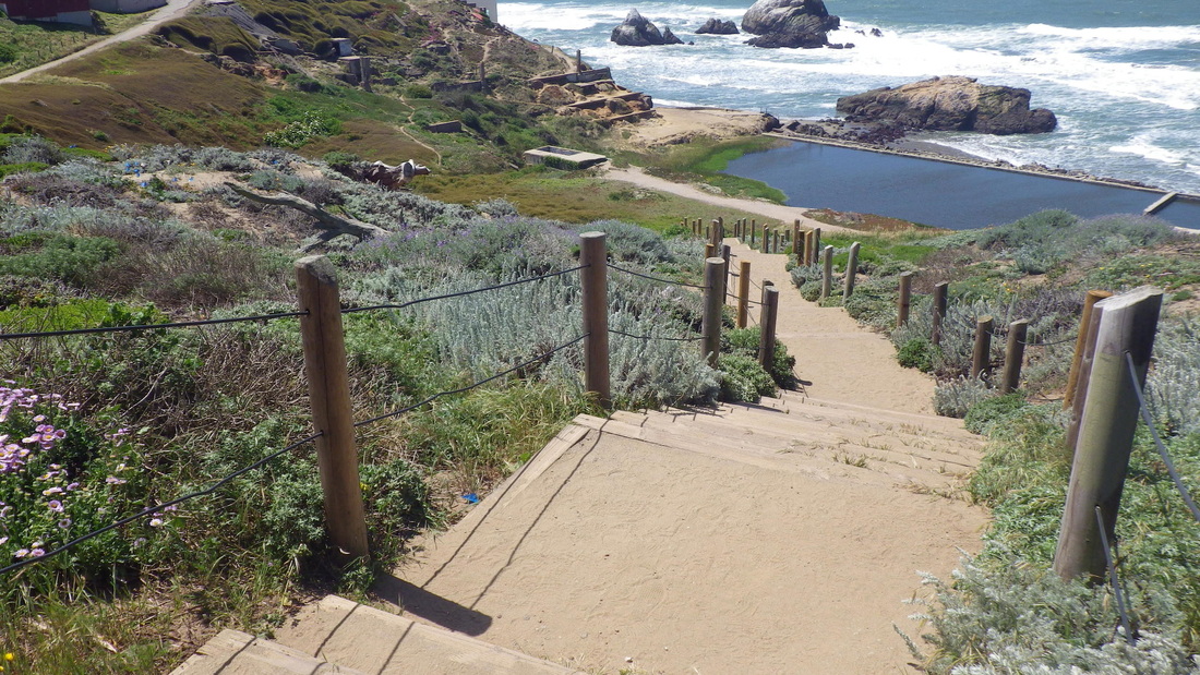
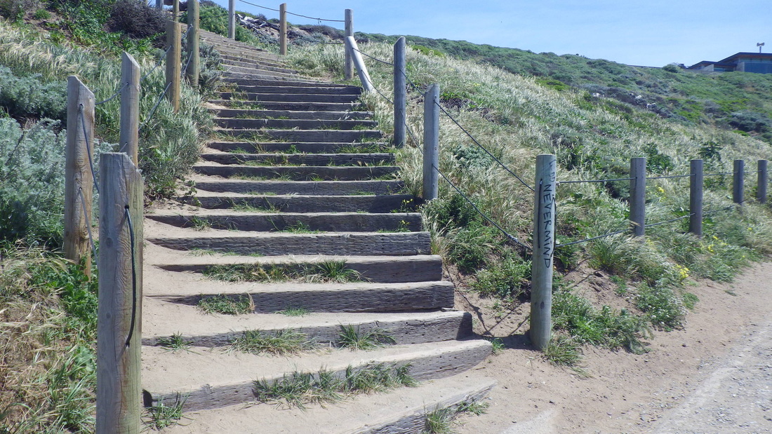
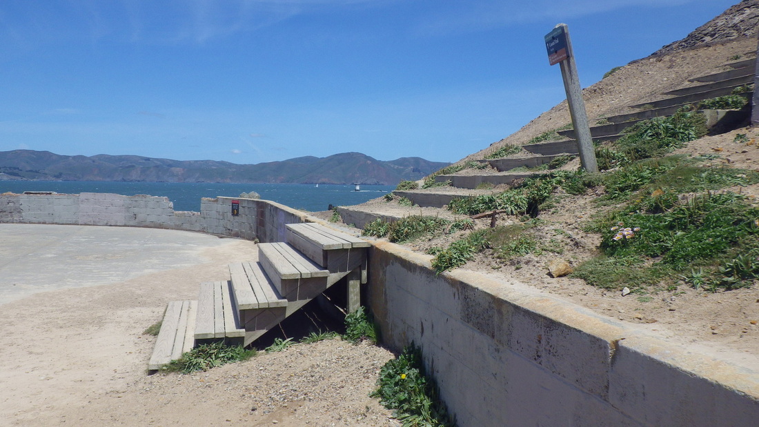
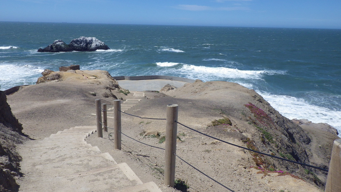
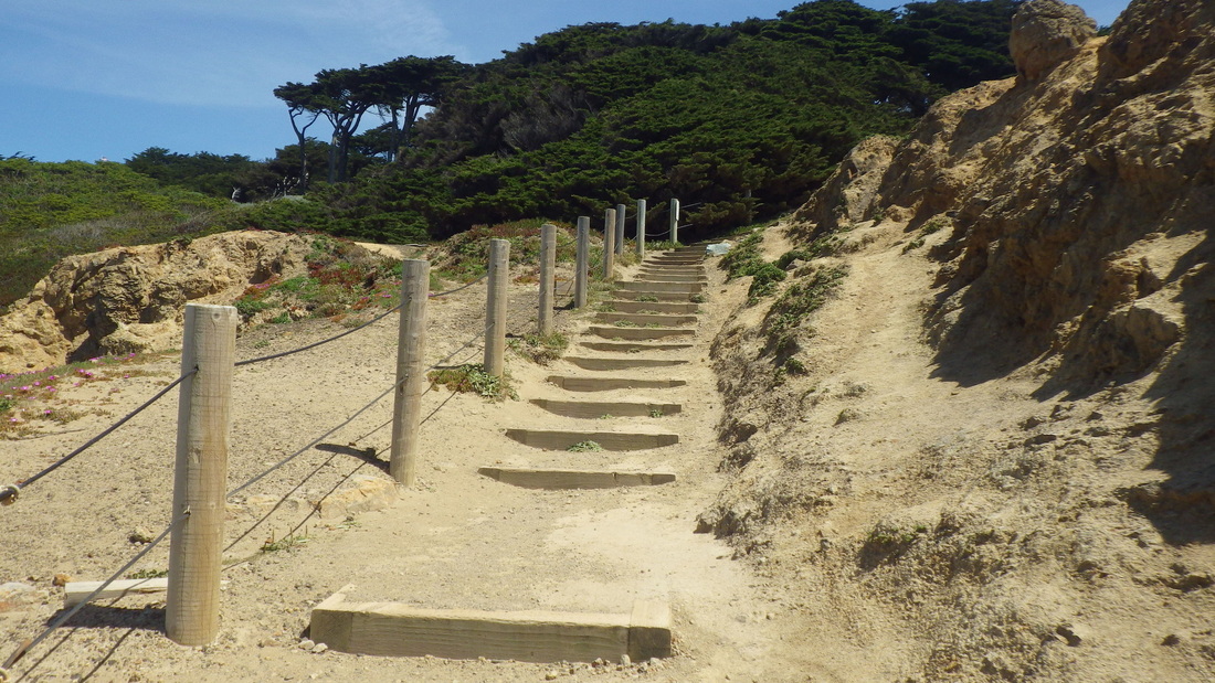
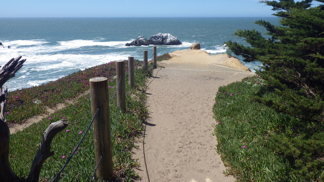
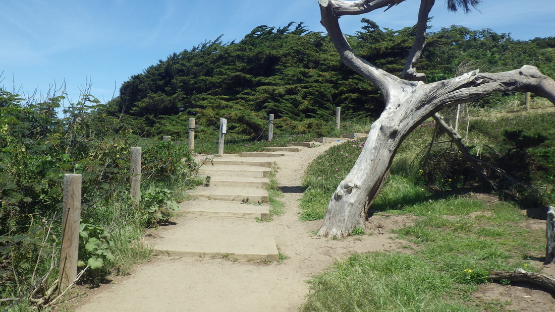
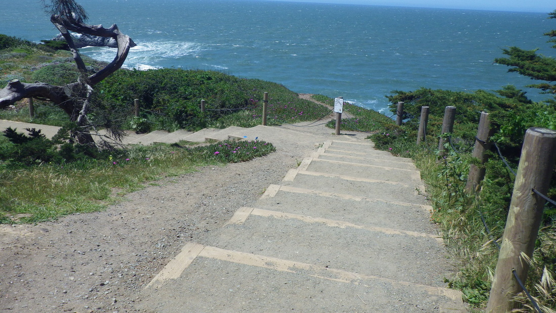
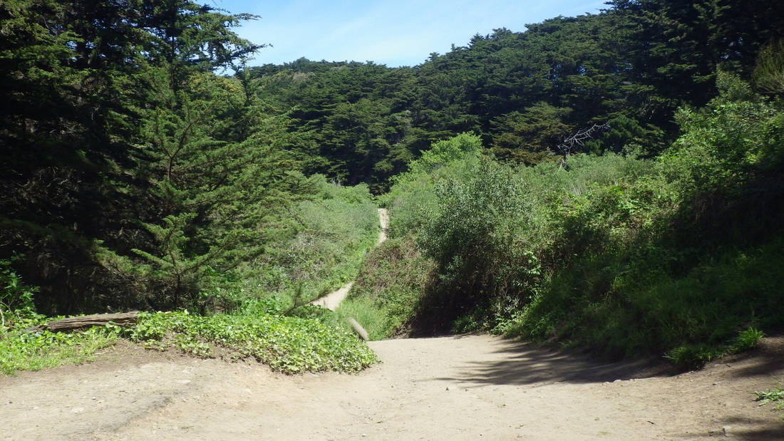
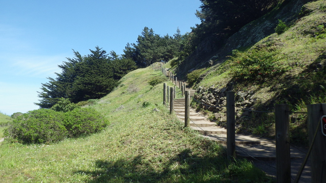
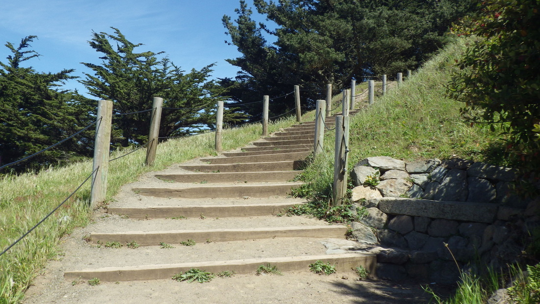
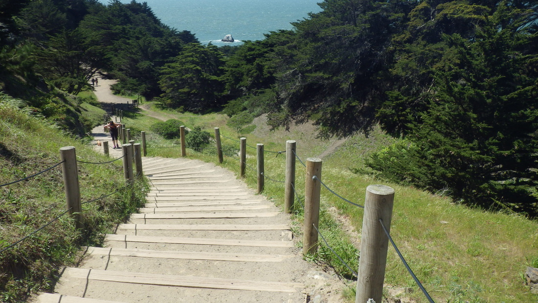
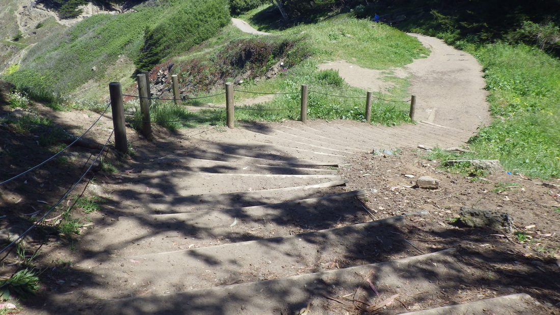
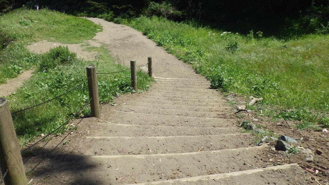
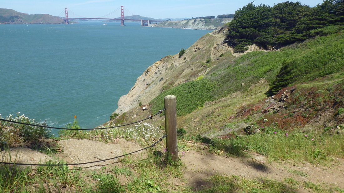
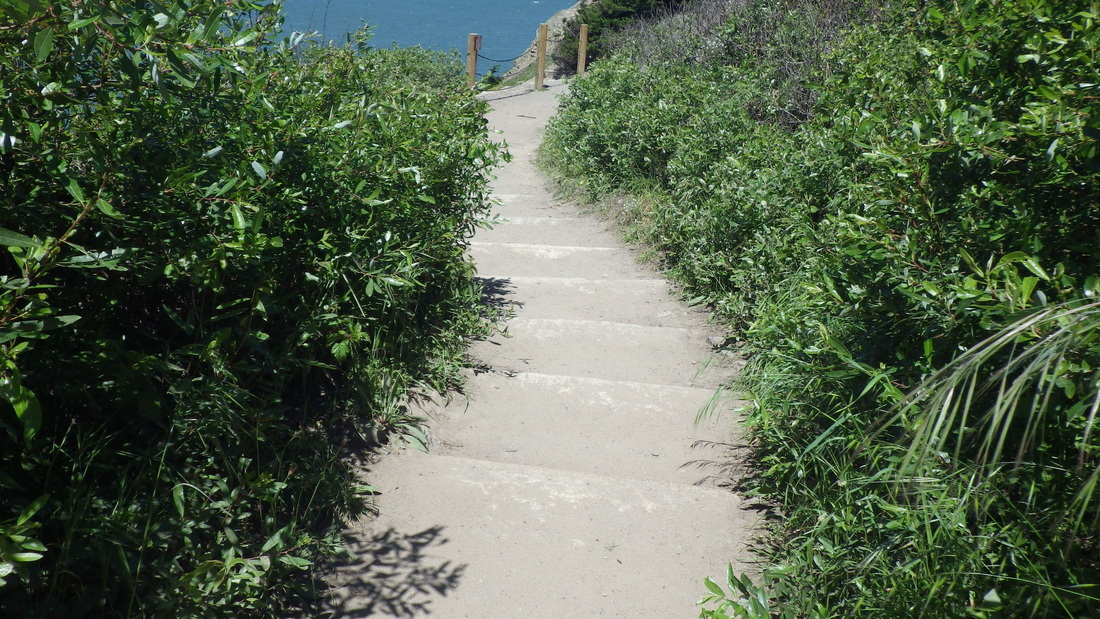
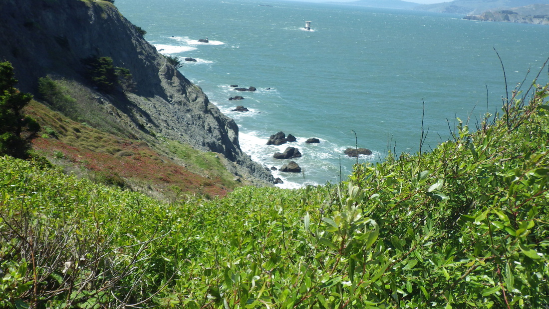
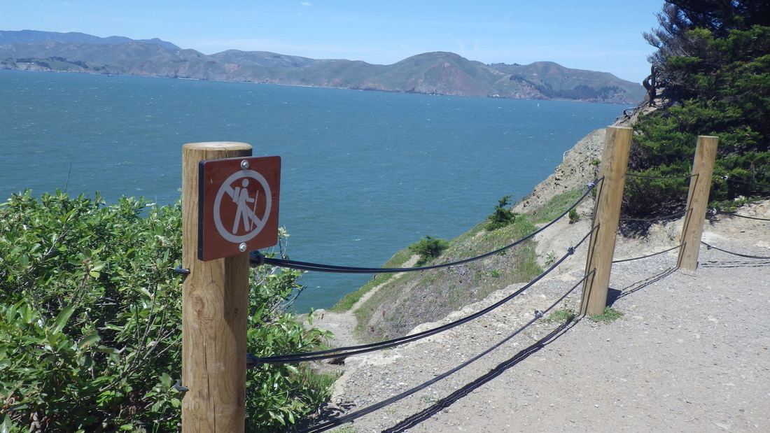
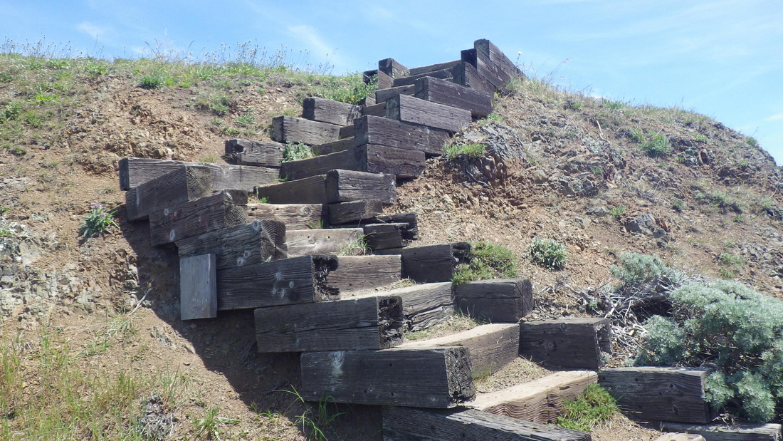
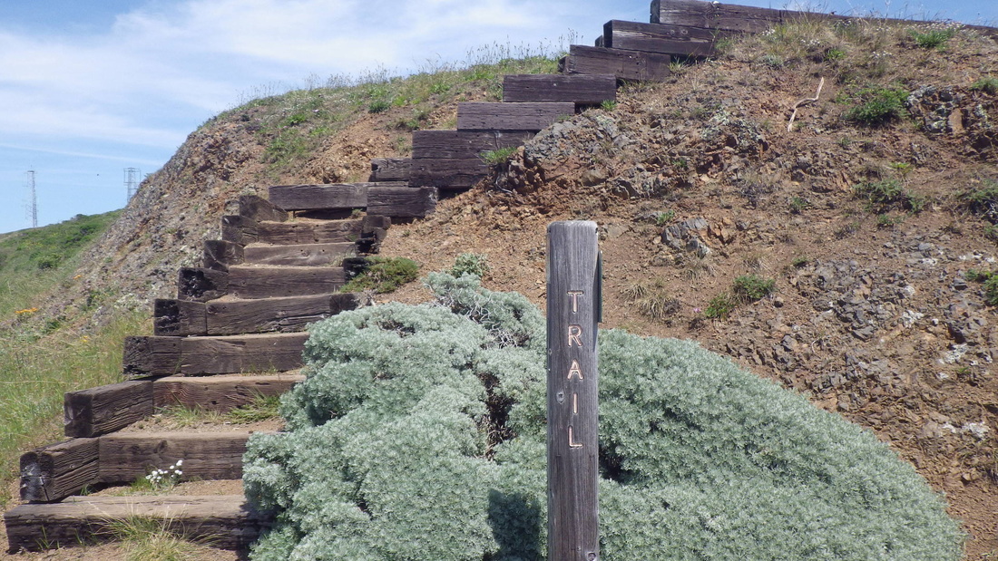
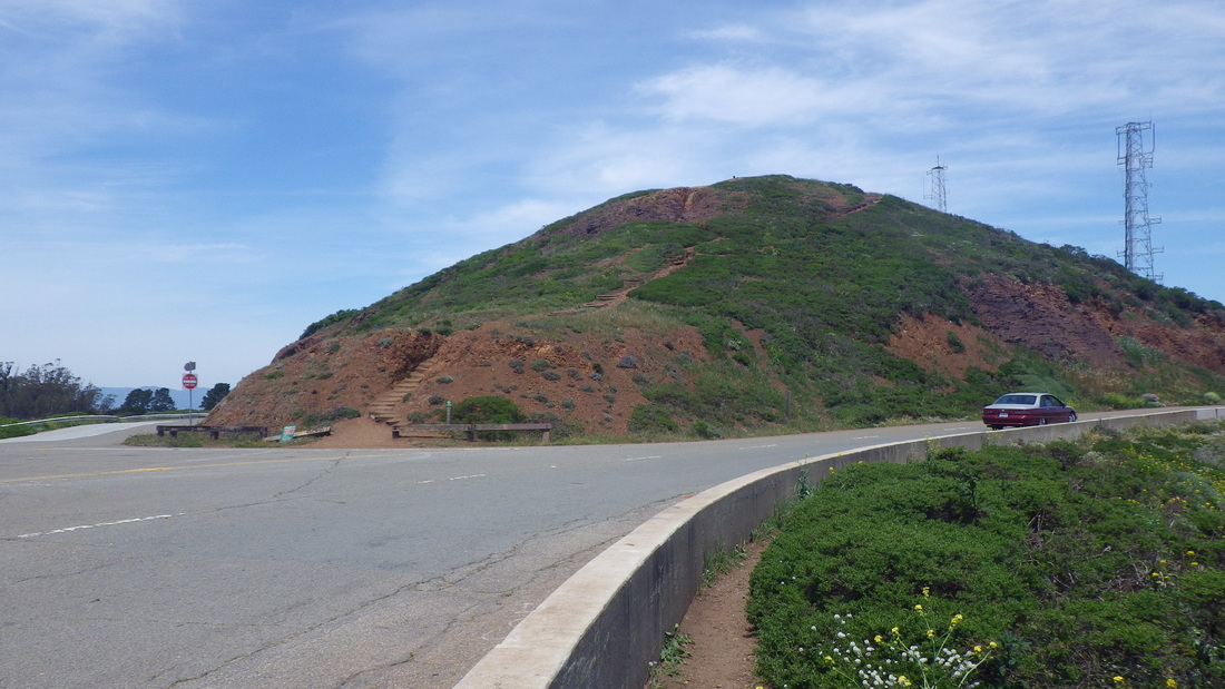
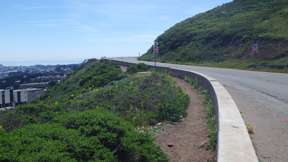
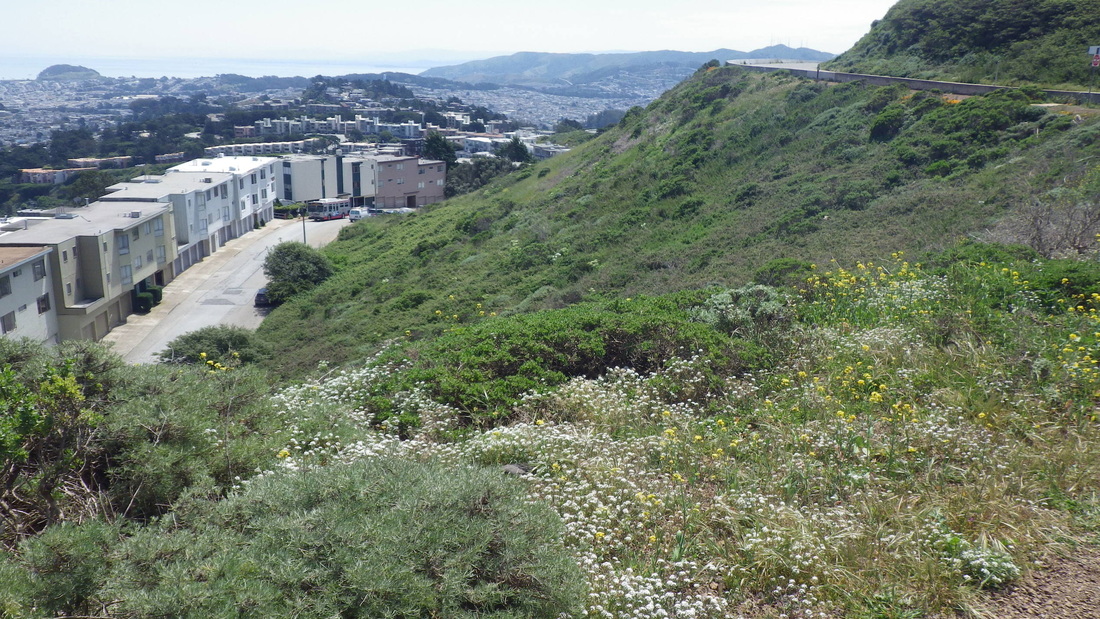
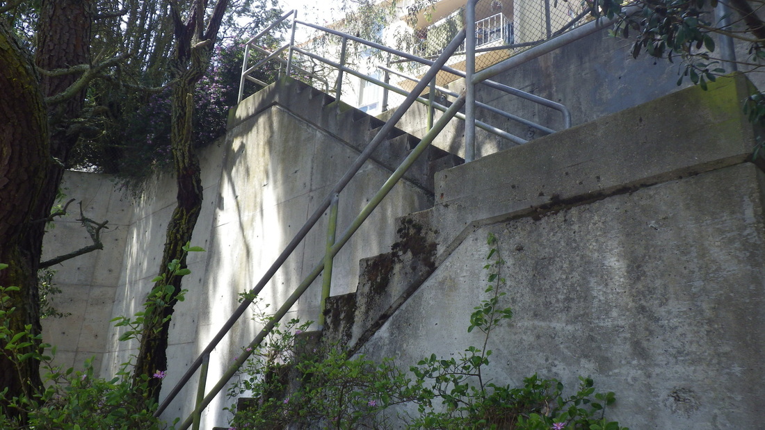
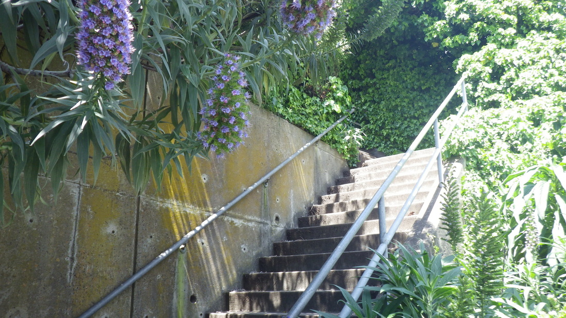
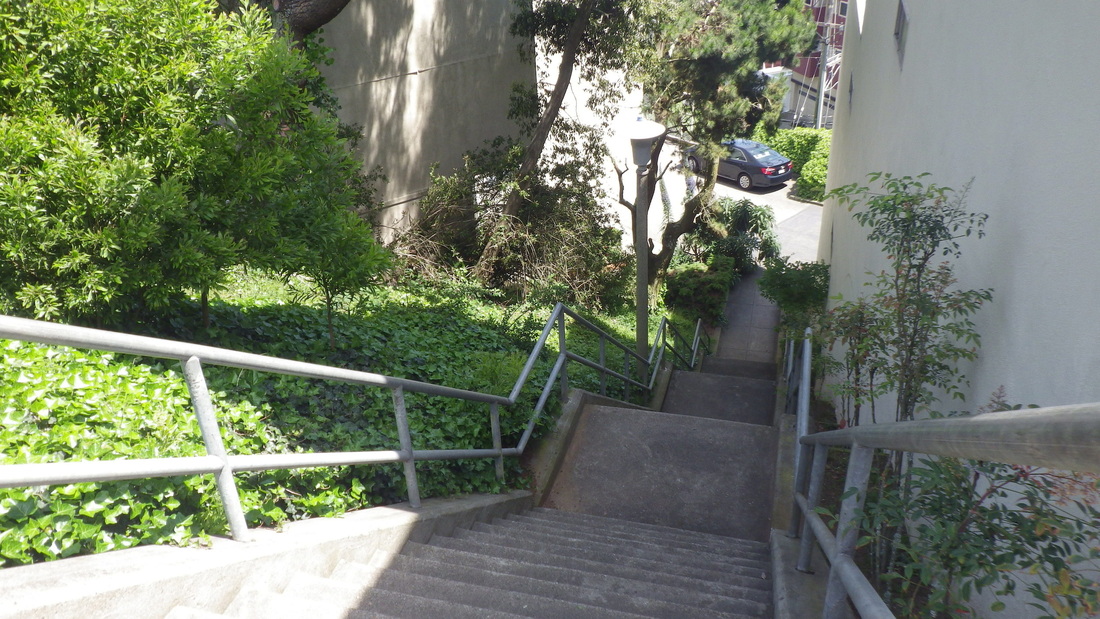
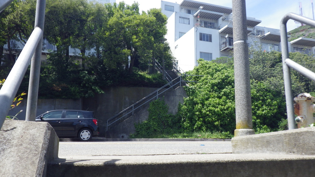
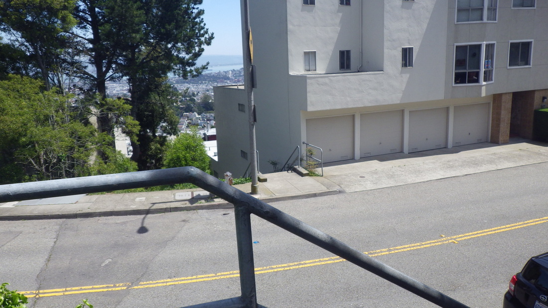
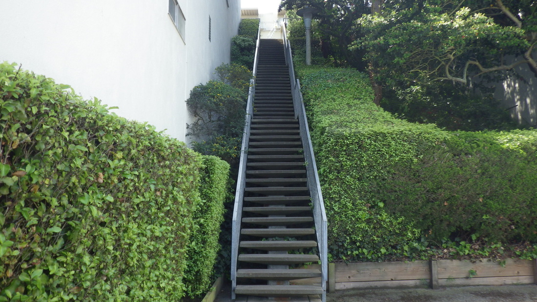
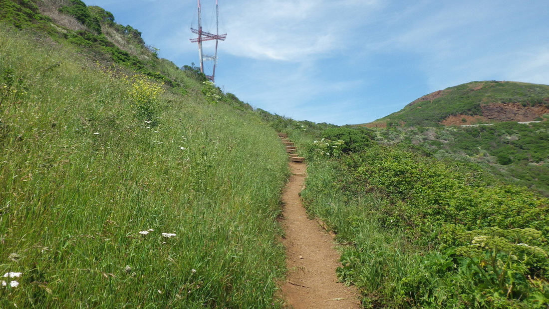
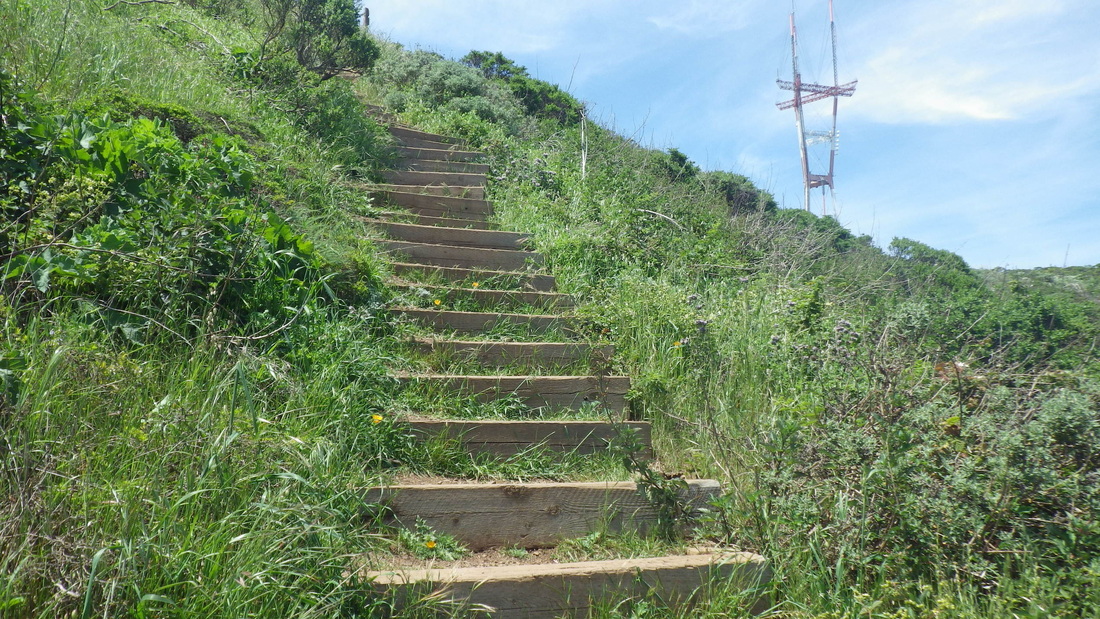
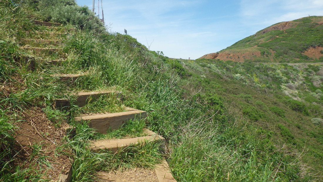
The BTB as she looks now, 473 or so steps, pix 2 thru 21. A foggy, windy day.  

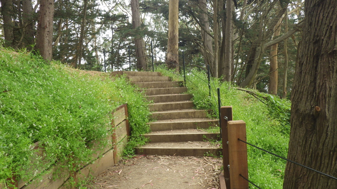
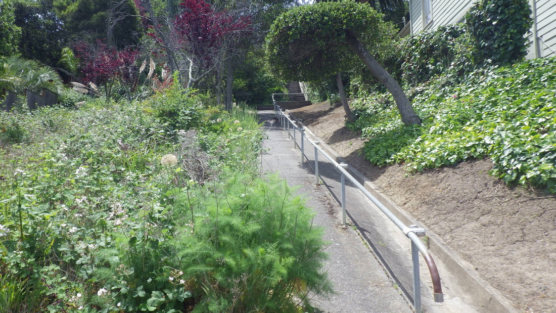
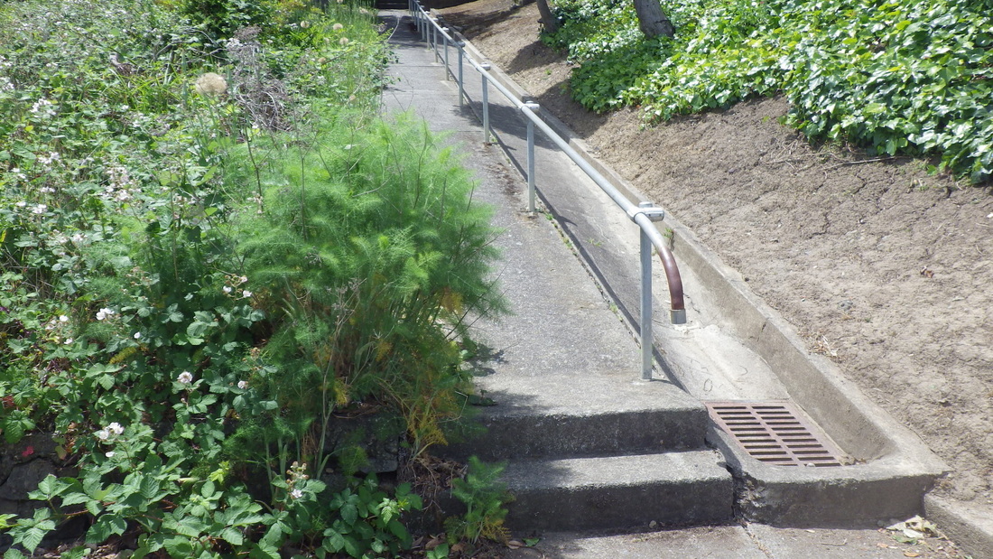
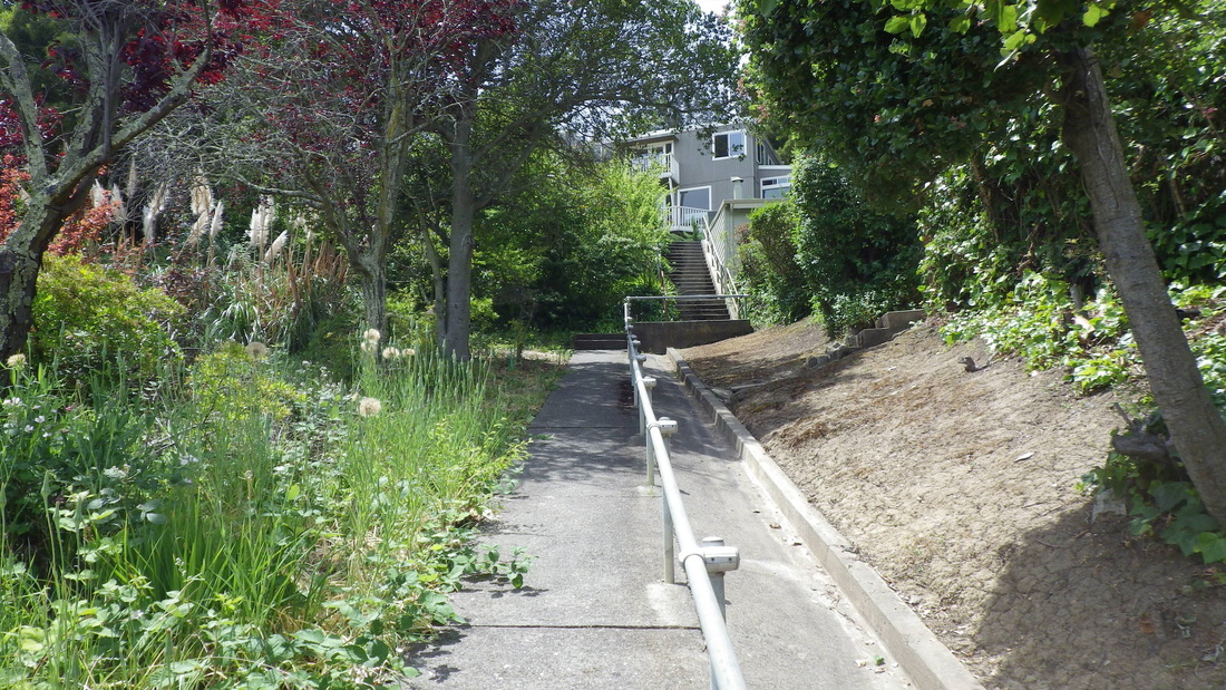
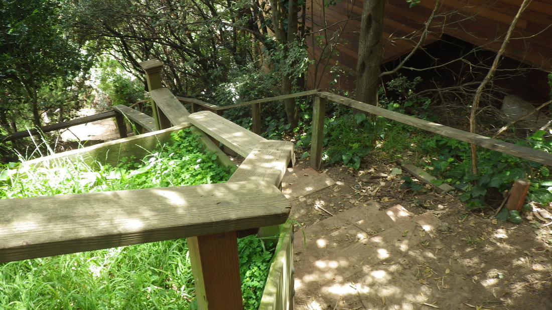
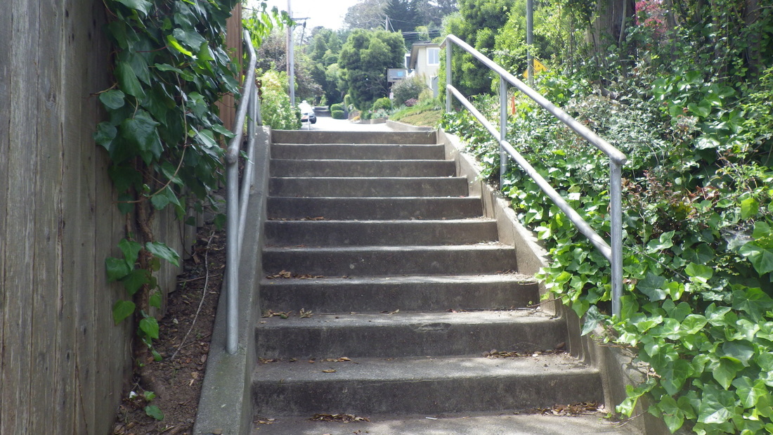
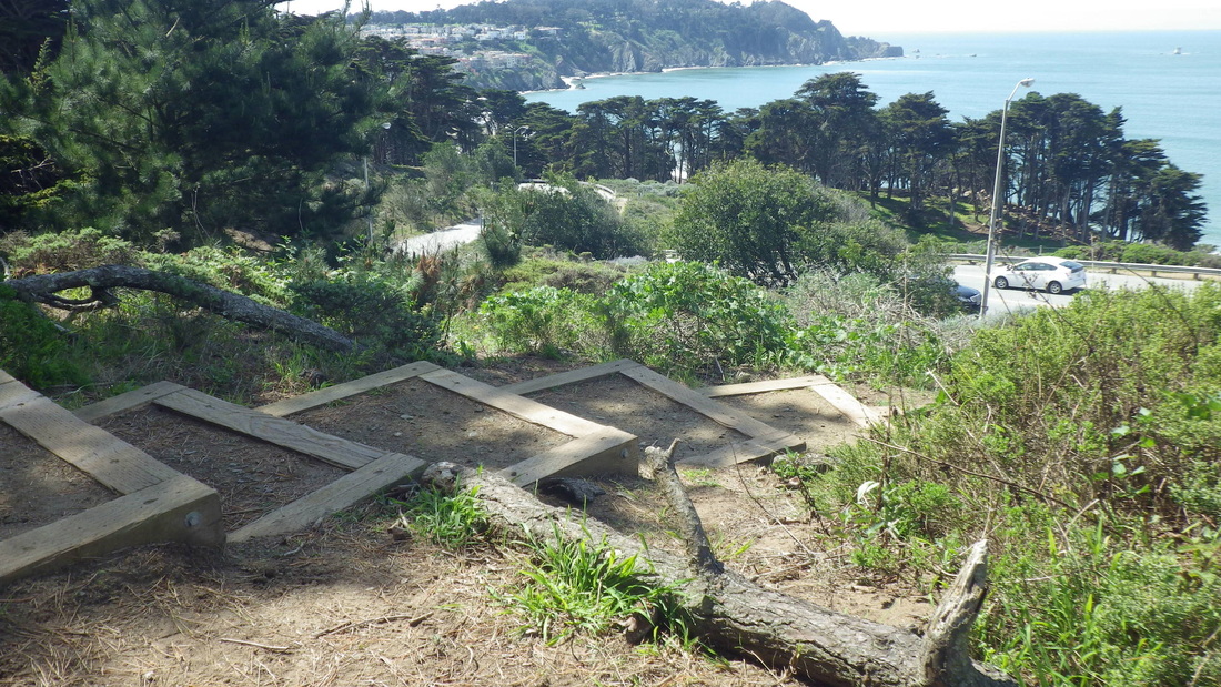
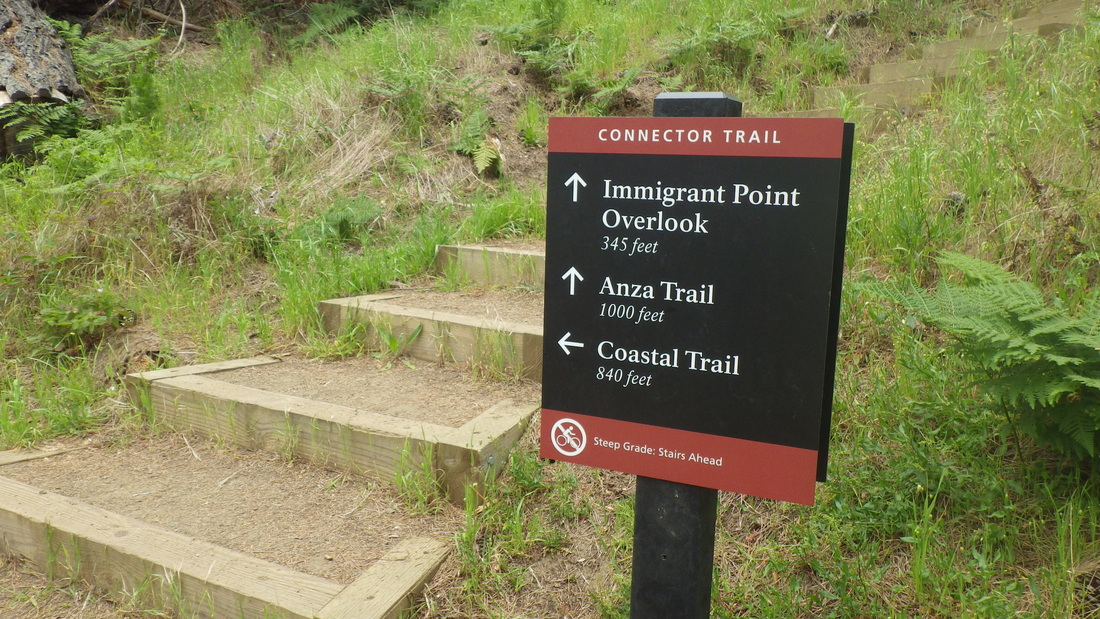
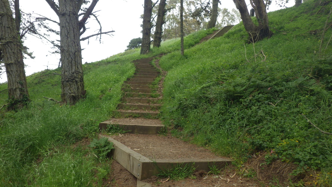
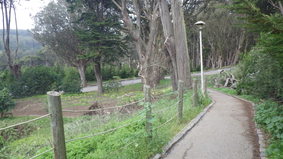
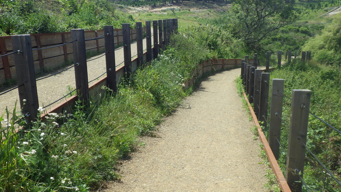
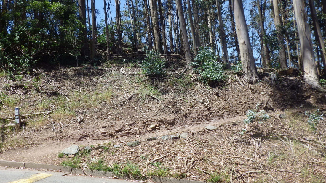
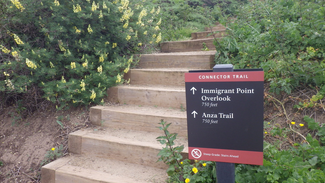
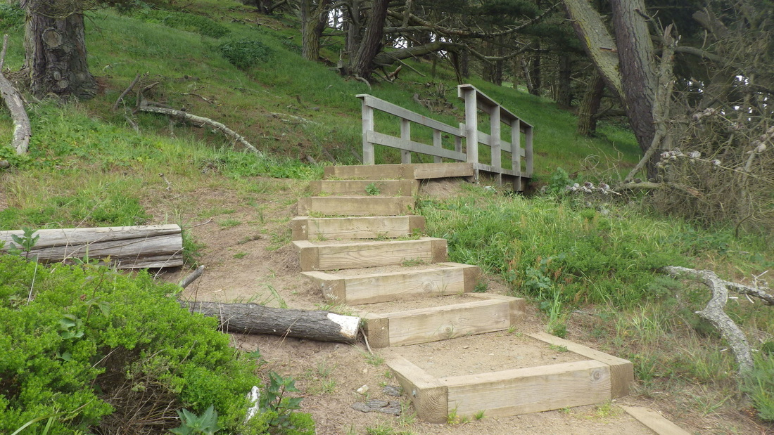
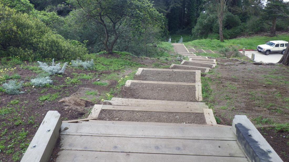
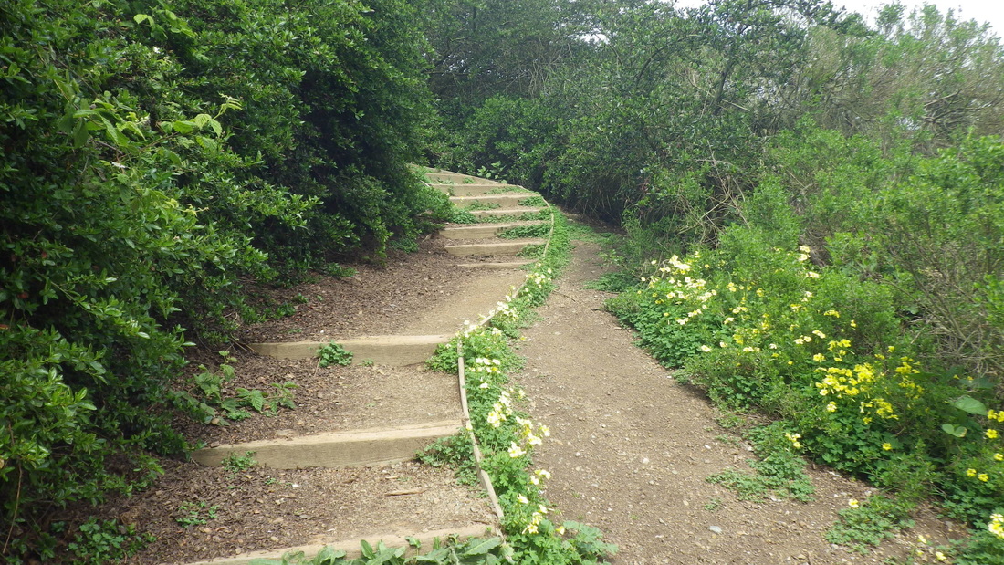
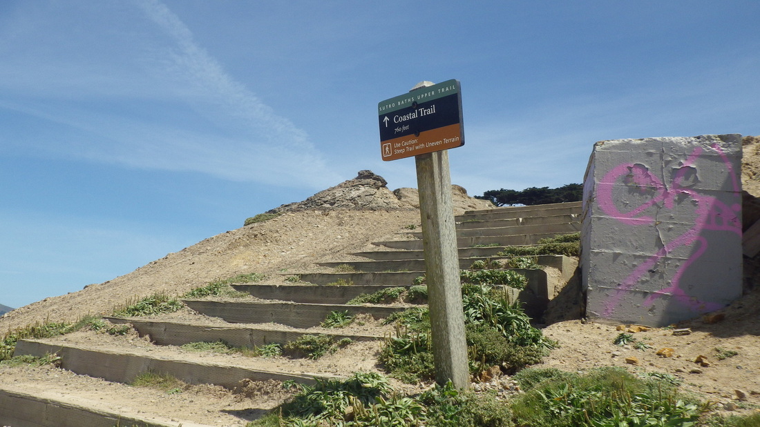
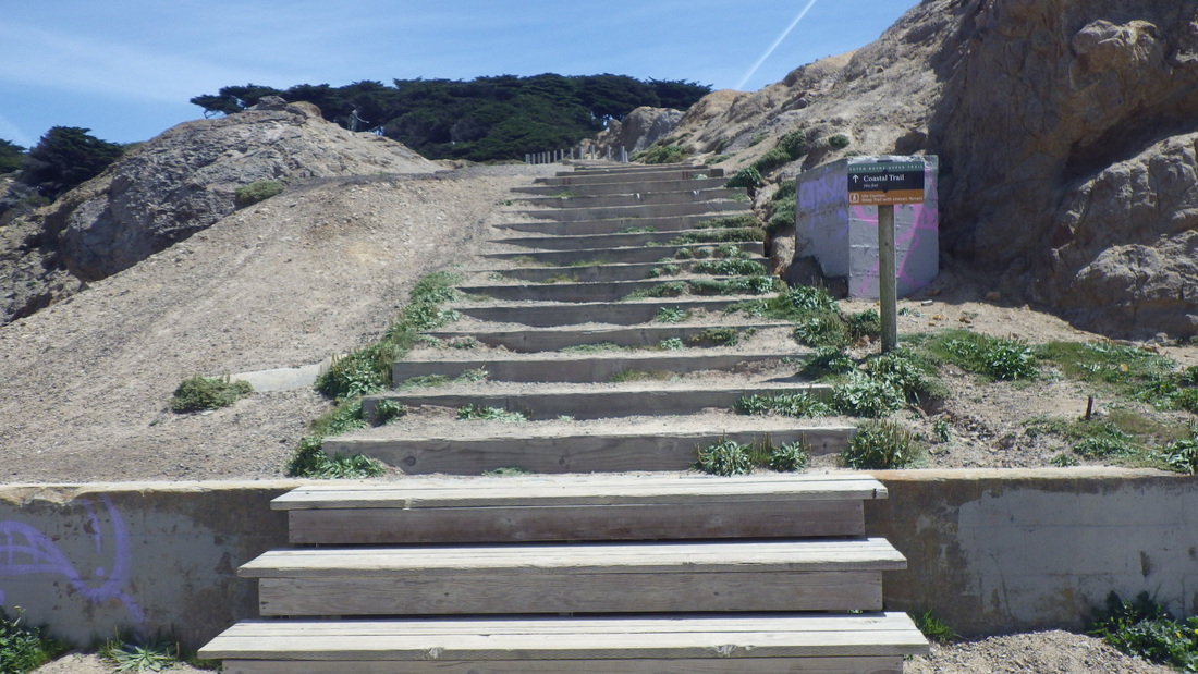
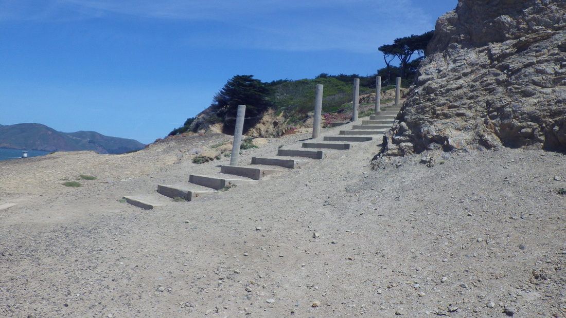
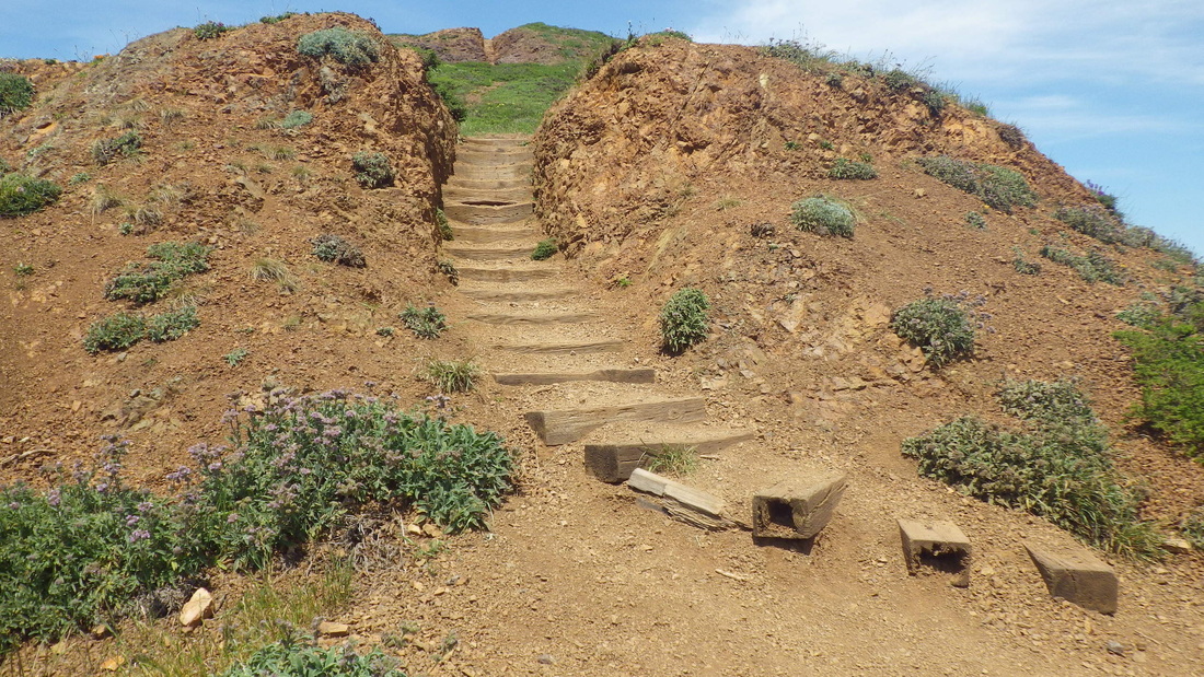
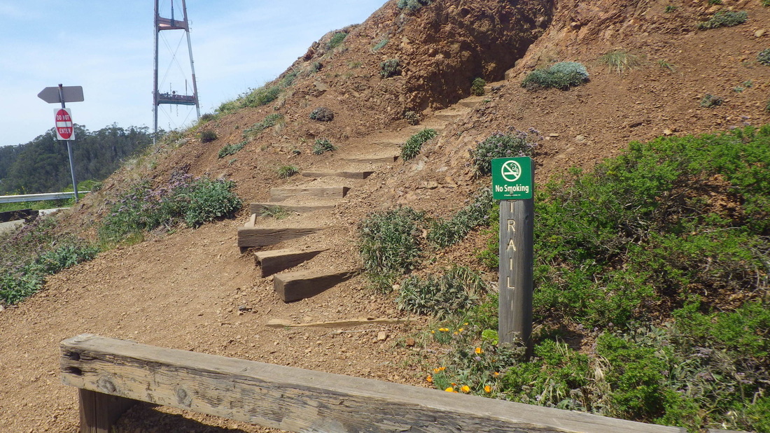
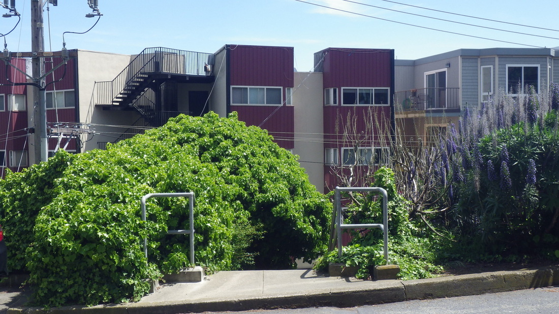
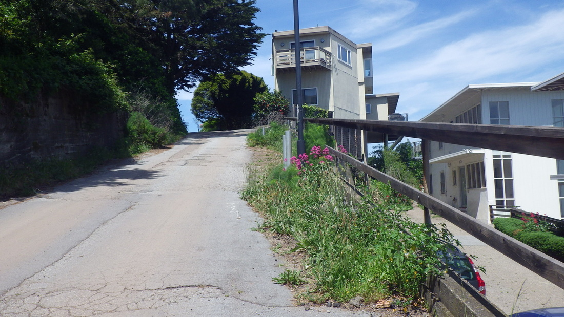
Continuing uphill from Lincoln after the BTB, after reaching the top of the Connector Trail (208 steps, pic 22) at Immigrant Point Overlook, crossed to the recent Anza Trail extension (23, 24, 25) and down to Compton/Washington/Hunter Road. Pic 26 shows one of the new trail additions that passes close to the residences so one doesn’t have to walk on the street. There are speed bumps and crosswalks in the neighborhood as well. 

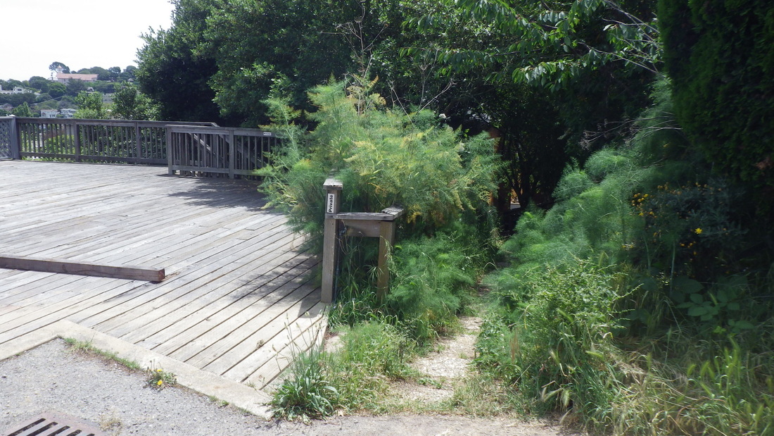
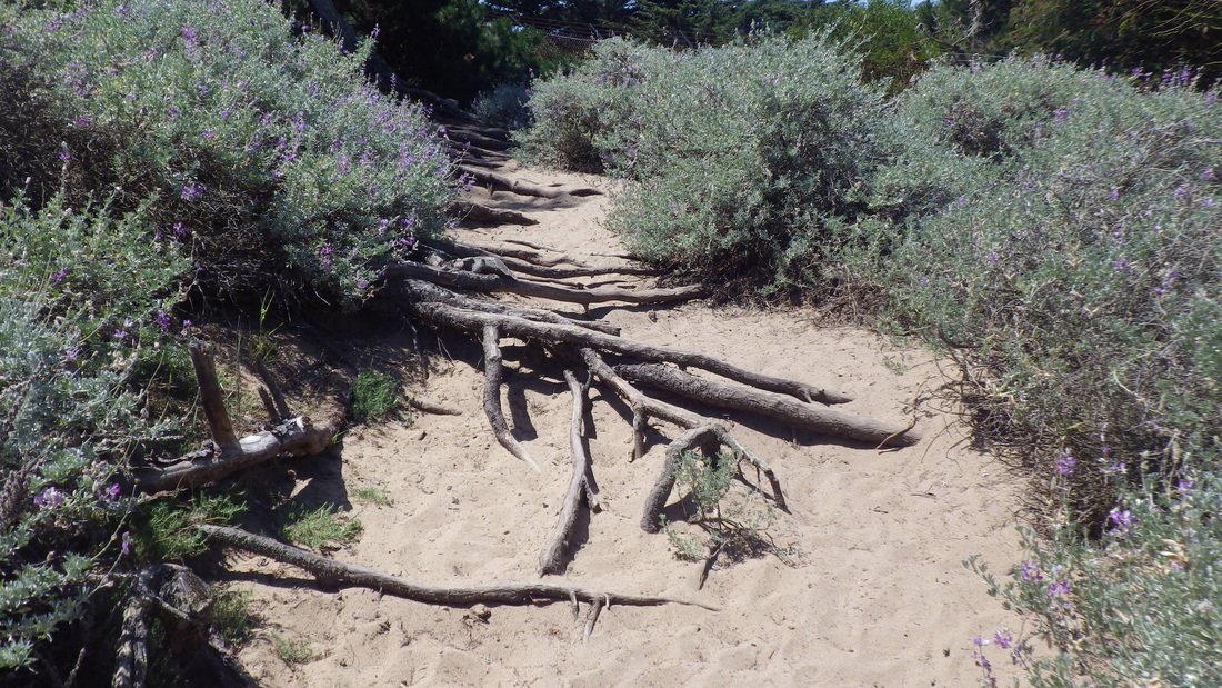
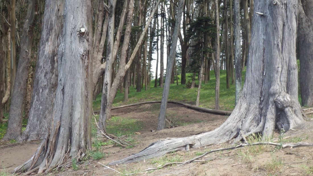
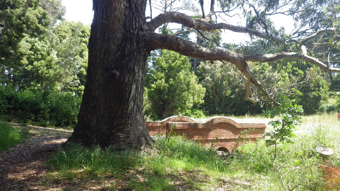
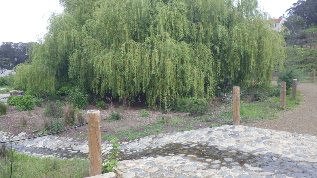
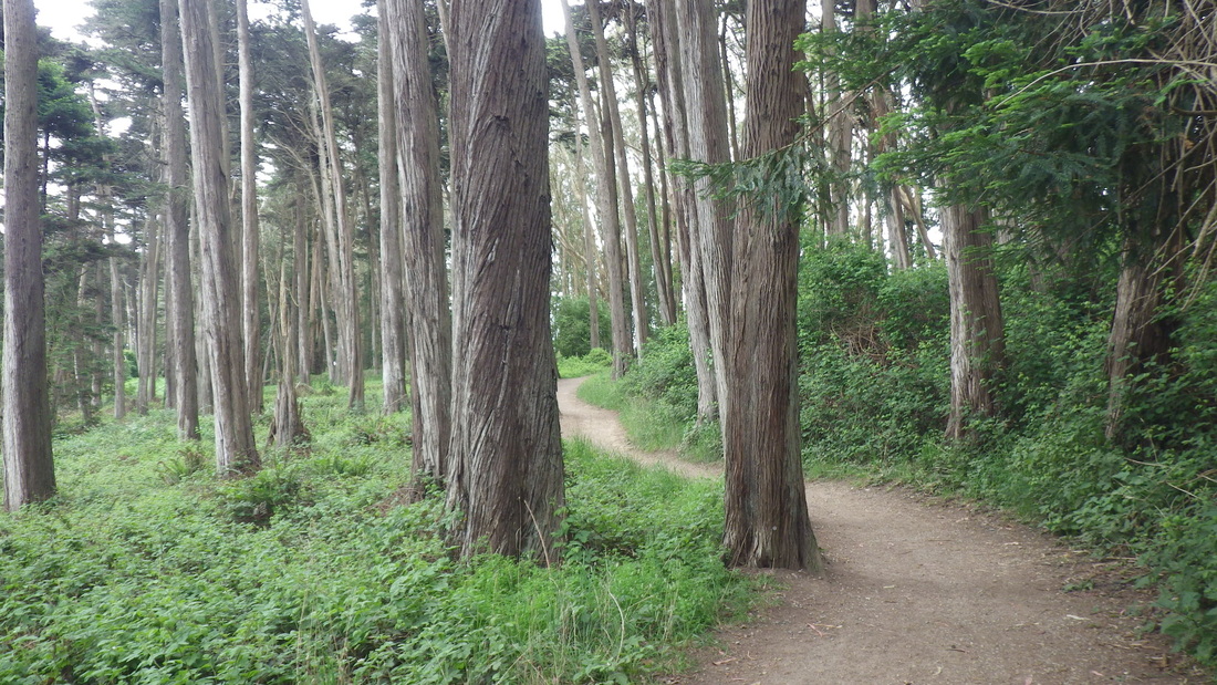
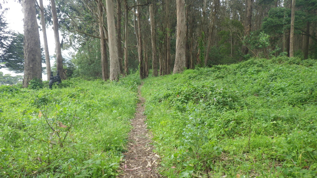
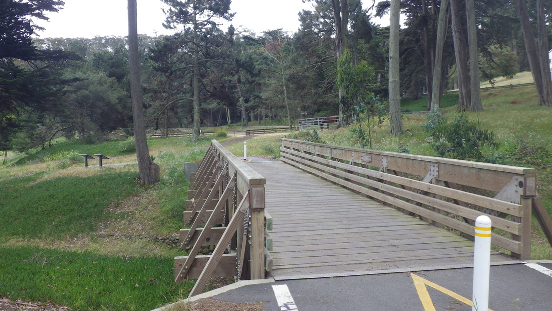
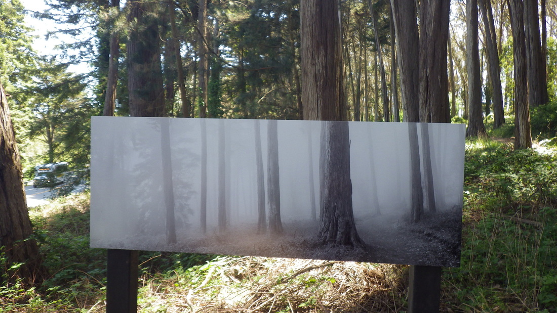
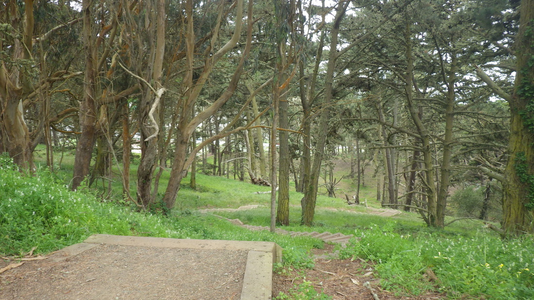
Pic 27 is the Presidio Forest, its upper part just off Battery Caulfield Road. There’s thick sand underfoot with some tree roots to use as steps at times. At its foot on the westside is the south end of the Lobos Creek Valley Trail/Boardwalk, a restored coastal dunes habitat.

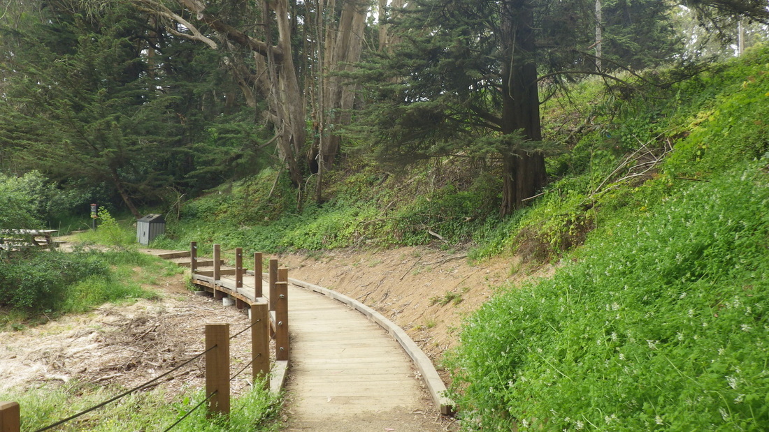
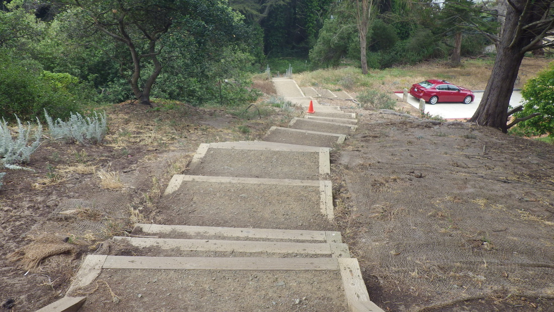
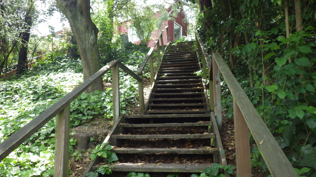
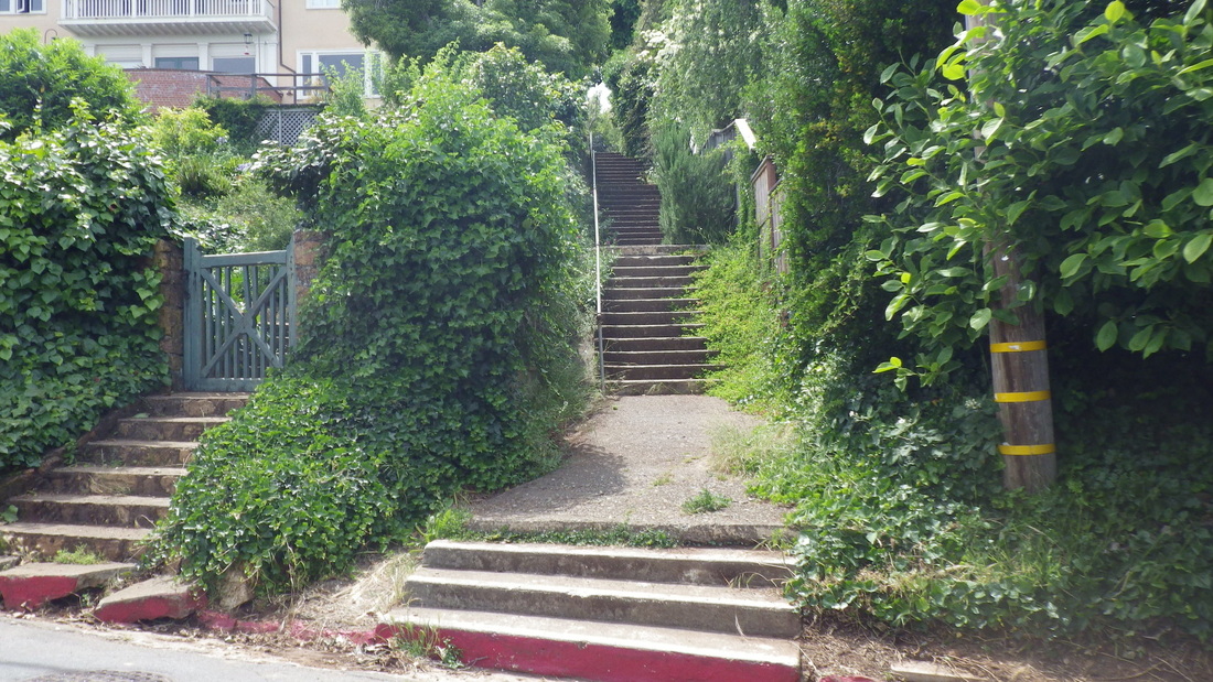
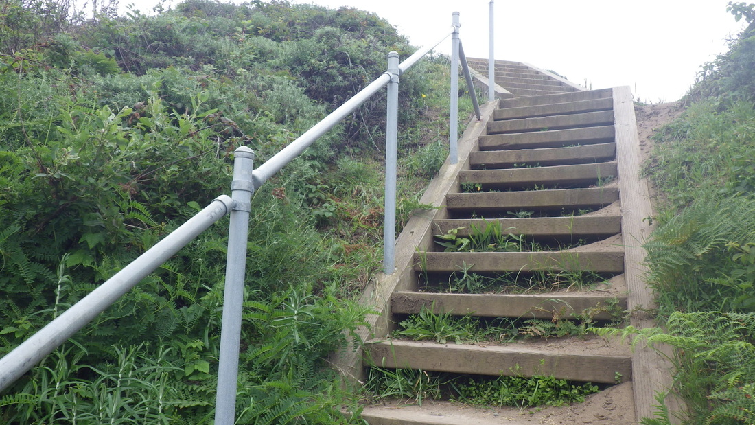
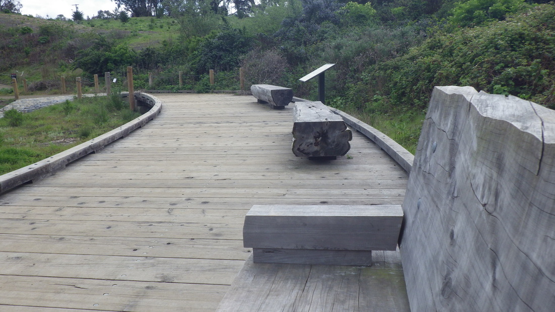
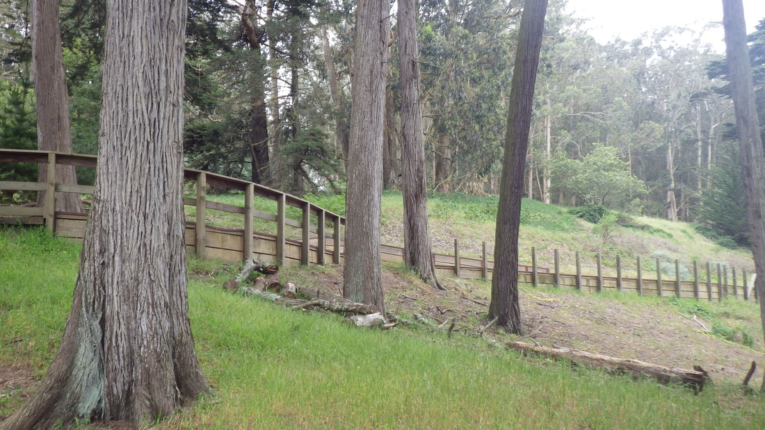
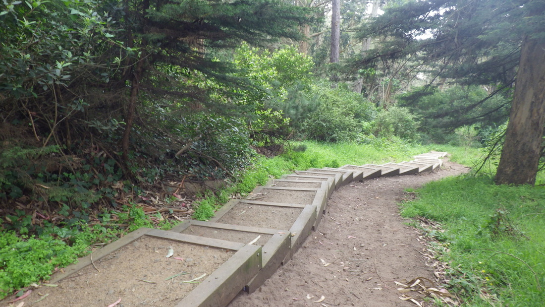
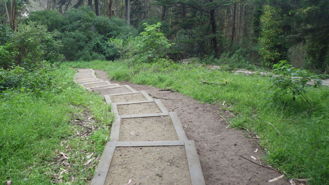
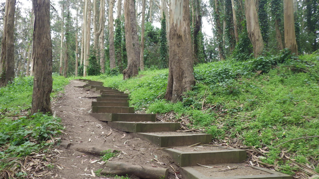
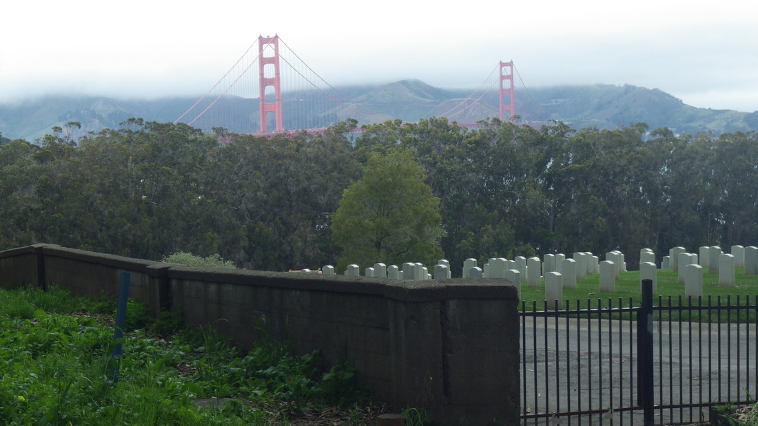
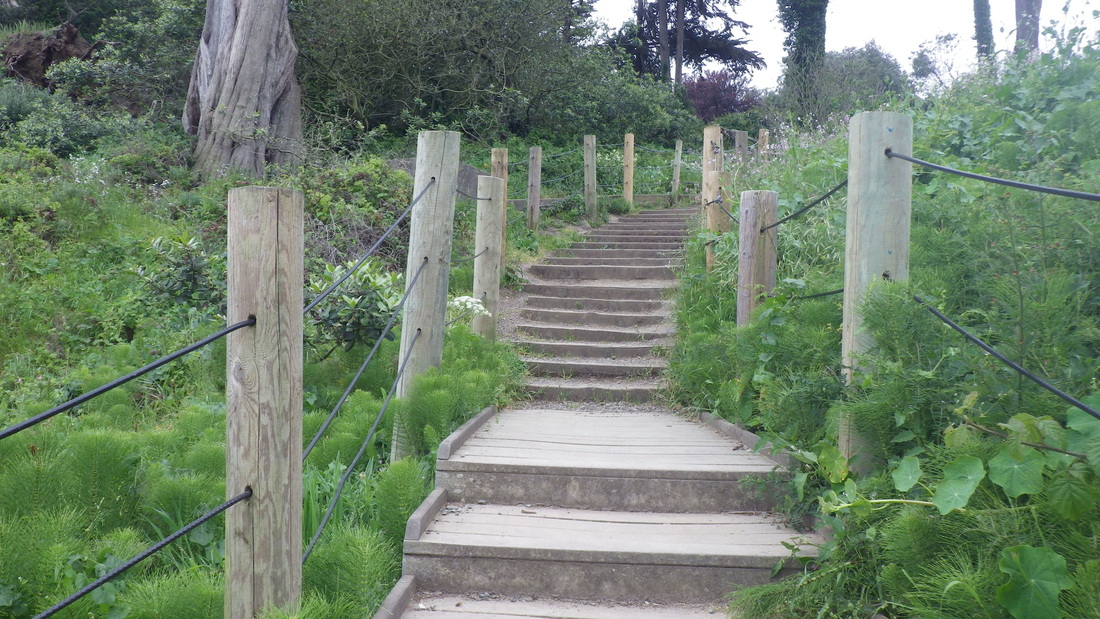
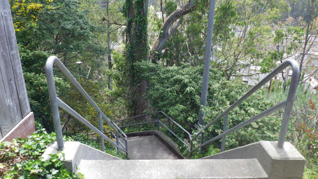
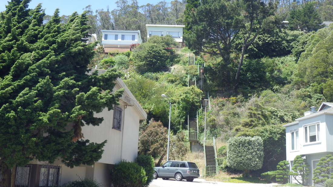
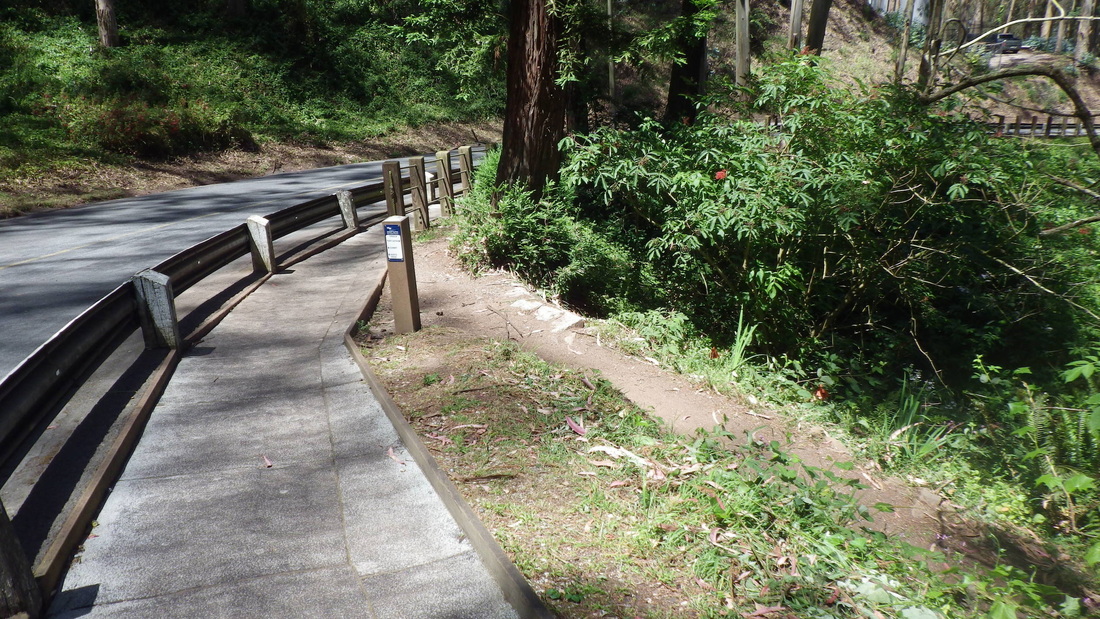
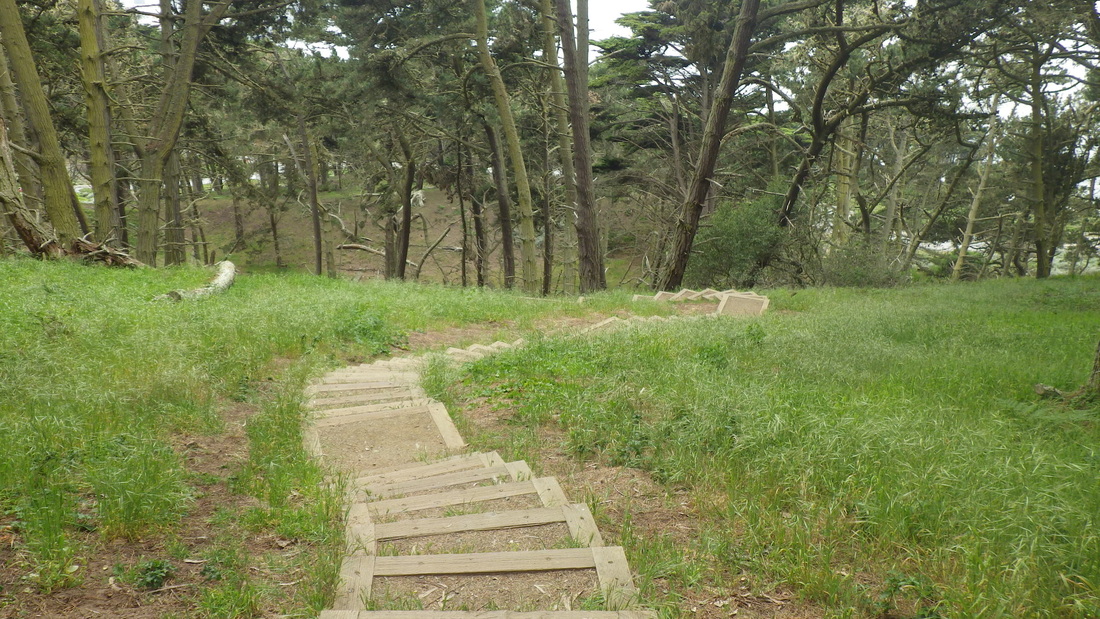
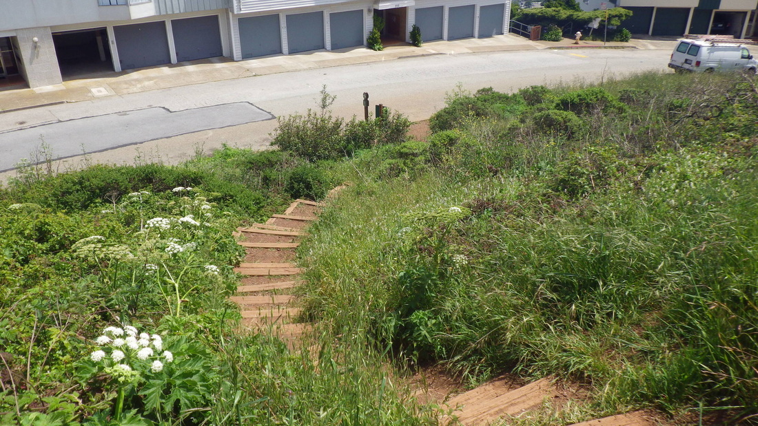
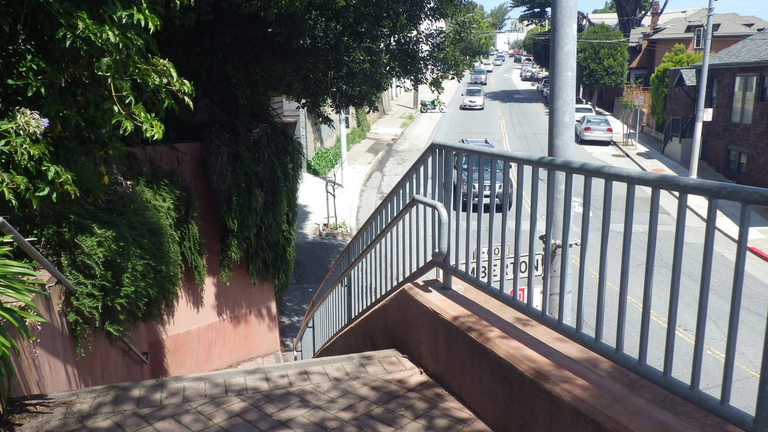
Soon crossing Battery Caulfield Road and up to the Marine Cemetery Vista Overlook. The stairway down the east side has 90 steps. I count the partially stepped boardwalk for 14 more: pix 28, 29.

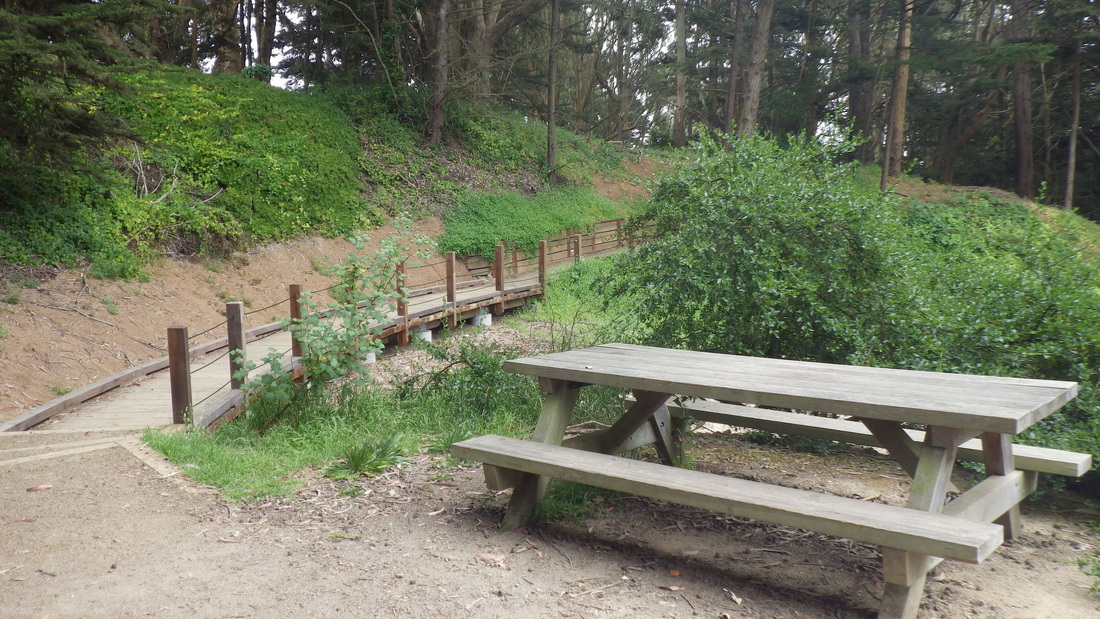
During a recent Mountain Lake walkaround noticed new fencing and gates (last pic); still hoping for some eastside replacement benches. 

Picture
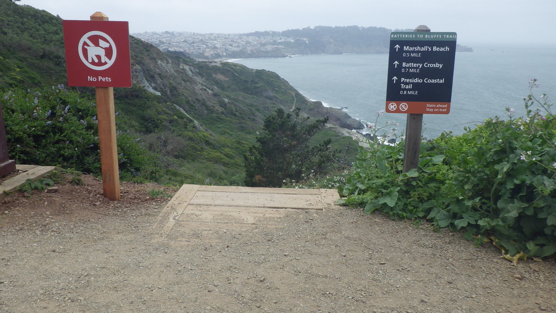
1. Batteries to Bluffs east trailhead
Picture
2. Eastside down
Picture
3. Winding around
Picture
4. Around to View Point
Picture
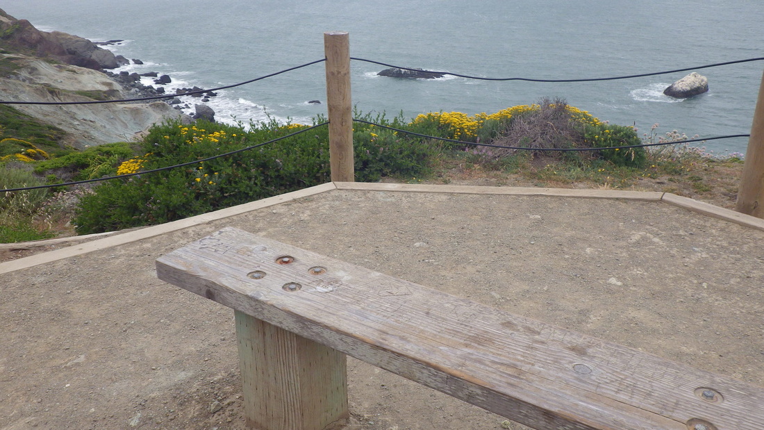
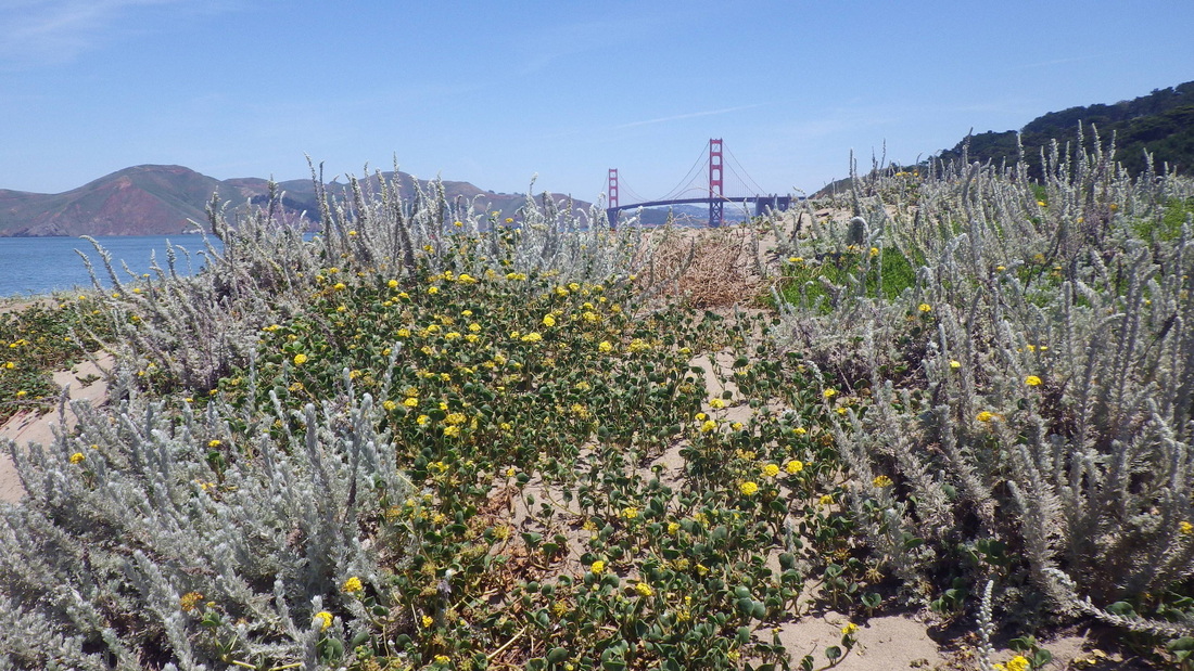
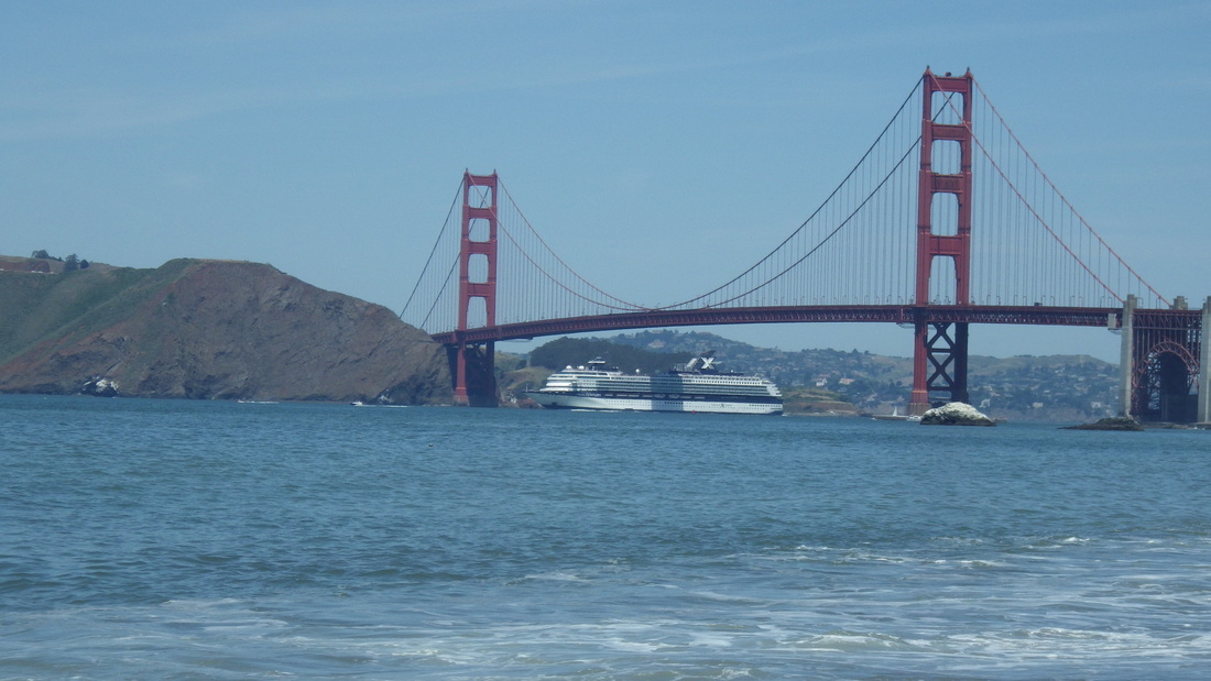
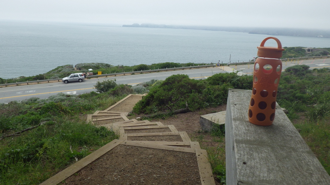
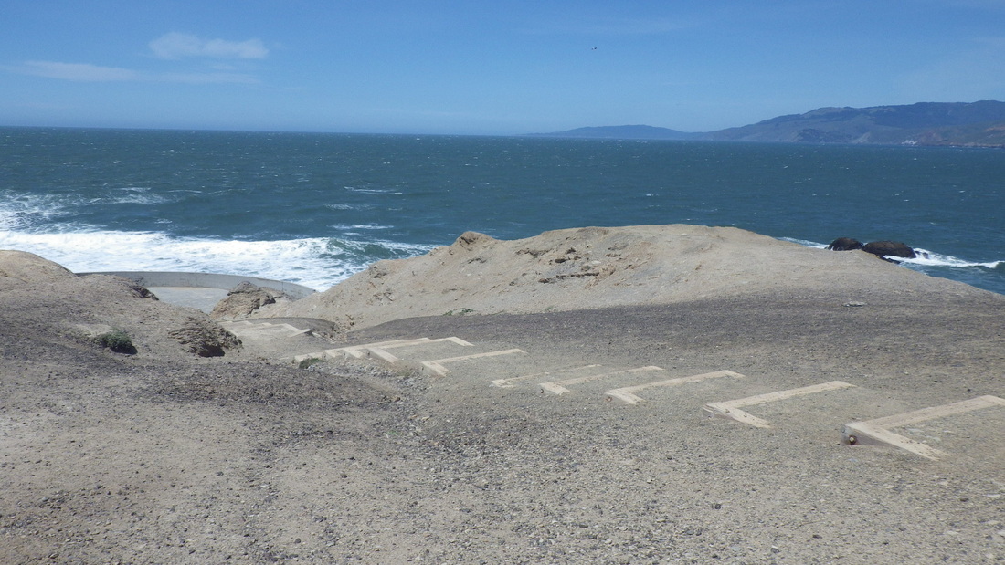
5. Marshall's Beach from View Point
Picture
6. Marshall's Beach below
Picture
7. Continuing west
Picture
8. 473 or so steps for the main trail
Picture
9. Midtrail
Picture
10. Lands End upper right corner
Picture
11. What is this plant?
Picture
12. Marshall's Beach Trail below
Picture
13. Fog and wildflowers
Picture
14. Starting up the west side
Picture
15. Westside steps continue up
Picture
16. Another railinged section
Picture
17. Steeply up to Battery Crosby
Picture
18. Looking down from the westside
Picture
19. Near the west trailhead
Picture
20. Top at Battery Crosby
Picture
21. 16 or so steps down from Battery Crosby on the west side
Picture
22. The Connector Trail climbs to Immigrant Point Overlook
Picture
23. New trail segment. Rob Hill Campground to left.
Picture
24. Rob Hill Campground above, right
Picture
25. New steps
Picture
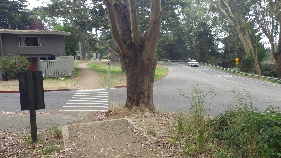
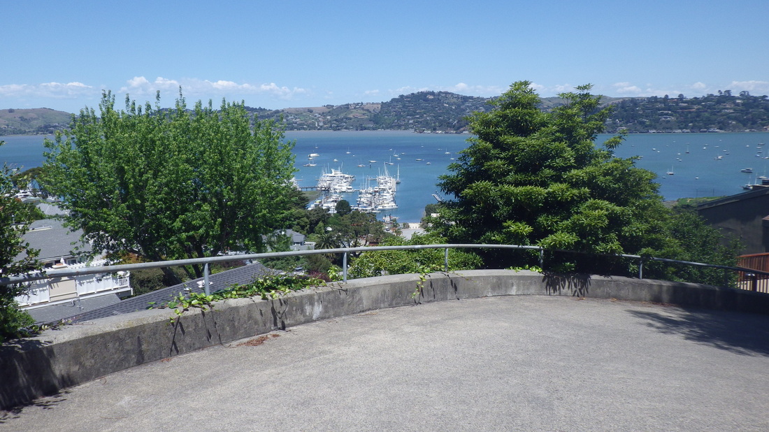
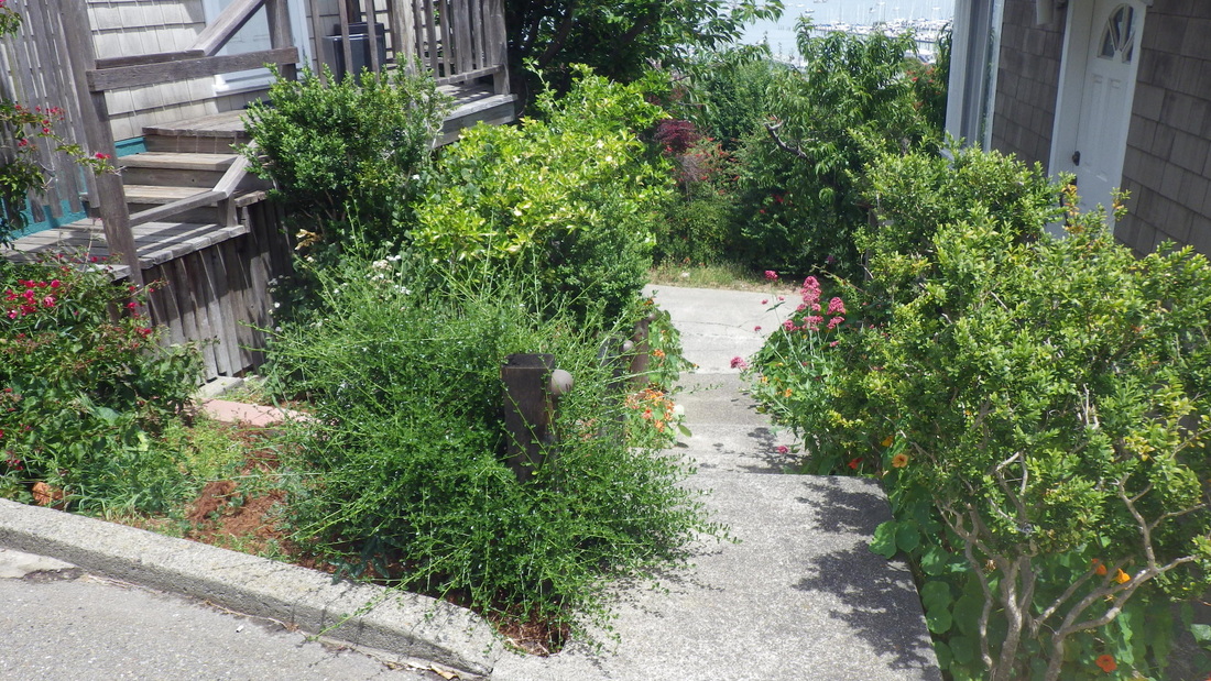
26. Hunter Rd./Compton/Washington. New trail near homes.
Picture
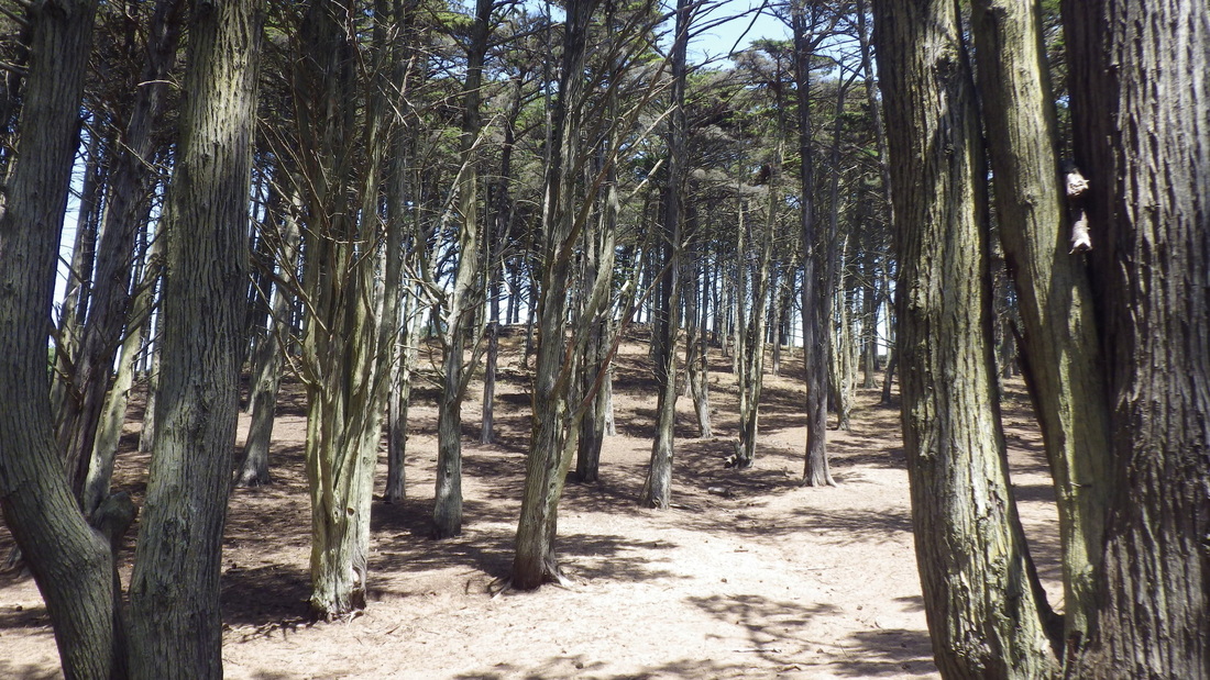
27. Presidio Forest off Battery Caulfield Rd.
Picture
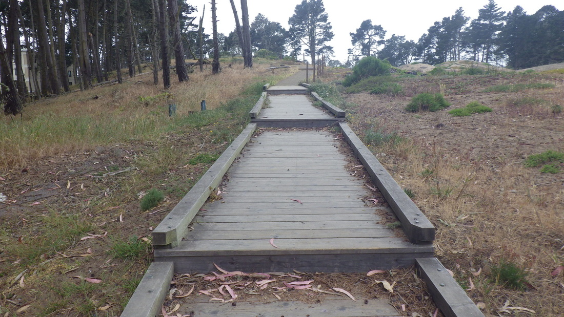
28. Marine Cemetery Vista boardwalk
Picture
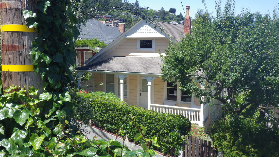
29. Wyman Ave. and residences to right
Picture
30. New fencing and gates, Mountain Lake
0 Comments

Stairway Googles

5/21/2014

1 Comment

 
Sausalito’s El Monte Lane is a very visible major stairway (120 steps, first four pix) up from Bridgeway, but unlike Excelsior Lane (179 steps) a block or so down Bridgeway, El Monte is not shown as a kind of line (to mark a non-vehicle street) at all on Google Maps. It’s only when you input the street name directly as a search that it will be pointed out to you; there’s this blank spot between buildings under the red-pointer-with-black-dot on Maps view. 

The Santa Rosa to Spencer stairway, a favorite, is a good long one but there’s no line to mark it on the Maps section.


So you can’t always depend on Google Maps when it comes to pinpointing stairways. Oak St. can’t even be located by searching its name, but it does have a street sign at its foot. This one climbs from West & Central to Crescent. 


For Noble Lane up from Atwood, there’s no indication that it’s a through stairway, but you can input the name and get its location. Its foot shows up well on Street View but there's no street sign.

“Maple” shows up as an actual street from Bridgeway to Woodward, but it’s a stairway.

Some you can see the tops or bottoms of on Street View if there aren’t too many trees. You can’t always be sure if these are just steps up or down to a residence from the foot or top though, especially if the stairway turns.

Went to do a recount of the Bee St. steps as I hadn’t counted the continuations of it after the first flight. Had seen the two other sections as separate shorter ones up from the street I was on.

So yeah, Bee (30 or so for the first flight, with a railed incline at its foot to start, pics 5 through 8), continues up with more across the street at Girard (pic 9).

The last of the three flights was one I’d wandered up a few months ago, finding it through and counting it as a separate flight (pix 10, 11) up from the vehicle street I’d been on at the time. The steps have been improved upon since I was up there last. It comes out at a house’s parking space (pic 12), 148 steps total. After reaching its top, you still need to climb a short but steep concrete stretch from the residence to Cazneau, pic 13. 


Pic 14: The thoughtfully placed bench partway up Laurel Lane. 

Pic 15: The last, steep, block of Laurel Lane is a vehicle street. In this foto, the top of the 299 steps (longest found here so far) is at the center near the white cars. 


Locust’s upper block that I descended this time is first a shady wood stairway with 60 steps (pix 16, 17), then a steep vehicle street in the middle, two short concrete stairways a few yards apart (13 or so for one of these, pic 18), and finally a couple more blocks of a regular street as one continues downhill.


About 29 steps descend to Girard from these homes just off Locust: 19, 20, 21. 


A house on lower Glen, pic 22.

Parking spot near Santa Rosa on Harrison between the El Monte and Excelsior stairways: pic 23. 


Down Excelsior Lane: Last three pix.


Picture
1. El Monte Lane starts up from Bridgeway
Picture
2. El Monte Lane
Picture
3. Bridgeway to Bulkley
Picture
4. 120 steps
Picture
5. Bee starts up from Bonita as a railed ramp
Picture
6. Foot of Bee
Picture
7. Up to Girard
Picture
8. Top of Bee's first flight up to Girard
Picture
9. Second flight up to Filbert
Picture
10. Up to Cazneau from Filbert
Picture
11. Top near Cazneau
Picture
12. Flagstones at top of stairs
Picture
13. Steep driveway up to Cazneau
Picture
14. Bench about halfway up Laurel Lane, 299 steps
Picture
15. Top of Laurel Lane's vehicle street. Top of steps down by the two cars, center
Picture
16. The wood stairway part of Locust
Picture
17. Foot of Locust's wood steps
Picture
18. One of two short stairways for Locust. These lead to a steep vehicle street.
Picture
19. Short stairway up from Girard
Picture
20. Homes on Girard with short stairway between
Picture
21. Short stairway between houses on Girard near Locust
Picture
22. Lower Glen
Picture
23. A parking spot on Harrison
Picture
24. Excelsior stairs at Harrison
Picture
25. Excelsior Lane near Harrison
Picture
26. Foot of Excelsior Lane at Bridgeway
1 Comment

Beach Day

5/20/2014

1 Comment

 
Some pix from a recent afternoon at the Presidio's Baker Beach: 1 thru 7.

And three long stairways above... 

First, the infamous Sand Ladder that climbs from the beach to Lincoln Blvd. with about 253 steps: Pix 8, 9, 10.


Next, the nearby Batteries to Bluffs (473-ish steps): 11 thru 20.

Third one, ascending from Lincoln, the Connector Trail to Immigrant Point Overlook, 208 steps: 21, 22, 23, 24.


Picture
1. A trail down to Baker Beach
Picture
2. Beach wildflowers
Picture
3. Sea Cliff neighborhood, center; Lands End upper right
Picture
4. Beachpeople
Picture
5. Wading
Picture
6. A short stairway up just before the Sand Ladder
Picture
7. Large ship passing under the bridge
Picture
8. The Sand Ladder climbs to Lincoln Blvd.
Picture
9. Up from the beach
Picture
10. West trailhead for Batteries to Bluffs Trail is a short distance to left
Picture
11. East trailhead for Batteries to Bluffs Trail
Picture
12. Batteries to Bluffs eastside as seen from near Pacific Overlook
Picture
13. View from Pacific Overlook
Picture
14. Rocky offshoot trail to Marshall's Beach
Picture
15. Steps down to Marshall's Beach
Picture
16. The footbridge
Picture
17. Winding up the westside
Picture
18. Steep steps up the west side
Picture
19. Up to Battery Crosby, the BTB's west trailhead
Picture
20. Westside trailhead at Battery Crosby
Picture
21. Connector Trail up from Lincoln
Picture
22. Here starts the steep part
Picture
23. The Connector Trail after some rain
Picture
24. Winding up to Immigrant Point Overlook
1 Comment

Cemetery Steps

5/19/2014

1 Comment

 
The paved trail called Lovers Lane descends from the Presidio Blvd. Gate (southeast part of the park) at Pacific, first pic. Andy Goldsworthy’s Wood Line is just off the walkway, pix 2, 3.

Past the Lovers Lane footbridge (pic 4) onto a trail between two streets, and up a short stairway to the Main Post at Inn of the Presidio. Behind the Inn is the east trailhead for the lower Ecology Trail.

This shady trail soon merges into the upper Ecology Trail (pic 5) where you can either continue up to Inspiration Point Overlook or take the stairs down (69 steps, pics 6, 7) to visit El Polin Spring (8, 9), and up the accessible ramp on the west side (pic 10).  

Pic 11: Bay Area Ridge Trail above Arguello Blvd. 

After hoofing it offtrail a bit to the upper Park Trail (12 thru 15) continued up to the winding wood steps (about 98) that climb through the forest to the Cemetery Overlook (constructed 2009): 16 through 28

A view from the overlook: pic 29.

East from the overlook is an old, “wilder,” trail that’s another of my favorites, pic 30. If you love forested trails, check this beauty out sometime. It winds down to the Post Chapel. At the chapel, you can descend the stairs to the Main Post.

Picture
1. Lovers Lane starts down from Presidio Blvd. & Pacific
Picture
2. Andy Goldsworthy's "Wood Line" off Lovers Lane
Picture
3. Wood Line
Picture
4. Lovers Lane Footbridge
Picture
5. Upper Ecology Trail
Picture
6. Top of El Polin steps to Ecology Trail
Picture
7. Stairs down to El Polin Spring from Ecology Trail
Picture
8. El Polin Spring
Picture
9. El Polin Spring boardwalk
Picture
10. Accessible ramp up from El Polin Spring's west side
Picture
11. Bay Area Ridge Trail above Arguello
Picture
12. Park Trail
Picture
13. Park Trail
Picture
14. Park Trail
Picture
15. Park Trail
Picture
16. Foot of Cemetery Overlook steps at Park Trail
Picture
17. Cemetery Overlook stairs start up from Park Trail
Picture
18. Park Trail below
Picture
19. National Cemetery to the left
Picture
20. Up through the forest
Picture
21. About 98 steps
Picture
22. Midtrail
Picture
23. Climbing to the Cemetery Overlook
Picture
24. Winding up through the woods
Picture
25. A peaceful forest walk with accompanying birdsong
Picture
26. Looking back down from near the top
Picture
27. Cemetery Overlook ahead
Picture
28. Top of the stairs
Picture
29. Cemetery Overlook and view from
Picture
30. Cemetery to left. Beginning of trail that winds east through forest to Post Chapel
1 Comment

Wild Roses

5/18/2014

0 Comments

 
Found the west part of the Presidio's Battery East Trail to be temporarily closed due to construction. Looking down from the bike lane, the picnic area was closed off and both ends of the low-overhead tunnel blocked. Hope they leave the unique little tunnel unmolested. 

A bit further along, however, the rest of the Battery East Trail was fully walkable. This is the curly concrete walk with the gorgeous bridgeview, now green and wildflowery. pic 1. 


Down, then up again on the old wood stairway that descends to the west end of Crissy Field (153 steps), pix 2 through 14.


Near the top of the stairs are some fragrant wild roses, but most of them now decorate the beginning of the Presidio Promenade at the Andrews Road sign, pics 15, 16, 17. 

At the end of this long-loved short trail that’s between two vehicle streets, continued south to the Crissy Field Overlook and down to the stables via the old wood pedestrian bridge (18), this area still unaffected by all the construction work still going on around it. 


Passing the stables, up to the Park Trail where I discovered a third “Picturing the Presidio” installation by Lyle Gomes, this photo from 1991, pics 19 through 21. There are five more of these somewhere in the park for me to find.


Picture
1. Battery East Trail
Picture
2. Battery East Trail's stairway down to Crissy Field
Picture
3. Top of Battery East stairs
Picture
4. Wild roses alongside as I descend
Picture
5. 153 steps
Picture
6. Looking up to the top of the stairs
Picture
7. Old wood stairway down to Crissy Field Beach and the Warming Hut
Picture
8. Continuing down
Picture
9. Now green and wildflowery on both sides
Picture
10. Bridgetop view from the stairway
Picture
11. Another bridgetop view from the steps
Picture
12. The road to Fort Point below
Picture
13. Wood steps
Picture
14. Foot of the Battery East Trail stairs
Picture
15. This way to the trail called Presidio Promenade
Picture
16. This trail is between two vehicle streets
Picture
17. Wild roses and a bridgeview
Picture
18. Footbridge with stables beyond
Picture
19. "Picturing the Presidio" by Lyle Gomes at Park Trail
Picture
20. I found another one!
Picture
21. Park Blvd. and Park Trail
0 Comments

Partial Sutro Stairwalk

5/17/2014

1 Comment

 
San Francisco's Mount Sutro has several stairways with over 100 steps. The Medical Center Way stairs that ascend from behind the hospital buildings on Parnassus total about 136. 

Farnsworth Lane: 149. 

Around on the south, east, and west sides, the Forest Knolls neighborhood has Ashwood (109 steps), Blairwood (337), Glenhaven (167), and the longest, Oakhurst Lane (353-ish). 

Ashwood Lane, pix 1 thru 7.

At the top of Ashwood Lane, Glenhaven Lane, my next to-do stairway, necessitated a short walk to the east: 8 thru 16. 

At the top of Glenhaven was going to descend Blairwood Lane from its top at Crestmont. However, before reaching this got distracted by the rough dirt trailhead up into the forest from Christopher & Crestmont. 

If those who so delight in destroying our beautiful, healthy trees want to do something really useful for once, I’ve long thought they should construct some stairs up this slidey trail for the convenience of us hikers (and Forest Knolls neighbors) to more easily access the forest’s trails. The Christopher trailhead is steep and I’d think they could easily construct steps without harming any trees, at least on the lower part. It’s short but seems steeper than the Crestmont trailhead several blocks to the west.

While hiking about in the forest certainly noticed lots of fallen logs and other dry forest debris from the so-called “management” of the forest lately. 

Even though I’ve long fantasized about some new meandering, looping trails on the part of the mountain that looms over Laguna Honda Reservoir, that vast part that’s fenced in with the “No Trespassing” signs all over, I’d be afraid, after seeing all the tree-felling thus far, that those who'd currently be in charge of such trail extensions might not know when to quit. If there existed management dedicated to preserving and protecting the area, however, I’d think this could be done, using all the taxpayers’ money now being wasted on chopping down trees to instead get permission from the Water Dept. (etc.) and wind some scenic trails around up there. 

Trails wandered today were parts of the Historic, the West Ridge (pic 17), the summit (pix 18, 19, 20), and down the East Ridge Trail (21, 22, 23). 

From there along Medical Center Way on the pedestrian walkway, with views down to the Fairy Gates (pic 24), Edgewood, and (lower) Historic Trails, for my third long stairway of the day, the steps (pix 25 thru 31) descending from the parking lot to behind the medical buildings on lower Medical Center Way, and out to Parnassus. 


Picture
1. 17 steps down from Clarendon and a walkway to start
Picture
2. Ashwood climbs between homes and a school
Picture
3. Ashwood Lane up to Warren in Forest Knolls
Picture
4. That's a school to the left
Picture
5. Nearing the top
Picture
6. Looking down from near the top of Ashwood
Picture
7. Top of Ashwood Lane
Picture
8. Glenhaven in distance at the end of Oak Park Dr.
Picture
9. Glenhaven Lane starts up
Picture
10. Stairway garden
Picture
11. Partway up
Picture
12. Glenhaven climbs to Christopher & Crestmont
Picture
13. Continuing up
Picture
14. Glenhaven gardensteps
Picture
15. Nearing the top
Picture
16. Sutro Tower from Glenhaven Lane
Picture
17. West Ridge Trail
Picture
18. Summit-time
Picture
19. Sutro's Summit
Picture
20. A summit trail
Picture
21. East Ridge Trail switchback
Picture
22. East Ridge Trail
Picture
23. East Ridge trailhead across from the Aldea Center
Picture
24. Fairy Gates Trail descends from Medical Center Way
Picture
25. Medical Center Way steps down from the parking lot
Picture
26. Stairway down behind UCSF medical buildings
Picture
27. Steps continue down
Picture
28. Behind the medical buildings is a stairway
Picture
29. Descending amongst wildflowers
Picture
30. Wood and wildflowers
Picture
31. Foot of the stairway at Medical Center Way
1 Comment

Art on the Trail

5/5/2014

1 Comment


So what’s Mountain Lake’s east side gonna look like when all the work is done in the area? New fencing was being built last time I did an around-the-lake stroll. New benches to replace the old ones? Very tame, this guy, a muscovy duck: first pic.

Above the Park Trail on the Bay Area Ridge Trail, past the Cemetery Overlook’s south entrance and onto the trail above Arguello where I happened upon two new art installations near the Spire. Didn’t know in advance where they’d be. Love outdoor artworks, especially unexpected sightings like this. As in a good hike anyway, and then something new and different along a familiar oft-traveled trail. Pix 2, 3; quoting below from:

http://www.presidio.gov/explore/Pages/Picturing-the-Presidio.aspx

“Picturing the Presidio is a multi-faceted public art installation by photographer Lyle Gomes, presented in partnership with the Presidio Trust …

For more than two decades, Gomes has captured emotive black and white images of the Presidio during a period of great transformation. Picturing the Presidio displays eight of his panoramic works along the trails where they were originally made, enabling viewers to consider the past, present, and future of key forest landscapes …

He began photographing the Presidio while it was still a military post. In 1994, amid the Presidio’s transition from post to park, he created The Presidio: a City Woodland, an exhibit of 48 images displayed at the Ansel Adams Center for Photography. Two decades later, he is returning to this subject through the Picturing the Presidio exhibit.” 


Now I gotta keep an eye out for the other six. 

Construction has finally been completed at the Pacific Overlook on Lincoln near Fort Scott. One can see part of the east Batteries to Bluffs Trail below from here, pix 4, 5, 6

Some recent stairway pix:

-- Continuing with Batteries to Bluffs pix (around 473 steps), below Lincoln: pix 7 thru 14. The Marshall's Beach Trail descends from the main Batteries to Bluffs with an additional 49 or so steps. 

-- The now green Connector Trail, 208 steps. Lincoln up to Immigrant Point Overlook: 15 thru 25. 

-- Marine Cemetery Vista Overlook with its high-backed benches, boardwalk and stairway, Mountain Lake Trail out to Battery Caulfield Road, around 103 steps: pic 26.

-- 69 wood steps connect from El Polin Spring to the upper Ecology Trail: 27, 28, 29. 

-- From the trail up to Inspiration Point Overlook: 45 curvy older wood steps, last two pics.


Picture
1. Muscovy Duck, Mountain Lake
Picture
2. Bay Area Ridge Trail: "Footpath 2009"
Picture
3. Bay Area Ridge Trail: "Trail Fork 1990"
Picture
4. Batteries to Bluffs east trailhead in distance, center
Picture
5. From Pacific Overlook: Batteries to Bluffs east, right. View Point center.
Picture
6. Batteries to Bluffs east, center, from Pacific Overlook
Picture
7. Batteries to Bluffs east trailhead
Picture
8. Marshall's Beach Trail below
Picture
9. Marshall's Beach steps
Picture
10. Down to Marshall's Beach from Batteries to Bluffs Trail
Picture
11. Westside steps as seen from the footbridge
Picture
12. Up the west side
Picture
13. Batteries to Bluffs west
Picture
14. Nearing the top at Battery Crosby
Picture
15. Connector Trail from Lincoln up to Immigrant Point Overlook
Picture
16. Connector Trail starts up
Picture
17. Connector Trail's footbridge. Bench to left.
Picture
18. Across Lincoln below is trailhead for Sand Ladder to Baker Beach. Batteries to Bluffs trailhead right.
Picture
19. The trails are now photogenically green
Picture
20. Connector Trail up to Immigrant Point Overlook and Rob Hill Campground
Picture
21. 208 steps
Picture
22. Connector Trail continues up
Picture
23. Nearing the top
Picture
24. Top of the Connector Trail at Immigrant Point Overlook
Picture
25. Trailsign for the Connector at Immigrant Point Overlook
Picture
26. Steps to boardwalk and Marine Cemetery Vista Overlook
Picture
27. El Polin Spring to upper Ecology Trail
Picture
28. Down to El Polin Spring from upper Ecology Trail
Picture
29. Out to Ecology Trail
Picture
30. Upper Ecology Trail up to Inspiration Point Overlook
Picture
31. To Ecology Trail from Inspiration Point Overlook, off Arguello Blvd.
1 Comment

Main Lands End Trail

5/4/2014

1 Comment

 
Stairway fans, there are three long stairways on San Francisco's main Lands End/Coastal Trail, the lower trail most people take.  

While there are several other stairways at Lands End, this hike counts the ones west to east on the main trail instead of my usual zigzags and detours.

However, first of all, to get over to the west trailhead for the Coastal Trail, aka Sutro Baths Upper Trail, descended a first stairway (128 steps) I call the “Merrie Way” steps because there used to be a street by this name in the area. It starts down from the lower parking lot overlook near the Lands End Lookout building. Pix 1, 2, 3.

At the foot of these, a trail climbs to the west trailhead for the Coastal Trail (pic 4). Several years ago there were around 20 original wood steps ascending from the Sutro Baths cavetop viewplace. In 2009 these steps were extended and now there are around 142 wood ones: 5 thru 18.

At the top of these is a sign for “Sutro Baths Upper Trail” and a winding paved walkway that was also added several years ago. This curves round to the north, then heads east, two Coastal Trail overlooks along the route. 

Across from the first overlook a steep stairway ascends to the upper parking lot overlook (and the El Camino del Mar Trail), about 57 steps. 

This time continued straight ahead on the Lands End Trail: pix 19, 20.

Passed the connector stairs up to the El Camino del Mar Trail and the top of the Mile Rock Beach steps, an up-n-back, about 262 down to the rocky beach.

About halfway along the main trail there's no avoiding the second long Coastal Trail stairway, this with about 137 wood steps. I’ve nicknamed it the “Painted Rock” stairs. This is the one with the two stone benches alongside: 21, 22, 23.

At the top of this, the third long Coastal Trail/Lands End stairway descends on the east side. This one’s been added onto in the last several years as well and now has about 120 varied steps: wood, log, and concrete: 24 thru 28.


Continuing (pics 29, 30) out to the east park exit, passing the renovated Eagles Point Overlook; at the benches now are dozens of those small flags in several colors that indicate new plantings. 


Out of the park, directly across the vehicle street, and onto a sandy trail just below the east edge of the Lincoln Park golf course. A short walk to the south will take you to a stairway (tiled at its top benches only so far, 52 steps) that descends to 32nd Ave. & California in the Outer Richmond neighborhood. Last two pix. 

Picture
1. Descending from the lower parking lot overlook
Picture
2. Sutro Baths Ruins below
Picture
3. The steps lead to a trail
Picture
4. Trail to the cavetop viewplace
Picture
5. West trailhead for the Coastal Trail
Picture
6. Coastal Trail / Sutro Baths Upper Trail
Picture
7. Trailhead, Coastal Trail
Picture
8. Sutro Baths Upper Trail
Picture
9. Sutro Baths Upper Trail
Picture
10. Coastal Trail
Picture
11. Nice view...
Picture
12. Cavetop viewspot below
Picture
13. Midtrail
Picture
14. Iceplant offtrail
Picture
15. Sutro Baths Upper Trail
Picture
16. Don't go there
Picture
17. Trail turns
Picture
18. Near top of Sutro Baths Upper Trail
Picture
19. Main Lands End Trail
Picture
20. A few log steps
Picture
21. "Painted Rock" steps
Picture
22. First stone bench along the stairway
Picture
23. Continuing up
Picture
24. Down the east side
Picture
25. East stairway, Coastal Trail
Picture
26. Various types of stairs on the east side
Picture
27. An eastside view
Picture
28. Looking back
Picture
29. Some newer additions at the end
Picture
30. Continuing east
Picture
31. Hiking down here not advised
Picture
32. Lincoln Park stairway top bench
Picture
33. Hoping to be tiled: Lincoln Park stairs down to 32nd Ave.
1 Comment

Twin Peaks Spring Beauty

5/3/2014

1 Comment

 
Twin Peaks hike pix continued … Part 2.  This was a long trek with a lot of fotos, so making it two posts.

Eureka Peak's northside is the only one of the peaks stairways that has less than 100 steps (about 83). The other three peaks-stairs each have more than 100. It can be crowded on these four stairways, a huge tourist attraction even on weekdays. 


The south side of Noe Peak has the most stairs, pic 1, 2

North side of Noe Peak, pic 3

South side of Eureka Peak: 4, 5, 6


North side of Eureka Peak, pic 7

From the trail just off Twin Peaks Blvd. (reached from the top of the stairs up from Crestline): 8 thru 13


View west for Sutro Tower with Midtown Terrace below, pic 14. Hikers can step over the guardrail on the west side for a certain much used old trail down to Midtown Terrace at Marview. Cross the street for another trail that circles around the tower; watch out for mountain bikers. Continue down to Clarendon. Cross carefully over two-way, winding Clarendon for access to Mount Sutro Forest’s delightful trails. 

Midtown Terrace neighborhood below with view south to Mount Davidson, pics 15, 16

At the main viewplace: Last three pix. 


Picture
1. Noe Peak's southside steps
Picture
2. Noe Peak, south side
Picture
3. Noe Peak, north side
Picture
4. Eureka Peak south
Picture
5. Eureka Peak's south stairway
Picture
6. South Eureka Peak
Picture
7. Eureka Peak North
Picture
8. Top of the eastside steps up from Crestline. Twin Peaks Blvd. and hikers' trail.
Picture
9. View north from Twin Peaks Blvd.
Picture
10. Looking south, Twin Peaks Blvd.
Picture
11. Crestline below from Twin Peaks Blvd.
Picture
12. View north and east
Picture
13. Hiking trail off the Blvd.
Picture
14. The layered look. Sutro Tower with Midtown Terrace below.
Picture
15. Midtown Terrace below. Mount Davidson beyond, center.
Picture
16. Mount Davidson in distance, center
Picture
17. From the main viewplace
Picture
18. Twin Peaks Park's main viewspot
Picture
19. A view of the whole world
1 Comment

Twin Peaks Stairway

5/3/2014

1 Comment

 
A somewhat “hidden” stairway that some San Francisco stairway walkers may not be familiar with is Vista Lane, about 261 steps. 

Now at the foot of each of the two highest flights have been added the words “Twin Peaks Stairway” in white paint on the concrete steps — so now it’s got two names. This can be seen between Parkridge and Crestline: the last stretch. 

There are no street signs for Vista at either end but it’s a public, through, series of short and long stairways that continues up to the park. 

At the top it swoops down right at the 37 Corbett/Twin Peaks’ #74 Crestline bus stop: pic 1. The driver usually calls out “Twin Peaks.”  

It starts down below with a couple of short stairways a few yards apart up from Burnett (cross-street Hopkins), and continues to Crestline. You can take either of these (one has about 30 steps (pic 2); the one I took this time, 40 steps, pic 3). 

At the top of either of these, just look for the next stairway up, a longer one. Counted ‘em separately this time: 40 (top, pic 4); 62 (pic 5, to Gardenside), 35 (pic 6), 55 (7, 8, 9, up to Parkridge), 20 and 49 (pix 10, 11, 12, Parkridge to Crestline) for 261 total (only counting one of the two that start up from Burnett). 

The next actual vehicle street up from Burnett is Gardenside, the next Parkridge, and the last Crestline, so about three blocks’ worth. At Parkridge it zigs slightly south before continuing to Crestline. 

Directly across the street at Crestline is an east trailhead into Twin Peaks Park with an infosign (pic 13), up to Twin Peaks Blvd. 93 steps: pix 14 thru 18.

You can also start this hike to the park further downhill at Clayton for more stairs: at the foot of the Pemberton stairway. Actually this time I disembarked at the bus stop directly in front of the Clayton/Corbett Garden, 36 steps, with Pemberton starting up across from the top of these. 

Pemberton has 210 steps, also three blocks’ worth (Clayton to Villa Terrace (19, 20), Villa to Graystone Terrace (pic 21), and my favorite section, the older part: Graystone to Crown: 22, 23.

Top at Crown Terrace, pic 24.


Where the steppingstones used to be at the Crown Terrace dead-end for vehicles was a pile of fenced-in lumber due to construction work going on below. But there was room at the side of the fence for walkers to get through. This short pathway can be seen on Google Maps. 


So out to Crown Court and Raccoon, and up to Twin Peaks Blvd. (pic 25). The curvy street across is Mountain Spring: pic 26. 

At Twin Peaks Blvd., uphilled it to Burnett and hung a left (last pic) for a several-block walk south to the Burnett beginning of Vista Lane.

Continuing this hike with a separate post: "Twin Peaks Spring Beauty."

Picture
1. Infosign at the #74 Crestline bus stop for the #37 Corbett. Top of Vista Lane steps to right.
Picture
2. One of the two short Vista Lane stairways up from Burnett
Picture
3. Second short Vista Lane stairway up from Burnett, cross-street Hopkins
Picture
4. Top of one of the first short stairways up from Burnett
Picture
5. Looking down from Gardenside
Picture
6. Top of Gardenside, continuing up to Parkridge
Picture
7. Gardenside
Picture
8. Continuing up to Parkridge
Picture
9. Top of Parkridge
Picture
10. Last two flights: Parkridge to Crestline
Picture
11. Parkridge up to Crestline, Vista Lane
Picture
12. Twin Peaks Stairway/Vista Lane up to Crestline
Picture
13. Across from the top of Vista Lane, a wood stairway into Twin Peaks Park
Picture
14. Up from Crestline. Top of Vista Lane upper right.
Picture
15. Into Twin Peaks Park
Picture
16. 93 steps for this one up to Twin Peaks Blvd.
Picture
17. An older wood stairway
Picture
18. Nearing the top of the stairs
Picture
19. Pemberton starts up from Clayton
Picture
20. Top of the first block of Pemberton at Villa Terrace
Picture
21. Top of second block of Pemberton at Graystone Terrace
Picture
22. Starting oldest, highest, part of Pemberton: Graystone up to Crown
Picture
23. Pemberton stairway up to Crown Terrace from Graystone Terrace
Picture
24. Top of Pemberton at Crown Terrace. Turn left here to dead-end.
Picture
25. Crown Ct. right. Raccoon up to Twin Peaks Blvd. left.
Picture
26. Raccoon at Twin Peaks Blvd. Mountain Spring across.
Picture
27. Burnett at Twin Peaks Blvd.
1 Comment

    Author

    I like meandering around on San Francisco's park trails and public stairways, sometimes taking photos, and enjoying nature and the outdoors.

    Archives

    March 2020
    February 2020
    January 2020
    December 2019
    November 2019
    October 2019
    September 2019
    August 2019
    July 2019
    June 2019
    May 2019
    April 2019
    March 2019
    February 2019
    January 2019
    December 2018
    November 2018
    October 2018
    September 2018
    August 2018
    July 2018
    June 2018
    May 2018
    April 2018
    March 2018
    February 2018
    January 2018
    December 2017
    November 2017
    October 2017
    September 2017
    August 2017
    July 2017
    June 2017
    May 2017
    April 2017
    March 2017
    February 2017
    January 2017
    December 2016
    November 2016
    October 2016
    September 2016
    August 2016
    June 2016
    May 2016
    April 2016
    March 2016
    February 2016
    January 2016
    December 2015
    November 2015
    October 2015
    September 2015
    August 2015
    July 2015
    June 2015
    May 2015
    April 2015
    March 2015
    February 2015
    January 2015
    December 2014
    November 2014
    October 2014
    September 2014
    August 2014
    July 2014
    June 2014
    May 2014
    April 2014
    March 2014
    February 2014
    January 2014
    December 2013
    November 2013
    October 2013
    September 2013
    August 2013
    July 2013
    June 2013
    May 2013
    April 2013
    March 2013
    February 2013
    January 2013
    December 2012
    November 2012
    October 2012
    September 2012
    August 2012
    July 2012
    June 2012
    May 2012
    April 2012
    March 2012
    February 2012
    January 2012
    December 2011
    November 2011
    October 2011
    September 2011
    August 2011
    July 2011
    June 2011
    May 2011


    RSS Feed

Powered by Create your own unique website with customizable templates.