Some recent hikepix of the super-photogenic Batteries to Bluffs Trail and some other Presidio goodies.
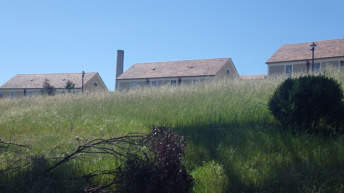
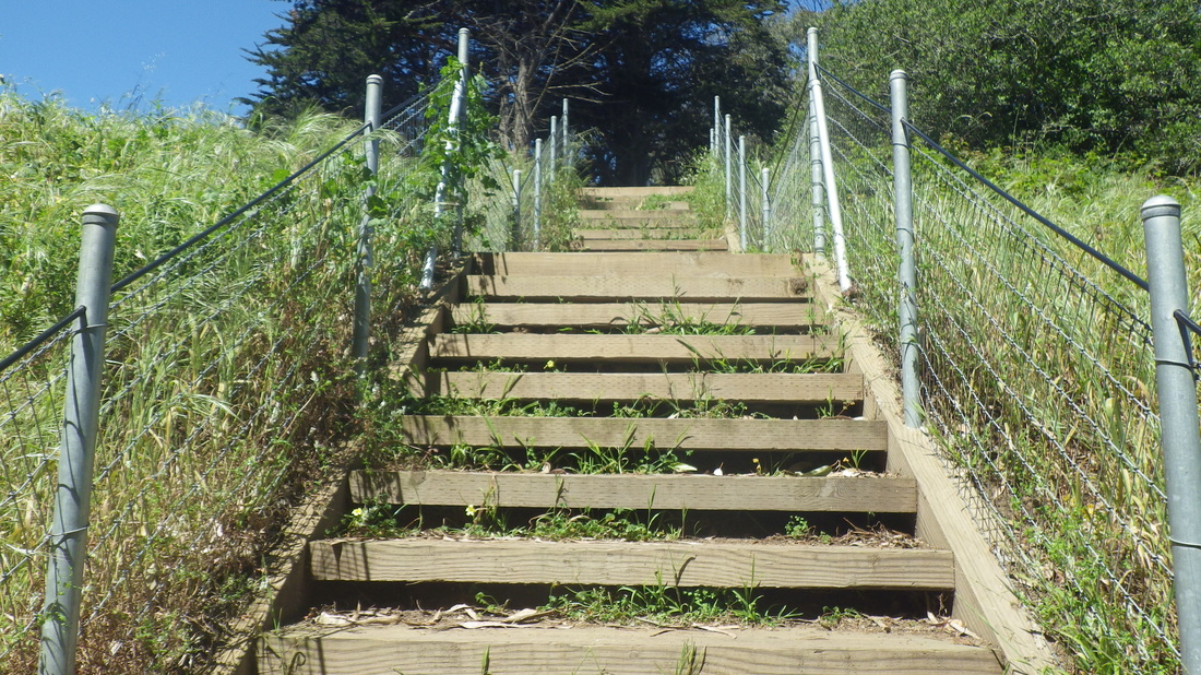
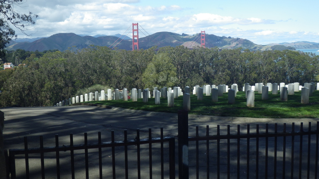
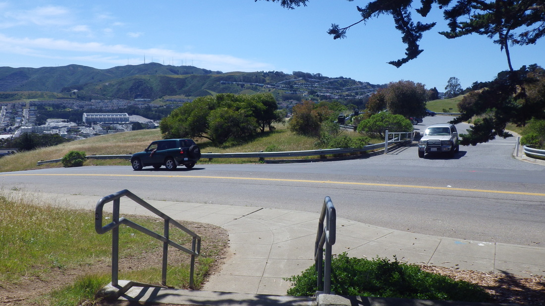
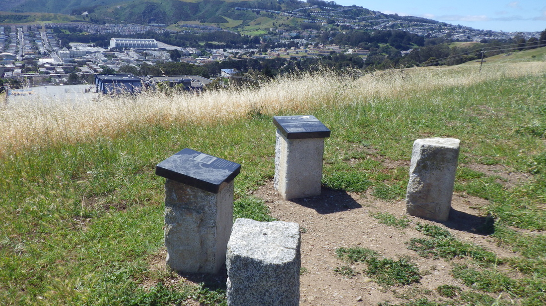
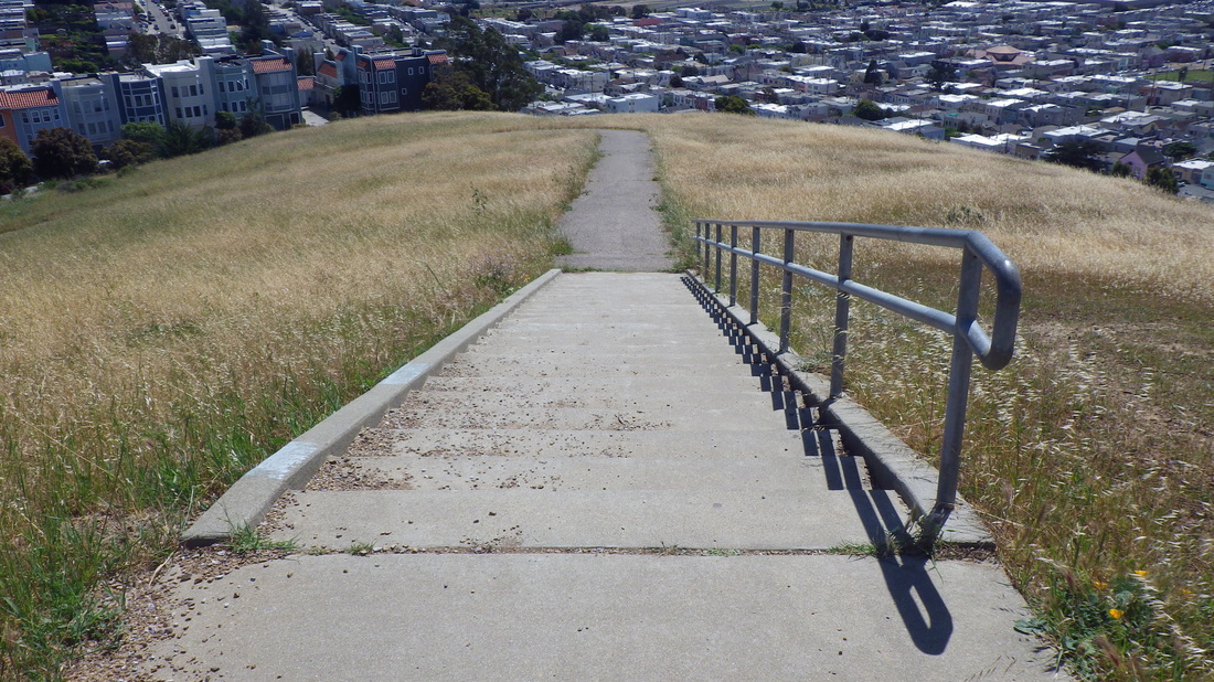
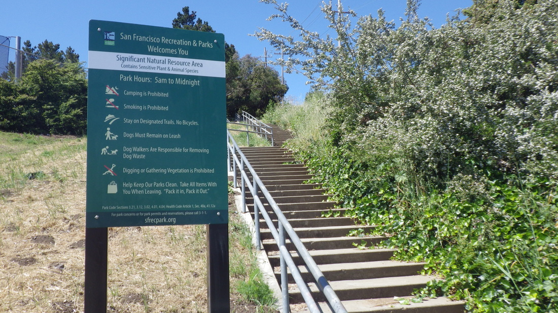
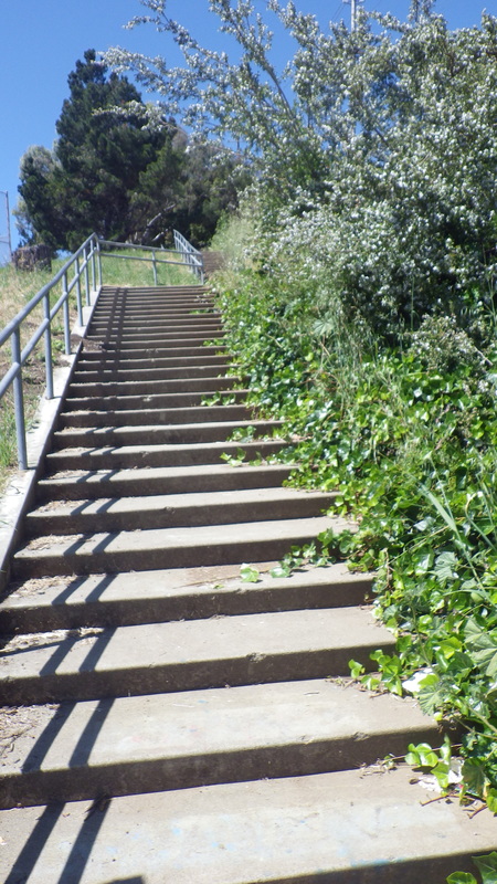
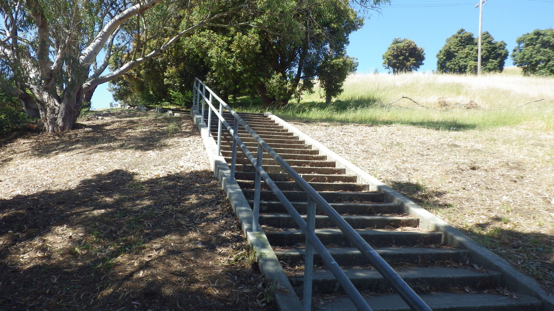
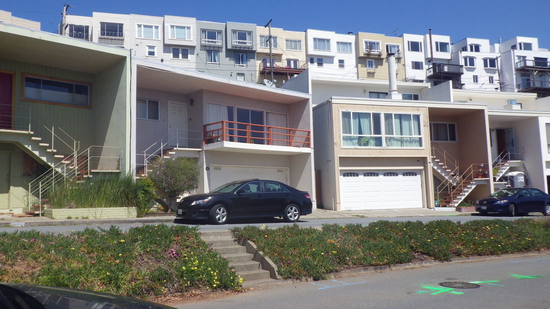
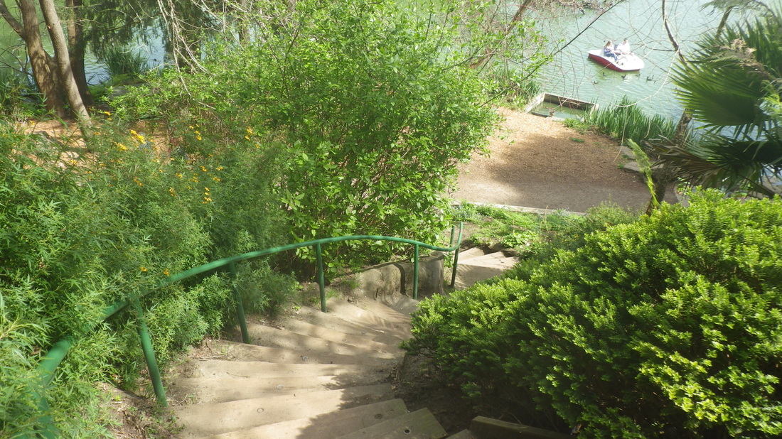
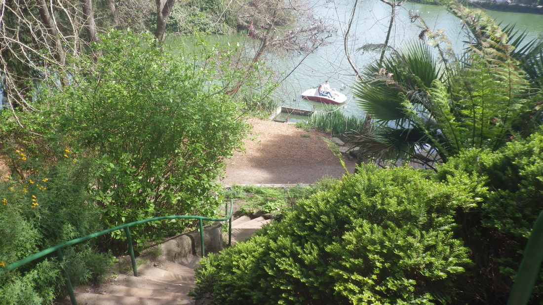
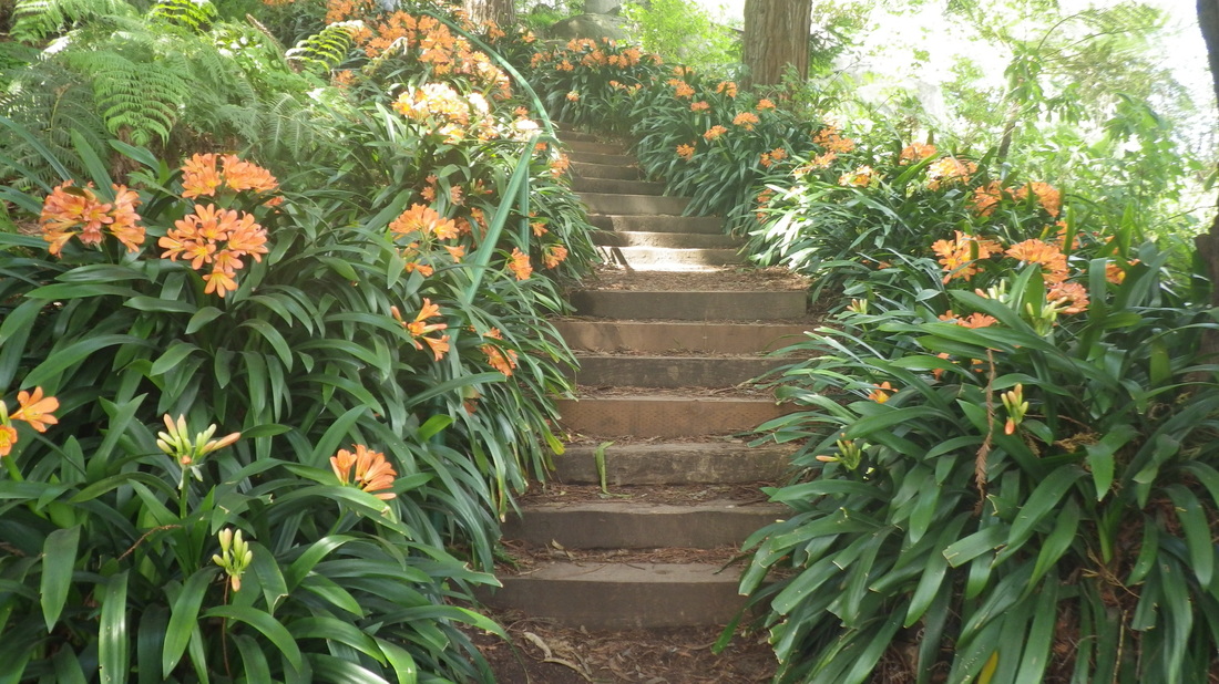
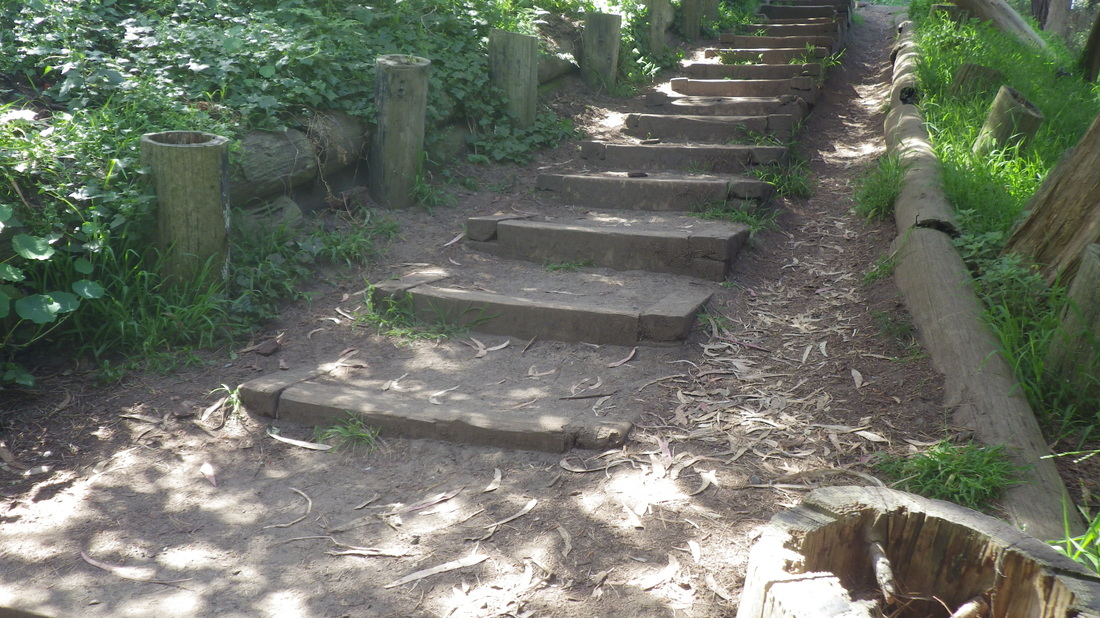
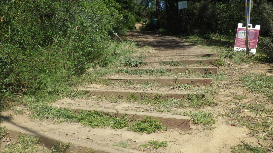
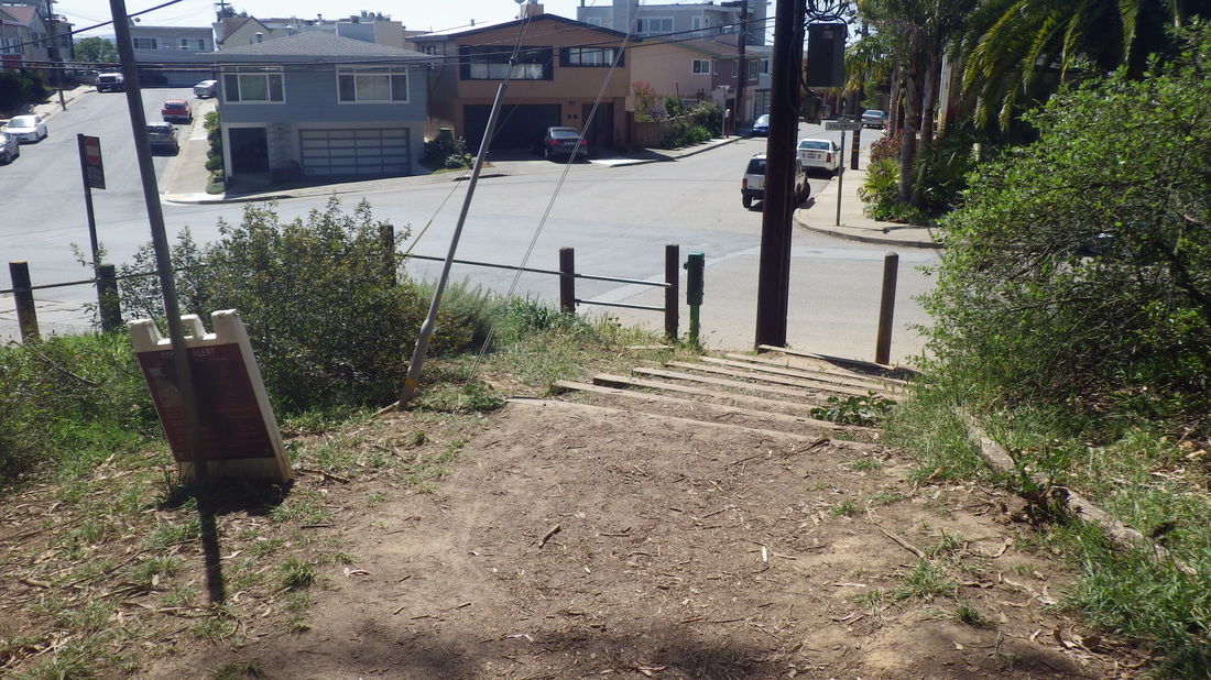
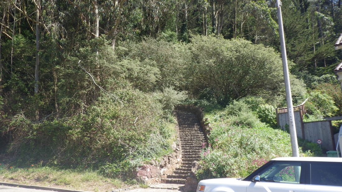
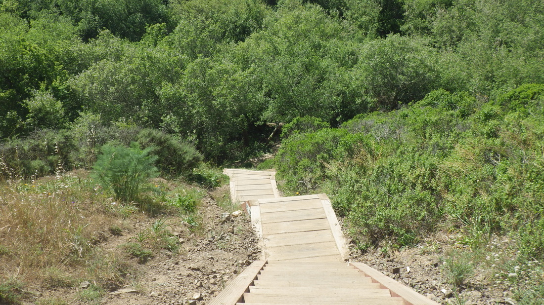
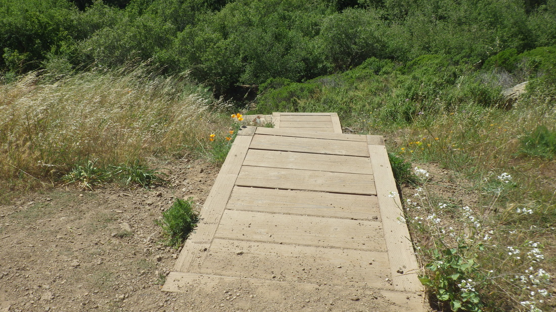
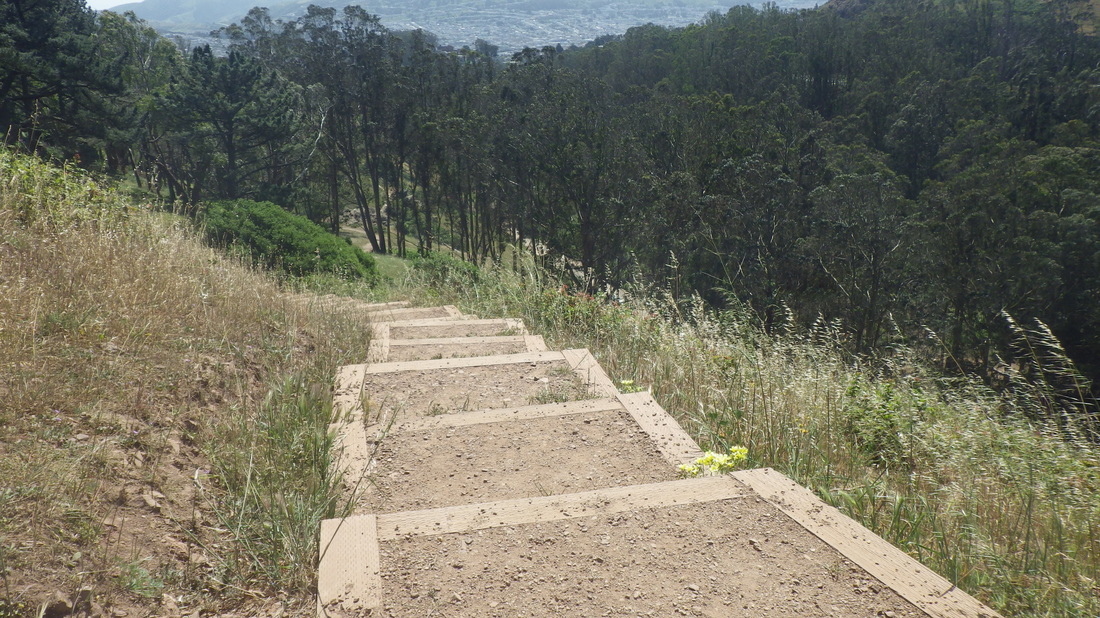
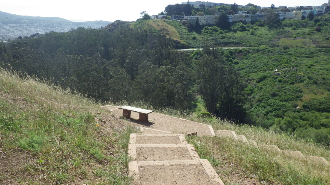
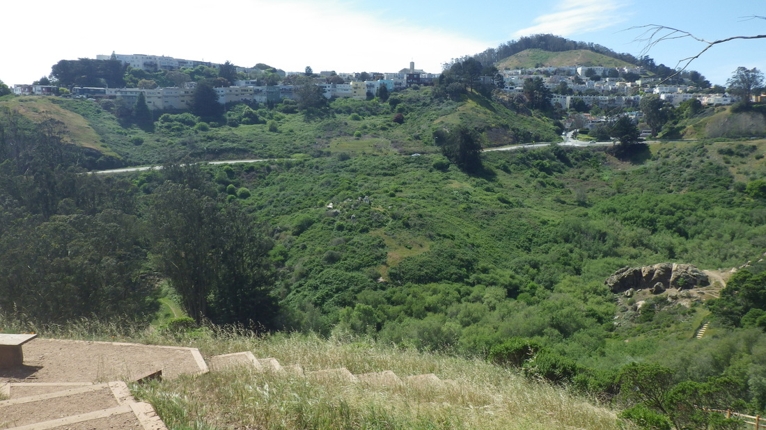
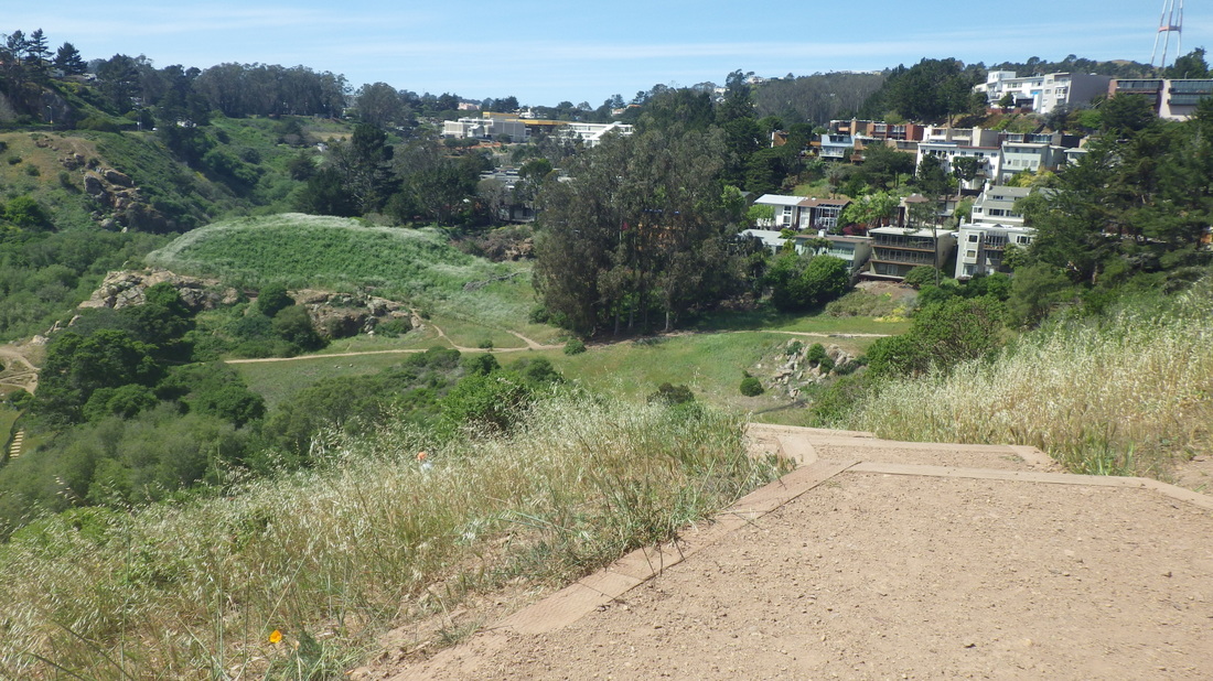
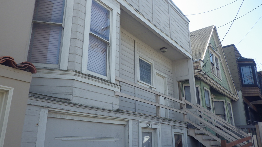
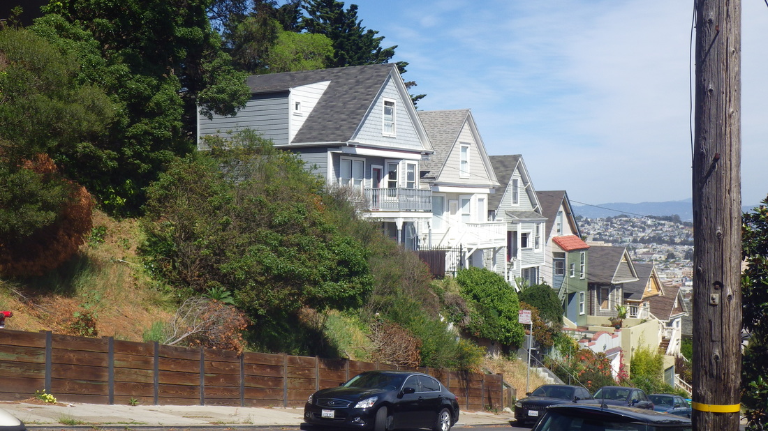
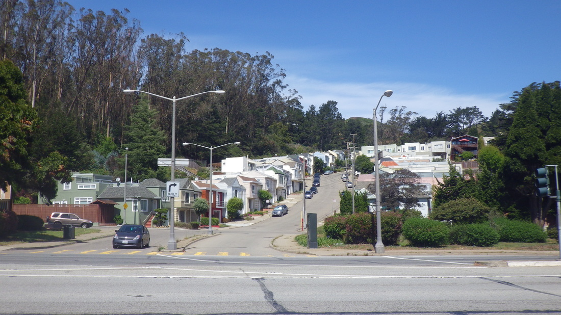
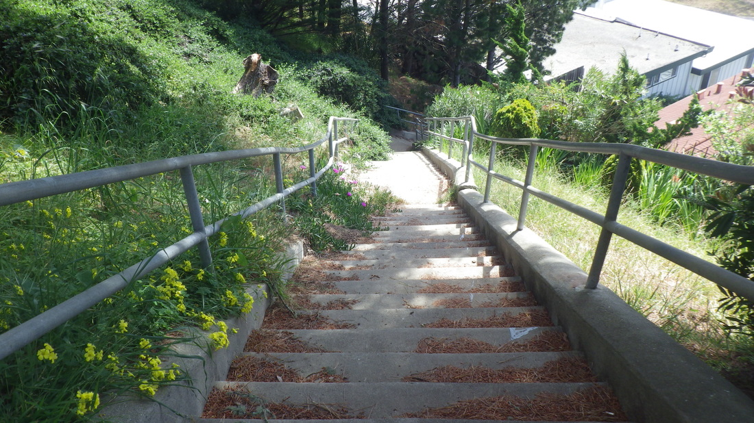
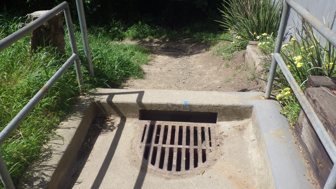
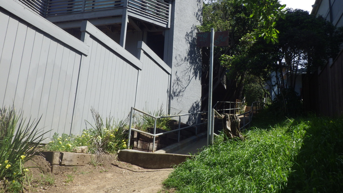
Into the park at the 14th Ave. “gate,” Wyman Ave. homes, first pic, on my way to climb the Marine Cemetery Vista Overlook steps, 2 thru 5 (about 103 steps) to the boardwalk, benches, and memorial plaque.
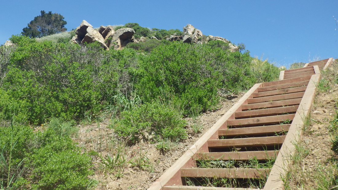
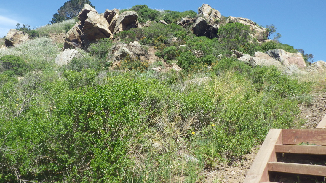
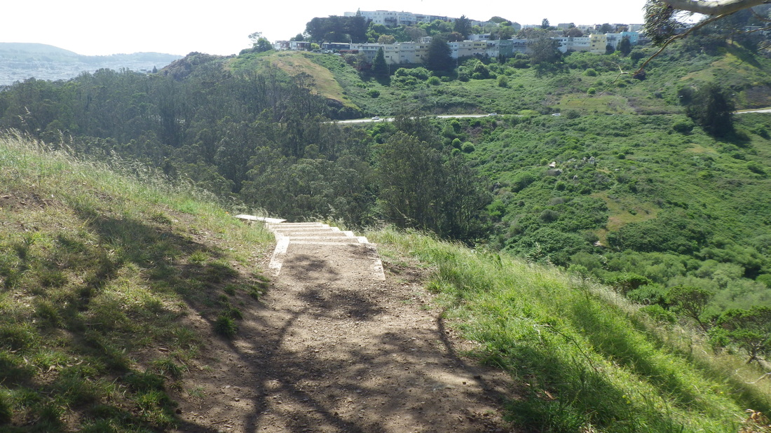
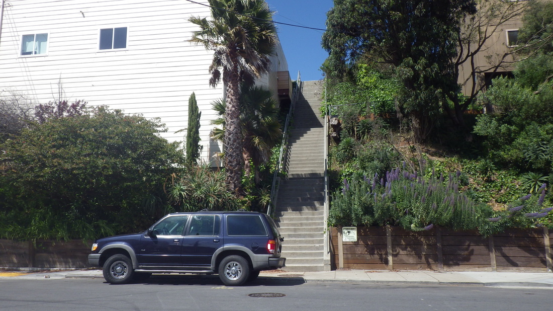
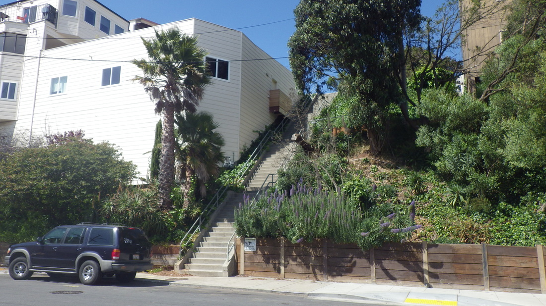
This is one of the newer Presidio stairways, created several years ago. Many sailors were buried up here between 1881 and 1912, behind what used to be the Public Health Service District, converted to residences several years ago.
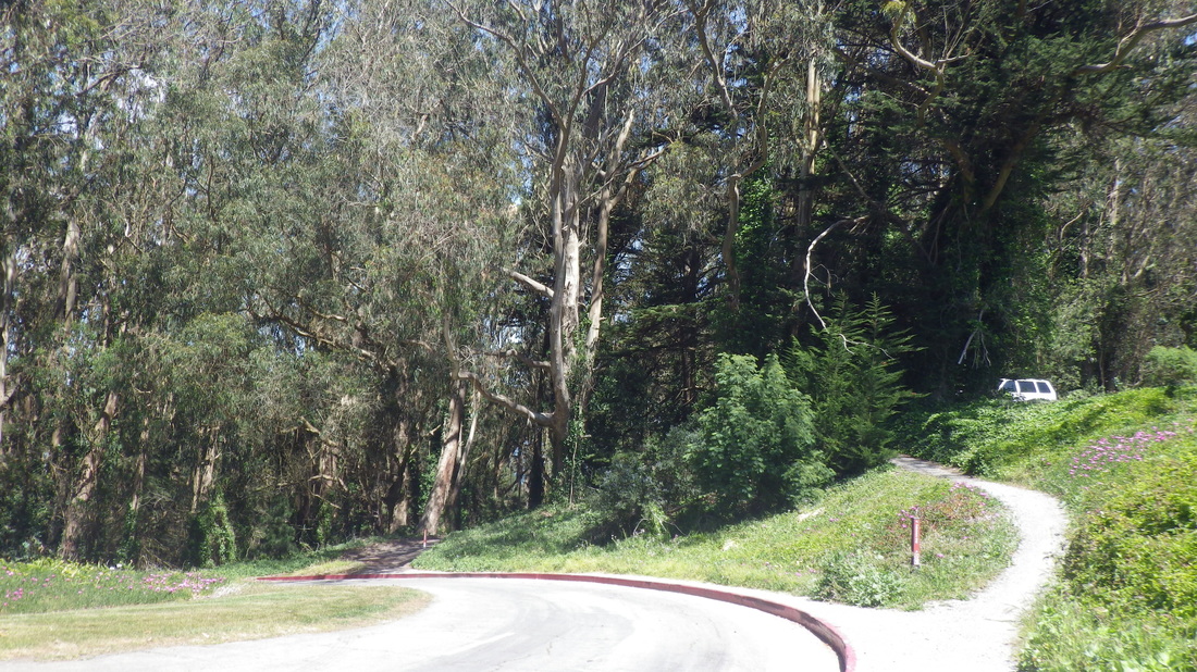
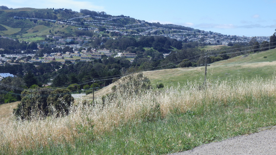
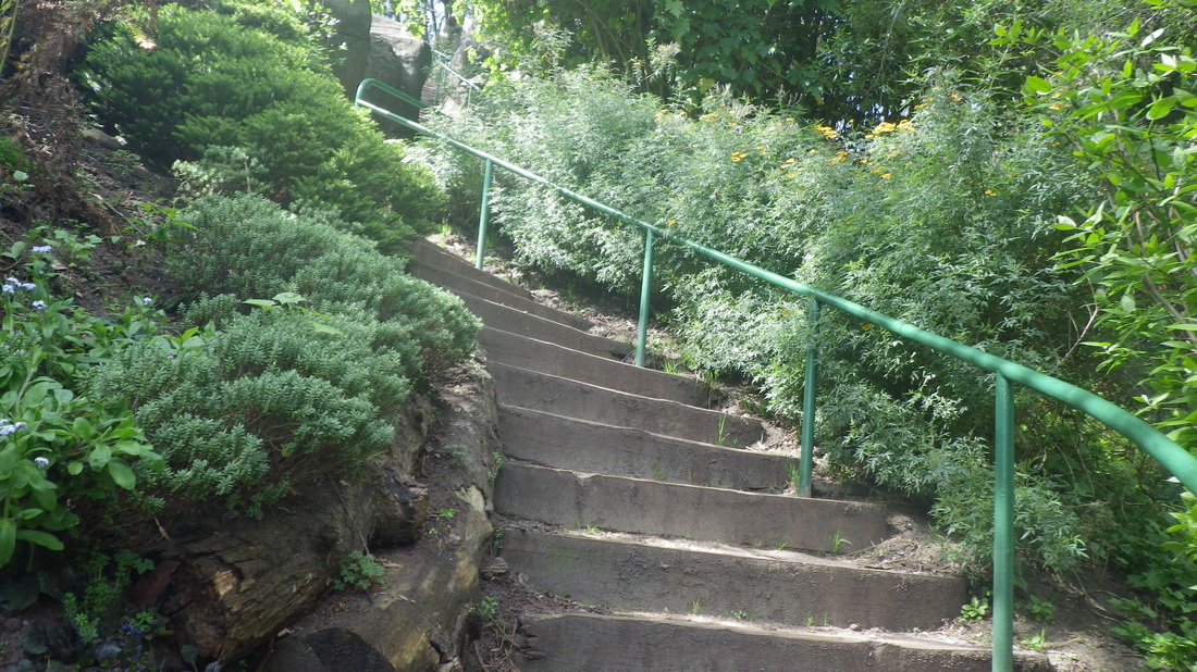
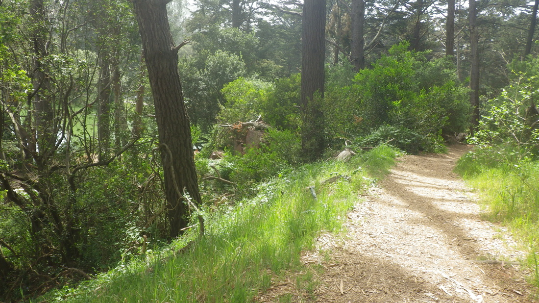
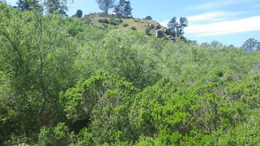
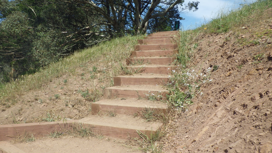
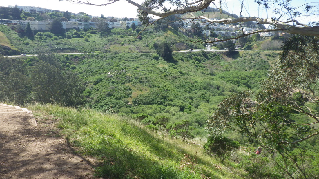
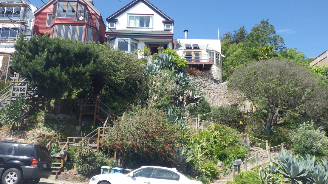
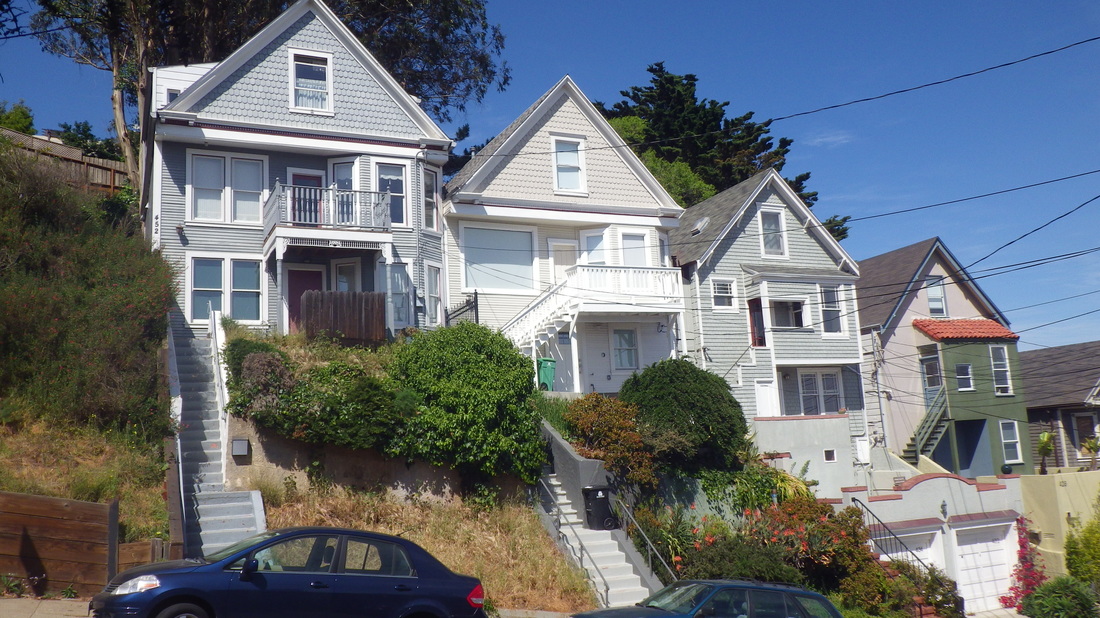
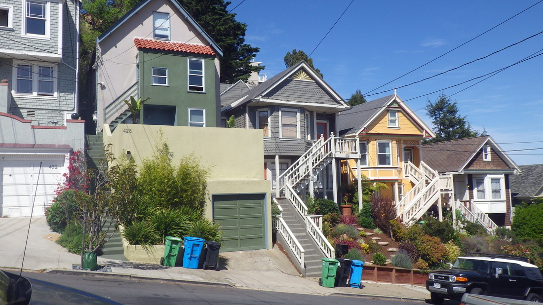
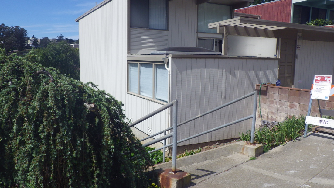
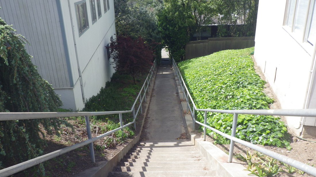
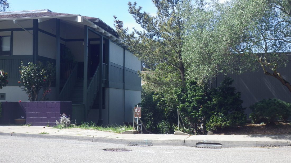
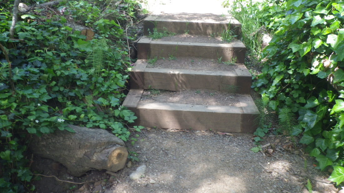
Uphill on Battery Caulfield Road, turning right on Washington, thru a residential area and into the forest.
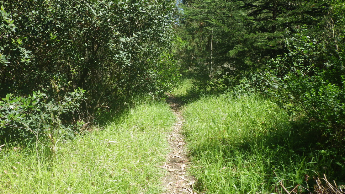
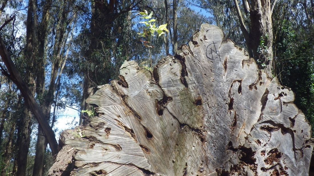
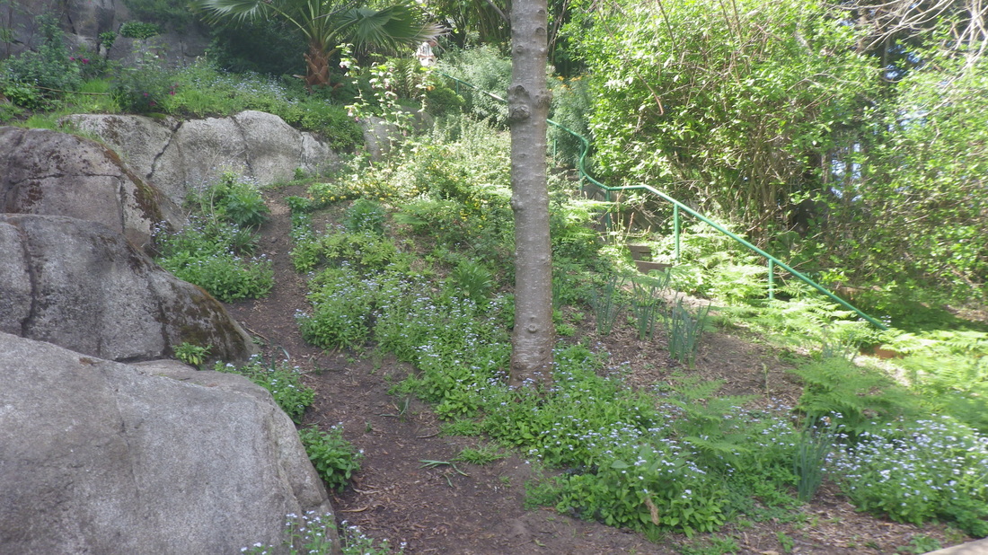
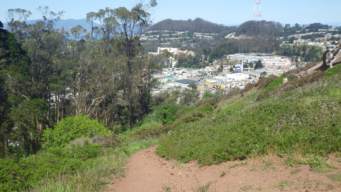
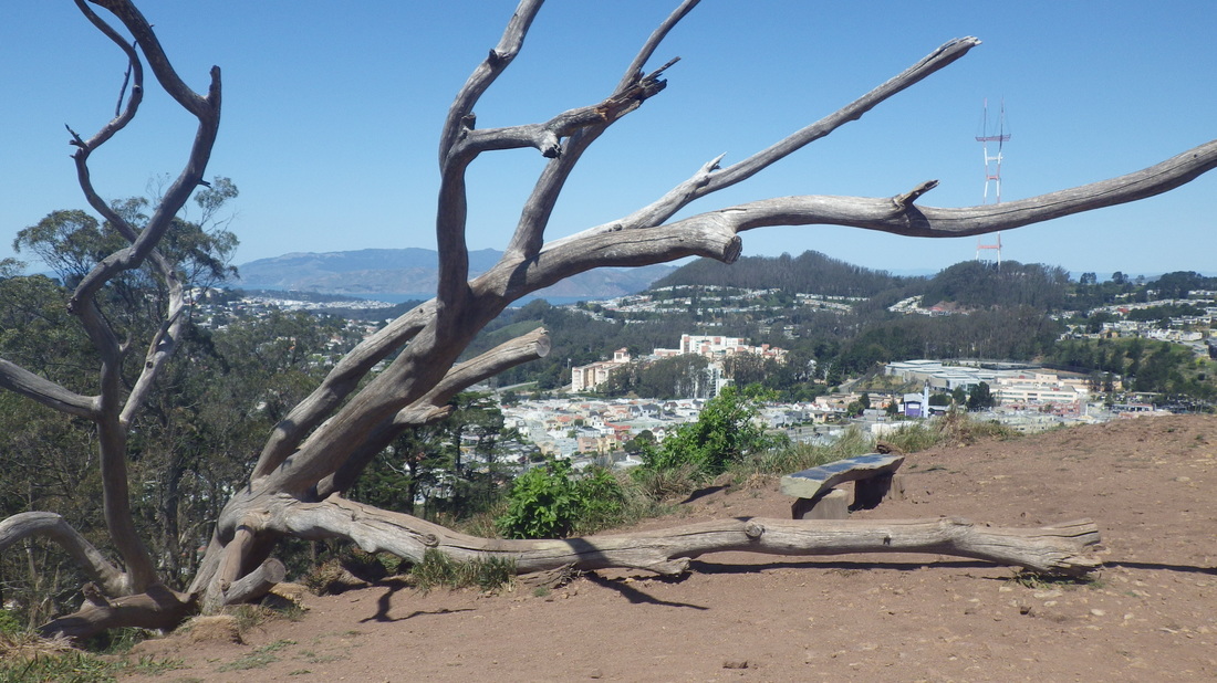
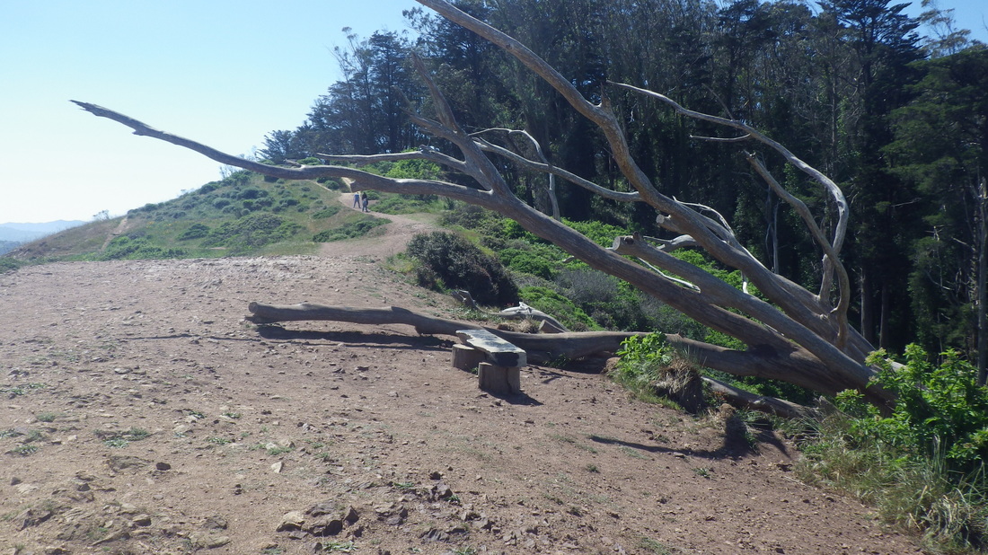
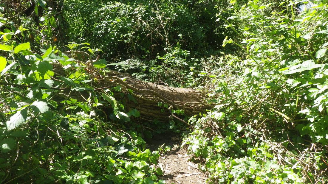
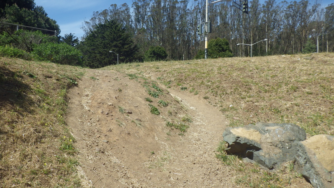
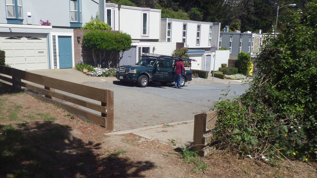
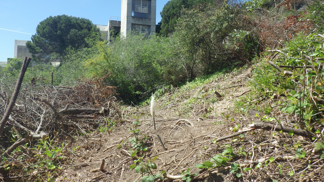
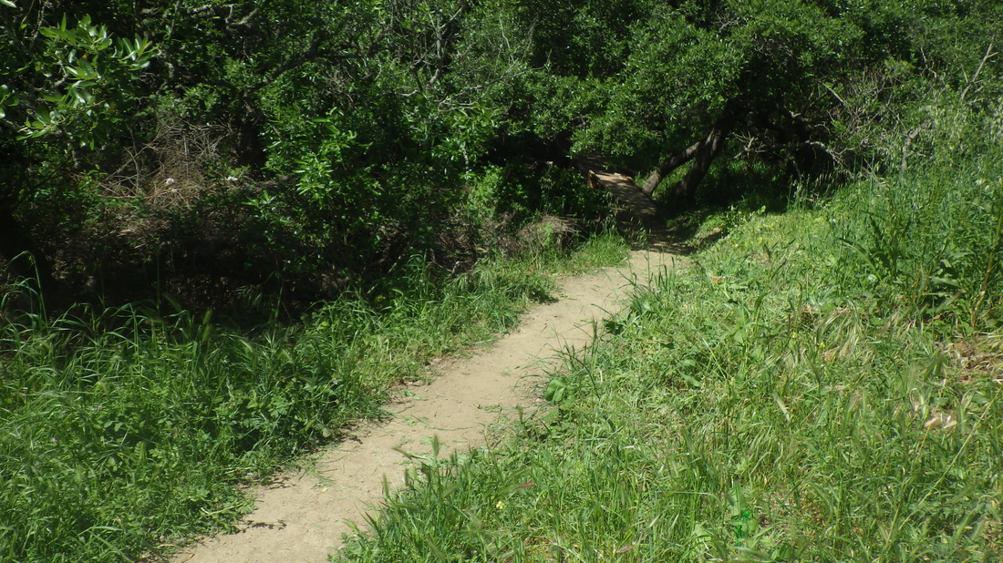
East of Rob Hill Campground, a short trail down to behind Fort Scott neighborhood homes, pic 6. Brief offtrail logsittin’ (pic 7) before heading down a less-used trail to visit the “hidden” Fort Scott Community Garden.
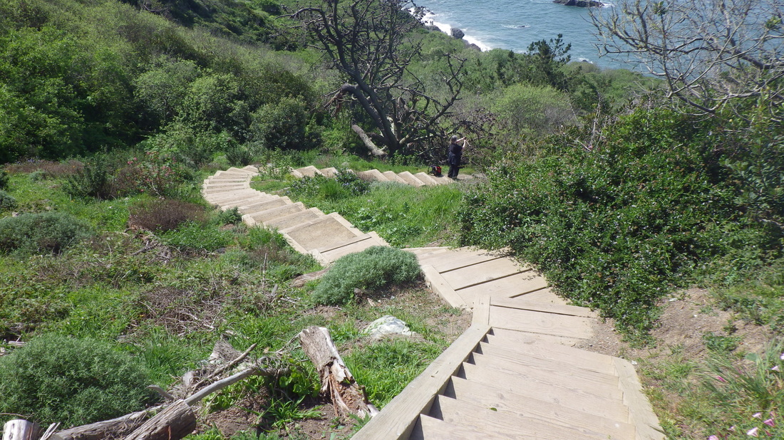
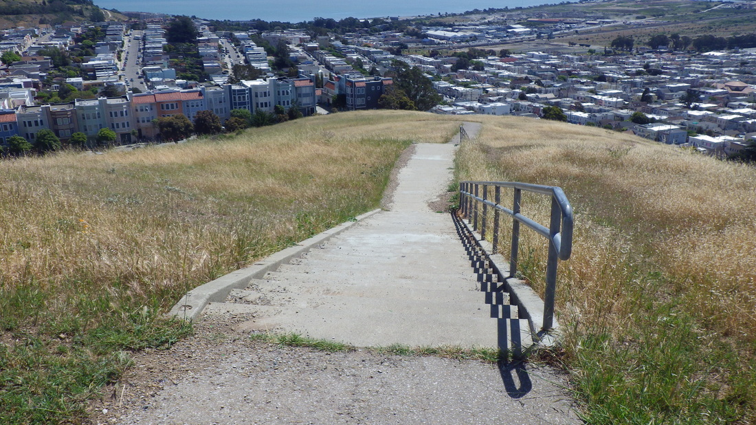
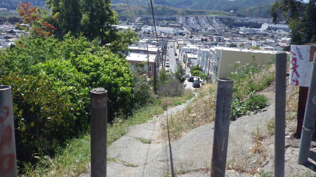
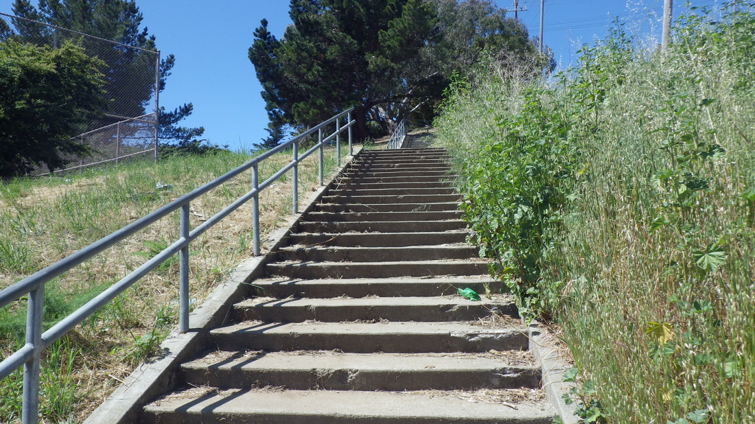
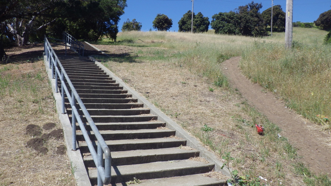
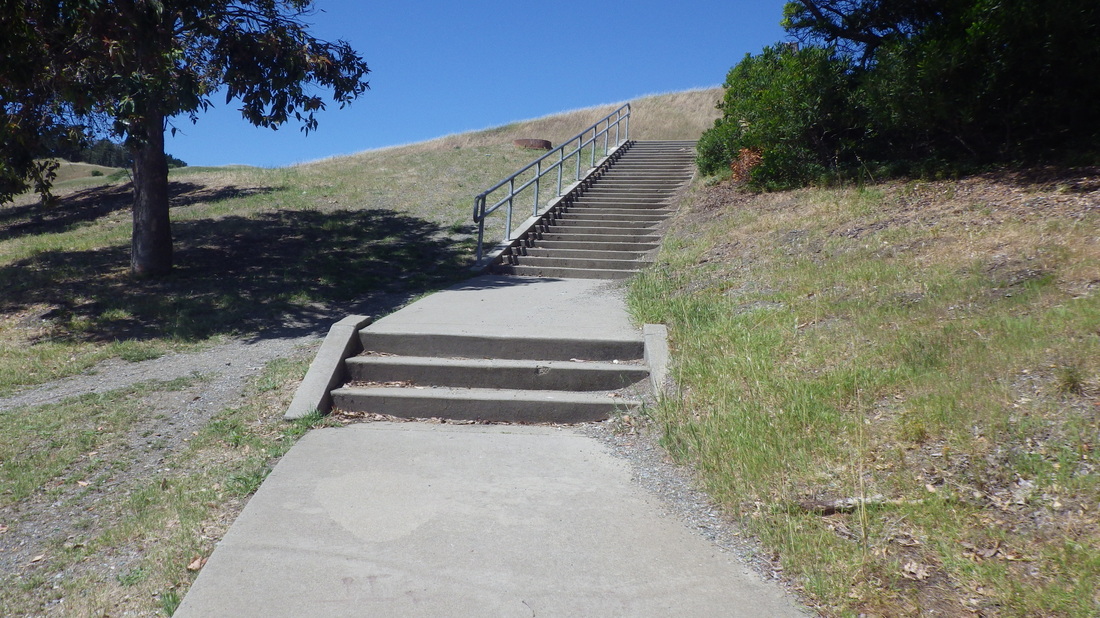
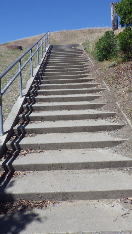
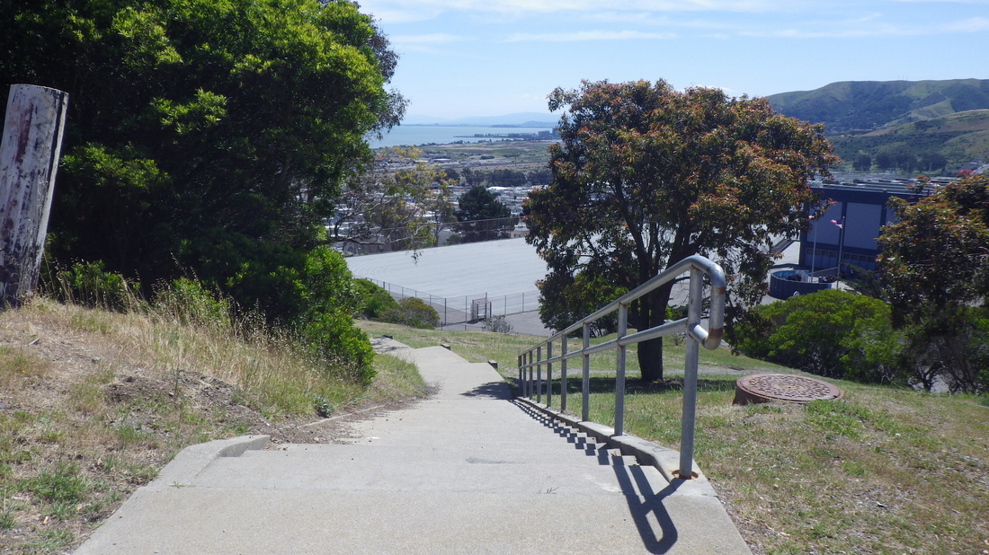
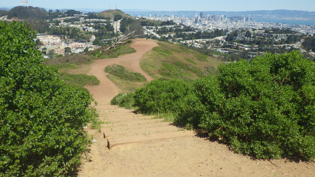
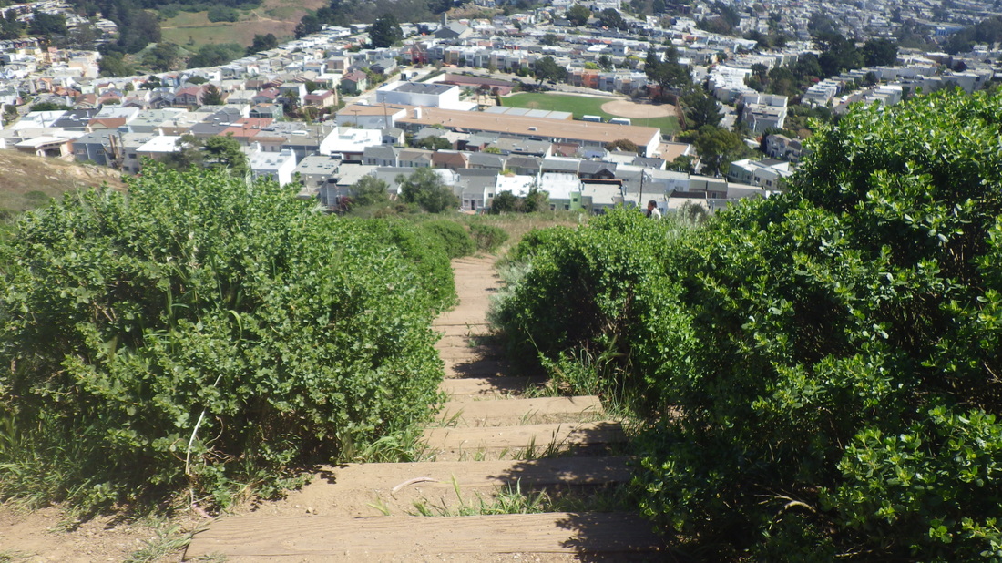
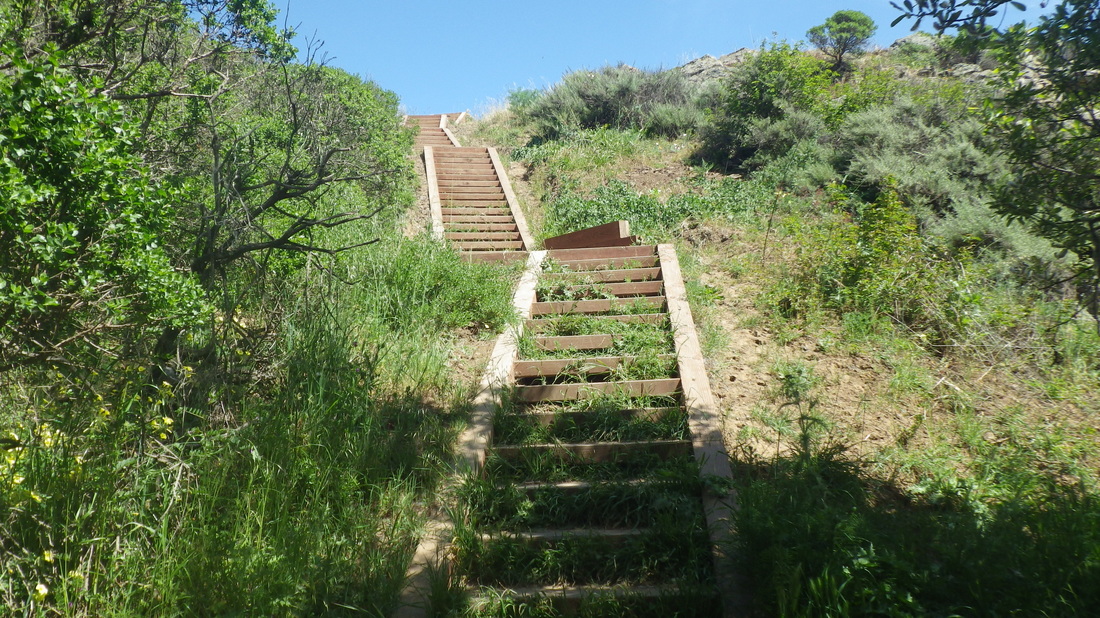
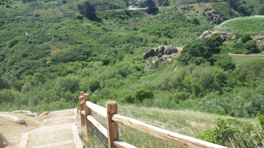
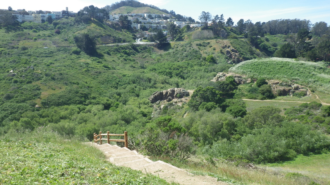
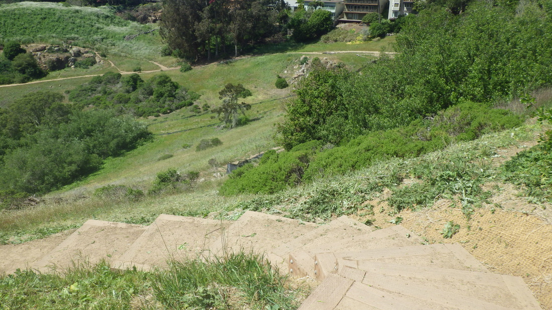
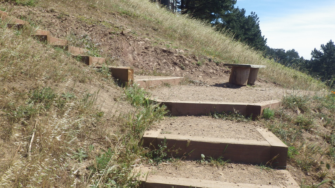
Now onto the Connector Trail. 208 Steps descend from Immigrant Point Overlook (pix 8, 9,10), crossing Lincoln at the foot.
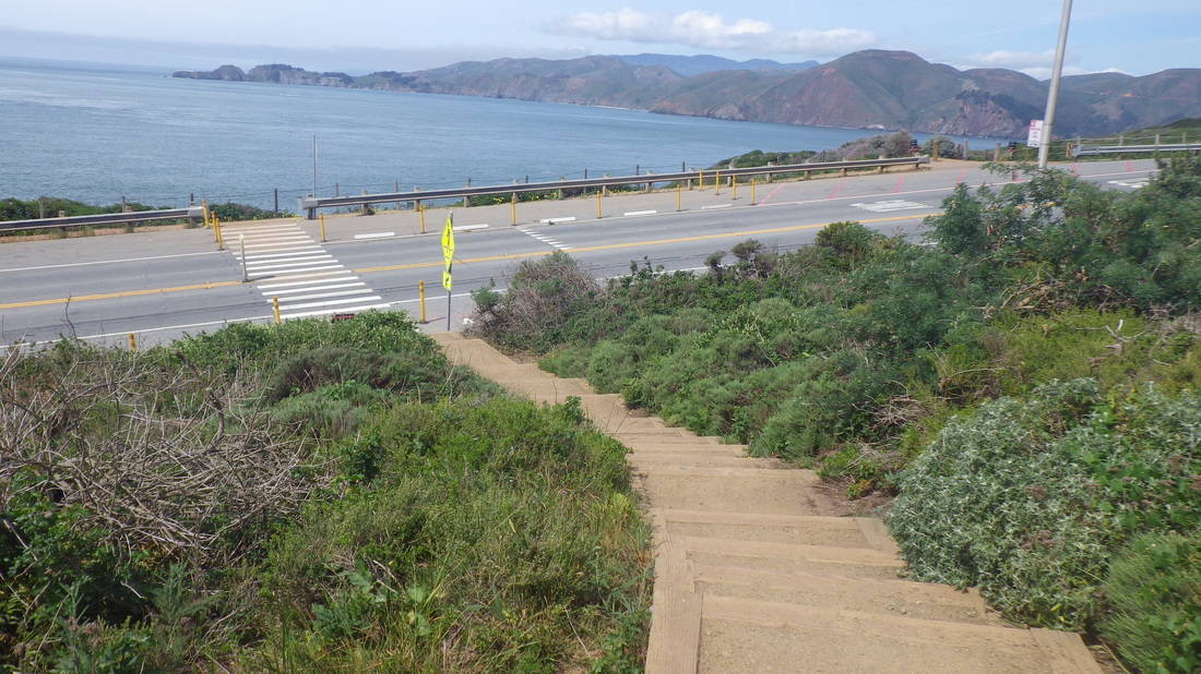
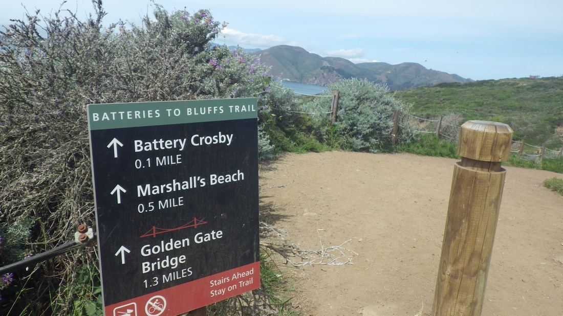
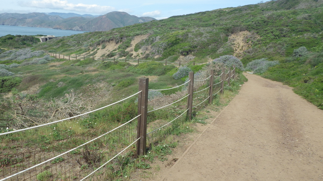
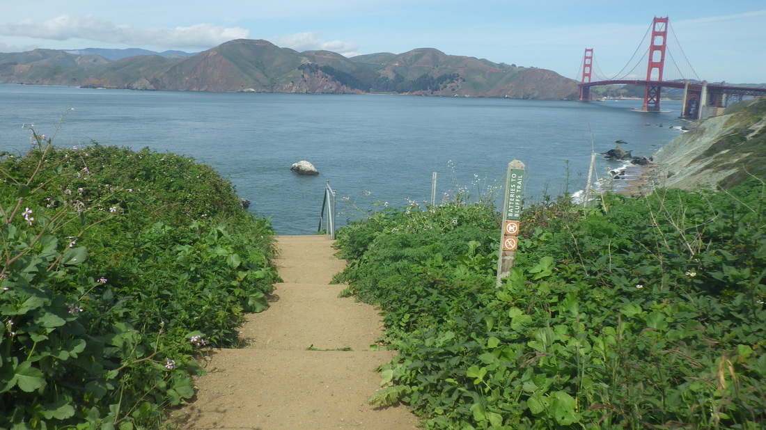
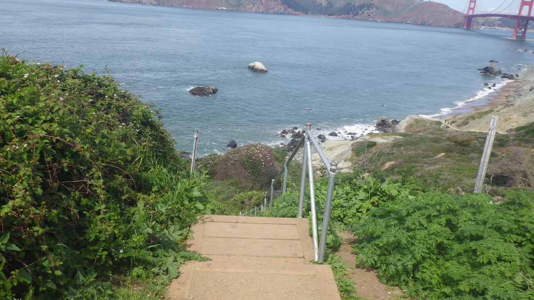
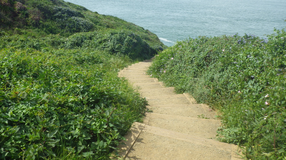
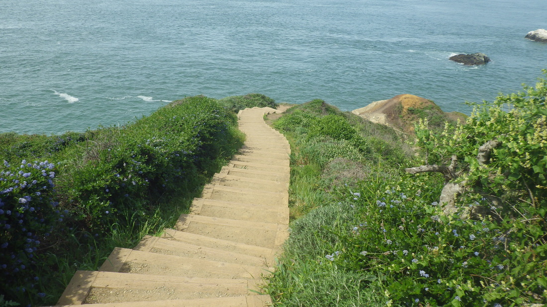
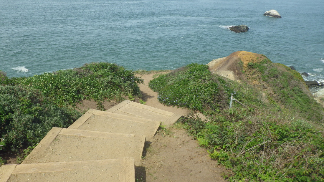
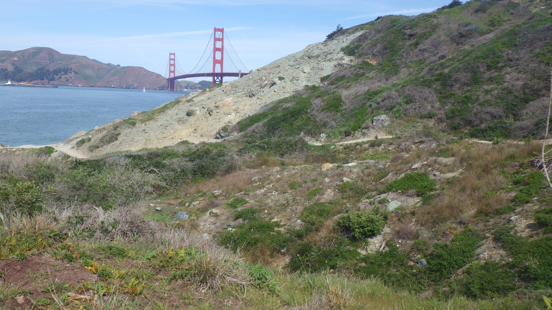
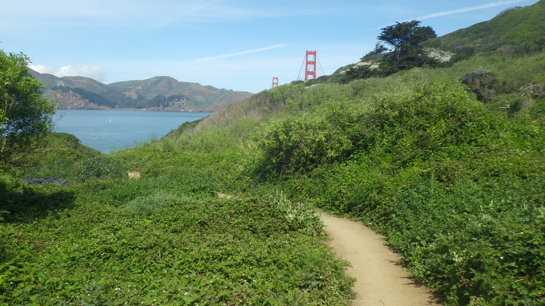
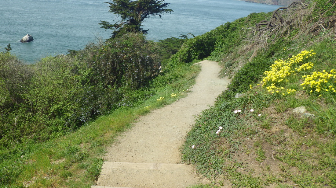
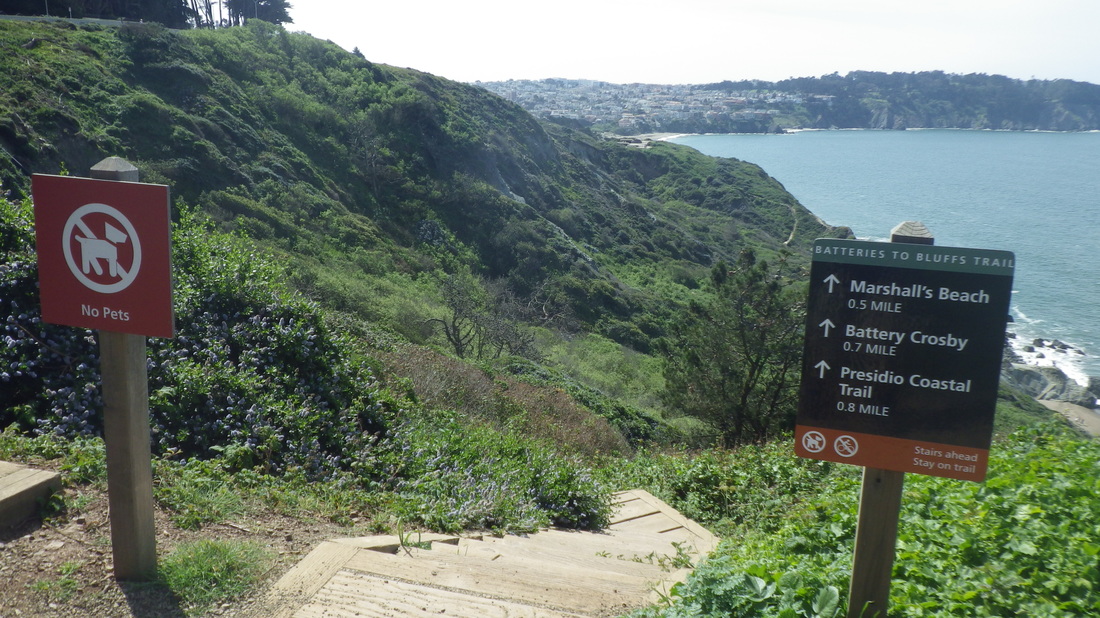
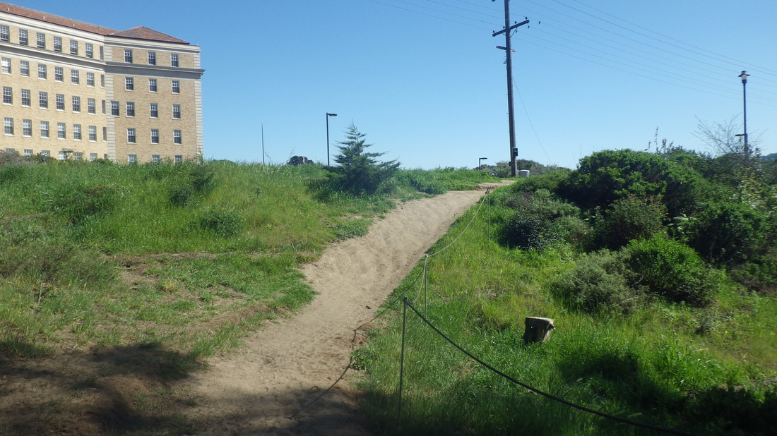
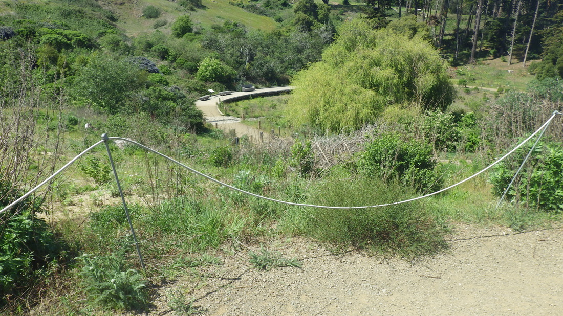
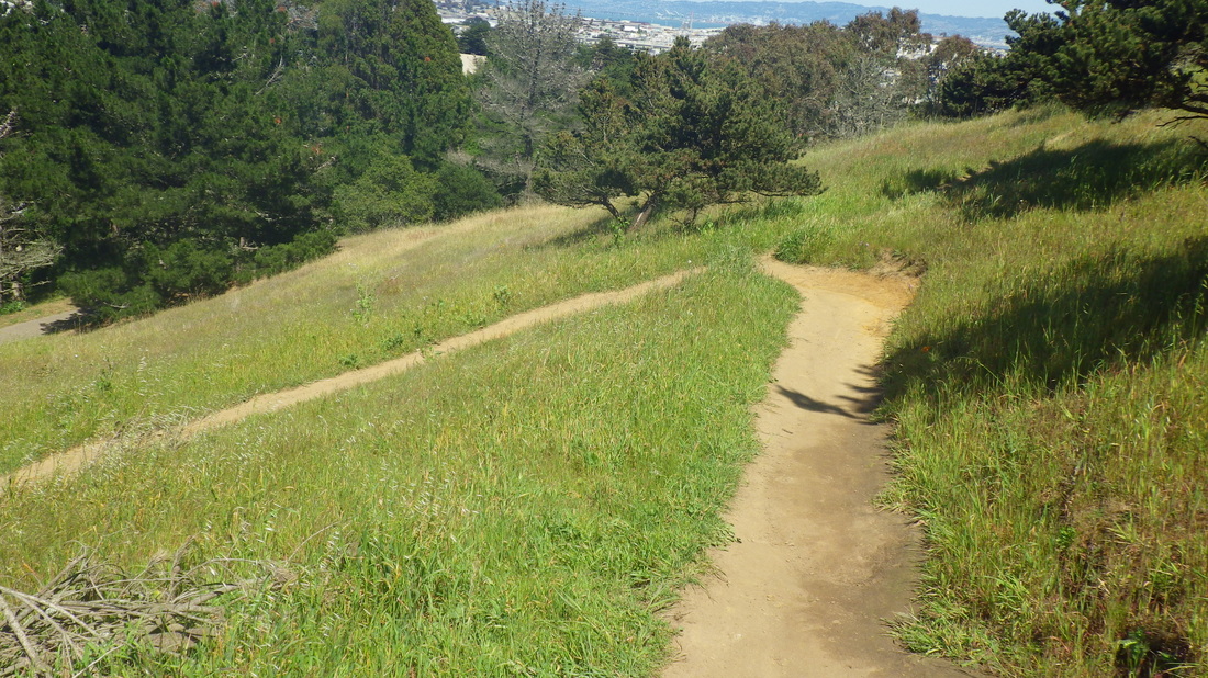
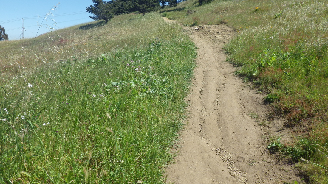
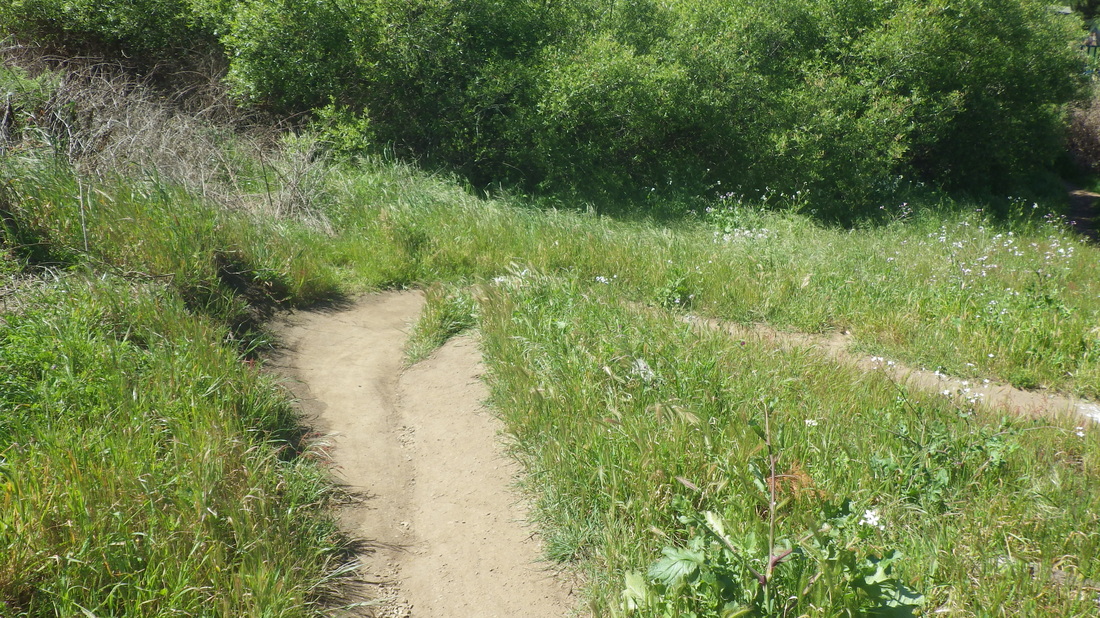
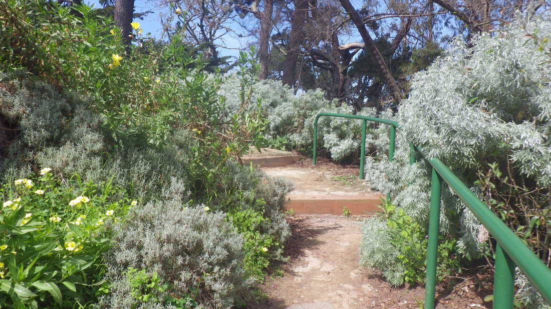
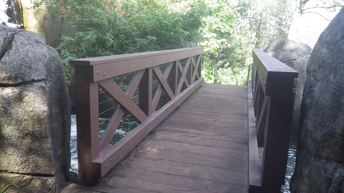
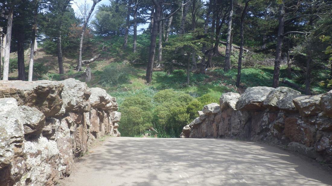
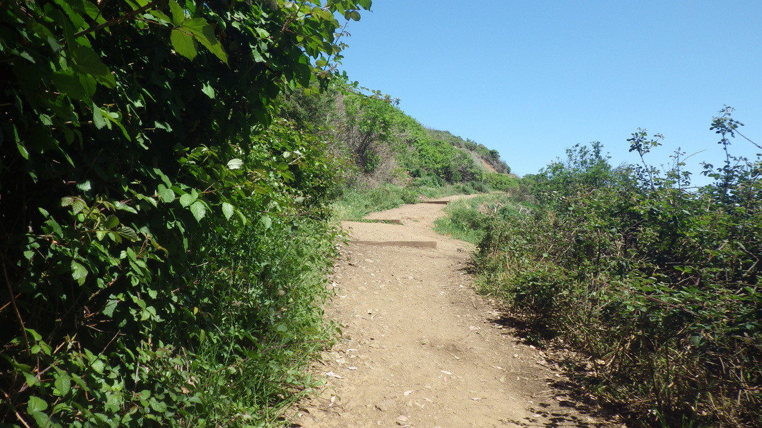
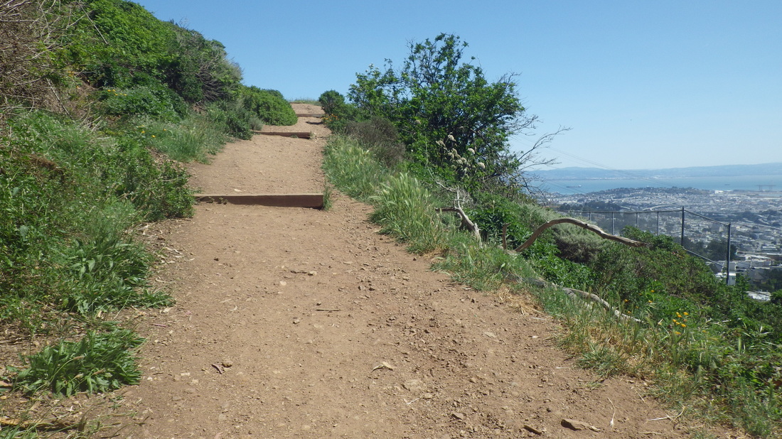
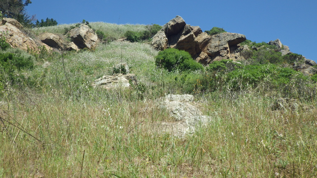
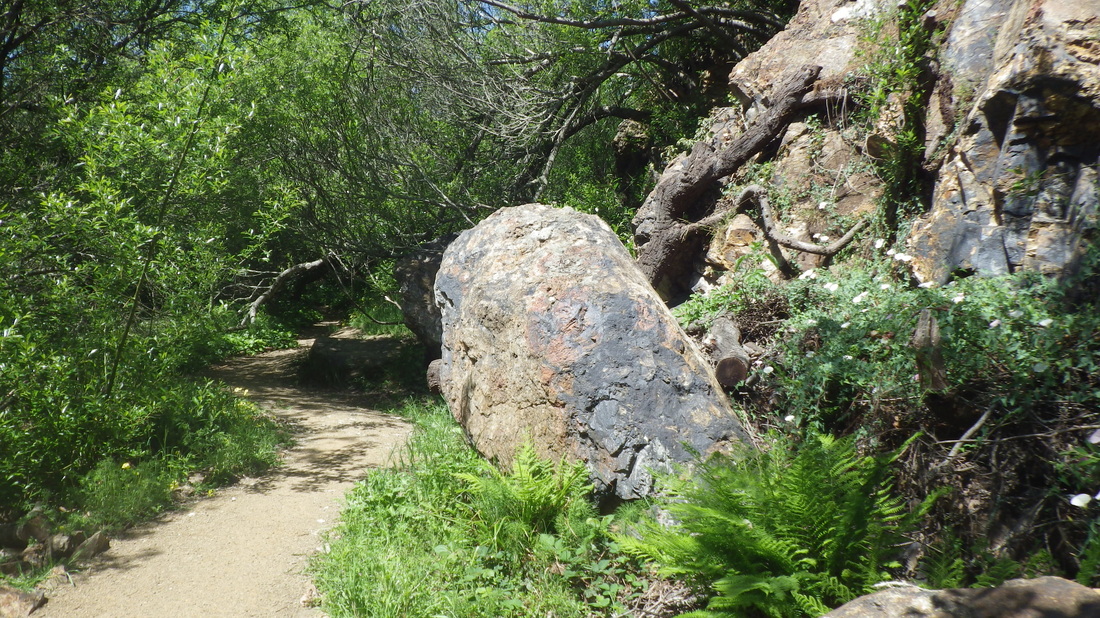
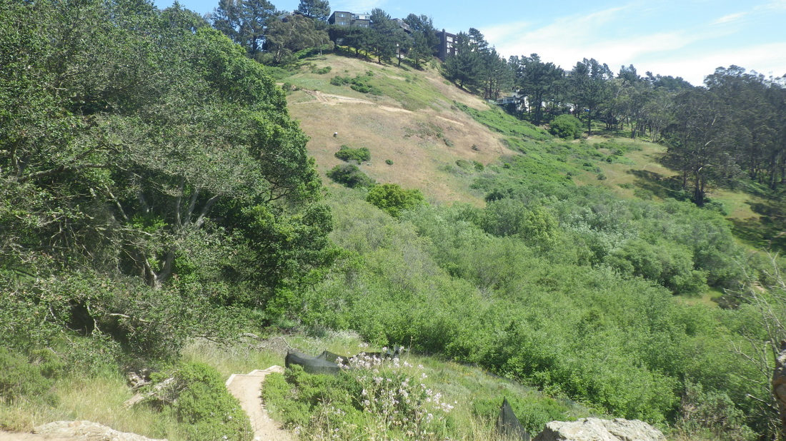
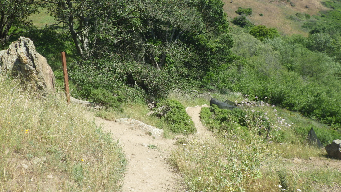
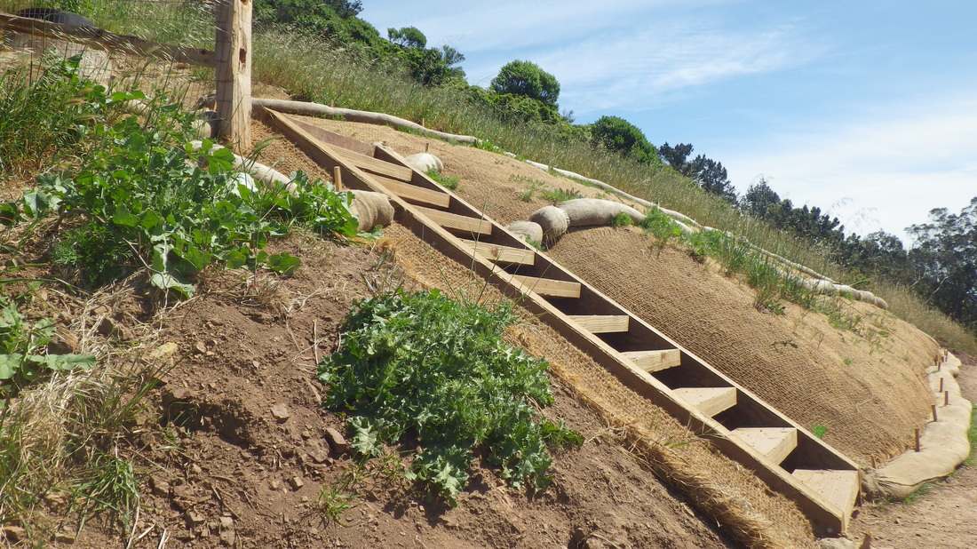
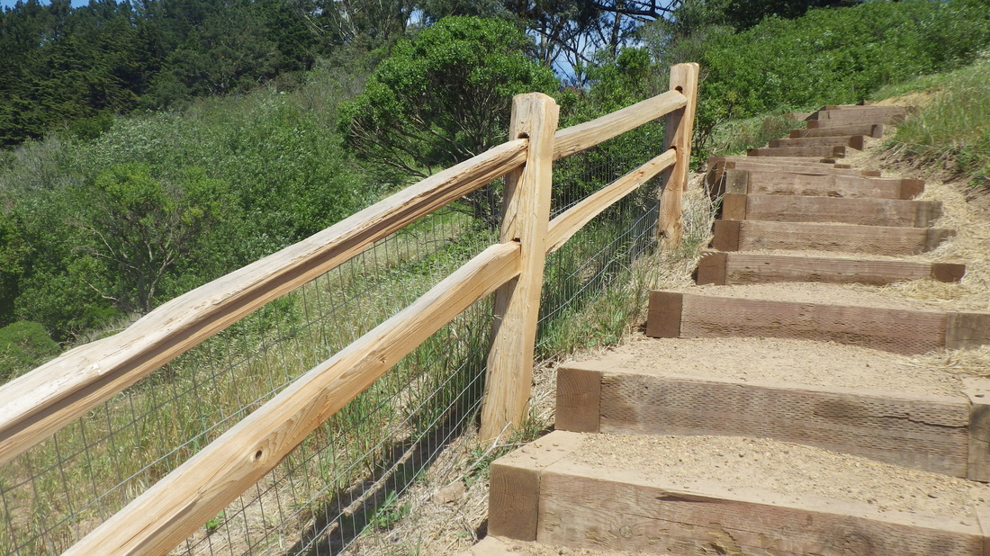
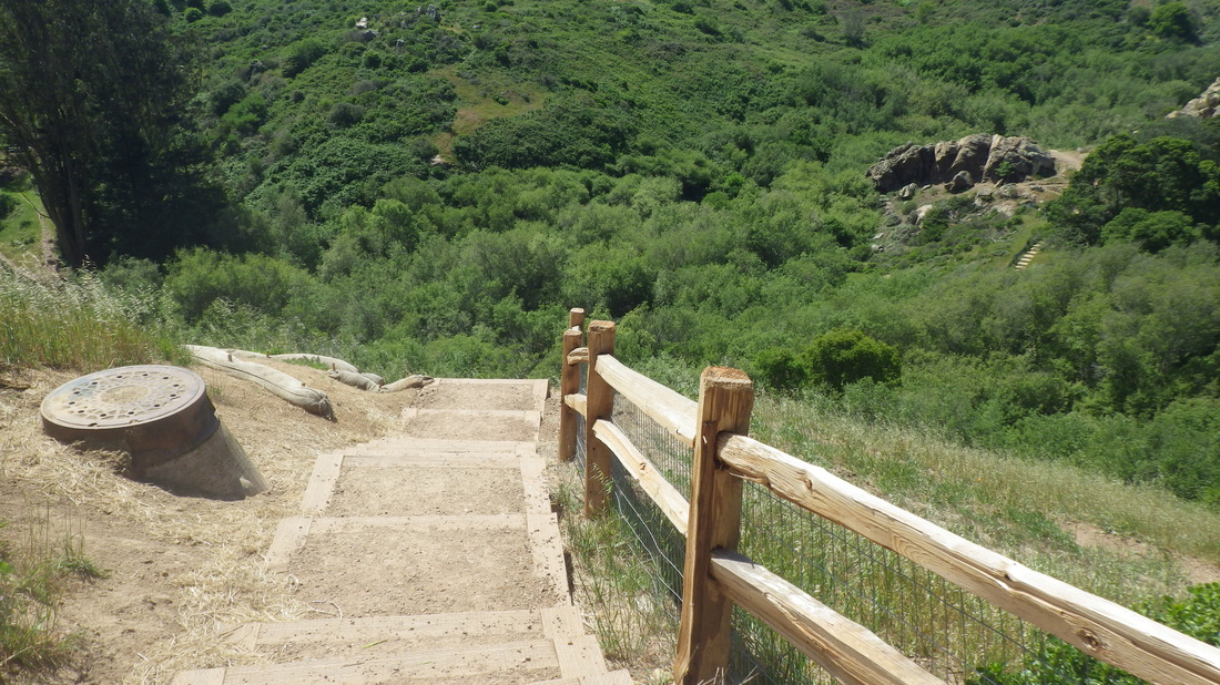
The Batteries to Bluffs west trailhead begins with a winding downhill sandy trail to Battery Crosby: 11 thru 31. 473 or so steps, not counting 16 or so to the top of Battery Crosby and 40-something for the offshoot trail that descends to Marshall's Beach.
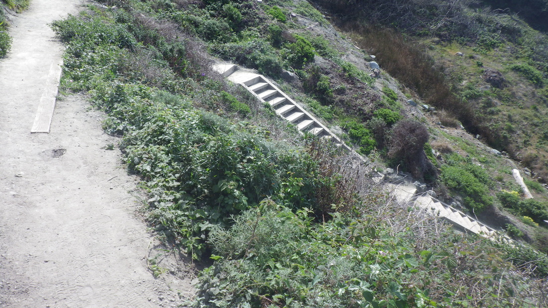
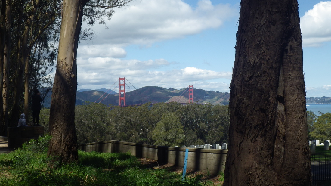
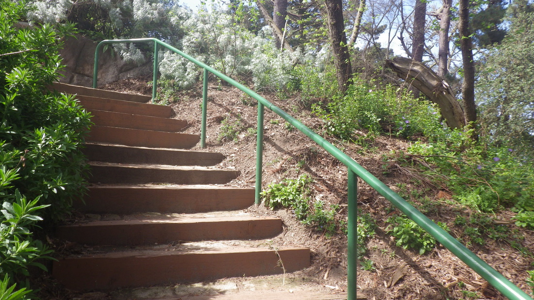
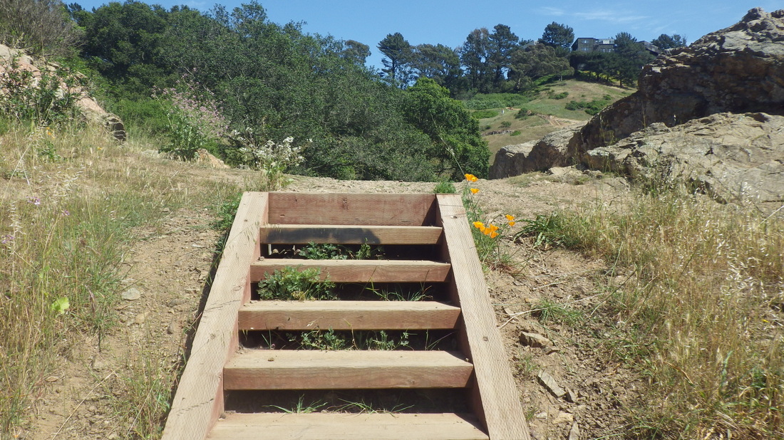
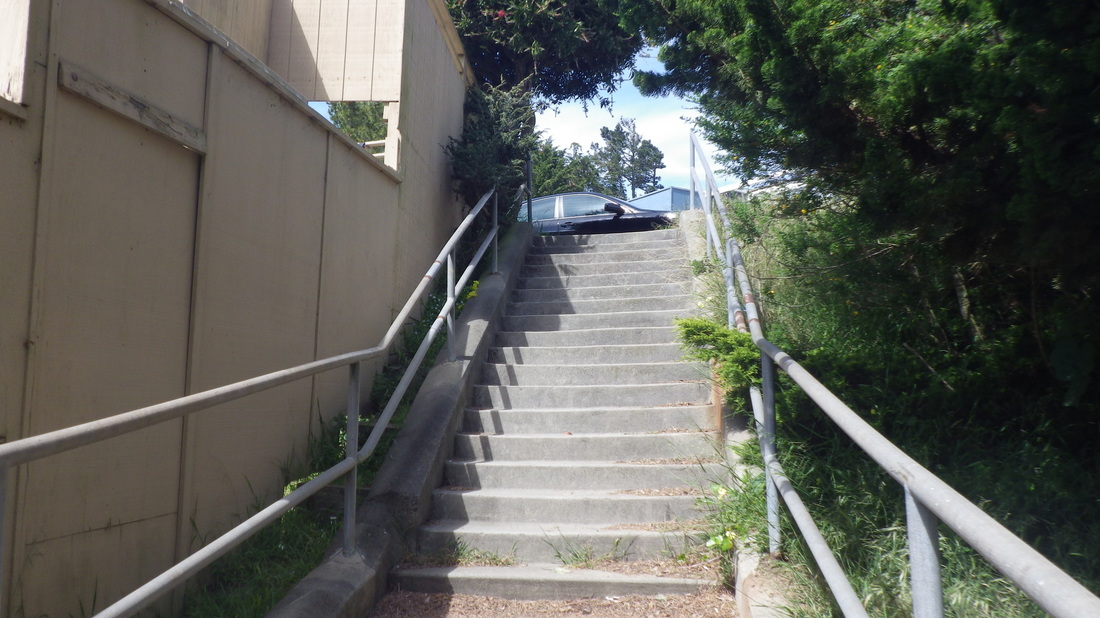
On to the National Cemetery Overlook: 32 thru 35. A trail this time, this between the Park Trail below and residences above, instead of the winding wood stairway ascending thru the forest from the Park Trail. Don't miss these 98 steps if you haven’t done ’em before.
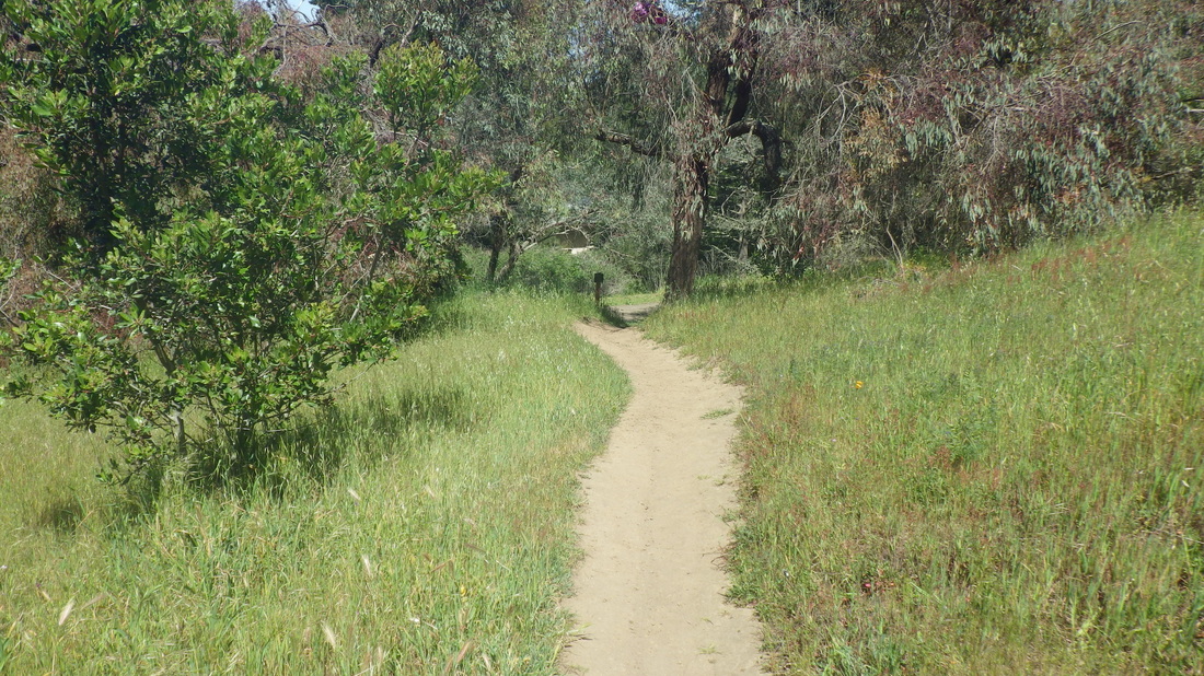
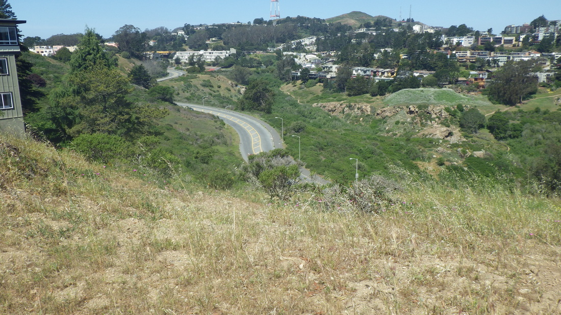
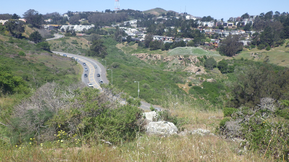
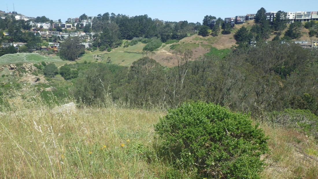
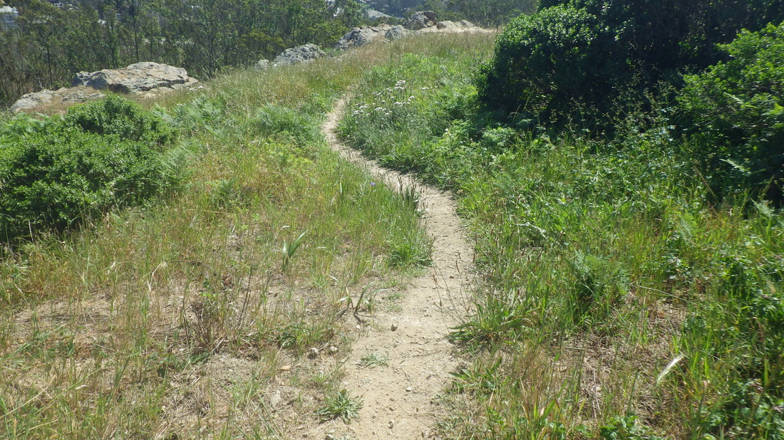
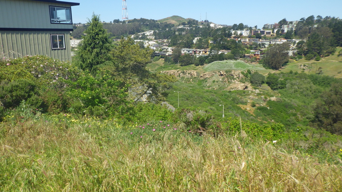
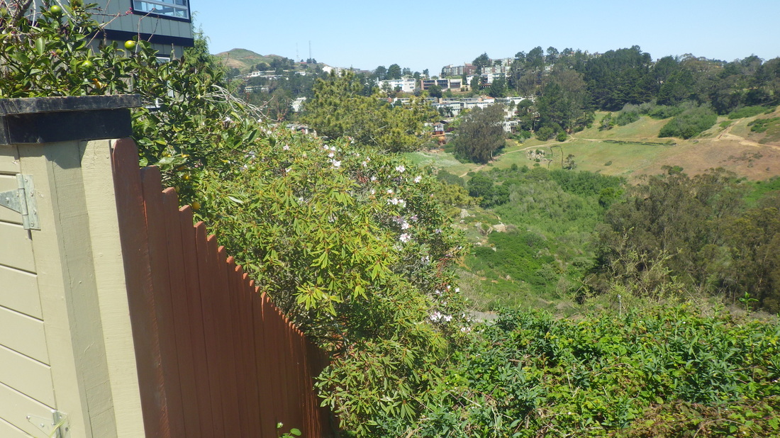
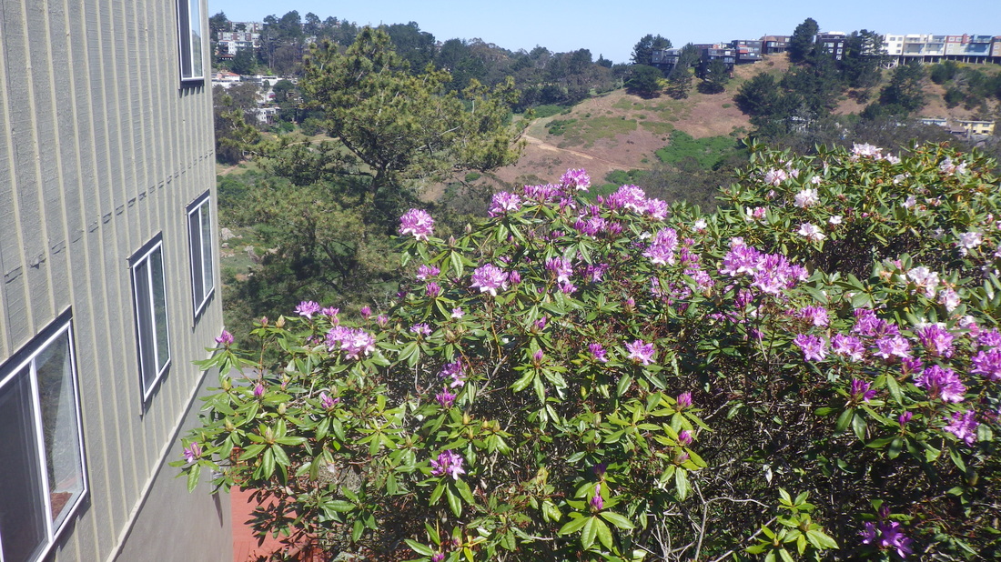
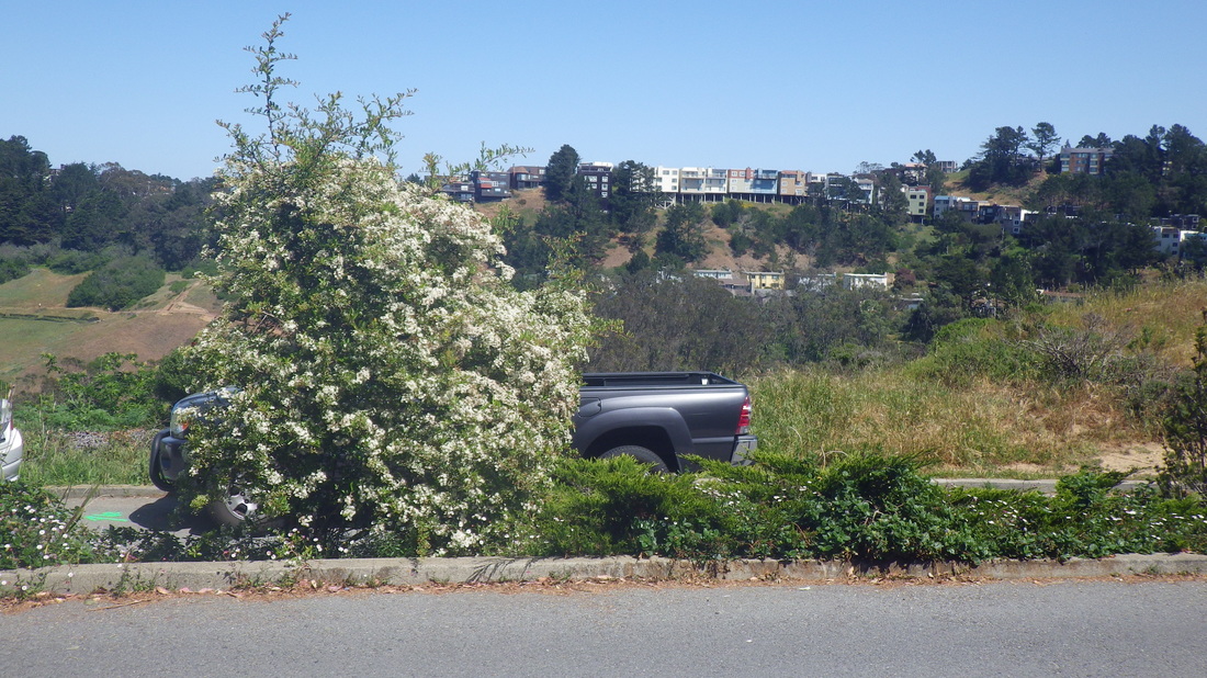
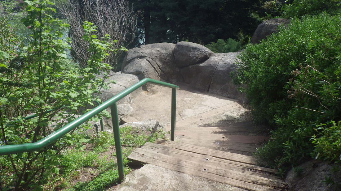
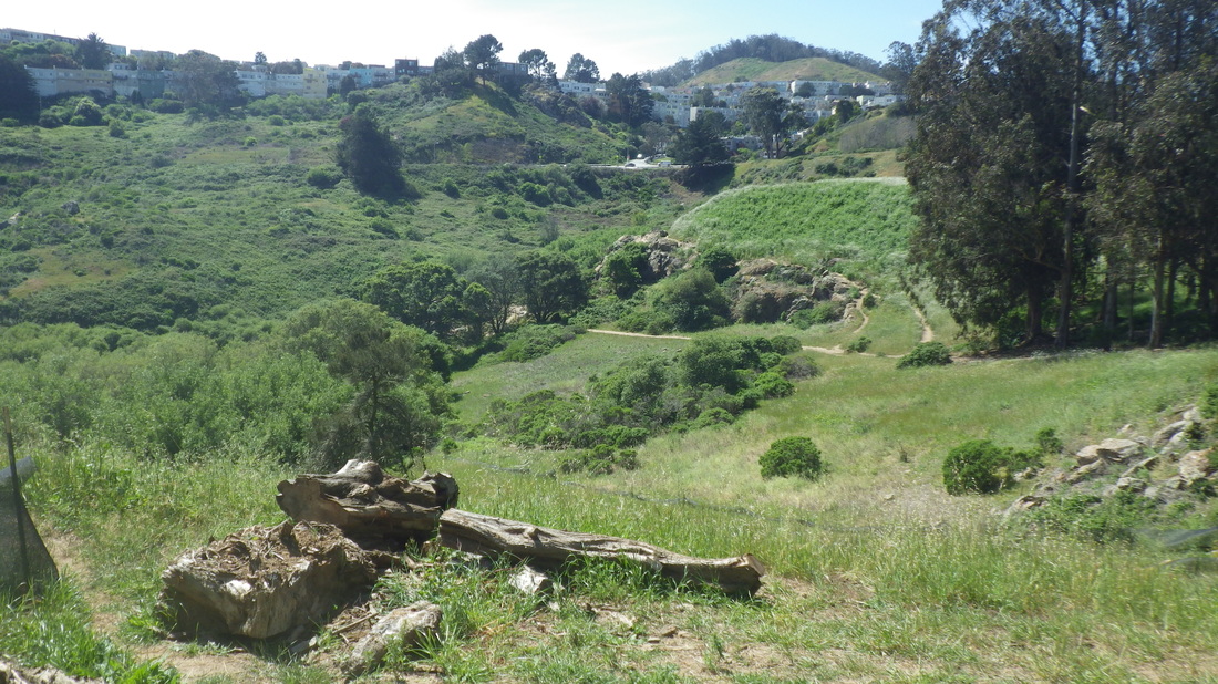
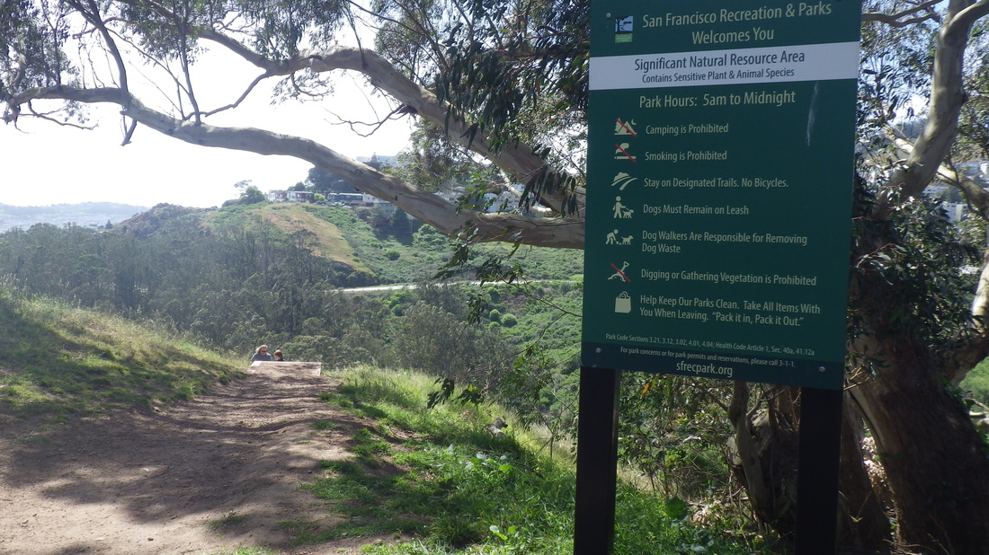
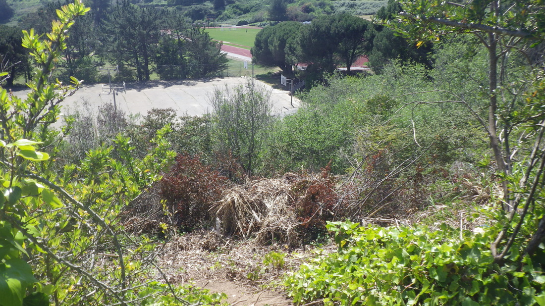
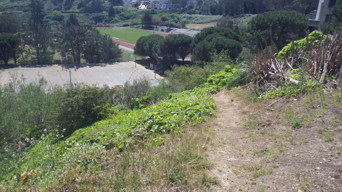
Meanderings elsewhere in the park: 36 thru 41.
Into the park at the 14th Ave. “gate,” Wyman Ave. homes, first pic, on my way to climb the Marine Cemetery Vista Overlook steps, 2 thru 5 (about 103 steps) to the boardwalk, benches, and memorial plaque.
This is one of the newer Presidio stairways, created several years ago. Many sailors were buried up here between 1881 and 1912, behind what used to be the Public Health Service District, converted to residences several years ago.
Uphill on Battery Caulfield Road, turning right on Washington, thru a residential area and into the forest.
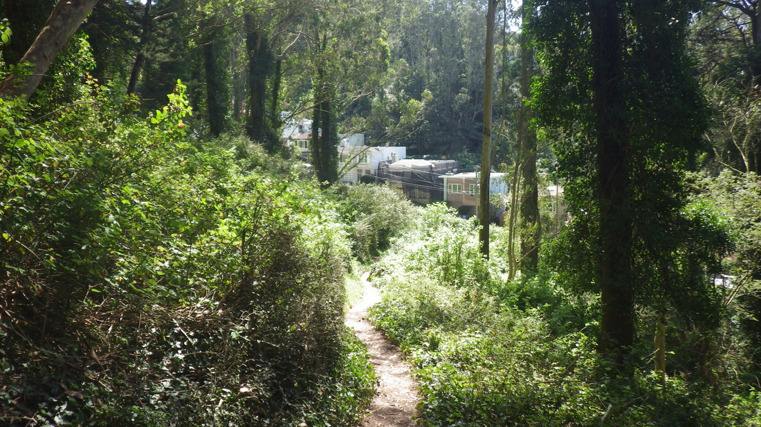
East of Rob Hill Campground, a short trail down to behind Fort Scott neighborhood homes, pic 6. Brief offtrail logsittin’ (pic 7) before heading down a less-used trail to visit the “hidden” Fort Scott Community Garden.
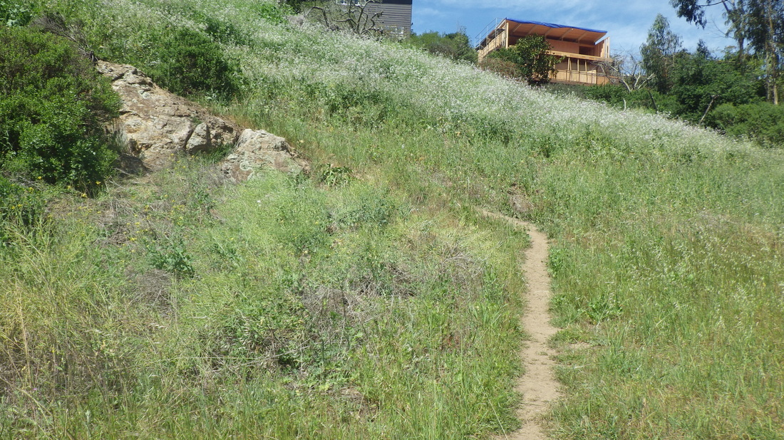
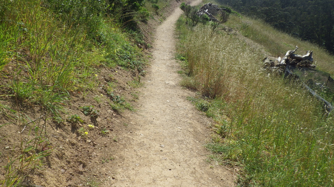
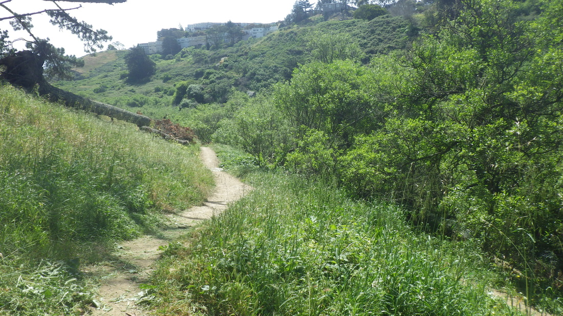
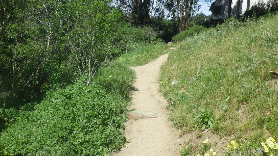
Now onto the Connector Trail. 208 Steps descend from Immigrant Point Overlook (pix 8, 9,10), crossing Lincoln at the foot.
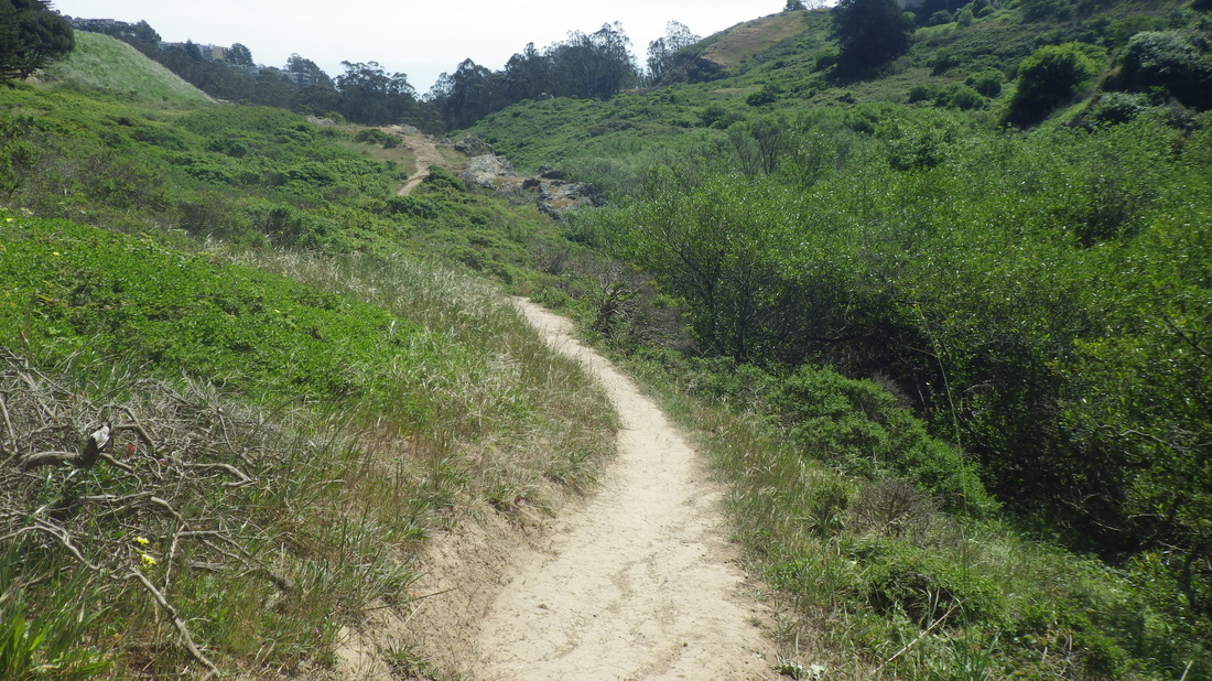
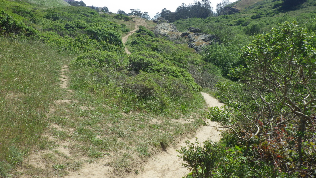
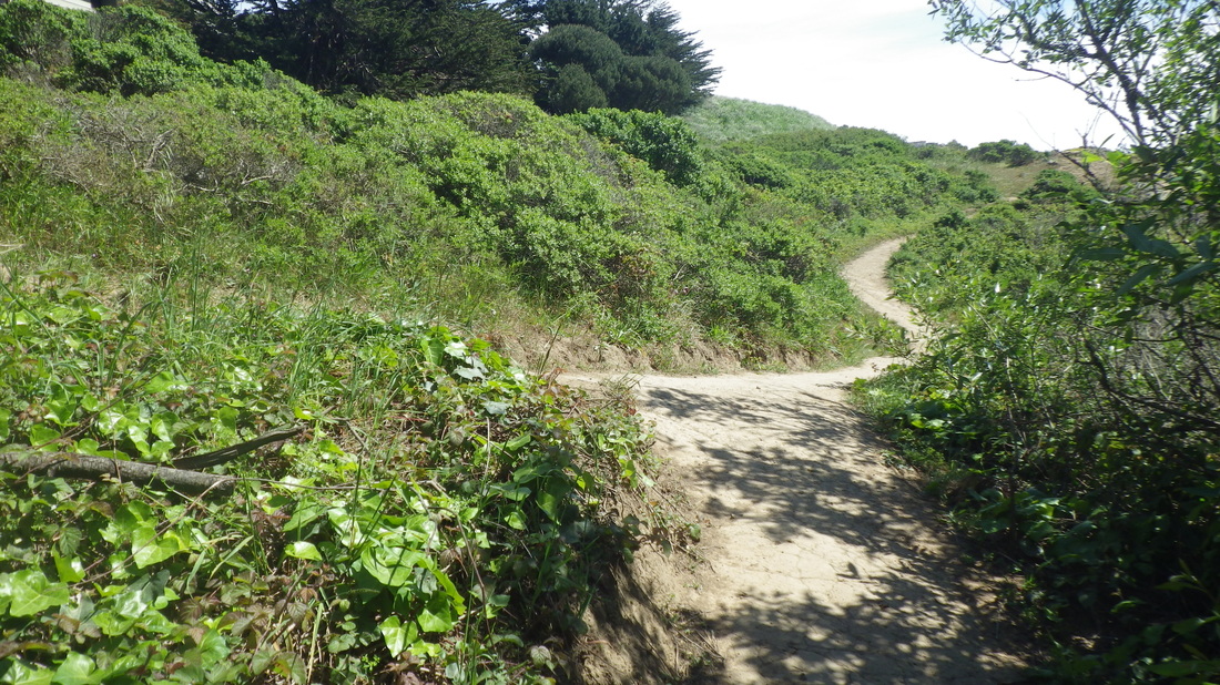
The Batteries to Bluffs west trailhead begins with a winding downhill sandy trail to Battery Crosby: 11 thru 31. 473 or so steps, not counting 16 or so to the top of Battery Crosby and 40-something for the offshoot trail that descends to Marshall's Beach.
On to the National Cemetery Overlook: 32 thru 35. A trail this time, this between the Park Trail below and residences above, instead of the winding wood stairway ascending thru the forest from the Park Trail. Don't miss these 98 steps if you haven’t done ’em before.
Meanderings elsewhere in the park: 36 thru 41.
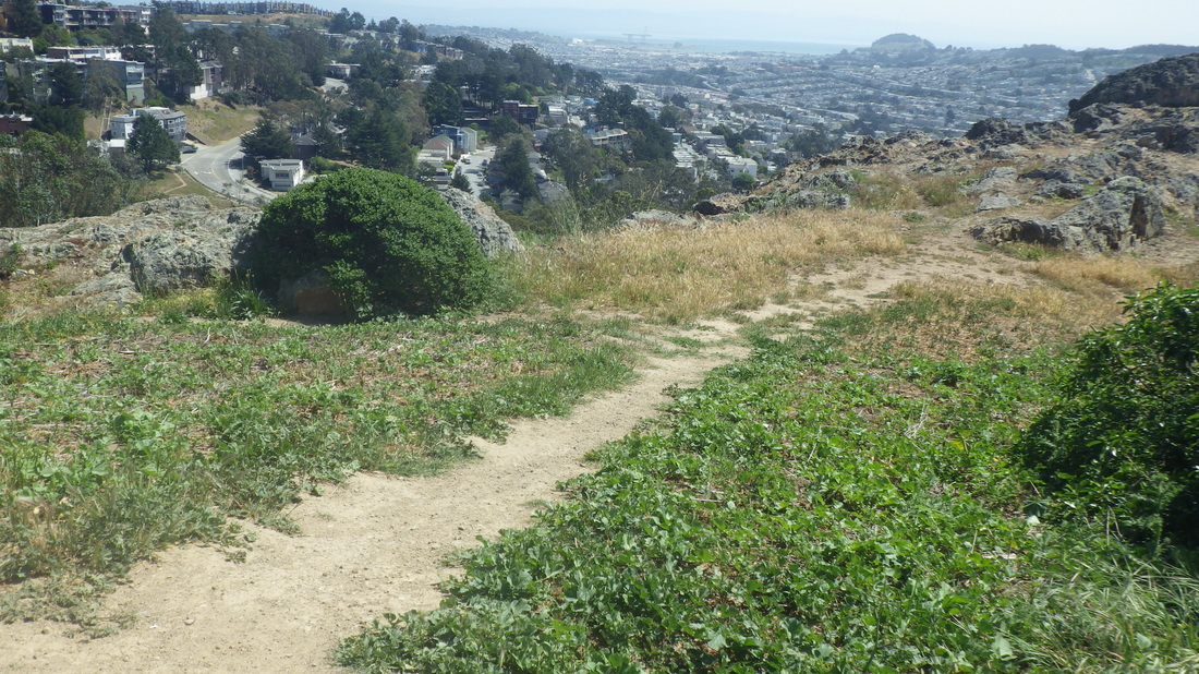
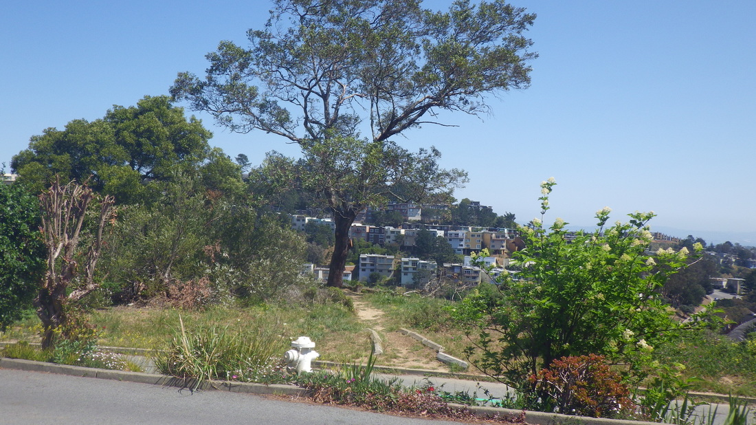
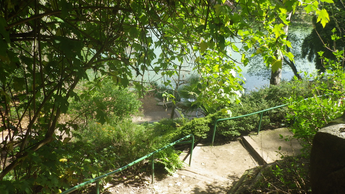
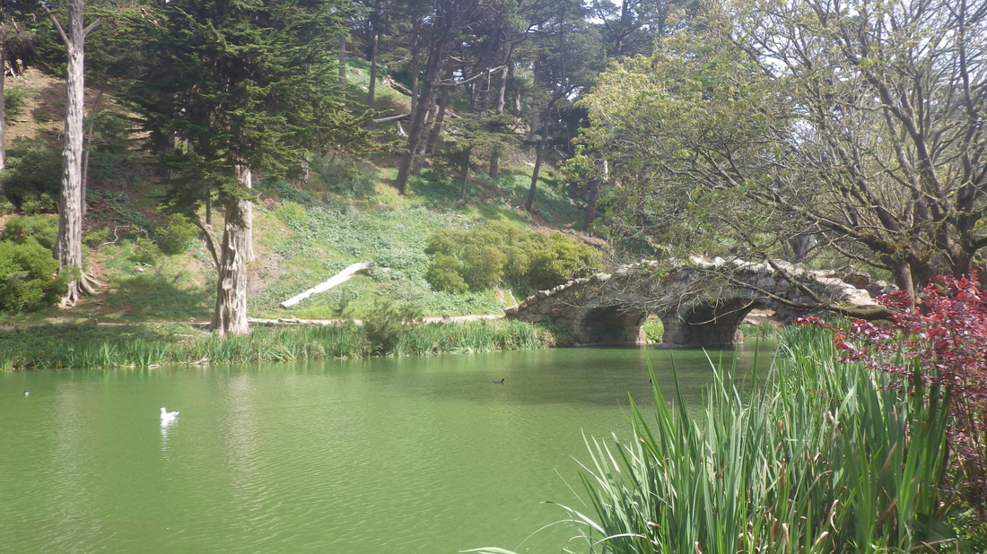
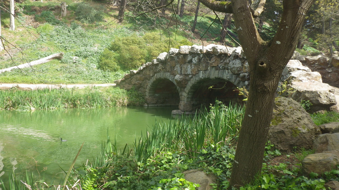
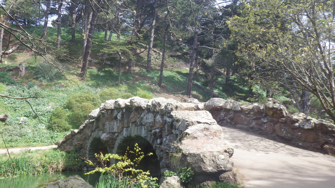
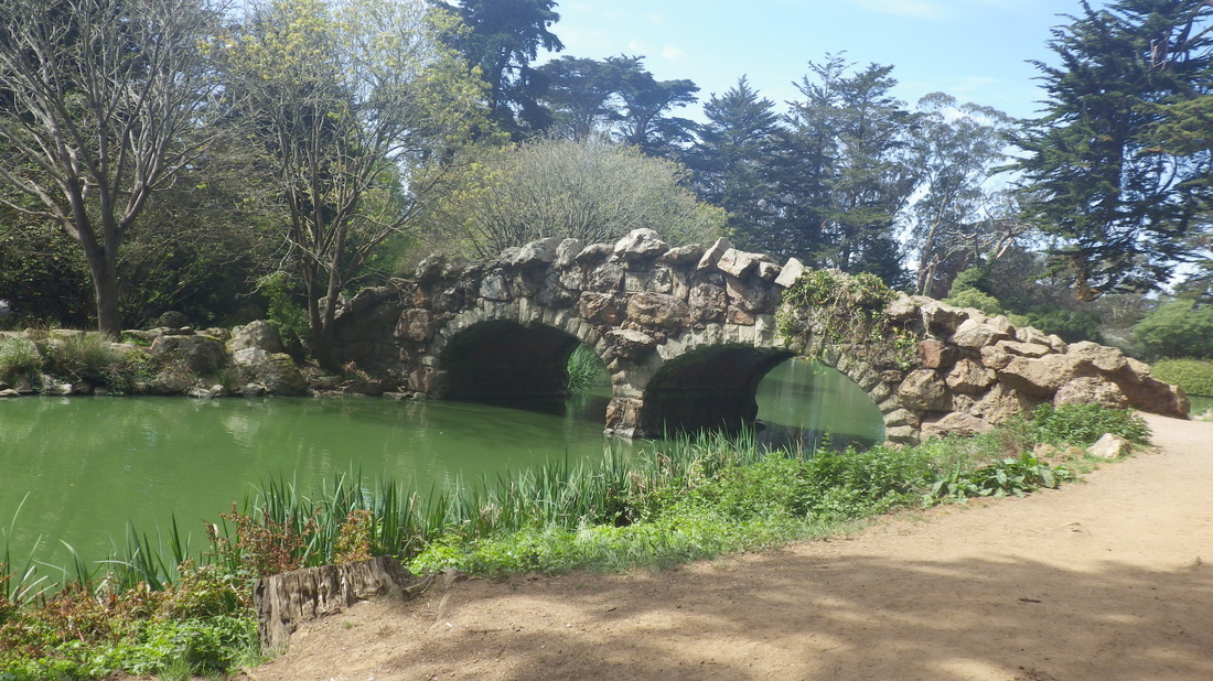
1. Across Veterans Blvd. on the opposite side is an unobstructed view of Mountain Lake
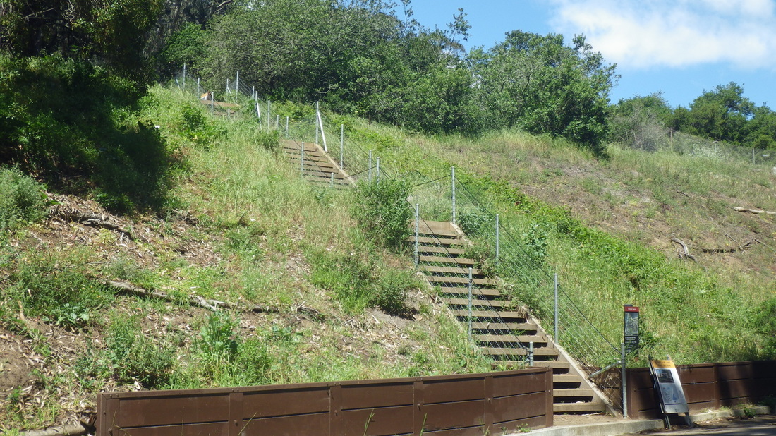
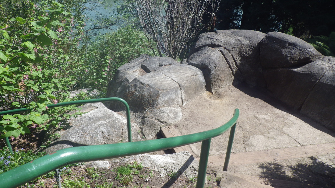
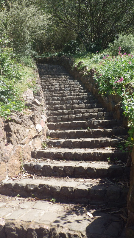
2. One of the newer stairways climbs to the stepped boardwalk

3. These steps lead up to the boardwalk and trail to the overlook
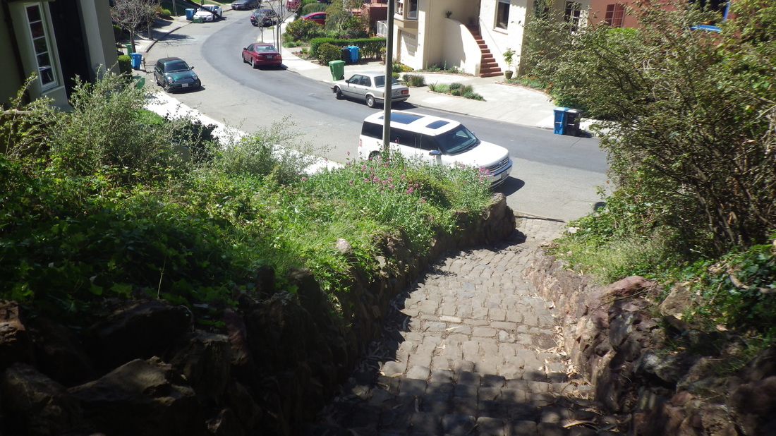
4. North end of the Wyman Ave. residences is to the left partway up
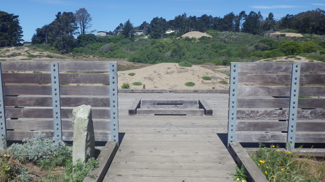
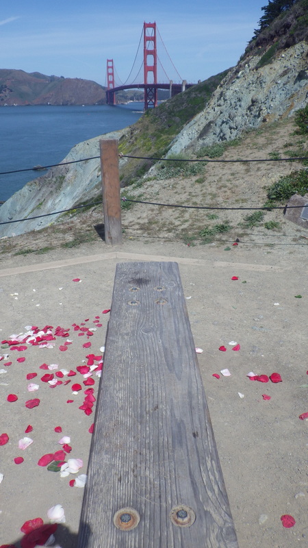
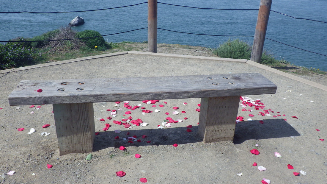
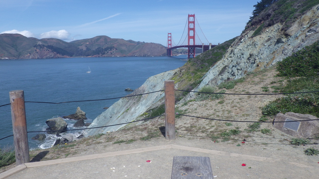
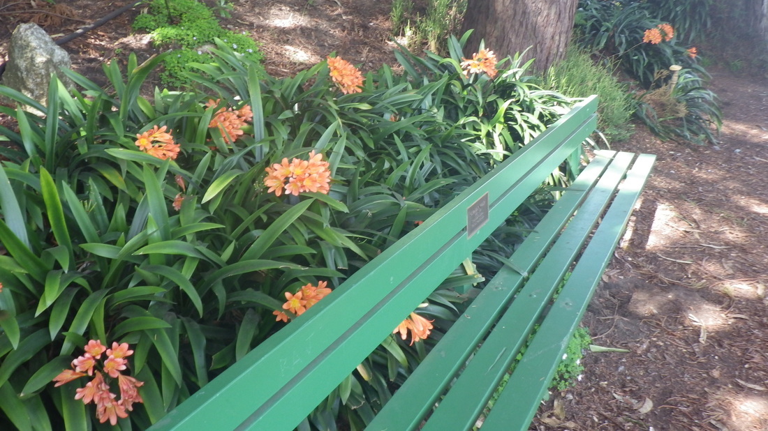
5. The overlook with benches and center plaque, looking north
6. From the east edge of Rob Hill Campground a trail descends to the Fort Scott 'hood
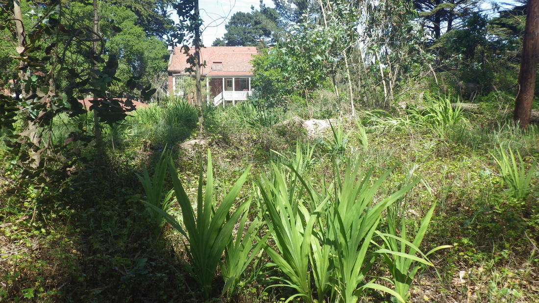
7. From an offtrail log, the back of a Fort Scott residence in distance
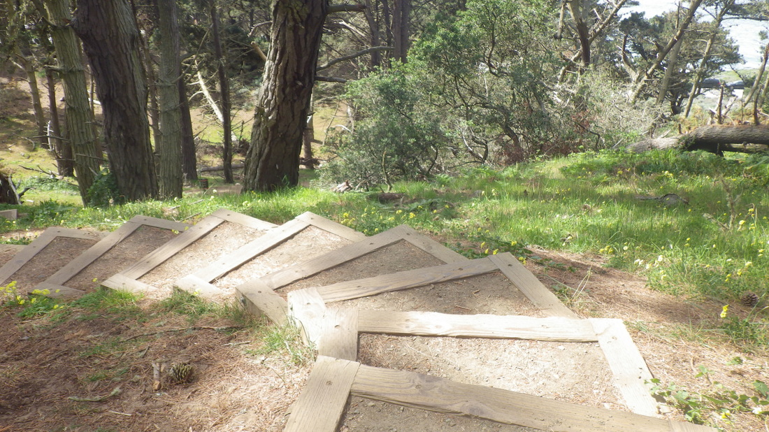
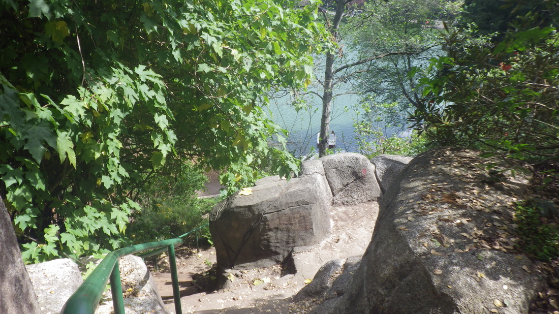
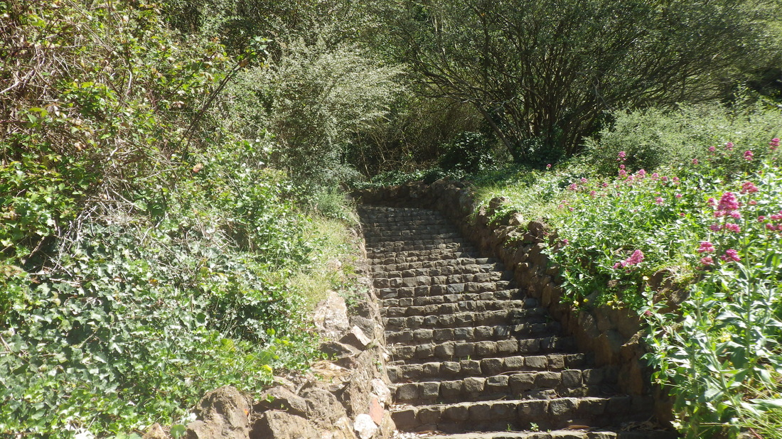
8. Descending from Immigrant Point Overlook
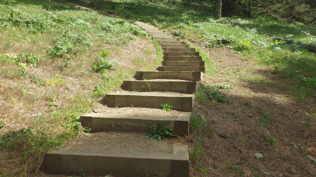
9. 208 steps through the forest down to Lincoln
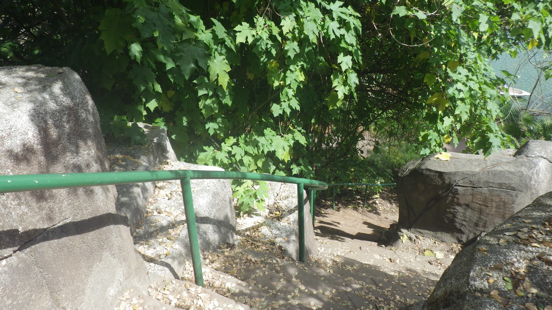
10. Cross Lincoln for trailheads for the Sand Ladder, left, and Batteries to Bluffs, right.
11. West trailhead for the Batteries to Bluffs
12. Sandy trail curves down to Battery Crosby
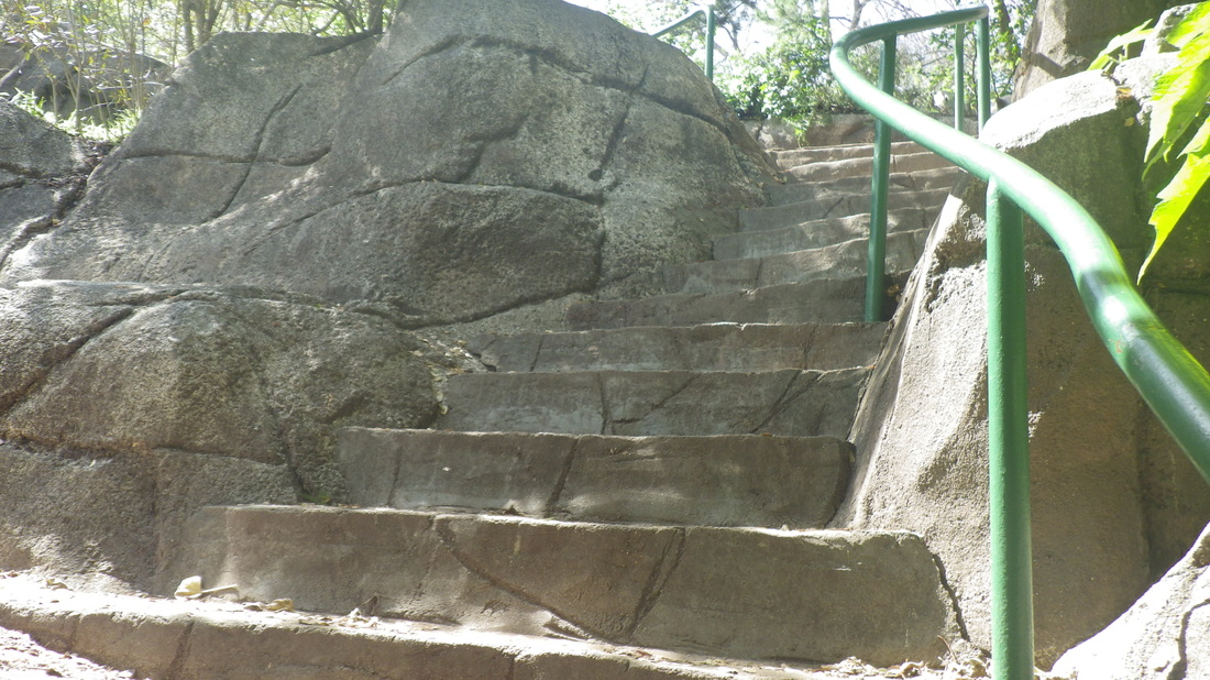
13. Steps start down from top of Battery Crosby
14. Now for the steep part
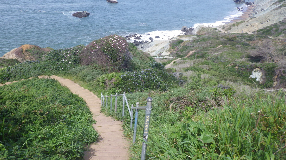
15. A couple of railings were added several years ago
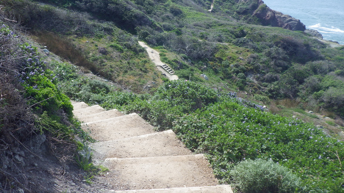
16. 473-ish steps
17. San Francisco's biggest park and longest stairway
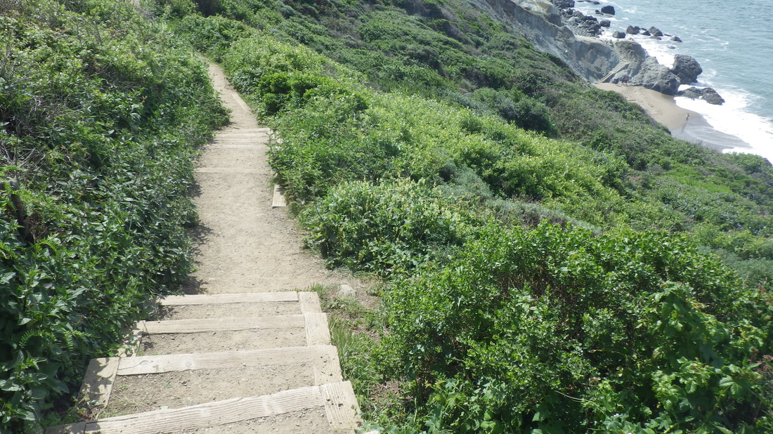
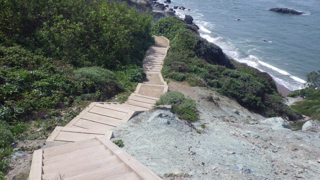
18. Stairs curve down to the footbridge with another length of railing
19. Down, center, is the Marshall's Beach offshoot trail
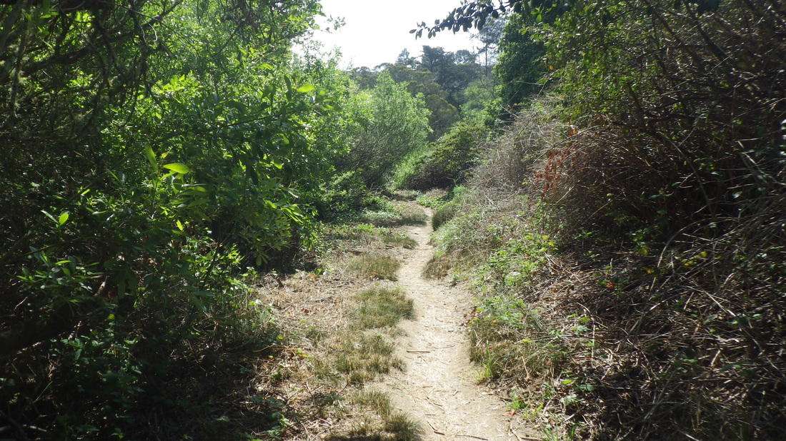
20. Moving east midtrail
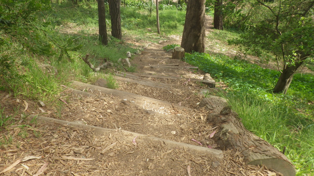
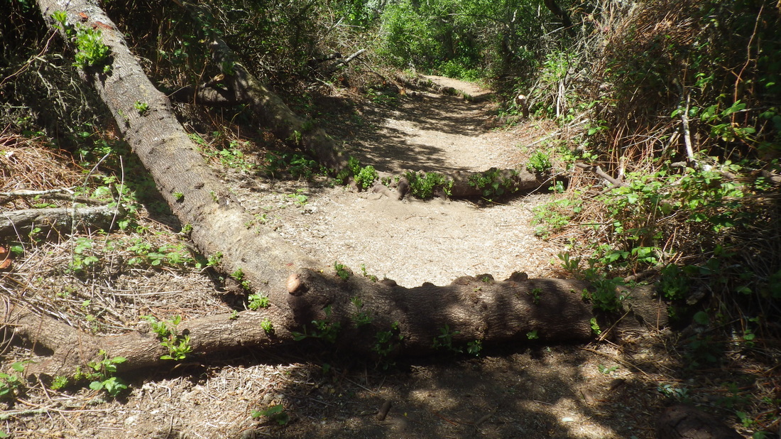
21. Climbing back up
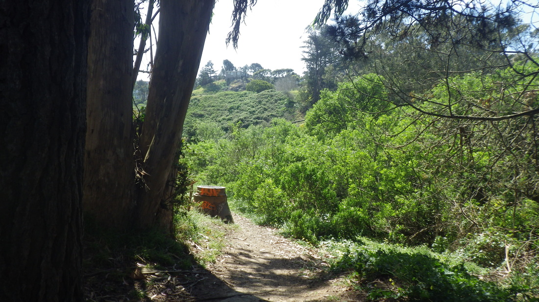
22. Top, to the right of center, where I started down
23. Right, top, foot of Marshall's Beach trail
24. Continuing to View Point Overlook
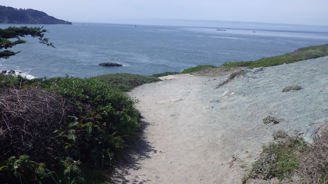
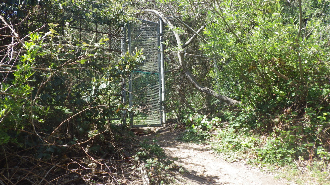
25. Stairtop view
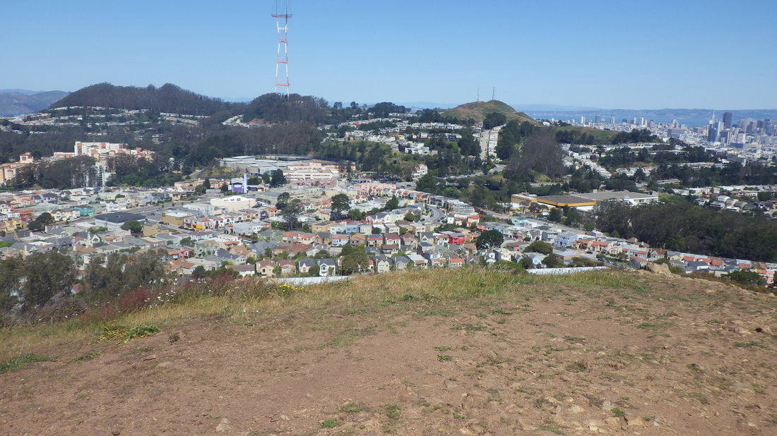
26. View Point
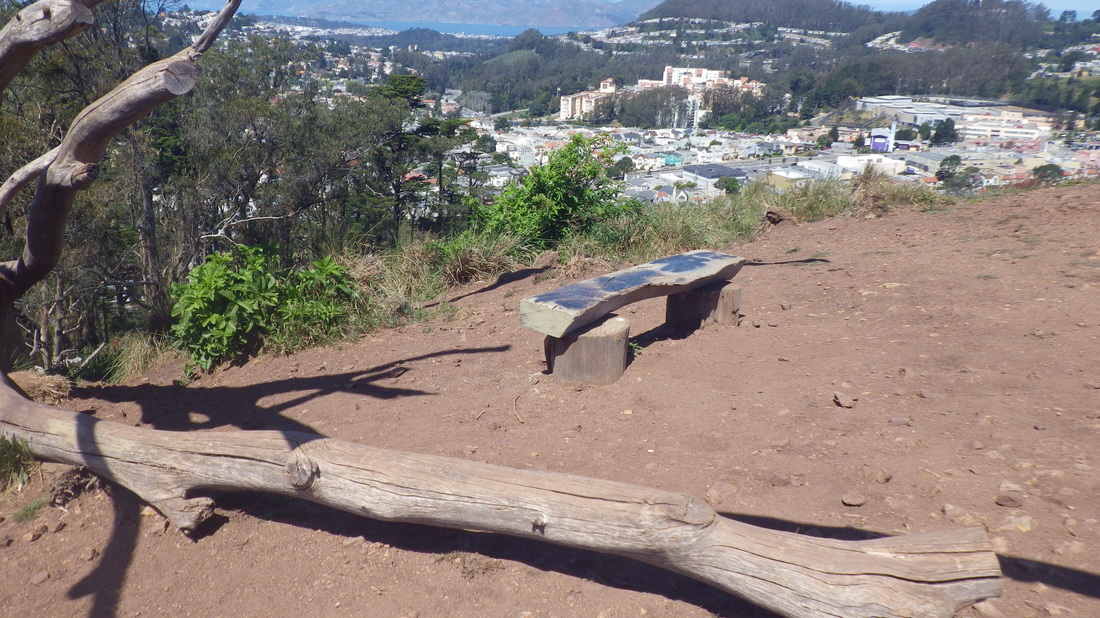
27. The lone viewbench
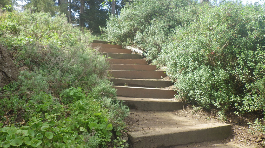
28. This is 130 steps down from the east side
29. About .07 mile long
30. Part of the eastside trail can be seen from the Pacific Overlook at Lincoln Blvd.
31. East trailhead, down from Lincoln & Langdon
32. Park Trail below, left
33. Upper Cemetery Overlook benches
34. View north from Cemetery Overlook
35. View of Marin Headlands and Mount Tam
36. Park Trail, left; Mountain Lake Trail right
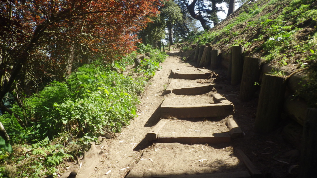
37. On a trail with lots of stacked logs; this one's sprouting
38. Climbing up from Presidio Forest to Lobos Valley Overlook
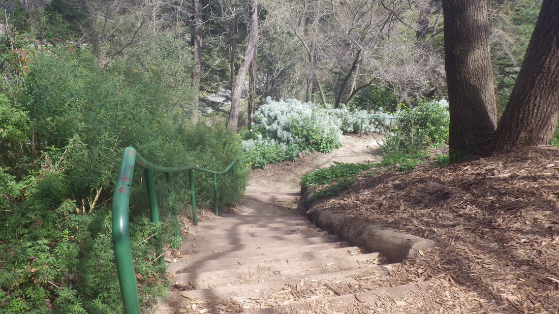
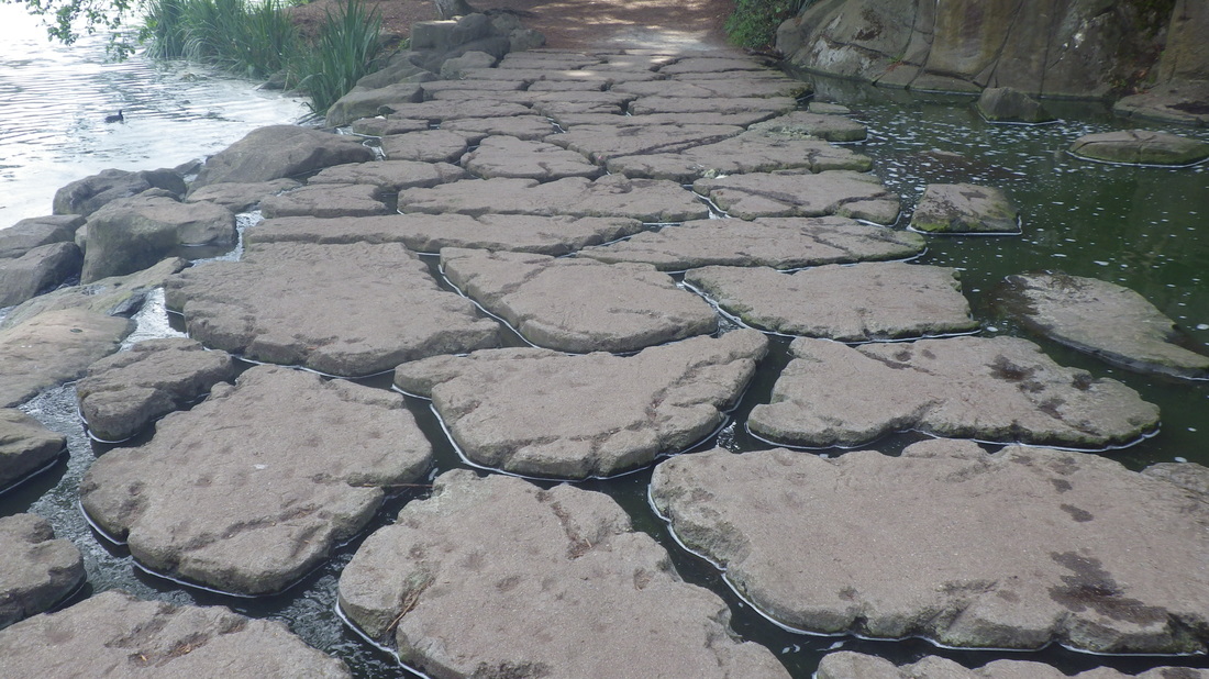
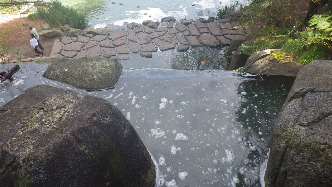
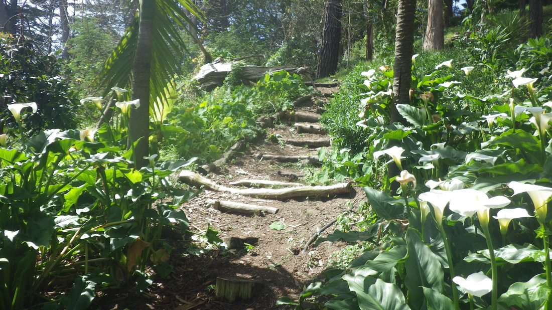
39. El Polin Spring and boardwalk from above, eastside
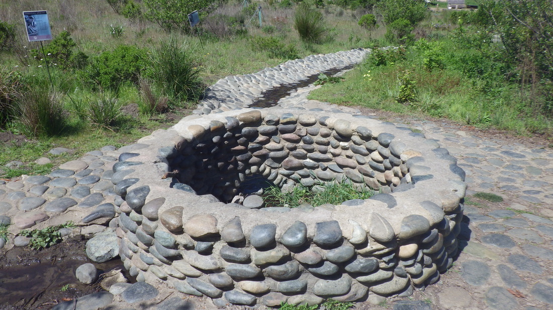
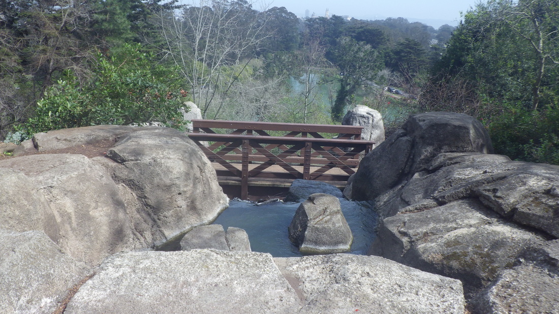
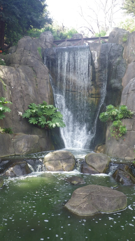
40. El Polin Spring
41. Trail near Arguello gate


 RSS Feed
