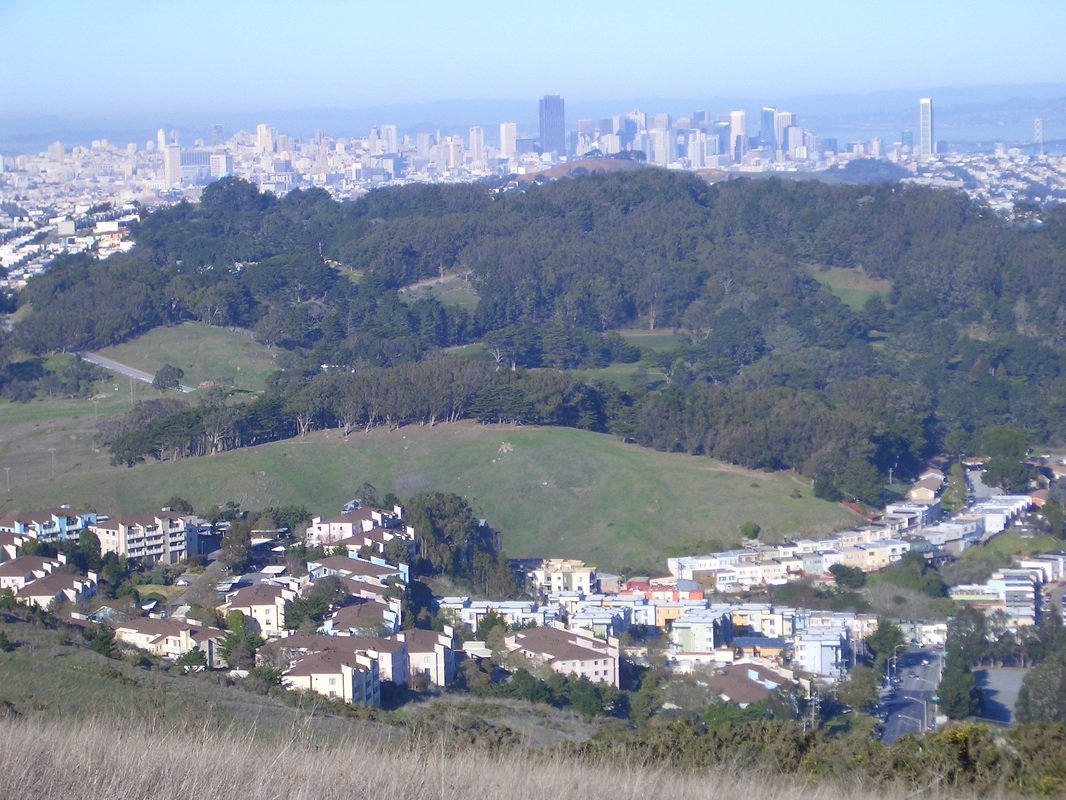
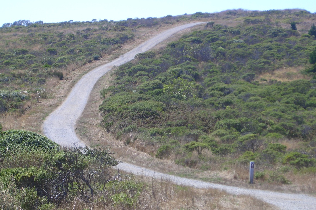
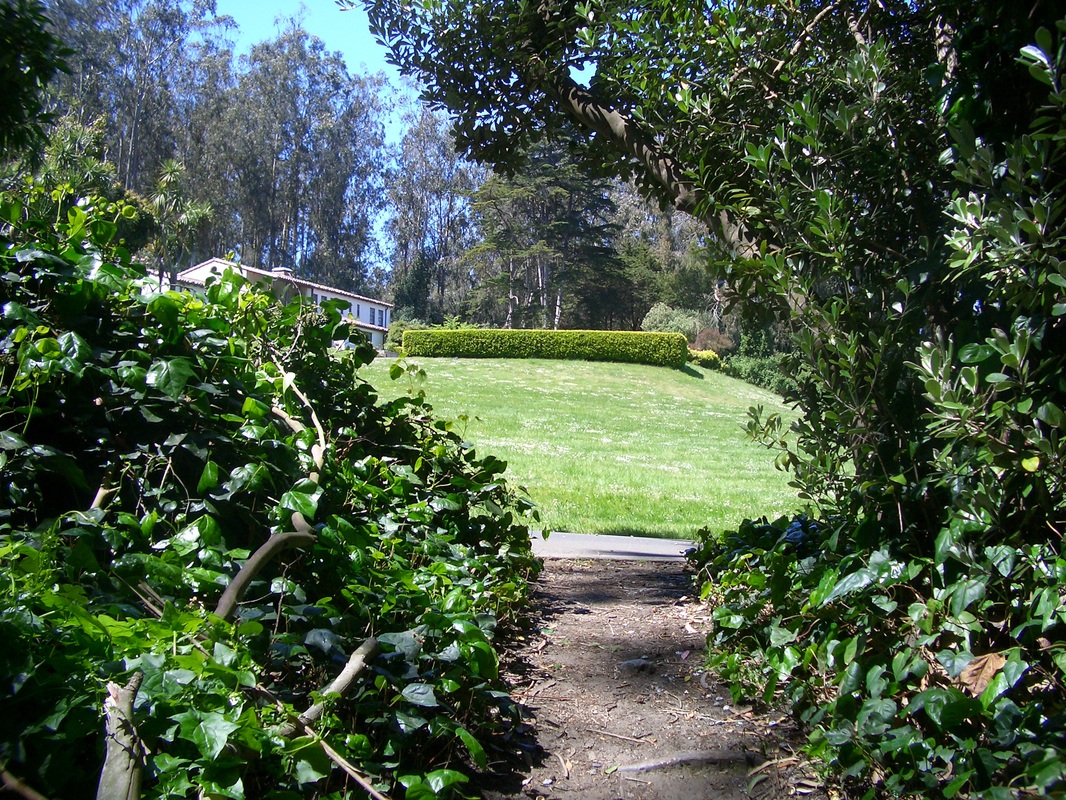
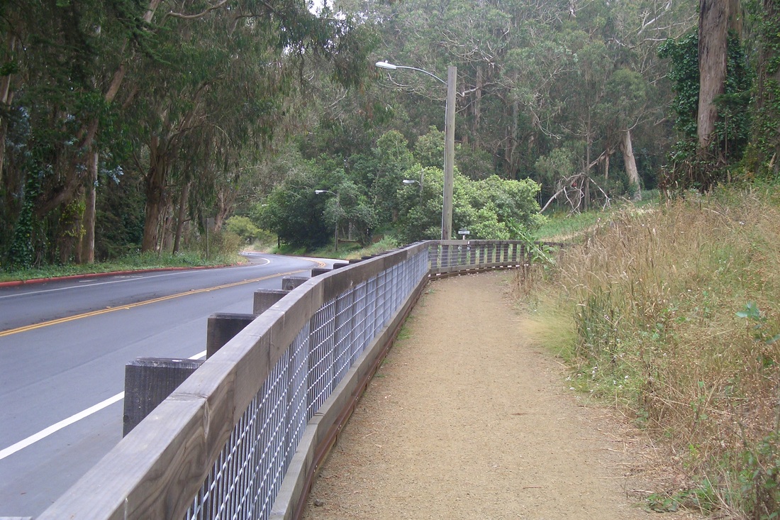
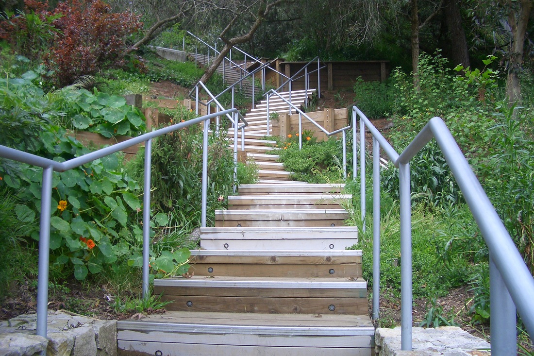
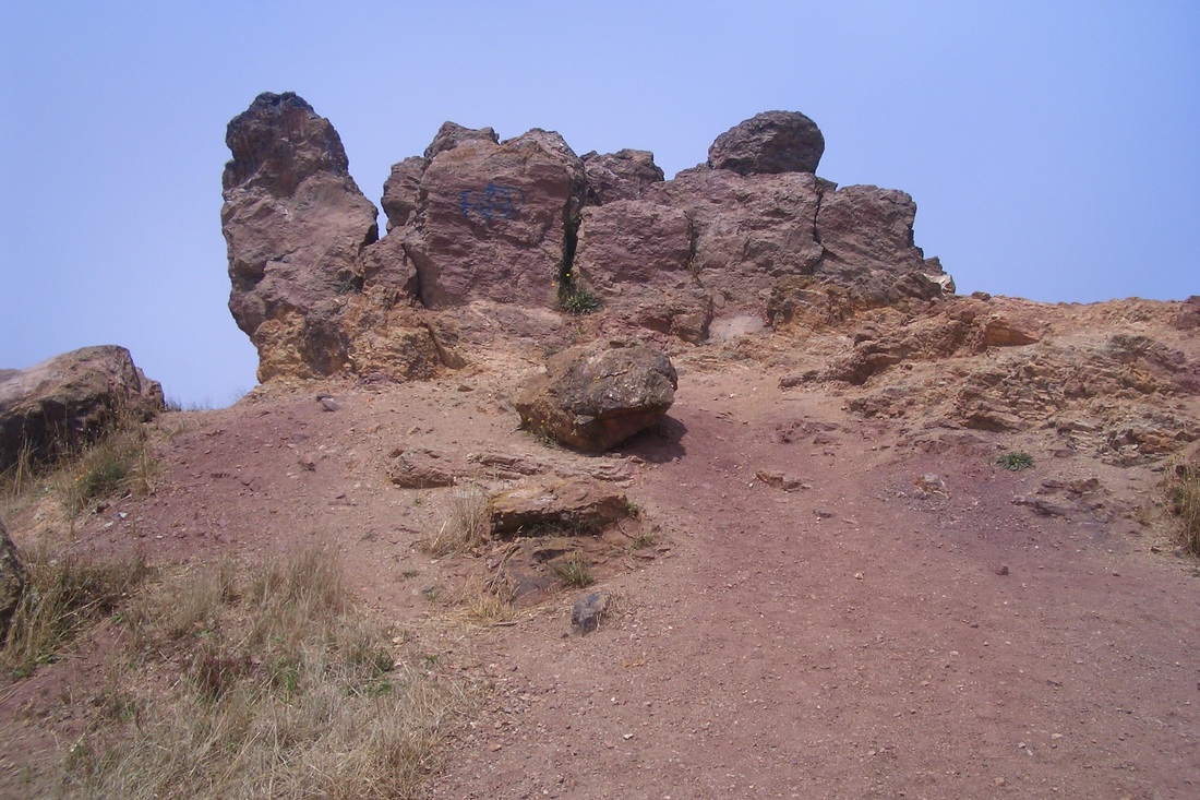
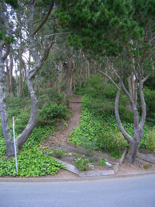
San Bruno Mountain Park (first pic: from Old Guadalupe Trail), open only until 5 p.m. now that it gets dark earlier, was warm and sunny today. First along the Bog Trail (pics 2 and 3) to the Meadow (fourth pic) and onto the Saddle, a 1.9 mile loop.
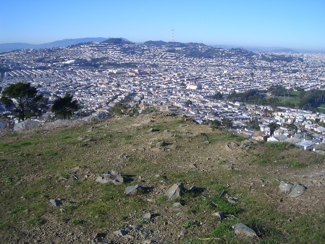
About halfway along the Saddle is the lone bench with a view of McLaren Park below across Visitacion Valley. (fifth pic).
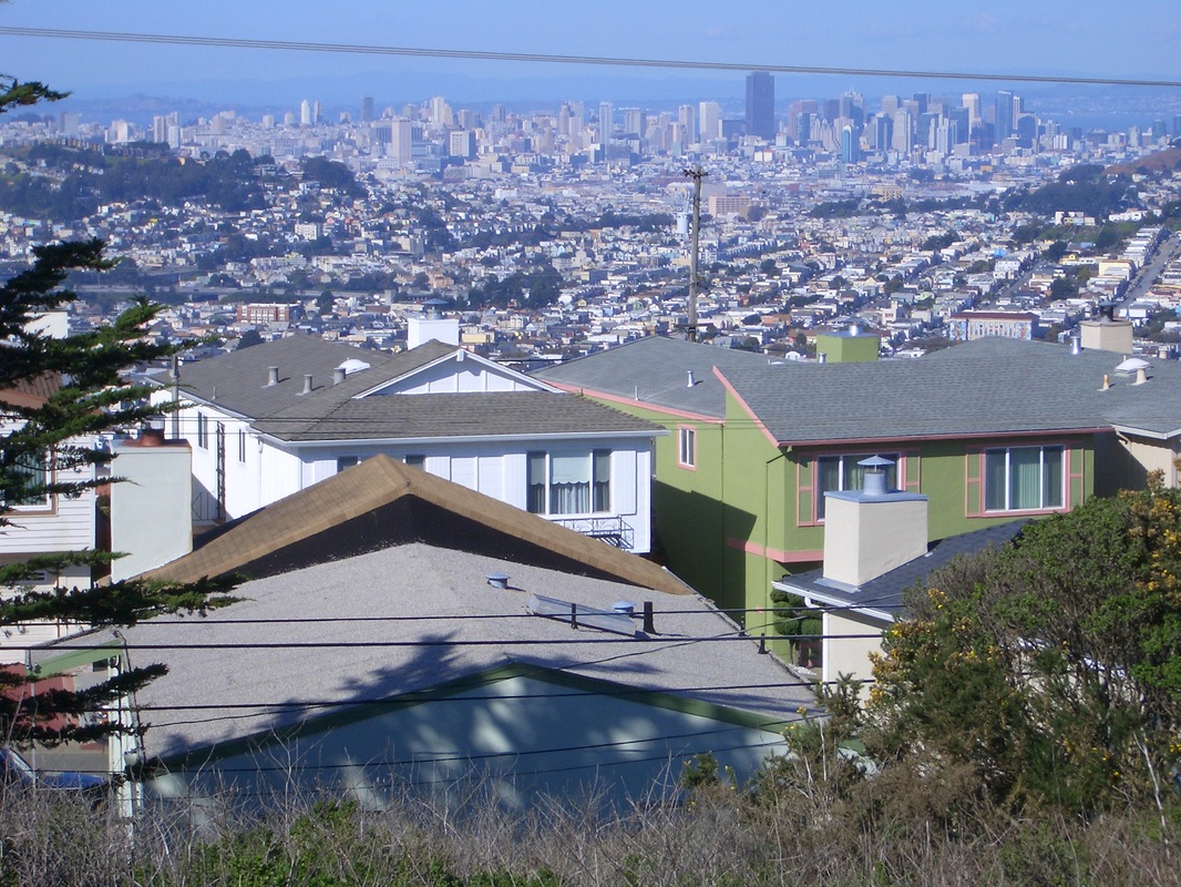
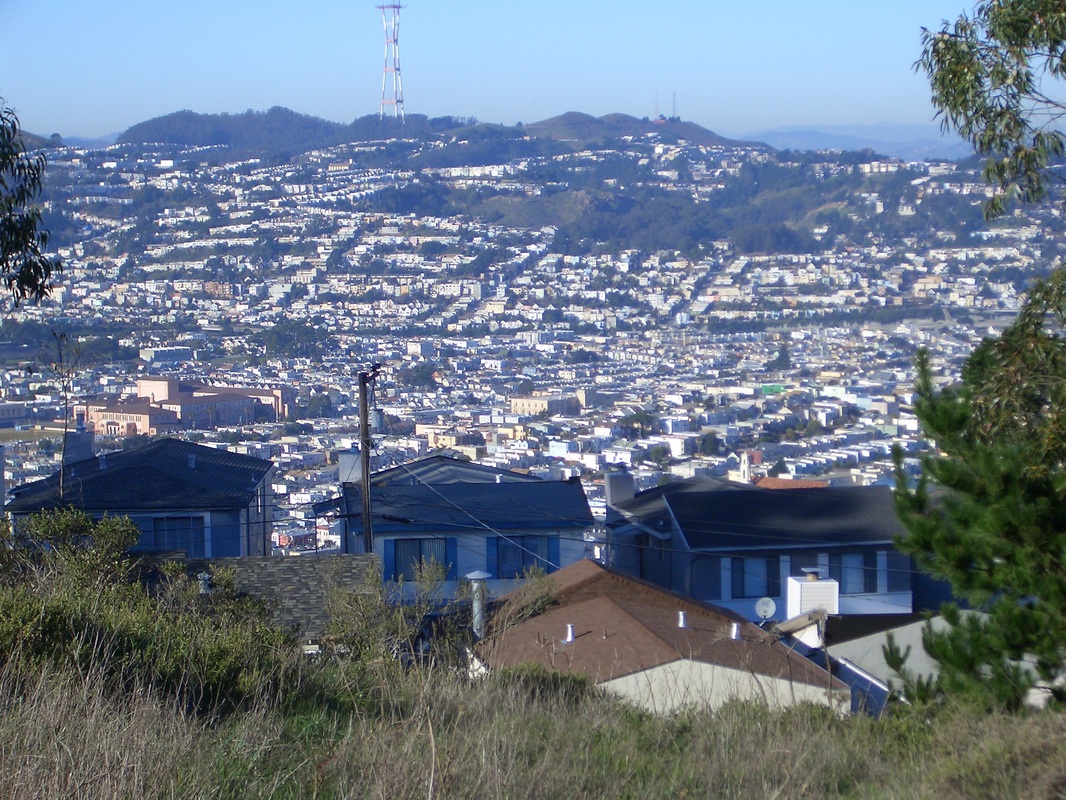
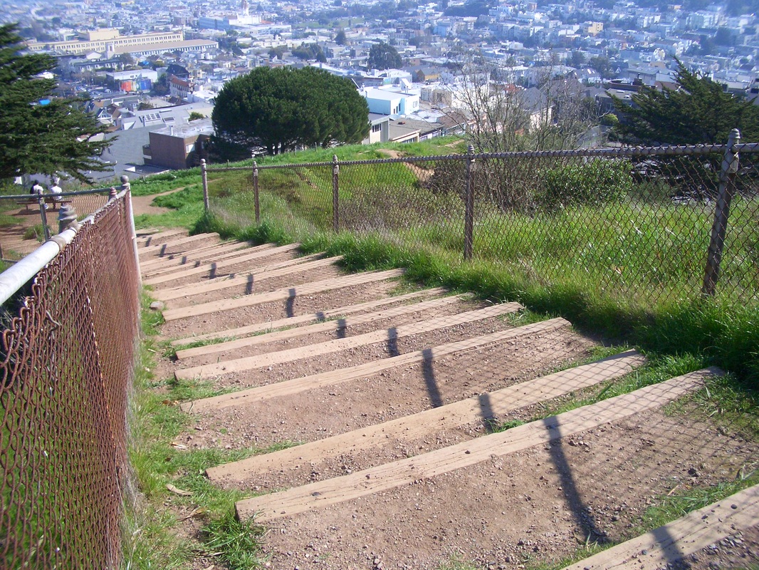
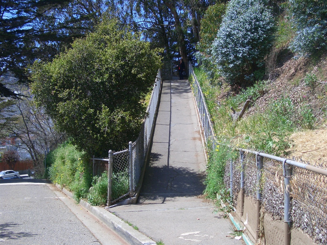
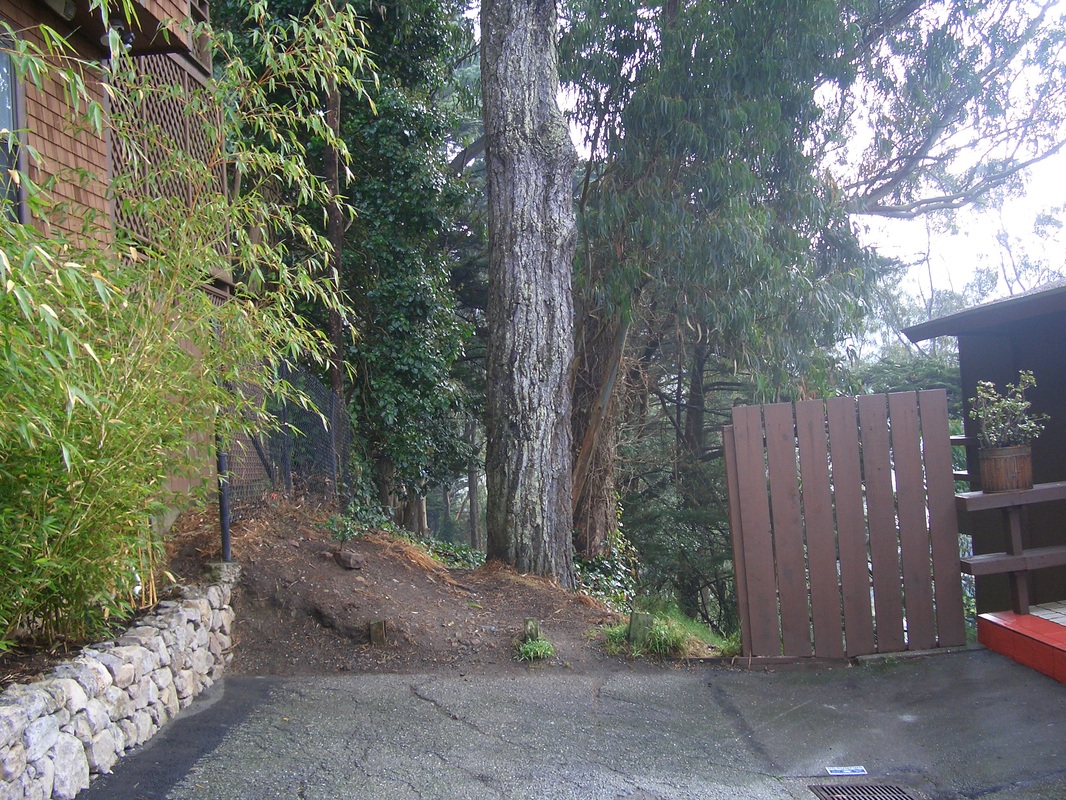
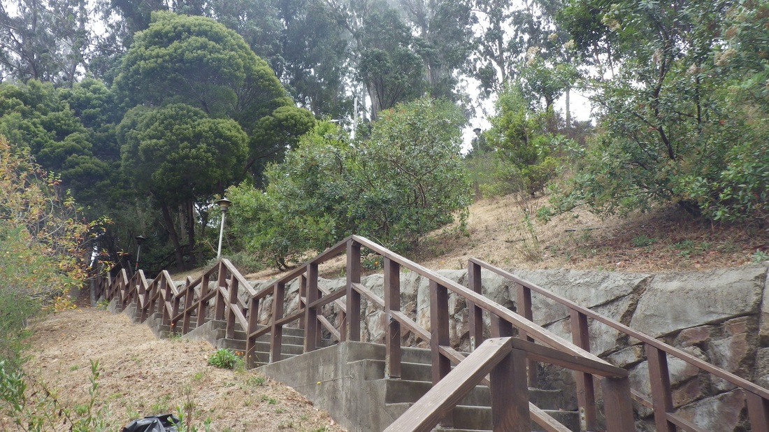
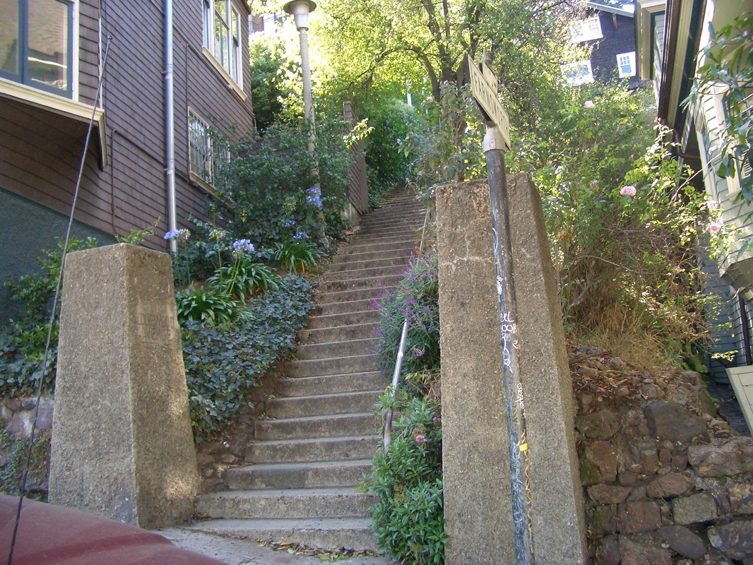
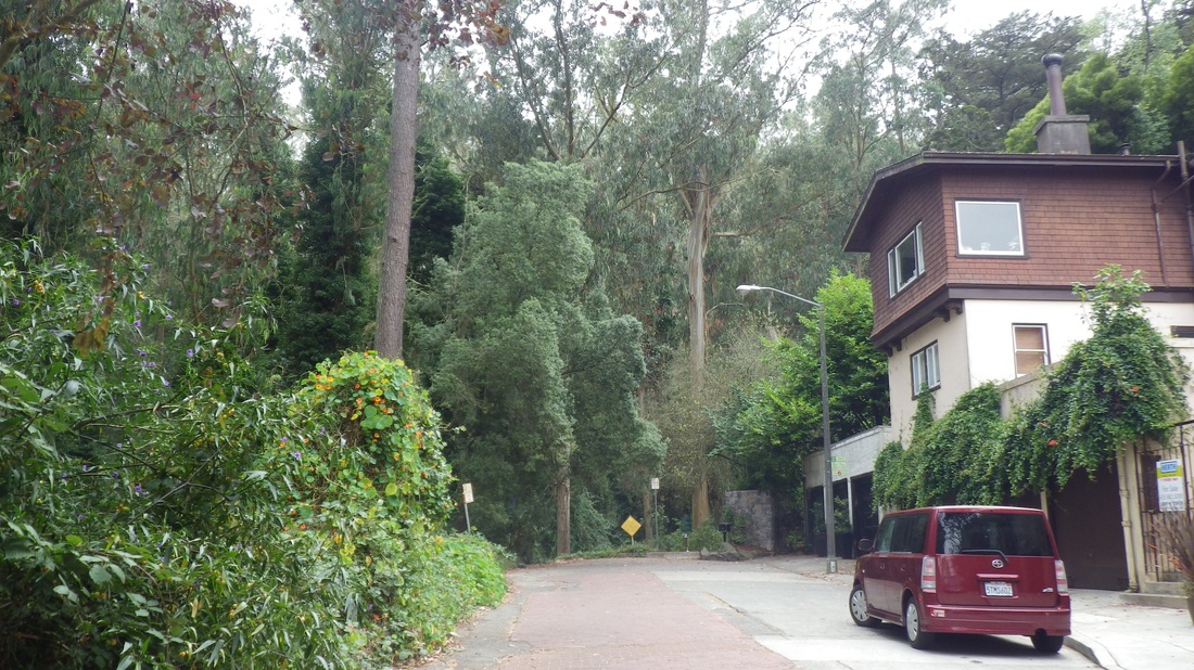
Next five pics: Various spots along the Saddle Trail.
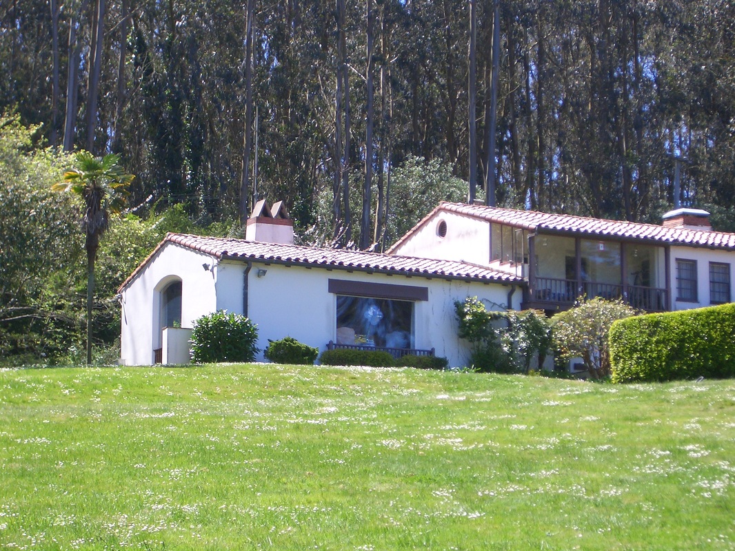
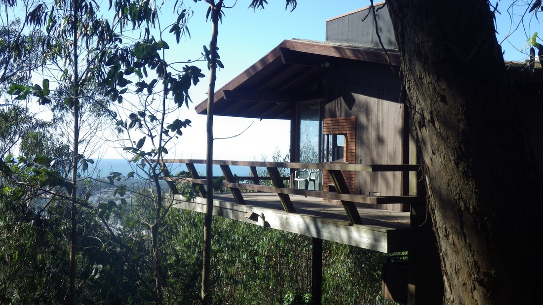
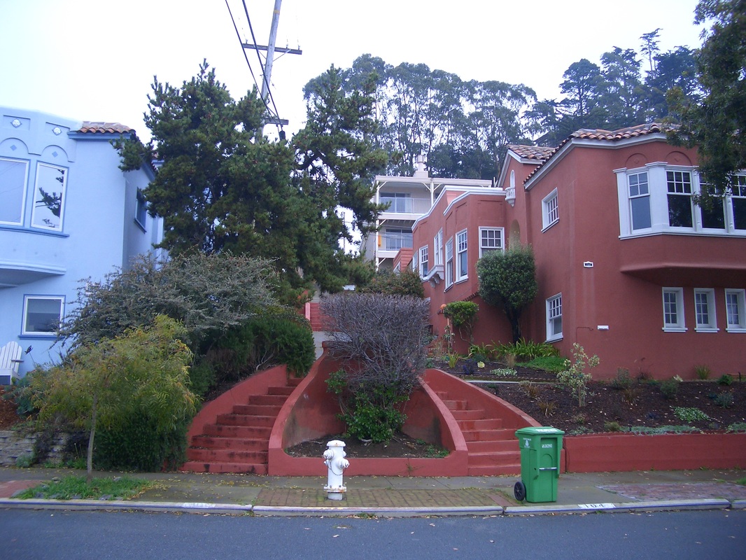
As I neared the end of the Saddle, heading out to the Old Guadalupe Trail near the Crocker trailhead, my beginning, could smell delicious cooking aromas wafting from the homes on South Hill Court.
About halfway along the Saddle is the lone bench with a view of McLaren Park below across Visitacion Valley. (fifth pic).
Next five pics: Various spots along the Saddle Trail.
As I neared the end of the Saddle, heading out to the Old Guadalupe Trail near the Crocker trailhead, my beginning, could smell delicious cooking aromas wafting from the homes on South Hill Court.
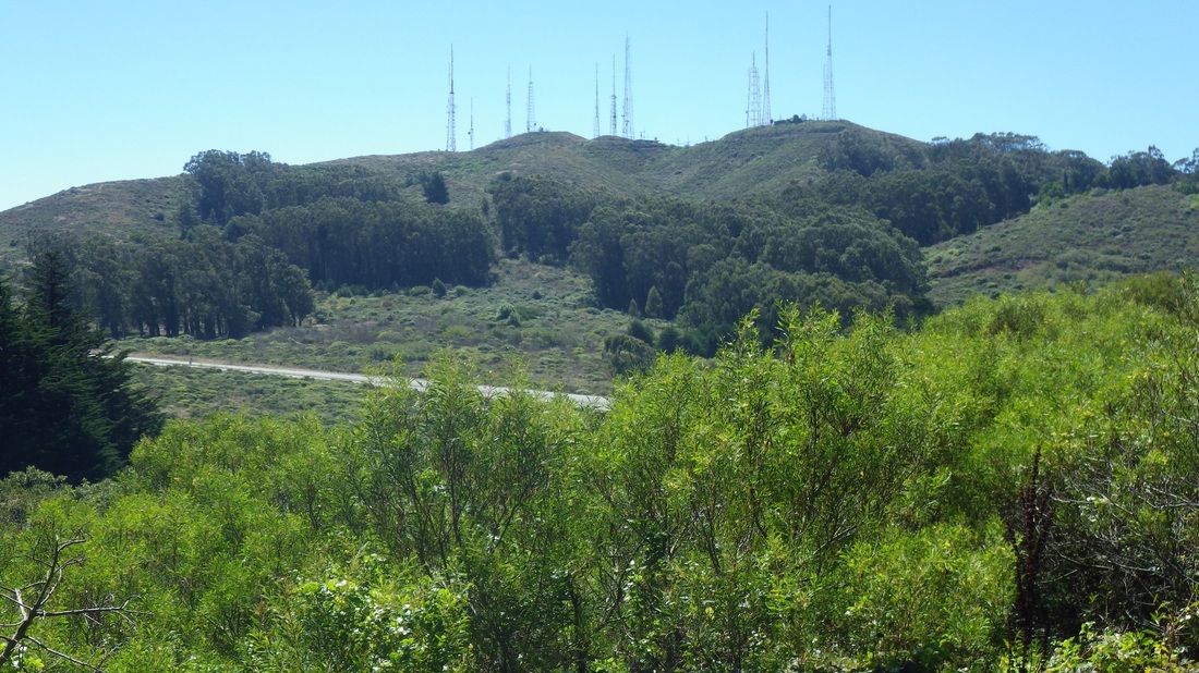
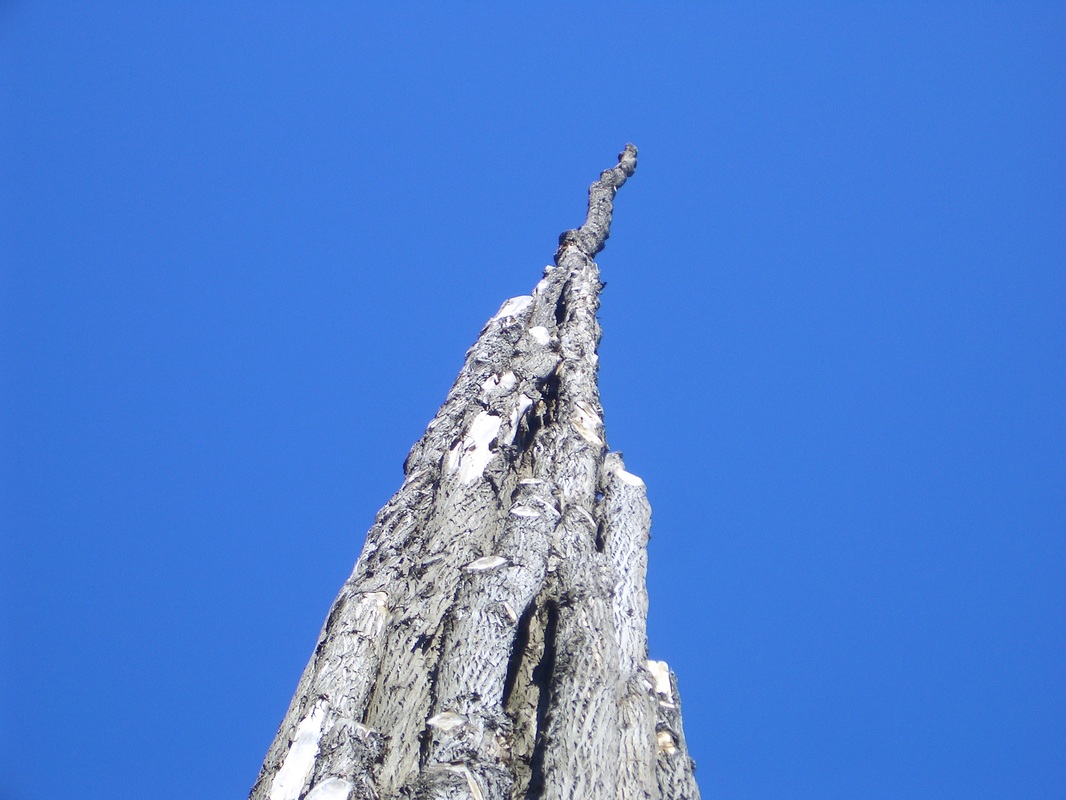
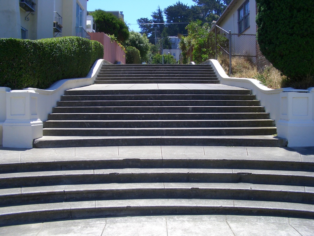
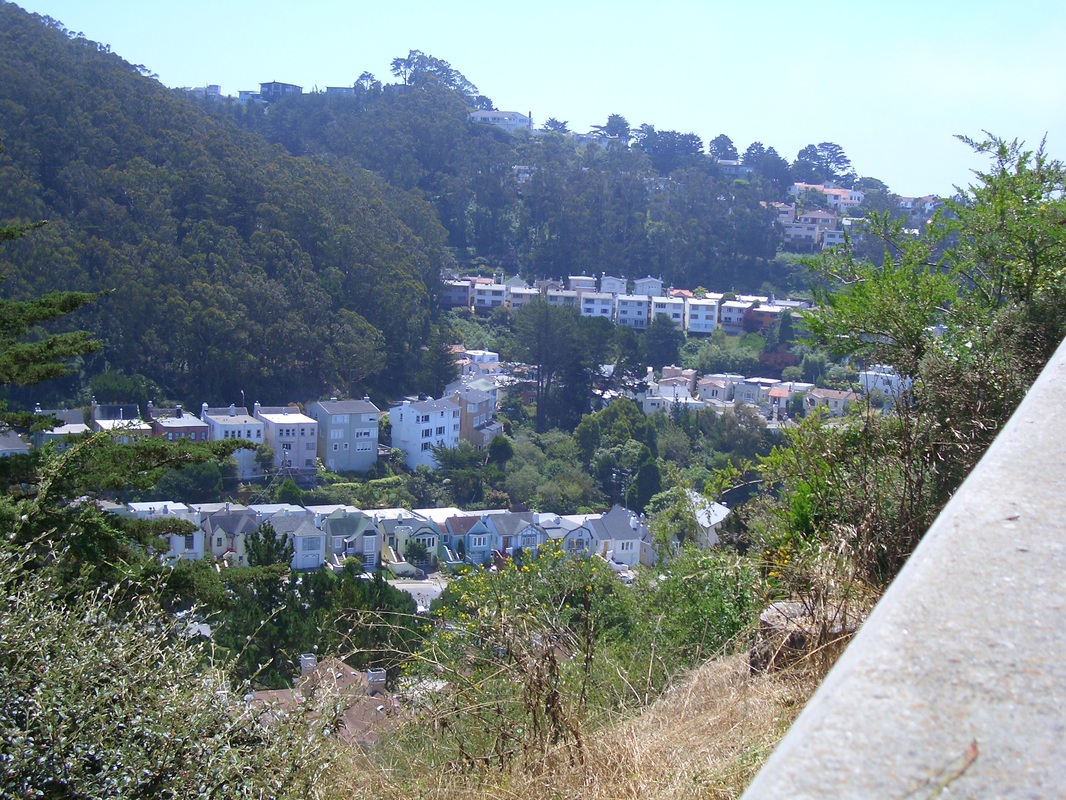
Taken from Old Guadalupe Trail
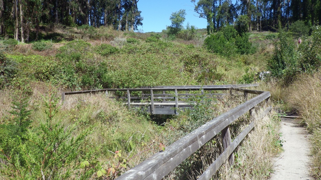
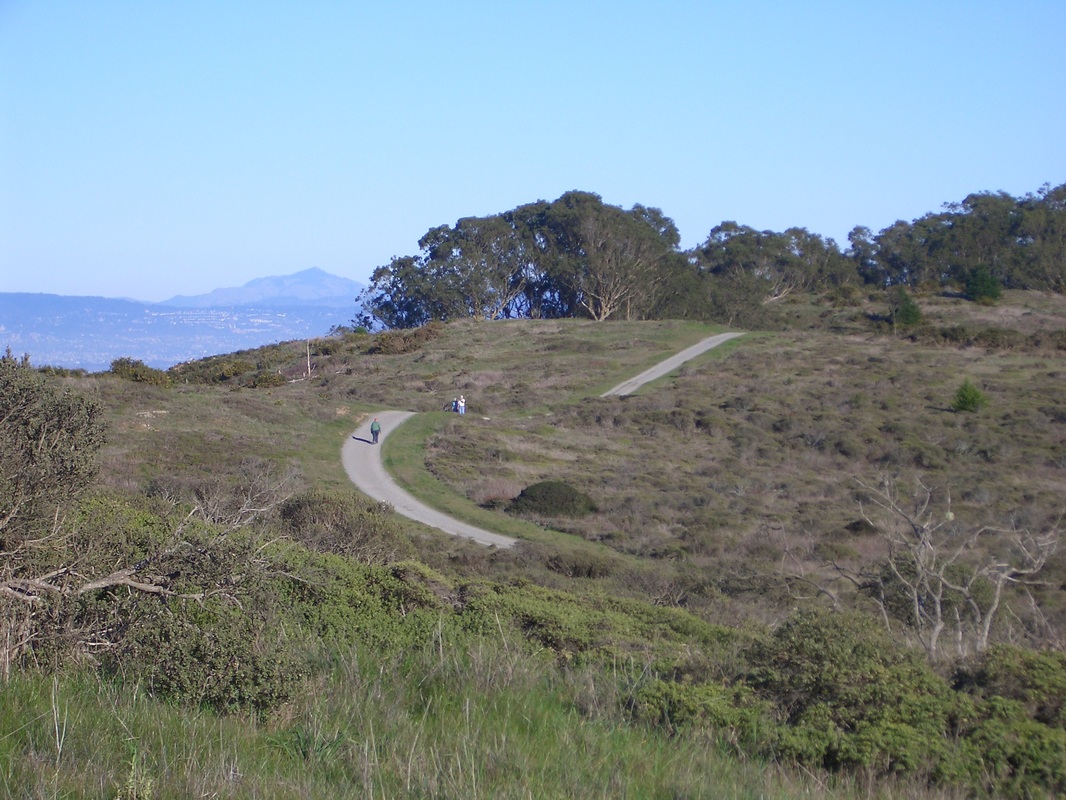
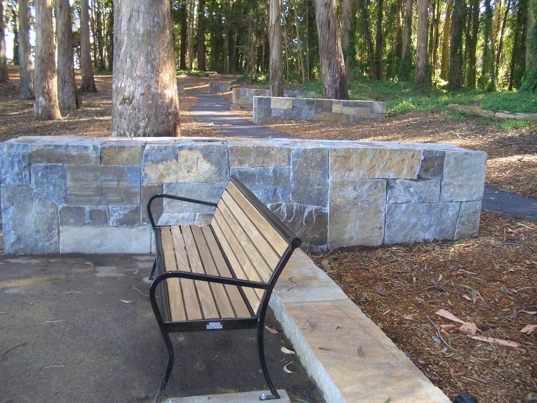
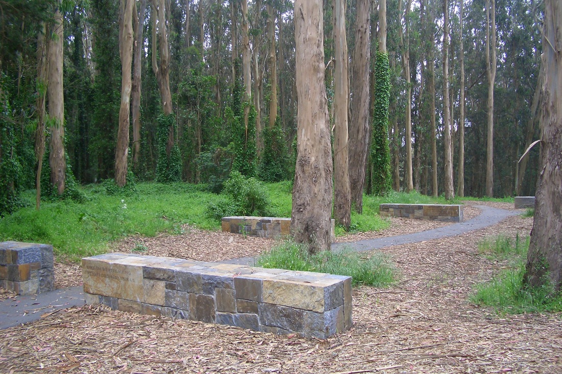
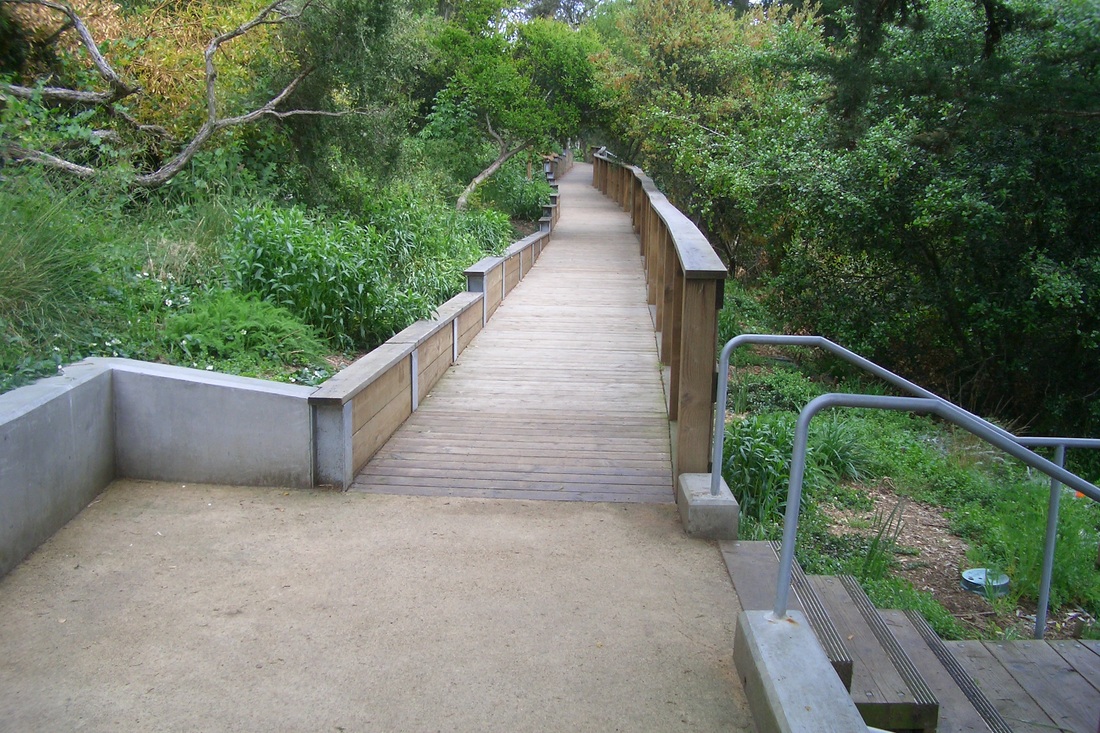
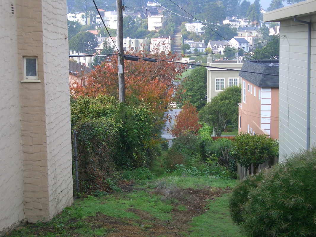
Bog Trail
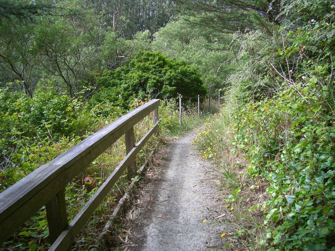
Bog Trail
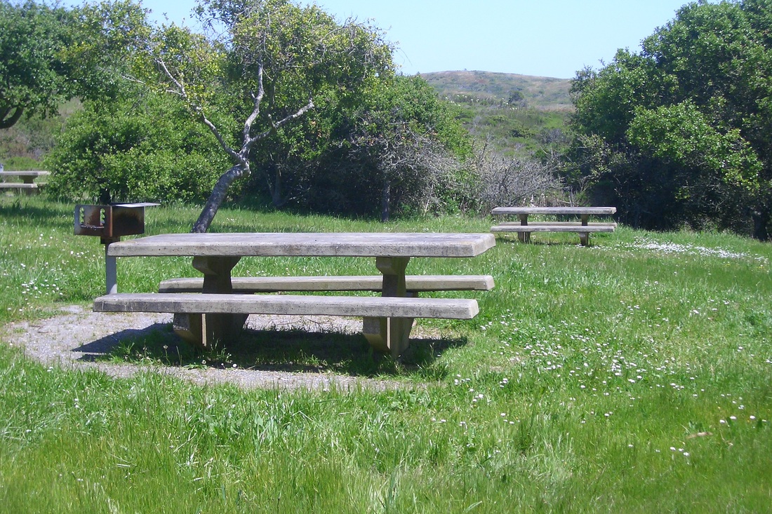
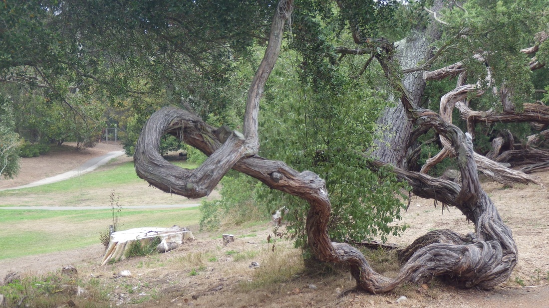
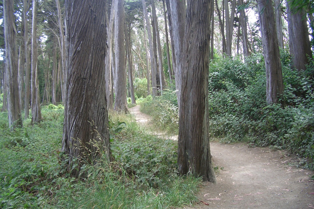
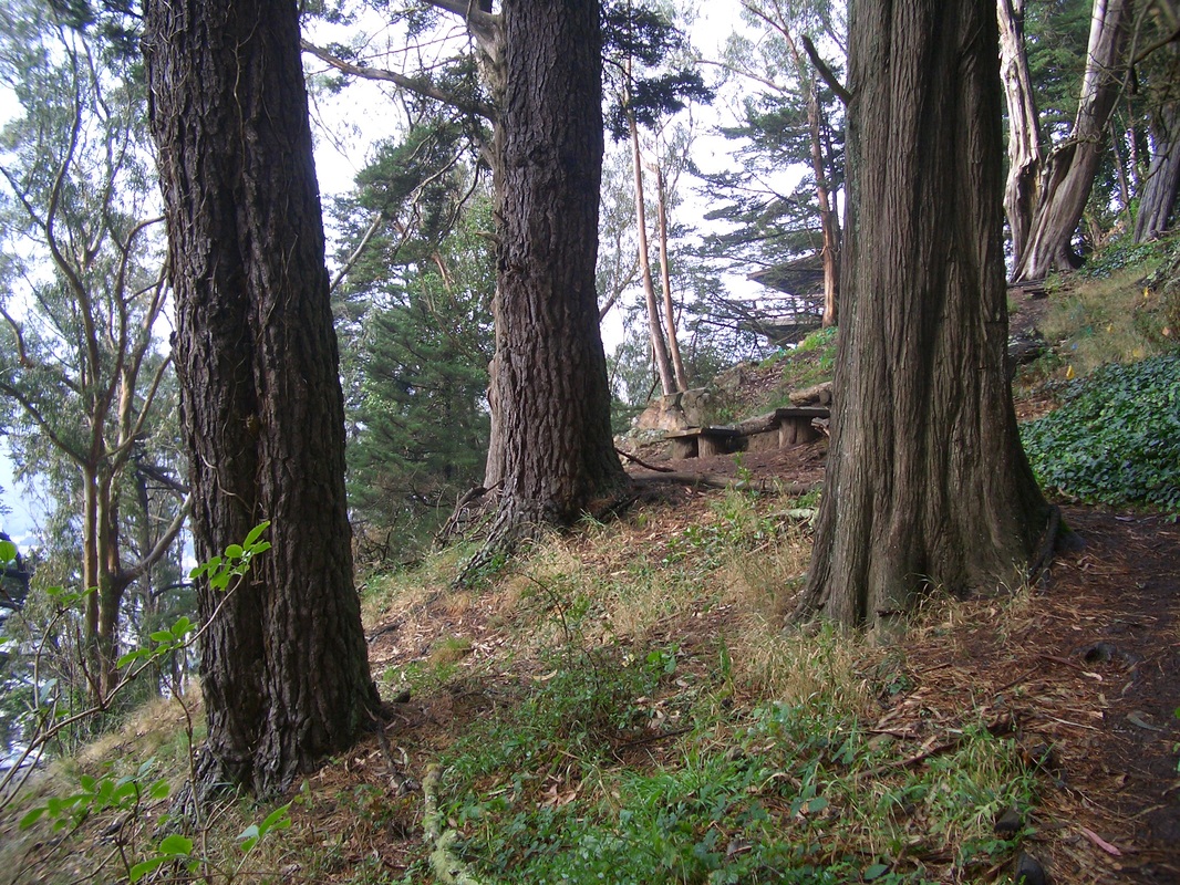
The Meadow with trailhead for Saddle Trail ahead
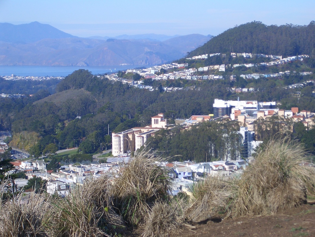
McLaren Park from Saddle Trail
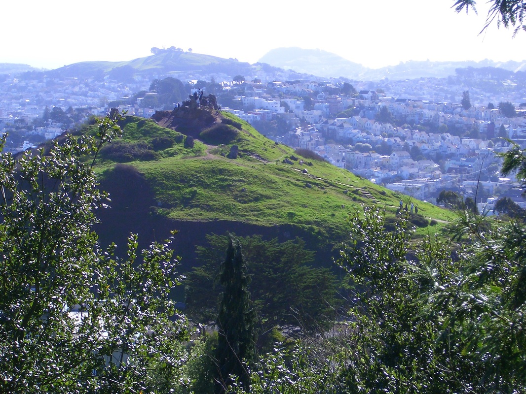
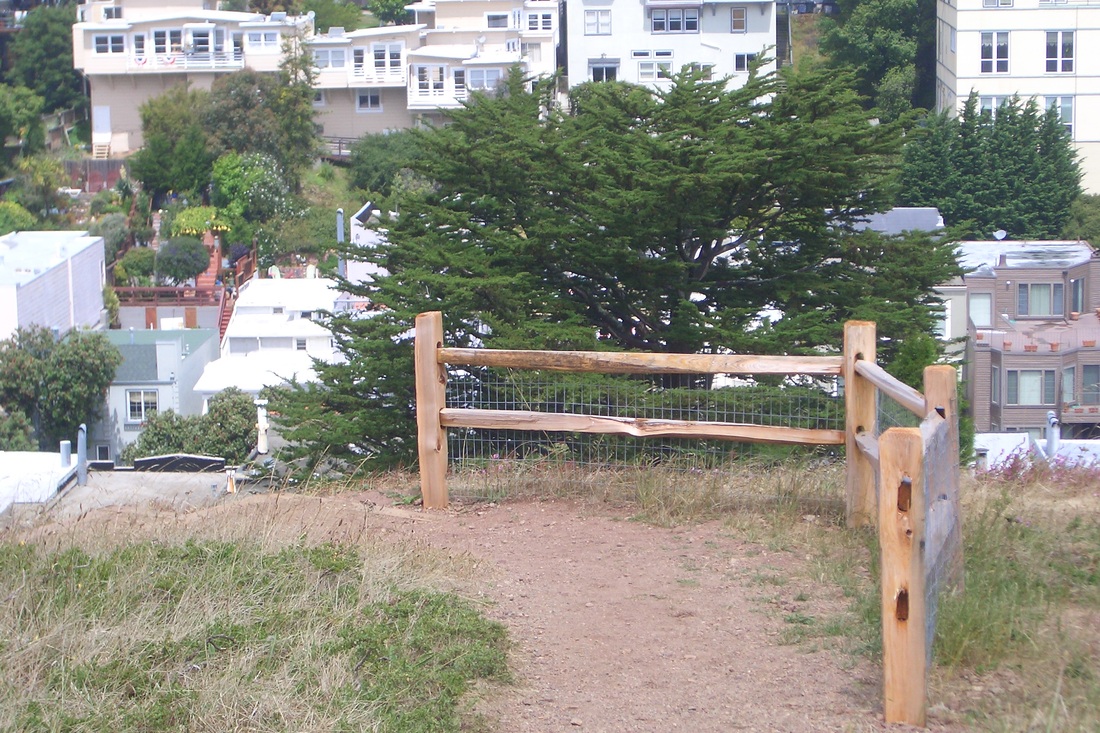
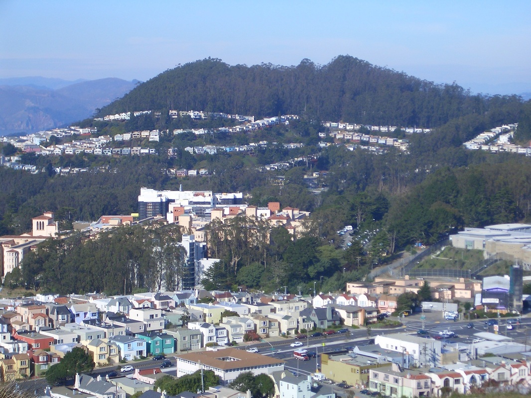
Alta Vista from Saddle Trail
Alta Vista from Saddle Trail. Mount Sutro and Twin Peaks in distance.
A view from the Saddle Trail
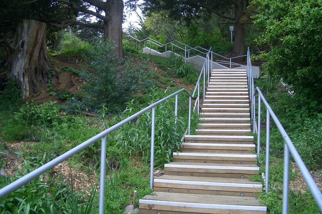
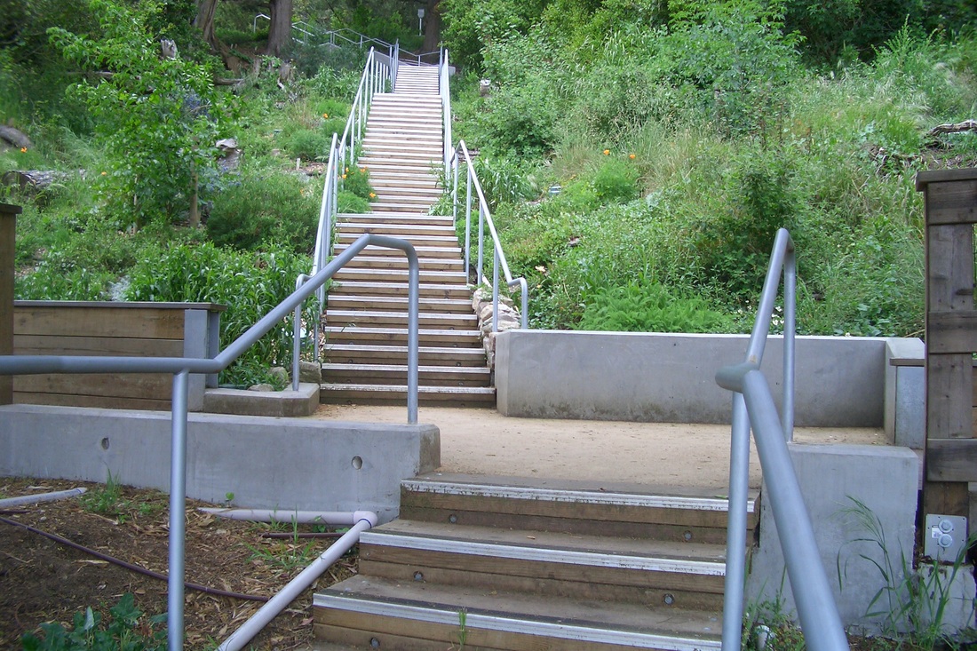
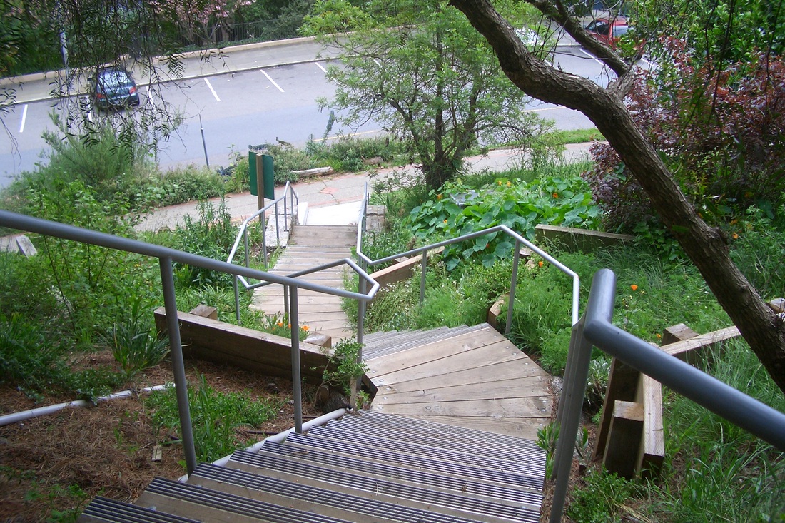
Saddle Trail
Saddle Trail

 RSS Feed
