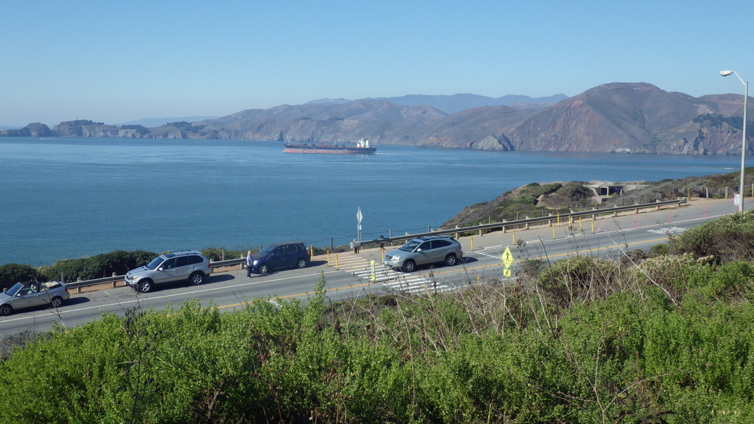
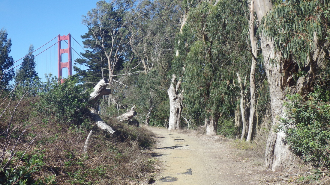
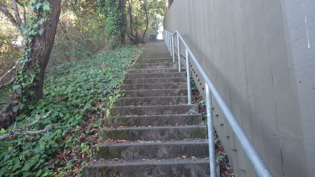
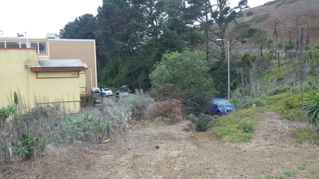
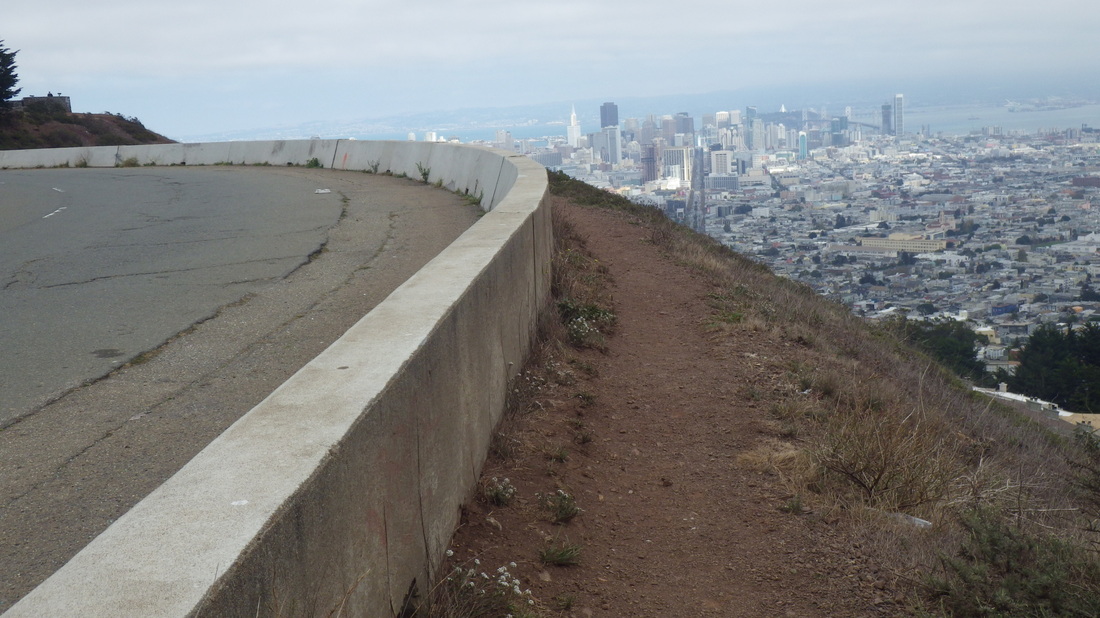
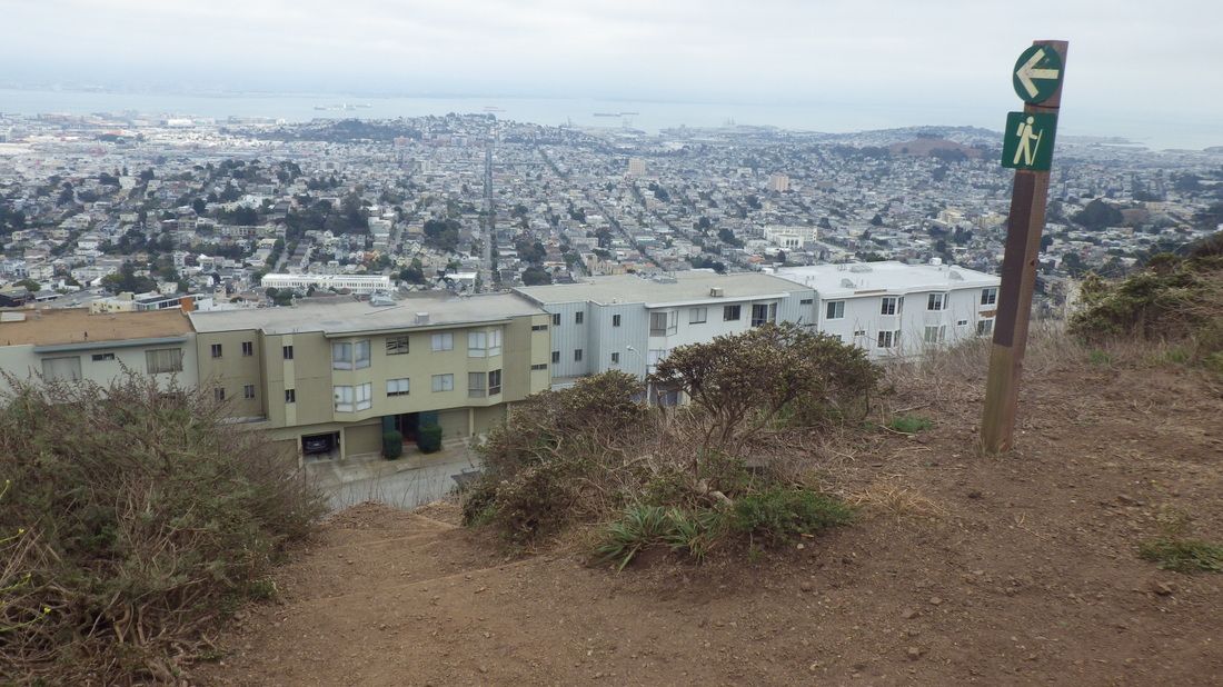
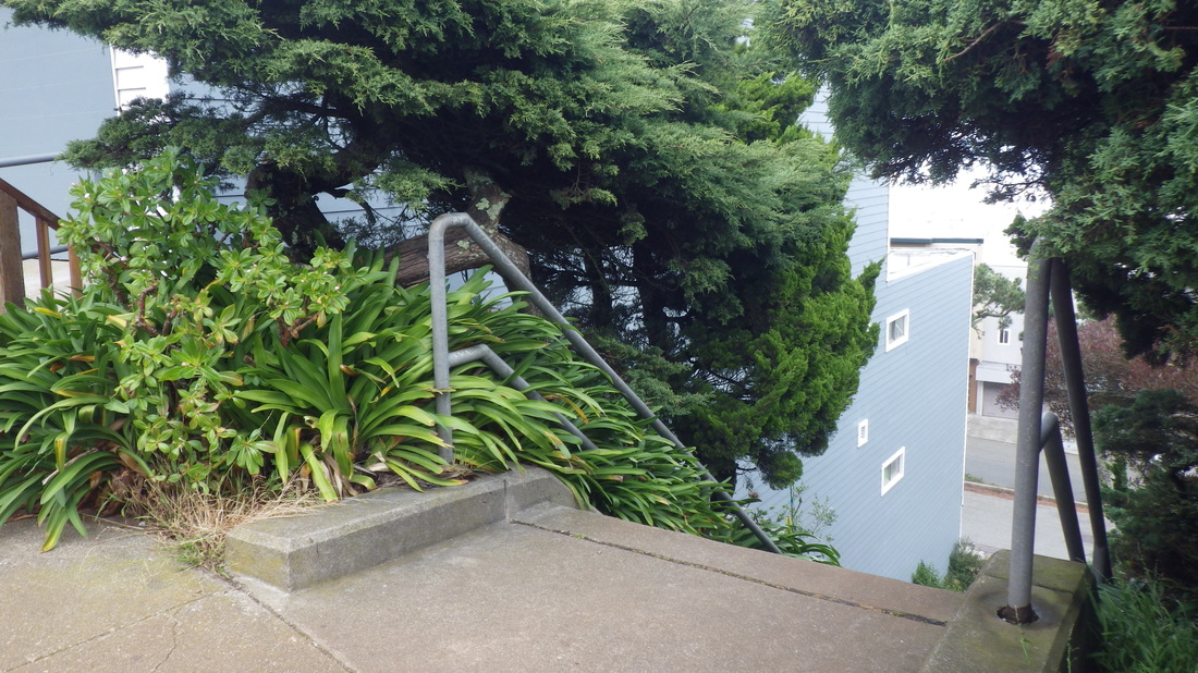
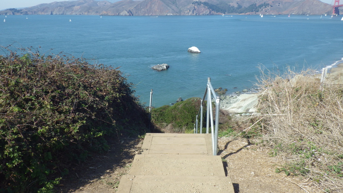
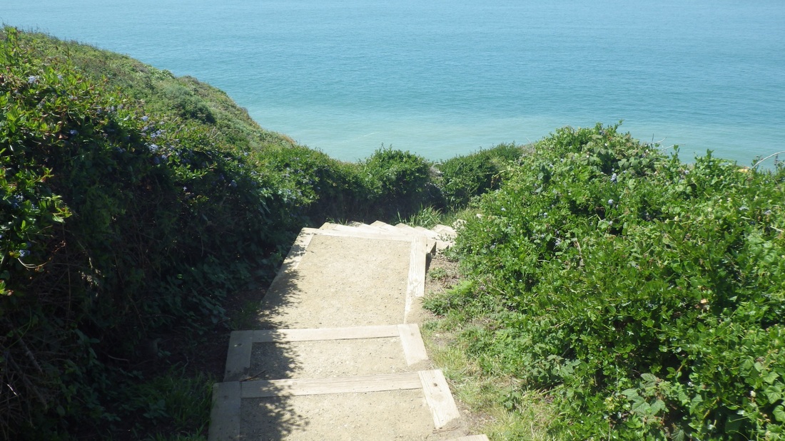
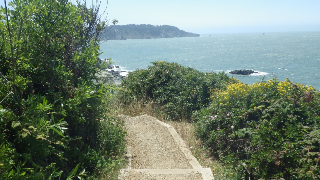
I usually move west from the Bridge area when starting a hike from up there. These first six pics are some of the reasons why I'm compelled to do so; I've found some stairways/trails to be highly addictive. Batteries to Bluffs Trail: First four pics (473-ish steps), and Immigrant Point Overlook Connector Trail (208 steps), pix 5 and 6.
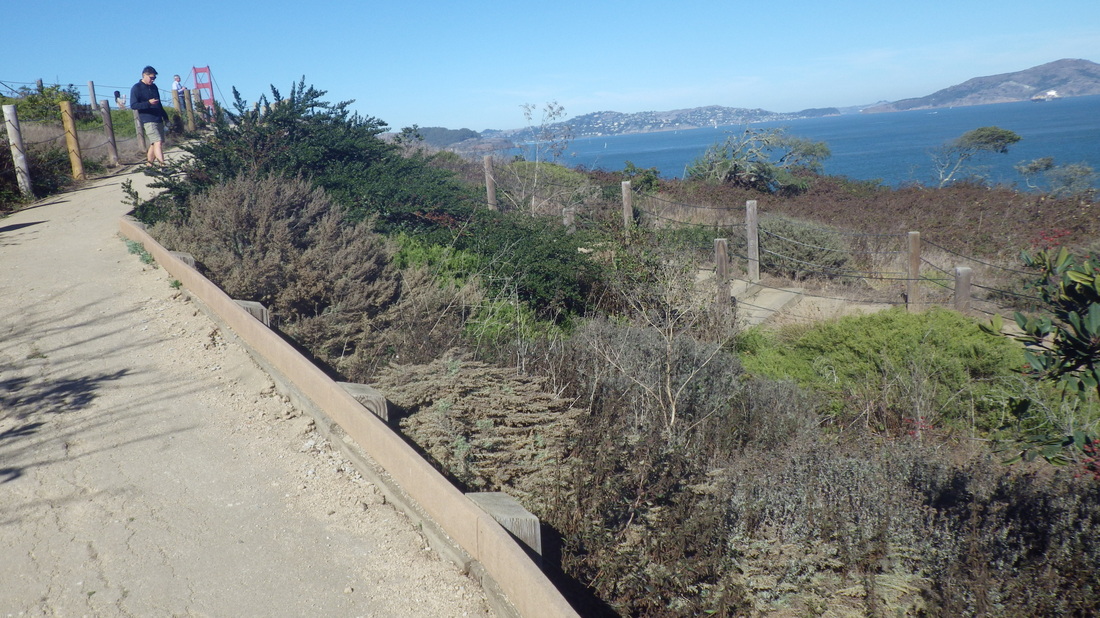
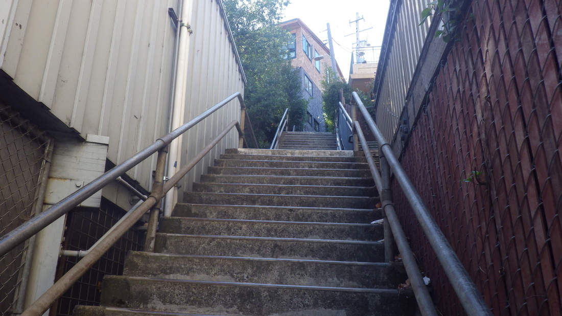
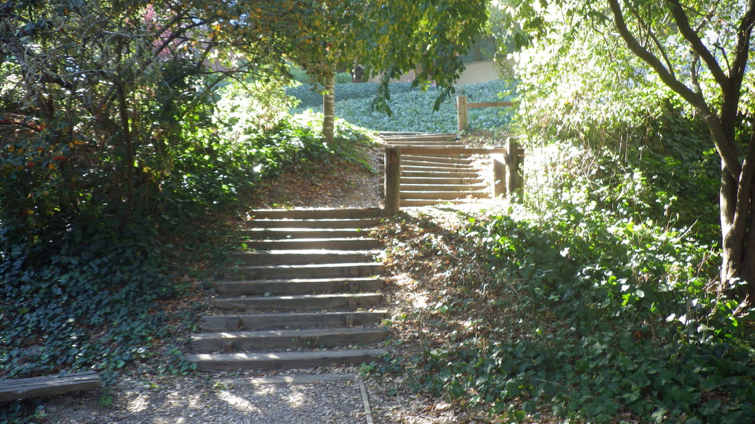
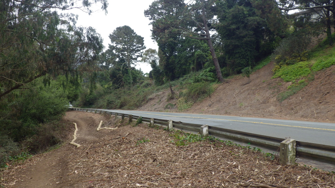
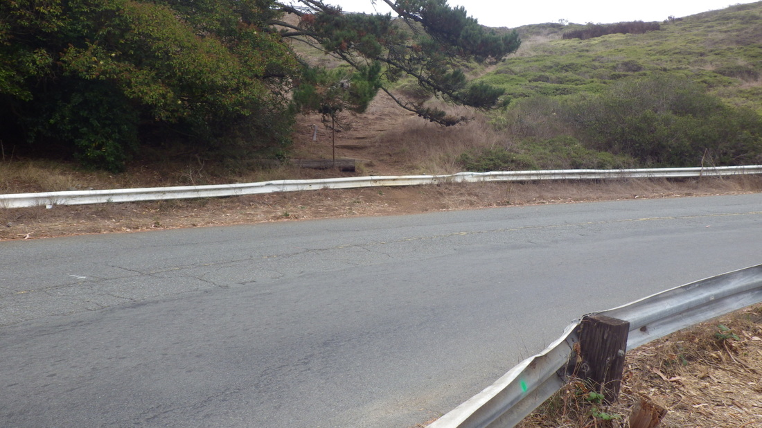
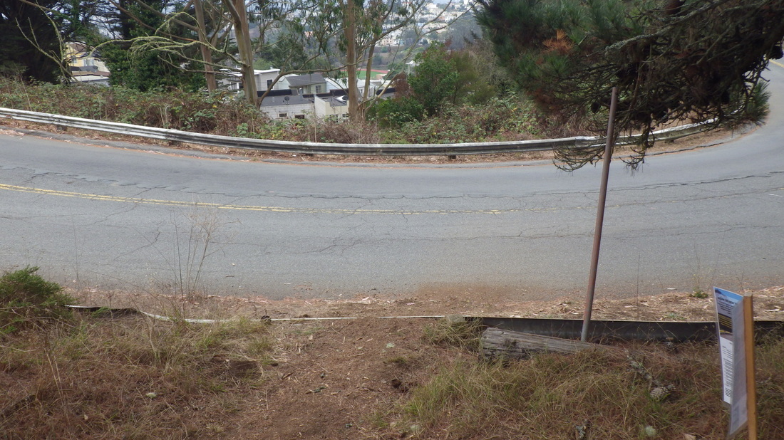
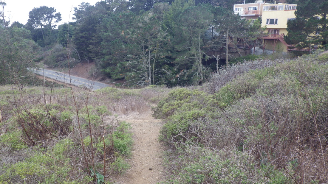
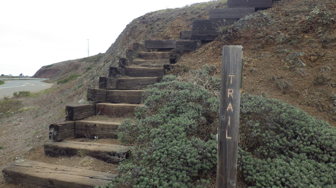
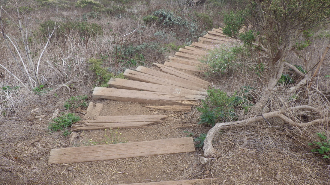
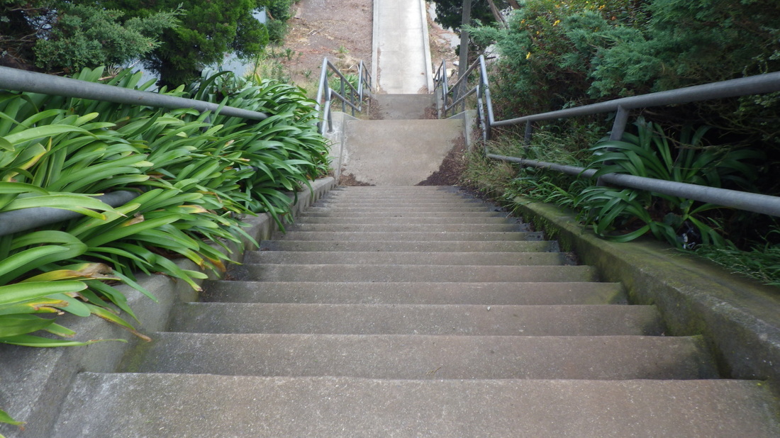
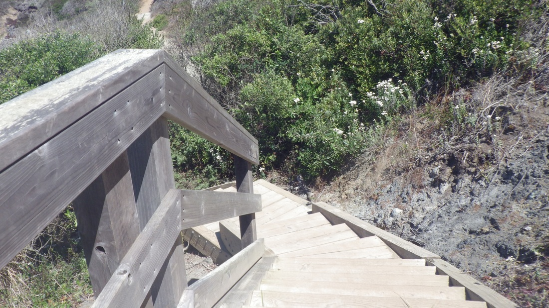
However, this time decided to head east along the Battery East Trail (pic 7).
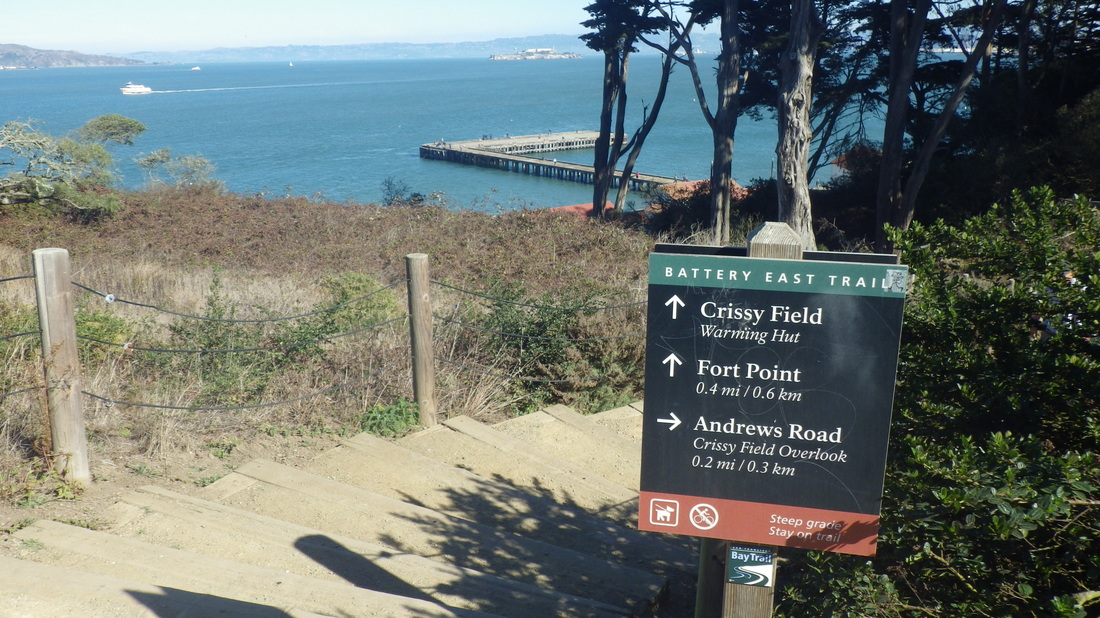
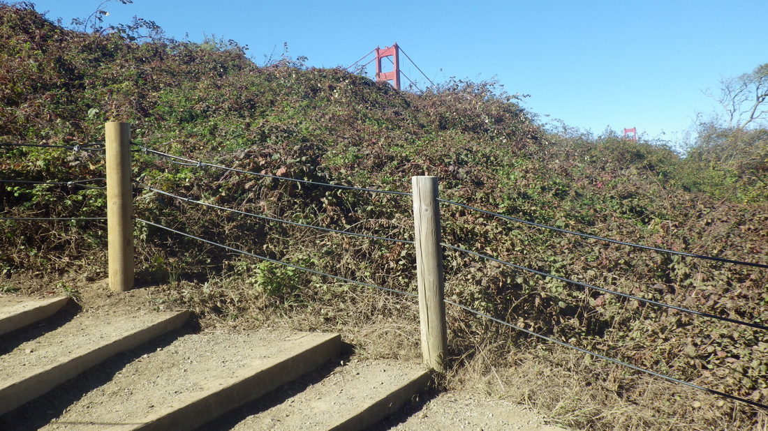
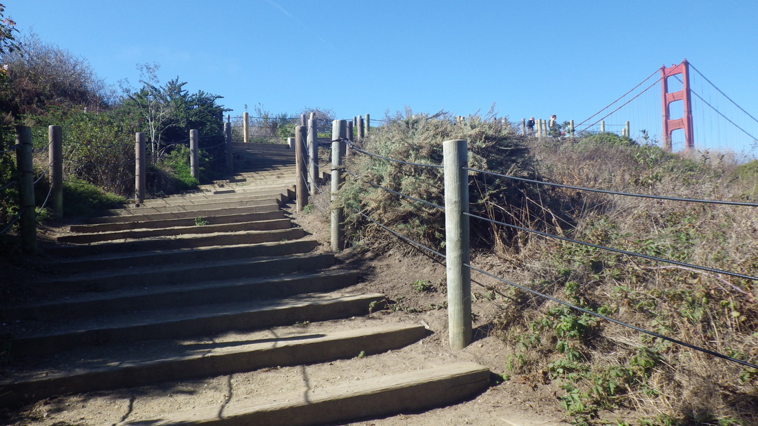
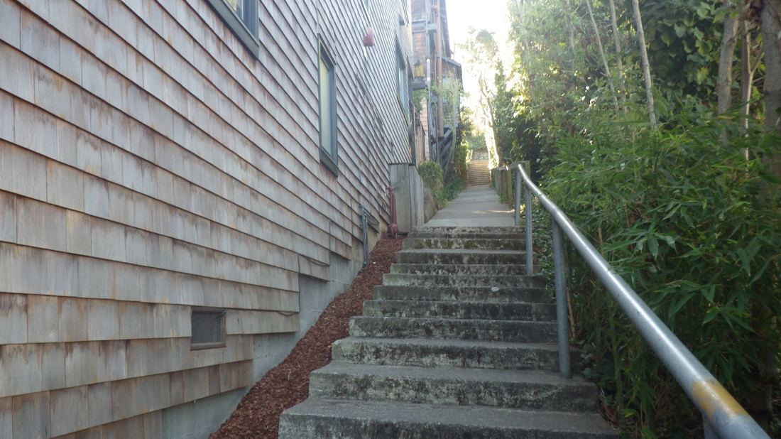
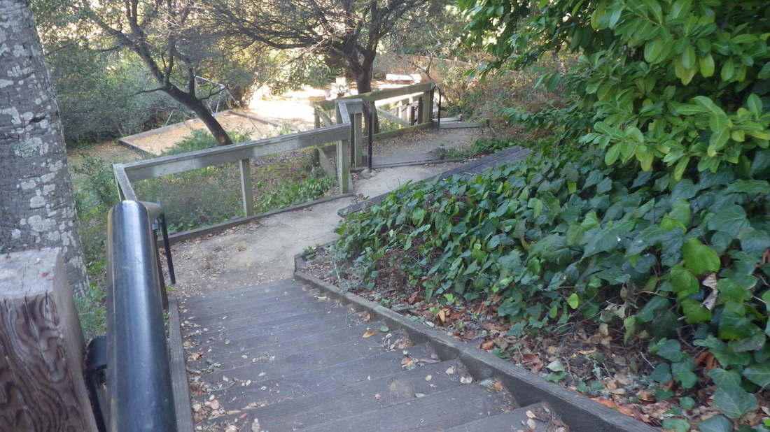
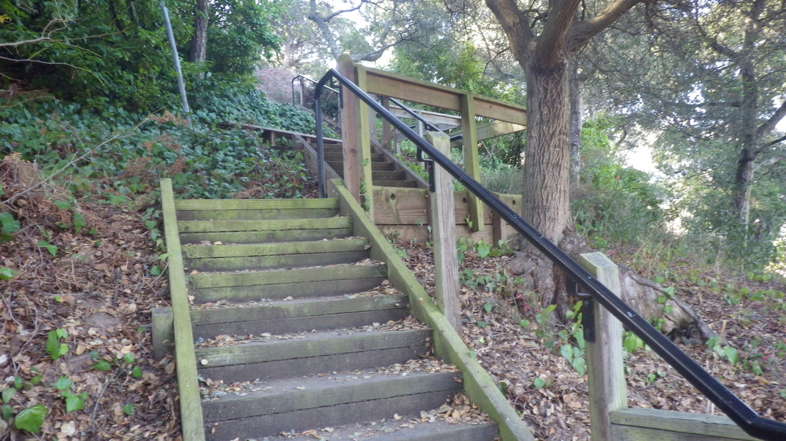
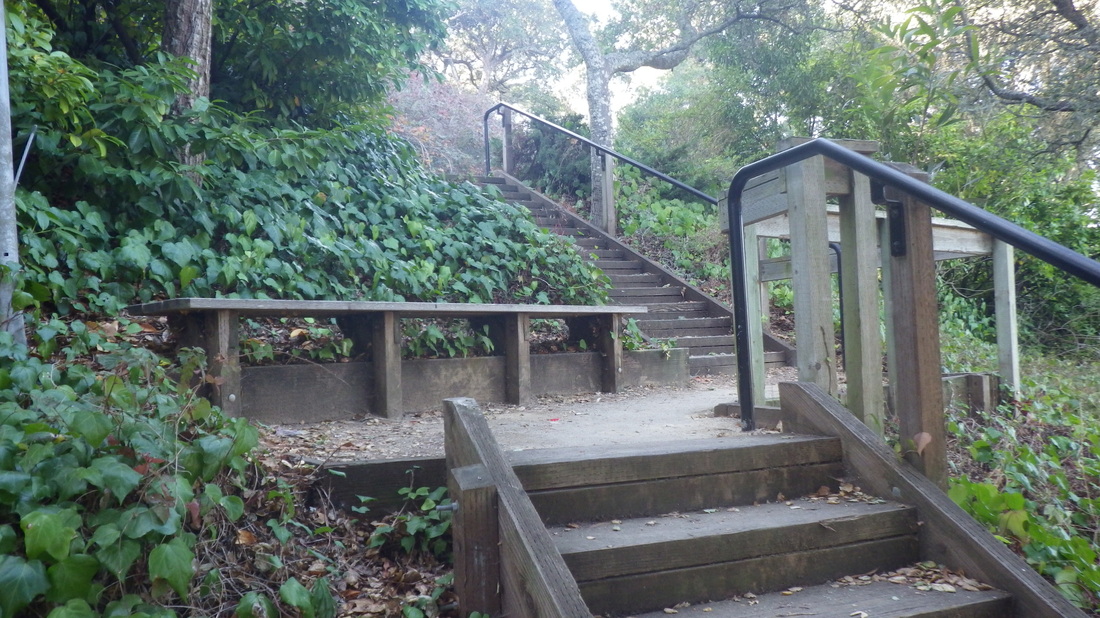
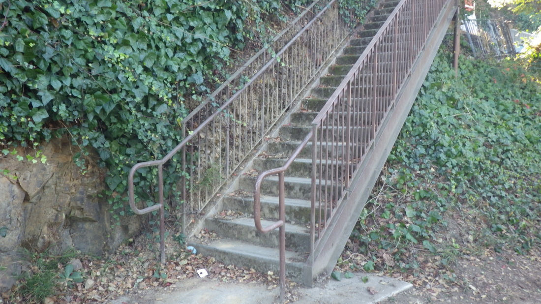
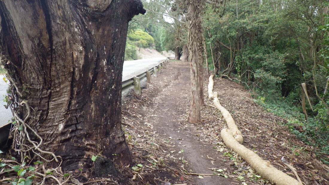
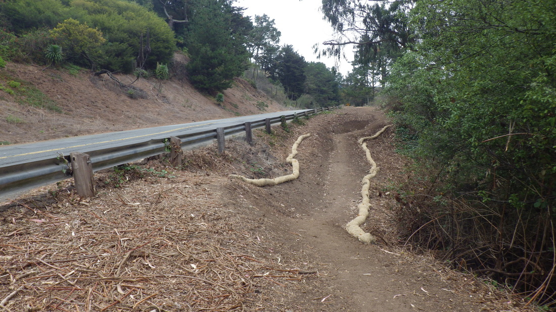
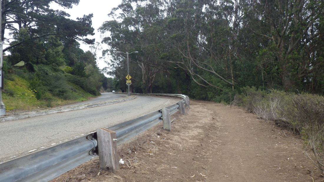
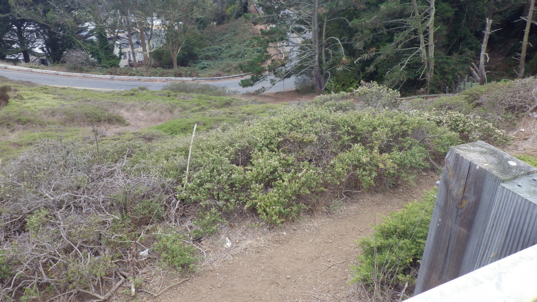
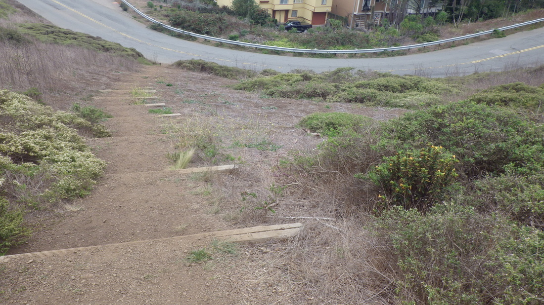
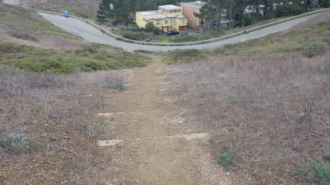
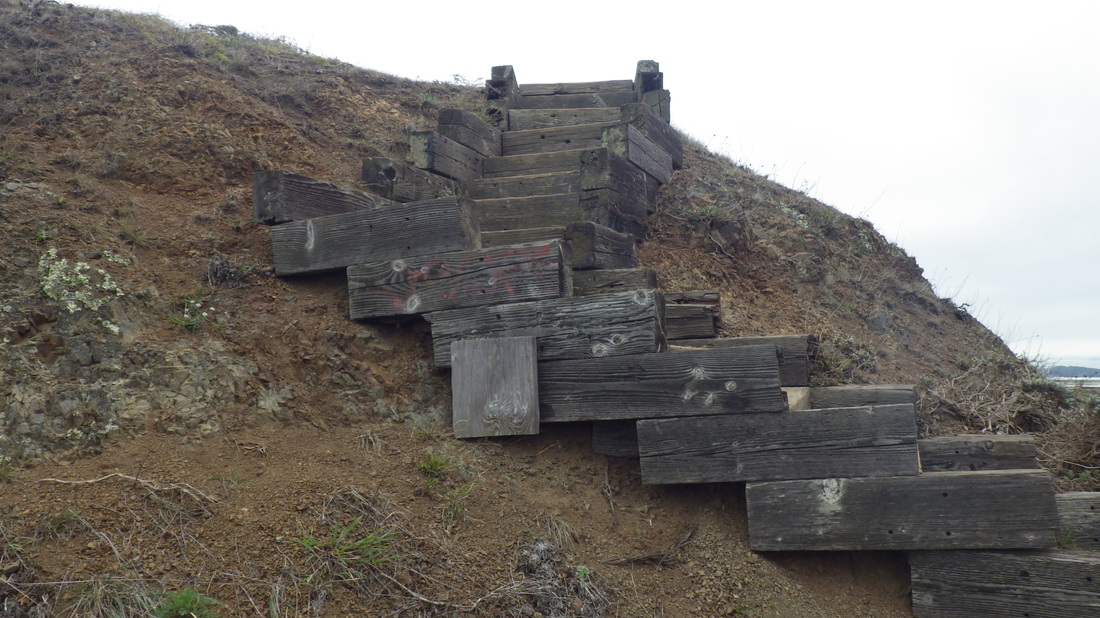
The Battery East Trail's curving wood stairway has 153 steps (pics 8 through 13). It descends to west Crissy Field near the Warming Hut.
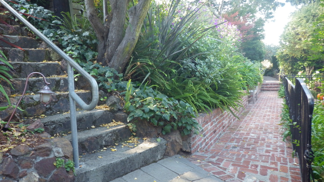
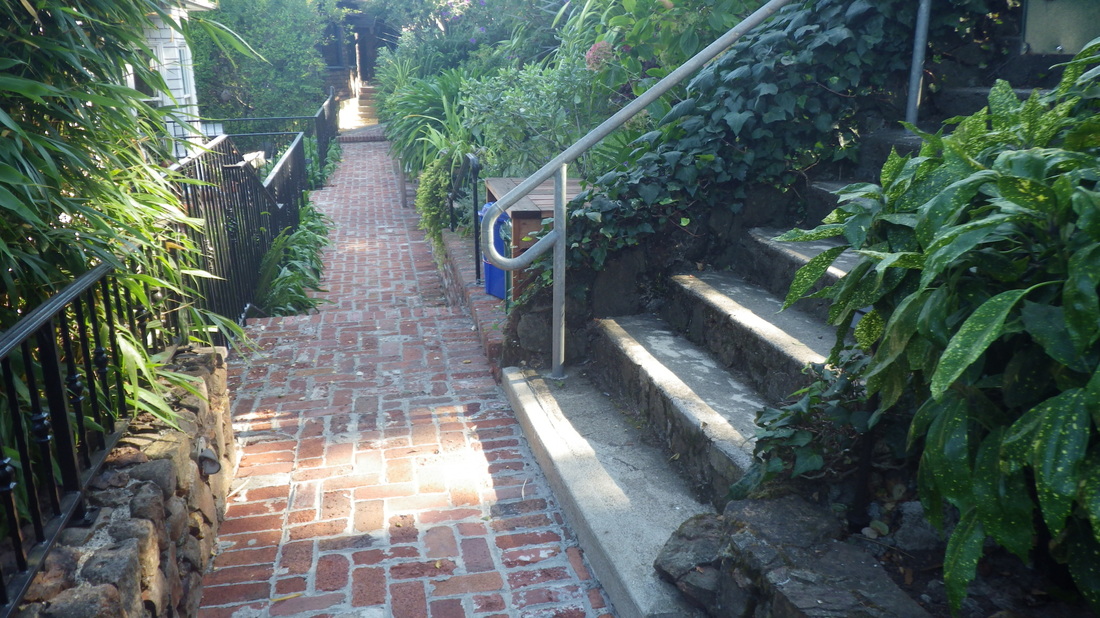
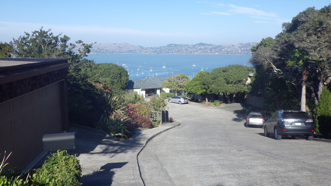
Back up the stairs again, turned onto the Presidio Promenade Trail (pic 14), heading south via Crissy Field Overlook (pic 15) and down past the stables to say hi to the friendly hosses (pic 16).
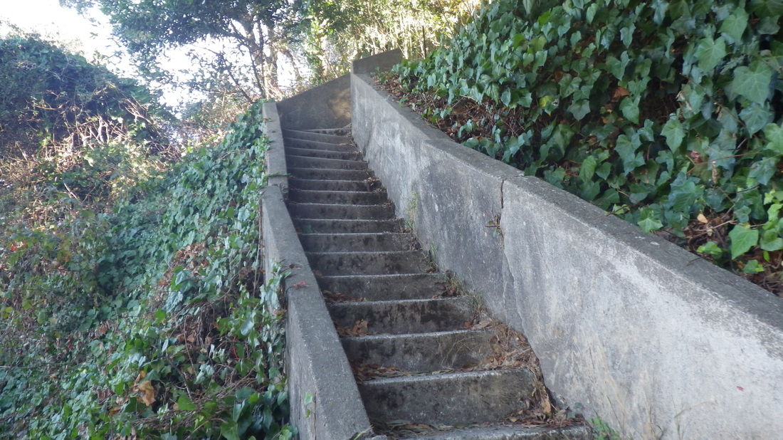
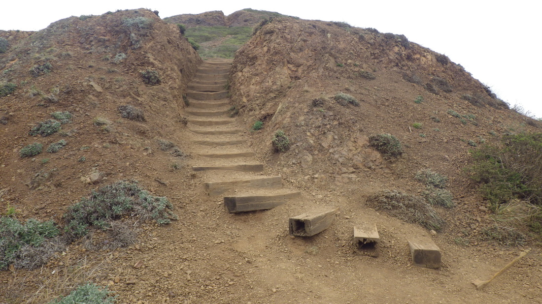
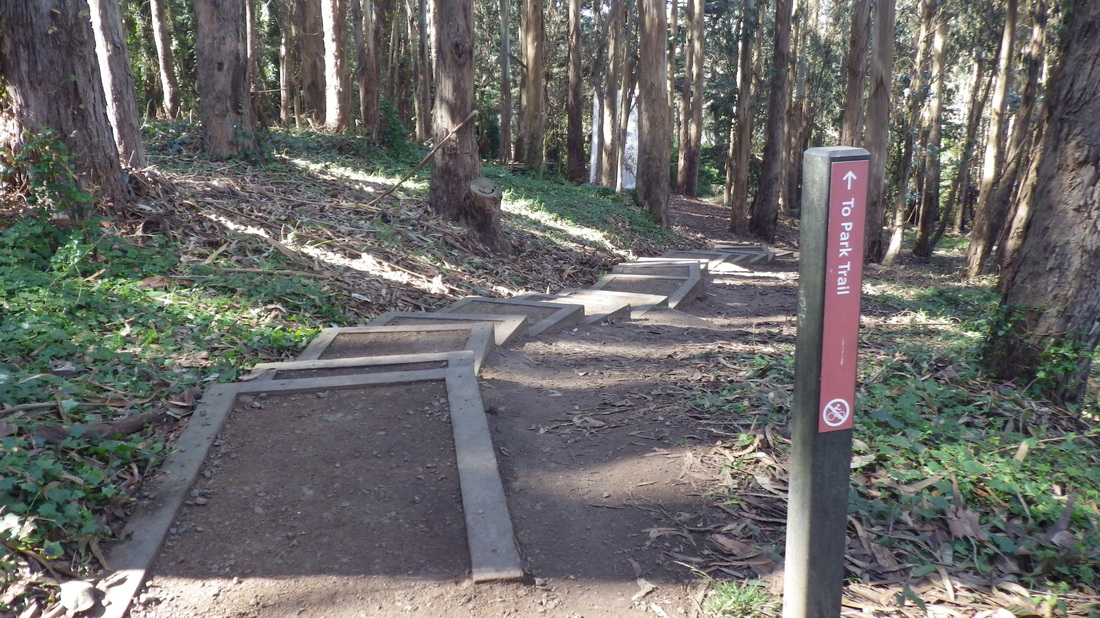
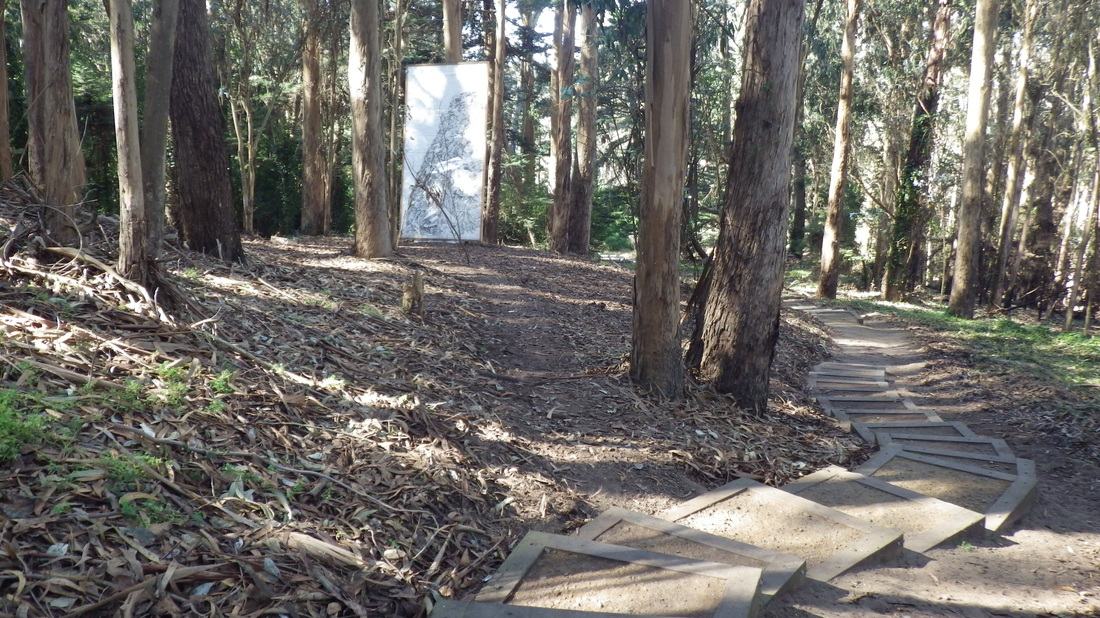
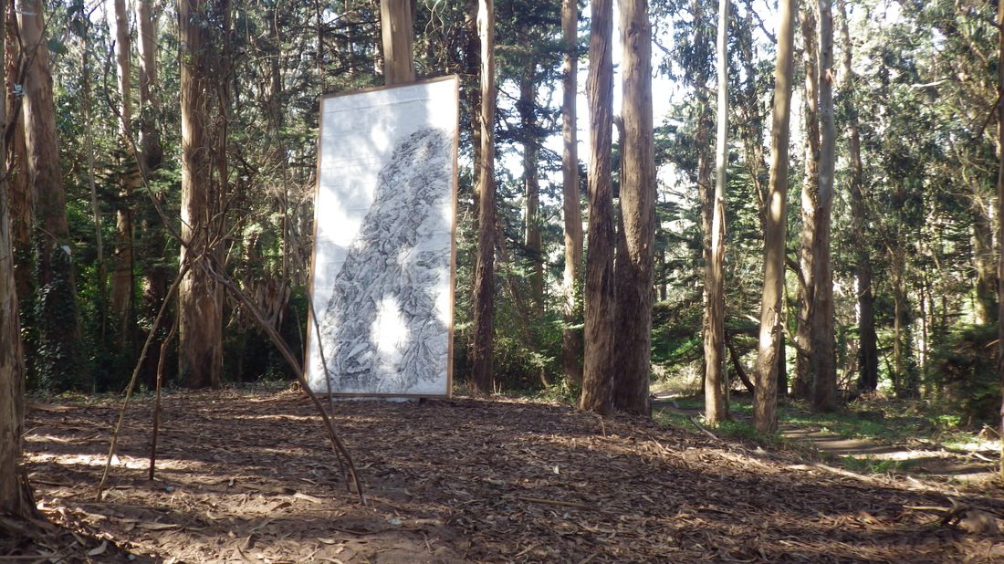
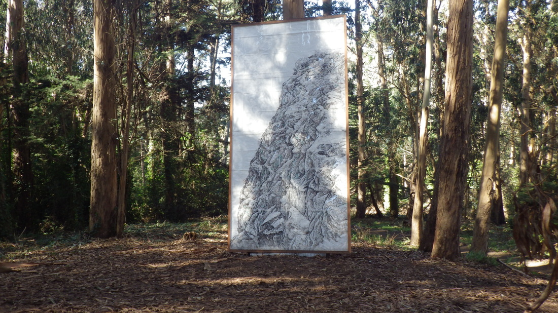
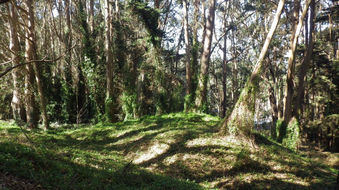
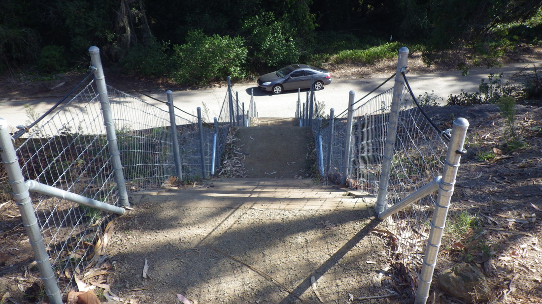
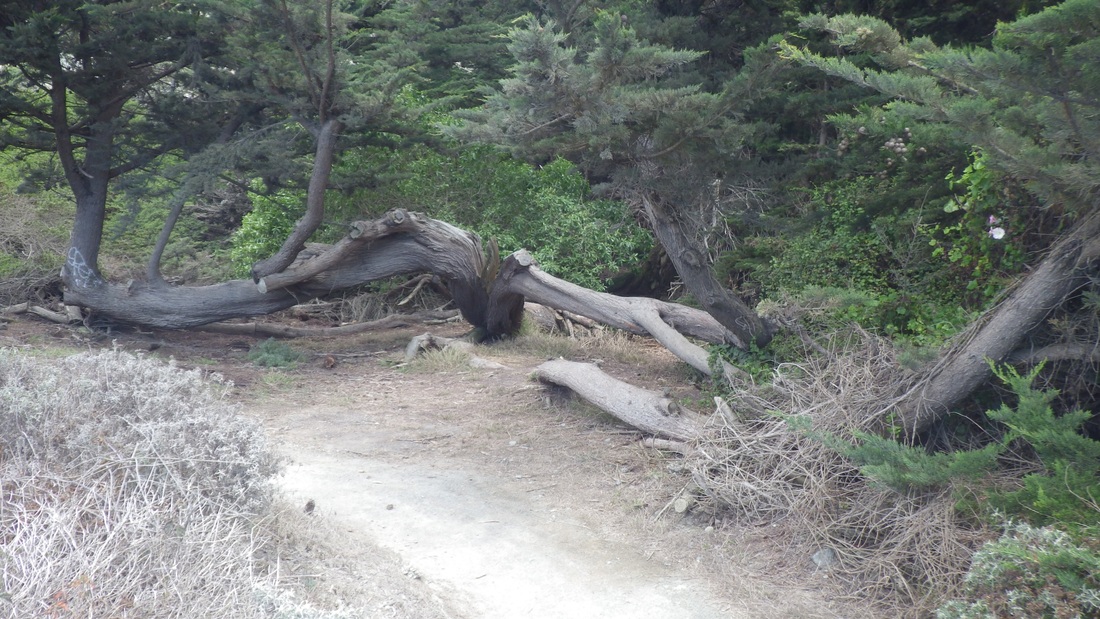
Up the Park Trail and from there continuing up on the Cemetery Overlook Connector Trail (98 steps), past the Frog Woman Rock temp art installation in the forest (pics 17, 18, 19).
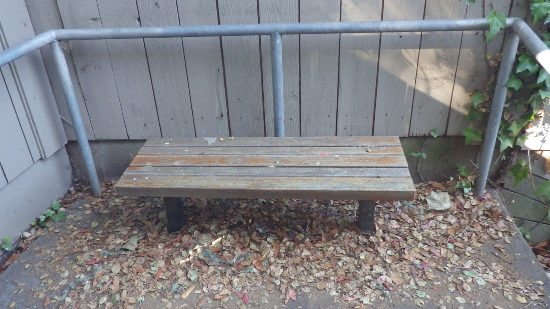
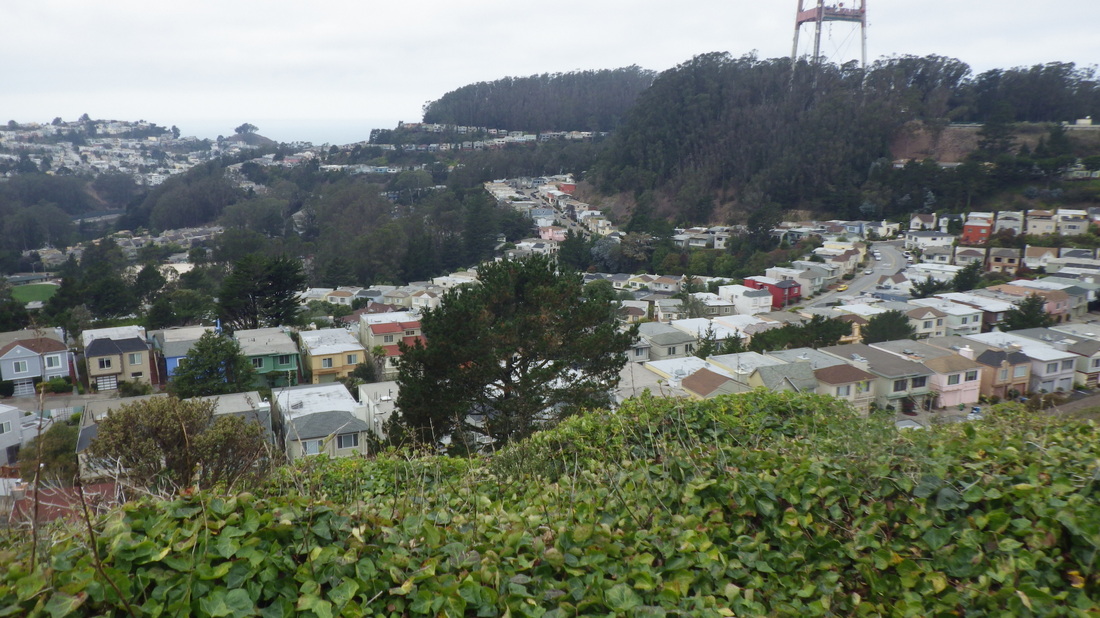
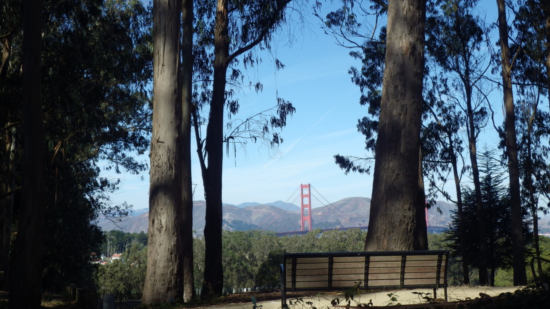
Out at the overlook's south entrance, continued past Inspiration Point to the Arguello Gate (last pic: I like this bench: just before exiting the park here).
However, this time decided to head east along the Battery East Trail (pic 7).
The Battery East Trail's curving wood stairway has 153 steps (pics 8 through 13). It descends to west Crissy Field near the Warming Hut.
Back up the stairs again, turned onto the Presidio Promenade Trail (pic 14), heading south via Crissy Field Overlook (pic 15) and down past the stables to say hi to the friendly hosses (pic 16).
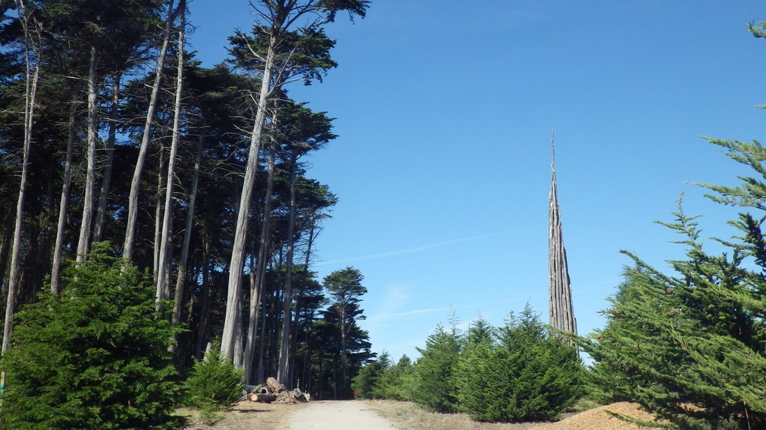
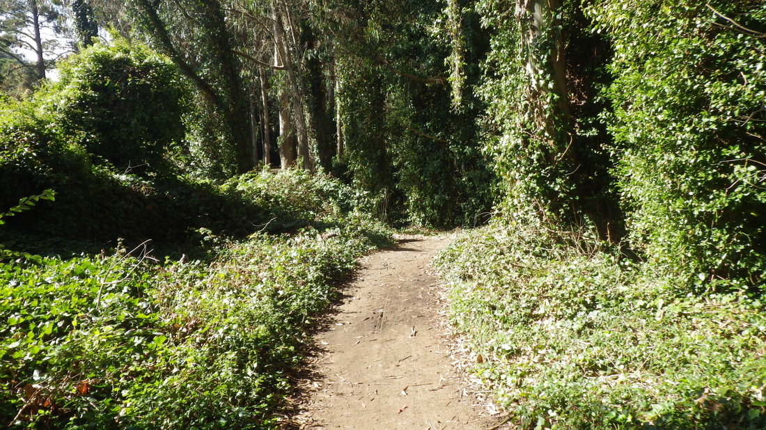
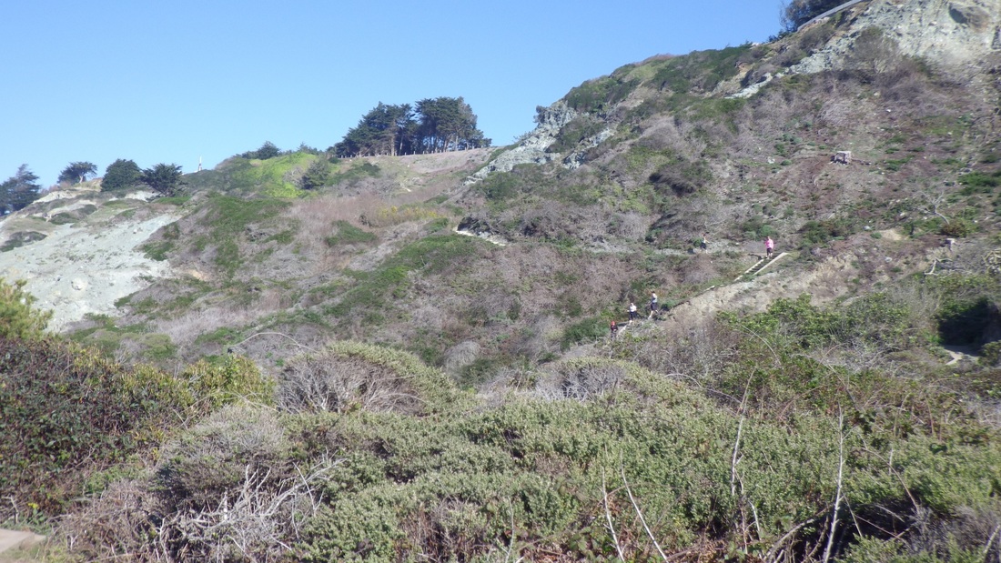
Up the Park Trail and from there continuing up on the Cemetery Overlook Connector Trail (98 steps), past the Frog Woman Rock temp art installation in the forest (pics 17, 18, 19).
Out at the overlook's south entrance, continued past Inspiration Point to the Arguello Gate (last pic: I like this bench: just before exiting the park here).
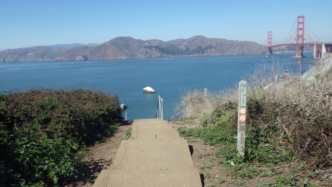
1. West trailhead for the Batteries to Bluffs
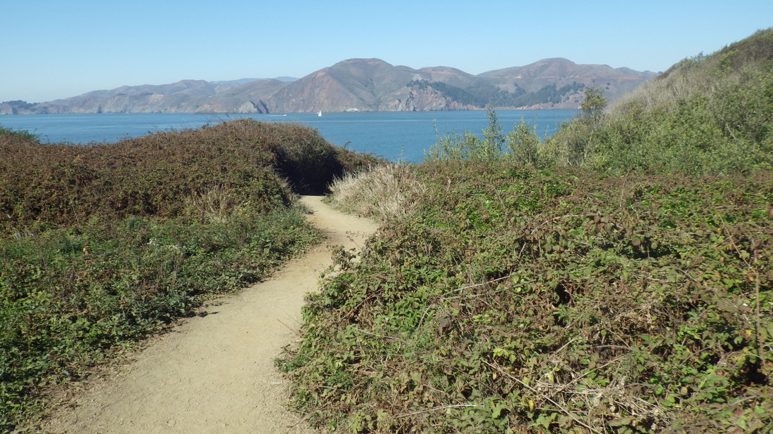
2. Batteries to Bluffs midtrail
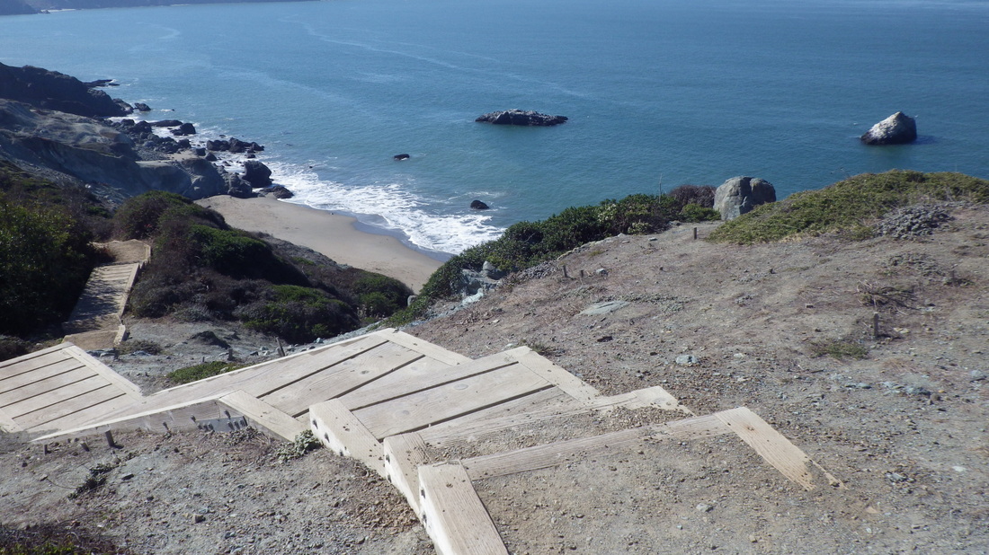
3. Marshall's Beach below
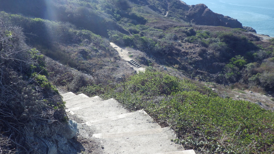
4. View west on the Batteries to Bluffs
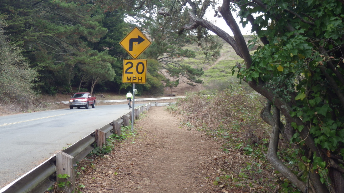
5. Connector Trail up from Lincoln to Immigrant Point Overlook
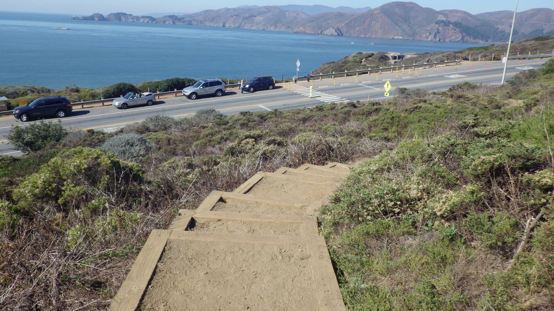
6. Immigrant Point Overlook Connector Trail
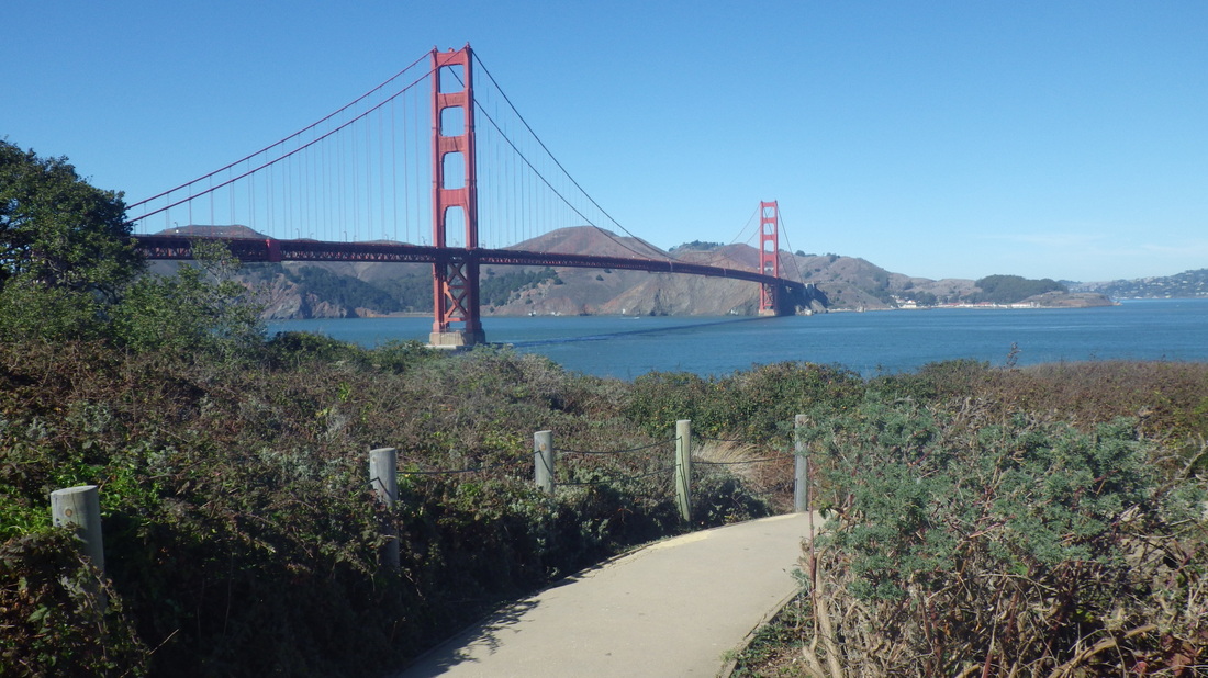
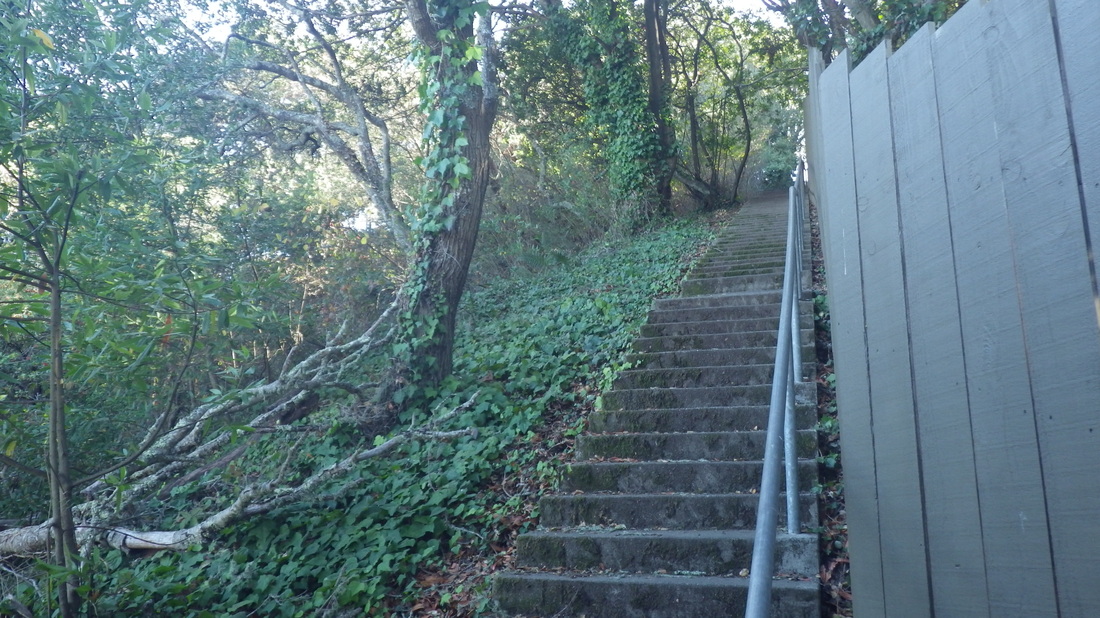
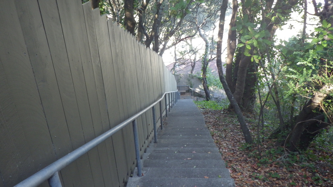
7. Battery East Trail
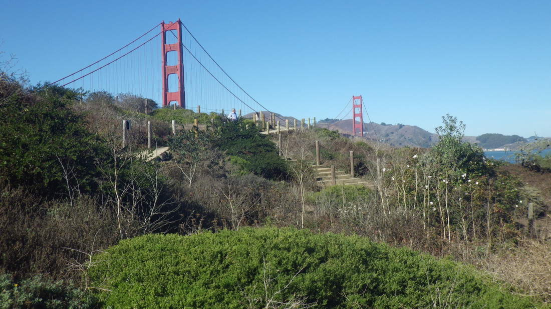
8. Battery East Trail
9. Battery East Trail down to Crissy Field
10. Top of Battery East Trail stairway
11. Battery East stairway
12. Back up again
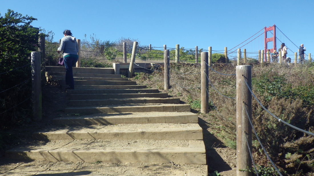
13. Battery East Trail
14. Presidio Promenade Trail
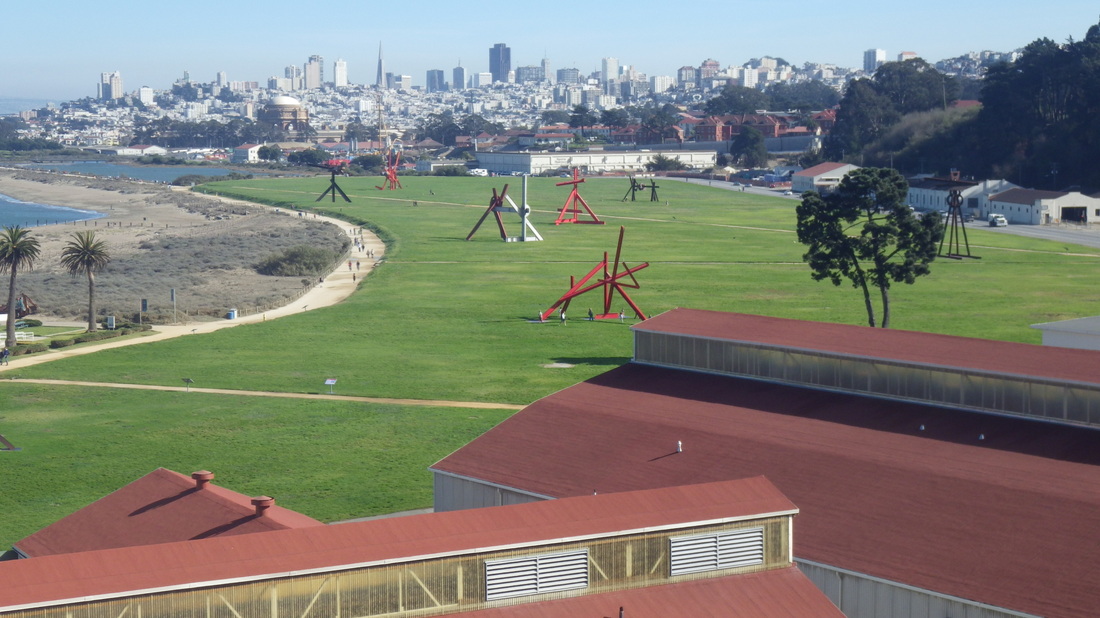
15. Crissy Field sculptures below
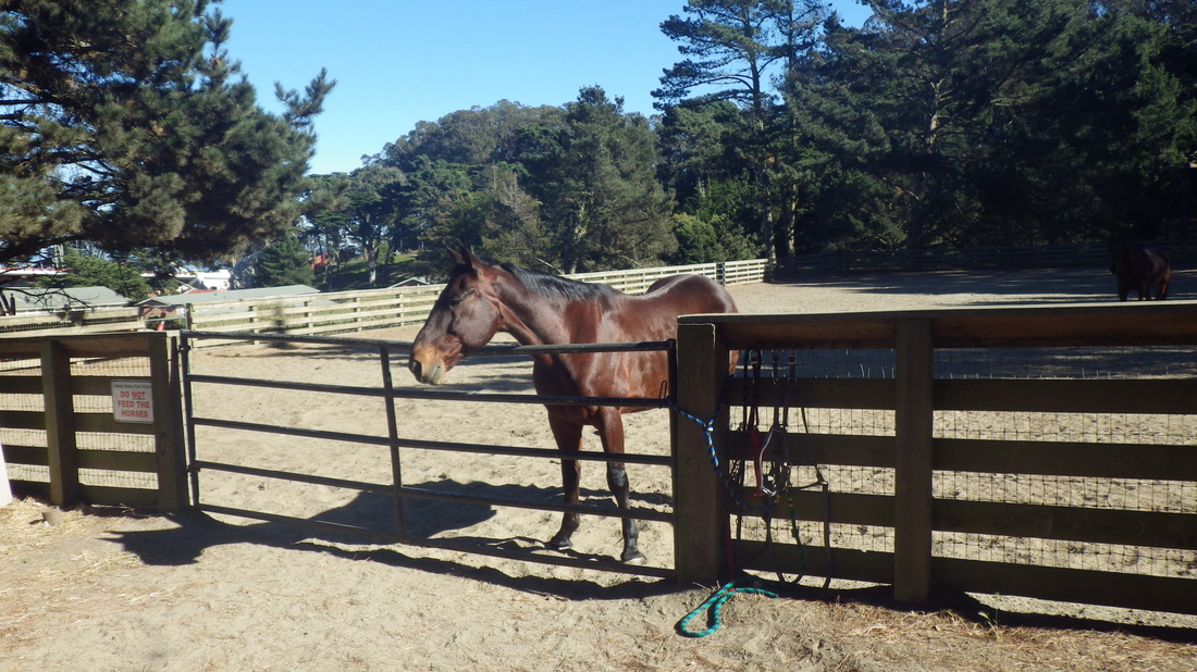
16. Presidio Stables
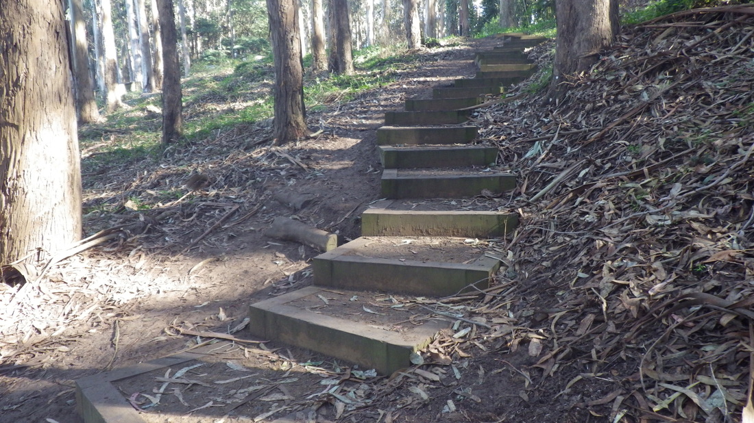
17. Cemetery Overlook Connector Trail up from Park Trail
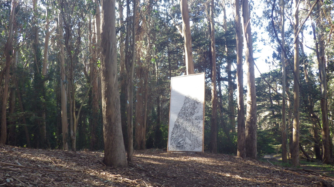
18. Frog Woman Rock: Art in the Park
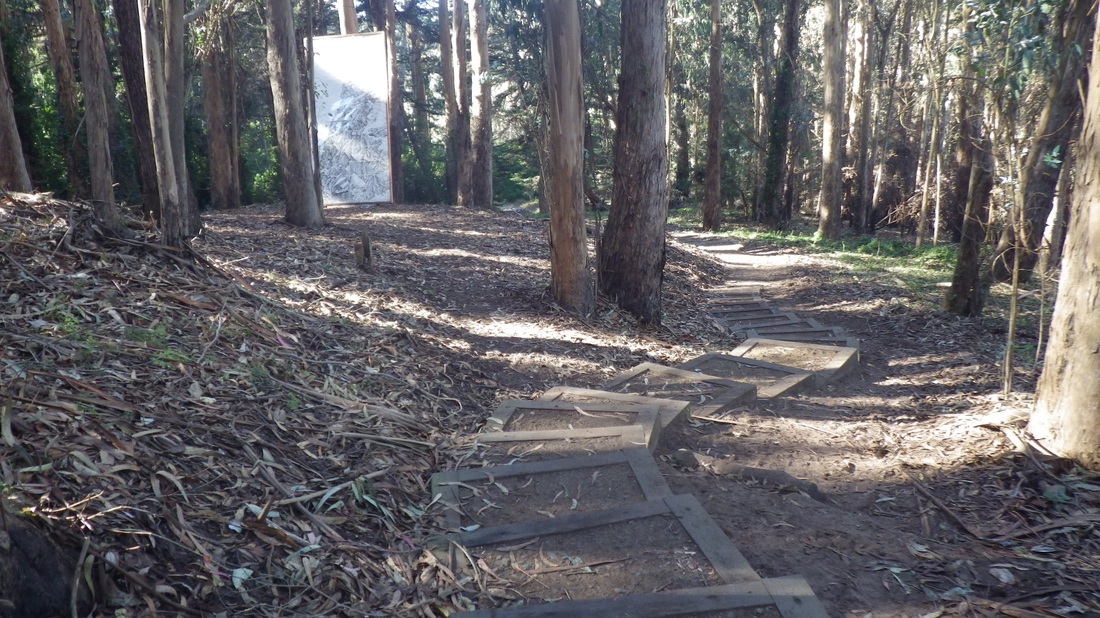
19. Up to Cemetery Overlook
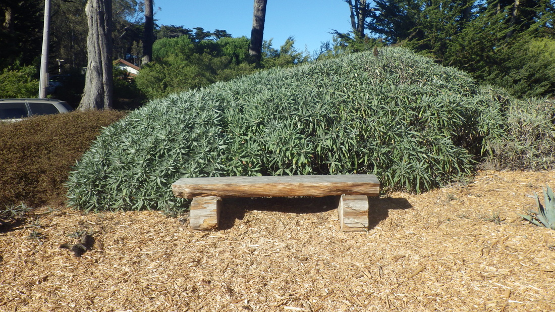
20. Bench at Arguello Gate


 RSS Feed
