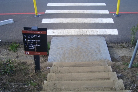
Took the J-Church Metro for a change to the Glen Park BART/Metro station at the south end of Diamond/east end of Monterey. Into the Sunnyside neighborhood: Monterey, Joost, past the south end of Dorothy Erskine Park, Congo, Mangels.
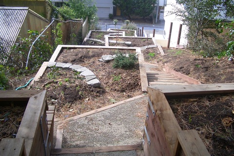
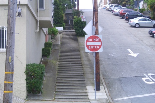
Next to the hole in the ground on Mangels where the little house collapsed a few years ago is the top of the Joost-Baden Minipark (first photo).
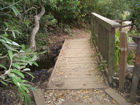
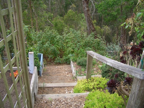
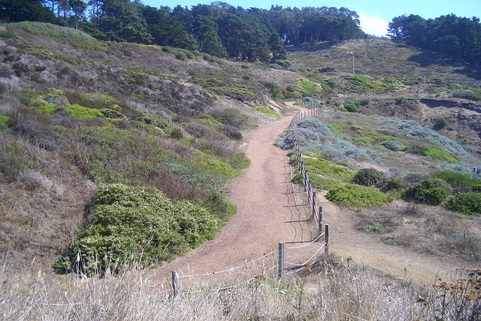
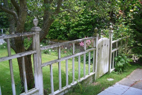
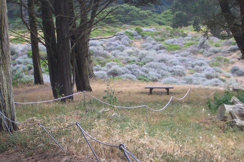
Up Congo to Melrose to appreciate the Melrose/Detroit Botanical Garden, a gorgeous little park with benches and views (second photo).
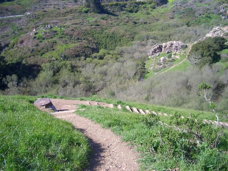
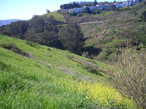
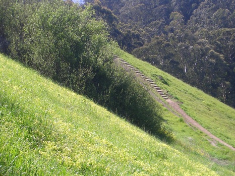
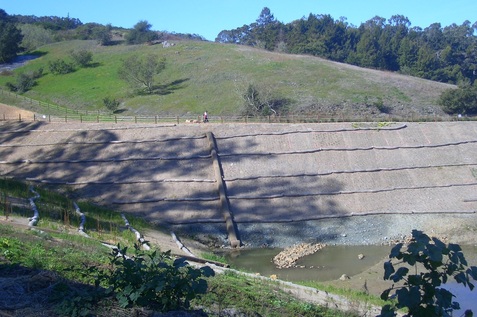
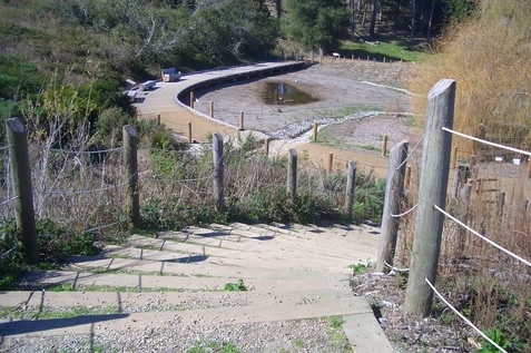
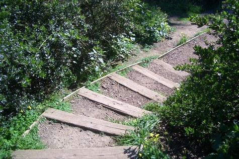
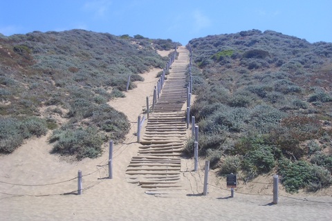
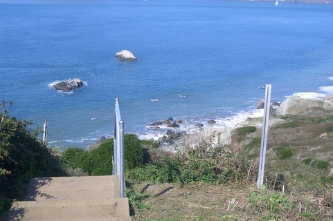
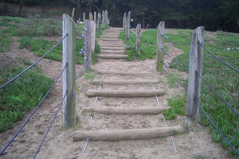
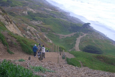
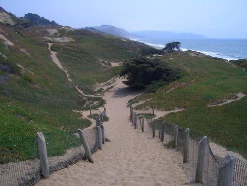
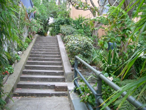
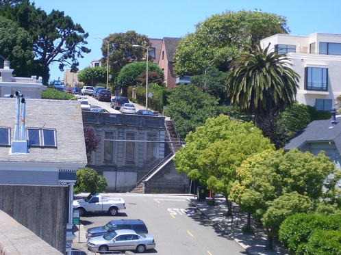
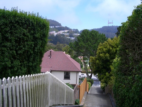
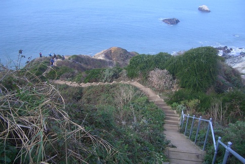
Back to Mangels to Teresita at the top of Sunnyside Park (a 36 Teresita bus stop here), third pic. Down the park's stairways out to Foerster and back up Mangels again (fourth pic: steep here).
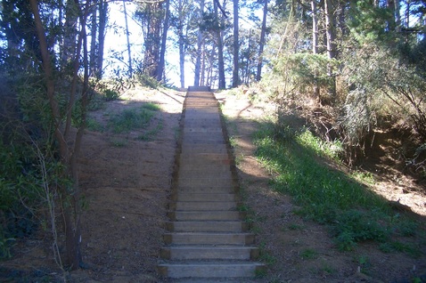
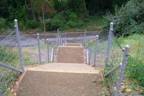
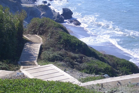
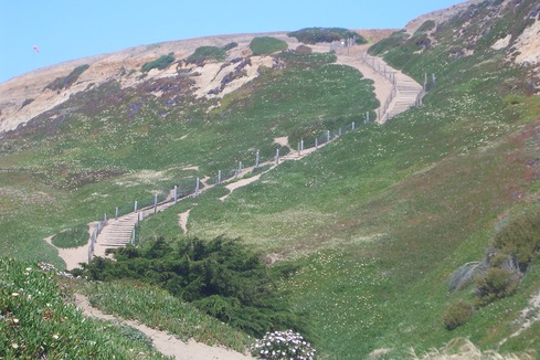
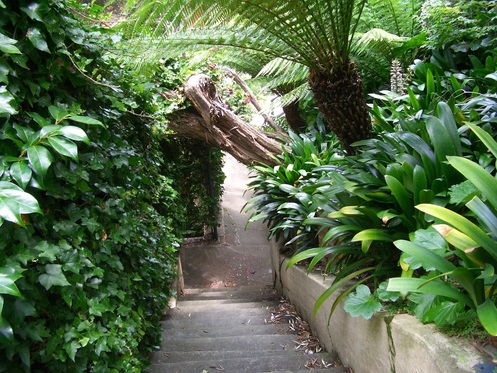
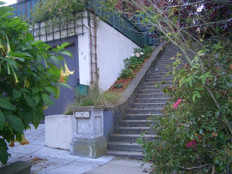
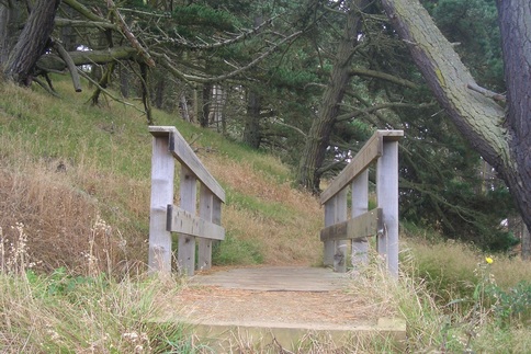
Stayed on Mangels over to Plymouth in the Westwood Highlands neighborhood. Up Casitas and into the Sherwood Forest 'hood, found myself on Lansdale at the top of the beautifully renovated Bengal Alley steps (last pic). Noticed more plantings since my last exploration of the new Bengal, including one still wearing its tag: a loquat tree.
Upcoming this weekend: Second Annual San Francisco History Expo 2012
"Saturday and Sunday, March 3 and 4
11 to 4
The Old Mint
88 Fifth Street at Mission
Free
(donations welcome)
Visit sfhistoryexpo.org for more information, including a list of participating organizations and the schedule of presentations and films."
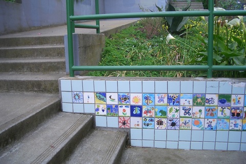
Joost-Baden Minipark down from Mangels
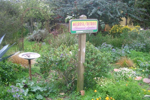
Melrose/Detroit Botanical Garden
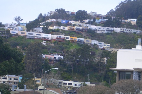
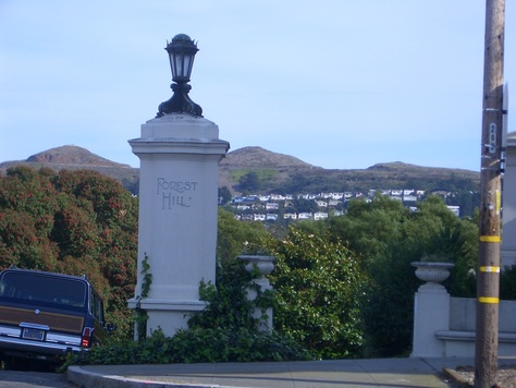
View from Teresita & Mangels. Mount Davidson Park upper right corner.
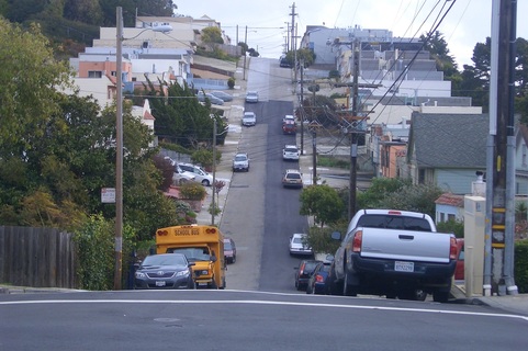
Mangels near Foerster. Sunnyside Park upper left.
The new Bengal Alley as of 2/2012
 RSS Feed
