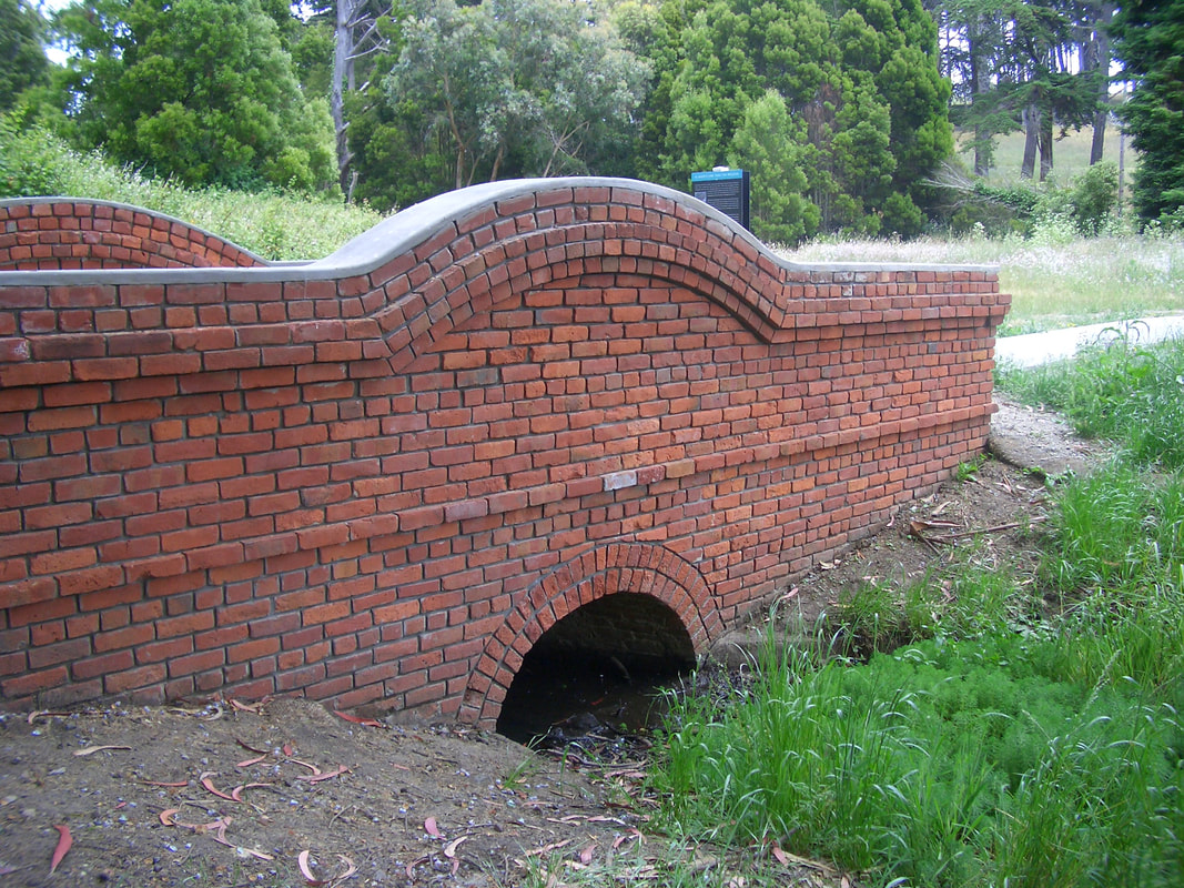
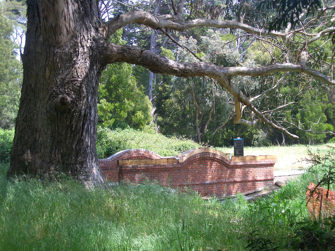
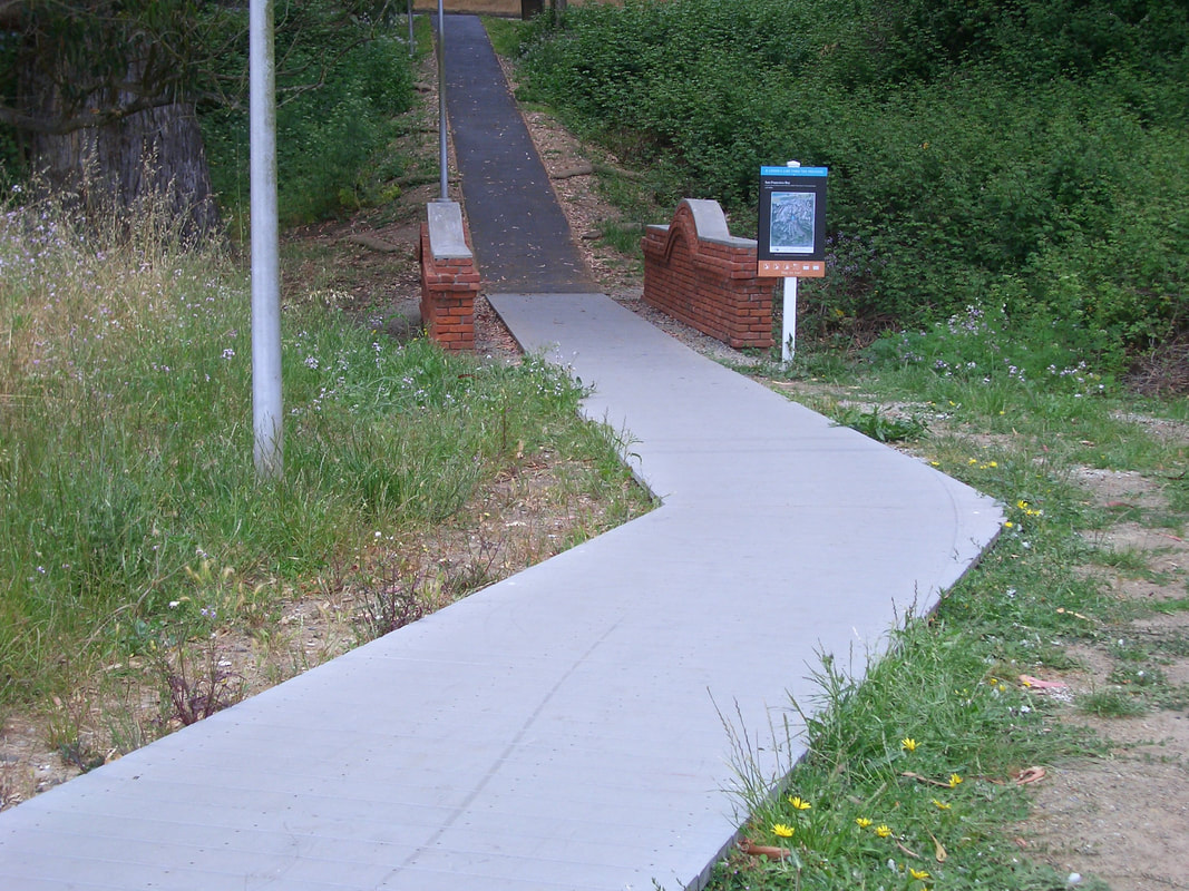
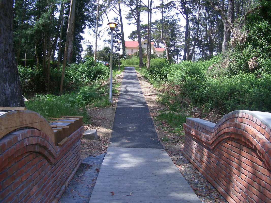
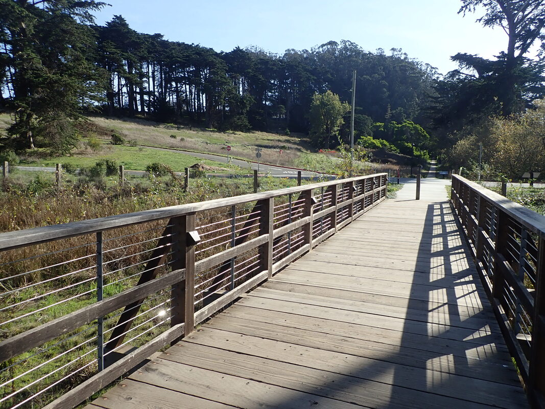
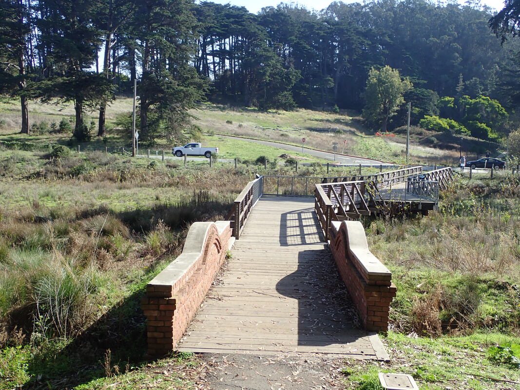
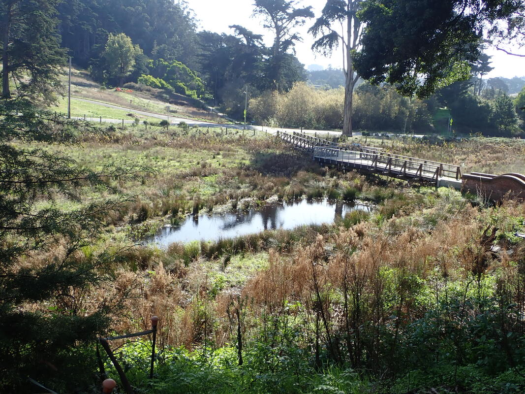
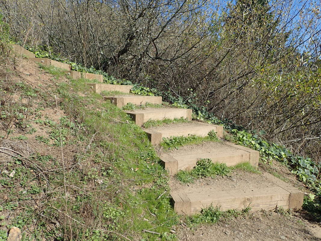
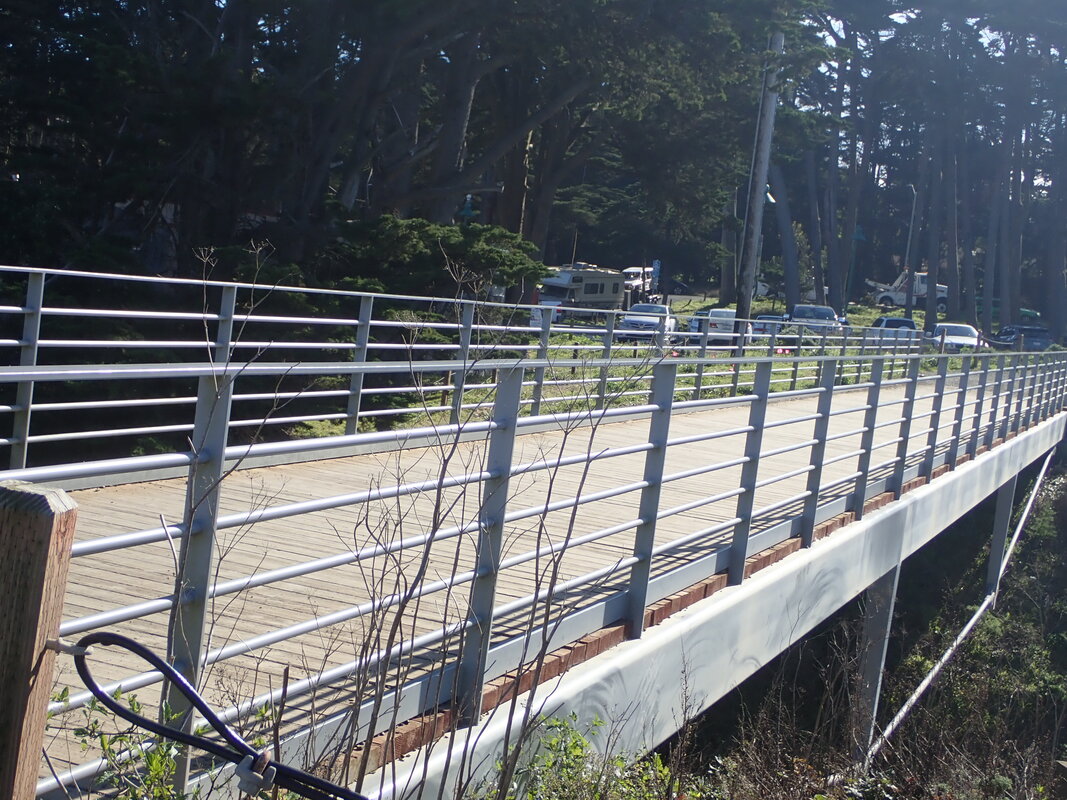
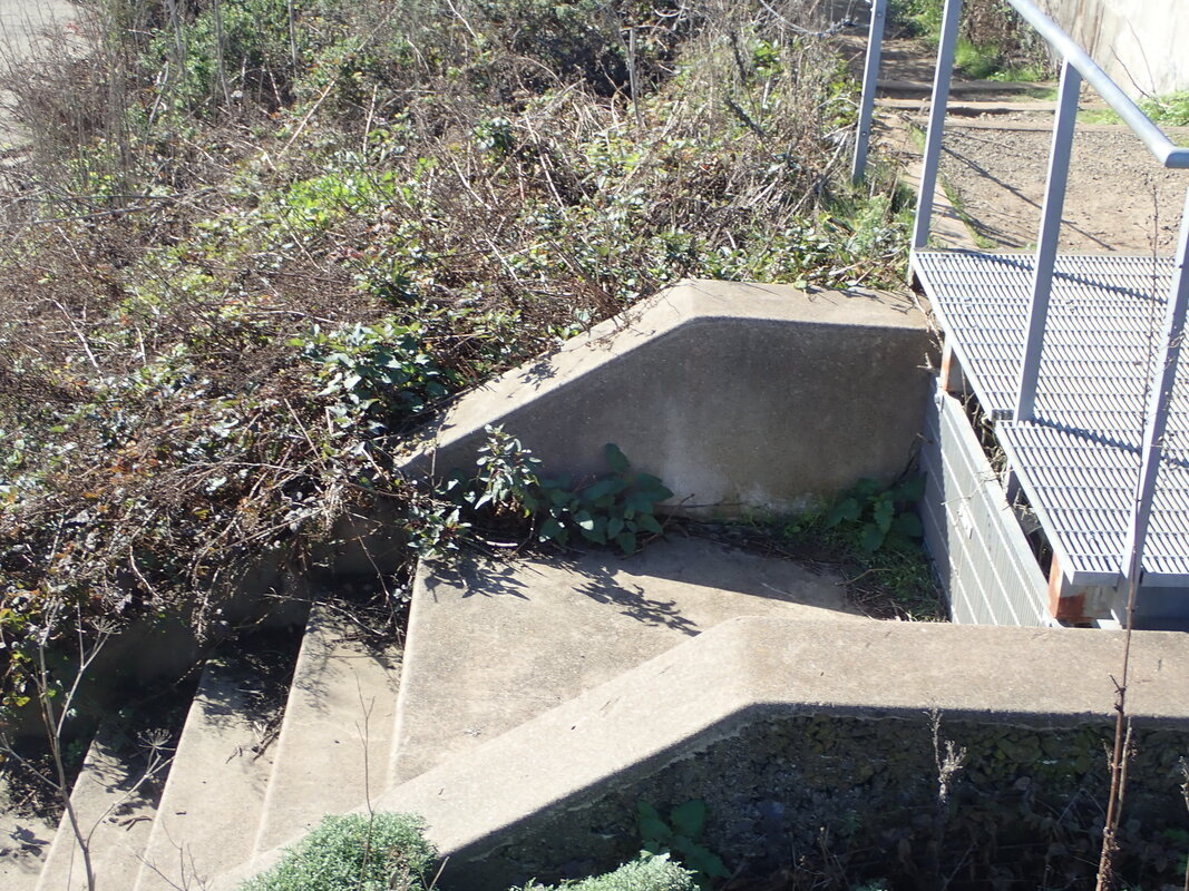
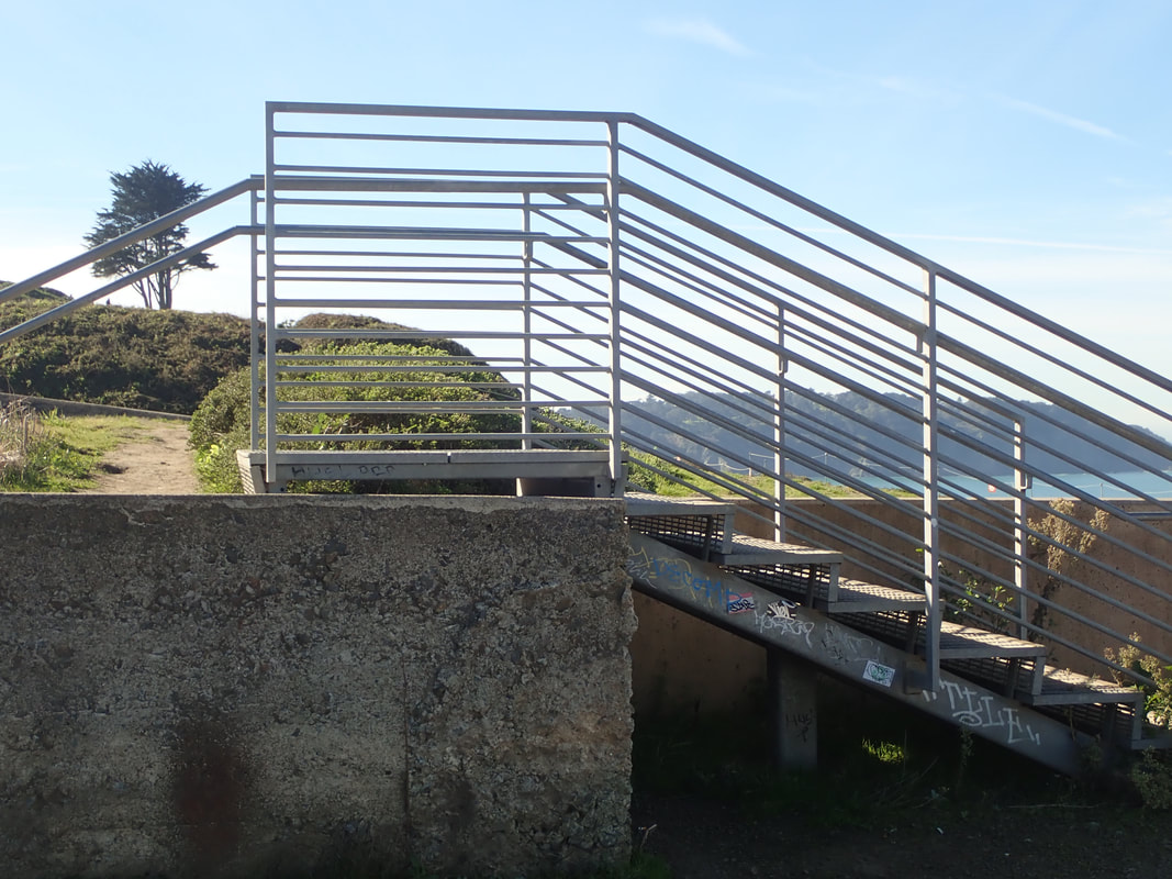
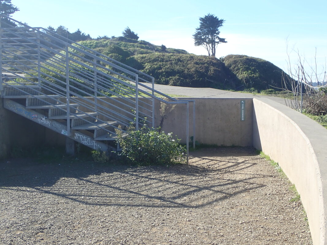
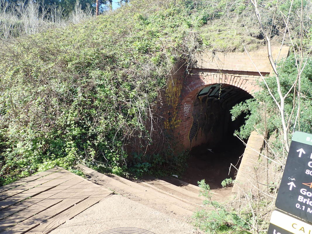
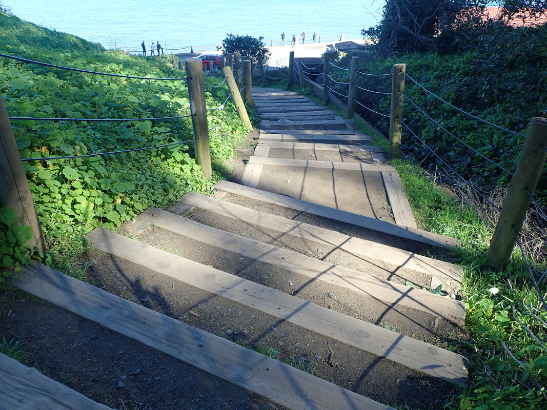
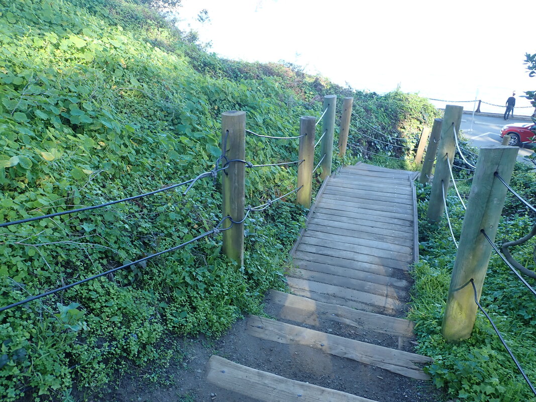
The main post has some THEN photos (20 thru 27) of the Lovers' Lane footbridge from 2009. Several years ago the area got a makeover. This is at the north end of the trail. There used to be prolific blackberry bushes around here that I sincerely miss.
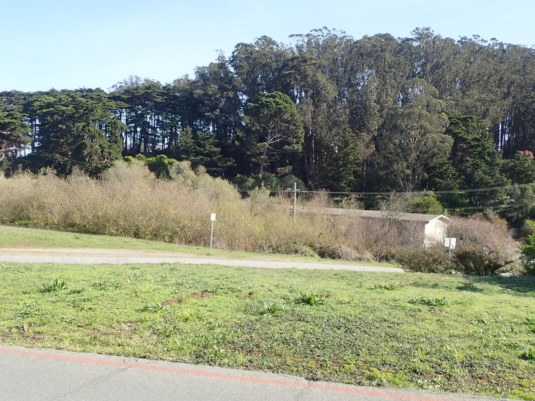
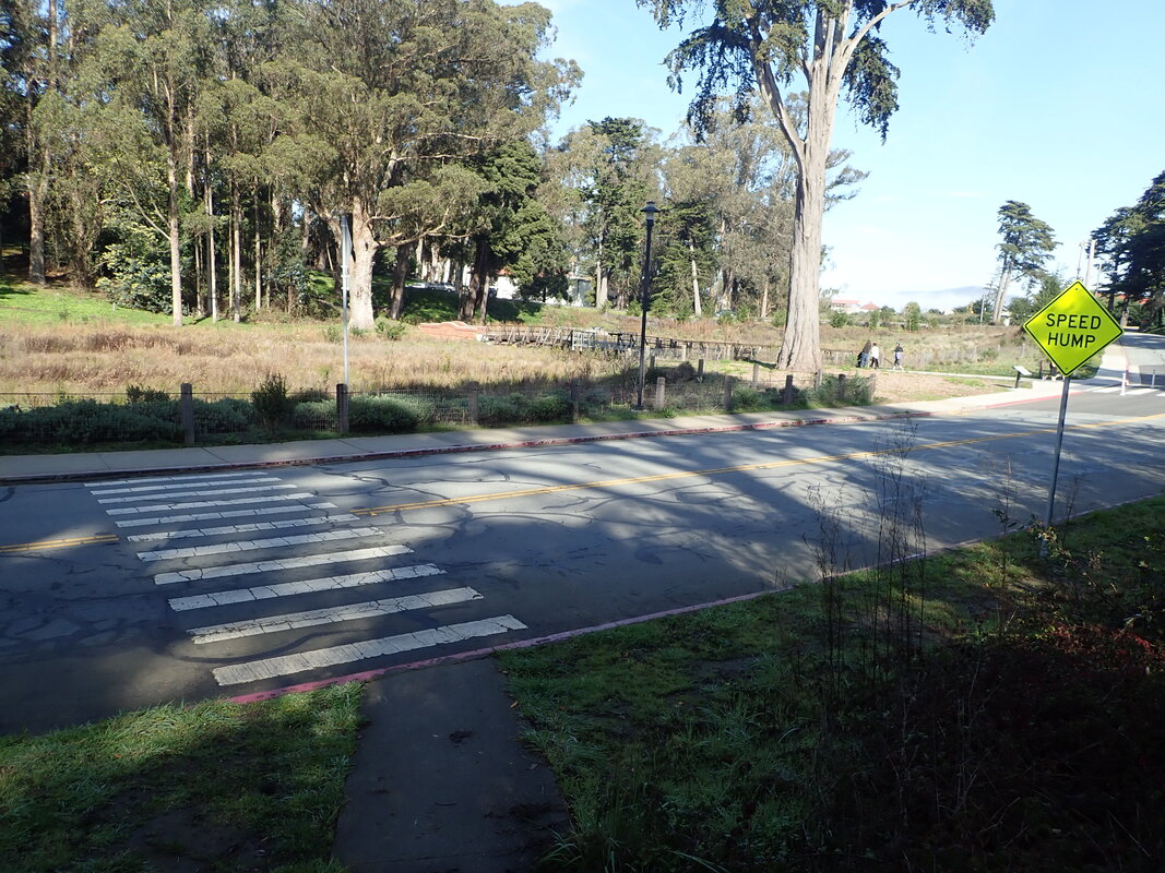
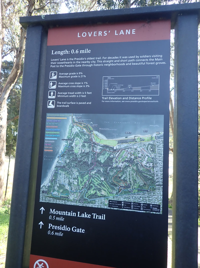
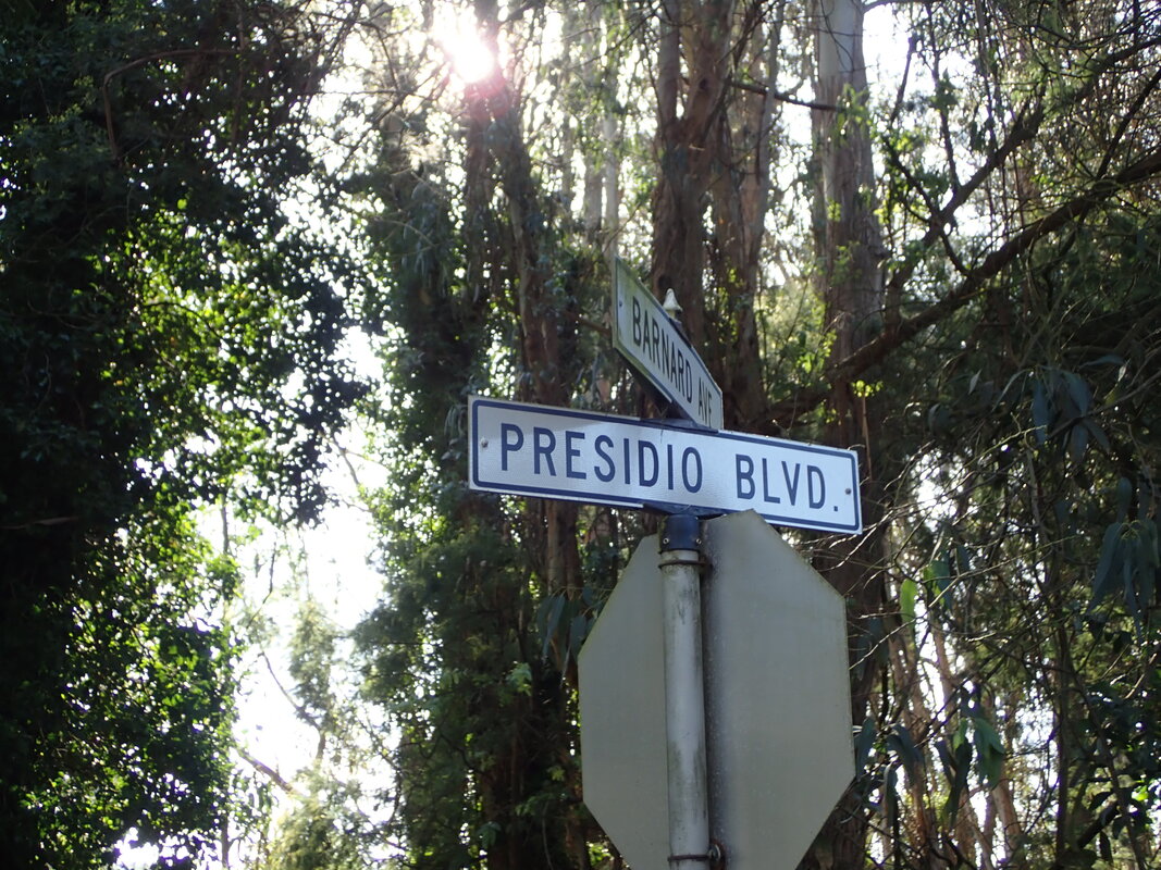
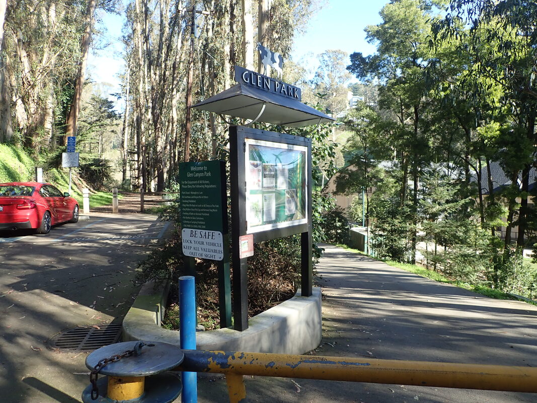
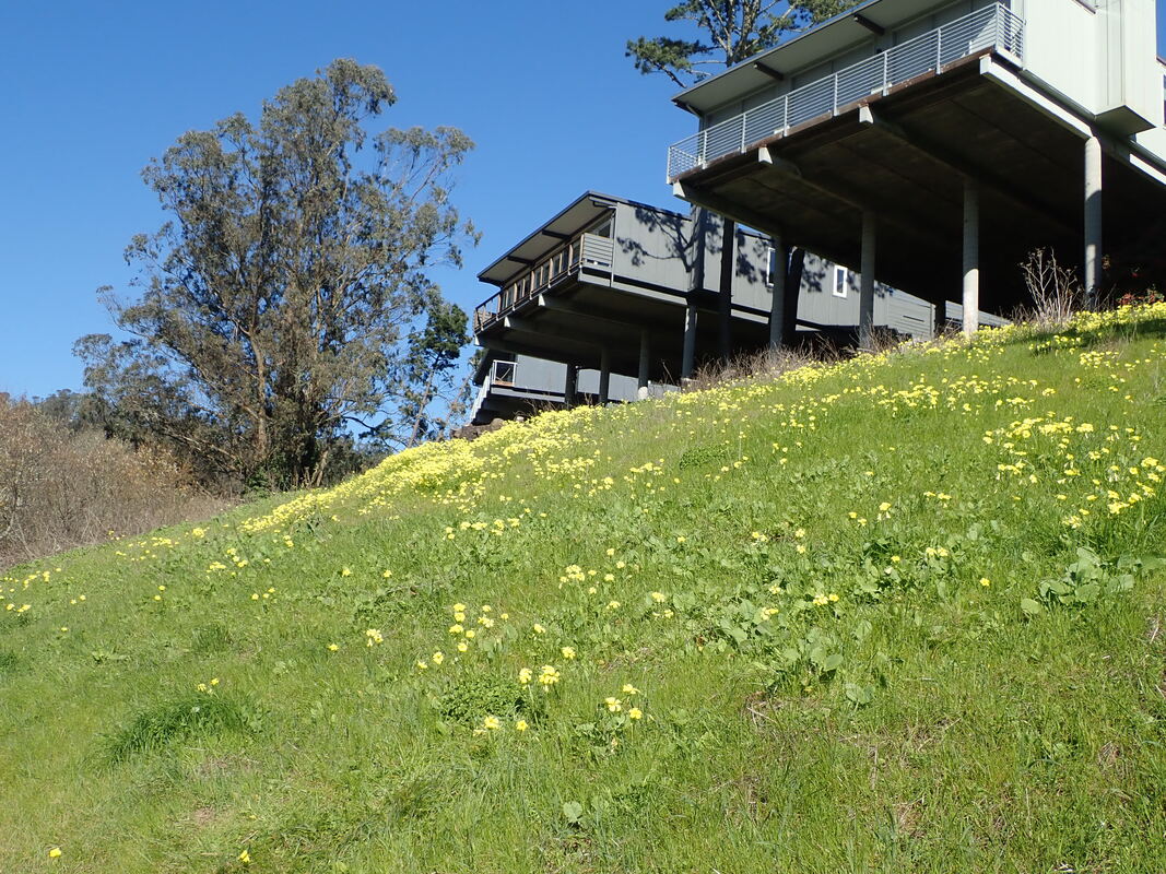
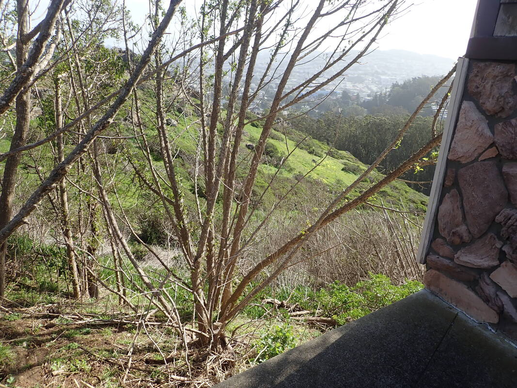
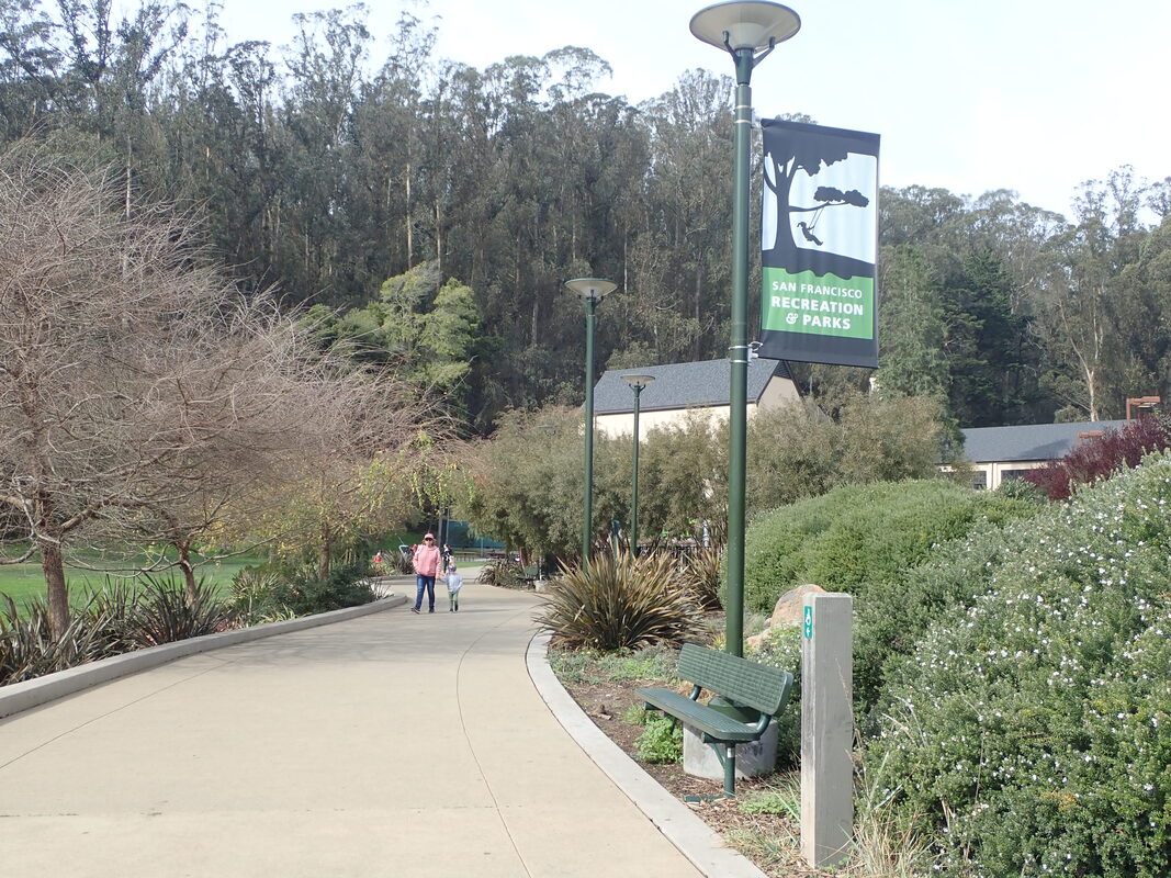
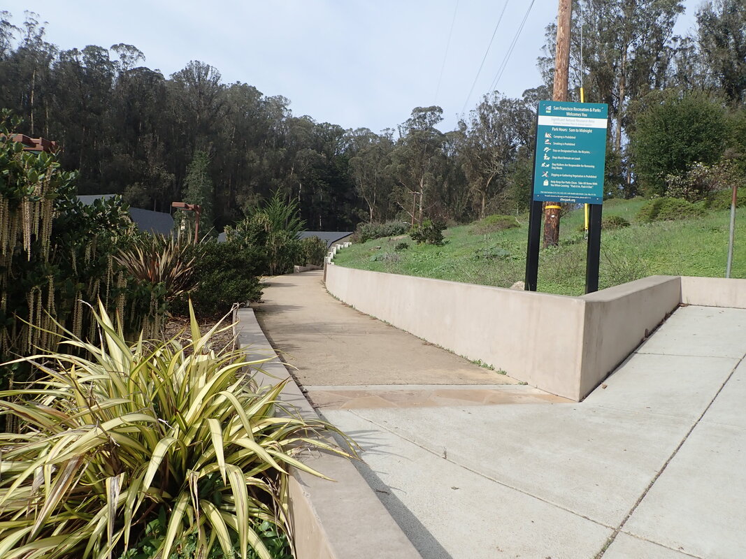
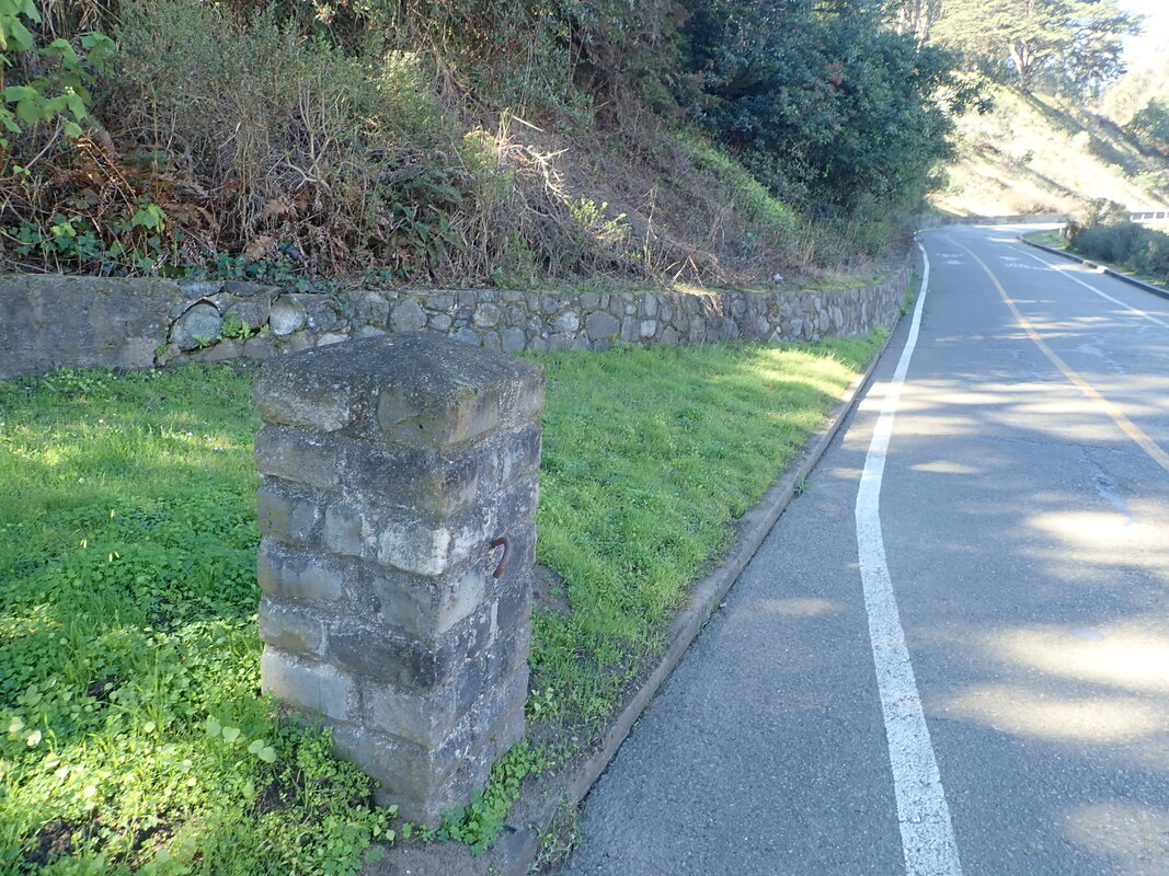
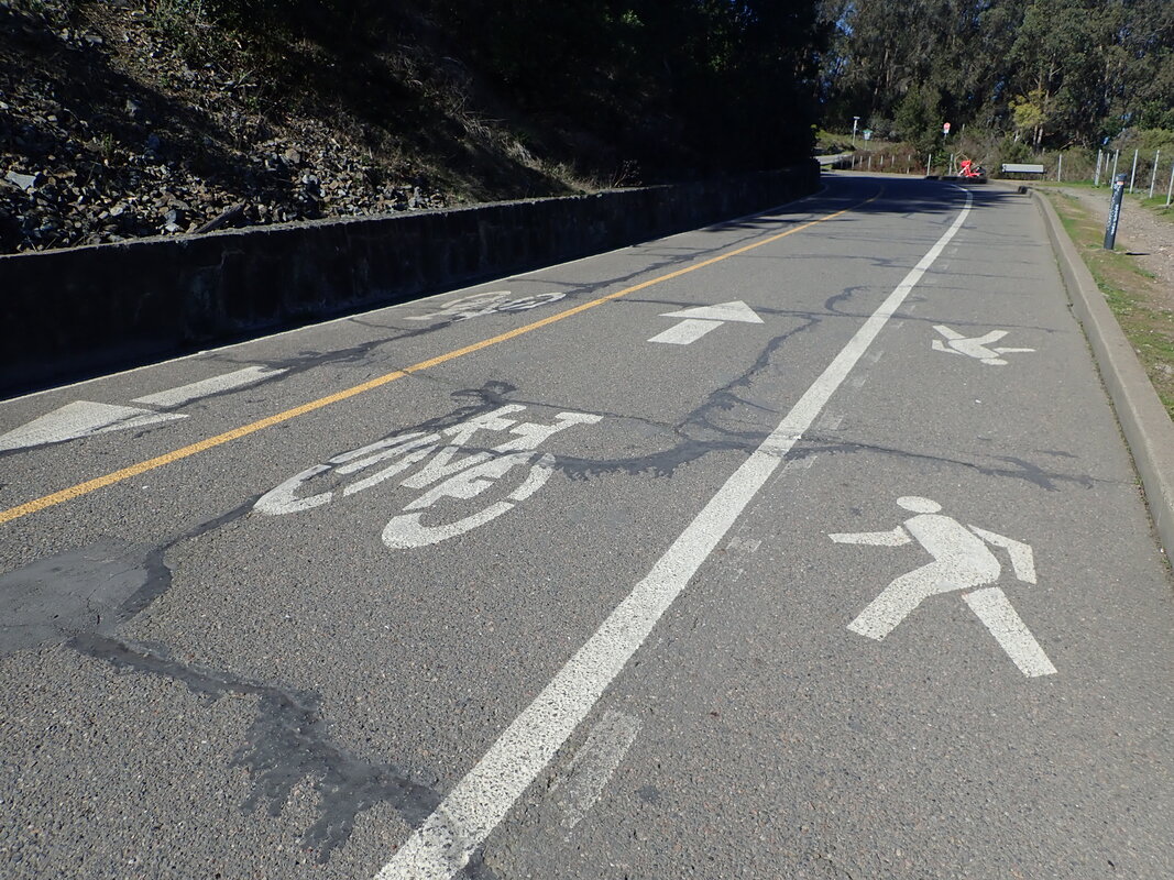
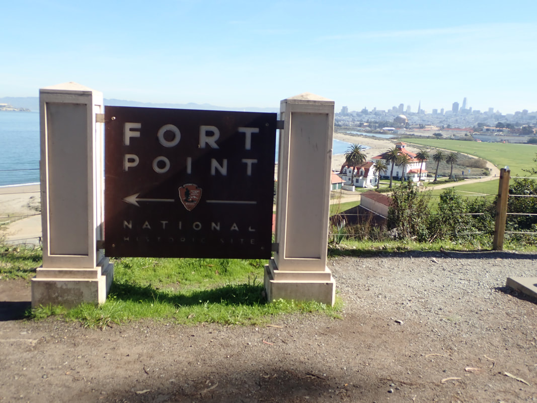
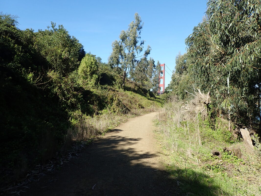
Starting off at the south end of Lovers' Lane at Presidio Blvd. & Pacific. This top part was recently cleared and the road above is now more visible: 1
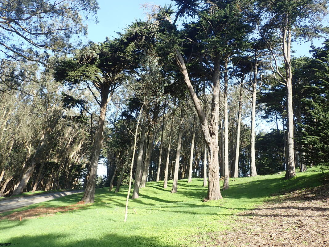
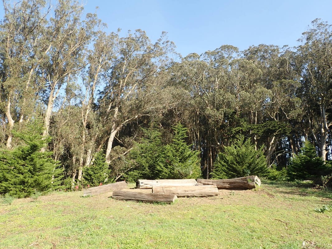
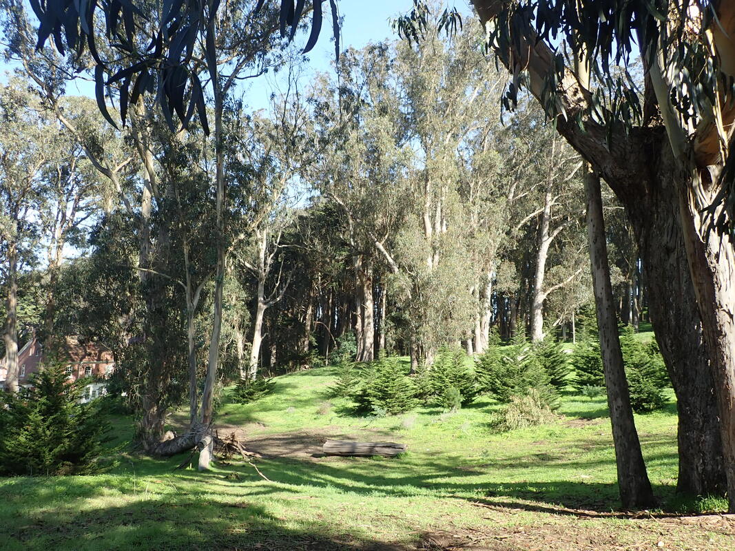
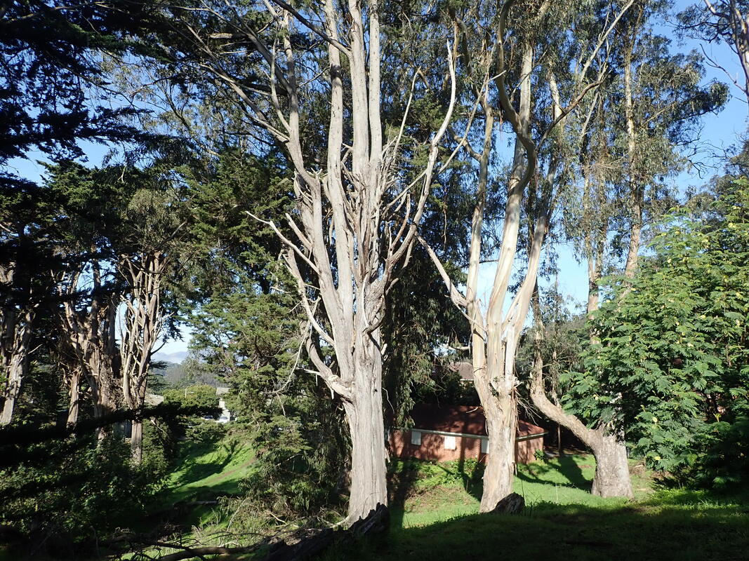
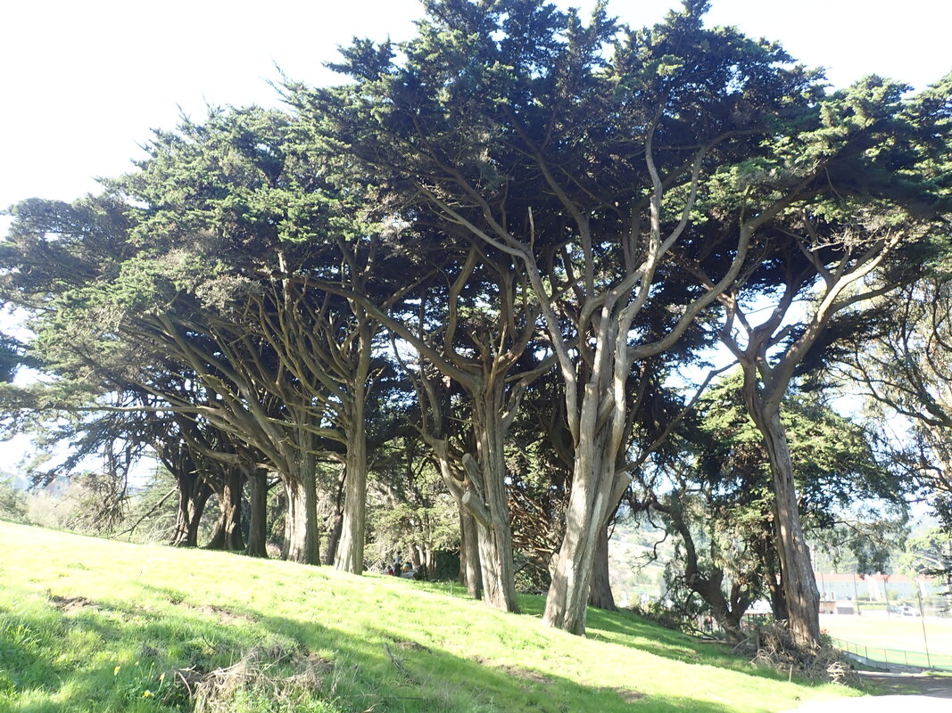
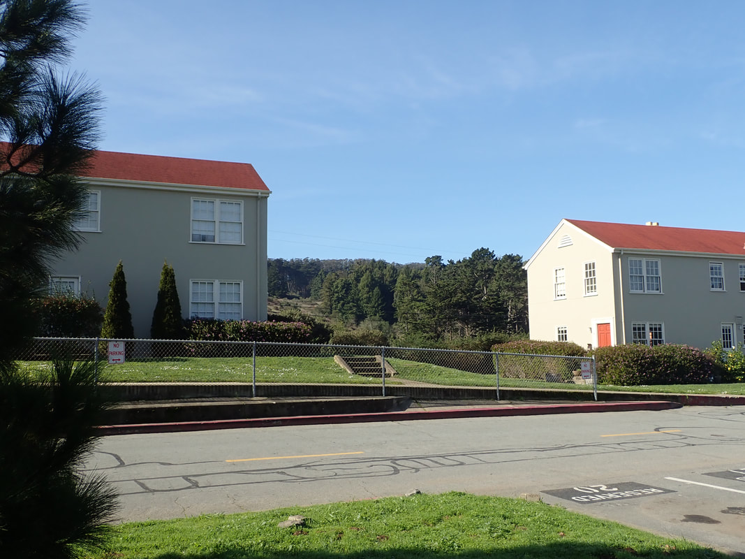
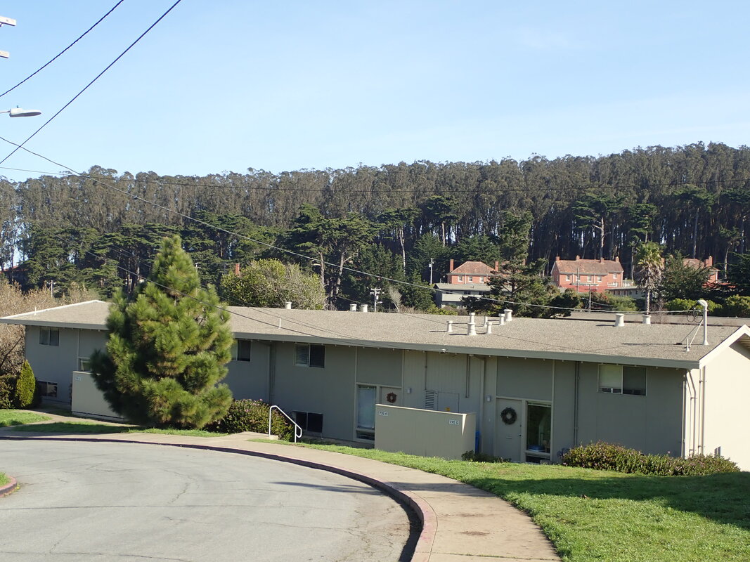
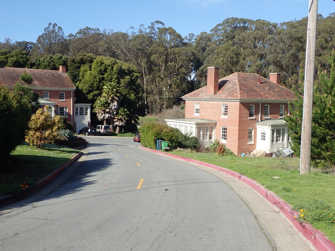
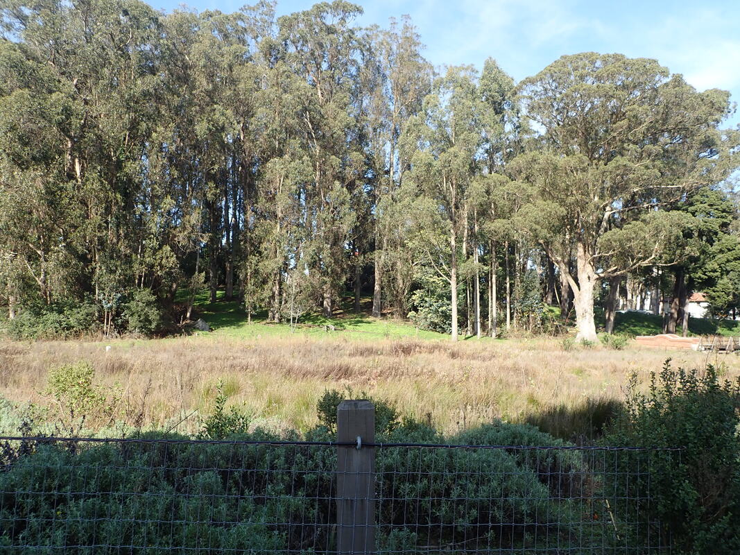
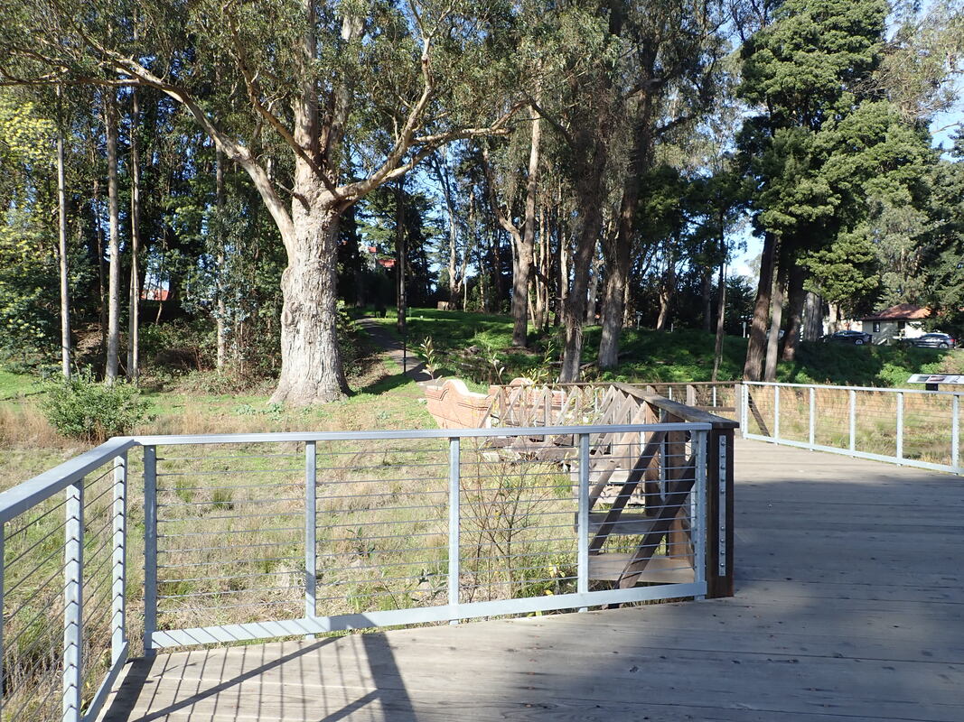
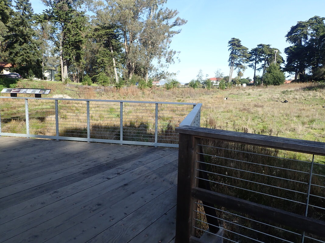
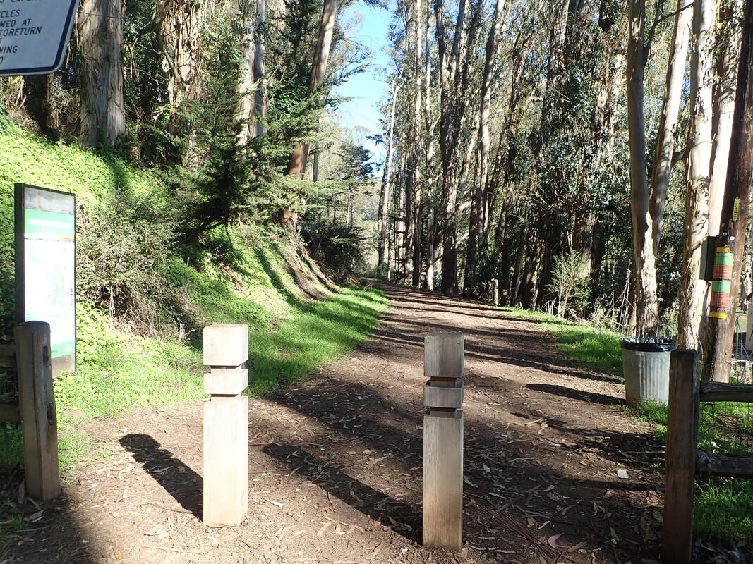
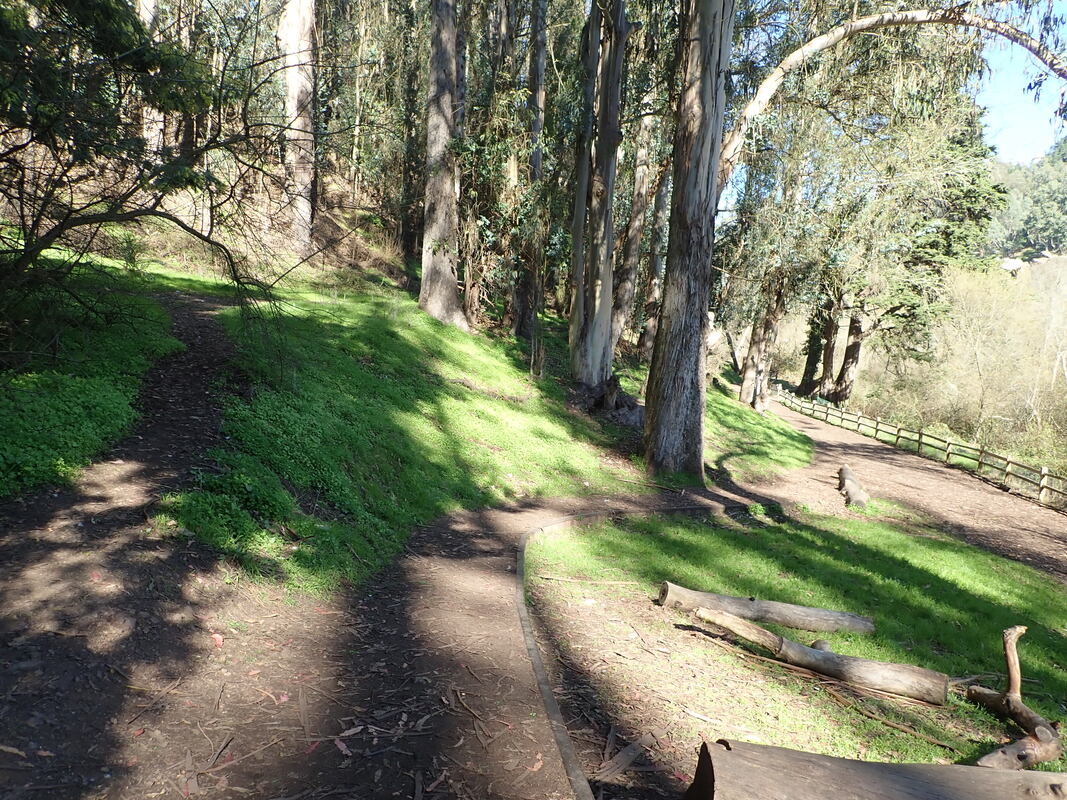
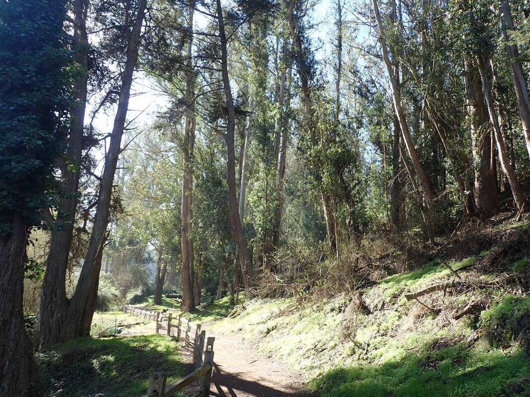
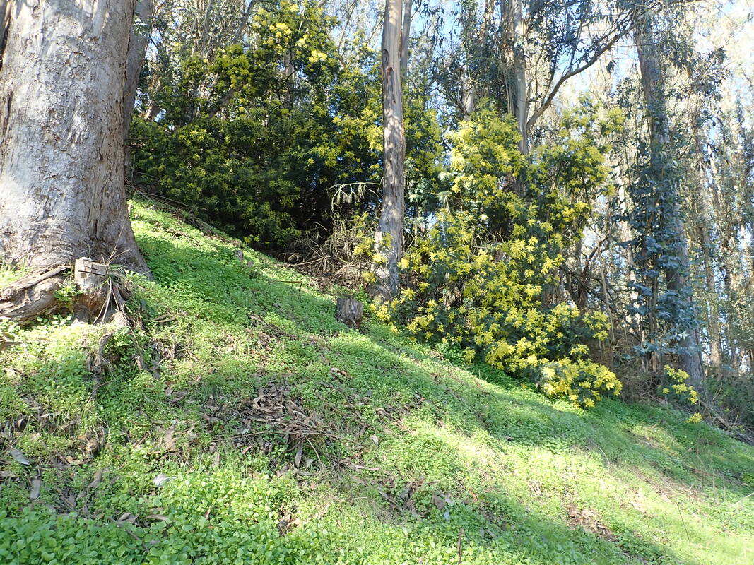
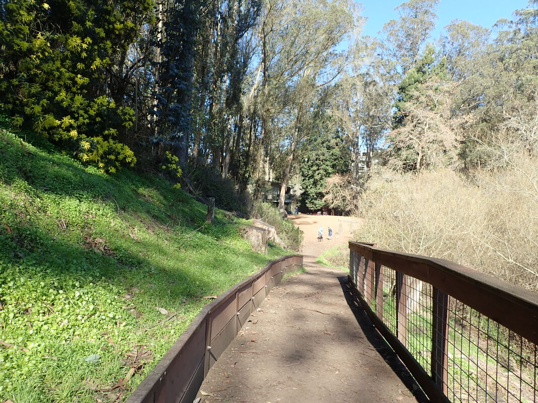
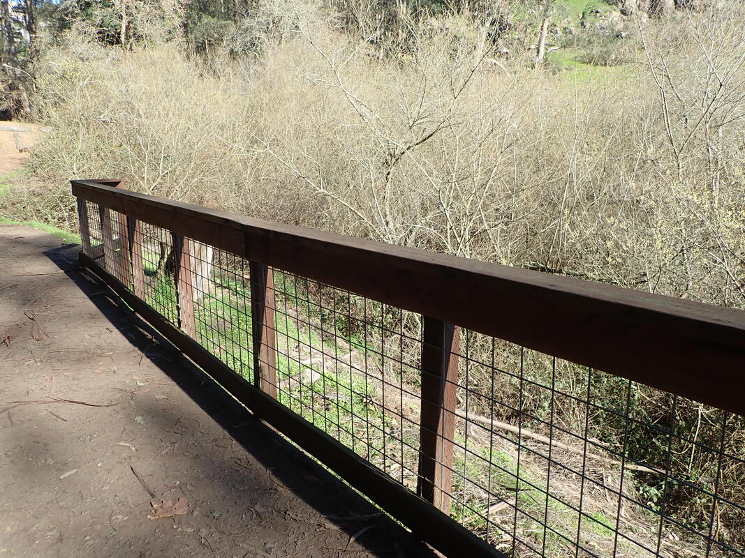
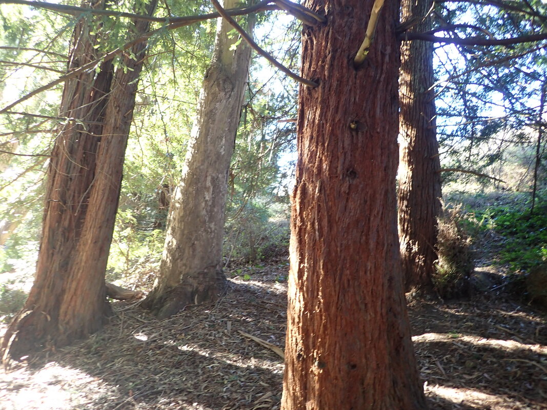
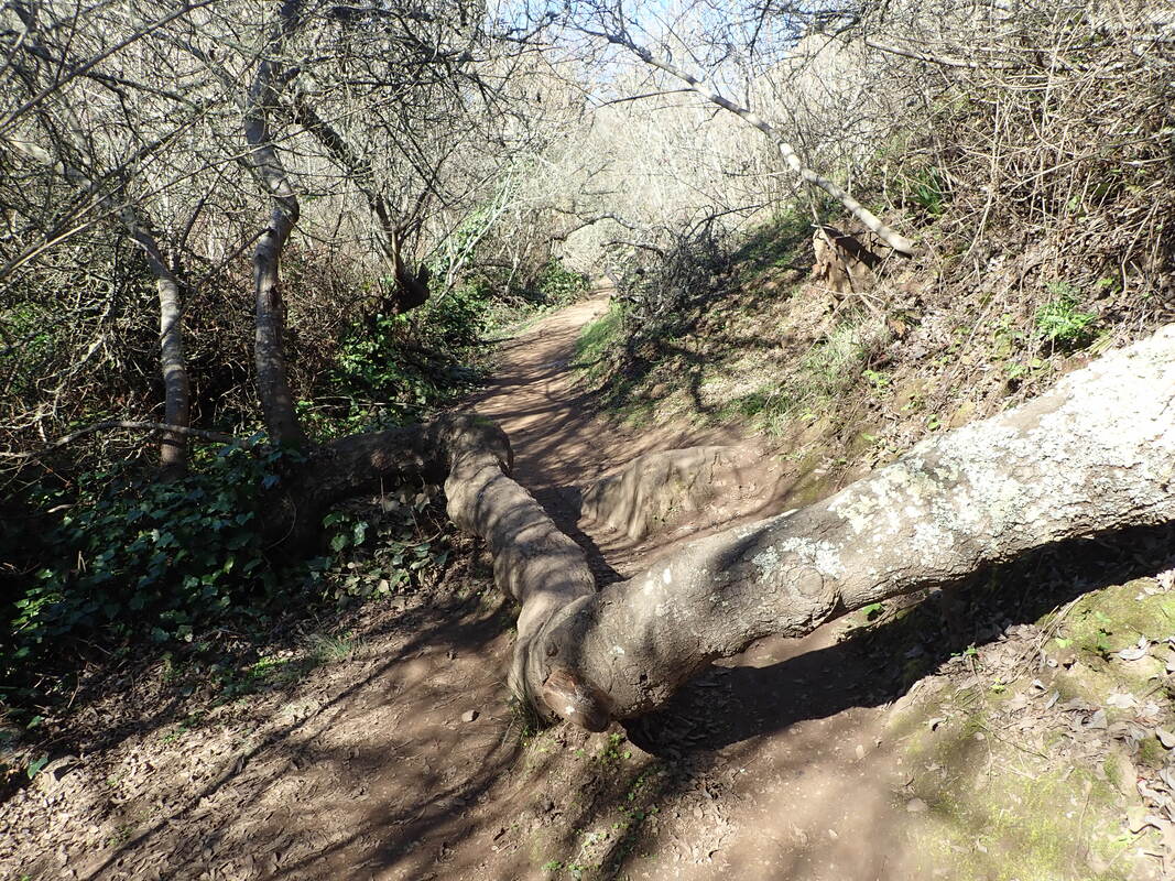
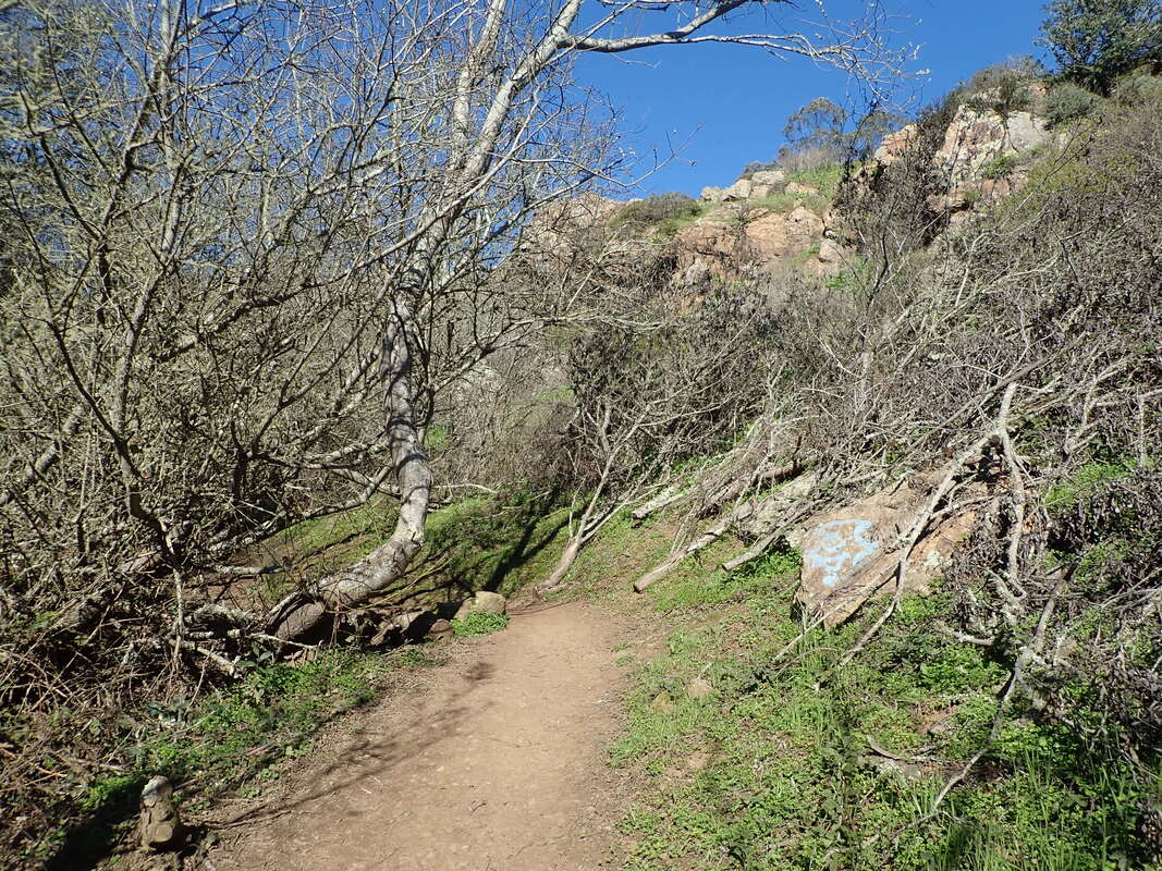
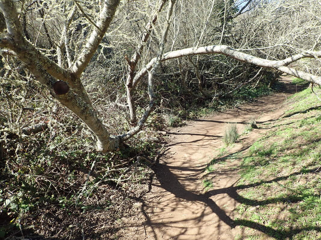
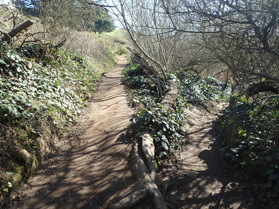
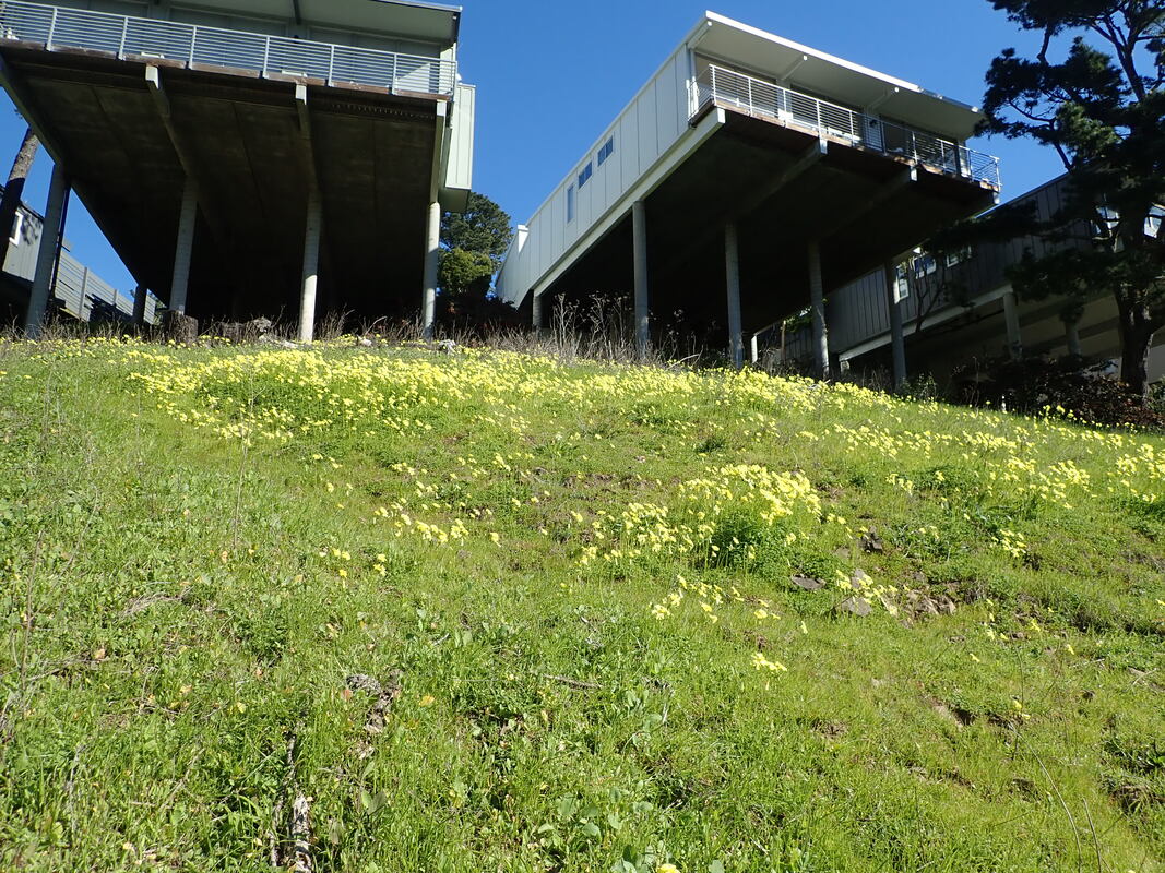
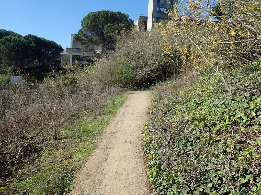
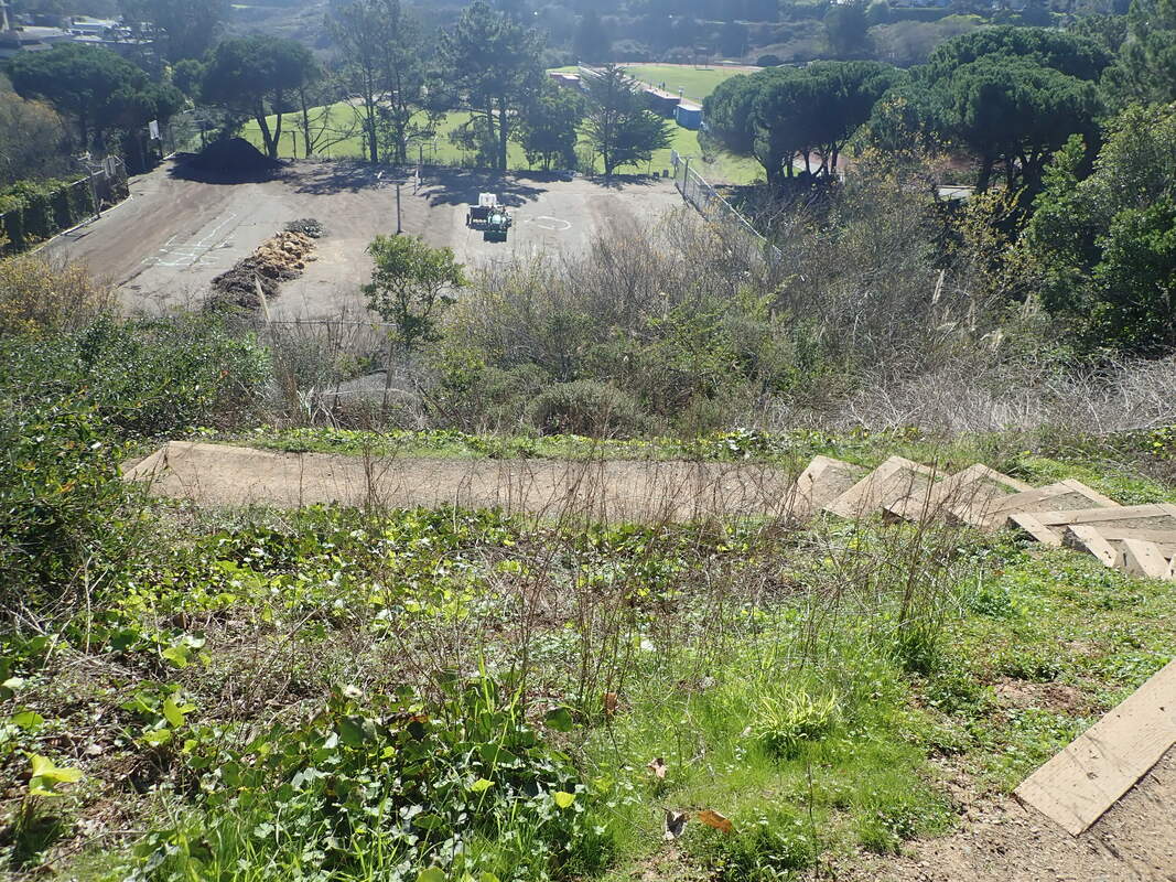
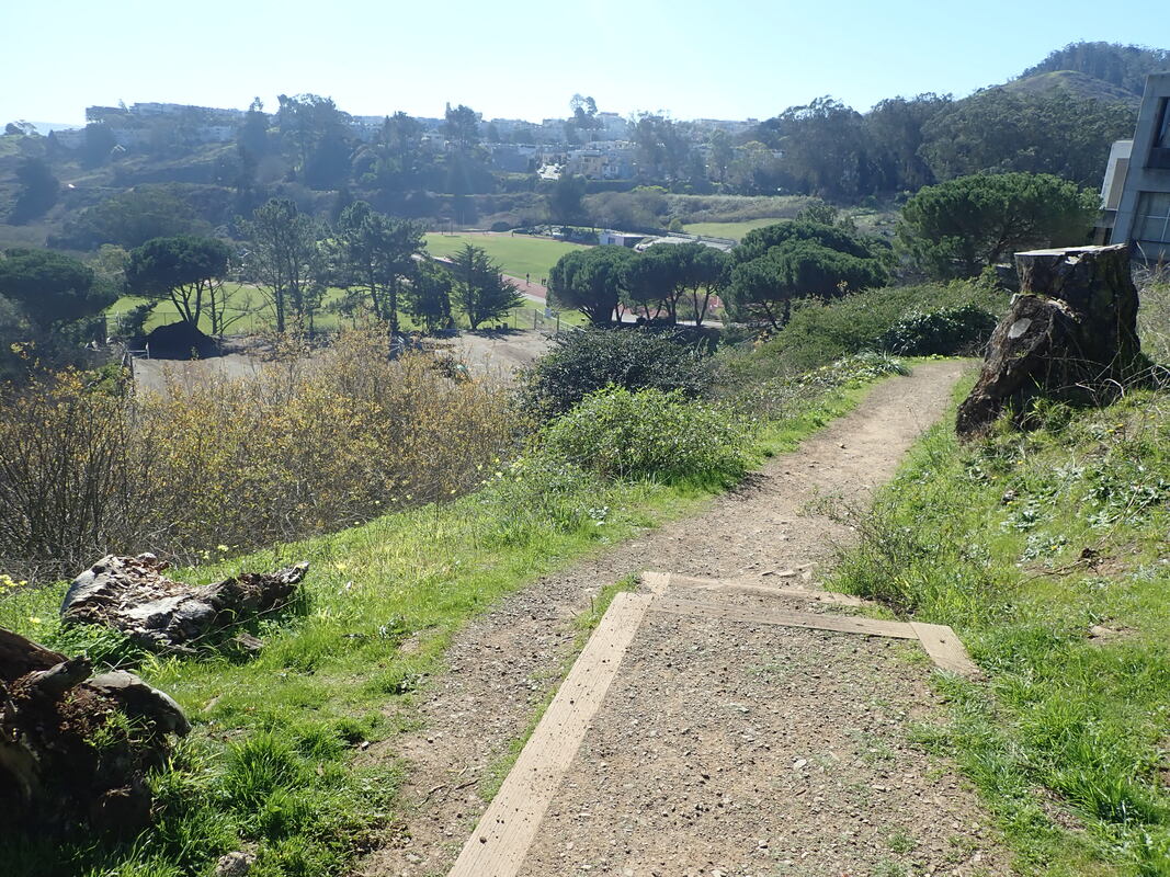
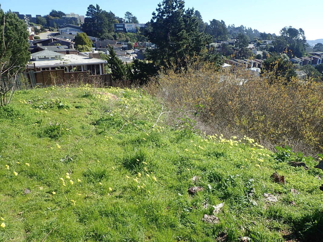
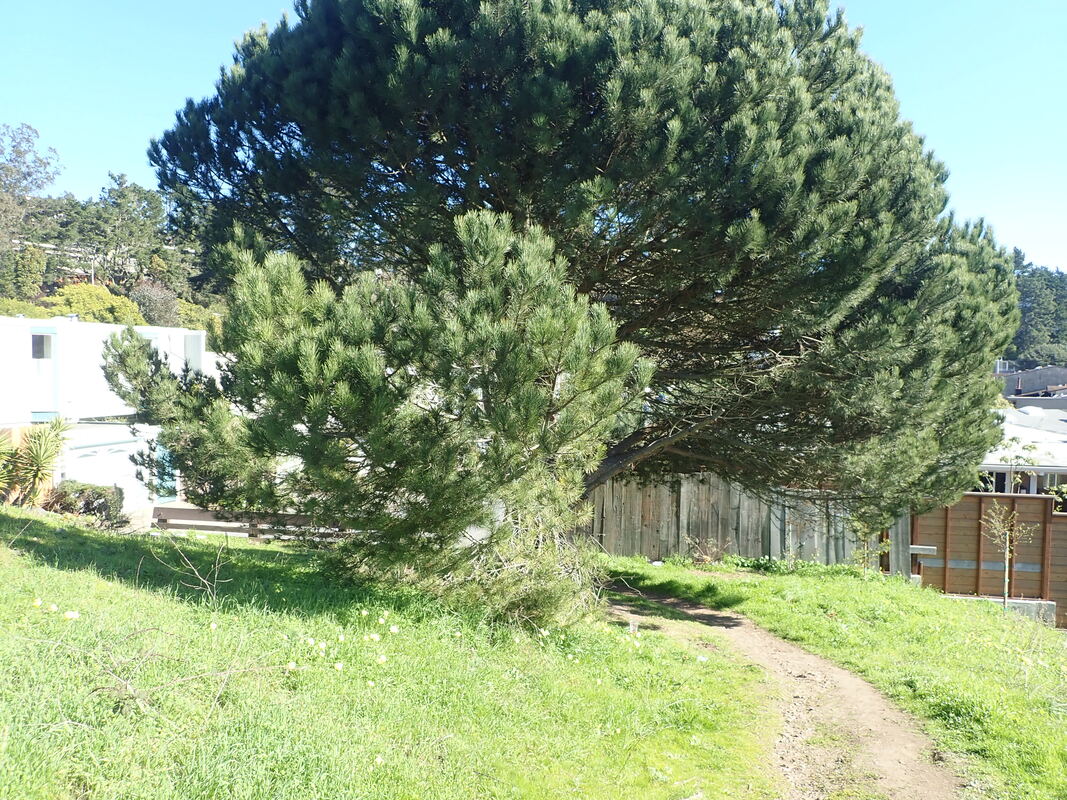
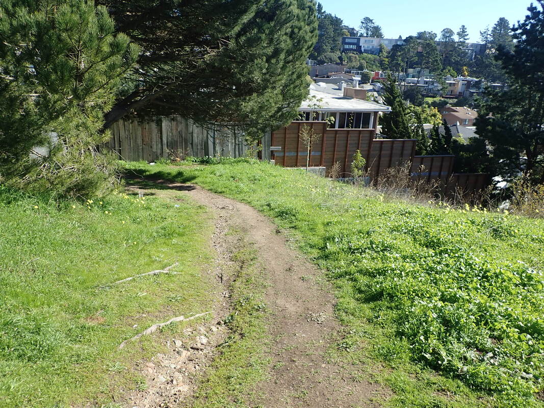
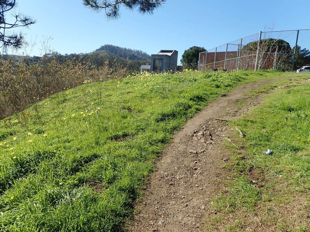
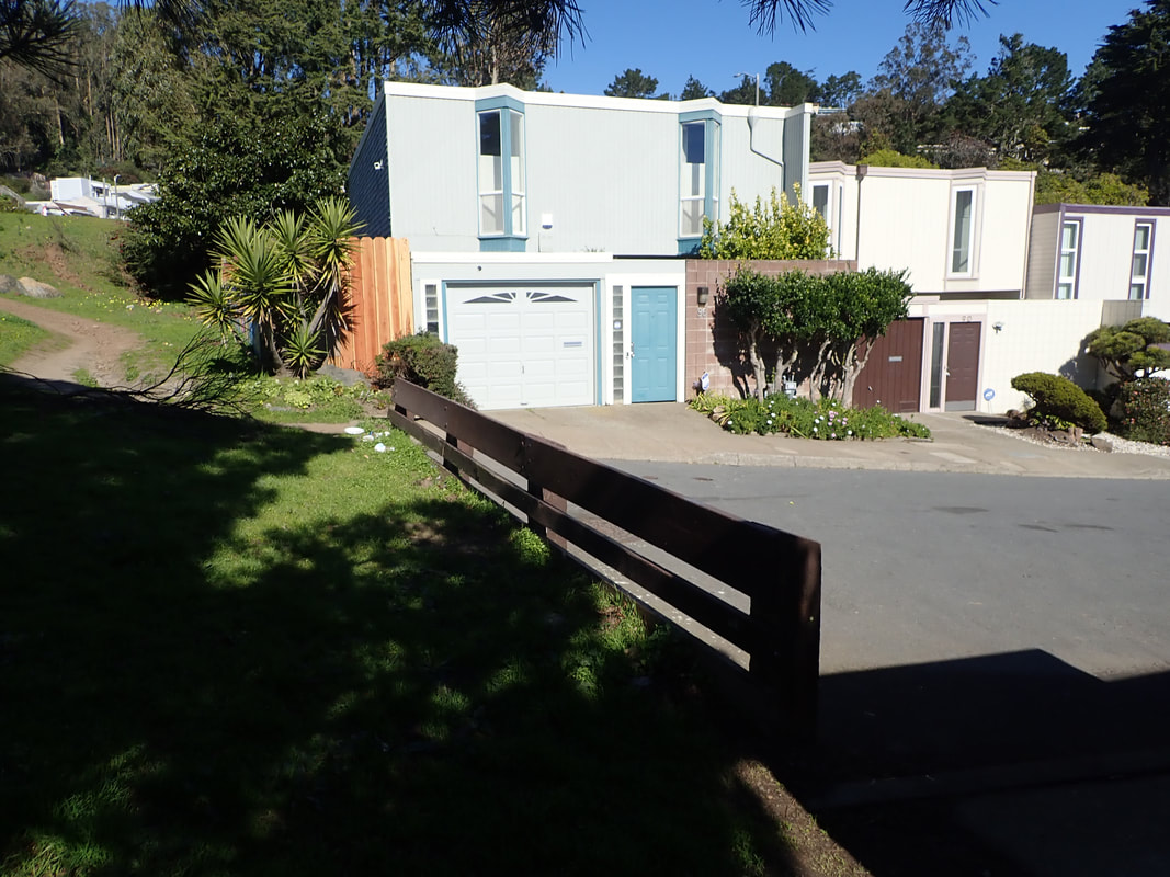
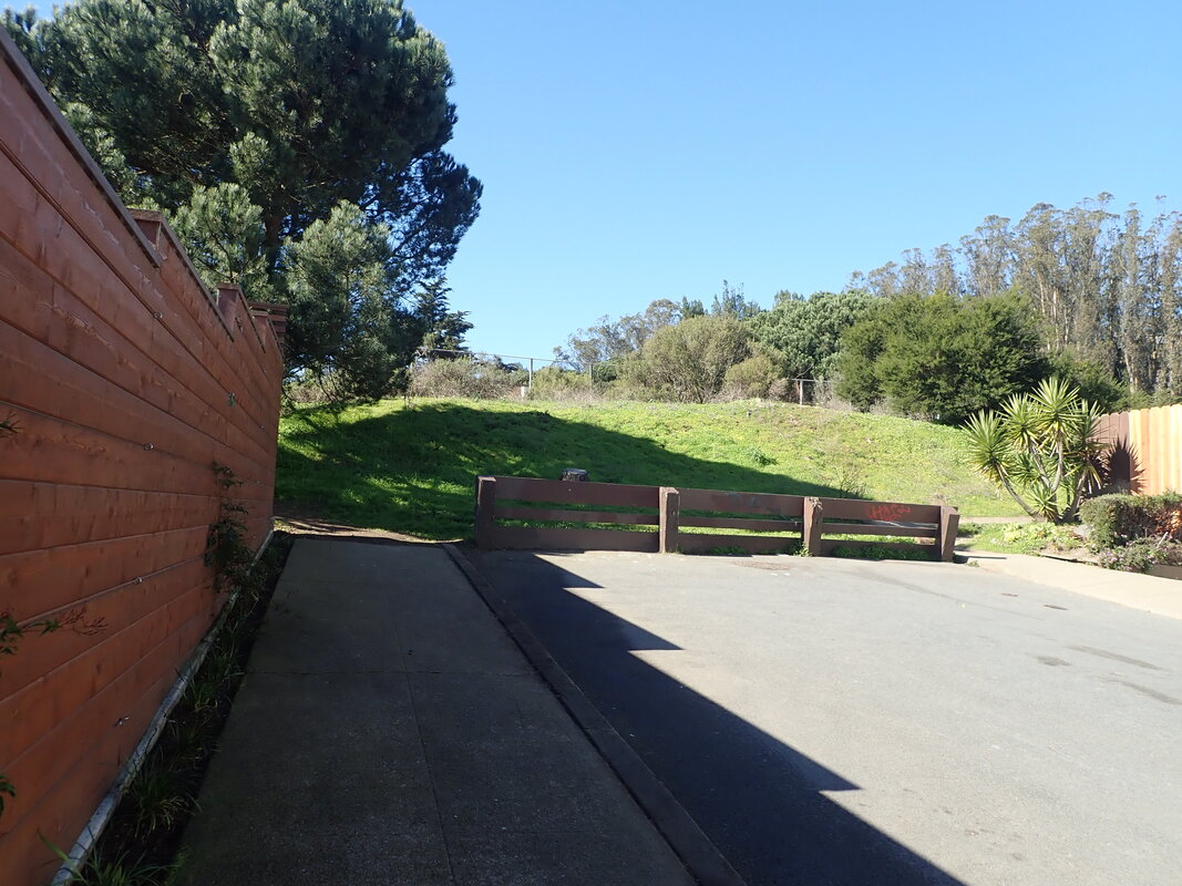
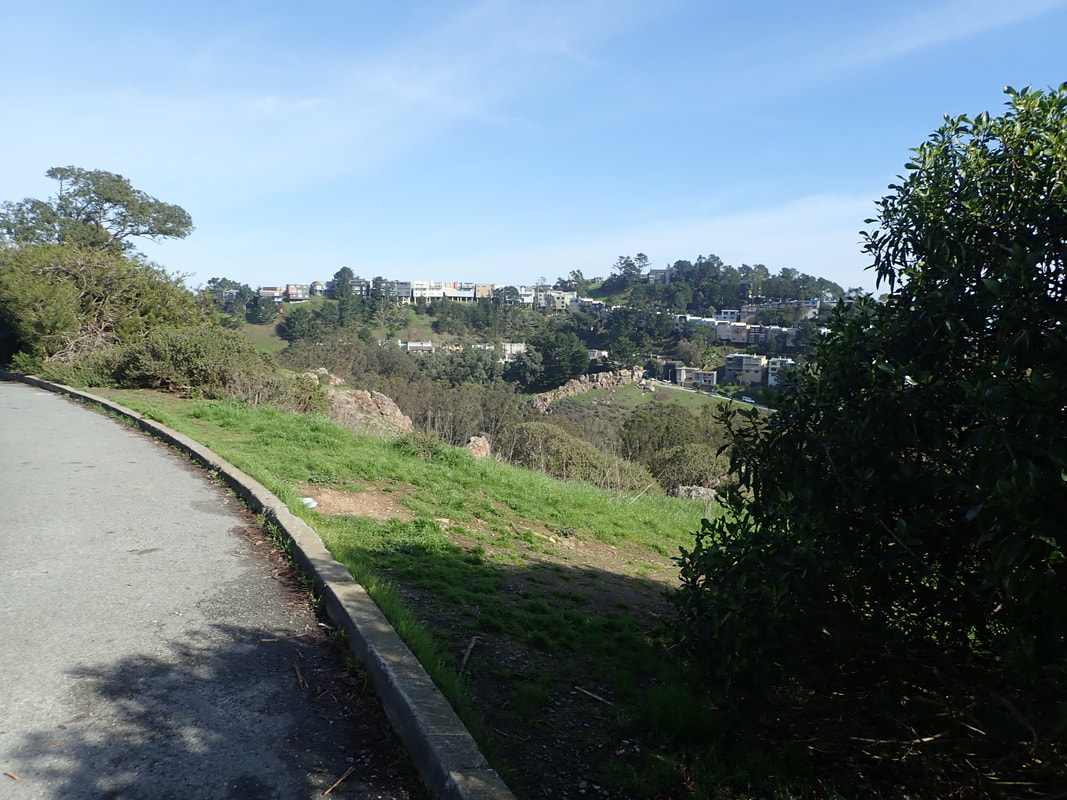
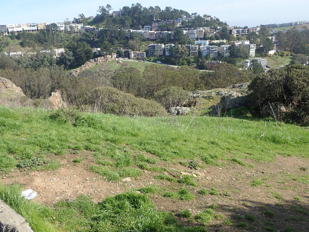
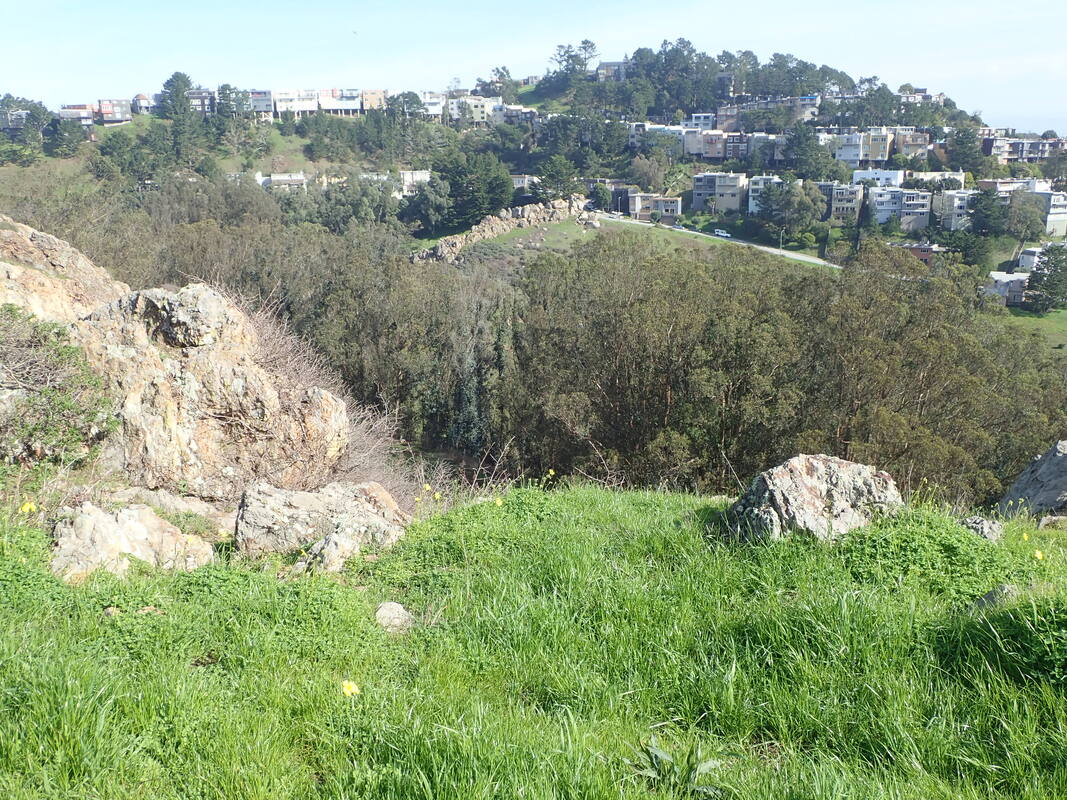
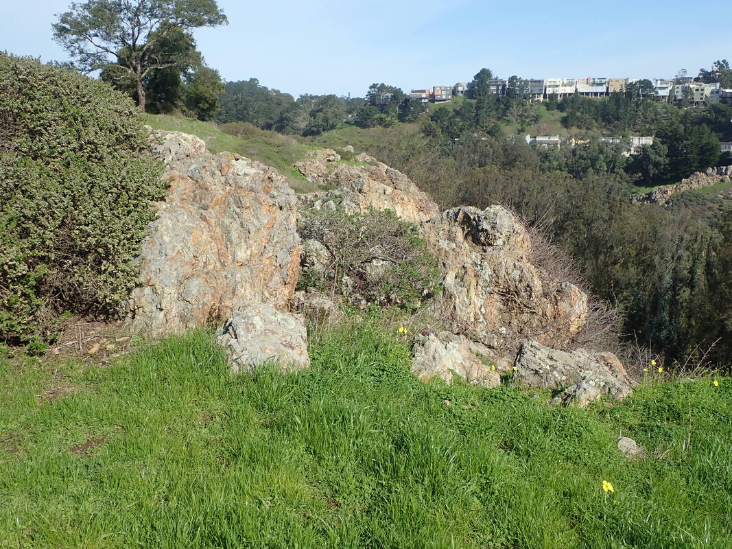
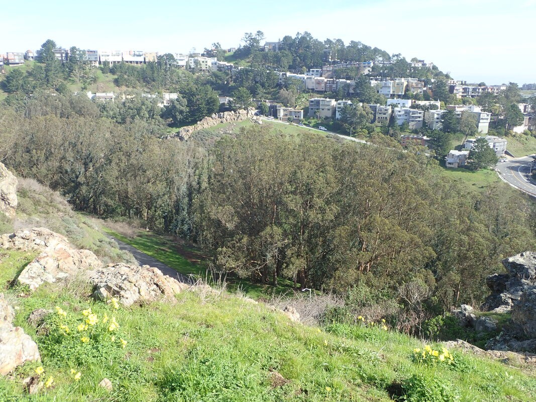
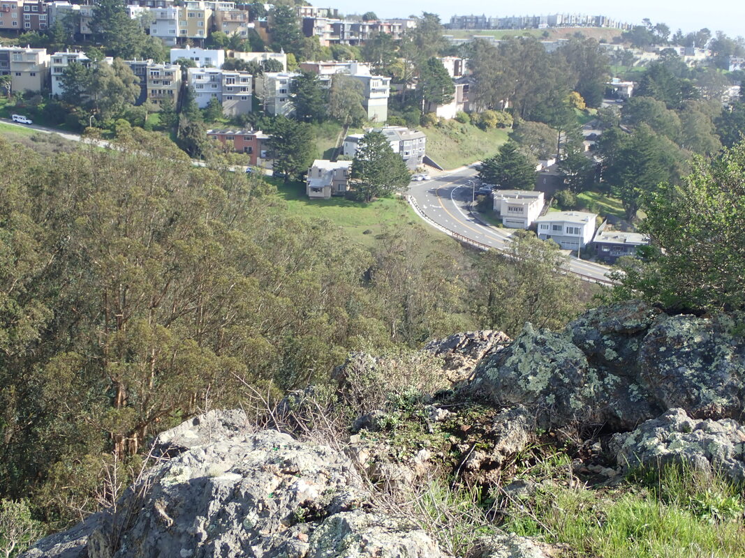
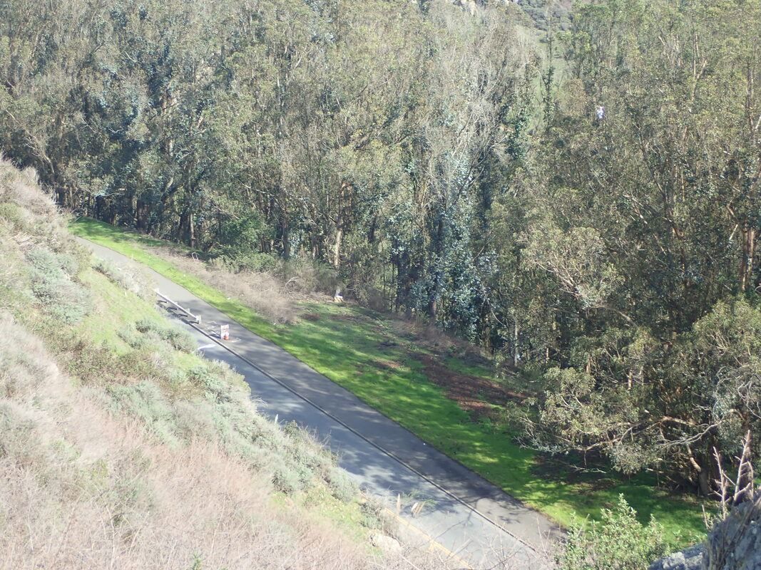
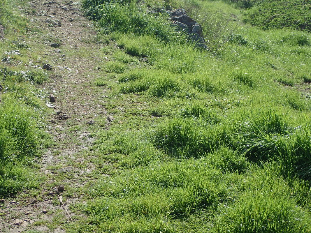
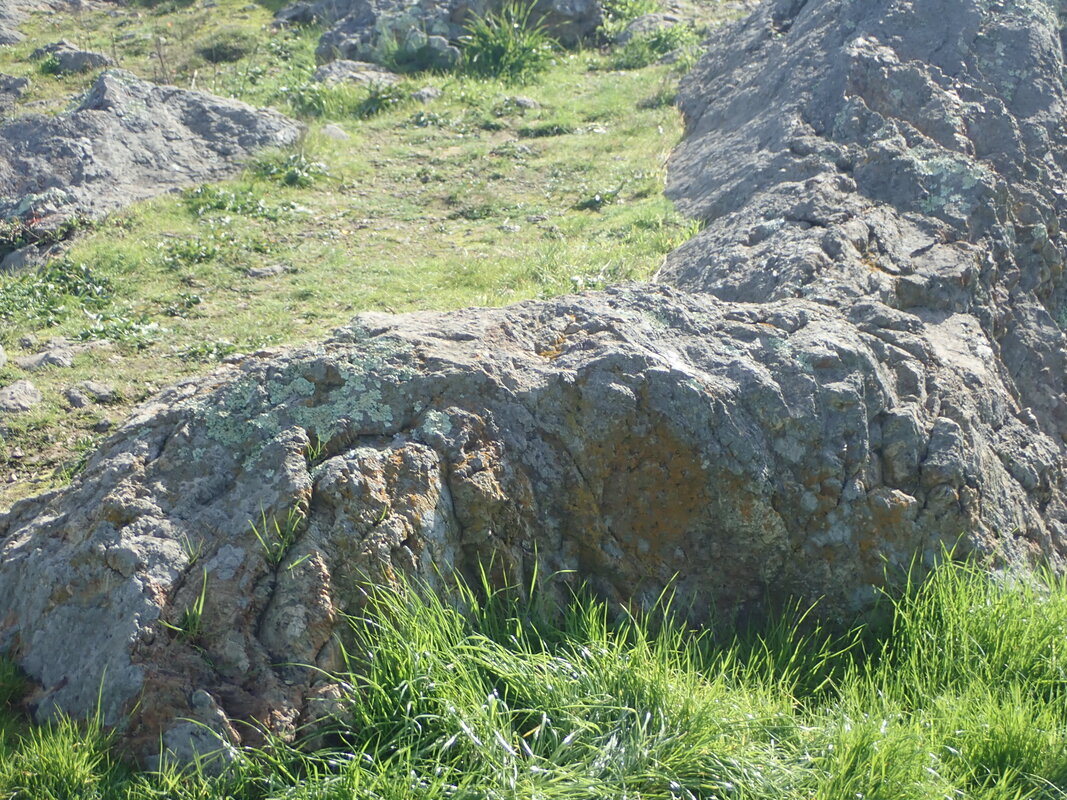
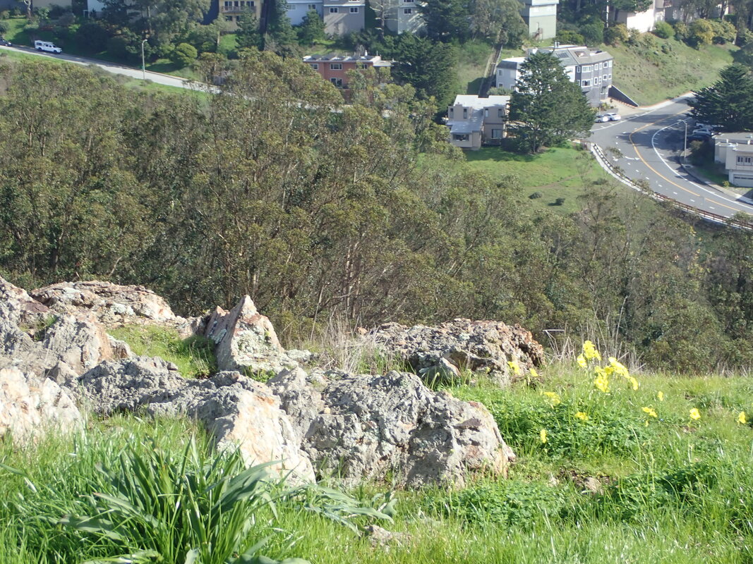
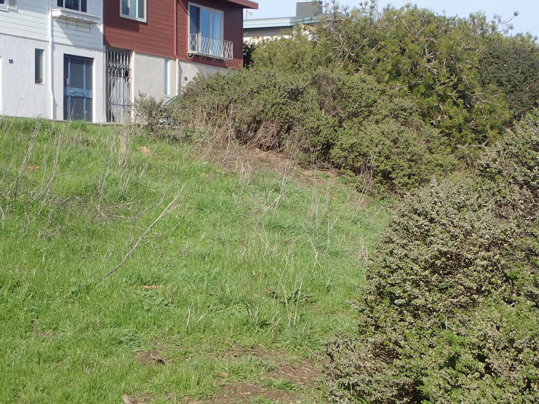
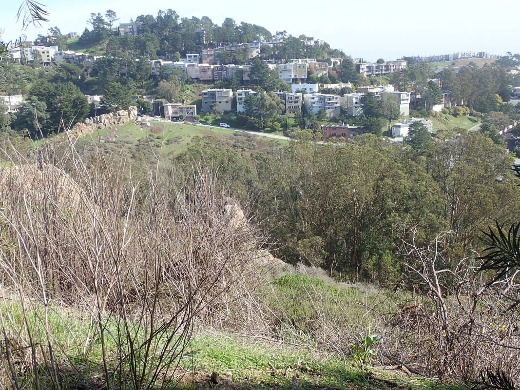
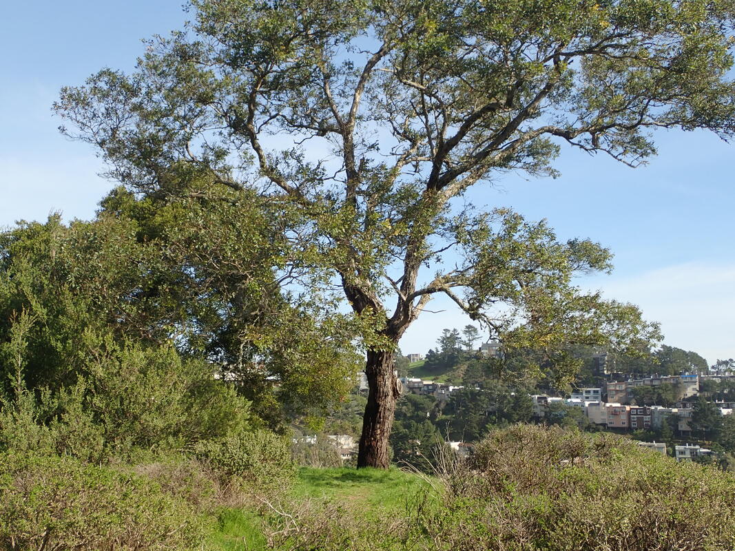
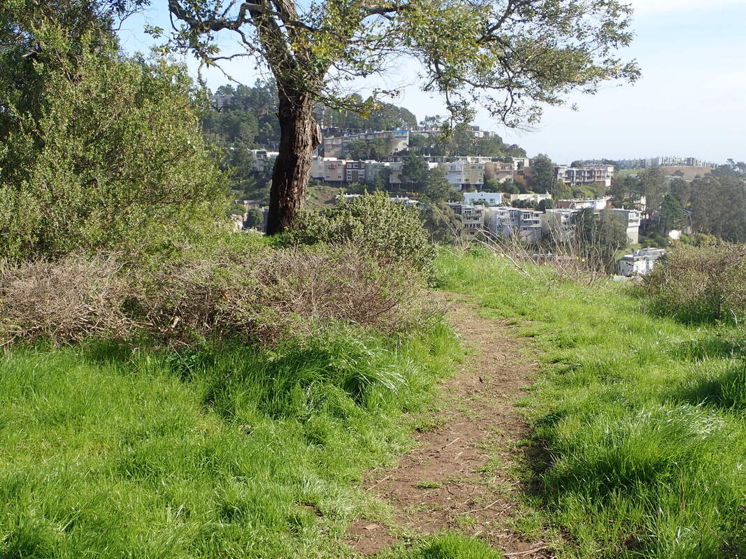
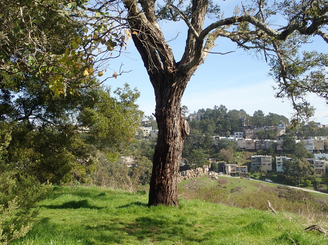
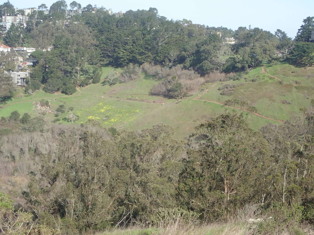
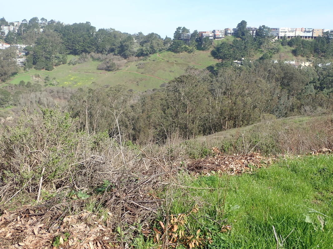
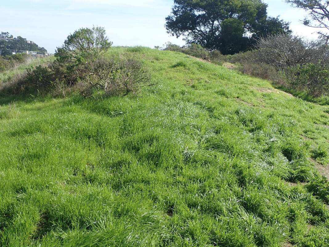
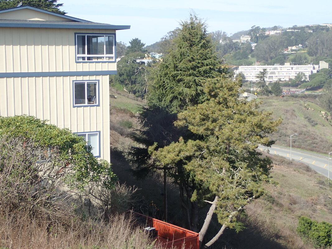
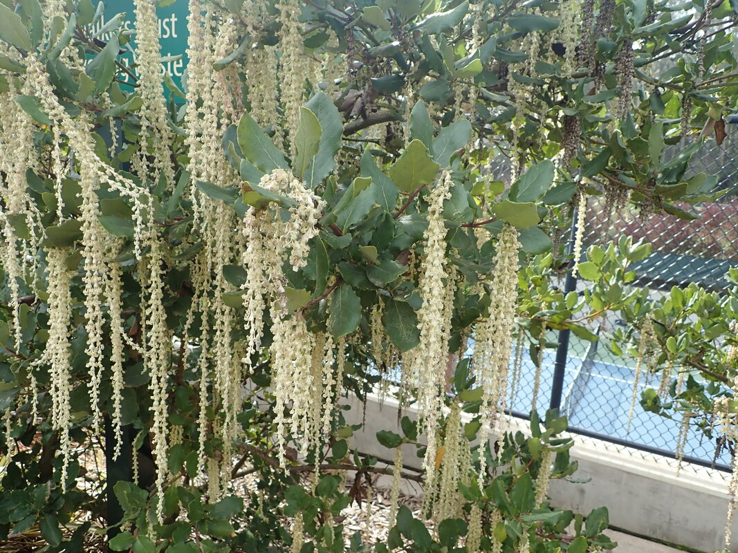
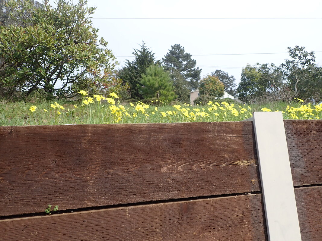
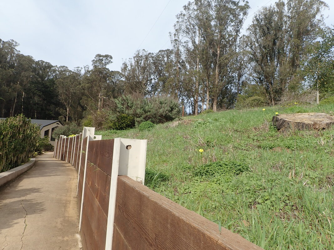
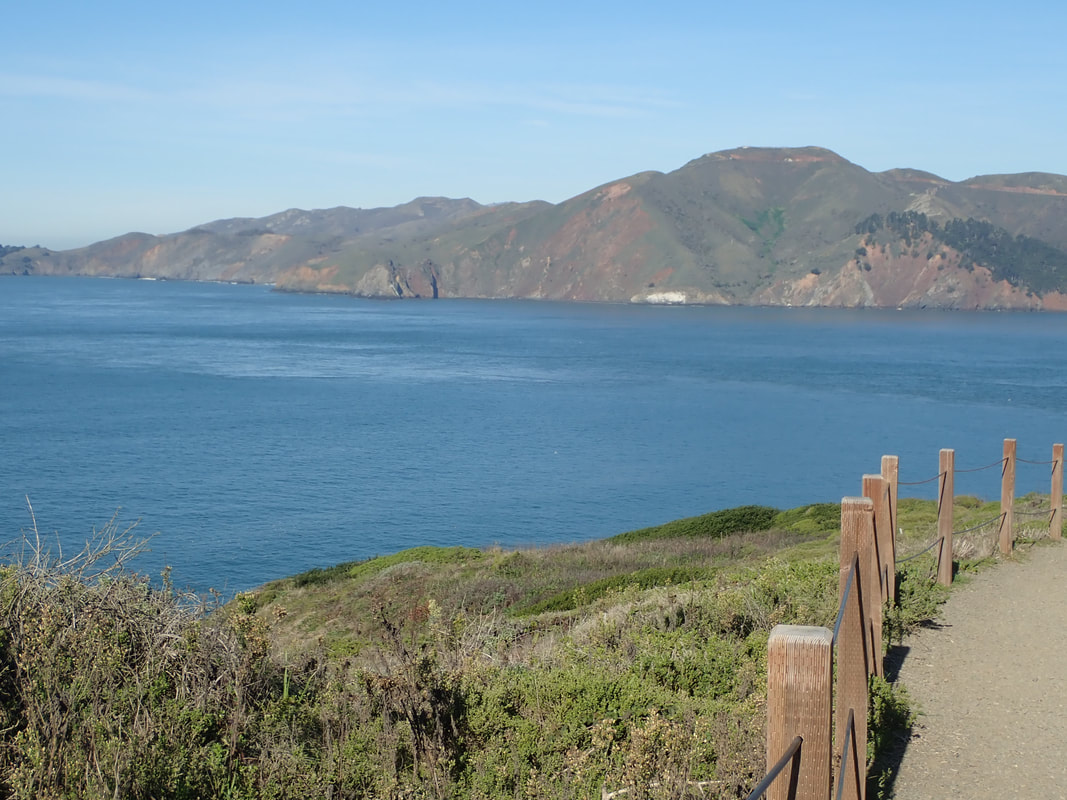
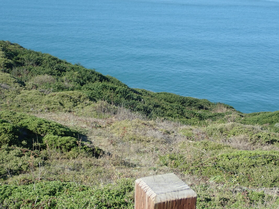
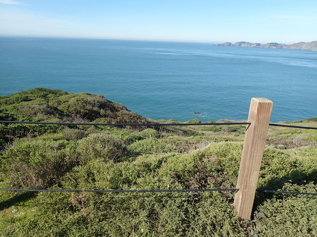
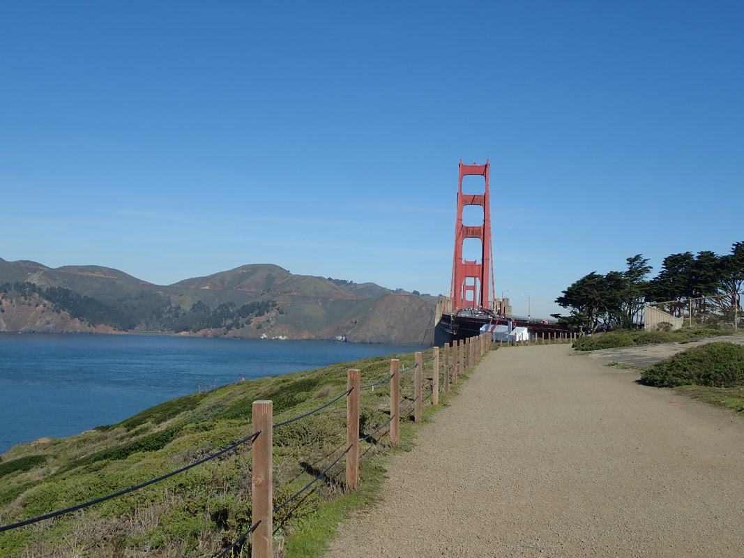
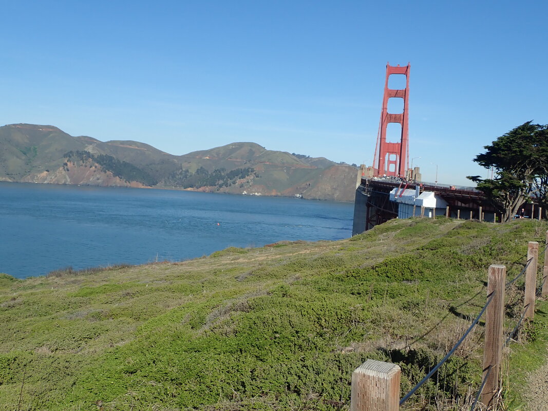
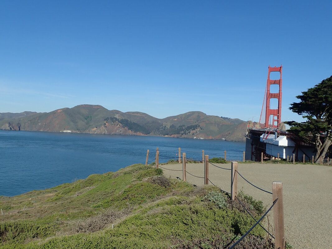
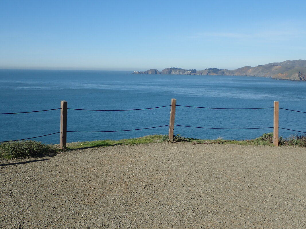
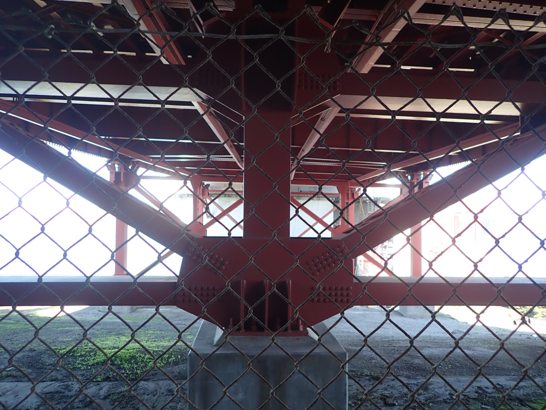
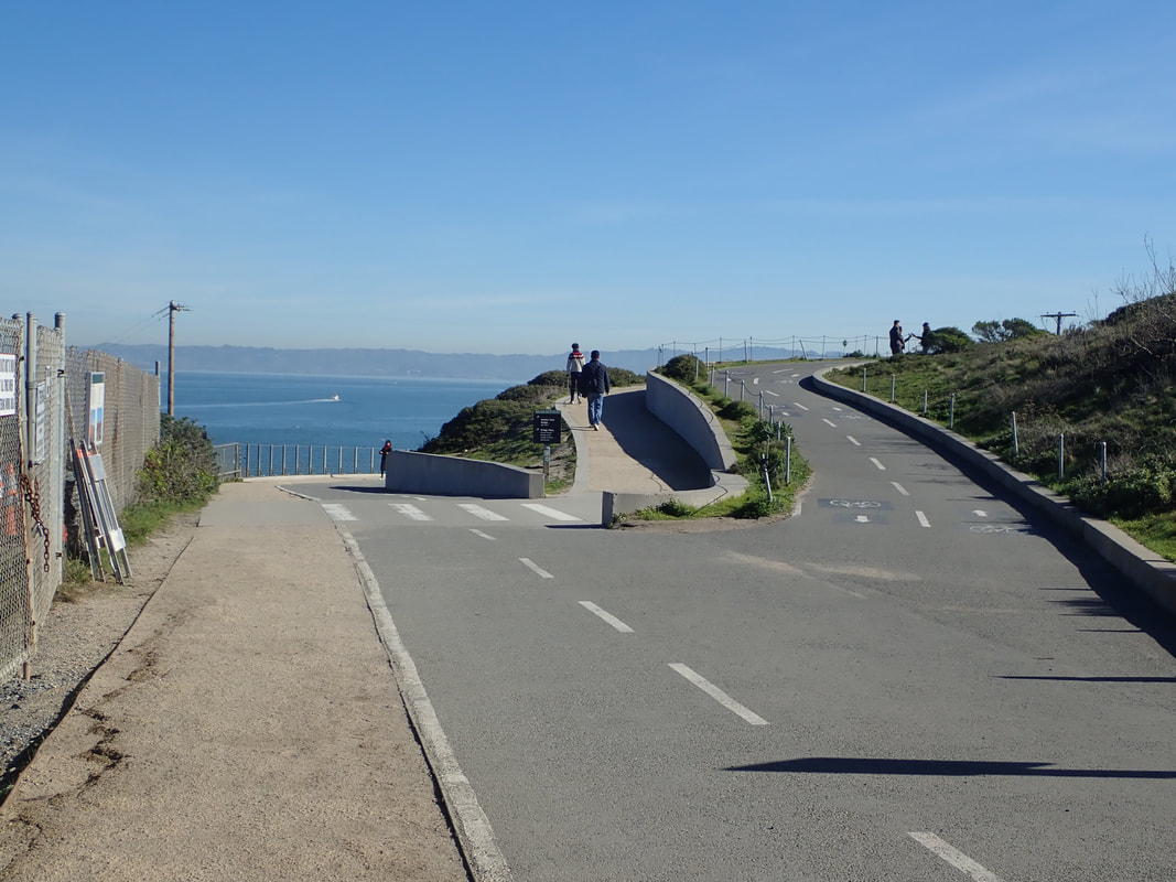
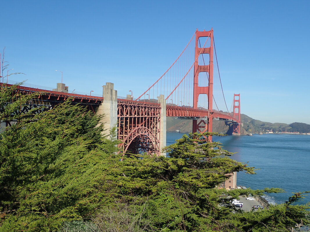
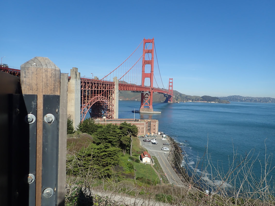
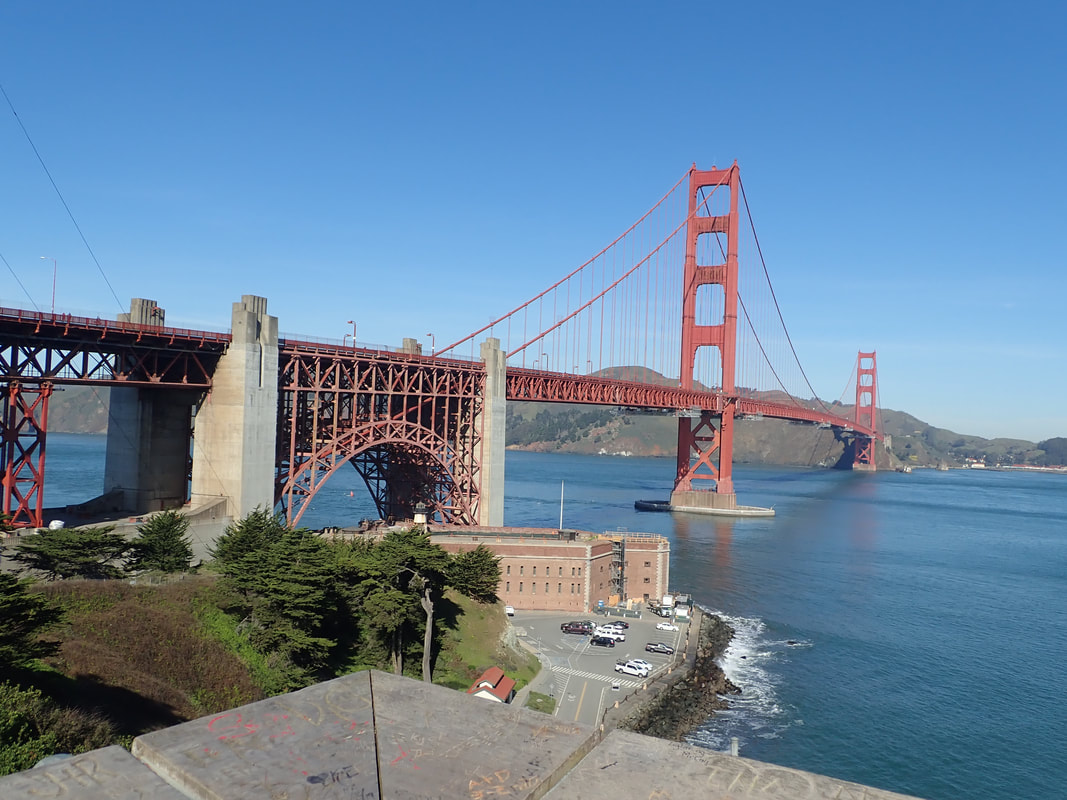
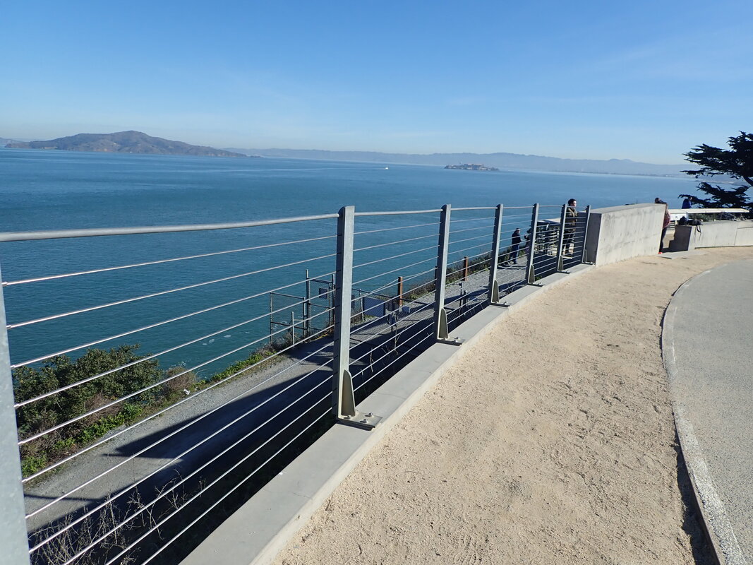
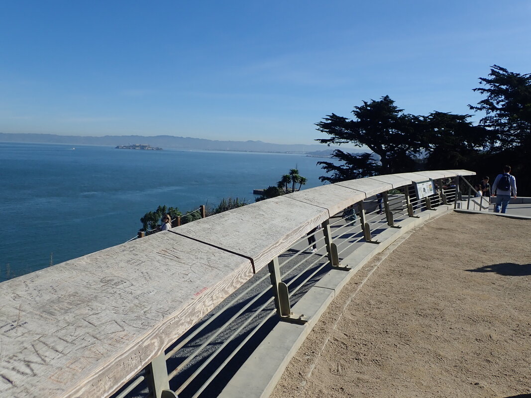
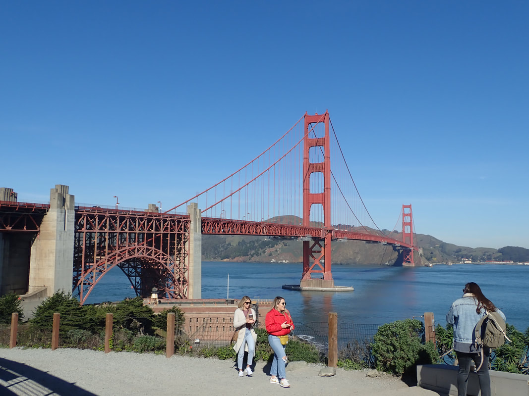
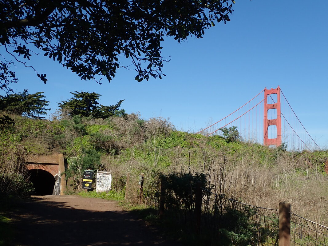
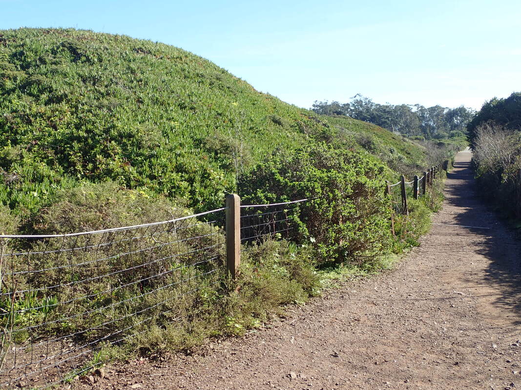
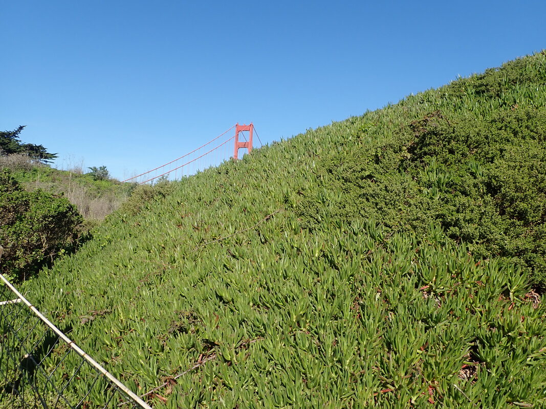
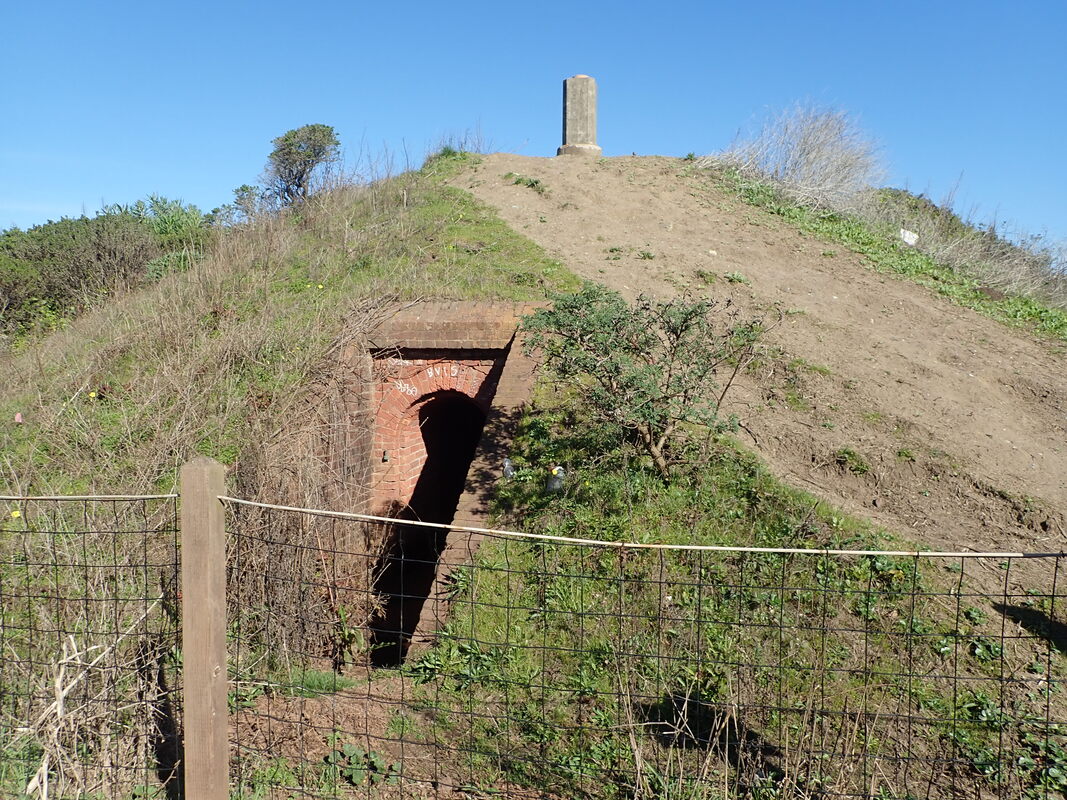
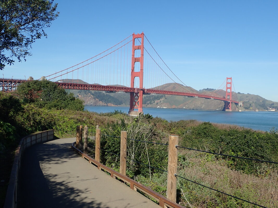
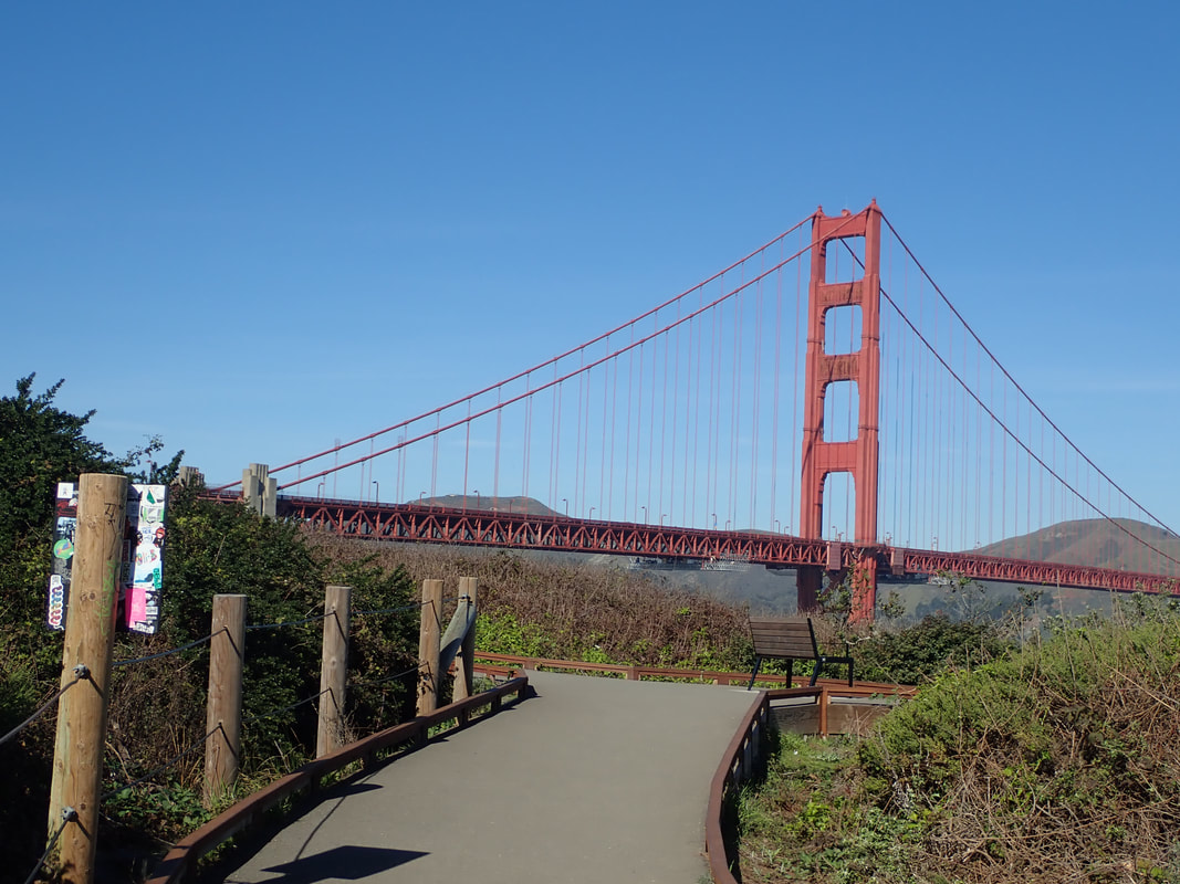
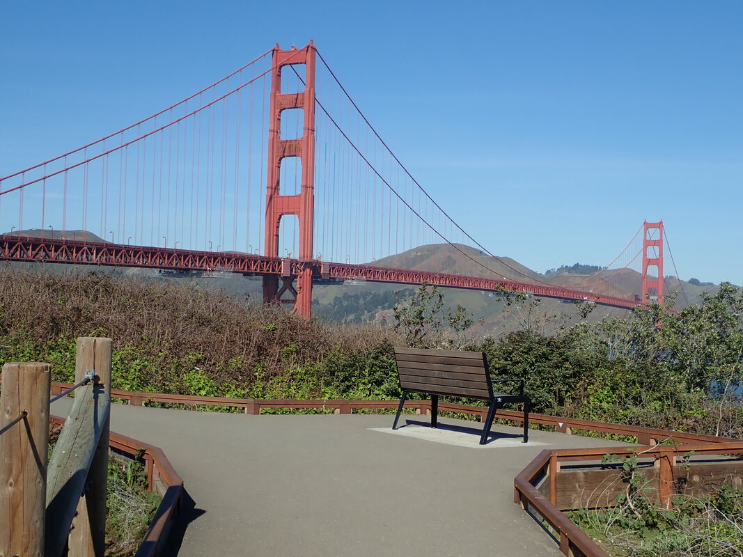
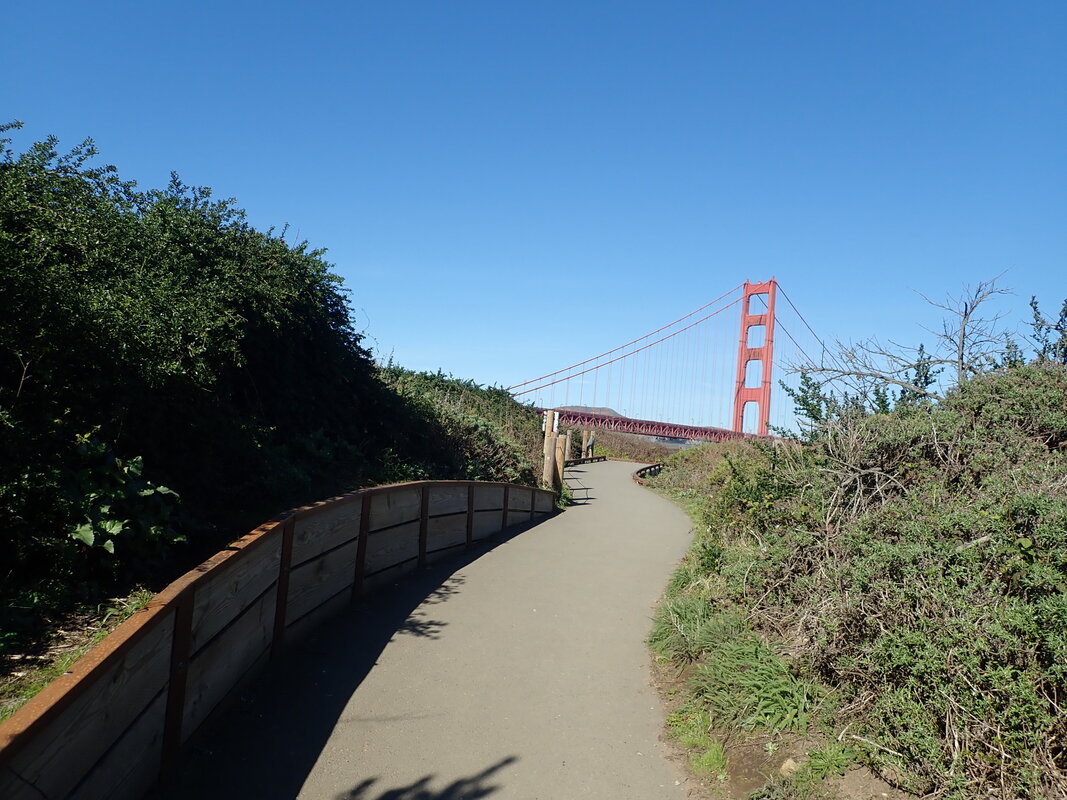
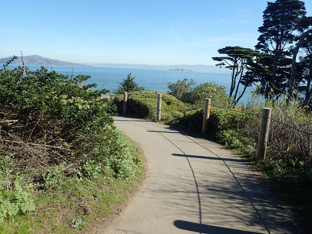
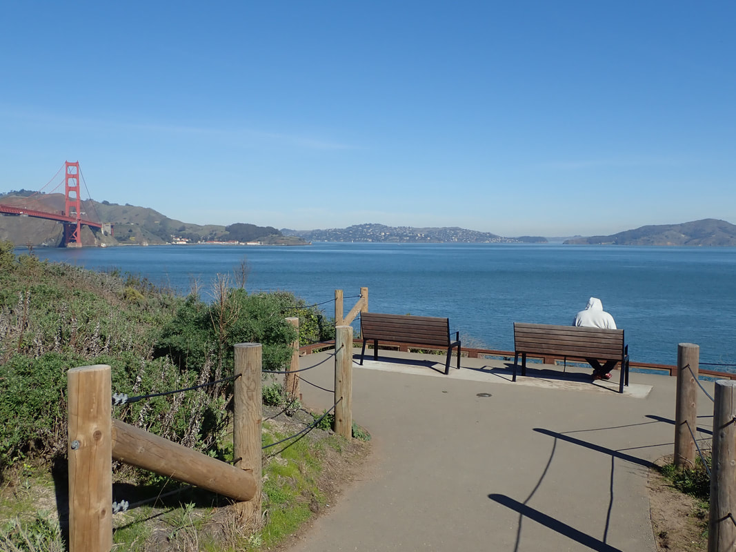
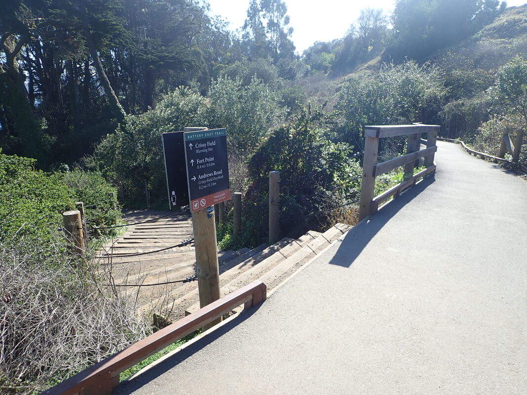
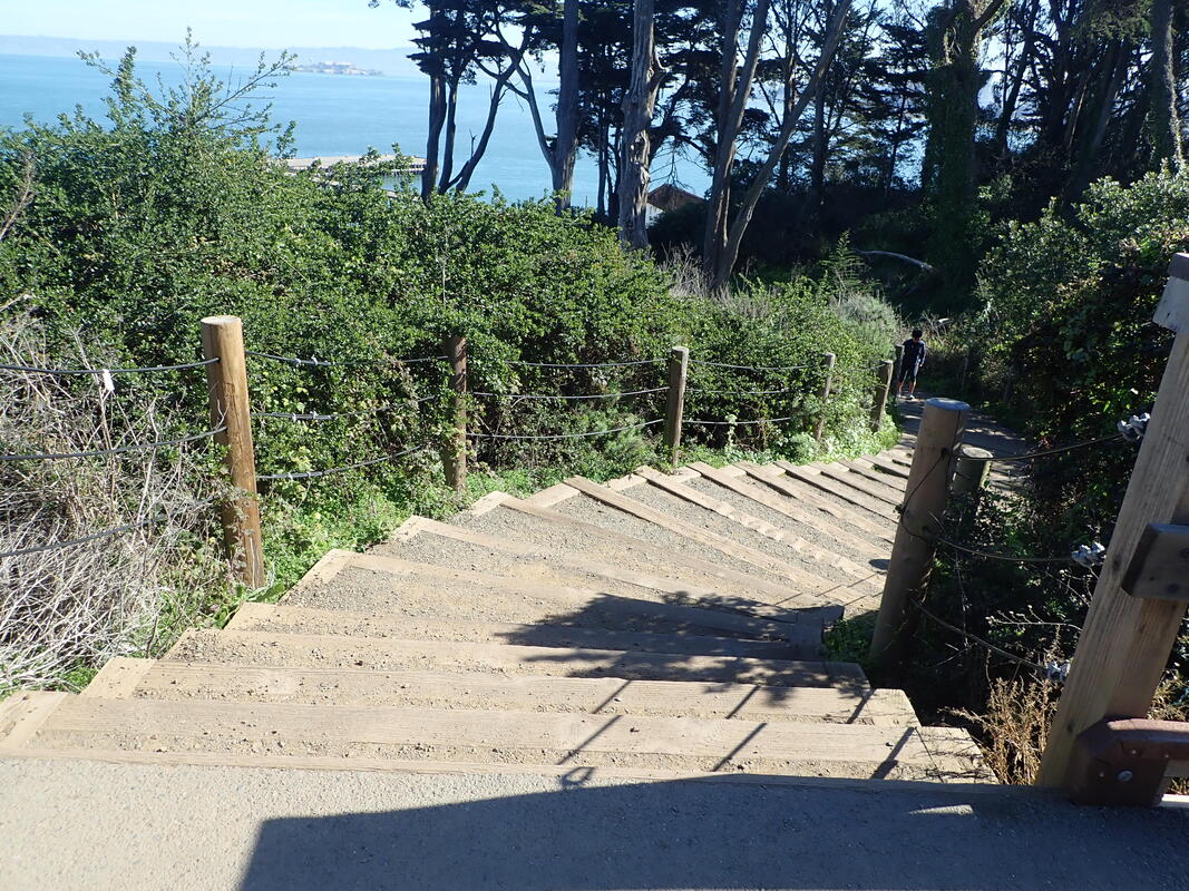
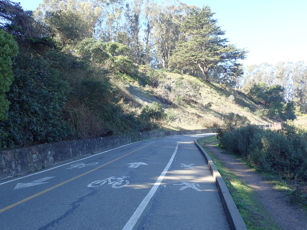
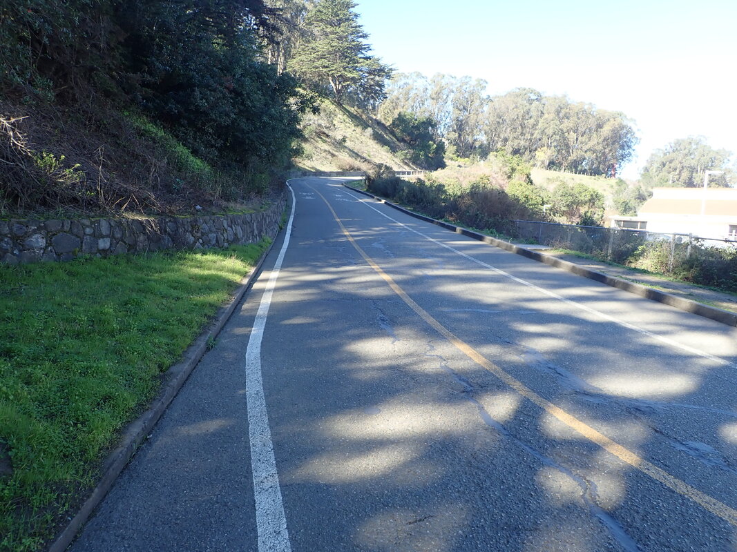
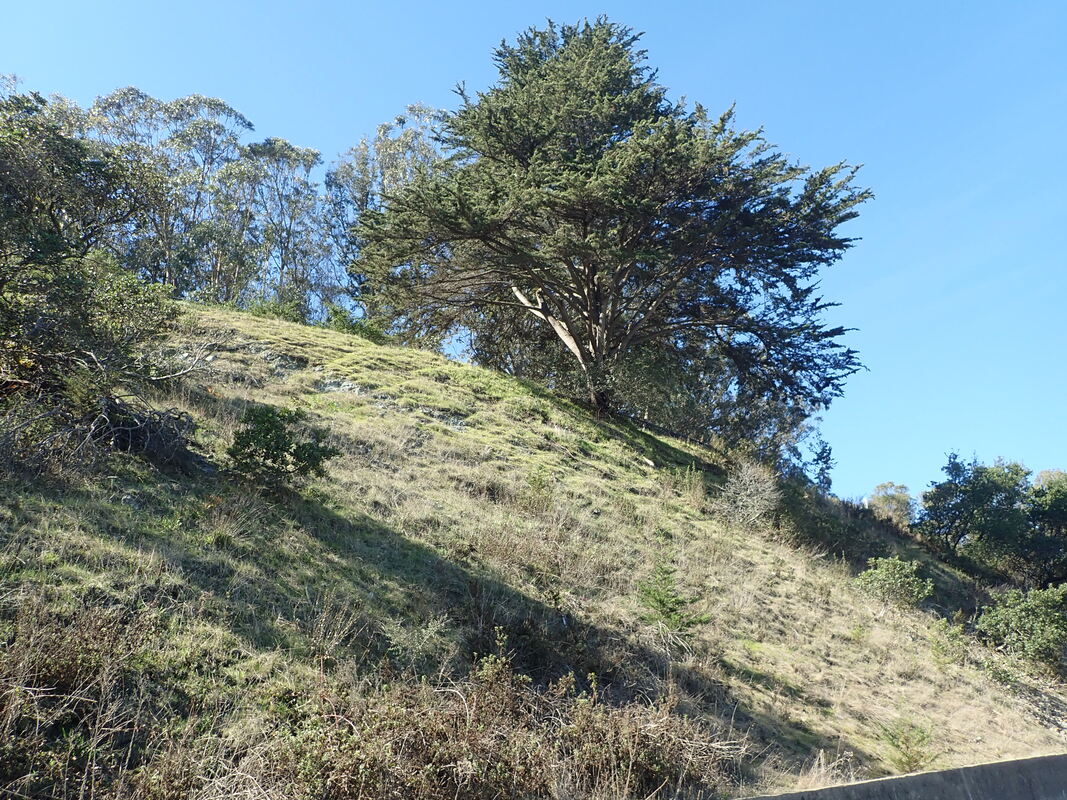
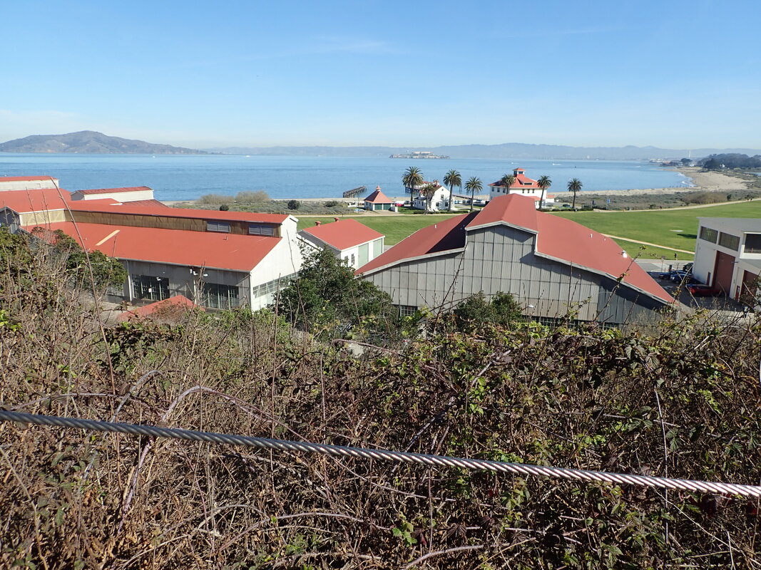
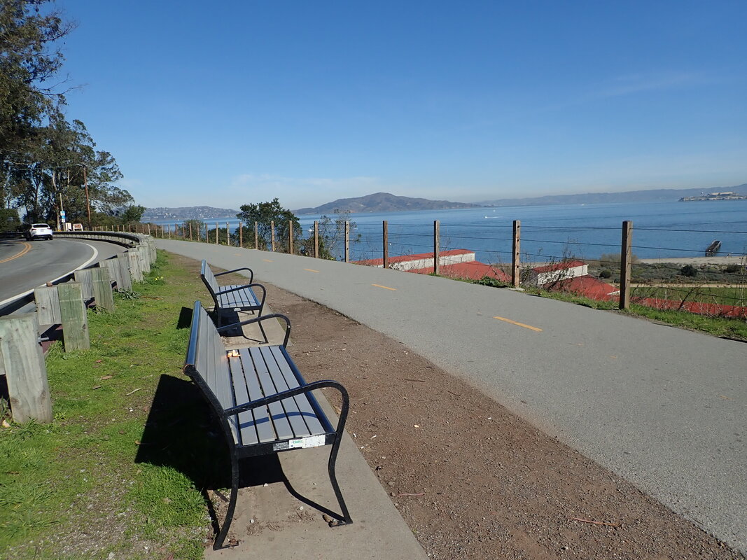
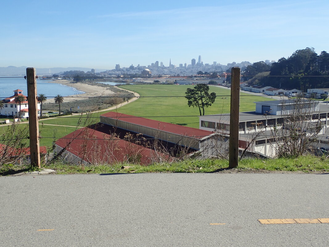
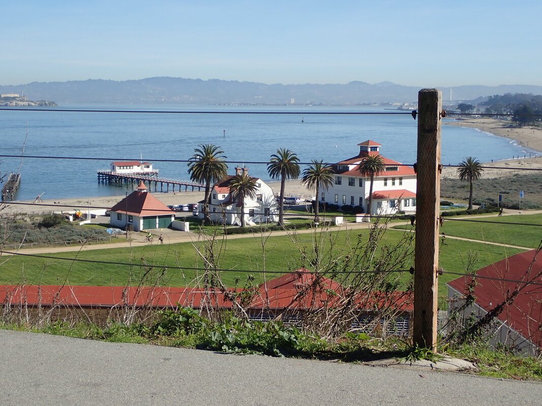
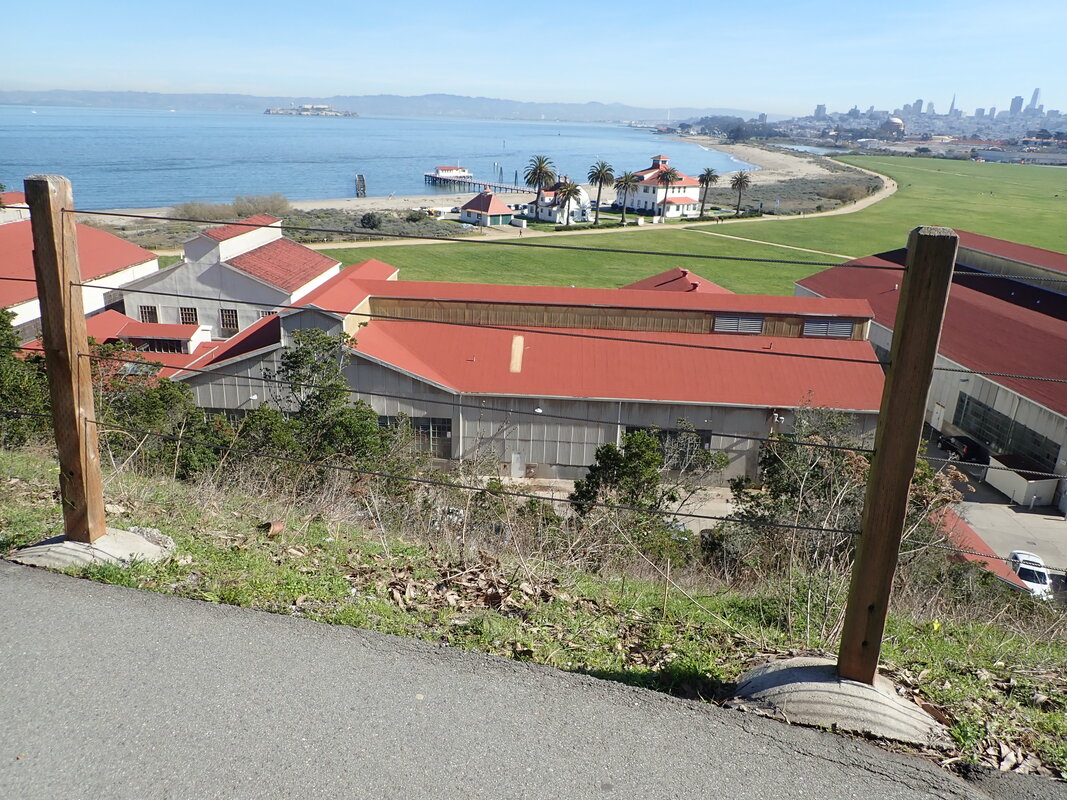
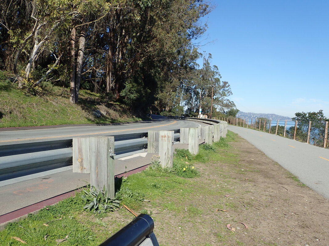
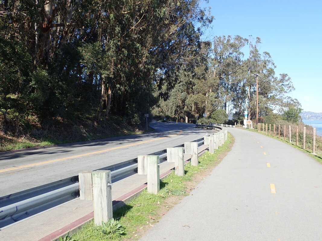
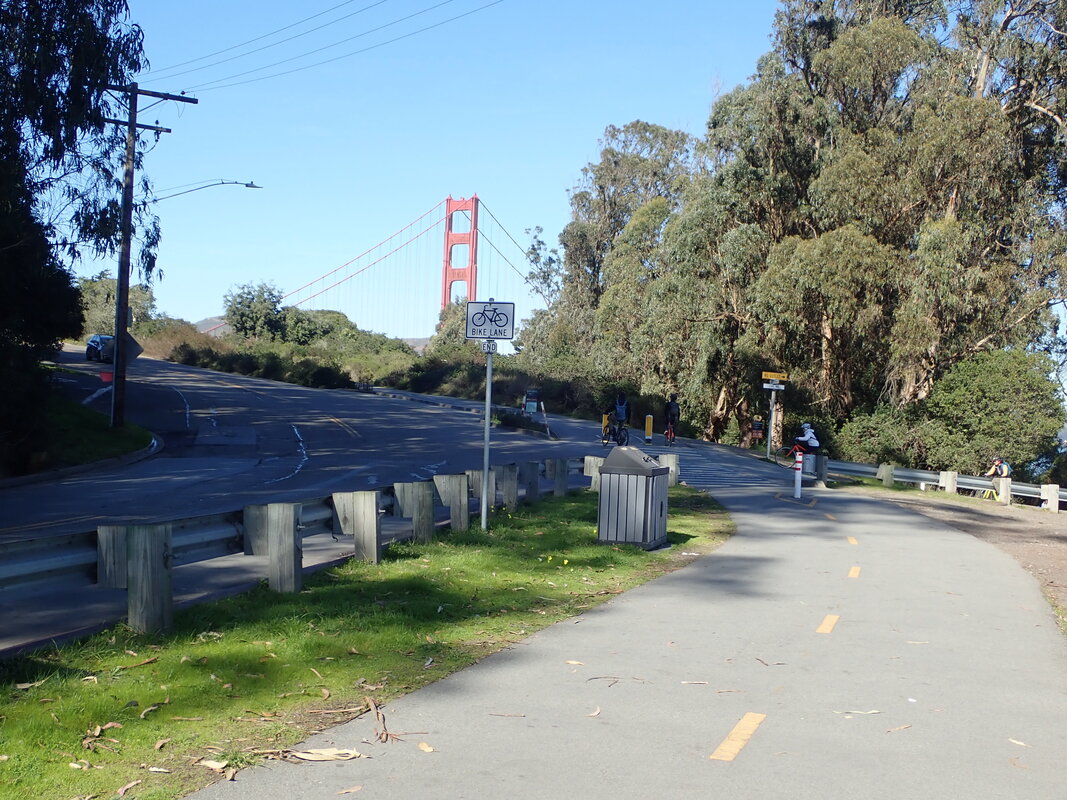
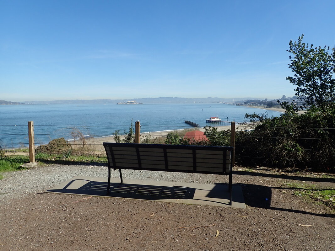
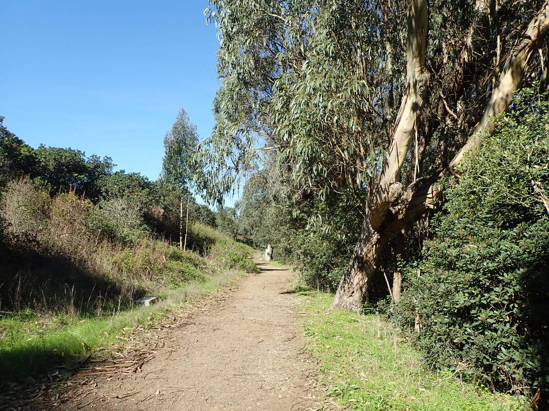
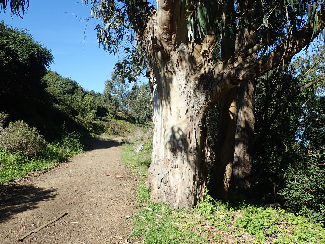
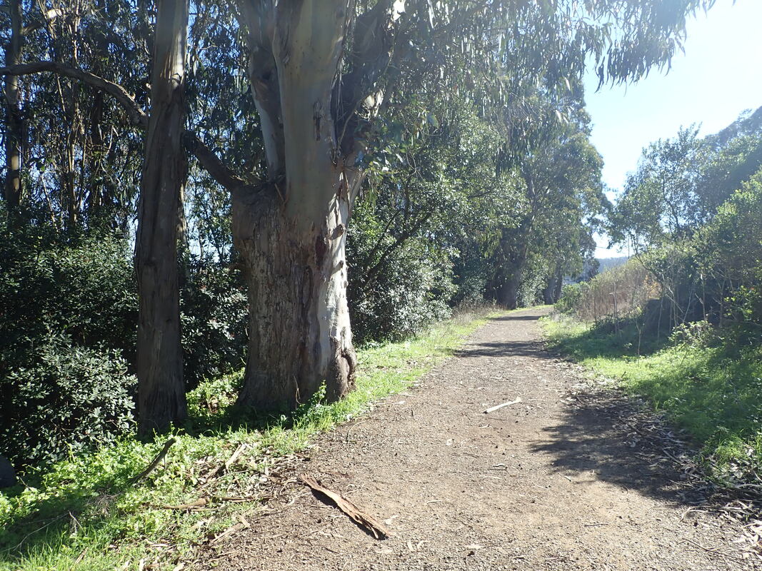
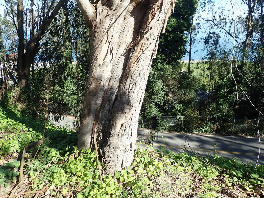
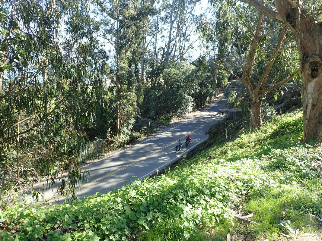
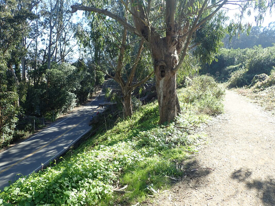
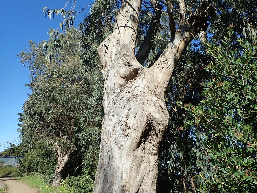
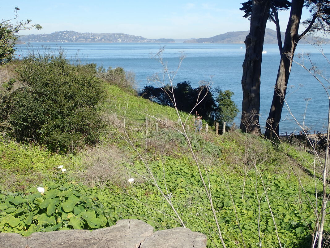
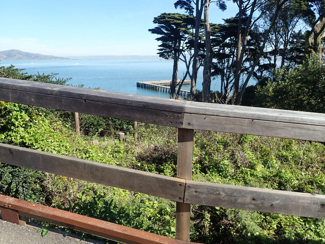
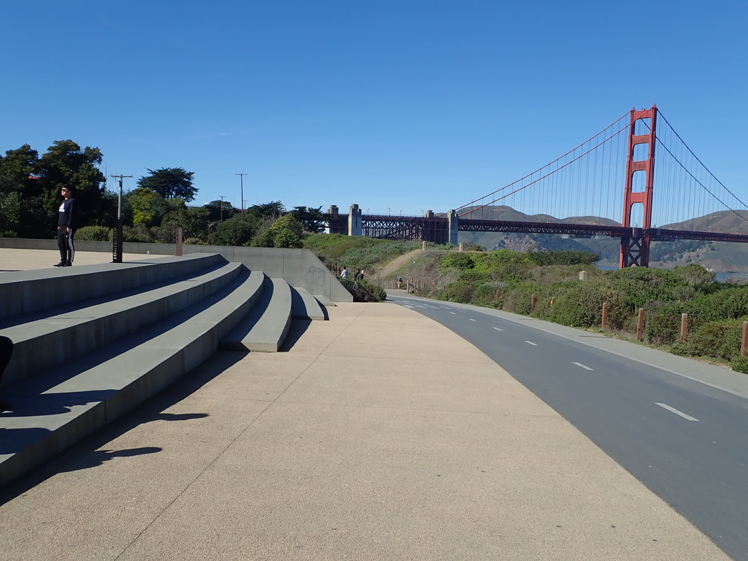
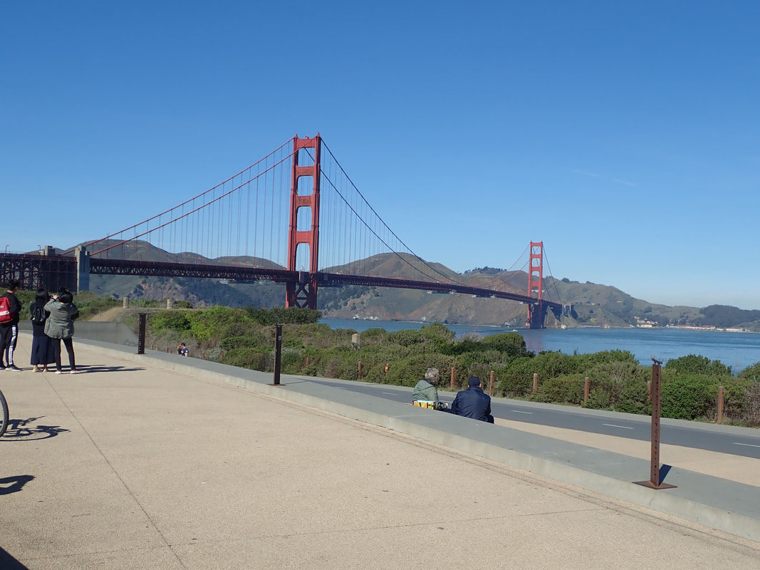
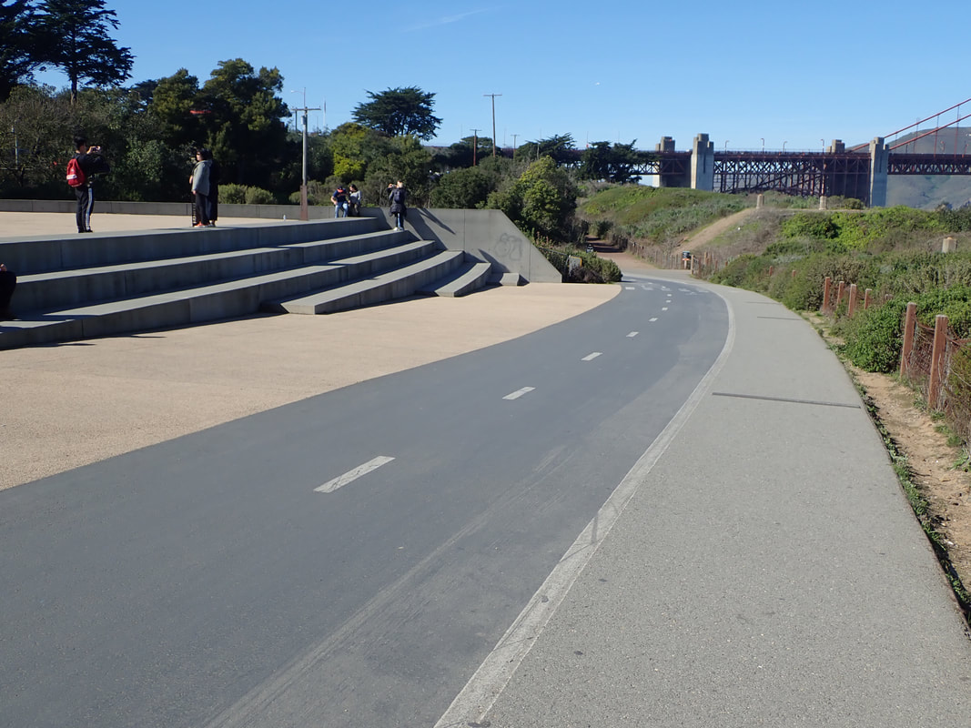
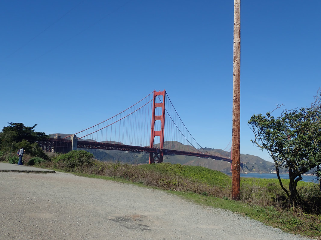
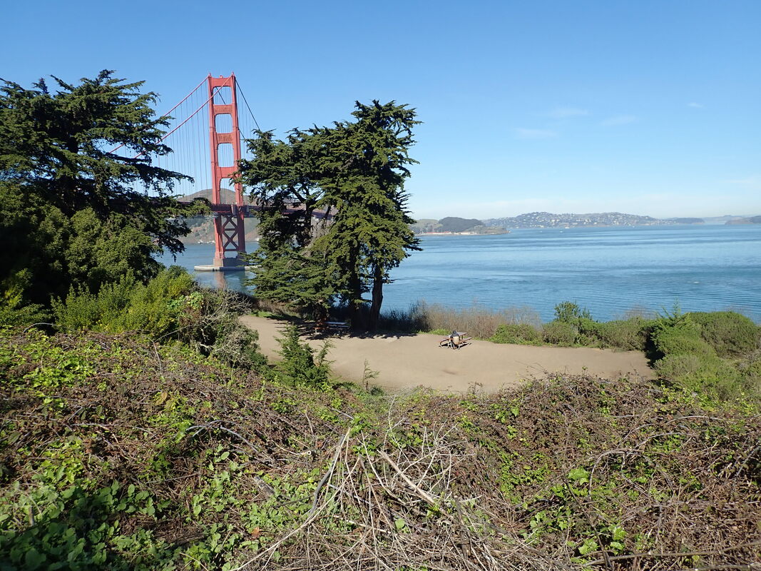
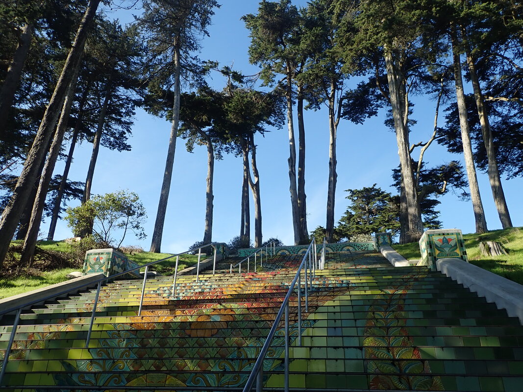
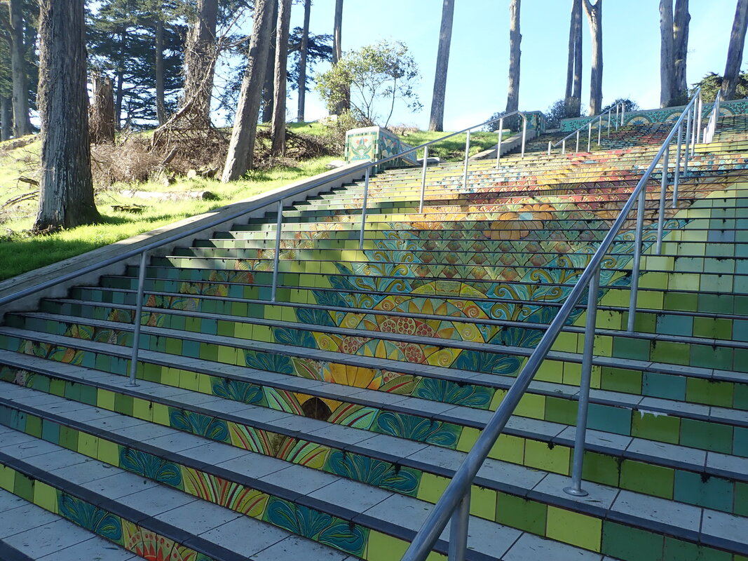
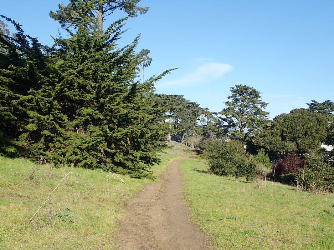
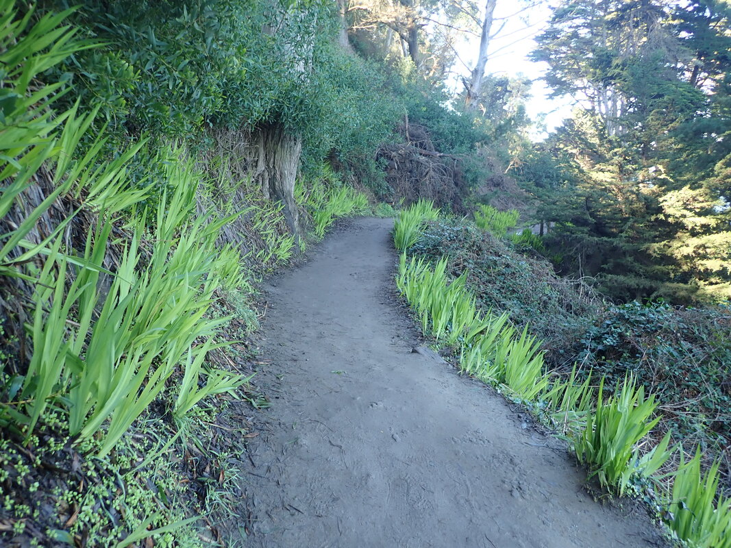
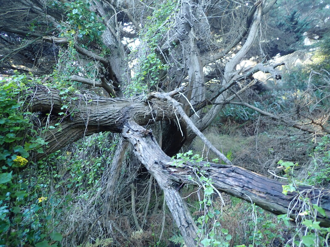
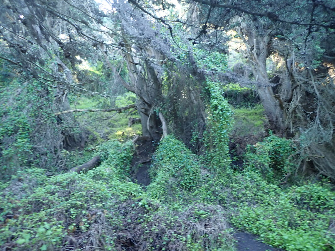
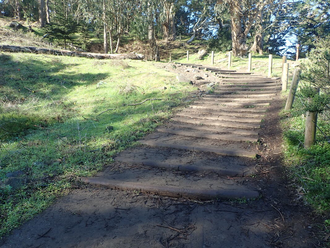
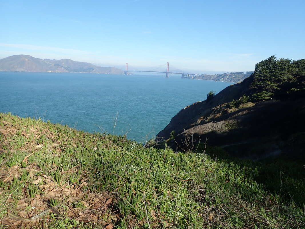
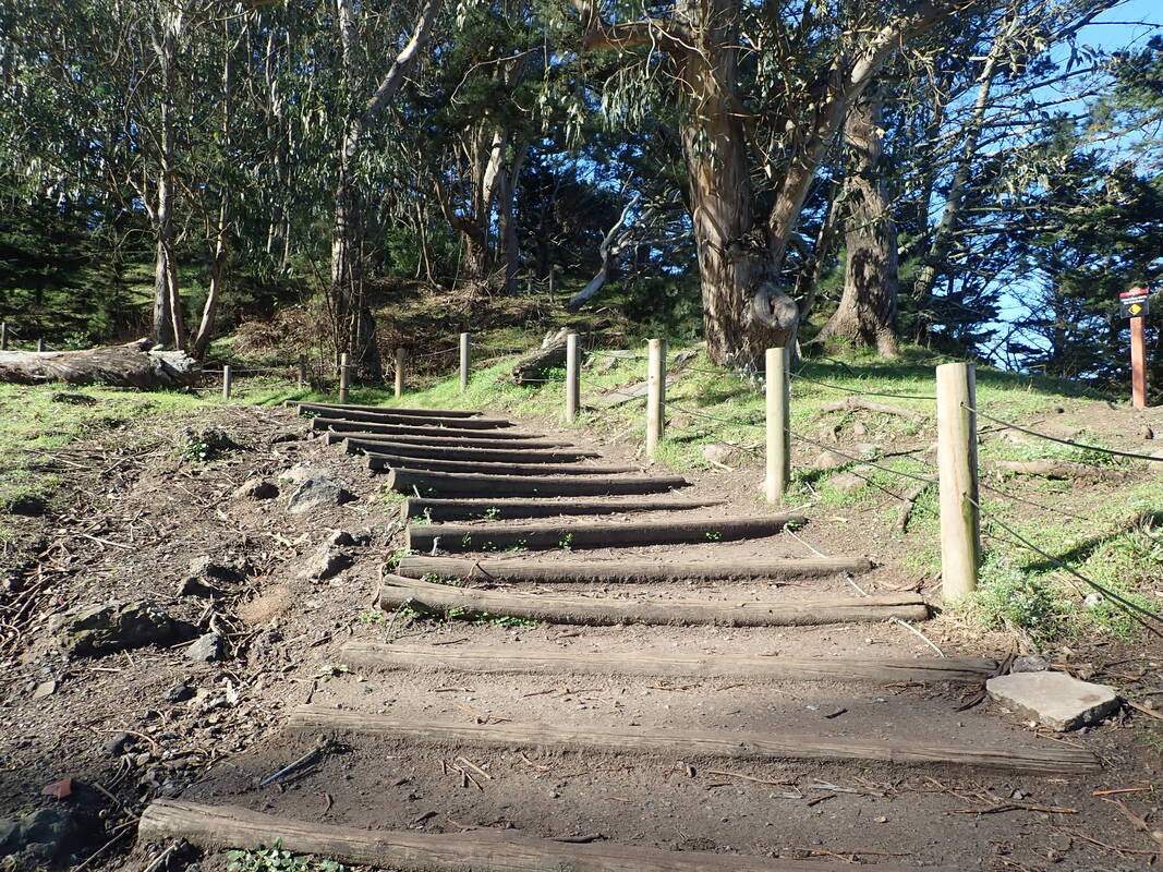
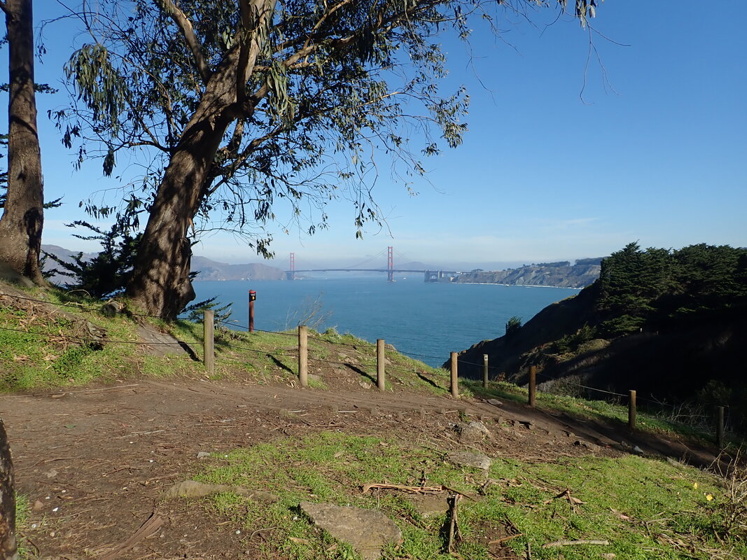
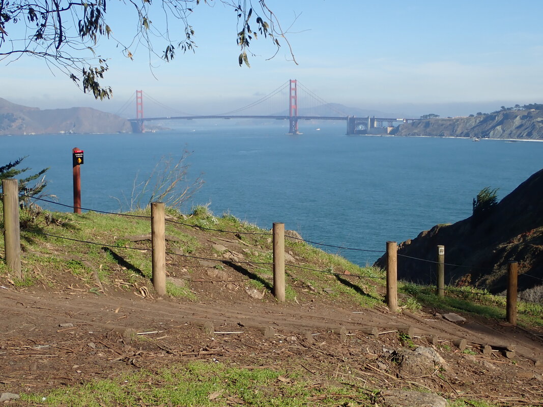
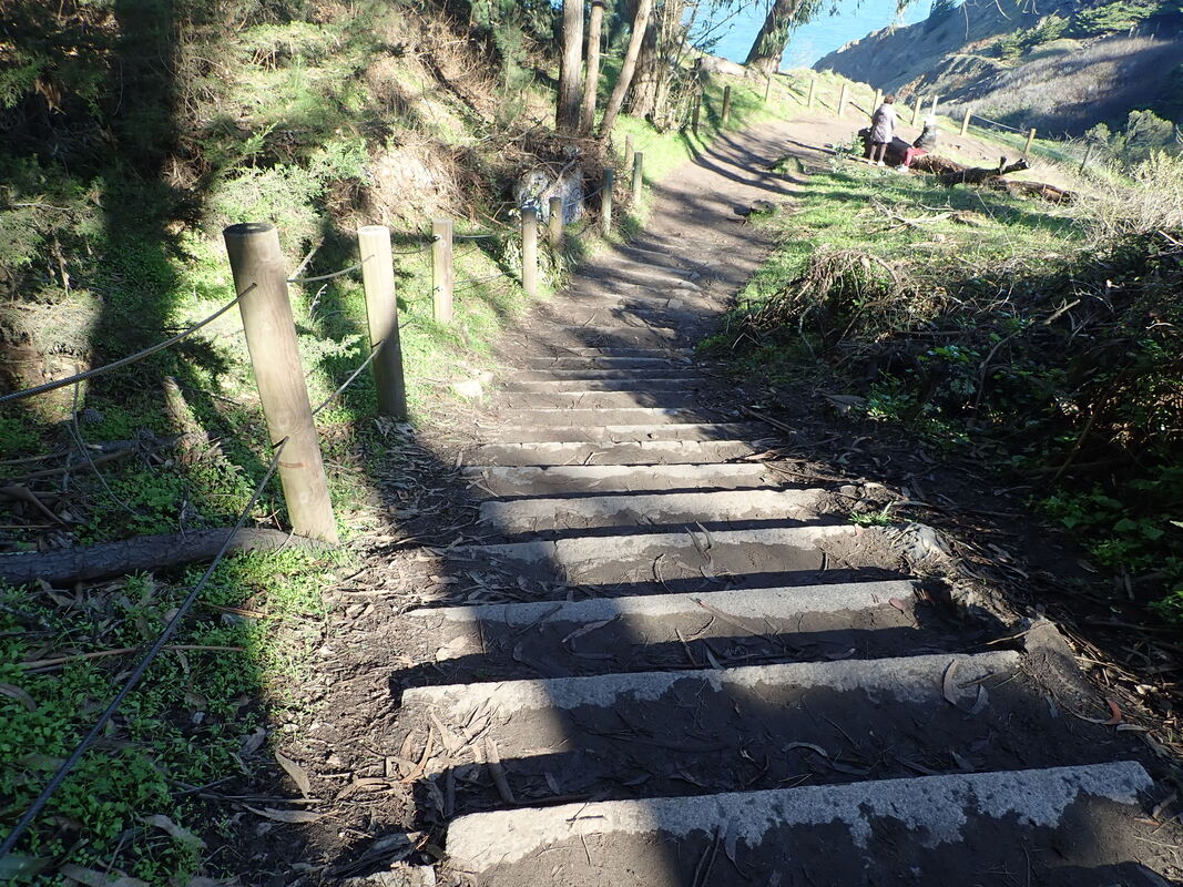
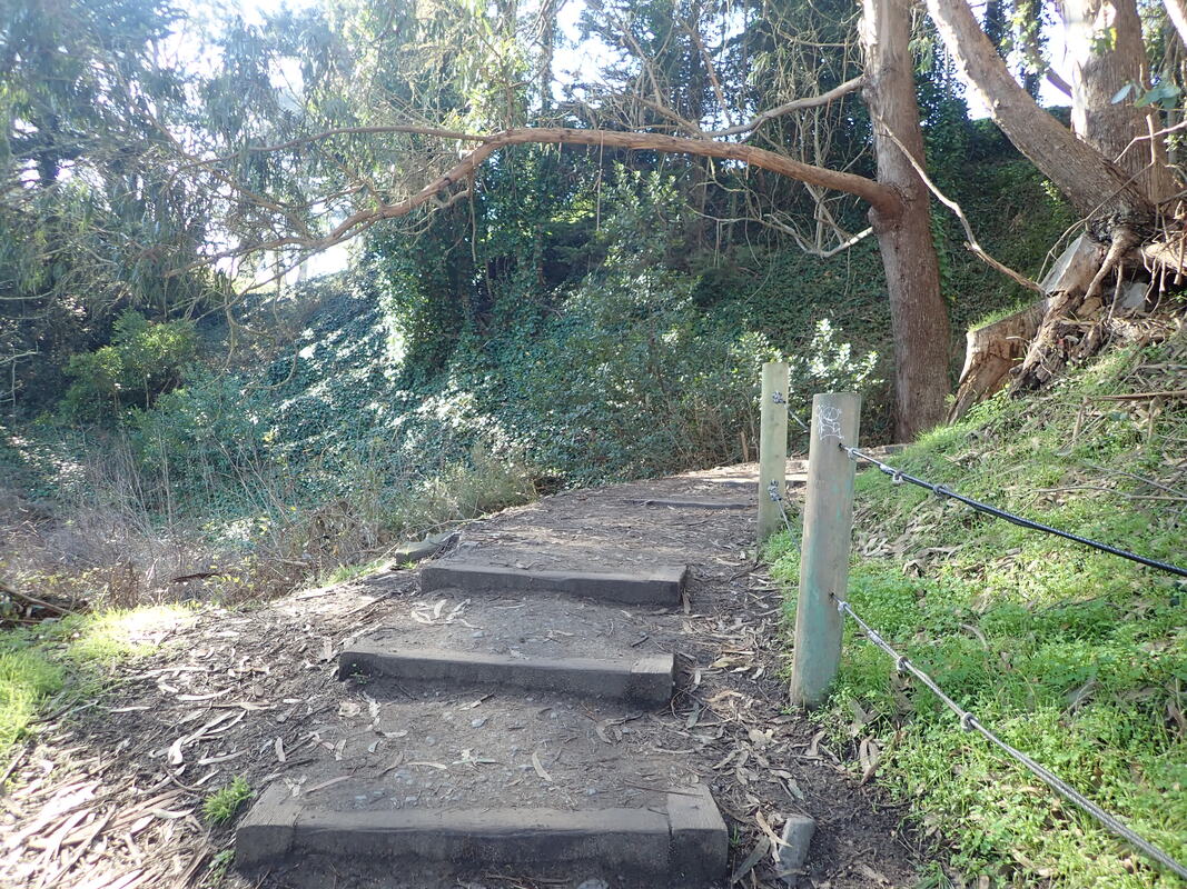
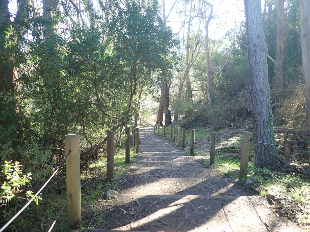
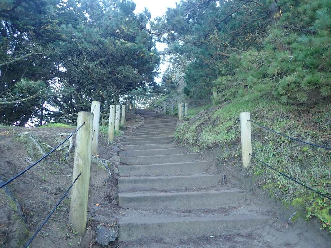
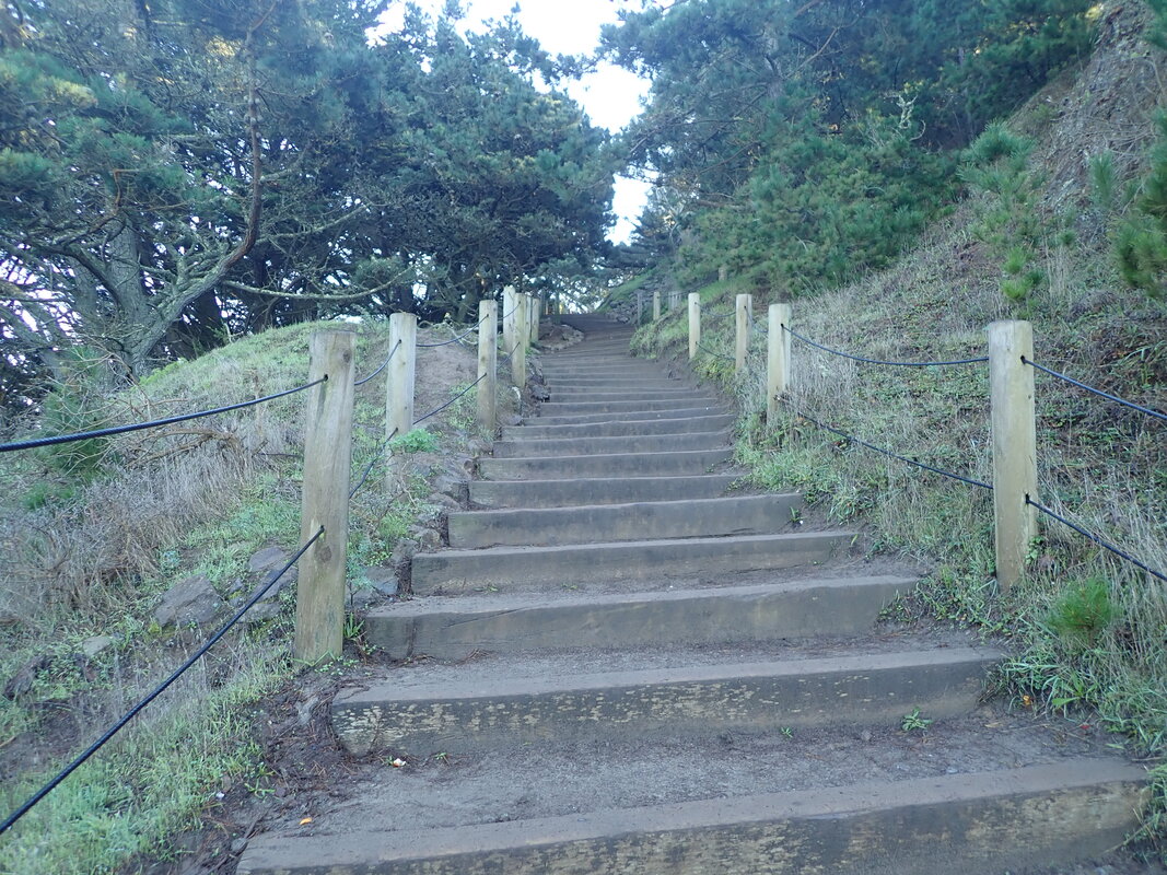
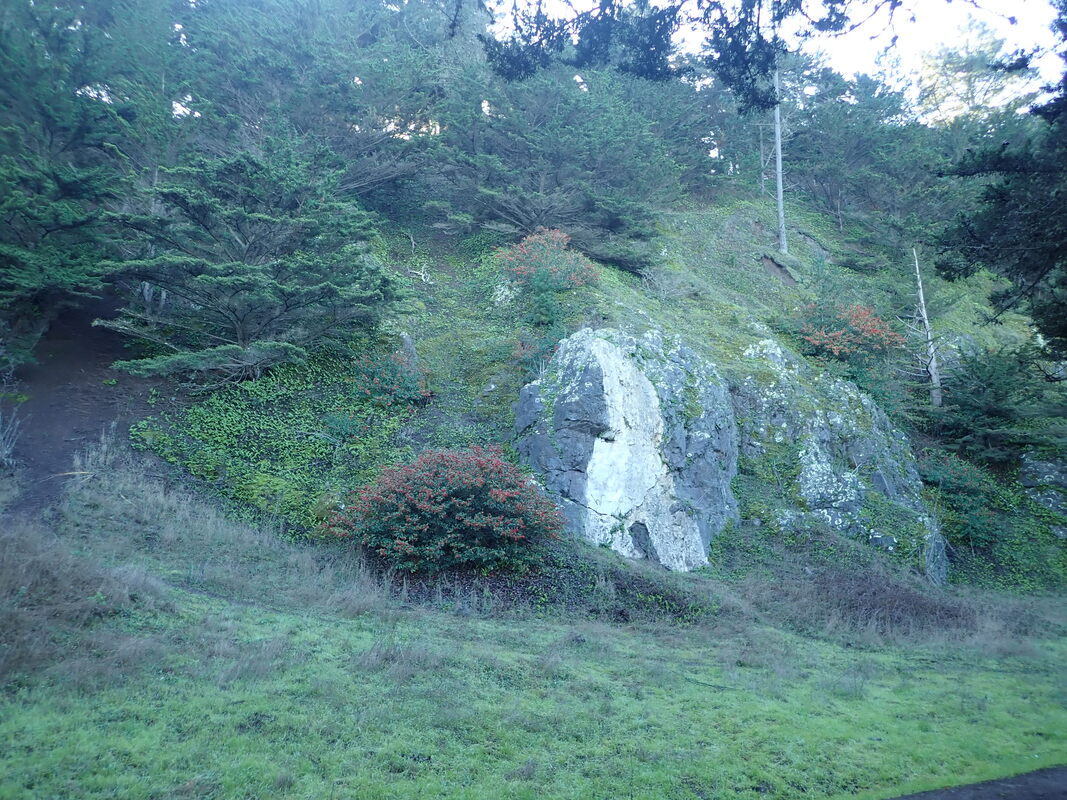
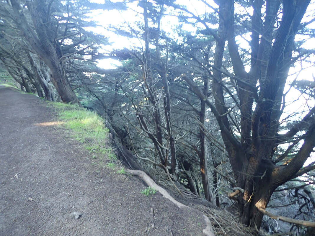
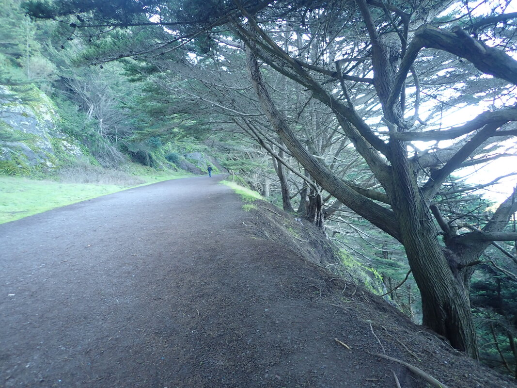
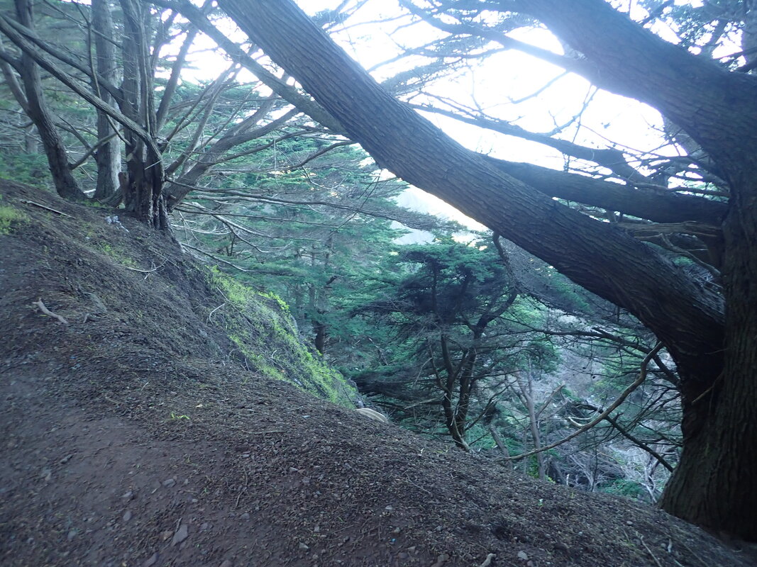
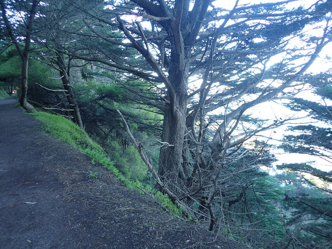
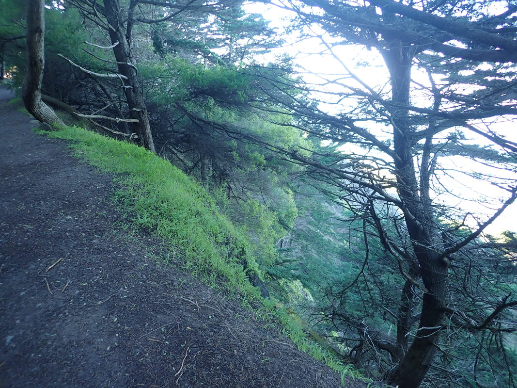
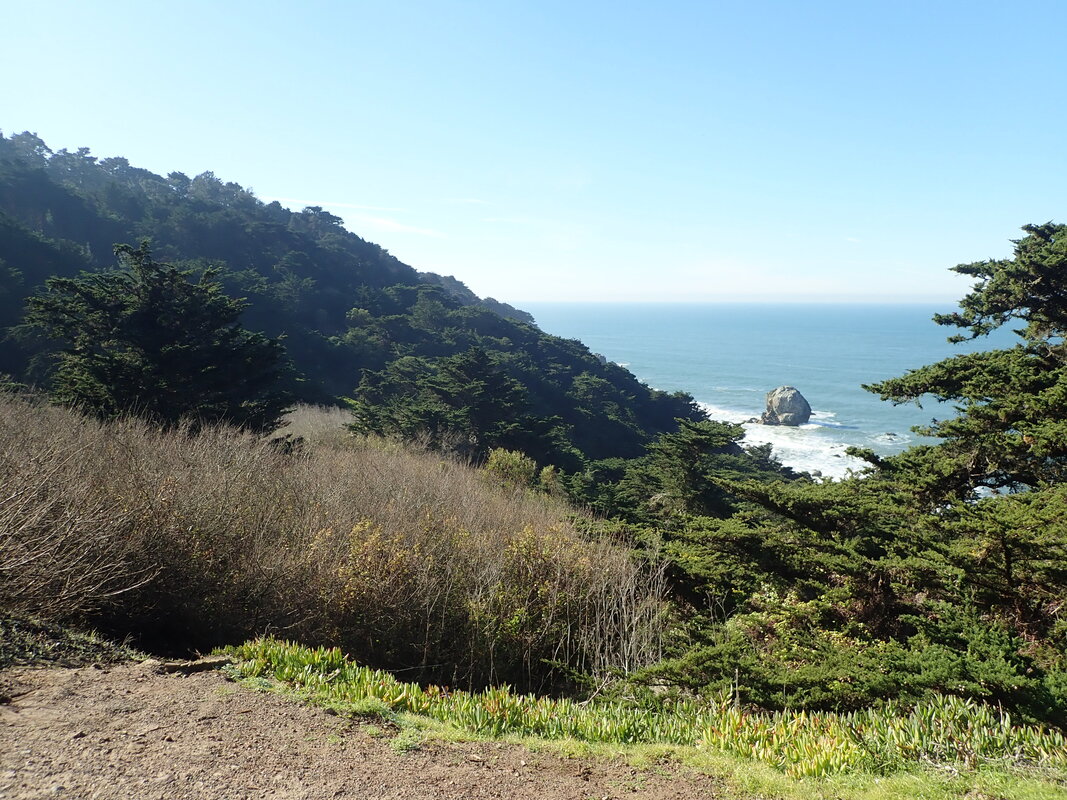
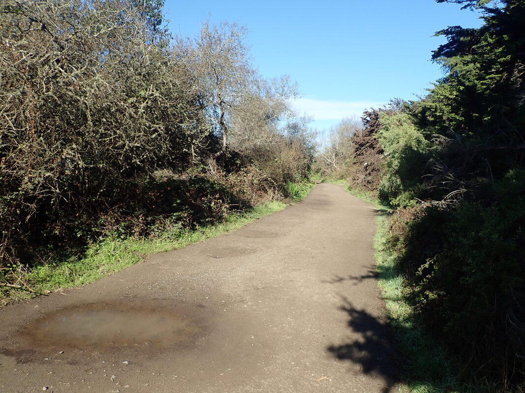
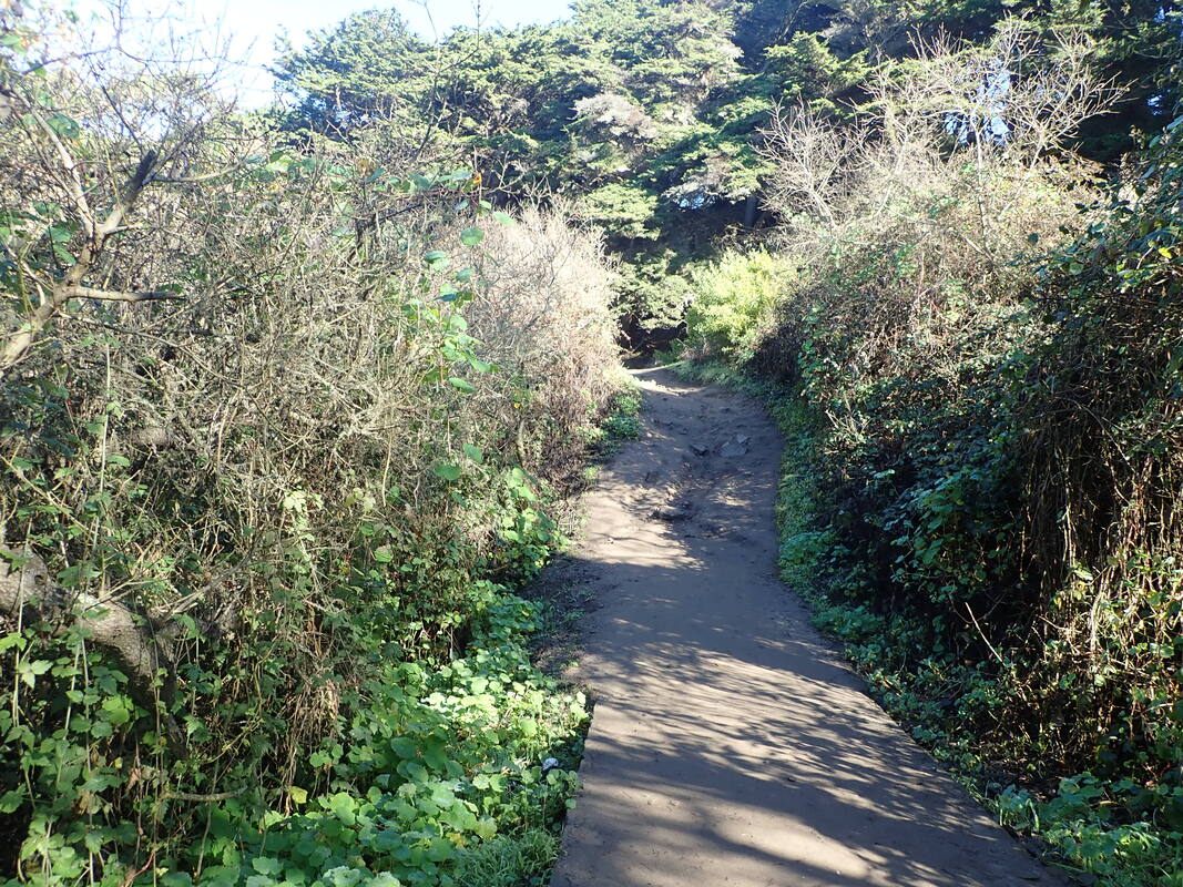
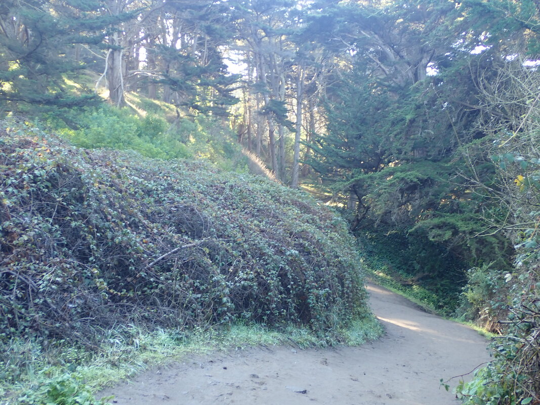
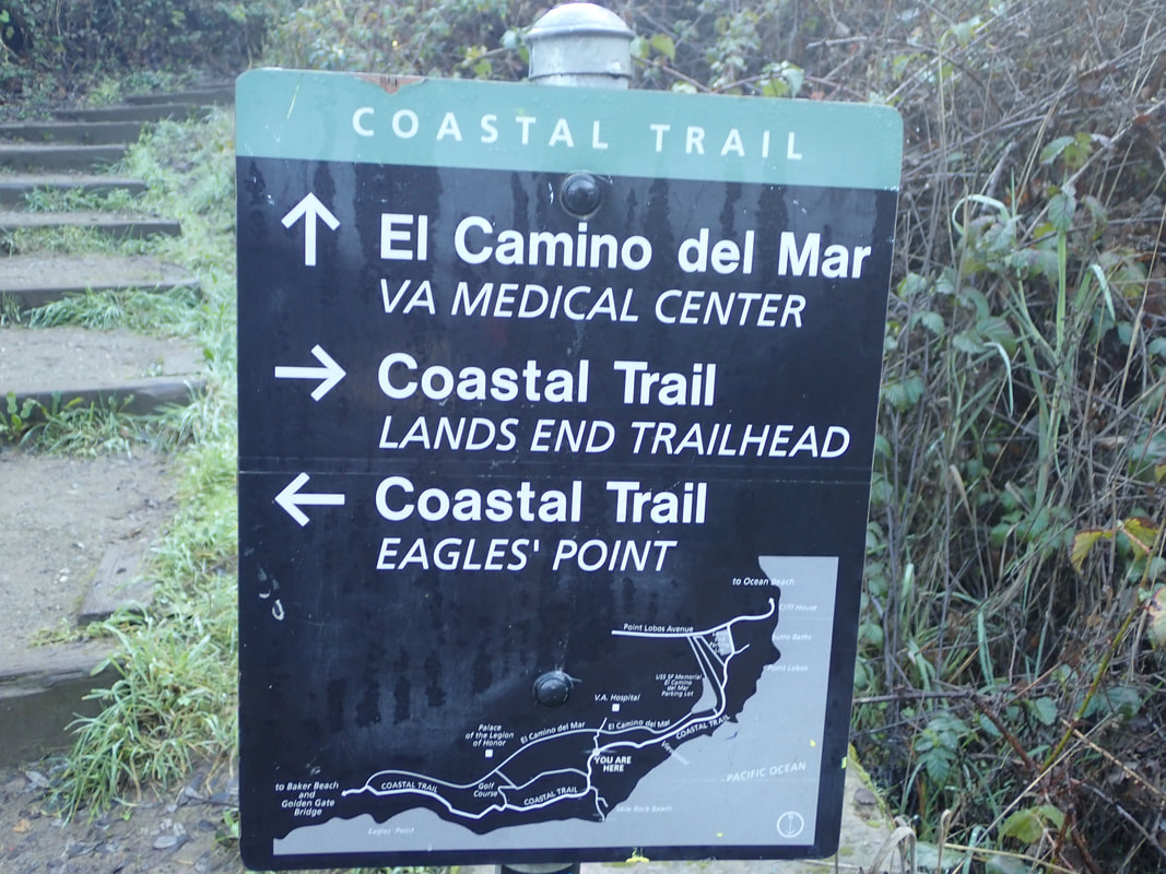
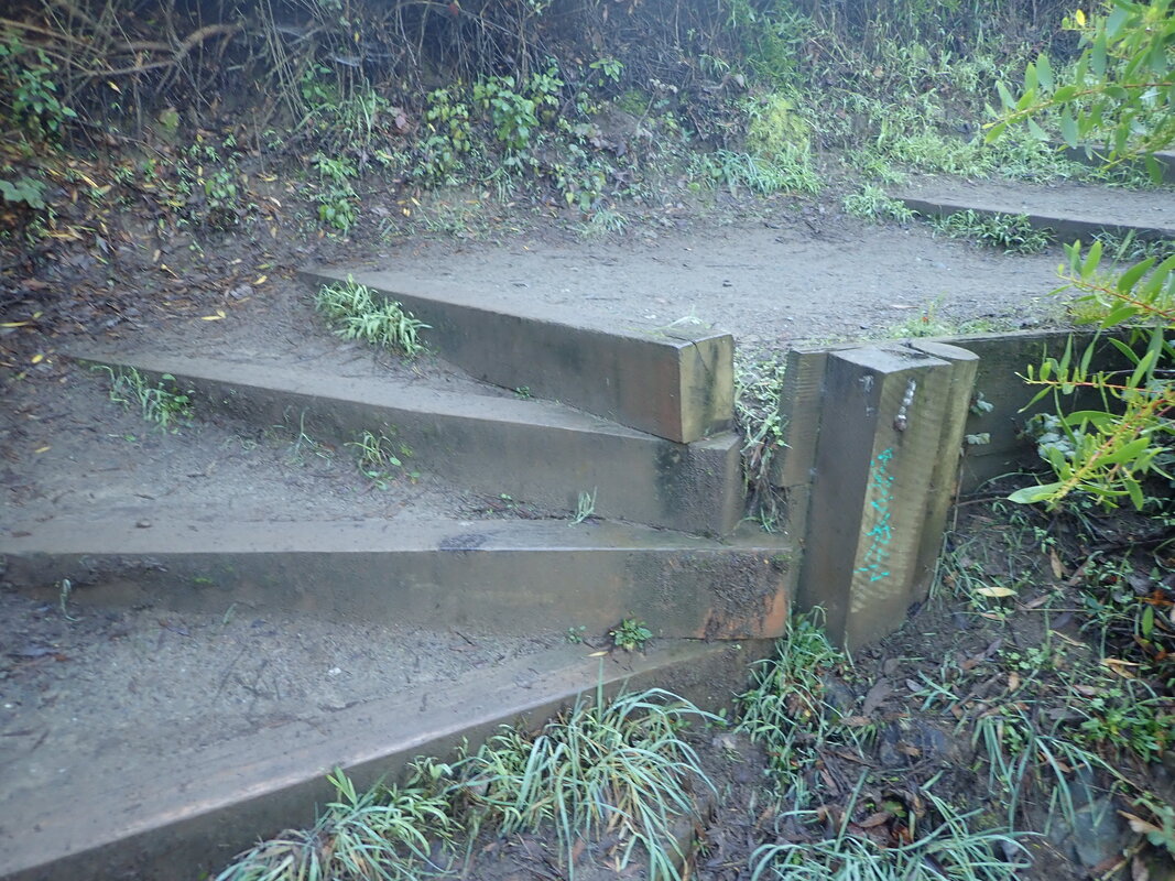
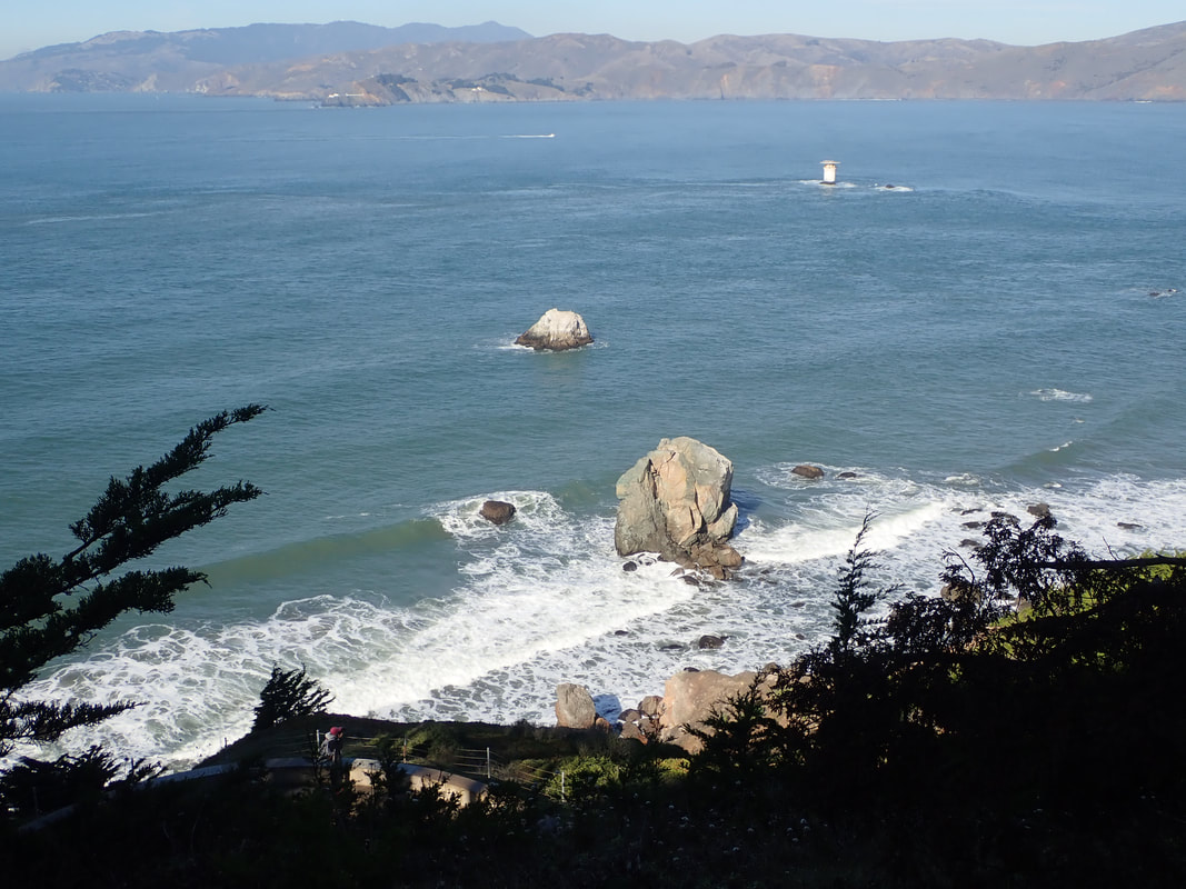
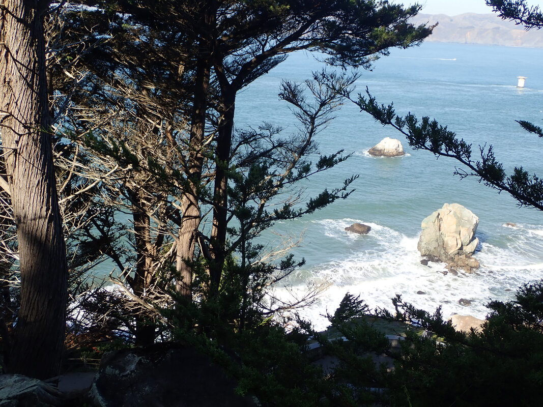
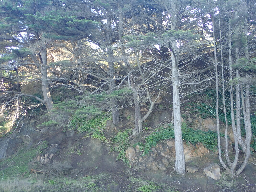
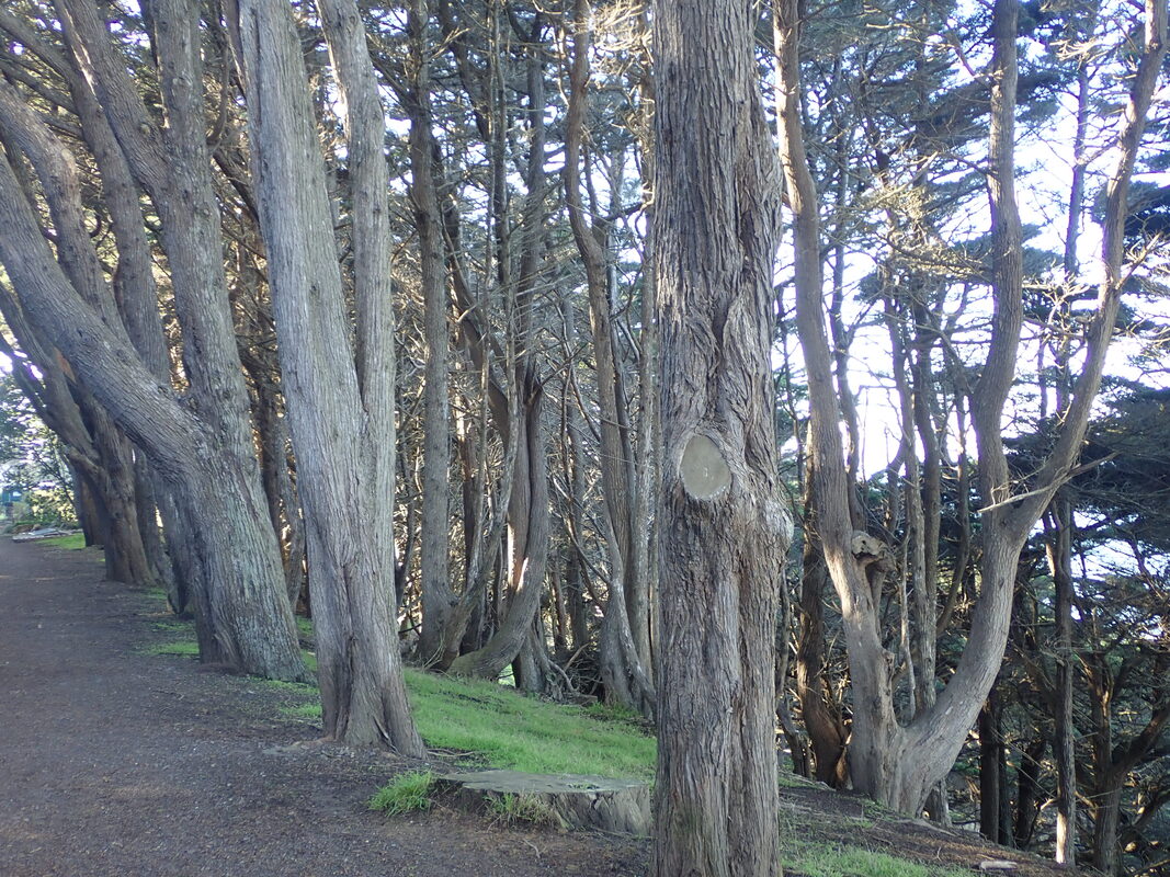
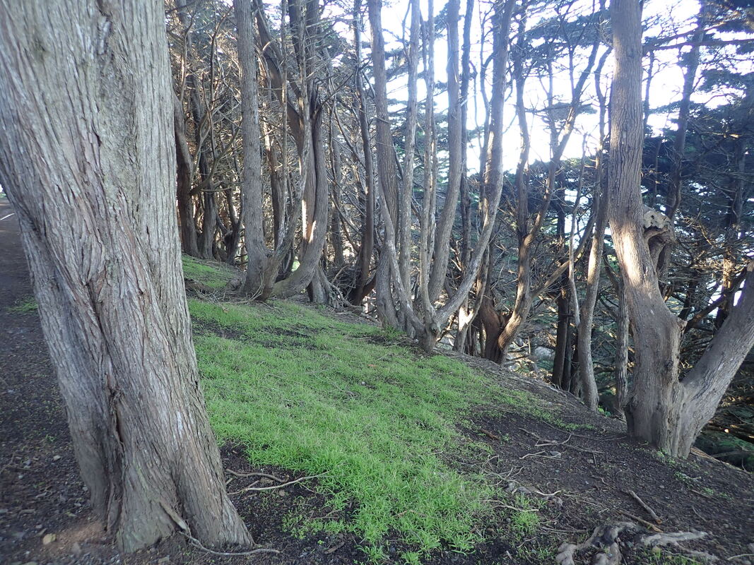
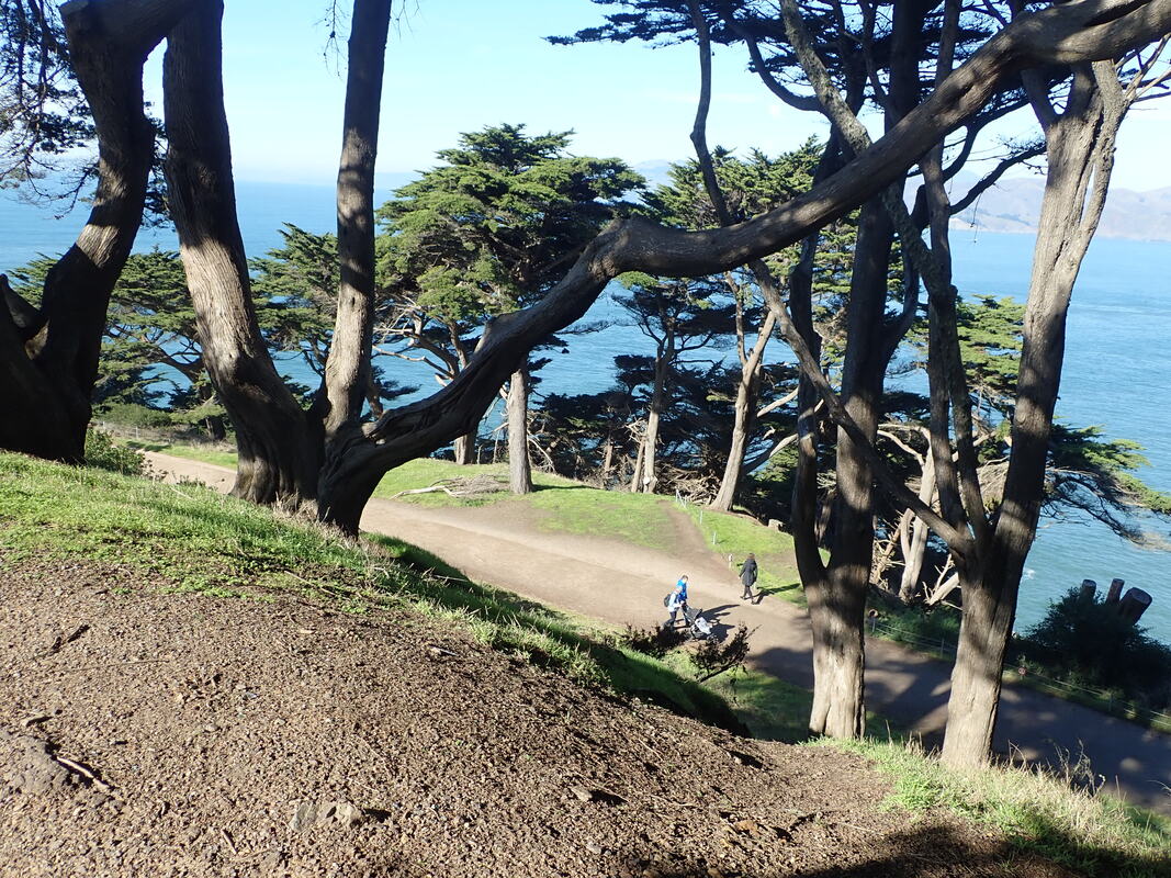
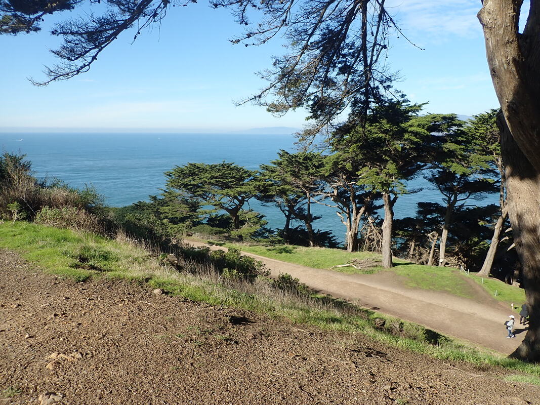
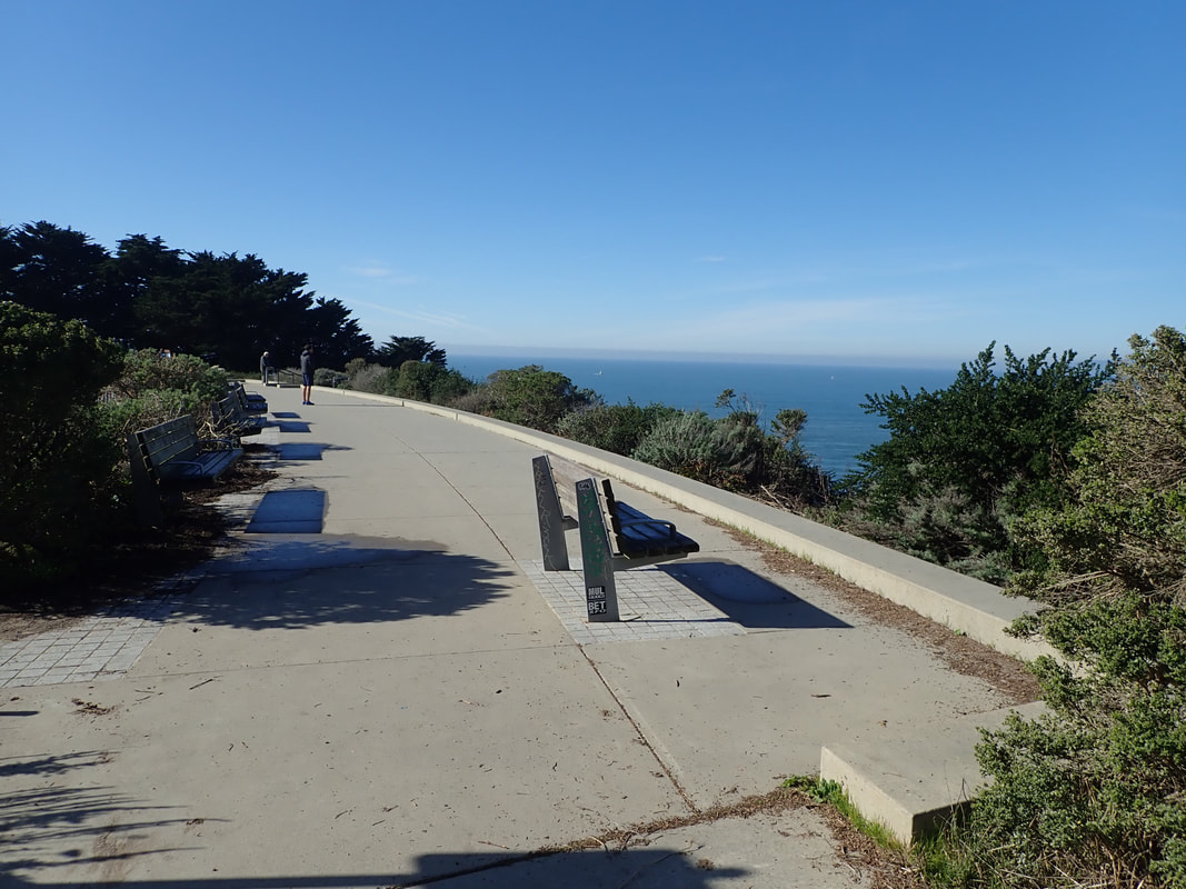
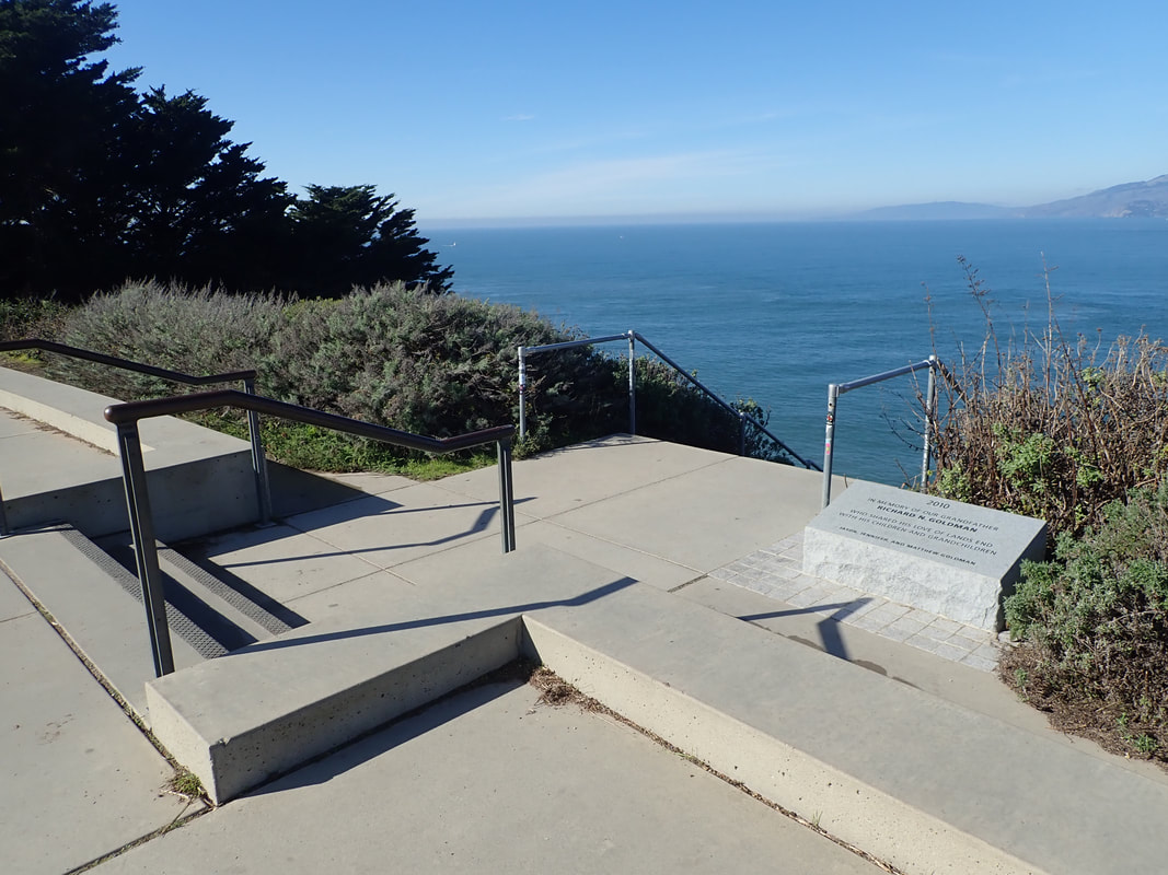
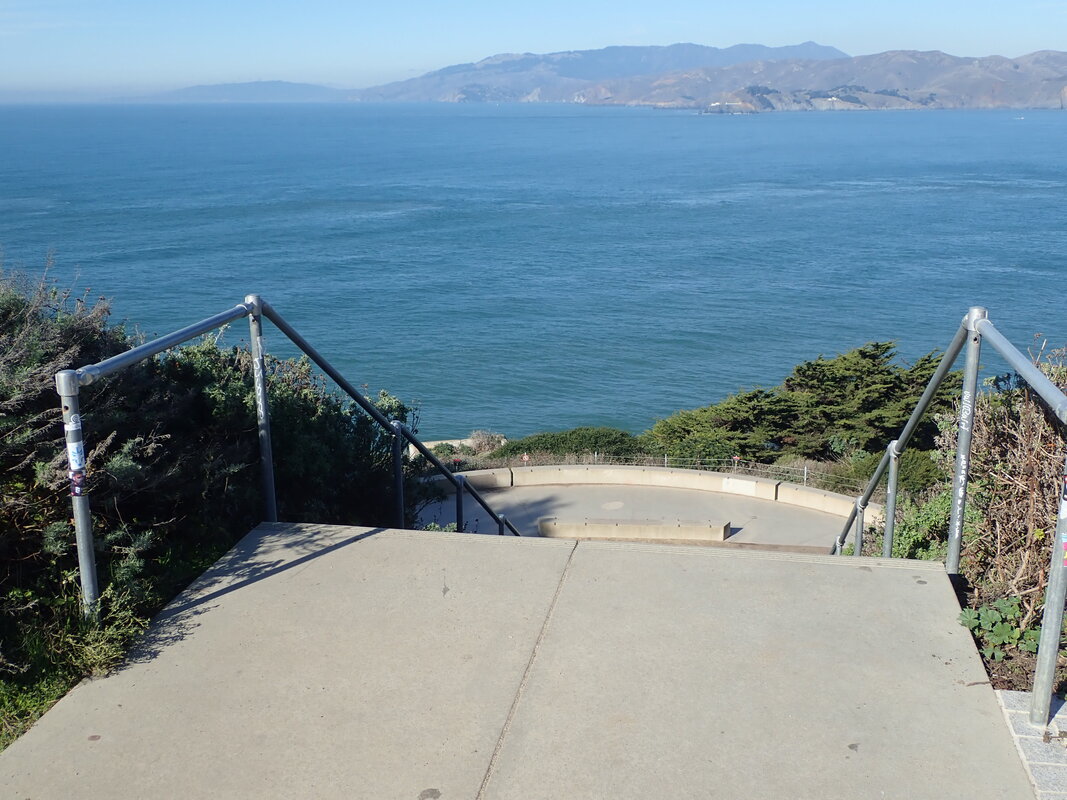
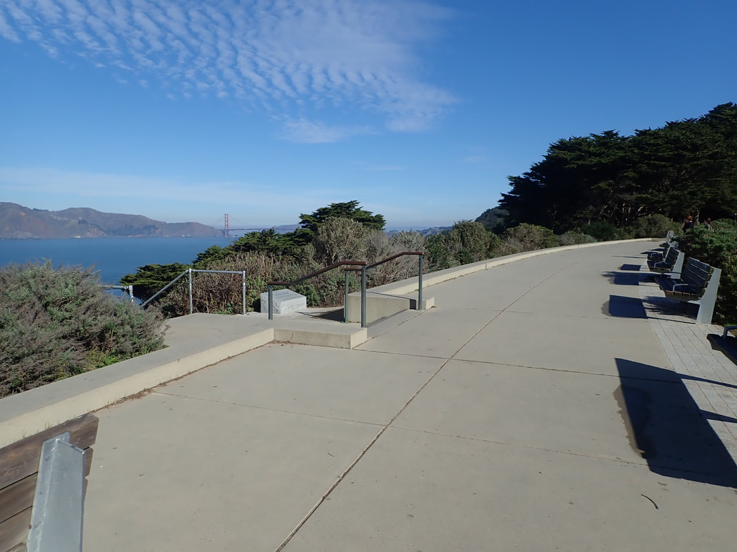
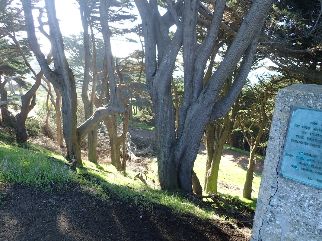
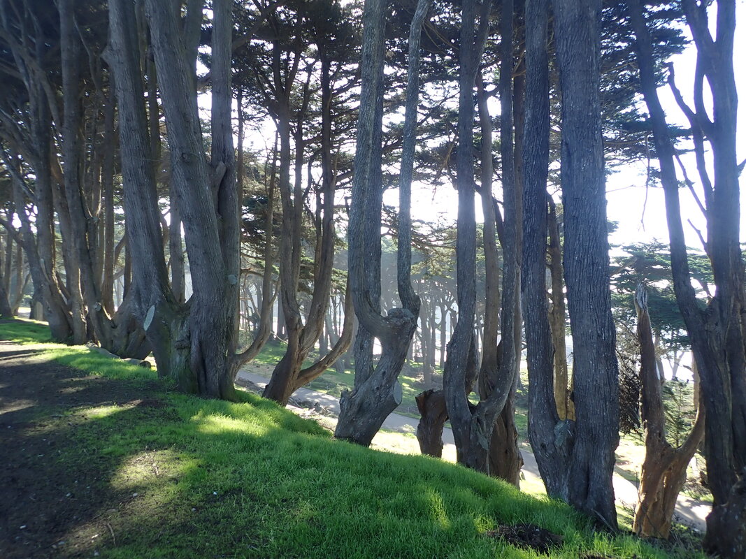
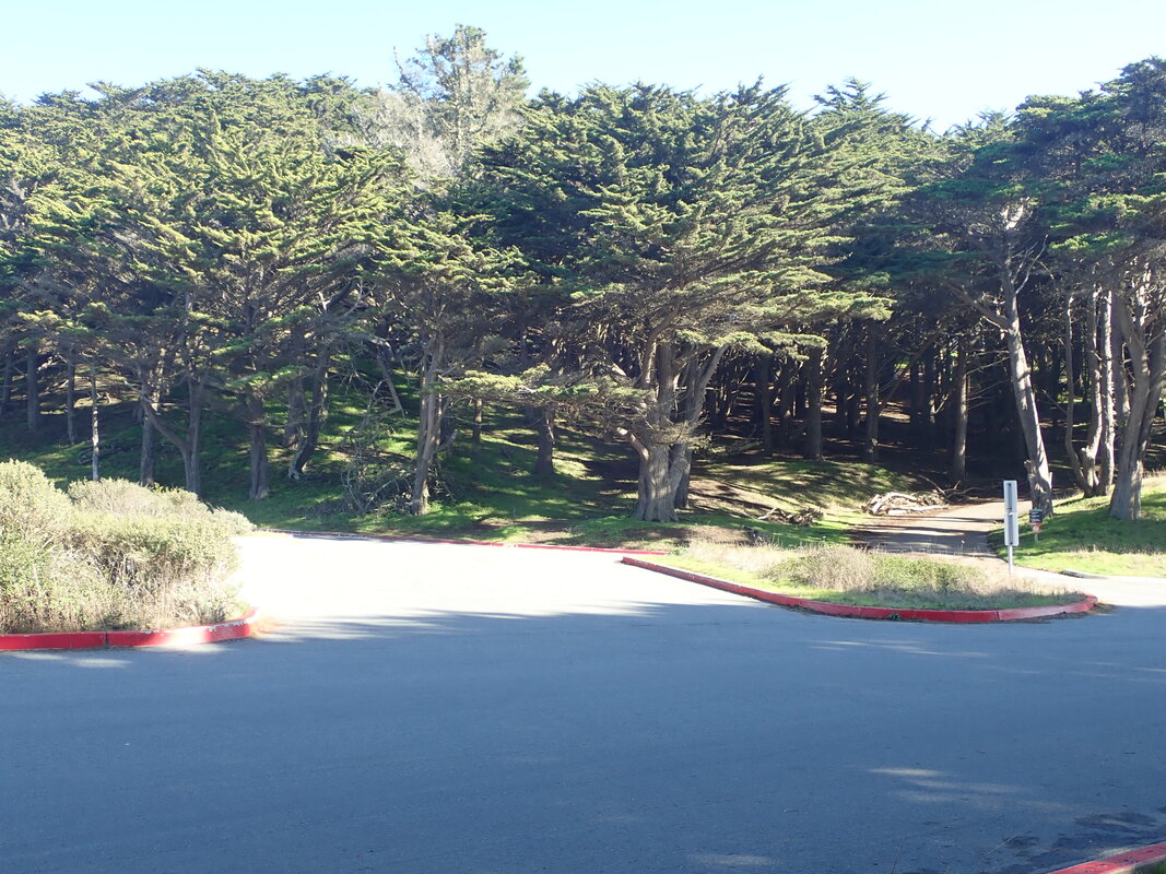
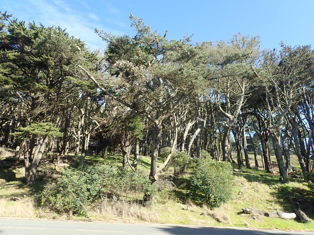
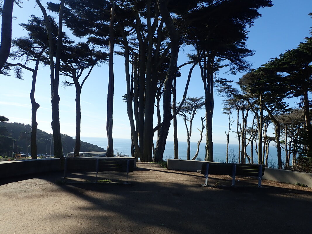
West and around: 2 thru 9
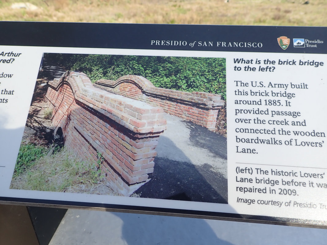
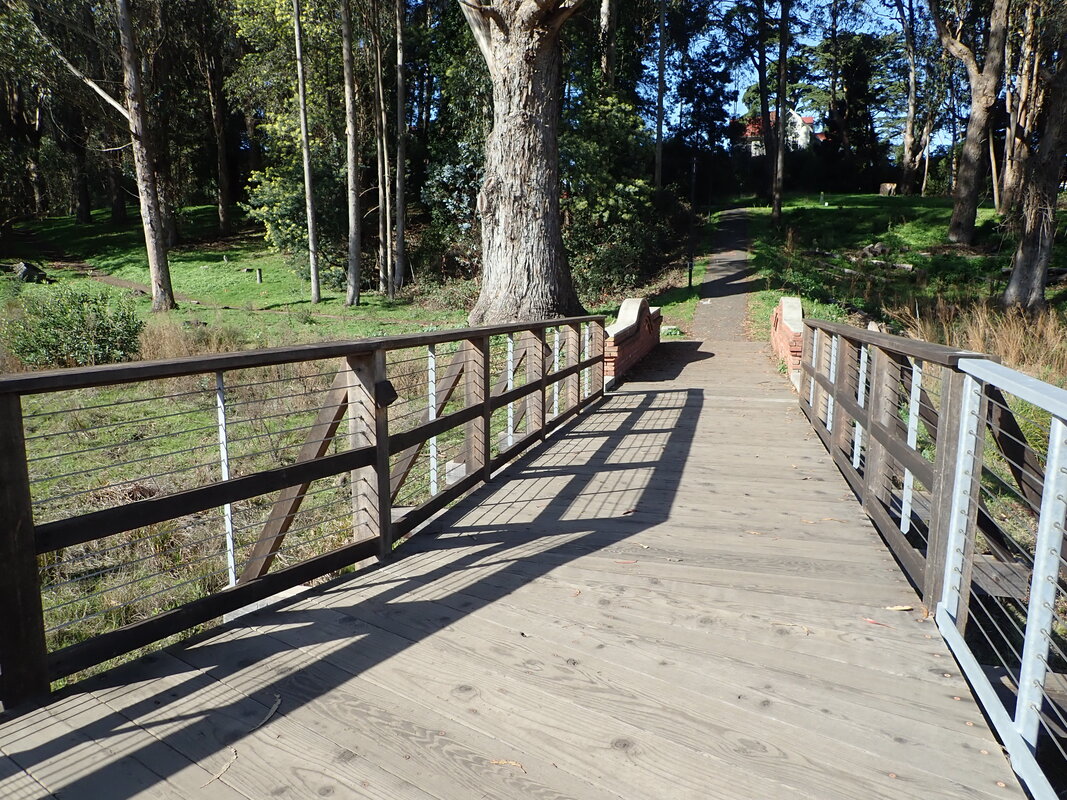
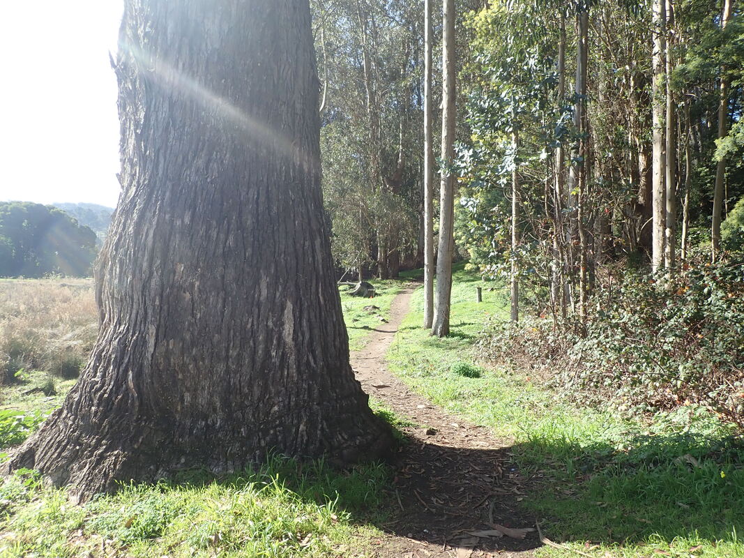
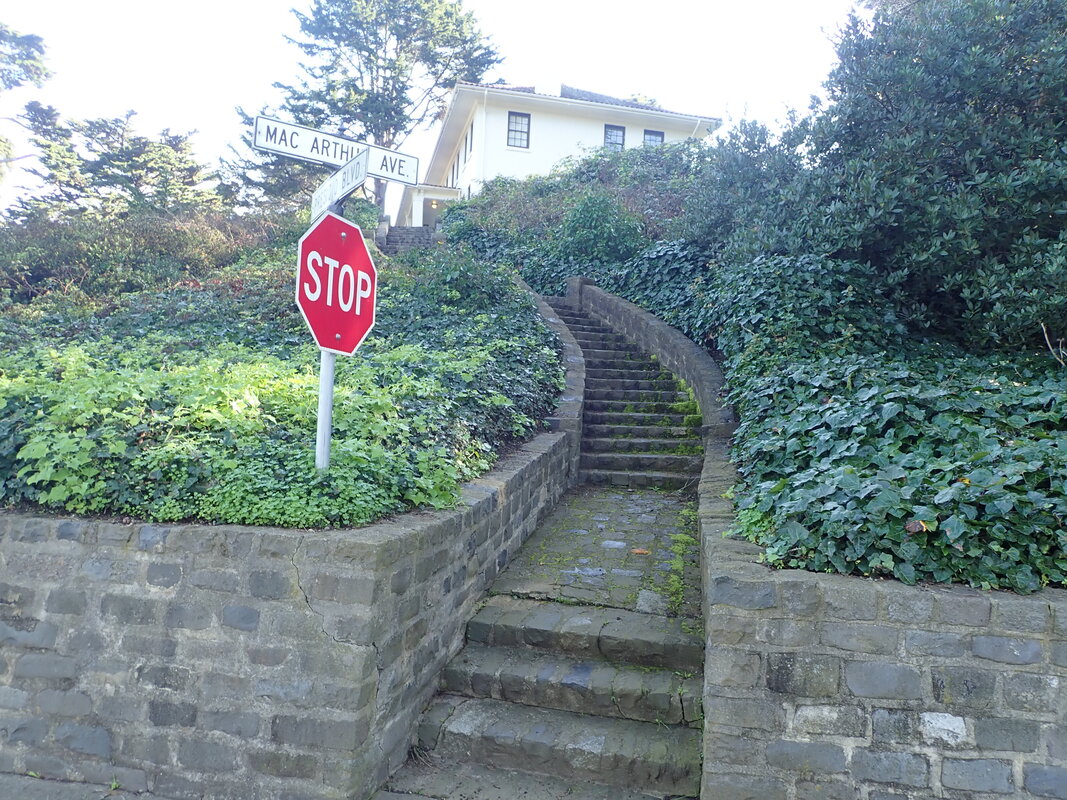
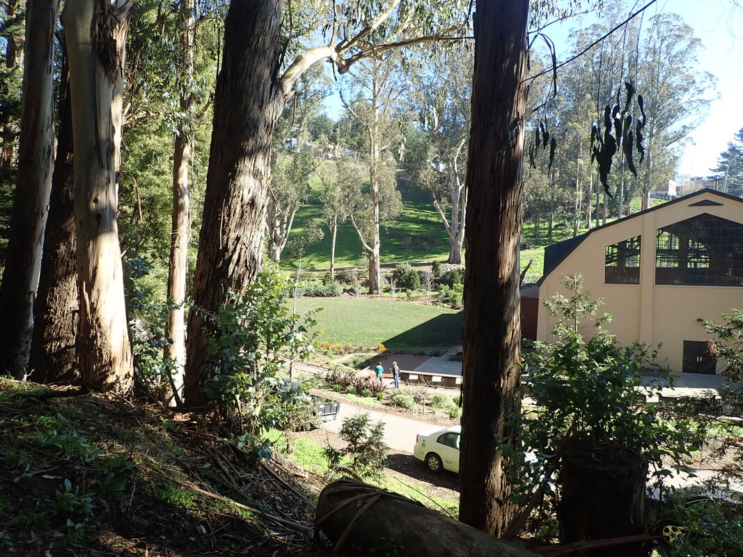
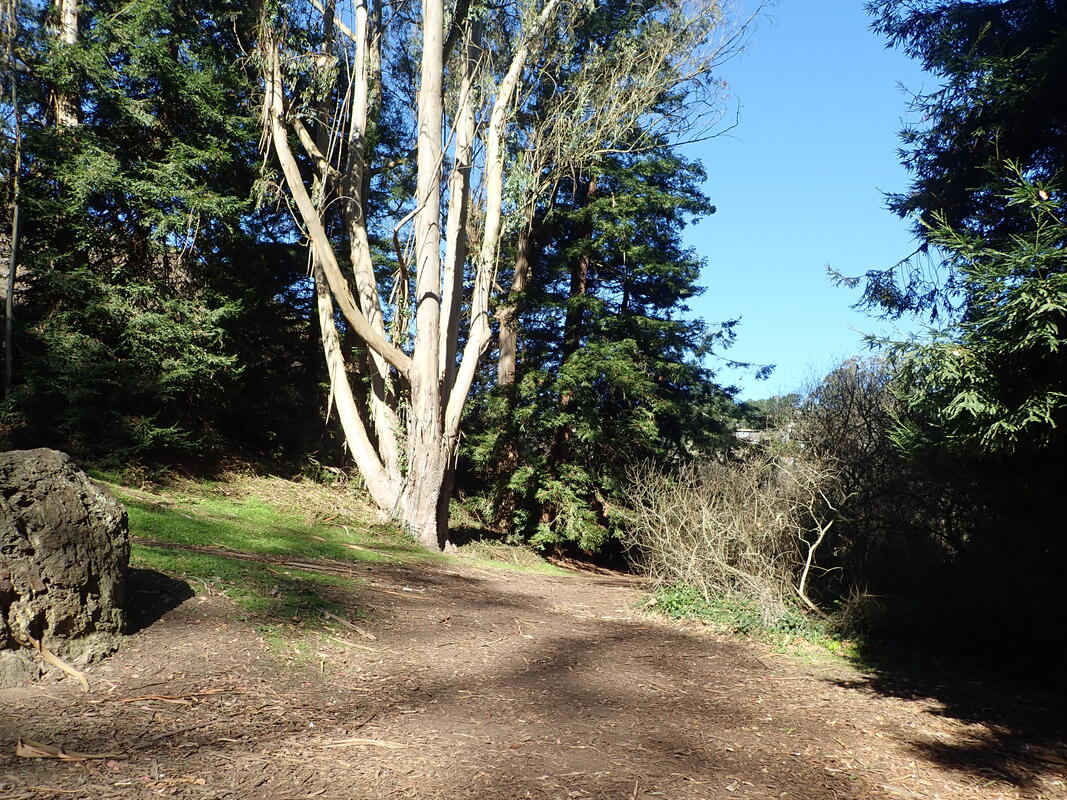
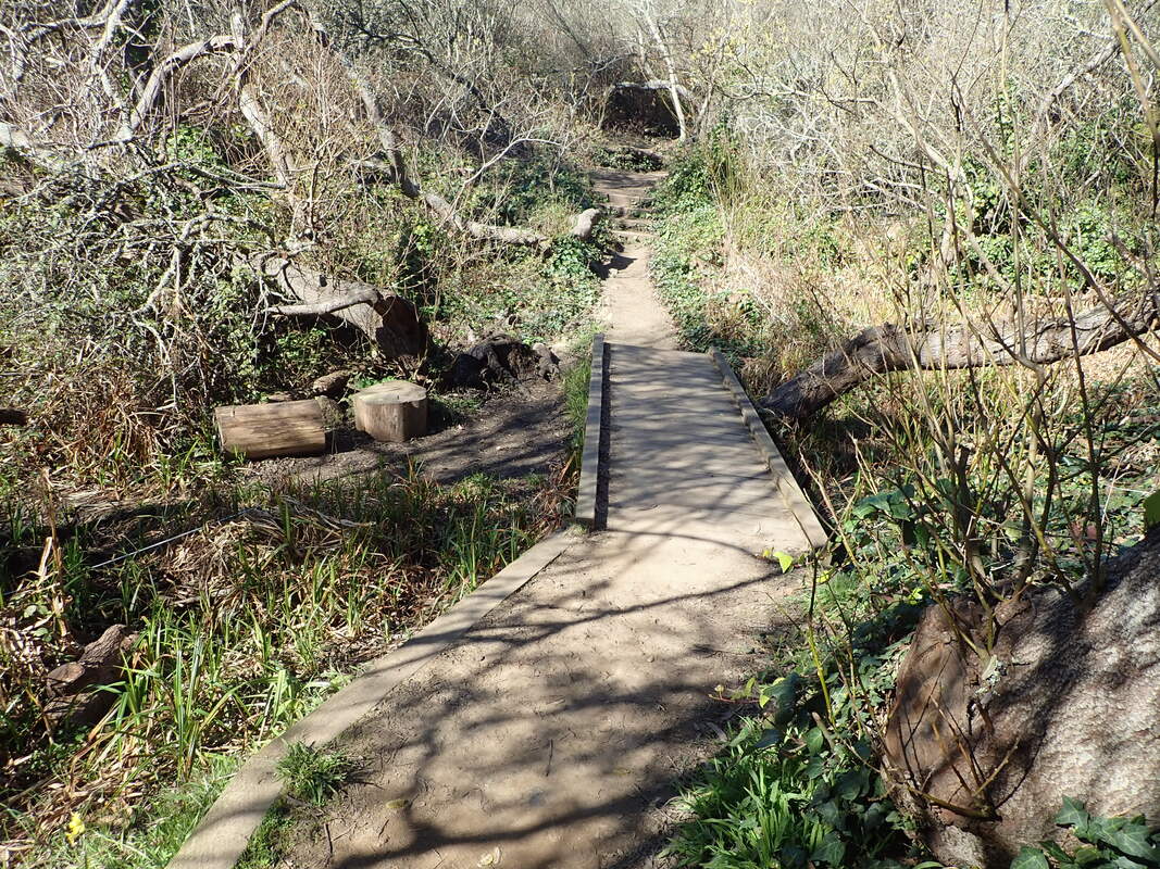
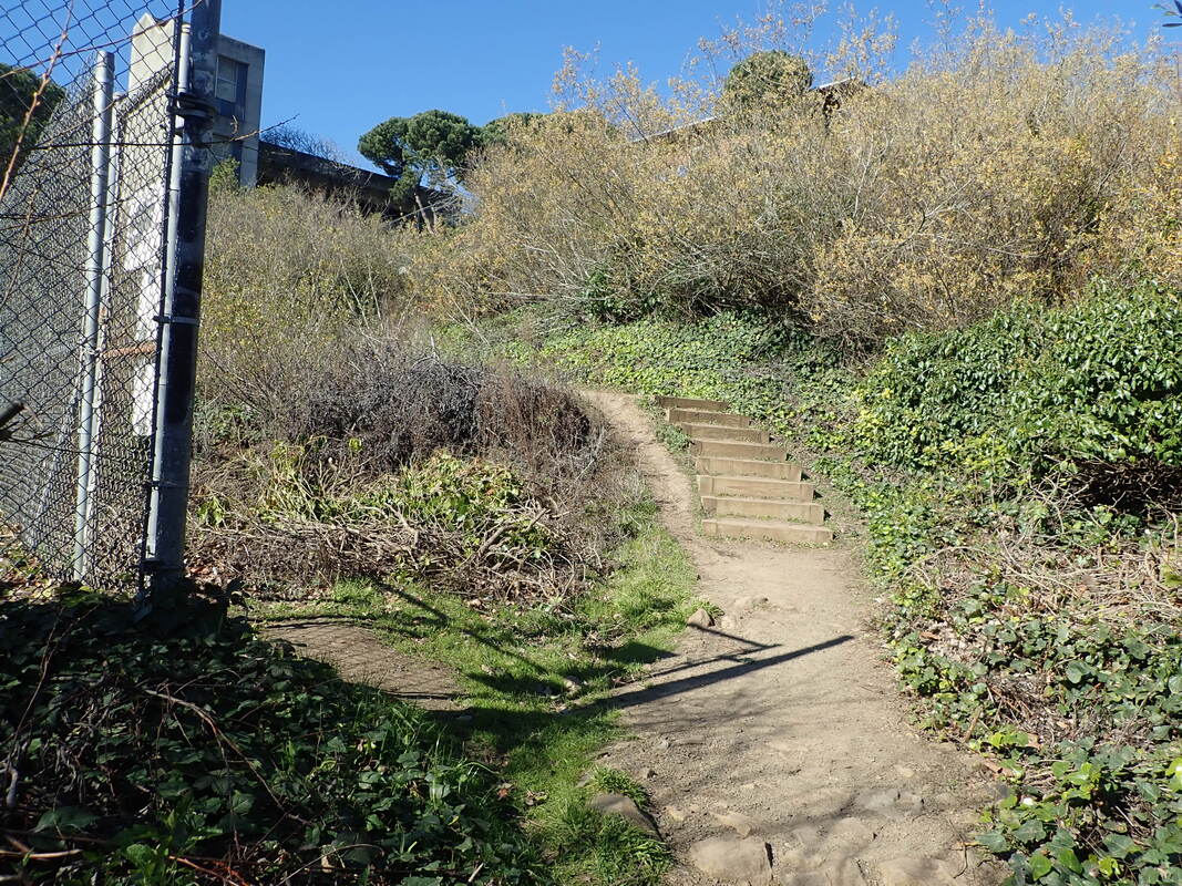
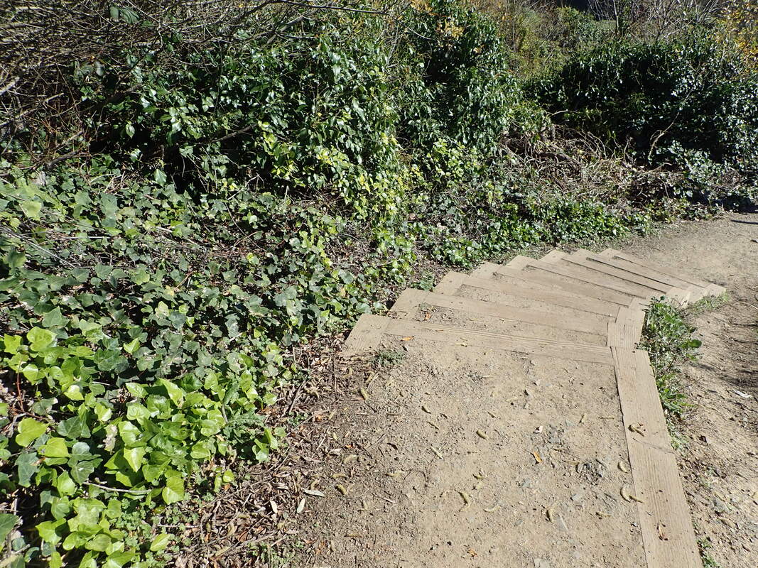
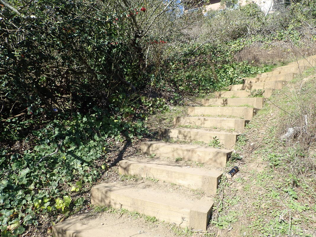
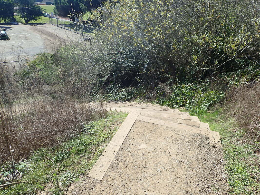
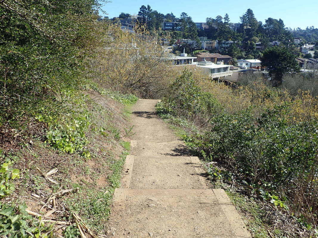
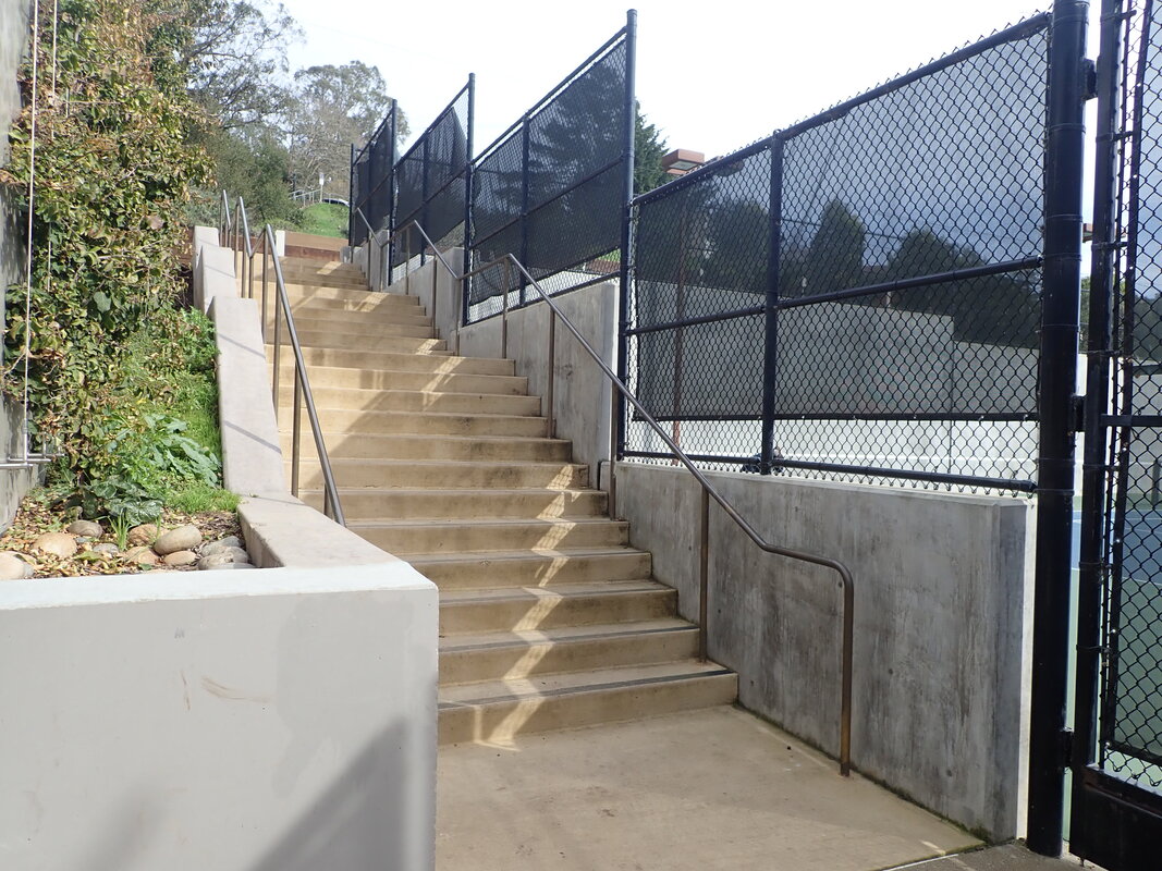
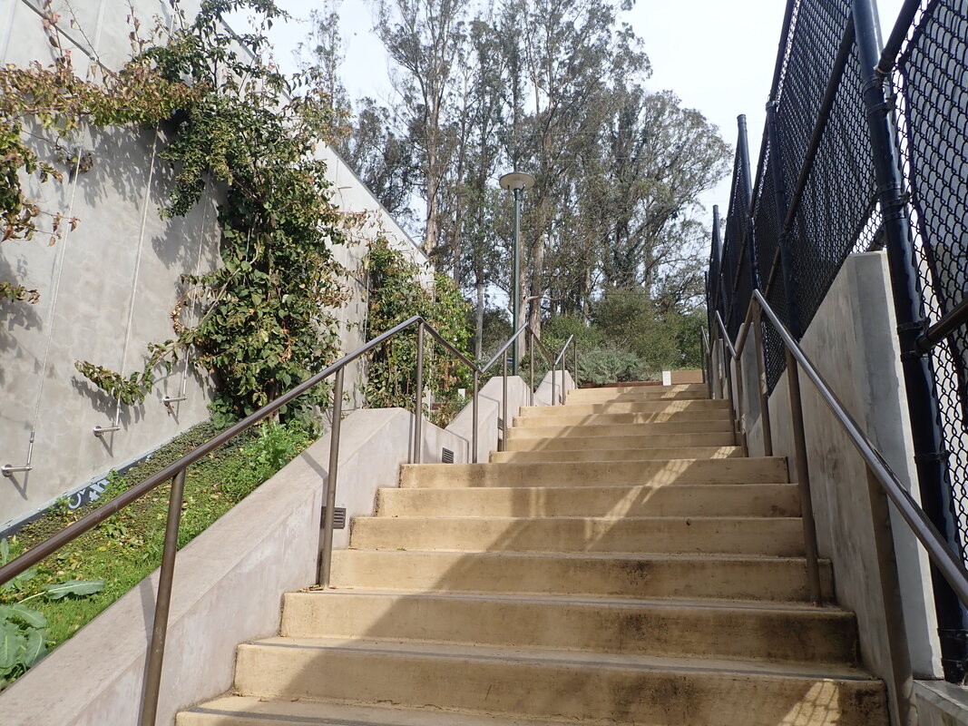
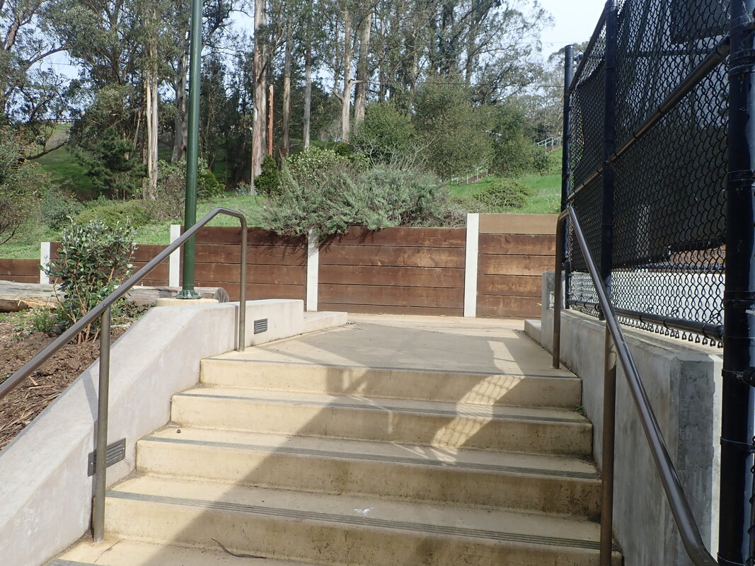
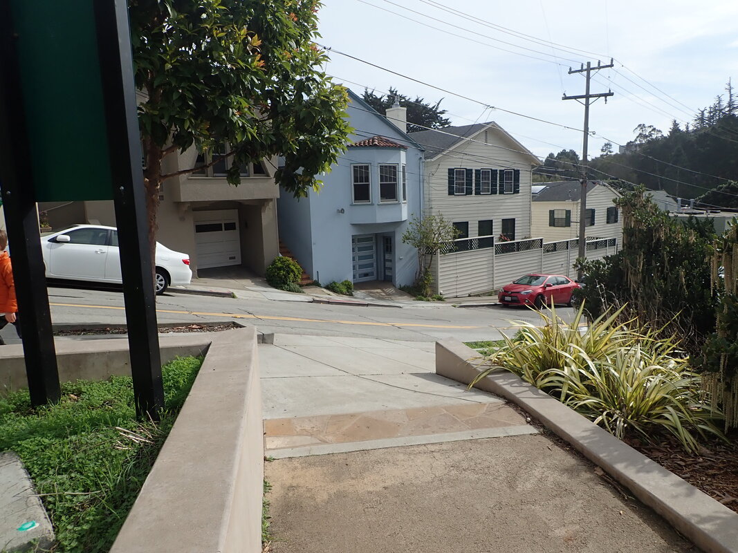
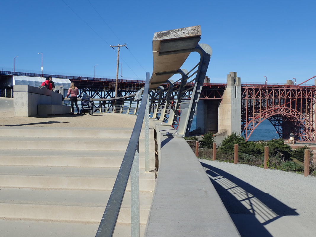
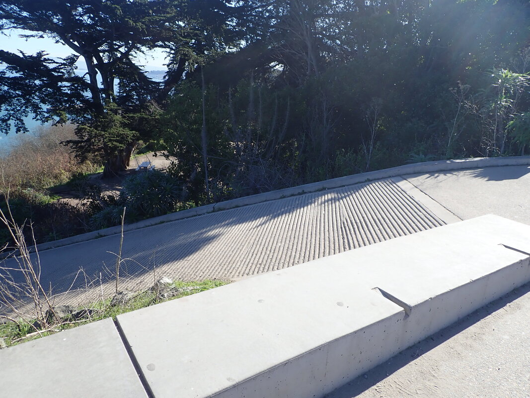
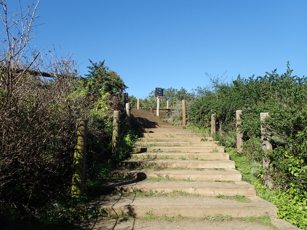
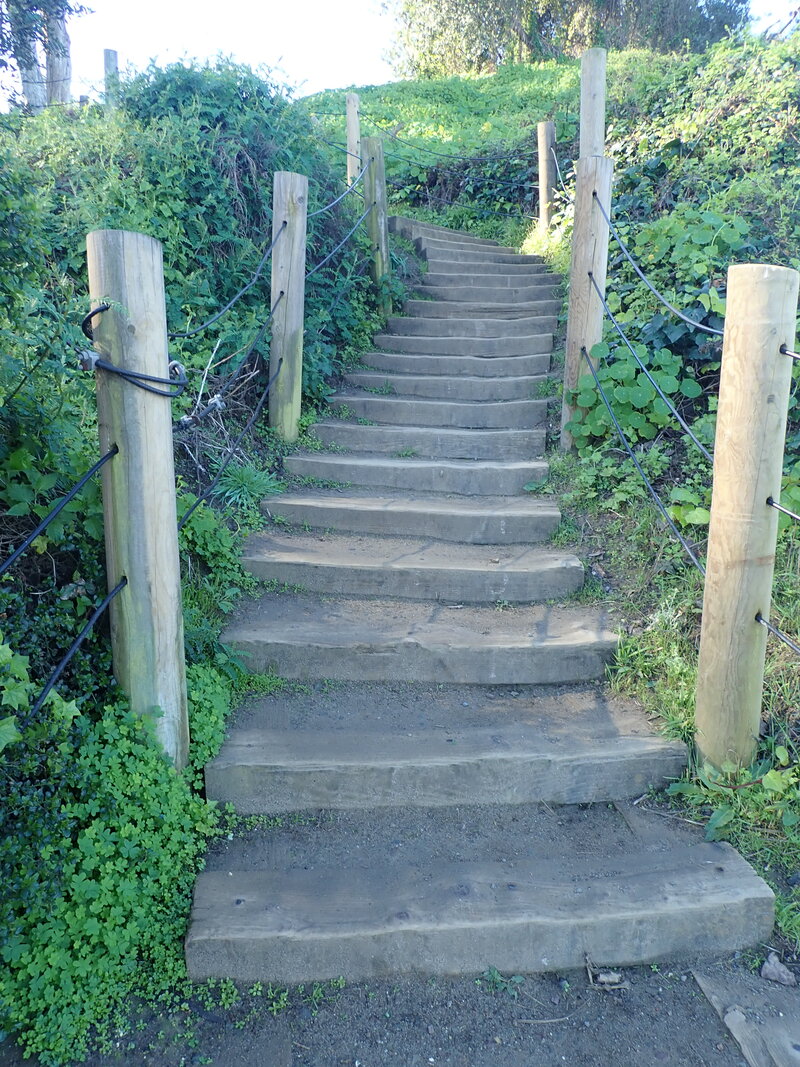
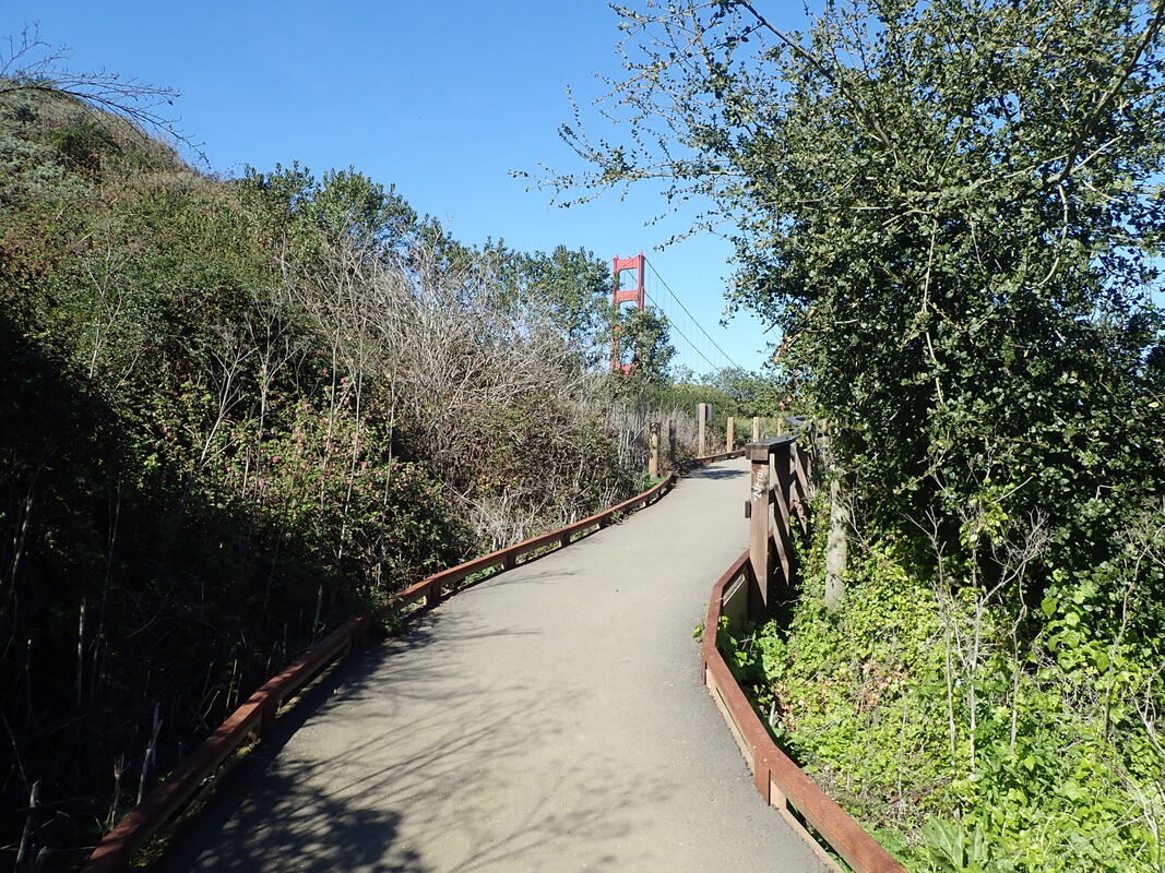
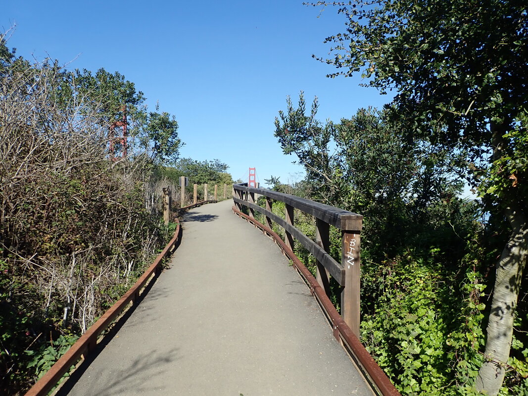
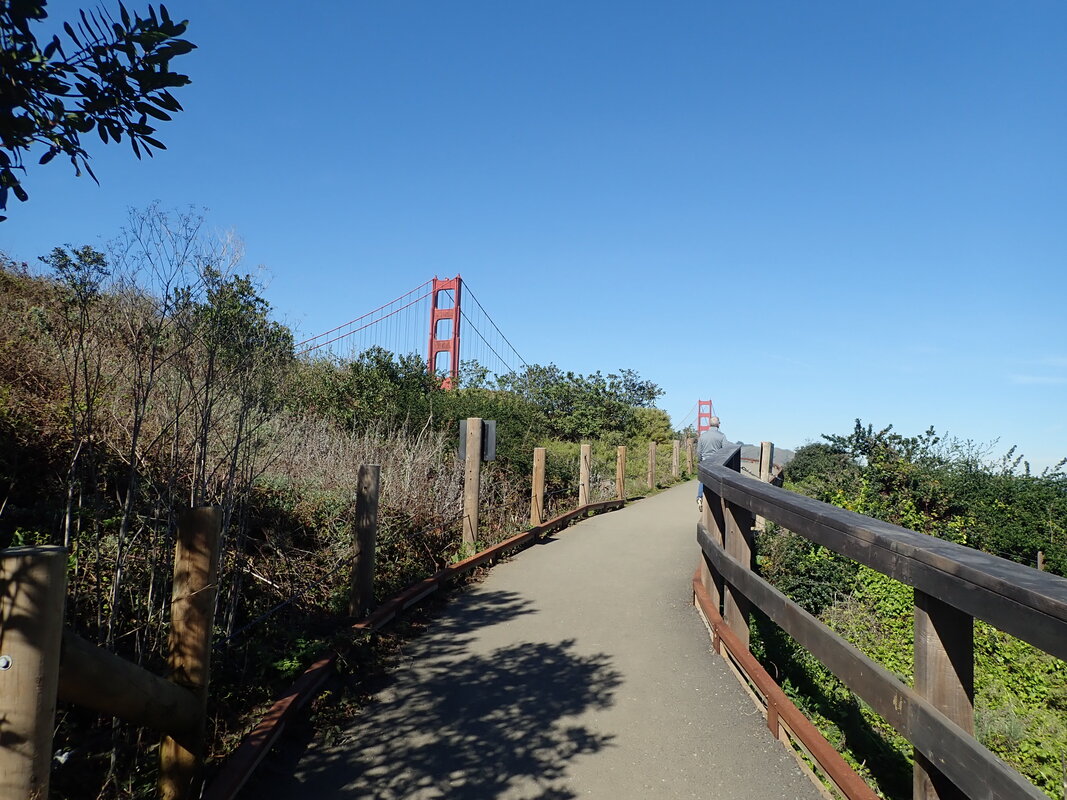
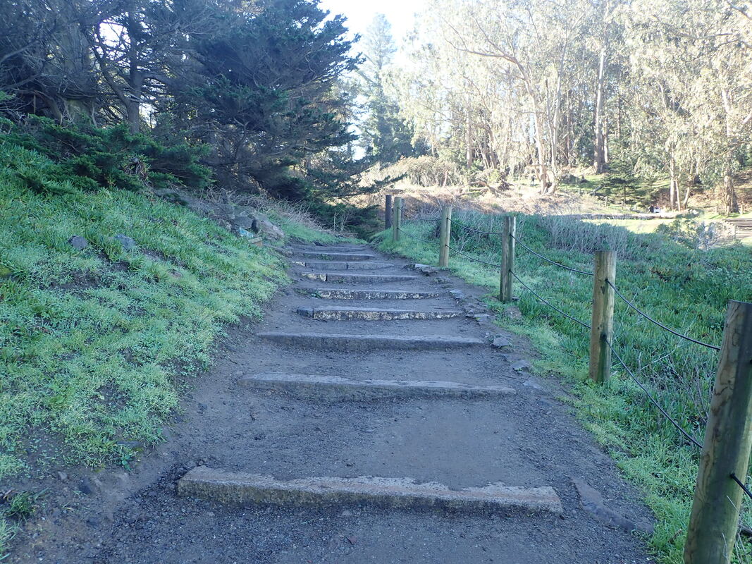
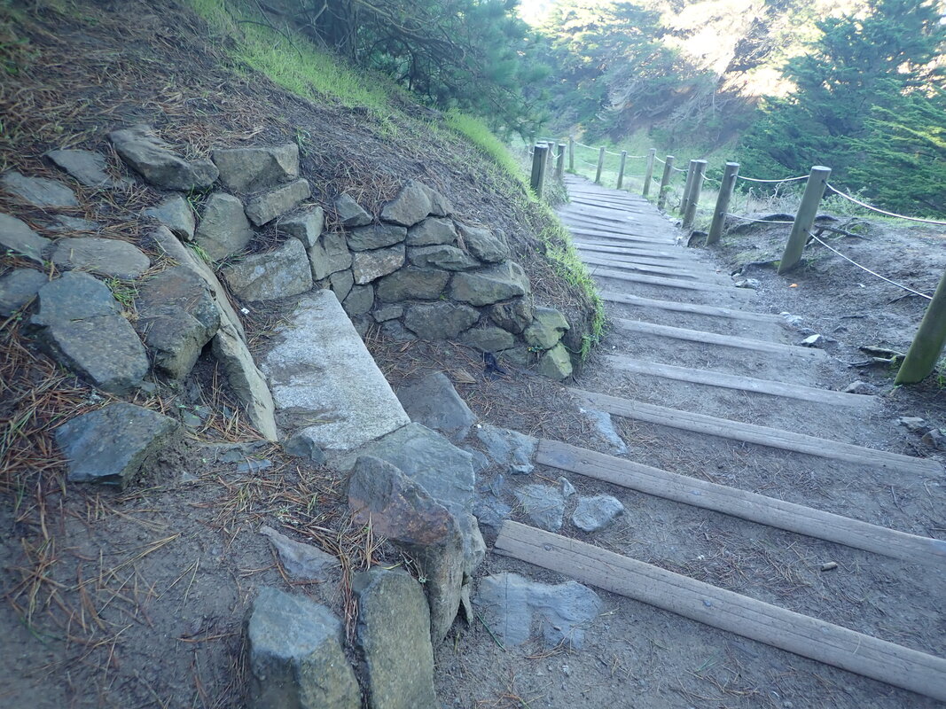
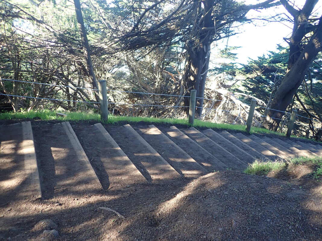
A short trail down to MacArthur: 10 thru 14
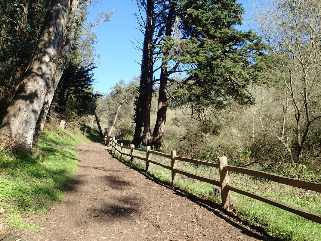
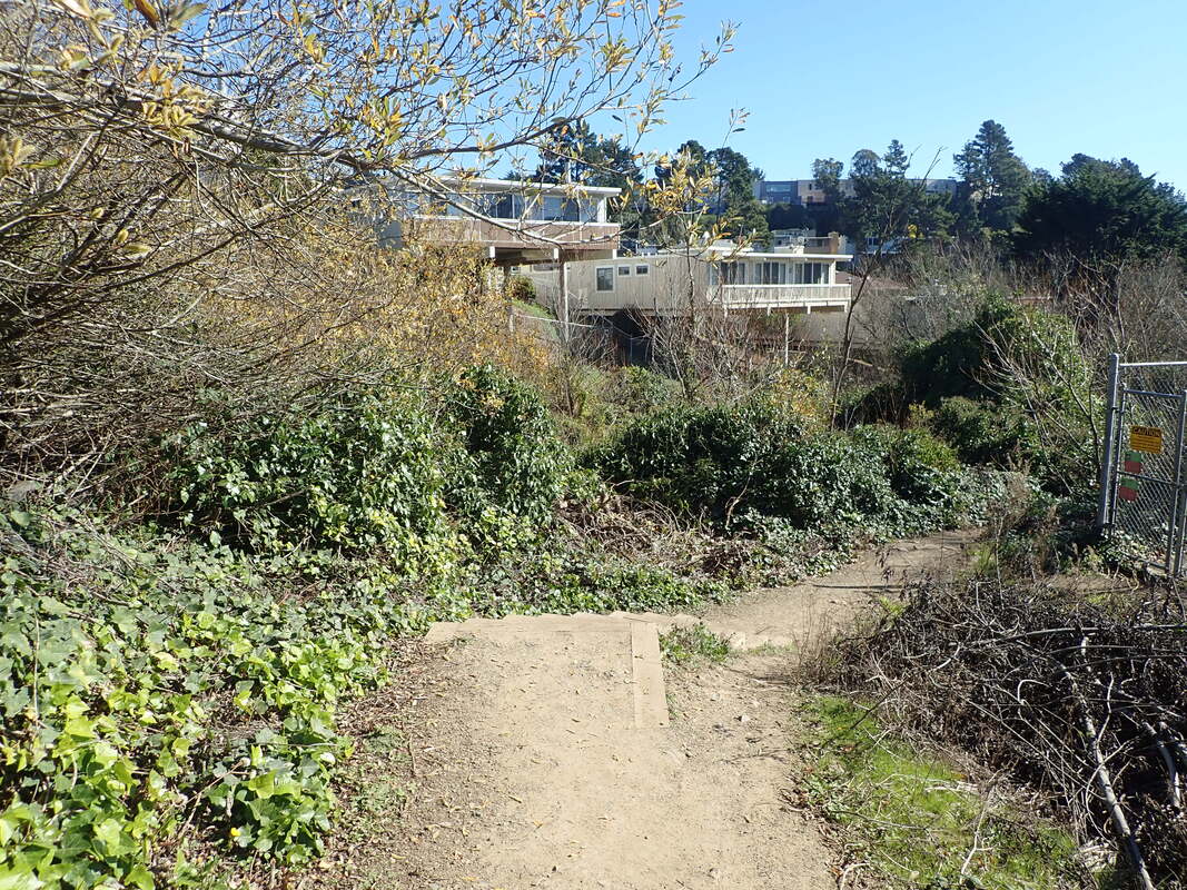
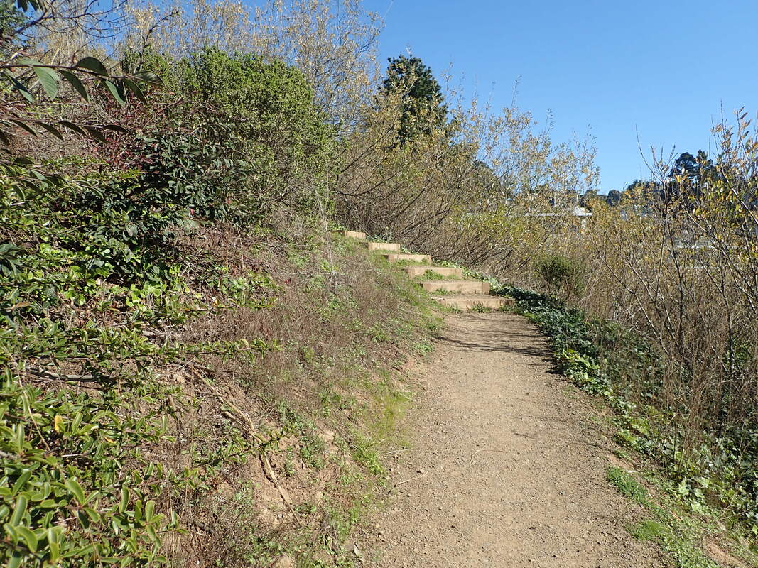
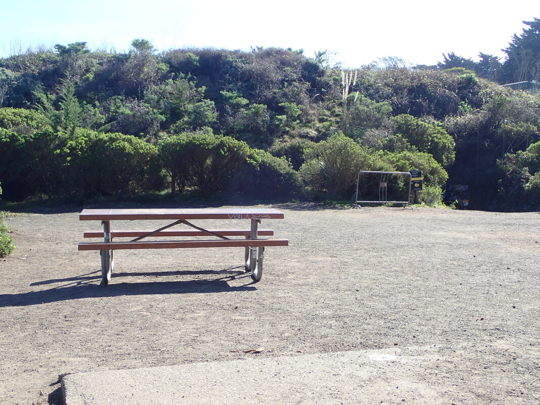
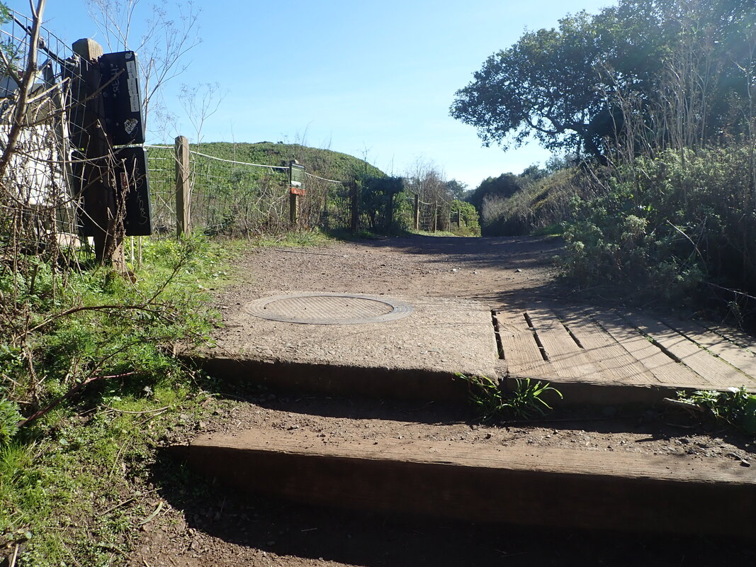
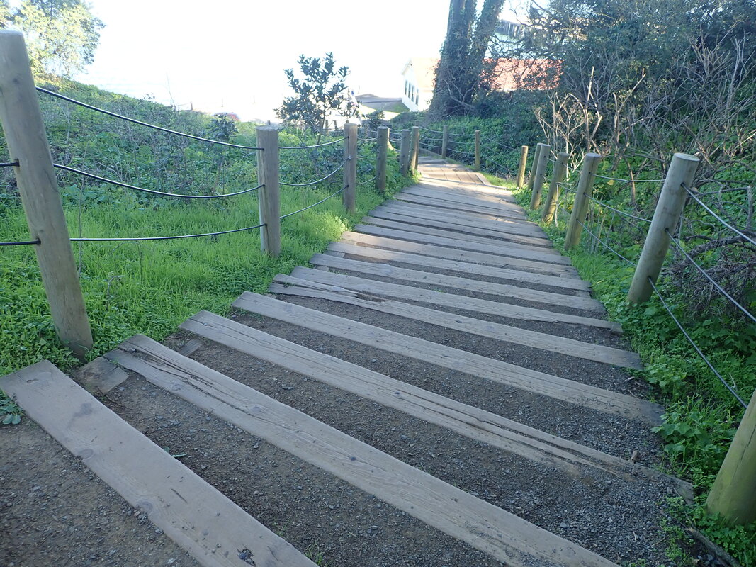
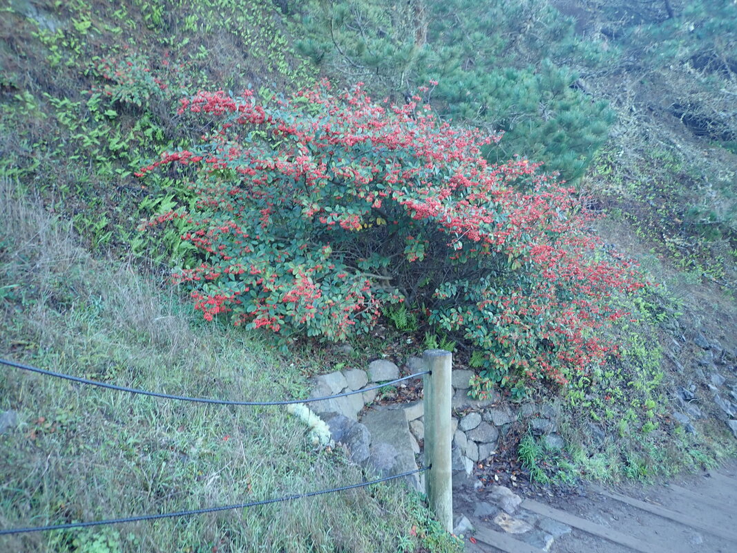
Over to the north end of Lovers’ Lane and nearby Sumner Ave.: 15 thru 19
First, some THENs (2009) pix: 20 thru 26
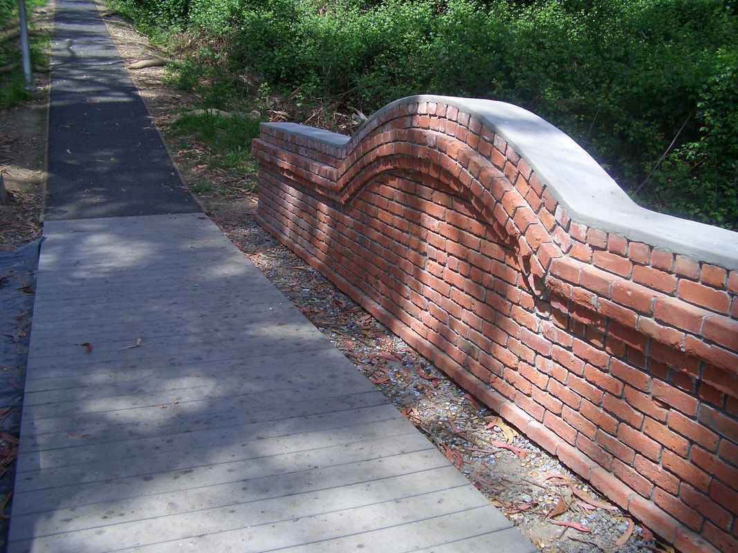
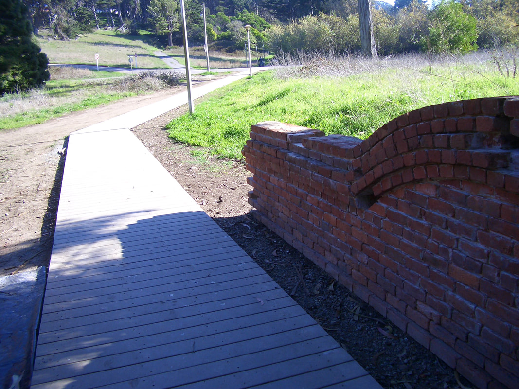
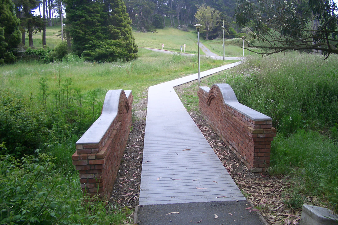
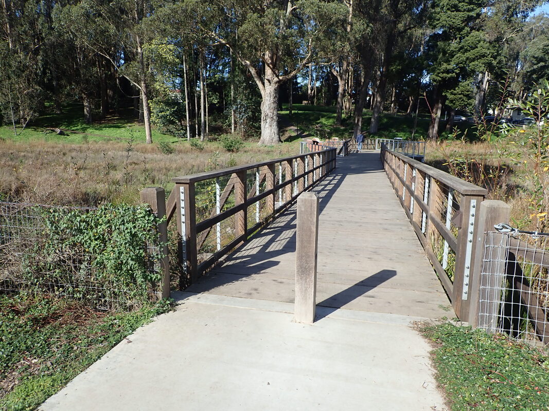
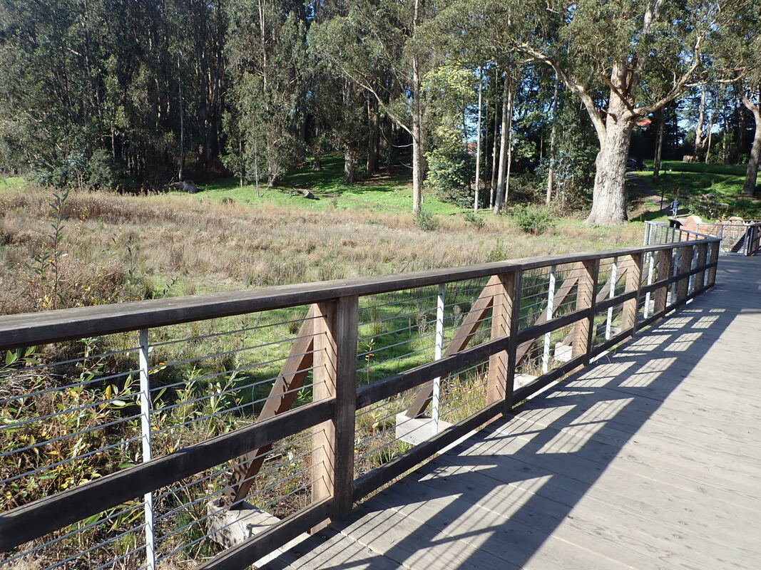
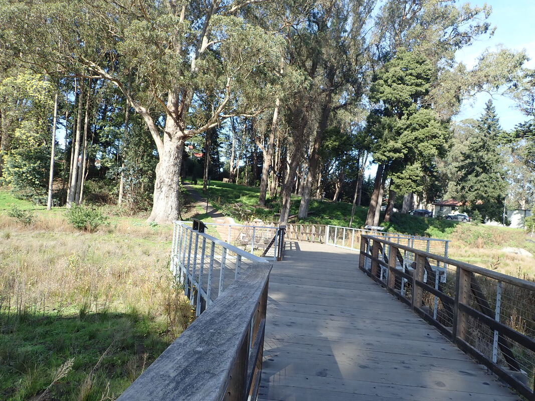
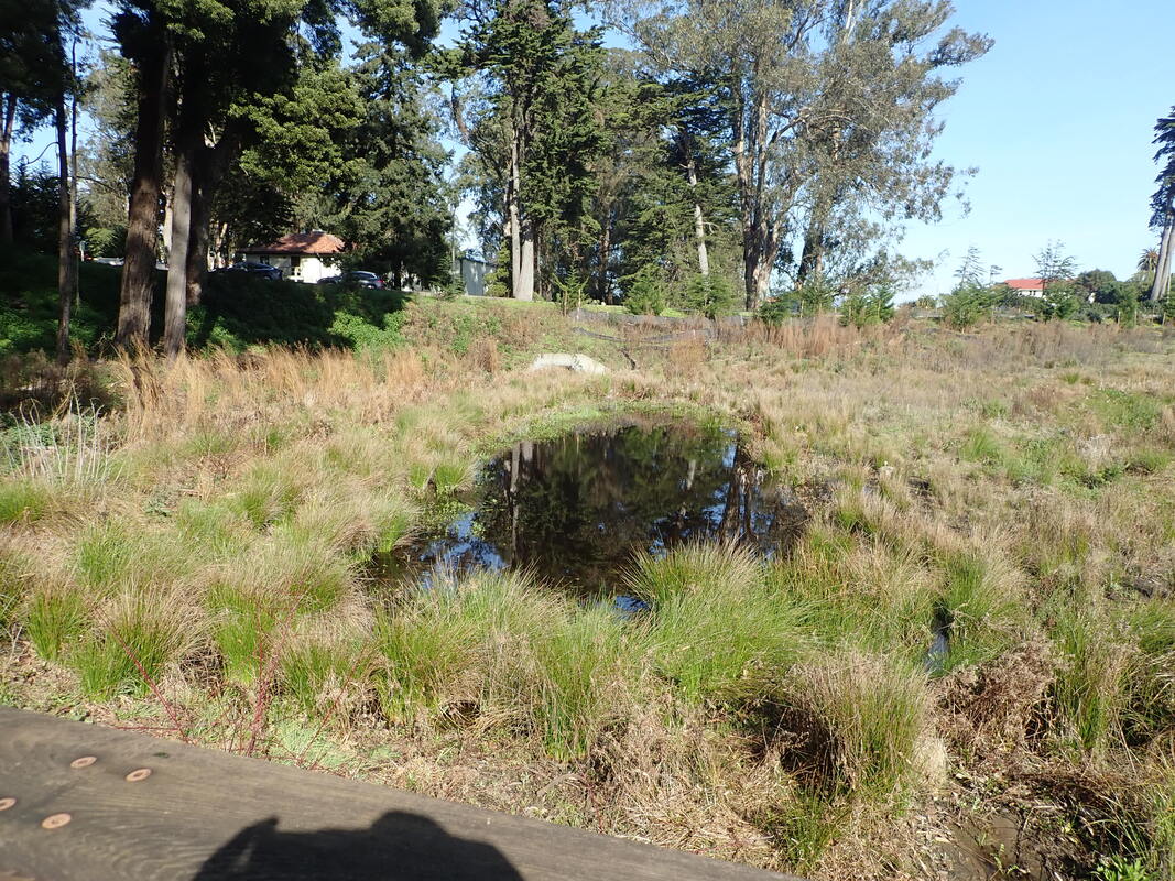
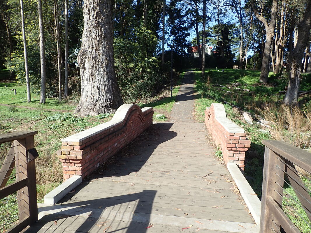
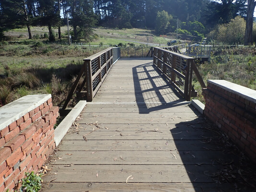
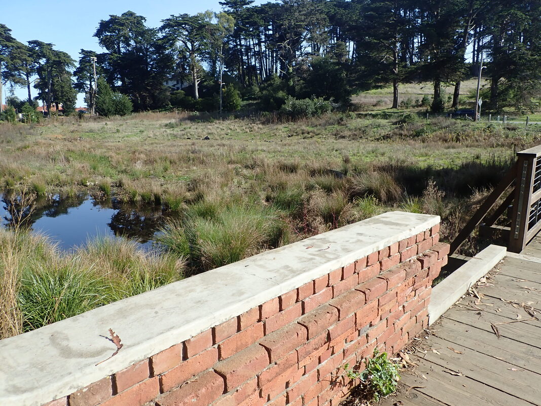
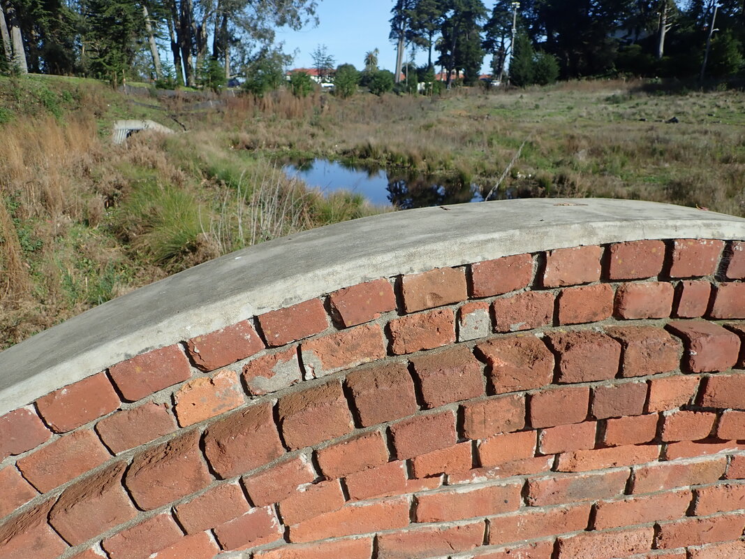
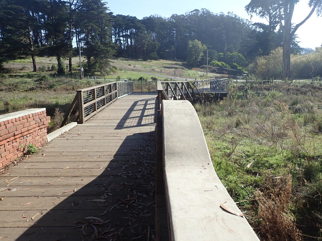
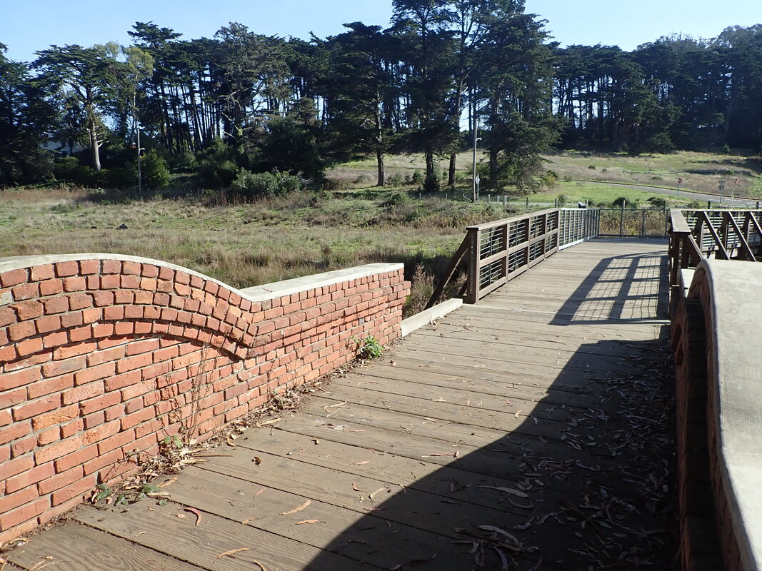
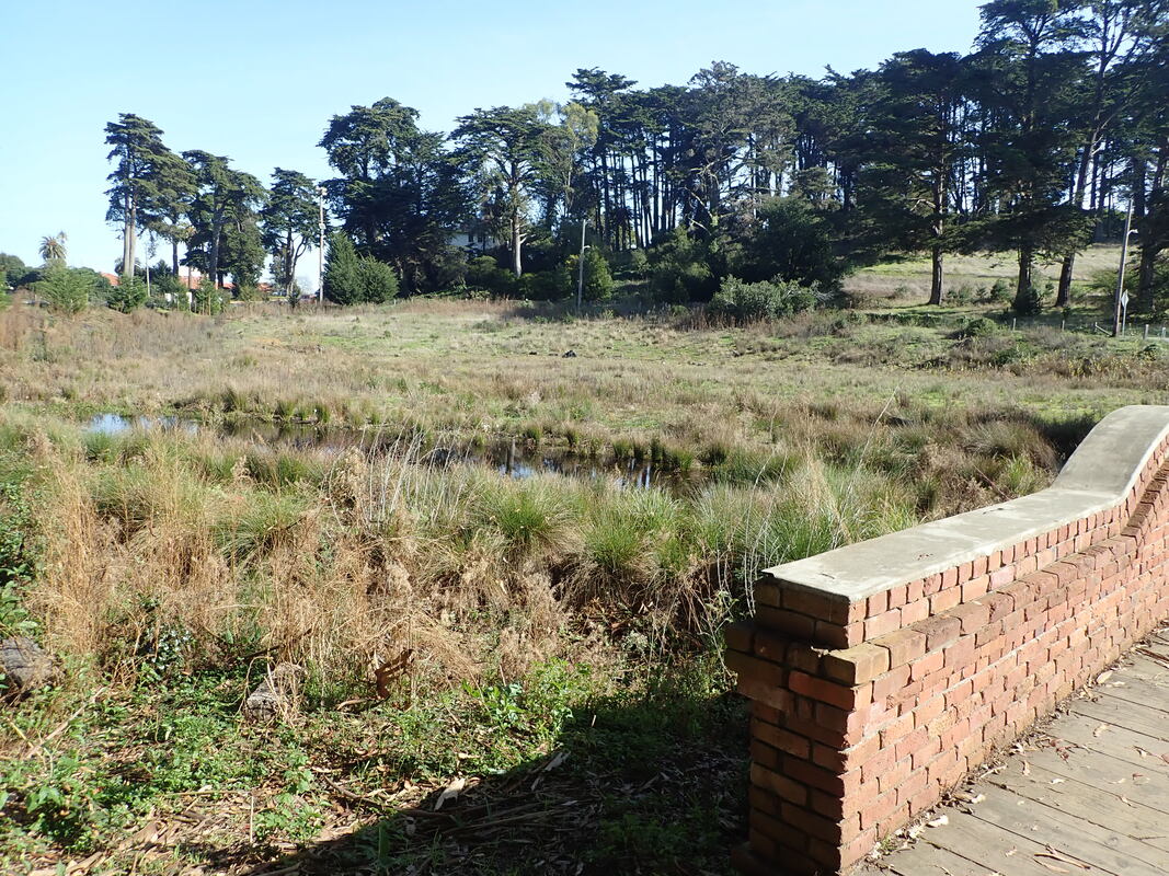
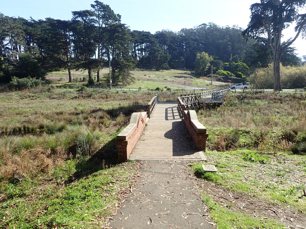
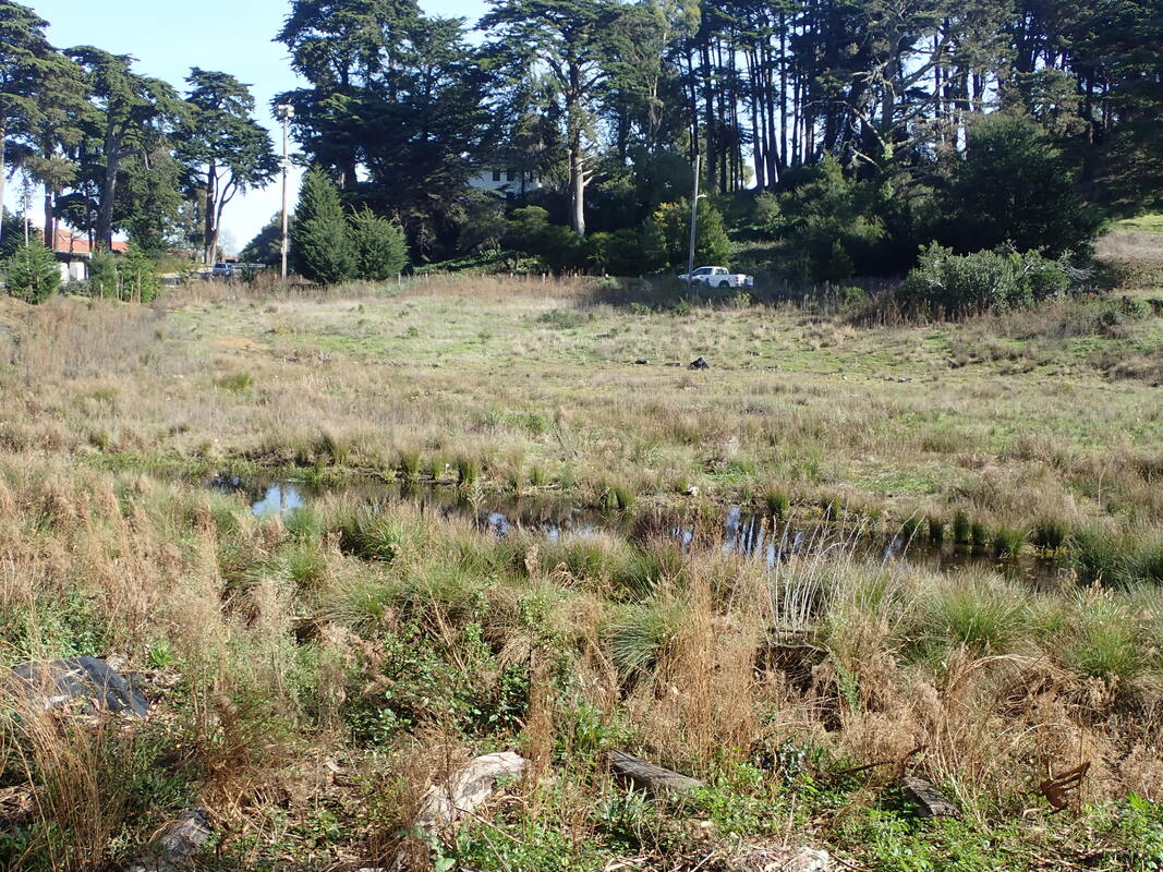
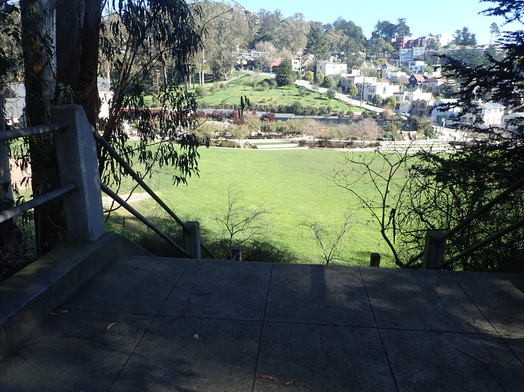
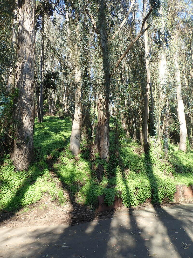
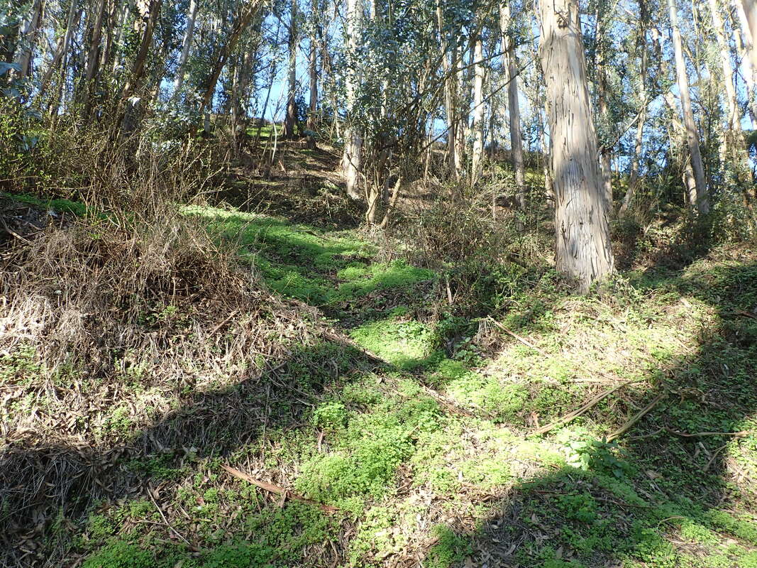
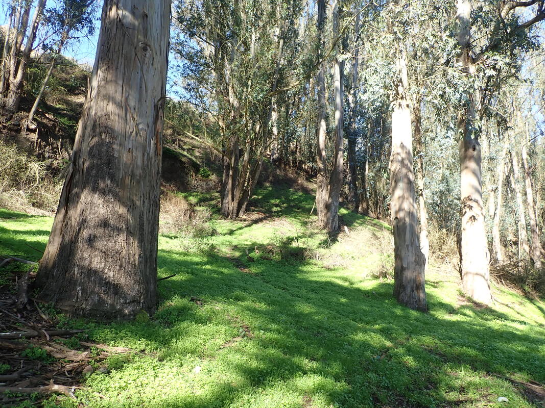
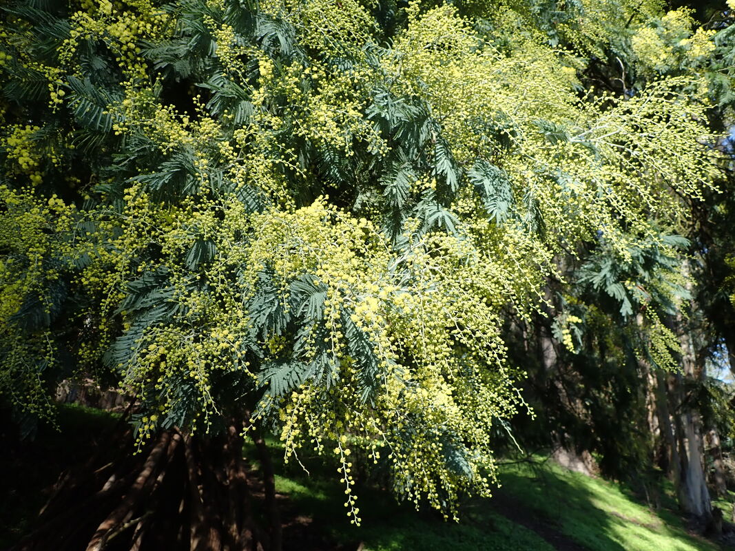
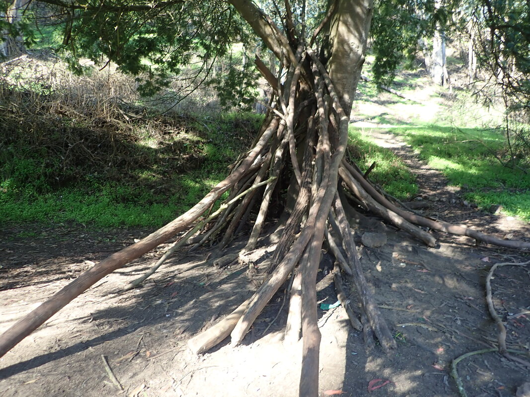
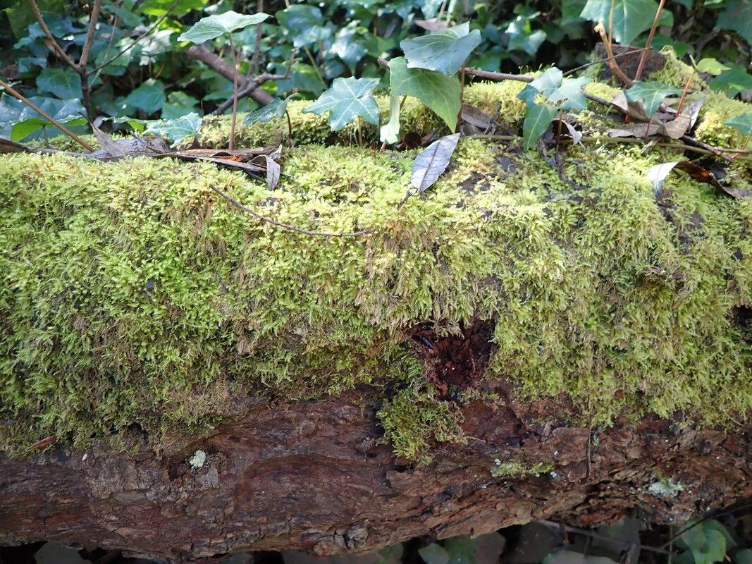
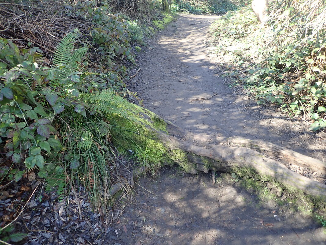
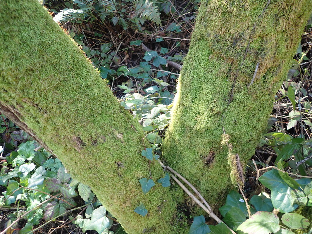
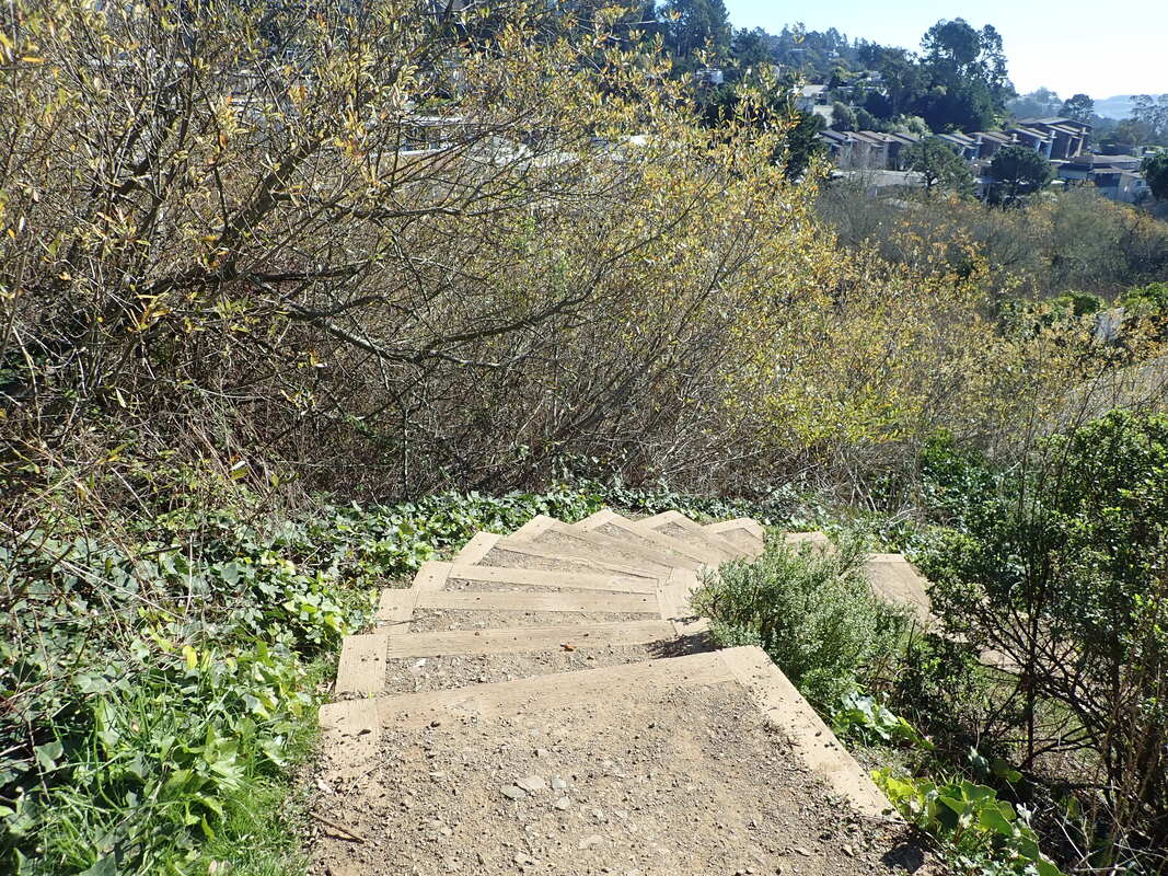
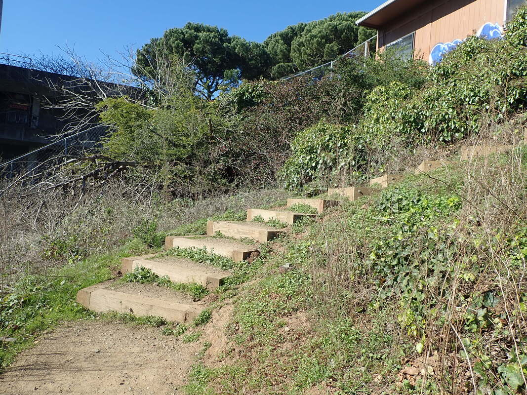
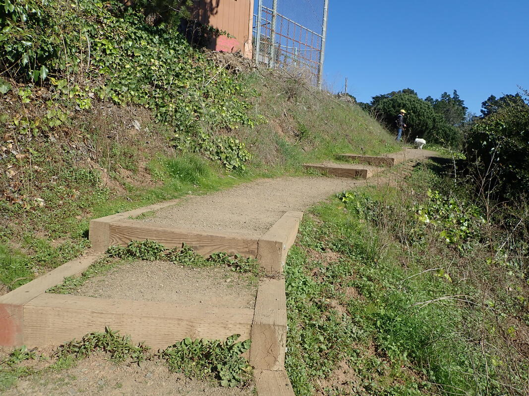
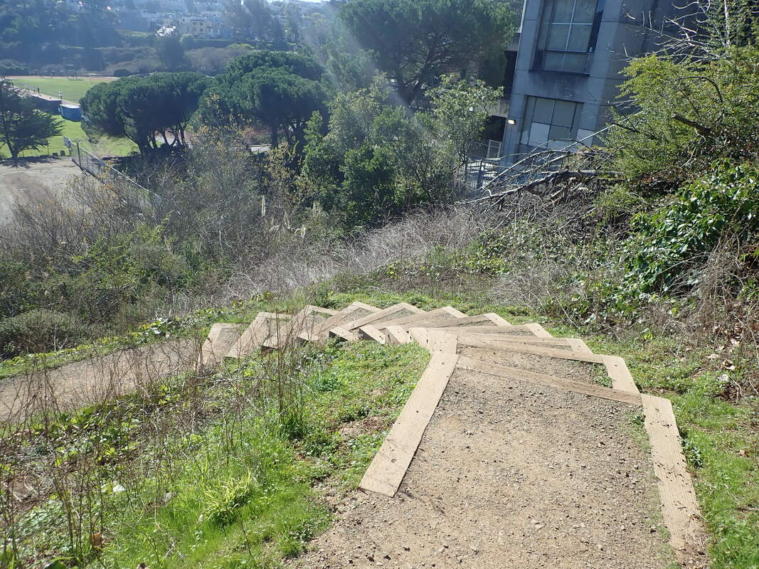
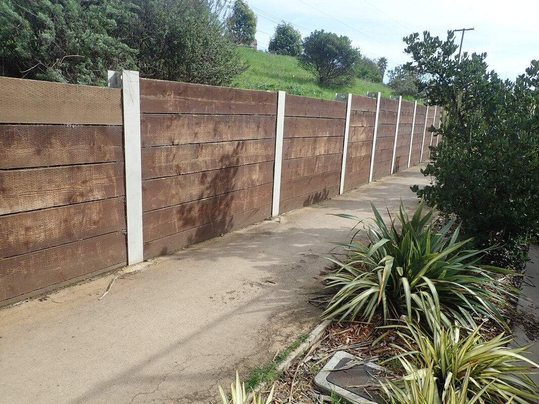
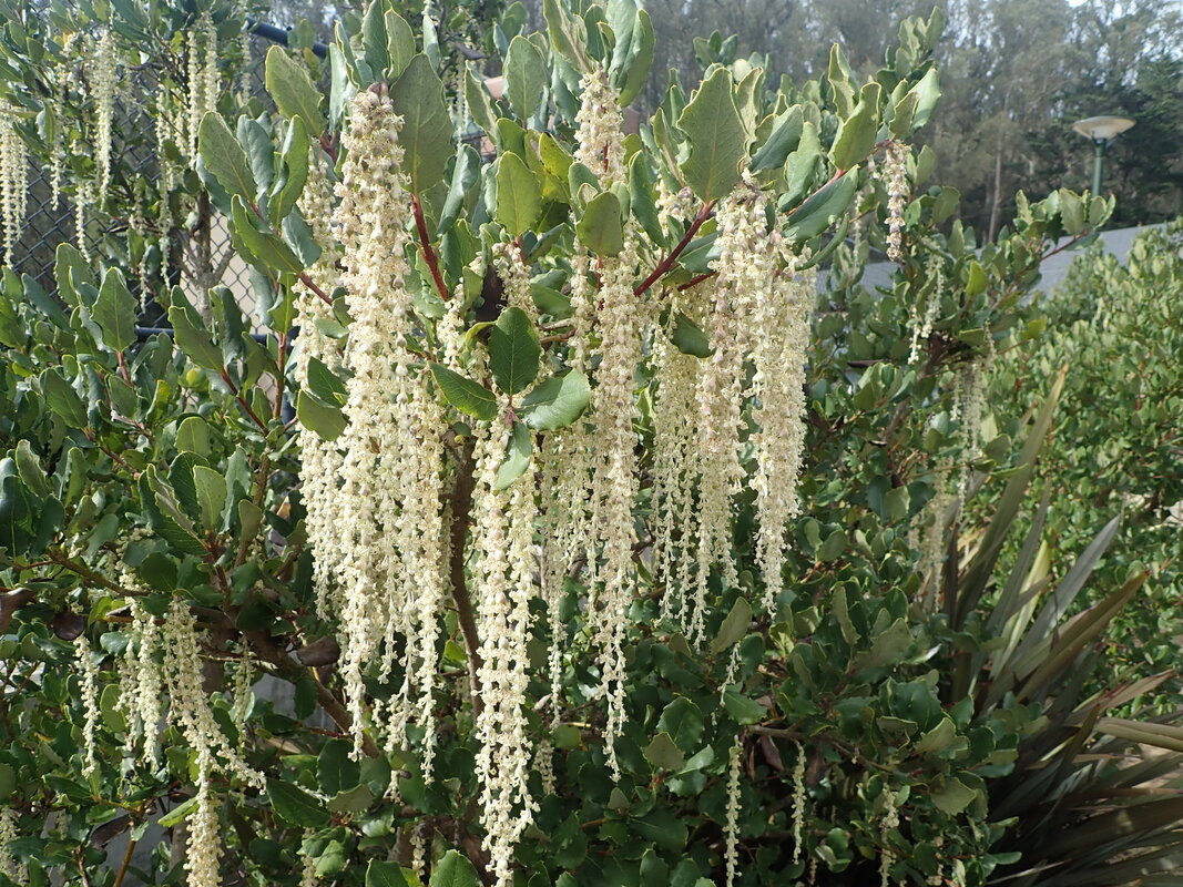
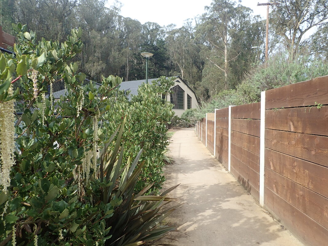
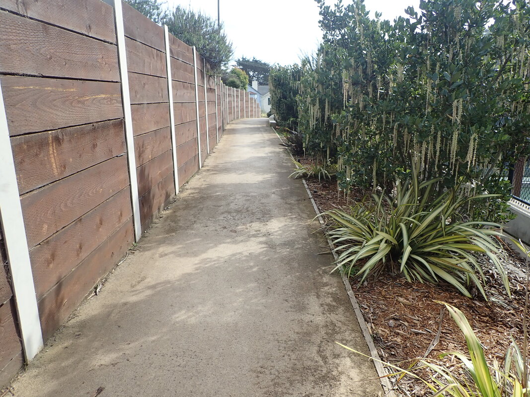
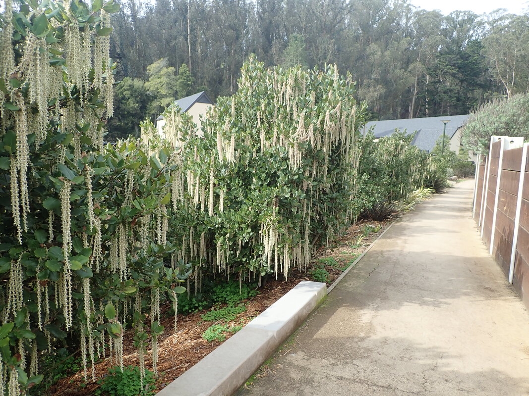
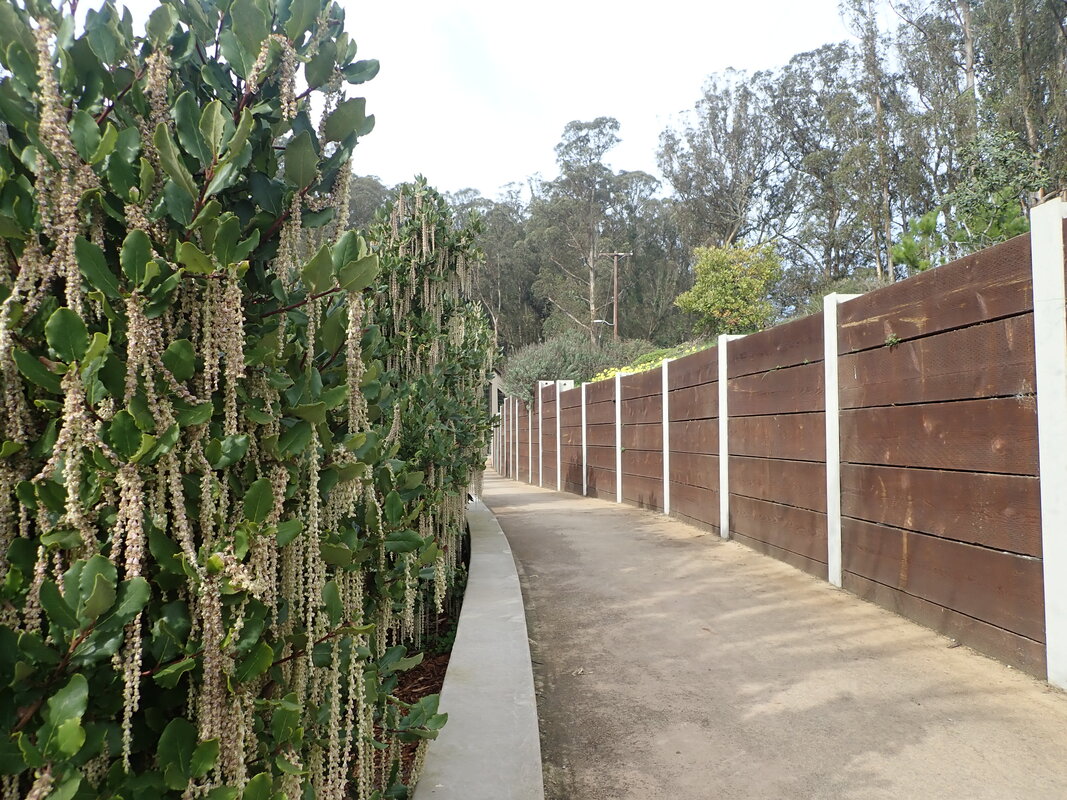
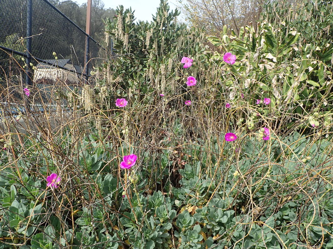
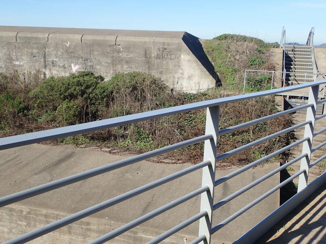
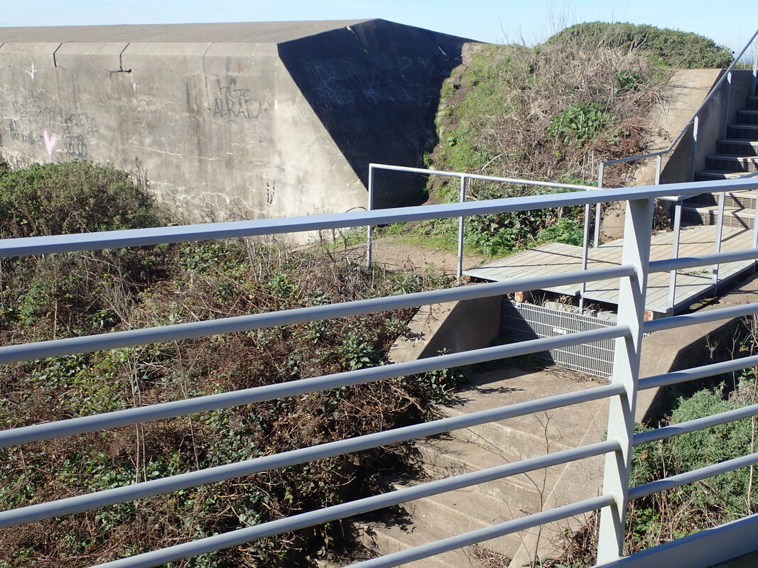
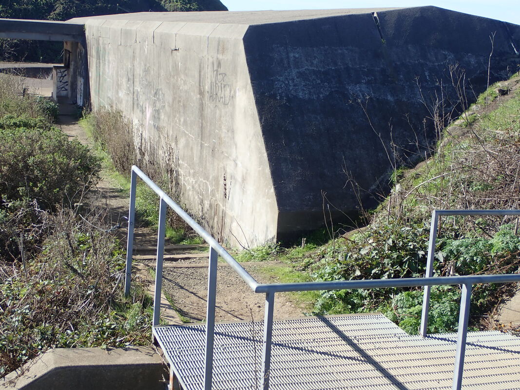
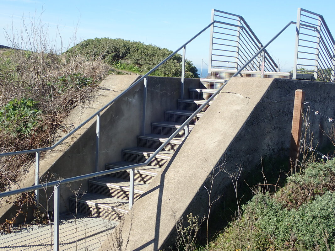
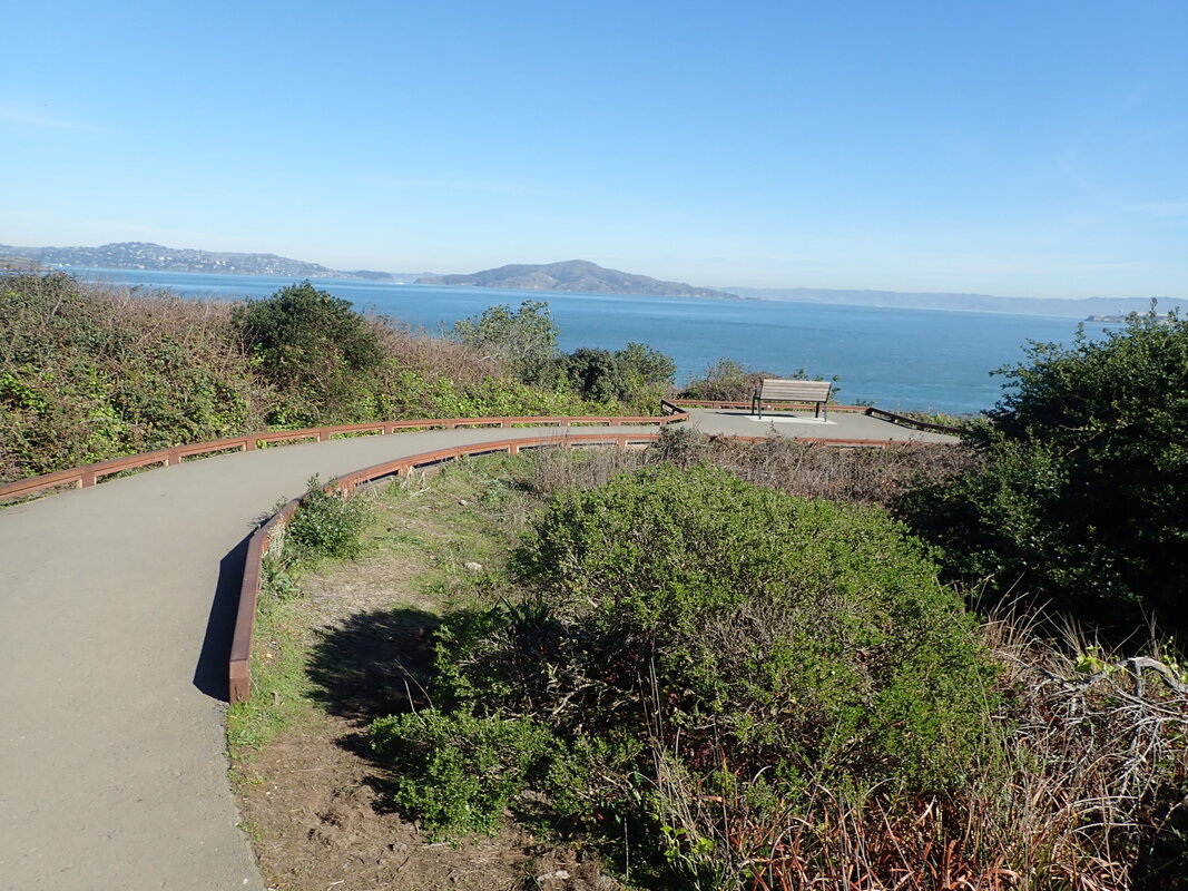
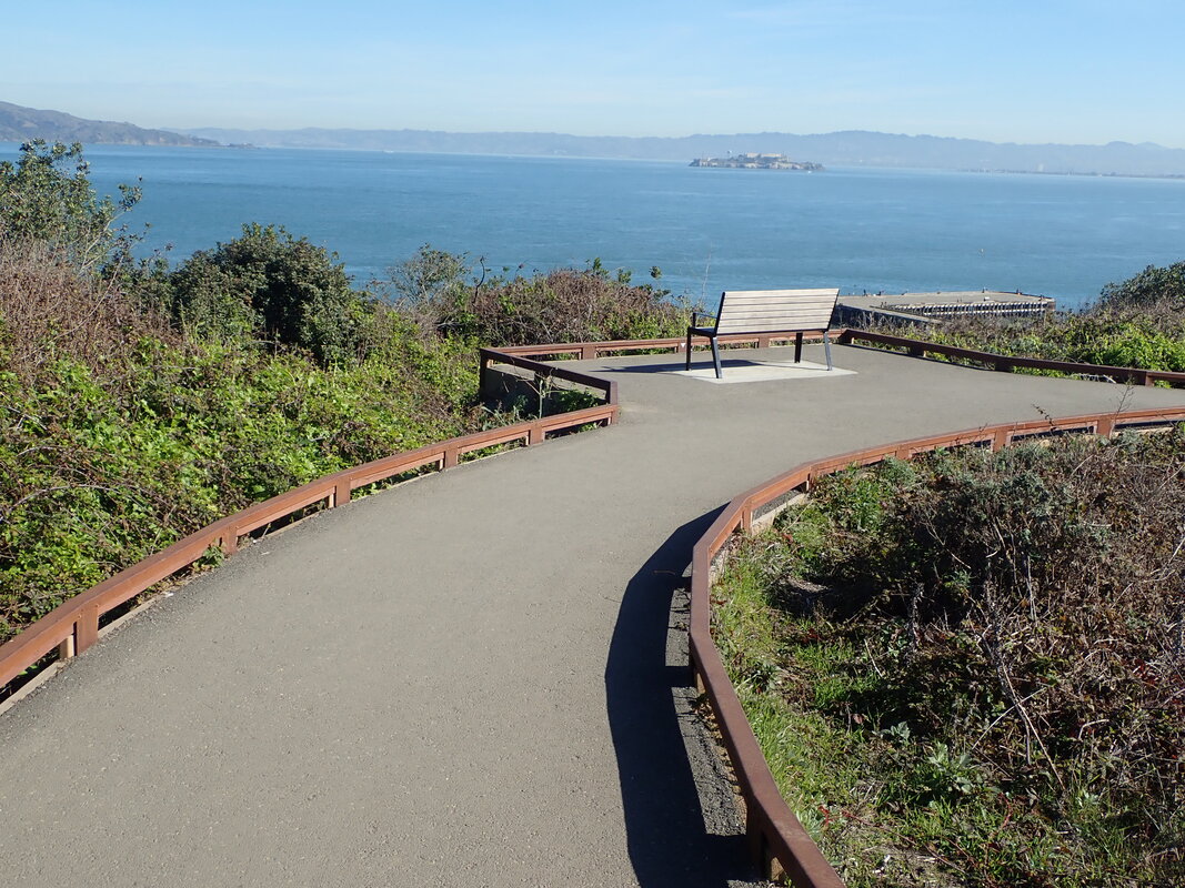
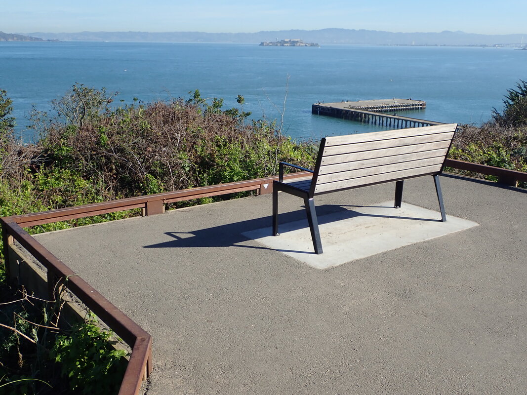
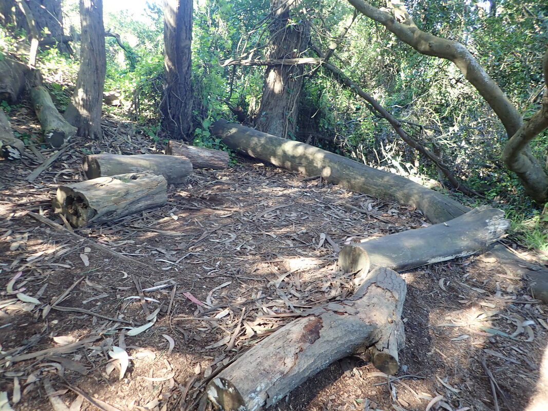
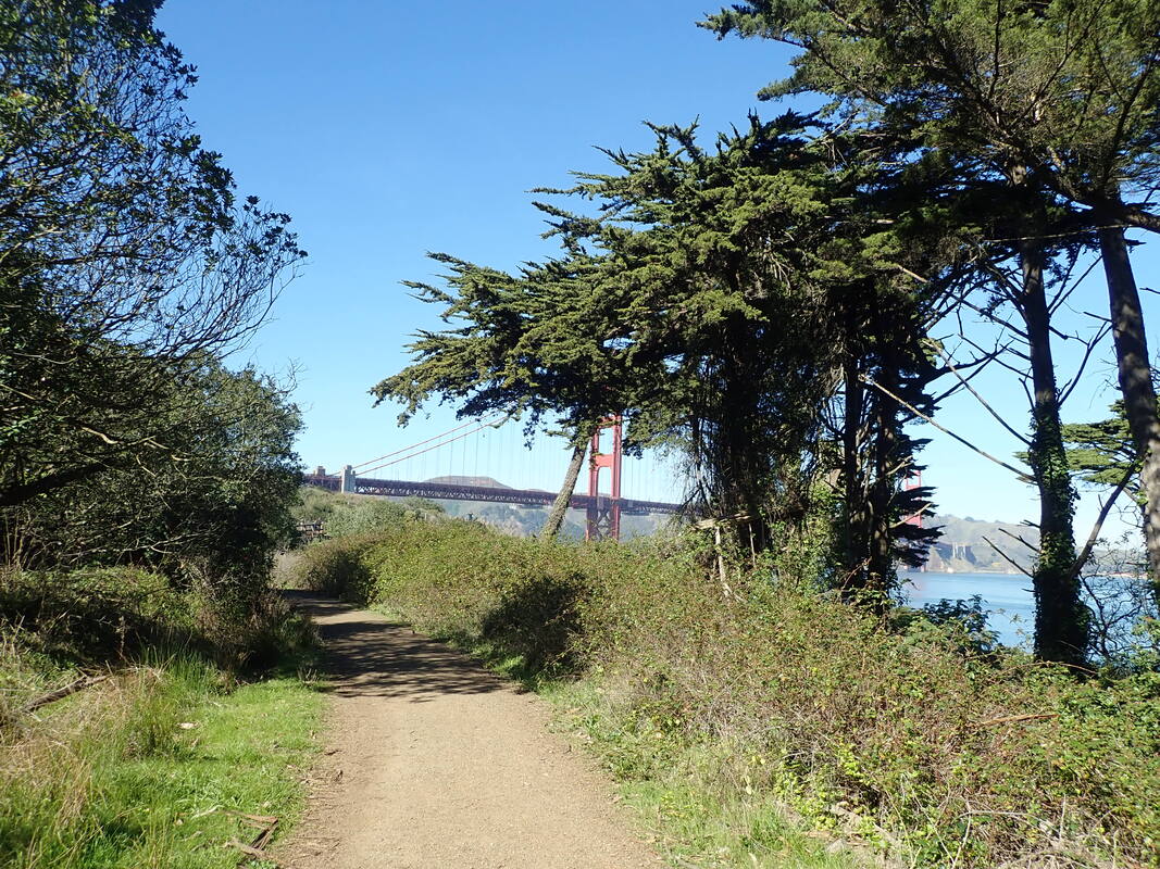
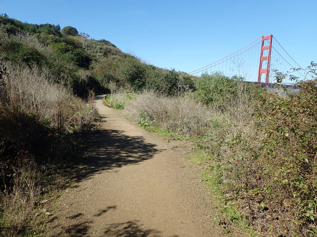
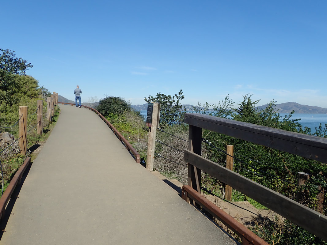
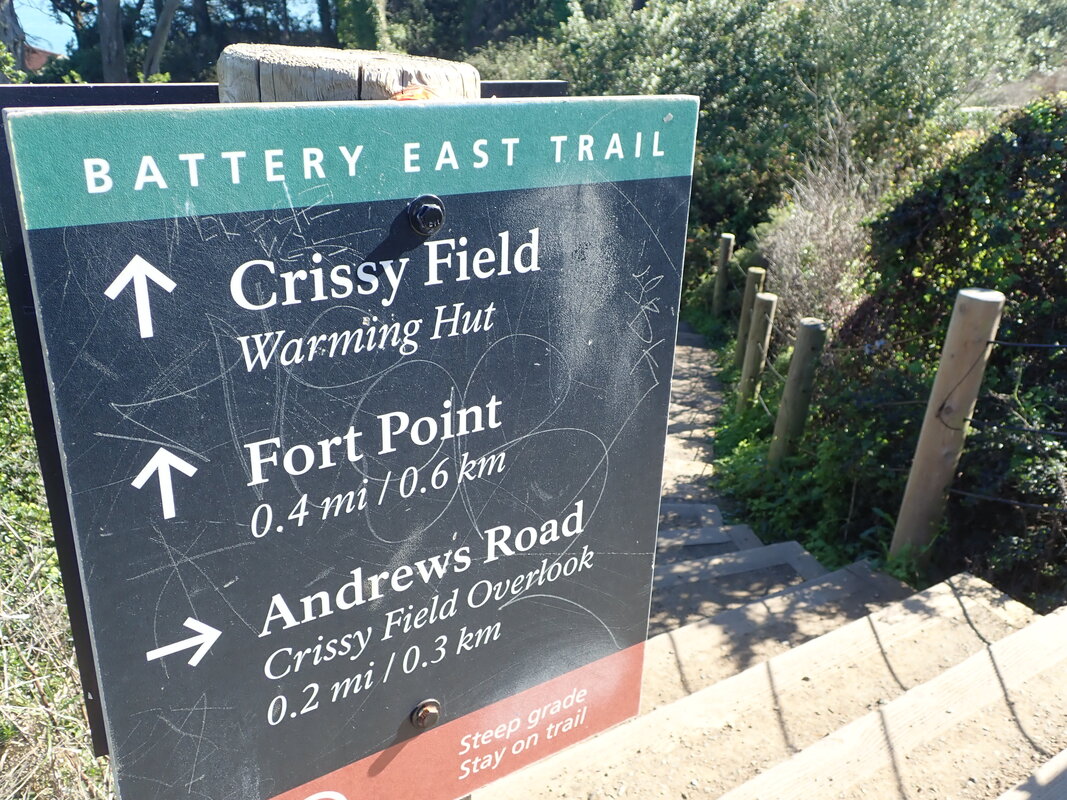
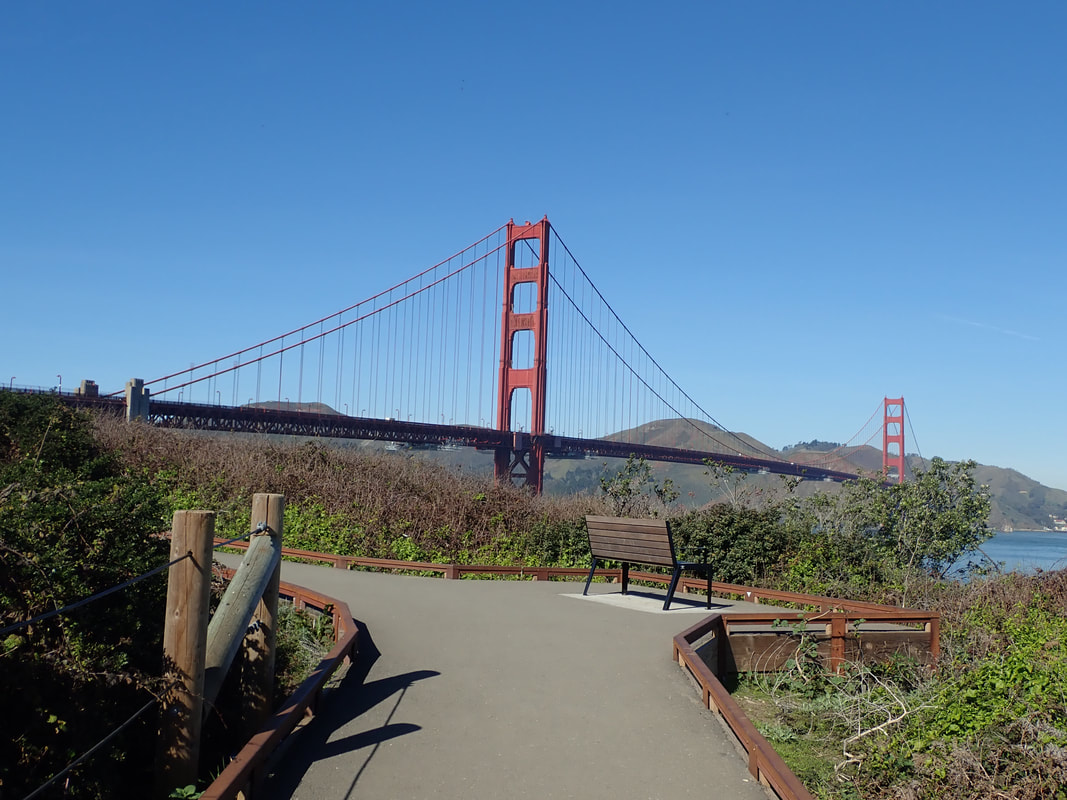
NOWs of the area: 27 thru 57
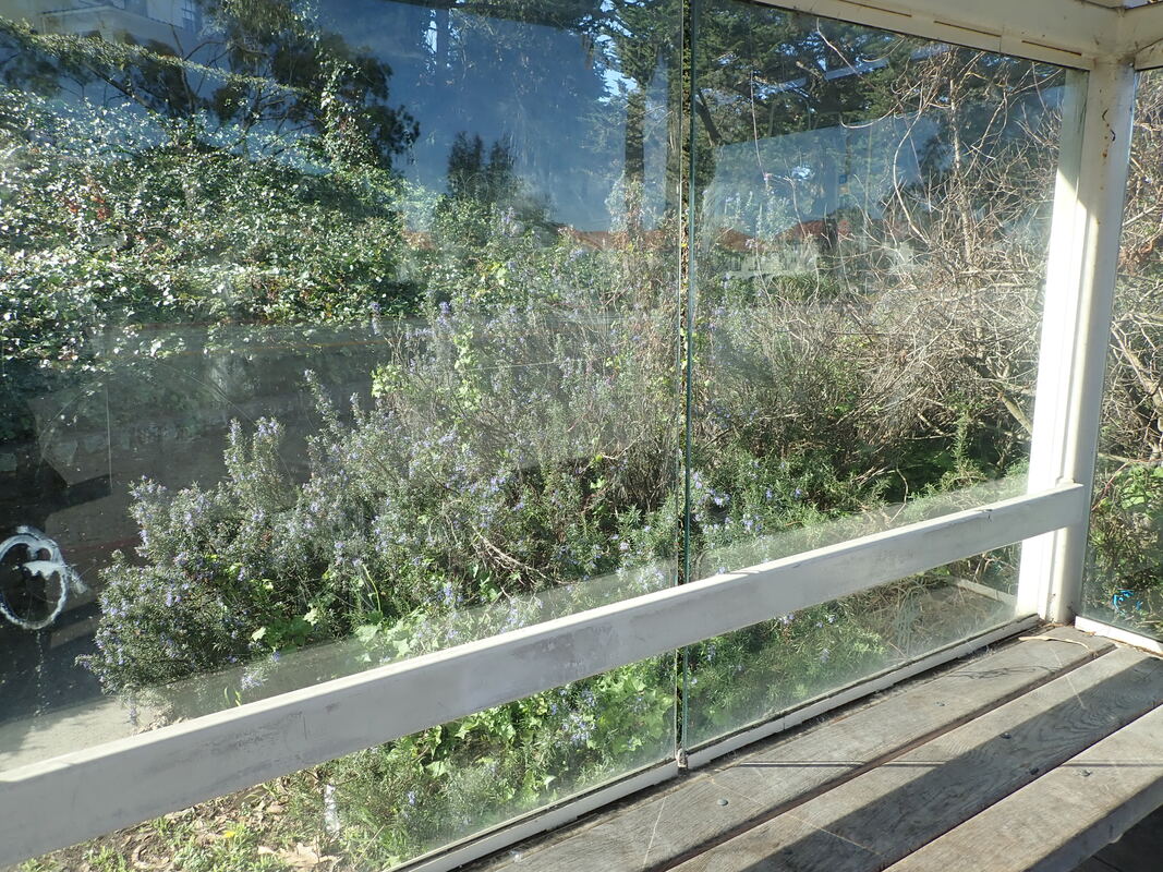
Bus stop on Presidio Blvd.: 58, 59, 60
1
2
3
4
5
6
7
8
9

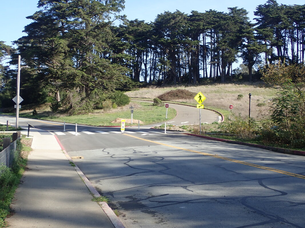
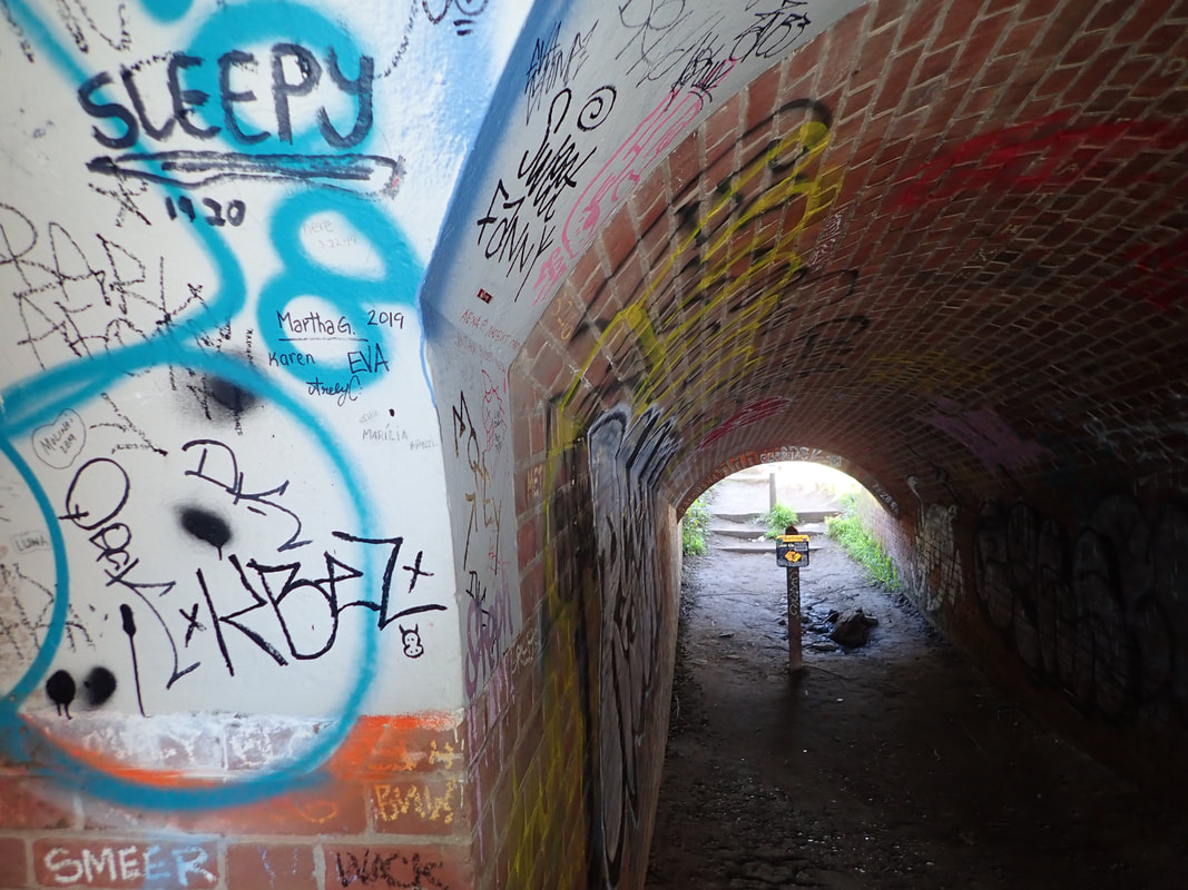
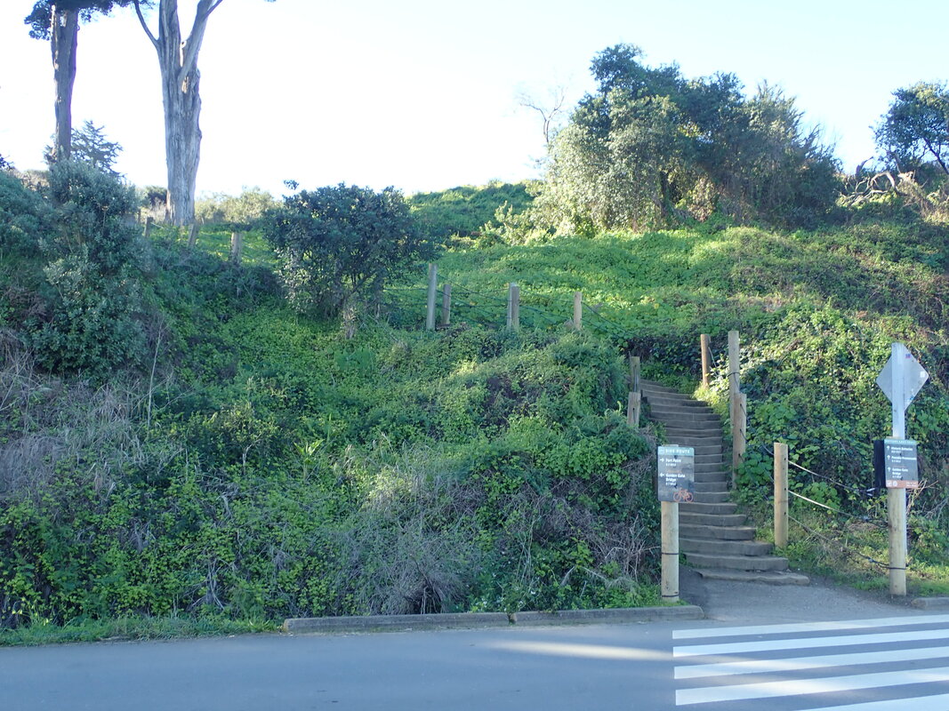
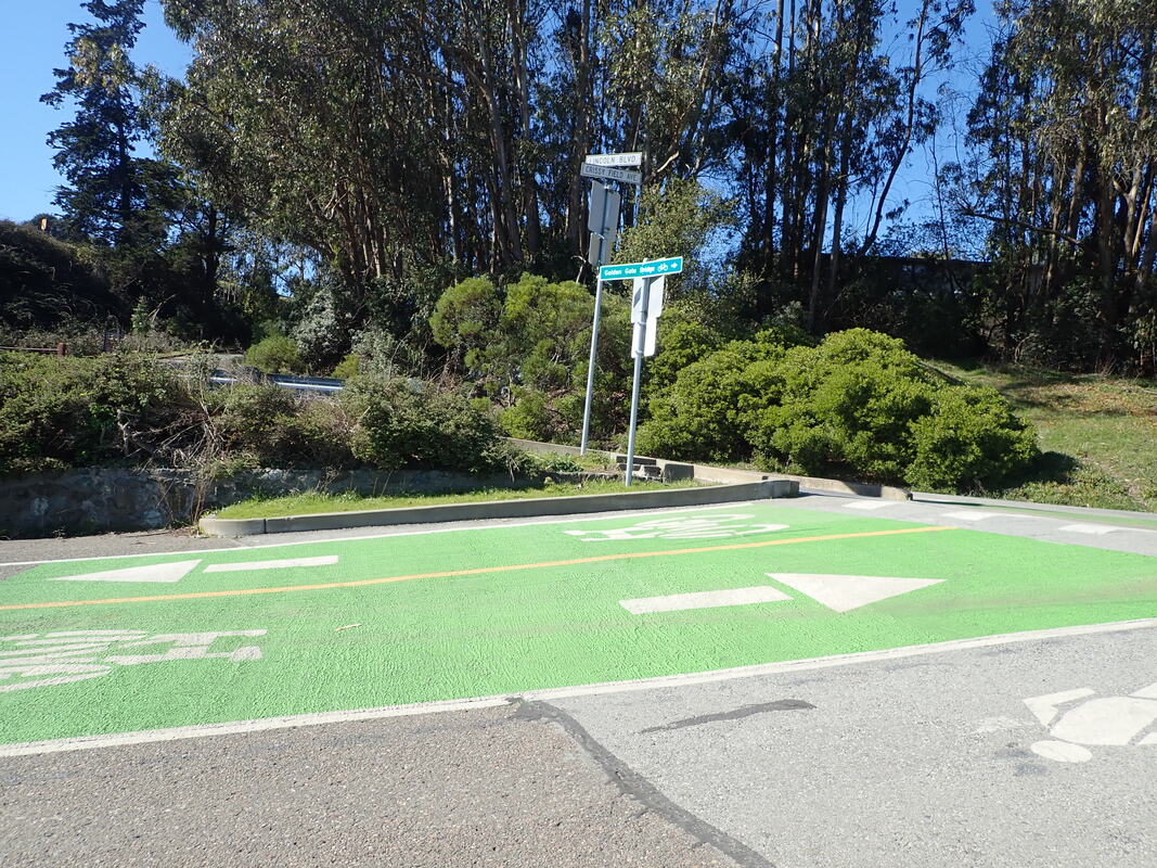
10 To MacArthur Ave.

11
12
13
14
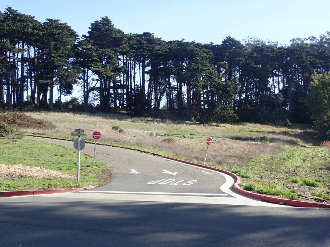
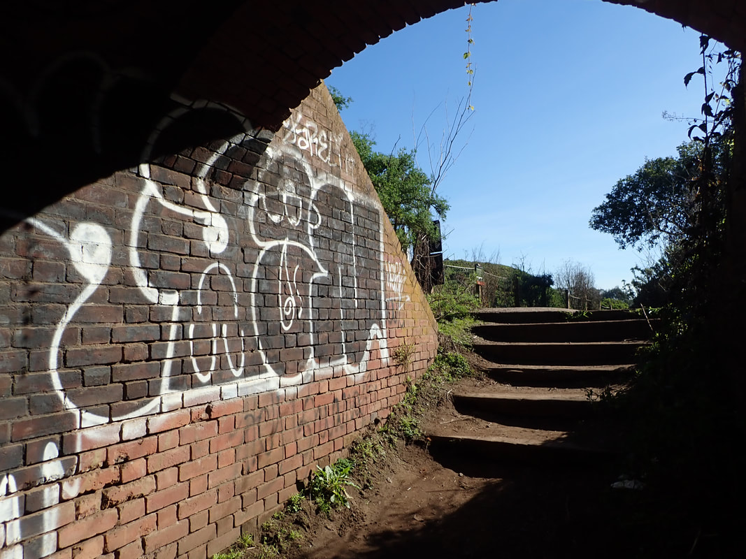
15 MacArthur Ave.
16
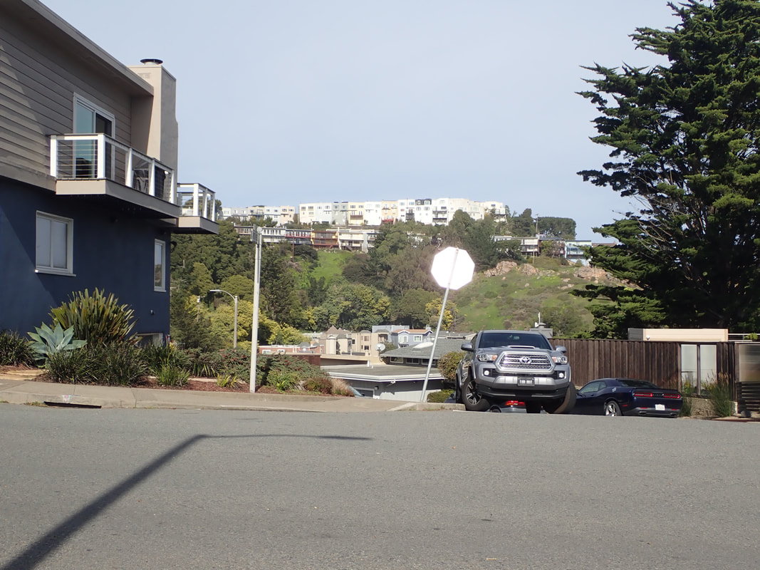
17 Summer Ave.
18 Sumner Ave,
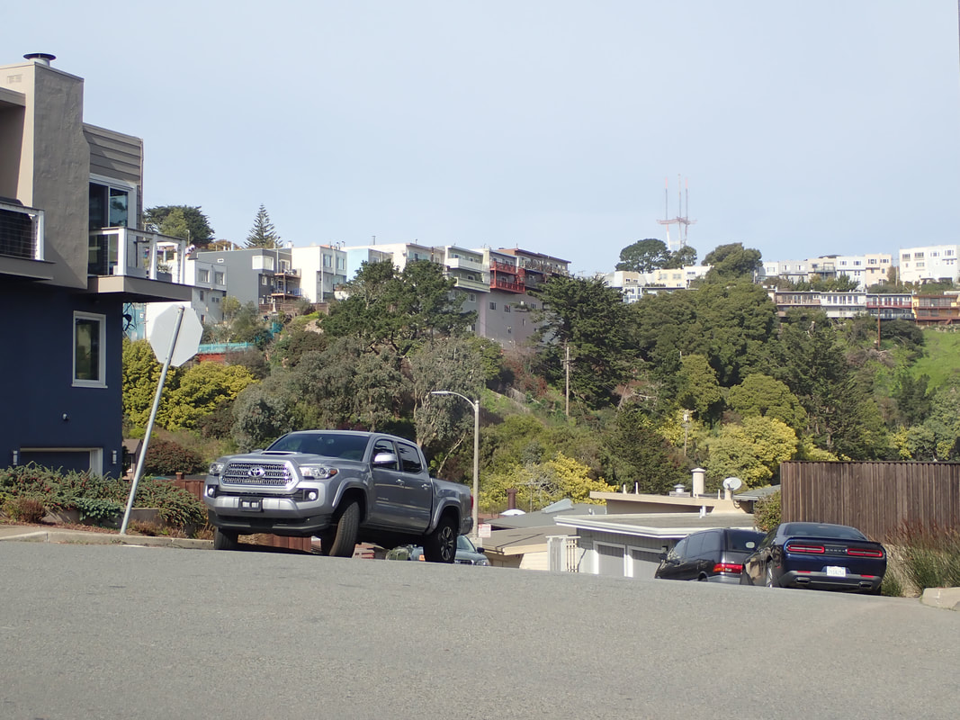
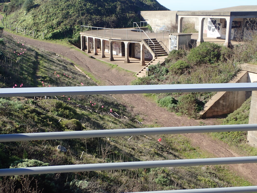
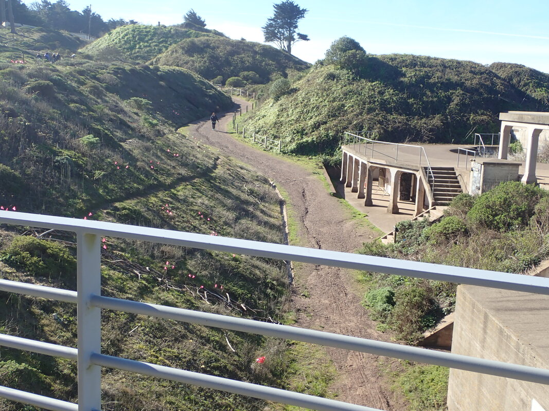
19 Looking south on Lovers' Lane from MacArthur Ave.
20 THEN: Lovers' Lane in 2009
21 THEN: Lovers' Lane in 2009
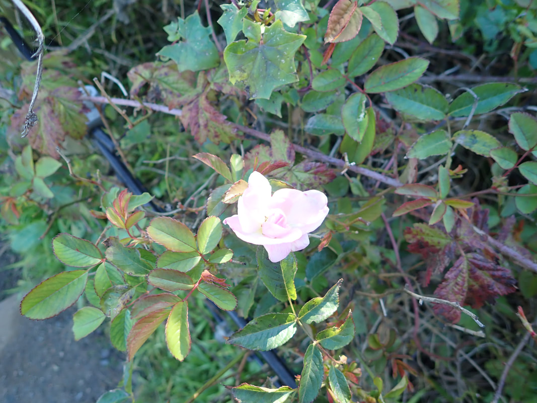
22 THEN: Lovers' Lane in 2009. Blackberries.
23 THEN: Lovers' Lane in 2009
24 THEN: Lovers' Lane in 2009
25 THEN: Lovers' Lane in 2009
26 THEN: Lovers' Lane in 2009
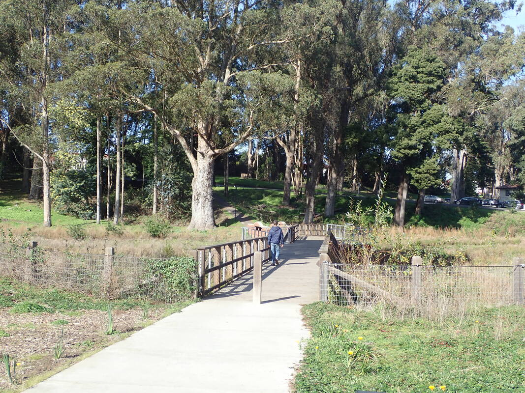
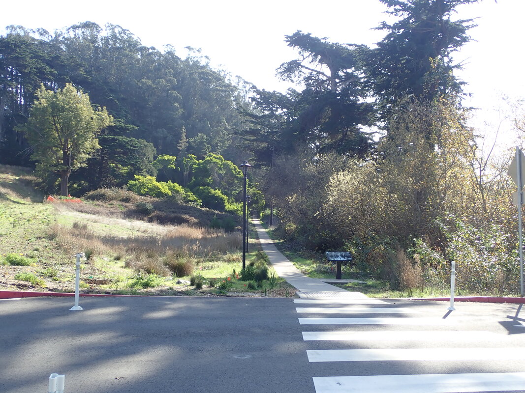
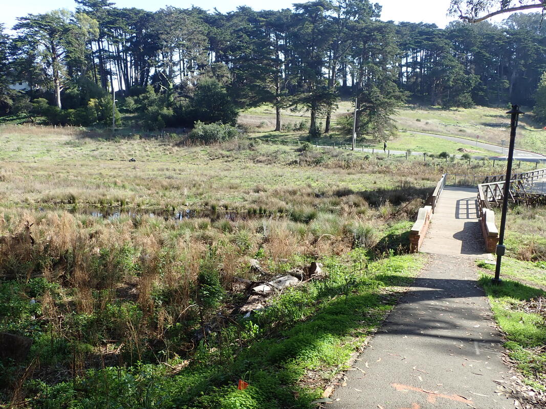
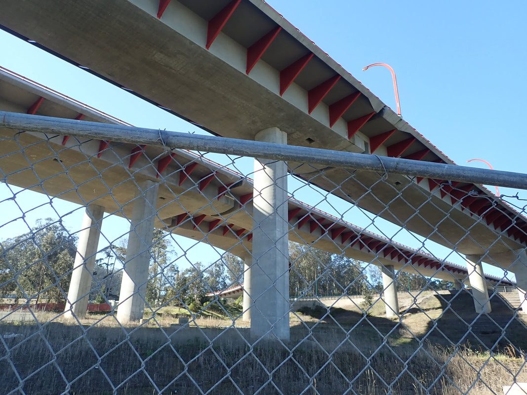
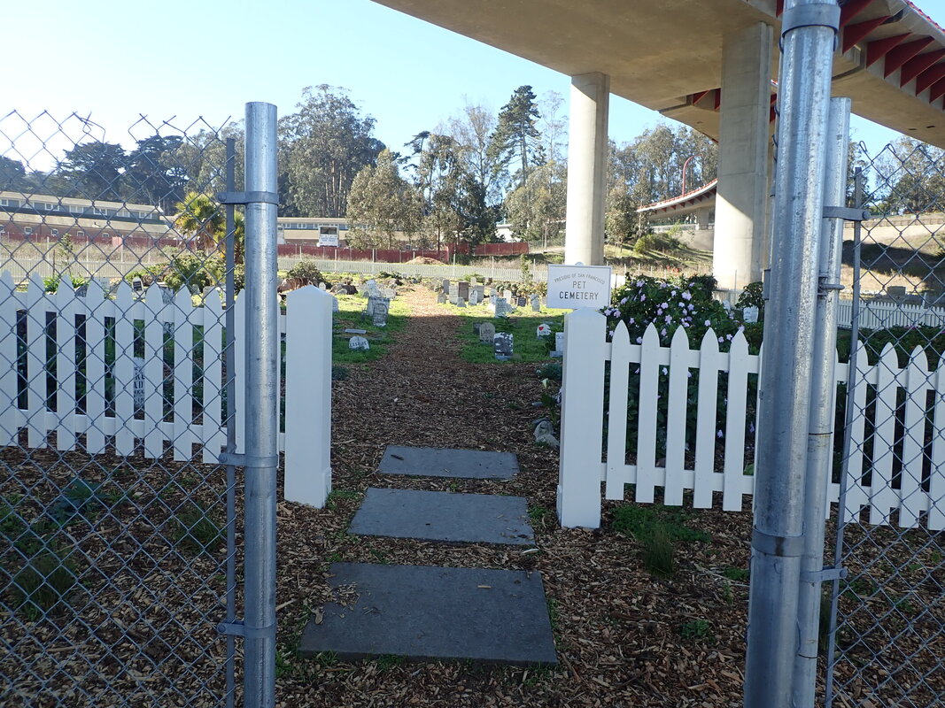
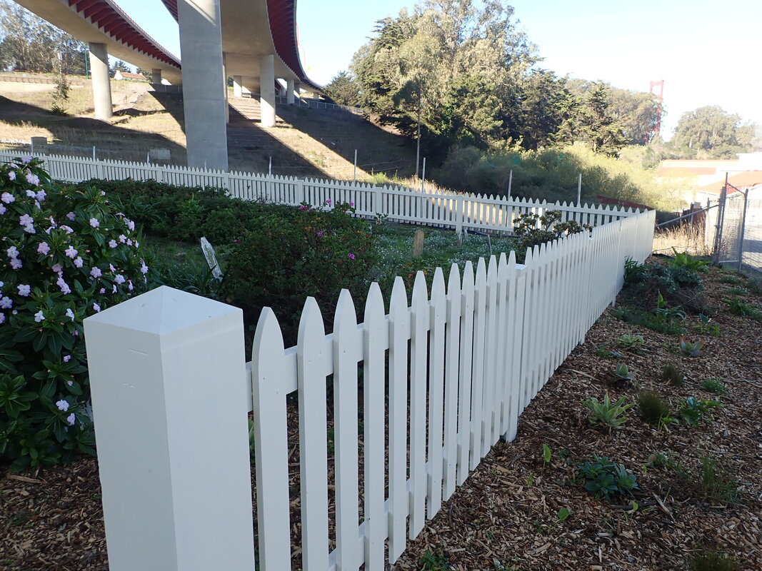
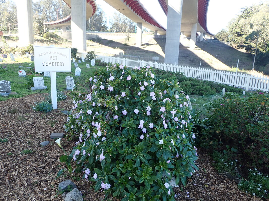
27 NOW: Lovers' Lane's north end
28
29
30
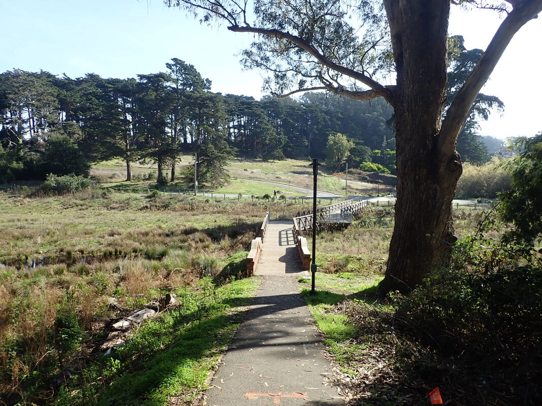
31 Looking south
32
33
34
35
36
37
38
39
40
41
42
43
44
45
46
47
48
49
50
51
52
53
54
55
56
57
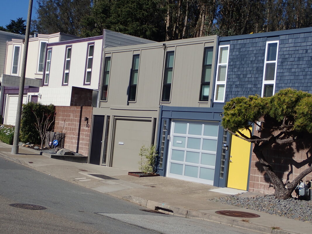
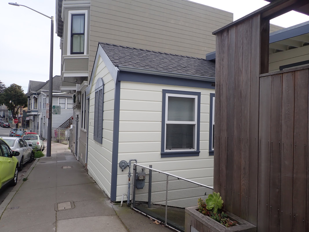
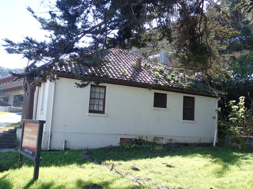
58 A residence near the bus stop
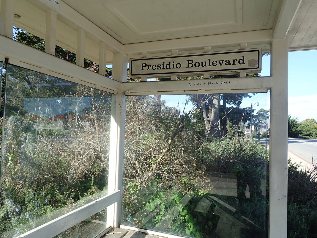
59 #43 bus shelter
60


 RSS Feed
