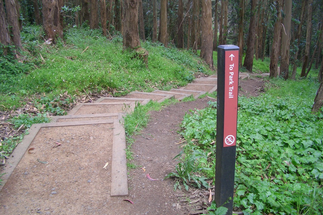
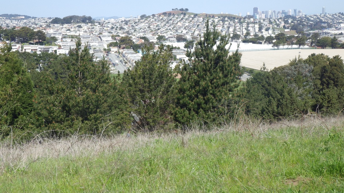
Can't stay away from Lands End very long. It was time to check out the newest steps and picnic area at the summit below the VA Hospital to see how the new plantings were doing. But first, of course, had to do a few other stairways to work my way up and over to it. This is a highly recommended park for lovers of outdoor Stairmasters and vast oceanviews. Do. Not. Miss.
If you have out-of-town guests, do check out the Lands End Lookout gift shop and coffee shop, then off to the various viewplaces, especially when you have a warm, sunny day like today's. Well, it was sunny when I first started out, but a couple hours later when circling back to my starting point, the fog had come in over the water and Marin Headlands and the views had disappeared.
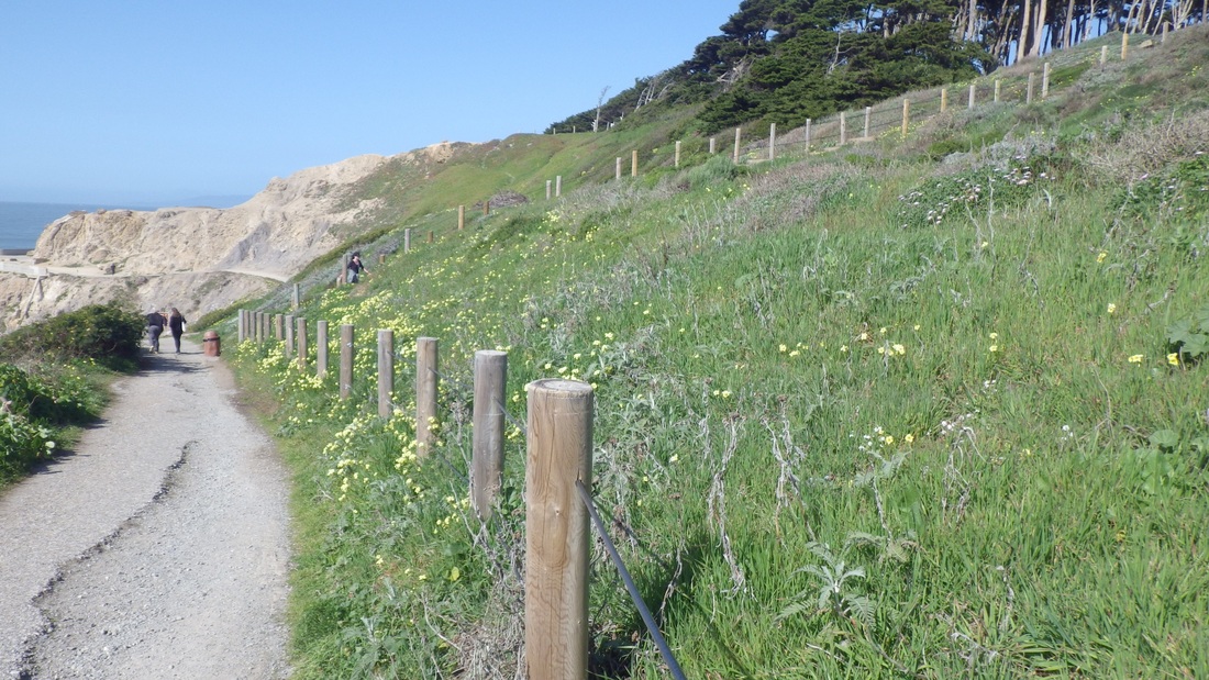
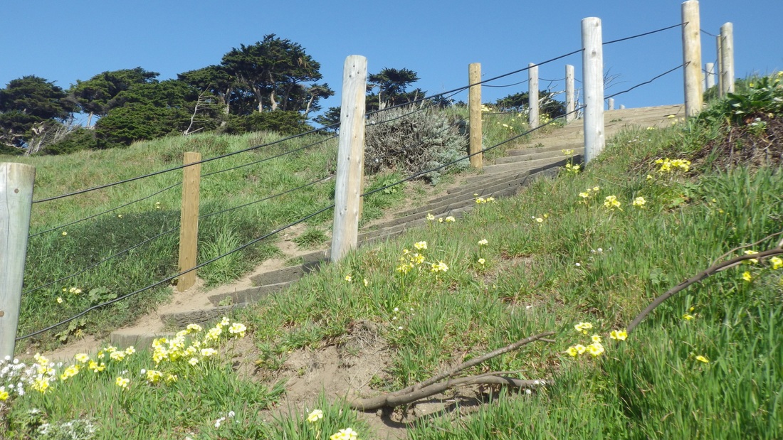
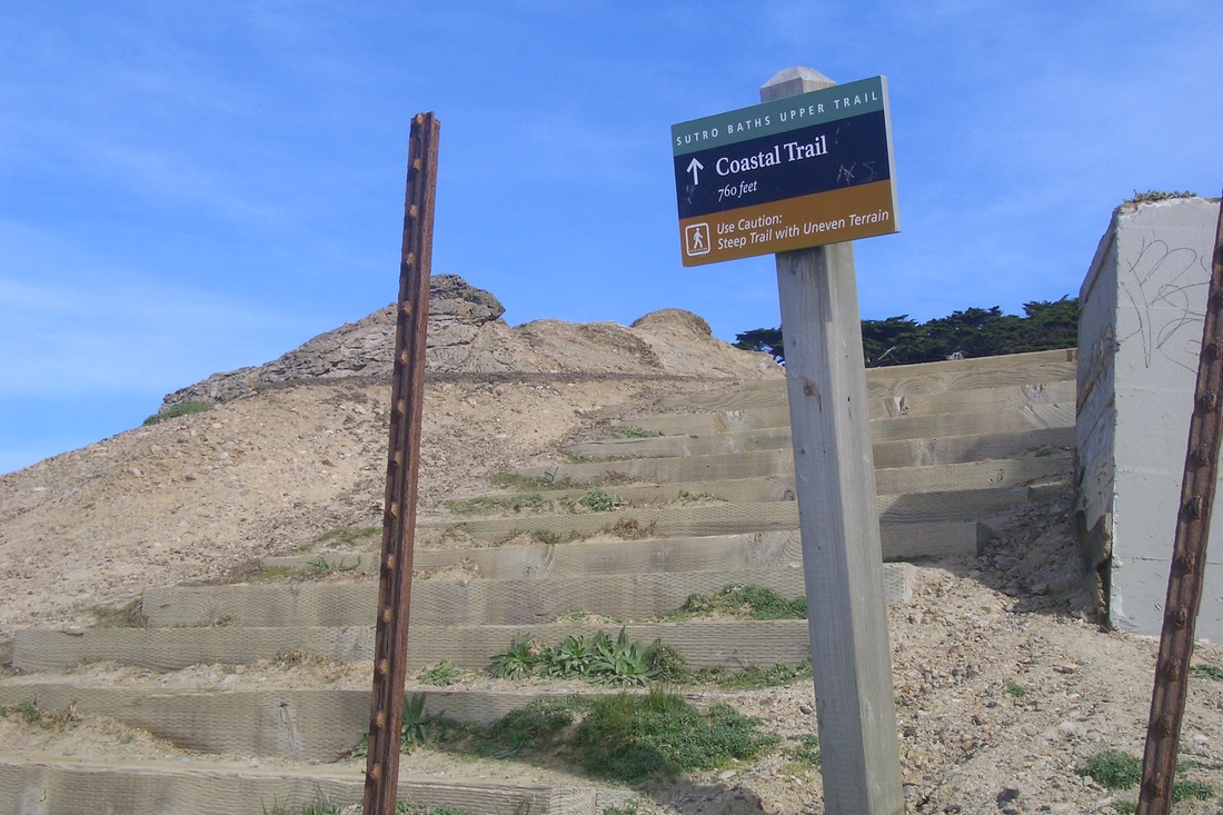
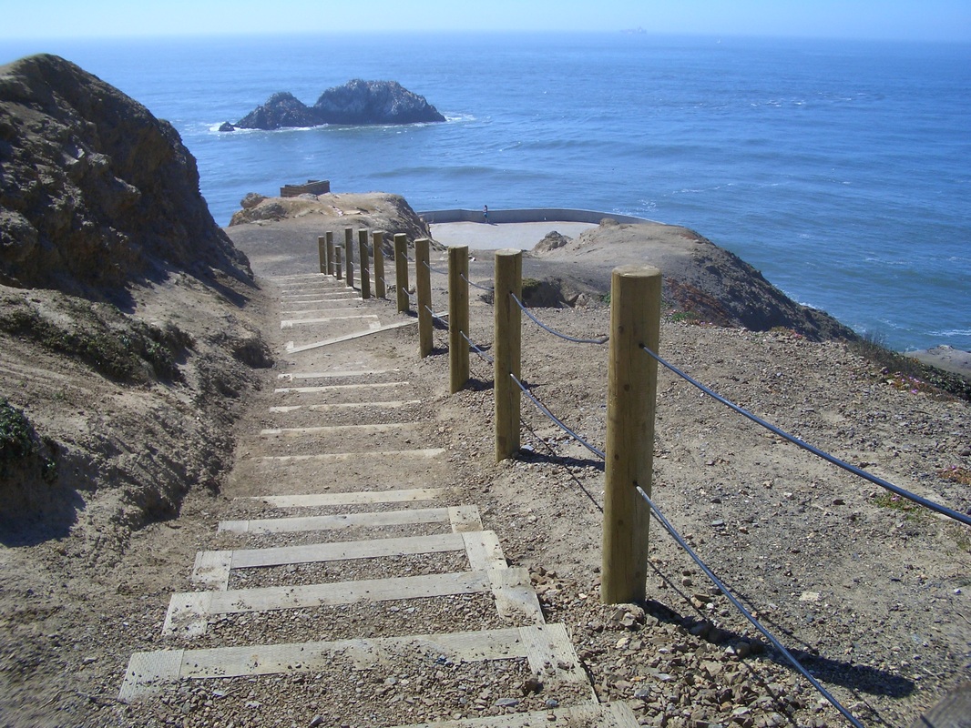
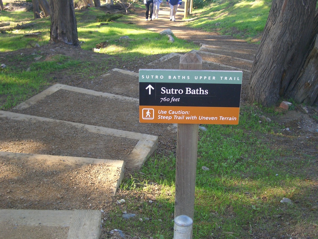
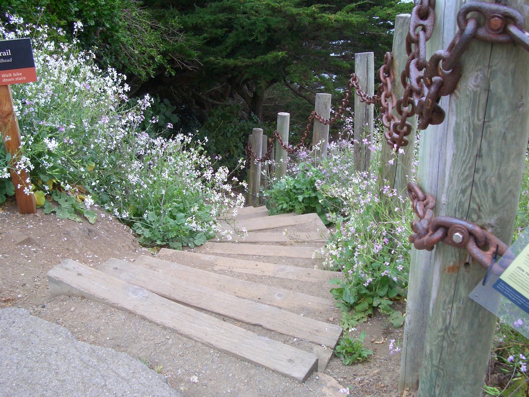
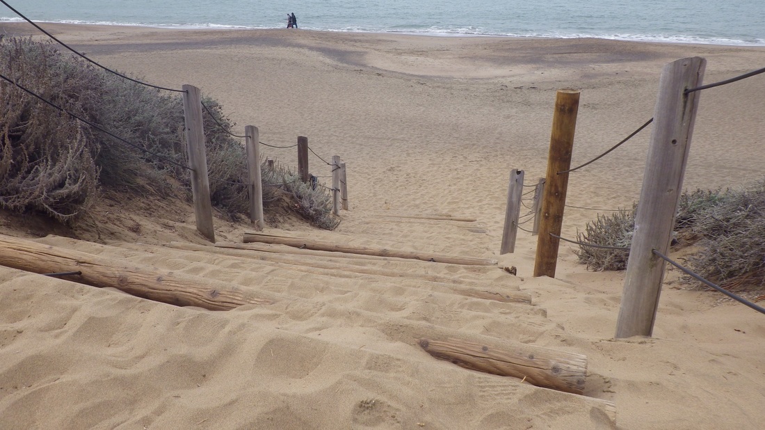
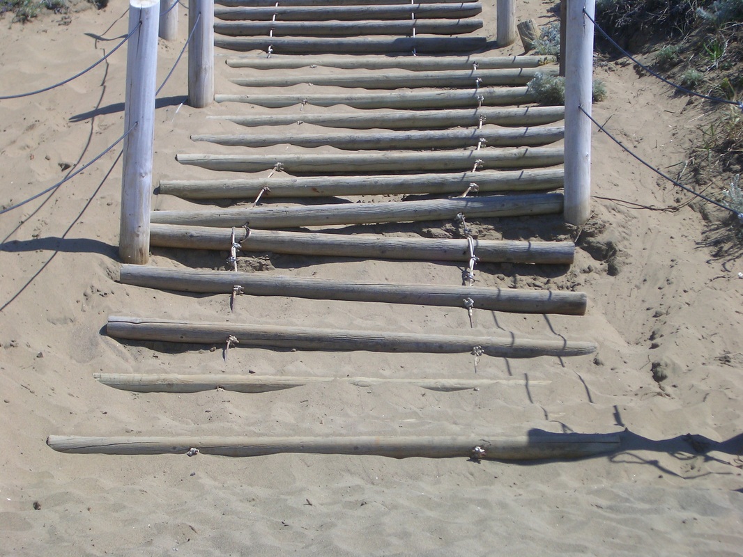
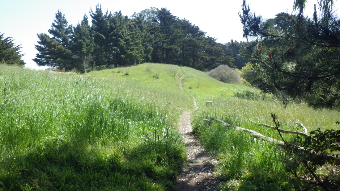
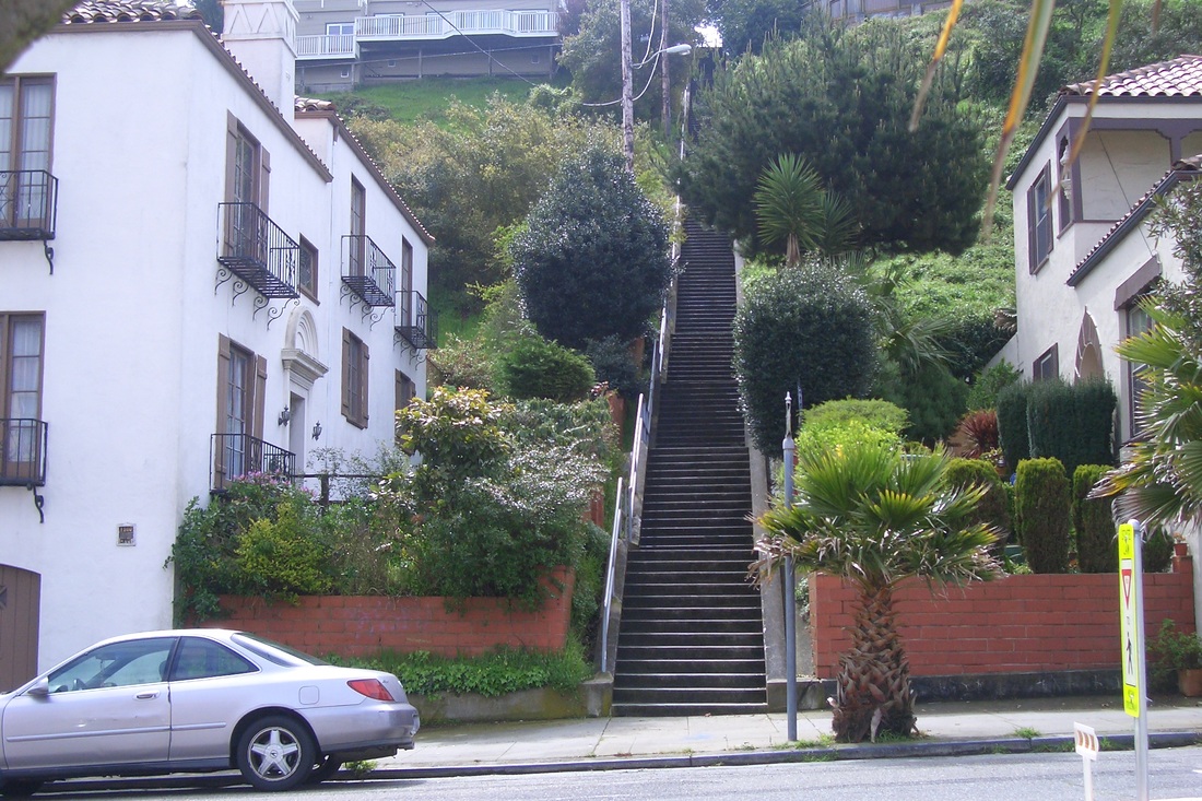
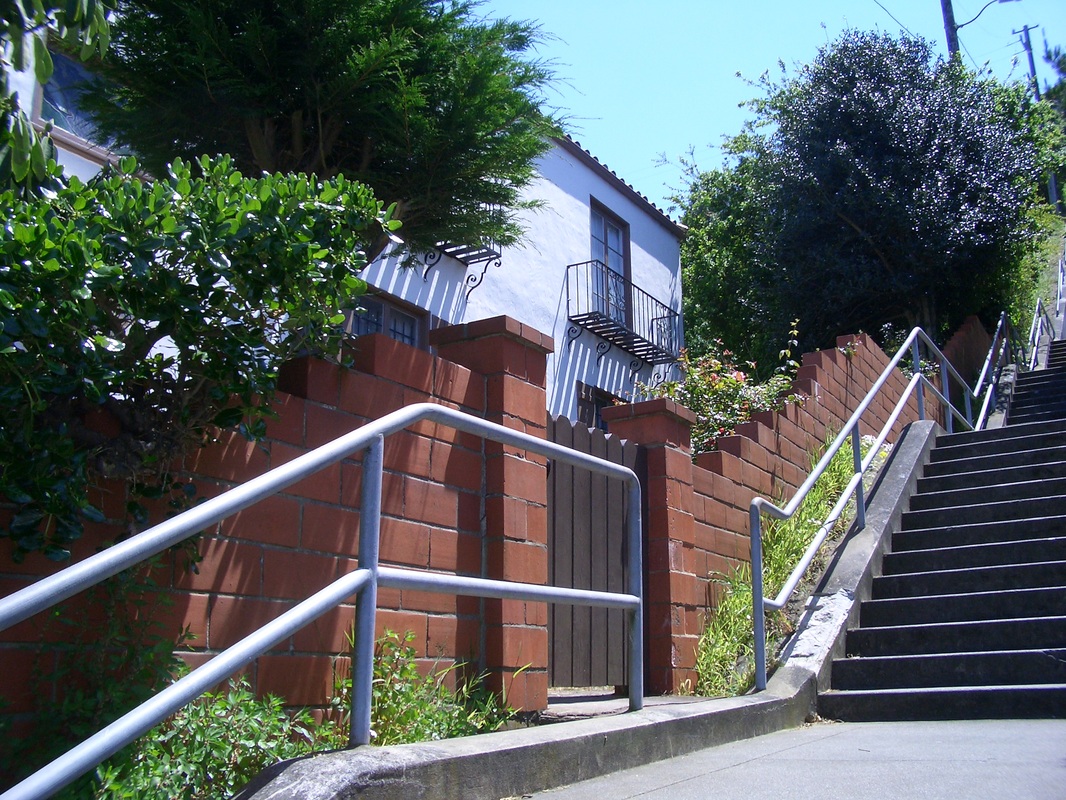
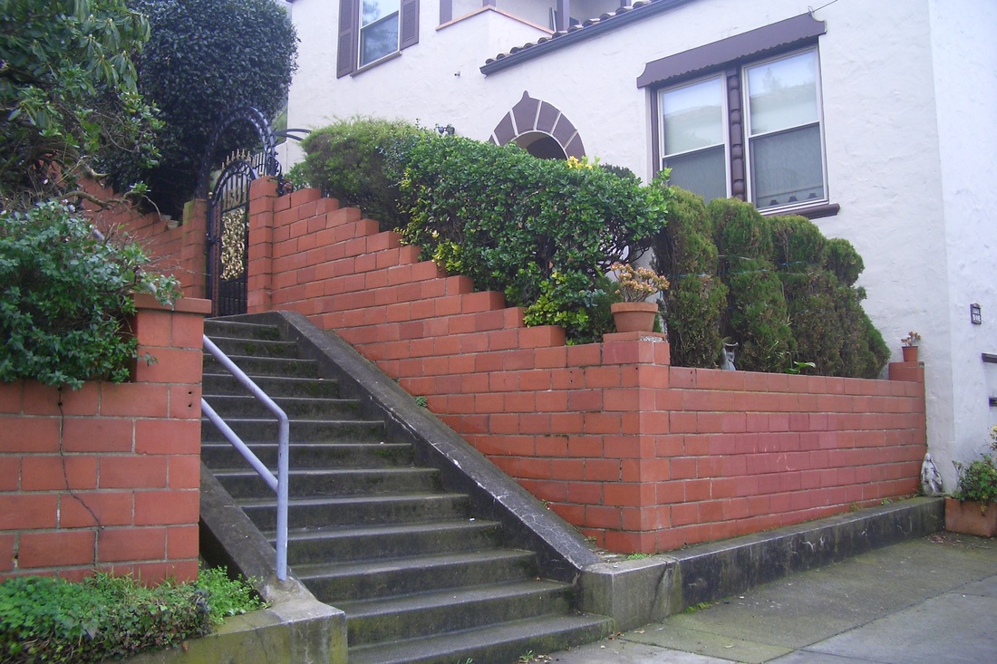
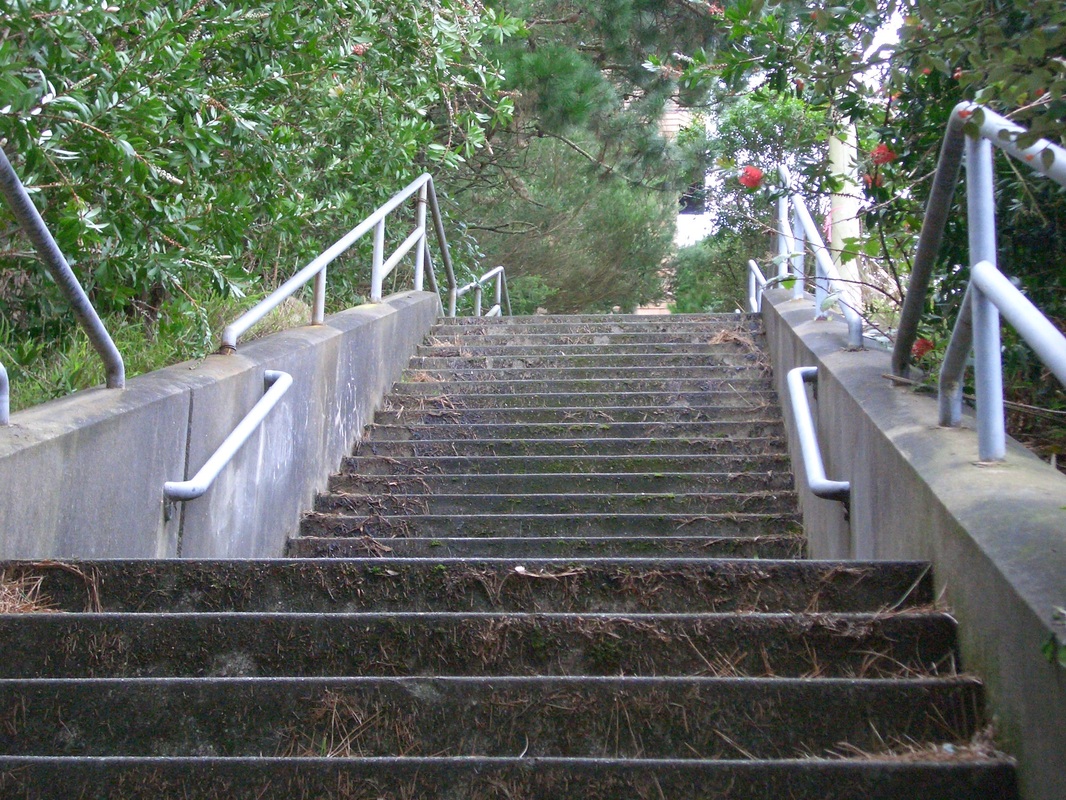
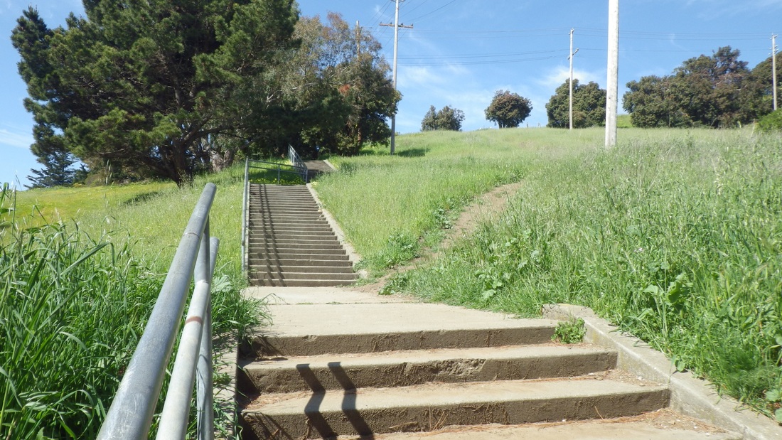
Closest to the Lookout is the Lower Parking Lot Overlook stairway (127 steps, first two pix) that I take to access the even longer Sutro Baths Upper Trail (about 141 steps). This westernmost beginning of the Coastal Trail atop the Sutro Baths Ruins cave got its steps extended in 2009. Pics 3, 4, 5.
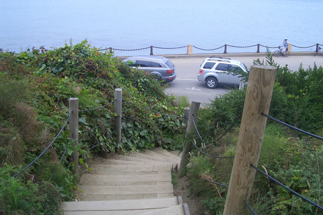
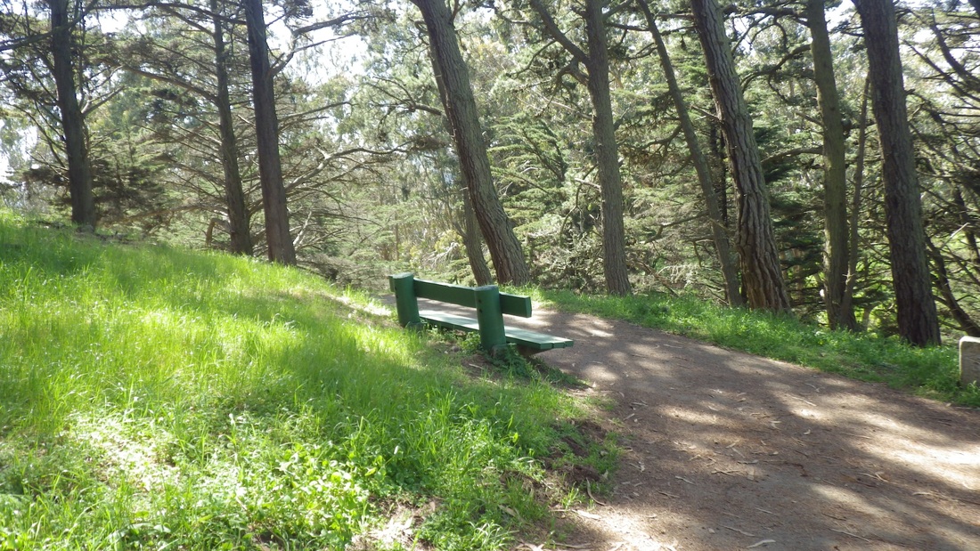
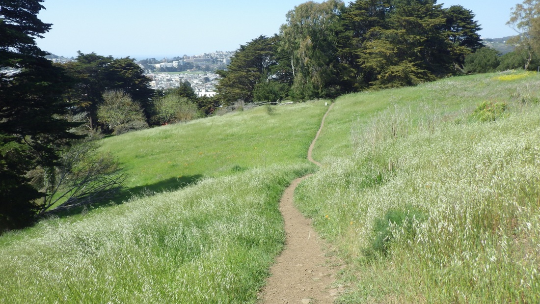
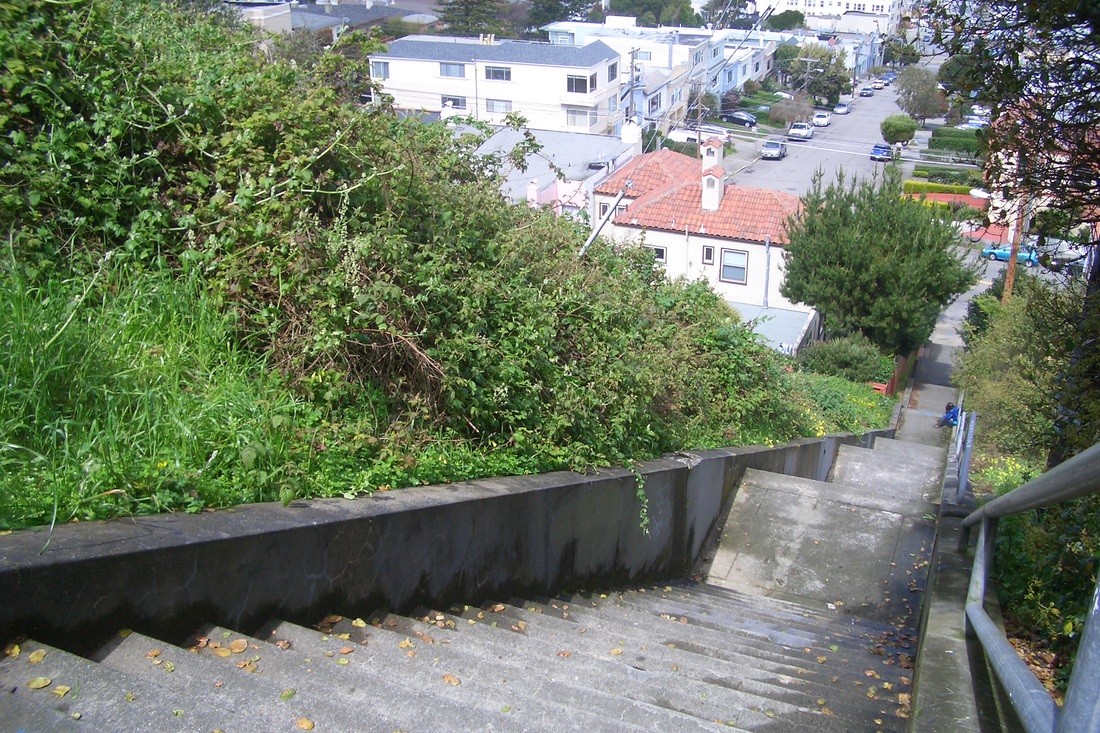
At the top of these, had a choice of various trails and stairways, including the park's longest, the Mile Rock Beach (270 or so) that you can take back up again all the way, or climb up the steepish trail to the clifftop viewspot and Labyrinth. If you're on the lower Coastal Trail (main Lands End Trail), there's no avoiding the "Painted Rock" (my name for it) stairway (slightly to the east from the top of the Mile Rock Beach steps) with the two stone benches along its length (138 steps; about 116 more down the east side).
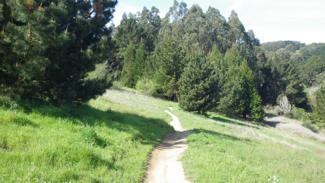
However, today bypassed the rest of the Lands End Trail for upper trails. From the top of the Sutro Baths Upper Trail, there's a curving paved walk that will take you around to the main Coastal Trail for the first of two overlooks on this trail.
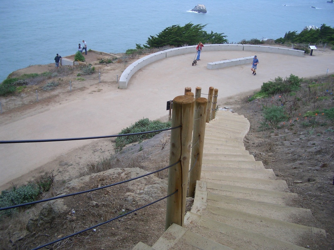
Directly across from this popular overlook is a steep stairway up to the Upper Parking Lot Overlook (59 or so steps). Here's how it used to look during three different incarnations. First, 2006 (sixth pic); second, 2008 (seventh pic); third, currently (eighth pic) now with the upper overlook. This overlook has some good benches to sit and have lunch or just gaze out at the water. At the overlook's east end starts the El Camino del Mar Trail.
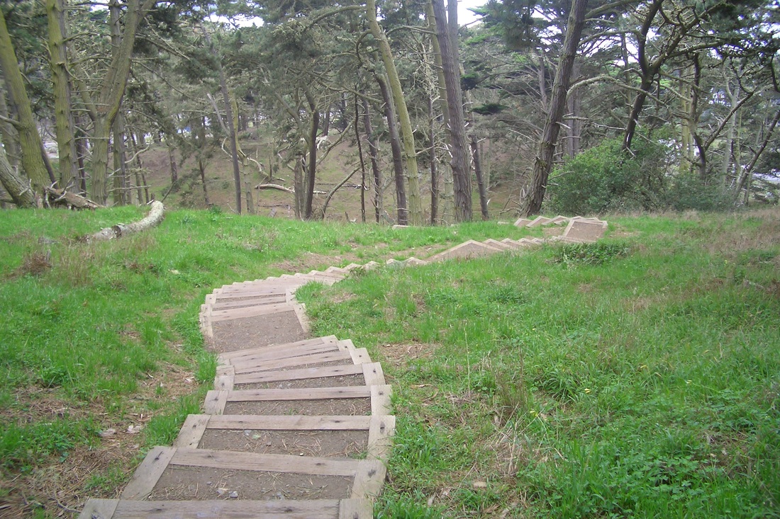
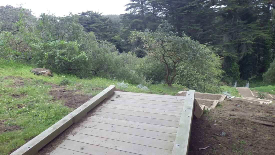
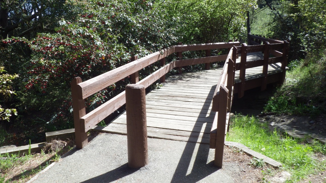
The El Camino upper trail will take you past a curving wood connector stairway down, over a short wooden footbridge, and to the foot of a higher flight of stairs (about 48 steps) that will take you to the west edge of the Lincoln Park Golf Course and west end of the parking lot for the Legion of Honor Museum.
Just past the top of the steps, rising from the parking lot, there's a short stairway and paved path (23 steps in all) that is the Battle of the Bulge Trail. Might be hard to see the foot of the steps as this is a parking lot and you may have to squeeze between cars, as I did today. The trail ends at the north side of the VA Hospital at the edge of another parking lot, but there's a lawn here and some picnic tables.
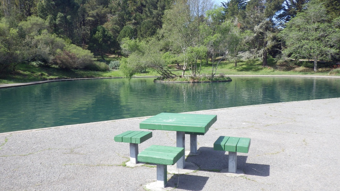
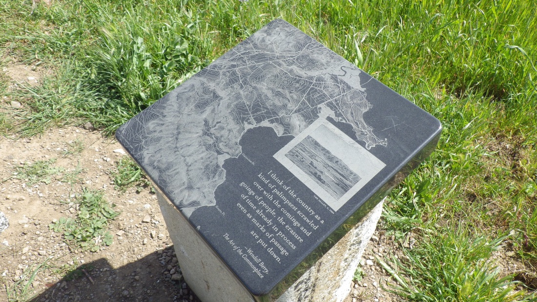
You can see the newer picnic area from here: a short walk. There's a retaining wall with railing and walkway so you can view it from above. So is there an "official" name for this picnic spot?
There are about 142 wood steps in all if you do it both up and down (main north and south stairways). However, today found the south stairway blocked with one of those yellow plastic caution tapes across it, apparently due to unsafe conditions. Looking across, though, noticed that the north stairway was open and beckoning me down.
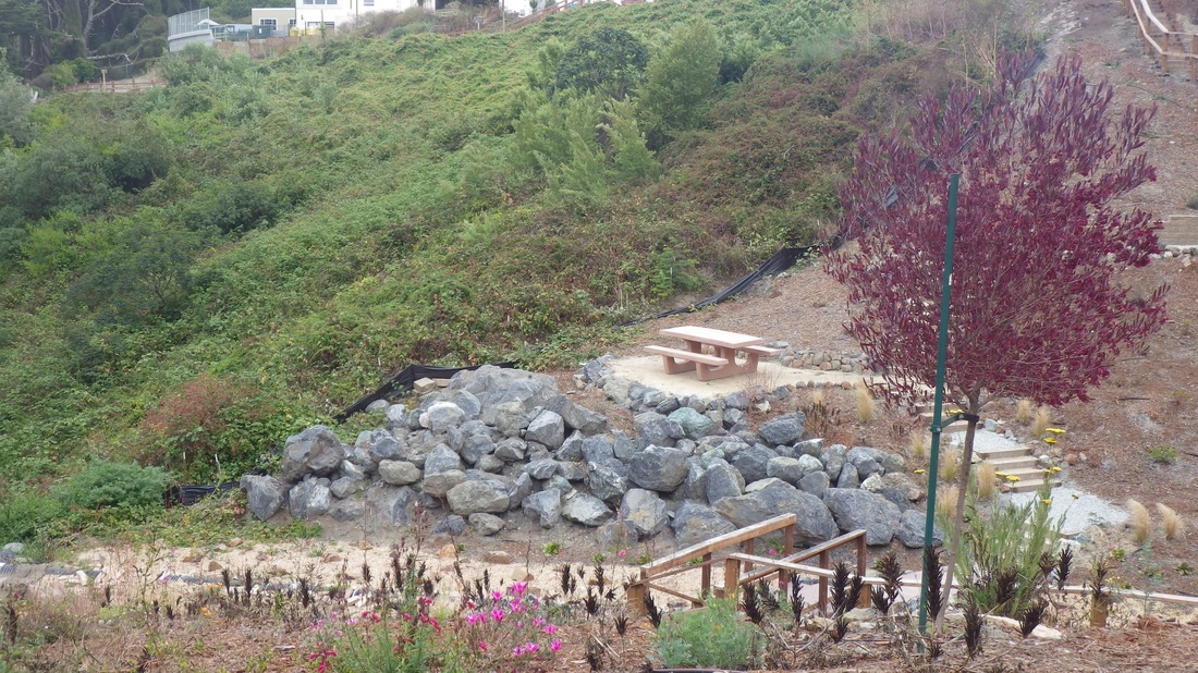
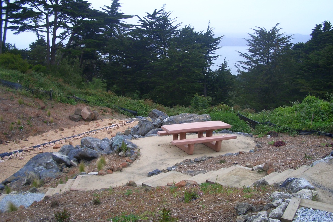
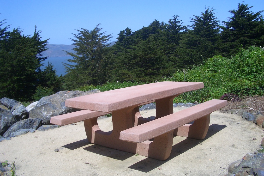
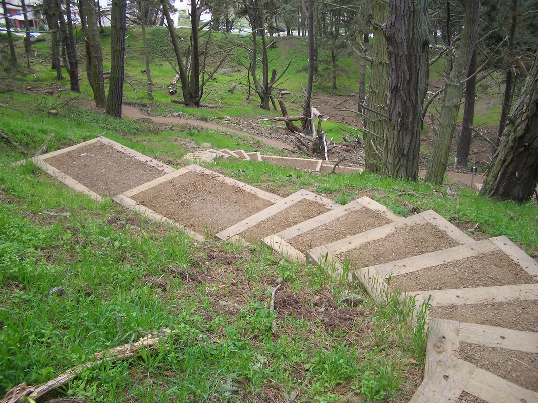
The aforementioned newer plantings are doing very well, thanks very much. They are noticeably larger and healthy looking, evenly spaced atop a background of wood chips: down the slopes next to the two longer stairways and alongside the picnic tables, benches, rocks, and walking paths. Charming! This area has turned out really well and I'm sure the south stairway will again be walkable soon. Pix 9, 10, 11, 12.
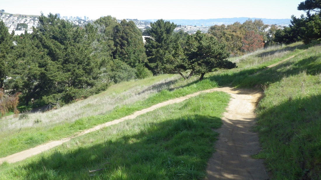
From up here, past the orange windsock, continuing along the edge of the VA Hospital's parking lot and onto a favorite very old "hidden" stairway (19, upper, 22 lower steps) down past the Fort Miley ruins, through the forest and back into the main part of the park.
These secluded woodsy steps across from one of the Fort Miley buildings might just be left unmolested and not "improved" (crossing fingers) since they are a part of the old Fort's ruins. There's a regular walkers' trail down to the Fort Miley picnic area from the west side of the VA parking lot. Just next to this is where to find the old stairways (and a wildish trail I like).
I strongly suspect that the Blair Witch resides in the ancient Octagon building (last pic) deep in the woods here (formerly the Point Lobos Marine Exchange Lookout Station) and that she's in the habit of feasting upon unsuspecting skateboarders who do Fort Miley, as today. Detouring slightly on my way downhill through the forest to say hi to the Octagon House, a ranger's car was parked here, but regular vehicles are not allowed in the Fort Miley area.
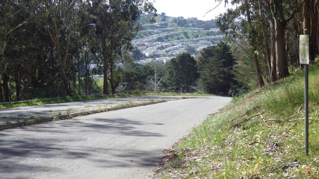
So this is between the VA Hospital above to the east and El Camino del Mar (the street that dead-ends for vehicles at the Upper Parking Lot Overlook below). It's not open to the public. What this was all about back then:
http://outsidelands.org/octagon-house.php
From El Camino del Mar there are two newer wood stairways down to a main paved trail. Further on is a shorter stairway with overlook benches near Seal Rock and Point Lobos at the park's south entrance that will take you to the lower parking lot.
If you have out-of-town guests, do check out the Lands End Lookout gift shop and coffee shop, then off to the various viewplaces, especially when you have a warm, sunny day like today's. Well, it was sunny when I first started out, but a couple hours later when circling back to my starting point, the fog had come in over the water and Marin Headlands and the views had disappeared.
Closest to the Lookout is the Lower Parking Lot Overlook stairway (127 steps, first two pix) that I take to access the even longer Sutro Baths Upper Trail (about 141 steps). This westernmost beginning of the Coastal Trail atop the Sutro Baths Ruins cave got its steps extended in 2009. Pics 3, 4, 5.
At the top of these, had a choice of various trails and stairways, including the park's longest, the Mile Rock Beach (270 or so) that you can take back up again all the way, or climb up the steepish trail to the clifftop viewspot and Labyrinth. If you're on the lower Coastal Trail (main Lands End Trail), there's no avoiding the "Painted Rock" (my name for it) stairway (slightly to the east from the top of the Mile Rock Beach steps) with the two stone benches along its length (138 steps; about 116 more down the east side).
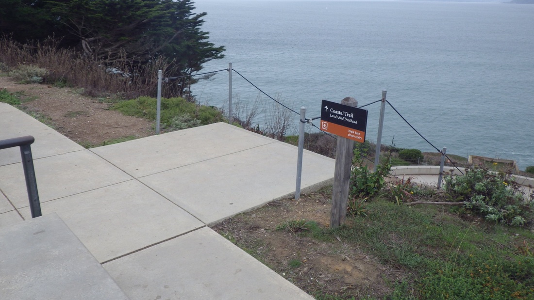
However, today bypassed the rest of the Lands End Trail for upper trails. From the top of the Sutro Baths Upper Trail, there's a curving paved walk that will take you around to the main Coastal Trail for the first of two overlooks on this trail.
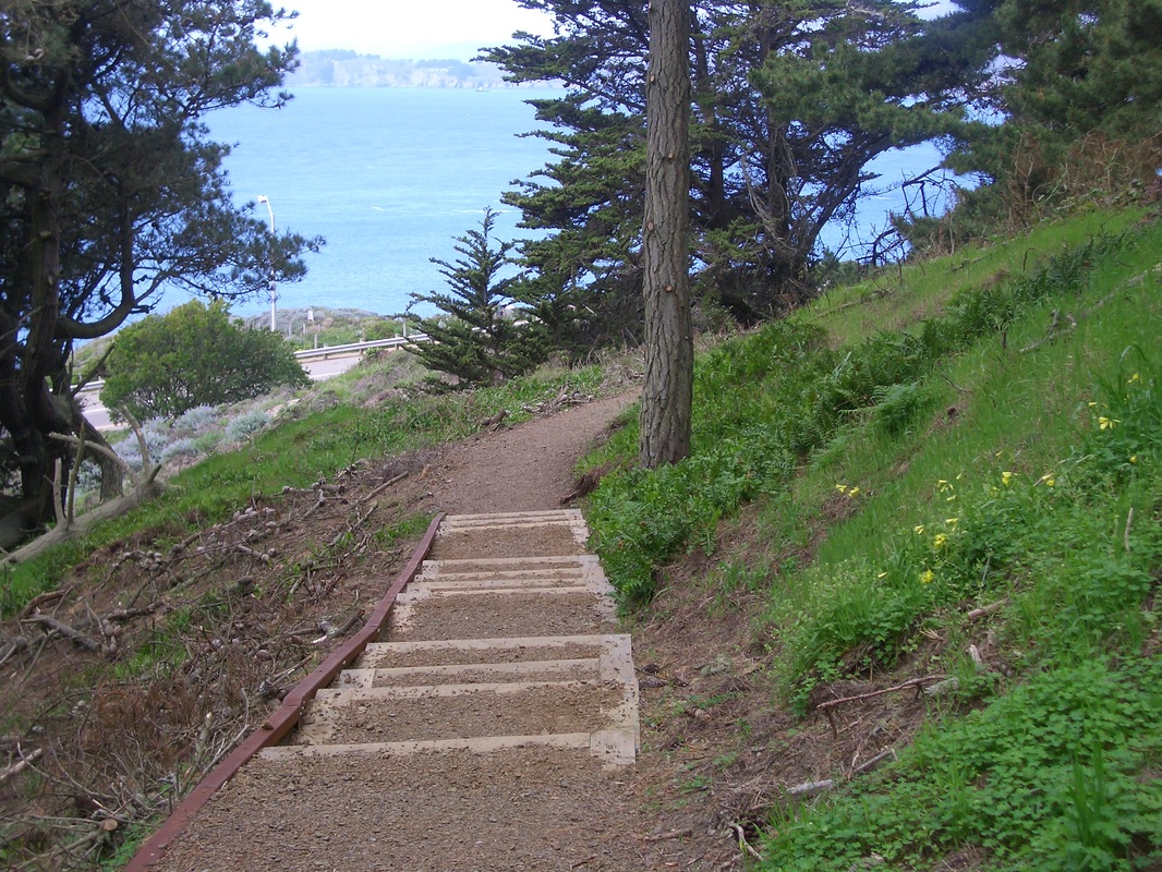
Directly across from this popular overlook is a steep stairway up to the Upper Parking Lot Overlook (59 or so steps). Here's how it used to look during three different incarnations. First, 2006 (sixth pic); second, 2008 (seventh pic); third, currently (eighth pic) now with the upper overlook. This overlook has some good benches to sit and have lunch or just gaze out at the water. At the overlook's east end starts the El Camino del Mar Trail.
The El Camino upper trail will take you past a curving wood connector stairway down, over a short wooden footbridge, and to the foot of a higher flight of stairs (about 48 steps) that will take you to the west edge of the Lincoln Park Golf Course and west end of the parking lot for the Legion of Honor Museum.
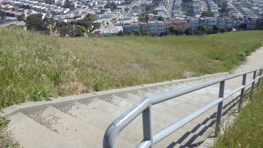
Just past the top of the steps, rising from the parking lot, there's a short stairway and paved path (23 steps in all) that is the Battle of the Bulge Trail. Might be hard to see the foot of the steps as this is a parking lot and you may have to squeeze between cars, as I did today. The trail ends at the north side of the VA Hospital at the edge of another parking lot, but there's a lawn here and some picnic tables.
You can see the newer picnic area from here: a short walk. There's a retaining wall with railing and walkway so you can view it from above. So is there an "official" name for this picnic spot?
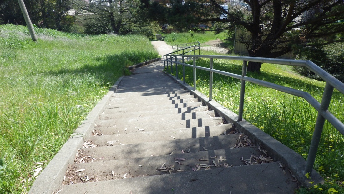
There are about 142 wood steps in all if you do it both up and down (main north and south stairways). However, today found the south stairway blocked with one of those yellow plastic caution tapes across it, apparently due to unsafe conditions. Looking across, though, noticed that the north stairway was open and beckoning me down.
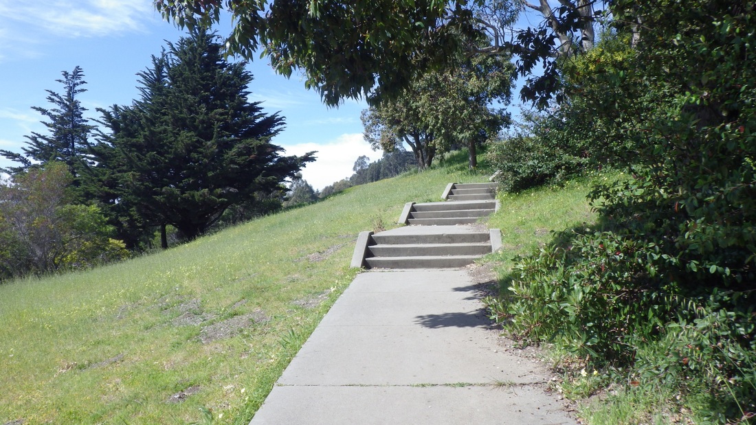
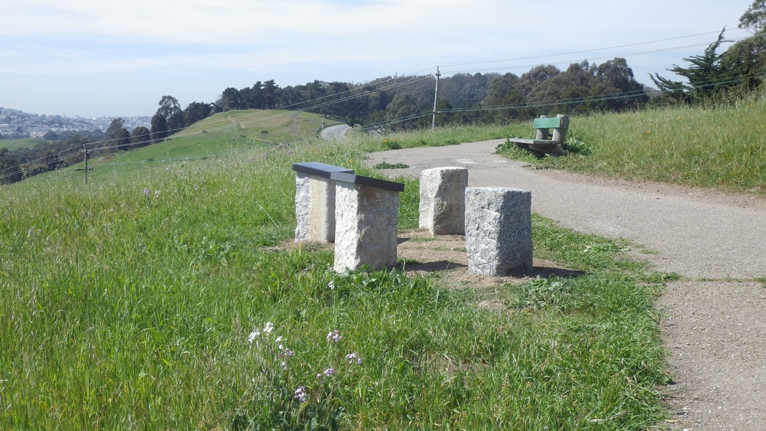
The aforementioned newer plantings are doing very well, thanks very much. They are noticeably larger and healthy looking, evenly spaced atop a background of wood chips: down the slopes next to the two longer stairways and alongside the picnic tables, benches, rocks, and walking paths. Charming! This area has turned out really well and I'm sure the south stairway will again be walkable soon. Pix 9, 10, 11, 12.
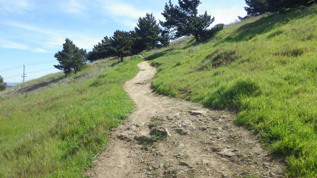
From up here, past the orange windsock, continuing along the edge of the VA Hospital's parking lot and onto a favorite very old "hidden" stairway (19, upper, 22 lower steps) down past the Fort Miley ruins, through the forest and back into the main part of the park.
These secluded woodsy steps across from one of the Fort Miley buildings might just be left unmolested and not "improved" (crossing fingers) since they are a part of the old Fort's ruins. There's a regular walkers' trail down to the Fort Miley picnic area from the west side of the VA parking lot. Just next to this is where to find the old stairways (and a wildish trail I like).
I strongly suspect that the Blair Witch resides in the ancient Octagon building (last pic) deep in the woods here (formerly the Point Lobos Marine Exchange Lookout Station) and that she's in the habit of feasting upon unsuspecting skateboarders who do Fort Miley, as today. Detouring slightly on my way downhill through the forest to say hi to the Octagon House, a ranger's car was parked here, but regular vehicles are not allowed in the Fort Miley area.
So this is between the VA Hospital above to the east and El Camino del Mar (the street that dead-ends for vehicles at the Upper Parking Lot Overlook below). It's not open to the public. What this was all about back then:
http://outsidelands.org/octagon-house.php
From El Camino del Mar there are two newer wood stairways down to a main paved trail. Further on is a shorter stairway with overlook benches near Seal Rock and Point Lobos at the park's south entrance that will take you to the lower parking lot.
1. Stairway to Lower Parking Lot Overlook
2. Stairway to Lower Parking Lot Overlook
3. West trailhead for the Coastal Trail: Sutro Baths Upper Trail
4. Sutro Baths Upper Trail climbs from the cavetop viewplace
5. Top of Sutro Baths Upper Trail
6. THEN: 2006. Steps down to main Lands End/Coastal Trail
7. THEN: 2008. Another design for the stairway
8. NOW: Same stairway. Upper Parking Lot Overlook to main Lands End (Coastal) Trail
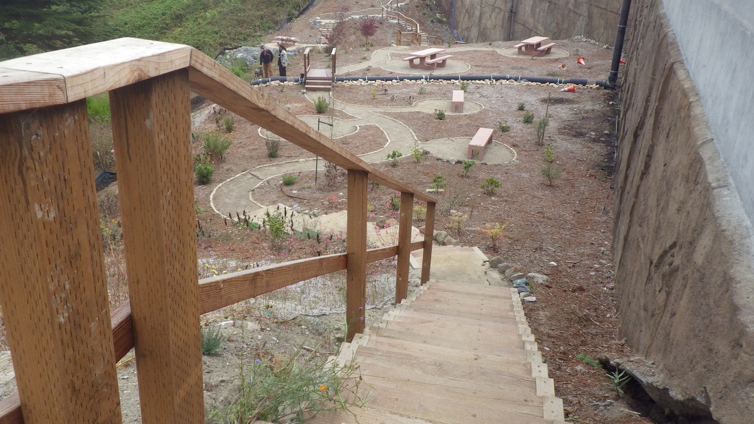
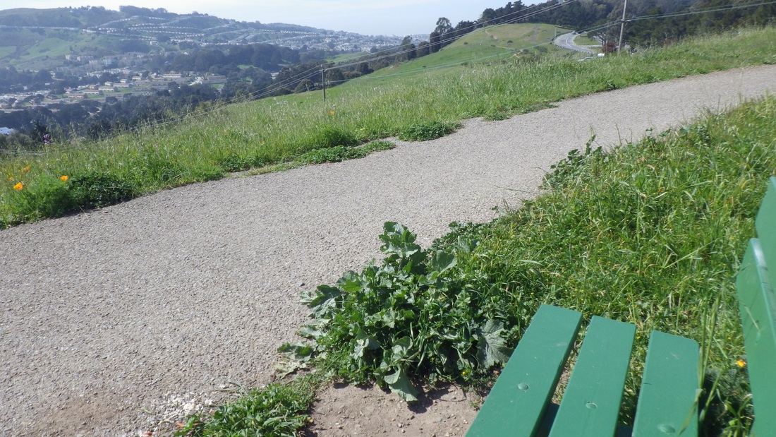
9. Picnic area below VA Hospital parking lot, north stairway
10. Picnic place below VA Hospital parking lot
11. Picnic spot below VA Hospital parking lot
12. Picnic area below VA Hospital parking lot
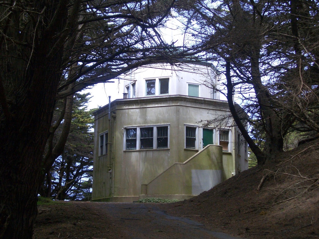
13. Octagon House in the Woods near Fort Miley


 RSS Feed
