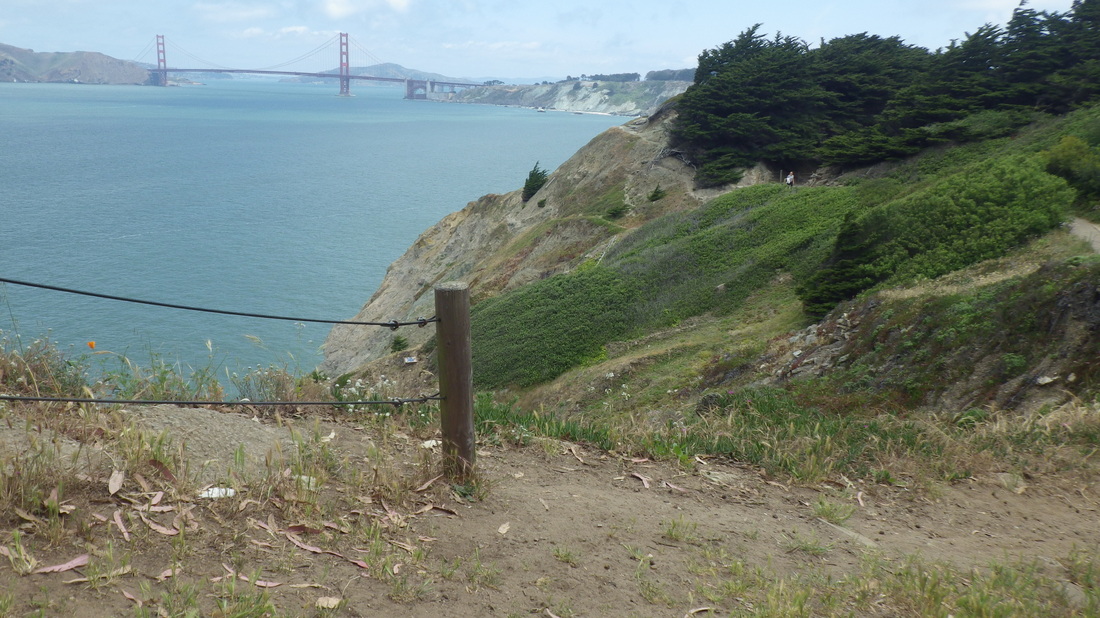
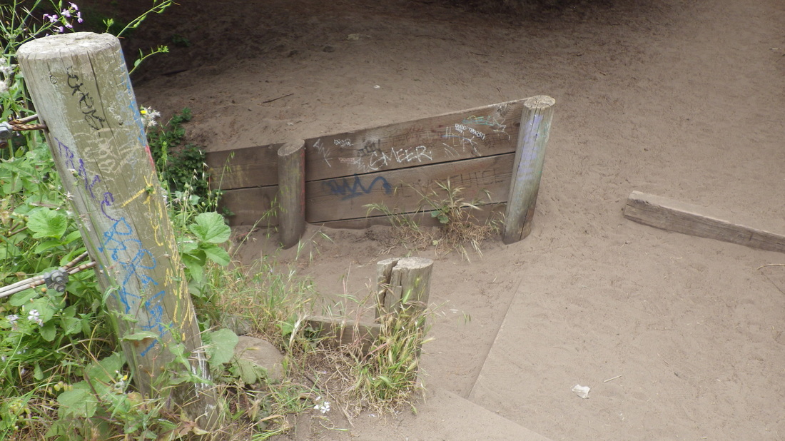
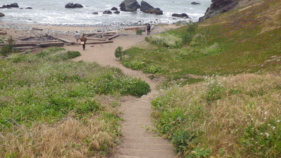
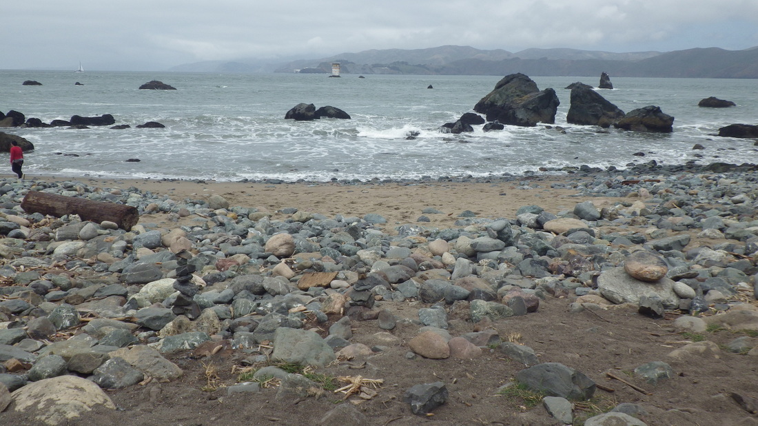
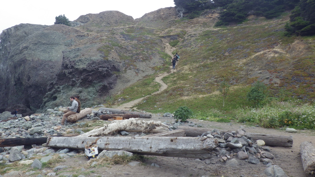
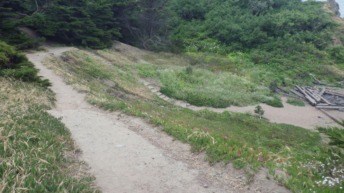
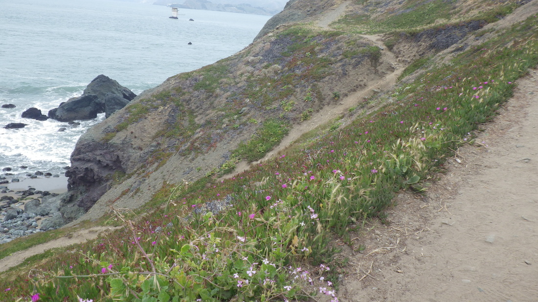
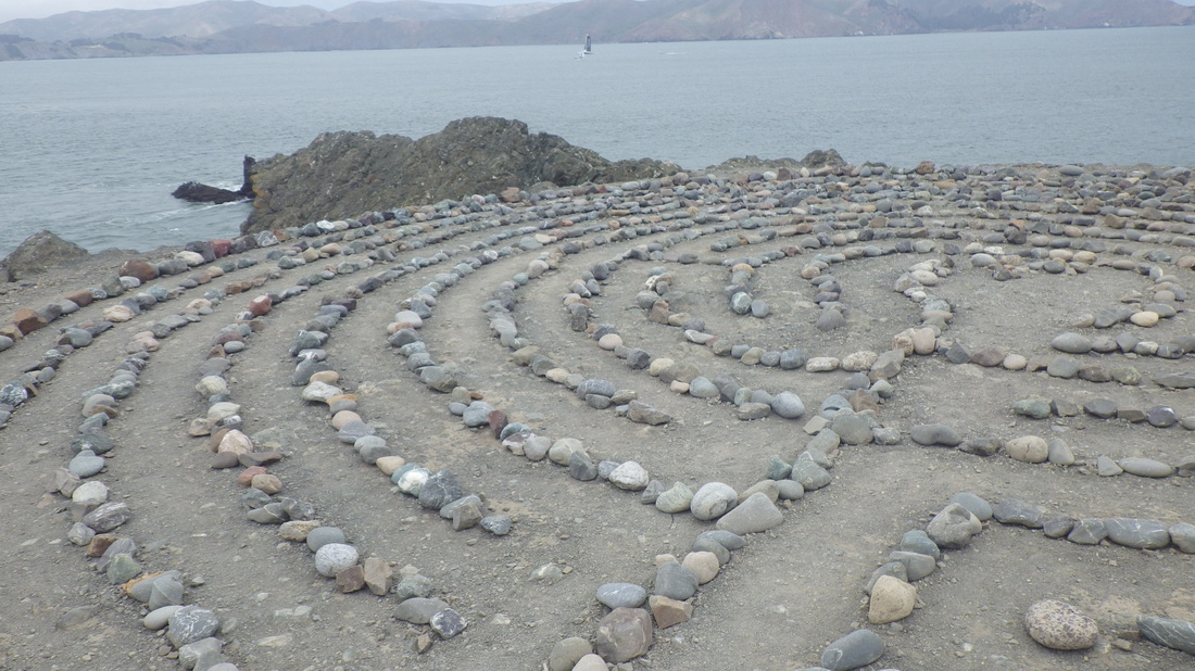
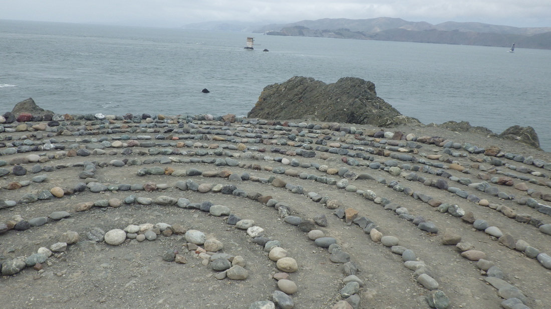
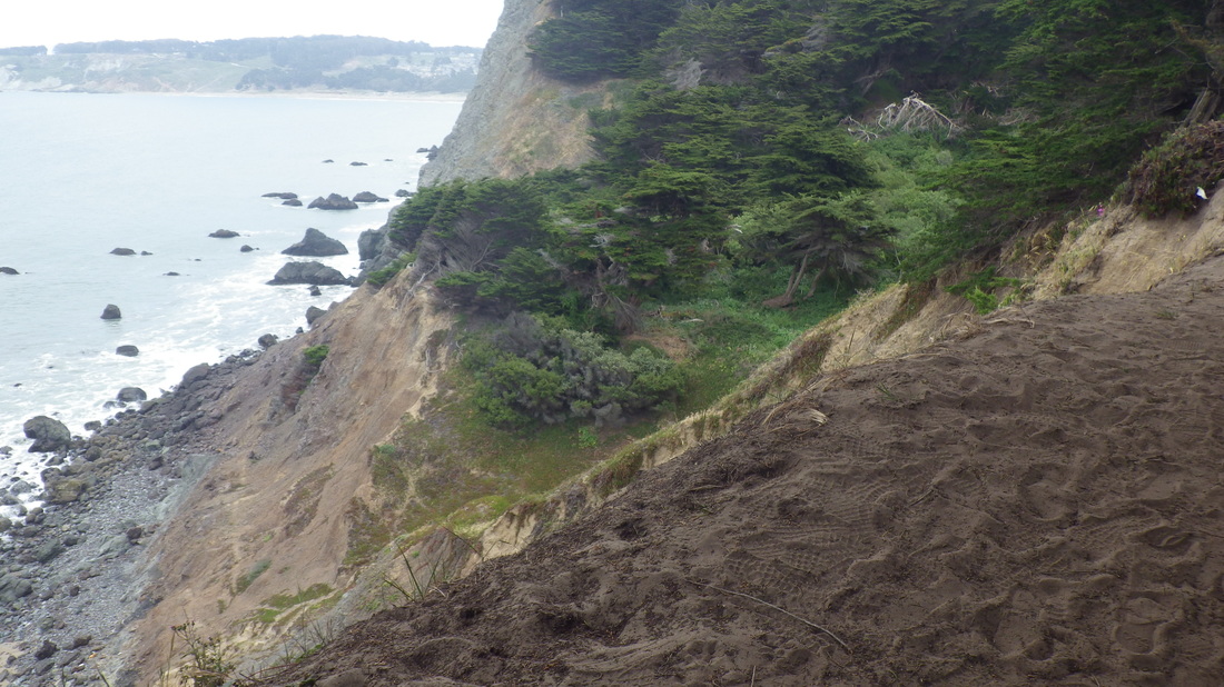
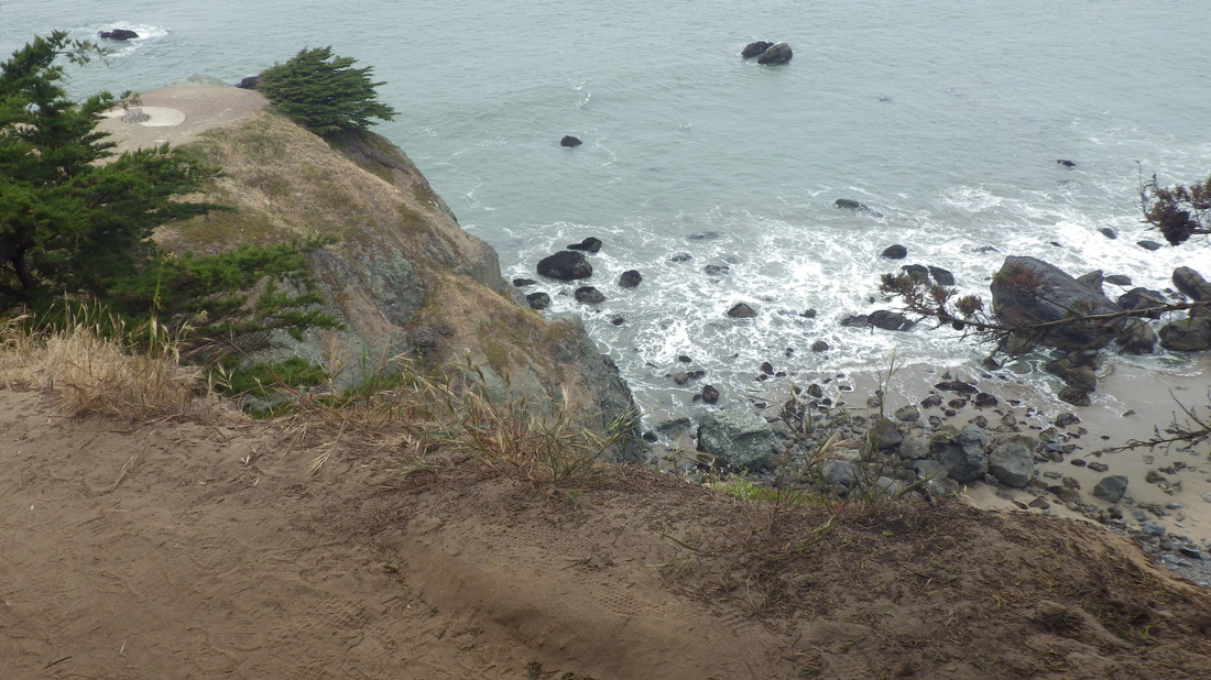
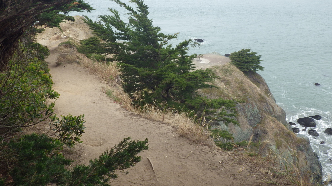
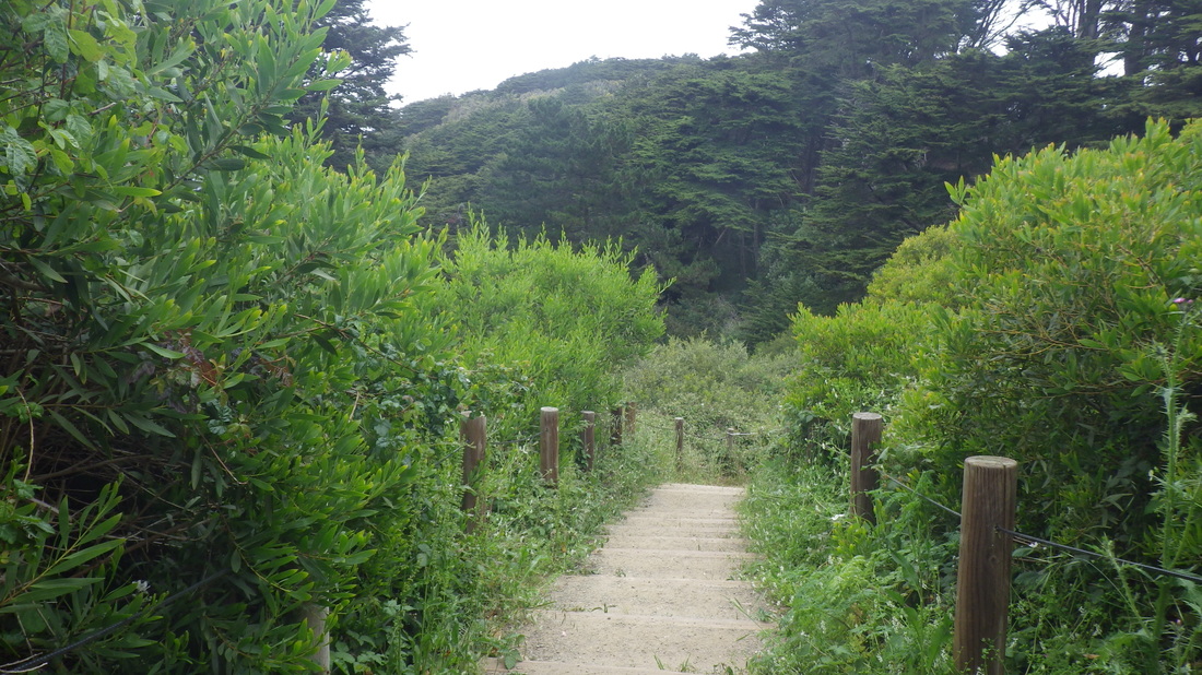
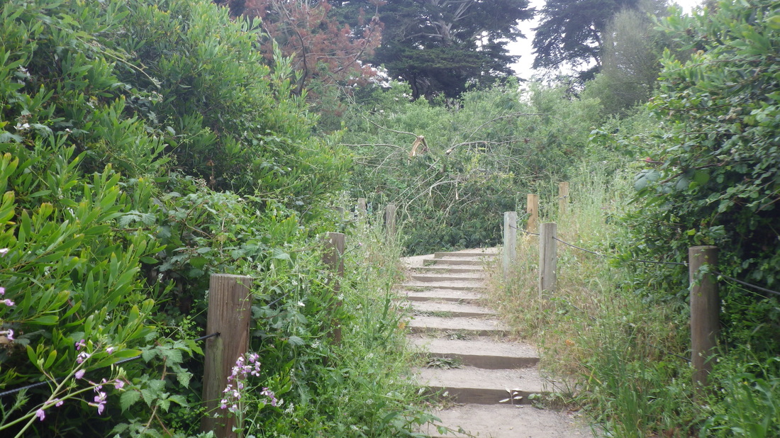
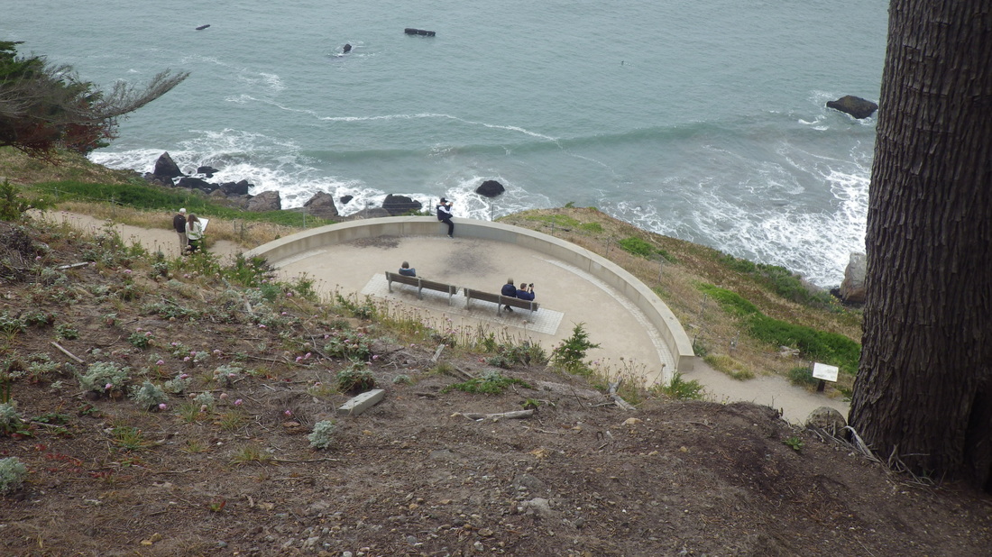
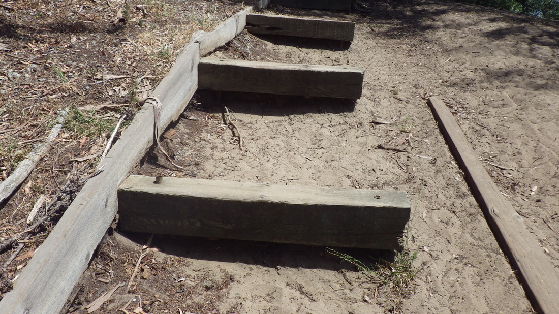
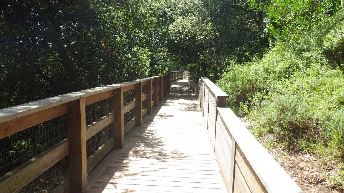
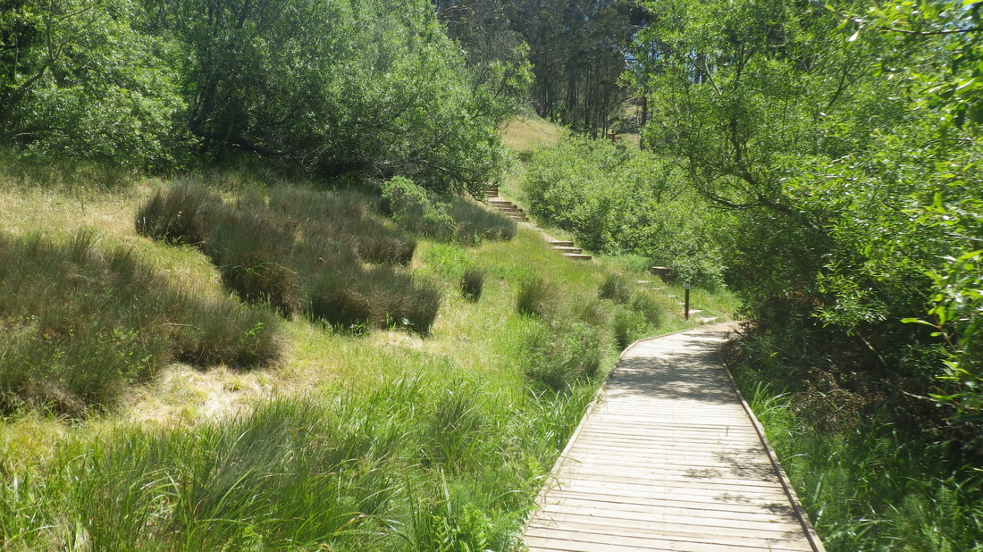
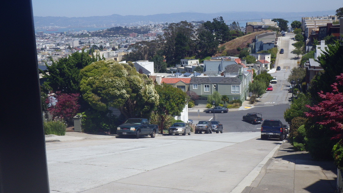
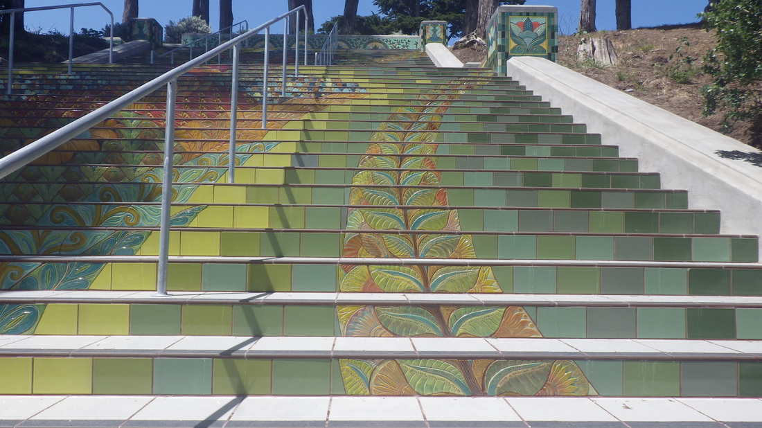
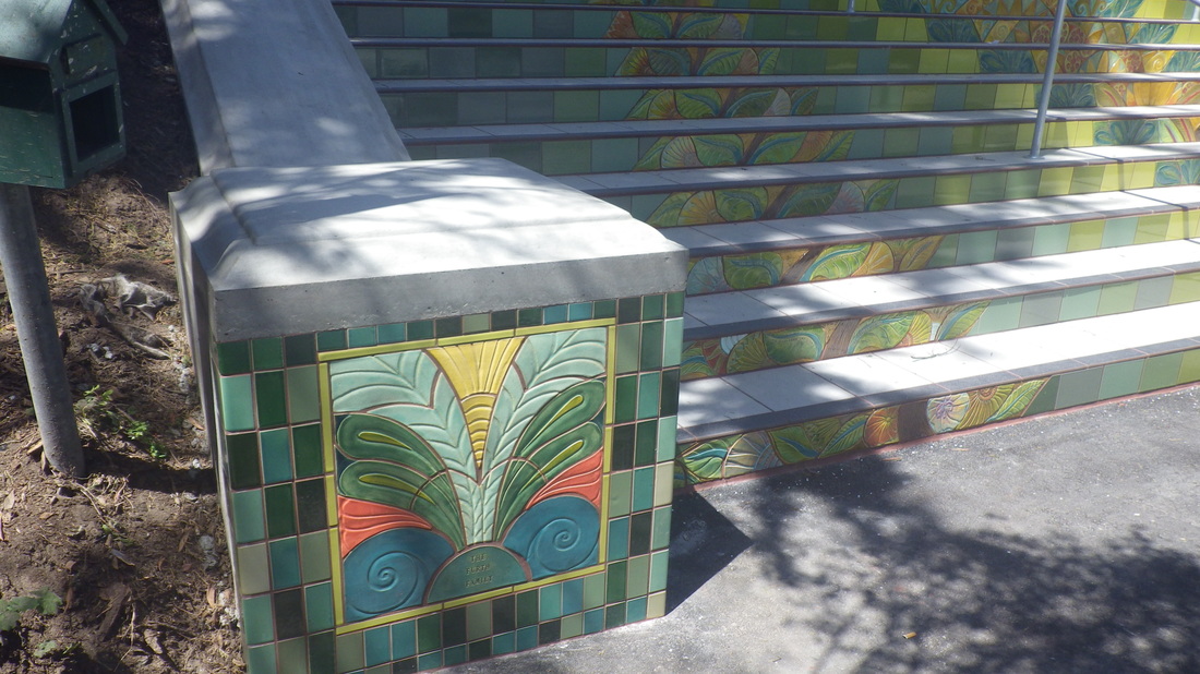
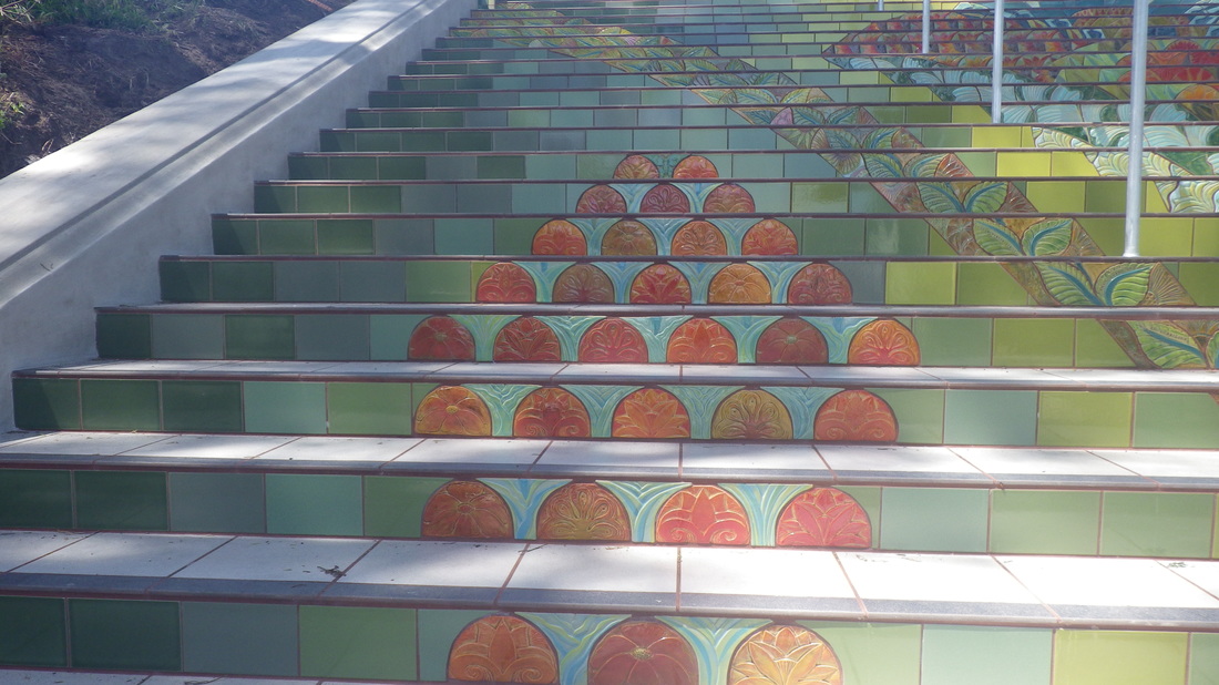
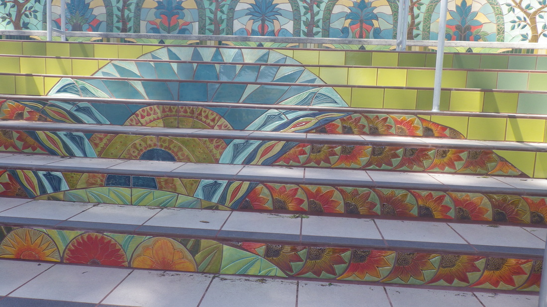
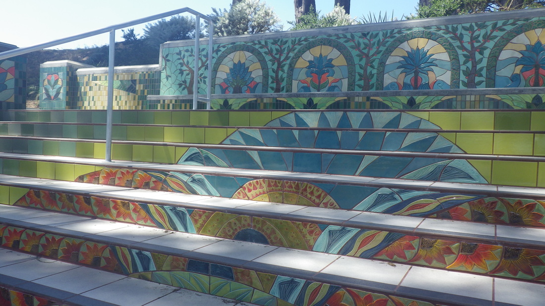
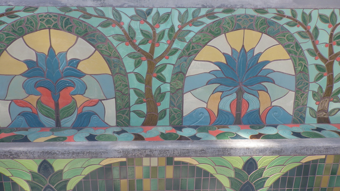
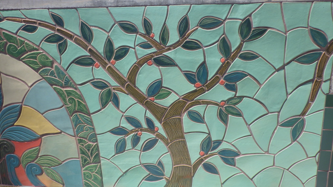
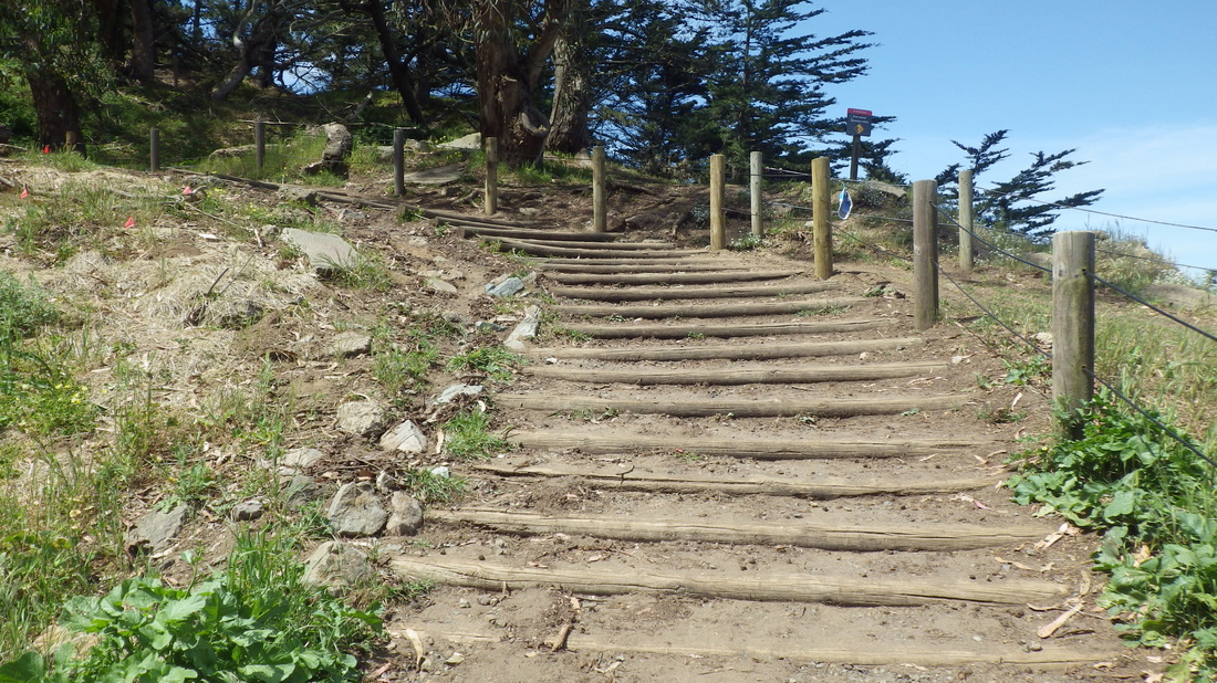
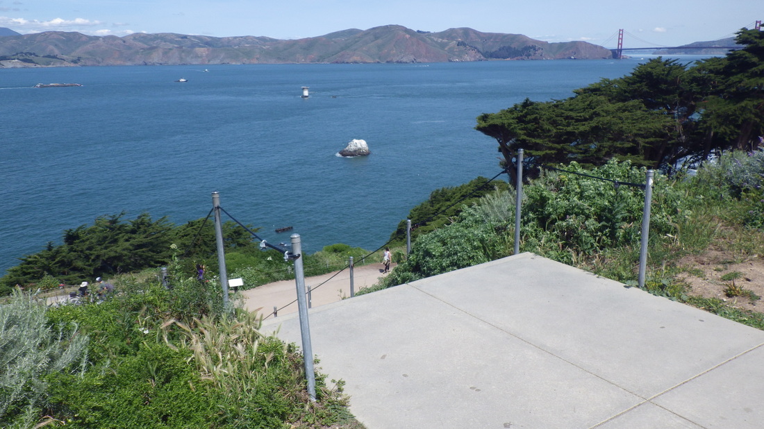
This delightful boardwalk is a treat to stroll: first three pix.
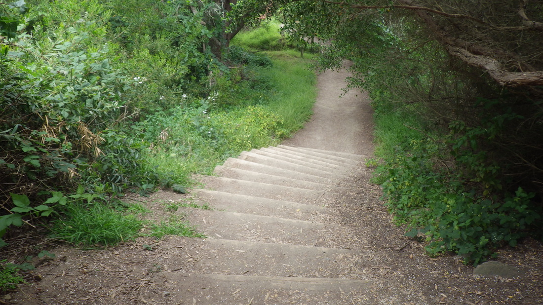
Now heading for the hills to do some of this sweet-smelling, tree-covered city’s stairways:
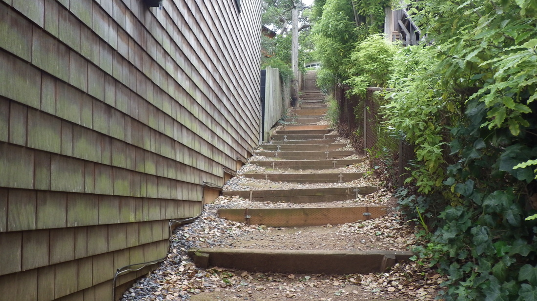
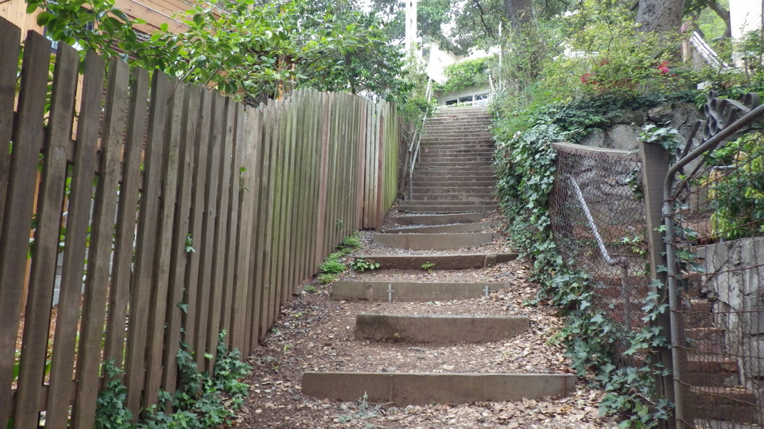
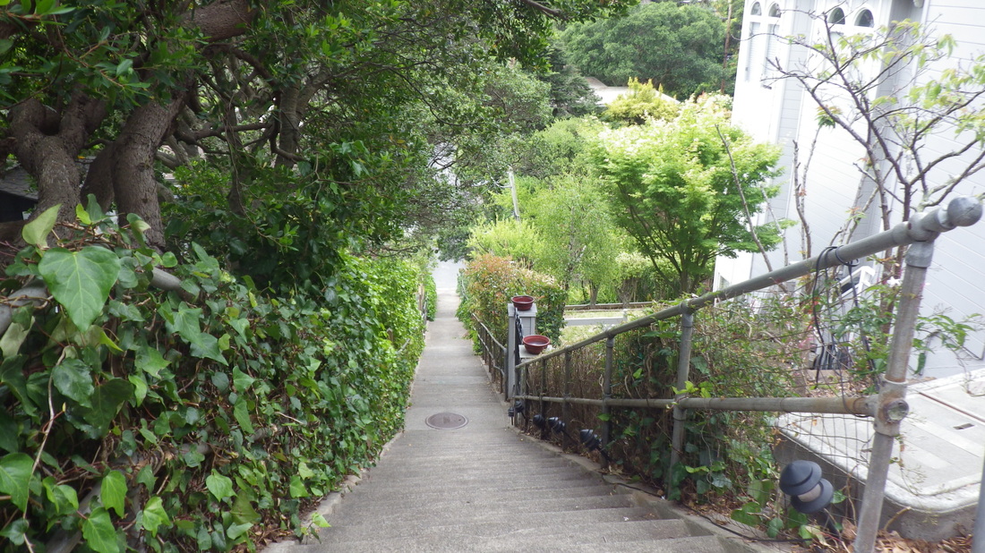
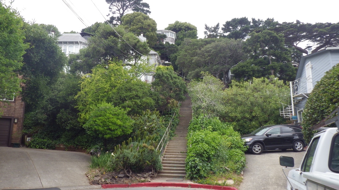
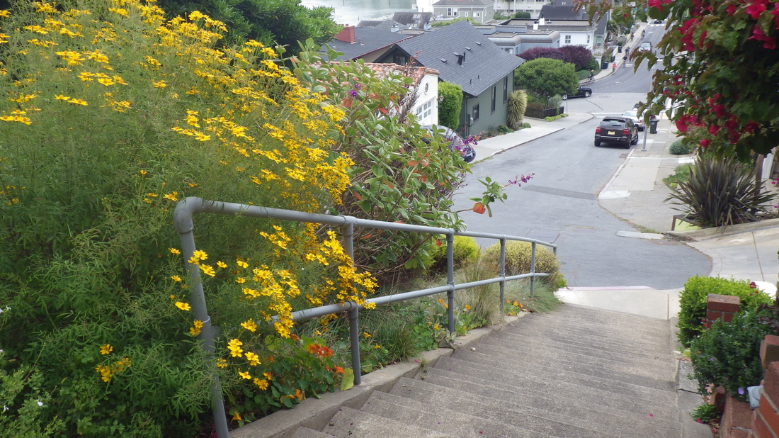
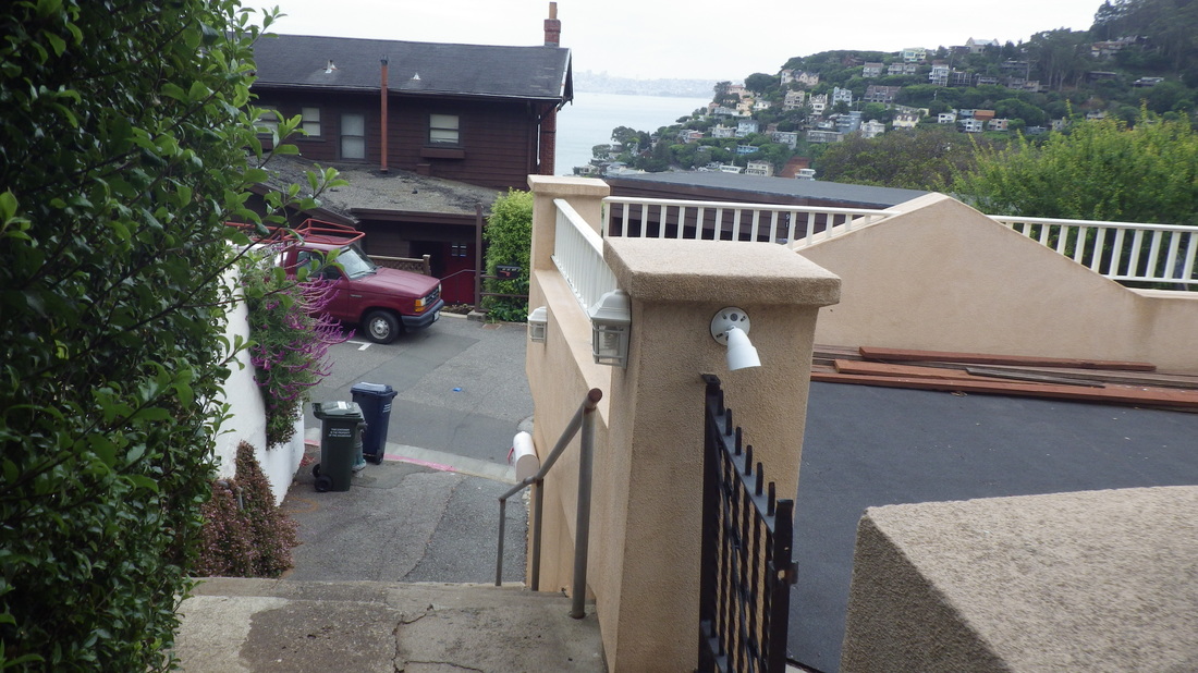
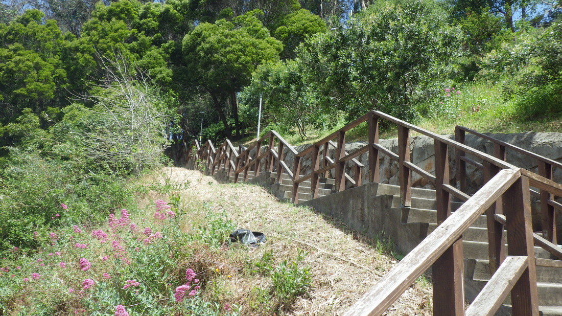
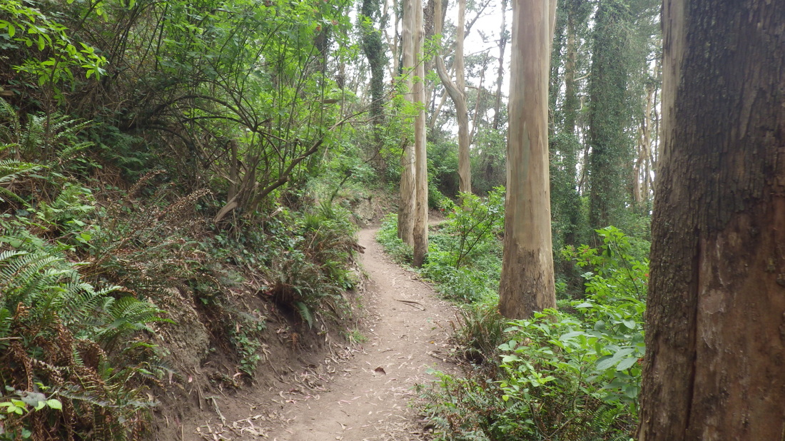
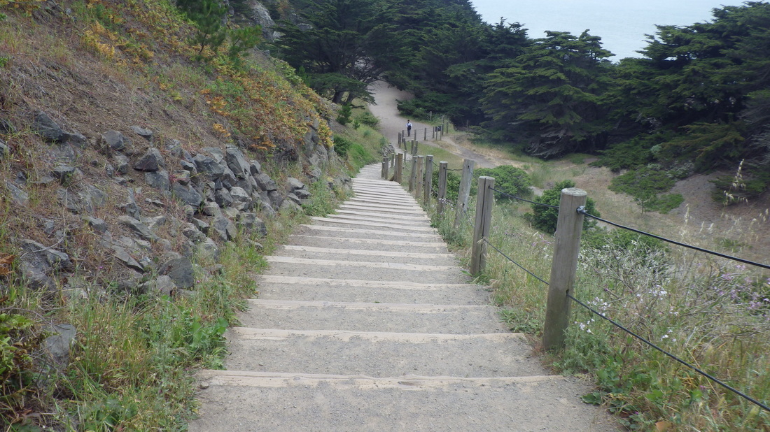
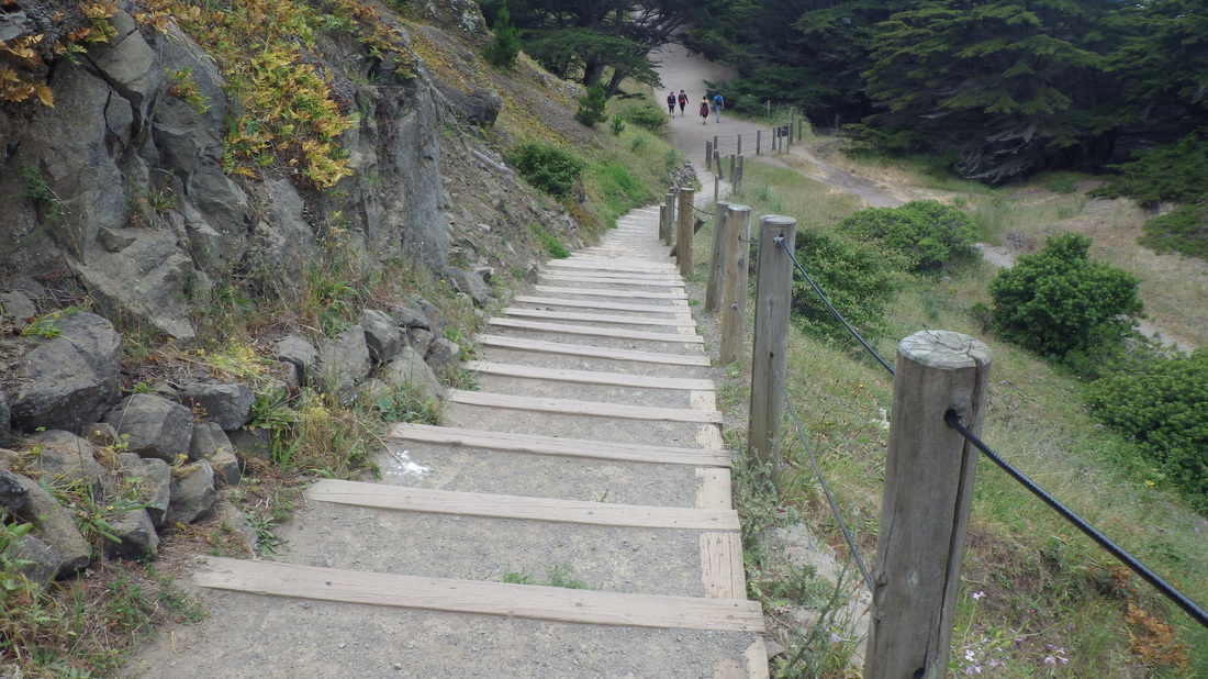
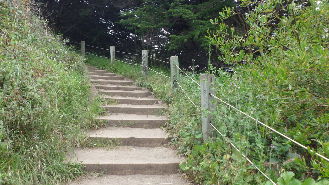
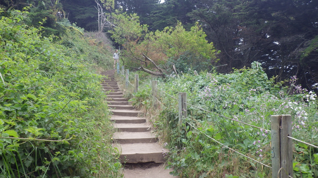
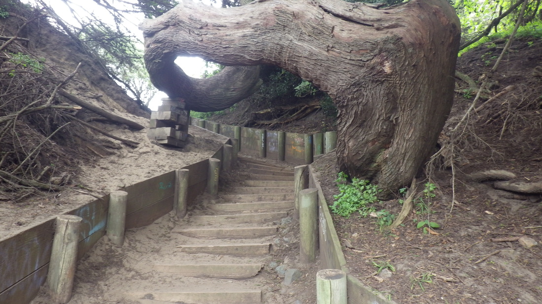
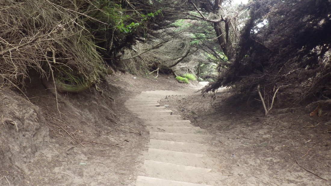
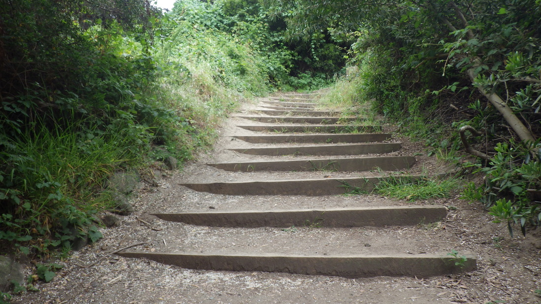
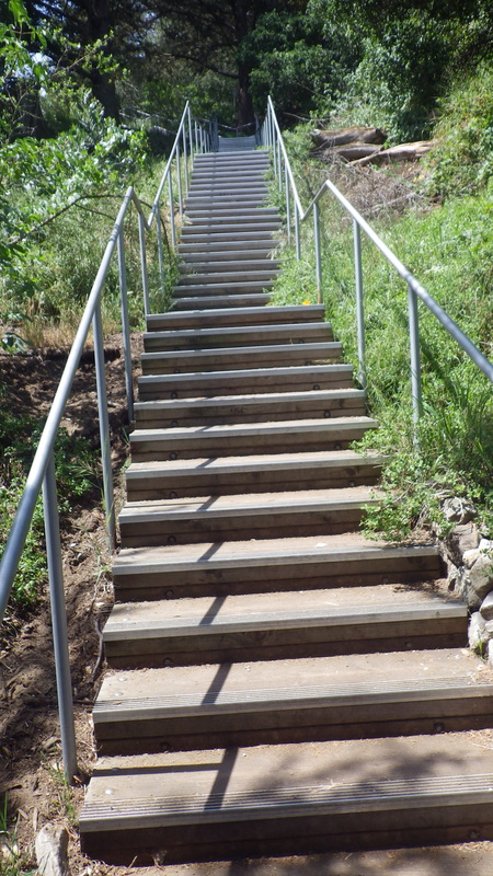
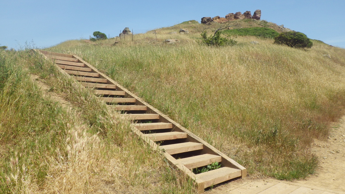
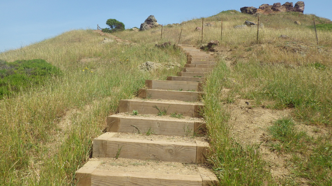
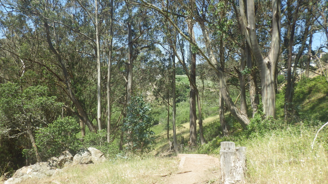
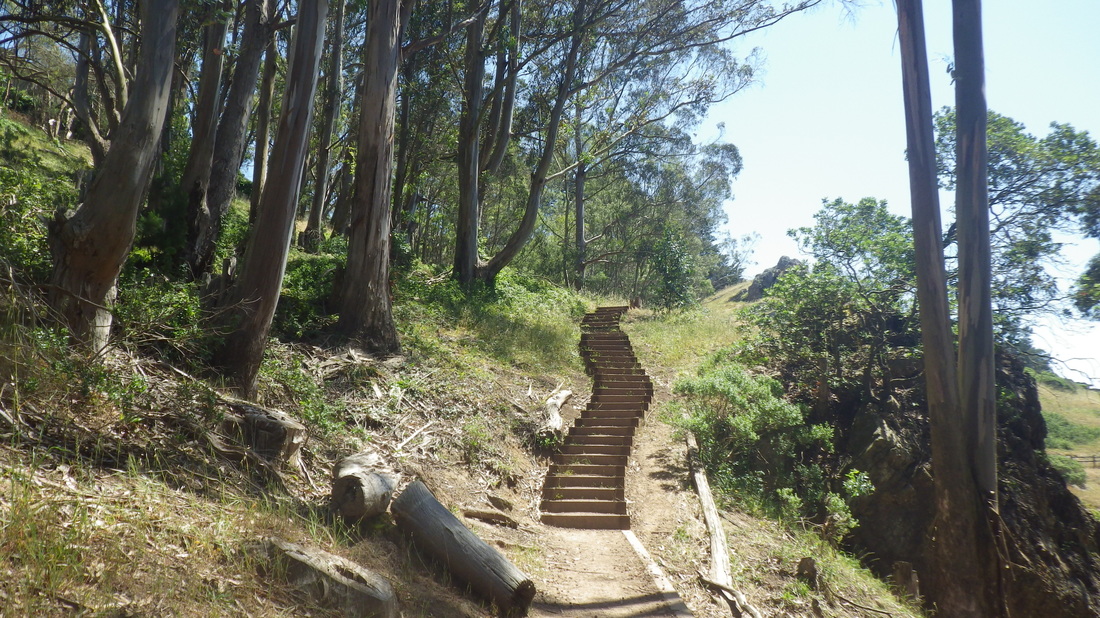
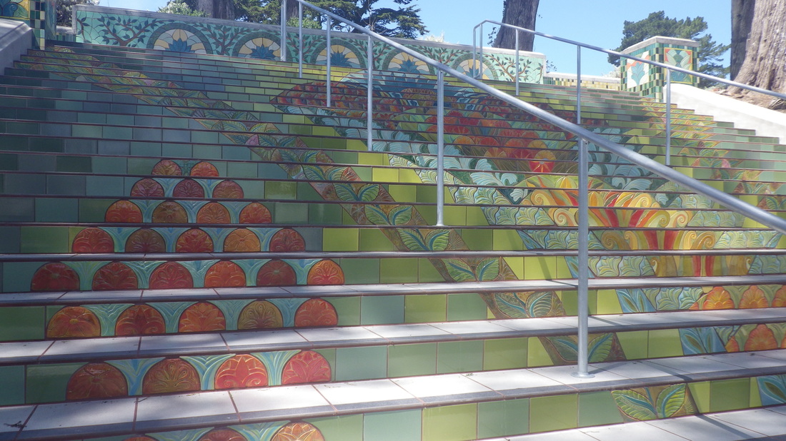
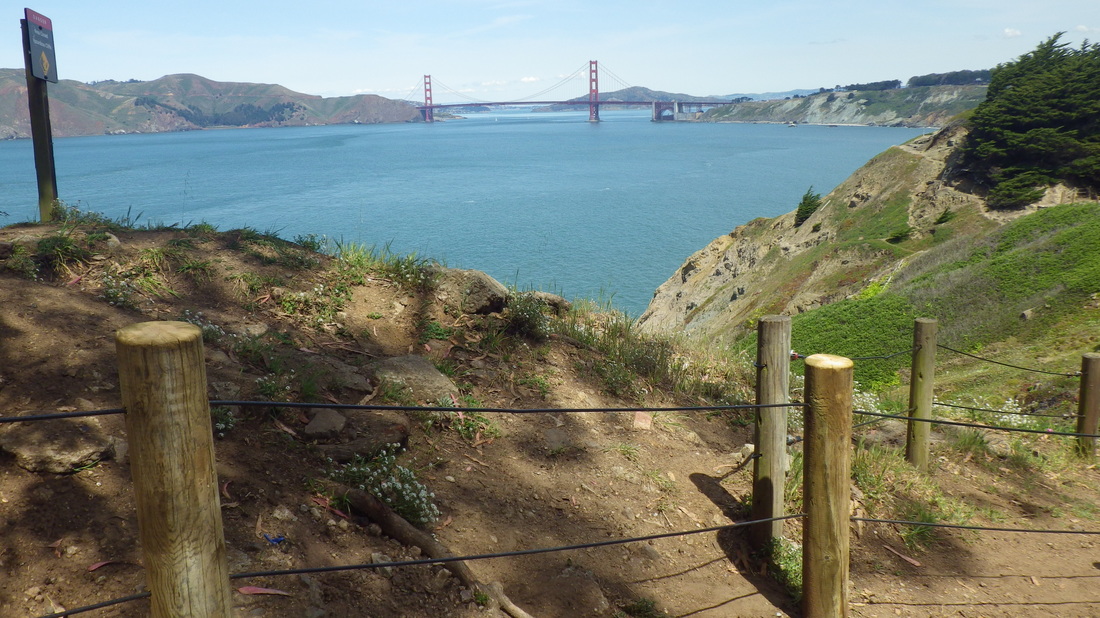
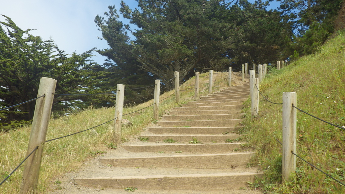
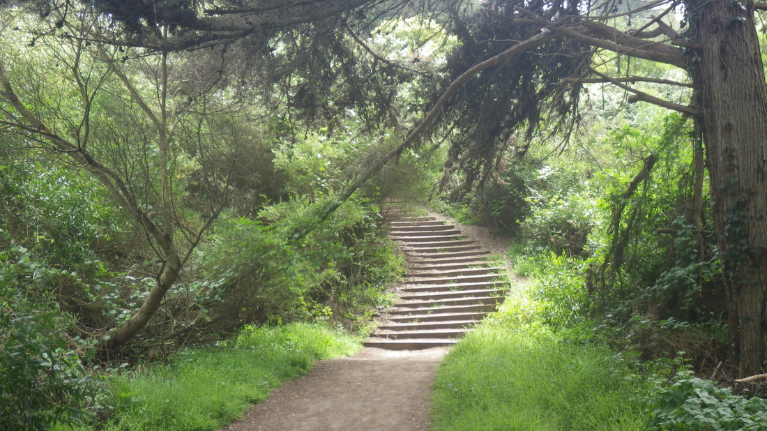
Bridgeway up to Josephine/North: 120 steps: 4, 5, 6, 7.
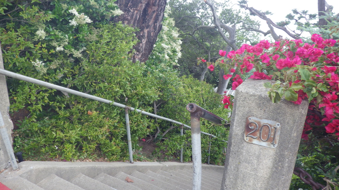
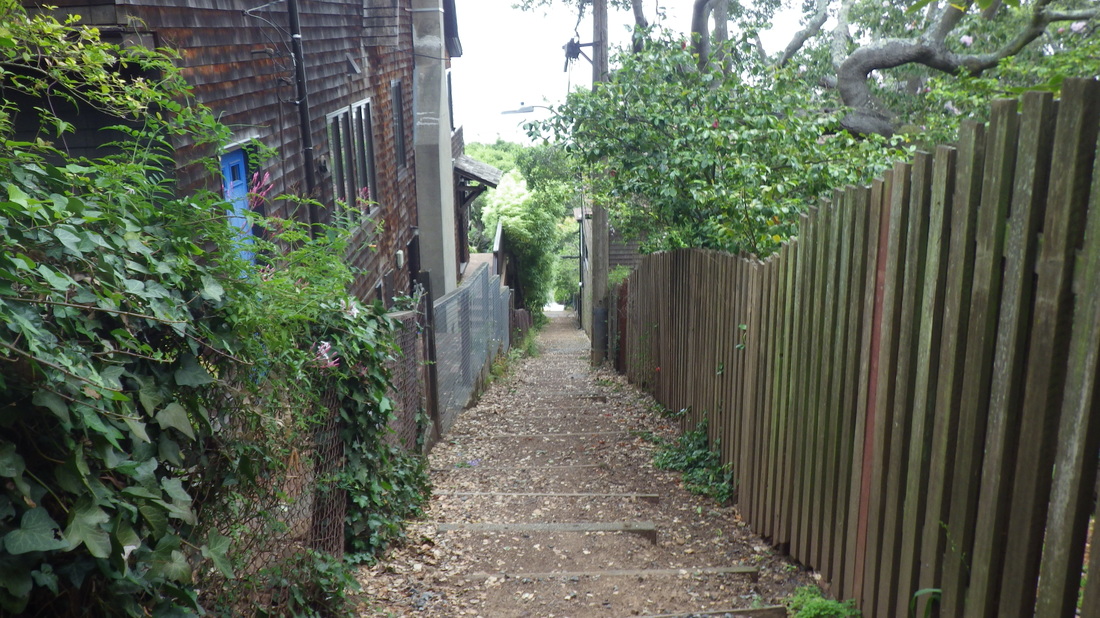
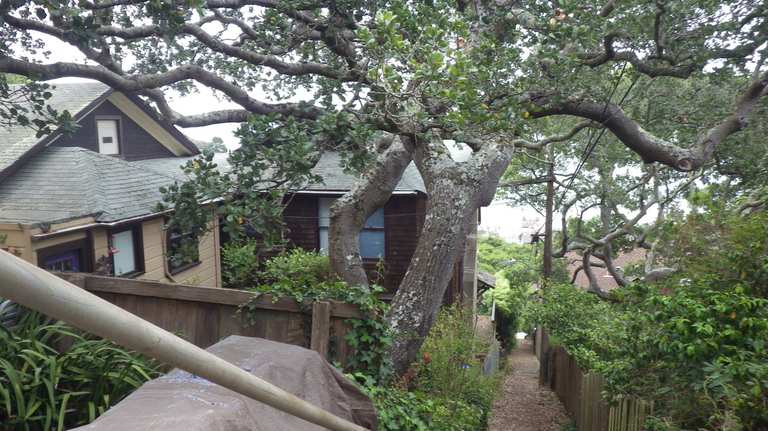
Foot of Noble Lane (94 steps) up from Atwood: pic 8.
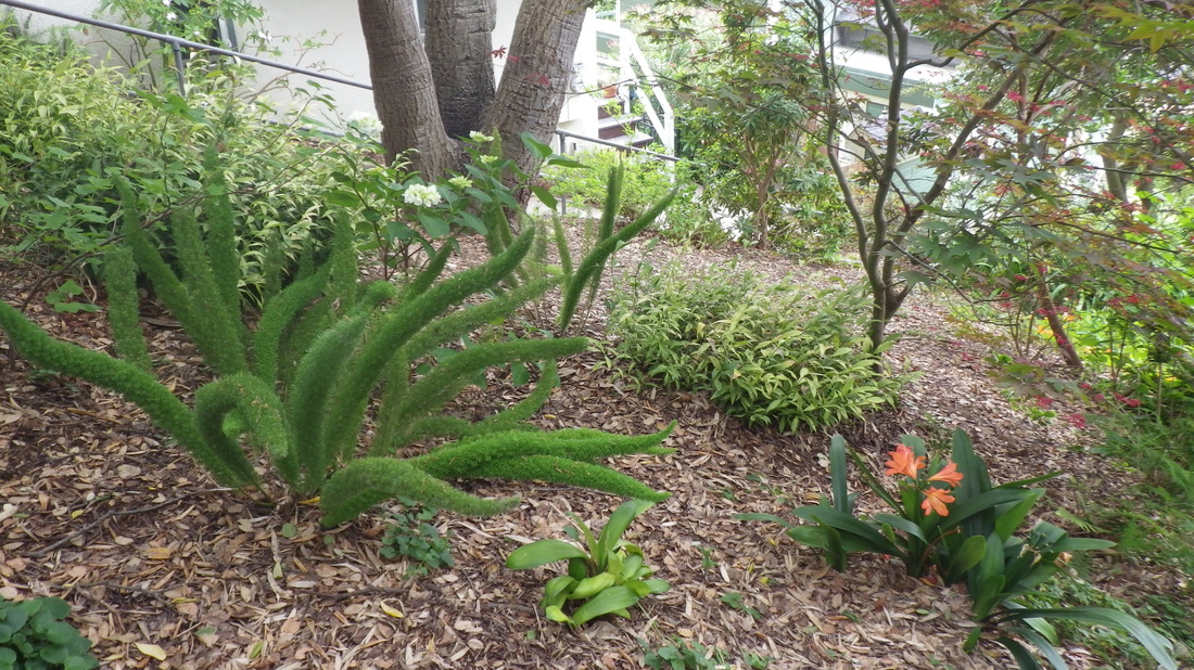
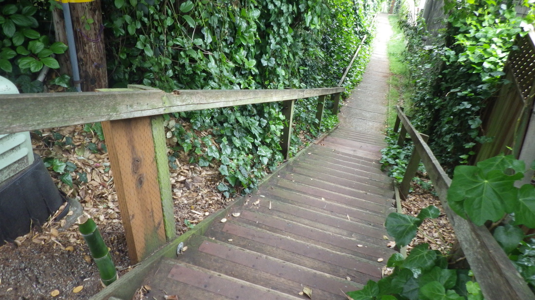
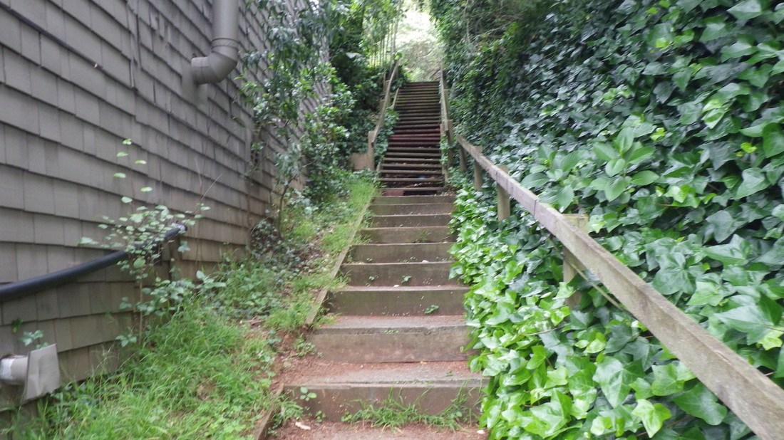
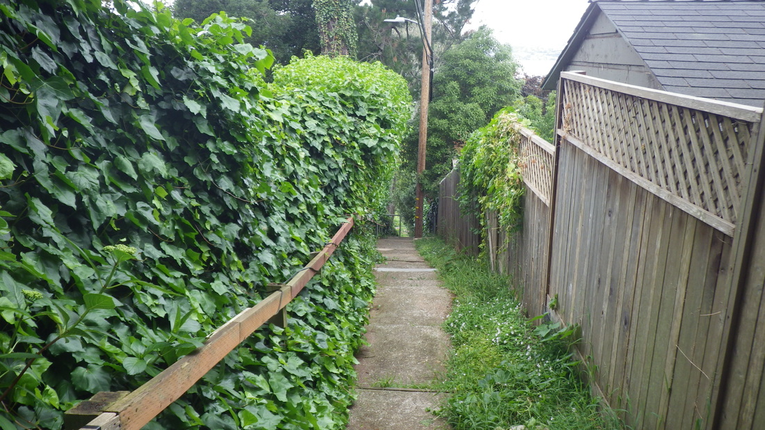
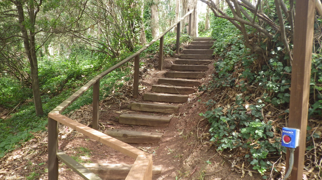
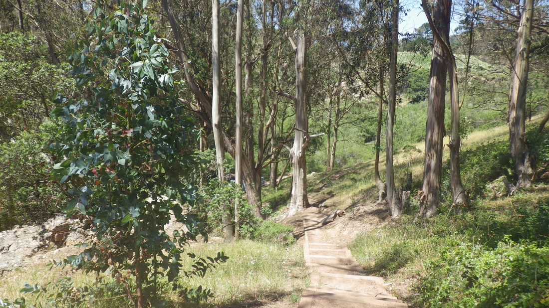
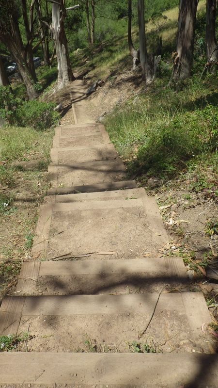
94 Oak Lane steps up from West Street: 9 thru 13.
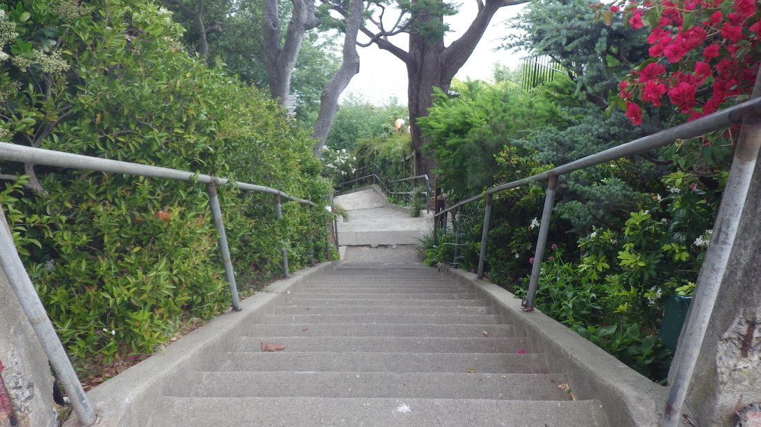
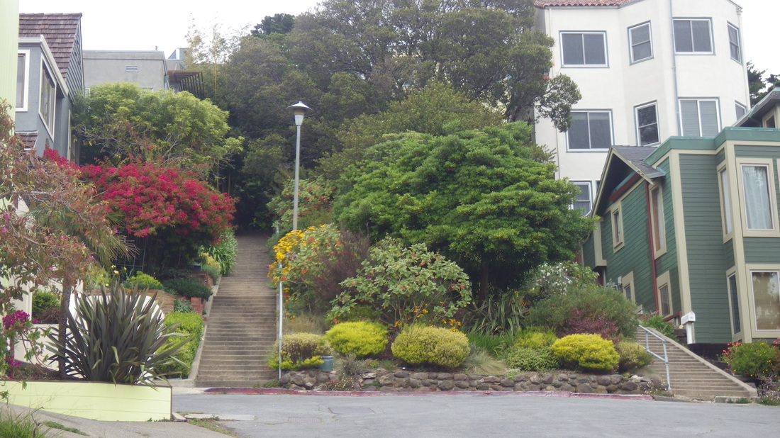
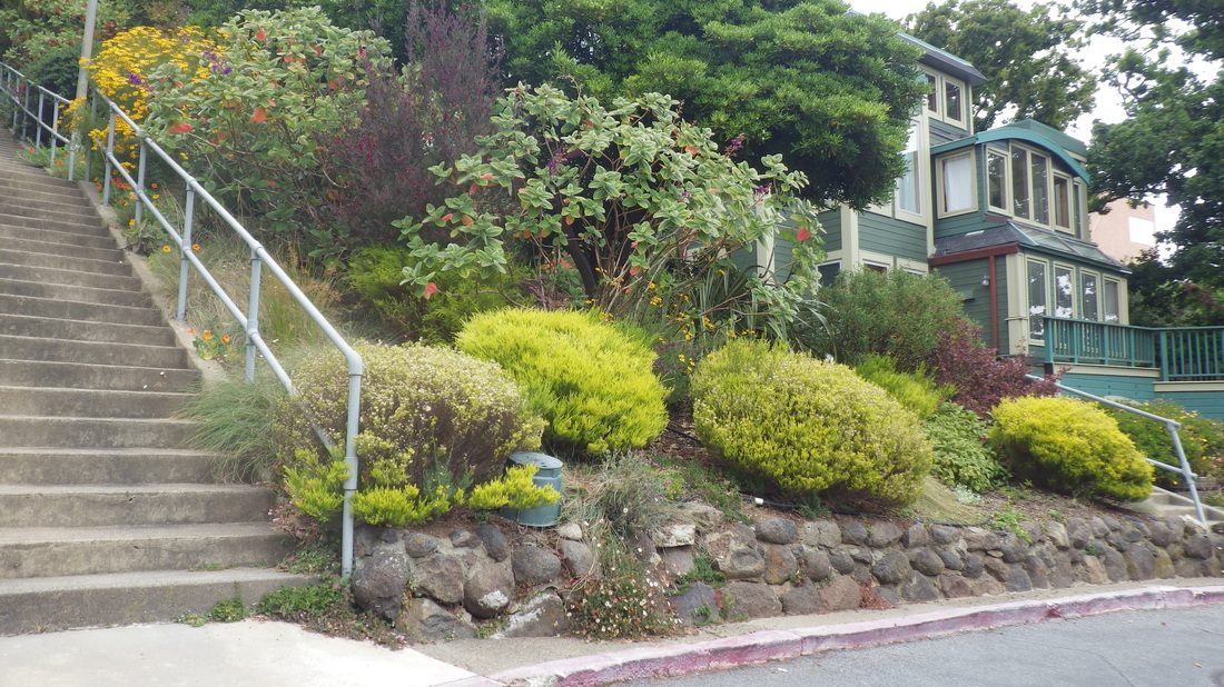
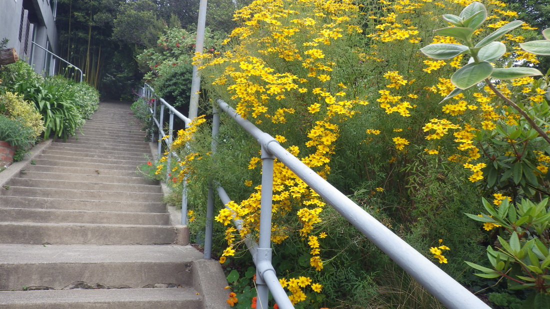
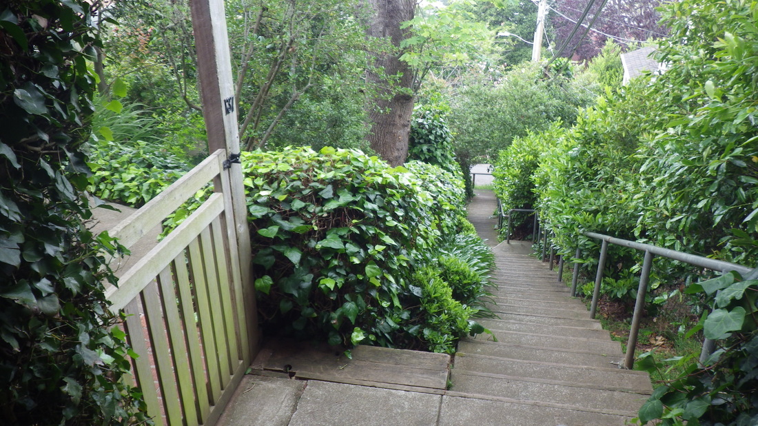
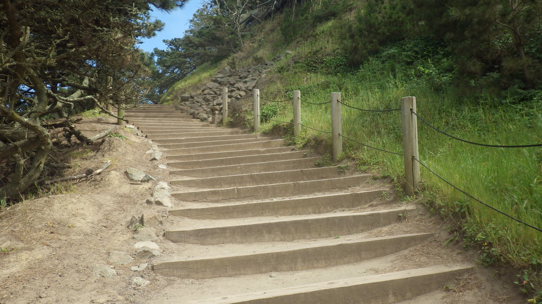
West Court, a favorite (103 steps): 14 thru 18.
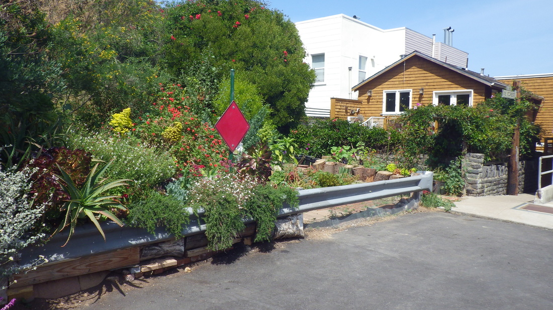
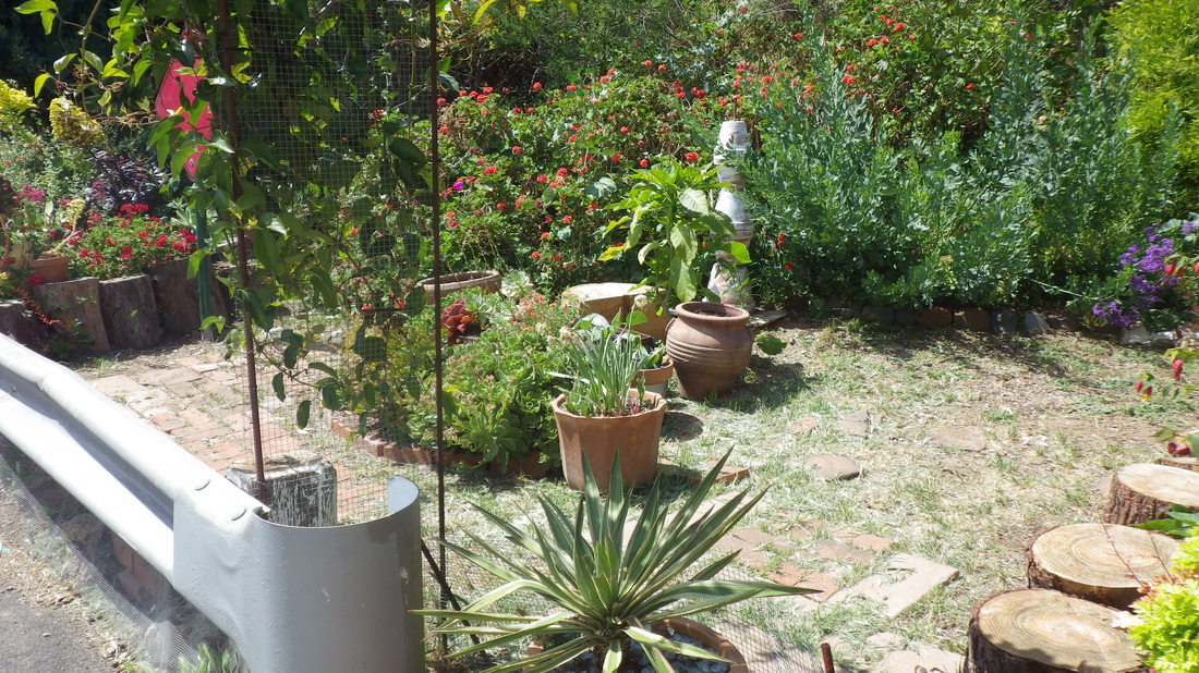
80 steps for Second St. this time on the west side of this double stairway with a center garden: 19 thru 23.
Sacramento Way’s first block down is eight steps and a narrow walkway; second block down has more steps with another walkway in the middle, total 53 steps: 24, 25, 26, 27.
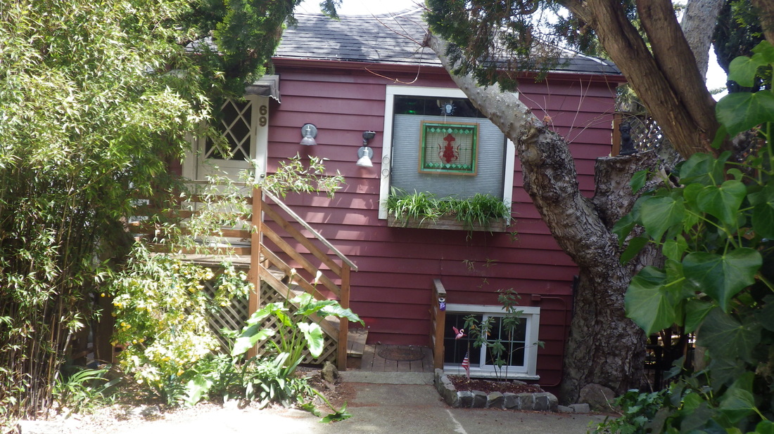
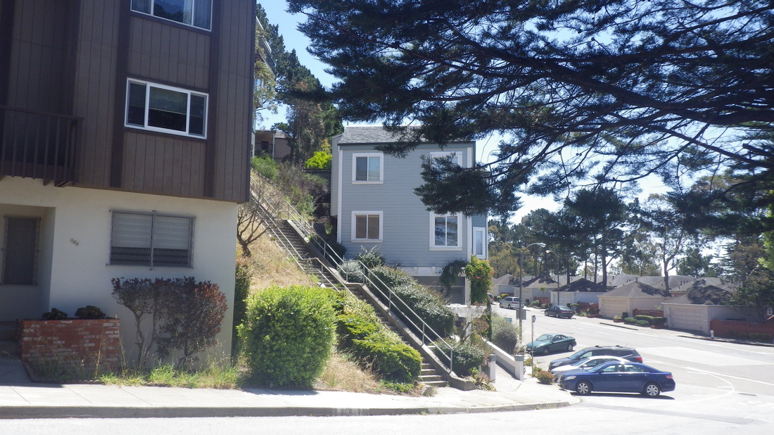
House on Central, pic 28.
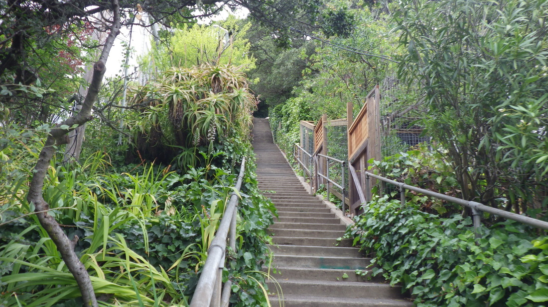
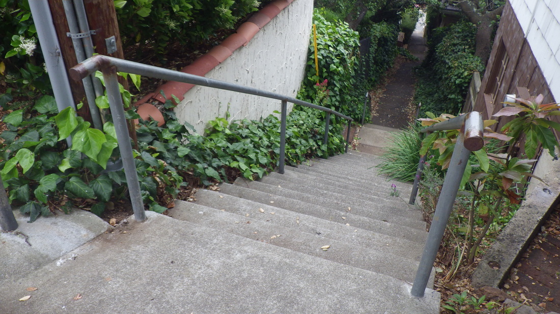
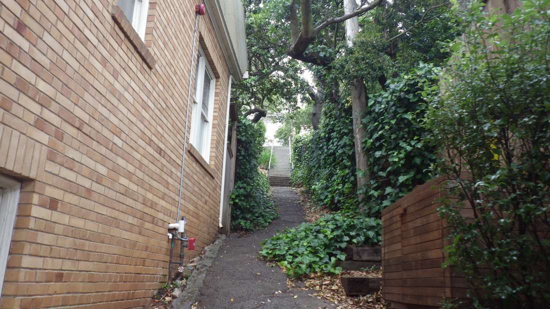
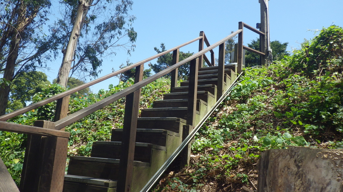
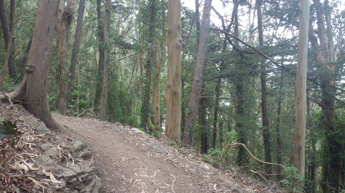
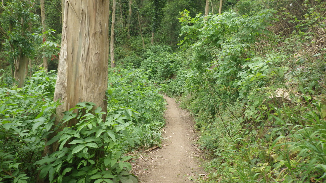
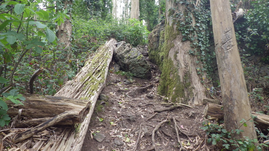
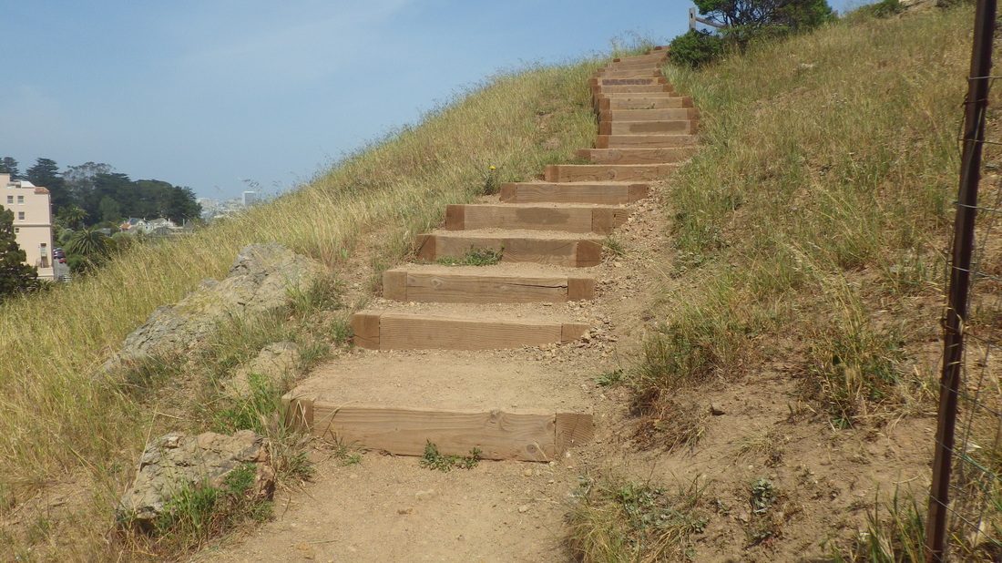
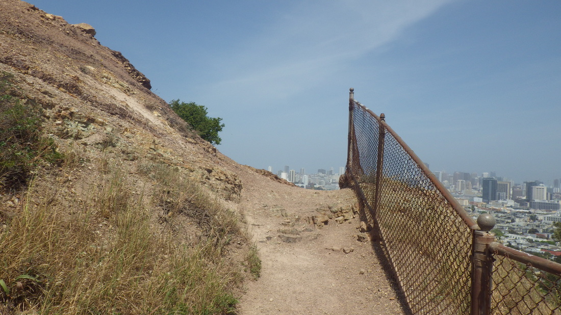
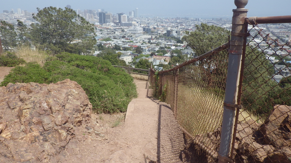
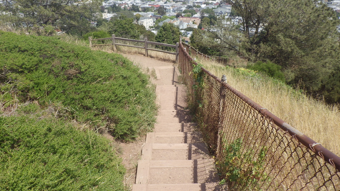
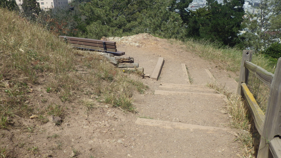
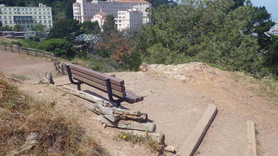
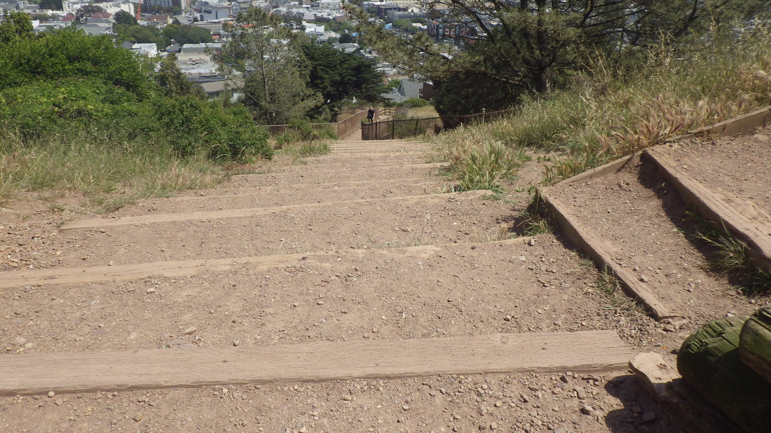
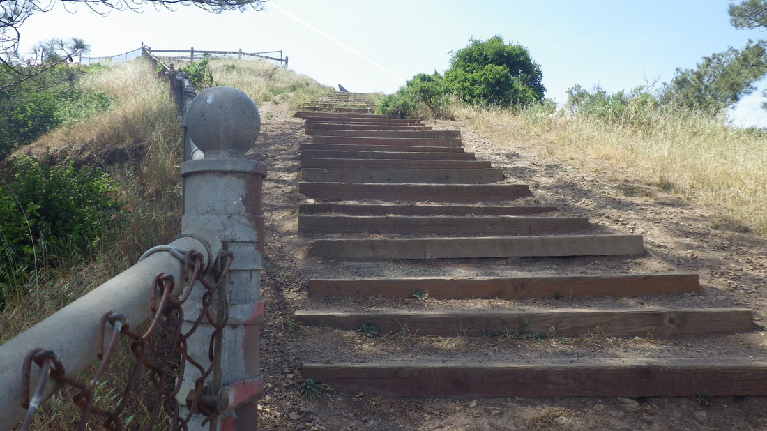
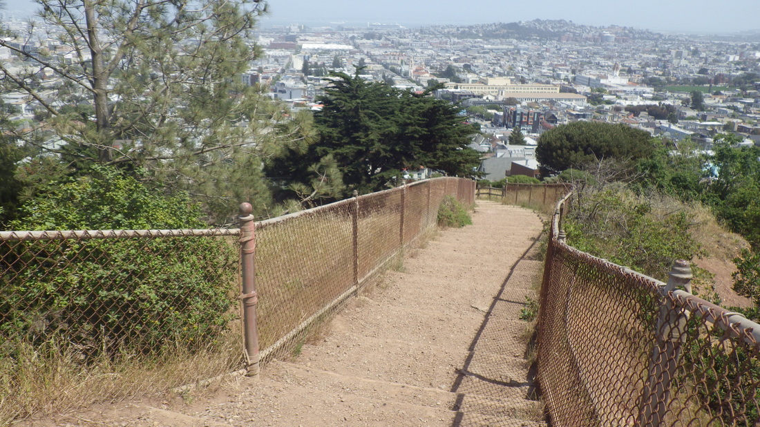
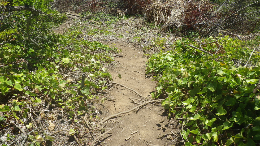
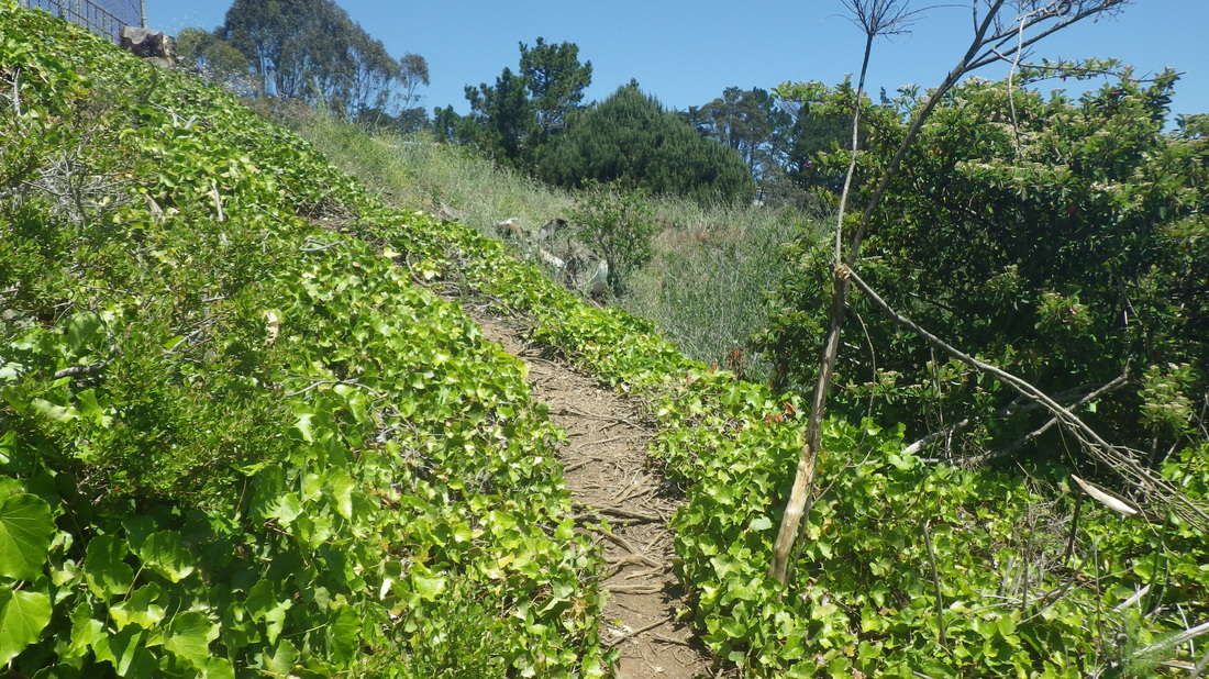
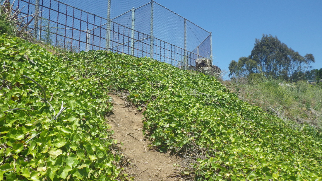
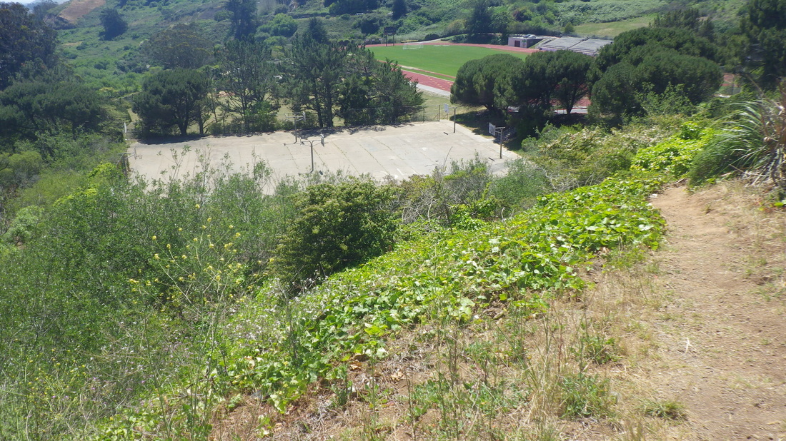
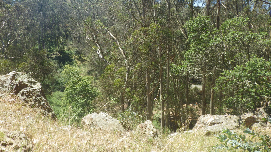
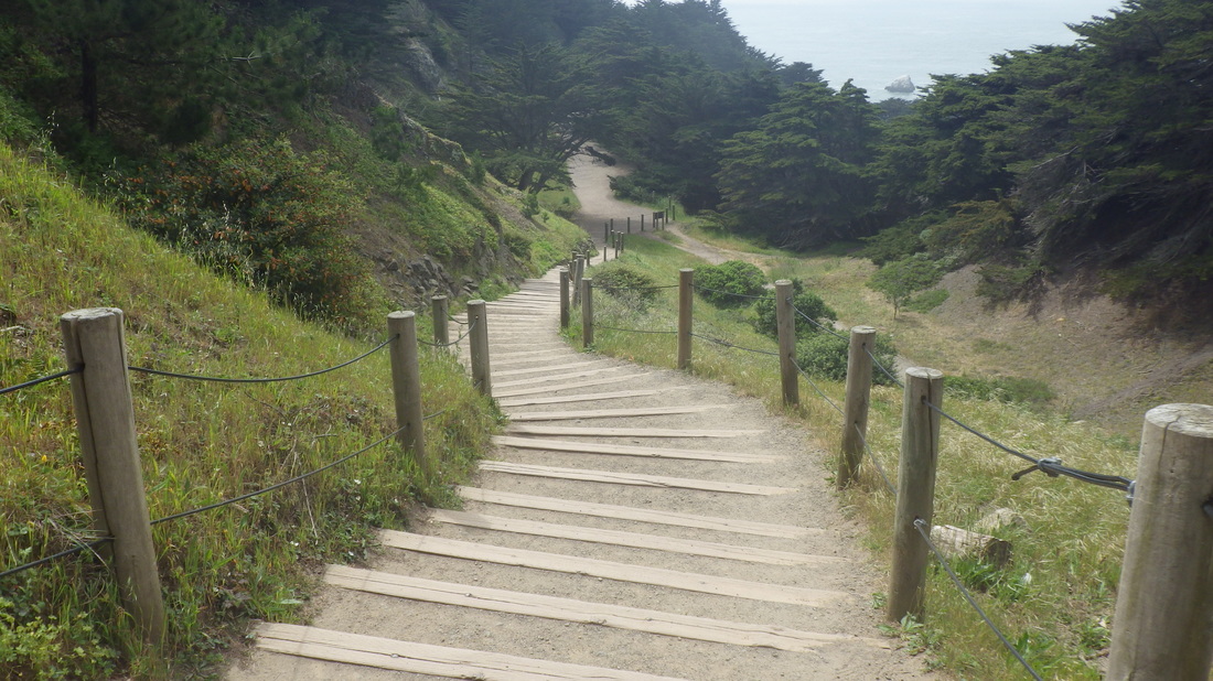
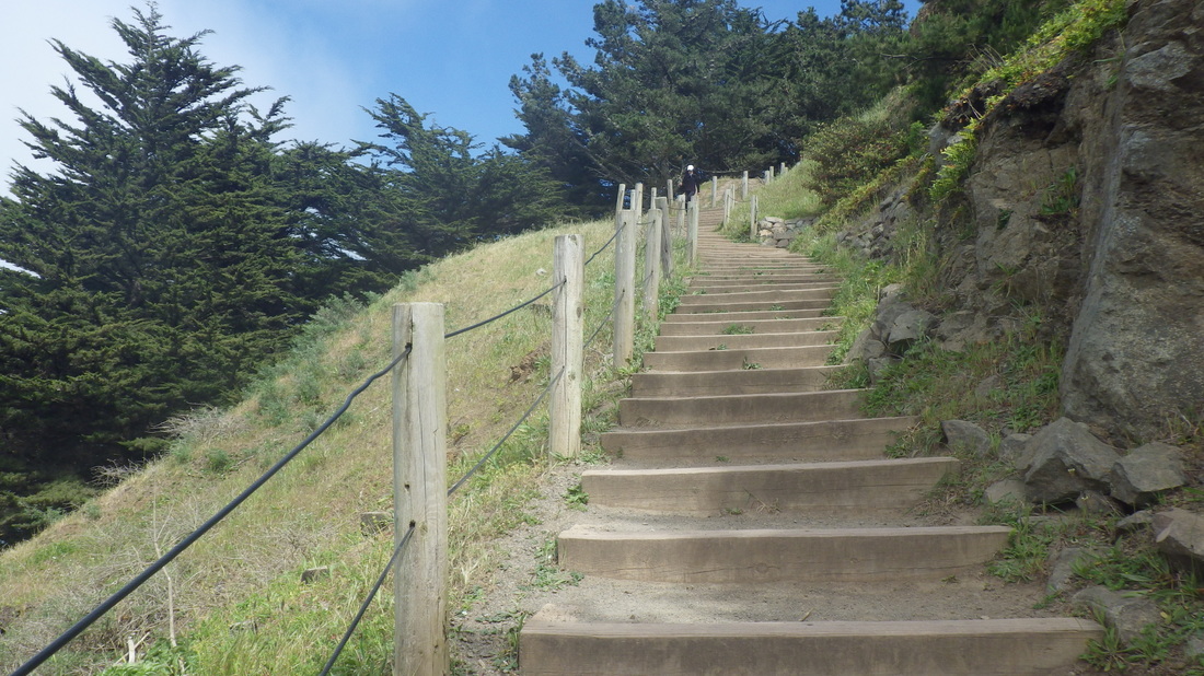
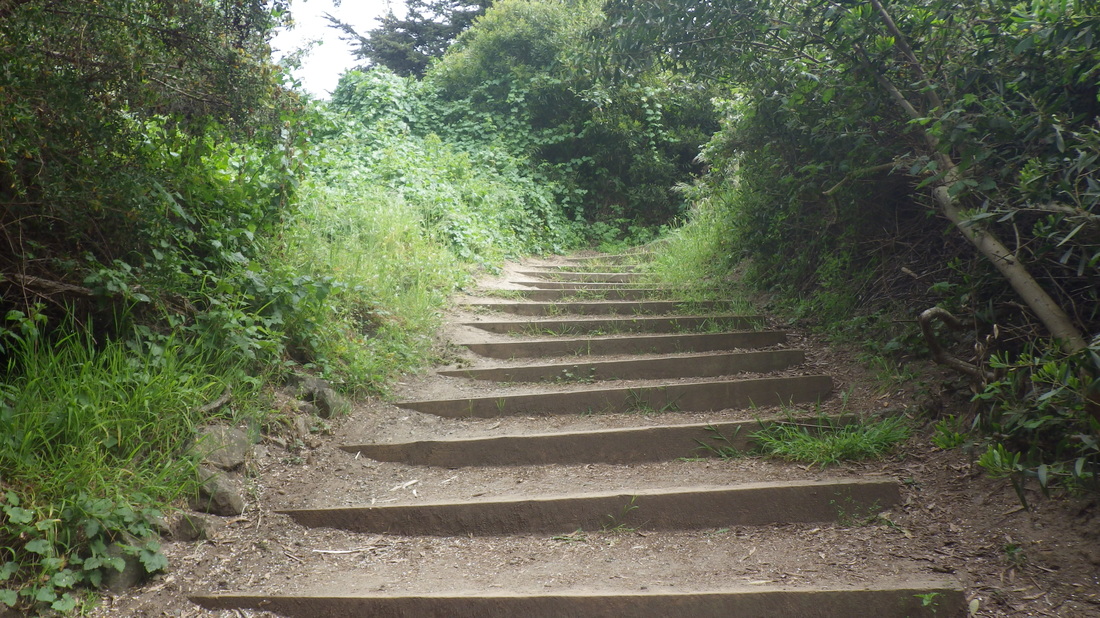
Stairs from hi-up Spencer (thru up to the highway) down to Santa Rosa. 183-ish steps: 29 thru 33.
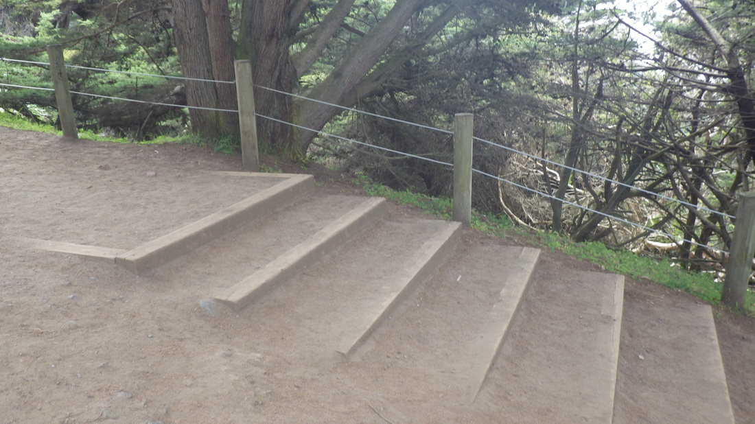
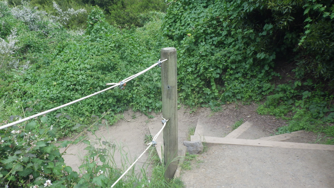
Bulkley lower walk for pedestrians, just below the narrow street: pic 34.
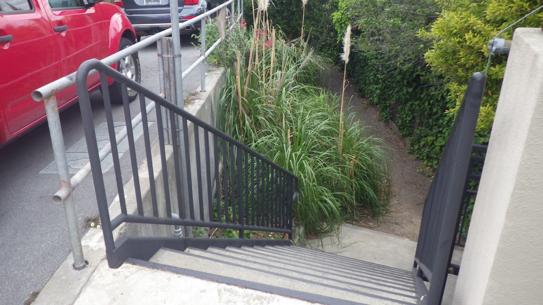
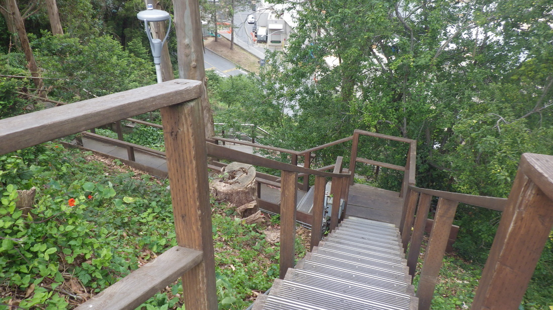
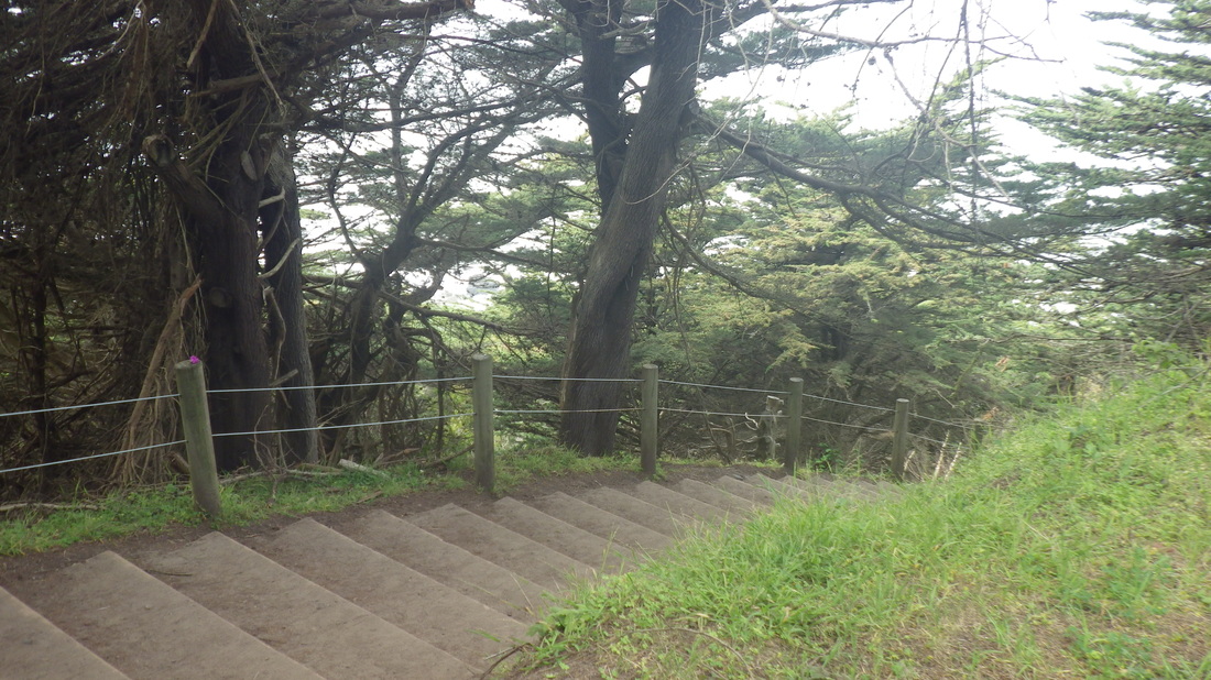
El Monte: 120 steps from Bulkley down to Bridgeway; part walkway: last four.
Now heading for the hills to do some of this sweet-smelling, tree-covered city’s stairways:
Bridgeway up to Josephine/North: 120 steps: 4, 5, 6, 7.
Foot of Noble Lane (94 steps) up from Atwood: pic 8.
94 Oak Lane steps up from West Street: 9 thru 13.
West Court, a favorite (103 steps): 14 thru 18.
80 steps for Second St. this time on the west side of this double stairway with a center garden: 19 thru 23.
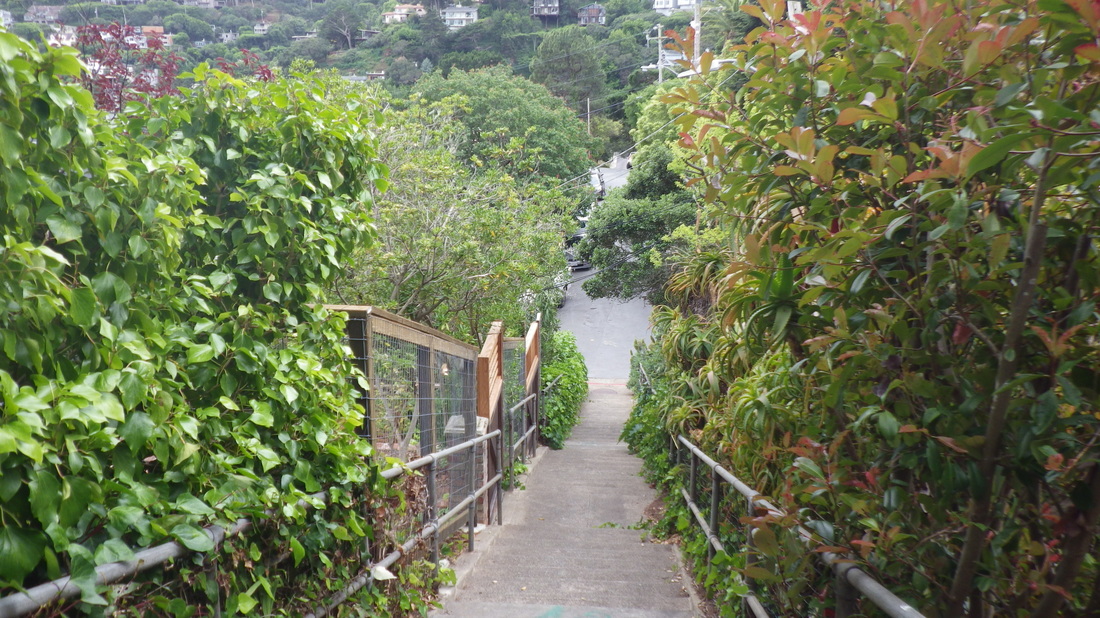
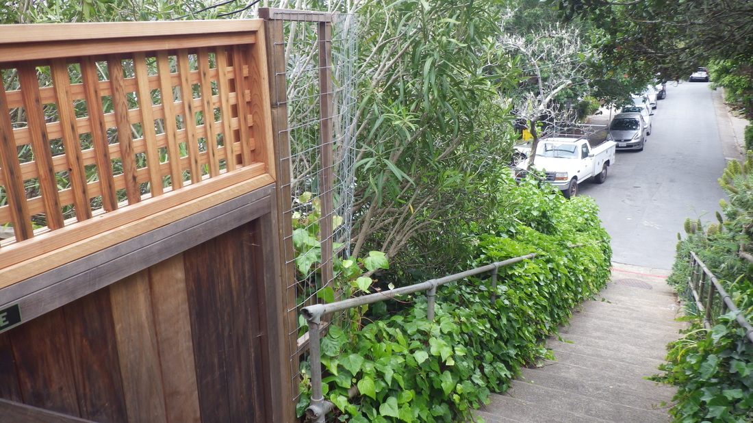
Sacramento Way’s first block down is eight steps and a narrow walkway; second block down has more steps with another walkway in the middle, total 53 steps: 24, 25, 26, 27.
House on Central, pic 28.
Stairs from hi-up Spencer (thru up to the highway) down to Santa Rosa. 183-ish steps: 29 thru 33.
Bulkley lower walk for pedestrians, just below the narrow street: pic 34.
El Monte: 120 steps from Bulkley down to Bridgeway; part walkway: last four.
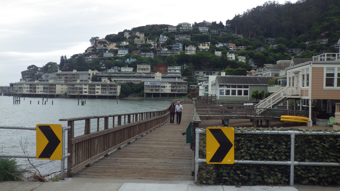
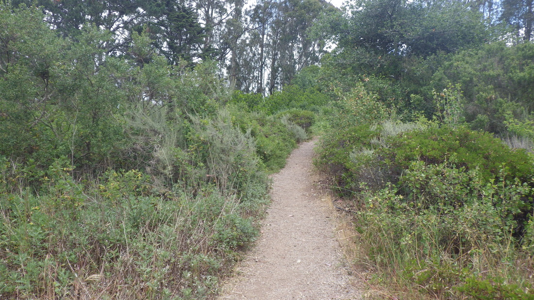
1. Onto the boardwalk
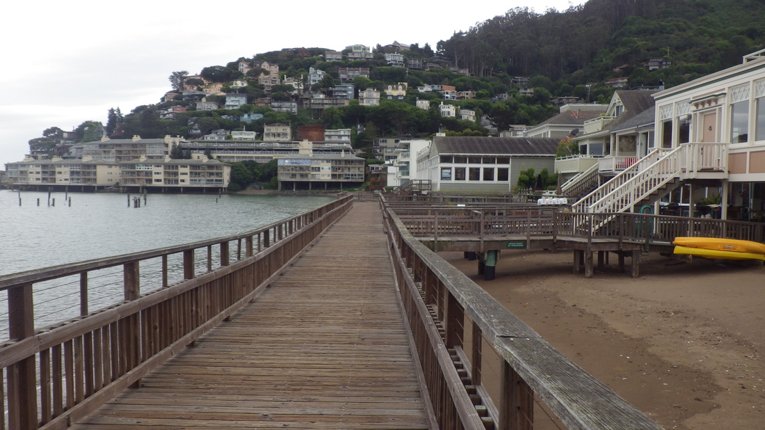
2. Continuing to the south
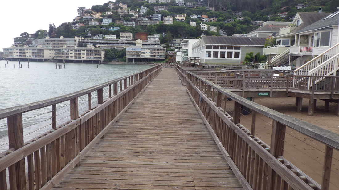
3. An uphill right turn at the end of this
4. Stairs up from Bridgeway
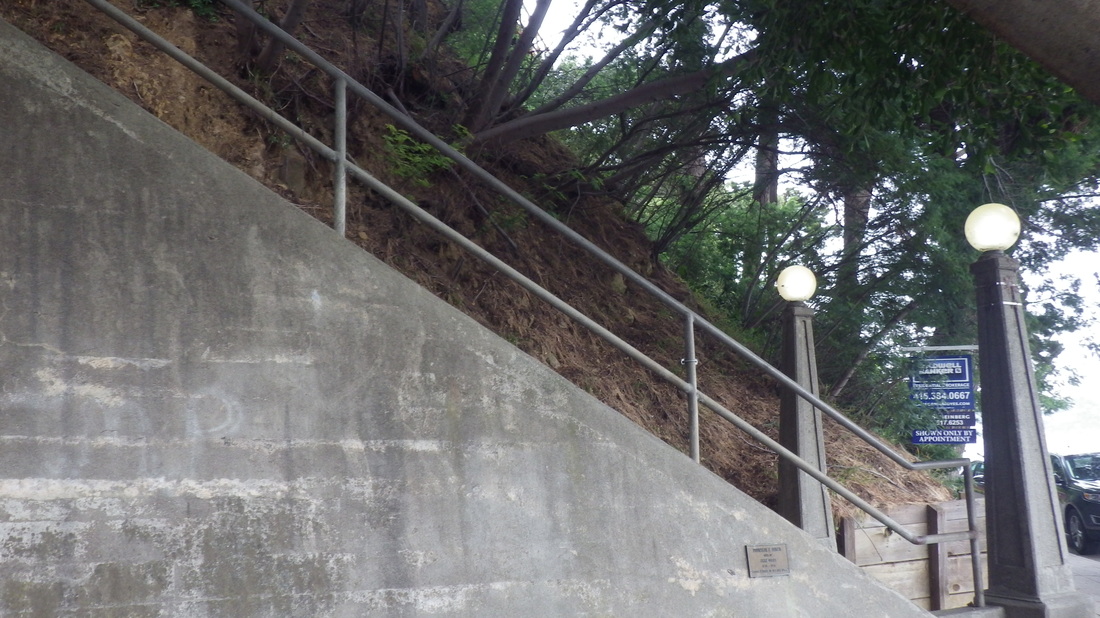
5. About 120 steps
6. Between Bridgeway and Josephine/North
7. Top at Josephine/North

8. Noble's foot at Atwood
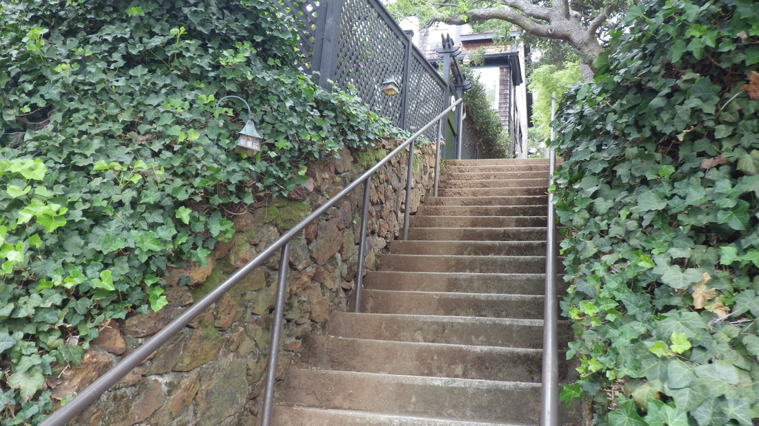
9. Oak up from West at Central
10. Oak's middle part is wood
11. Up to Lower Crescent
12. Looking down from Lower Crescent
13. Top of Oak is concrete with railings as is the foot
14. Top of West Court at North/Central
15. 103 steps for West Ct.
16. Near foot of West Ct. looking up
17. Down to foot of West Ct. at West St.
18. Foot of West Ct.
19. This part of Second is a double stairway with center garden
20. This time ascending the west steps
21. About 80 steps up to North
22. Looking back down
23. Gardenspot between the double Second St. stairs

24. First block down, skinny walk between homes
25. Sacramento Way continues down
26. Down to Central
27. Foot at Central Ave.
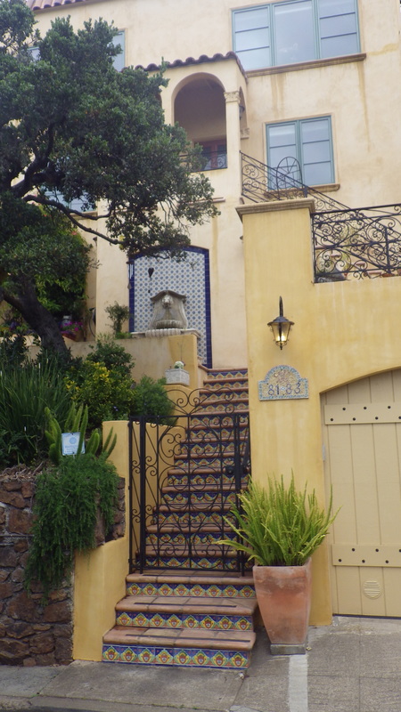
28. Eye-candy house on Central Ave.
29. Down from Spencer
30. Spencer at the top
31. This is a nice long one!
32. Around 183 steps
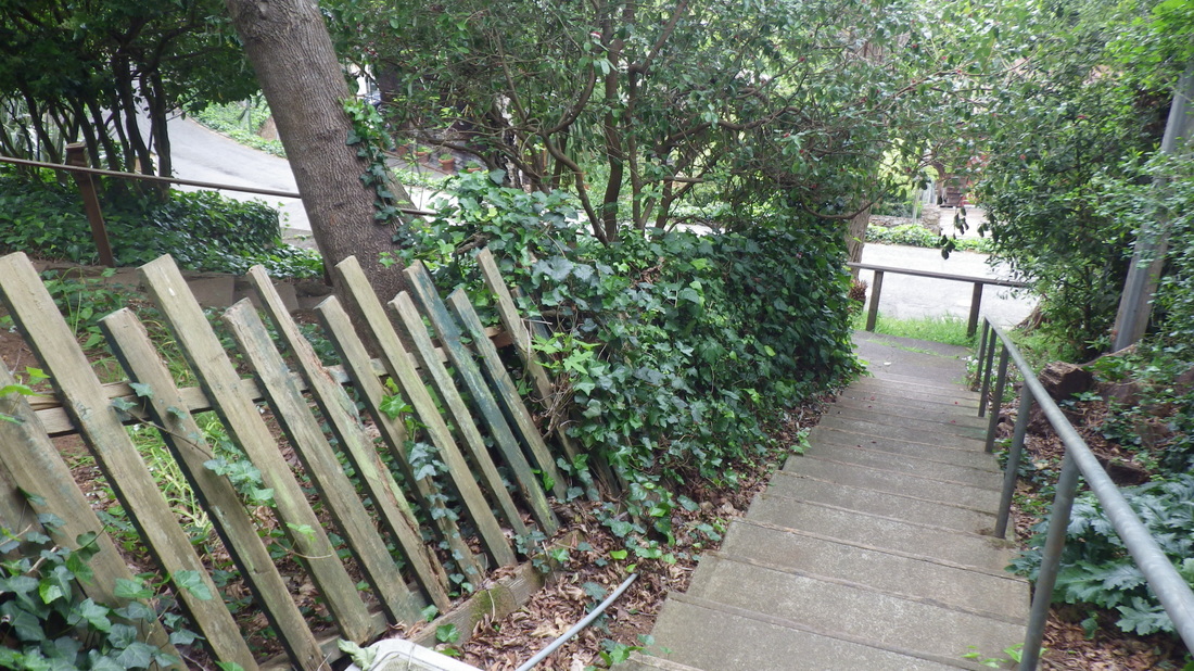
33. Spencer to Santa Rosa stairs
34. Pedestrian pathway just below Bulkley
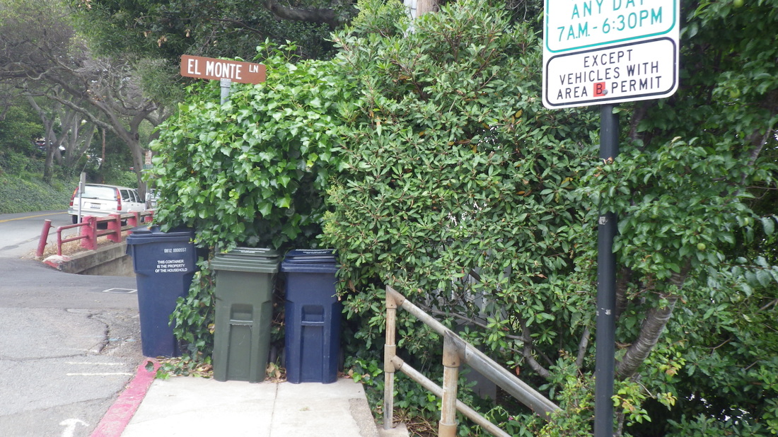
35. Street sign for top of El Monte at Bulkley
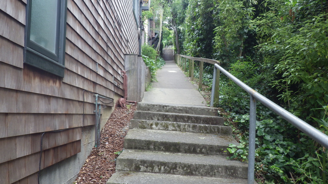
36. El Monte Lane: combination stairway and pedestrian walkway
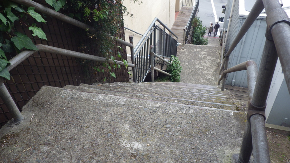
37. Bulkley down to Bridgeway
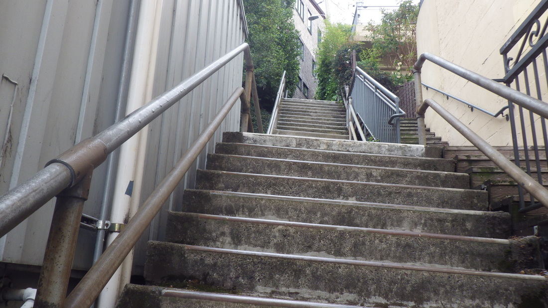
38. 120 steps


 RSS Feed
