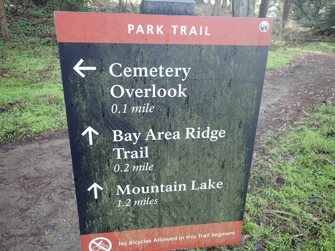
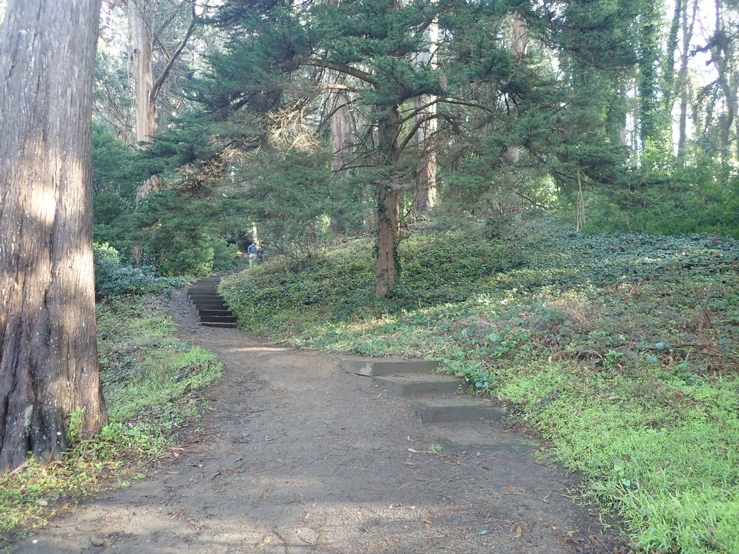
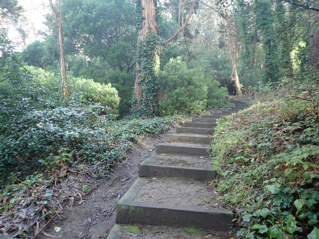
West along Lincoln, above the Batteries to Bluffs Trail and Pacific overlook to start: 1 thru 12
Continuing along Lincoln past the west Batteries to Bluffs trailhead: 13 thru 22
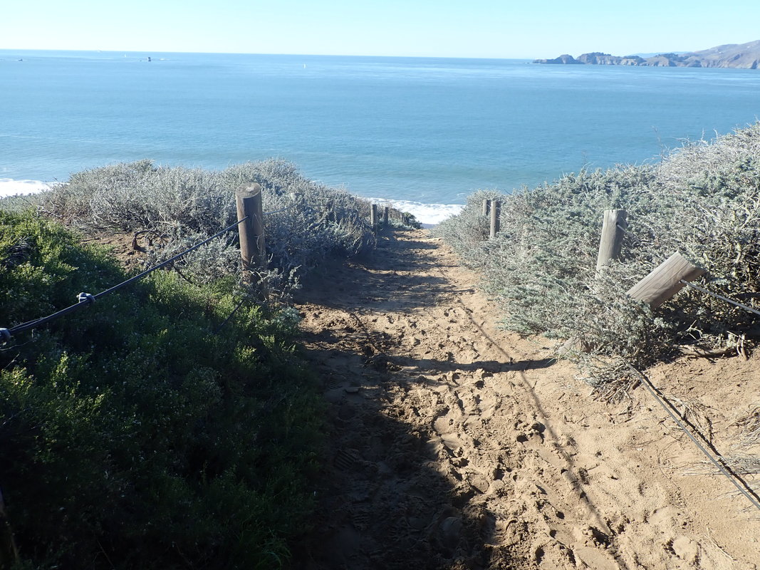
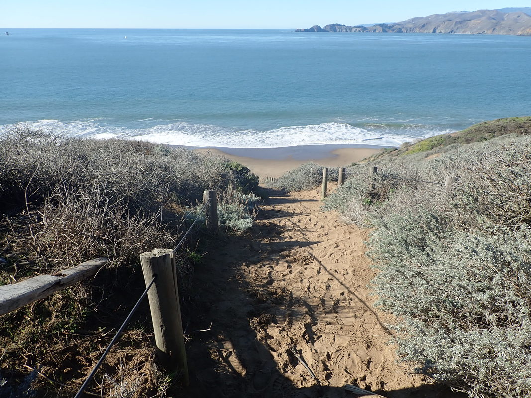
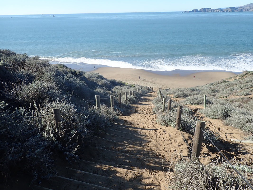
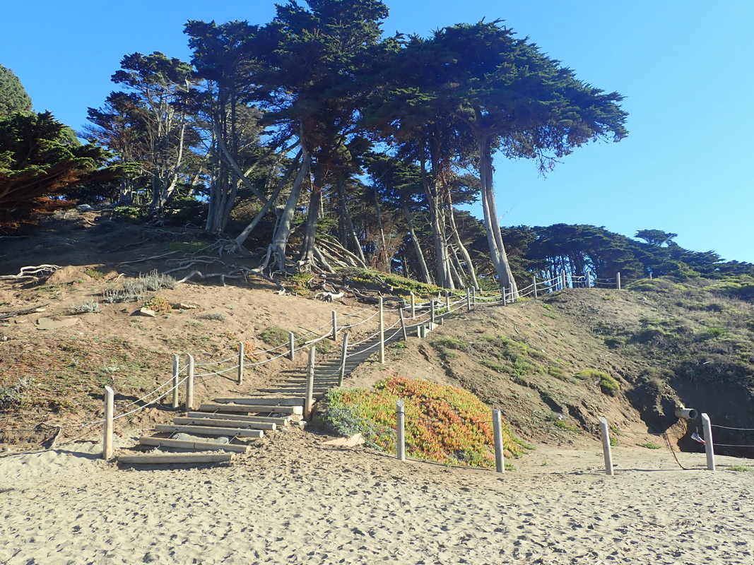
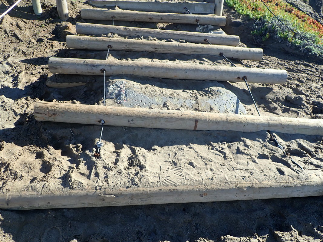
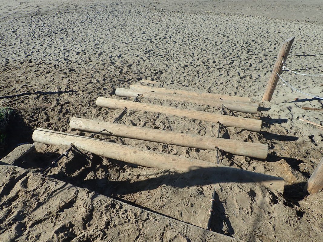
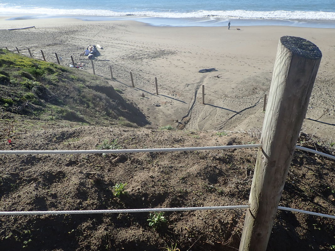
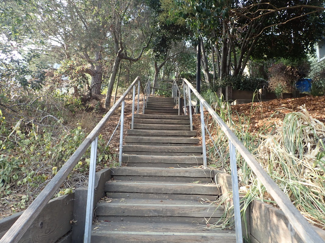
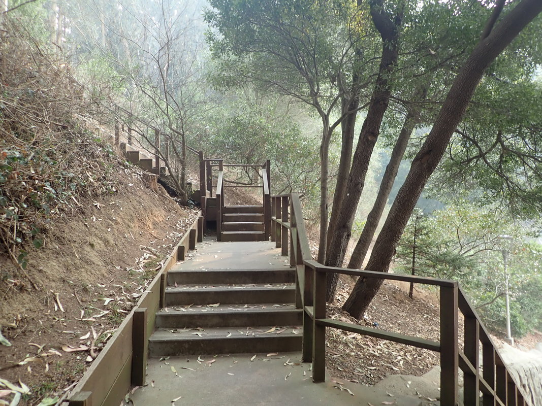
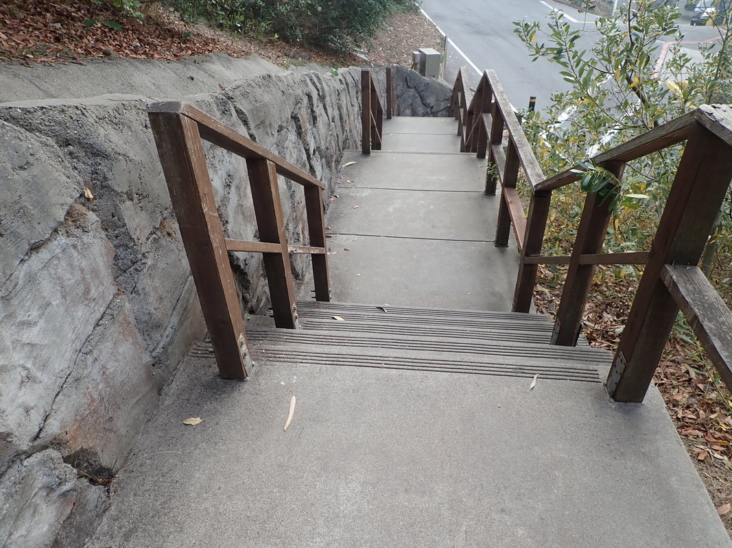
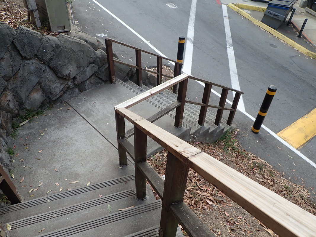
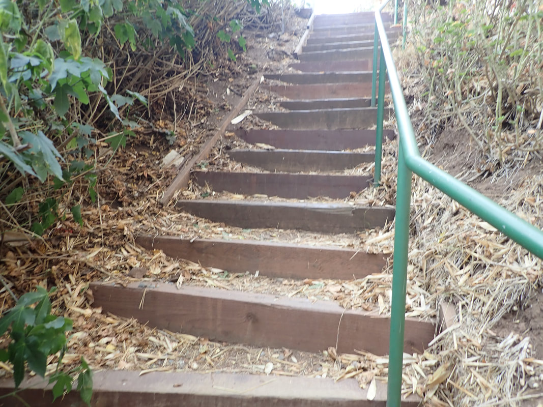
Down the main Sand Ladder to Baker Beach: 23 thru 46
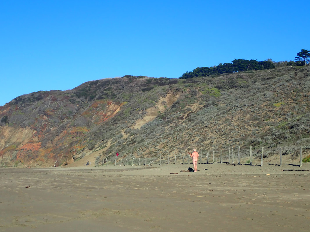
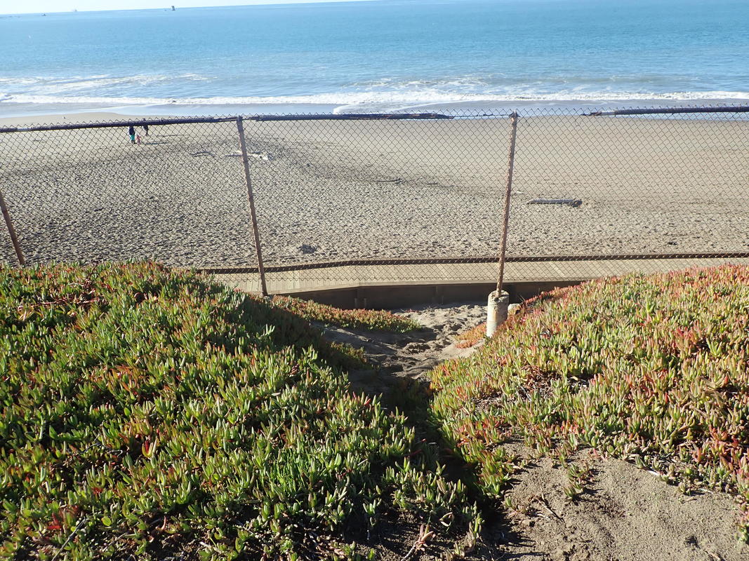
Baker Beach: 47, 48
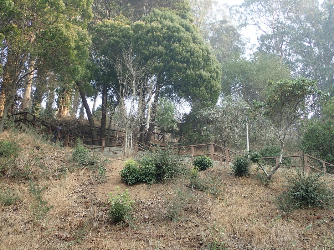
Up the shorter Sand Ladder: 49 thru 56
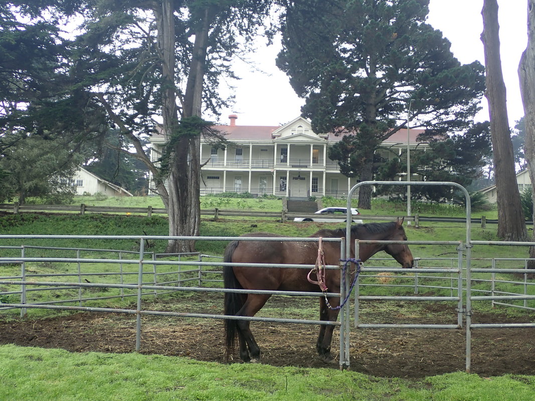
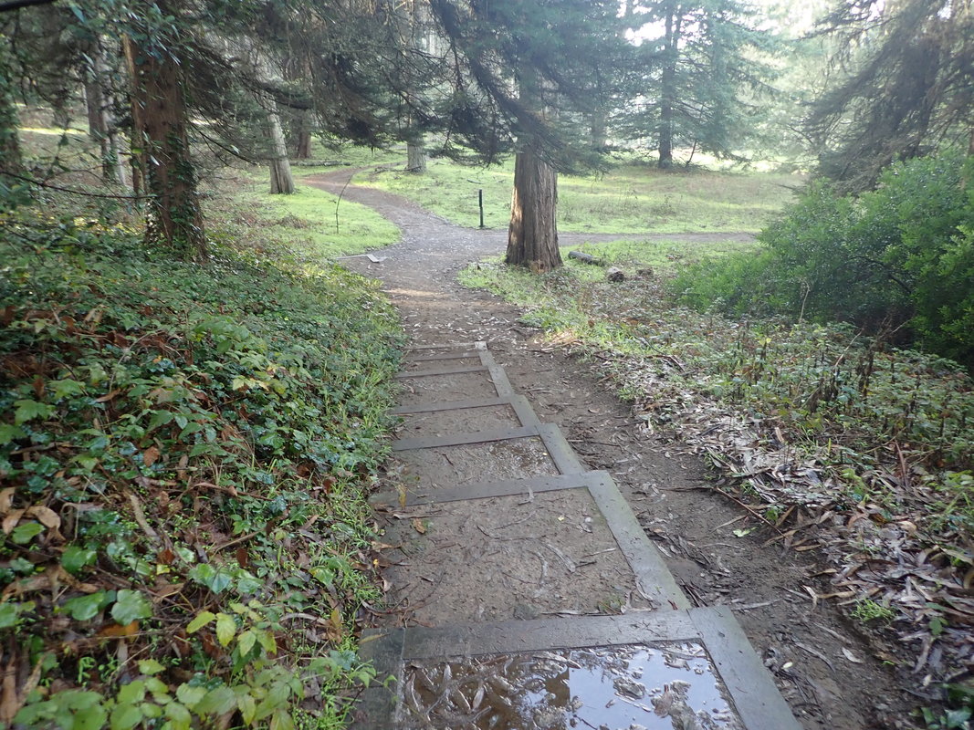
West to the new boardwalk and over to the beach bus stop: 57 thru 63
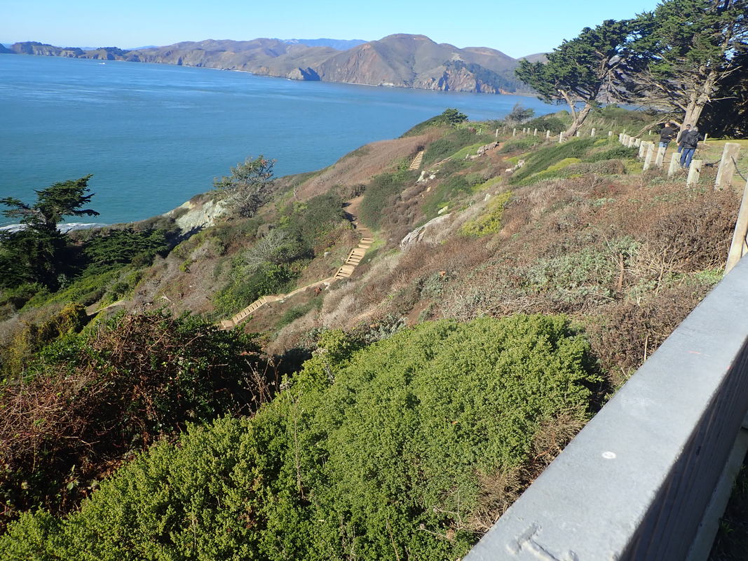
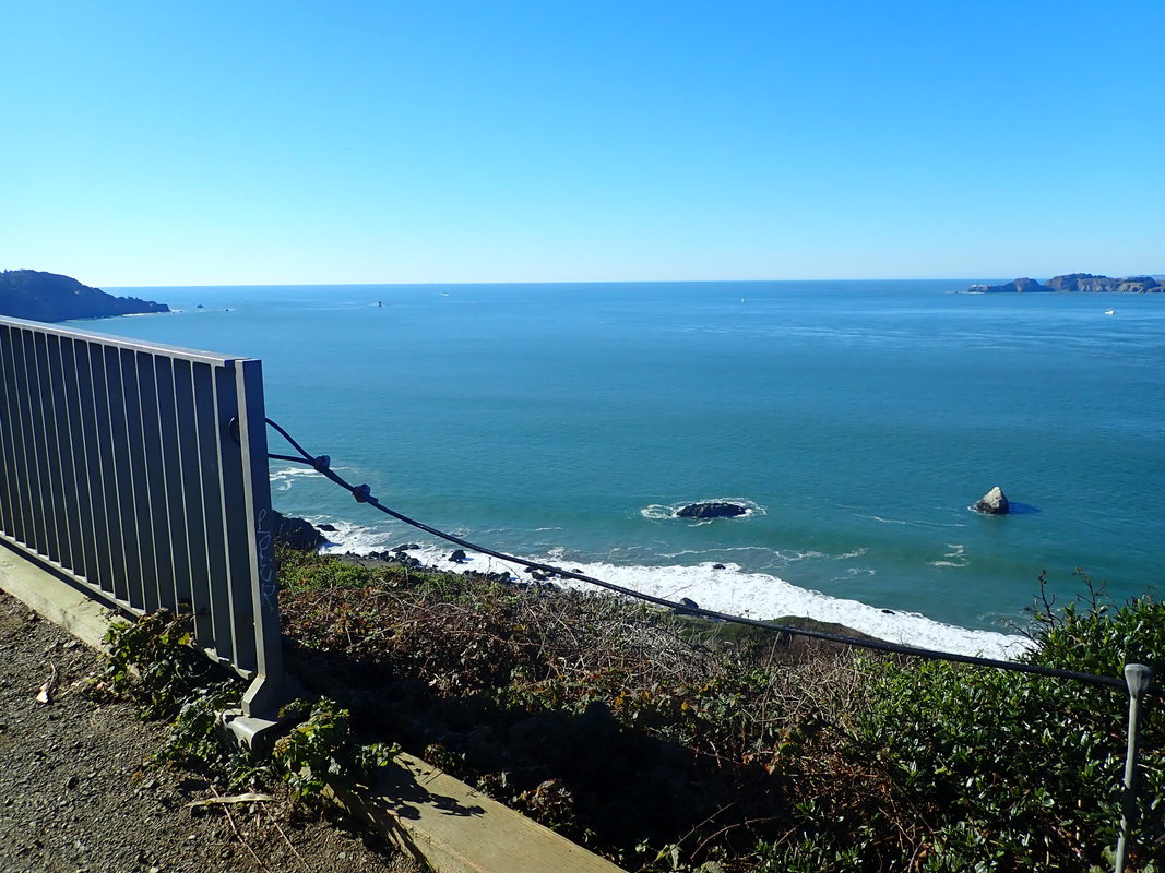
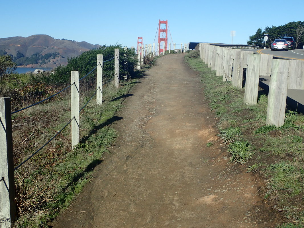
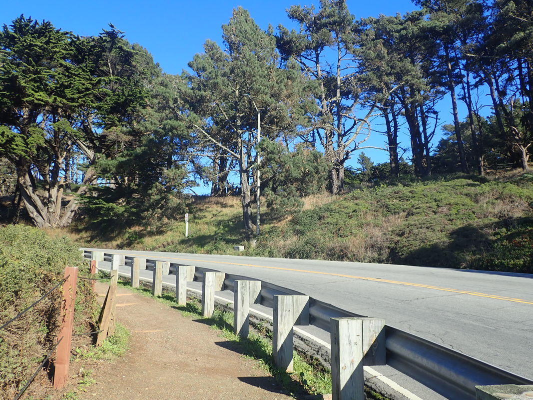
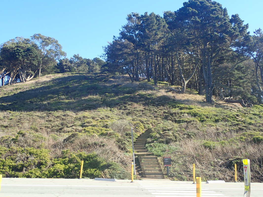
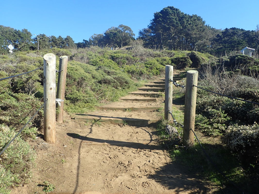
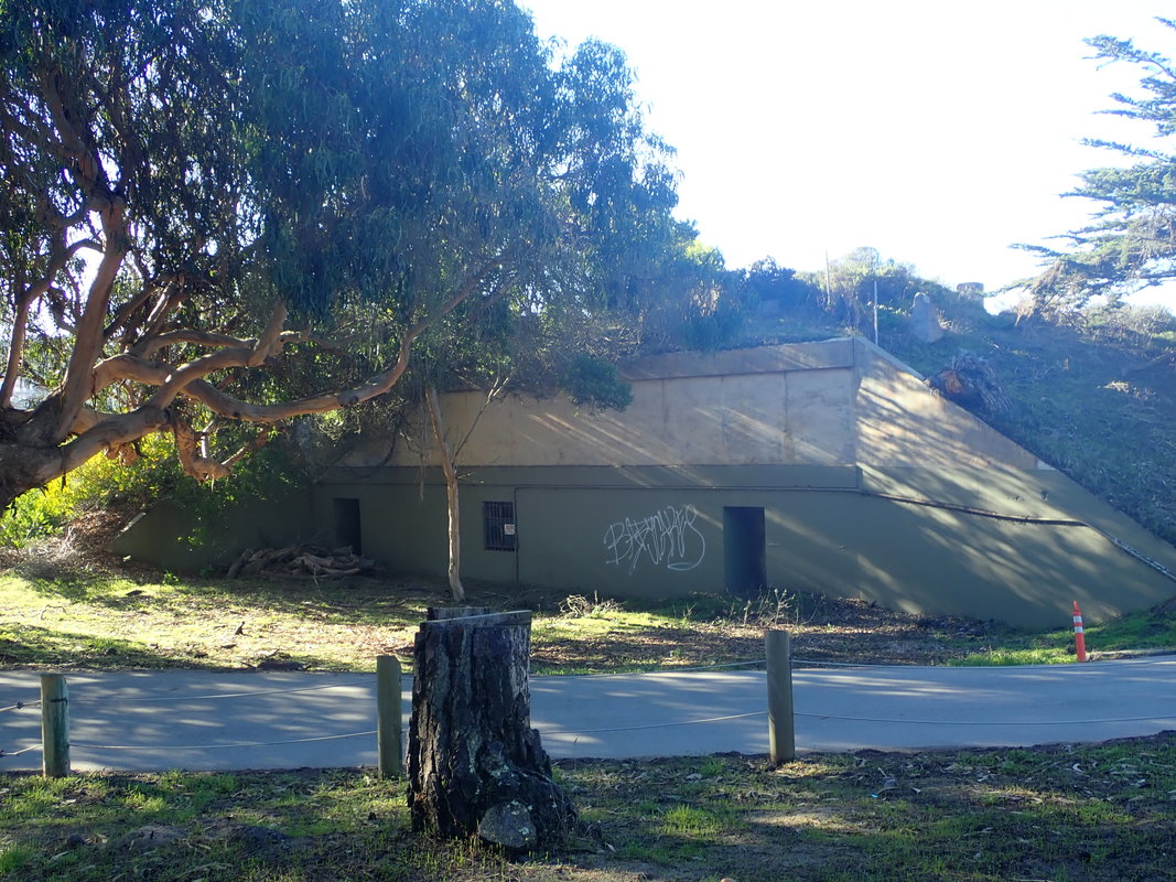
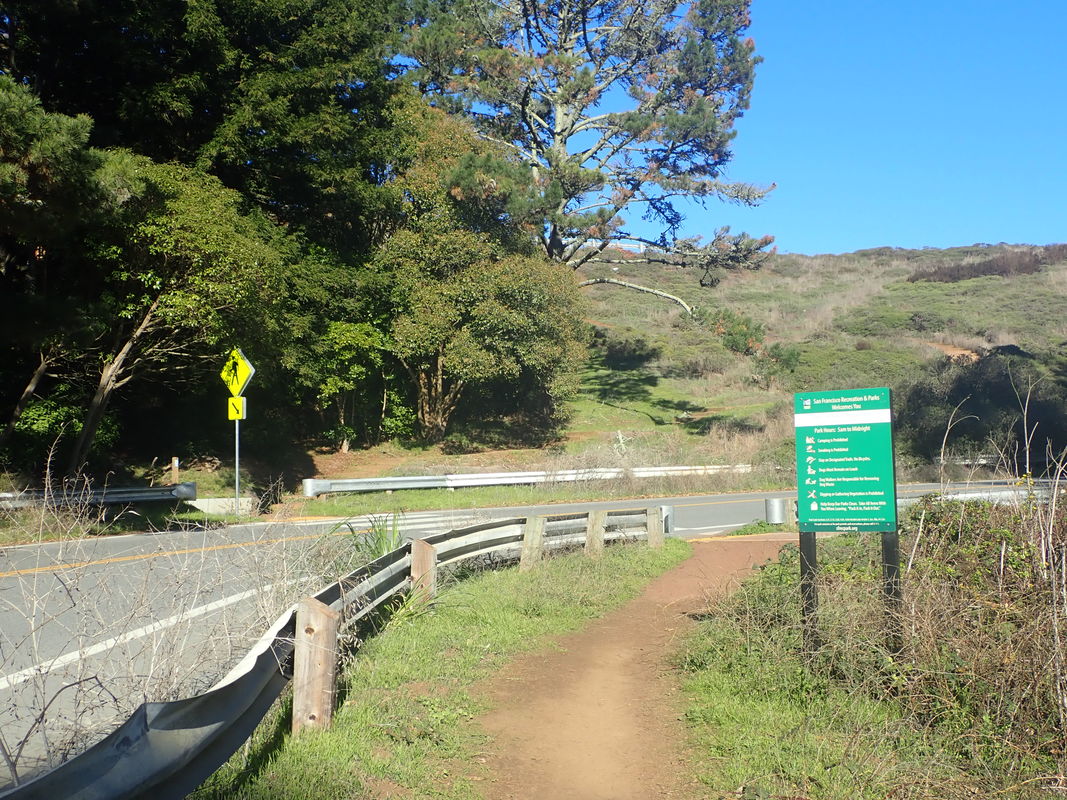
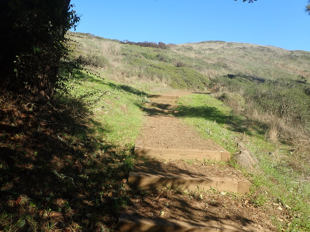
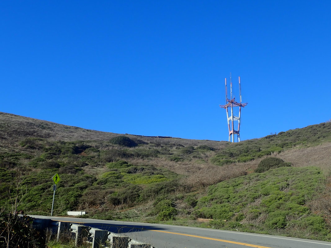
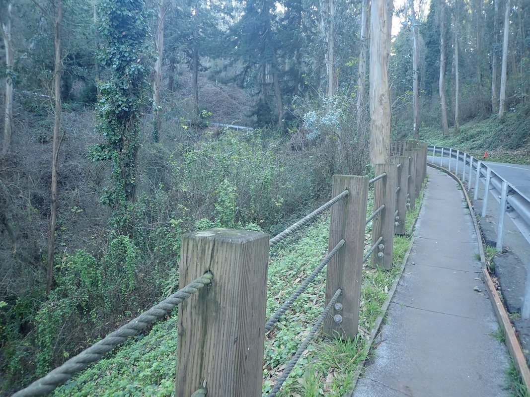
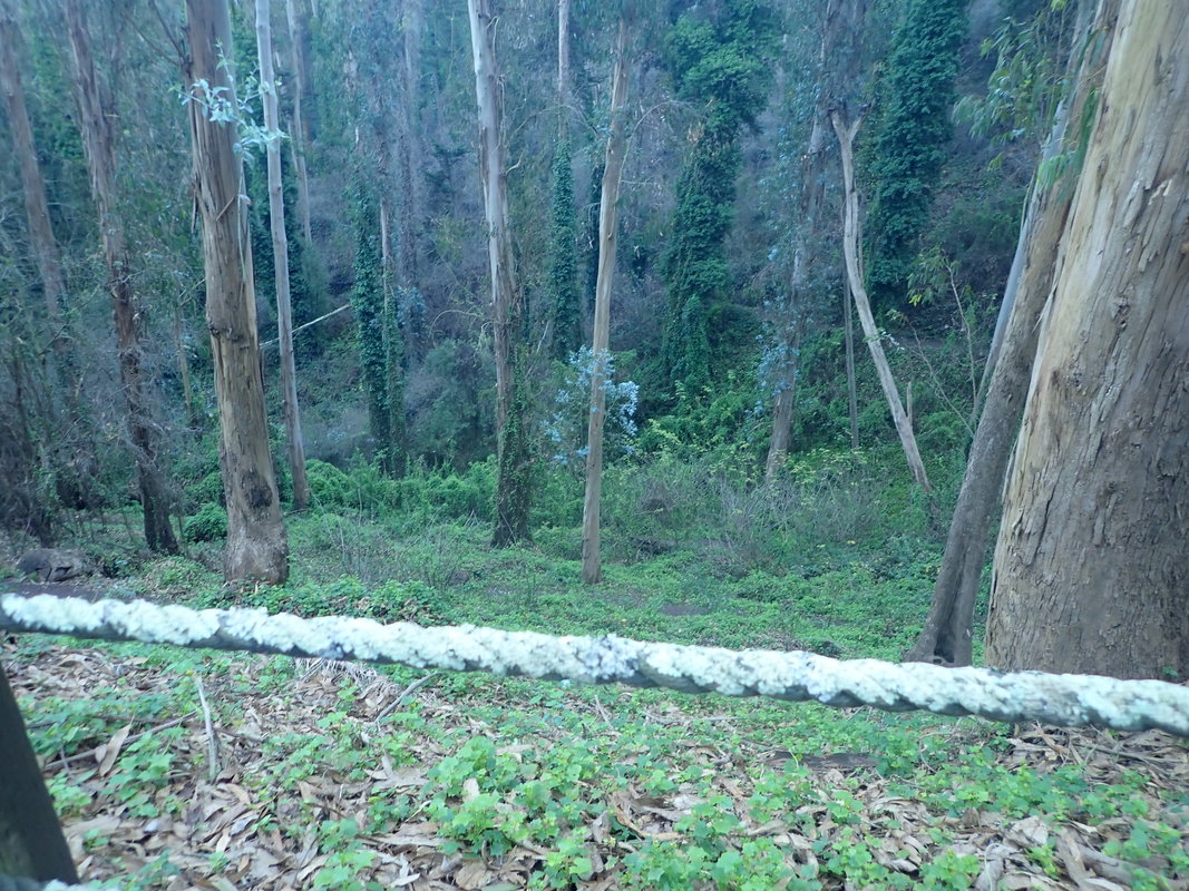
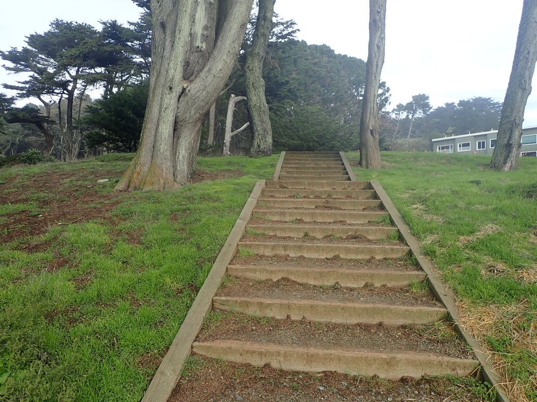
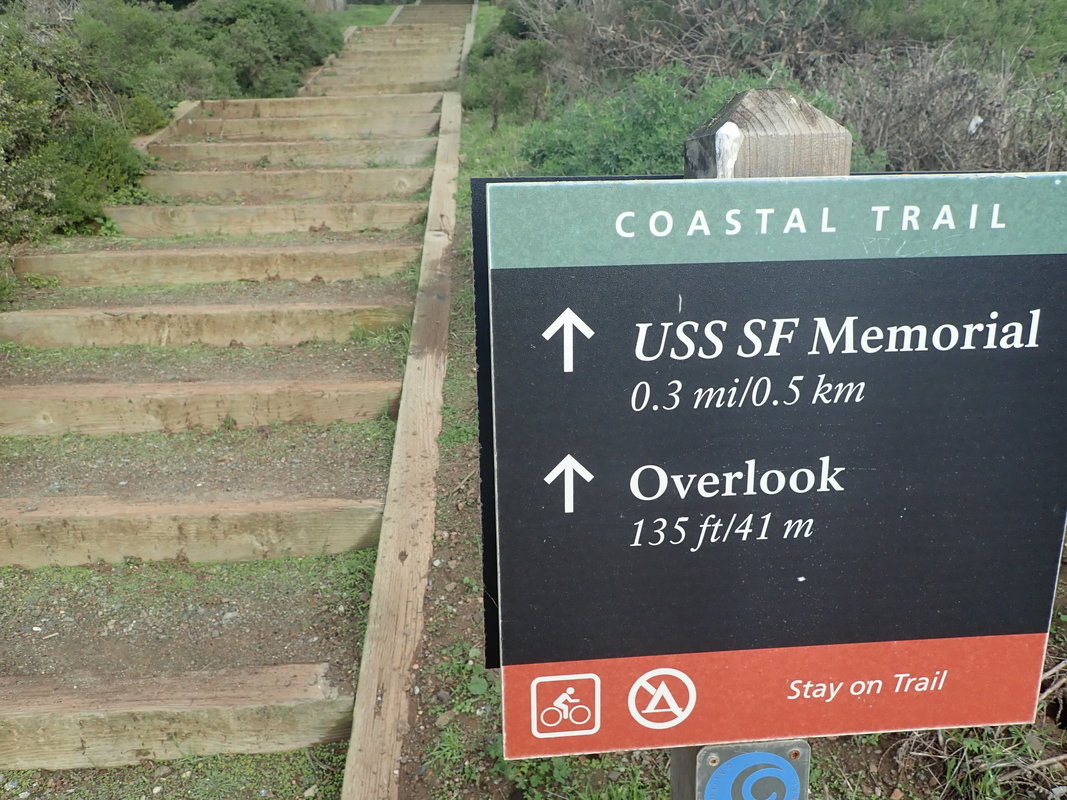
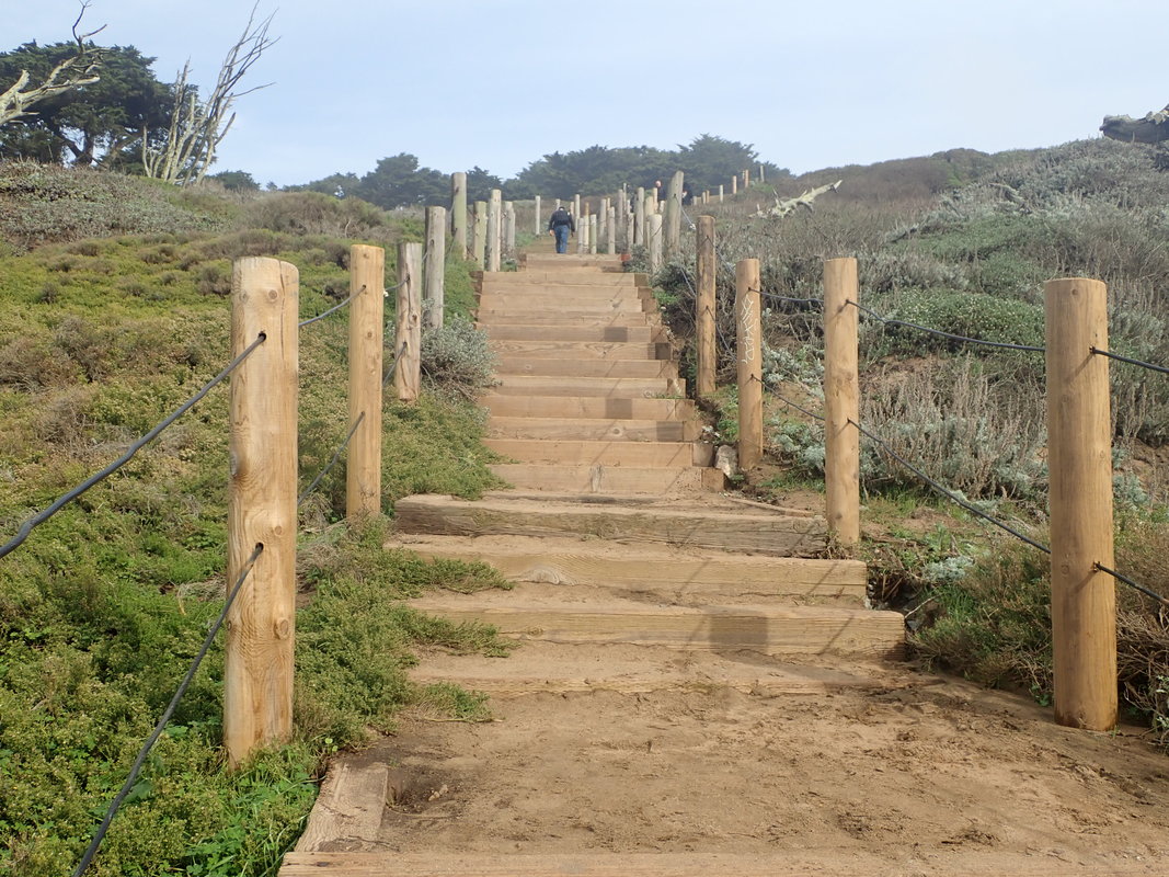
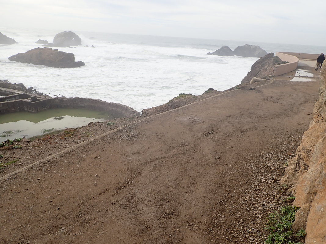
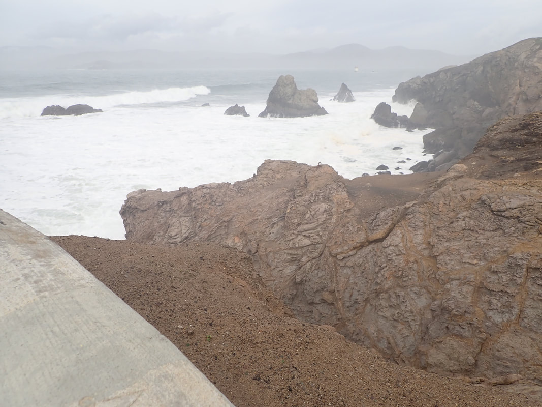
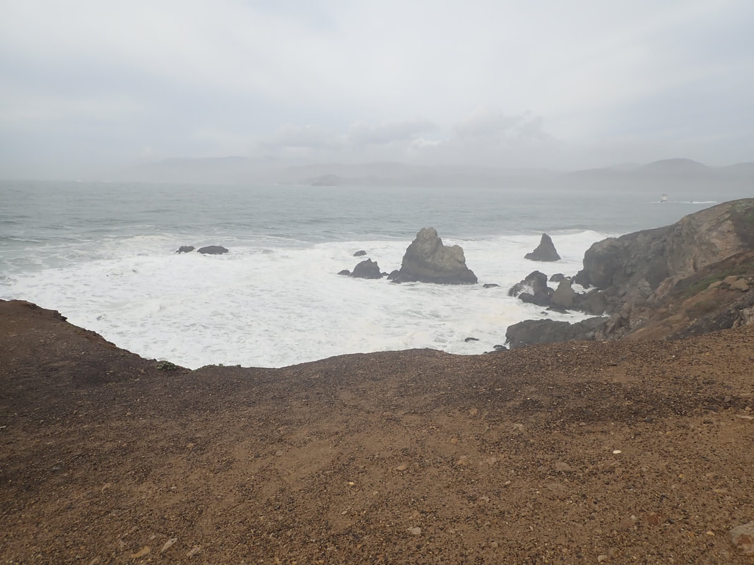
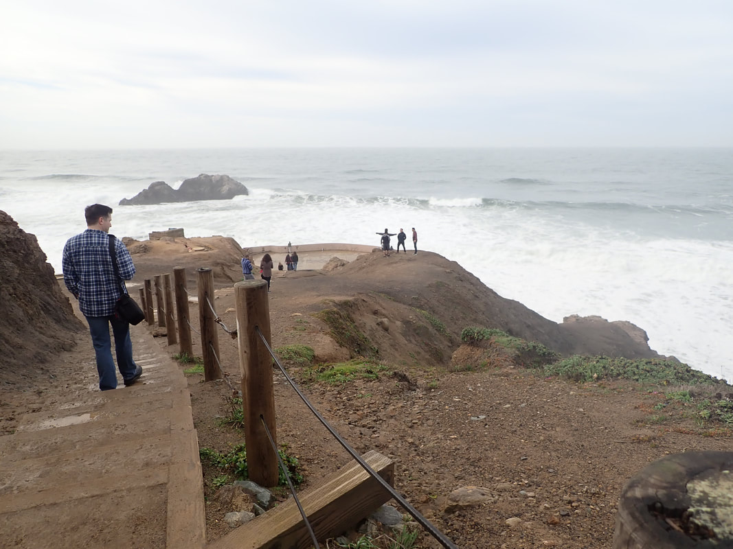
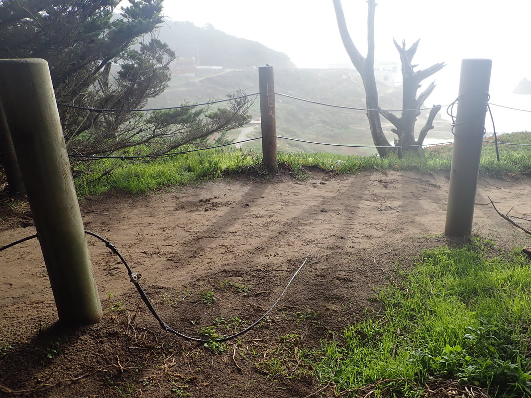
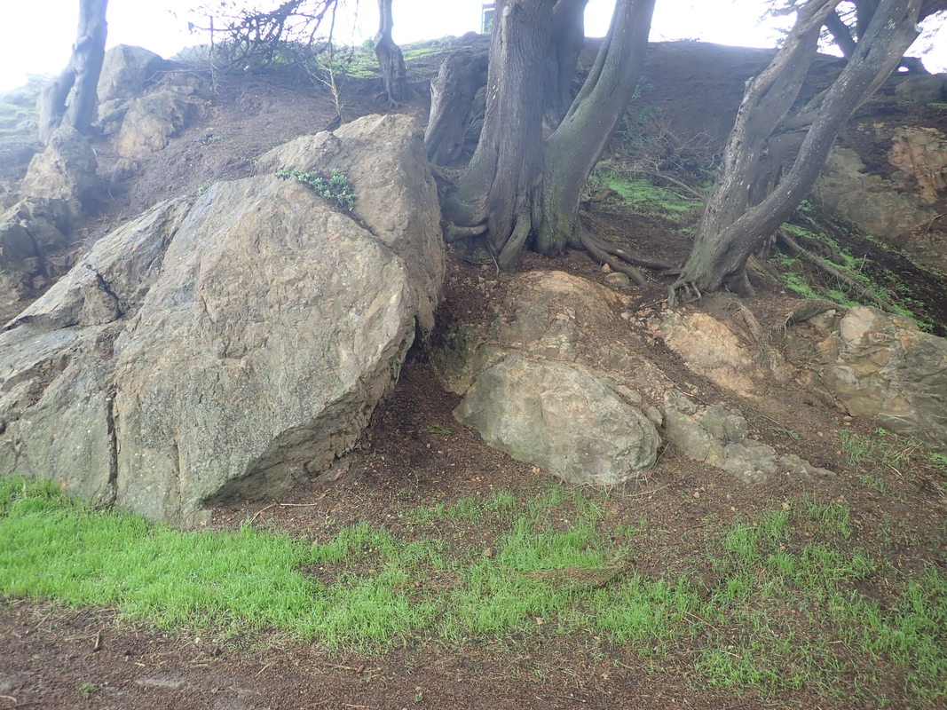
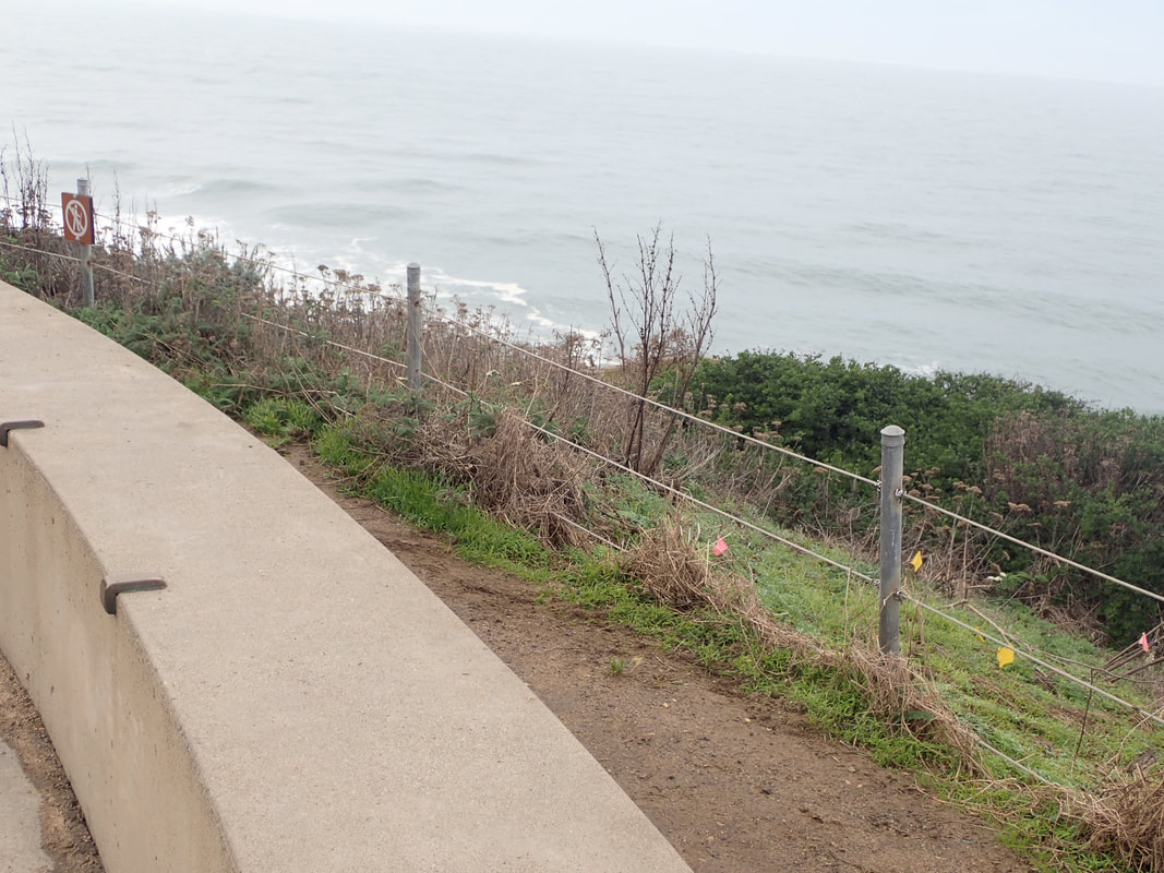
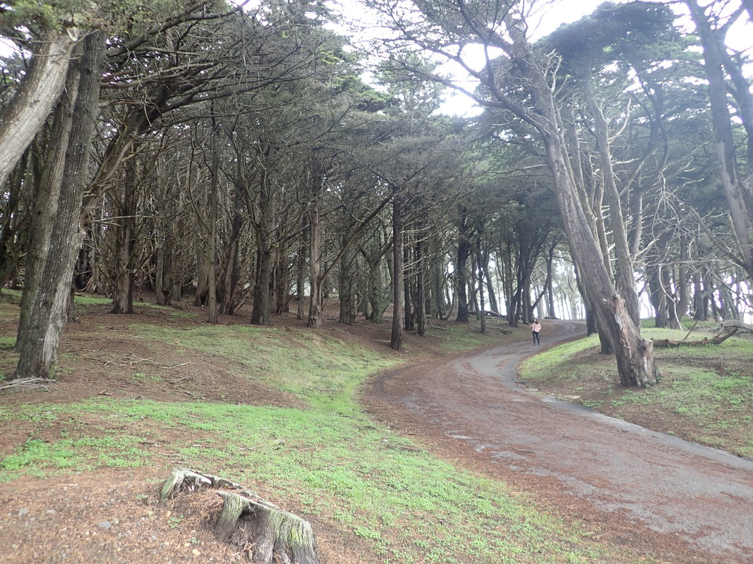
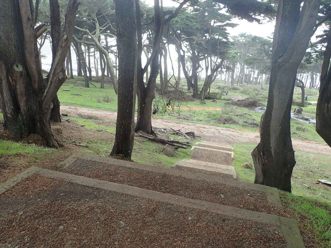
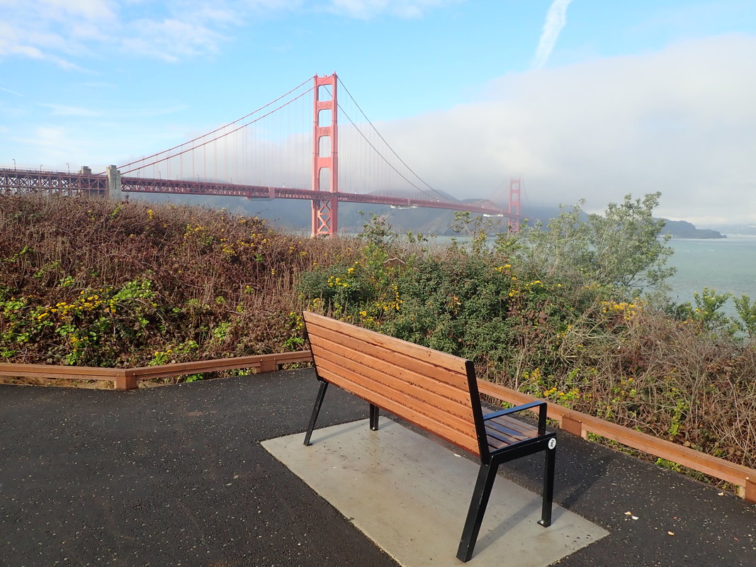
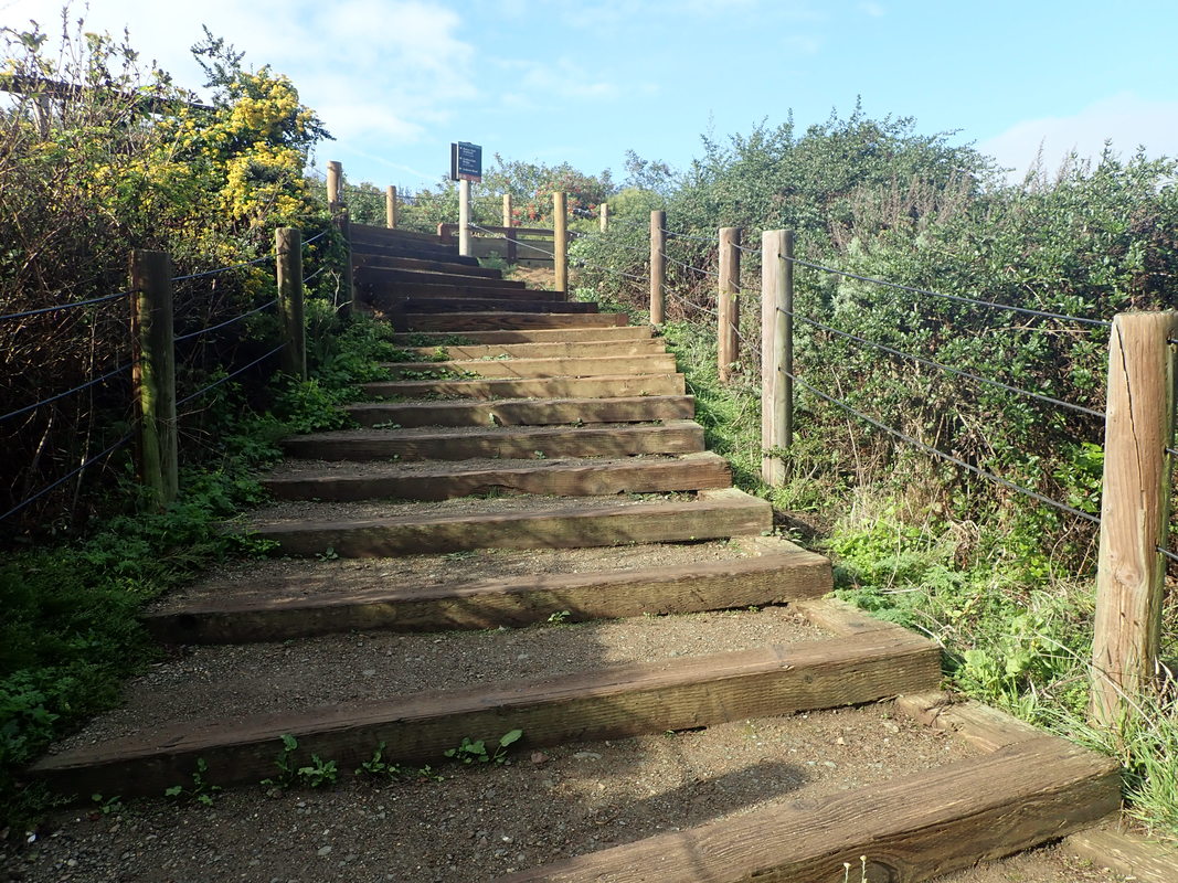
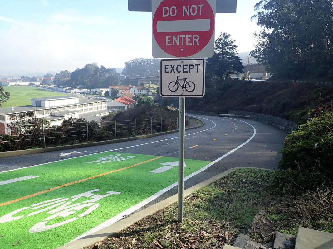
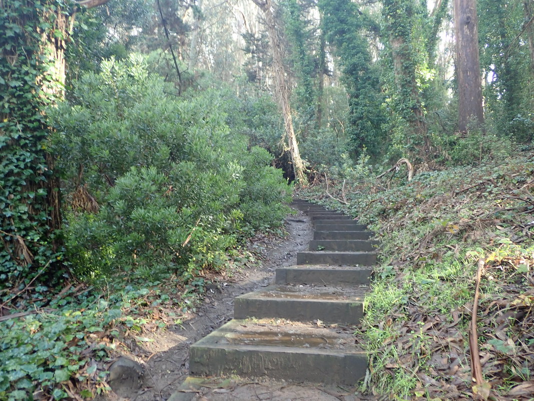
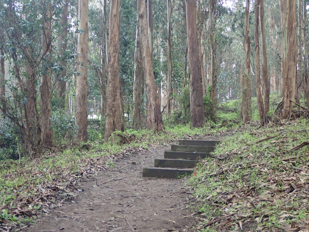
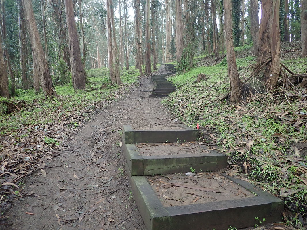
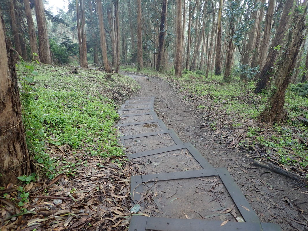
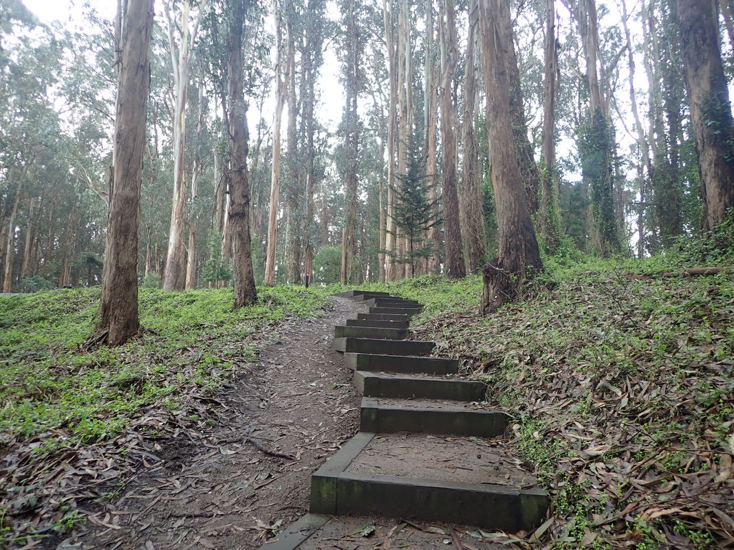
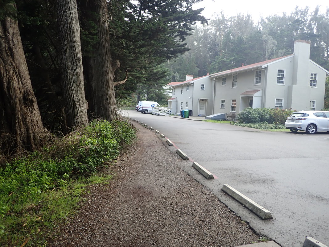
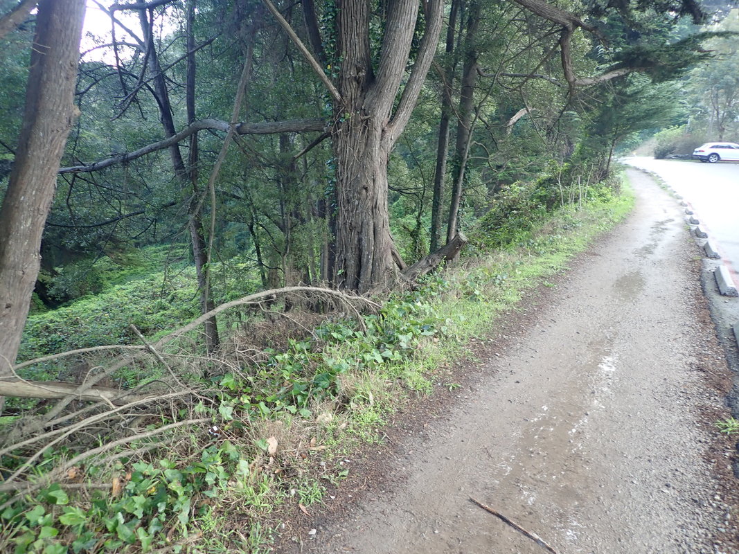
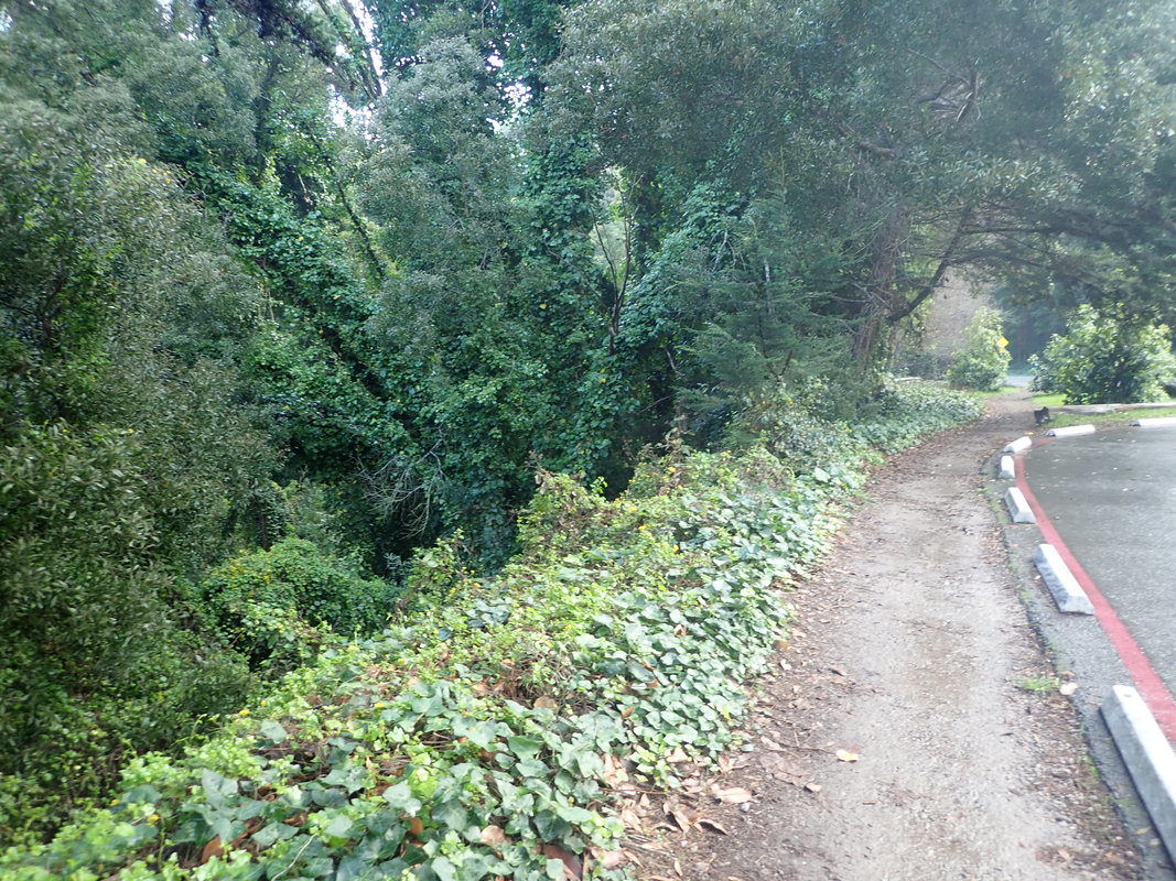
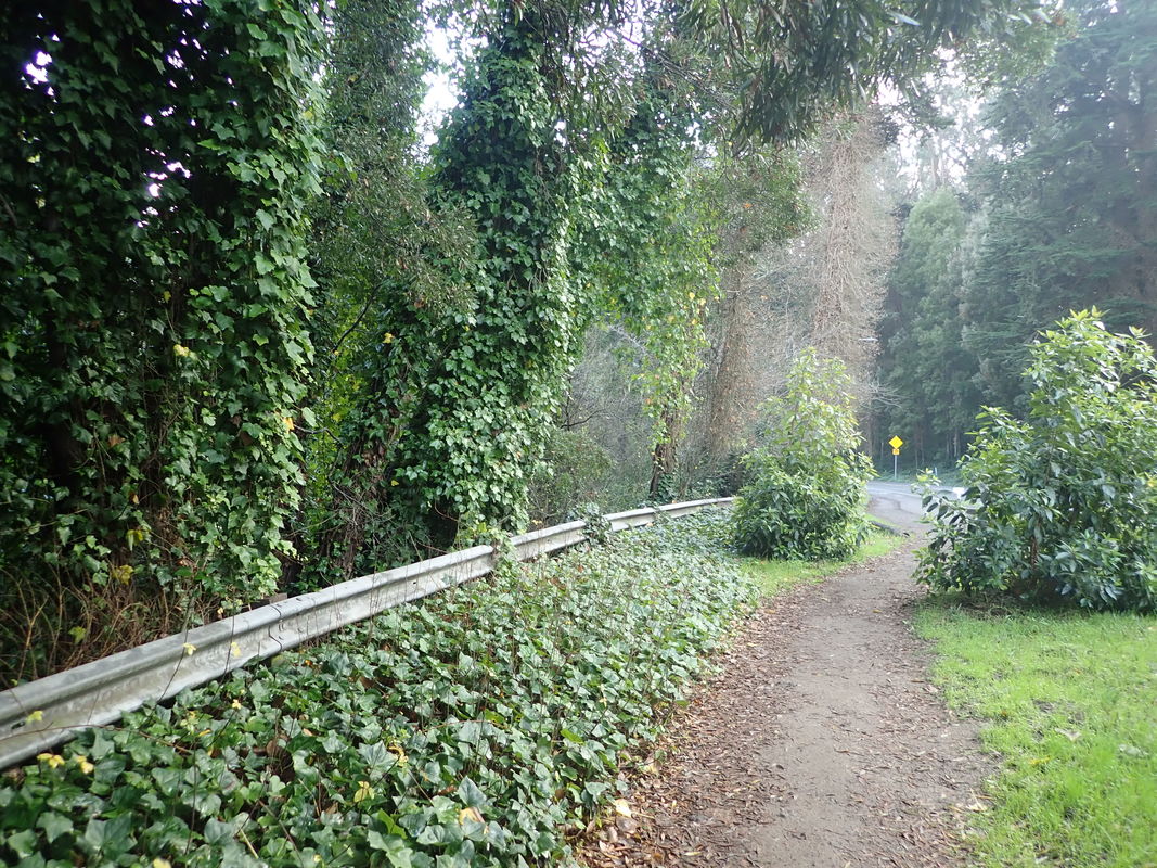
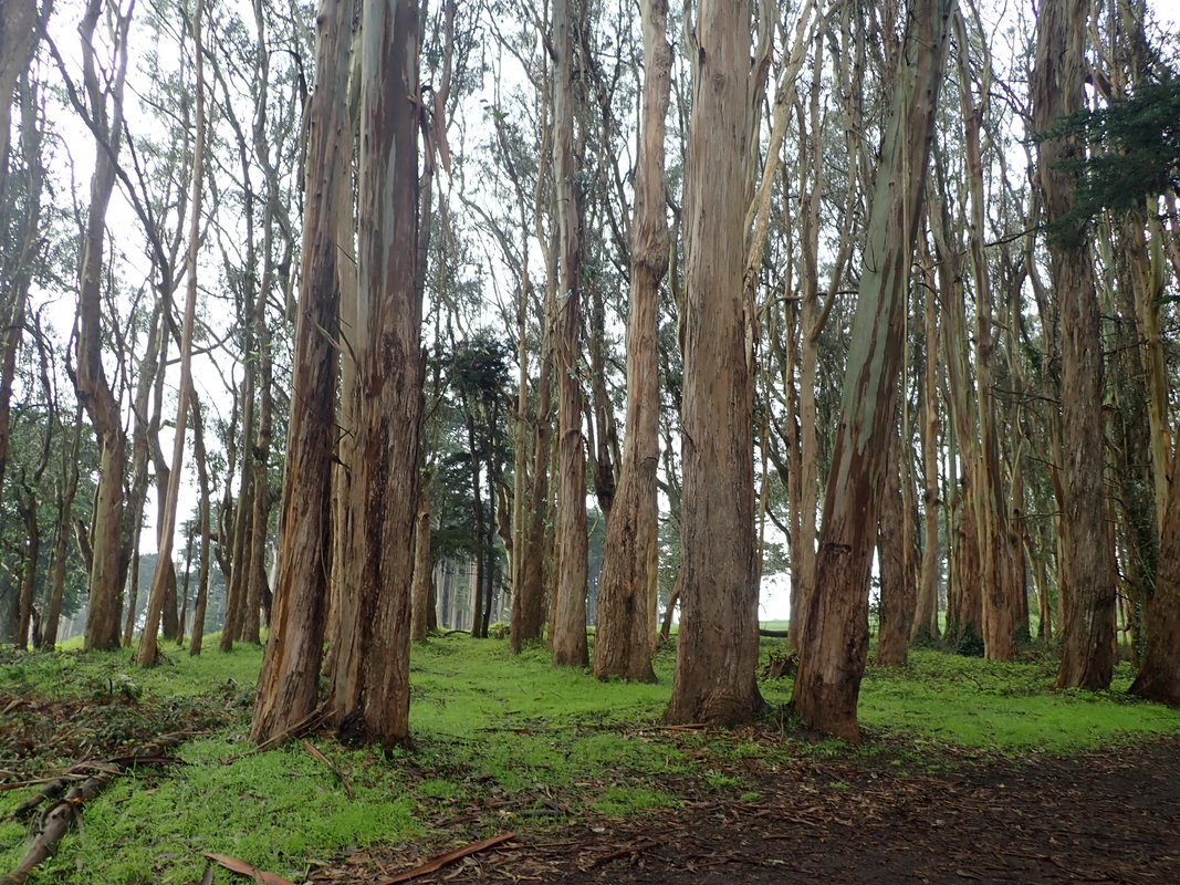
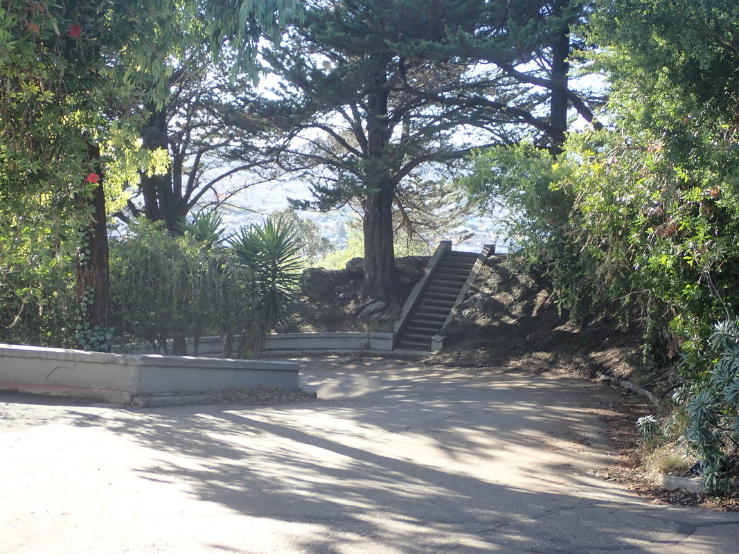
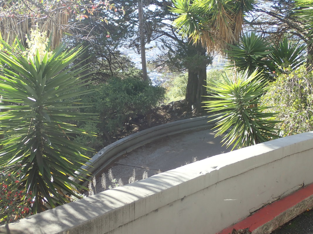
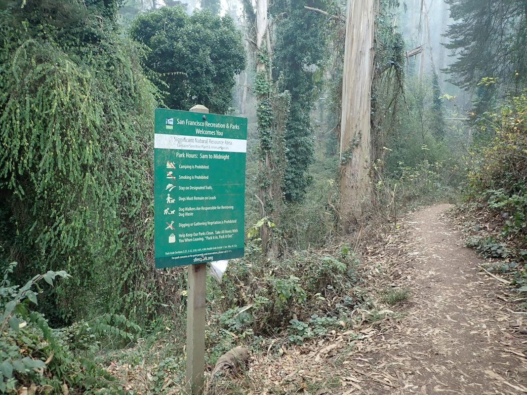
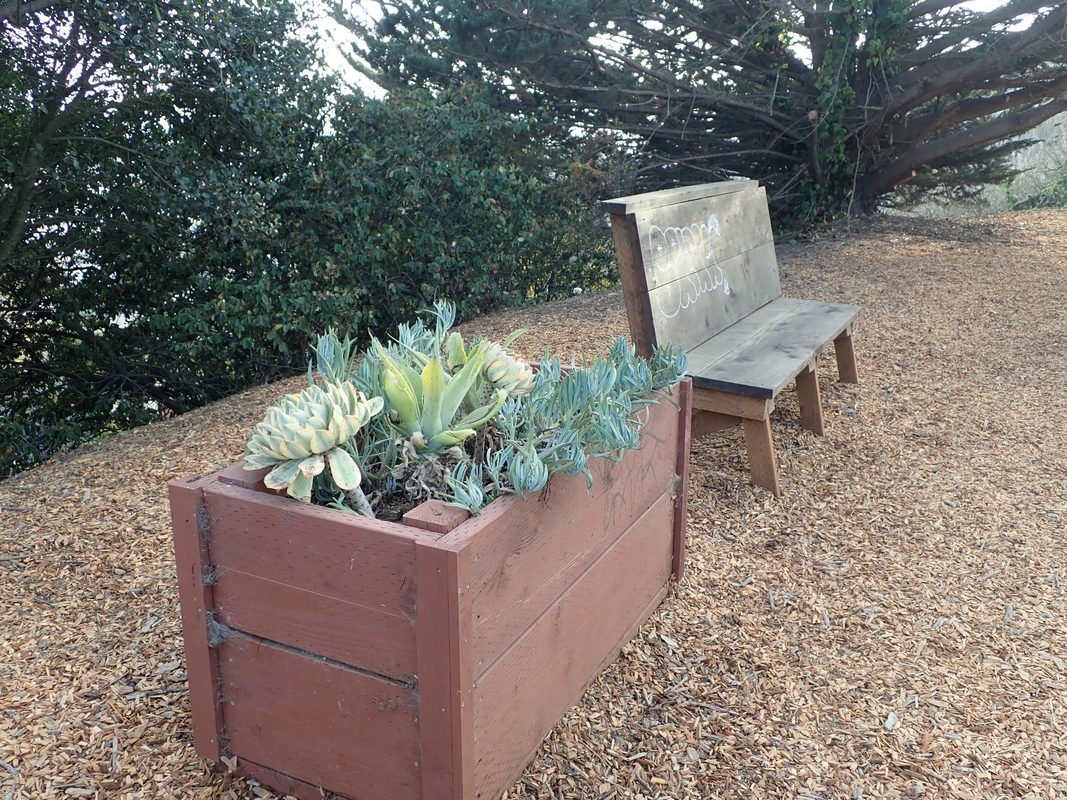
1 Batteries to Bluffs Trail below
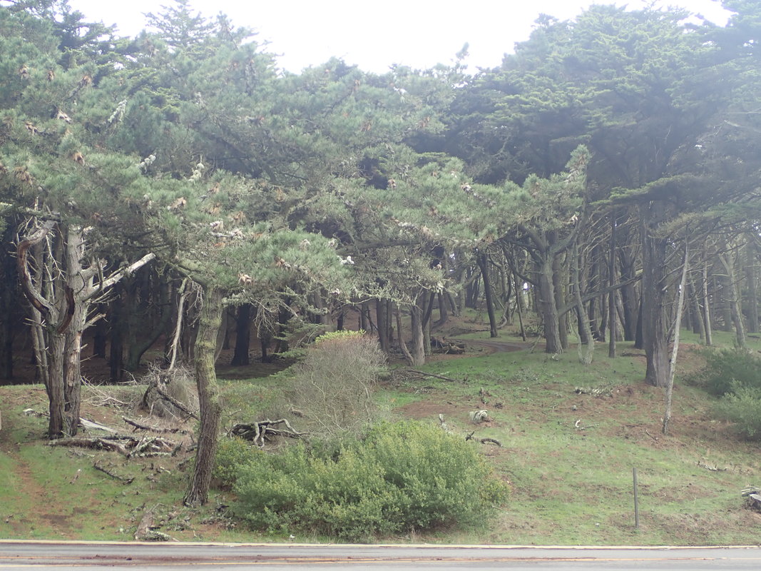
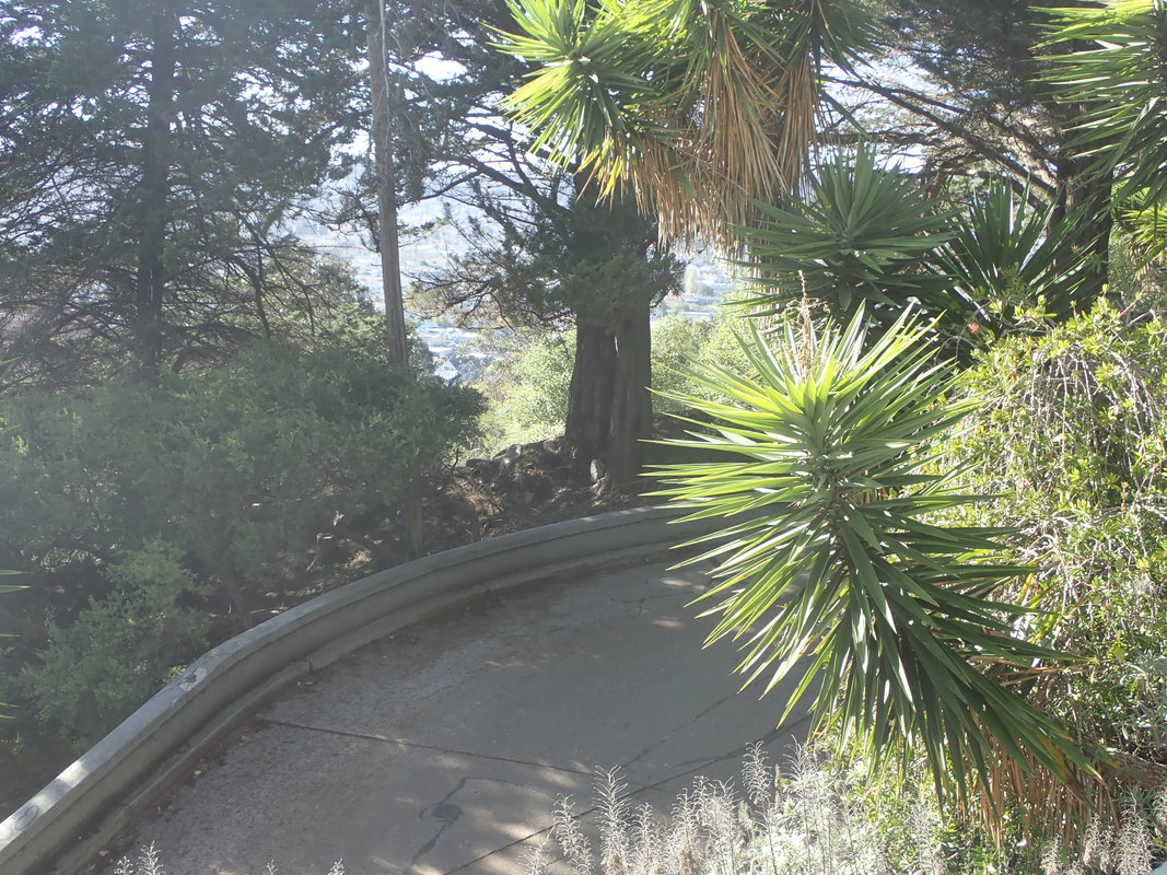
2
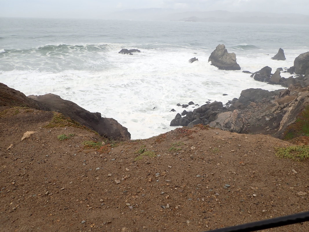
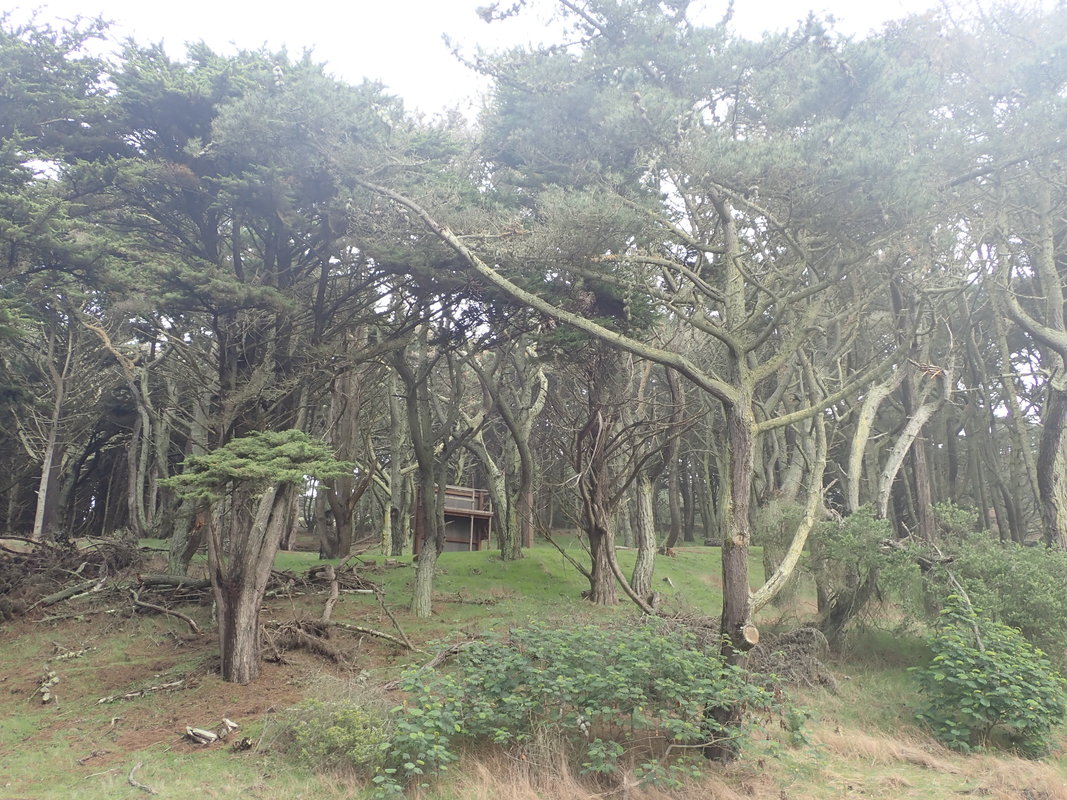
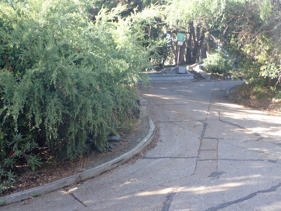
3
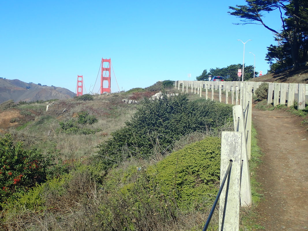
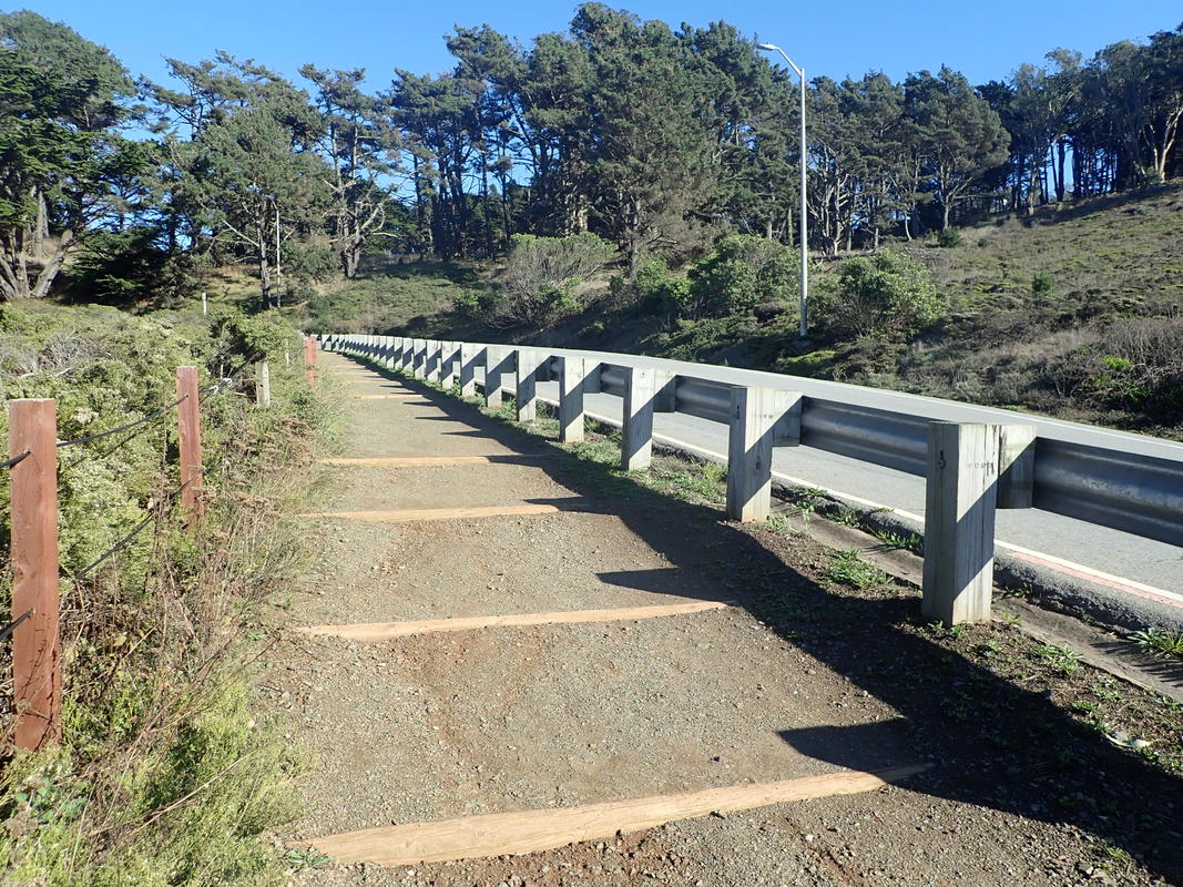
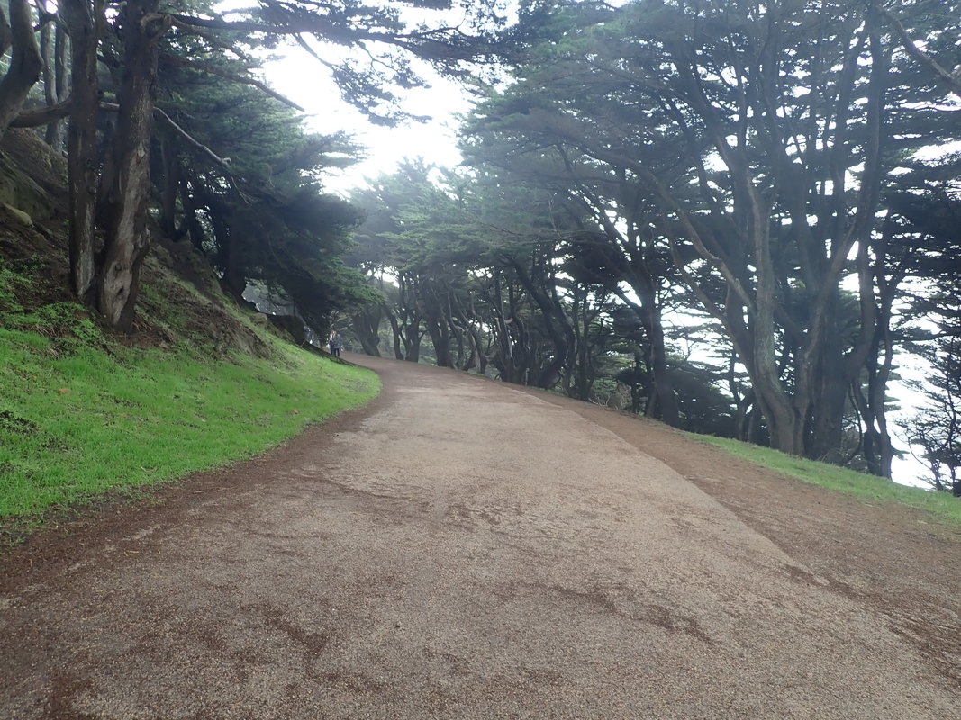
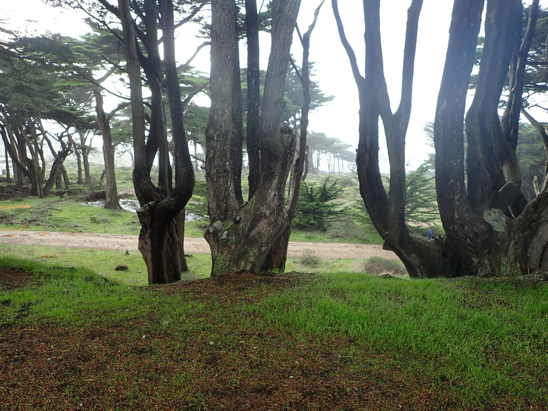
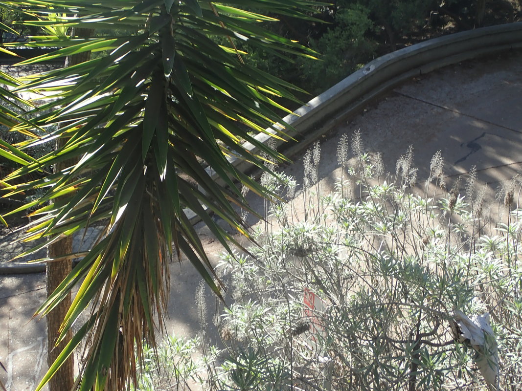
4
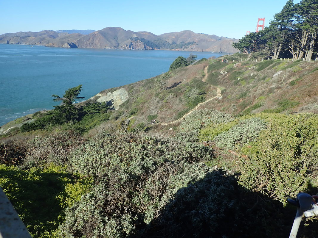
5
6
7
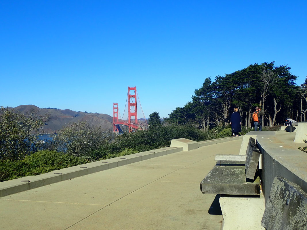
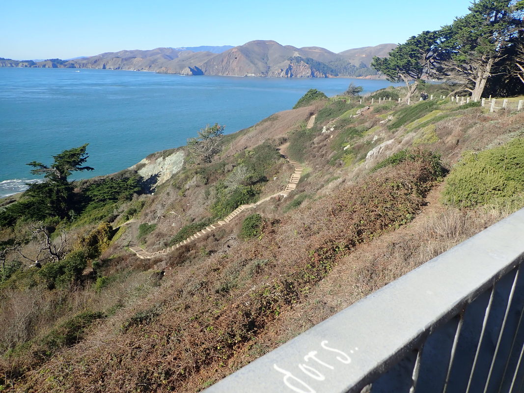
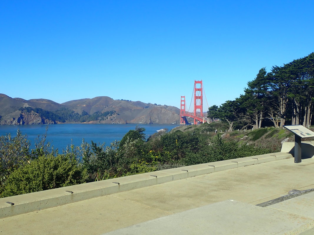
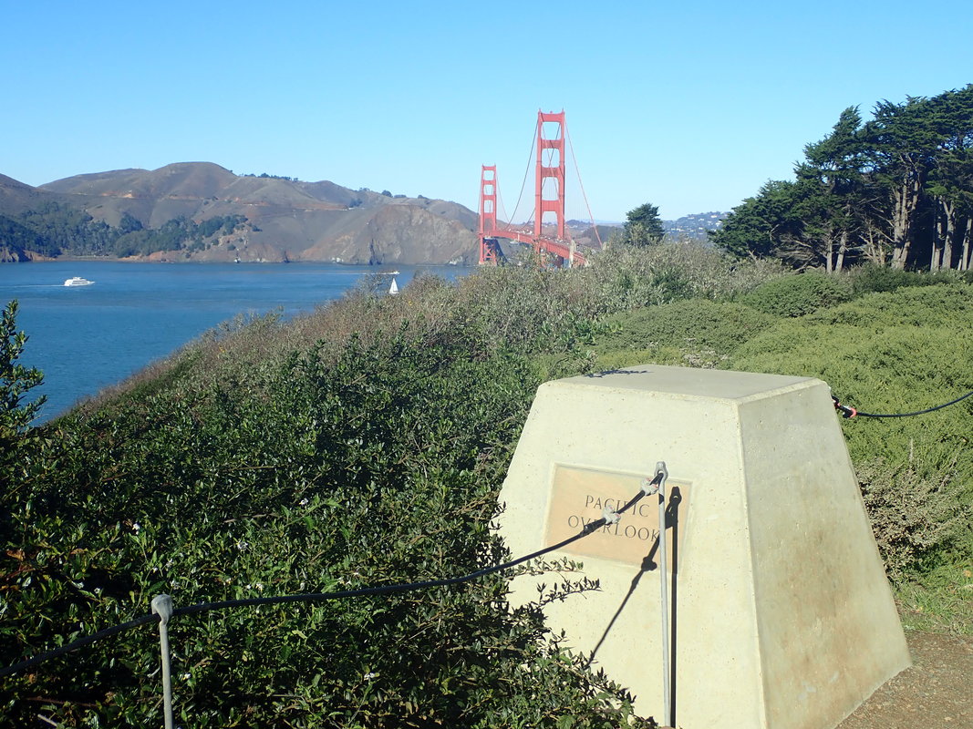
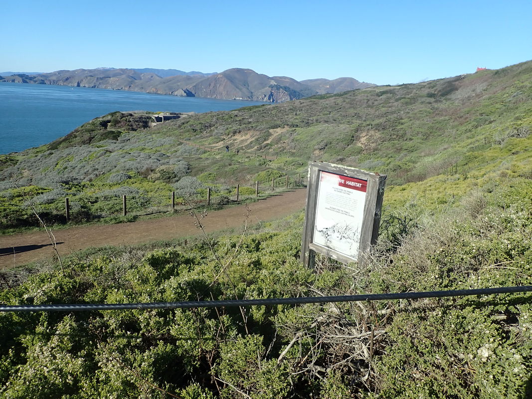
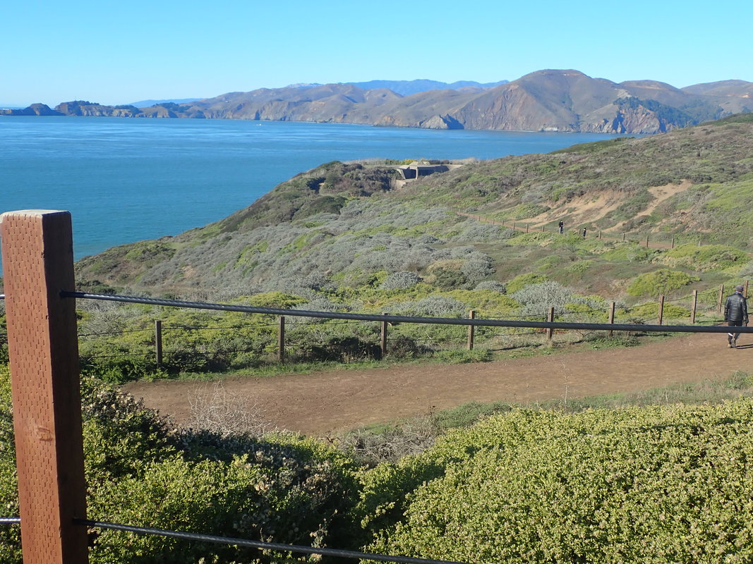
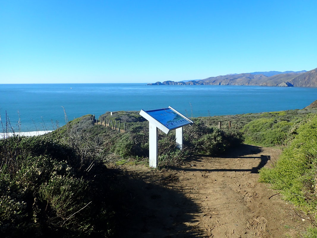
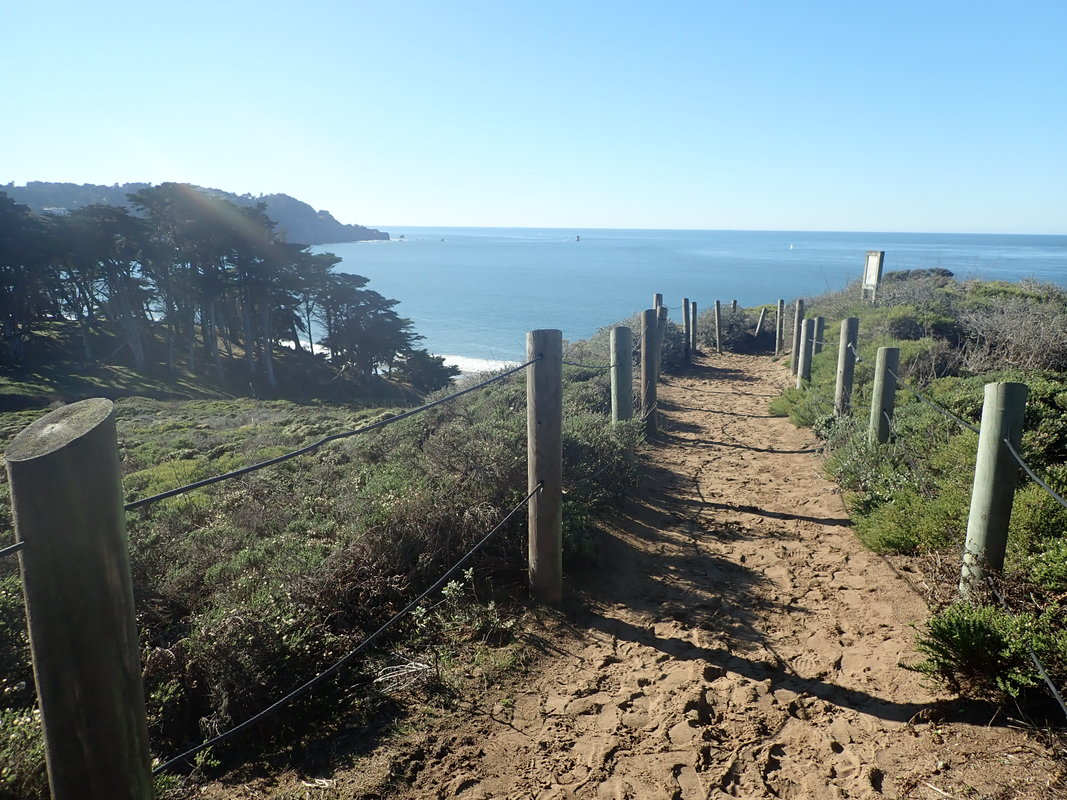
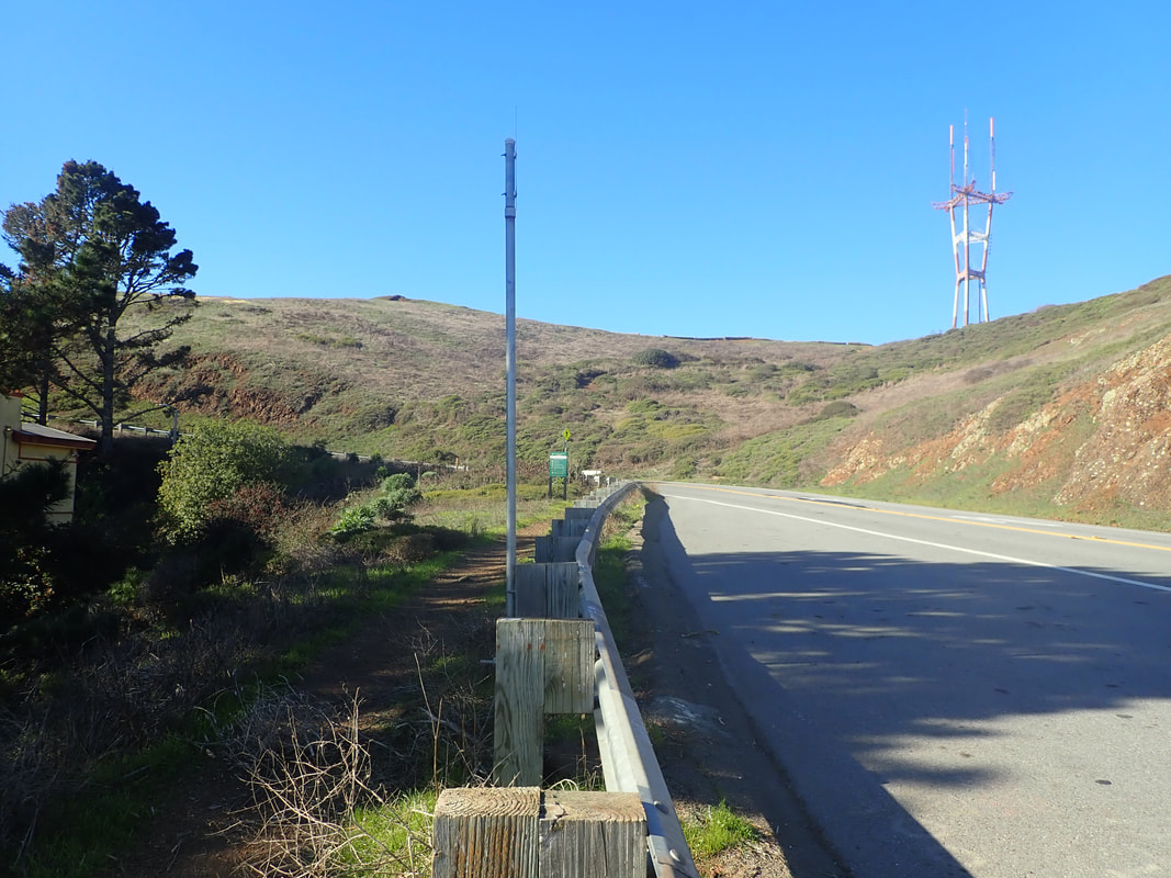
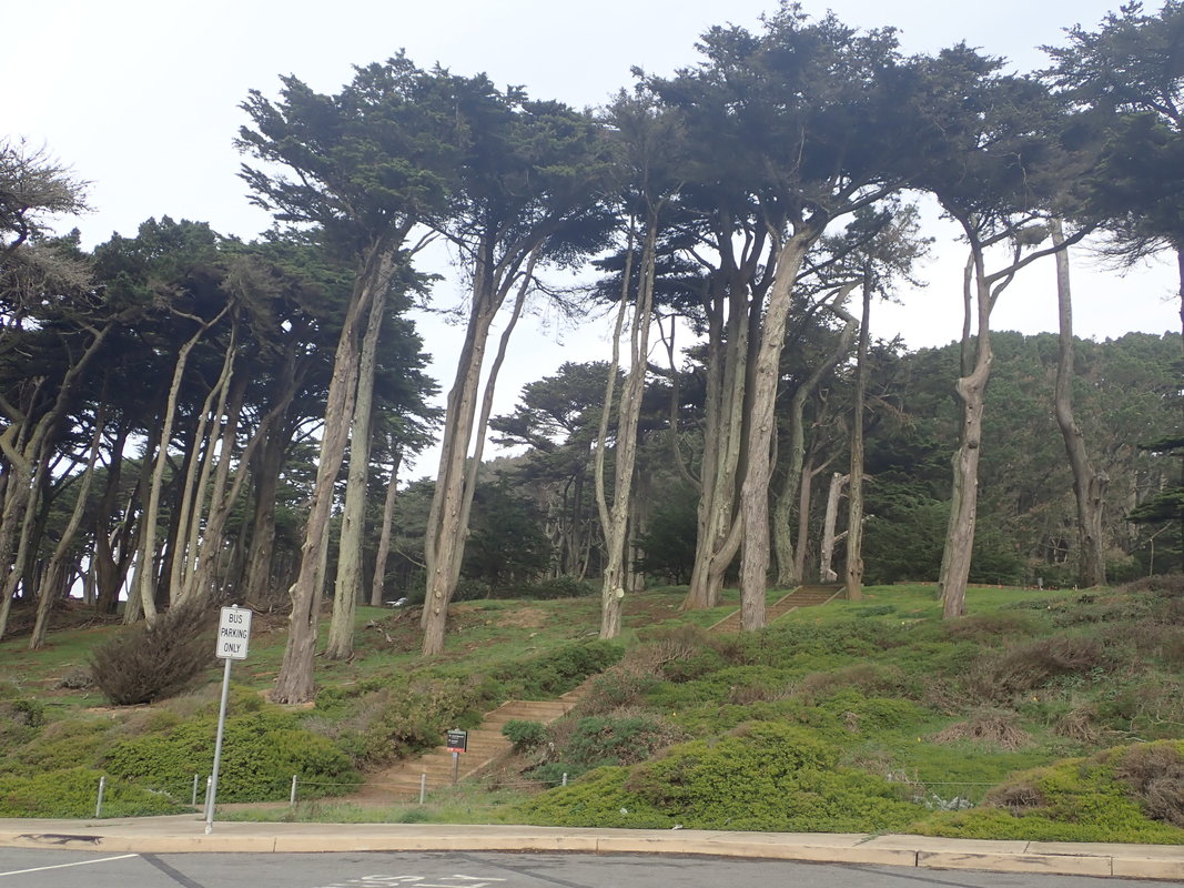
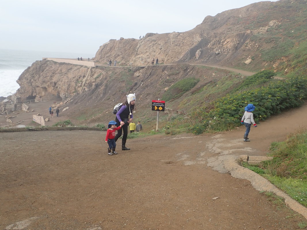
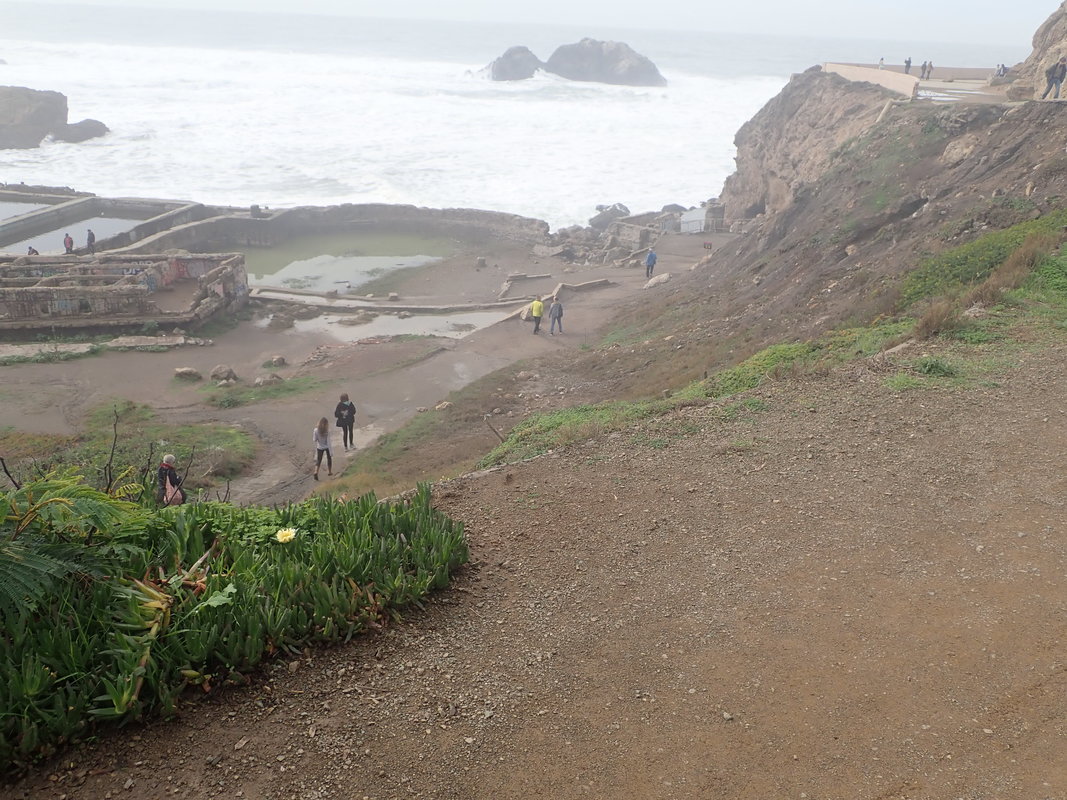
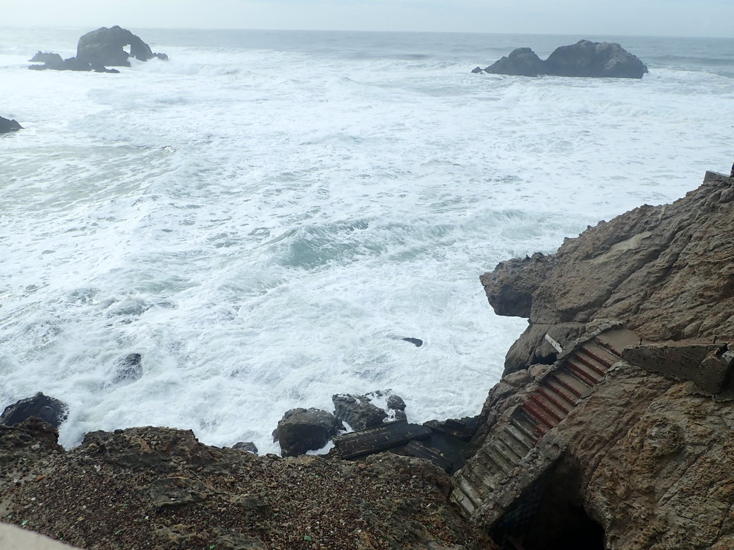
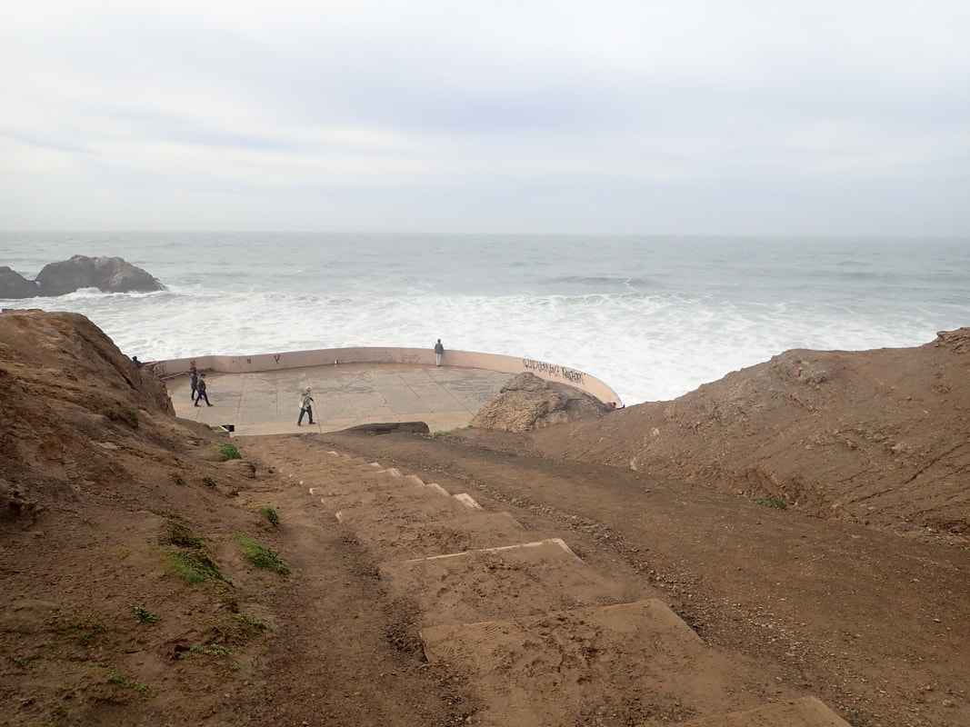
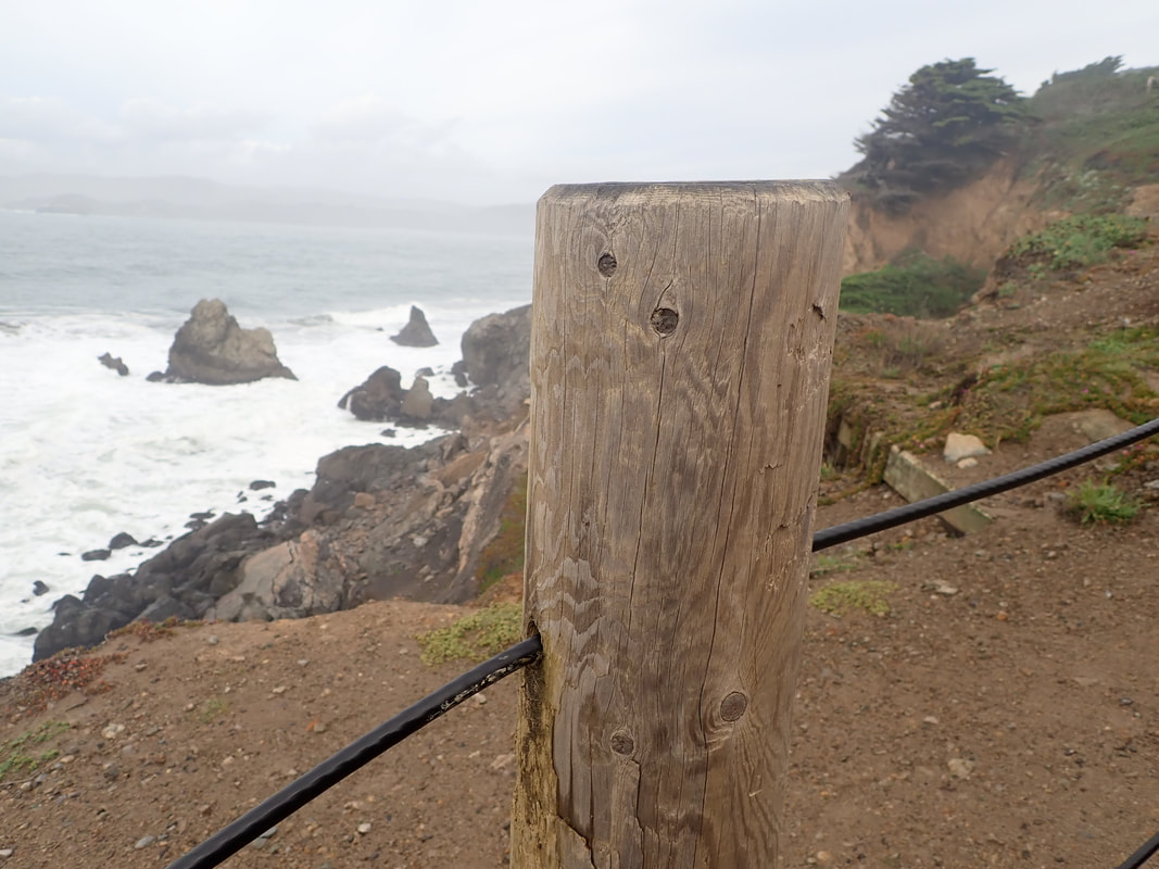
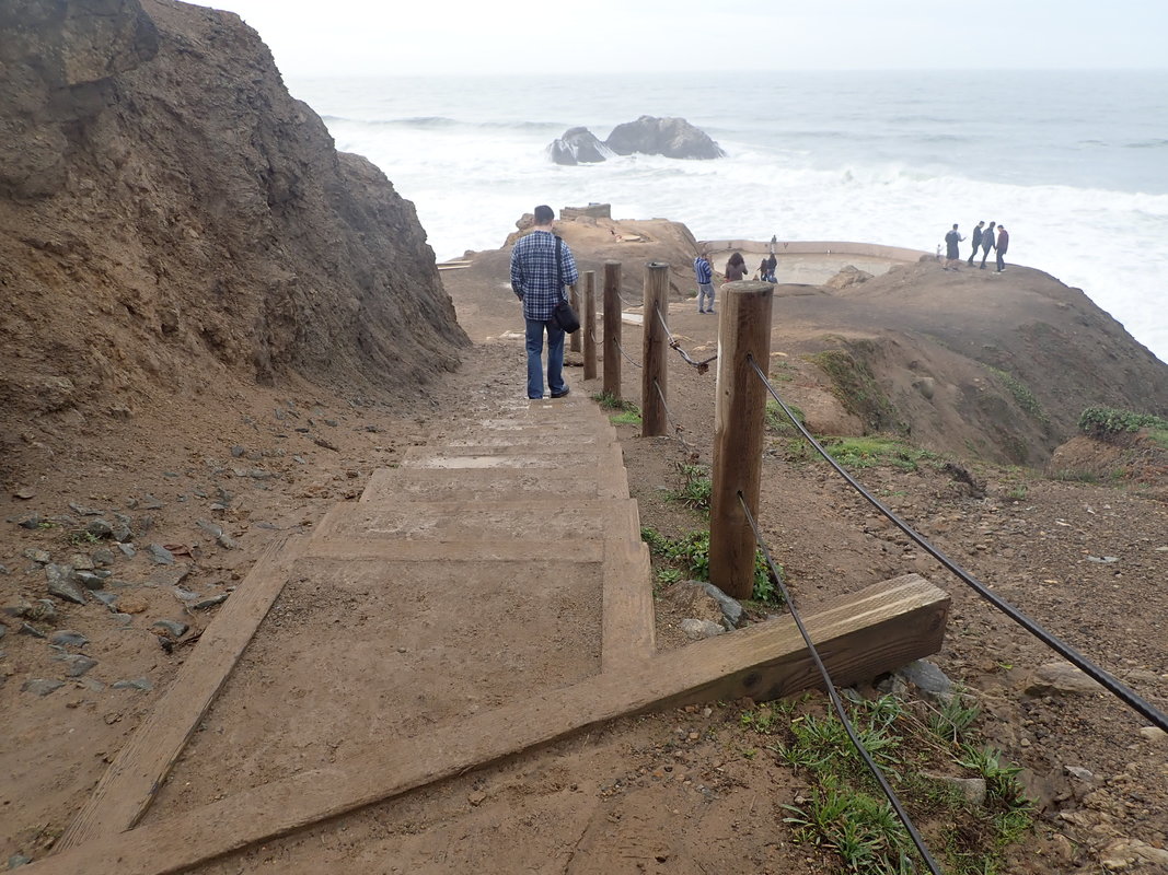
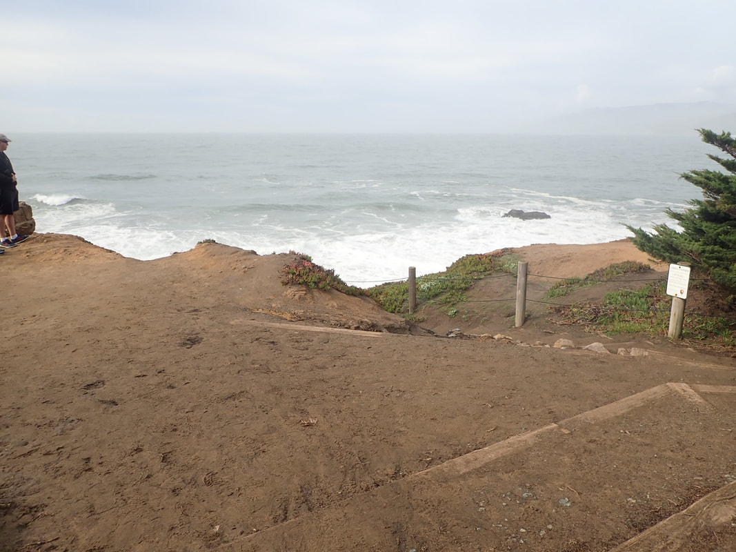
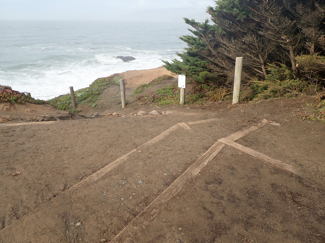
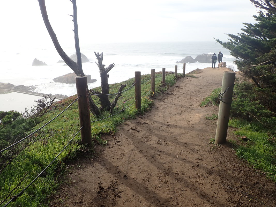
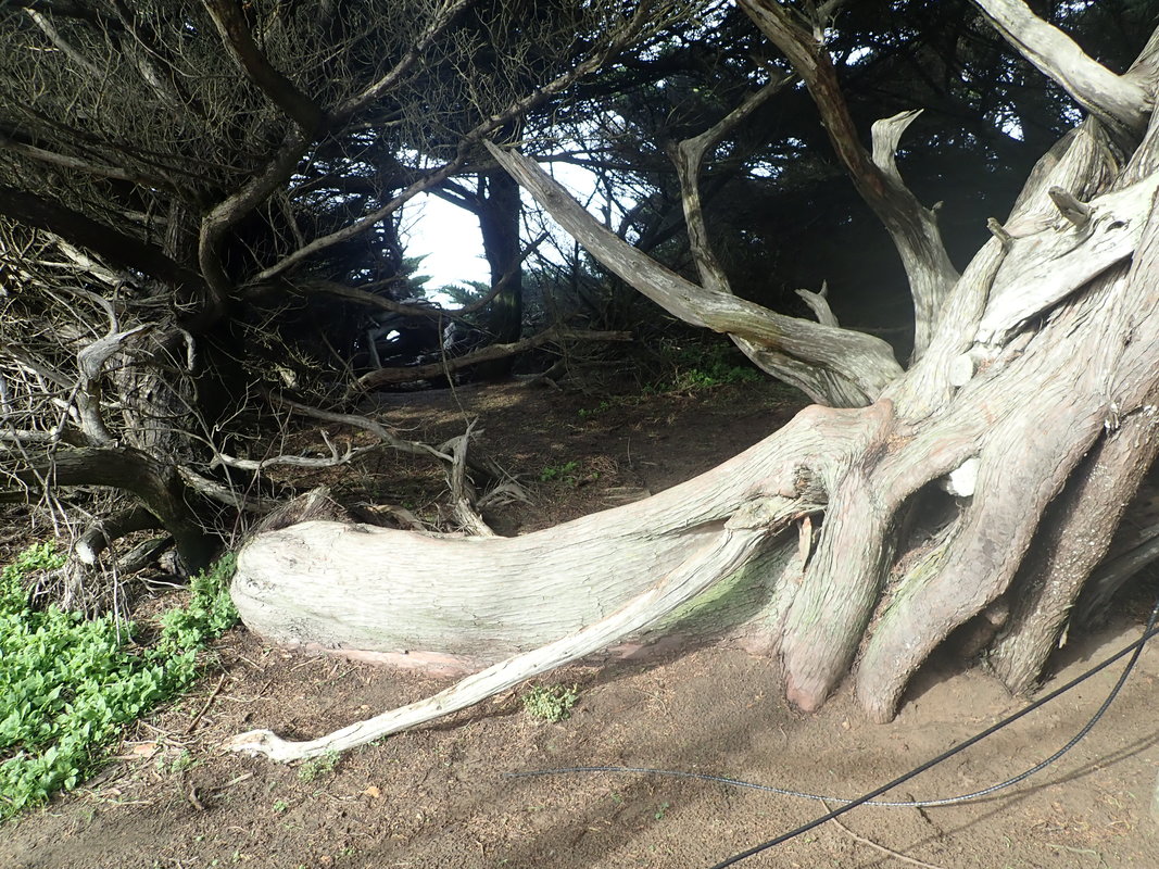
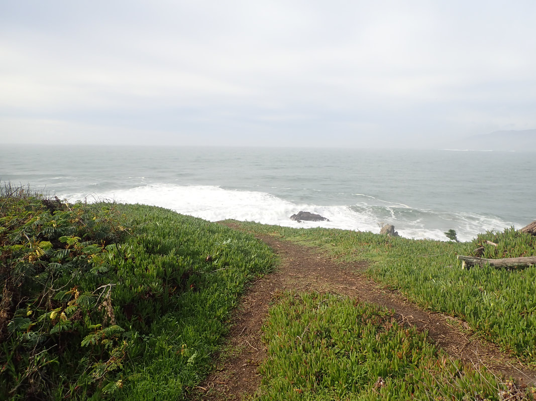
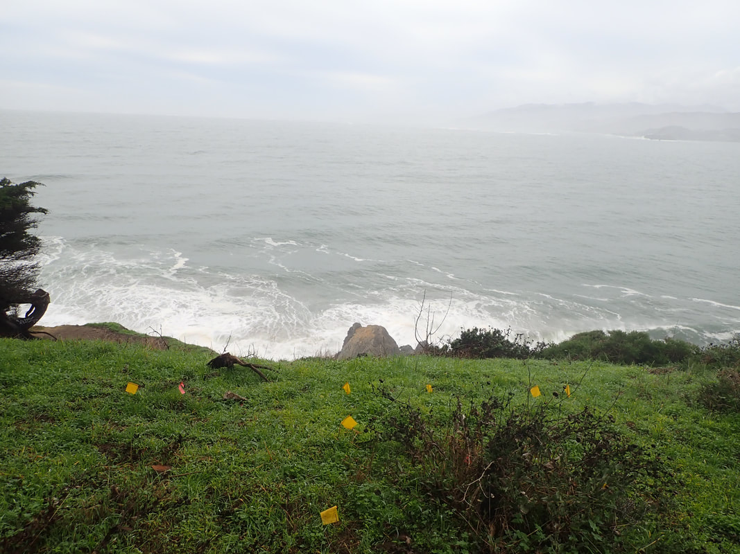
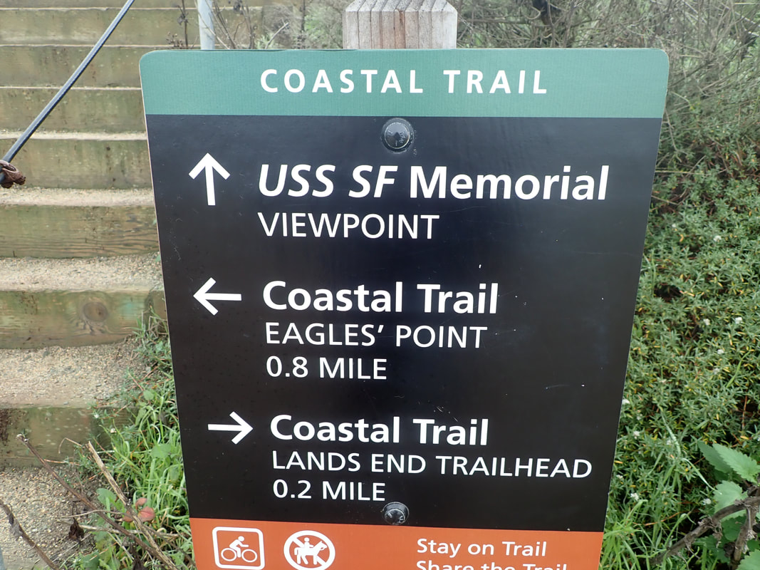
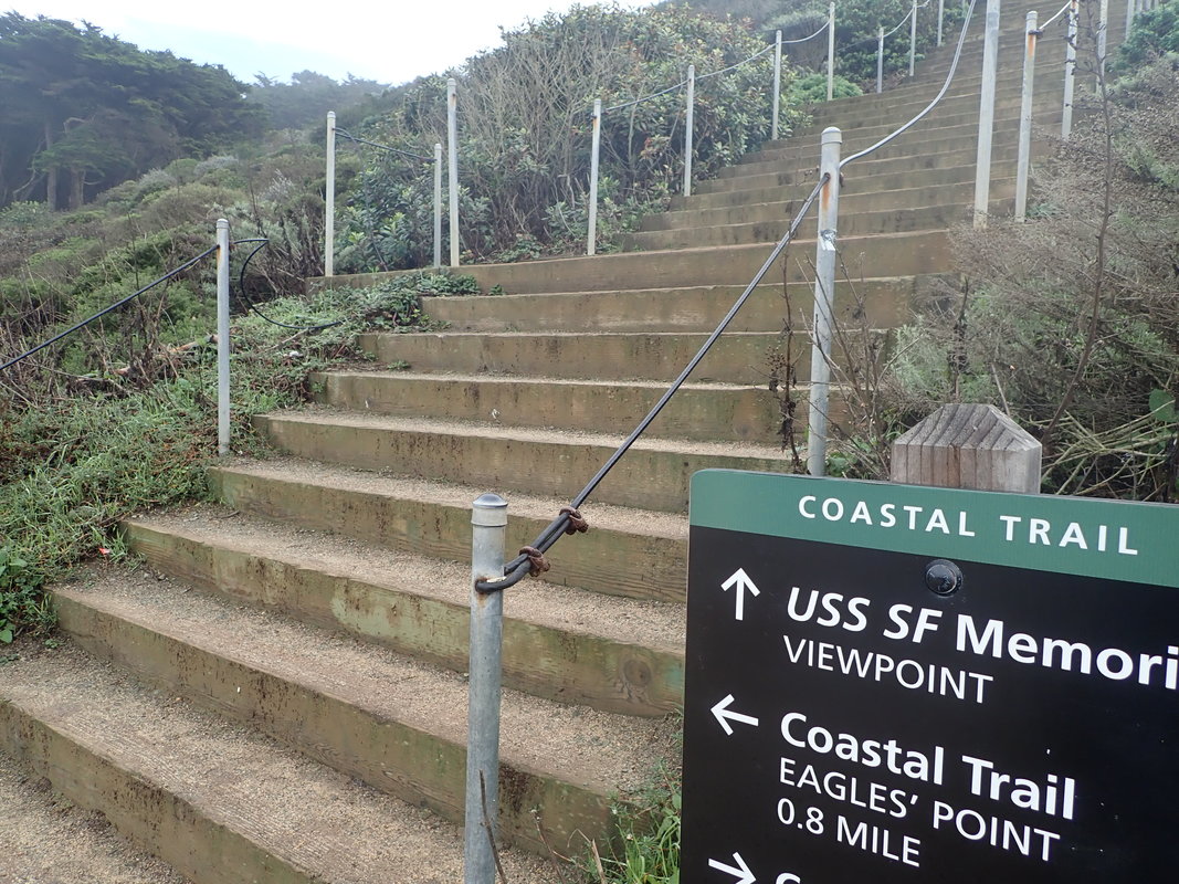
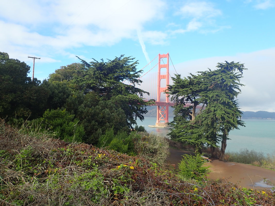
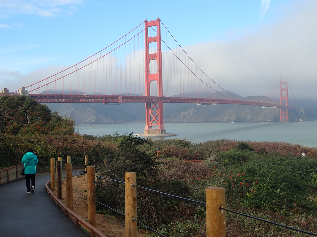
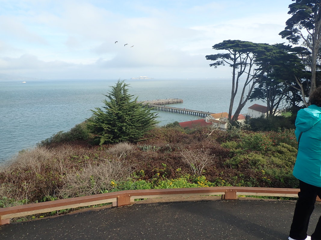
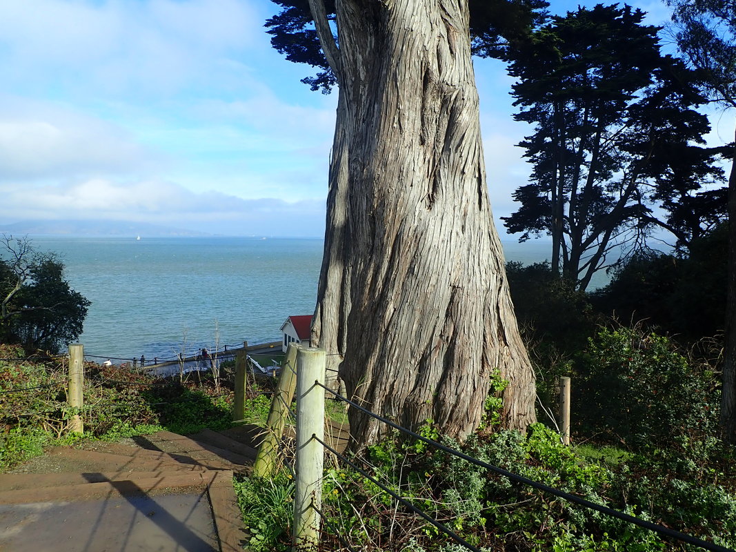
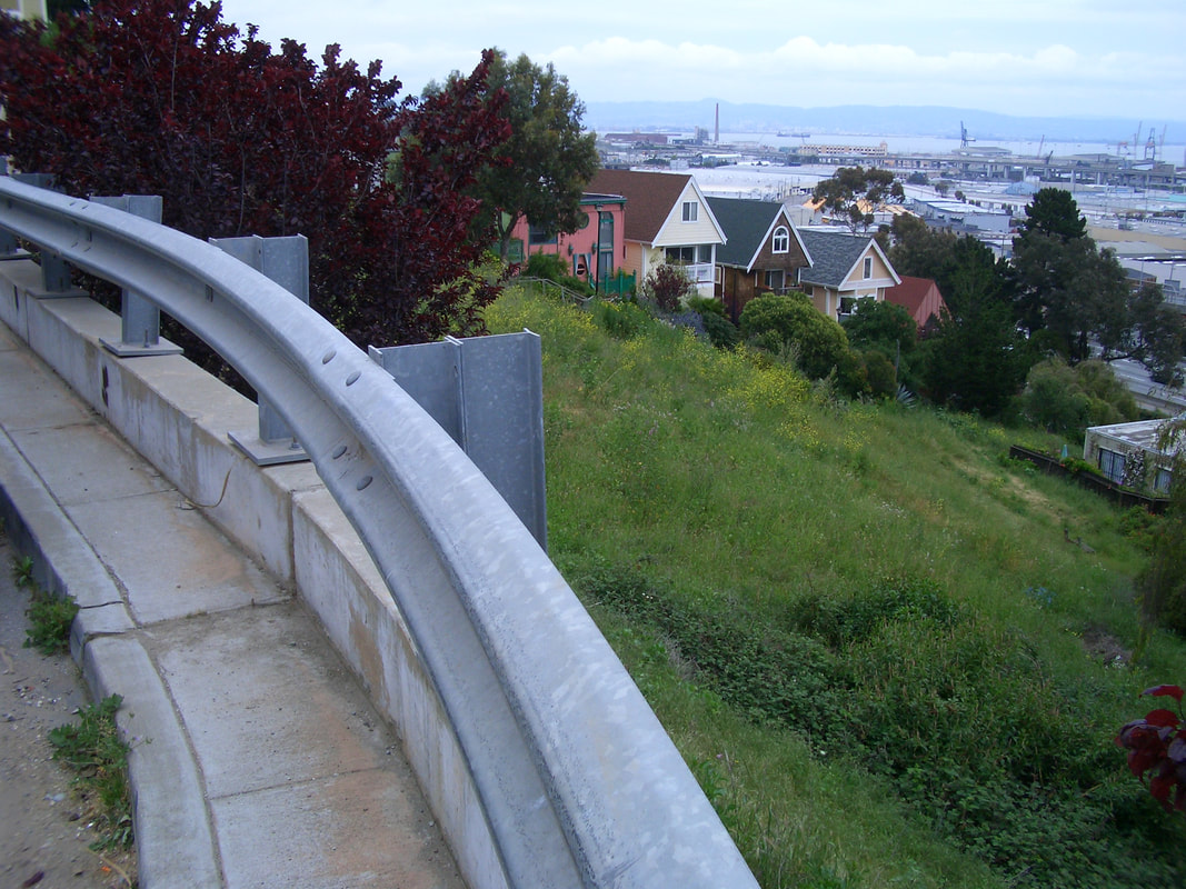
8 Pacific Overlook
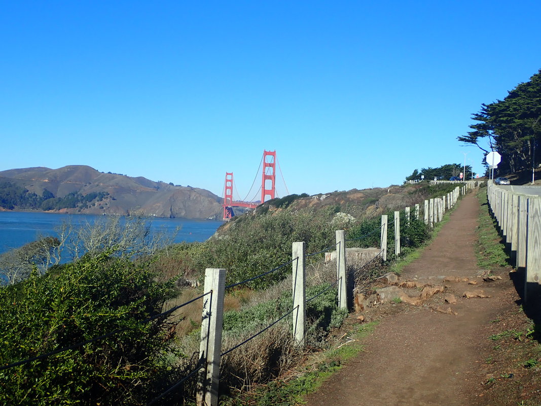
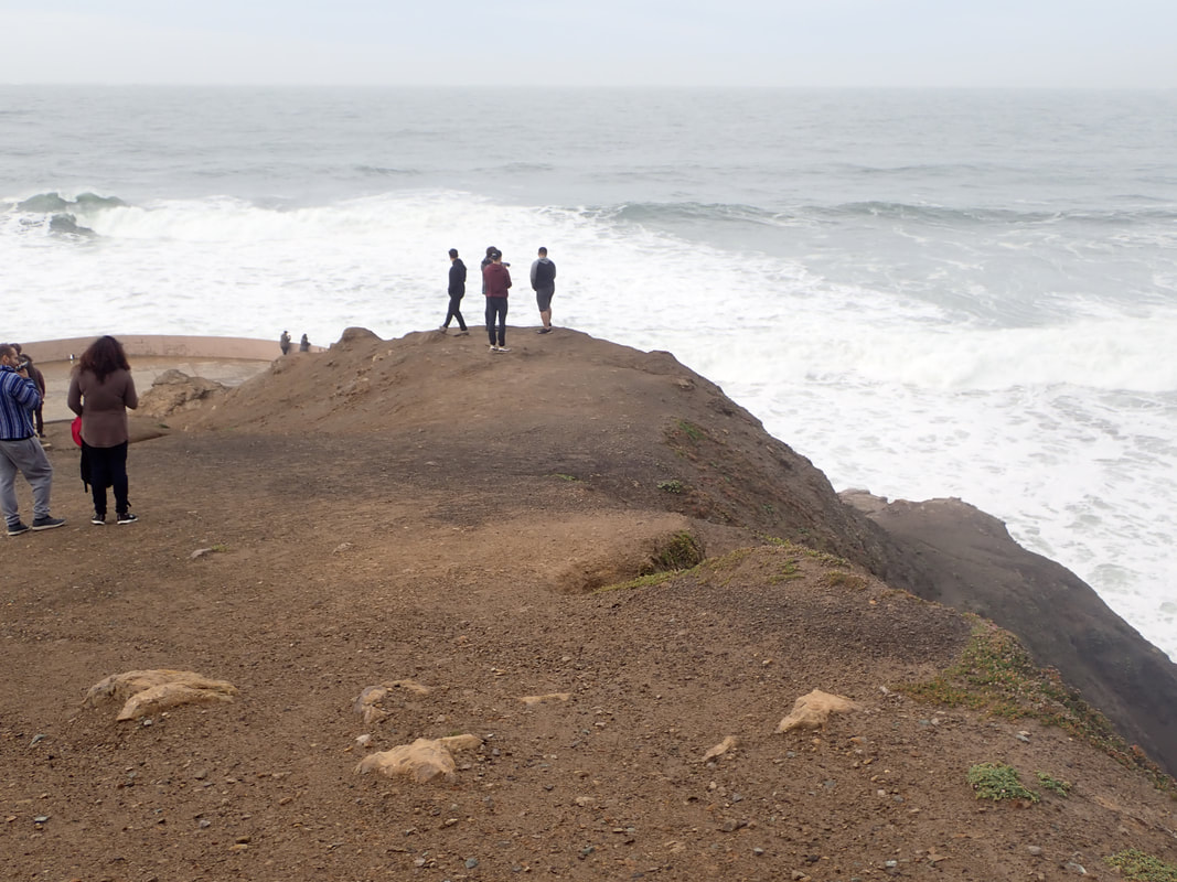
9
10
11
12
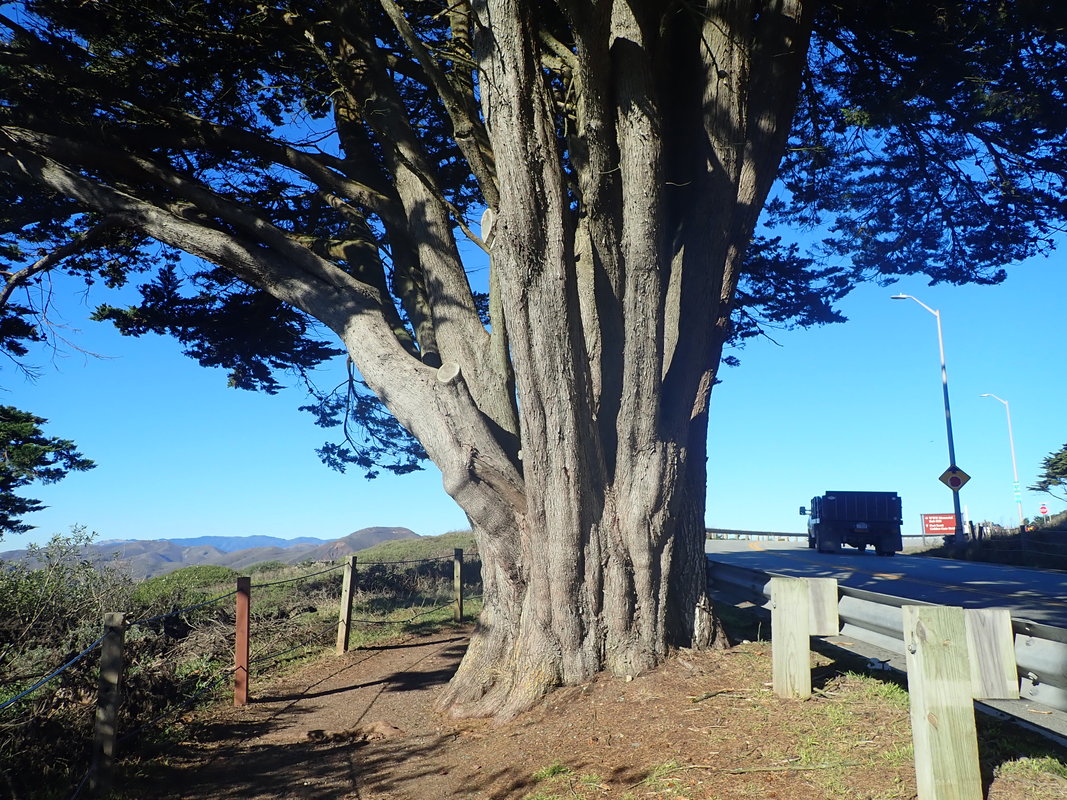
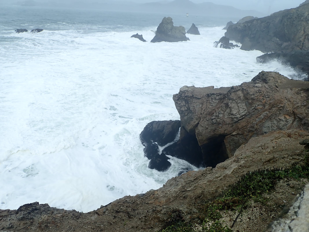
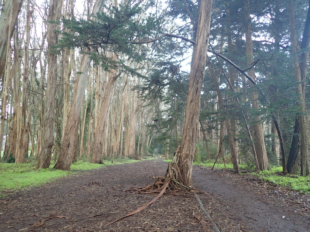
13

14
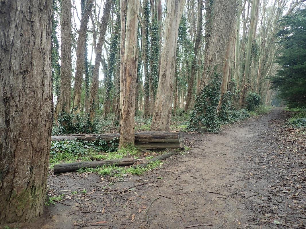
15
16
17
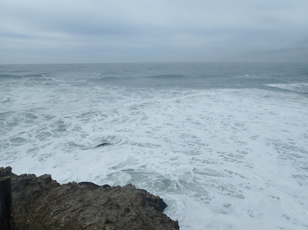
18
19
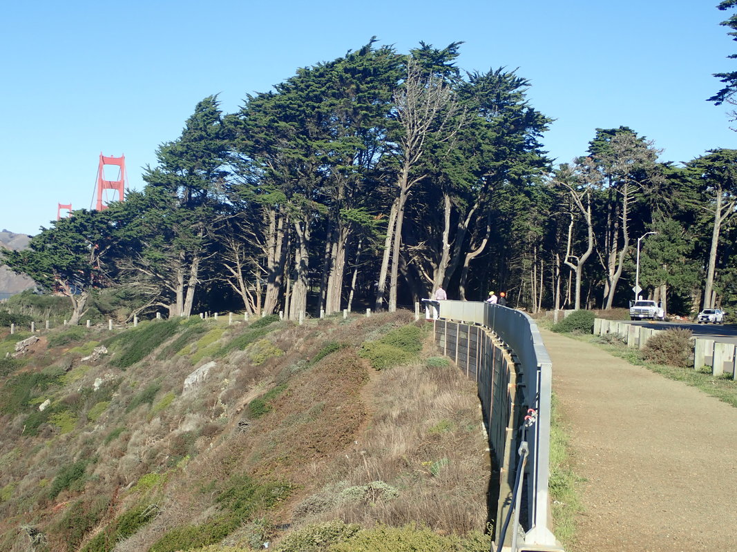
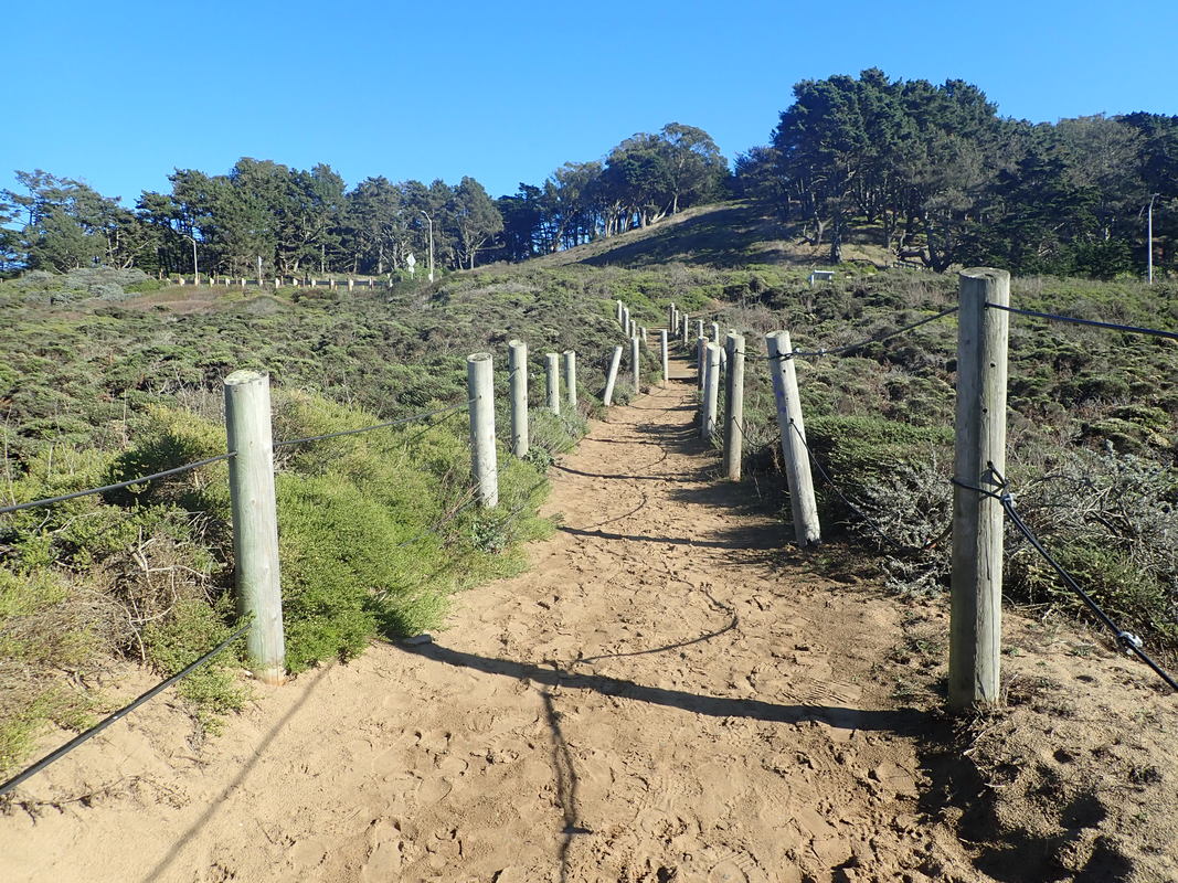
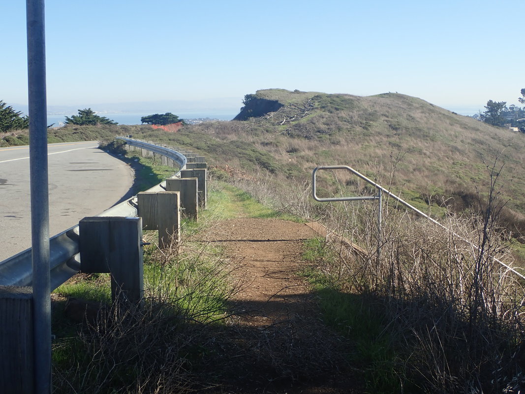
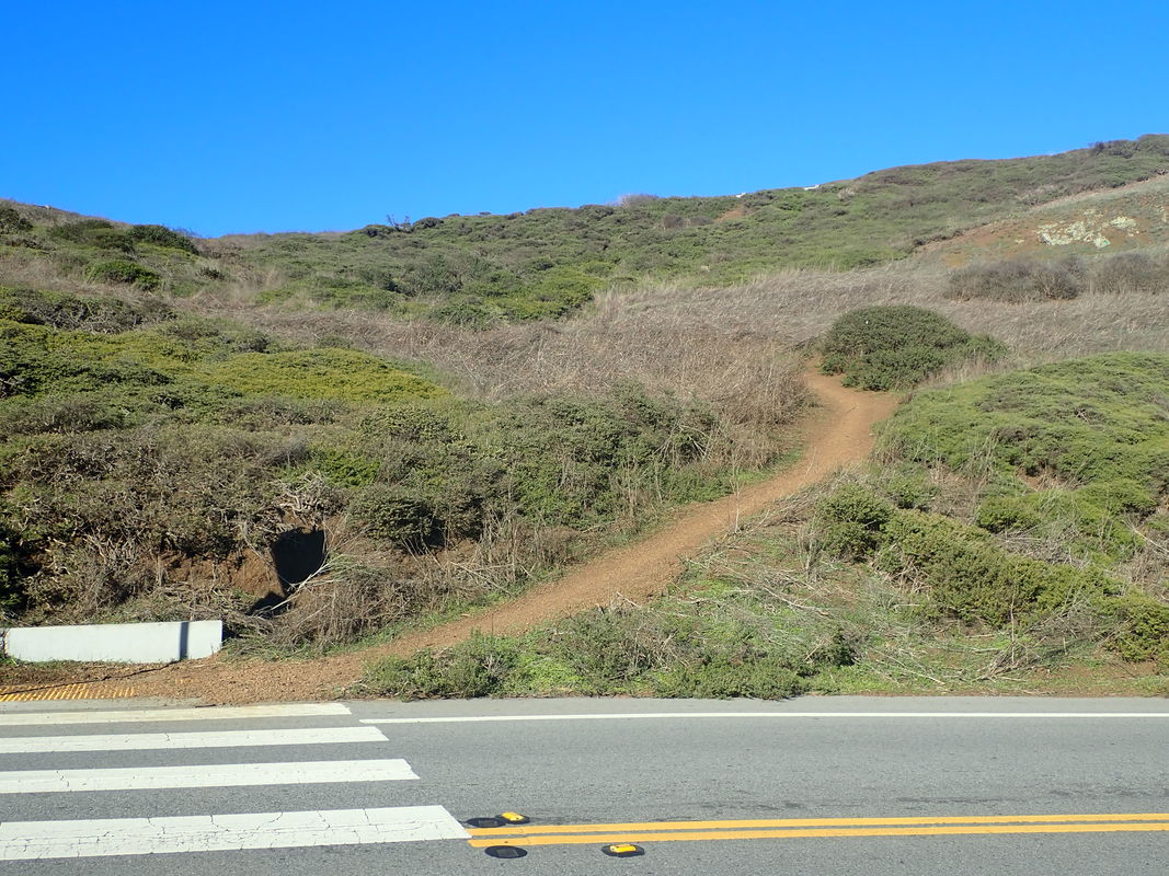
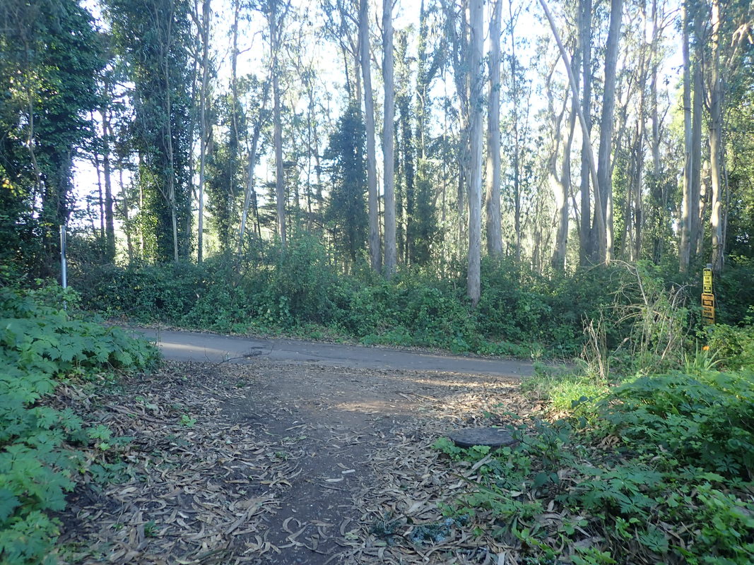
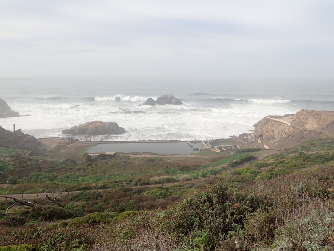
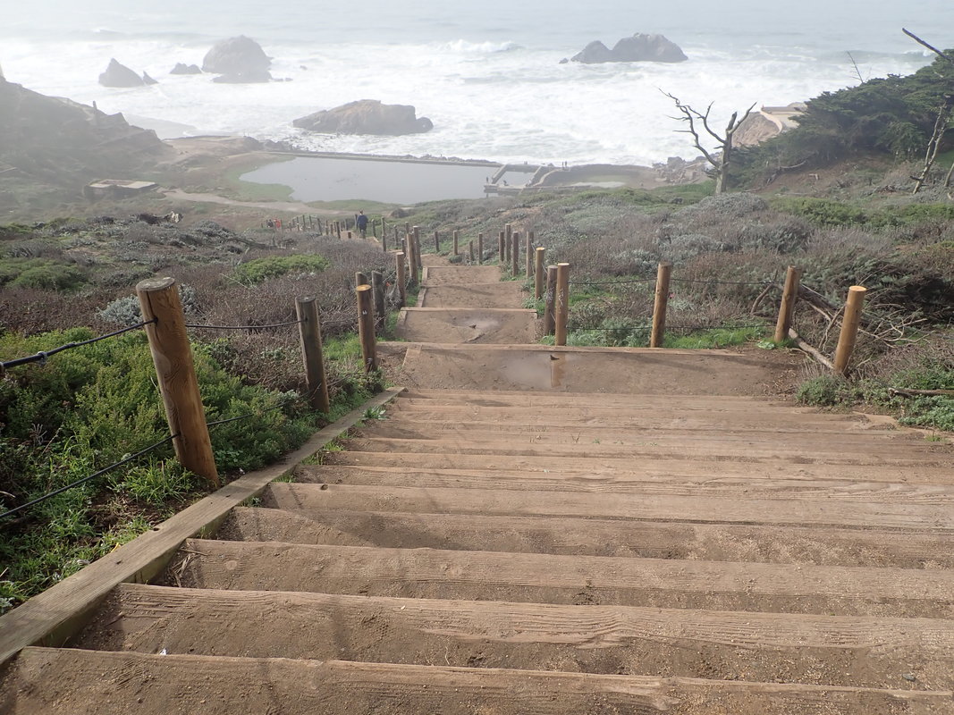
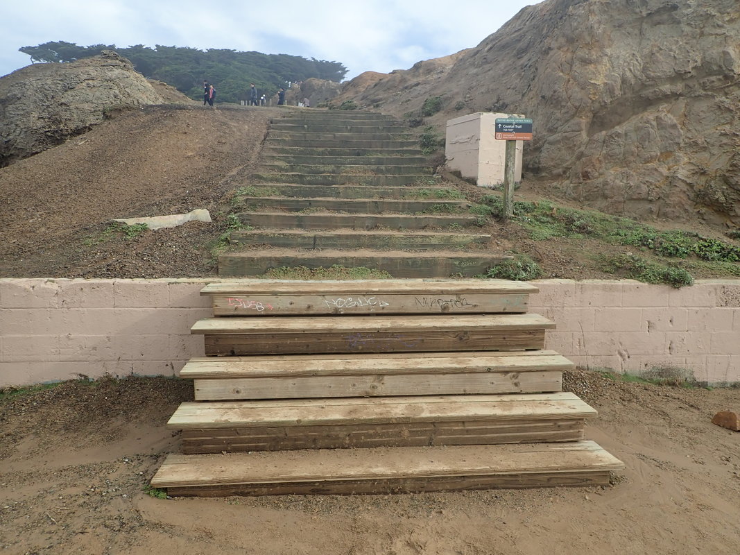
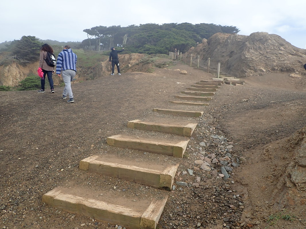
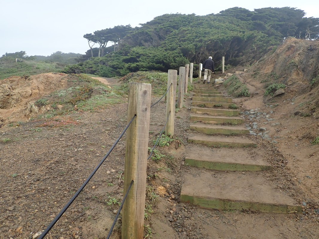
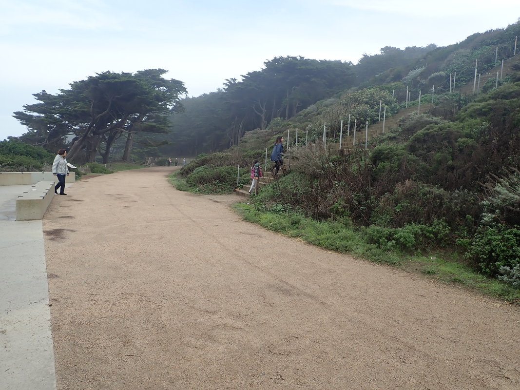
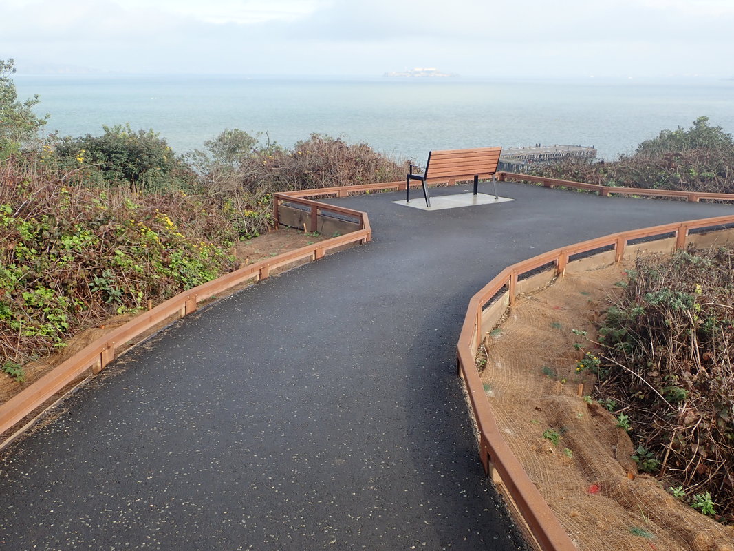
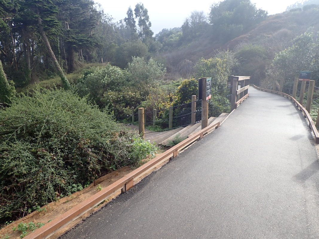
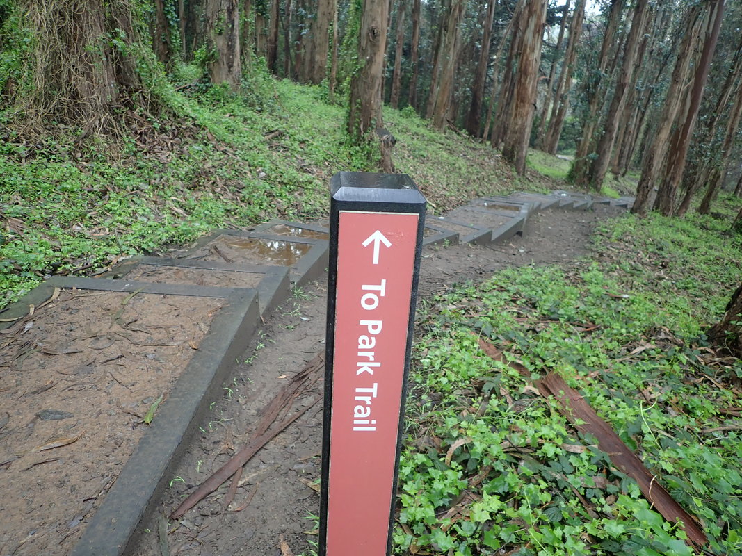
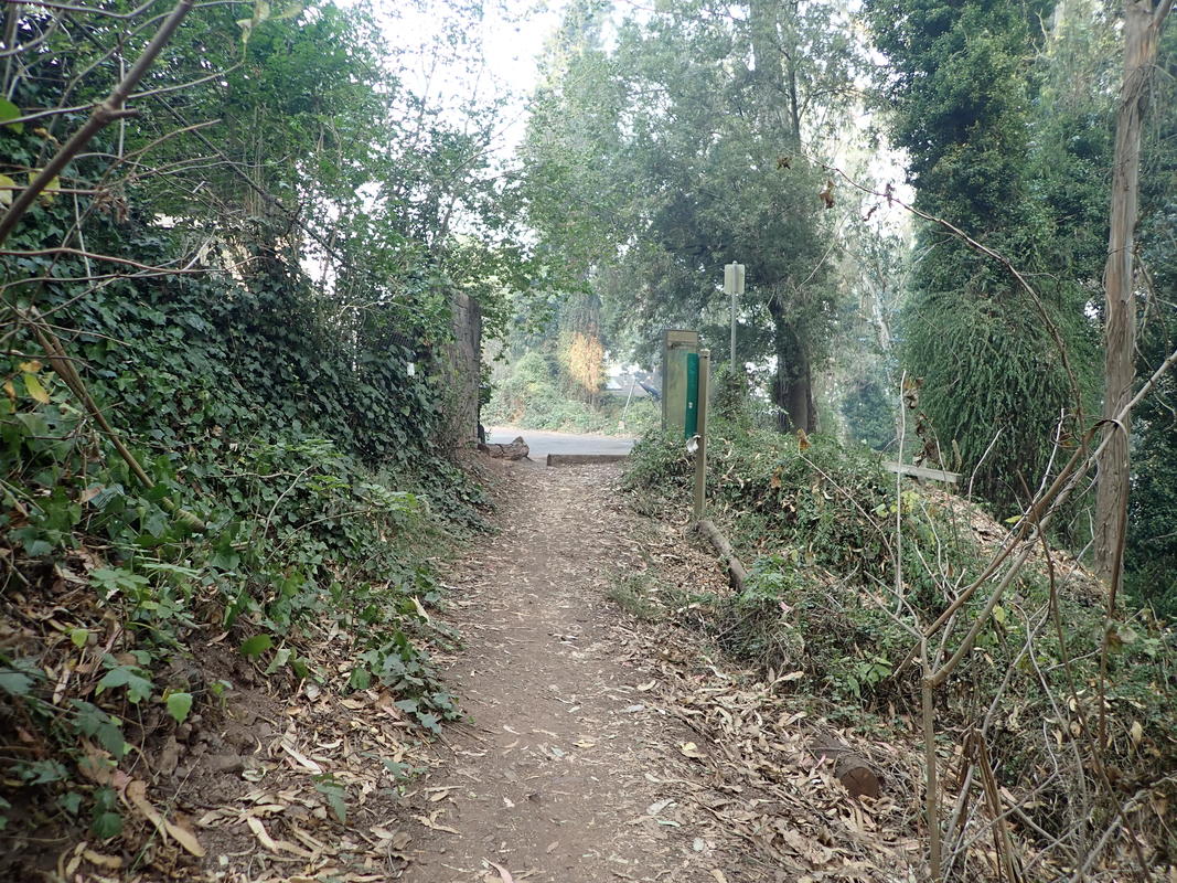
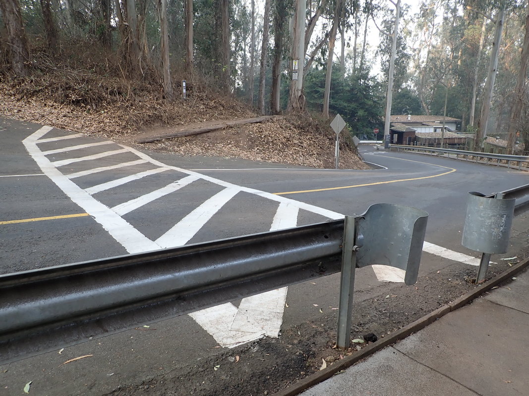
20 West trailhead for Batteries to Bluffs Trail
21
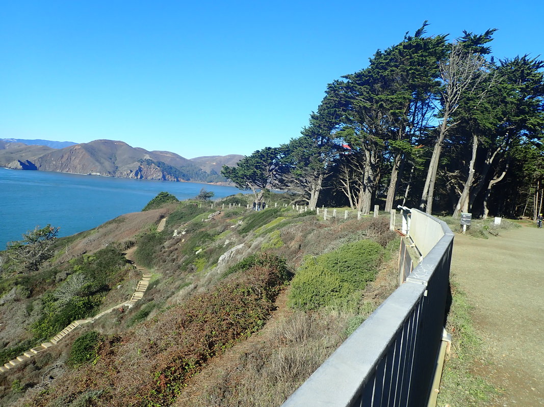
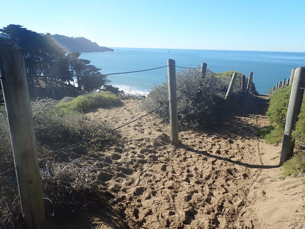
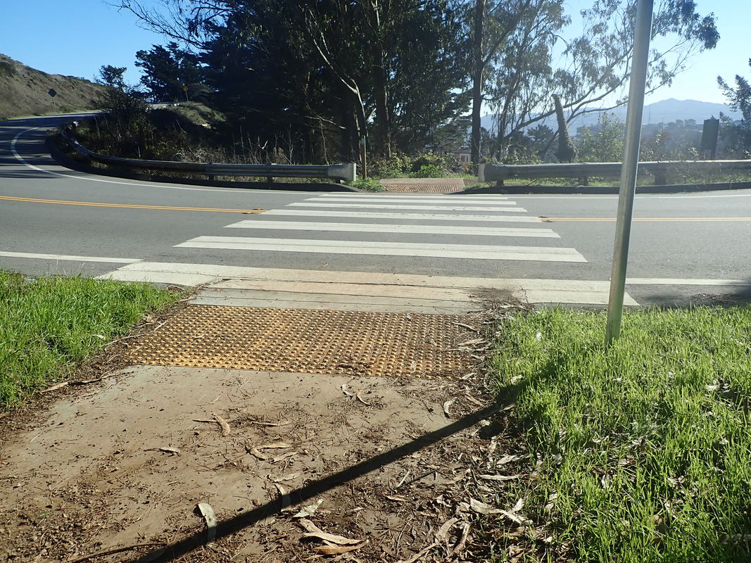
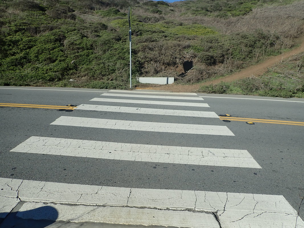
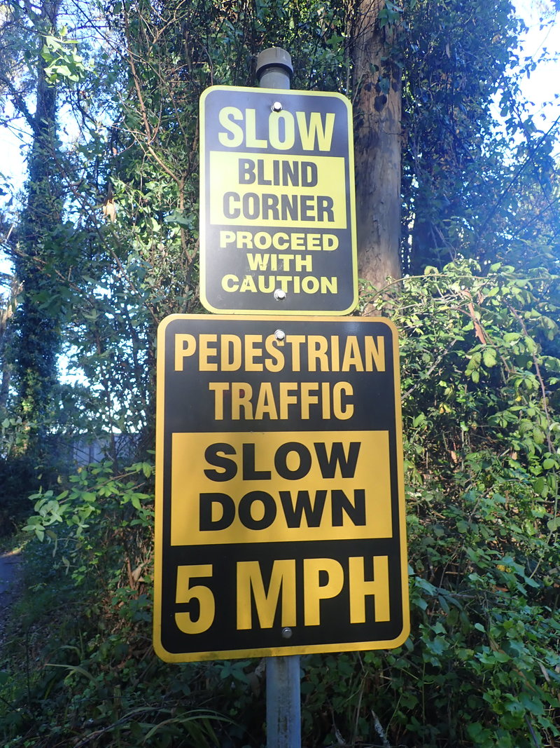
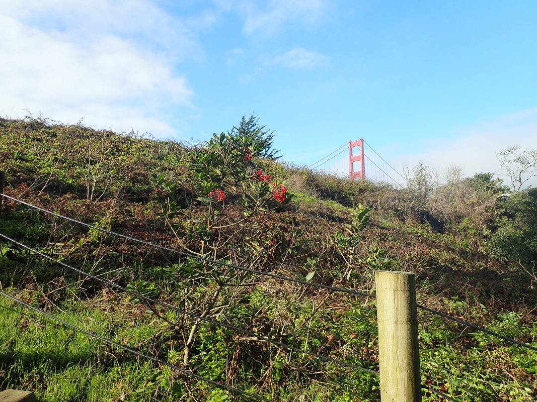
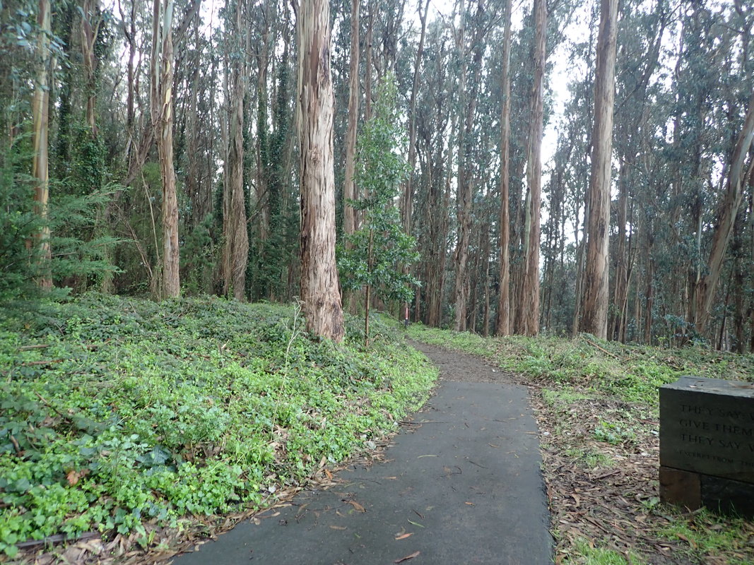
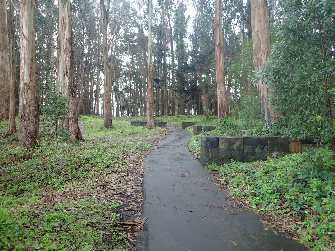
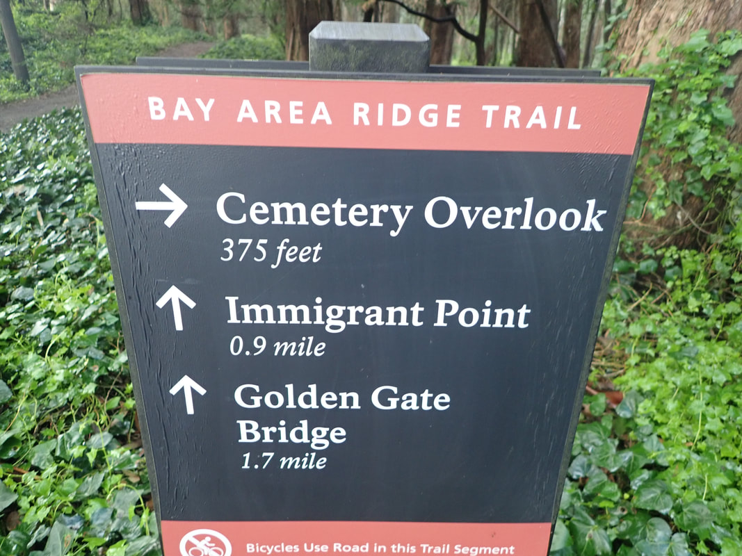
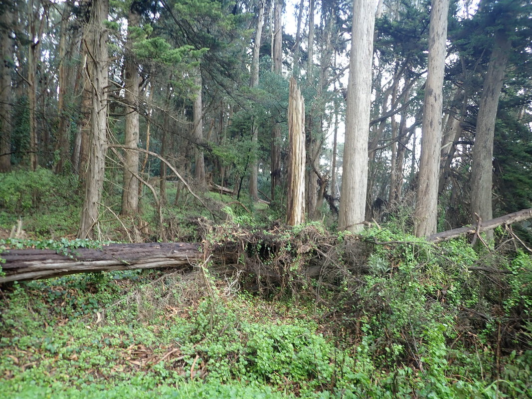
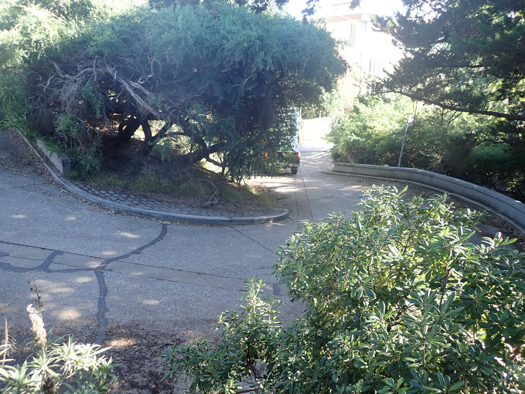
22 Across the street, Connector Trail to Immigrant Point Overlook
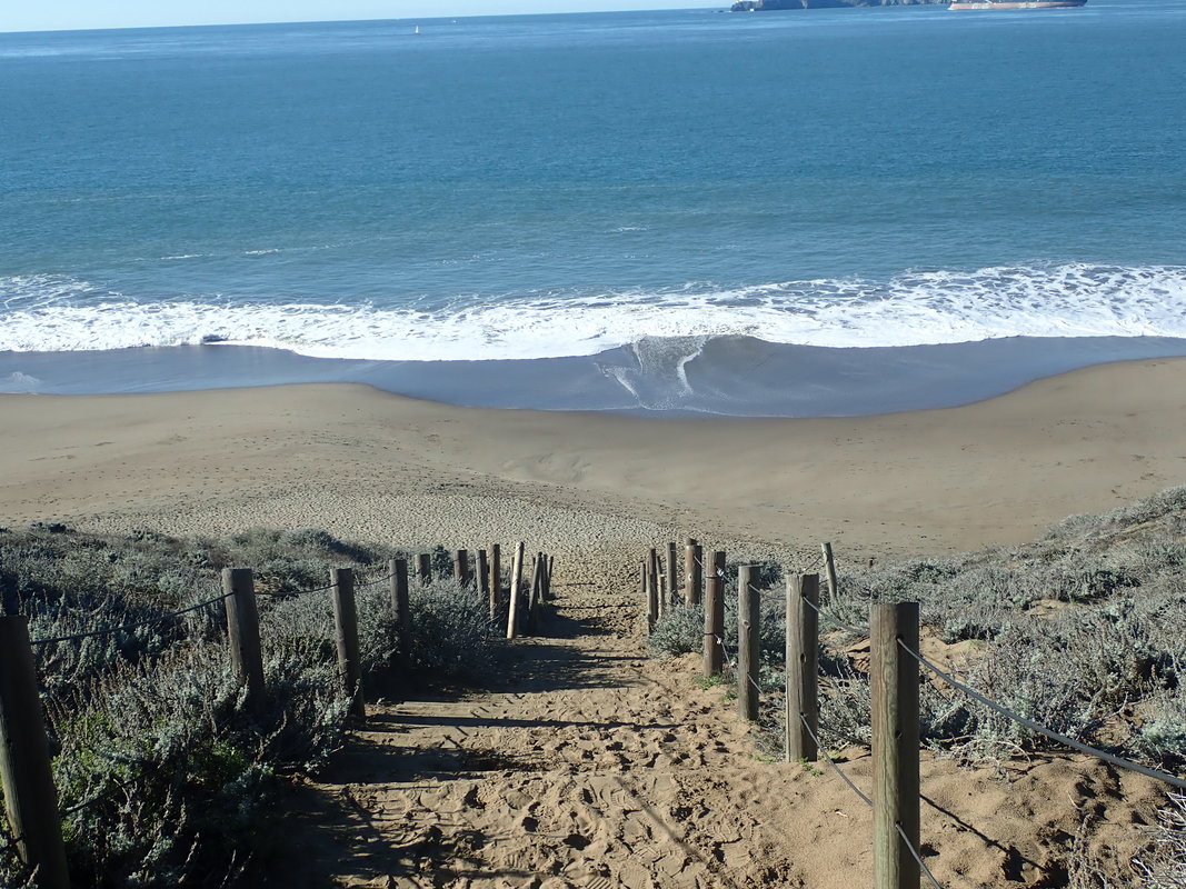
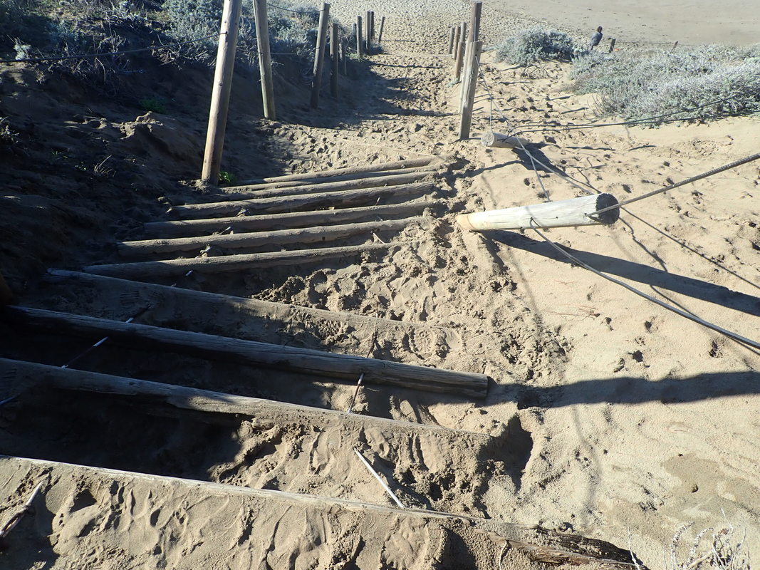
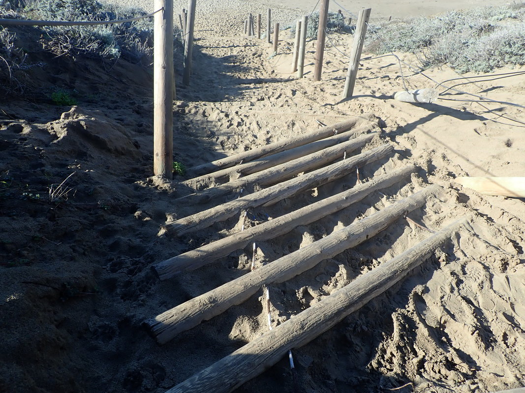
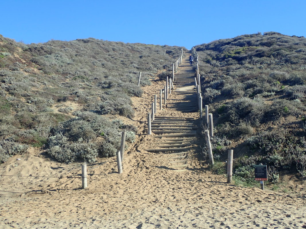
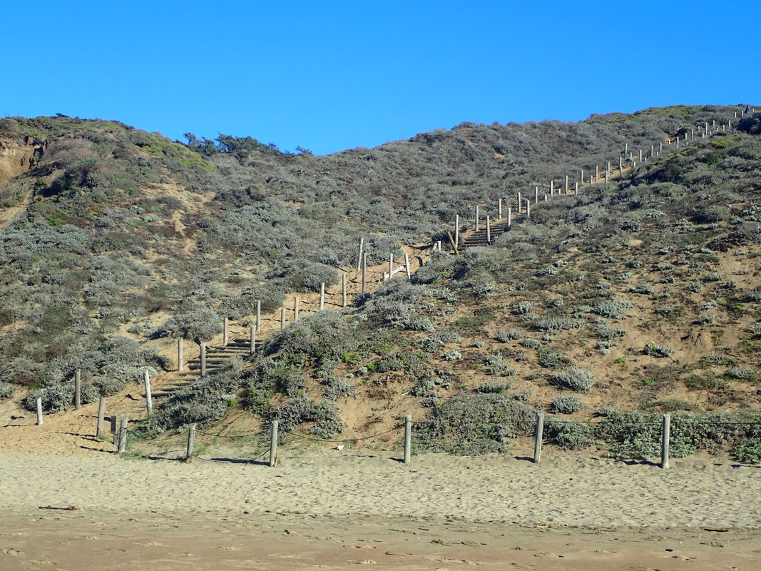
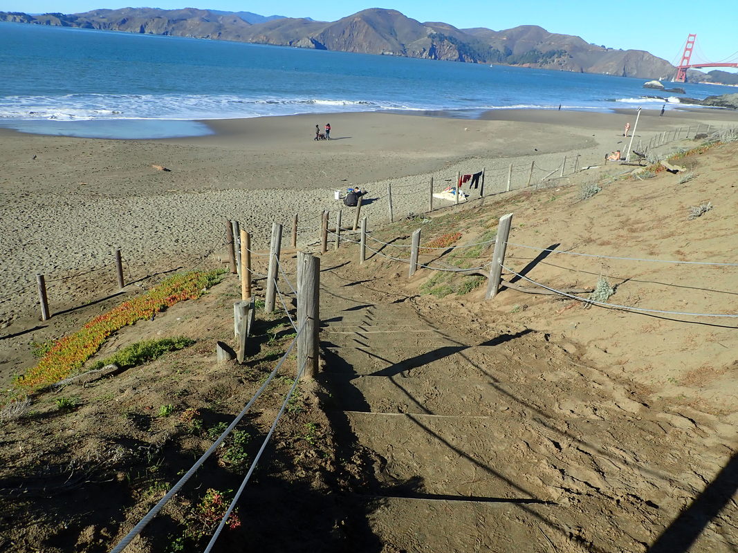
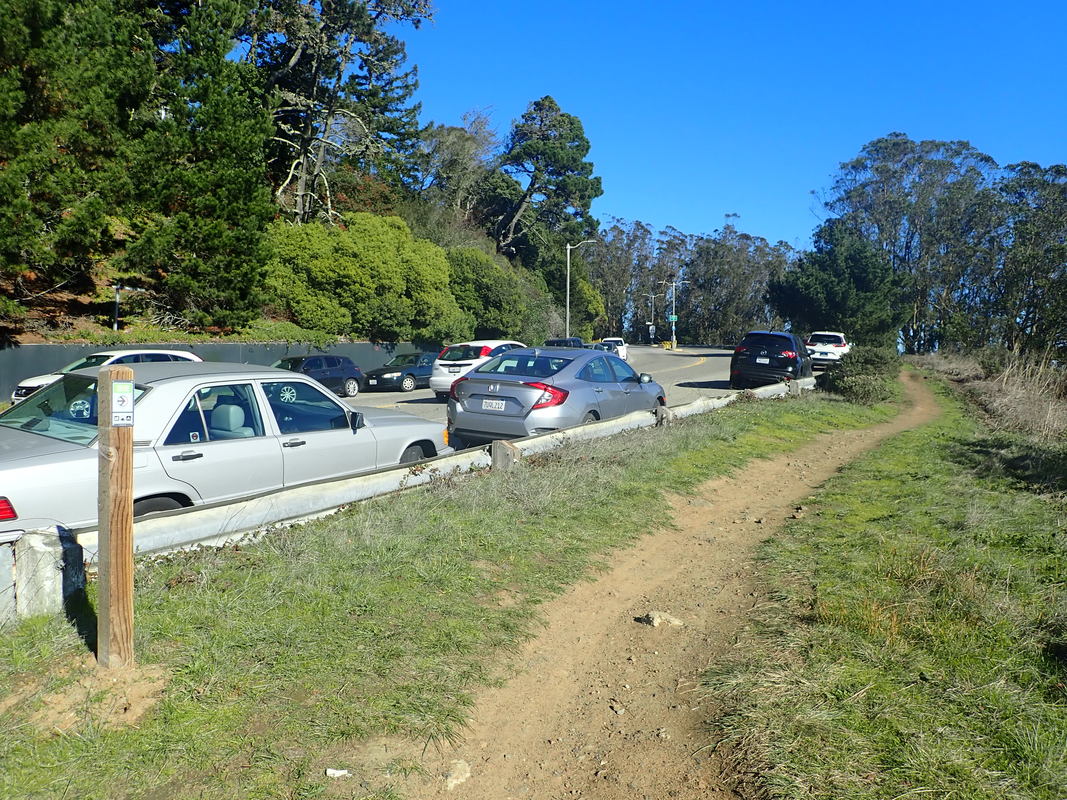
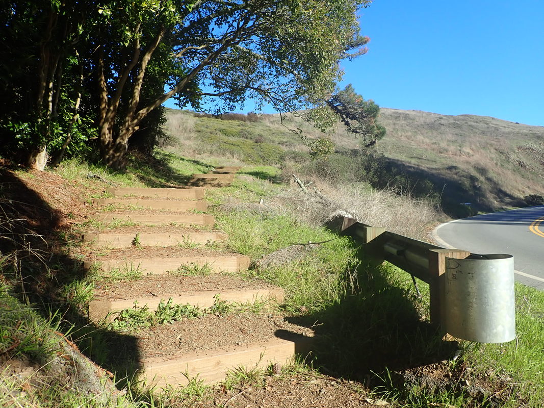
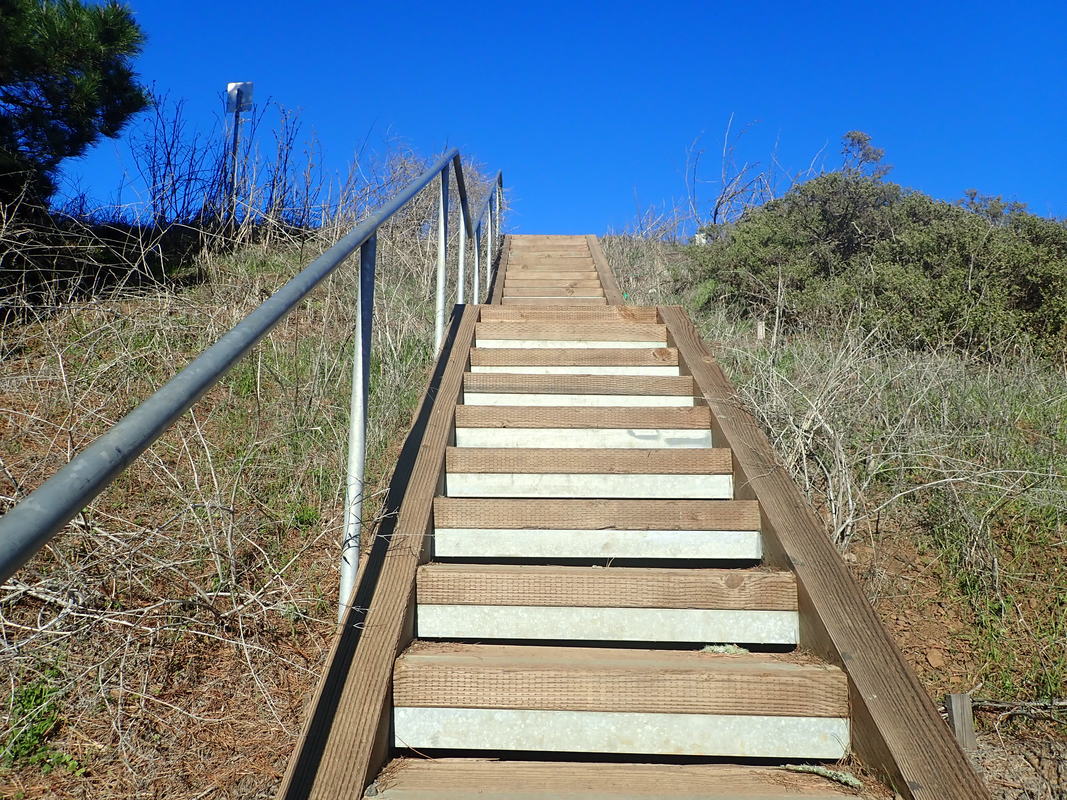
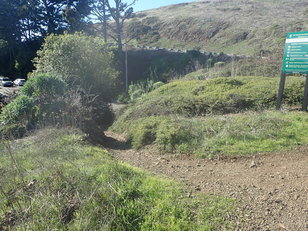
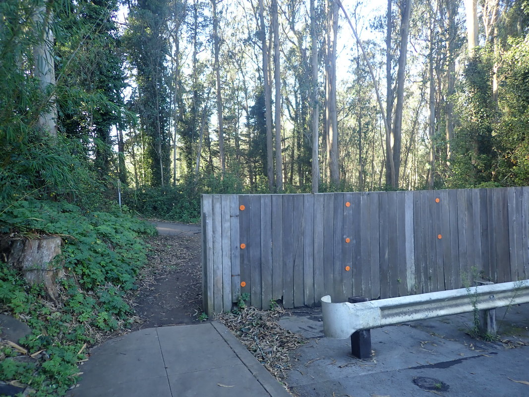
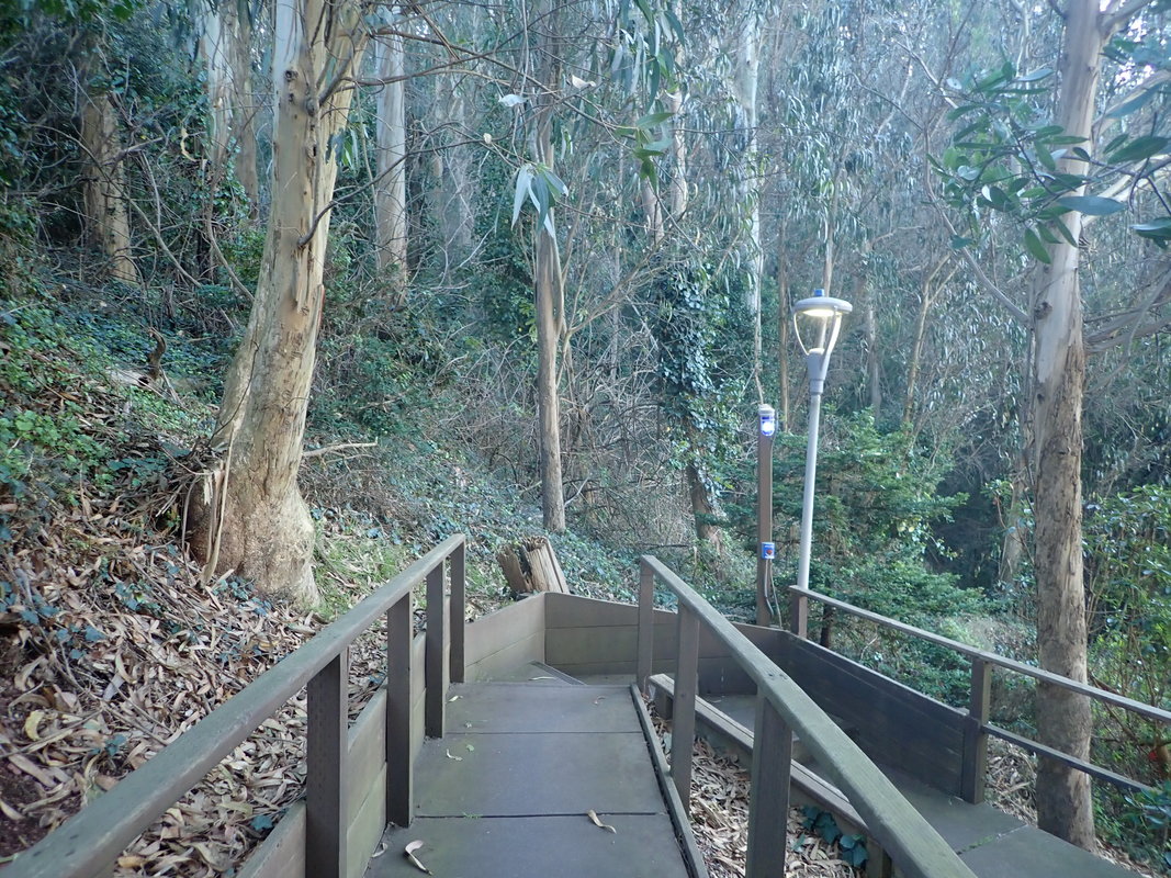
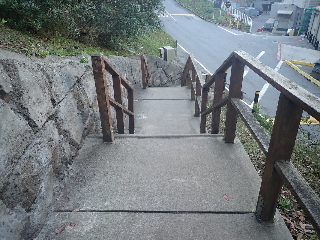
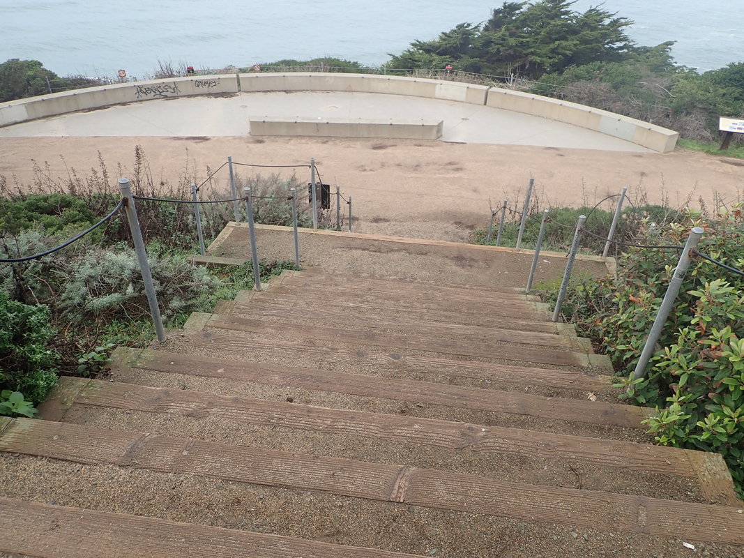
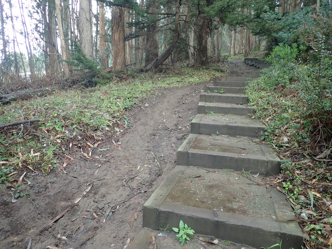
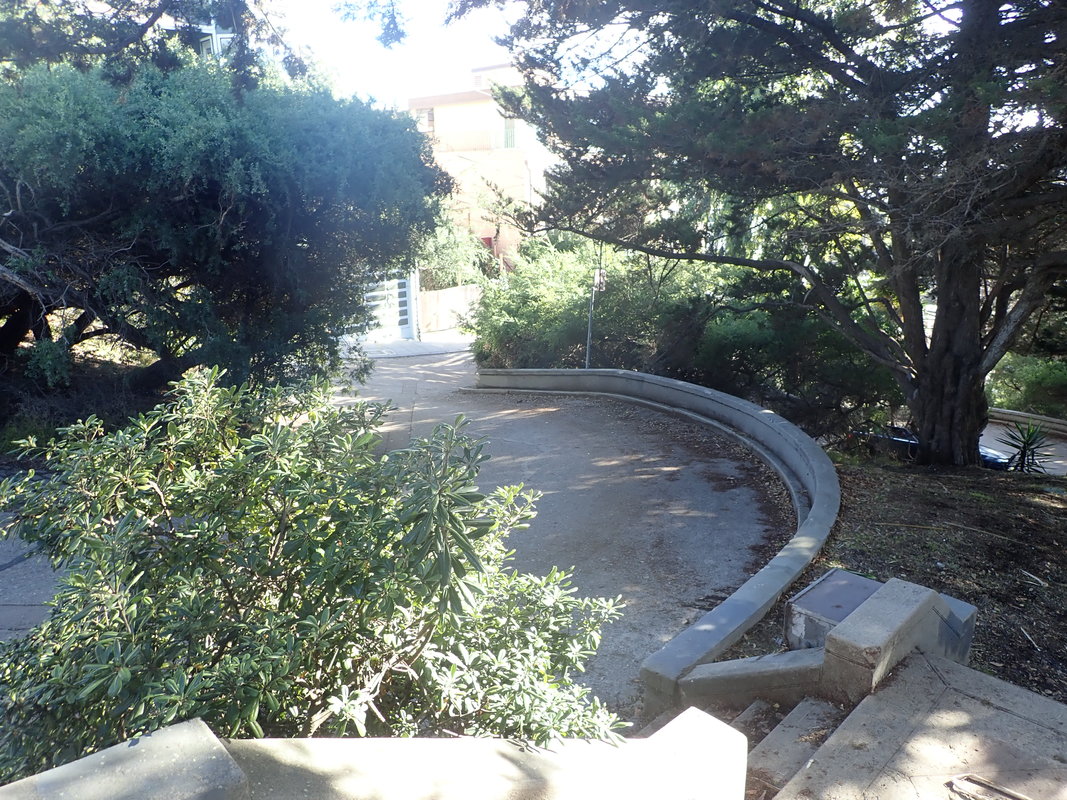
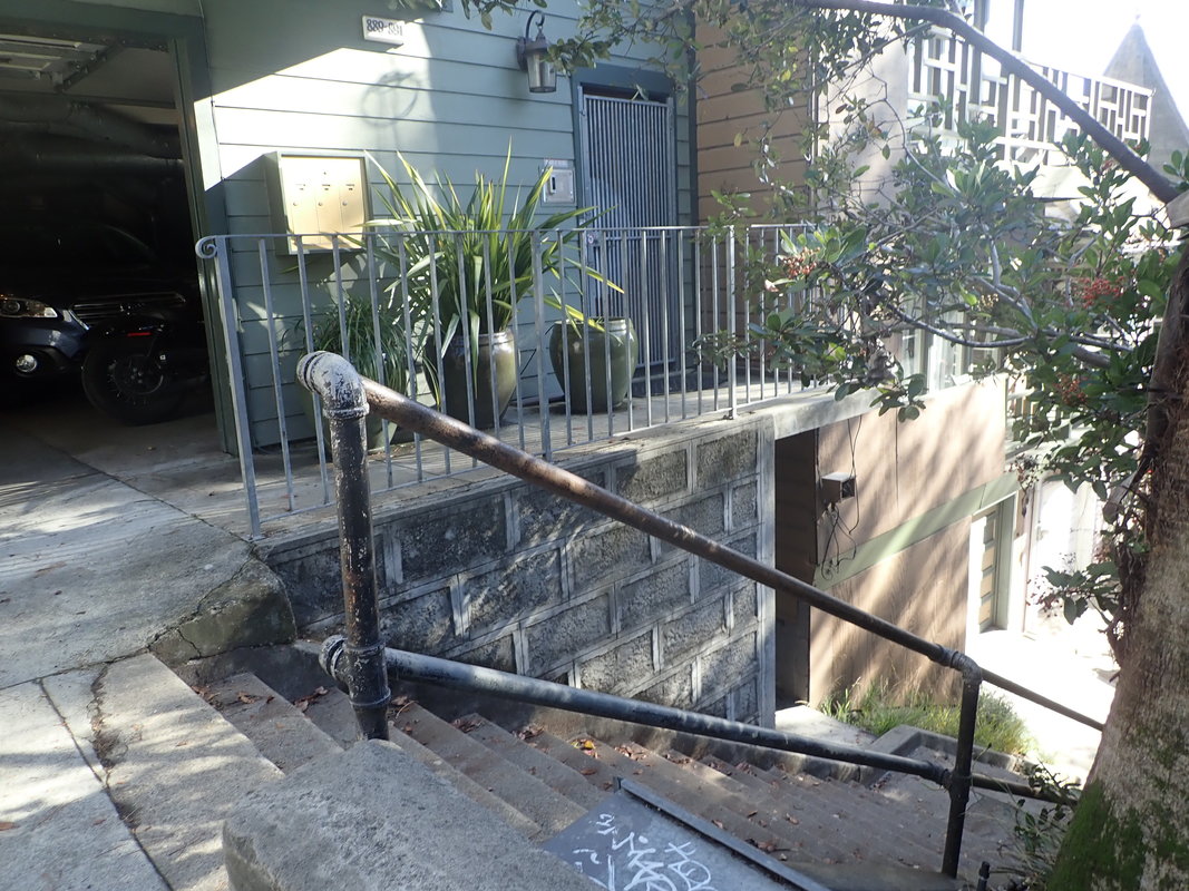
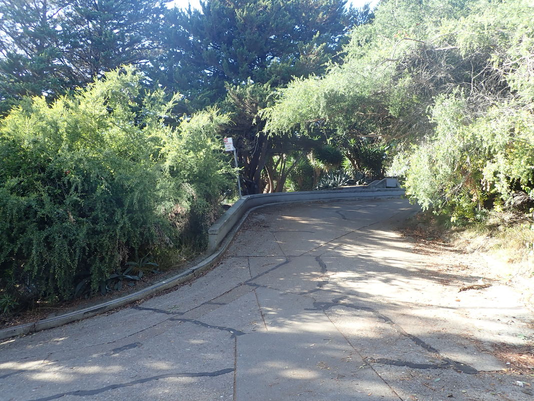
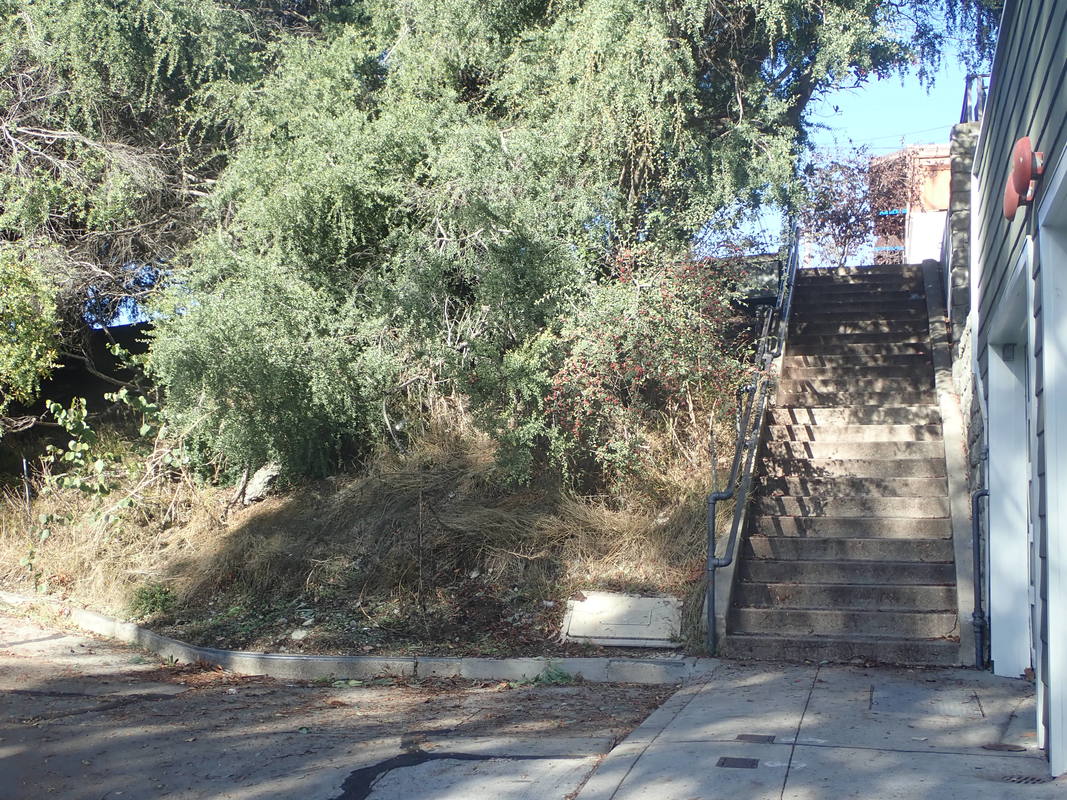
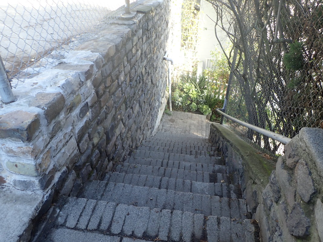
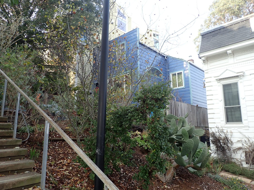
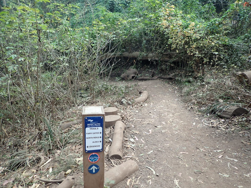
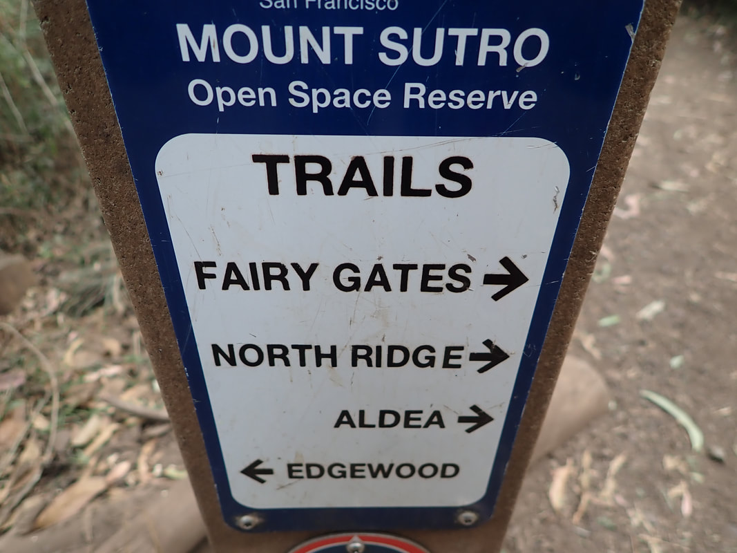
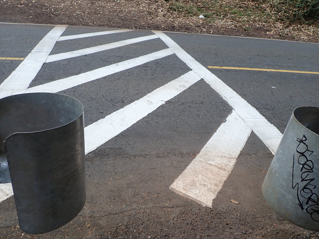
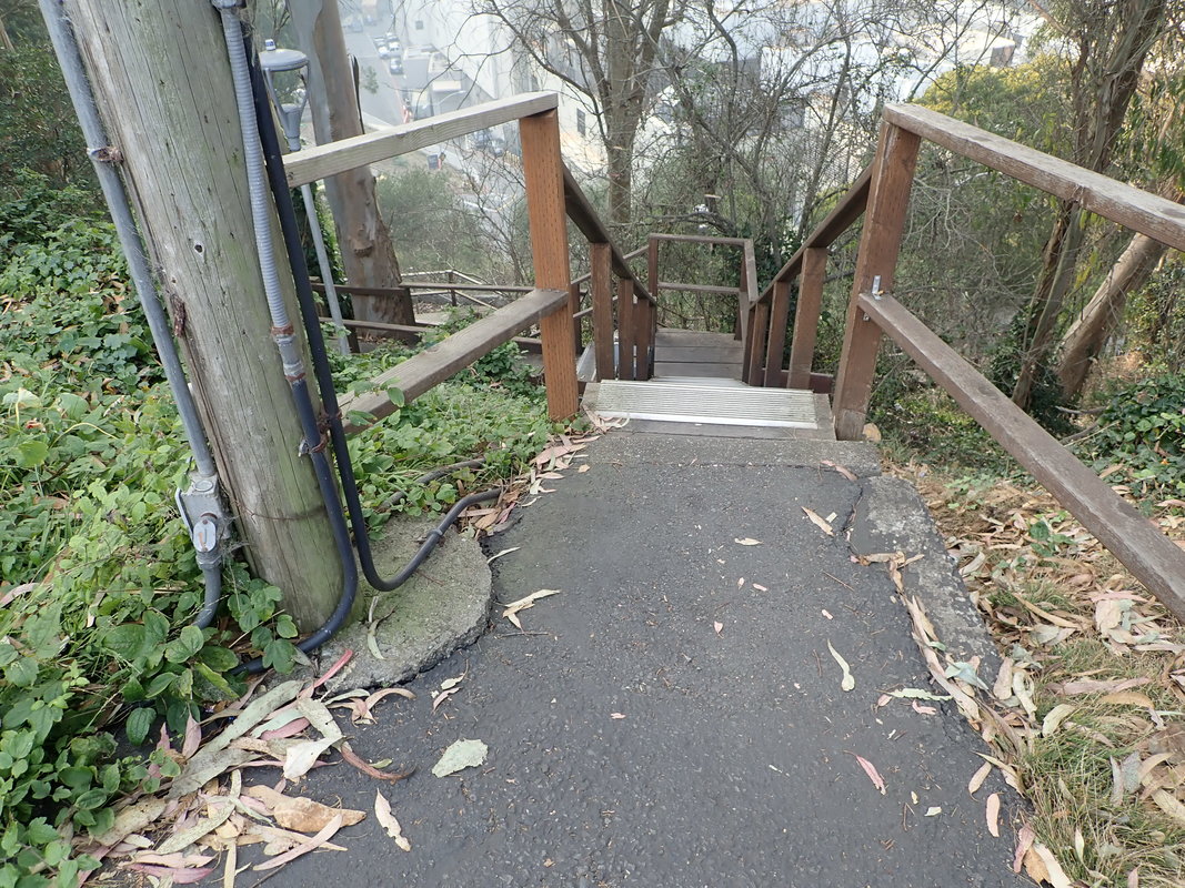
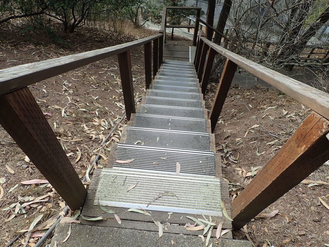
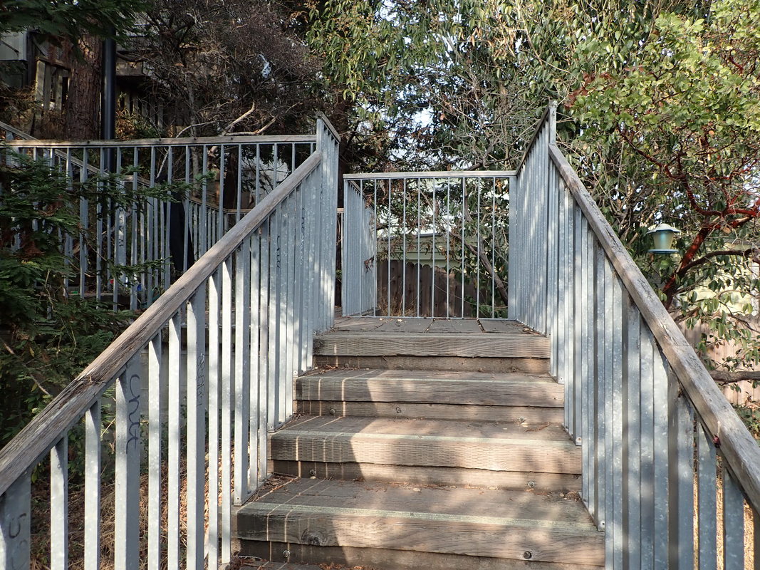
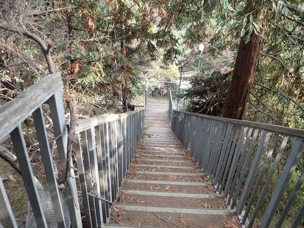
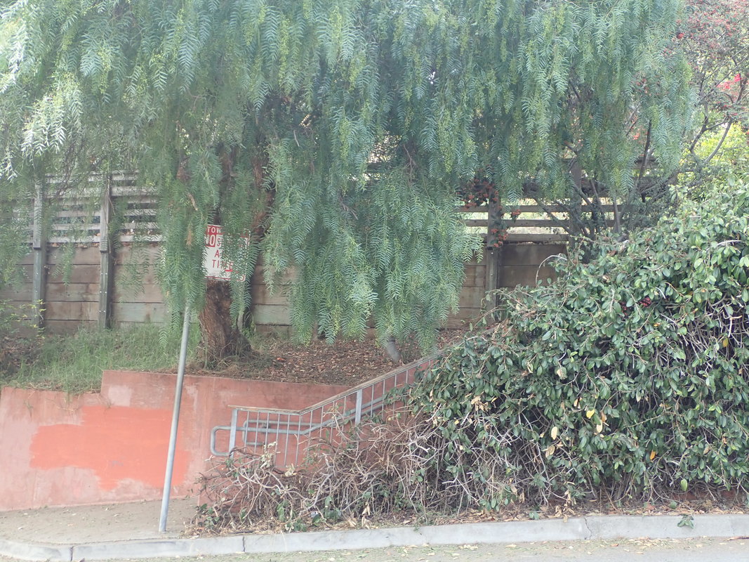
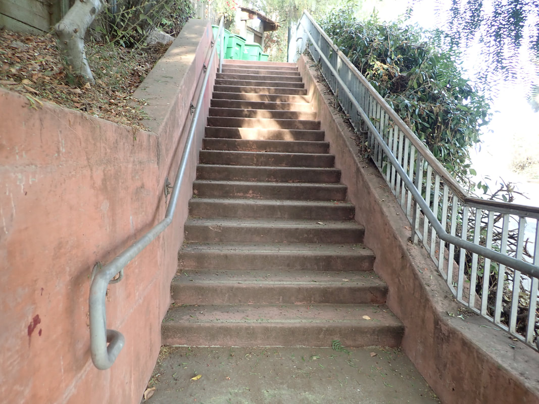
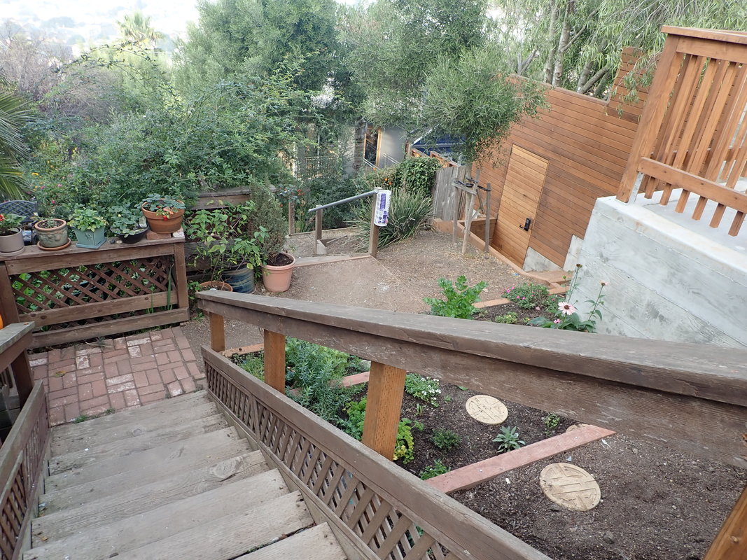
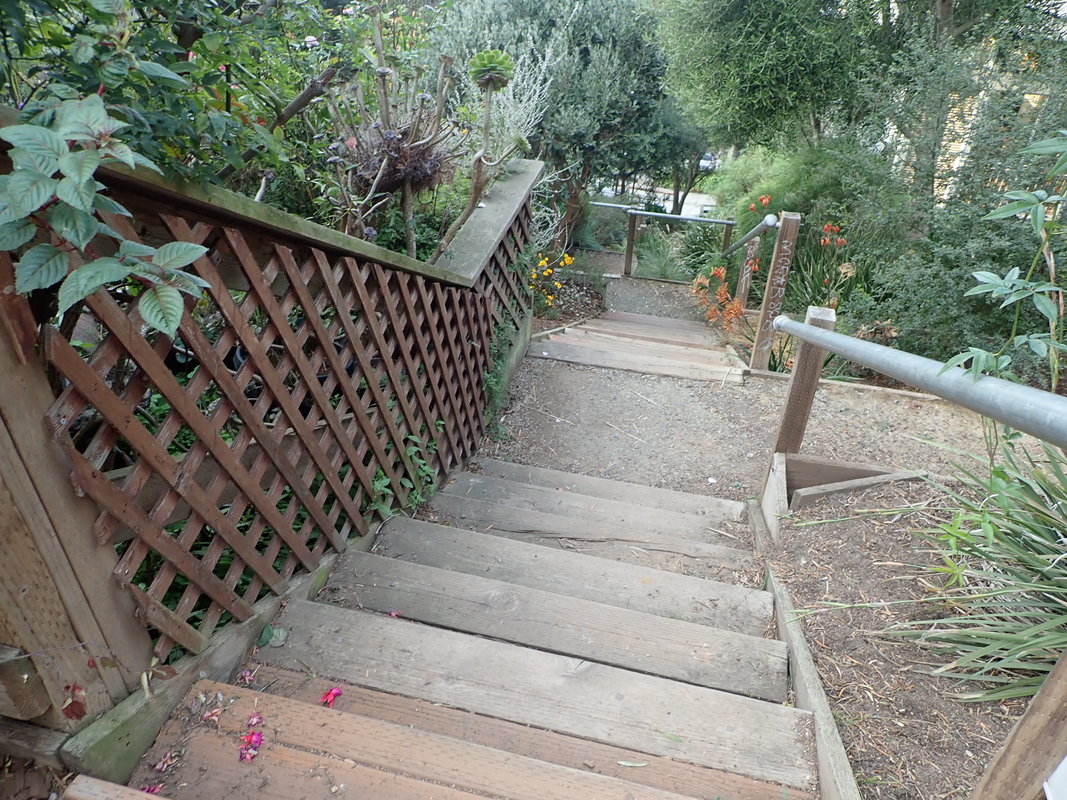
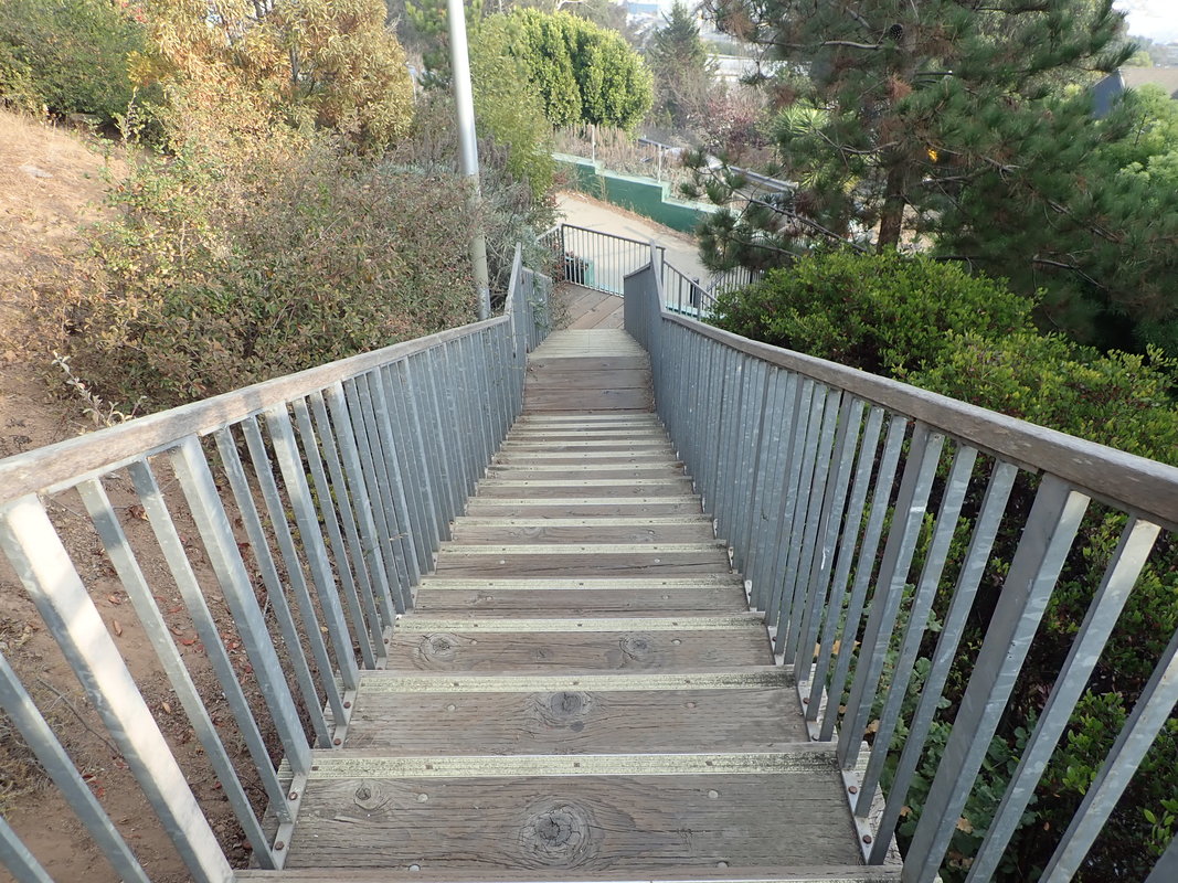
23 Lincoln trailhead for the Sand Ladder to Baker Beach
24
25
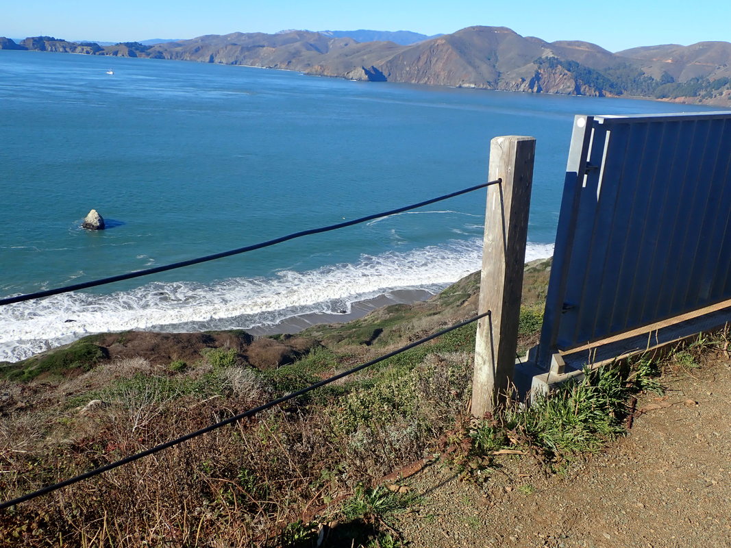
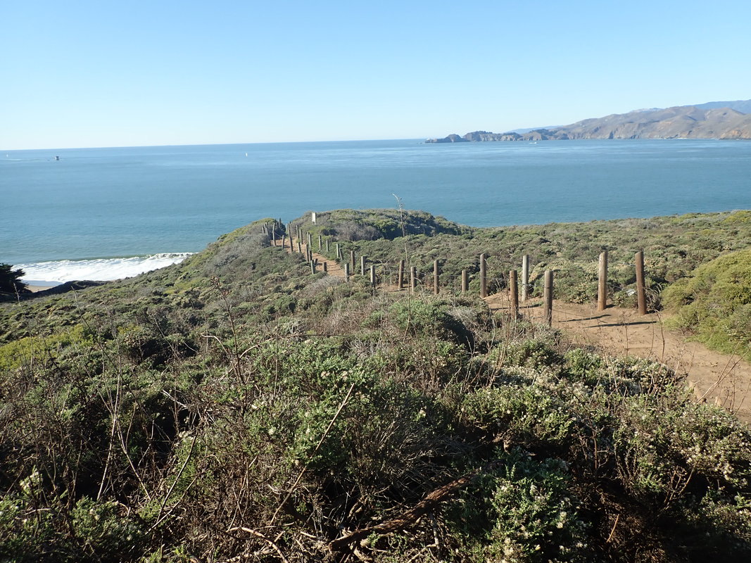
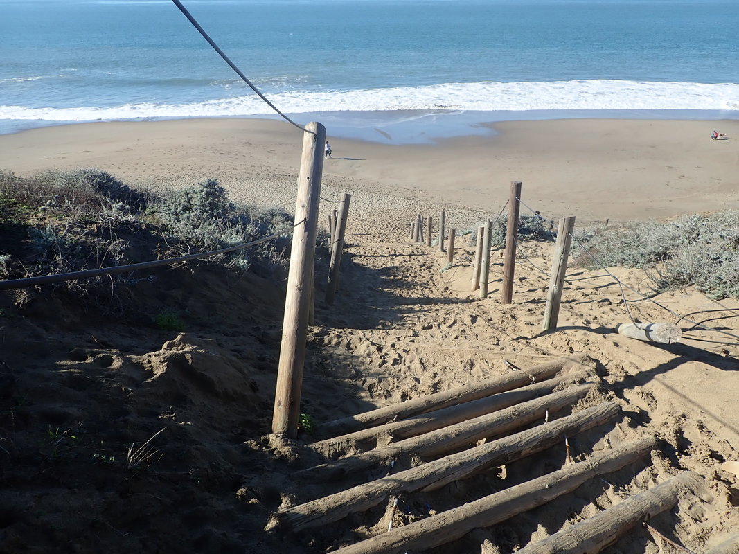
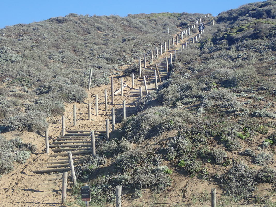
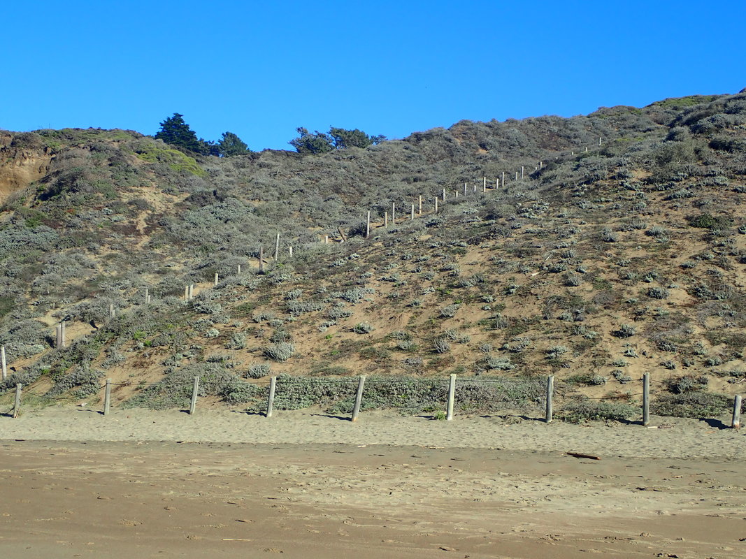
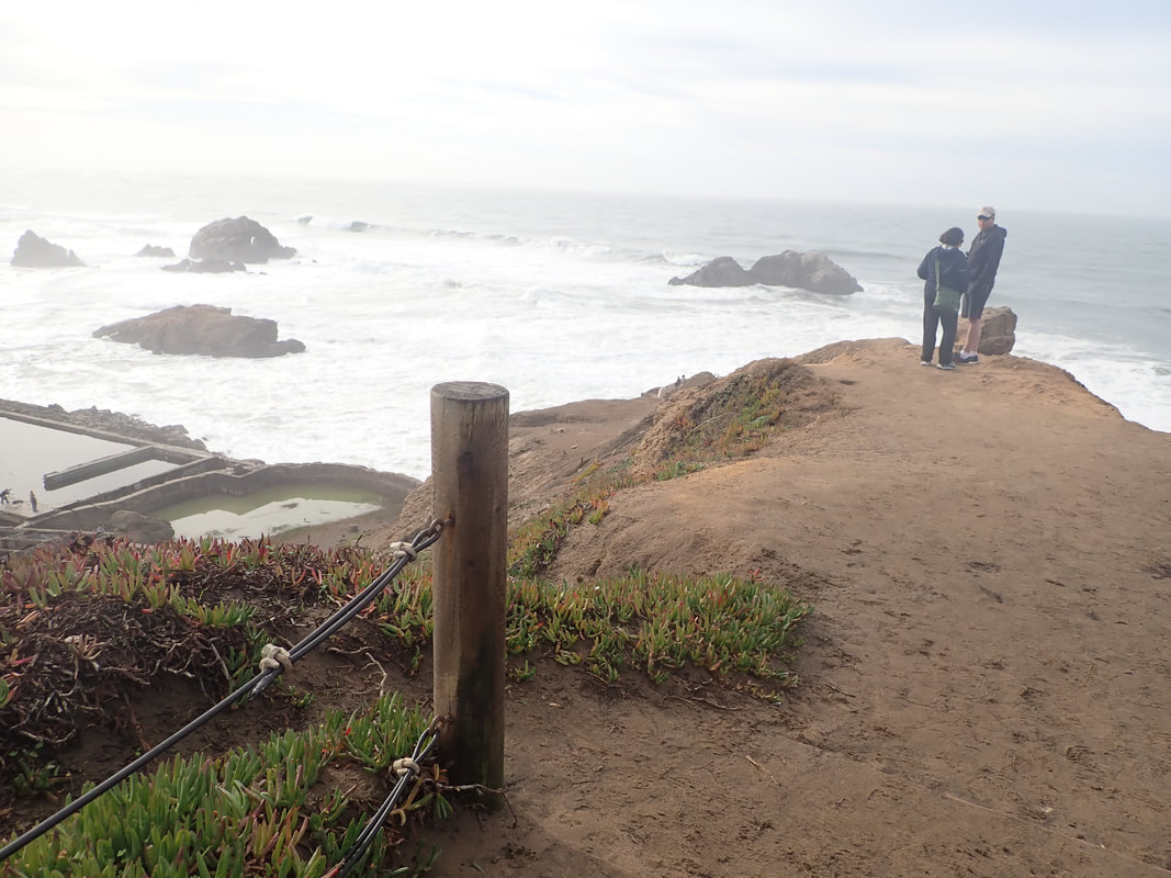
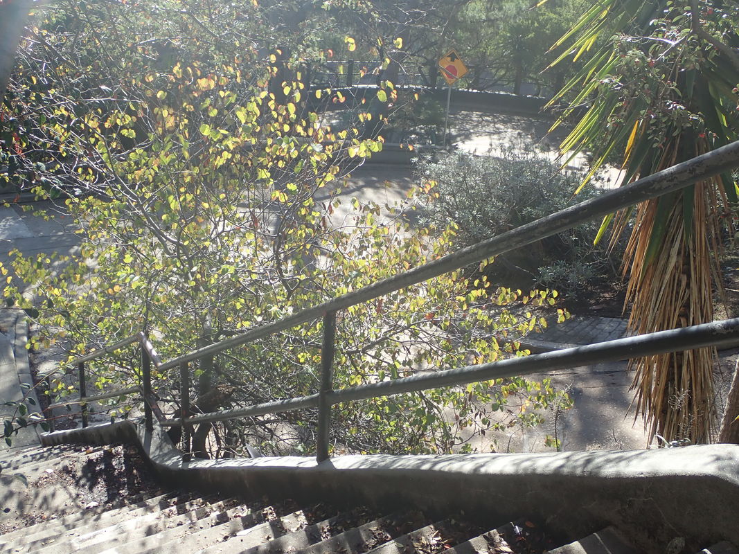
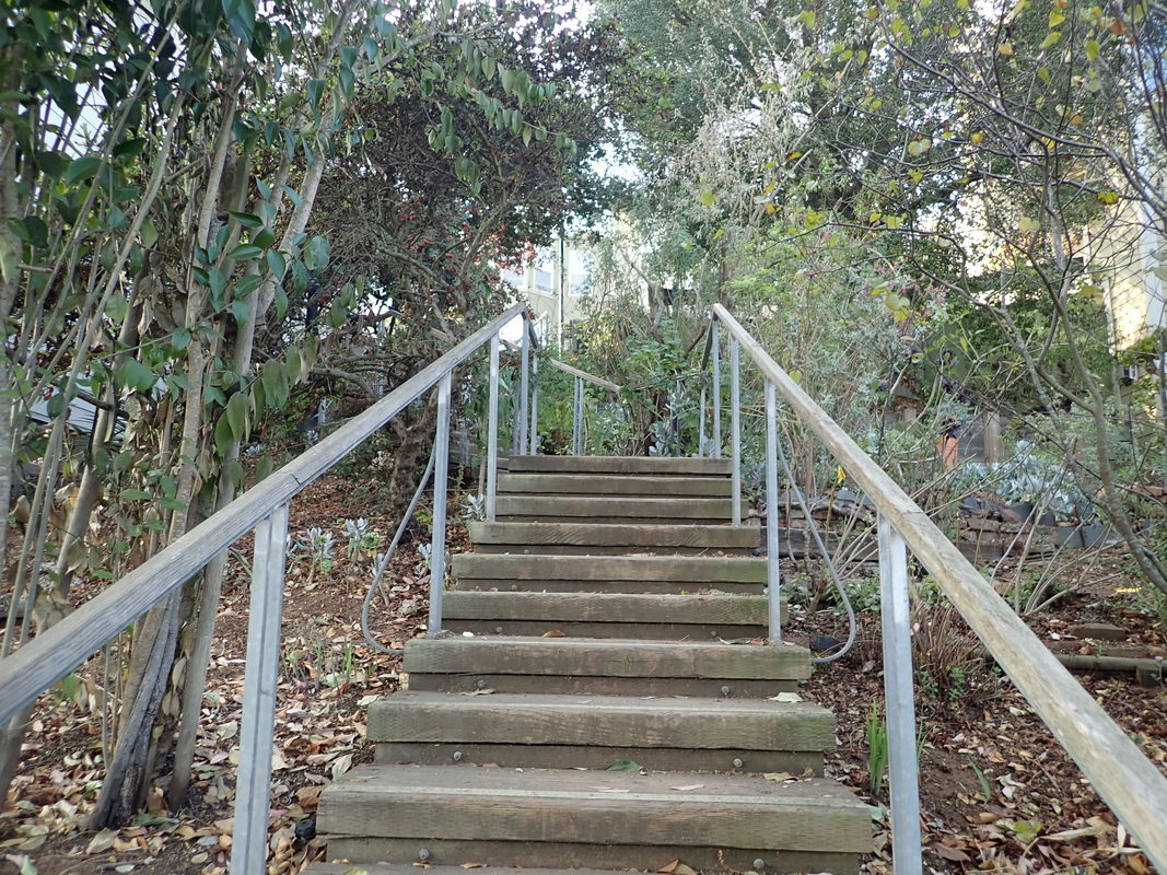
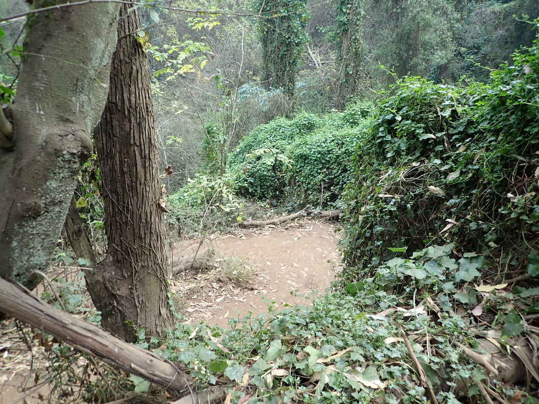
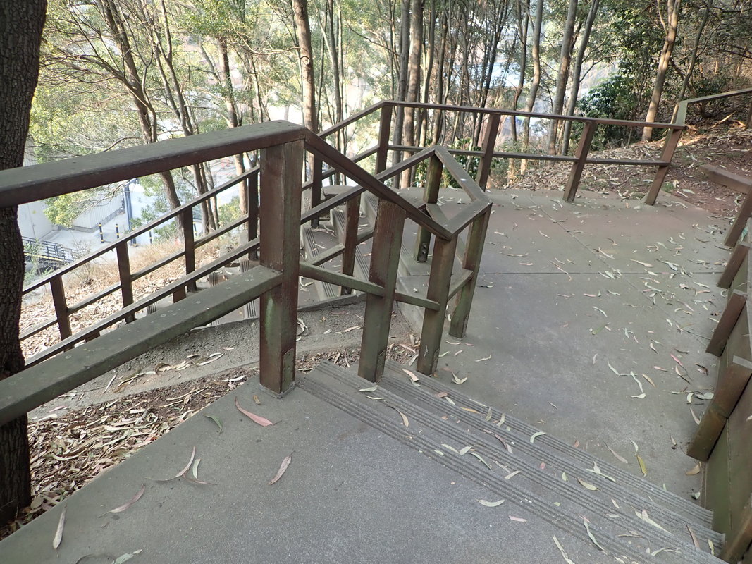
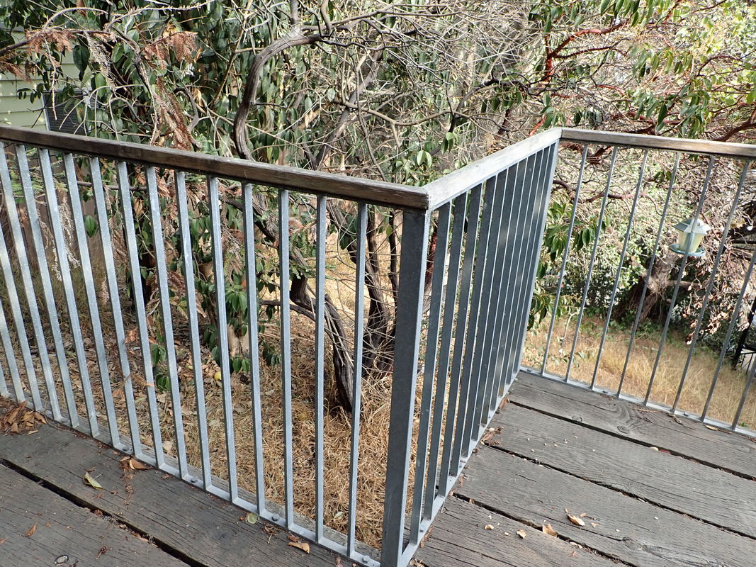
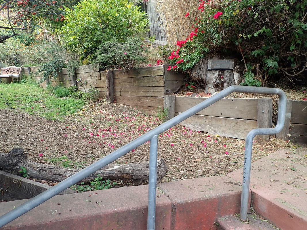
26 Looking back
27
28
29
30
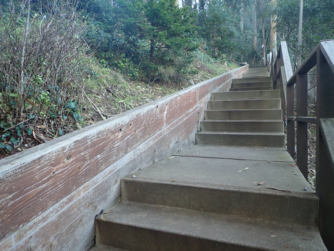
31
32
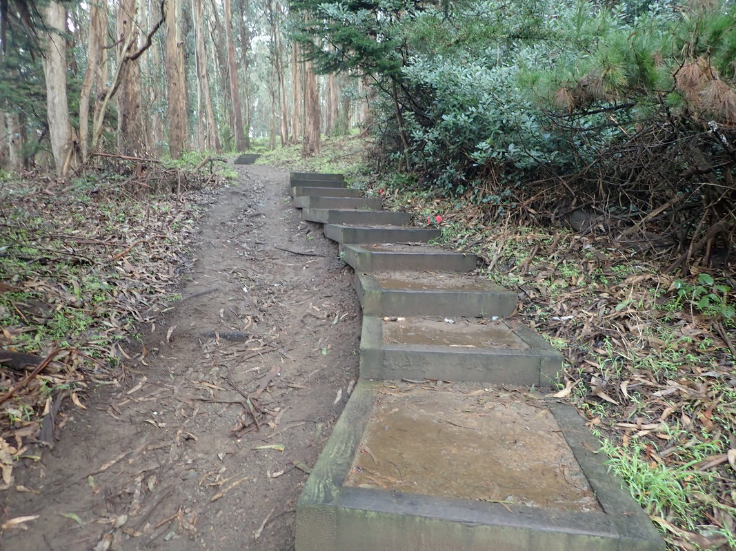
33
34
35
36
37
38
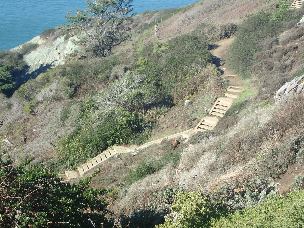
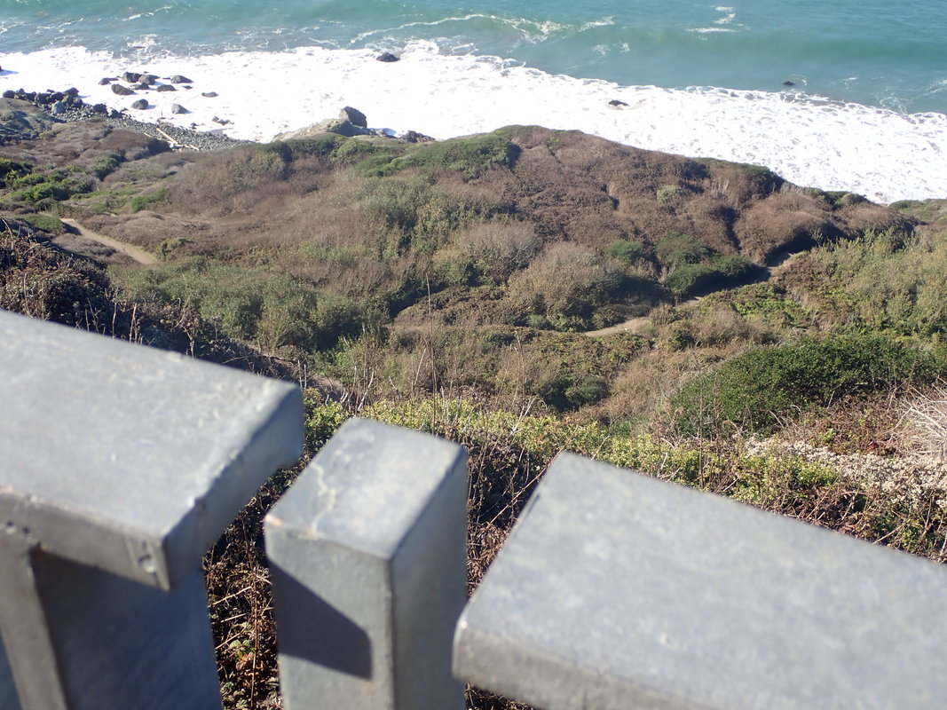
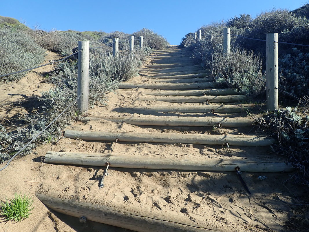
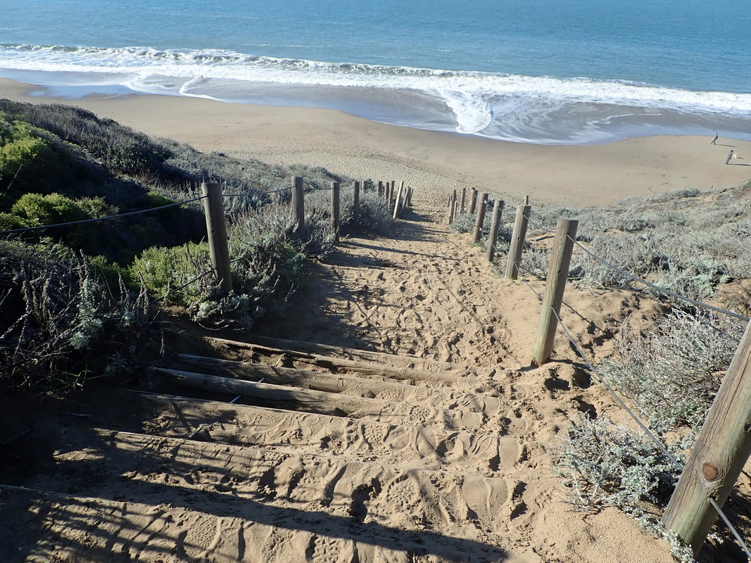
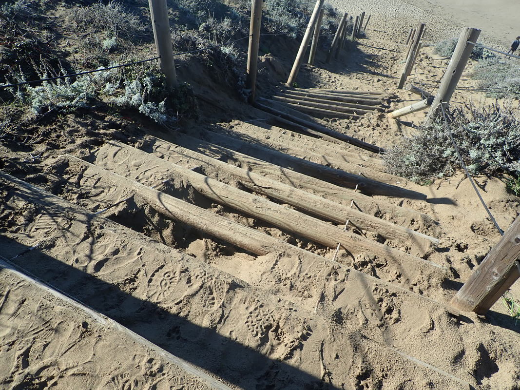
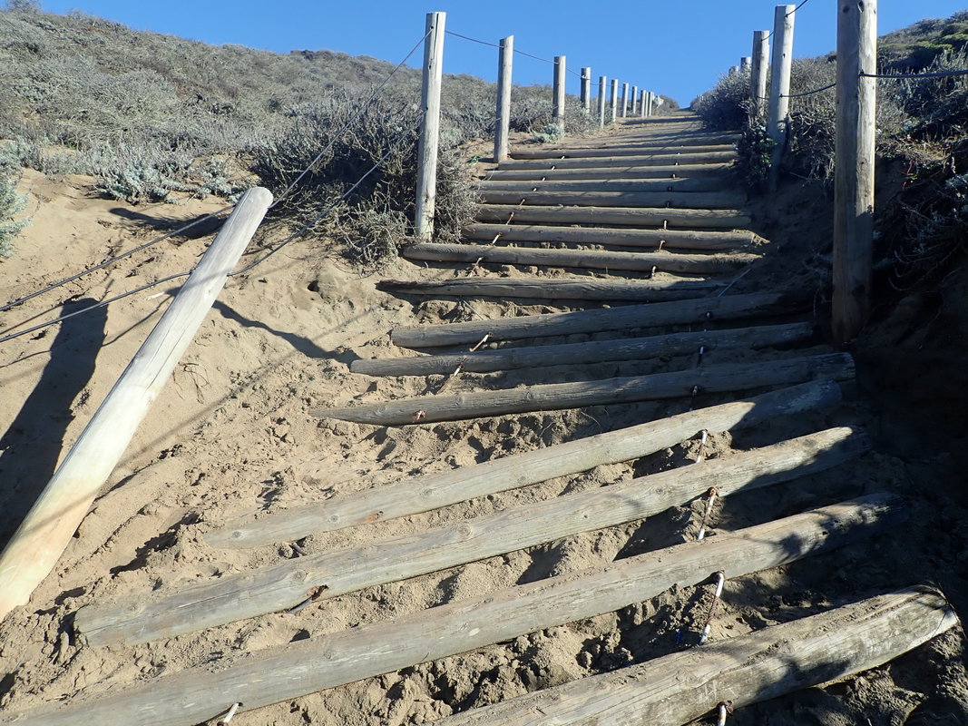
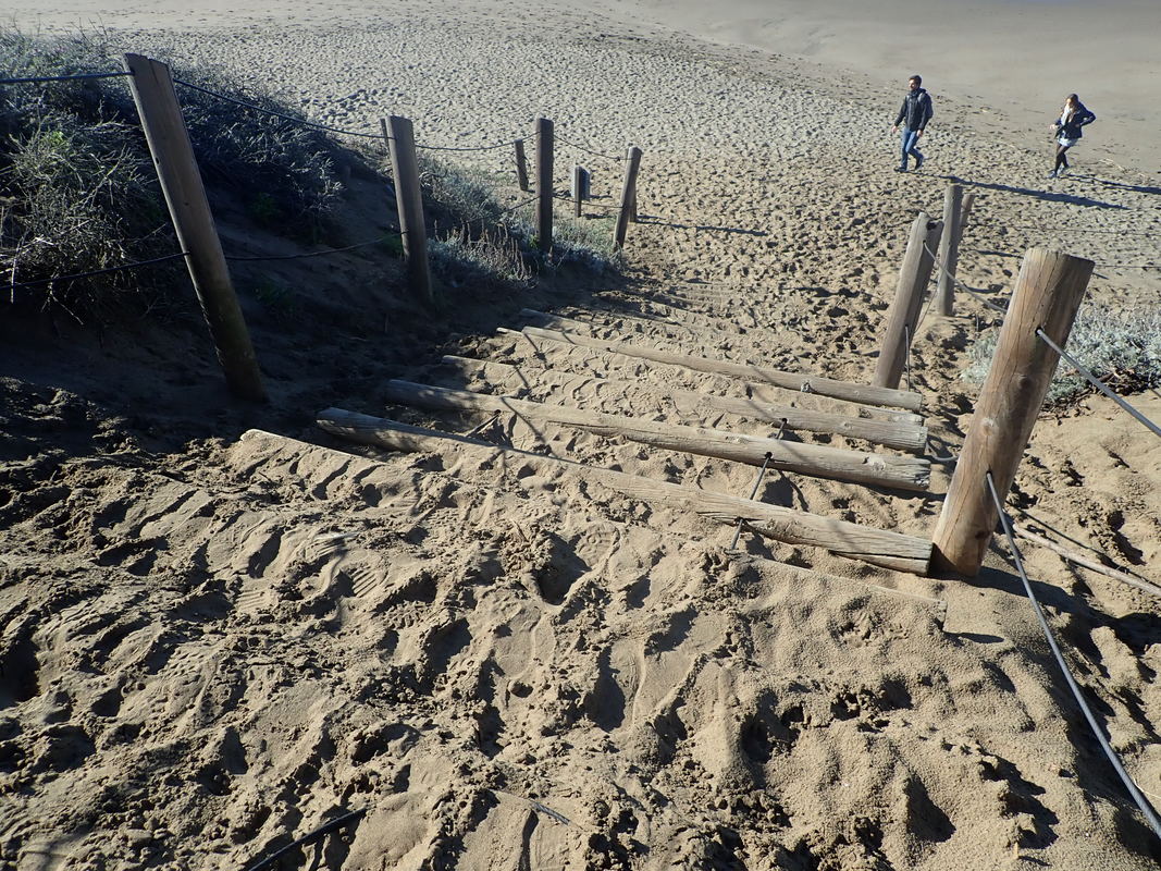
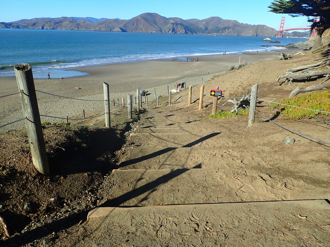
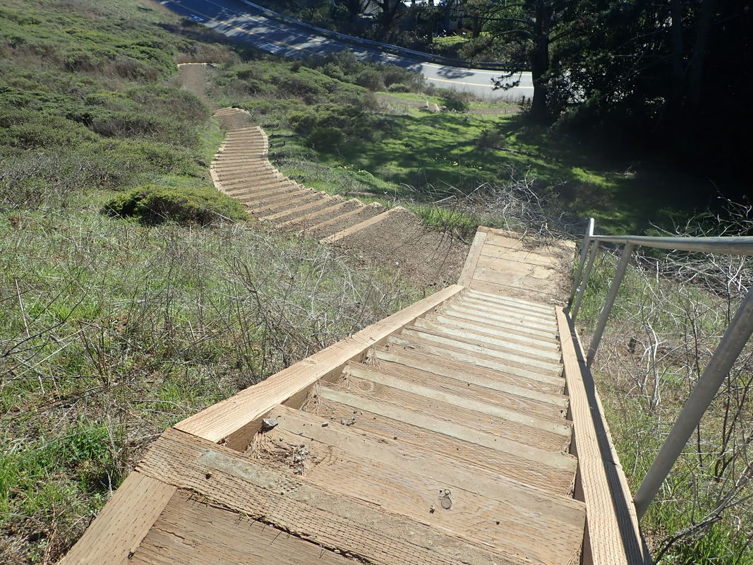
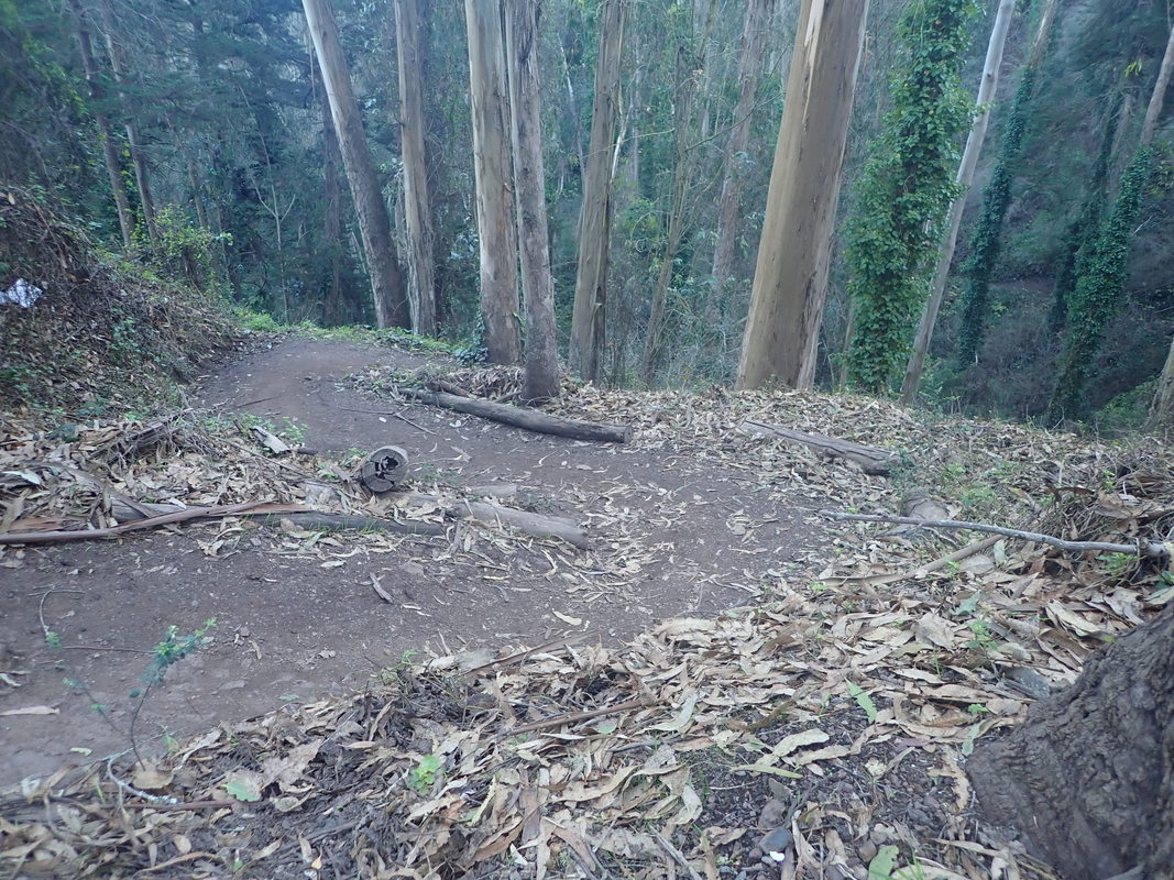
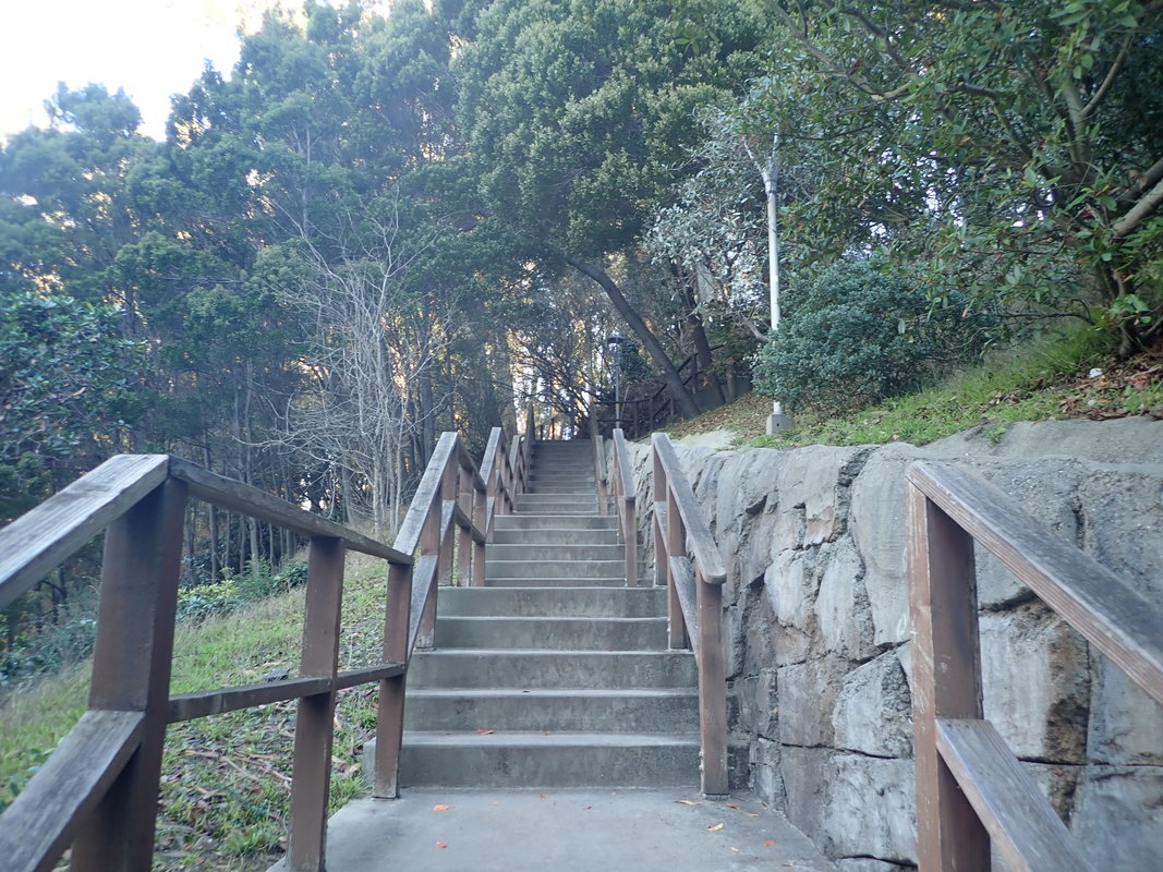
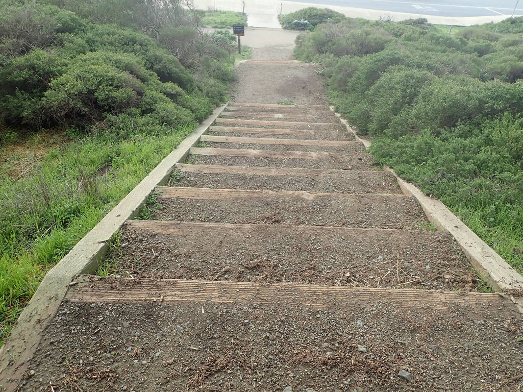
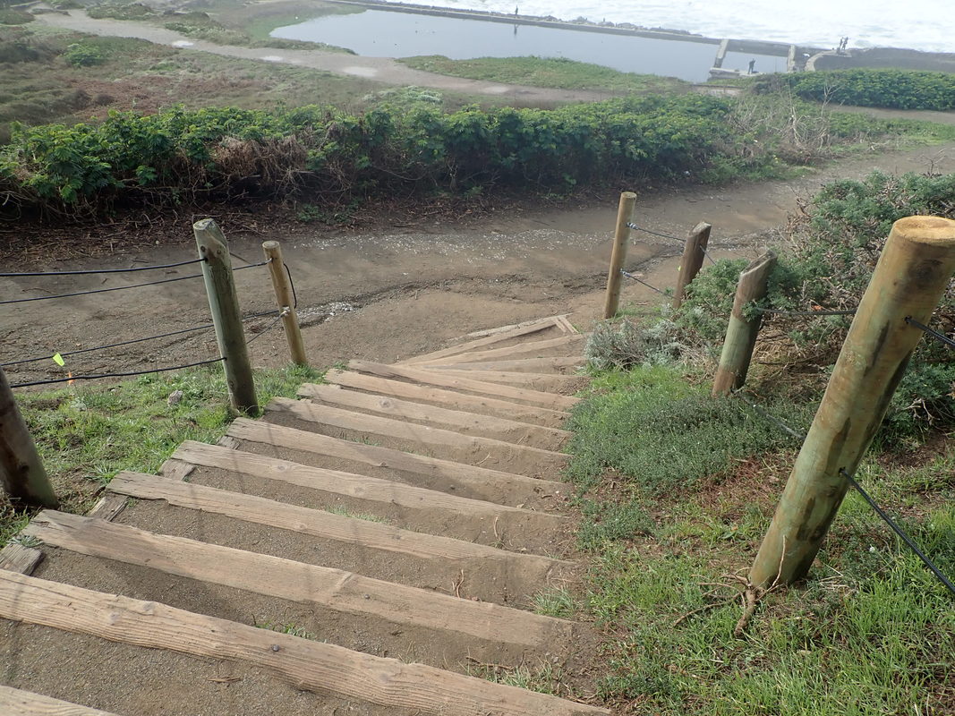
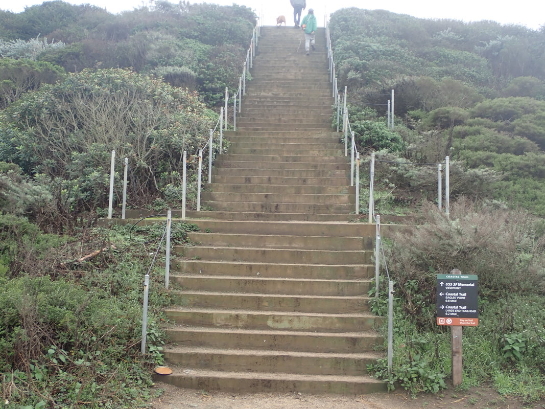
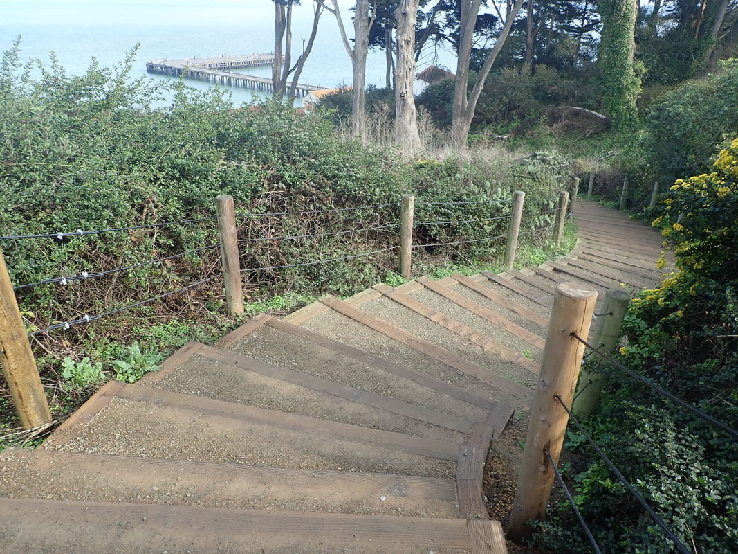
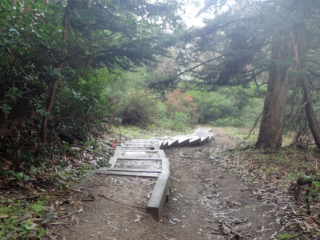
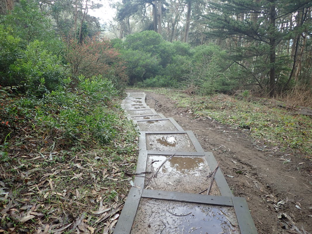
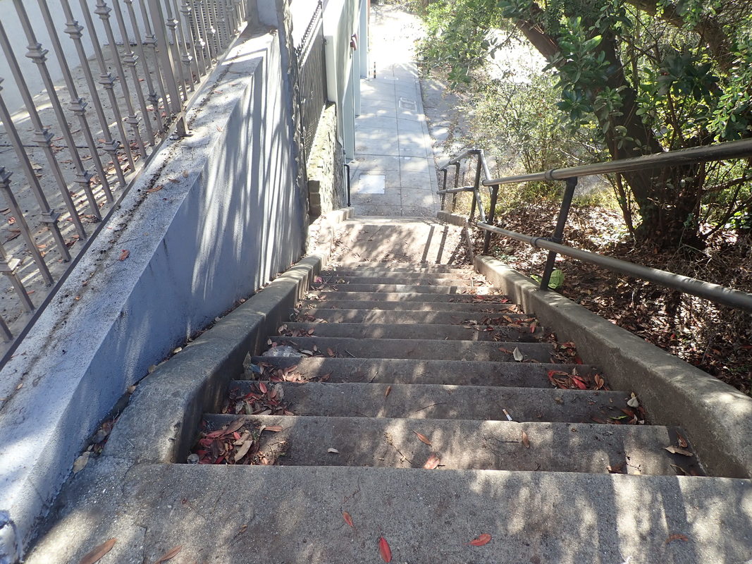
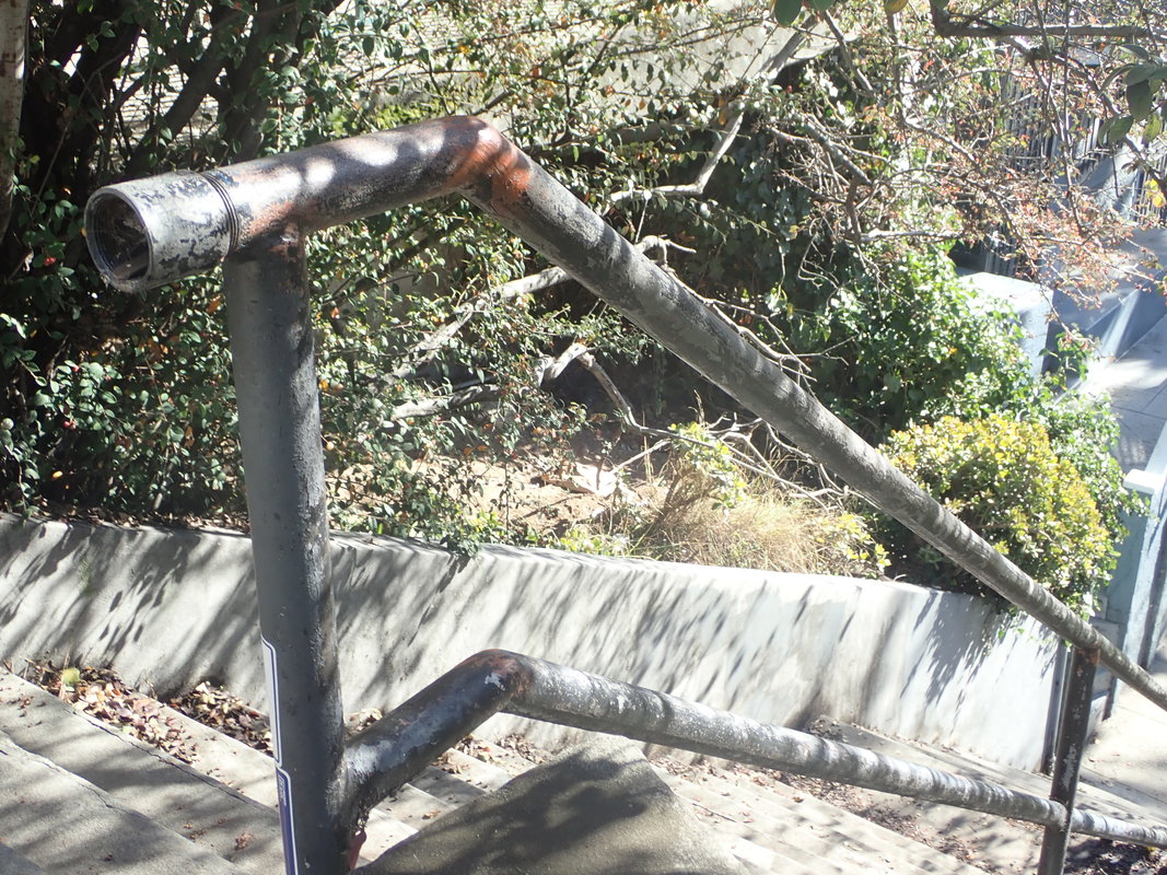
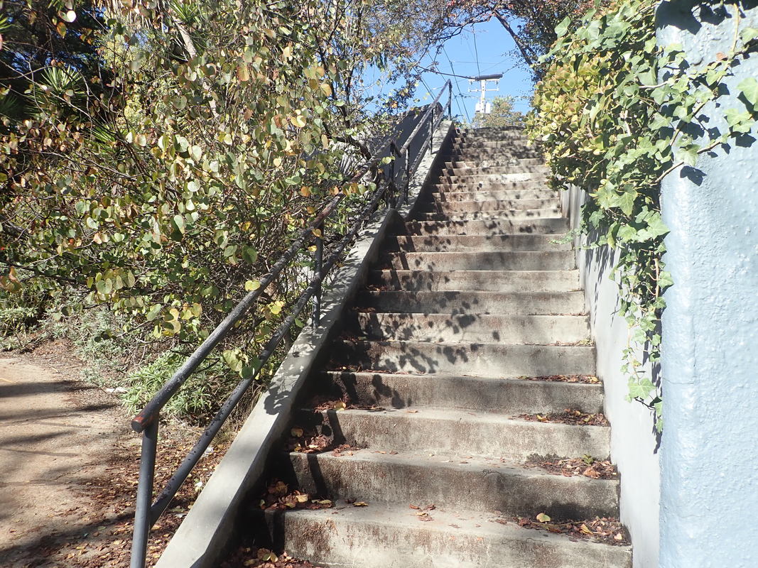
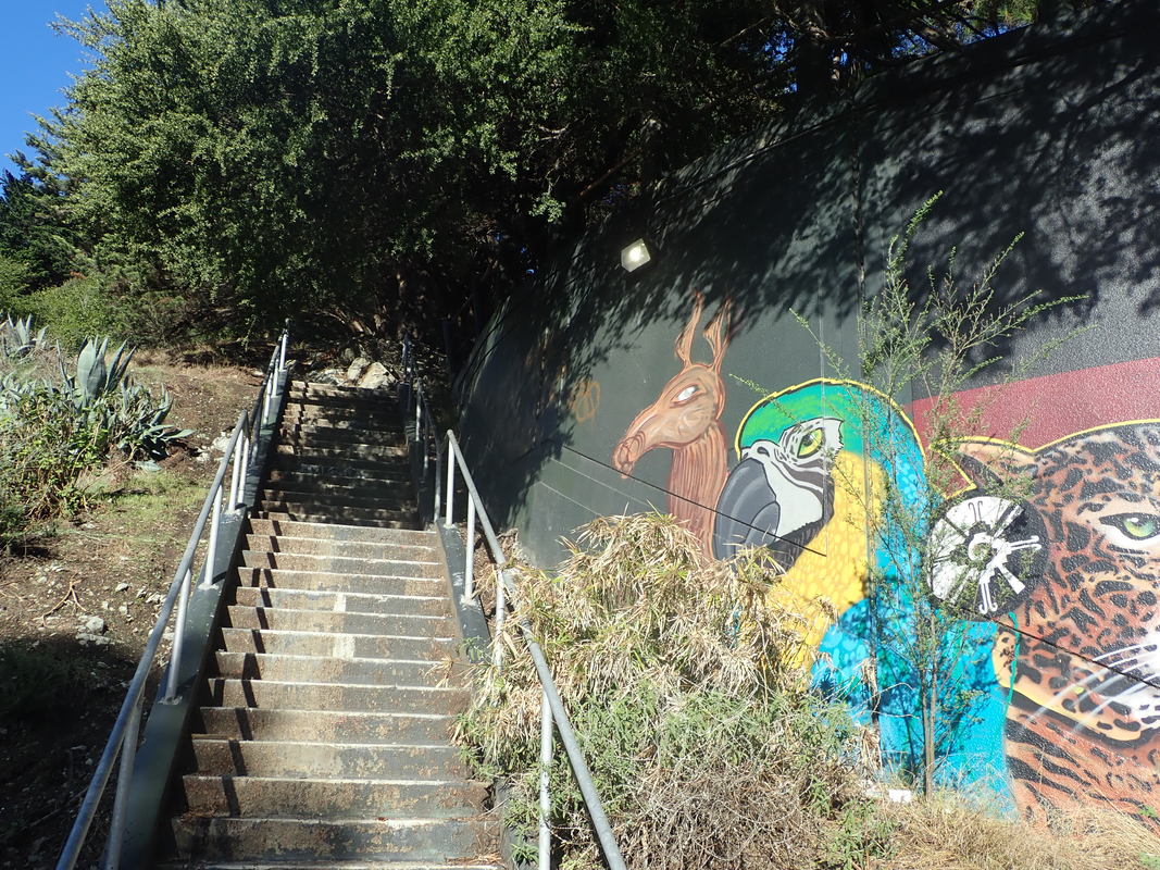
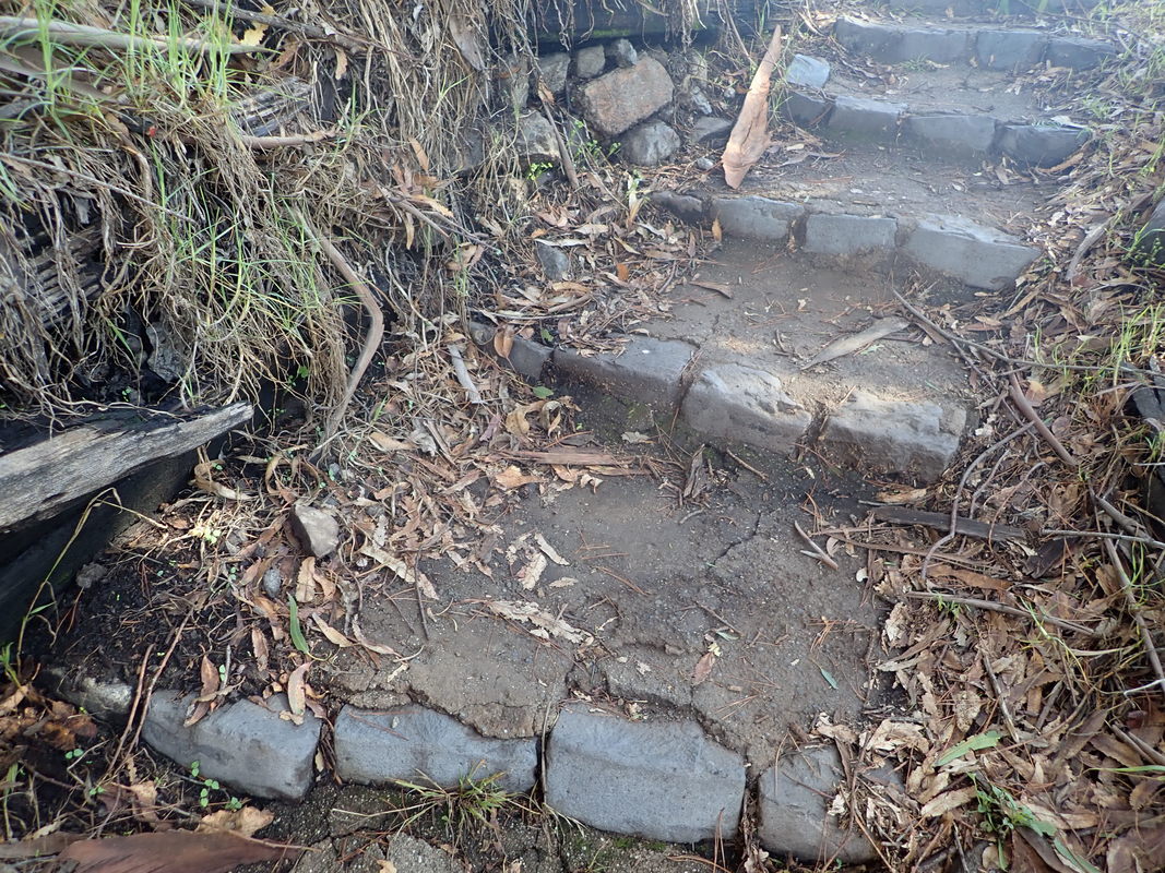
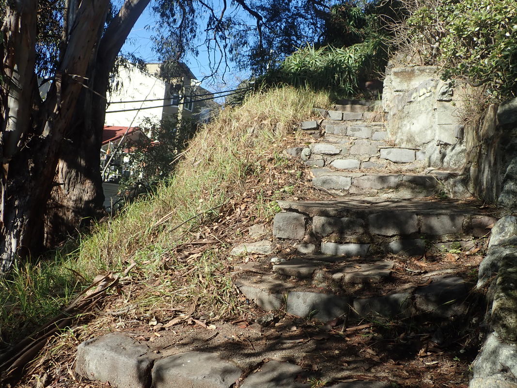
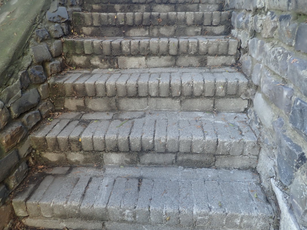
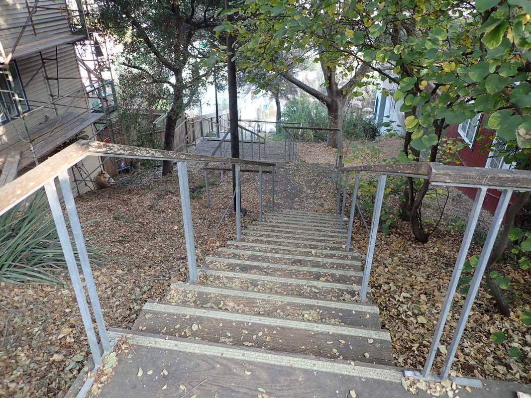
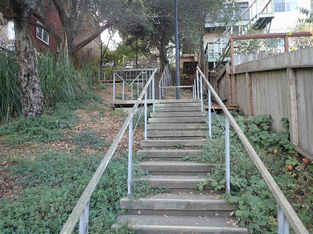
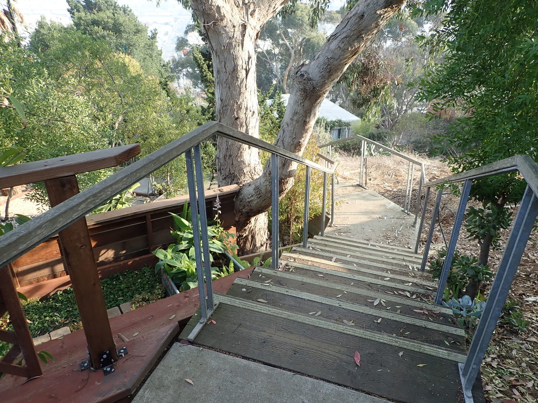
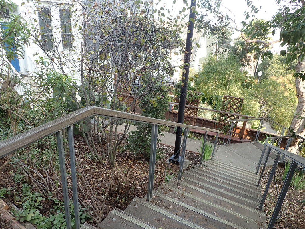
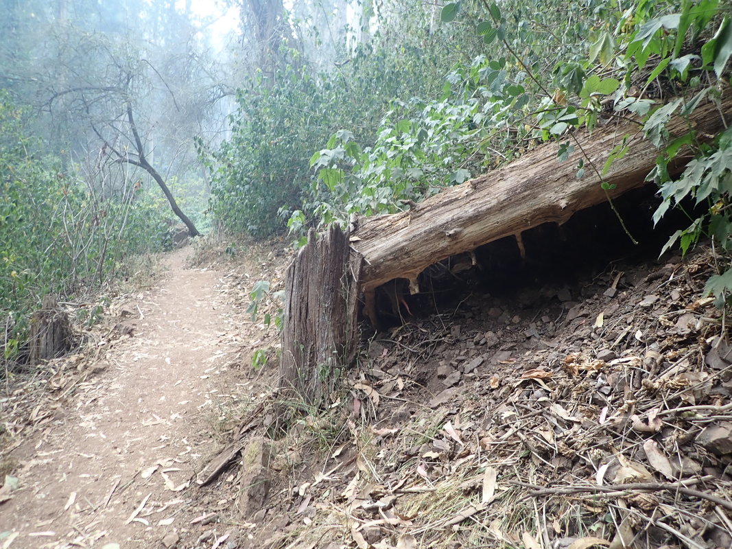
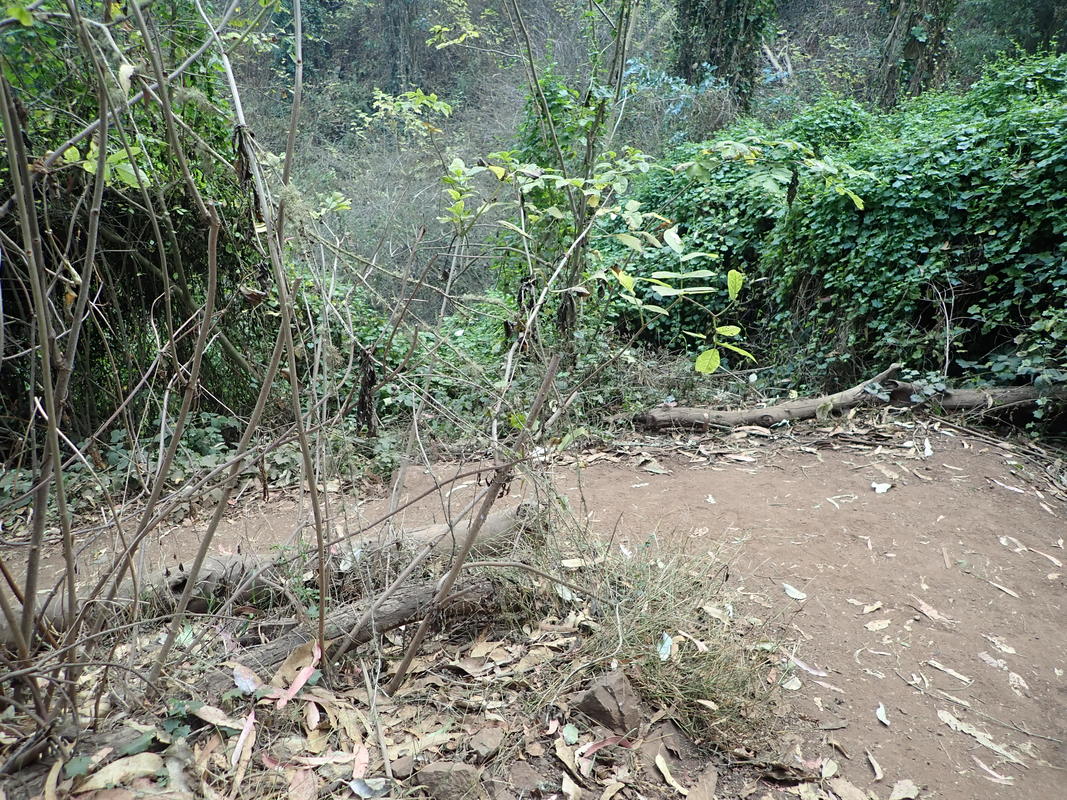
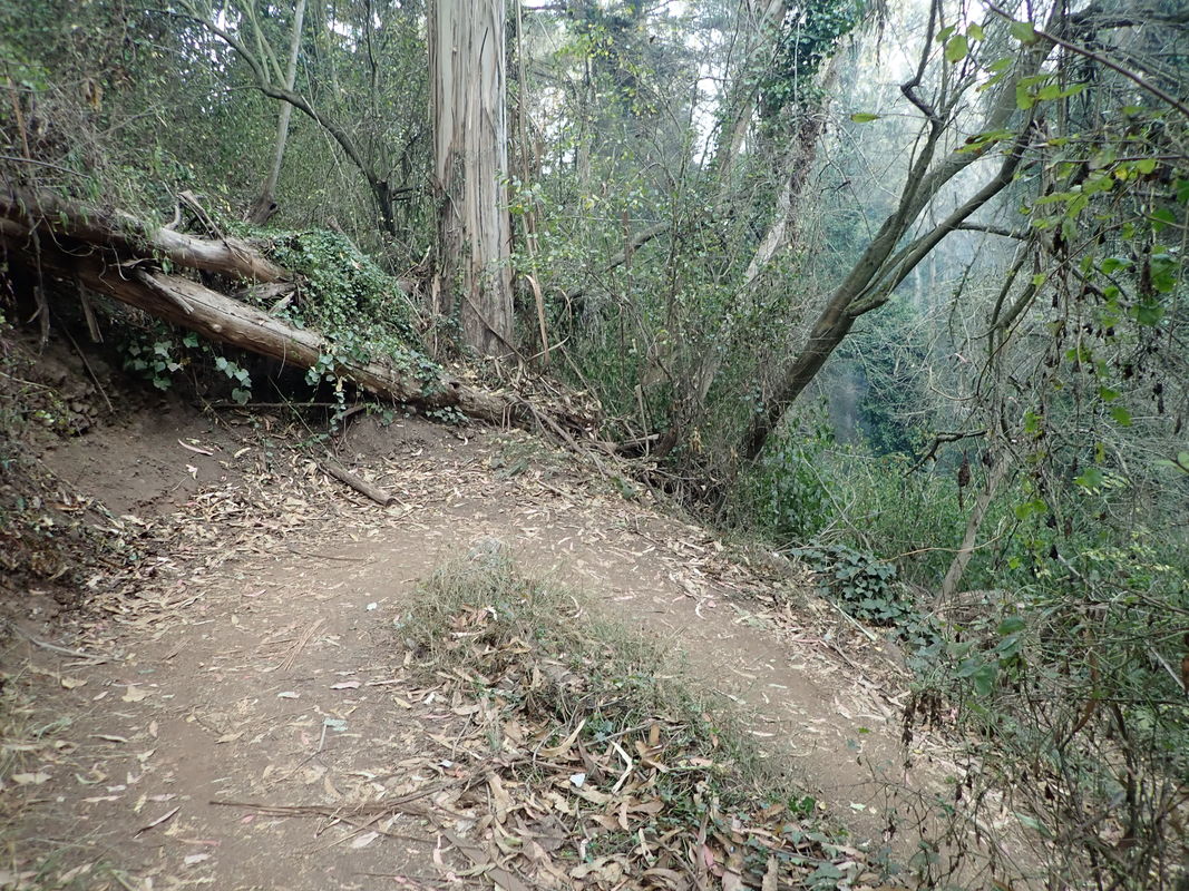
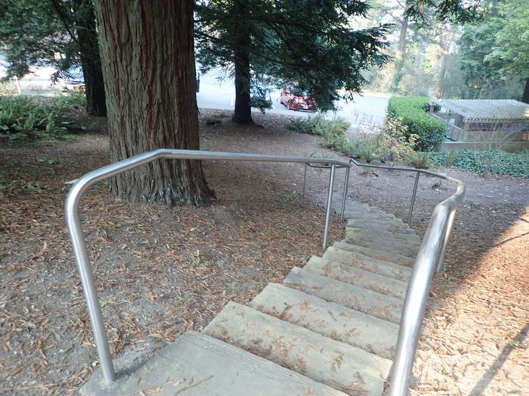
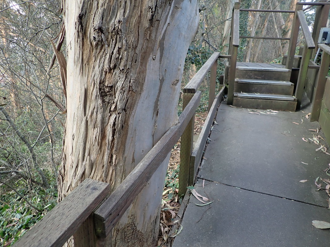
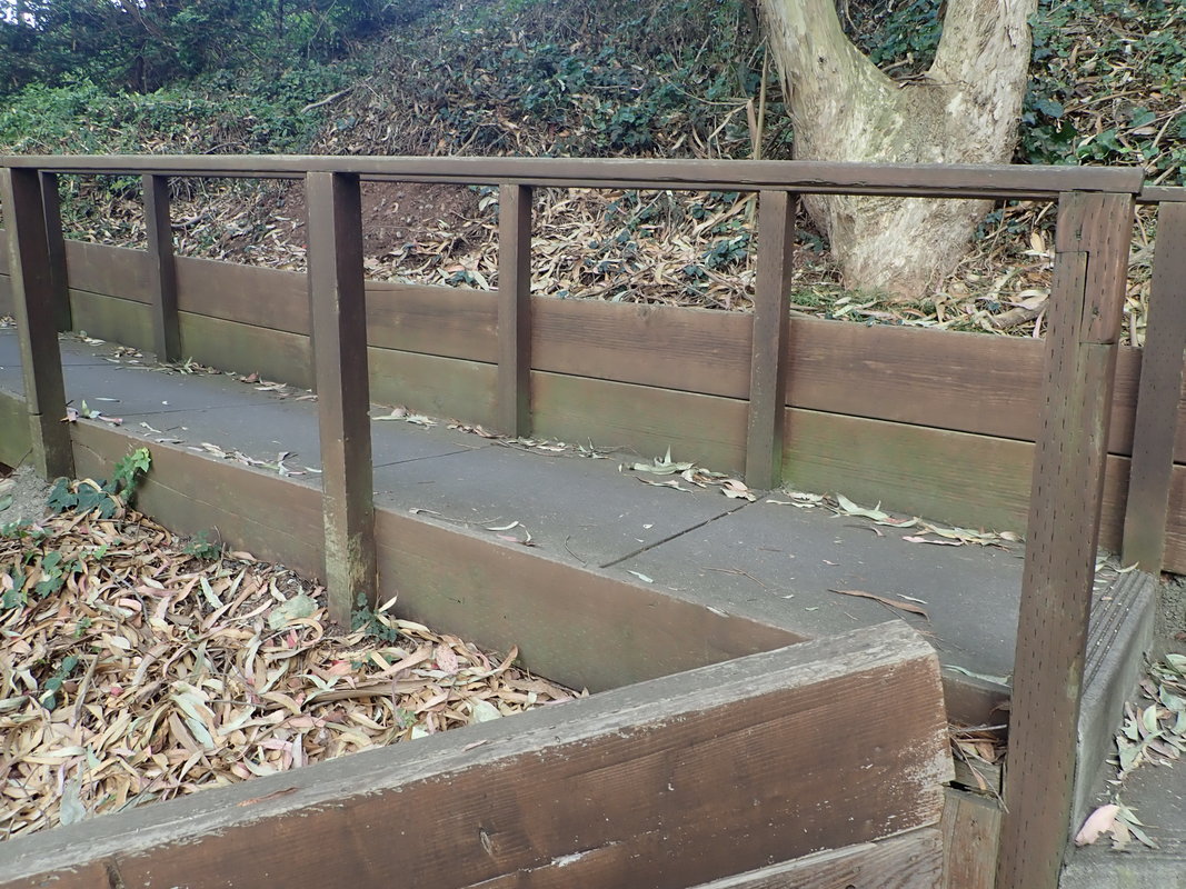
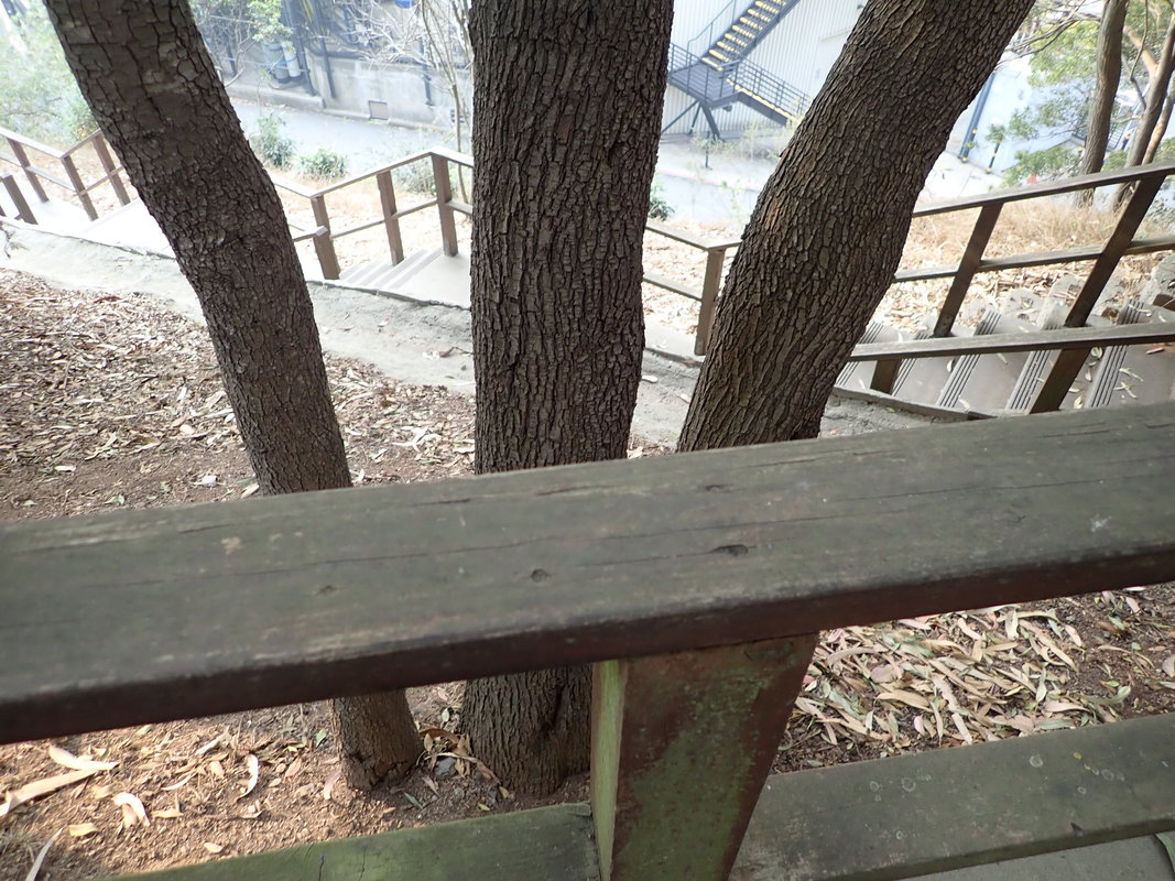
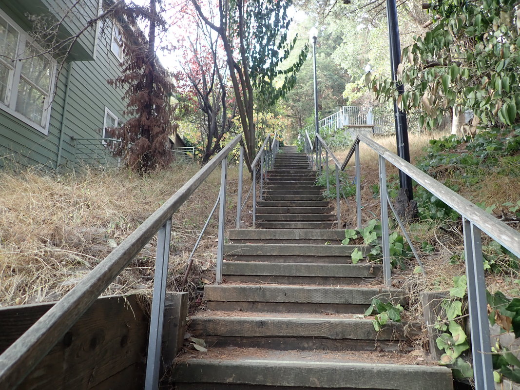
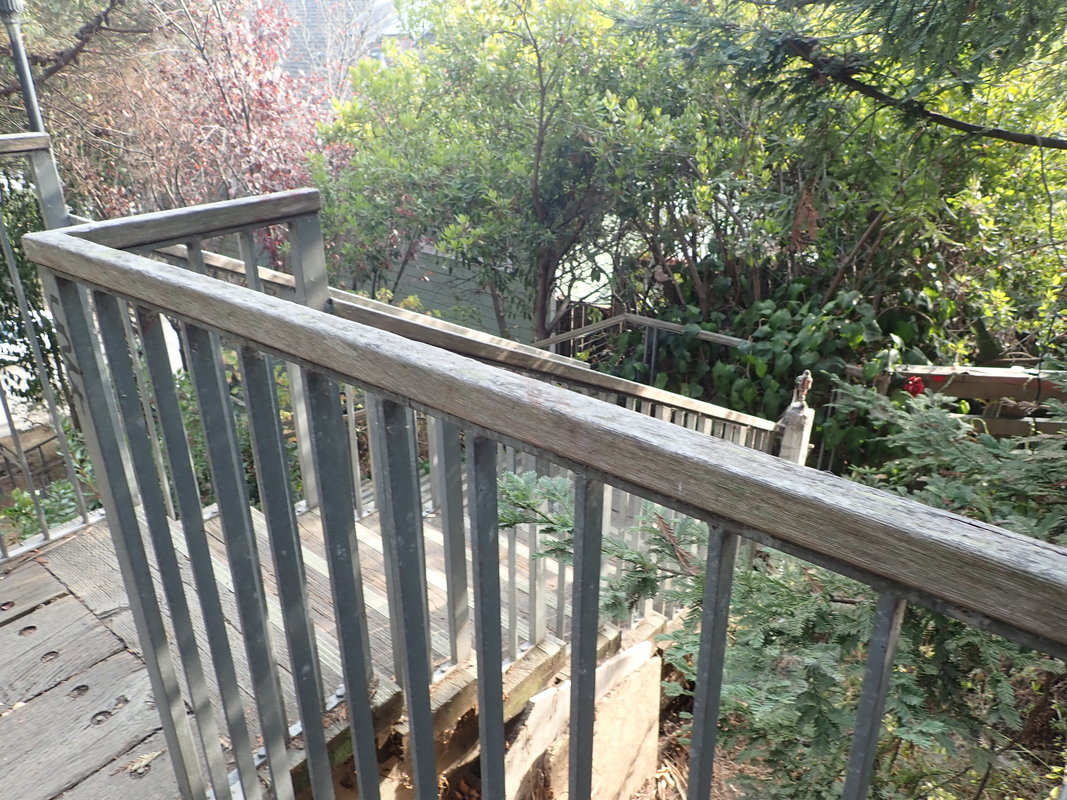
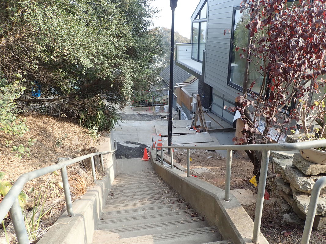
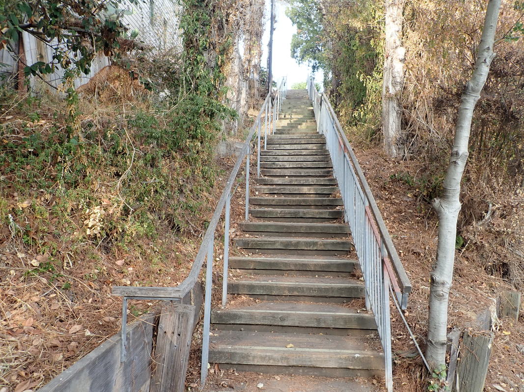
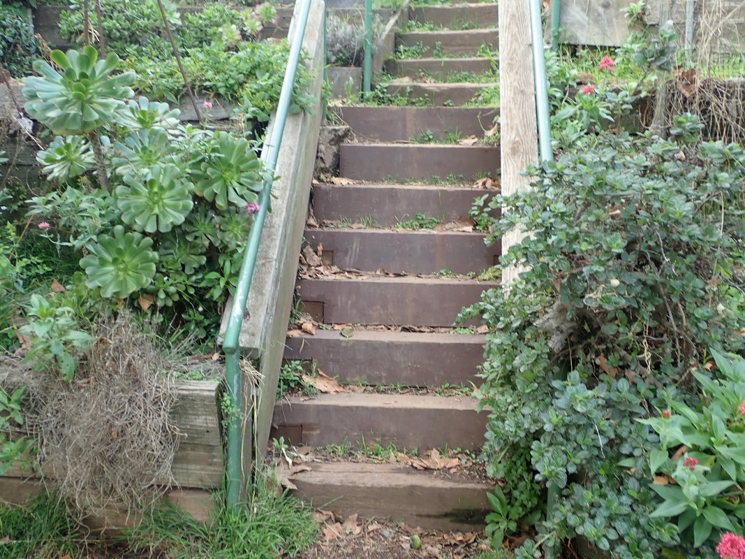
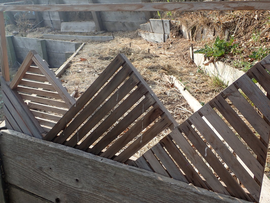
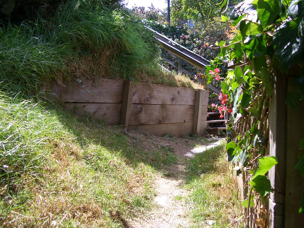
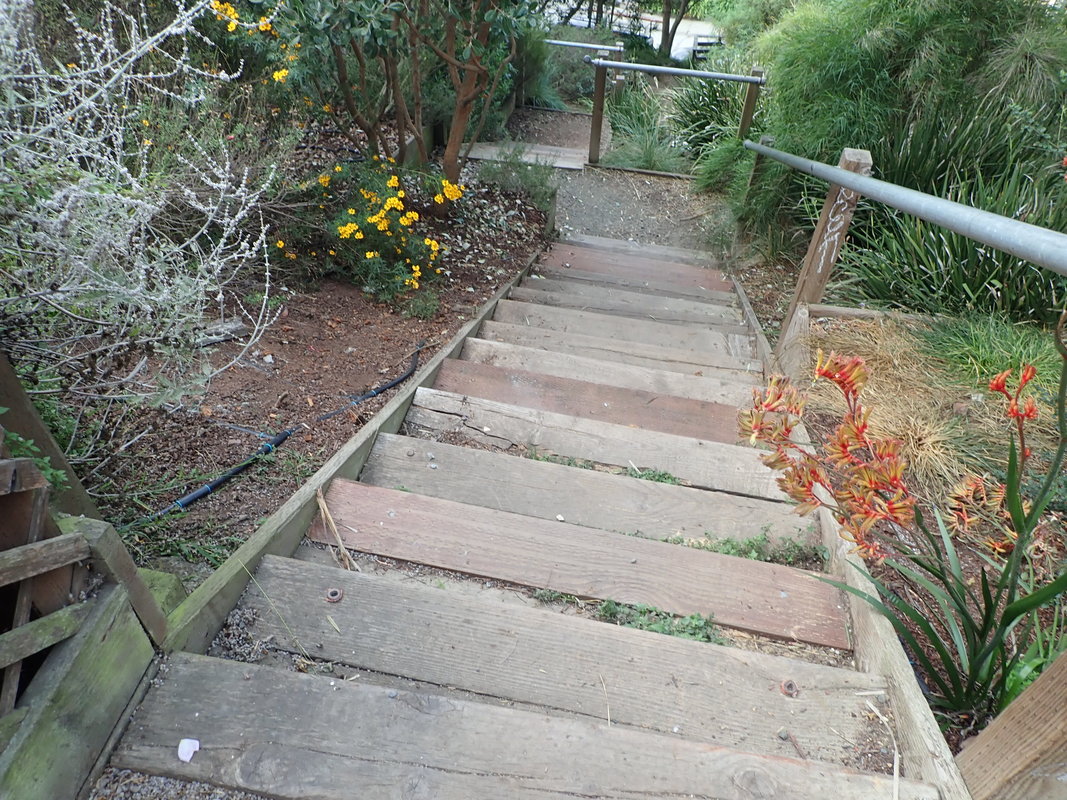
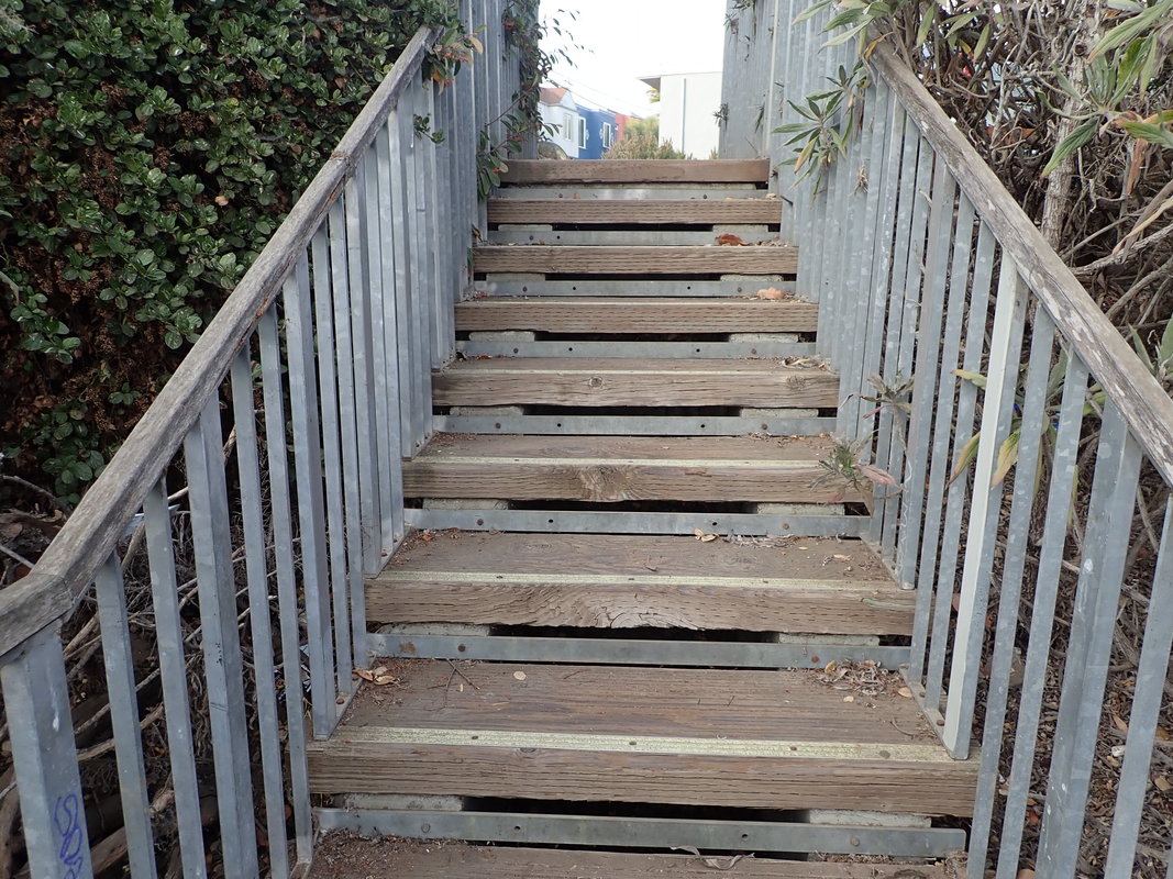
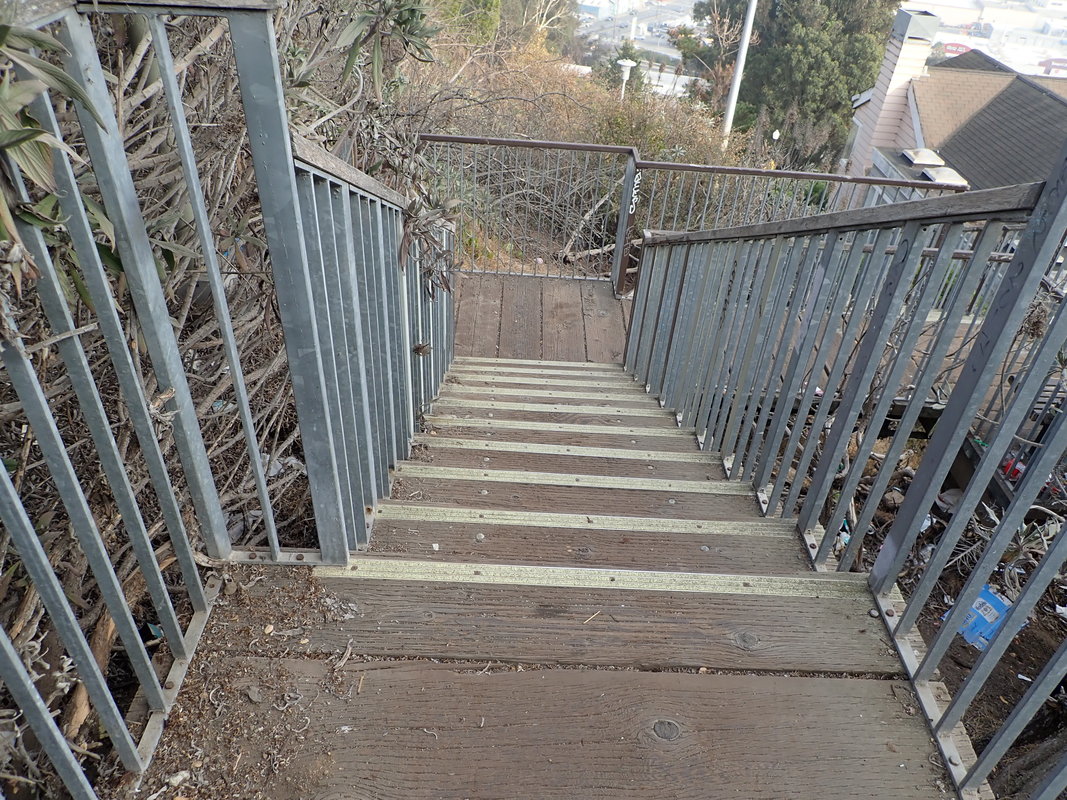
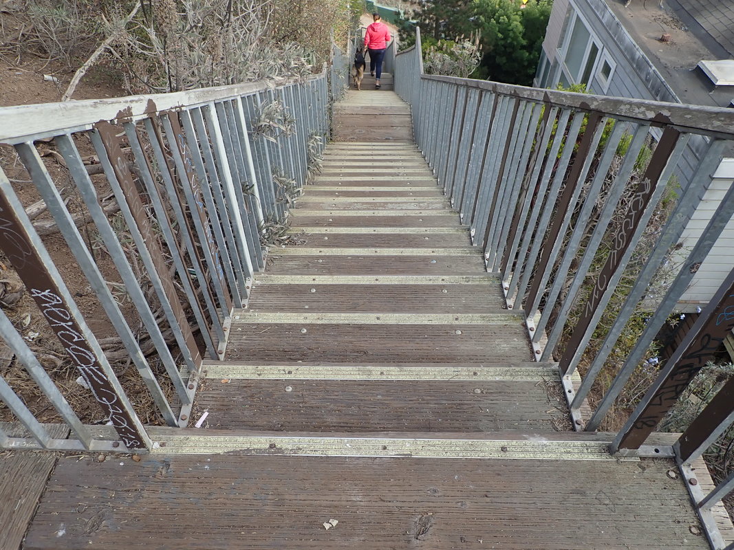
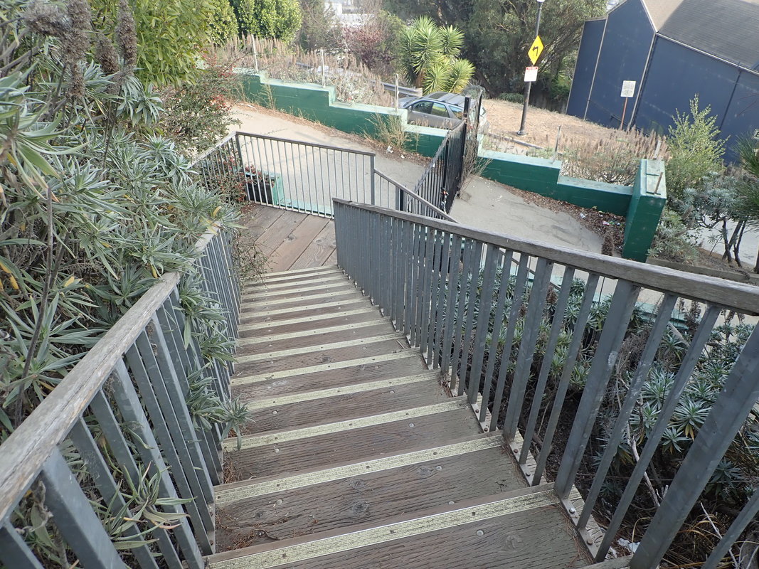
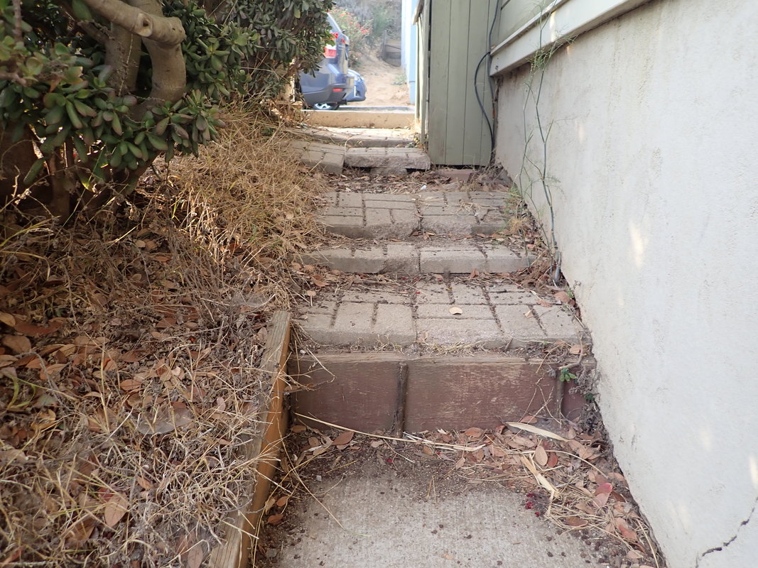
39 Sometimes more of an obstacle course than a stairway
40
41
42
43
44
45
46
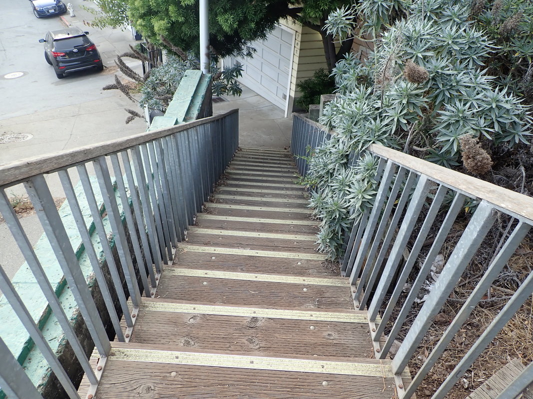
47

48
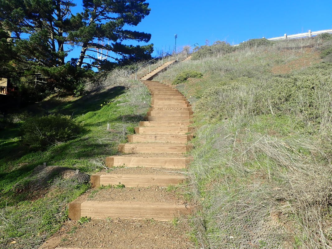
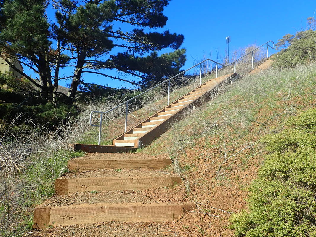
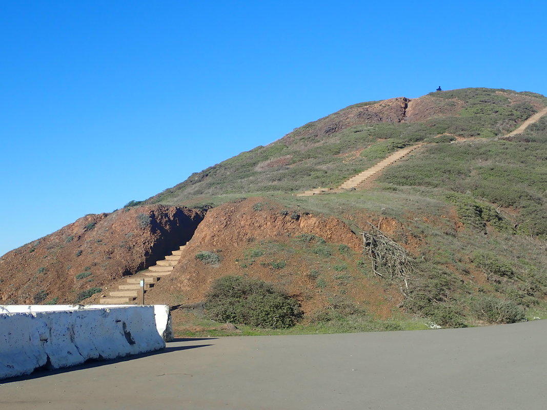
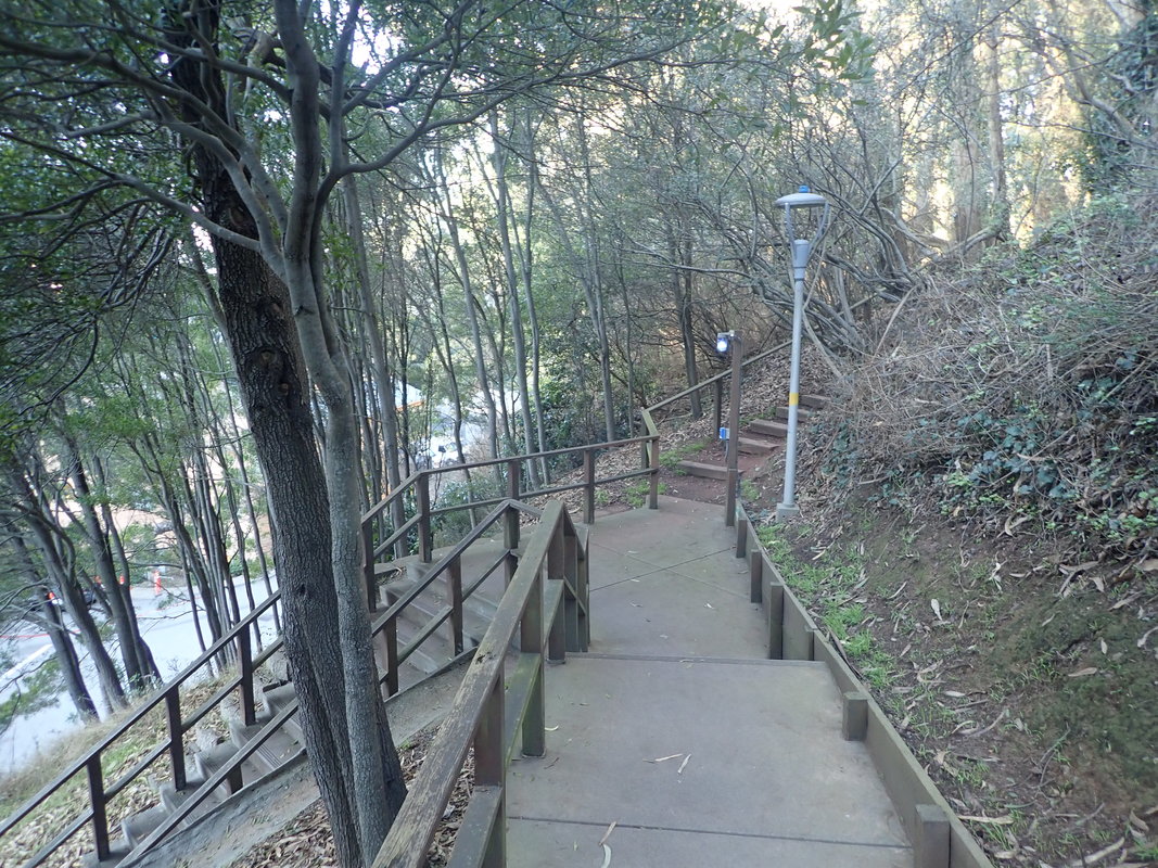
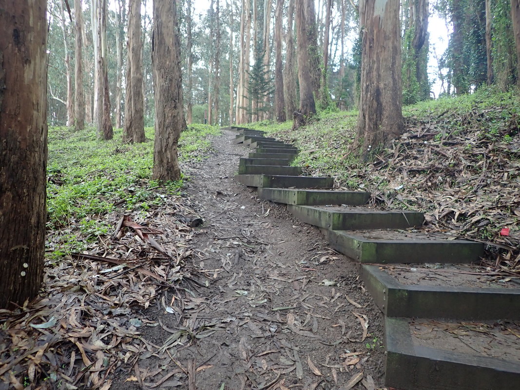
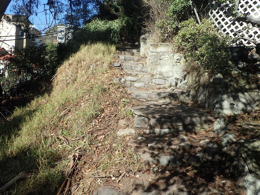
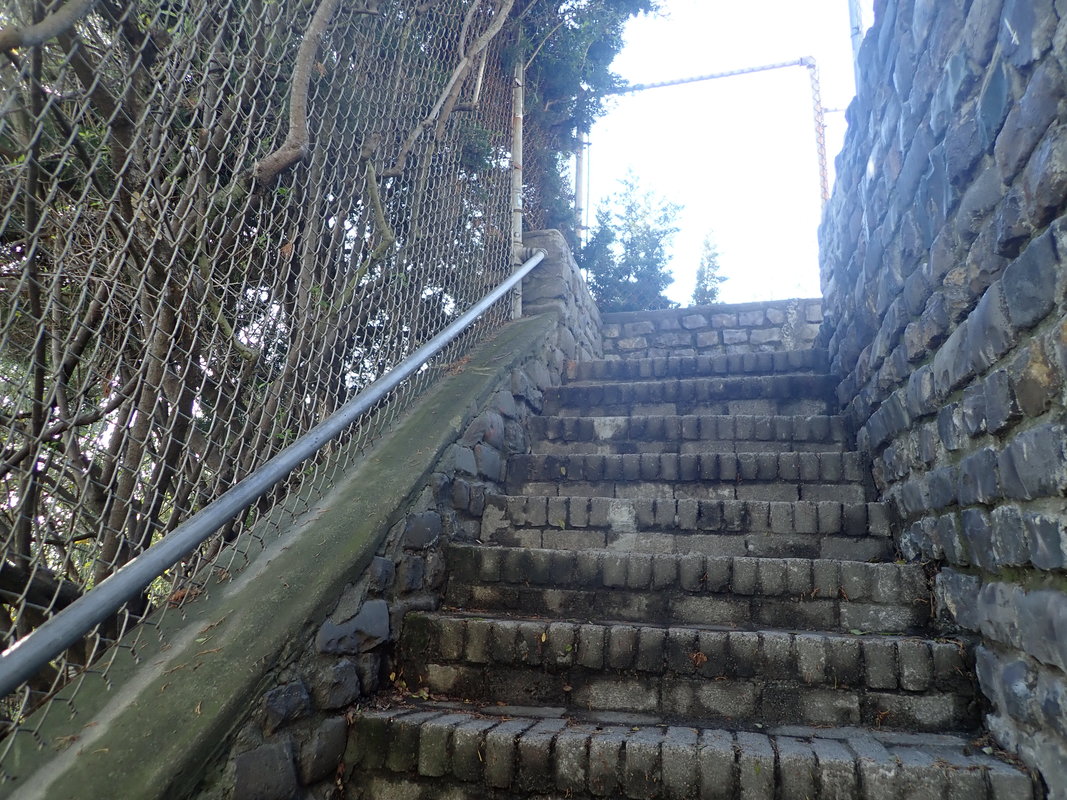
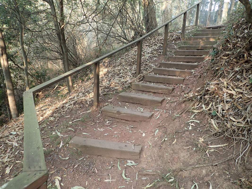
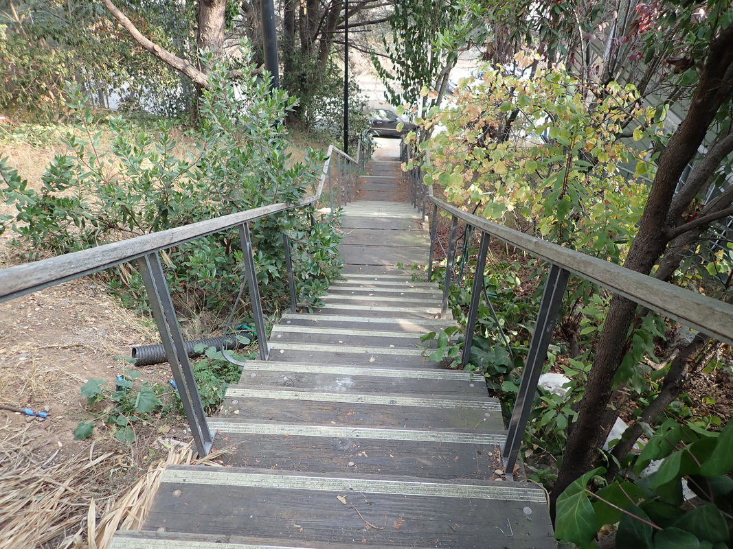
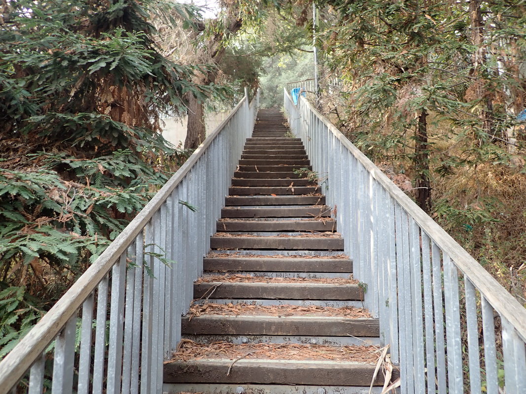
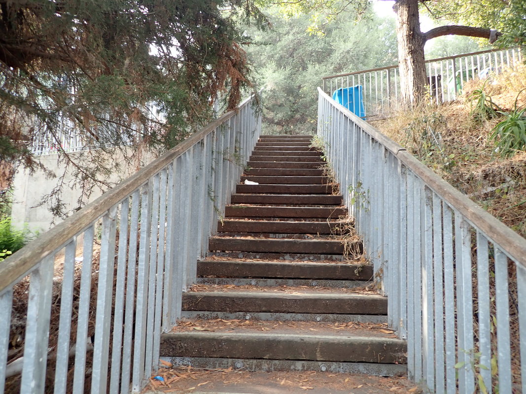
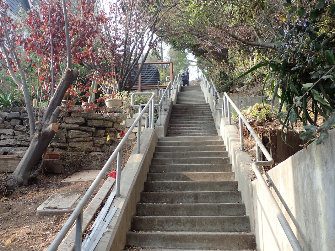
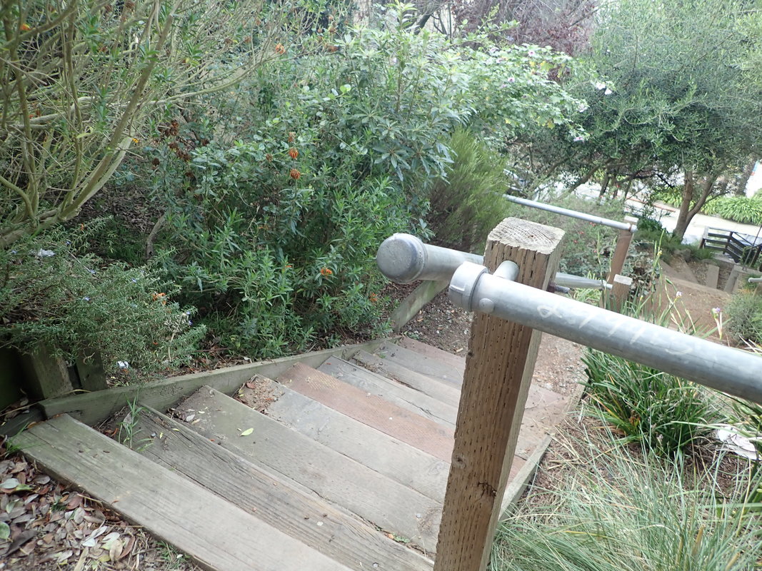
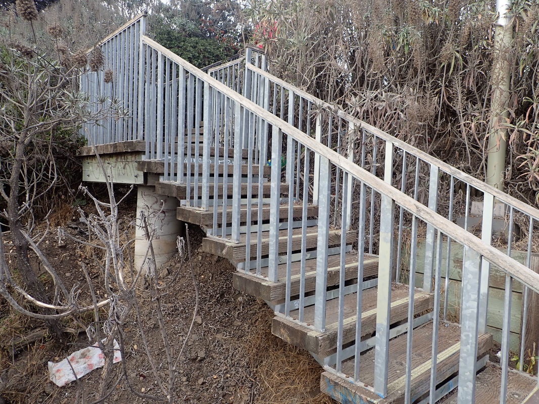
49 The shorter Sand Ladder
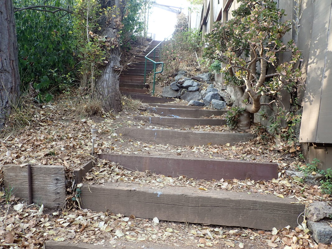
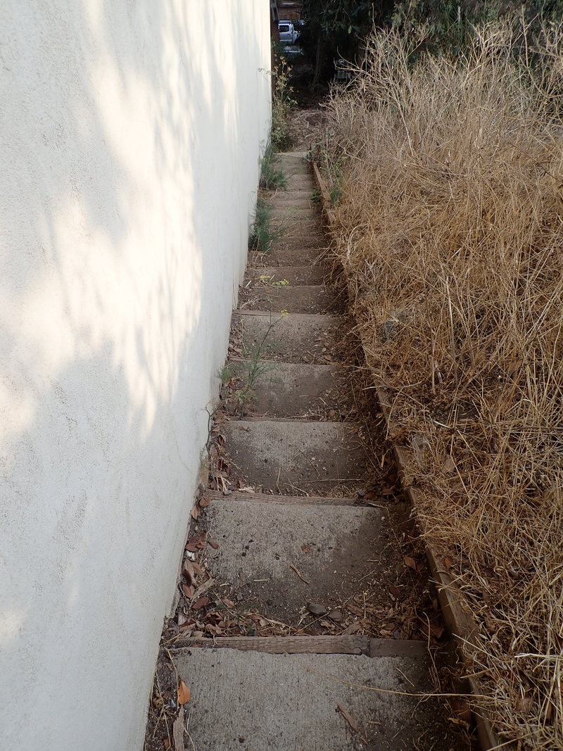
50 About 45 steps
51
52
53
54
55
56
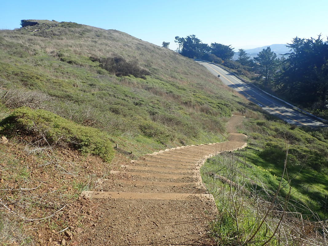
57
58
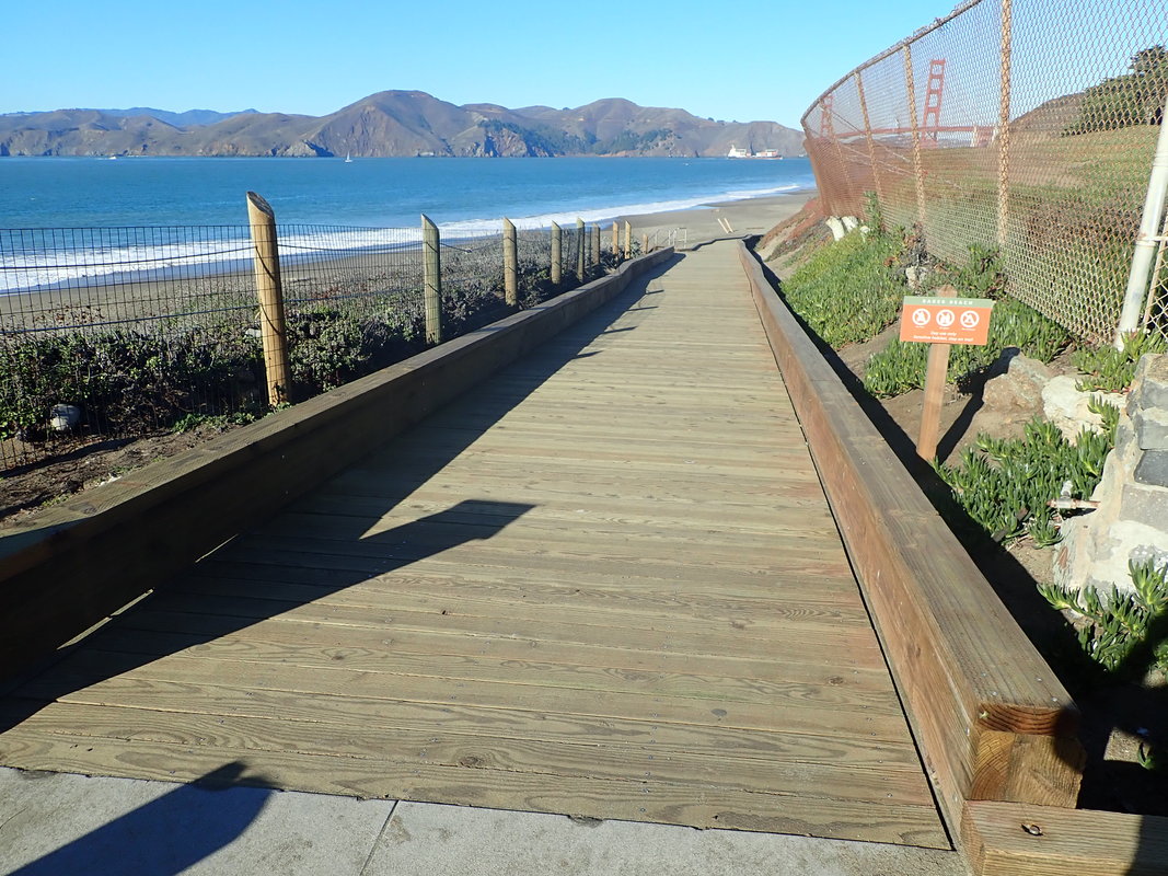
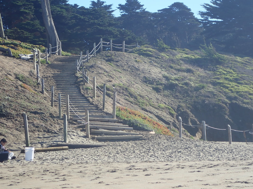
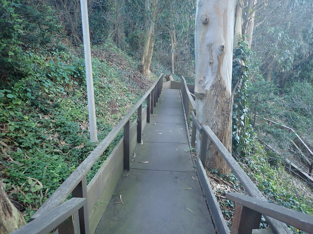
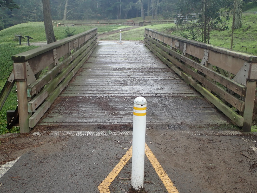
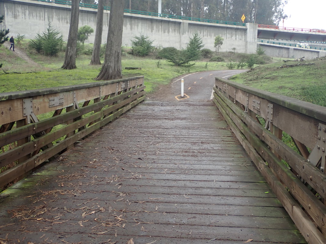
59 The new boardwalk
60
61
62
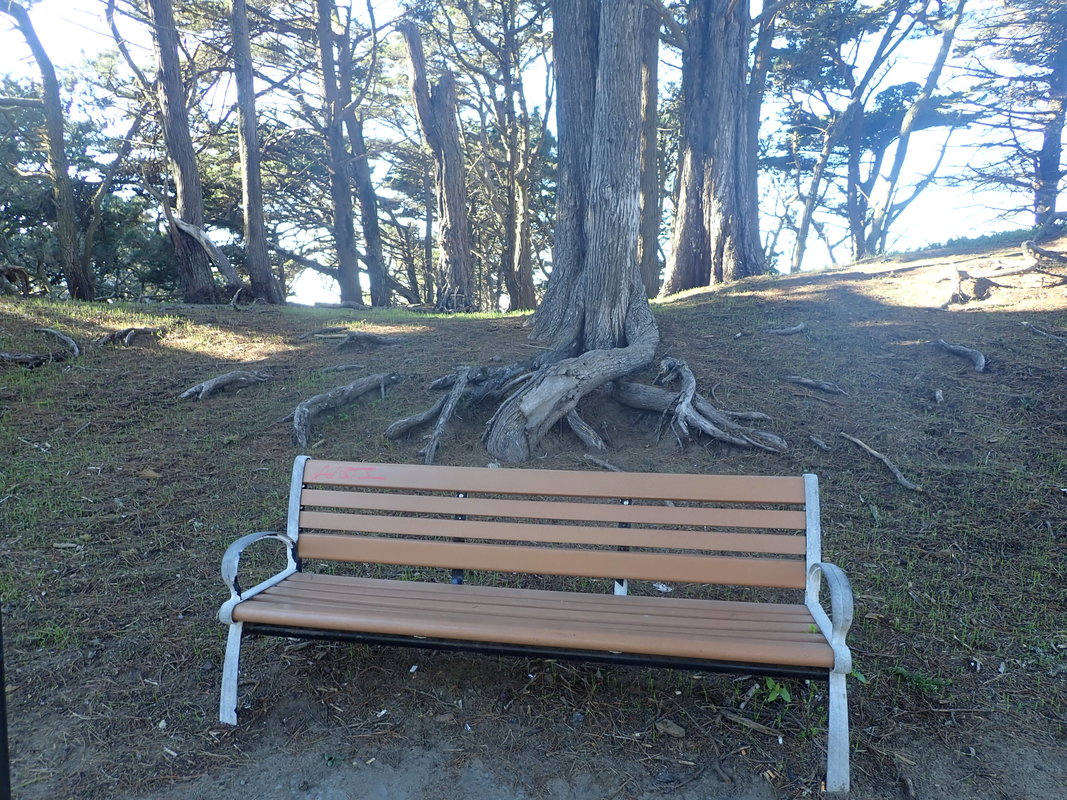
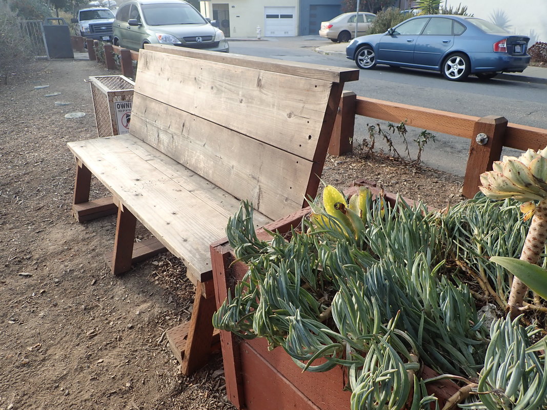
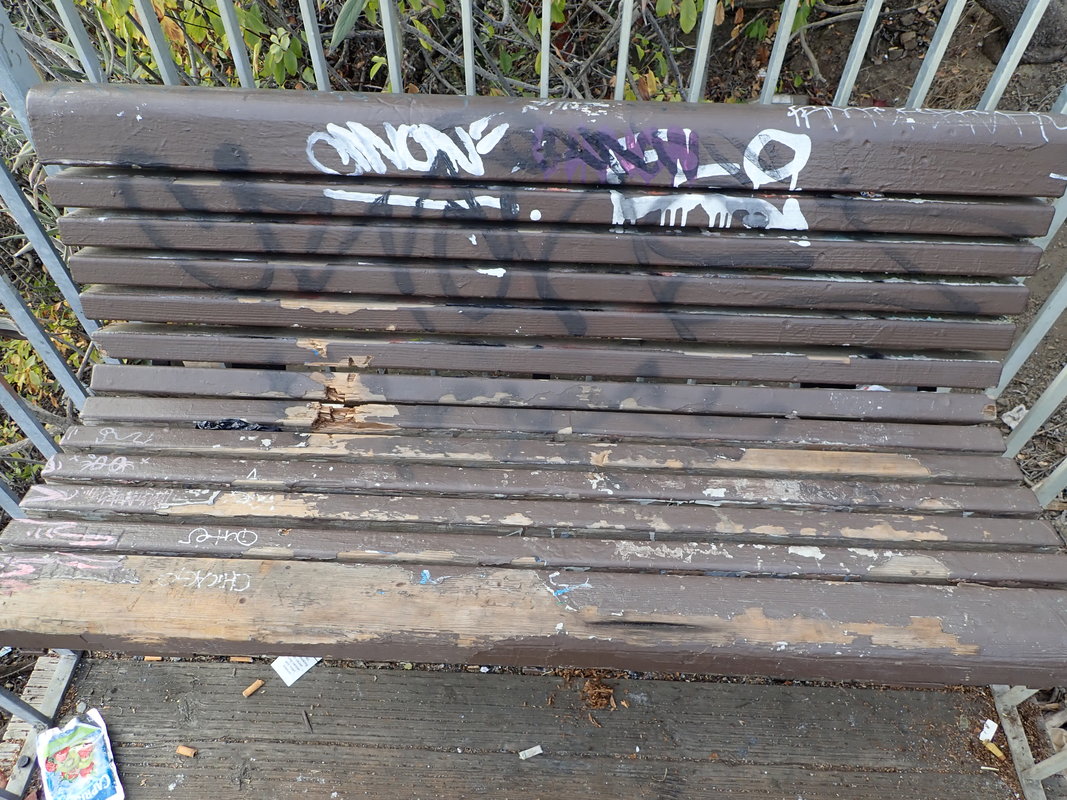
63 Bus stop bench


 RSS Feed
