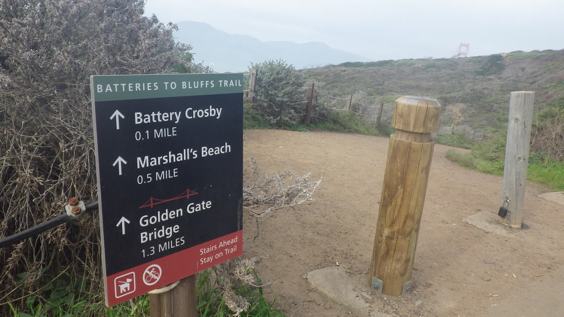
A series of stairways eventually took me up to the GGNRA's Alta Trail above Sausalito recently. Stayed up there so long I barely made it down the mountain in time to catch my usual ferry.
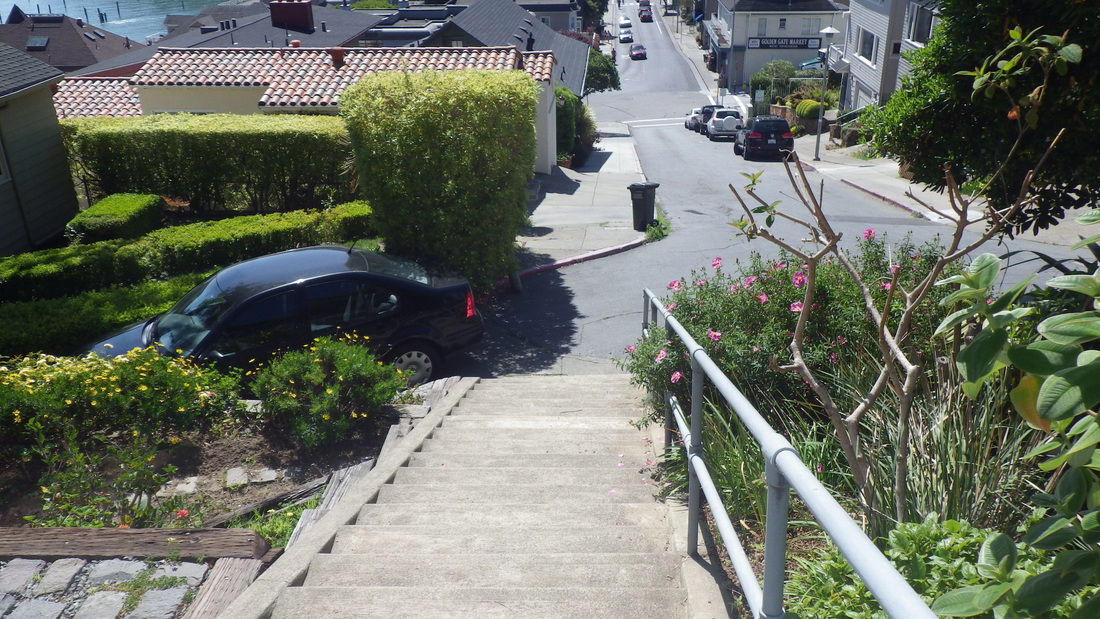
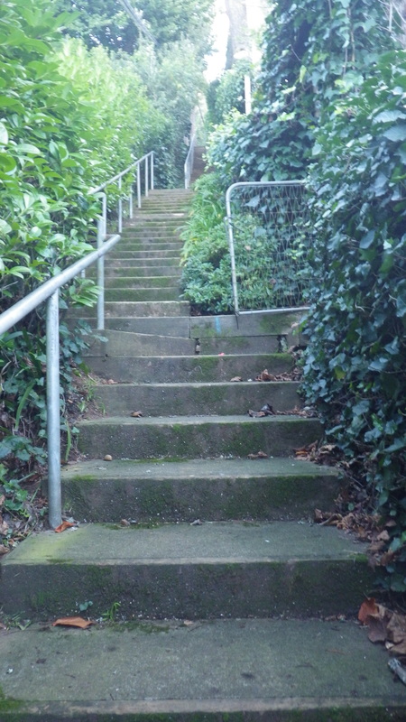
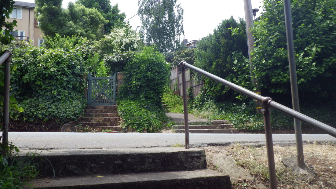
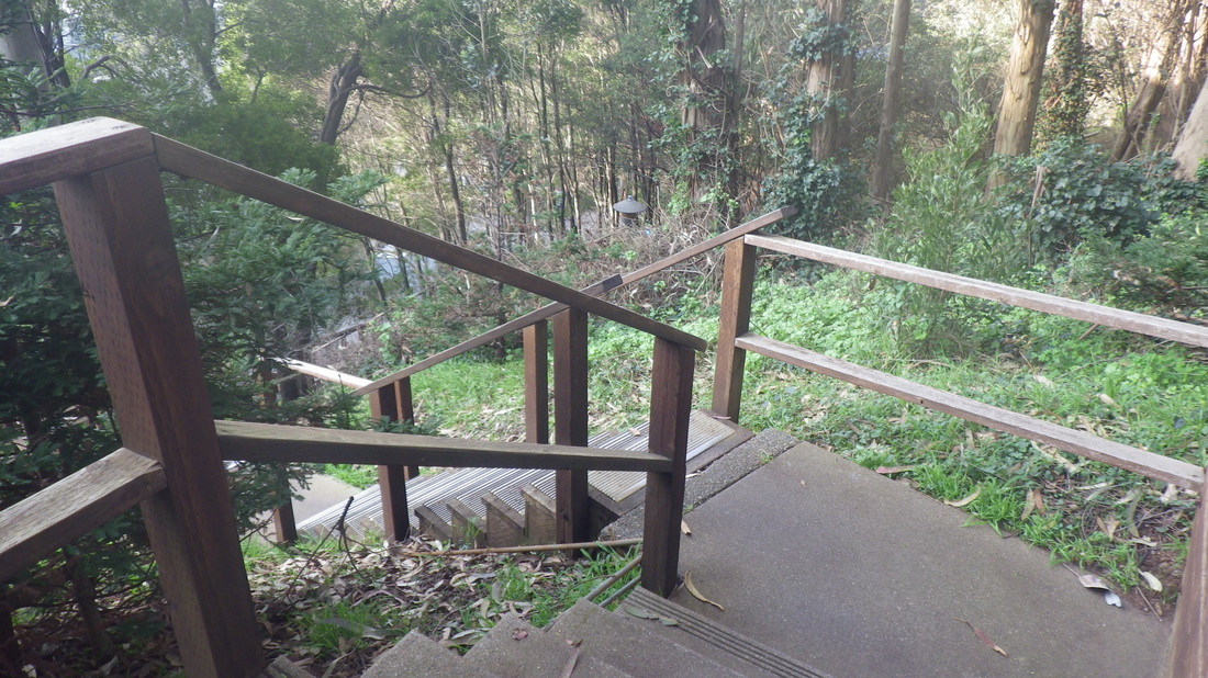
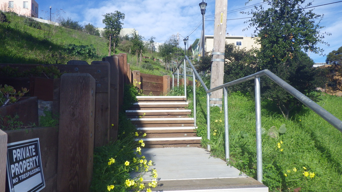
First up, the 121 Bridgeway to Josephine/North stairs, first three pix.
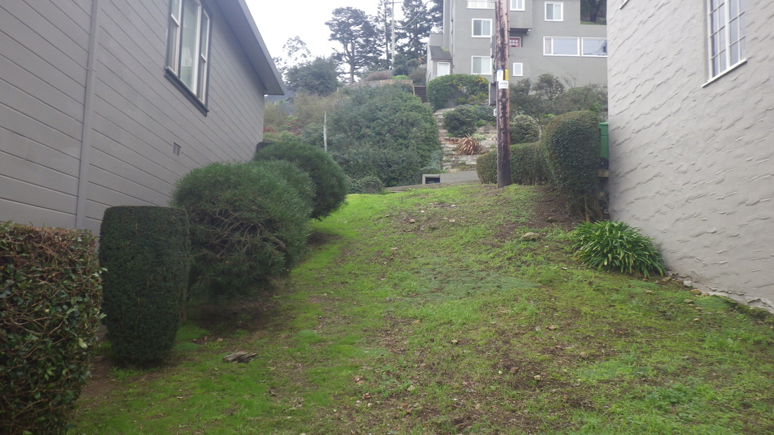
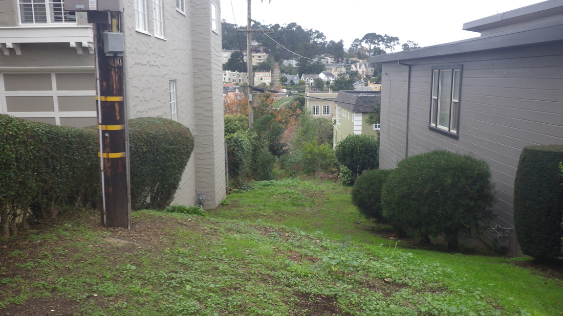
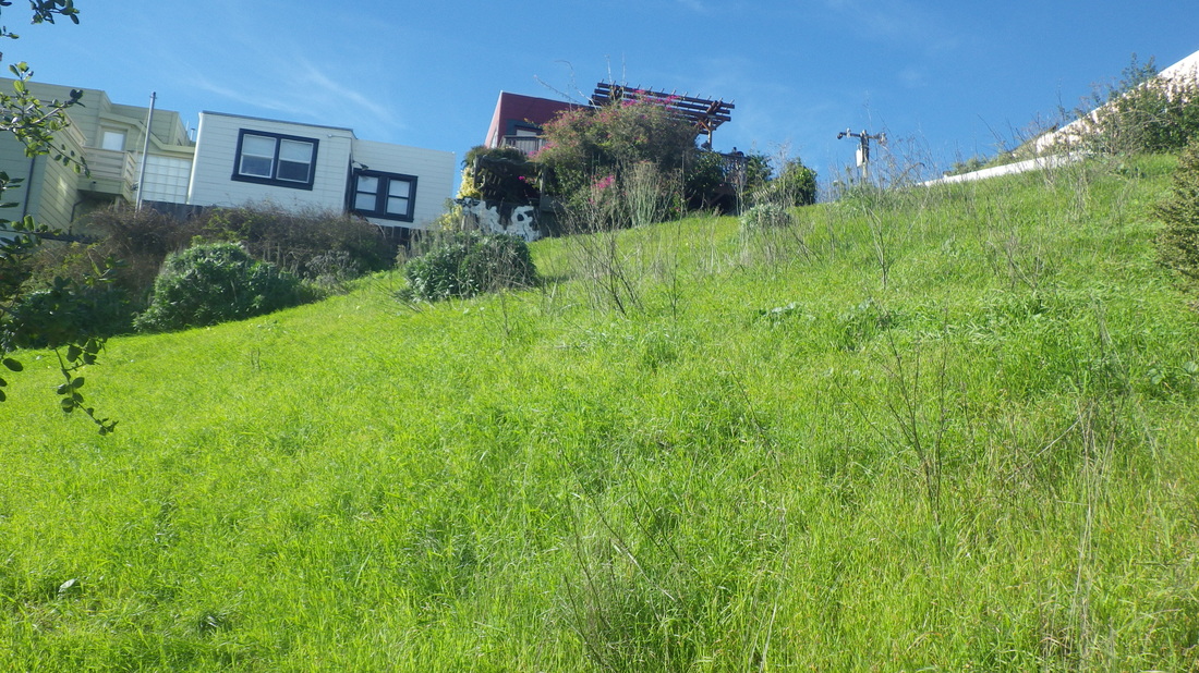
Past the tops of a couple favorite stairways Second St. (4, 5) and West Court.
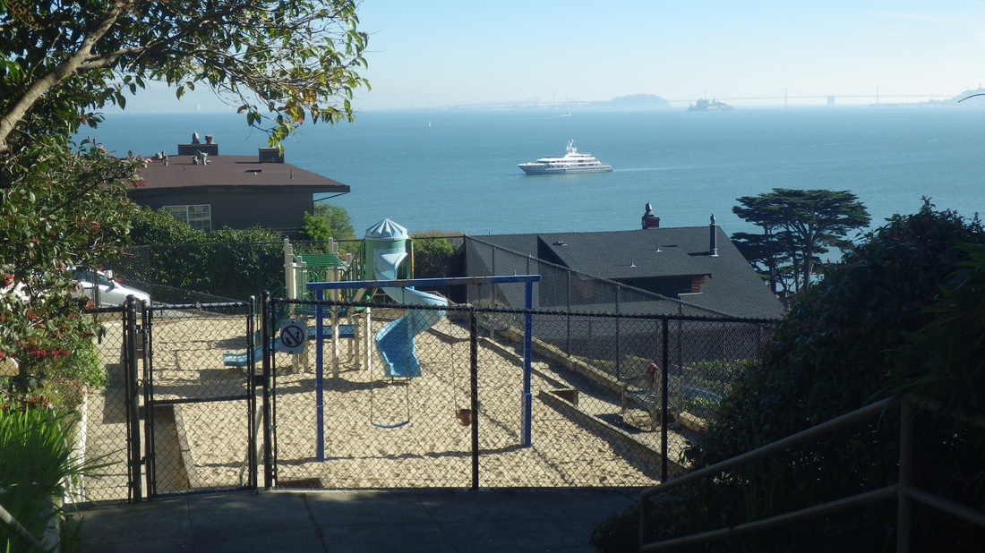
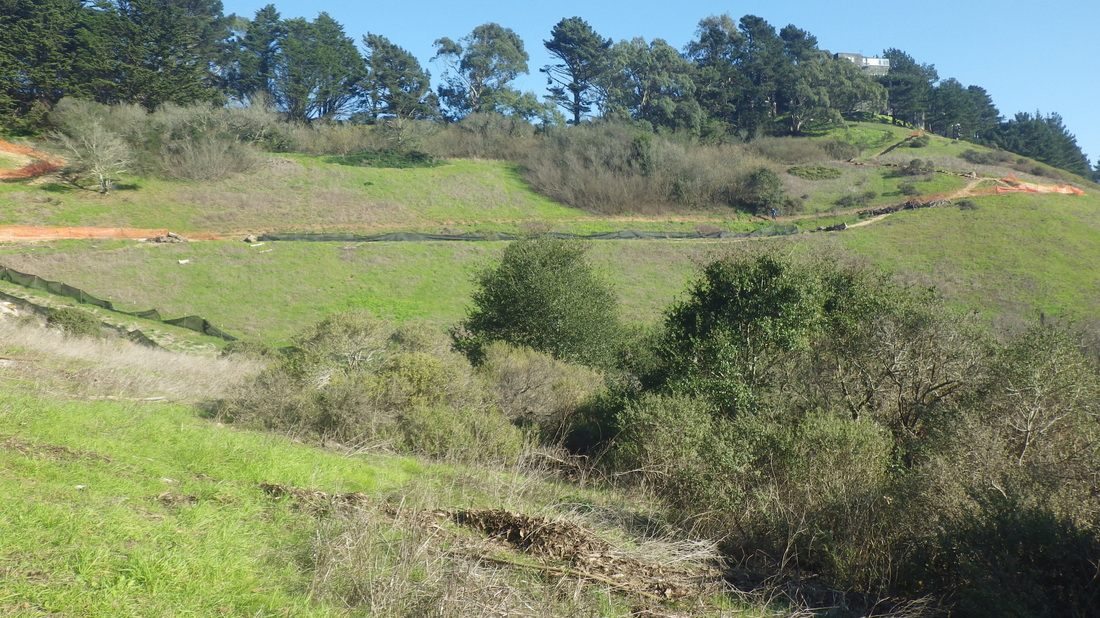
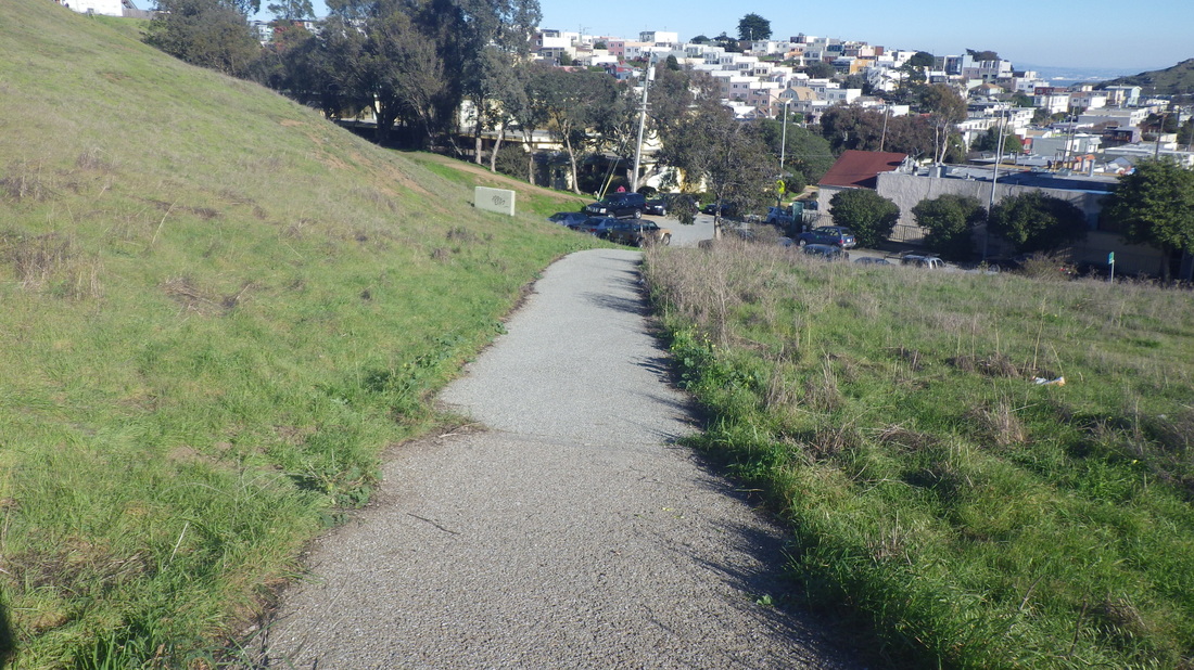
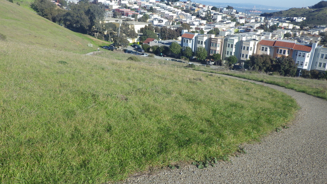
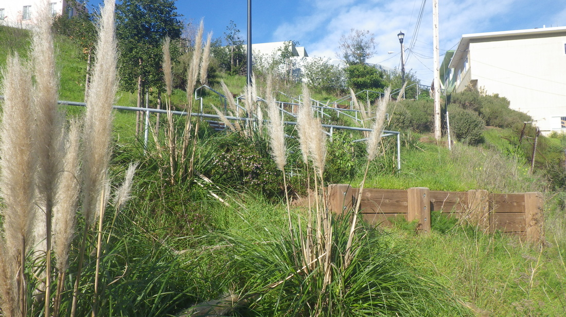
A brief stop at Southview Park (pic 6) for a quick trailsnack.
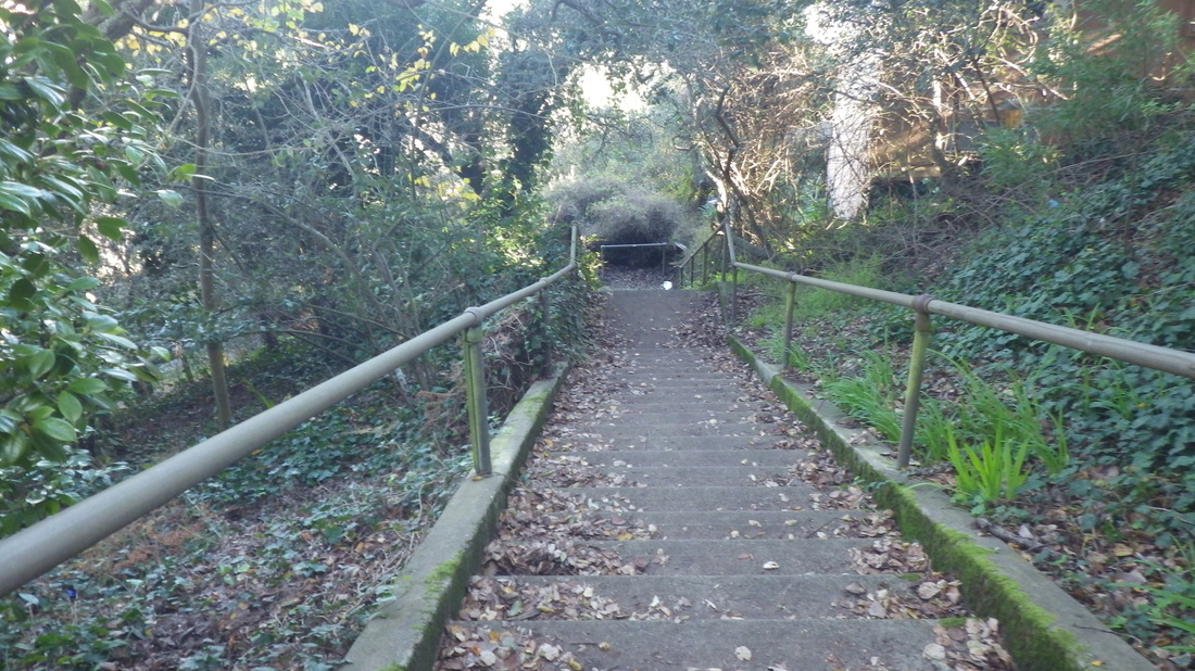
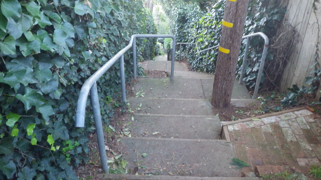
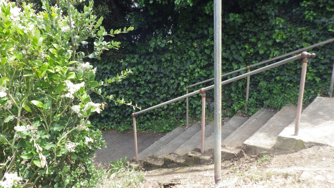
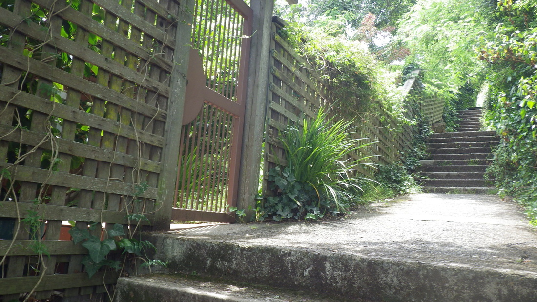
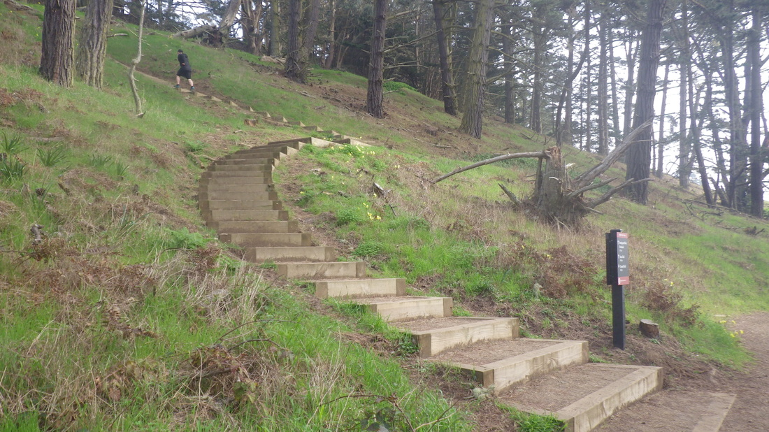
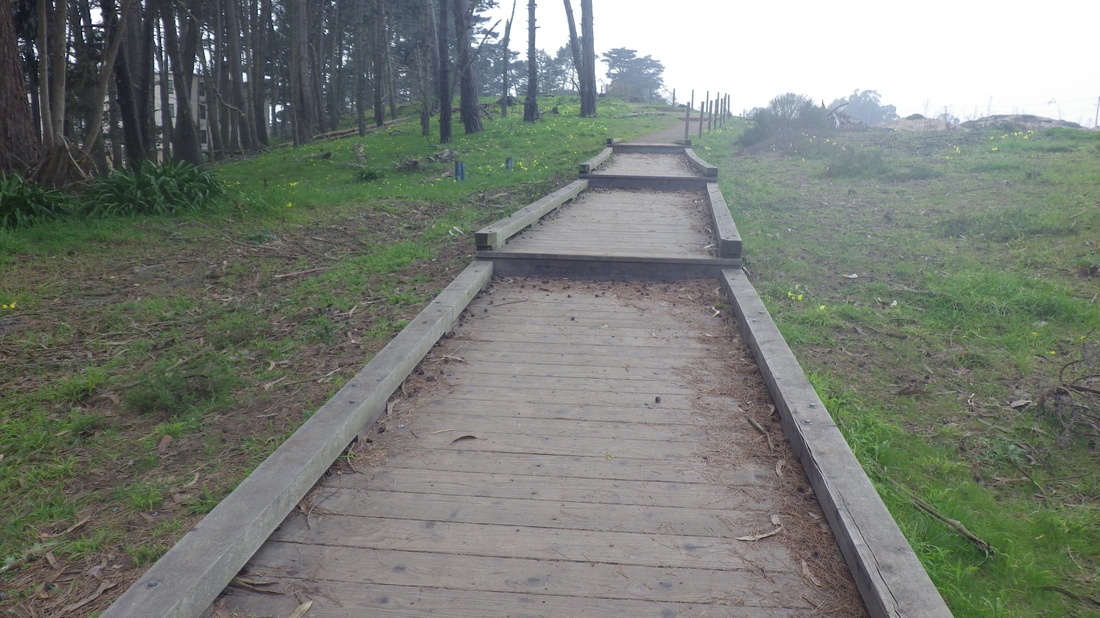
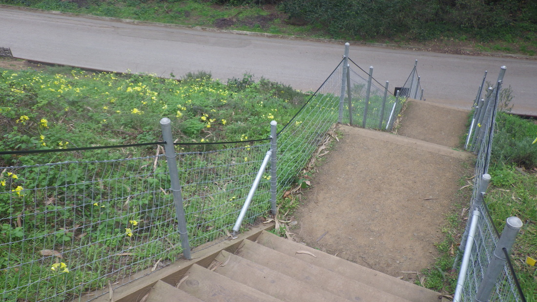
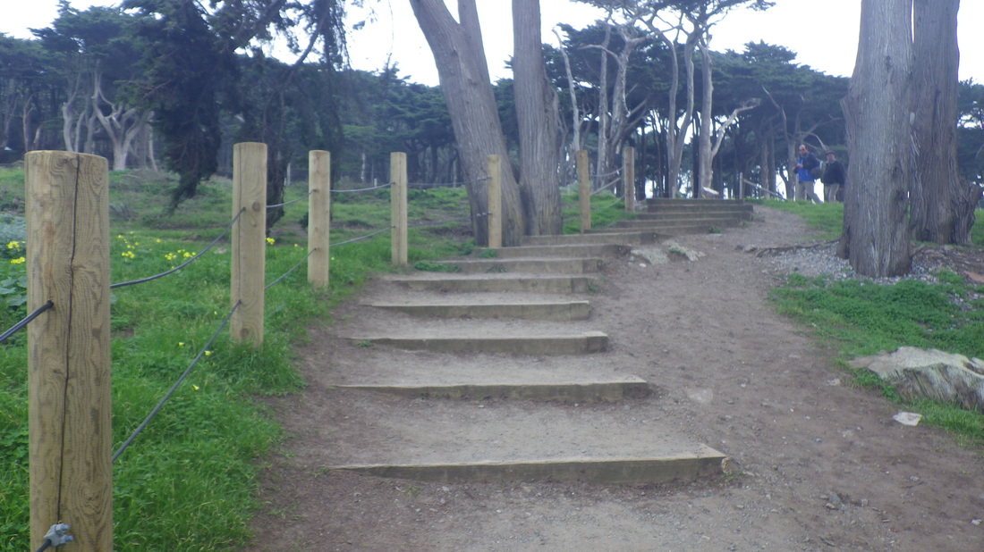
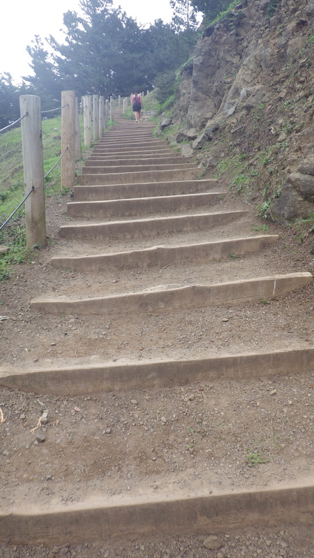
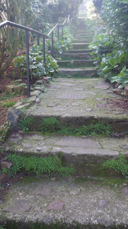
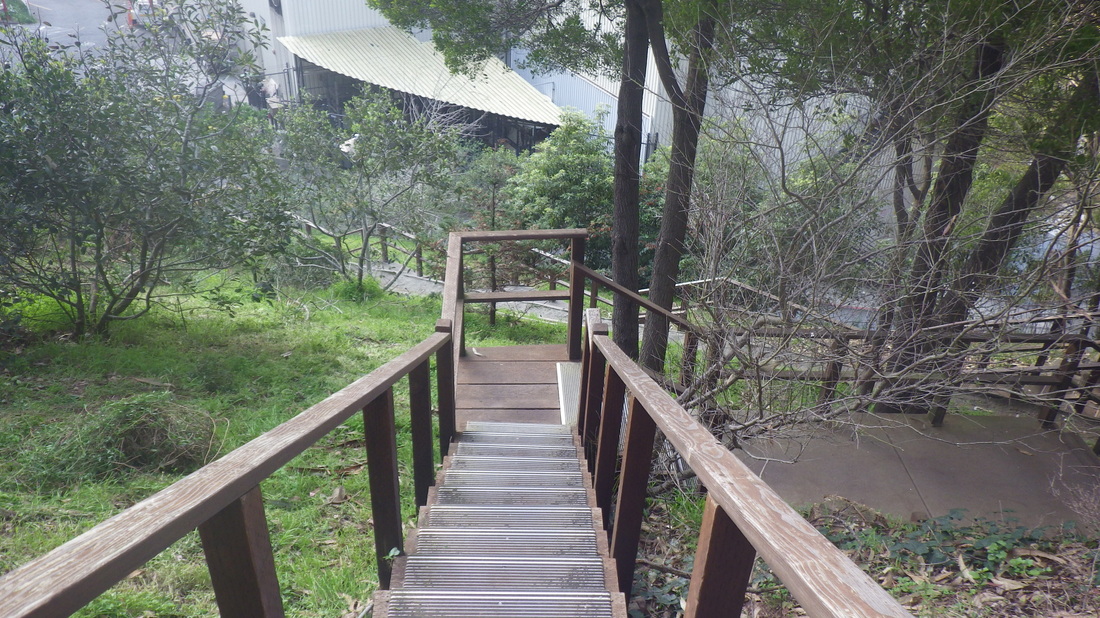
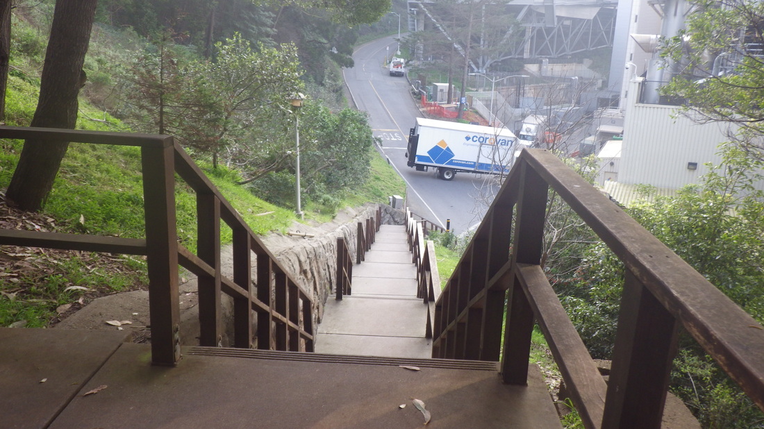
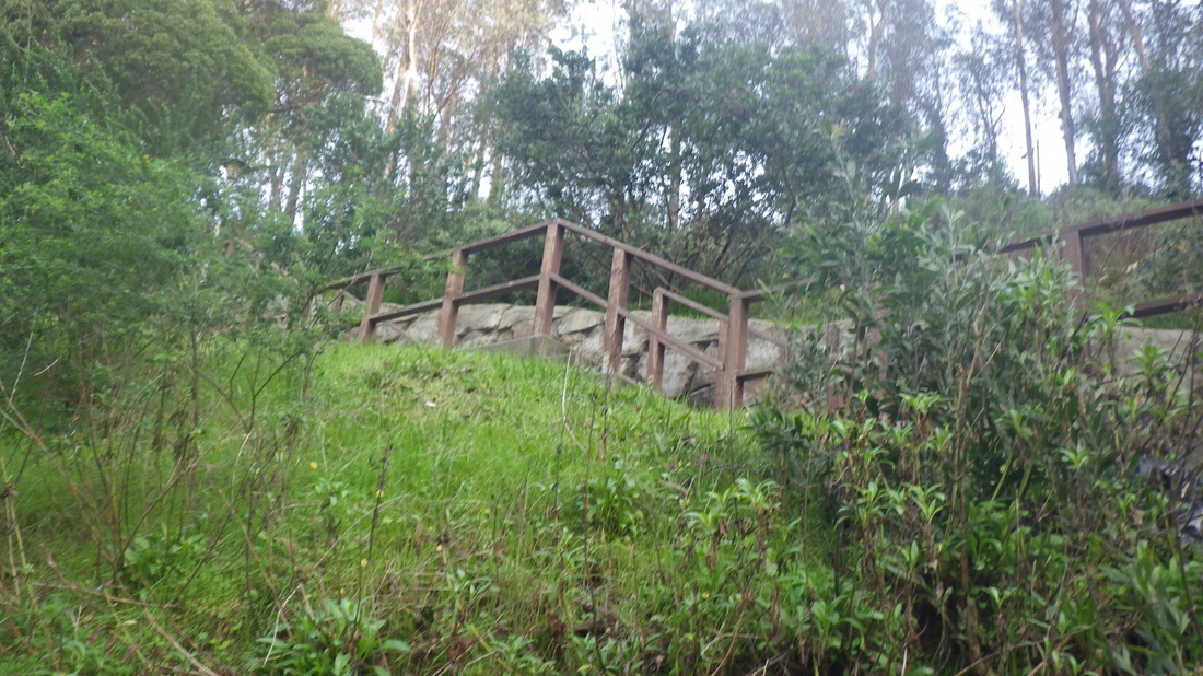
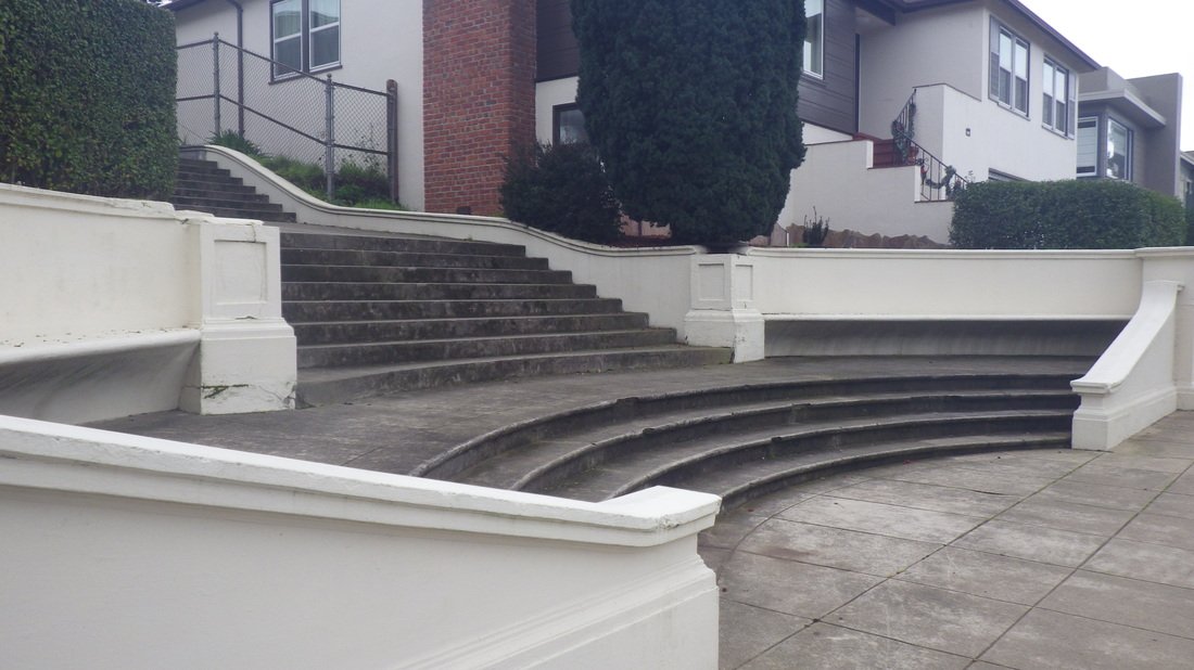
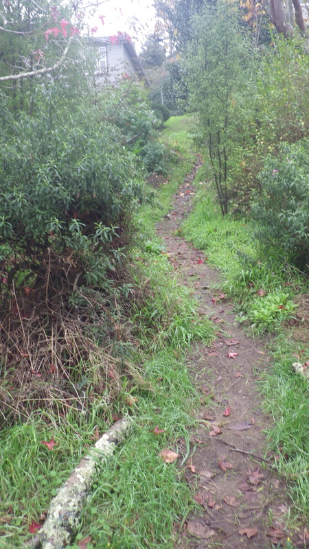
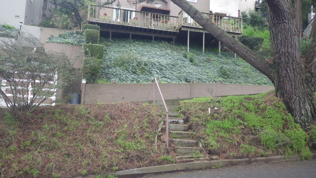
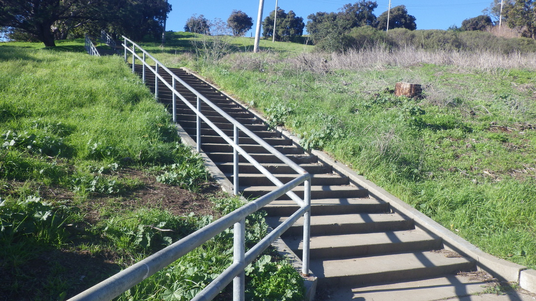
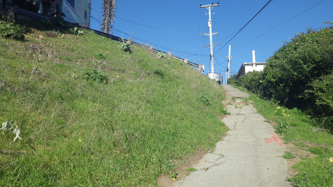
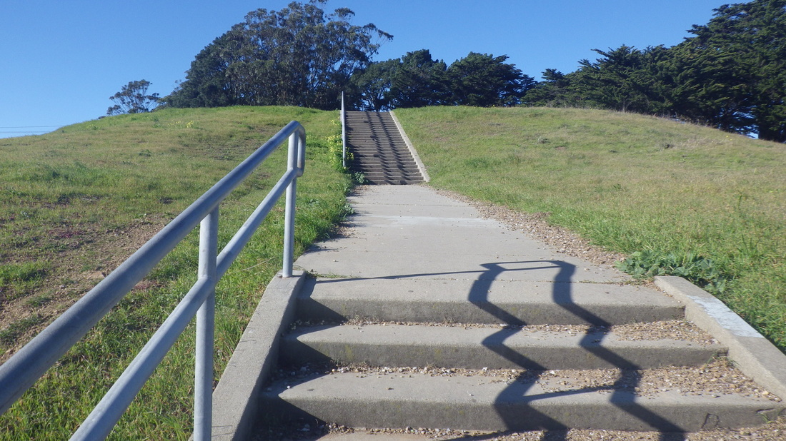
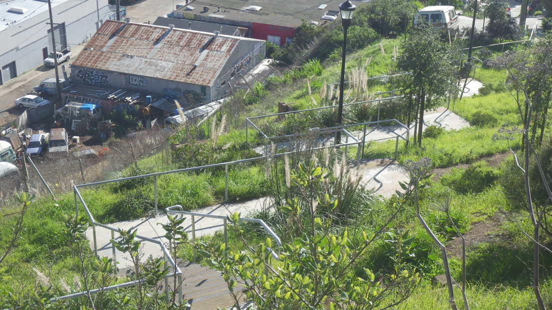
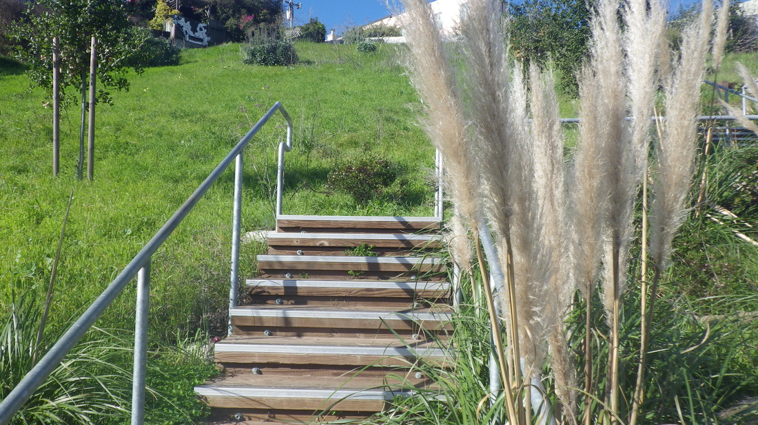
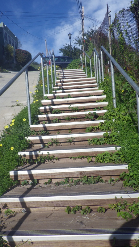
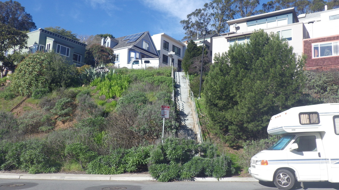
Continuing to the lower Cable Roadway steps that begin at Central and climb to Crescent: 196 steps, pic 7.
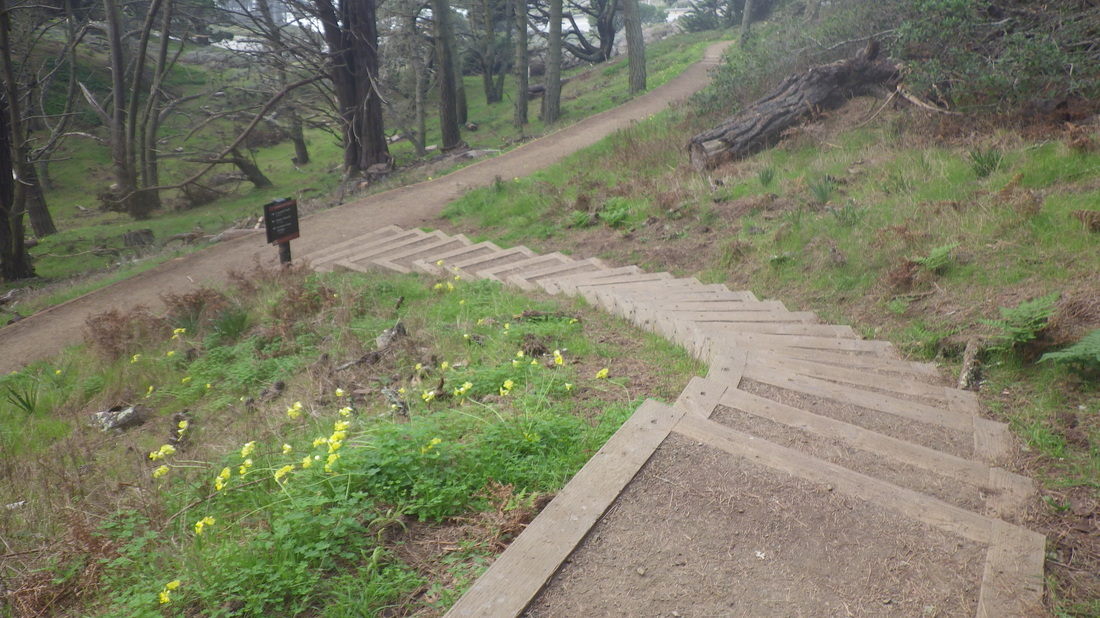
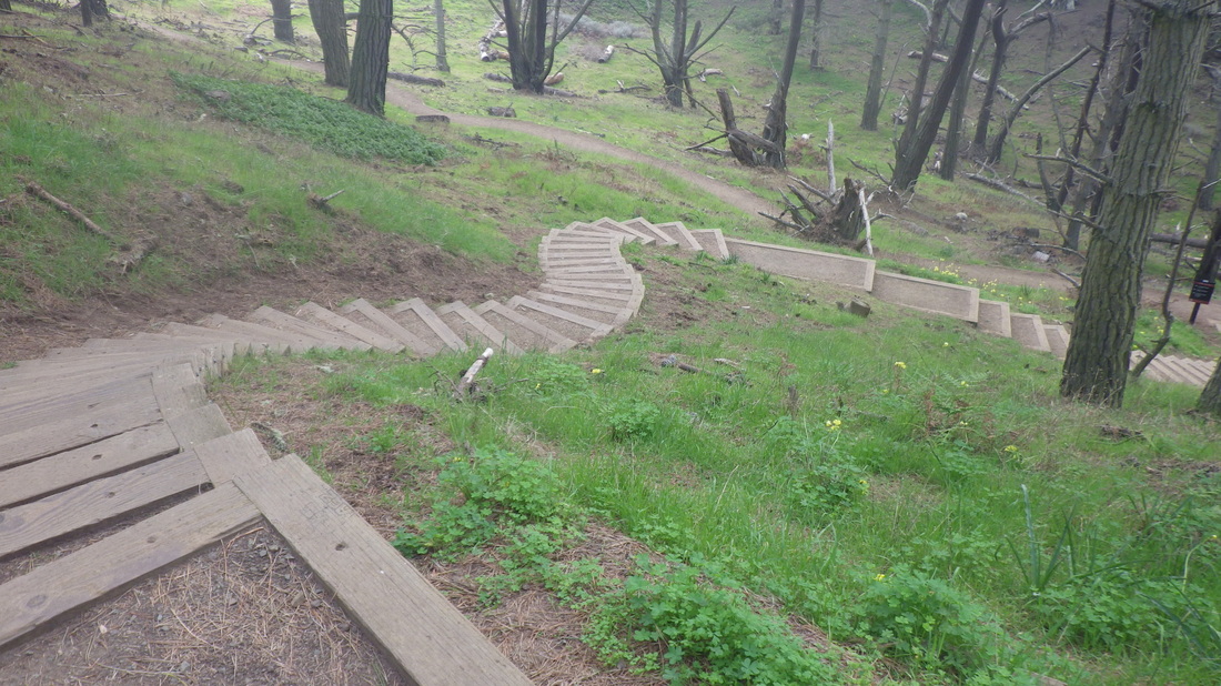
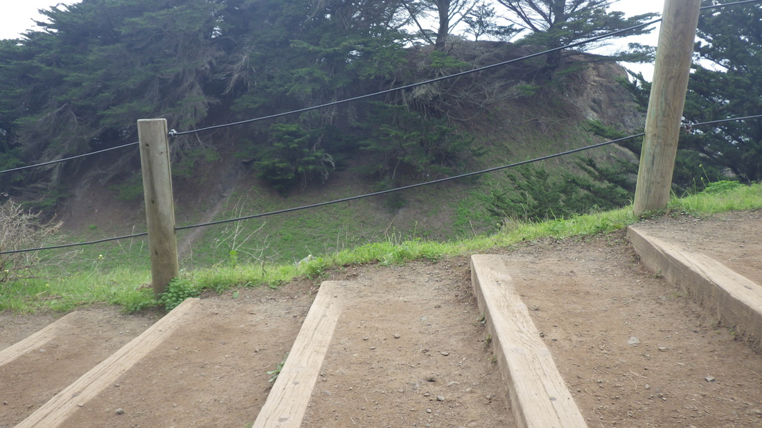
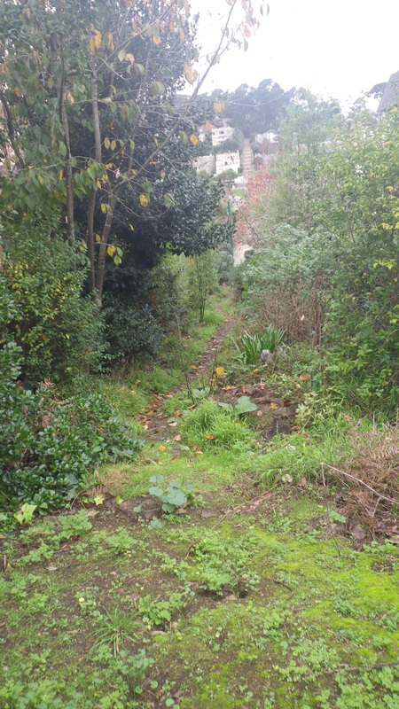
Curving around and ascending from Sausalito Blvd. is upper Cable Roadway with its 93 steps: 8, 9.
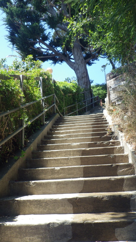
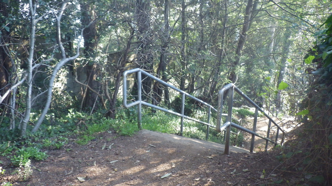
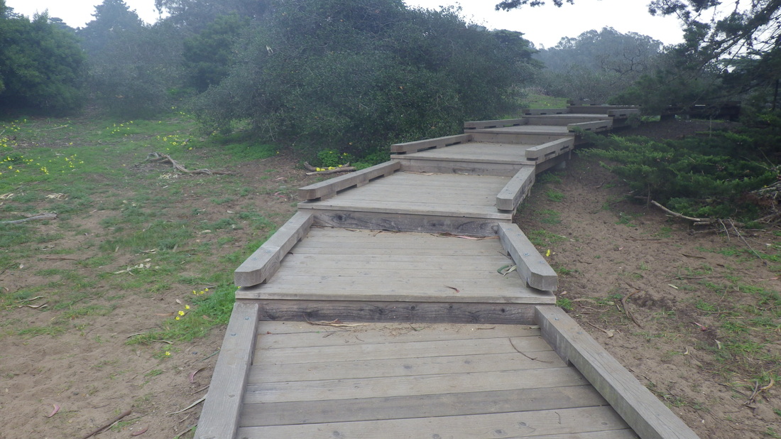
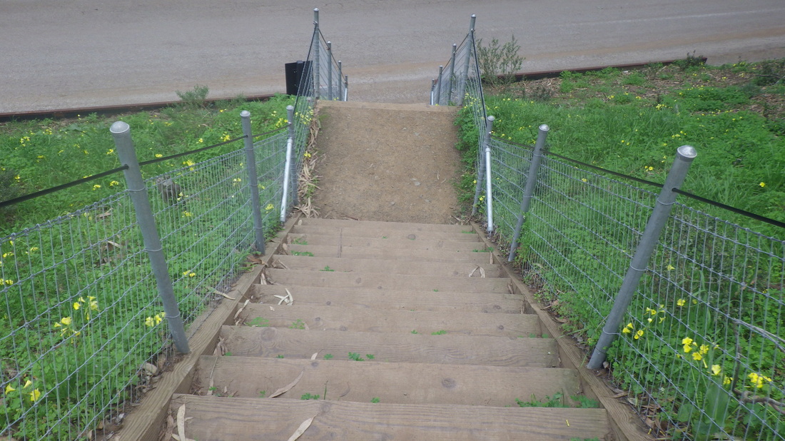
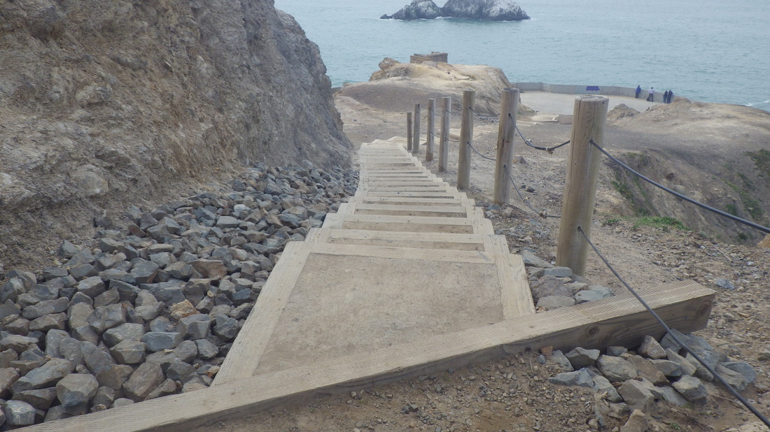
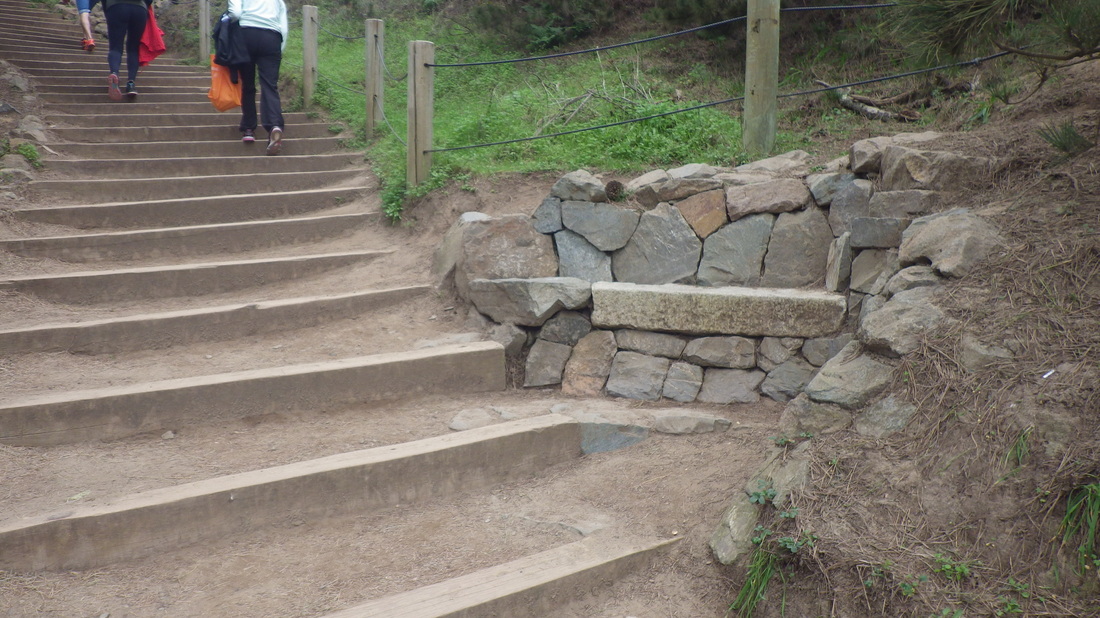
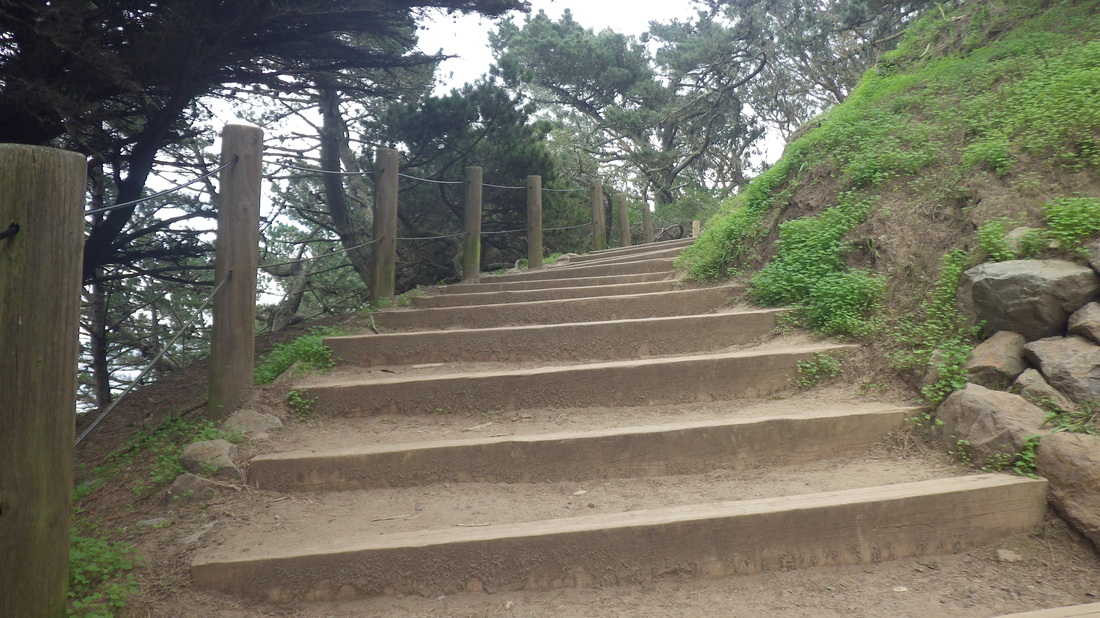
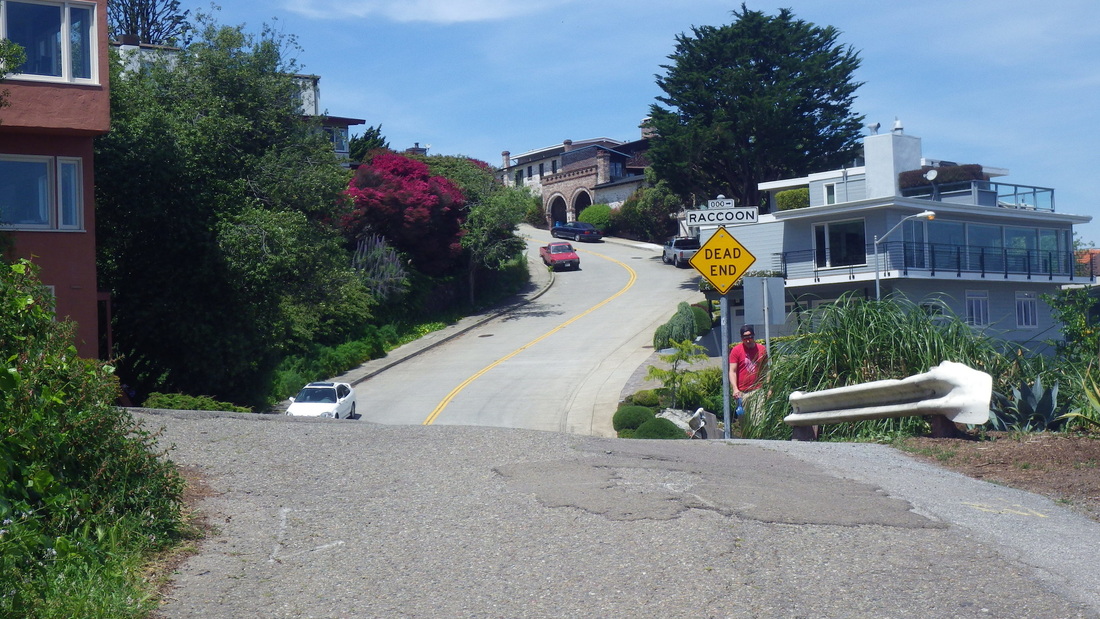
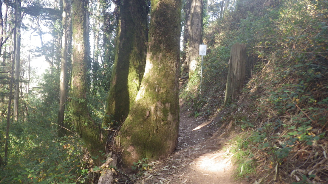
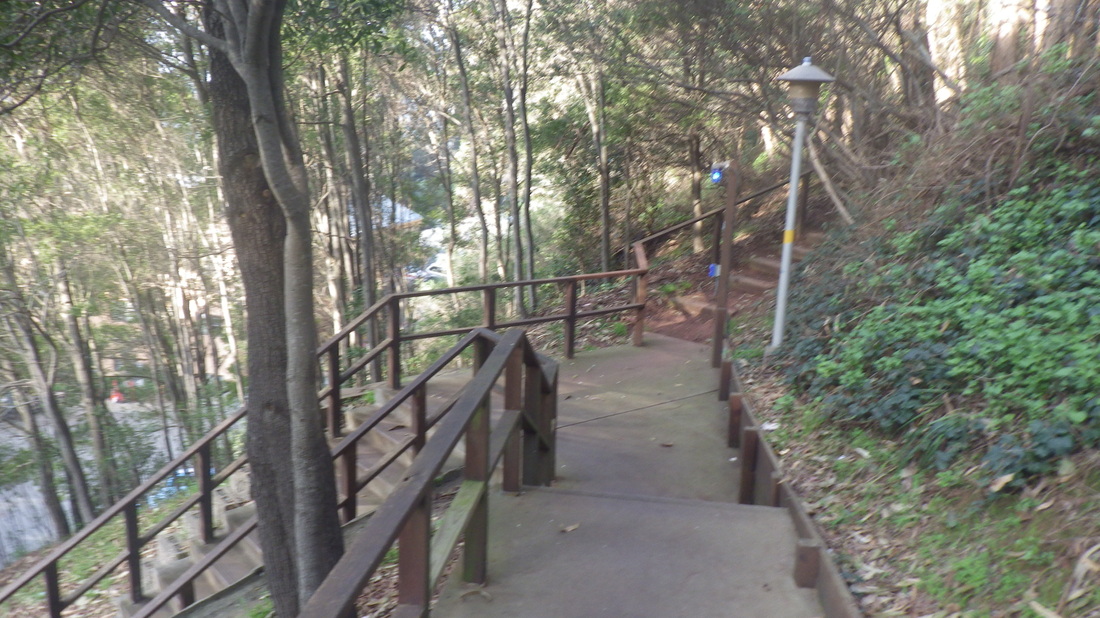
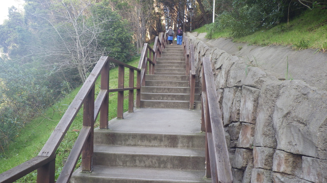
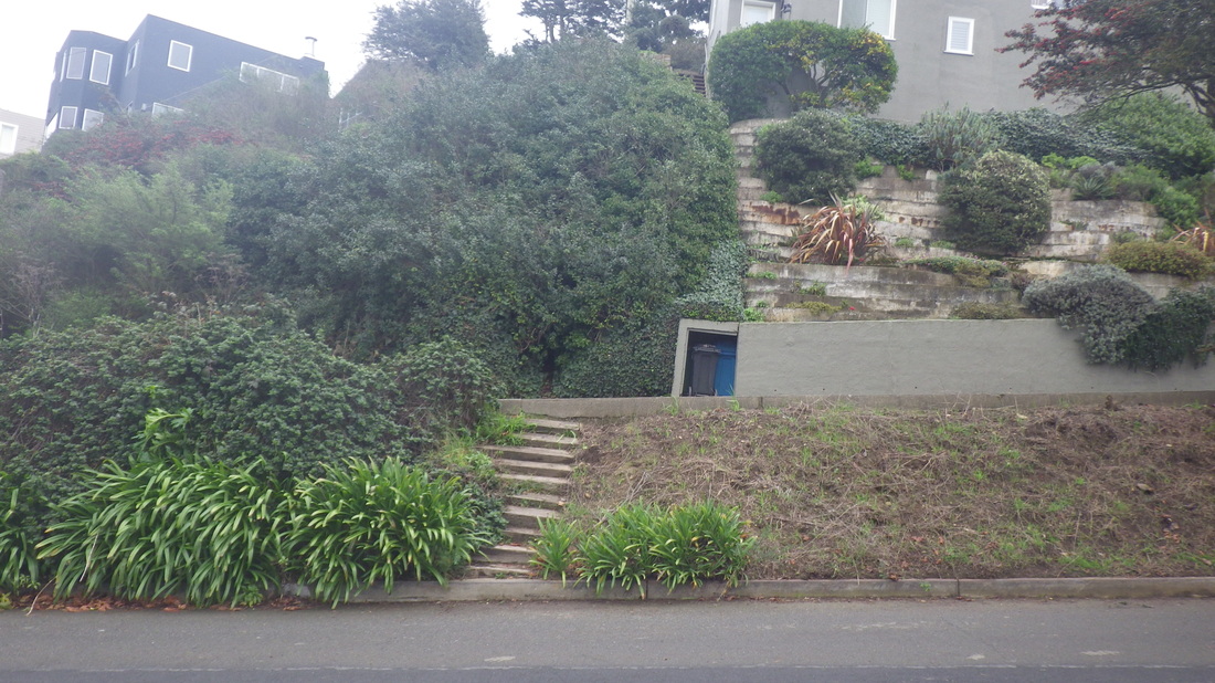
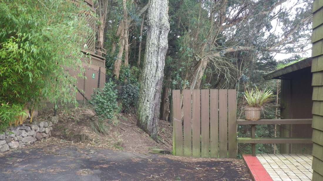
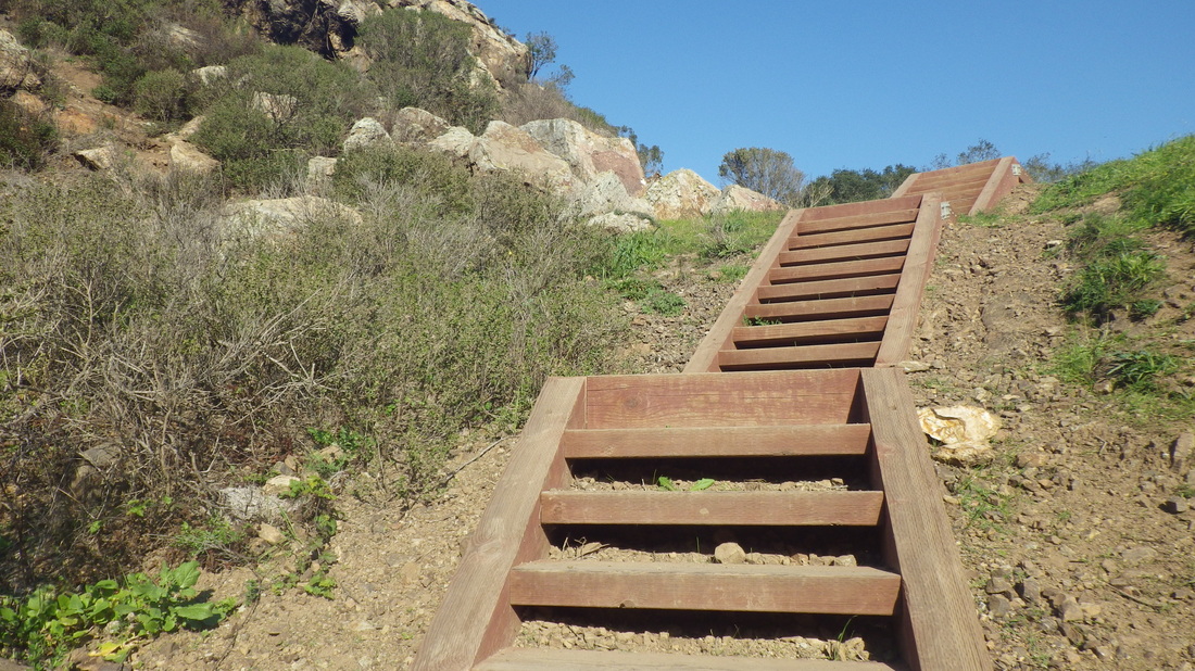
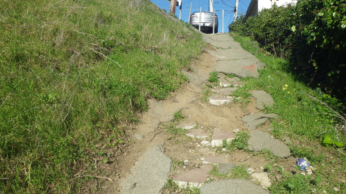
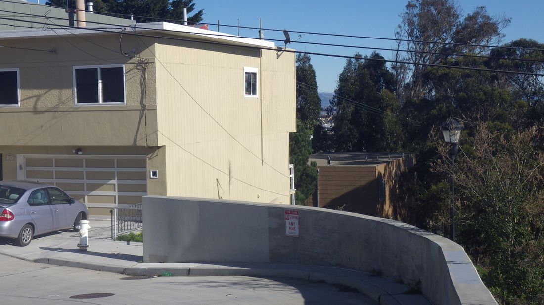
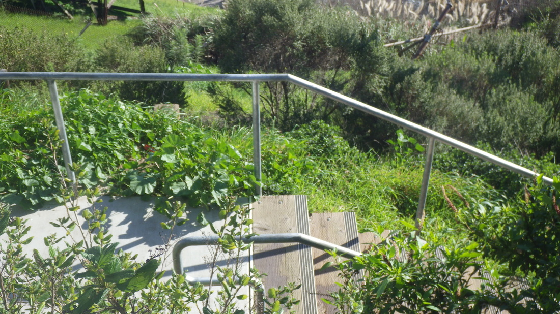
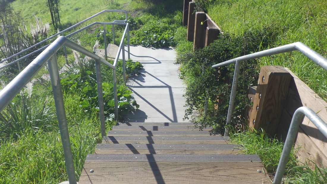
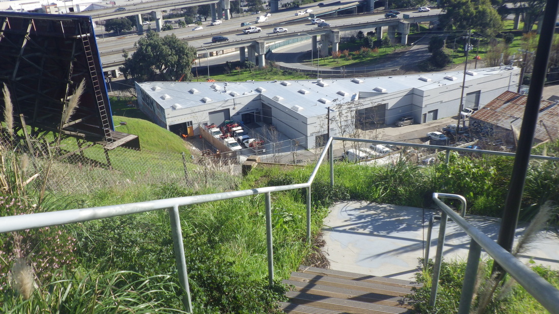
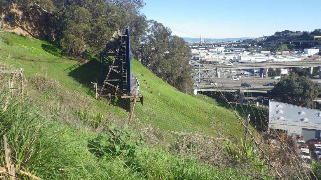
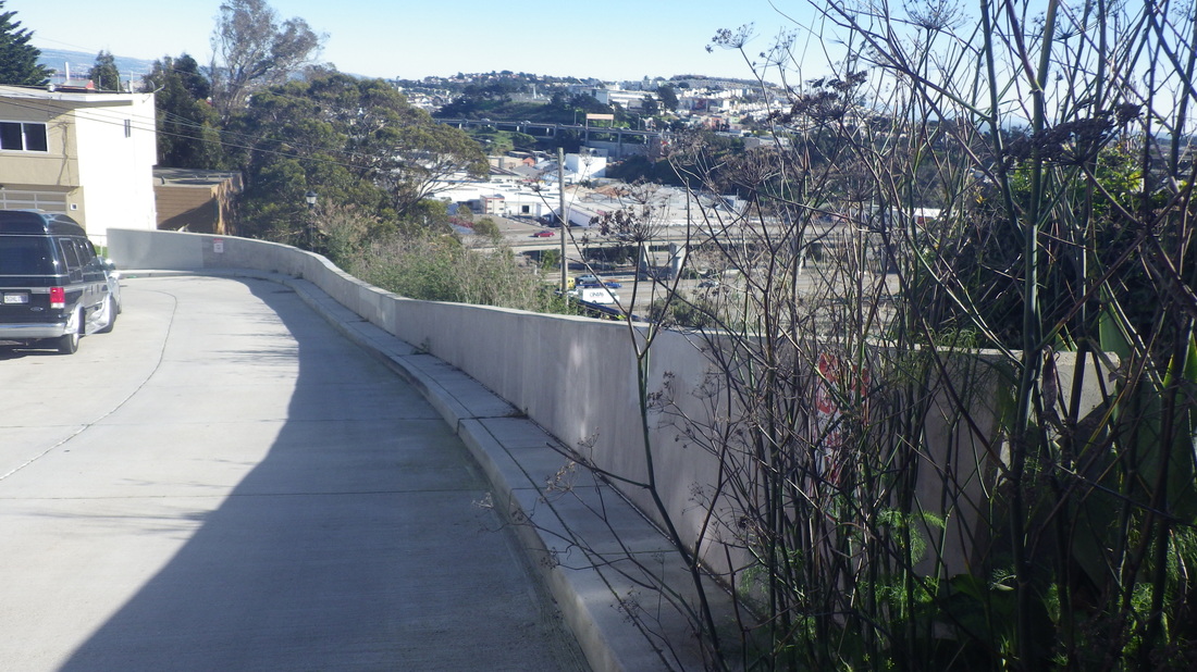
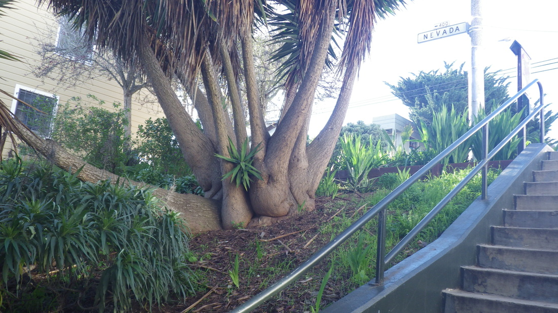
The uppermost block of Cable Roadway is a steep vehicle street. Left on Prospect (pic 10), it's a short distance to the foot of the 204 Prospect steps up to the freeway area and Wolfback Ridge Road: 11, 12, 13. A short dirt trail past the top of Cloudview; down 45 more steps to Spencer at Monte Mar.
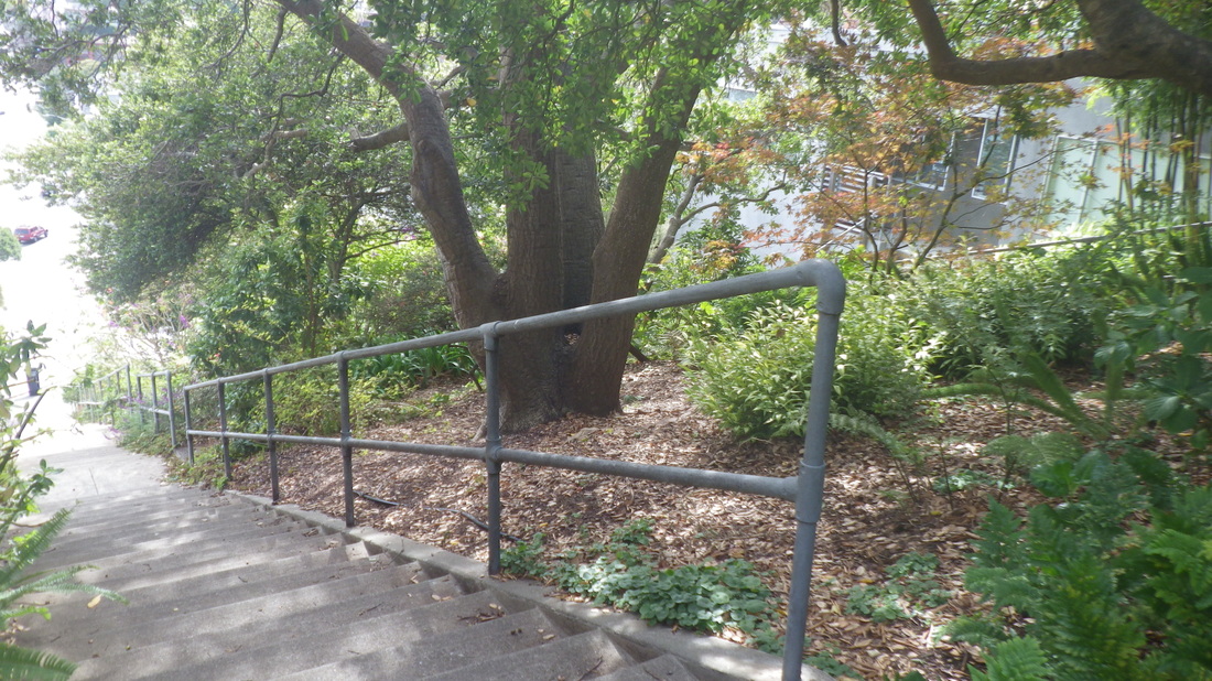
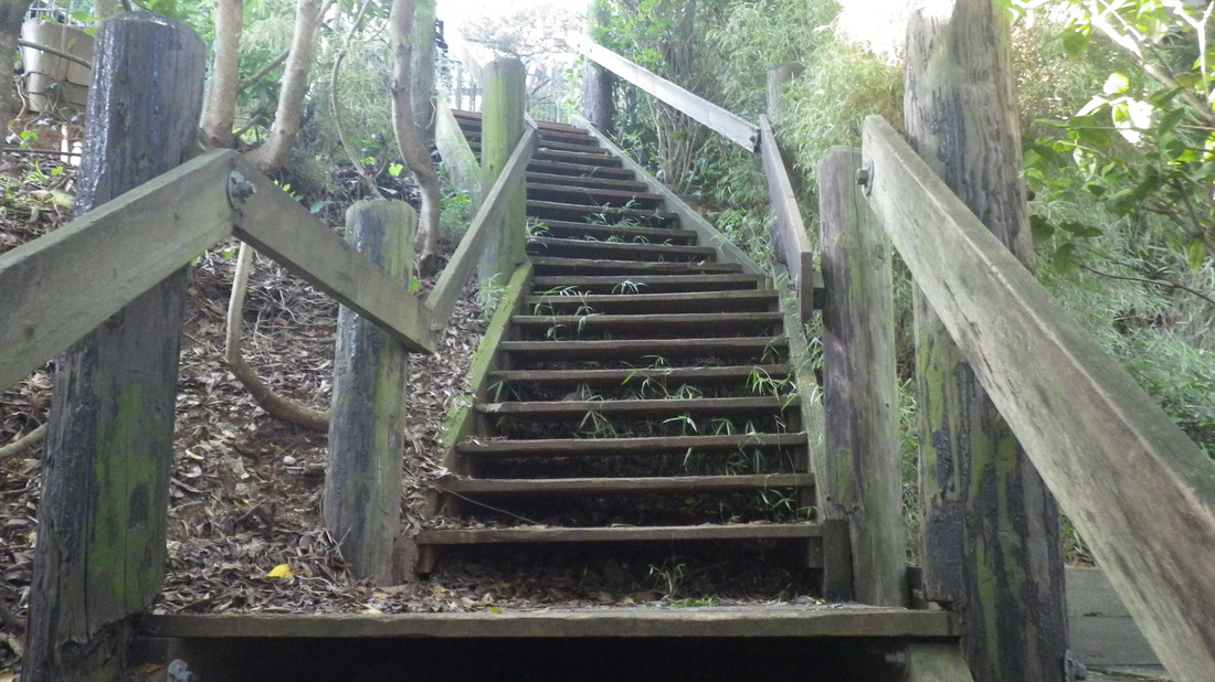
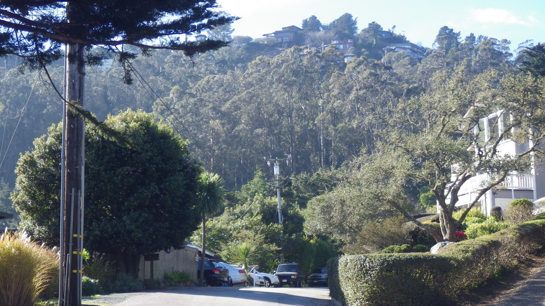
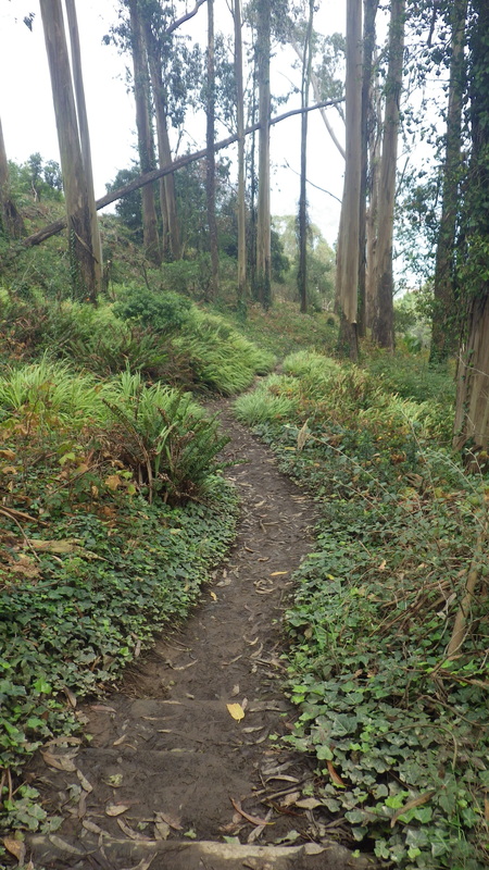
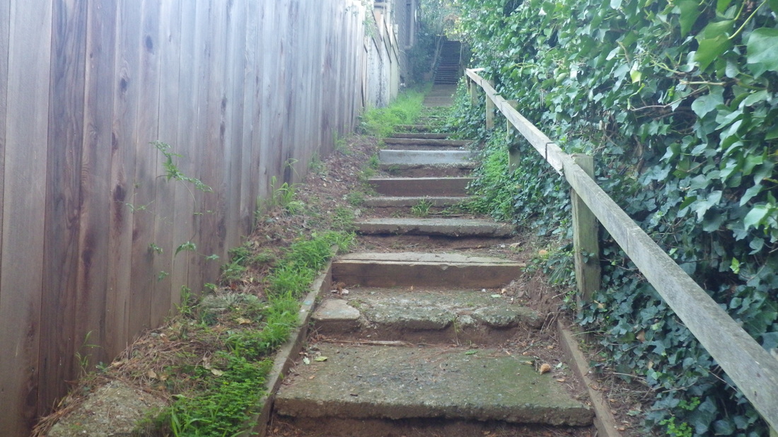
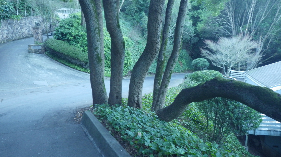
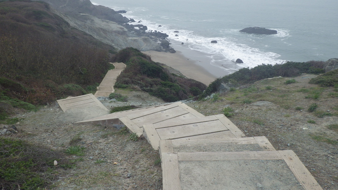
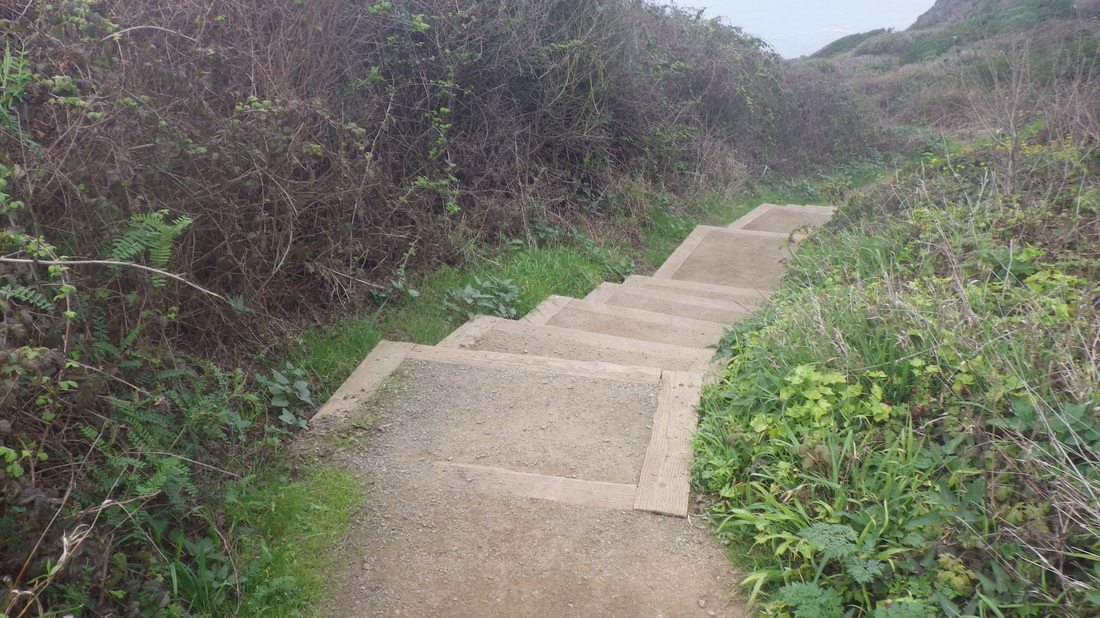
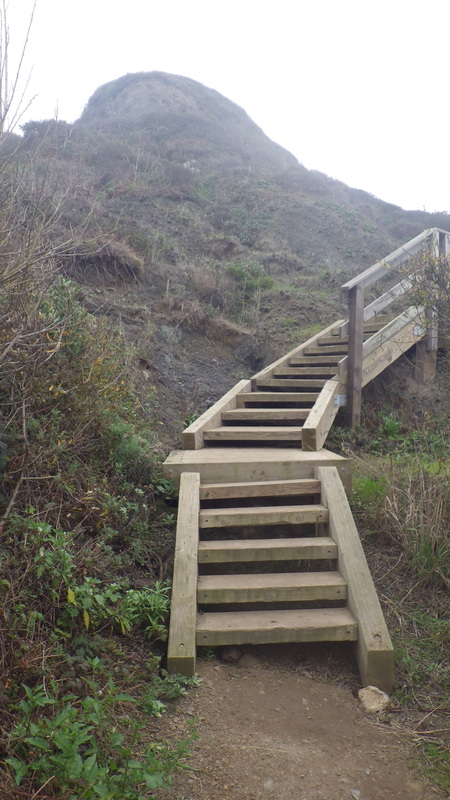
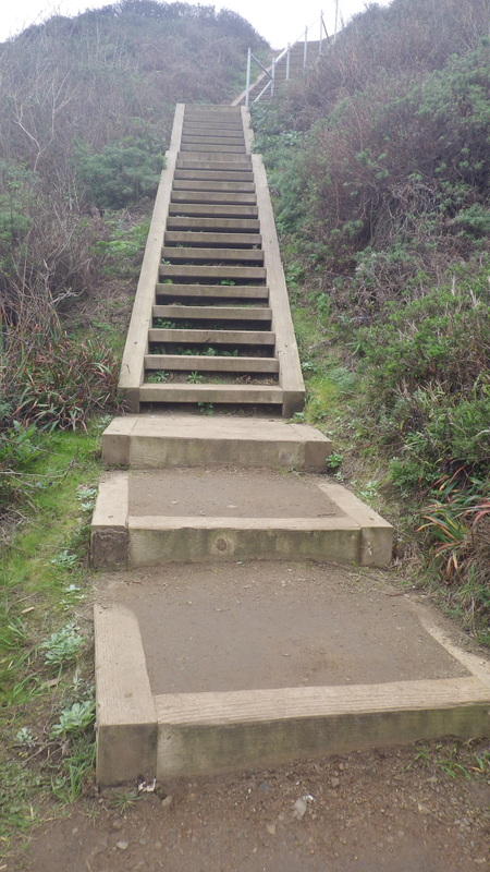
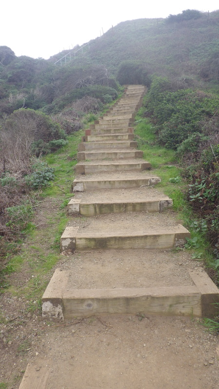
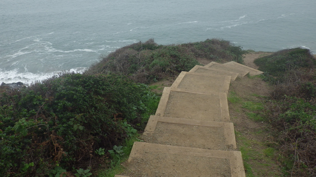
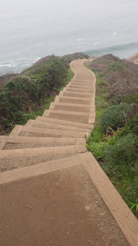
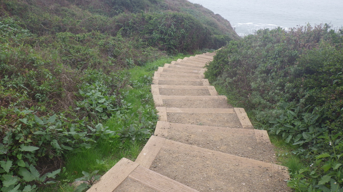
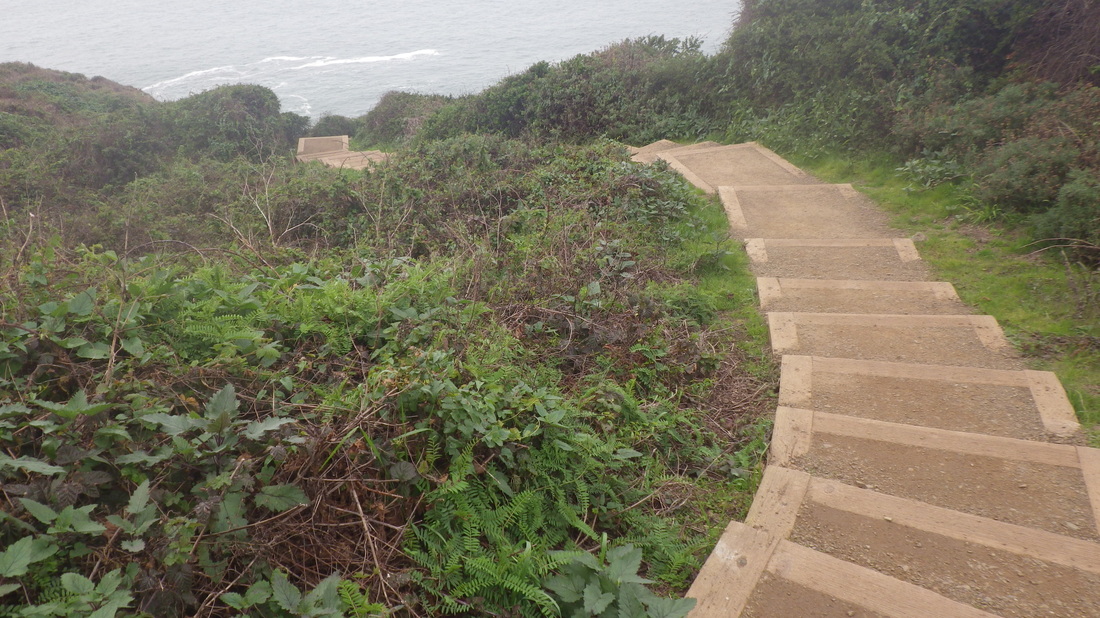
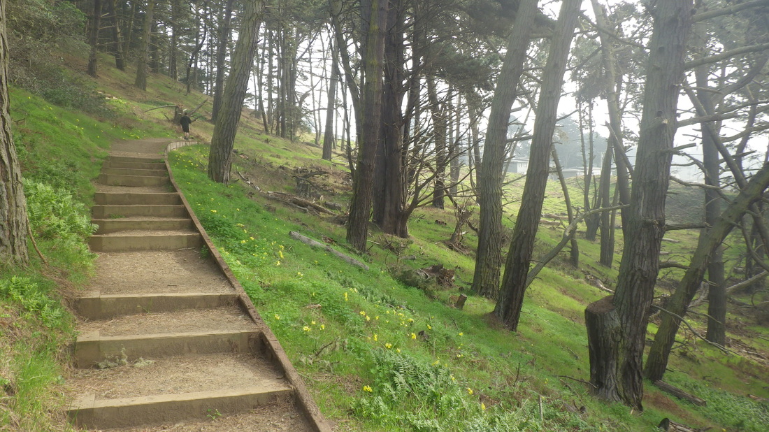
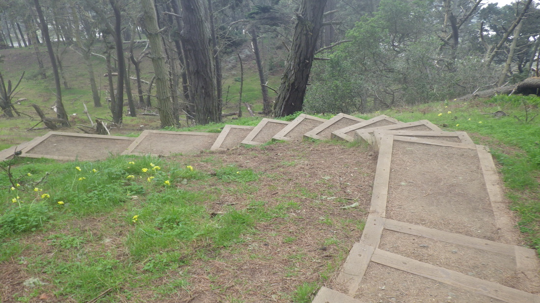
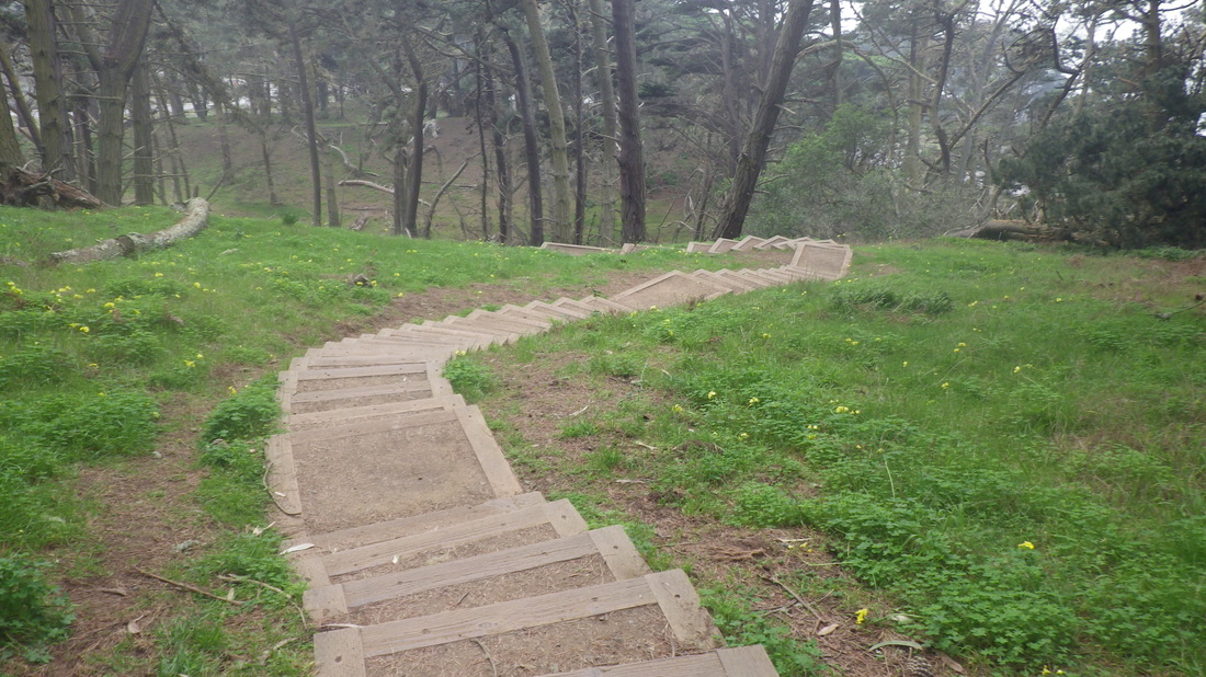
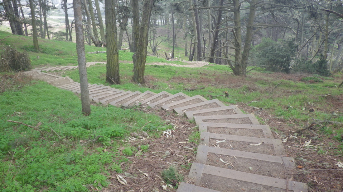
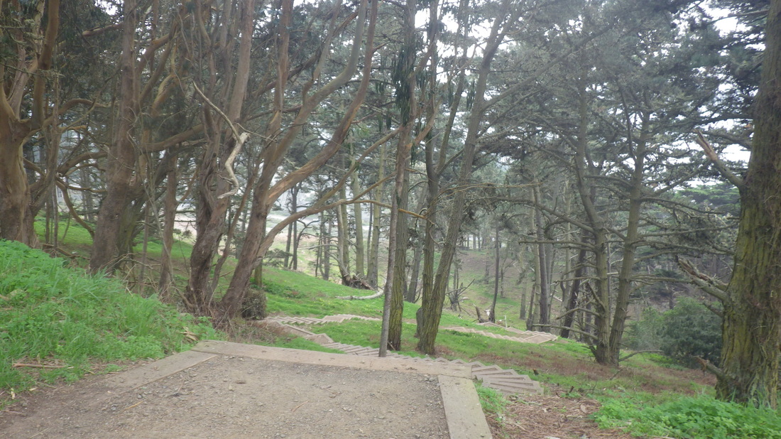
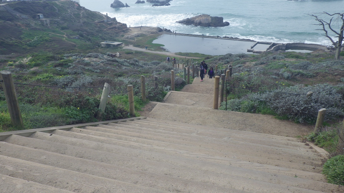
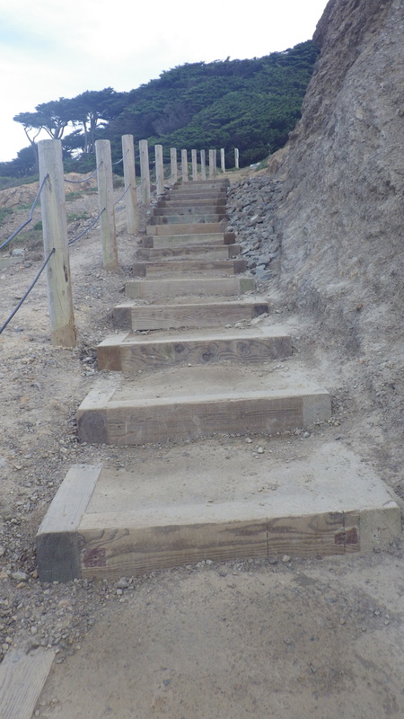
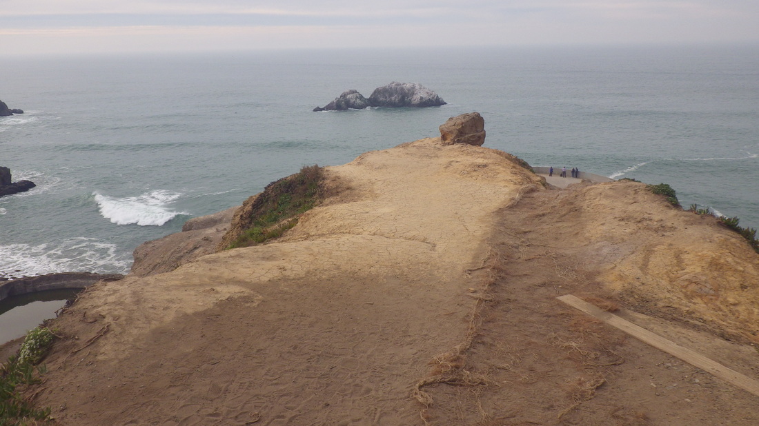
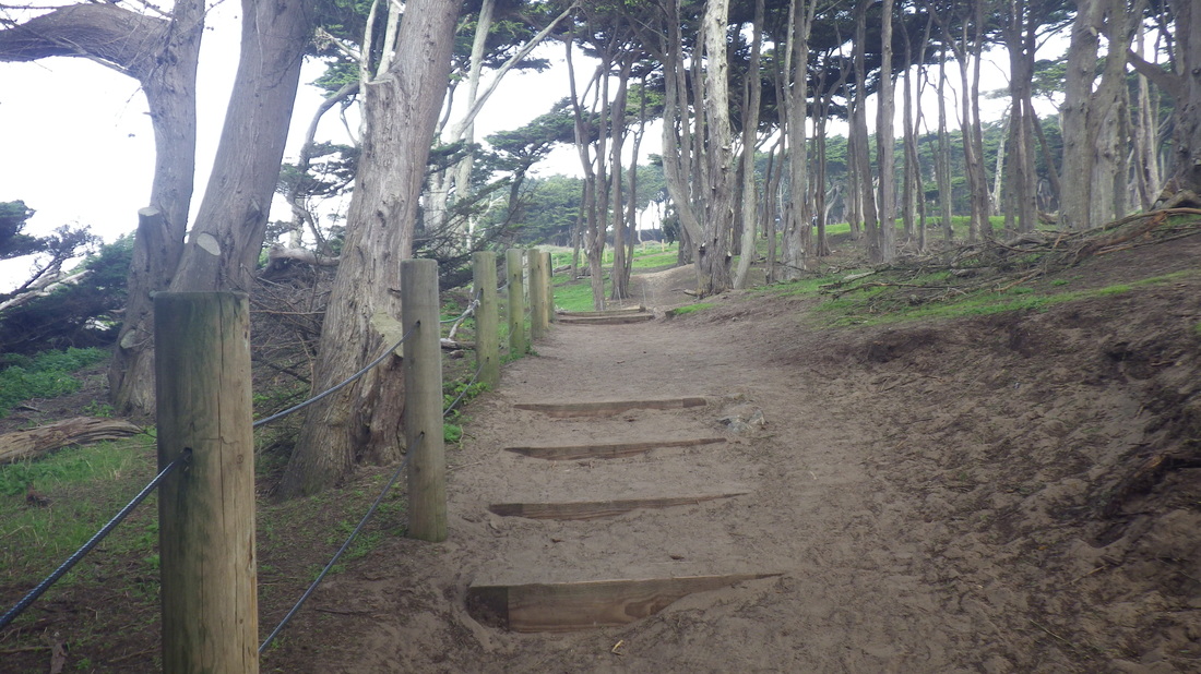
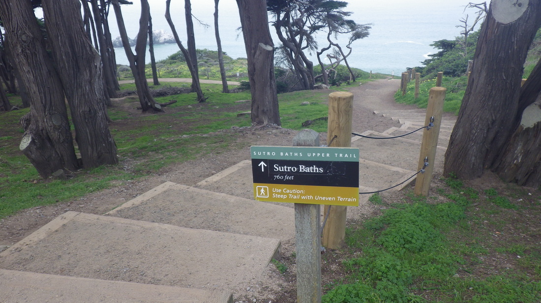
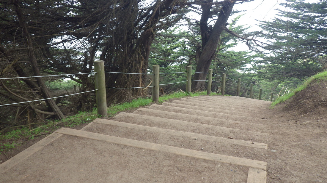
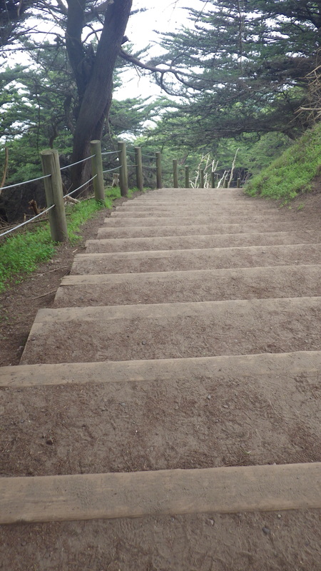
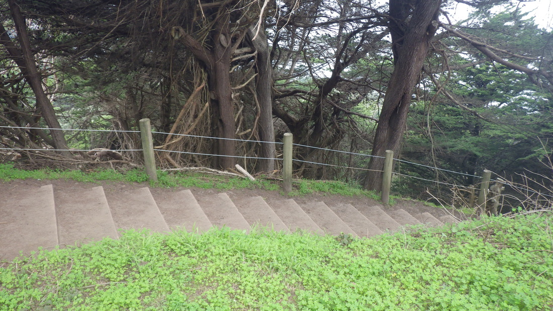
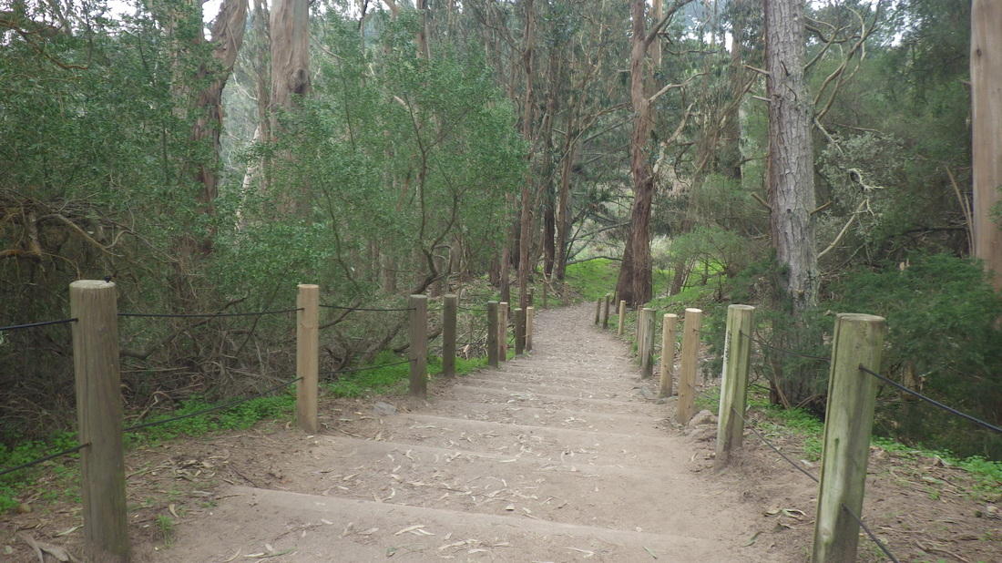
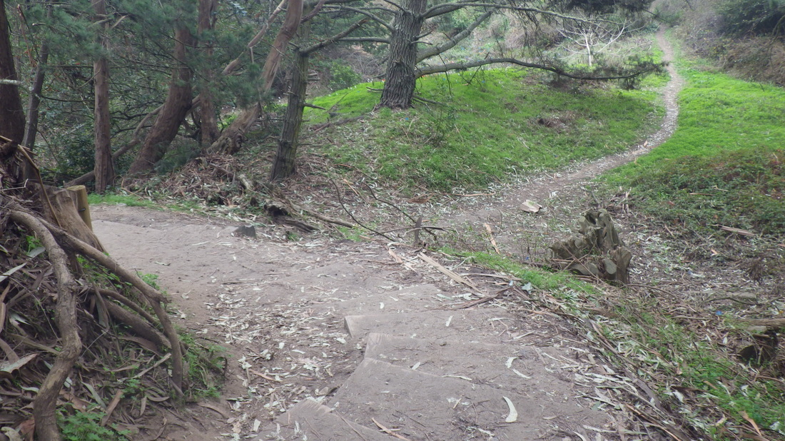
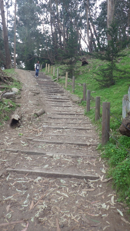
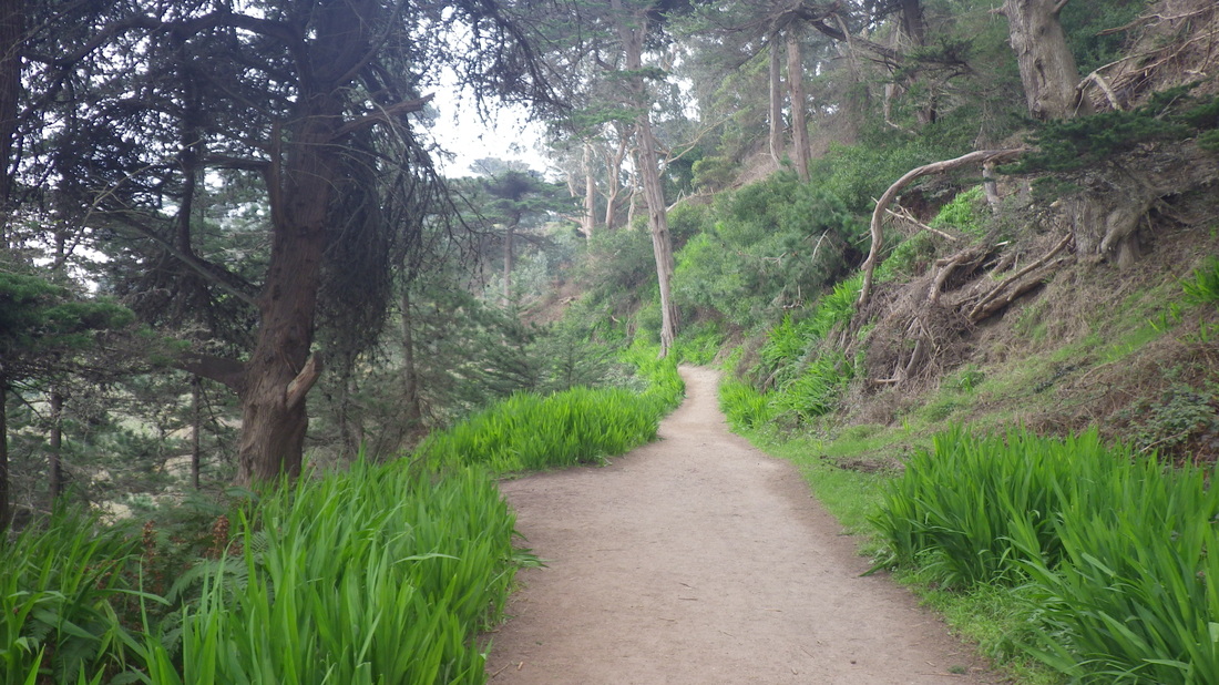
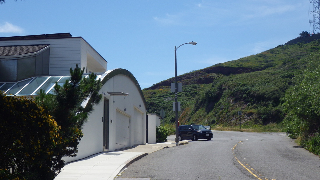
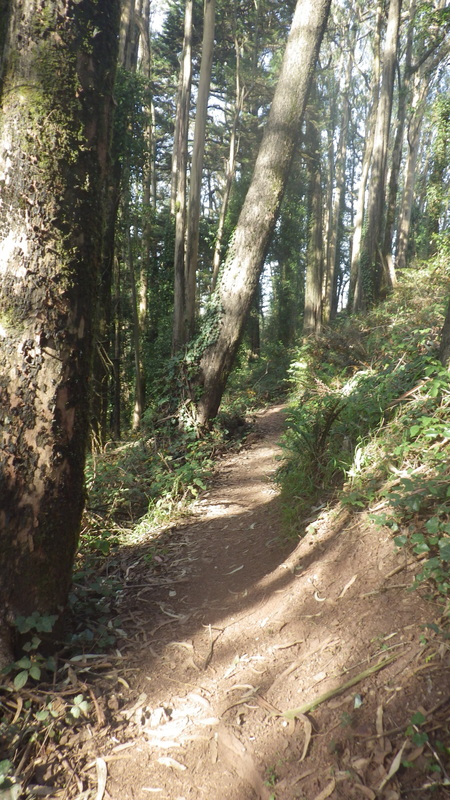
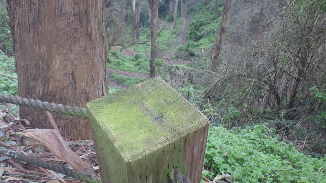
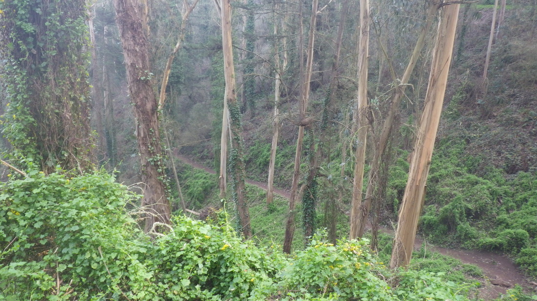
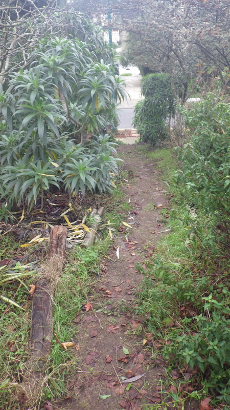
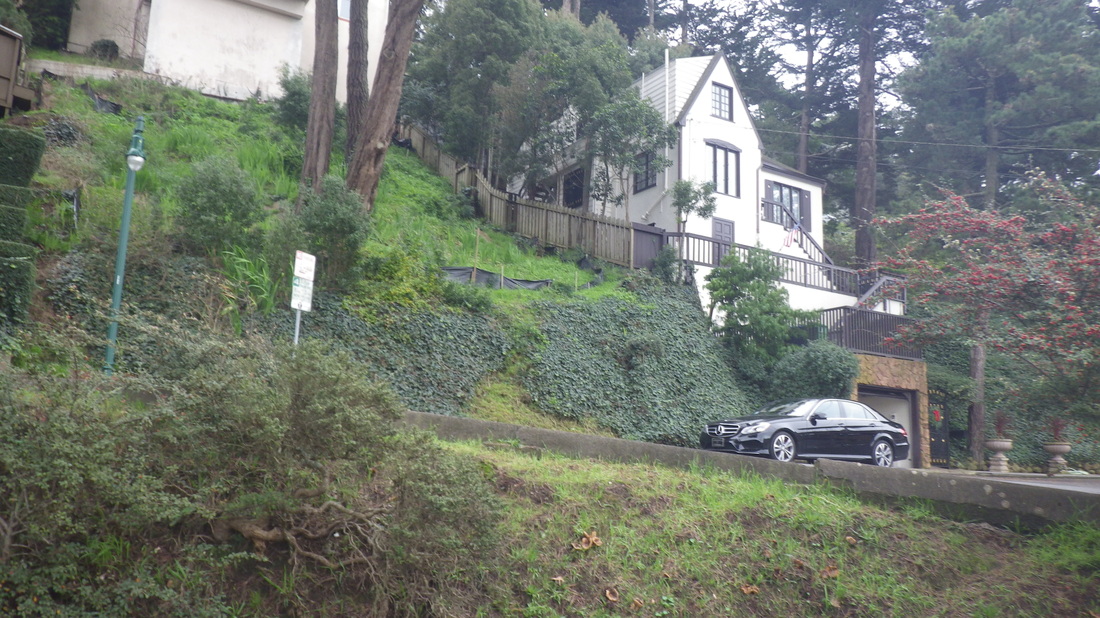
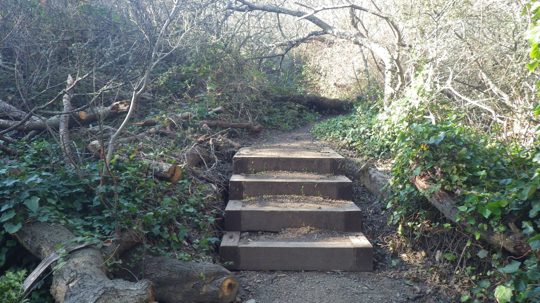
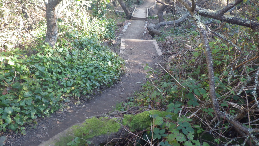
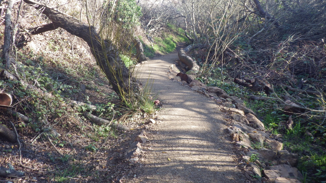
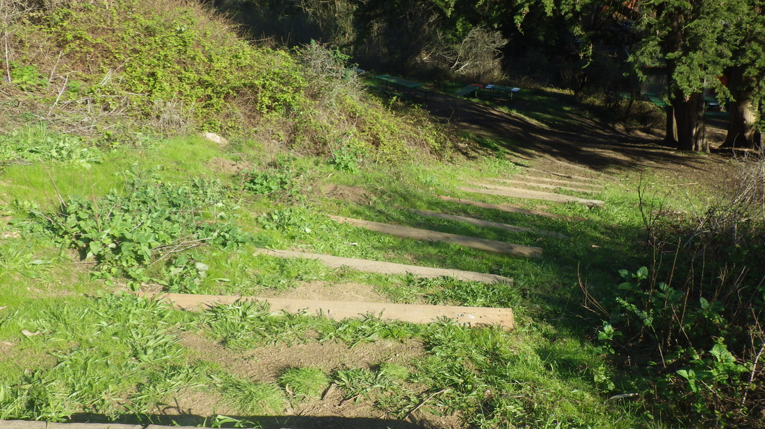
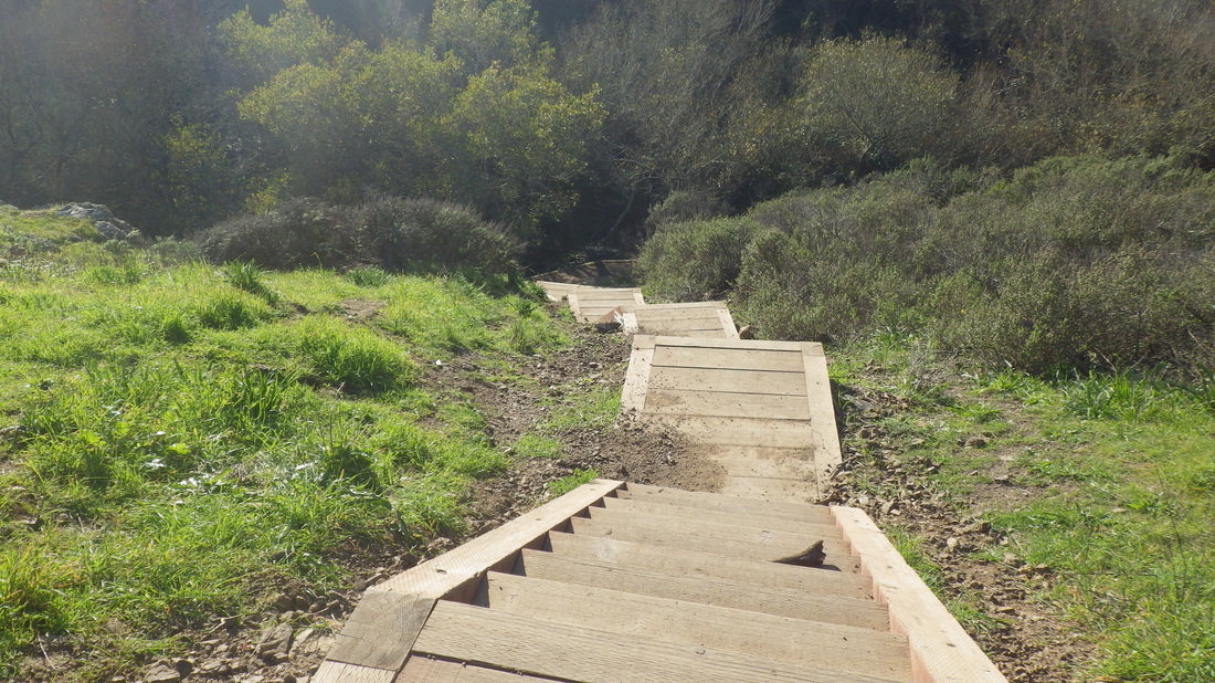
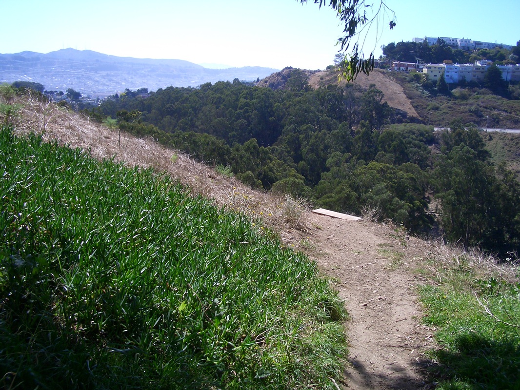
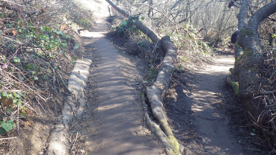
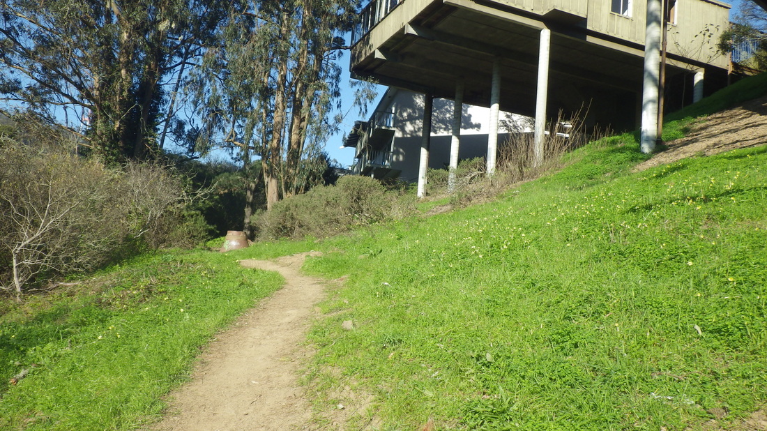
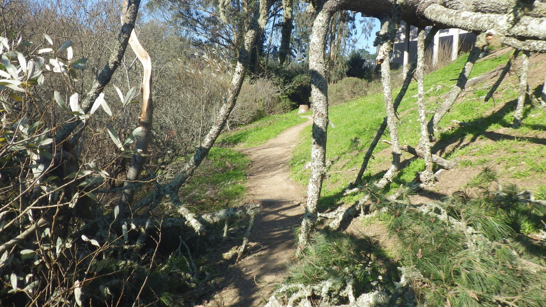
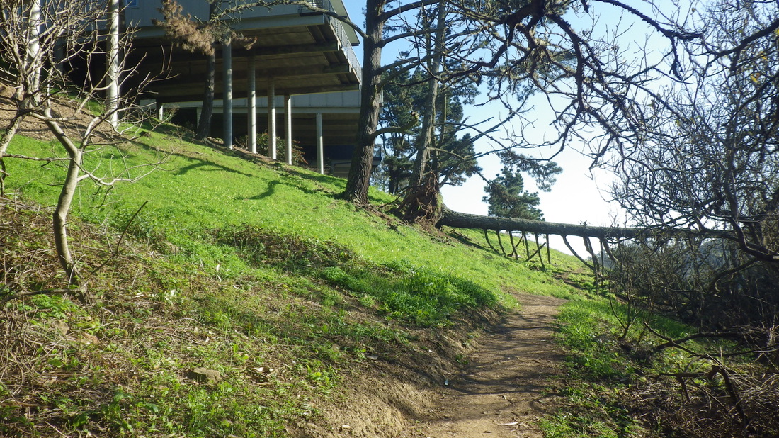
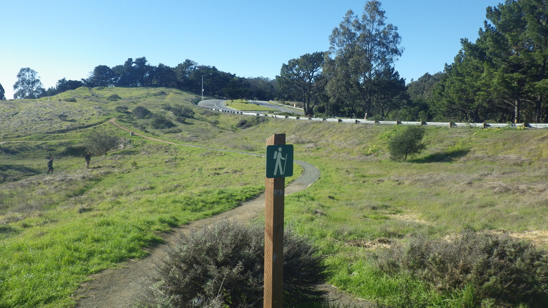
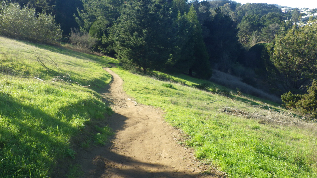
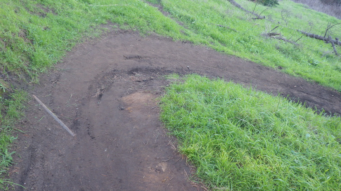
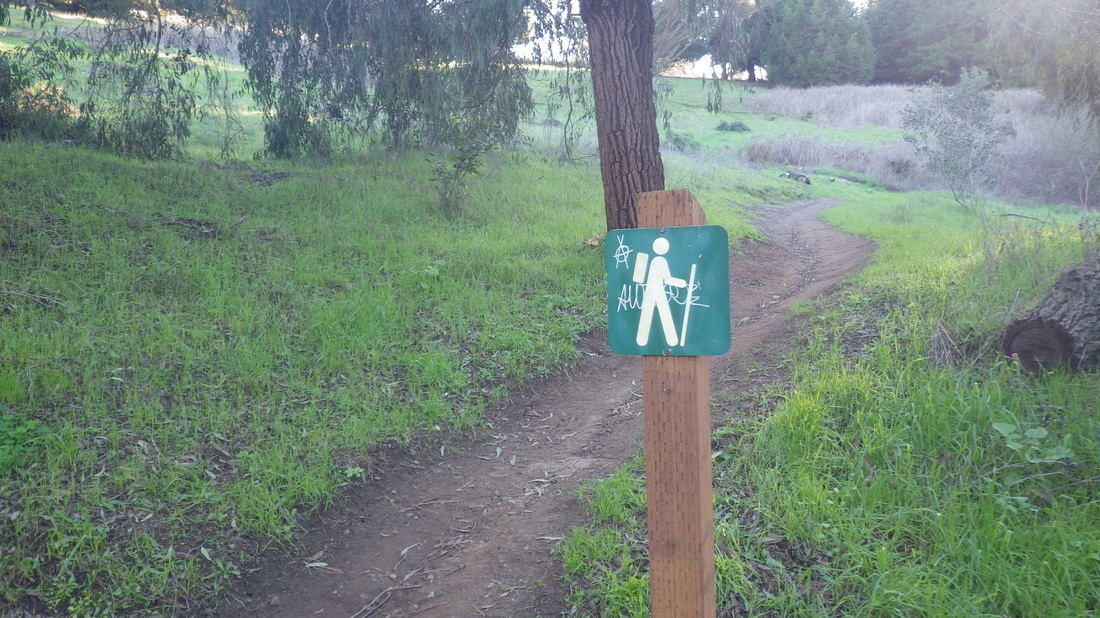
A couple blocks west on Monte Mar (pic 14) and under the freeway for the foot of the Morning Sun Trail to take me up to the Headlands trails. The Morning Sun Trail is part dirt trail, part wood steps (218-ish): 15, 16, 17.
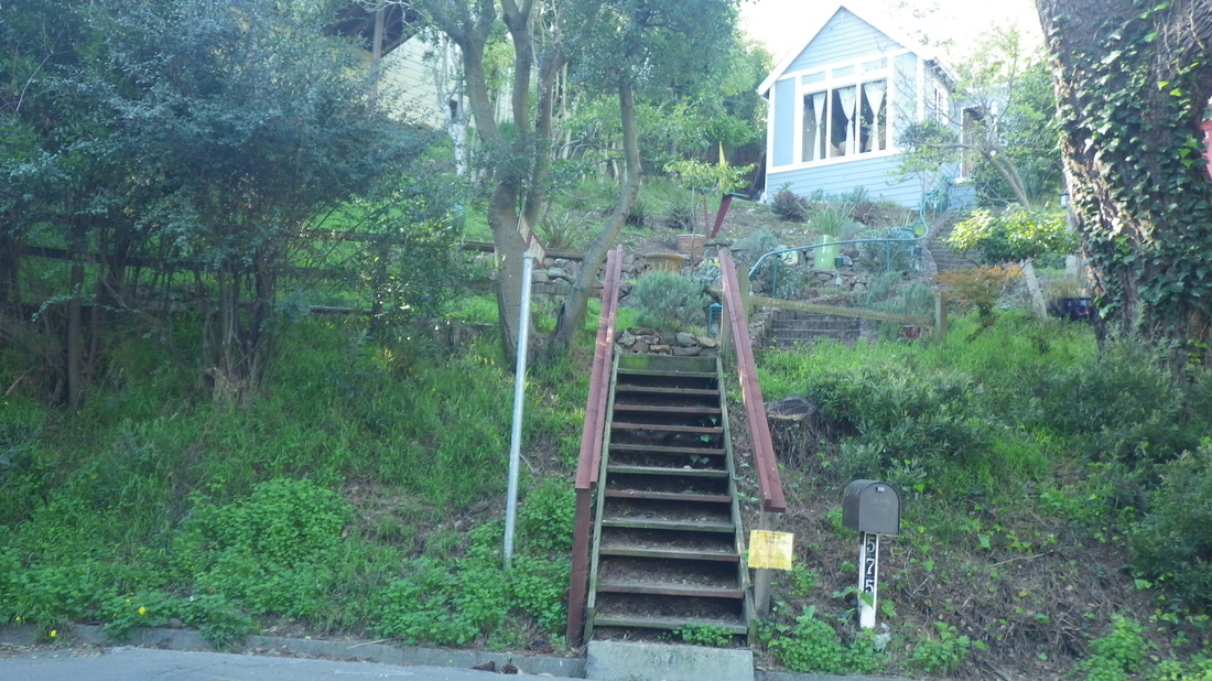
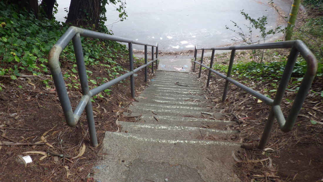
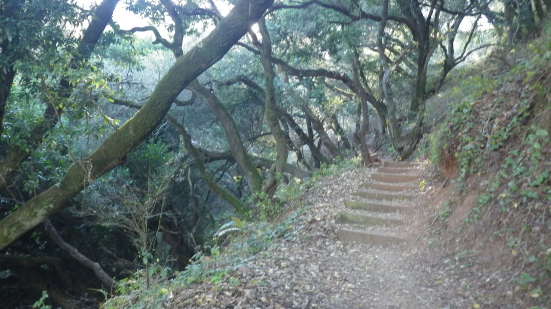
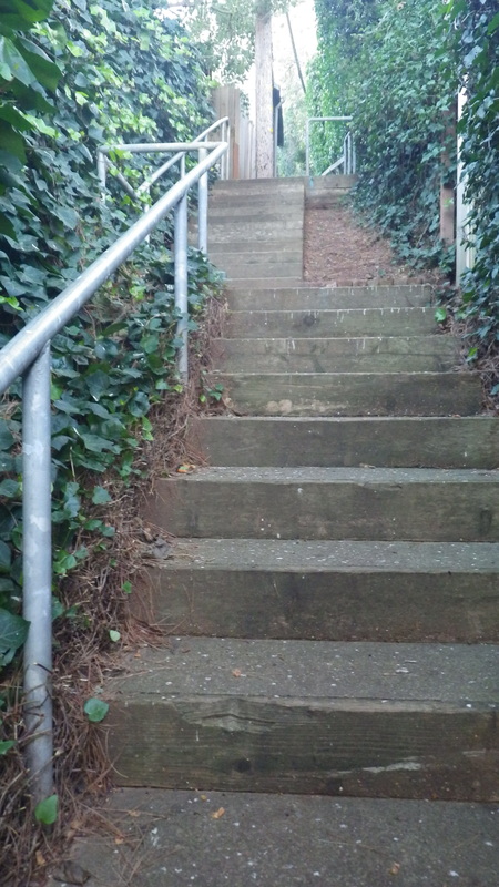
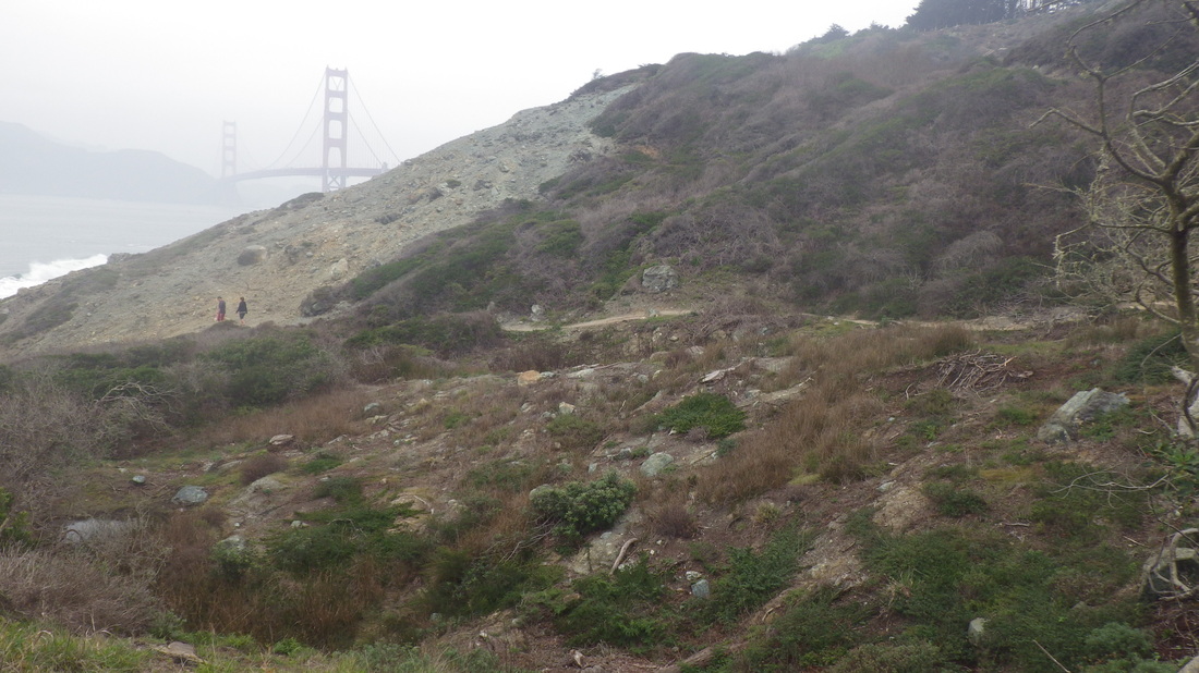
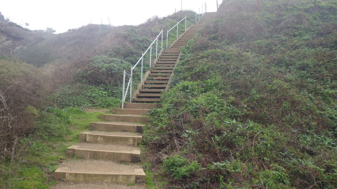
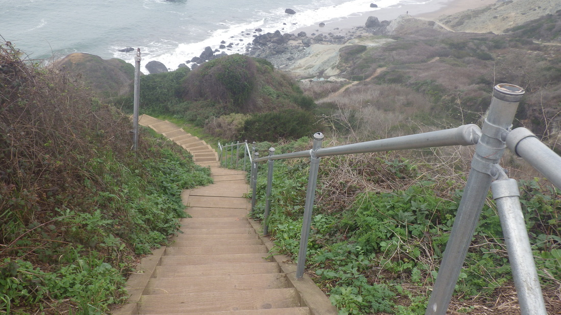
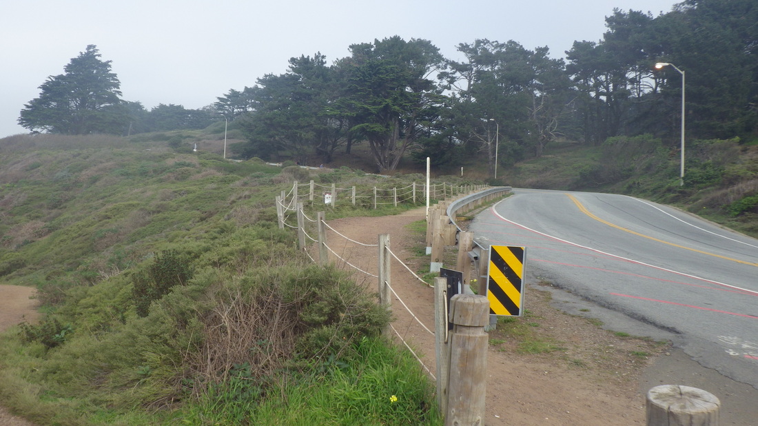
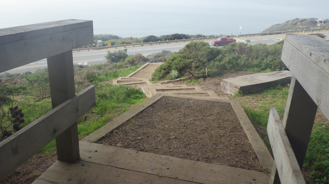
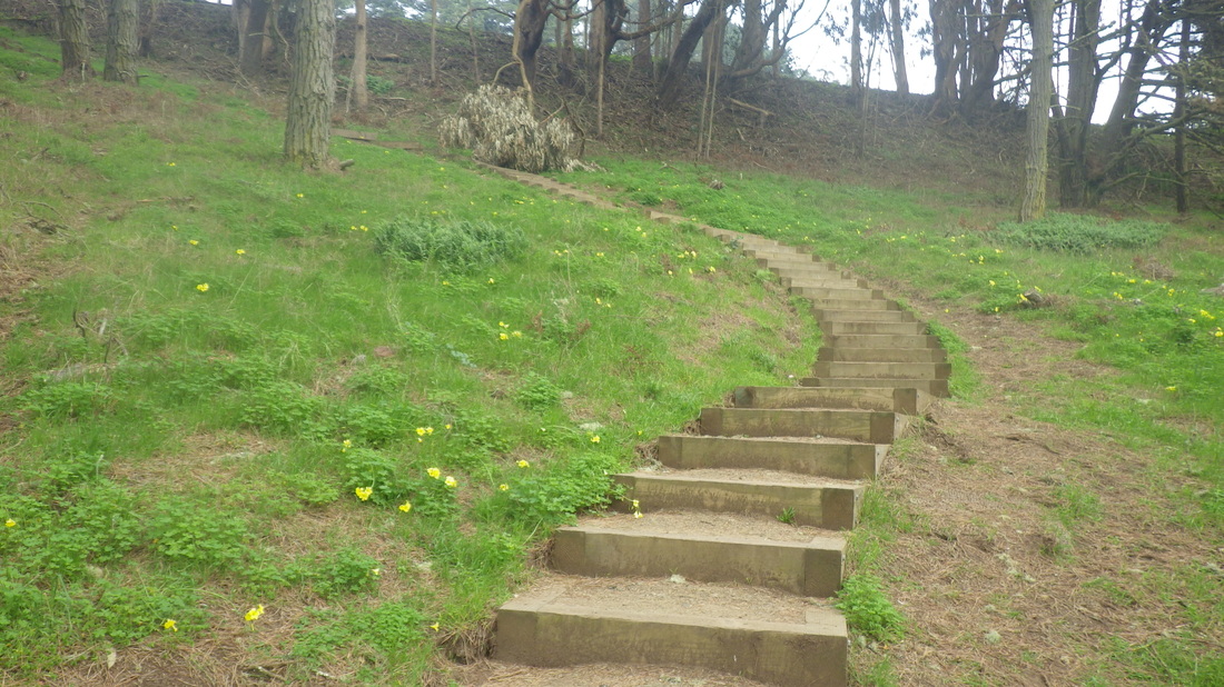
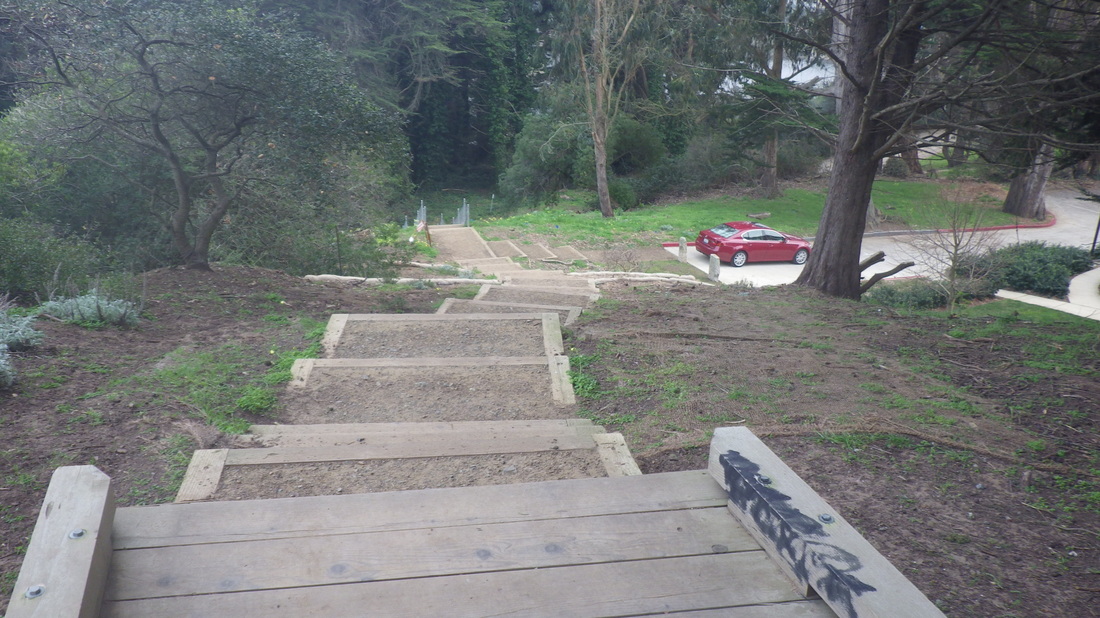
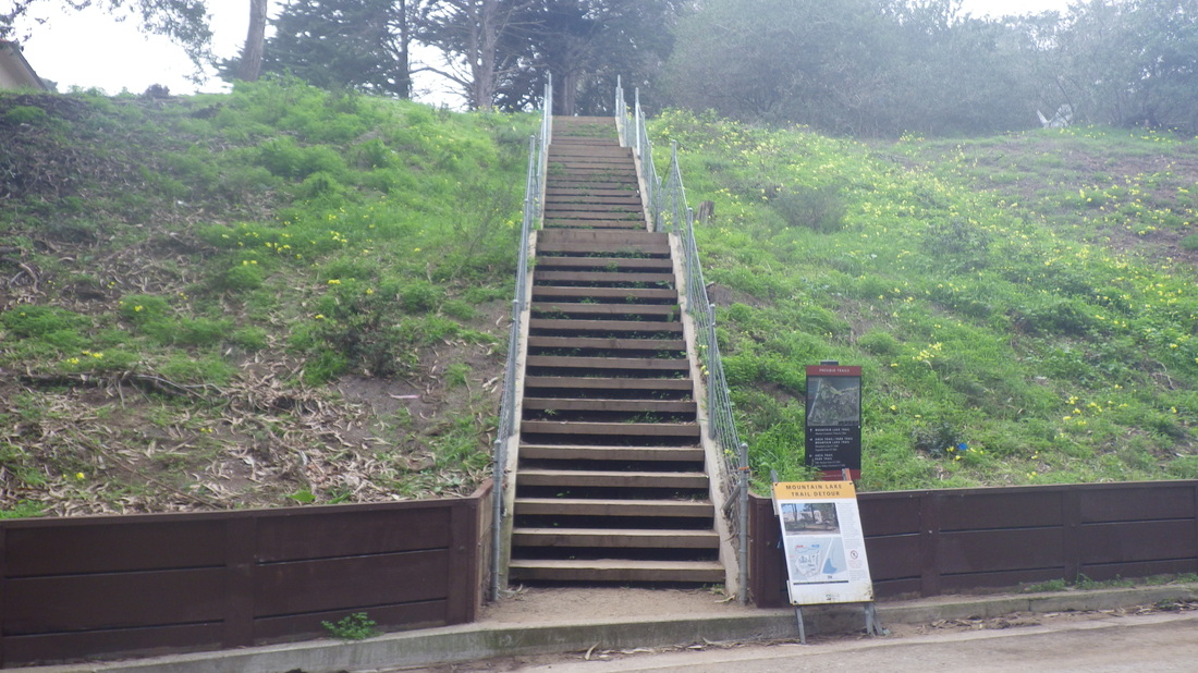
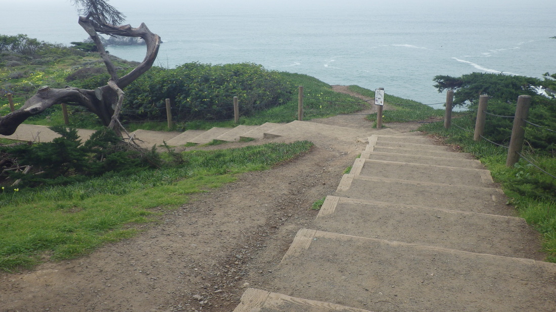
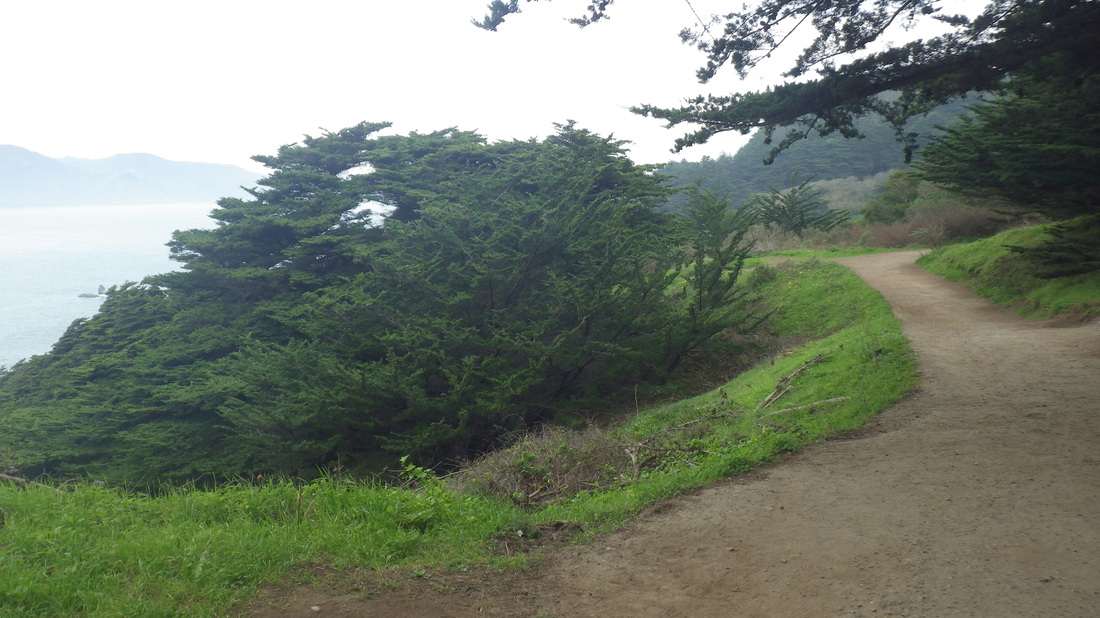
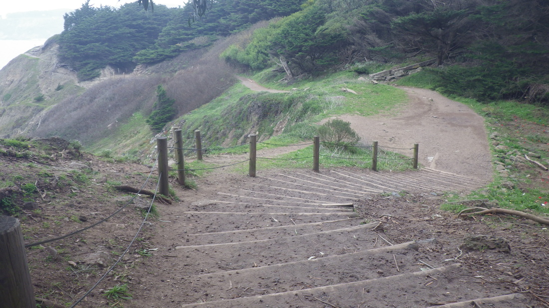
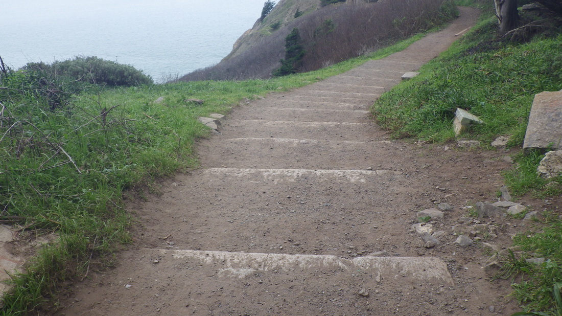
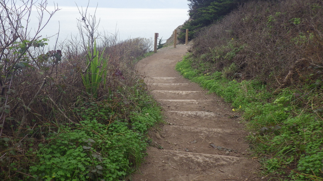
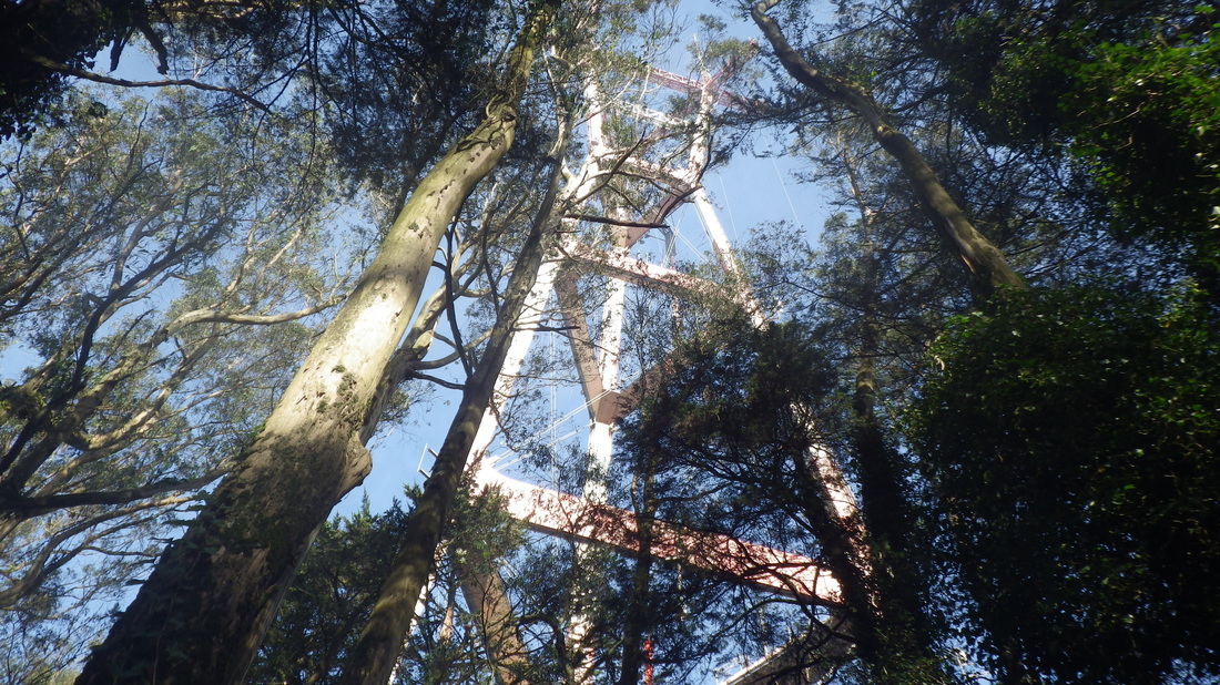
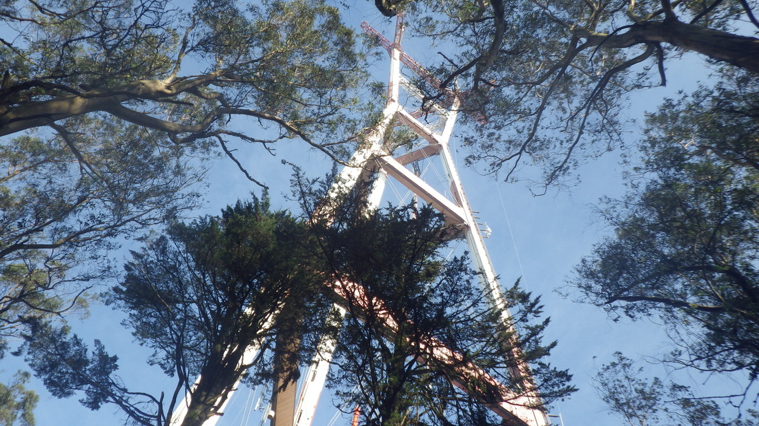
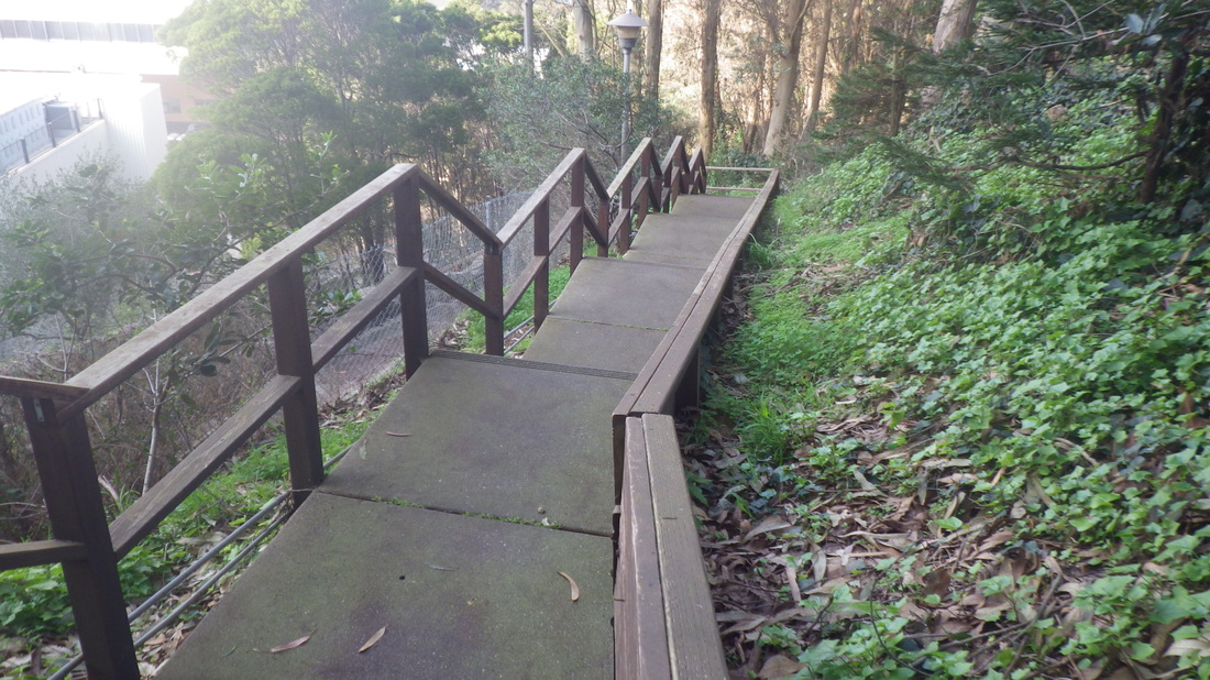
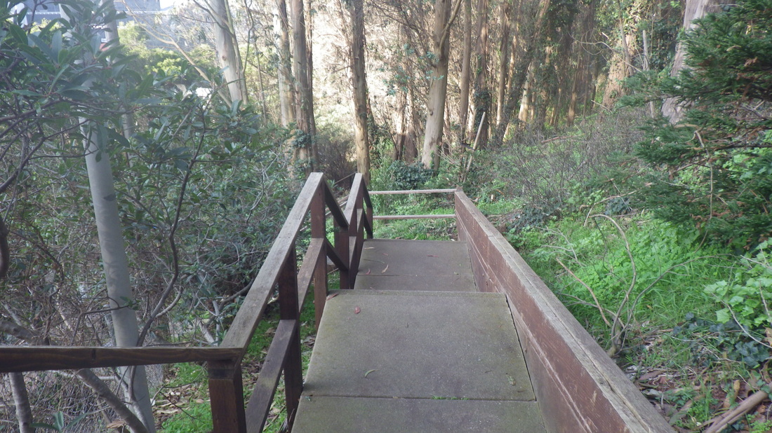
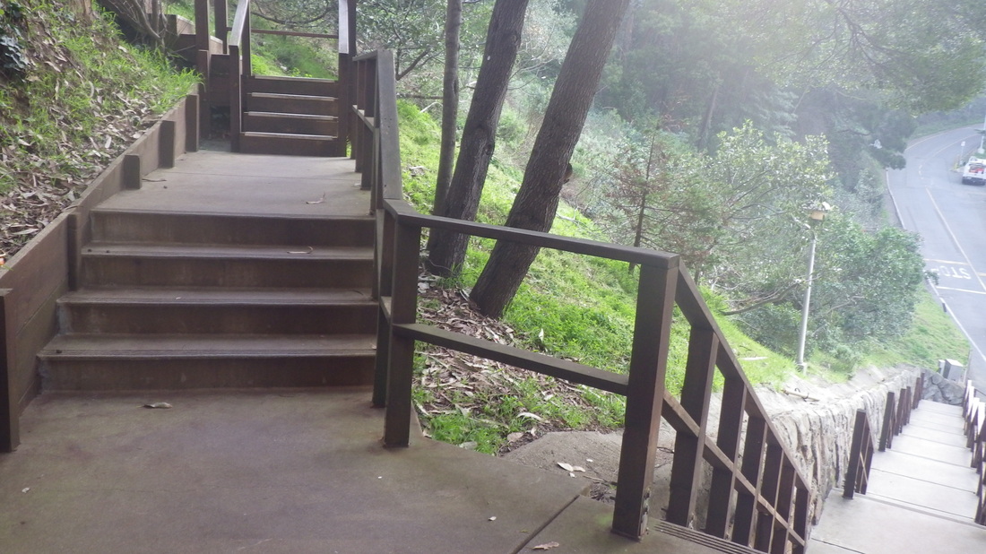
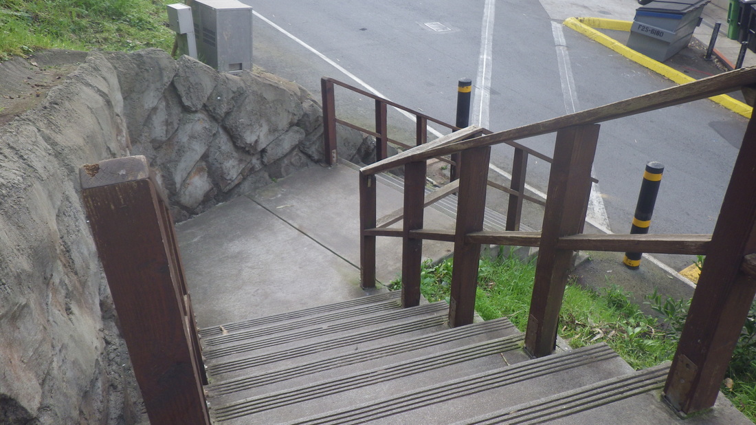
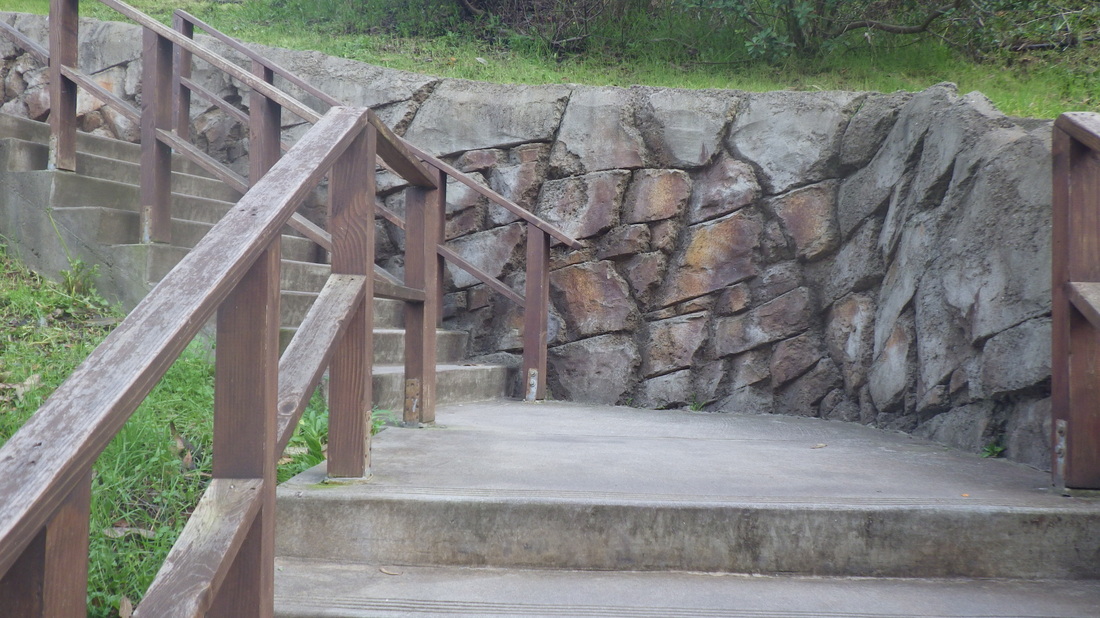
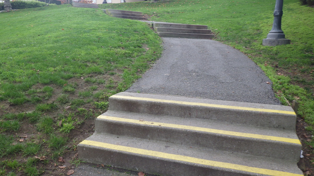
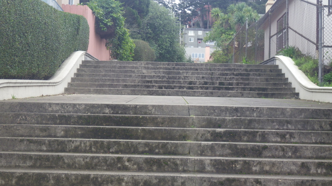
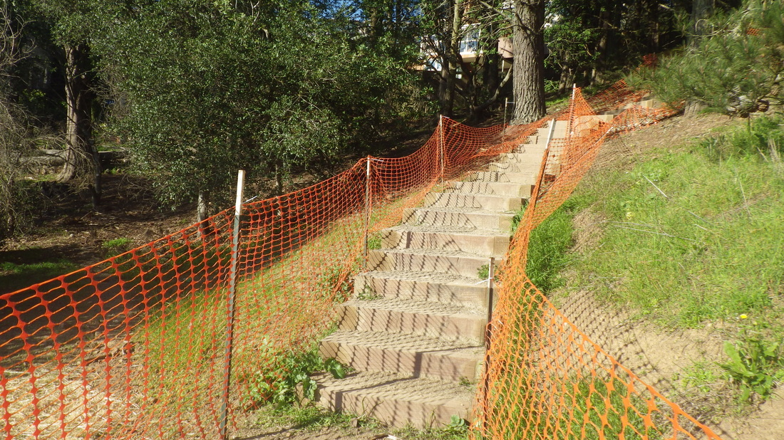
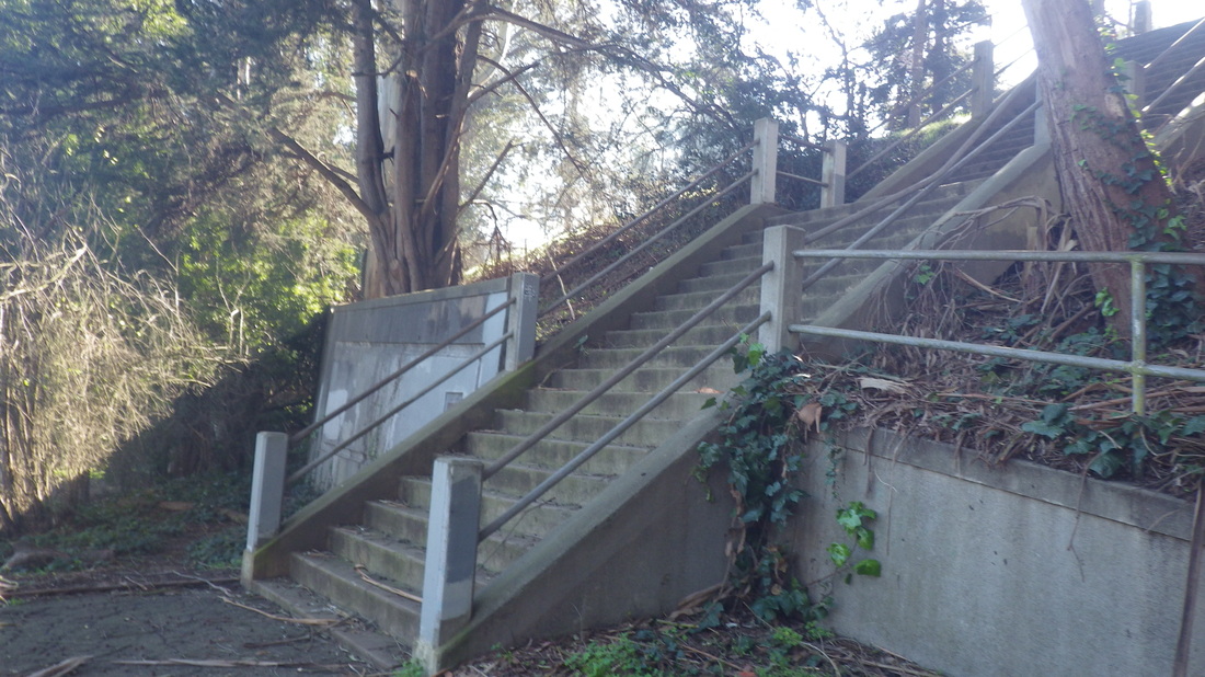
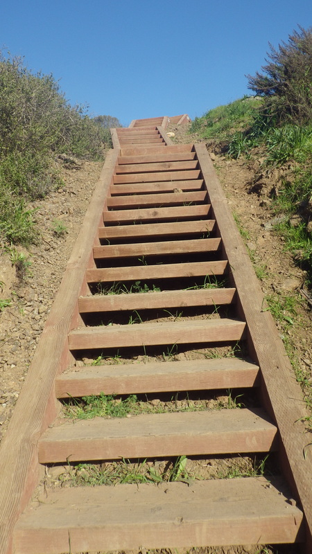
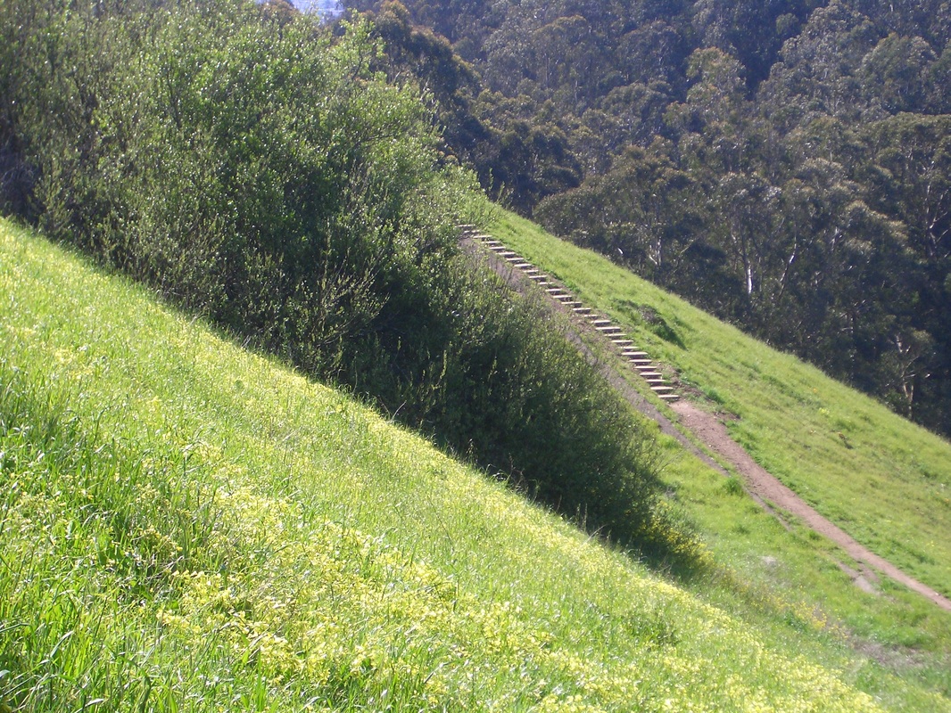
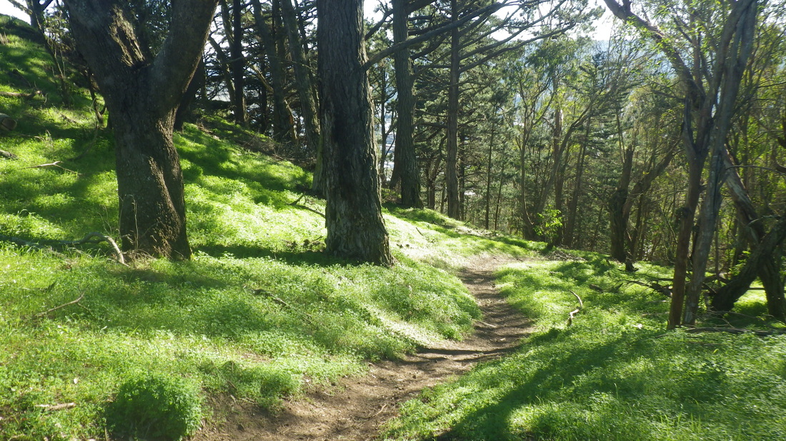
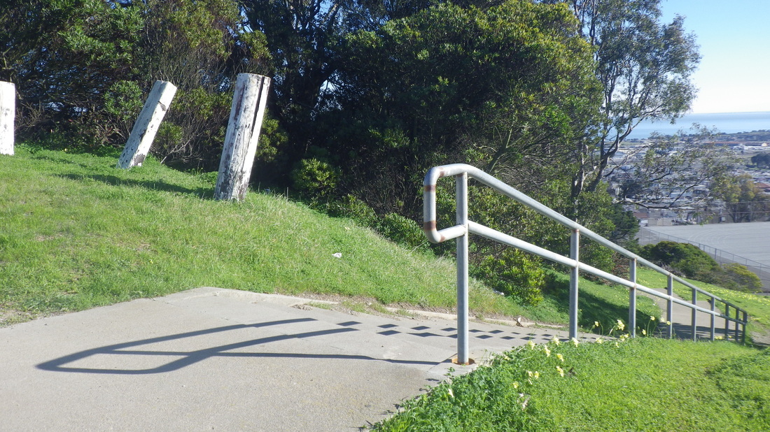
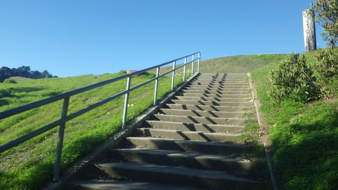
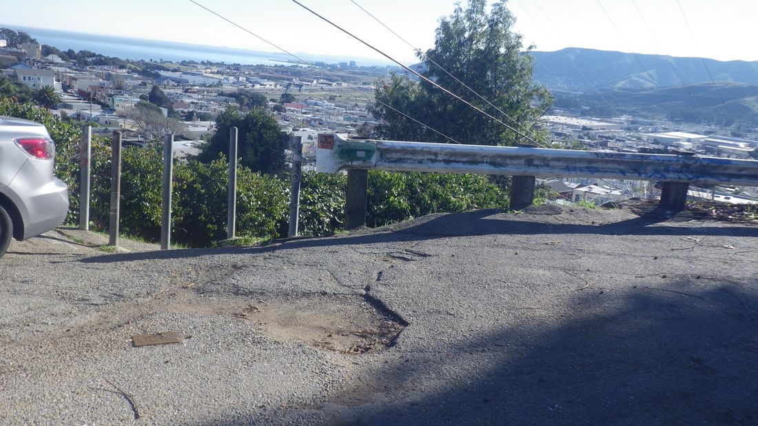
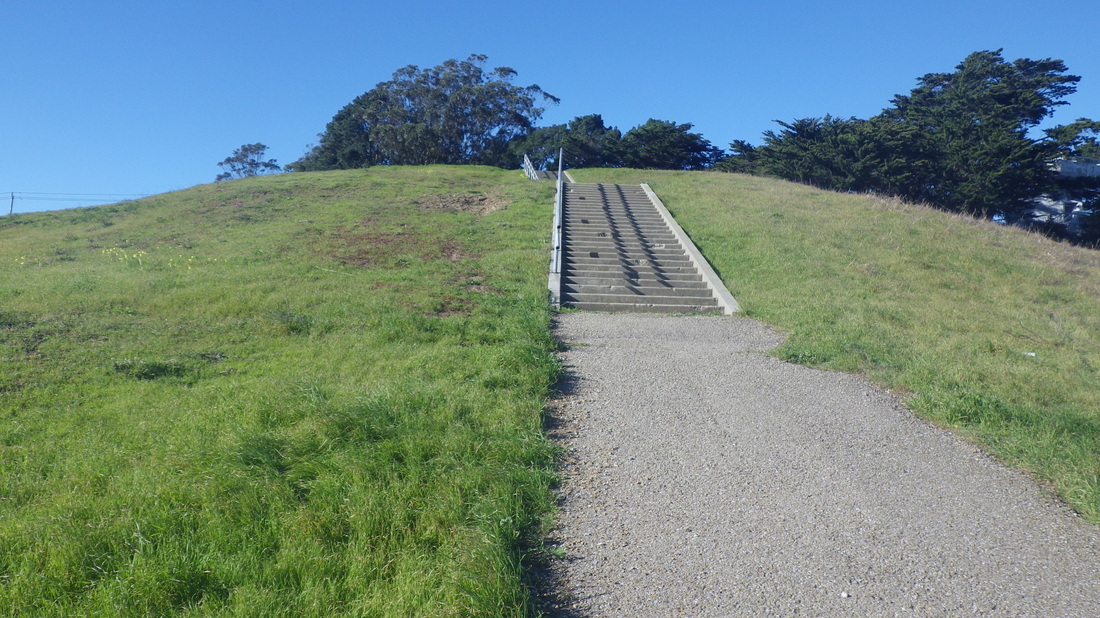
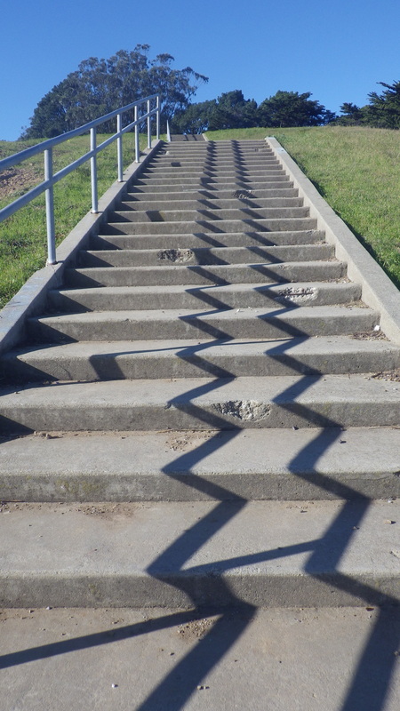
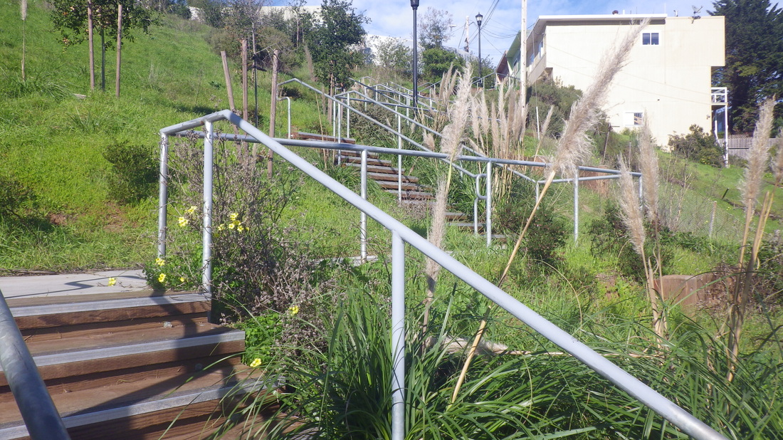
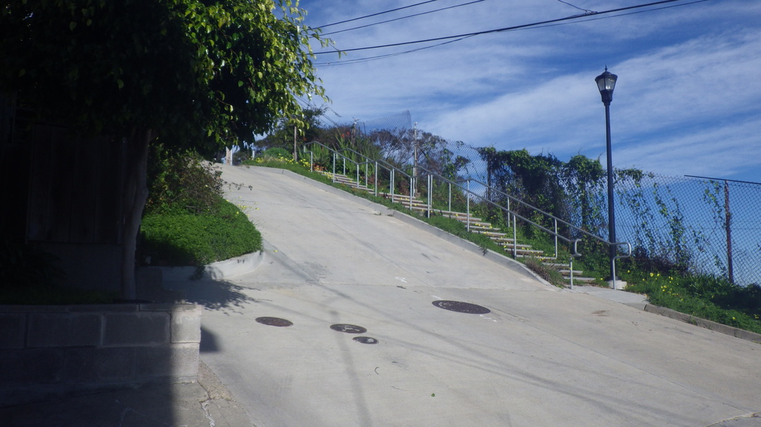
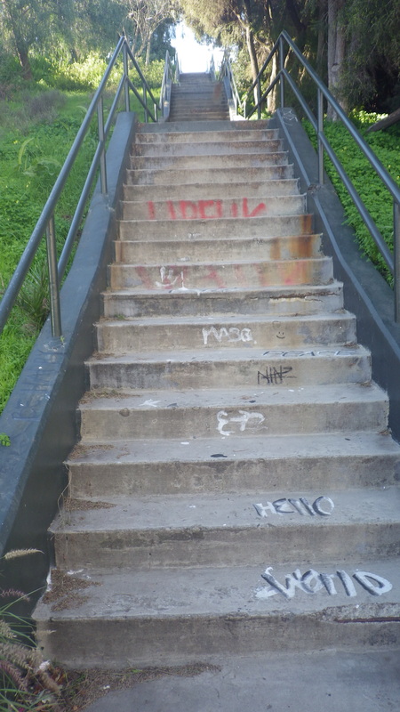
After a short time on the Alta Trail (pix 18 thru 21), downhill on Spencer several blocks to the top of the 184 Spencer to Santa Rosa stairs. No street signs at the top or bottom for this one: 22 thru 26.
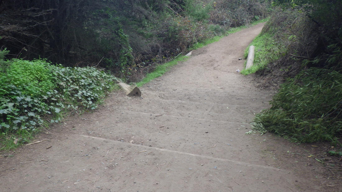
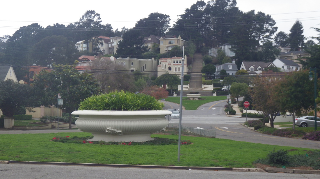
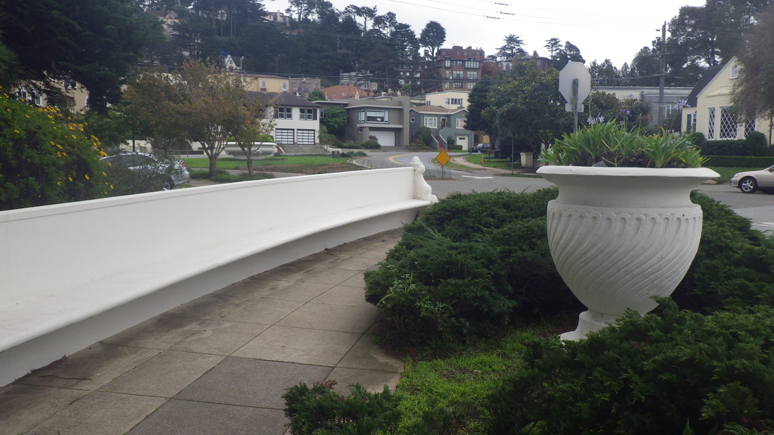
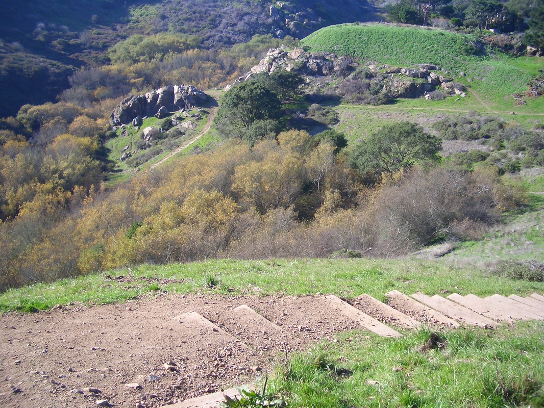
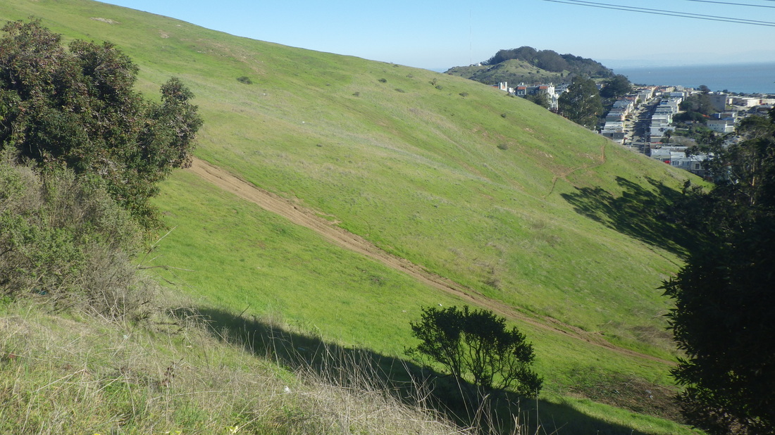
Santa Rosa winds around (pic 27).
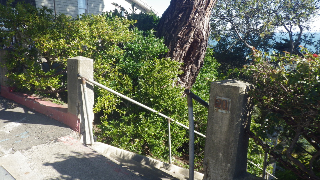
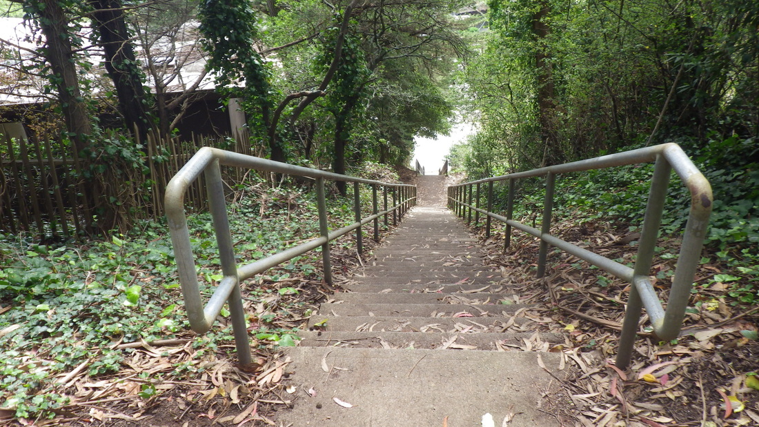
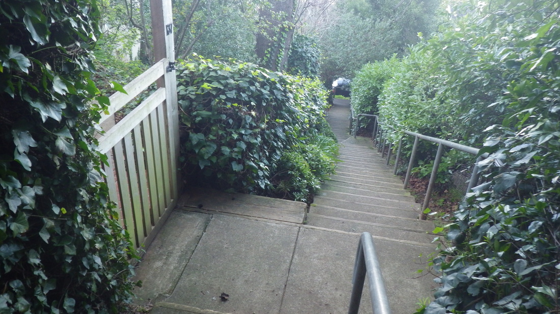
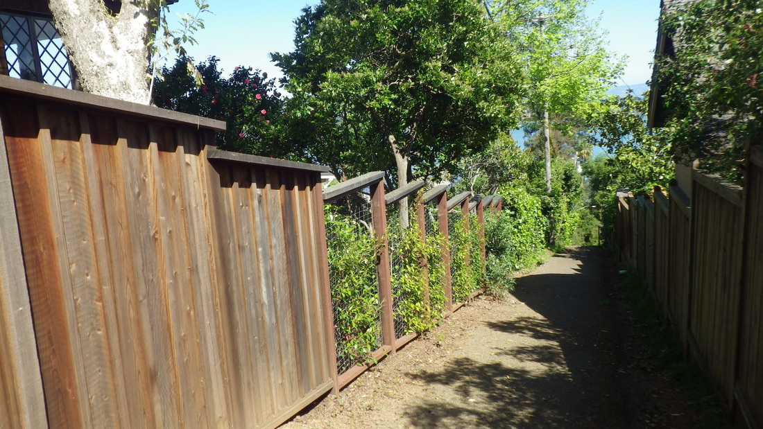
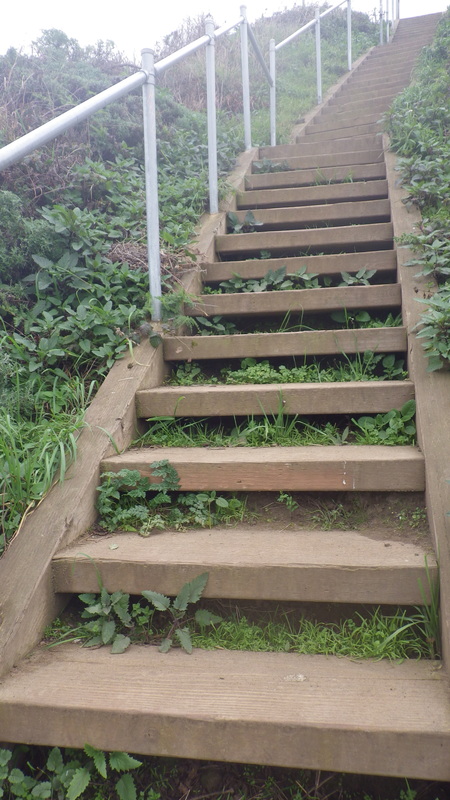
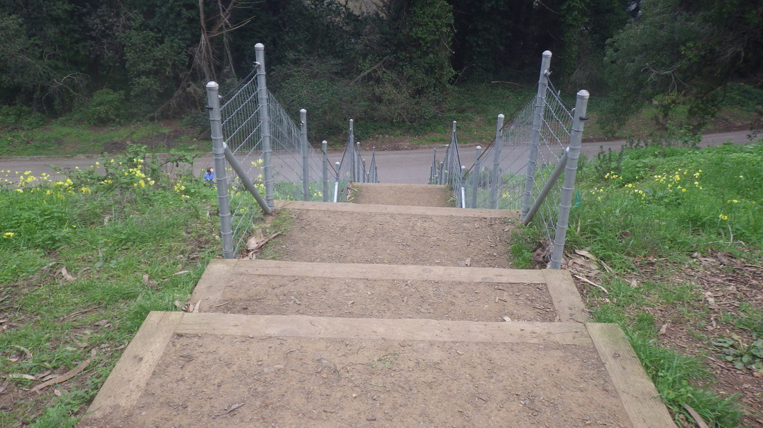
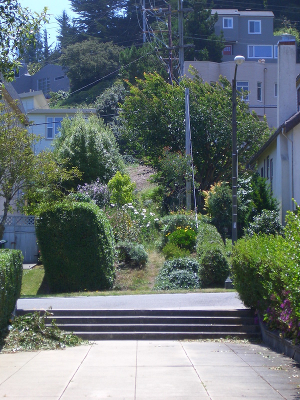
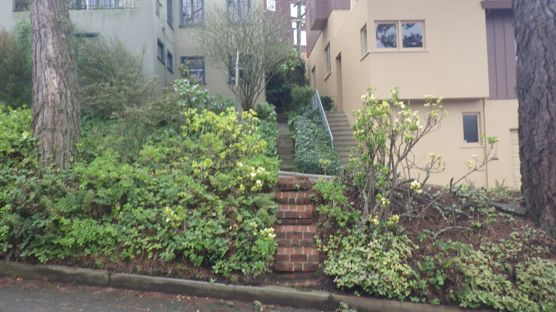
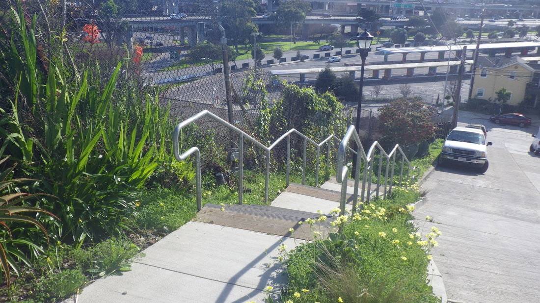
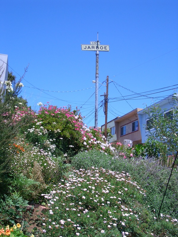
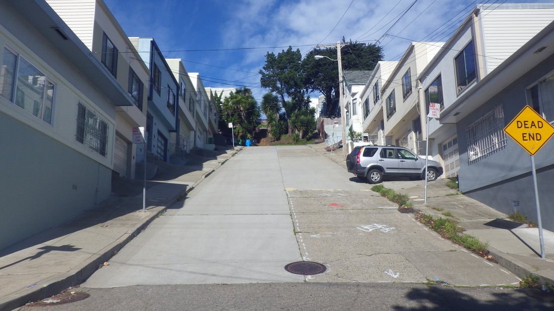
Excelsior Lane (about 179 steps) is one of the two very visible stairways people see rising up from Bridgeway, last five pix.
First up, the 121 Bridgeway to Josephine/North stairs, first three pix.
Past the tops of a couple favorite stairways Second St. (4, 5) and West Court.
A brief stop at Southview Park (pic 6) for a quick trailsnack.
Continuing to the lower Cable Roadway steps that begin at Central and climb to Crescent: 196 steps, pic 7.
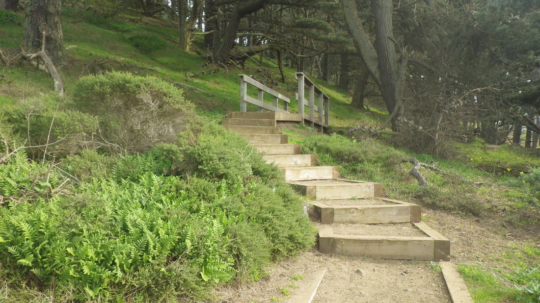
Curving around and ascending from Sausalito Blvd. is upper Cable Roadway with its 93 steps: 8, 9.
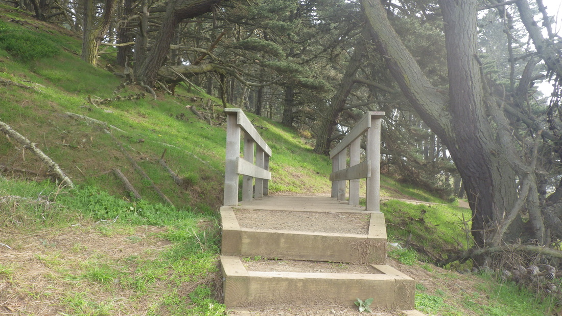
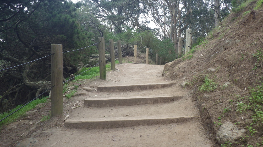
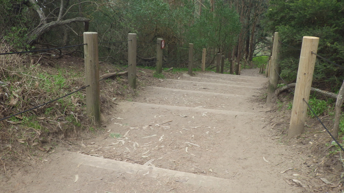
The uppermost block of Cable Roadway is a steep vehicle street. Left on Prospect (pic 10), it's a short distance to the foot of the 204 Prospect steps up to the freeway area and Wolfback Ridge Road: 11, 12, 13. A short dirt trail past the top of Cloudview; down 45 more steps to Spencer at Monte Mar.
A couple blocks west on Monte Mar (pic 14) and under the freeway for the foot of the Morning Sun Trail to take me up to the Headlands trails. The Morning Sun Trail is part dirt trail, part wood steps (218-ish): 15, 16, 17.
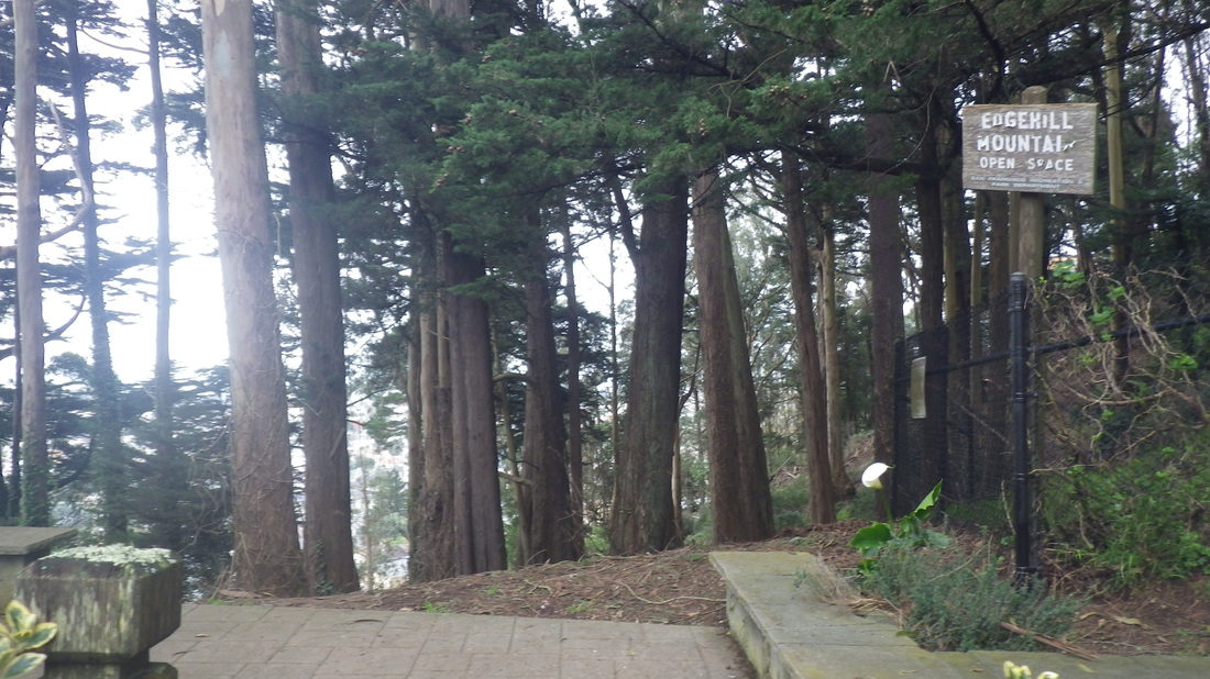
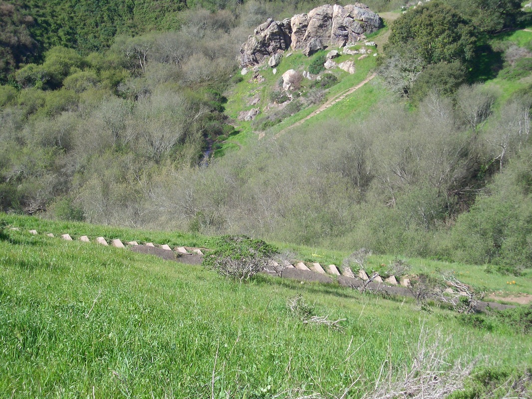
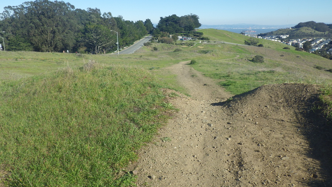
After a short time on the Alta Trail (pix 18 thru 21), downhill on Spencer several blocks to the top of the 184 Spencer to Santa Rosa stairs. No street signs at the top or bottom for this one: 22 thru 26.
Santa Rosa winds around (pic 27).
Excelsior Lane (about 179 steps) is one of the two very visible stairways people see rising up from Bridgeway, last five pix.
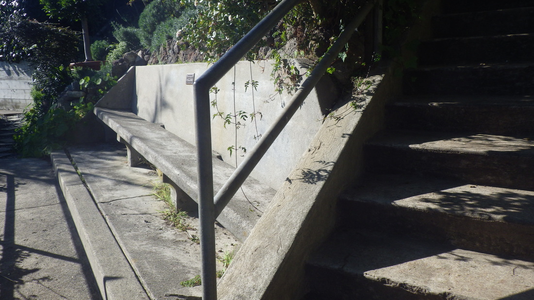
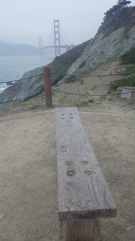
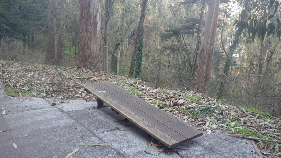
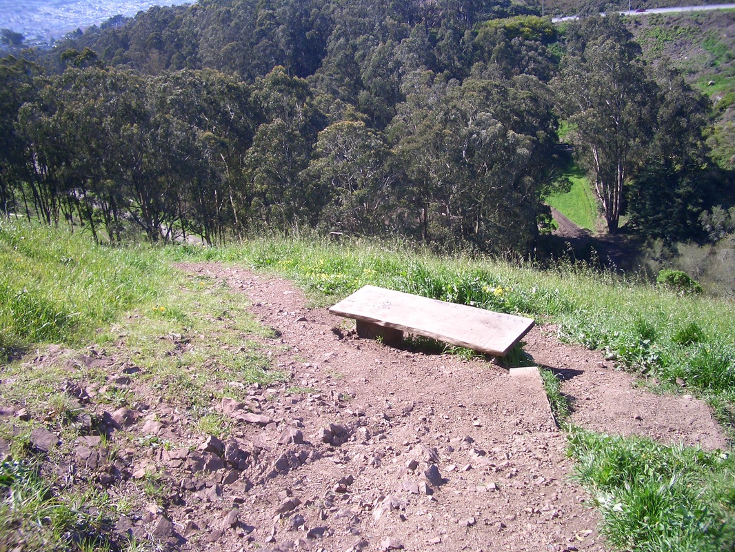
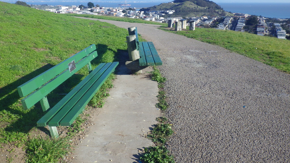
1. Bench partway up
2. Bridgeway to Josephine/North
3. Top of steps at Josephine/North
4. Top of Second St. steps, eastside
5. Down to foot of the east Second St. steps
6. Southview Park
7. Up to top of lower Cable Roadway steps at Crescent
8. Continuing on the upper Cable Roadway steps at Sausalito Blvd.
9. Looking down upper Cable Roadway near top of steps
10. Stairs up ahead on Prospect to right
11. Starting up the Prospect stairs
12. 204 steps for Prospect
13. Prospect climbs to Wolfback Ridge Rd. and the top of Cloudview
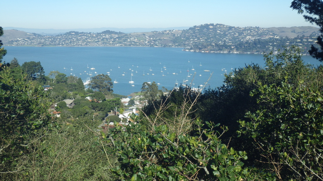
14. View from Monte Mar
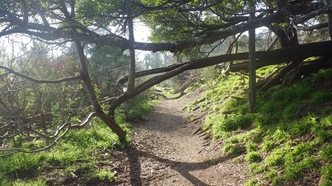
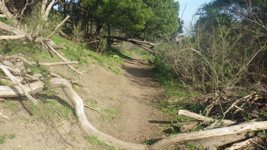
15. Starting up the Morning Sun Trail

16. Switchback steps
17. Up to Alta Trail
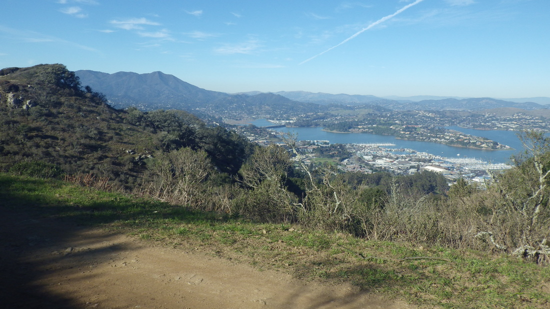
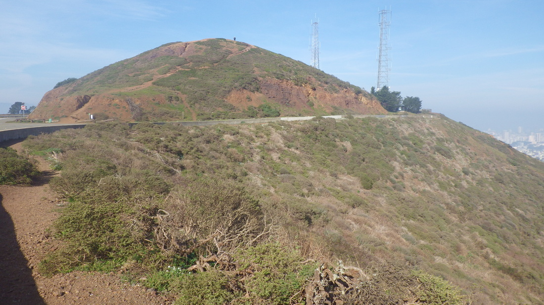
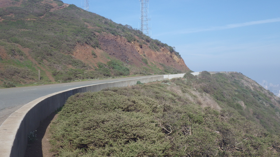
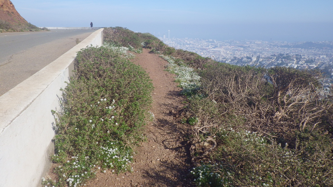
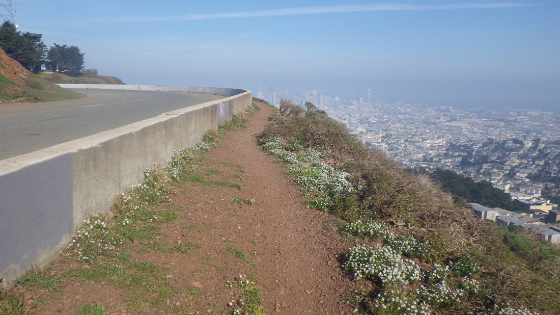
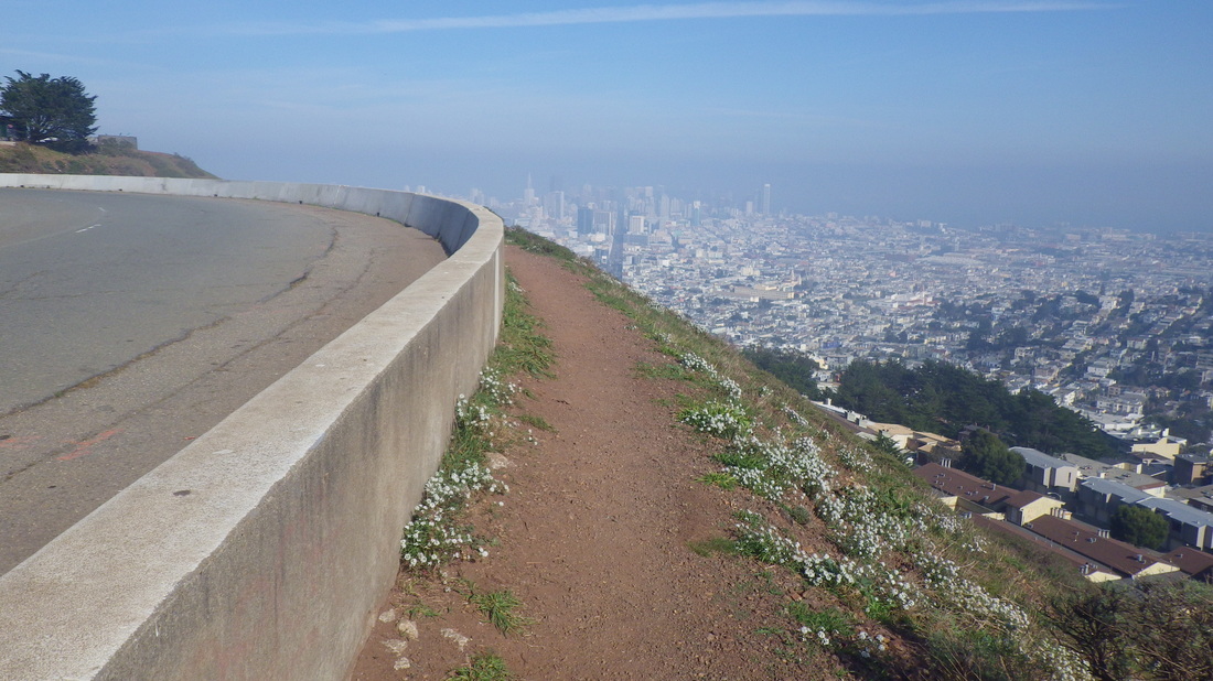
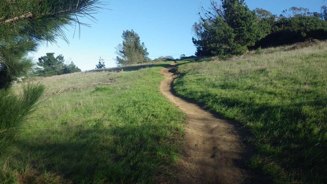
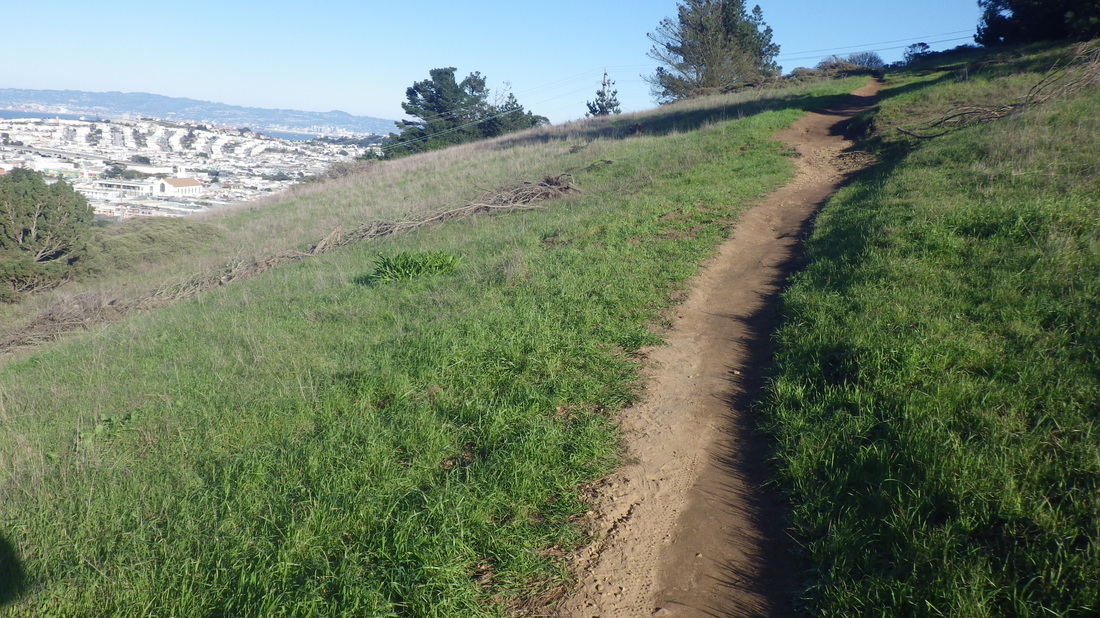
18. Alta Trail
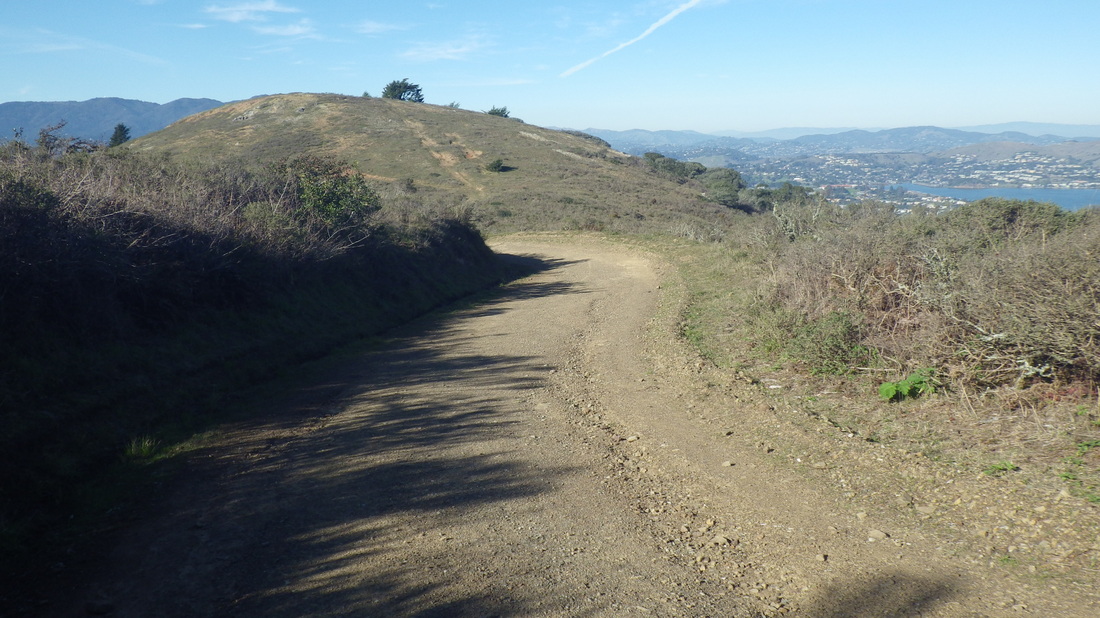
19. The Headlands' Alta Trail
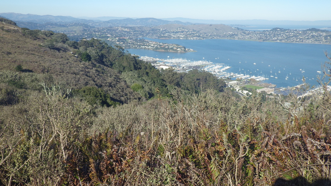
20. Alta Trail, GGNRA
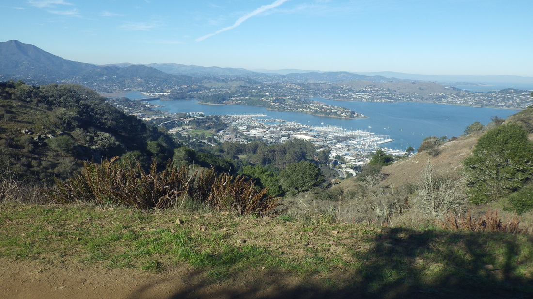
21. Alta Trail above Sausalito
22. Near top at Spencer
23. Near top at Spencer, looking back
24. About 184 steps
25. No signs at either end for this one
26. Spencer down to Santa Rosa
27. Santa Rosa, steep and winding
28. Excelsior Lane is three blocks long
29. San Carlos down to Bridgeway
30. Excelsior at Harrison
31. About 179 steps
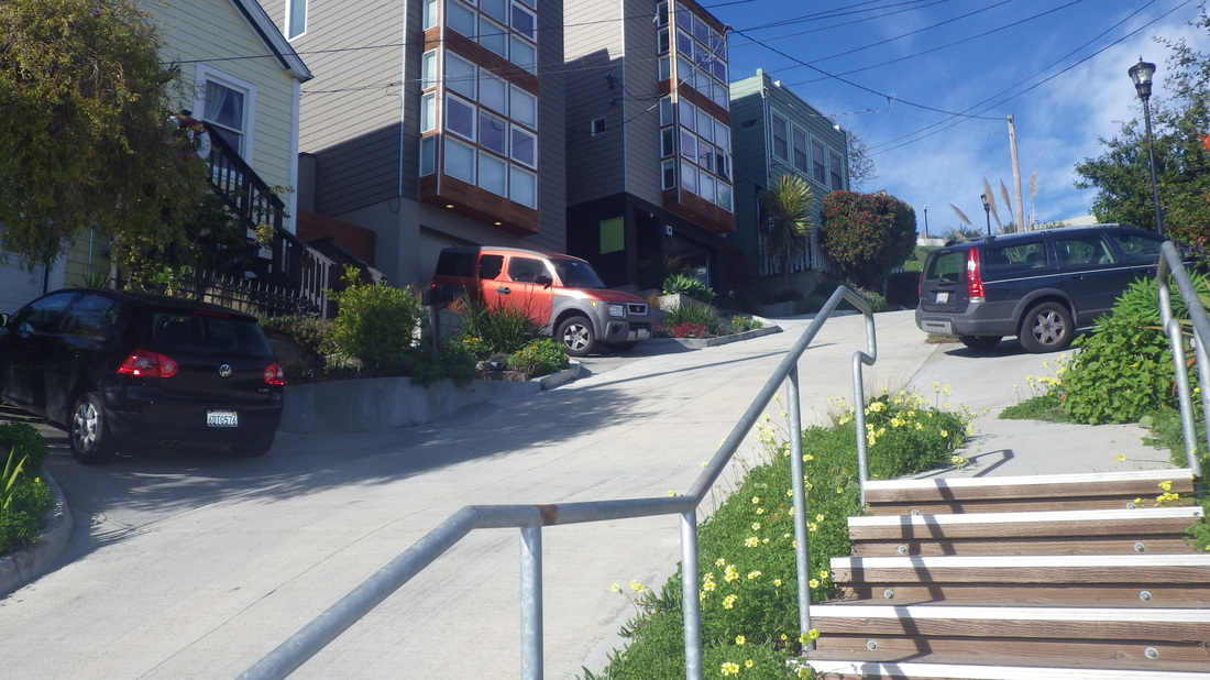
32. Last block of Excelsior Lane down to Bridgeway


 RSS Feed
