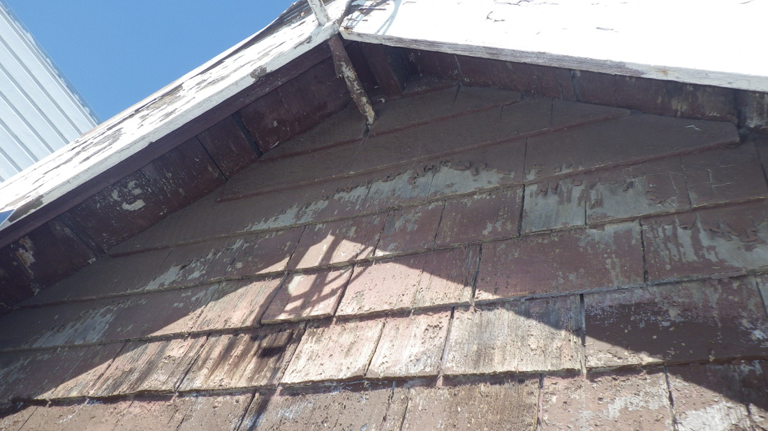
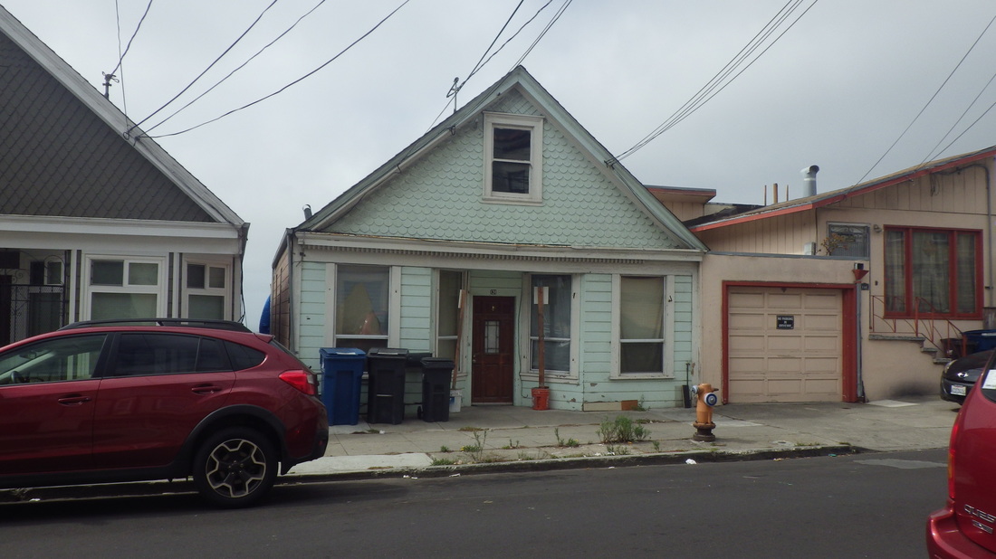
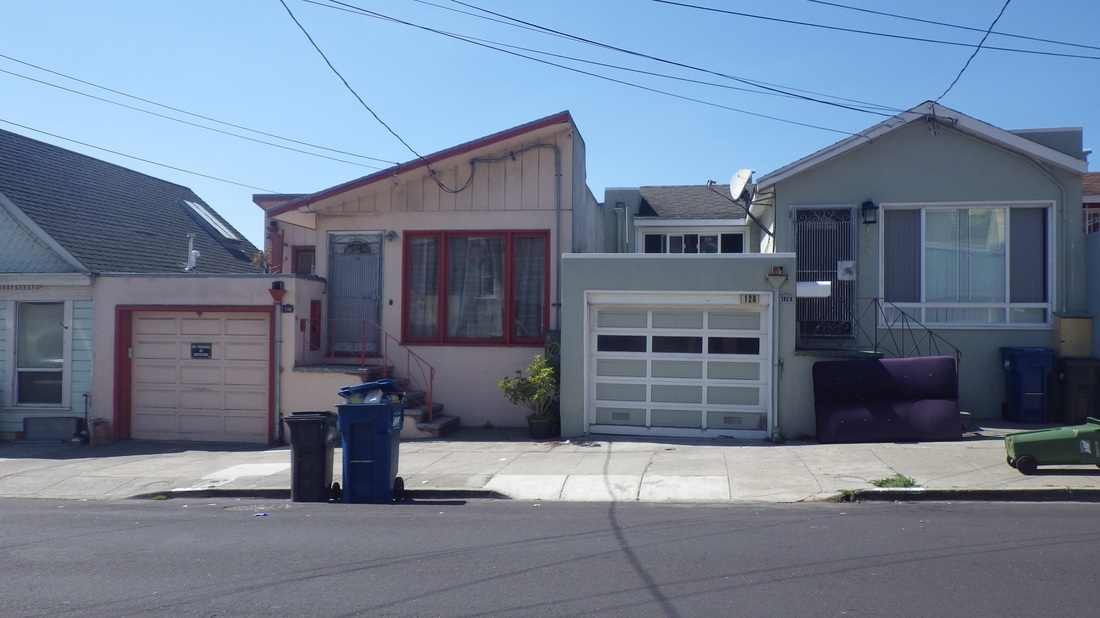
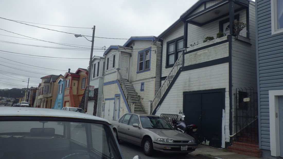
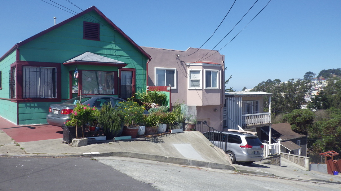
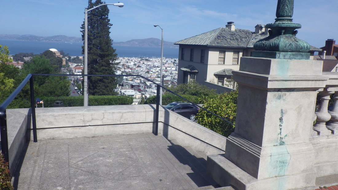
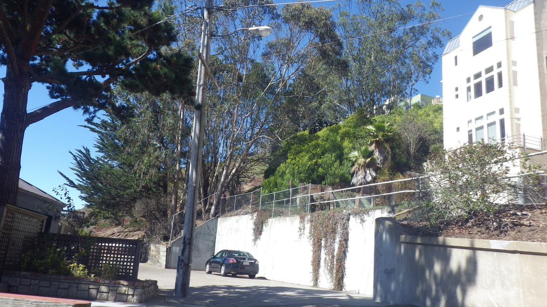
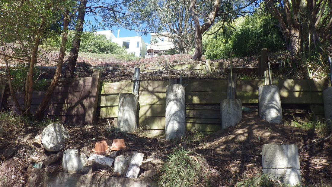
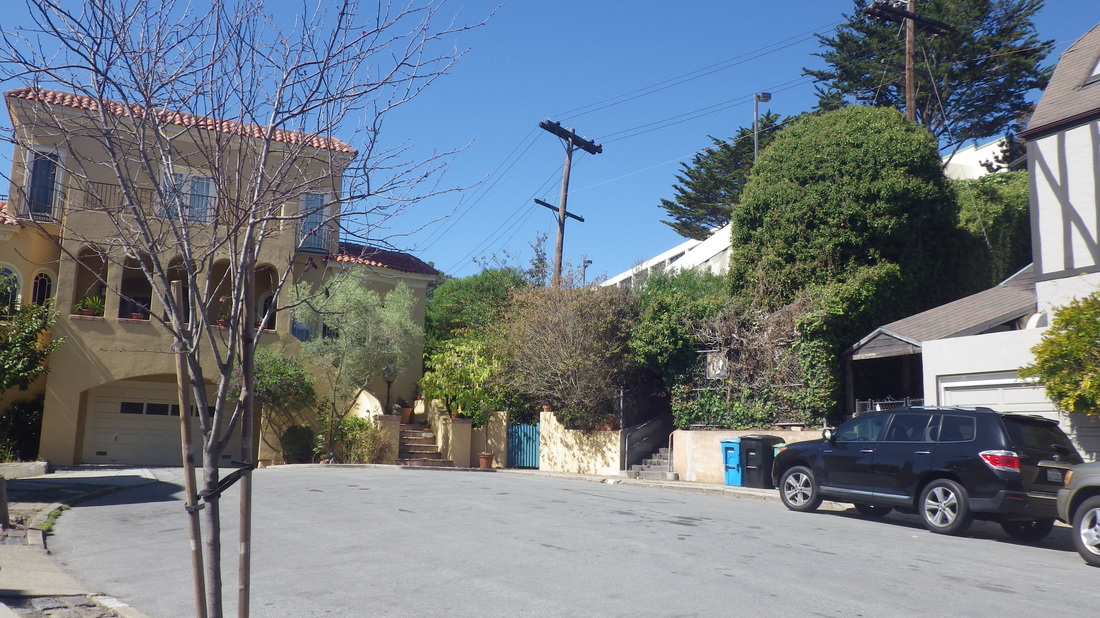
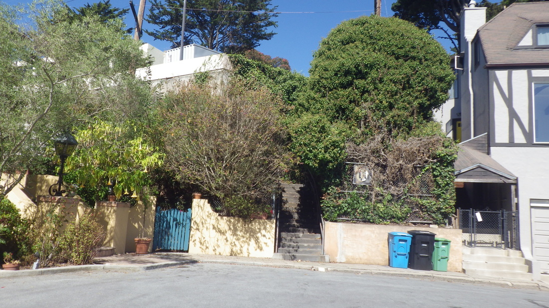
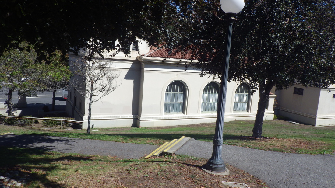
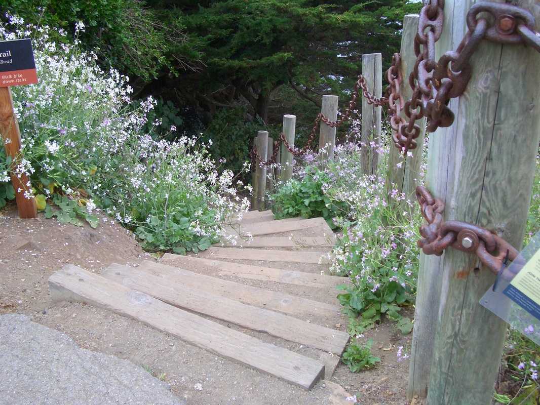
One of these two hikes was specifically to view the for-sale ‘06 former quake cottage(s) at 16 De Long (at Rice), Outer Mission neighborhood. It’s since been sold, so consider these “BEFORE” pix and we’ll see what happens re renovations, paint, etc. - first six pix.
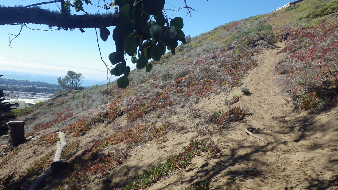
But unable to stop there. Hadn’t walked the area between the Balboa Park and Daly City BARTs in a long time, some parts maybe a decade.
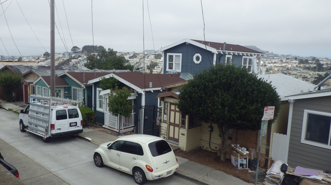
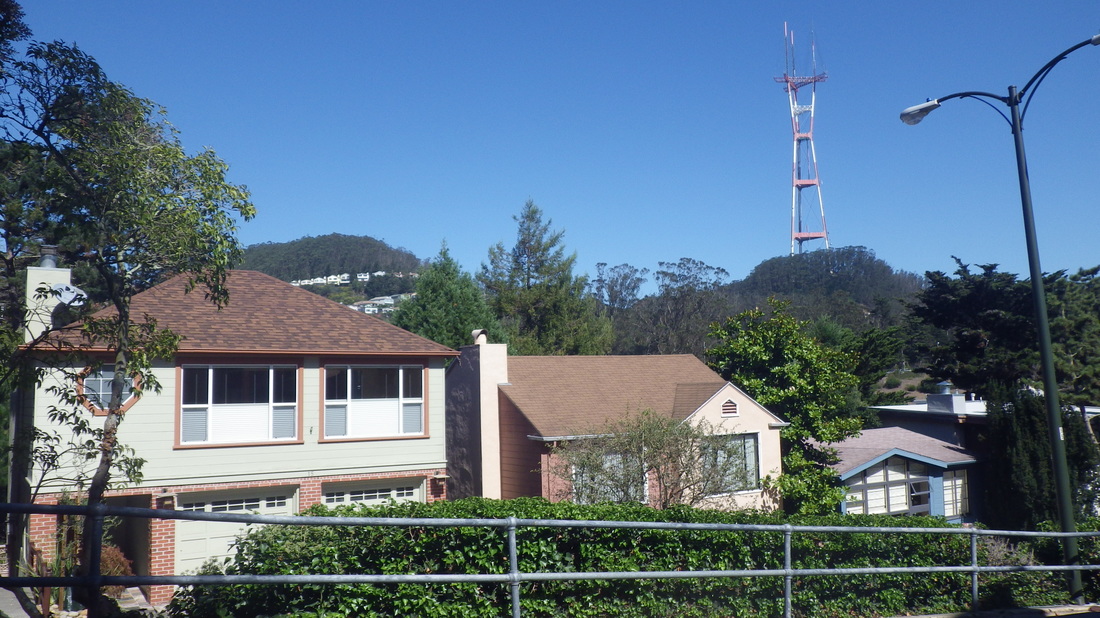
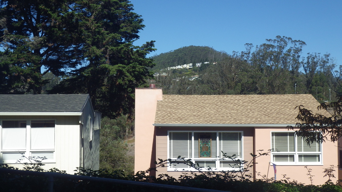
Attracted to certain houses and streets just above the BART trax, some in Daly City, some in San Francisco. This hill is just to the east of the DC BART station, between Cayuga Playground and DC BART, but closer to BART. If you sit at a south window you can briefly see Cayuga Playground as the train zooms by overhead.
Bepler, DC: 7, 8.
Santa Barbara, DC: 9, 10, 11
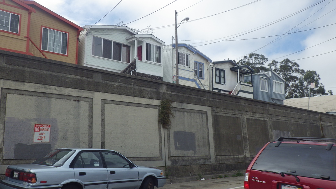
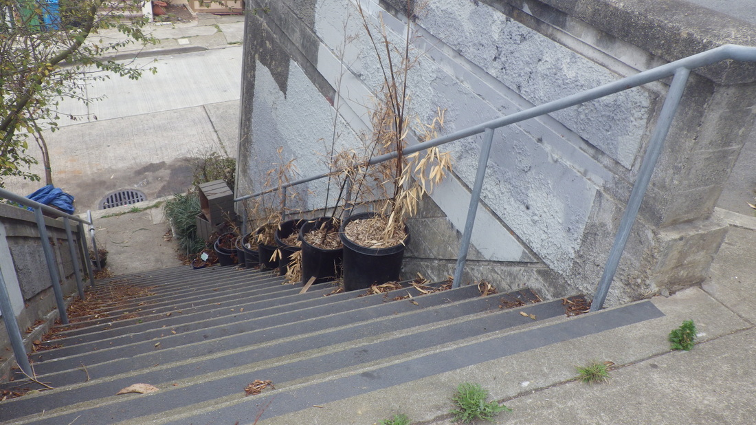
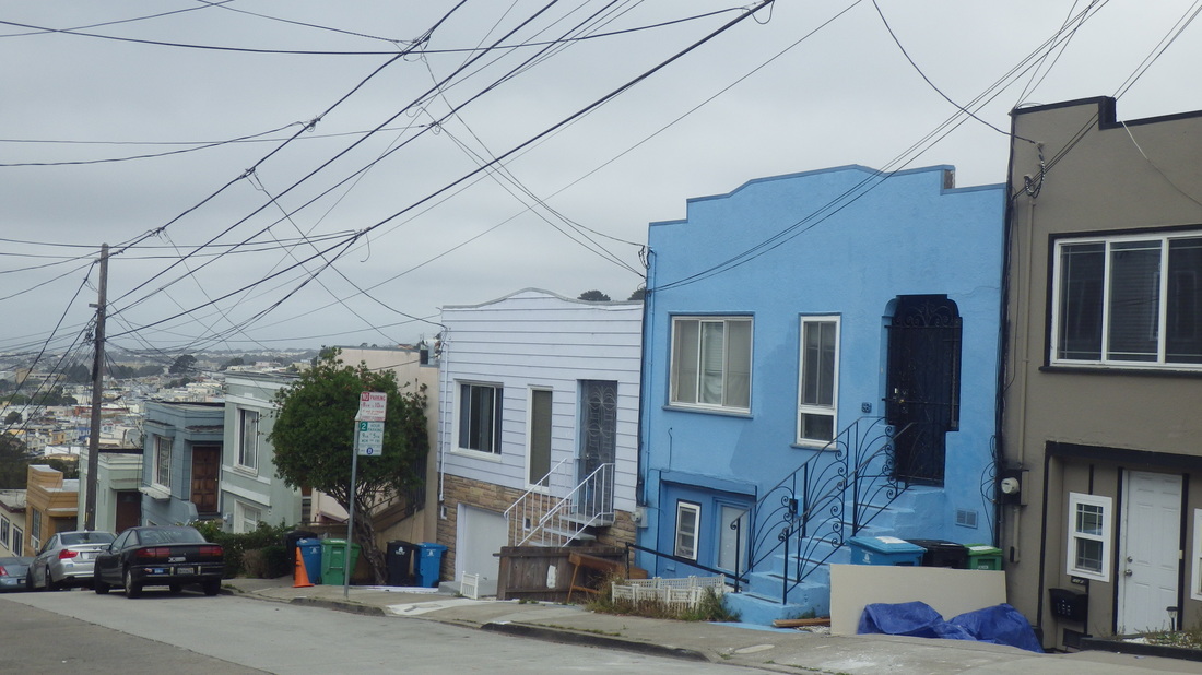
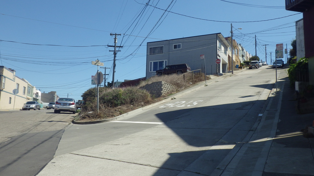
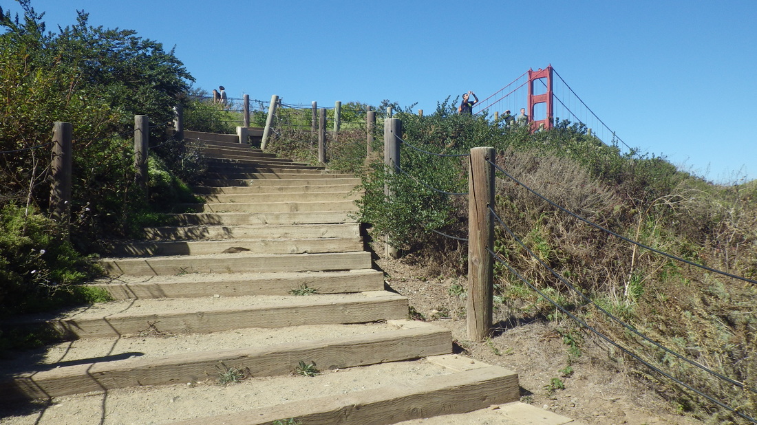
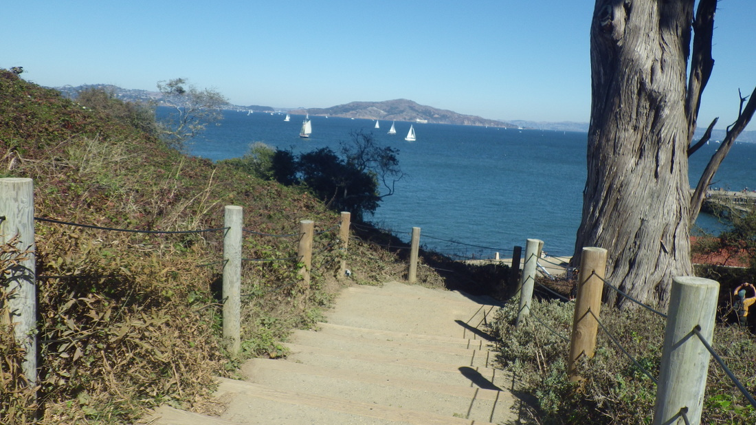
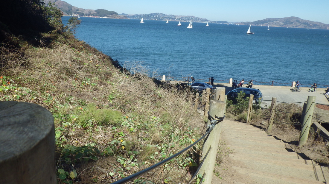
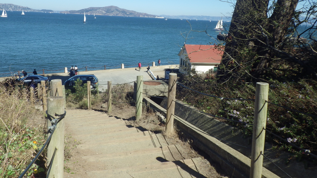
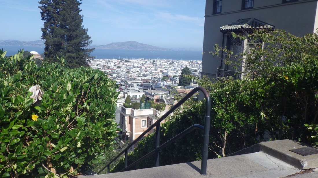
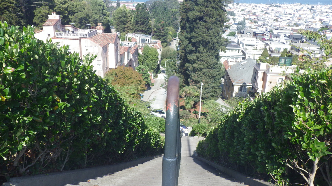
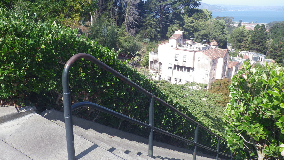
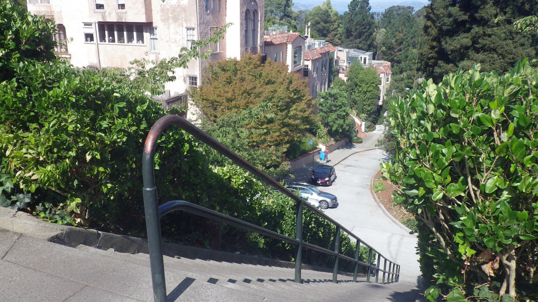
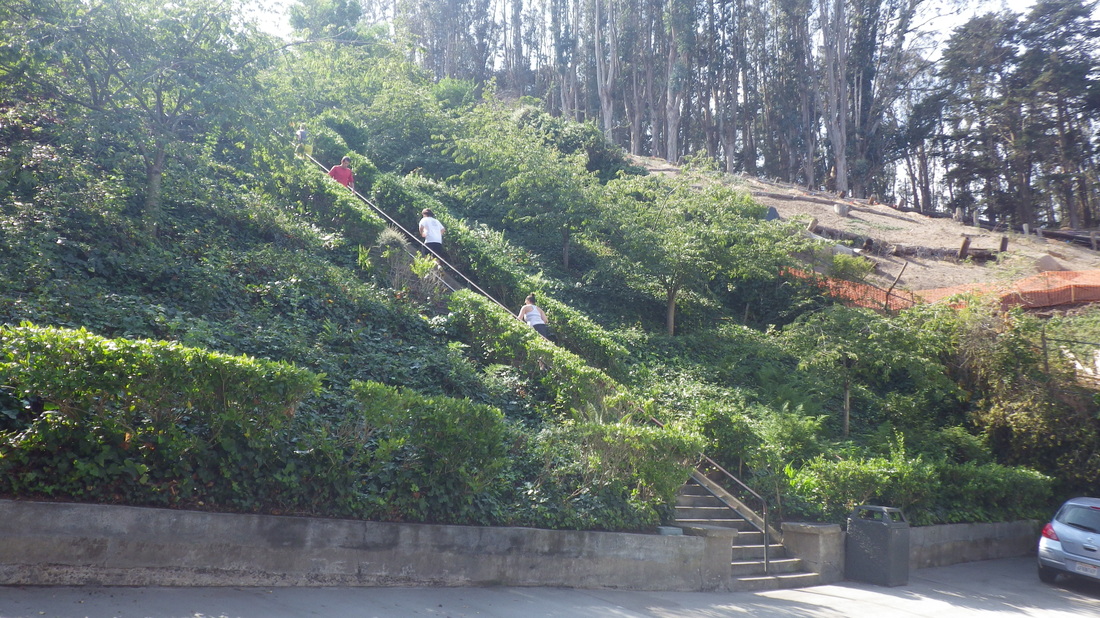
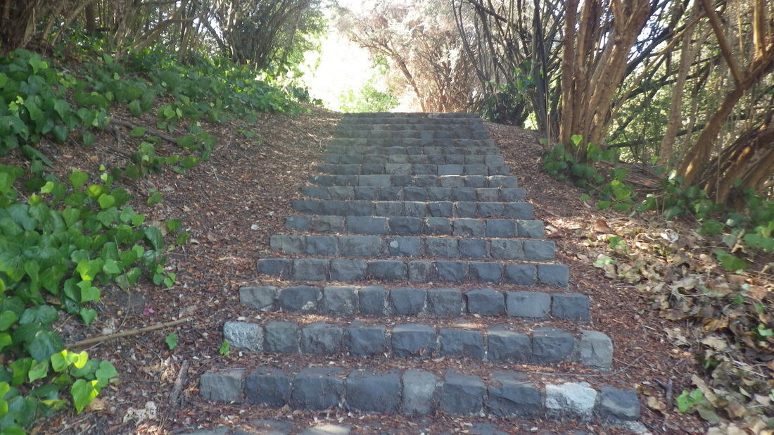
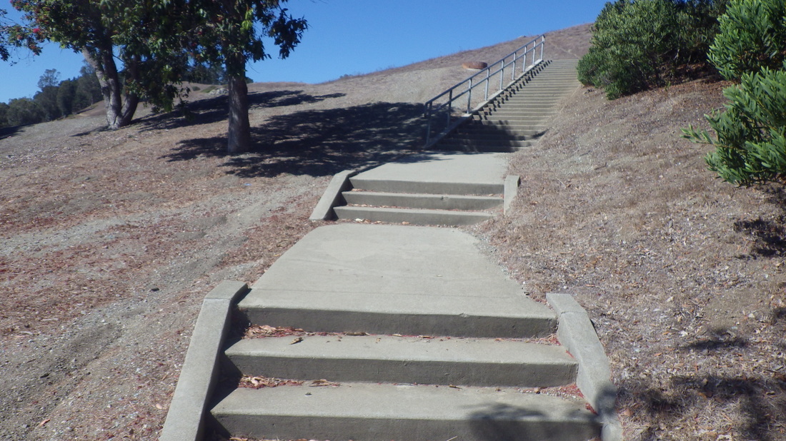
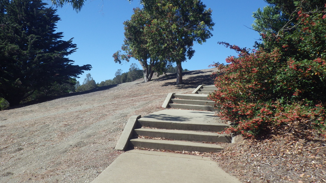
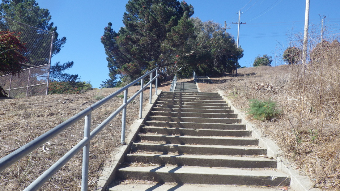
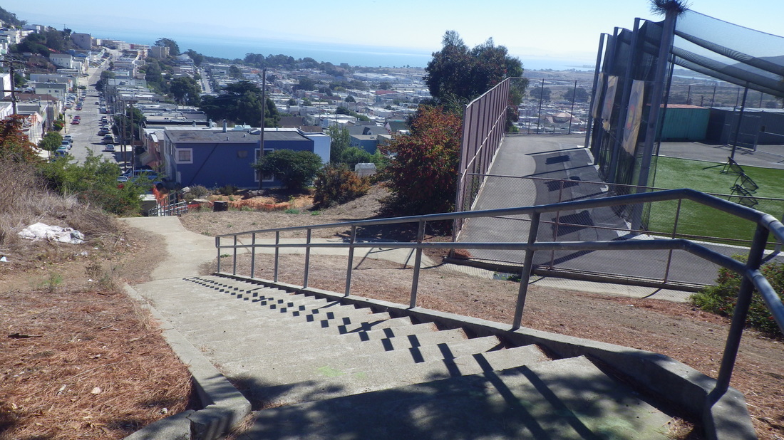
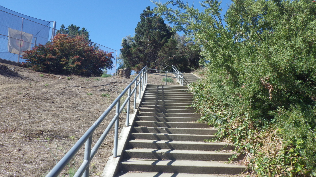
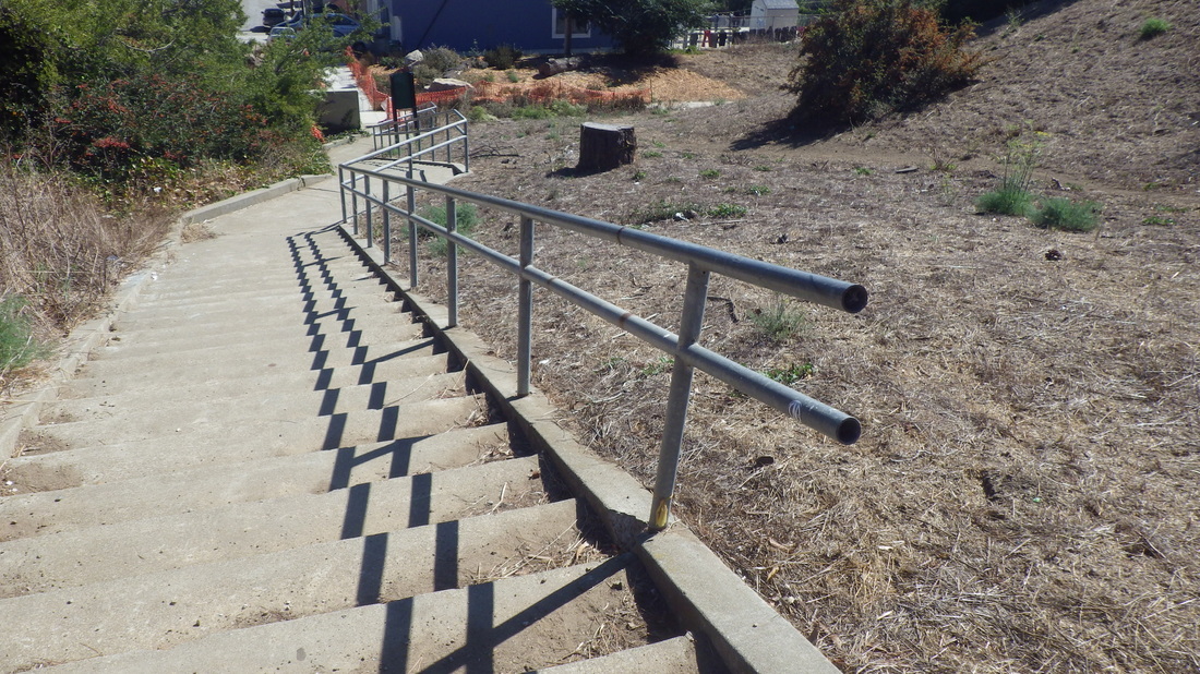
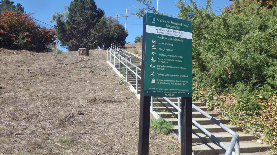
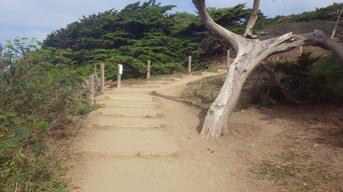
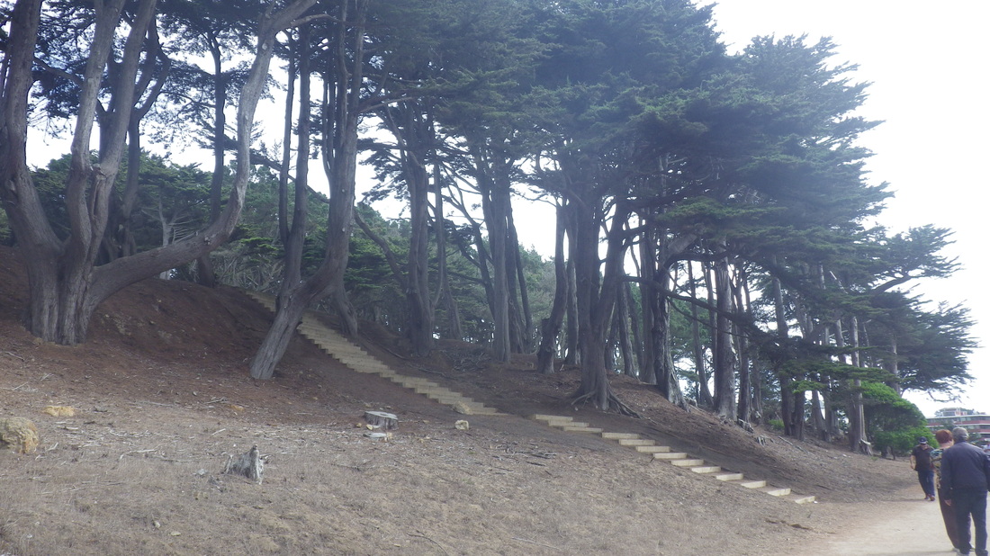
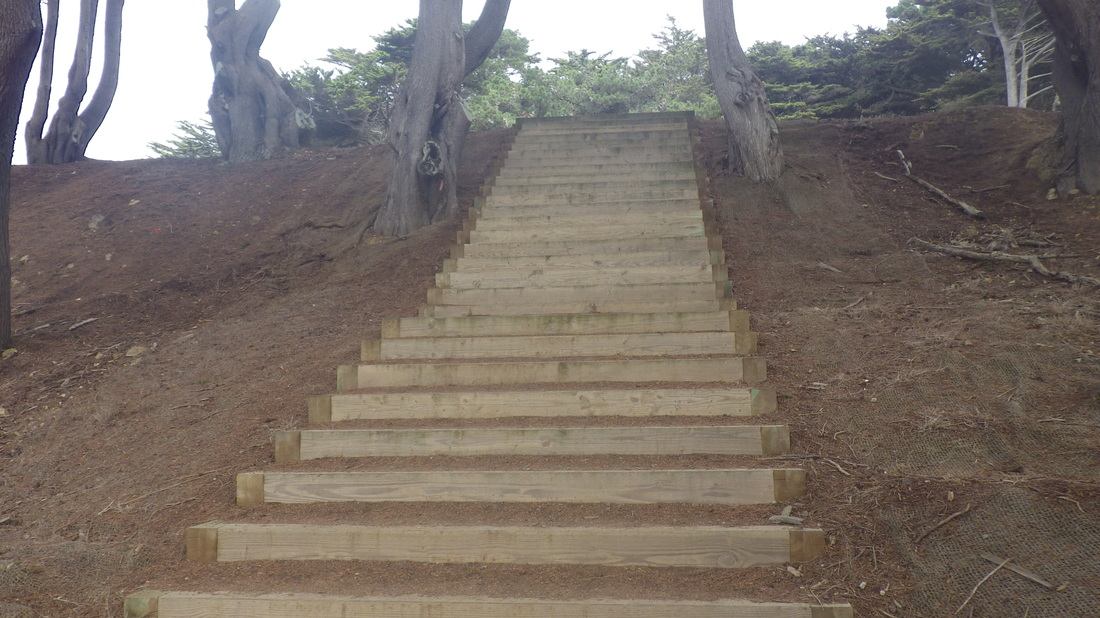
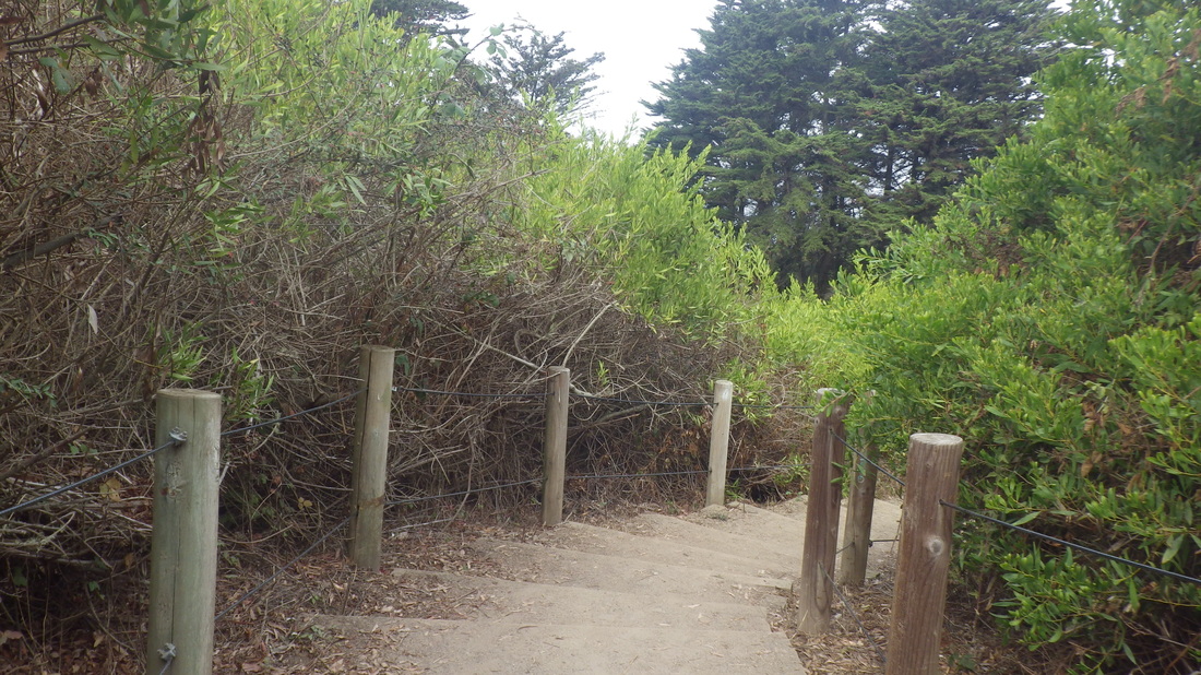
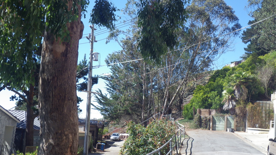
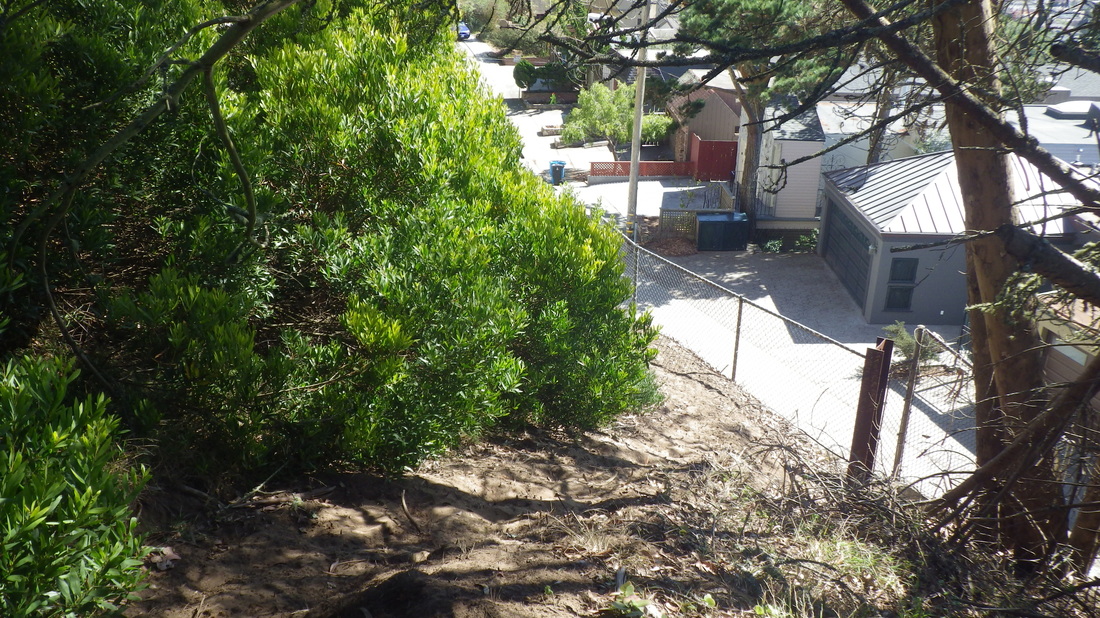
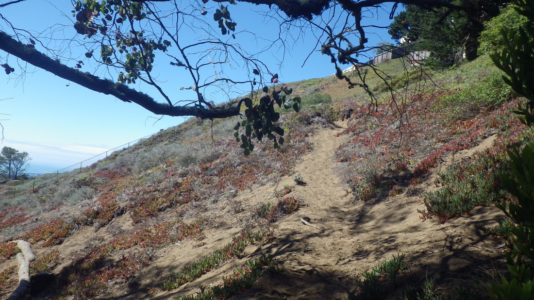
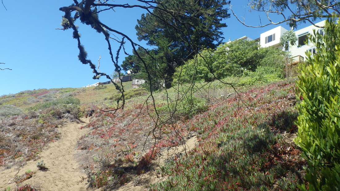
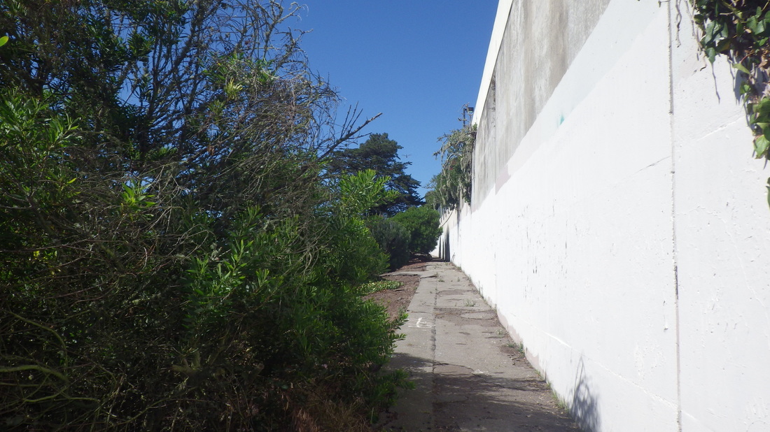
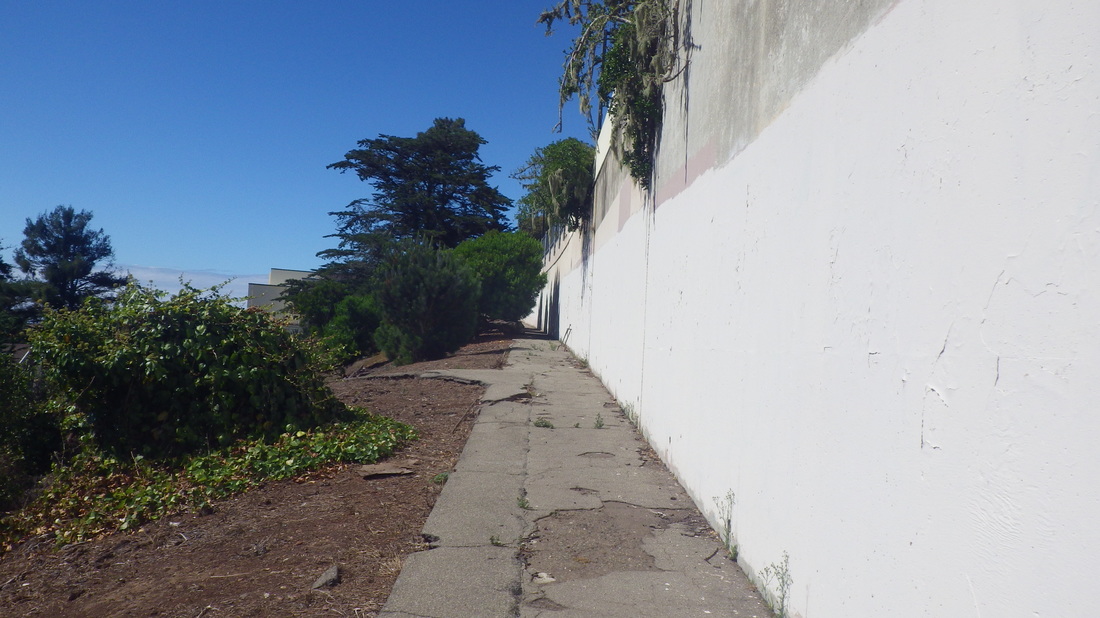
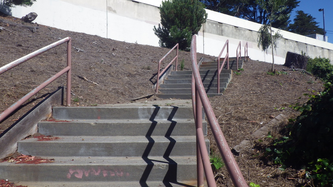
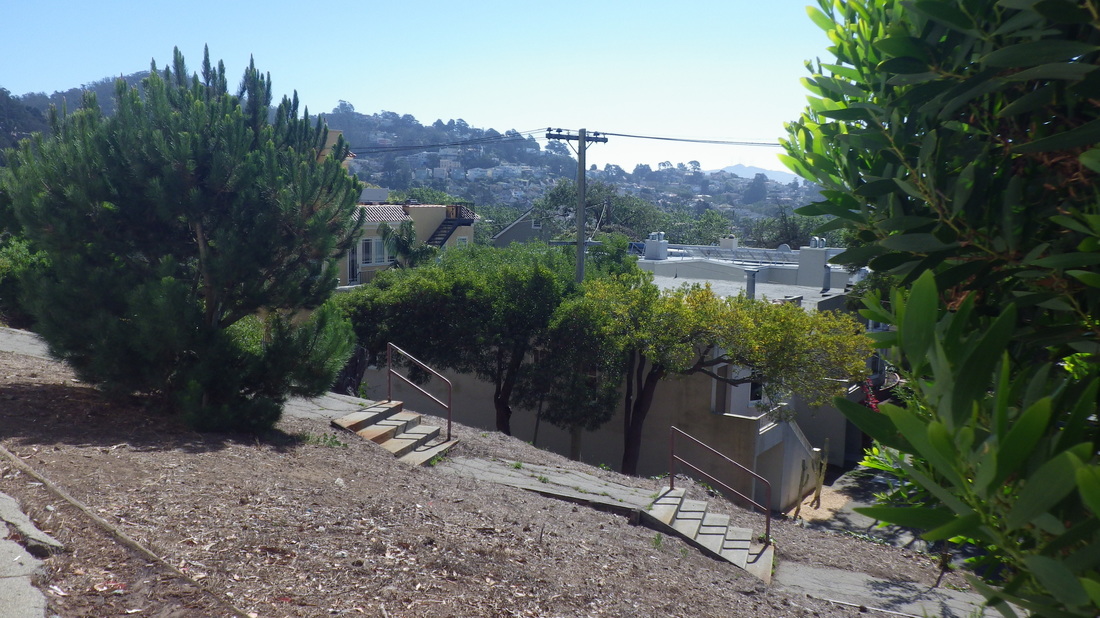
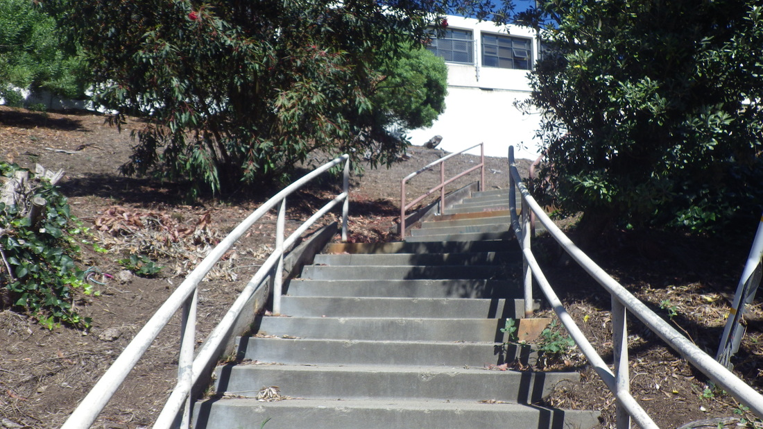
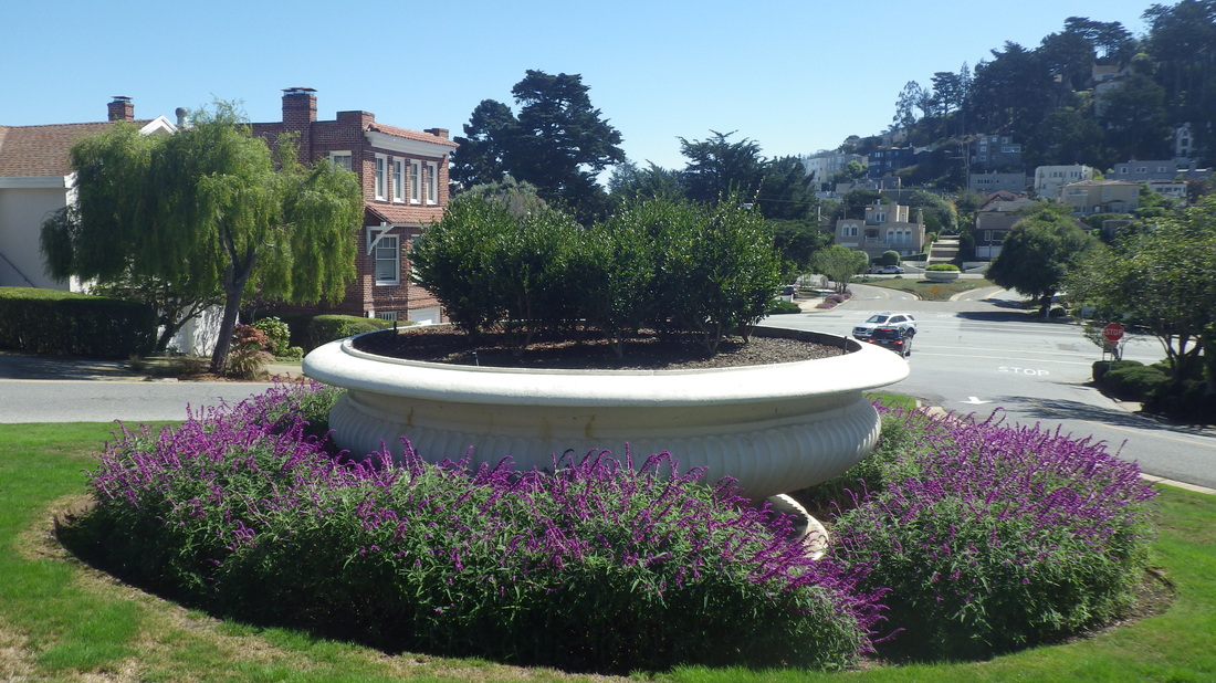
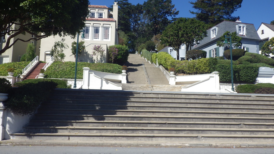
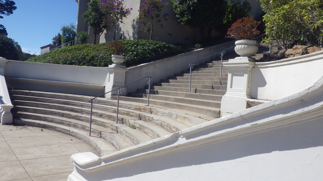
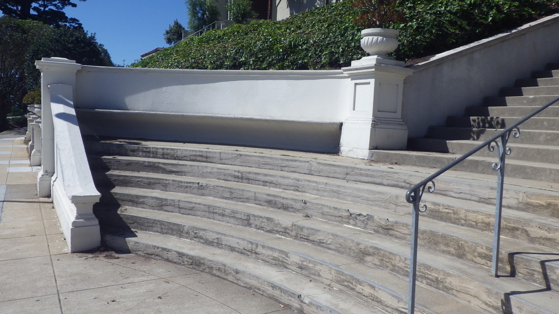
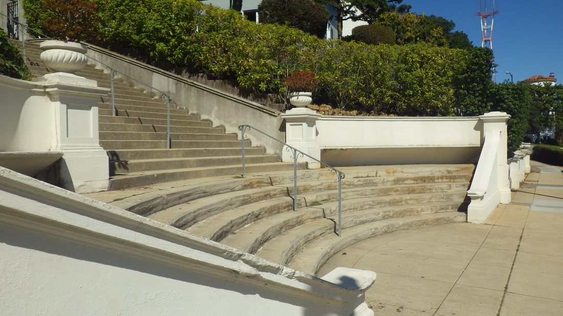
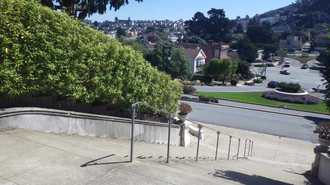
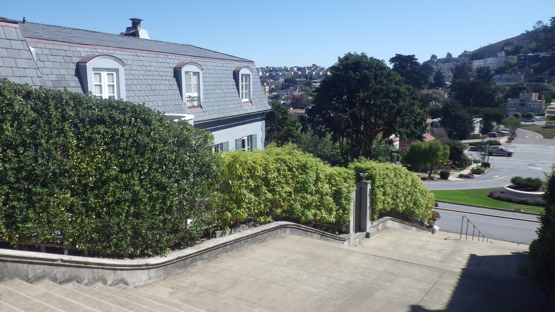
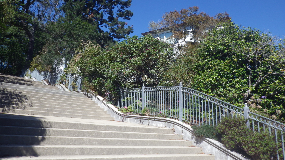
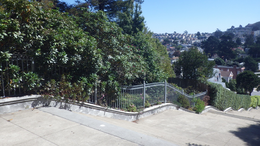
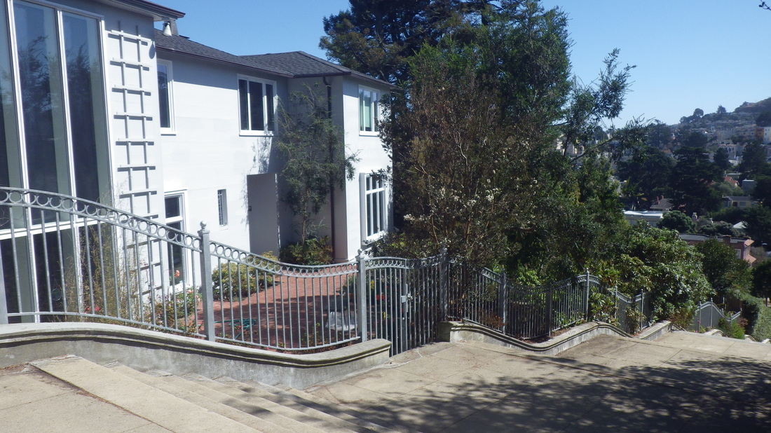
My favorite street up here is Shakespeare. On the SF side there’s a divided street with a short stairway: 12 thru 19.
De Long & Flournoy, SF: 20
De Long & Head, SF: 21
Head & Santa Barbara SF: 22, 22, 24
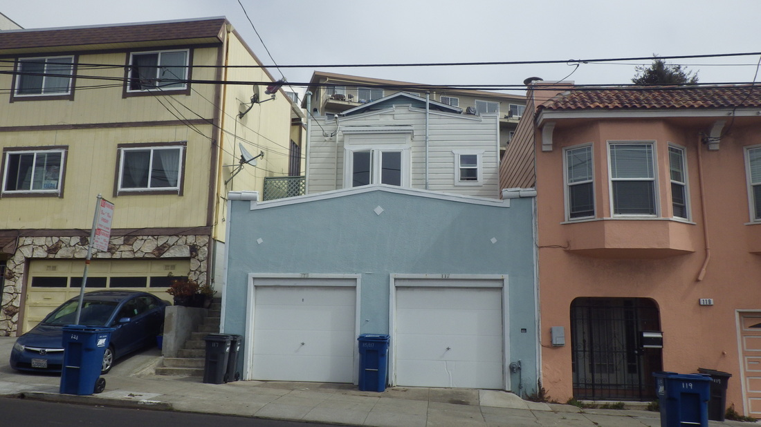
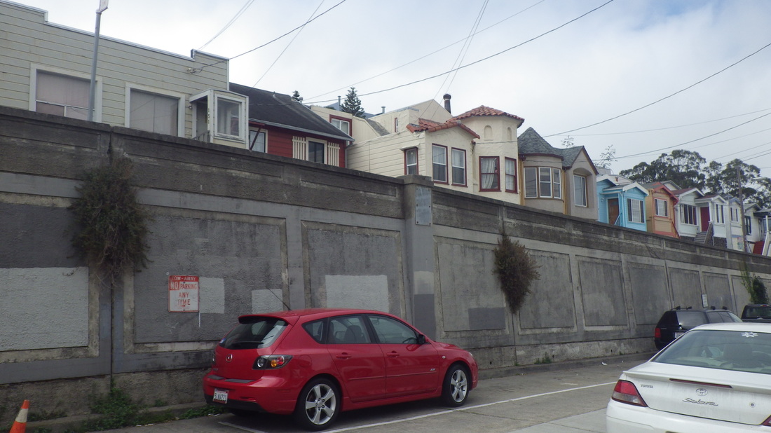
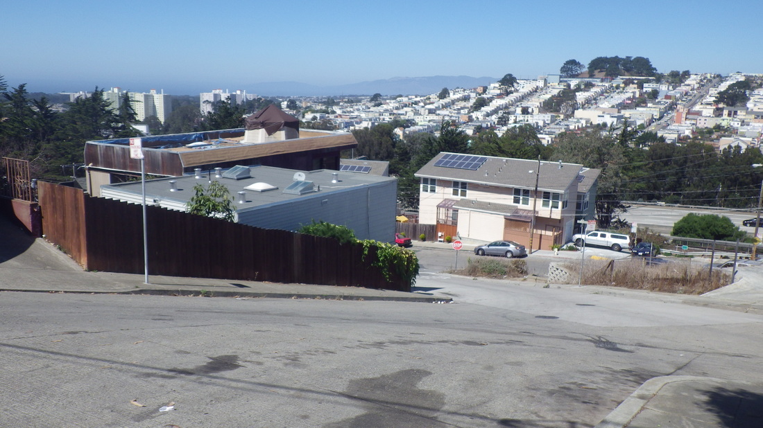
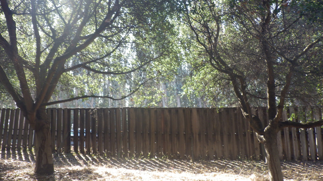
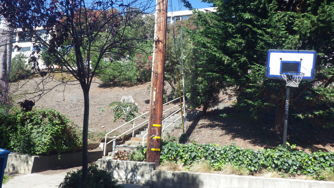
Rhine down to Shakespeare, DC: 25
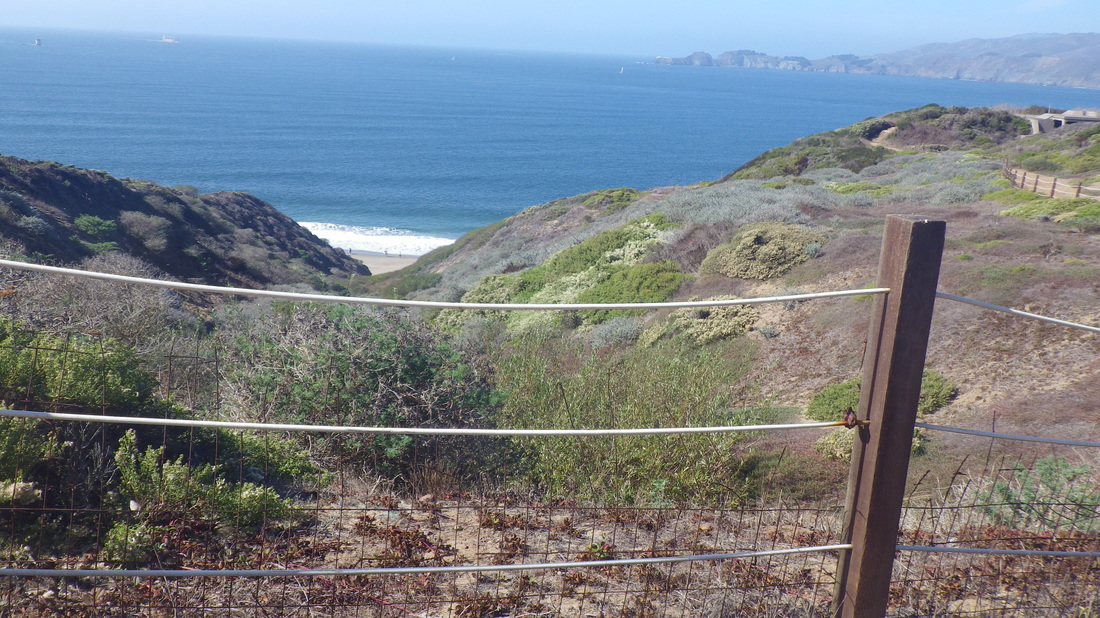
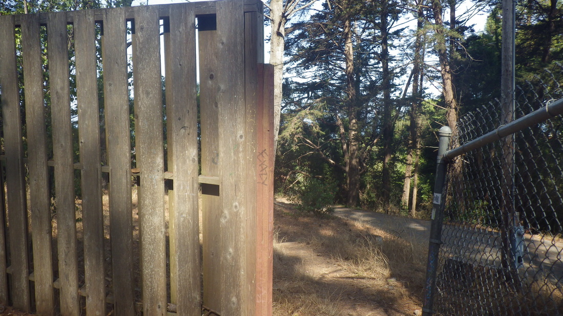
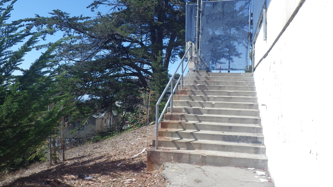
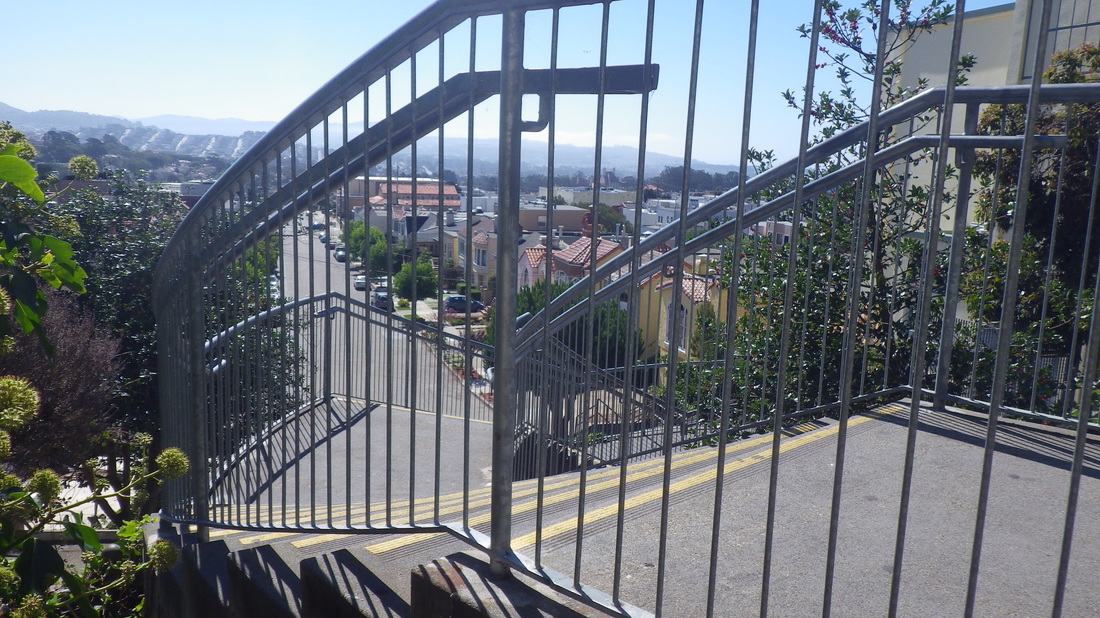
Vendome hilltop fence, DC: 26
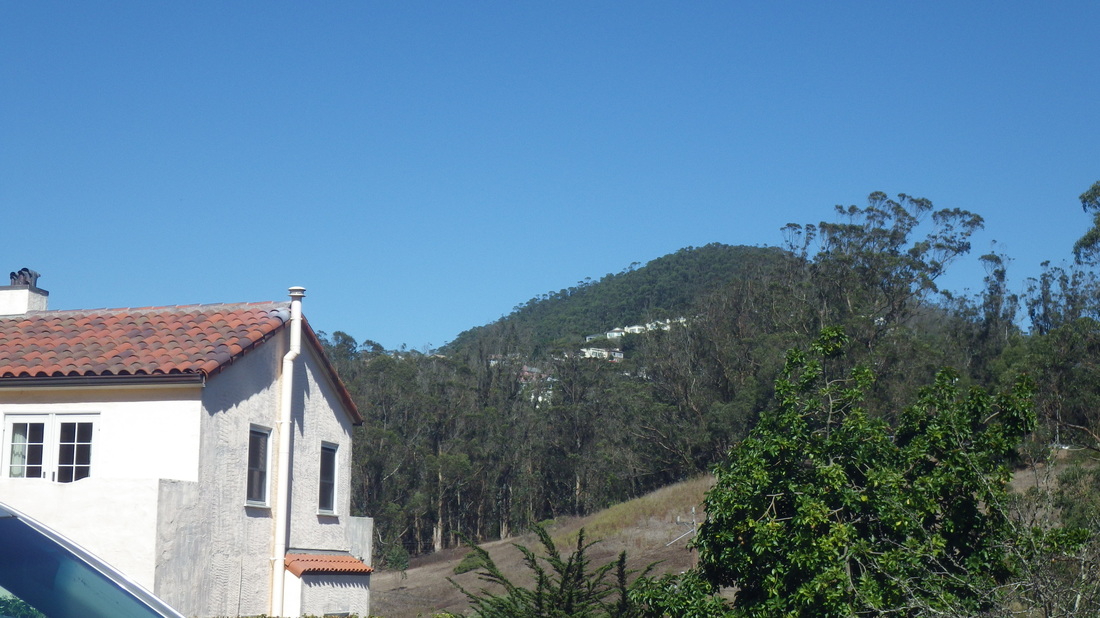
Some of it looks different now from when I last saw it. Not as much open space as before at the top of the hill.
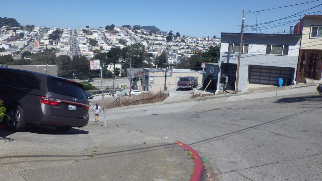
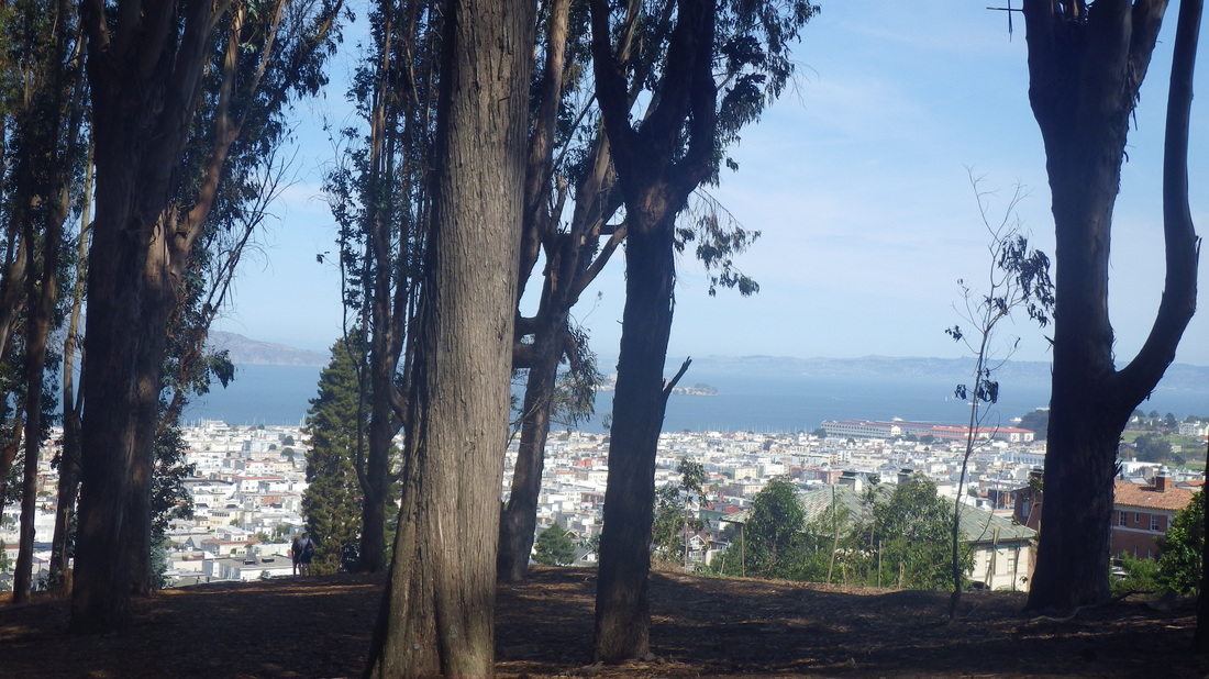
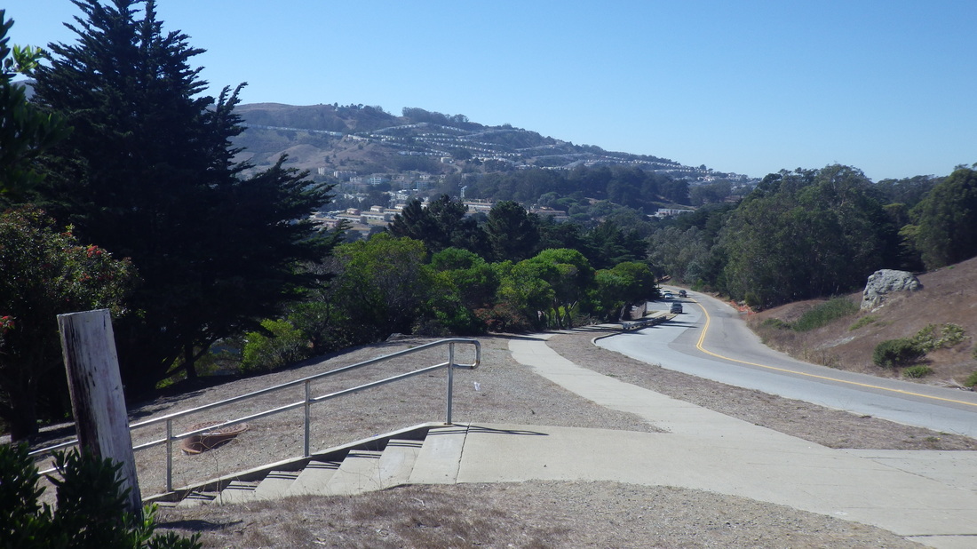
For a second hike, ascending from the ”Top of the Hill Daly City” area, up from Mission on Crocker near the end of the line for the #14 Mission. At the top, winding along Crocker to the east, partly with a view down and across to San Bruno Mountain from the park’s northernmost edge before descending to a #43 bus stop in SF’s Crocker-Amazon ‘hood.
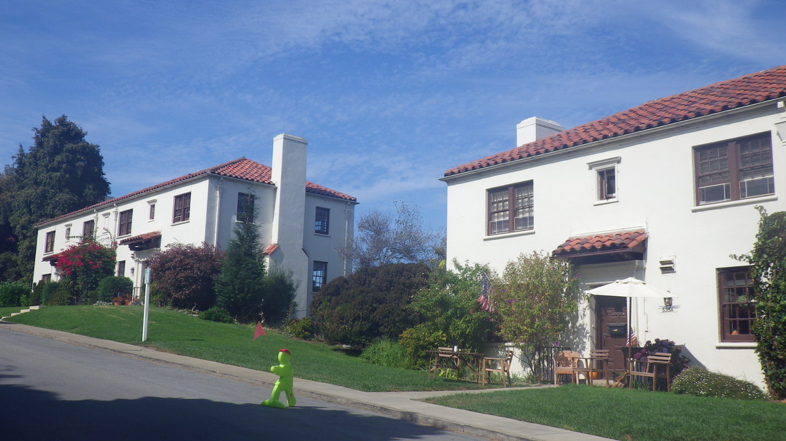
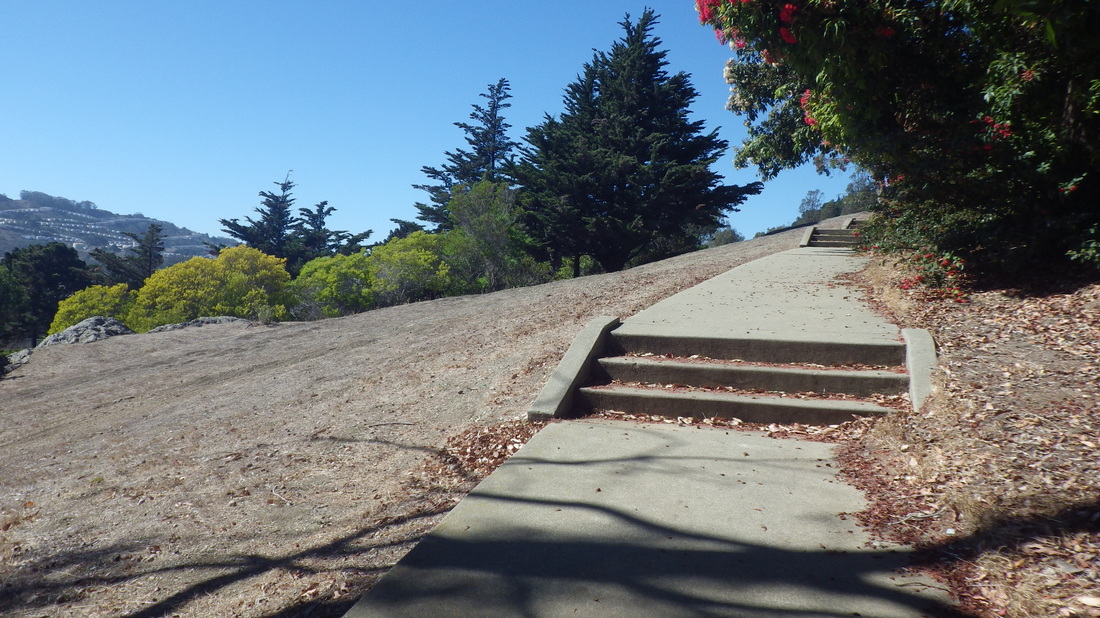
Views from Crocker Avenue, Daly City: 27 thru 32
But unable to stop there. Hadn’t walked the area between the Balboa Park and Daly City BARTs in a long time, some parts maybe a decade.
Attracted to certain houses and streets just above the BART trax, some in Daly City, some in San Francisco. This hill is just to the east of the DC BART station, between Cayuga Playground and DC BART, but closer to BART. If you sit at a south window you can briefly see Cayuga Playground as the train zooms by overhead.
Bepler, DC: 7, 8.
Santa Barbara, DC: 9, 10, 11
My favorite street up here is Shakespeare. On the SF side there’s a divided street with a short stairway: 12 thru 19.
De Long & Flournoy, SF: 20
De Long & Head, SF: 21
Head & Santa Barbara SF: 22, 22, 24
Rhine down to Shakespeare, DC: 25
Vendome hilltop fence, DC: 26
Some of it looks different now from when I last saw it. Not as much open space as before at the top of the hill.
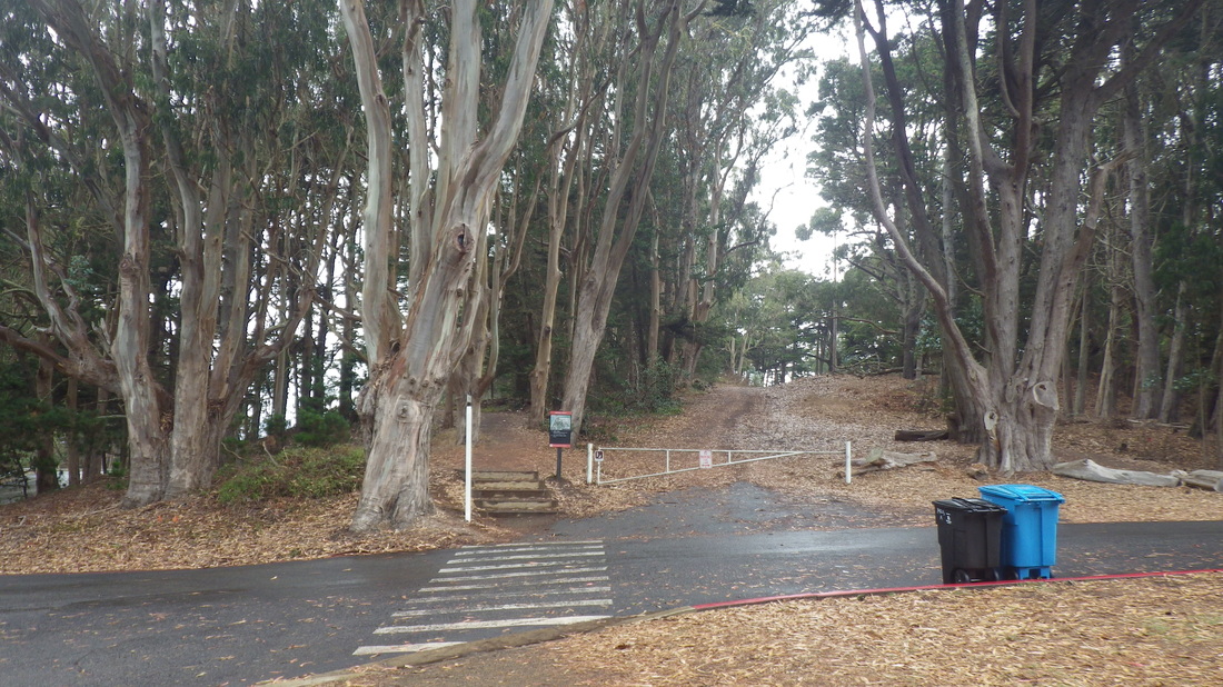
For a second hike, ascending from the ”Top of the Hill Daly City” area, up from Mission on Crocker near the end of the line for the #14 Mission. At the top, winding along Crocker to the east, partly with a view down and across to San Bruno Mountain from the park’s northernmost edge before descending to a #43 bus stop in SF’s Crocker-Amazon ‘hood.
Views from Crocker Avenue, Daly City: 27 thru 32
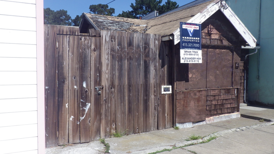
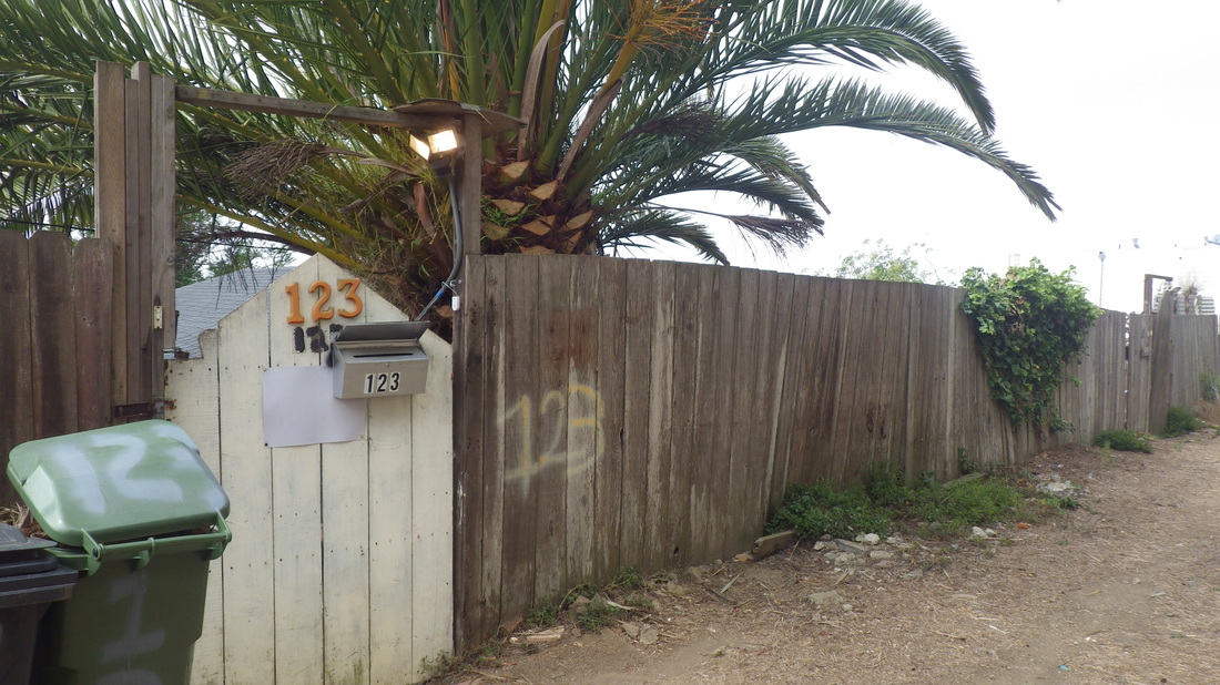
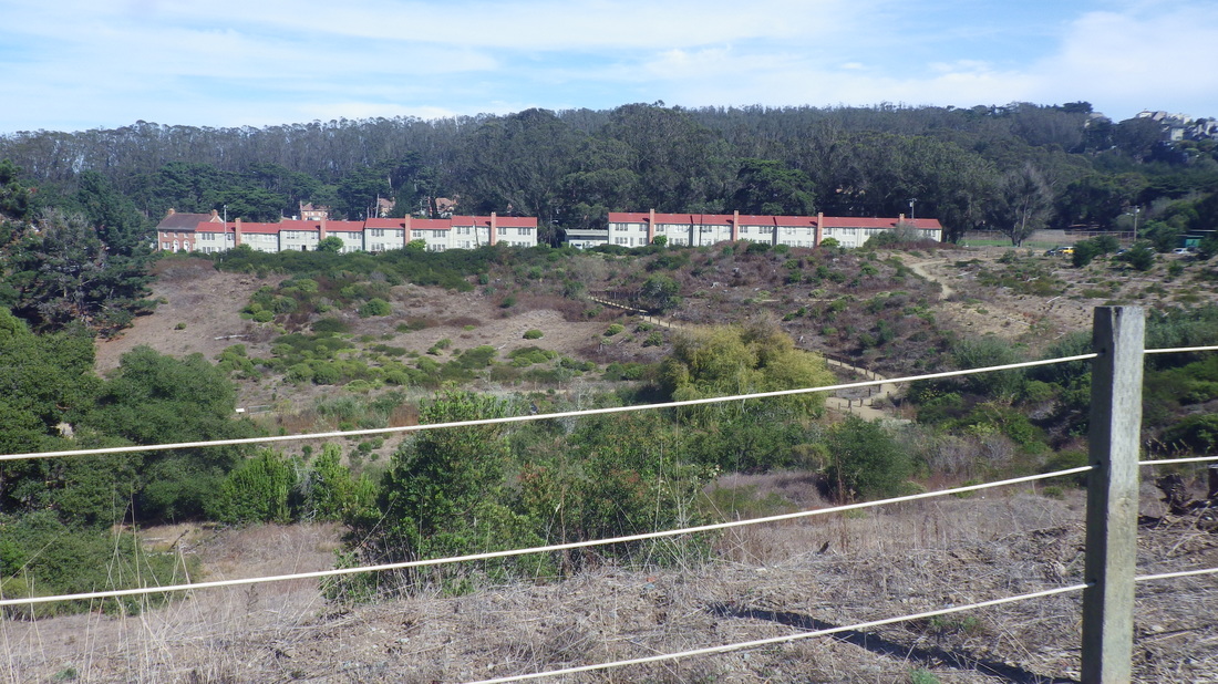
1. 16 De Long, Outer Mission 'hood
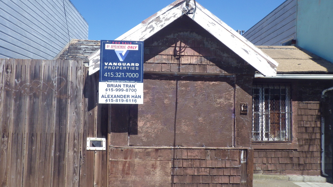
2. Former 1906 earthquake refugee shacks
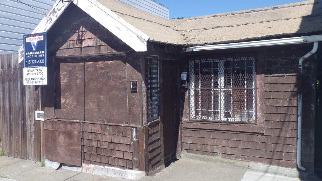
3. It's been sold as of this post
4. Its backyard faces the BART tracks
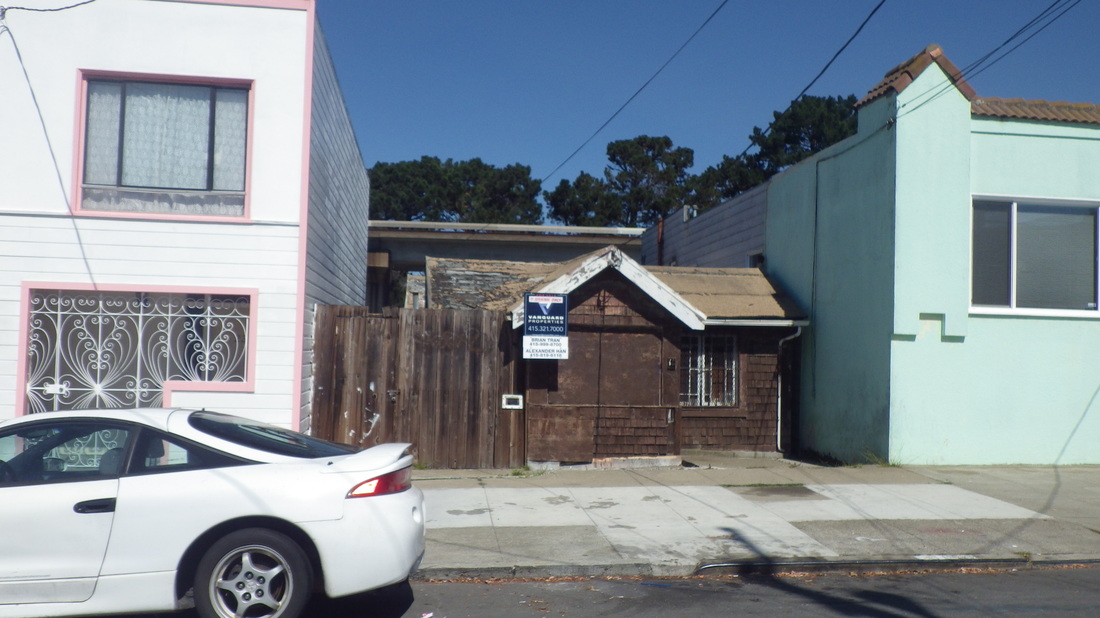
5. Maybe now this tiny house will be better cared for
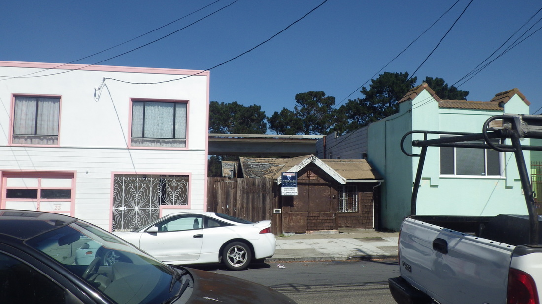
6. Cross-street Rice
7. View from Bepler, Daly City
8. Bepler, Daly City
9. Santa Barbara, Daly City
10. Santa Barbara, Daly City
11. Santa Barbara, Daly City
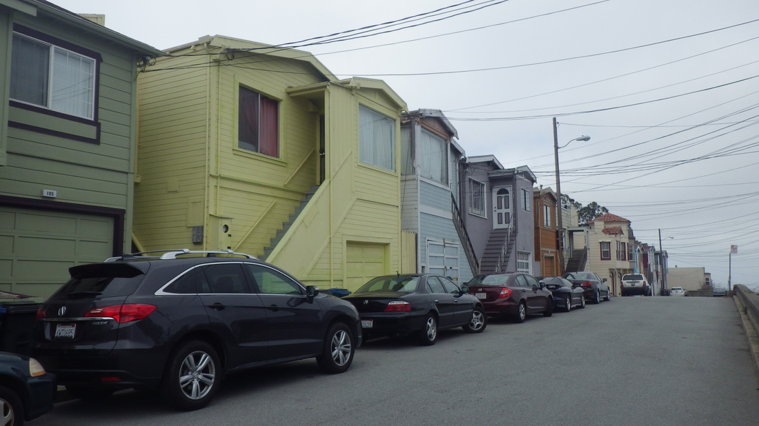
12. Upper Shakespeare, just barely in San Francisco
13. (Upper) Shakespeare
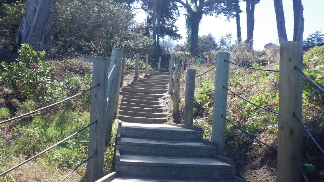
14. Divided Shakespeare
15. Upper and lower Shakespeare, SF side
16. Upper to lower Shakespeare, SF
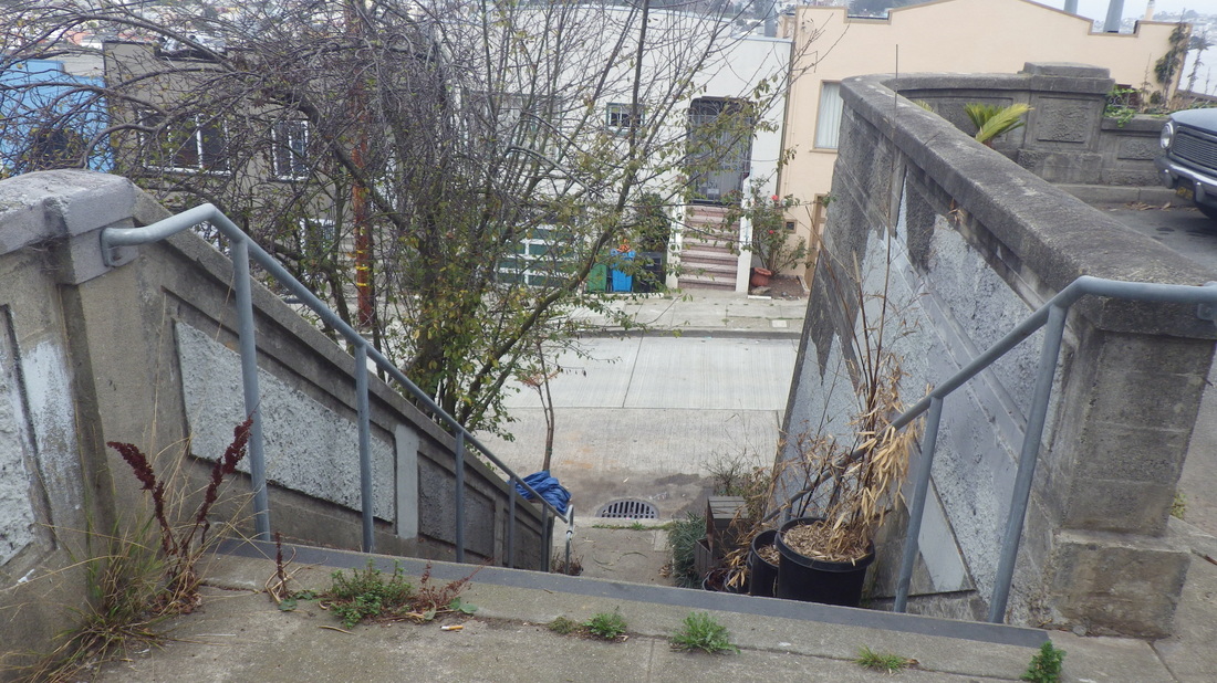
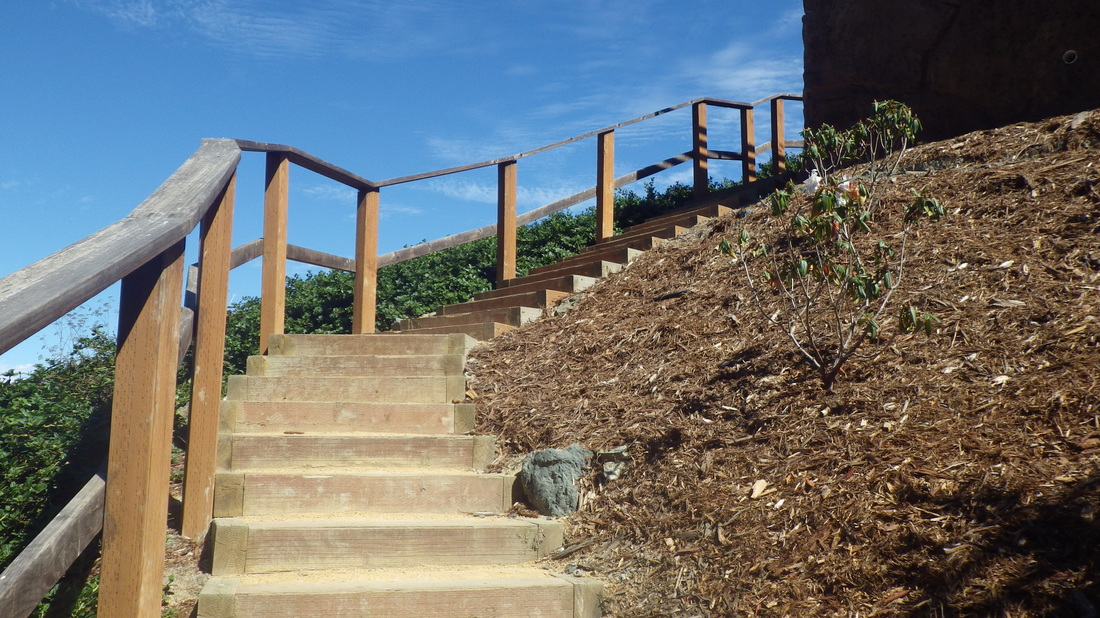
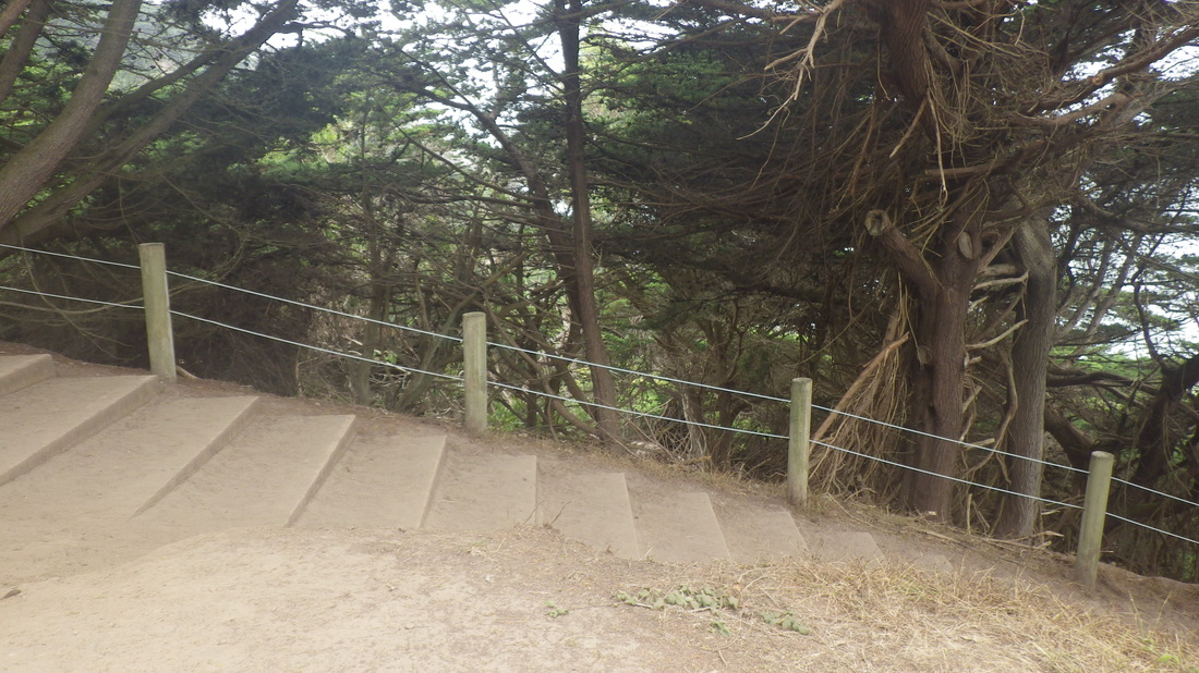
17. Shakespeare steps
18. Lower Shakespeare, SF
19. Downhill to north on Shakespeare, SF
20. De Long & Head, San Francisco
21. De Long & Head, SF
22. Head & Santa Barbara, SF
23. Santa Barbara & Head, SF's OMI 'hoods in distance to north
24. Santa Barbara & Head, just barely in SF, looking north
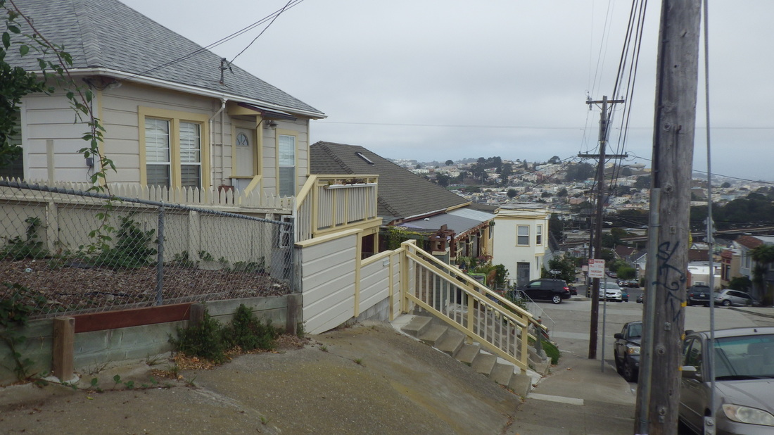
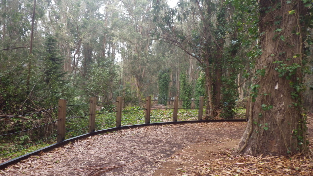
25. Hilltop fence at Vendome, Daly City
26. Rhine down to Shakespeare, just barely in Daly City
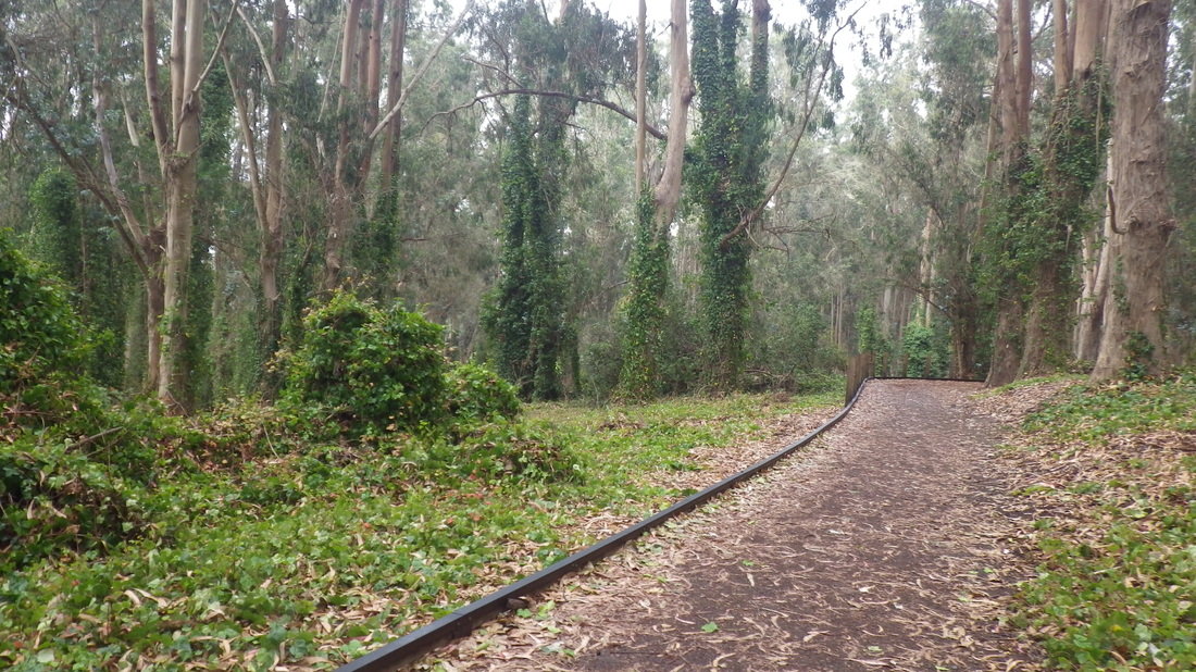
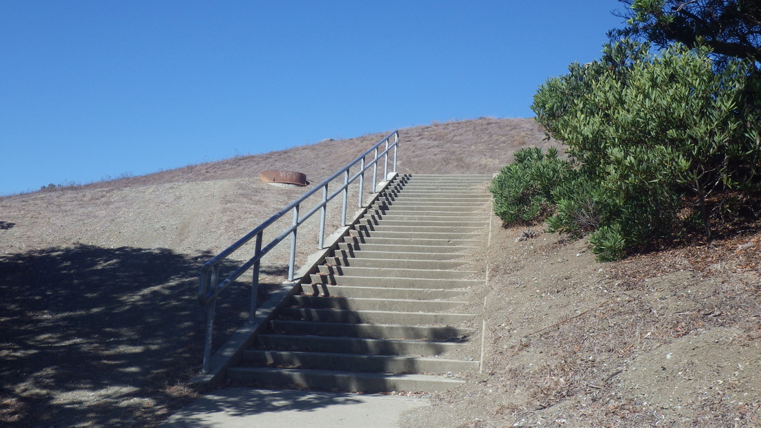
27. This part of Crocker, north side, has steps down to a lower sidewalk
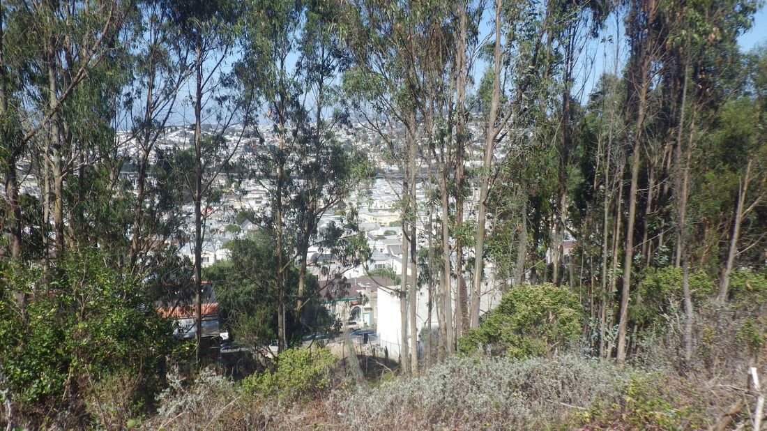
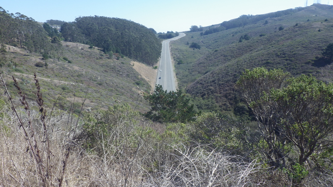
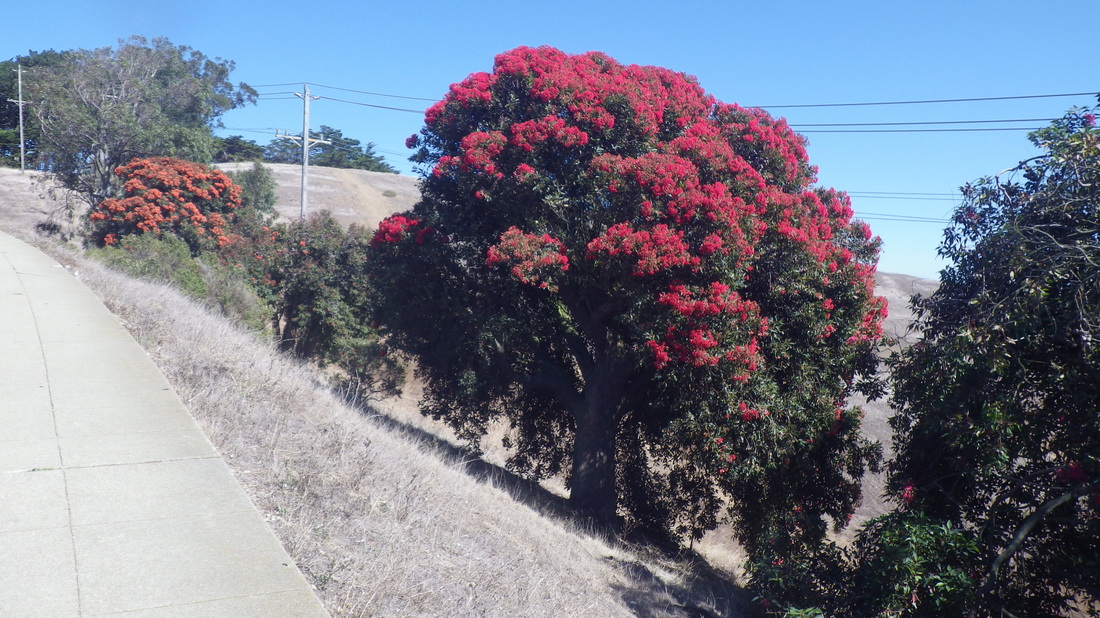
28. View north thru some trees from Crocker Ave.
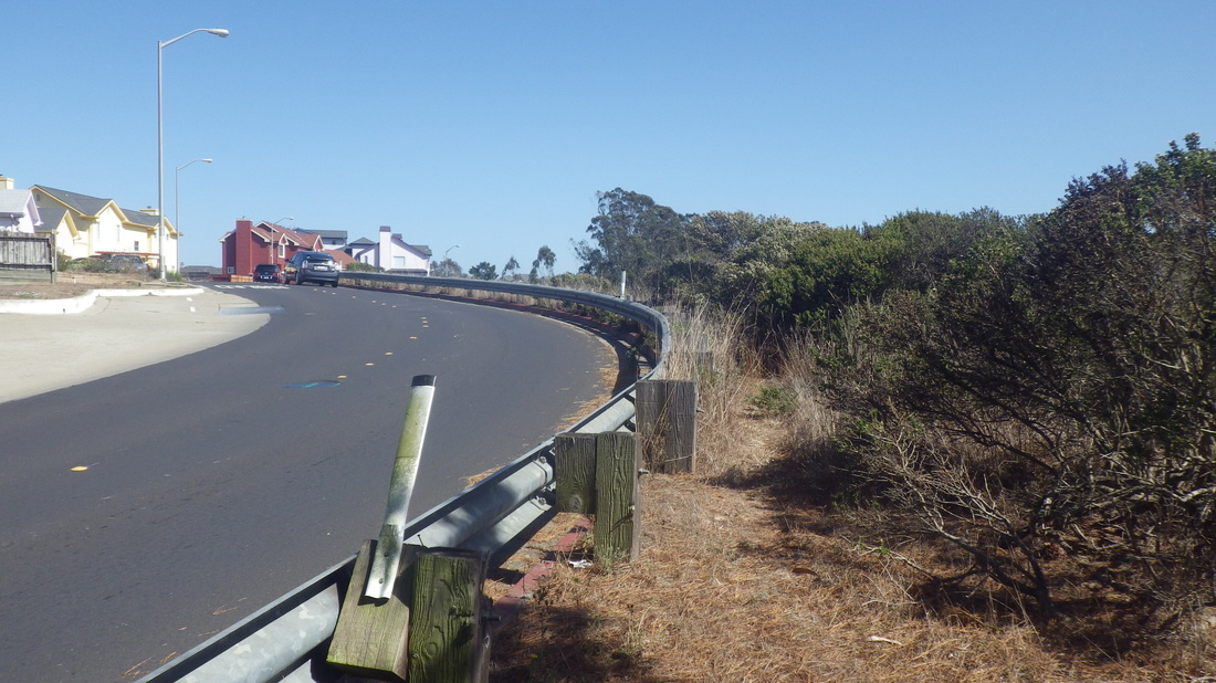
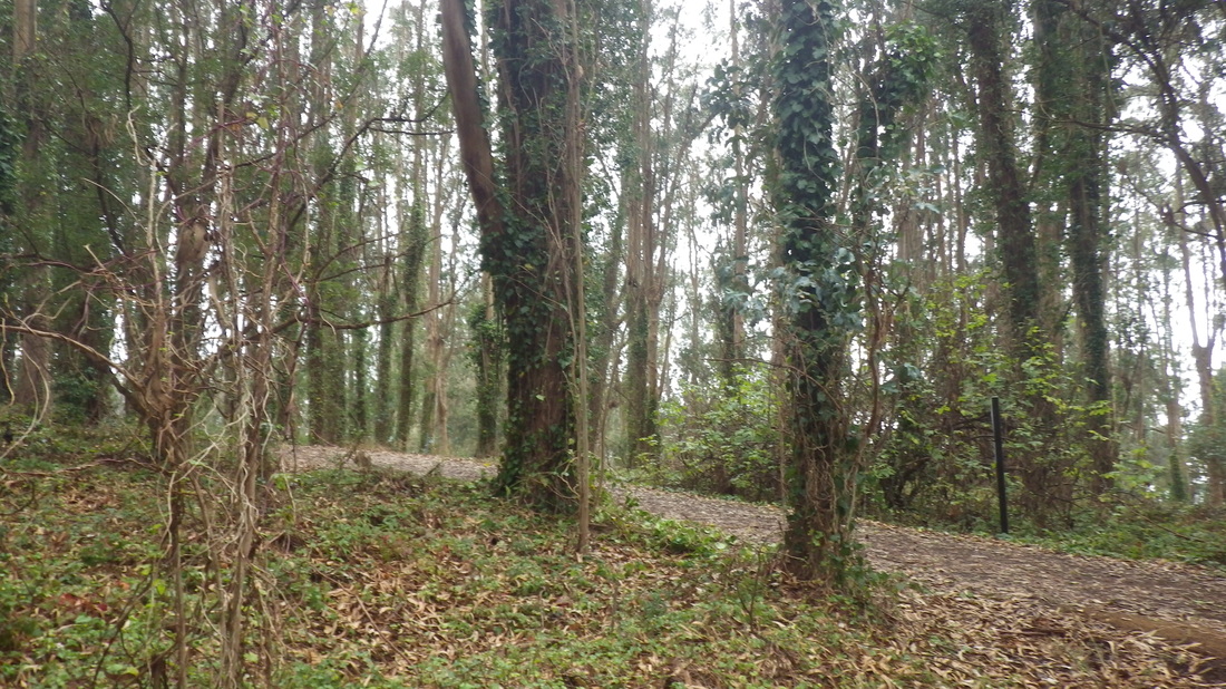
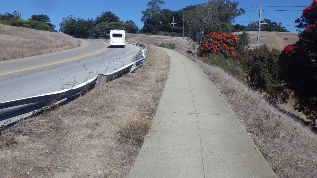
29, Curvy Crocker with a trail next to the guardrail, Daly City
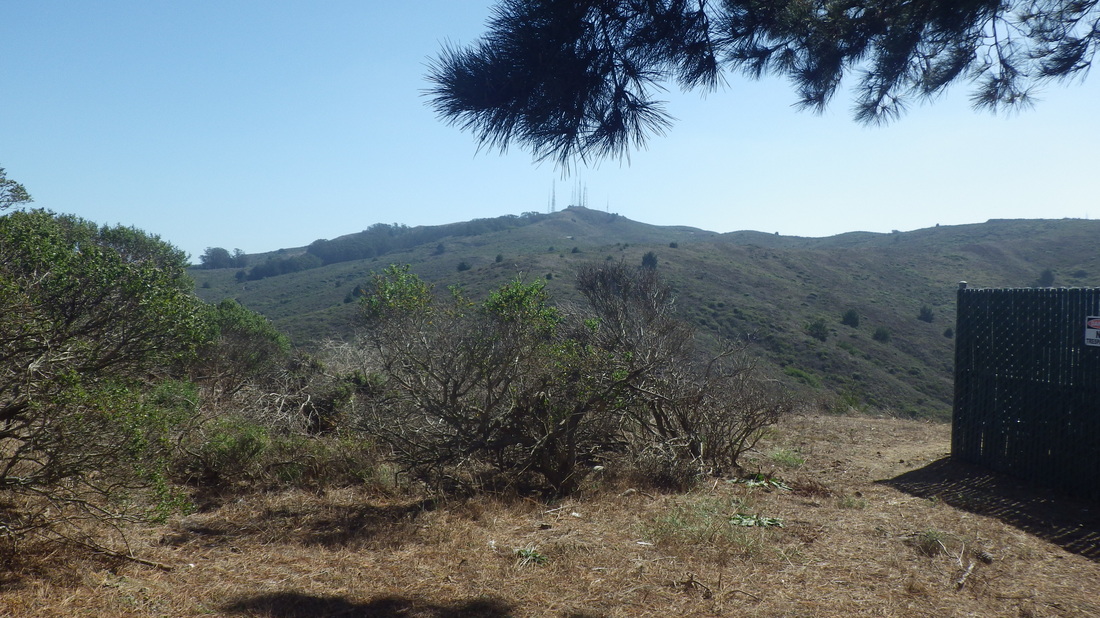
30. San Bruno Mountain as seen from Crocker Ave.
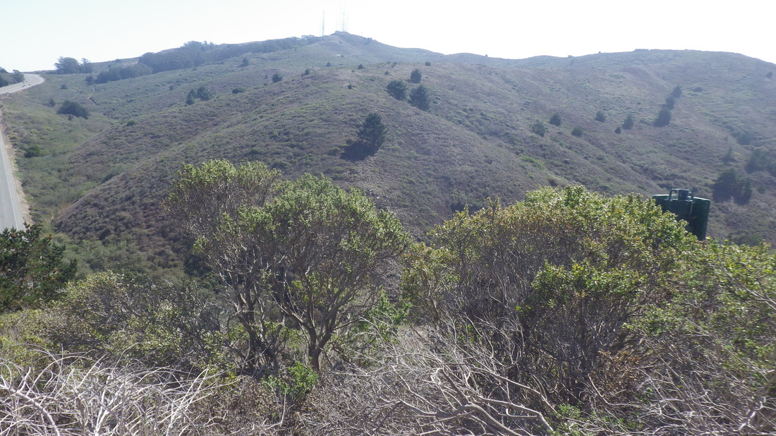
31. View down from Crocker
32. San Bruno Mountain from Crocker in Daly City


 RSS Feed
