Just read some good news about Cayuga Park that answers some questions I had when I Weebly-posted on August 5 after a recent visit.
http://www.sfgate.com/cgi-bin/article.cgi?f=/c/a/2011/12/30/BARH1M9N4Q.DTL&feed=rss.news
If you haven’t already read it (linked via my Facebook page as well), this recent SF Gate article is called “Gardener’s art to be permanent part of Cayuga Park.” (Friday, Dec. 30 by John Wildermuth, Chronicle Staff Writer).
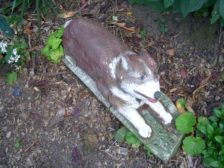
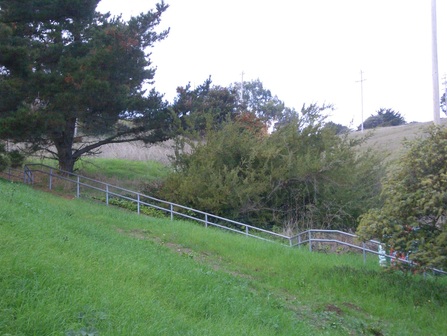
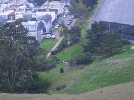
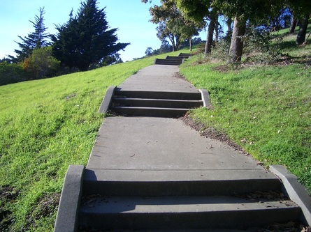
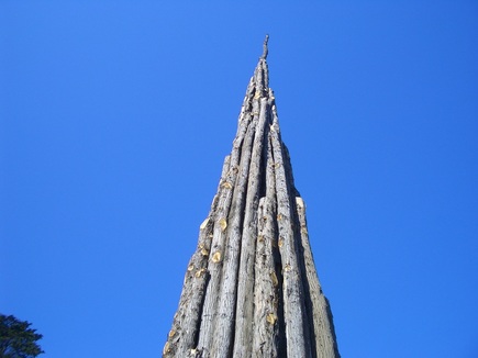
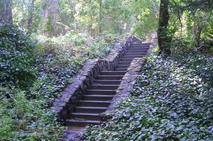
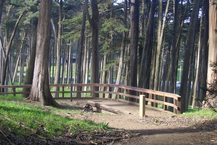
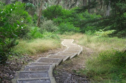
The 11-acre park’s getting a $9.4 million renovation to be completed in 2013. 130 of the sculptures are to be temporarily removed for cleaning, etc. Hopefully this will include the pix below, a few of my own favorites, taken around 2007.
“The new entryway to the park, a commissioned work by artist Eric Powell, will include art pieces inspired by Braceros’ sculptures…” And the park’s clubhouse is to have a living roof.
I’m a big fan of Mr. Braceros’ artworks and it’s cheering to hear that his sculptures and this little park will be getting lotsa love in the next few years.
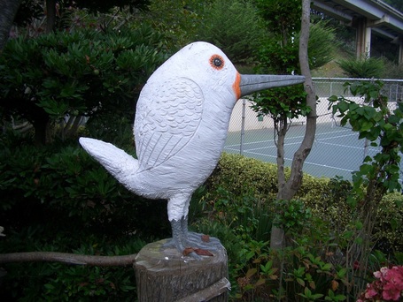
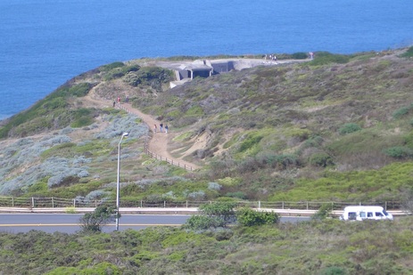
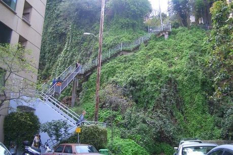
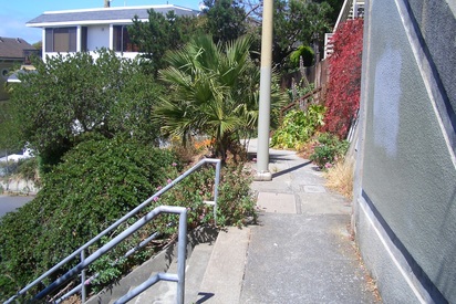
Cayuga Park, 2007
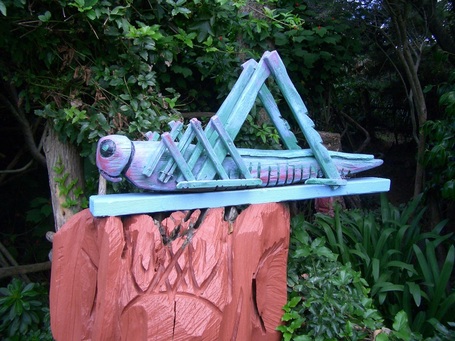
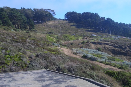
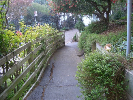
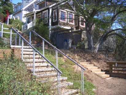
Cayuga Park, 2007
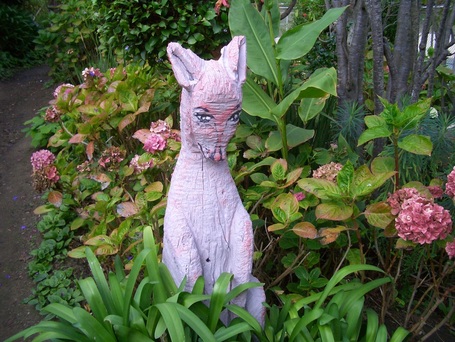
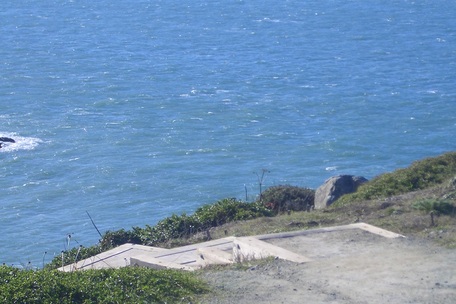
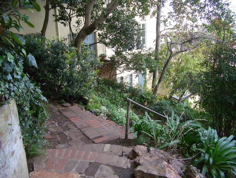
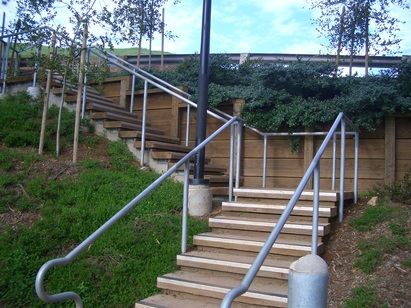
Cayuga Park, 2007
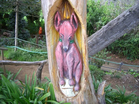
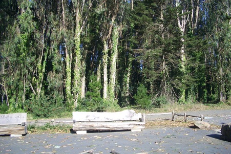
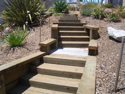
Cayuga Park, 2007
Cayuga Park, 2007
 RSS Feed
