Stairways are Heaven
  • Home
  • About Me
  • Stairways are Heaven

Morning Sun

12/28/2013

2 Comments

 
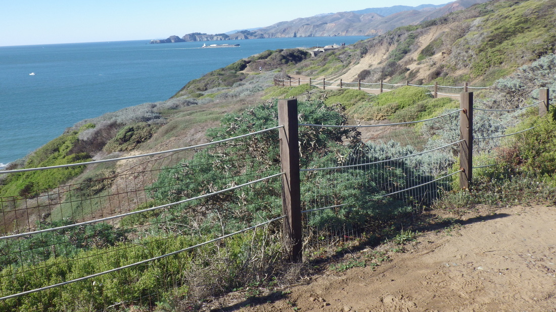
My goal this time was to hit part of one of the trails of the vast GGNRA (Golden Gate National Recreation Area) above Sausalito, the Morning Sun Trail. 

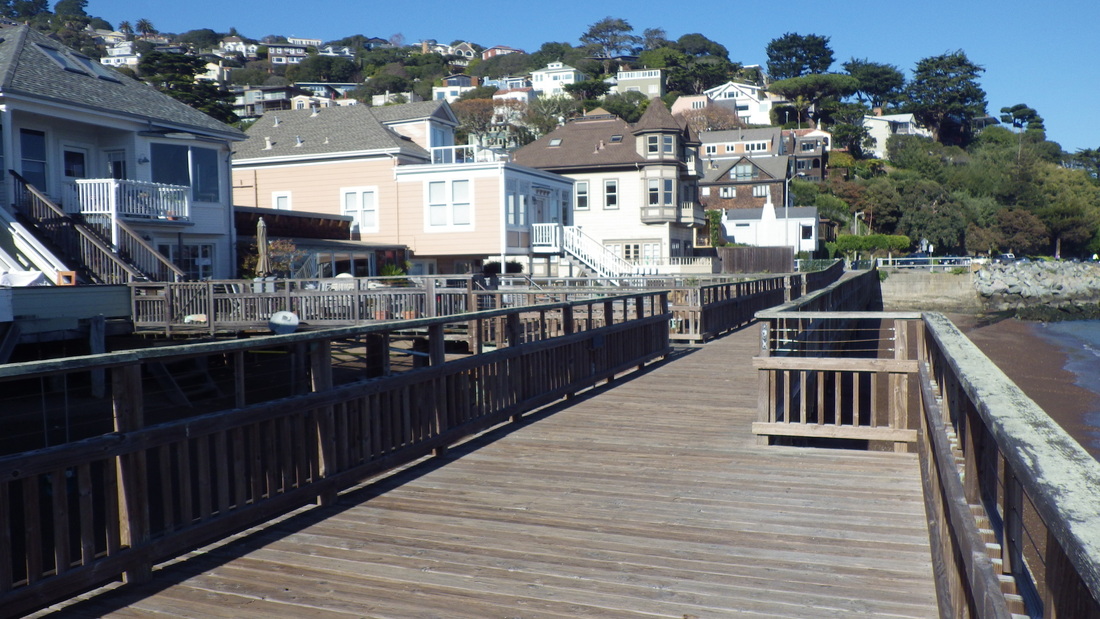
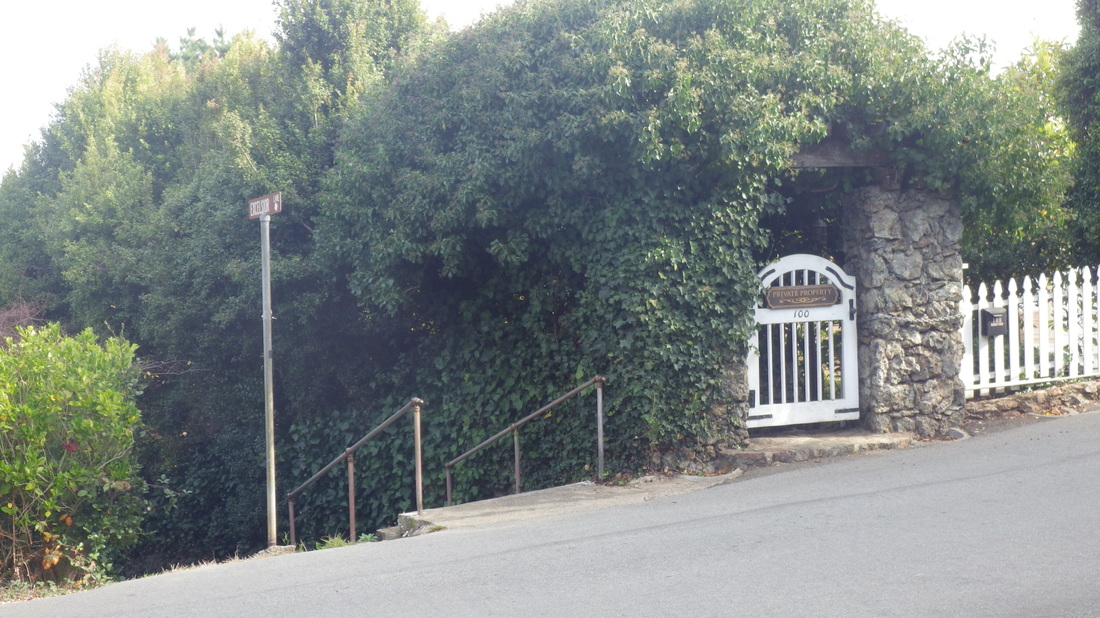
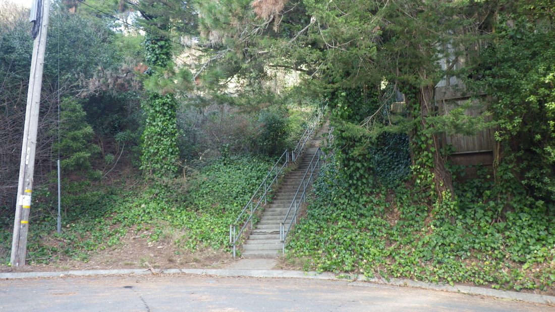
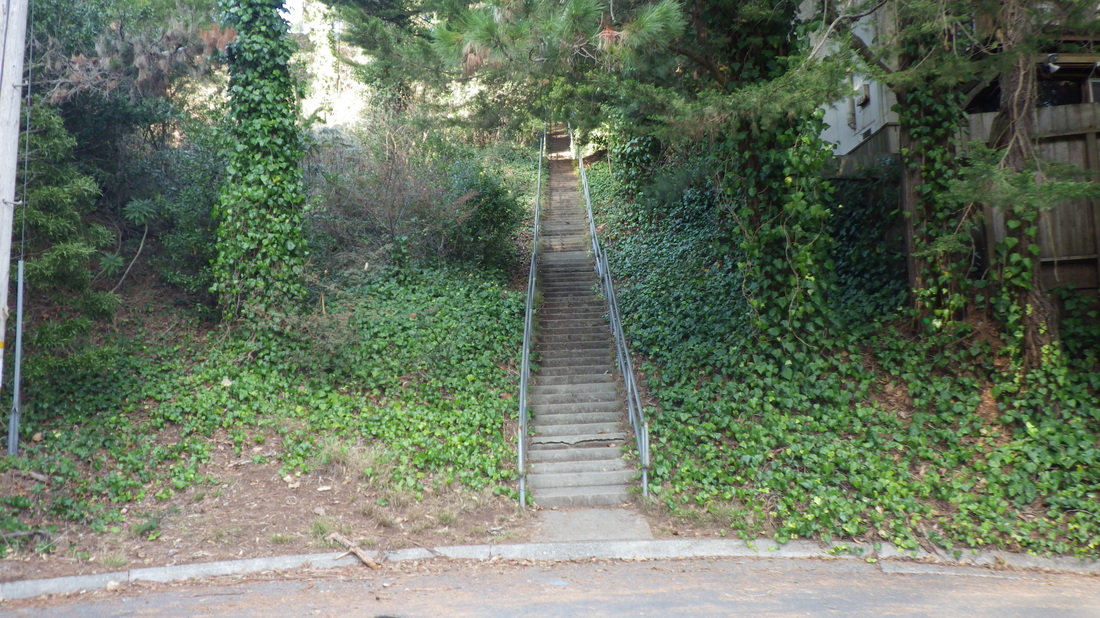
First, however, I needed to get up there. First long stairway was Excelsior Lane (179 steps), about three blocks' worth. It climbs up from Bridgeway alongside the Wells Fargo Bank. 


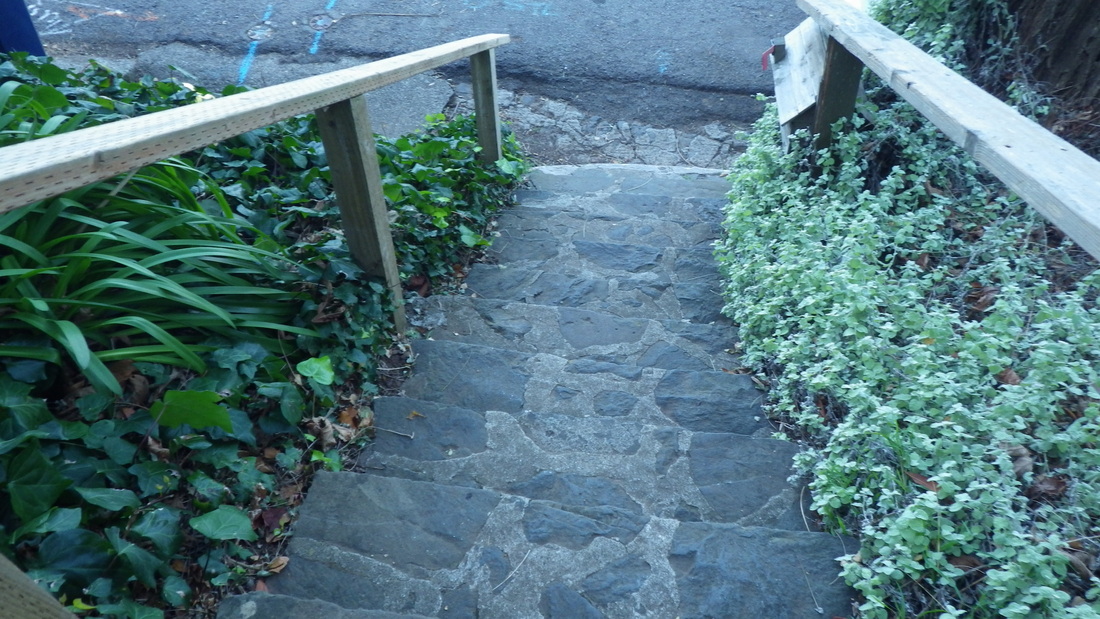
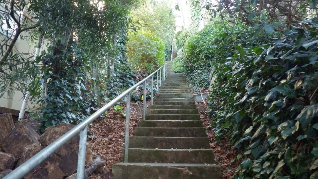
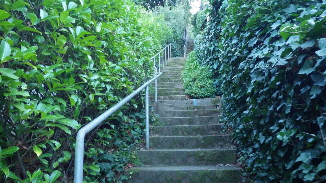
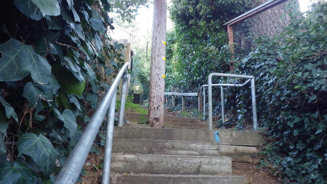
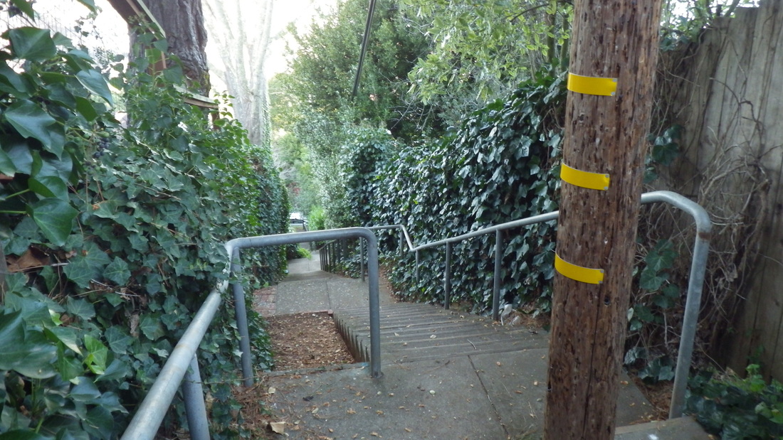
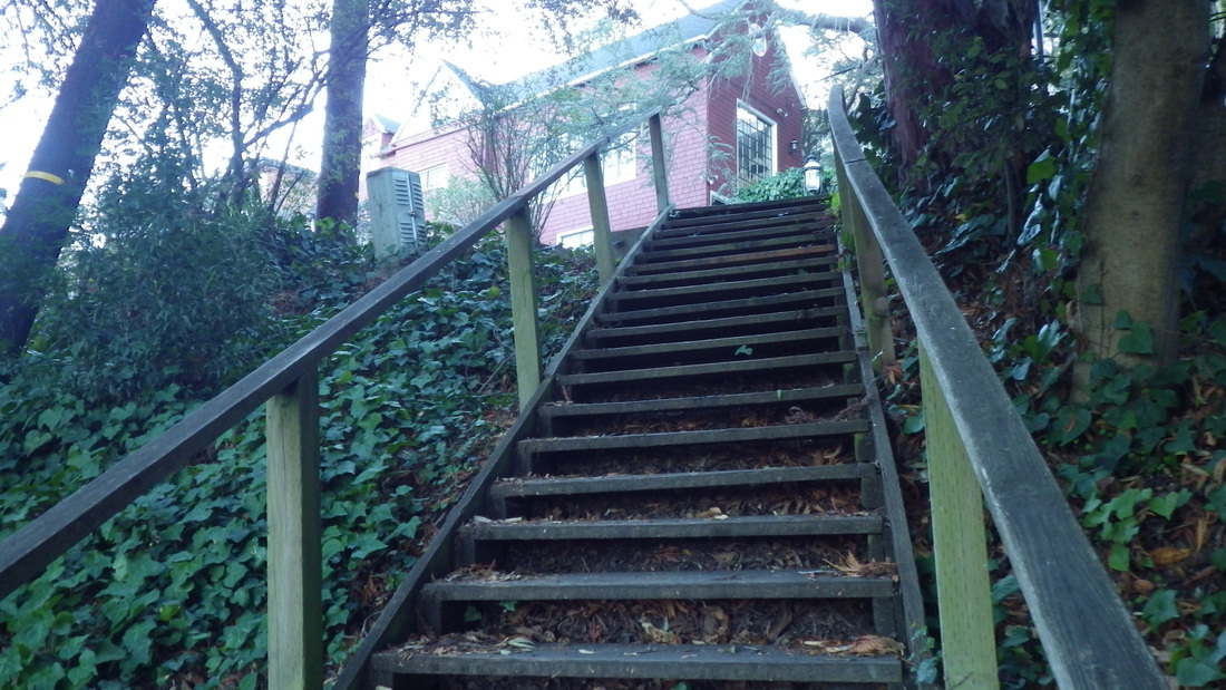
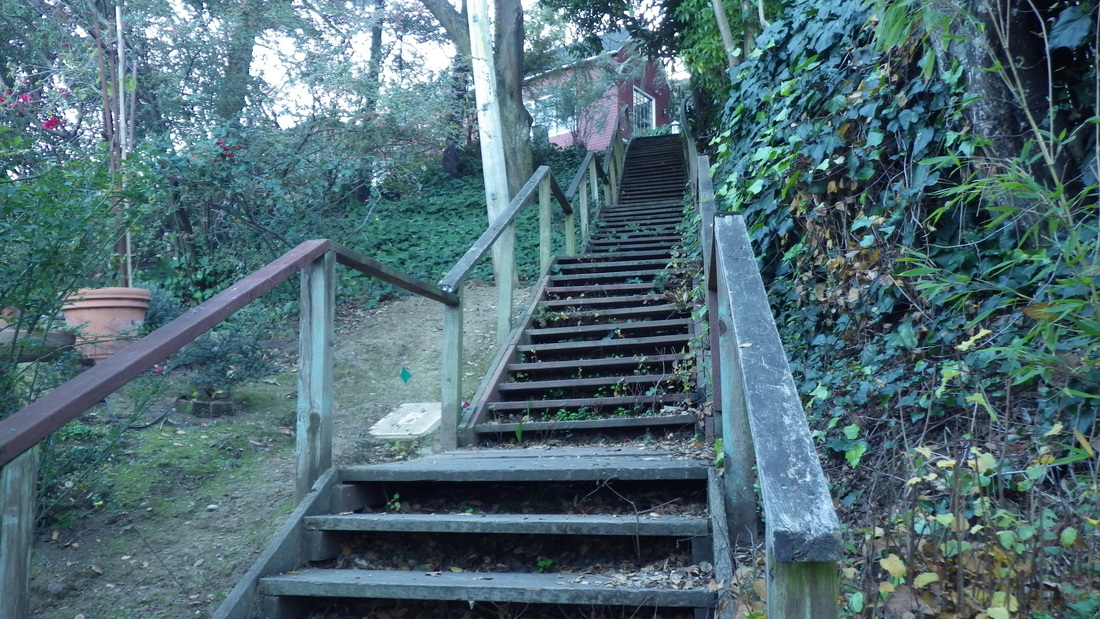
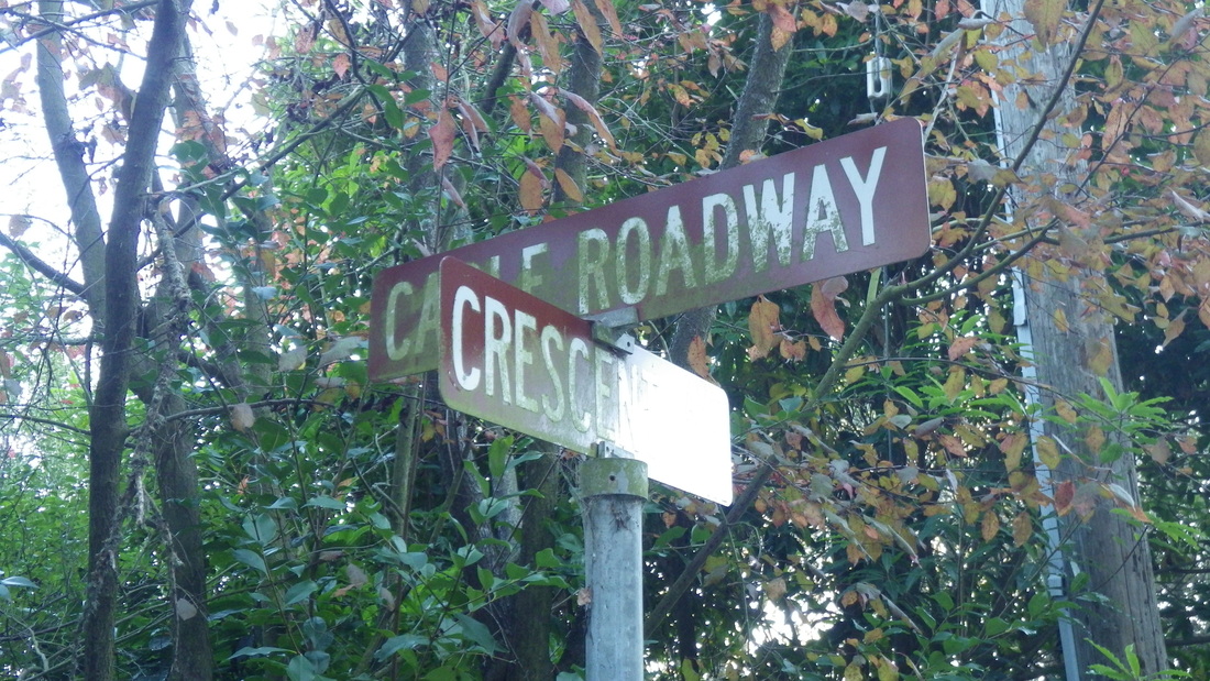
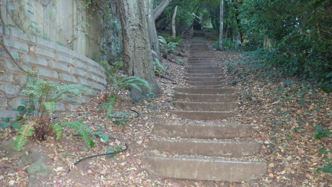
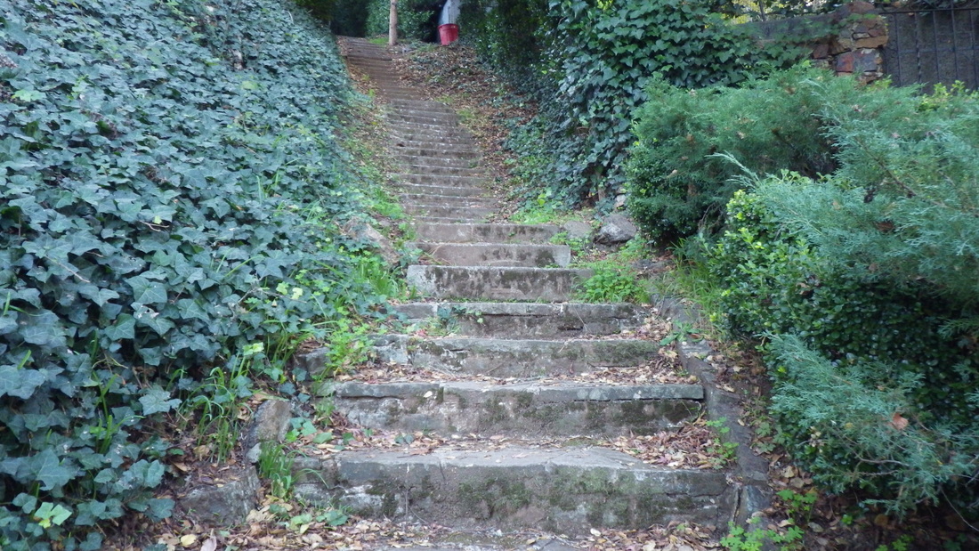
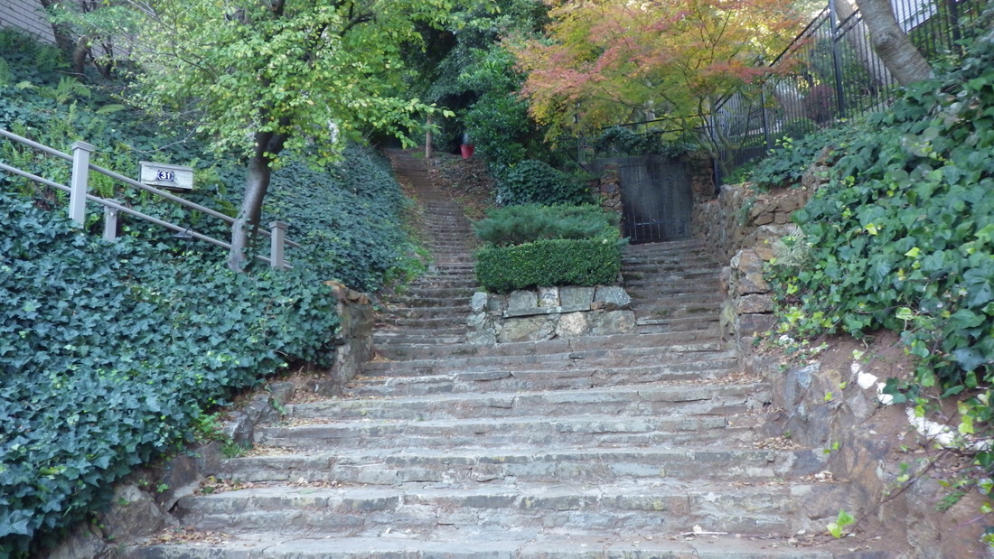
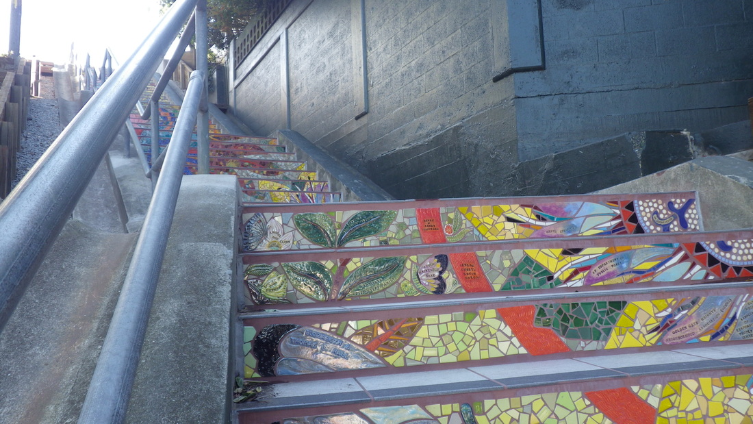
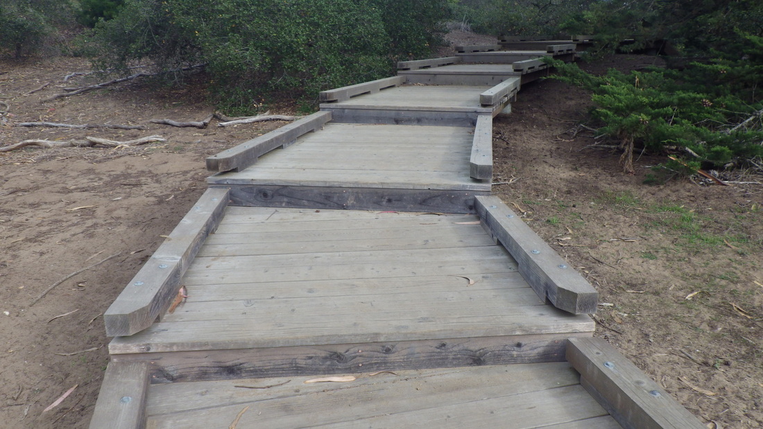
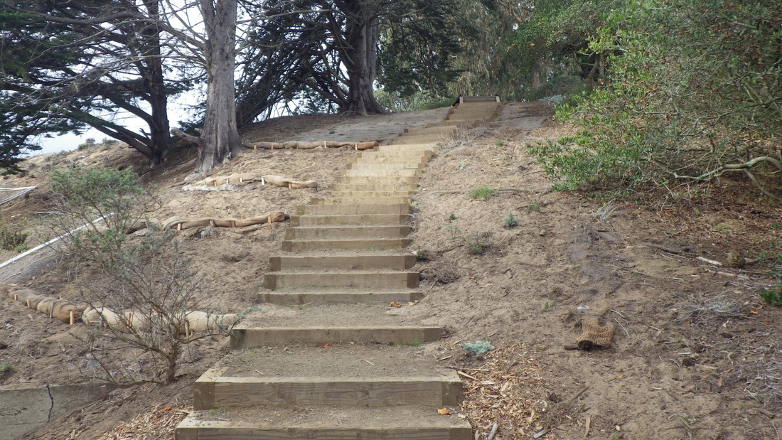
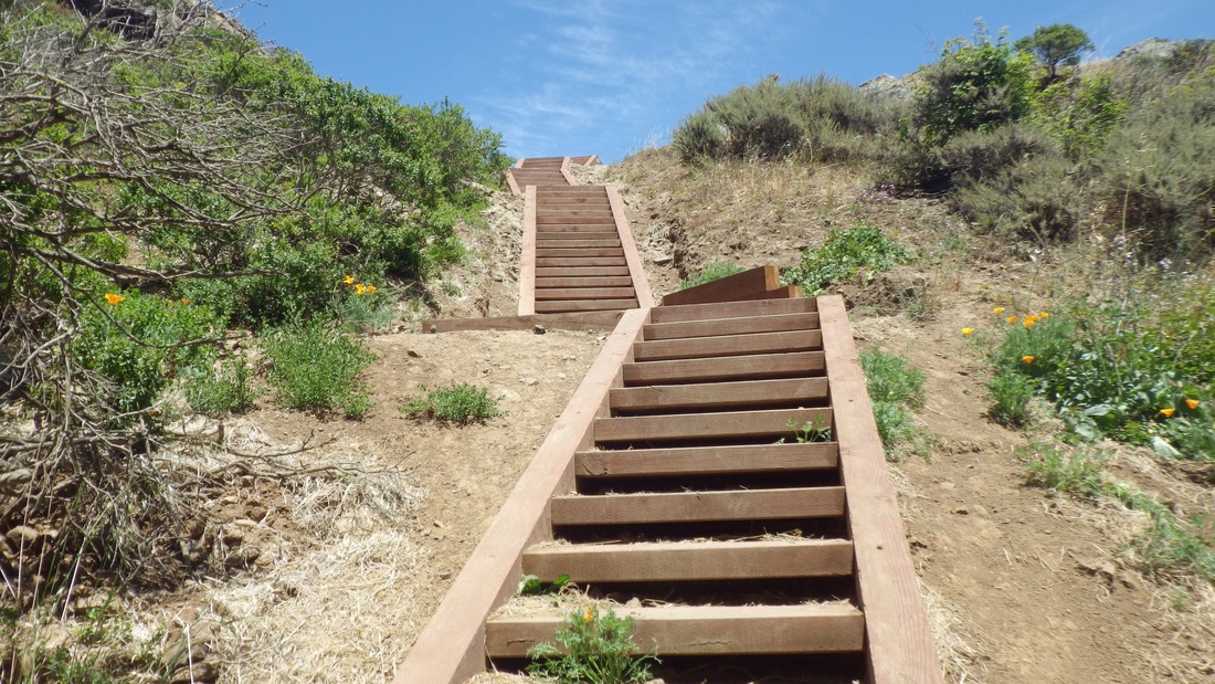
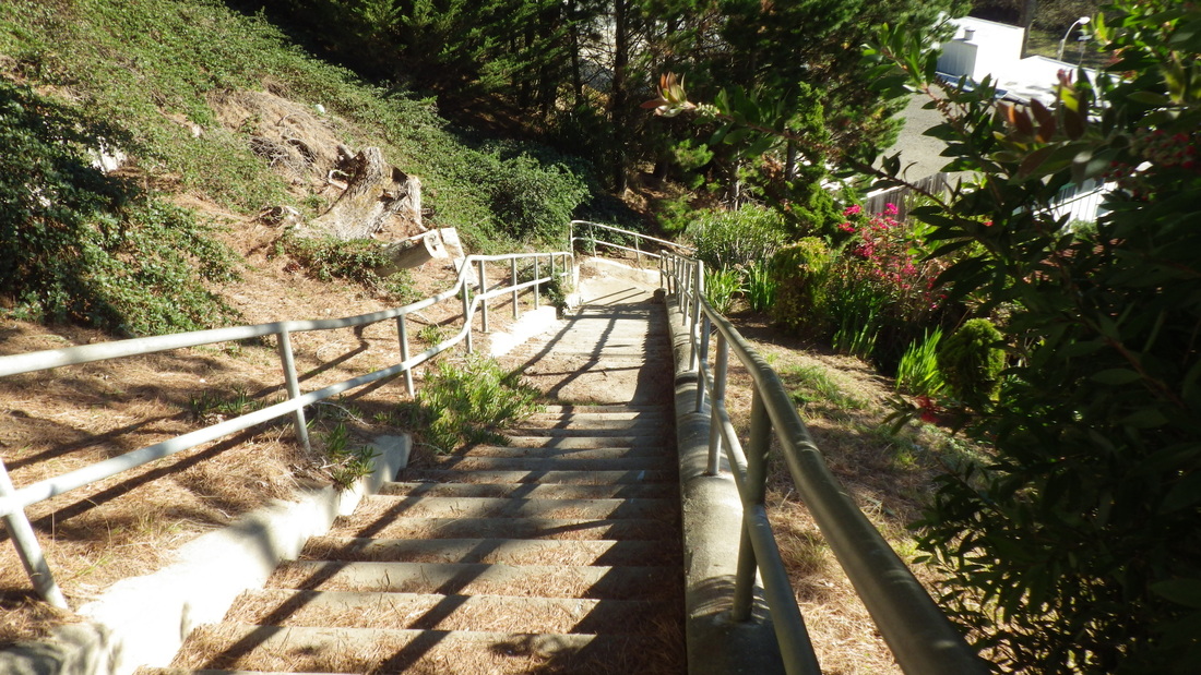
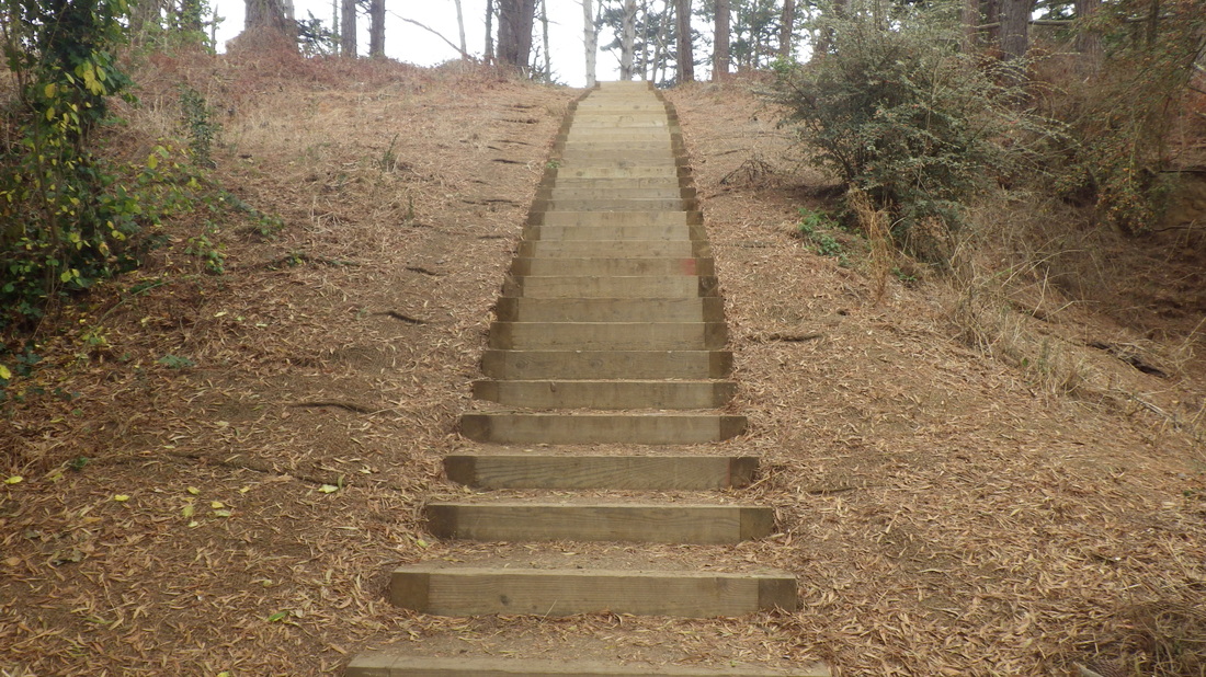
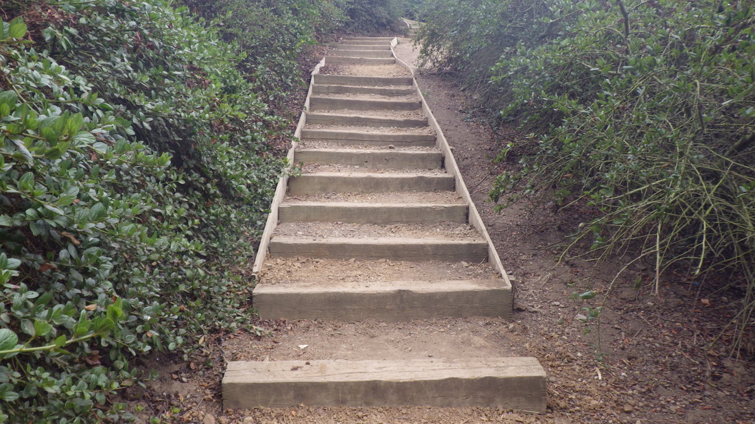
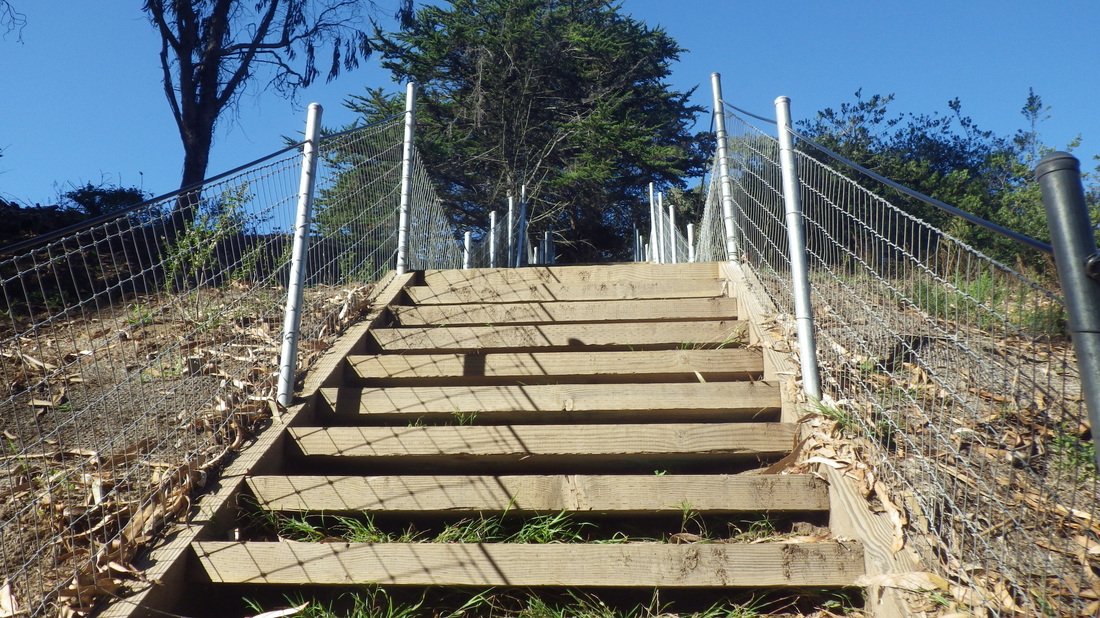
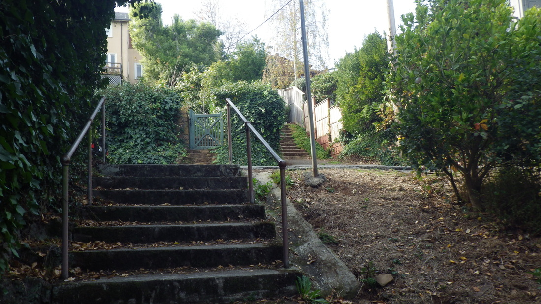
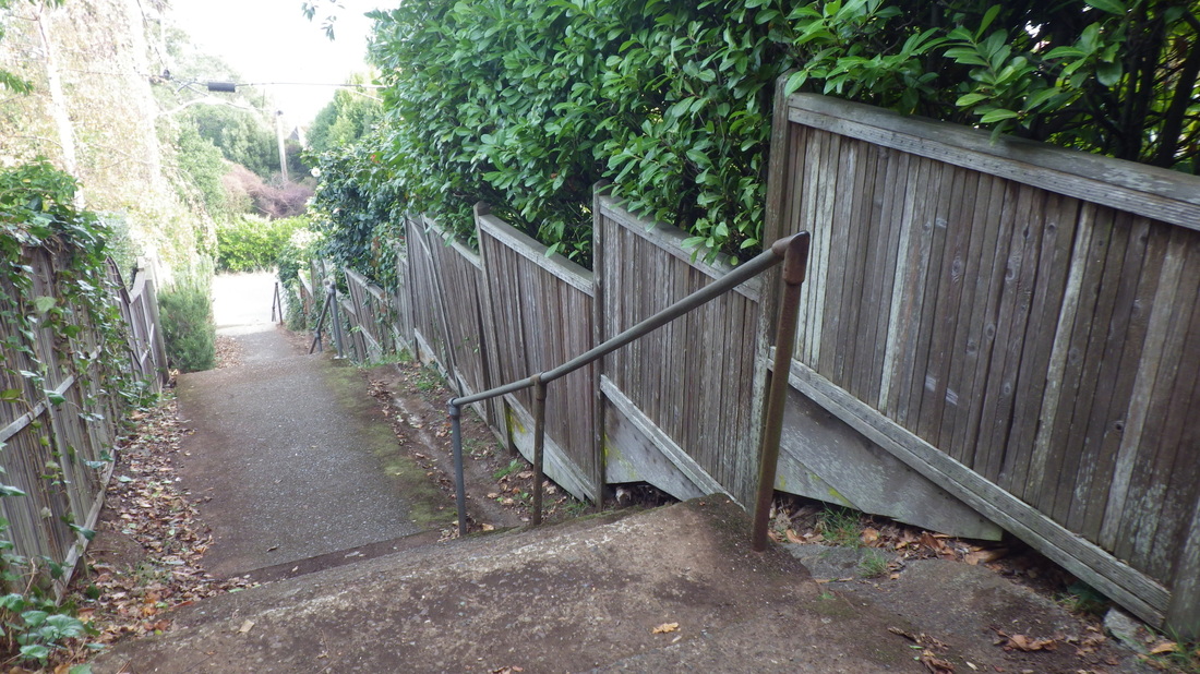
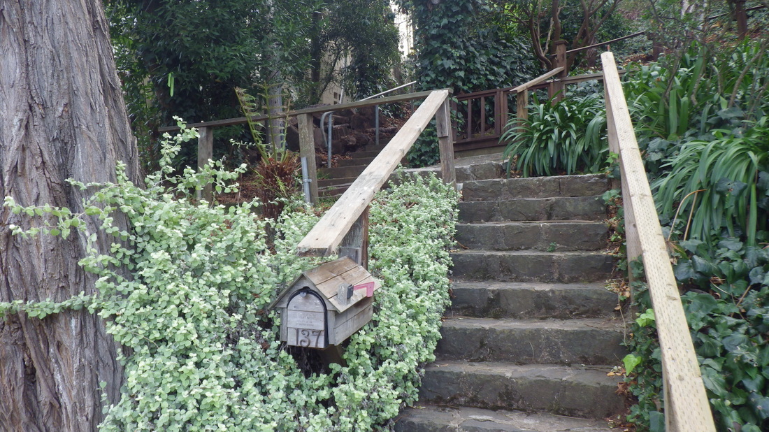
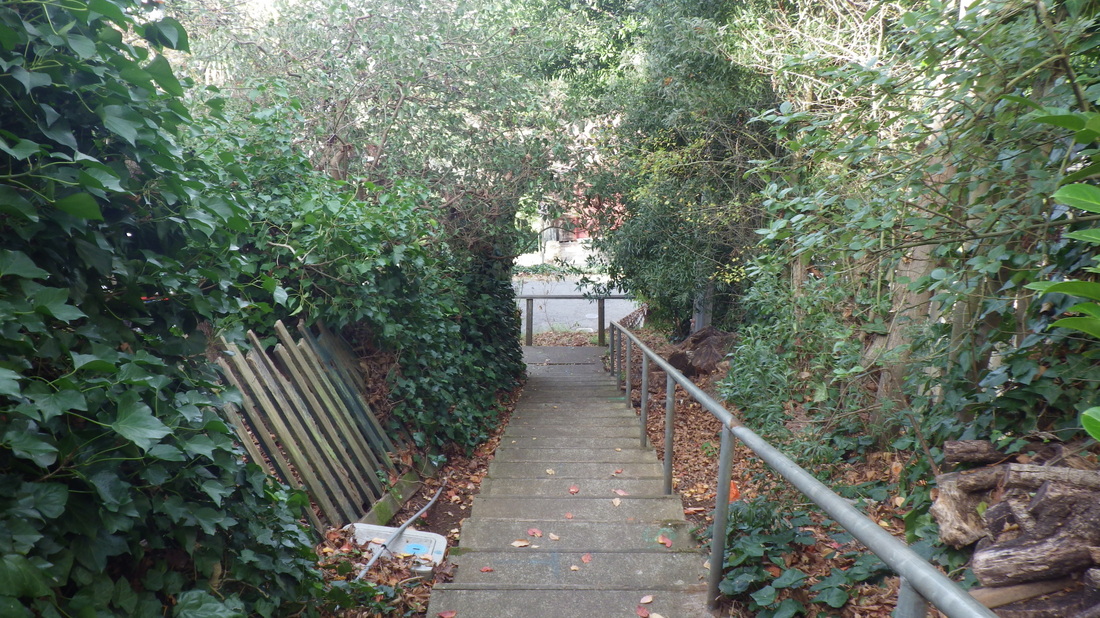
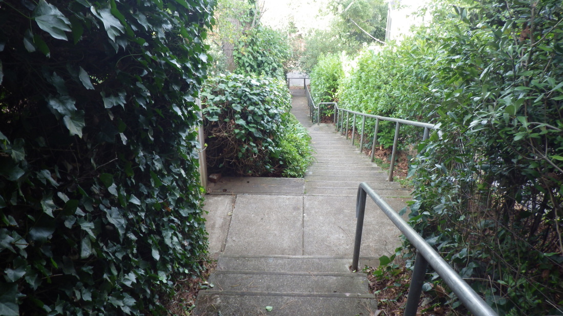
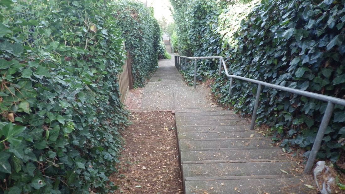
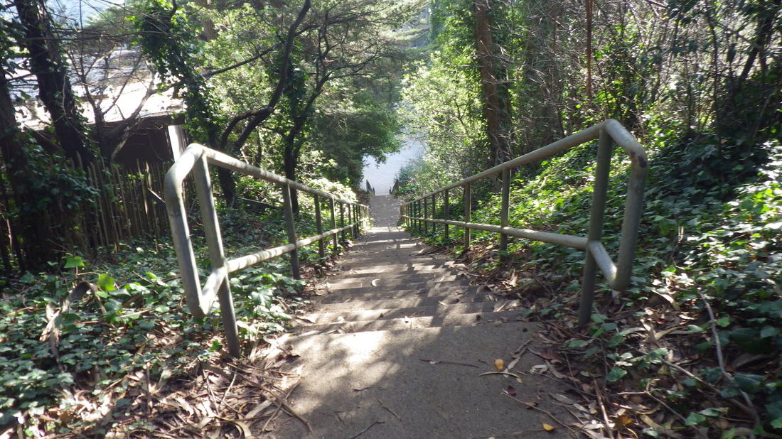
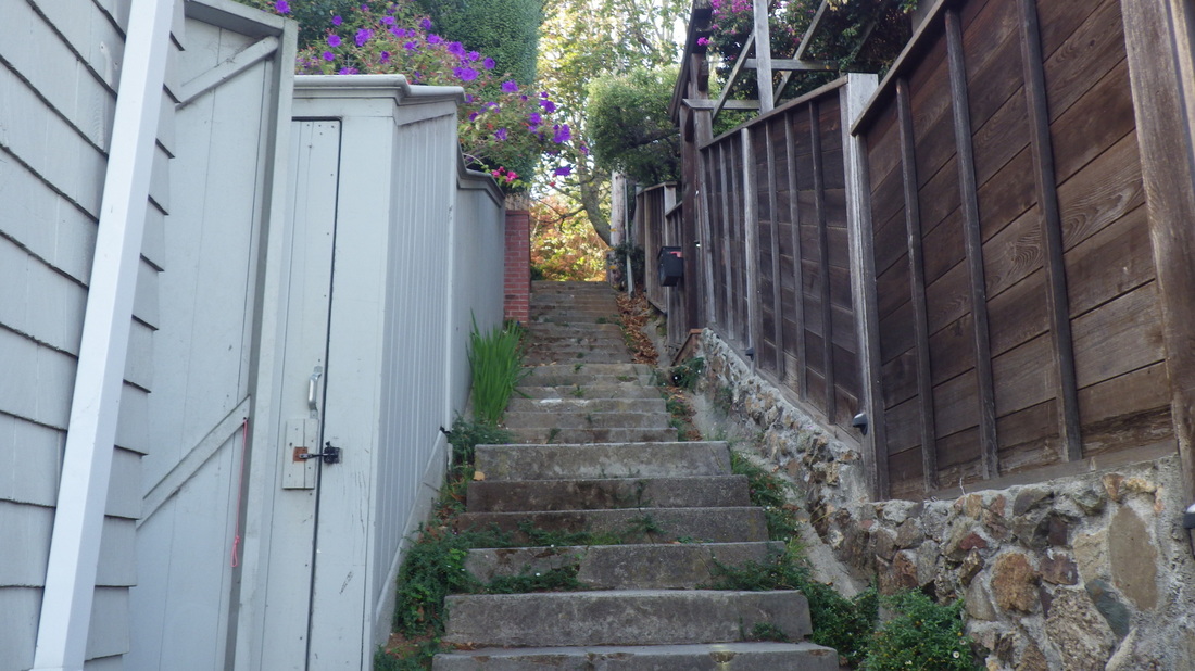
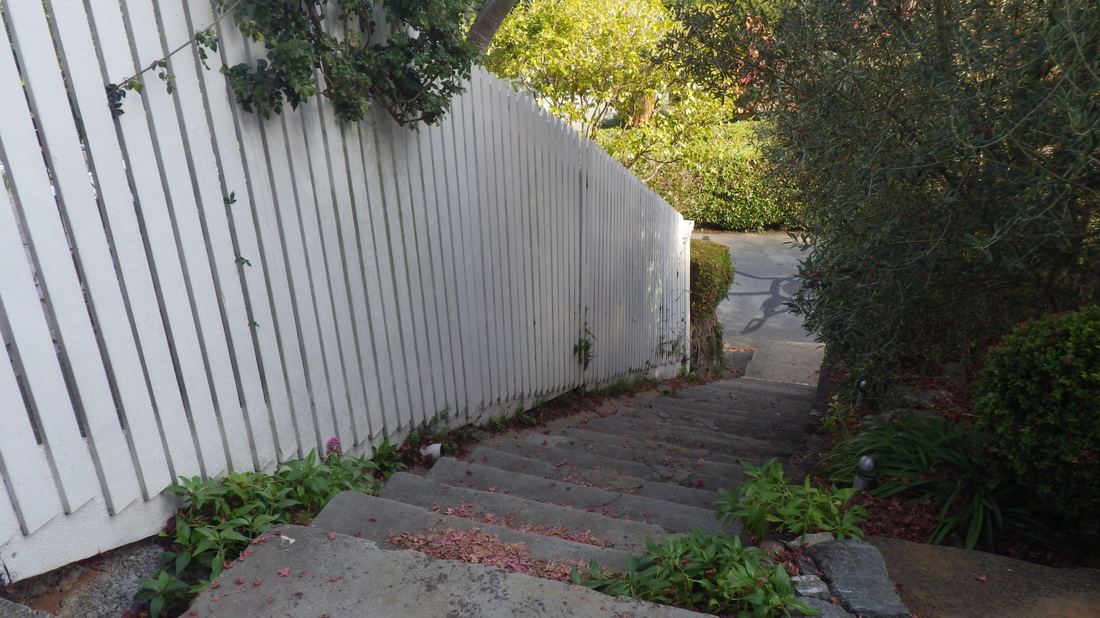
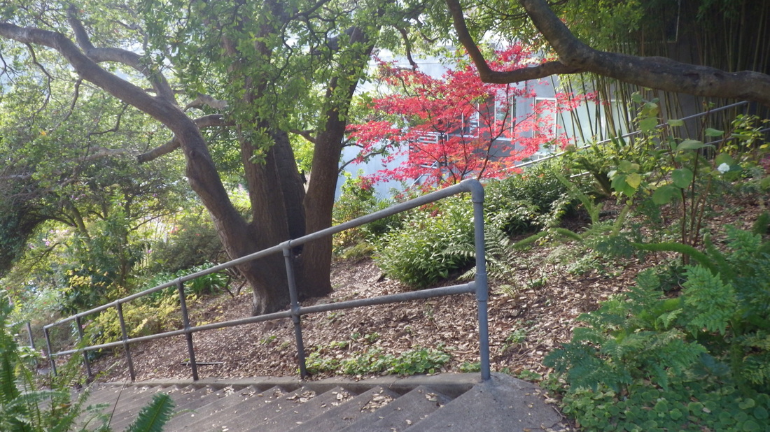
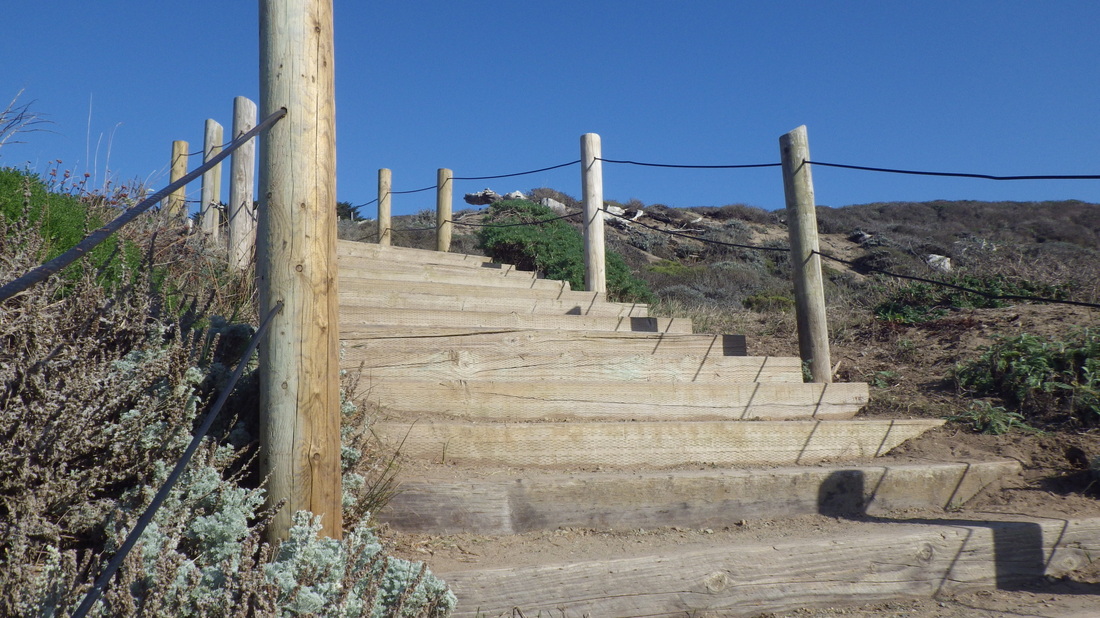
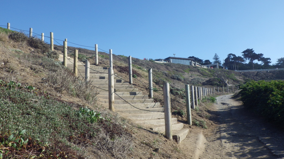
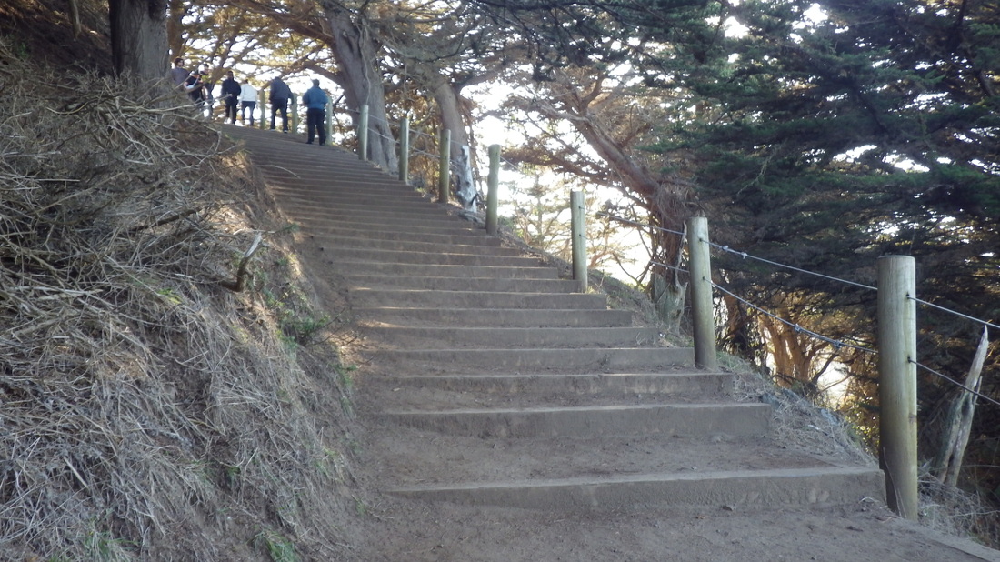
At the top of Excelsior, curved round on Santa Rosa to access the next long one (187 steps) that climbs to Spencer. There are various kinds of steps; it starts out as stone with wood railings and finishes with all wood at the top (pix 1 thru 7). It's unnamed, one of my favorite Sausalito stairways. This is where I saw a deer in someone's yard on a previous hike. 

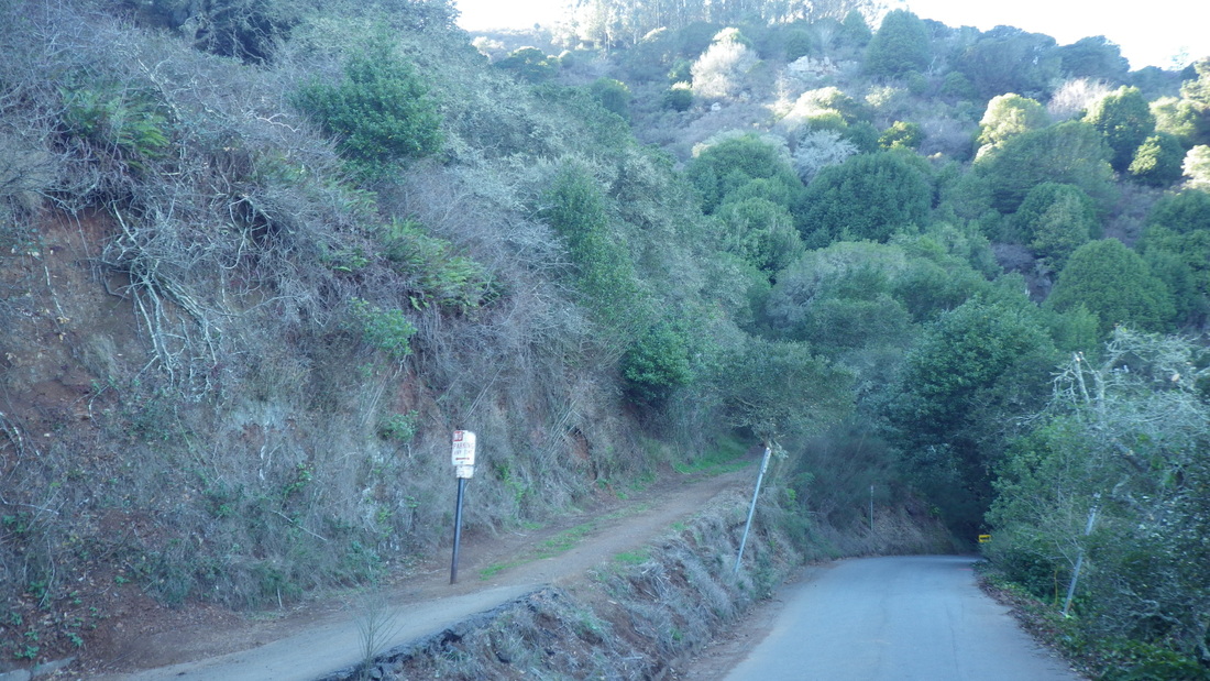
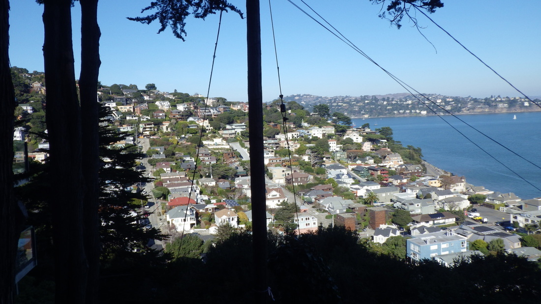
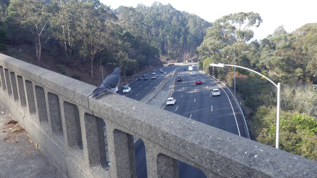
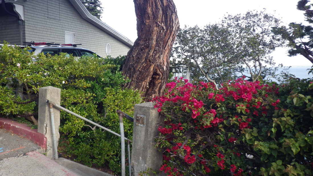
Spencer Ave. curves up and around for a few blocks to the freeway offramp for Spencer. Since there's an exit here, there are a fair number of cars descending into residential Sausalito. Walking towards the traffic seems safer than having cars sneak up behind, there being no sidewalks. 

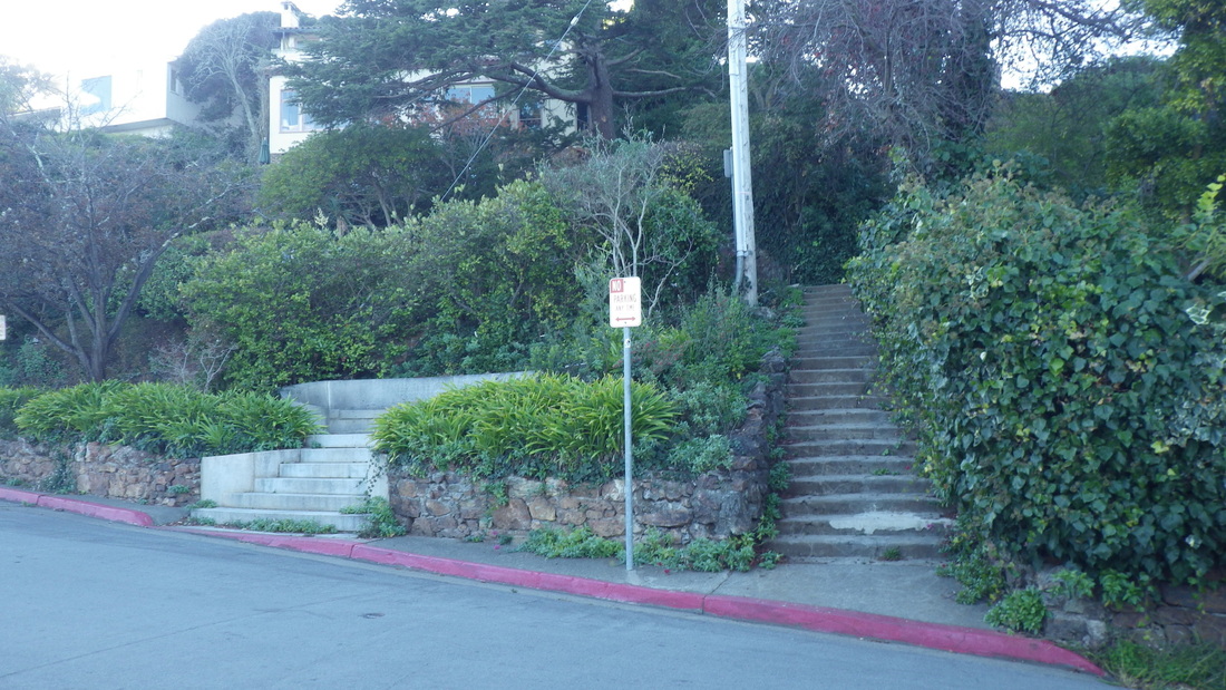
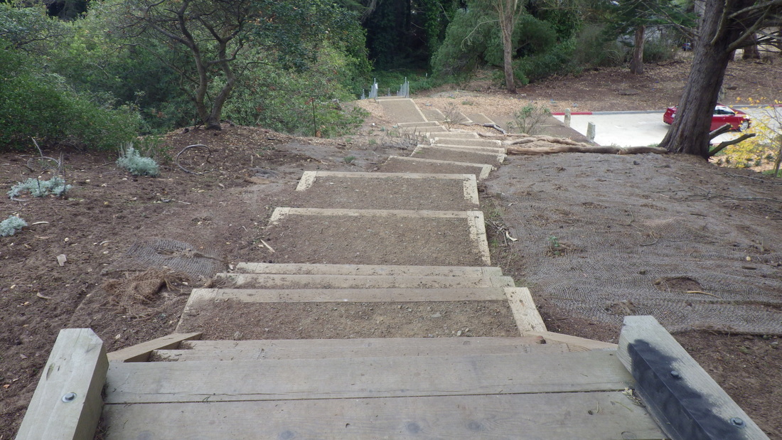
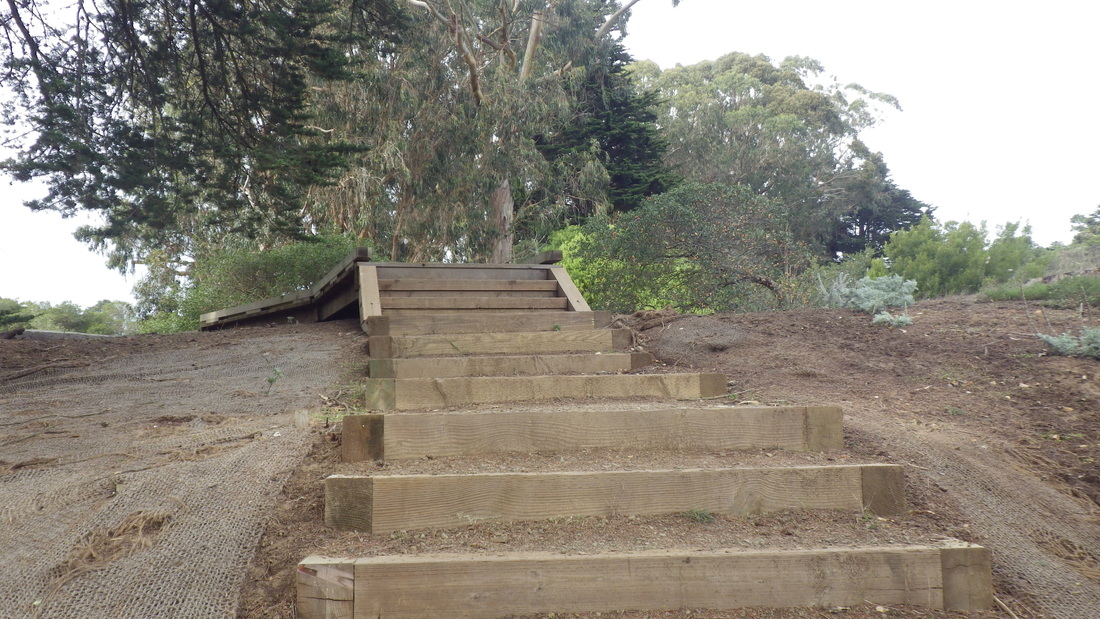
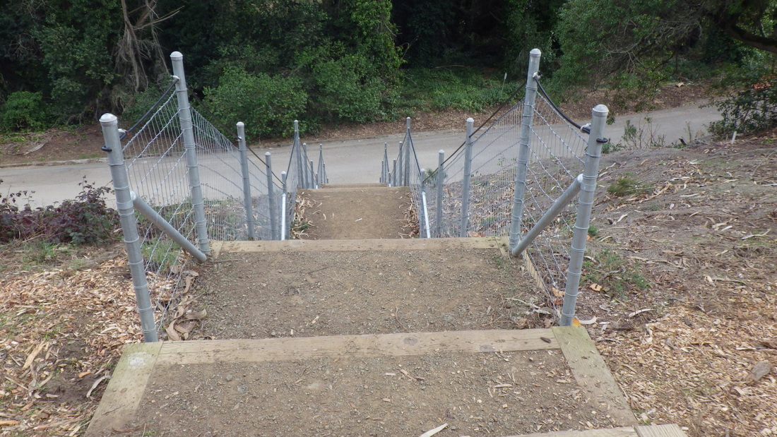
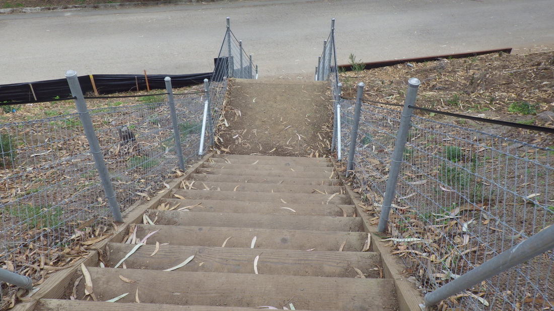
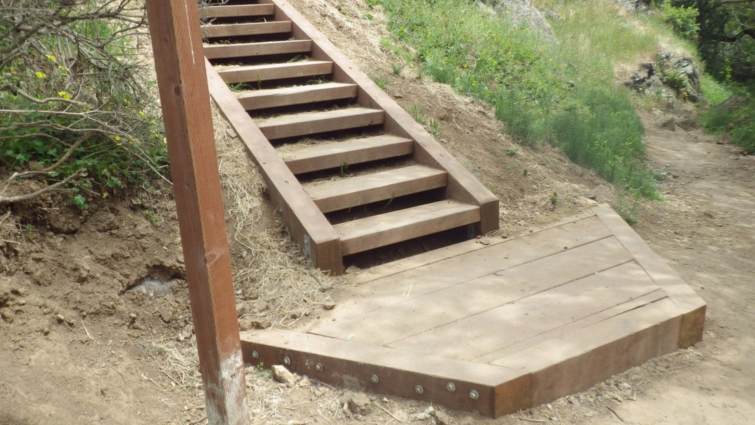
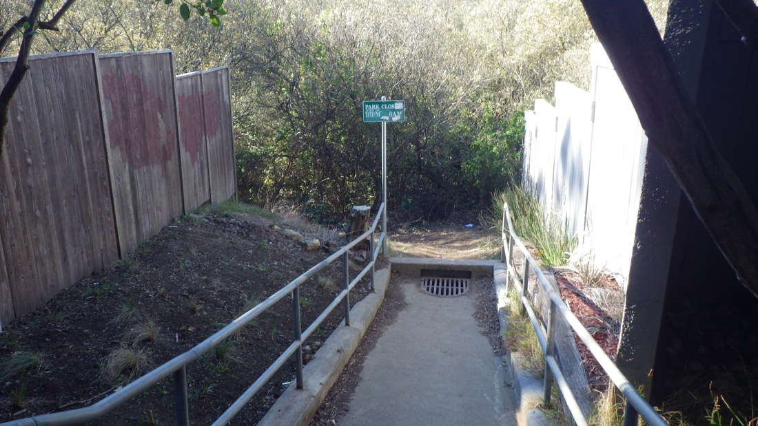
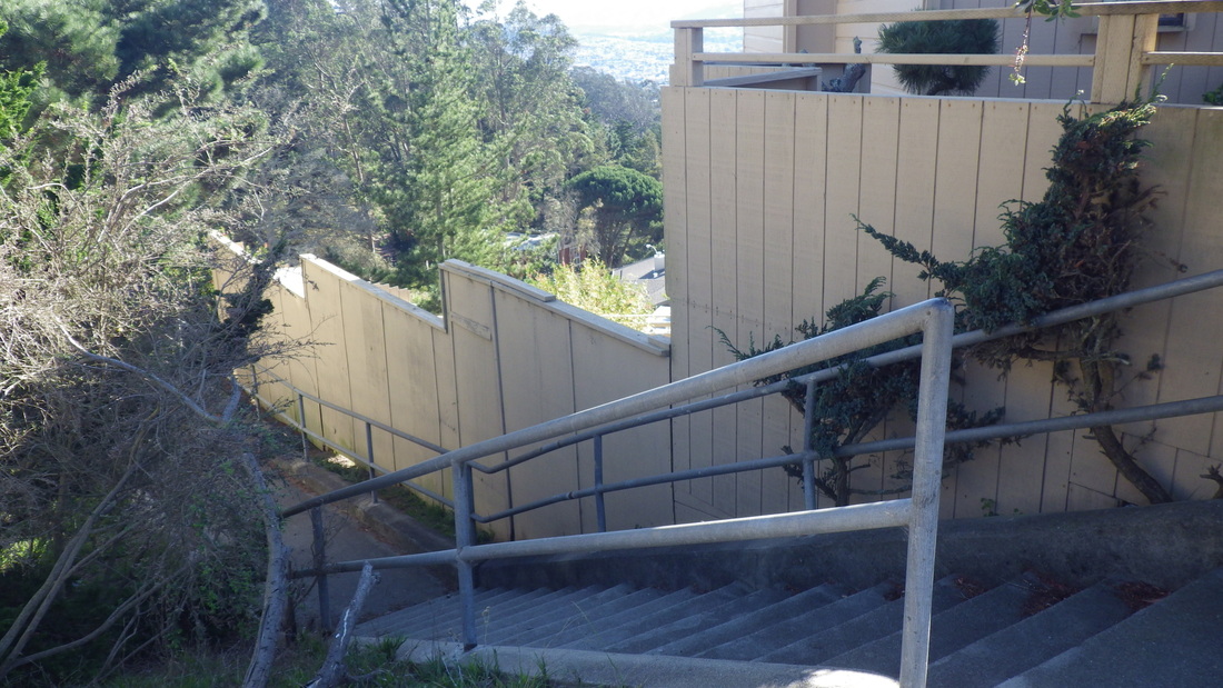
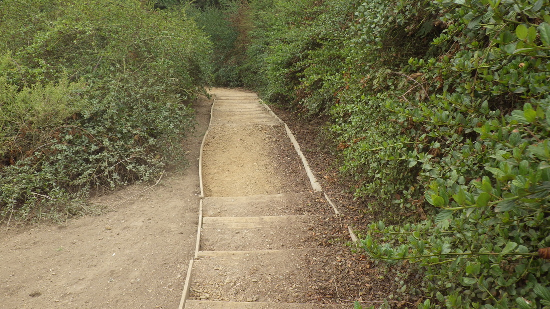
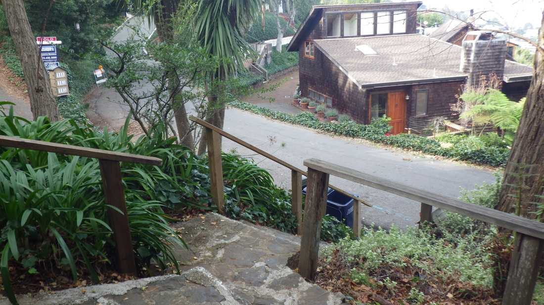
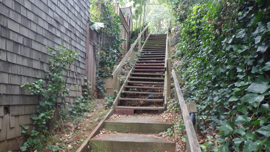
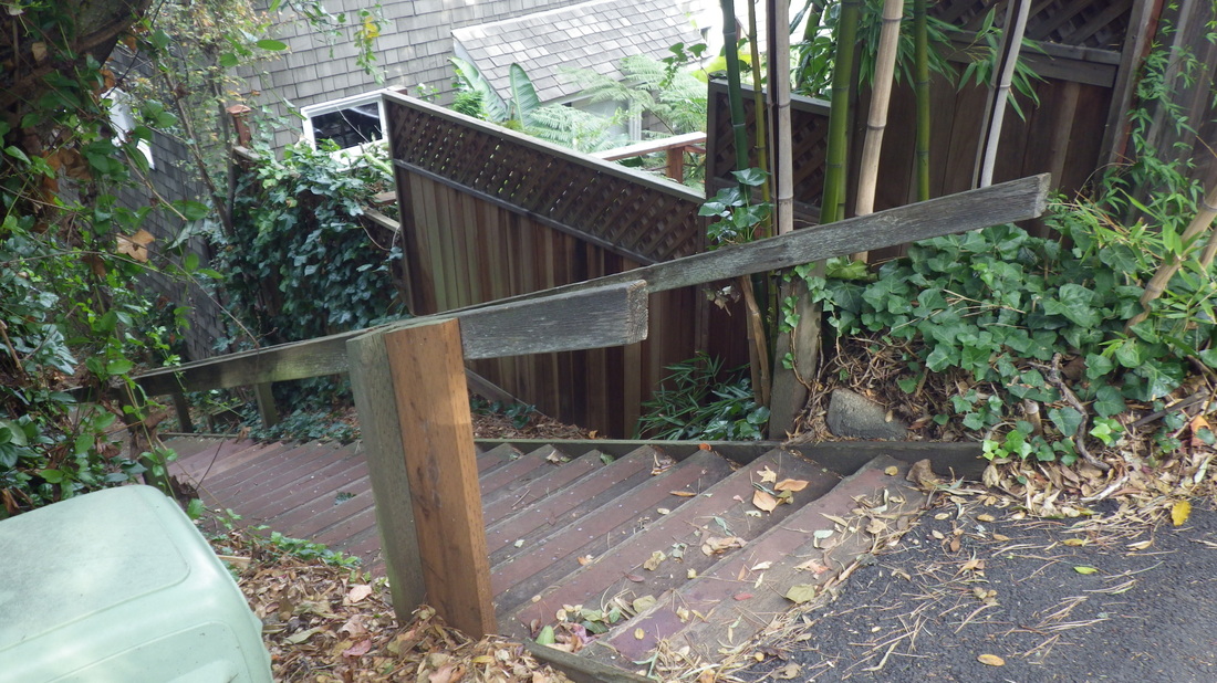
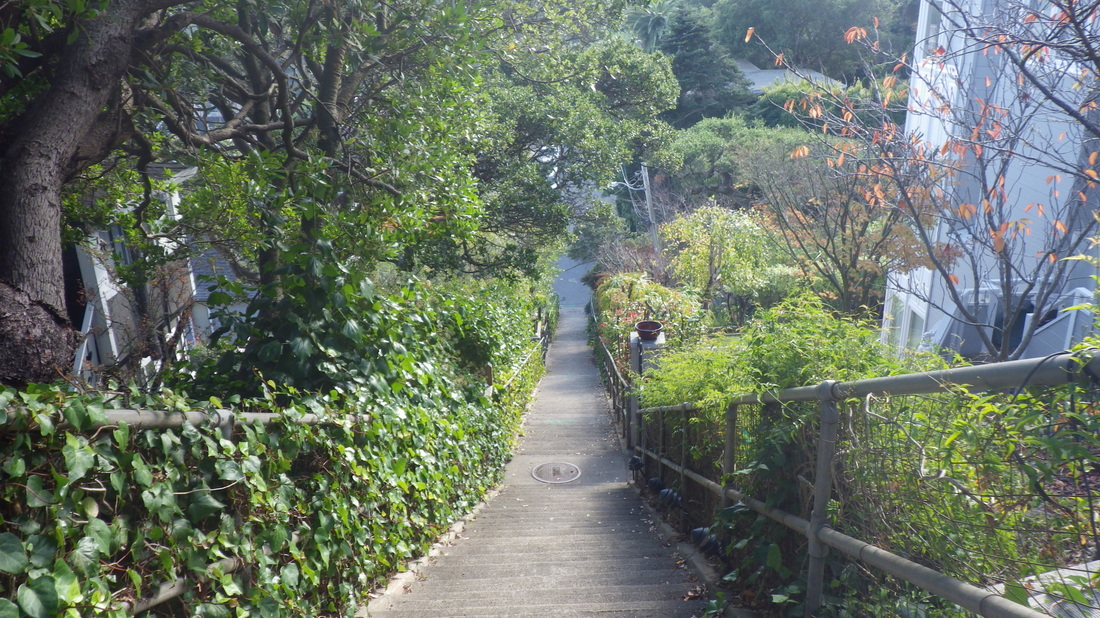
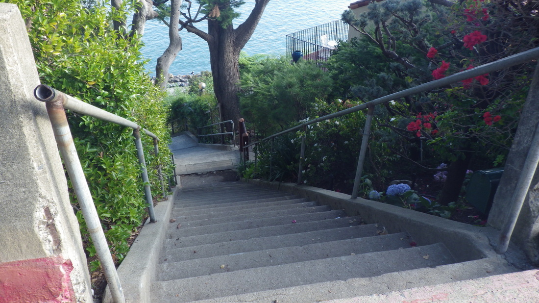
Pic 8: 45 steps up from Spencer to access a long one (204 steps) down to Prospect.

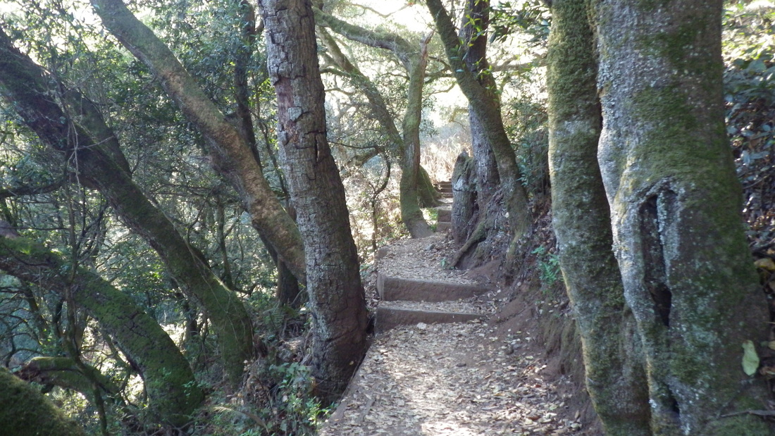
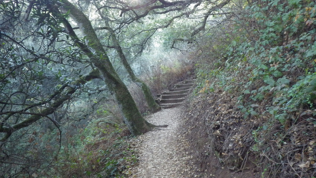
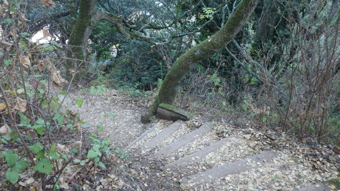
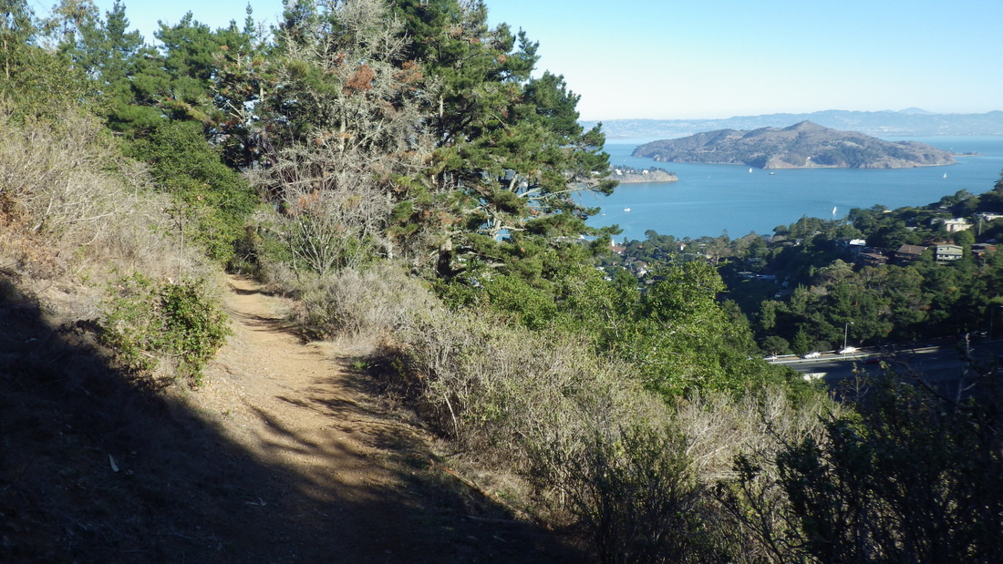
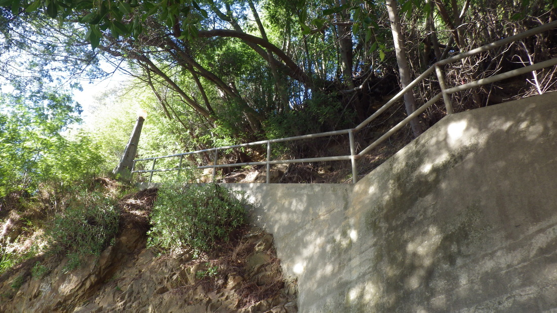
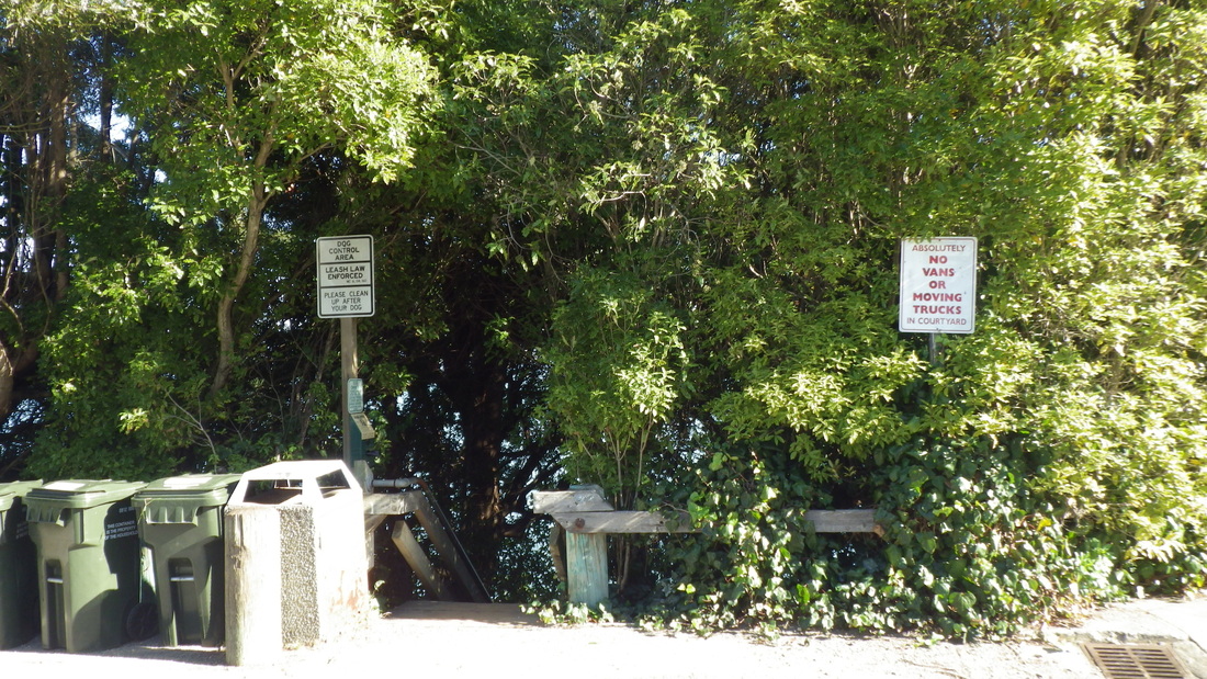
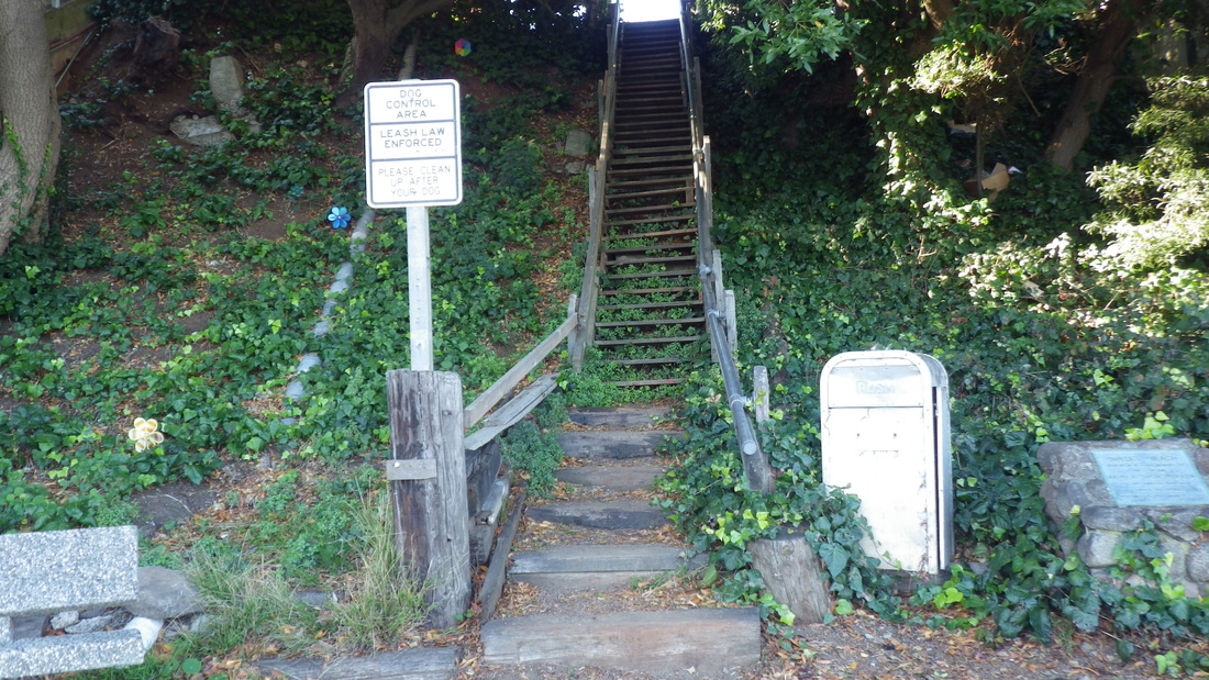
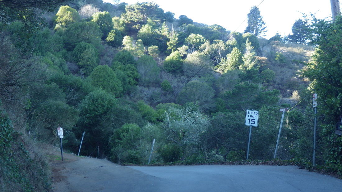
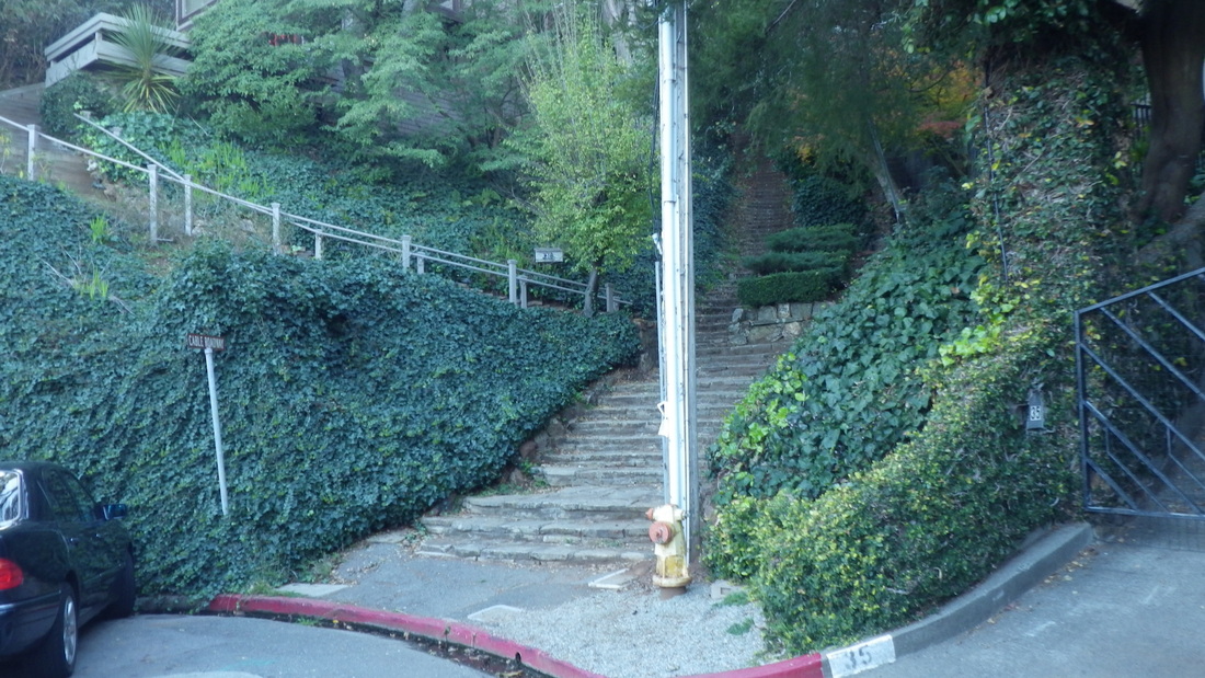
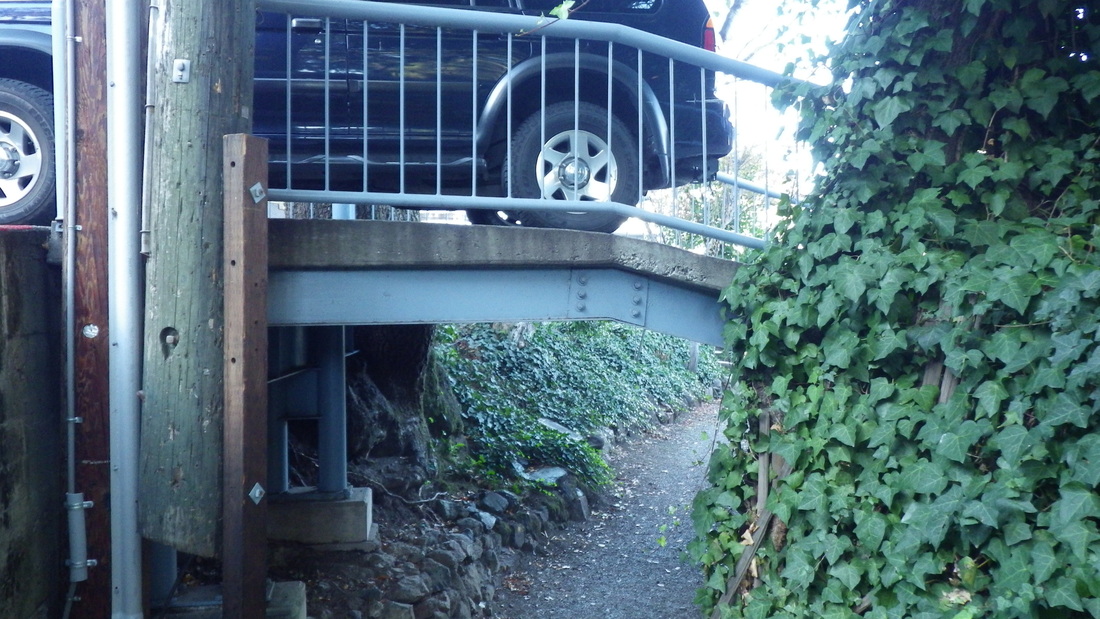
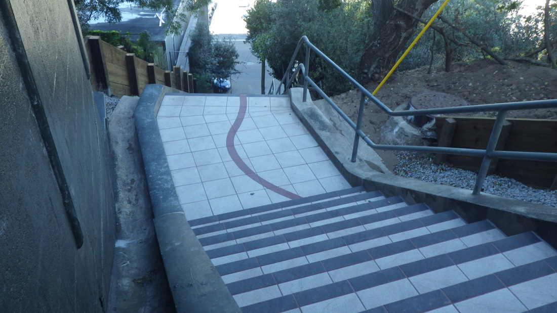
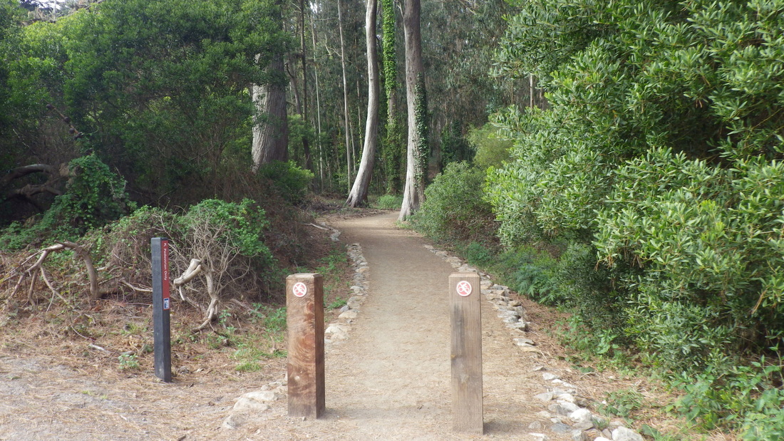
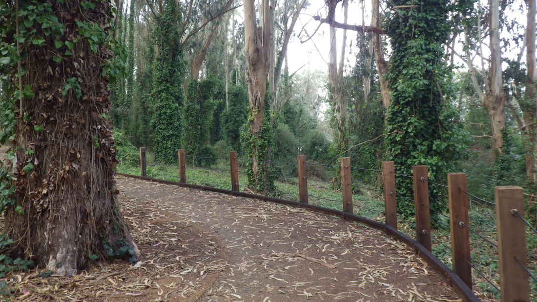
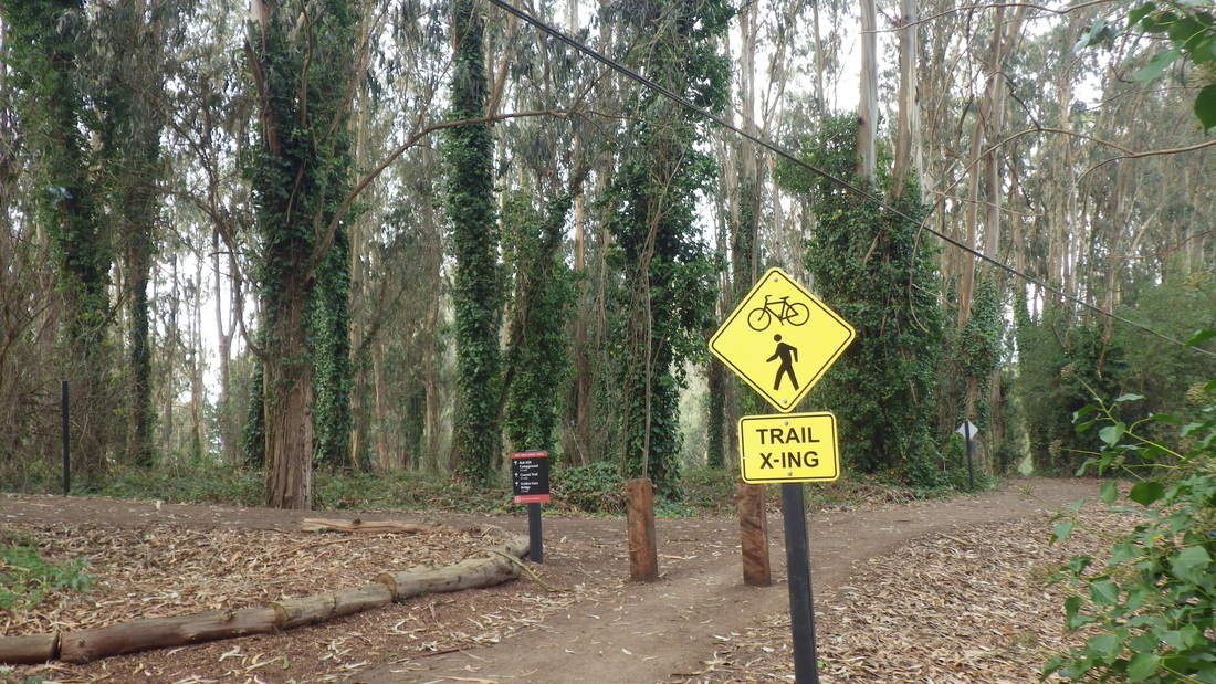
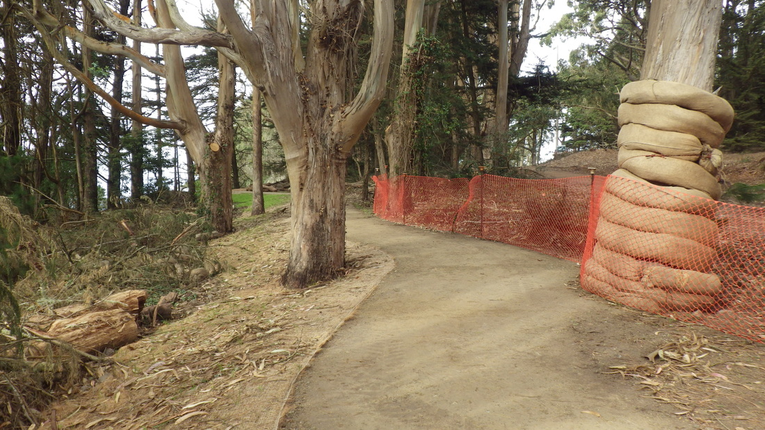
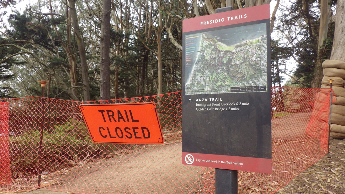
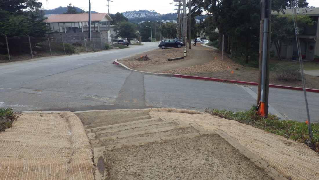
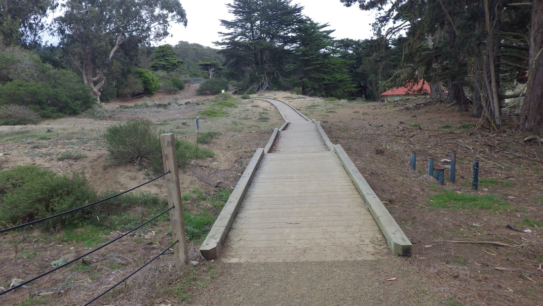
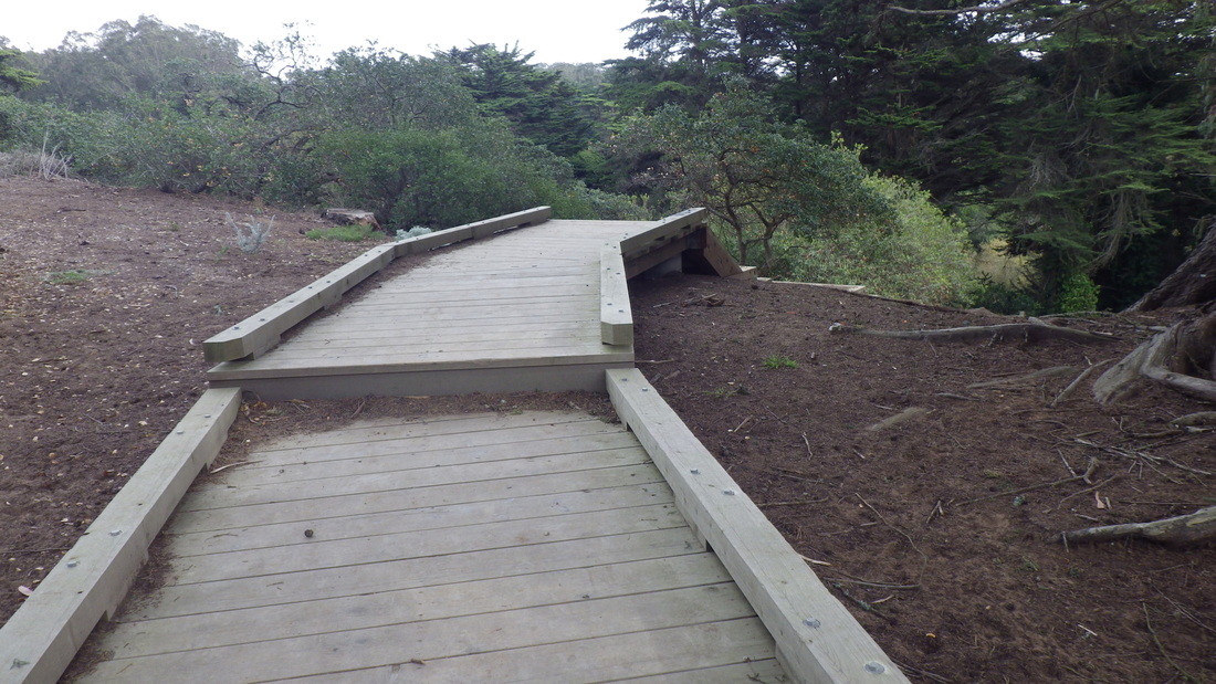
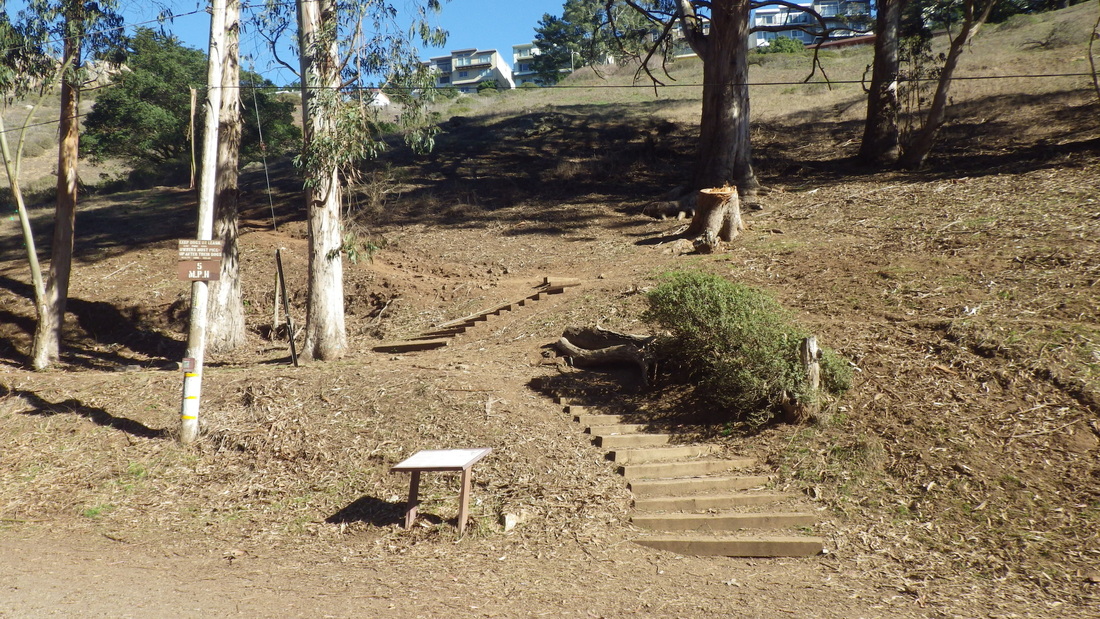
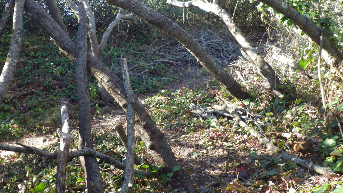
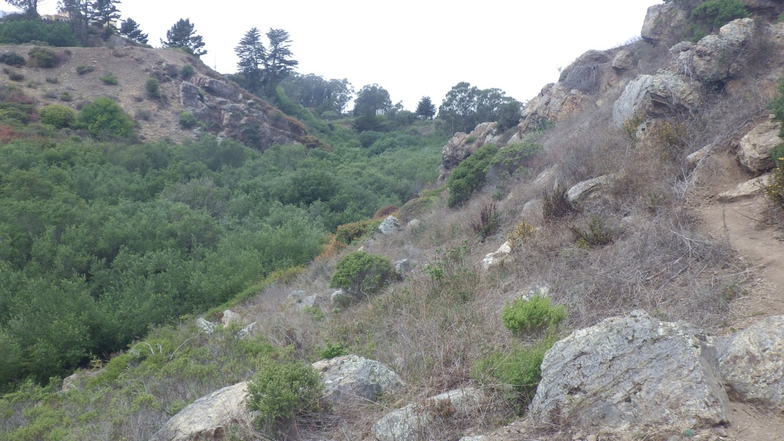
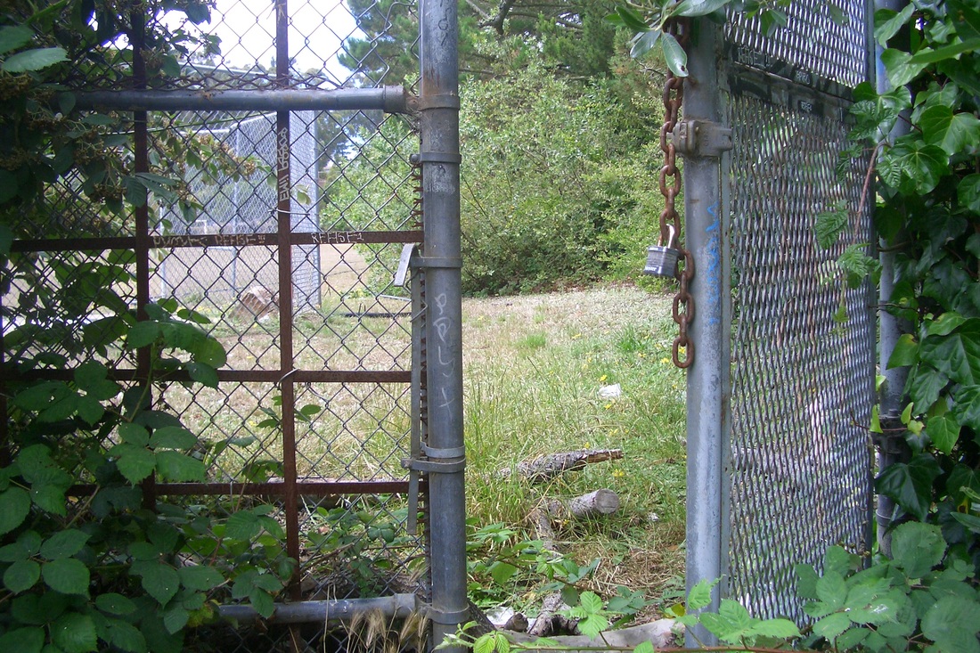
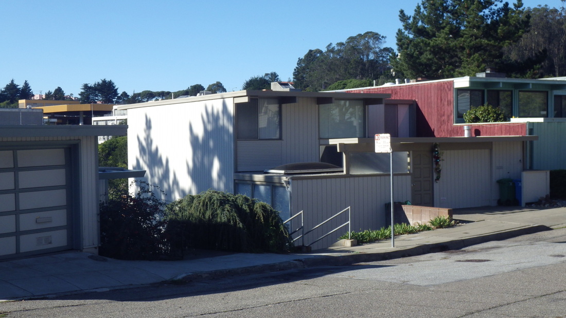
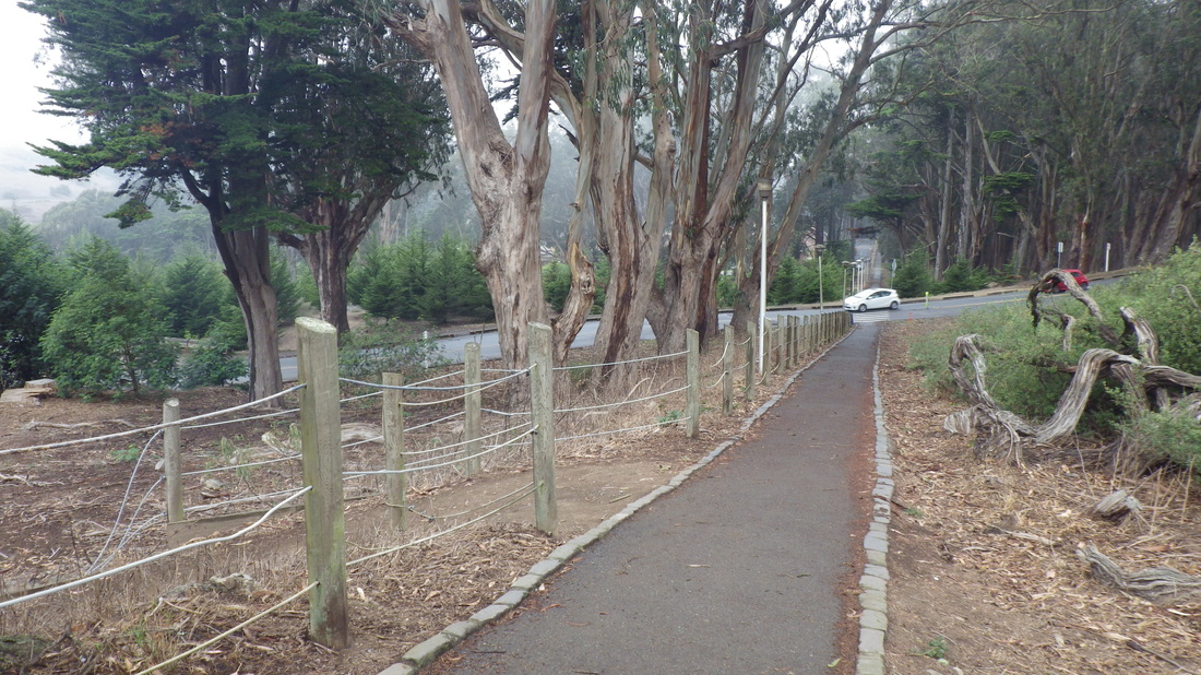
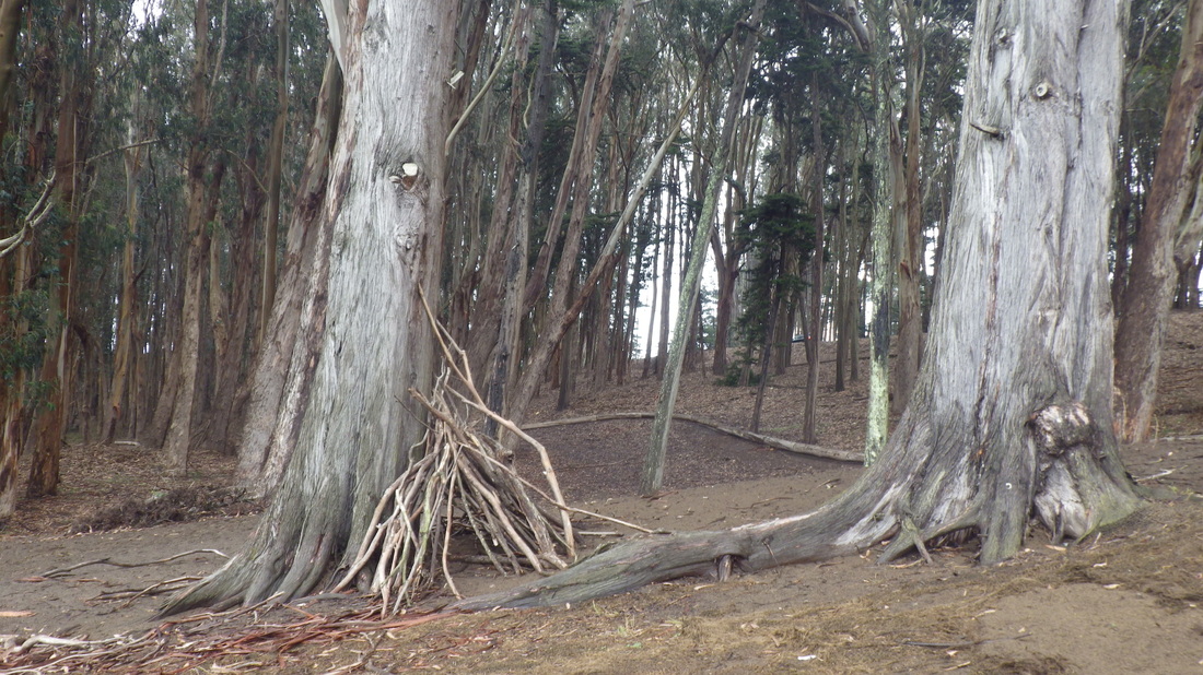
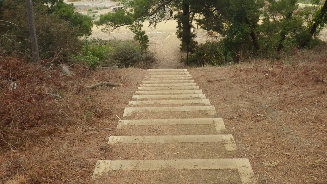
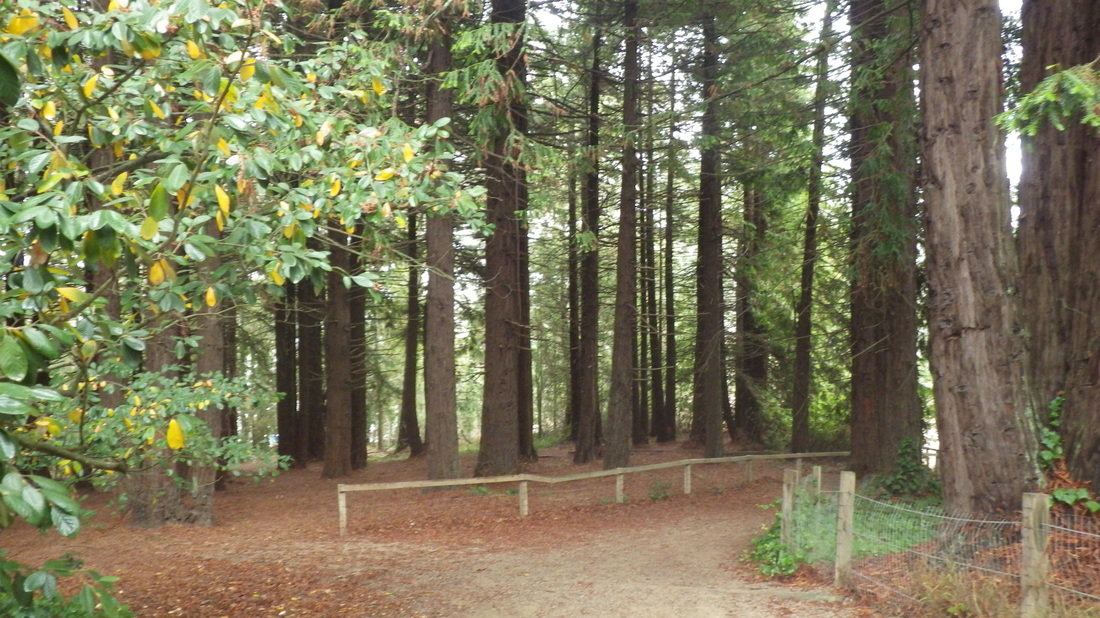
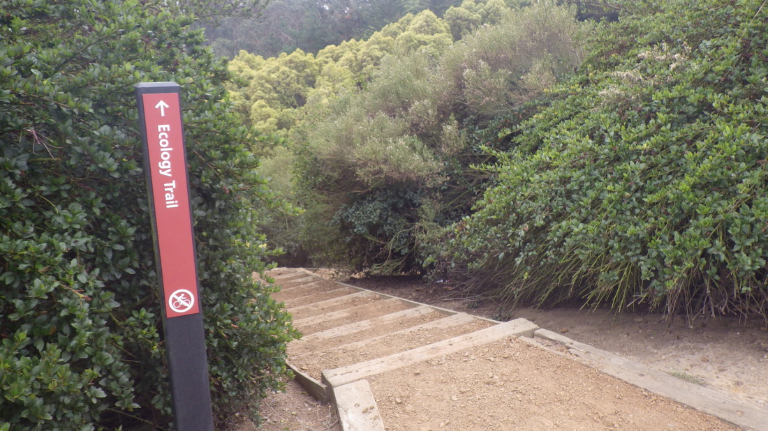
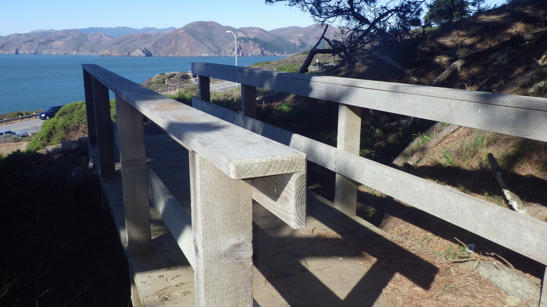
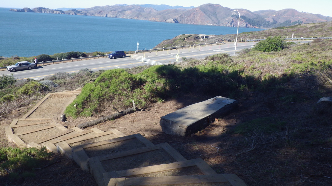
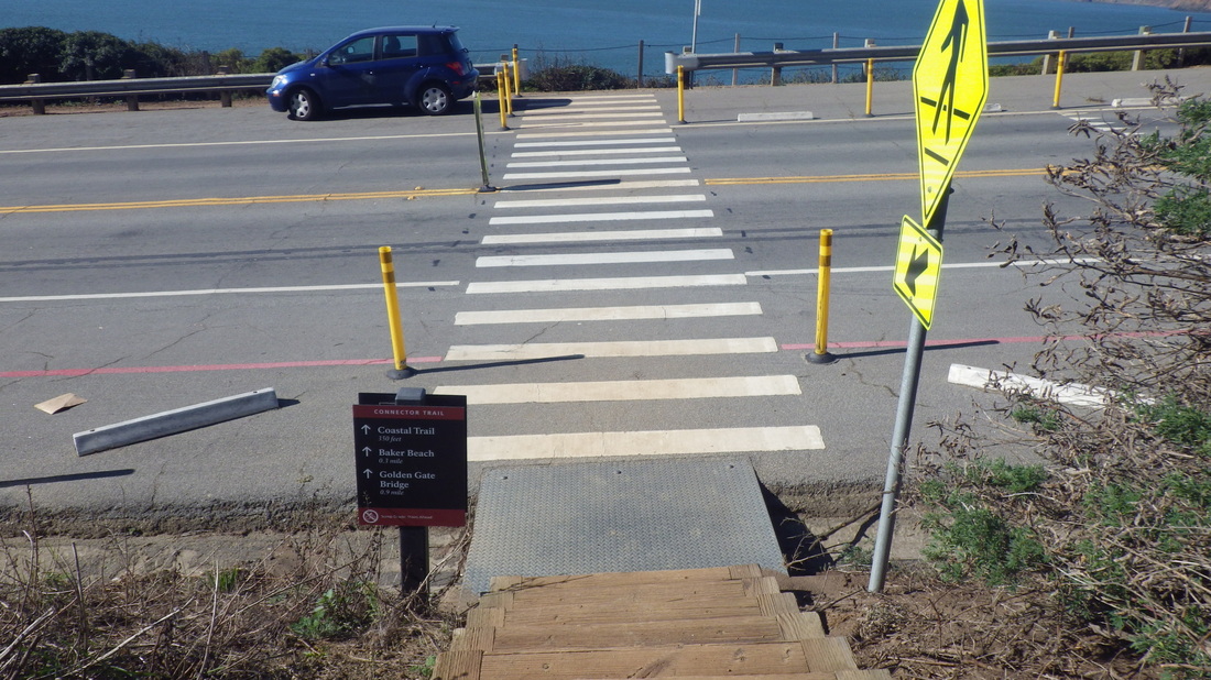
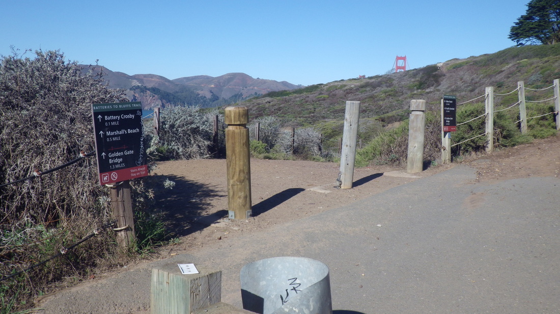
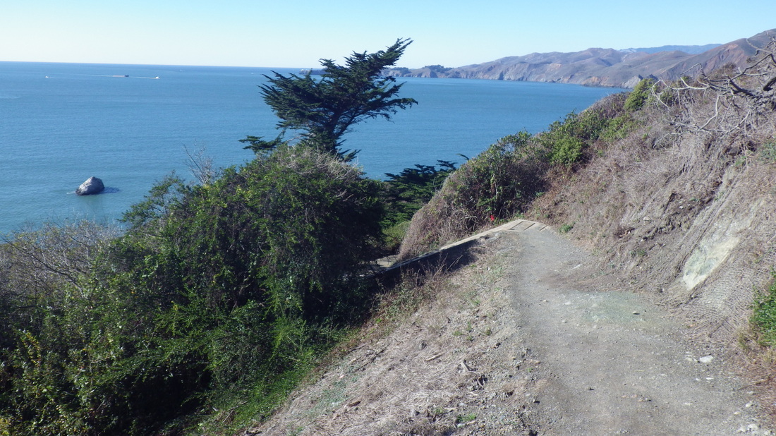
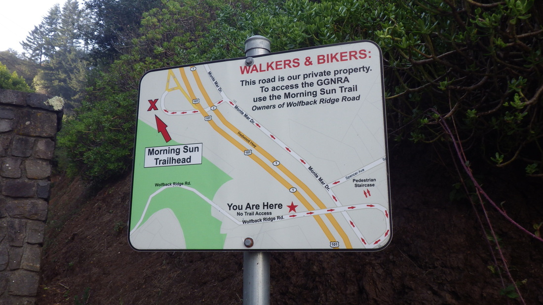
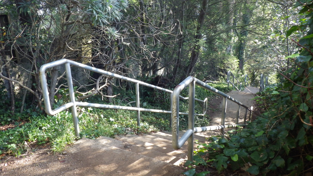
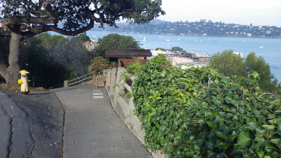
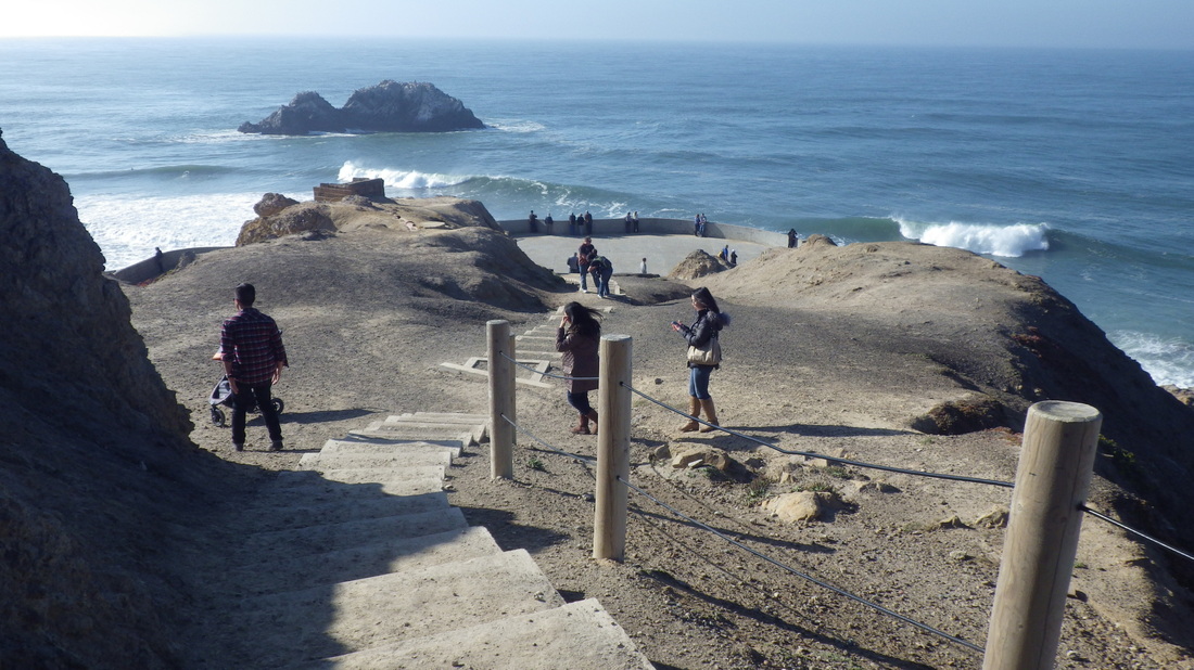
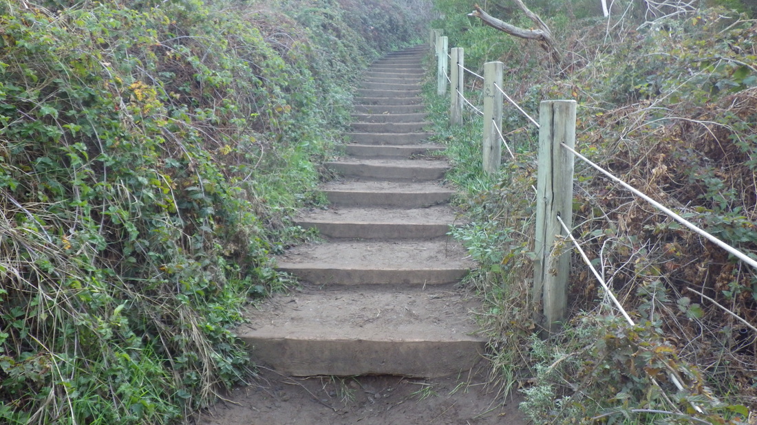
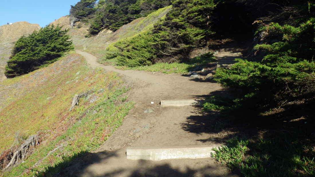
At the top of Spencer, a short distance ahead to the west on Monte Mar is an underpass (pic 9) with a parking lot beyond. Here's where the Morning Sun Trail starts up into the GGNRA (pix 10, 11, 12) . 

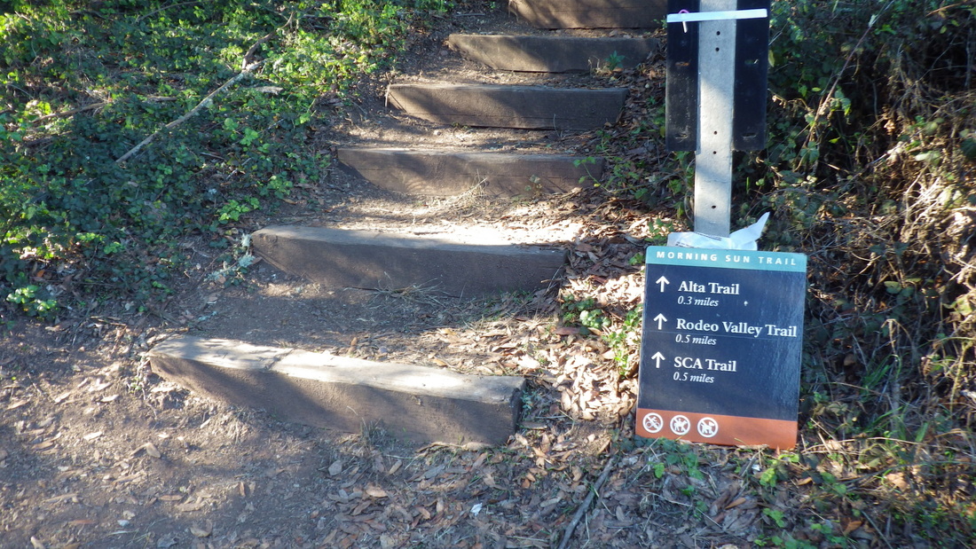
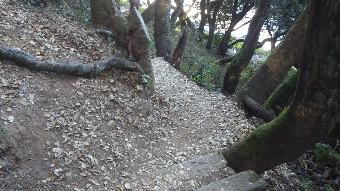
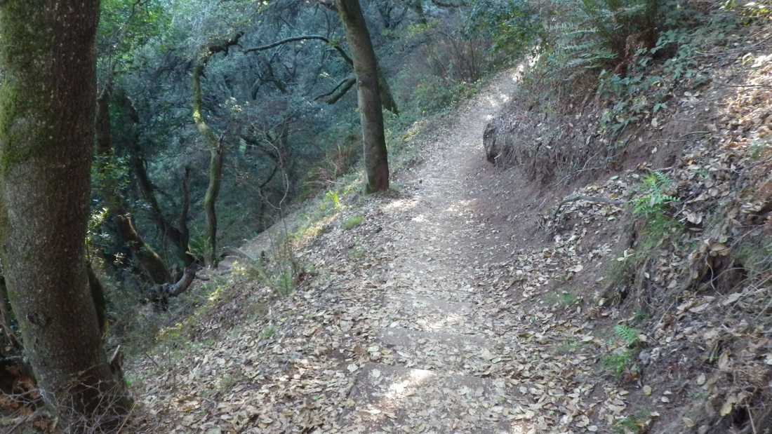
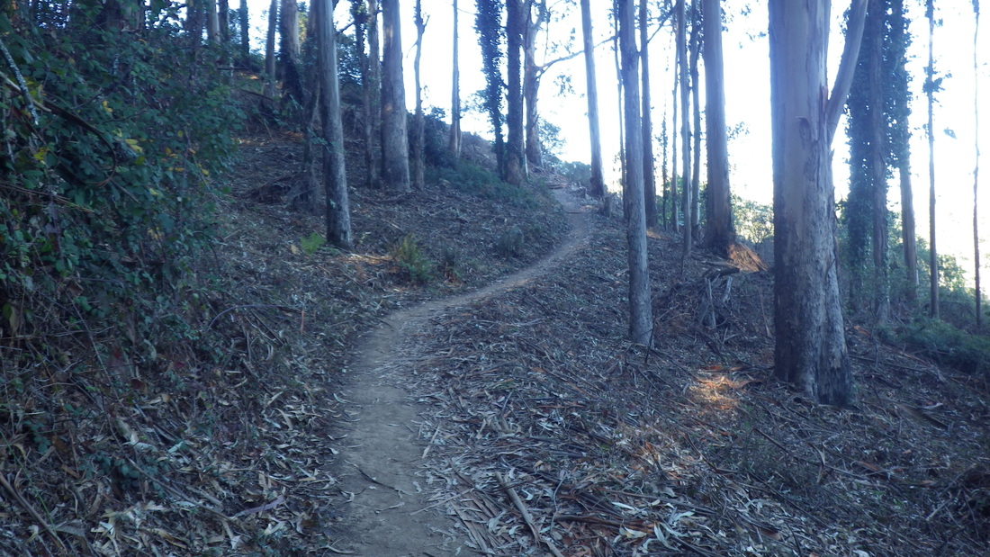
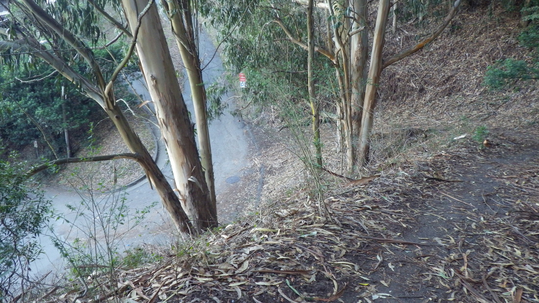
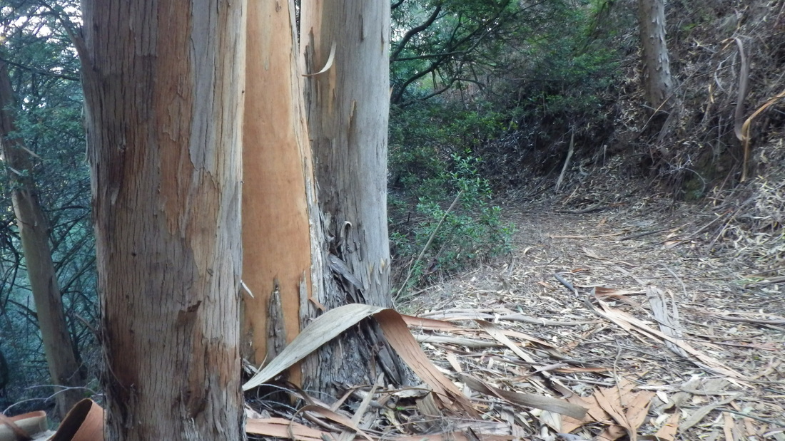
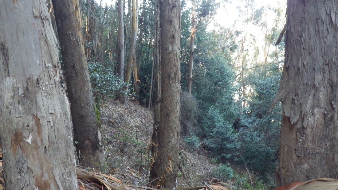
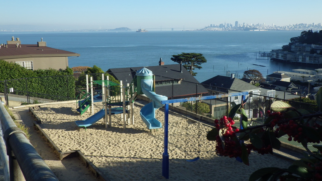
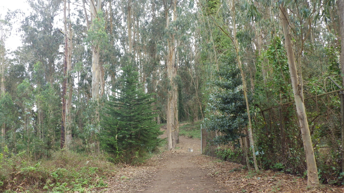
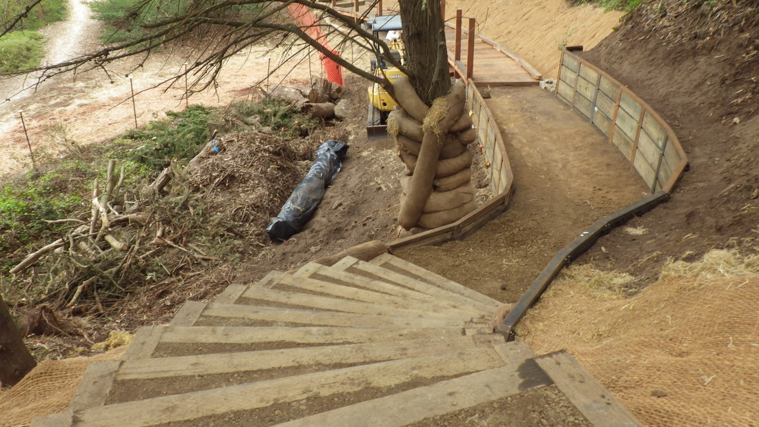
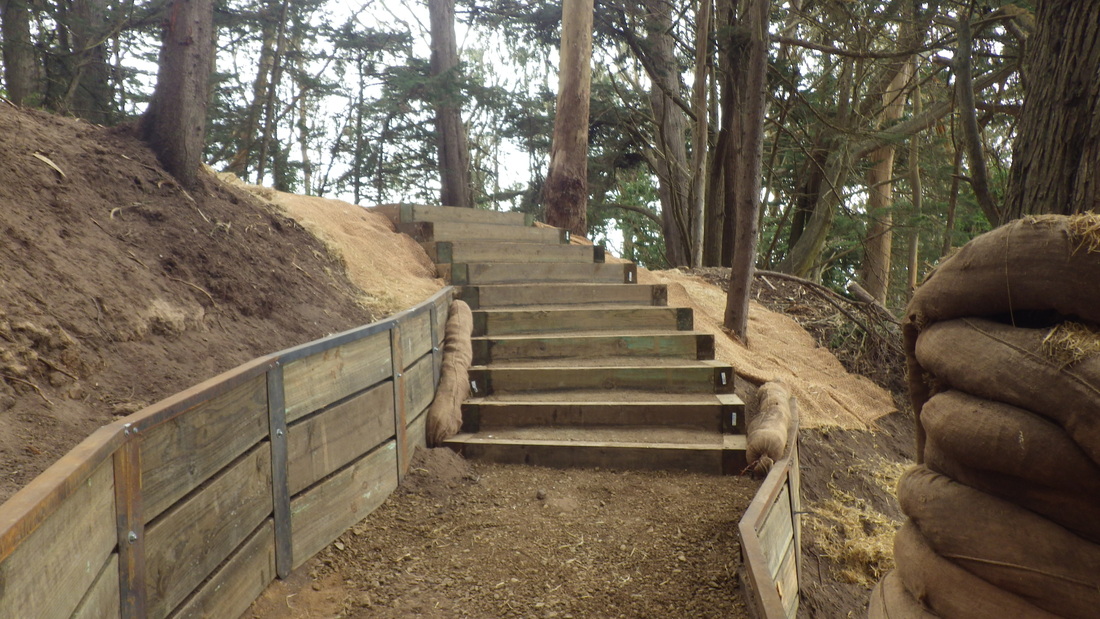
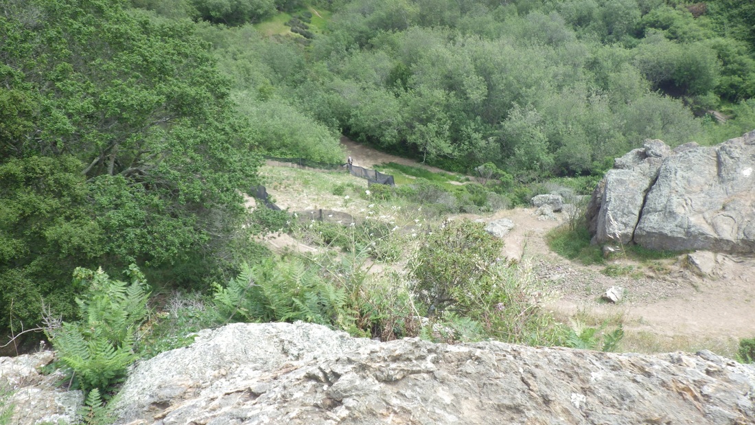
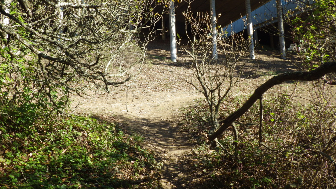
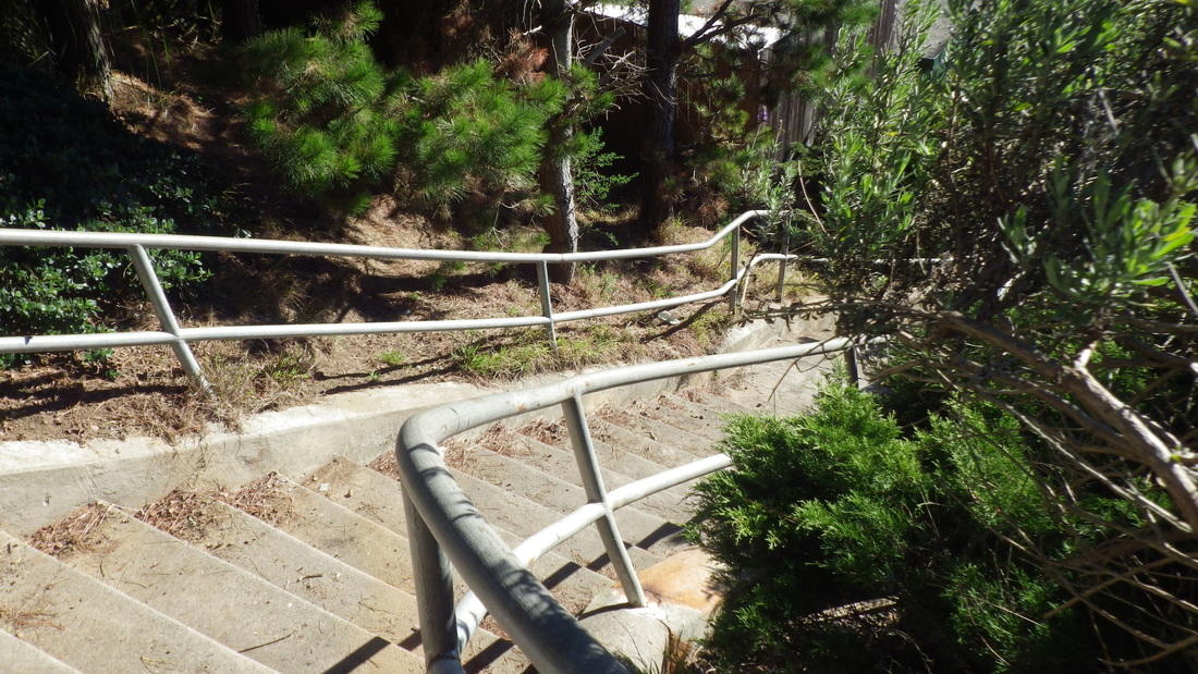
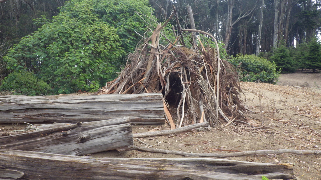
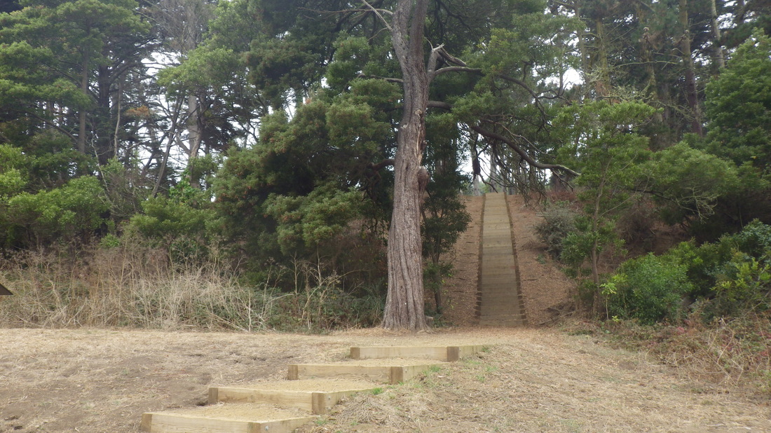
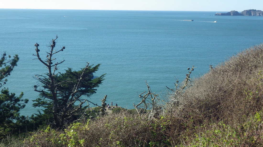
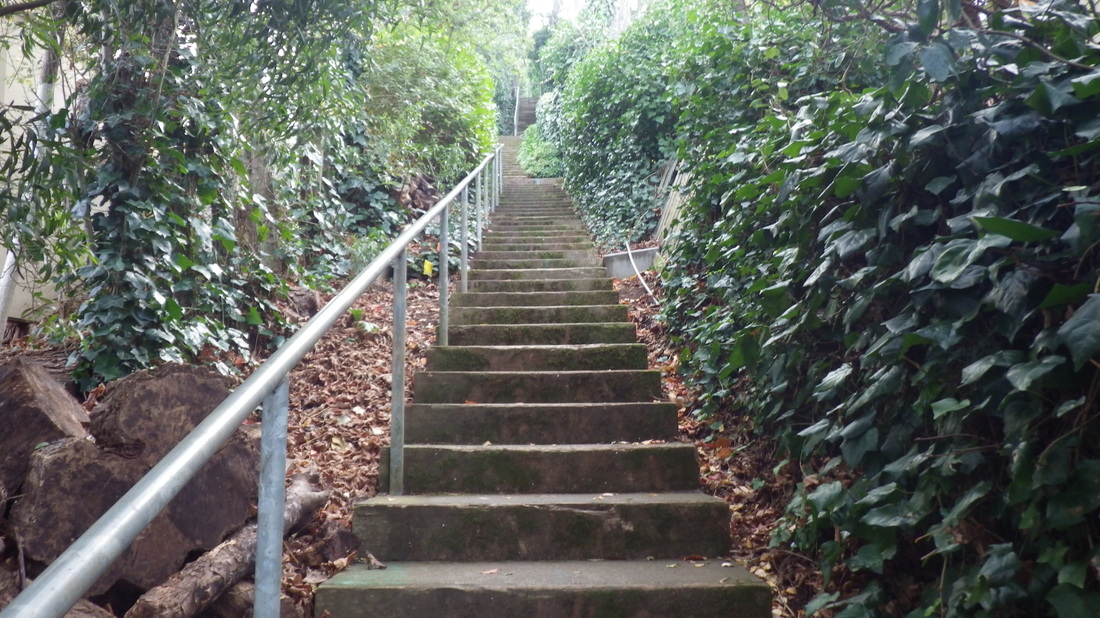
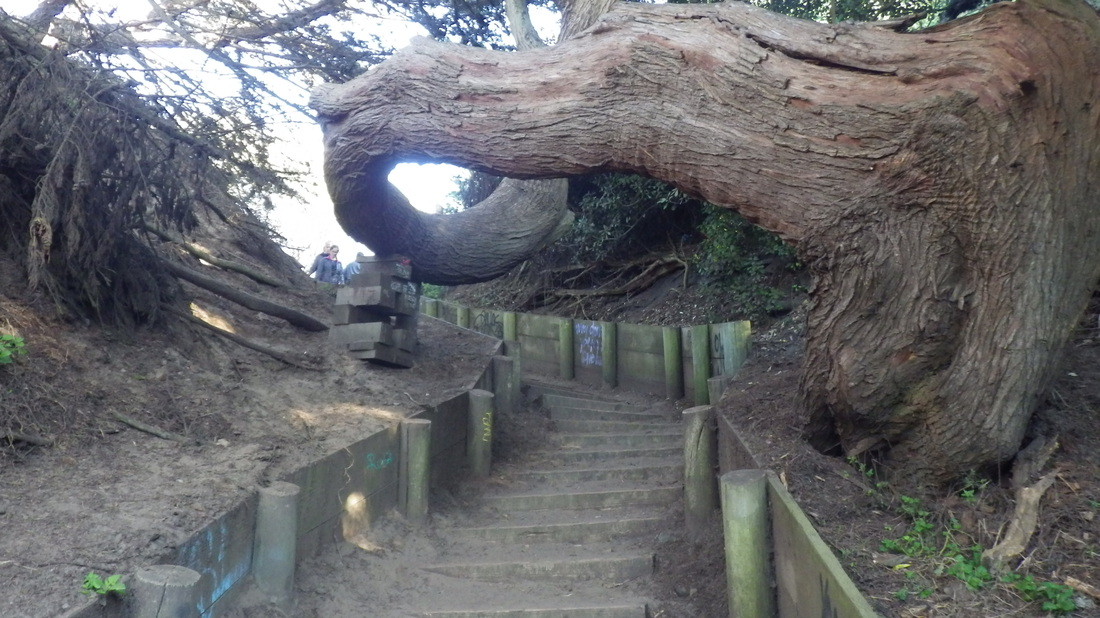
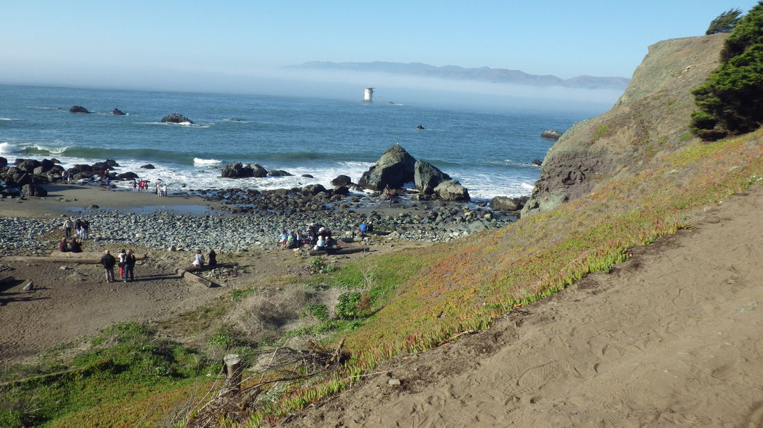
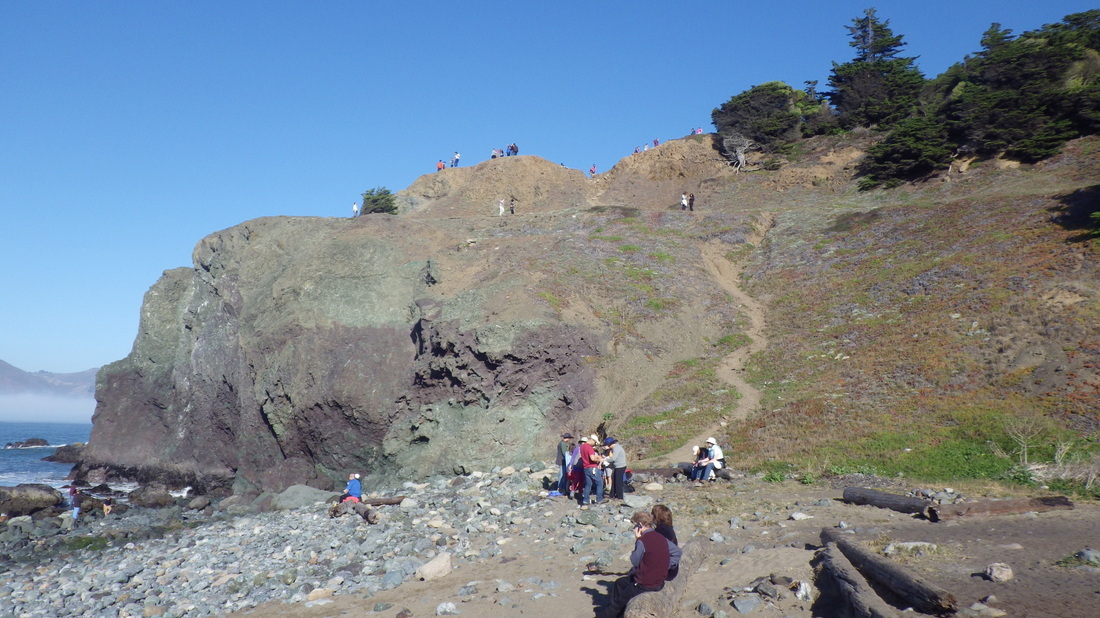
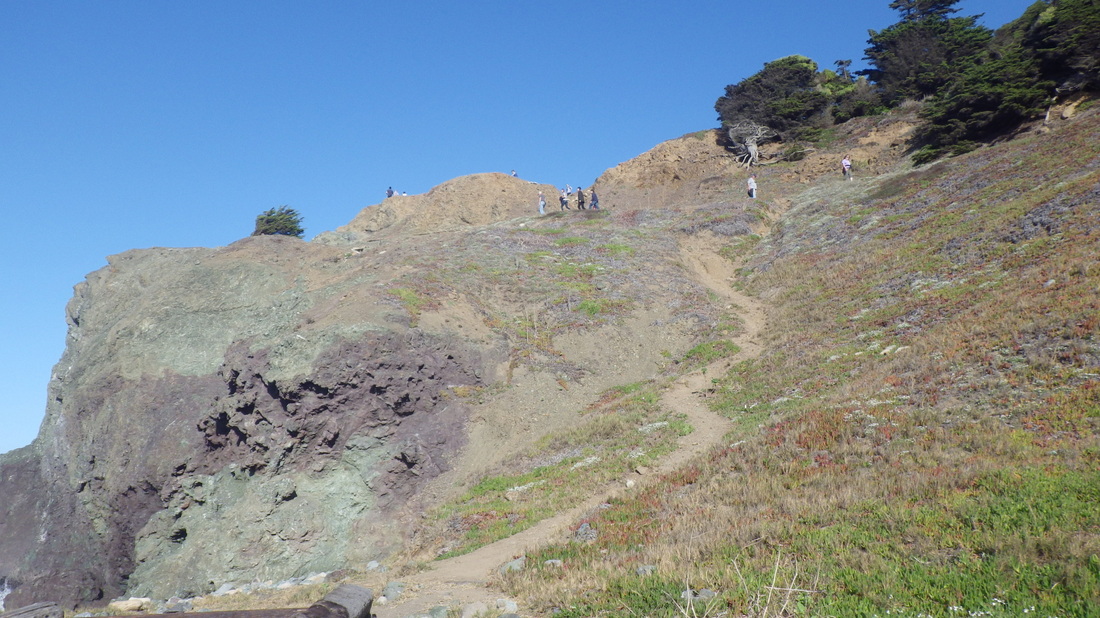
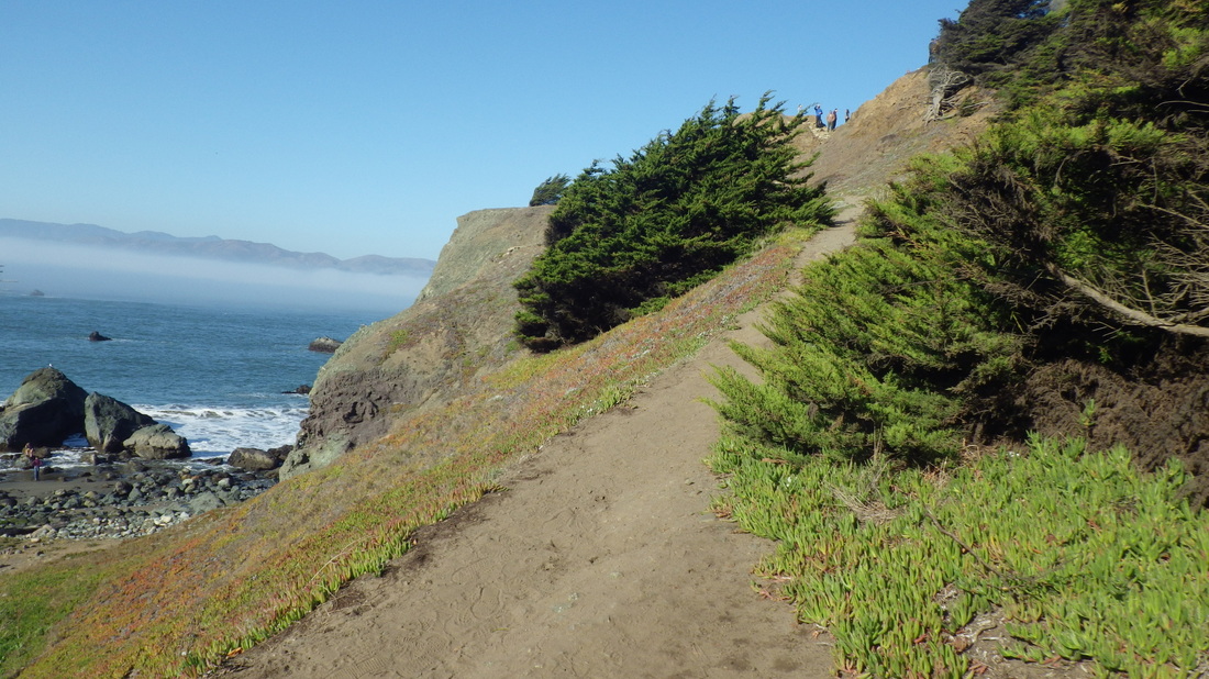
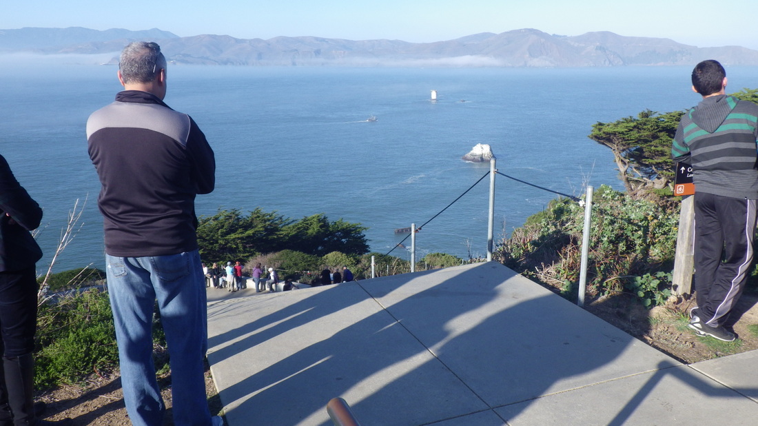
Some of the old wood stairs are quite steep, no railings, with stretches of narrow dirt-and-leaves trail in between and gorgeous trees. 177 steps as far as I went -- but there were more up ahead that I could see.  Didn't quite make it up to the top as I was limited time-wise; had to allow myself enough time to get back down the mountain in time to catch the ferry. 

It's a popular trail, with other hikers encountered several times up 'n down. Pix 13 through 24.

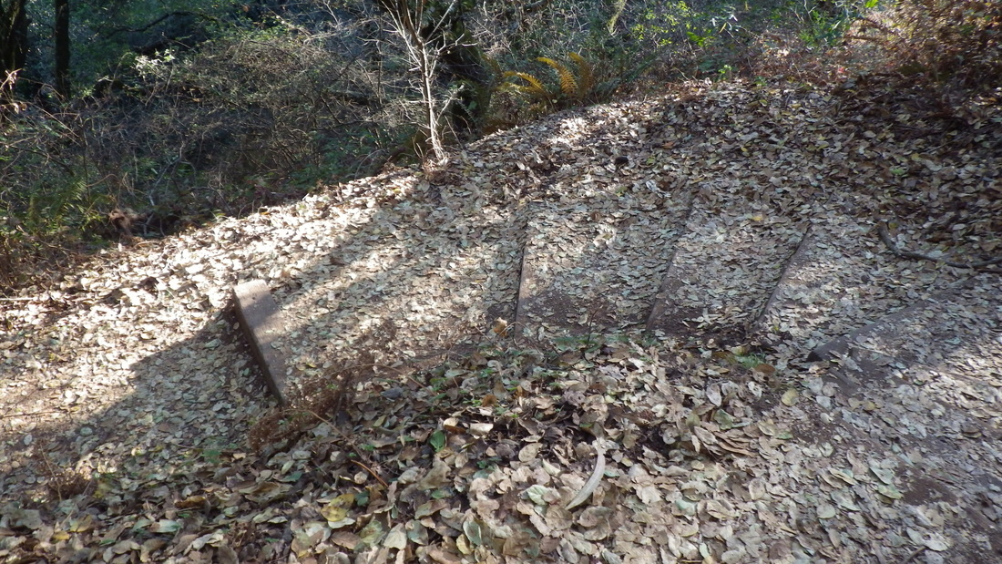
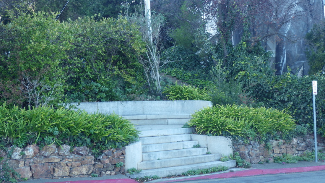
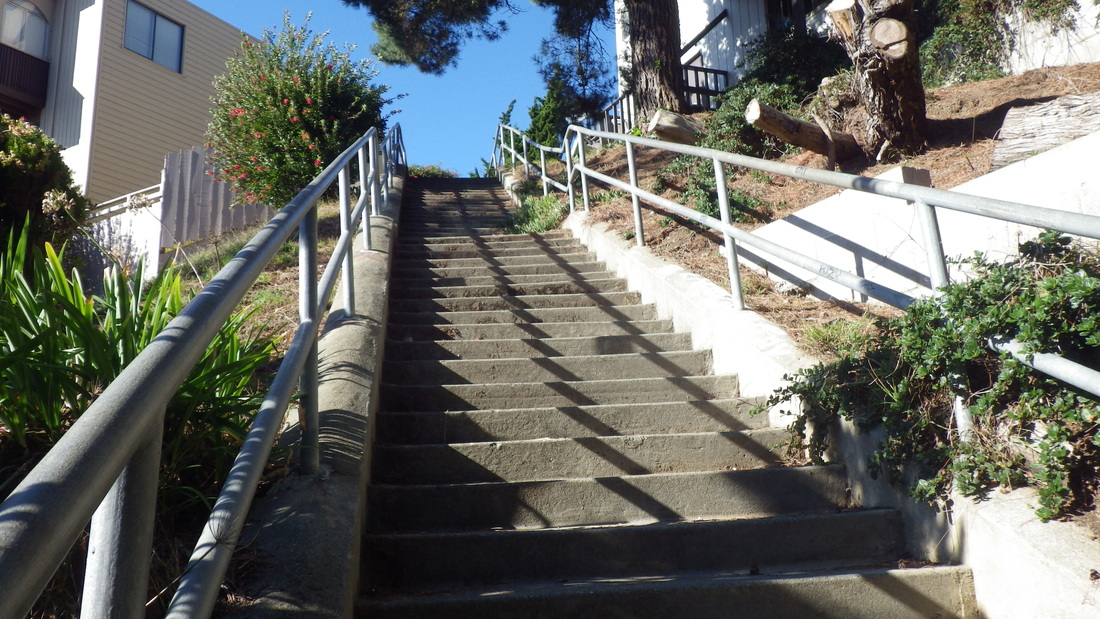
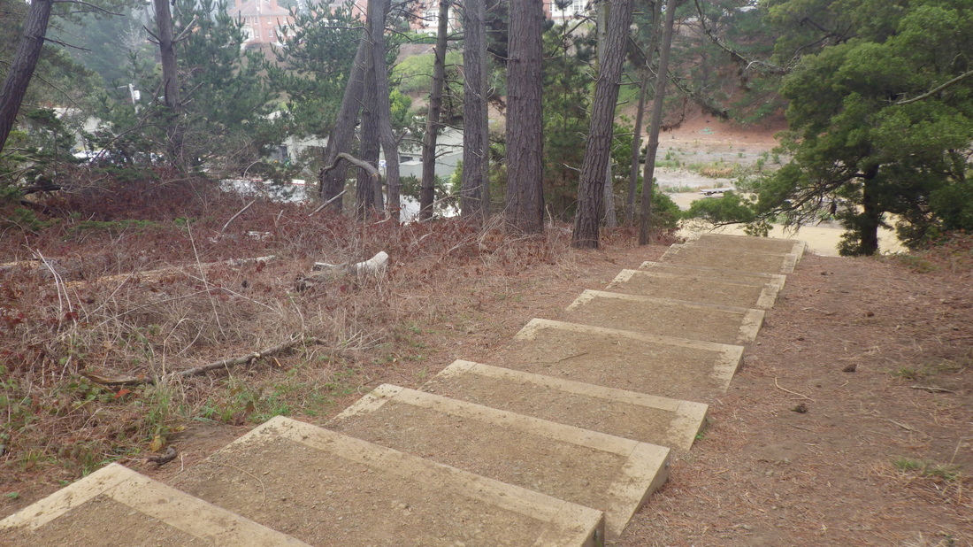
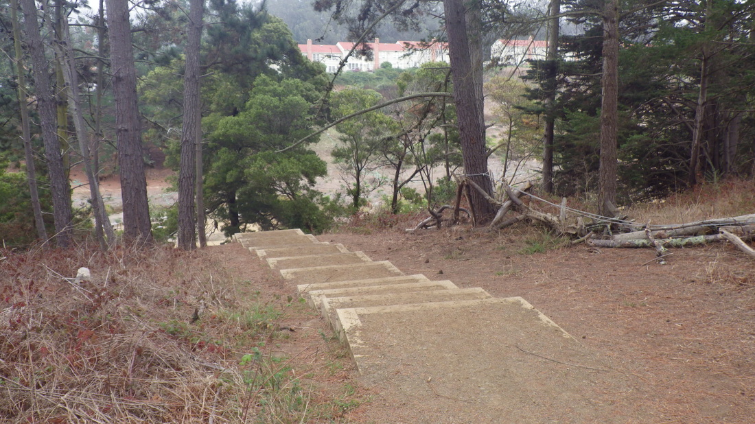
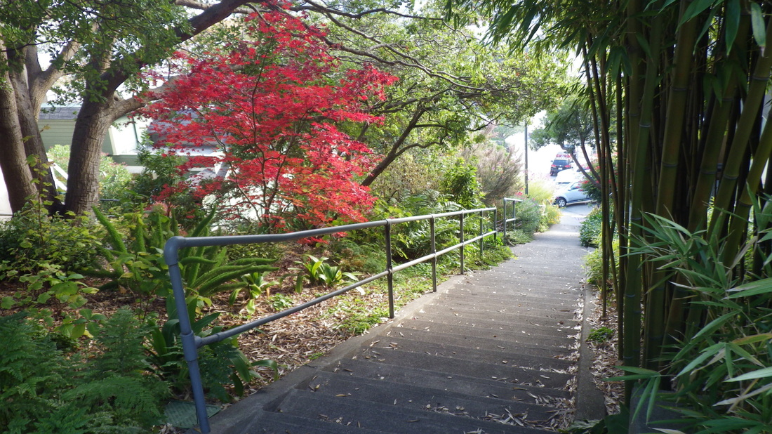
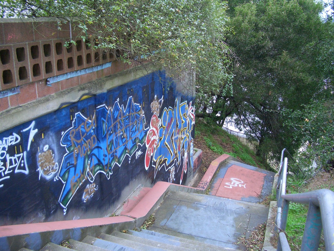
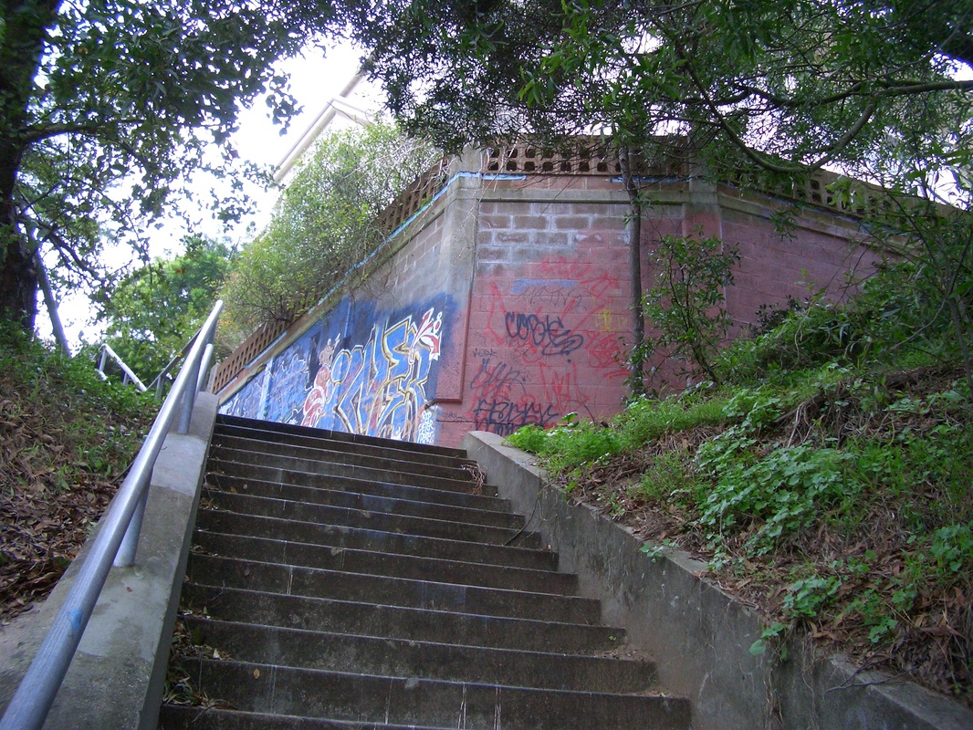
Back down the Spencer-to-Santa Rosa steps, then west to descend the main Locust steps, 60 for this part down to Cazneau (last two pics). 

Picture
1. Foot at Santa Rosa
Picture
2. Santa Rosa up to Spencer
Picture
3. 187 steps
Picture
4. Santa Rosa up to Spencer unnamed stairway
Picture
5. Continuing up
Picture
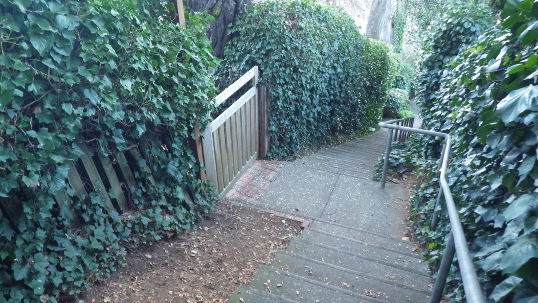
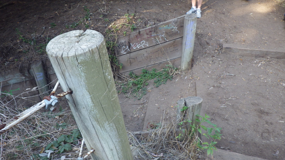
6. Gate to a residence
Picture
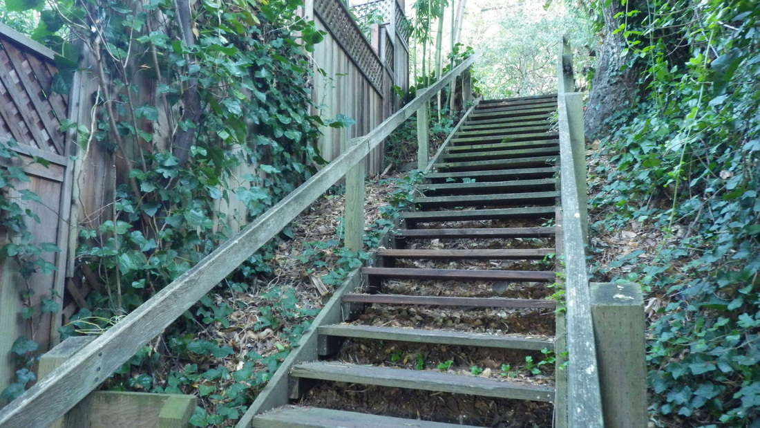
7. All wood at the top
Picture
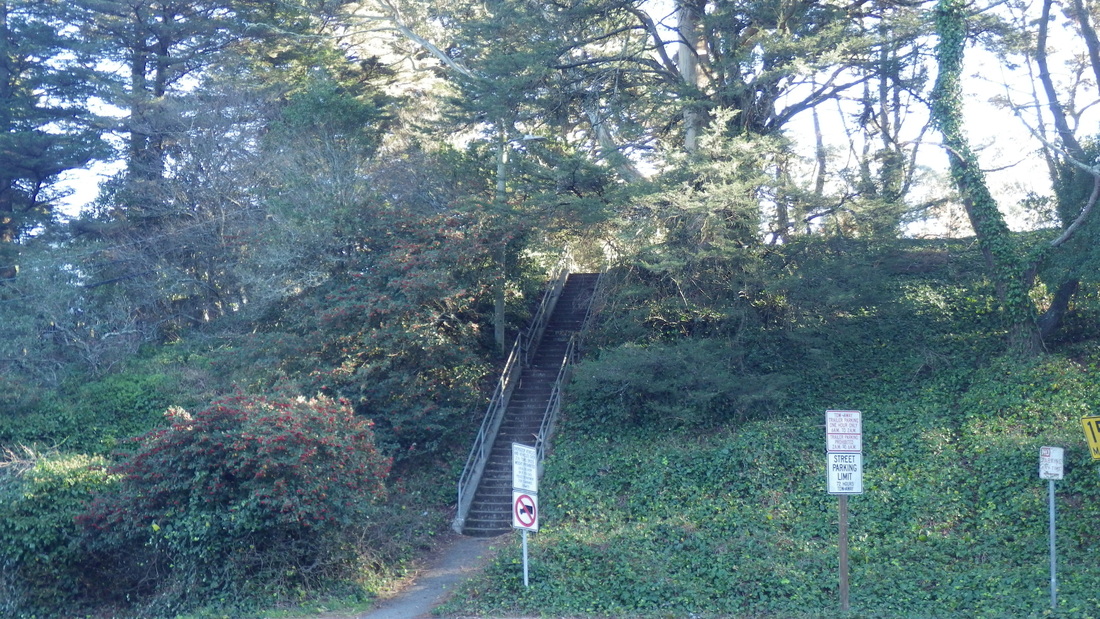
8. Stairway up from Spencer to short trail and long stairway down to Prospect
Picture
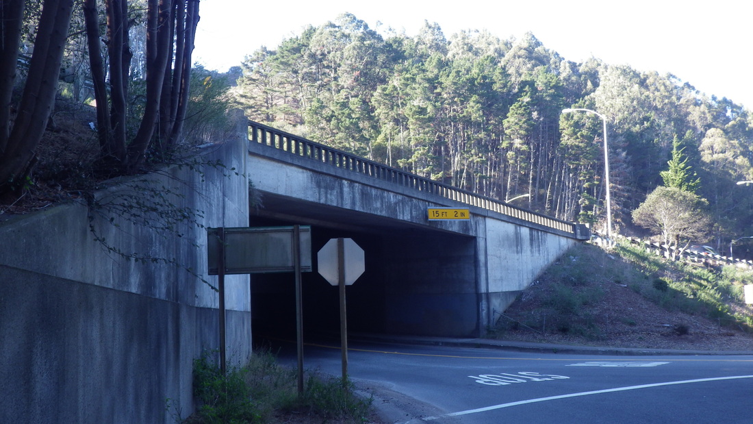
9. Underpass to parking lot and Morning Sun Trail
Picture
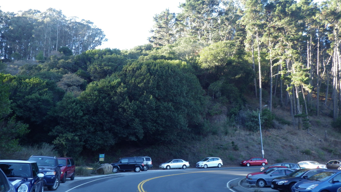
10. Parking lot. Morning Sun trailhead lower left corner
Picture
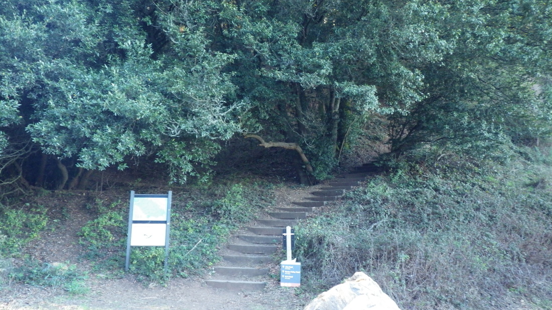
11. Morning Sun trailhead
Picture
12. Morning Sun trailhead
Picture
13. Narrow, old wood, covered with leaves
Picture
14. Look at these gorgeous trees!
Picture
15. Forested delight
Picture
16. I wanted to stay here all day…
Picture
17. Sun-dappled switchback
Picture
18. Oh, to live nearby…
Picture
19. Steeply through the forest
Picture
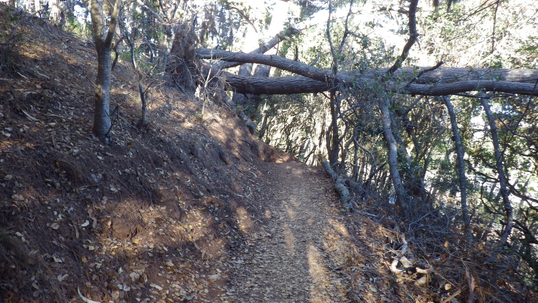
20. Treelimbs over the trail
Picture
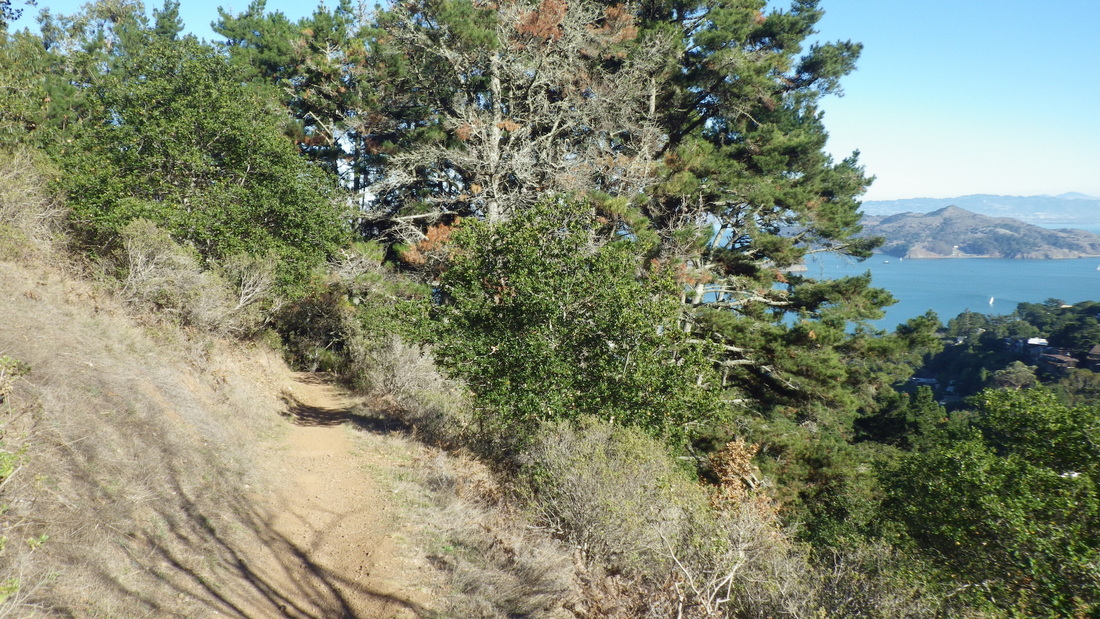
21. A sunny open stretch
Picture
22. The freeway's way down below, center, right.
Picture
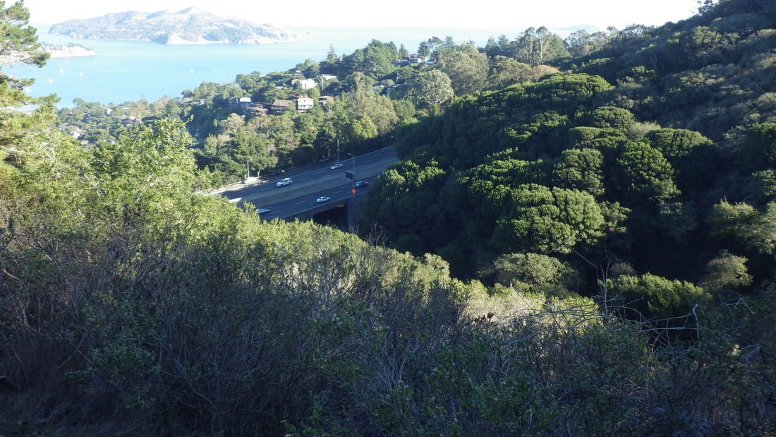
23. Check out this view!
Picture
24. More steps up ahead
Picture
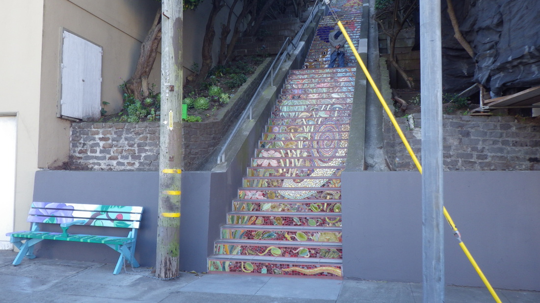
25. This is Locust's main stairway
Picture
26. Locust here is all wood, about 60 steps down to Cazneau
2 Comments

Sausalito Stairs n Trails

12/27/2013

0 Comments

 
Started south on Bridgeway just past the 121 steps up to Josephine & North (first pic) and a minipark (pic 2), then across a short wood boardwalk (pix 3, 4). 

First stairway actually walked today was an old wooden one with 42 steps (pix 5, 6) down to the beach from near Valley and Second. Noticed the top of this on a previous hike and had vowed to go back to check it out. 

Back up again, curving round to the south on Alexander, came to the east end of Edwards and climbed the steep street, soon passing where I'd left off on a previous hike. 


From Edwards, started up Marion, past two private driveways at the end of it to a rough mountain trail with no name, just a chain across it (pic 7, 8). However, Google Maps (maps) has indicated a trail in this location with the name, "Hecht Avenue." According to them it's an up-and-back that runs just below the freeway. I didn't get anywhere near the end. It's a rugged trail where I was; certainly not an "avenue." 

Climbed a little way up, wishing to continue but limited as to how far I could wind around up here before I had to start back. This trail is delightfully unimproved, covered with leaves, twigs, and lots of eucalyptus bark, slippery, isolated, and forested where I was (pic 9, 10). Reminded me of the way Mount Sutro used to look before all the trailwork started. I liked that "roughness." 

Back down on paved Marion again (pix 11, 12, 13), though there was a "Not a Through Street" sign at its beginning, decided to check for stairways anyway since dead-end signs are placed there for cars. Nope, at the very end of (lower) Marion there was a breathtaking view (pic 14) but no stairs down to another street. 

Back down to Edwards, then Sausalito Blvd., very long and winding, finally reaching the upper Cable Roadway steps that ascend from here (there's a sign). Curved down to Crescent (sign here too: pic 15) for the lower part of Cable Roadway. This is the second-longest Sausalito stairway (289 total) I've found so far (longest is Laurel Lane). Cable Roadway is all steps except for one steep block at the top up to Prospect. 

A few pix of lower Cable Roadway (196 for this part): 16 through 19.

Continuing my long descent, passed other familiar beauties, among these the top of the first pic above, Southview Park on North (pic 20), top of West Court's steps (103), an unnamed long stairway climbed on a previous hike up from Atwood, and the short pedestrian walkways below Bulkley (pic 21). 

Bench and 22 steps from Bulkley up to Harrison: last two pics.

Picture
1. 121 steps from Bridgeway to Josephine & North
Picture
2. Minipark off Bridgeway below the stairway
Picture
3. Boardwalk
Picture
4. Moving south along the boardwalk
Picture
5. Down to the beach
Picture
6. Back up the beach stairway
Picture
7. Hecht trail up from Marion
Picture
8. Trail above Marion
Picture
9. Hecht trail above Marion
Picture
10. A rugged trail above Marion
Picture
11. Marion Ave.
Picture
12. Marion Ave.
Picture
13. Upper Marion to left
Picture
14. View from dead-end of Marion Ave.
Picture
15. About to descend lower Cable Roadway from Crescent
Picture
16. Lower Cable Roadway, 196 steps
Picture
17. Cable Roadway
Picture
18. Cable Roadway's foot at Central Ave.
Picture
19. Cable Roadway at Central Ave.
Picture
20. Southview Park
Picture
21. Pedestrian walkway below Bulkley
Picture
22. Bench on Bulkley. Steps up to Harrison right.
Picture
23. Bulkley bench and steps up to Harrison
0 Comments

Hidden Garden Stairway Art

12/11/2013

5 Comments

 
Golden Gate Heights, part of San Francisco's Inner Sunset neighborhood, is an excellent 'hood in which to create beautiful public art on their various long stairways. The steps are sturdy utilitarian concrete and a blank canvas for artists to immortalize themselves, their families, local biznesses, etc. 

At the newly completed Hidden Garden Steps (16th Avenue, Kirkham to Lawton) you'll see individual names (first two pix), businesses, parks and groups, and what I liked best, the messages: pix 3 through 10. Photos don't do it justice; visit this in person if you can. 


No doubt there are plenty of people out there who'd enjoy participating and who also could afford to do so (wish I could). Not only could various neighborhoods create their own mosaic masterpieces, but also some of our parks. How much better to improve and beautify an urban park by turning their public stairways into works of art than is the present destructive trend of unnecessary tree-felling and otherwise messing excessively with Ma Nature in the name of park "improvements." 

Picture, for example, the 100 wide steps into Pacific Heights' Alta Plaza Park as a good candidate for a tile-job. Wondering when the rest of the Lincoln Park stairs will be completed (off 33rd Ave. & California up to the golf course and a trail to Lands End). 


More pix: 11 through 22. Alongside the 148 steps are nicely tiered plantings. At the top is a micro-labyrinth and view: pics 23, 24.


Lastly, a couple of THEN pix from 2006: pix 25, 26.  


The other tiled stairway in this 'hood is a few blocks from here, Moraga/16th, 2005, 163 steps. At the top, the long zigzag stairway to Grandview Park's summit invites you to continue your upward climb.  

Picture
1. Adah Bakalinsky's Tile
Picture
2. Marian Gregoire's Tile
Picture
3. Messages and names
Picture
4. I agree!
Picture
5. Honoring Cesar Chavez
Picture
6. Message Mushroom
Picture
7. Me too!
Picture
8. Stairclimbers Tile
Picture
9. Trails of Beauty
Picture
10. For Sara the Squirrel
Picture
11. Foot of Hidden Garden Steps
Picture
12. Lots to look at and read
Picture
13. Closer-up
Picture
14. Garden Flowers
Picture
15. Rainbow Swirls
Picture
16. Cute Critter
Picture
17. Go see this in person!
Picture
18. And take any little kids you may know!
Picture
19. Big Blue Flower
Picture
20. Plenty of garden flowers here
Picture
21. The wall near the top as it looks now
Picture
22. Down the stairway
Picture
23. Top of the stairs
Picture
24. View of part of Golden Gate Park in distance
Picture
25. THEN: 2006.
Picture
26. THEN: 2006
5 Comments

Trail Extension Preview

12/9/2013

0 Comments

 
The Presidio's Anza Trail extension and new pedestrian trail alongside Arguello are not yet completed but I was able to continue through without detouring. 

A pleasant stroll through a section of the Presidio Forest on the Bay Area Ridge Trail was included on my way to the Rob Hill Campground area (pix 1 through 5). Wondering what this little structure at the end of the trail once was.

From the Arguello Gate continued on Washington along the top of the golf course this time, then onto the forested trail, taking the walkers-only trail out to the east side of Rob Hill Campground (pic 6) where I soon came to part of the new trail segment. 


The three steps up to the picnic table were not quite finished, but the 10 new steps down were walkable onto the short boardwalk here (pix 7 through 10). "Like." This is across the street from Immigrant Point Overlook. More pix when it's fully walkable.

Out to Battery Caulfield Road, there are a few more new steps and a new trail between the residences and the street (pic 11) down to where the sidewalk begins. Very nice. 

Continuing down to where the Marine Cemetery Vista Trail begins, past the benches (pics 12, 13), onto the boardwalk (pix 14 through 18) and down the stairs (103 or so, last five) out to 14th Ave. Just to my left both the Mountain Lake and Park Trails were closed at this end due to ongoing work in the Mountain Lake area. 

Picture
1. A pedestrian-only trail through the forest
Picture
2. Bay Area Ridge Trail
Picture
3. Through the forest to Rob Hill Campground
Picture
4. Peaceful forest trail with an easy grade
Picture
5. At the southeast edge of Rob Hill Campground
Picture
6. Rob Hill Campground buildings
Picture
7. Nearly completed new trail segment. Short boardwalk top, center.
Picture
8. Ten new steps at this end
Picture
9. Anza Trail extension. Older trail to right beyond orange fencing.
Picture
10. New Anza Trail segment nearly completed
Picture
11. A few new steps and trail at top of Battery Caulfield Rd.
Picture
12. Marine Cemetery Vista bench
Picture
13. Marine Cemetery Vista Overlook
Picture
14. Marine Cemetery Vista Memorial boardwalk heading east
Picture
15. Wyman Ave. residences below, right
Picture
16. The stepped boardwalk
Picture
17. To top of stairway
Picture
18. Top of the stairs
Picture
19. Wyman Ave. to right
Picture
20. Looking back to top of stairs
Picture
21. This descends to Mountain Lake Trail/14th Ave.
Picture
22. Beginning the railinged part
Picture
23. Turn left for Park Trail & Mountain Lake Trail. Right for 14th Ave. "Gate"
0 Comments

Canyon Disappointments

12/6/2013

0 Comments

 
Thirty-six steps descend into Glen Canyon Park from Elk, the route recently taken for a south-to-north hike. The lower south part of the park is bare and depressing to look at with all that ongoing construction. Workers were also doing something up at the side of the guardrail where Diamond Heights Blvd. starts near Berkeley Way.  

Disappointed to see that one of the big old trees on the main trail is now a stump. This is near a short set of wood steps leading up to one of the eastside trails (first pic). There are stumps and huge logs laying around. 

When one has grown used to the certain look of a uniquely wild park over many years, it's difficult to get used to when people who should know better go to such extremes with their version of "park improvements." Treelimbs have been chopped off all the way along the lower trail as one moves south to north. 

"My" beloved northeast trail has seen some clearing too since I last visited. Now it's easier (a bit too easy!) to navigate the lower trails. I liked it when it was overgrown and "hidden" and I had to crawl under tangles and branches to get to it. I'm now, however, able to look down at Islais Creek from this side of the trail (pic 2). 

Changed my mind a while back about thinking it'd be cool if this trail could be cleared out to Portola (and thus up to Twin Peaks Blvd. and into that park as a continuation) because those in charge don't seem to know when to quit. 

Was naively hoping for minimal clearing, no tree-felling, and a pedestrian skyway over busy Portola (yeah, right), as in just enough space for hikers to navigate without being chewed up alive by brambles, but hopefully leaving the across-the-trail treelimbs alone. 


Instead of concentrating on eliminating trees alongside the trail, why not construct more skyways across curvy, dangerous-to-cross streets like O'Shaughnessy, Clarendon, and Portola, to name a few, so one can move easily and safely from one greenspace to another. They're spending taxpayers' money on the wrong things.

Thought they did a good job with the new Twin Peaks trail up from Portola, but so far am not impressed with the so-called "improvements" in the lower Canyon. Alongside the extended stairway on the south side of the popular climbing rocks (ascends from the lower trail near the fence and boardwalk), there's still that ugleee black fencing: pic 3. Take it down already! 

Pix 4, 5, 6, 7: the newer stairway on the north side of these rocks; love this one. 

At least now there are still some treelimbs to climb over on the extreme northside trail but who knows how long this'll last. Wish they'd stop trying to eliminate the remaining bits of wildness in our urban parks. Canyons are supposed to be "wild." 

After viewing the mess they've made so far, I now hope this north end stays tangled and up-and-back after all, and I'm sure the resident wildlife will back me up on this. And not every trail on earth needs to be bike-friendly. The trail still, fortunately, doesn't go much past the school playing field gate (pic 8). Noticed a pile of old clothes and an old chair (pic 9) in the area this time. A campsite back there too? 

Both northernmost trailheads are easier to see now (pic 10) from the trail above.

Out of the park climbing to the shopping center, first up 13 steps to Turquoise Way (no street sign seen when you get to this first Diamond Heights street, pix 11). The stairway continues directly across the street to Amber: 65 steps total to this second street up from the Canyon, pic 12. 

At Amber it's a short walk (right turn), maybe a couple of blocks, to the next stairway up, Coralino (132 steps), that ascends to Cameo. Coralino is unnamed on the street but named and shown on Google Maps (maps). Pix 13 through 17.

Up Cameo to Duncan and the Little Red Hen community garden (last pic) at the Police Academy. The next street is Diamond Heights Blvd. (right turn) for the Diamond Heights Shopping Center and Christopher Park.    

Picture
1. Main trail, southeast side
Picture
2. Northeast trail
Picture
3. Extended south stairway, center, up to the climbing rocks
Picture
4. A newer stairway up from the Canyon floor
Picture
5. Newer stairs to upper trails
Picture
6. North side of the climbing rocks
Picture
7. View from top of the newer stairway
Picture
8. School playing field gate at northeast trail
Picture
9. Northeast trail near school playing field gate
Picture
10. Trail into Canyon depths from a higher trail
Picture
11. Out of the Canyon into Diamond Heights 'hood
Picture
12. Amber down to Turquoise steps
Picture
13. Coralino Ln. up to Cameo
Picture
14. Coralino, 132 steps
Picture
15. Between Amber & Cameo
Picture
16. Continuing up Coralino stairway
Picture
17. Top of Coralino at Cameo
Picture
18. Little Red Hen Community Garden, Diamond Heights
0 Comments

Presidio Pleasures

12/3/2013

0 Comments

 
Sharing some recent Presidio scenery and stairs, first starting down Lover's Lane (first pic) into the park from Presidio Blvd. on the east side. 

--  Second pic:  Part of Andy Goldsworthy's Wood Line installation, center, just off Lover's Lane.

--  Moving west, third pic.

--  Pics 4 and 5: Foot of the steps (69) on the west side of El Polin Springs. Climbing these to the Ecology Trail: pix 6, 7, 8, 9.

-- Continuing up: Ecology Trail through a forested part, pic 10. 

-- Old wood steps (45) from Ecology Trail up to Inspiration Point Overlook (off Arguello), pics 11, 12, 13.

-- Pic 14: Marine Cemetery Vista Memorial stairs (103), west side of Park Presidio Blvd. up from 14th Avenue/Wyman to the boardwalk, memorial plaque, and benches, out to Battery Caulfield Rd.  

-- Pics 15, 16, 17: Connector Trail, 208 wood steps down from Immigrant Point Overlook to Lincoln. 

-- Crossing Lincoln and starting down from Lincoln for the Batteries to Bluffs Trail (473 or so wood steps, not counting the 16 or so up
to Battery Crosby at the top of the main stairway), west to east, pix 18 through 24. This is San Francisco's longest stairway. The railings on the steep west side were a later addition. 

Last one is looking down from Lincoln at people on the BTB's View Point overlook.

Another long stairway that can be accessed from Lincoln nearby (or from Baker Beach at its foot) is the infamous Sand Ladder (often difficult to count the steps as some may be buried underneath the sand -- but at least 250).  

Picture
1. Lovers Lane into the park from Presidio Blvd./Pacific
Picture
2. Wood Line, center. Just off Lovers Lane in Presidio Forest
Picture
3. Moving west near Mountain Lake Trail
Picture
4. Up to Ecology Trail from El Polin Springs
Picture
5. To Ecology Trail from El Polin Springs
Picture
6. To Ecology Trail/Inspiration Point Overlook from El Polin Springs
Picture
7. Looking east, down to El Polin Springs
Picture
8. This is a newer stairway. The shorter, older one on El Polin's southeast side has been covered up.
Picture
9. Top of the steps
Picture
10. Through a forested part of the Ecology Trail
Picture
11. Ecology Trail up to Inspiration Point Overlook
Picture
12. Down to Ecology Trail from Inspiration Point Overlook
Picture
13. 45 steps down from Inspiration Point Overlook
Picture
14. Stairway to Marine Cemetery Vista Boardwalk and Overlook
Picture
15. Connector Trail's footbridge. Immigrant Point Overlook down to Lincoln.
Picture
16. Connector Trail's bench. Trailheads for Batteries to Bluffs & Sand Ladder across Lincoln below.
Picture
17. Cross the street for two more long stairways
Picture
18. Short trail to Battery Crosby; Batteries to Bluffs trailhead at Lincoln
Picture
19. Battery Crosby ahead
Picture
20. Beginning Batteries to Bluffs Trail on west side down from Battery Crosby
Picture
21. Batteries to Bluffs continuing down the west side
Picture
22. View from Batteries to Bluffs Trail, moving west to east
Picture
23. East side
Picture
24. View from Lincoln: View Point, center, on Batteries to Bluffs Trail
0 Comments

Stunning Sausalito Stairways

12/2/2013

1 Comment

 
Started up Excelsior Lane from Bridgeway to its upper 
end at San Carlos (179 steps, first three pics). 

Around to Santa Rosa to ascend a long (187 steps) unnamed stairway that comes out at Spencer. Pix 4 through 11.

Spencer curves up and around (watch for cars, hikers, as there are no sidewalks) until it hits Monte Mar and the freeway where 45 steps climb up from Spencer. 

If you're seeking a trail into the GGNRA from up here, don't bother crossing the over-the-freeway bridge (pic 12) to Wolfback Ridge Road as there are no trails here into the park for hikers. At the gated road is a sign-with-map (pic 13) directing walkers and bicyclists to access the Morning Sun Trail a bit further on. 

Back across the bridge to the short dirt trail (Cloud View Road dead-ends here) and down the long stairway (204 steps, unnamed) to Prospect (pics 14 through 17). Continued past the top of Cable Roadway this time to descend via Cooper Lane from Spencer and Sausalito to San Carlos (120 steps, pix 18, 19, 20). 

Passing other favorites on the way back down: Sausalito Way, West Ct. (pic 21), Second St. (a double stairway with a center garden, pics 22, 23), and the unnamed beauty down to Bridgeway from Josephine and North (121 or so steps, pix 24, 25), all mentioned in earlier posts but always a pleasure to revisit. Last one: Short stairway/walk descending from Bulkley. 

Picture
1. Excelsior Lane
Picture
2. Excelsior Lane
Picture
3. Excelsior Lane
Picture
4. Foot of stairway at Santa Rosa
Picture
5. Starting up the Santa Rosa to Spencer stairs
Picture
6. Santa Rosa to Spencer steps continue up
Picture
7. 187 steps up to Spencer
Picture
8. Up to Spencer from Santa Rosa
Picture
9. Santa Rosa to Spencer
Picture
10. Near the top
Picture
11. Out at Spencer
Picture
12. Wolfback Ridge Road bridge, freeway below
Picture
13. Directions to Morning Sun Trail in GGNRA as seen on Wolfback Ridge Rd.
Picture
14. Descending the long stairway to Prospect
Picture
15. Continuing down to Prospect
Picture
16. Foot at Prospect, 204 steps
Picture
17. Foot at Prospect. Right turn for Cable Roadway steps (288).
Picture
18. Cooper Lane starts down
Picture
19. Cooper Lane down to San Carlos
Picture
20. Cooper Lane, 120 steps
Picture
21. West Ct.
Picture
22. Second St. west side
Picture
23. Second St. east side
Picture
24. Josephine/North down to Bridgeway
Picture
25. Josephine/North down to Bridgeway
Picture
26. Short stairway/walk down from Bulkley
1 Comment

Hike Friday

12/1/2013

0 Comments

 
First, passing on news about a Stairway Event next weekend that I just found out about:

The Hidden Garden Steps mosaic in Golden Gate Heights is now ready to walk and they're having a celebration December 7, Saturday, 12 to 4. It's to be a closed-to-traffic block party on 16th Ave. between Judah and Kirkham. So now a second long tiled stairway (148 steps) that's just a few blocks from the famous Moraga/16th Ave. tiled steps (completed 2005, 163 steps). For details, check out these links:

www.hiddengardensteps.org

and their Facebook page:

https://www.facebook.com/events/187719081418823

-----------------

Other than special events, I've never seen so many people at Lands End as on "Black Friday." And all the pooches … this could've been Fort Funston. Fog out over the water but sunny in the park.  


First stairway of the day: Down from the lower parking lot overlook (126, pix 1 through 5), then up the trail from its foot to the cavetop viewspot (pic 6). The west trailhead for the Coastal Trail/Lands End Trail starts here: 141 steps (pics 7 through 12). AKA Sutro Baths Upper Trail.


Continued past the two main trail overlooks to the Mile Rock Beach stairs: 269 or thereabouts, the park's longest stairway (pics 13 through 17). 


When you can tear yourself away from the rocky beach (pics 18, 19, 20), you can either climb trails to the "Labyrinth" atop the cliff viewplace (pics 21, 22, 23) or ascend the stairs back to the main Lands End Trail. 


Since construction is ongoing for Eagles' Point at the park's east trailhead, turned back and up a short forested trail to the El Camino del Mar Trail. Out to the upper parking lot overlook past the top of the steep connector stairs here (about 59, last pic).  


Picture
1. Stairway from top of lower parking lot overlook. Sutro Bath ruins below.
Picture
2. Near top of the stairs
Picture
3. Continuing down
Picture
4. Foot of the stairway
Picture
5. Lands End Lookout in distance
Picture
6. View from west trailhead for Lands End Trail
Picture
7. West trailhead for Coastal Trail/Lands End Trail/Sutro Baths Upper Trail
Picture
8. Cavetop Viewspot below
Picture
9. Continuing up
Picture
10. 141 Steps
Picture
11. A view down
Picture
12. A don't-go-there sign off the stairway
Picture
13. Down from the main Lands End/Coastal Trail
Picture
14. Down to Mile Rock Beach
Picture
15. Turn left to continue down the stairs; straight ahead to the clifftop viewspot and Labyrinth
Picture
16. Under this tree on the way down
Picture
17. Another way up to the viewplace, left. Shady stairway to right continues down.
Picture
18. Mile Rock Beach below
Picture
19. Foot of stairway to left
Picture
20. Sand and rocks
Picture
21. Trails up to the viewspot
Picture
22. Above Mile Rock Beach
Picture
23. Above Mile Rock Beach
Picture
24. Upper parking lot overlook stairway down to Lands End Trail
0 Comments

    Author

    I like meandering around on San Francisco's park trails and public stairways, sometimes taking photos, and enjoying nature and the outdoors.

    Archives

    March 2020
    February 2020
    January 2020
    December 2019
    November 2019
    October 2019
    September 2019
    August 2019
    July 2019
    June 2019
    May 2019
    April 2019
    March 2019
    February 2019
    January 2019
    December 2018
    November 2018
    October 2018
    September 2018
    August 2018
    July 2018
    June 2018
    May 2018
    April 2018
    March 2018
    February 2018
    January 2018
    December 2017
    November 2017
    October 2017
    September 2017
    August 2017
    July 2017
    June 2017
    May 2017
    April 2017
    March 2017
    February 2017
    January 2017
    December 2016
    November 2016
    October 2016
    September 2016
    August 2016
    June 2016
    May 2016
    April 2016
    March 2016
    February 2016
    January 2016
    December 2015
    November 2015
    October 2015
    September 2015
    August 2015
    July 2015
    June 2015
    May 2015
    April 2015
    March 2015
    February 2015
    January 2015
    December 2014
    November 2014
    October 2014
    September 2014
    August 2014
    July 2014
    June 2014
    May 2014
    April 2014
    March 2014
    February 2014
    January 2014
    December 2013
    November 2013
    October 2013
    September 2013
    August 2013
    July 2013
    June 2013
    May 2013
    April 2013
    March 2013
    February 2013
    January 2013
    December 2012
    November 2012
    October 2012
    September 2012
    August 2012
    July 2012
    June 2012
    May 2012
    April 2012
    March 2012
    February 2012
    January 2012
    December 2011
    November 2011
    October 2011
    September 2011
    August 2011
    July 2011
    June 2011
    May 2011


    RSS Feed

Powered by Create your own unique website with customizable templates.