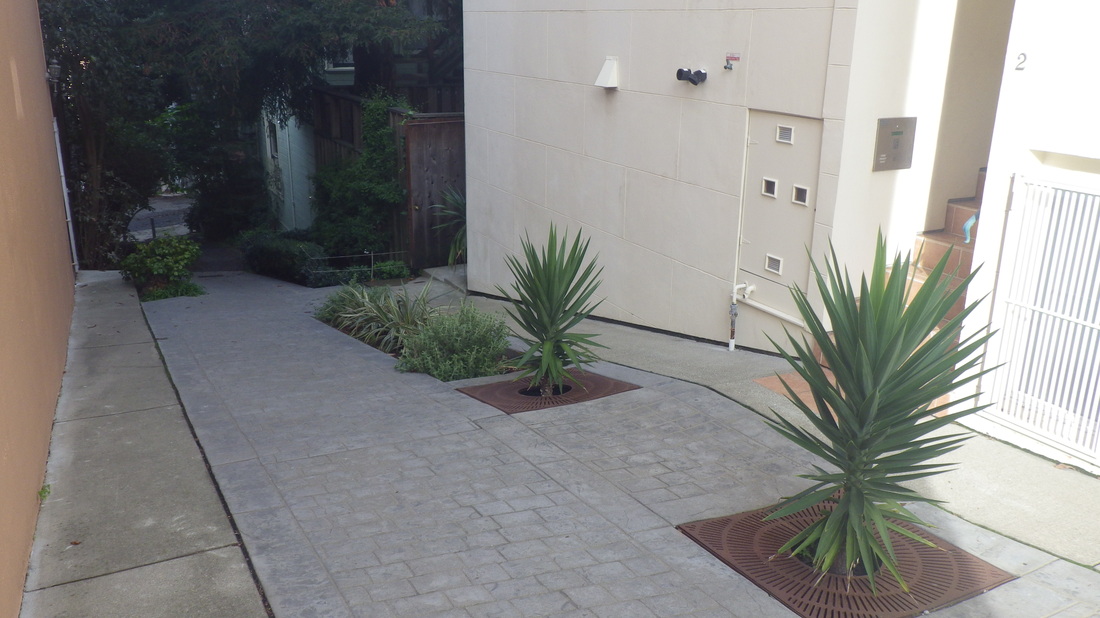
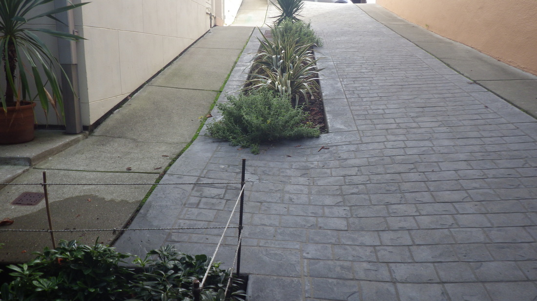
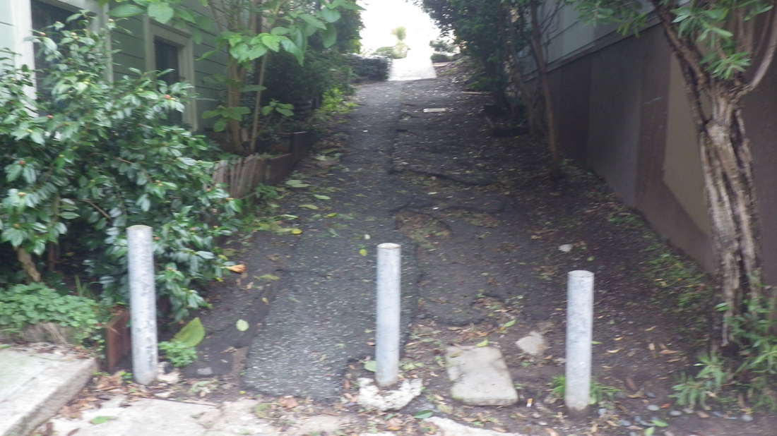
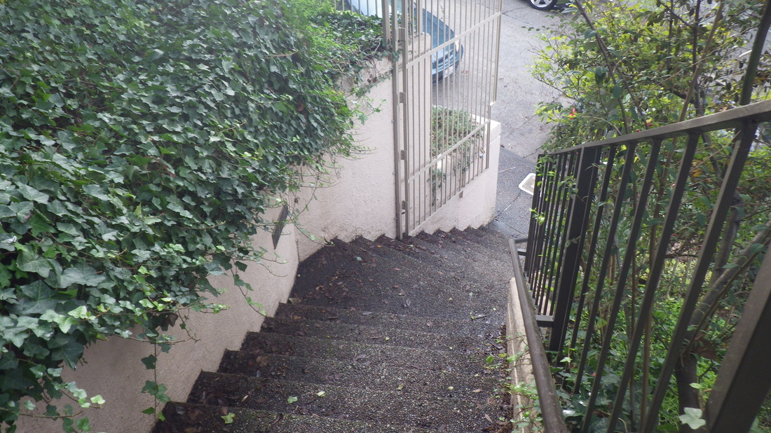
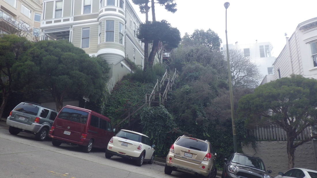
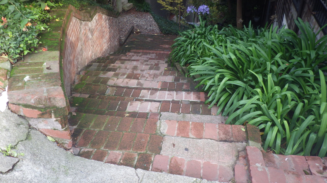
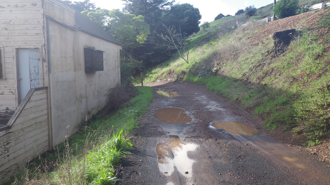
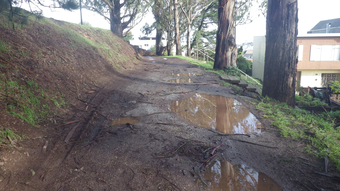
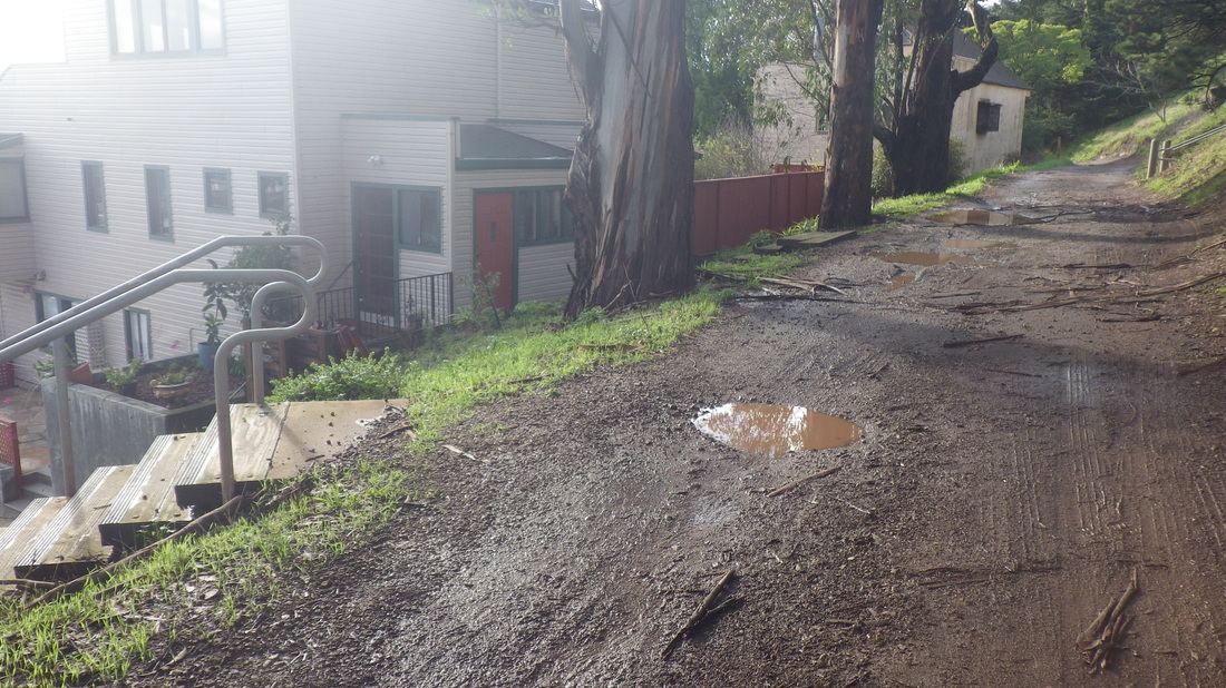
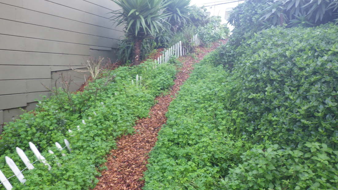
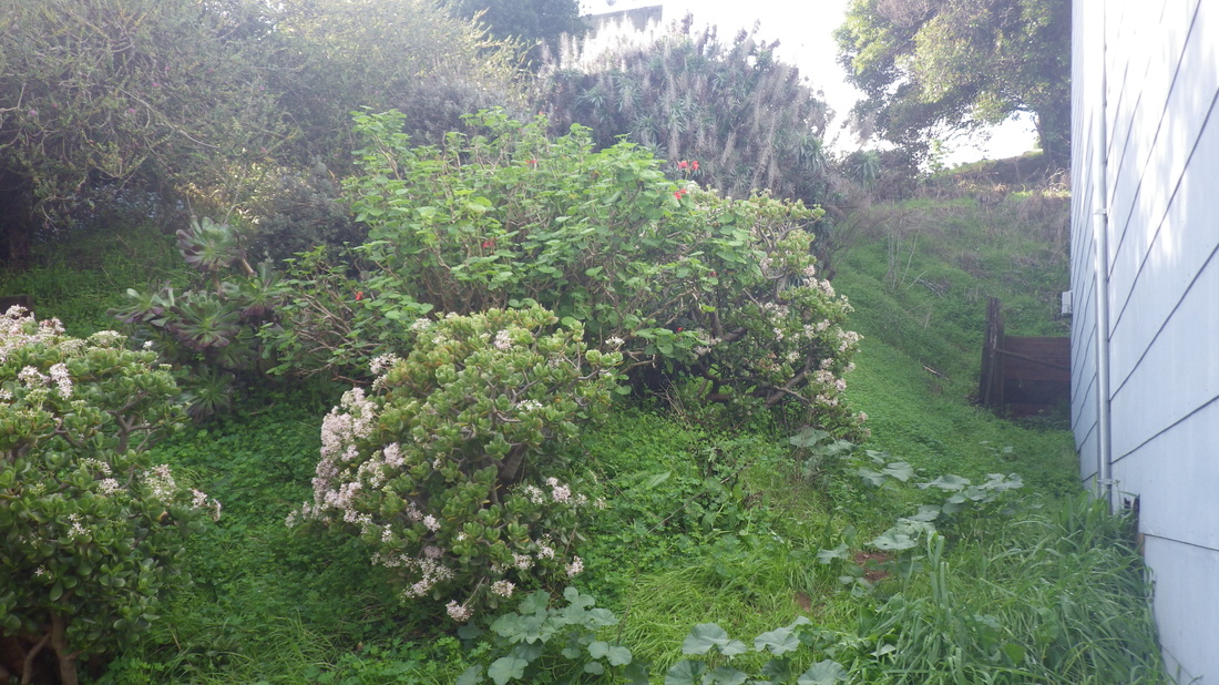
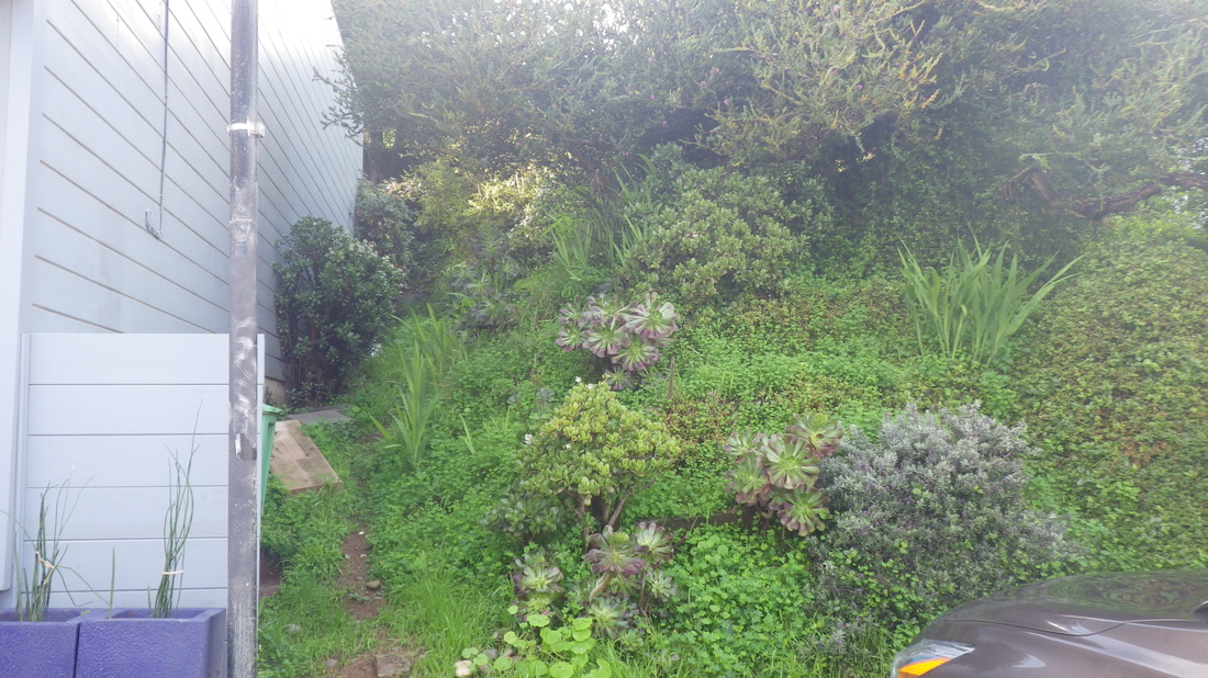
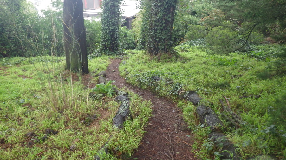
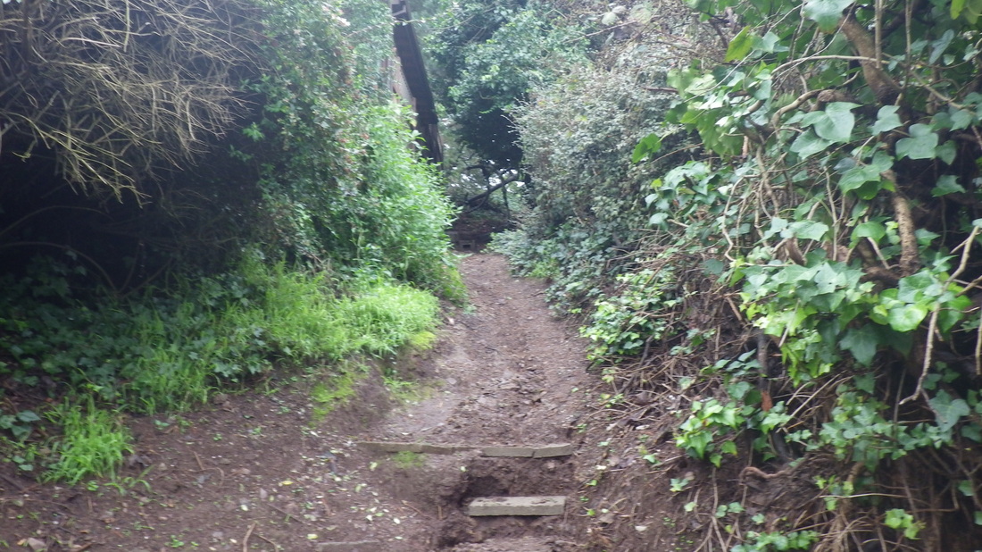
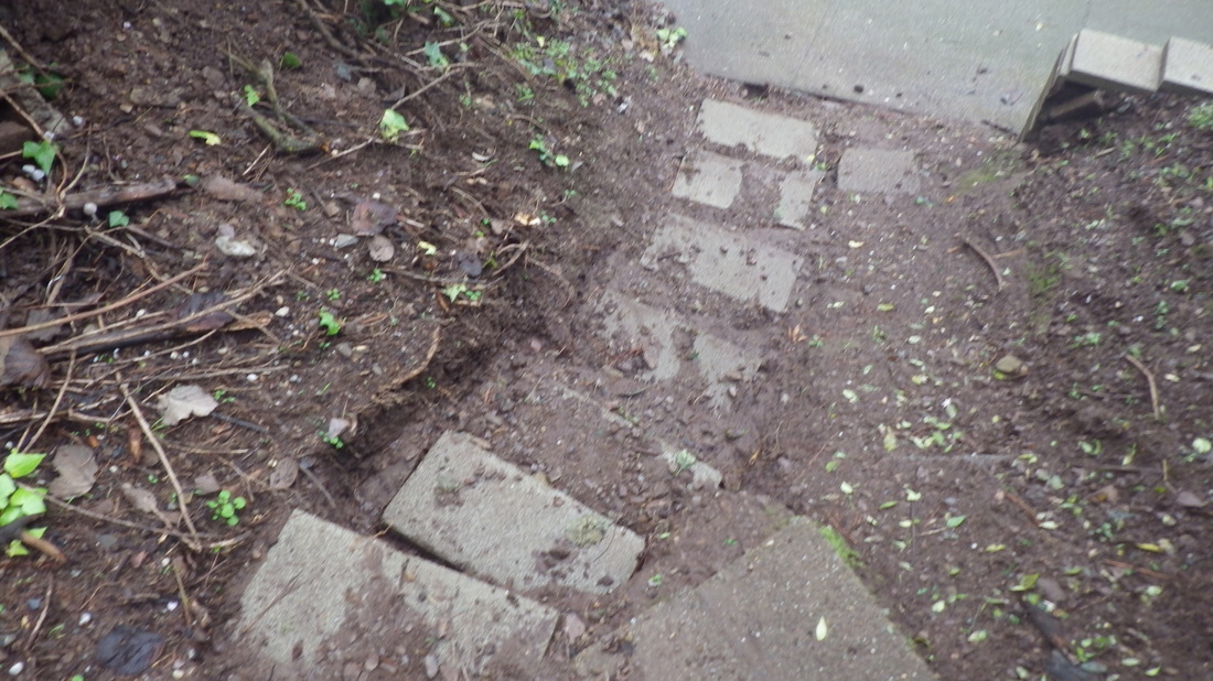
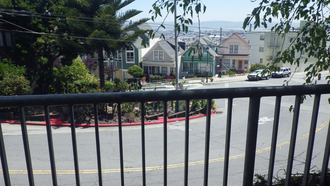
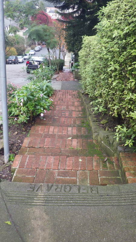
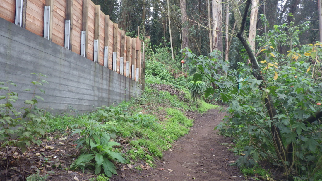
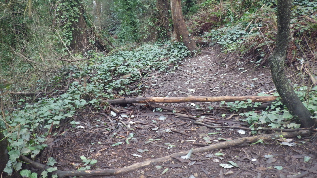
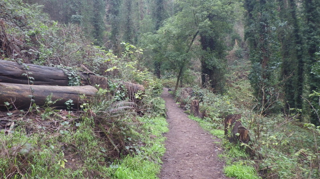
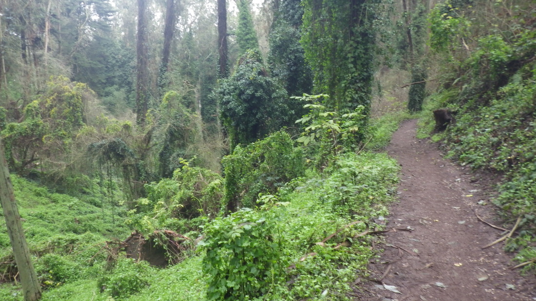
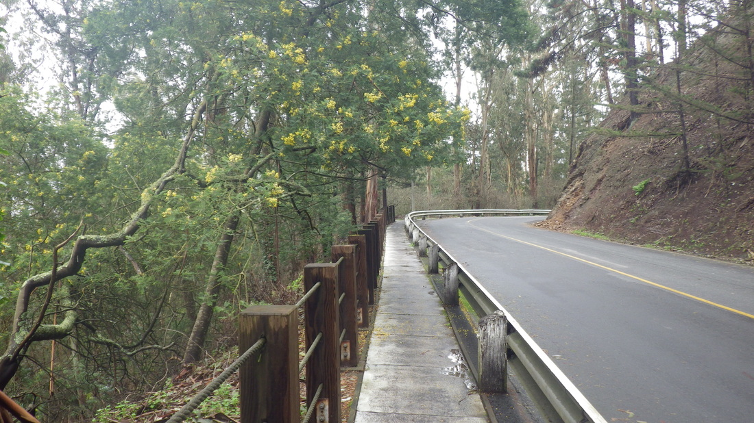
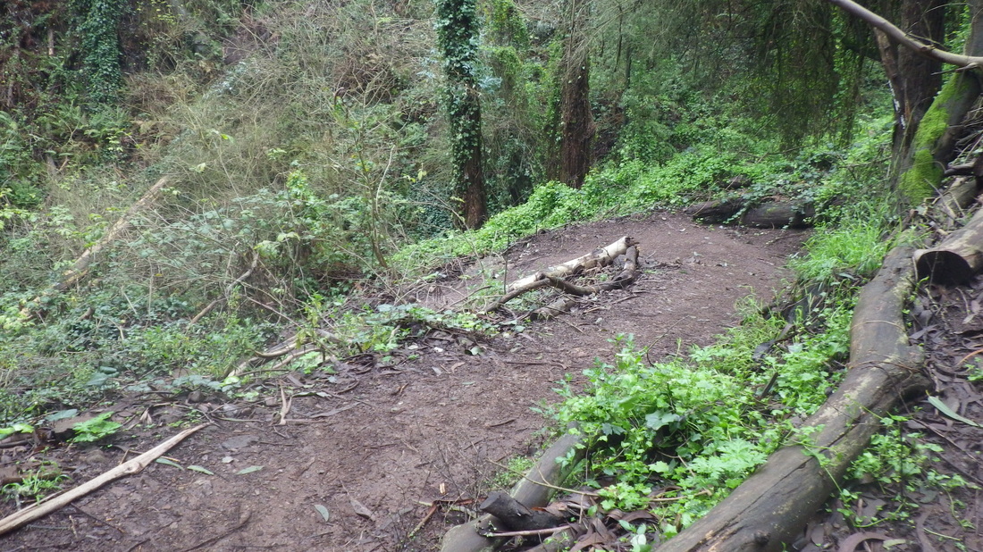
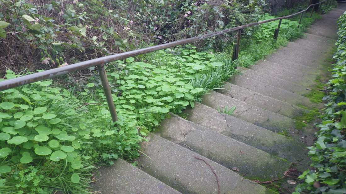
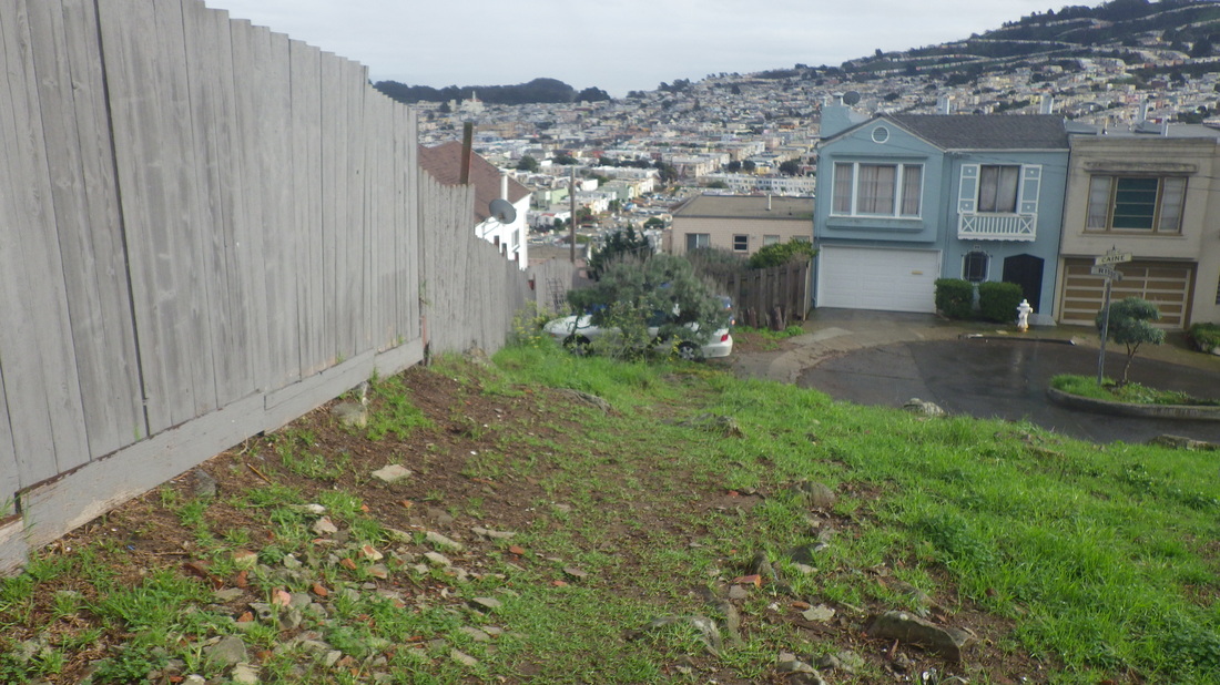
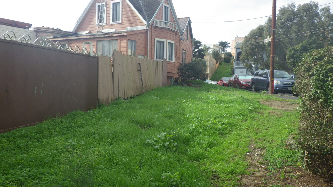
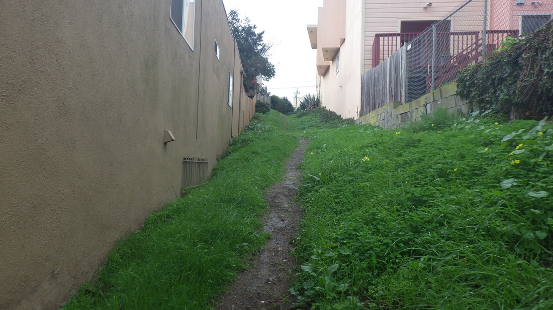
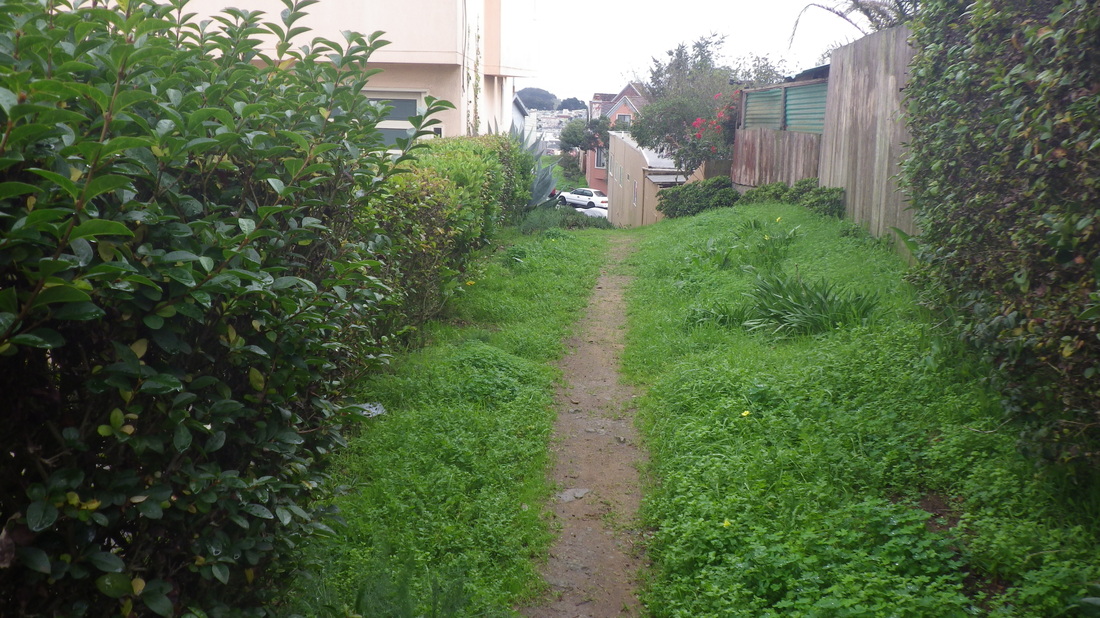
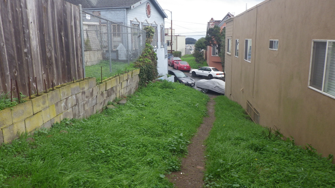
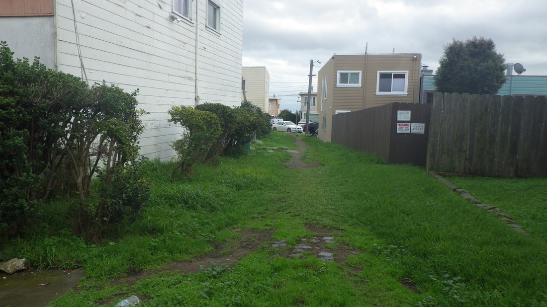
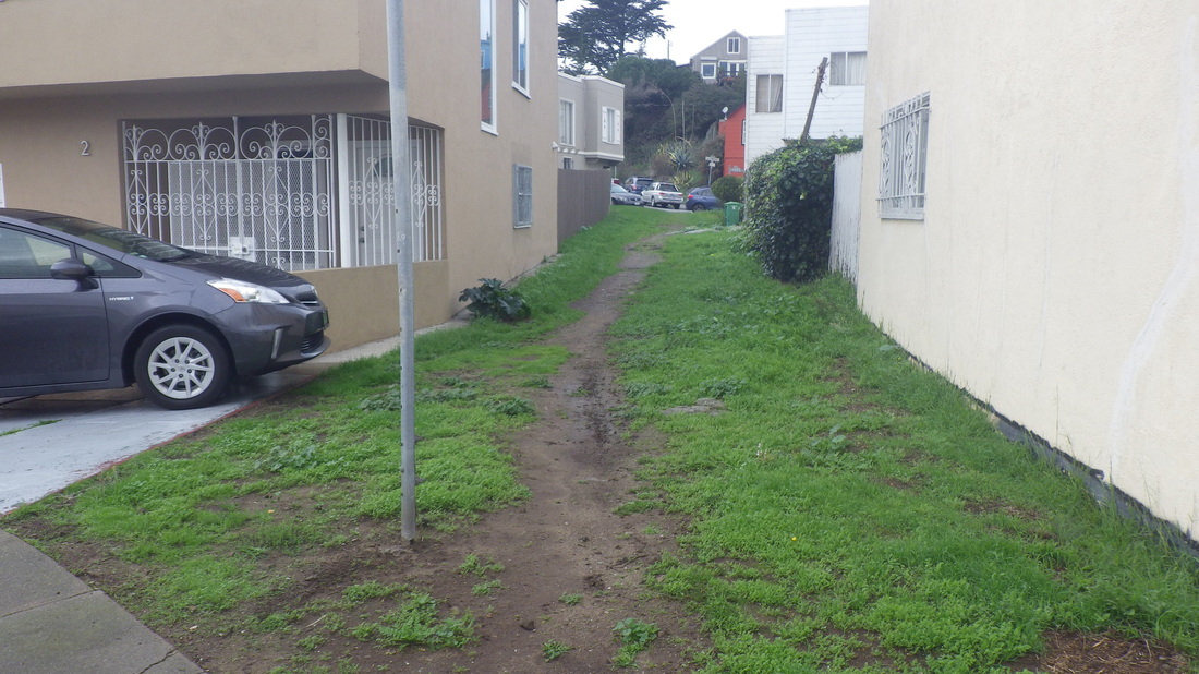
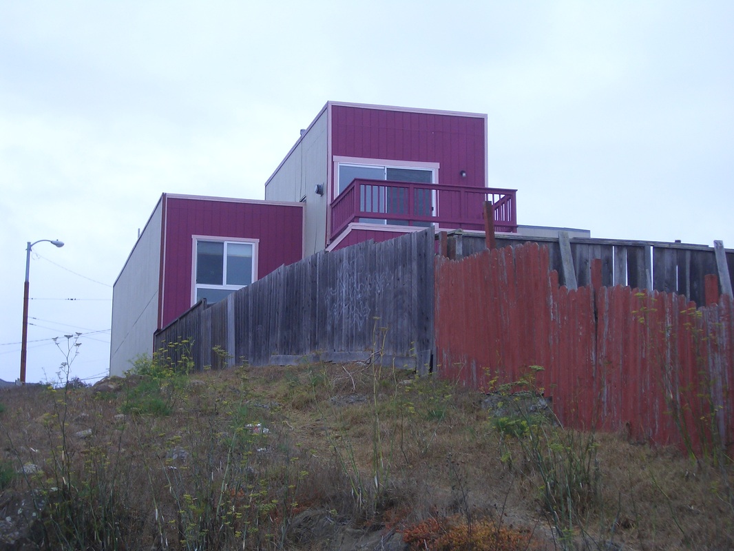
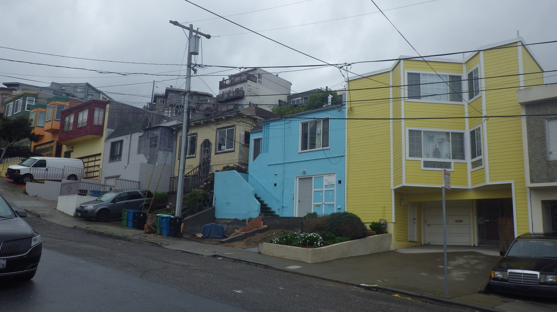
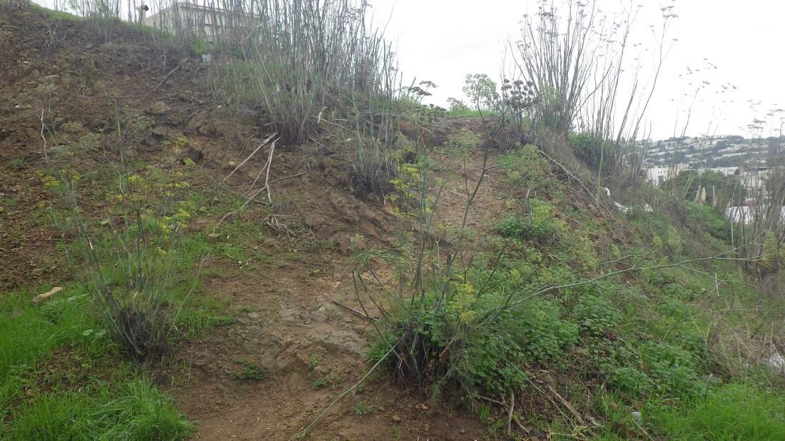
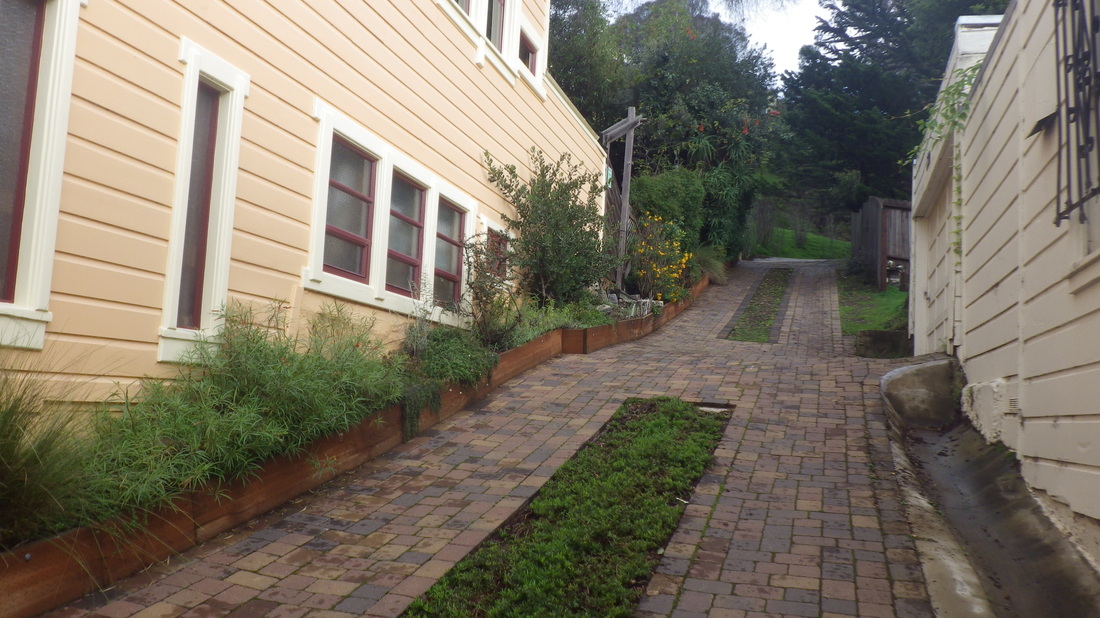
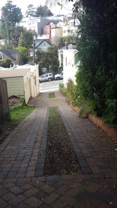
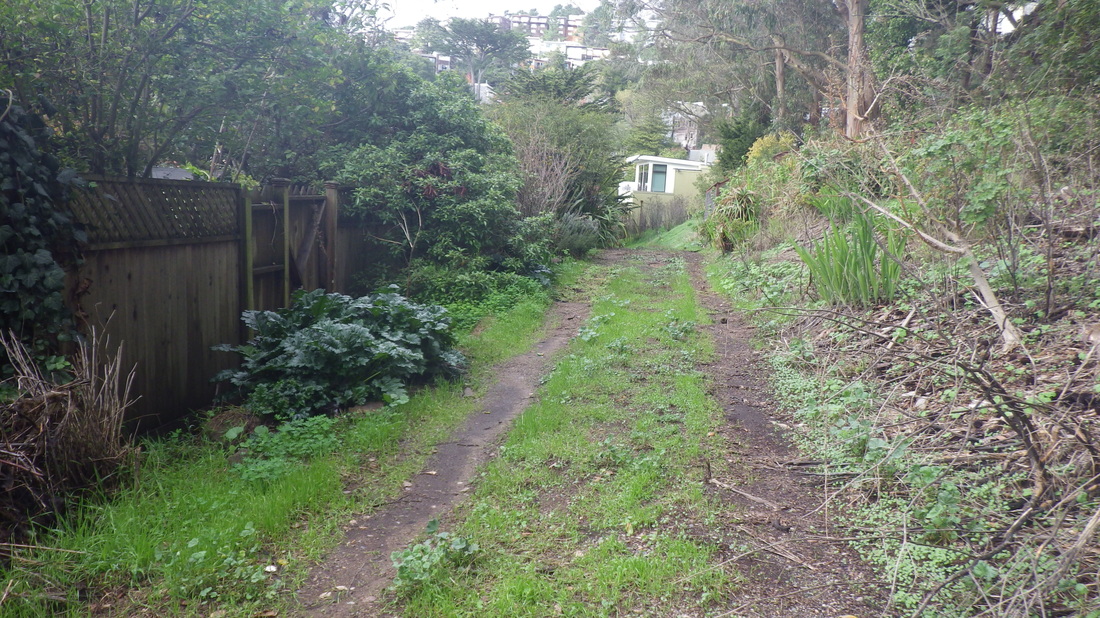
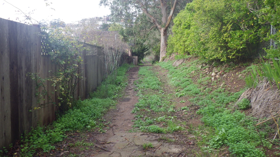
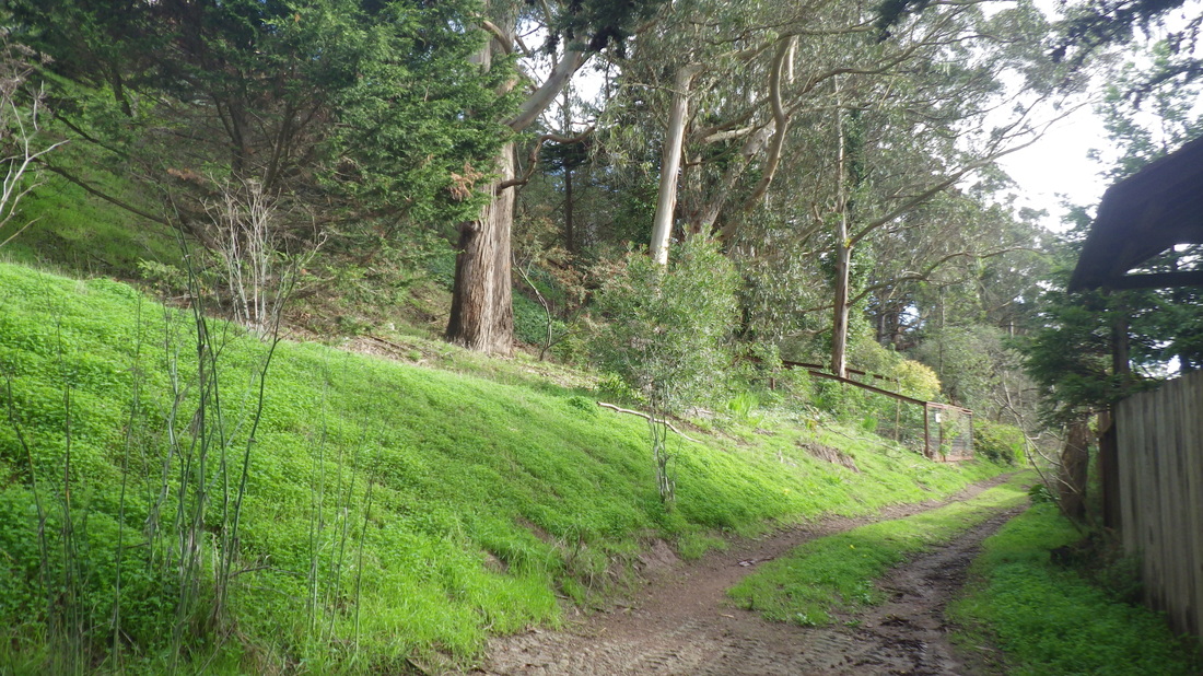
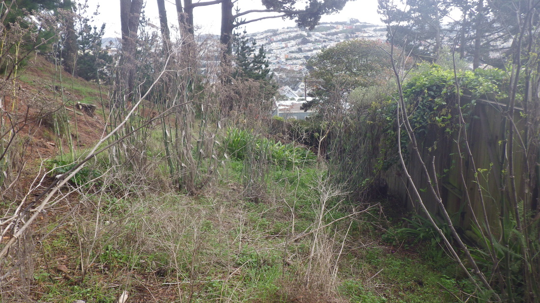
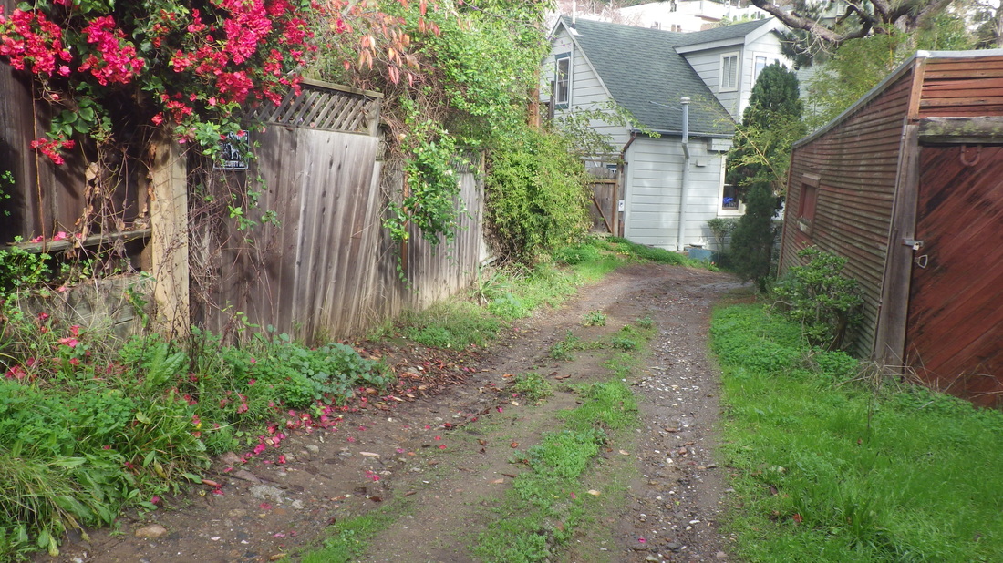
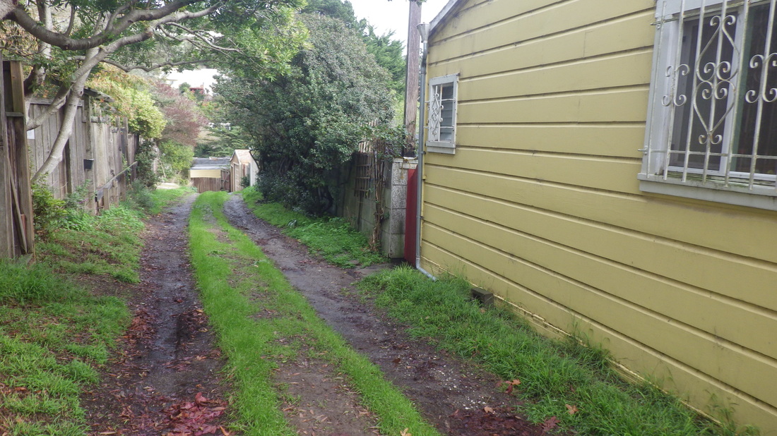
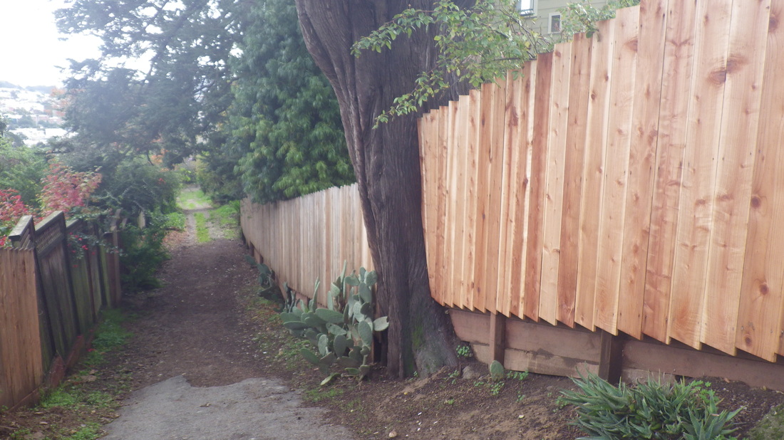
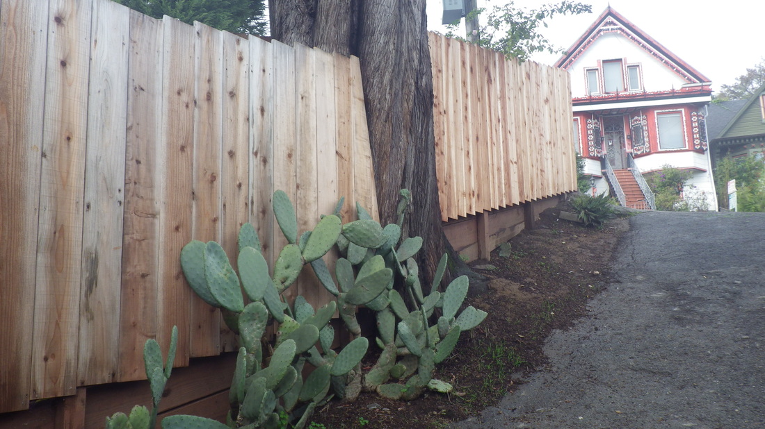
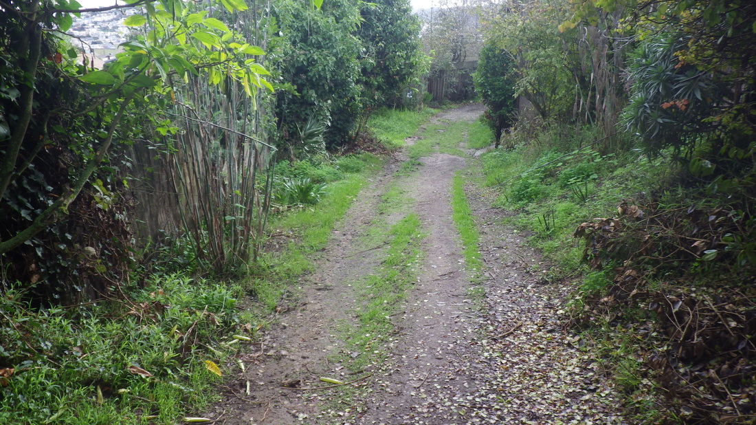
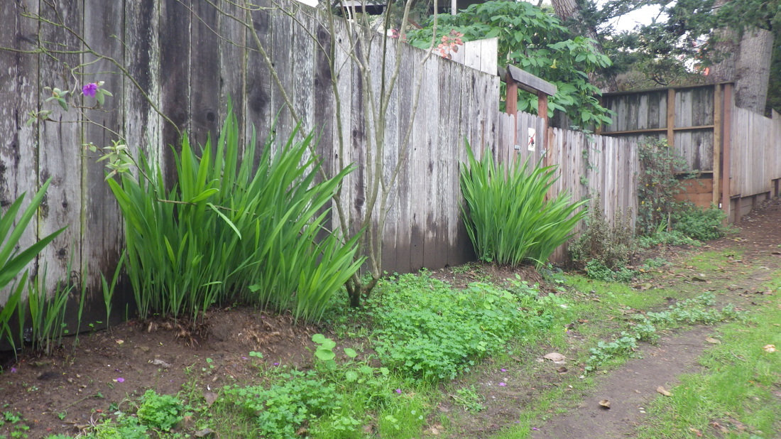
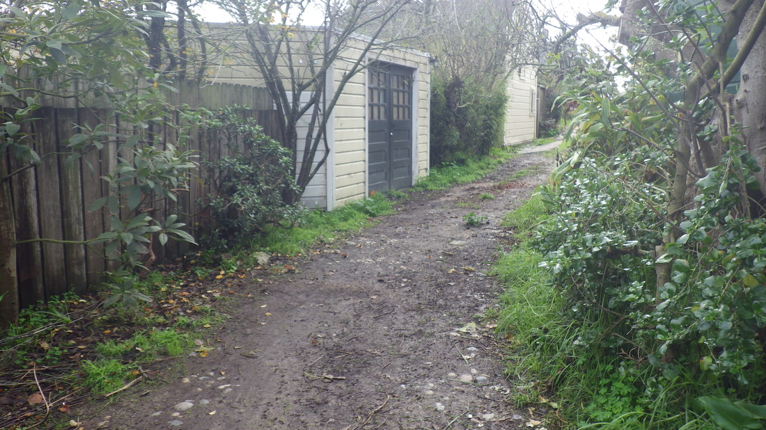
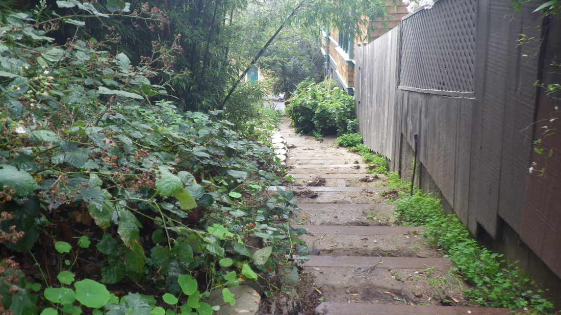
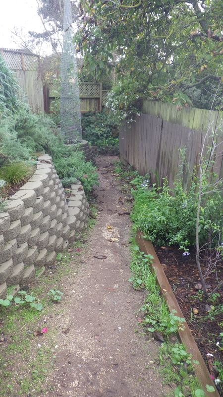
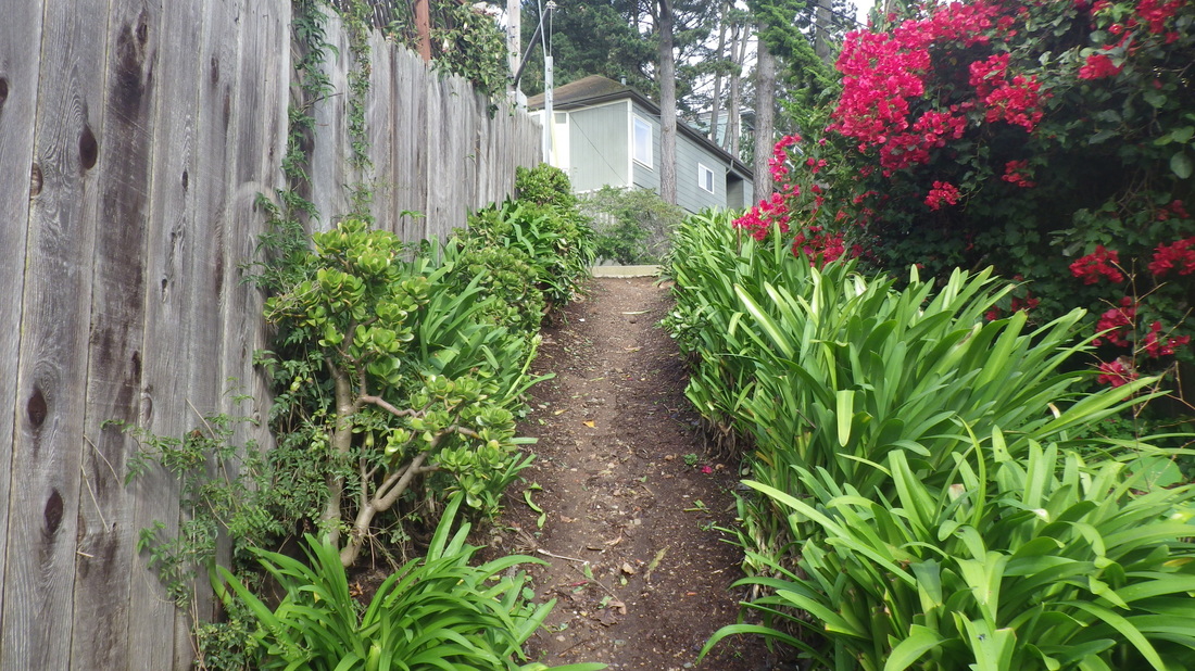
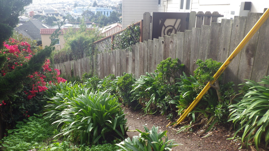
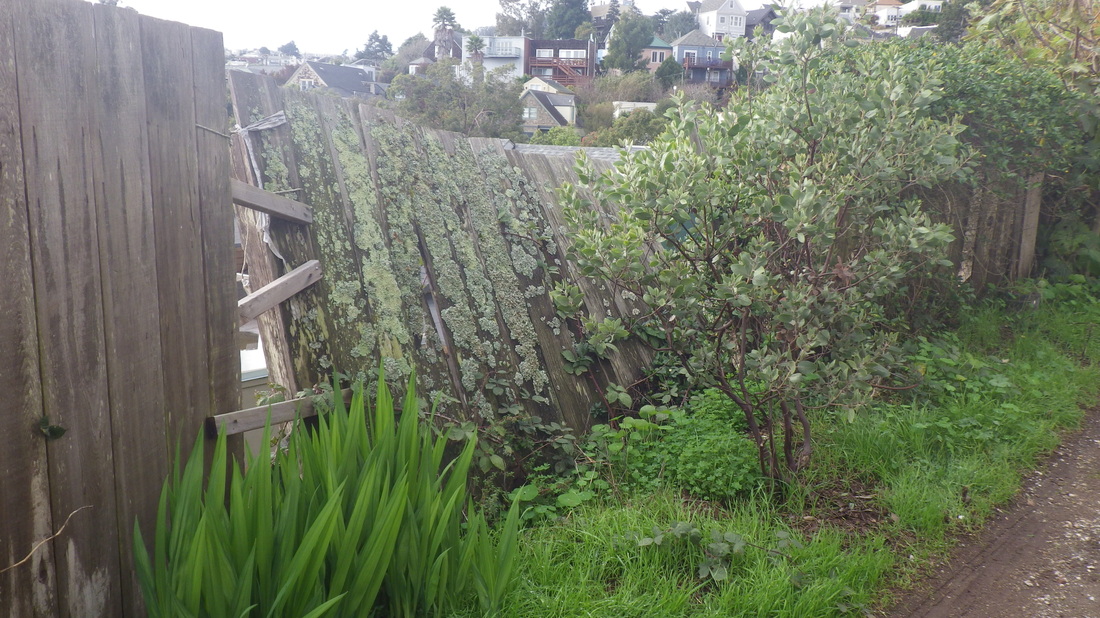
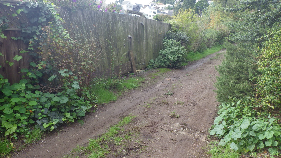
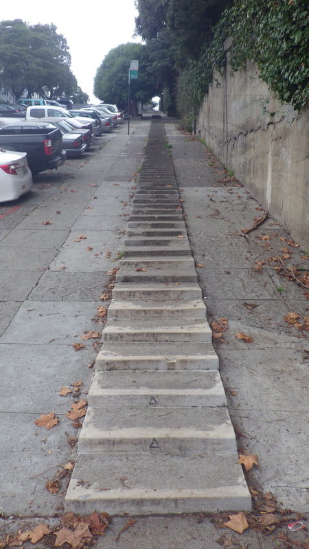
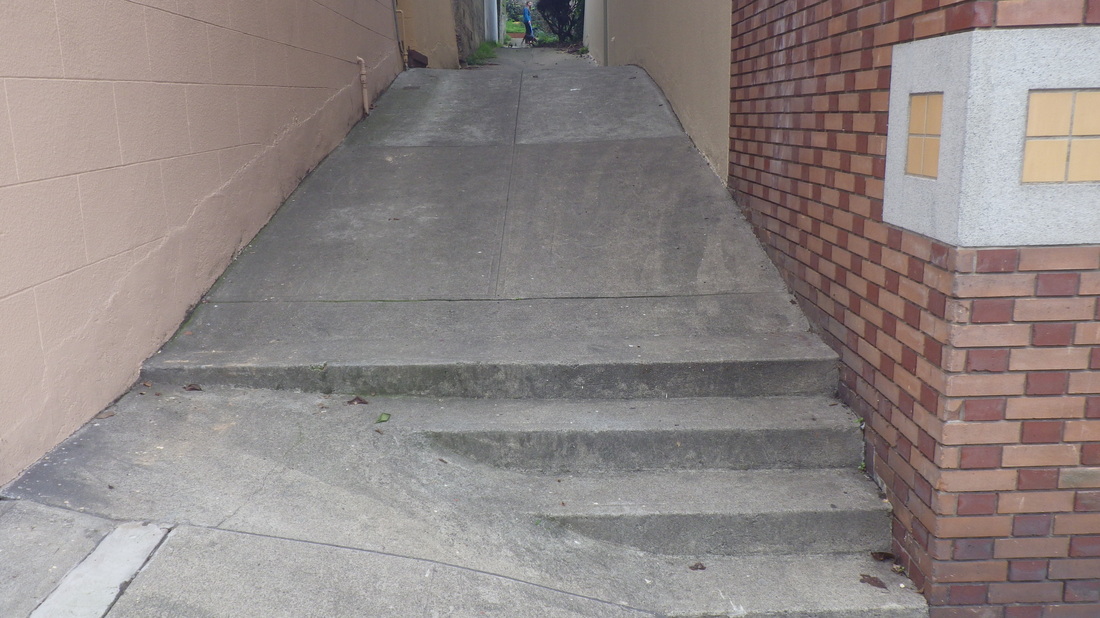
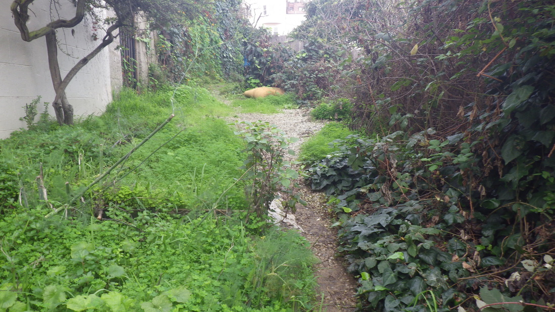
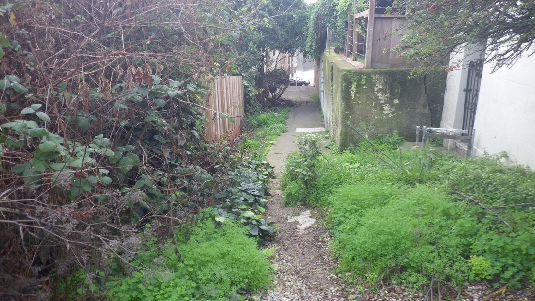
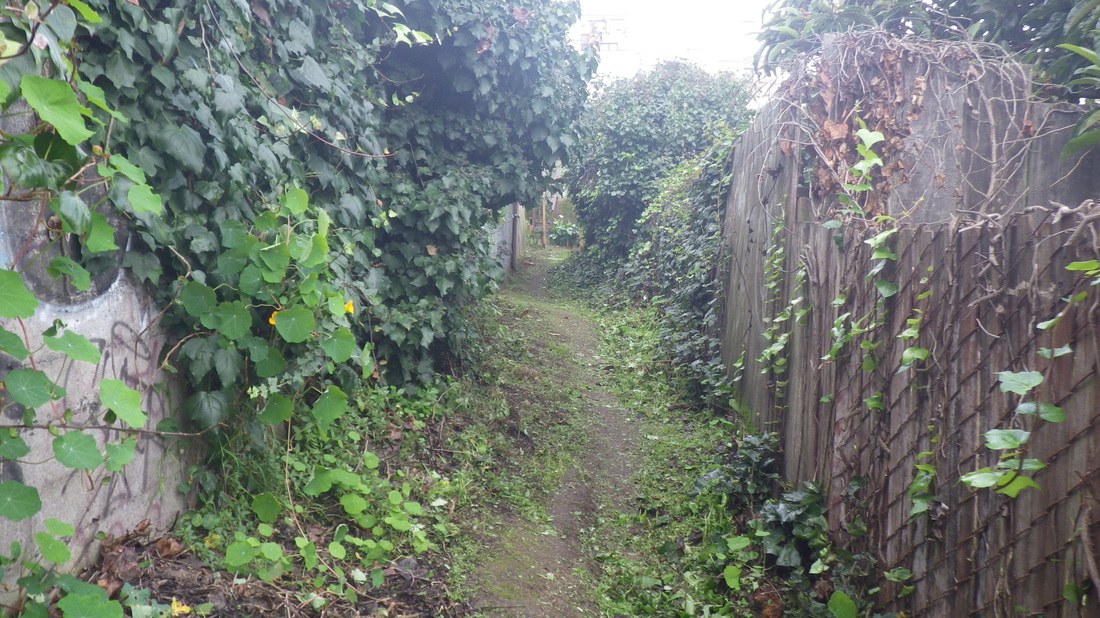
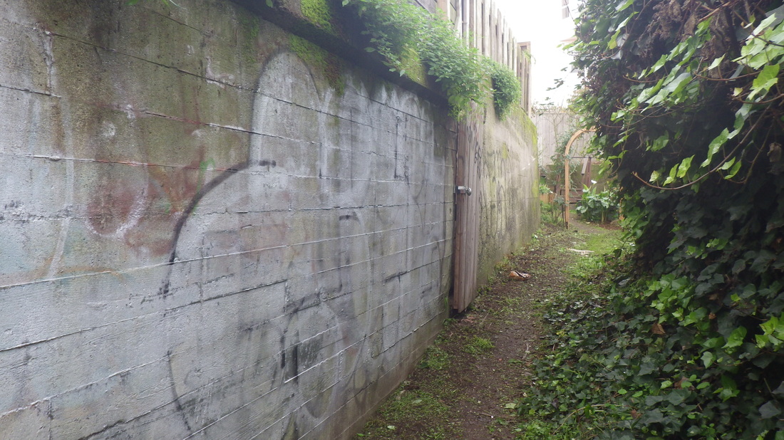
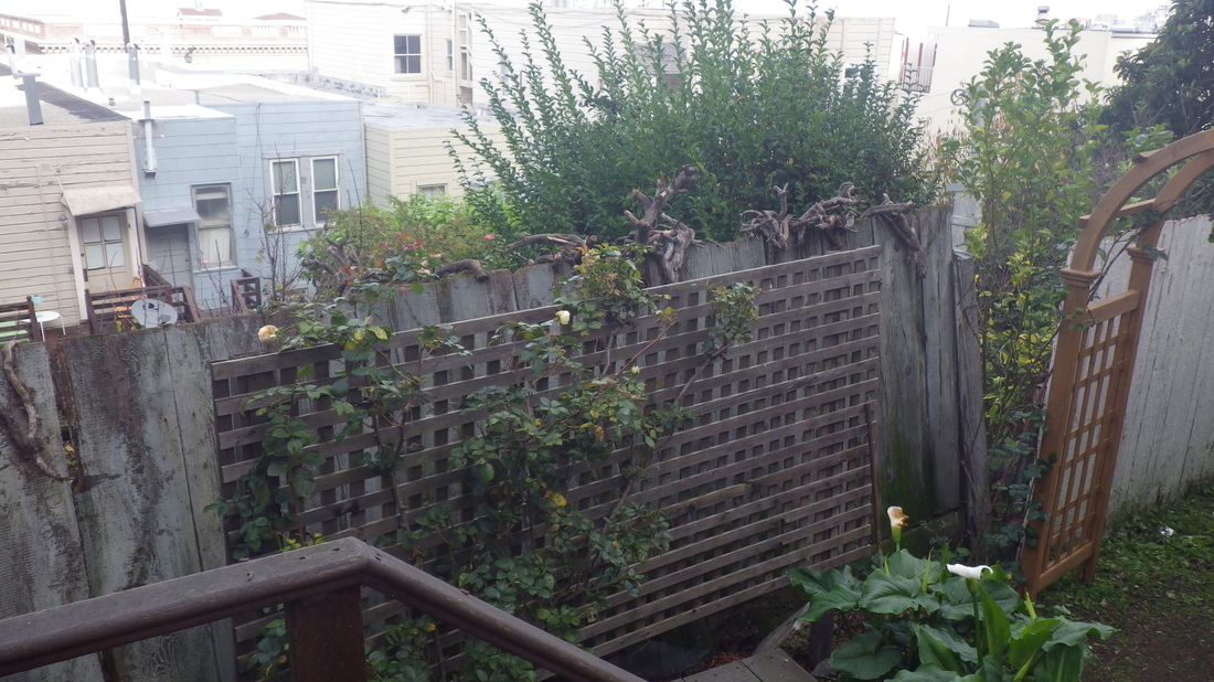
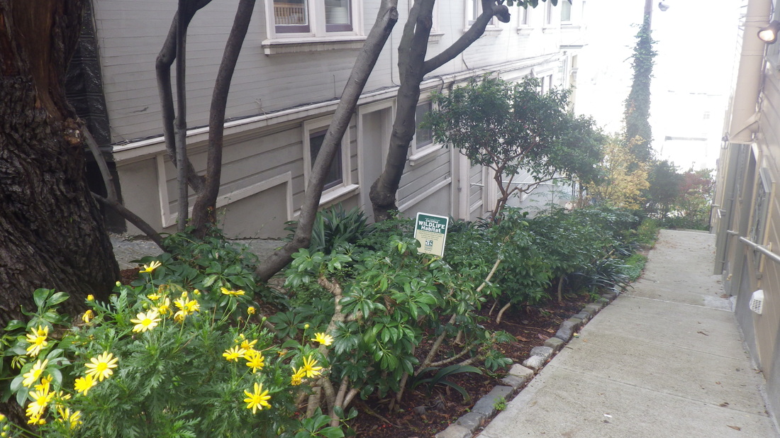
Part of walkers-only Bellair Place in North Beach is part roughly paved, part dirt, so guess this doesn’t count as one of the city's remaining “dirt roads” as it’s not all dirt. It’s between Pfeiffer and Chestnut, Grant and Stockton. There’s a street sign at 349 Chestnut; it starts off is a paved walk with plantings, then the part-dirt half. The last, lower, section is a vehicle street. First three pix.
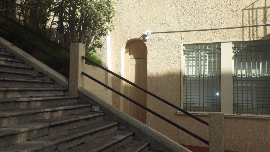
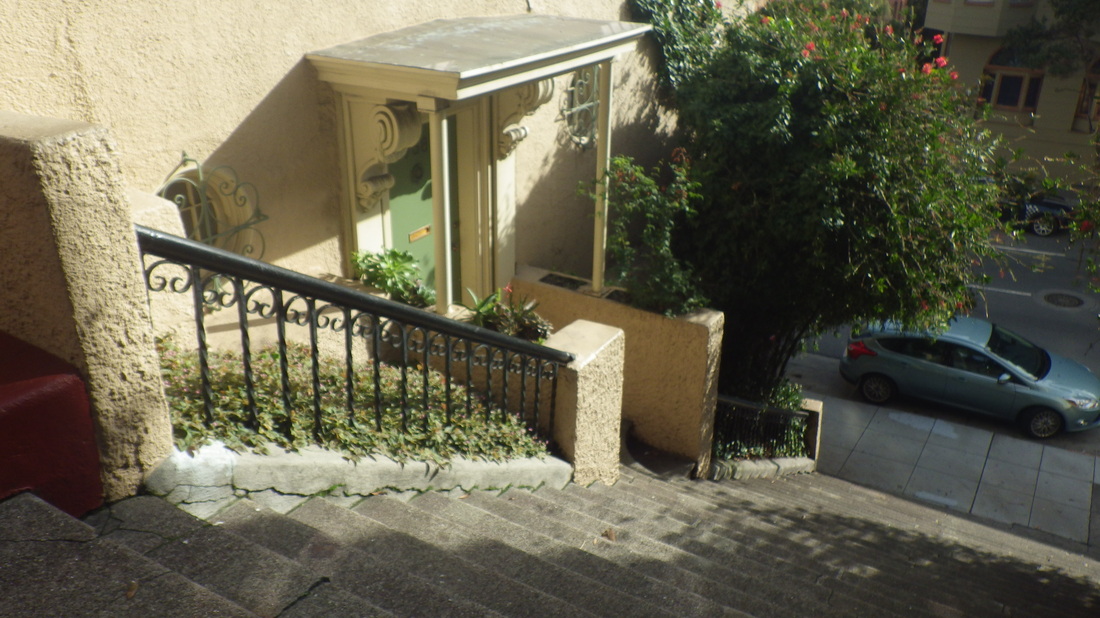
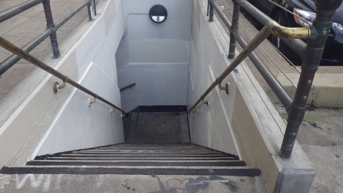
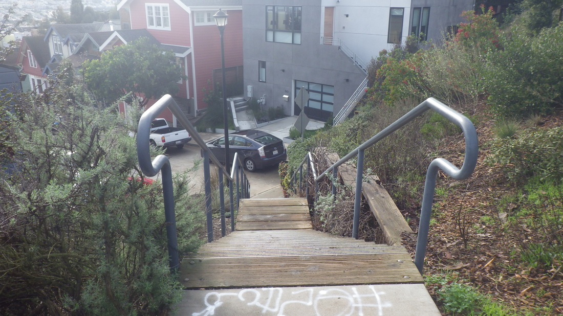
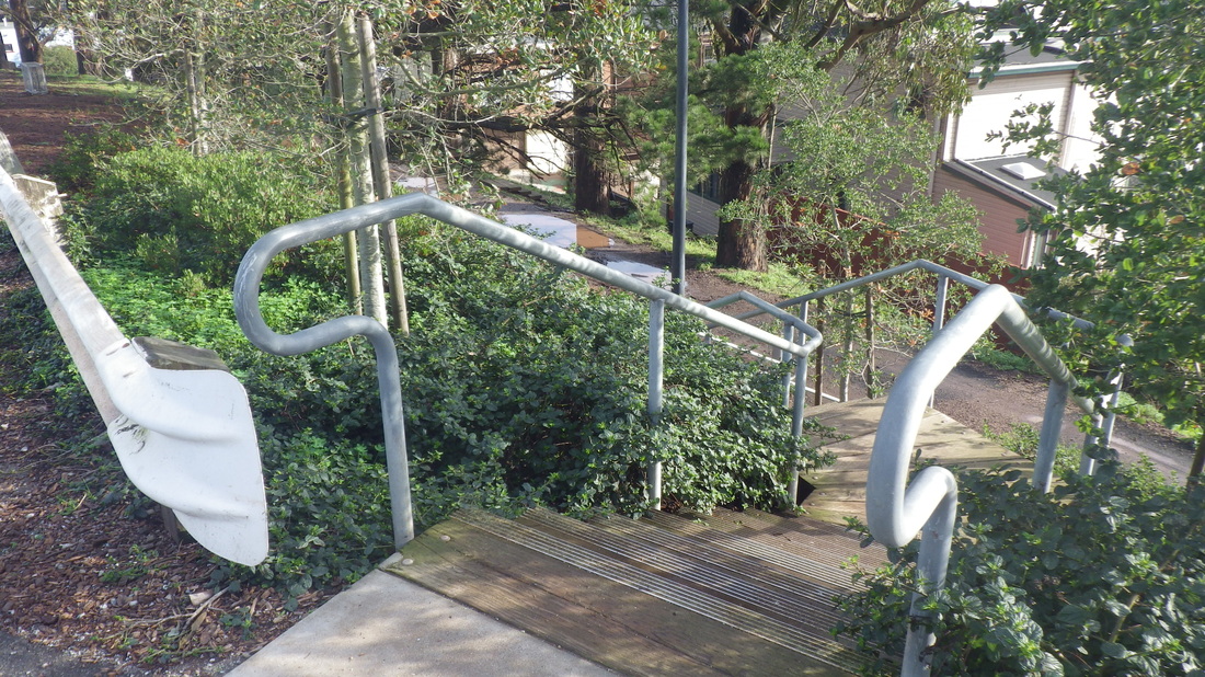
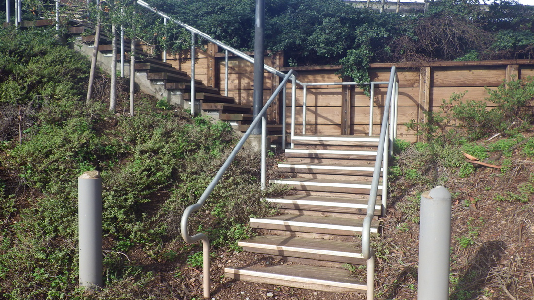
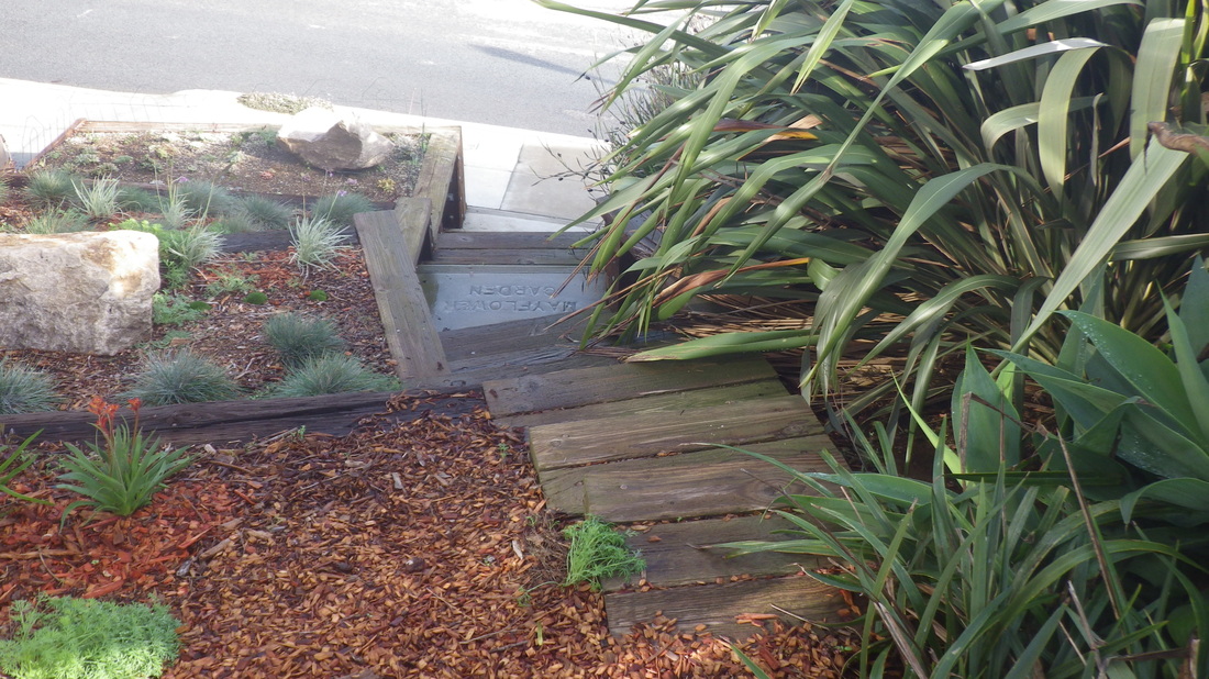
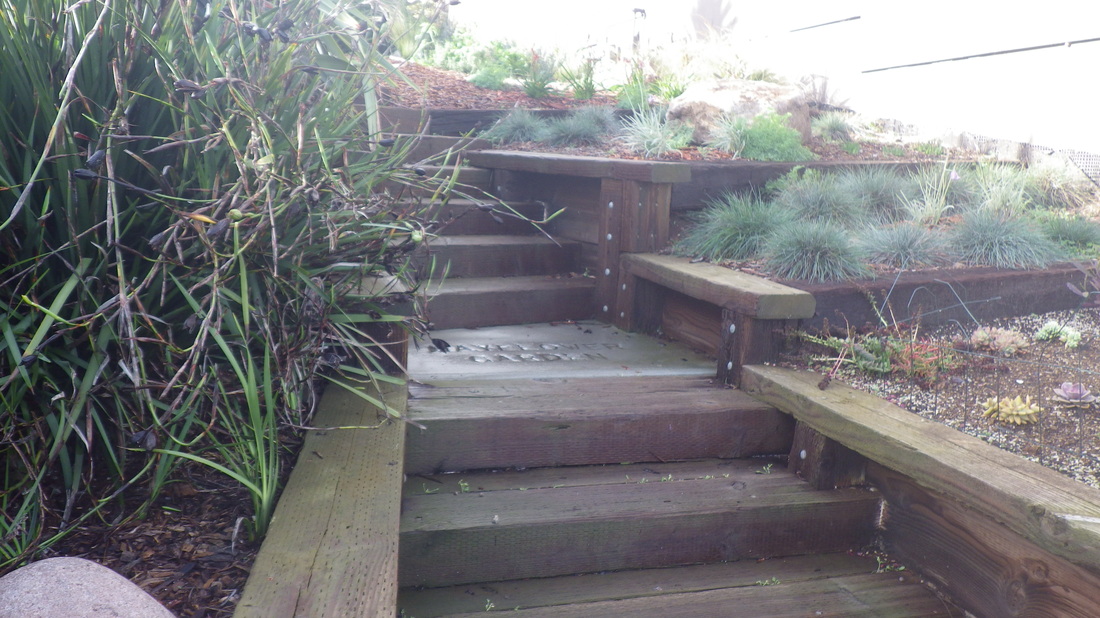
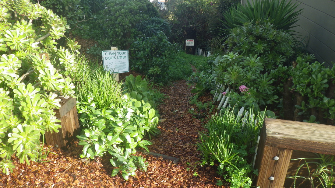
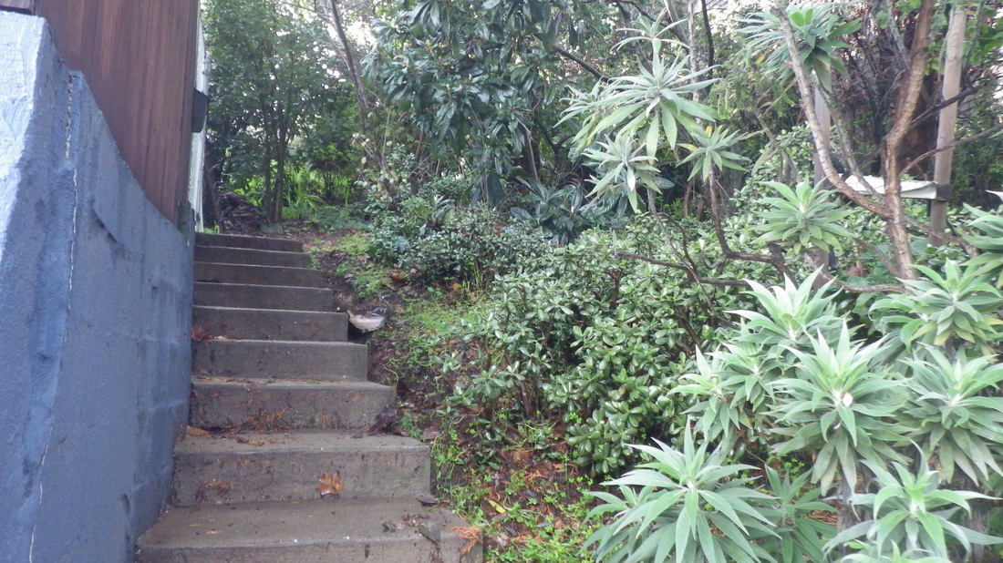
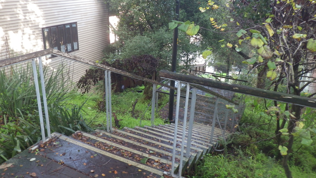
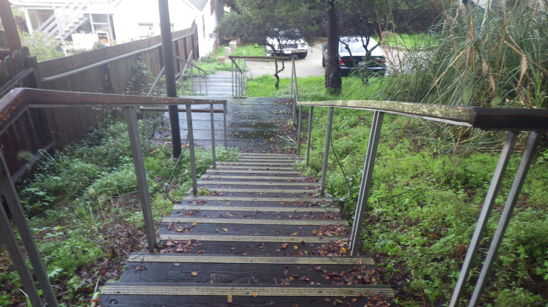
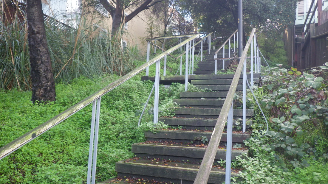
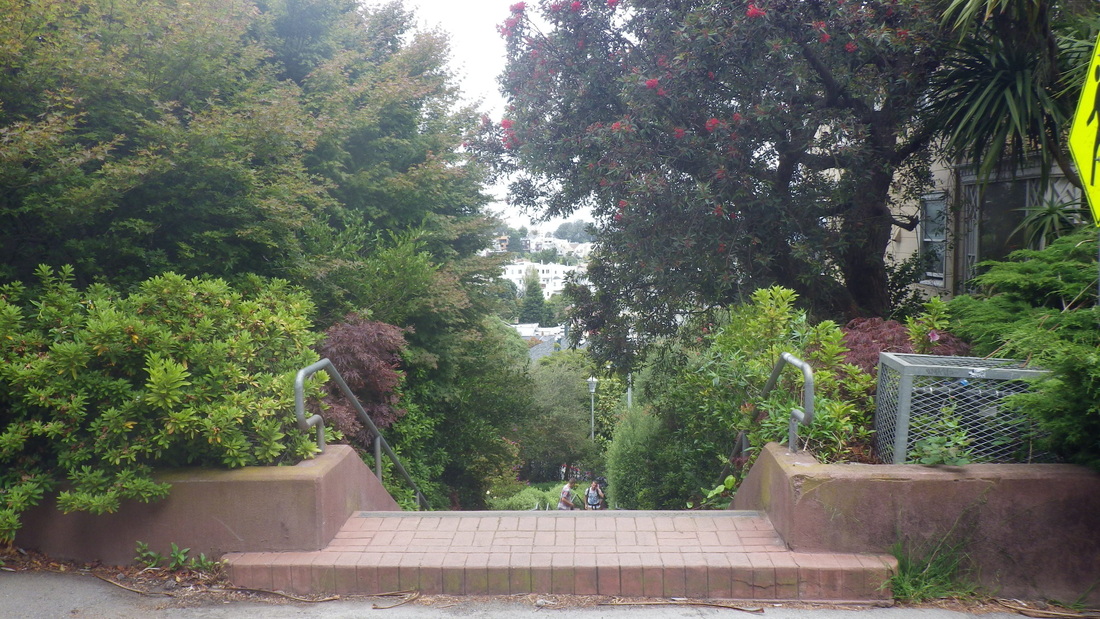
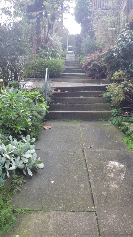
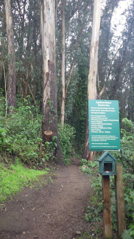
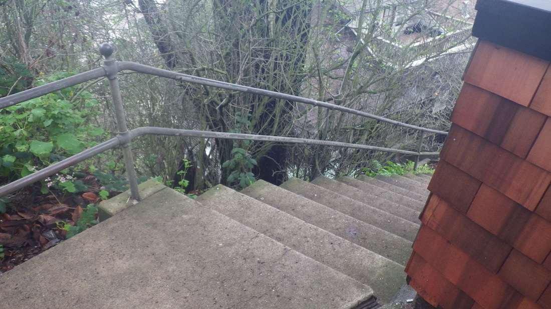
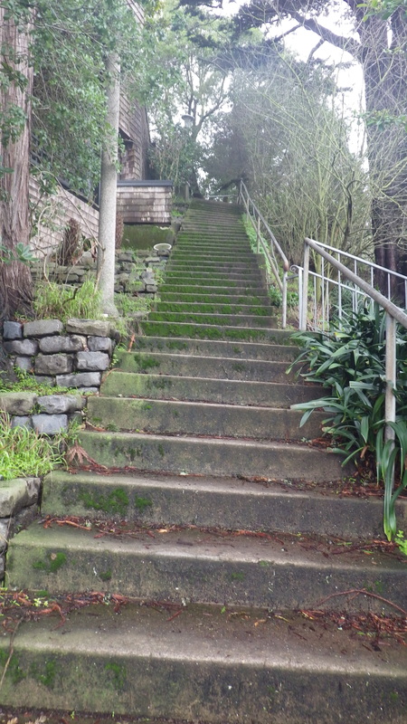
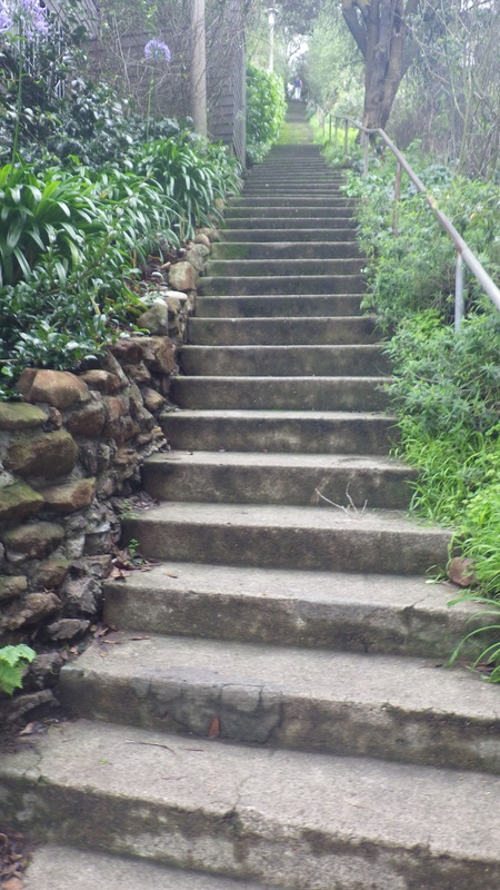
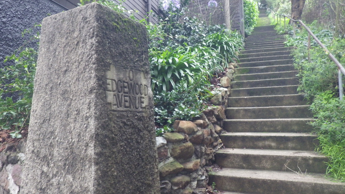
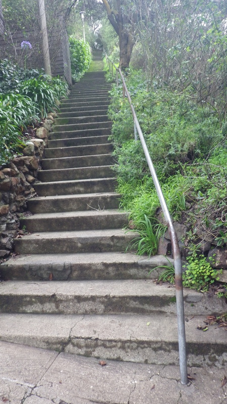
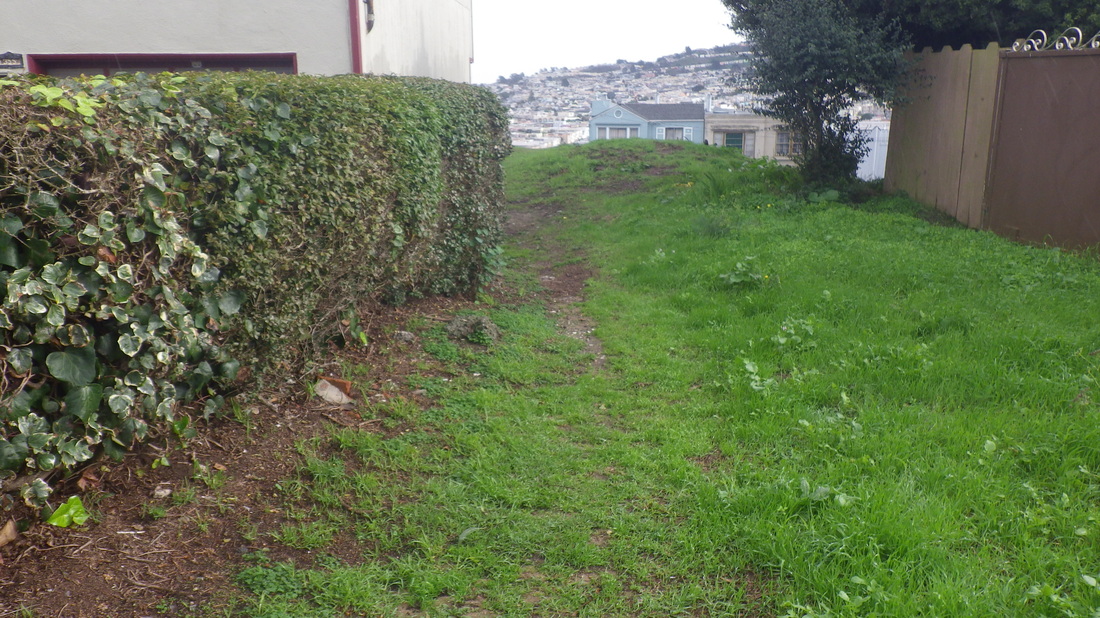
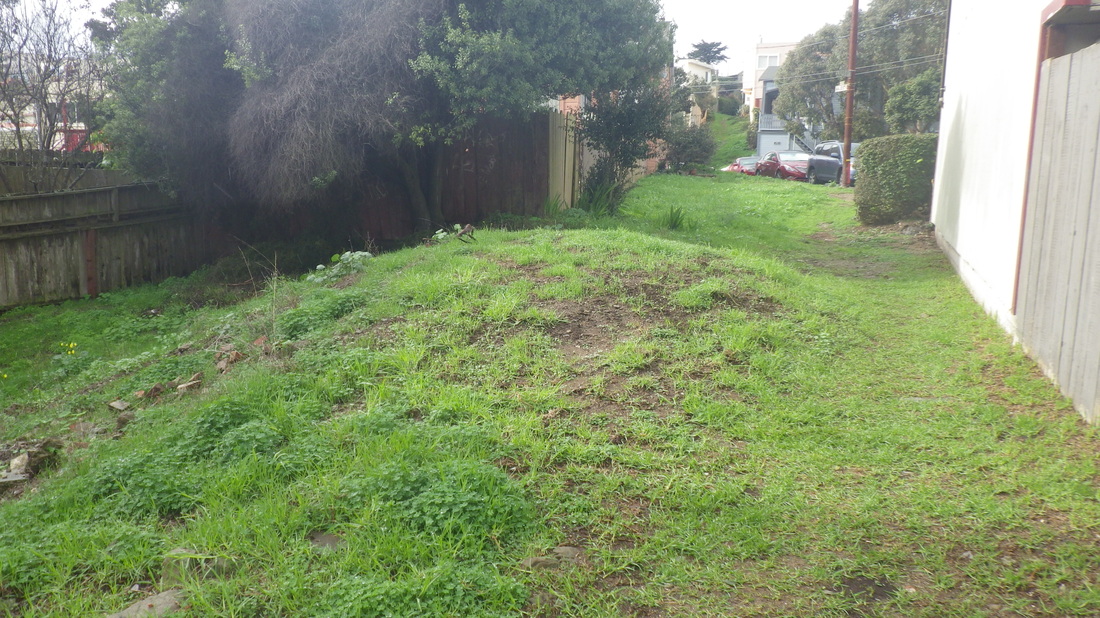
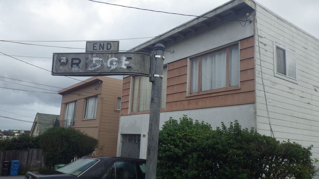
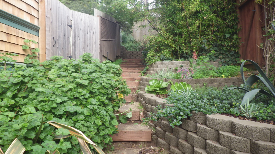
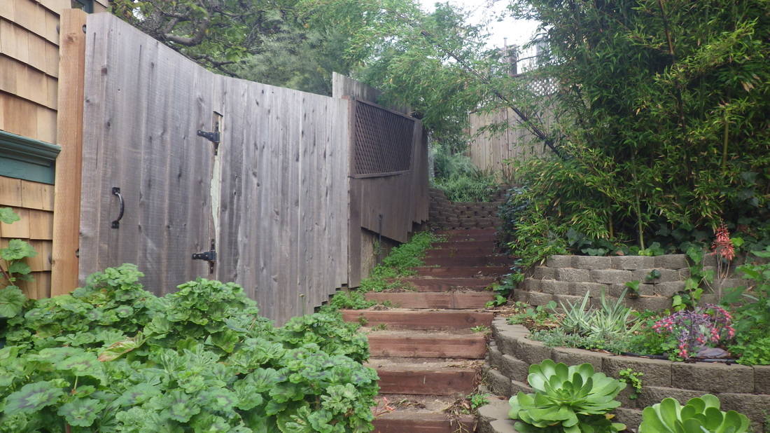
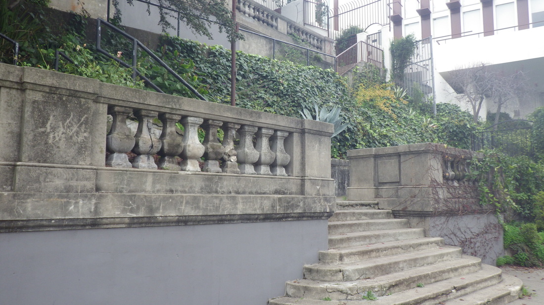
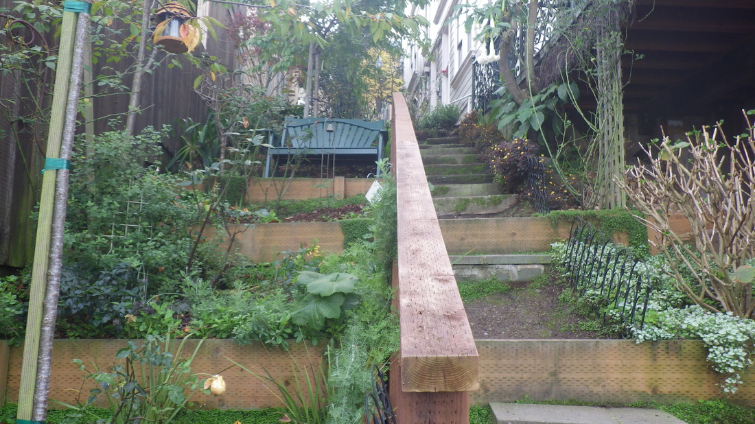
It’s just down the street from the unique stairway-minipark that’s Jack Early Park. Pix 4 thru 8, 64 steps.
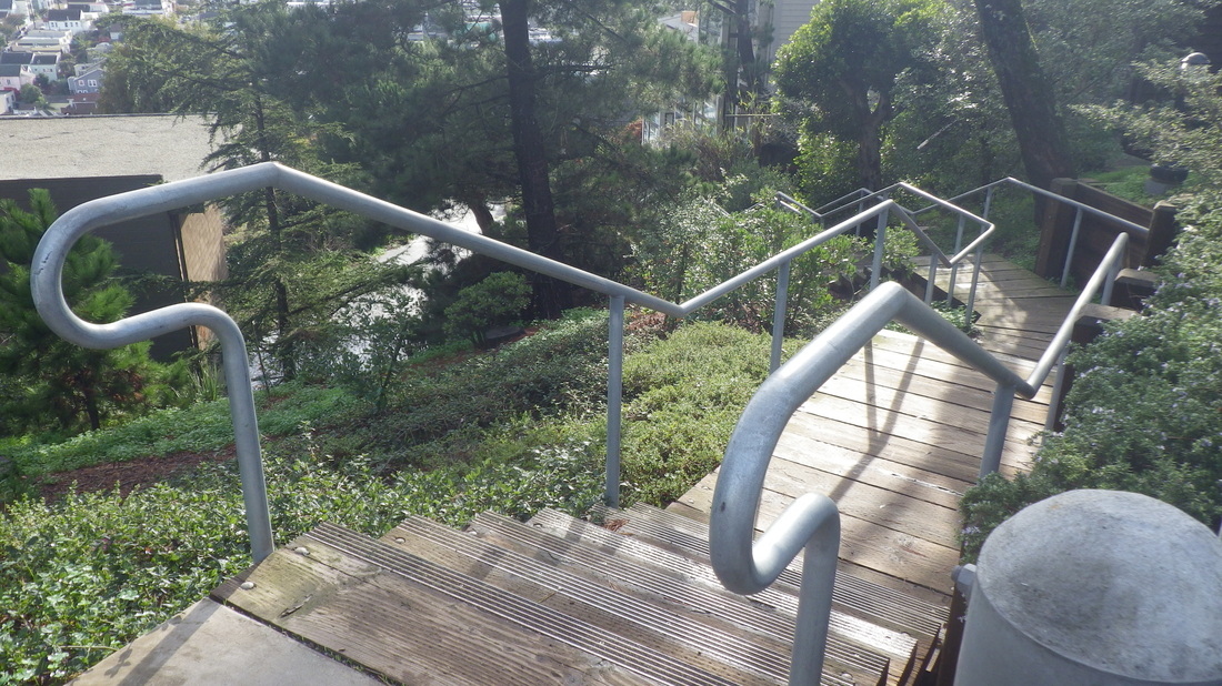
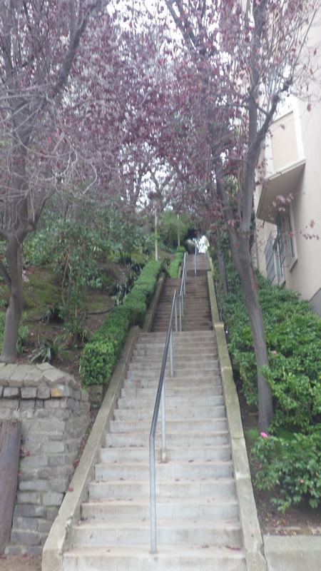
This hike first took me up Nob Hill’s Joice stairway, 67 steps. Joice ascends from Pine partway to California St. Partway up, the altar is still there: 9 thru 12.
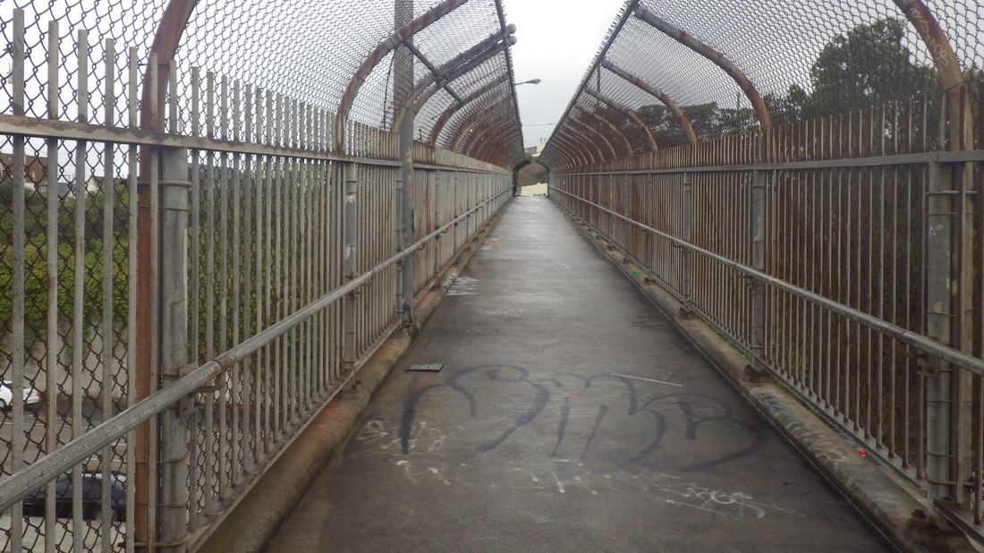
There was also the Stockton Tunnel stairway on my way to North Beach. This takes you from Nob Hill down into Chinatown, 40 steps: 13, 14.
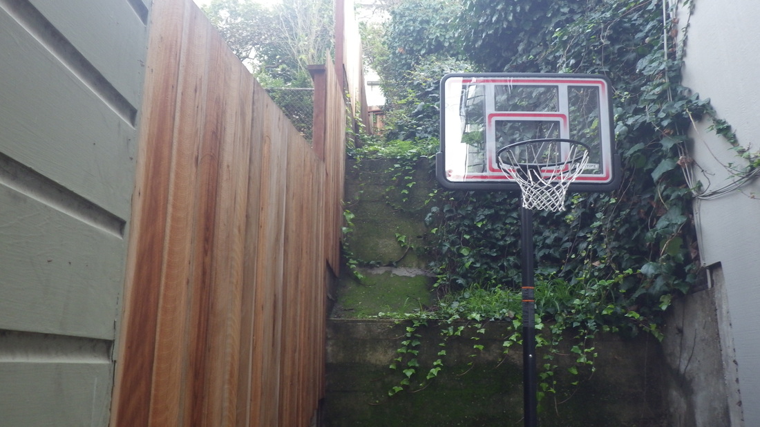
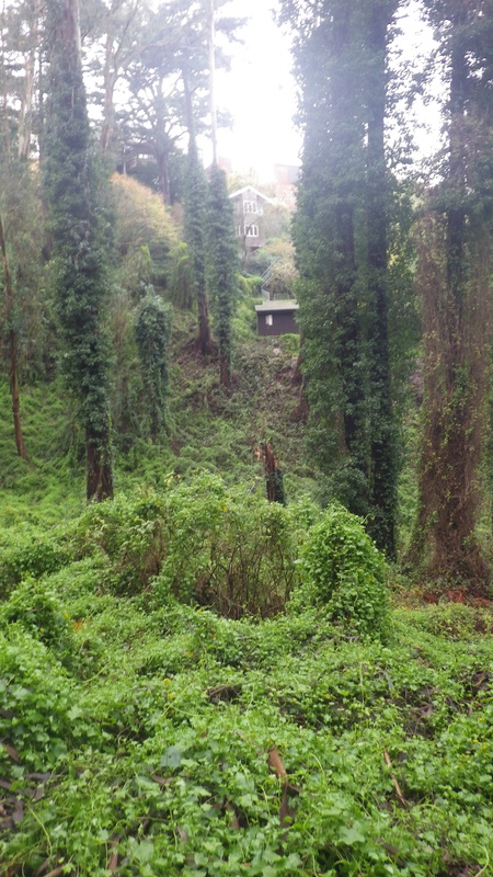
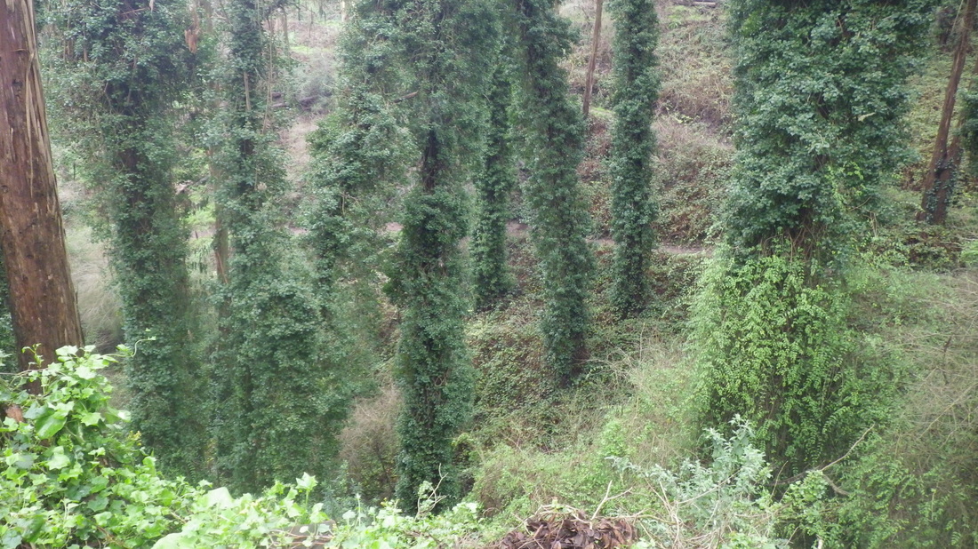
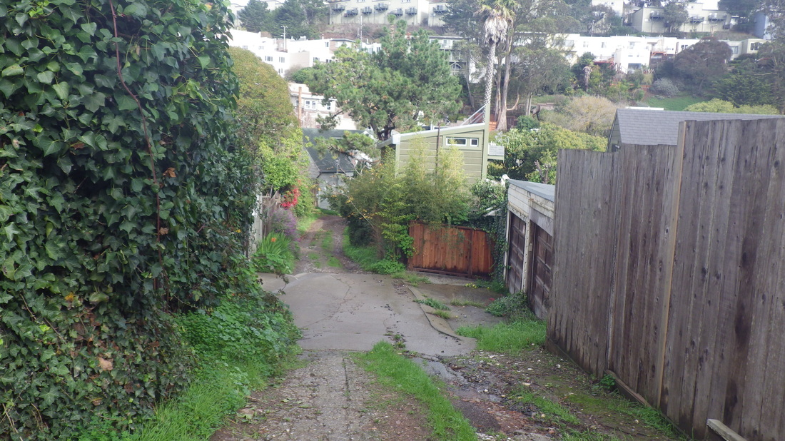
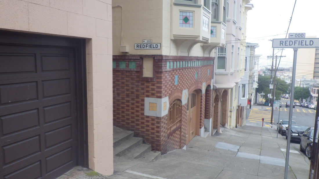
Hillwalking over from North Beach, checked out Russian Hill’s Redfield Alley again, this time the part that Google Maps says is through out to Filbert. Not anymore. The gate was unlocked; it’s blocked off at the end with a basketball net standing against a wall. Saw no way up from this end but could see some of the garden above from here.
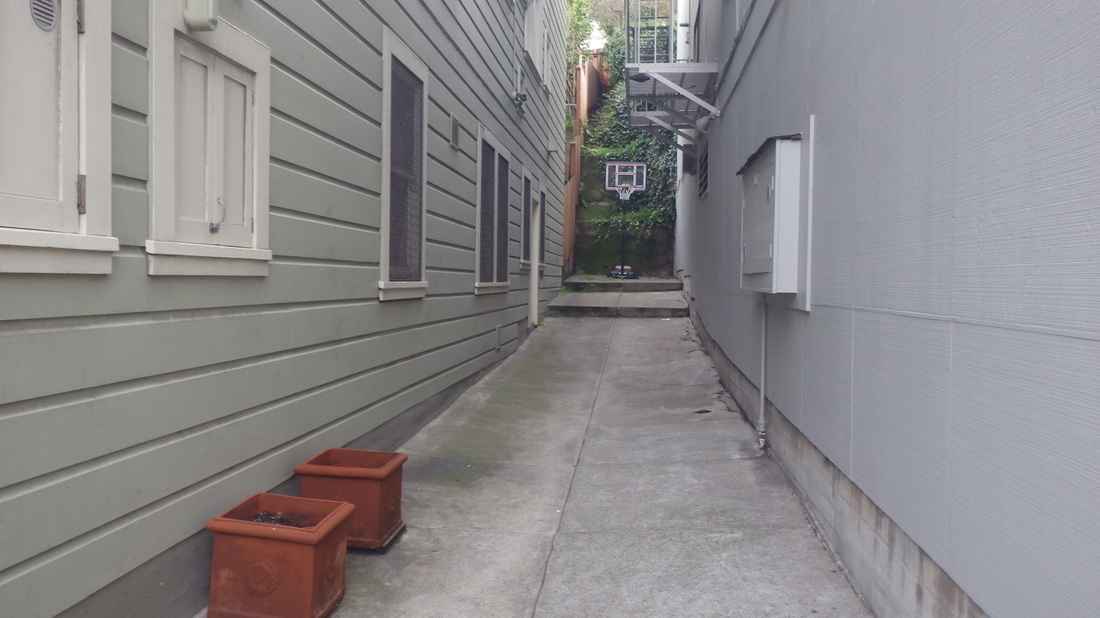
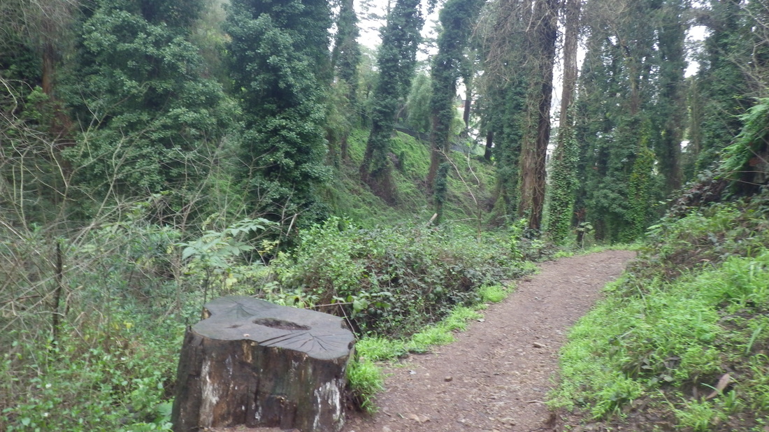
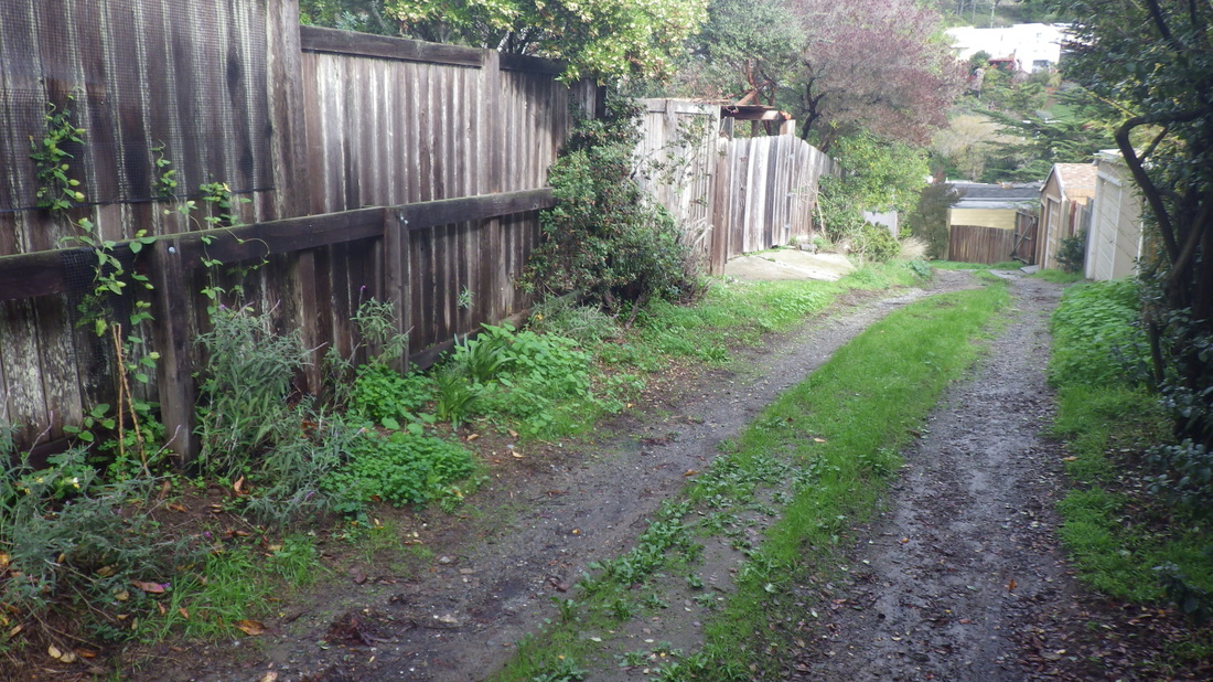
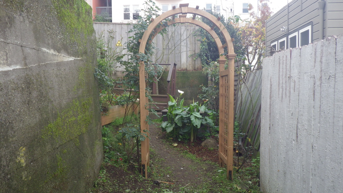
So the alley has indeed been rerouted and now the way to see the stairway garden is by entering either from Taylor or Marion (entrance at Union for Marion; there’s a street sign here). Pix 15, 16, 17.
The Macondray Lane steps as seen from across the street on Taylor, pic 18.
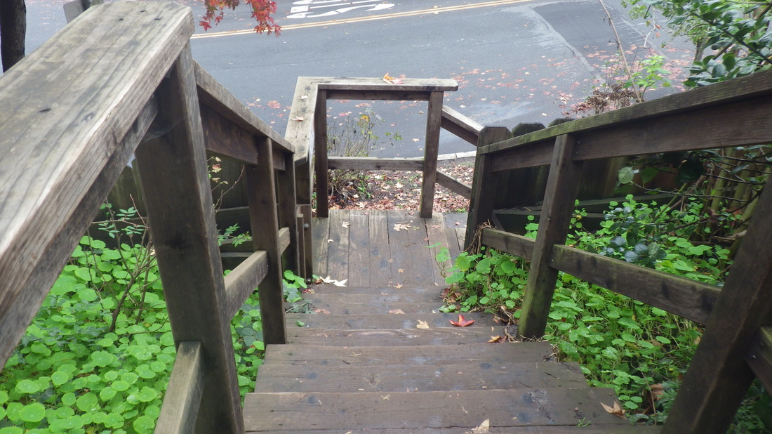
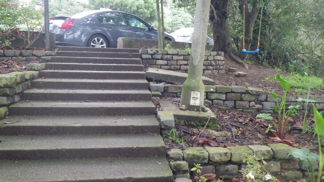
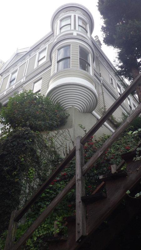
Pic 19 is the top of Fallon Place at Vallejo. Can no longer find that library book about how Fallon used to look, written by a resident many years ago. It’s an up’n back; you can walk it but there’s no way out to Ina Coolbrith Park nor Mason St. below. Googling didn’t reward me with the exact title but it’s something like “The San Francisco Street of 80 steps.”
It’s just down the street from the unique stairway-minipark that’s Jack Early Park. Pix 4 thru 8, 64 steps.
This hike first took me up Nob Hill’s Joice stairway, 67 steps. Joice ascends from Pine partway to California St. Partway up, the altar is still there: 9 thru 12.
There was also the Stockton Tunnel stairway on my way to North Beach. This takes you from Nob Hill down into Chinatown, 40 steps: 13, 14.
Hillwalking over from North Beach, checked out Russian Hill’s Redfield Alley again, this time the part that Google Maps says is through out to Filbert. Not anymore. The gate was unlocked; it’s blocked off at the end with a basketball net standing against a wall. Saw no way up from this end but could see some of the garden above from here.
So the alley has indeed been rerouted and now the way to see the stairway garden is by entering either from Taylor or Marion (entrance at Union for Marion; there’s a street sign here). Pix 15, 16, 17.
The Macondray Lane steps as seen from across the street on Taylor, pic 18.
Pic 19 is the top of Fallon Place at Vallejo. Can no longer find that library book about how Fallon used to look, written by a resident many years ago. It’s an up’n back; you can walk it but there’s no way out to Ina Coolbrith Park nor Mason St. below. Googling didn’t reward me with the exact title but it’s something like “The San Francisco Street of 80 steps.”
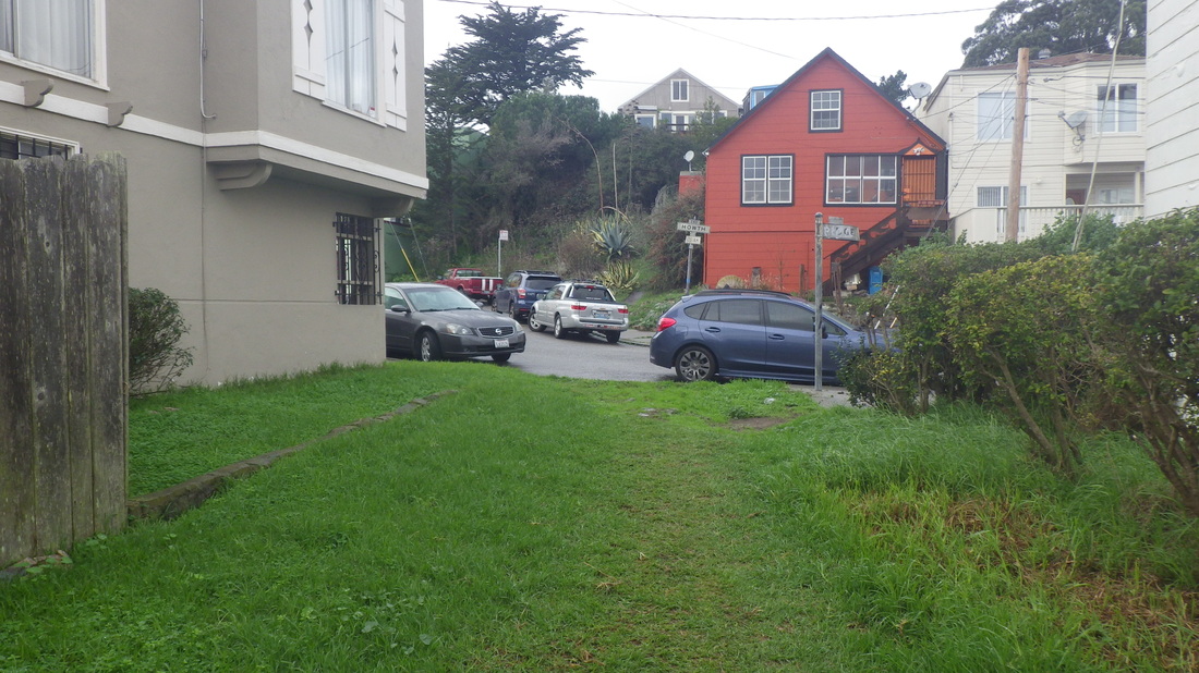
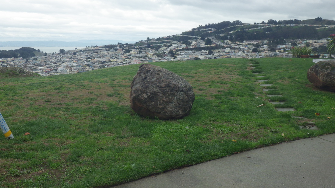
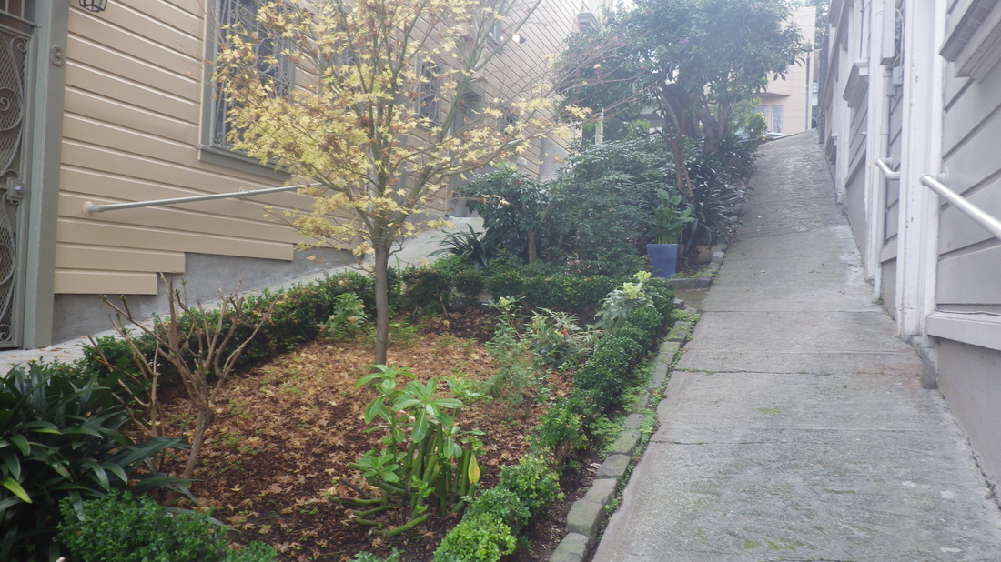
1. Top of Bellair
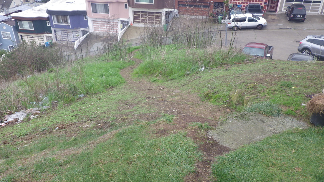
2. The top block of Bellair is walkers-only
3. The first block's lower half is part dirt, part roughly paved
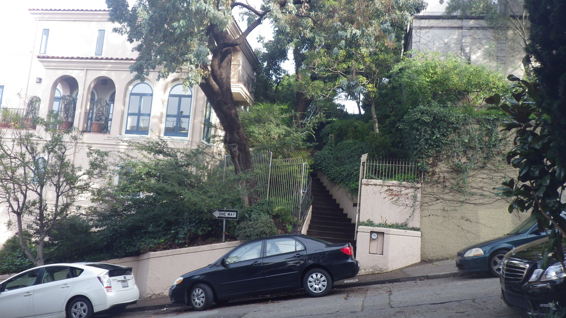
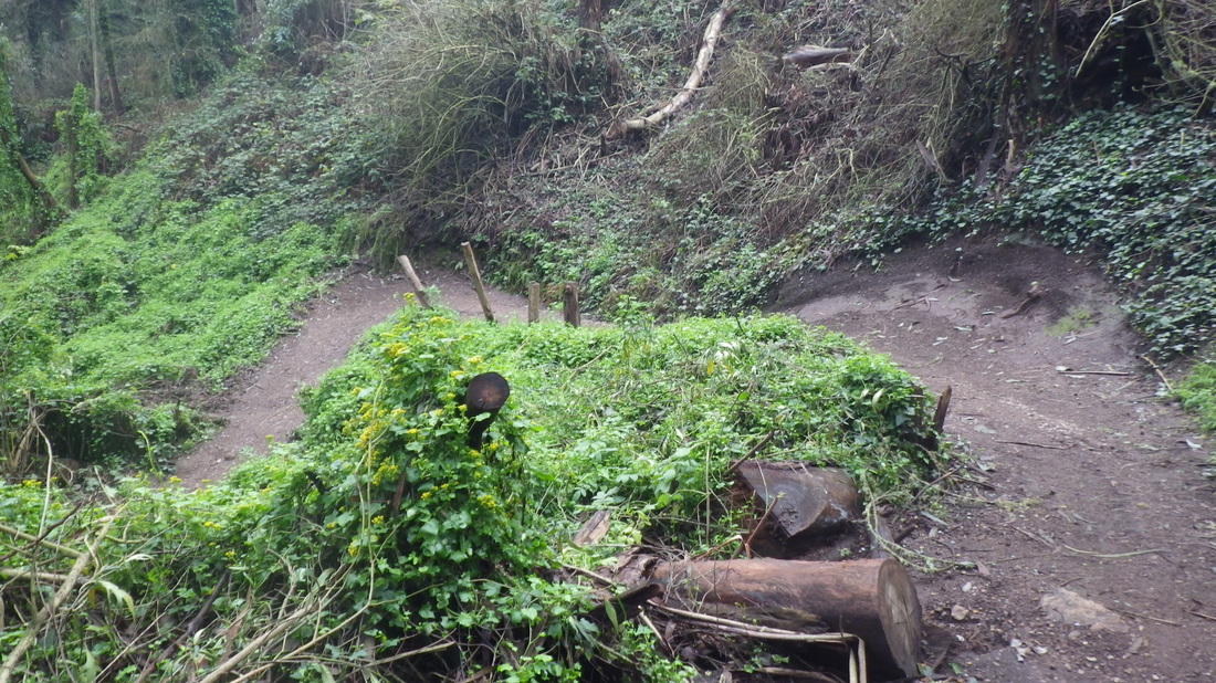
4. Jack Early Park up ahead
5. A unique stairway minipark

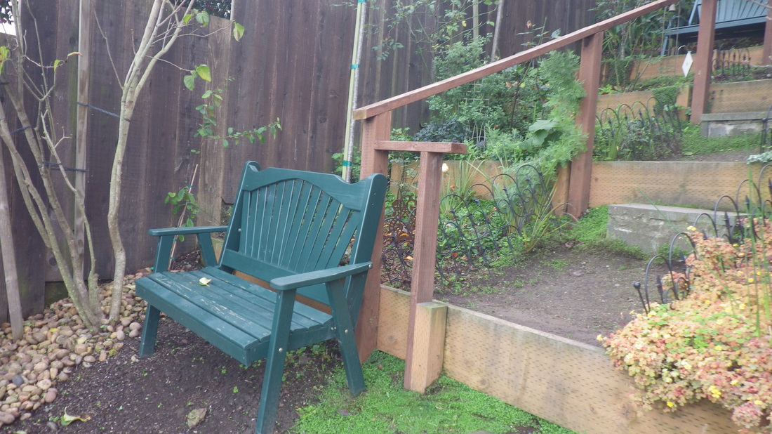
6. Benches partway up
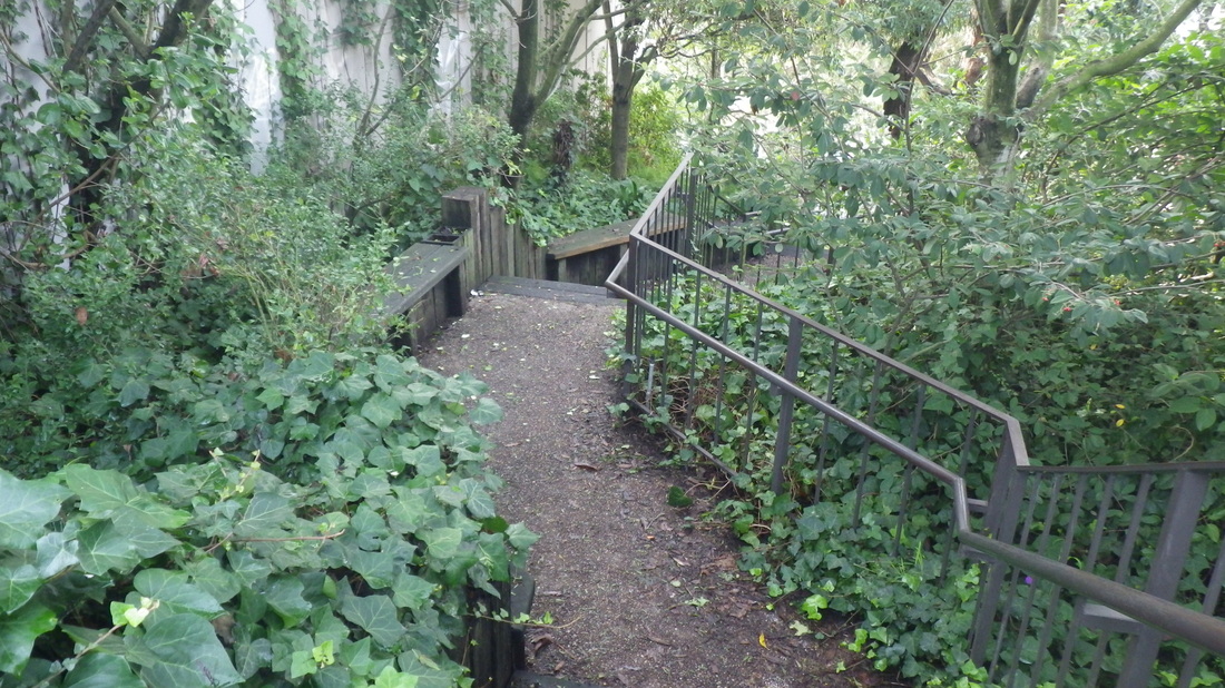
7. 64 steps
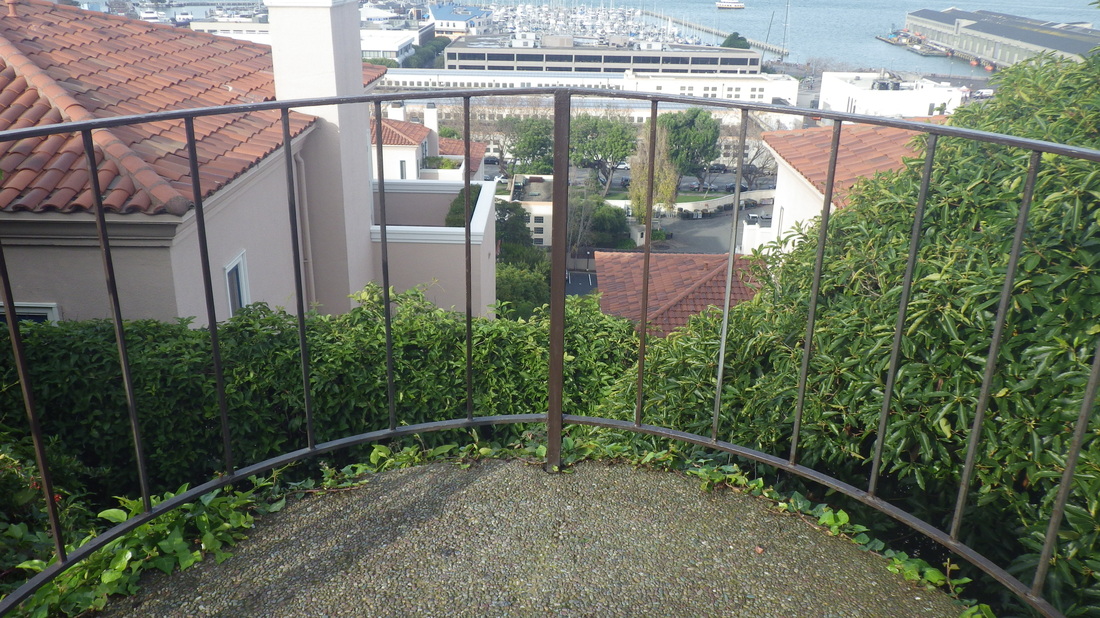
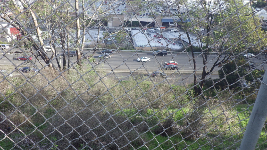
8. Top viewspot
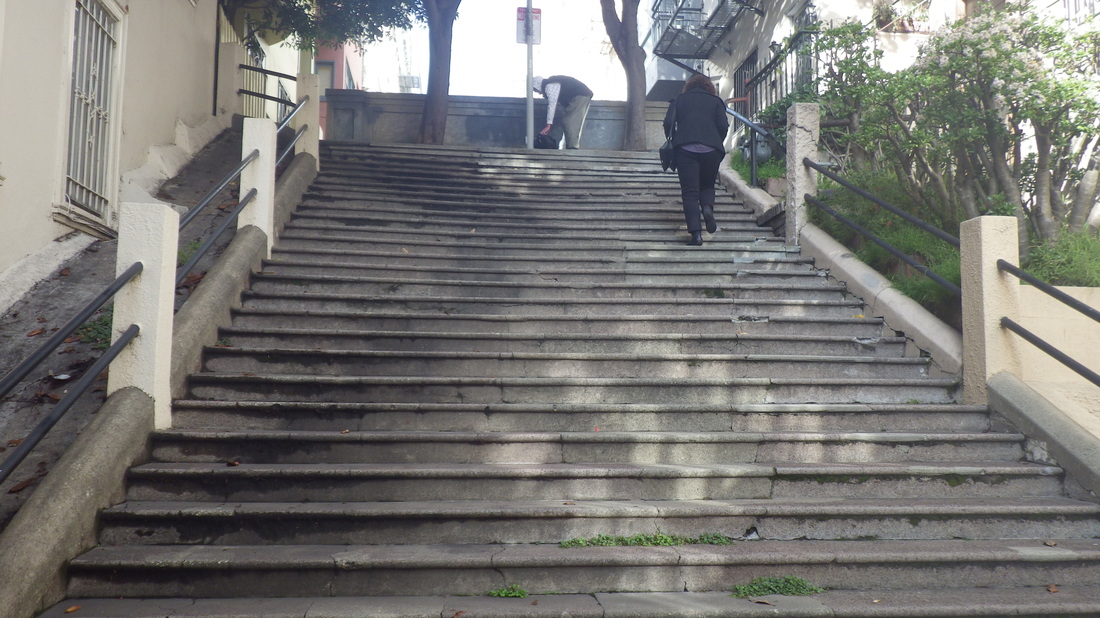
9. Joice, Nob Hill
10. Pine St. partway to California
11. 67 steps
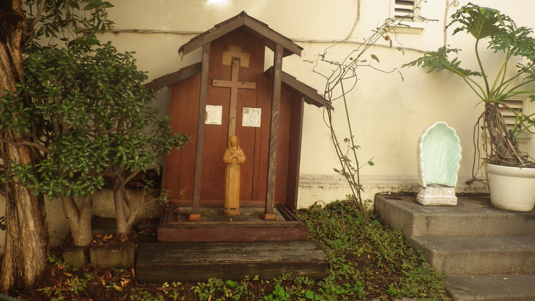
12. Joice stairway's altar has been there a long time
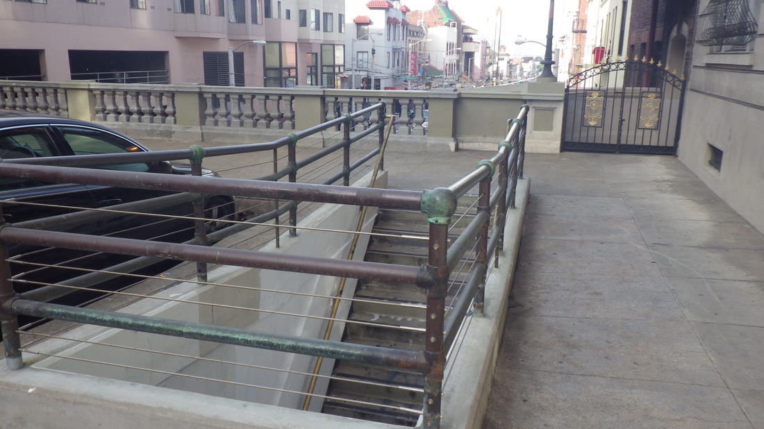
13. Stockton tunnel steps down into Chinatown
14. 40 steps
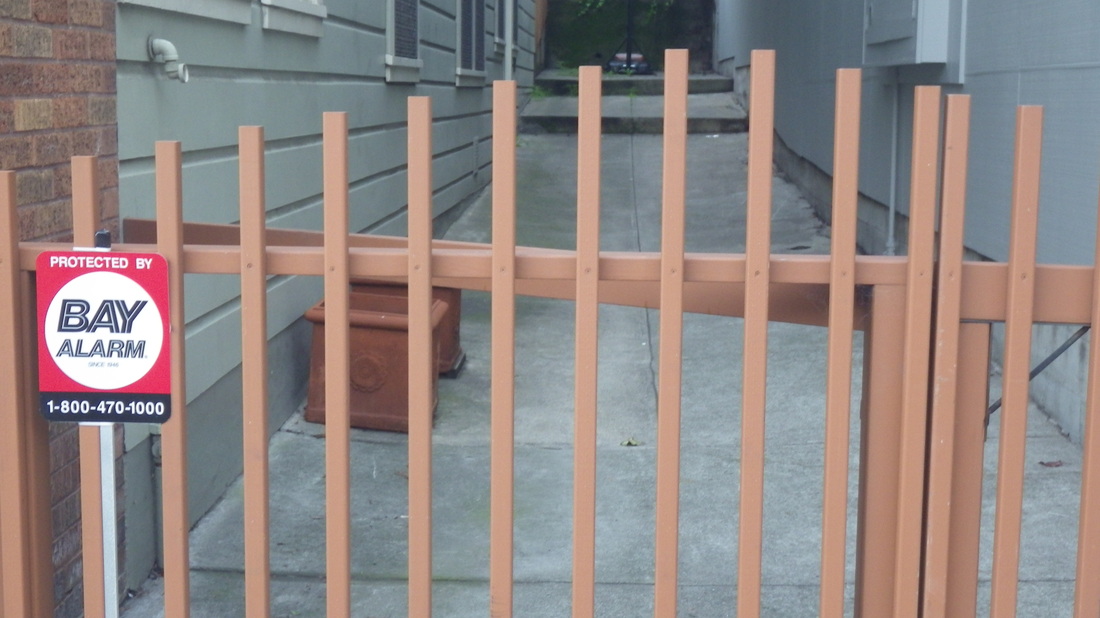
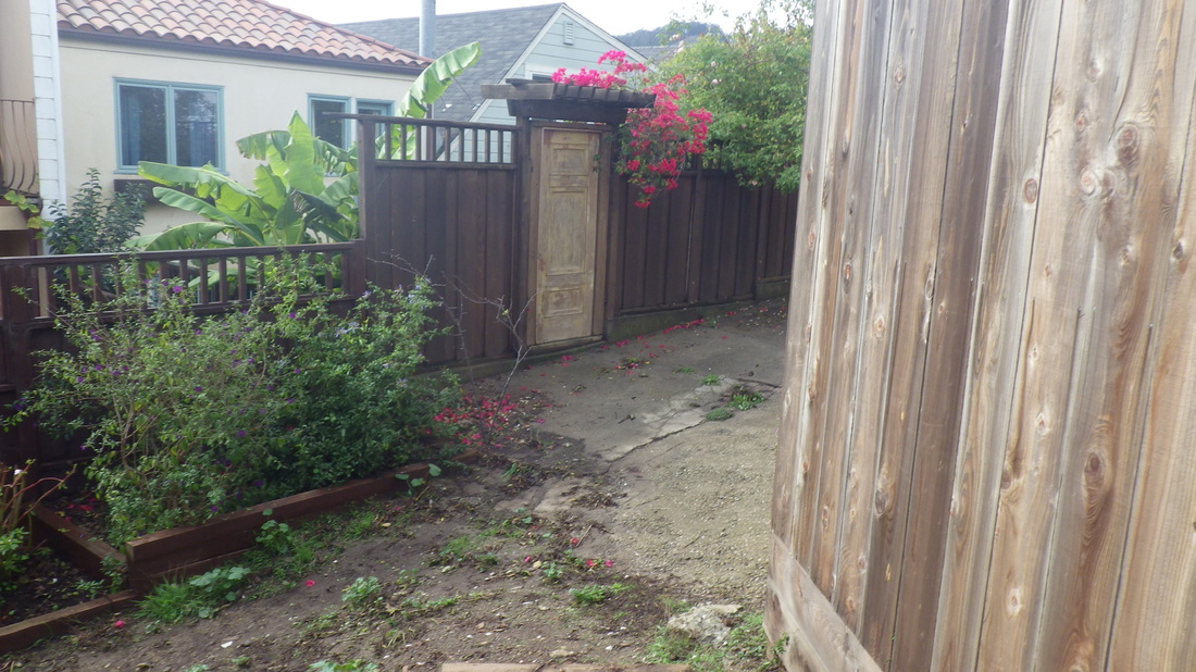
15. Redfield Alley's dead-end at Filbert
16. Redfield Alley at Filbert
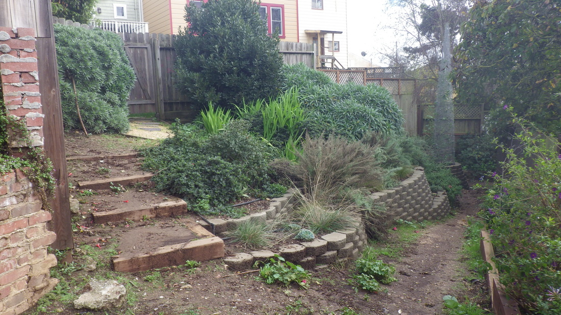
17. Enter Redfield's garden from either the Taylor or Union side
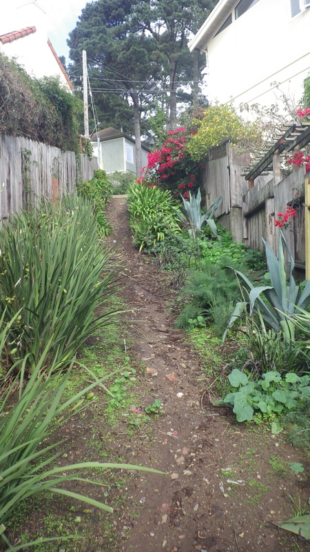
18. From Taylor, Macondray Lane's stairway up
19. Fallon Place down from Taylor next to Ina Coolbrith Park


 RSS Feed
