Stairways are Heaven
  • Home
  • About Me
  • Stairways are Heaven

Belgrave Trail on Mount Sutro

6/19/2015

0 Comments

 
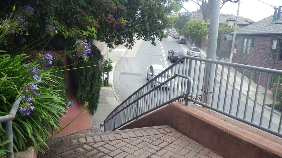
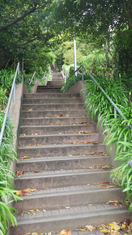
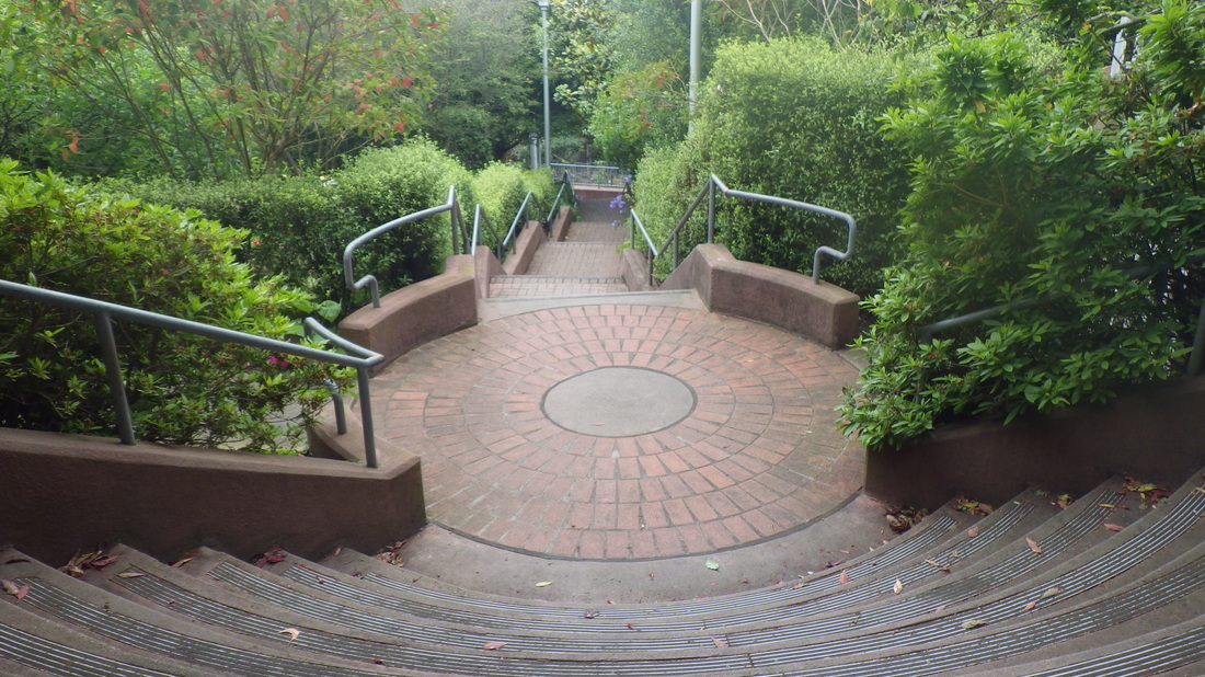
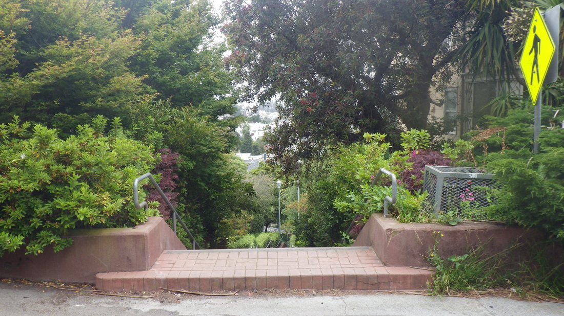
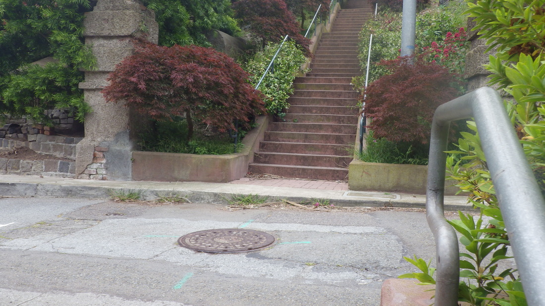
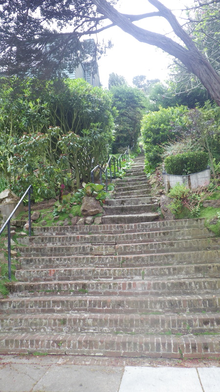
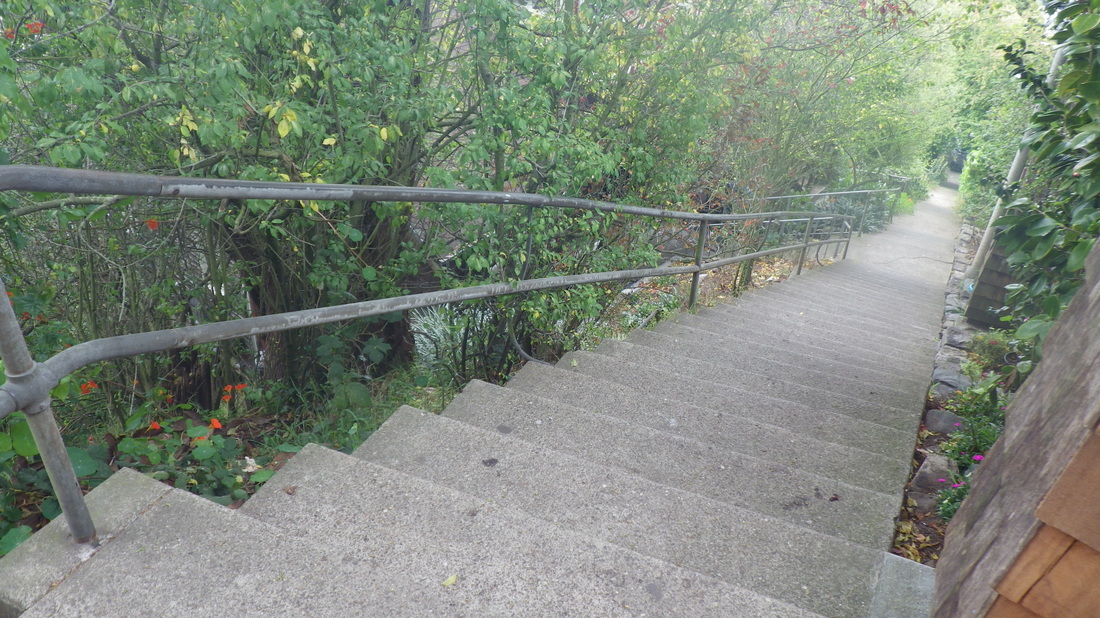
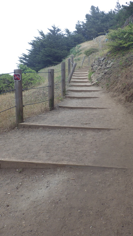
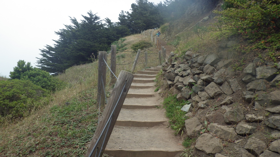
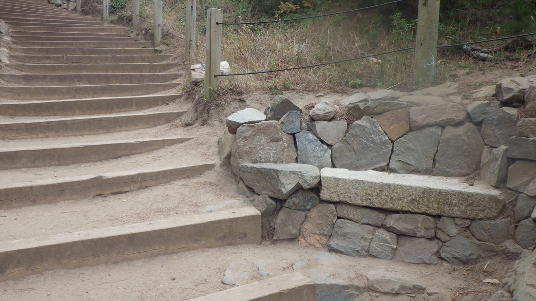
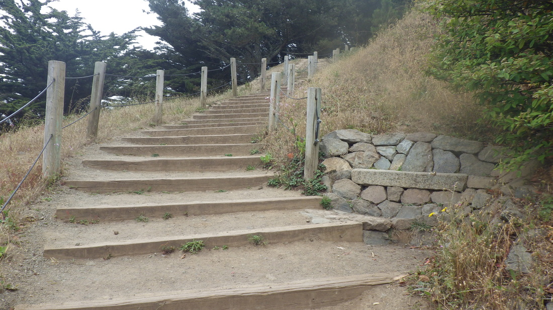
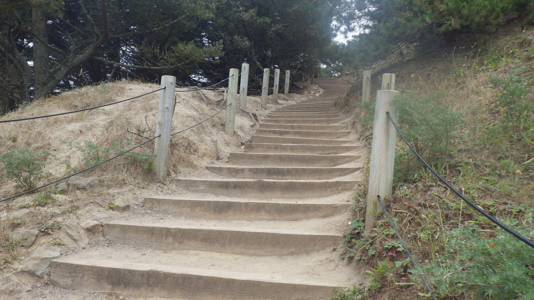
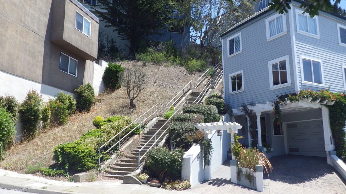
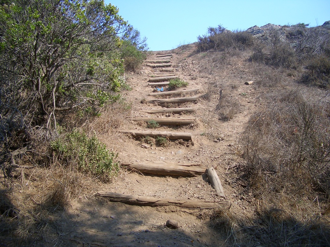
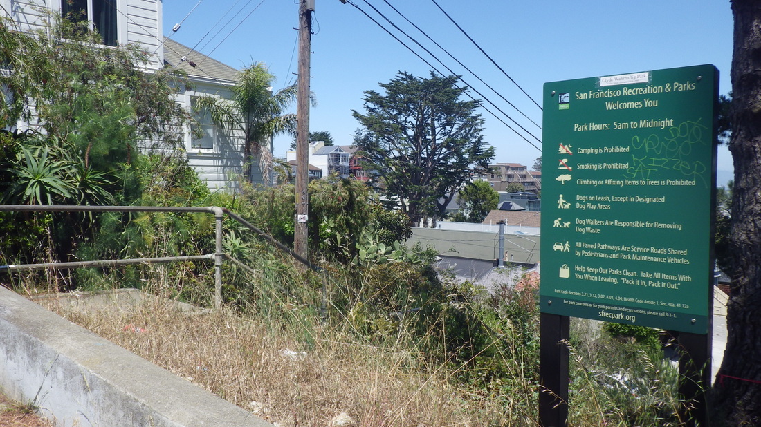
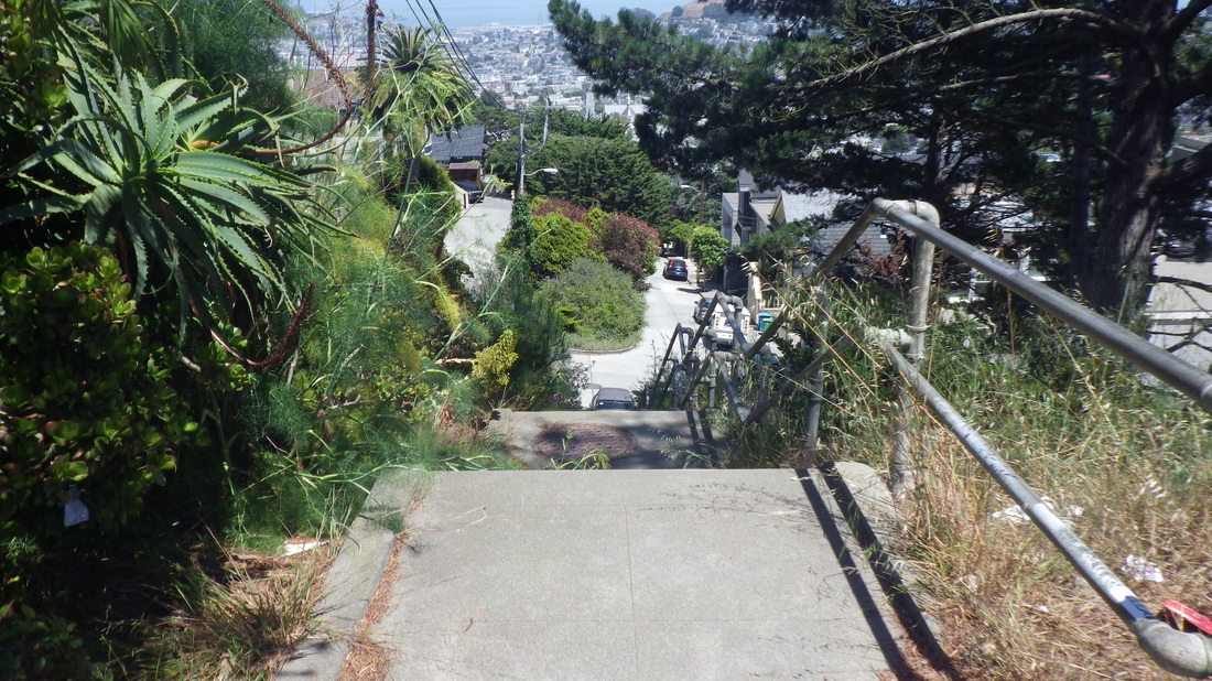
Commenced this vigorous hike in the Twin Peaks neighborhood by climbing the three-block-long Pemberton stairs (around 210 steps, Clayton up to Crown, pix 1 thru  6). 

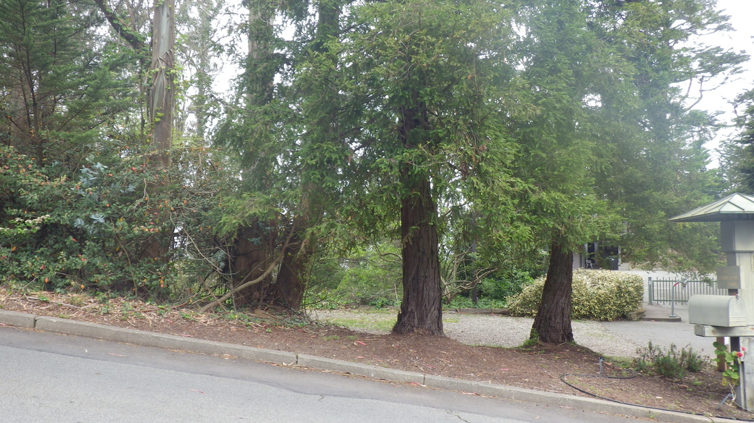
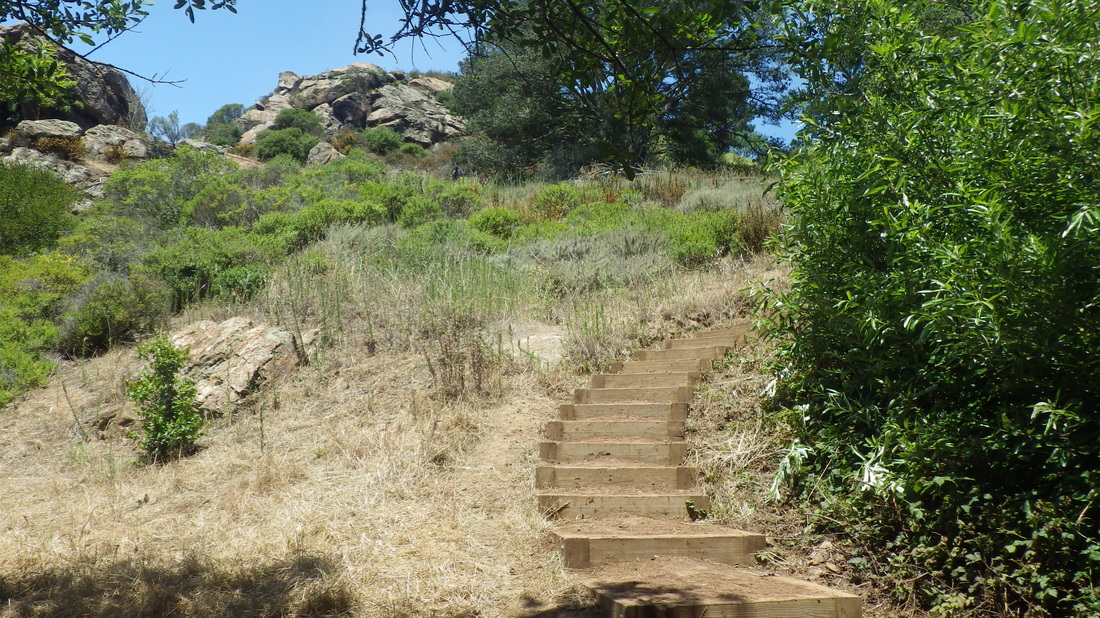
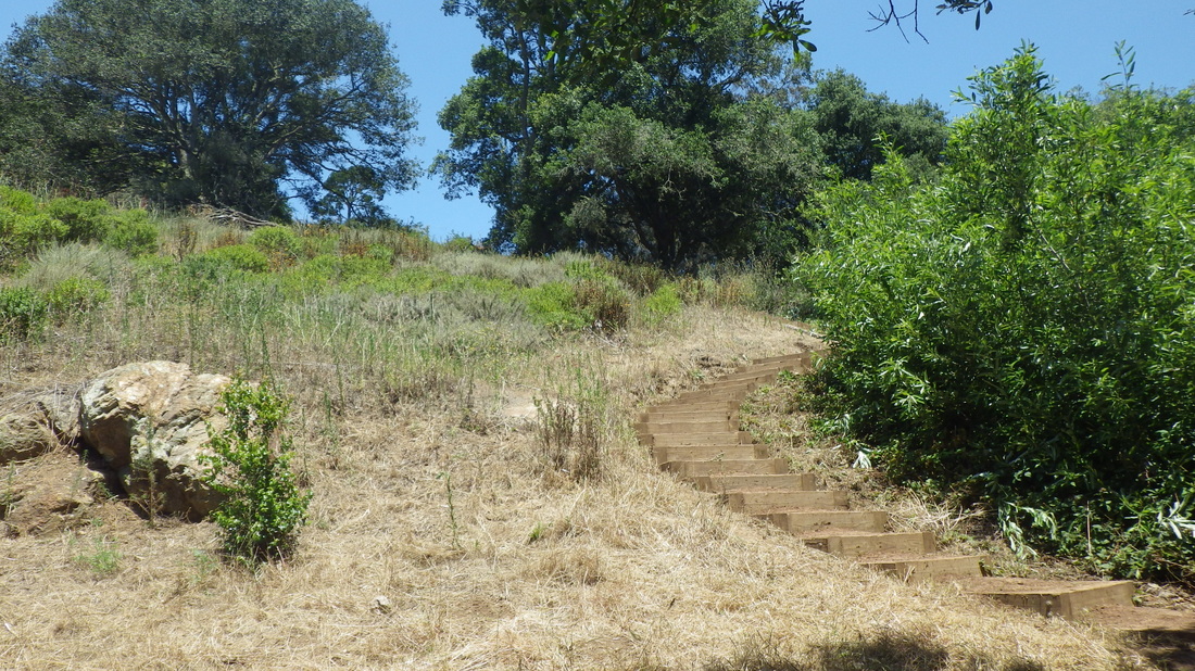
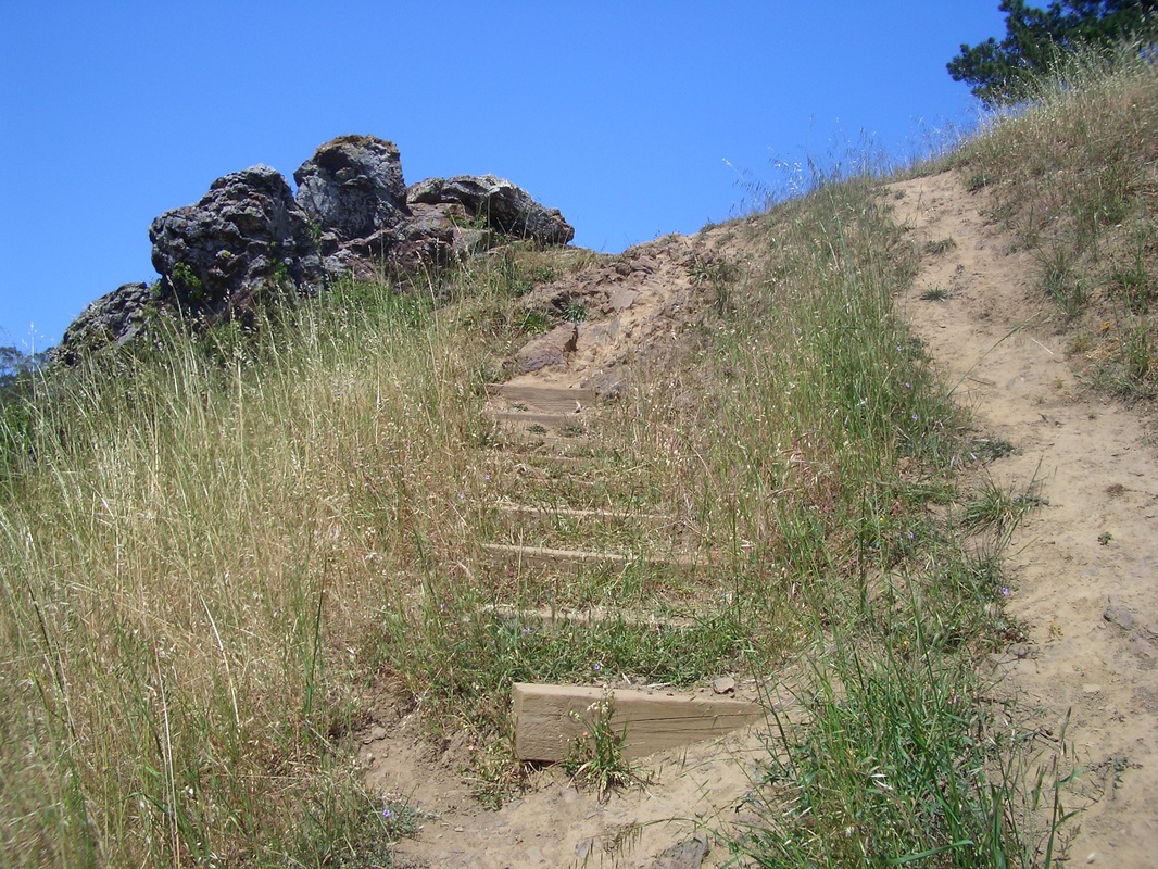
Around the foot of Tank Hill to a short, steepish “secret” dirt trail west of the main Tank steps (pic 7) with no street sign called Bigler “Avenue” that descends from Twin Peaks Blvd./Clarendon at the west side of Tank Hill to near the east dead-end of Belgrave. Seven steps: 8 thru 12.  


There’s no street sign but you can see a small opening between residences just to the left of the main Tank Hill stairway (one of two). At 36 Belgrave (Google Maps Streetview) you can see a bit of the trail and the several steps that will take you down to Belgrave without using the west Tank Hill steps (also steep). So this is an alternative way to get down to Belgrave from Clarendon/Twin Peaks Blvd. 

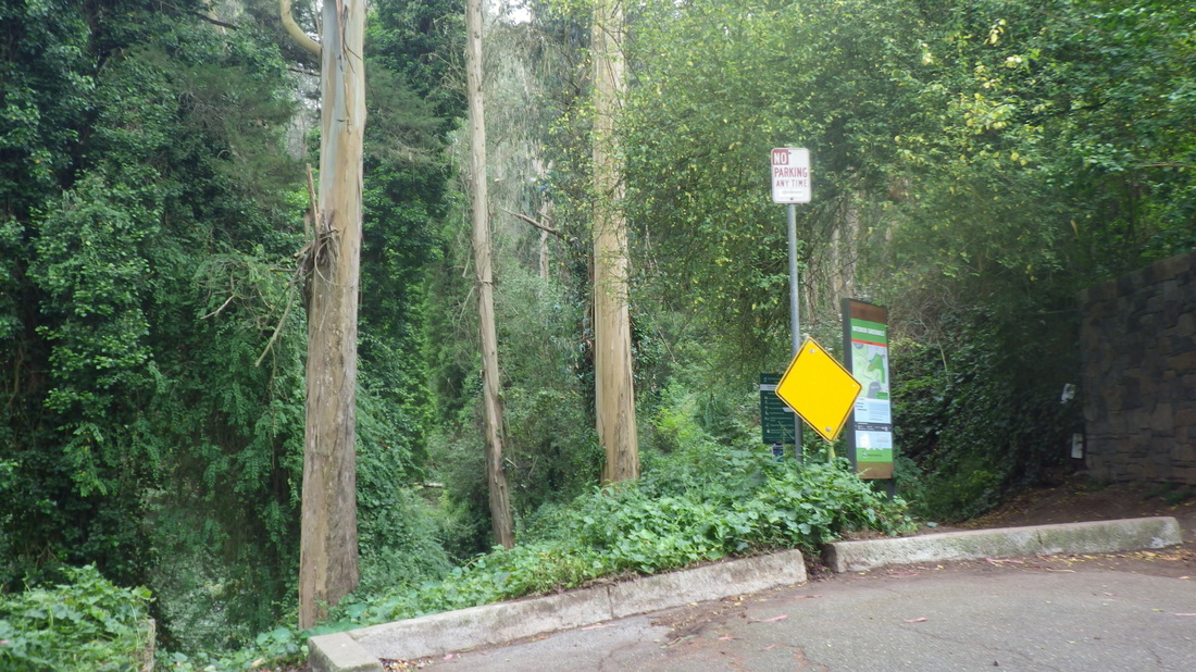
A couple of blocks west on Belgrave, just past the top of Stanyan, will take you to the west vehicle dead-end of Belgrave where there’s a way up into Sutro Forest that has never had a trailmarker. 

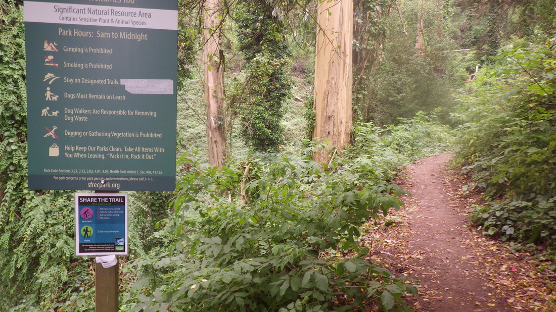
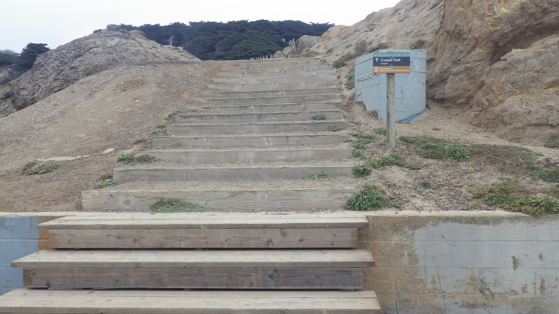
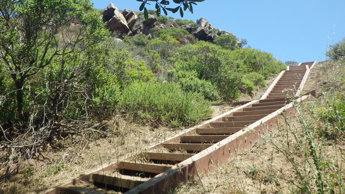
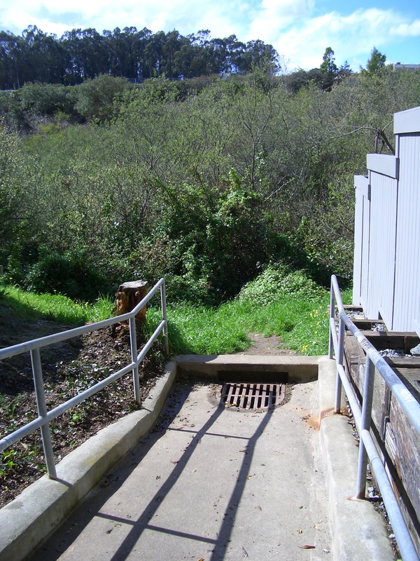
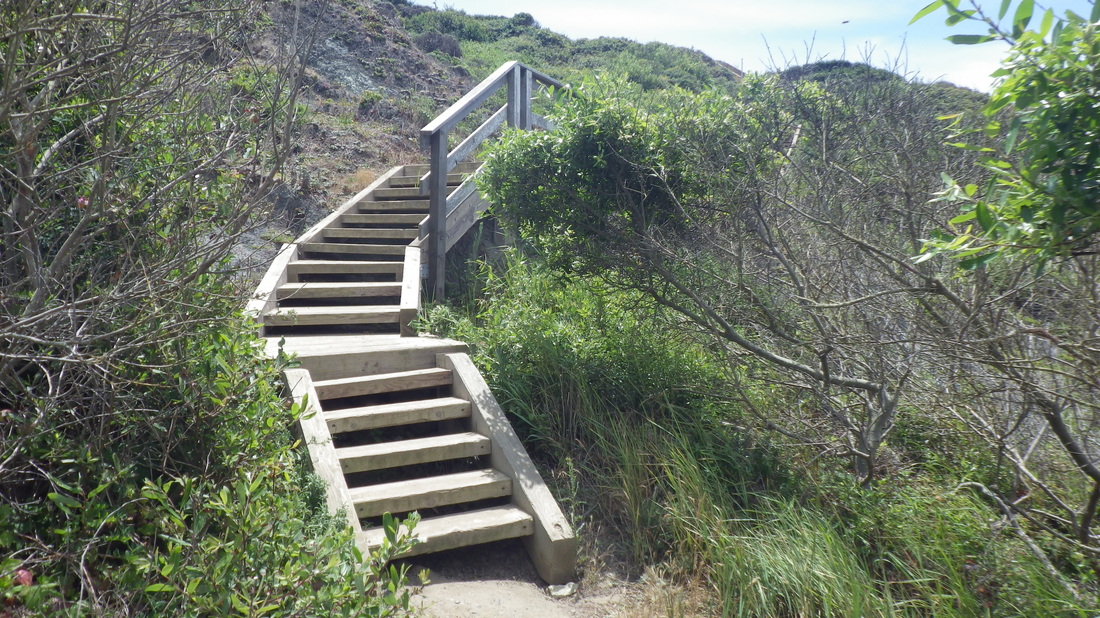
A little way downhill on Stanyan, however, is the trailhead for the lower Historic Trail, this one plainly marked and very popular, with signage and a short wood stairway entrance between homes. 

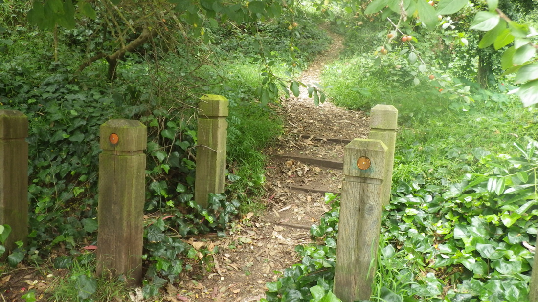
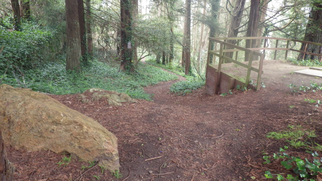
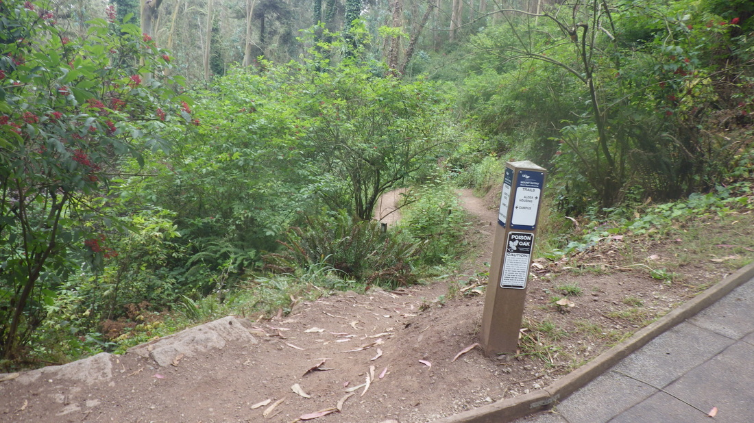
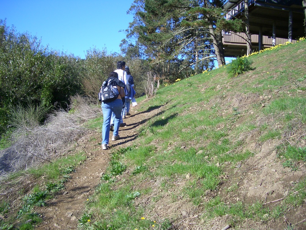
I’ve used the unnamed trail at the end of Belgrave for years. It’s a steep uphiil trek that zigs up to one of the main Aldea streets, Johnstone. Immediately next to the top of it is the east trailhead for the Fairy Gates Trail, this clearly marked, pic 13.

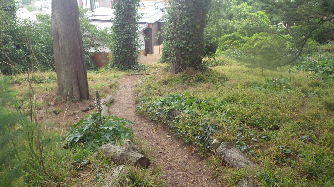
To the right when you first start up from Belgrave is another unmarked trail, rougher, that turns right (north) first behind, then higher above homes on Stanyan. It comes out partway along the lower Historic. To my left was another trail to the south. 


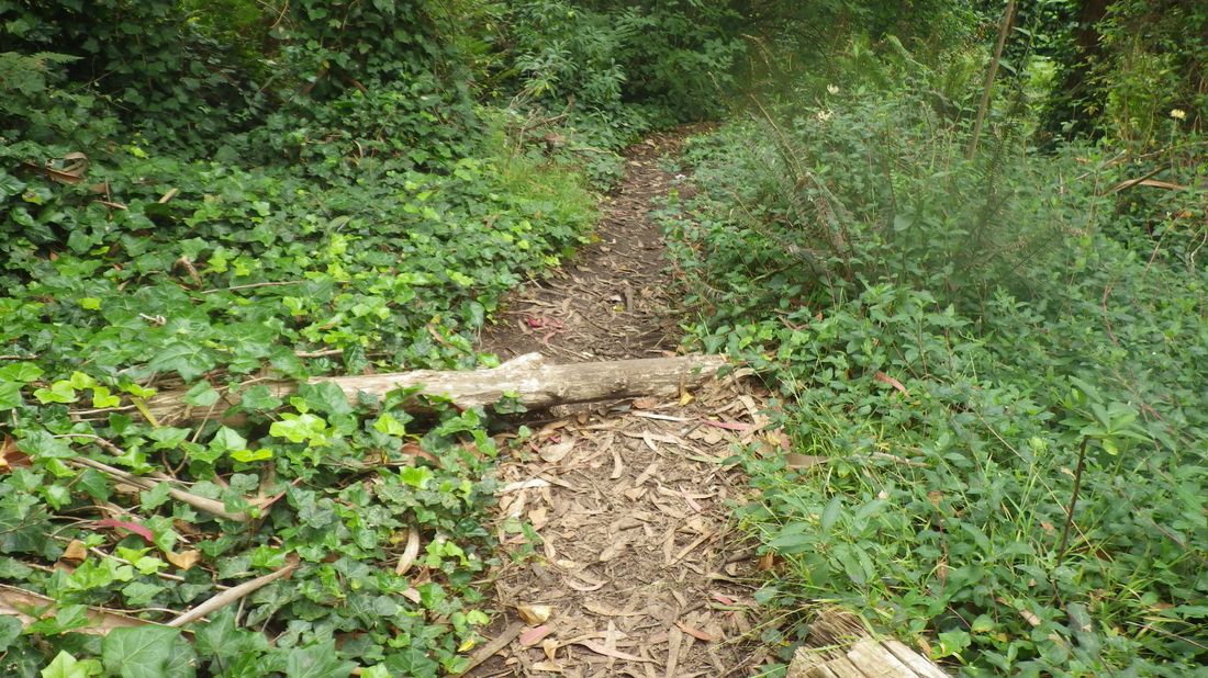
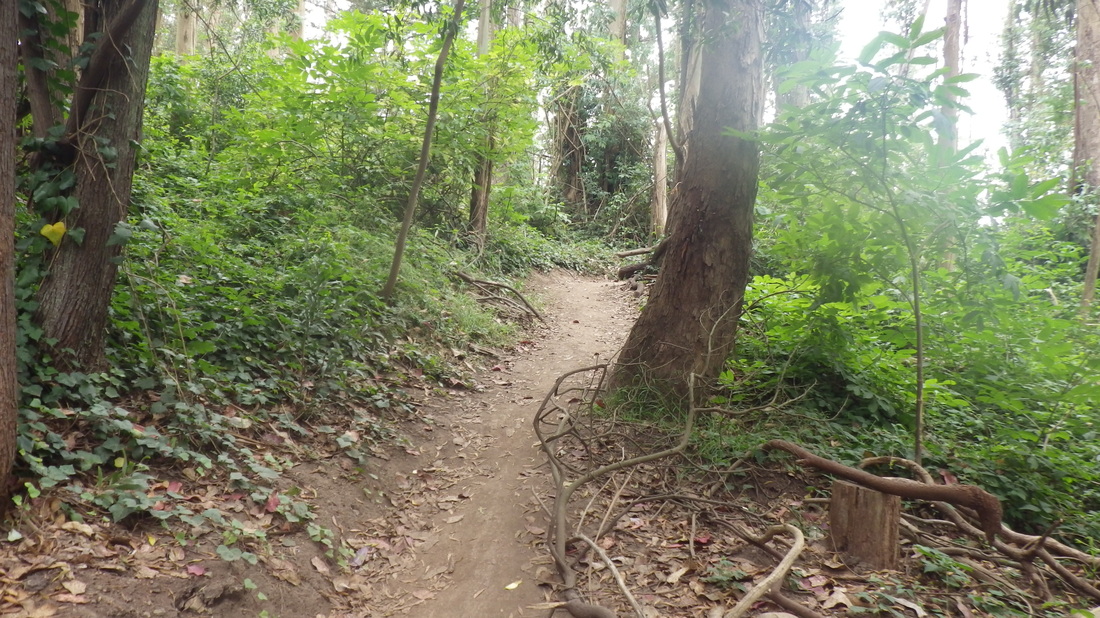
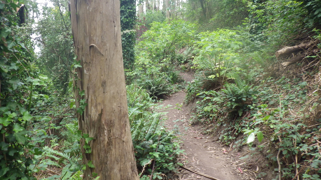
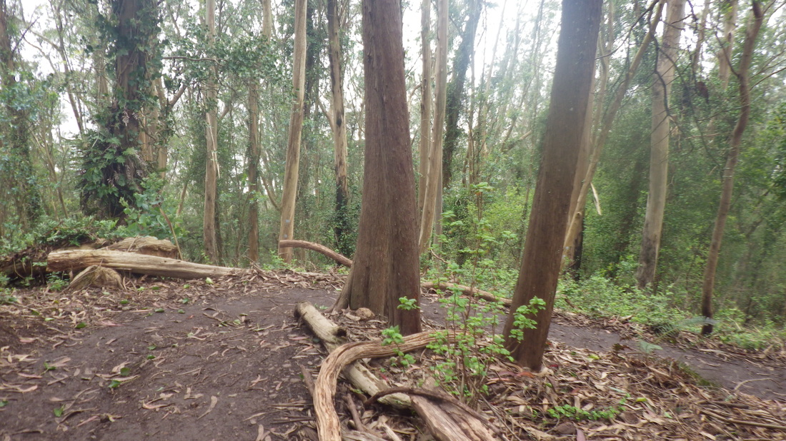
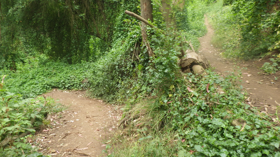
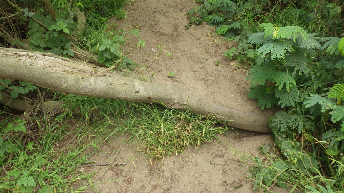
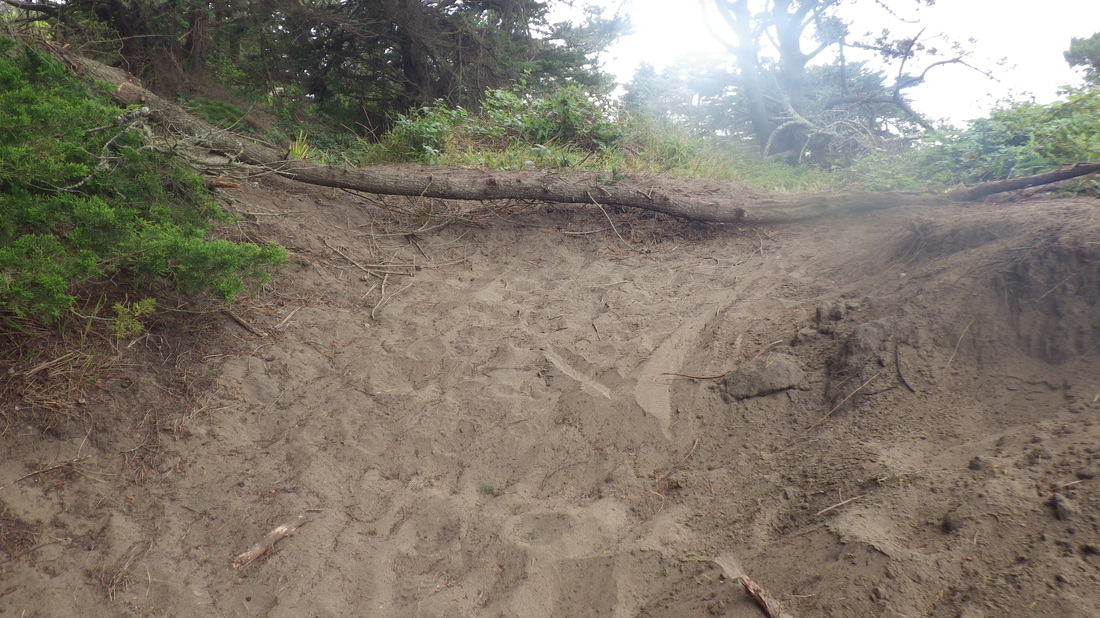
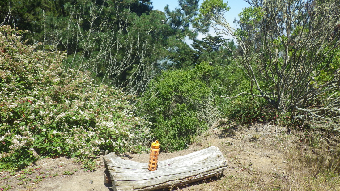
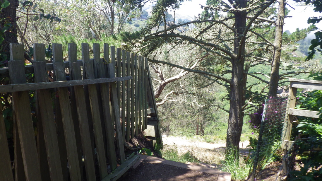
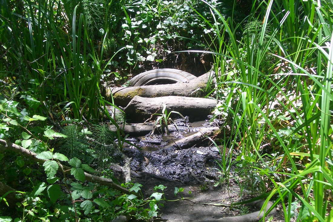
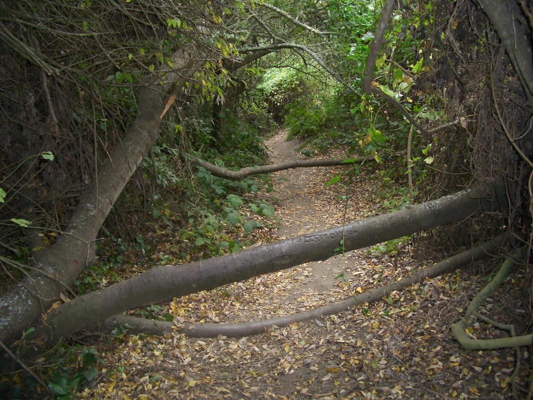
However, I usually just follow the trail climbing straight ahead, so scrambled over a huge log (pic 14) across the trail. 


Noticed a few articles of clothing on the forest floor and someone’s obvious shelter. This sort of thing is to be expected if you try to discourage people from using a forest trail. You thus encourage homeless encampments, the opposite from what “they” have in mind I’m sure. 


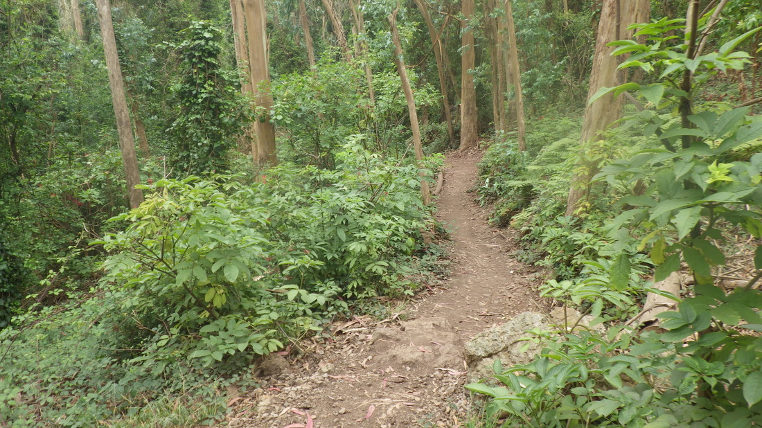
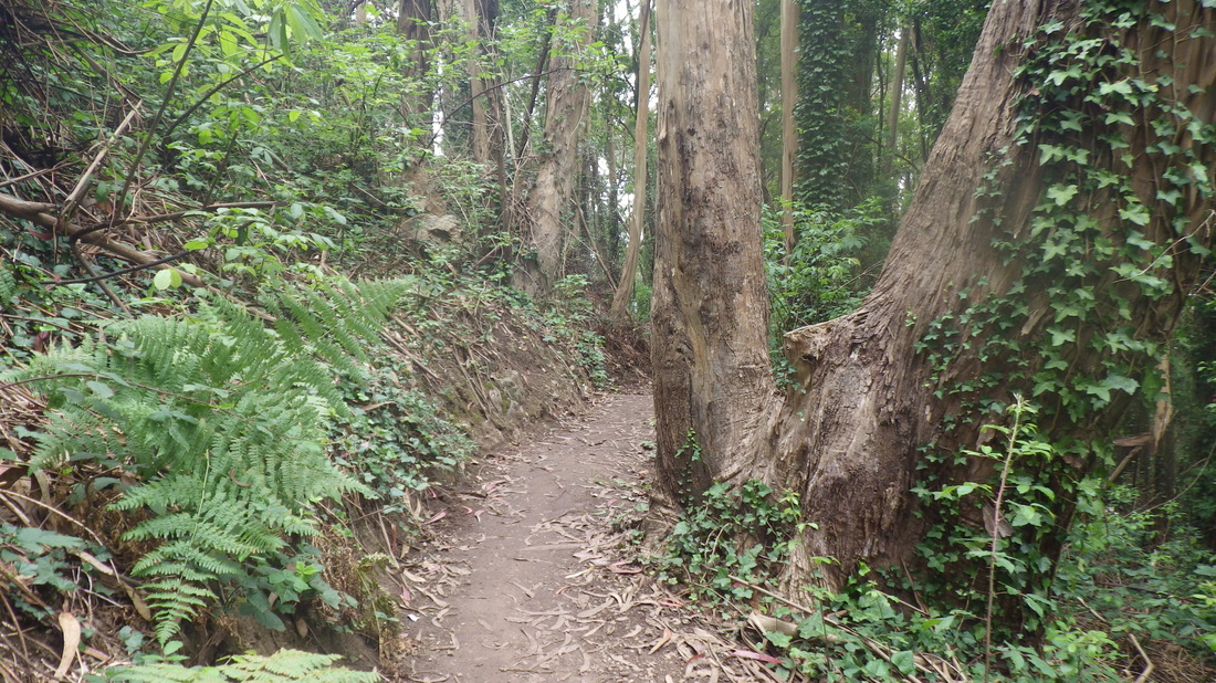
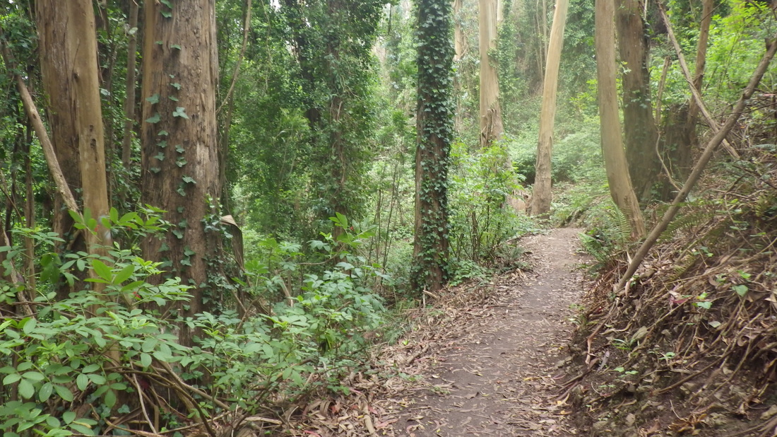
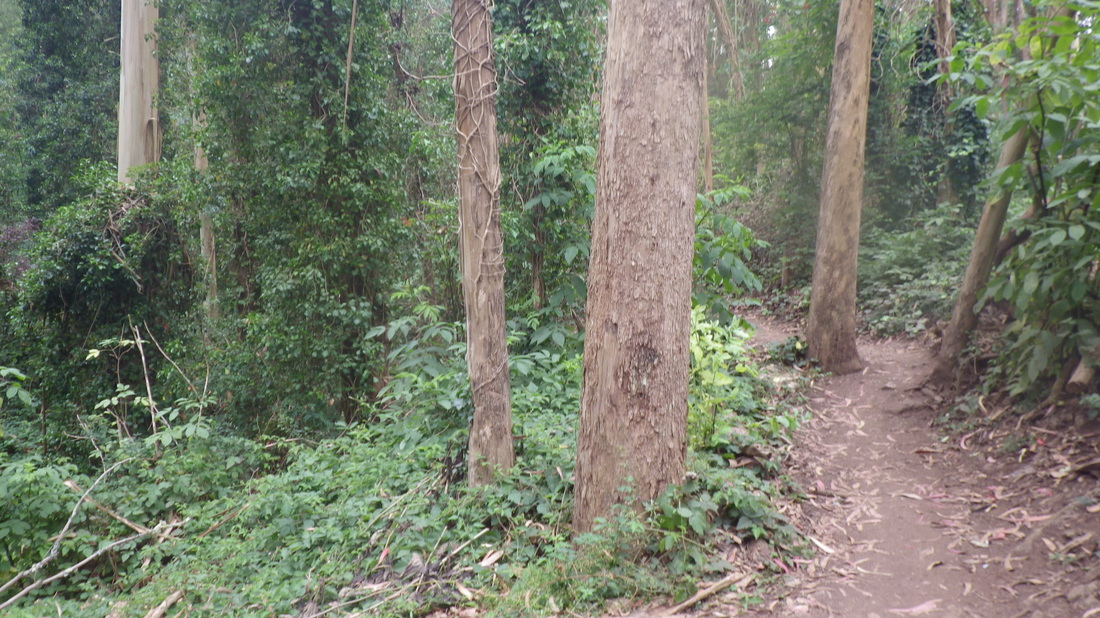
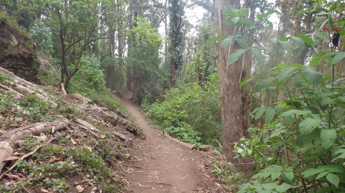
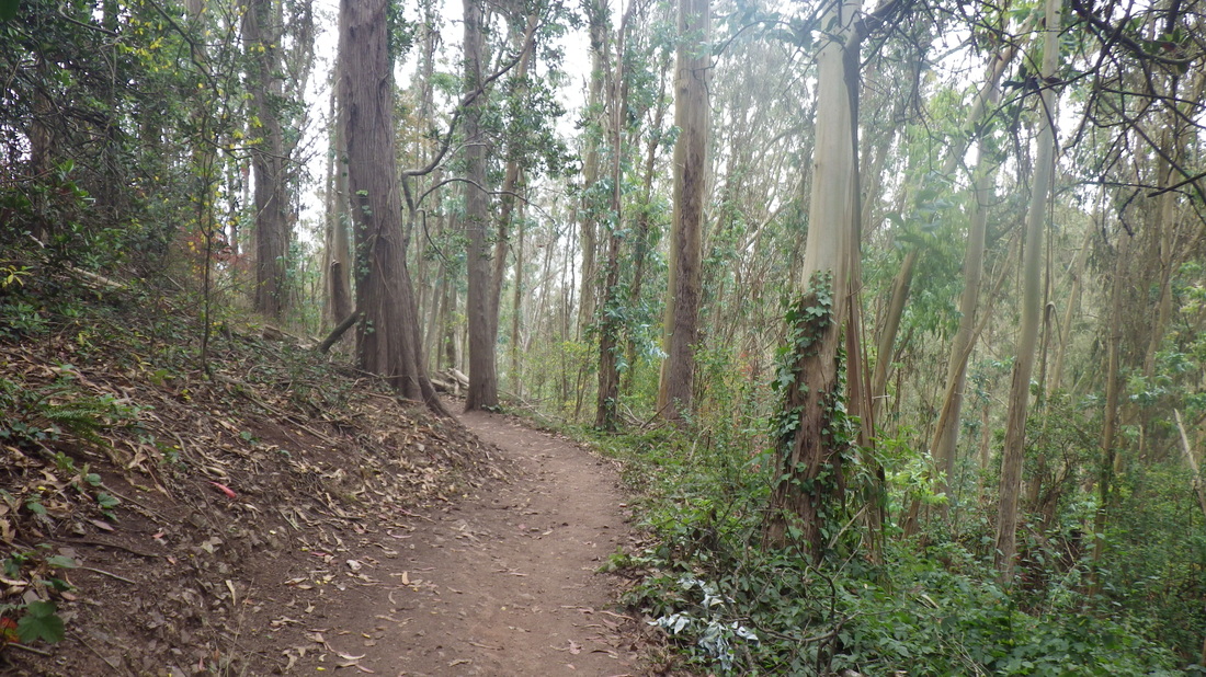
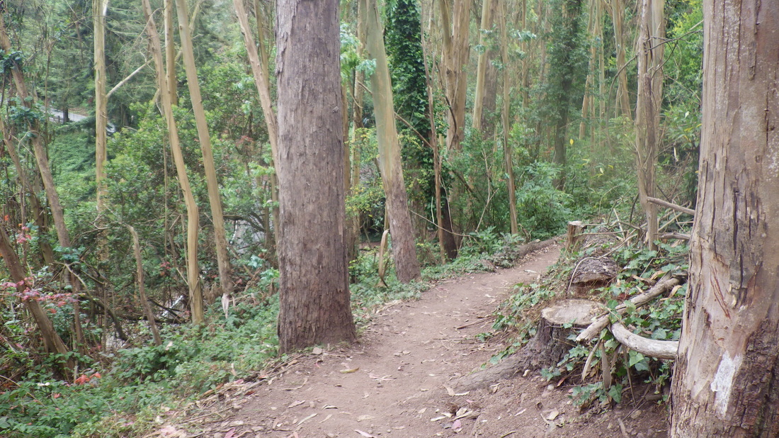
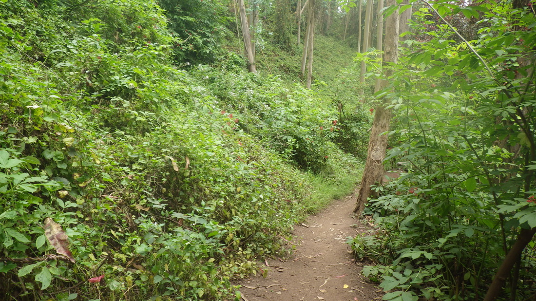
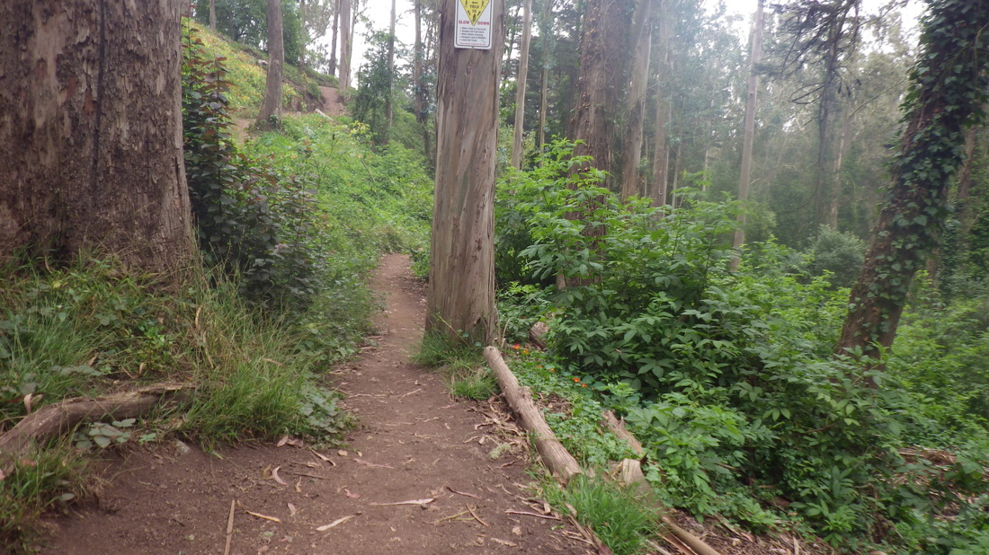
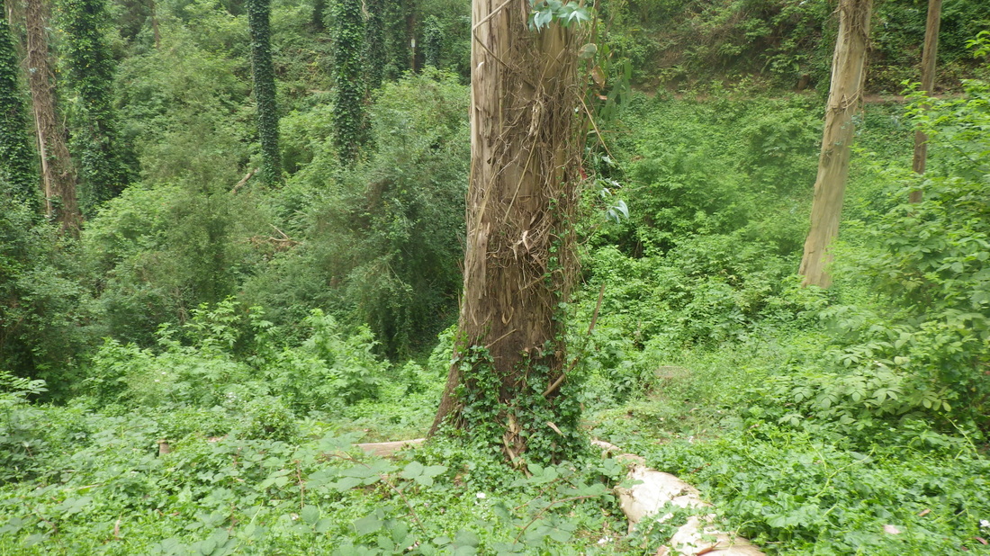
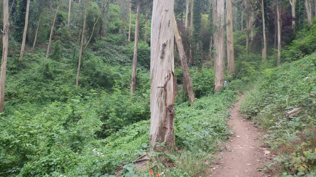
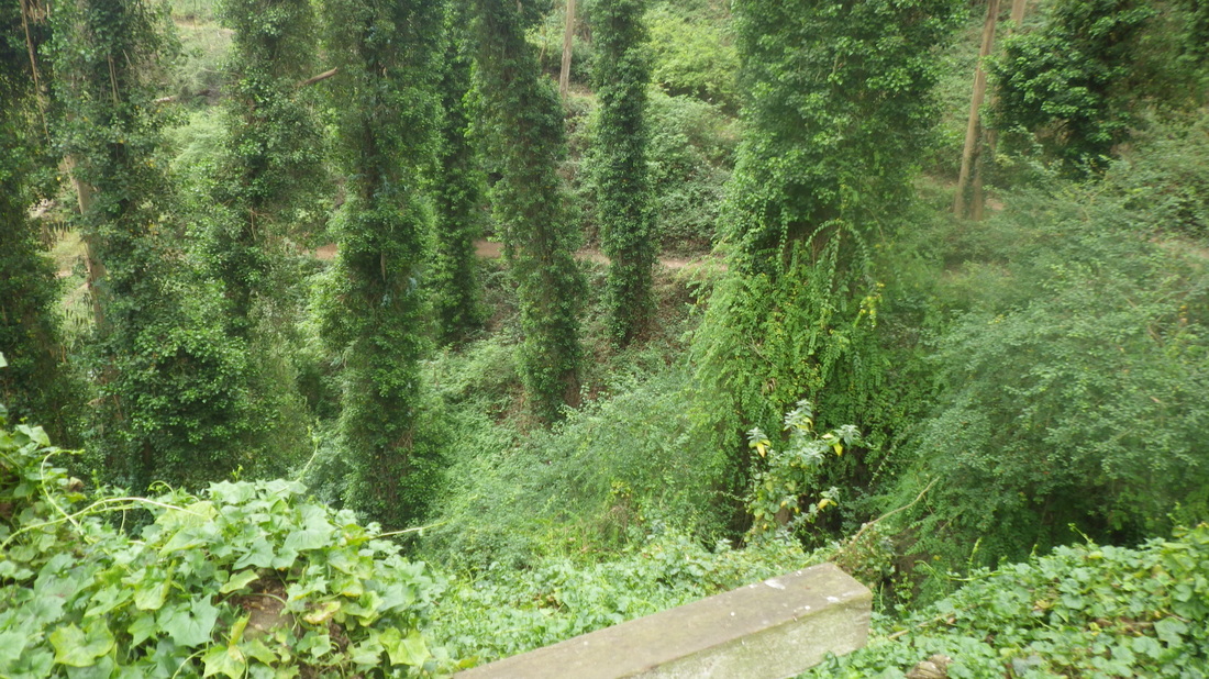
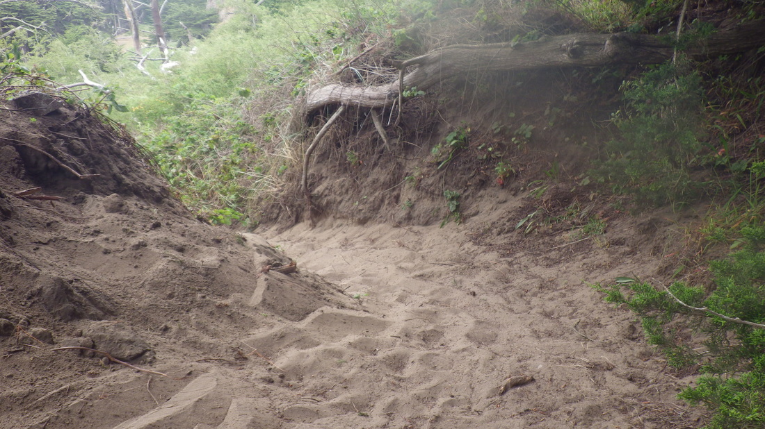
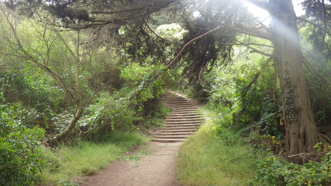
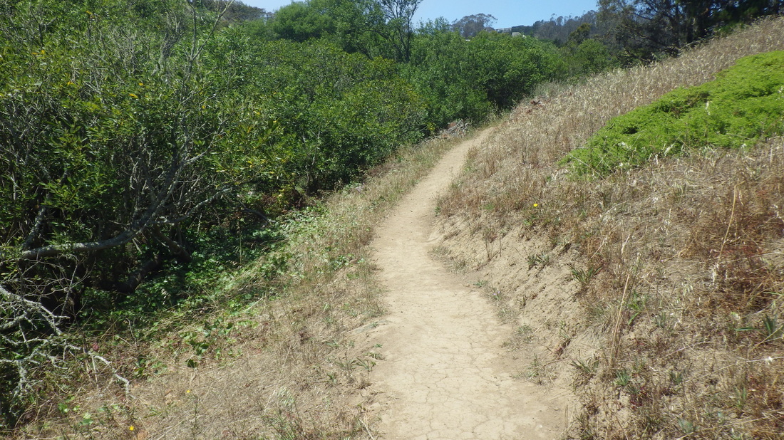
Apparently they’d like to discourage hikers from using this particular trail as the foot of an Aldea residence is partway up the slope, its back steps descending to the trail. This trail, however, part of the “Interior Greenbelt,” is also plainly and accurately marked on Google Maps as through. It used to be even more of a trek to ascend years ago, but near the top it’s now easier to walk out to the street; no more pulling myself up at the edge of one of the buildings. More of this beautiful still-untamed forest trail: 15 thru 23.


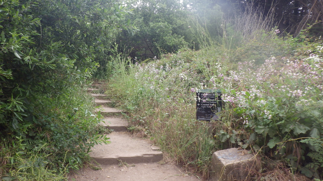
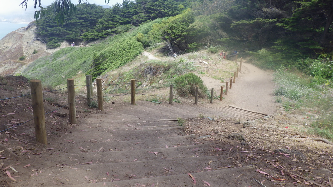
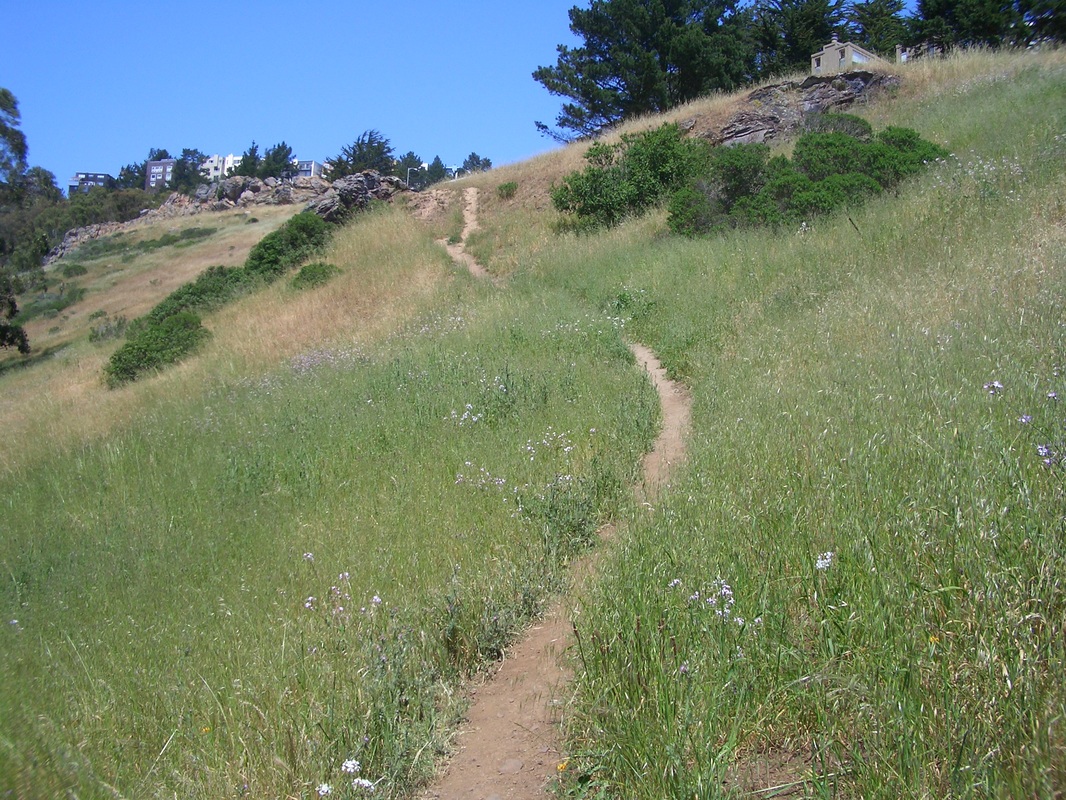
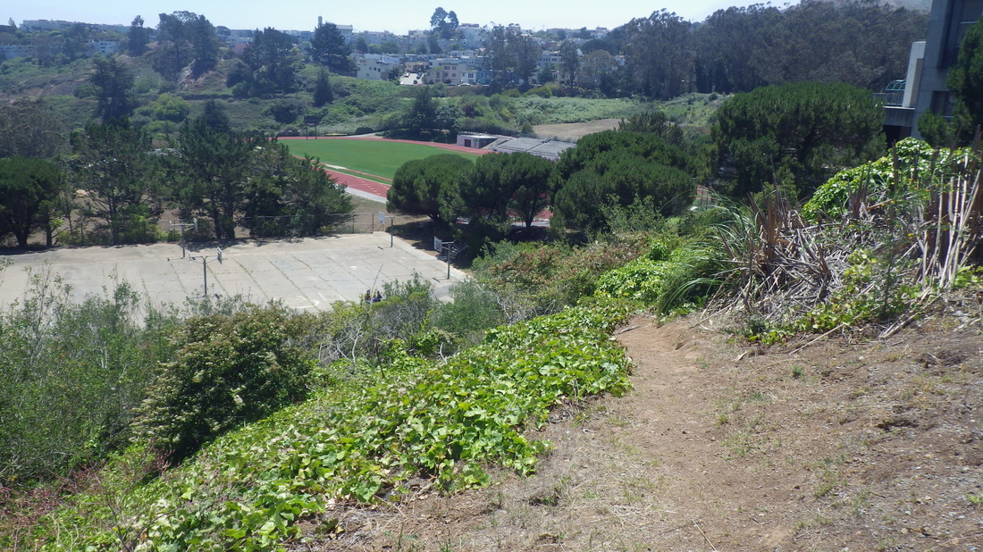
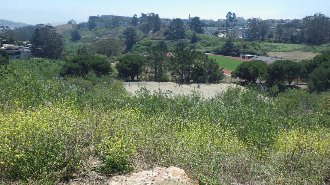
After this, uphilled to the trailhead for the East Ridge (pix 24, 25, 26) and hung a right for the Mystery Trail (pic 27). Onto the North Ridge Trail (28 thru 36) and back down to the curvy road (Medical Center Way) that divides the mountain’s upper and lower trails. 

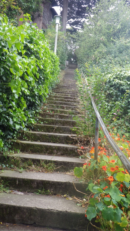
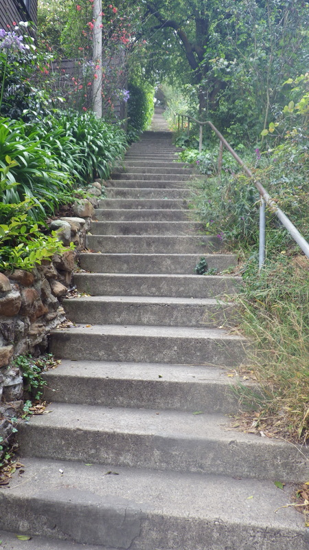
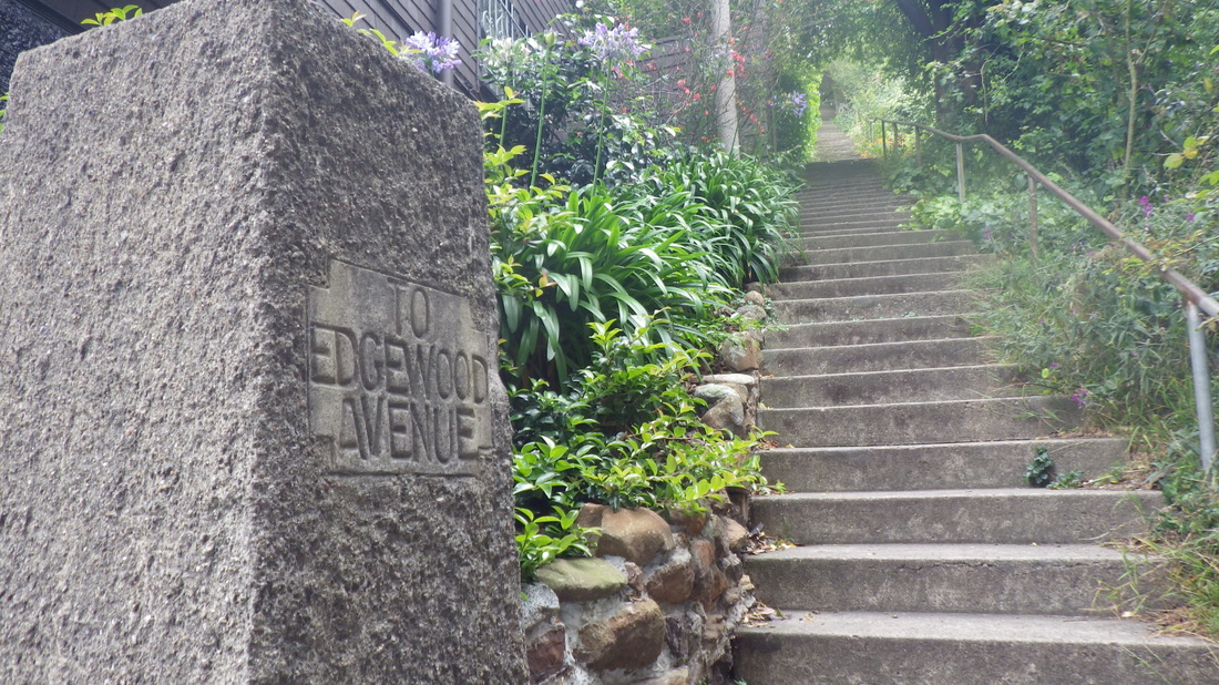
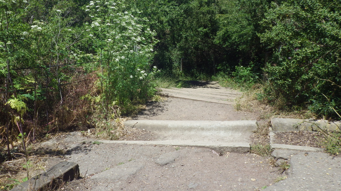
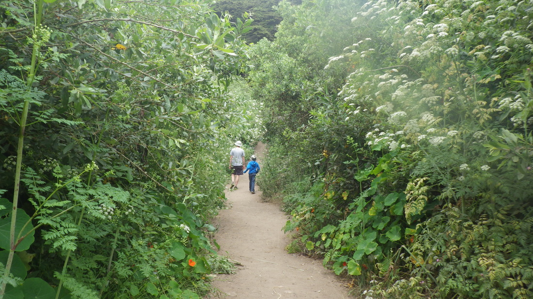
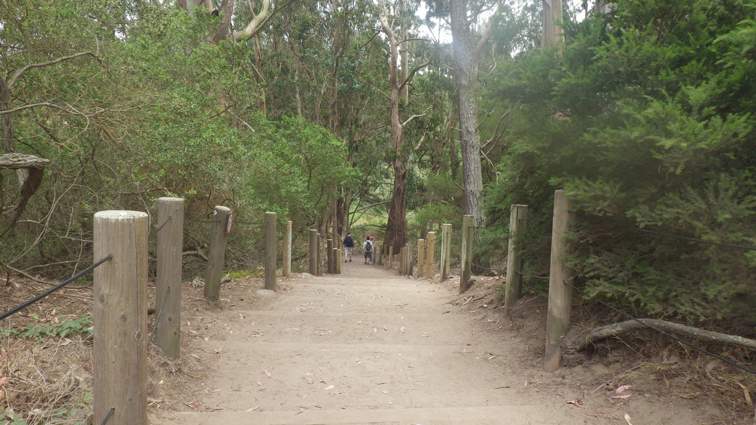
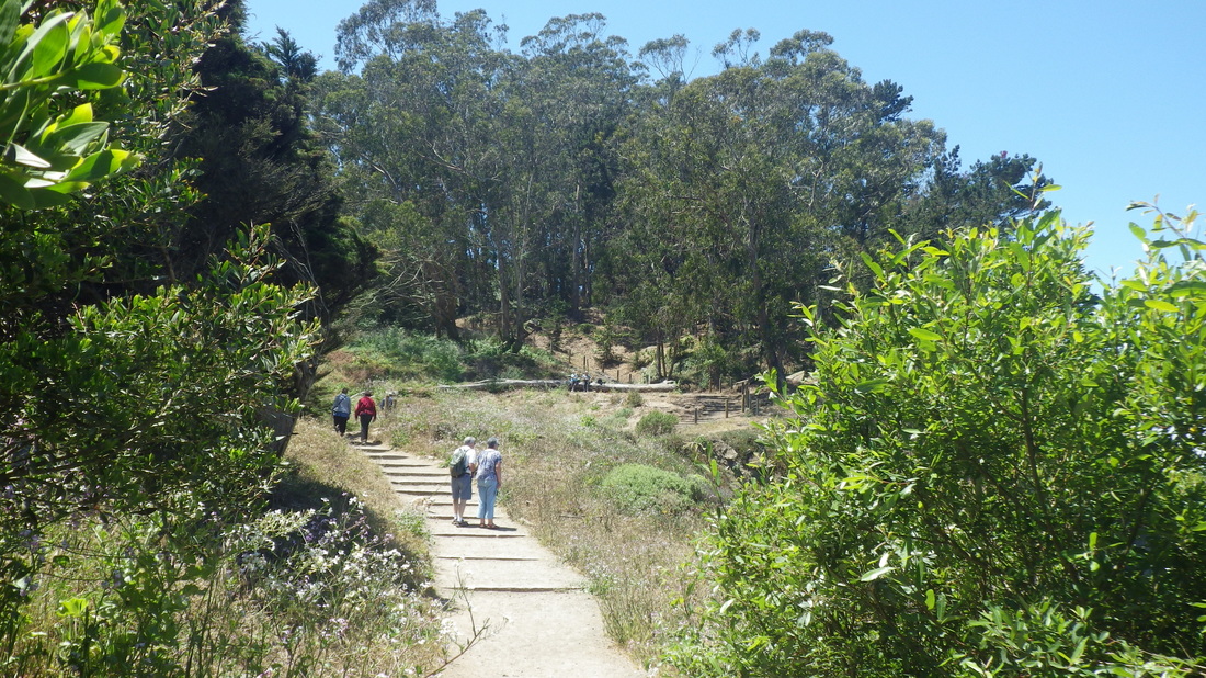
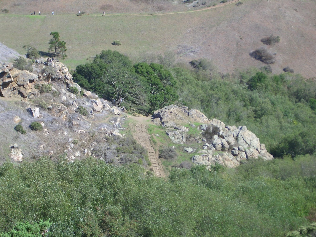
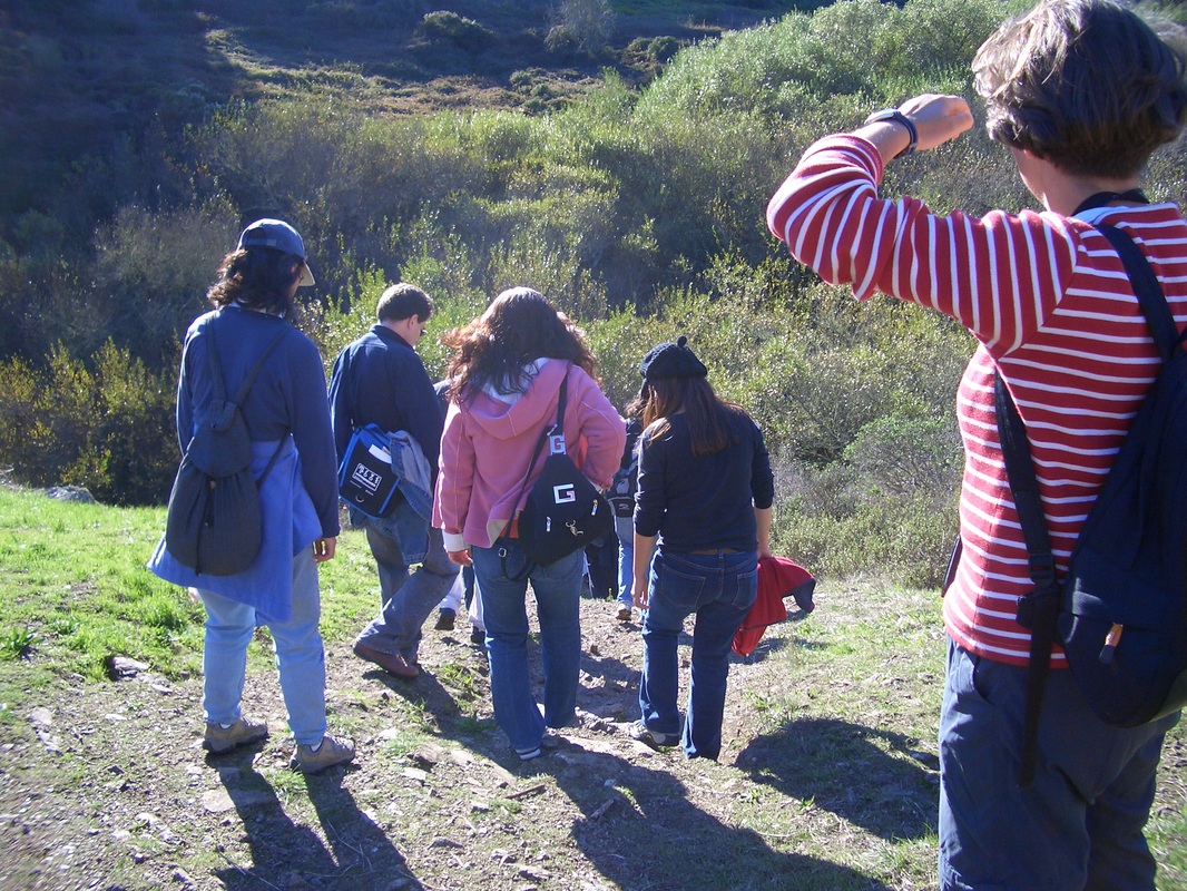
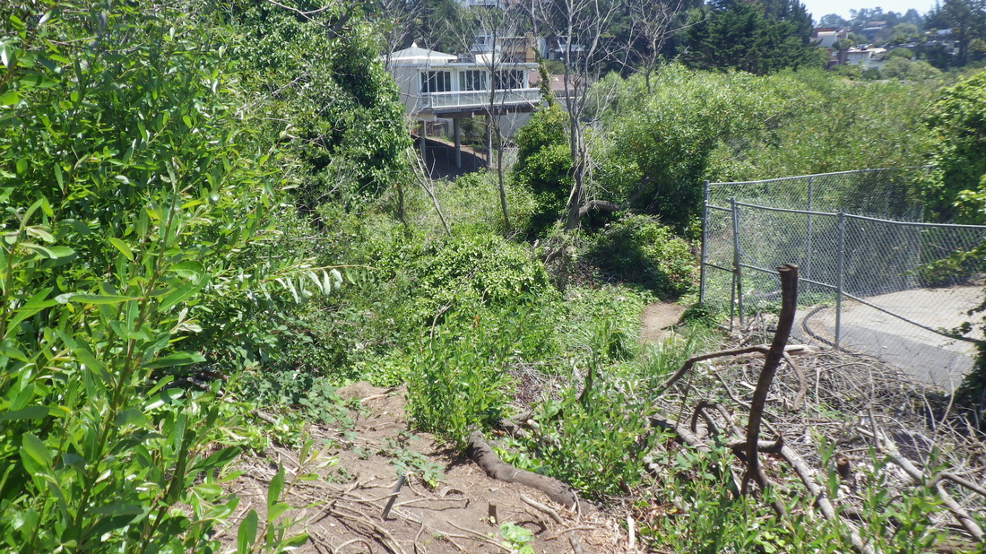
Crossing over directly from the foot of the North Ridge onto the Fairy Gates (37, 38), then down to the Edgewood Trail that will take you out to Edgewood Ave. Pix 39 thru 46.

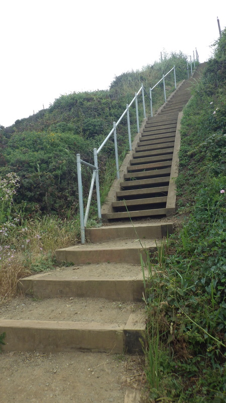
After a few blocks north on Edgehill Ave. the Farnsworth stairs (149 steps) descend to Willard, last seven pix.

Picture
1. Up from Clayton
Picture
2. First block up
Picture
3. Between Clayton and Villa Terrace
Picture
4. Villa Terrace looking back down
Picture
5. Villa up to Graystone
Picture
6. From Graystone ascending to Crown Terrace
Picture
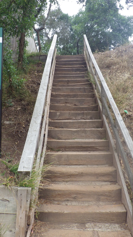
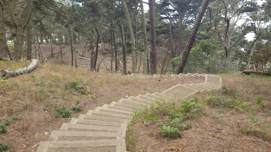
7. Steps to Tank Hill Park on the south side
Picture
8. Down from Clarendon/Twin Peaks Blvd. 
Picture
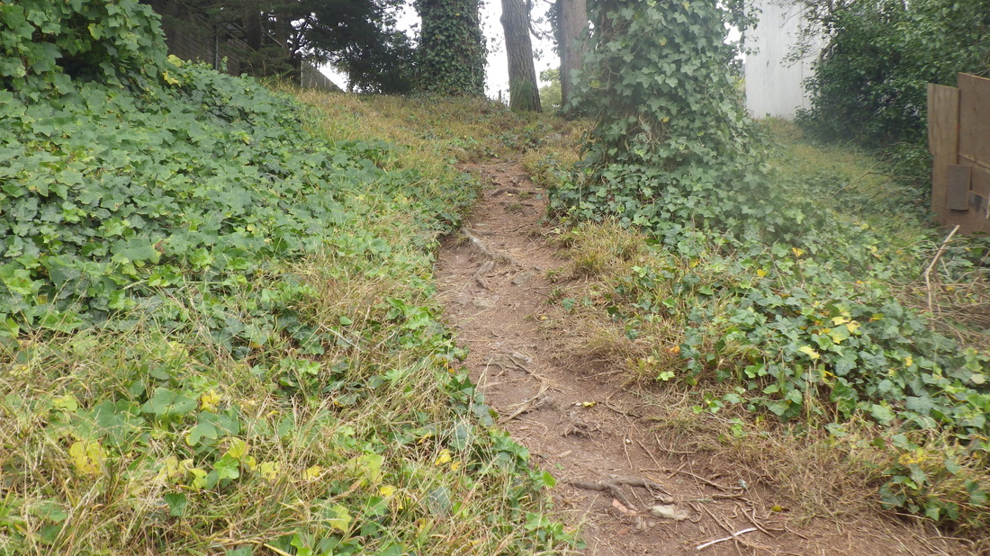
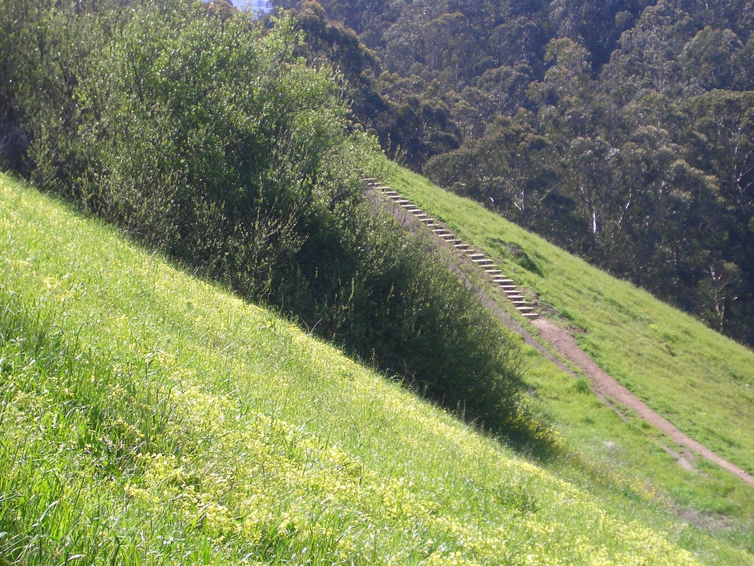
9. Bigler "Avenue" is a short dirt trail
Picture
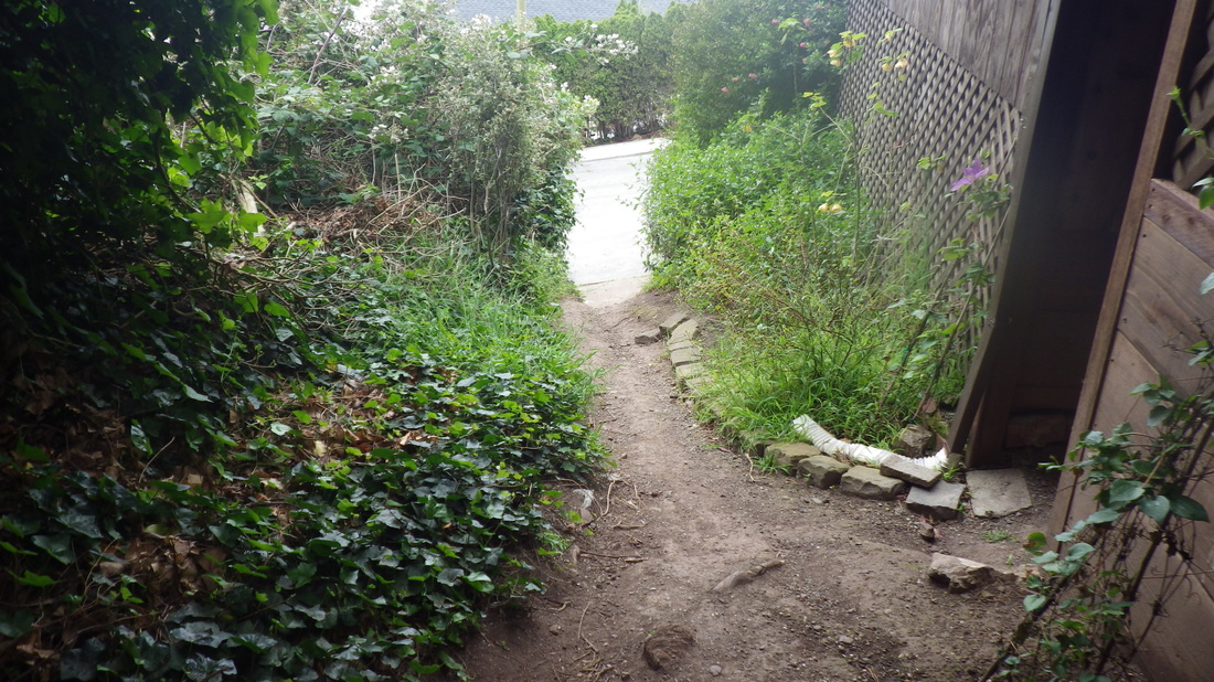
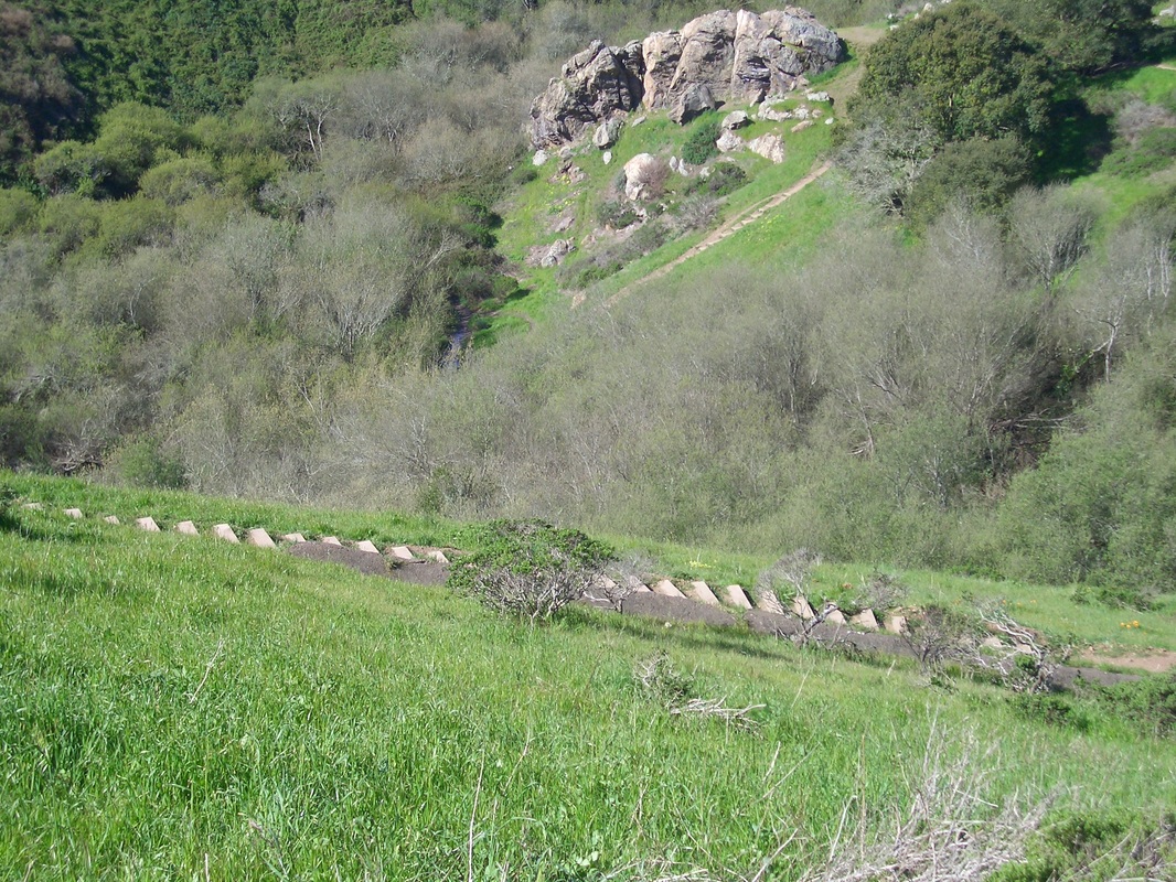
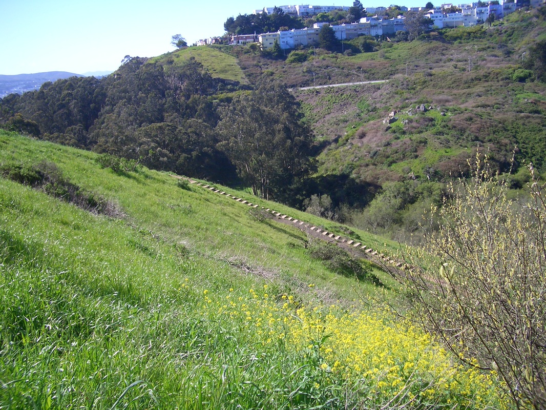
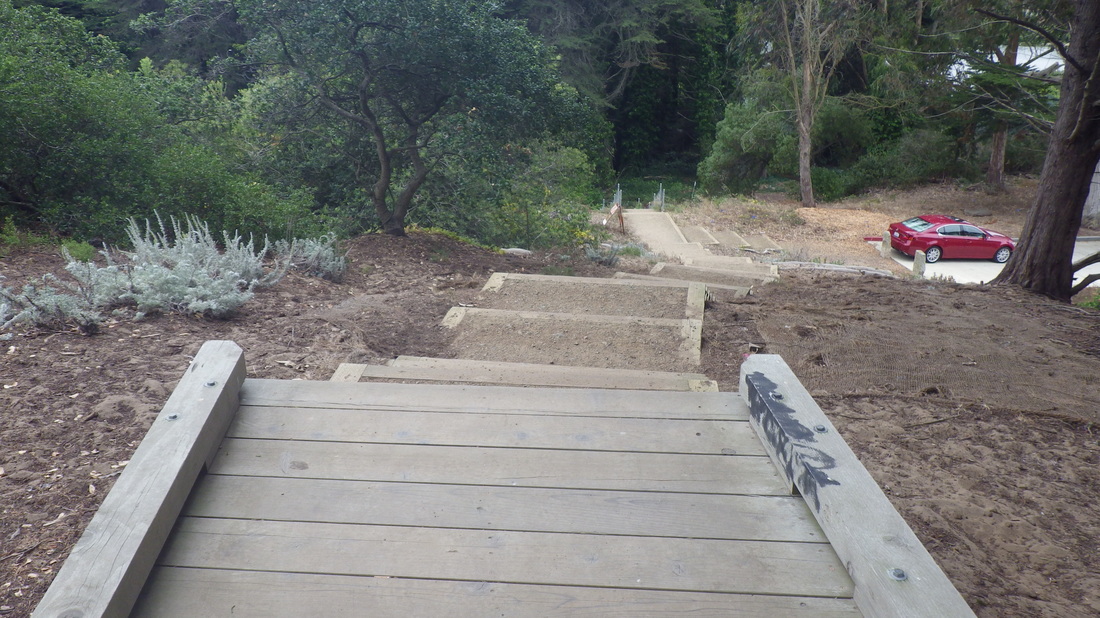
10. Steeply down to Belgrave 
Picture
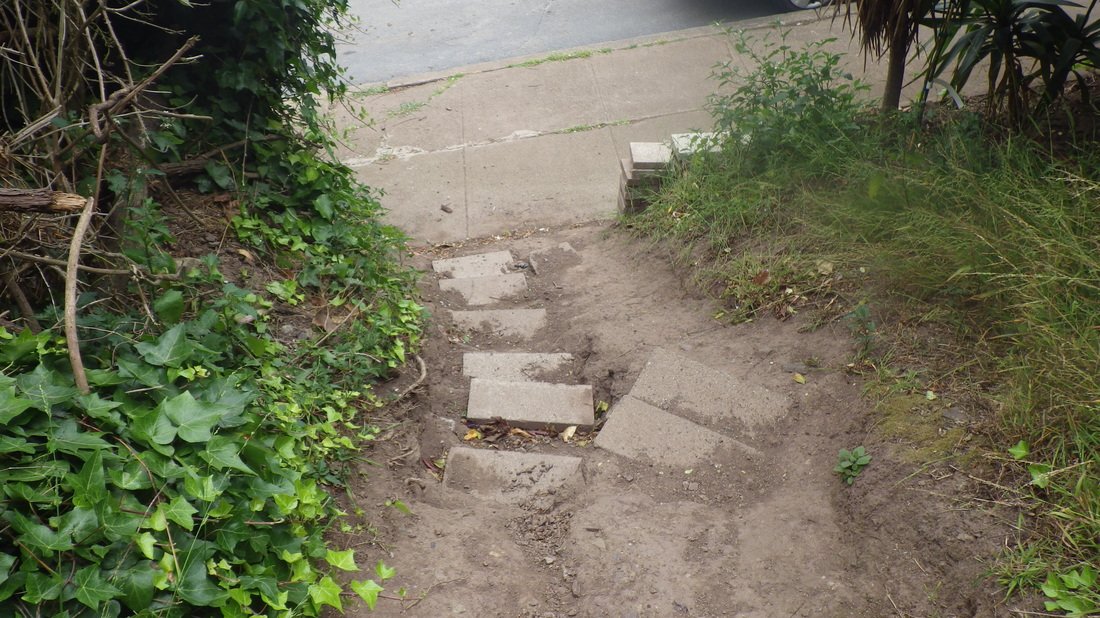
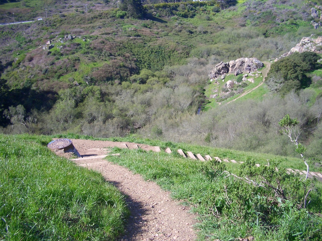
11. This comes out near Tank Hill's west steps 
Picture
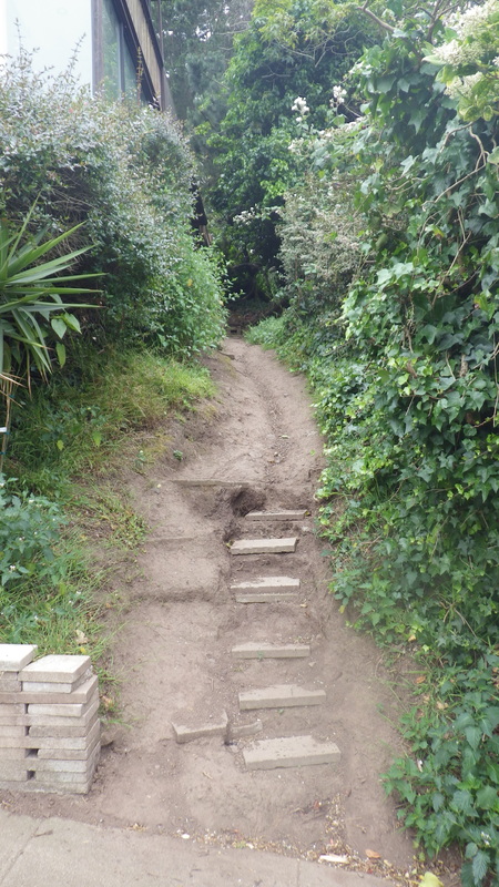
12. Foot of Bigler at Belgrave 
Picture
13. Fairy Gates east trailhead at Johnstone, top of the Belgrave Trail
Picture
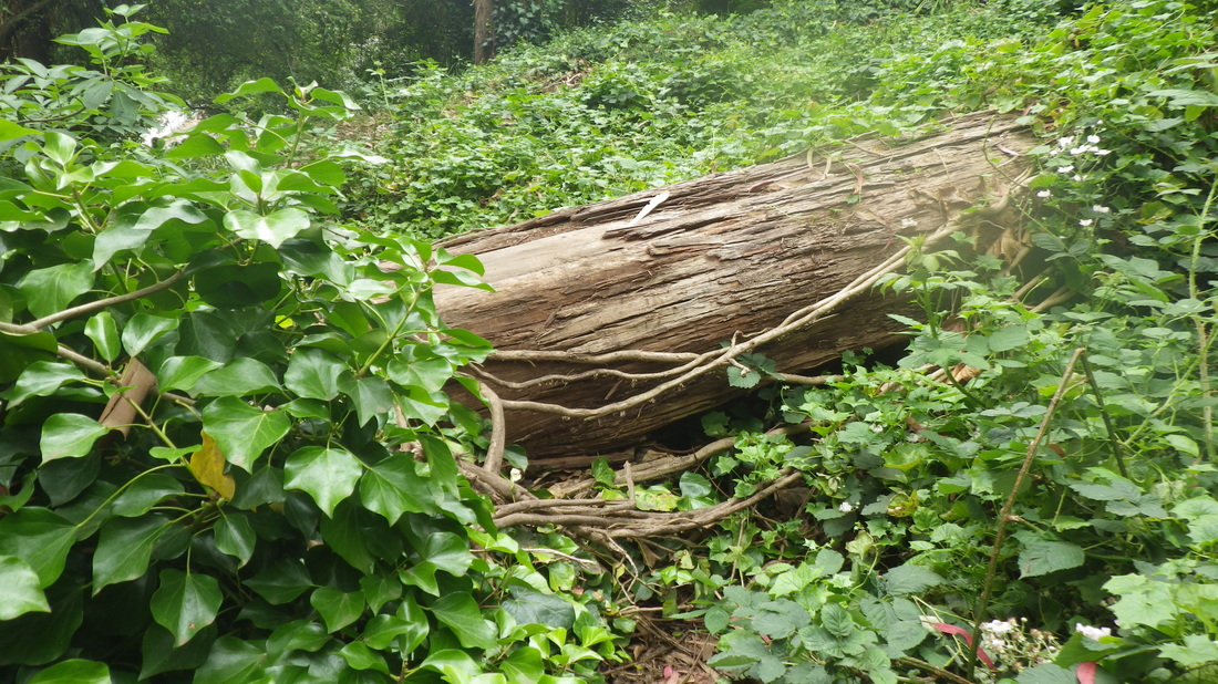
14. A little way up the Belgrave Trail, a big log to scramble over 
Picture
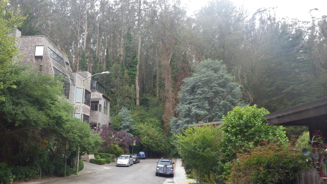
15. Just past the top of Stanyan into Sutro Forest from Belgrave 
Picture
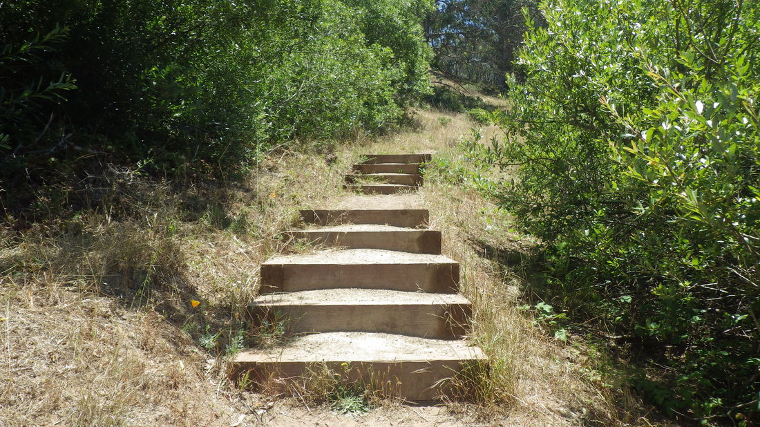
16. A few steps up for the old Belgrave Trail 
Picture
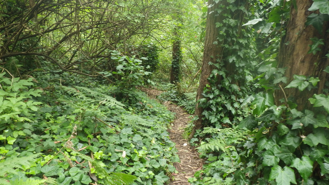
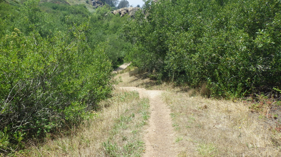
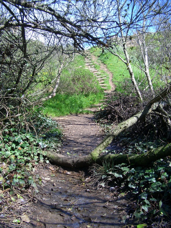
17. Untamed forest trail 
Picture
18. Step over and continue up 
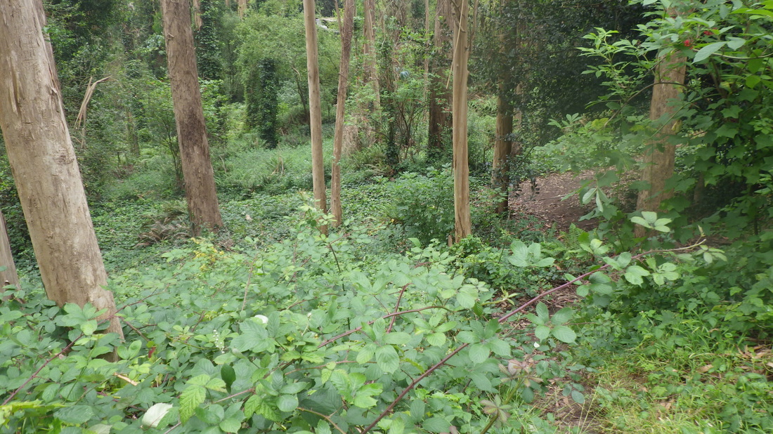
Picture
19. Forest bathing 
Picture
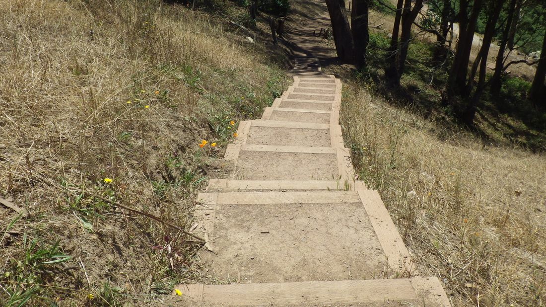
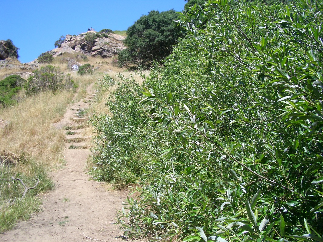
20. Steepish but worth it 
Picture
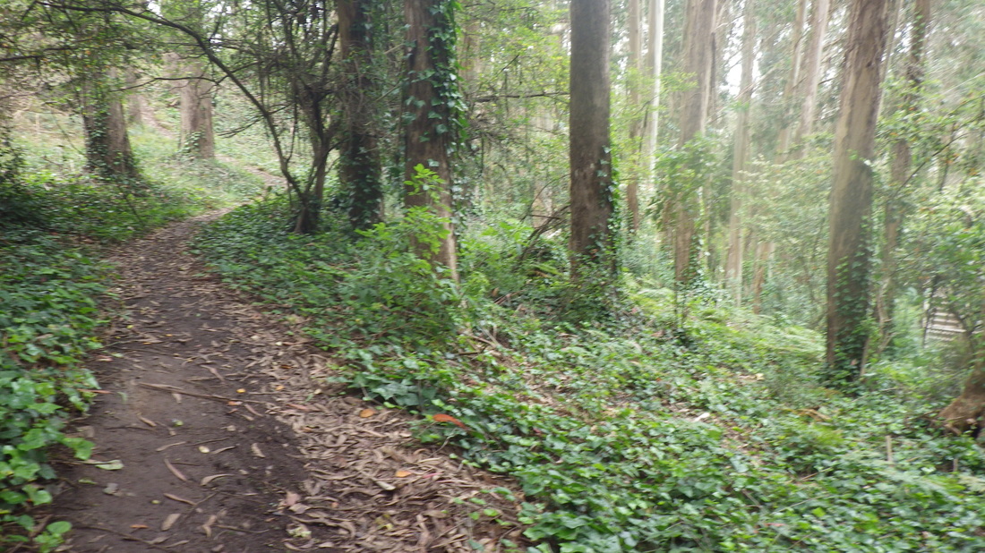
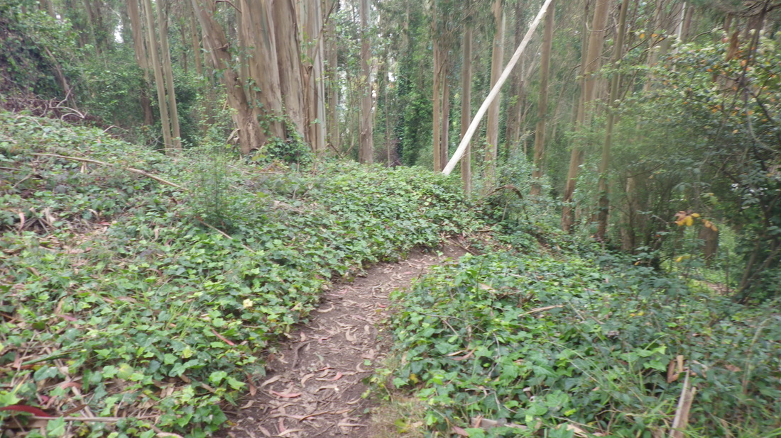
21. Easier now than it used to be 
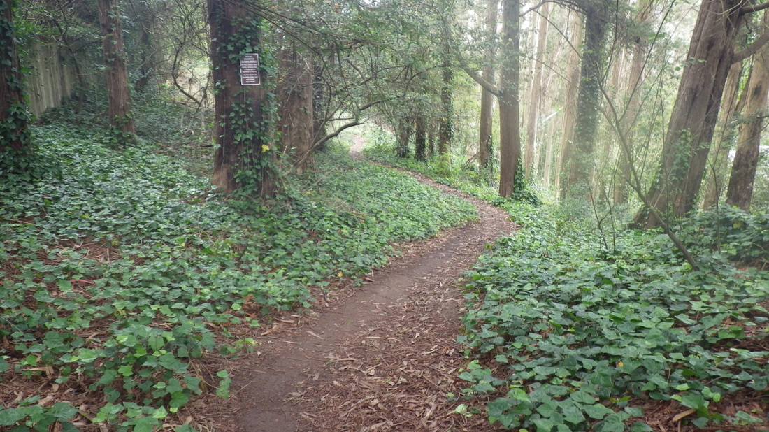
Picture
22. Nearing the top 
Picture
23. Out at Johnstone. Small parking area to right. 
Picture
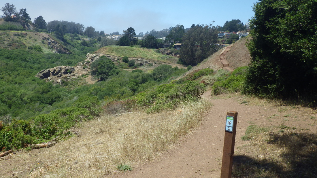
24. East Ridge trailhead is across from the Aldea Community Center 
Picture
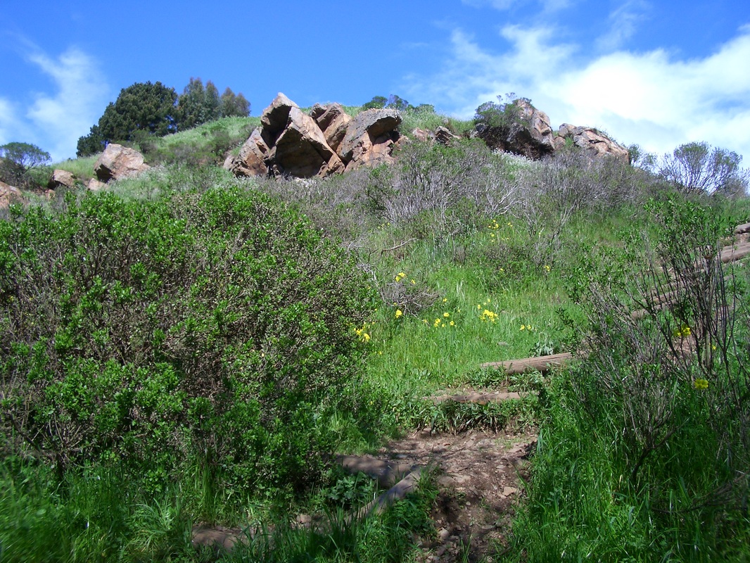
25. East Ridge Trail 
Picture
26. East Ridge continues up to the summit 
Picture
27. Mystery Trail 
Picture
28. North Ridge Trail 
Picture
29. North Ridge Trail 
Picture
30. North Ridge Trail 
Picture
31. North Ridge Trail 
Picture
32. The road below is Medical Center Way
Picture
33. Continuing down the North Ridge 
Picture
34. North Ridge Trail winds around
Picture
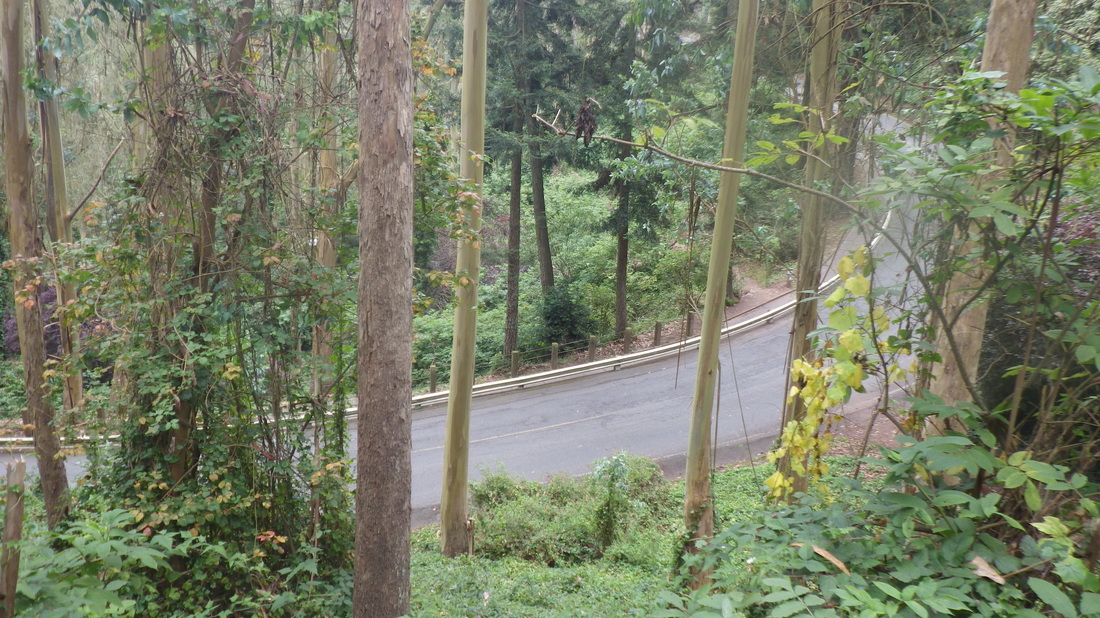
35. Medical Center Way curves round below 
Picture
36. Nearing the foot of the North Ridge Trail
Picture
37. End of the North Ridge Trail with Fairy Gates trailhead across the road 
Picture
38. Fairy Gates trailhead 
Picture
39. Onto the Edgewood Trail
Picture
40. Edgewood Trail 
Picture
41. Edgewood Trail 
Picture
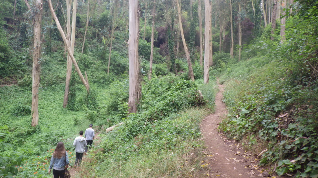
42. Hikers on the Edgewood
Picture
43. Edgewood Trail continues 
Picture
44. Out at Edgewood Ave. 
Picture
45. Below, center, part of the lower Historic Trail 
Picture
46. South end of redbricked Edgewood Ave. and north end of Edgewood Trail 
Picture
47. Near top of the Farnsworth Lane steps 
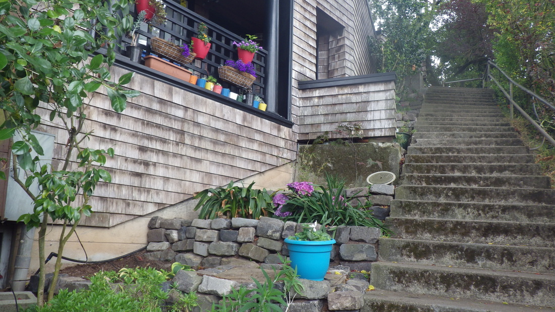
Picture
48. Farnsworth Lane 
Picture
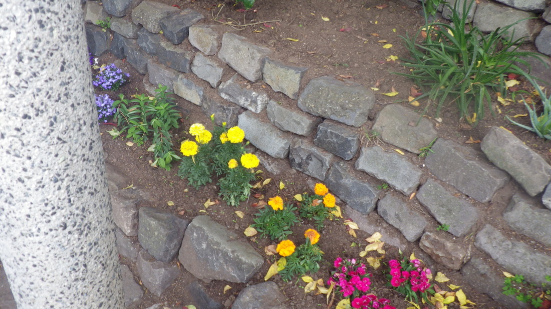
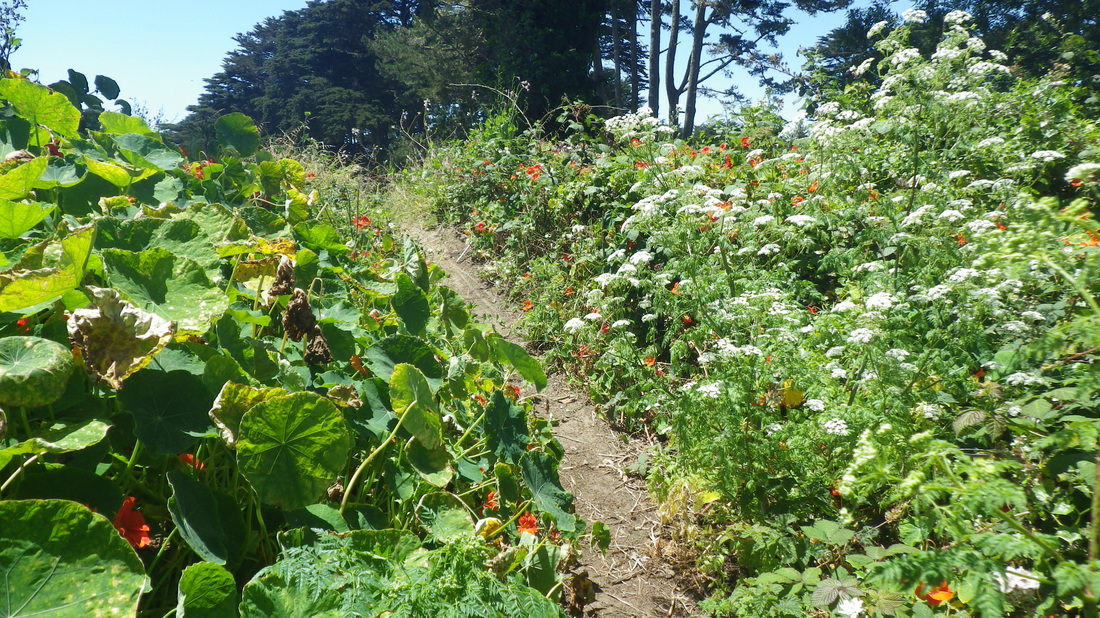
49. Farnsworth flowers
Picture
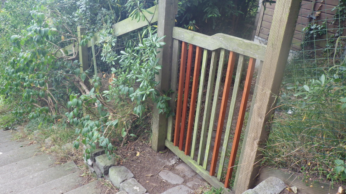
50. A Farnsworth gate 
Picture
51. 149 steps
Picture
52. Edgewood Ave. down to Willard 
Picture
53. Foot of Farnsworth Lane at Willard, just above Parnassus
0 Comments

Some Reasons to Love Lands End

6/16/2015

0 Comments

 
Down from the lower parking lot overlook, first pic, 127 steps.

Up the trail for the cavetop view area (pic 2) and westernmost trailhead for the Coastal Trail: 3 thru 7, 142 steps. 

To the upper parking lot overlook from the main trail (59 steps) and a trail ascending from the El Camino del Mar Trail to check for ripe berries, one of my favorite “secret” spots in the park. This is a thick-sand zigzaggy trail that climbs to a short trail just above the old Fort Miley buildings. It is way harder to trek up this, short as it is, than it is to sorta slide down in the sand; did both: 8, 9, 10, 11. 

Continuing east on the El Camino del Mar Trail to the 89 steps (pix 12, 13) that descend to the main Lands End/Coastal Trail. 

When signs say no bicycles are allowed on certain parts of the trails, there’s a good reason: There are long stairways! I’ve seen people carrying their bikes up and down. 

If you continue to the east end of the El Camino Trail, there’s a way up to the west edge of the Legion of Honor parking lot (49 steps, pic 14).

Main Lands End Trail: pic 15. 

Up the curvaceous wood “Painted Rock” stairway (part of the main Lands End Trail, 138 steps), with its two stone benches alongside: 16 thru 20.

Partway down the other side (east stairs, about 120, pix 21 thru 24), a detour for another “hidden” trail, the top of this just below the golf course: 25, 26. Lots of wild nasturtiums bloom up here with parts of the trail delightfully overgrown. 

Back down to continue out the east side: 27, 28, 29, 30. 

Crossing the street for a couple more blocks on a dirt trail just below the east side of the golf course, and down the gorgeous Lincoln Park/California St. tiled stairway: 31, 32. 


Picture
1. Lower parking lot overlook area to a trail. Turn right.
Picture
2. Cavetop viewplace
Picture
3. West trailhead for the Coastal Trail
Picture
4. 142 or so steps
Picture
5. A view down
Picture
6. Cavetop viewspot below
Picture
7. This part's also known as the Sutro Baths Upper Trail
Picture
8. Just off the El Camino del Mar, a sandy trail ascends
Picture
9. Thick-sand trail up to short trail above Fort Miley buildings
Picture
10. More difficult to climb up than descend
Picture
11. Top of the sandy trail
Picture
12. Connector steps partway down to the main trail
Picture
13. Foot of the connector steps at the main trail
Picture
14. El Camino del Mar Trail to Legion of Honor parking lot
Picture
15. Coastal/Lands End Trail
Picture
16. Long west steps on the main Lands End Trail
Picture
17. About 138 steps
Picture
18. The first bench
Picture
19. Second bench is about 101 steps up
Picture
20. Nearing the top
Picture
21. Now starting down the east side
Picture
22. Some steps are wood, some concrete
Picture
23. Near the foot looking back up
Picture
24. About 120 steps for this east side
Picture
25. A detour south from the east steps
Picture
26. Up to the golf course
Picture
27. Back on the main trail again, continuing east
Picture
28. Coastal Trail
Picture
29. Part of the bridge
Picture
30. Near end of trail and Eagle's Point Overlook benches
Picture
31. Down the California St. tiled stairs
Picture
32. Love these benches!
0 Comments

Black Fencing is Gone

6/14/2015

0 Comments

 
(Glen Canyon Park with some THEN pix included in this post.)

After a stop-in at Glen Park’s Canyon Market (highly recommended: healthy stuff and super-friendly people), uphill-hoofed it to the digital-times MUNI shelter on Diamond. But at 34 minutes until the next #52 Excelsior — nope. Up I continue to Diamond Heights and the upper canyon for another good hike even before I get to the park. Sorta like the trekking I do to get up to the Crocker trailhead of San Bruno Mountain Park (but the latter because the #43 refuses to climb into Daly City). 

And then when I try to cross Diamond Heights Blvd. at Elk (a stairway into the canyon is here), the cars just keep coming. Would like to see more crosswalks and definitely some speed bumps on curving DHB for easier pedestrian crossovers into the park. This time delighted to see some school crossing guards at this corner who effectively paused the traffic so a few of us could safely get across to the canyon’s east rim. Thanks guys!  

Passing the long Onique stairway at Berkeley Way in Diamond Heights, first pic. 

Love descending the park’s longest stairway (184 steps) that drops down from an opening for walkers at the dead-end of Crags Court in the Diamond  Heights ‘hood (pic 2). This is at the community garden, another treat to behold. 

The short stairway that used to be here was replaced with this longer one. It winds around scenically to the main paved trail just before the entrance to the gorgeous tree-canopy trail that begins with the boardwalk and little wood footbridge over Islais Creek. You can detour onto other trails, also with some steps, like the one that will take you up to Christopher Park and the shopping center: 3, 4. 

Just before reaching the foot of the stairs, continued on a short offshoot trail: 18 steps directly to the boardwalk. Pix 5, 6.

A bit further along, noticed that they’ve finally removed that unsightly black plastic construction fencing alongside the stairs to the south of the climbing rocks. Thank you! Looks better now: 7, 8.

Pic 9: Steps on the north side of the climbing rocks. 

Some THENS — these before all the park changes of the last few years:

THEN: This is how I used to cross Islais Creek to what’s now the Portola Trail: From 2010, pic 10. 

THEN: The Portola (northernmost) trail before it was widened and when it dead-ended at impenetrable brush:  From 2009: 11, 12.    

THEN: Older stairways leading up to the rocks area: 13 thru 18. 2004, 2005, 2009. 

THEN: End of steps from Turquoise in Diamond Heights before the park-rules signs. Near what’s now the trailhead for the Portola Trail. From 2005, pic 19.

THEN: Before this narrow upper eastside trail was widened and some steps added: From 2009, pic 20. 

THEN: A groupwalk from 2005: 21, 22. 

THEN: From 2003, pic 23. 

THEN: The main trail (with the much-loved viewbench) leading down on the eastside from the edge of Christopher Park before the streps were extended: 24 thru 30 (2006), 31 (2009).


At the end of the main canyon floor dirt trail, now up to a slightly higher trail (pic 32), to again descend (easier now) for the now extended and widened Portola trail, long my own favorite in the park. 

This used to be a truly “secret” trail. I’d rarely see anyone else on it; a fun wiggle-and-scramble under and over treelimbs. Love that kinda thing. It was best in the park for blackberries. Still is, even with all the hacking-back of the bushes. Even though I’d need to carefully push aside the biting brambles that reached out into the trail, could also reach the berries more easily; they were all right there in my face. 

Still no steps on the steep now-out-to-Portola Trail, this part starting at the end of the playing field gate. People and their dawgs are scrambling up and down it anyway though. If they ever needed to create new steps in this park, this is the place where they're most needed. So I keep checking. Anyone know? Pix 33, 34, 35.  

Out at Portola, just across from Midtown Terrace’s Glenview, a stop was marked for the #44 and #52 but no shelter-with-time. So after waiting a few minutes got impatient and turned back into Diamond Heights, finally ending up at the bus shelter near the Safeway at Gold Mine. But this one said 20 minutes for the next #52; didn’t wish to wait that long either. So a steep descent into Noe Valley to wait for the more frequently running #24 Diviz. First necessary to inch my way a block down 28th, then a right turn for the Valley stairway.

The first flight is 69 steps: 36, 37. At the foot of these, Valley dead-ends as a divided street with a center median. The uphill part leads after a few yards to the second flight: 52 more steps alongside homes. So 131 for both the main stairs and north sidesteps on the upper (west) block of Valley.  

Castro between the foot of the Castro steps and 29th has certainly changed a lot in the last decade. Such a turnoff to see so many newer residences around here, but also cheered to still see oldies, especially some cottages on 29th between Castro and Noe. Last pic: Castro near 29th. 

Picture
1. Onique steps up from Berkeley Way
Picture
2. Down into the canyon from the end of Crags Court
Picture
3. Up this way to Christopher Park
Picture
4. 184 steps
Picture
5. Short trail off the long stairway
Picture
6. Offshoot trail to the boardwalk
Picture
7. The black fencing has finally been removed
Picture
8. This one curves around on the south side of the climbing rocks
Picture
9. Steps on north side of the rocks
Picture
10. THEN: 2010. Crossing Islais Creek on the northernmost trail
Picture
11. THEN: 2009. The way the north (now Portola) trail used to look.
Picture
12. THEN: 2009. I miss climbing under and over these treelimbs
Picture
13. THEN: 2004. Old steps
Picture
14. THEN: 2005. Old stairway
Picture
15. THEN: 2005. Near the climbing rocks
Picture
16. THEN: 2005. Old steps ascending from the canyon floor
Picture
17. THEN: 2009: These old stairways have been replaced
Picture
18. THEN: 2009. A view from O'Shaughnessy
Picture
19. THEN: 2005. Down from Turquoise
Picture
20. THEN: 2009. An upper eastside trail
Picture
21. THEN: 2005. A groupwalk
Picture
22. THEN: 2005. Laura G's groupwalk.
Picture
23. THEN: 2003. Looks like fun!
Picture
24. THEN: 2006. Main eastside trail
Picture
25. THEN: 2006. Main trail down from Christopher Park
Picture
26. THEN: 2006. Steps and trail
Picture
27. THEN: 2006. Down from the bench
Picture
28. THEN: 2006. Now there are steps down to the viewbench
Picture
29. THEN: 2006. Down from the bench, another favorite trail
Picture
30. THEN: 2006. Steps and trail on the eastside
Picture
31. THEN: 2009. Main trail descending and curving round
Picture
32. Upper, then back down for the Portola Trail
Picture
33. A steep uphill scramble at the end
Picture
34. Nearly to the top
Picture
35. Nice view amongst the wildflowers
Picture
36. Top of Valley stairway down from Diamond
Picture
37. To left of the center median, Valley steps continue
Picture
38. Castro near 29th, Noe Valley
0 Comments

Different Parts of the Park

6/13/2015

0 Comments

 
Strolling around the Presidio’s Mountain Lake Park (a park within a park), noticed there’s now a dropoff box for unwanted aquatic critters like turtles, frogs, and fish, rather than have them released into the lake. Sign sez this gets checked every day. 

The same short stairways still descend to the lake's shore on the south side near the playground: a “Then” from 2009 and a ”Now.” First two pix.

Approaching the north trail-turn where the east trail continues along the fenced paved trail up to Arguello, wondering when this area is supposed to be walkable. Used to squeeze thru the gate to walk on the trail just below the golf course. Now I can’t get thru. 


New additions since my last visit are several artworks on the lake’s fence created by schoolkids: 3, 4, 5, 6.  


Still three benches on the lake’s west side but a different look than the old ones. Found a “Then” from 2009: 7, 8. 

Further to the north near where the trail turns west and under the highway, there used to be some old building foundations with blackberry bushes just below the golf course. Loved this wild area. Now it’s all dry and drab-looking and this gate’s locked too. When’re they gonna open this part up again? The area of trees at the west edge of the golf course still looks like a greenly-pleasant place to stroll (pic 9). How about some kind of connecting trail that’s not in the way of that pesky golf course? 

Some recent Batteries to Bluffs (I hike it often). This trail (473 steps for the main trail alone) has been getting more reviews lately: 10 thru 22, moving east to west.

The Batteries to Bluffs Trail actually starts on the east side just west of the Golden Gate Overlook. This is a delightful wildflower- and battery-lined trail that will take you directly to the stairs that swoop down: 23, 24. 


On the west side, the Batteries to Bluffs trailhead is up at Lincoln Blvd. Here you can also descend the Sand Ladder steps to Baker Beach, this trailhead a few yards to the west of the BTB. 


Pic 25: Partway down the sandy-trail part that leads from Lincoln down to Battery Crosby and the steep westside steps. 

Pic 26: Connector Trail (208 wood steps), Lincoln curving round to Immigrant Point Overlook. The foot of this is just across the street from the BTB's west trailhead-if you still have the energy to continue up.


Another favorite parkspot is the El Polin Spring area. The old wood stairway ("Thens" from 2009": 27, 28, 29) got covered up and was replaced by this no-steps eastside trail: pic 30.


The old paved circle was replaced by a wood boardwalk: Notice the willow tree’s still here: “Then” 31, “Now” 32.


A short distance to the north from the 14th Ave. "Gate," 105 steps and a stepped boardwalk climb to the Marine Cemetery Vista Overlook; the trail continues west to connect with Battery Caulfield Rd. Pix 33, 34, 35.

Picture
1. THEN, 2009: Notice all the trees that surrounded the lake back then
Picture
2. NOW: Steps down to the lakeshore
Picture
3. Art in the park
Picture
4. Created by schoolkids
Picture
5. Several of these alongside the lake's fencing
Picture
6. Love stuff like this!
Picture
7. THEN, 2009: Trio of wooden benches on the westside
Picture
8. NOW: Still three benches
Picture
9. Howzabout a trail along the edge of this forested area below the golf course?
Picture
10. Batteries to Bluffs east
Picture
11. About 130 steps down the eastside to View Point
Picture
12. Just off the main trail, a single viewbench
Picture
13. View down to the beach
Picture
14. View to the west now
Picture
15. Winding midtrail
Picture
16. Midtrail wildflowers
Picture
17. View of the Bay and the Headlands
Picture
18. Trail to Marshall's Beach below
Picture
19. The footbridge
Picture
20. Up the westside
Picture
21. Westside steepness
Picture
22. And up to Battery Crosby
Picture
23. Here's the east trailhead
Picture
24. Trailhead for the east stairway part
Picture
25. Partway up to Lincoln. Baker Beach below.
Picture
26. Connector Trail, Lincoln up to Immigrant Point Overlook
Picture
27. THEN, 2009: Old stairway down to El Polin Spring
Picture
28. THEN, 2009: Old steps down to paved circular road
Picture
29. THEN, 2009: Old stairway and picnic area
Picture
30. NOW: Eastside winding trail down to El Polin Spring
Picture
31. THEN, 2009: El Polin Spring
Picture
32. NOW: The boardwalk with infosign in English and Spanish
Picture
33. Stairway meets stepped boardwalk
Picture
34. Wyman Ave. and residences to right
Picture
35. Admiring a tree off the Marine Cemetery Vista boardwalk
0 Comments

    Author

    I like meandering around on San Francisco's park trails and public stairways, sometimes taking photos, and enjoying nature and the outdoors.

    Archives

    March 2020
    February 2020
    January 2020
    December 2019
    November 2019
    October 2019
    September 2019
    August 2019
    July 2019
    June 2019
    May 2019
    April 2019
    March 2019
    February 2019
    January 2019
    December 2018
    November 2018
    October 2018
    September 2018
    August 2018
    July 2018
    June 2018
    May 2018
    April 2018
    March 2018
    February 2018
    January 2018
    December 2017
    November 2017
    October 2017
    September 2017
    August 2017
    July 2017
    June 2017
    May 2017
    April 2017
    March 2017
    February 2017
    January 2017
    December 2016
    November 2016
    October 2016
    September 2016
    August 2016
    June 2016
    May 2016
    April 2016
    March 2016
    February 2016
    January 2016
    December 2015
    November 2015
    October 2015
    September 2015
    August 2015
    July 2015
    June 2015
    May 2015
    April 2015
    March 2015
    February 2015
    January 2015
    December 2014
    November 2014
    October 2014
    September 2014
    August 2014
    July 2014
    June 2014
    May 2014
    April 2014
    March 2014
    February 2014
    January 2014
    December 2013
    November 2013
    October 2013
    September 2013
    August 2013
    July 2013
    June 2013
    May 2013
    April 2013
    March 2013
    February 2013
    January 2013
    December 2012
    November 2012
    October 2012
    September 2012
    August 2012
    July 2012
    June 2012
    May 2012
    April 2012
    March 2012
    February 2012
    January 2012
    December 2011
    November 2011
    October 2011
    September 2011
    August 2011
    July 2011
    June 2011
    May 2011


    RSS Feed

Powered by Create your own unique website with customizable templates.