Stairways are Heaven
  • Home
  • About Me
  • Stairways are Heaven

Sausalito Hikepix Continuation

3/23/2015

0 Comments

 
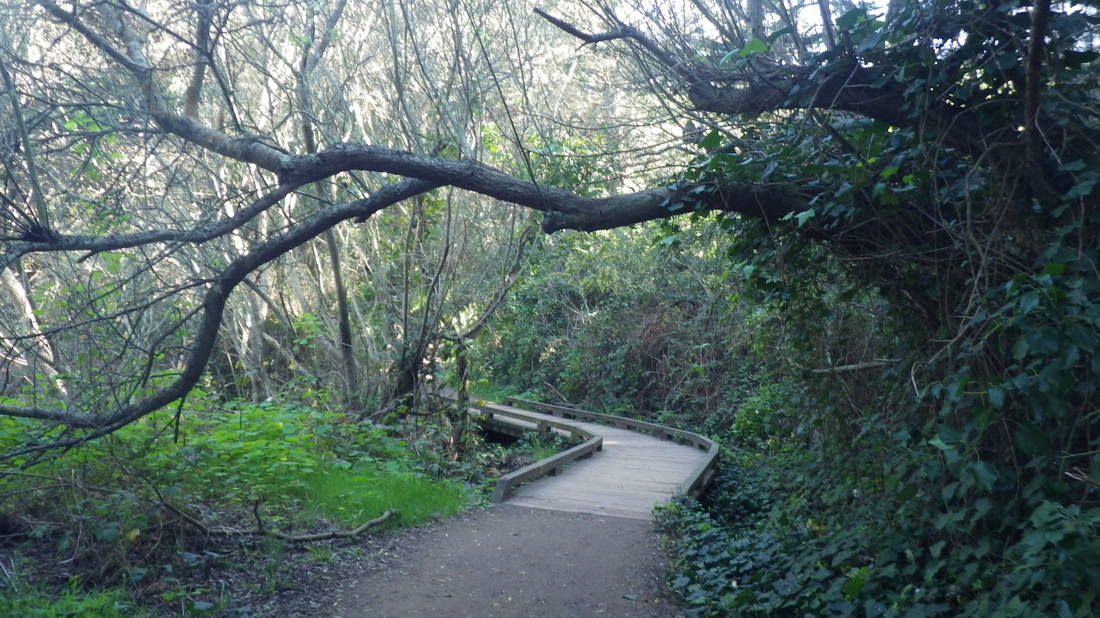
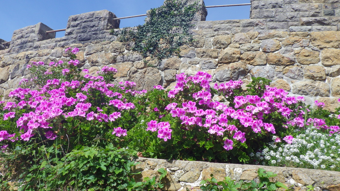
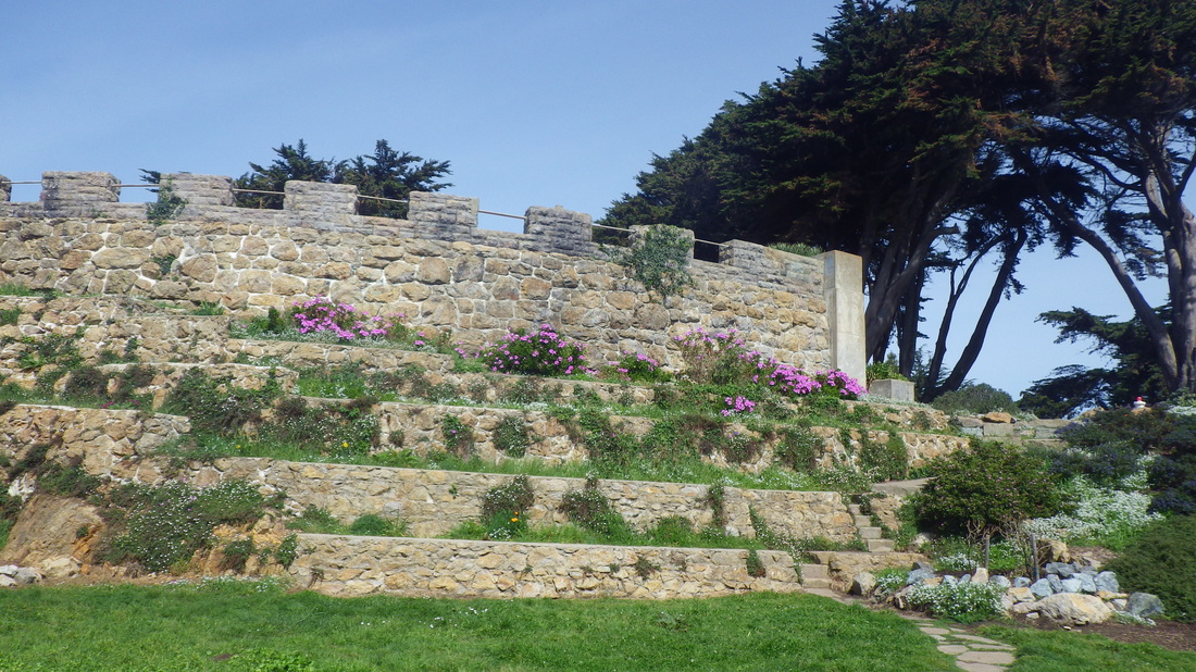
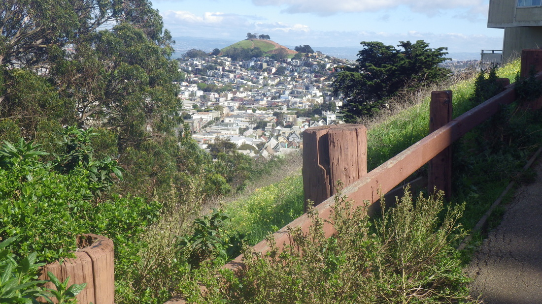
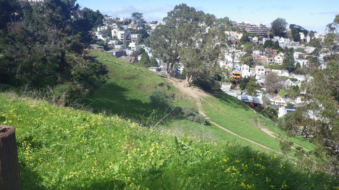
Continuing a recent Sausalito hike … 

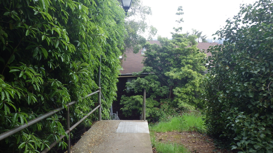
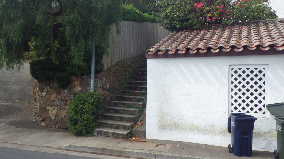
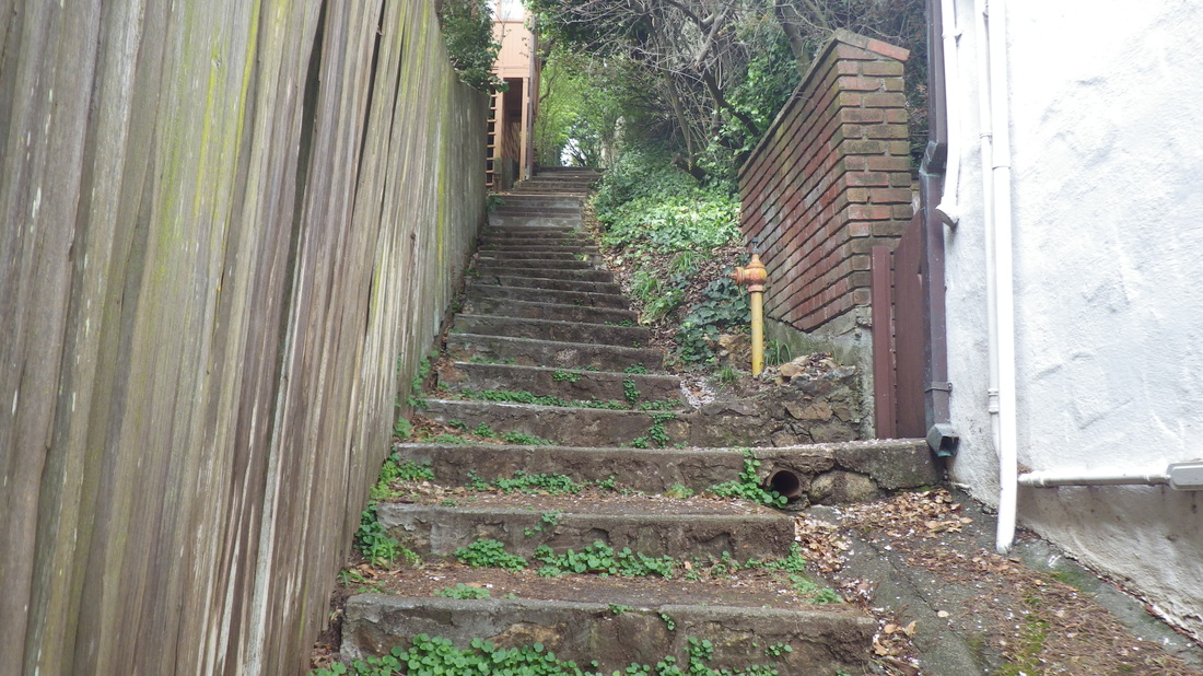
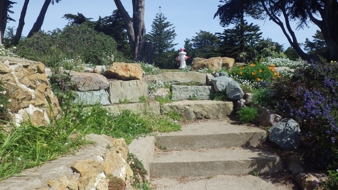
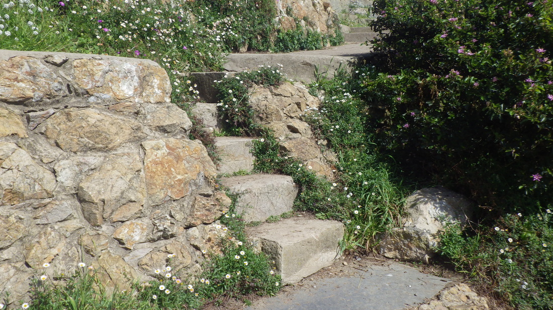
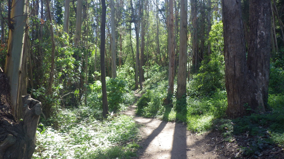
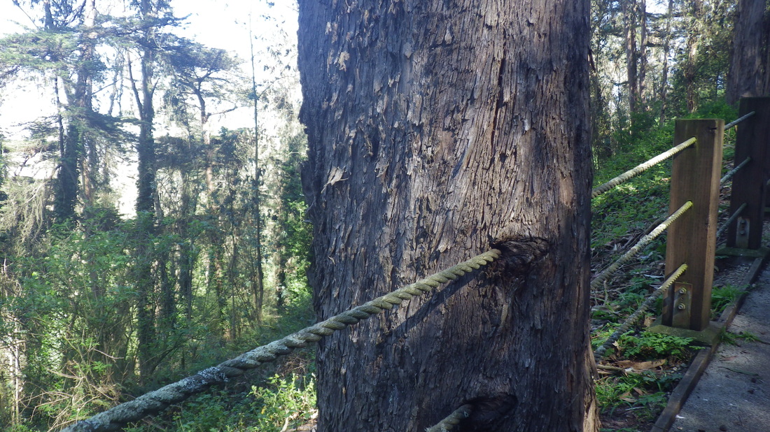
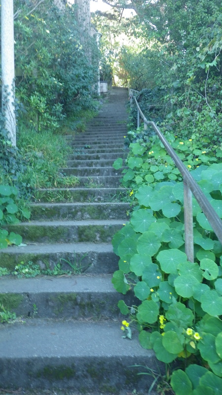
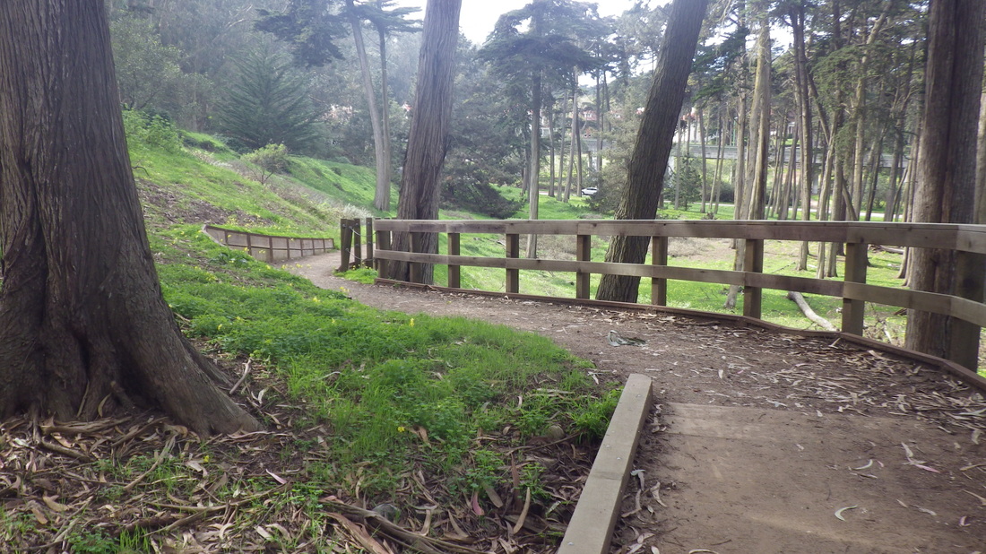
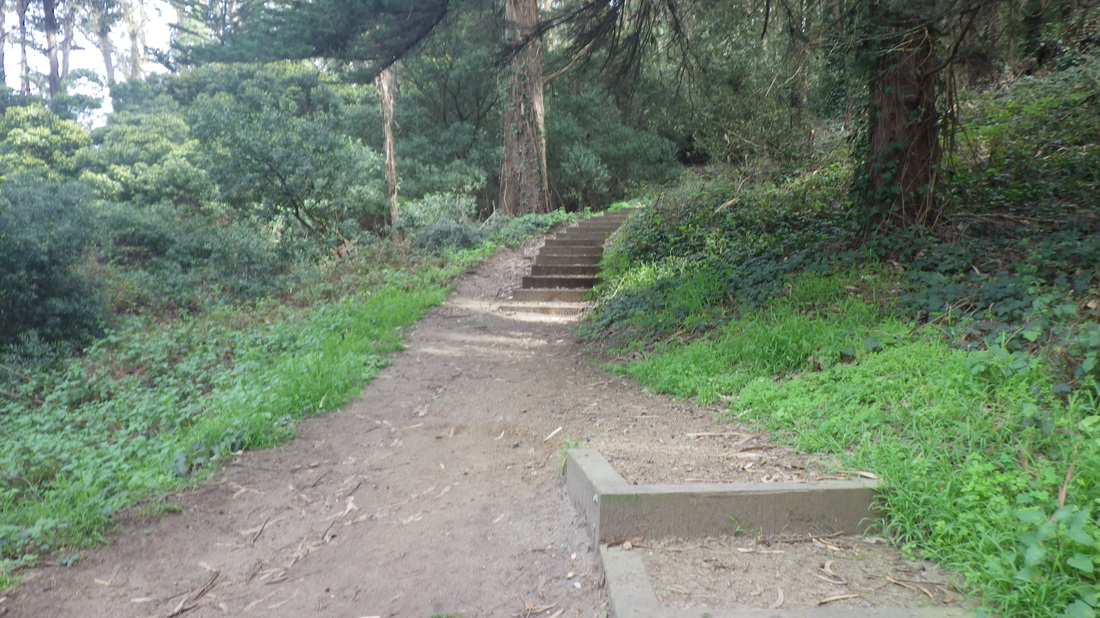
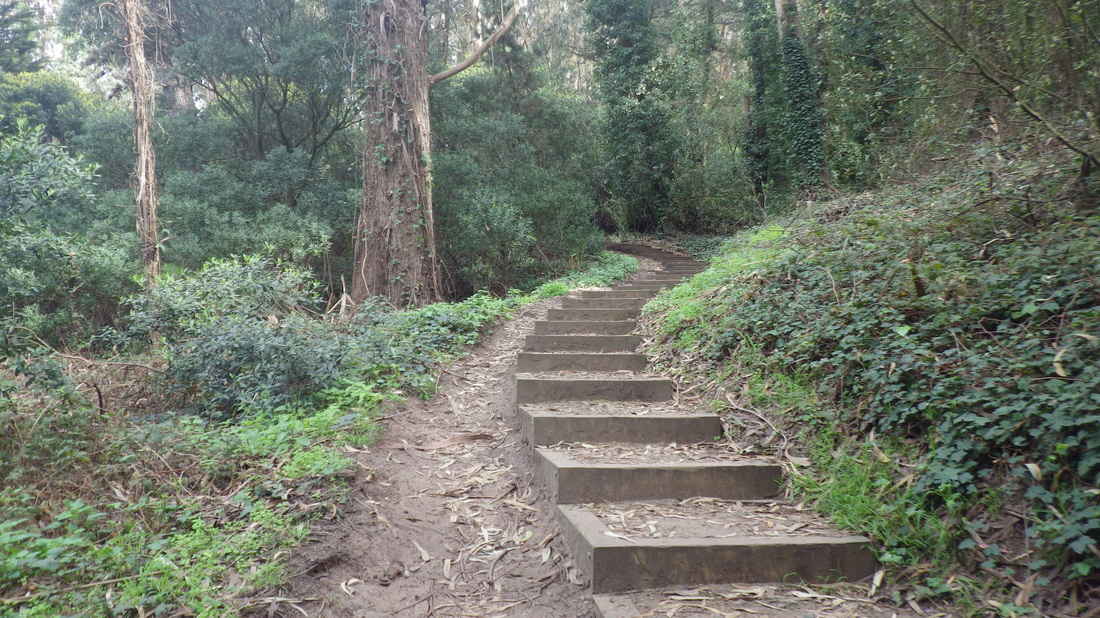
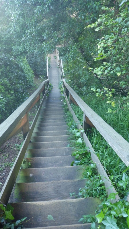
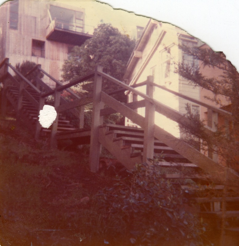
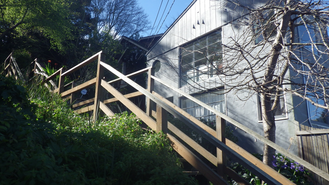
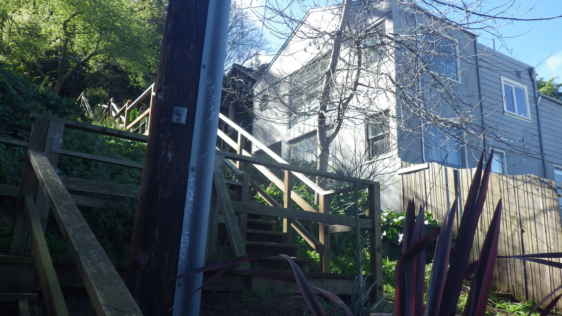
… Winding around on Lower Crescent, Crescent, and Sausalito Blvd. (first two pix), passing the top of the lower Cable Roadway stairs (pix 3, 4). Lower Cable Roadway climbs from Central to Crescent. The upper Cable Roadway steps continue up a few yards from here at Sausalito Blvd. where it merges with Crescent. There are street signs. 

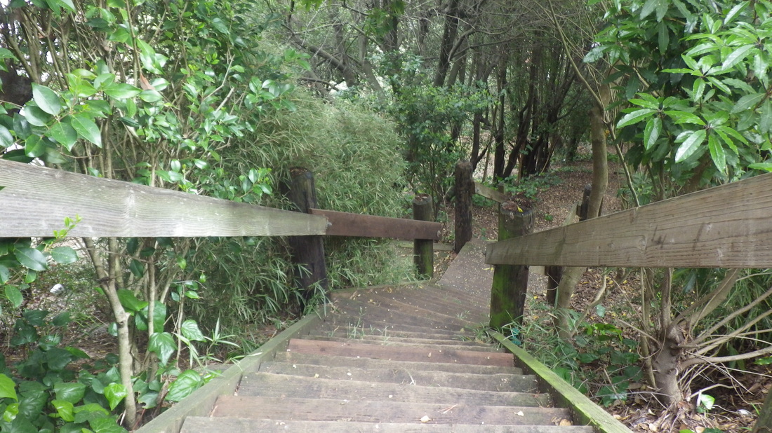
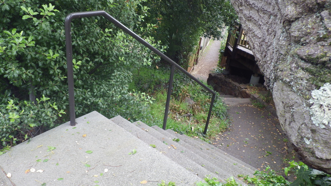
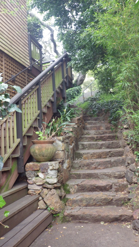
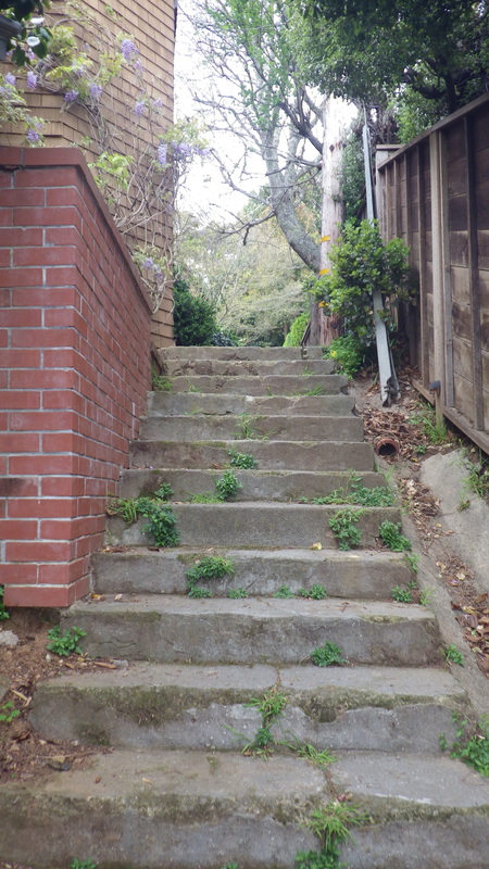
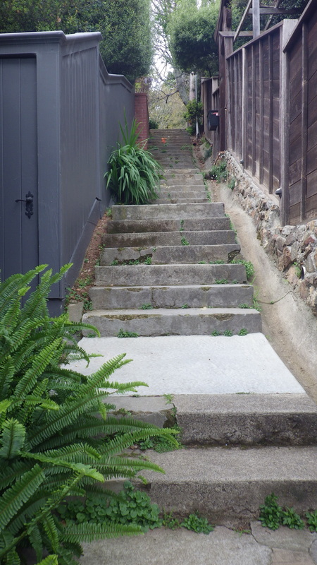
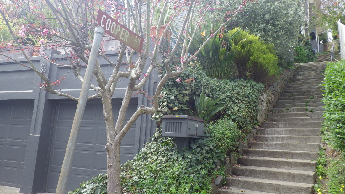
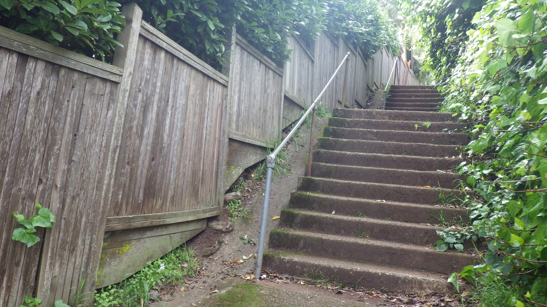
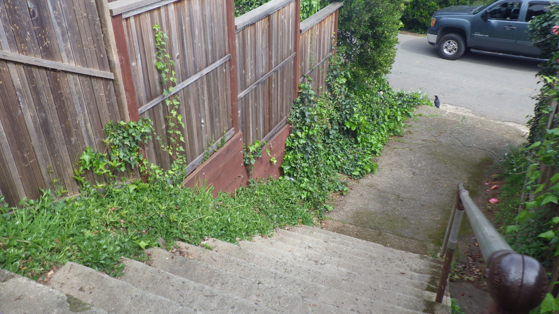
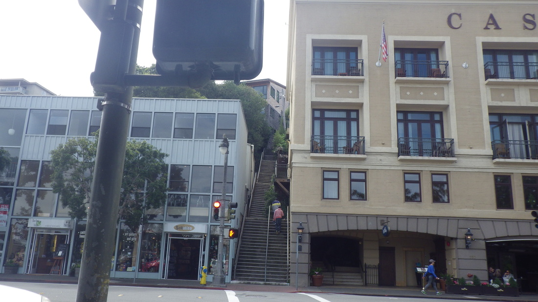
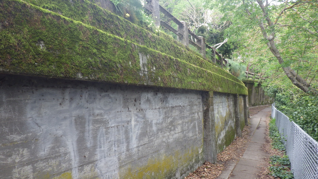
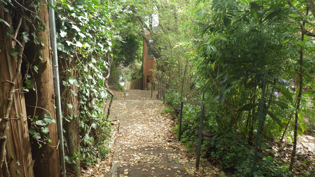
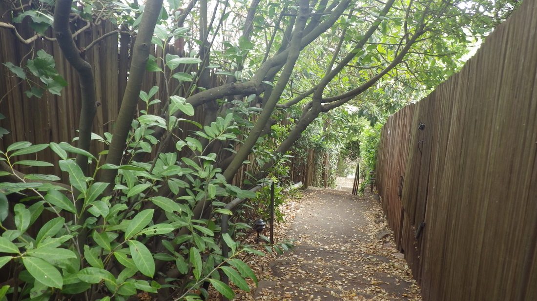
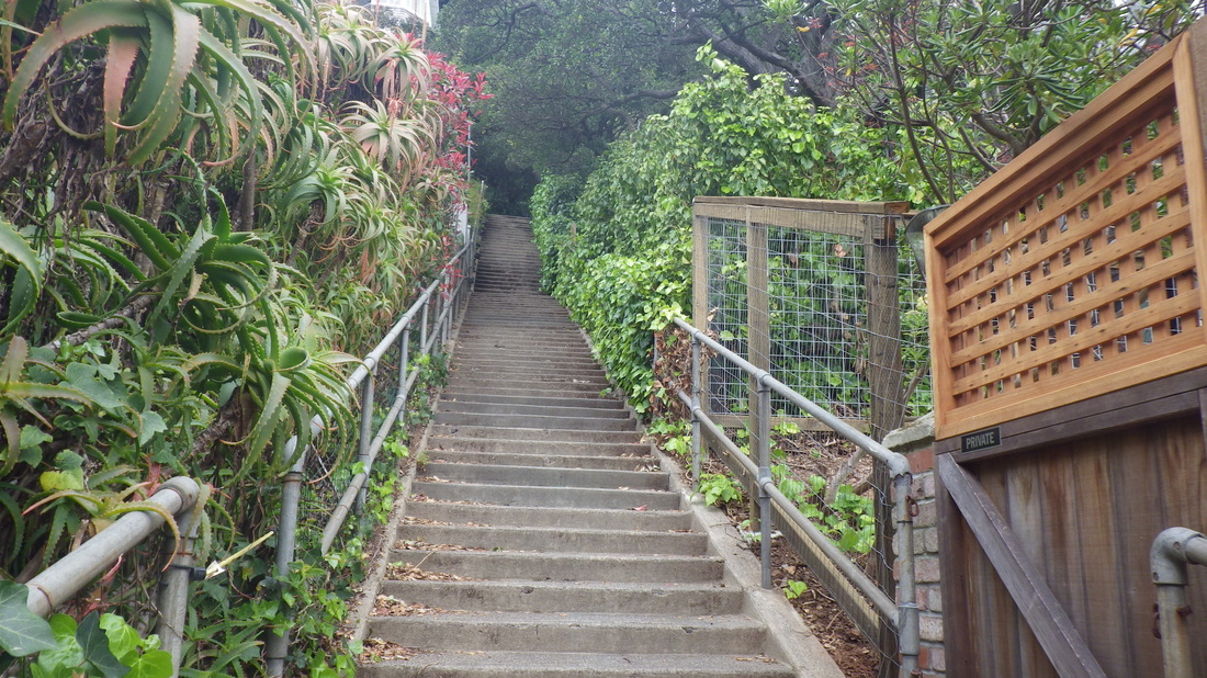
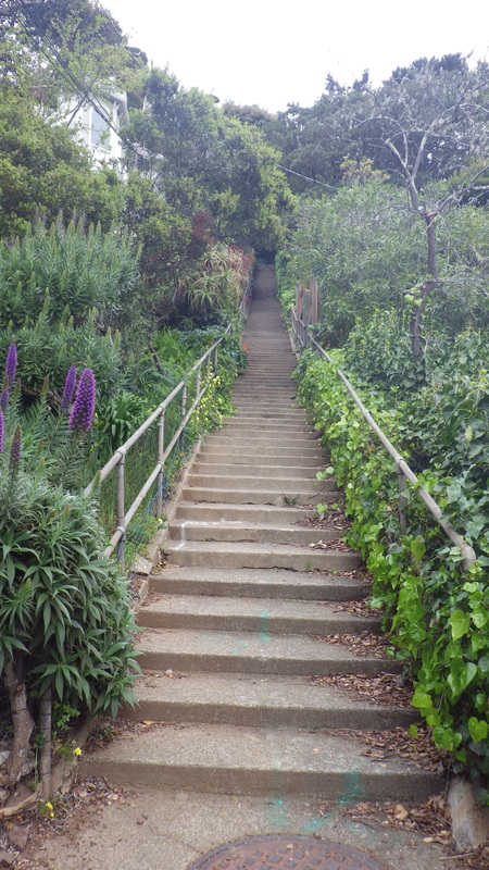
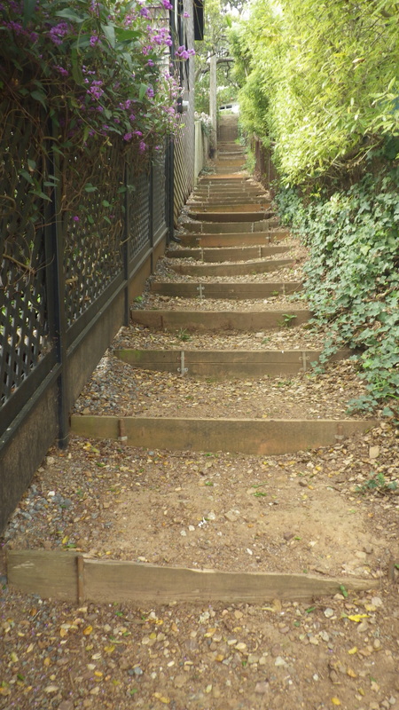
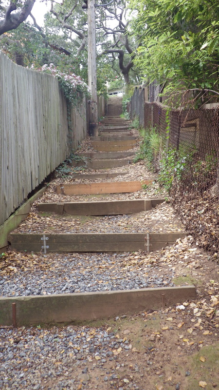
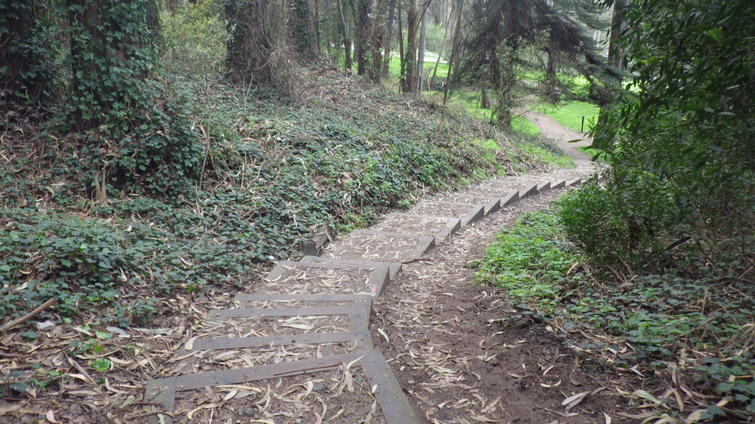
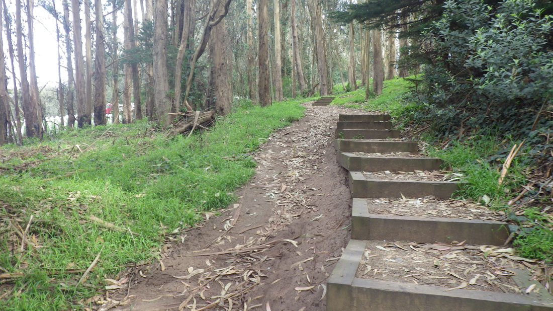
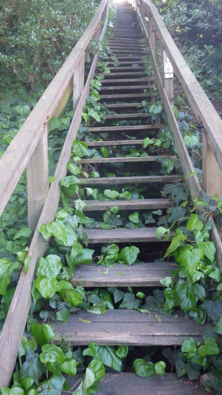
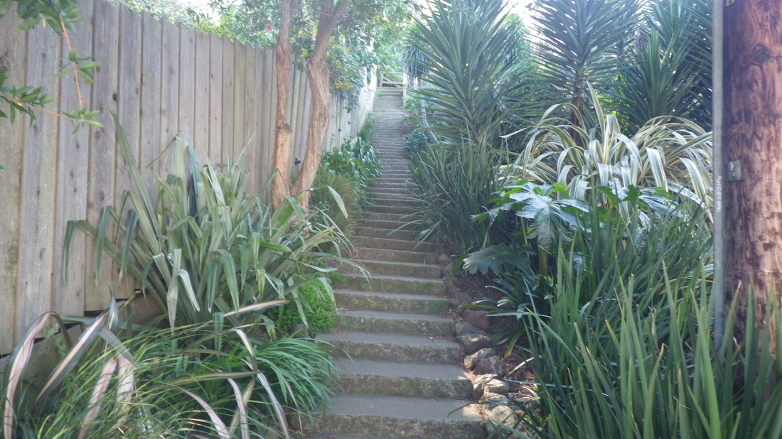
Next for me this time: Cooper Lane, 120 steps. Cooper descends from Spencer/Sausalito/San Carlos. Google Maps does not show it as a stairway, but does show one of those red markers for its location between San Carlos and Sausalito/Spencer. Cooper does have street signs at its foot and top. Down Cooper (pix 5 thru 13, top to foot).


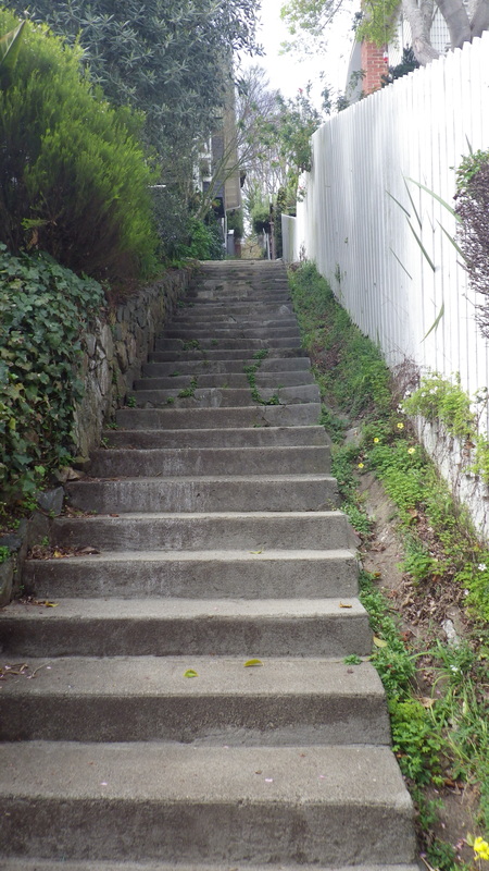
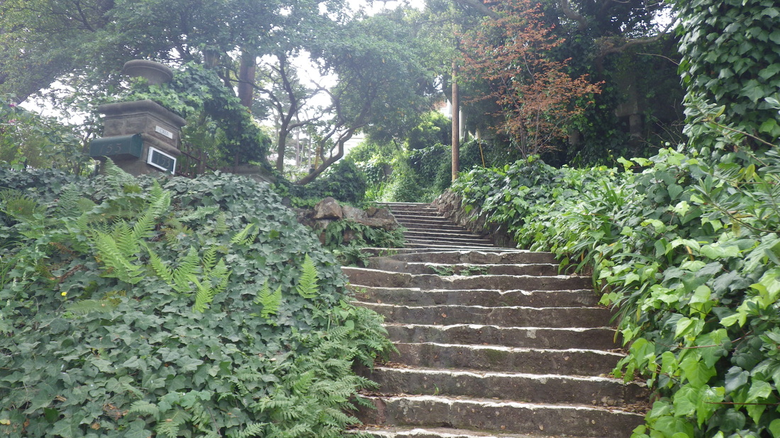
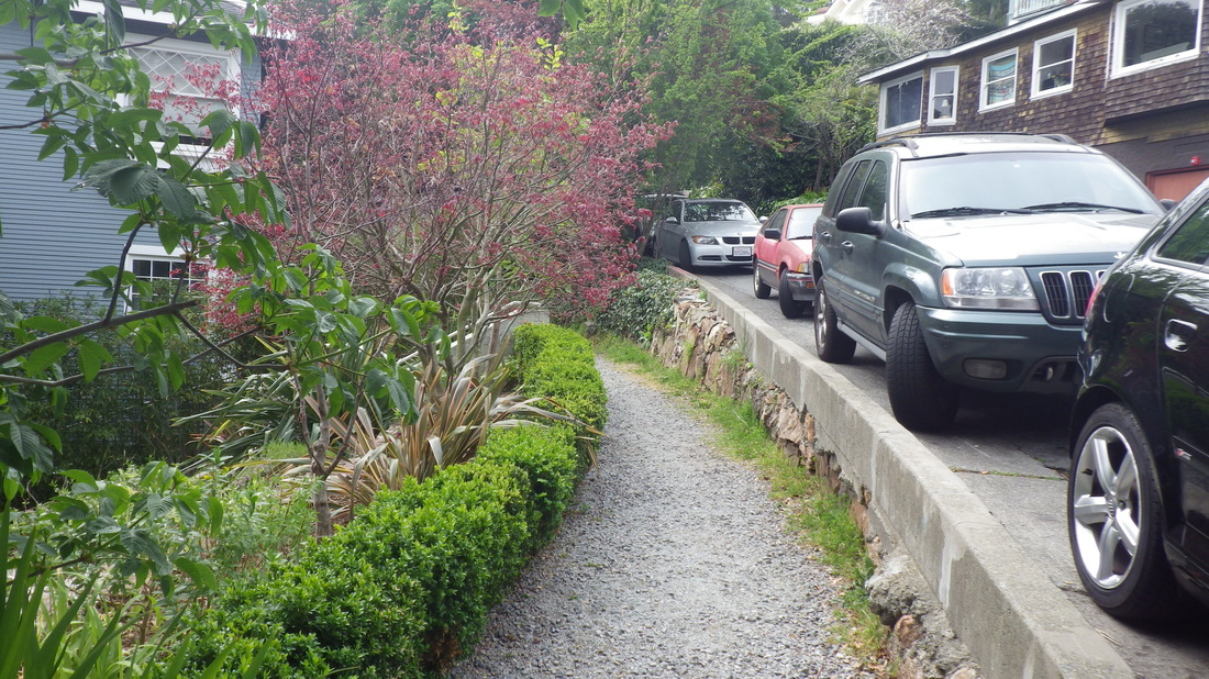
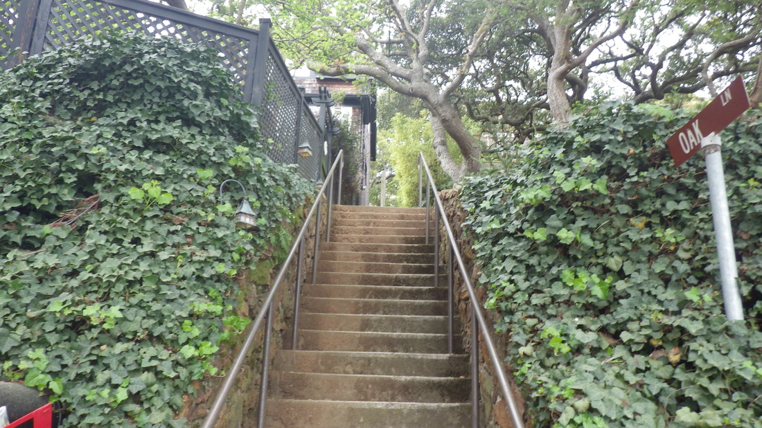
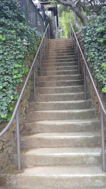
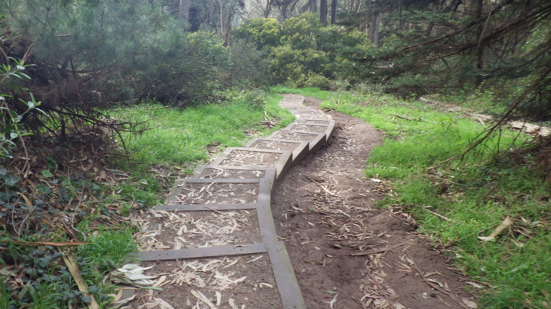
… And over to the top of Excelsior Lane at San Carlos/Miller (14 thru 18).  

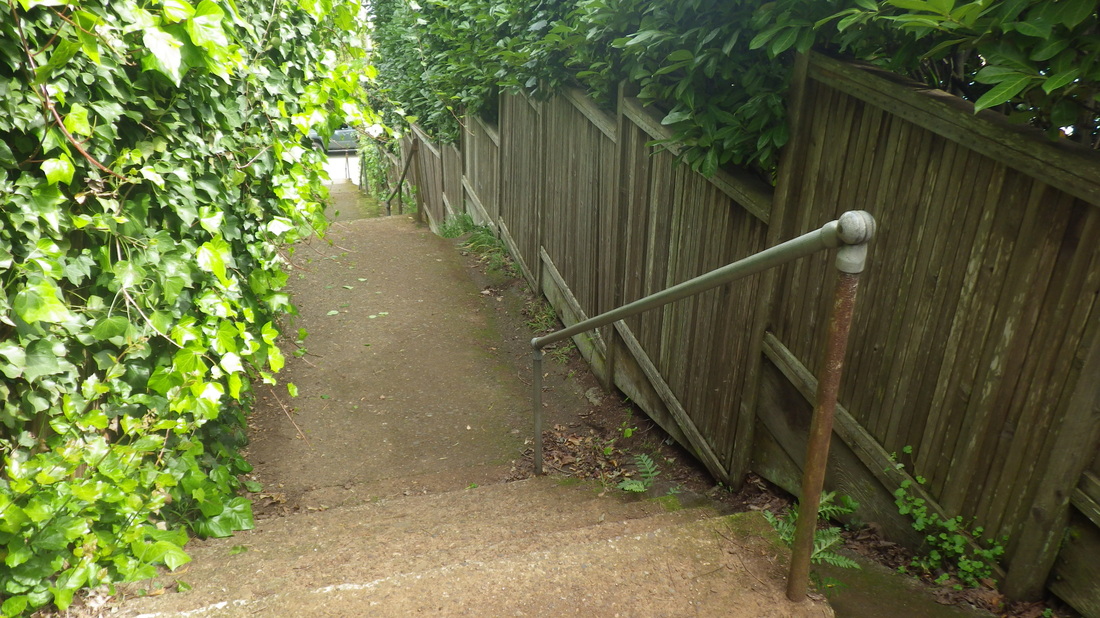
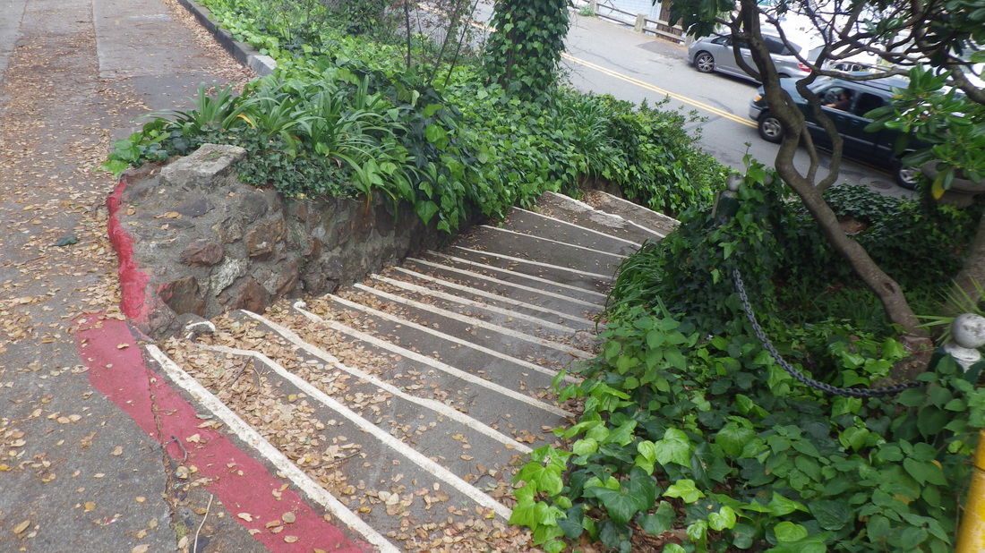
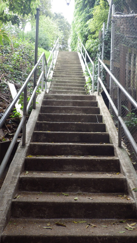
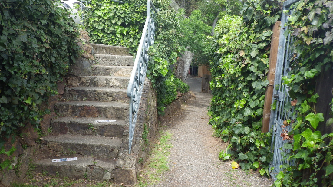
Excelsior continues two more blocks downhill as a combination stairway/walk, about 179 total steps; after the first block down turned west this time on Harrison. 

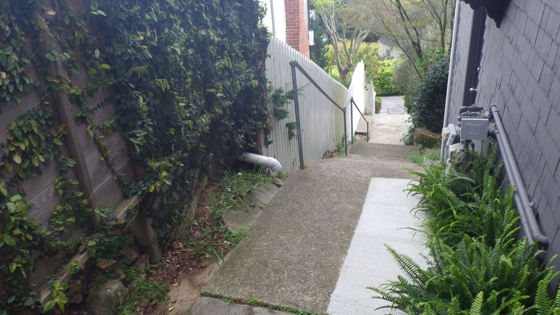
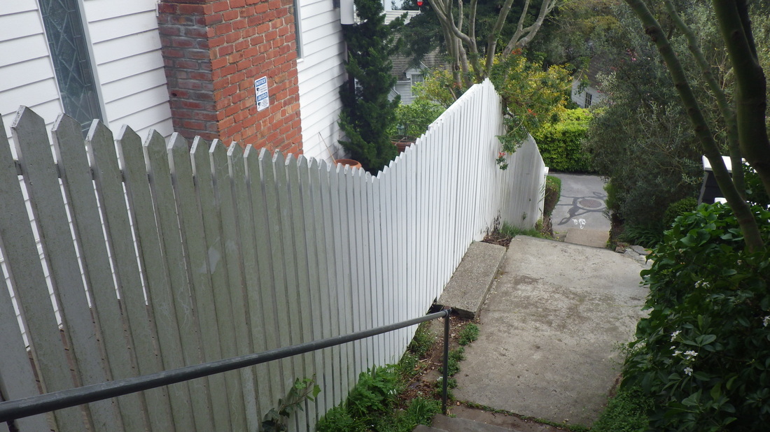
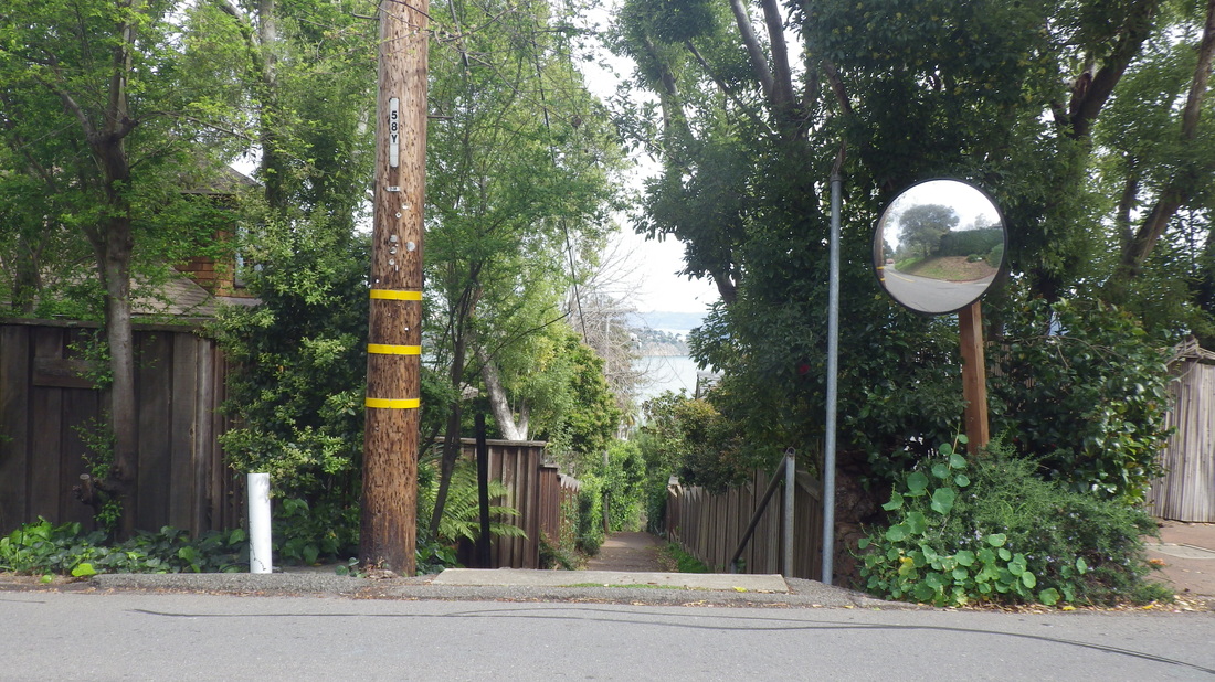
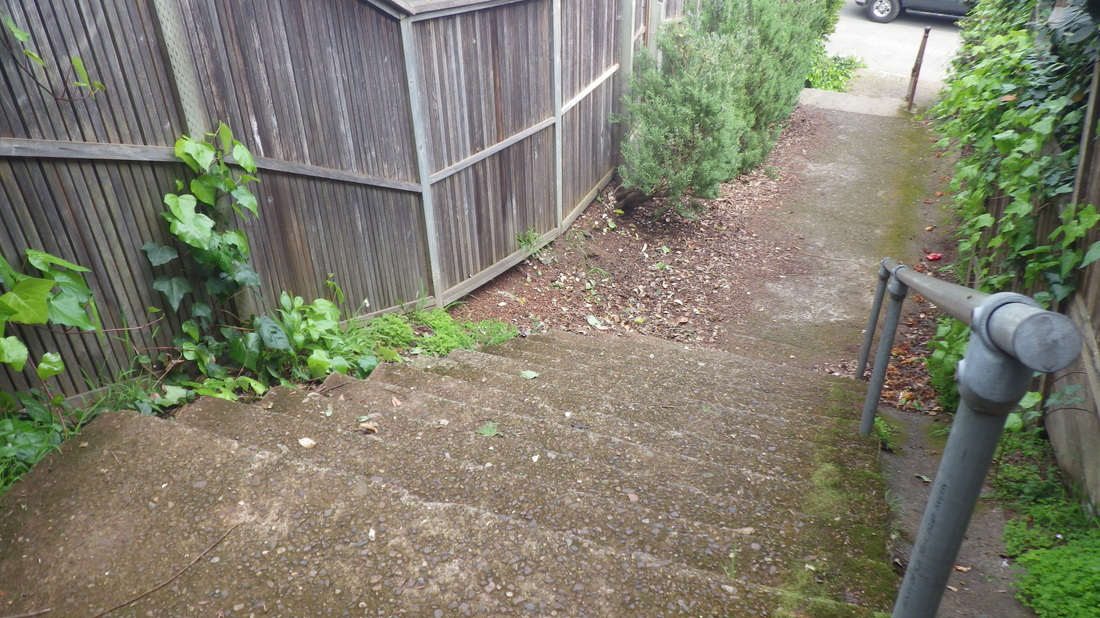
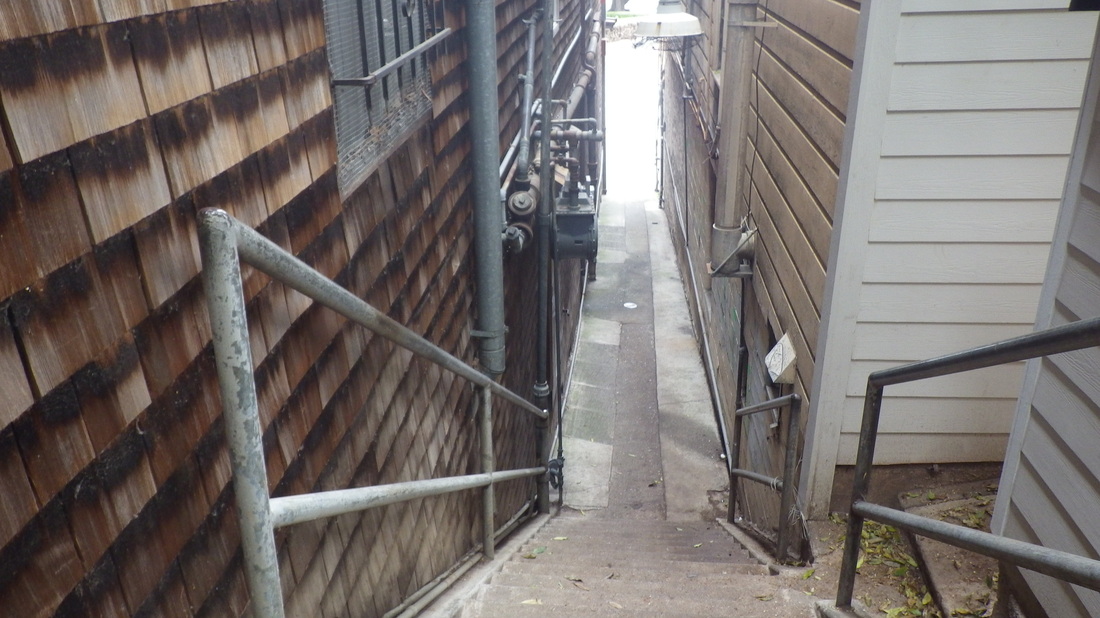
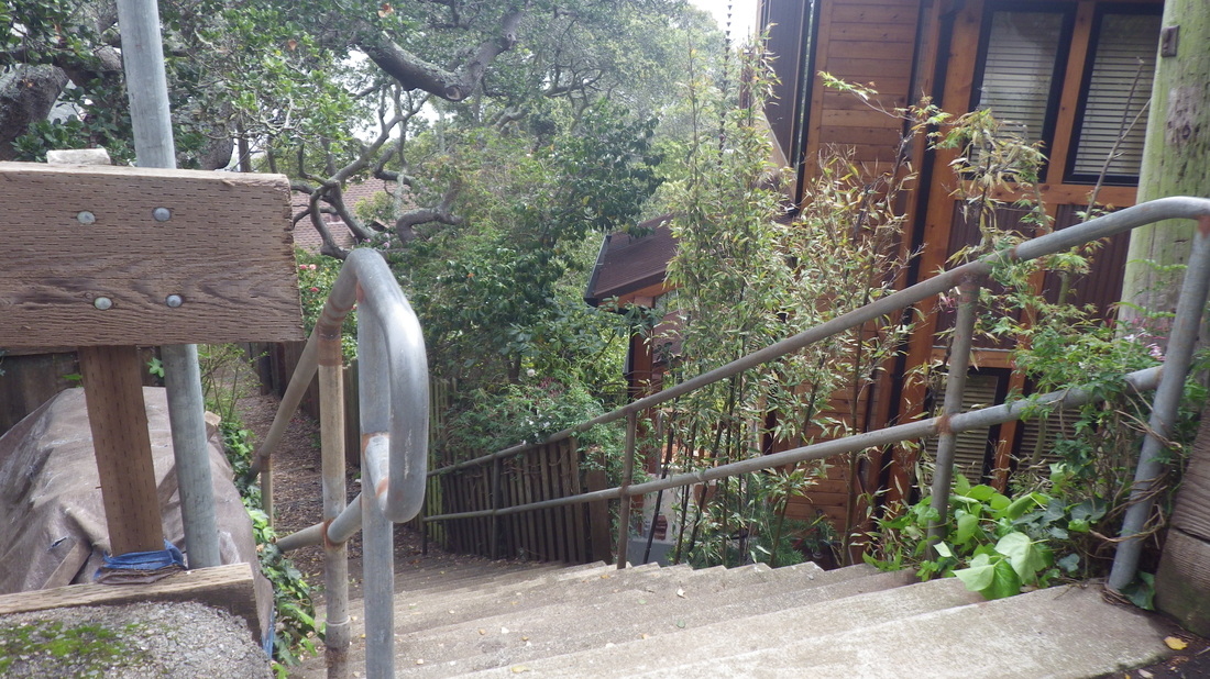
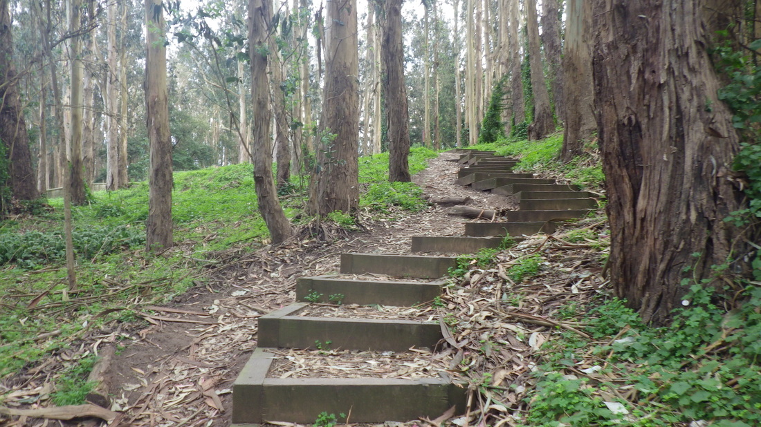
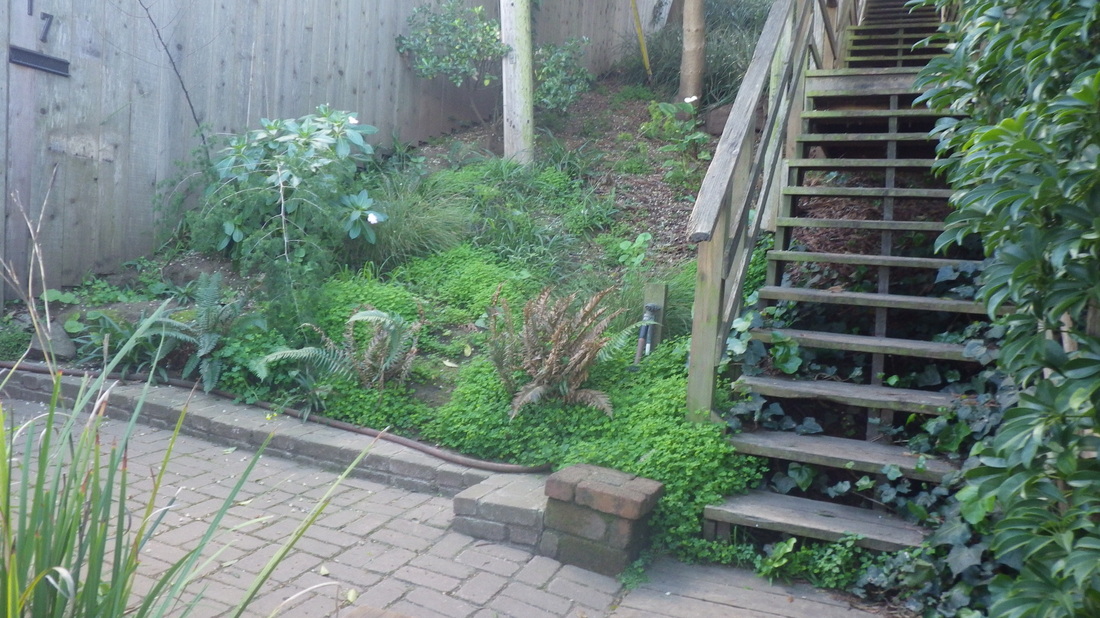
Harrison down to Bulkley, 29 steps (19, 20, 21), and on to the top of El Monte at Bulkley, 120 steps back down to Bridgeway (22 thru 26). 


Again, El Monte’s not showing up as a stairway on Maps, but you’ll see another one of those red markers if you input the name. El Monte has street signs at the top and foot and is very visible as it climbs up from Bridgeway between shops. See 142 Bulkley on Streetview for the top of stairs street sign. 

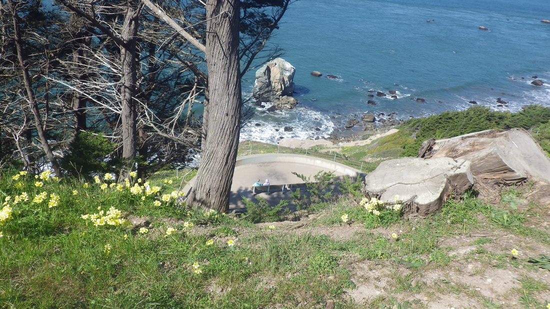
So you can’t always see them marked as stairways on GM. Some are, some aren’t. Sausalito has to be the best-smelling city on earth: constant nature aromatherapy. 
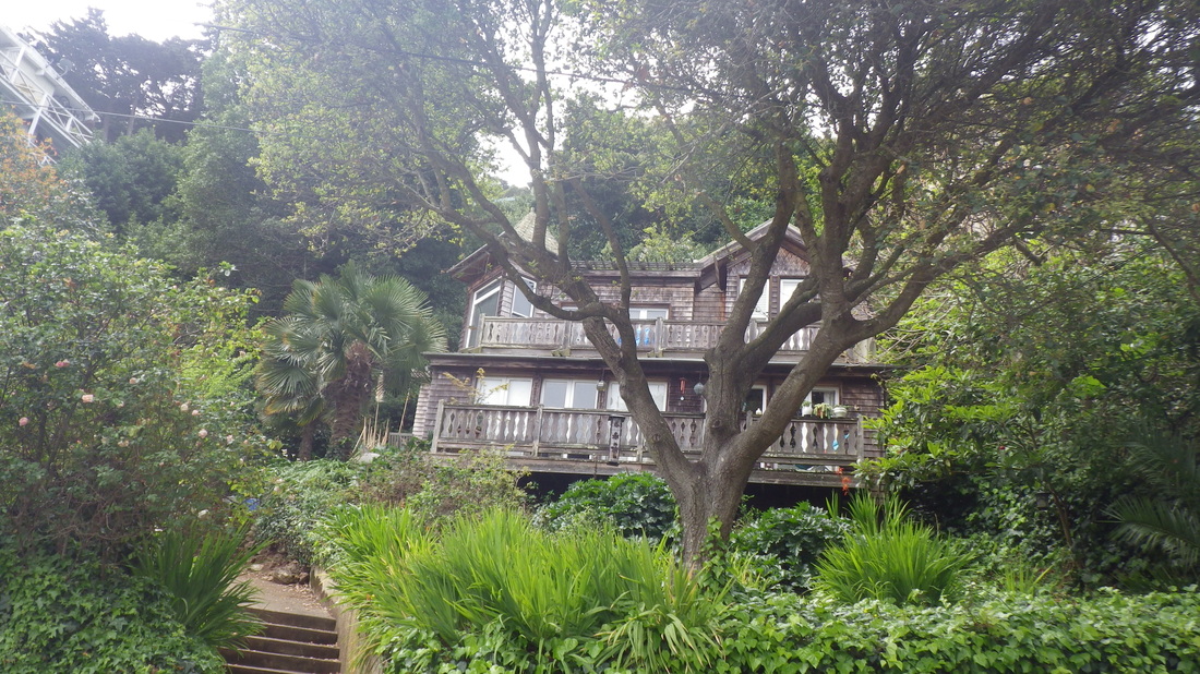
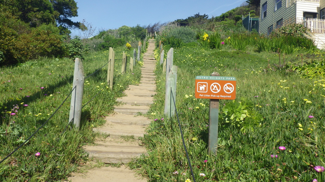
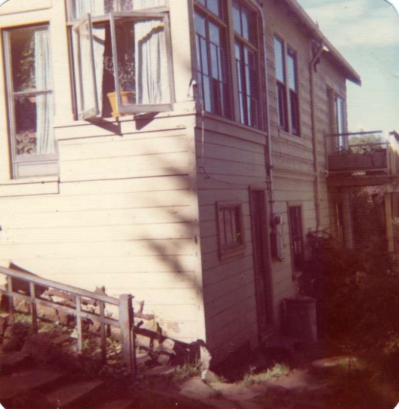
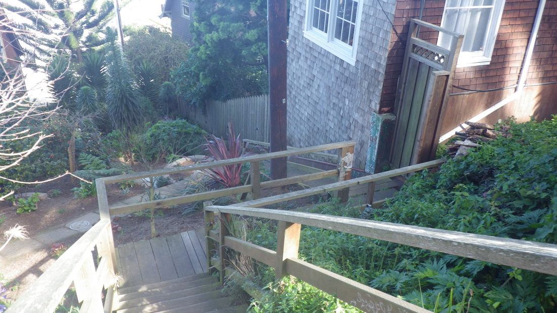
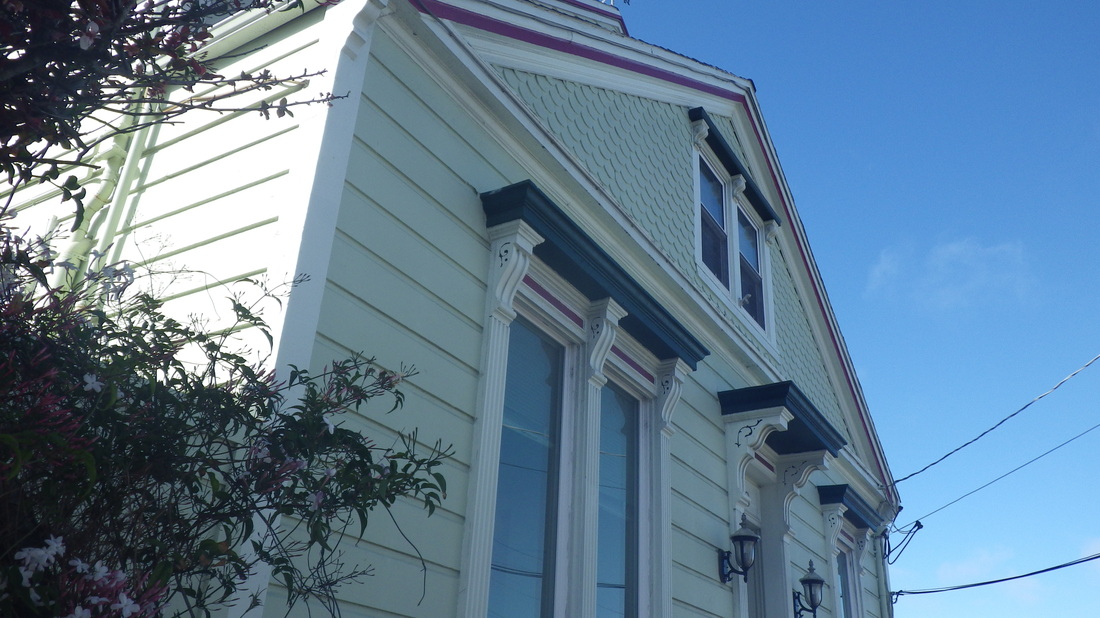

Picture
1. A favorite
Picture
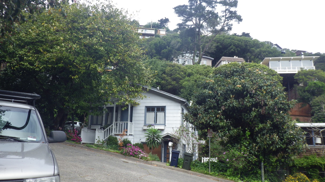
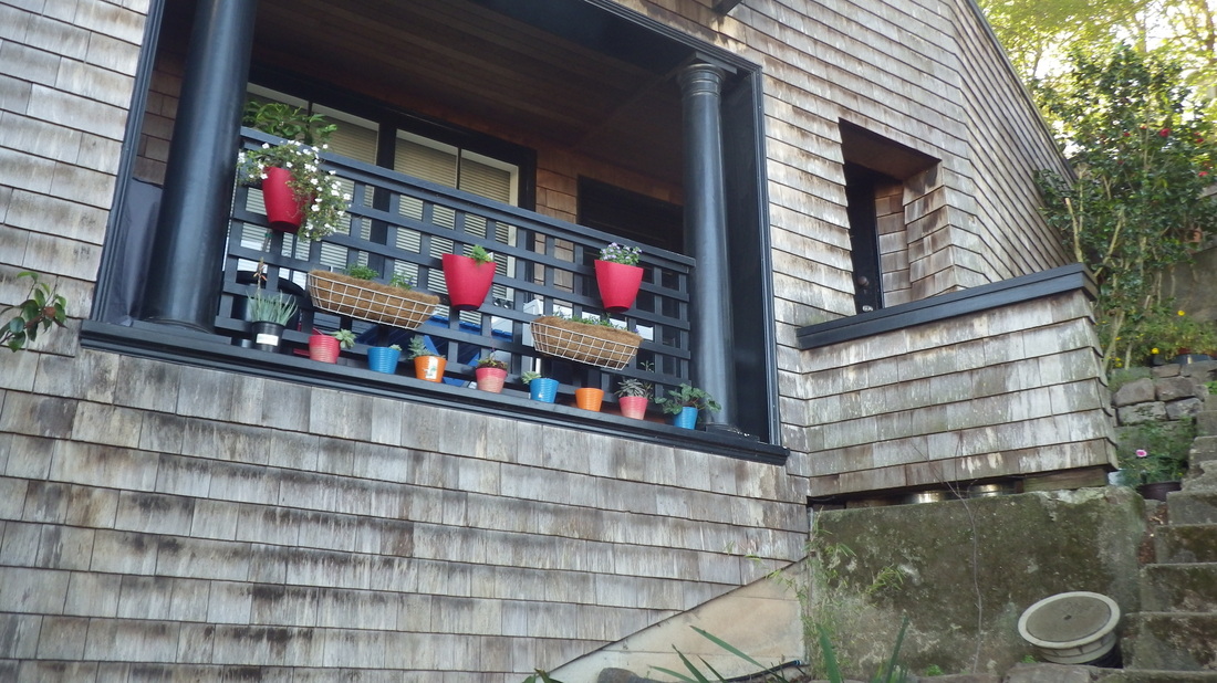
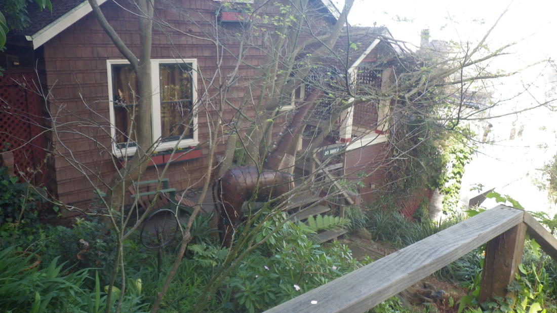
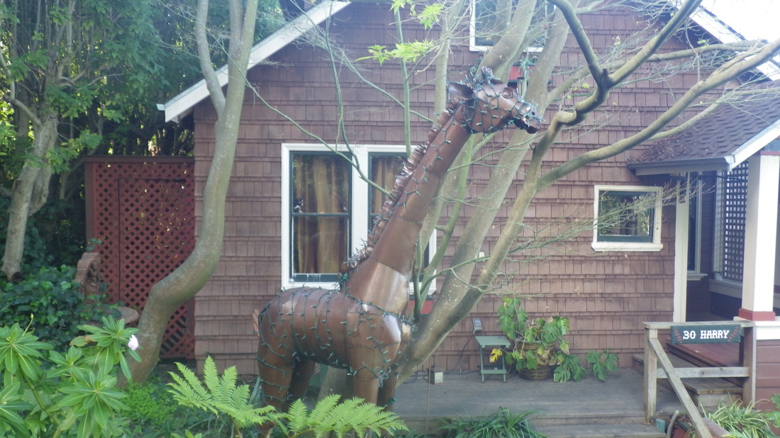
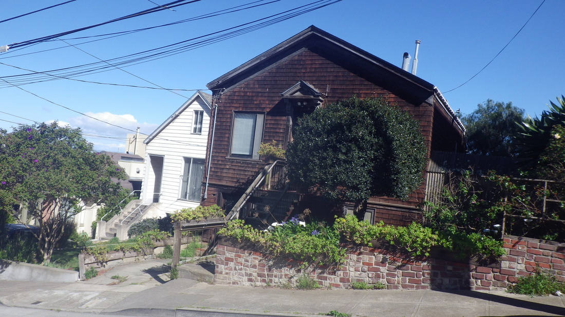
2. Cute little house!
Picture
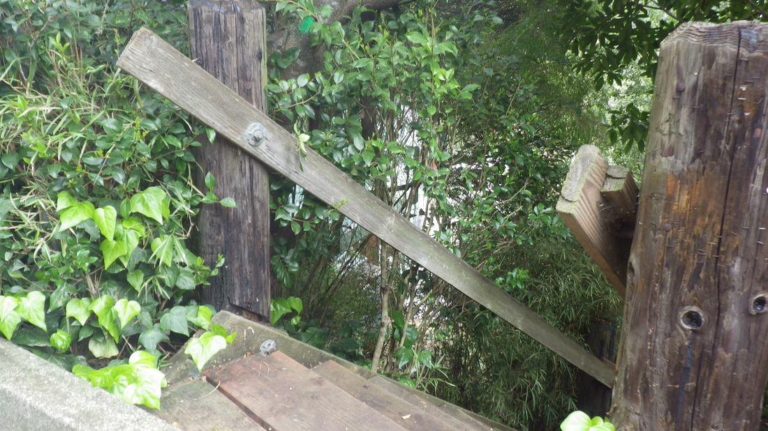
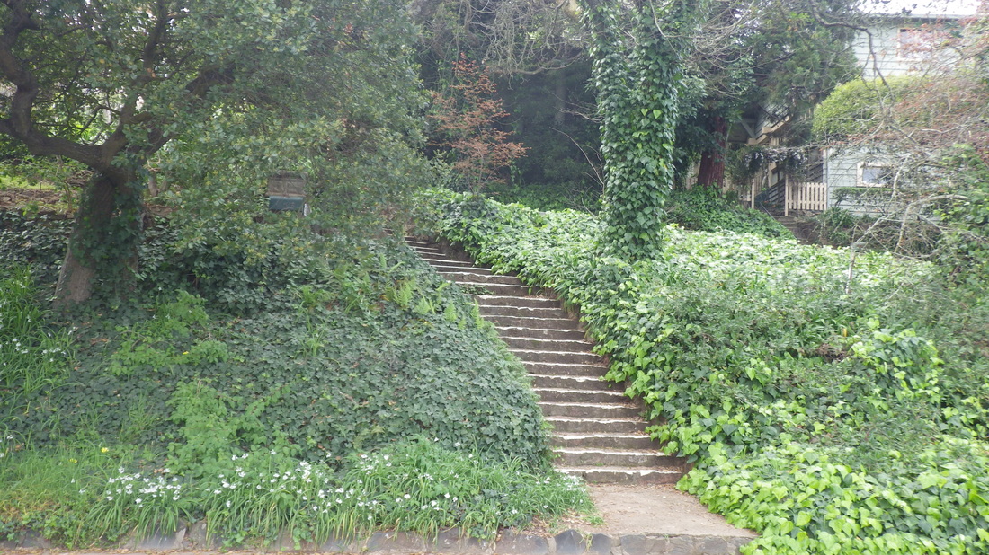
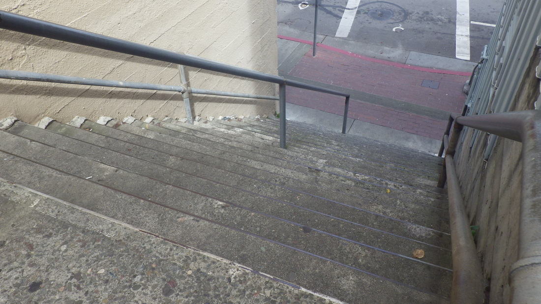
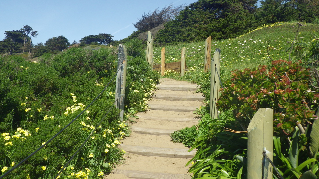
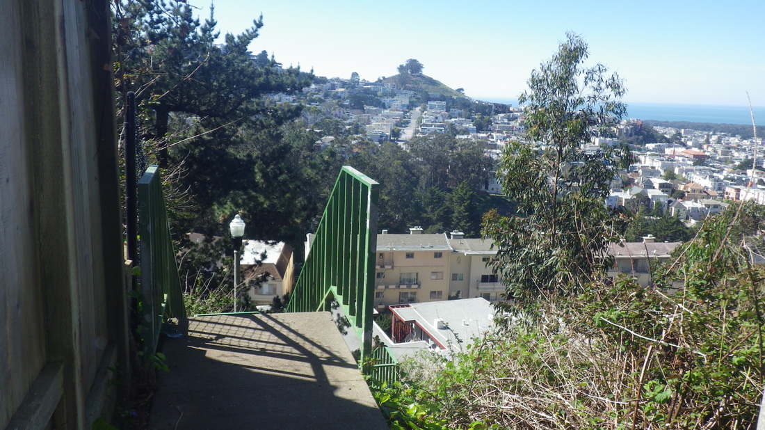
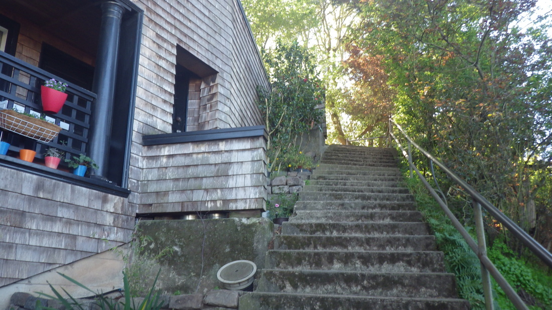
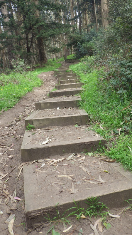
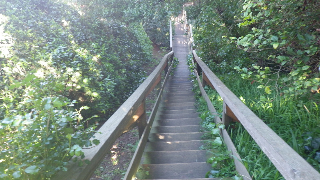
3. Top of lower Cable Roadway at Crescent
Picture
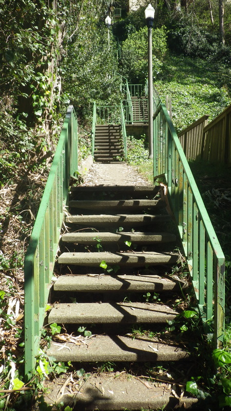
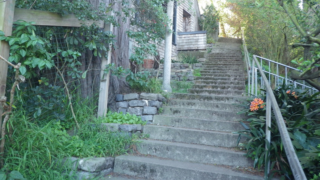
4. Cable Roadway steps from Crescent down to Central
Picture
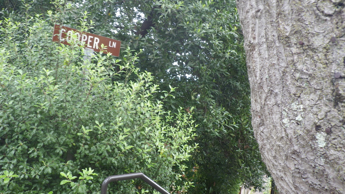
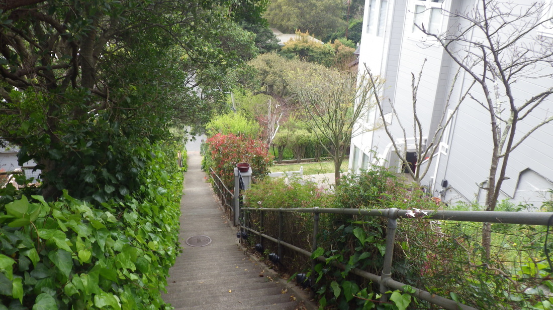
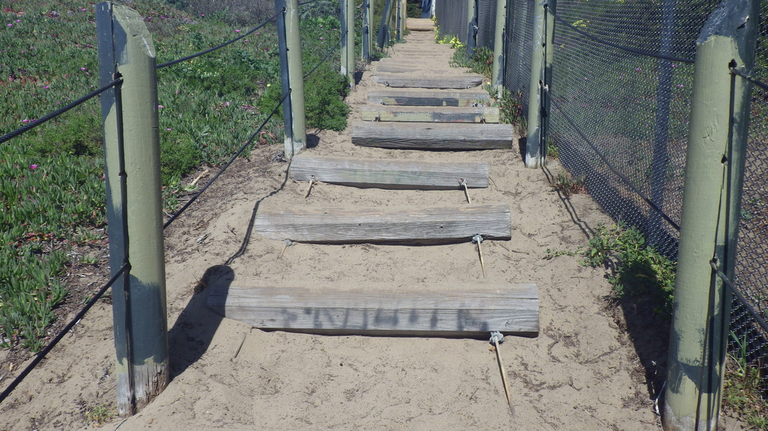
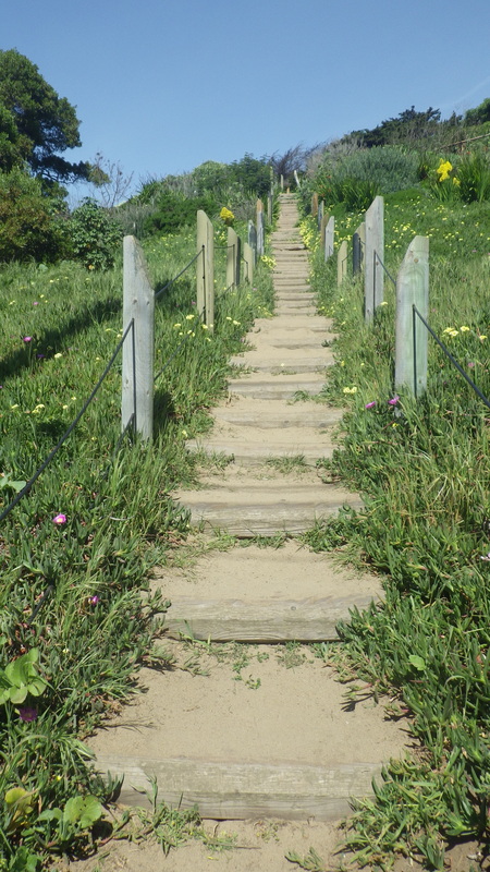
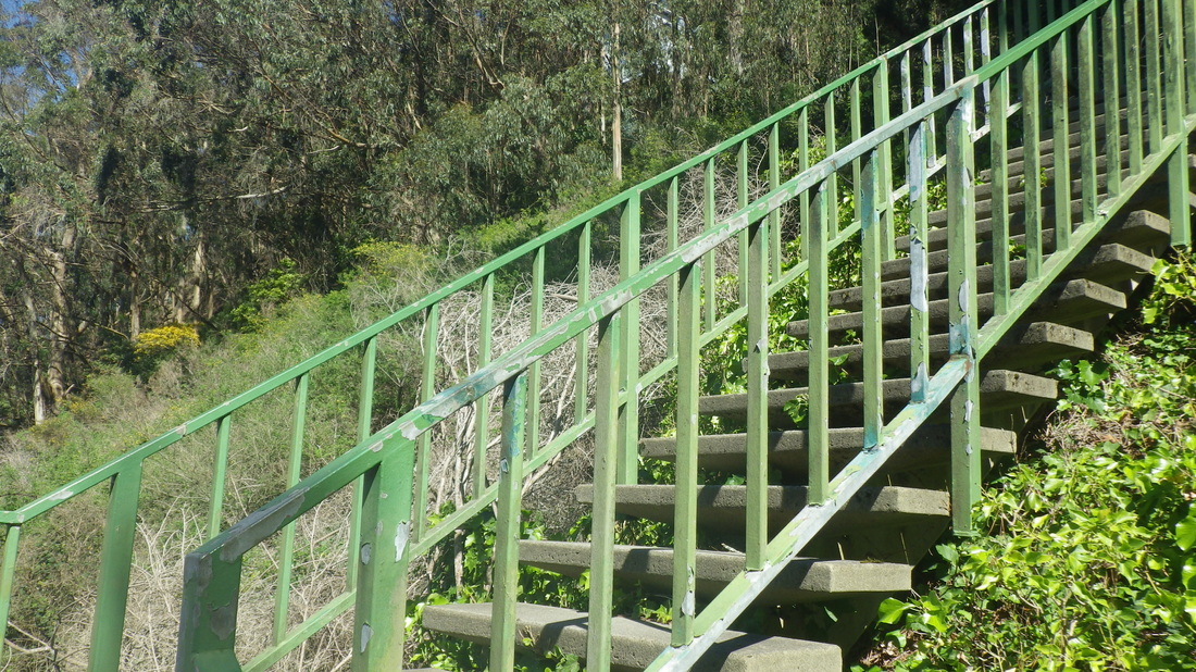
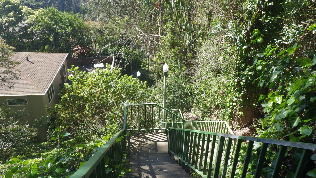
5. Top of Cooper Lane
Picture
6. Starting down Cooper Lane
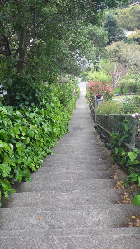
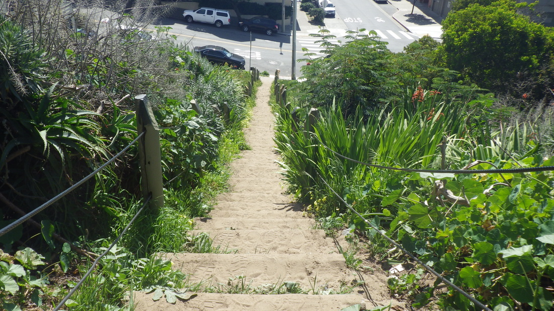
Picture
7. 120 steps
Picture
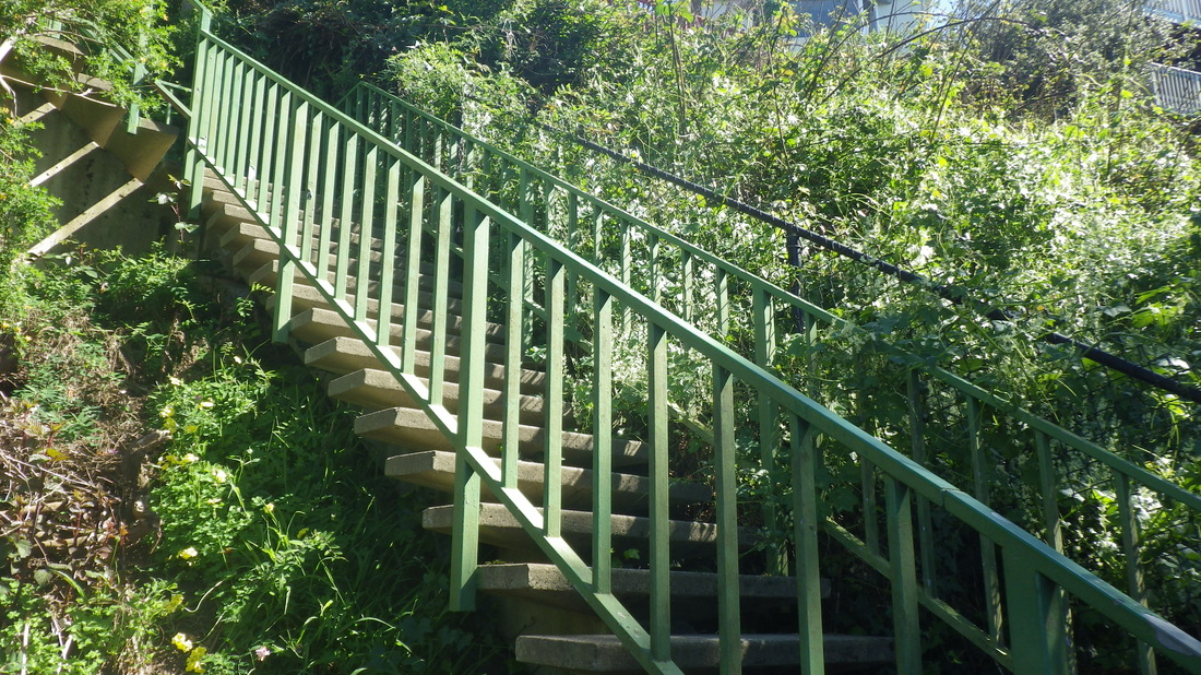
8. Down from Spencer
Picture
9. Partway down
Picture
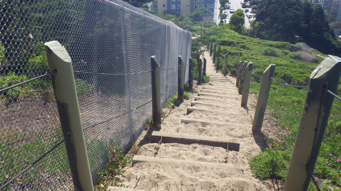
10. Down to San Carlos
Picture
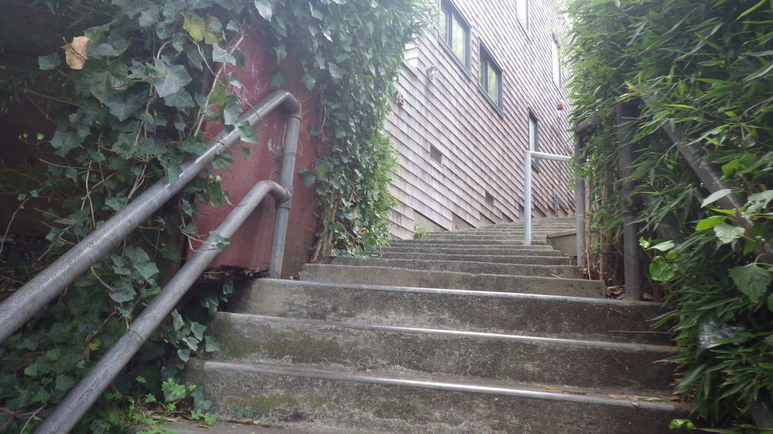
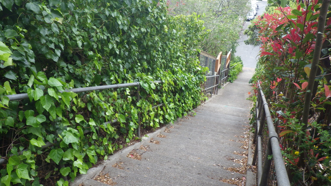
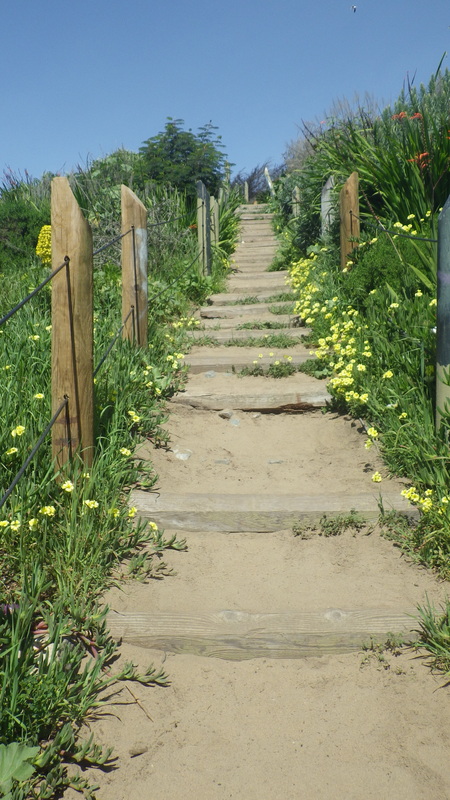
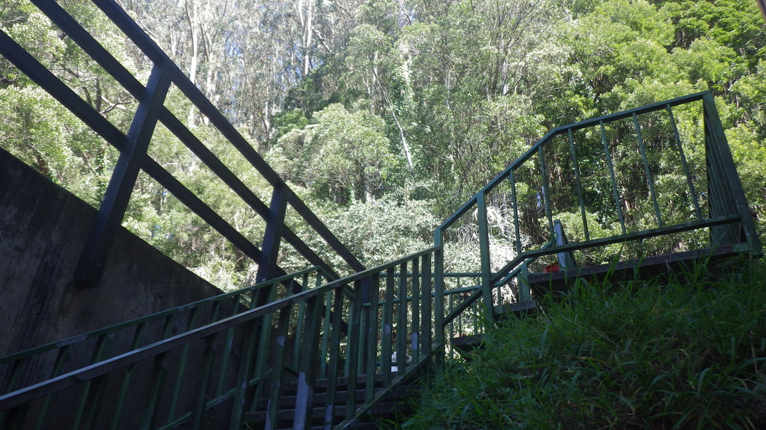
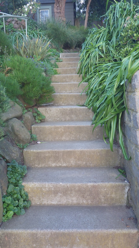
11. This part has a railing
Picture
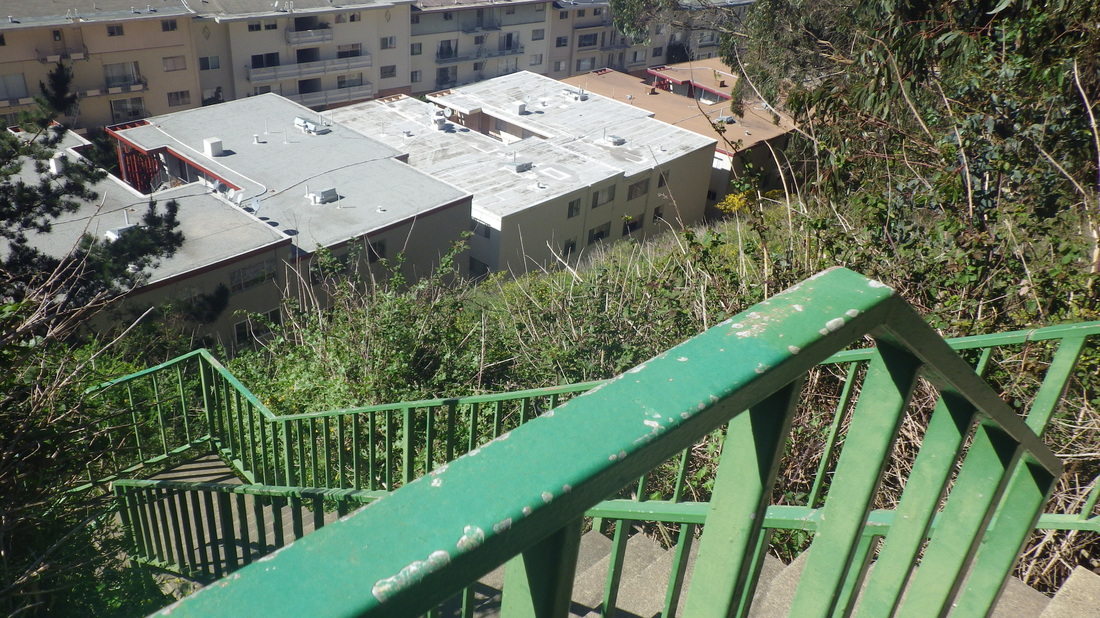
12. Nearing Cooper's foot
Picture
13. A street sign at the foot too
Picture
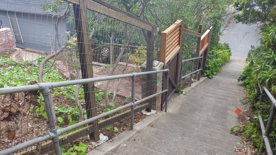
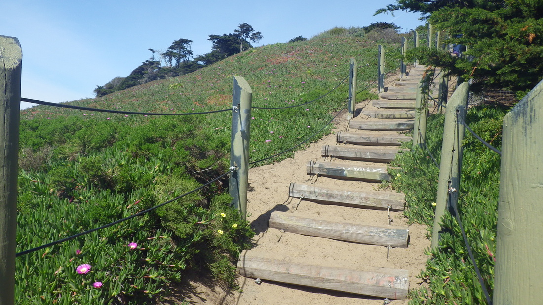
14. Top of Excelsior at San Carlos (at Miller)
Picture
15. Down from San Carlos & Miller
Picture
16. Upper block of Excelsior Lane
Picture
17. This part between Harrison & San Carlos/Miller
Picture
18. 179 total steps for Excelsior Lane
Picture
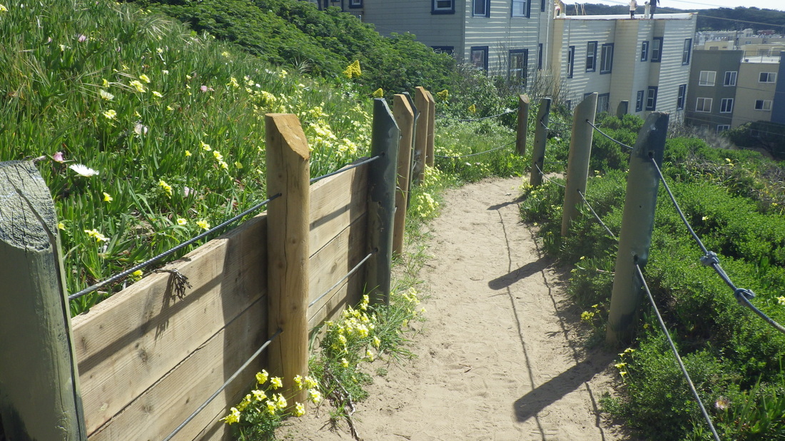
19. Harrison to Bulkley
Picture
20. Harrison descending to Bulkley
Picture
21. 29 steps
Picture
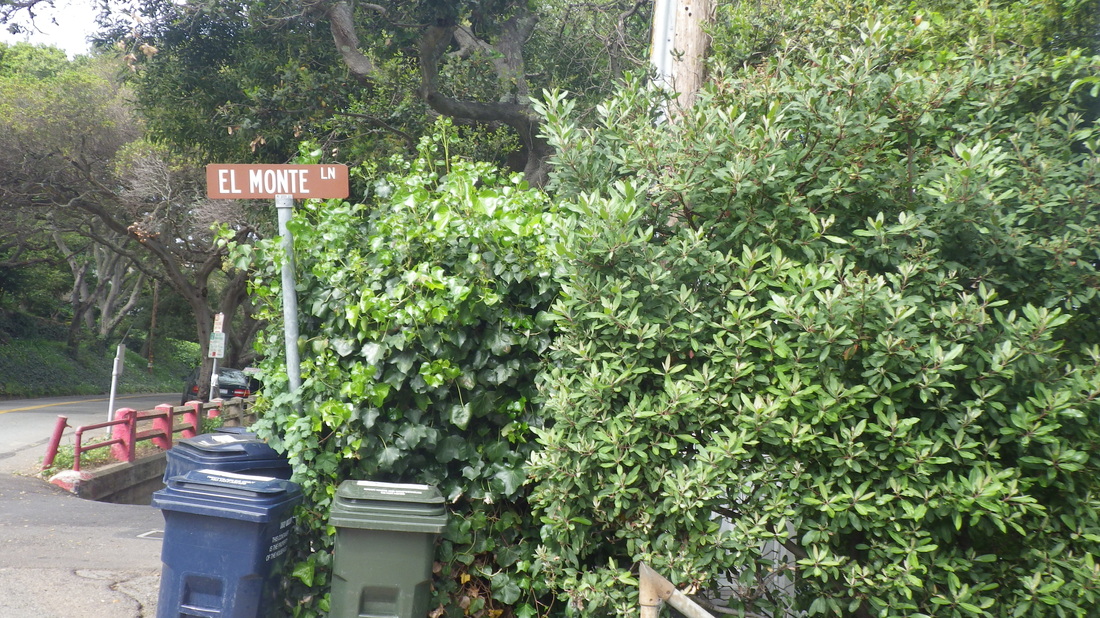
22. Showing El Monte's street sign at Bulkley
Picture
23. 120 steps
Picture
24. Between Bulkley & Bridgeway
Picture
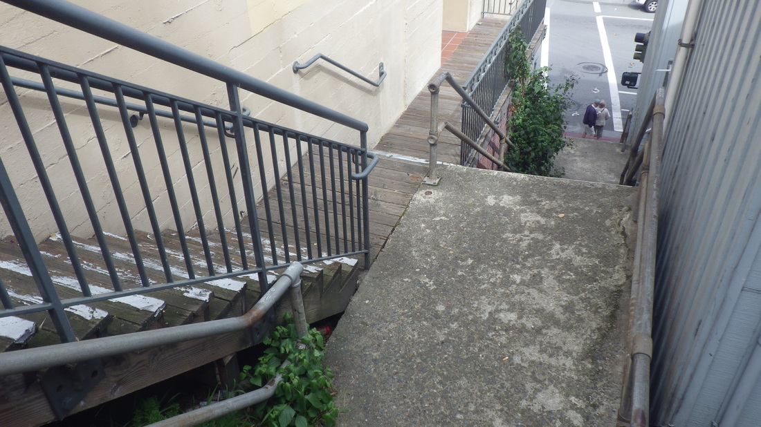
25. Down to the shops on Bridgeway
Picture
26. Can't get much more visible than this!
0 Comments

Random Sausalito Exercise

3/22/2015

0 Comments

 
The first one starting up from Bridgeway was Reade Lane to Bulkley (first three pix), then onto the pedestrian pathway that runs just below Bulkley, moving east up from the brick steps off Princess (pix 4, 5, 6). These first two are combination pathways/short stairways. 

Reade does not show up on Google maps as a thru stairway starting up from Bridgeway, but does have street signs at both Bridgeway and Bulkley. From Bridgeway you can see steps up ahead as you look down the narrow alley.  

Up from Bulkley, Noble Lane’s 98 steps ascend. Noble does not show up as a stairway on Google Maps, but if you input the name it will show one of those red markers at the top of the stairs where it comes out at San Carlos and Sunshine. Noble, foot to top: 7, 8, 9, 10.

Down West Court from Central, 103 steps: 11 thru 17. At the foot it turns into West Street.

Up Oak Lane from West at Central and Richardson, 93 steps (pix 18 thru 22, foot to top). This stairway does not show up at all on Google Maps, not even as a red marker. But if you go to Streetview down from the West Court steps where Central starts uphill, you can see the foot of a stairway on the west side of the street. 

Oak starts out as concrete with railings, turns into wood steps in the middle, and back to regular concrete towards the top at Lower Crescent. It does have street signs at both the foot at West/Central/Richardson and the top. 

Continuing this hike … next post … 

Picture
1. Reade Lane up from Bridgeway
Picture
2. Bridgeway to Bulkley
Picture
3. Top of Reade's steps part
Picture
4. Princess to Bulkley for pedestrians
Picture
5. Pathway just below Bulkley
Picture
6. Up to Bulkley from the walkers' path
Picture
7. Foot of Noble Lane at Bulkley
Picture
8. Up Noble from Bulkley
Picture
9. Near the top
Picture
10. Noble's top at San Carlos/Sunshine/Central
Picture
11. Down West Court from Central
Picture
12. 103 steps
Picture
13. Homes on both sides
Picture
14. A favorite stairway
Picture
15. Looking back up
Picture
16. Near foot of West Court
Picture
17. At foot of West Court is West Street
Picture
18. Oak Lane has a street sign at the foot
Picture
19. 93 steps
Picture
20. Oak turns to wood in the middle
Picture
21. Up to Lower Crescent
Picture
22. Oak has rails and concrete steps again at the top
0 Comments

China Beach Viewsteps

3/21/2015

0 Comments

 
Winding around San Francisco’s Seacliff neighborhood, a short distance to the beach area (first pic) from where I started at 29th Ave. & California, the main stairway down has 104 steps: 1 thru 10.

From the foot, an additional 20 wood and old concrete steps down to the sand on the west side: 11, 12.

On the beach: 13, 14.

There are also 21 separate concrete steps down to the sand (pic 15), 20 up to the observation deck (pic 16), and 20 more down from the upper deck back to the foot of the long stairway (pic 17). The showers are closed now due to the water shortage.

From here, winding a few blocks to the west on El Camino del Mar (pic 18) will take you to Land’s End's east trailhead. 

East to west on the main Land’s End/Coastal Trail: 19 thru 25.

Trail I like just below the golf course (especially during blackberry season): pic 26.

Connector stairs from Coastal Trail/Land’s End Trail up to El Camino del Mar Trail, 89 steps: 27, 28.

El Camino del Mar Trail footbridge: 29, 30 (just before stairway up to west end of Legion of Honor parking lot). 

El CamIno del Mar Trail view down to second overlook on the Coastal Trail, pic 31.

Upper parking lot overlook: top of stairway down to Coastal Trail from west end of El Camino del Mar Trail, about 59 steps: last two.

Picture
1. Top of stairs, right
Picture
2. "Since Gold Rush times, this cove was used as a campsite by many of the Chinese fishermen... "
Picture
3. Top of the steps
Picture
4. 104 steps for the main stairway
Picture
5. Nice spot for a bench!
Picture
6. Starting down
Picture
7. See what I mean by "viewsteps"?
Picture
8. Bench under a tree
Picture
9. Green and wildflowers on both sides
Picture
10. Foot of the main stairway
Picture
11. This way to the beach
Picture
12. 20 steps down to the sand
Picture
13. Looking up from the beach
Picture
14. View to the east
Picture
15. More steps descend to the beach
Picture
16. 20 steps up
Picture
17. Upper deck down to foot of the main stairway
Picture
18. Up to El Camino del Mar, Seacliff neighborhood
Picture
19. Now at Land's End near Eagle's Point Overlook
Picture
20. Center is China Beach from Land's End Trail
Picture
21. Presidio and China Beach from Land's End
Picture
22. View from near foot of east stairway on the Land's End Trail
Picture
23. View east from Coastal Trail
Picture
24. About 120 steps for the east stairway, continuing on the Land's End Trail
Picture
25. About 138 steps for the "Painted Rock" steps down the west side
Picture
26. Trail just below the golf course
Picture
27. Connector steps between Coastal Trail and El Camino del Mar Trail
Picture
28. About 89 up to El Camino del Mar Trail
Picture
29. El Camino del Mar Trail
Picture
30. El Camino del Mar Trail
Picture
31. Looking down at the second overlook
Picture
32. Steps down to first overlook
Picture
33. East from this overlook to the El Camino del Mar Trail
0 Comments

The Steps and the Wildspot

3/20/2015

0 Comments

 
My favorite thing about the Sutro Heights Park area, besides the long stairway that climbs up the south slope, of course, and the viewspot overlooking Ocean Beach (site of the former turreted Sutro mansion), is the less-tamed wildspot on the south side. 

This is called Balboa Natural Area on Google Maps. It has multiple sandy trails; this time noticed less litter. And behind the still colorfully graffitied-upon wood fence at the top of the stairs there no longer appears to be evidence of homeless encampments.  

Crossing Point Lobos at the crosswalk near Land’s End Lookout (first two pix, north views from just below the Lookout), and up a trail near the parking lot, leading directly to this little structure (pic 3), then up the 21 north steps to the viewplace with the benches.

Here’s an excellent site with old photos of Sutro’s statues that used to live up here and on the grounds:


http://www.cliffhouseproject.com/environs/heights/heights.htm

Down the 35 gardensteps on the south side (pix 4 thru 14) and over towards the east edge of the park for the main trail down to the Balboa Natural Area. One can scramble down and up other ways as well but the main trail down is easier. It’s gorgeous here, especially now with all the green grass ’n yellow oxalis, the blooming  iceplant, trees, and views. 

The viewspot: 15, 16


The wildspot: 17 thru 23


The stairway (118 steps): 24 thru 38


Picture
1. Cavetop viewplace and west trailhead for Coastal Trail upper left
Picture
2. View to north from just below Land's End Lookout
Picture
3. Main part of Sutro Heights Park
Picture
4. South steps down from the viewspot
Picture
5. Southside gardens
Picture
6. South steps
Picture
7. Southside
Picture
8. Ocean Beach below
Picture
9. South wall
Picture
10. Beautiful!
Picture
11. Steps closeup
Picture
12. South steps
Picture
13. Southside steps
Picture
14. Long ago various statuary was atop the parapets
Picture
15. Ocean Beach below
Picture
16. There are benches up here
Picture
17. Roots and pieces of wood as steps
Picture
18. Thick-sand trails
Picture
19. Blooming iceplant
Picture
20. Balboa Natural Area
Picture
21. Dune-y viewspot
Picture
22. Trees and trails above Point Lobos/Great Highway
Picture
23. Viewspot above the beach
Picture
24. Top of the stairs
Picture
25. After the graffiti-wood fence, a chainlink fence
Picture
26. Sand and wood
Picture
27. Down to Balboa St. & La Playa
Picture
28. 118 steps
Picture
29. Between steps
Picture
30. Green and wildflowery
Picture
31. Ocean Beach, left
Picture
32. Looking back
Picture
33. More steps
Picture
34. Yellow oxalis, left
Picture
35. Nearing the foot
Picture
36. This is how it looks in the winter/spring
Picture
37. From the foot at Balboa
Picture
38. Old park sign
0 Comments

The Rope was Gone

3/19/2015

0 Comments

 
Starting up to Mount Sutro Forest from 7th Ave. & Lawton, first on Warren in the Forest Knolls neighborhood, then onto the Oakhurst Lane stairway (354 steps) that climbs to Crestmont: 1 thru 7.

Turning the corner on Crestmont for the unsigned West Ridge trailhead to continue into the forest, disappointed to see that the helpful rope was no longer there. Why’d they remove it? Thought it was a good idea for starting up the steepish first part of this trail. 


Looking north thru the trees from the West Ridge: pic 8, then up at the Historic Trail, pic 9.

At the top of the West Ridge at the Historic Trail, could’ve continued up the West Ridge directly to the summit but enjoy winding around on the Historic: 10, 11, 12.  

Onto the South Ridge Trail to the summit. Always beautiful and peaceful up here, of course, but now especially gorgeous with all the butterflies, green grass and yellow oxalis: 13 thru 17.

Down the East Ridge (18, 19, 20) and onto the pedestrian walkway that winds along one side of Medical Center Way (21, 22). Onto the Fairy Gates Trail that merges into the Edgewood TraIl, and out to Edgewood Ave. at its south dead-end (23, 24). 

A few blocks to the north on redbricked Edgewood Ave. will take you to the top of the Farnsworth stairway, 149 steps down to Willard: 25 thru 29.

From the foot at Willard down to Parnassus and the #43 line bus stop here (300 Panassus).

Picture
1. Starting up the Oakhurst steps from Warren
Picture
2. Warren up to Crestmont
Picture
3. Warren rooftops below
Picture
4. Center distance: Grandview Park in Golden Gate Heights
Picture
5. 354 steps
Picture
6. Looking back down
Picture
7. Top at Crestmont with the forest above
Picture
8. A view thru the trees from the West Ridge Trail
Picture
9. Historic Trail up ahead from the West Ridge Trail
Picture
10. View north from the Historic Trail
Picture
11. Winding round to the summit
Picture
12. HistorIc Trail
Picture
13. Summit benches
Picture
14. Tea bottle, yellow oxalis and green grass
Picture
15. Difficult to get up and move on
Picture
16. Moving east on a summit trail
Picture
17. Butterflies and warm sun
Picture
18. Starting down the East Ridge Trail
Picture
19. Alone on a sun-dappled forest trail
Picture
20. East Ridge Trail
Picture
21. Pedestrian walkway on Medical Center Way
Picture
22. Trails above and below
Picture
23. Edgewood Trail switchback
Picture
24. End of Edgewood Trail at Edgewood Ave.
Picture
25. Near top of Farnsworth steps
Picture
26. Edgewood down to Willard
Picture
27. 149 steps
Picture
28. Nasturtiums and oxalis
Picture
29. Farnsworth's foot at Willard just above Parnassus
0 Comments

Rob Hill to Baker Beach

3/4/2015

0 Comments

 
Down the Presidio’s Connector Trail (208 steps; top at Immigrant Point Overlook) to Lincoln, first six pix, then across the street to descend the Sand Ladder.

The Sand Ladder has over 200 log steps but you’ll probably get a different staircount each time as some will be totally covered with sand: 7 thru 24.

West a little way to ascend a shorter one (43 steps): 25, 26, 27, 28.

Along the trail atop Battery Chamberlin (pic 29) and through the picnic area with its dunes, trees, and good cooking aromas. Last pic, a Baker Beach “green roof.”   

A little way uphill from the westernmost parking area is a bus stop for the crosstown #29. 

Picture
1. Down the Connector Trail from Immigrant Point Overlook
Picture
2. A trail to the left leads to the Baker Beach Apts.
Picture
3. Down from the main stairway heading north
Picture
4. A welcoming bench, right
Picture
5. Top of the Sand Ladder upper left corner; Batteries to Bluffs Trail to right
Picture
6. Foot of the Connector Trail center
Picture
7. Top of the Sand Ladder
Picture
8. Starting down
Picture
9. Not steep right at first
Picture
10. Over 200 steps
Picture
11. Be sure to check out Fort Funston's Ocean Beach steps too
Picture
12. Log steps are sand-covered
Picture
13. An excellent workout, especially climbing back up!
Picture
14. Looking back up
Picture
15. Listening to the crashing waves; enjoying the warm sun
Picture
16. Closeup of the logs
Picture
17. Down to the foot
Picture
18. Looking up from the foot
Picture
19. Lincoln Blvd. down to Baker Beach
Picture
20. A beloved and much-used Stairmaster
Picture
21. Count 'em for yourself. This time I got a conservative 224 steps.
Picture
22. Love the green on both sides
Picture
23. Batteries to Bluffs Trail is above to the left
Picture
24. Sideview
Picture
25. A little way to the west, this shorter one
Picture
26. Sandy logs like her big sister
Picture
27. About 43 steps for this one
Picture
28. Top of the shorter stairway
Picture
29. A view to the east
Picture
30. A "green roof" at the Baker Beach picnic area
0 Comments

Battery East Trail to Cemetery Overlook

3/2/2015

0 Comments

 
Just to the east of the bridge, all the Battery East Trail is walkable again, including the small picnic area down the short but steep slope and the low-overhead tunnel (pix 1 thru 6). Concerned about this unique little tunnel because of all the ongoing park changes.  

Continuing onto the paved walkway that curves around to the stairway: 7 thru 11.

153 steps for the Battery East Trail’s wood steps down to the west edge of Crissy field, the Warming Hut, and the road to Fort Point: 12 thru 16.


Up the stairs again and onto the trail between two vehicle streets that takes one from the Battery East Trail viewplaces out to Crissy Field Overlook: 17, 18, 19, 20.

Crossing the footbridge (pic 21), down alongside the stables (no hosses seen this time), and up the meandering Park Trail (22 thru 26) to climb the 98 wood steps that wind thru the forest to the Cemetery Overlook. 


Stairs up from Park Trail to the overlook: 27 thru 36.


Trailhead for the east trail from the overlook to the Post Chapel, last pic.
Picture
1. Straight ahead and down to the picnic tables
Picture
2. Picnic area and steps down to the low overhead tunnel
Picture
3. No longer blocked off
Picture
4. Continue on the trail
Picture
5. Earthworks built into the bluffs
Picture
6. Part of the Fort Point National Historic Site
Picture
7. Starting the paved part of the Battery East Trail
Picture
8. Also a popular spot to view the Blue Angels
Picture
9. Vast views from the Battery East Trail
Picture
10. It winds around
Picture
11. Nothing in the way
Picture
12. Top of the stairs down to Crissy Field and Fort Point
Picture
13. 153 steps
Picture
14. Looking back
Picture
15. Torpedo Wharf fishing pier near Warming Hut
Picture
16. Foot of the stairs
Picture
17. Back at the top of the steps now, a left turn
Picture
18. Side of the stairway
Picture
19. Trail between two vehicle streets
Picture
20. Love this trail
Picture
21. Footbridge; stables and Park Trail ahead
Picture
22. East side of Fort Scott neighborhood in distance thru the trees
Picture
23. Park Trail up ahead
Picture
24. Park Trail leads to Cemetery Overlook steps
Picture
25. Park Trail curves around
Picture
26. Gradual uphilling thru the forest
Picture
27. Foot of the steps
Picture
28. Park Trail to Nat'l Cemetery Overlook
Picture
29. Stairway winding through the woods
Picture
30. Peaceful forest beauty
Picture
31. The cemetery is to the left
Picture
32. 98 steps
Picture
33. Cemetery Overlook and stairs completed in 2009
Picture
34. Looking back down
Picture
35. Top of the steps at the Overlook
Picture
36. Presidio trails are well-signed
Picture
37. This trail heads east to the chapel with stairs down to the Main Post
0 Comments

237 for Harry

3/1/2015

0 Comments

 
After stopping in at the Diamond Heights Safeway, curved down Diamond Heights Blvd. to Diamond, then onto Beacon. A couple of top entrances for Billy Goat Hill Park are on Beacon. Pix from the top: 1 thru 7.

About a block to the south for the top of Harry stairway. It has a street sign at both ends. Down its 237-ish steps, first wood, then concrete towards the foot. 

Upper Harry: 8 thru 12. 

My favorite house on the stairway, 30 Harry, can be seen more clearly from the steps now. Now hangin’ out in the front yard, this guy: 13, 14.

Thens from 1972 (15, 16) and Nows for the house next door to 30 Harry: 17, 18.

Lower Harry: 19, 20, 21.  

Descending into Noe Valley from Glen Park’s Laidley at the foot of Harry, a couple of houses I like on this steep upper (south) end of Noe, last two pix.  

Down to 30th & Noe where there’s a bus stop for the #24 Divisadero. 

Picture
1. Billy Goat Hill below from Beacon
Picture
2. Top (west) end of 30th Street to left
Picture
3. Main entrance to the park at Beacon
Picture
4. Castro stairway in distance
Picture
5. Replacement steps and the swing-tree
Picture
6. Bernal Hill in distance
Picture
7. Noe Valley in distance
Picture
8. Top of Harry stairway
Picture
9. Down from Beacon
Picture
10. Connecting Glen Park to Diamond Heights
Picture
11. Looking back up
Picture
12. A side gate
Picture
13. 30 Harry with resident giraffe
Picture
14. This guy's wearing Xmas lights
Picture
15. THEN, 1972: One down from 30 Harry
Picture
16. THEN, 1972: One down from 30 Harry
Picture
17. NOW, 2015: One down from 30 Harry
Picture
18. NOW, 2015: One down from 30 Harry
Picture
19. Wood to concrete
Picture
20. 237 or so down to Laidley in Glen Park
Picture
21. Harry's foot
Picture
22. Top of Noe just below Laidley
Picture
23. Noe & 30th
0 Comments

    Author

    I like meandering around on San Francisco's park trails and public stairways, sometimes taking photos, and enjoying nature and the outdoors.

    Archives

    March 2020
    February 2020
    January 2020
    December 2019
    November 2019
    October 2019
    September 2019
    August 2019
    July 2019
    June 2019
    May 2019
    April 2019
    March 2019
    February 2019
    January 2019
    December 2018
    November 2018
    October 2018
    September 2018
    August 2018
    July 2018
    June 2018
    May 2018
    April 2018
    March 2018
    February 2018
    January 2018
    December 2017
    November 2017
    October 2017
    September 2017
    August 2017
    July 2017
    June 2017
    May 2017
    April 2017
    March 2017
    February 2017
    January 2017
    December 2016
    November 2016
    October 2016
    September 2016
    August 2016
    June 2016
    May 2016
    April 2016
    March 2016
    February 2016
    January 2016
    December 2015
    November 2015
    October 2015
    September 2015
    August 2015
    July 2015
    June 2015
    May 2015
    April 2015
    March 2015
    February 2015
    January 2015
    December 2014
    November 2014
    October 2014
    September 2014
    August 2014
    July 2014
    June 2014
    May 2014
    April 2014
    March 2014
    February 2014
    January 2014
    December 2013
    November 2013
    October 2013
    September 2013
    August 2013
    July 2013
    June 2013
    May 2013
    April 2013
    March 2013
    February 2013
    January 2013
    December 2012
    November 2012
    October 2012
    September 2012
    August 2012
    July 2012
    June 2012
    May 2012
    April 2012
    March 2012
    February 2012
    January 2012
    December 2011
    November 2011
    October 2011
    September 2011
    August 2011
    July 2011
    June 2011
    May 2011


    RSS Feed

Powered by Create your own unique website with customizable templates.