Stairways are Heaven
  • Home
  • About Me
  • Stairways are Heaven

Tasty Bit of Saus

9/25/2015

0 Comments

 
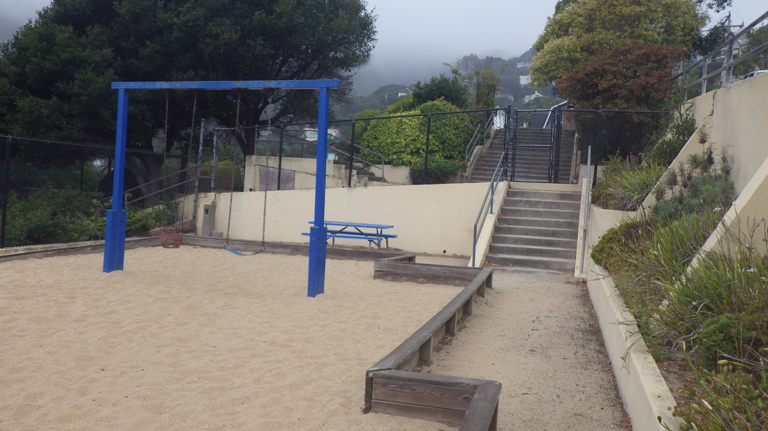
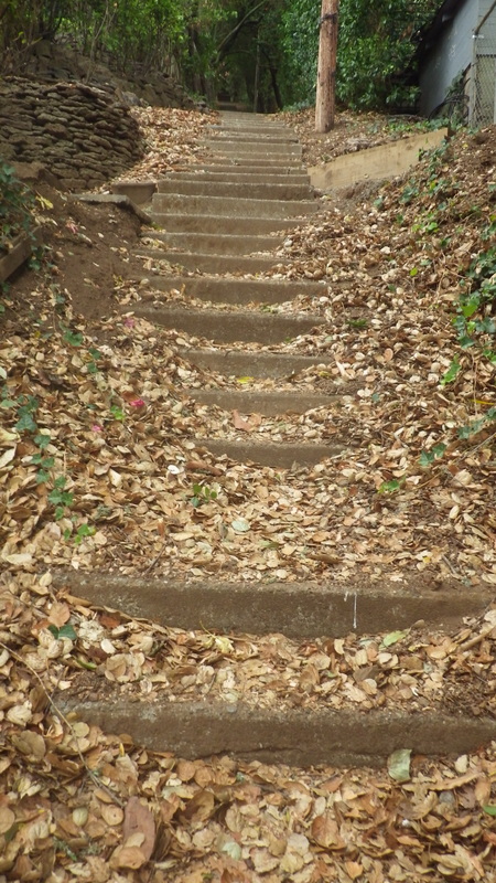
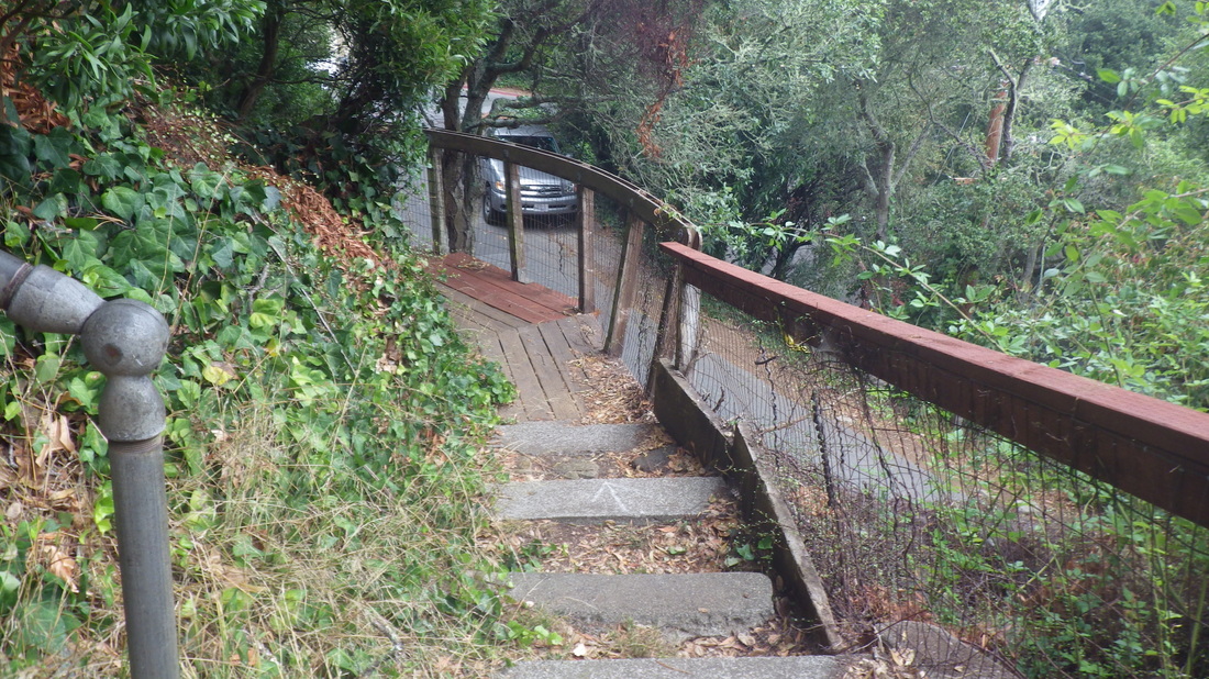
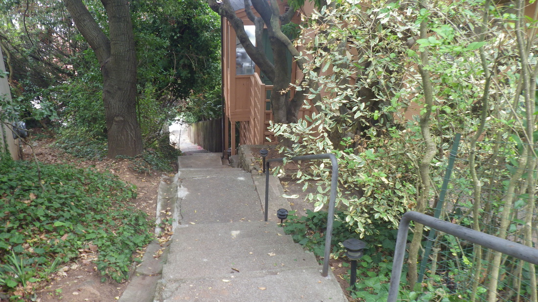
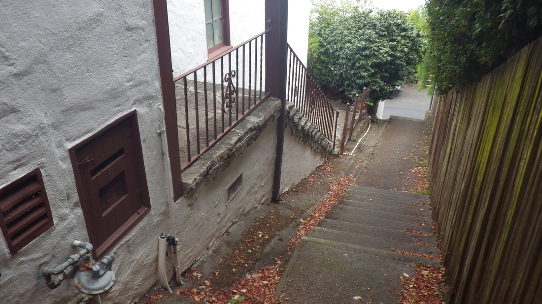
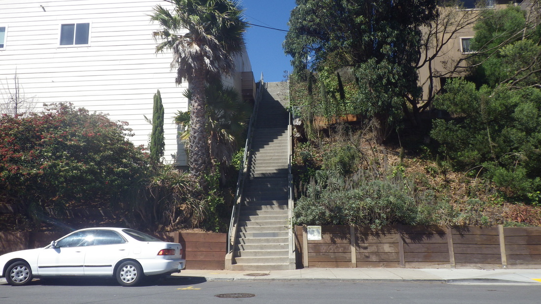
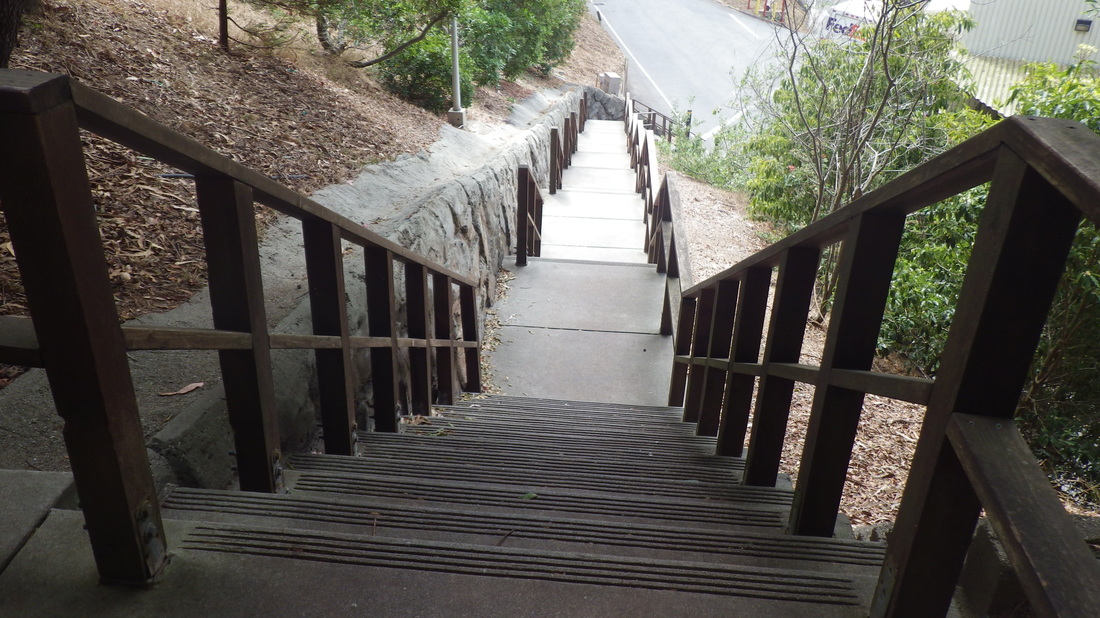
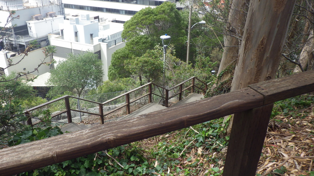
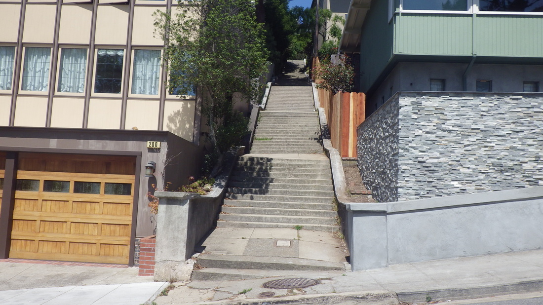
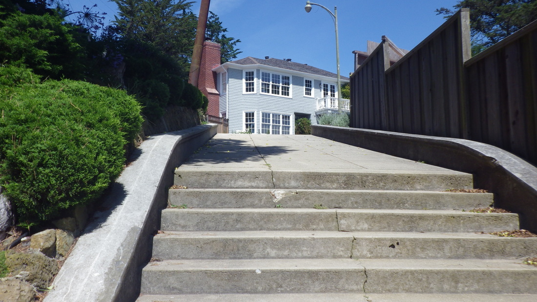
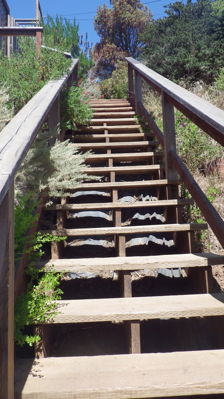
Several random stairways for this hike - no planning except felt like starting with the 120 Bridgeway to Josephine/North steps: 1 thru 8

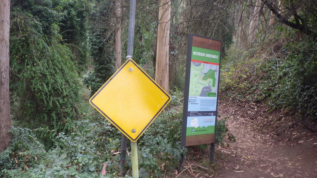
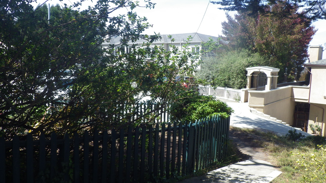
Southview Park, between North & Richardson, Third & Fourth: pic 9


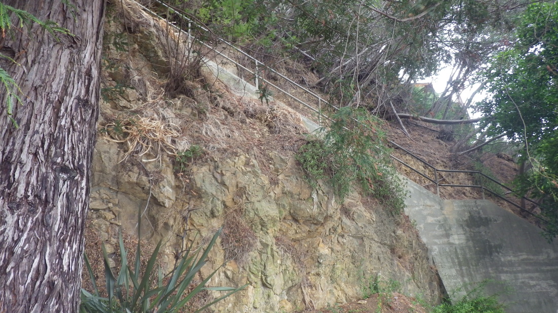
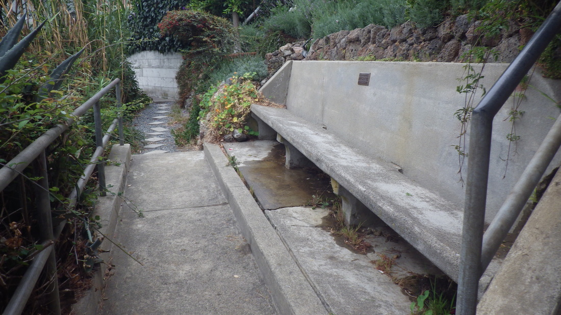
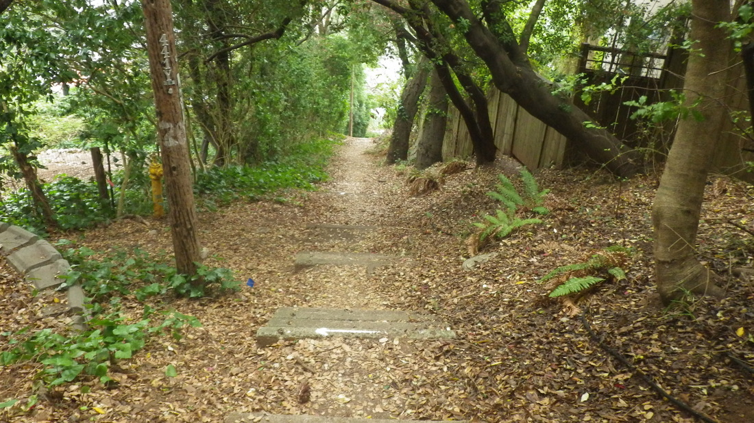
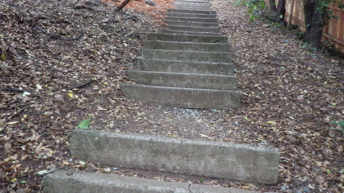
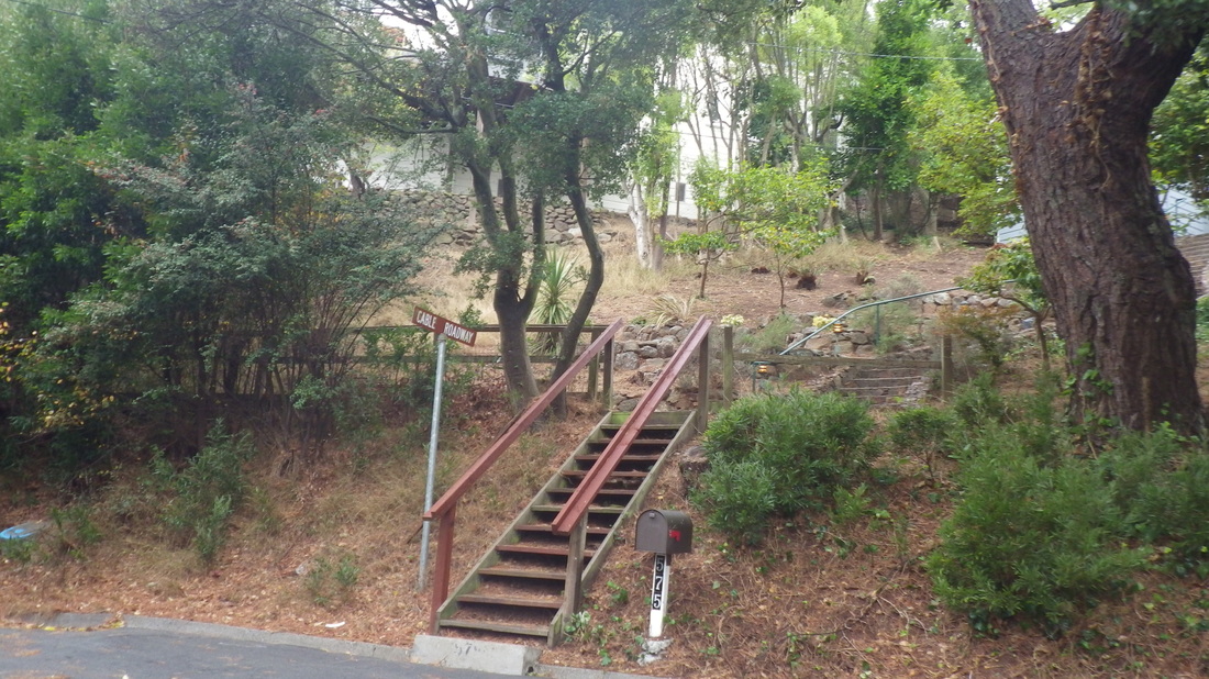
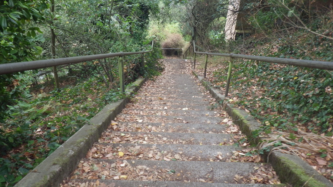
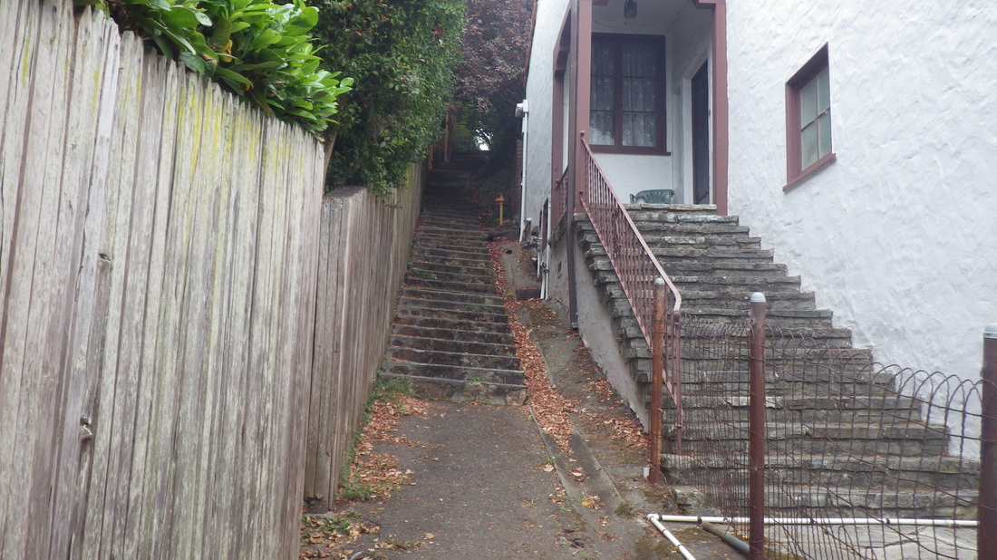
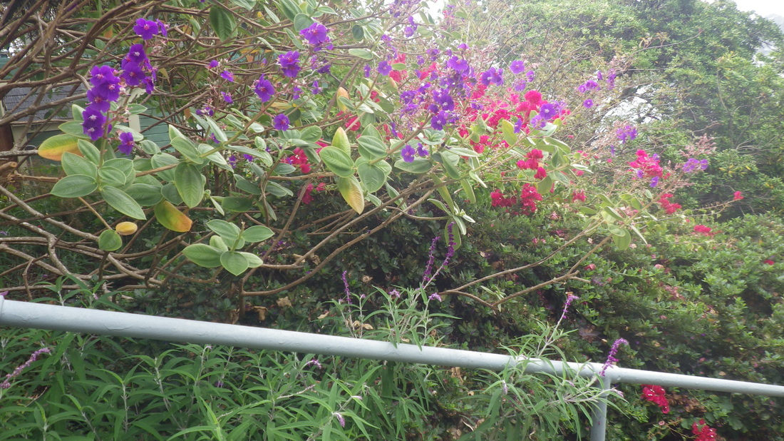
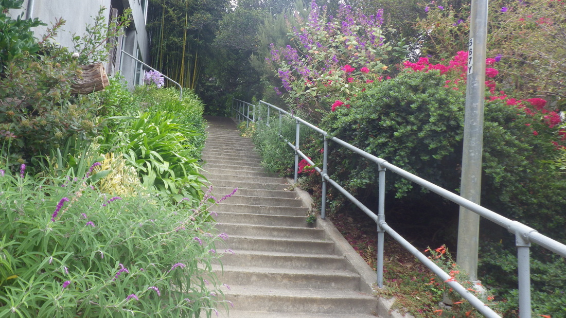
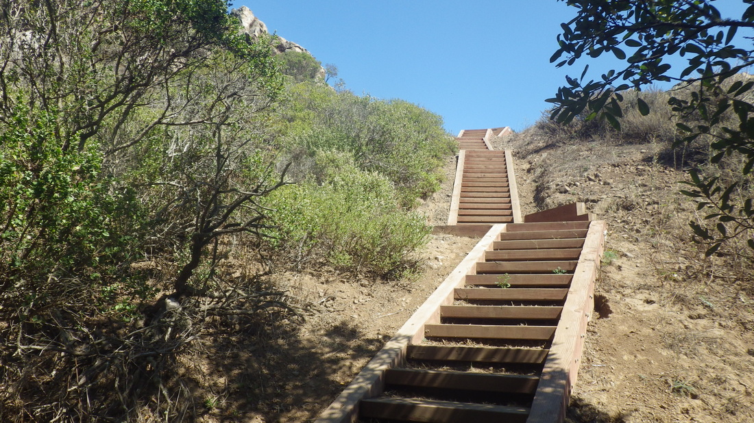
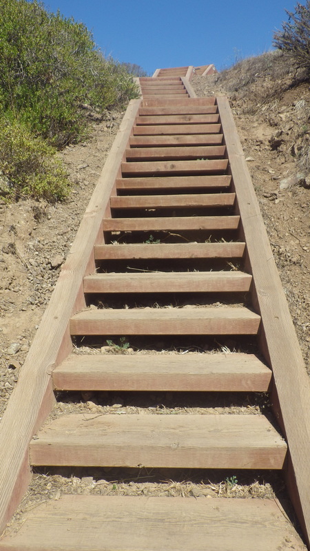
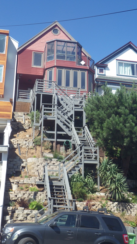
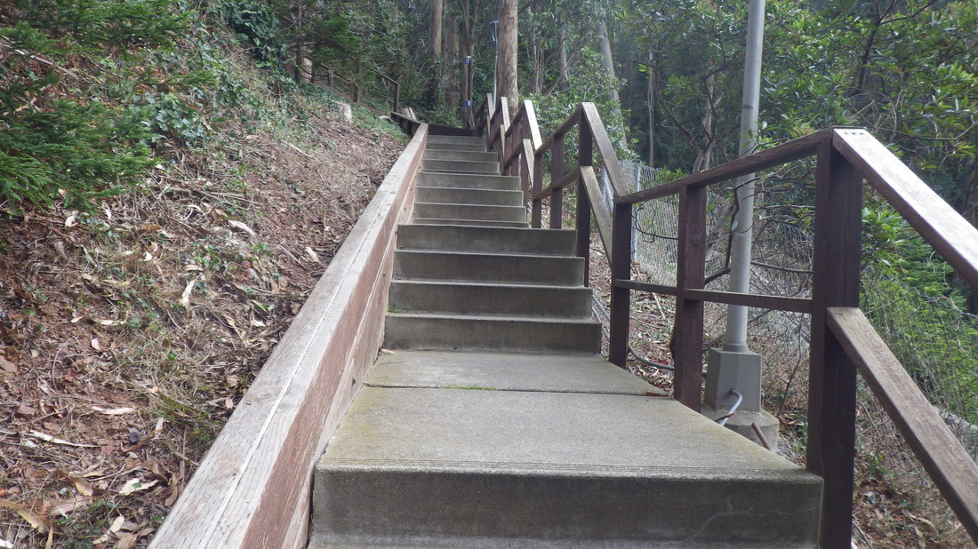
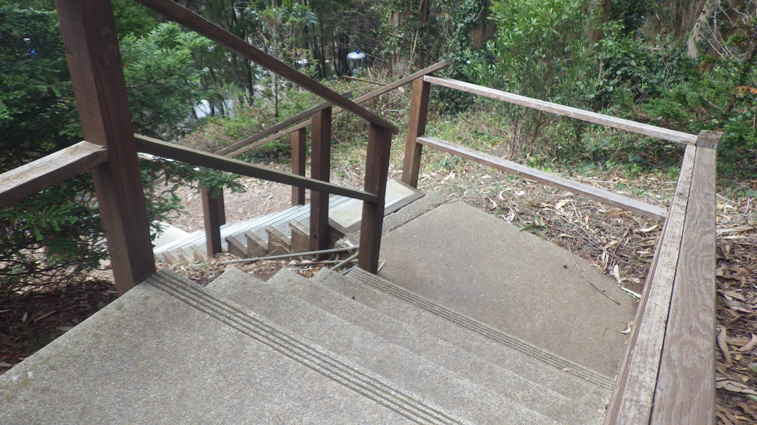
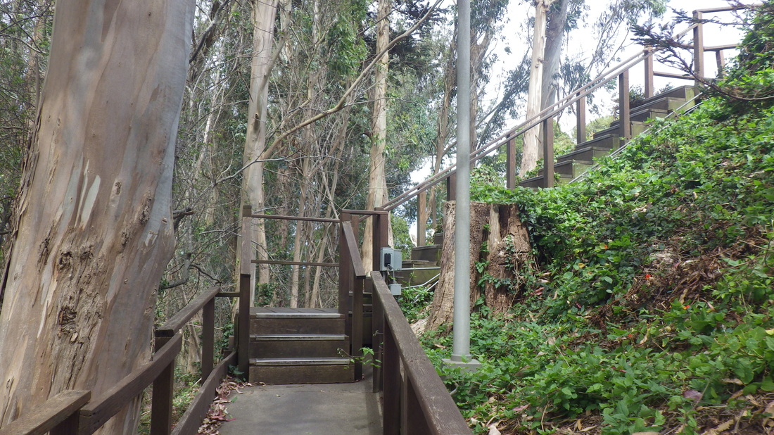
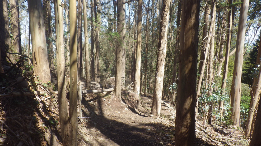
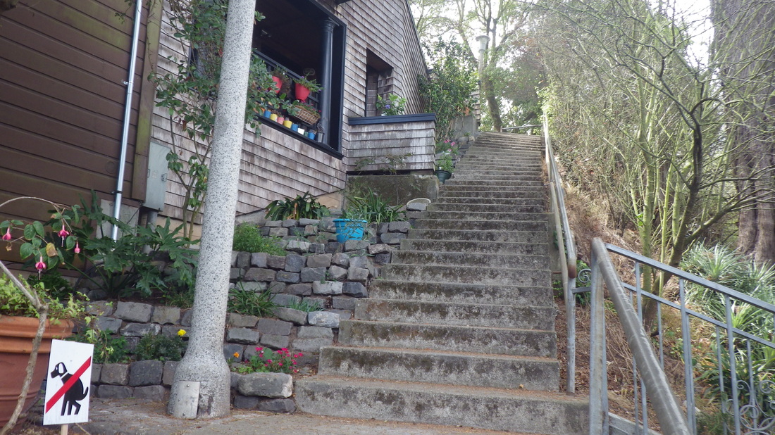
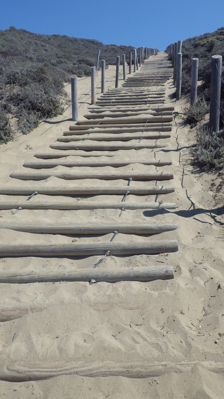
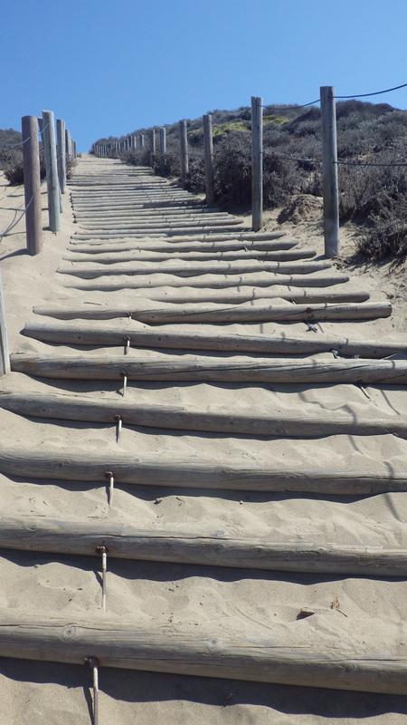
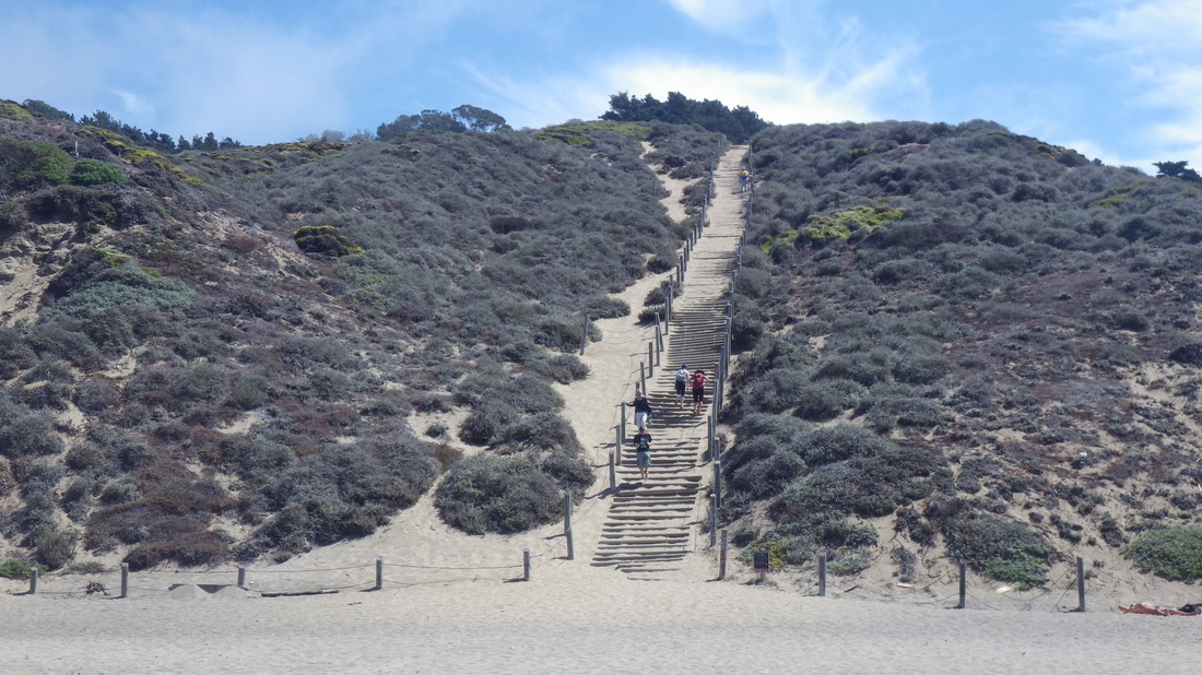
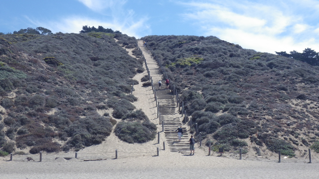
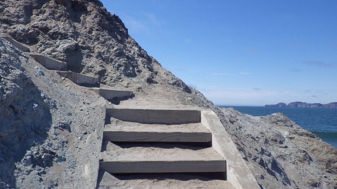
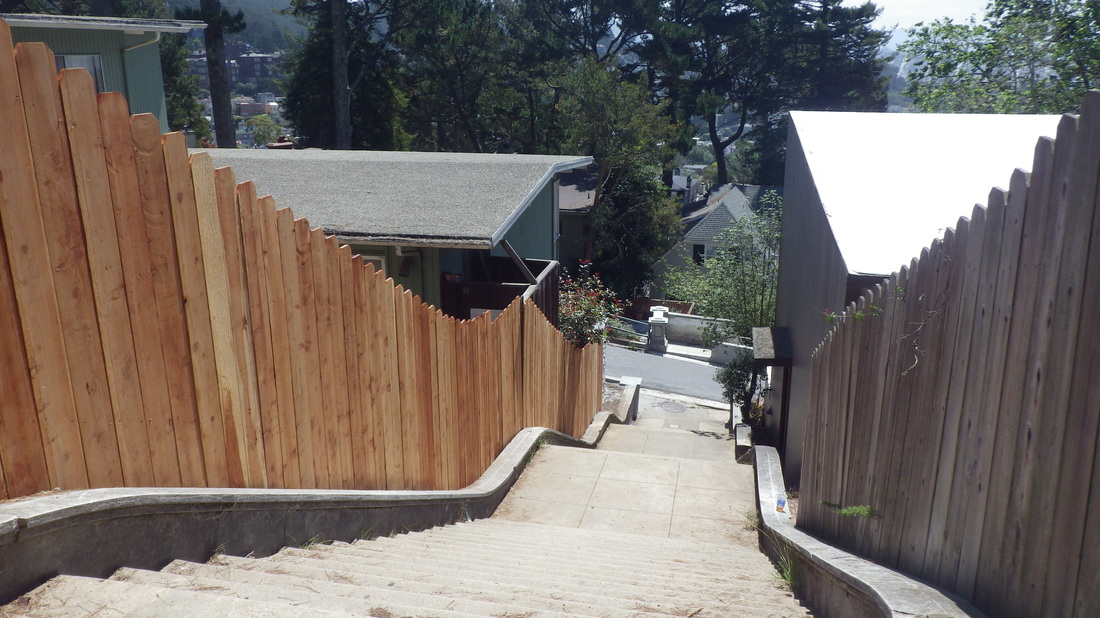
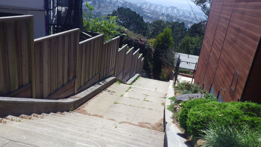
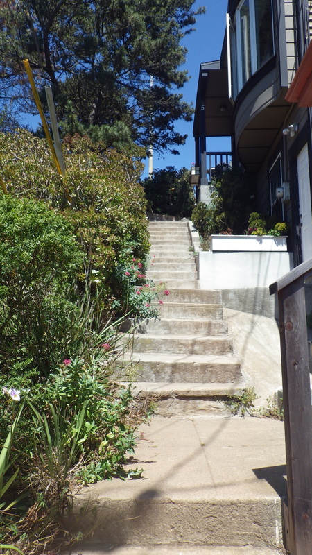
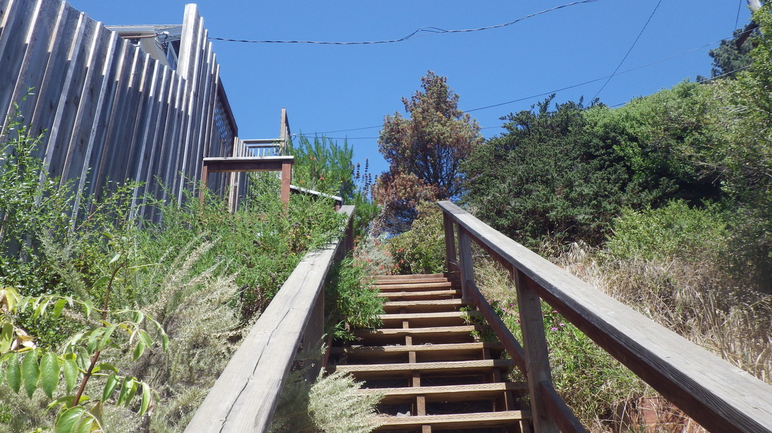
195 steps for the first stretch of Cable Roadway. Central up to Crescent: 10 thru 17


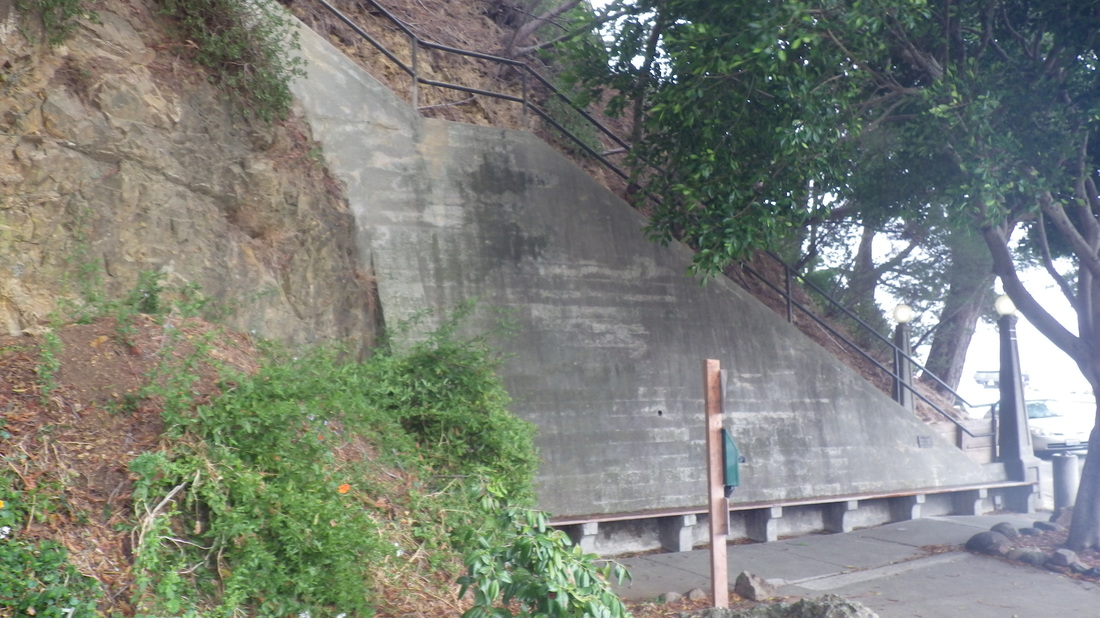
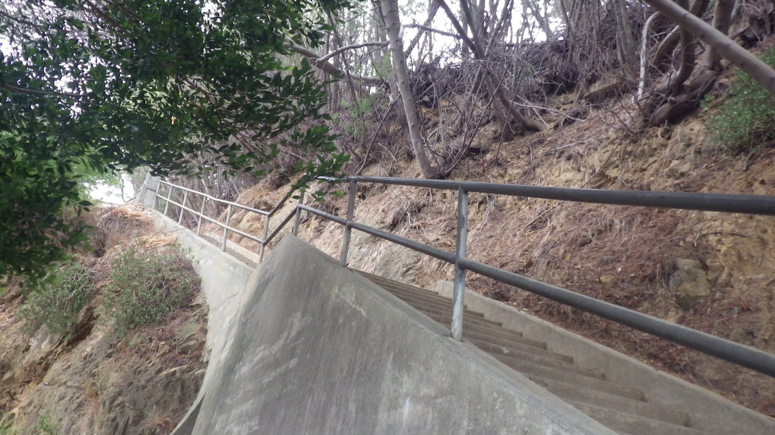
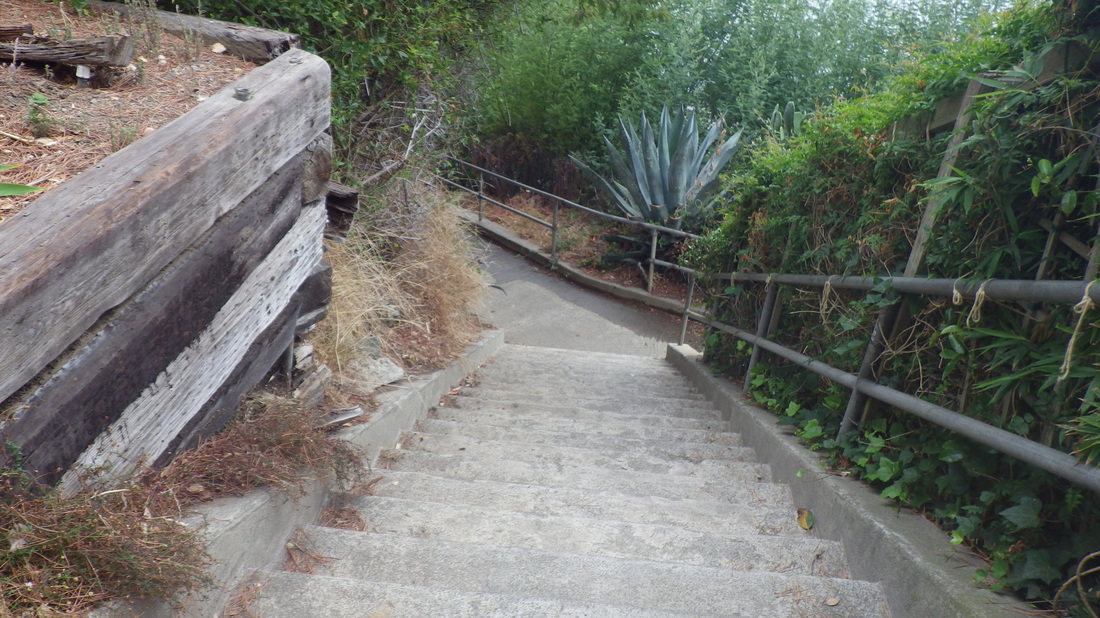
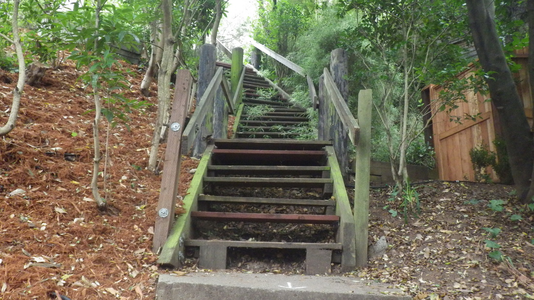
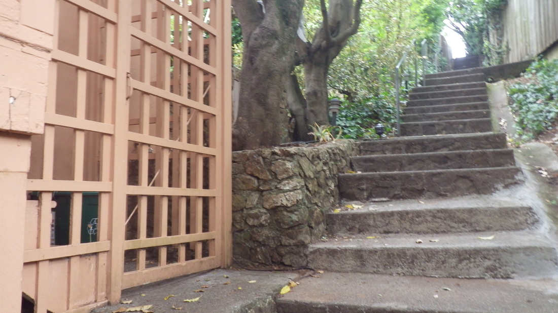
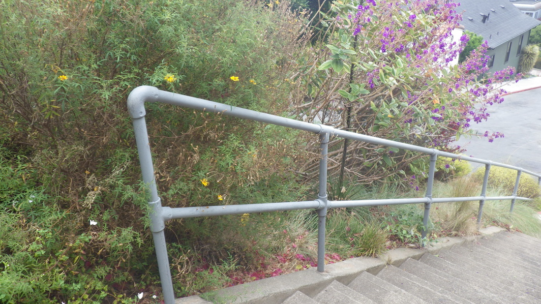
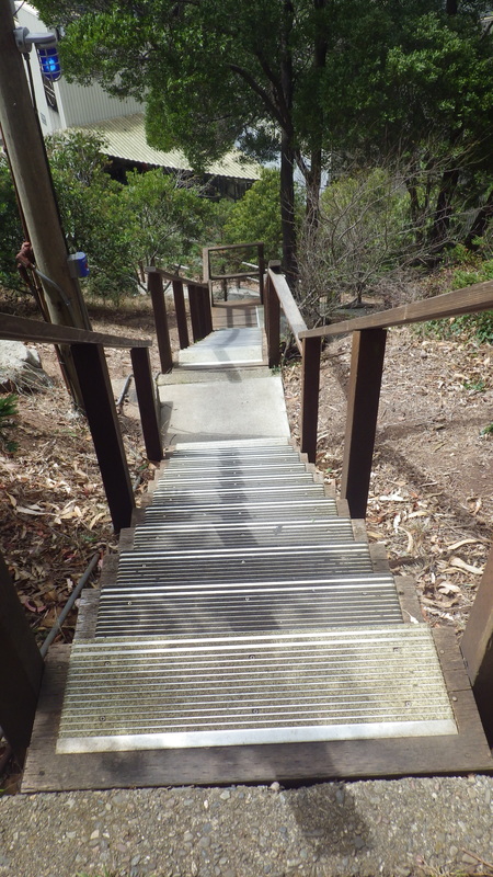
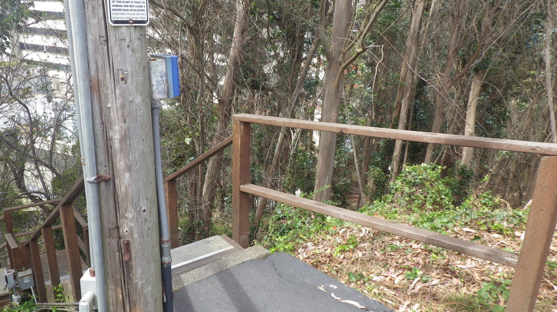
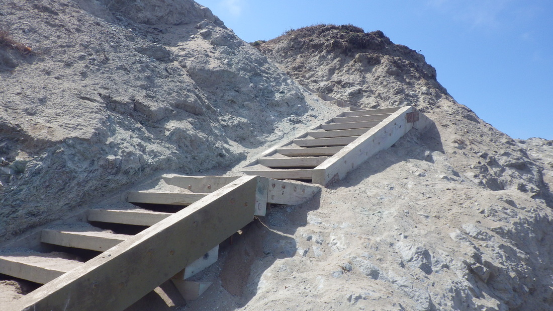
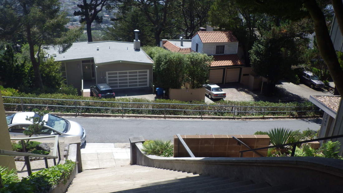
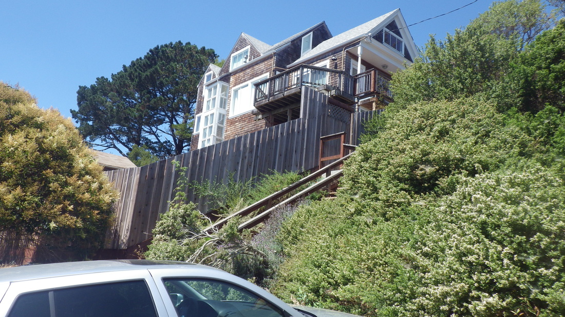
93 for the rest of Cable Roadway up to the last, uppermost, block of it. The highest block is vehicle accessible. Starting up at Sausalito Blvd.: 18 thru 24


So Cable Roadway’s got about 288 total. 


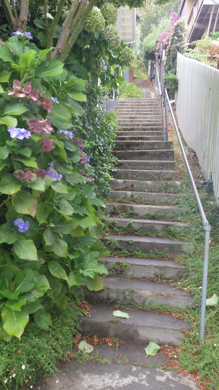
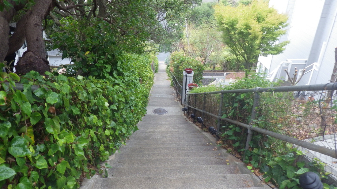
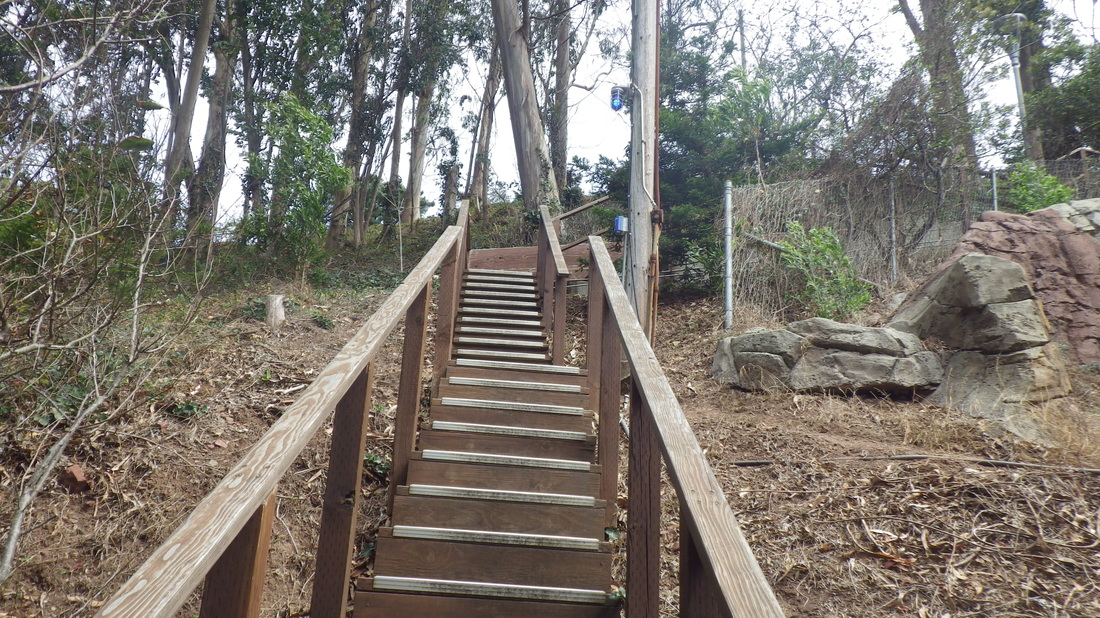
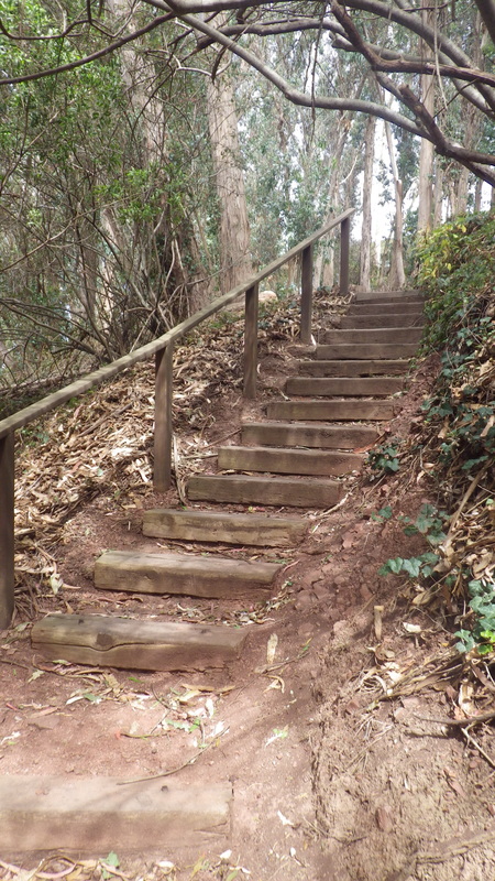
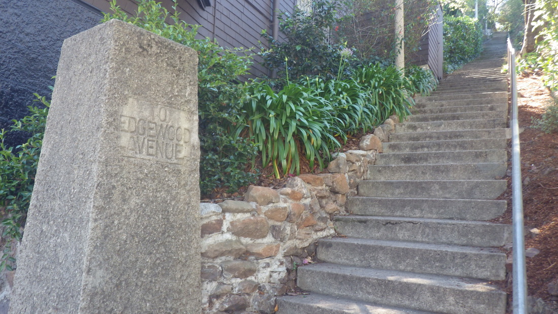
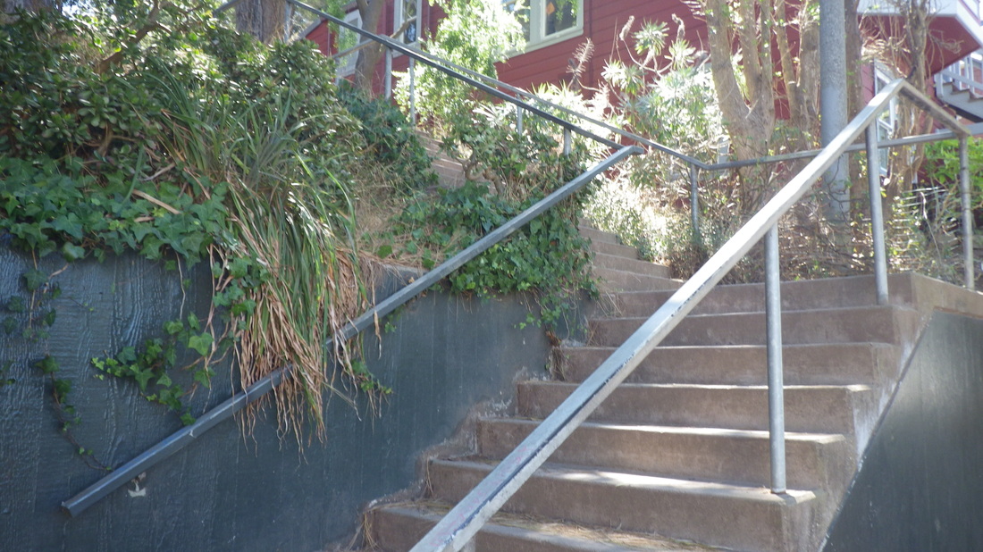
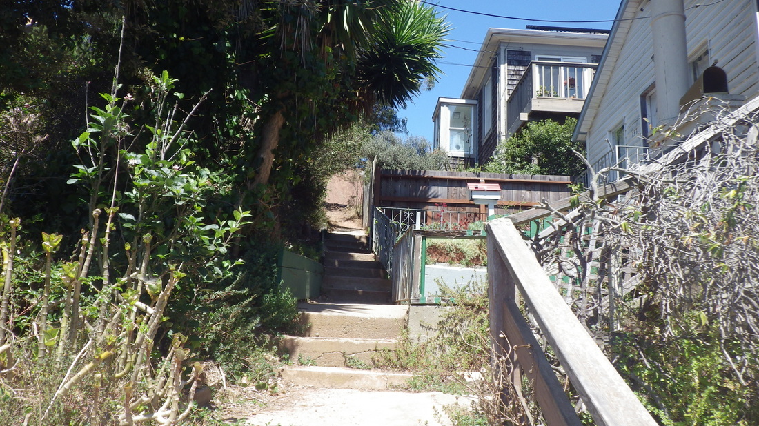
119 staircount for Cooper Lane, Spencer down to San Carlos: 25 thru 31


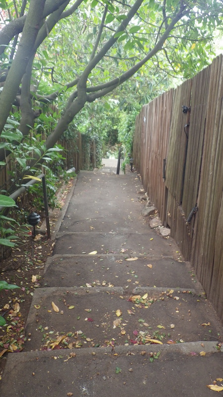
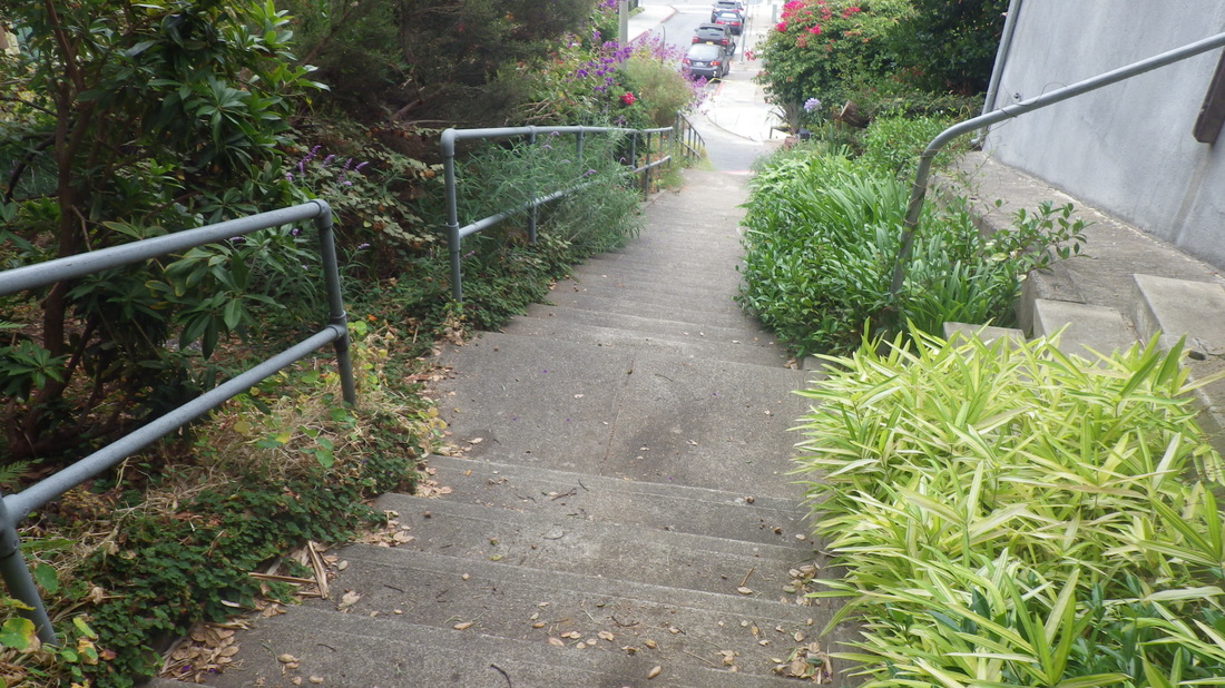
99 for Noble Lane, San Carlos down to Atwood: 32 thru 39


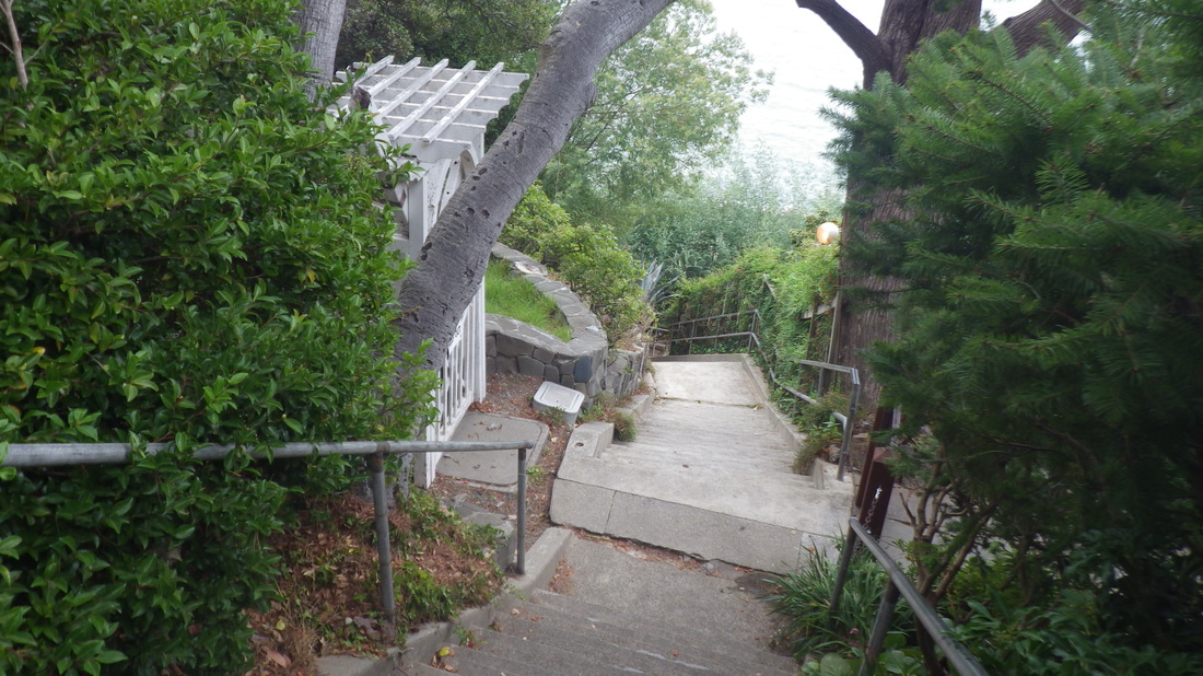
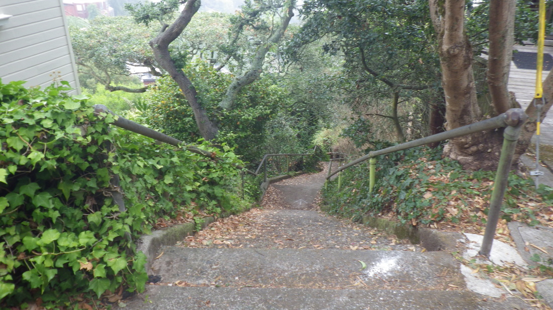
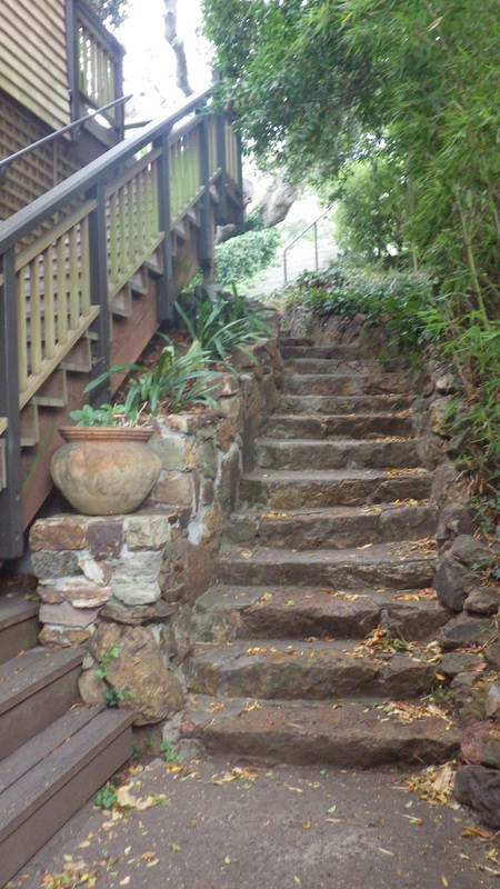
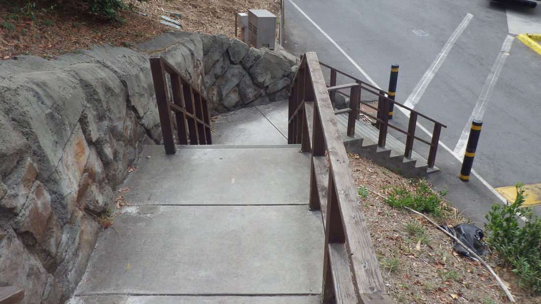
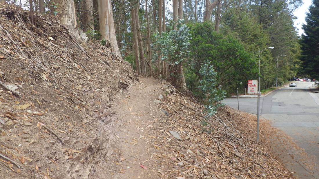
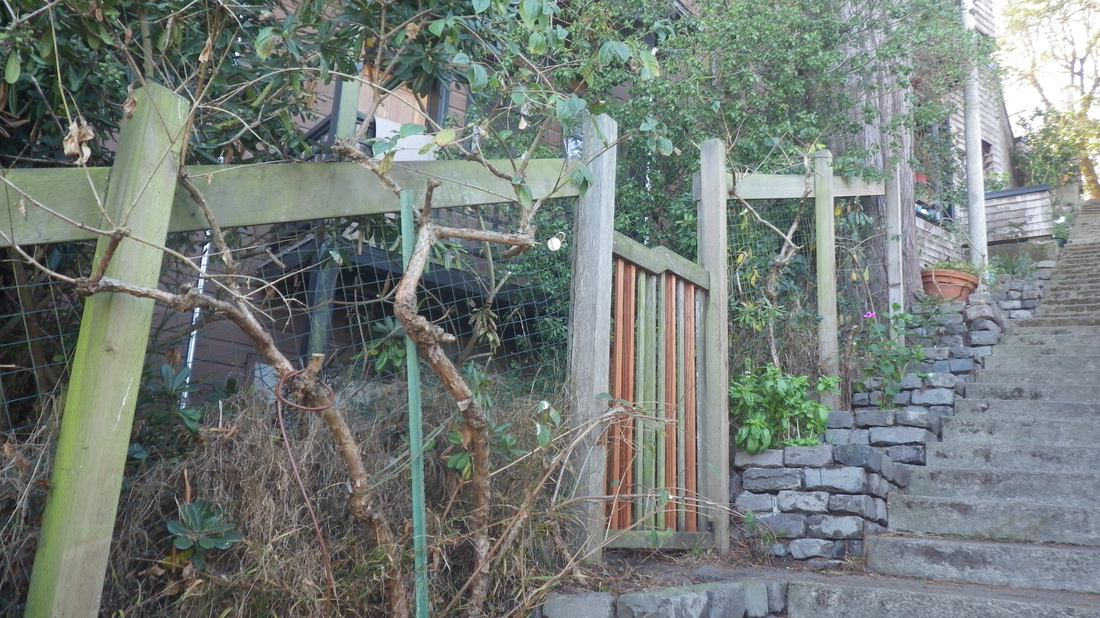
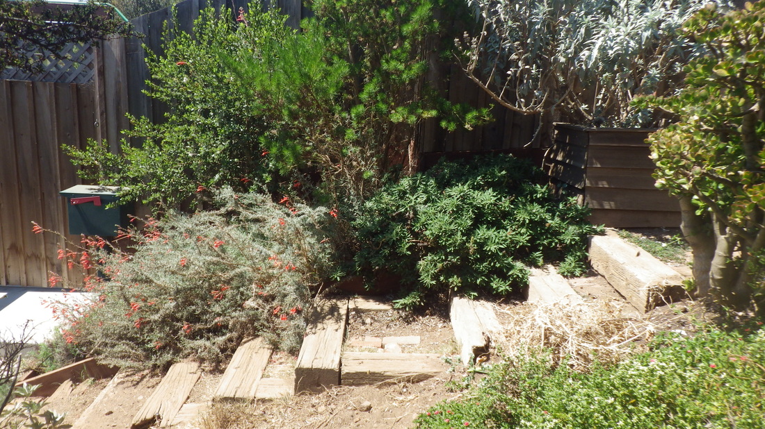
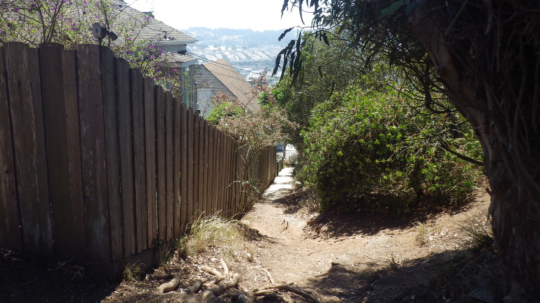
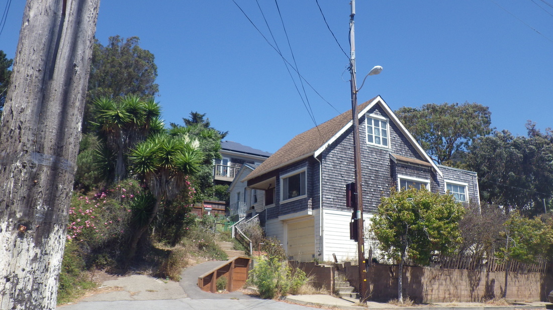
Top of West Court, North St. down to West Court vehicle accessible part (103 steps): 40


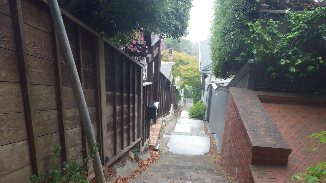
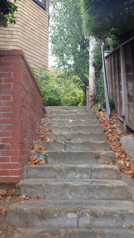
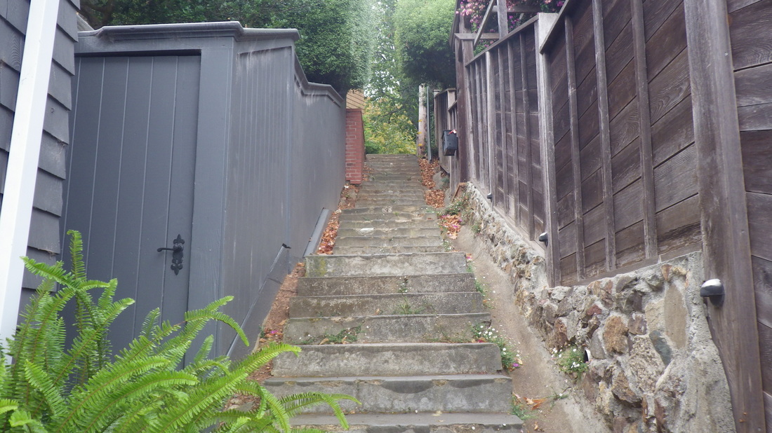
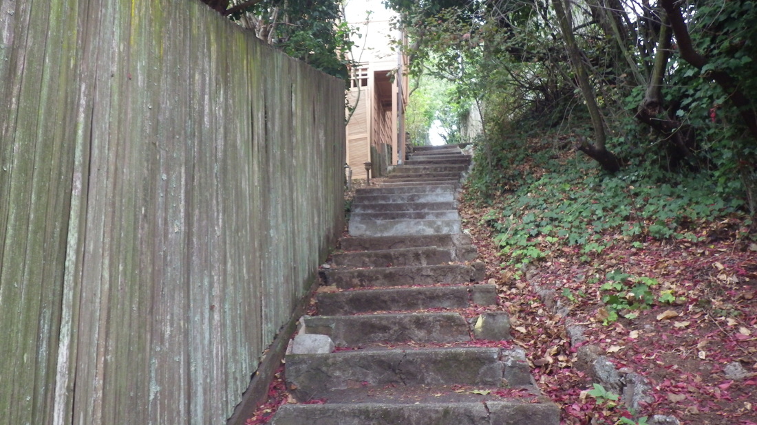
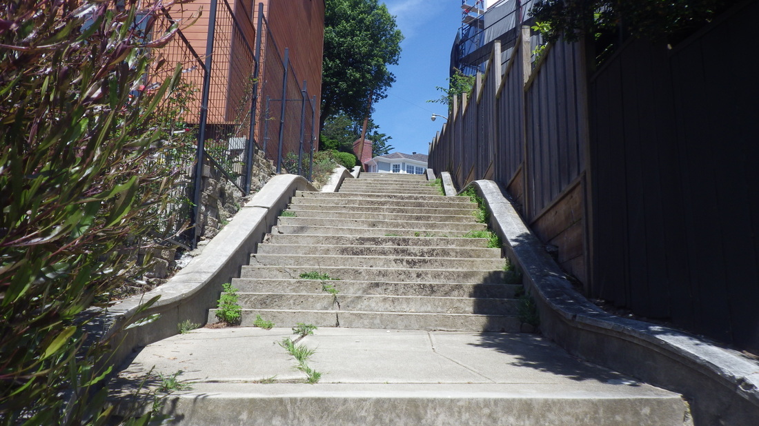
81 steps for the west part of double-stairway Second Street, North St. down to Second St. vehicle accessible part: 41 thru 45


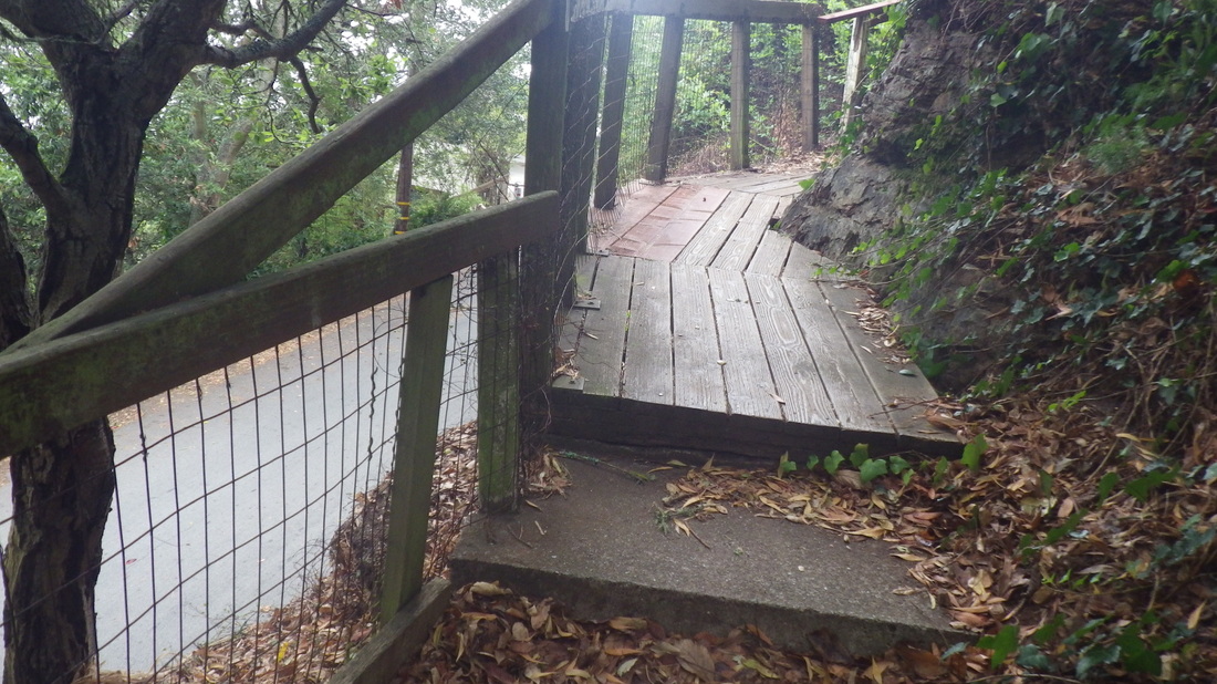
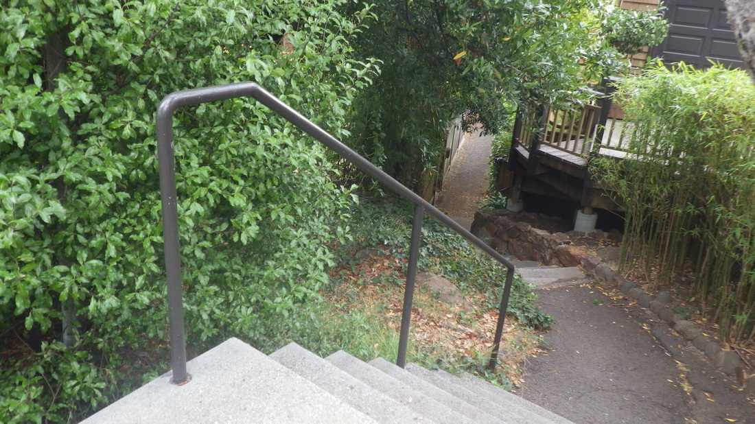
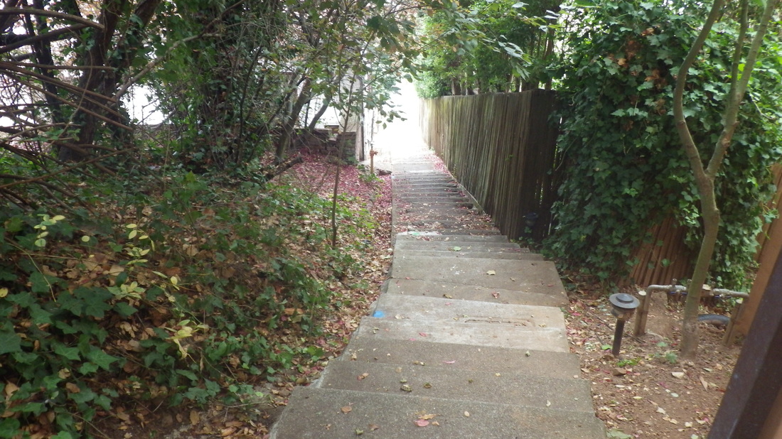
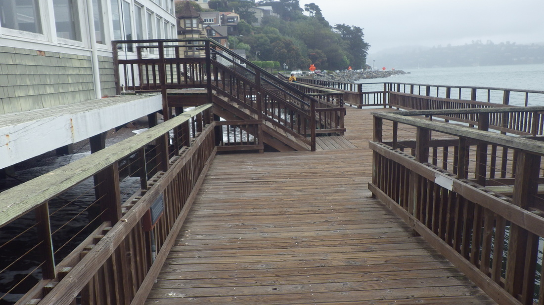
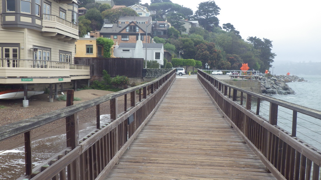
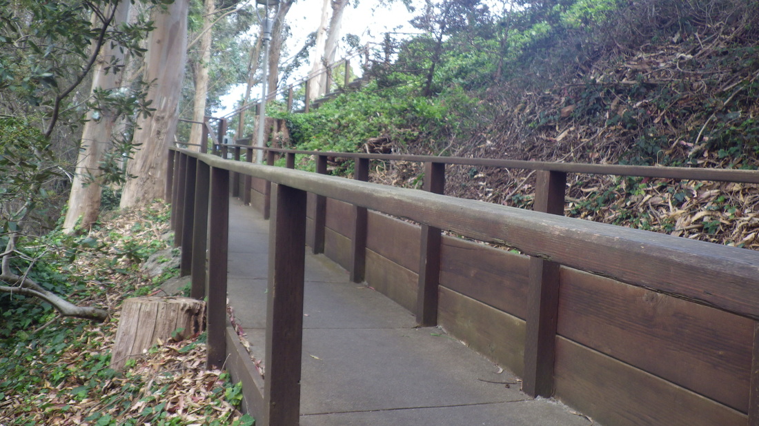
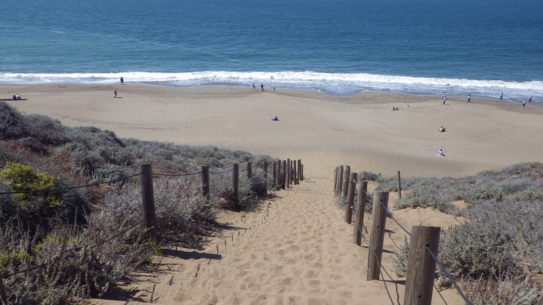
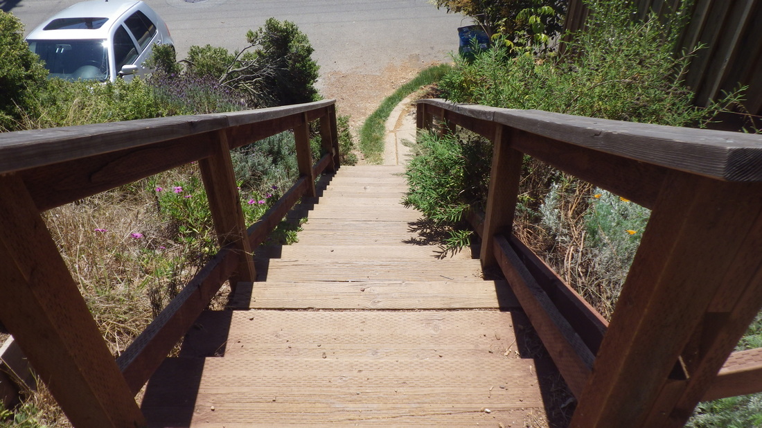
The boardwalk, between Main and Richardson: last four.

Picture
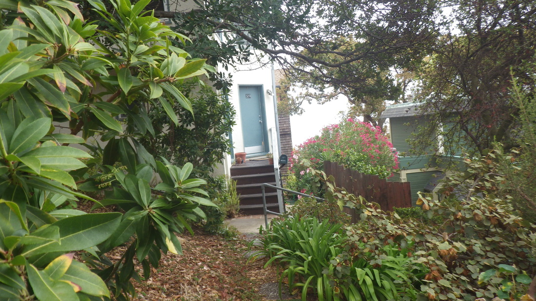
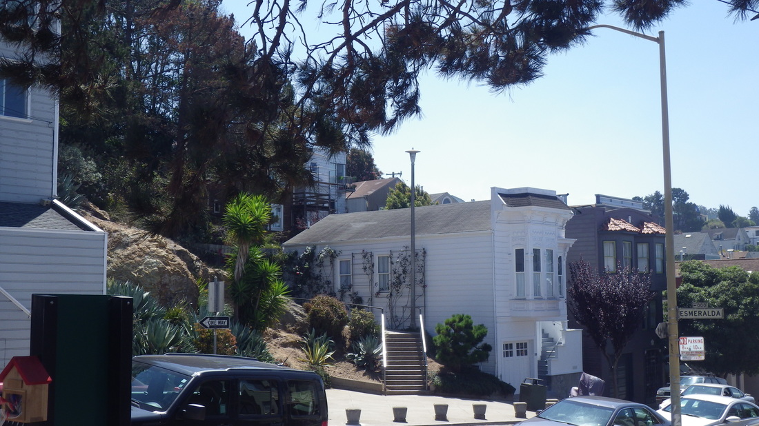
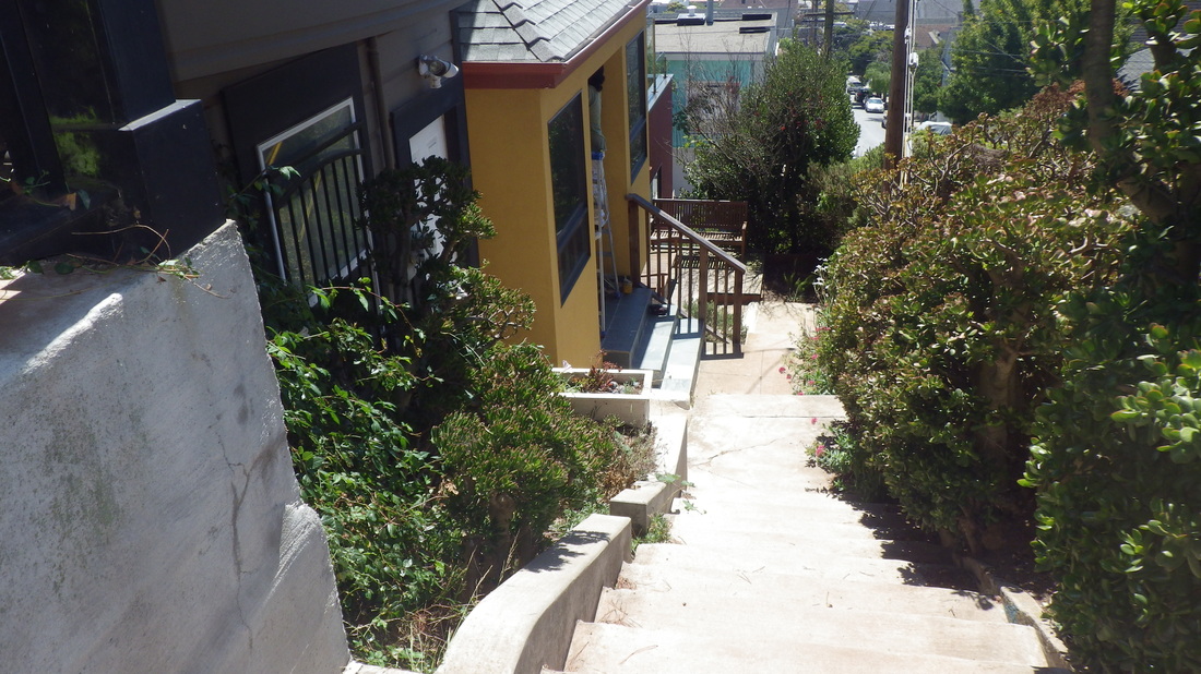
1. Bridgeway up to osephine/North
Picture
2. At foot of the steps is a minpark
Picture
3. Minipark next to the stairs
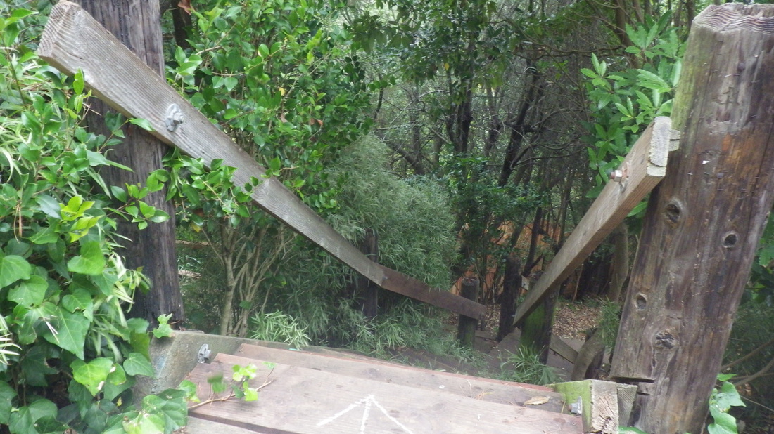
Picture
4. About 120 steps
Picture
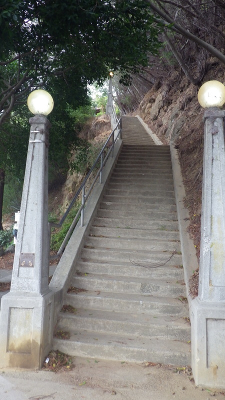
5. Up from Bridgeway
Picture
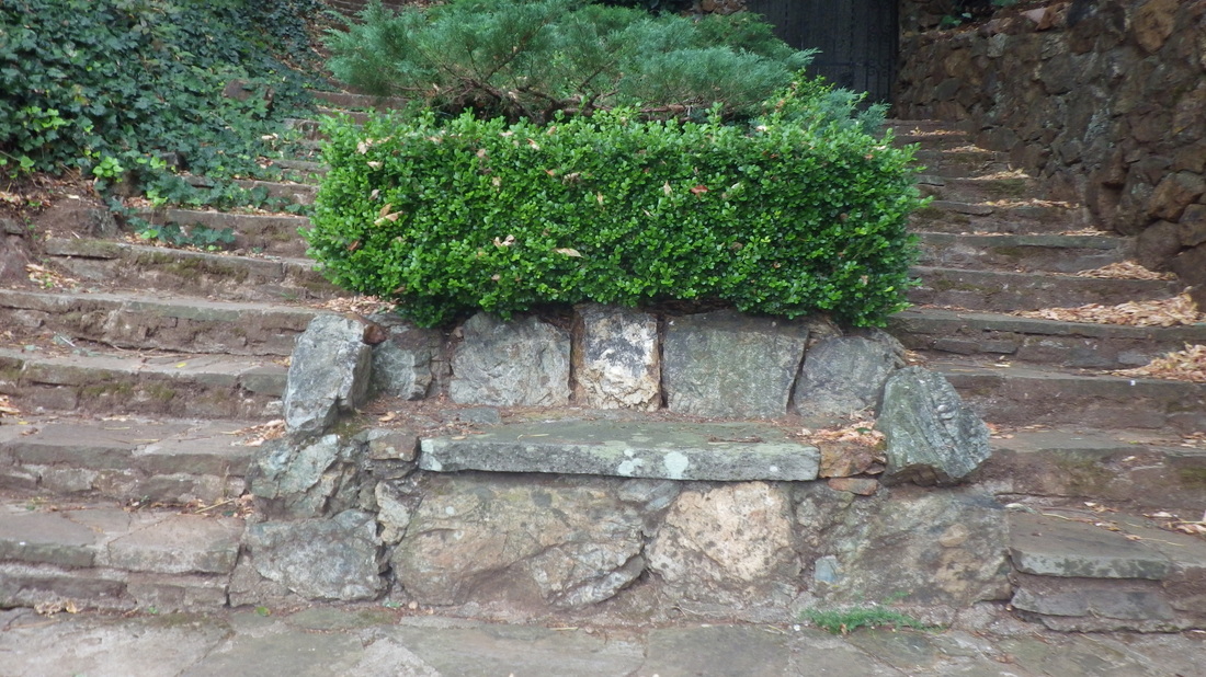
6. Partway up, a bench
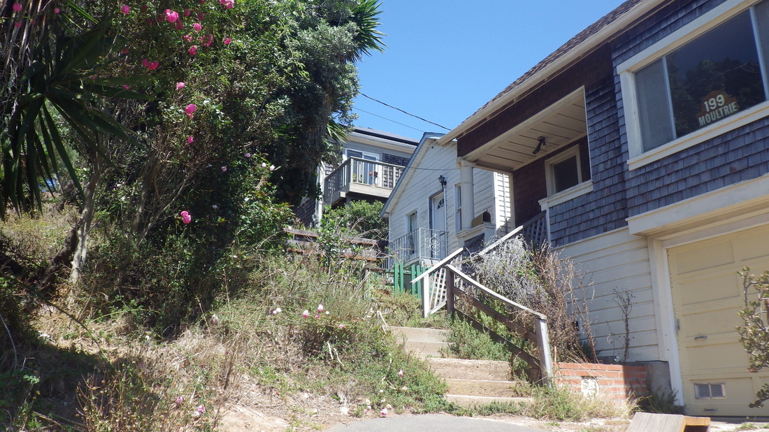
Picture
7. Continuing up
Picture
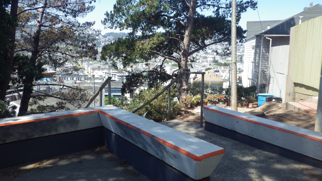
8. Top at Josephine/North
Picture
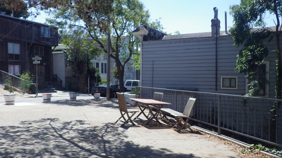
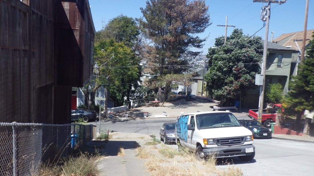
9. A good place to stop and have lunch
Picture
10. Cable Roadway's foot, center
Picture
11. Go up the stairs to the left of the bench
Picture
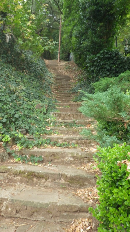
12. This section has around 195 steps
Picture
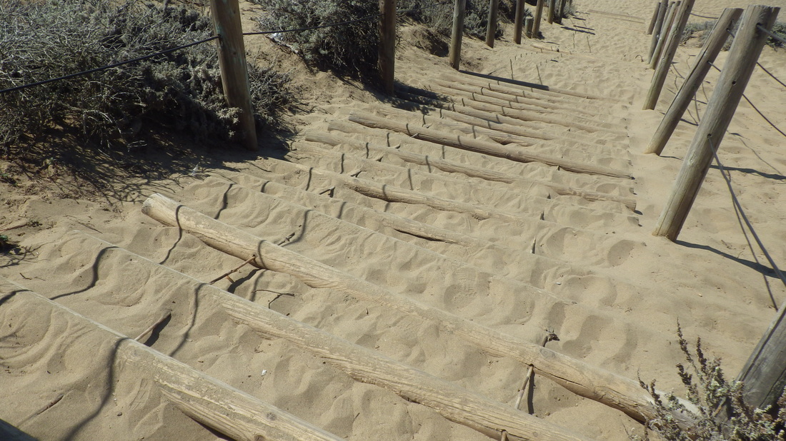
13. Different kinds of steps
Picture
14. Central up to Crescent for this first part
Picture
15. Ascending between homes
Picture
16. The wood part
Picture
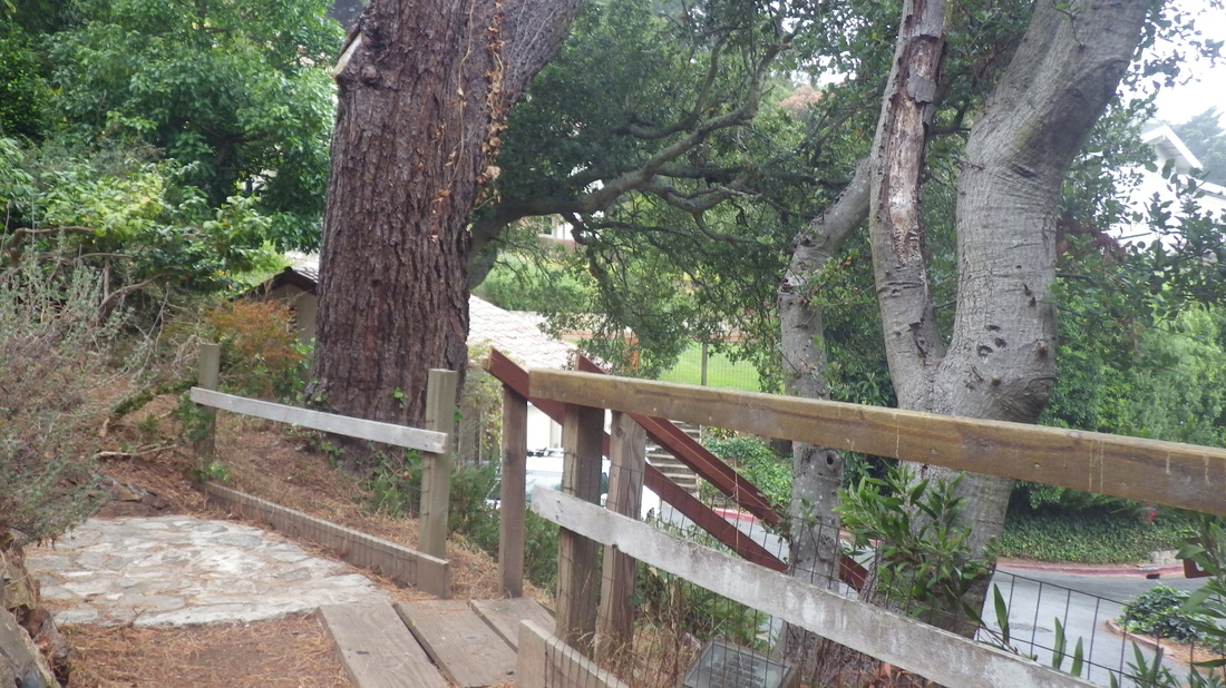
17. Top of the first part of Cable Roadway at Crescent
Picture
18. Cable Roadway continues up from Sausalito Blvd. Turn left.
Picture
19. There's a bench here and short walkway
Picture
20. Wood walk between steps
Picture
21. Concrete-with-railings stairs next
Picture
22. 93 steps for the upper part of Cable Roadway
Picture
23. Nearing the top
Picture
24. At the top of the stairs is a steep block of car accessible street for the last block
Picture
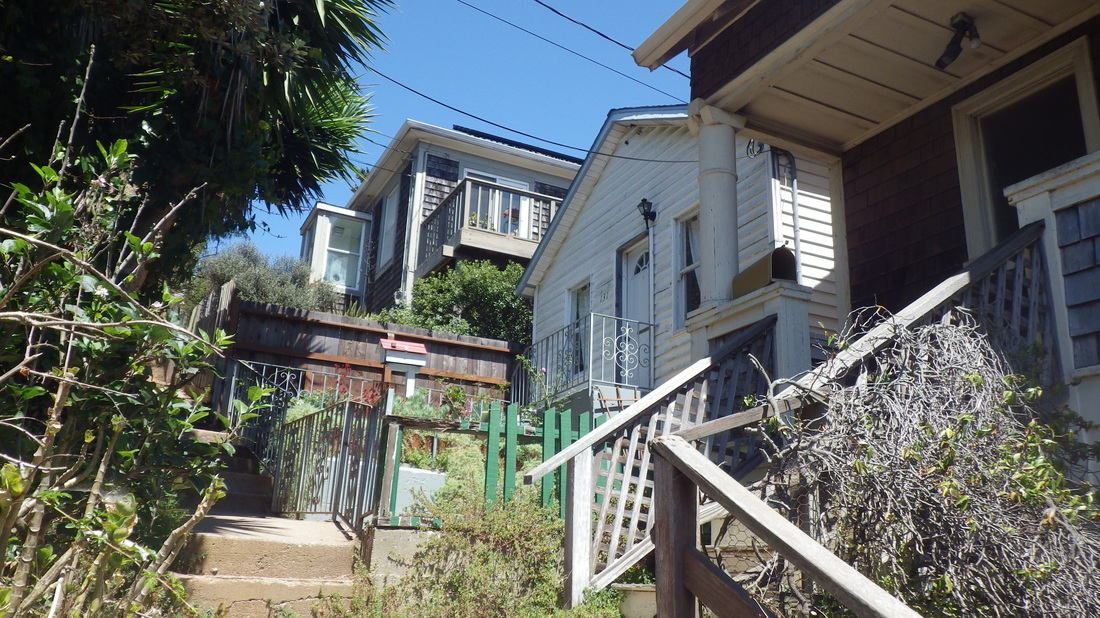
25. Top of Cooper Lane
Picture
26. Looking back up
Picture
27. Around 119 for Cooper
Picture
28. Spencer to San Carlos
Picture
29. Looking back up
Picture
30. Foot at San Carlos
Picture
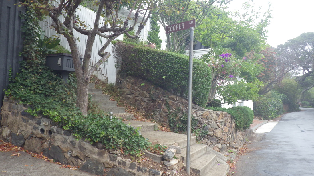
31. Cooper has a street sign at San Carlos
Picture
32. Top of Noble Lane
Picture
33. Noble Lane starts down
Picture
34. San Carlos down to Atwood
Picture
35. I like the color of the house on the left
Picture
36. About 99 steps
Picture
37. Looking back up
Picture
38. Love these narrow stairways between homes
Picture
39. Noble Lane's foot at Atwood
Picture
40. Top of West Court, a favorite
Picture
41. Second Street's west stairway
Picture
42. Looking across the center garden at the east stairway
Picture
43. Second Street stairs center garden
Picture
44. About 81 steps for Second Street's west stairway
Picture
45. At the foot of the stairs is a steep vehicle street
Picture
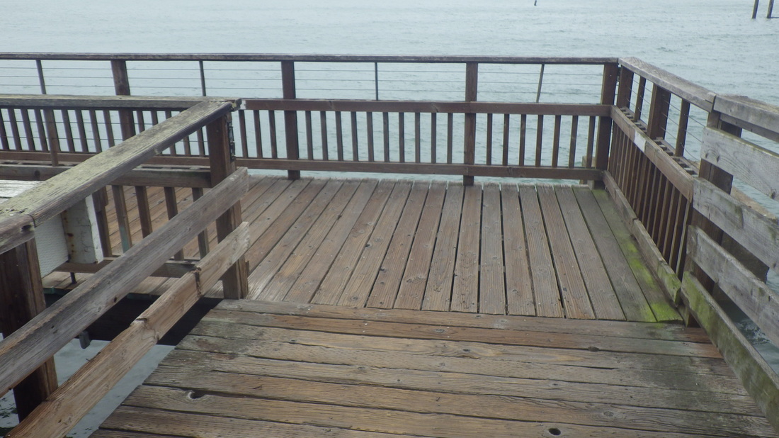
46. Onto the boardwalk at its south end
Picture
47. Water's edge
Picture
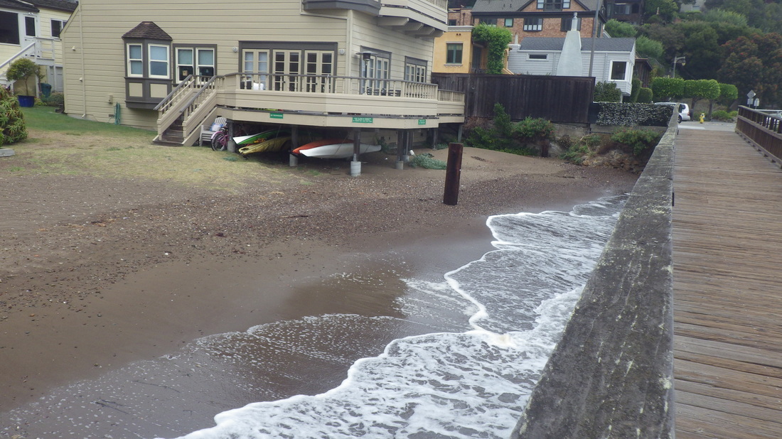
48. Lapping at the foot of the homes
Picture
49. Moving north, back to where I started
0 Comments

More Canyon Trailwork

9/23/2015

0 Comments

 
A too-long (16 minutes this time) wait for the #52 to come winding up Diamond in the Glen Park neighborhood, so again just climbed to Crags Court in the Diamond Heights 'hood to descend into Glen Canyon from Crags Court Community Garden. Enjoy curving around on what’s now the park’s longest stairway, extending to the canyon floor at 184 steps: 1 thru 11

Just before the foot, a short offshoot to the boardwalk and main tree-canopy eastside trail: 12, 13, 14, 15


Near the boardwalk: pic 16


Up, then down again: 17, 18


There’s been more trail widening and smoothing on the formerly nearly impenetrable trail that now extends to Portola. Used to have an easier time foraging for blackberries here before all the clearing started, but there’s now an offshoot trail where I was able to score some ripe ones that were previously unreachable. 


No steps yet at the steepish zigzaggy part at the end of the playing field’s chainlink fence, but this section has been smoothed and widened since my last visit so it’s easier to ascend: 19 thru 27


Back out again to an upper trail: 28, 29 

The north stairway (79 steps) to the climbing rocks: 30 thru 34  


At the top of these steps, looking down at the south stairway: 35, 36, 37, 38 


This trail has seen some work too: 39


For the highest eastside canyon trail, just below Christopher Park, this time took the curvingly extended stairs. There used to be just a few old wood steps up here: 40, 41, 42, 43, 44

Upon reaching the bus shelter at the south end of the Safeway parking lot in Diamond Heights to check the wait for the #52 Excelsior back down into Glen Park, again a 16-minute wait. So crossed Diamond Heights Blvd. to the convenient walkway that takes pedstrians to the top of 28th in Noe Valley; down to Noe for the more frequently running #24 Divisadero. 


28th Street: 45 thru 50

Picture
1. Diamond Heights Blvd.
Picture
2. Trailing along the east rim up to Berkeley Way
Picture
3. Three-block-long Onique stairway rises from Berkeley Way
Picture
4. Crags Court Community Garden, left
Picture
5. Canyon trailhead at vehicle dead-end of Crags Court
Picture
6. This is Glen Canyon's longest stairway
Picture
7. 184 steps
Picture
8. Winding around
Picture
9. One of the park's newer stairways
Picture
10. Steps lead down to the main paved trail
Picture
11. Looking back (south)
Picture
12. Just before the foot, an short offshoot trail
Picture
13. Down to the wood boardwalk over Islais Creek
Picture
14. To the tree-canopy trail
Picture
15. Connecting with the long stairway that descends from Crags Court
Picture
16. Canyon floor, east side
Picture
17. A slightly higher trail
Picture
18. Upper trail will take you out to Turquoise Way in Diamond Heights
Picture
I9. Used to cross Islais Creek here via an old tire
Picture
20. Northernmost trail used to be much narrower with treelimbs to climb over/duck under
Picture
21. Trail clearing, right
Picture
22. The trail out to Portola Dr. starts up
Picture
23. Easier now to climb
Picture
24. This trail is not yet shown on Google Maps
Picture
25. Easier to ascend than descend
Picture
26. Short but steepish
Picture
27. Top of the trail is at the fence, upper left
Picture
28. Longlegged Diamond Heights homes above
Picture
29. A view south
Picture
30. North side of the climbing rocks
Picture
31. Up from the canyon floor
Picture
32. 79 steps
Picture
33. More trails up ahead
Picture
34. Top of the stairs
Picture
35. There's a stairway on each side of the rocks
Picture
36. A rustic fence at the top of the south stairway
Picture
37. South steps below
Picture
38. Continuing on trail at left, eenter
Picture
39. More traiiwork, right
Picture
40. Extended steps up to highest trail on east side
Picture
41. Curving around and climbing up
Picture
42. Trail just below Christopher Park
Picture
43. Old sign
Picture
44. Diamond Heights homes thru the trees to the north
Picture
45. 28th St. in Noe Valley
Picture
46. Same house as above, south side of street
Picture
47. Castro steps up from 28th
Picture
48. Love this one!
Picture
49. Row of beauties
Picture
50. Between Castro and Noe on 28th
0 Comments

Round the Long Way

9/20/2015

0 Comments

 
Midcity Mount Sutro Forest is easy to get to for riders of public transportation if you’re okay with trekking up from the bus stops. The #43 stops at various streets one can climb up from: Stanyan, Willard, Parnassus, Seventh Ave. & Lawton — depends on what trailhead you wanna start with. What stairs you feel like ascending. 

One well-designed stairway can be accessed behind medical buildings on Parnassus (get off at the Hillway/Parnassus stop). Years ago there was another stairway back here. The steps will take you to a parking lot for UCSF employees (permits only). Hikers can continue uphill a short distance to upper Medical Center Way where you will soon see trails leading up and down from the road. 

This stairway is not as well known as the others in the area. It’s shown as a trailhead on Google Maps, however. The Medical Center Way stairs, about 136 steps: 1 thru 12. 


Uphilling steepishly to the road, crossing it for the trailhead for the (upper) Historic Trail. This time the whole trail, winding round the north, then west side of the mountain to the summit: 13 thru 24. 


Right next to the upper trailhead for Christopher, a trail blockage for "treework." Also caution signs for upper Medical Center Way at the guardrail, like last time. No need for me to detour though. 


The summit benches: pic 25.


Down the East Ridge Trail: 26 thru 30. 


Another gorgeous way to enter the forest is from the south dead-end of Edgewood Ave. onto the Edgewood Trail. 


Edgewood Trail: 31 thru 43.


The Farnsworth Lane steps (149) will take you to the north dead-end for vehicles of redbrick Edgewood Avenue. Farnsworth, up from Willard: 44 thru 48. 


Another way into the forest is from the top of Farnsworth (at the swing, miraculously still there) a few yards west to a trail behind Edgewood homes -- to come out at the parking lot very near the top of the above described Medical Center Way stairway. 

Picture
1. Foot of the Medical Center Way stairs
Picture
2. Starting up behind the medical buildings
Picture
3. Wood railings warmed by the sun
Picture
4. About 136 steps
Picture
5. Beautiful, underappreciated stairway
Picture
6. Well-designed
Picture
7. Short offshoot wood stairway leads to a trail behind Edgewood Ave. homes
Picture
8. Upper wood walkway between steps
Picture
9. Evenly spaced steps
Picture
10. That treehouse feeling
Picture
11. Nearing the top
Picture
12. Top of the stairs at the parking lot
Picture
13. Trailhead (center marker) for Historic Trail up from Medical Center Way
Picture
14. Looking down at the road, north
Picture
15. Offtrail rock, a good lunch spot
Picture
16. Historic Trail curves around
Picture
17. Lush and magical
Picture
18. Historic Trail solitude
Picture
19. Golden Gate Park center
Picture
20. West Ridge Trail below
Picture
21. West Ridge Trail goes up and down, This time staying on the Historic.
Picture
22. Winding around
Picture
23. Love being alone up here
Picture
24. Close to the turnoff for the summit
Picture
25. Summit benches
Picture
26. East Ridge Trail
Picture
27. East Ridge Trail
Picture
28. Medical Center Way below
Picture
29. Trailhead for the East Ridge
Picture
30. East Ridge trailhead up from Johnstone Dr.
Picture
31. Fairy Gates Trail down from the guardrail
Picture
32. Down to the Edgewood Trail
Picture
33. The Edgewood is switchbacky
Picture
34. Looking back (south)
Picture
35. Another good switchback
Picture
36. I like this guy
Picture
37. Below Medical Center Way
Picture
38. Edgewood Trail
Picture
39. Out to the south dead-end of Edgewood Ave.
Picture
40. Lower Historic Trail below
Picture
41. Out at Edgewood Ave.
Picture
42. Edgewood Ave. trailhead
Picture
43. Into the f0rest from redbricked Edgewood Ave.
Picture
44. Swing at top of Farnsworth Lane & Edgewood
Picture
45. 149 steps
Picture
46. Near the top
Picture
47. Farnsworth between Edgewood and Willard
Picture
48. Foot of Farnsworth Lane at Willard, just above Parnassus
0 Comments

Life is a Beach Part 3

9/15/2015

0 Comments

 
Another favorite duney stairway near Ocean Beach (and Lands End) on the south side of Sutro Heights Park, the Balboa natural area steps: 120, log - similar to the other beach “sand ladders.”

First, though, for the viewspot in the main part of Sutro Heights Park: 21 steps up,  pix 1, 2. 


Viewplace: 3, 4.

35 down the south side with the garden wall:  5, 6, 7, 8.


On the southeast side of the main park is a trail to the “wilder” area, including the steps that descend to Balboa Street (between 48th Avenue and Great Highway, up from Ocean Beach): 9, 10.

Balboa stairs: 11 thru 24. 

Picture
1. Steps to the viewspot, north side
Picture
2. 21 steps up this side
Picture
3. View of Ocean Beach
Picture
4. Sutro Heights Park viewplace
Picture
5. Steps down the south side
Picture
6. Gardenspot on the south side
Picture
7. South wall
Picture
8. South garden wall
Picture
9. Southeast side
Picture
10. Ocean Beach below
Picture
11. Top of the steps
Picture
12. Colorful stairtop
Picture
13. About 120 steps
Picture
14. Wood wall turns into a fence
Picture
15. Another type of fencing
Picture
16. Steep and uneven
Picture
17. Very good workout - down then up again
Picture
18. Short stretch with no steps midway down
Picture
19. Steps again
Picture
20. Steps continue
Picture
21. Nearing the foot
Picture
23. Balboa at the bottom
Picture
24. Foot at Balboa - back up again or left to the beach
0 Comments

Life is a Beach Part 2

9/14/2015

0 Comments

 
Continuing “Life is a Beach,” Part 2. 

Now for the Sand Ladder down to Baker Beach. It swoops down from Lincoln, starting just a few yards west of the Batteries to Bluffs’ west trailhead (the first part of the BTB that curves down to Battery Crosby). First two pix. 

Across from both these Lincoln Blvd. trailheads is the Connector Trail that climbs up from Lincoln to Immigrant Point Overlook (208 steps), pic 3. 


Like last time, got about 250 for a Sand Ladder staircount. Didn’t bother poking about with my feet for possible buried steps this time. The outlines of the steps were clearly indented. Often could see only the indentations or tips of the infamous logs.  Sand Ladder: 4 thru 19.


Baker Beach and the rocks where I like to sit to let the waves nibble at my feet when not actually wading: 20 thru 26.

The mini-sand ladder a tad further west has around 44 steps: 27, 28, 29.


A beachin’ trail thru a forested dune area, down to the westernmost parking lot for the main Baker Beach entrance: 30, 31, 32.


Upcoming, Part 3: Sutro Heights Park’s Balboa stairway near Ocean Beach.

Picture
1. Trail on the north side of Lincoln Blvd.
Picture
2. Very top of the Sand Ladder before it plunges down
Picture
3. On the south side of Lincoln, the Connector Trail climbs to Immigrant Point Overlook
Picture
4. Near top of the Sand Ladder
Picture
5. Near the top
Picture
6. Near the top, looking back
Picture
7. Starting down the steep part
Picture
8. Around 250 steps
Picture
9. Baker Beach down there
Picture
10. Looking back up
Picture
11. An excellent workout
Picture
12. Partway down
Picture
13. Steep and uneven
Picture
14. Down here more of the logs can be seen
Picture
15. Near the foot
Picture
16. View from the beach
Picture
17. Mid-Baker Beach
Picture
18. Side view
Picture
19. Sand Ladder, center
Picture
20. Partial bridge fog
Picture
21. East Baker Beach
Picture
22. Nice!
Picture
23. Above Baker Beach
Picture
24. East rocks
Picture
25. Baker Beach East
Picture
26. Rocks on the east side
Picture
27. A mini-Sand Ladder west of the long one
Picture
28. Its foot
Picture
29. This one does NOT go up to Lincoln
Picture
30. Duney area on the west side above Baker Beach
Picture
31. Above Baker Beach West
Picture
32. Trail down to the west parking lot
0 Comments

Life is a Beach

9/13/2015

0 Comments

 
… and then you hike, or maybe wade. This is part 1 of some above-the-beach San Francisco stairways.   

First, the Presidio’s super-photogenic Batteries to Bluffs Trail with around 473 steps: east to west on the main trail, pix 1 thru 20. 

Partway along, however, a detour this time for a walk down to and along Marshall’s Beach. Have always counted this offshoot trail separately from the main BTB, so add 49 steps for the Marshall’s: 21 thru 32.

Marshall’s Beach: 33, 34.


Part 2 upcoming: the Sand Ladder down to Baker Beach.

Picture
1. East trailhead down from Lincoln near Langdon/Dove Loop
Picture
2. Looking down, east trailhead
Picture
3. About to descend on the main trail
Picture
4. Trail info and No Pets sign now one sign
Picture
5. Eastside éye candy
Picture
6. View Point is about 130 steps down
Picture
7. Marshall's Beach below
Picture
8. The lone bench is frequently occupied
Picture
9. A bridgeview to the east
Picture
10. Continuing down
Picture
11. Different trail elevations
Picture
12. Looking back up
Picture
13. Midtrail. Lands End in distance.
Picture
14. Marshall's Beach Trail center
Picture
15. Looking down at the footbridge and Marshall's Beach Trail
Picture
16. Climbing up the west side now
Picture
17, Down-swoop
Picture
18. Westside curves
Picture
19. Up to Battery Crosby
Picture
20. Near the top
Picture
21. Marshall's Beach Trailhead
Picture
22. About 49 steps and a trail down to the beach
Picture
23. Steps ahead
Picture
24. View down
Picture
25. Top of the steps
Picture
26. Between Baker Beach and the bridge
Picture
27. Steps down
Picture
28. Secluded and peaceful little beach
Picture
29. Marshall's Beach stairs
Picture
30. Steps to the beach
Picture
31. Sandy steps
Picture
32. A beachwalk
Picture
33. Marshall's Beach
Picture
34. Marshall's Beach
0 Comments

Summit Time Treat

9/6/2015

0 Comments

 
Pix from a vigorous San Bruno Mountain hike, mostly on the west Summit Loop Trail.

First pic, entering the park via the Old Guadalupe Trail, the Crocker Ave. trailhead in Daly City. 

Bog Trail: pic 2. 


West Summit Loop Trail to the summit. Love looking down to where I just came from: 3 thru 16. 


From the summit, now down the north Summit Loop Trail: 17 thru 25. 


Down some, turned off onto the Dairy Ravine Trail this time: pic 26.


From the Dairy Ravine Trail onto the Eucalyptus Trail, back down to where I started at the west Summit Loop’s trailhead: last three. 

Picture
1. Crocker Trailhead
Picture
2. Down to Bog Trail
Picture
3. Summit Loop West
Picture
4. Summit Loop West
Picture
5. Looking back down to where I came from
Picture
6. Summit Loop West
Picture
7. Summit Loop West
Picture
8. Summit Loop West
Picture
9. Summit Loop West
Picture
10. Summit Loop West
Picture
11. Summit Loop West
Picture
12. Summit Loop West
Picture
13. Why did the hiker cross the road? To get to the summit.
Picture
14. Up to the summit
Picture
15. Summit Loop West
Picture
16. Almost there
Picture
17. Summit. About to start down the north side.
Picture
18. One of the summit towers
Picture
19. Summit Loop north trailhead
Picture
20. Summit Loop north
Picture
21. Karl's coming in below
Picture
22. Nice, Karl!
Picture
23. Ridge Trail to the right
Picture
24. Love this switchback !!
Picture
25. Brisbane below
Picture
26. Dairy Ravine out to Eucalyptus Trail
Picture
27. Onto the Eucalyptus Trail
Picture
28. Eucalyptus Trail
Picture
29. Summit Loop right from Eucalyptus Trail
0 Comments

Montalvo Steps

9/5/2015

0 Comments

 
From the Forest Hill metro station, up the 15 steps (first pic) behind the building for the Forest Hill neighborhood. The tall hill itself is called Forest Hill, but the neighborhood by the same name is on the lower part. The Inner Sunset’s Golden Gate Heights ‘hood is on the upper part. 

So heading towards the west edge of the Forest Hill neighborhood, passing the foot of the Pacheco stairway on the way (pic 2). 

The three-block-long Montalvo stairway starts up at Castenada: 62 steps for the first block to Santa Rita/San Marcos: 3, 4.

San Marcos is the lower part, with its name on the stairway wall. Counting the divider steps in as well, 85 just before starting the second block: 5, 6, 7.

206 steps to the top of  the second block at Ninth Avenue: 8, 9.

Around the median/fence of the divided street to the east to continue up the stairs. Total for the continuing stairway: 306 at the top of the third block: 10, 11, 12, 13.

The whole stairway is accurately shown on Google Maps. 

Now at 10th Ave & Mendosa near Gateview. The west end of Mendosa is a dead-end, so down steep 10th Ave. to Quintara. Now in Golden Gate Heights, west on Quintara (14, 15), passing Cragmont, 12th Avenue, and Funston, nearly to the top of the Quintara stairway. 

A right turn on 14th Ave. for Golden Gate Heights Park, up Radio Terrace (pic 16) that merges into Rockridge. Trails are not indicated on Google Maps for this park. 

At the west edge of the park, a steepish thick-sand trail beckoned me to climb it. Some years ago had taken a pic of a rustic wood stairway in this area. It may be buried under the sandy traIl I trekked up. Or was it removed by the park people? At the top of the sandy part are some rocks to scramble up to enter the park from this west end: 18, 19, 20. 

Around the park’s east side, onto Cragmont (pic 21), circling back to Quintara and 10th, this time to Quintara’s east dead-end for vehicles and a very short “gate” (22) that takes the walker from the Golden Gate Heights neighborhood into the Forest Hill 'hood, onto Mendosa. This passageway is shown on Google Maps. You immediately know you’re back in Forest Hill. 

Winding leisurely back down to Laguna Honda, including some gorgeous views of Mount Sutro (last pic), where directly across from the Forest Hill station is a stop for the #43, the last streets at the foot of the hill Magellan and Plaza. 


Picture
1. Behind the Forest Hill metro station
Picture
2. Pacheco steps, foot
Picture
3. Montalvo up from Castenada
Picture
4. Between Castenada & Ninth Ave.
Picture
5. Lower street is San Marcos
Picture
6. San Marcos to Santa Rita continuing up Montalvo
Picture
7. Divider steps
Picture
8. Starting up the second block
Picture
9. Santa Rita to Ninth Ave.
Picture
10. Ninth Ave. upper and lower
Picture
11. Up to 10th Ave. & Mendosa
Picture
12. Top of the third block of the Montalvo stairs
Picture
13. View down from 10th and Mendosa: 306 steps
Picture
14. Quintara & Cragmont mural can still be seen
Picture
15. Quintara St.
Picture
16. Radio Terr. onto Rockridge, across from the park
Picture
18. Is the old wood stairway buried under this thick-sand trail?
Picture
19. Scrambling up the rocks at the west edge of Golden Gate Heights Park
Picture
20. Into the park
Picture
21. House on Cragmont
Picture
22. East end of Quintara, back to the Forest Hill 'hood
Picture
23. Mount Sutro from Magellan
0 Comments

Coleridge to the Park

9/4/2015

0 Comments

 
From Virginia turning onto Coleridge in the Bernal Heights neighborhood, north side of the hill, about a block over to where the Esmeralda steps start up on the south side of the street. First, though, on the north side of Coleridge is an attractive micropark with a view, a short slide, and benches: 1, 2.

The stairs don’t just start at Elsie (Esmeralda Corridor on Google Maps). Coleridge starts the Esmeralda stairway with short stretches of street in between steps. Bernal’s streets are narrower than streets in the rest of the city; the stretches between steps are more like a half block than a block. 

Coleridge to Lundys Lane on Esmeralda is 61 steps: 3, 4, 5. 

Next, Esmeralda Ave. is a short stretch of hilly street up to Prospect, pic 6.

At Prospect the steps (77 this time) start again and climb to Winfield. This is the location of the much loved minipark with the slides alongside the stairs: 7 thru 13.

From Winfield and the minipark to Elsie is another short length of street to ascend. 

At Elsie starts the Esmeralda Corridor stairway up into Bernal Heights Park, with 121 steps for this section: 1
4, 15, 16.

The total stair count for Esmeralda, then, starting up from Coleridge, is 259. 

Up to the park and round the west side (17, 18) to admire Bernal’s labyrinth: 19, 20, 21, 22.

Near the labyrinth two short stairways descend to Powhattan. Chose a longtime favorite to descend to Powhattan from the park, the Andover. 

The Andover stairs turn about halfway down with steps that go up to someone’s house and other steps descending to the street. So around 59 for this stairway, continuing down (not counting the upper stairs to the residence): 23 thru 29.

The shorter Moultrie stairway next to the Andover is shown as a through trail on Google Maps.  

Moultrie has just a dirt traIl when you first start down, then the steps. Here’s the what the top looks like, pic 30.

Foot of Moultrie at Powhattan: 31 thru 34.

Picture
1. Tiny park on Coleridge at Esmeralda
Picture
2. View north from Coleridge Minipark
Picture
3. Esmeralda stairs (center) start up from Coleridge
Picture
4. Esmeralda at Lundys Lane
Picture
5. Lundys Lane & Esmeralda
Picture
6. Lundys up to Prospect on Esmeralda
Picture
7. Prospect to Winfield minipark
Picture
8. Esmeralda steps and slides
Picture
9. Top of the double slides
Picture
10. Top of the Esmeralda slides
Picture
11. Whee!
Picture
12. Stairs alongside the slides
Picture
13. Esmeralda minipark at Winfield
Picture
14. Esmeralda Corridor starts up to the park from Elsie
Picture
15. Continuing up to Bernal Heights Park
Picture
16. Top of the steps at the park
Picture
17. A view west
Picture
18. Bernal Heights Park
Picture
19. Bernal's labyrinth
Picture
20. South side of the park
Picture
21. Near the Moultrie and Andover steps down
Picture
22. Fortunately no one has vandalized this one
Picture
23. Down from the park on the south side
Picture
24. Andover steps down to Powhattan
Picture
25. Partway down the steps are wood
Picture
26. All wood now down to Powhattan
Picture
27. Looking back up
Picture
28. Love the wide wood railings
Picture
29. Stairs turn right up to the park
Picture
30. Top of Moultrie, a dirt trail
Picture
31. Moultrie's foot at Powhattan
Picture
32. Moultrie is one street over from Andover
Picture
33. Love the second house up (white)
Picture
34. Moultrie's foot at Powhattan
0 Comments

Views from the Saddle

9/3/2015

0 Comments

 
San Bruno Mountain’s Saddle Loop Trail. 

Sometimes looking down at homes on Daly City’s Alta Vista just below, other times across Visitacion Valley at little sister McLaren Park, then circling down to the Meadow: 1 thru 17.

Bog Trail: 18, 19, 20, 21. 


Old Guadalupe Trail and critter sighting: 22, 23, 24. 

Picture
1. Starting up from Old Guadalupe Trail
Picture
2. Moving east
Picture
3. An offtrail viewspot
Picture
4. McLaren Park across Visitacion Valley
Picture
5. Popular cliff-edge view area off the main trail
Picture
6. Continuing on the main trail
Picture
7. Cow Palace below
Picture
8. I see these flowers a lot
Picture
9. Oakridge Drive, Daly City, center
Picture
10. Heading towards the bench
Picture
11. Homes on Alta Vista Way, Daly City
Picture
12. McLaren Park upper left
Picture
13. The viewbench
Picture
14. Brisbane below, right
Picture
15. Frequently windy here
Picture
16. Trail turns
Picture
17. Downhill, west
Picture
18. Bog Trail
Picture
19. A Bog bench
Picture
20. Another Bog bench
Picture
21. Bog Trail up to Old Guadalupe Trail
Picture
22. Looking across to Summit Loop Trail west, a favorite
Picture
23. Critter sighting on the Old Guadalupe Trail
Picture
24. Crossing the Old Guadalupe Trail
0 Comments
<<Previous

    Author

    I like meandering around on San Francisco's park trails and public stairways, sometimes taking photos, and enjoying nature and the outdoors.

    Archives

    March 2020
    February 2020
    January 2020
    December 2019
    November 2019
    October 2019
    September 2019
    August 2019
    July 2019
    June 2019
    May 2019
    April 2019
    March 2019
    February 2019
    January 2019
    December 2018
    November 2018
    October 2018
    September 2018
    August 2018
    July 2018
    June 2018
    May 2018
    April 2018
    March 2018
    February 2018
    January 2018
    December 2017
    November 2017
    October 2017
    September 2017
    August 2017
    July 2017
    June 2017
    May 2017
    April 2017
    March 2017
    February 2017
    January 2017
    December 2016
    November 2016
    October 2016
    September 2016
    August 2016
    June 2016
    May 2016
    April 2016
    March 2016
    February 2016
    January 2016
    December 2015
    November 2015
    October 2015
    September 2015
    August 2015
    July 2015
    June 2015
    May 2015
    April 2015
    March 2015
    February 2015
    January 2015
    December 2014
    November 2014
    October 2014
    September 2014
    August 2014
    July 2014
    June 2014
    May 2014
    April 2014
    March 2014
    February 2014
    January 2014
    December 2013
    November 2013
    October 2013
    September 2013
    August 2013
    July 2013
    June 2013
    May 2013
    April 2013
    March 2013
    February 2013
    January 2013
    December 2012
    November 2012
    October 2012
    September 2012
    August 2012
    July 2012
    June 2012
    May 2012
    April 2012
    March 2012
    February 2012
    January 2012
    December 2011
    November 2011
    October 2011
    September 2011
    August 2011
    July 2011
    June 2011
    May 2011


    RSS Feed

Powered by Create your own unique website with customizable templates.