Stairways are Heaven
  • Home
  • About Me
  • Stairways are Heaven

MCV to BTB

3/27/2014

1 Comment

 
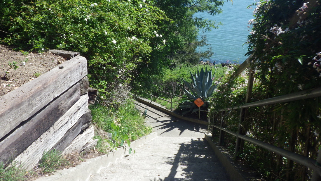
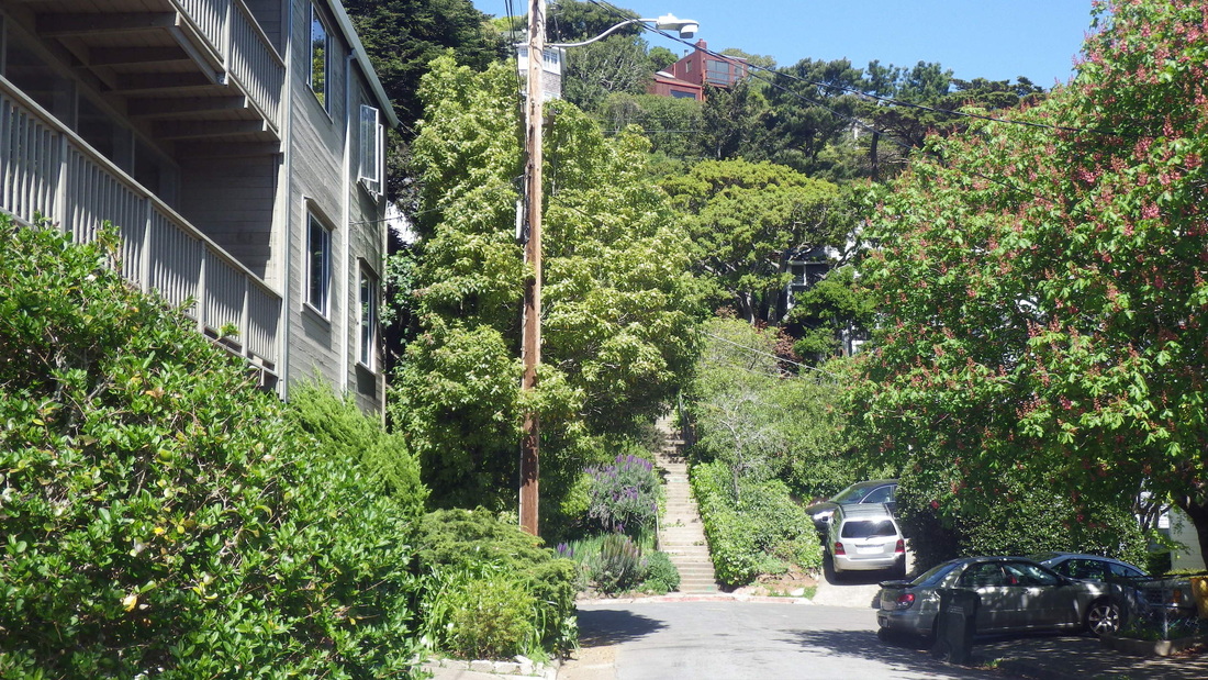
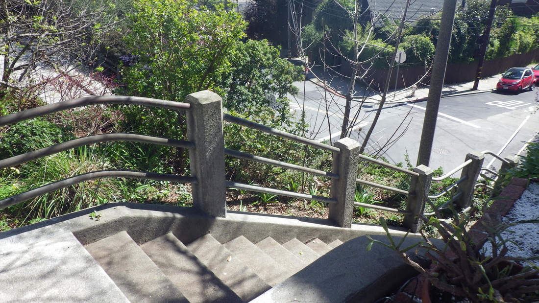
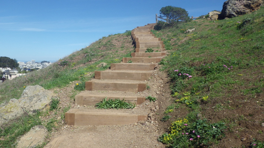
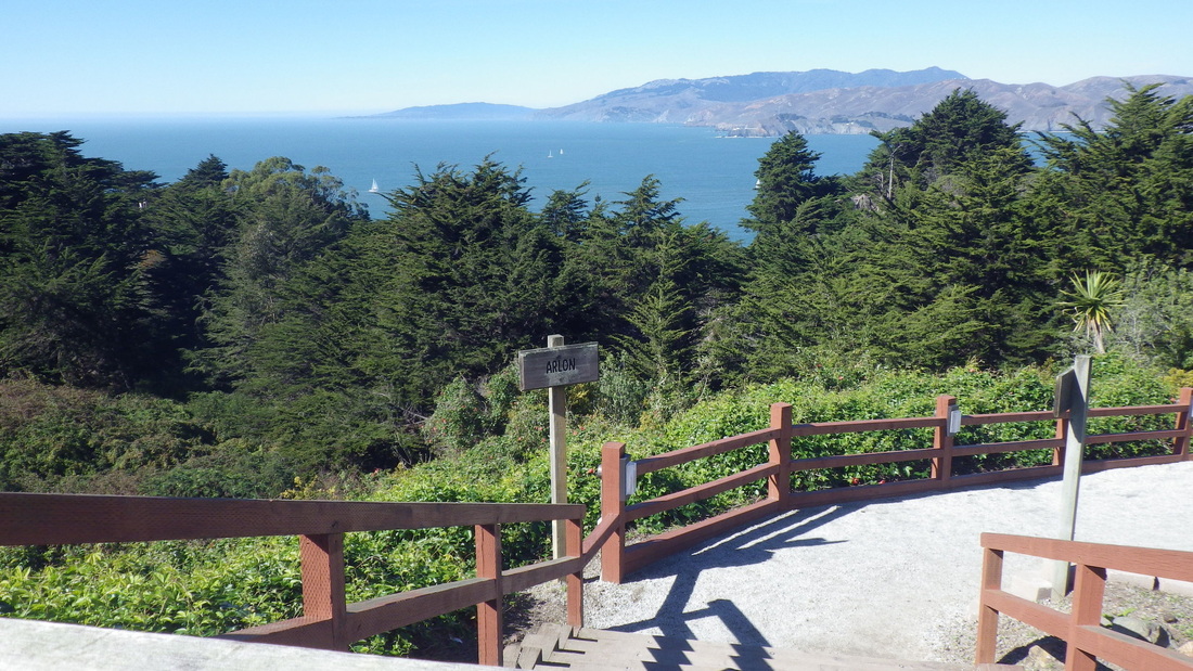
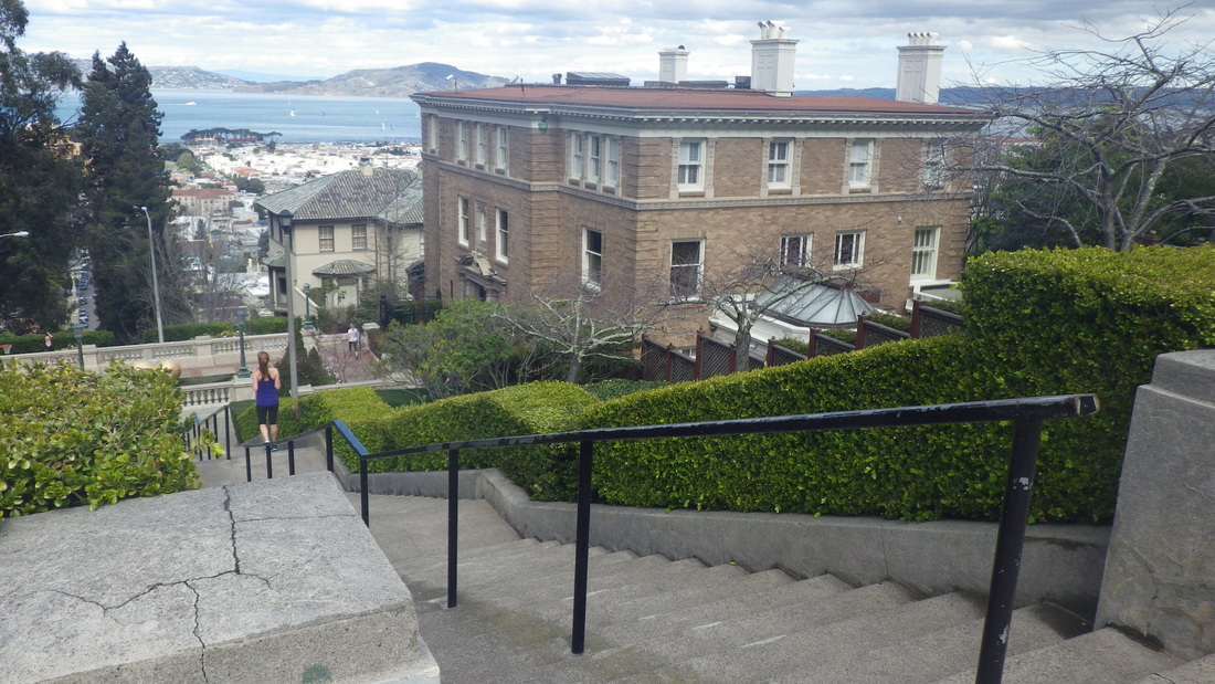
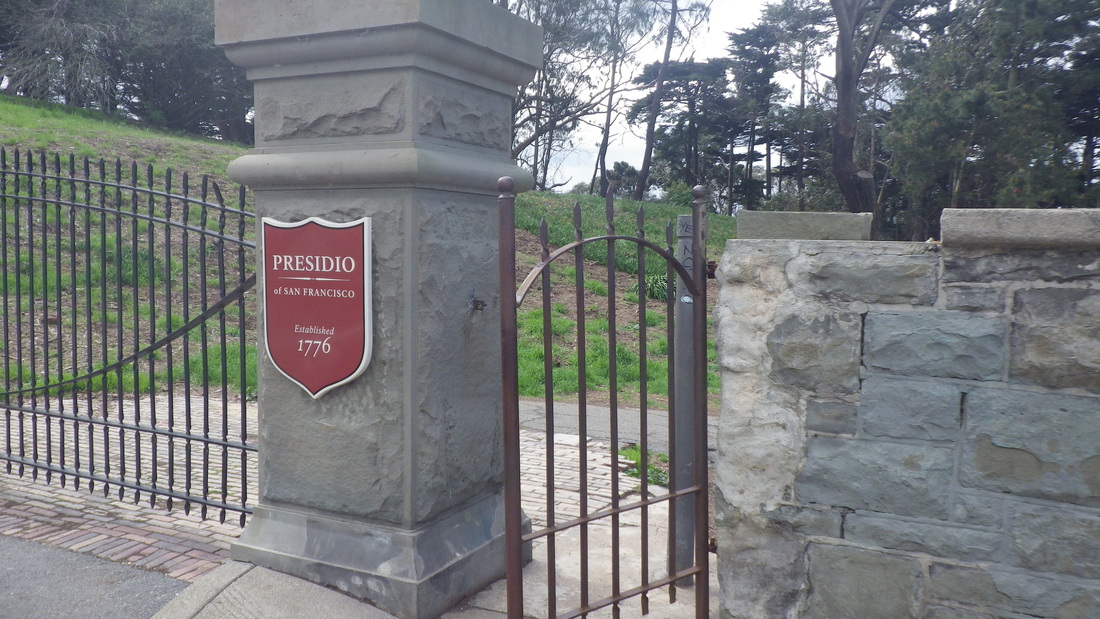
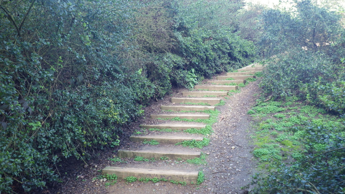
Passing on some recent pix from a highly recommended Presidio hike I do frequently, starting from 14th Ave. and up the 103 steps to the Marine Cemetery Vista Overlook (first two pix). 

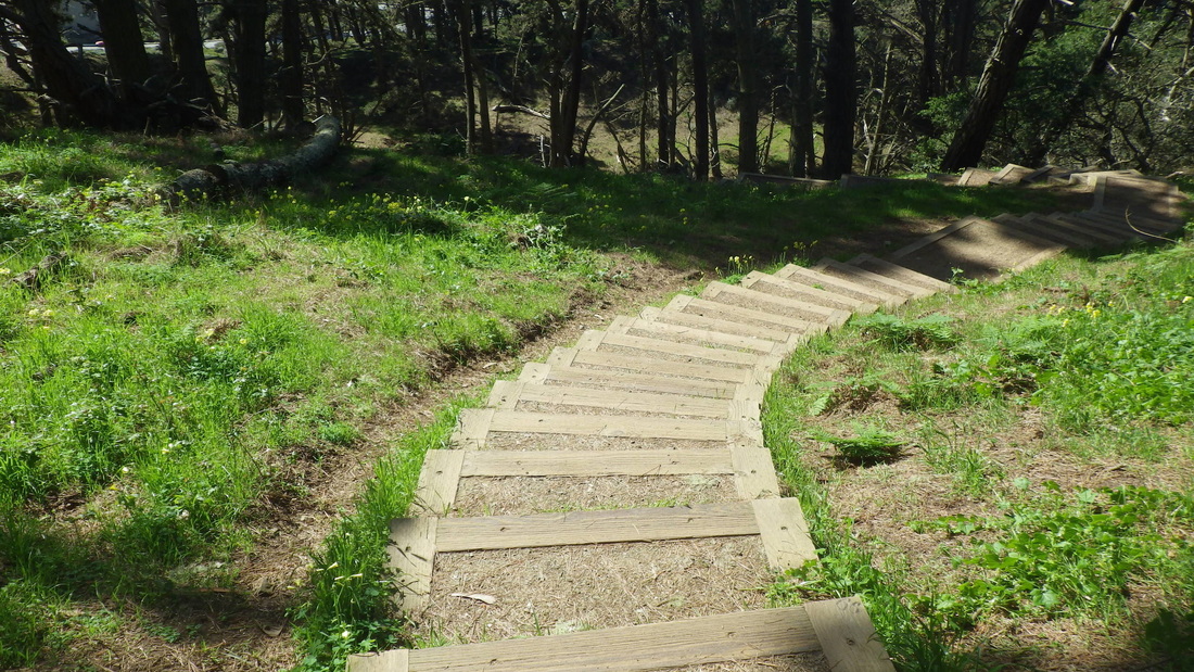
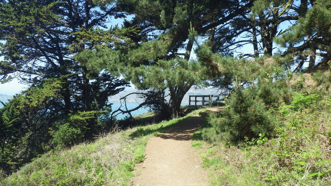
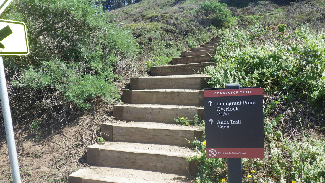
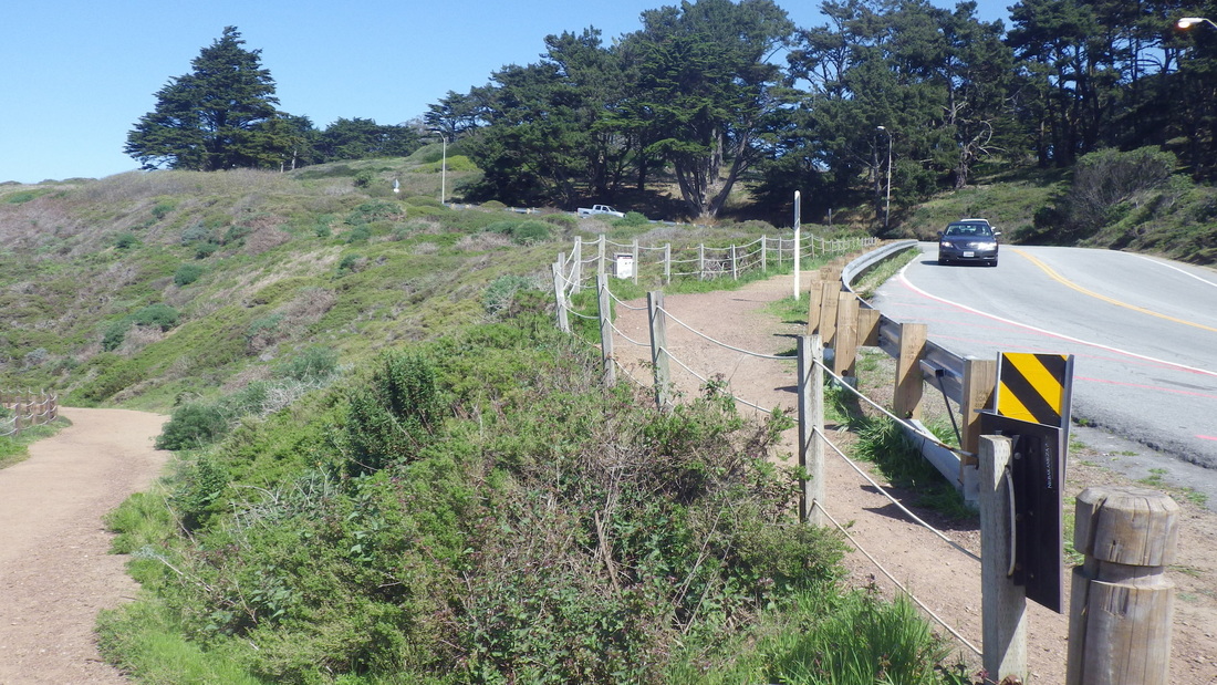
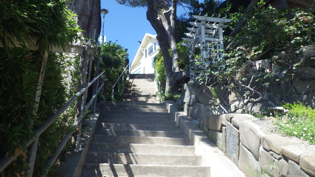
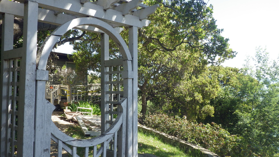
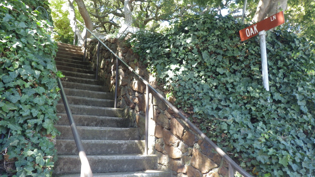
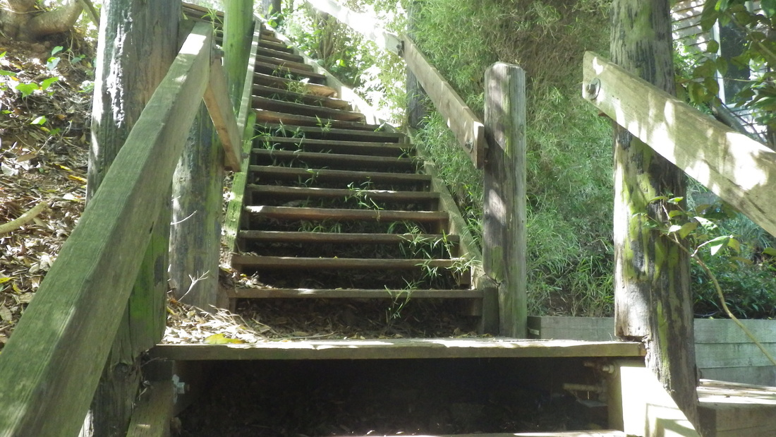
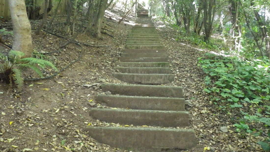
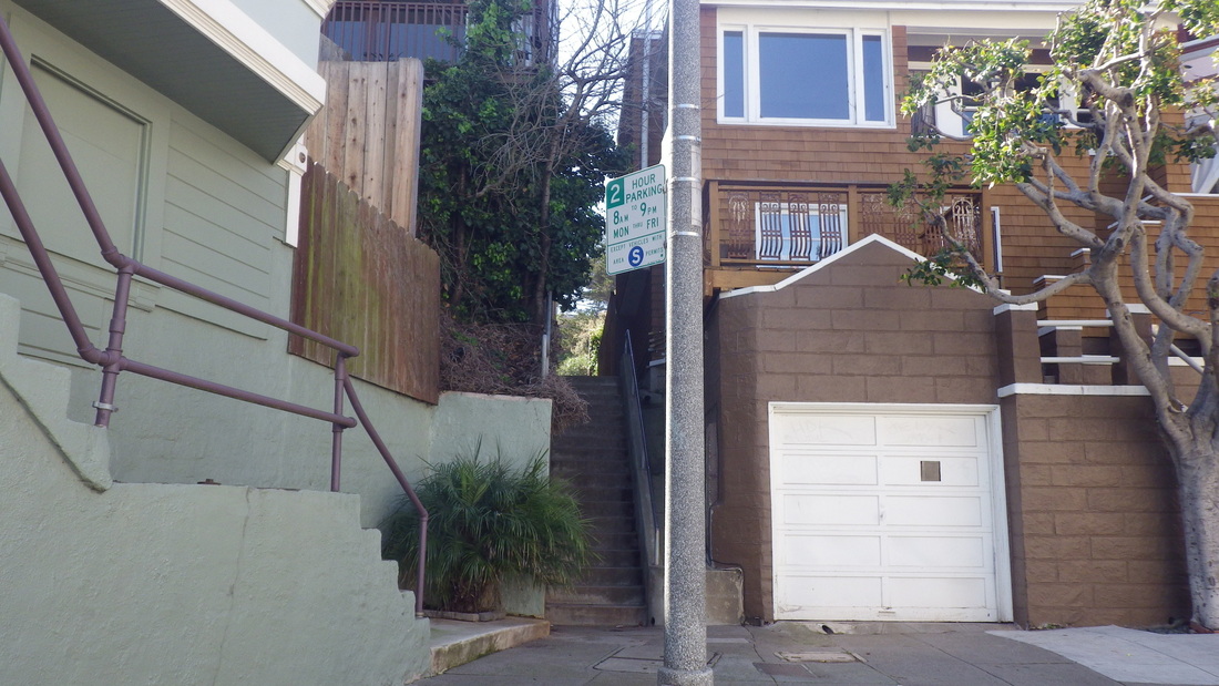
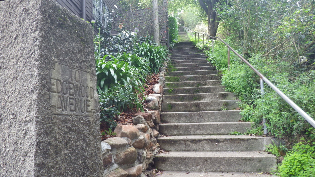
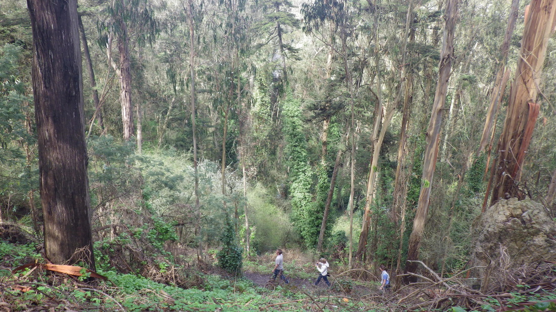
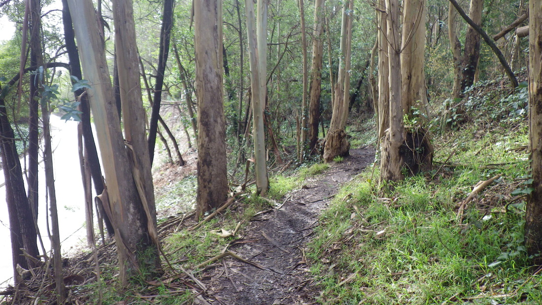
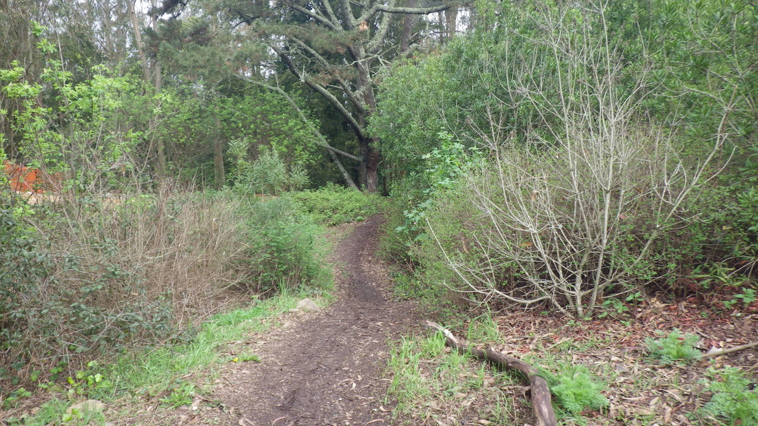
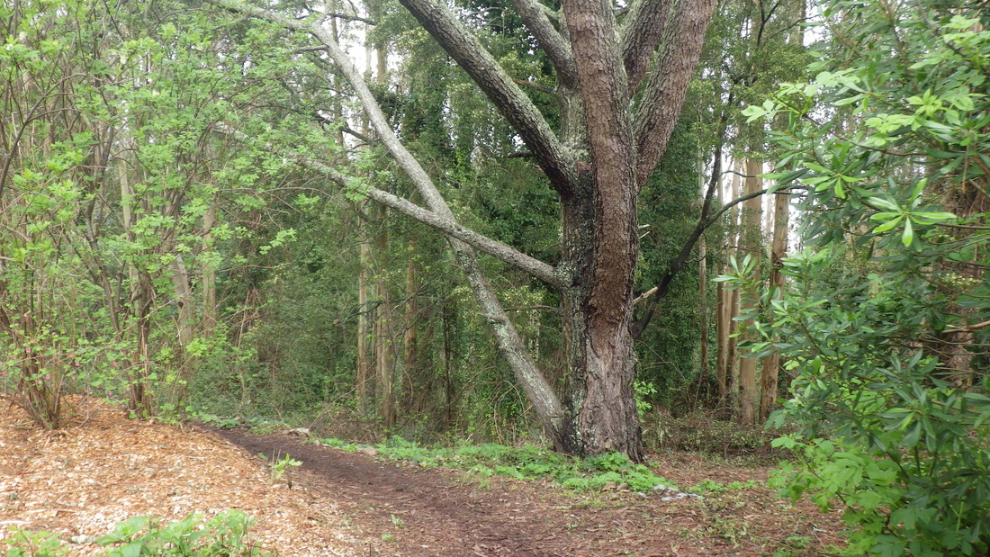
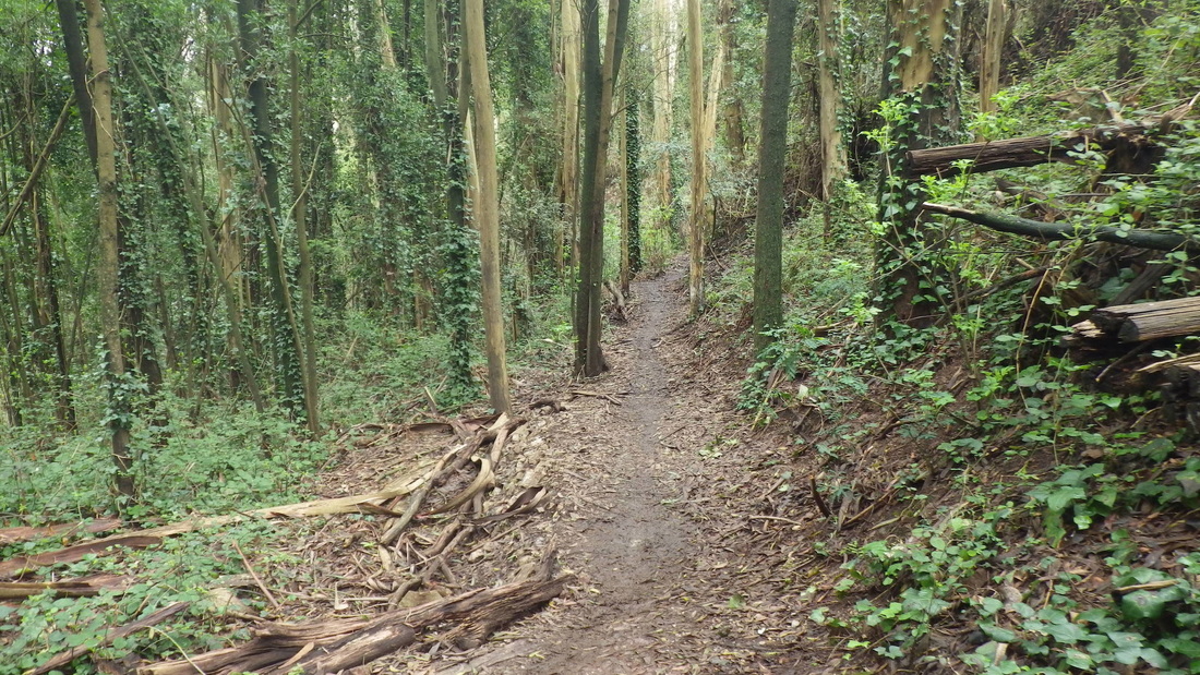
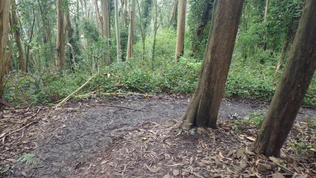
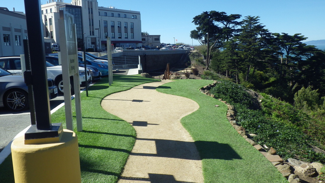
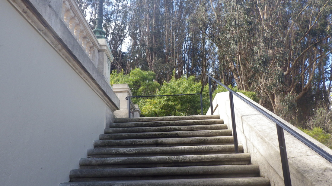
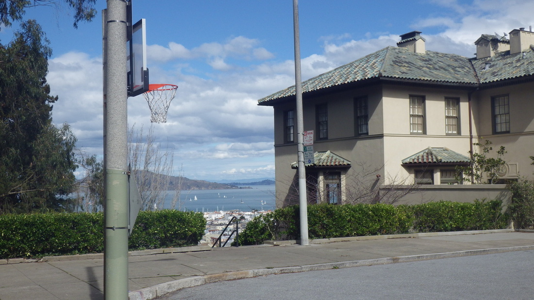
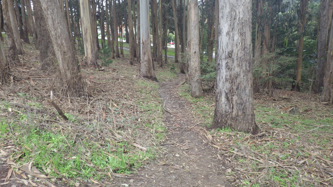
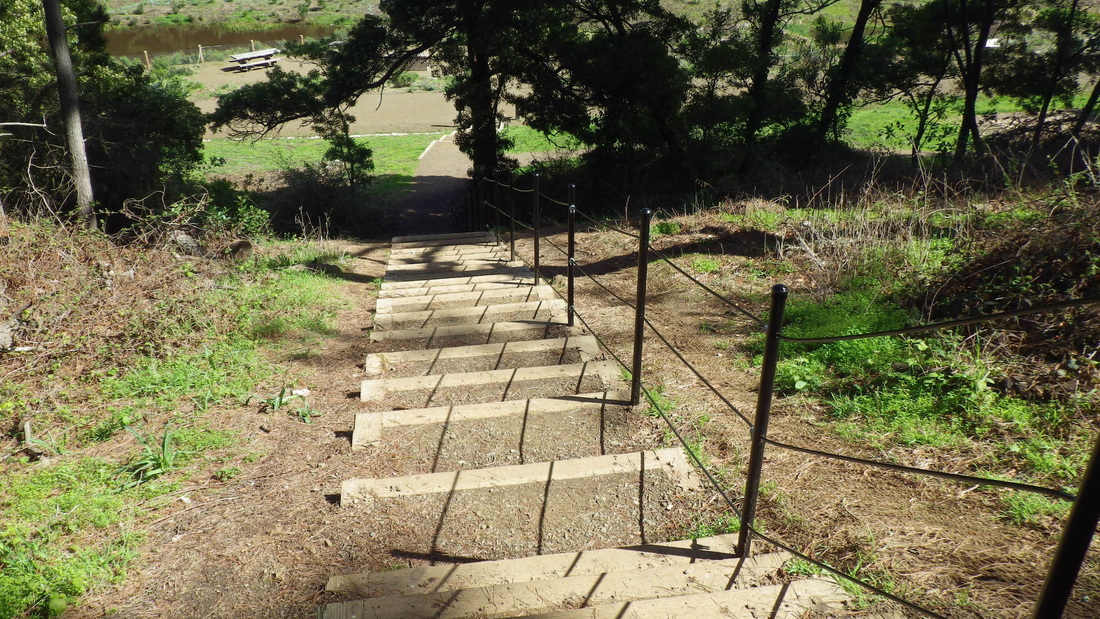
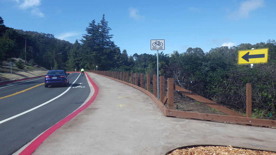
A short hillwalk up Battery Caulfield Road, now with safer pedestrian walkways alongside the street, with a left on Washington at the top, leads to Immigrant Point Overlook (pic 3) where the Connector Trail (208 steps) descends through the forest to Lincoln. 

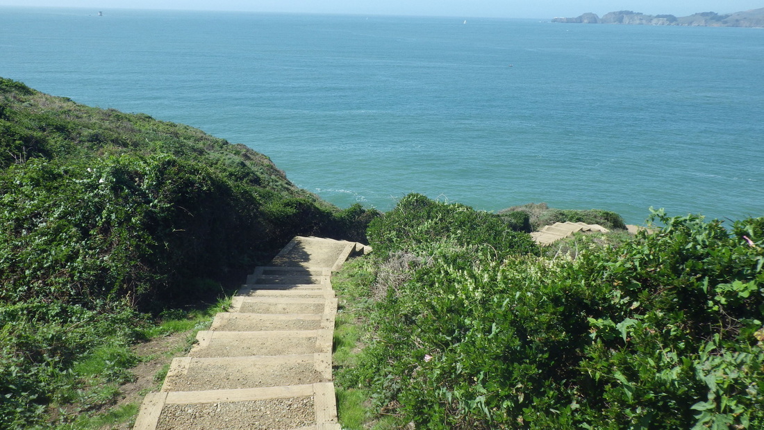
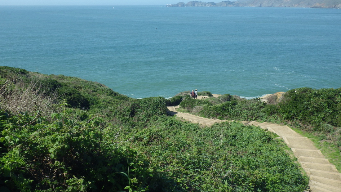
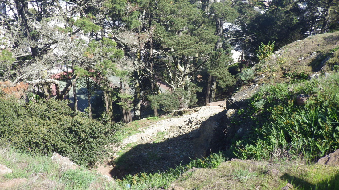
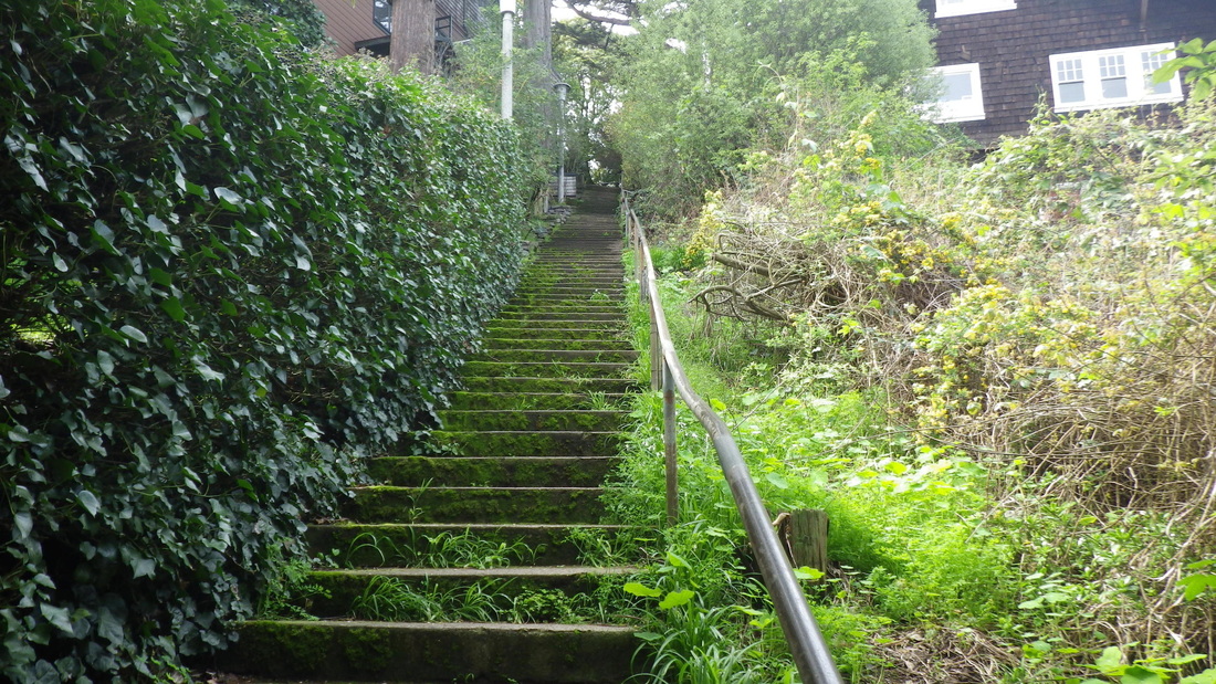
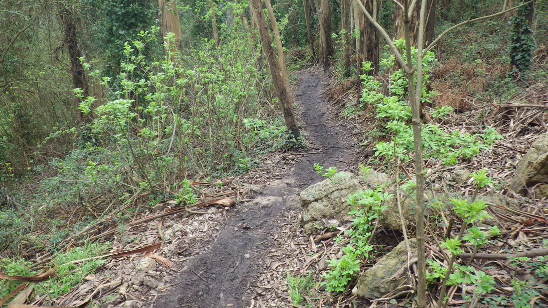
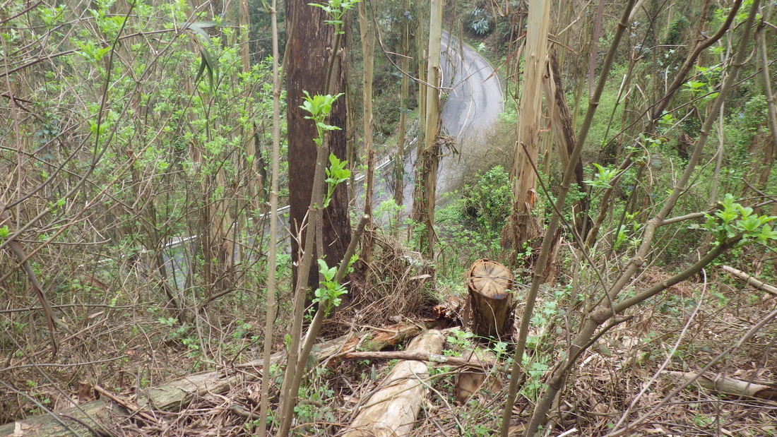
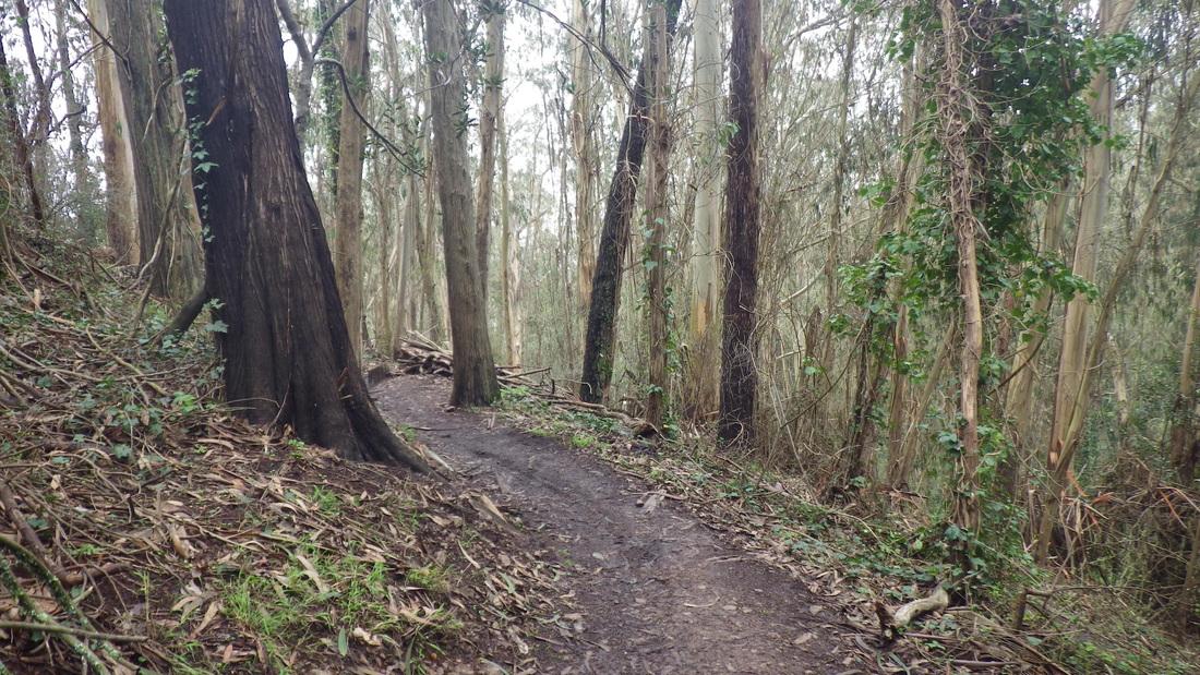
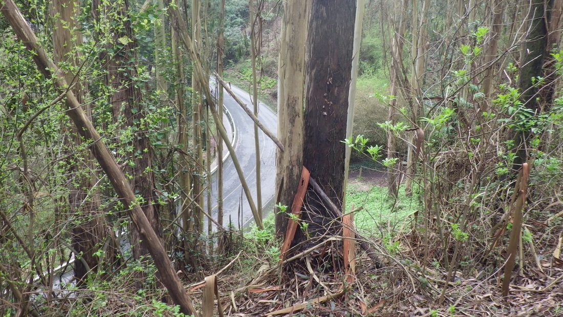
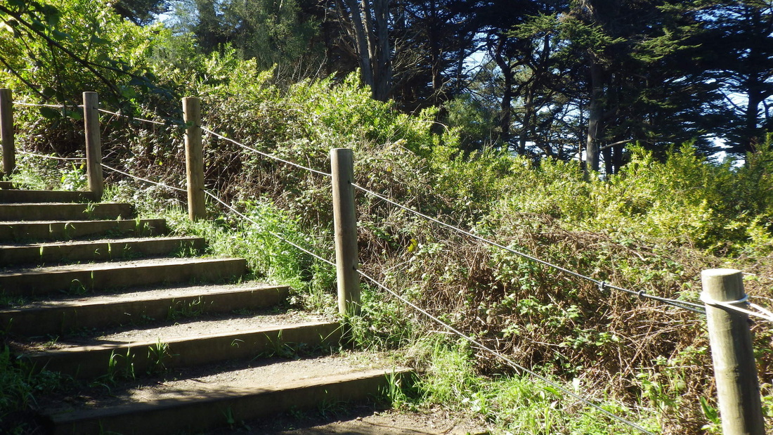
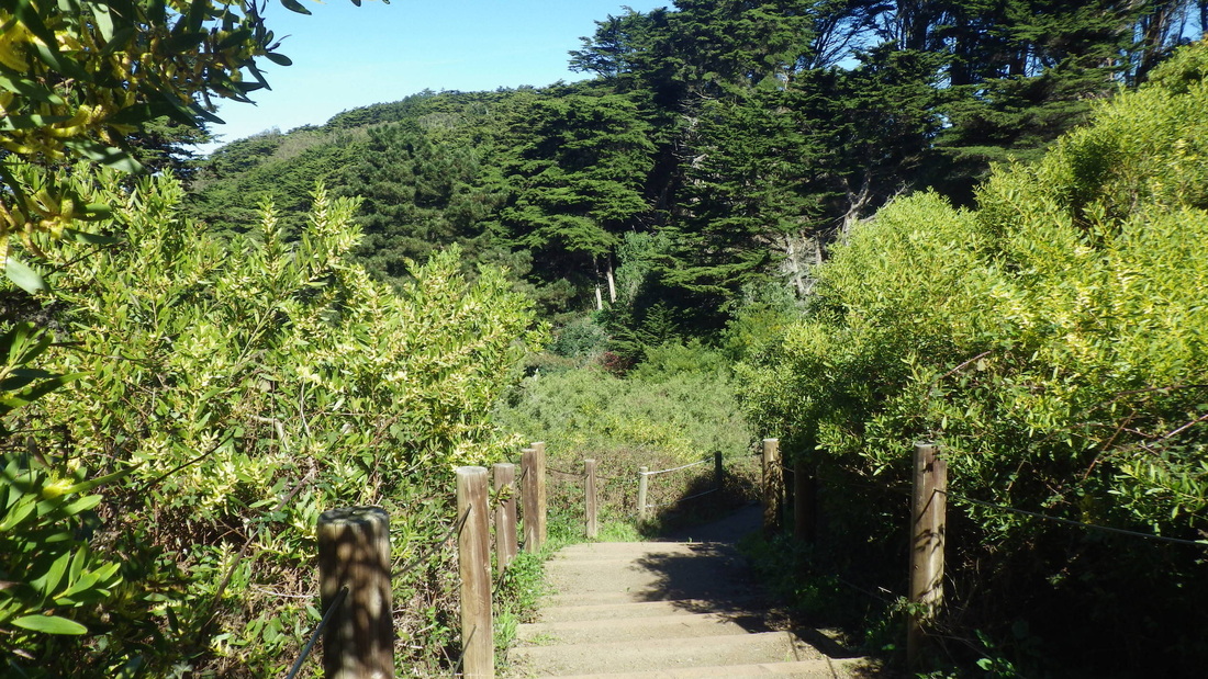
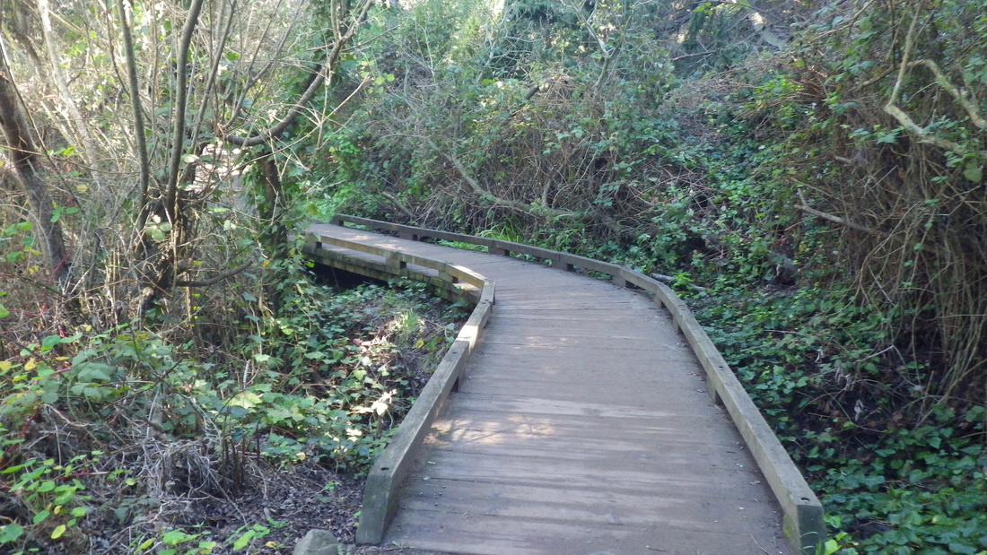
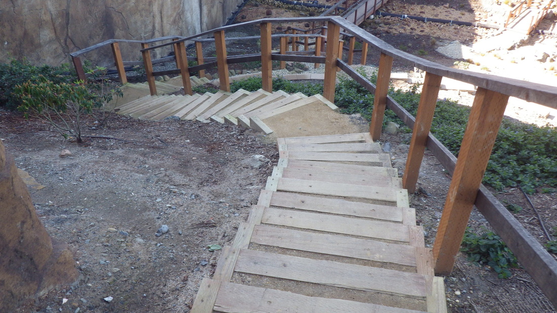
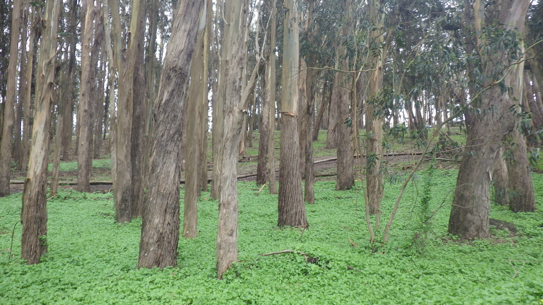
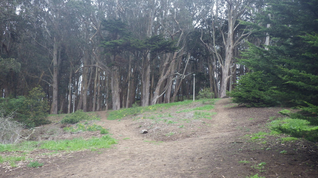
Connector Trail: 4 thru 9.

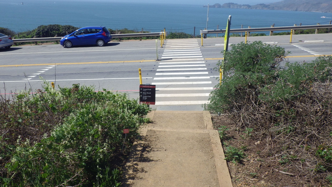
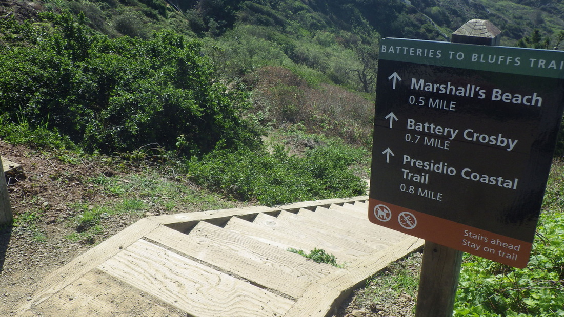
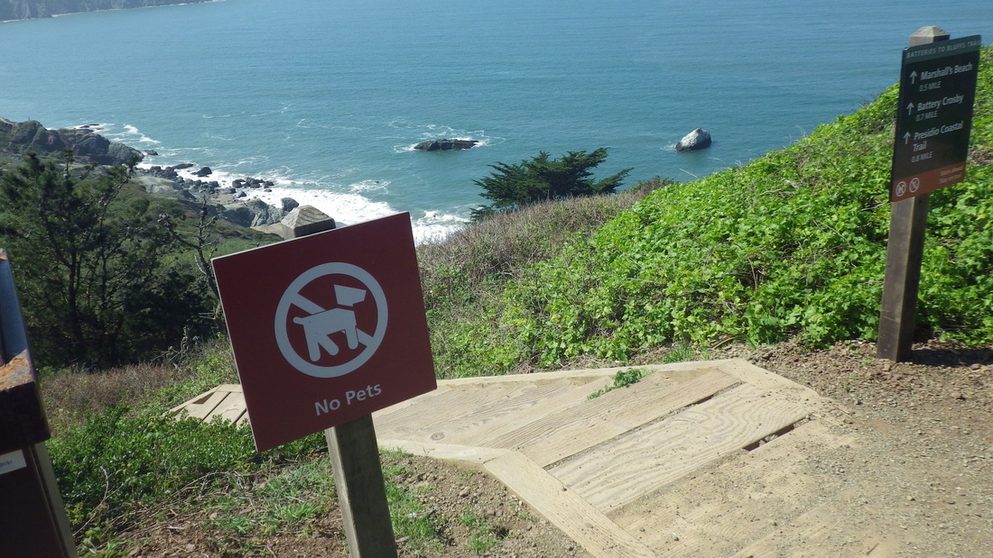
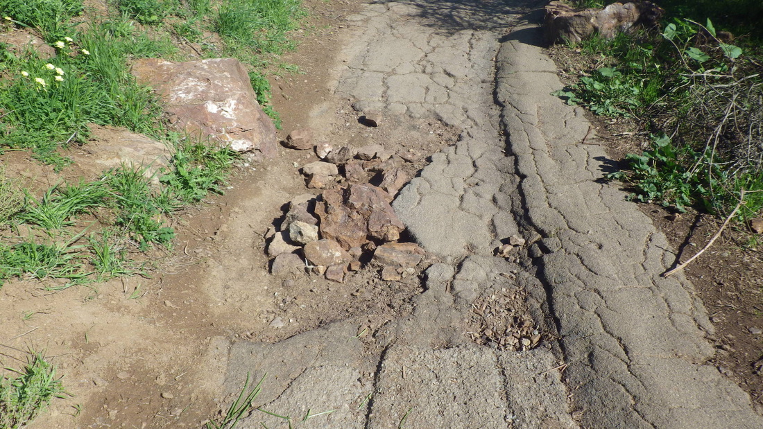
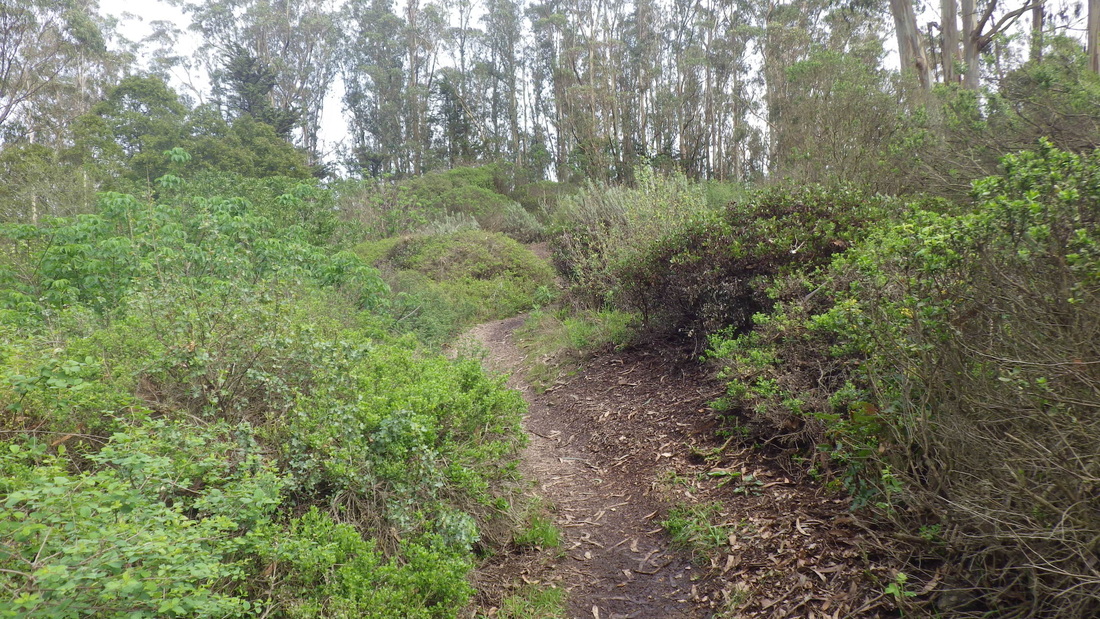
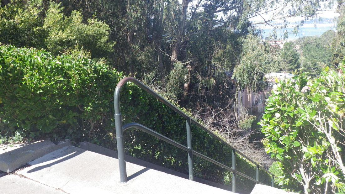
Crossing at the crosswalk, bypassing the Sand Ladder's 250-ish up-n-back steps down to Baker Beach, a short sandy trail (pics 10, 11, 12) leads to the west trailhead for the Batteries to Bluffs Trail (473 or so steps). 

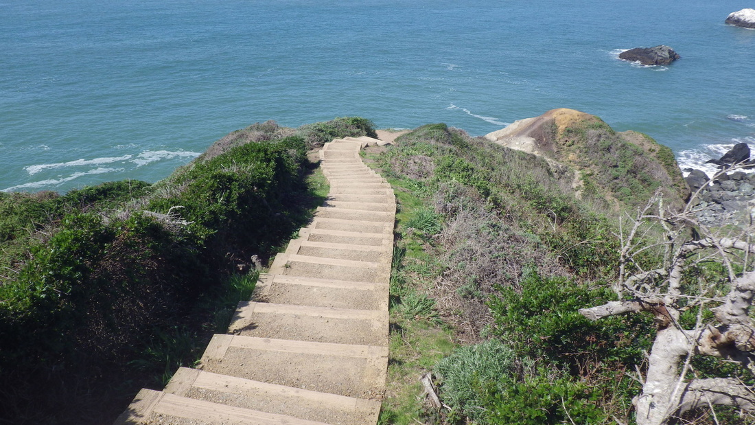
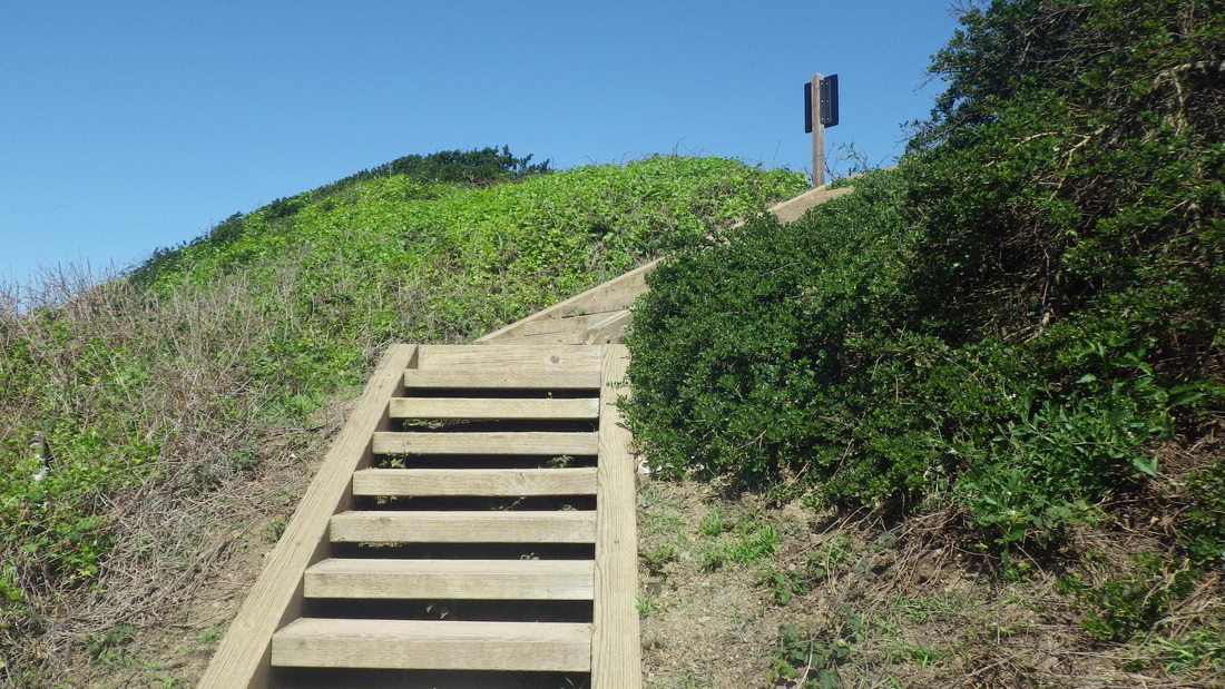
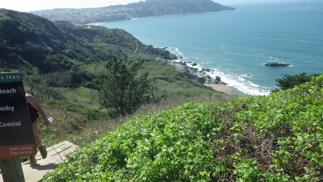
Batteries to Bluffs west to east:13 thru 28. 
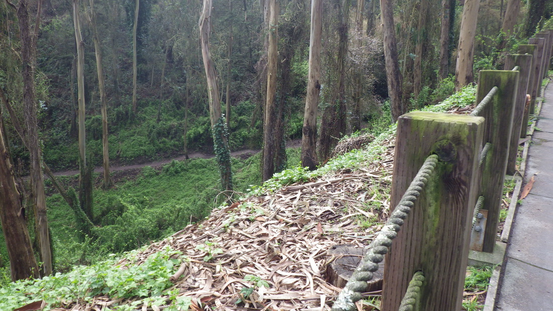
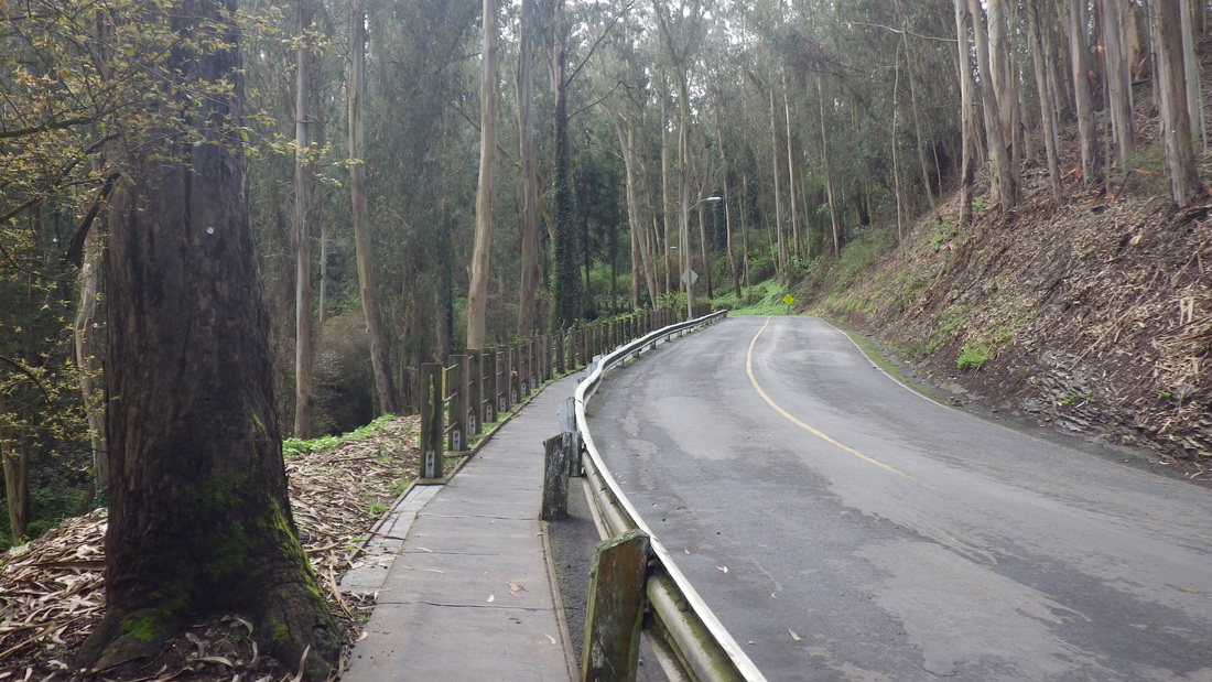
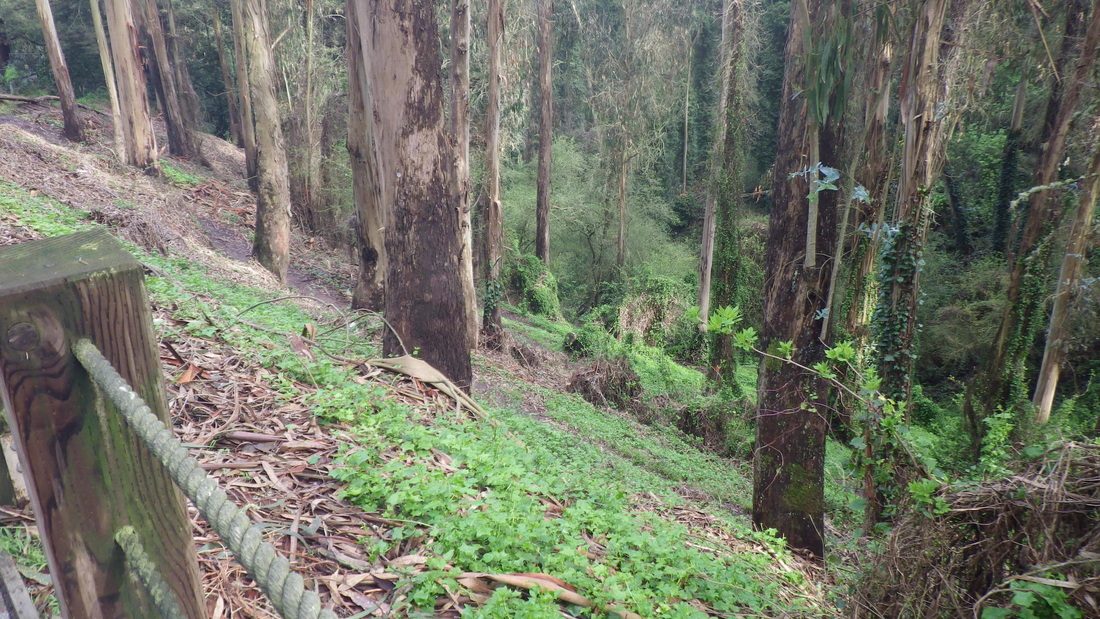
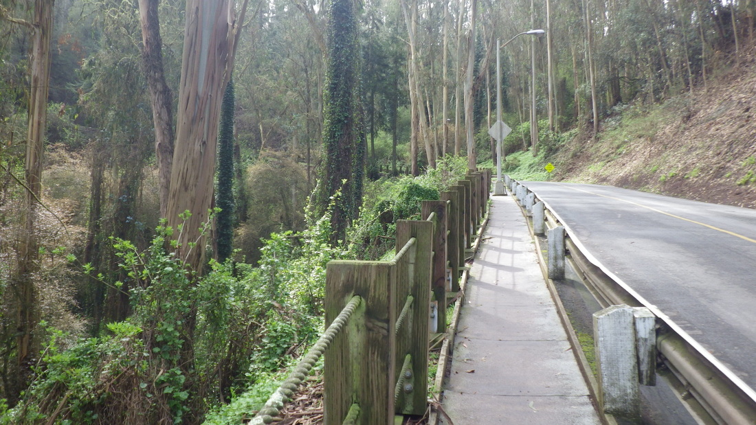

Picture
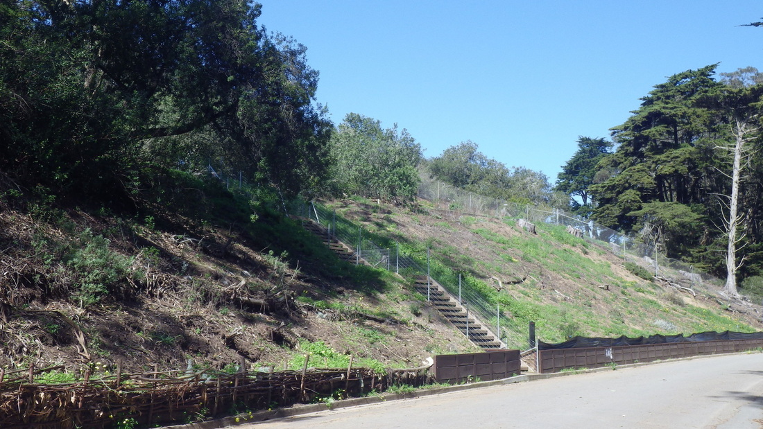
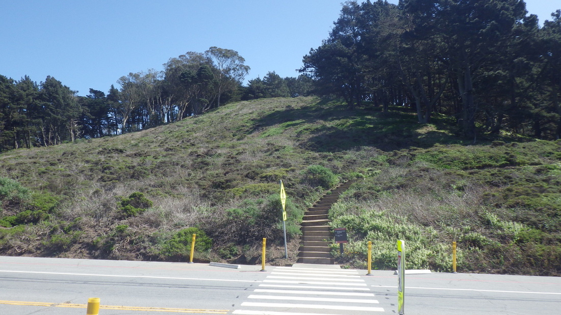
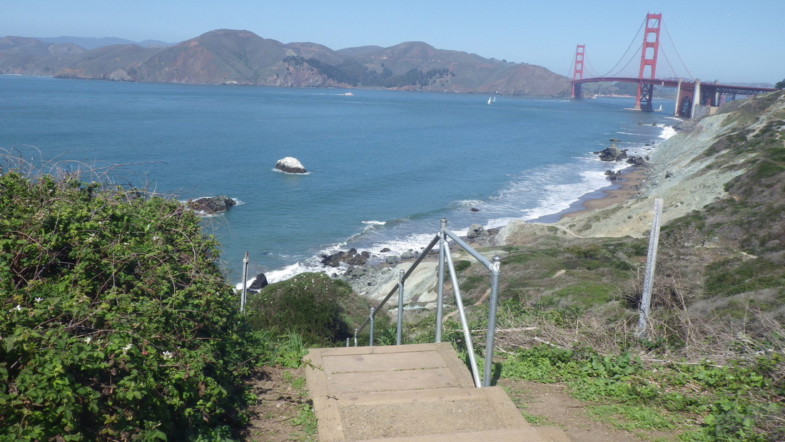
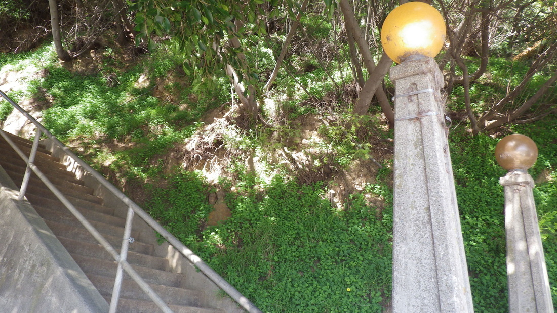
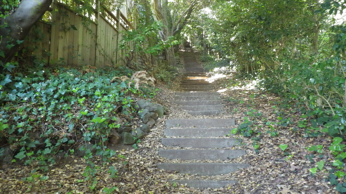
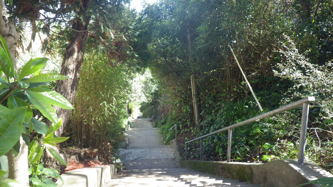
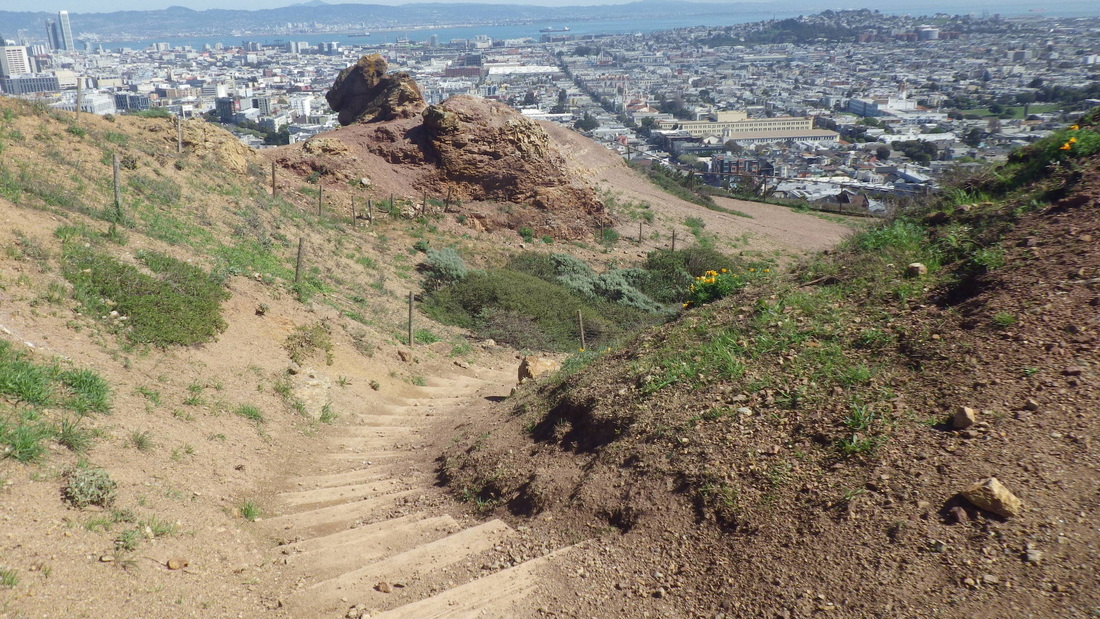
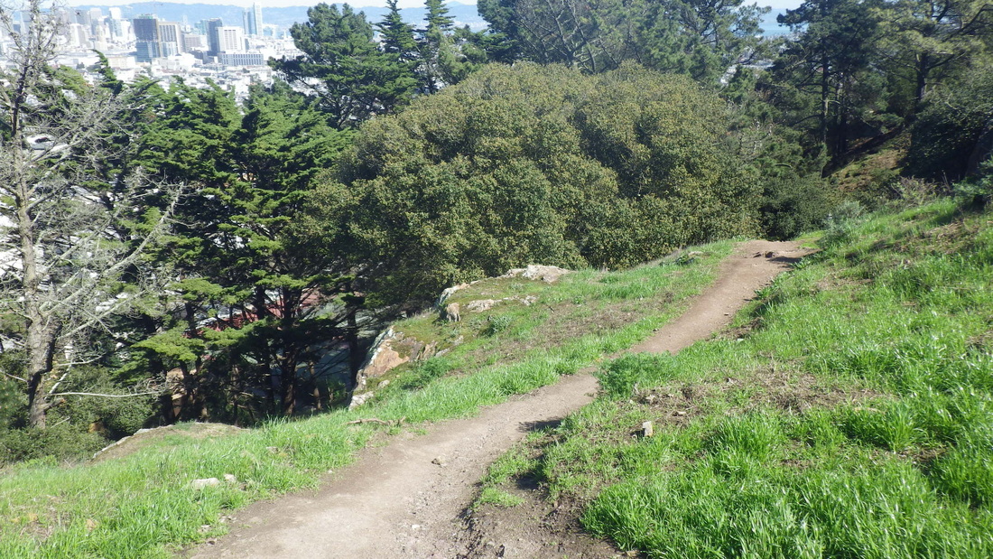
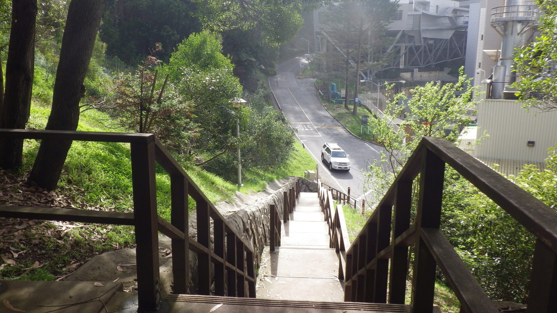
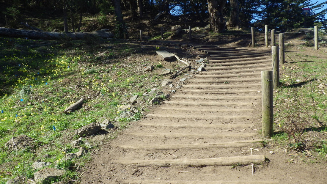
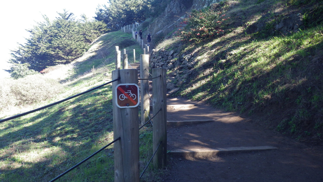
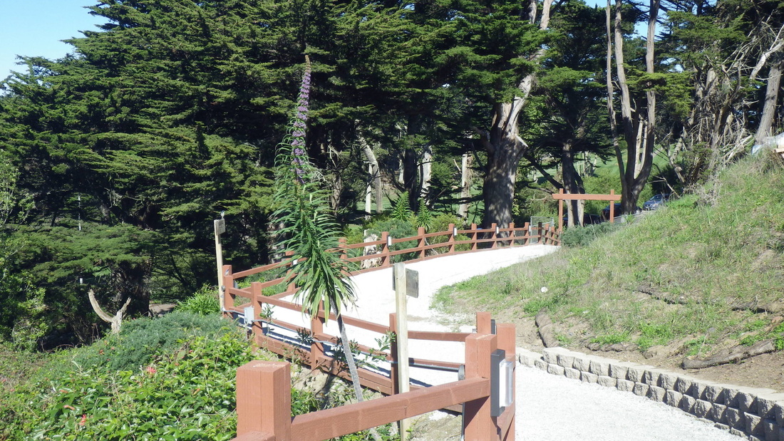
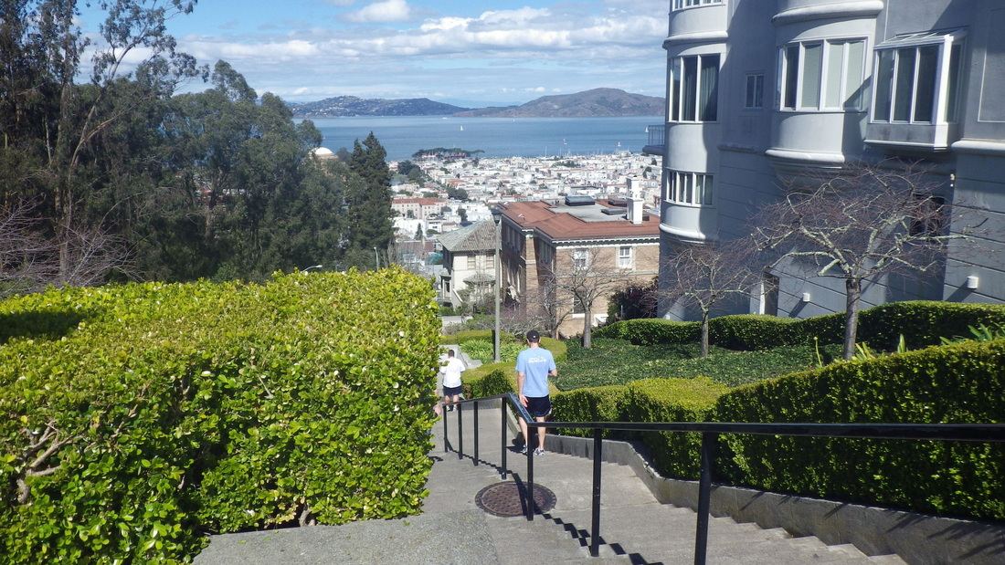
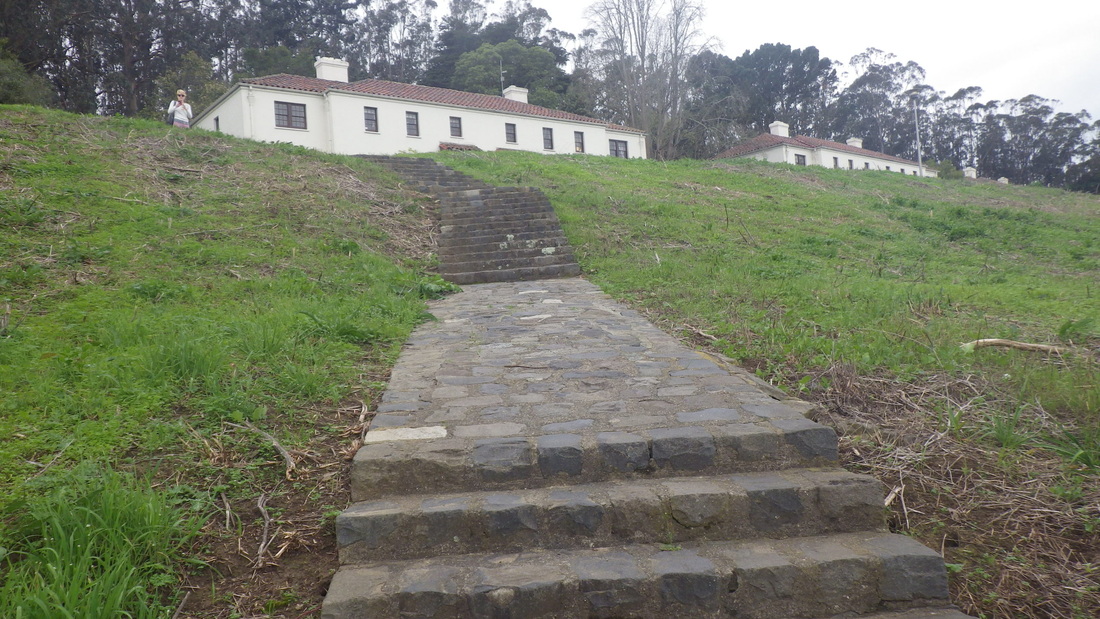
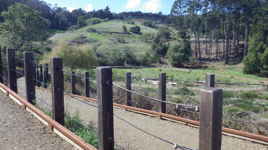
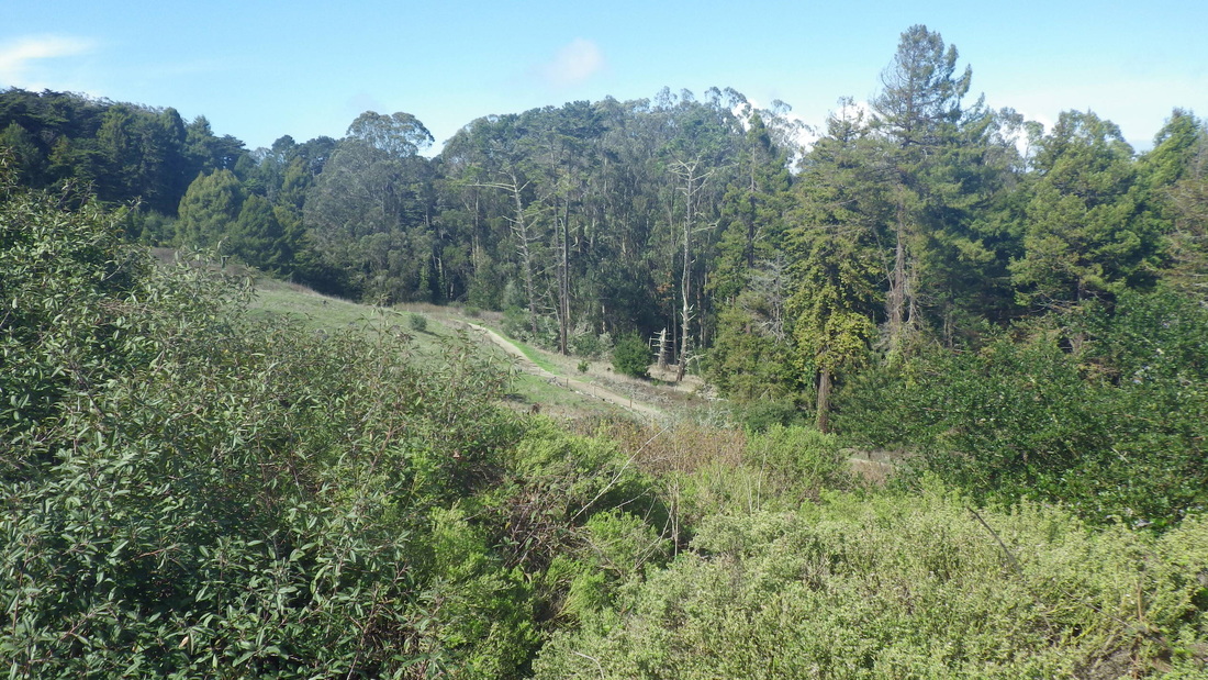
1. Up from 14th Ave. to Marine Cemetery Vista
Picture
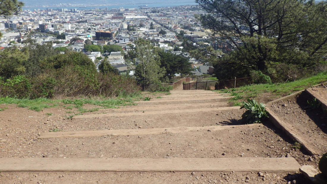
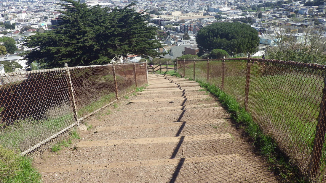
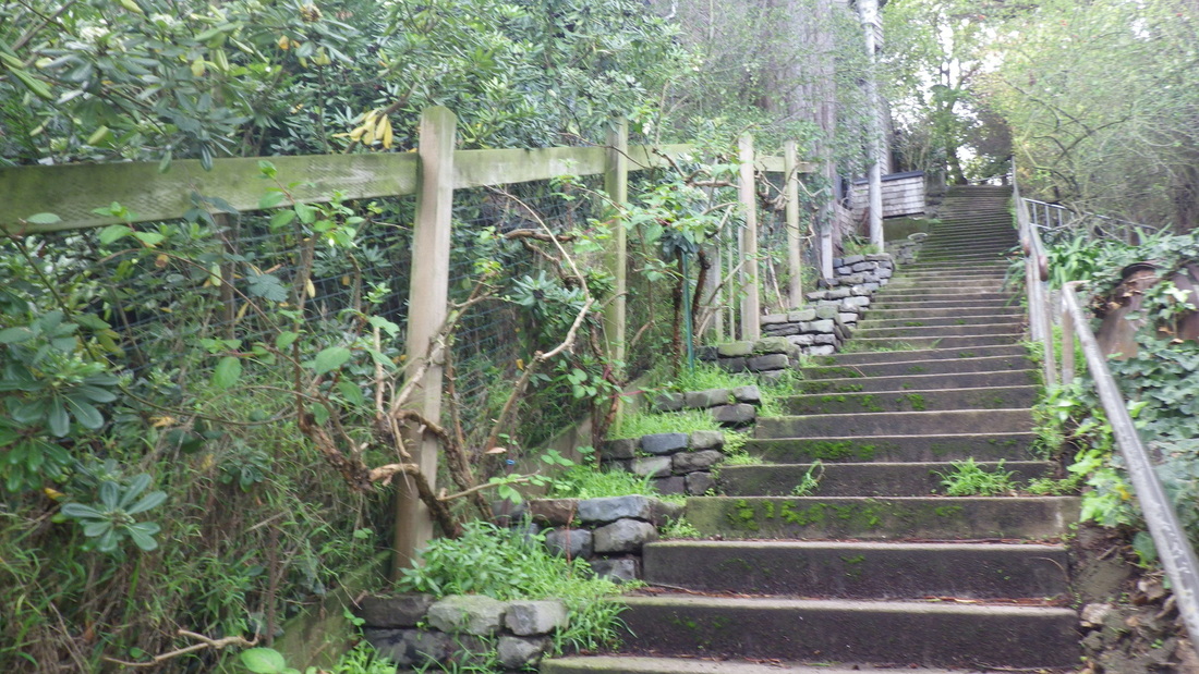
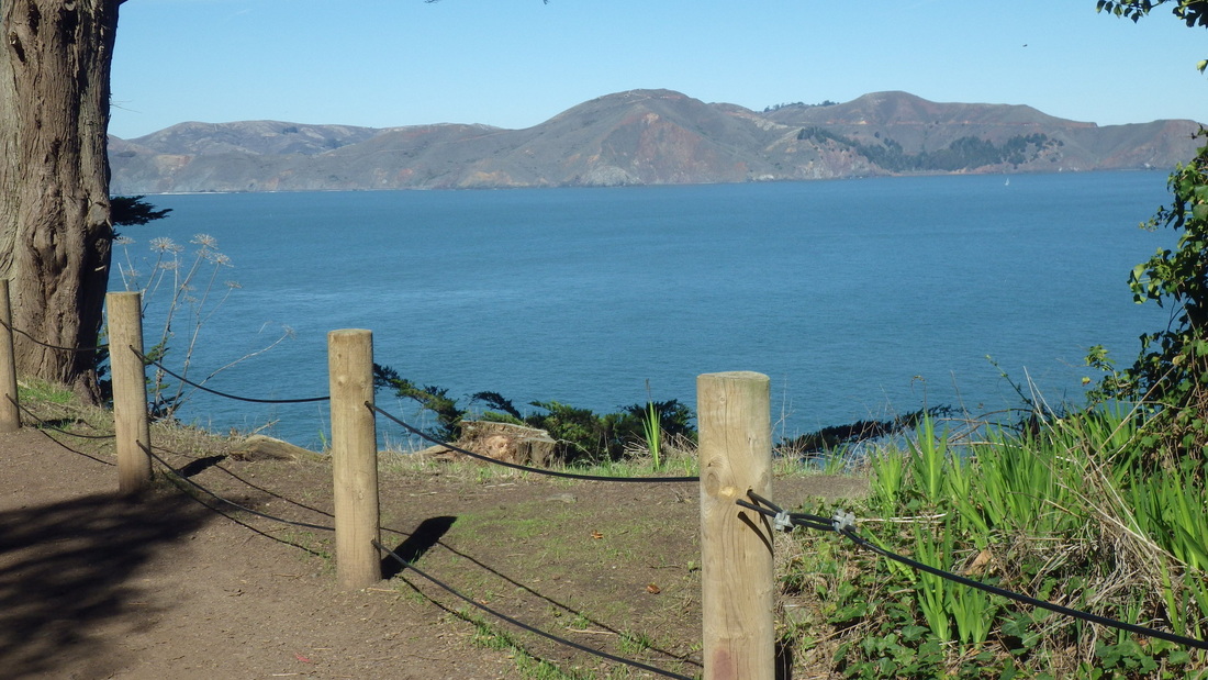
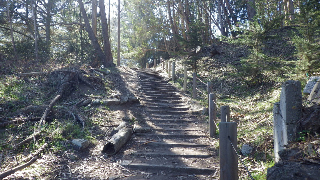
2. Marine Cemetery Vista steps
Picture
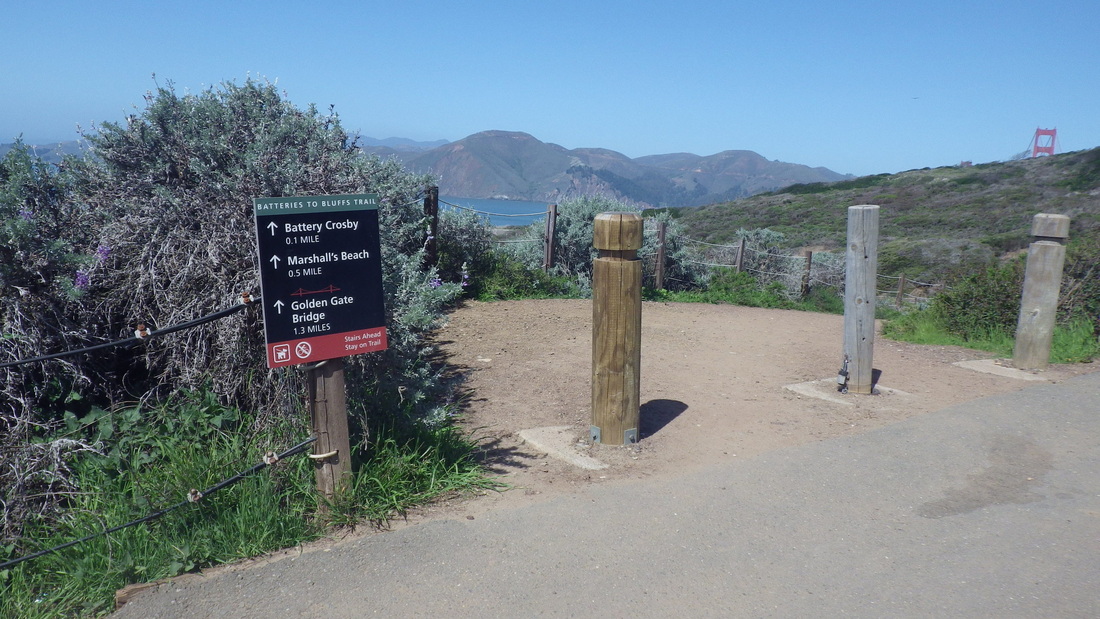
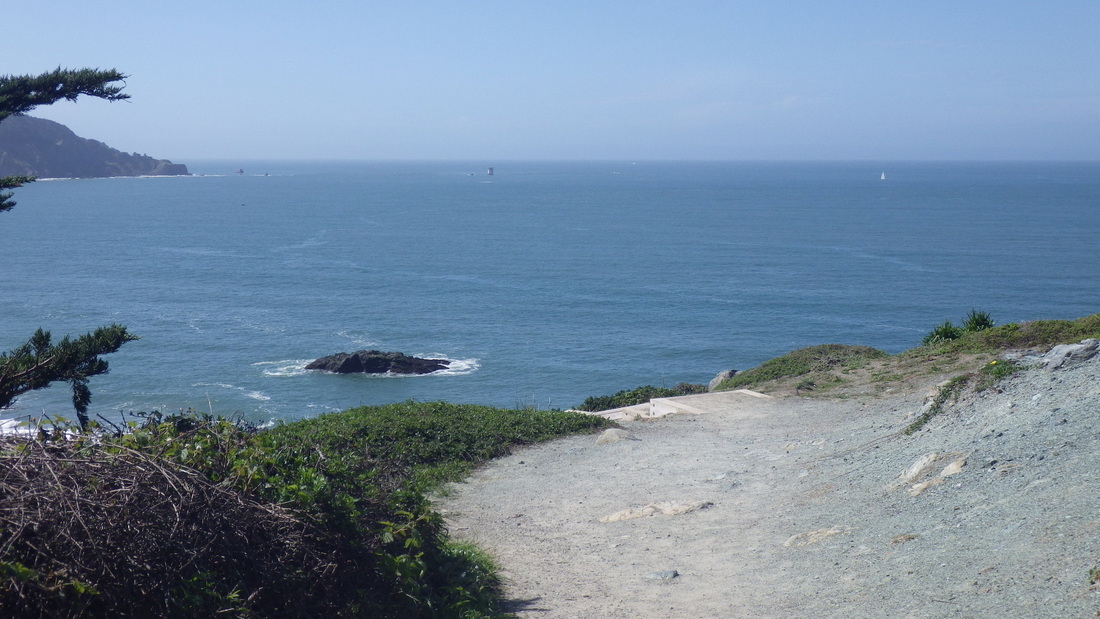
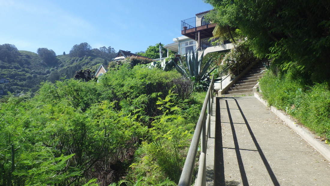
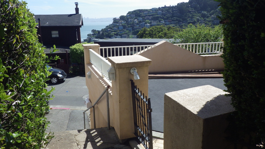
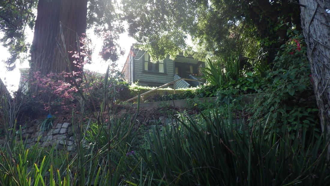
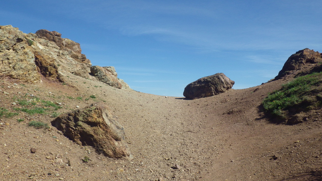
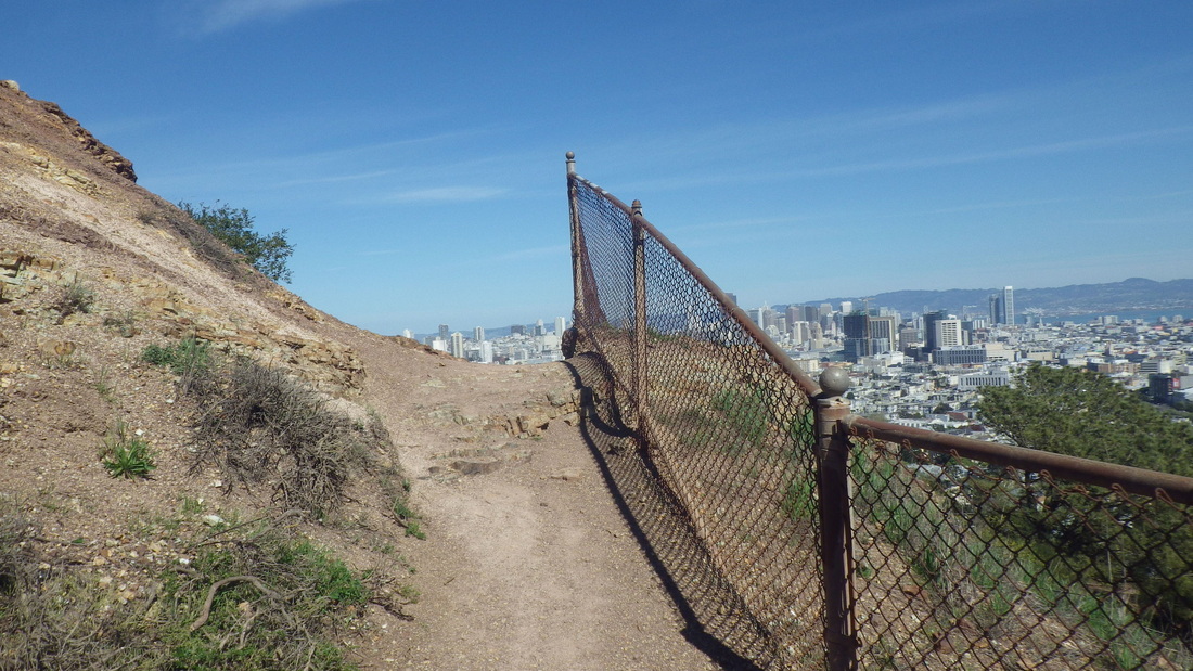
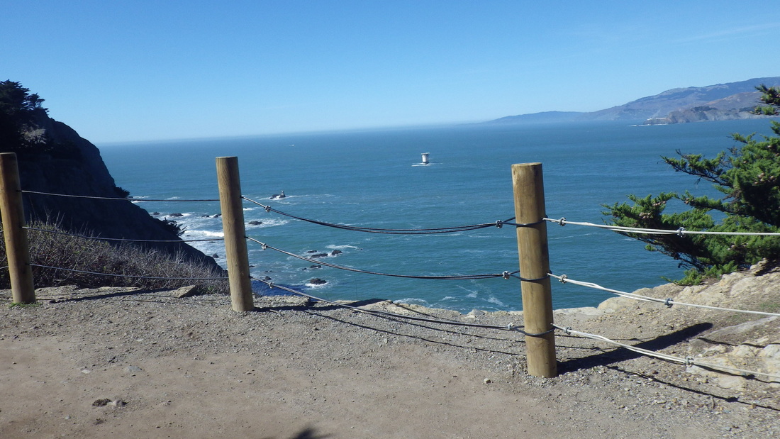
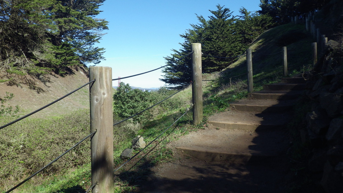
3. Sand Ladder's top to left, Batteries to Bluffs Trail right, from Immigrant Point Overlook
Picture
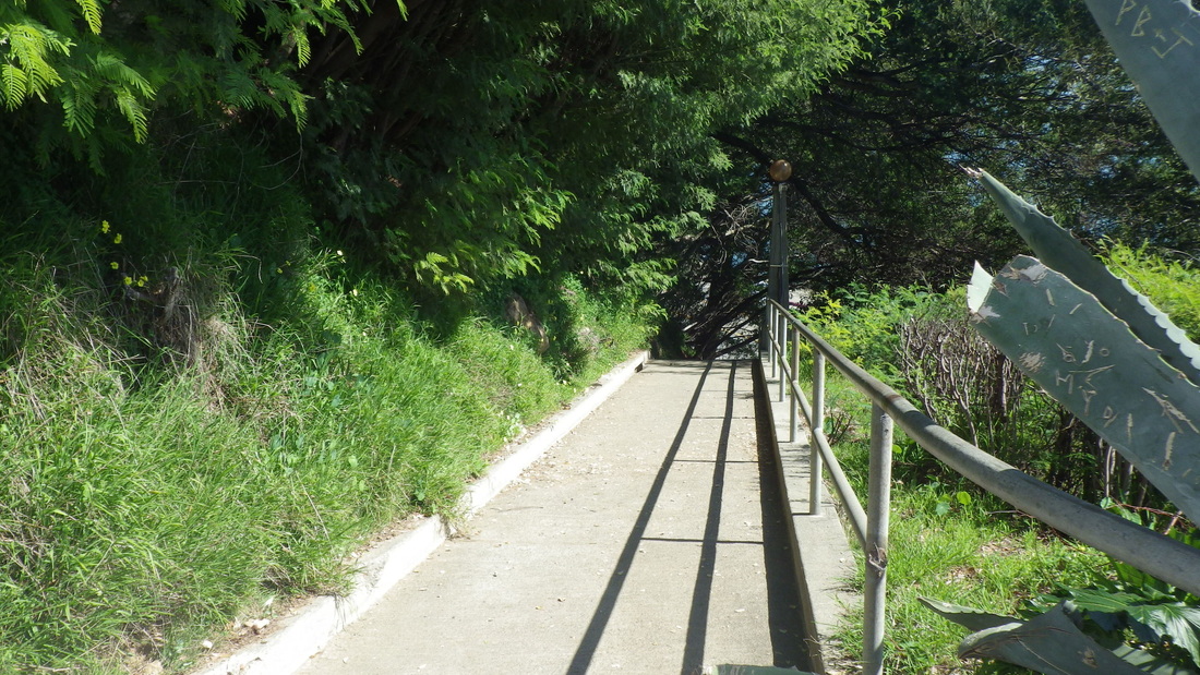
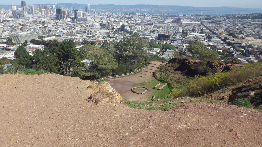
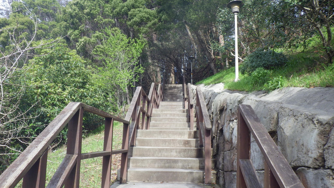
4. Top of Connector Trail at Immigrant Point Overlook
Picture
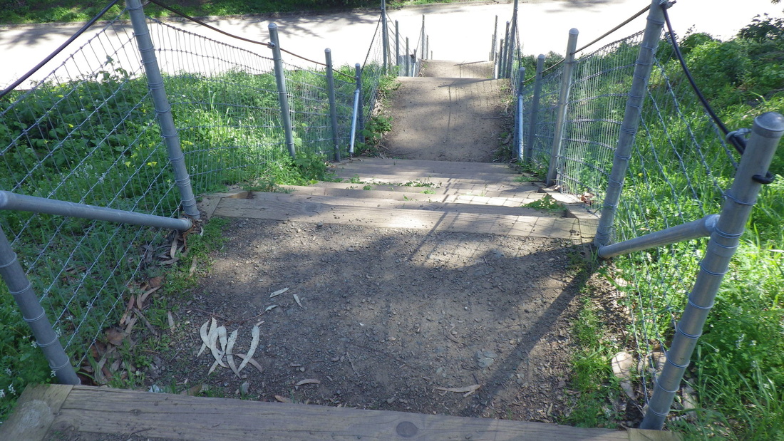
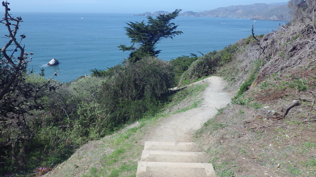
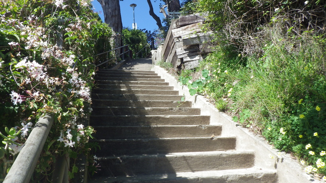
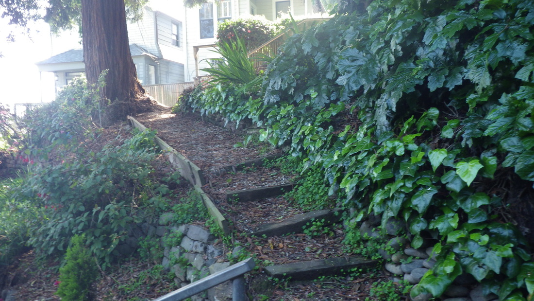
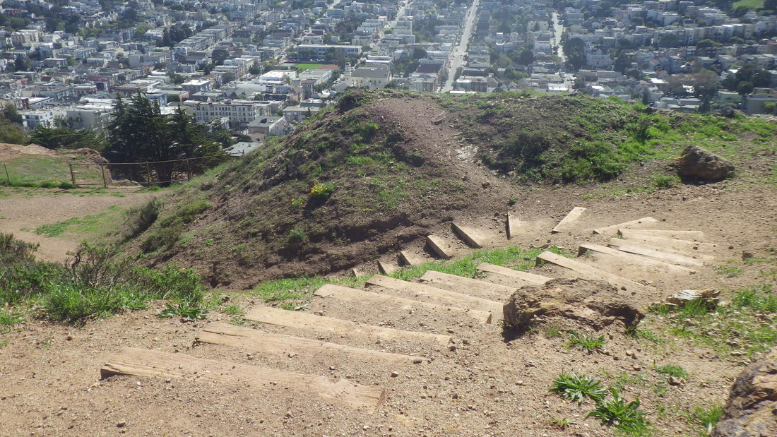
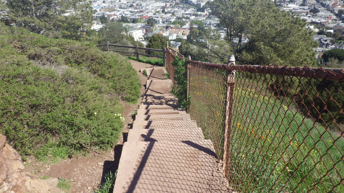
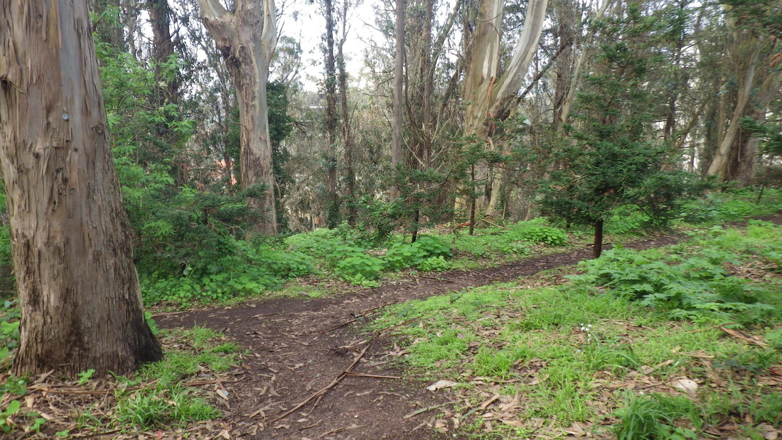
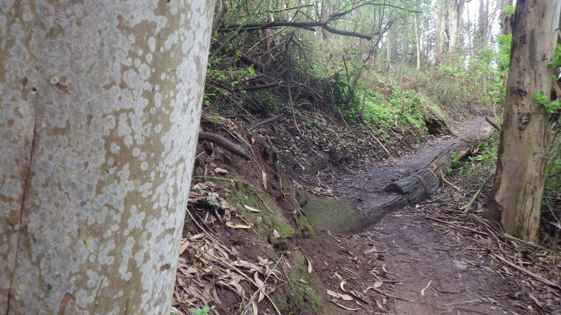
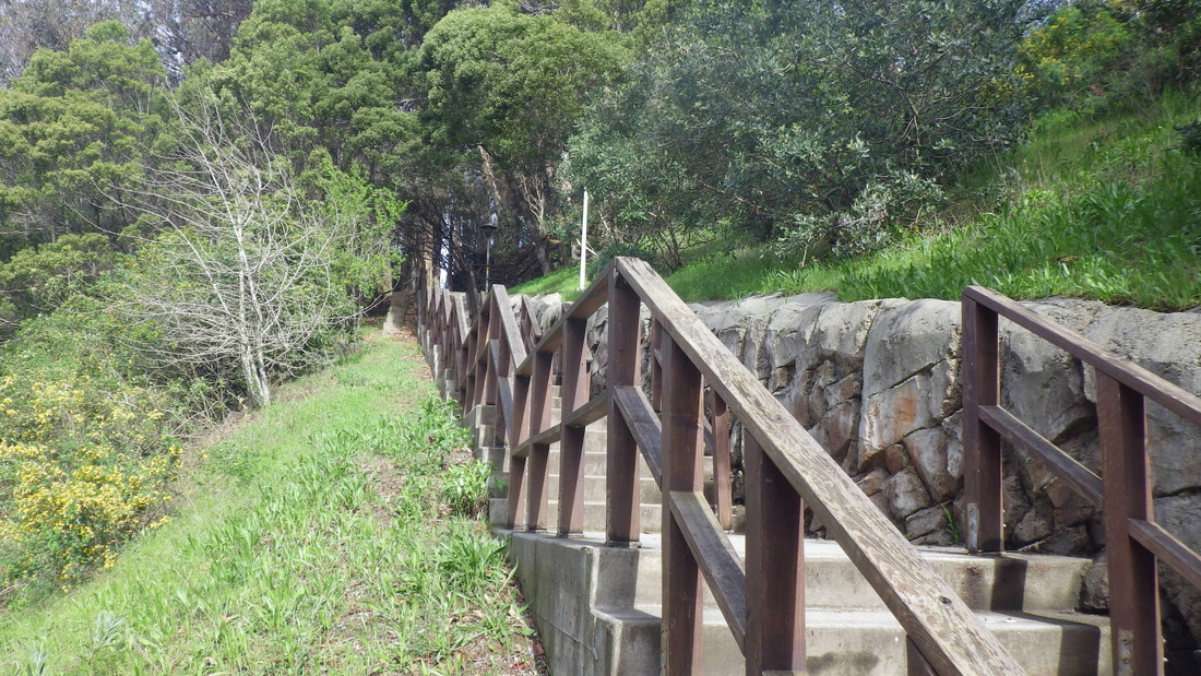
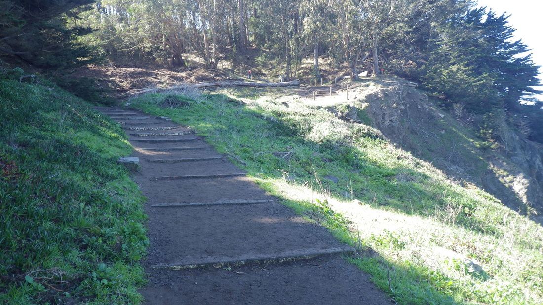
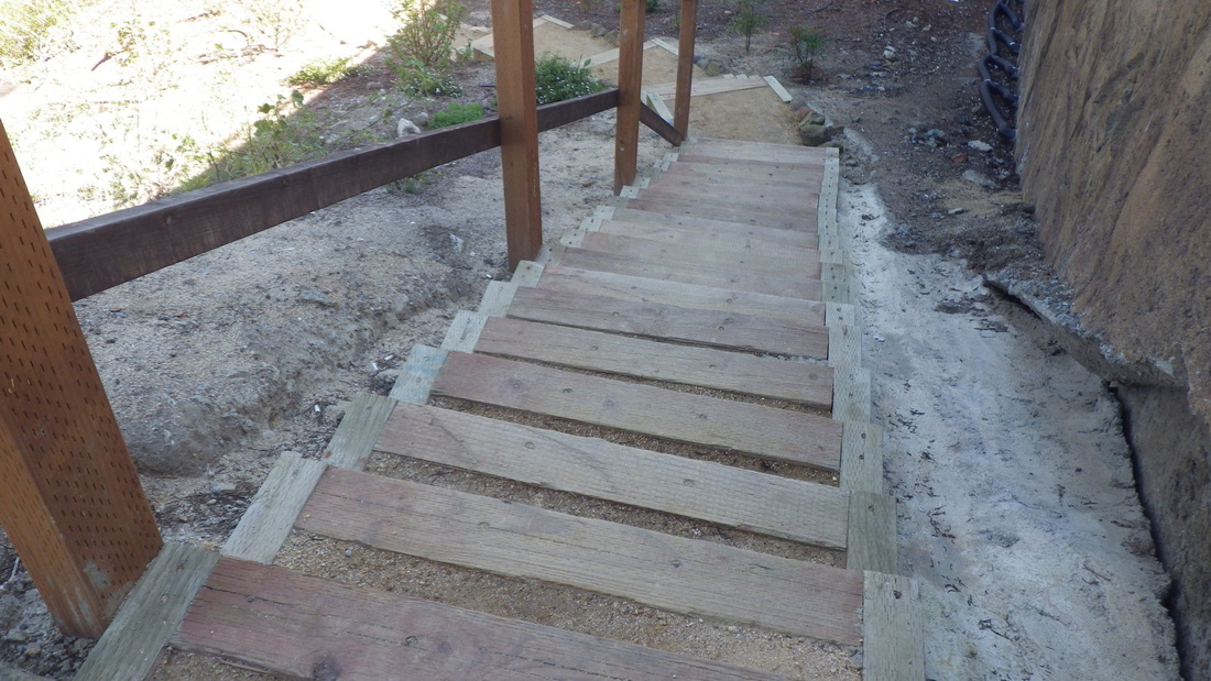
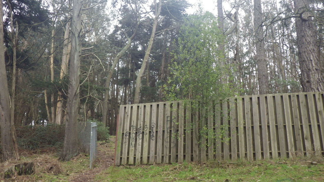
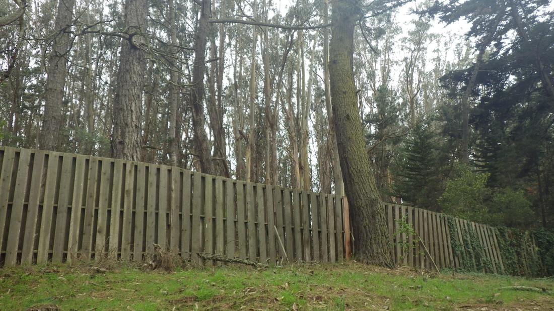
5. Mid-Connector Trail
Picture
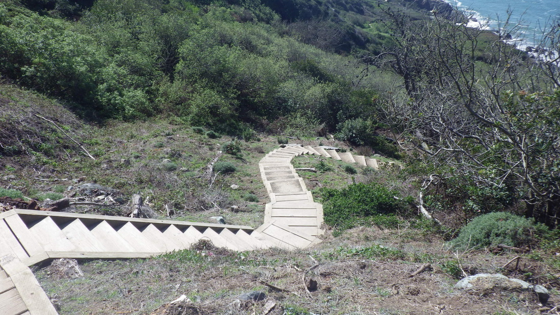
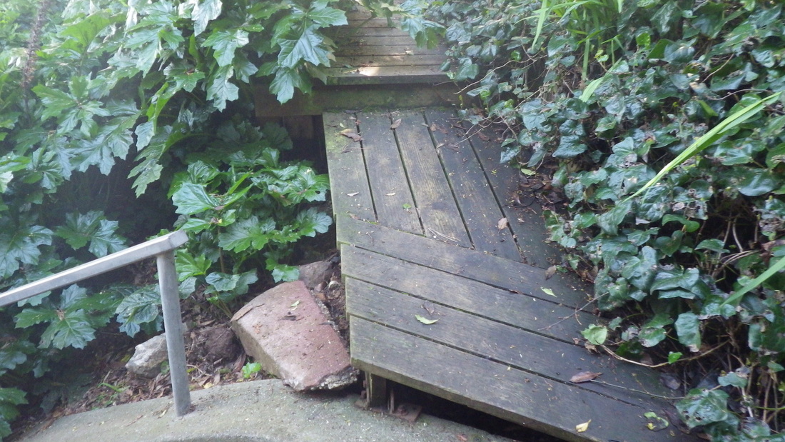
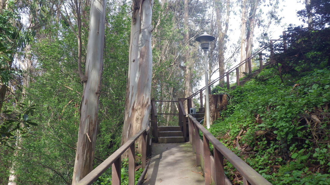
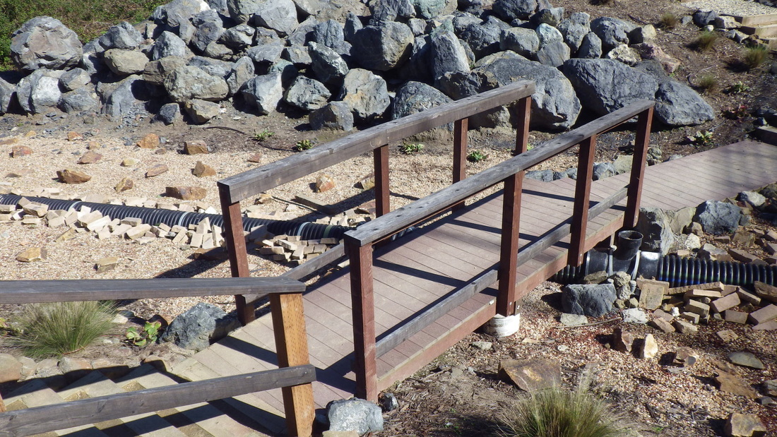
6. Connector Trail's footbridge
Picture
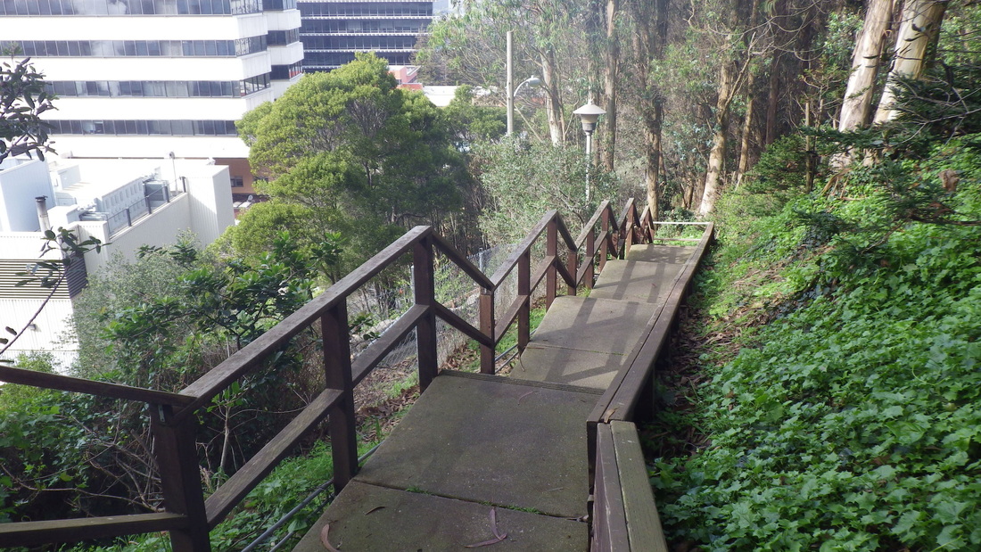
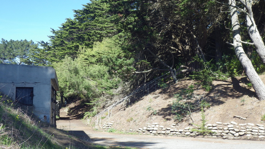
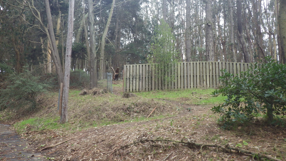
7. Foot of Connector Trail at Lincoln
Picture
8. Foot of Connector Trail at Lincoln
Picture
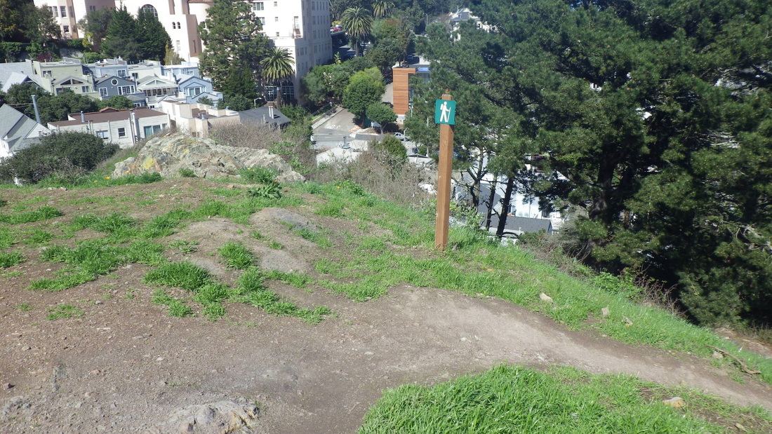
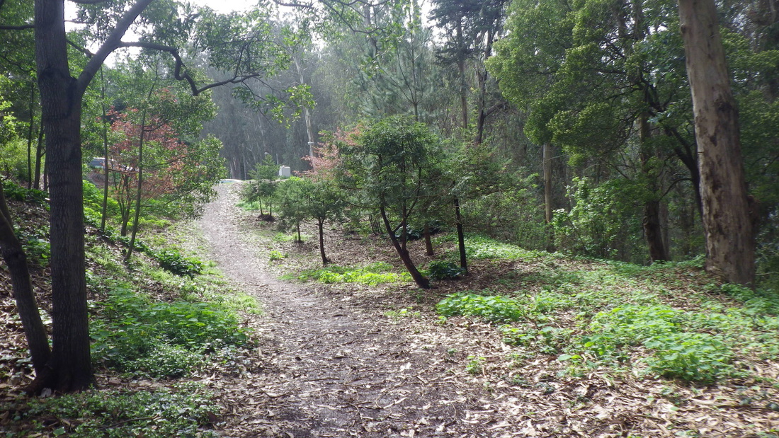
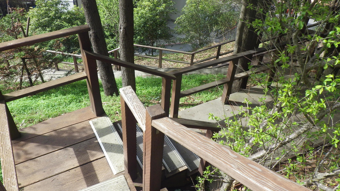
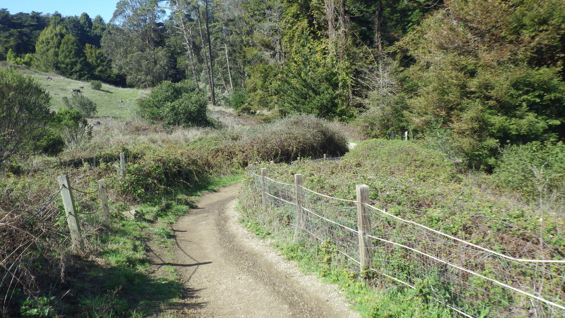
9. Connector Trail climbs from Lincoln
Picture
10. Below Lincoln, trail to Batteries to Bluffs, left
Picture
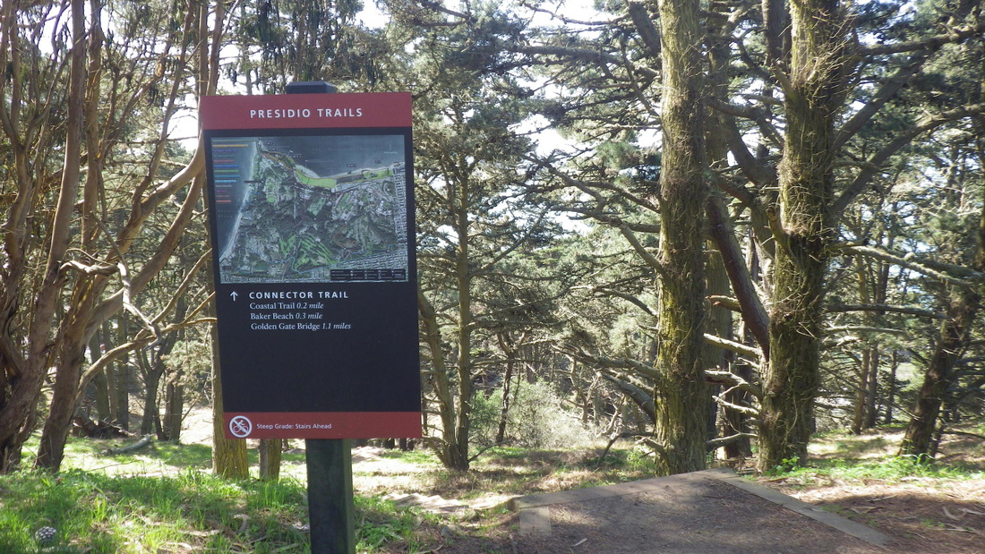
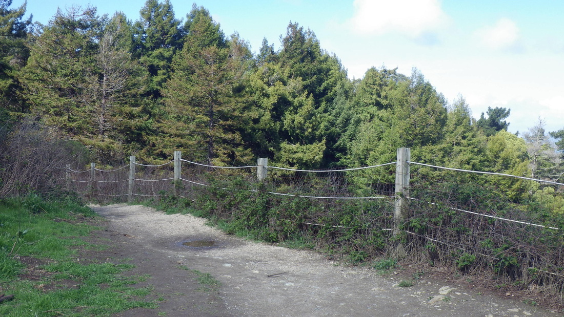
11. Batteries to Bluffs trailsign at Lincoln
Picture
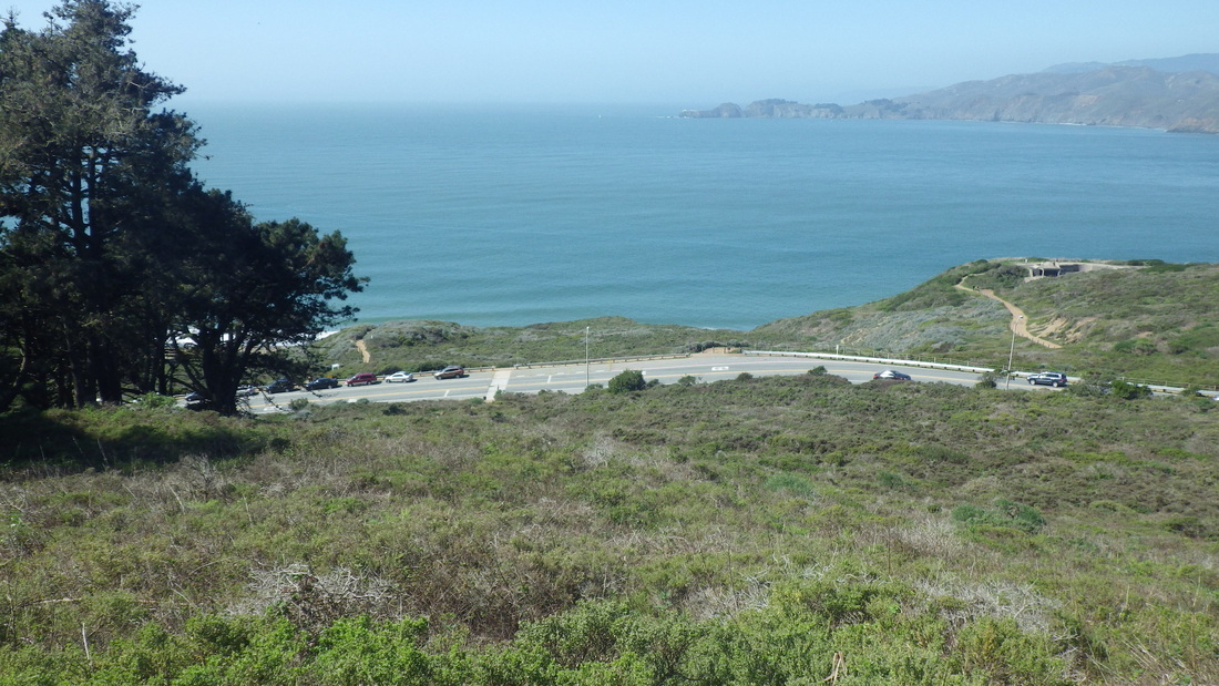
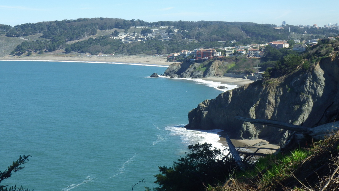
12. Baker Beach center
Picture
13. Down from Battery Crosby
Picture
14. Batteries to Bluffs West
Picture
15. Batteries to Bluffs Westside
Picture
16. Batteries to Bluffs Westside
Picture
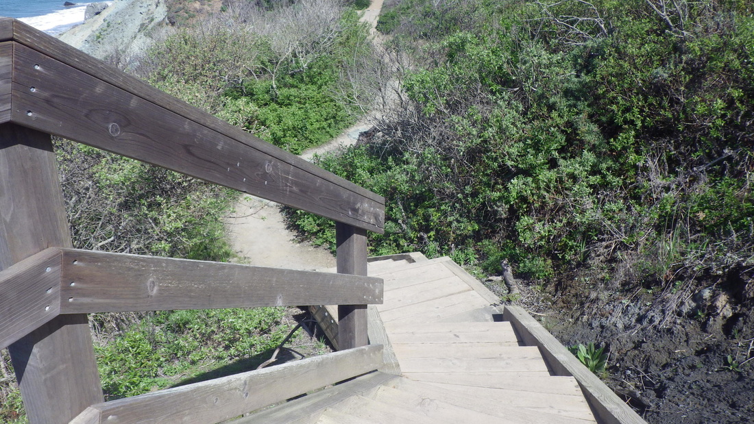
17. Down from the footbridge
Picture
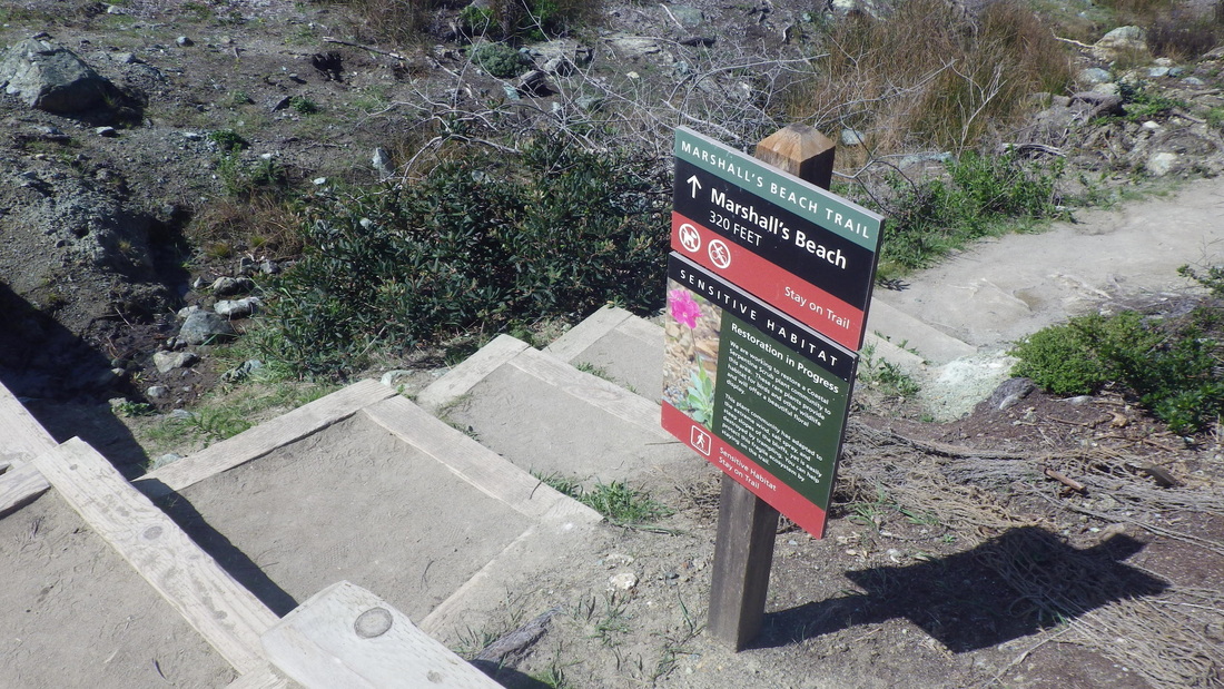
18. This way down to Marshall's Beach
Picture
19. Midtrail
Picture
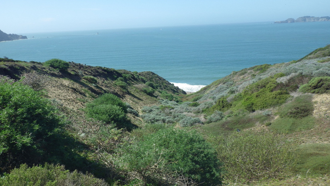
20. Marshall's Beach below
Picture
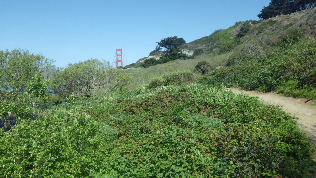
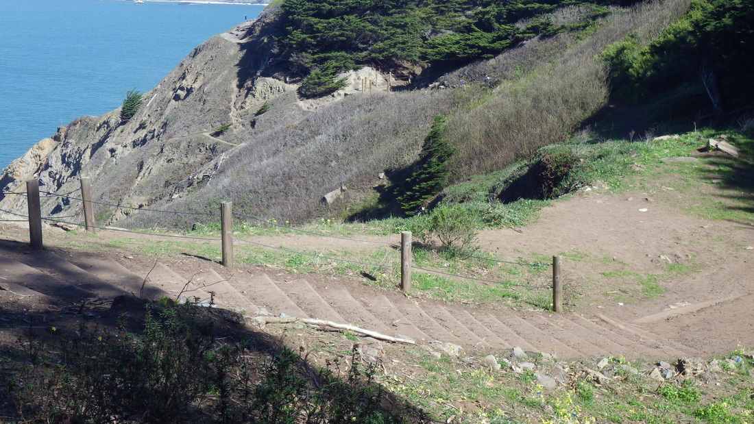
21. Nearing View Point
Picture
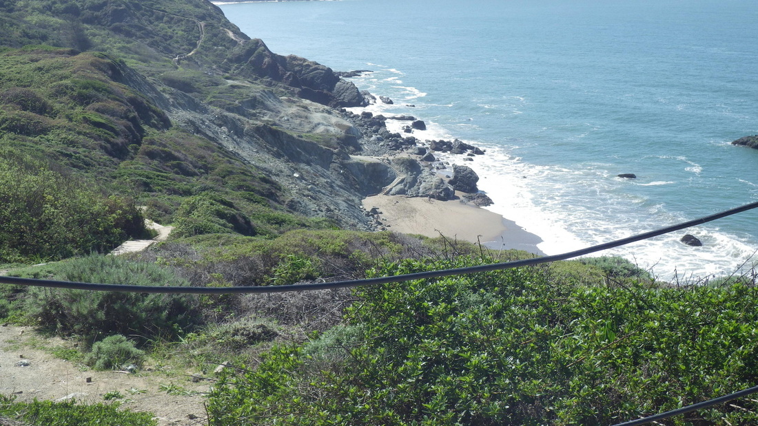
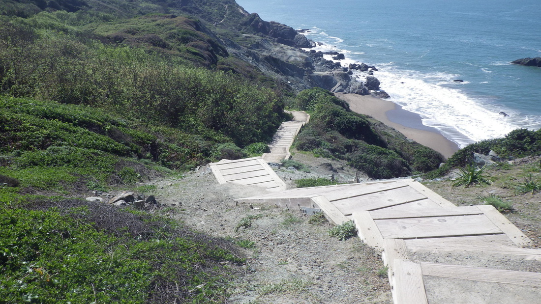
22. Westside steps in distance upper left, Marshall's Beach below, from View Point
Picture
23. Eastside
Picture
24. Eastside
Picture
25. East trailhead above
Picture
26. East trailhead
Picture
27. East trailhead
Picture
28. East trailhead
1 Comment

Sausalito Spring

3/24/2014

1 Comment

 
Accompanying me on this warm, sunny, multiple stairhike was the constantly wafting aroma of star jasmine, one of my favorite scents. This time gleefully ascending/descending one after another without much time in between stairways.

Starting up from Bridgeway with a wide expanse of Bay below, 121 steps climb to Josephine/North (pix 1 thru 8). Partway up is a concrete bench just off the stairway (pic 9).

Just a few yards from the top of this beauty is the top of the double Second St. stairway, about 79 steps down the east side (pic 10) and 86 or so back up the west side (pic 11). 

Southview Park on the way to the top of the West Court stairs was a stopping place for lunch/rehydration, then 26 steps back up to the street from the little viewpark (12 thru 16). 

West Court has 103 steps (17, 18). Continued from its foot a very short distance to climb Oak Lane (94, pic 19; the middle steps wood), where the construction of a  viewhouse is ongoing at the top.

Now on Crescent, soon came to the top of the lower Cable Roadway steps (197 down to Central, pix 20, 21, 22) with its stone bench near the foot.

The upper part of Cable Roadway continues as another stairway up from Sausalito Blvd. From the top of its short street part, the long Prescott stairs ascend. Maybe next time for these two; perhaps then under the freeway and onto the GGNRA’s Morning Sun Trail (a trail-and-steps mix) again.  

Up Sausalito Way’s 45 steps (pic 23) and back down the 48 Sunshine steps (pic 24), at the foot of which Cooper Lane starts up (120 steps to Miller, pic 25). Passed this (pic 26) doorway on Miller on the way to the top of Excelsior Lane. 

Excelsior, now with white wild onion blooms showing up along parts of it, has around 180 steps (27, 28, 29), descending back to touristy Bridgeway. 


Picture
1. Starting up from Bridgeway
Picture
2. Bridgeway to Josephine/North
Picture
3. A walkway between steps
Picture
4. Stairway aromatherapy
Picture
5. Continuing up with a bay view
Picture
6. Nearing the top
Picture
7. Stairway beauty
Picture
8. Top at Josephine & North
Picture
9. Bench off the stairway
Picture
10. Second St. steps, east side
Picture
11. Second Street, west side with garden between
Picture
12. The aptly named Southview Park
Picture
13. San Francisco in distance, right, center
Picture
14. Southview Park
Picture
15. Up to the street again
Picture
16. Moving on to the top of the West Court steps
Picture
17. West Court
Picture
18. Foot of West Court stairs
Picture
19. Oak Lane up to Crescent
Picture
20. Down from Crescent: lower Cable Roadway
Picture
21. Lower Cable Roadway, Crescent down to Central
Picture
22. Cable Roadway nearing its foot at Central Ave.
Picture
23. Foot of Sausalito Way
Picture
24. Top of stairs at vehicle dead-end of Sunshine
Picture
25. Near foot of Cooper Lane
Picture
26. Door on Miller Ave.
Picture
27. Excelsior Lane
Picture
28. Crossing Bulkley for the last (lower) block of Excelsior Lane
Picture
29. Excelsior Lane's foot at Bridgeway
1 Comment

Vulcan to Corona

3/9/2014

0 Comments

 
Passed the foot of the Saturn Steps minipark (first pic, 118 or so steps for its main stairway) in Eureka Valley on my way to ascend next-door Vulcan Stairway (pics 2, 3), my favorite non-park San Francisco stairway. 219 steps for the main stairway climb to Levant; another, south, stairway  dead-ends at 5 Vulcan (pic 4). Two short paths connect the south and north stairways (pix 5, 6).

At the north end of Levant at States are 44 steps (pic 7) up to Roosevelt, now in the Corona Heights 'hood. Now-green Corona Heights Park is just ahead to the east: pic 8.

Starting on the south side of the park, 100 steps (9 through 12) ascend from the park's west side to the summit rocks (13, 14). Stay on the steps that wind around to the left (north) for the main stairway to the summit. 

Sixty-three steps down on the southeast side curve around to the top of the east stairway at a bench (15 thru 18). So what happened to the cool old directional signs that used to be here (rainbow flag, etc.)?

The Slickenside trailhead is nearby, a "challenging" trail that's part steps and part narrow trail. It descends to the tennis courts on the north side of the park (pix 19 thru 21). 

Now for the eastside stairway: 130 down to the Randall Museum (live critters). Some of the older wood steps here are doozies (22 through 27). 

If park improvements are planned, how 'bout some attention to the steepish, very roughly paved old east trail that leads out of the park down to Flint? This area could definitely use some railinged steps (pic 28).   

At short Flint Street's dead-end off 16th, De Forest Way is a super-skinny walkway with 18 steps (last pic) that descends to Beaver. Castro Street's a steep block below. 

Picture
1. "Welcome to Saturn Street Steps" up from Ord
Picture
2. Vulcan Stairway
Picture
3. Vulcan down from Levant
Picture
4. 5 Vulcan on its south stairway as seen from the main north steps
Picture
5. 1 and 3 Vulcan on the south stairway with path between
Picture
6. Second connector between Vulcan's north and south stairways
Picture
7. Levant/States up to Roosevelt, Corona Heights
Picture
8. Into Corona Heights Park from the west side
Picture
9. 100 westside steps to the summit rocks
Picture
10. Climbing up the west side
Picture
11. Continuing up the west stairway
Picture
12. Nearing the top of the west stairway
Picture
13. Corona's summit rocks
Picture
14. A view to the east
Picture
15. Starting down from the summit
Picture
16. Curving down from the summit rocks
Picture
17. Southeast trail
Picture
18. Continuing down on the southeast side
Picture
19. Slickenside trailhead on the north side
Picture
20. Slickenside trailhead down to the tennis courts
Picture
21. Slickenside trail seen from above
Picture
22. Southeast steps meet the long eastside stairway at the bench
Picture
23. 130 steps for the east stairway
Picture
24. Continuing down the eastside steps
Picture
25. Looking back up the east stairway
Picture
26. Lower eastside stairs
Picture
27. Trailmap at foot of the east stairway
Picture
28. This old trail leading out of the park could use some steps
Picture
29. De Forest narrow steps/walkway between homes to Flint/Corona Park from Beaver St.
0 Comments

Muddy Mount Sutro Trails

3/8/2014

0 Comments

 
Google Maps (maps) shows Farnsworth Lane (149 steps, its foot slightly uphill from Willard, first four pix), but does not indicate that it's a trailhead into Mount Sutro Forest.

You can see the trailhead at the dead-end (88 Farnsworth on Street View), but the trail has no signage except to say you're now entering UCSF property. This is just past the swing (pic 5). 

Once on it (pix 6, 7), just continue south to this short trail's dead-end and cross the Surge parking lot to access the other trails. I've done this for years.  

On Medical Center Way's guardrailed walkway (8 thru 12), including a view down to the Fairy Gates Trail (pic 13), it's a vigorous uphill hike to the East Ridge Trail (pic 14) whose foot is across from the Aldea Center. 

What a difference the rains have made with all the new spring leaves and muddy trails. Mere photos can't adequately describe the fresh aroma and damp bark of the trees up here. 

Out at the summit (pic 15) for lunch at the benches (pic 16), then onto the North Ridge Trail, 17 thru 25, past Ishi's shrine and back down to Medical Center Way. 

Crossed the parking lot once more (this time took the 47 steps down outside one of the medical buildings), then the 136 steps down to lower Medical Center Way (off Parnassus), last six pix. Partway down, a short old wood stairway climbs to the aforementioned unnamed trail behind the homes. 


Picture
1. Foot of the 149 Farnsworth steps at Willard
Picture
2. Farnsworth Lane to Edgewood Ave.
Picture
3. Farnsworth climbs to redbricked Edgewood
Picture
4. Near top of Farnsworth steps
Picture
5. The swing at the top of the stairway
Picture
6. Trail behind the homes on Edgewood
Picture
7. Out to the parking lot
Picture
8. Down this way for the Edgewood Trail
Picture
9. Lower Historic Trail as seen from the walkway
Picture
10. Medical Center Way winds around
Picture
11. A view down from the road
Picture
12. Uphill on Medical Center Way to start up the East Ridge Trail
Picture
13. Hikers on the Fairy Gates Trail below
Picture
14. Ascending the East Ridge Trail to the summit
Picture
15. Mount Sutro's summit
Picture
16. The summit benches
Picture
17. On to the North Ridge Trail
Picture
18. North Ridge Trail starts here
Picture
19. North Ridge Trail
Picture
20. North Ridge Trail
Picture
21. Trail rock
Picture
22. Medical Center Way below
Picture
23. Curving around
Picture
24. Medical Center Way below
Picture
25. Near foot of North Ridge Trail
Picture
26. Down from the parking lot
Picture
27. Medical buildings below
Picture
28. Steps down to Medical Center Way off Parnassus Ave.
Picture
29. 136 steps
Picture
30. Near foot of stairs
Picture
31. Stairway behind the medical buildings climbs to the parking lot
0 Comments

Lands End Upper Part

3/3/2014

0 Comments

 
Yet another popular neighborhood "Stairmaster," 52 steps (pic 1) climb from near 32nd Ave. & California in the Outer Richmond 'hood to a trail at the east edge of the Lincoln Park golf course. Cross the vehicle street (Lincoln) onto the Lands End Trail at the redone Eagles Point Overlook, now with better signage.   

Continuing west on the Lands End Trail (pix 2, 3, 4), in the third foto, the Sea Cliff neighborhood and China Beach (around 105 steps for the main stairway here) can be seen in the distance. Beyond is the Presidio.


On to ascend the first long stairway (5 thru 8: 118 or so steps) and down the other side for the second long one, the "Painted Rock," pix 9 and 10, 138 steps. 

Up the connector steps (89 or so, pix 11 and 12) from the main trail to the El Camino del Mar Trail. Across the footbridge (pic 13) and up the 47 steps here to the west edge of the Legion of Honor parking lot. 


From the parking lot, squeeze between the cars to continue uphill on the Battle of the Bulge Trail (pics 14 and 15, 22 steps). A short distance from here is the picnic area below the VA Hospital parking lot (pic 16: top of the south steps). 


There are 79 or so steps for the south stairway (pic 17), across the wood footbridge (pic 18) and up about 72 more on the north side (pic 19). So around 151 if you descend one stairway and ascend the other. Thought their various plantings would be covering more of the area by this time. 


Down into Fort Miley from the west edge of the VA Hospital parking lot (last pic, showing the lower of the two short stairways here). They've put up a No Skateboarding sign; good luck with that. 

Picture
1. Up to the east edge of the Lincoln Park golf course
Picture
2. Lands End Trail
Picture
3. Sea Cliff and China Beach center; Presidio beyond
Picture
4. Near foot of the east stairway
Picture
5. East stairway starts up
Picture
6. Continuing up
Picture
7. Various eastside steps
Picture
8. Eastside steps along the Lands End Trail
Picture
9. "Painted Rock" stairs down the west side
Picture
10. Painted Rock stairway's foot
Picture
11. Connector steps: Lands End Trail to El Camino del Mar Trail
Picture
12. Connector stairs to El Camino del Mar Trail
Picture
13. El Camino del Mar Trail
Picture
14. Battle of the Bulge Trail up to VA Hospital parking lot
Picture
15. Near top of Battle of the Bulge Trail
Picture
16. Top of south stairway ahead down to picnic area
Picture
17. South stairs down from VA Hospital parking lot
Picture
18. Cross the footbridge and up the other side
Picture
19. North stairway up to VA Hospital parking lot
Picture
20. Fort Miley with stairway up to VA Hospital parking lot and trail down to El Camino del Mar
0 Comments

Lyon Stairmaster

3/2/2014

0 Comments

 
And a satisfying east Presidio ramble after that, out to Arguello.  

The Lyon stairway that runs alongside the Presidio's forested east wall is one of San Francisco's most popular Stairmasters. Especially on a weekend. It's a challenge to get pix of this stairway without people in the photo as well. Got distracted while descending, but on the way back up to Broadway counted about 289 steps. Pix 1 thru 10. 

Now for some near-solitude. A few yards to the west from the top of the Lyon steps is the Broadway pedestrian entrance into the Presidio, a secluded and enchanting forest between the Lyon stairs and winding Presidio Blvd. As you pass through the gate into the park (pic 11), there's a trailmarker for the Mountain Lake Trail. I've long loved this area, especially just after a good rain.  

Downhill through the forest leads to an old wood fence with an open gate (pix 12, 13, 14). This second walkers' gate leads to the Simonds Loop neighborhood. From the gate, continue west a short distance to the dead-end of a paved street. This is Rawles, but the street sign for it is downhill at upper Simonds Loop (pic 15). Continue west a few yards for the top of the brick stairway from upper to lower Simonds Loop: 62 steps, pic 16. 

At the end of the stairs, west on lower Simonds Loop to cross Presidio Blvd. at Liggett. A trail here (pic 17) descends to paved Lovers Lane. Headed south, uphill, on Lovers Lane, past Andy Goldsworthy's Wood Line installation (pic 18) and onto a favorite trail (pic 19) that'll take you to the east ramp/connector trail down to El Polin Spring (pic 20). 


The ponds are lookin' good again, ducks seen in one of them, and green hillsides at last. 69 steps up (pic 21) from El Polin's picnic tables to connect with the upper Ecology Trail. Winding up 'n around on the Ecology (pix 22, 23, 24), to the 45 wood steps (pic 25) up to Inspiration Point Overlook off Arguello Blvd. 


Last pic: the completed walkers' trail on the east side of Arguello. To the right is Inspiration Point Overlook. 

Picture
1. Near top of Lyon stairway down from Broadway, Pacific Heights
Picture
2. Lyon stairway continuing down from Broadway
Picture
3. Two separate stairways at the heart-garden below
Picture
4. I left my heart on the Lyon stairway
Picture
5. Presidio forest above
Picture
6. Presidio forest from about mid-Lyon
Picture
7. Last flight starts down
Picture
8. Vallejo nearly down to Green
Picture
9. Last flight of Lyon continues down from Vallejo's dead-end
Picture
10. Lyon down from dead-end of Vallejo
Picture
11. Presidio's east entrance from Broadway near top of Lyon stairway
Picture
12. Walkers' gate from the forest into Simonds Loop neighborhood
Picture
13. Forest between Lyon steps and Presidio Blvd.
Picture
14. Down from the forest to upper Simonds Loop
Picture
15. View from upper Simonds Loop at Rawles
Picture
16. Brick stairway from upper to lower Simonds Loop
Picture
17. From Presidio Blvd. & Liggett down to Lovers Lane
Picture
18. Wood Line (center), off Lovers Lane
Picture
19. Down from Lovers Lane
Picture
20. East connector trail down to El Polin Spring
Picture
21. West connector stairs from El Polin Spring to upper Ecology Trail. Pond and picnic area upper left.
Picture
22. Upper Ecology Trail
Picture
23. Upper Ecology Trail winds around to Inspiration Point Overlook
Picture
24. Upper Ecology Trail
Picture
25. Ecology Trail steps to Inspiration Point Overlook
Picture
26. Newly completed walkers' trail at east side of Arguello. Inspiration Point Overlook to right.
0 Comments

    Author

    I like meandering around on San Francisco's park trails and public stairways, sometimes taking photos, and enjoying nature and the outdoors.

    Archives

    March 2020
    February 2020
    January 2020
    December 2019
    November 2019
    October 2019
    September 2019
    August 2019
    July 2019
    June 2019
    May 2019
    April 2019
    March 2019
    February 2019
    January 2019
    December 2018
    November 2018
    October 2018
    September 2018
    August 2018
    July 2018
    June 2018
    May 2018
    April 2018
    March 2018
    February 2018
    January 2018
    December 2017
    November 2017
    October 2017
    September 2017
    August 2017
    July 2017
    June 2017
    May 2017
    April 2017
    March 2017
    February 2017
    January 2017
    December 2016
    November 2016
    October 2016
    September 2016
    August 2016
    June 2016
    May 2016
    April 2016
    March 2016
    February 2016
    January 2016
    December 2015
    November 2015
    October 2015
    September 2015
    August 2015
    July 2015
    June 2015
    May 2015
    April 2015
    March 2015
    February 2015
    January 2015
    December 2014
    November 2014
    October 2014
    September 2014
    August 2014
    July 2014
    June 2014
    May 2014
    April 2014
    March 2014
    February 2014
    January 2014
    December 2013
    November 2013
    October 2013
    September 2013
    August 2013
    July 2013
    June 2013
    May 2013
    April 2013
    March 2013
    February 2013
    January 2013
    December 2012
    November 2012
    October 2012
    September 2012
    August 2012
    July 2012
    June 2012
    May 2012
    April 2012
    March 2012
    February 2012
    January 2012
    December 2011
    November 2011
    October 2011
    September 2011
    August 2011
    July 2011
    June 2011
    May 2011


    RSS Feed

Powered by Create your own unique website with customizable templates.