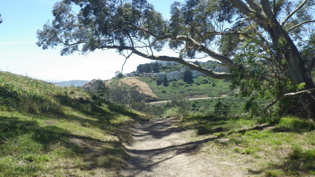
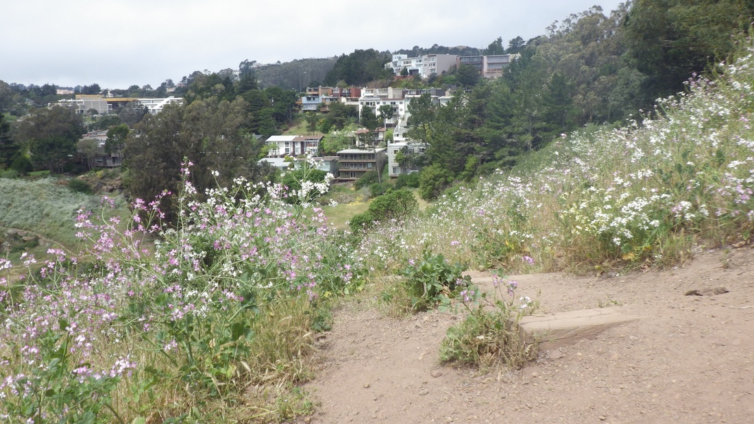
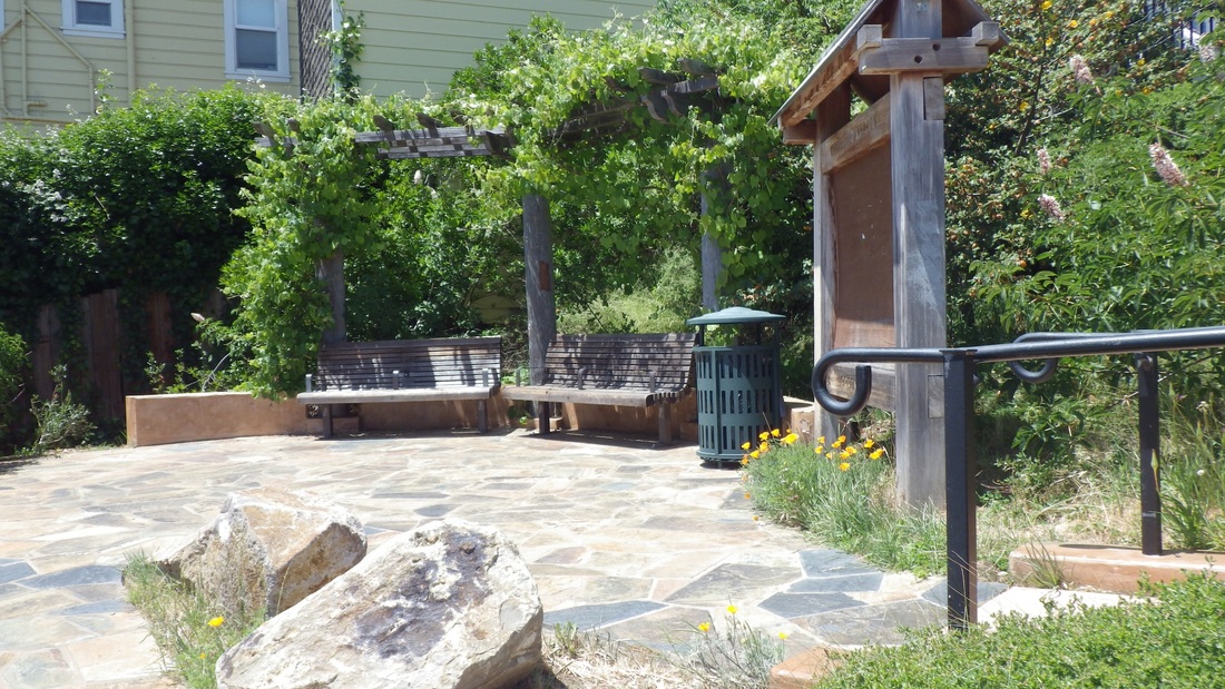
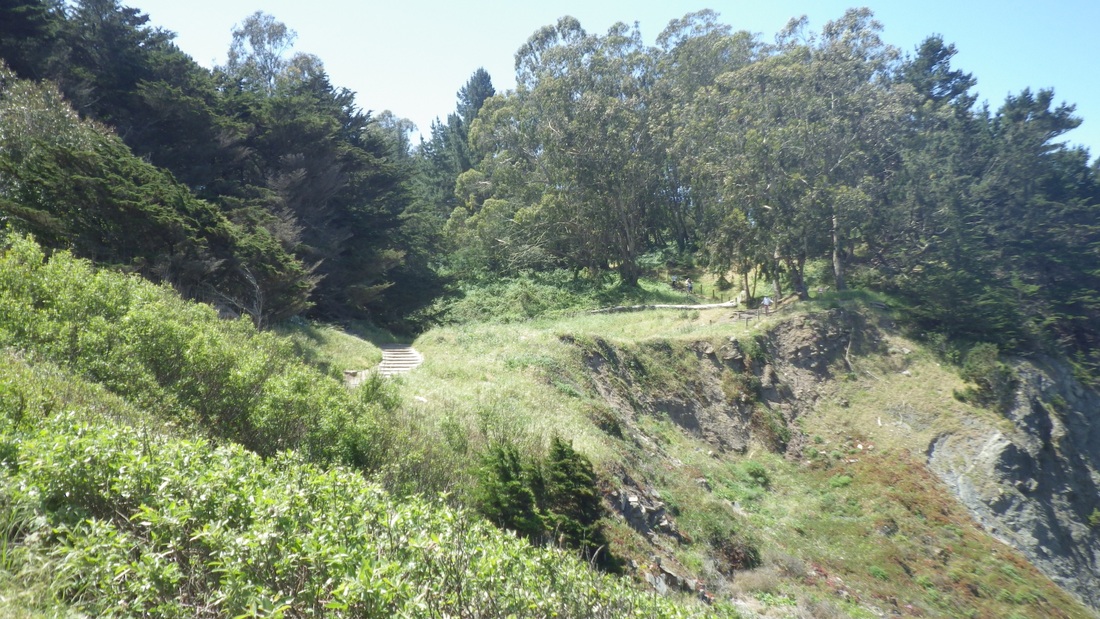
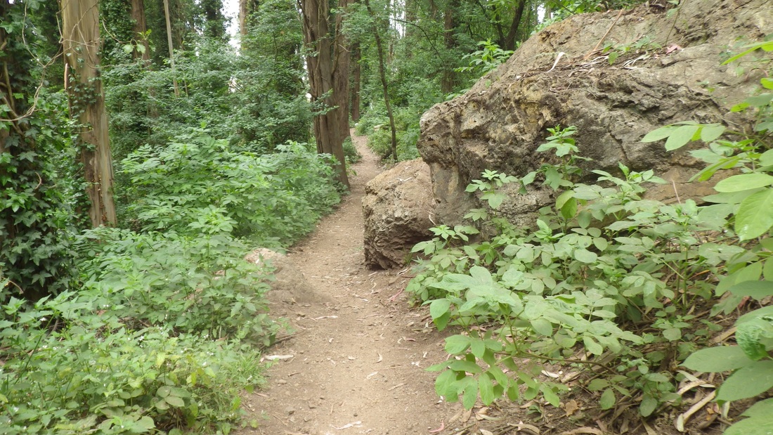
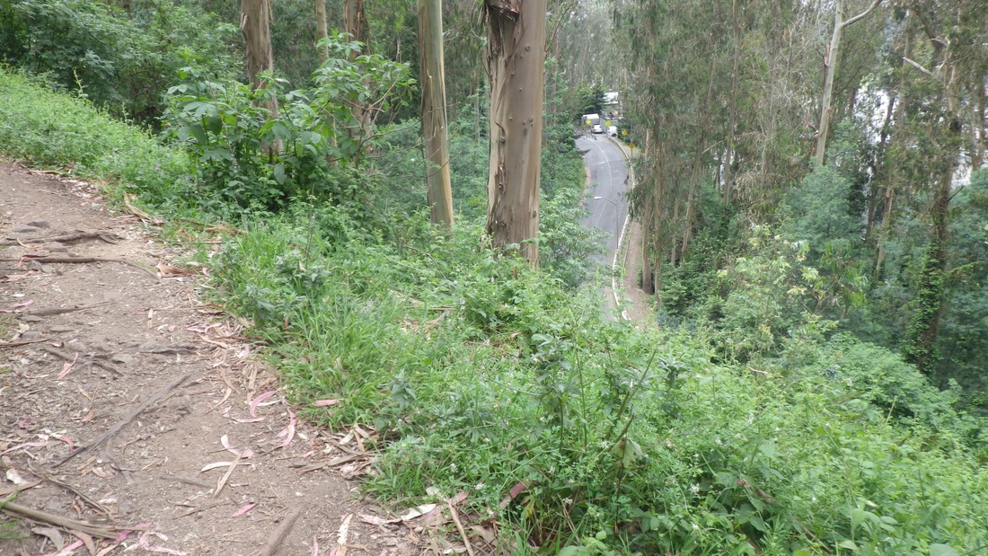
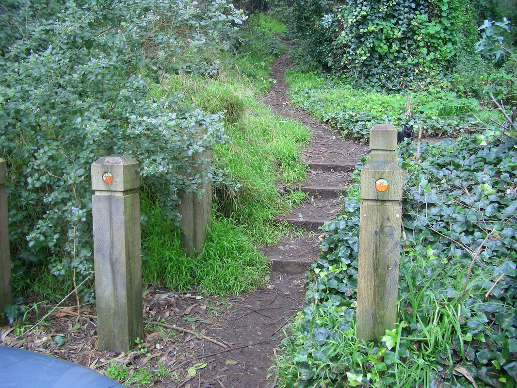
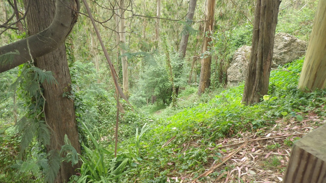
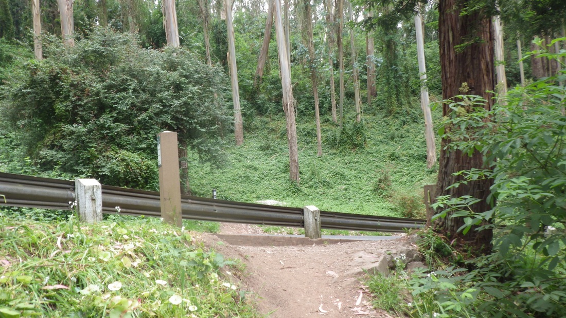
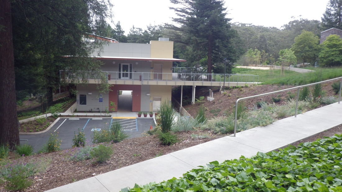
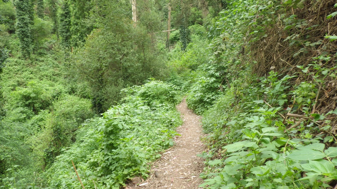
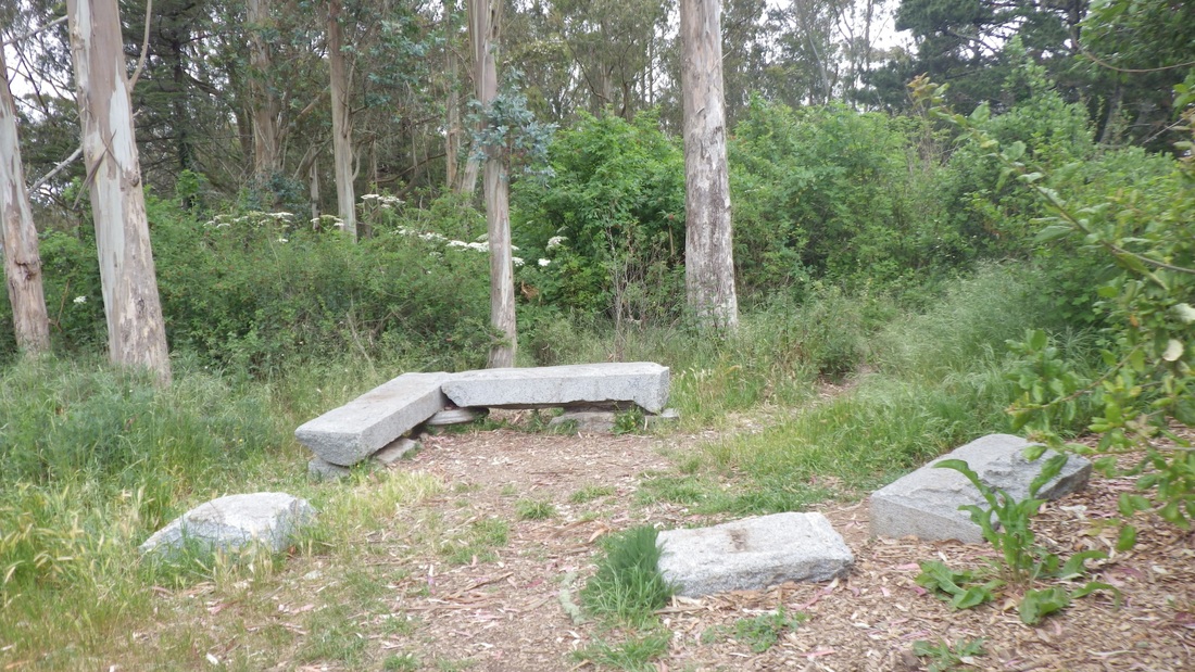
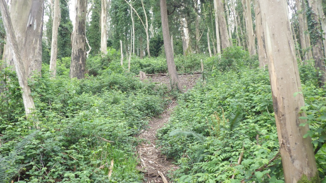
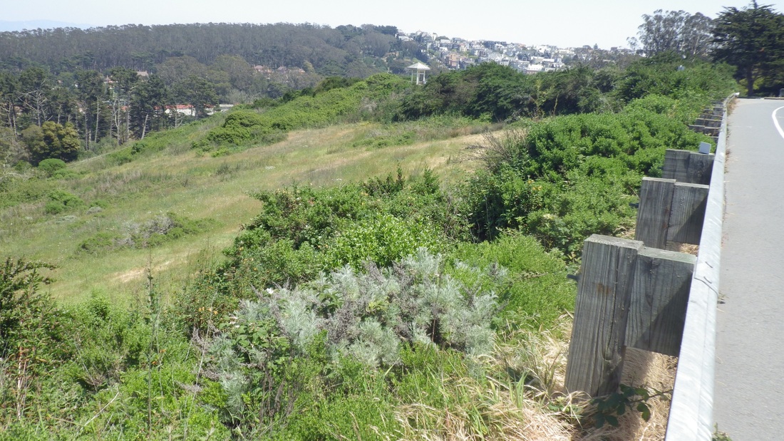
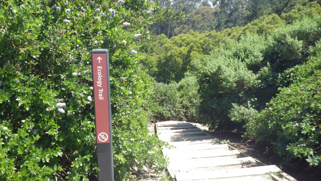
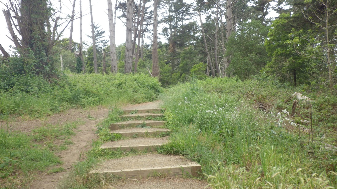
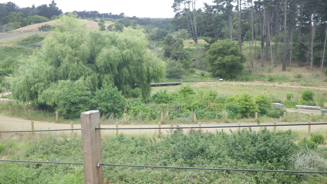
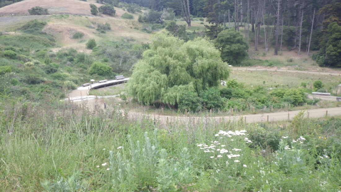
Ascended the Presidio's Rob Hill via Battery Caulfield Road, passing the Lobos Valley Overlook. Curved round Rob Hill Campground on the south side and onto the short trail that leads to the Fort Scott 'hood and its community garden (pics 1, 2).
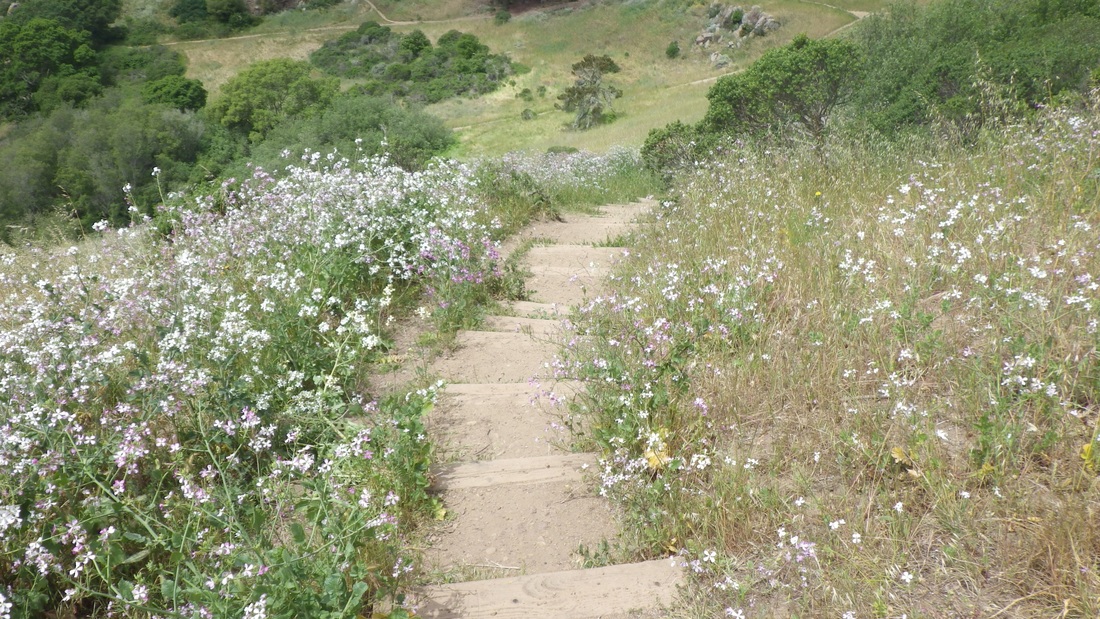
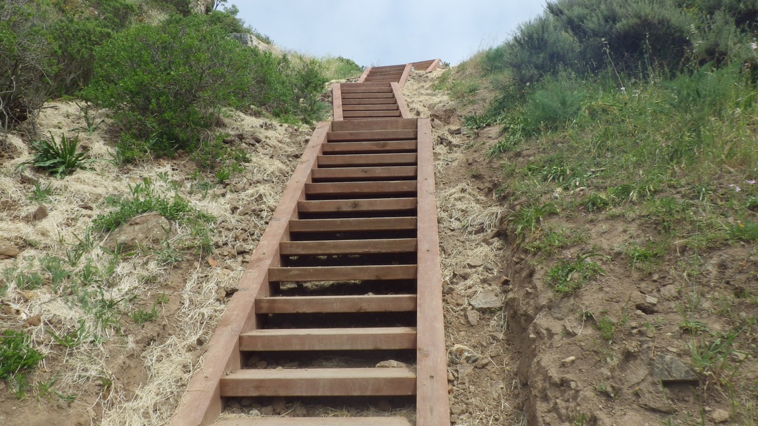
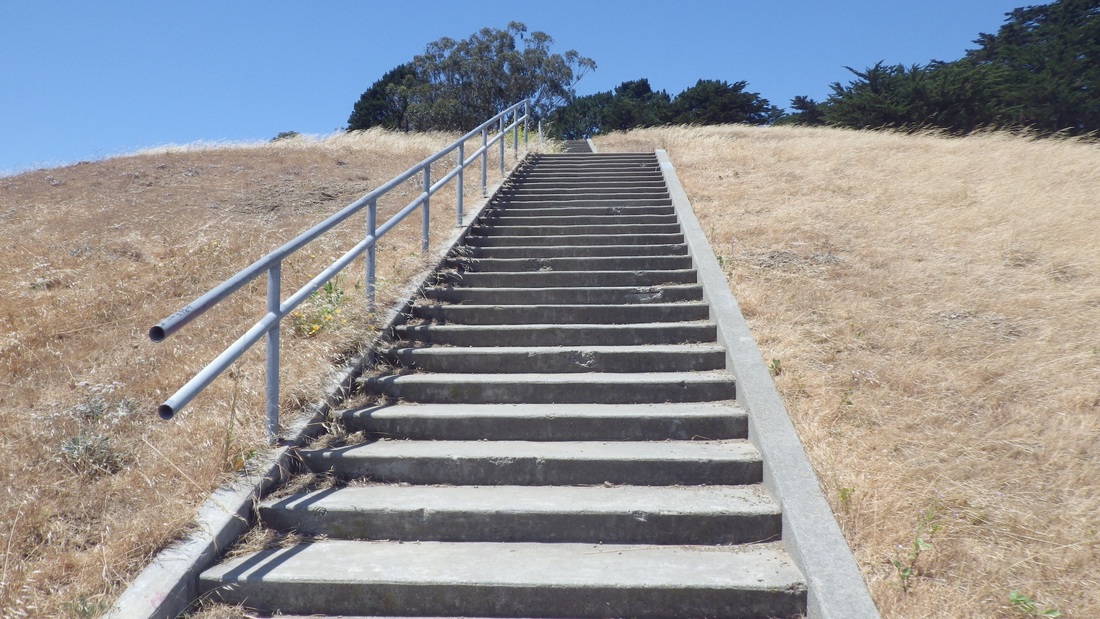
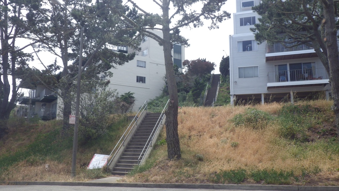
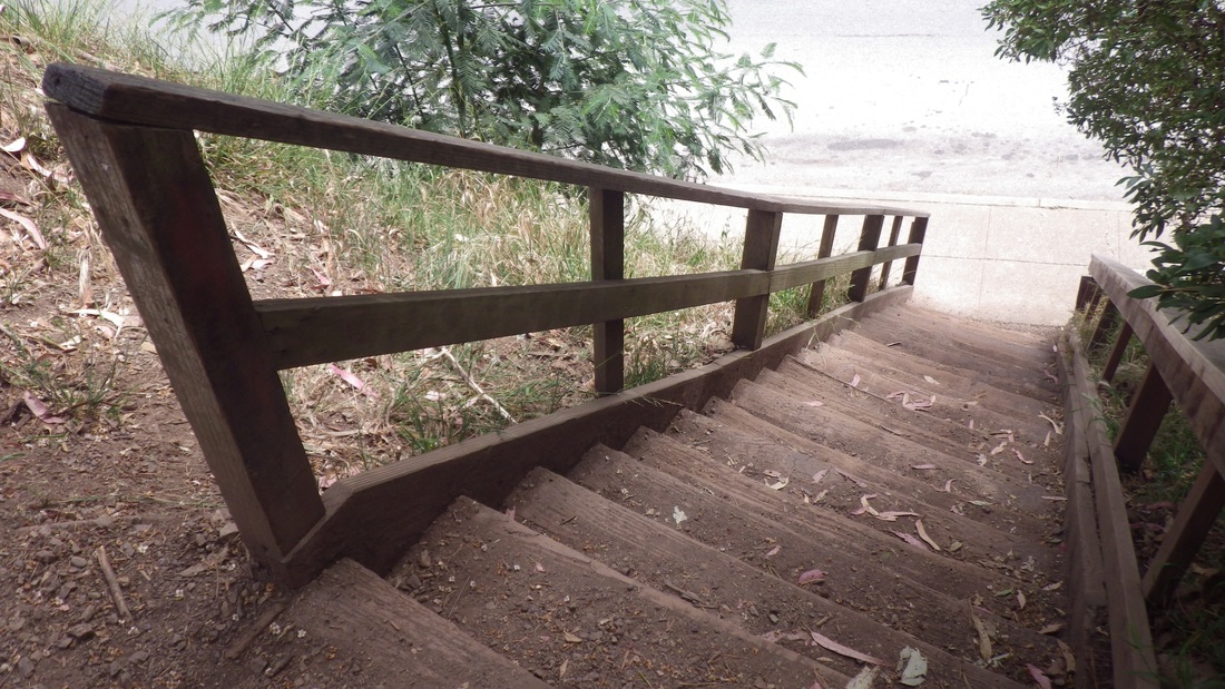
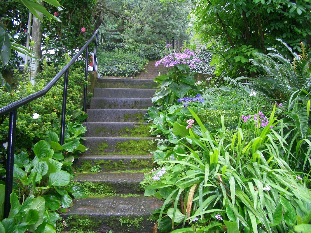
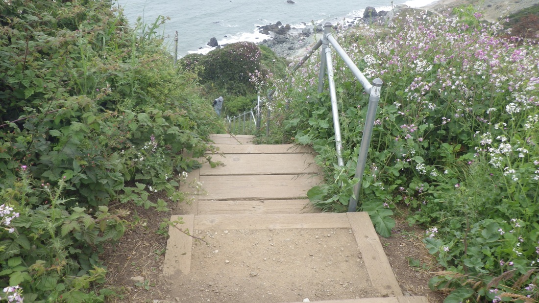
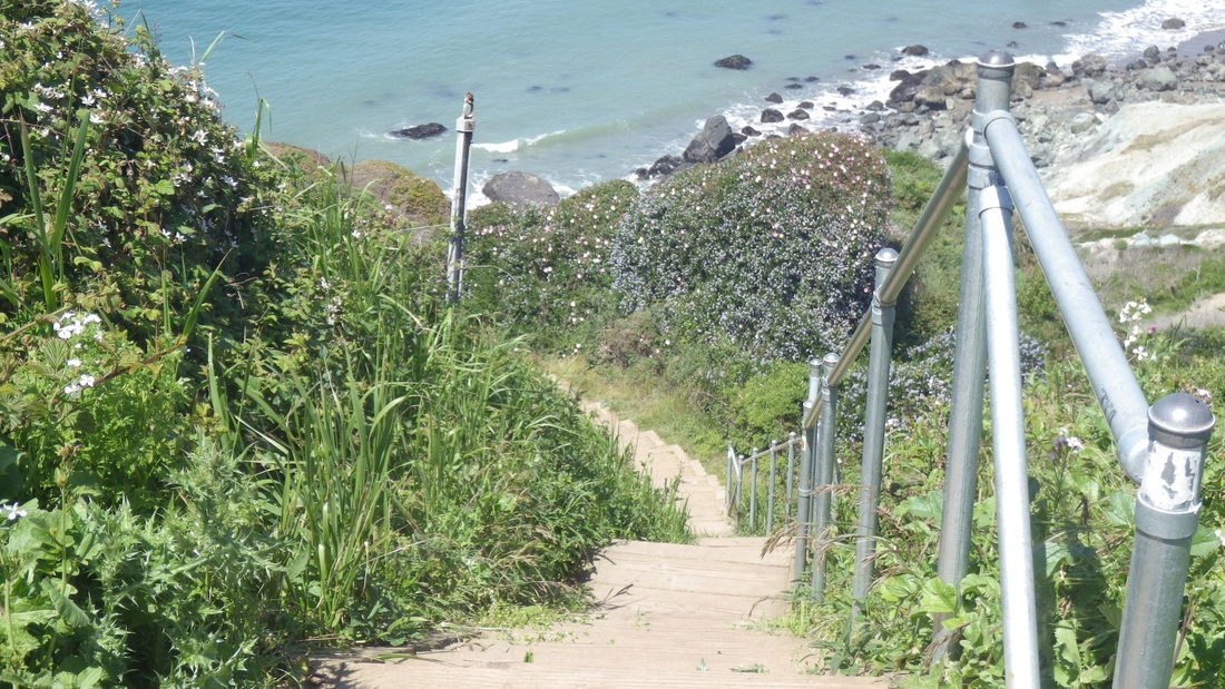
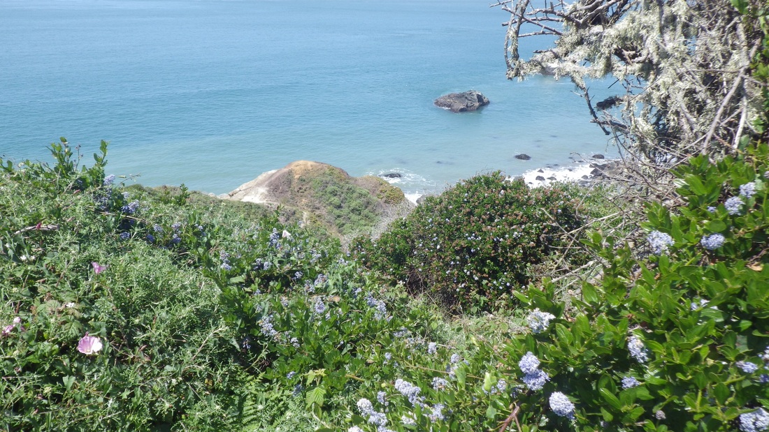
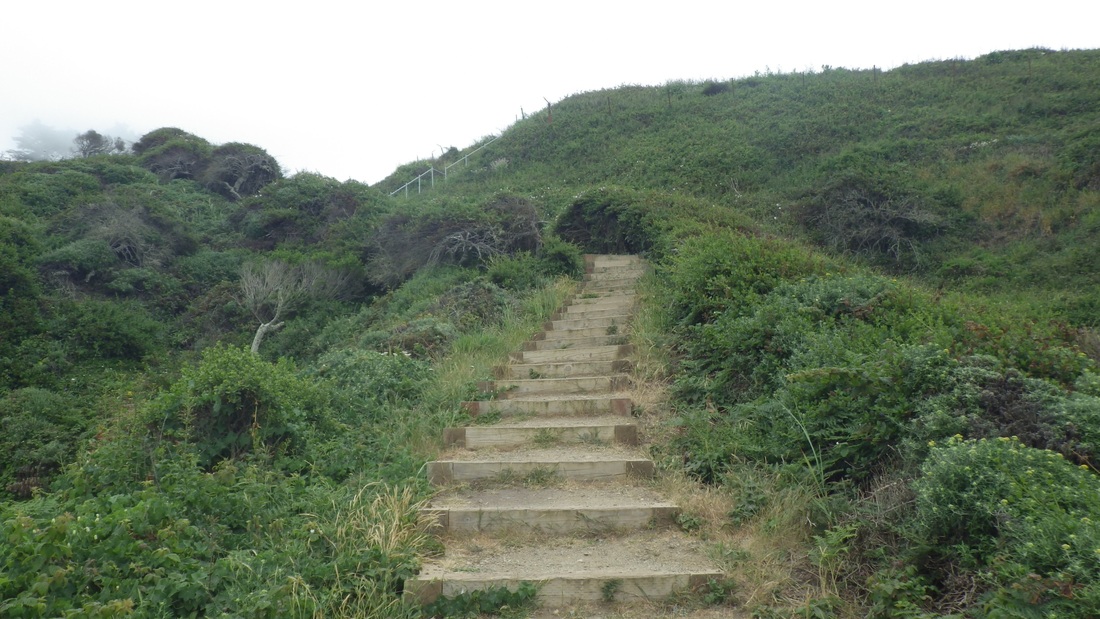
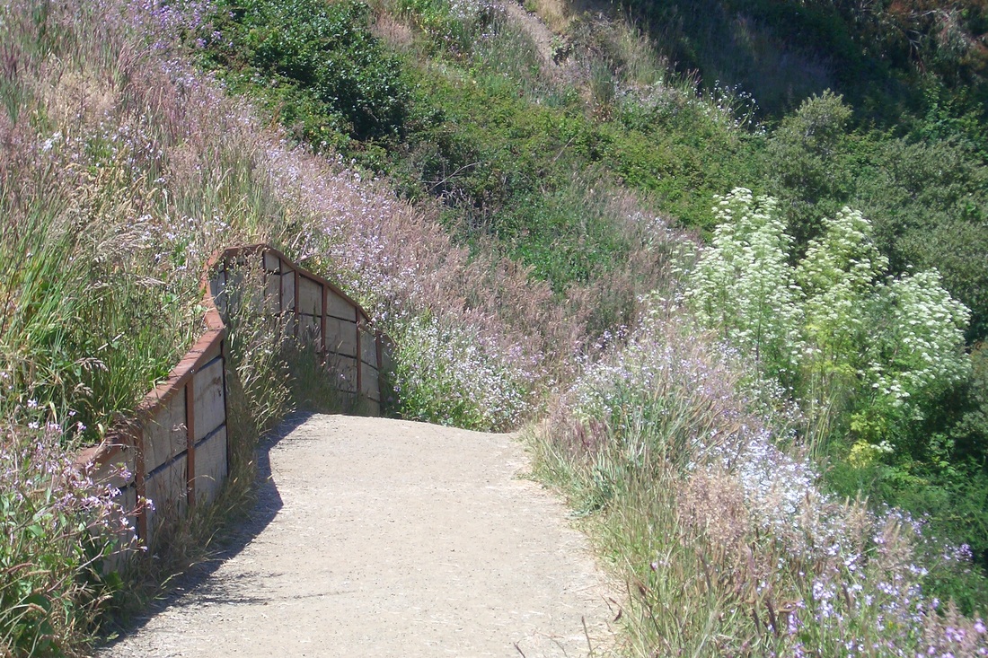
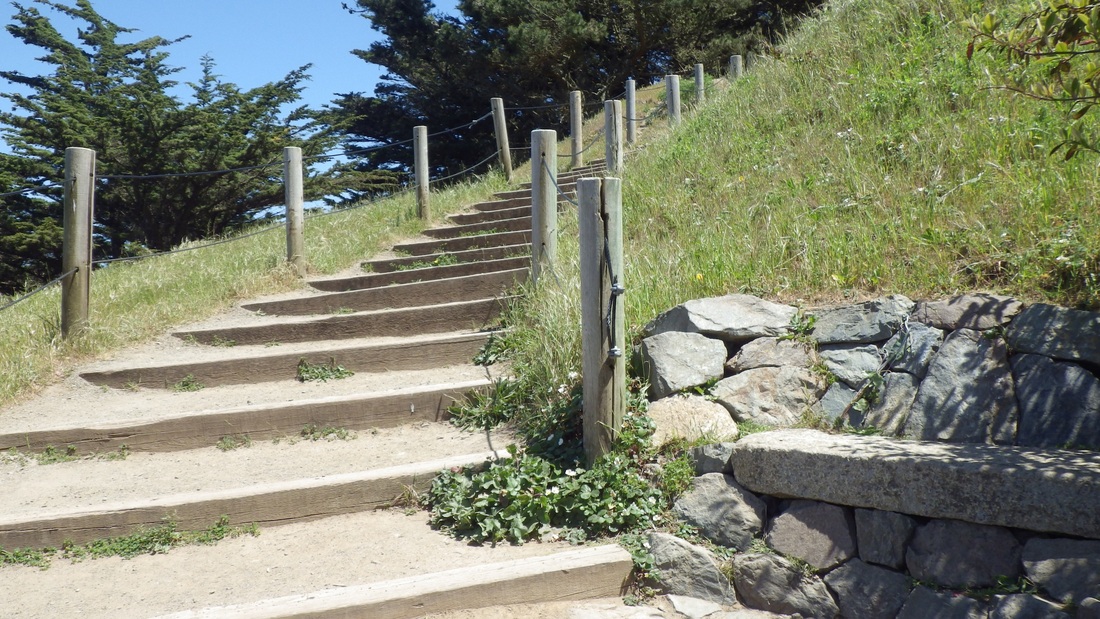
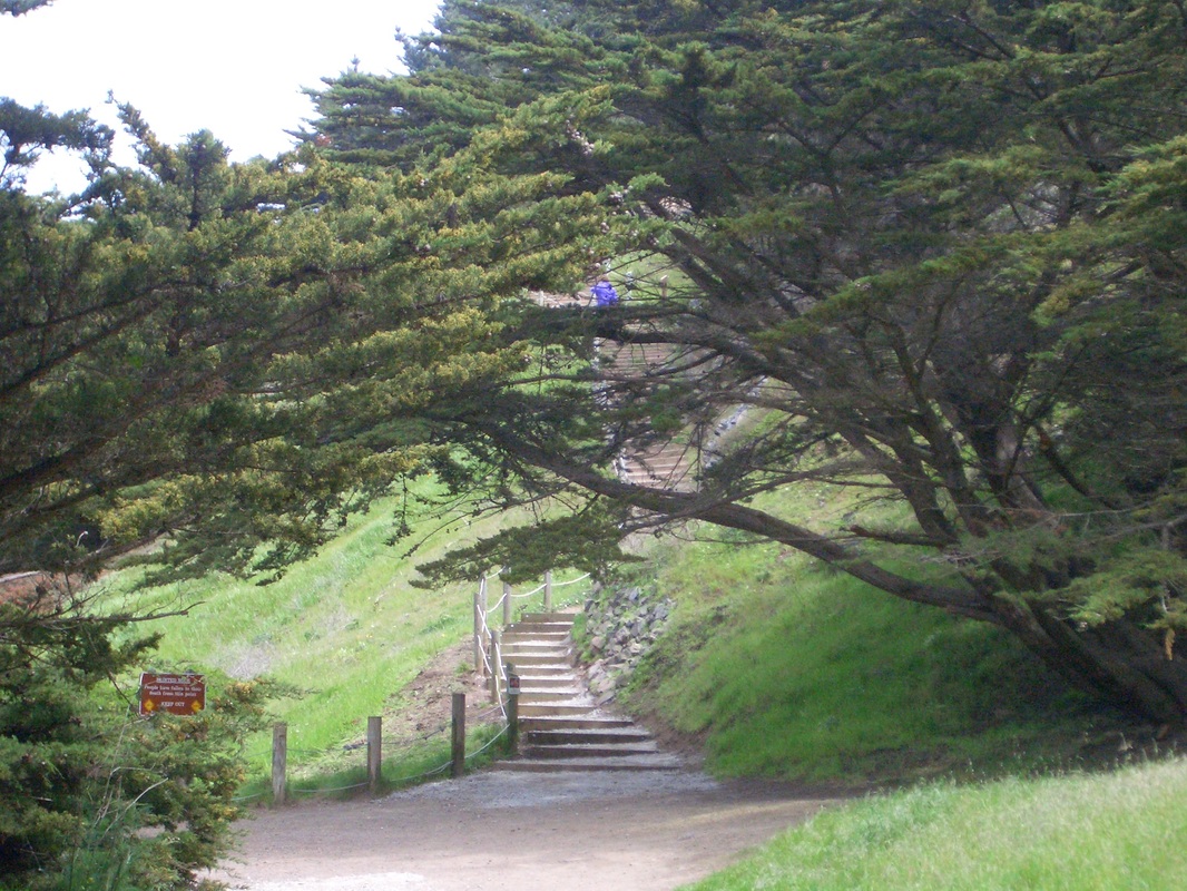
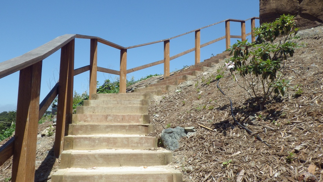
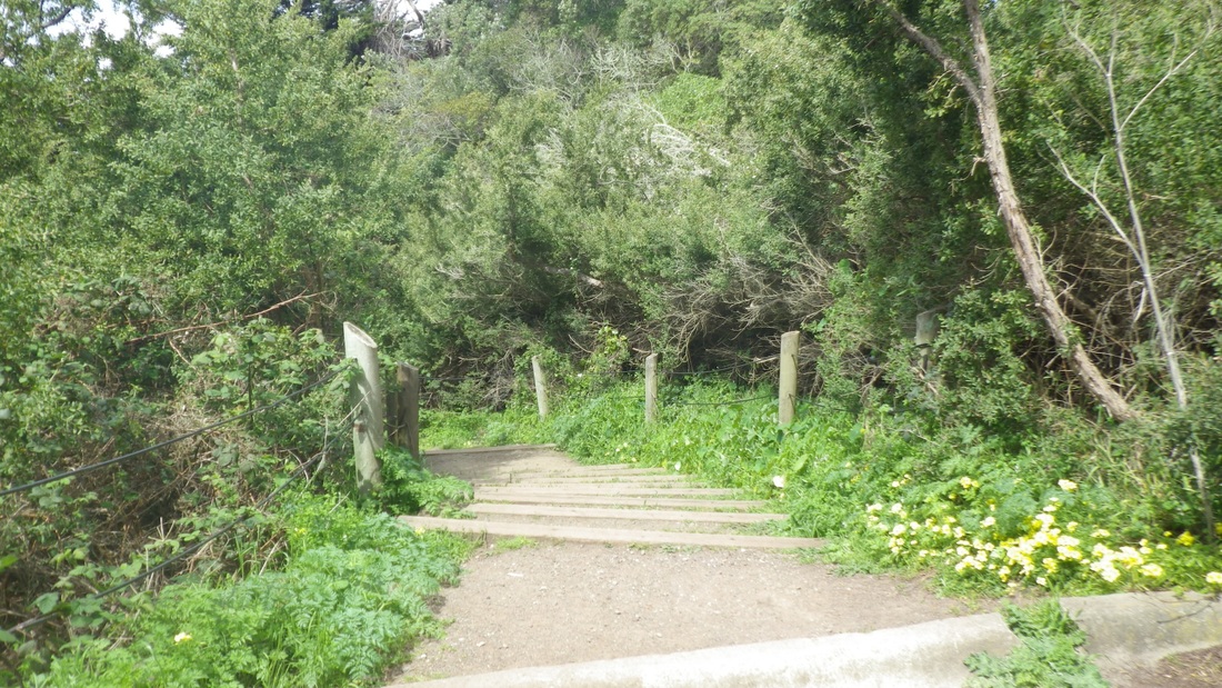
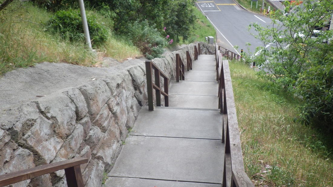
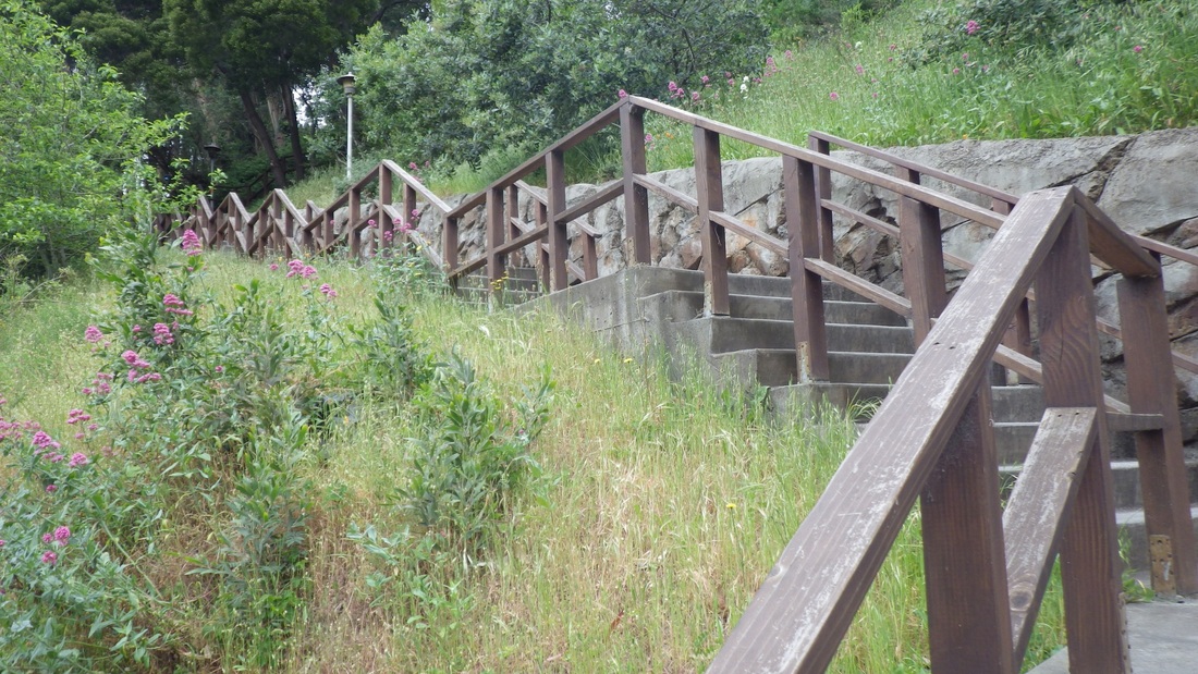
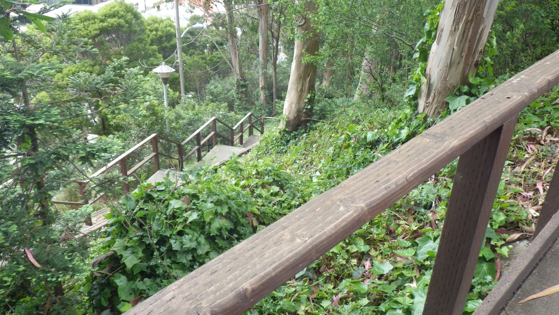
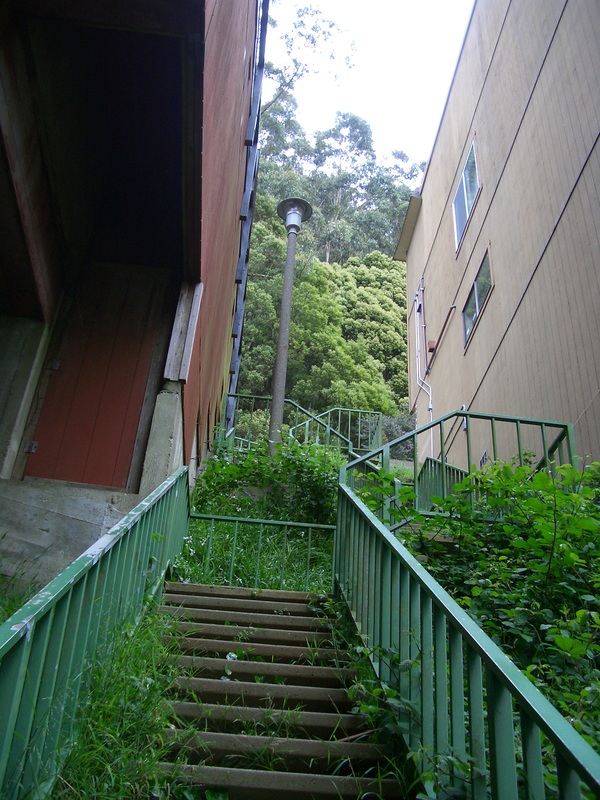
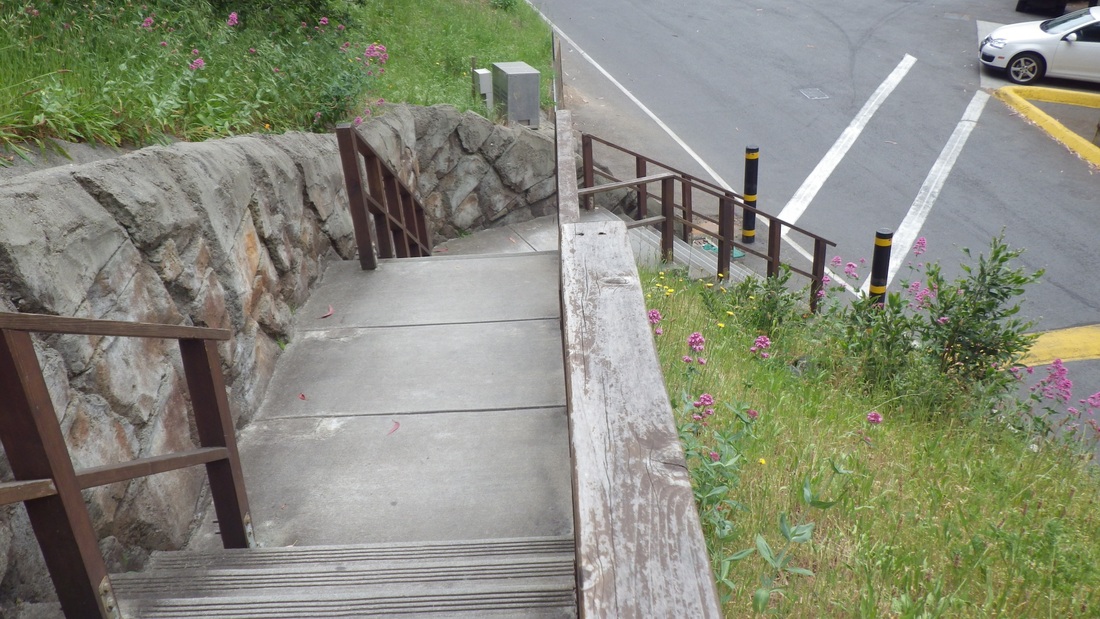
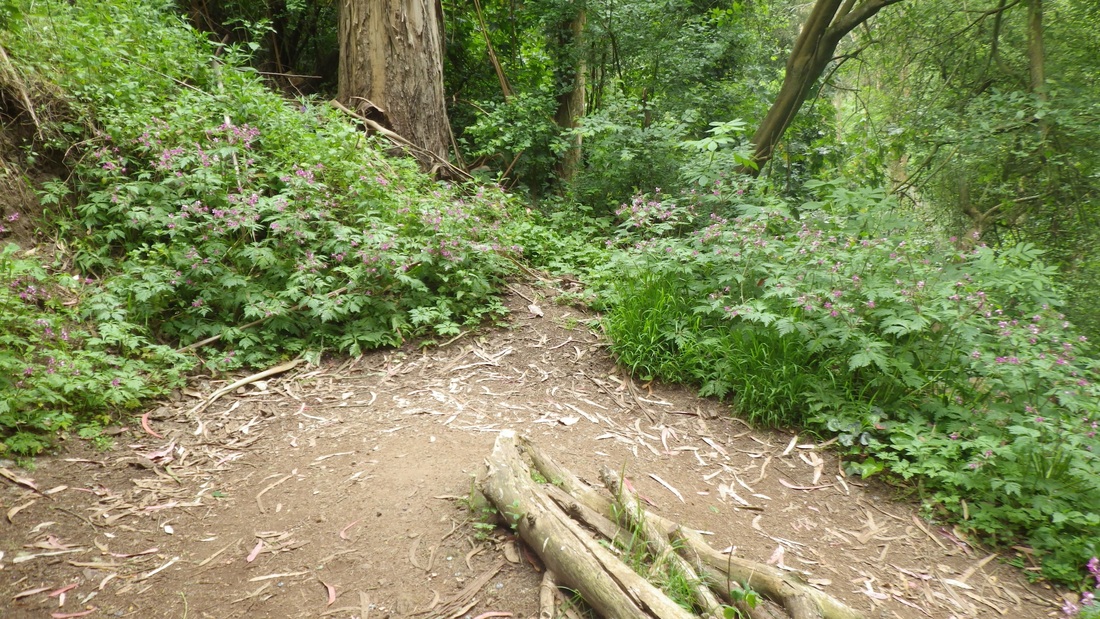
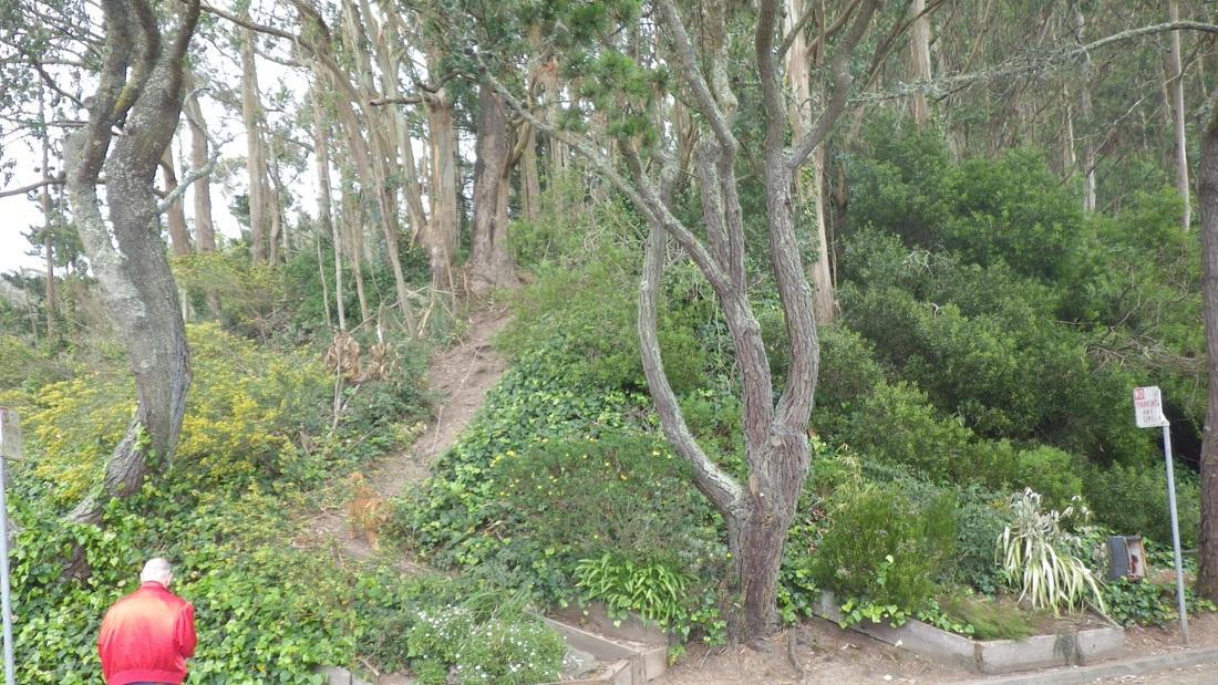
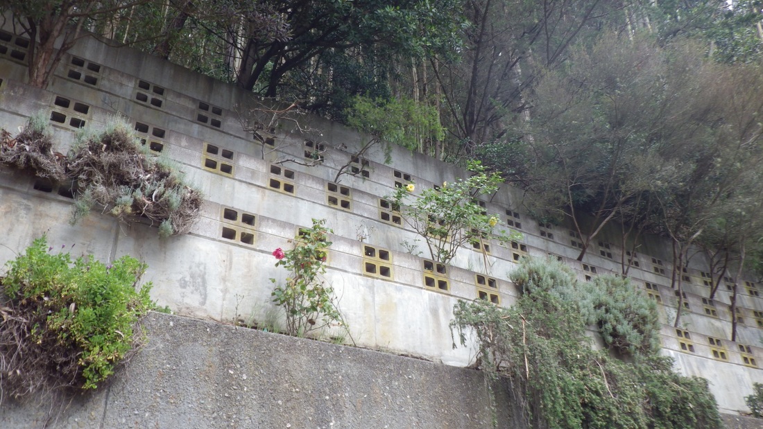
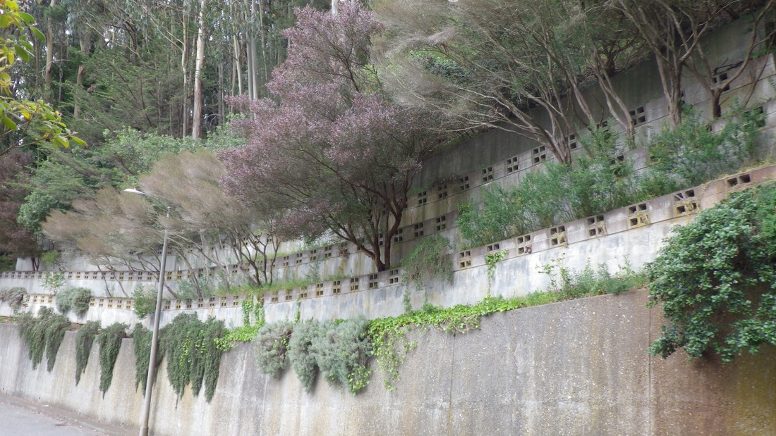
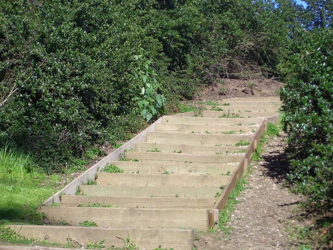
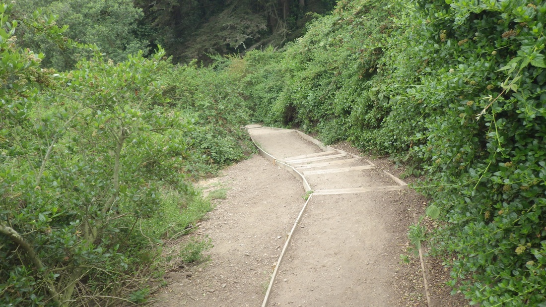
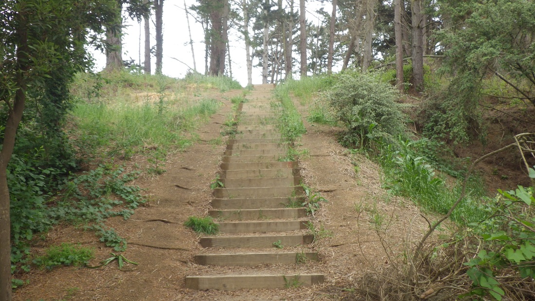
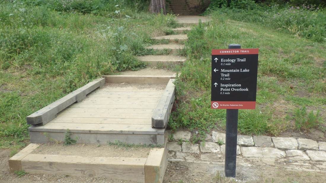
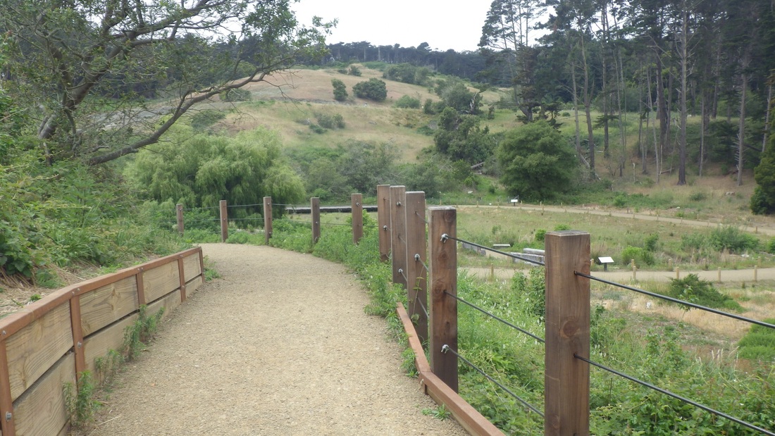
Down from the garden to descend a couple of the old stone stairways (third pic). This is what the Dragonfly Creek stone footbridge looks like now: fourth pic.
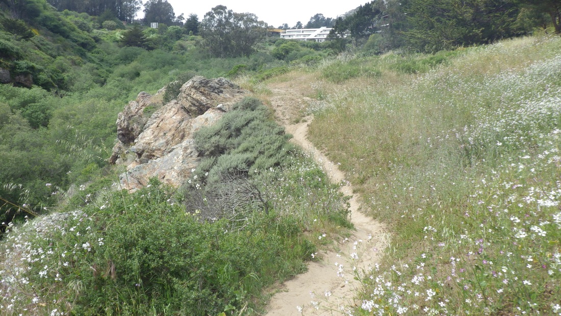
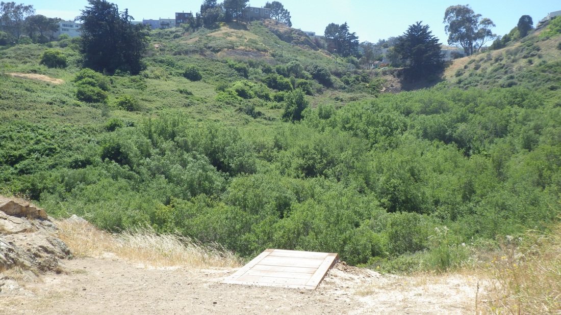
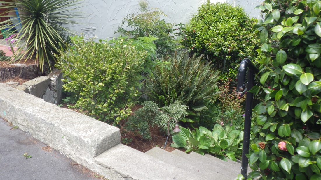
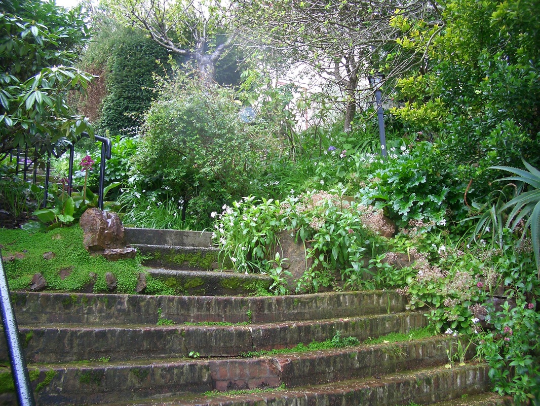
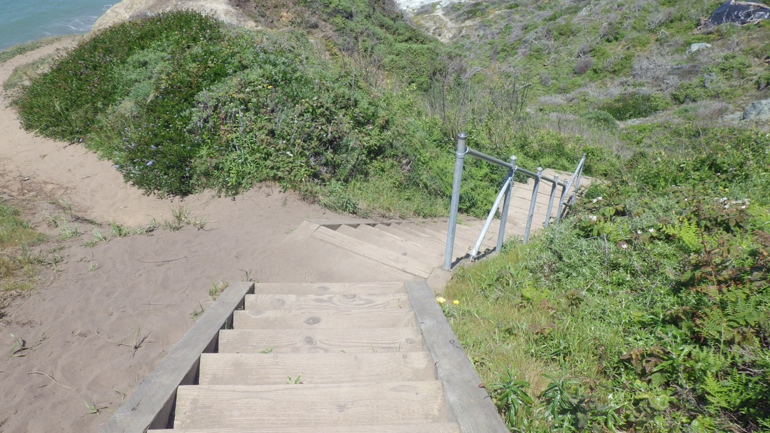
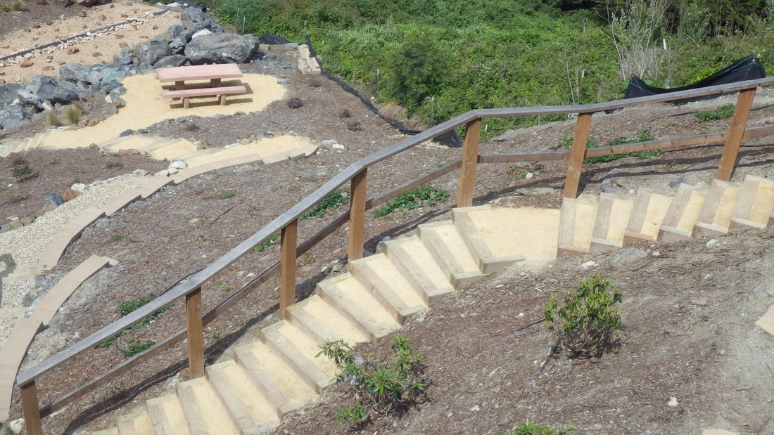
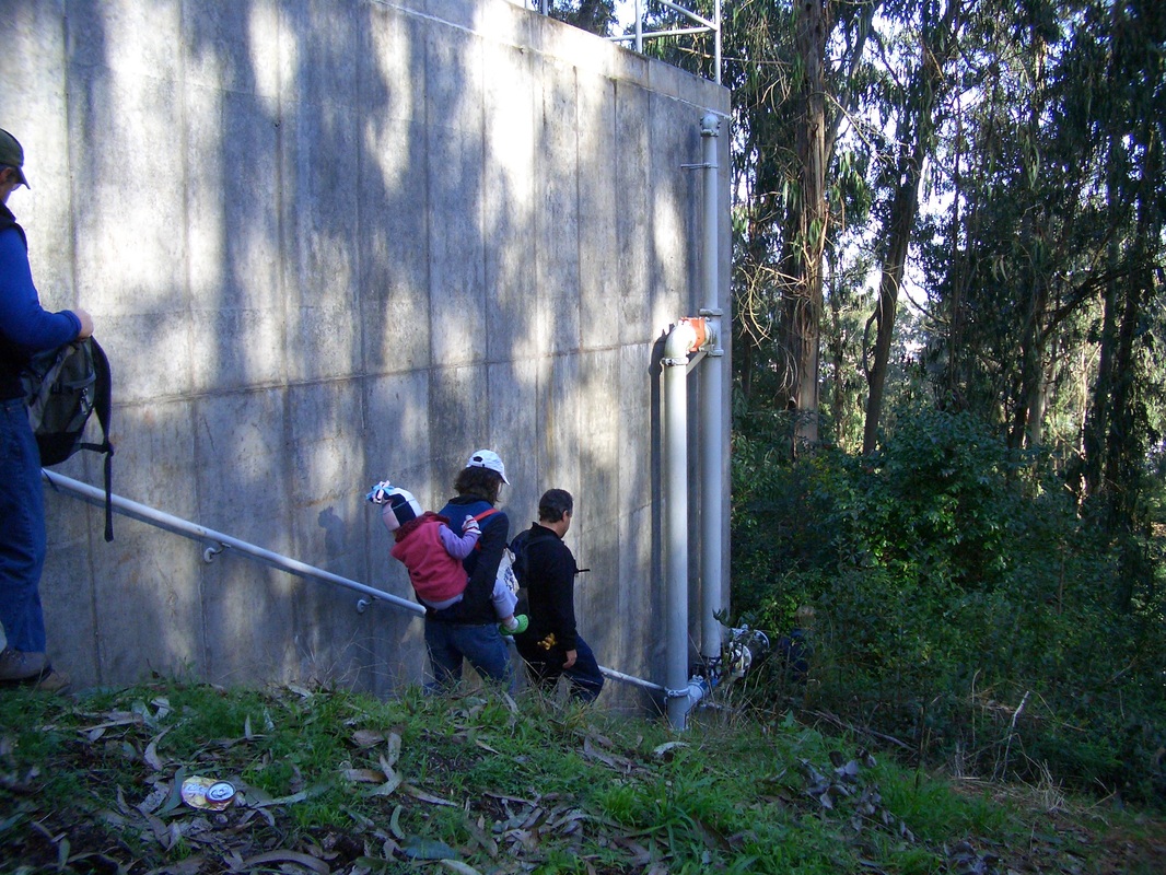
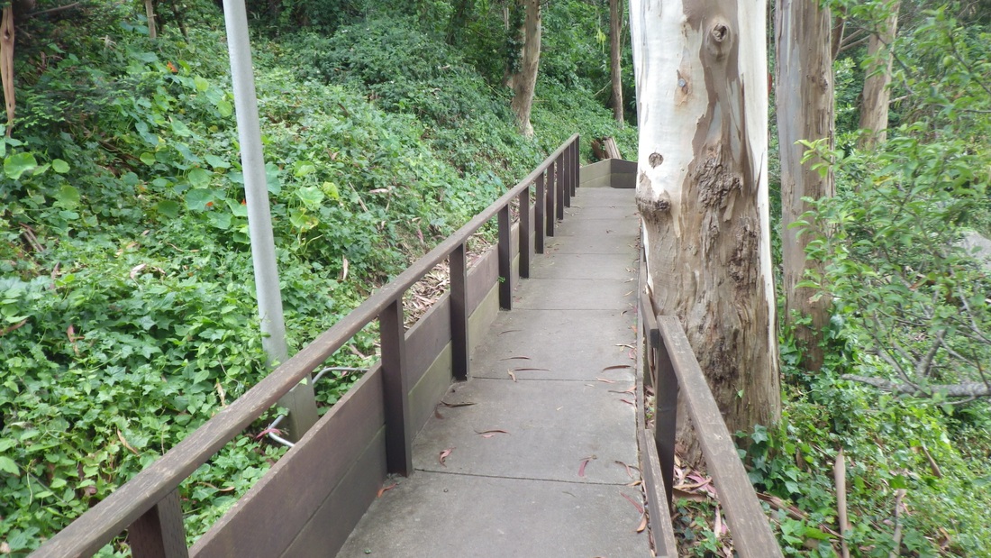
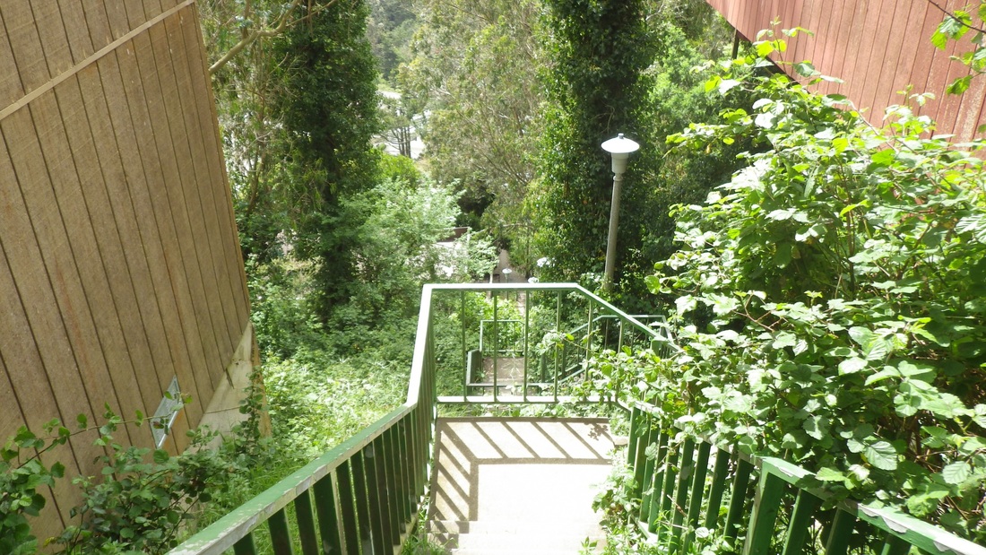
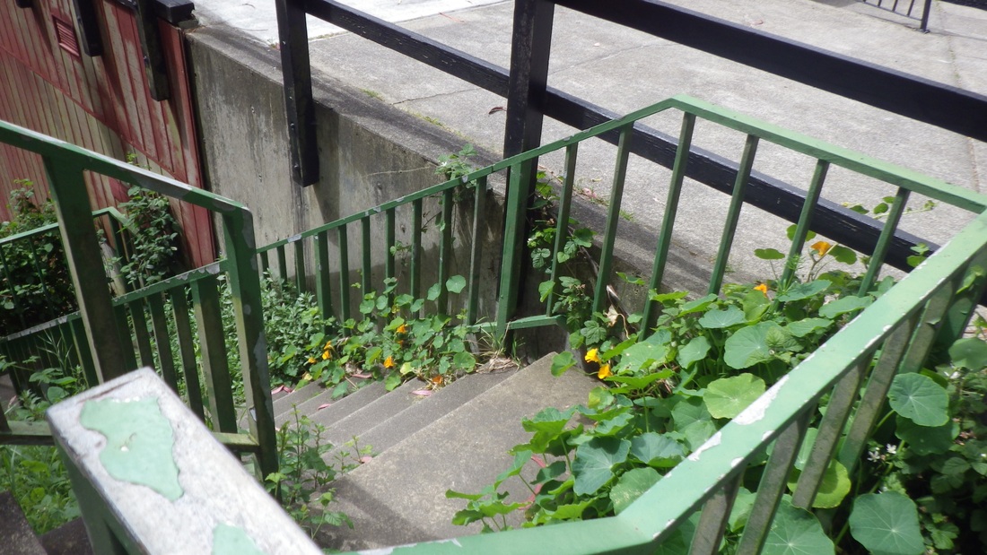
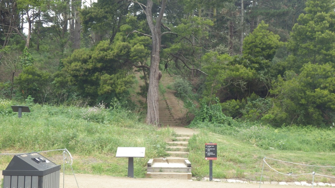
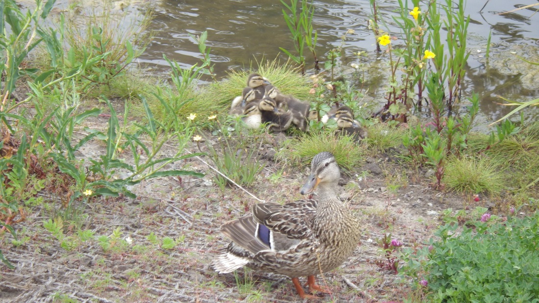
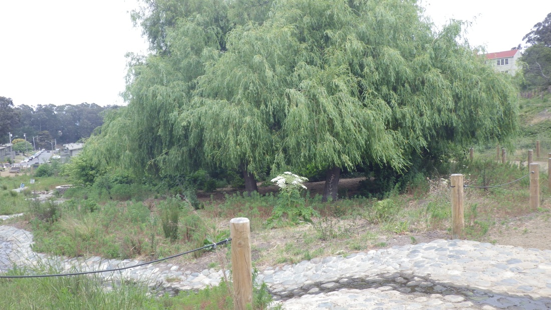
Dragonfly Creek has been nicely "daylighted" and I could see a small stream of water below as I crossed the bridge to the nursery (fifth pic). The old log stairway (26 steps, sixth pic) is still here. Seventh foto: A planter at the nursery.
http://www.presidio.gov/volunteer/Pages/nursery.aspx
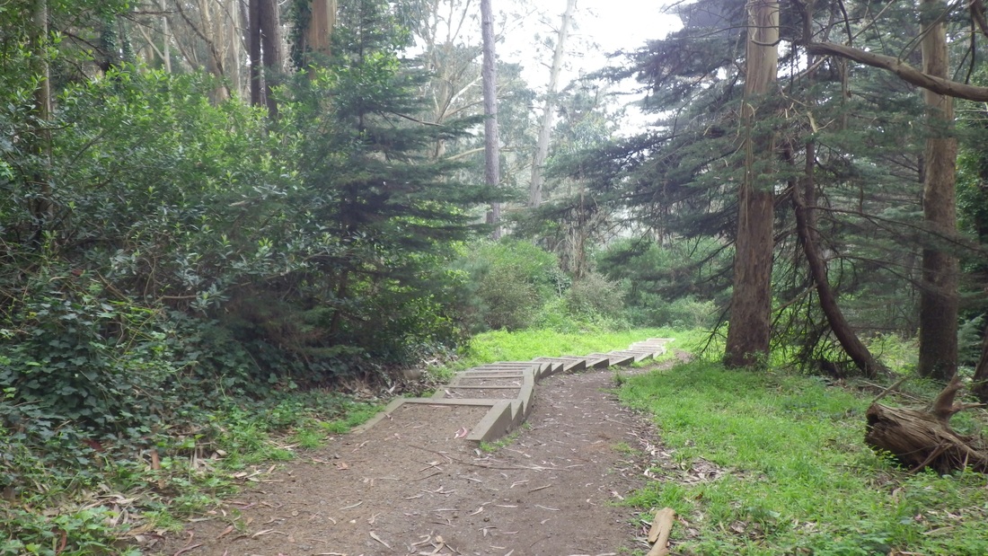
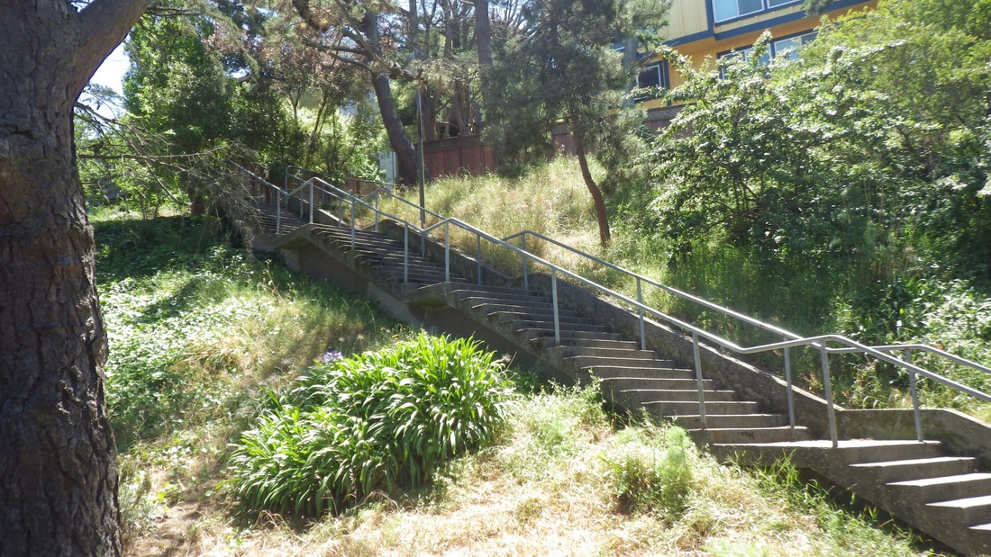
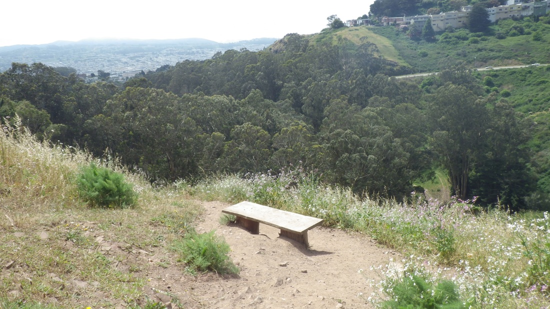
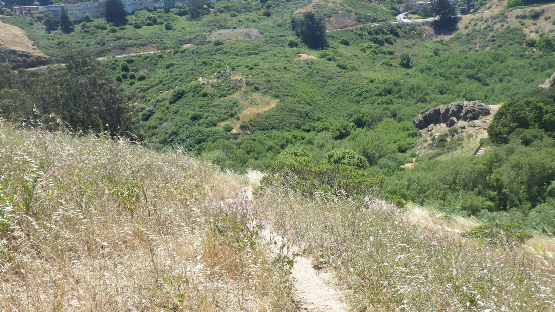
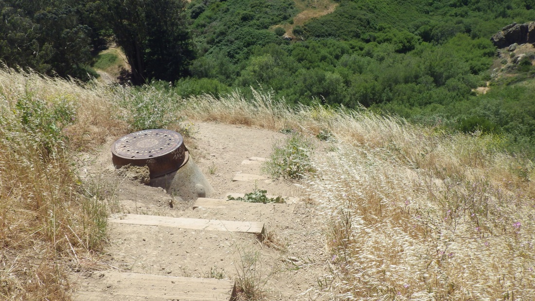
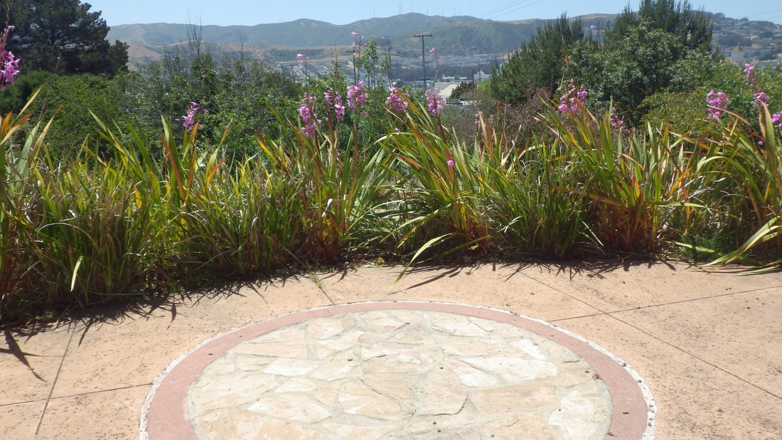
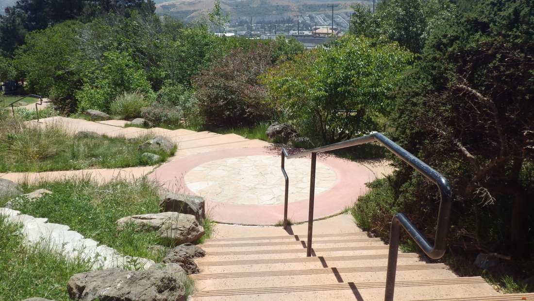
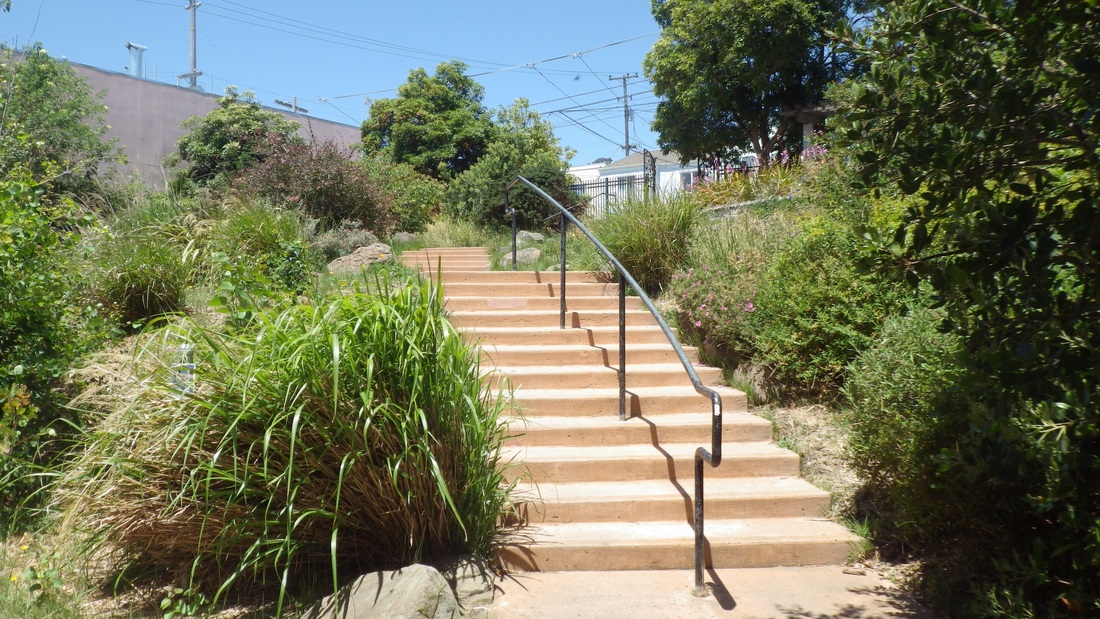
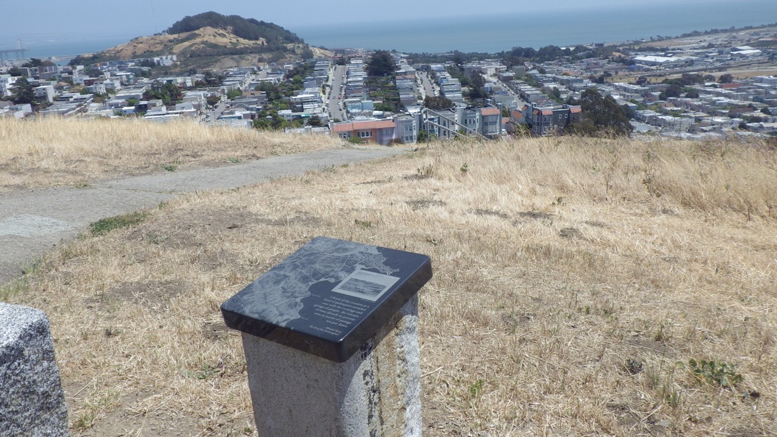
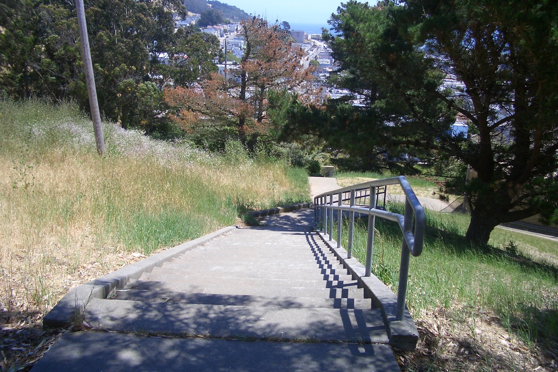
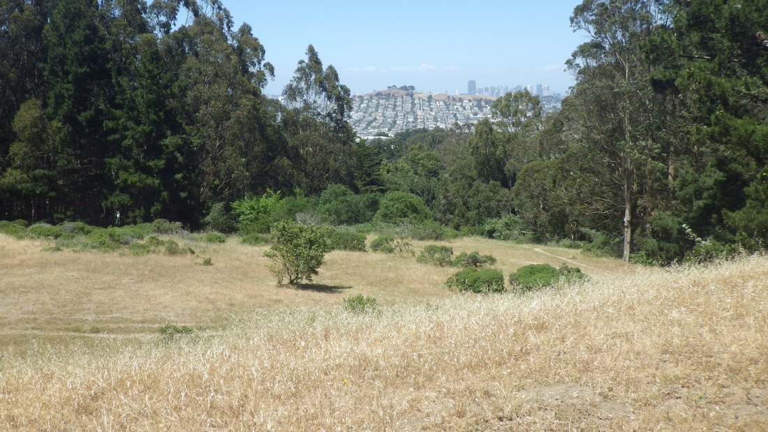
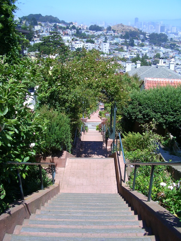
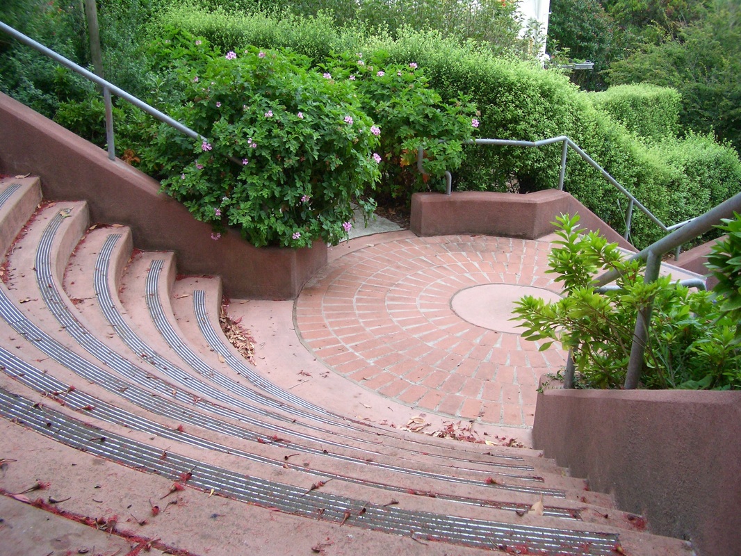
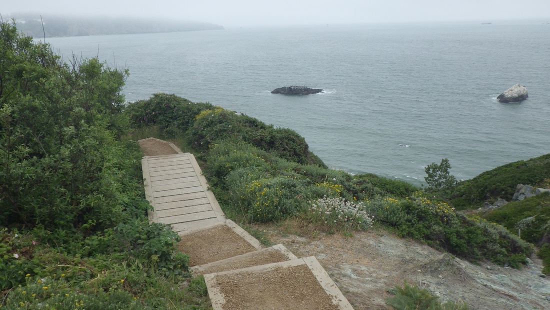
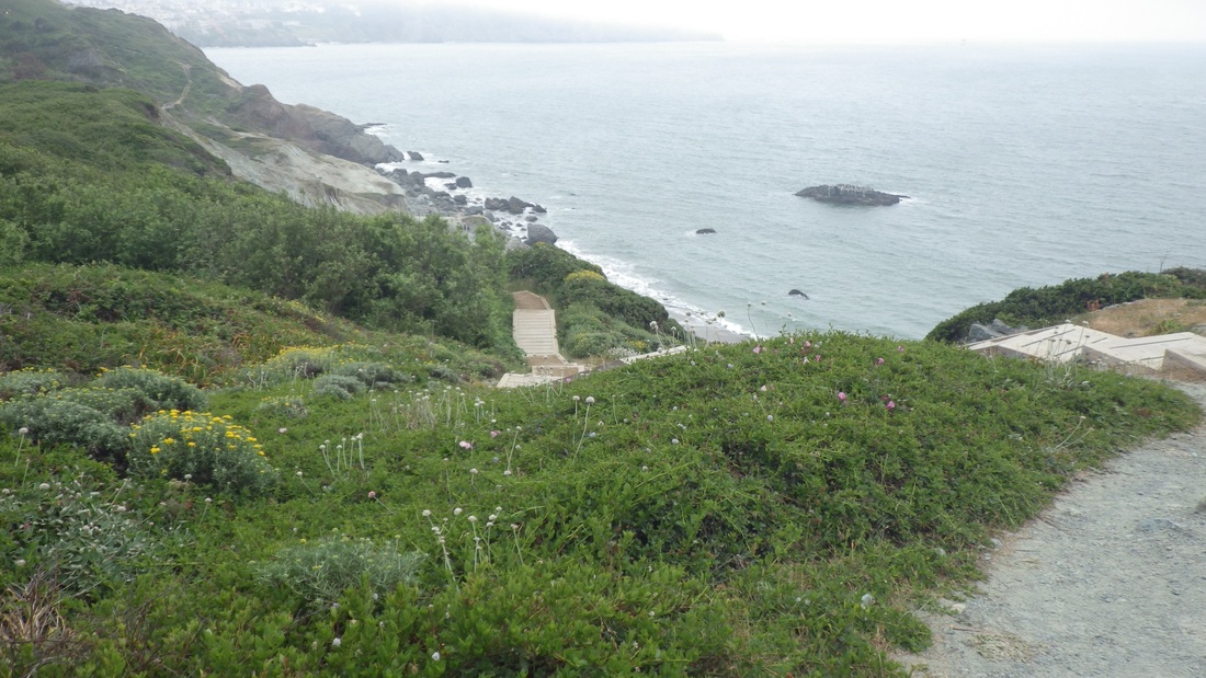
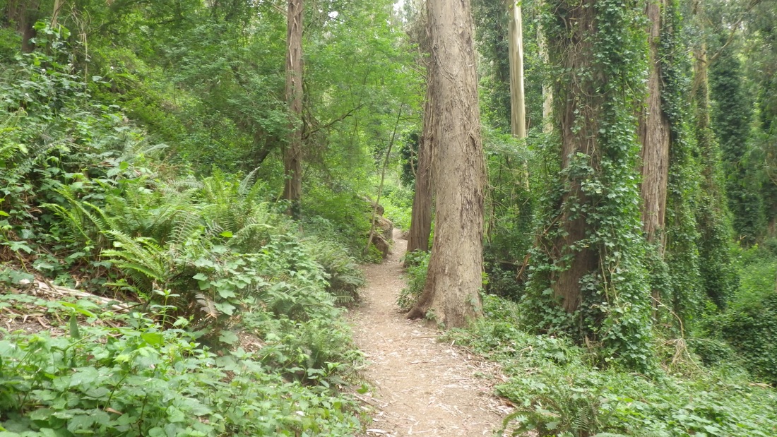
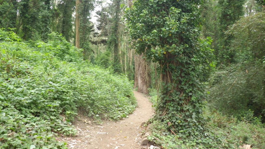
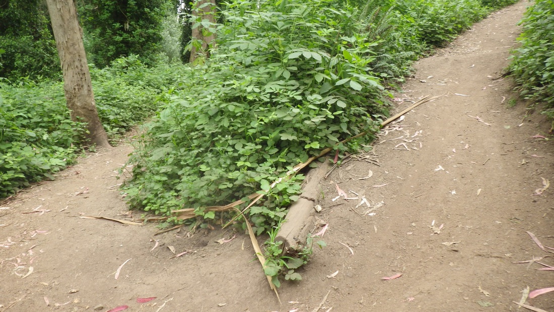
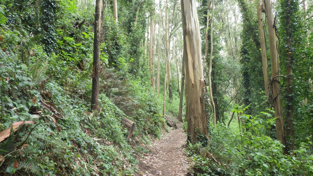
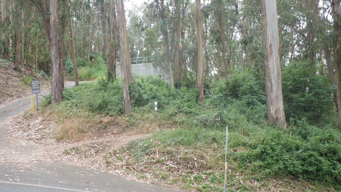
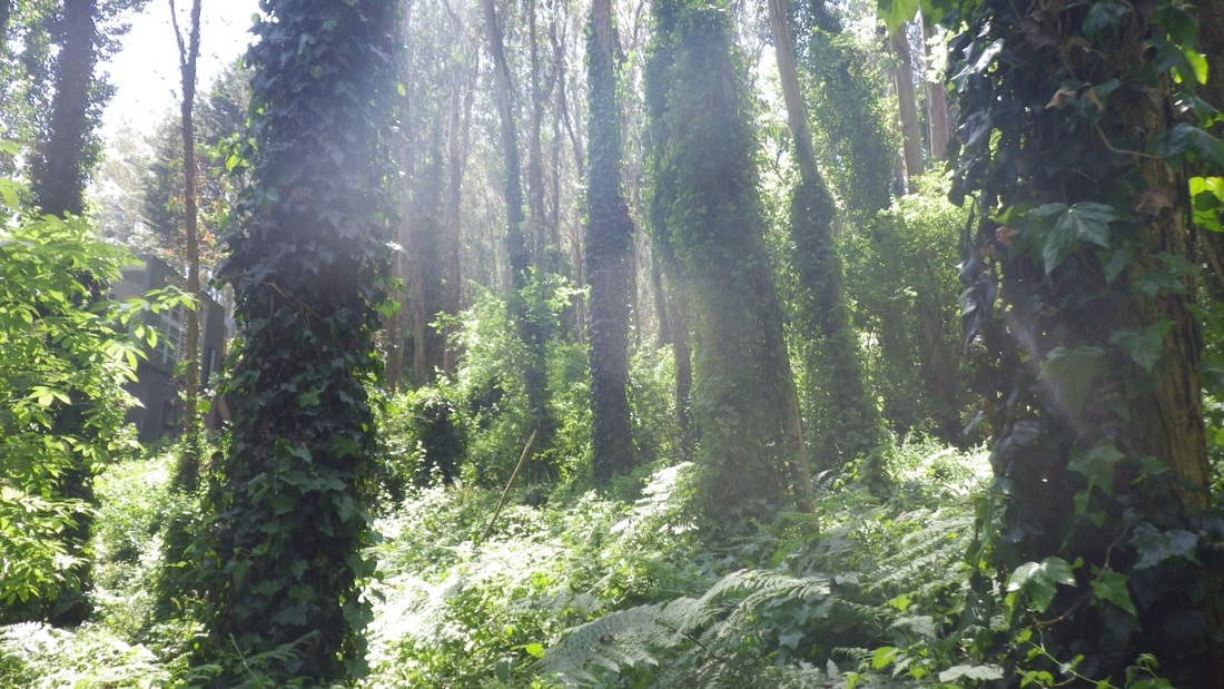
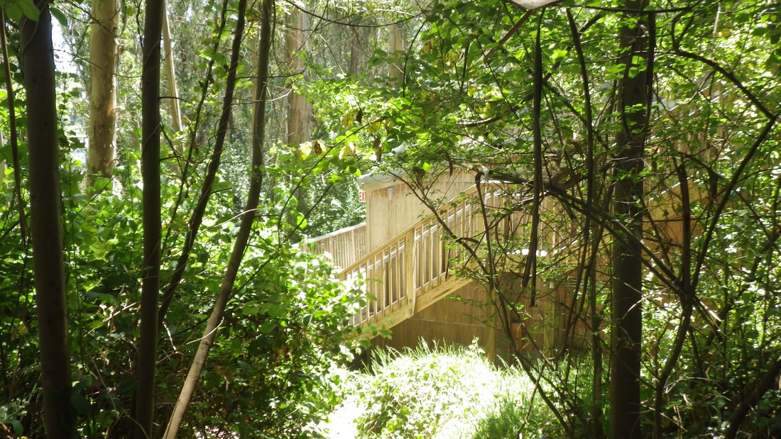
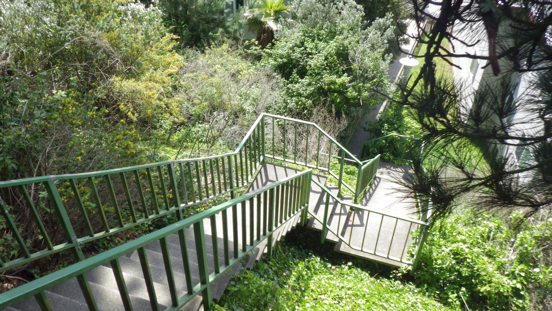
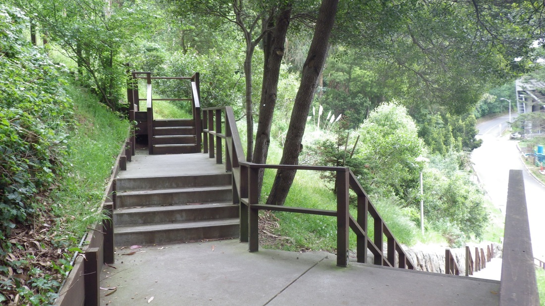
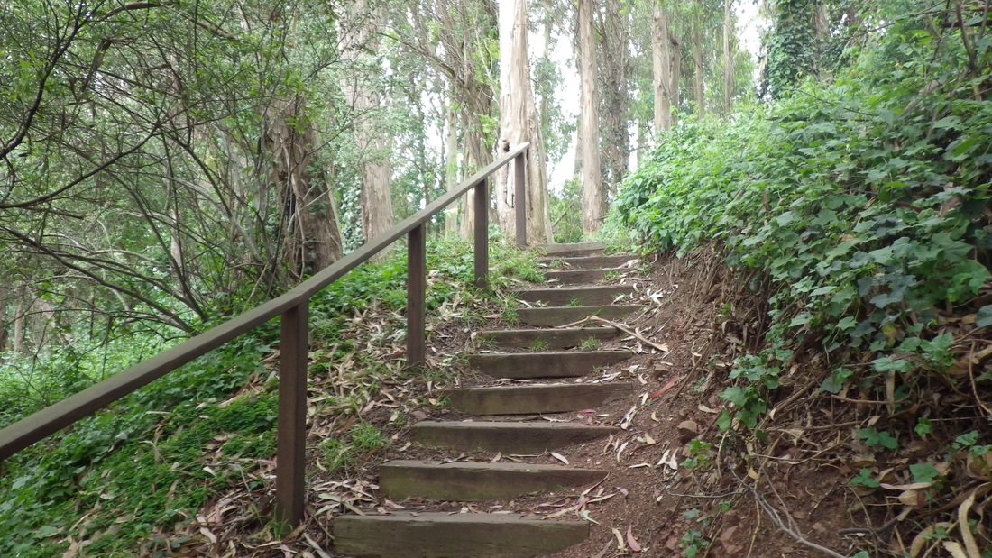
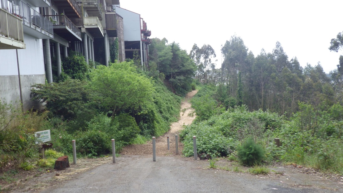
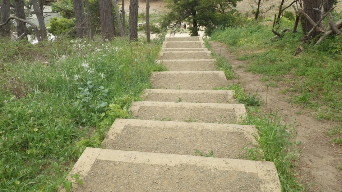
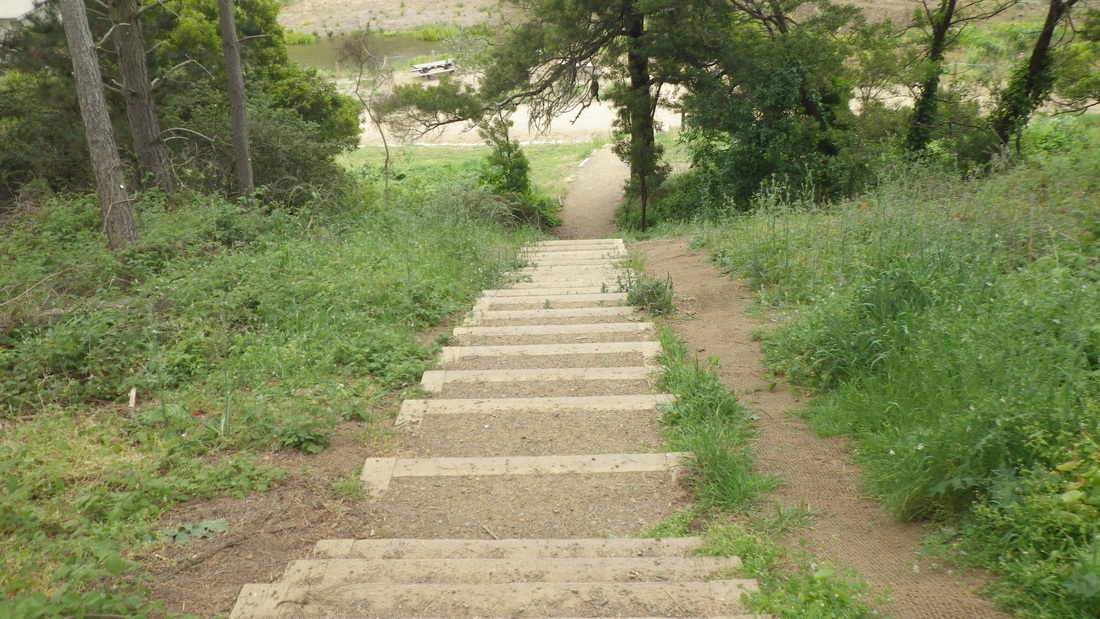
Headed east on the Park Trail, continuing up the 98 steps through the forest to the Cemetery Overlook (pics 8, 9, 10, 11).
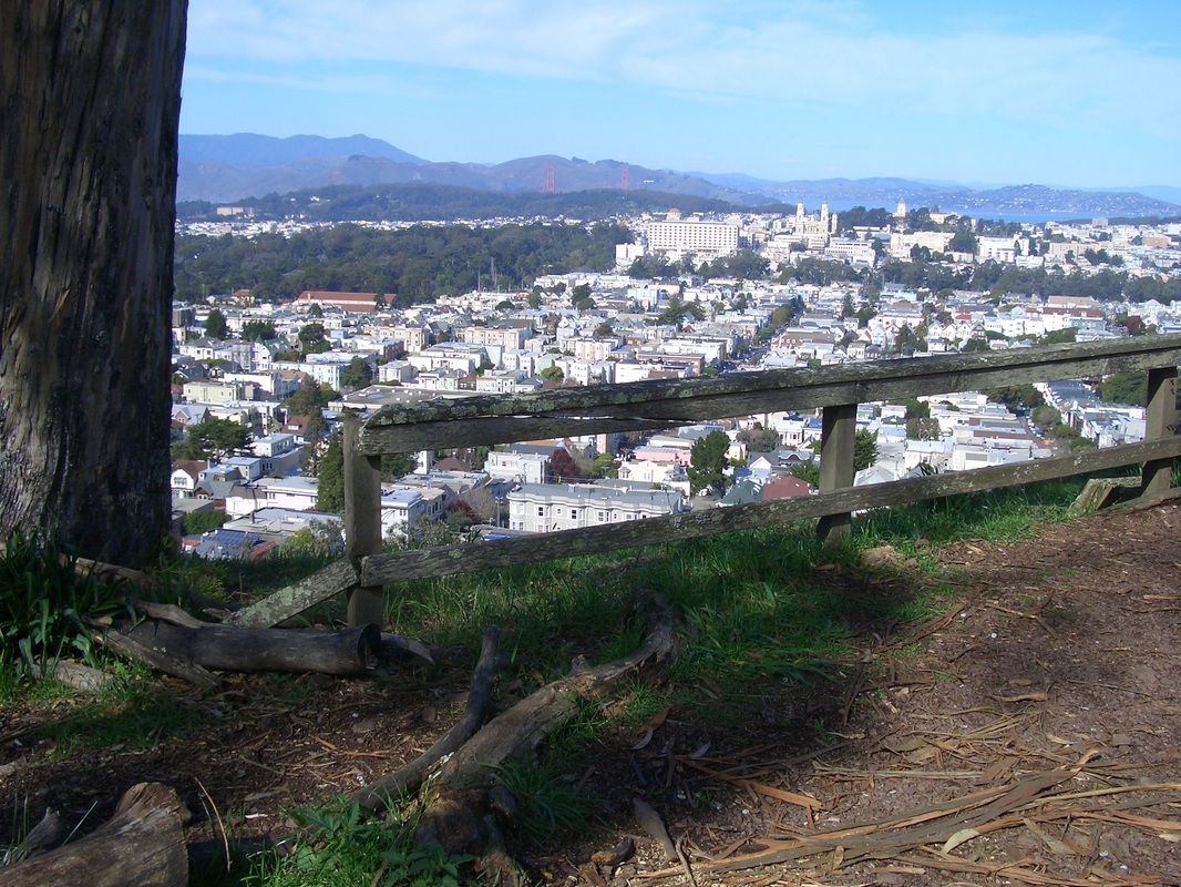
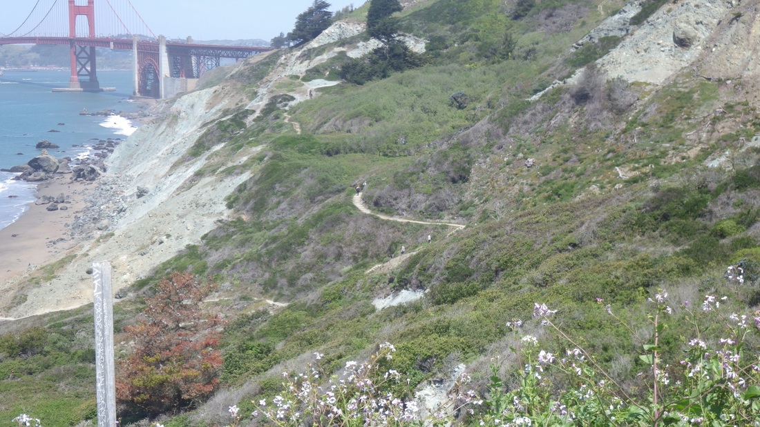
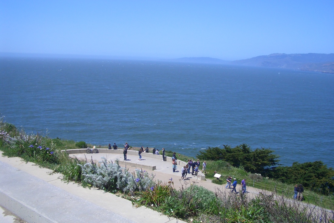
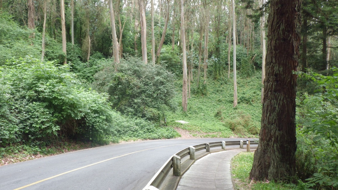
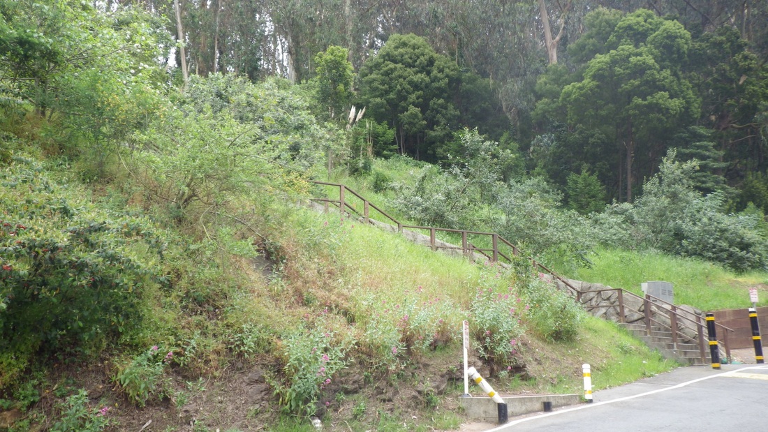
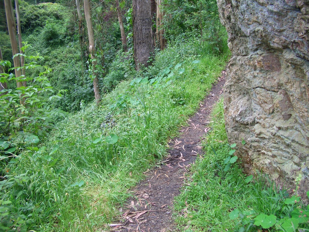
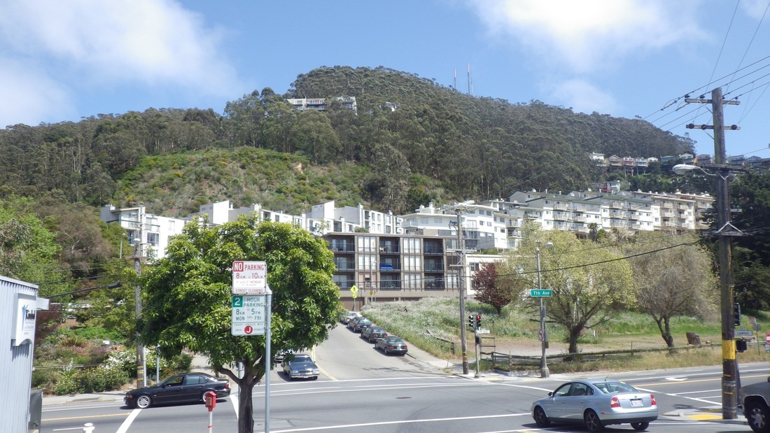
Out from the Cemetery Overlook's south side to Inspiration Point Overlook (off Arguello) via the bike lane instead of the Bay Area Ridge Trail that's above the road. Last pic: Andy Goldsworthy's Spire sculpture.
Down from the garden to descend a couple of the old stone stairways (third pic). This is what the Dragonfly Creek stone footbridge looks like now: fourth pic.
Dragonfly Creek has been nicely "daylighted" and I could see a small stream of water below as I crossed the bridge to the nursery (fifth pic). The old log stairway (26 steps, sixth pic) is still here. Seventh foto: A planter at the nursery.
http://www.presidio.gov/volunteer/Pages/nursery.aspx
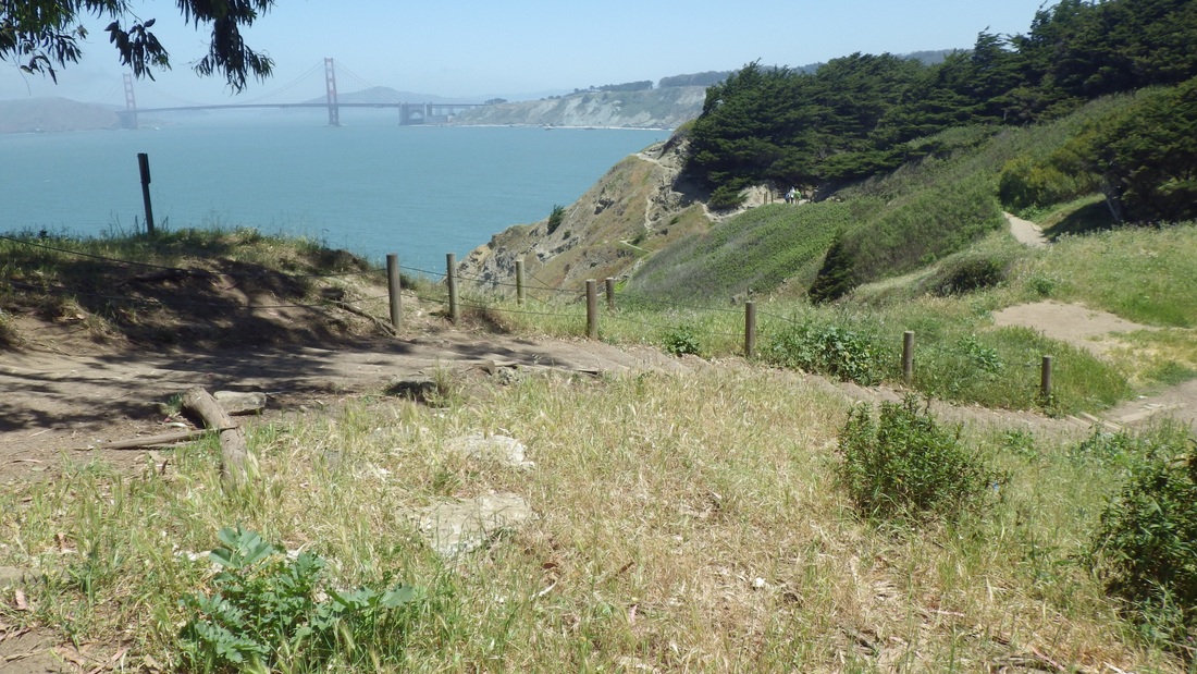
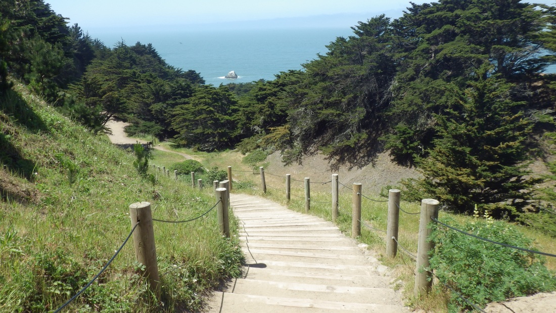
Headed east on the Park Trail, continuing up the 98 steps through the forest to the Cemetery Overlook (pics 8, 9, 10, 11).
Out from the Cemetery Overlook's south side to Inspiration Point Overlook (off Arguello) via the bike lane instead of the Bay Area Ridge Trail that's above the road. Last pic: Andy Goldsworthy's Spire sculpture.
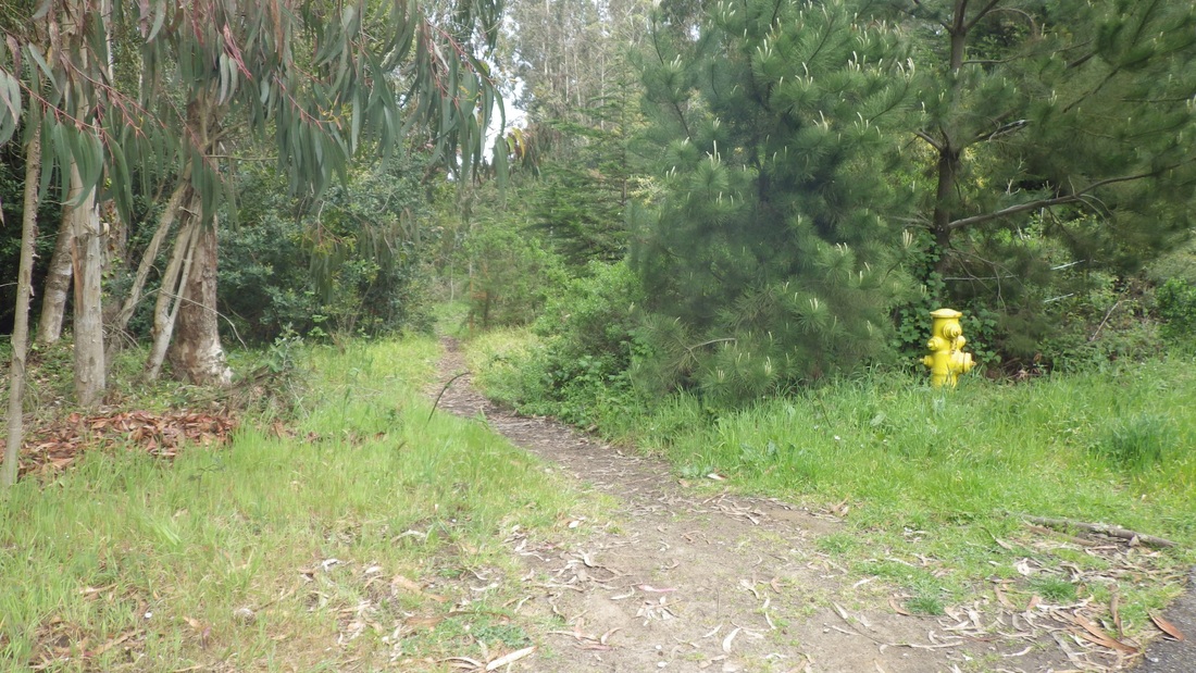
1. Trail from Rob Hill Campground to Fort Scott
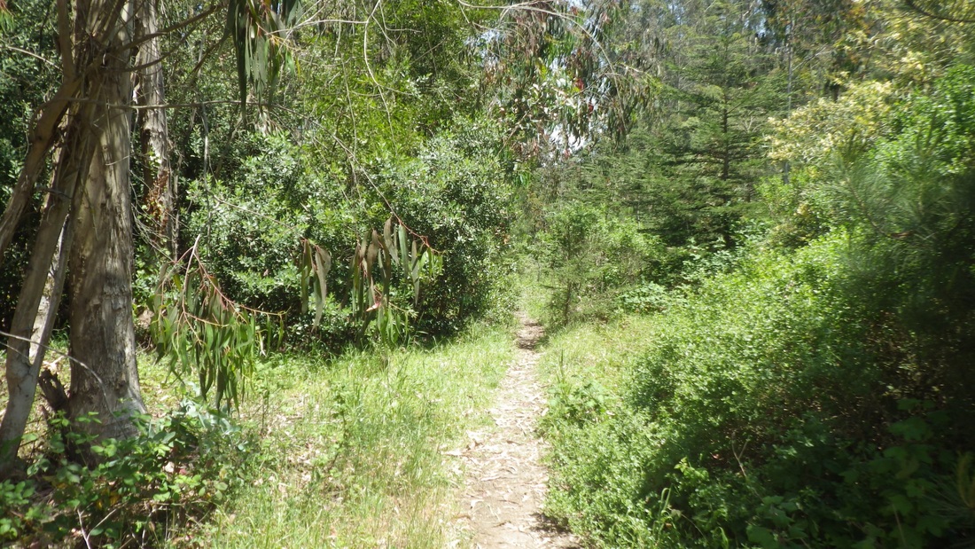
2. Trail from Rob Hill Campground to Fort Scott
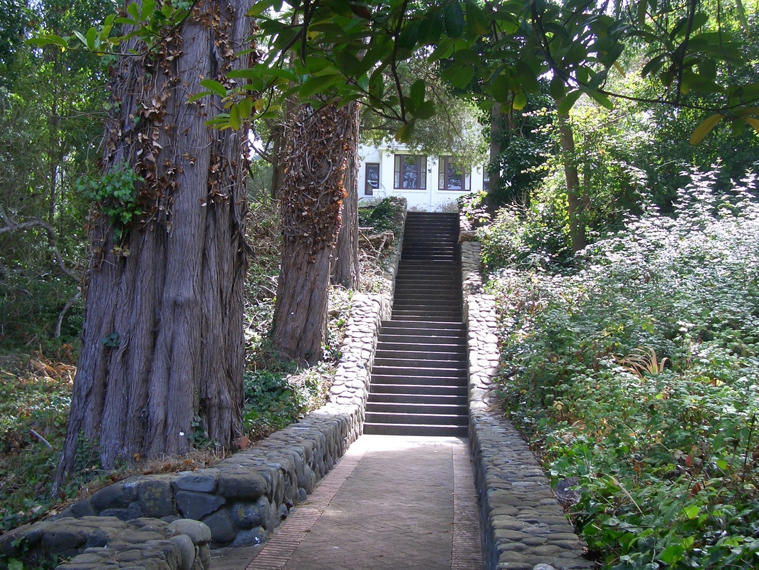
3. A Fort Scott stone stairway
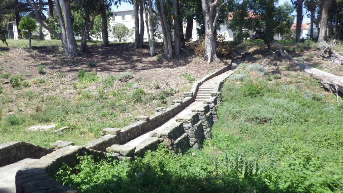
4. Bridge over Dragonfly Creek, Fort Scott neighborhood

5. Across the bridge to the nursery
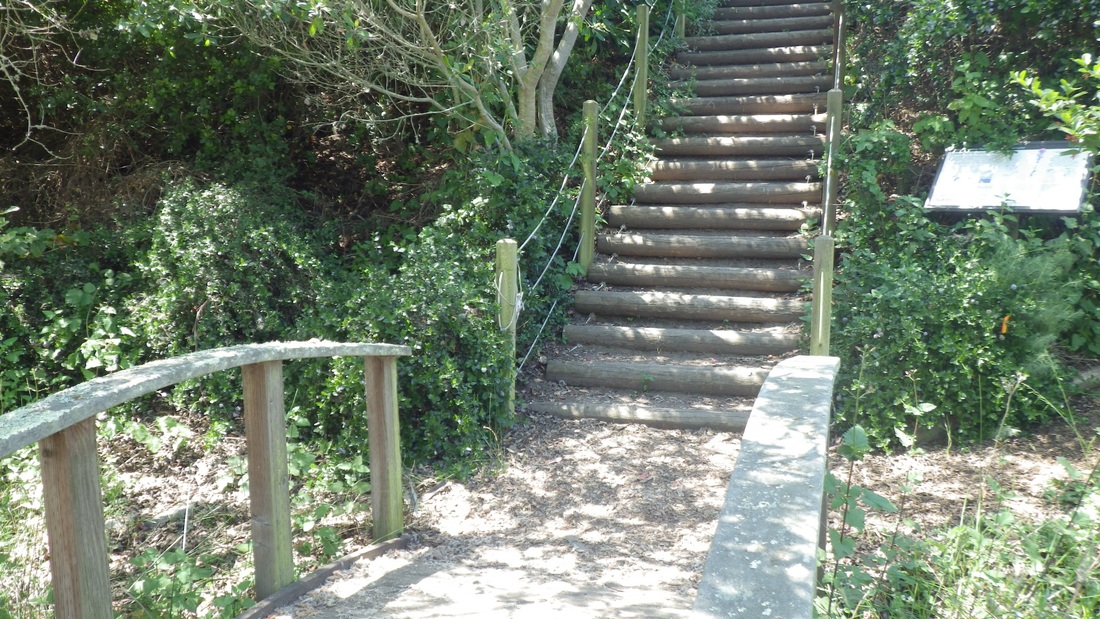
6. Steps up to the nursery
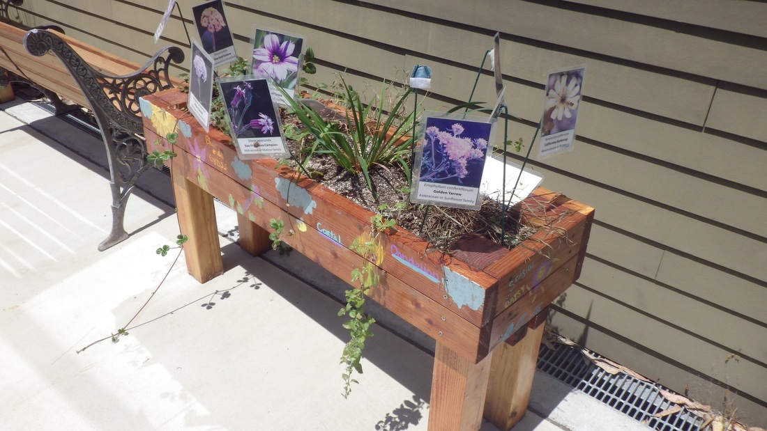
7. Nursery planter
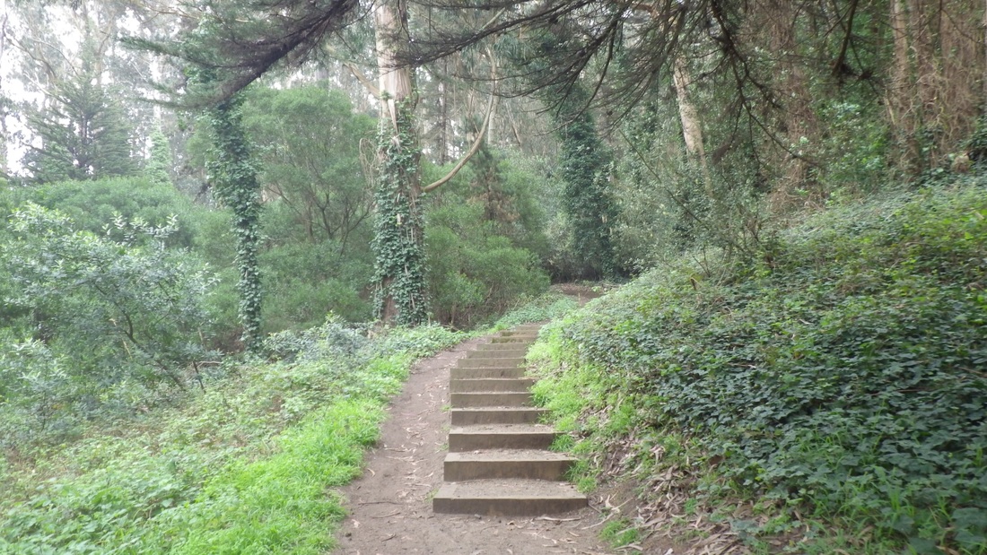
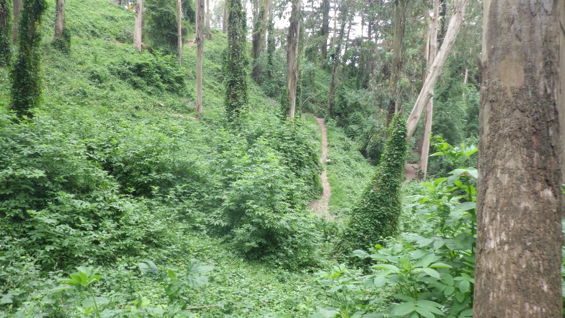
8. From Park Trail to Cemetery Overlook
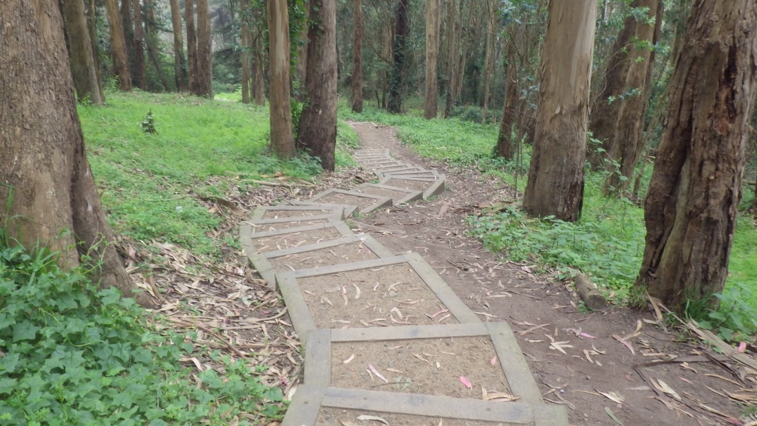
9. Through the forest to the Cemetery Overlook
10. Cemetery Overlook down to Park Trail
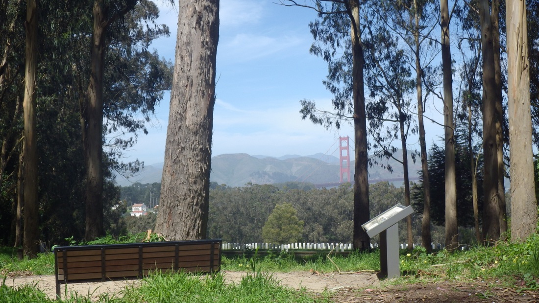
11. Cemetery Overlook
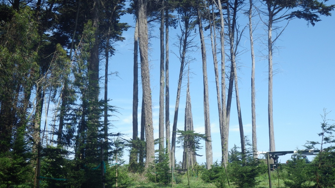
12. Andy Goldsworthy's Spire through the trees


 RSS Feed
