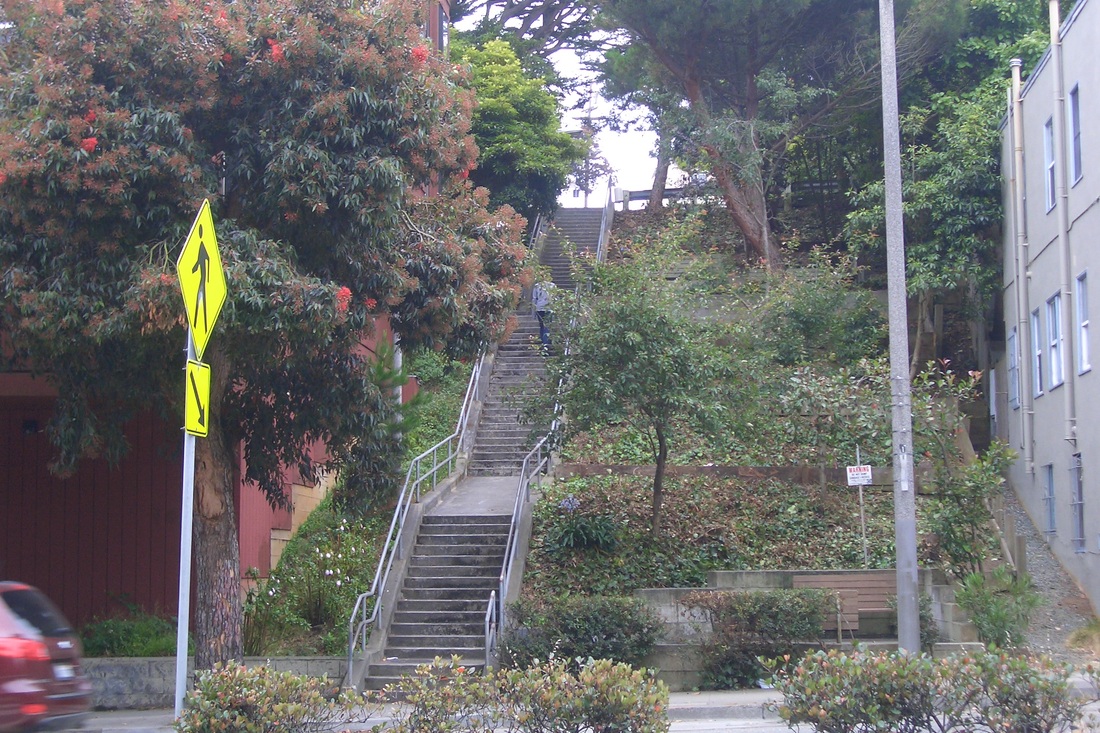
Had planned to do the Detroit stairway (185 steps), then over a few blocks for Sunnyside Park and some other streets I like in this 'hood, but ended up hiking all the way up to Mount Davidson Park's main south trailhead from the Glen Park BART station.
From the BART station, headed west several blocks to Hearst in the Sunnyside neighborhood and up the Detroit stairway, Mount Davidson's longest. Unlike Twin Peaks and Mount Sutro, Mount D's streets tend to wind round and round with too few connector stairways for walkers, so hikers can end up going out of their way as I did today, just wandering.
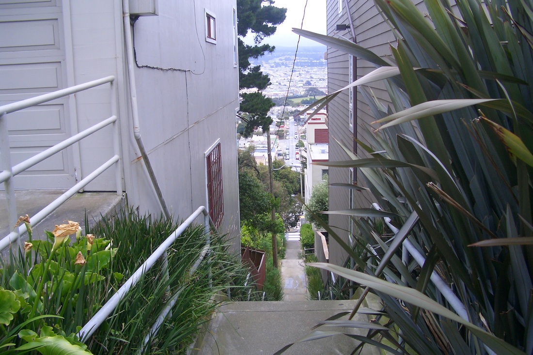
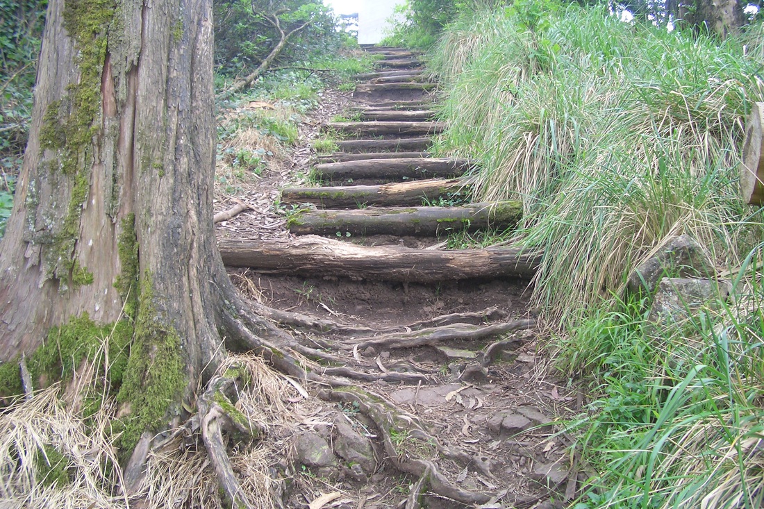
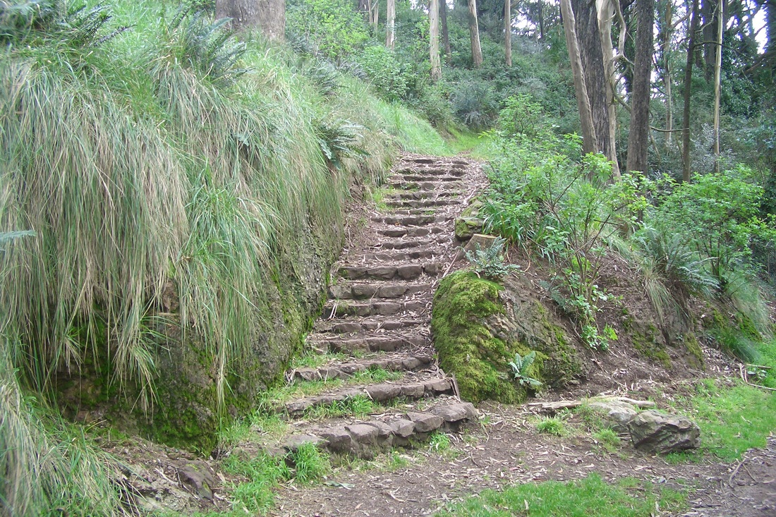
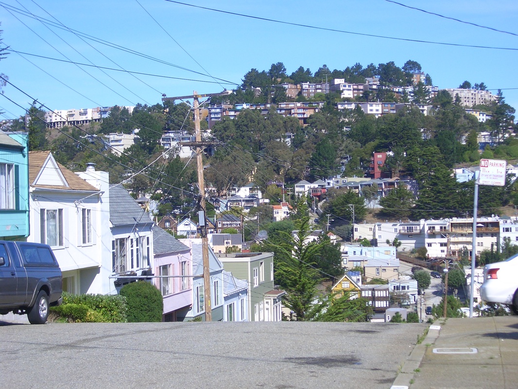
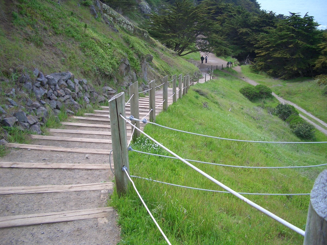
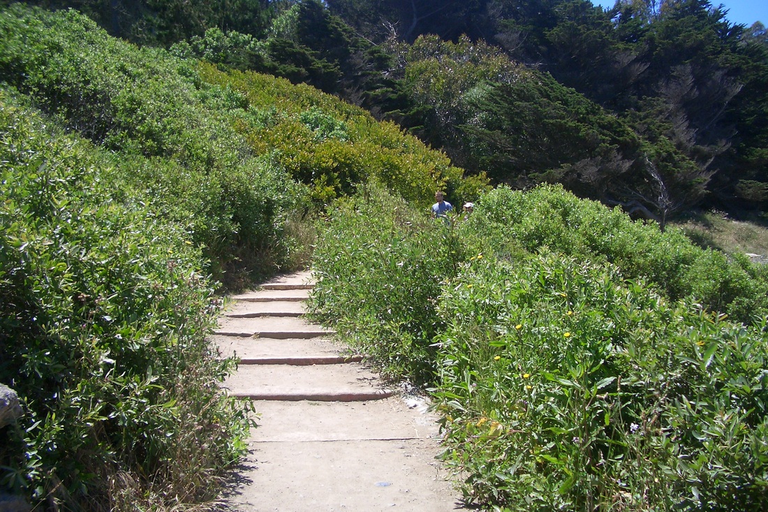
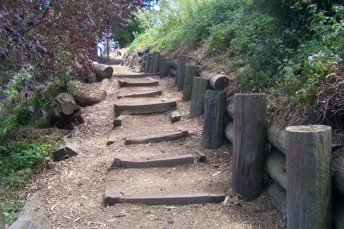
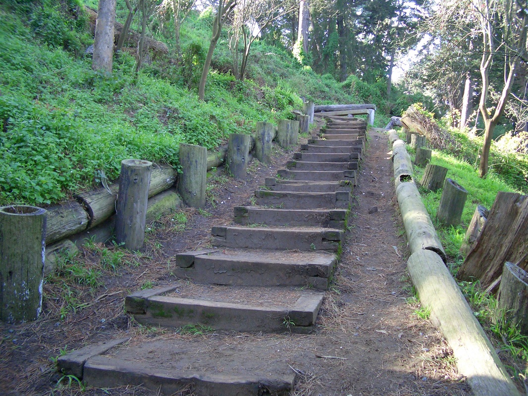
There are 70 steps for the first block of the Detroit stairway, Hearst to Monterey. There's a crosswalk here at busy Monterey for continuing to the top of the steps at Joost (first two pics). West on Joost a few blocks to Foerster, then north, the sign for Sunnyside Park ahead (third pic: upper steps in the park).
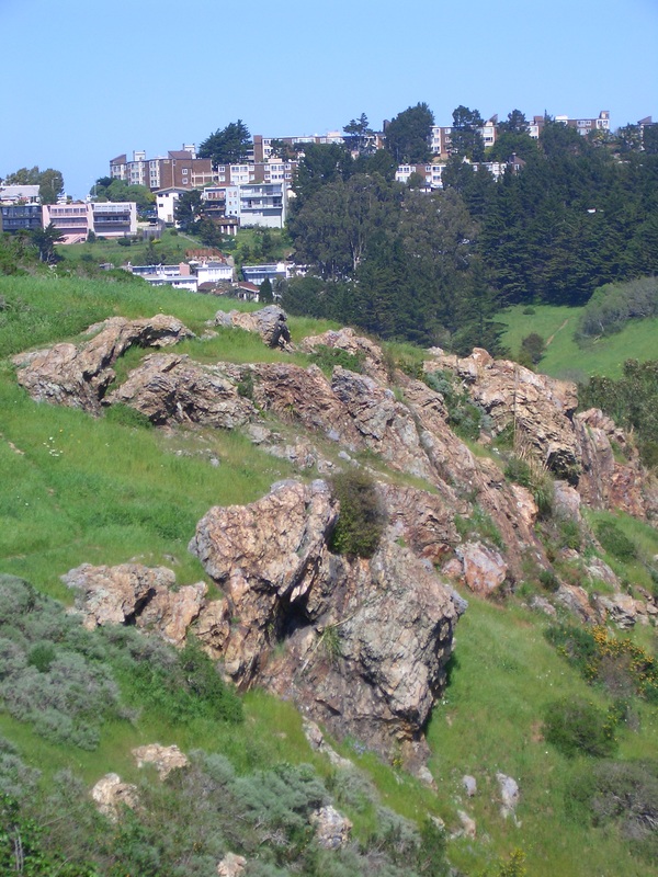
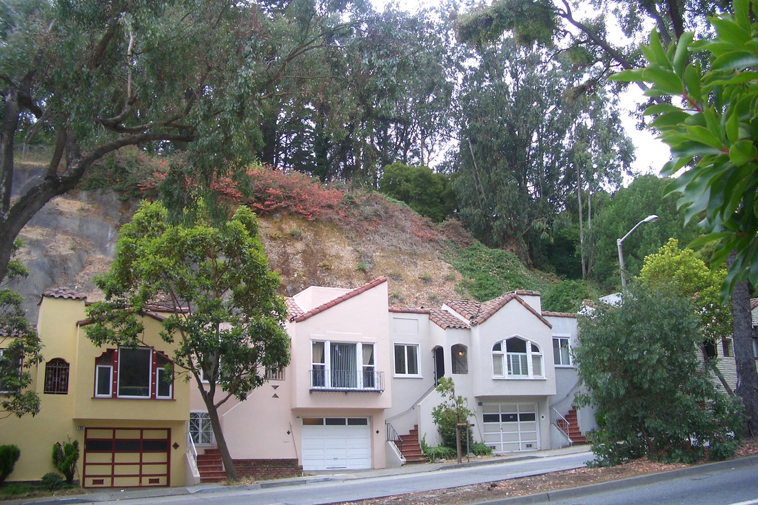
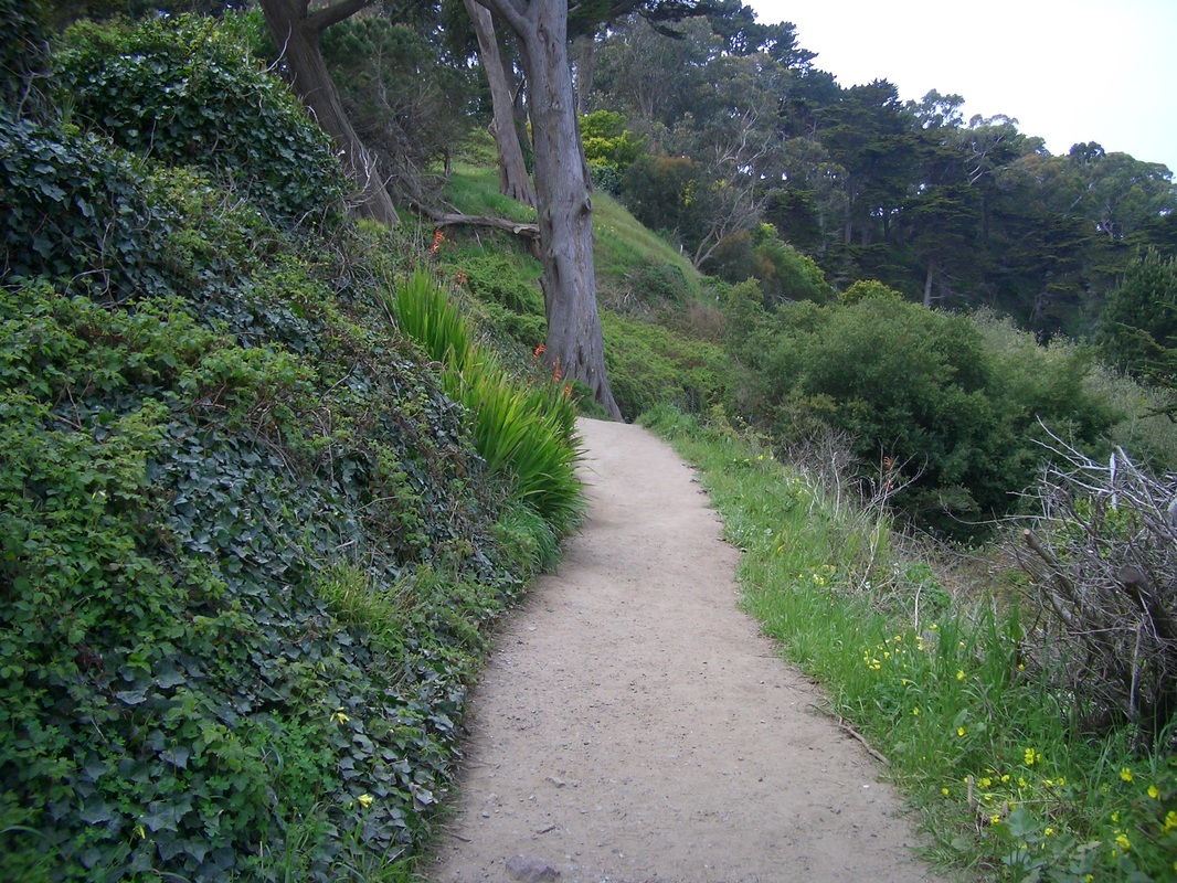
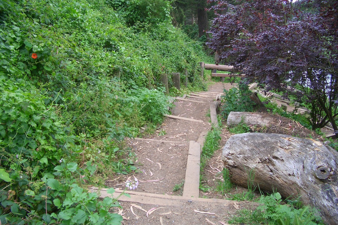
Directly across the street on Foerster from the main park entrance, Melrose here is not a through street. Continuing north a little way, however, it will take you up alongside concrete walls (fourth pic) where there's a little viewspace between homes.
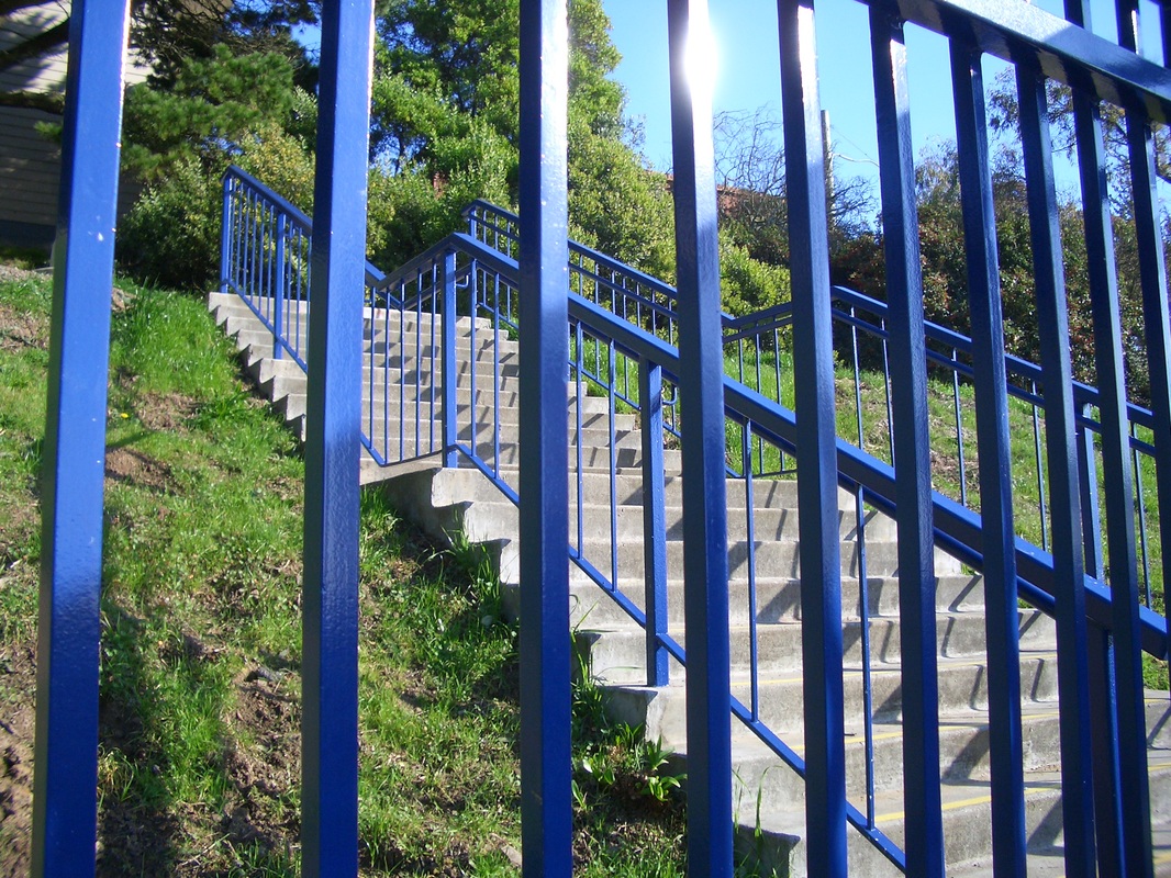
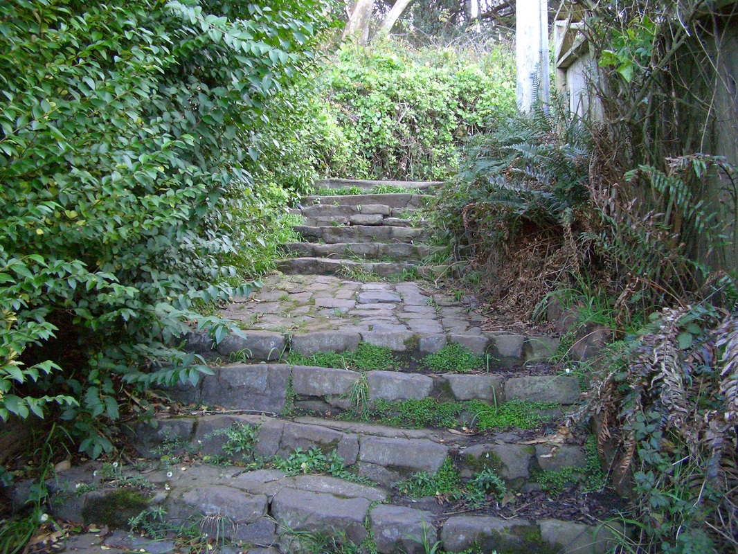
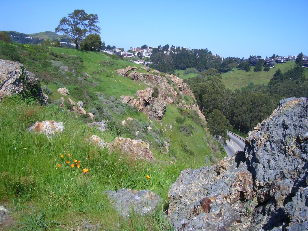
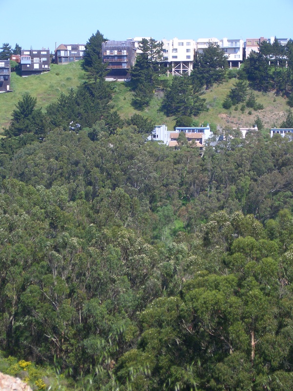
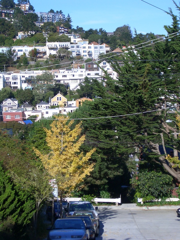
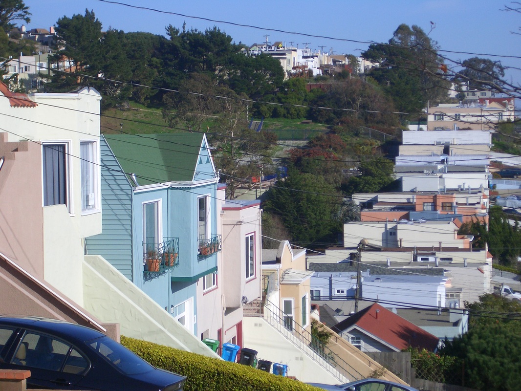
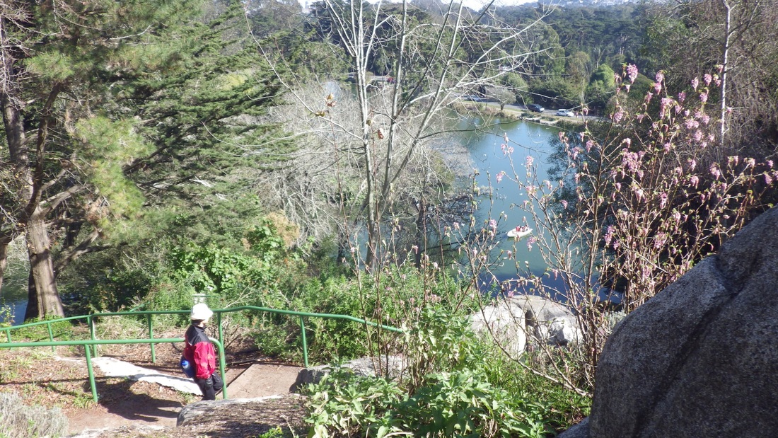
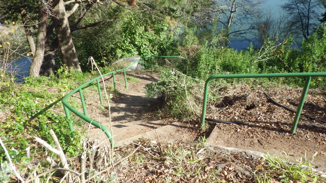
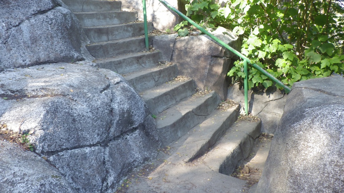
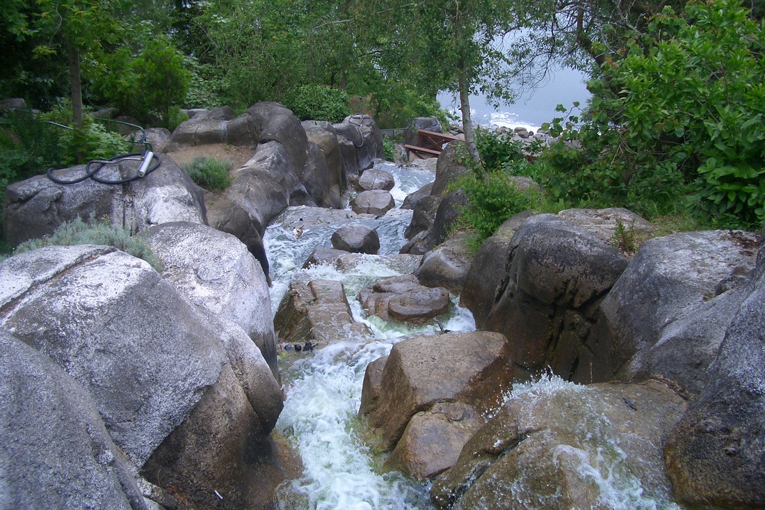
Continued uphill from this viewspot to where Melrose meets Stanford Heights. Stanford Heights to Los Palmos … to Burlwood and back to Los Palmos … At Los Palmos and Hazelwood is a short connector called Globe Alley (fifth pic: 26 steps and a walkway) out to Cresta Vista (here checking out the view south between homes as I meandered again to the east: sixth pic). On Cresta Vista there are no street signs for a short distance until this curvy street meets Coventry, at the dead-end of which is a short walkway enclosed by backyard fences (pix 7 and 8).
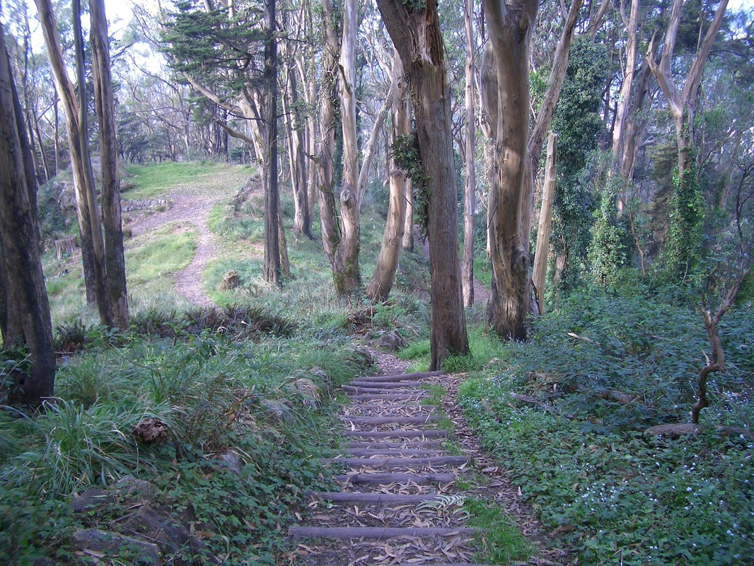
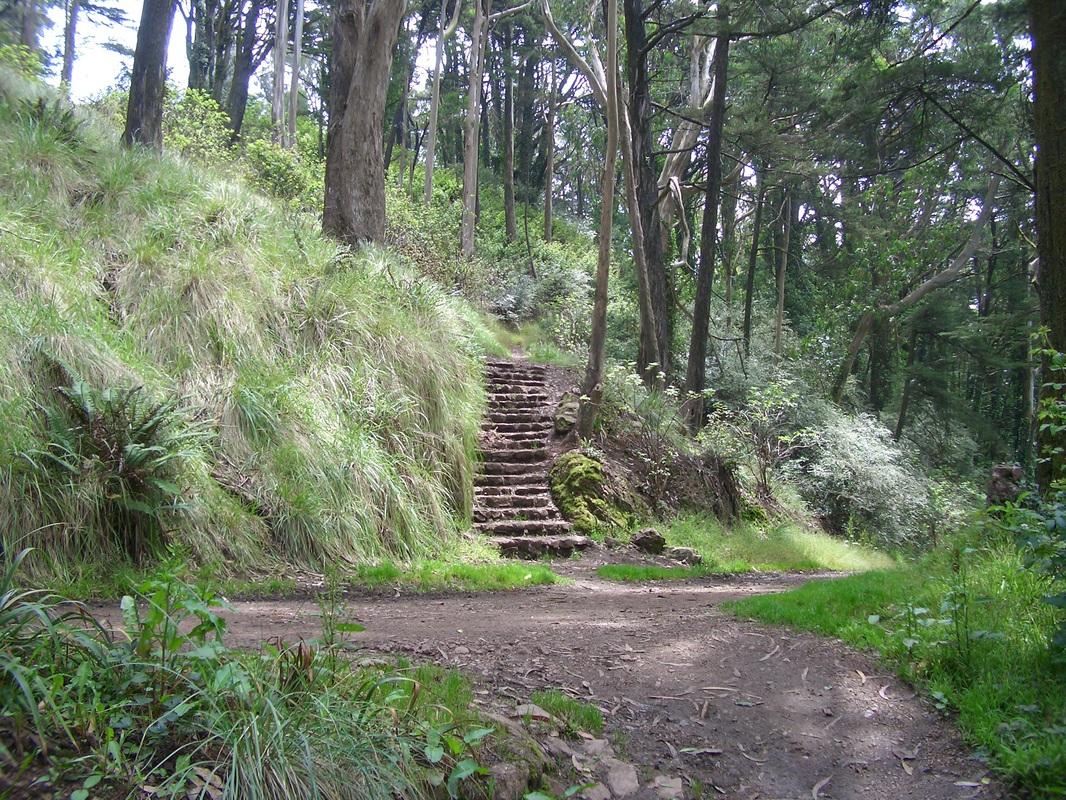
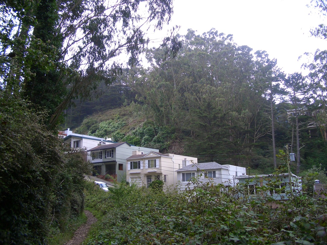
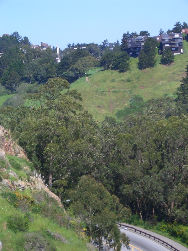
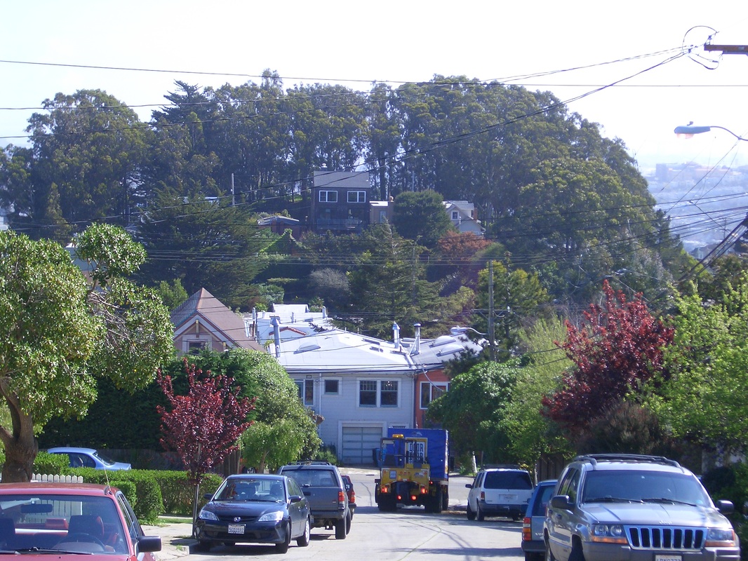
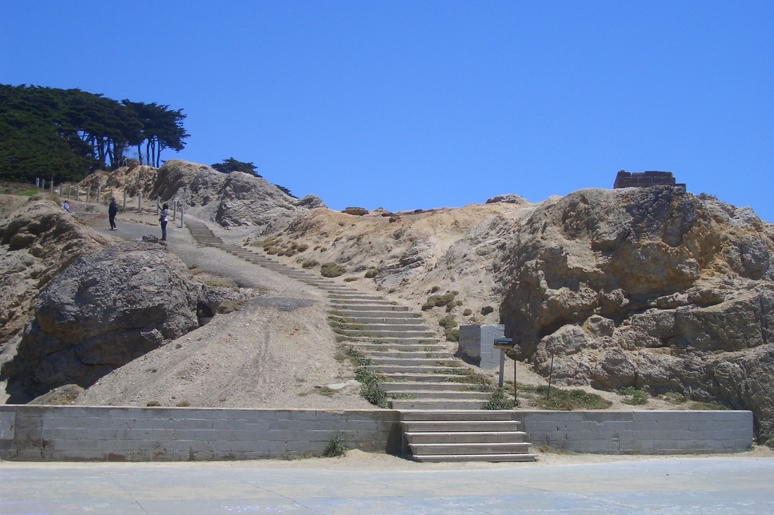
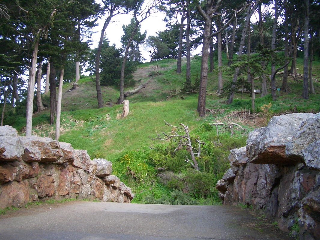
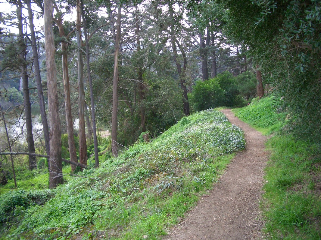
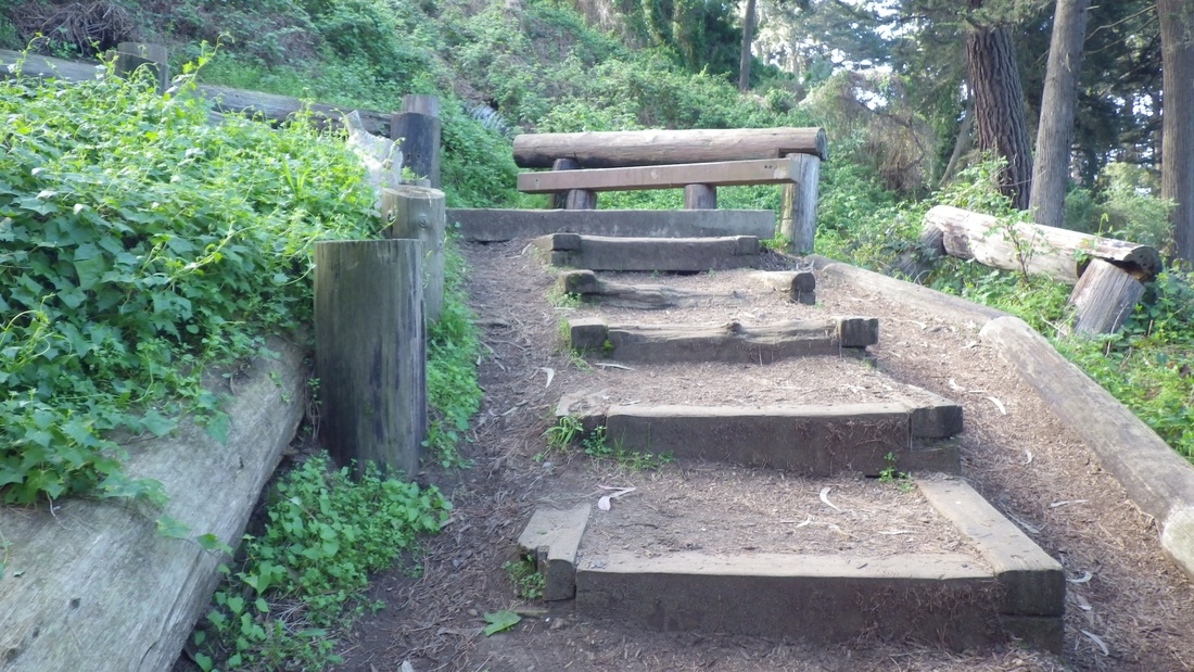
Coventry comes out at Hillcrest … and Sherwood … and Lansdale … and Dalewood … and Myra. All these streets end here at the main south trailhead for Mount Davidson Park (last four pics: the main trail up and the openspace). There's a bus shelter here for the #36 Teresita.
From the BART station, headed west several blocks to Hearst in the Sunnyside neighborhood and up the Detroit stairway, Mount Davidson's longest. Unlike Twin Peaks and Mount Sutro, Mount D's streets tend to wind round and round with too few connector stairways for walkers, so hikers can end up going out of their way as I did today, just wandering.
There are 70 steps for the first block of the Detroit stairway, Hearst to Monterey. There's a crosswalk here at busy Monterey for continuing to the top of the steps at Joost (first two pics). West on Joost a few blocks to Foerster, then north, the sign for Sunnyside Park ahead (third pic: upper steps in the park).
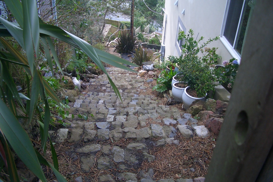
Directly across the street on Foerster from the main park entrance, Melrose here is not a through street. Continuing north a little way, however, it will take you up alongside concrete walls (fourth pic) where there's a little viewspace between homes.
Continued uphill from this viewspot to where Melrose meets Stanford Heights. Stanford Heights to Los Palmos … to Burlwood and back to Los Palmos … At Los Palmos and Hazelwood is a short connector called Globe Alley (fifth pic: 26 steps and a walkway) out to Cresta Vista (here checking out the view south between homes as I meandered again to the east: sixth pic). On Cresta Vista there are no street signs for a short distance until this curvy street meets Coventry, at the dead-end of which is a short walkway enclosed by backyard fences (pix 7 and 8).
Coventry comes out at Hillcrest … and Sherwood … and Lansdale … and Dalewood … and Myra. All these streets end here at the main south trailhead for Mount Davidson Park (last four pics: the main trail up and the openspace). There's a bus shelter here for the #36 Teresita.
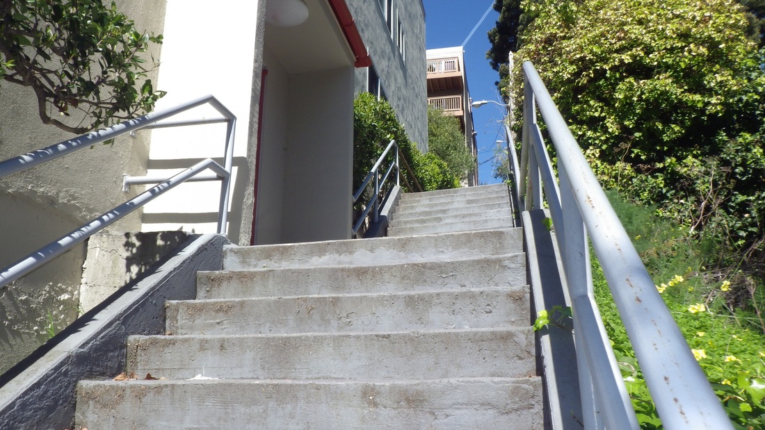
1. Detroit stairway, Hearst to Joost
2. Top of Detroit stairway at Joost, Sunnyside
3. Sunnyside Park's upper steps
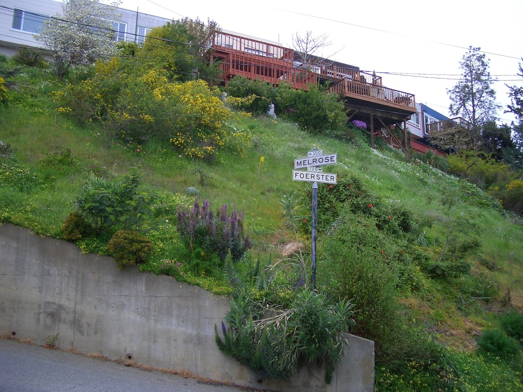
4. Melrose & Foerster
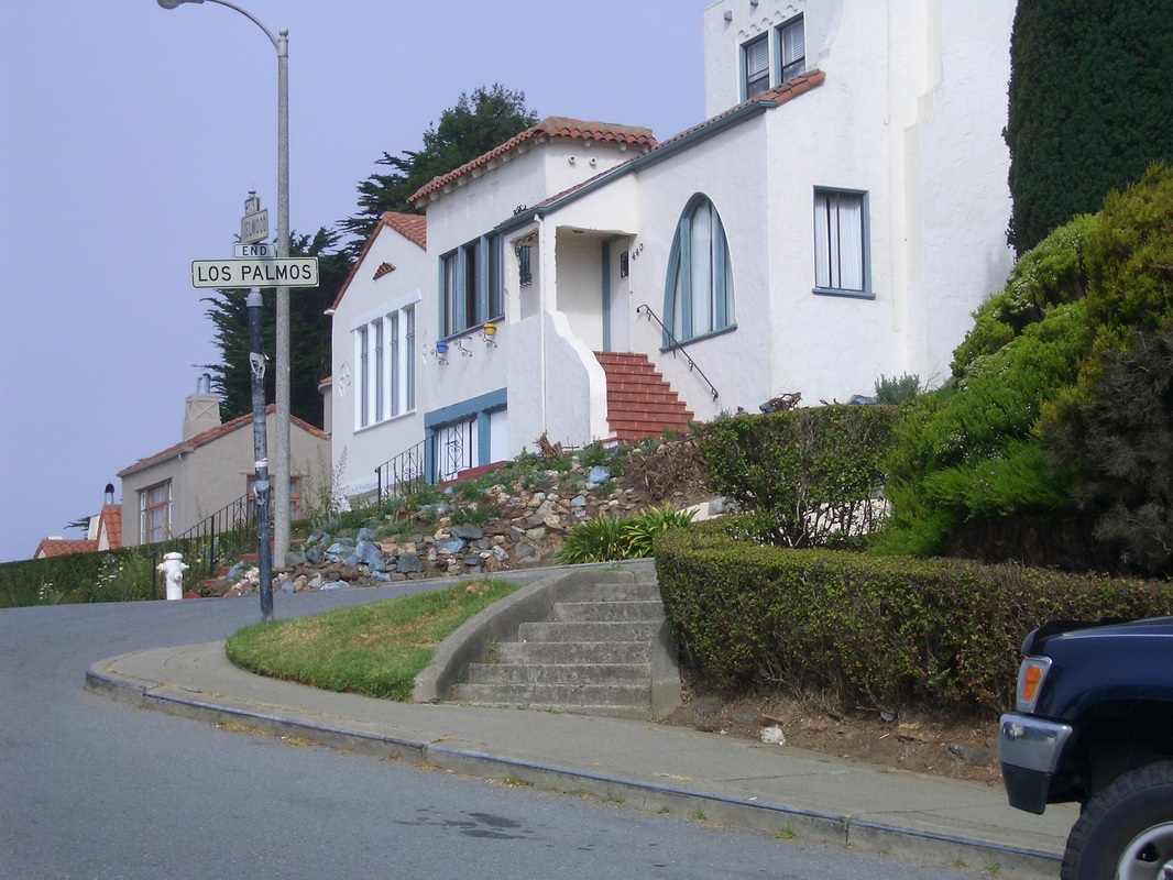
5. Globe Alley, Los Palmos to Cresta Vista
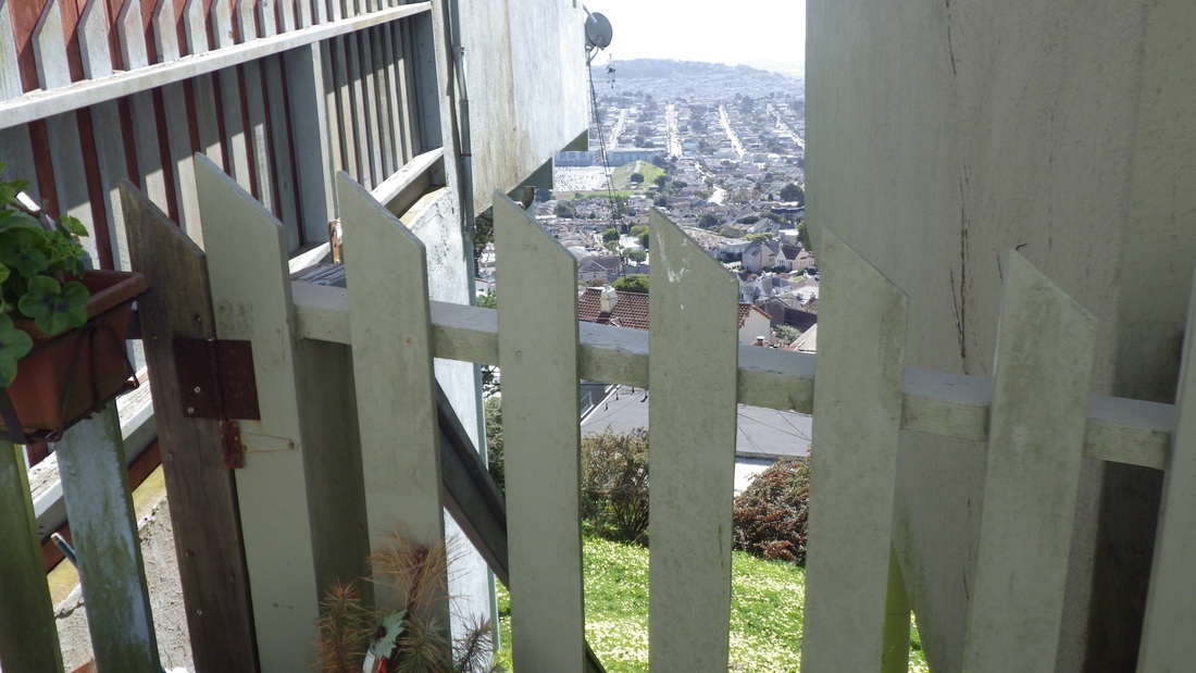
6. A view down from Cresta Vista
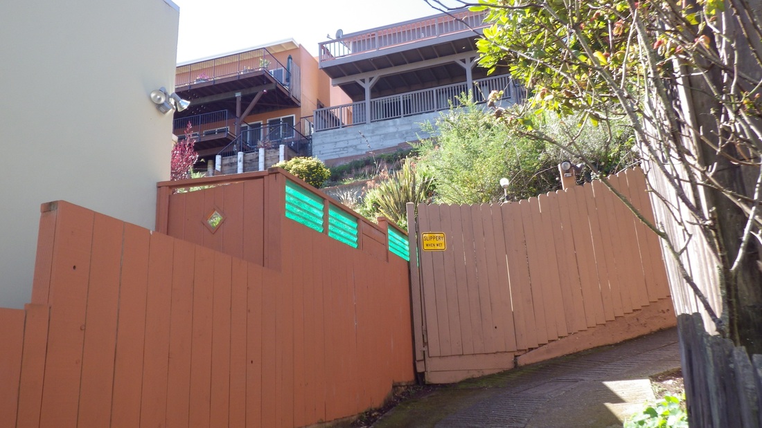
7. Coventry Lane up to Hillcrest
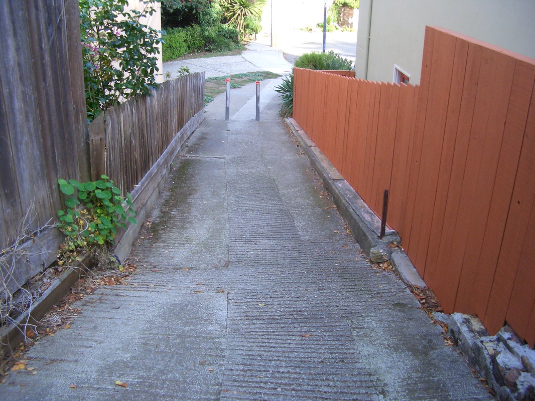
8. Coventry Lane
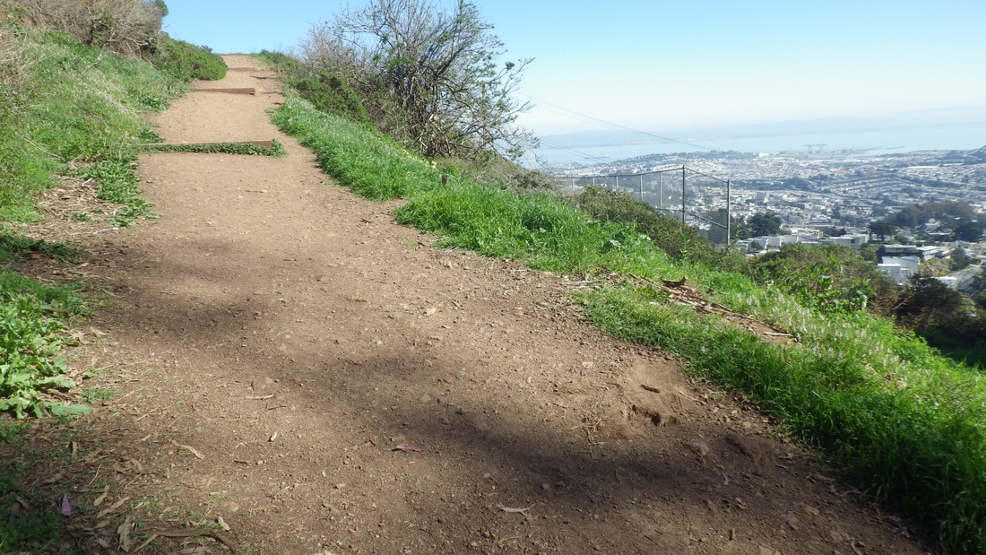
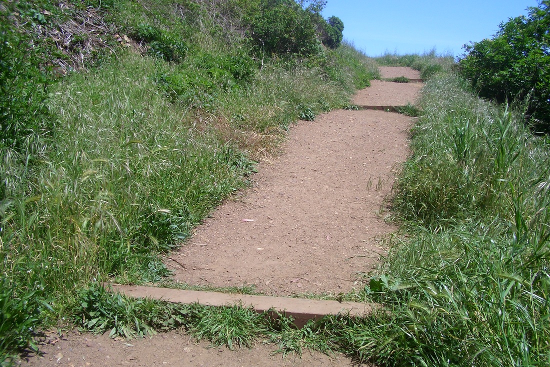
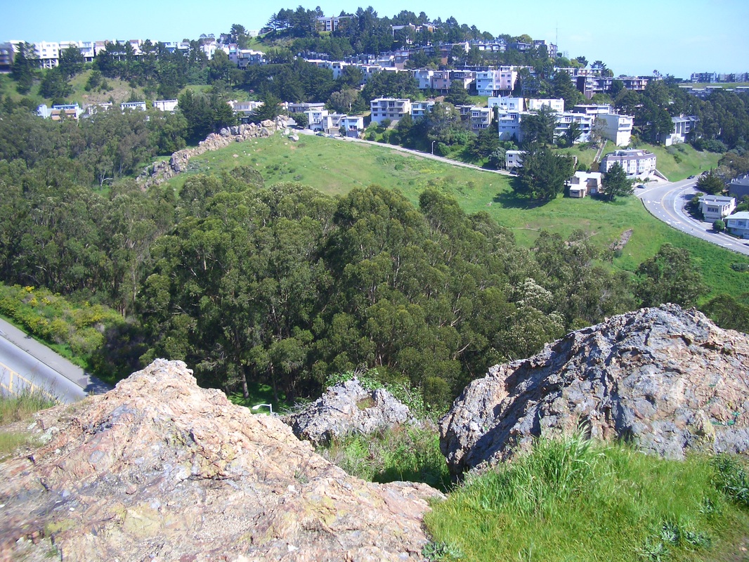
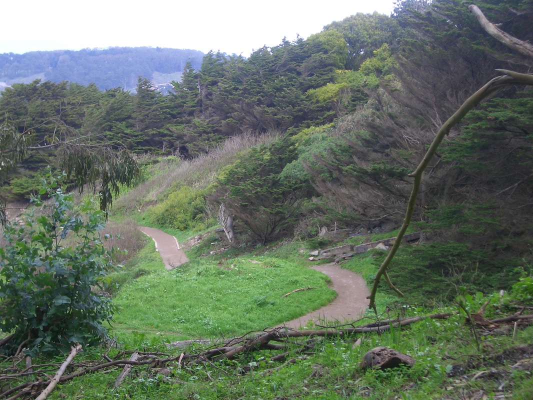
9. Trail into Mount Davidson Park from south main entrance
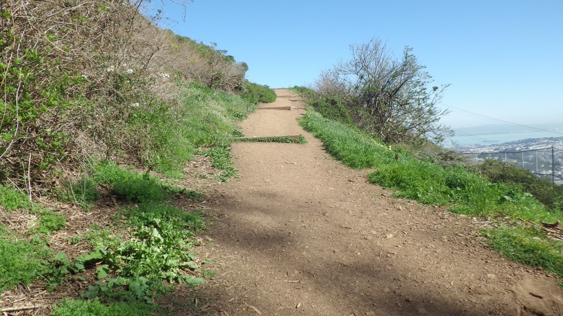
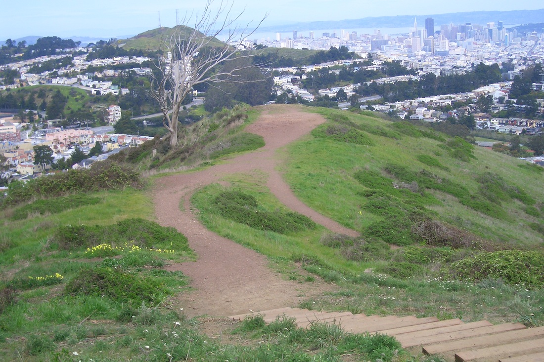
10. Trail up to Mount Davidson Park's Openspace
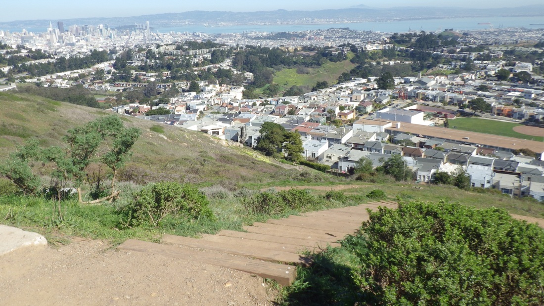
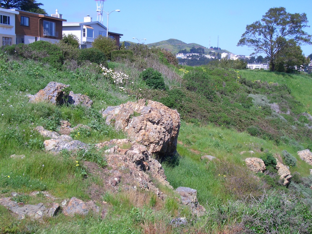
11. Diamond Heights and Glen Canyon center; Miraloma Park 'hood below
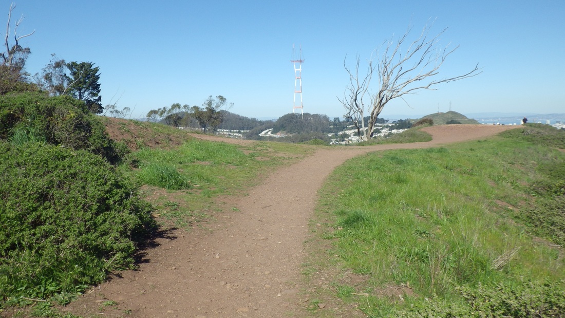
12. Mount Sutro center; Twin Peaks right, from Mount Davidson Park's summit openspace
 RSS Feed
