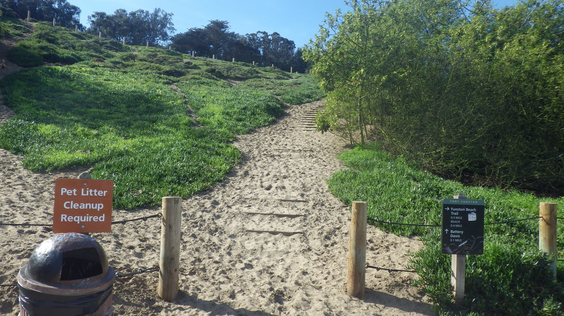
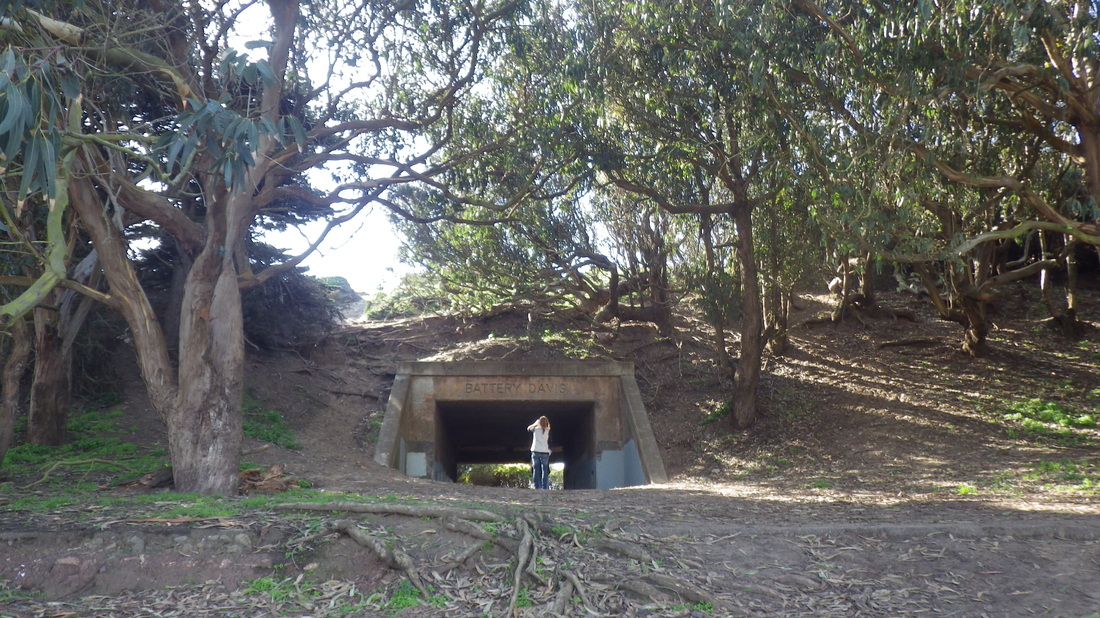
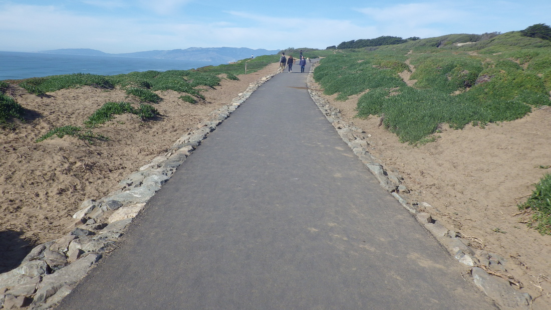
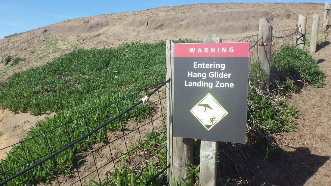
Mansell, the divided street that’s part of Mclaren Parek, is getting a huge facelift to make it more pedestrian and bike friendly. The upper part is closed off and the #29 has to detour a tad when it gets to the top of Persia in the Excelsior neighborhood. But it still goes to the park.
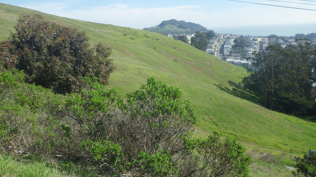
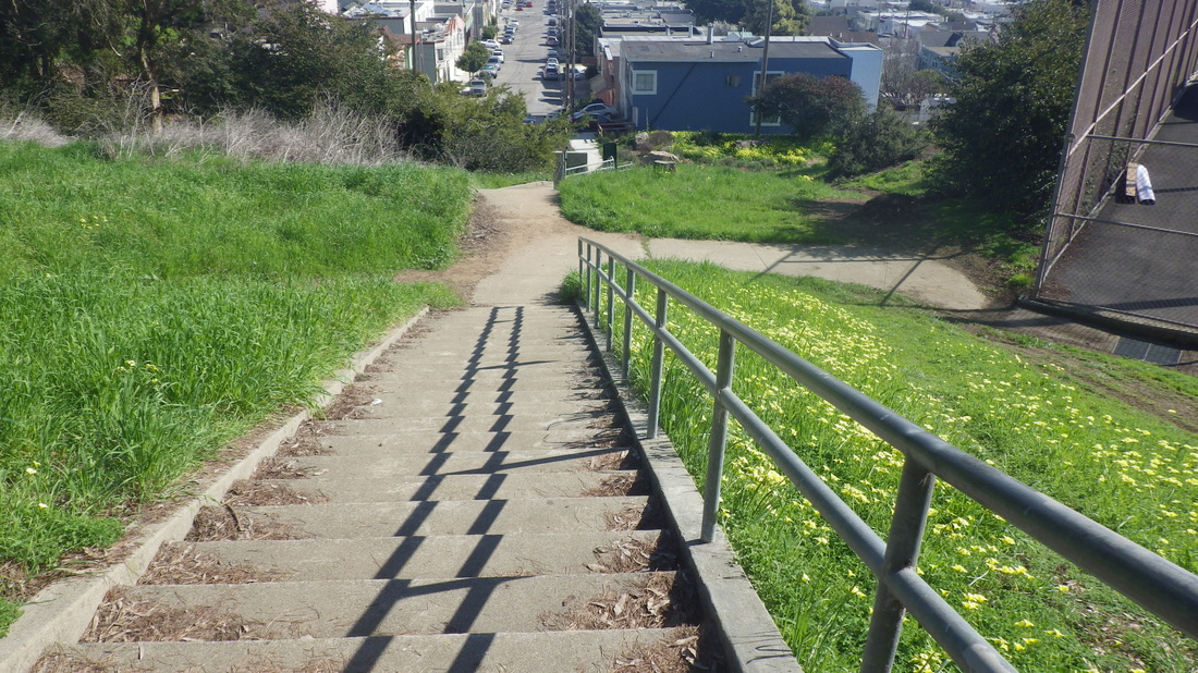
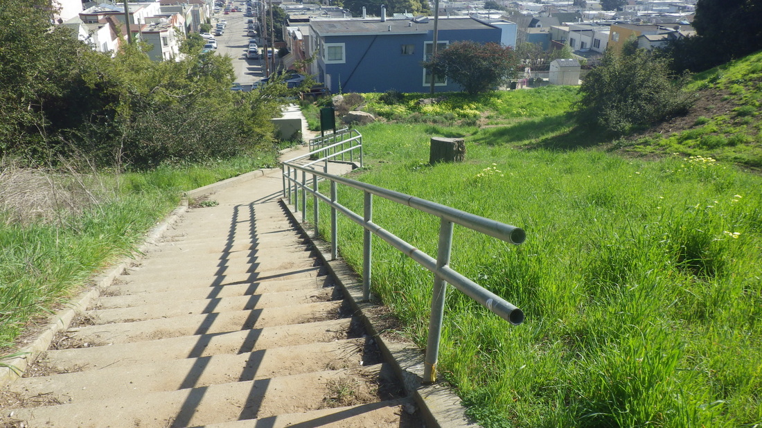
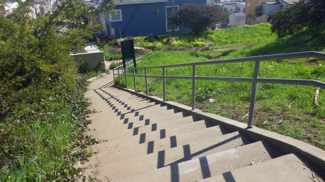
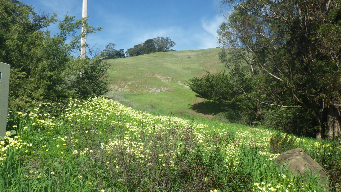
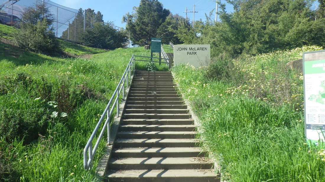
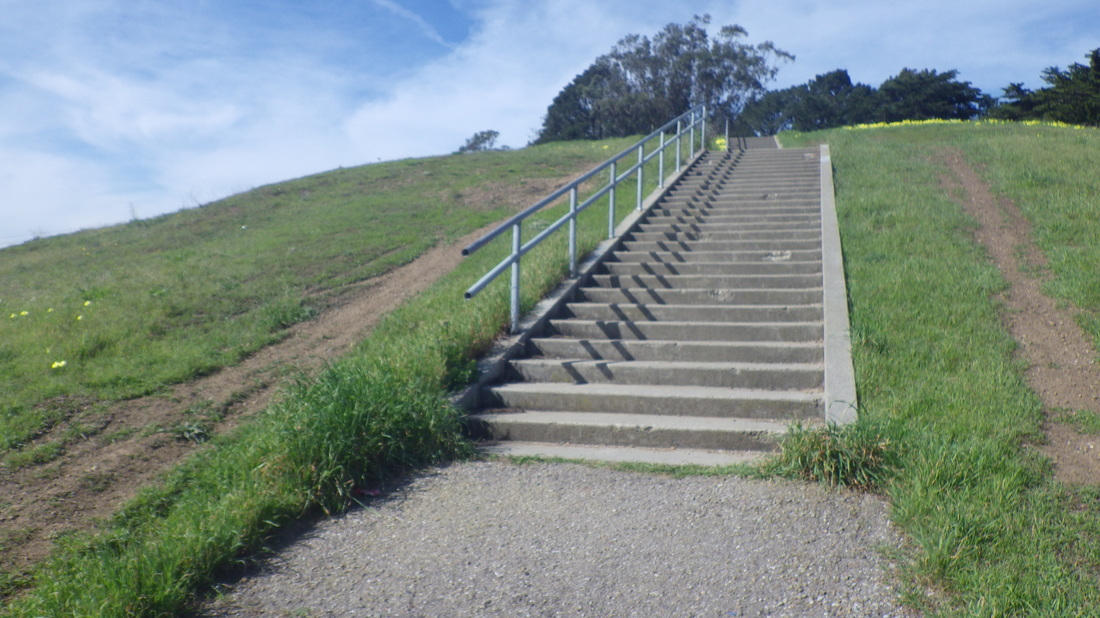
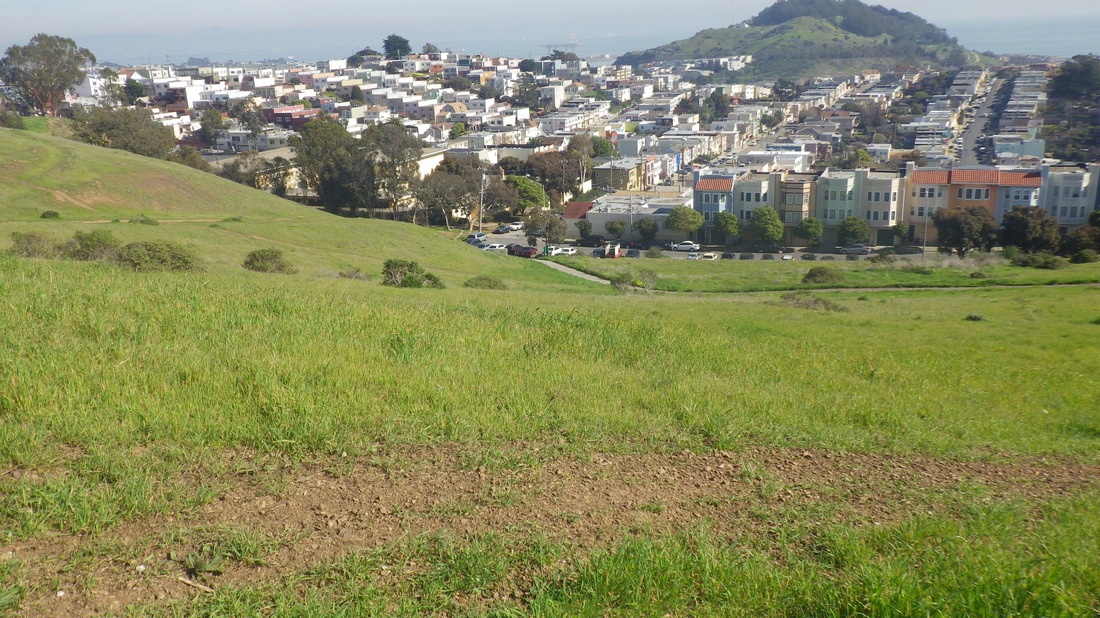
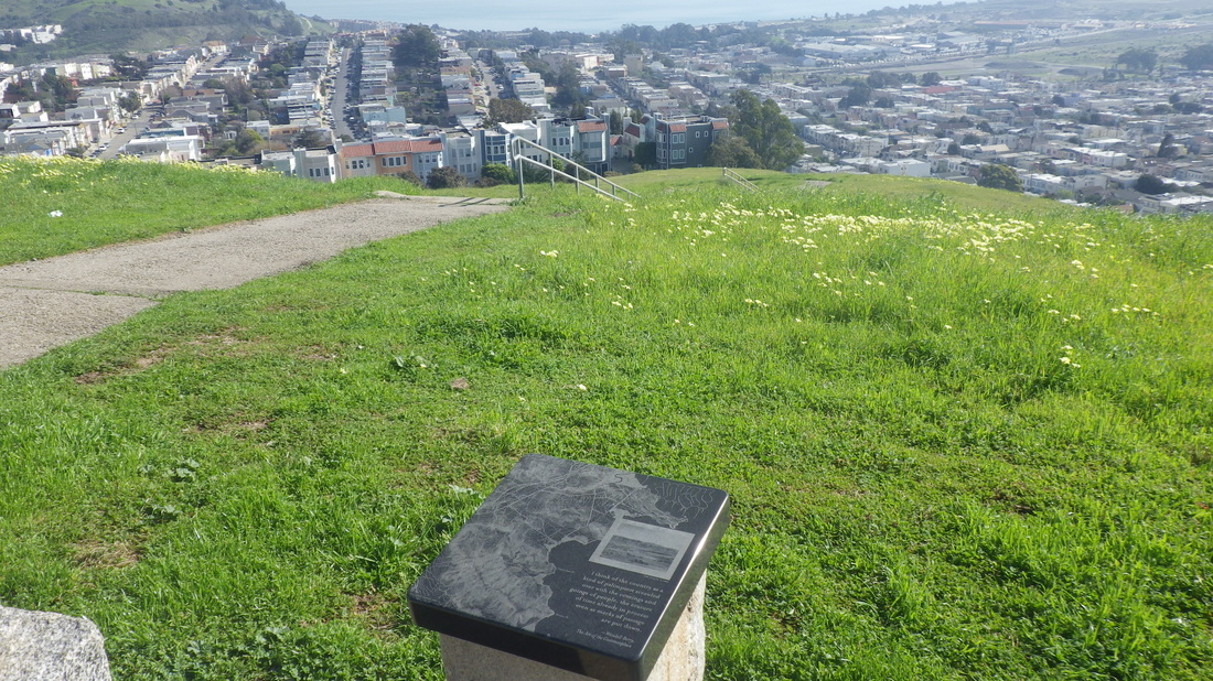
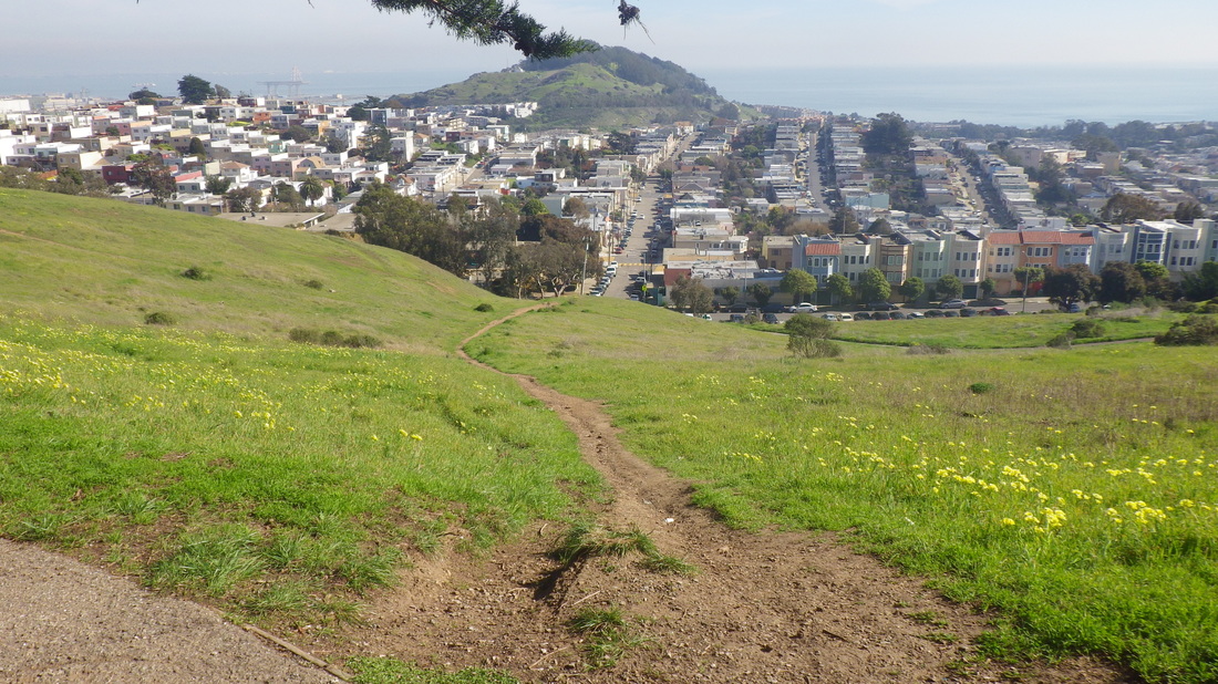
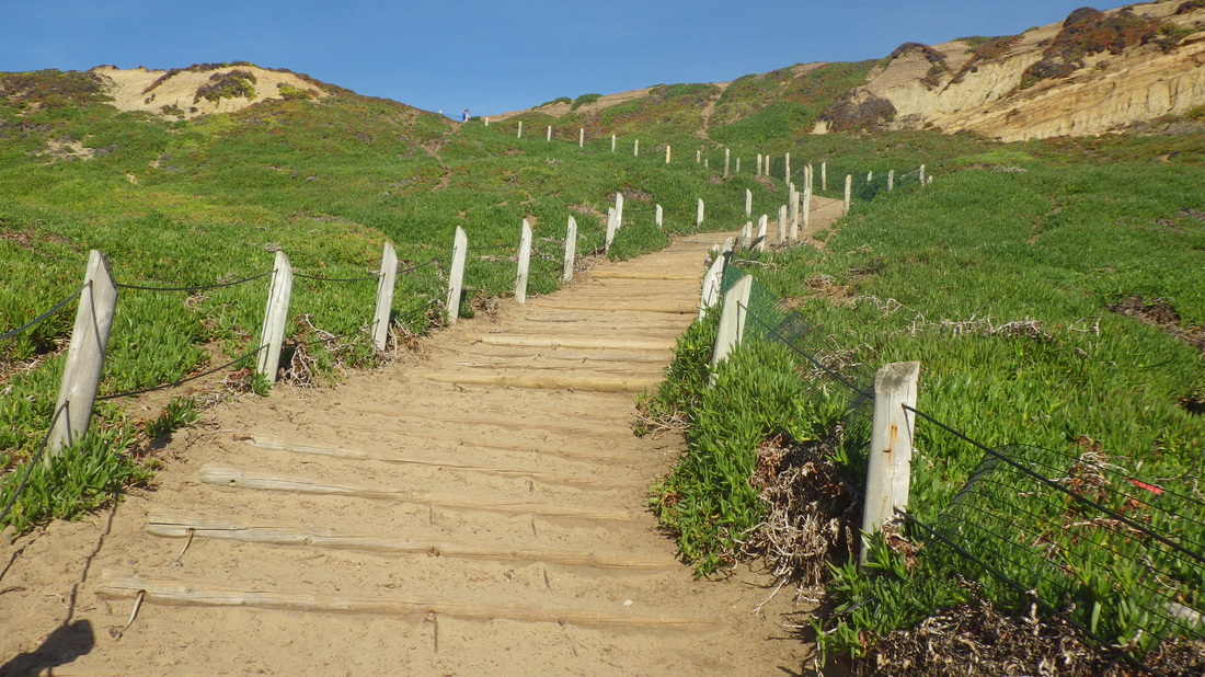
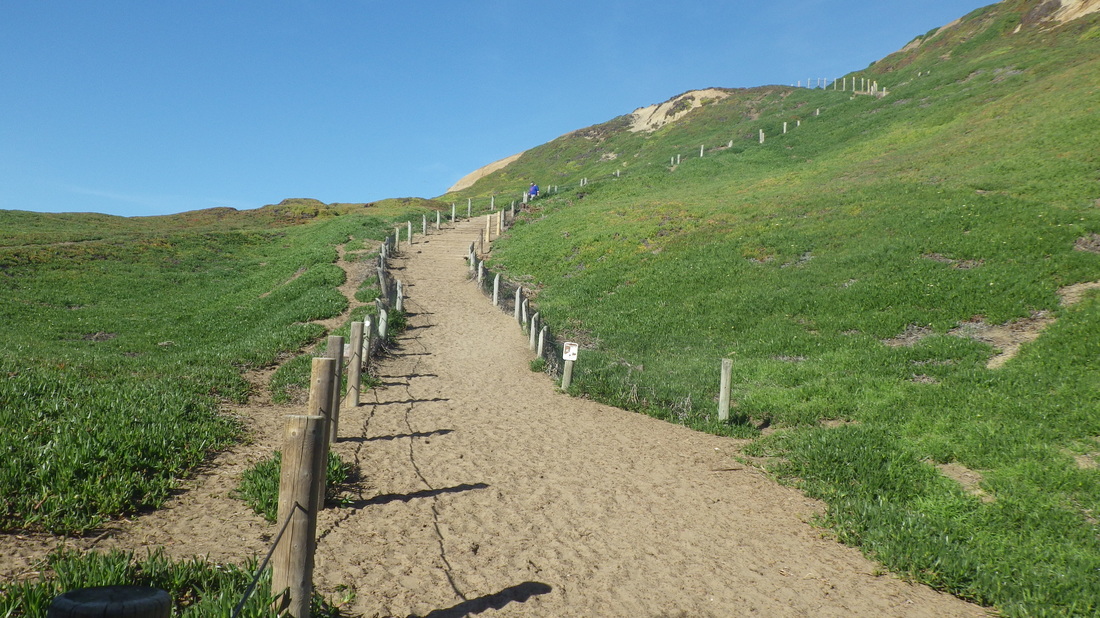
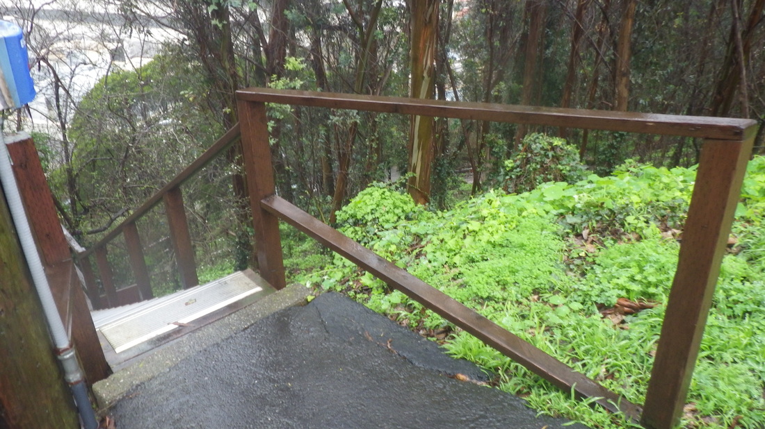
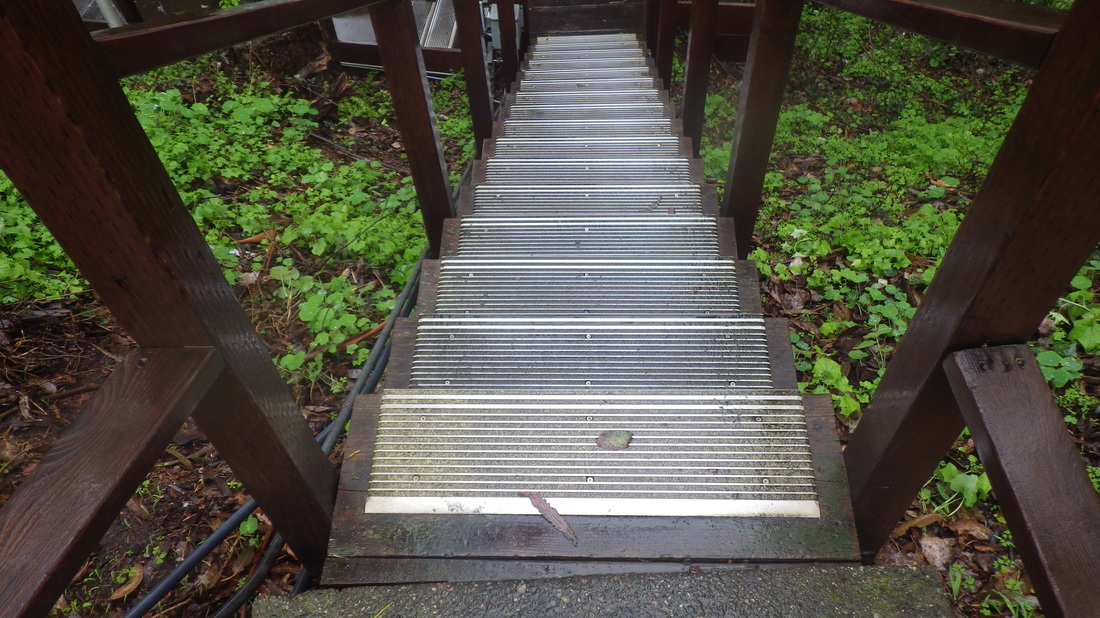
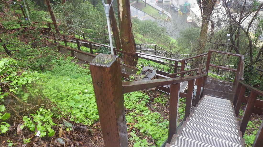
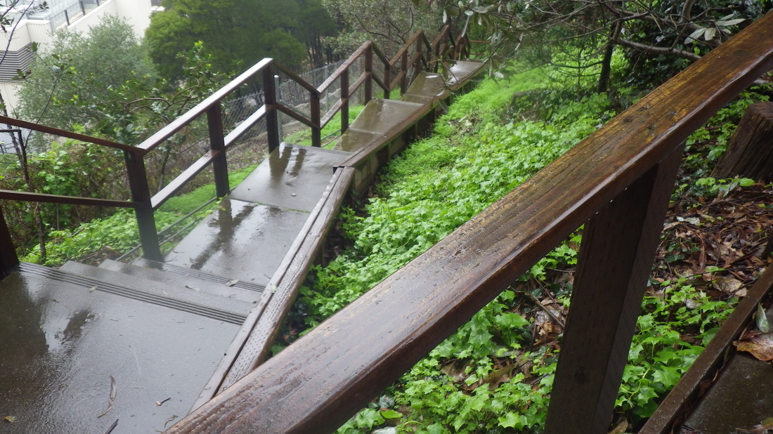
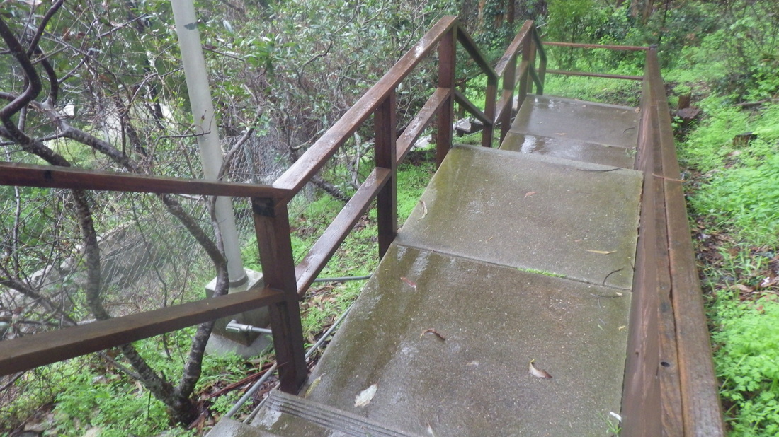
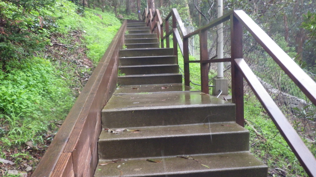
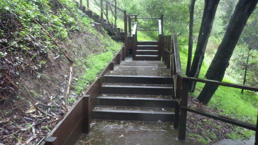
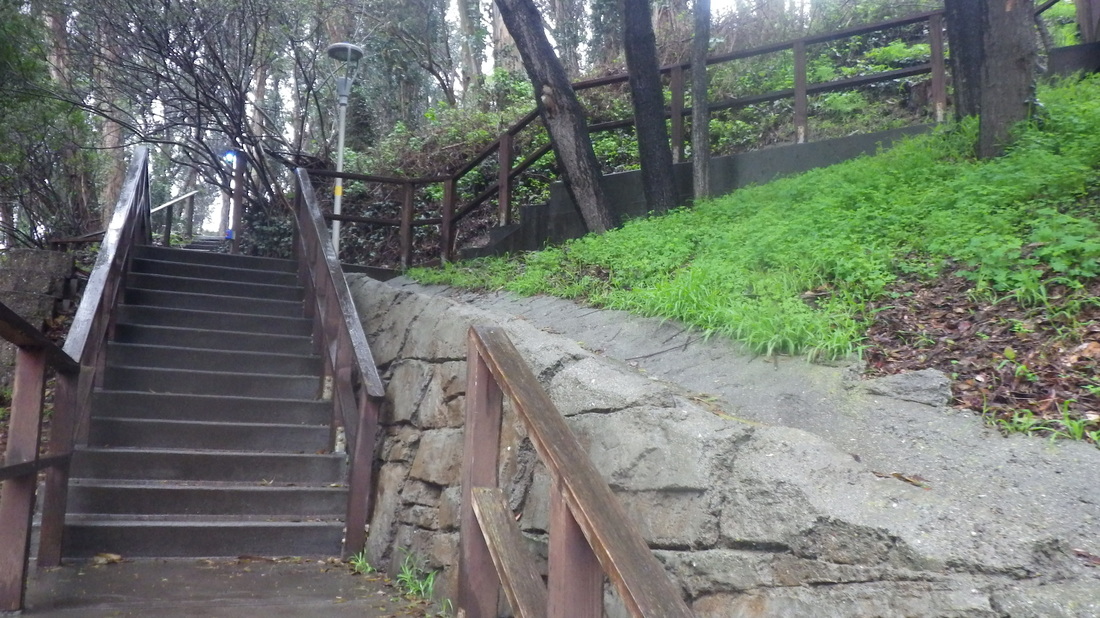
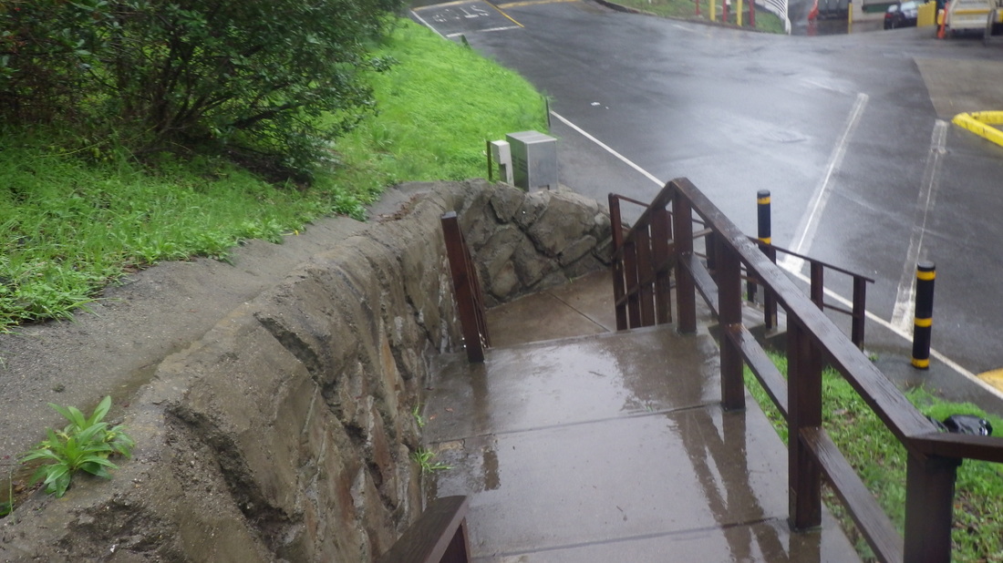
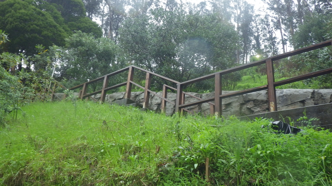
Disembarked at Visitacion Ave. and downhilled to the top of the park’s longest stairway (195 steps), Visitacion to Campbell, to experience its green-and-yellow beauty: 1 thru 14.
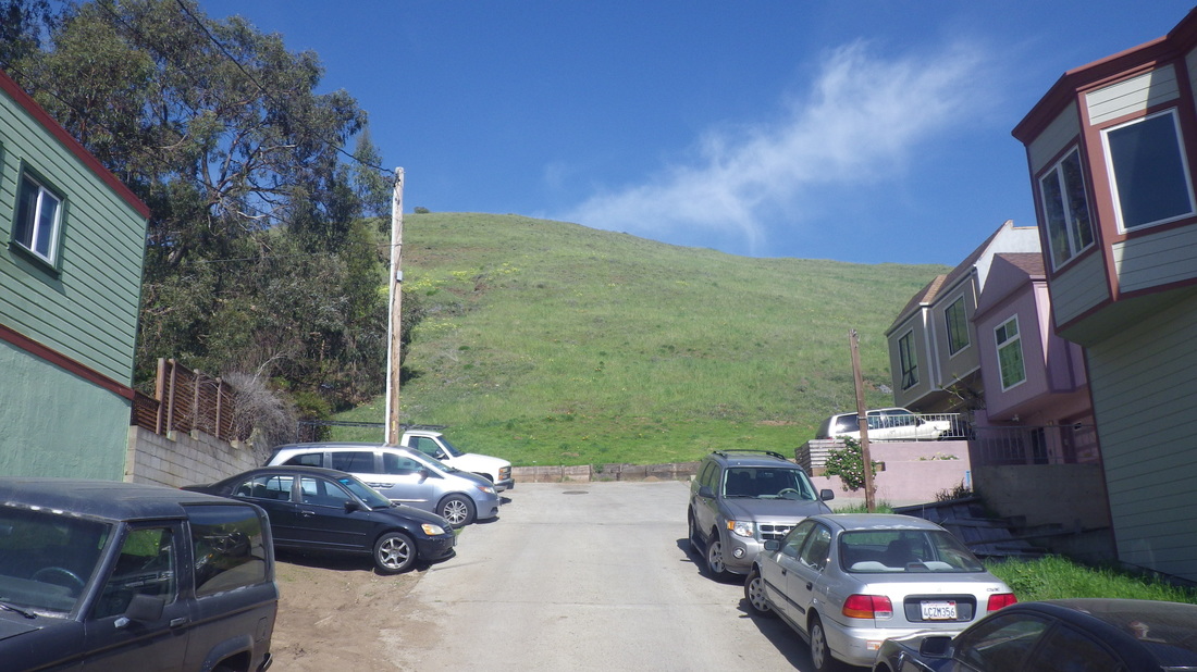
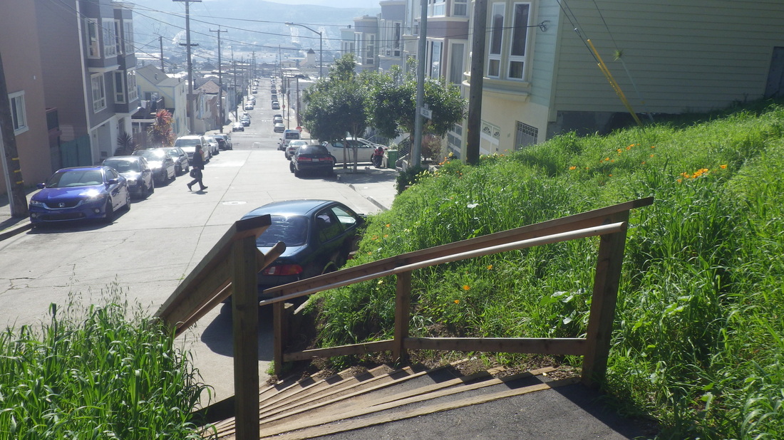
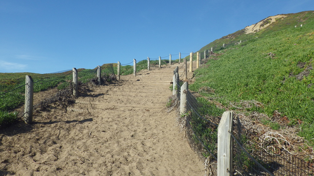
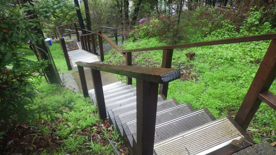
At the foot, started back up again on Delta in the Visitacion Valley neighborhood for the second openspace stairway/trail back into the park.
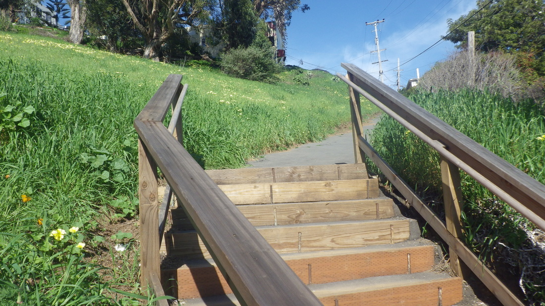
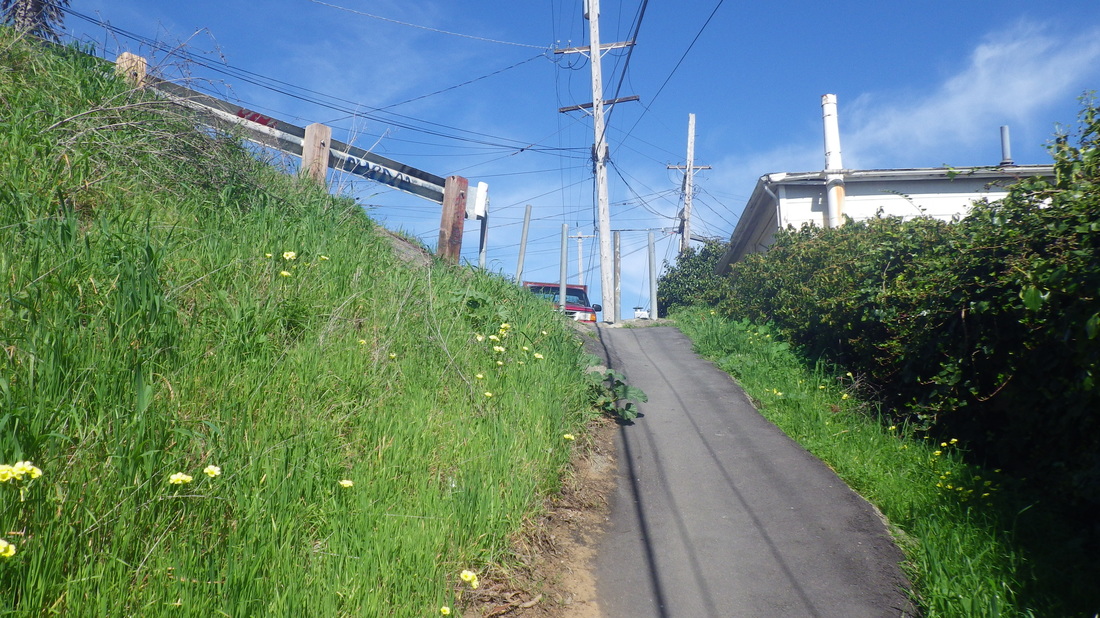
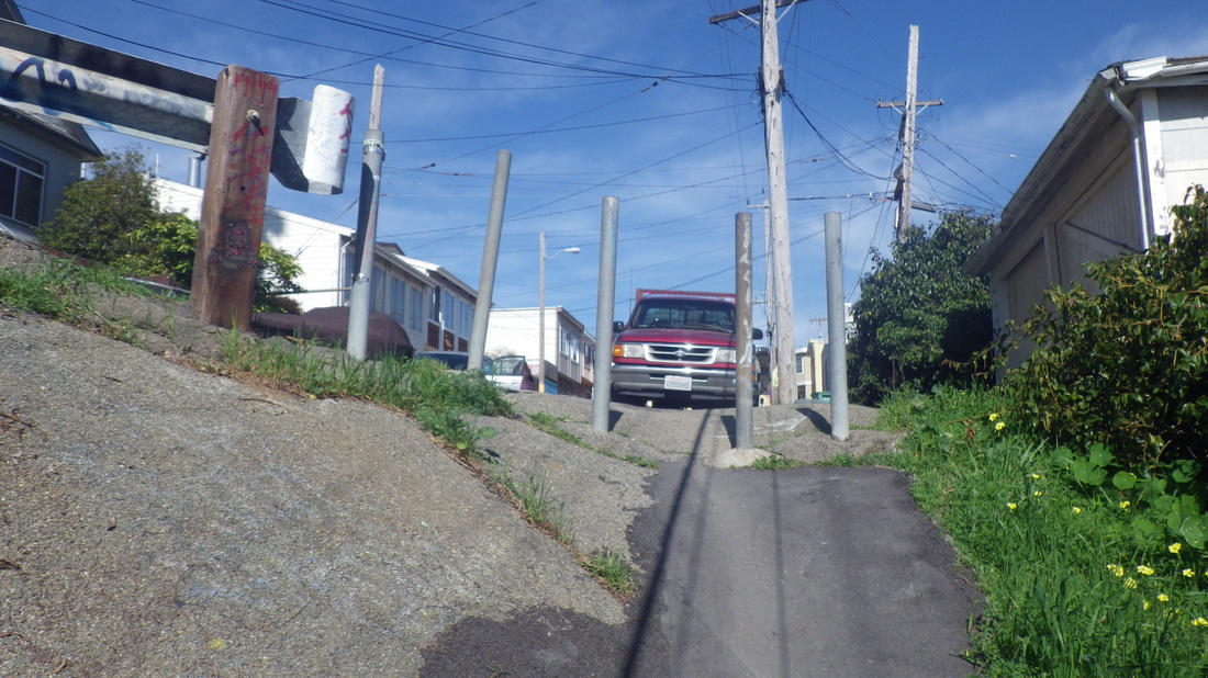
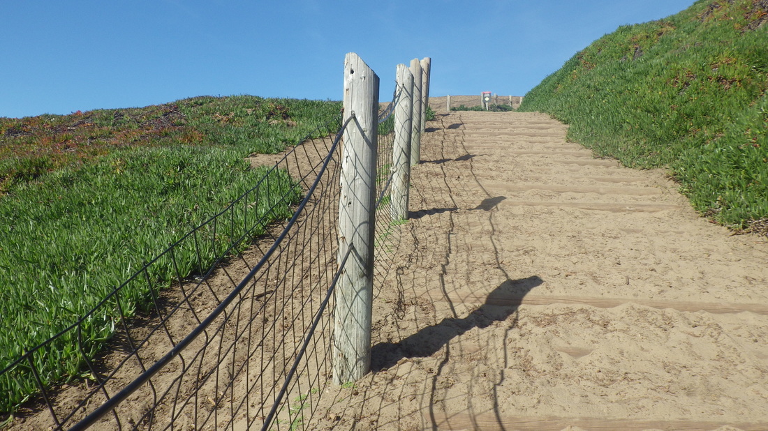
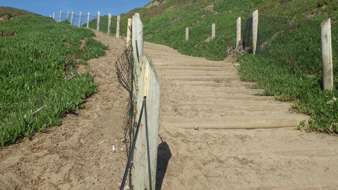
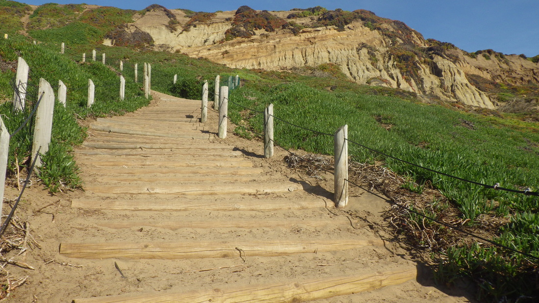
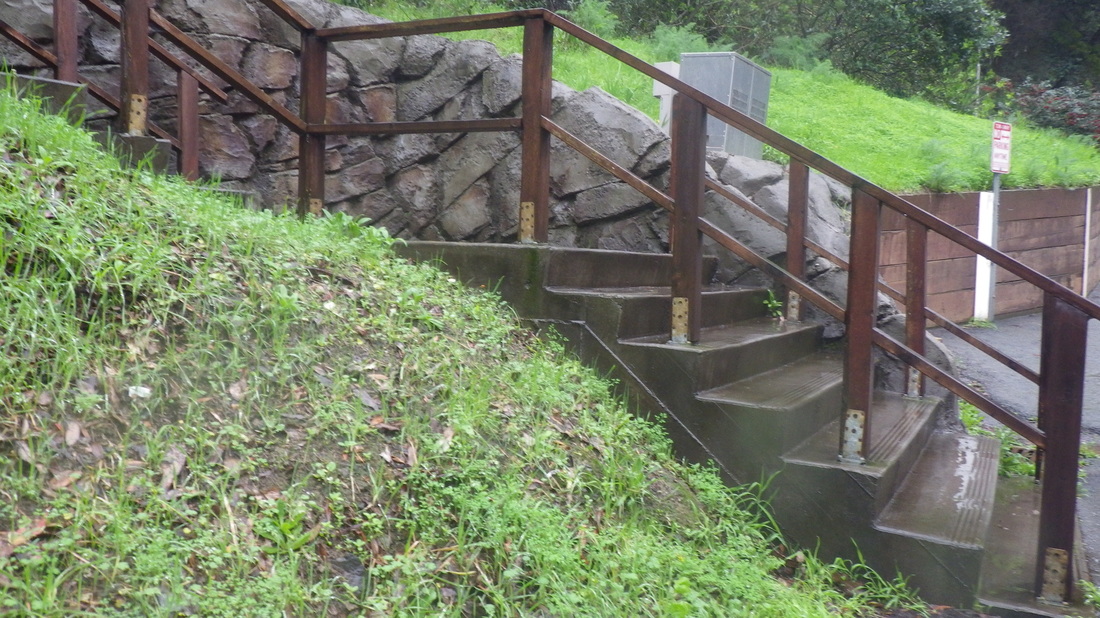
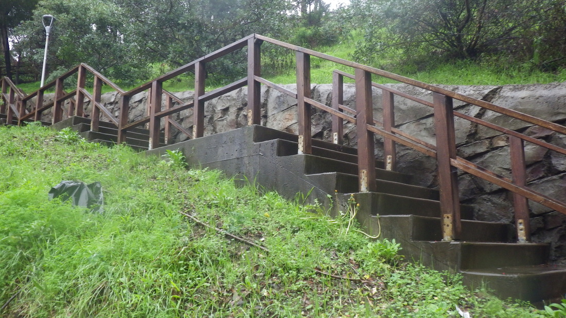
Last time wen trudging up Delta, this steep walkers’ path had potholes that needed filling and eight very old concrete steps at the foot.
Now there are 10 new wood-and-concrete steps with wood railings on both sides when you first start up. The walkway has been repaved and it’s now a smooth climb: 15 thru 22
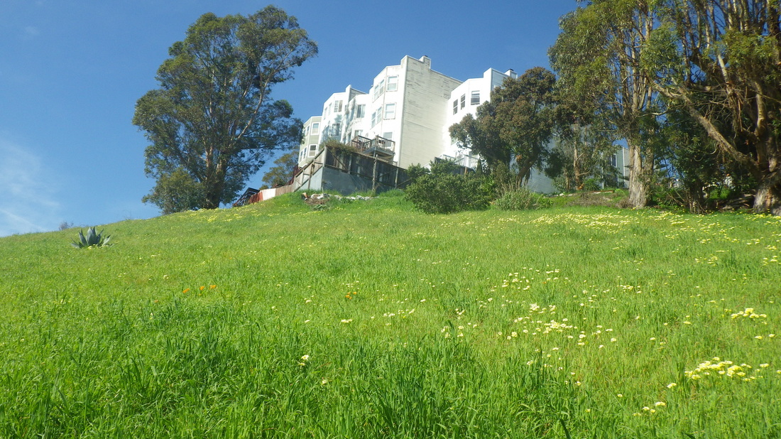
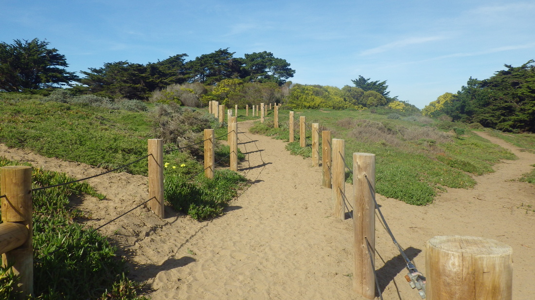
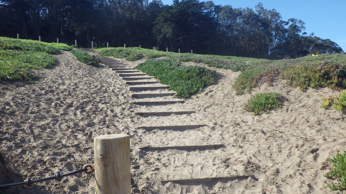
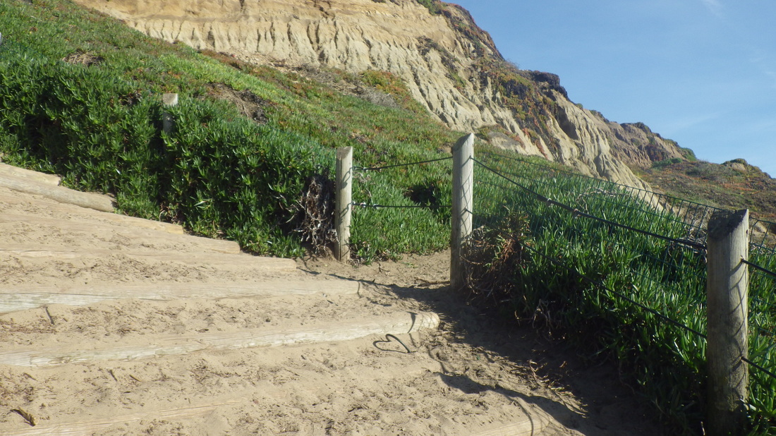
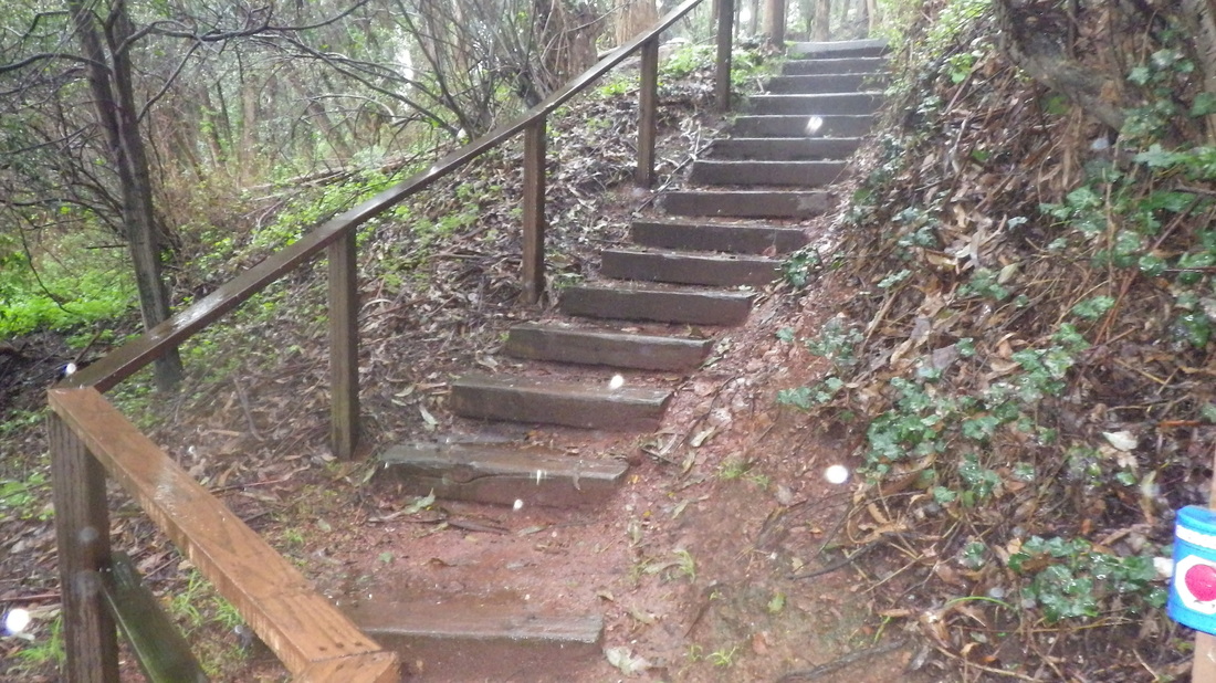
Had to check out the greenness of this second Vis Valley trailHead that starts at Ervine and Wilde.
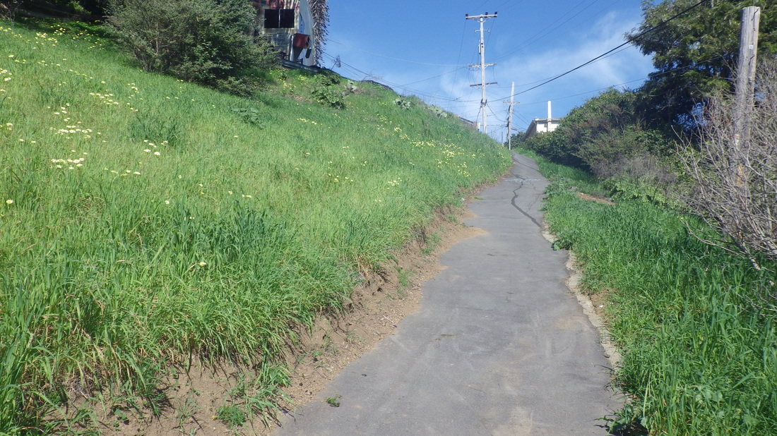
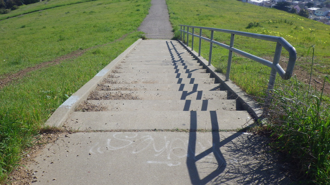
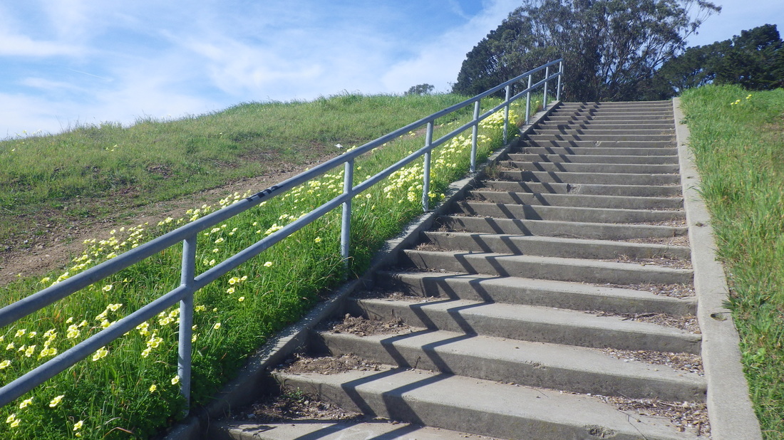
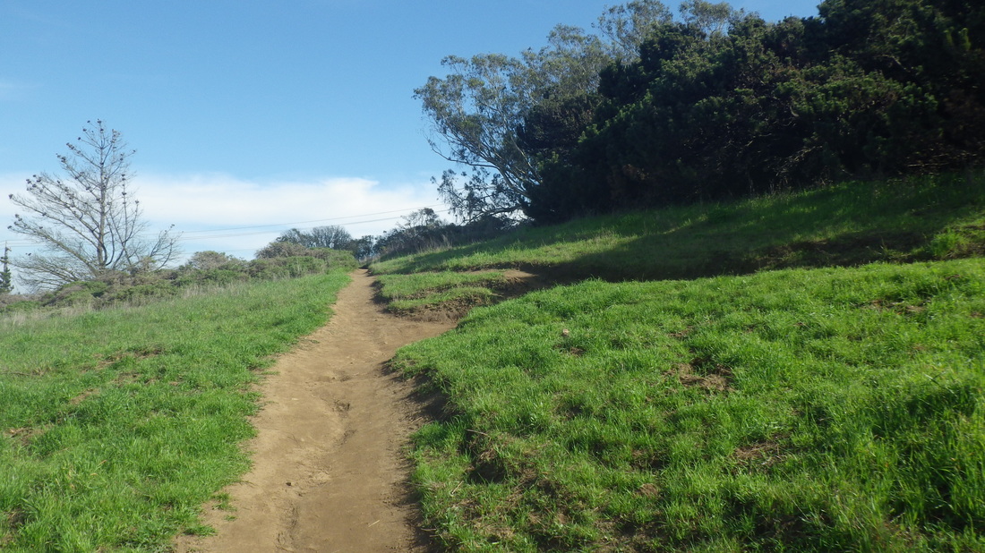
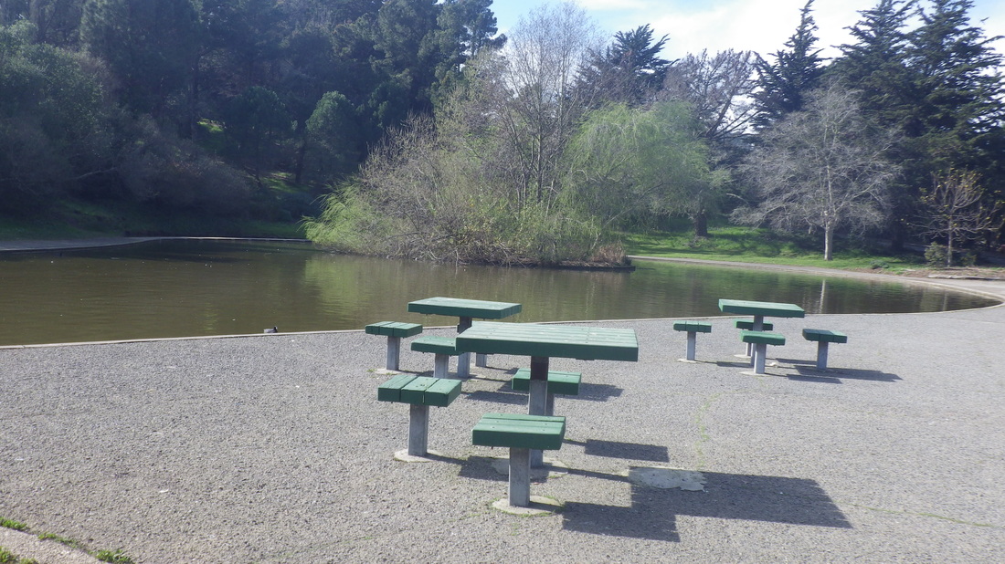
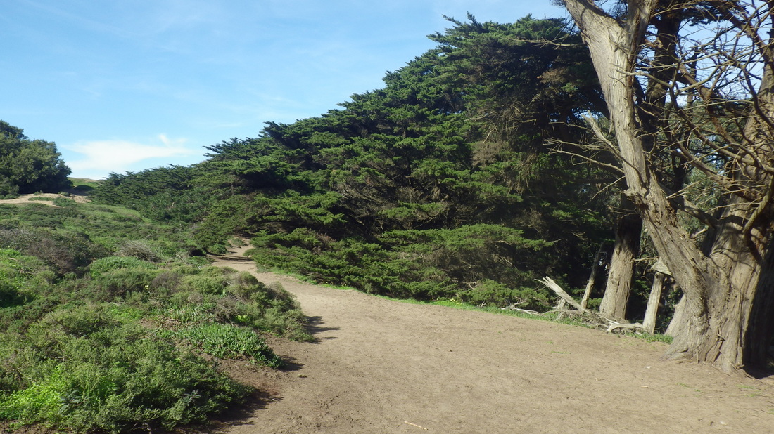
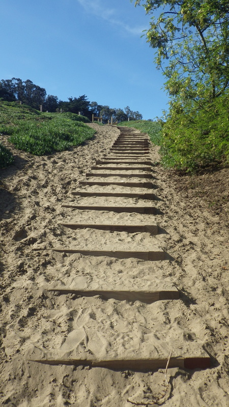
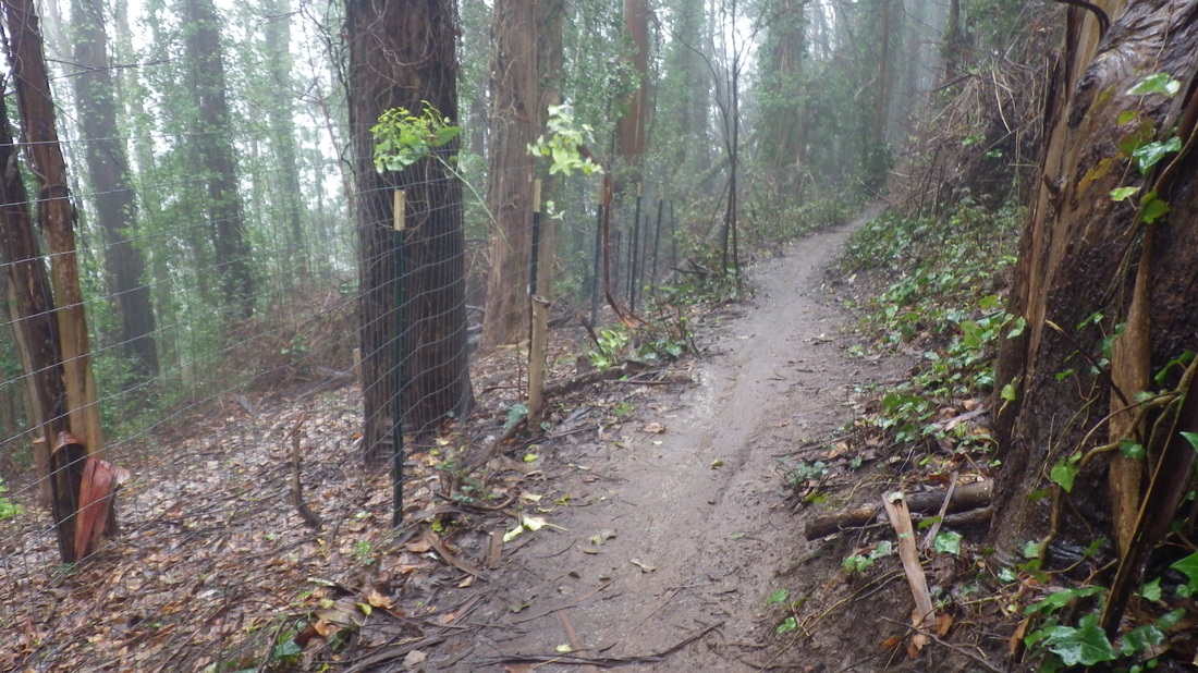
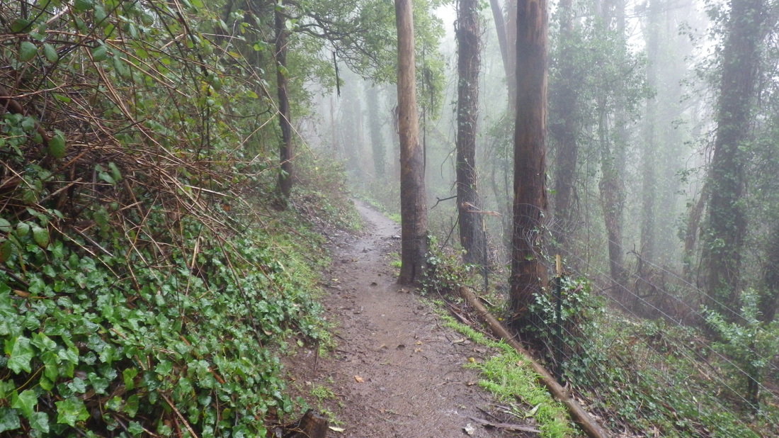
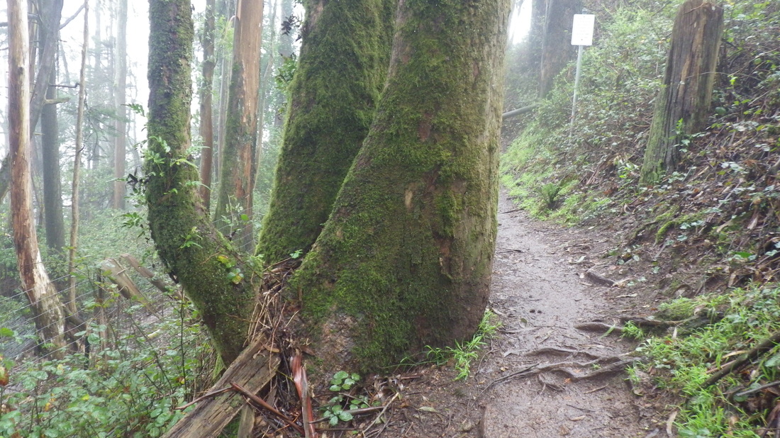
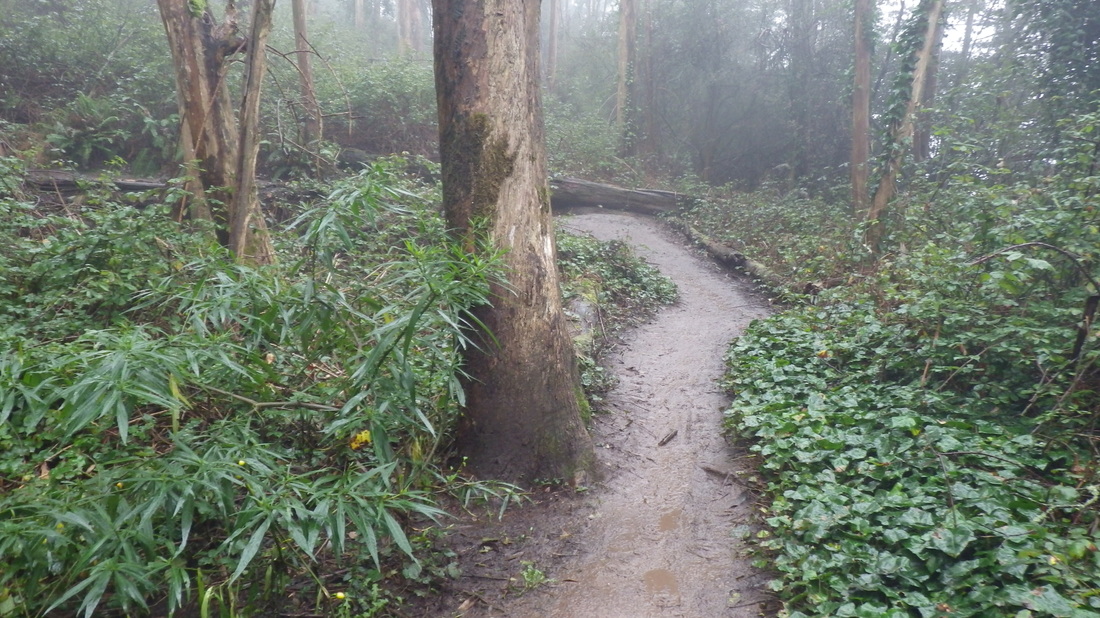
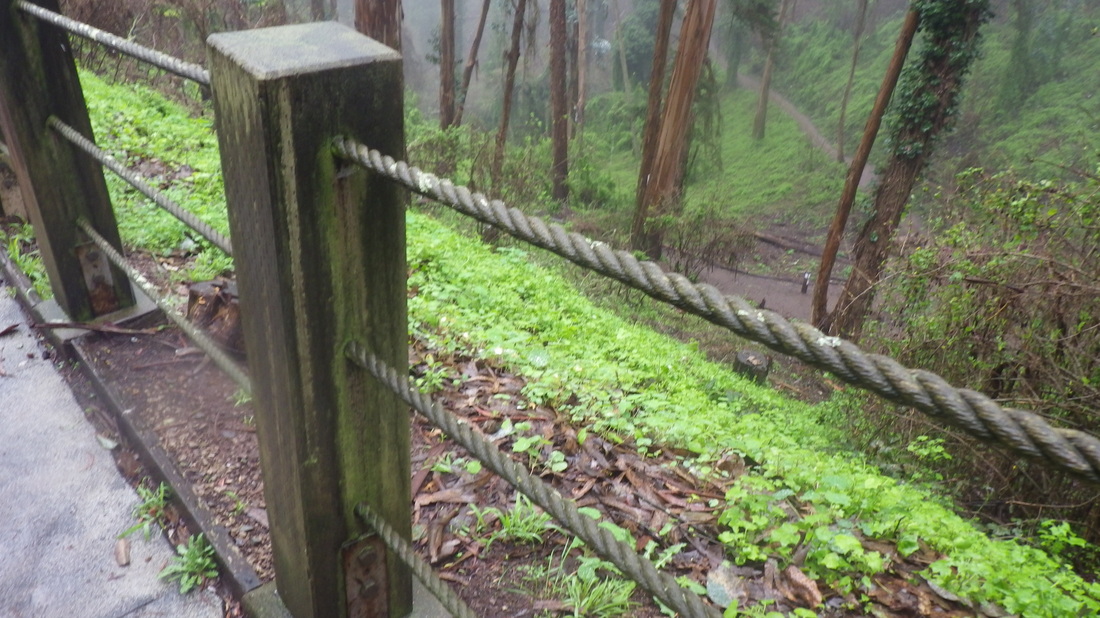
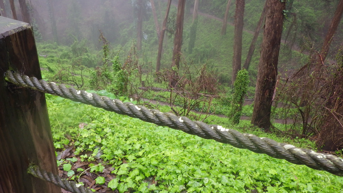
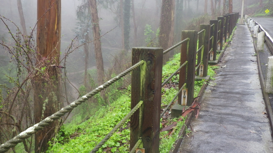
At first you don’t see any stairs. After winding steeply around a bit, 57 steps lead to the picnic area just off Mansell/Visiitacion:23 thru 32
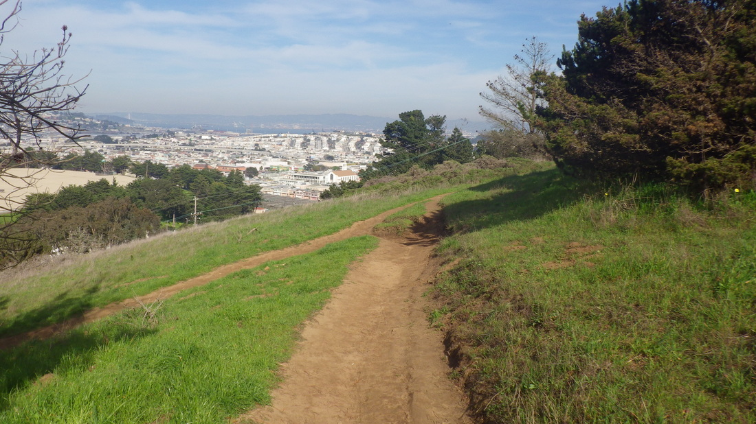
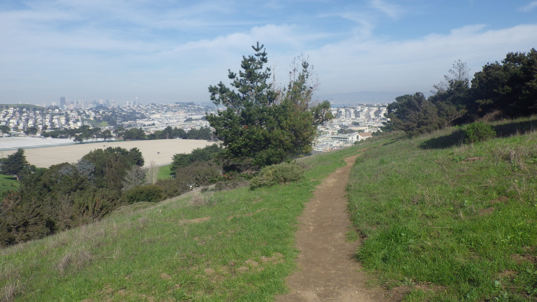
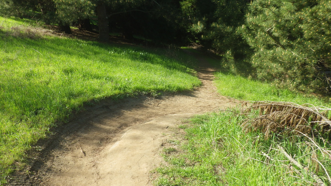
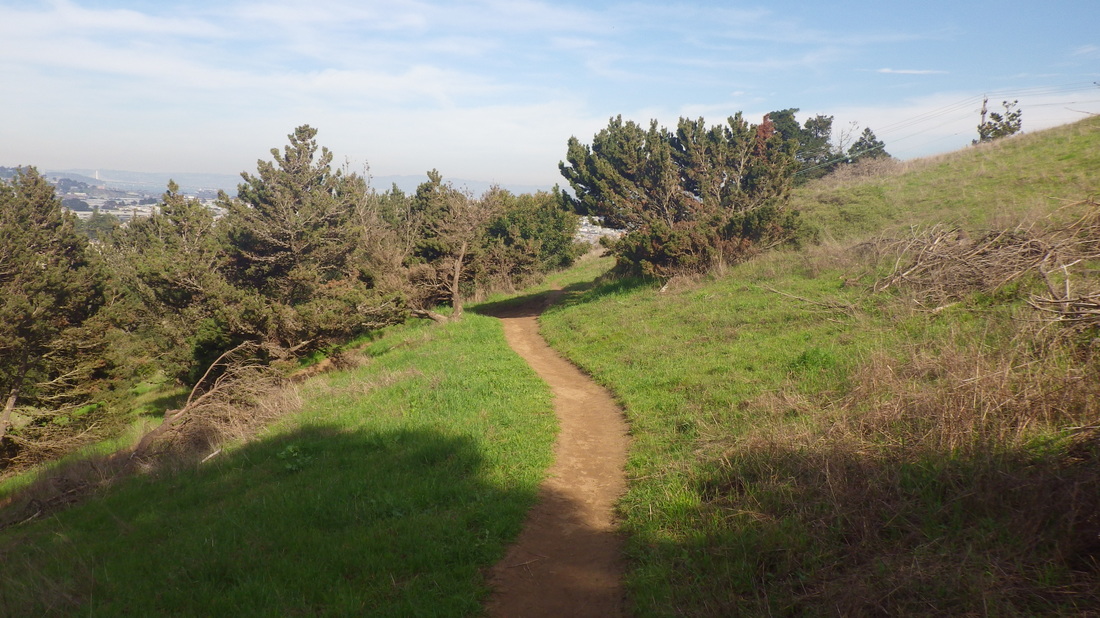
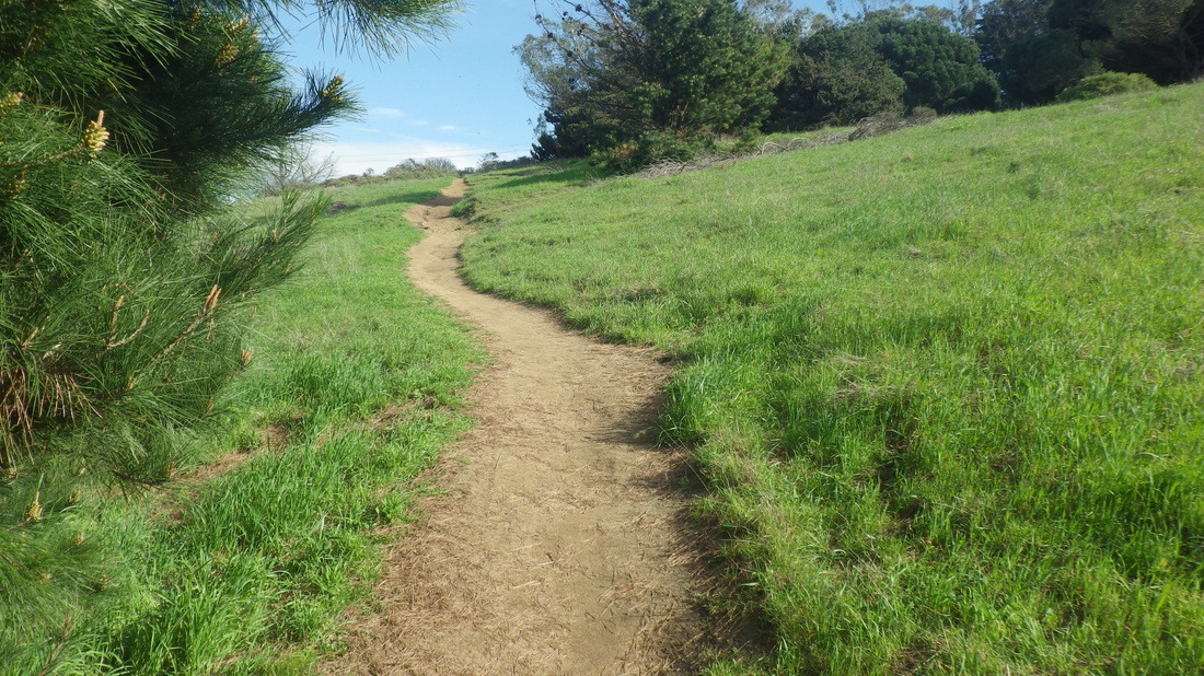
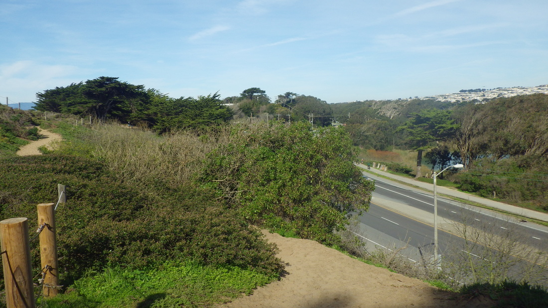
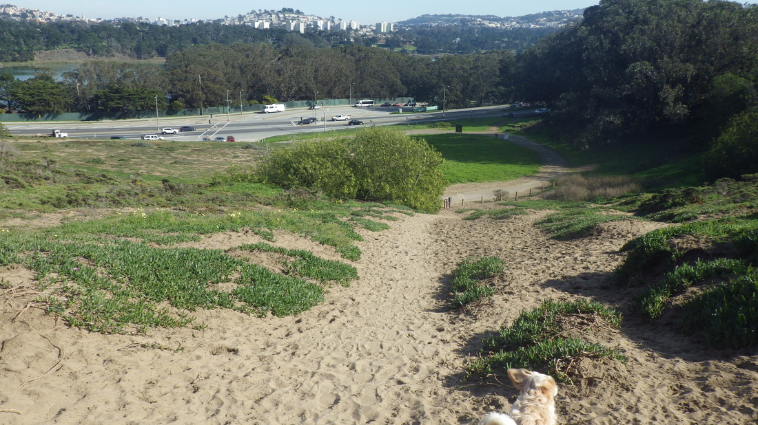
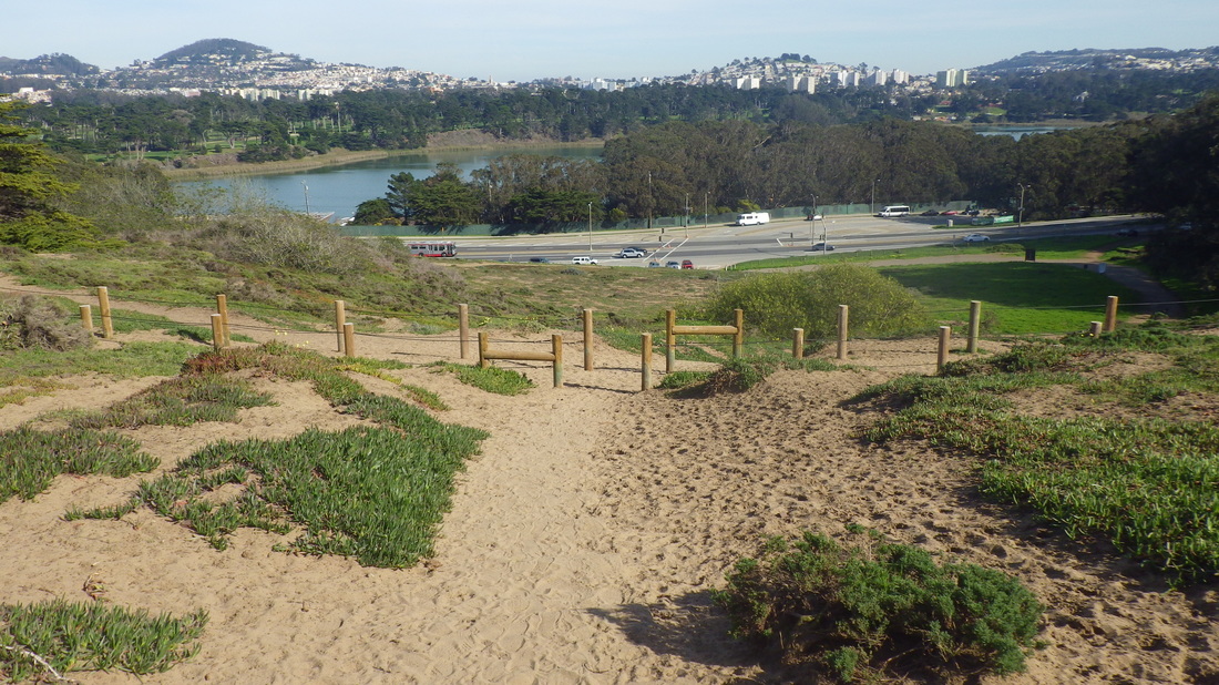
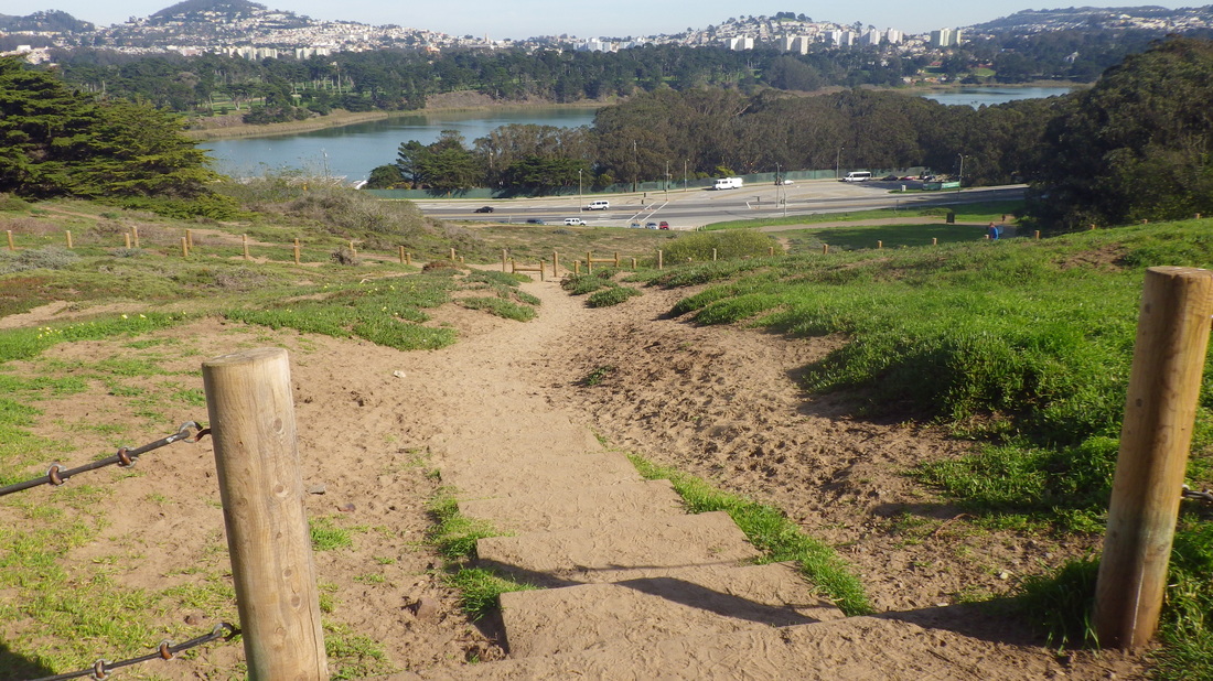
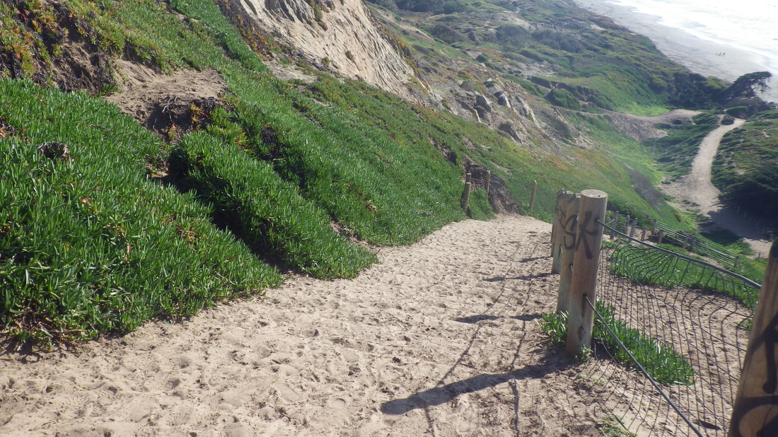
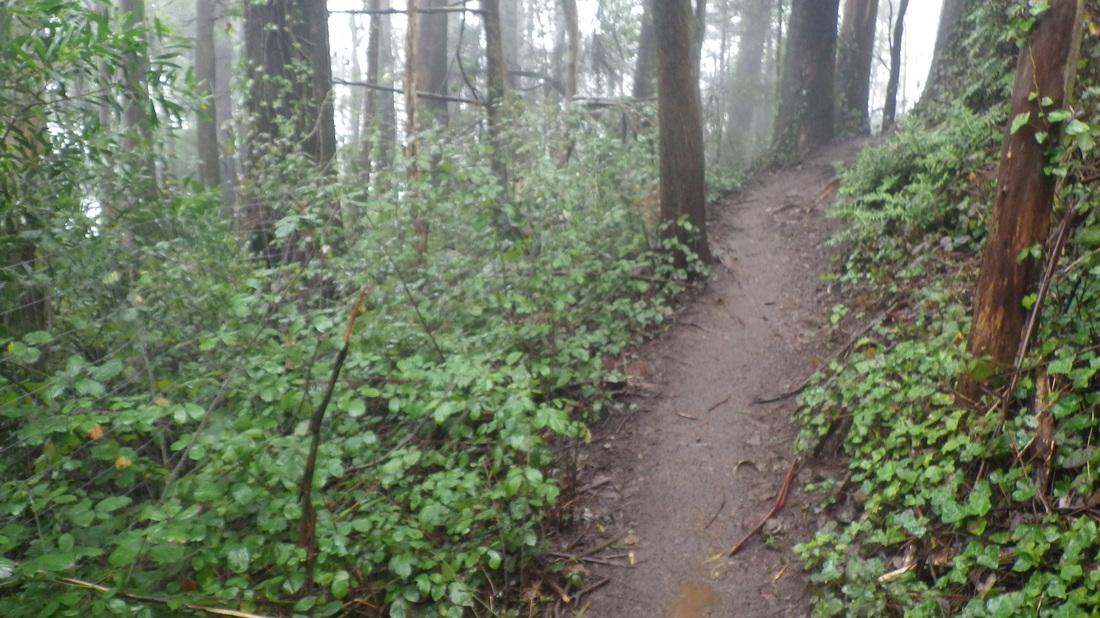
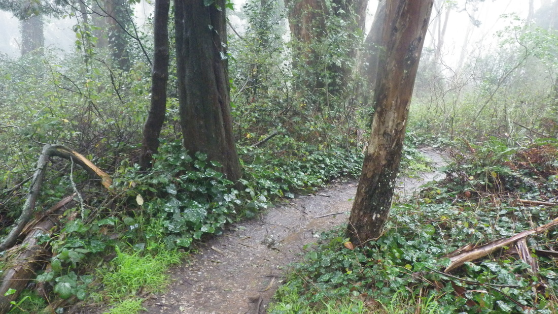
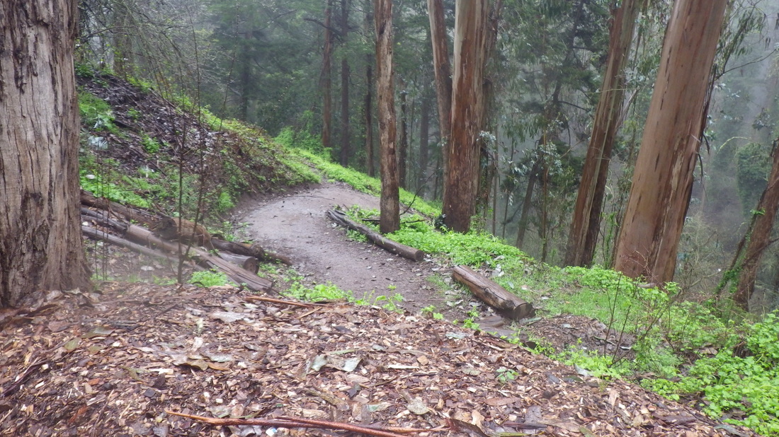
Downhill now for another favorite steepish trail that descends to Lake McNab with six switchbacks, then back up again:33 thru 42
Disembarked at Visitacion Ave. and downhilled to the top of the park’s longest stairway (195 steps), Visitacion to Campbell, to experience its green-and-yellow beauty: 1 thru 14.
At the foot, started back up again on Delta in the Visitacion Valley neighborhood for the second openspace stairway/trail back into the park.
Last time wen trudging up Delta, this steep walkers’ path had potholes that needed filling and eight very old concrete steps at the foot.
Now there are 10 new wood-and-concrete steps with wood railings on both sides when you first start up. The walkway has been repaved and it’s now a smooth climb: 15 thru 22
Had to check out the greenness of this second Vis Valley trailHead that starts at Ervine and Wilde.
At first you don’t see any stairs. After winding steeply around a bit, 57 steps lead to the picnic area just off Mansell/Visiitacion:23 thru 32
Downhill now for another favorite steepish trail that descends to Lake McNab with six switchbacks, then back up again:33 thru 42
1 Down Visitacion to the stairs
2 Top of the park's longest stairway
3 That;s a s school to the right
4 Looking back up
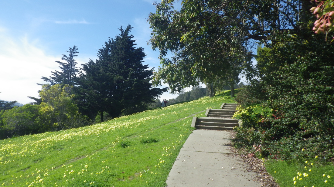
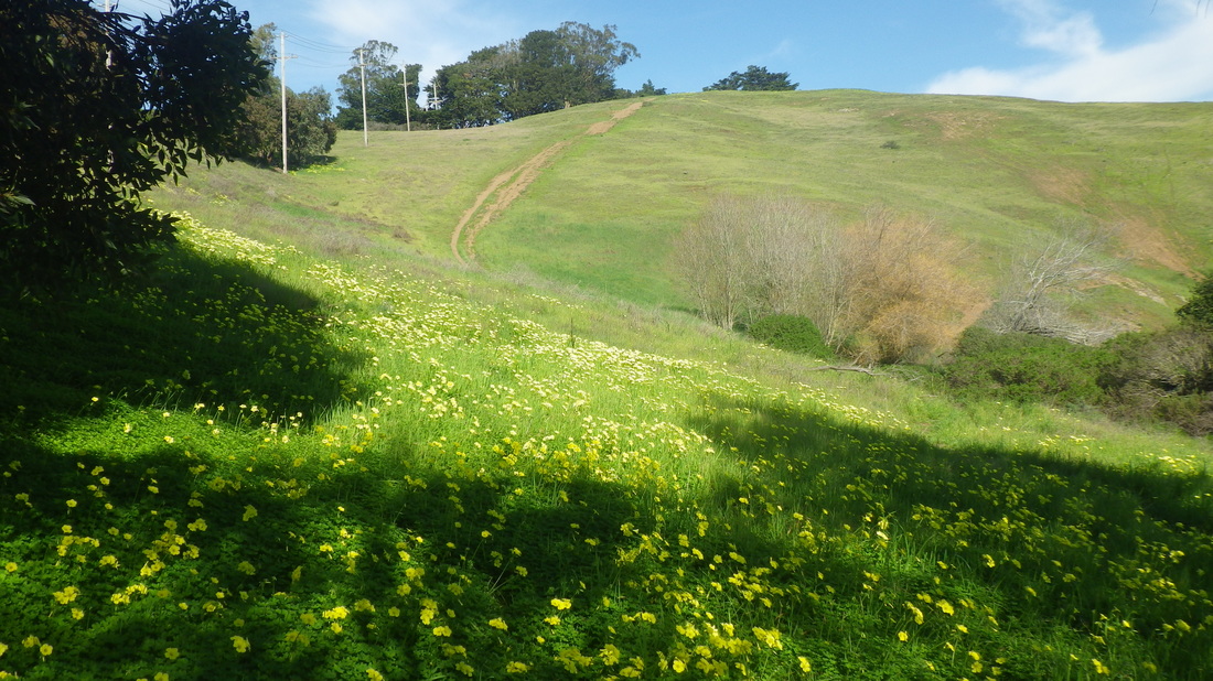
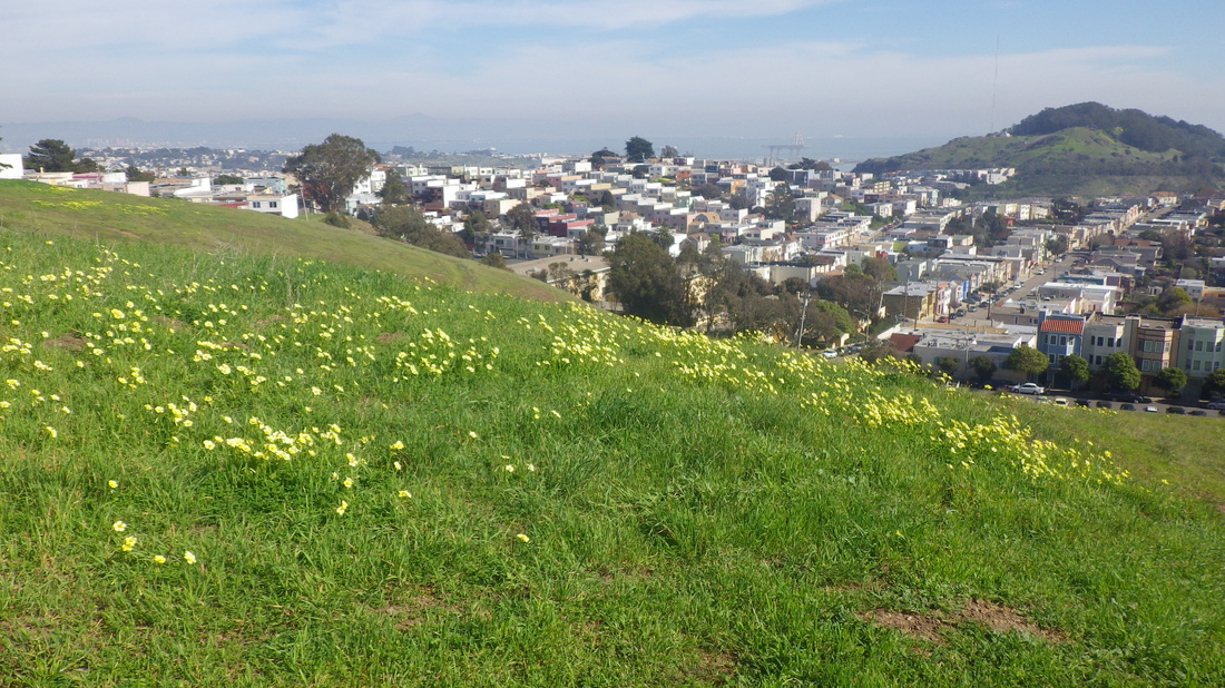
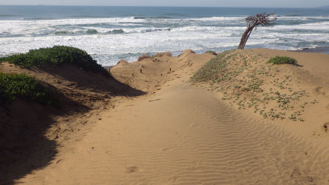
5 Especially beautiful now with yellow oxalis on the green slopes
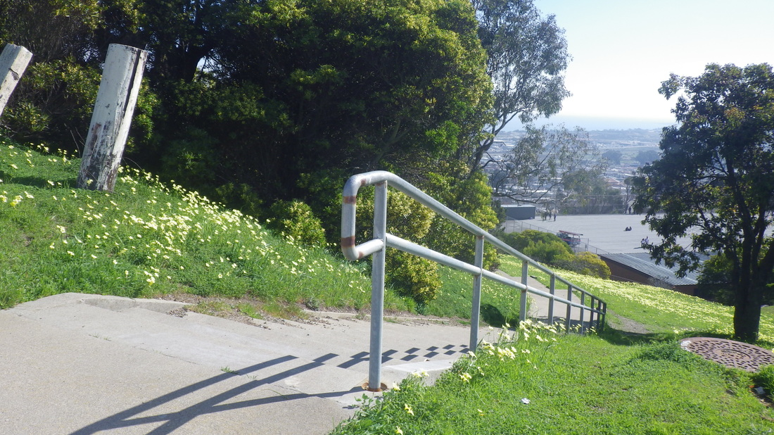
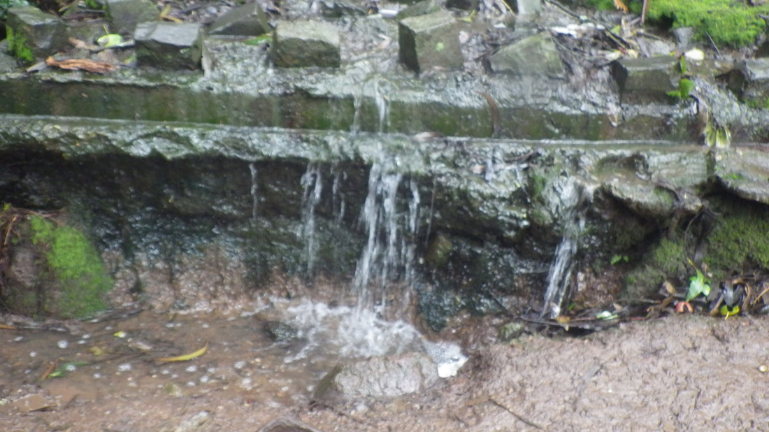
6 A view from the steps
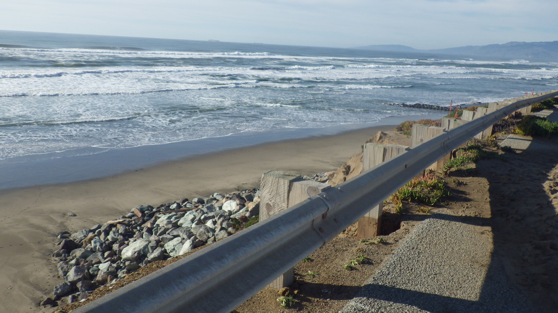
7 195 steps
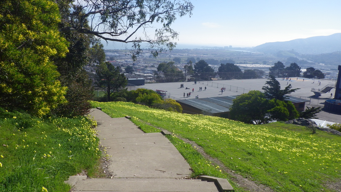
8 To top of Campbell in Vis Calley
9 To west dead-end of Campbell
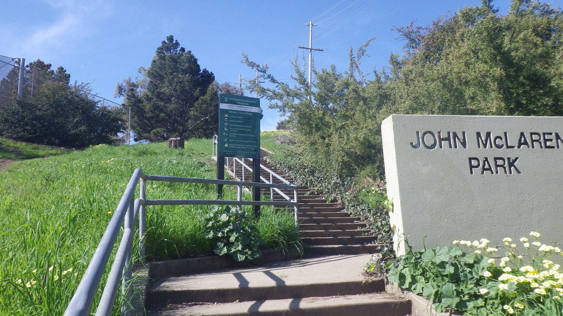
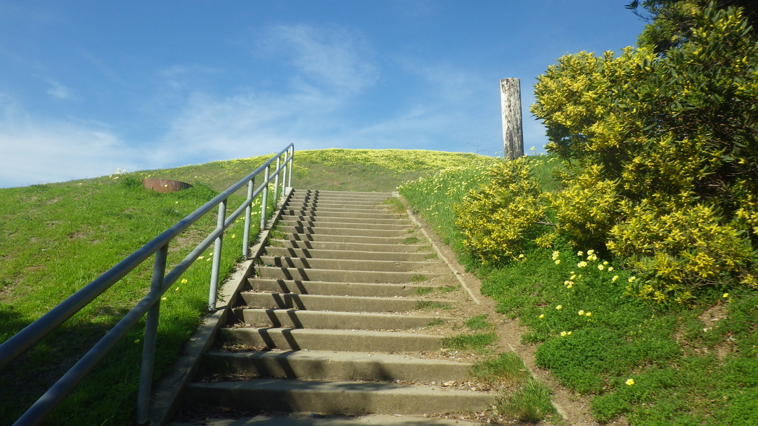
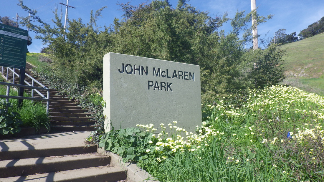
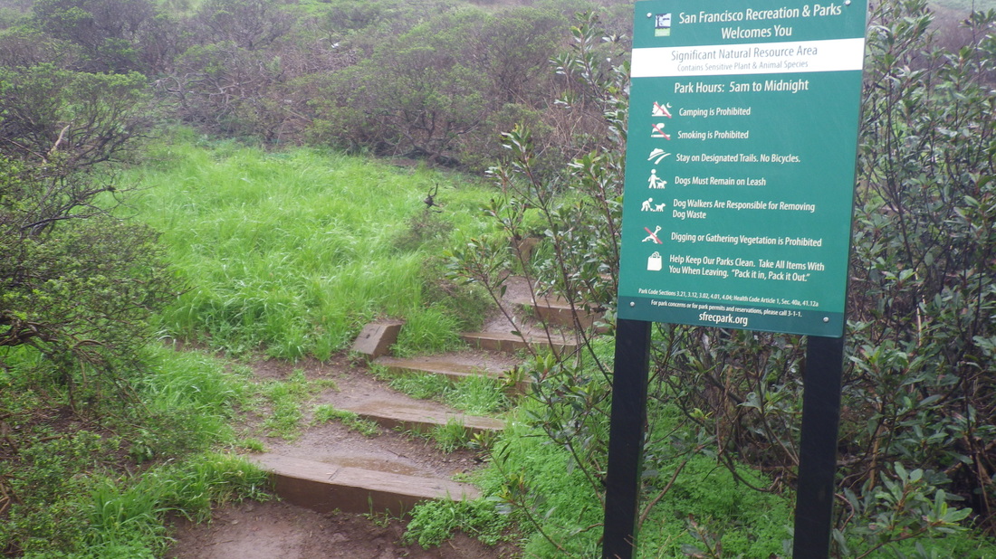
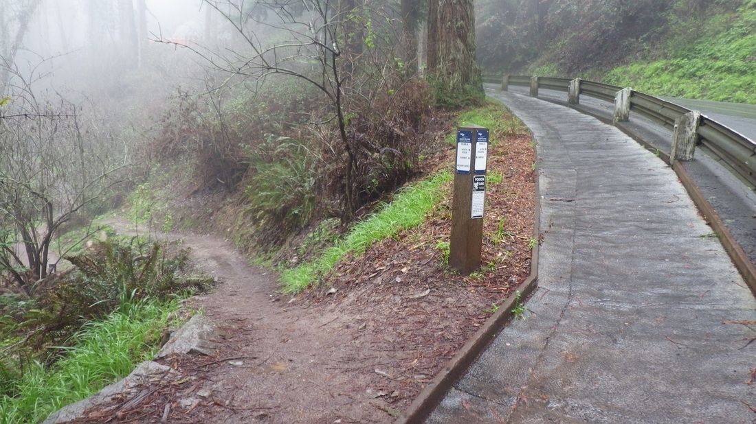
10 Park signs near the foot
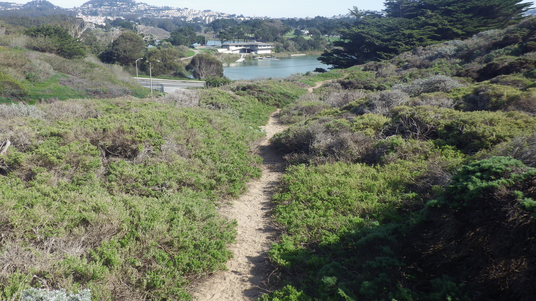
11 Down to Visitacuon Vallry neighborhood
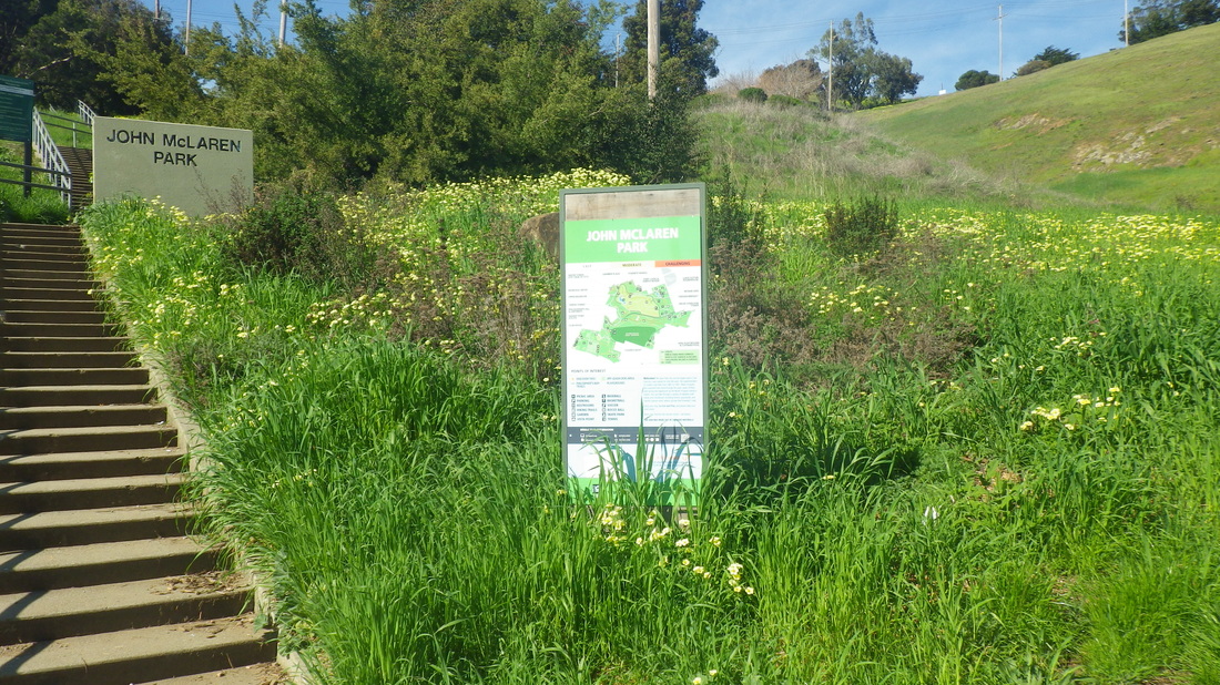
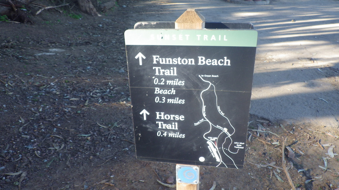
12 Park trails map
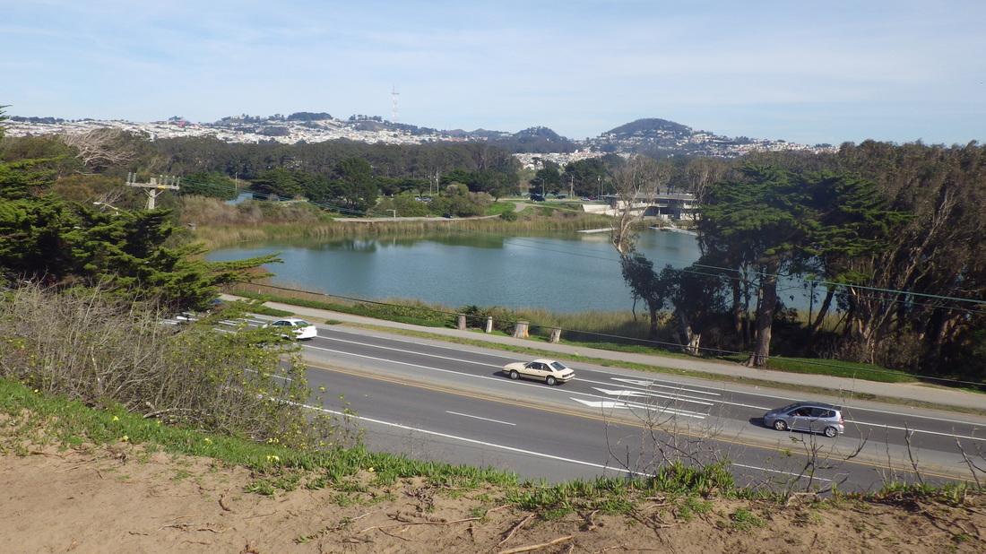
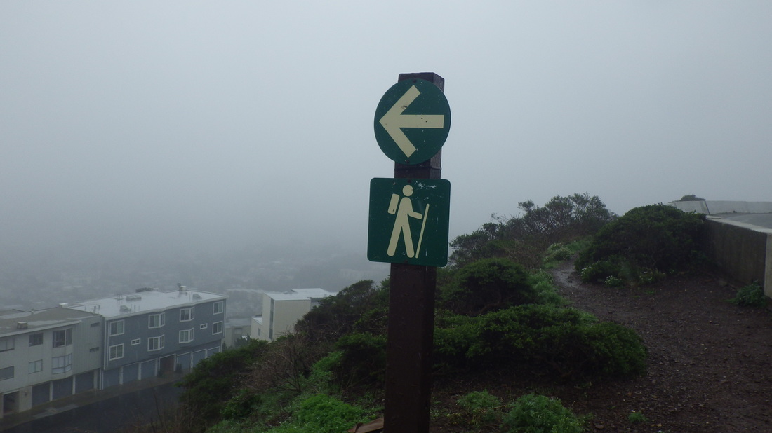
13 View north
14 Foot ar Campbell
15 Alberta St.
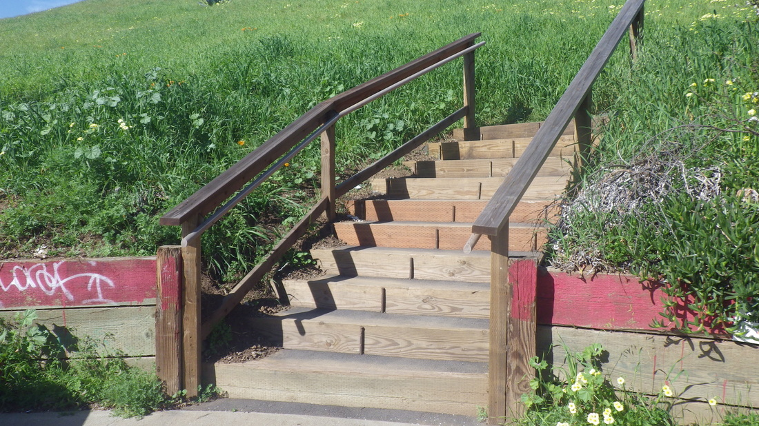
16 Delta surprise
17 Now 10 steps
18 Wide wood railings now
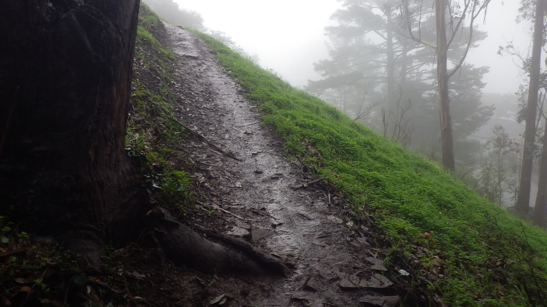
19 Looking up
20 This used to have potholes
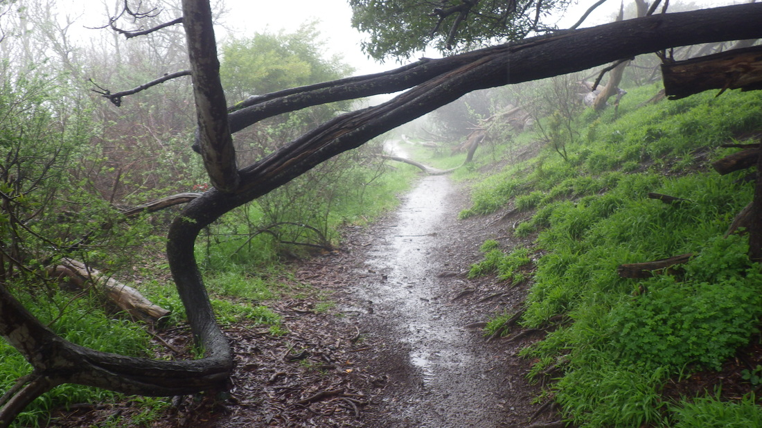
21 Steepish walkers only path
22 At the top continue uphill
23 Wilde & Ervine
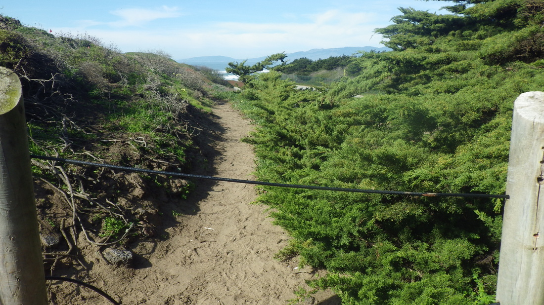
23 Main trail starts up
24 .Stairs begin
25 Vis Valley with Bayview Hill beyond
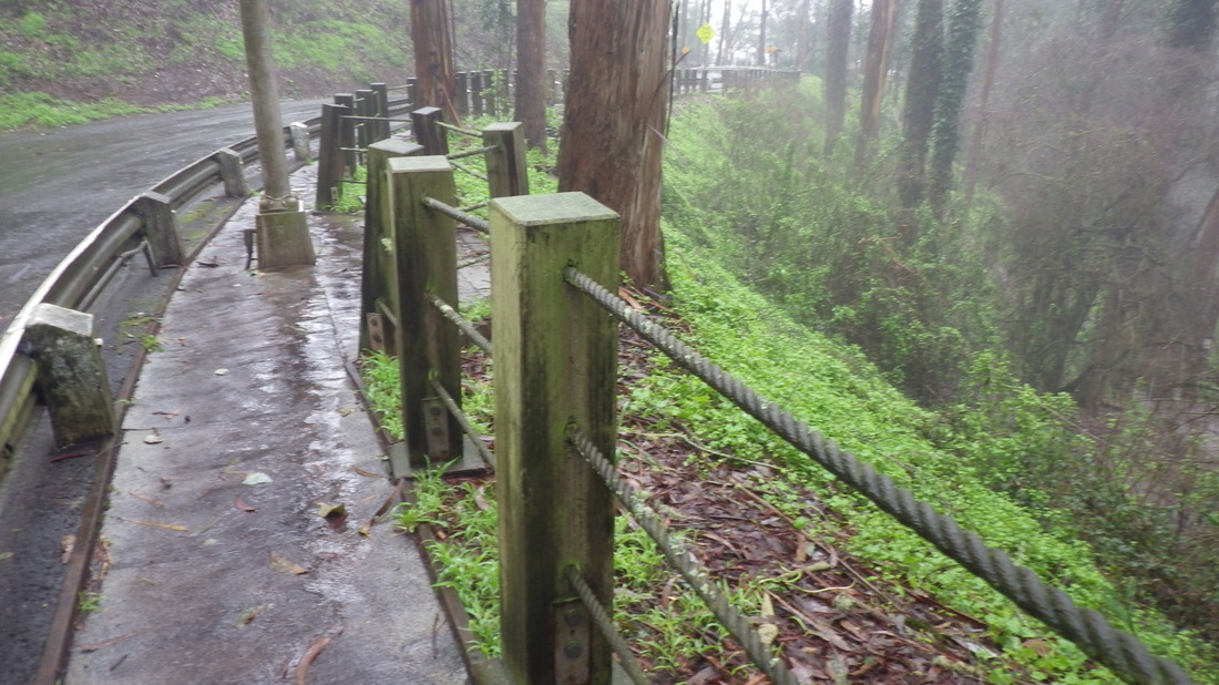
26 Looking down from first section
27 Up to the top
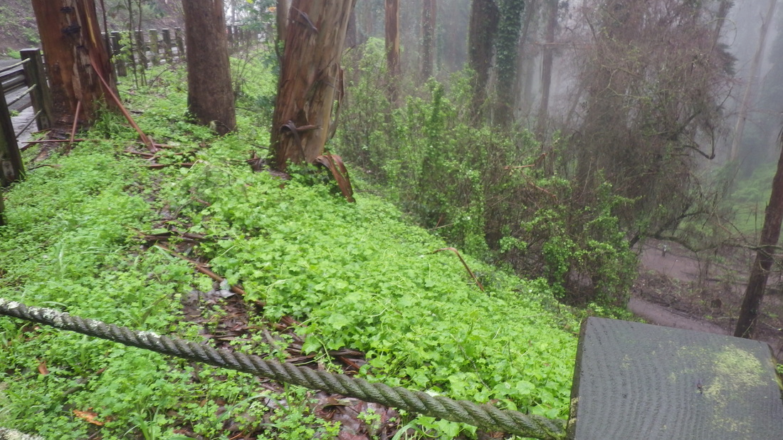
8 View east
29 Top of the second openspace steps
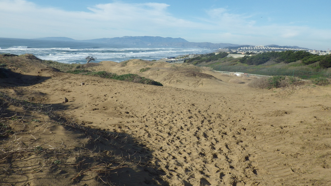
30 View east
31 Starting zigzag trail to Lake McNab
32 Switchback 2
33 Zigging to the north
34 Curving around
5 Now out to Lake McNab
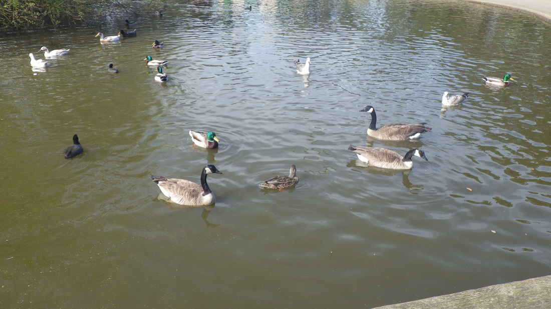
36 McNab Lake
37 McNab Lake
38 Back up
39 Winding back up to Mansell

 RSS Feed
