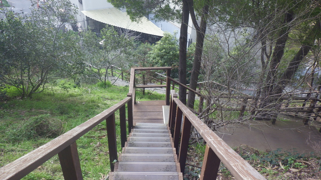
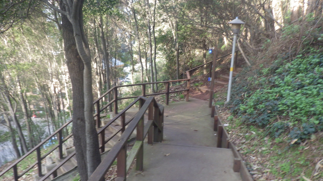
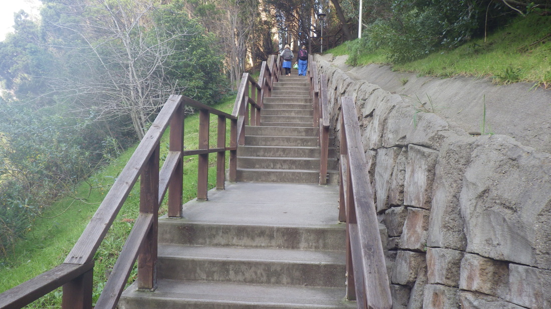
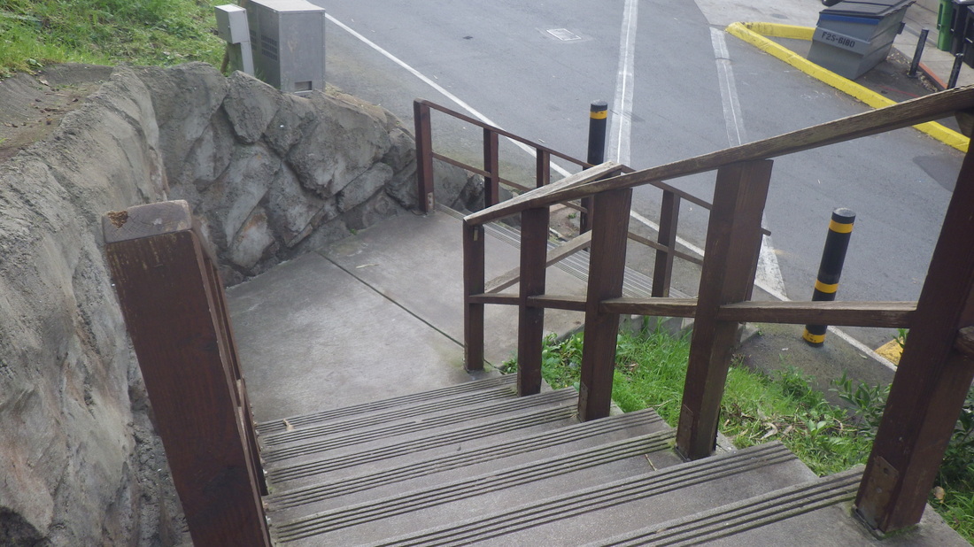
36 steps to start at the Clayton/Corbett Garden, then 211 for the Pemberton stairway up to Crown Terrace (first pic). Construction’s still going on at the end of Crown where the steppingstones used to be. But there’s a pathway for walkers to one side of a chainlink fence out to Crown Court, then Raccoon up to Twin Peaks Blvd. (pic 2: Mountain Spring is across).
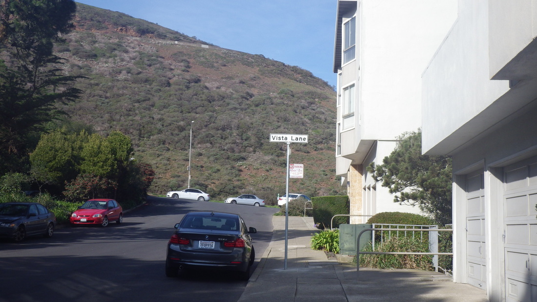
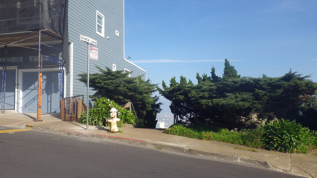
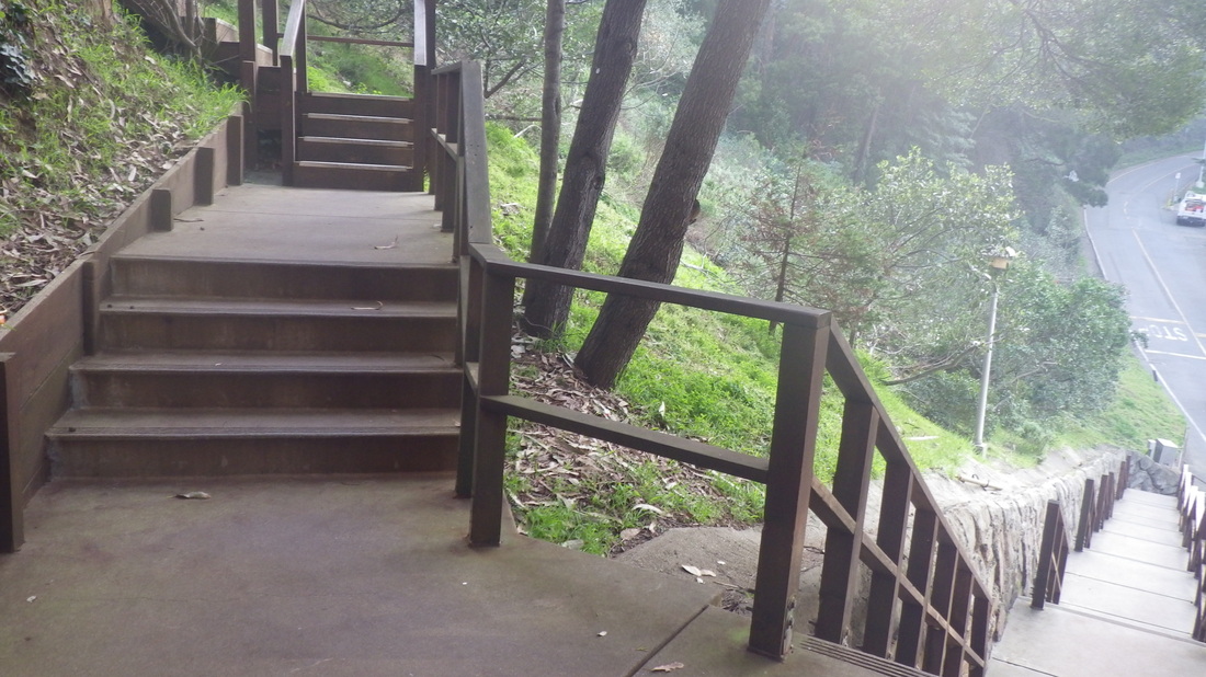
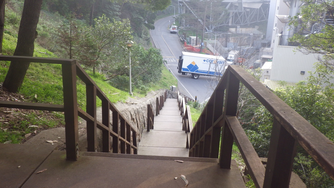
Uphill (left turn) on Twin Peaks Blvd to the “airplane hangar” house (pic 3), and another left on Burnett for a few blocks to the first of two Vista Lane stairways, this one directly across the street from the top of Hopkins. Pic 4 is at about 67 Gardenside Dr. on Google Maps.
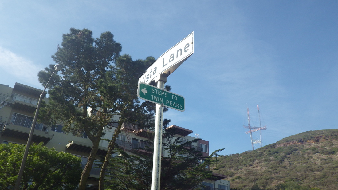
The two highest blocks of Vista Lane (251 steps, counting only one of the starter stairways at Burnett) now have street signs. First is at the top of the steps at Parkridge, newly added (not seen on the current Google Maps): 5, 6, 7, 8. Not only the Vista Lane street sign but now a green sign below it with an arrow: “Steps to Twin Peaks.”
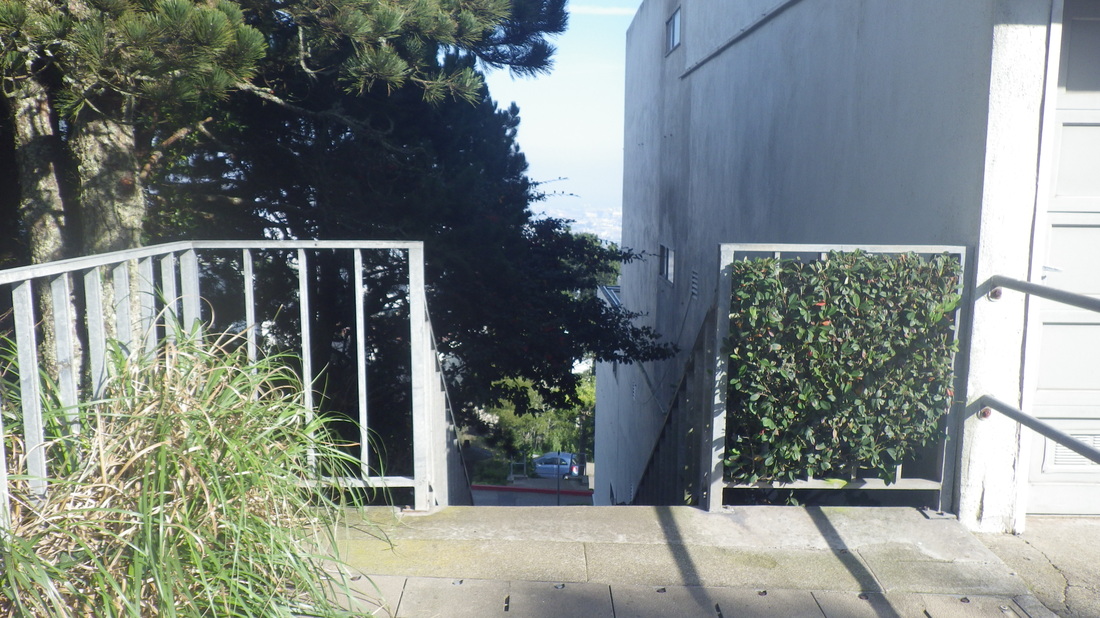
The last two Vista flights (a short, pic 9, and a long, pic 10) also have painted on “Twin Peaks Stairway” signs on the steps themselves near the foot.
At the top of Vista (pic 11) at the 74 Crestline stop, signage painted on the street itself (pic 12) directs one across the street to the older wood steps that climb into the park from Crestline (93 steps), trailhead signs at the foot and top of this one.
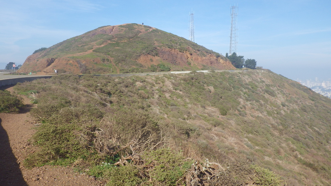
This trail (13 thru 17) curves along the side of the road; round to the north this time to the main viewplace.
Over to the west side of the park and down the Marview Trail (step over the guardrail). Here's a different view of Twin Peaks Reservoir; water was being pumped into it: pic 18.
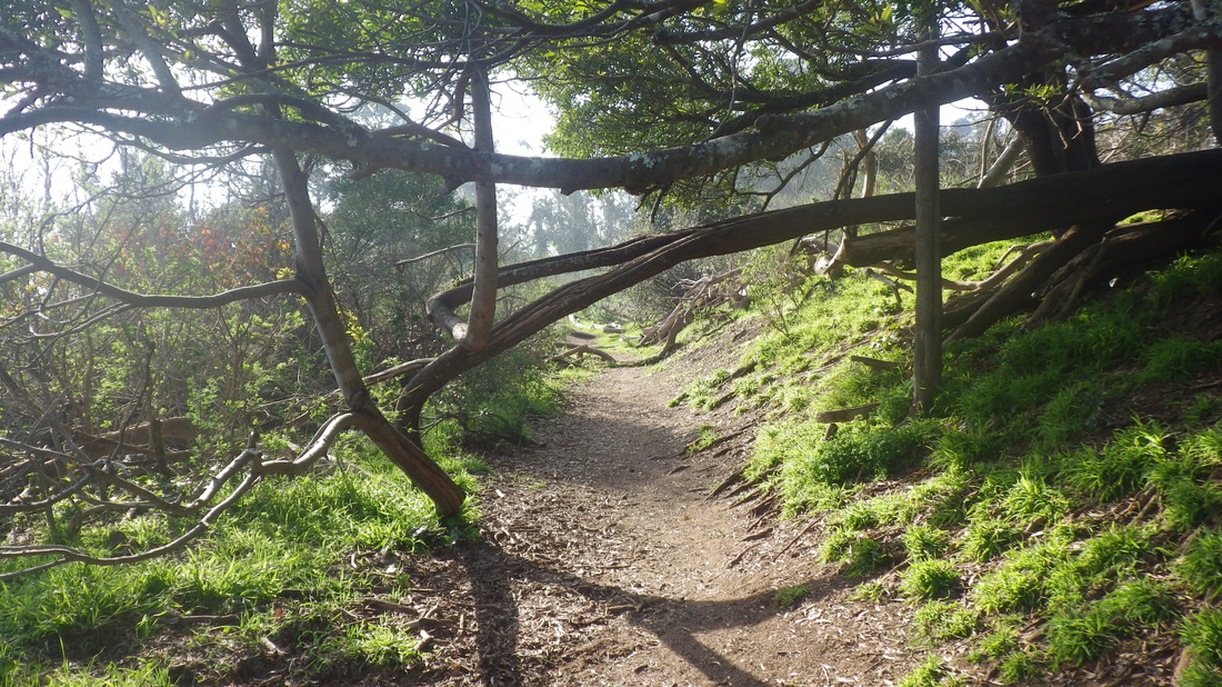
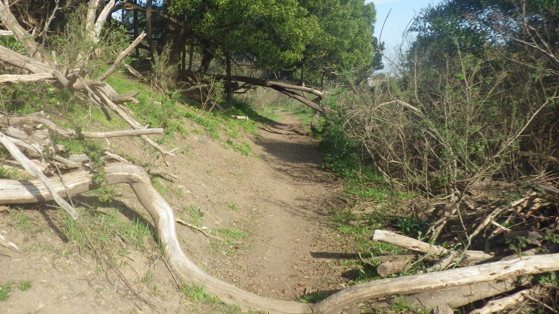
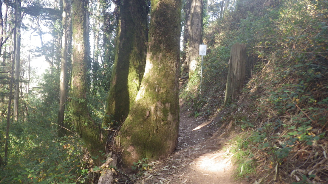
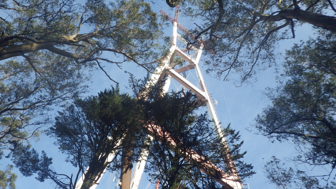
The trail encircling Sutro Tower starts at Marview: 19 thru 25.
Didn’t have to step to the side for any mountain bikers this time but one flew by me just as I’d stepped off the trail onto La Avanzada.
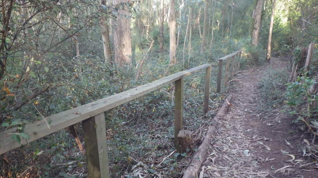
Crossing Clarendon, uphill into Mount Sutro’s Aldea housing area and onto the guardrailed pedestrian trail (views of lower trails appreciated from here: 26 thru 30), curving round to descend the Medical Center Way stairway (138 steps: 31 thru 41). Down to the back of the hospital buildings; out to Parnassus to wait for the #43.
Uphill (left turn) on Twin Peaks Blvd to the “airplane hangar” house (pic 3), and another left on Burnett for a few blocks to the first of two Vista Lane stairways, this one directly across the street from the top of Hopkins. Pic 4 is at about 67 Gardenside Dr. on Google Maps.
The two highest blocks of Vista Lane (251 steps, counting only one of the starter stairways at Burnett) now have street signs. First is at the top of the steps at Parkridge, newly added (not seen on the current Google Maps): 5, 6, 7, 8. Not only the Vista Lane street sign but now a green sign below it with an arrow: “Steps to Twin Peaks.”
The last two Vista flights (a short, pic 9, and a long, pic 10) also have painted on “Twin Peaks Stairway” signs on the steps themselves near the foot.
At the top of Vista (pic 11) at the 74 Crestline stop, signage painted on the street itself (pic 12) directs one across the street to the older wood steps that climb into the park from Crestline (93 steps), trailhead signs at the foot and top of this one.
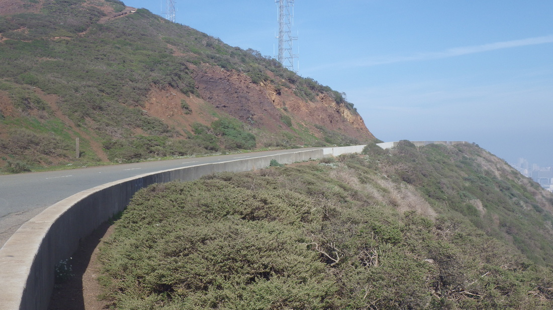
This trail (13 thru 17) curves along the side of the road; round to the north this time to the main viewplace.
Over to the west side of the park and down the Marview Trail (step over the guardrail). Here's a different view of Twin Peaks Reservoir; water was being pumped into it: pic 18.
The trail encircling Sutro Tower starts at Marview: 19 thru 25.
Didn’t have to step to the side for any mountain bikers this time but one flew by me just as I’d stepped off the trail onto La Avanzada.
Crossing Clarendon, uphill into Mount Sutro’s Aldea housing area and onto the guardrailed pedestrian trail (views of lower trails appreciated from here: 26 thru 30), curving round to descend the Medical Center Way stairway (138 steps: 31 thru 41). Down to the back of the hospital buildings; out to Parnassus to wait for the #43.
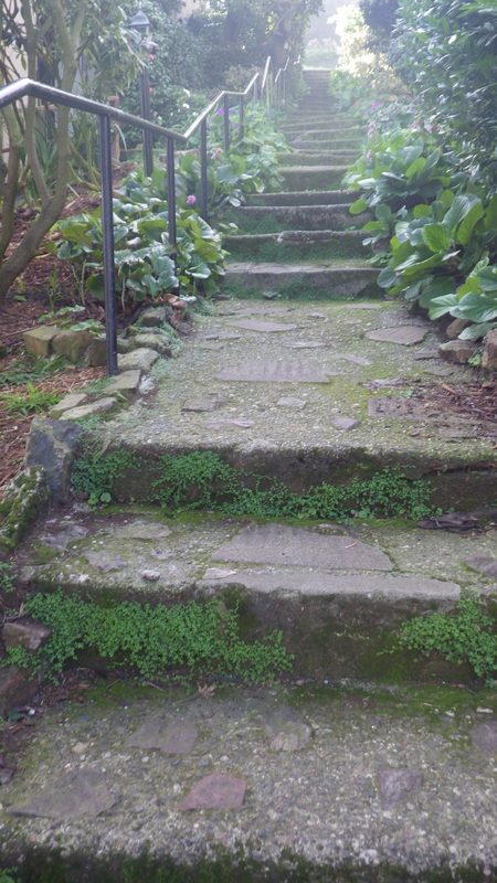
1. The older Pemberton steps
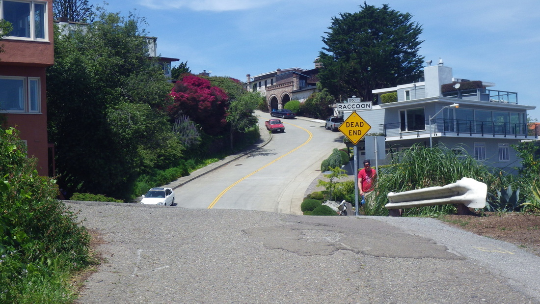
2. Raccoon out to Twin Peaks Blvd.
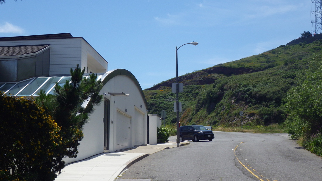
3. Turn left on Burnett
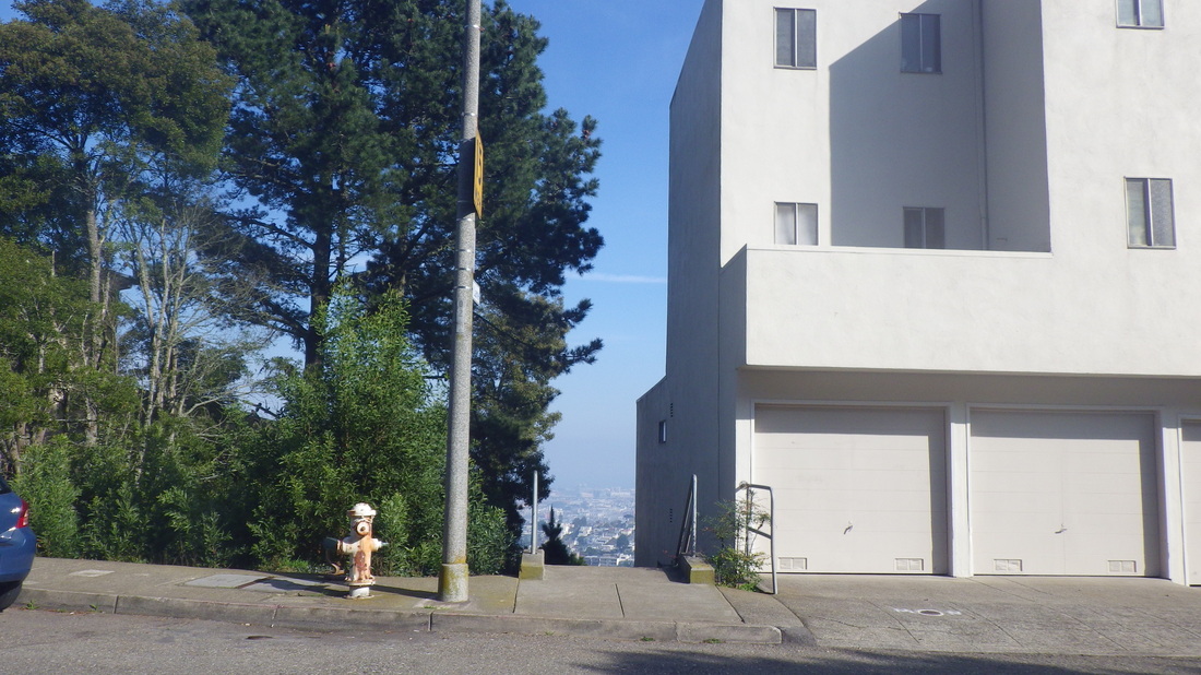
4. Vista Lane at Gardenside
5. Vista Lane at Parkridge
6. Two new signs at Parkridge
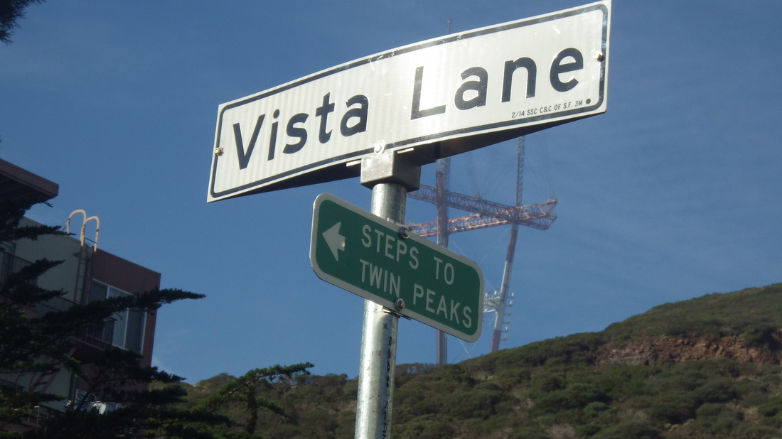
7. Vista & Parkridge
8. New signage for upper Vista Lane

9. This way up: a shorter Vista flight
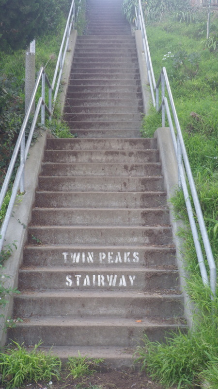
10. Vista's last block, ascending to Crestline
11. Street sign for Vista Lane stairway now at Crestline also
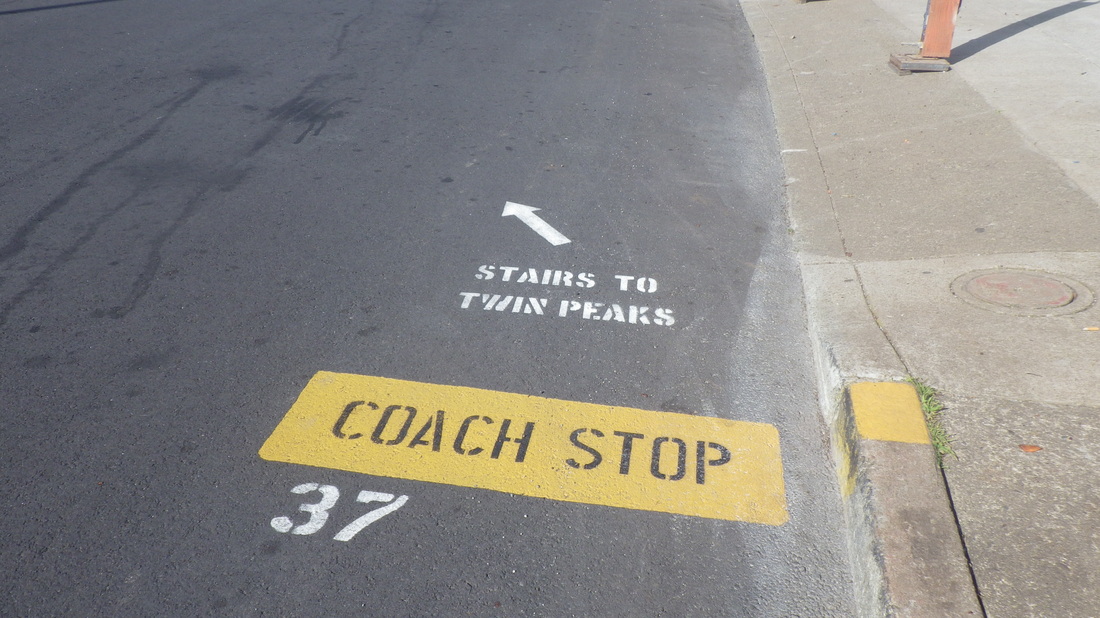
12. Street signage points to the trailhead across the street
13. At top of steps that climb from Crestline into the park
14. Eureka Peak left
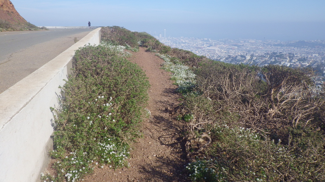
15. Trail alongside Twin Peaks Blvd.
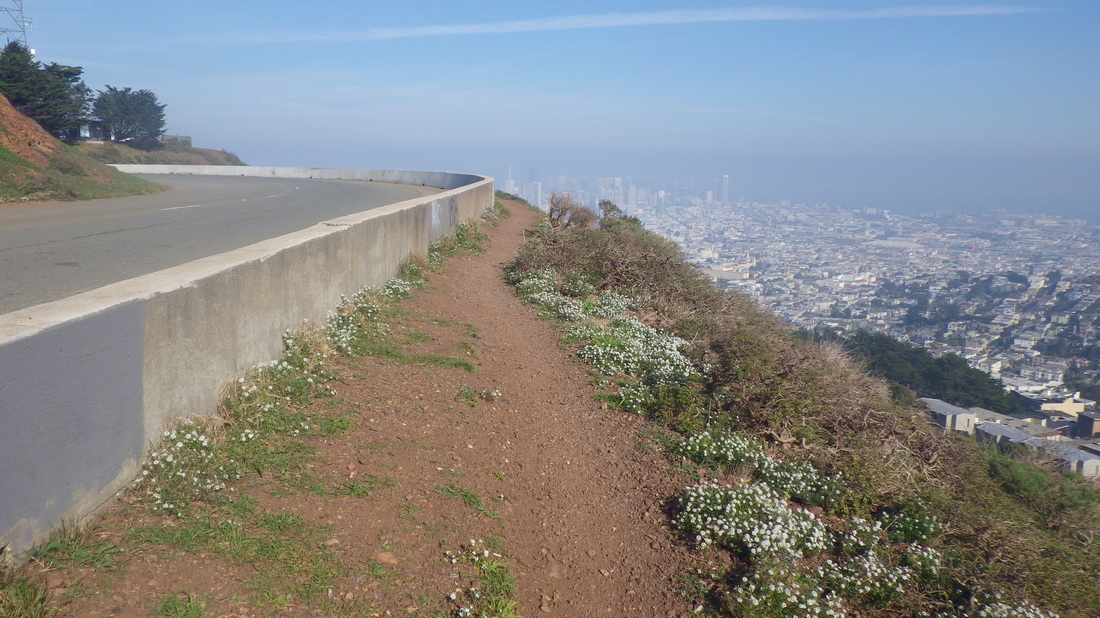
16. Curving round with the city below
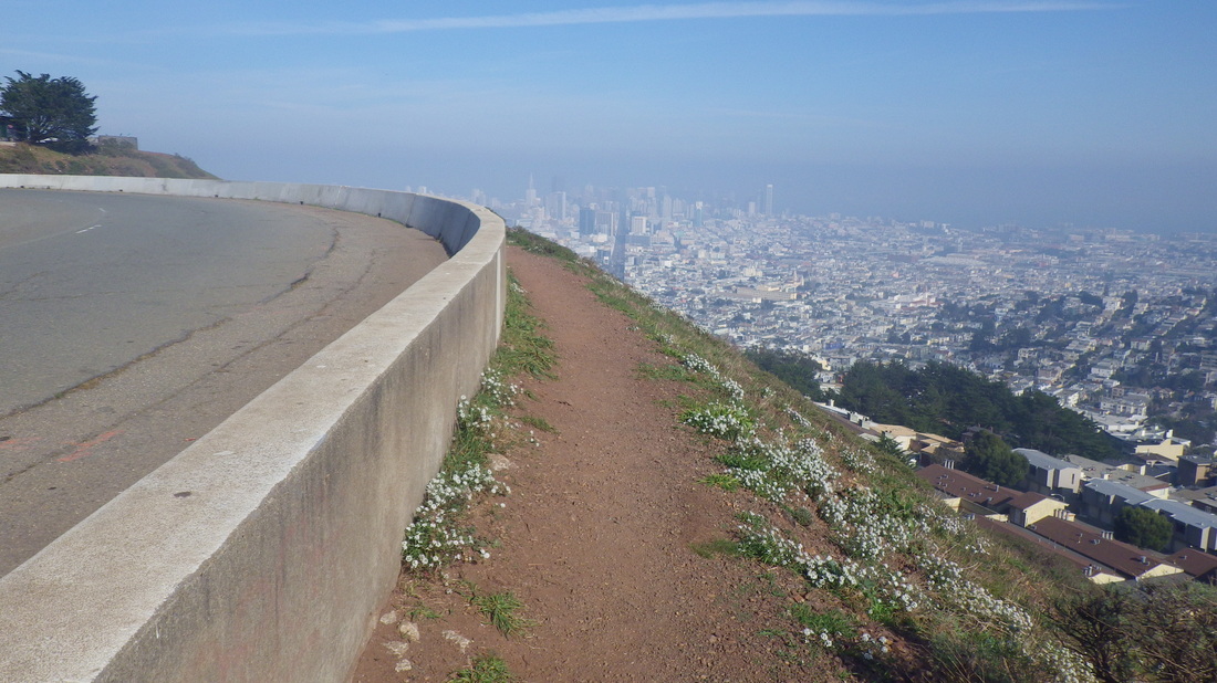
17. Around to the popular viewspot
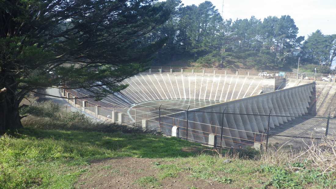
18. A nearly empty Twin Peaks Reservoir
19. Trailhead up from Marview in Midtown Terrace neighborhood
20. This part's out in the open
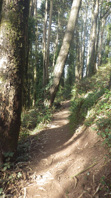
21. Into the forest
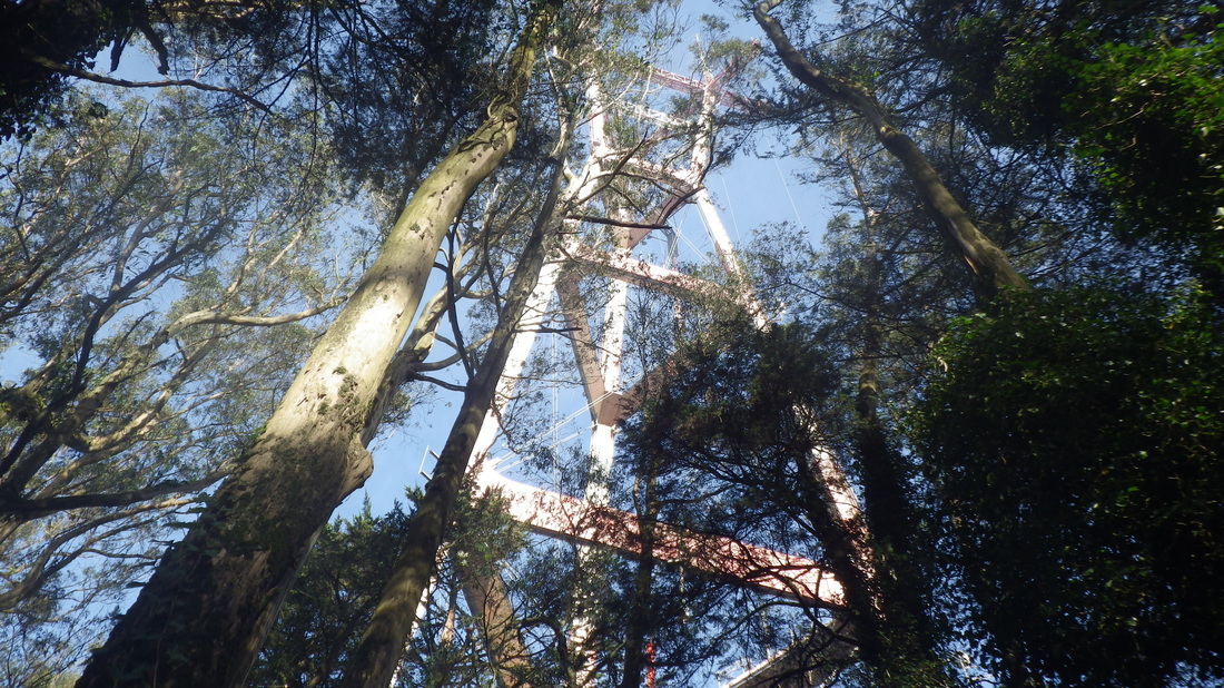
22. Look up!
23. Narrow trail curving around
24. Another view from the trail
25. Look out for mountain bikers!
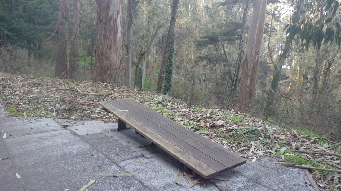
26. Mount Sutro Forest from Medical Center Way
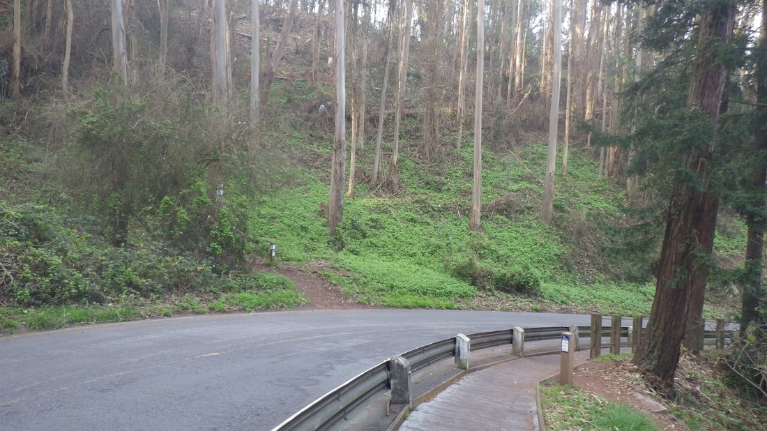
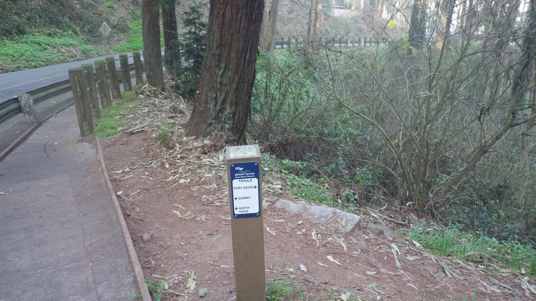
27. North Ridge trailhead to summit left. Fairy Gates trailhead to right.
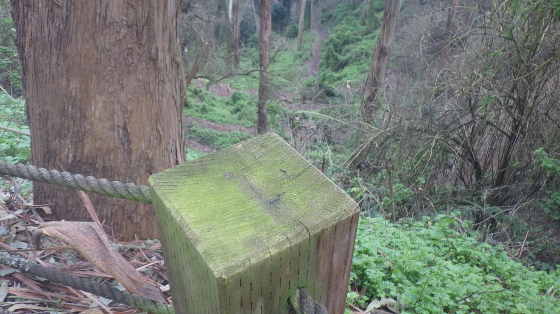
28. Fairy Gates Trail descends to right
29. Lower Historic Trail from Medical Center Way
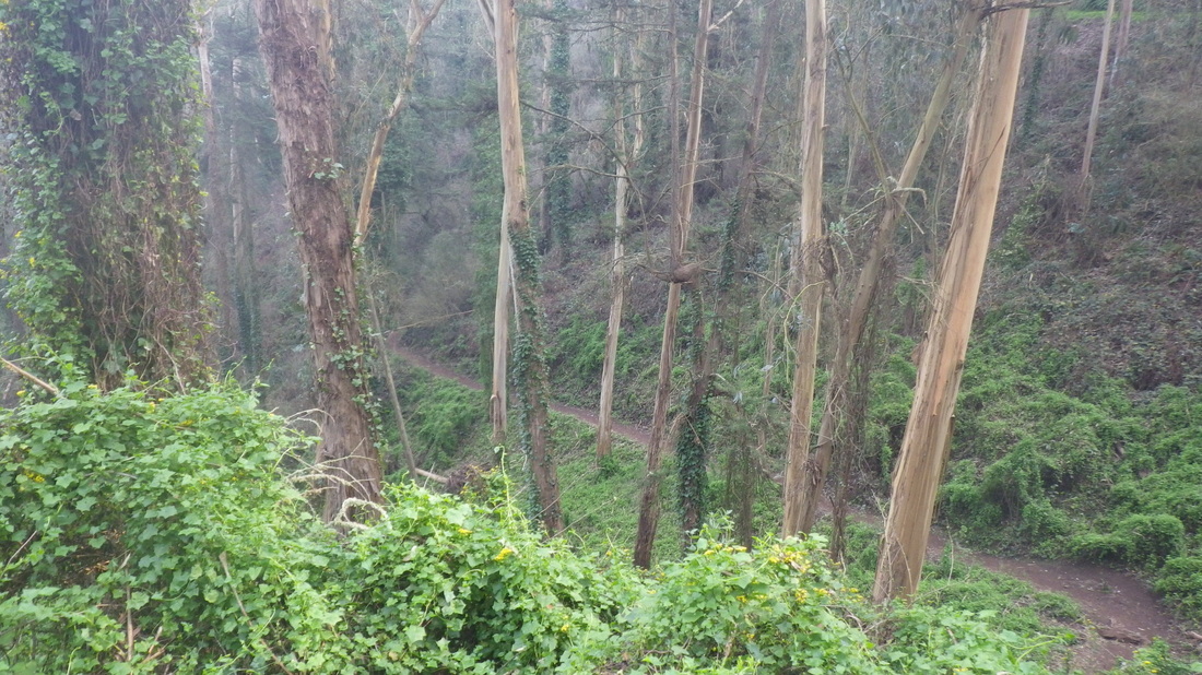
30. Looking down from Medical Center Way's pedestrian walkway
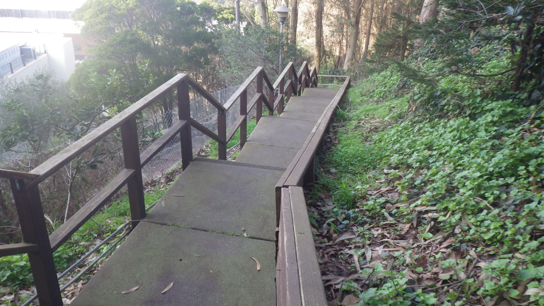
31. Wood stairway winds down from the parking lot
32. 138 steps
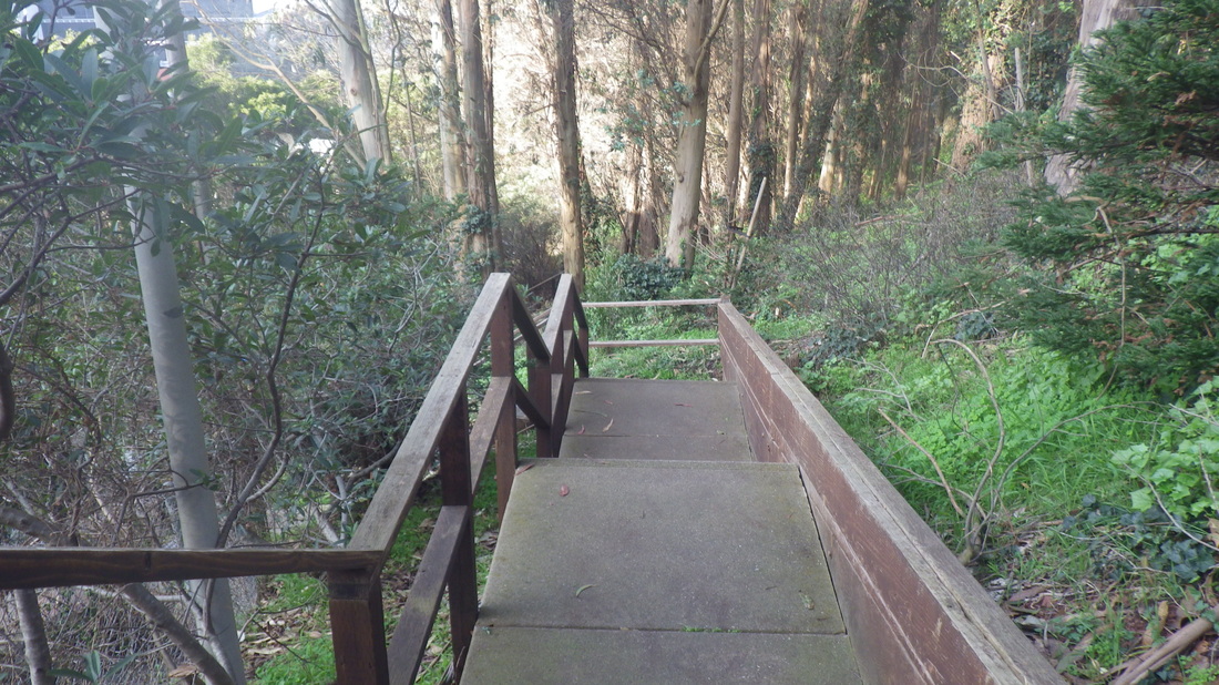
33. "Hidden" steps behind the Parnassus medical buildings
34. UCSF medical buildings below
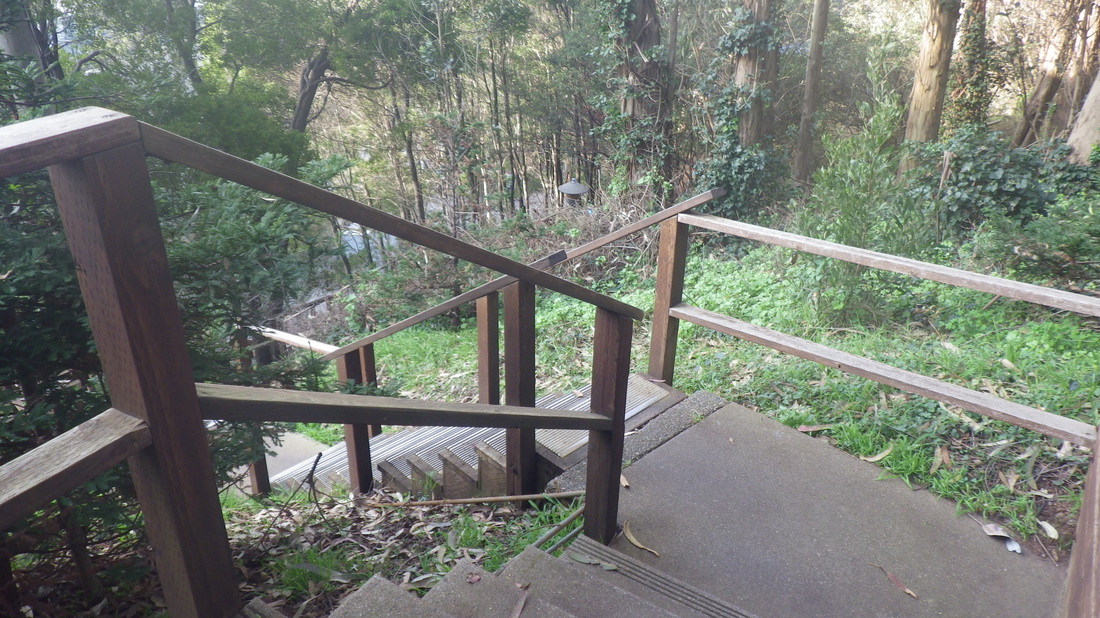
35. Short flight of older wood steps up to trail behind Edgewood Ave. homes, right
36. Lower Medical Center Way below
37. Green beauty on both sides
38. Nearing the foot
39. An attractive and useful stairway
40. Foot of the stairs at (lower) Medical Center Way
41. Looking back up from the foot of the stairs
 RSS Feed
