A somewhat “hidden” stairway that some San Francisco stairway walkers may not be familiar with is Vista Lane, about 261 steps.
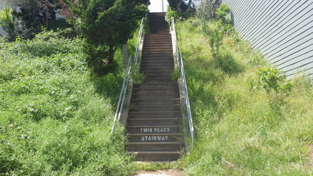
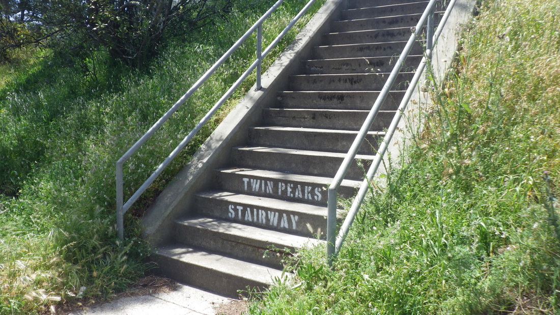
Now at the foot of each of the two highest flights have been added the words “Twin Peaks Stairway” in white paint on the concrete steps — so now it’s got two names. This can be seen between Parkridge and Crestline: the last stretch.
There are no street signs for Vista at either end but it’s a public, through, series of short and long stairways that continues up to the park.
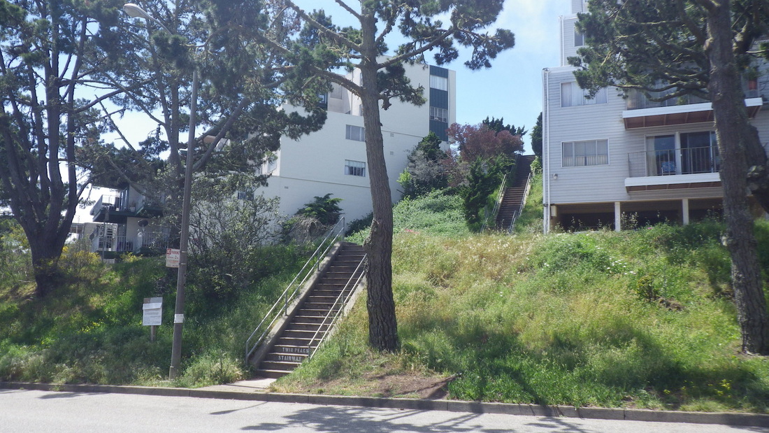
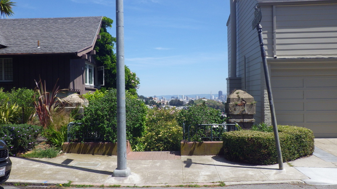
At the top it swoops down right at the 37 Corbett/Twin Peaks’ #74 Crestline bus stop: pic 1. The driver usually calls out “Twin Peaks.”
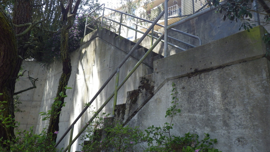
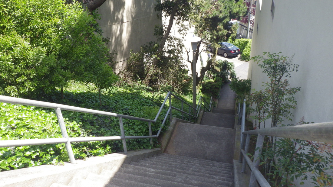
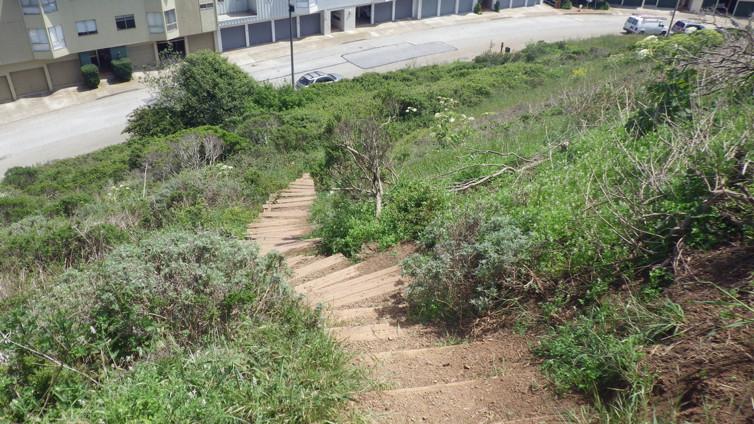
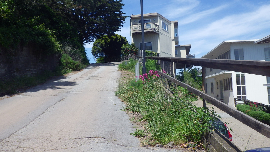
It starts down below with a couple of short stairways a few yards apart up from Burnett (cross-street Hopkins), and continues to Crestline. You can take either of these (one has about 30 steps (pic 2); the one I took this time, 40 steps, pic 3).
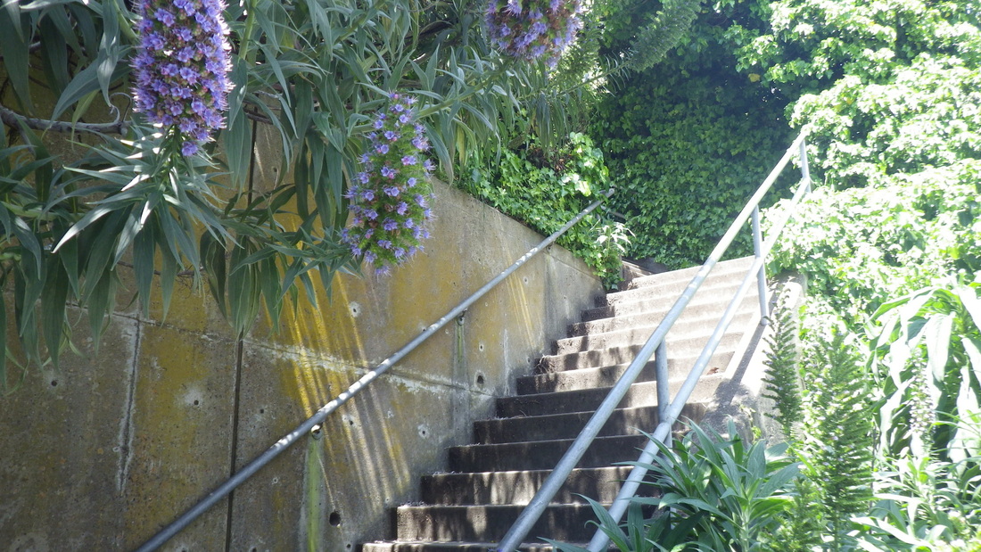
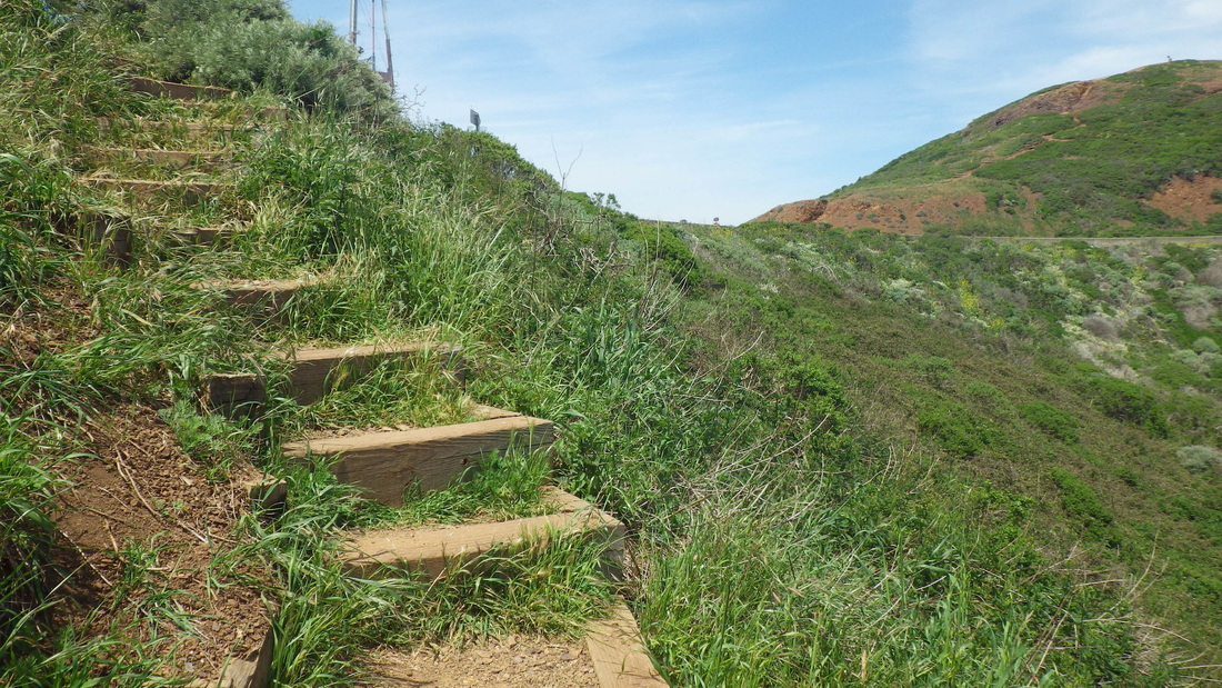
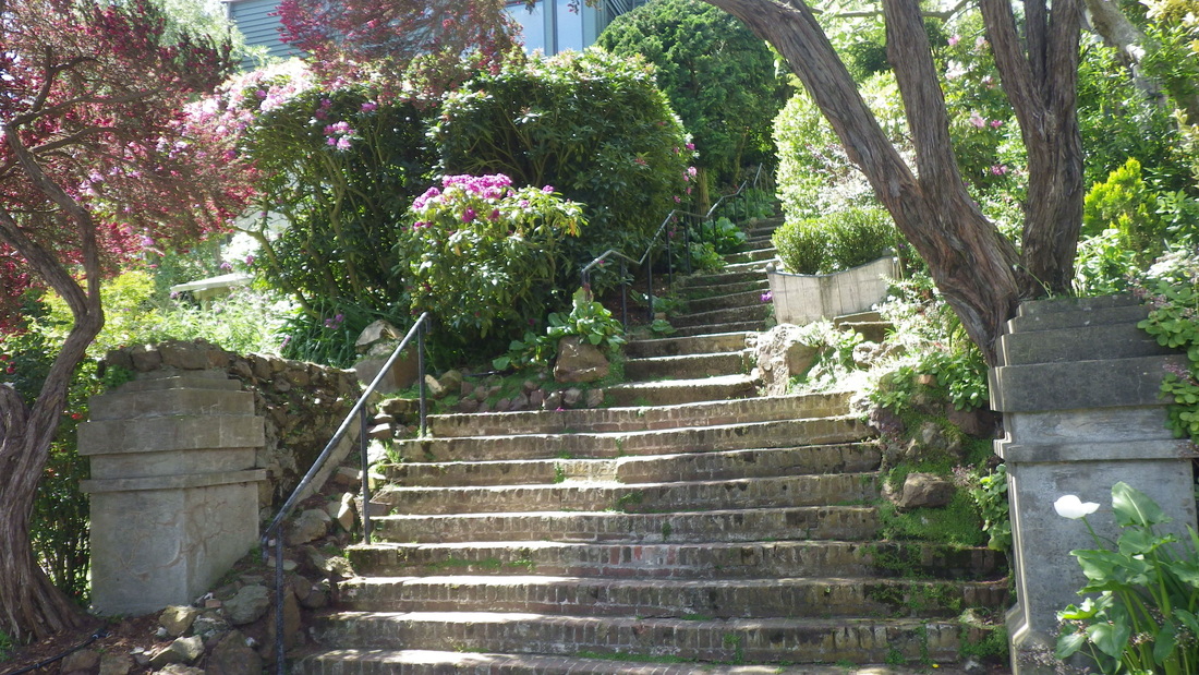
At the top of either of these, just look for the next stairway up, a longer one. Counted ‘em separately this time: 40 (top, pic 4); 62 (pic 5, to Gardenside), 35 (pic 6), 55 (7, 8, 9, up to Parkridge), 20 and 49 (pix 10, 11, 12, Parkridge to Crestline) for 261 total (only counting one of the two that start up from Burnett).
The next actual vehicle street up from Burnett is Gardenside, the next Parkridge, and the last Crestline, so about three blocks’ worth. At Parkridge it zigs slightly south before continuing to Crestline.
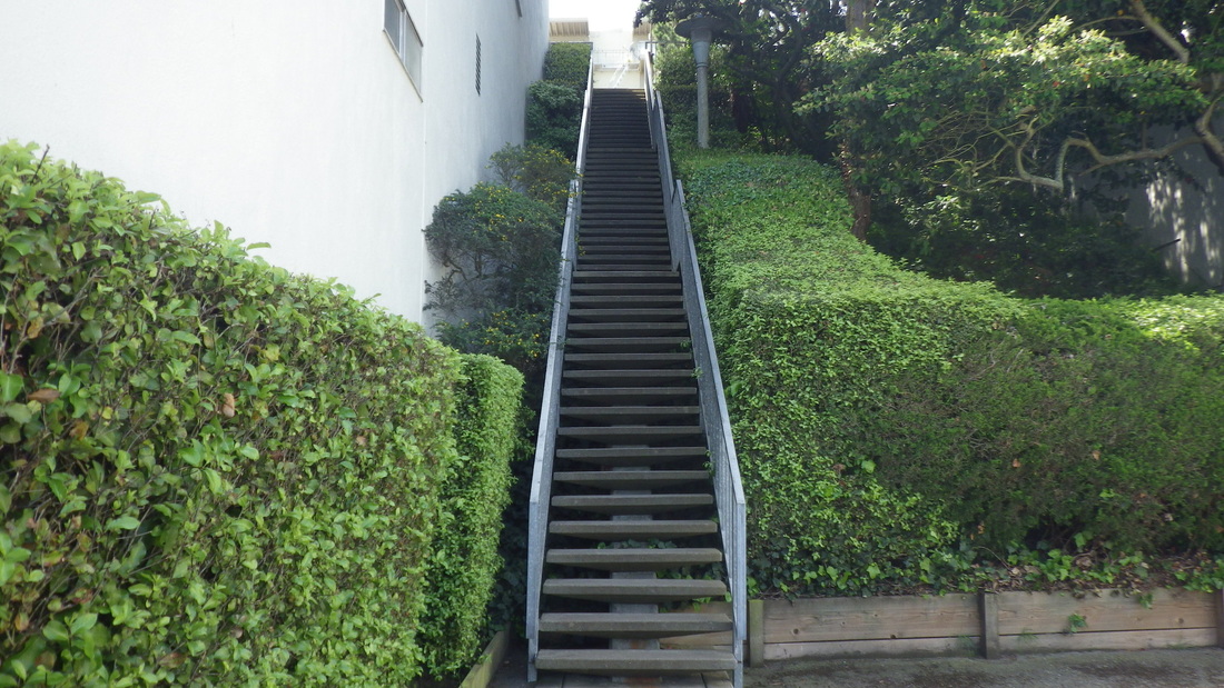
Directly across the street at Crestline is an east trailhead into Twin Peaks Park with an infosign (pic 13), up to Twin Peaks Blvd. 93 steps: pix 14 thru 18.
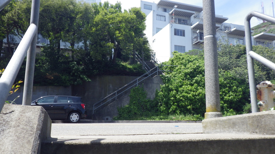
You can also start this hike to the park further downhill at Clayton for more stairs: at the foot of the Pemberton stairway. Actually this time I disembarked at the bus stop directly in front of the Clayton/Corbett Garden, 36 steps, with Pemberton starting up across from the top of these.
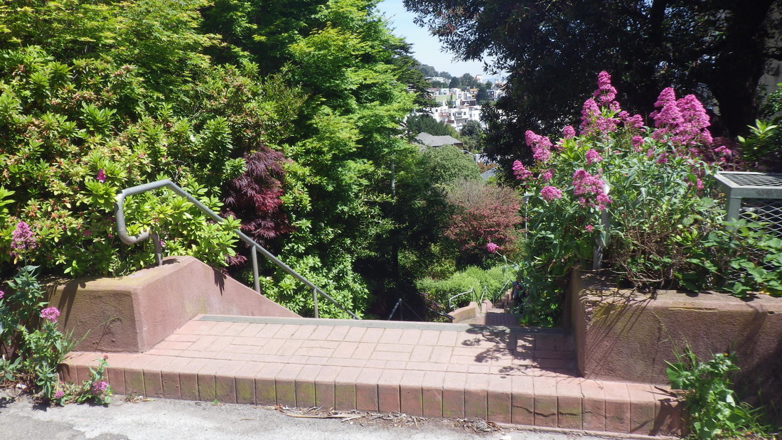
Pemberton has 210 steps, also three blocks’ worth (Clayton to Villa Terrace (19, 20), Villa to Graystone Terrace (pic 21), and my favorite section, the older part: Graystone to Crown: 22, 23.
Top at Crown Terrace, pic 24.
Where the steppingstones used to be at the Crown Terrace dead-end for vehicles was a pile of fenced-in lumber due to construction work going on below. But there was room at the side of the fence for walkers to get through. This short pathway can be seen on Google Maps.
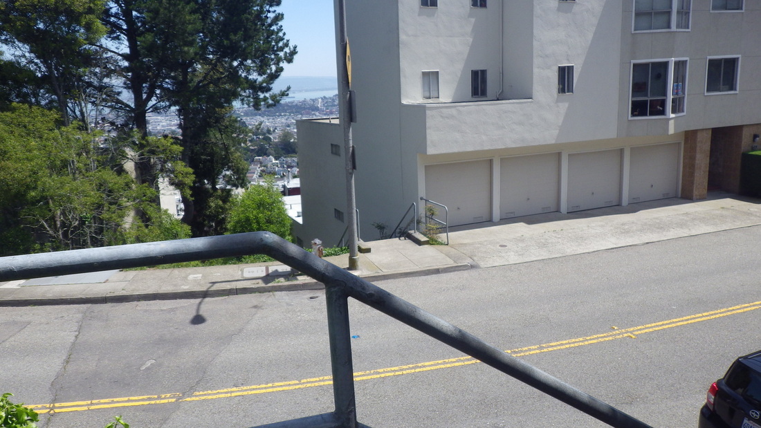
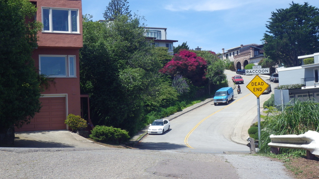
So out to Crown Court and Raccoon, and up to Twin Peaks Blvd. (pic 25). The curvy street across is Mountain Spring: pic 26.
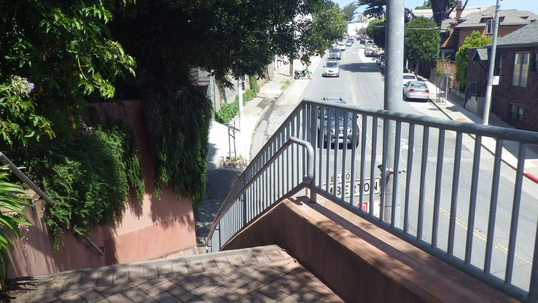
At Twin Peaks Blvd., uphilled it to Burnett and hung a left (last pic) for a several-block walk south to the Burnett beginning of Vista Lane.
Continuing this hike with a separate post: "Twin Peaks Spring Beauty."
Now at the foot of each of the two highest flights have been added the words “Twin Peaks Stairway” in white paint on the concrete steps — so now it’s got two names. This can be seen between Parkridge and Crestline: the last stretch.
There are no street signs for Vista at either end but it’s a public, through, series of short and long stairways that continues up to the park.
At the top it swoops down right at the 37 Corbett/Twin Peaks’ #74 Crestline bus stop: pic 1. The driver usually calls out “Twin Peaks.”
It starts down below with a couple of short stairways a few yards apart up from Burnett (cross-street Hopkins), and continues to Crestline. You can take either of these (one has about 30 steps (pic 2); the one I took this time, 40 steps, pic 3).
At the top of either of these, just look for the next stairway up, a longer one. Counted ‘em separately this time: 40 (top, pic 4); 62 (pic 5, to Gardenside), 35 (pic 6), 55 (7, 8, 9, up to Parkridge), 20 and 49 (pix 10, 11, 12, Parkridge to Crestline) for 261 total (only counting one of the two that start up from Burnett).
The next actual vehicle street up from Burnett is Gardenside, the next Parkridge, and the last Crestline, so about three blocks’ worth. At Parkridge it zigs slightly south before continuing to Crestline.
Directly across the street at Crestline is an east trailhead into Twin Peaks Park with an infosign (pic 13), up to Twin Peaks Blvd. 93 steps: pix 14 thru 18.
You can also start this hike to the park further downhill at Clayton for more stairs: at the foot of the Pemberton stairway. Actually this time I disembarked at the bus stop directly in front of the Clayton/Corbett Garden, 36 steps, with Pemberton starting up across from the top of these.
Pemberton has 210 steps, also three blocks’ worth (Clayton to Villa Terrace (19, 20), Villa to Graystone Terrace (pic 21), and my favorite section, the older part: Graystone to Crown: 22, 23.
Top at Crown Terrace, pic 24.
Where the steppingstones used to be at the Crown Terrace dead-end for vehicles was a pile of fenced-in lumber due to construction work going on below. But there was room at the side of the fence for walkers to get through. This short pathway can be seen on Google Maps.
So out to Crown Court and Raccoon, and up to Twin Peaks Blvd. (pic 25). The curvy street across is Mountain Spring: pic 26.
At Twin Peaks Blvd., uphilled it to Burnett and hung a left (last pic) for a several-block walk south to the Burnett beginning of Vista Lane.
Continuing this hike with a separate post: "Twin Peaks Spring Beauty."
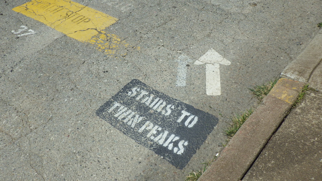
1. Infosign at the #74 Crestline bus stop for the #37 Corbett. Top of Vista Lane steps to right.
2. One of the two short Vista Lane stairways up from Burnett
3. Second short Vista Lane stairway up from Burnett, cross-street Hopkins
4. Top of one of the first short stairways up from Burnett
5. Looking down from Gardenside
6. Top of Gardenside, continuing up to Parkridge
7. Gardenside
8. Continuing up to Parkridge
9. Top of Parkridge
10. Last two flights: Parkridge to Crestline
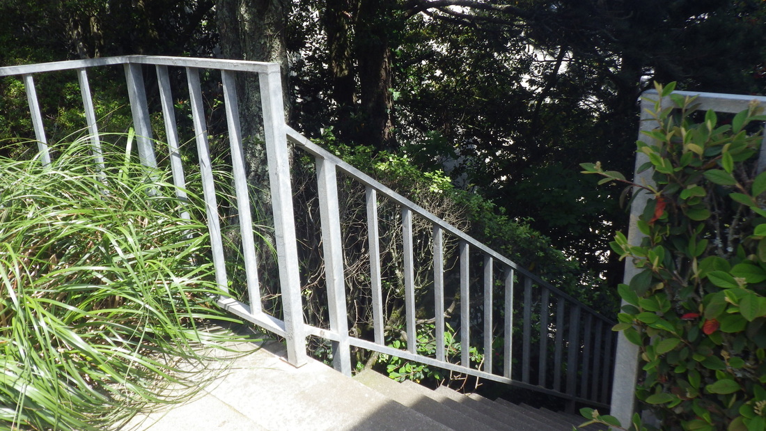
11. Parkridge up to Crestline, Vista Lane
12. Twin Peaks Stairway/Vista Lane up to Crestline
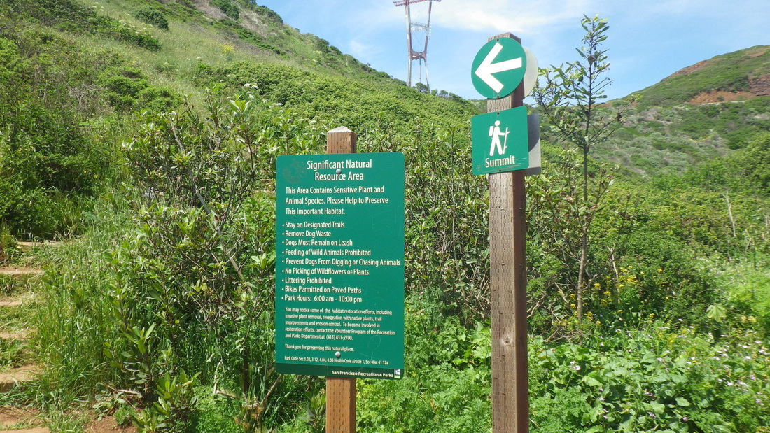
13. Across from the top of Vista Lane, a wood stairway into Twin Peaks Park
14. Up from Crestline. Top of Vista Lane upper right.
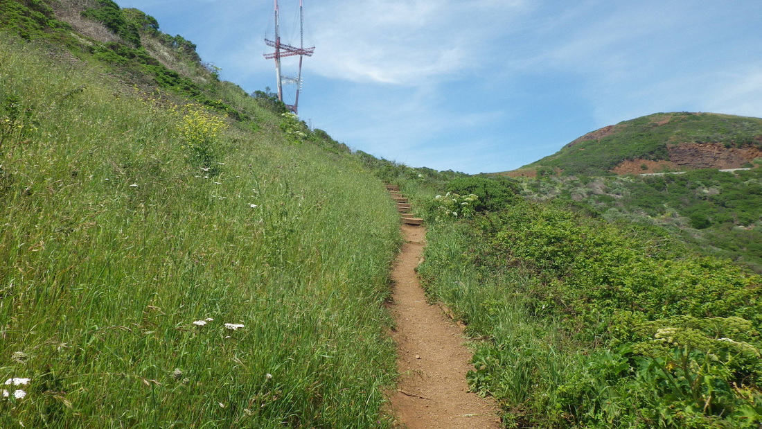
15. Into Twin Peaks Park
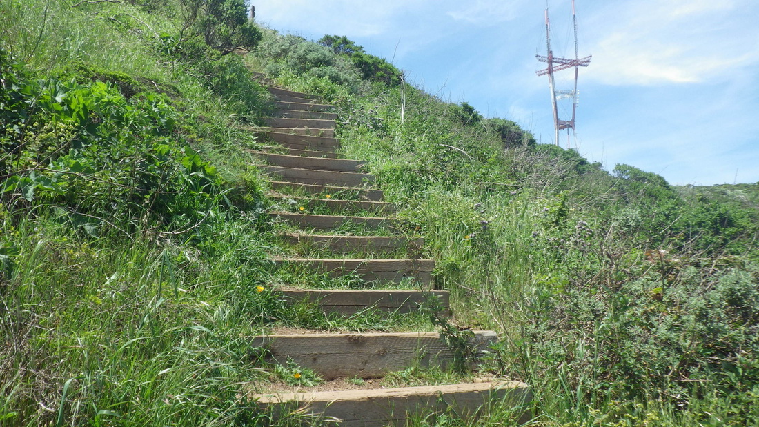
16. 93 steps for this one up to Twin Peaks Blvd.
17. An older wood stairway
18. Nearing the top of the stairs
19. Pemberton starts up from Clayton
20. Top of the first block of Pemberton at Villa Terrace
21. Top of second block of Pemberton at Graystone Terrace
22. Starting oldest, highest, part of Pemberton: Graystone up to Crown
23. Pemberton stairway up to Crown Terrace from Graystone Terrace
24. Top of Pemberton at Crown Terrace. Turn left here to dead-end.
25. Crown Ct. right. Raccoon up to Twin Peaks Blvd. left.
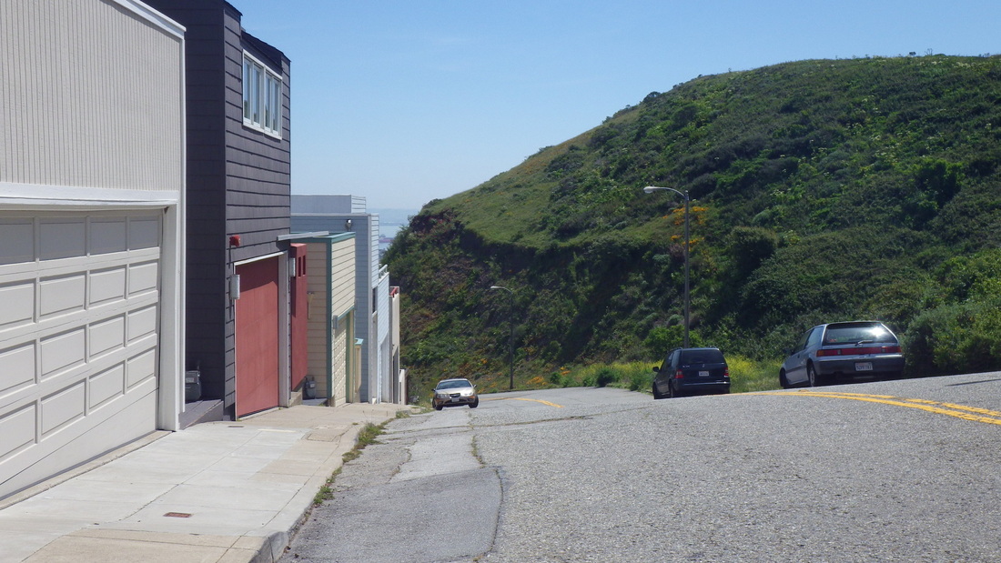
26. Raccoon at Twin Peaks Blvd. Mountain Spring across.
27. Burnett at Twin Peaks Blvd.
 RSS Feed
