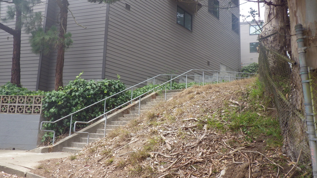
Uphilling from Noe Valley, 98 steps ascend from Noe at 27th to divided 27th (first two pix).
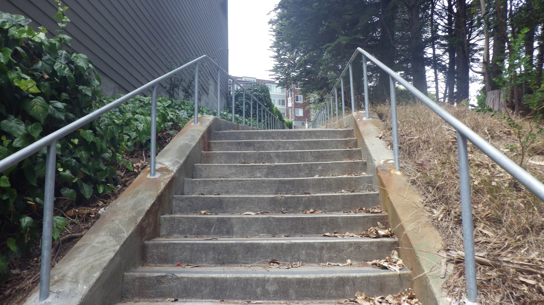
Staying on the upper part, passing the old wood steps that lead past homes partway to the Douglass/Castro Openspace (pic 3).
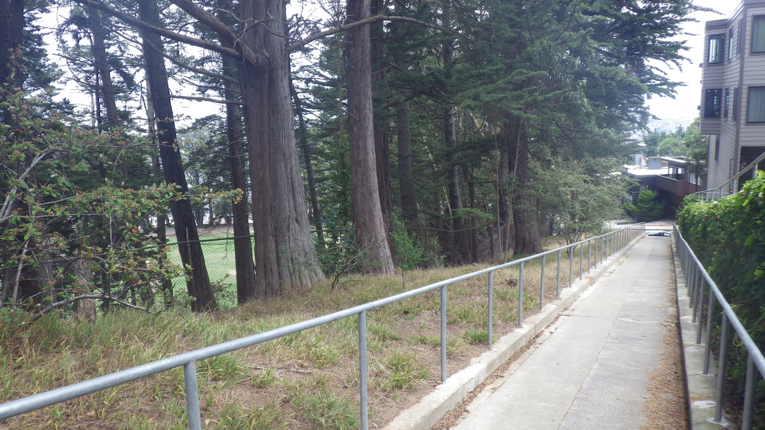
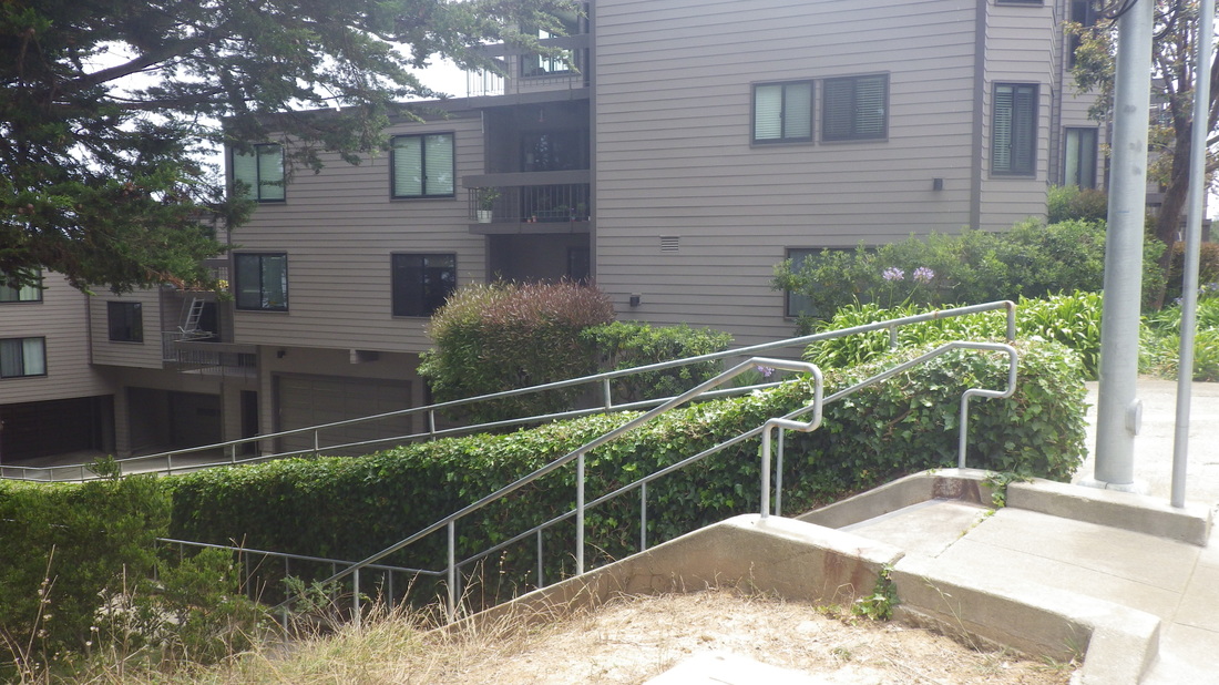
38 steps down (4, 5) to continue on 27th steeply west and uphill (pic 6) a few blocks to the foot of the Upper Douglass Dog Park (7, 8) in upper Noe Valley, the top of it in Diamond Heights.
This was a long overdue visit to a short stairway that several years ago I'd descend from Diamond Heights Blvd.
Circled the dogpark looking for trails up or down but found only a locked gate on the north side with inviting woods below.
Out again at the main gate and up the remembered stairs. Safira Lane has 34 steps with a railed walk in the middle, the dog play area ascending alongside: 9 thru 13.
The pooch playfield does have an attractive upper trail but this is fenced in: pic 14.
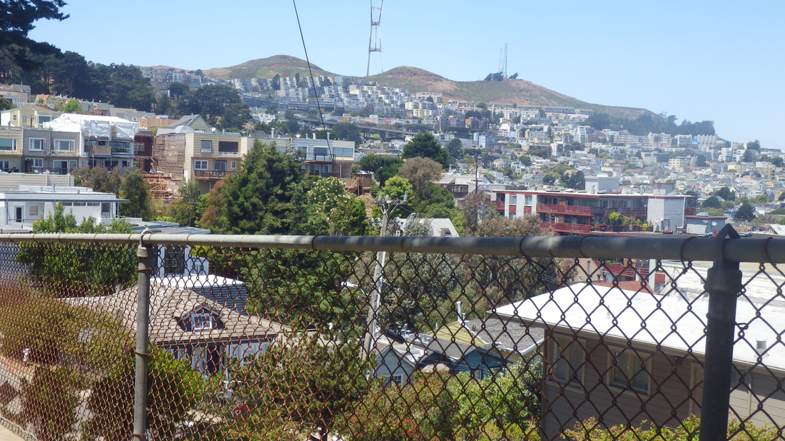
Around to the north on Diamond Heights Blvd. to the dead-end of curvy Carnelian Way with its view across to Twin Peaks. Hadn’t done this in years. A view towards Twin Peaks from Carnelian: pic 15.
Delighted to discover a “hidden” wood stairway at the end of Carnelian with 11 railed wood steps (not shown on Google Maps), pic 16.
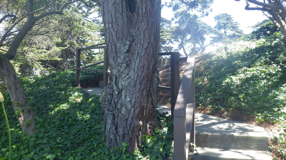
Once up here noticed a trail that appeared to ascend back to Diamond Heights Blvd. alongside a residence.
Started down another trail where again I encountered that locked gate into the dogpark on the upper north side. They should unlock it for the convenience of hikers and people who live in Diamond Heights who’d like to walk their dogs in the designated play area without having to go all the way down to the main entrance on Douglass. Why keep it locked? Poor planning by park people.
The steep, narrow trail was surrounded by chainlink fences on both sides; partway down appeared to be an impenetrable tangle to the east. To the north towards the lower park, noticed a narrow opening between fences. Couldn’t tell if the trail was thru from where I was; looked steep.
So just sayin’ — why not connect the dog park that’s higher up with the lower playground since this is supposed to be one park. Give people a meandering, winding hike beneath the trees, with some steps for steep parts.
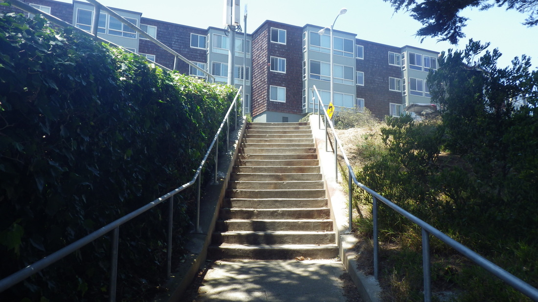
Walked all round the lower park also (tennis courts, flat lawn area, playground and clubhouse, pic 17). But though starting up a couple times, they seemed like false leads so inched back down again. Couldn’t see well enough to tell if one of the trails continued up, past rocks. Rather it looked like something more suited for rock climbers.
Why not create some switchbacking trails that aren’t overly steep — like the outstanding ones on Mount Davidson and Mount Sutro.
If you trek straight up the regular sidewalk on Douglass north to south alongside the park’s stone wall, it’s supersteep from the lower park to the dogpark area. It’d be so much more inviting to climb up by way of forested trails INSIDE the park that curve around more gradually. And so you don’t need climbing equipment to ascend.
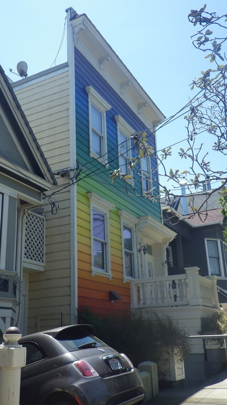
Clipper divides the Diamond Heights and Twin Peaks 'hoods. Descending on trafficky Clipper, the community garden was directly across (at High Street) on the Twin Peaks side. There should be a skyway here on upper Clipper so pedestrians can easily cross over. Further down, glad to see the Clipper rainbow house is still here. Hadn’t seen this in several years either: last two pix.
Staying on the upper part, passing the old wood steps that lead past homes partway to the Douglass/Castro Openspace (pic 3).
38 steps down (4, 5) to continue on 27th steeply west and uphill (pic 6) a few blocks to the foot of the Upper Douglass Dog Park (7, 8) in upper Noe Valley, the top of it in Diamond Heights.
This was a long overdue visit to a short stairway that several years ago I'd descend from Diamond Heights Blvd.
Circled the dogpark looking for trails up or down but found only a locked gate on the north side with inviting woods below.
Out again at the main gate and up the remembered stairs. Safira Lane has 34 steps with a railed walk in the middle, the dog play area ascending alongside: 9 thru 13.
The pooch playfield does have an attractive upper trail but this is fenced in: pic 14.
Around to the north on Diamond Heights Blvd. to the dead-end of curvy Carnelian Way with its view across to Twin Peaks. Hadn’t done this in years. A view towards Twin Peaks from Carnelian: pic 15.
Delighted to discover a “hidden” wood stairway at the end of Carnelian with 11 railed wood steps (not shown on Google Maps), pic 16.
Once up here noticed a trail that appeared to ascend back to Diamond Heights Blvd. alongside a residence.
Started down another trail where again I encountered that locked gate into the dogpark on the upper north side. They should unlock it for the convenience of hikers and people who live in Diamond Heights who’d like to walk their dogs in the designated play area without having to go all the way down to the main entrance on Douglass. Why keep it locked? Poor planning by park people.
The steep, narrow trail was surrounded by chainlink fences on both sides; partway down appeared to be an impenetrable tangle to the east. To the north towards the lower park, noticed a narrow opening between fences. Couldn’t tell if the trail was thru from where I was; looked steep.
So just sayin’ — why not connect the dog park that’s higher up with the lower playground since this is supposed to be one park. Give people a meandering, winding hike beneath the trees, with some steps for steep parts.
Walked all round the lower park also (tennis courts, flat lawn area, playground and clubhouse, pic 17). But though starting up a couple times, they seemed like false leads so inched back down again. Couldn’t see well enough to tell if one of the trails continued up, past rocks. Rather it looked like something more suited for rock climbers.
Why not create some switchbacking trails that aren’t overly steep — like the outstanding ones on Mount Davidson and Mount Sutro.
If you trek straight up the regular sidewalk on Douglass north to south alongside the park’s stone wall, it’s supersteep from the lower park to the dogpark area. It’d be so much more inviting to climb up by way of forested trails INSIDE the park that curve around more gradually. And so you don’t need climbing equipment to ascend.
Clipper divides the Diamond Heights and Twin Peaks 'hoods. Descending on trafficky Clipper, the community garden was directly across (at High Street) on the Twin Peaks side. There should be a skyway here on upper Clipper so pedestrians can easily cross over. Further down, glad to see the Clipper rainbow house is still here. Hadn’t seen this in several years either: last two pix.
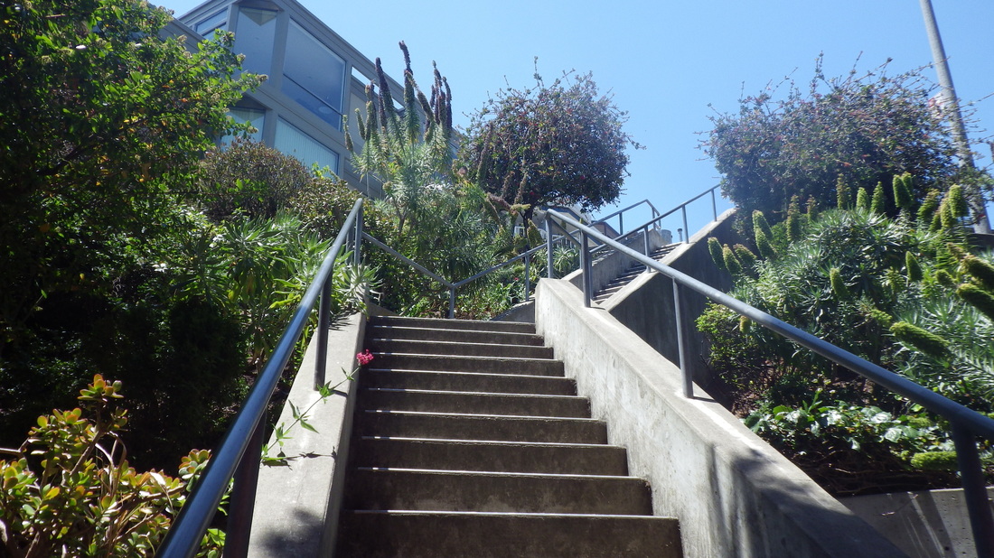
1. 27th St. up from Noe in Noe Valley
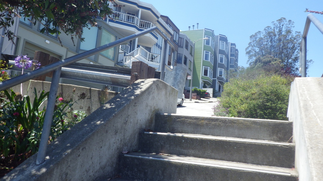
2. At the top of the stairs, divided 27th St.
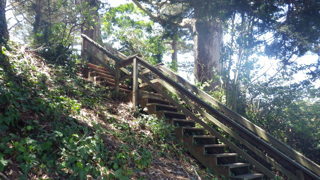
3. Up from 27th to Douglass/Castro Openspace
4. Twin Peaks from upper 27th St.
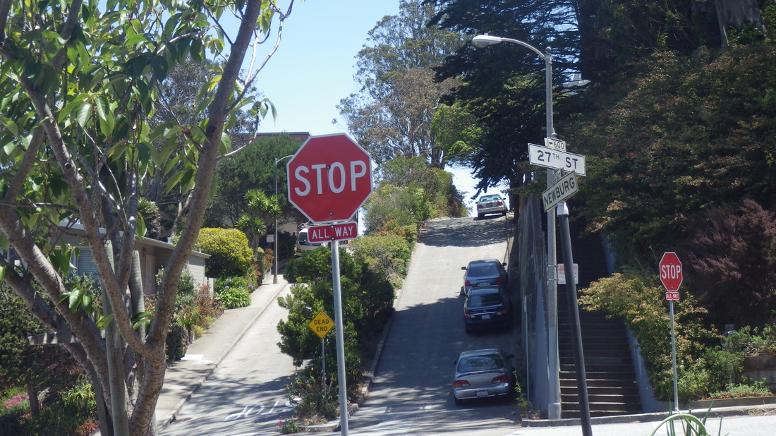
5. 27th at Newburg, looking back
6. 27th St.
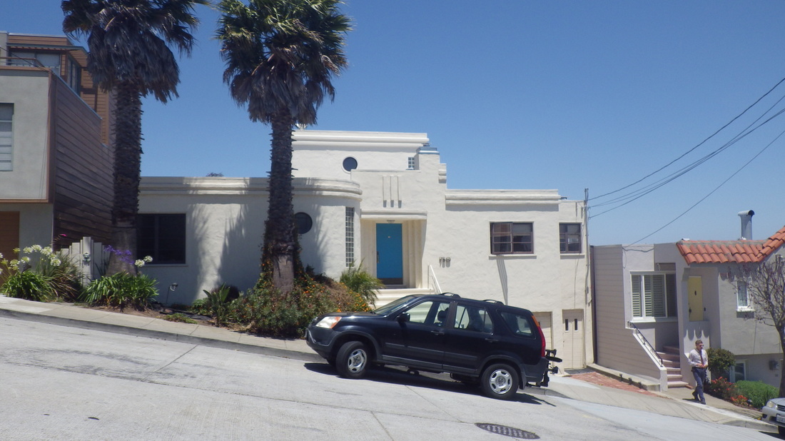
7. Douglass at 27th
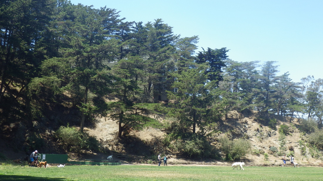
8. Upper Douglass Dog Park, 27th & Douglass
9. Safira Lane
10. 34 steps
11. The middle part of Safira is a railed walkway
12. Up to Diamond Heights Blvd.
13. Down from Diamond Heights Blvd.
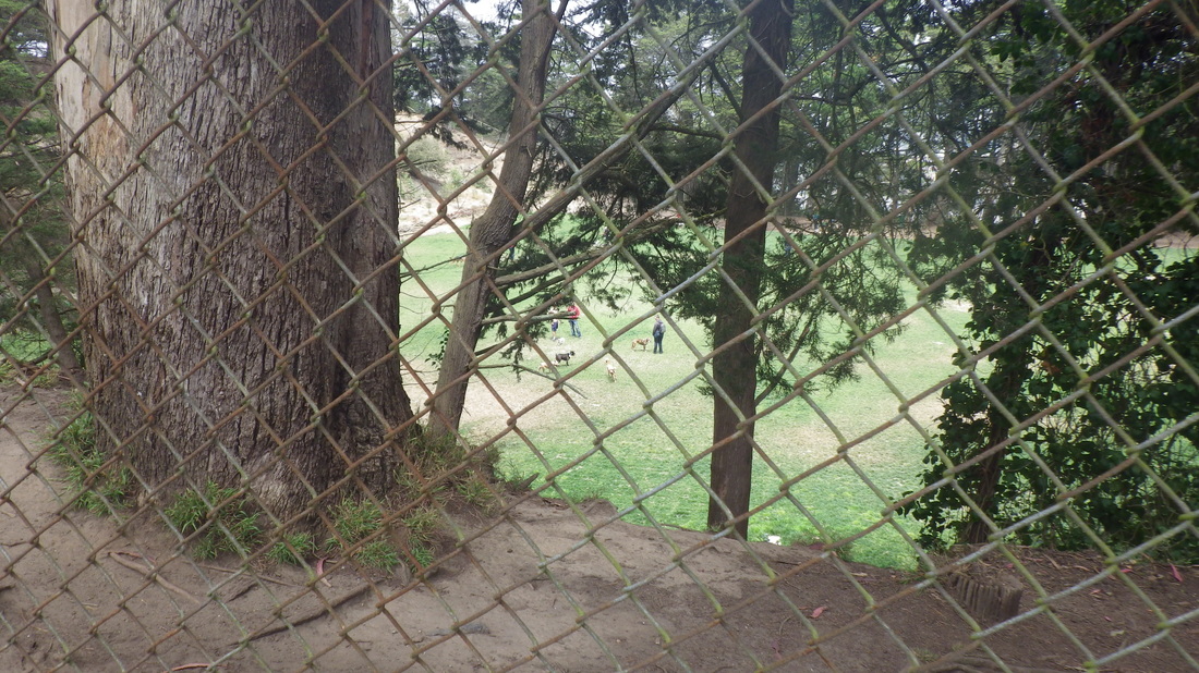
14. An upper trail in the dog park
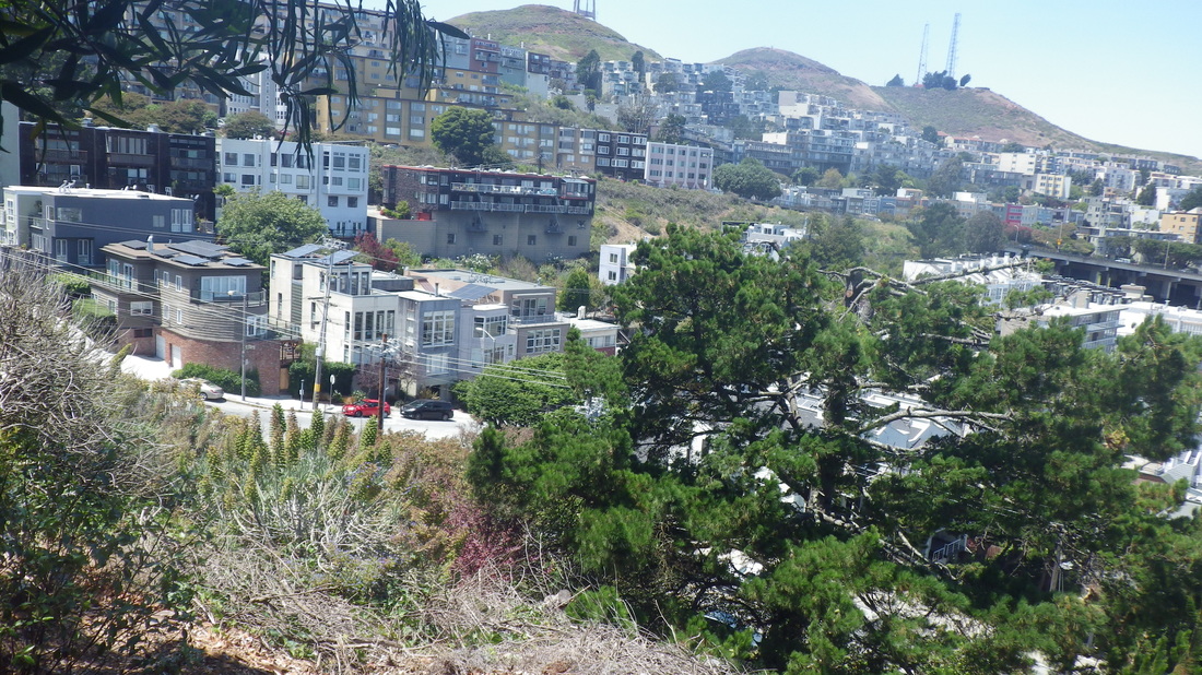
15. Twin Peaks from Carnelian in Diamond Heights
16. From Carnelian's dead=end, a short wood stairway

17. Entrance to Douglass Playground
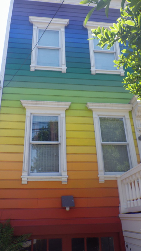
18. Still here: the Clipper Rainbow House
19. Clipper Street, Noe Valley
 RSS Feed
