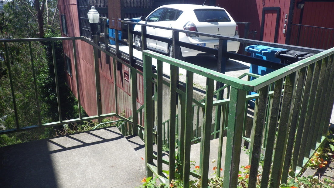
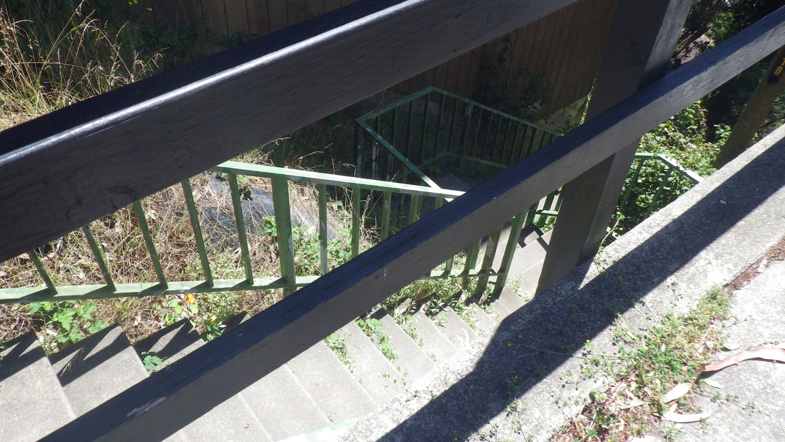
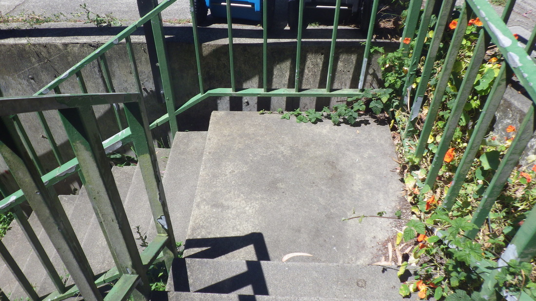
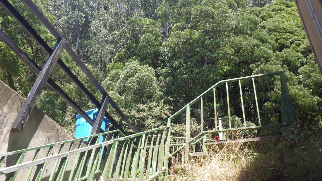
I’m in the habit of starting my tower trail treks from the foot of Twin Peaks Park (at Crestline), accessed via the #37 Corbett/Twin Peaks bus. Up the 93 old wood steps (pix 1 thru 4) to Twin Peaks Blvd. in the park. Eureka Peakpeople, pic 5.
Across the Blvd. to the west side of the park (6, 7, 8), stepping over the guardrail for the old trail down alongside Twin Peaks reservoir to Marview in the Midtown Terrace neighborhood: 9, 10.
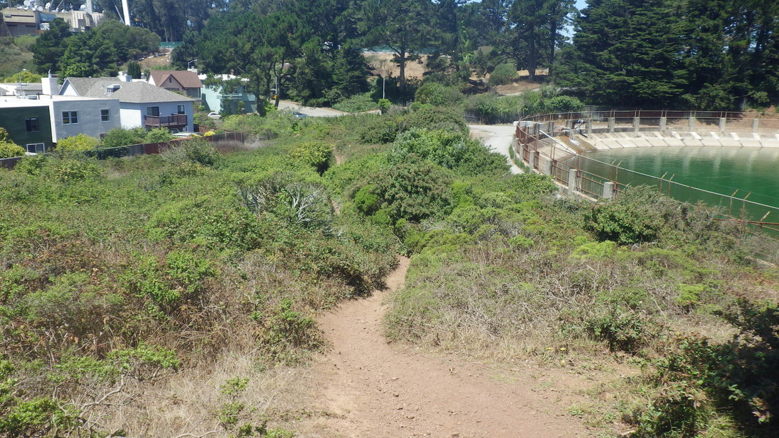
There’s a trail encircling Sutro Tower that climbs up from Marview. It starts out in the open, Midtown Terrace homes below. However, had just begun when I came to a fence blocking the trail (pic 11). It went all the way down to the street so had to turn back; probably just temporary.
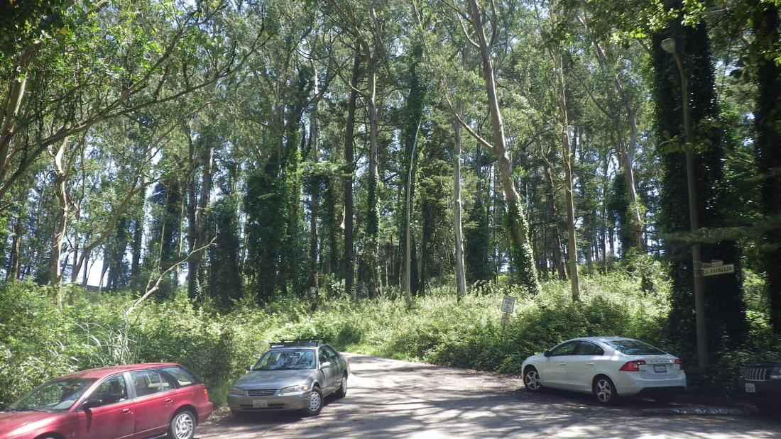
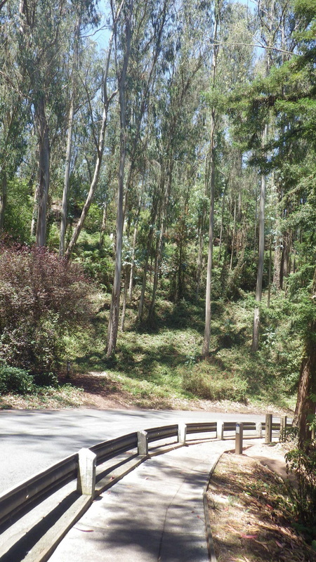
Curious, decided to check out its other trailhead to see just how much was closed off. Stayed on Palo Alto to its dead-end for vehicles, pic 12. Behind the fence is La Avanzada, the curvy road to Sutro Tower (pic 13); continued downhill.
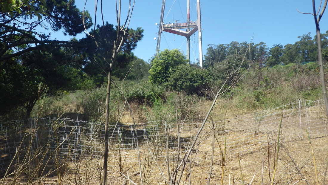
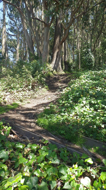
The trail is mostly forested as it winds under 977-foot Sutro Tower. Have to keep an eye out for mountain bikers; sometimes not a lot of space to move to the side to let 'em pass. This time had the whole trail to myself.
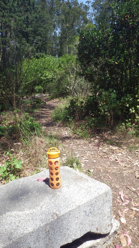
Did nearly the entire trail twice, an up ’n back. Started up from the La Avanzada trailhead, muddy and puddly, pic 14. Kept going until I reached the edge of the forest where there was another fence. So this closure affected only part of the openspace area ... for whatever reason.
The tower trail (no trailmarkers) that starts up from La Avanzada, its lower trailhead just above Dellbrook in the Midtown Terrace neighborhood: 15 thru 21.
Descended to Clarendon; could use a pedestrian skyway in this area to make it easier for hikers to cross over from Midtown Terrace to Mount Sutro Forest. There are “islands” in the middle of Clarendon but no light or crosswalk.
Once across the street, about a block down is the main entrance to the Aldea residences. This time chose the North Ridge Trail (pic 22) that ascends from curving Medical Center Way. The trailhead's directly across from the Fairy Gates trailhead that descends from the road. Too many trees have been cut down on the North Ridge...
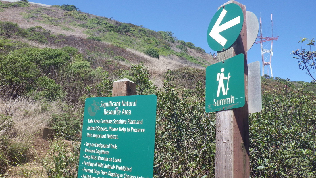
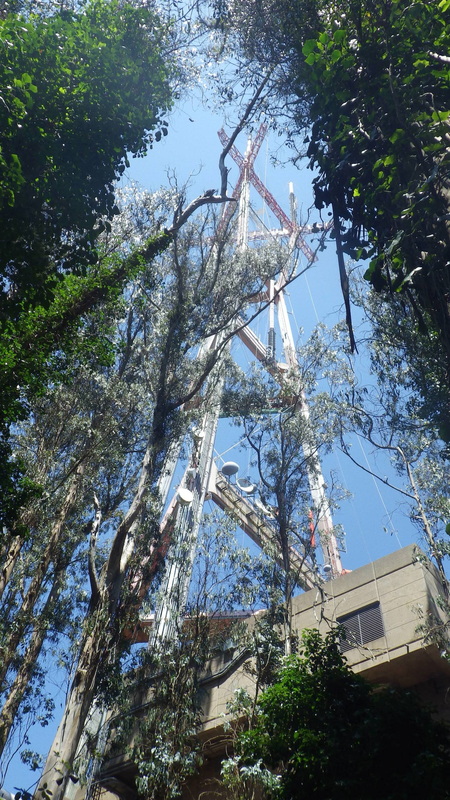
Sutro’s Summit: 23, 24.
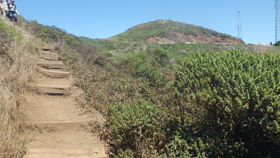
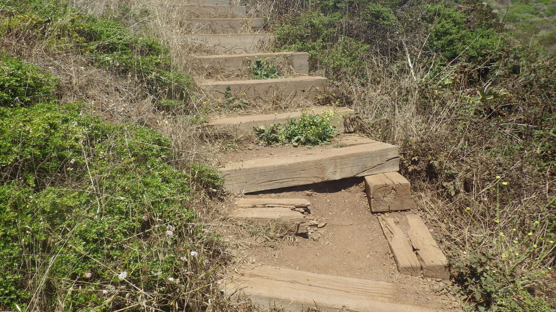
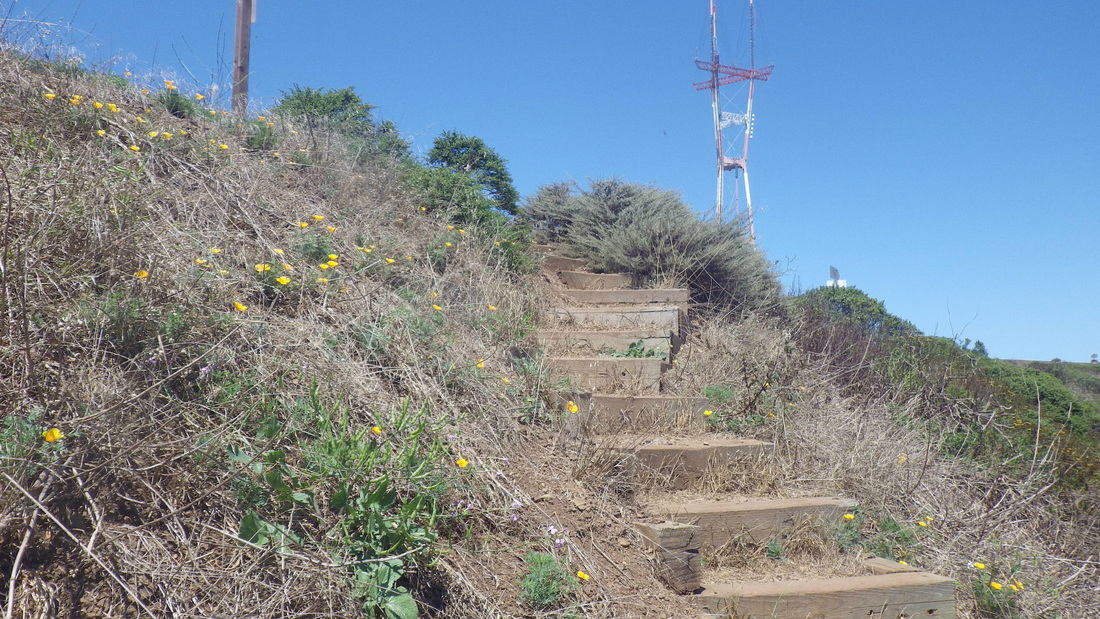
Down from the summit on the South Ridge, then the Historic Trail (pic 25) to the West Ridge Trail: 26 thru 29. Instead of felling so many trees, how ‘bout a few helpful steps on this steep trail that climbs into the forest, especially at the Crestmont trailhead. Surely they could add some steps here and at the Christopher trailhead without harming any trees; simply curve them around the plants.
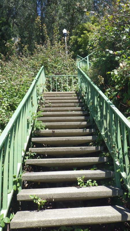
Now in the Forest Knolls neighborhood, round the curve for the top of the green Oakhurst stairway.
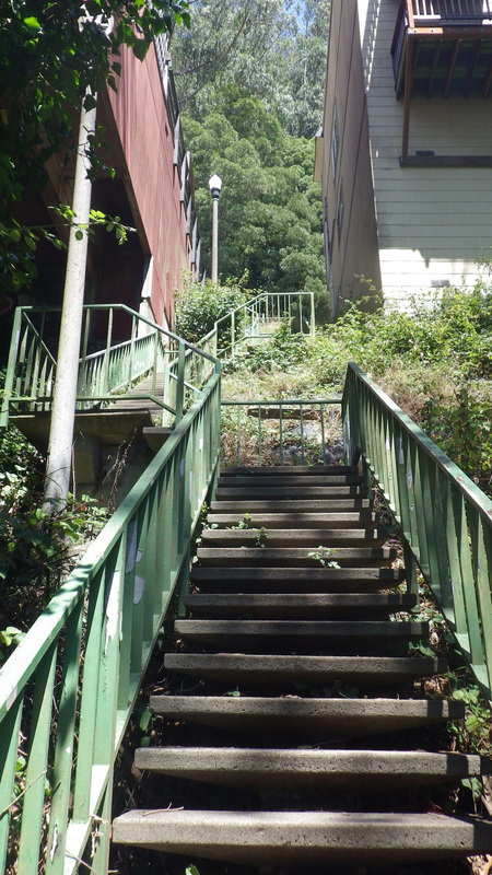
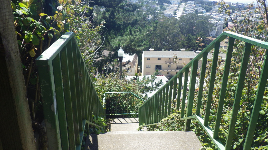
Oakhurst descends from Crestmont, 355 steps, pix 30 thru 37, at the foot of which is Warren (pic 38), steep and winding, down to Seventh Ave. (last pic, a view of Mount Sutro's west side from the bus stop).
Across the Blvd. to the west side of the park (6, 7, 8), stepping over the guardrail for the old trail down alongside Twin Peaks reservoir to Marview in the Midtown Terrace neighborhood: 9, 10.
There’s a trail encircling Sutro Tower that climbs up from Marview. It starts out in the open, Midtown Terrace homes below. However, had just begun when I came to a fence blocking the trail (pic 11). It went all the way down to the street so had to turn back; probably just temporary.
Curious, decided to check out its other trailhead to see just how much was closed off. Stayed on Palo Alto to its dead-end for vehicles, pic 12. Behind the fence is La Avanzada, the curvy road to Sutro Tower (pic 13); continued downhill.
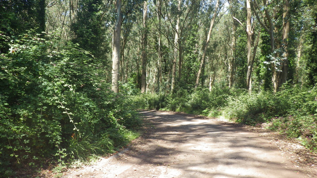
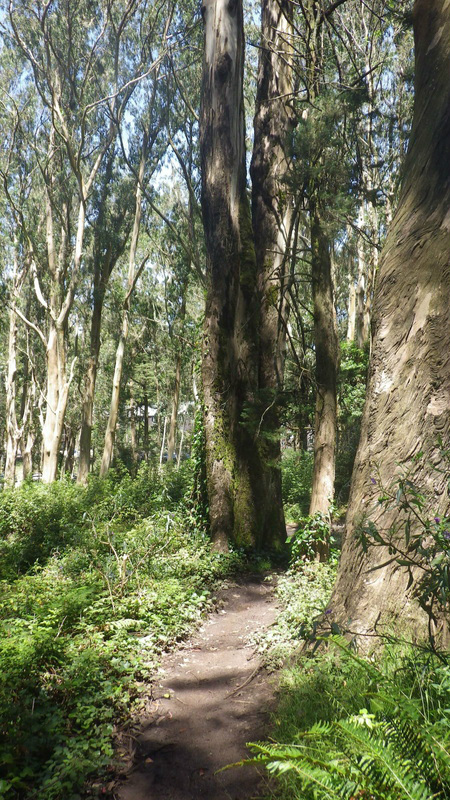
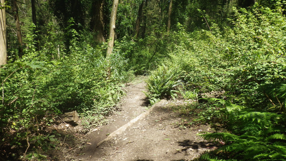
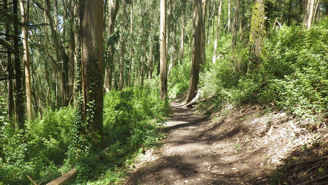
The trail is mostly forested as it winds under 977-foot Sutro Tower. Have to keep an eye out for mountain bikers; sometimes not a lot of space to move to the side to let 'em pass. This time had the whole trail to myself.
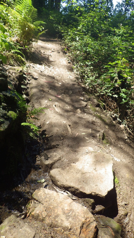
Did nearly the entire trail twice, an up ’n back. Started up from the La Avanzada trailhead, muddy and puddly, pic 14. Kept going until I reached the edge of the forest where there was another fence. So this closure affected only part of the openspace area ... for whatever reason.
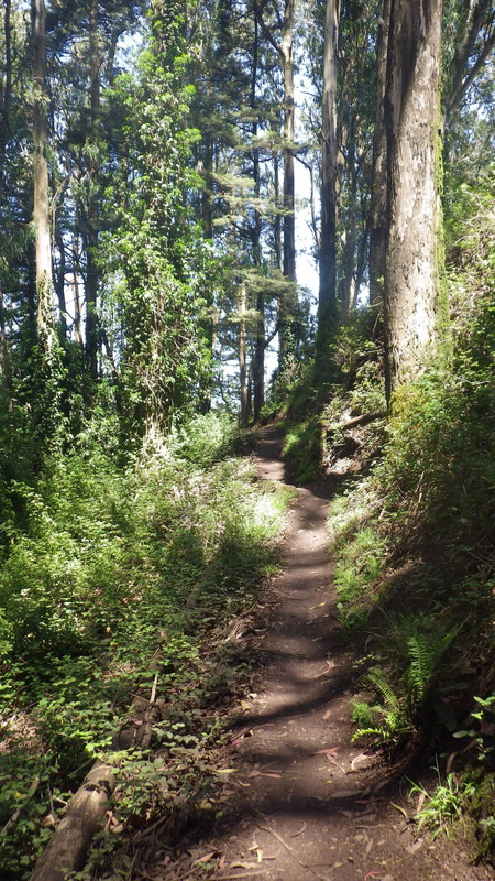
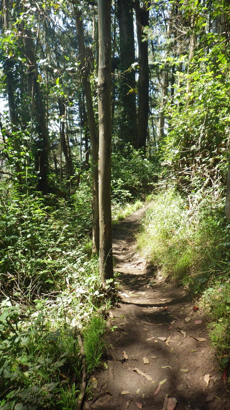
The tower trail (no trailmarkers) that starts up from La Avanzada, its lower trailhead just above Dellbrook in the Midtown Terrace neighborhood: 15 thru 21.
Descended to Clarendon; could use a pedestrian skyway in this area to make it easier for hikers to cross over from Midtown Terrace to Mount Sutro Forest. There are “islands” in the middle of Clarendon but no light or crosswalk.
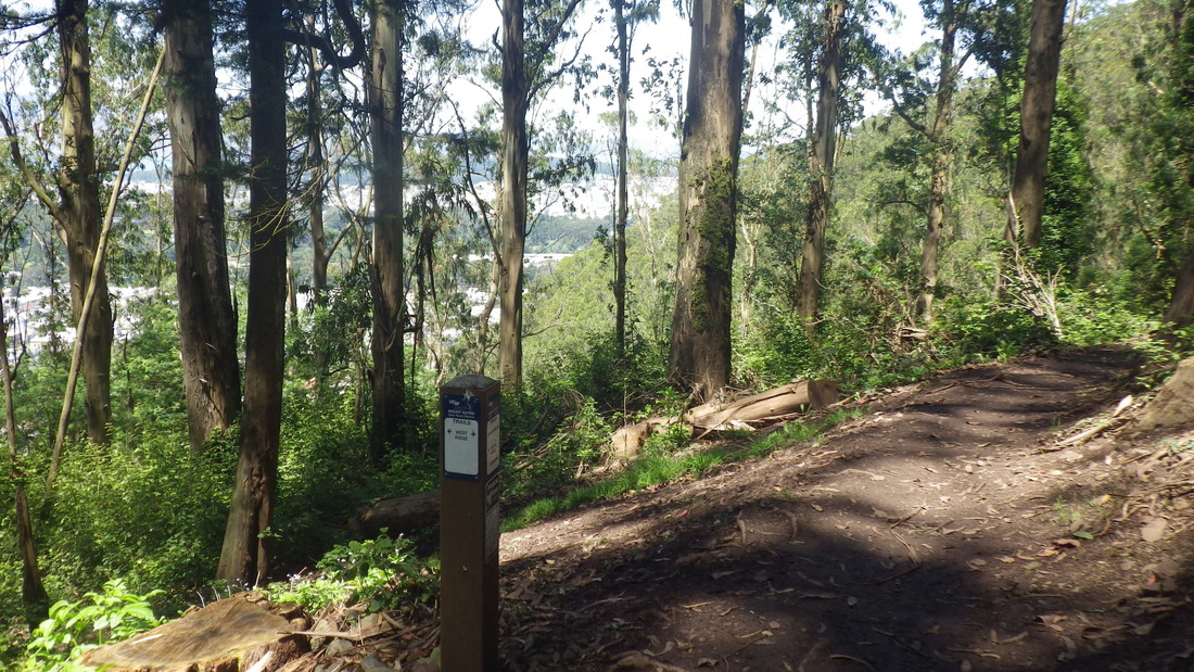
Once across the street, about a block down is the main entrance to the Aldea residences. This time chose the North Ridge Trail (pic 22) that ascends from curving Medical Center Way. The trailhead's directly across from the Fairy Gates trailhead that descends from the road. Too many trees have been cut down on the North Ridge...
Sutro’s Summit: 23, 24.
Down from the summit on the South Ridge, then the Historic Trail (pic 25) to the West Ridge Trail: 26 thru 29. Instead of felling so many trees, how ‘bout a few helpful steps on this steep trail that climbs into the forest, especially at the Crestmont trailhead. Surely they could add some steps here and at the Christopher trailhead without harming any trees; simply curve them around the plants.
Now in the Forest Knolls neighborhood, round the curve for the top of the green Oakhurst stairway.
Oakhurst descends from Crestmont, 355 steps, pix 30 thru 37, at the foot of which is Warren (pic 38), steep and winding, down to Seventh Ave. (last pic, a view of Mount Sutro's west side from the bus stop).
1. Goin' up: Twin Peaks Crestline trailhead
2. Crestline up to Twin Peaks Blvd. in the park
3. 93 old wood steps
4. Up to Twin Peaks Blvd.
5. Eureka Peak
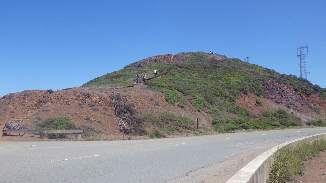
6. A view from the west side of the park: Midtown Terrace below, Sutro Tower, Mount Sutro beyond
7. Midtown Terrace below; Mount Davidson upper left
8. Towerview from Twin Peaks Park
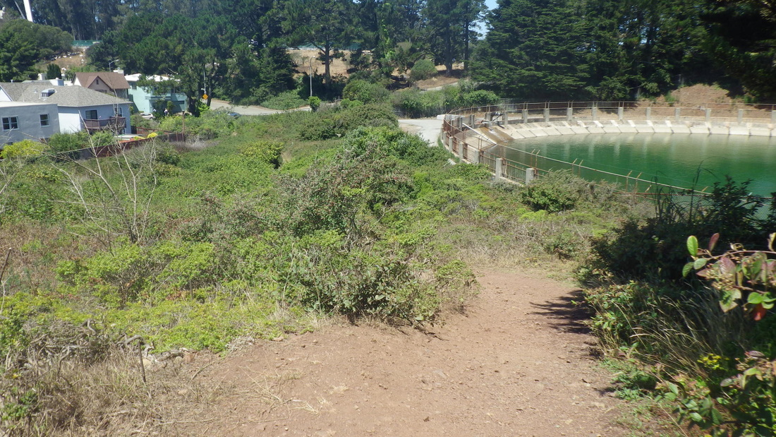
9. Alongside Twin Peaks Reservoir
10. Midtown Terrace homes to left
11. Trail blocked
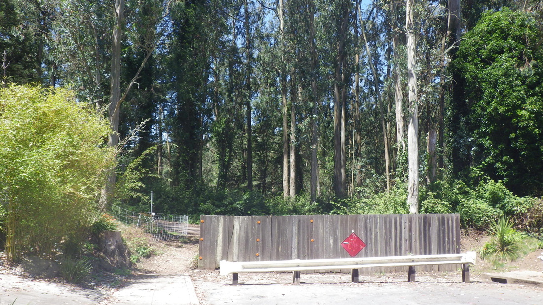
12. Dead-end for vehicles at Palo Alto. La Avanzada behind the fence.
13. La Avanzada, the winding road to Sutro Tower
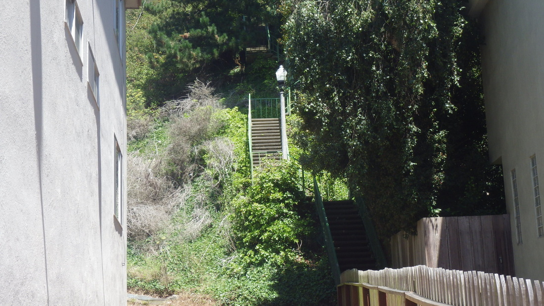
14. Trailhead for tower trail starting up from La Avanzada
15. Tower Trail
16. Tower Trail
17. Tower Trail
18. Tower Trail
19. Tower Trail
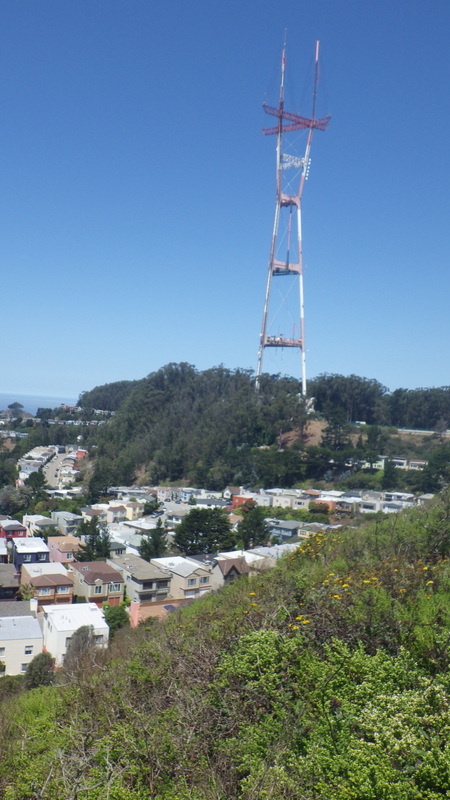
20. Sutro Tower above
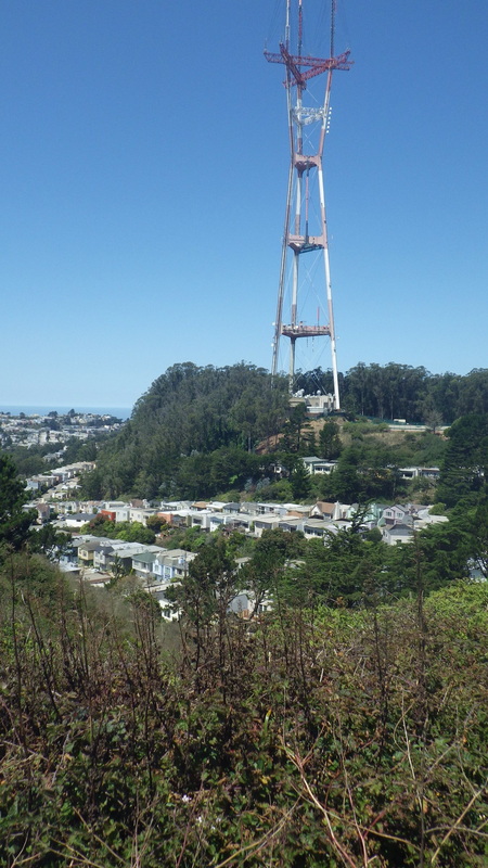
21. La Avanzada at Dellbrook
22. North Ridge Trailhead center, across Medical Center Way
23. Mount Sutro's summit
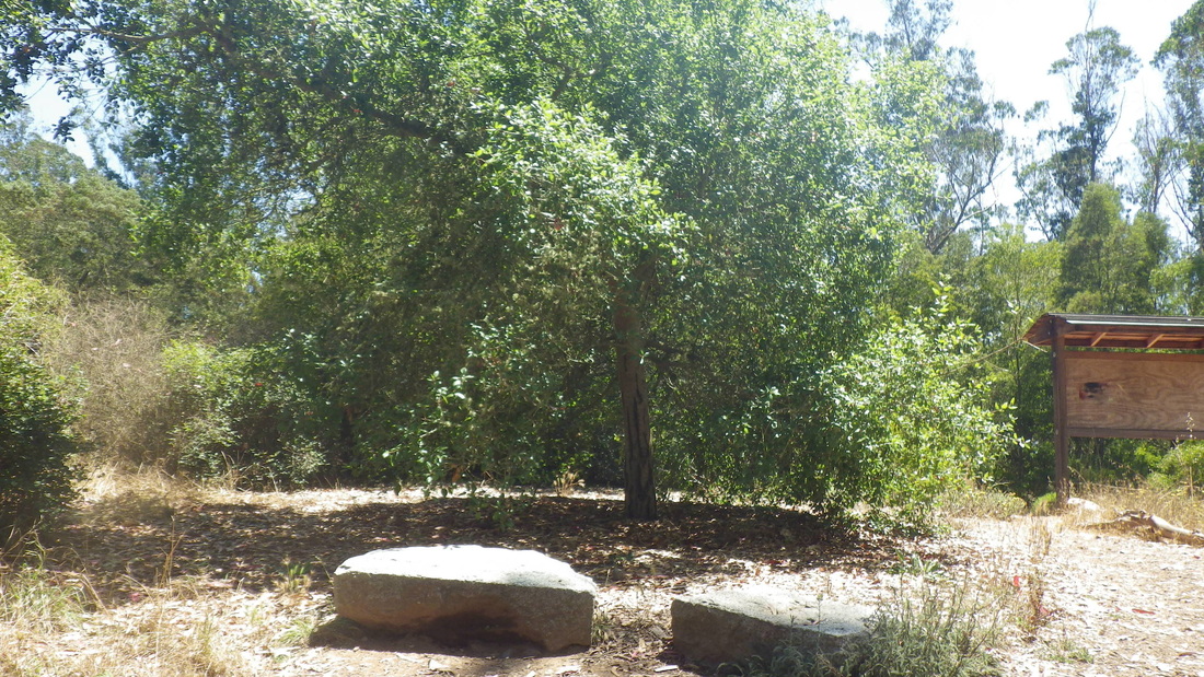
24. Summit benches
25. Historic Trail
26. At Historic Trail, West Ridge Trail starts down, center, left
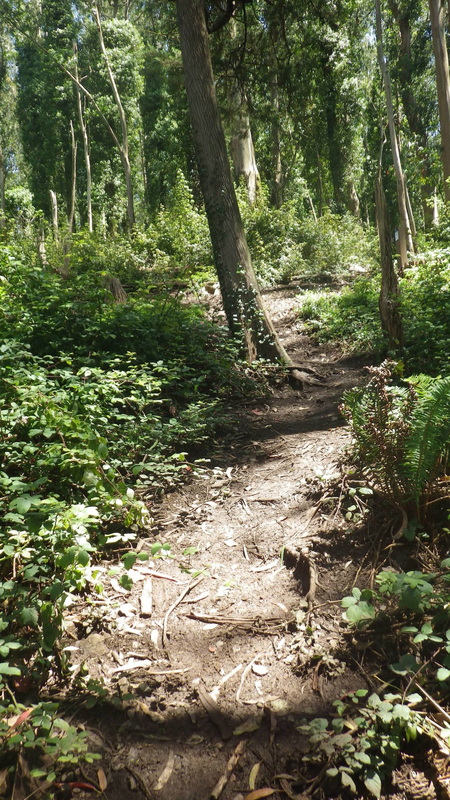
27. West Ridge Trail
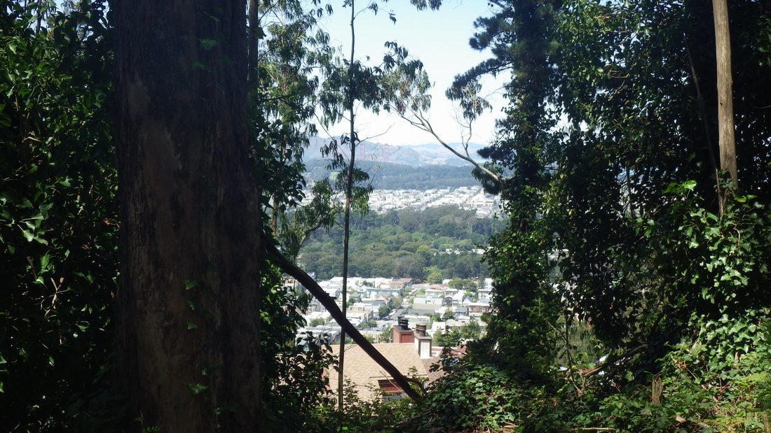
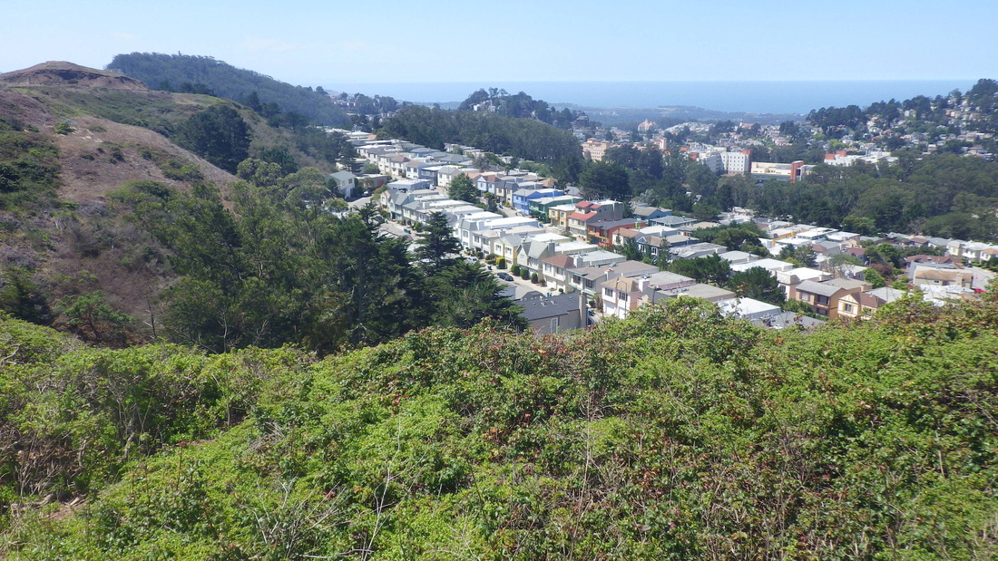
28. View from West Ridge Trail: center trees are Golden Gate Park. above that Presidio.
29. West Ridge Trail up from Crestmont in Forest Knolls
30. Top of Oakhurst stairway, Forest Knolls neighborhood
31. Top of Oakhurst Lane at Crestmont
32. Oakhurst Lane starts down from Crestmont
33. Sutro Forest above
34. Mount Sutro Forest above Crestmont
35. Partway down Oakhurst Lane steps
36. Around 355 steps, Crestmont to Warren
37. Foot of Oakhurst Lane stairway from Warren
38. Warren with Sutro Forest above
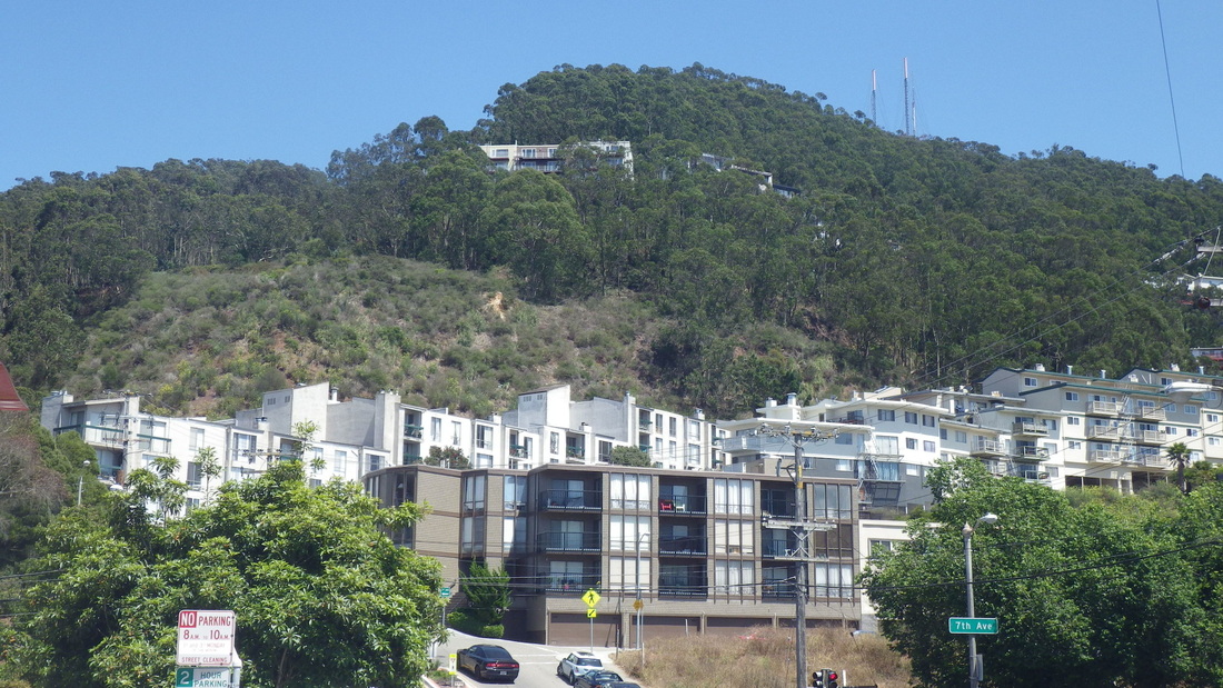
39. Mount Sutro's westside from 7th Ave.
 RSS Feed
