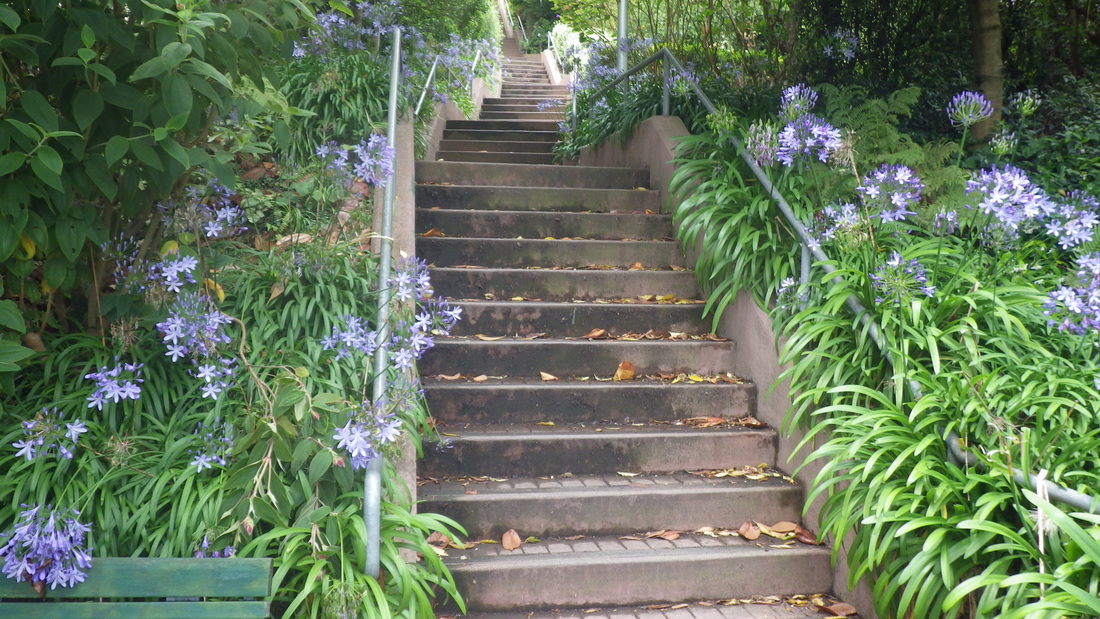
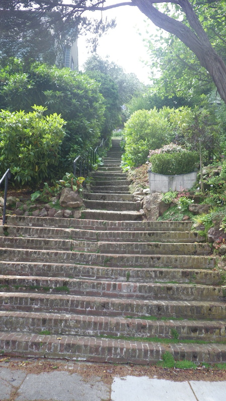
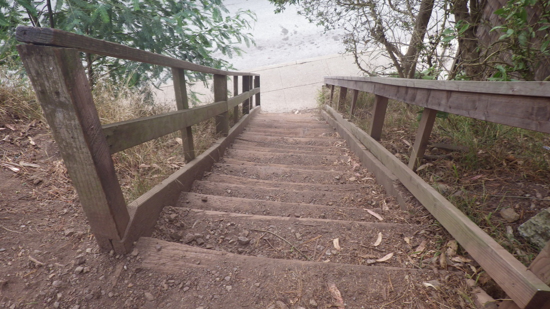
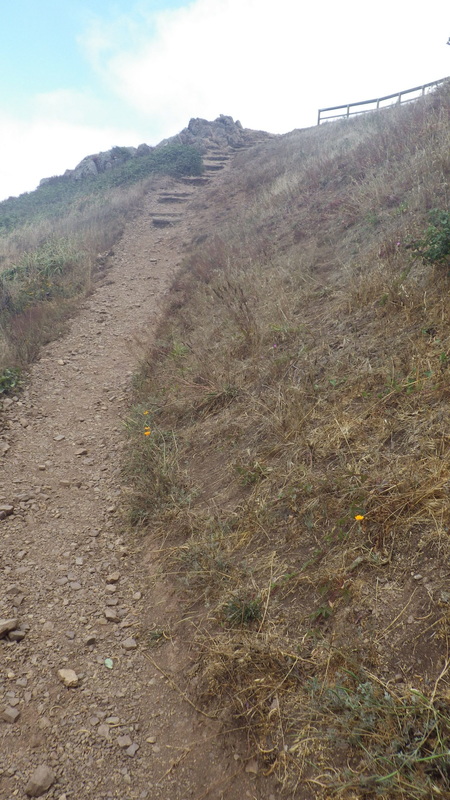
To start this trek, disembarked the #37 Corbett/Twin Peaks bus at the Corbett/Clayton Neighborhood Garden steps, first pic. At the top of this short flight would like to see a skyway, or at least a crosswalk, to take hikers directly across Clayton so as to safely continue up the Pemberton stairs (three blocks’ worth, 210 steps). Clayton’s curvy and cars zoom around here too fast.
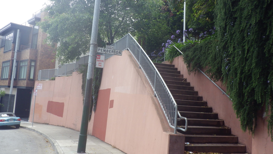
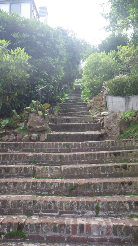
Pemberton from Clayton to Villa Terrace: pix 2 thru 6
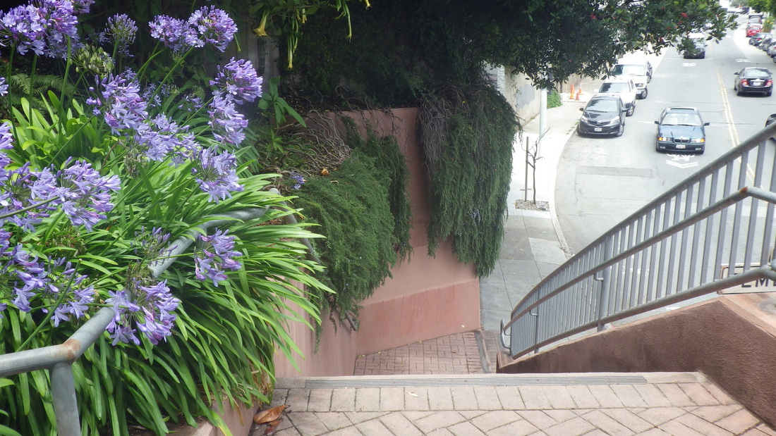
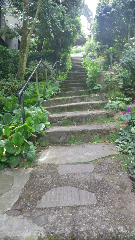
Pemberton from Villa to Graystone Terrace: 7, 8
Pemberton crosses two narrow streets in the Twin Peaks neighborhood, Villa and Graystone, on its way up and ends at Crown Terrace.
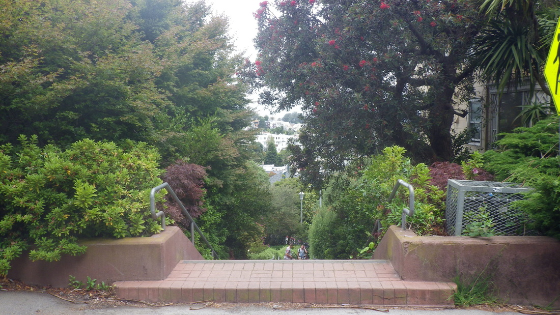
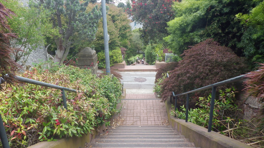
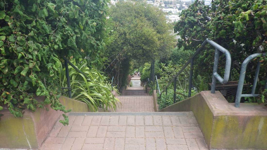
Pemberton from Graystone to Crown Terrace: 9 thru 12
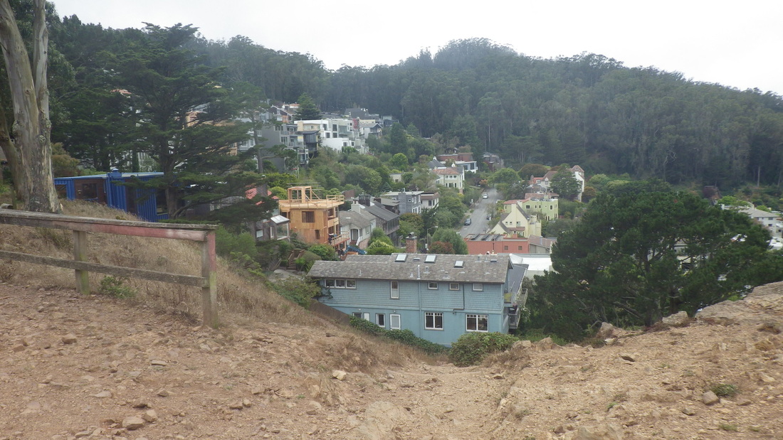
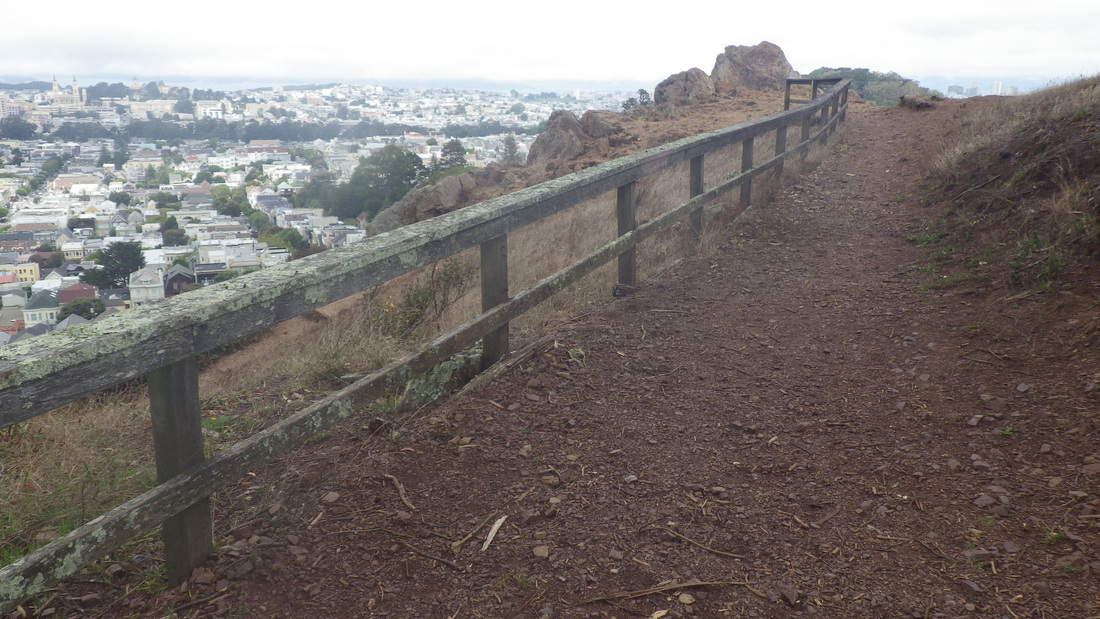
This time hung a right to take me out to Twin Peaks Blvd. where directly across the street 23 old wood steps climb up Tank Hill, pic 13.
Tank Hill’s a tiny viewpark, a north shoulder of Twin Peaks. The other short access stairway is down the west slope that descends to Belgrave Ave. There’s a vehicle dead-end at both ends of this maybe three-block-long street, at the west end of which one can access one of Sutro Forest’s older, steeper trails.
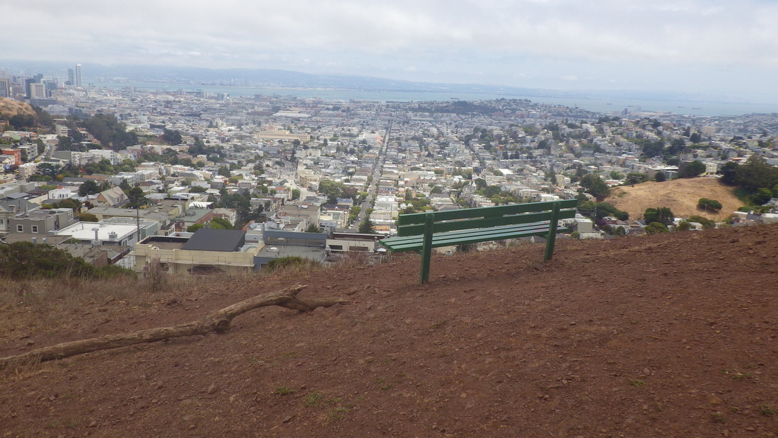
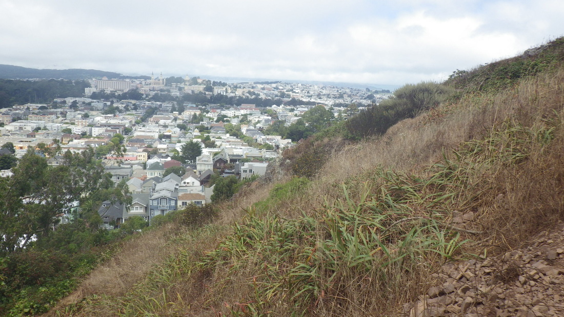
Pic 14: View of Mount Sutro Forest a few blocks to the west.
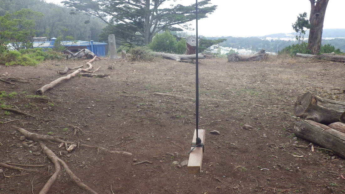
Tank pix: 15, 16, 17, 18.
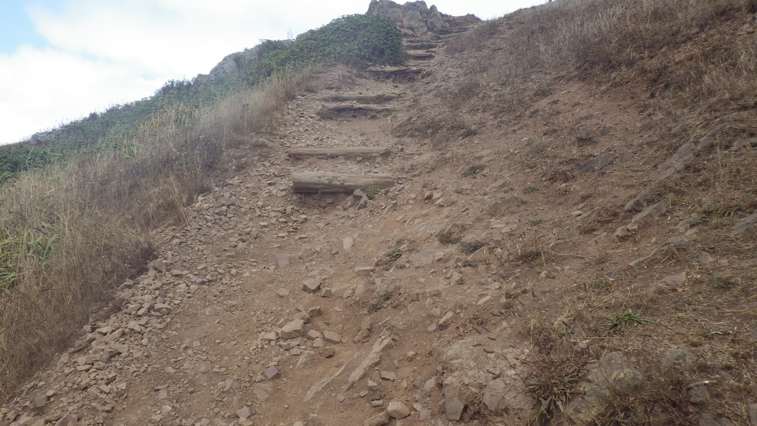
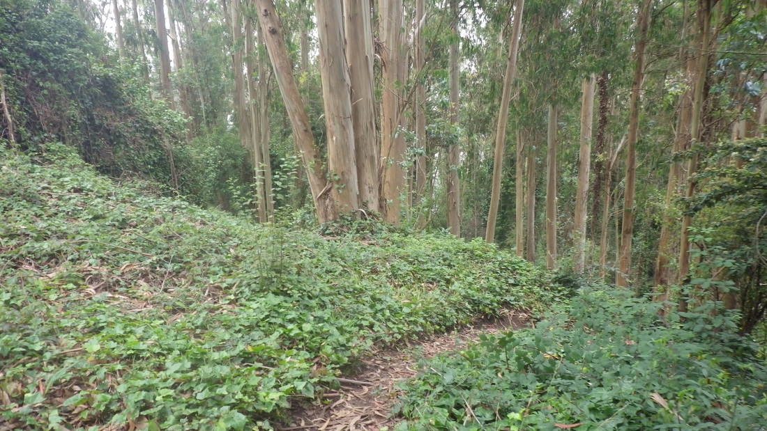
If the parks people wanted to do something really useful, they might consider improving the old dirt trail that steeply swoops down the west slope of this park to Belgrave’s east end. There are 16 rocky-slidey-uneven steps: 19, 20, 21.
A couple of stairways lead down from Clarendon nearly to Belgrave, but not quite. I’ve been down these (not lately though), descending through the open gate at Clarendon. This is actually the uppermost part of Stanyan and is labeled as Stanyan on Google Maps. But it’s blocked off just before Belgrave (you can see an end-fence up the slope, pic 22), so not recommending since it’s an up’n back. Is it now locked and private? It’d be cool if this could get extended down to connect with the rest of Stanyan at Belgrave.
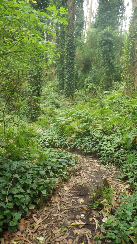
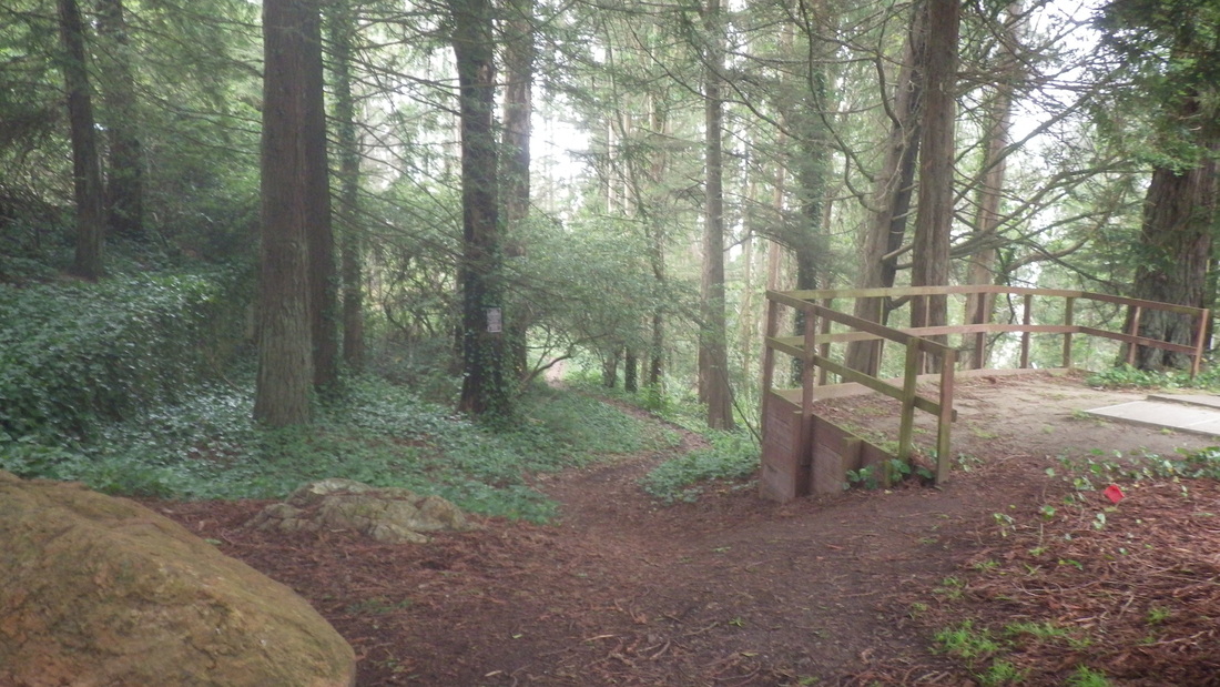
The trail into Sutro Forest near the end of Stanyan at Belgrave’s other dead-end-for-cars is a steep and gorgeous one I’ve enjoyed for years. It has no markers like the other trails, just four old steps to start and some posts to bar vehicles. Maybe because there’s an Aldea residence alongside as one climbs and they want to discourage prowlers? The trail is shown on Google Maps.
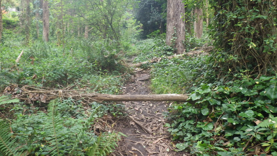
I’ve also explored an alternate, rougher trail of sorts north from the foot of this trail a few times, miraculously escaping poison oak, exiting midwayish onto the newer Historic Trail whose trailhead starts a bit lower down Stanyan. This was like the old days on the mountain when I’d step into deep ivy-covered holes, sometimes losing whatever trail there was in a bunch of tangles, sometimes sliding down the slope. Was hoping this would get opened up a bit more so as to connect with the newer trail.
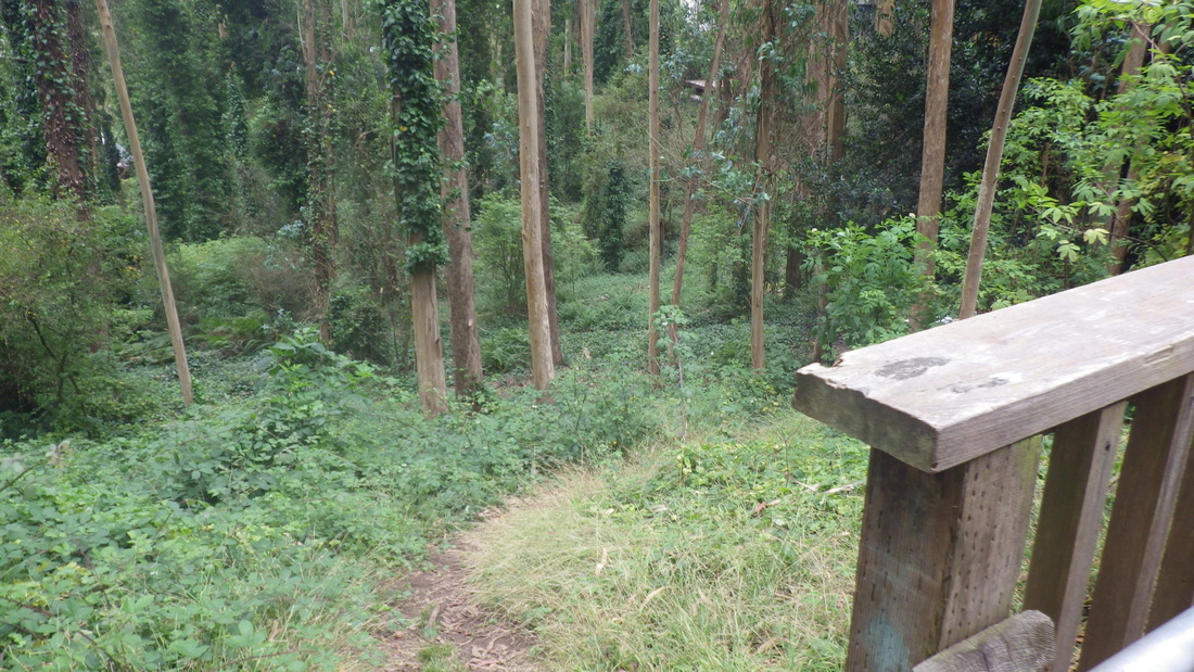
Used to notice some possibly feral felines around here back in the old days, behind the homes on Stanyan, along with some trash and empty cat food cans; once an older woman sitting on a log feeding a few. It used to be more difficult to ascend at the top than it is these days. I’d pull myself up near the bottom of one of the homes. Now one can just walk out into the residential area at Johnstone, then continue onto more forest trails. A trailhead for the Fairy Gates Trail is right there.
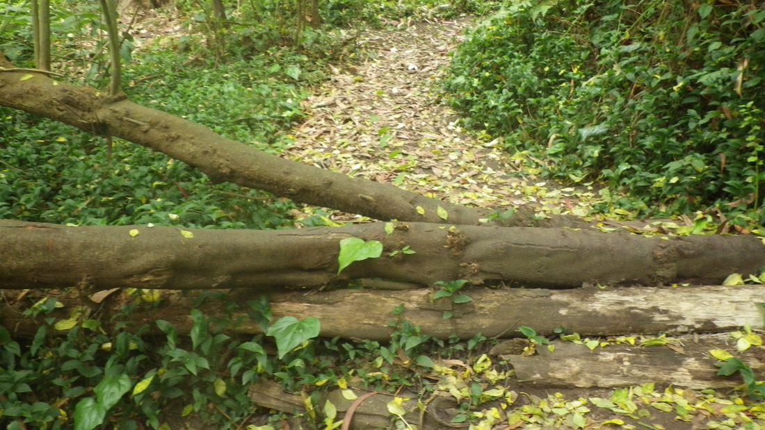
This uppermost Inner Greenbelt trail offers winding and narrow steepness, deep-forest beauty, birdsong, and even a couple of treelimbs to climb over/sit on: 23 thru 31.
… To be continued.
Pemberton from Clayton to Villa Terrace: pix 2 thru 6
Pemberton from Villa to Graystone Terrace: 7, 8
Pemberton crosses two narrow streets in the Twin Peaks neighborhood, Villa and Graystone, on its way up and ends at Crown Terrace.
Pemberton from Graystone to Crown Terrace: 9 thru 12
This time hung a right to take me out to Twin Peaks Blvd. where directly across the street 23 old wood steps climb up Tank Hill, pic 13.
Tank Hill’s a tiny viewpark, a north shoulder of Twin Peaks. The other short access stairway is down the west slope that descends to Belgrave Ave. There’s a vehicle dead-end at both ends of this maybe three-block-long street, at the west end of which one can access one of Sutro Forest’s older, steeper trails.
Pic 14: View of Mount Sutro Forest a few blocks to the west.
Tank pix: 15, 16, 17, 18.
If the parks people wanted to do something really useful, they might consider improving the old dirt trail that steeply swoops down the west slope of this park to Belgrave’s east end. There are 16 rocky-slidey-uneven steps: 19, 20, 21.
A couple of stairways lead down from Clarendon nearly to Belgrave, but not quite. I’ve been down these (not lately though), descending through the open gate at Clarendon. This is actually the uppermost part of Stanyan and is labeled as Stanyan on Google Maps. But it’s blocked off just before Belgrave (you can see an end-fence up the slope, pic 22), so not recommending since it’s an up’n back. Is it now locked and private? It’d be cool if this could get extended down to connect with the rest of Stanyan at Belgrave.
The trail into Sutro Forest near the end of Stanyan at Belgrave’s other dead-end-for-cars is a steep and gorgeous one I’ve enjoyed for years. It has no markers like the other trails, just four old steps to start and some posts to bar vehicles. Maybe because there’s an Aldea residence alongside as one climbs and they want to discourage prowlers? The trail is shown on Google Maps.
I’ve also explored an alternate, rougher trail of sorts north from the foot of this trail a few times, miraculously escaping poison oak, exiting midwayish onto the newer Historic Trail whose trailhead starts a bit lower down Stanyan. This was like the old days on the mountain when I’d step into deep ivy-covered holes, sometimes losing whatever trail there was in a bunch of tangles, sometimes sliding down the slope. Was hoping this would get opened up a bit more so as to connect with the newer trail.
Used to notice some possibly feral felines around here back in the old days, behind the homes on Stanyan, along with some trash and empty cat food cans; once an older woman sitting on a log feeding a few. It used to be more difficult to ascend at the top than it is these days. I’d pull myself up near the bottom of one of the homes. Now one can just walk out into the residential area at Johnstone, then continue onto more forest trails. A trailhead for the Fairy Gates Trail is right there.
This uppermost Inner Greenbelt trail offers winding and narrow steepness, deep-forest beauty, birdsong, and even a couple of treelimbs to climb over/sit on: 23 thru 31.
… To be continued.
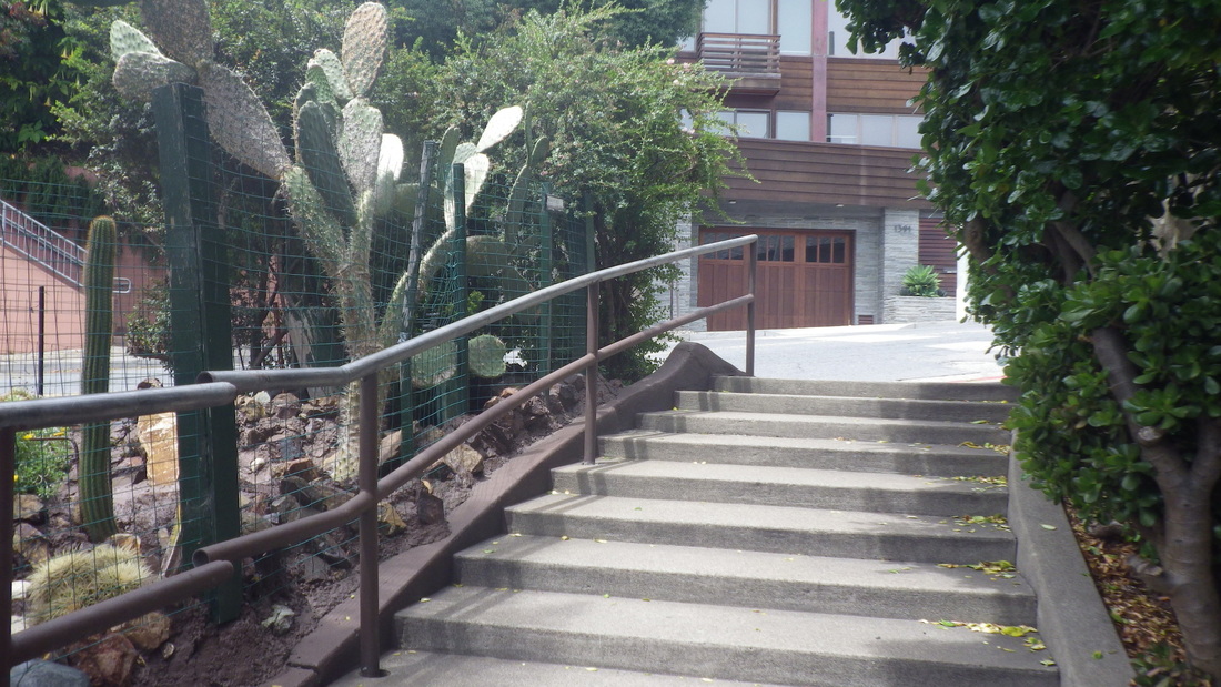
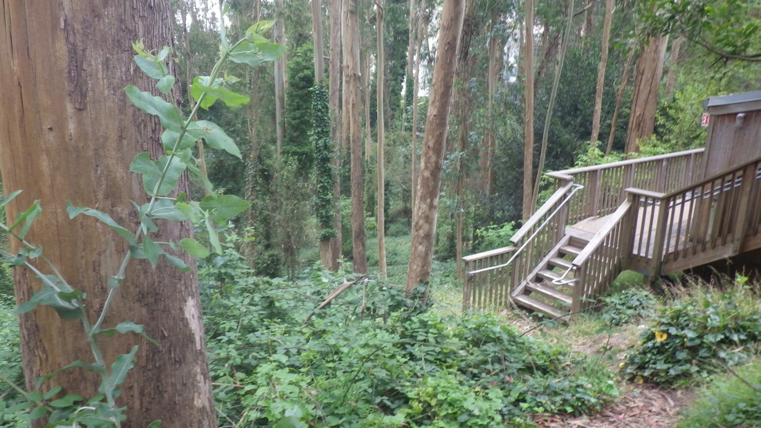
1. Top of Clayton/Corbett Neighborhood Garden steps. Pemberton's foot center, left.
2. Pemberton's foot
3. Rosemary, center
4. Pemberton Place steps
5. First block up to Villa Terrace
6. First cross-street VillaTerrace
7. Villa to Graystone Terrace
8. Villa to Graystone
9. Graystone up to Crown Terrace, the older steps
10. Graystone to Crown
11. Up to Crown Terrace
12. Top at Crown Terrace
13. Tank Hill's south stairway up from Twin Peaks Blvd.
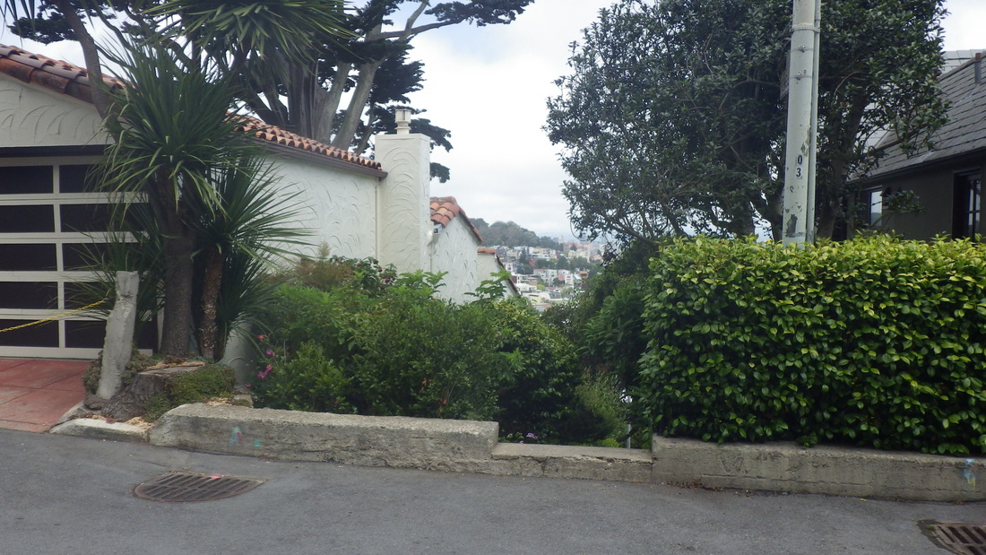
14. View of Mount Sutro Forest from Tank Hill's west trail down to Belgrave
15. Tank Hill Park
16. Kite Hill Park center, right
17. Up ahead, the view rocks
18. Tank's west slope
19. Westside trail down to Belgrave
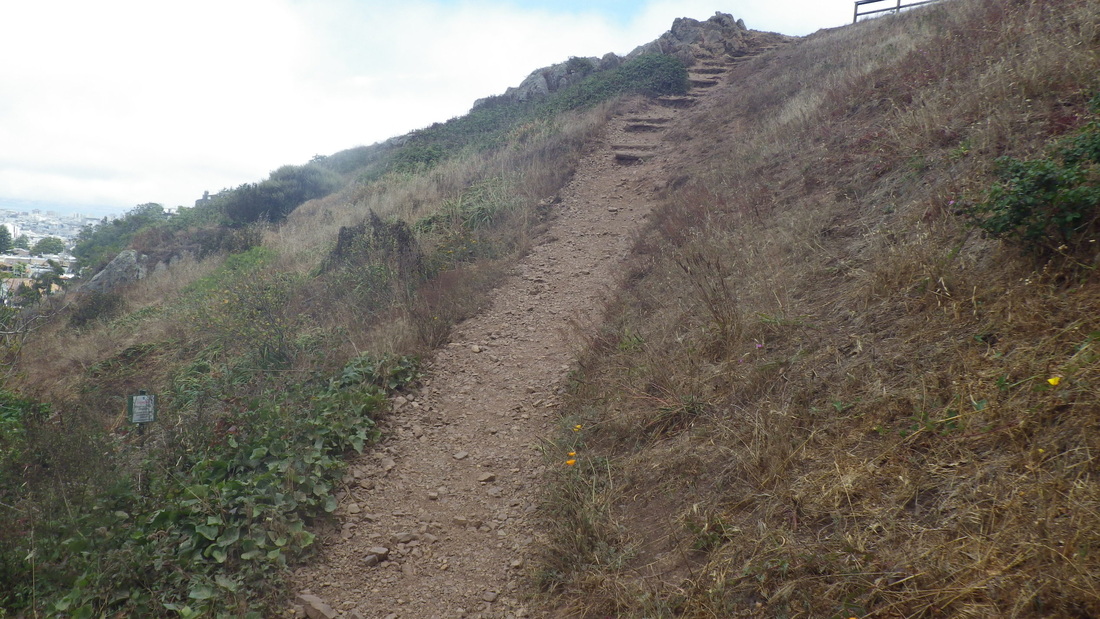
20. Down to Belgrave
21. Rocks and dirt - could use more steps
22. Upper Stanyan doesn't quite connect with Belgrave
23. Uppermost Inner Greenbelt trailhead for Mount Sutro Forest up from Belgrave
24. Treelimbs to sit on and step over
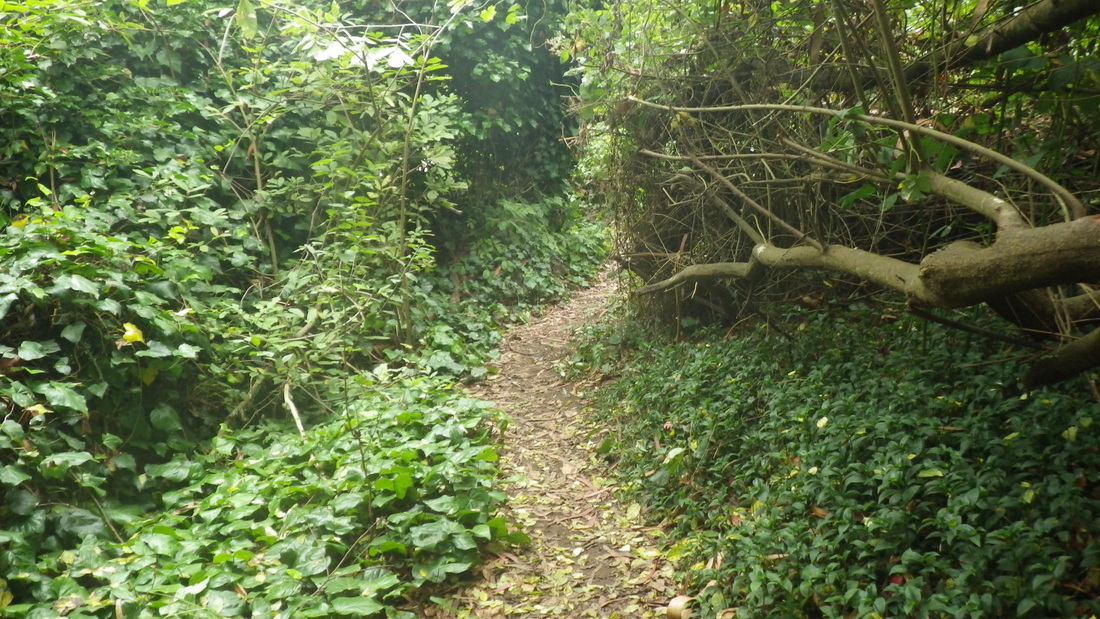
25. Steep and secluded
26. Forest beauty
27. Step over and continue up
28. Winding up past a residence
29. Mountain home. Wish it was mine.
30. Climbing
31. Out at Johnstone near Fairy Gates trailhead
 RSS Feed
