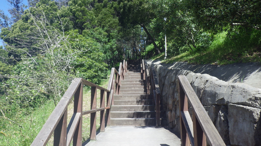
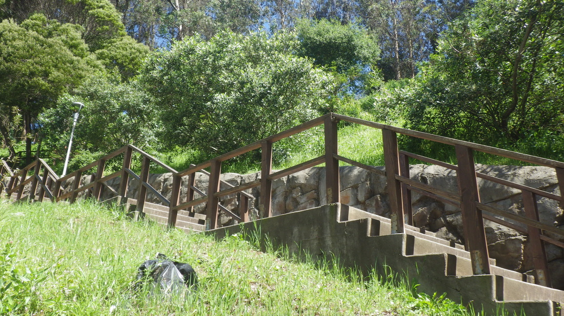
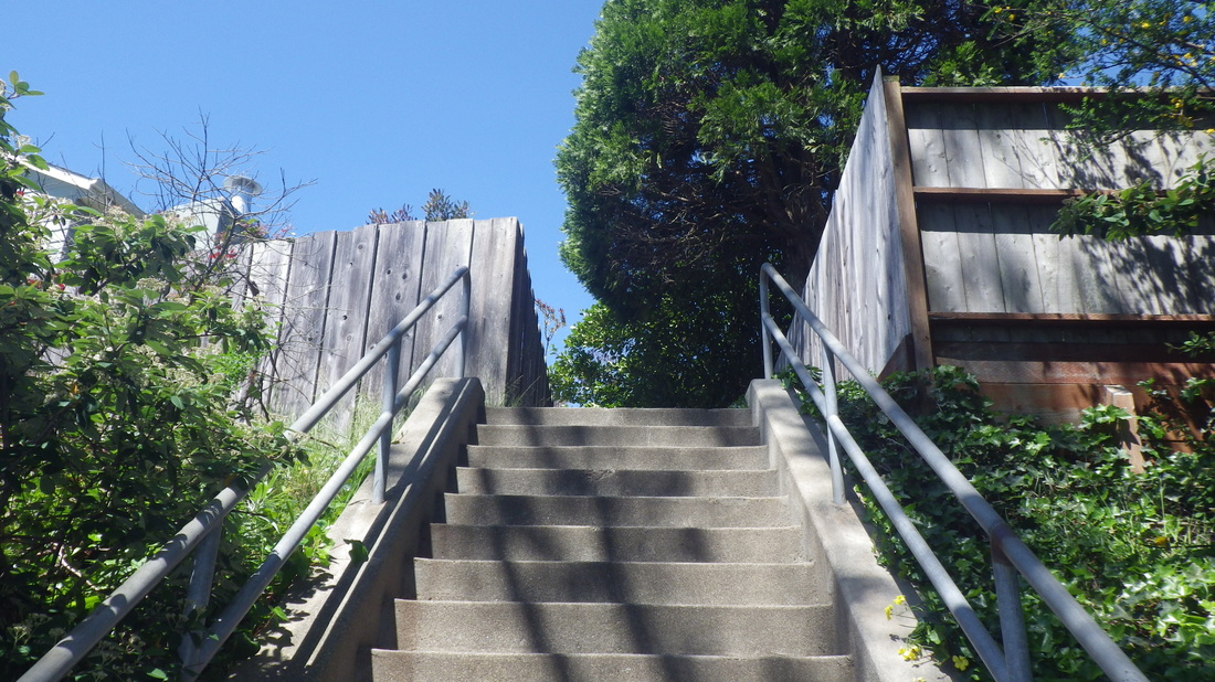
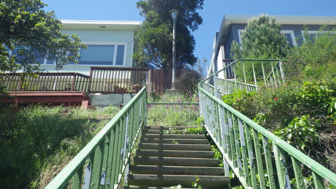
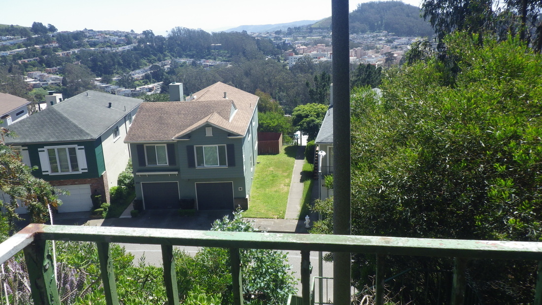
To get to Mount Sutiro Forest from the west side, a few uphill blox on Warren to the foot of the Oakhurst stairs, Forest Knolls’ lomgest stairway (a previous staircount around 353). Warren to Crestmont with the dead-end of Oak Park Dr. partway up: 1 thru 6
The unmarked trailhead for the West Ridge Trail is a little to the left of the top of the steps. I don’t see why they can’t put a few steps here; It’s a steep scramble when first starting up from Crestmont. Same with the Christopher trailhead.
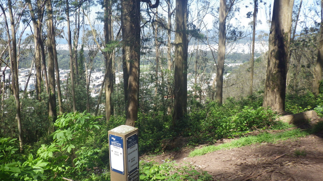
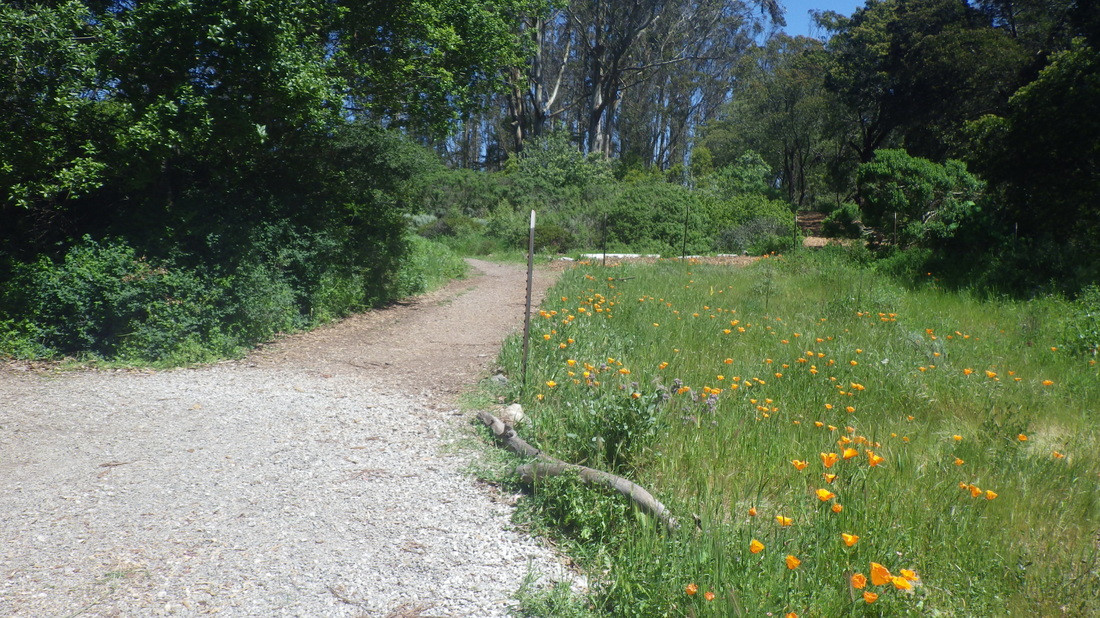
West Ridge trailmarker at Historic Ttrail: pic 7
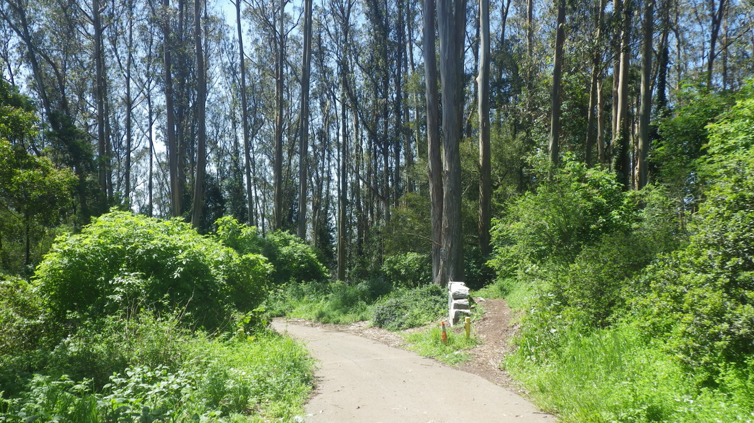
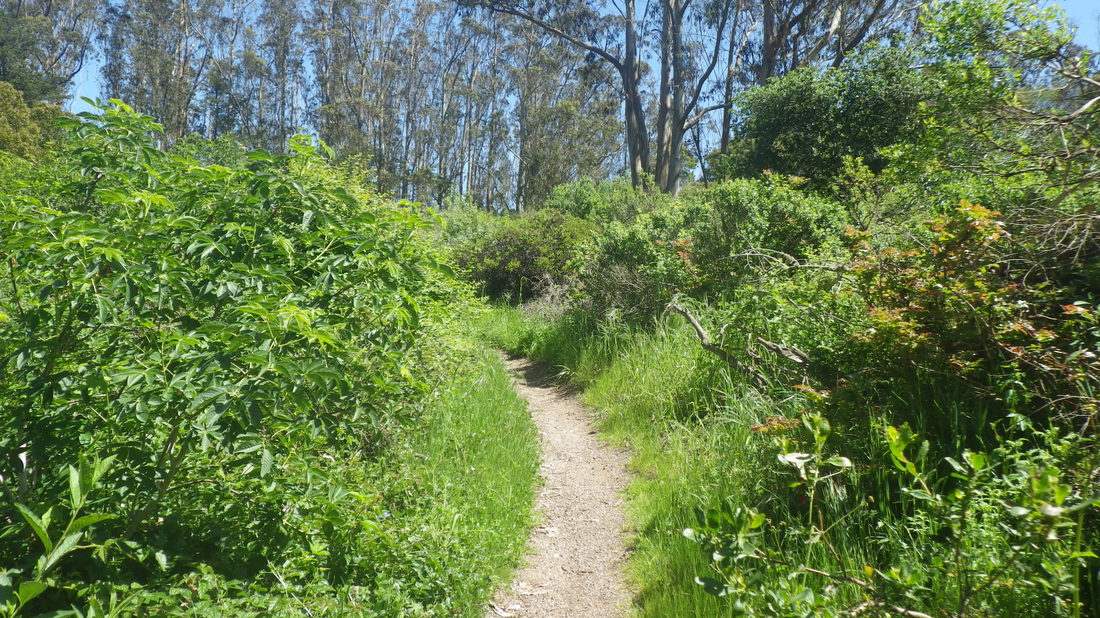
ThTWest Ridge continues up from the Historic with some treeroots to start the ascent. Partway up you’ll continue between a couple of rocks and alongside a big log, a shortcut to the summit: pic 8
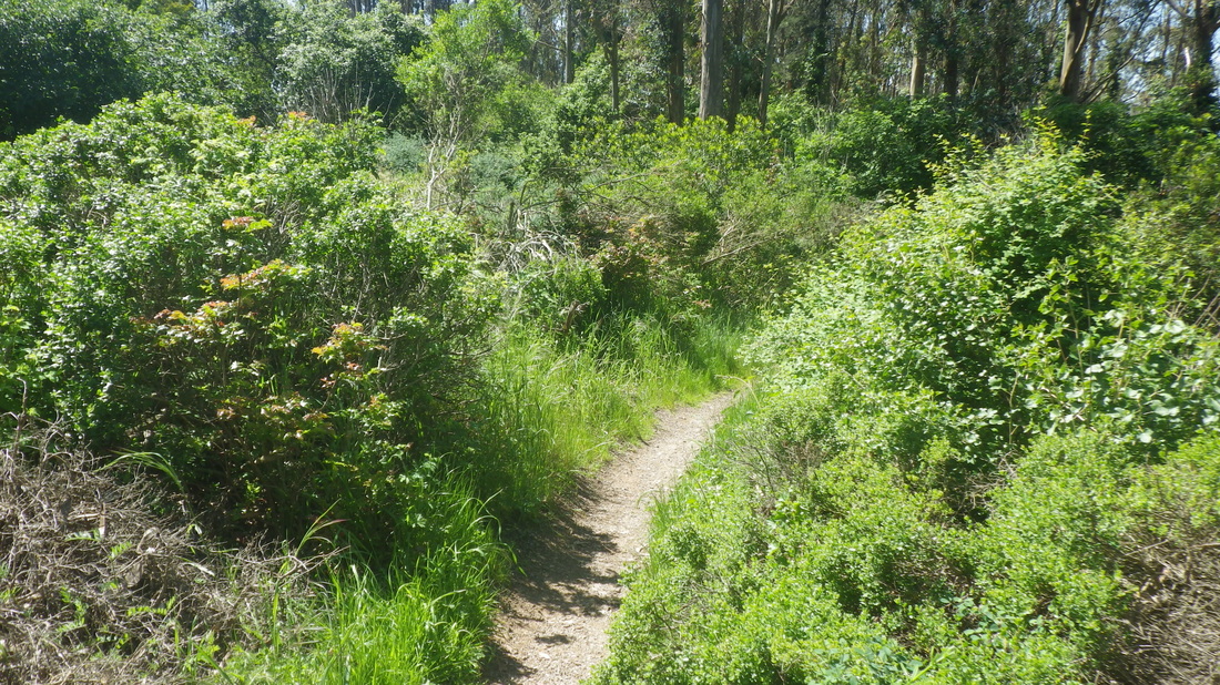
The summit’s so gorgeous now, the trails green-enclosed: 9 thru 12
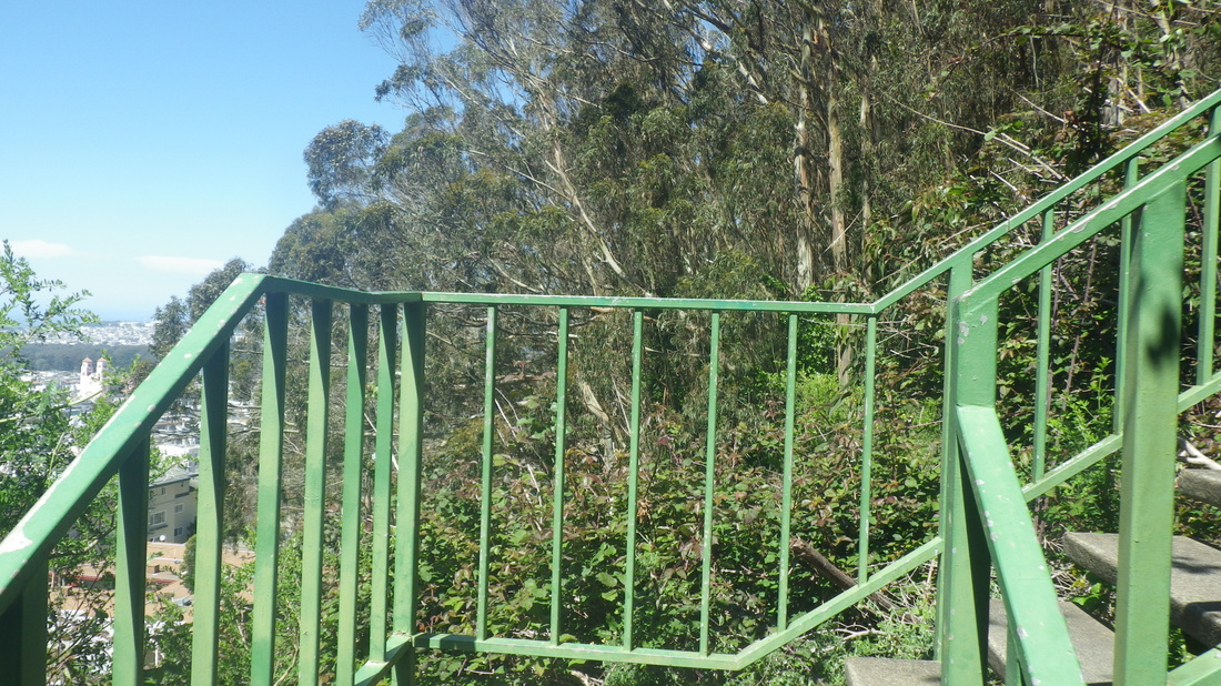
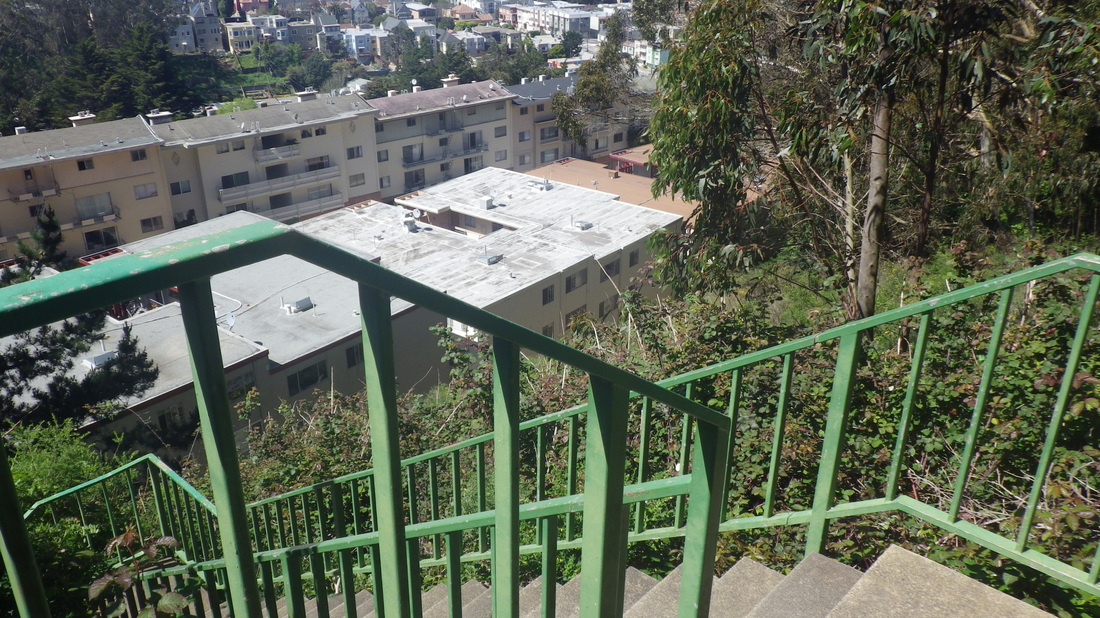
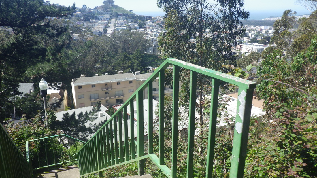
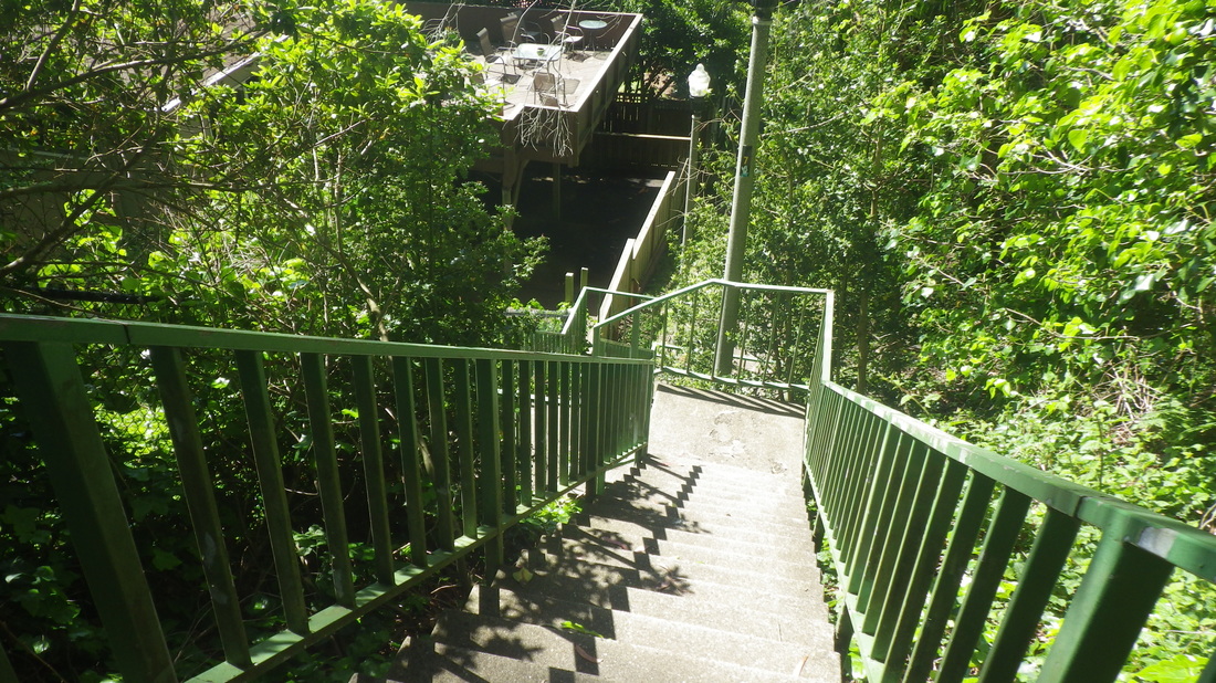
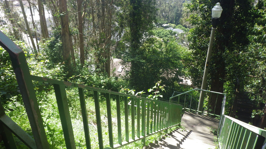
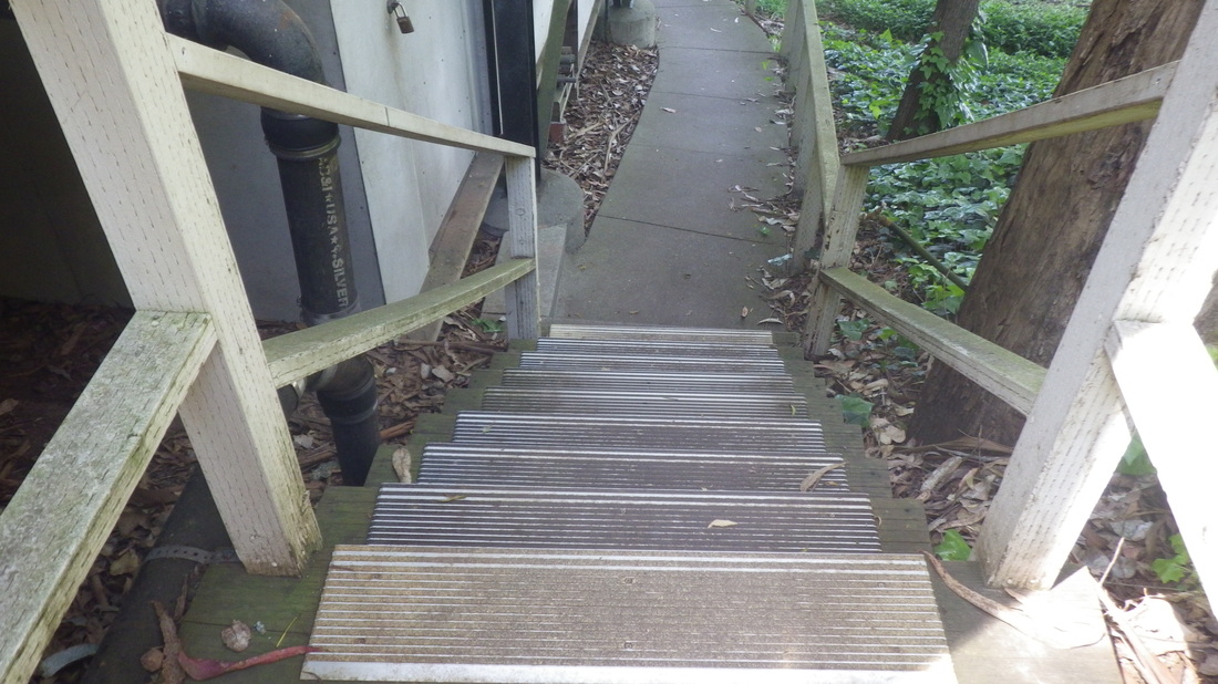
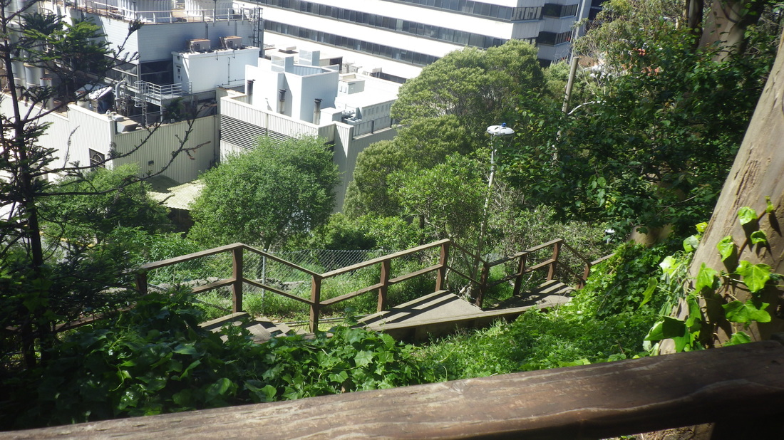
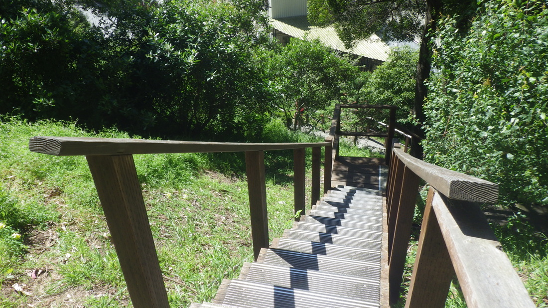
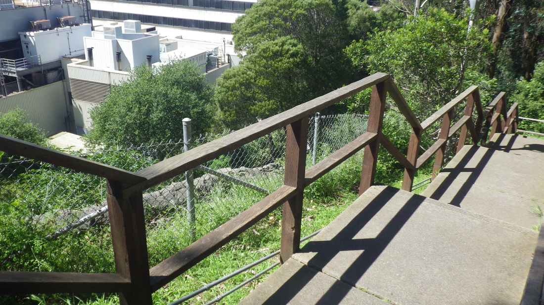
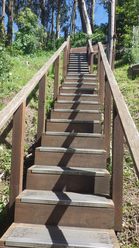
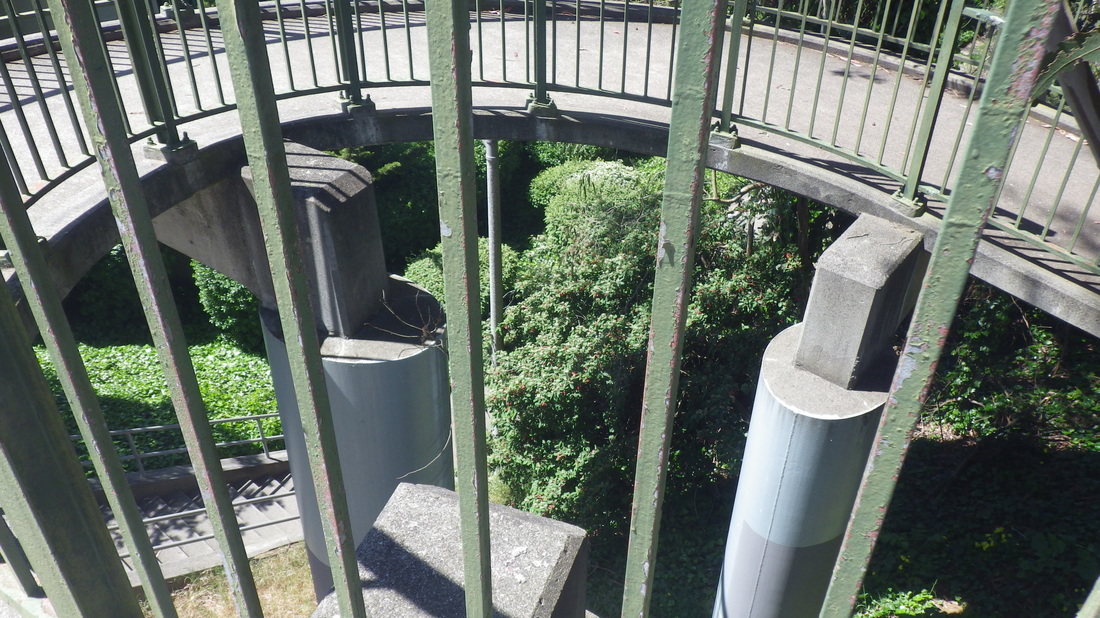
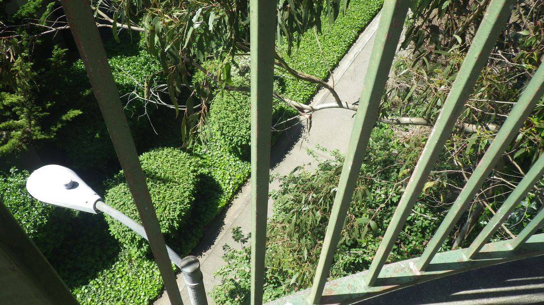
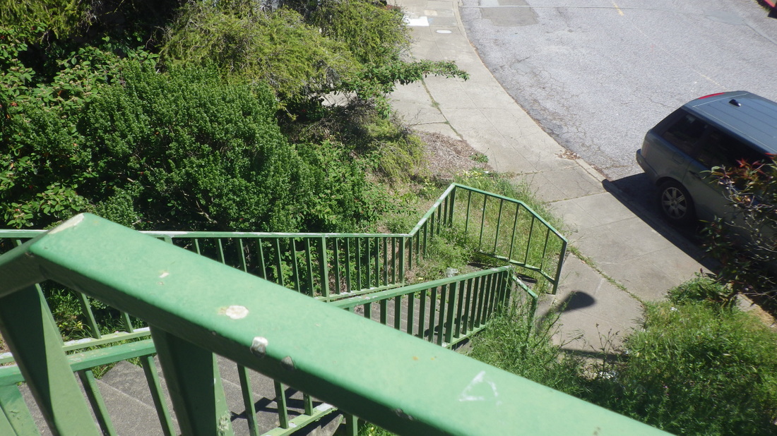
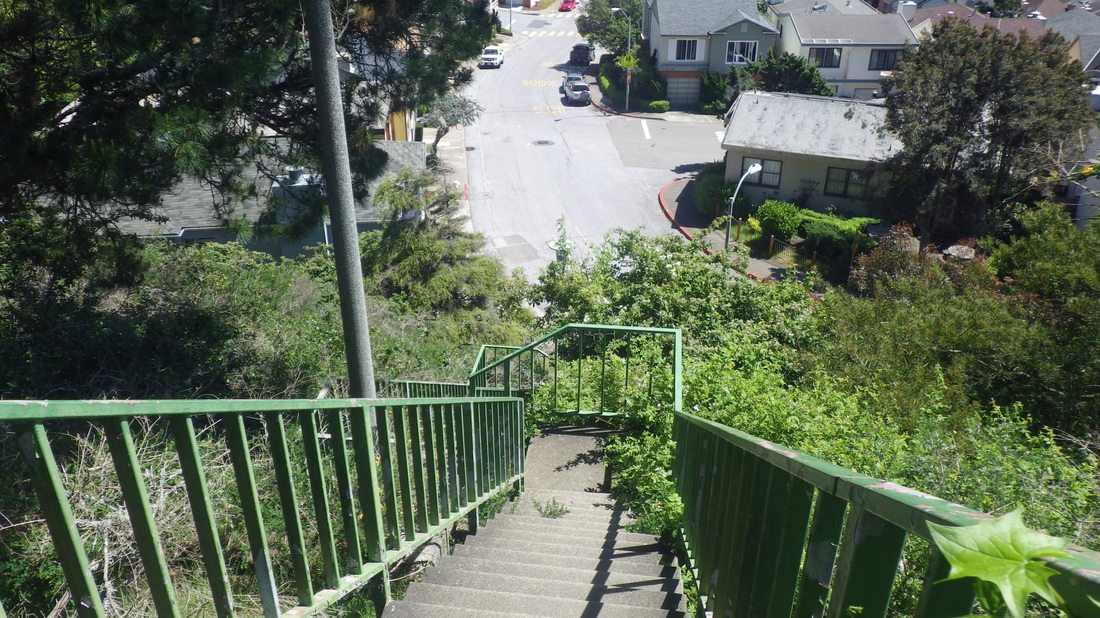
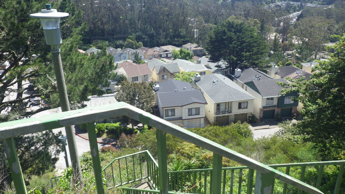
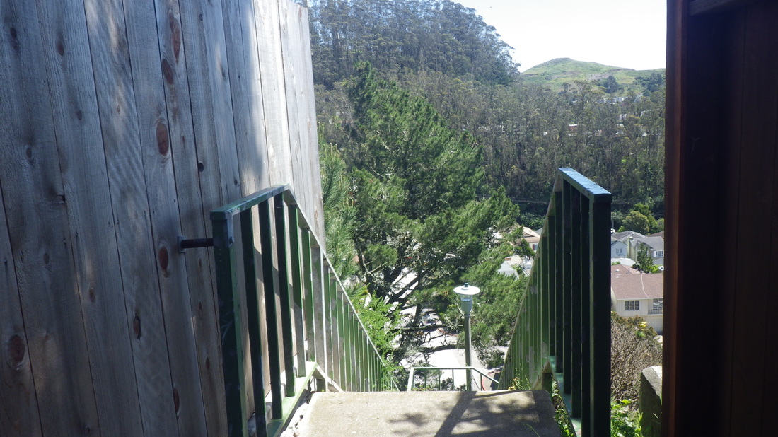
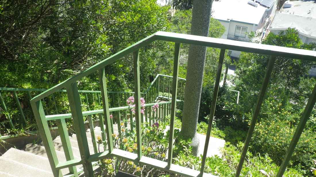
Down the East Ridge Trail and along the road and thru the parking lot to access the Medical Center Way stairs (135 steps): 13 thru 19
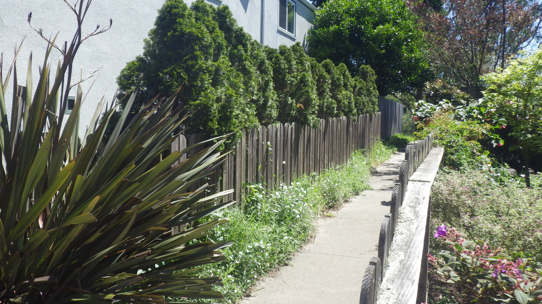
Another recent hike started at Clarendon. Admiring the green beauty just off the street on the walk over from the Forest Hill Metro Station with the old “No Camping” signs (a line thru a tent). Are they ever gonna open some of this up to hikers?
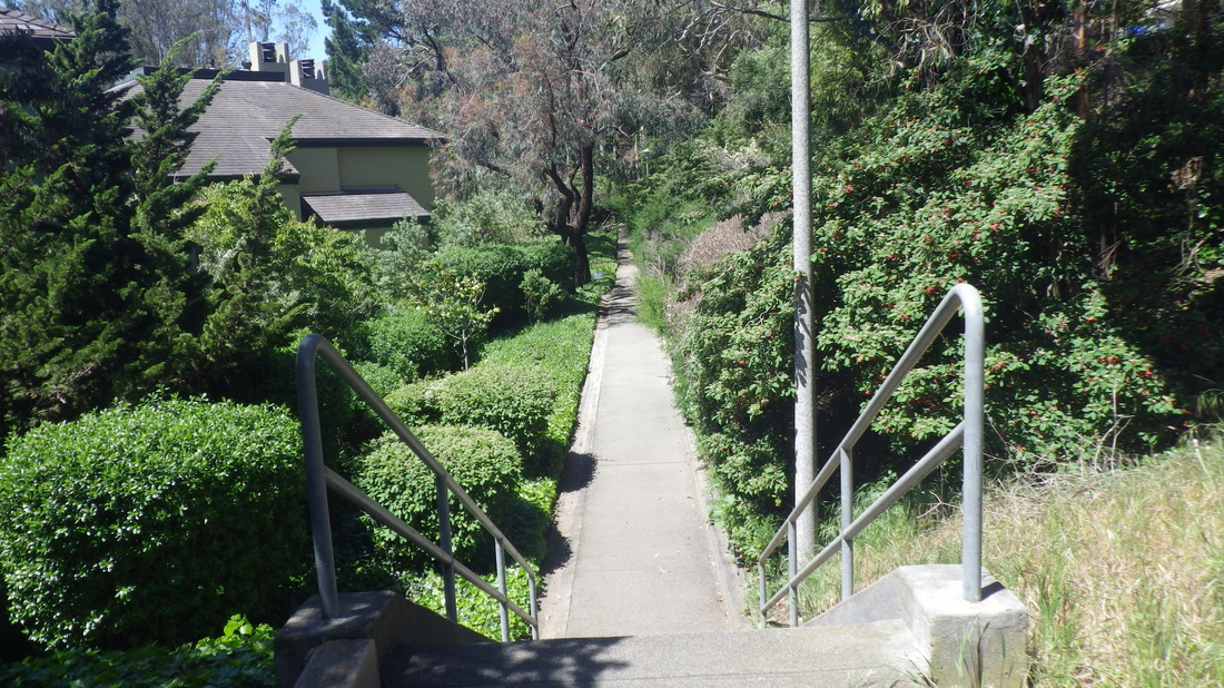
Finally over the green walkers’ skyway from the Midtown Terrace side and down to Ashwood Lane: 20 thru 23
17 steps down from Clarendon to start Ashwood. Then a short walkway with a school above to the right and residences to the left. Then the stairs start up. 109 total for Ashwood to Warren.
The top of the stairs is set back from the street at the end of a short walkway between hones: 24 thru 27
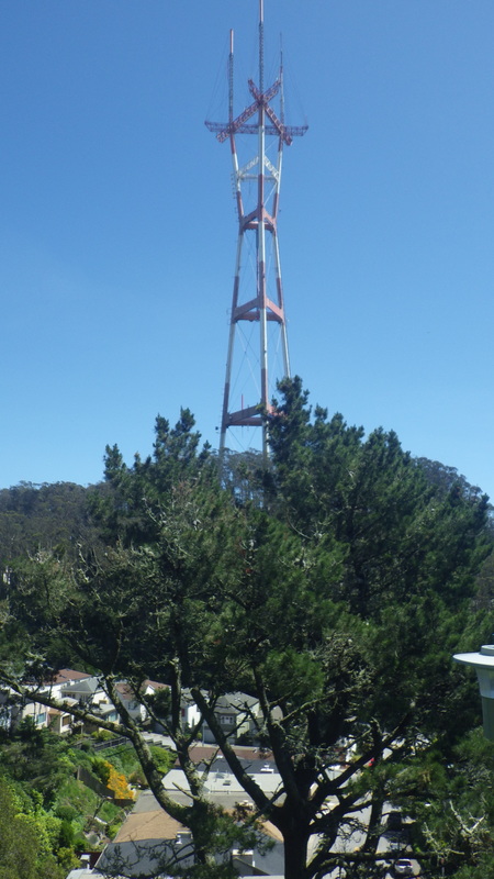
Now on Warren, a couple blocks to the east and the east end of Oak Park Dr. for the foot of Forest Knolls’ Glenhaven steps, Sutro Tower looming to the south.
Love the way the tower is perched upon that green hill. The tower trail is shown on Google Maps.
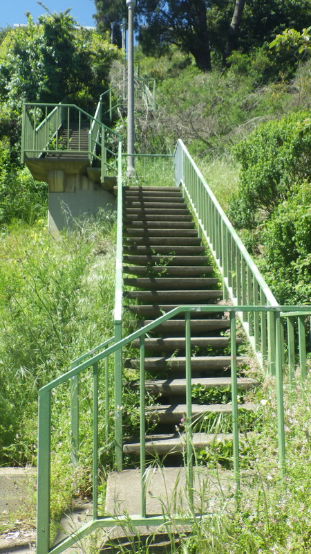
166 steps to Christopher for Glenhaven: 28 thru 34
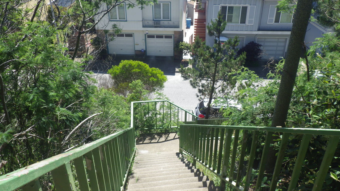
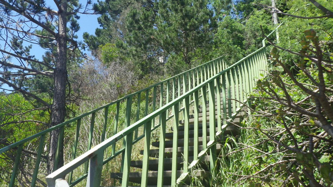
Wantd to do all the Blairwood Lane steps from the foot since I hadn’t dome a staorcount in a few years, so down Blairwood a block back down to Warren, then up again for a total of 220 to Crestnont: 35 thru 39
Then the Christopher trailhead up into the forest beckoned to me, so naturally had to climb it. Steep, but easy to see from the street, though like the West Ridge Trail, still no trailmarker down at the road.
his is another scramble-up that connects with the Quarry Road Trail; the South Ridge Loop is shown on Google Maps.
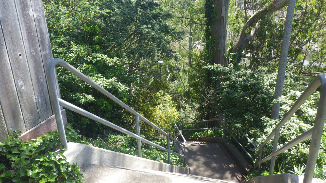
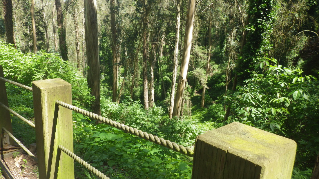
The Quarry Trail could be renamed the Nasturtium Trail. Mere words cannot accurately describe this area … steepish, narrow, lushly green, logs to sit on, dappled sunlight, birdsong, and no people or cars: 40, 41
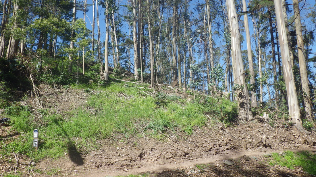
Down at the the East Ridge trailhead later, noticed that where they’ve cut down so many trees, there’s now some grass here so it doesn’t look quite as depressingly bare as it did last time: 42
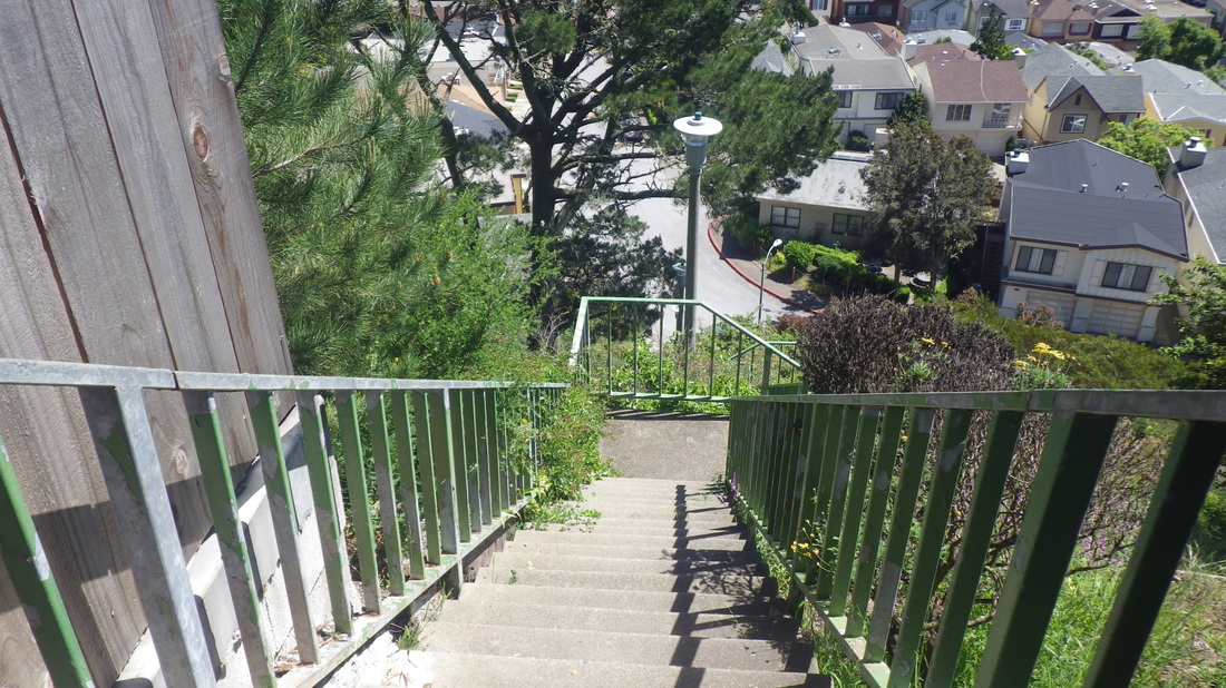
View down from winding Medical Center Way (43), again heading for the stairs mentioned above, “hidden” behind the Parnassus medical buildings, that climbs to a permits-only parking lot.
The unmarked trailhead for the West Ridge Trail is a little to the left of the top of the steps. I don’t see why they can’t put a few steps here; It’s a steep scramble when first starting up from Crestmont. Same with the Christopher trailhead.
West Ridge trailmarker at Historic Ttrail: pic 7
ThTWest Ridge continues up from the Historic with some treeroots to start the ascent. Partway up you’ll continue between a couple of rocks and alongside a big log, a shortcut to the summit: pic 8
The summit’s so gorgeous now, the trails green-enclosed: 9 thru 12
Down the East Ridge Trail and along the road and thru the parking lot to access the Medical Center Way stairs (135 steps): 13 thru 19
Another recent hike started at Clarendon. Admiring the green beauty just off the street on the walk over from the Forest Hill Metro Station with the old “No Camping” signs (a line thru a tent). Are they ever gonna open some of this up to hikers?
Finally over the green walkers’ skyway from the Midtown Terrace side and down to Ashwood Lane: 20 thru 23
17 steps down from Clarendon to start Ashwood. Then a short walkway with a school above to the right and residences to the left. Then the stairs start up. 109 total for Ashwood to Warren.
The top of the stairs is set back from the street at the end of a short walkway between hones: 24 thru 27
Now on Warren, a couple blocks to the east and the east end of Oak Park Dr. for the foot of Forest Knolls’ Glenhaven steps, Sutro Tower looming to the south.
Love the way the tower is perched upon that green hill. The tower trail is shown on Google Maps.
166 steps to Christopher for Glenhaven: 28 thru 34
Wantd to do all the Blairwood Lane steps from the foot since I hadn’t dome a staorcount in a few years, so down Blairwood a block back down to Warren, then up again for a total of 220 to Crestnont: 35 thru 39
Then the Christopher trailhead up into the forest beckoned to me, so naturally had to climb it. Steep, but easy to see from the street, though like the West Ridge Trail, still no trailmarker down at the road.
his is another scramble-up that connects with the Quarry Road Trail; the South Ridge Loop is shown on Google Maps.
The Quarry Trail could be renamed the Nasturtium Trail. Mere words cannot accurately describe this area … steepish, narrow, lushly green, logs to sit on, dappled sunlight, birdsong, and no people or cars: 40, 41
Down at the the East Ridge trailhead later, noticed that where they’ve cut down so many trees, there’s now some grass here so it doesn’t look quite as depressingly bare as it did last time: 42
View down from winding Medical Center Way (43), again heading for the stairs mentioned above, “hidden” behind the Parnassus medical buildings, that climbs to a permits-only parking lot.
1 Up from Warren
3 Top, center, is Grand View Park
4 Passing the dead-end of Oak Park Dr. and continuing up
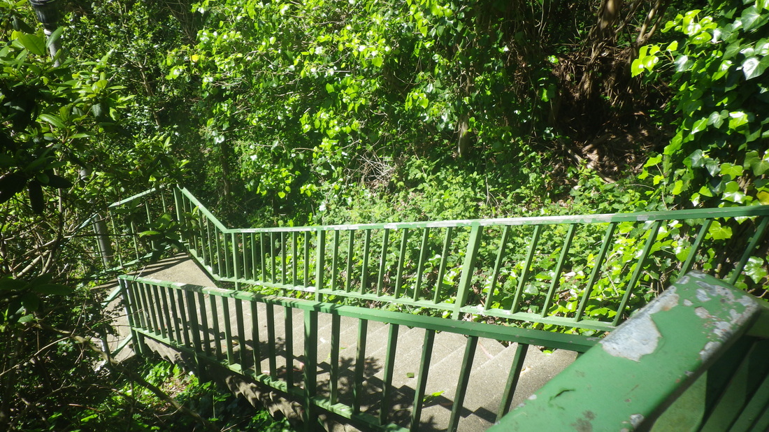
5 Oakhurst has about 353 steps
7 West Ridge meets Historic
8 West Ridge, right, out to summit
9 Sutro's summit

13 A shortcut stairway alongside a medical building up here
14 Stairs behind UCSF medical buildings \
15 135 steps
20 Up from Clarendon
21 Midtown Terrace to Forest Knolls
22 Ashwood below
23 Ashwood below
24 17 down to a short walkway to start
25 109 steps
26 Up to a short walkway between homes
27 Out to Warren
28 Glenhaven starts up
29 166 steps
33 Top of Glenhaven
34 Sutro Tower
35 Blairwood starts up from Warren
36 220 for Blairwood
38 Steps center
39 Top of Blairwood
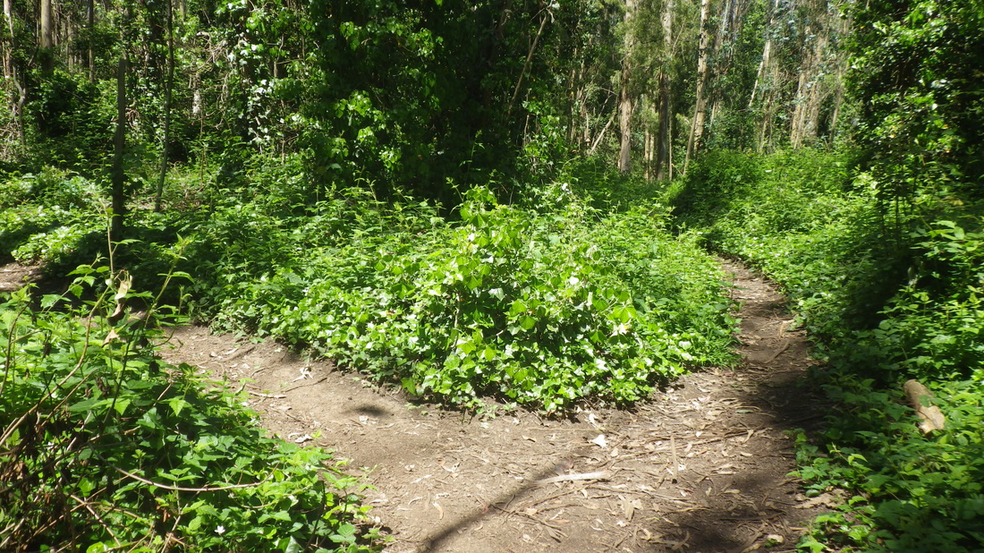
40 South Ridge Loop
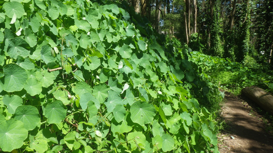
41 Nasturtiums
42 East Ridge trailhead
43 View from Medical Center Way
 RSS Feed
