Buena Vista Park's northside entrance is just east of Central off Haight. There are paved trails, numerous older wood stairways of varying lengths, and an old stone flight. A walkway circles the park just above the street.
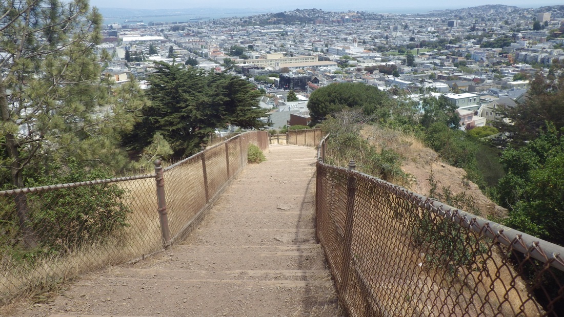
Up from the north side soon came to my first flight of older stairs: 20-something to a playground and another main paved trail. A few yards over another stairway continued up. Didn't include the first flight with the second, longer one, but this could be considered one continuous stairway as the flights connect well. Started counting at this second flight for 152 older wood steps (first pic).
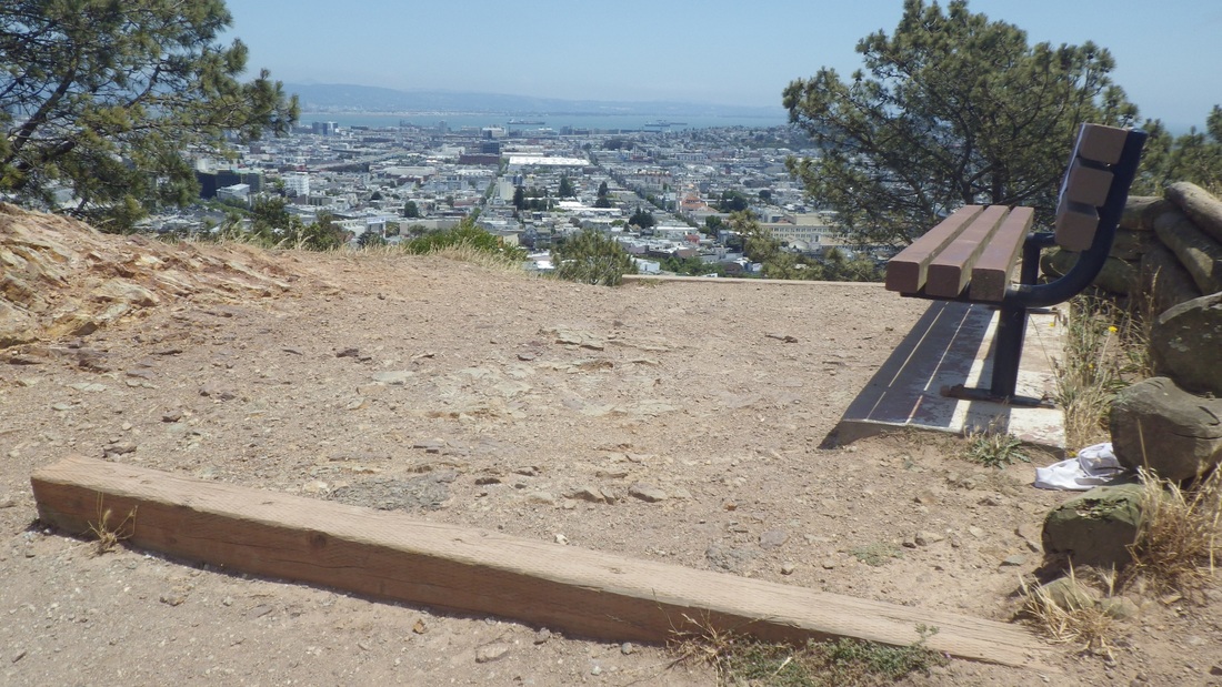
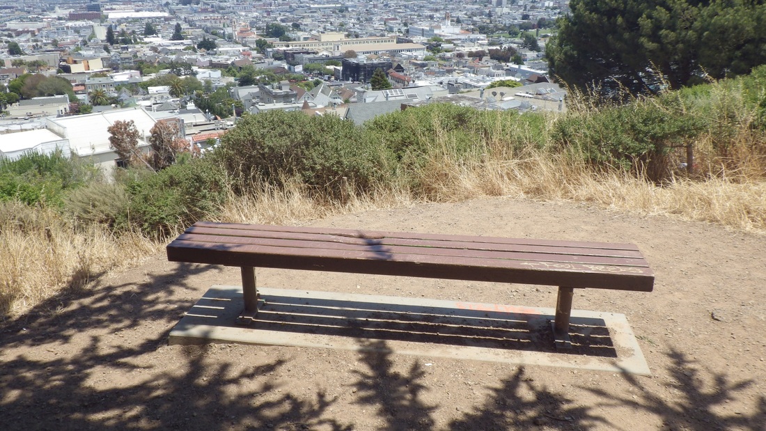
So a nice long one to the summit area, the viewbench below. Climbed a little higher for the stone stairway (41 steps, second pic) up to the summit view-lawn.
Down from the summit on the southwest side, not counting some other stairs on the way, including a few that were more like obstacles to step around or over than steps to help you up (third pic).
The main south stairway (171 steps, fourth pic), with its boardwalks and improved trails crossing the stairs E-W across the south slope, starts from a paved upper trail and descends to Buena Vista East. There are plenty of places to sit on your way up or down. It got a huge remake several years ago, including lots of new plantings.
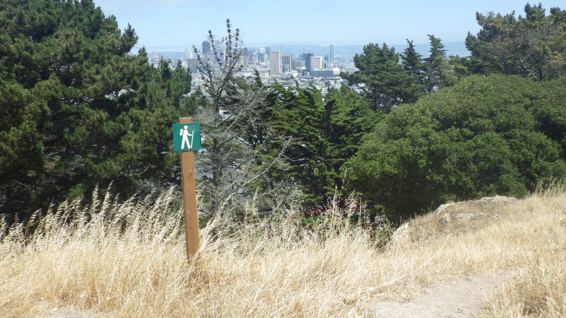
Corona Heights Park is a few blocks south from Buena Vista Park, but not a direct route from the foot of the main stairway. Headed east on Buena Vista East, then downhill on Park Hill to Roosevelt where 15th begins, near Corona's north tennis courts. This was to check out the new "Challenging" trail I'd noticed on the trail infosign at the foot of the long eastside stairway (fifth pic) during a previous hike.
The map included the words "the Slickenside." From "Your Dictionary" online: "Geol. a smooth, polished rock surface produced by friction, pressure, or cleavage." Learn something new every day. So they're describing this side of the park geologically, not naming the trail itself.
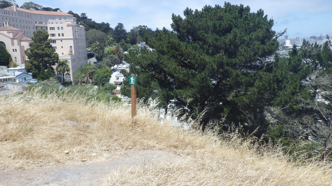
It can be seen on Google Maps: "New Corona Heights Trail." There's a sidewalk at the side of the tennis courts; at the end you can't miss the new trail. You'll see some steps to start, and one of those green universal hiker signs indicating "Summit" (sixth pic).
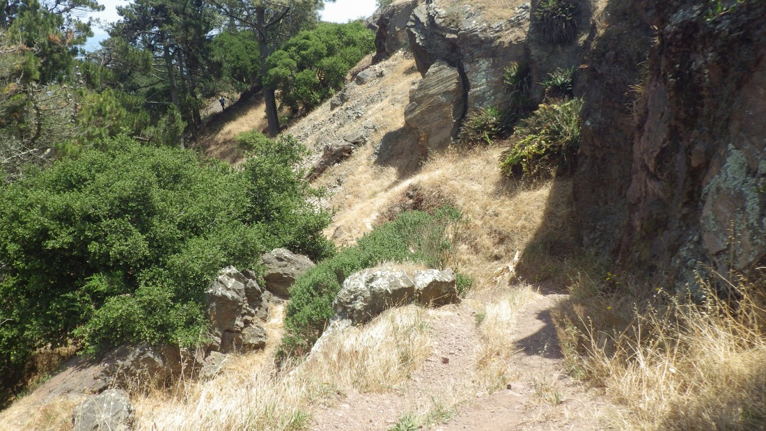
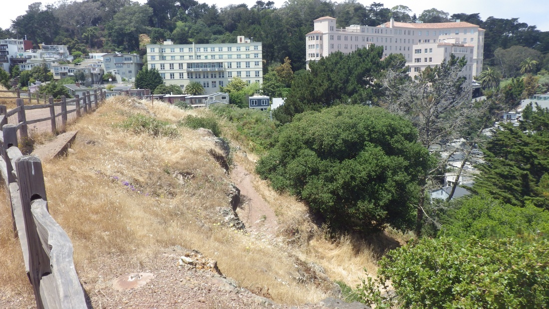
I think if they ever start naming Corona's trails, they should call this one "the SlickensLide." It's switchbacked, narrow, steepish, and on the non-stairway parts of the trail some slippery dirt and rocks. Counted 42 steps, regular wood and a set of log ones, including a couple of rocks at perfect spots on the trail to be considered steps (pics 7 through 11).
It comes out between the dog play area and the lone bench at the top of the long eastside stairway. Up here is another of those hiking trail signs that depict a stick figure with backpack/walking stick (pics 12, 13, 14). Yep, I'd definitely call this one "Challenging."
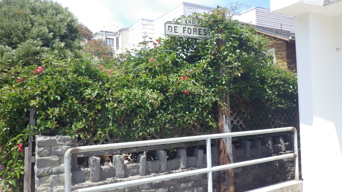
Down the 130 steps on the east side (pics 15, 16, 17) to its foot to then continue down the steepish east trail to exit the park, the top of De Forest (18 steps) across the street (last pic). There's a colorful little garden at the dead-end guardrail at the end of Flint where De Forest starts. De Forest conveniently takes the walker down to Beaver from the park instead of having to go around to 16th St. At the foot of the narrow, enclosed stairs, it's a steep block down to Castro.
Up from the north side soon came to my first flight of older stairs: 20-something to a playground and another main paved trail. A few yards over another stairway continued up. Didn't include the first flight with the second, longer one, but this could be considered one continuous stairway as the flights connect well. Started counting at this second flight for 152 older wood steps (first pic).
So a nice long one to the summit area, the viewbench below. Climbed a little higher for the stone stairway (41 steps, second pic) up to the summit view-lawn.
Down from the summit on the southwest side, not counting some other stairs on the way, including a few that were more like obstacles to step around or over than steps to help you up (third pic).
The main south stairway (171 steps, fourth pic), with its boardwalks and improved trails crossing the stairs E-W across the south slope, starts from a paved upper trail and descends to Buena Vista East. There are plenty of places to sit on your way up or down. It got a huge remake several years ago, including lots of new plantings.
Corona Heights Park is a few blocks south from Buena Vista Park, but not a direct route from the foot of the main stairway. Headed east on Buena Vista East, then downhill on Park Hill to Roosevelt where 15th begins, near Corona's north tennis courts. This was to check out the new "Challenging" trail I'd noticed on the trail infosign at the foot of the long eastside stairway (fifth pic) during a previous hike.
The map included the words "the Slickenside." From "Your Dictionary" online: "Geol. a smooth, polished rock surface produced by friction, pressure, or cleavage." Learn something new every day. So they're describing this side of the park geologically, not naming the trail itself.
It can be seen on Google Maps: "New Corona Heights Trail." There's a sidewalk at the side of the tennis courts; at the end you can't miss the new trail. You'll see some steps to start, and one of those green universal hiker signs indicating "Summit" (sixth pic).
I think if they ever start naming Corona's trails, they should call this one "the SlickensLide." It's switchbacked, narrow, steepish, and on the non-stairway parts of the trail some slippery dirt and rocks. Counted 42 steps, regular wood and a set of log ones, including a couple of rocks at perfect spots on the trail to be considered steps (pics 7 through 11).
It comes out between the dog play area and the lone bench at the top of the long eastside stairway. Up here is another of those hiking trail signs that depict a stick figure with backpack/walking stick (pics 12, 13, 14). Yep, I'd definitely call this one "Challenging."
Down the 130 steps on the east side (pics 15, 16, 17) to its foot to then continue down the steepish east trail to exit the park, the top of De Forest (18 steps) across the street (last pic). There's a colorful little garden at the dead-end guardrail at the end of Flint where De Forest starts. De Forest conveniently takes the walker down to Beaver from the park instead of having to go around to 16th St. At the foot of the narrow, enclosed stairs, it's a steep block down to Castro.
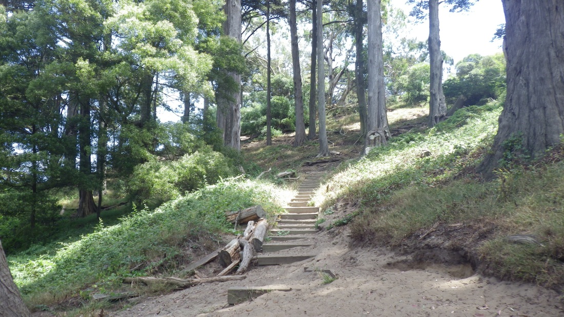
1. 152 steps to summit from here, Buena Vista Park
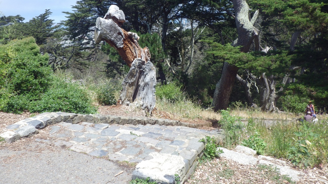
2. Top of stone stairway to summit lawn
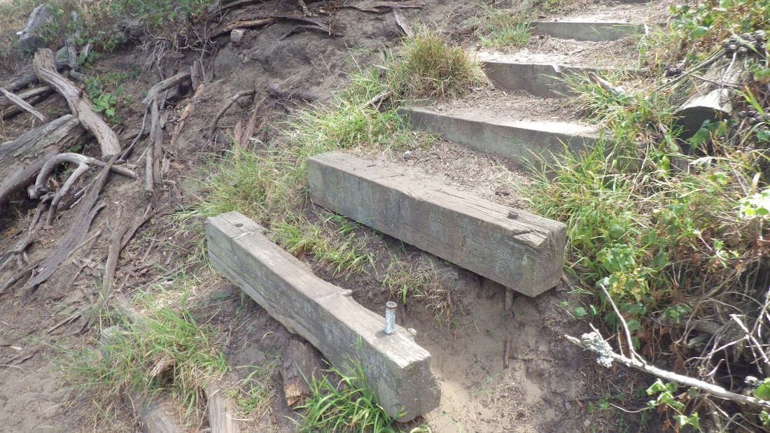
3. Old steps near summit
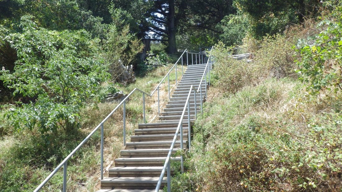
4. Main south stairway, Buena Vista Park
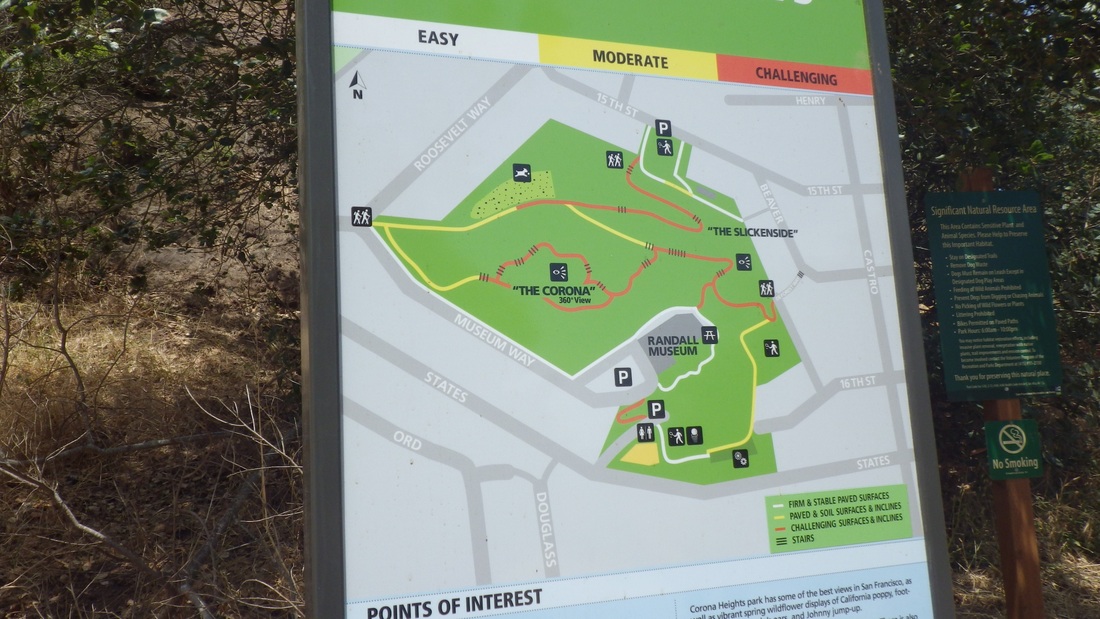
5. Park infomap at foot of east stairway, Corona Heights Park
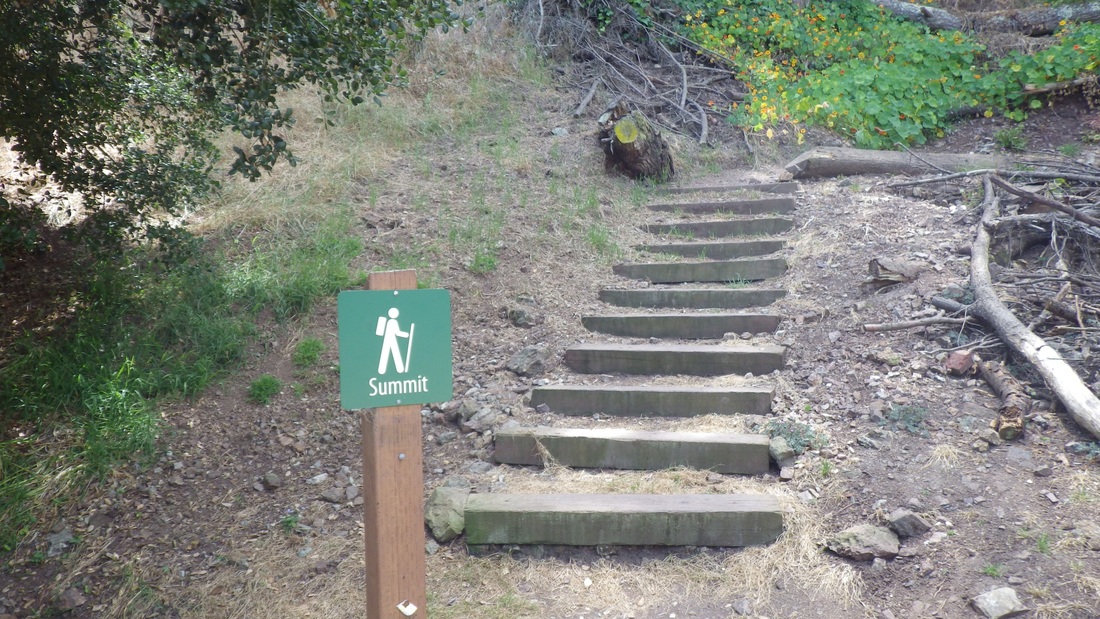
6. Foot of new trail up the north slope, Corona Heights Park

7. Corona's new trail
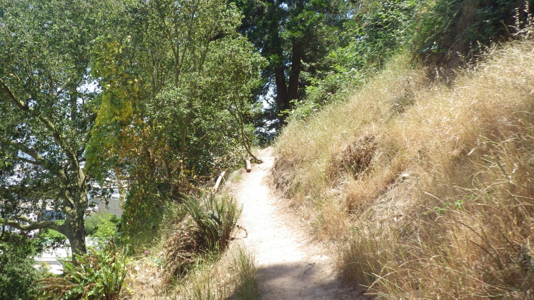
8. New trail, Corona Heights Park

9. Rocks as steps

10. Continuing up
11. Nearly to the top
12. Top of the new trail
13. Top of the new trail
14. New trail below
15. Upper bench at top of long eastside stairway
16. East stairway
17. Lower bench on the east stairway
18. Top of De Forest steps, Flint to Beaver
 RSS Feed
