Continuing to explore San Francisco’s remaining “dirt roads.”
Mayflower in east Bernal Heights has two unpaved sections where one can walk, two blocks of tangly vegetation where one can’t see where they’re stepping so best viewed from above/below, and a stairway for the lowest block.
These two middle blocks are not opened up to foot traffic and may never be. If I lived there I’d have some zigzag steps up the center and gardenize the area around it. But probably the residents to either side prefer it just the way it is.
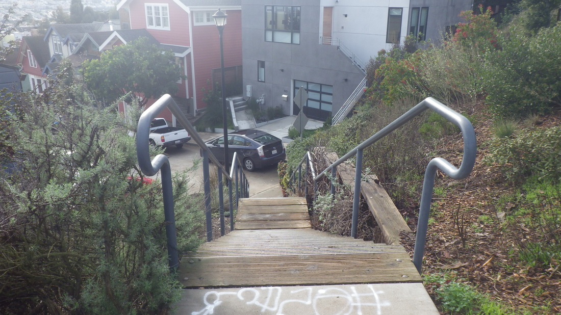
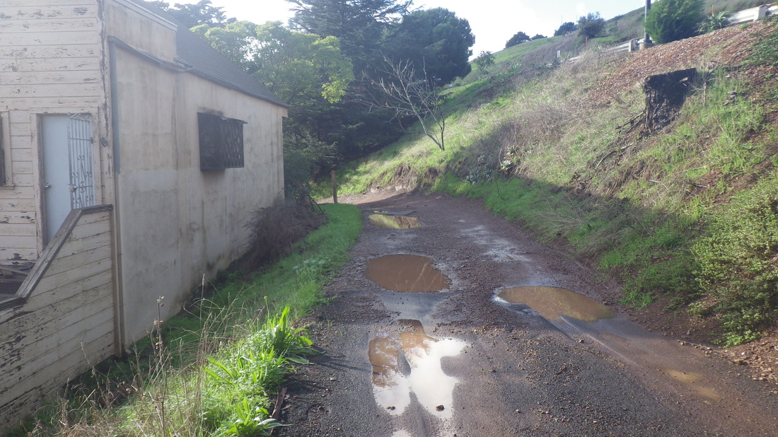
Walking east along Bernal Heights Blvd. first stairway passed was down to Gates, pic 1; second down to the top of Prentiss, pic 2. The third descends to what’s apparently the high-beginning of Mayflower: 3, 4.
Pic 5: Mayflower just below Bernal Heights Blvd. is part dirt road, part roughly paved.
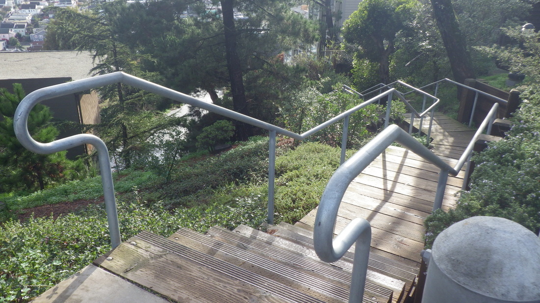
Another stairway descends from Mayflower to Rosenkranz: 6, 7.
Mayflower is approximately four blocks in all; Bernal, however, has shorter blocks than other city neighborhoods.
To the west this short road turns and merges into Nevada. Nevada turns into Chapman and a stairway down, one of the newer eastside stairways. Google went up to where Nevada turns. On Streetview, you can see the stairway ahead leading up to Bernal Heights Blvd. from where it stopped at the dirt road. They didn’t follow it out to Carver.
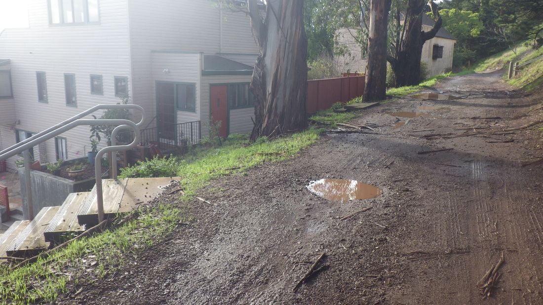
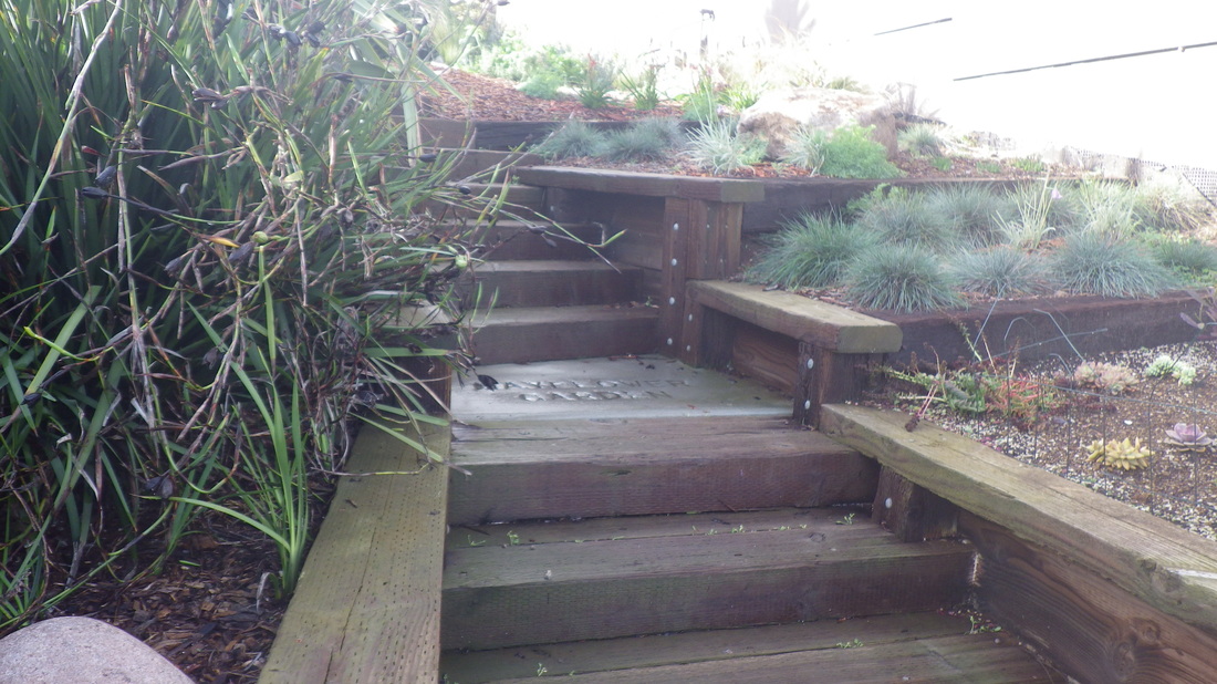
But the road comes out at Carver to the east. Cross Carver and walk past the parked vehicles here between houses (pic 8) to tiny Mayflower Garden with its few wood steps down to Bradford (9, 10).
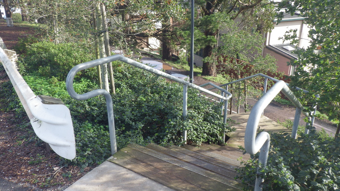
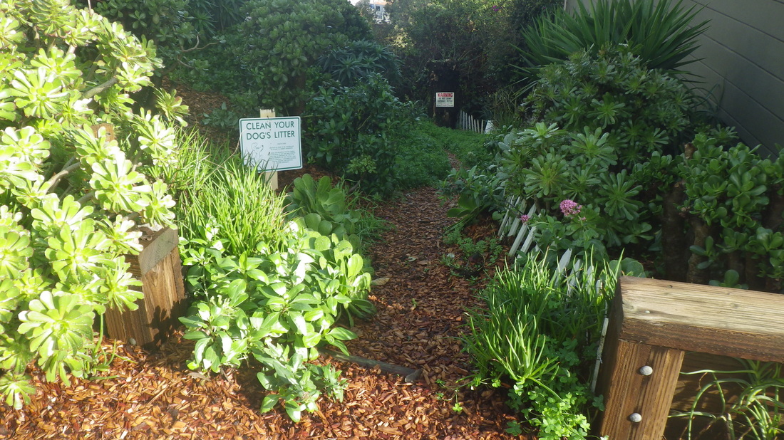
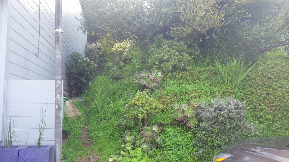
Crossing Bradford, down from Bradford to Peralta is the first impenetrable tangle: The top, pix 11, 12.
Google Maps shows a wide blank space between homes.
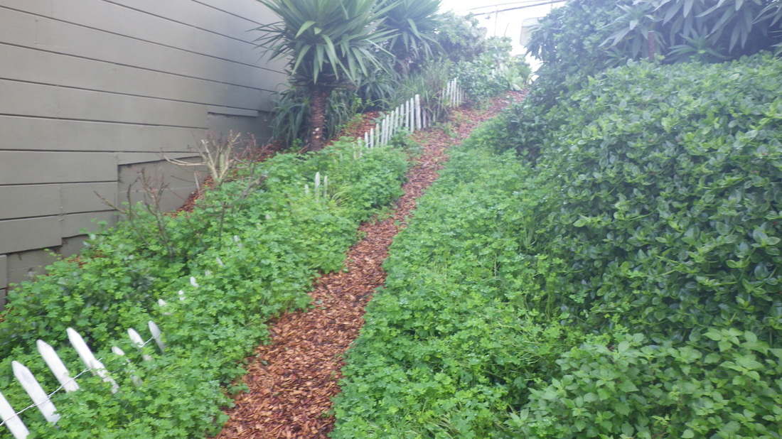
Around to Peralta. Here’s what the west slope looks like: 13, 14.
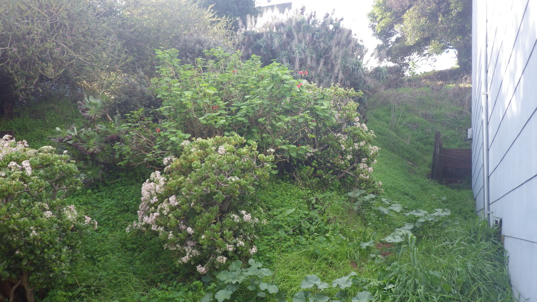
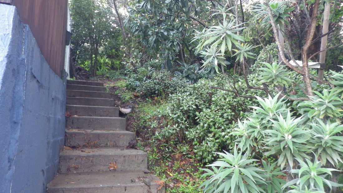
Around again for the foot of the westside Franconia slope: pic 15. The steps here don’t go all the way up.
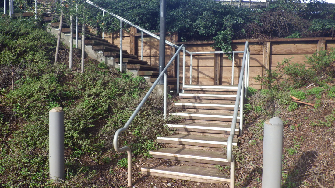
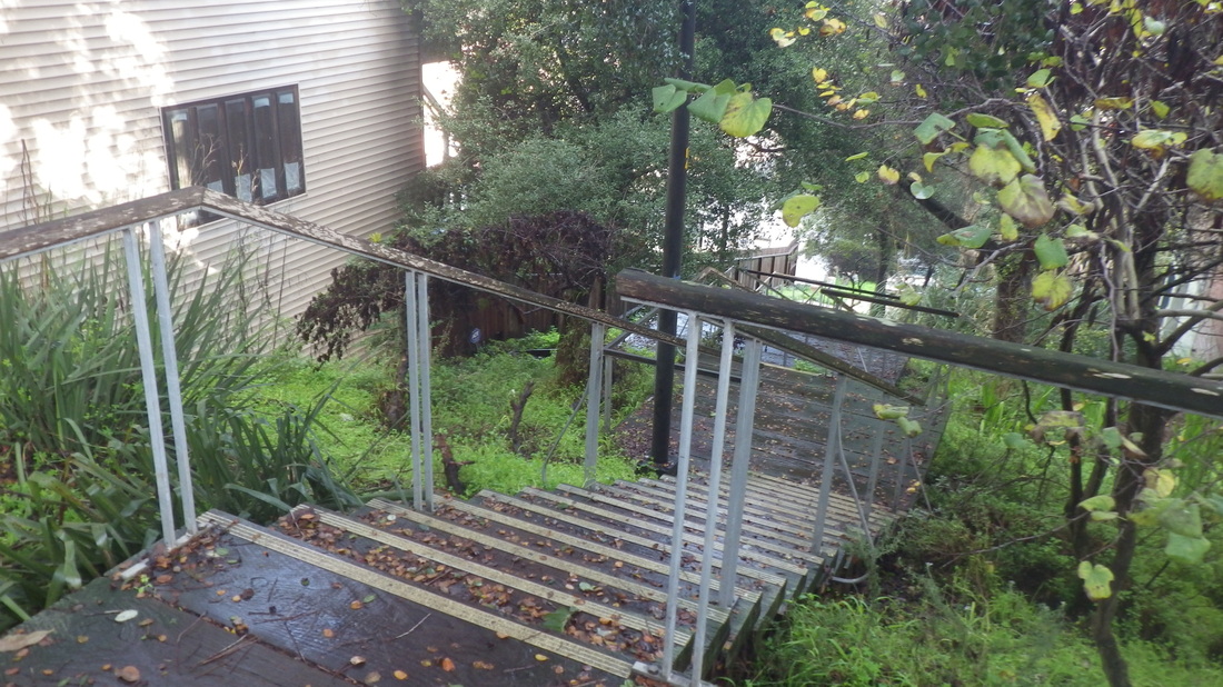
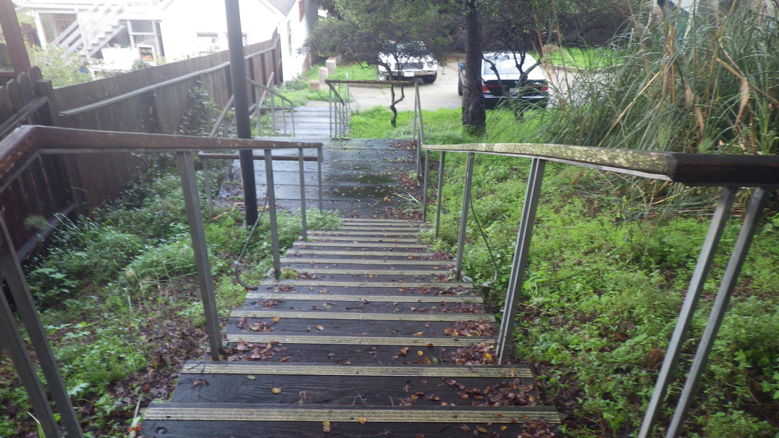
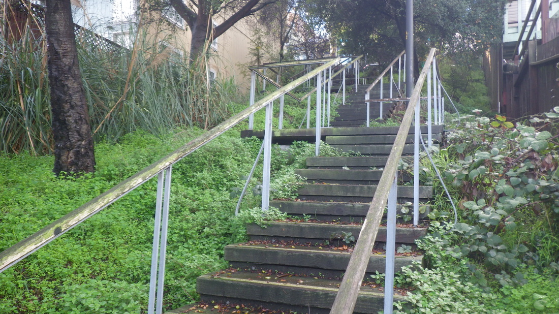
Cross Franconia to the top of the Mayflower stairway: 65 steps. It descends to Holladay: 16, 17, 18.
The freeway below Holladay, pic 19.
House on Powhattan near Holladay: last pic.
Mayflower in east Bernal Heights has two unpaved sections where one can walk, two blocks of tangly vegetation where one can’t see where they’re stepping so best viewed from above/below, and a stairway for the lowest block.
These two middle blocks are not opened up to foot traffic and may never be. If I lived there I’d have some zigzag steps up the center and gardenize the area around it. But probably the residents to either side prefer it just the way it is.
Walking east along Bernal Heights Blvd. first stairway passed was down to Gates, pic 1; second down to the top of Prentiss, pic 2. The third descends to what’s apparently the high-beginning of Mayflower: 3, 4.
Pic 5: Mayflower just below Bernal Heights Blvd. is part dirt road, part roughly paved.
Another stairway descends from Mayflower to Rosenkranz: 6, 7.
Mayflower is approximately four blocks in all; Bernal, however, has shorter blocks than other city neighborhoods.
To the west this short road turns and merges into Nevada. Nevada turns into Chapman and a stairway down, one of the newer eastside stairways. Google went up to where Nevada turns. On Streetview, you can see the stairway ahead leading up to Bernal Heights Blvd. from where it stopped at the dirt road. They didn’t follow it out to Carver.
But the road comes out at Carver to the east. Cross Carver and walk past the parked vehicles here between houses (pic 8) to tiny Mayflower Garden with its few wood steps down to Bradford (9, 10).
Crossing Bradford, down from Bradford to Peralta is the first impenetrable tangle: The top, pix 11, 12.
Google Maps shows a wide blank space between homes.
Around to Peralta. Here’s what the west slope looks like: 13, 14.
Around again for the foot of the westside Franconia slope: pic 15. The steps here don’t go all the way up.
Cross Franconia to the top of the Mayflower stairway: 65 steps. It descends to Holladay: 16, 17, 18.
The freeway below Holladay, pic 19.
House on Powhattan near Holladay: last pic.
1. Bernal Heights Blvd. down to Gates
2. Bernal Heights Blvd. down to Prentiss
3. Bernal Heights Blvd. down to Mayflower
4. Mayflower up to Bernal Heights Blvd.
5. Mayflower out to Carver
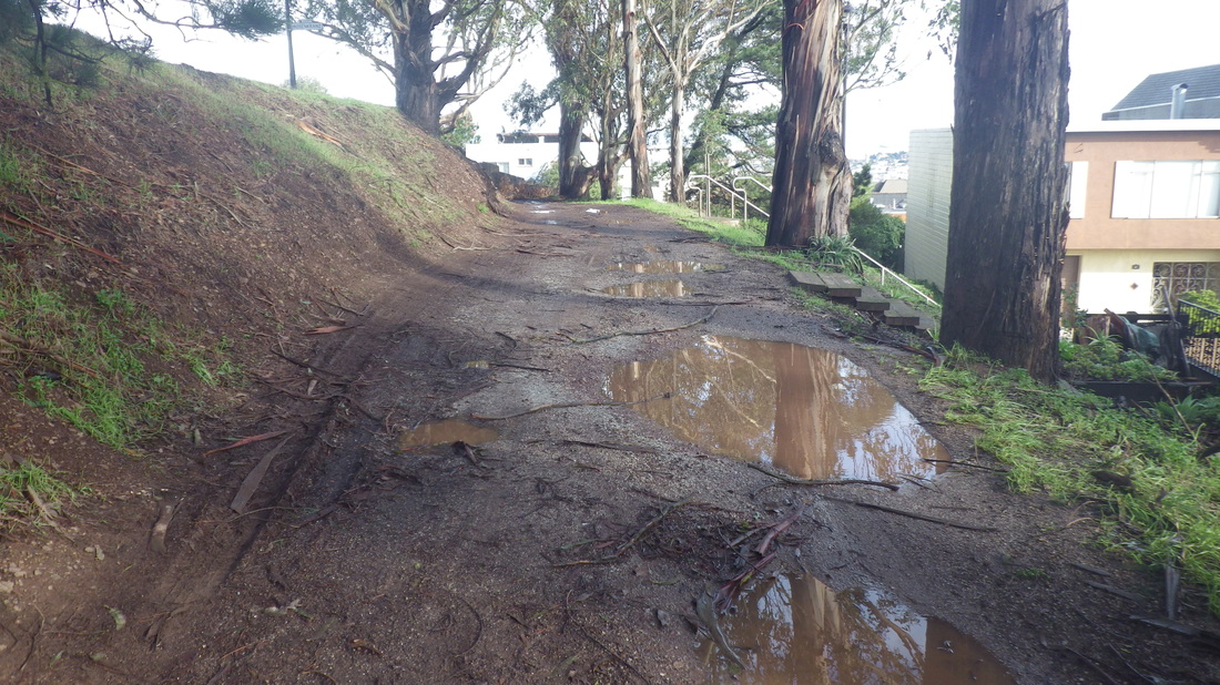
6. Rosenkranz stairway down from Mayflower
7. Down from Mayflower to Rosenkranz

8. Cross Carver and walk between the vehicles to the Mayflower Garden
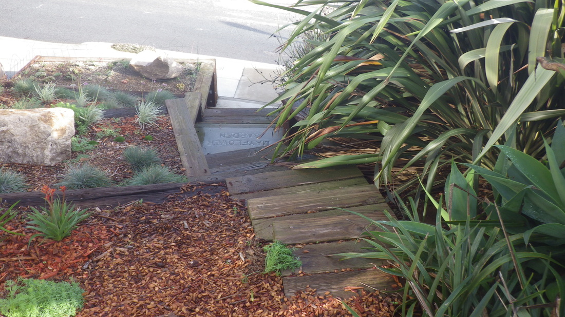
9. Mayflower Garden steps down to Bradford
10. Mayflower Garden, Bradford to Carver
11. Bradford to Peralta
12. Bradford down to Peralta
13. Peralta slope down from Bradford
14. Peralta up to Bradford
15. Franconia up to Peralta, west slope
16. East side of Franconia down to Holladay
17. Mayflower stairway
18. Franconia down to Holladay
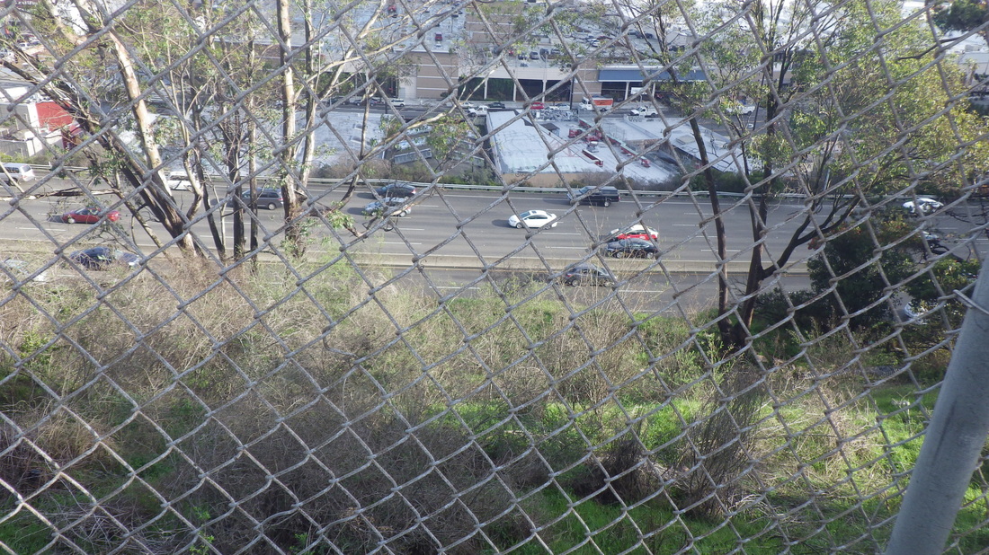
19. Freeway below from Holladay
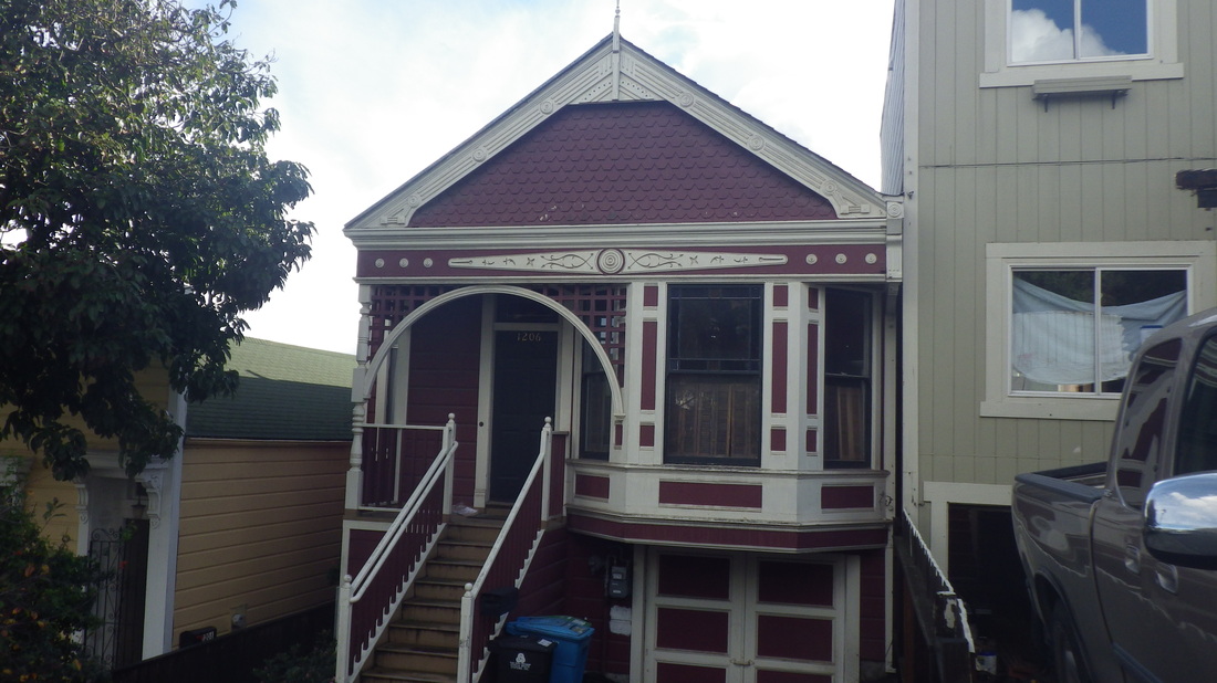
20. A house on Powhattan
 RSS Feed
