Recently revisited a couple of “hidden” stairways not walked in maybe a decade, these at the southwestern edge of the Forest Hill neighborhood.
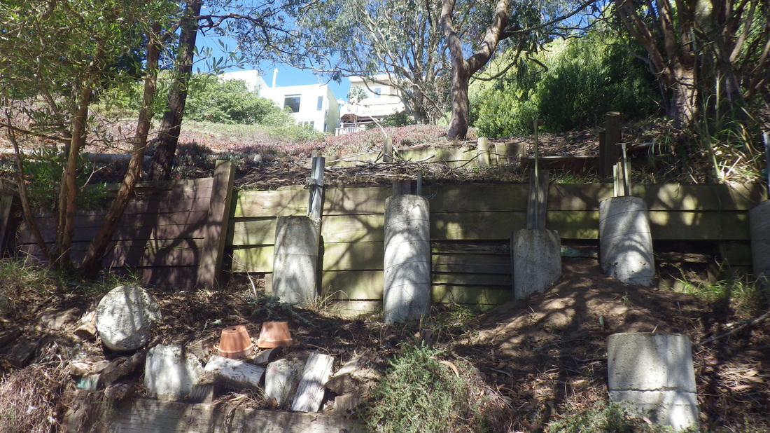
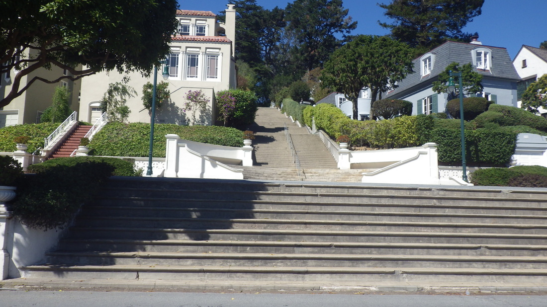
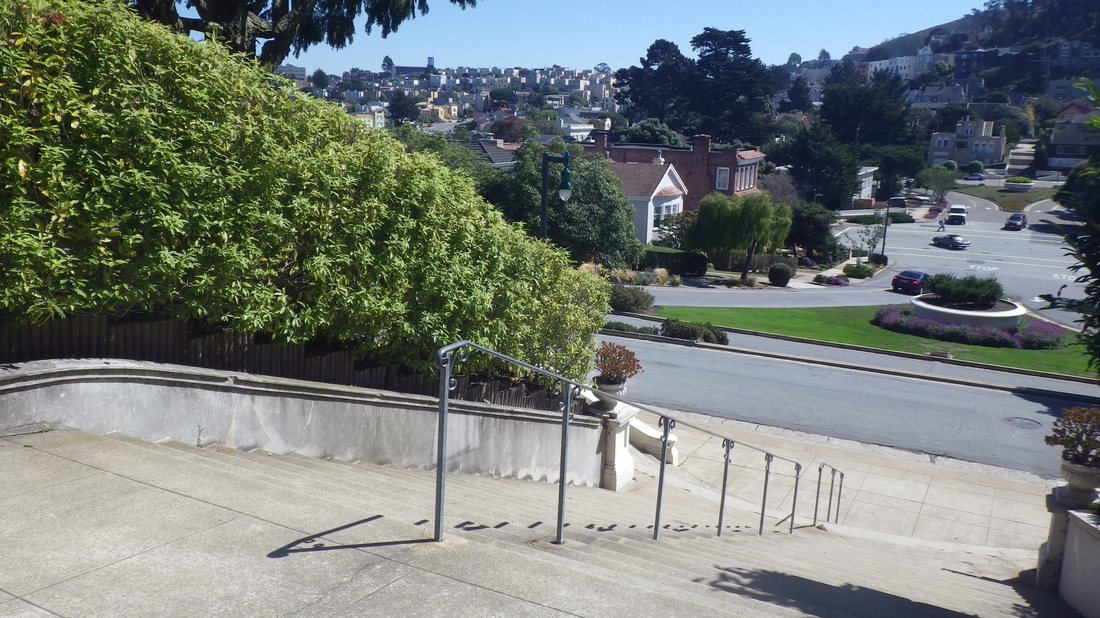
First, however, another spot not seen in many years. This is the openspace called Hawk Hill at the west dead-end of San Marcos/Santa Rita. It's a short distance west of these divider steps that are part of the three-block-long Montalvo stairway: first two pix.
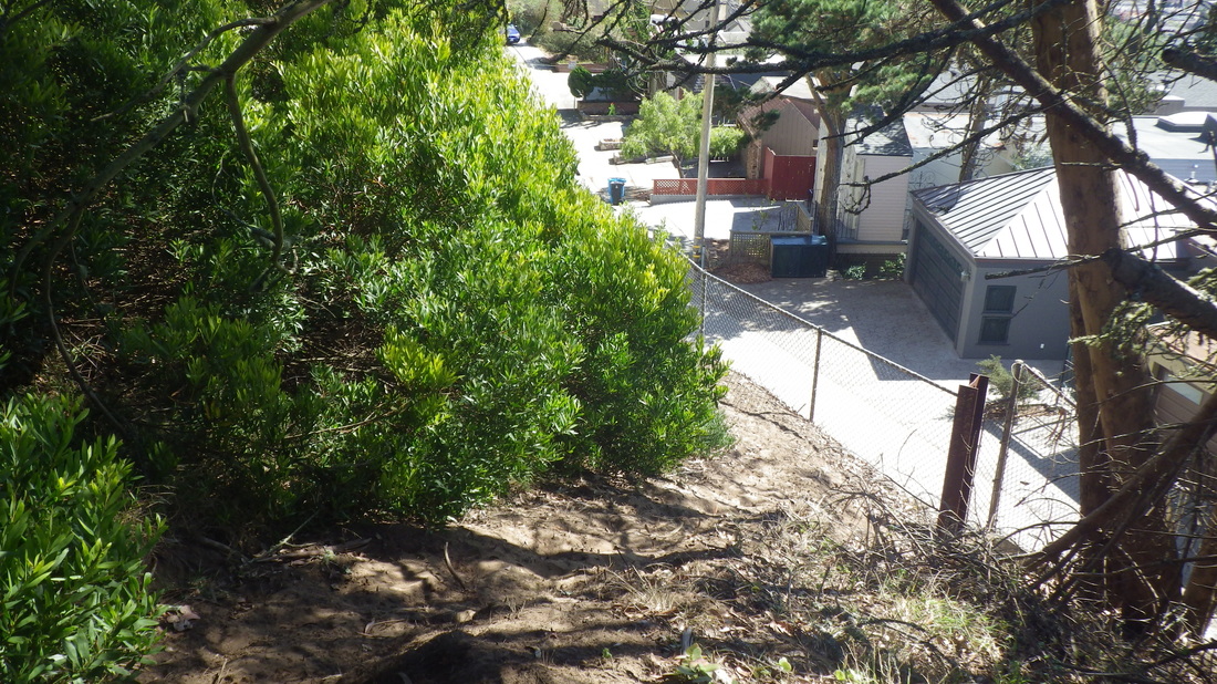
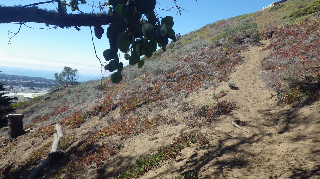
Hawk Hill IS supposed to be a park and amazingly it looks the same as it did the last time I climbed it long ago. For one thing, there wasn’t one of those green park-rules signs here — at least not where I was. Shhhh - don’t remind them! It’s still a wild, steep dune with a few thick-sand trails and iceplant. It’s clearly shown on Google Maps and has more than one entrance, but it doesn’t look like anyone’s tried to “tame” this natural area: 3 thru 7
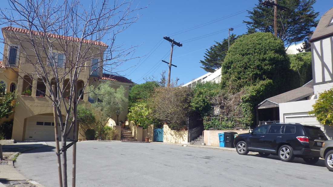
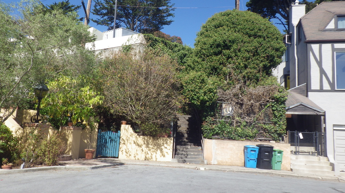
At the street on the south side, San Marcos, there’s no trail down the steep slope: 8, 9
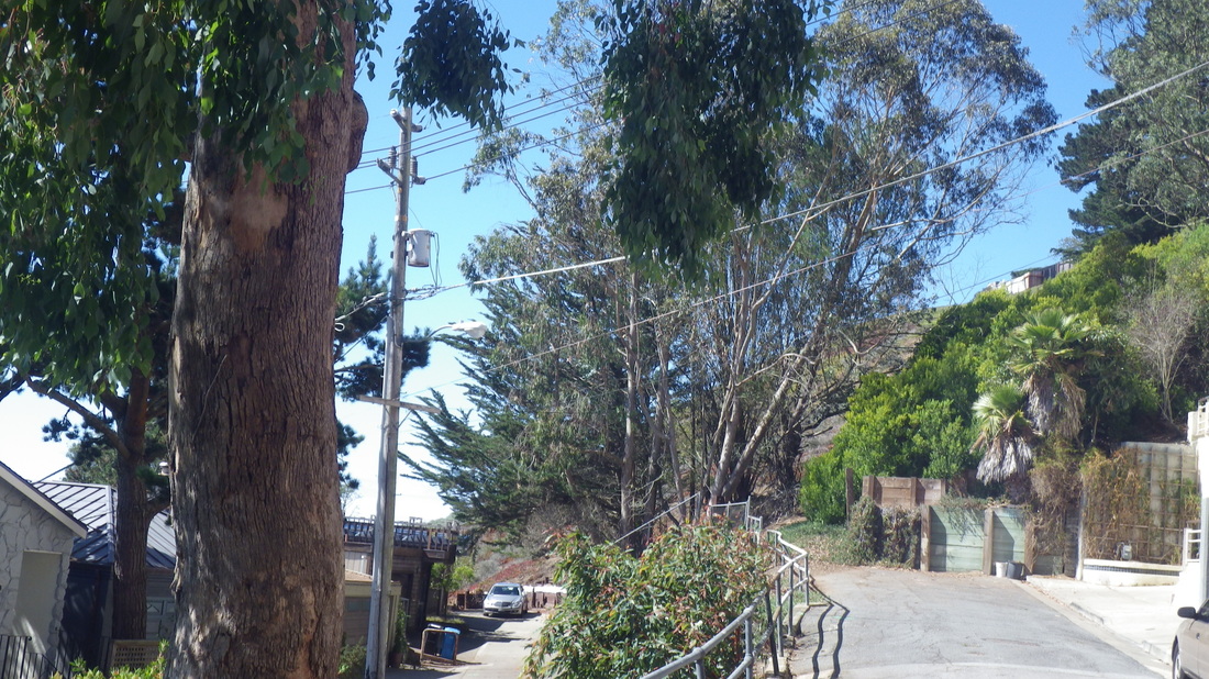
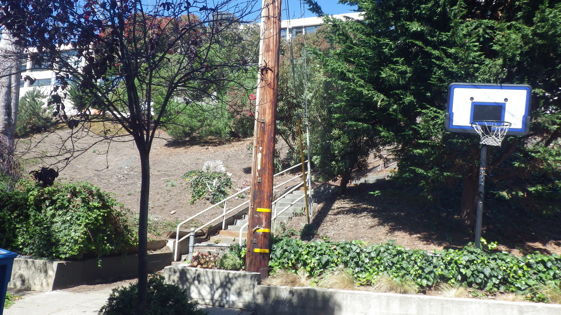
Downhilled a block to the dead-end of Dorantes for the first of the old remembered stairways. These stairways are shown on Google Maps but as trails, not stairs.
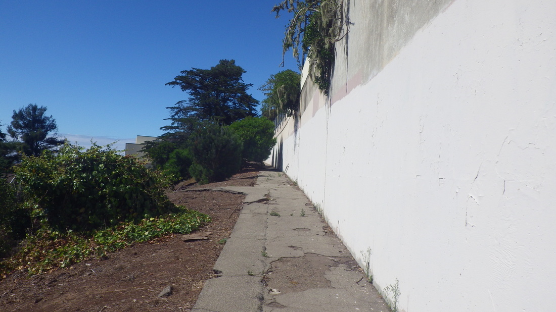
It used to look very different from the way it does now, green and mysterious. Now much of the vegetation is gone and there’s mainly bare earth. At the top of the 25 Dorantes steps you’ll come to a walkway alongside a white wall (belongs to Herbert Hoover Middle School).
Dorantes dead-end: 10, 11
Walkway: 12, 13
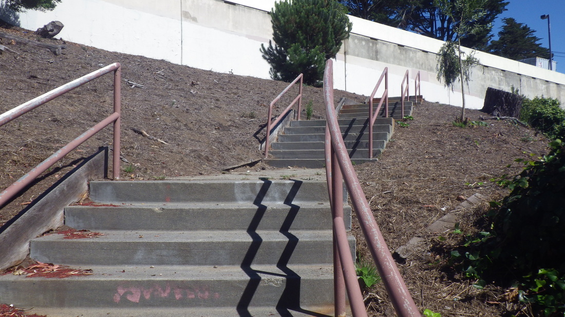
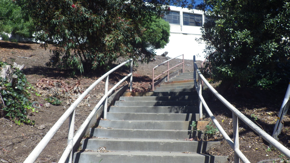
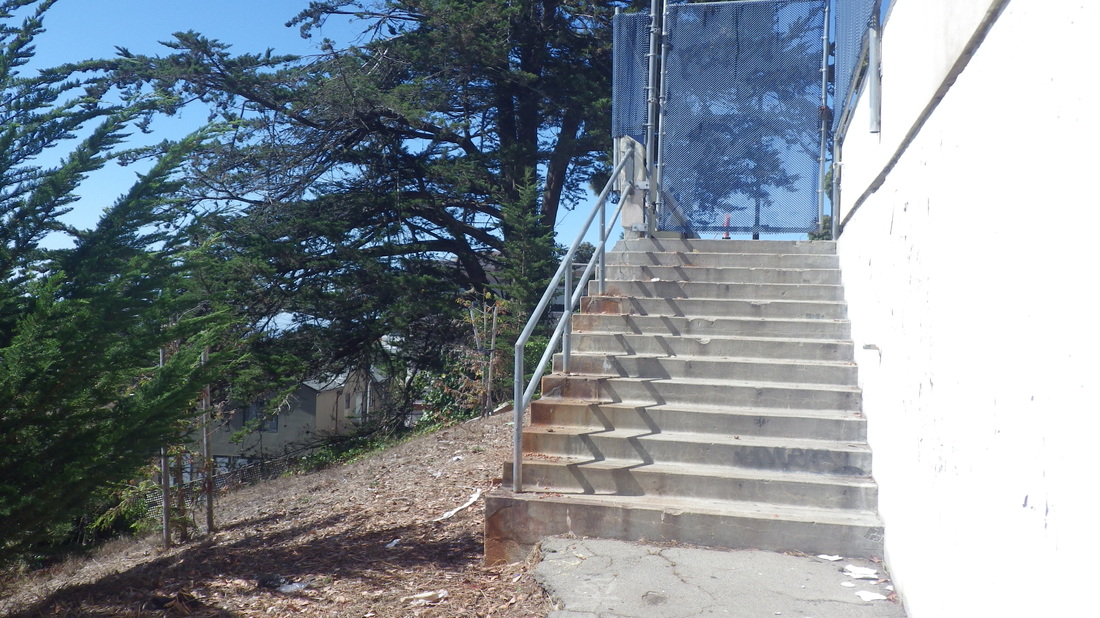
A few yards to the west is the top of the second stairway. Its 41 steps descend to the dead-end of 12th Avenue. If you walk south on 12th, the first cross-street is Magellan. 12th Avenue steps: 14 thru 17
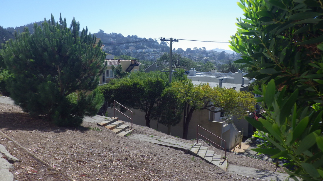
There’s a third stairway that can be seen on Streetview, but it’s blocked off by a locked gate if you keep going west along the walkway past the top of the 12th Ave. steps. It can’t be accessed along the wall nor below it on a weedy dirt trail; it’s just for school access: 18, 19
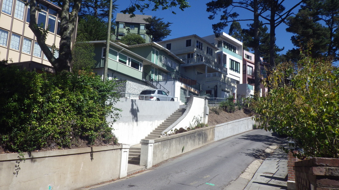
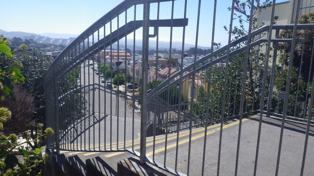
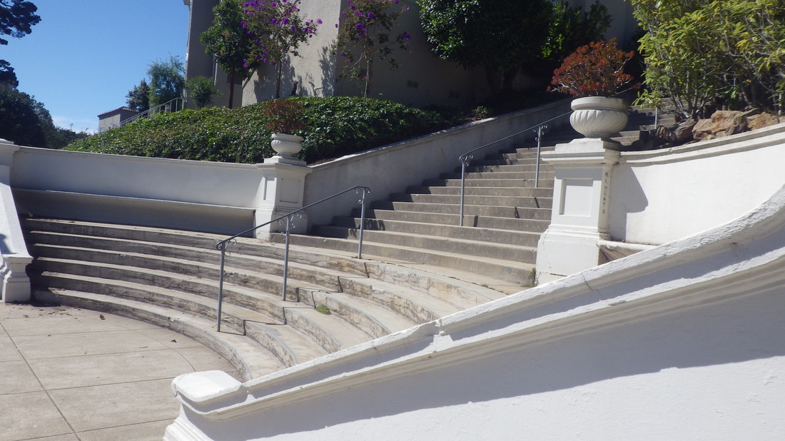
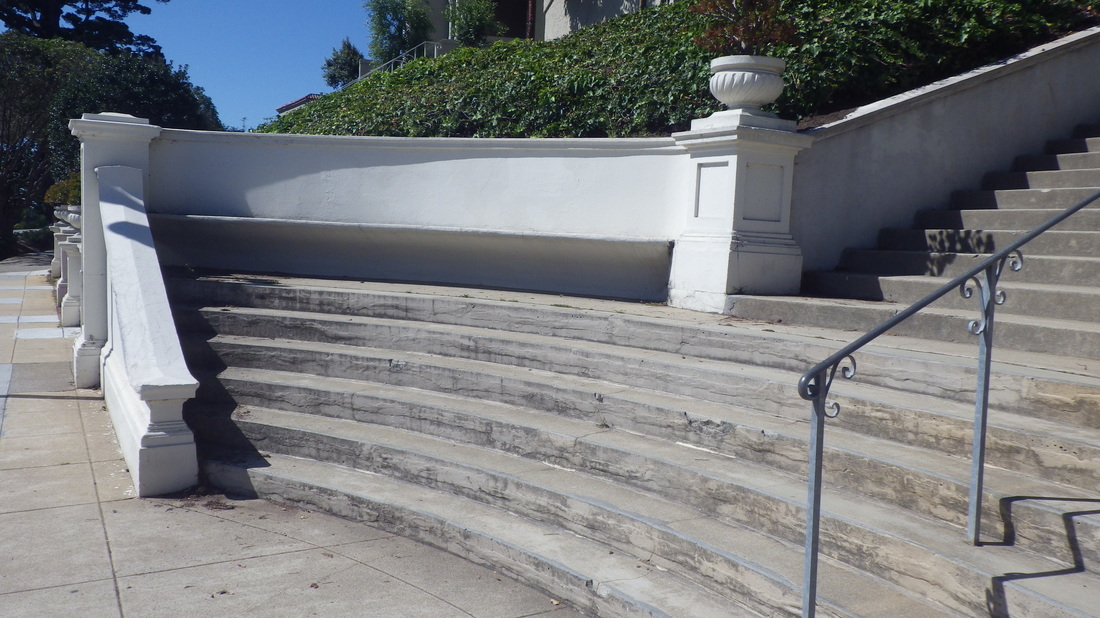
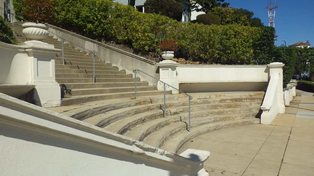
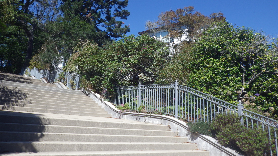
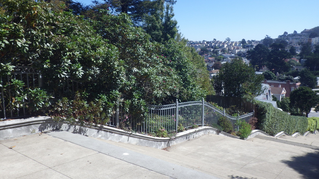
The long stairway this time was the Pacheco, 134 steps, Magellan up to Castenada. It’s long been called the Pacheco steps but on Google Maps is called “Path Street.” Jeez. We’ll just keep calling it the Pacheco, shall we? Pacheco has a little sister across wide, busy Dewey; she’s shorter and ascends a little way into the Edgehill Heights neighborhood.
Pacheco stairway: 20 thru 29
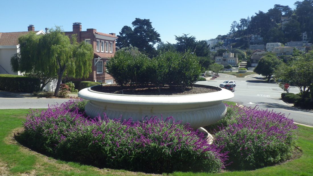
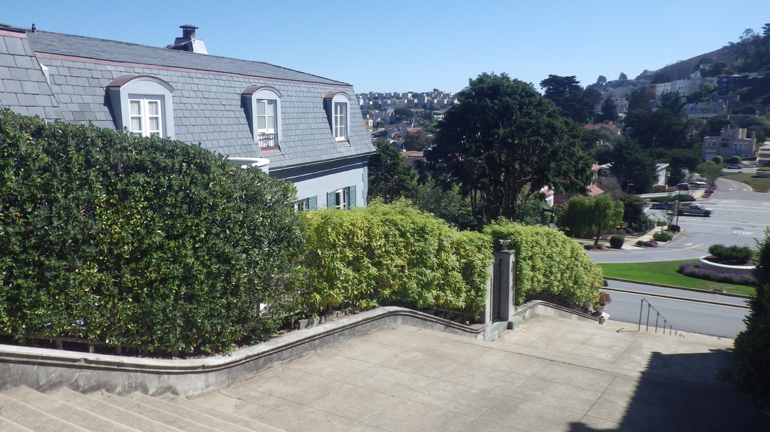
A home on Magellan: 30
On my way downhill for public transportation, nice views of Mount Sutro from Magellan: 31, 32, 33
This walk that climbs up to Magellan behind the Forest Hill Metro Station is a pleasant way into the neighborhood: last two pix.
First, however, another spot not seen in many years. This is the openspace called Hawk Hill at the west dead-end of San Marcos/Santa Rita. It's a short distance west of these divider steps that are part of the three-block-long Montalvo stairway: first two pix.
Hawk Hill IS supposed to be a park and amazingly it looks the same as it did the last time I climbed it long ago. For one thing, there wasn’t one of those green park-rules signs here — at least not where I was. Shhhh - don’t remind them! It’s still a wild, steep dune with a few thick-sand trails and iceplant. It’s clearly shown on Google Maps and has more than one entrance, but it doesn’t look like anyone’s tried to “tame” this natural area: 3 thru 7
At the street on the south side, San Marcos, there’s no trail down the steep slope: 8, 9
Downhilled a block to the dead-end of Dorantes for the first of the old remembered stairways. These stairways are shown on Google Maps but as trails, not stairs.
It used to look very different from the way it does now, green and mysterious. Now much of the vegetation is gone and there’s mainly bare earth. At the top of the 25 Dorantes steps you’ll come to a walkway alongside a white wall (belongs to Herbert Hoover Middle School).
Dorantes dead-end: 10, 11
Walkway: 12, 13
A few yards to the west is the top of the second stairway. Its 41 steps descend to the dead-end of 12th Avenue. If you walk south on 12th, the first cross-street is Magellan. 12th Avenue steps: 14 thru 17
There’s a third stairway that can be seen on Streetview, but it’s blocked off by a locked gate if you keep going west along the walkway past the top of the 12th Ave. steps. It can’t be accessed along the wall nor below it on a weedy dirt trail; it’s just for school access: 18, 19
The long stairway this time was the Pacheco, 134 steps, Magellan up to Castenada. It’s long been called the Pacheco steps but on Google Maps is called “Path Street.” Jeez. We’ll just keep calling it the Pacheco, shall we? Pacheco has a little sister across wide, busy Dewey; she’s shorter and ascends a little way into the Edgehill Heights neighborhood.
Pacheco stairway: 20 thru 29
A home on Magellan: 30
On my way downhill for public transportation, nice views of Mount Sutro from Magellan: 31, 32, 33
This walk that climbs up to Magellan behind the Forest Hill Metro Station is a pleasant way into the neighborhood: last two pix.
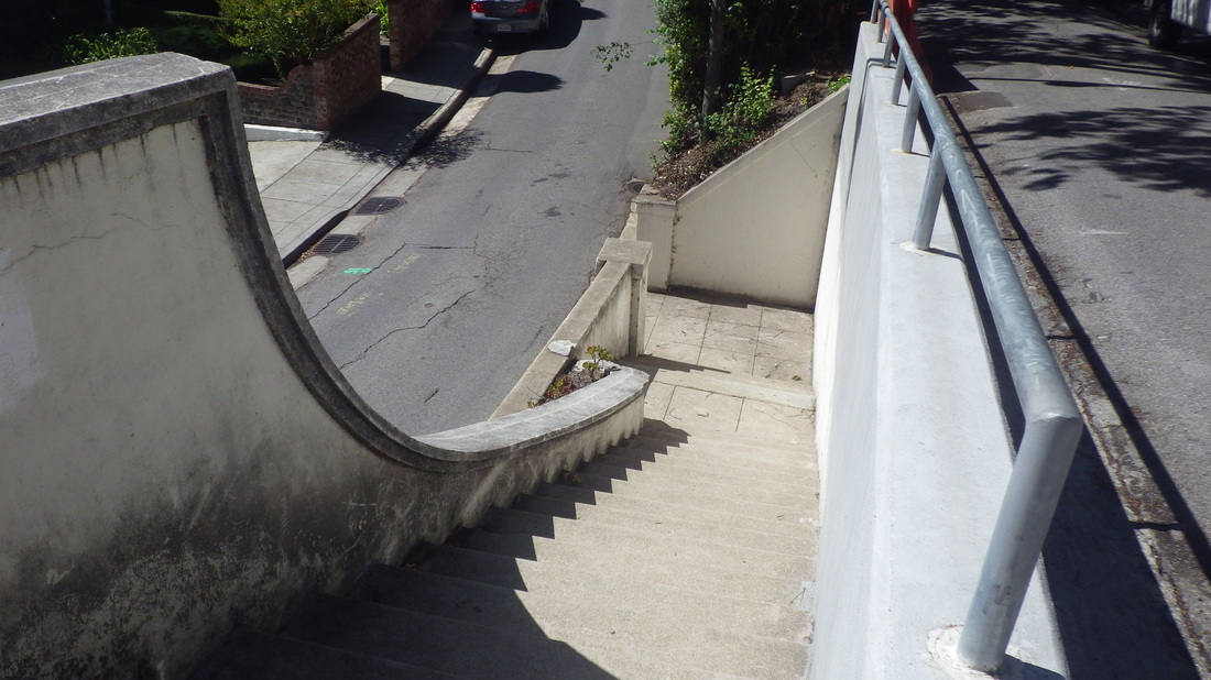
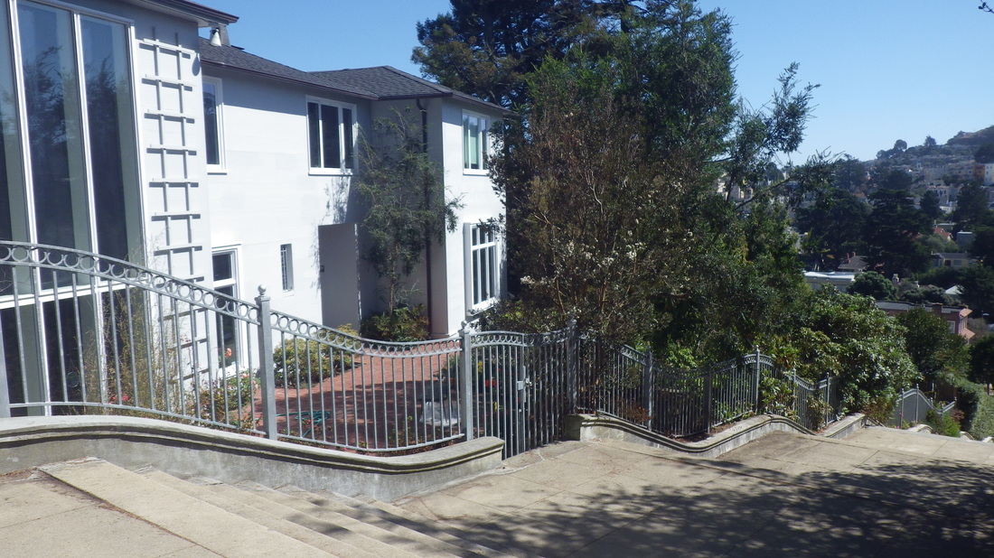
1. Dividing Santa Rita & San Marcos on Montalvo
2. Montalvo stairway is three blocks long
3. Hawk Hill Park entrance at dead-end
4. Steep thick-sand trail climbs up
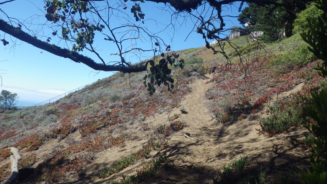
5. Sand and iceplant
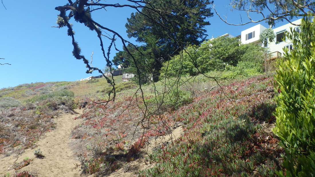
6. Untamed openspace
7. More trailheads on other side
8. No access down here
9. No trail down from this end
10. Donates dead-end
11. Stairs to right of blue gate
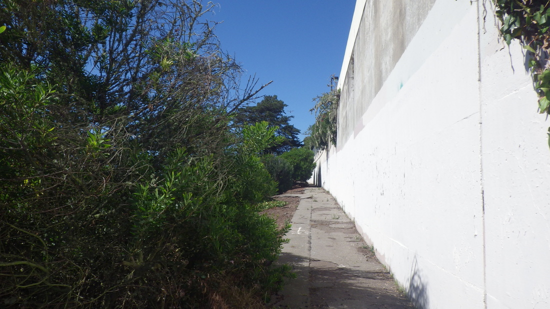
12. Walkway at top of Donates steps
13, Top of 12th Ave. steps ahead
14. 12th Avenue east to Dorantes
15. 12th Ave. steps
16. 41 steps
17. Foot at 12th Ave. dead-end
18. Gate locked at end of walkway
19. Looks promising but is school use only
20. Foot of Pacheco stairway
21. Foot of Pacheco steps
22. Benches near the foot
23. 134 steps
24. Foot-benches on the grand Pacheco
25. Directly across (top, right) Pacheco steps into Edgehill Heights
26. Magellan up to Castenada
27. A beautiful neighborhood with lots of trees
28. The Edgehill Heights neighborhood is directly across
29. Well-designed, wide, undulating
30. Magellan Ave.
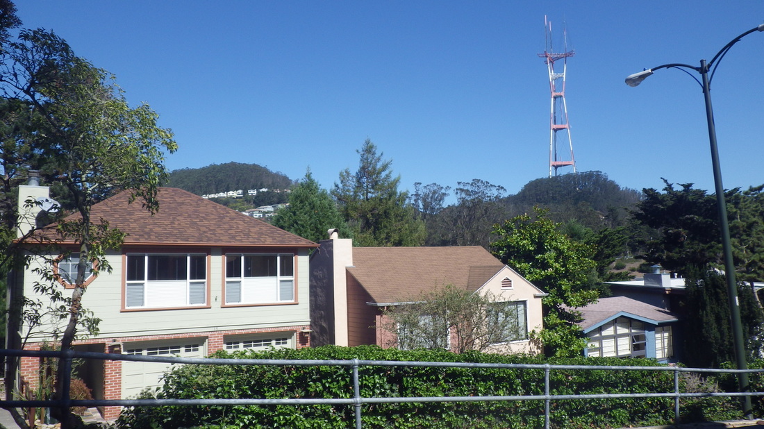
31. Mount Sutro and Sutro Tower from Magellan
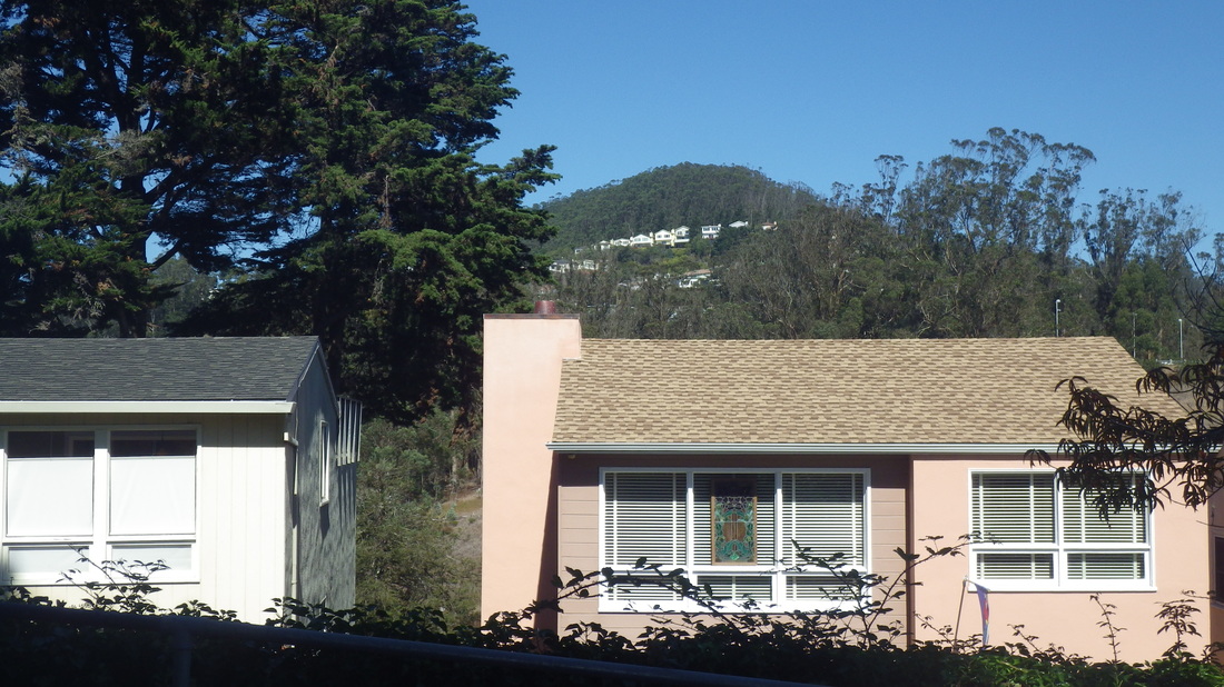
32. Mount Sutro from Forest Hill
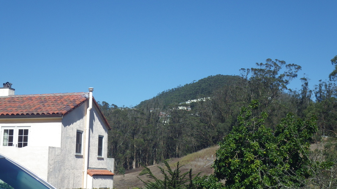
33. Mount Sutro and the Forest Knolls 'hood from Forest Hill
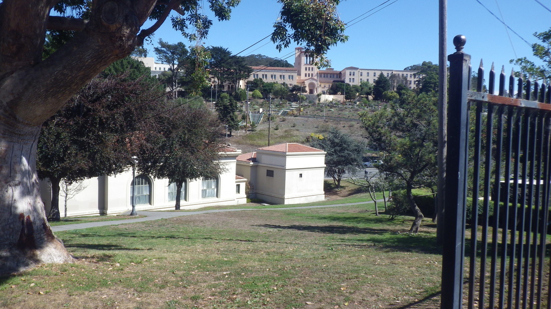
34. Laguna Honda Hospital in distance
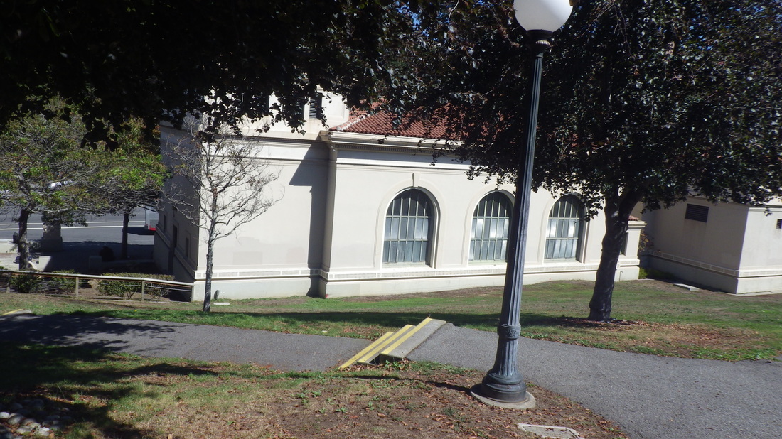
35. Down to the Forest Hill Metro Station
 RSS Feed
