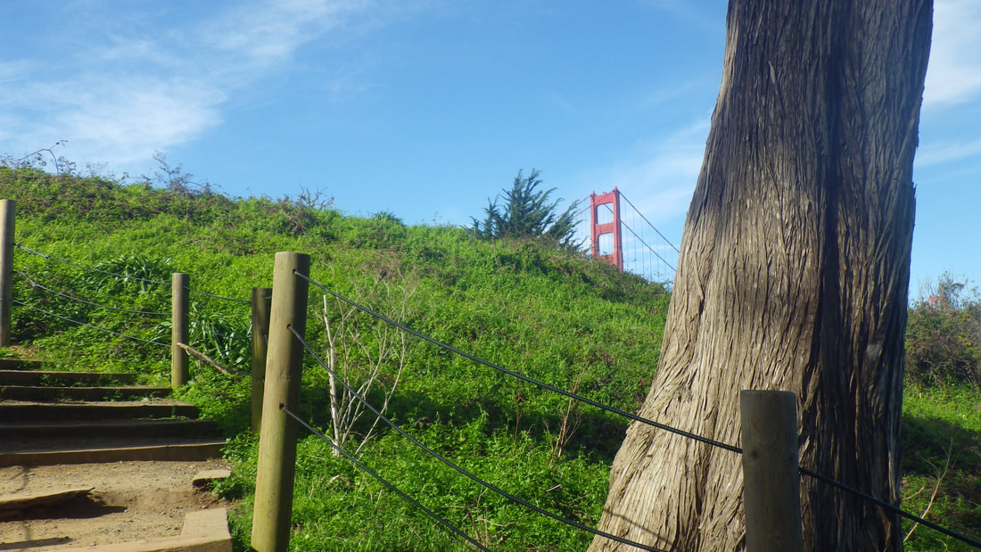
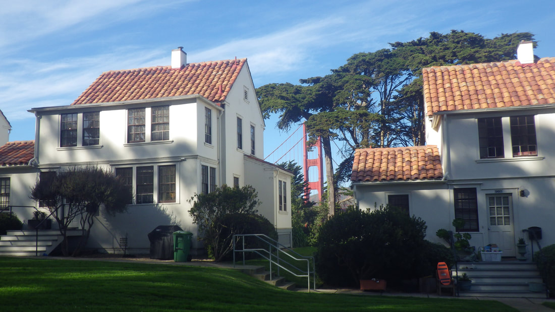
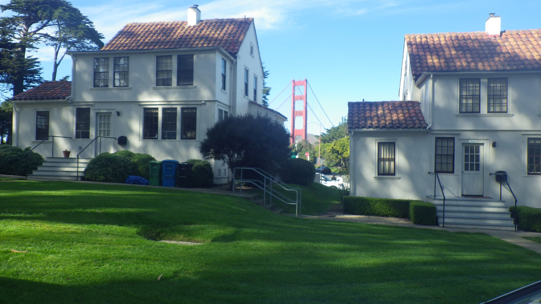
Remember a certain Presidio neighborhood, North Fort Scott, from long ago. It had a stairway to another street and a view to the north, between residences, of the bridge.
Could not find any old pix of the way this used to look and wondered why I didn’t take any back then.
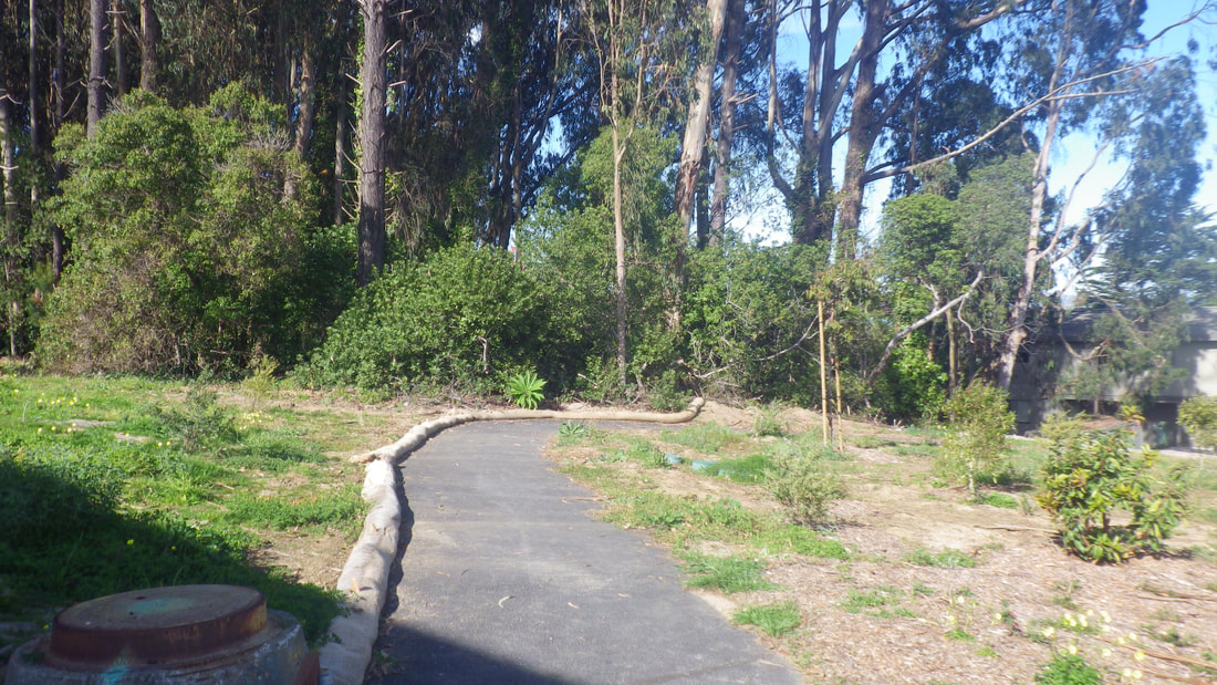
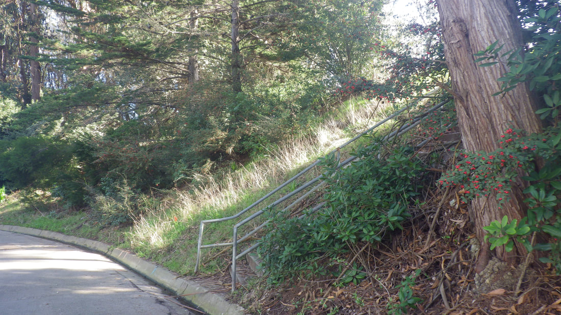
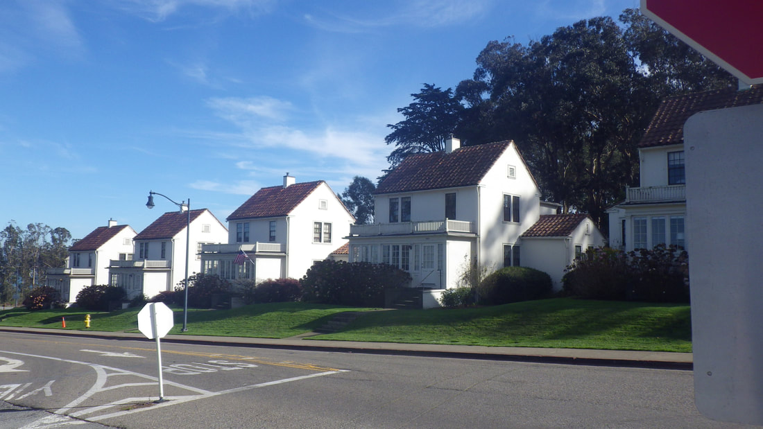
In 2016 revisited the neighborhood briefly and took a few pix. The top street, Armistead Road, looked different, not as green; too bare. There was green construction fencing on the south side and erosion control straw wattles.
Googled Armistead after this most recent (Feb. 2018) visit and read that a row of residences had been demolished because of the Presidio Parkway/Doyle Dr. expansion.
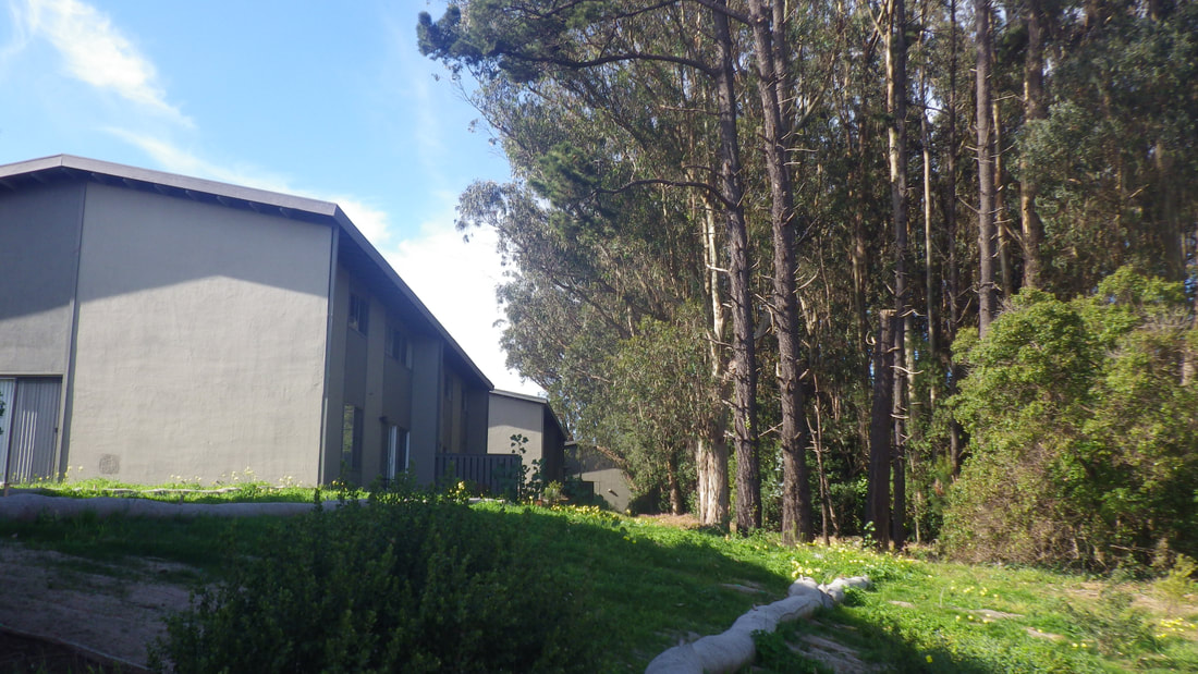
This, then, is why the top of the hill looks so bare now and why there’s so little green up here as compared to how I remembered it years ago. Hopefully they’ll plant trees to help block the traffic noise.
From Armistead at the top of the hill could now see the highway this most recent trip. There was still green fencing in the area.
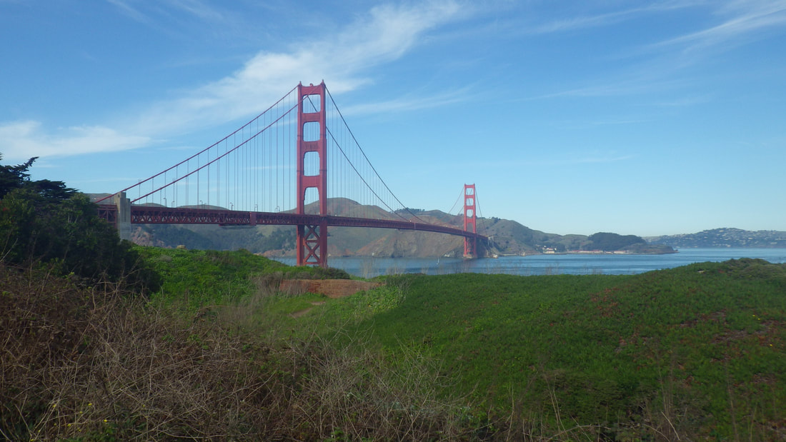
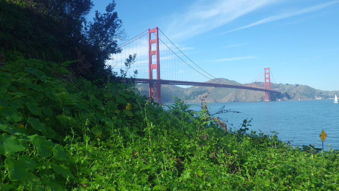
This year again started up from Lincoln on the east side, directly across from Crissy Field Overlook, and followed Hoffman out to where it comes out at the bridge area.
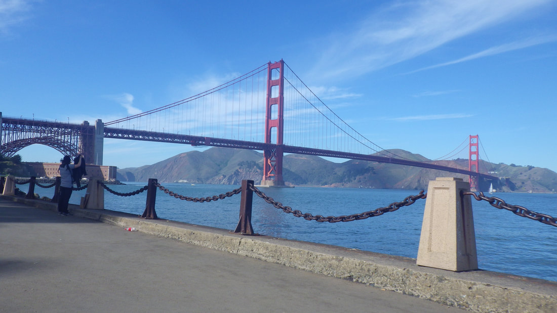
There is still no crosswalk to get from the sidewalk at the front of the houses on Lincoln over to the bridge area. They could use one here. Cars, MUNI buses, huge tour buses turning everywhere = danger to pedestrians.
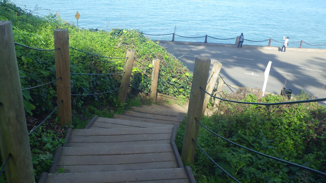
First for this hike, the Battery East Trail and its stairway (153 steps): 1 thru 14
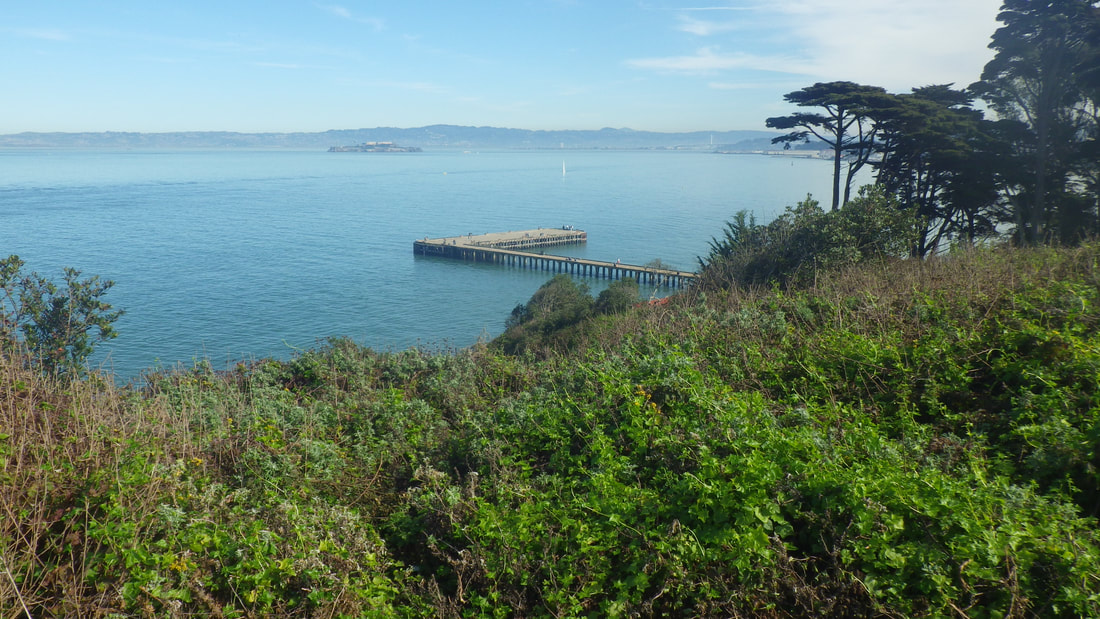
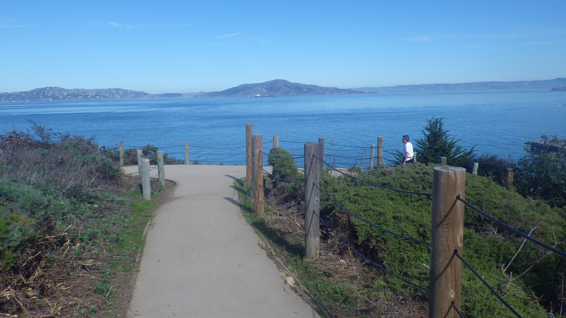
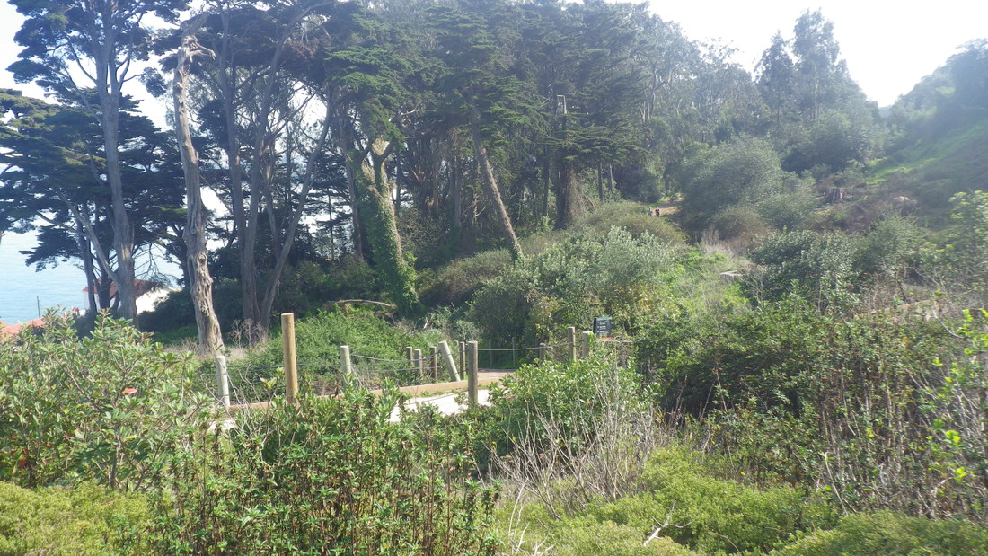
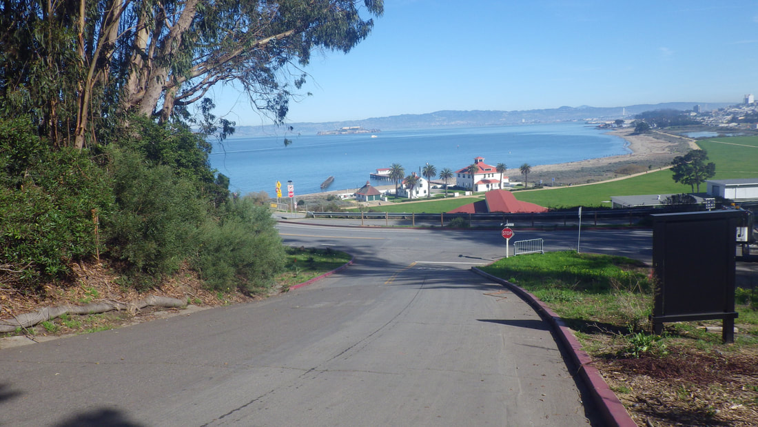
Andrews Road to Crissy Field Overlook, a long-loved trail between two vehicle streets: 15, 16, 17
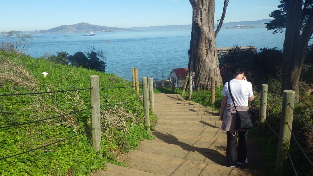
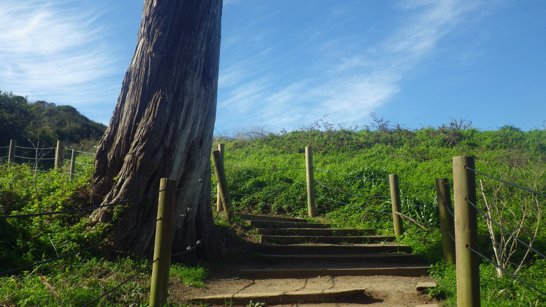
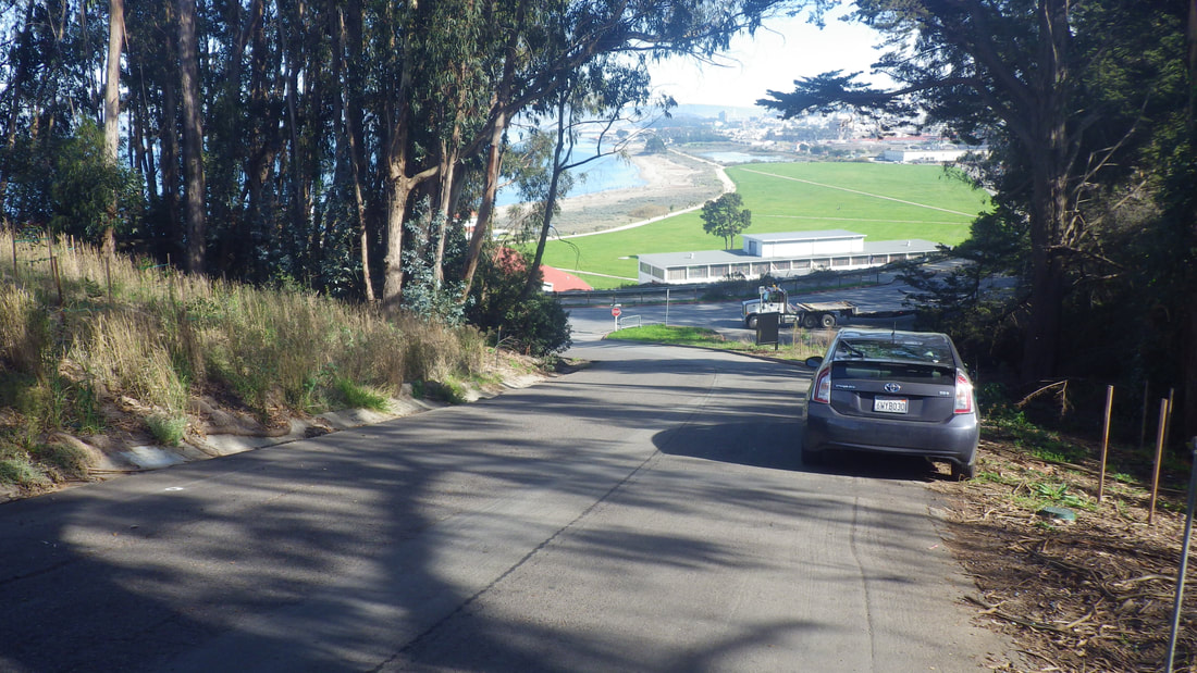
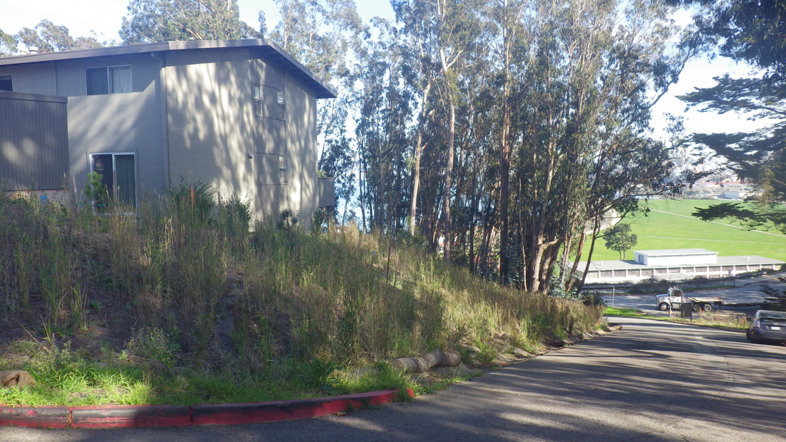
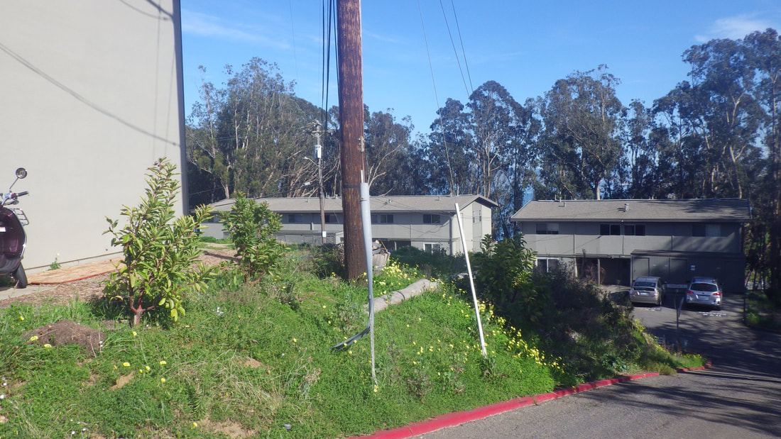
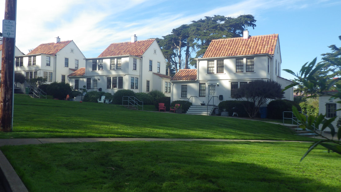
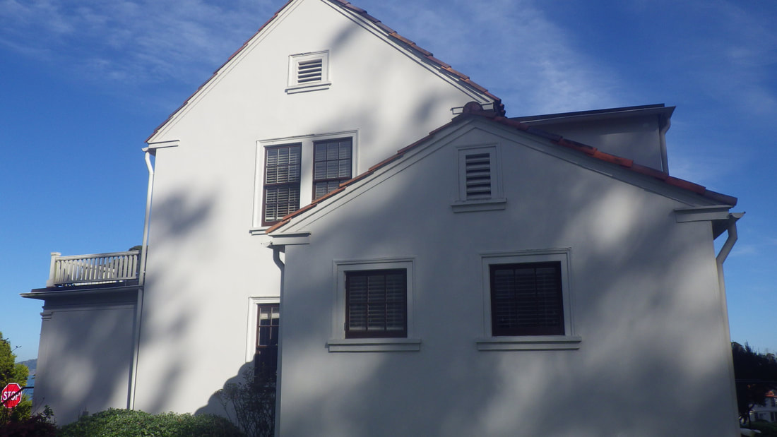
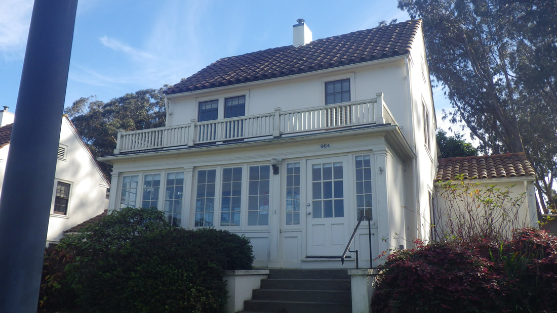
From Lincoln up Lendrum to Armistead and residences up here: 18 thru 24
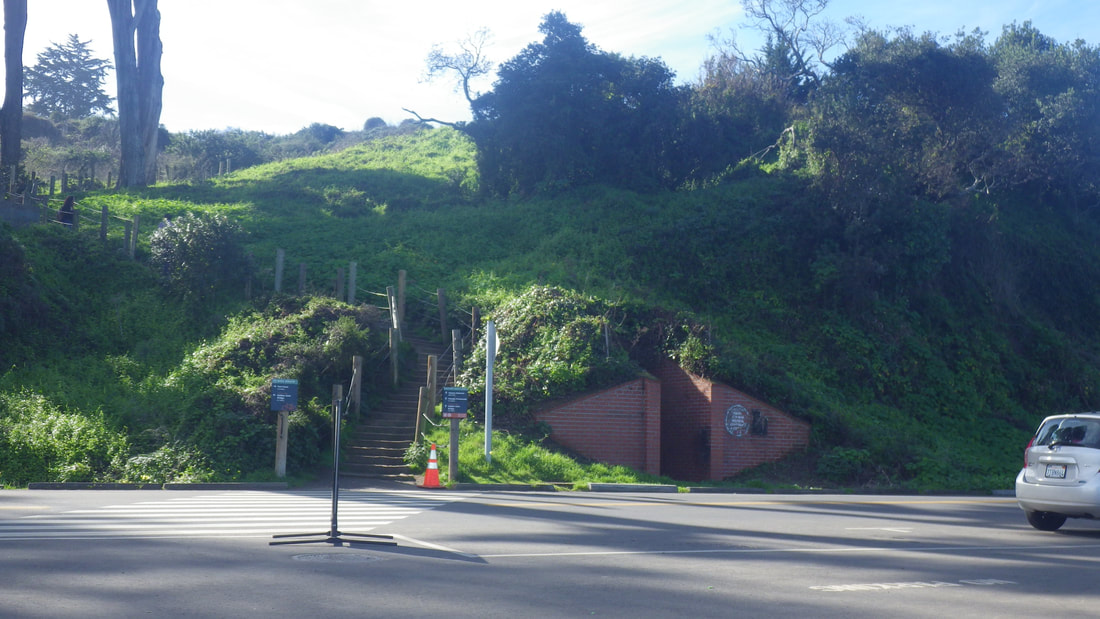
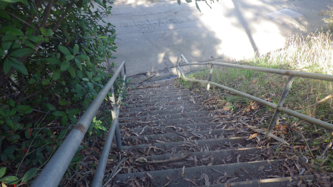
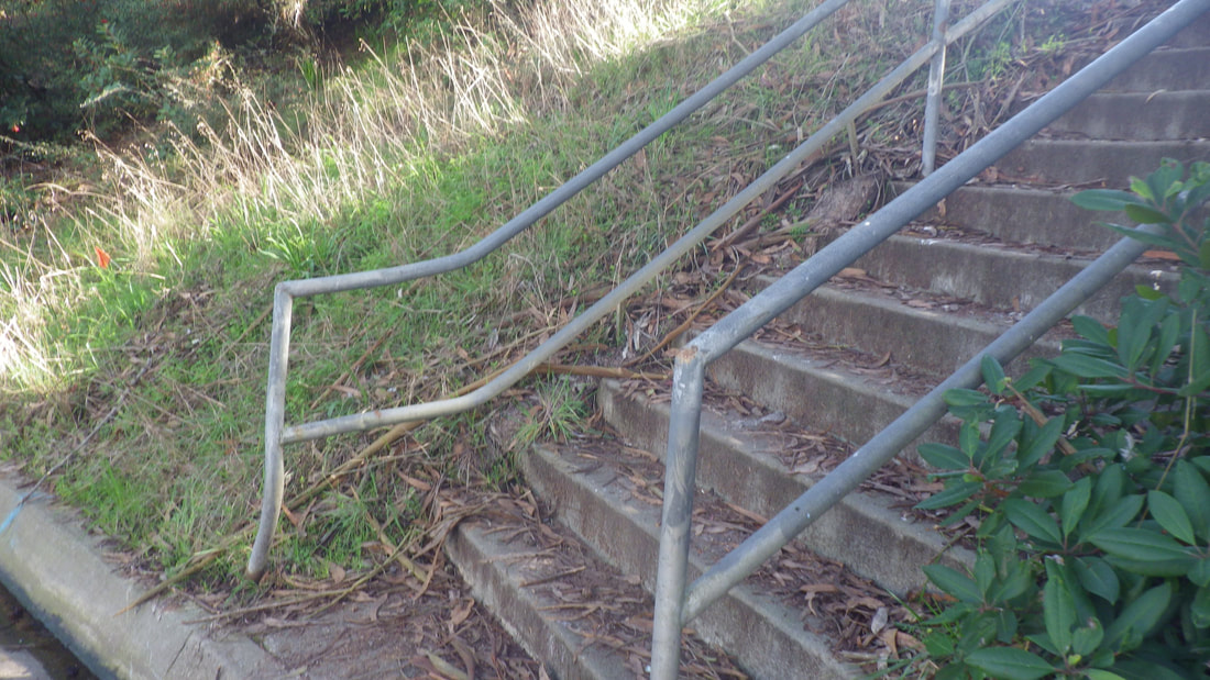
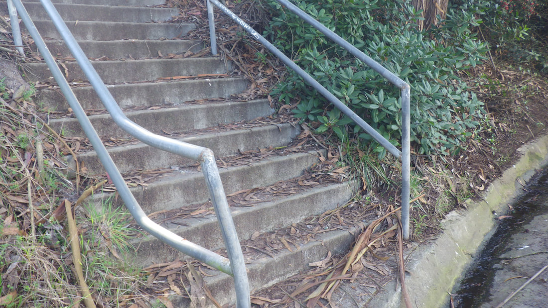
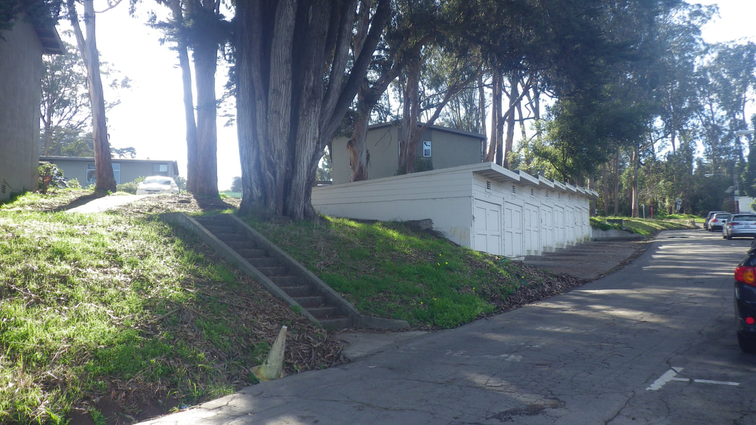
The first street off Lincoln is Hoffmam, where the stairway is (52 steps). The stairs ascend to Lendrum and can easily be seen from Hoffman. Descending to Hoffman, the stairs start between residences and are more difficult to see: 25 thru 32
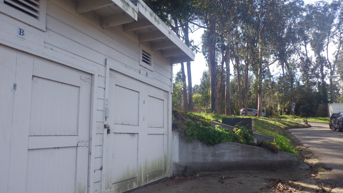
Hoffman includes garages on the south side that belong to the homes on Lincoln: 33 thru 42
Could not find any old pix of the way this used to look and wondered why I didn’t take any back then.
In 2016 revisited the neighborhood briefly and took a few pix. The top street, Armistead Road, looked different, not as green; too bare. There was green construction fencing on the south side and erosion control straw wattles.
Googled Armistead after this most recent (Feb. 2018) visit and read that a row of residences had been demolished because of the Presidio Parkway/Doyle Dr. expansion.
This, then, is why the top of the hill looks so bare now and why there’s so little green up here as compared to how I remembered it years ago. Hopefully they’ll plant trees to help block the traffic noise.
From Armistead at the top of the hill could now see the highway this most recent trip. There was still green fencing in the area.
This year again started up from Lincoln on the east side, directly across from Crissy Field Overlook, and followed Hoffman out to where it comes out at the bridge area.
There is still no crosswalk to get from the sidewalk at the front of the houses on Lincoln over to the bridge area. They could use one here. Cars, MUNI buses, huge tour buses turning everywhere = danger to pedestrians.
First for this hike, the Battery East Trail and its stairway (153 steps): 1 thru 14
Andrews Road to Crissy Field Overlook, a long-loved trail between two vehicle streets: 15, 16, 17
From Lincoln up Lendrum to Armistead and residences up here: 18 thru 24
The first street off Lincoln is Hoffmam, where the stairway is (52 steps). The stairs ascend to Lendrum and can easily be seen from Hoffman. Descending to Hoffman, the stairs start between residences and are more difficult to see: 25 thru 32
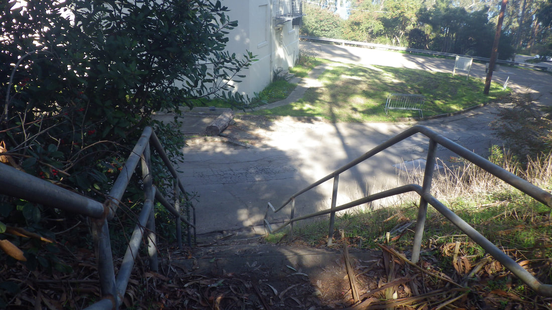
Hoffman includes garages on the south side that belong to the homes on Lincoln: 33 thru 42
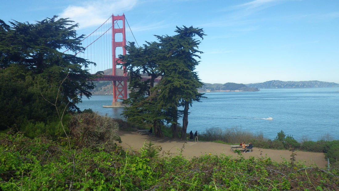
1 Picnic area. Low overhead tunnel to right
2
3 Battery East Trail

4
5
6
7 153 steps
8
9
10
11
12 Left to Fort Point, right to Crissy Field
13 Back up again
14
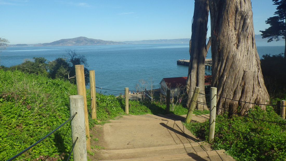
15 On Andrews Road now, a view of the stairsI just ascended
16 Andrews Road is a trail between two vehicle streets
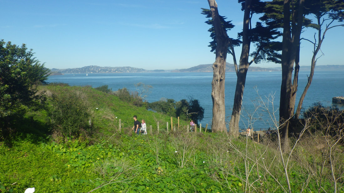
17 Crissy Field below, heading towards the Overlook
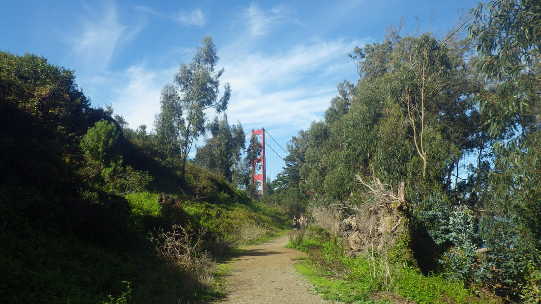
18 Uphill from Crissy Field Overlook into the Norm Fort Scott neighborhood
19
20
21
22
23
24
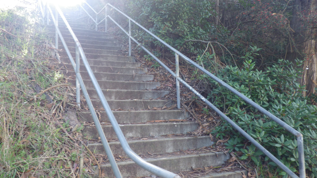
25 This is the old stairway remembered from years ago
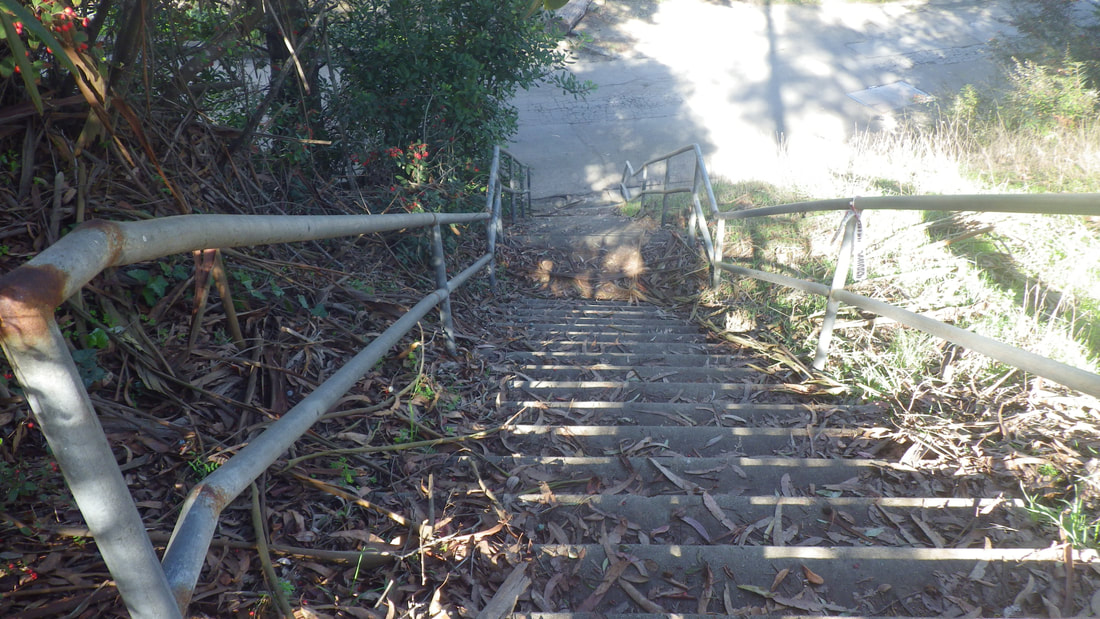
26 52 steps
27
28
29
30
31
32
33
34
35 Hpffman St.
36 Circling back to the bridge area
37
38
39
40
41
42 Front of the homes on Lincoln
 RSS Feed
