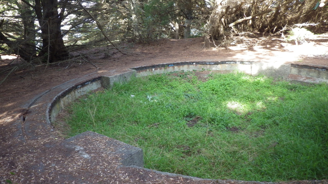
The new Eagles Point Overlook at Lands End's east trailhead is now fully walkable and sit-able. I liked the old one better (THEN pics, first four).
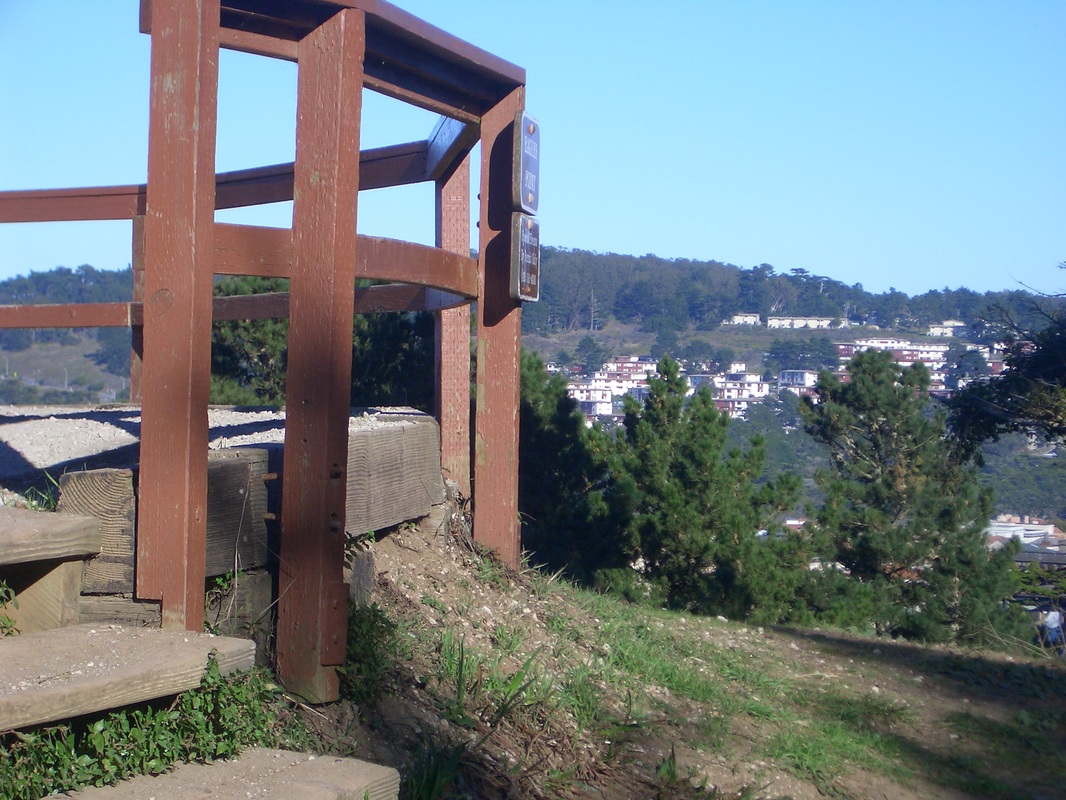
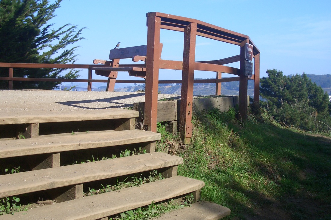
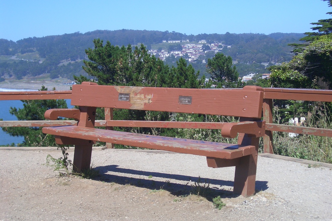
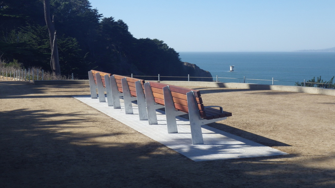
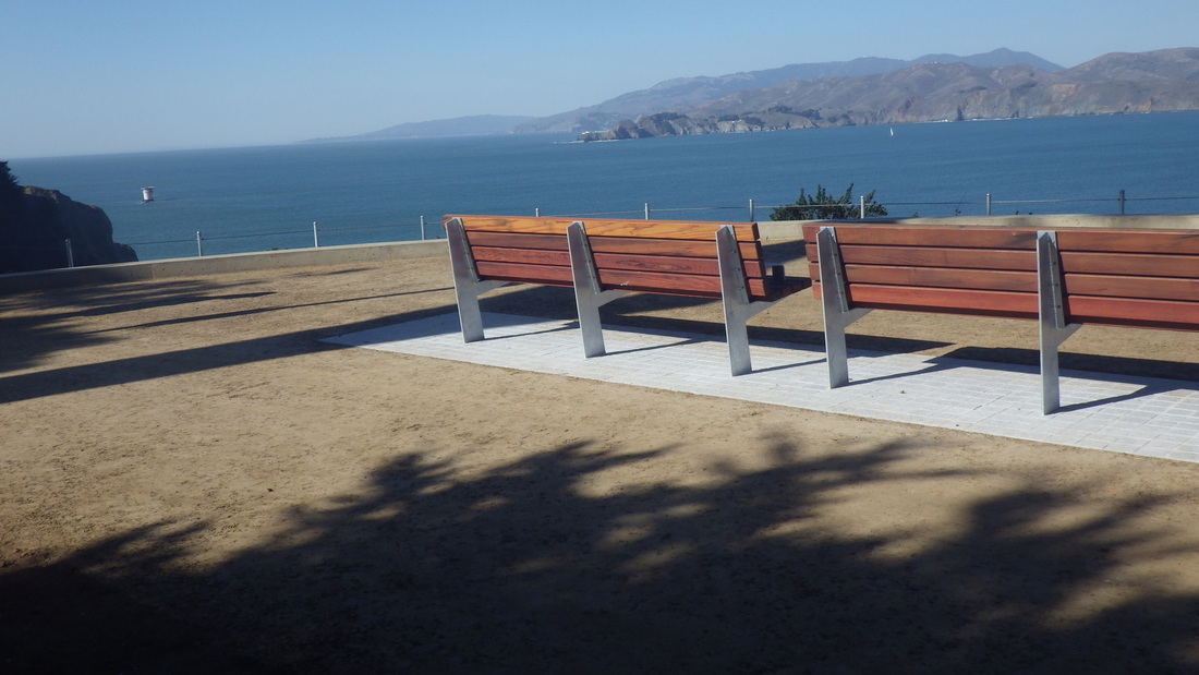
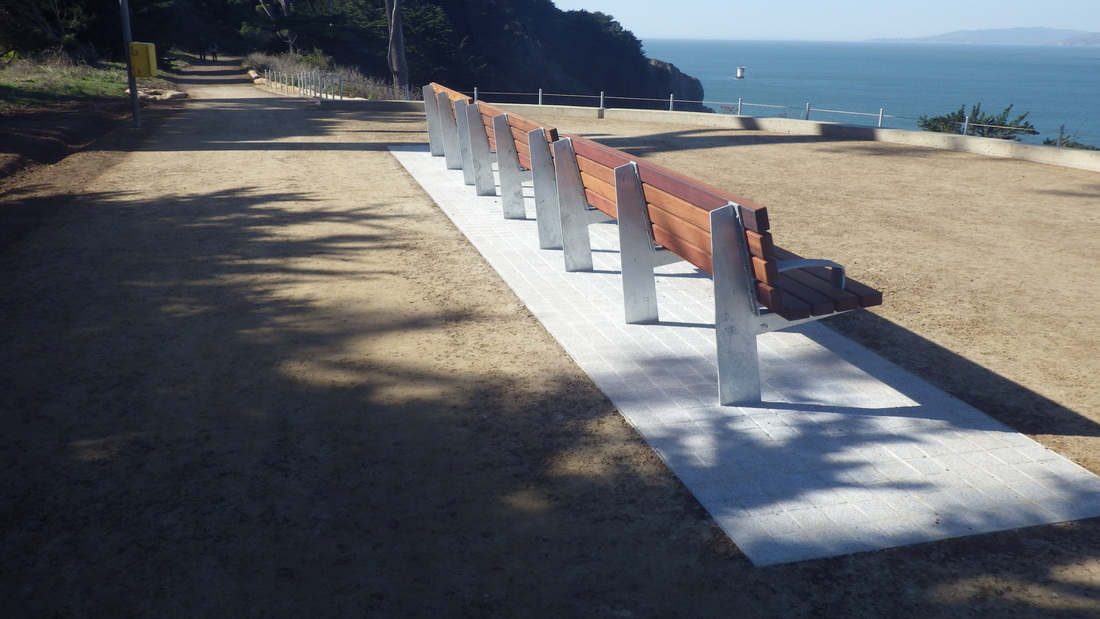
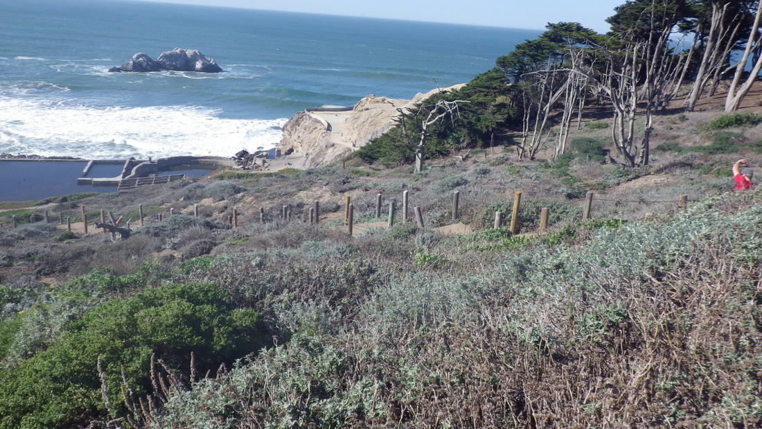
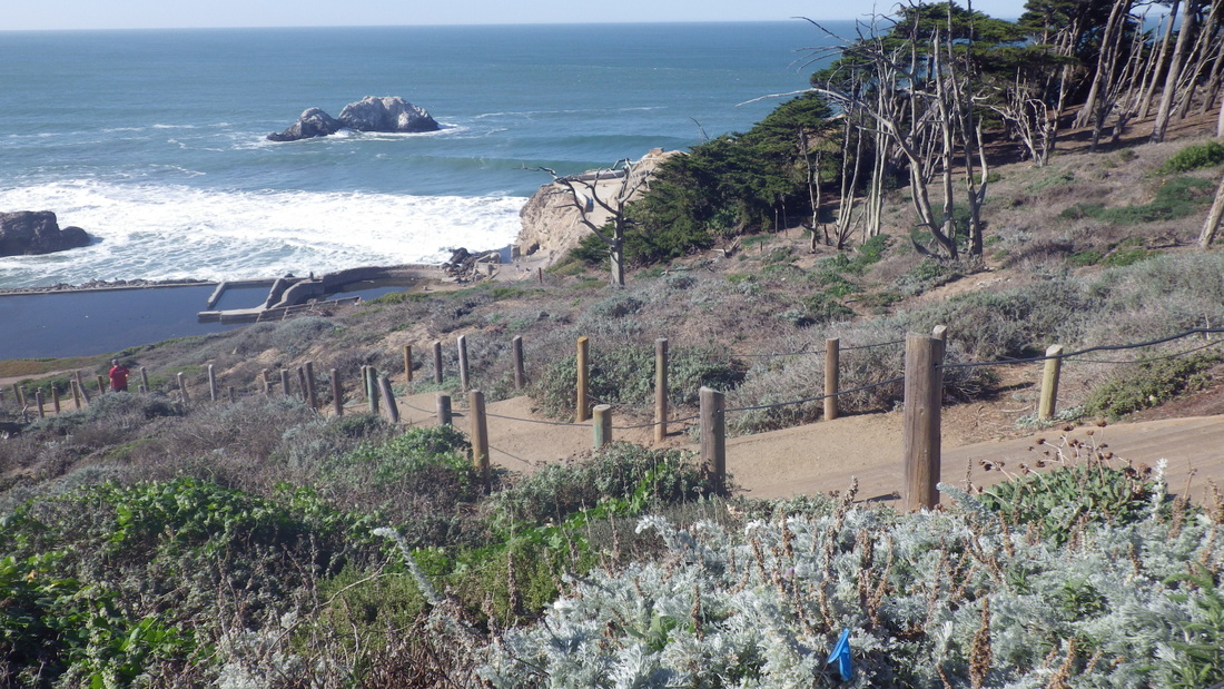
Had expected another slightly raised platform with a few steps like the old one. No doubt new plantings will soon improve upon the present net-covered bareness here. There are three benches in a row, like the benches at the other overlooks, with an older bench a short distance to the east. The ground directly beneath the new benches is concrete and the rest hard-packed. Pix 5 through 9.
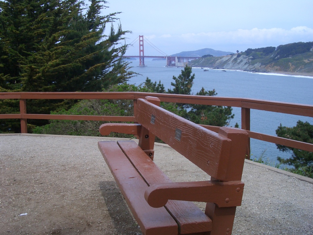
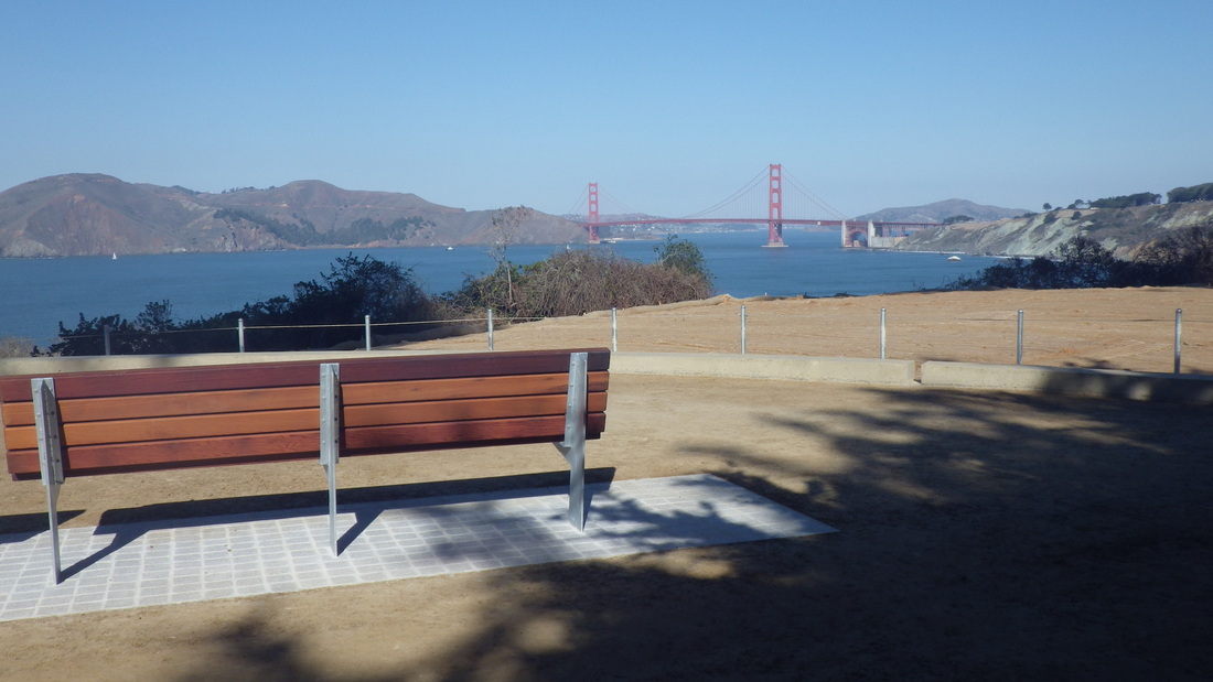
You'll have a view of the Marin Headlands, Golden Gate Bridge, and the Presidio's westside, including Lincoln Blvd. as it winds uphill. At the east trailhead now is a large Lands End sign, a couple of park map/infosigns, and some directional signage like the older ones on the main trail (mid-park). Pic 10.
Started off at the Lands End Lookout (pix 11, 12), moving past the top of the lower parking lot overlook steps (126, pix 13, 14), curving round to the main Coastal/Lands End Trail.
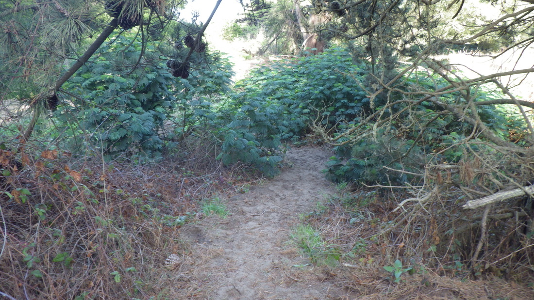
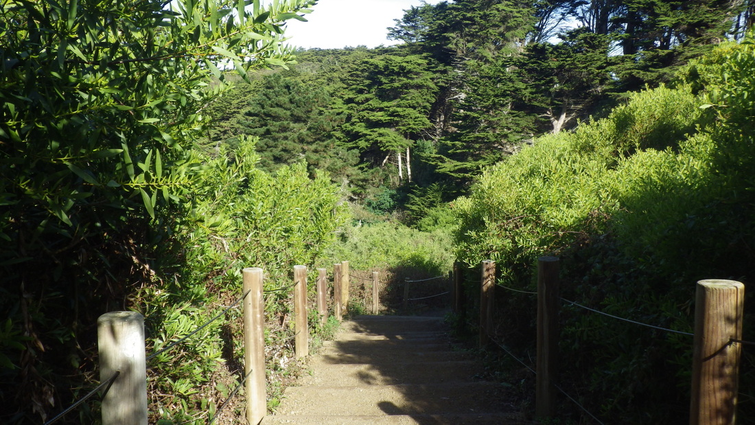
Visits to a favorite "Tony's Trail," reached by a short stairway up from Fort Miley and another down from the VA Hospital parking lot. The trail (15 through 18) zigs down through thick sand to the El Camino del Mar Trail; the connector stairs (pic 19, about 89 steps) between the El Camino del Mar (pic 20) and main Lands End/Coastal Trail; and a bit of between-trails scenery: 21 and 22.
Two long stairways are necessary to hike the whole Lands End trail out to the east trailhead, one up and one down. First, the "Painted Rock" up (pic 23, 138 steps), not as green as it should be this time of year, but still with some new grass showing up. At the top of this, down the 117 or so various kinds of steps on the east side (pic 24). At the foot of the eastside steps, a don't-hike-down-here sign (pic 25).
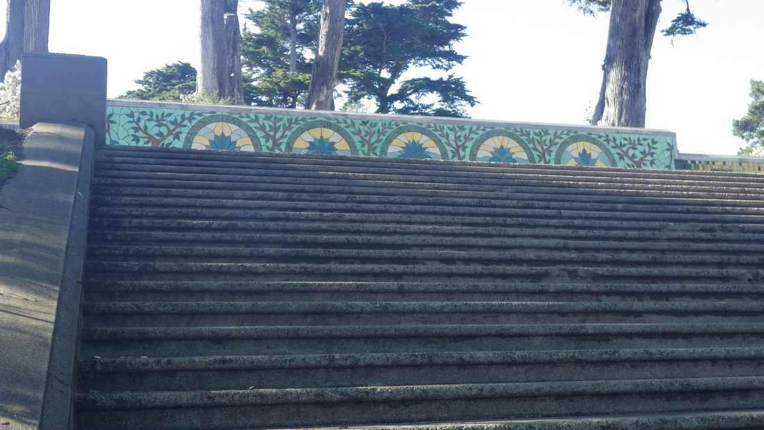
After checking out the new Eagles Point, crossed the street (a crosswalk would be welcomed here) to continue on the sandy trail that's just below the east edge of the Lincoln Park golf course, and down the 52 steps that still await tiling. The artwork for the top benches (last two pix) was completed several years ago.
Had expected another slightly raised platform with a few steps like the old one. No doubt new plantings will soon improve upon the present net-covered bareness here. There are three benches in a row, like the benches at the other overlooks, with an older bench a short distance to the east. The ground directly beneath the new benches is concrete and the rest hard-packed. Pix 5 through 9.
You'll have a view of the Marin Headlands, Golden Gate Bridge, and the Presidio's westside, including Lincoln Blvd. as it winds uphill. At the east trailhead now is a large Lands End sign, a couple of park map/infosigns, and some directional signage like the older ones on the main trail (mid-park). Pic 10.
Started off at the Lands End Lookout (pix 11, 12), moving past the top of the lower parking lot overlook steps (126, pix 13, 14), curving round to the main Coastal/Lands End Trail.
Visits to a favorite "Tony's Trail," reached by a short stairway up from Fort Miley and another down from the VA Hospital parking lot. The trail (15 through 18) zigs down through thick sand to the El Camino del Mar Trail; the connector stairs (pic 19, about 89 steps) between the El Camino del Mar (pic 20) and main Lands End/Coastal Trail; and a bit of between-trails scenery: 21 and 22.
Two long stairways are necessary to hike the whole Lands End trail out to the east trailhead, one up and one down. First, the "Painted Rock" up (pic 23, 138 steps), not as green as it should be this time of year, but still with some new grass showing up. At the top of this, down the 117 or so various kinds of steps on the east side (pic 24). At the foot of the eastside steps, a don't-hike-down-here sign (pic 25).
After checking out the new Eagles Point, crossed the street (a crosswalk would be welcomed here) to continue on the sandy trail that's just below the east edge of the Lincoln Park golf course, and down the 52 steps that still await tiling. The artwork for the top benches (last two pix) was completed several years ago.
1. THEN: Old Eagles Point Overlook from several years ago. Presidio's westside in distance.
2. THEN: Old Eagles Point from several years ago
3. THEN: Eagles Point Overlook as it was. Presidio bluffs in distance, right
4. THEN: Eagles Point as it used to be. Presidio in distance.
5. New look for Eagles Point
6. Eagles Point, 2014
7. Eagles Point 2014, Marin Headlands across
8. The new Eagles Point. Lands End/Coastal Trail upper left
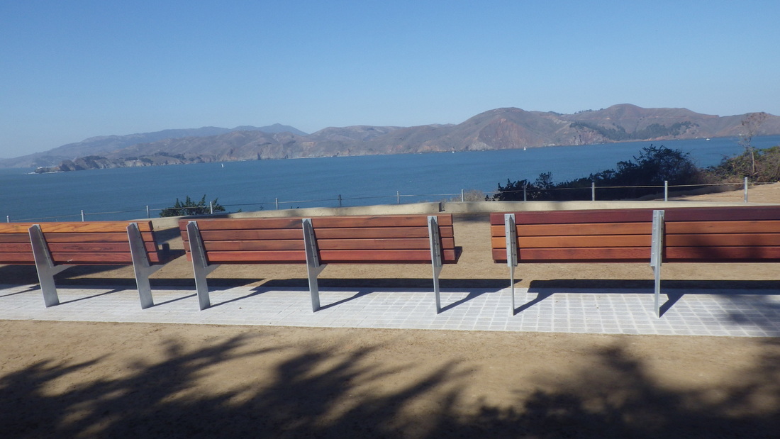
9. Eagles Point's new look
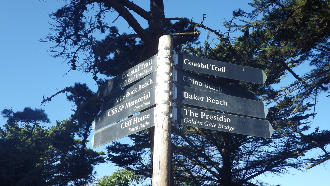
10. East trailhead signage
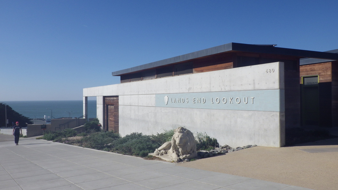
11. Lands End Lookout
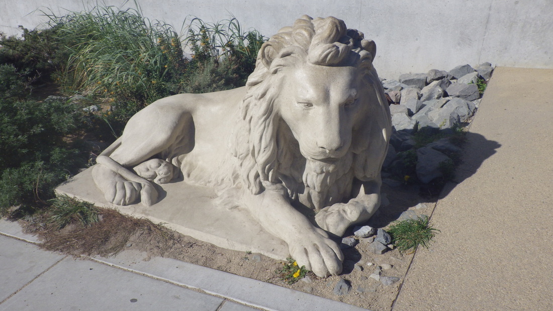
12. One of Adolph Sutro's twin lions at Lands End Lookout
13. Steps down from lower parking lot overlook
14. Steps down from lower parking lot overlook. Sutro Baths ruins below.
15. Short stairway down from VA Hospital
16. Short wildspot trail above Fort Miley
17. Old Fort Miley ruins, left
18. Narrow thick-sand trail down to El Camino del Mar Trail
19. Connector stairs between El Camino del Mar Trail and main Lands End/Coastal Trail
20. Treebench on the El Camino del Mar Trail

21. Wildthings shelter between El Camino del Mar and main Coastal/Lands End Trails
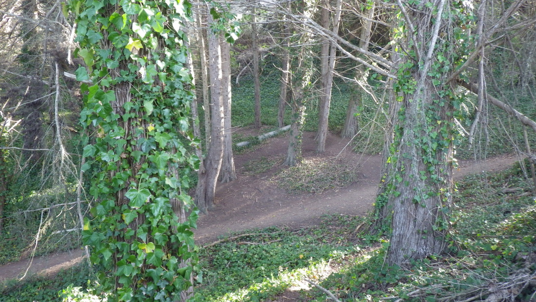
22. Trail from El Camino del Mar down to Lands End Trail
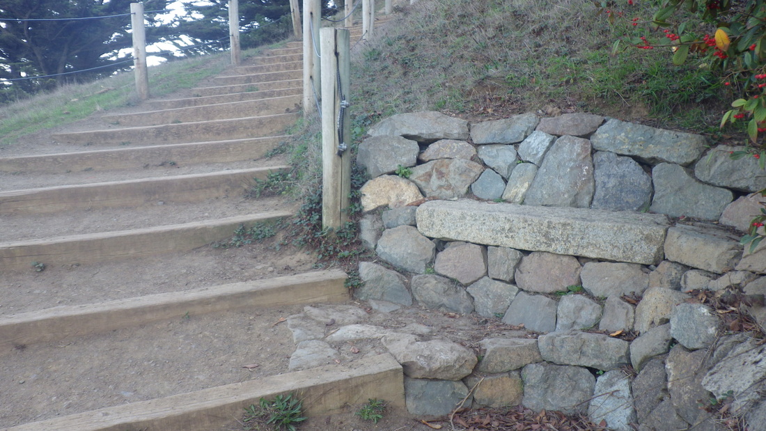
23. One of two stone benches along the westside steps I call the "Painted Rock" stairs
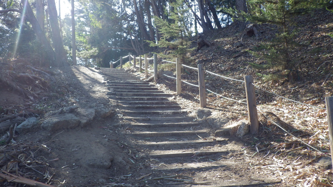
24. Various kinds of steps on the eastside
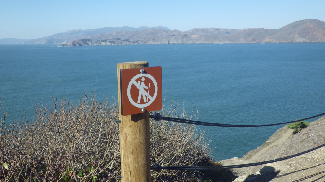
25. A don't-hike-down-here sign

26. Tiled bench at top of Lincoln Park stairway
27. Steps up to trail at east side of Lincoln Park golf course
 RSS Feed
