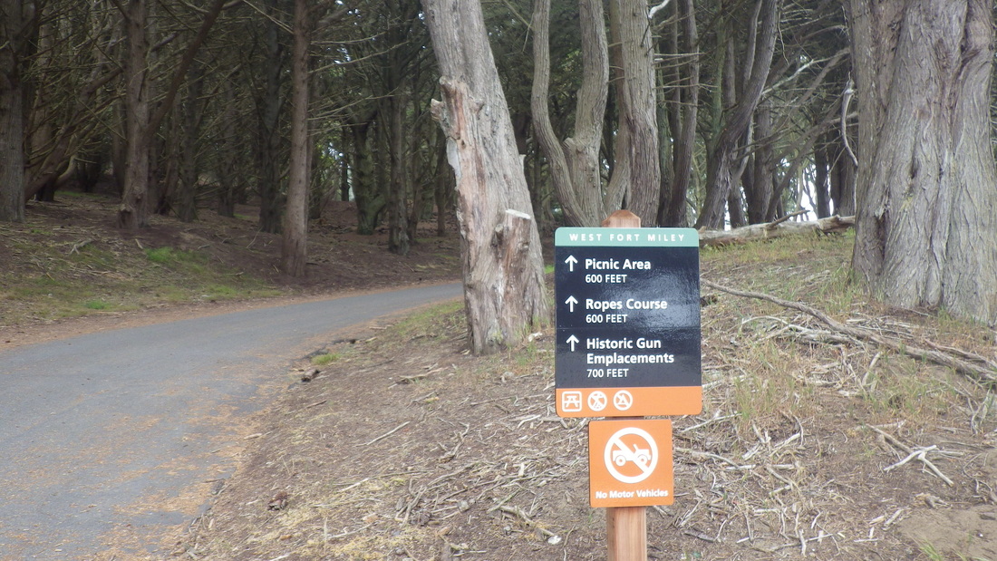
Winding up through the forest to the Fort Miley area (pix 1, 2, 3), visited the boarded-up old octagon house, partially covered with graffiti (pic 4), including this interesting one on the north side (pic 5).
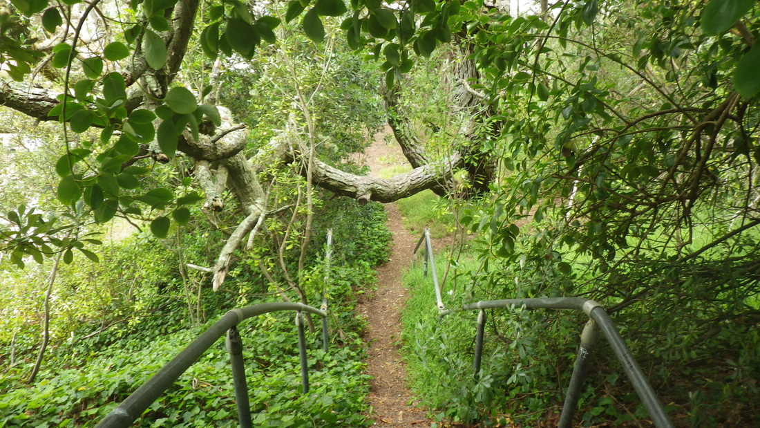
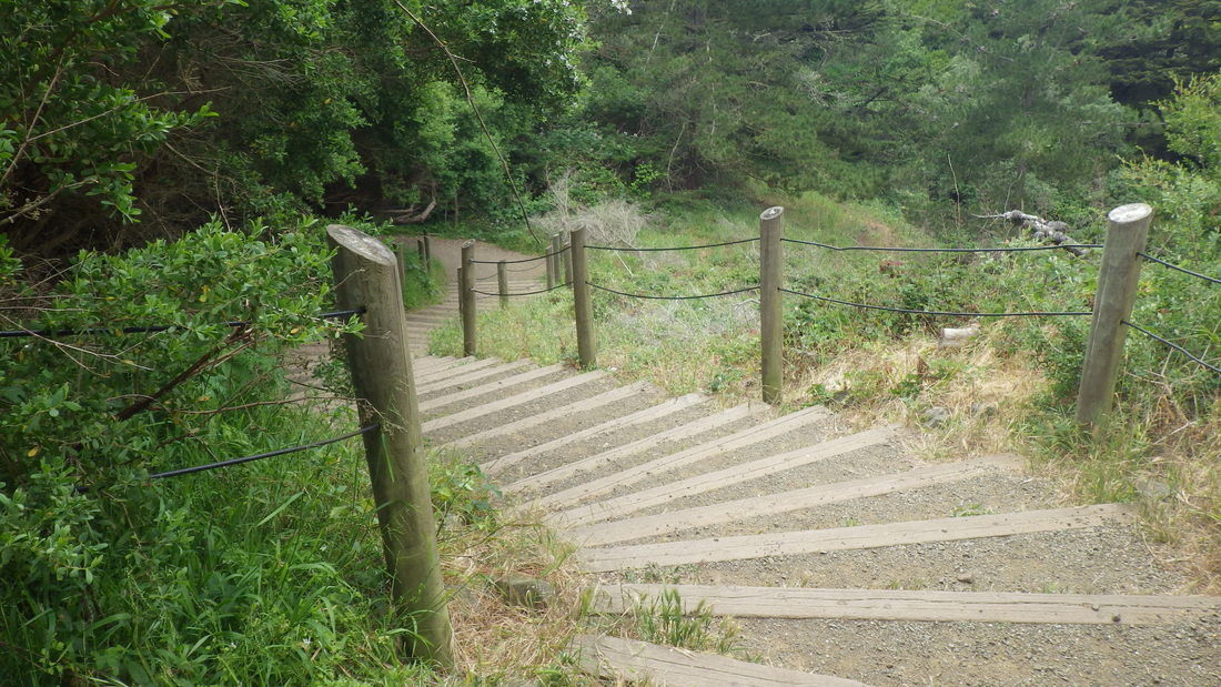
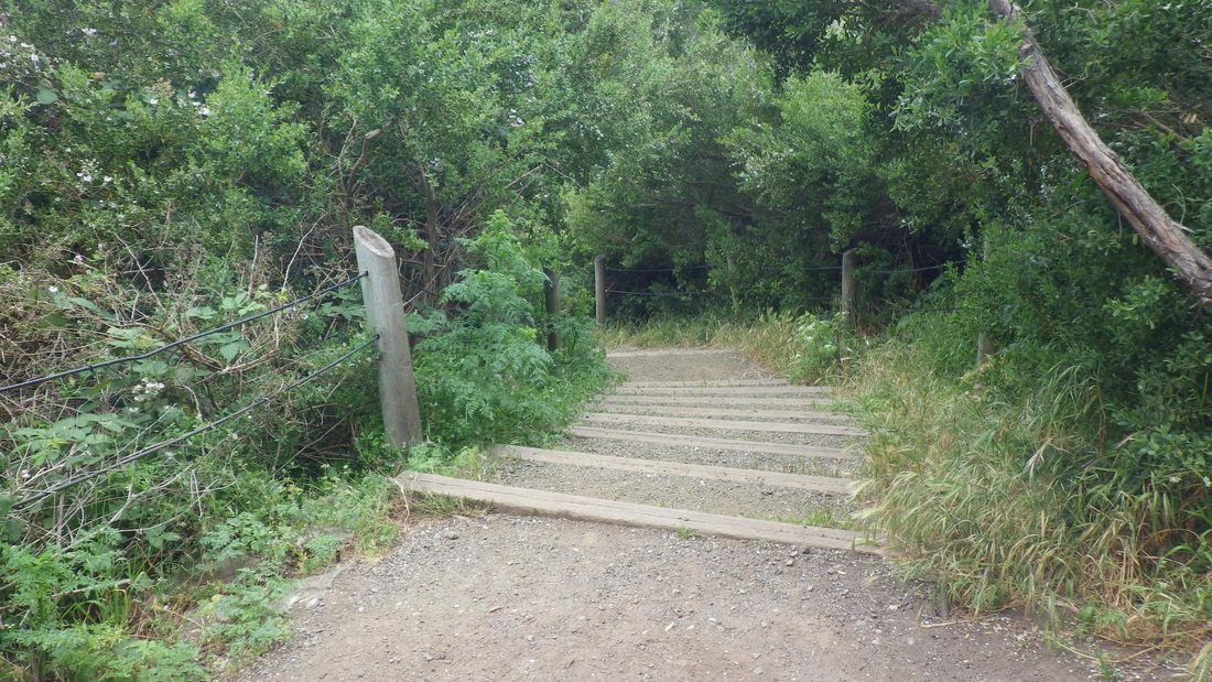
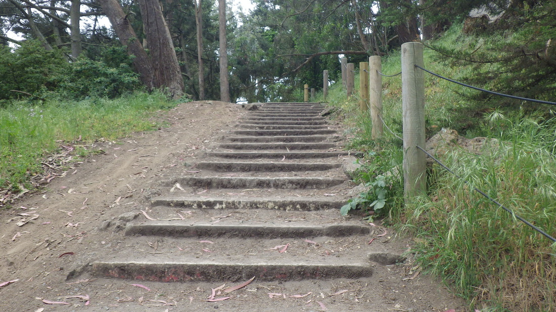
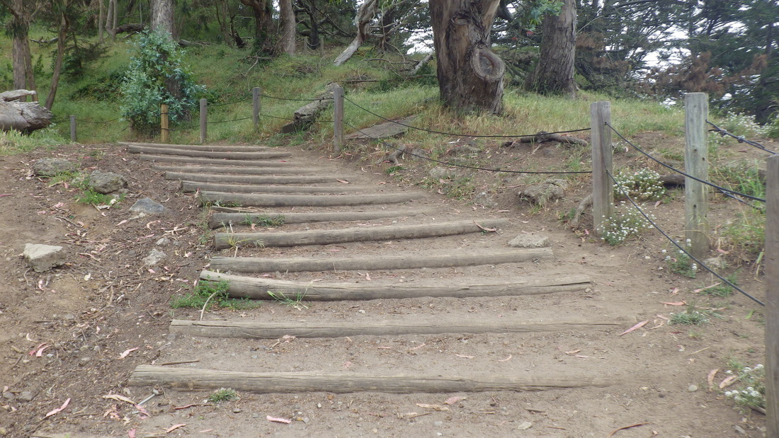
Down the first 19 steps (pix 6, 7) from the west side of the VA Hospital parking lot to a short trail I’ve long claimed as my own. More steps will take you down to the Fort Miley buildings near the picnic area.
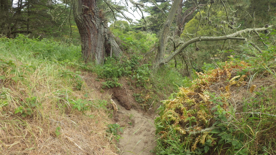
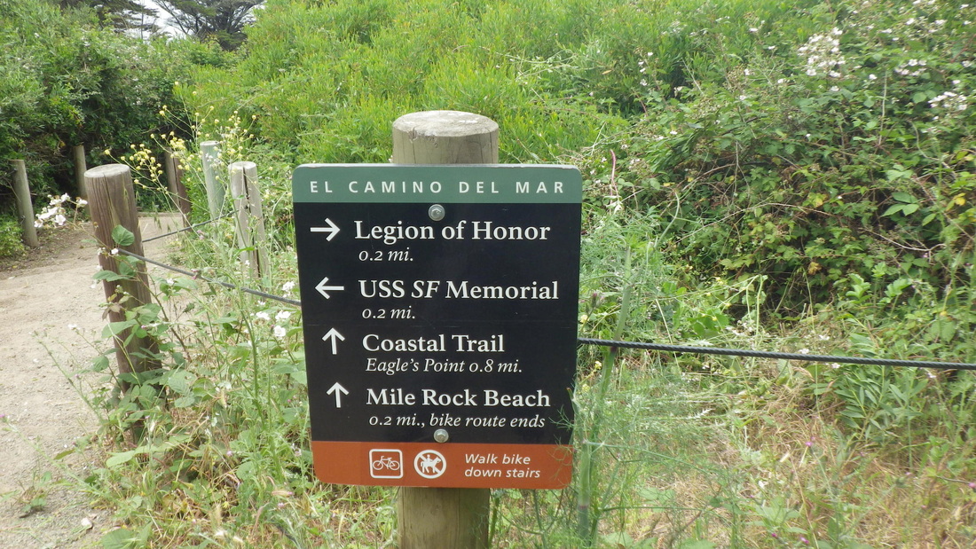
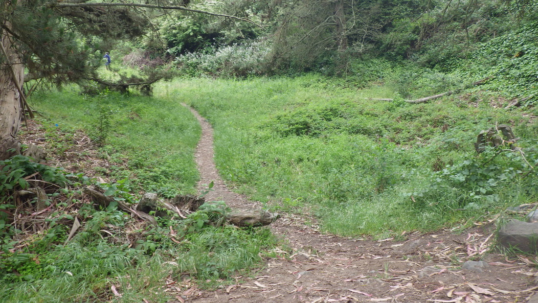
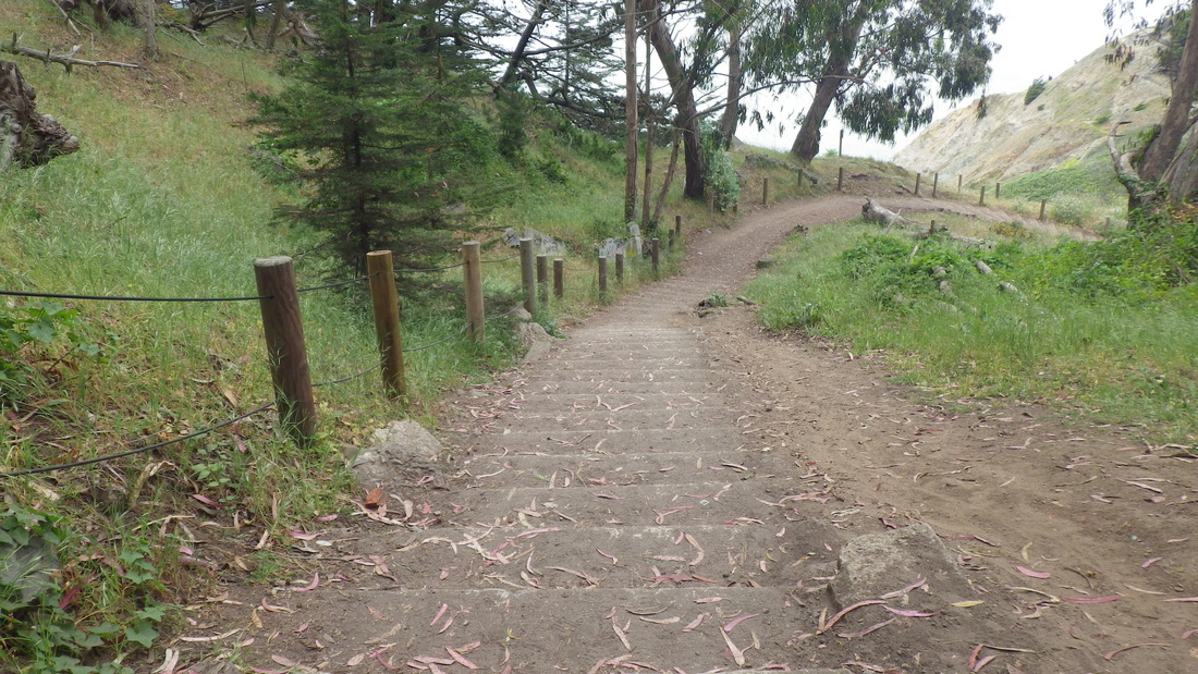
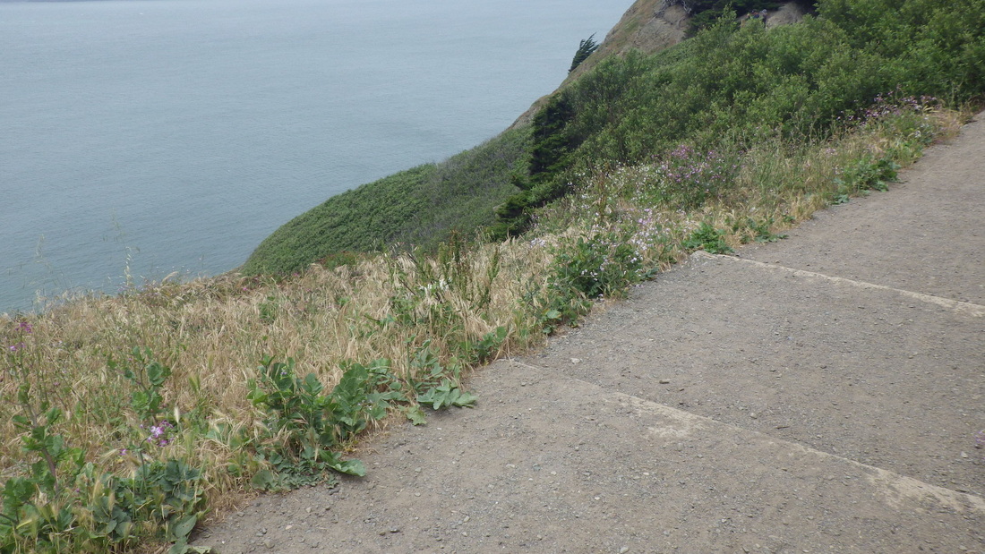
Over to the top of the sandy zigzag trail to descend to the west trailhead for the El Camino del Mar Trail that’s accessible from the upper parking lot overlook: 8 thru 13. Passed the connector steps between the El Camino and the main Lands End/Coastal Trail, pix 14, 15.
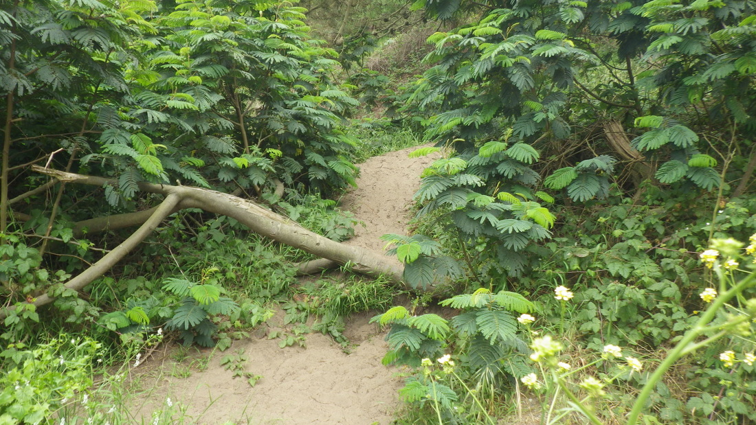
The El Camino del Mar Trail’s footbridge is a good place to check for berries, pic 16.
46 steps up to the Legion of Honor parking lot’s west edge (17, 18, 19). Onto a golf course sidewalk and around to another trail, one you wouldn’t realize was there unless you were already familiar with it. This short, “secret,” trail descends, at times steeply, alongside lots of blackberry bushes and can be seen well from the steps.
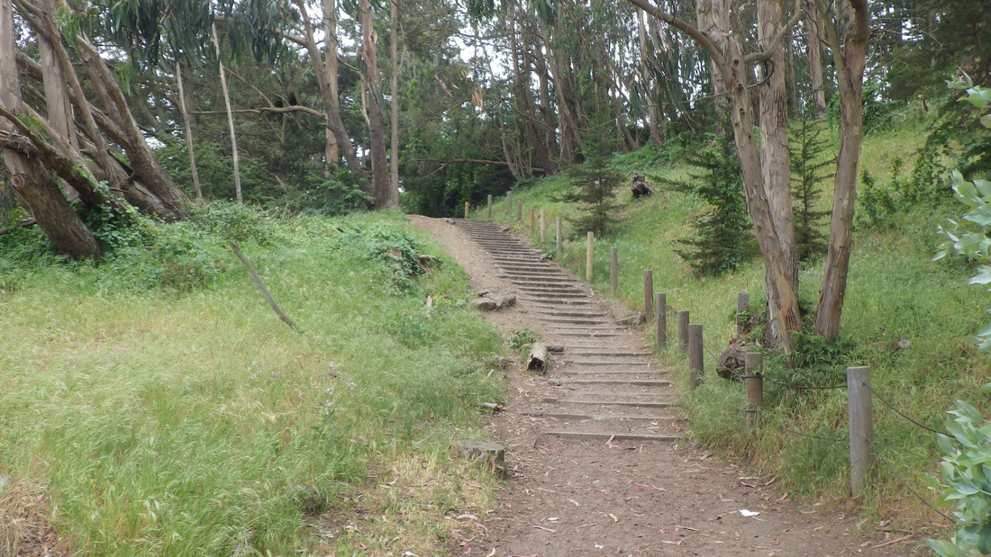
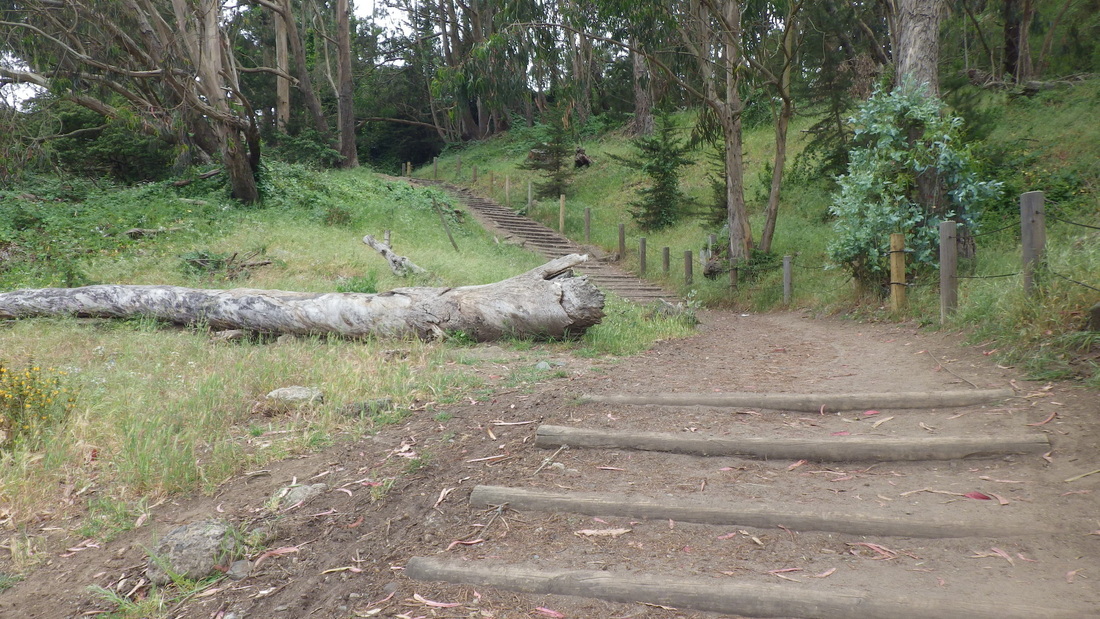
It meanders out to partway down the eastside stairway (120-ish steps: 20 thru 28).
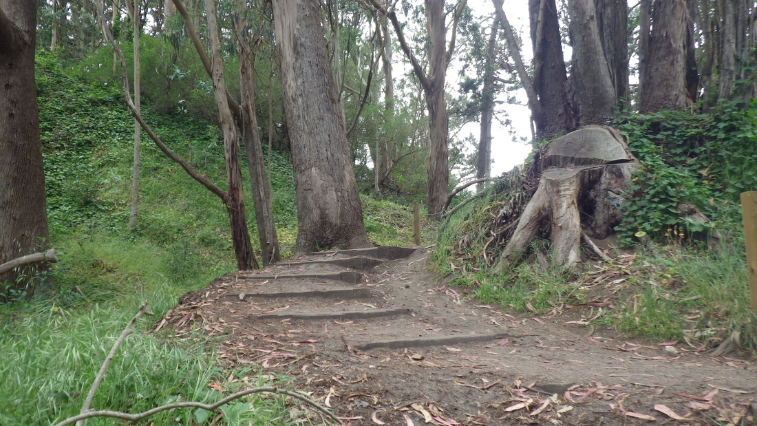
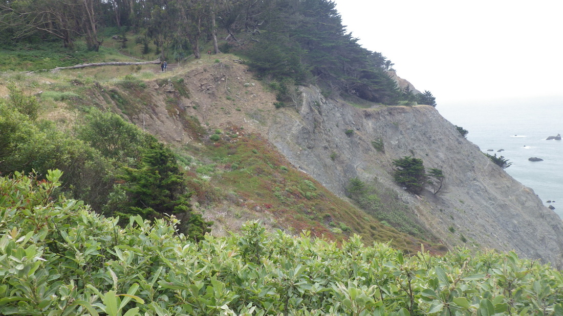
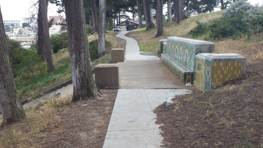
Moving east on the Lands End Trail towards Eagles Point: pic 29.
The renovated Eagles Point Overlook area at the park’s east trailhead now has a lot more of that new-plantings netting since my last visit, running down below the trail to a viewspot where people used to like to perch. Now they can’t.
Top of the Lincoln Park Golf Course stairway on the east side, down to the west dead-end of California Street near 32nd Ave. in the Outer Richmond neighborhood, last pic, about 52 steps.
Down the first 19 steps (pix 6, 7) from the west side of the VA Hospital parking lot to a short trail I’ve long claimed as my own. More steps will take you down to the Fort Miley buildings near the picnic area.
Over to the top of the sandy zigzag trail to descend to the west trailhead for the El Camino del Mar Trail that’s accessible from the upper parking lot overlook: 8 thru 13. Passed the connector steps between the El Camino and the main Lands End/Coastal Trail, pix 14, 15.
The El Camino del Mar Trail’s footbridge is a good place to check for berries, pic 16.
46 steps up to the Legion of Honor parking lot’s west edge (17, 18, 19). Onto a golf course sidewalk and around to another trail, one you wouldn’t realize was there unless you were already familiar with it. This short, “secret,” trail descends, at times steeply, alongside lots of blackberry bushes and can be seen well from the steps.
It meanders out to partway down the eastside stairway (120-ish steps: 20 thru 28).
Moving east on the Lands End Trail towards Eagles Point: pic 29.
The renovated Eagles Point Overlook area at the park’s east trailhead now has a lot more of that new-plantings netting since my last visit, running down below the trail to a viewspot where people used to like to perch. Now they can’t.
Top of the Lincoln Park Golf Course stairway on the east side, down to the west dead-end of California Street near 32nd Ave. in the Outer Richmond neighborhood, last pic, about 52 steps.
1. Into the forest
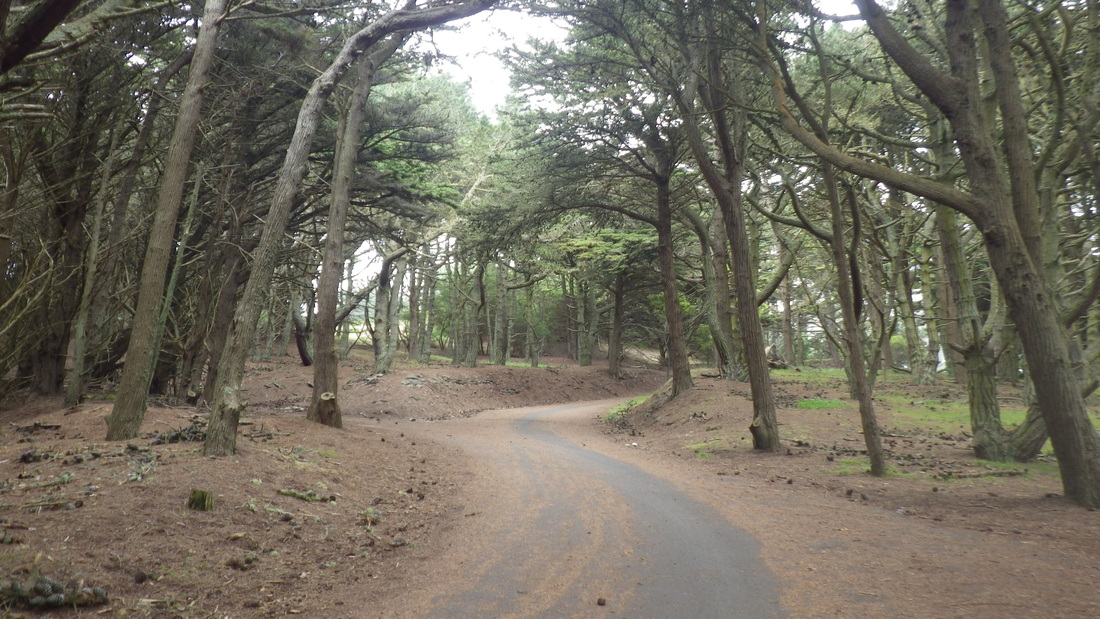
2. Climbing and winding
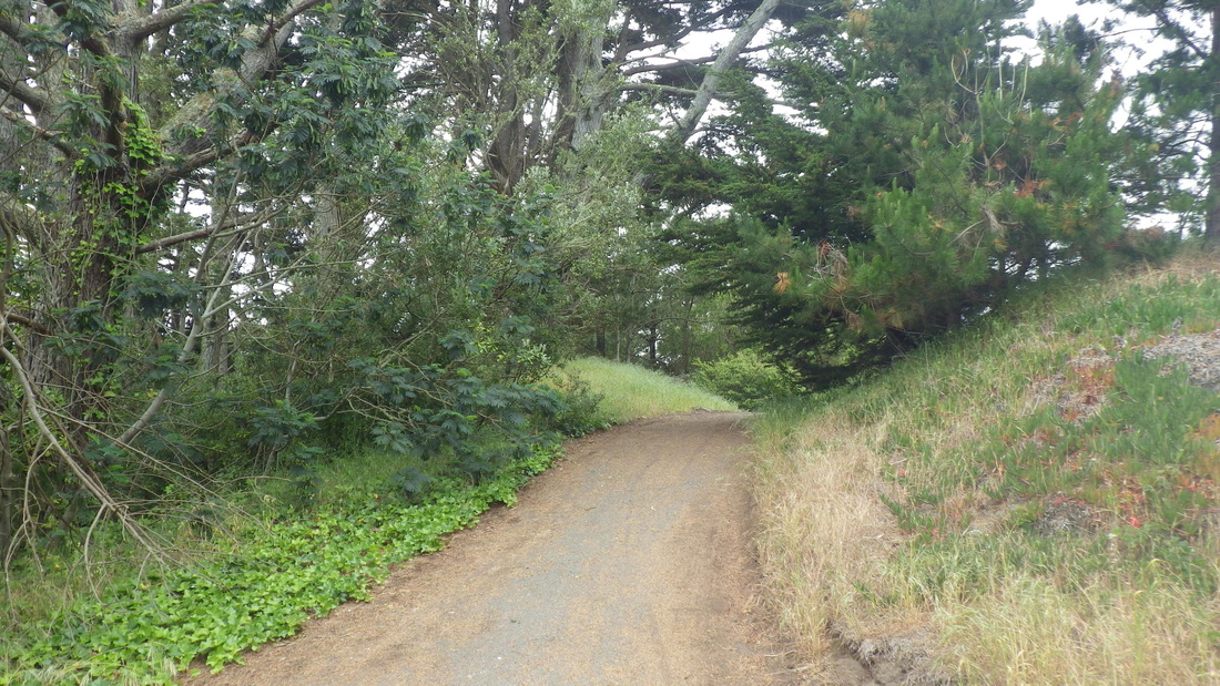
3. Near the picnic area
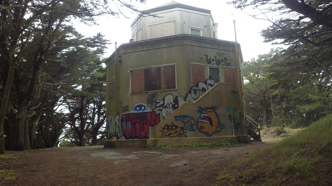
4. The Octagon House in the forest

5. A John Steinbeck quote on the north side of the building
6. Down from near the VA Hospital parking lot to a trail
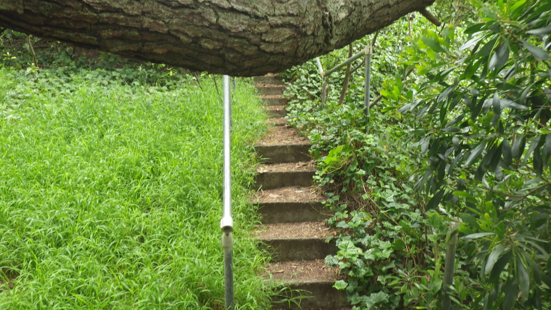
7. Down 19 steps to a trail above the old Fort Miley buildings
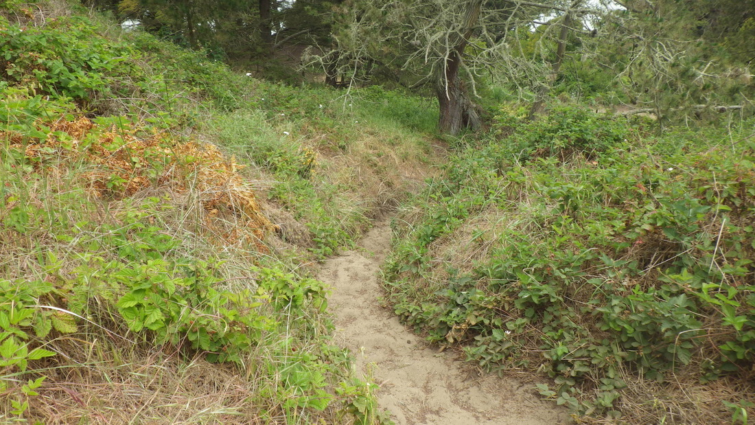
8. Sandy trail down to El Camino del Mar Trail
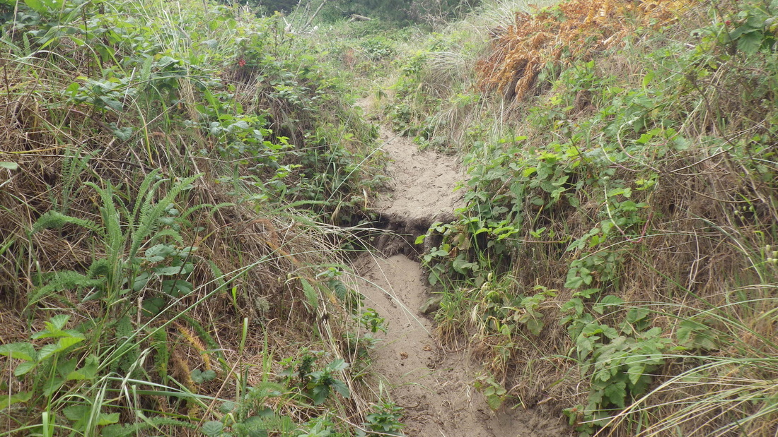
9. Sliding down in the sand
10. Continuing down to the El Camino
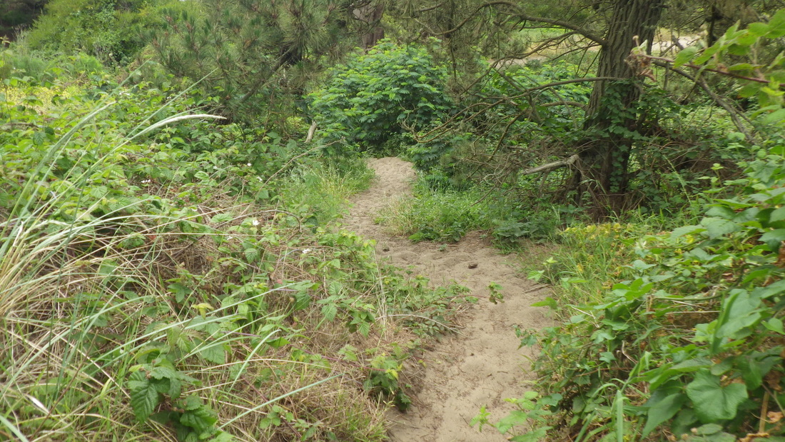
11. This comes out near the upper parking lot overlook
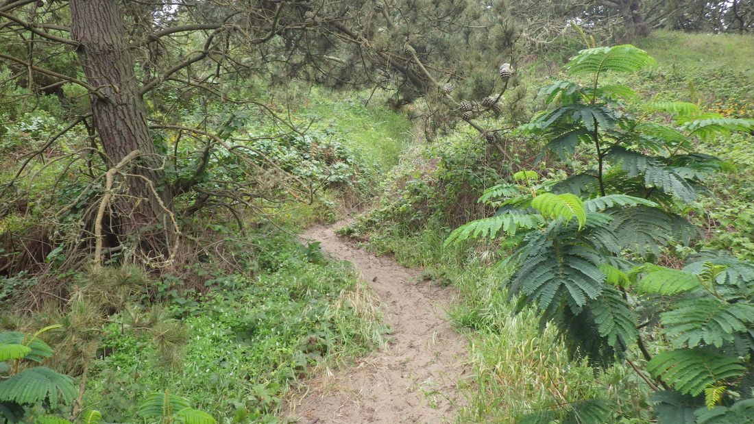
12. Nearing the foot
13. Foot of the sandy trail at the El Camino del Mar Trail
14. Top of the connector stairs at the El Camino del Mar Trail
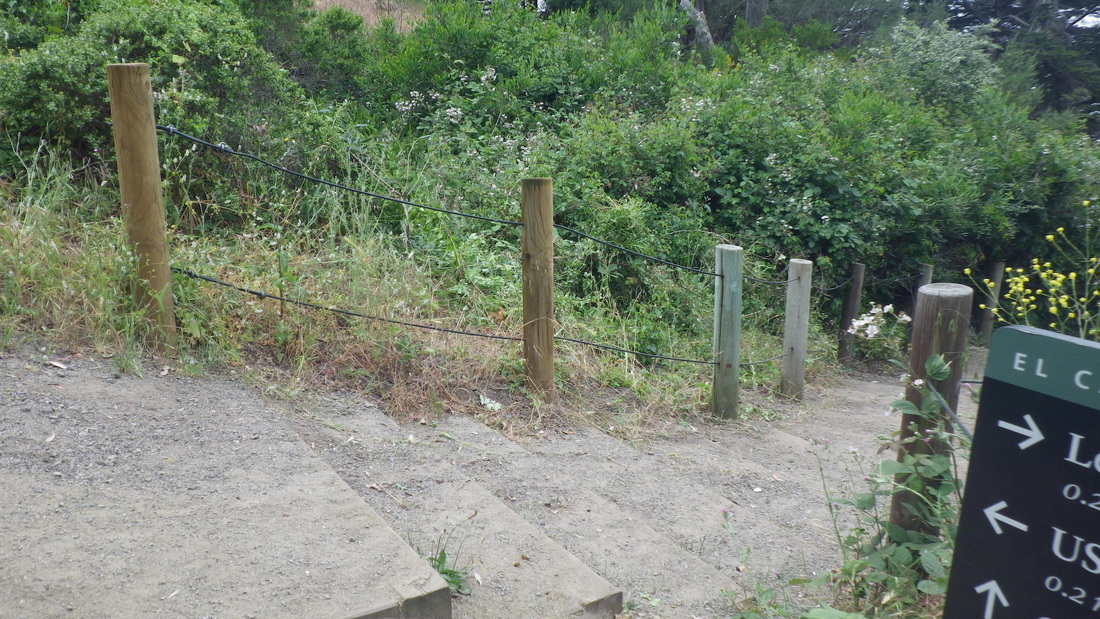
15. Connector steps between the El Camino del Mar and Coastal/Lands End Trails
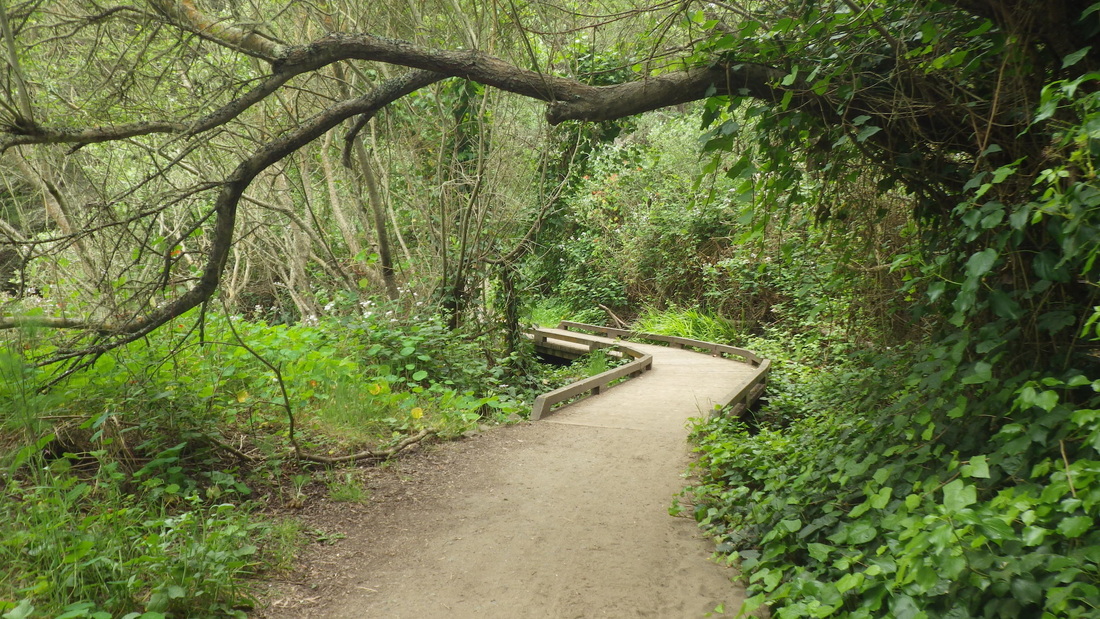
16. Near east end of El Camino del Mar Trail
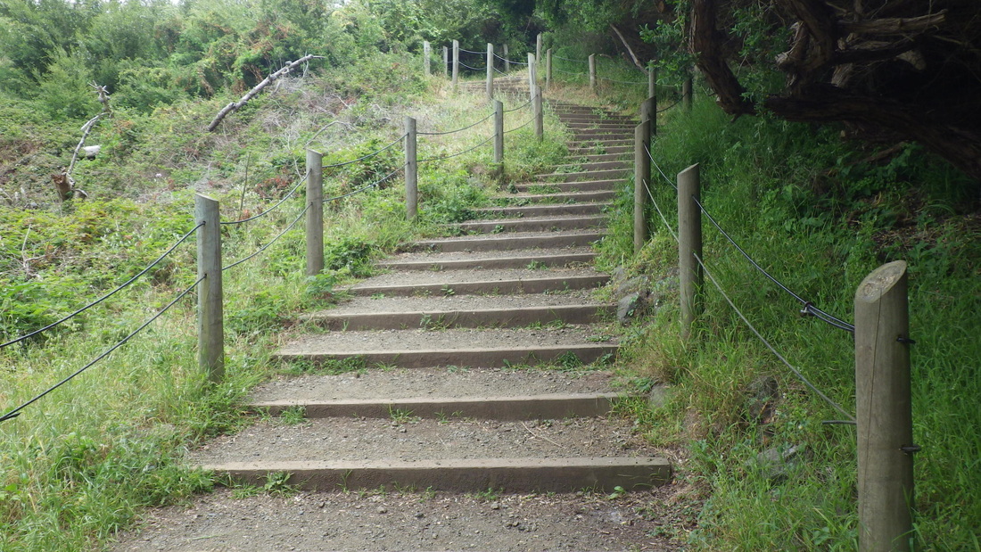
17. Just past the footbridge, steps up to Legion of Honor parking lot
18. Down to east end of El Camino del Mar Trail
19. Top of stairs down from east end of Legion of Honor parking lot
20. Trail descends from golf course to partway down eastside stairway
21. Up from the trail to the east stairway
22. About 120 steps down the east side on the Lands End Trail
23. Heading east on the Lands End Trail
24. Looking back as I descend
25. Various kinds of steps
26. Older steps
27. Newer steps towards the end of the stairway
28. Looking back up at the stairway, upper left corner
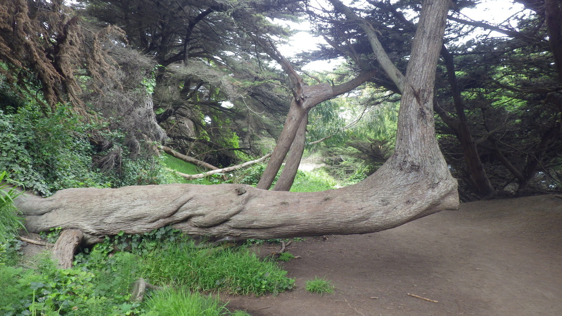
29. I love this tree!
30. Below Lincoln Park Golf Course, top of stairs down to dead-end of California St.
 RSS Feed
