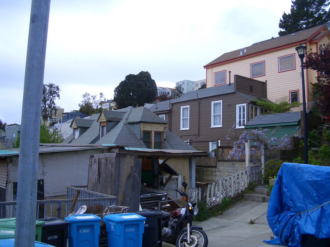
From Holladay in east Bernal Heights, Joy’s foot: 1
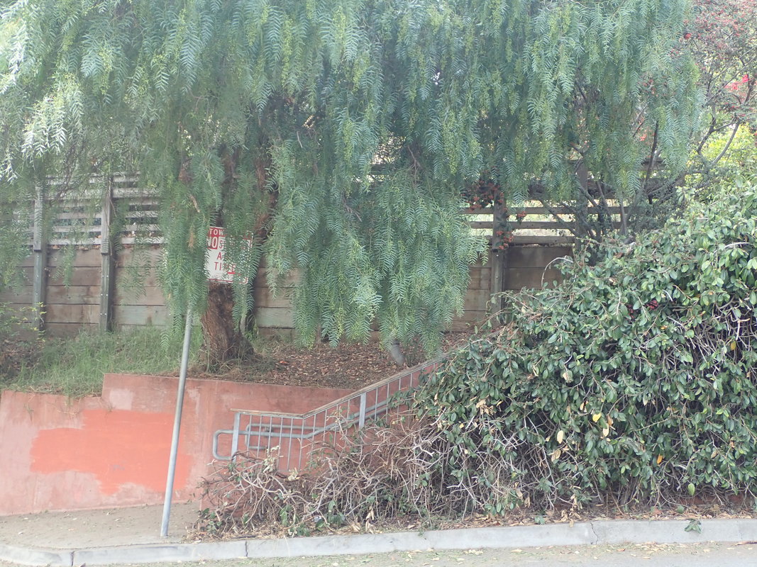
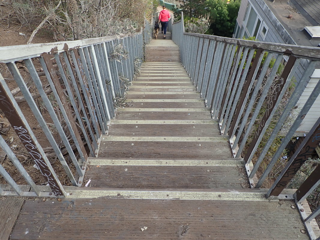
The Rutledge stairs start up from Holladay. There was no gate this time but it still shows up on Google Maps.
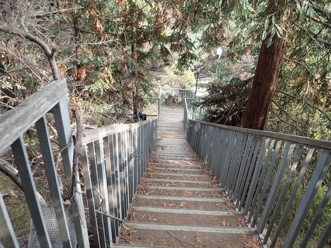
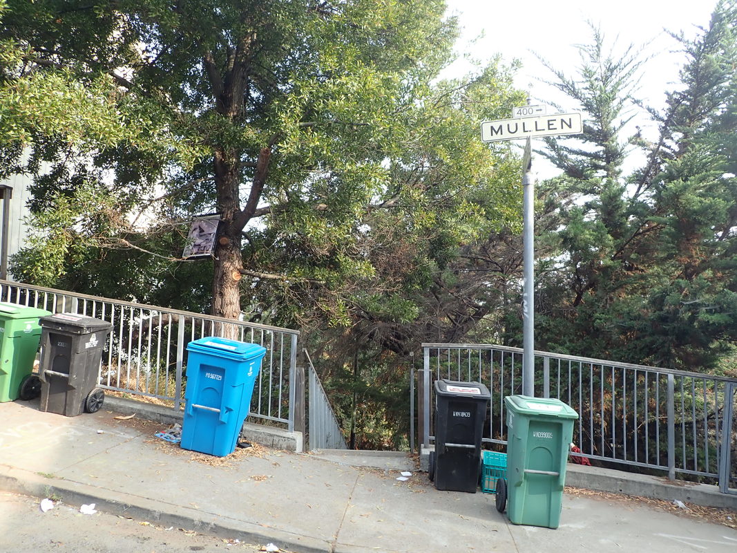
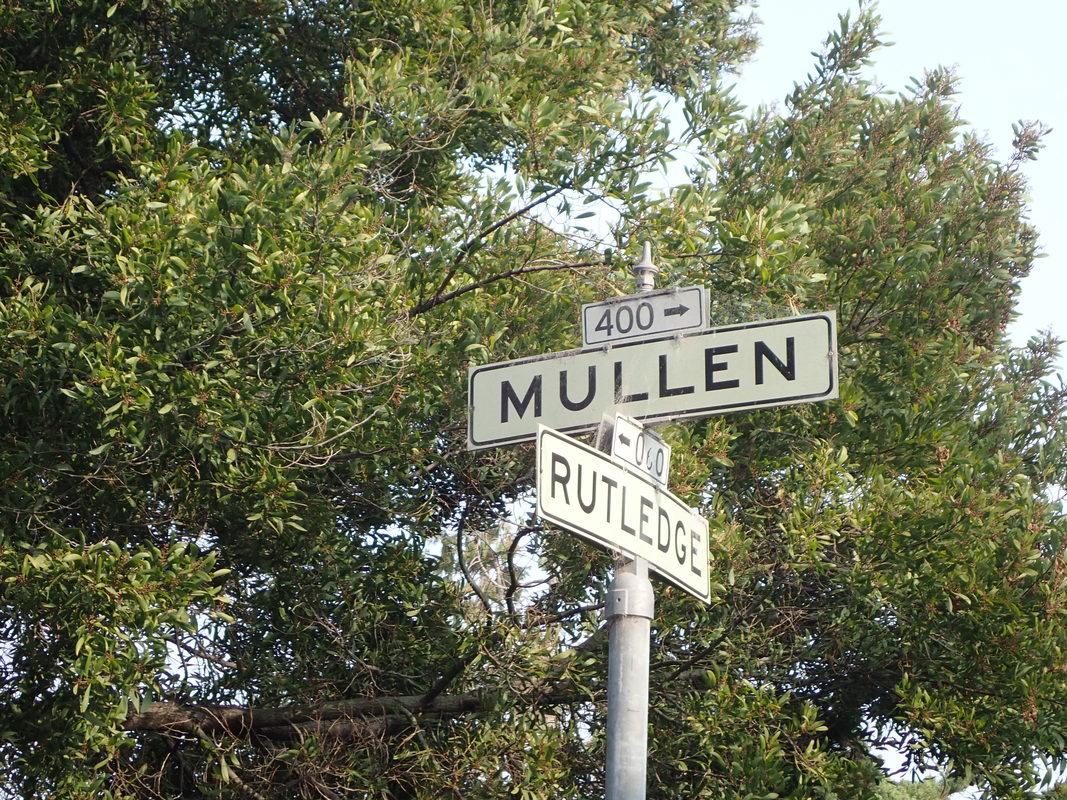
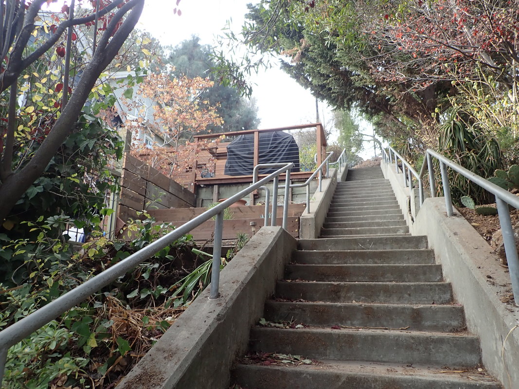
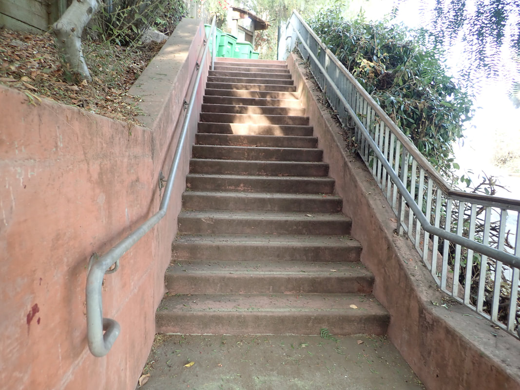
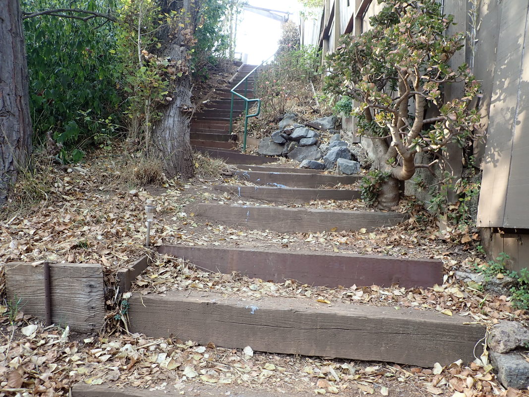
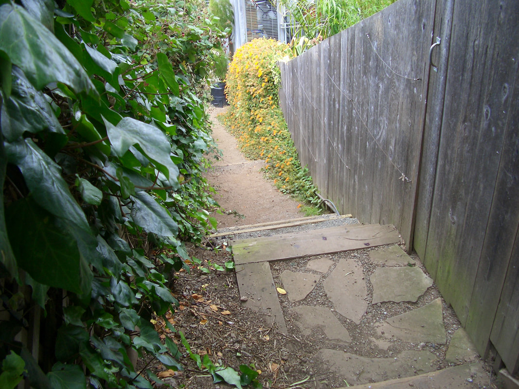
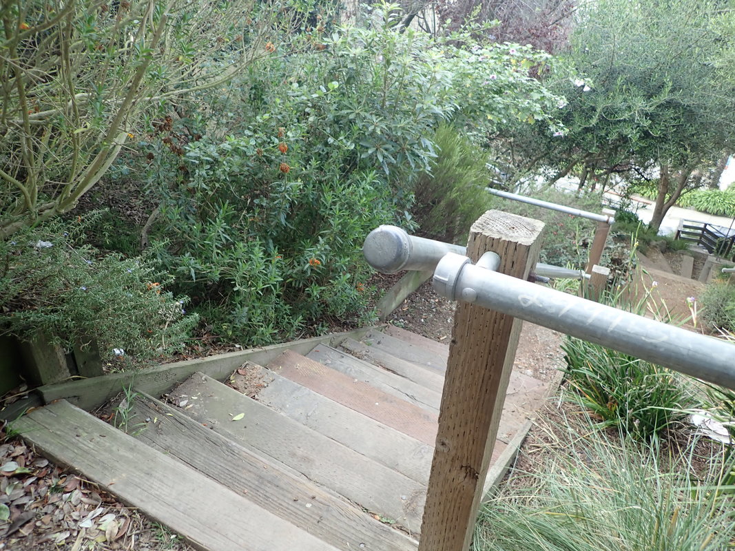
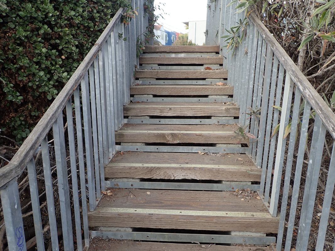
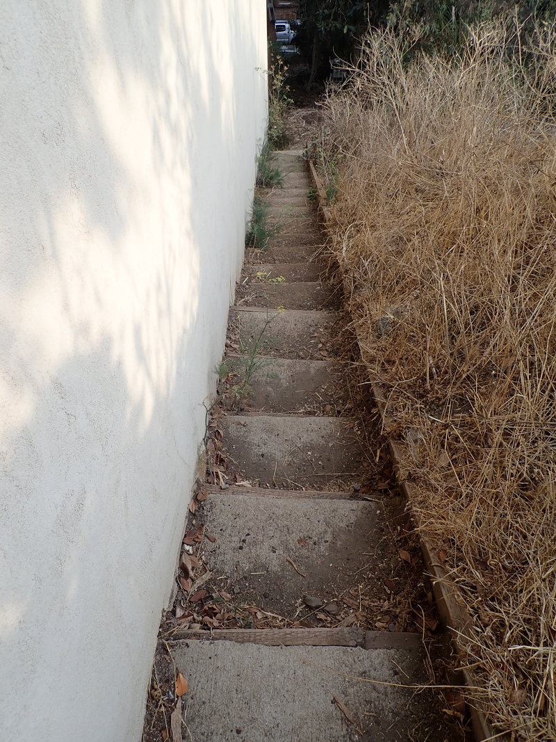
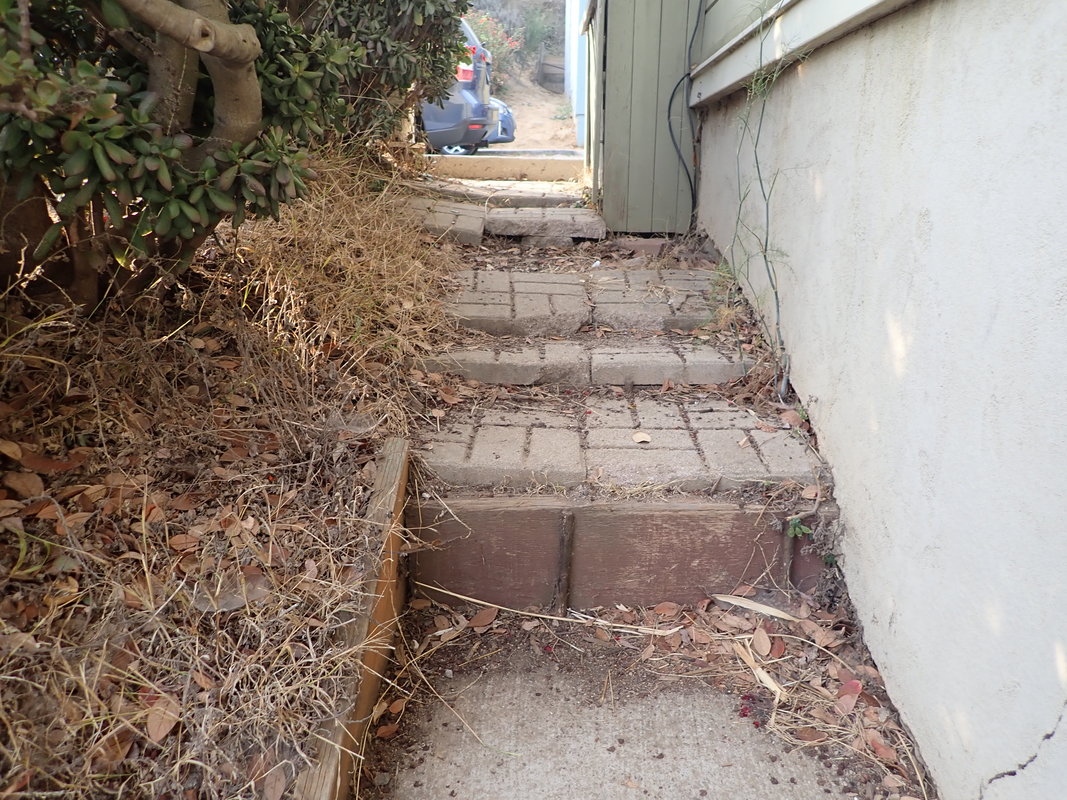
Rutledge up to Mullen: 2 thru 14
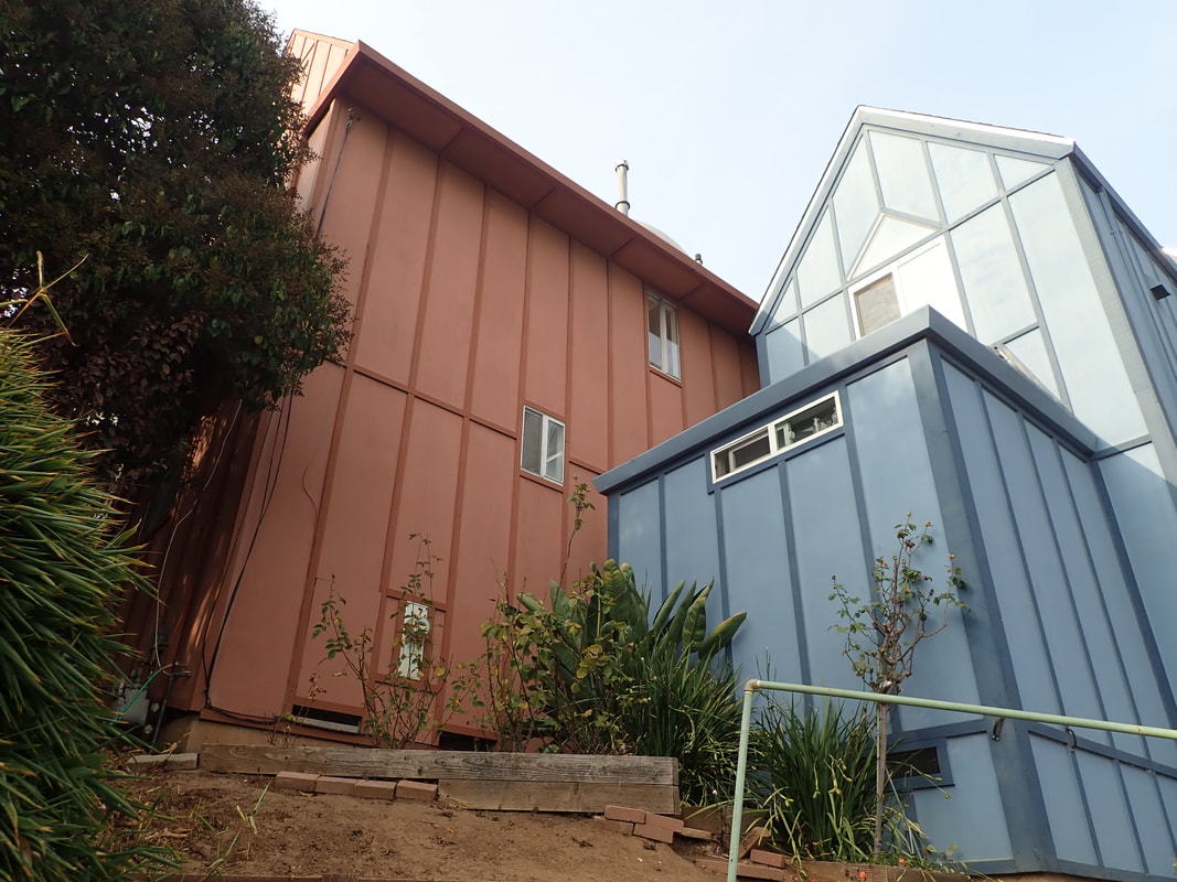
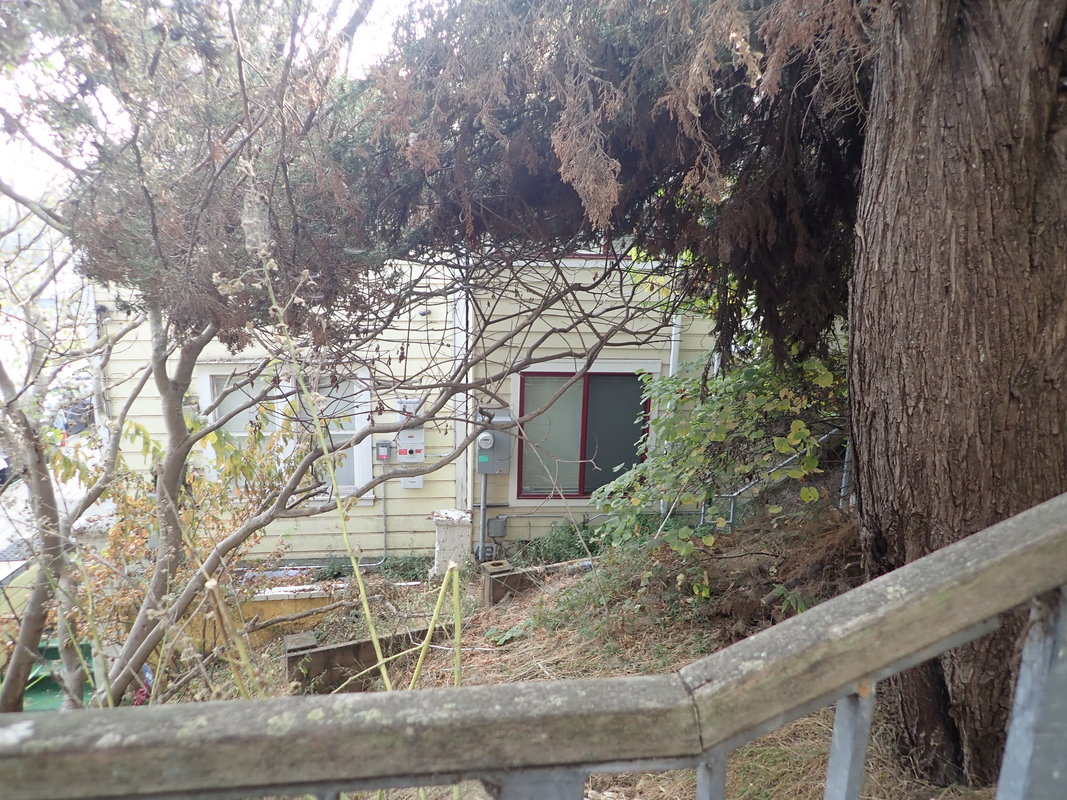
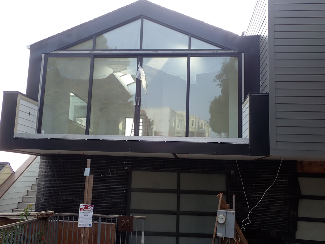
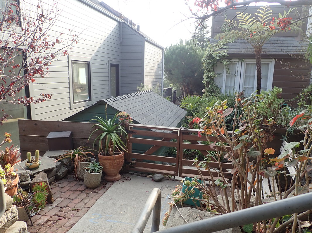
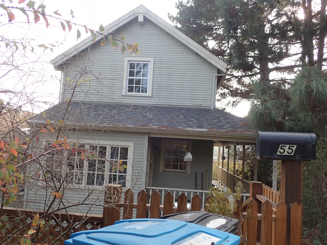
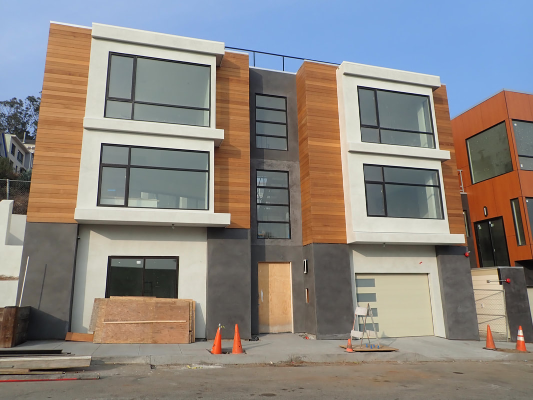
Construction on a mew residence was nearly completed: 15, 16
What it replaced, THENs: 17, 18
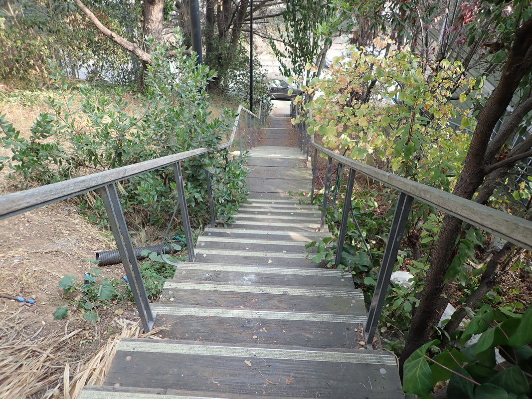
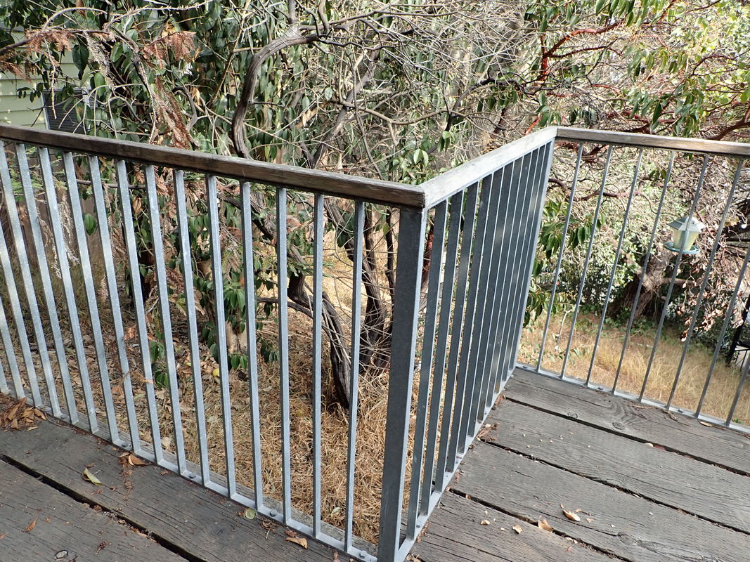
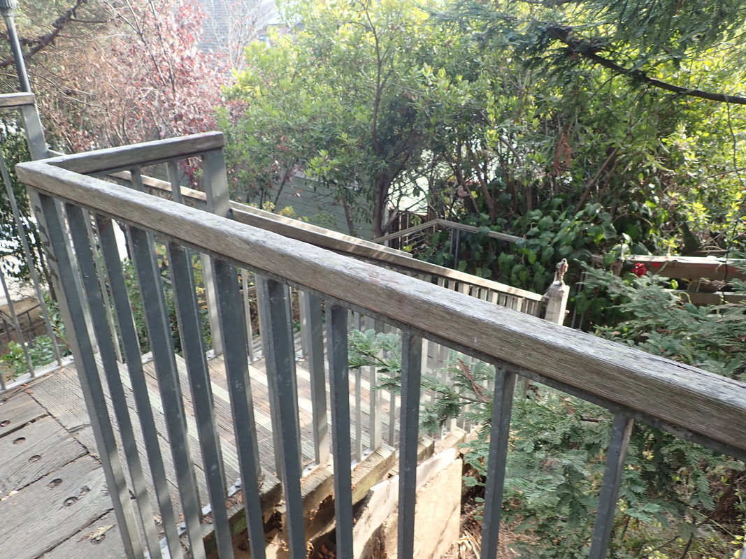
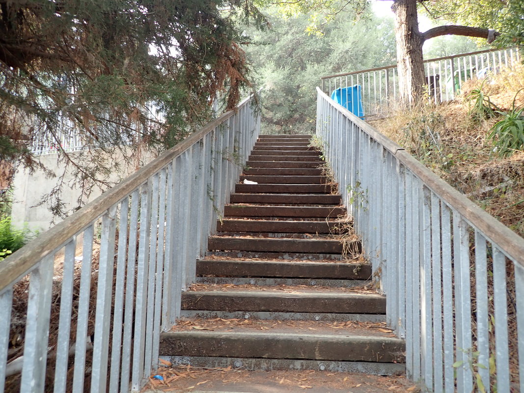
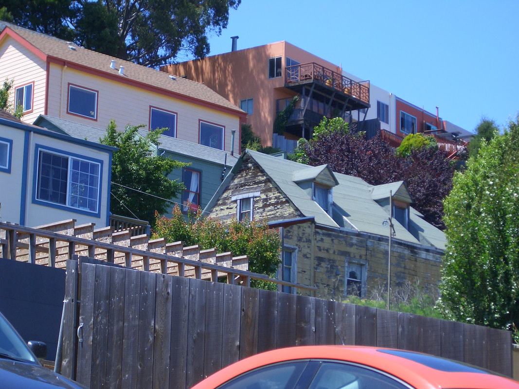
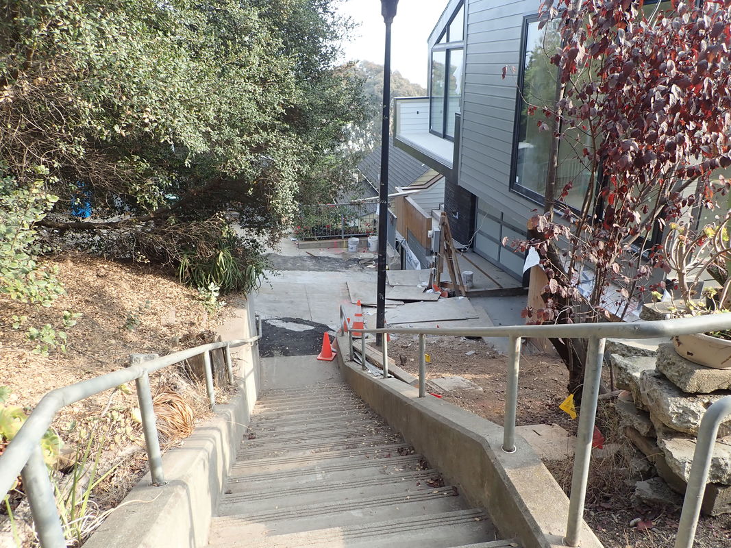
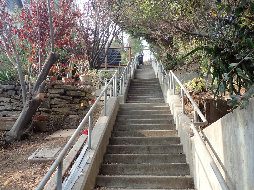
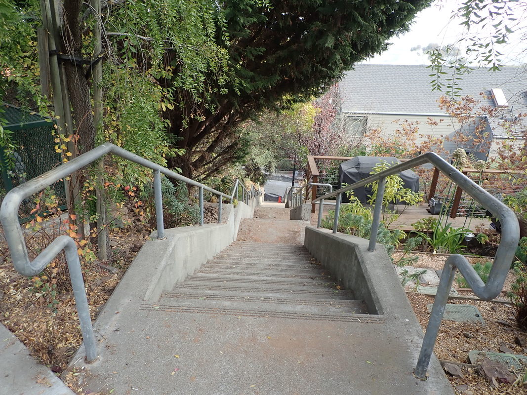
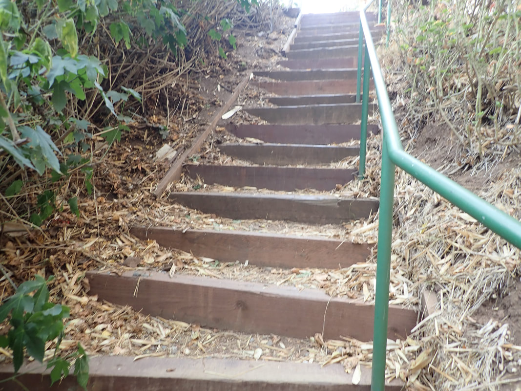
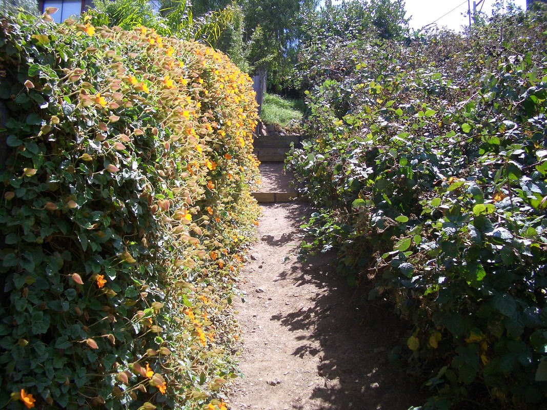
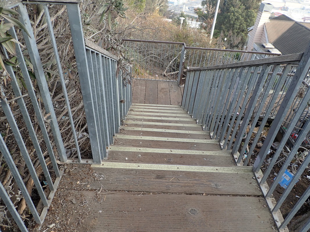
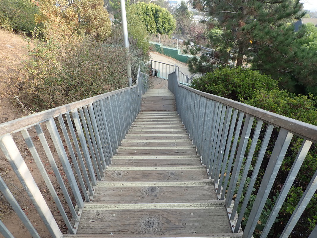
Continuing up to Brewster: 19 thru 22
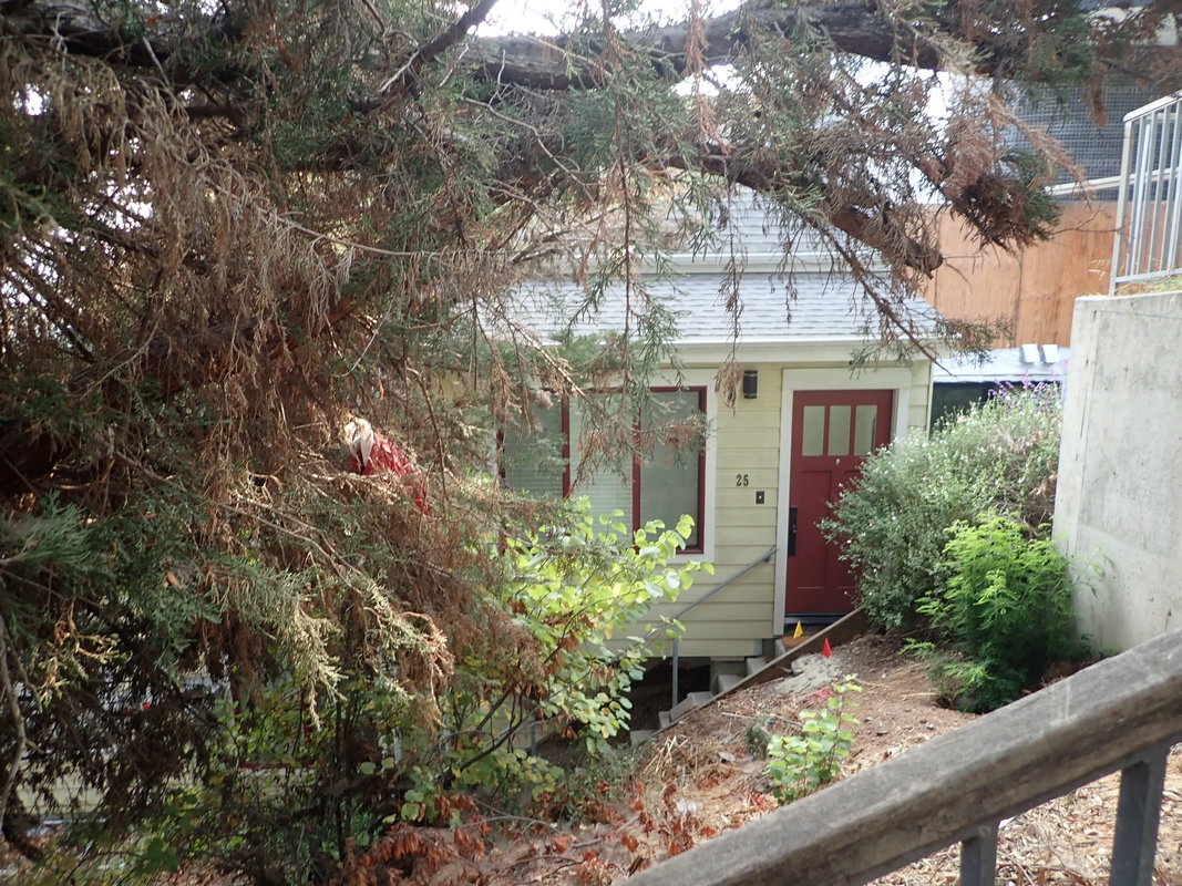
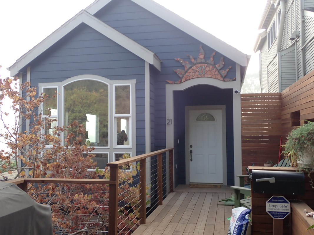
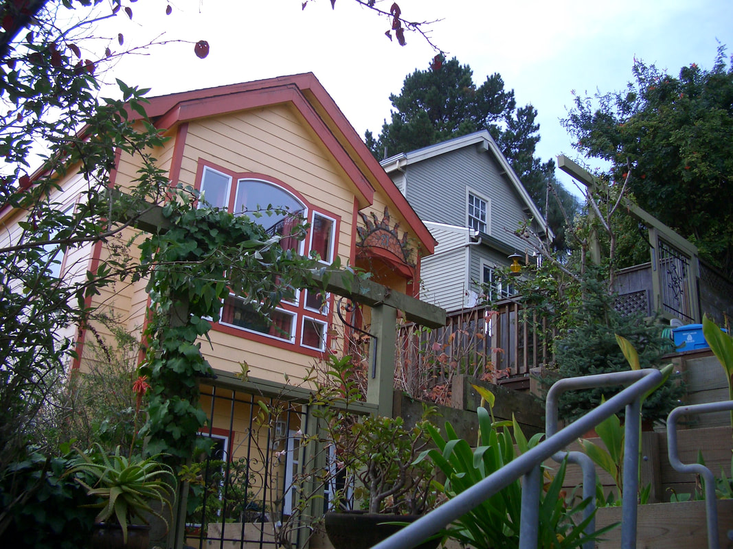
The blue house at the top of the stairs used to be yellow: 23, 24
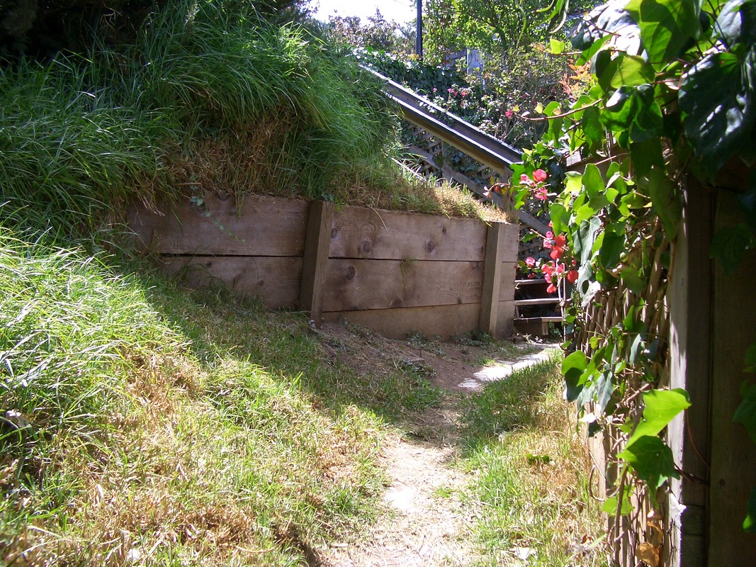
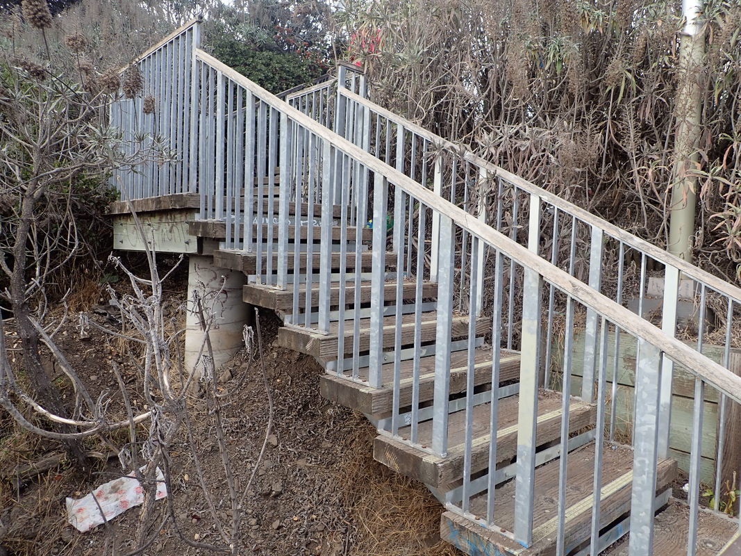
Brewster at Rutledge: 25 thru 29
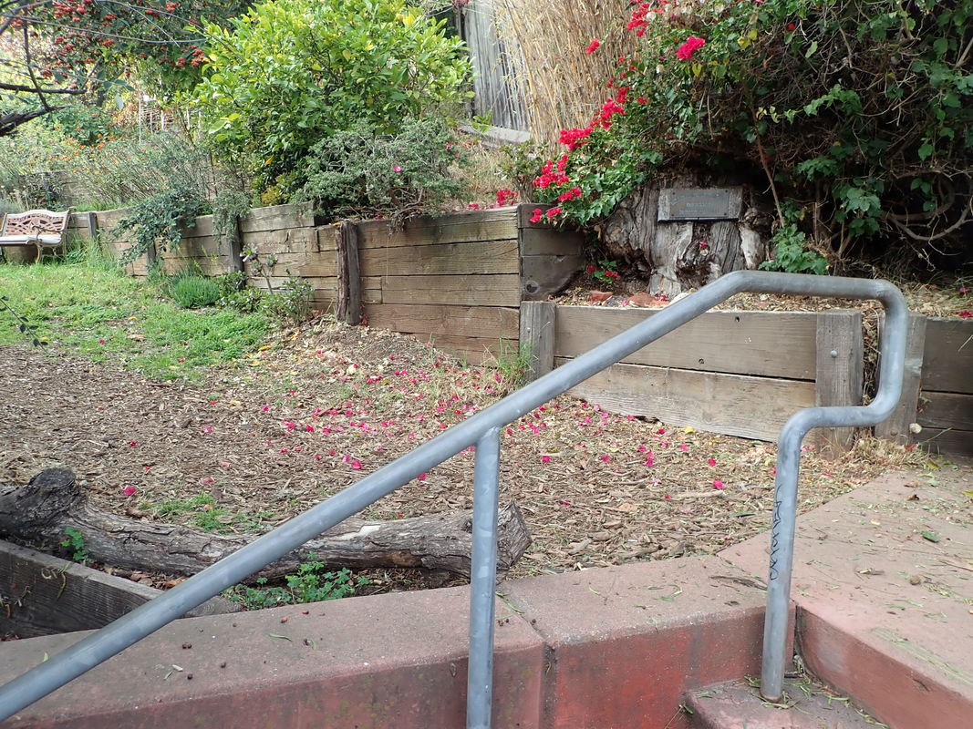
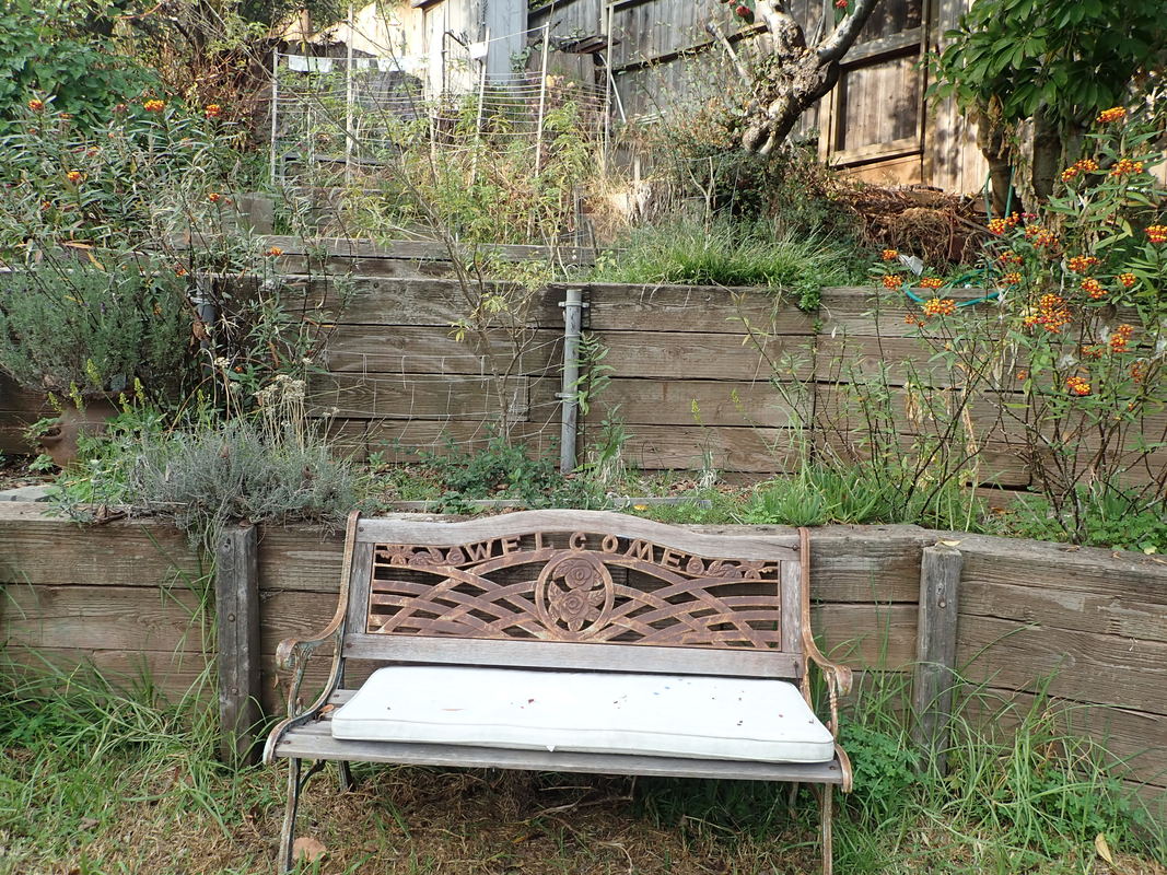
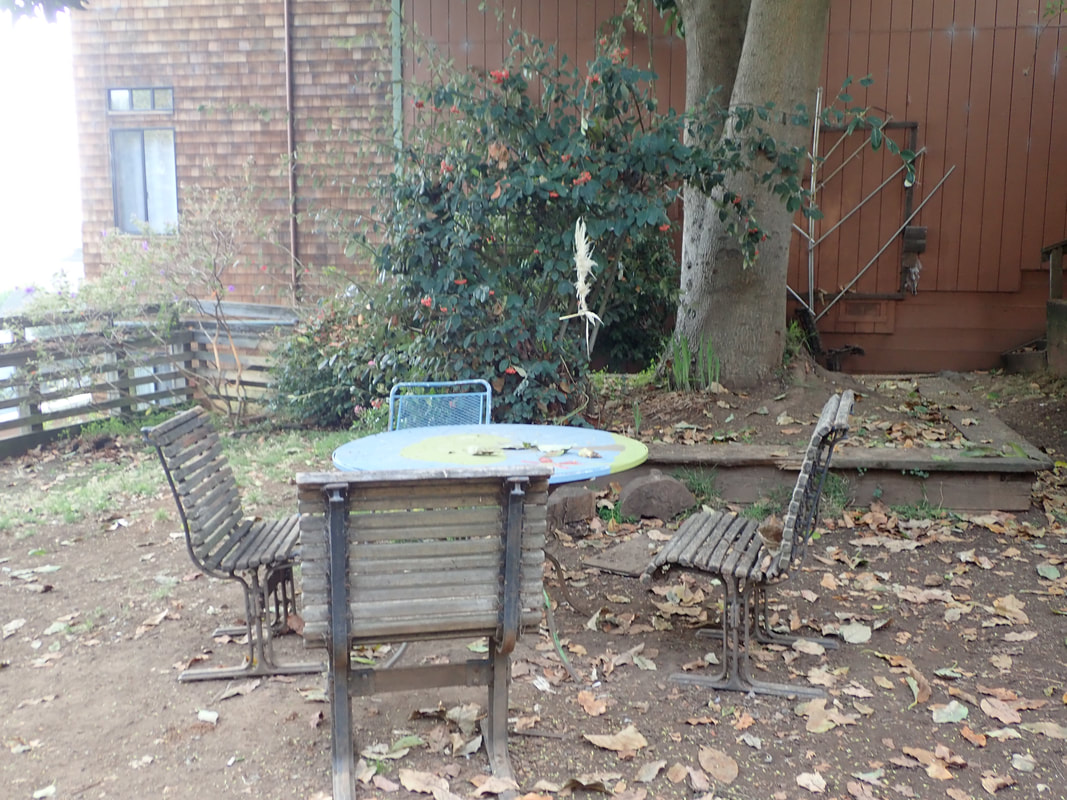
Crossing Brewster to Wolfe Lane Community Garden and Miller/Dogpatch Memorial Garden. Google Naps shows two garden names. The north strip is Wolfe and the larger section to the south, with the stairs up and the benches, tables and chairs, is Miller/Dogpatch.
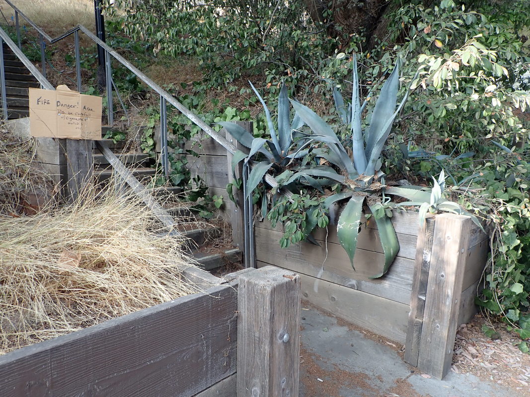
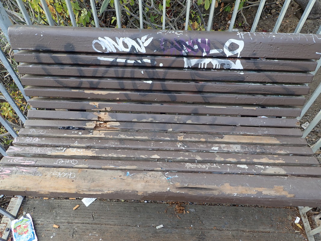
Miller-Dogpatch is an open stairgarden and unlike last visit to Bernal Heights Community Garden didn’t have to worry about being locked inside.
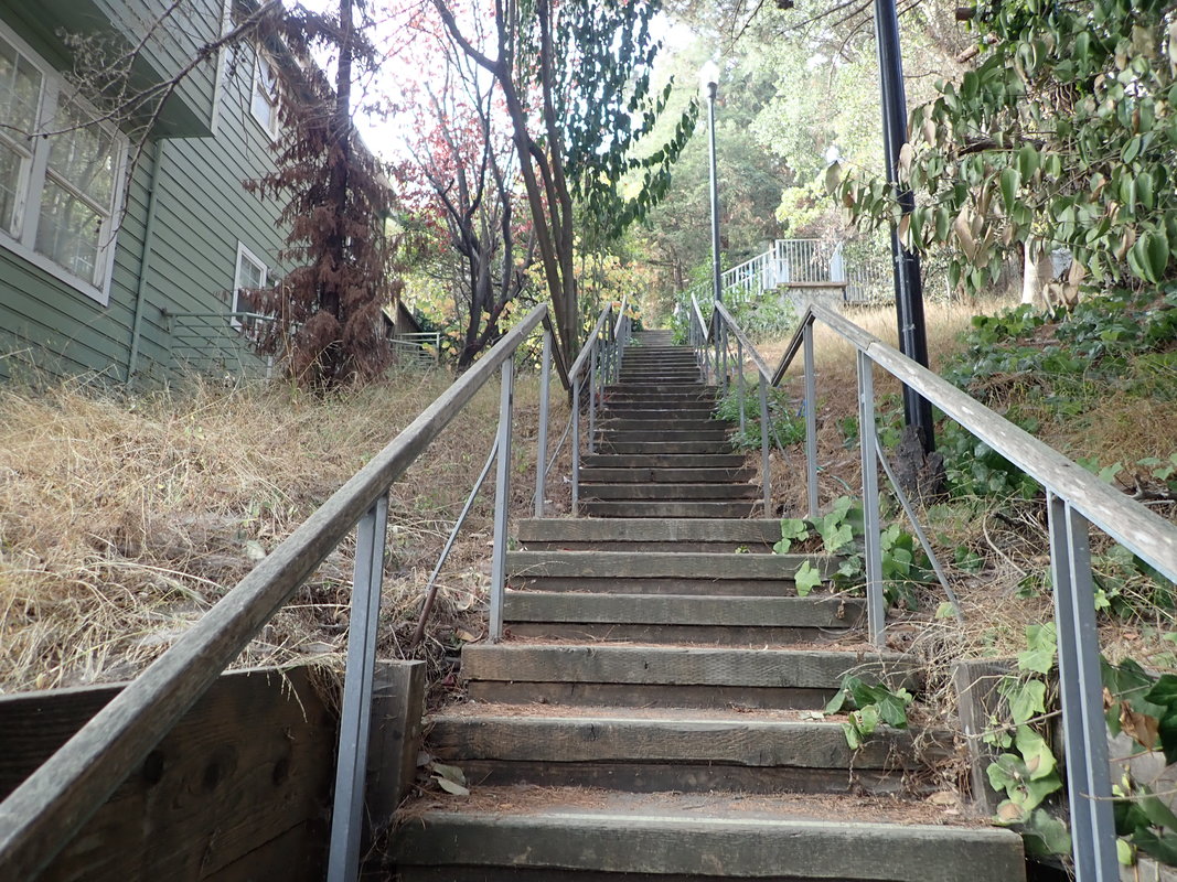
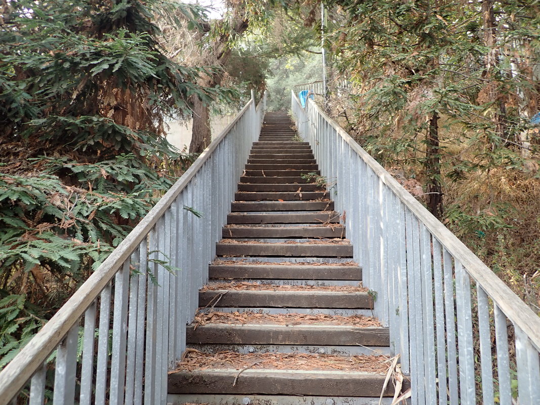
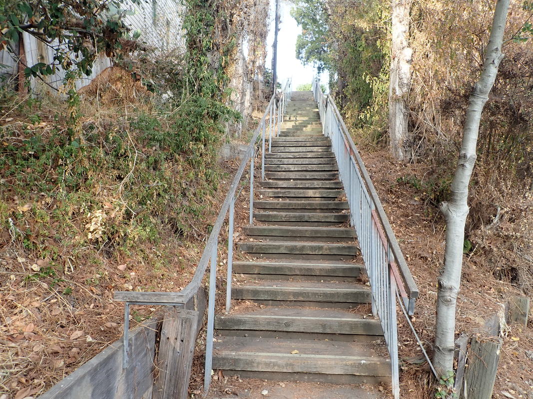
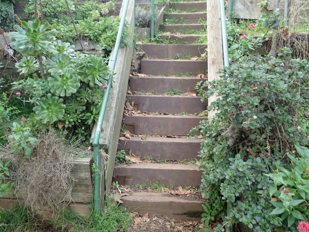
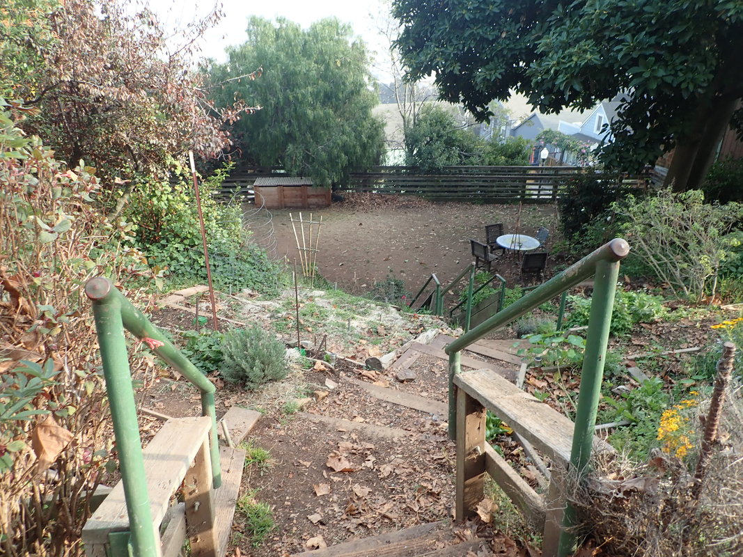
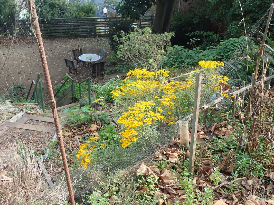
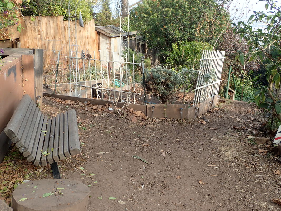
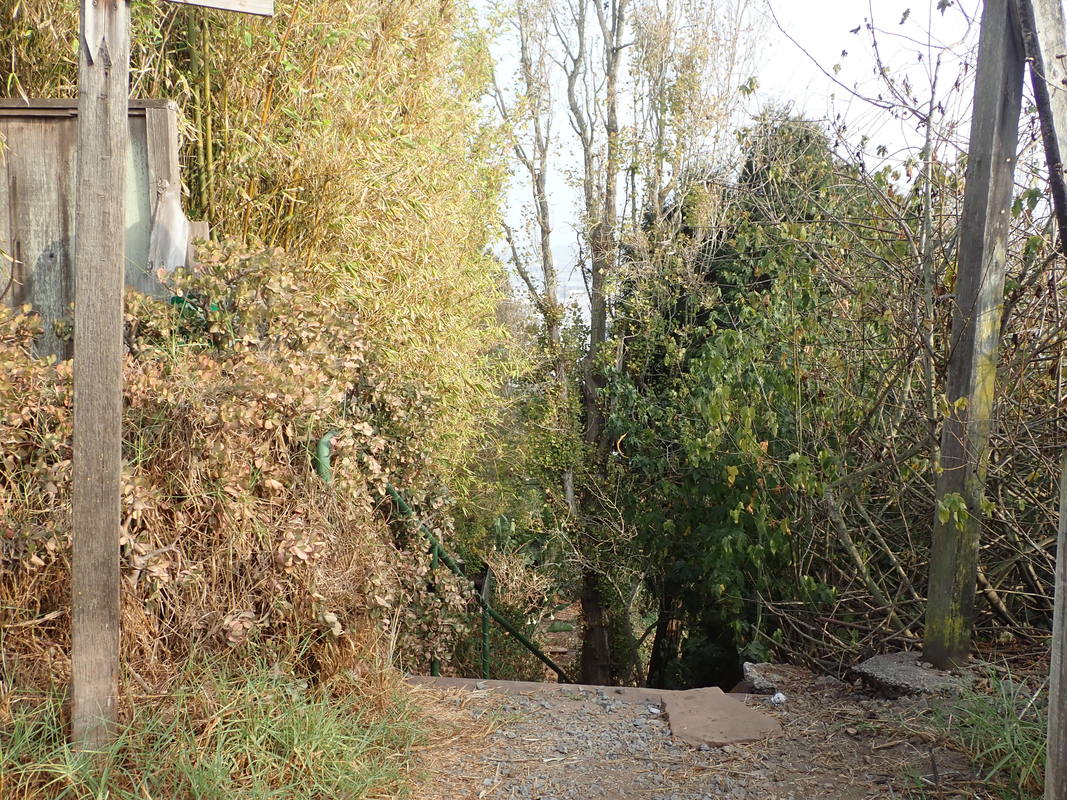
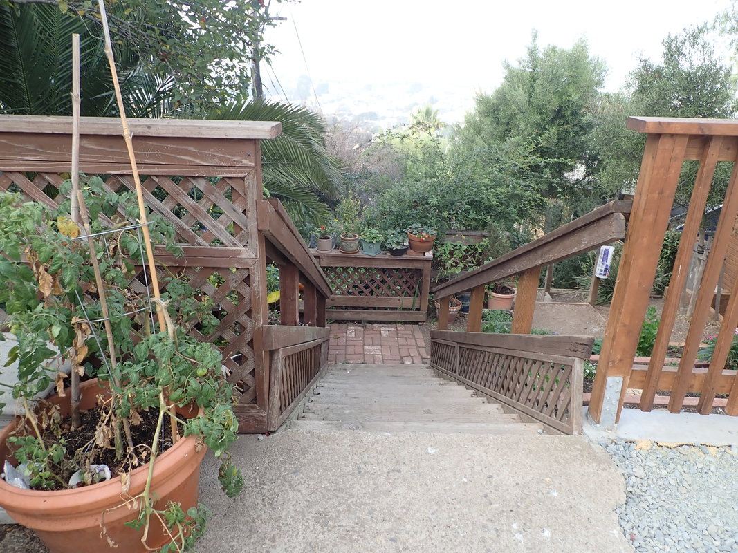
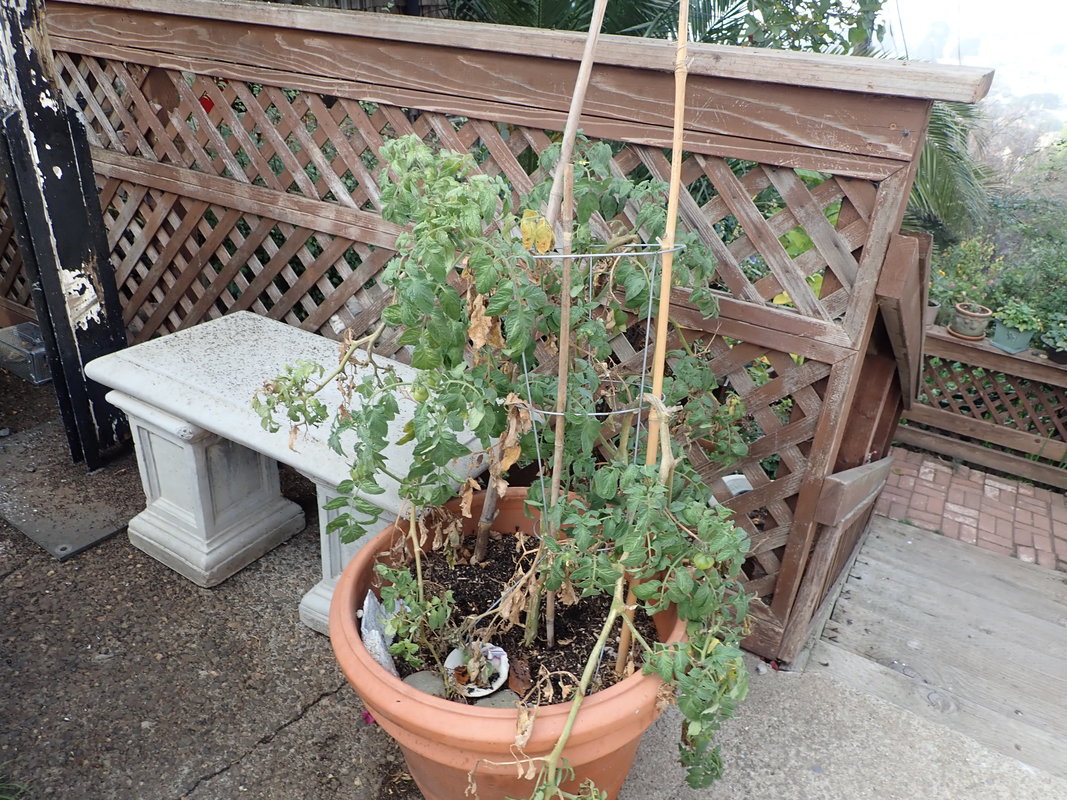
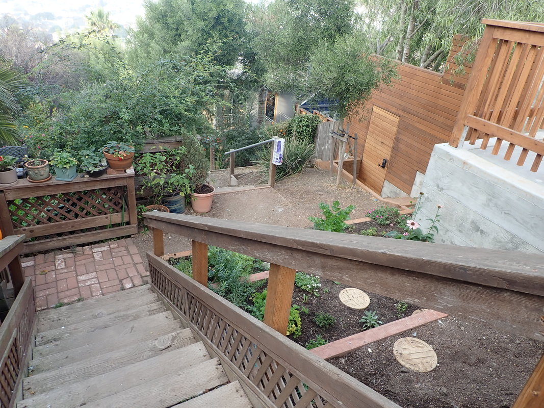
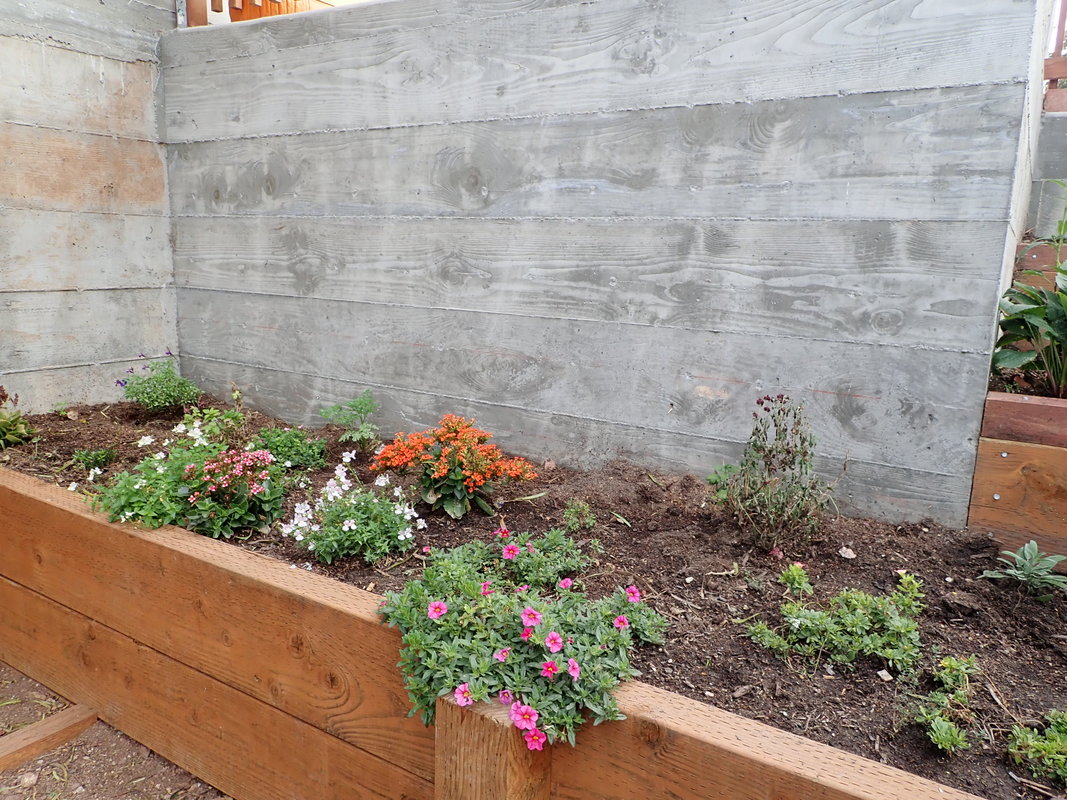
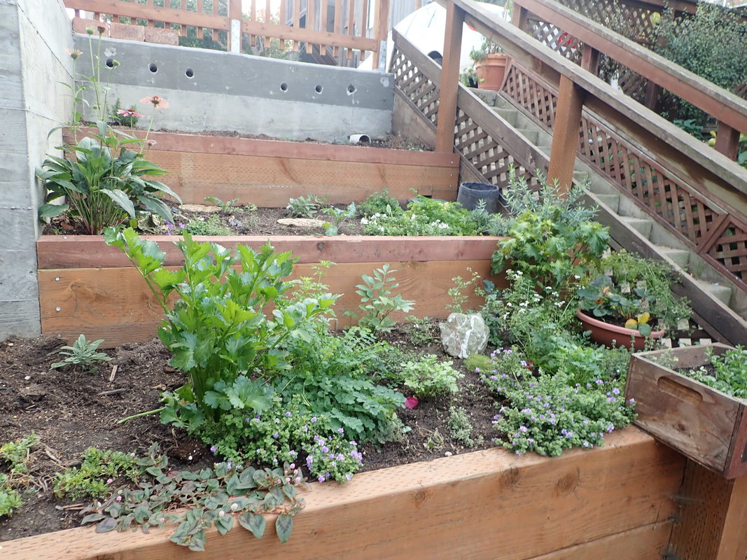
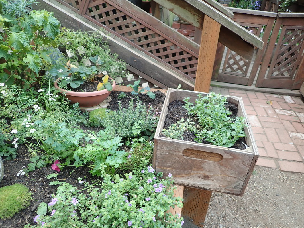
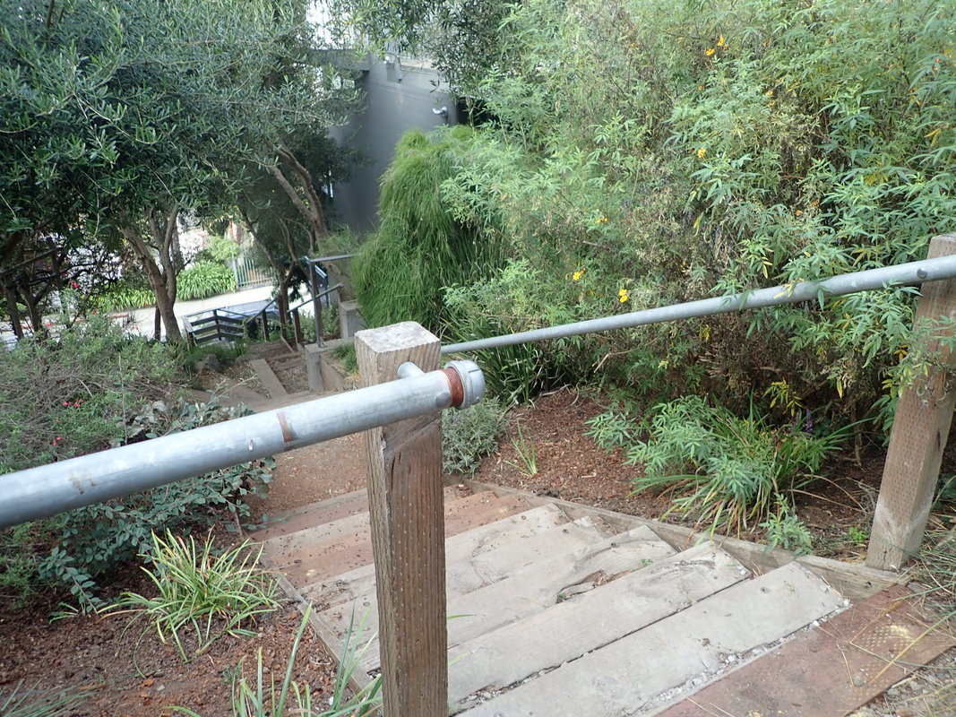
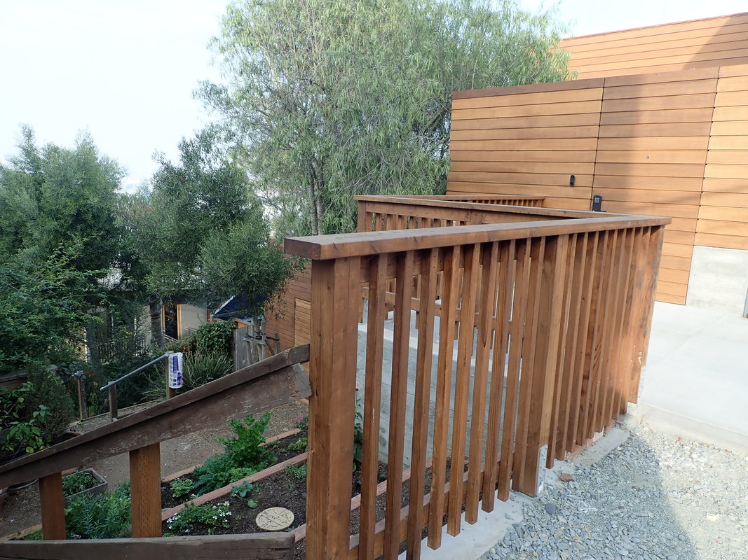
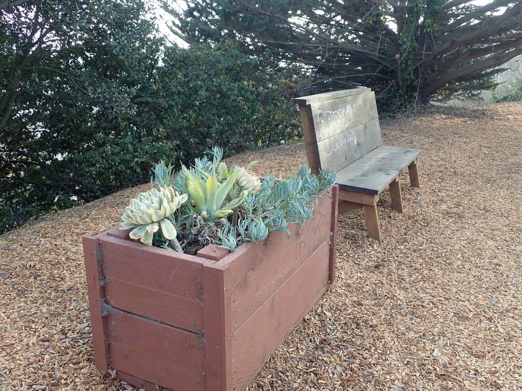
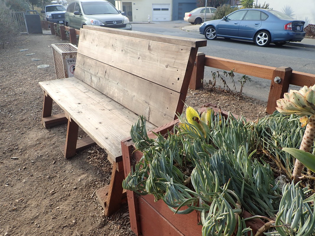
Up through the south garden to the top: 30 thru 49
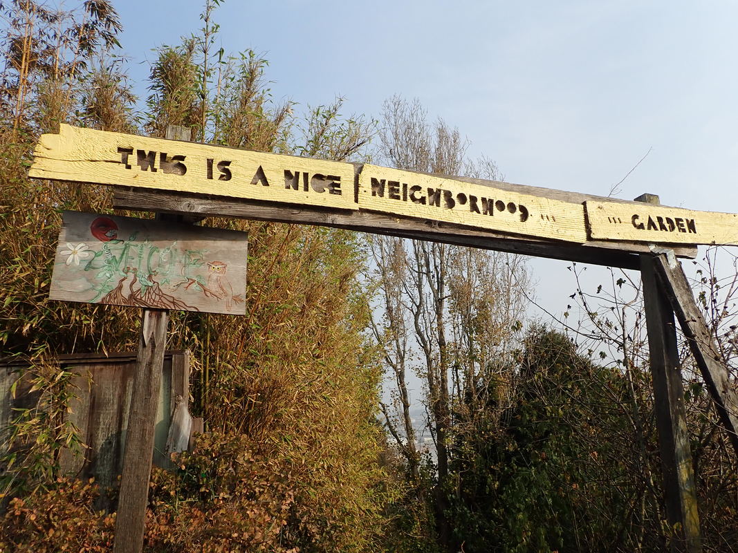
The Nice Neighborhood Garden sign at the top, Franconia, has been here for years: 50
Franconia’s present stairgarden dates from 2004.
THENs from just before the transformation: 51, 52, 53
A THEN of the same area from around 1972: 54
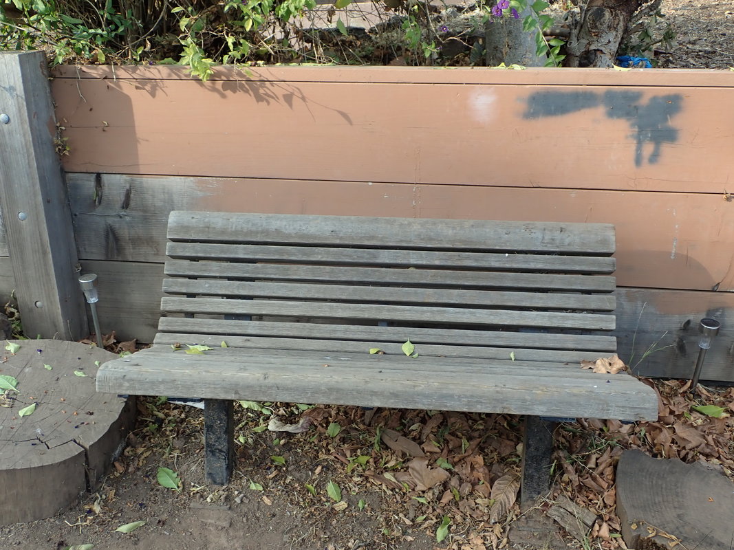
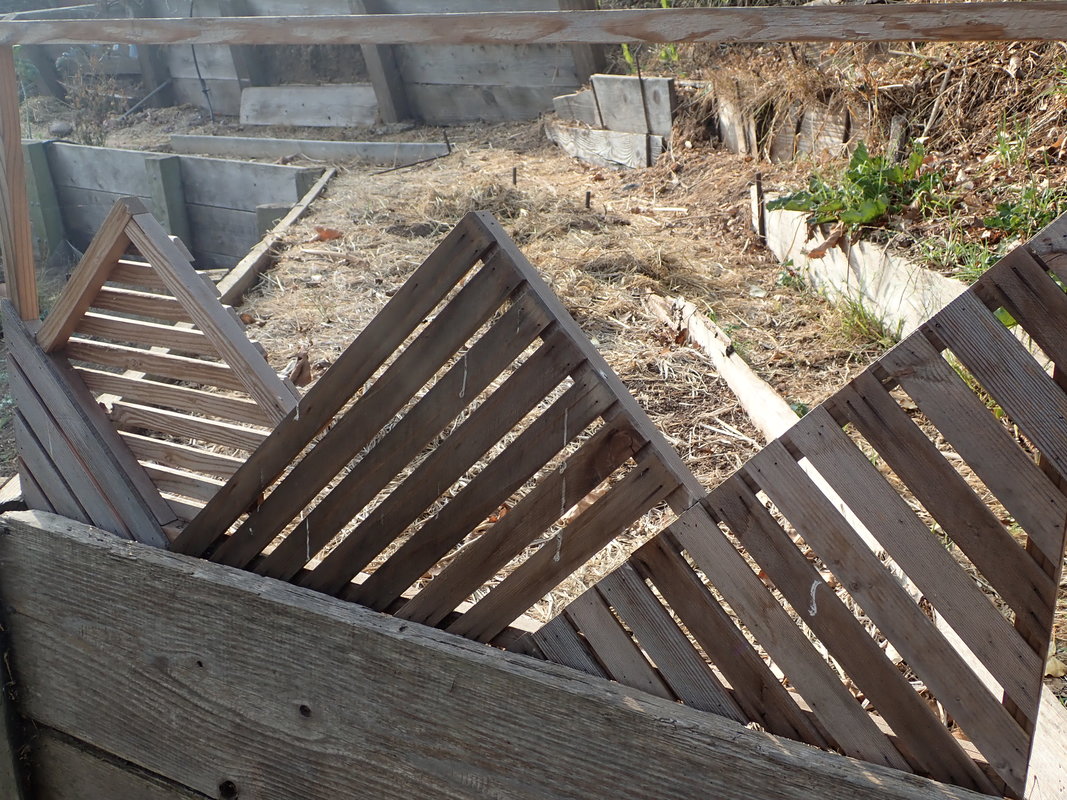
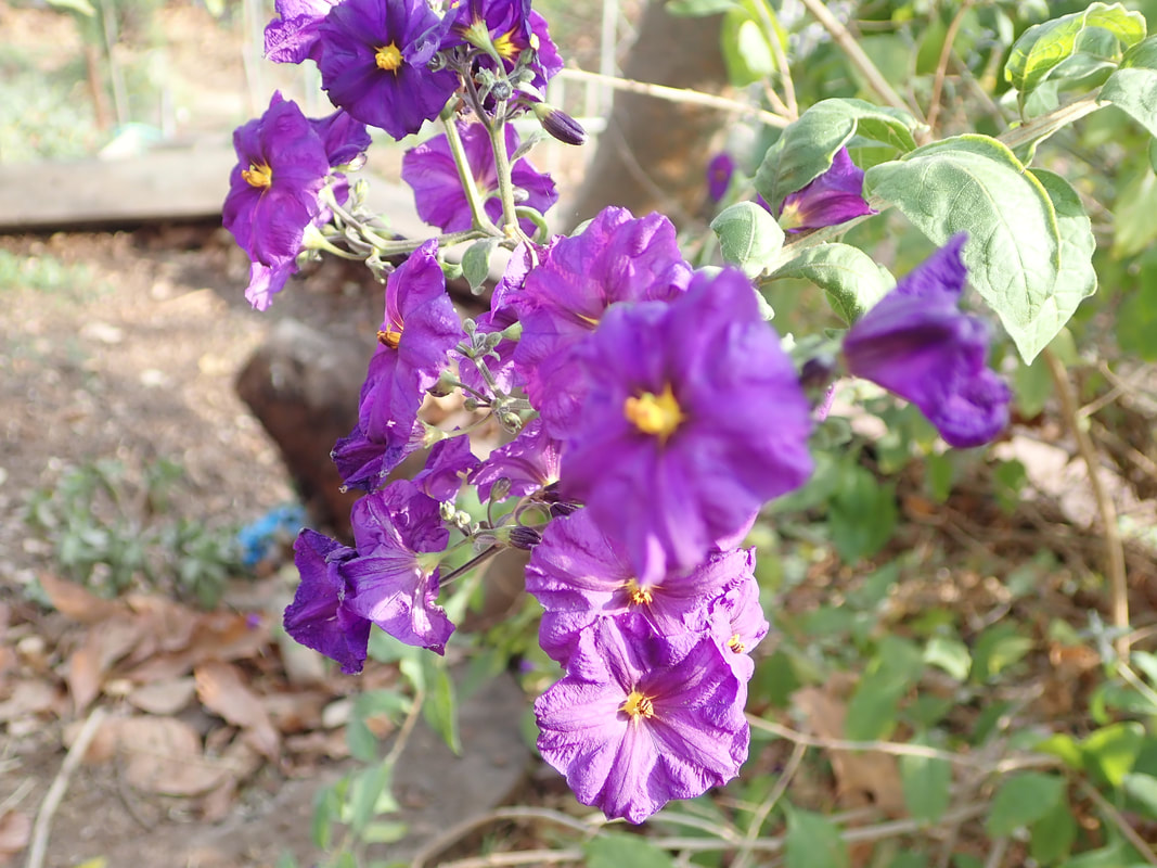
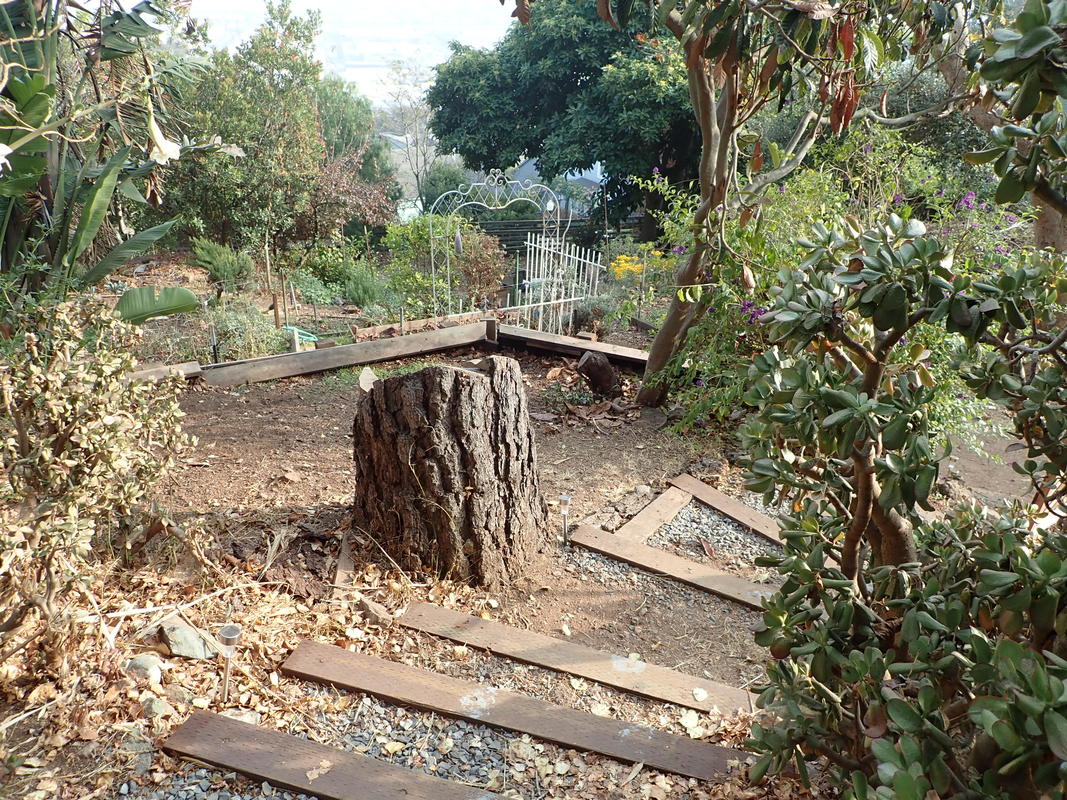
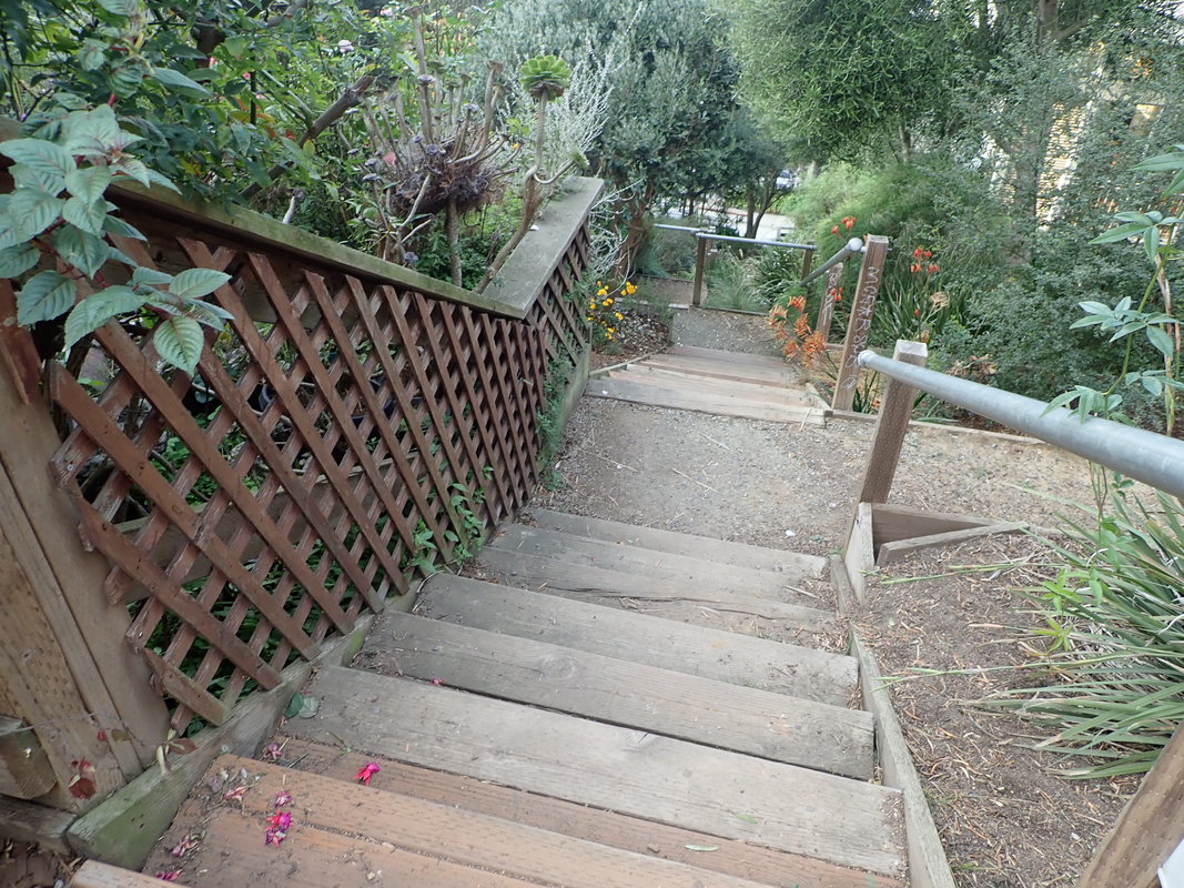
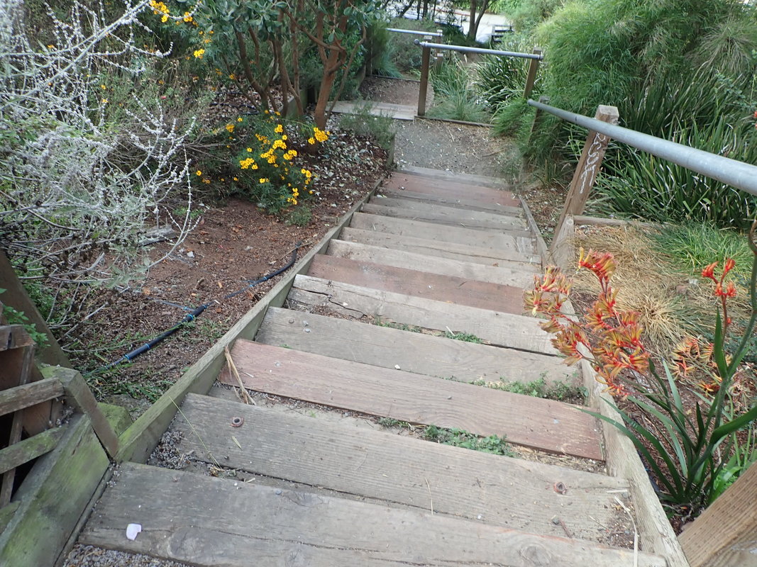
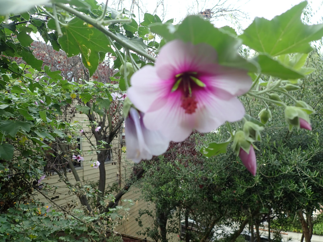
NOWs: 55 thru 65
Franconia: 66, 67
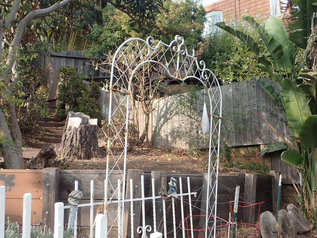
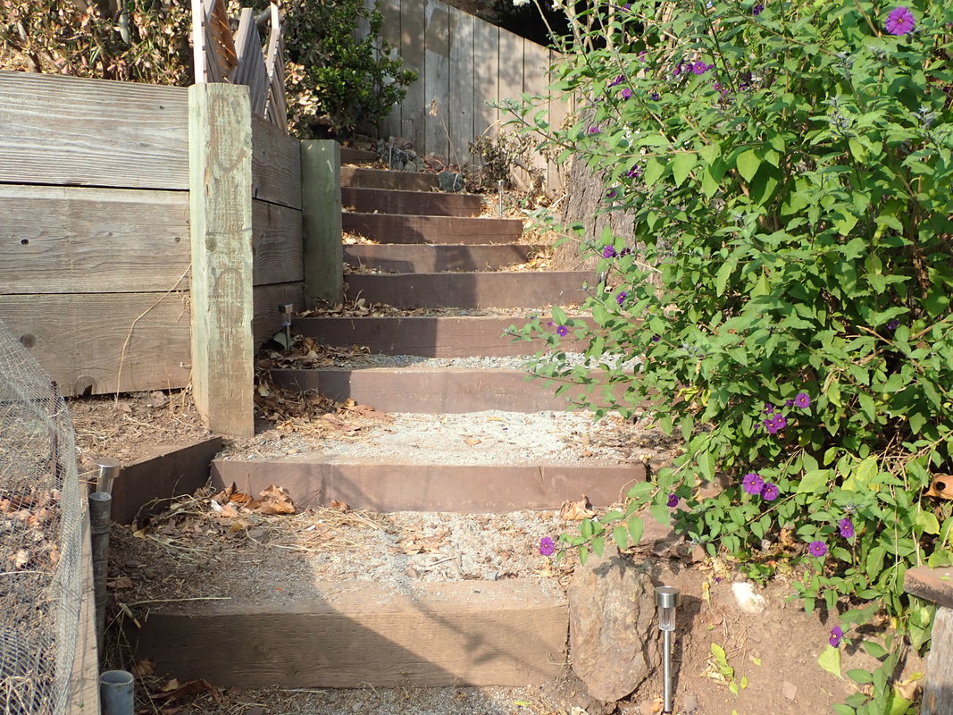
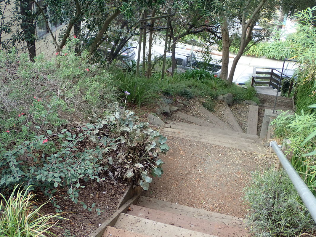
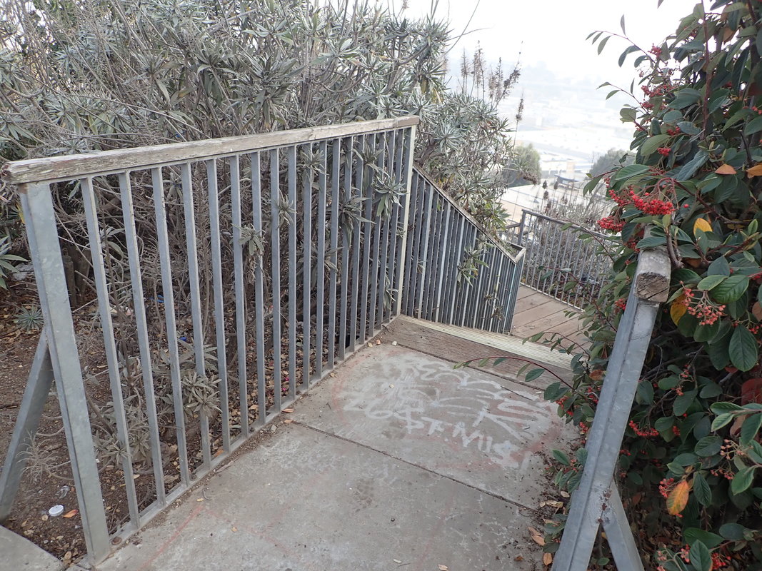
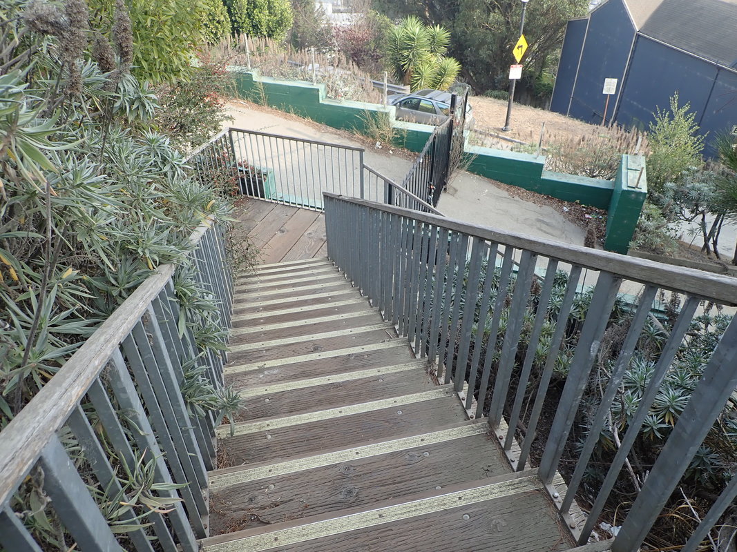
Franconia meets Esmeralda and Peralta and Esmeralda steps descend: 68 thru 78
Up Mayflower from Franconia to Peralta. You’d think the steps starting up at the side of a residence belonged to the home. But this block is a rough trail, including some steps alongside a residence on the north side.
So this is actually a through “street.” But though the higher block I ventured partway down another day didn't seem to run thru, it is listed as a trail on Google Maps as well. Mayflower is a strange “street.”’
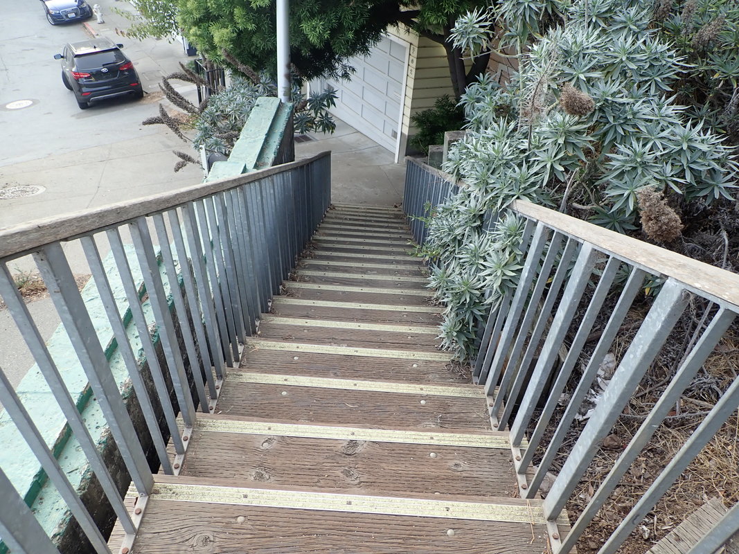
Esmeralda up to Peralta on Mayflower: 79. 80, 81
Powhattan: 82
There goes the neighborhood…new residences along Powhattan: 83
1 Foot of Joy stairway at Holladay
2 Foot of Rutledge at Holladay
3 No more gate here
4
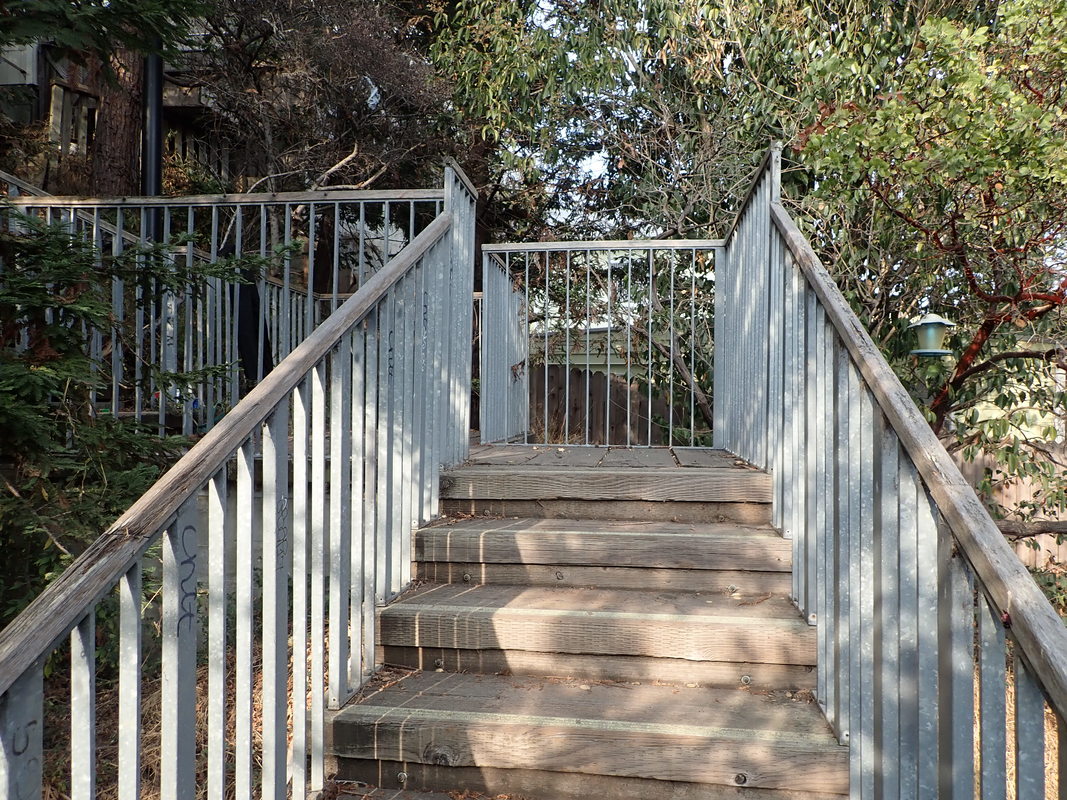
5
6
7
8
9
10
11
12
13
14
15

16
17 THEN
18 THEN
19
20
21
22
23
24 THEN
25
26
27
28
29
30
31
32
33
34
35
36

37
38
39
40
41
42
43
44
45
46
47
48
49
50
51 THEN: 2004
52 THEN: 2004. blackberries
53 THEN: 2004
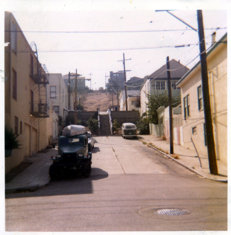
54 THEN: 1972
55
56
57
58
59
60
61
62
63
64
65
66 Back at the top again

67 Franconia St. heading south
68
69
70
71
72
73
74
75
76
77
78
79 Mayflower
80
81
82 Powhattan
83 There goes the neighborhood! Mew on Powhattan
 RSS Feed
