The old sign for Twin Peaks Park with the hiker logo at the Crestlline trailhead has been removed and replaced with one of those ubiquitous green park rules signs (first pic). But the old sign is still at the top of the stairs at the Twin Peaks Blvd. wall (second pic). Raining during the entire hike with visibility nearly zero so no Twin Peaks vu-pix this day.
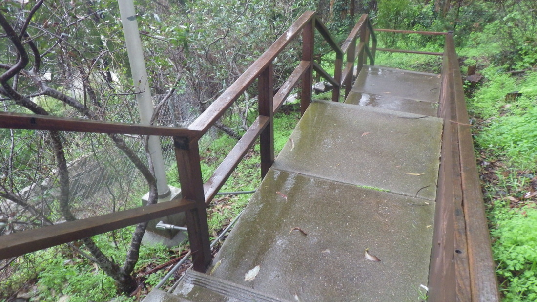
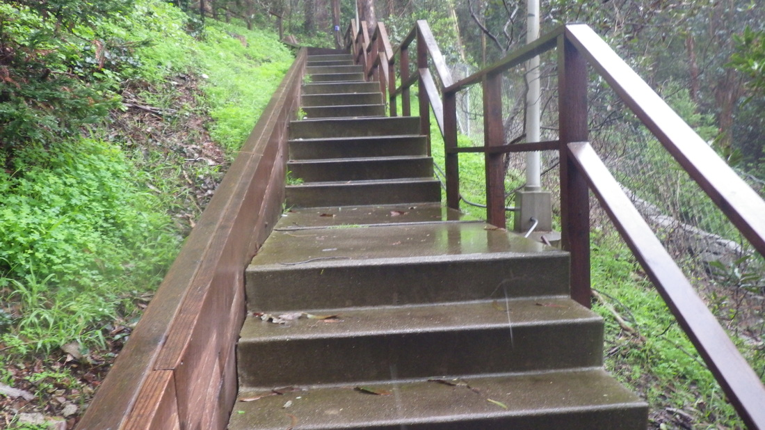
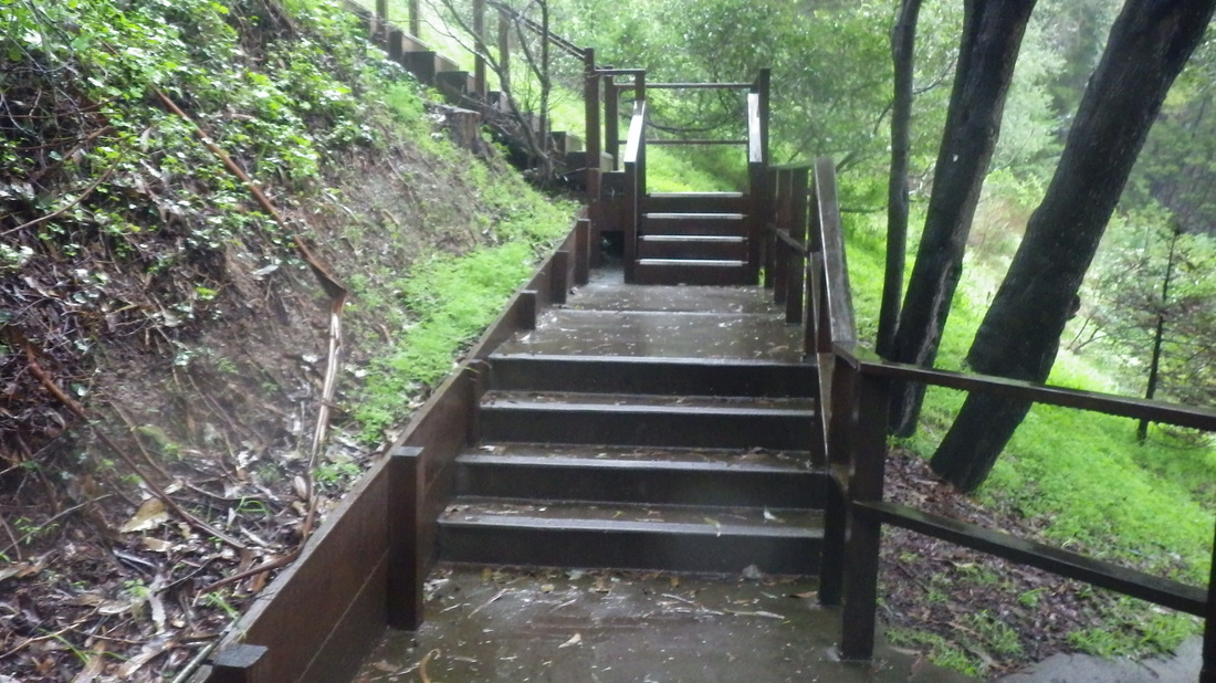
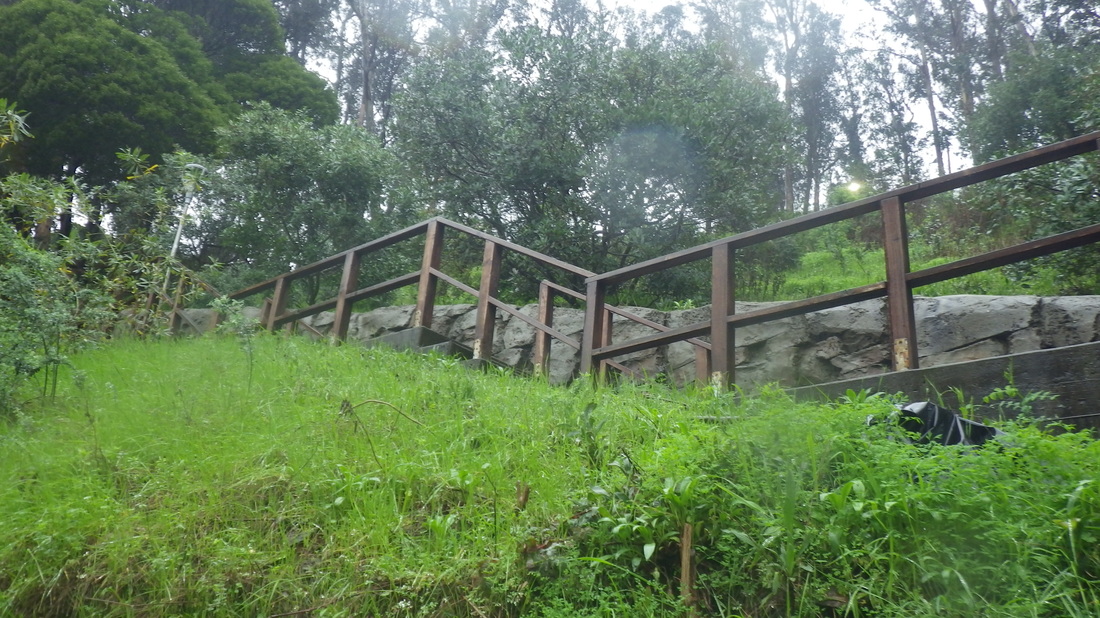
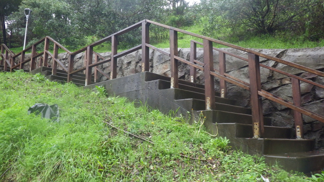
Off the bus at the top of the long Vista Lane stairway, then up the old, uneven 93 wood steps to the low wall with the trail on one side and Twin Peaks Blvd. on the other.
Read something about a possible trail being constructed around Sutro Tower and down to Clarendon. There alrealdy IS a perfectly serviceable trail like ttis in the area.
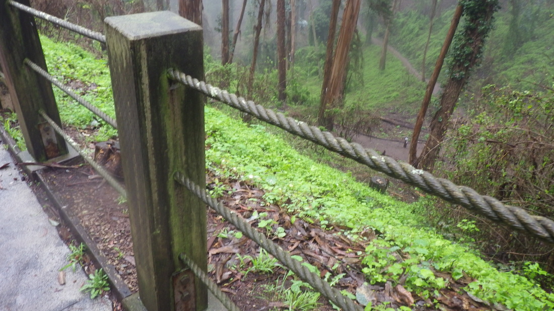
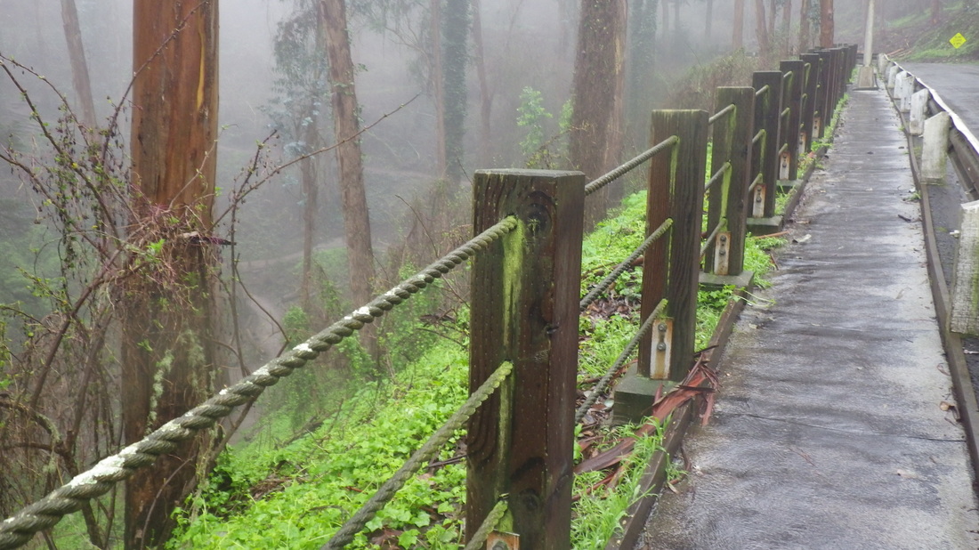
The trail I take starts when you step over the guardrail on the west side of Twin Peaks Blvd. just alongside the reservoir. There is a narrow trail here that descends to Marview in the Midtown Terrace neighborhood.
Just across the street is the trailhead for the Tower trail. At first it’s out in the open (pic 3).
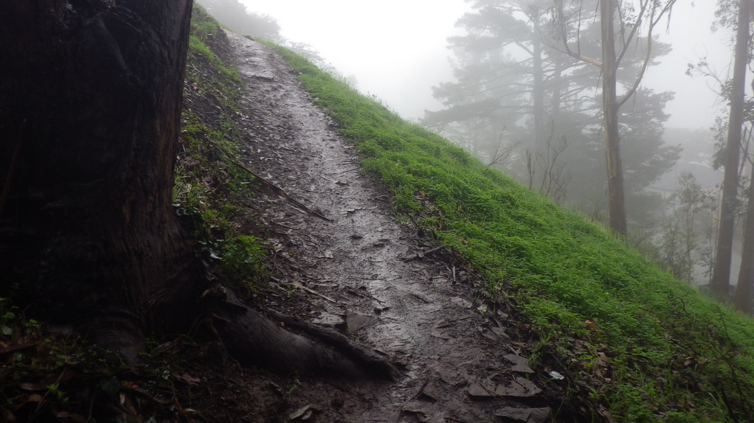
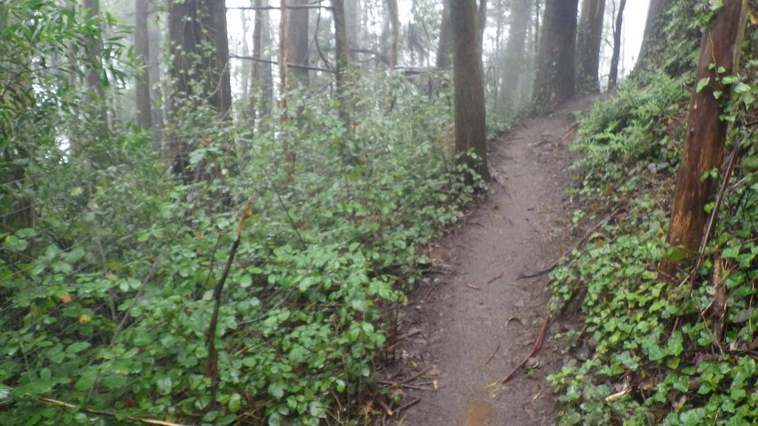
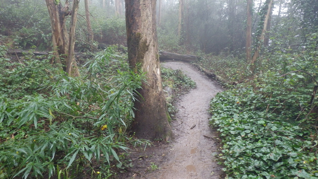
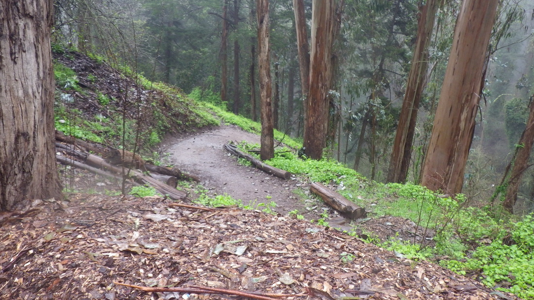
The trail climbs with Midtown Terrace homes below, and becomes beautifully forested.
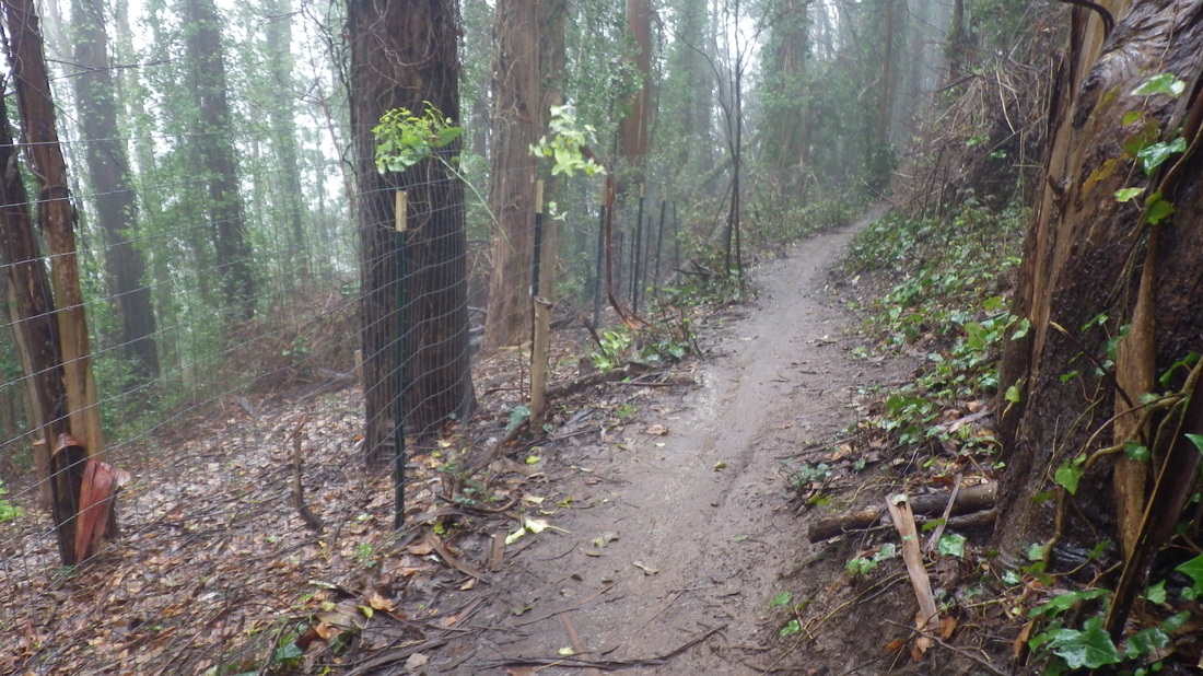
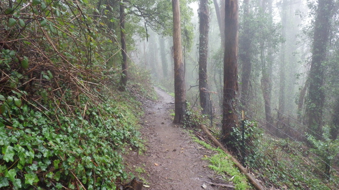
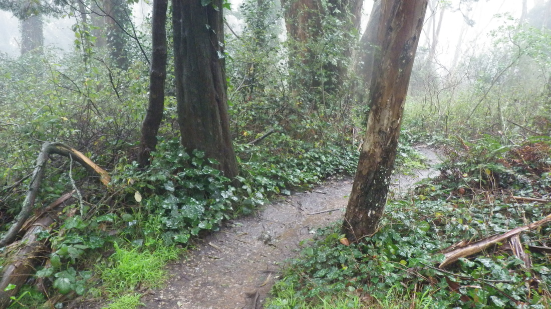
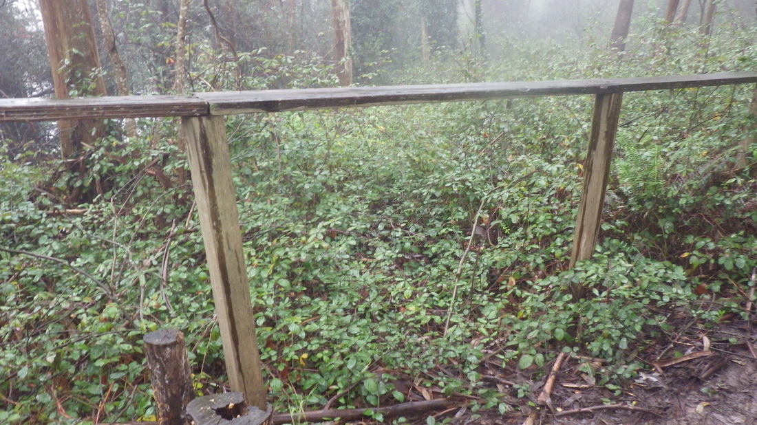
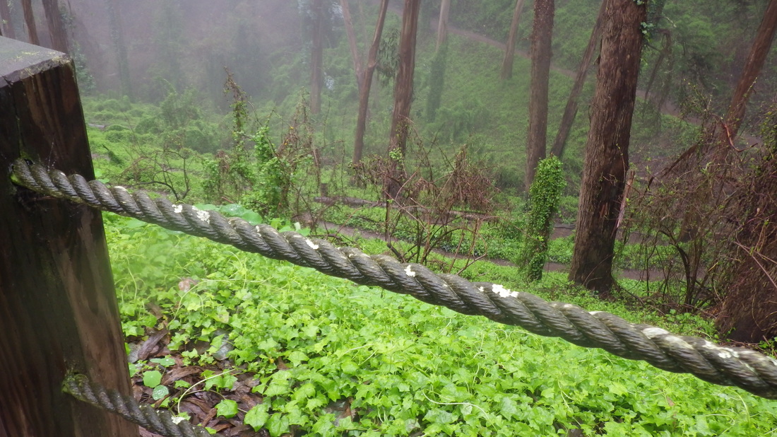
There’s a wire fence on the Midtown Terrace side of the trail, trees below nd above. I wouldn’t advise this trail when it’s raining or has recently rained as parts can be super-slippery. Go slowly if you do, especially downhill, to keep from sinking into the mire.
As I ws carefully making my way down one of those slick parts in the rain, however, two joggers sped effortlessly by going up. Mountain bikers like this trail too; just Noticed tire tracks in the mud this time.
So you circle round this delightful forested area, then downhill to mid-La Avanzada and Clarendon. No trailmarkers at either end: 4 thru 13
Crossing Clarendon makes me nervous as there there is no crosswalk or light here and this is a curvy street. How about some speedbumps as are in some areas of the Presidio. Or better yet a pedestrian skyway.
I’d be less concerned if those considering this new trail weren’t so keen on destroying things of nature and instead would wind around the trees. And make the city streets in the area easier to cross.
Would be nice if they’d use some of those thosands wasted on trying to poison or destroy plants (wrecking critter habitats in the process) to install real bathrooms in some of our parks instead of none at all (Mount Davidson, Bernal Heights Parks) or porta-potties (Twin Peaks, Fort Funston).
Fort Funston now has three large ones, though, and they tend to be cleaner than some others, whereas Twin Peaks Park still has those where you have to wait a minute or so while the thing does its cleaning cycle - and which is too often out of service.
I’m all for extending trails as long as it’s environmentally friendly and they don’t get overly carried away trying to “improve” or tame wild areas that should be respected and protected. And if they'd cease and desist with the toxic herbicides already.
Across Clarendon here, continuing east a short distance to Mount Sutra’s Aldea residential neighborhood. However, there was heavy machinery around the East Ridge trailhead where they were (over)doing “tree work” here still (yeah, in the rain). Lot of woodchips at the North Ridge trailhead.
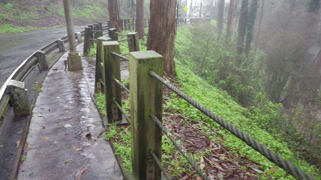
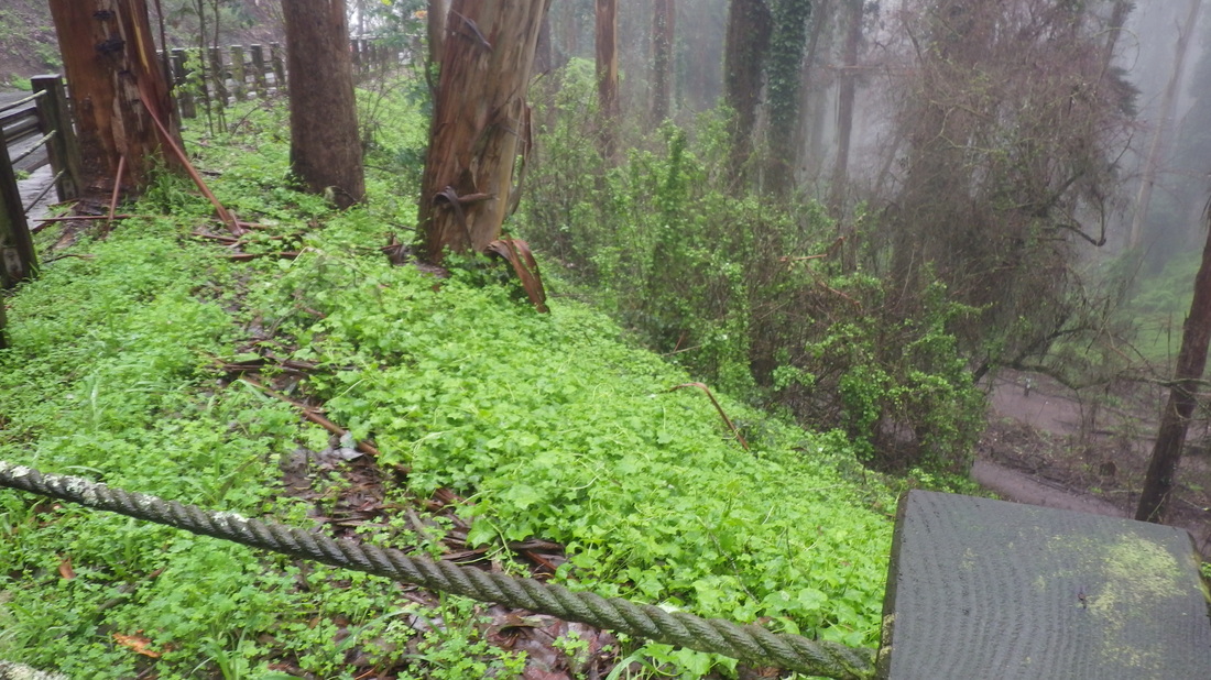
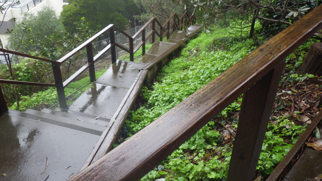
Continued on the guardrailed walkers’ trail to gaze down into the green lushness of forest and trails from winding Medical Center Way: 14 thru 20
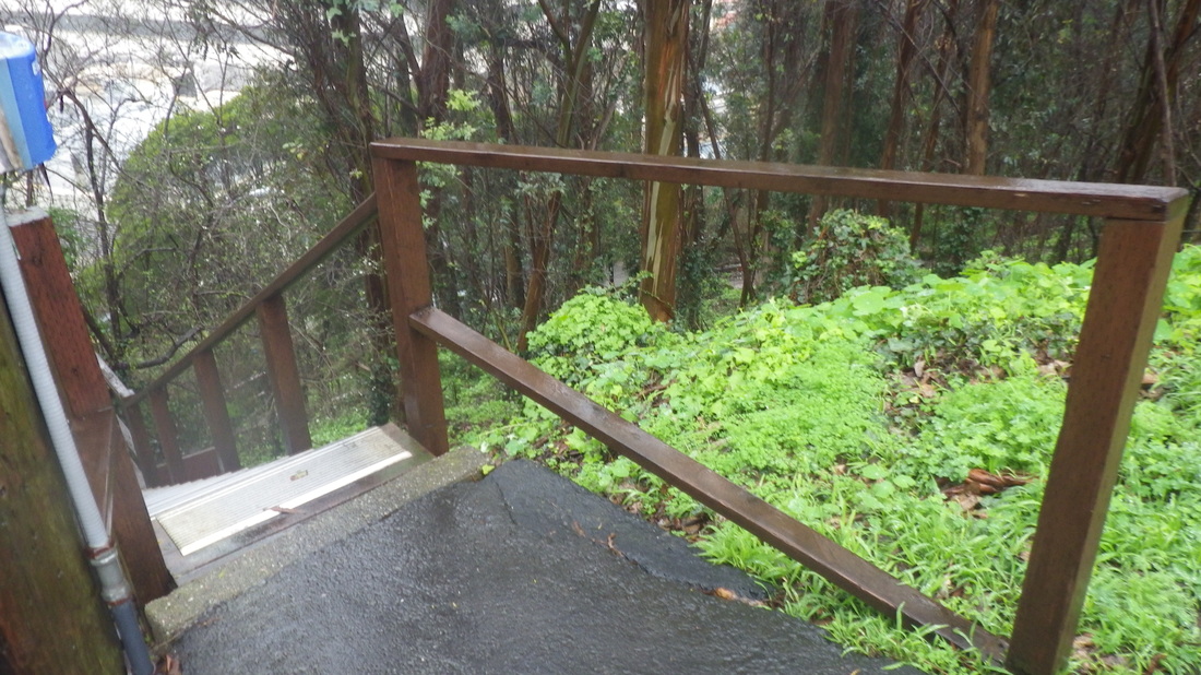
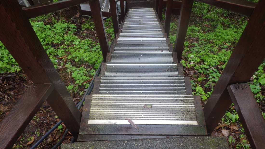
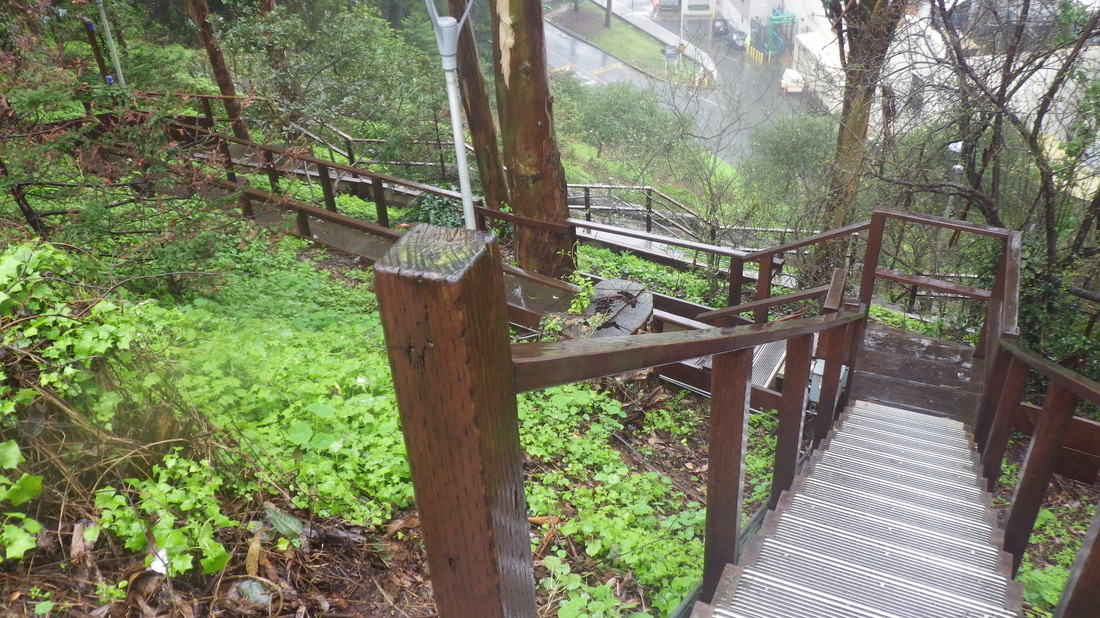
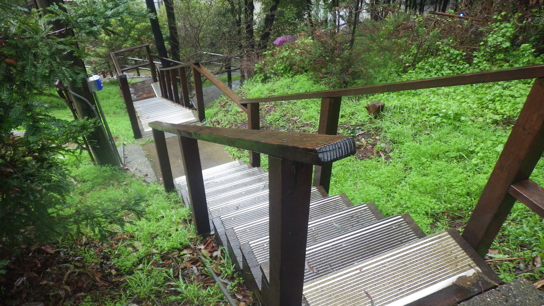
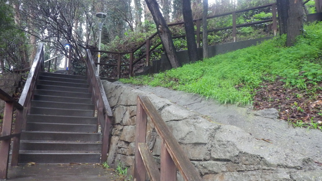
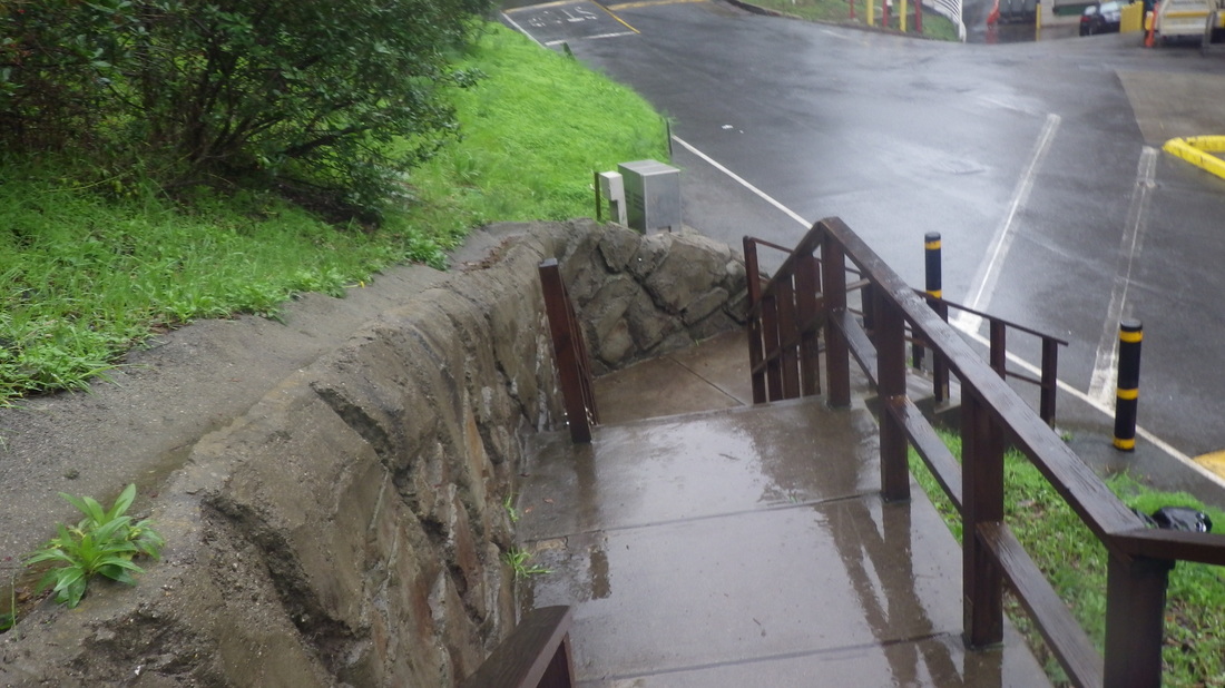
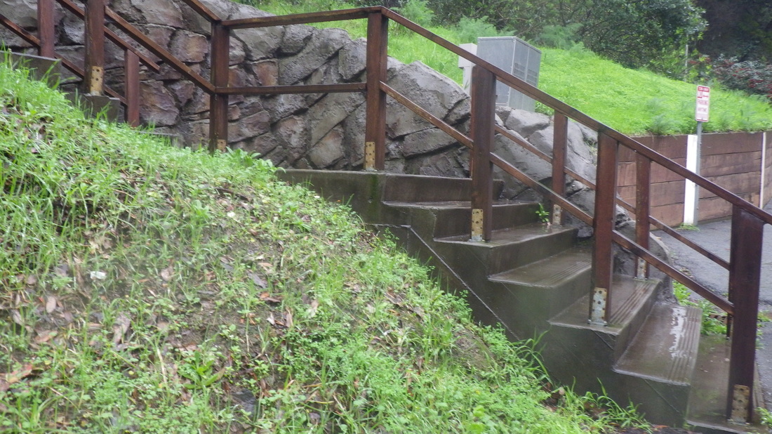
Down this much used and well-made stairway (top at the parking lot) to the foot of Medical Center Way behind the medical buildings. 138 steps. Out to busy Parnassus for the MUNI #43 (or #6): 21 thru 34.
So sure I’d like to see new trails with some of the fenced off areas opened up (owned by the water dept. and others) to hikers as long as they don't get overenthusiastic about cutting down healthy trees to accomplish it. Say, the unused slope above Laguna Honda Reservoir and down to connect with the community garden off 7th Ave. on the west side.
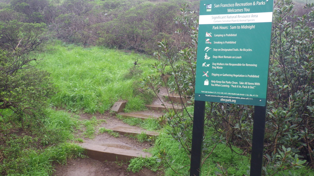
1. Hiker-logo/Summit sign replaced by this sign
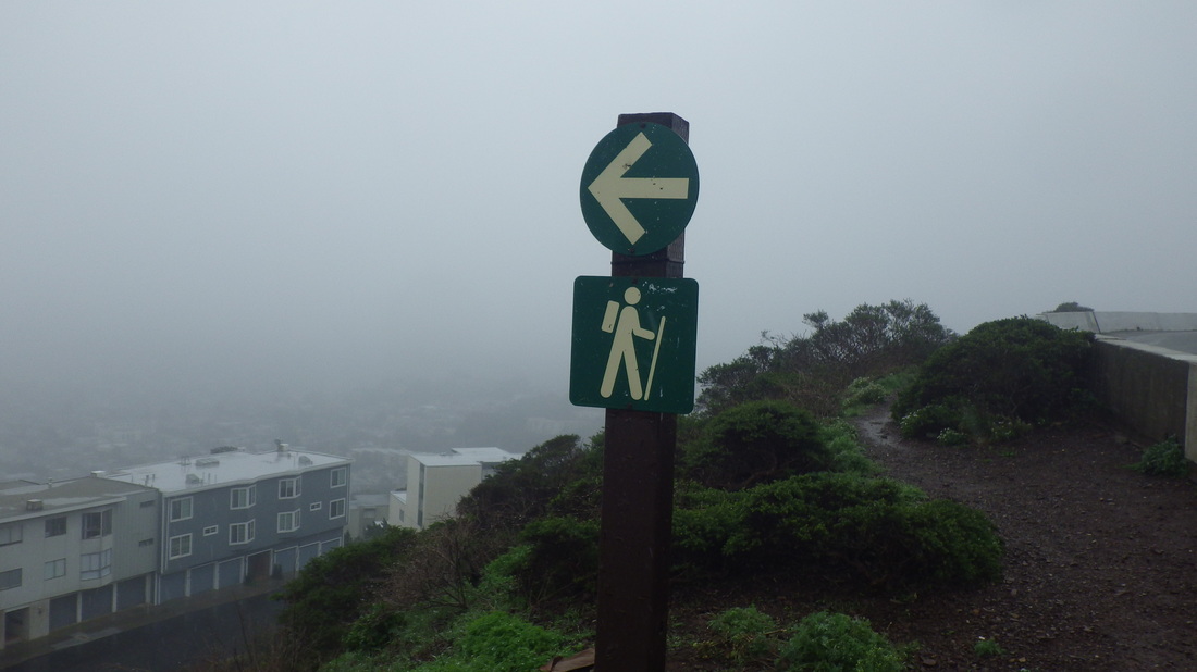
2. Sign still here at top of Crestline steps in the park
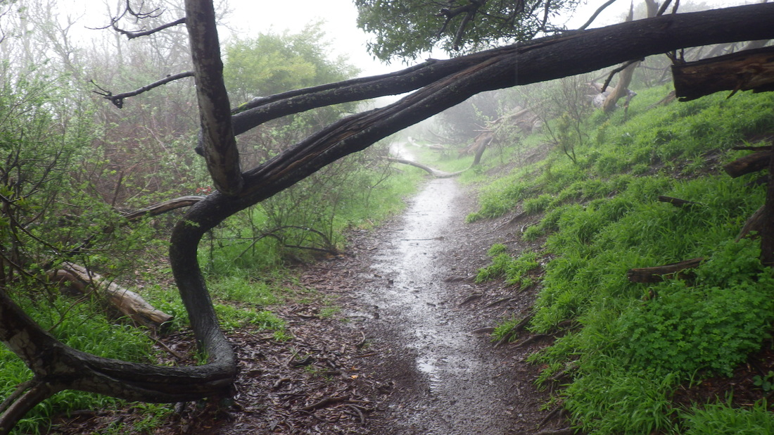
3. Heading west
4. Into the forest
5. The trail is fenced on both sides
6. Midtown Terrace below to left
7. Looking back
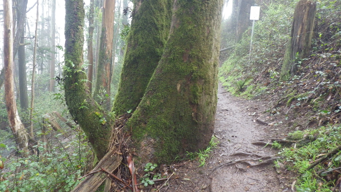
8. Furry tree
9. Muddy but refreshing in the rein
10. Winding round
11. I like this
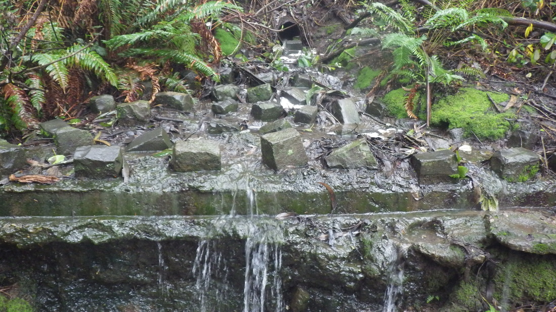
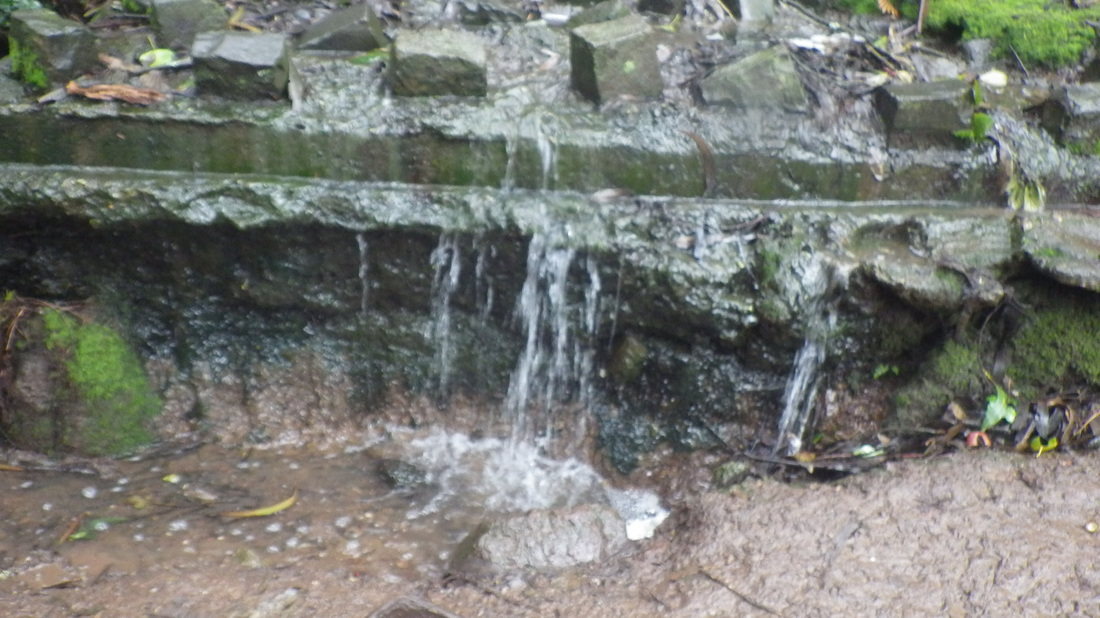
12. A little waterfall
13. Downhilling
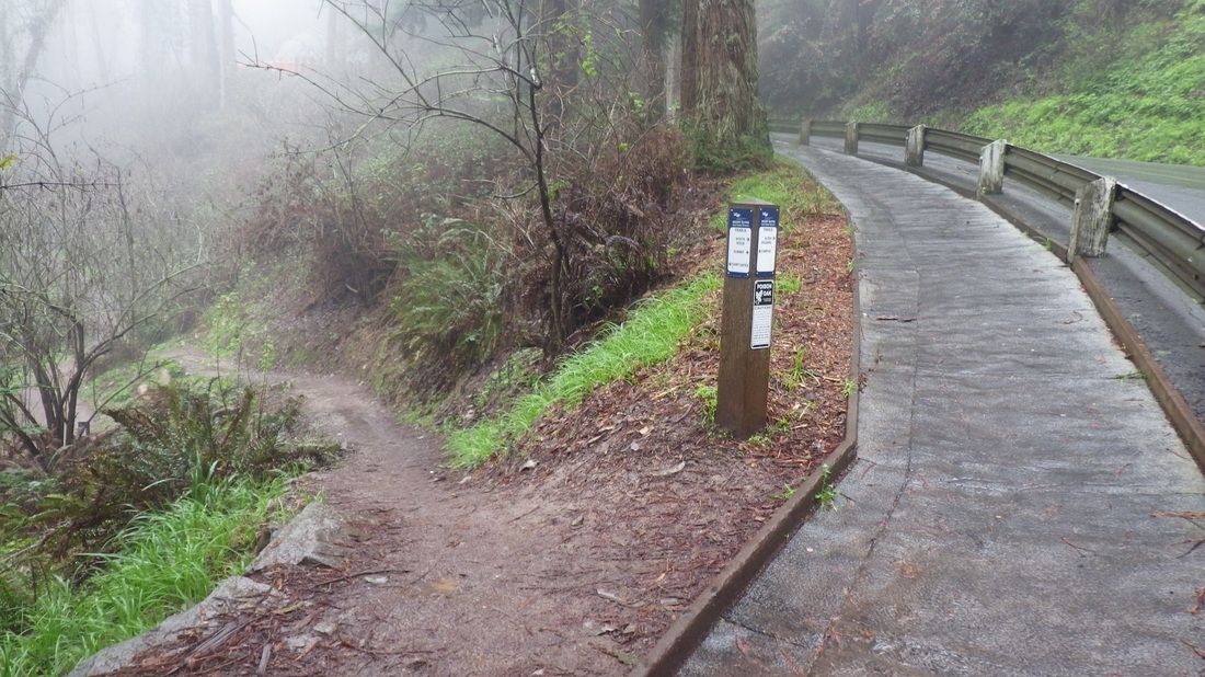
14. Trailhead for Fairy Gates Trail
15. Medical Center Way used to be called Upper Service Road
16. Looking down
17. Trails below
18. This time winding round to the parking lot and top of the steps
19. Guardrail and road to right
20. Love both upper and lower trails
21. Top of stairs at the parking lot
22. Starting down
23. Like a treehouse
24. Wood railings
25. 138 steps
26. Parking Lot down to back of medical buildings
27. "Hidden" stairs behind the UCSF medical buildings
29. Offshoot older steps up to a trail behind Edgewood Ave. homes
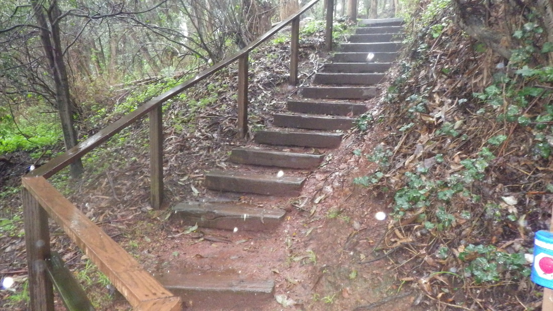
29 Study and well made
30. A north stairway
31. Down to the foot
32. Nice design
33. Looking back up
34. The149 Farnsworth steps are a block or so east of here
 RSS Feed
