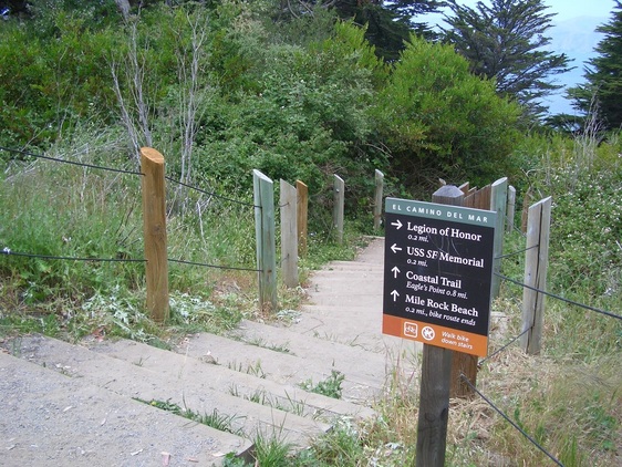
Stairway from El Camino del Mar Trail to Coastal Trail
Crossed into the park from the 38L Geary’s end-of-line stop at 48th Ave. and headed up the first stairway I came to: 42 steps to the first overlook. There’s a Coastal Trail sign here.
You’ll see an El Camino del Mar street sign and a “Not a Through Street” sign. This street will take drivers to the newer upper parking lot overlook.
Up from this first stairway is a newer, shorter, stairway (20 wood steps).
Didn’t continue to the overlook area from the top of this second set of steps, but crossed the street into the forest and around to the east side of the old octagon house that’s “hidden” in the woods up here.
Continued up and came out onto a paved trail atop the Fort Miley ruins where a couple of guys were skateboarding.
Saw this skinny trail I’d not taken before that connected with the enclosed, steep, zigzag thick-sand trail I like a lot that descends to the El Camino del Mar Trail. The El Camino is the upper Lands End trail; trails and stairways will take you down to the main Coastal Trail (AKA Lands End Trail) – first pic.
Stayed on the El Camino, crossing the wood boardwalk to the uppermost stairway (47 steps) that will take you to the end of the vehicle street and the western edge of the Lincoln Park Golf Course. Able to find the top of this upper stairway on Google Maps. From here one can access the Battle of the Bulge Memorial Trail that ascends to the VA Hospital parking lot; or the Legion of Honor a little further along.
I, however, walked around the northern edge of the golf course until I came to one of two trails I can take from here that descend to Coastal Trail stairs (down the east side from the top of the Painted Rock stairway – second photo – about 118 steps).
Stepped over the fence that’s along the stairway, down a few steps, and started out on “my” main berry trail that can easily be seen from these east side steps (third pic). It’s short, narrow, steep and offered a bunch of berries along its length today. Back down to the Coastal Trail to exit at its east end (El Camino del Mar near 32nd Ave. and the Lincoln Park stairway at the west end of California St.)
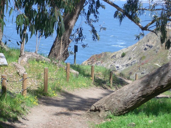
East Coastal Trail stairway
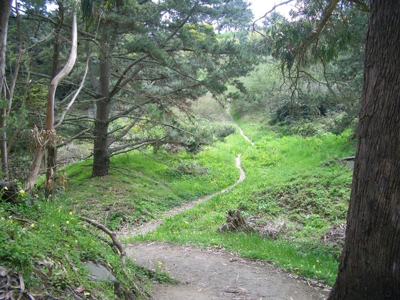
Trail off Coastal Trail up to edge of Lincoln Park Golf Course
 RSS Feed
